Trails in Switzerland
15,029 hiking trails, each with its route, climb, walking time and grade.
All trails, page 60 of 314
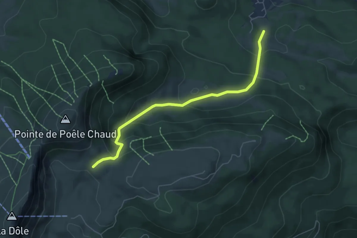
Medium · Cabin
L'Archette-Col du Vuarne
5.5 km · ↑ 325 m · 2 h
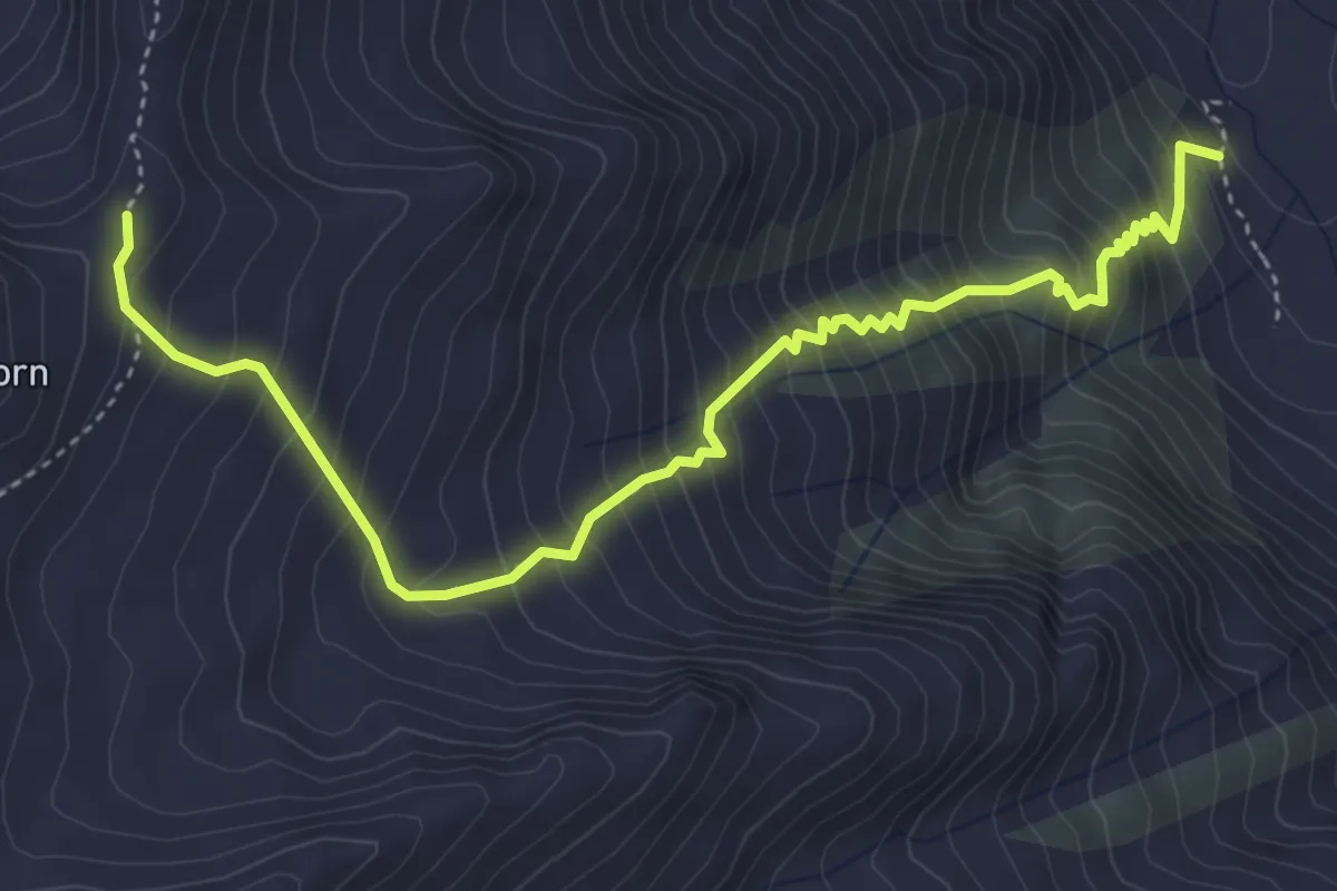
Demanding · Trail
Lärch - Grathorn
5.0 km · ↑ 760 m · 2 h 50 min
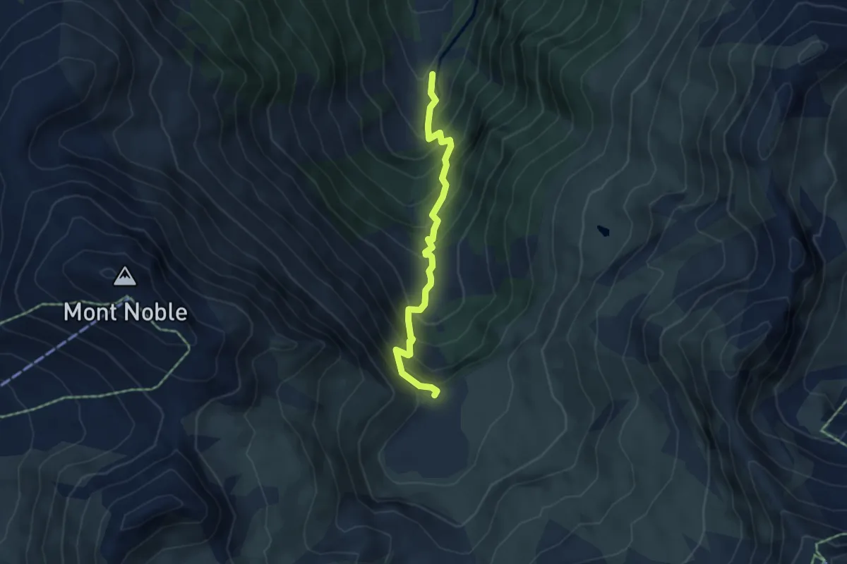
Medium · Trail
L'Ar du Tsan-La Lé
4.3 km · ↑ 552 m · 2 h 13 min
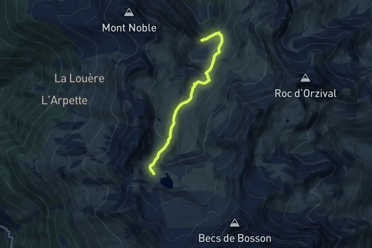
Medium · Trail
L'Ar du Tsan - Le Louché Lac (B)
8.3 km · ↑ 401 m · 2 h 50 min
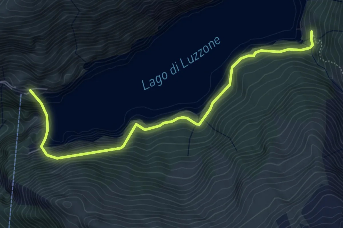
Medium · Trail
Larecc - Diga del Luzzone
6.4 km · ↑ 487 m · 2 h 33 min
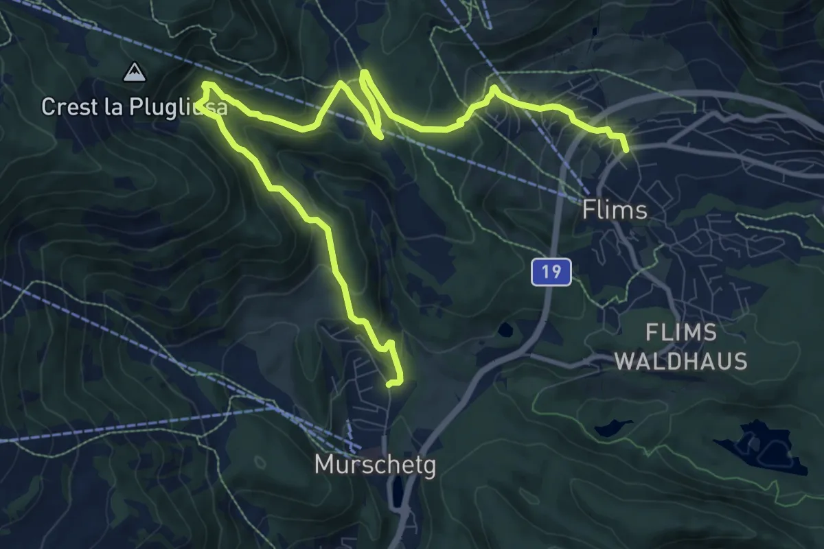
Medium · Trail
Larnags-Runca-Flims
13.1 km · ↑ 684 m · 4 h 35 min
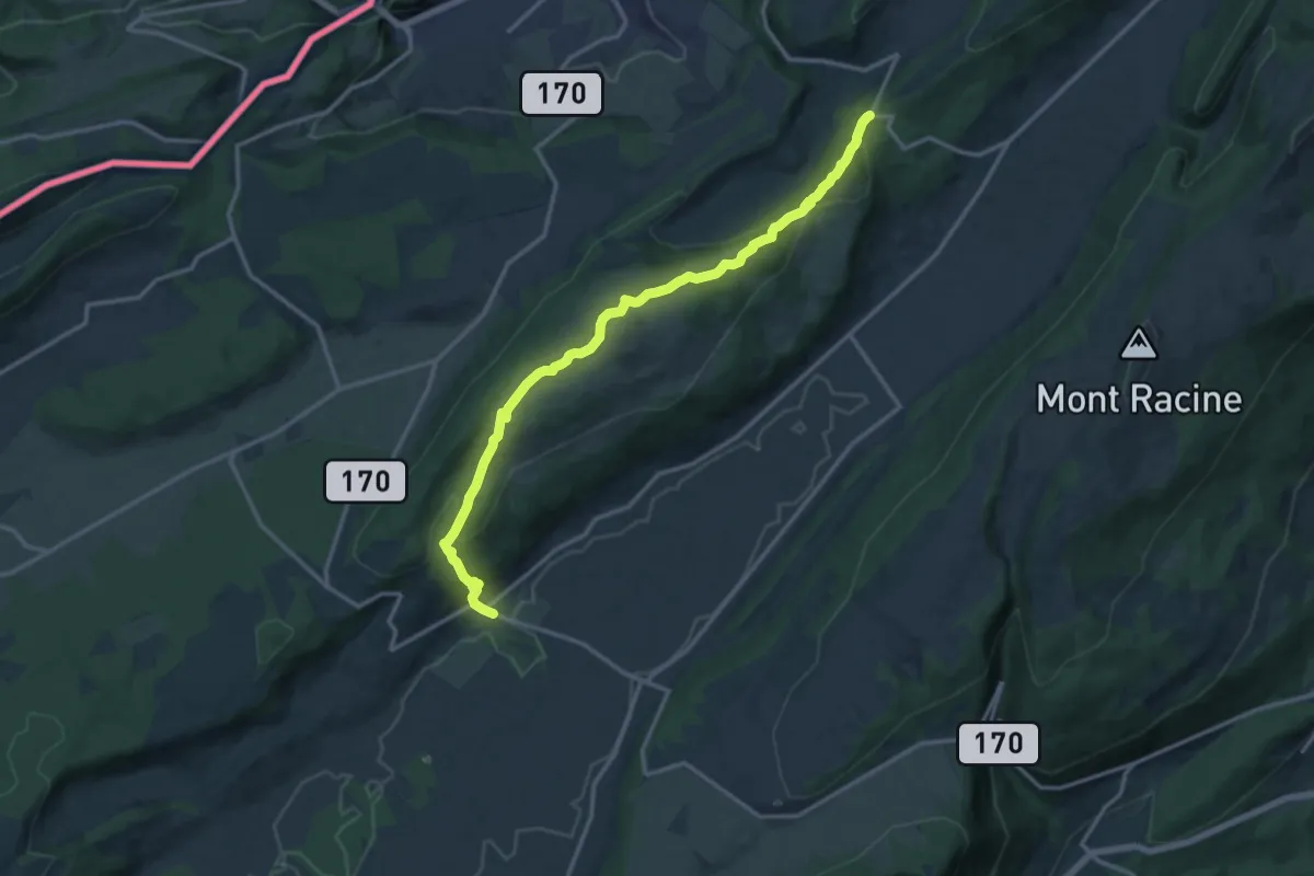
Medium · Trail
La Rochetta - Les Ponts-de-Martel
15.4 km · ↑ 567 m · 4 h 51 min
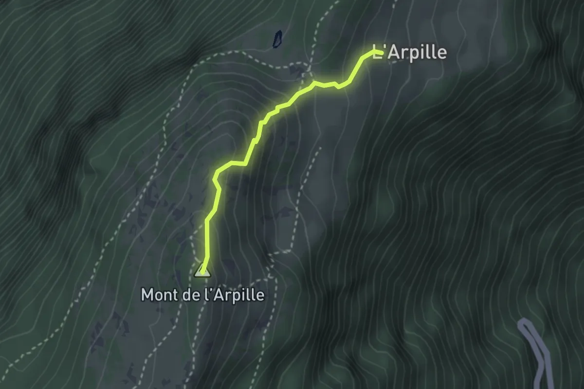
Medium · Summit
L'Arpille - Alpage > Mont de l'Arpille
2.3 km · ↑ 231 m · 1 h 3 min
Easy · Trail
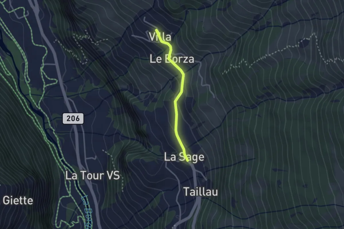
La Sage - Villa
2.3 km · ↑ 95 m · 44 min
Easy · Trail
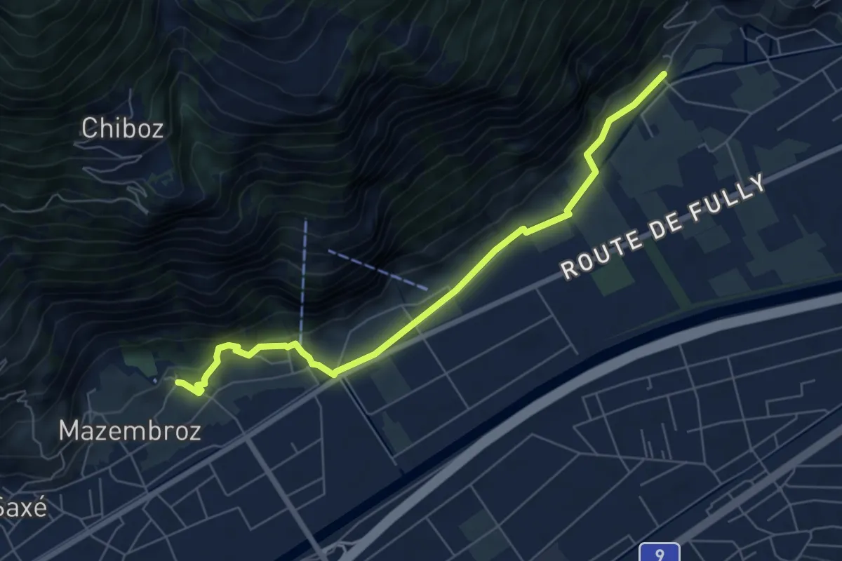
La Sarvaz - Vieux Chêne
6.6 km · ↑ 168 m · 1 h 55 min
Easy · Trail
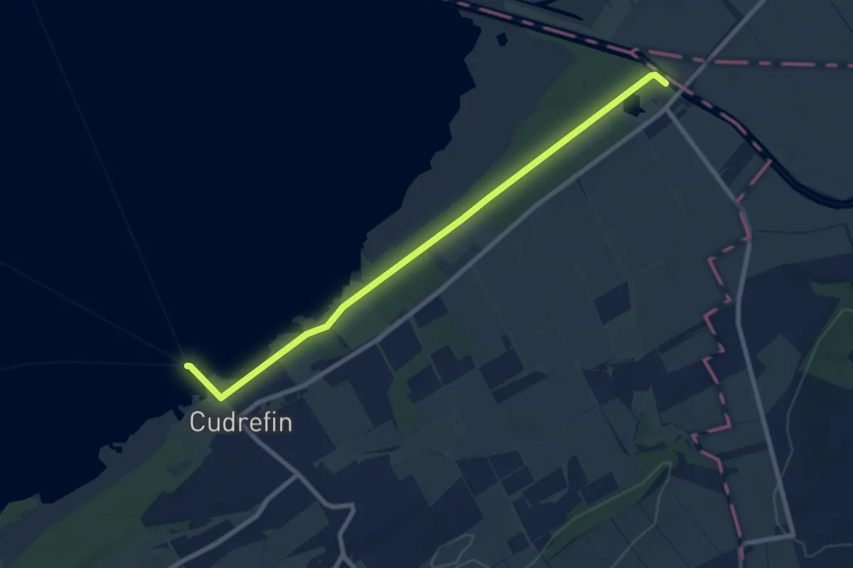
La Sauge – Cudrefin
7.8 km · ↑ 32 m · 1 h 54 min
Easy · Trail
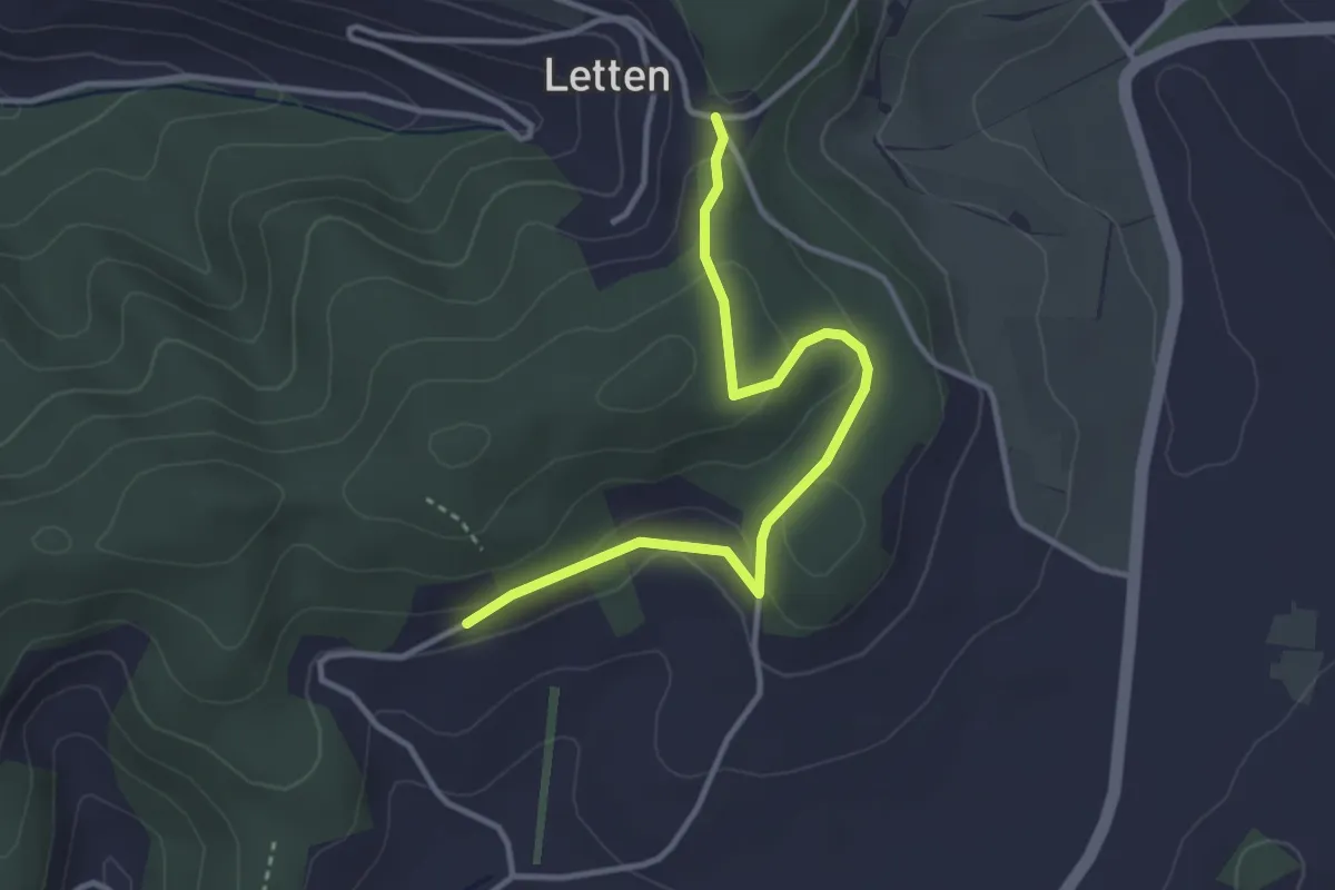
Lätten - Erli - Telleberg
3.5 km · ↑ 94 m · 1 h 1 min
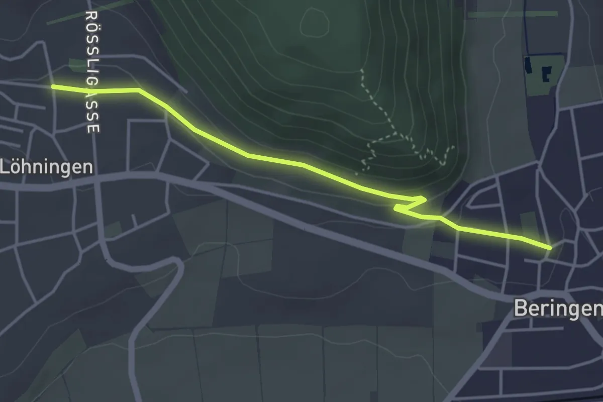
Easy · Trail
Lätten - fixme
3.8 km · ↑ 104 m · 1 h 8 min
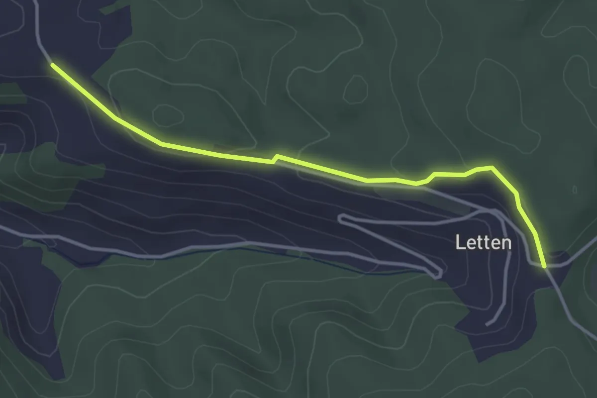
Easy · Trail
Lätten - Reider Lätten
3.5 km · ↑ 86 m · 1 h
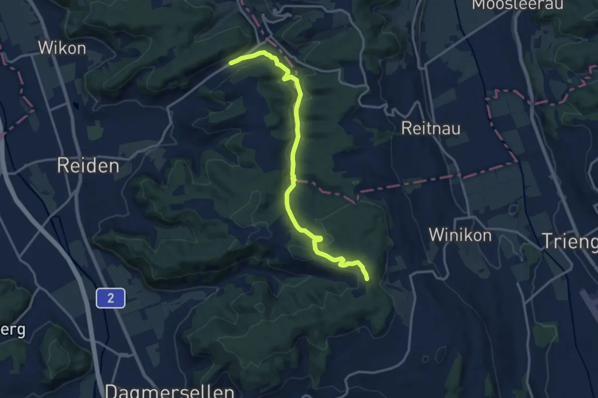
Medium · Trail
Lätten - Schlatt
11.5 km · ↑ 303 m · 3 h 23 min
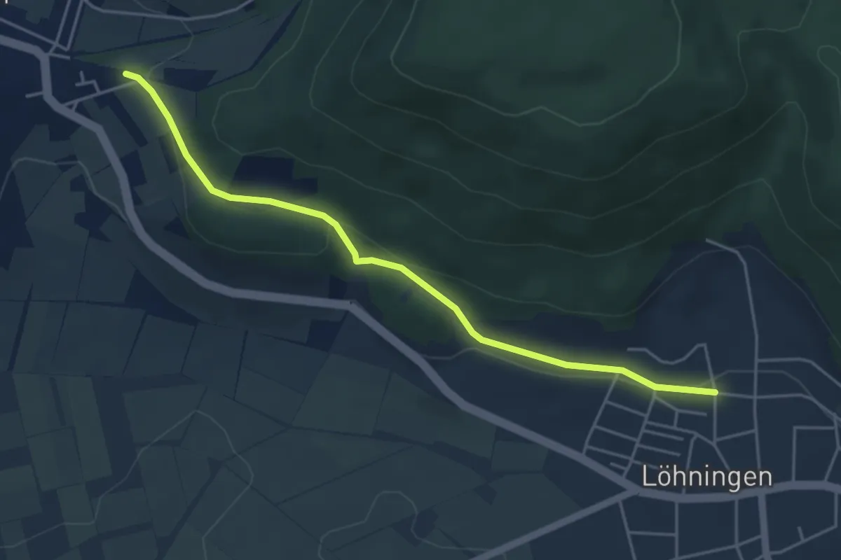
Easy · Trail
Lätten - Tüel
4.4 km · ↑ 124 m · 1 h 19 min
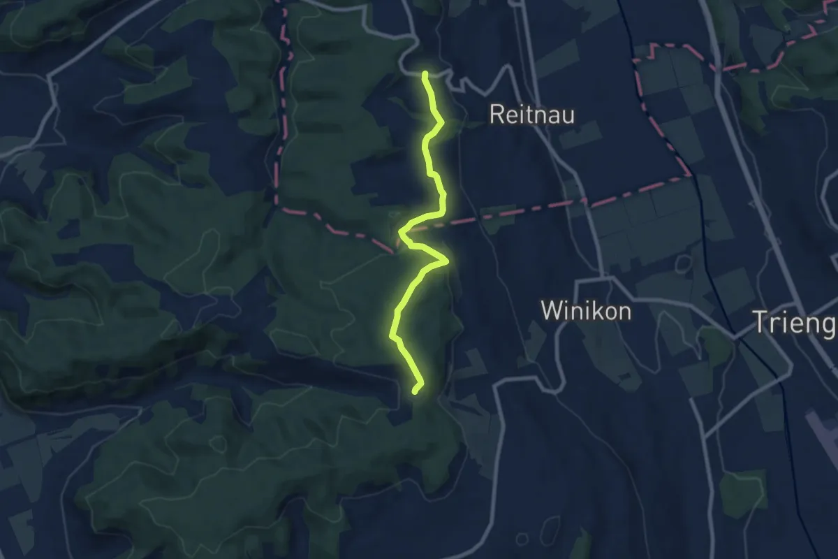
Easy · Trail
Lätten - Wannenrain
7.3 km · ↑ 195 m · 2 h 9 min
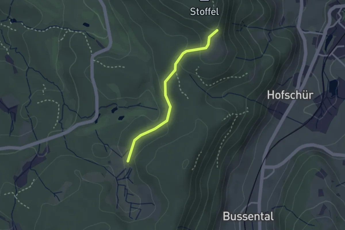
Easy · Trail
Lättenweid - Grabenriet
2.3 km · ↑ 70 m · 41 min
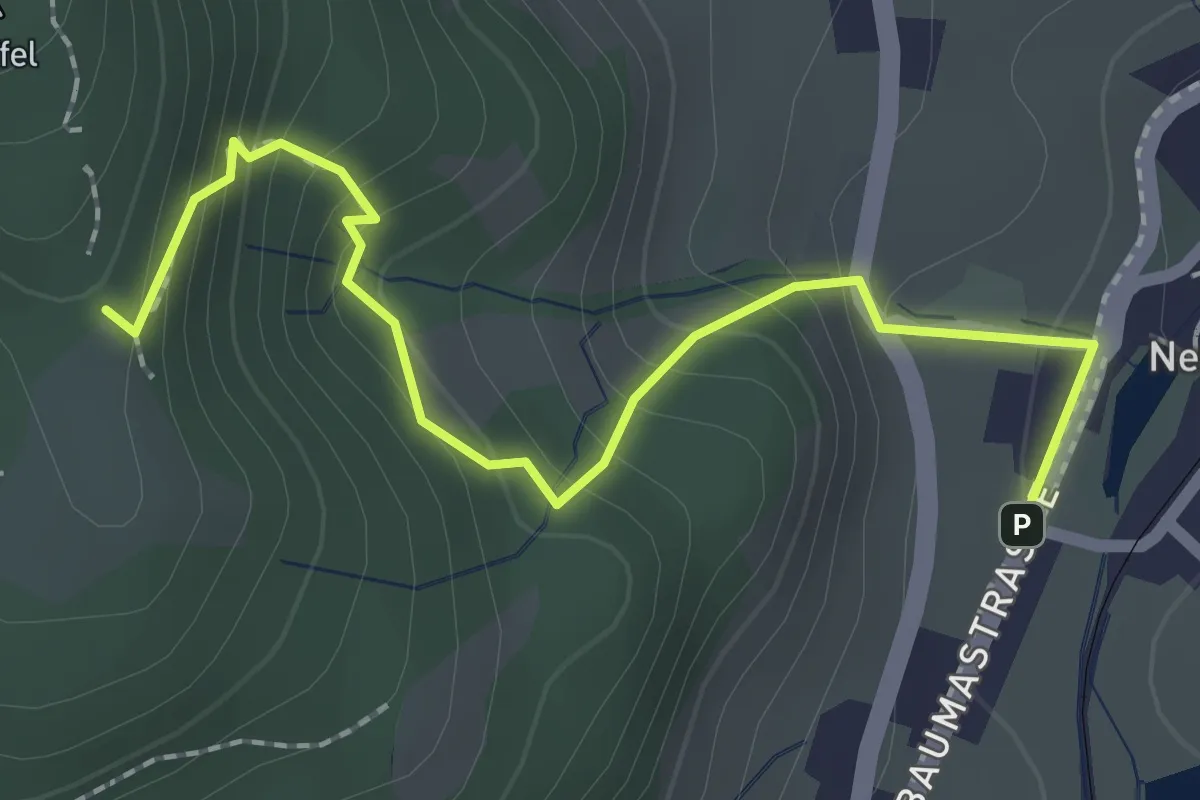
Demanding · Trail
Lättenweid - Neuthal (Bus)
2.3 km · ↑ 197 m · 59 min
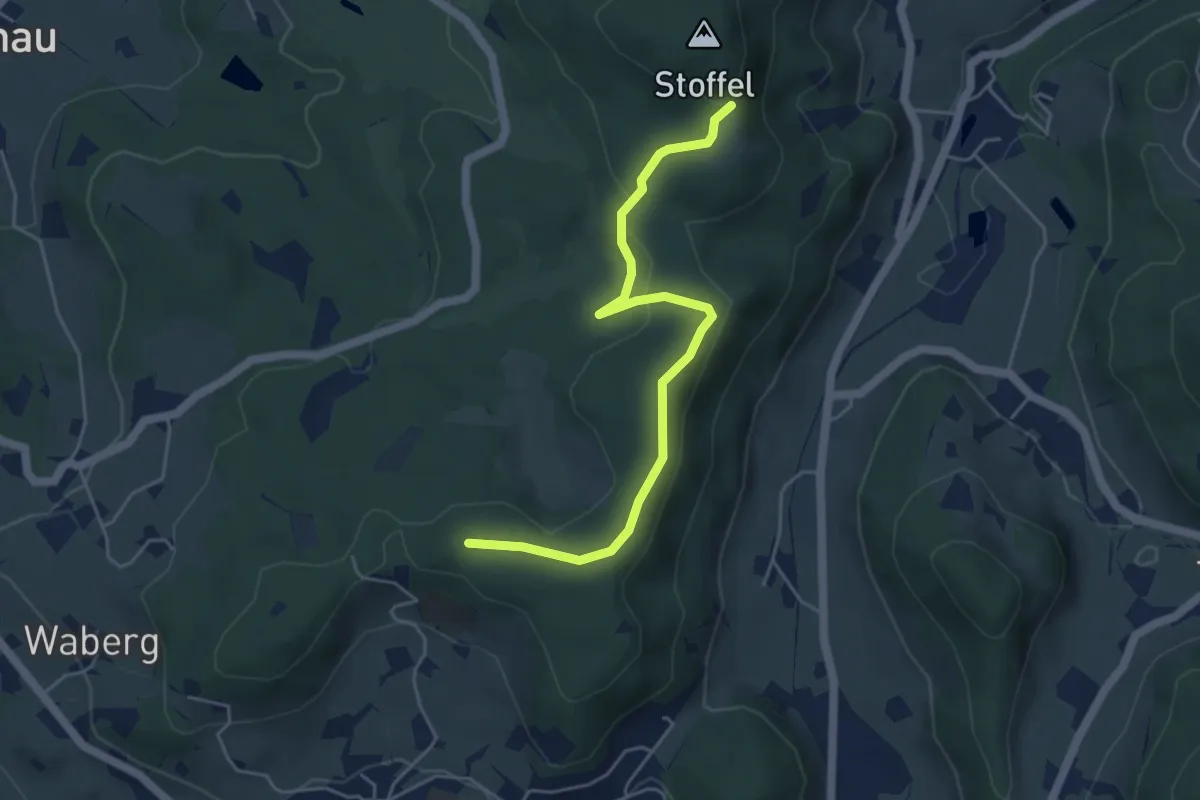
Easy · Trail
Lättenweid - Türli
4.8 km · ↑ 141 m · 1 h 27 min
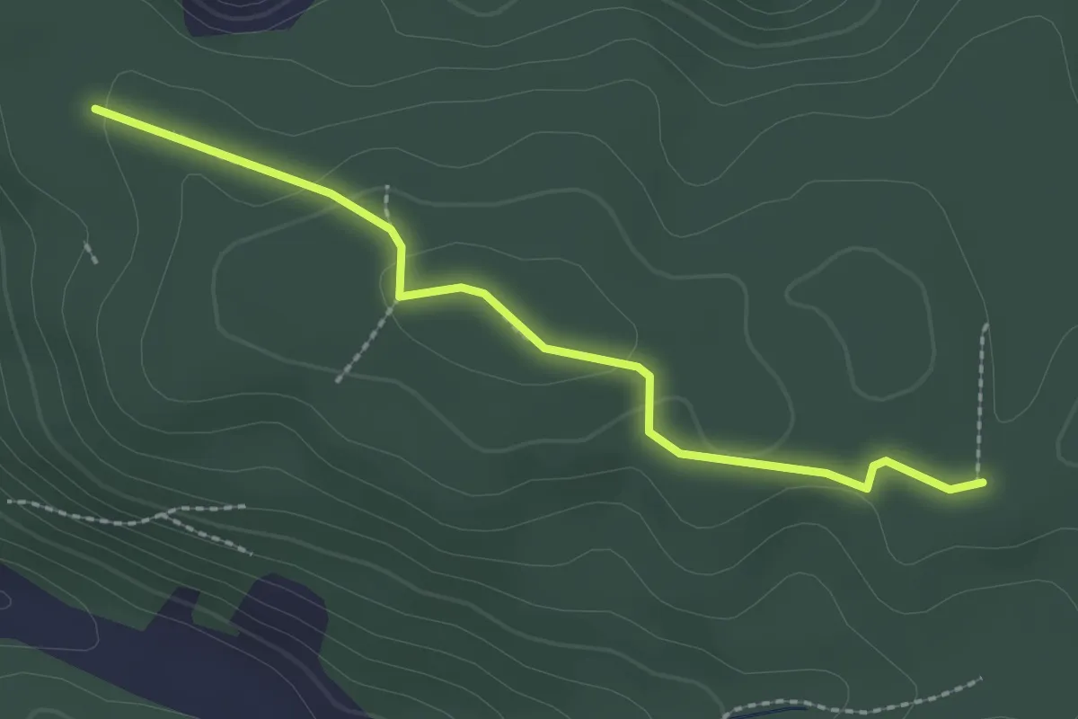
Easy · Trail
Lättloch - Santeberg Nord
2.4 km · ↑ 48 m · 40 min
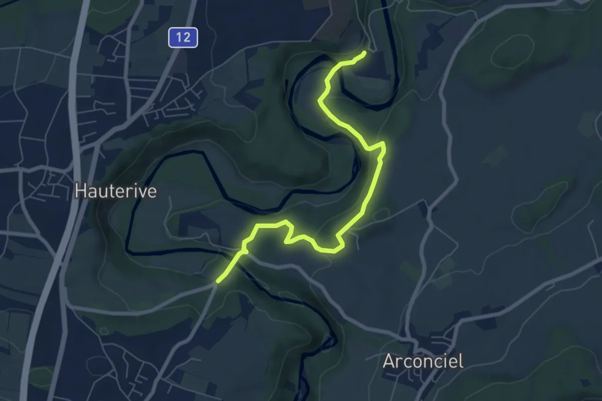
Easy · Trail
La Tuffière - Hauterive
6.5 km · ↑ 232 m · 2 h 2 min
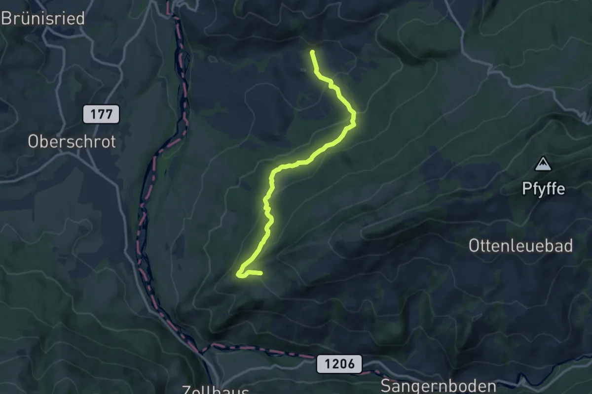
Medium · Trail
Laubbach - Brönnti Egg
9.7 km · ↑ 480 m · 3 h 20 min
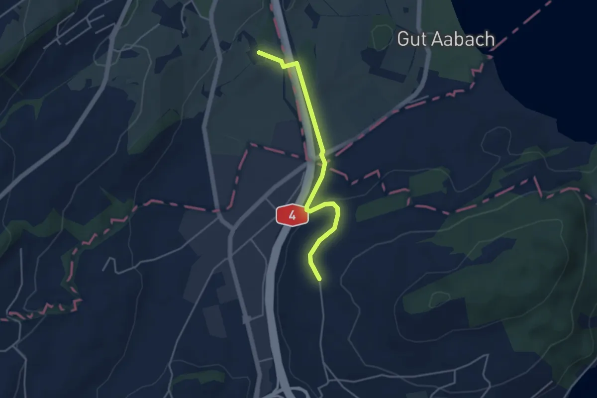
Easy · Trail
Laubbach - Hienter Chiemen
3.5 km · ↑ 77 m · 59 min
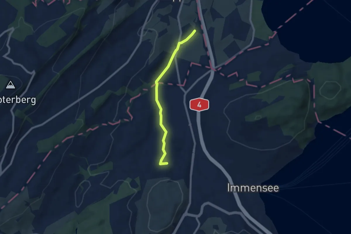
Easy · Trail
Laubbach - St. Martin
5.0 km · ↑ 59 m · 1 h 19 min
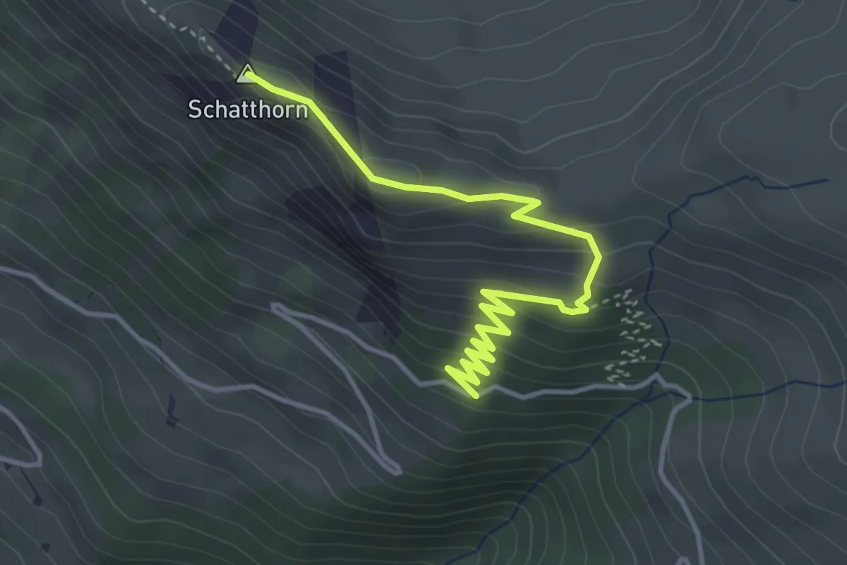
Medium · Summit
Laubbärgli - Schatthorn
4.0 km · ↑ 234 m · 1 h 28 min
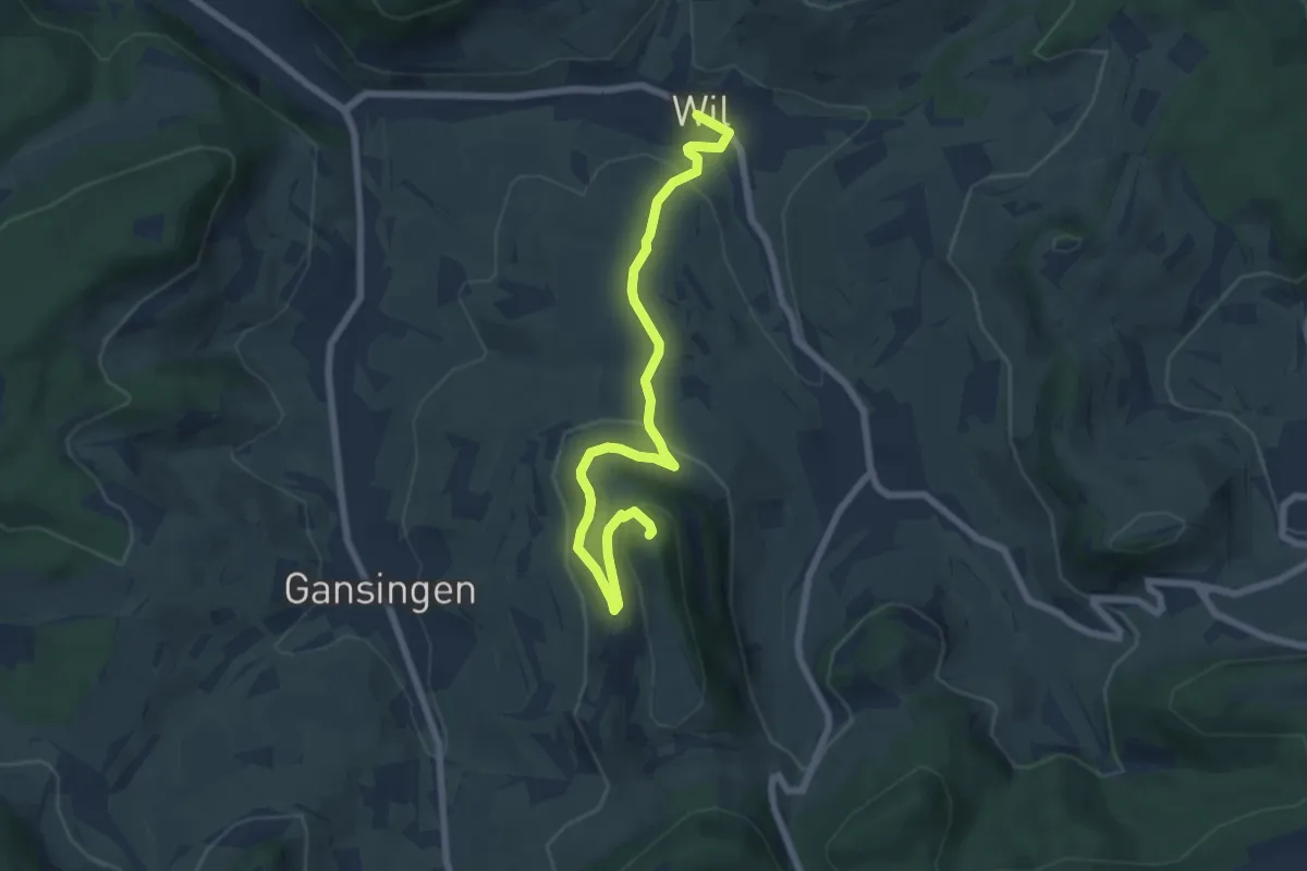
Easy · Trail
Laubberg - Wil
7.2 km · ↑ 289 m · 2 h 19 min
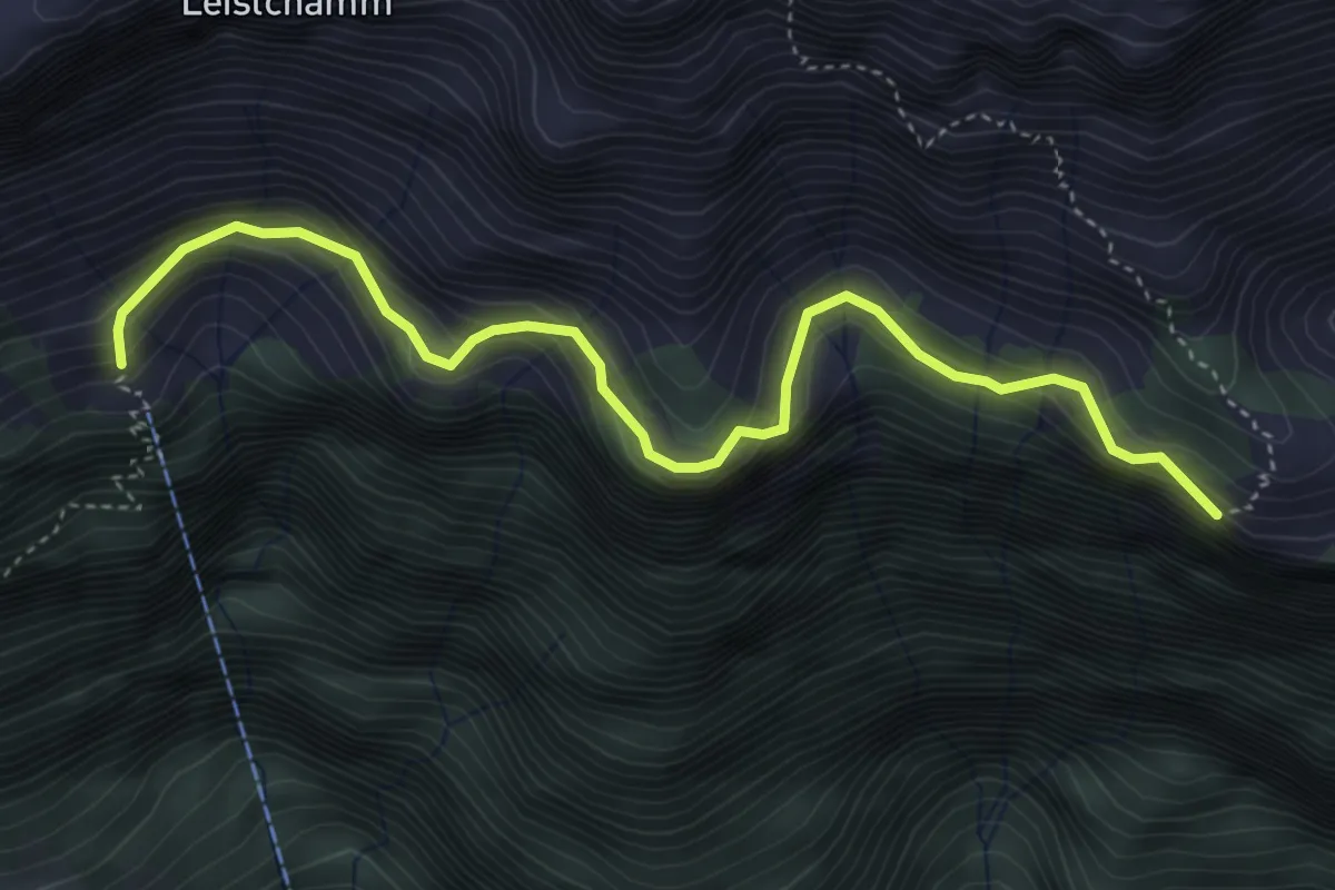
Demanding · Trail
Laubegg - Säls
4.6 km · ↑ 879 m · 2 h 59 min
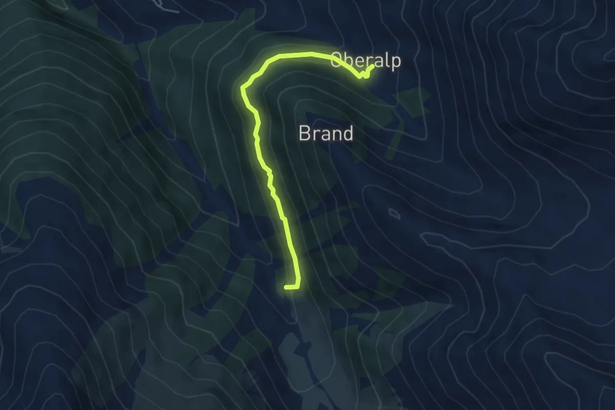
Easy · Trail
Laubenalp - Oberalp
4.2 km · ↑ 238 m · 1 h 30 min
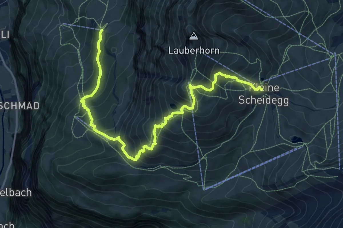
Demanding · Trail
Lauberhorn Trail
12.0 km · ↑ 1127 m · 5 h 16 min
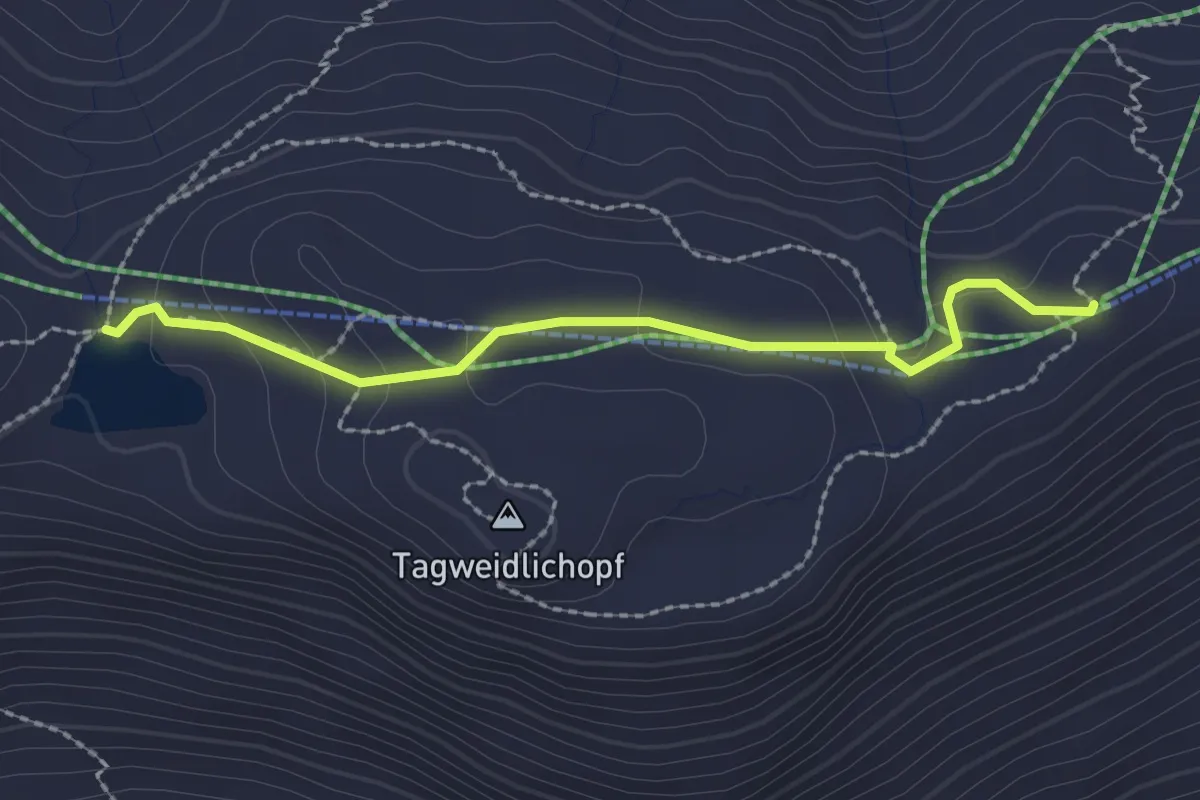
Easy · Trail
Laufböden-Wangsersee
2.2 km · ↑ 76 m · 42 min
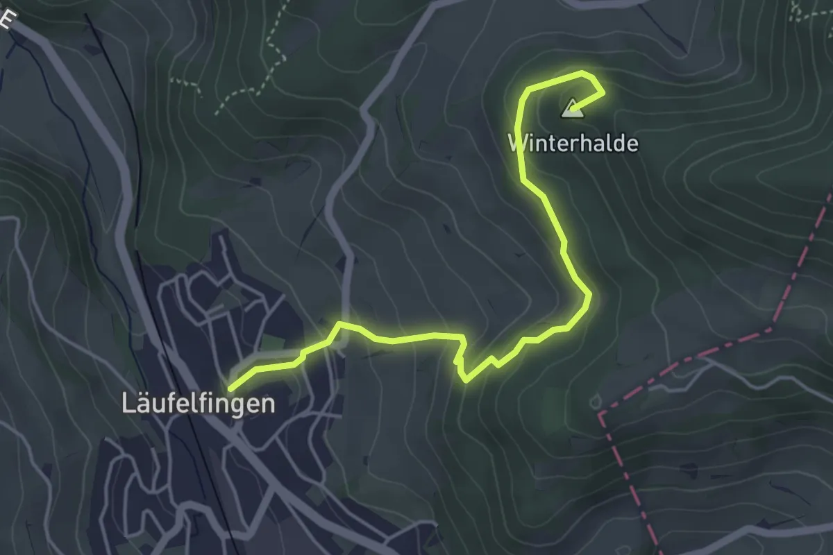
Easy · Summit
Läufelfingen - Winterhalde
4.5 km · ↑ 257 m · 1 h 37 min
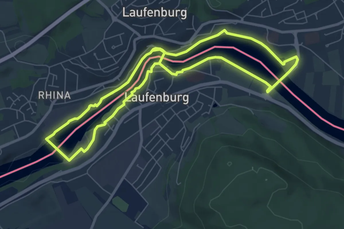
Easy · Trail
Laufenburger Acht
6.2 km · ↑ 60 m · 1 h 40 min
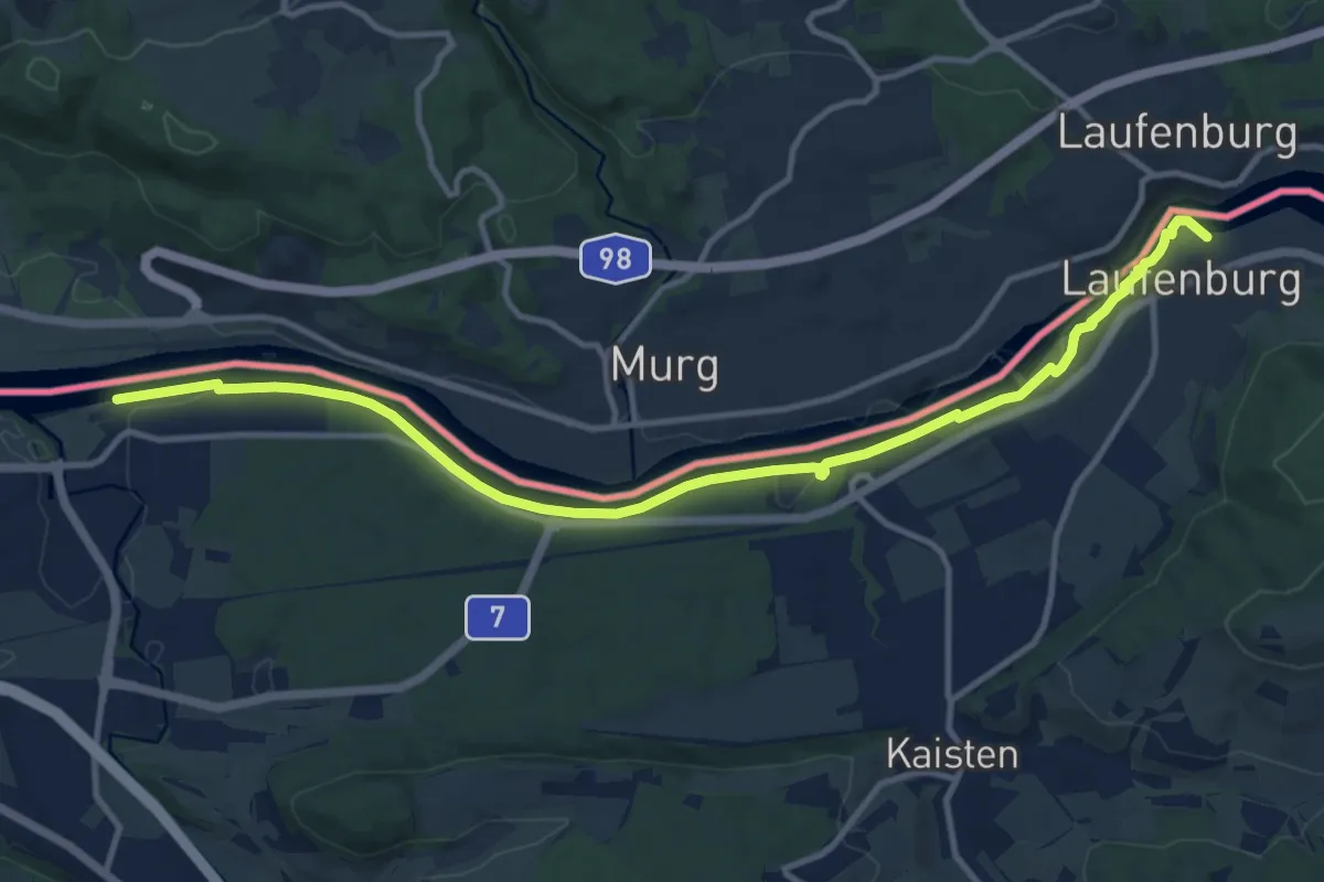
Medium · Trail
Laufenburg - Sisseln
13.0 km · ↑ 74 m · 3 h 14 min
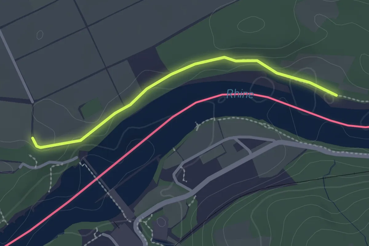
Easy · Trail
Laufenloh - Mooshalde
2.3 km · ↑ 21 m · 35 min
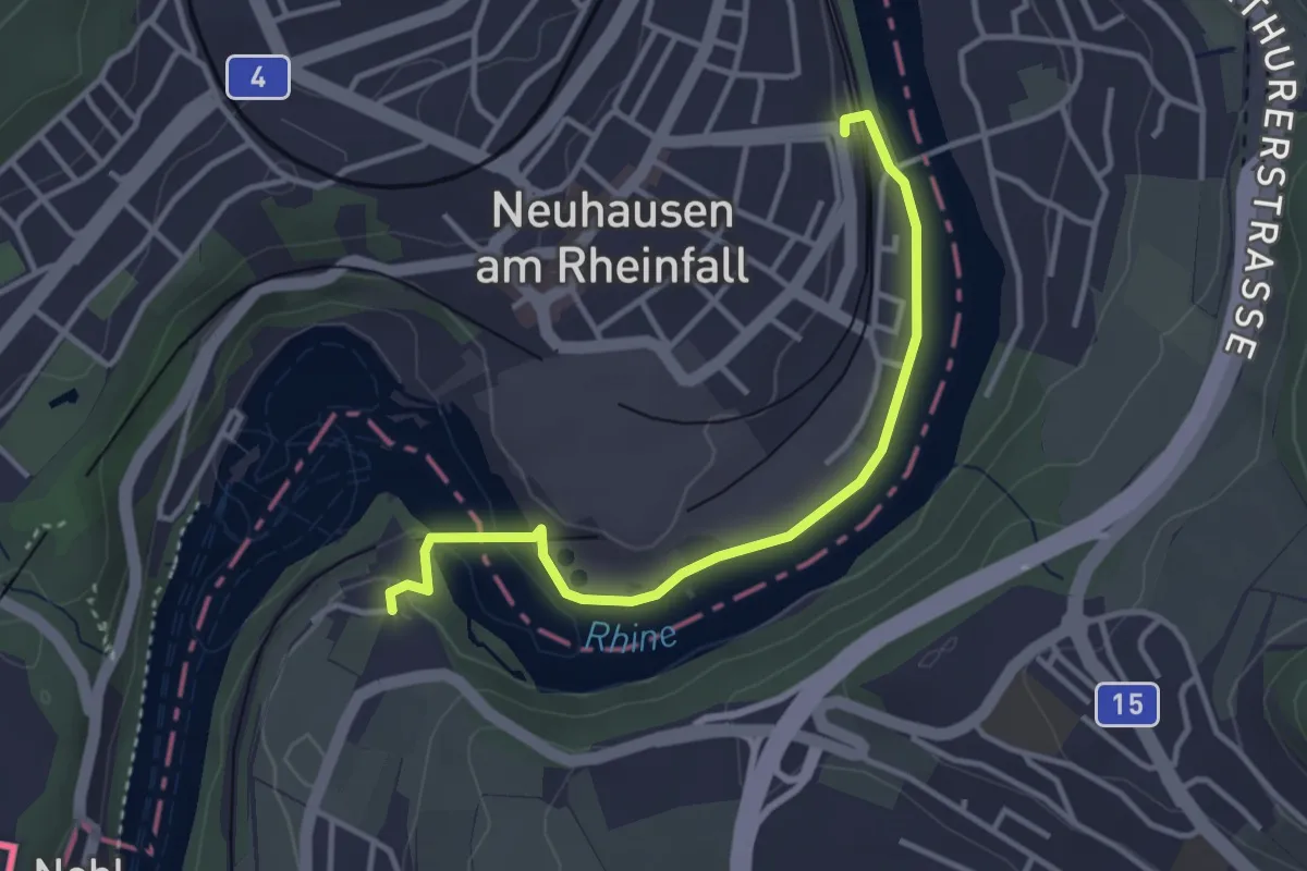
Easy · Trail
Laufen Rheinfall - Neuhausen SBB
3.5 km · ↑ 22 m · 52 min
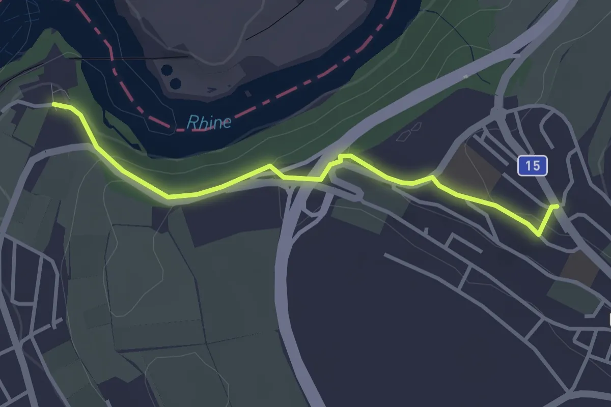
Easy · Trail
Laufen Rheinfall - Uhwiesen Rebhof
3.1 km · ↑ 80 m · 54 min
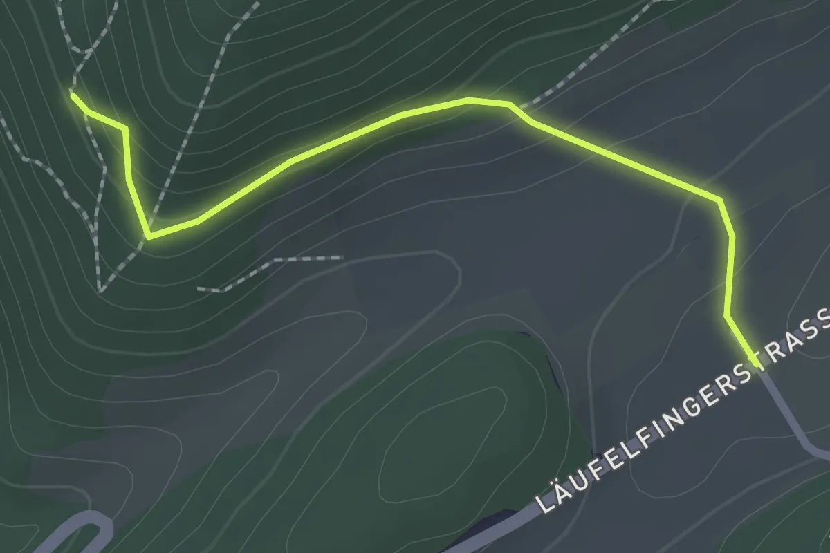
Easy · Trail
Laufmatt - fixme
2.1 km · ↑ 122 m · 45 min
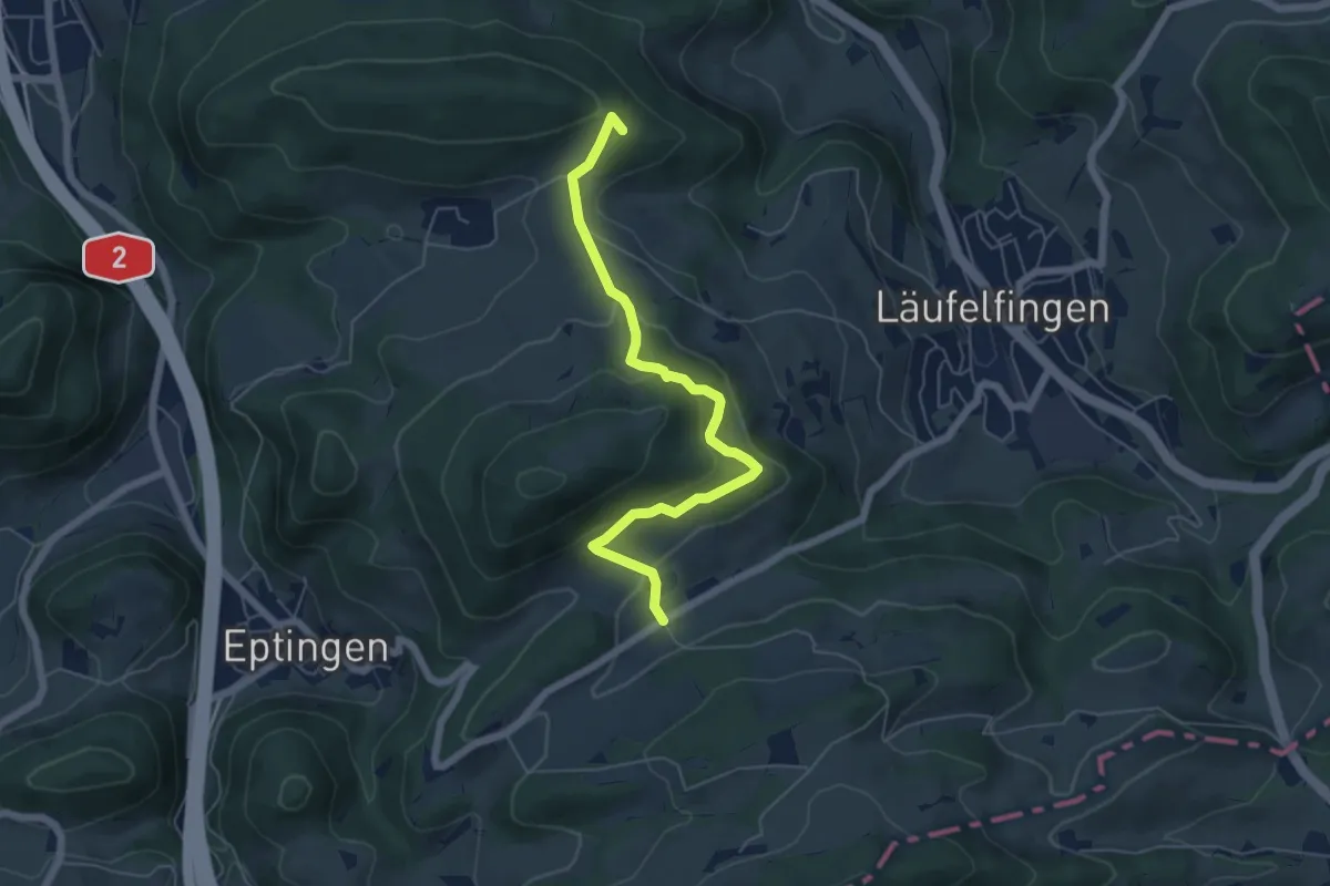
Medium · Summit
Laufmatt - Känerkinden
5.8 km · ↑ 330 m · 2 h 5 min
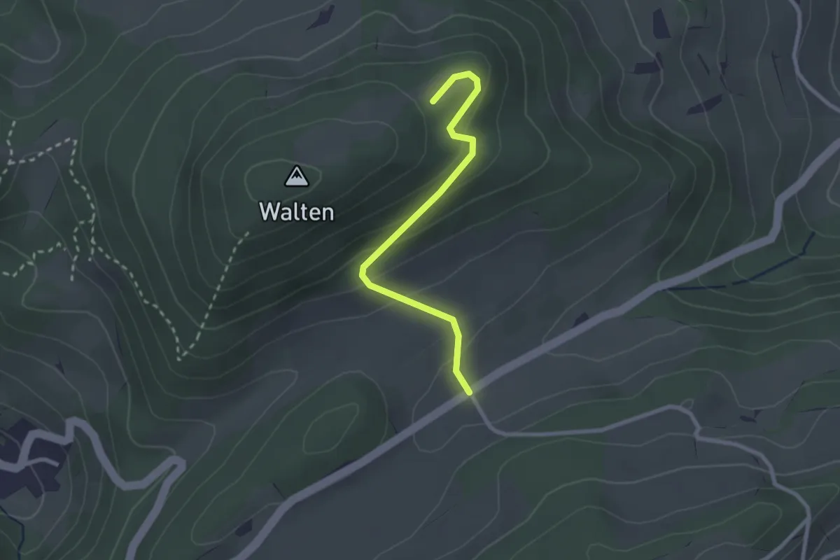
Easy · Trail
Laufmatt - Walten
2.4 km · ↑ 129 m · 51 min
Easy · Trail
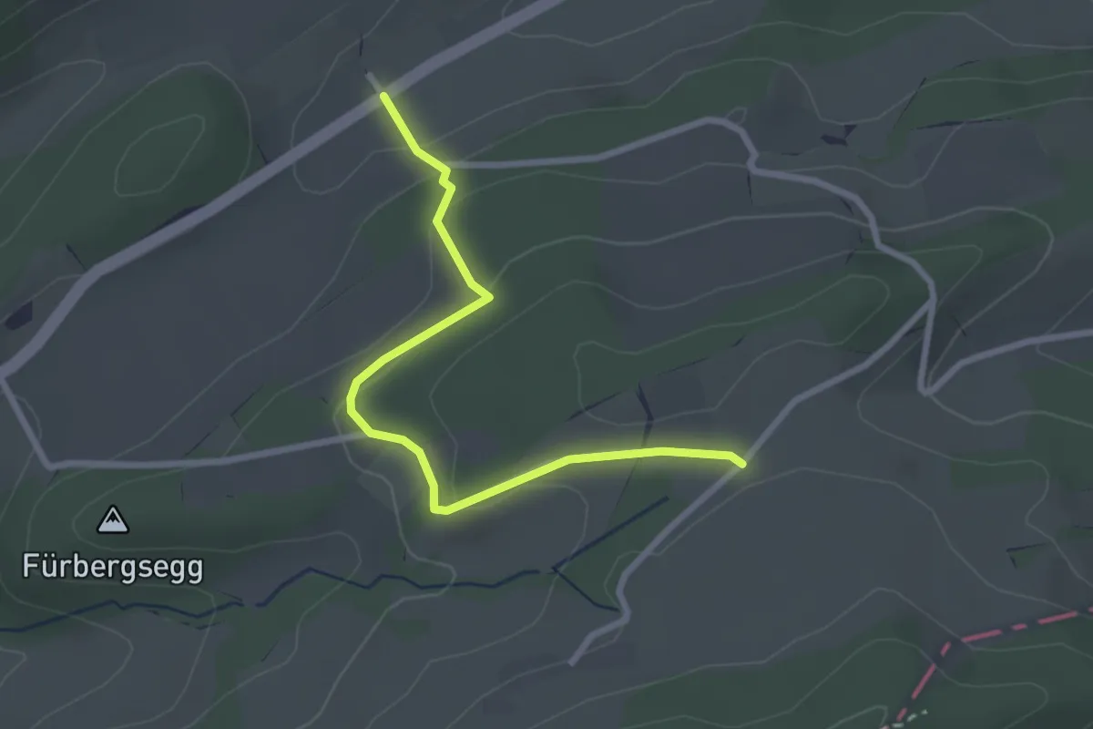
Laufmatt - Wirblingen
2.7 km · ↑ 120 m · 53 min
Easy · Trail
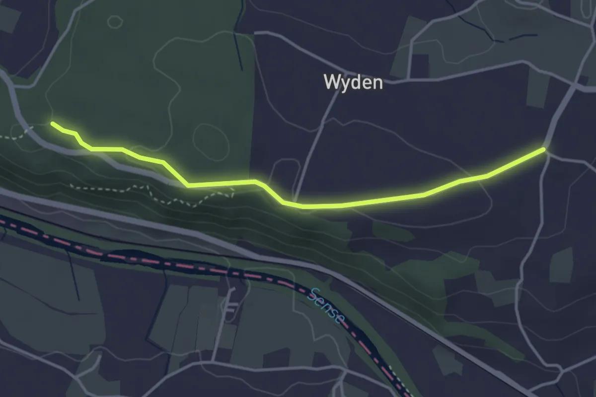
Laupen Spannstud - Sandgrube
3.6 km · ↑ 61 m · 59 min
Easy · Trail
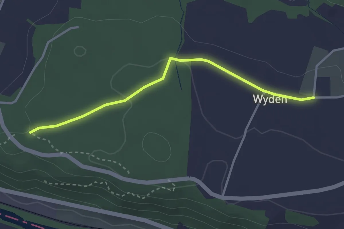
Laupen Spannstud - Wyden
2.7 km · ↑ 47 m · 45 min
Medium · Trail
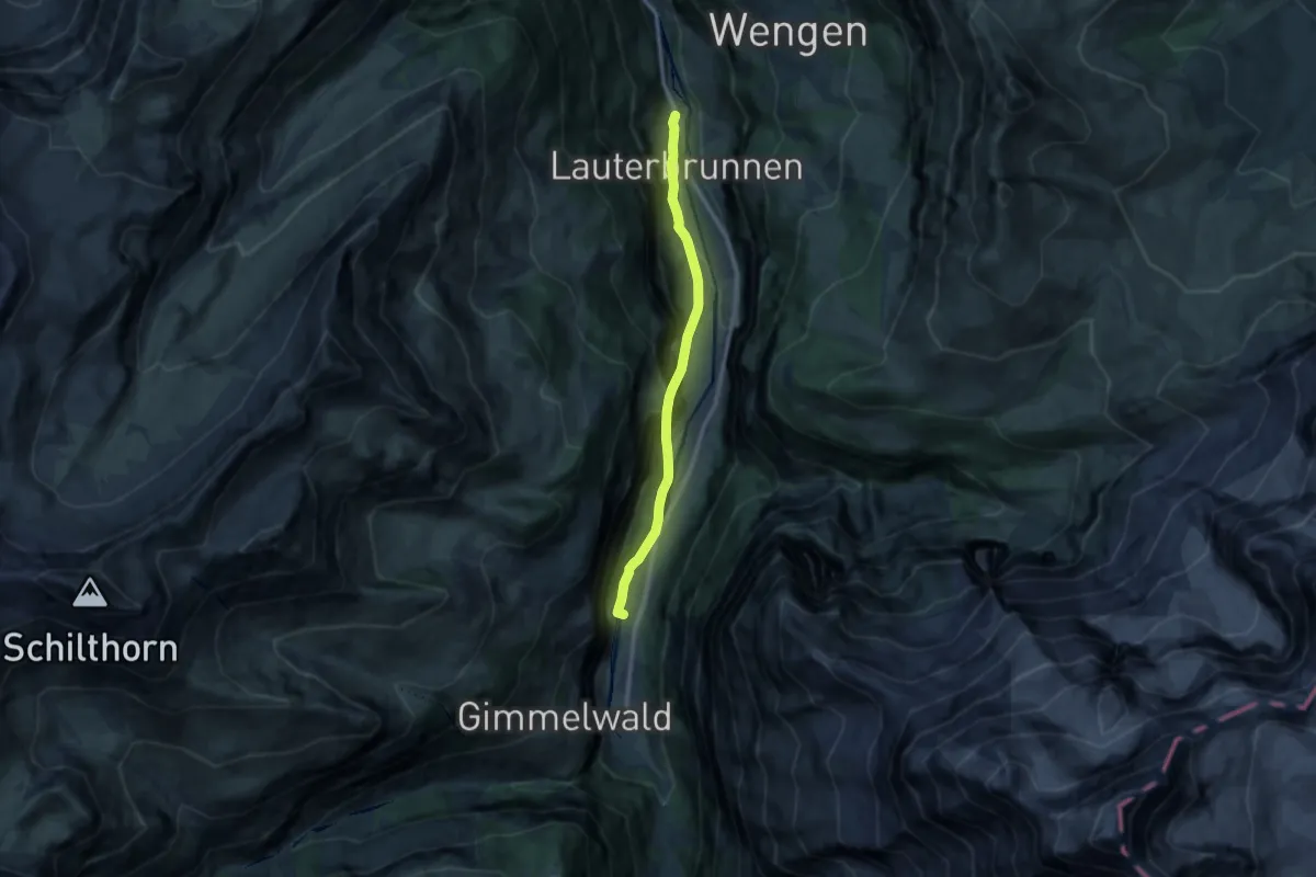
Lauterbrunnen - Schilthornbahn
10.0 km · ↑ 264 m · 2 h 56 min
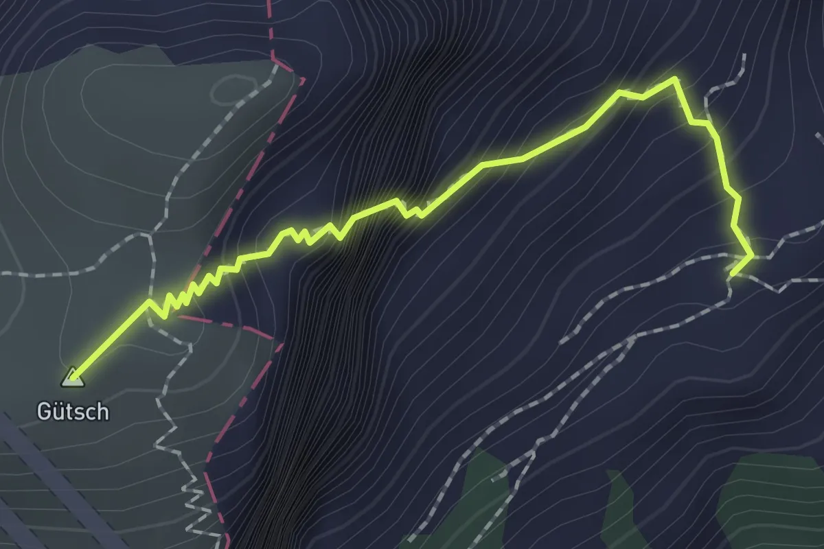
Expert · Summit
Lauweli - Niderbauen
1.9 km · ↑ 335 m · 1 h 11 min
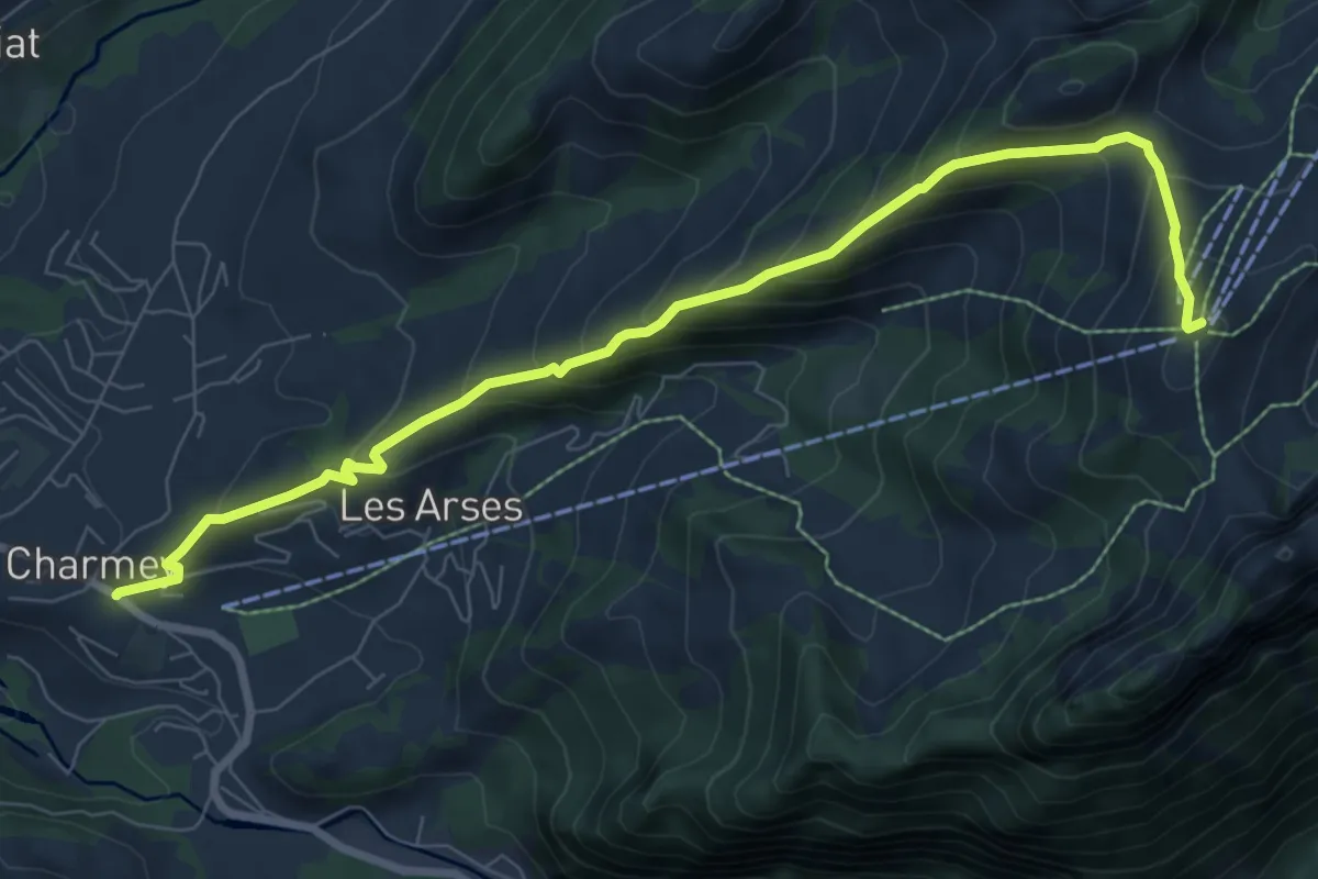
Medium · Summit
La Vatia - Sentier des essences
8.8 km · ↑ 704 m · 3 h 36 min
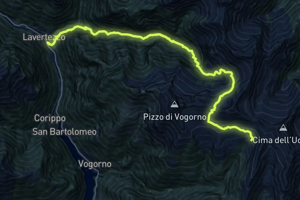
Demanding · Cabin
Lavertezzo Borgna
11.7 km · ↑ 1827 m · 6 h 13 min
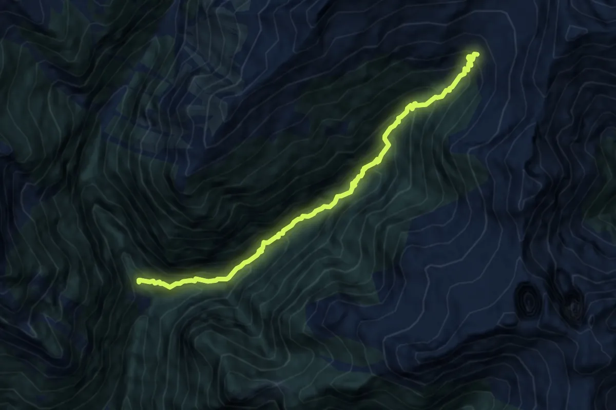
Demanding · Trail
Lavertezzo Cornovosa
10.4 km · ↑ 1111 m · 4 h 52 min