Trails in Switzerland
15,029 hiking trails, each with its route, climb, walking time and grade.
All trails, page 61 of 314
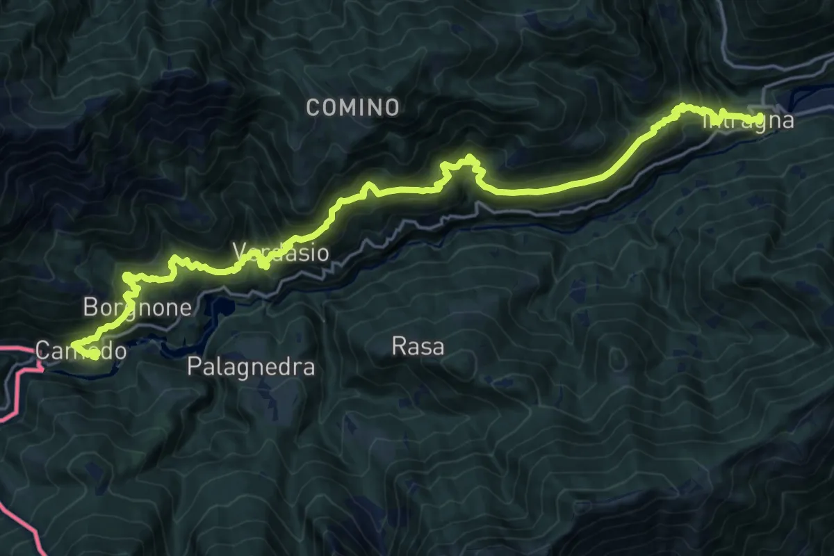
Demanding · Trail
La Via del Mercato
11.7 km · ↑ 1027 m · 5 h 3 min
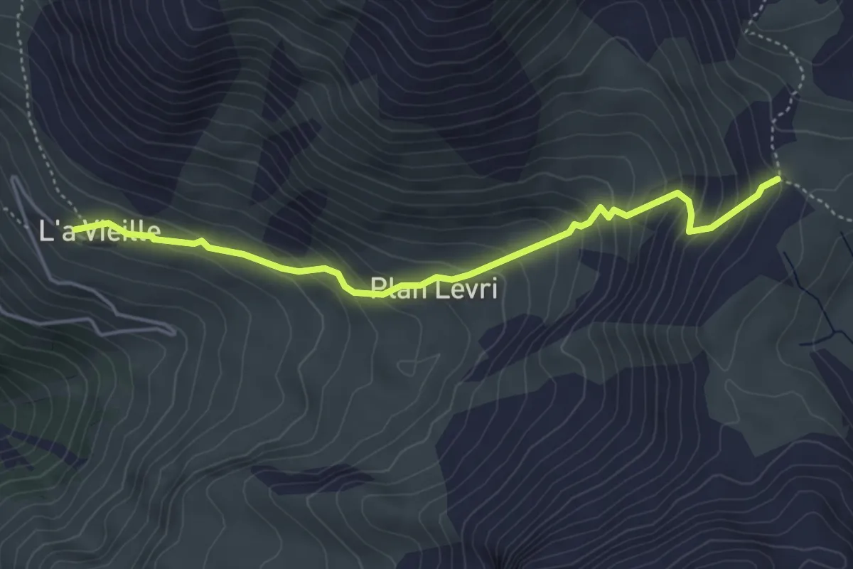
Medium · Trail
L'a Vieille - Pas de Lona
4.5 km · ↑ 406 m · 1 h 57 min
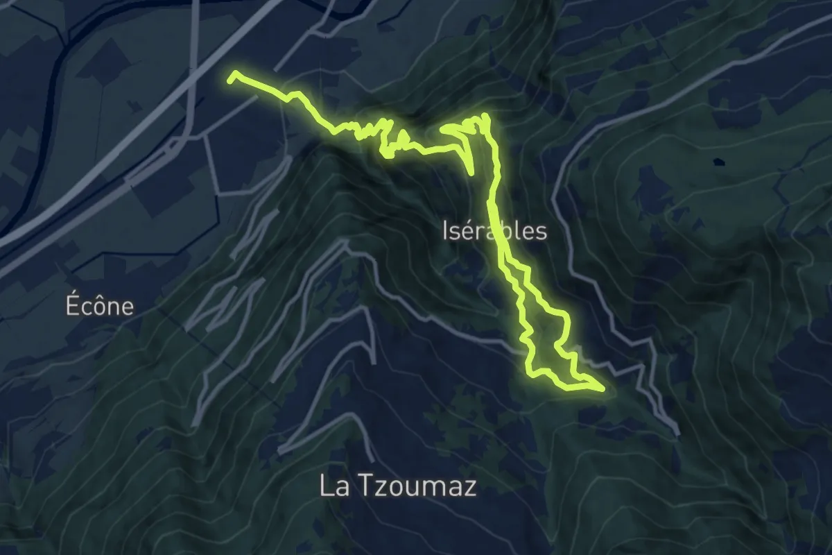
Demanding · Trail
La voie des Érables
18.7 km · ↑ 1594 m · 7 h 52 min
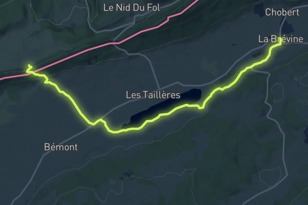
Medium · Trail
La vy aux moines
14.4 km · ↑ 371 m · 4 h 12 min
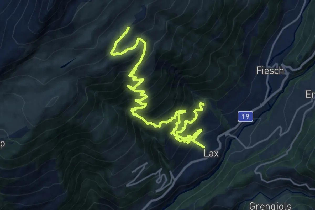
Demanding · Trail
Lax - Laxeralp
10.2 km · ↑ 1425 m · 5 h 9 min
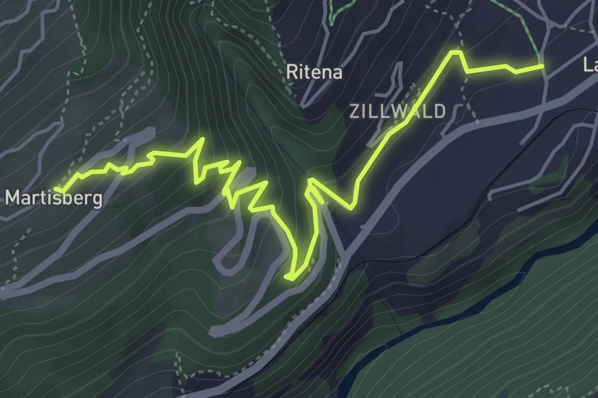
Medium · Trail
Lax - Martisberg
5.7 km · ↑ 381 m · 2 h 10 min
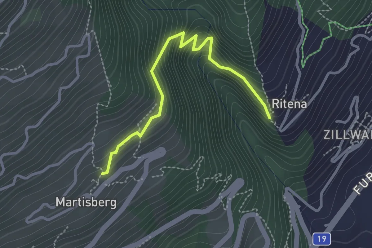
Medium · Trail
Lax - Martisberg
2.6 km · ↑ 250 m · 1 h 9 min
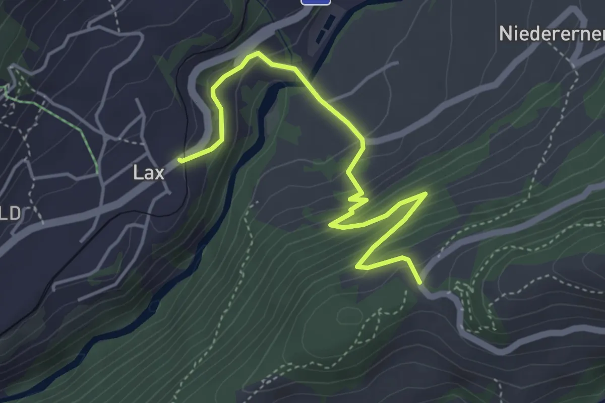
Medium · Trail
Lax - Wasen
4.4 km · ↑ 340 m · 1 h 47 min
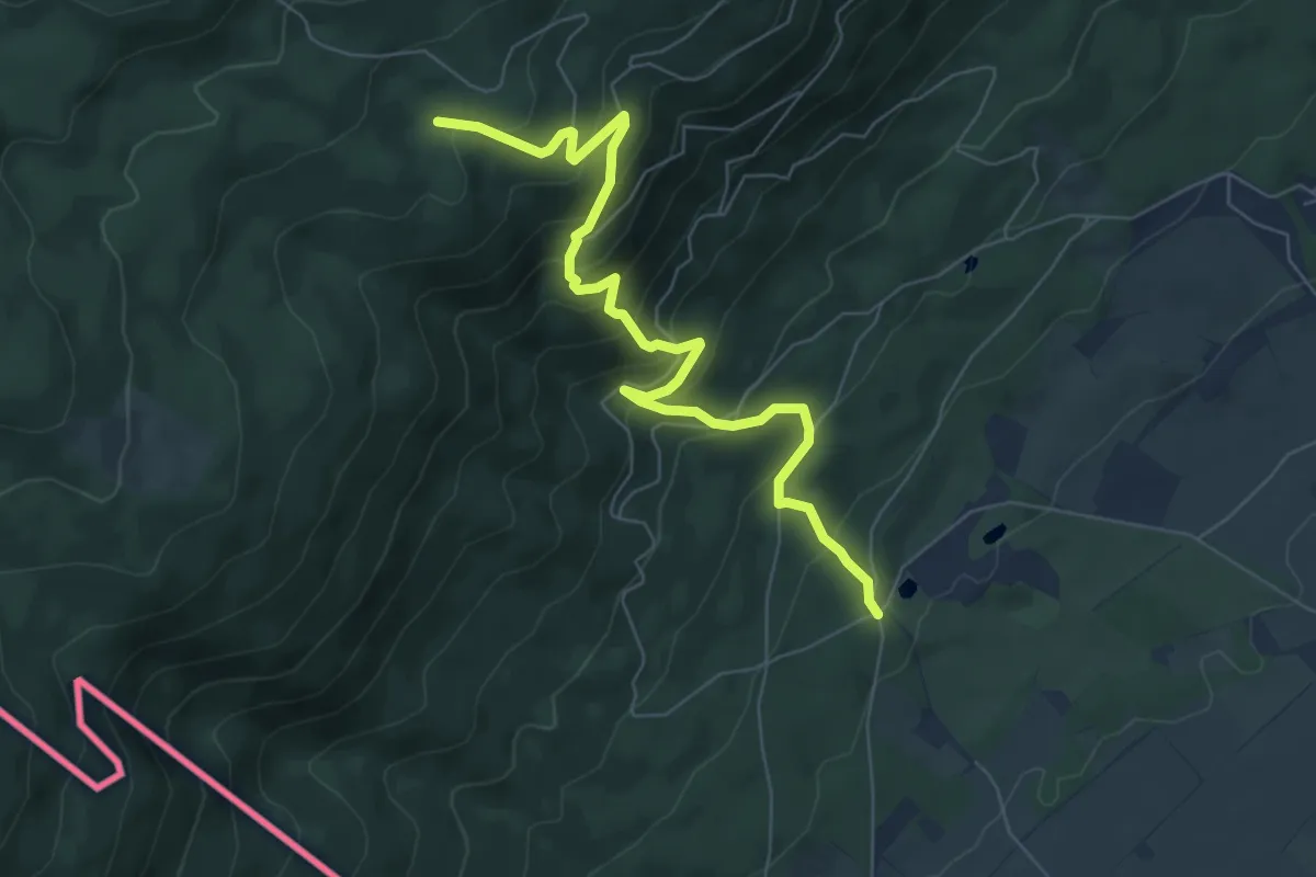
Medium · Trail
Le Bauloz-Bonmont
7.5 km · ↑ 607 m · 3 h 5 min
Easy · Trail
Le Belvédère - Forêt de Boudry
2.6 km · ↑ 137 m · 54 min
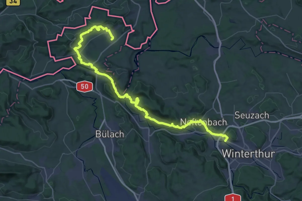
Demanding · Trail
Lebendiger Weinweg
32.9 km · ↑ 837 m · 10 h 3 min
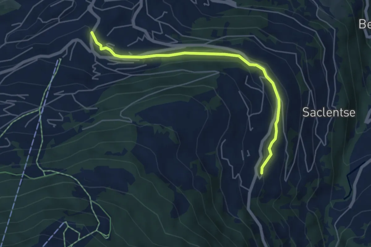
Easy · Trail
Le Bleusy - Haute-Nendaz
4.8 km · ↑ 108 m · 1 h 22 min
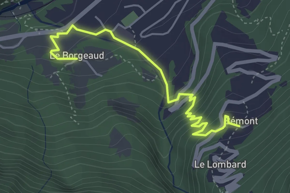
Medium · Trail
Le Borgeaud > Bémont
4.1 km · ↑ 323 m · 1 h 40 min
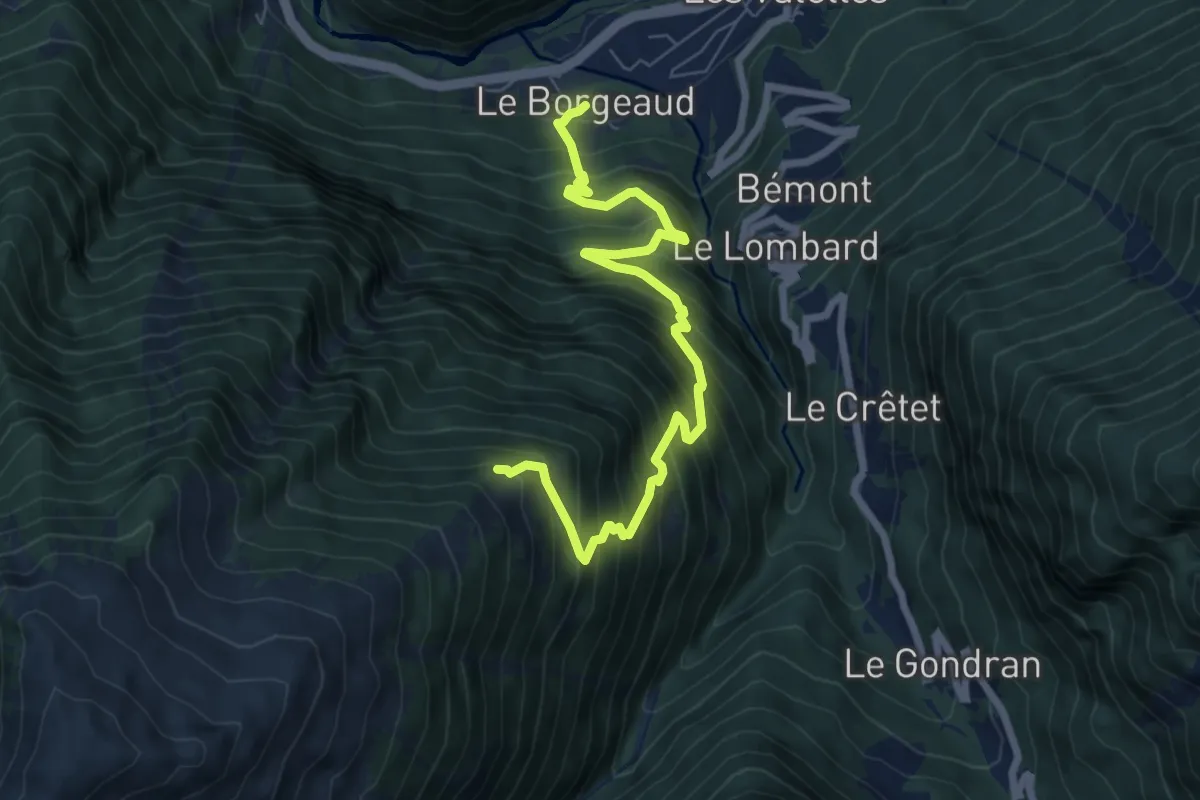
Demanding · Trail
Le Borgeaud > Bovinette
7.8 km · ↑ 1035 m · 4 h 5 min
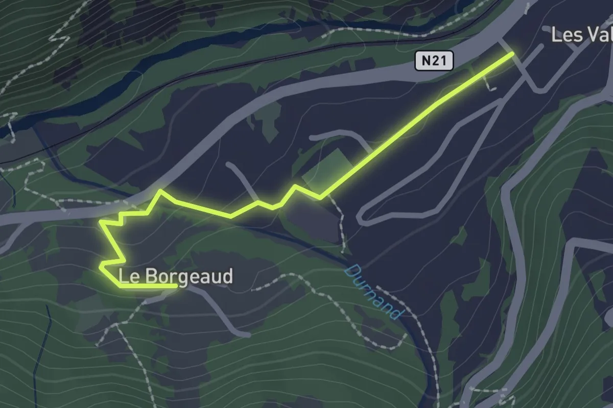
Easy · Trail
Le Borgeaud > Les Valettes
2.2 km · ↑ 59 m · 39 min
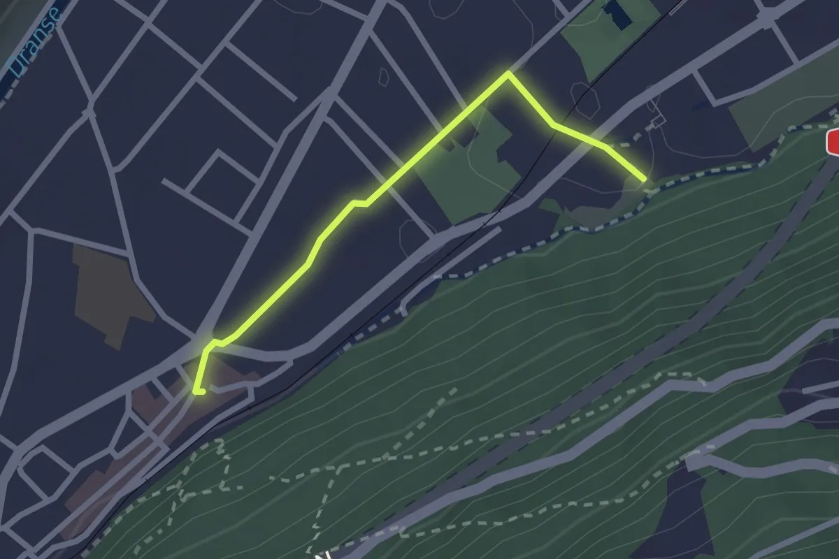
Easy · Trail
Le Bourg > Amphithéâtre
2.0 km · ↑ 19 m · 31 min
Easy · Trail
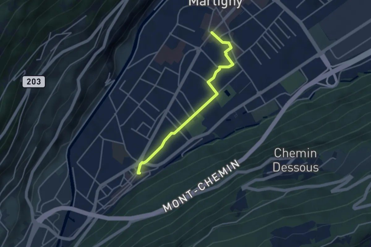
Le Bourg > Martigny - Place Centrale
3.2 km · ↑ 14 m · 47 min
Easy · Trail
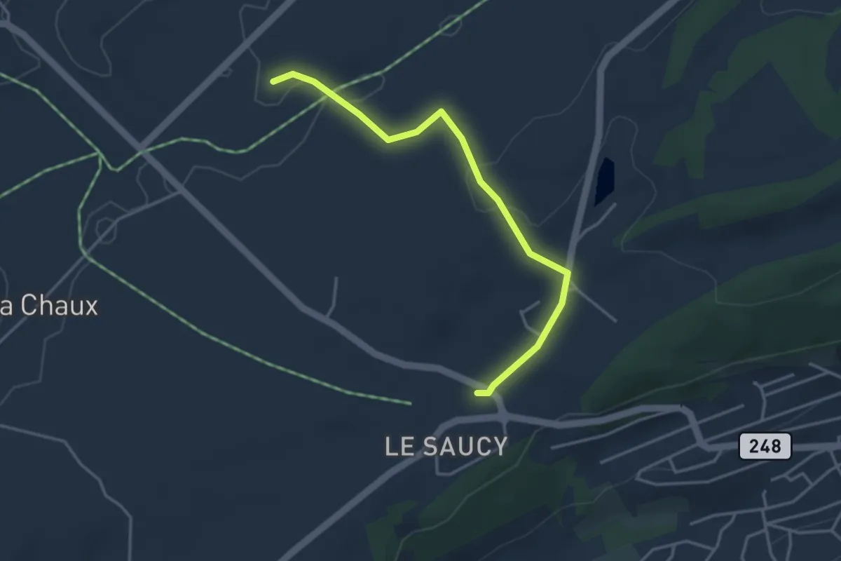
Le Cernil - Les Reussilles gare
3.5 km · ↑ 84 m · 1 h 1 min
Medium · Trail
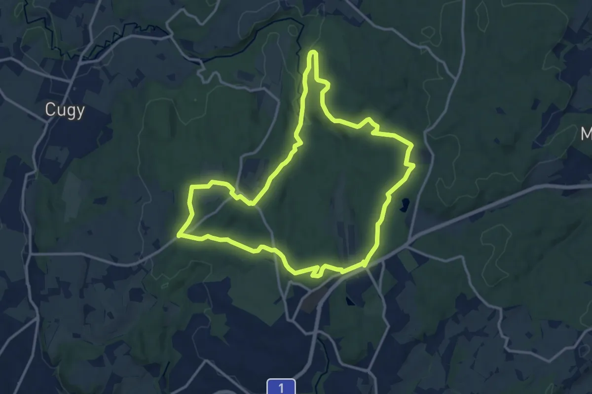
Le chemin des fontaines des Bois du Jorat
11.6 km · ↑ 162 m · 3 h 14 min
Medium · Trail
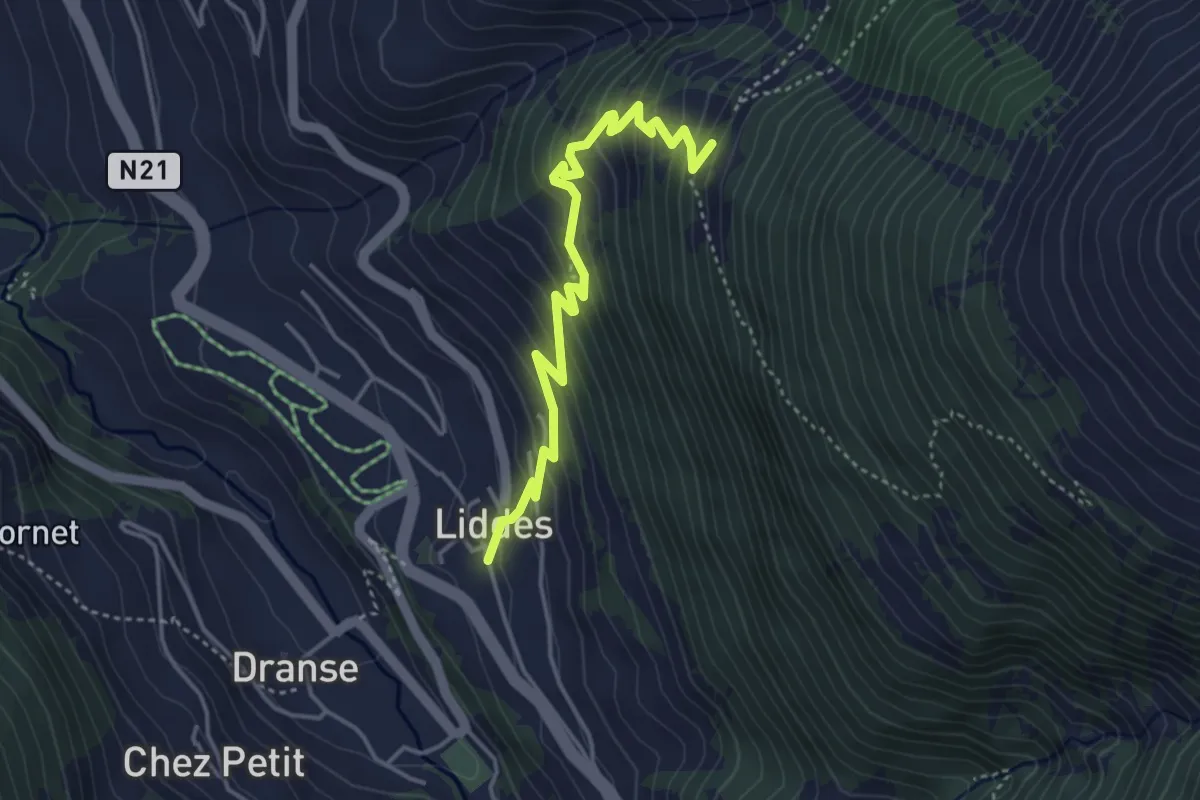
Le Clou-Liddes
4.2 km · ↑ 386 m · 1 h 49 min
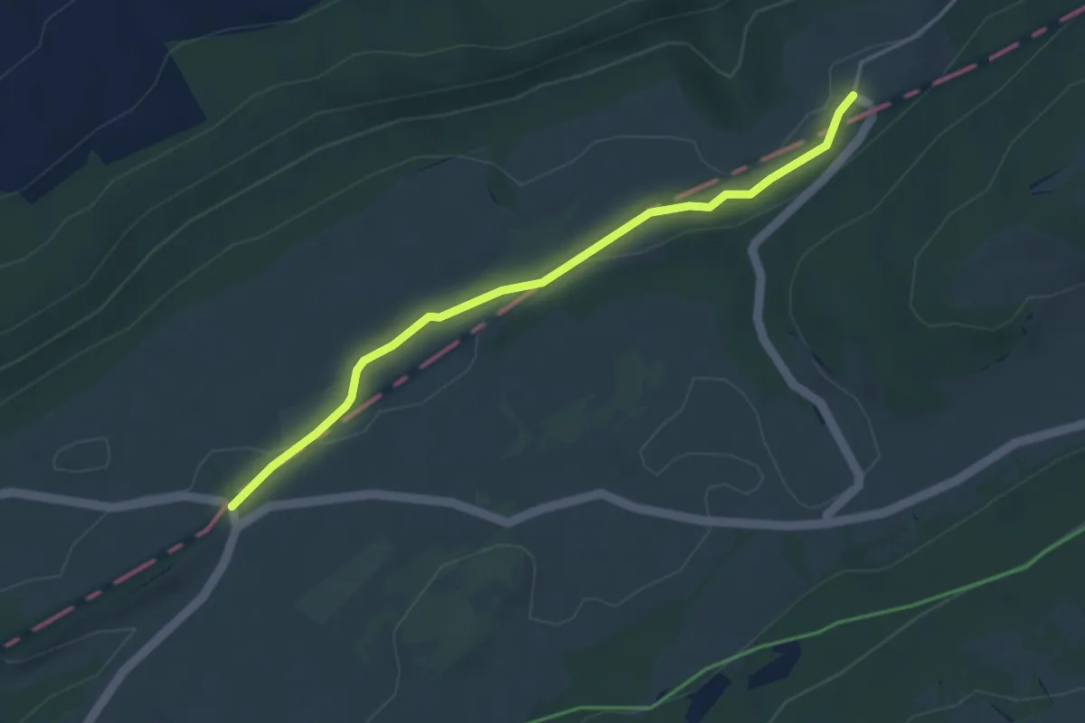
Easy · Trail
Le Couvent-La Banderette
3.9 km · ↑ 66 m · 1 h 4 min
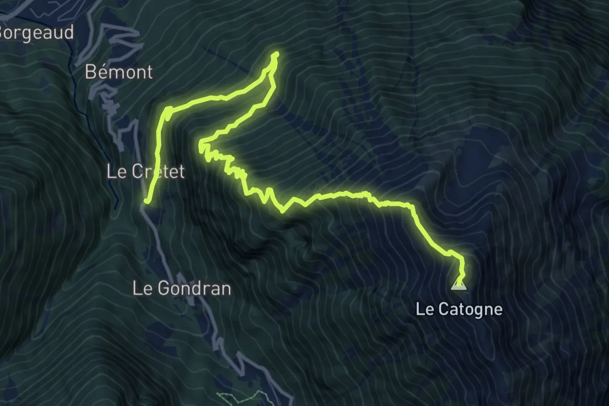
Demanding · Summit
Le Crêtet > Le Catogne
14.0 km · ↑ 1566 m · 6 h 42 min
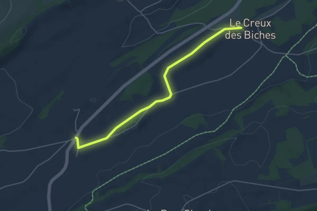
Easy · Trail
Le Creux-de-Biches - Le Boéchet
4.1 km · ↑ 46 m · 1 h 4 min
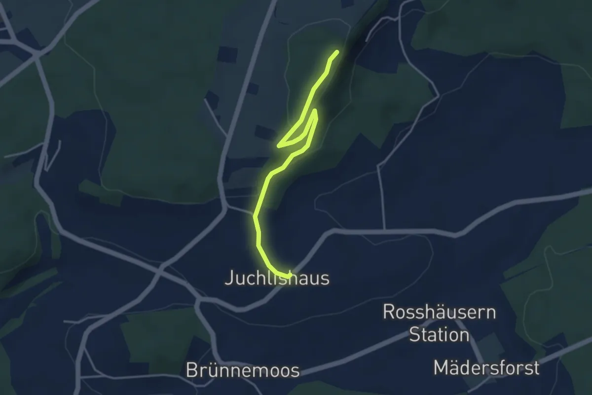
Easy · Trail
Lediflue - Juchlishus
3.5 km · ↑ 129 m · 1 h 7 min
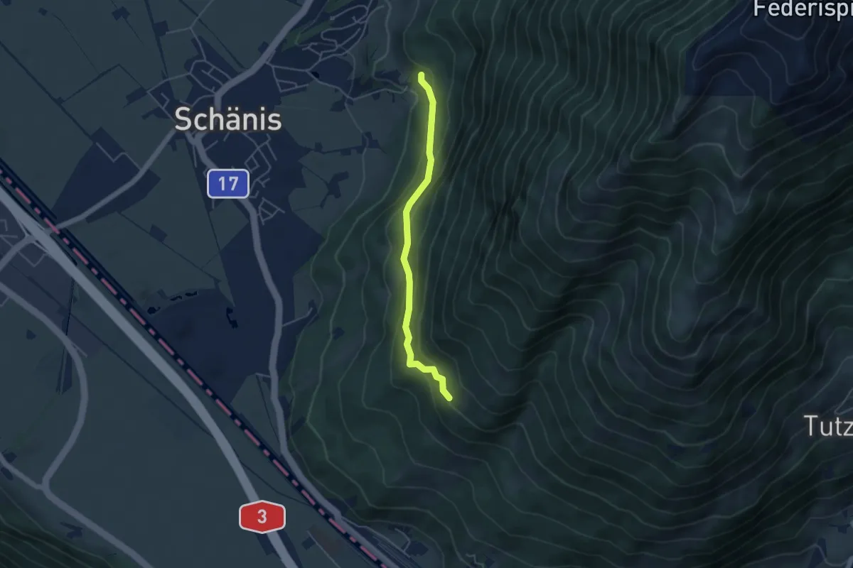
Easy · Trail
Ledi - Grüt
4.1 km · ↑ 306 m · 1 h 38 min
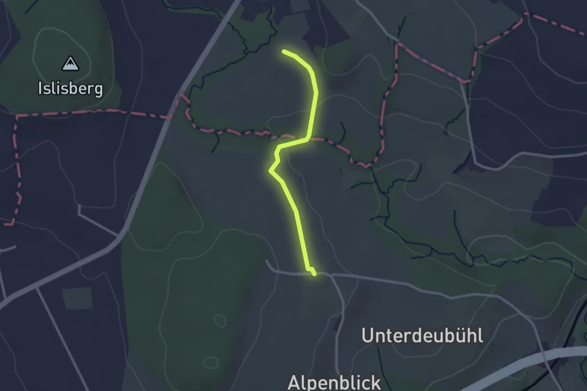
Easy · Trail
Leematt
2.2 km · ↑ 28 m · 35 min
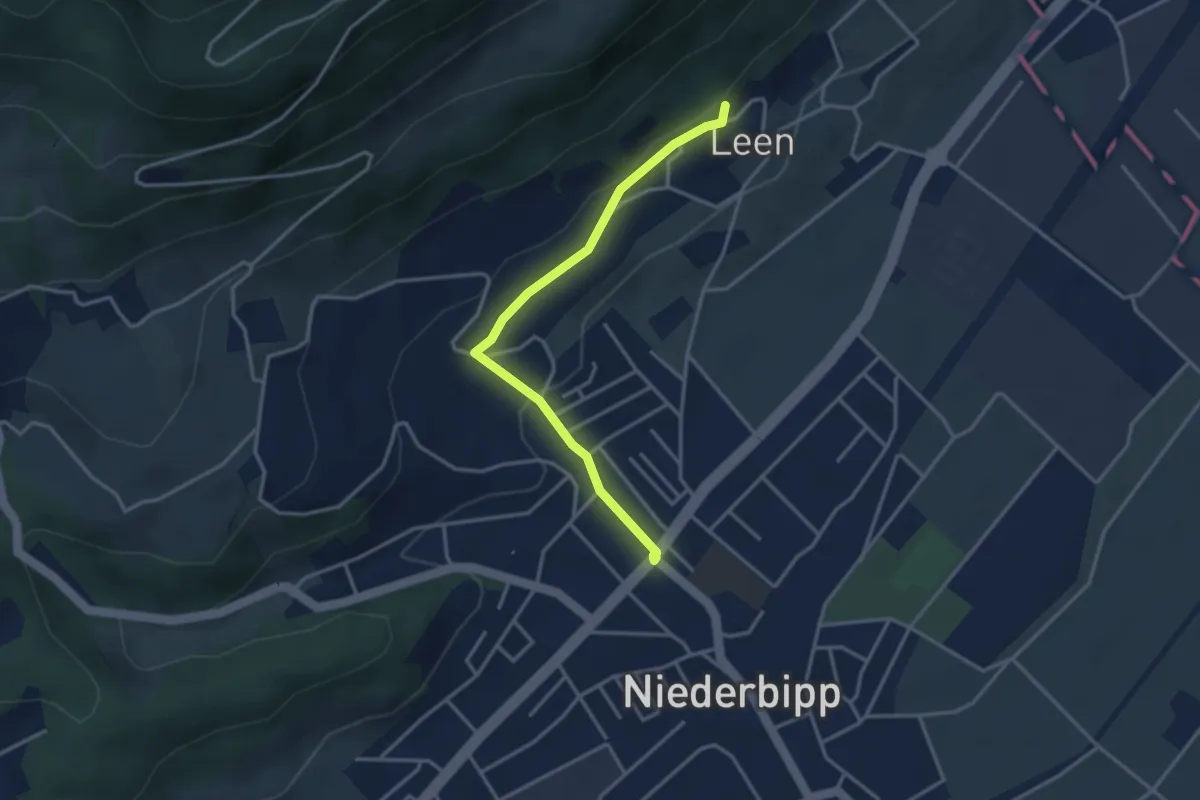
Easy · Trail
Leen - Niederbipp
3.3 km · ↑ 83 m · 58 min
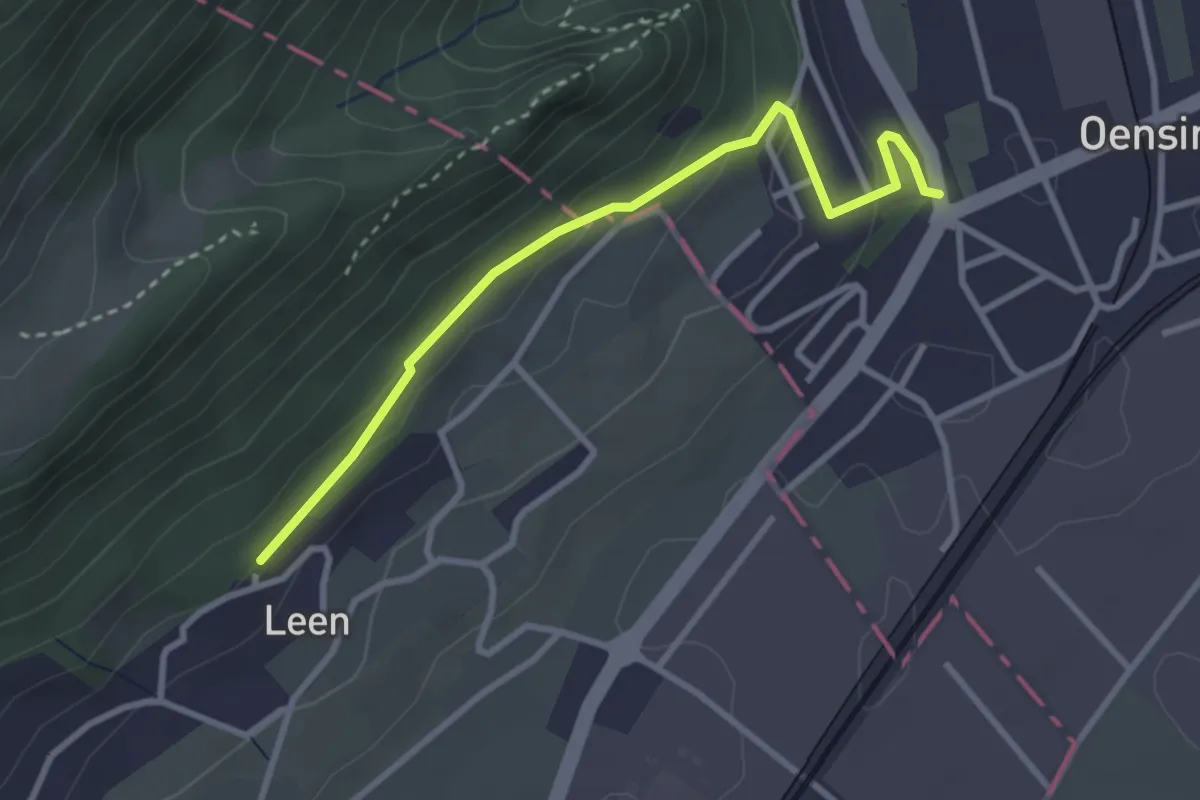
Easy · Trail
Leen - Oensingen
3.1 km · ↑ 118 m · 59 min
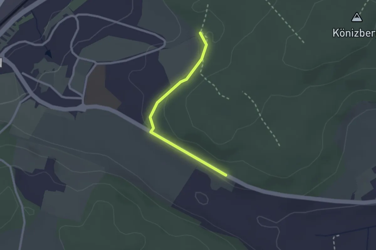
Easy · Trail
Leen - Tubentränke
2.0 km · ↑ 41 m · 34 min
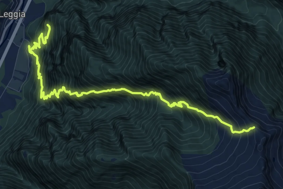
Demanding · Trail
Leggia Ost rot
8.1 km · ↑ 1840 m · 5 h 14 min
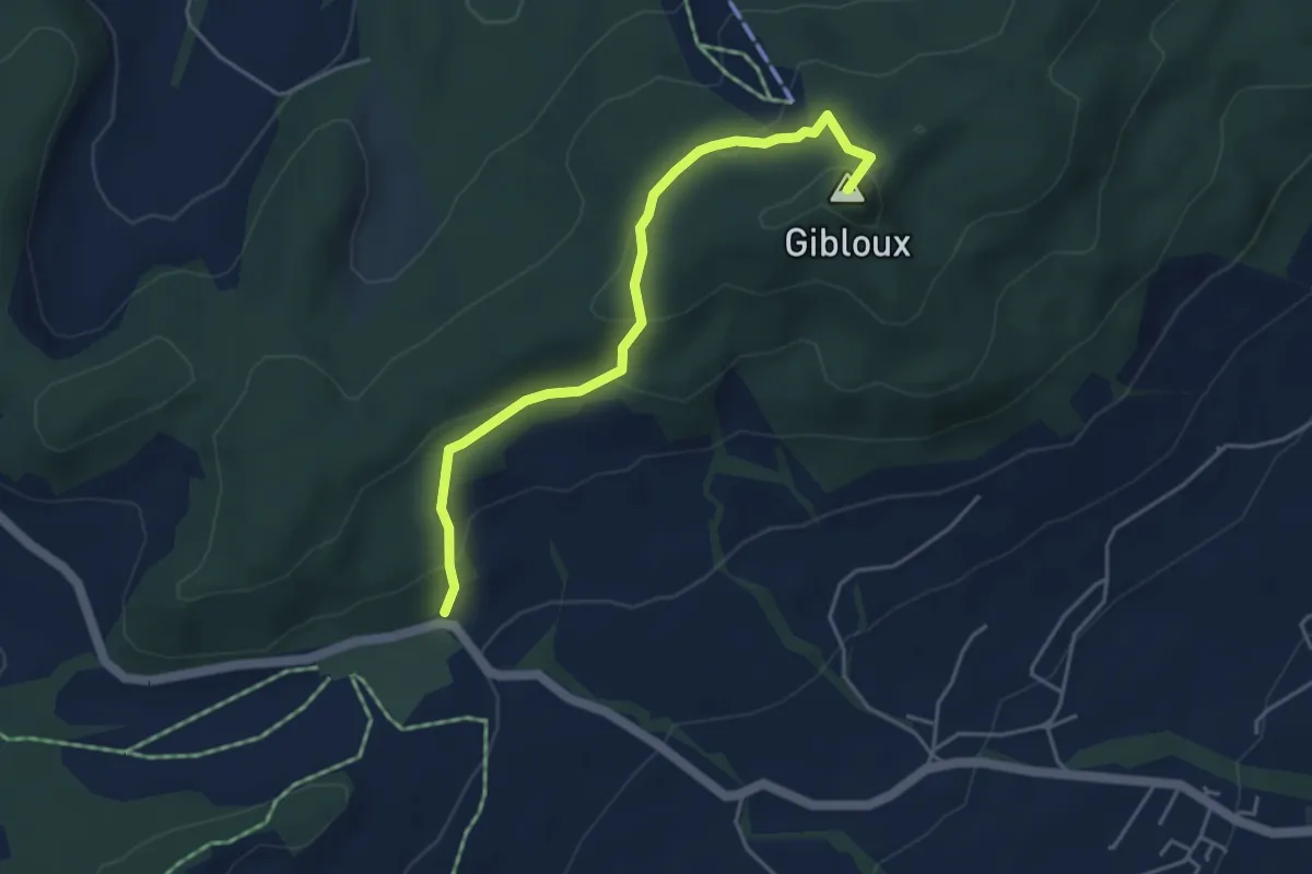
Easy · Summit
Le Gibloux - Sorens Camping (SBFG)
4.4 km · ↑ 240 m · 1 h 33 min
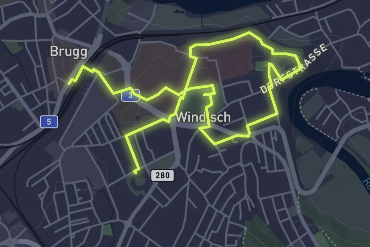
Easy · Trail
Legionärspfad
8.0 km · ↑ 45 m · 1 h 59 min
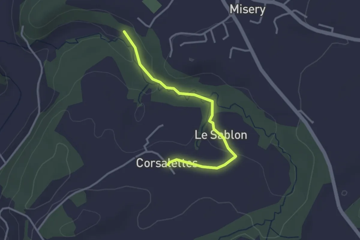
Easy · Trail
Le Grabou Cne de Misery - Corsalettes
2.9 km · ↑ 45 m · 46 min
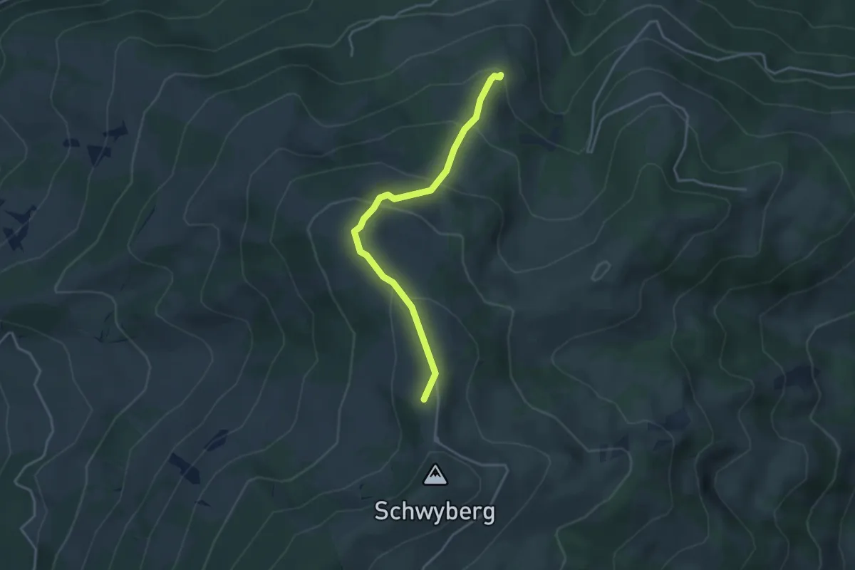
Easy · Summit
Lehmas Bärgli - Gross Schwyberg
3.4 km · ↑ 236 m · 1 h 19 min
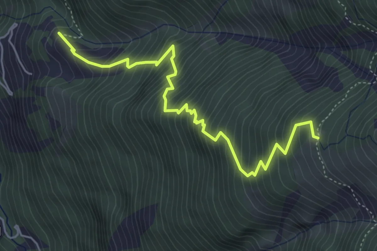
Demanding · Trail
Leidbach - Obere Schwarze Wald
5.3 km · ↑ 825 m · 3 h 2 min
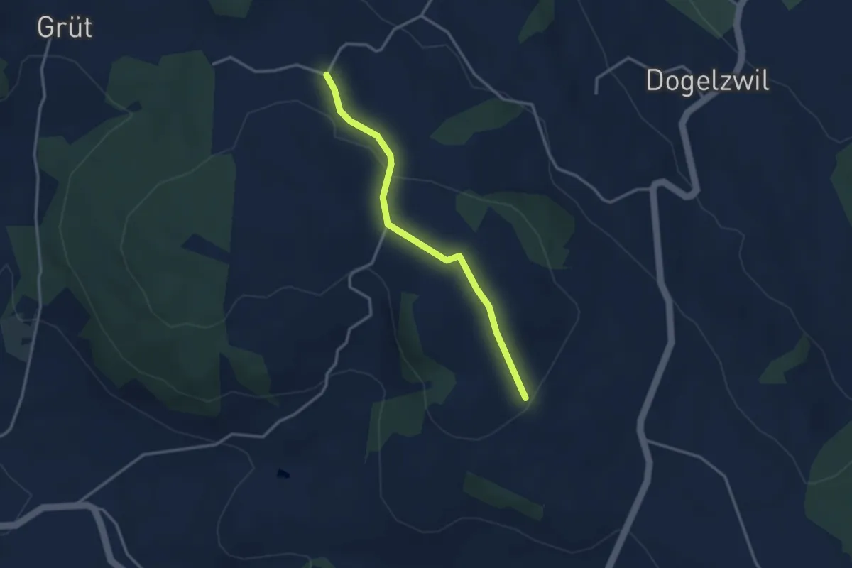
Easy · Trail
Leidenberg - Höhi
2.8 km · ↑ 72 m · 50 min
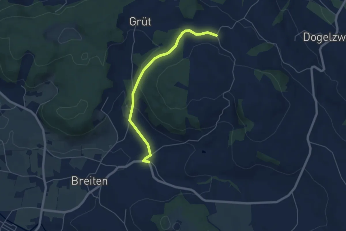
Easy · Trail
Leidenberg - Oberdorf
4.7 km · ↑ 131 m · 1 h 24 min
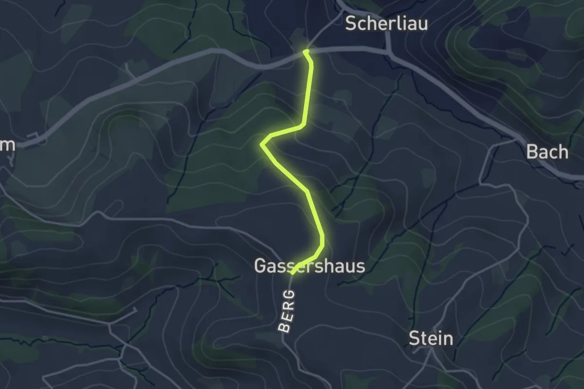
Easy · Trail
Leimen - Gassershus
2.5 km · ↑ 149 m · 55 min
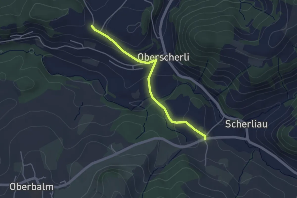
Easy · Trail
Leimen - Hübeli
3.2 km · ↑ 104 m · 59 min
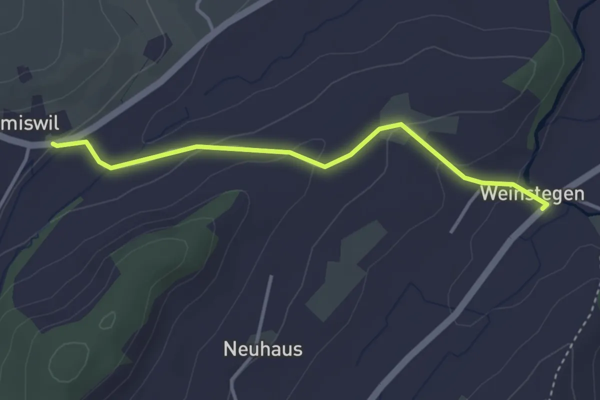
Easy · Trail
Leimiswil - Wystägen
3.2 km · ↑ 111 m · 59 min
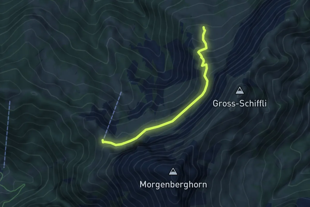
Demanding · Cabin
Leissigbärgli - Brunii
5.2 km · ↑ 386 m · 2 h 4 min
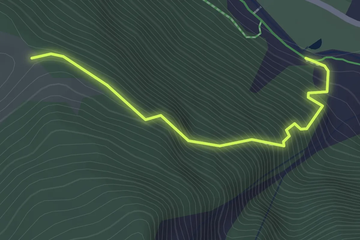
Medium · Trail
Leiterliweg (Trauboden - Eienwäldli)
2.3 km · ↑ 346 m · 1 h 18 min
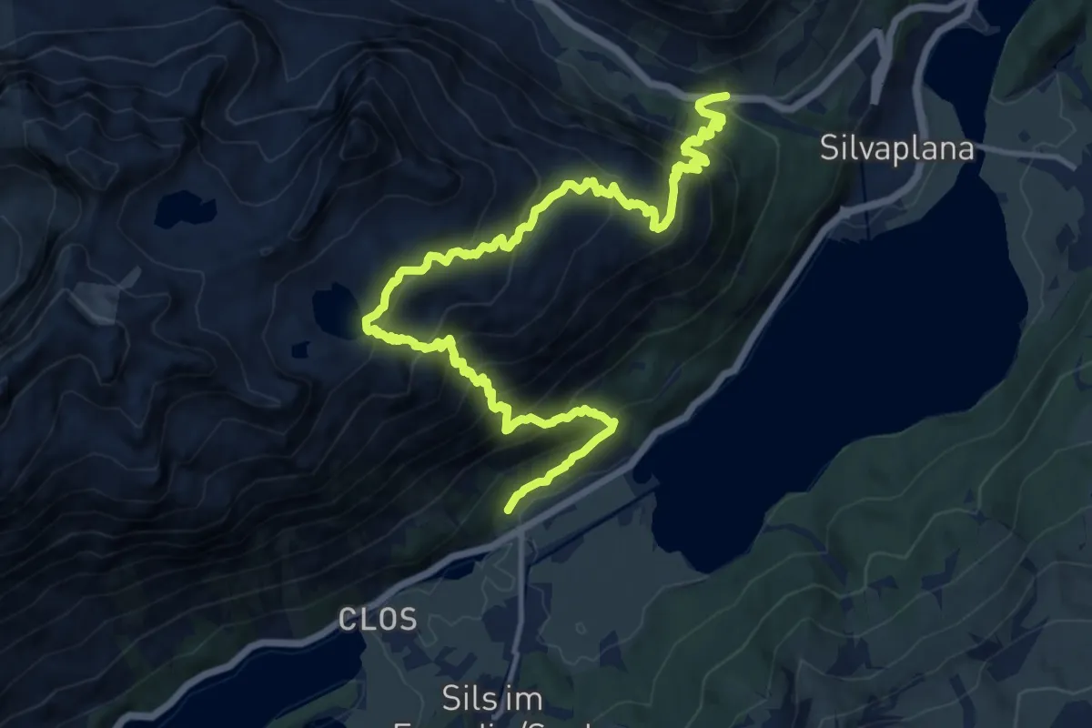
Demanding · Trail
Lej da la Tscheppa
16.5 km · ↑ 1584 m · 7 h 19 min
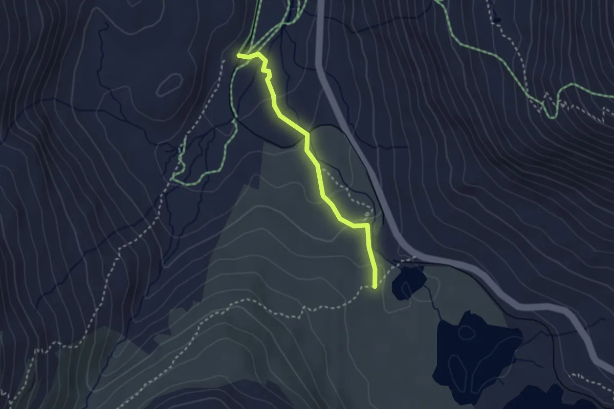
Easy · Trail
Lej Pitschen-Alp da Buond Sur
2.5 km · ↑ 98 m · 48 min
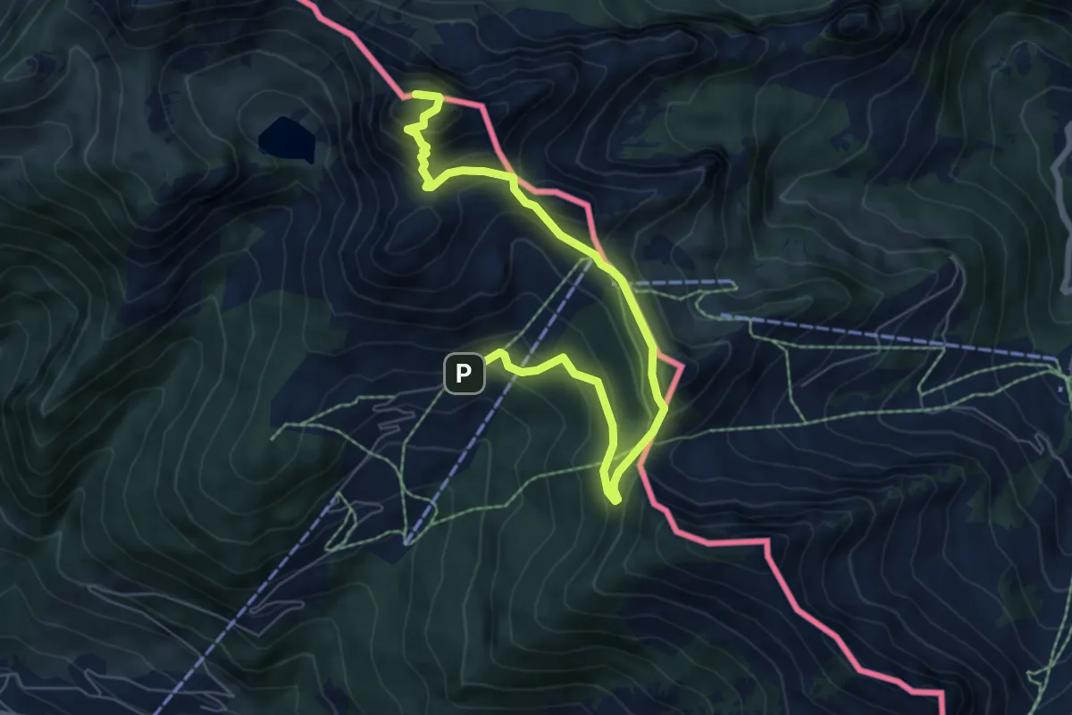
Medium · Summit
Le Linleu par les quatre cols
7.6 km · ↑ 529 m · 2 h 57 min
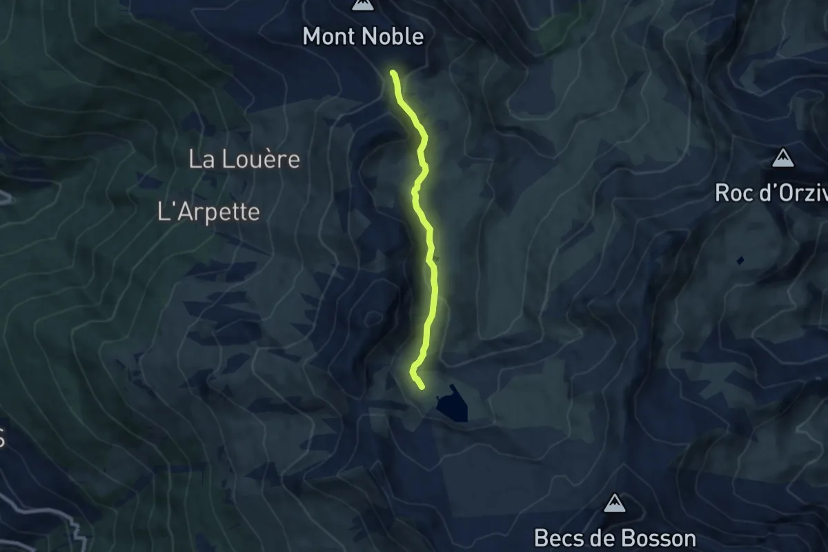
Medium · Trail
Le Louché Lac - Col du Cou
6.0 km · ↑ 197 m · 1 h 51 min
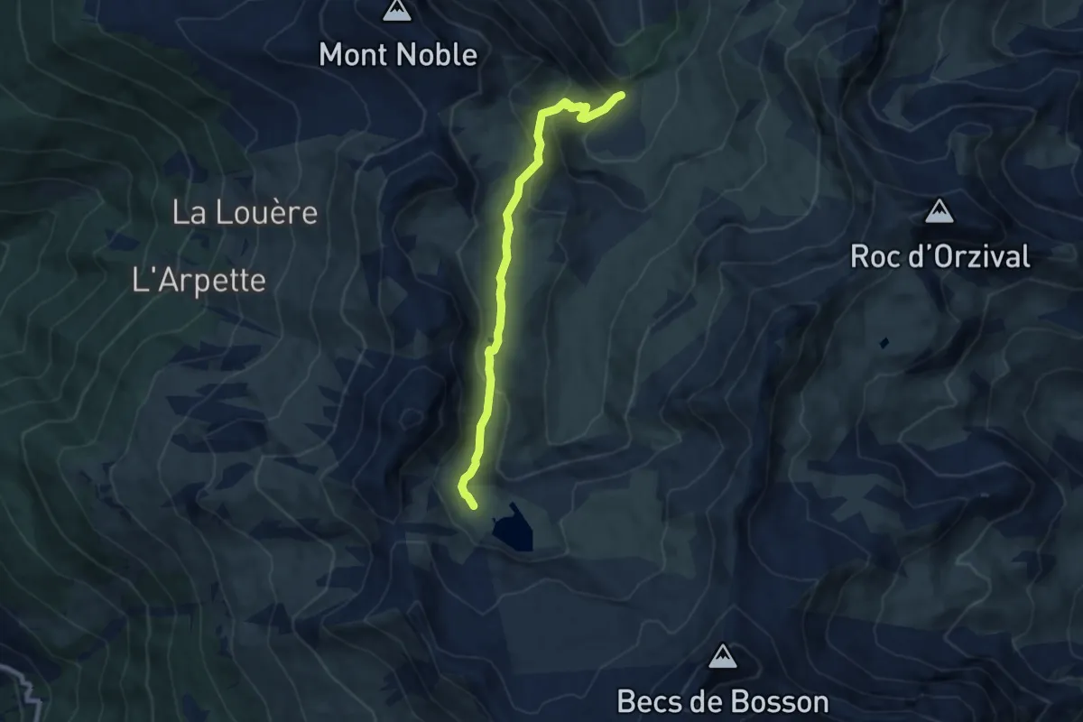
Medium · Trail
Le Louché-L'Ar du Tsan Lac (A)
7.3 km · ↑ 408 m · 2 h 36 min
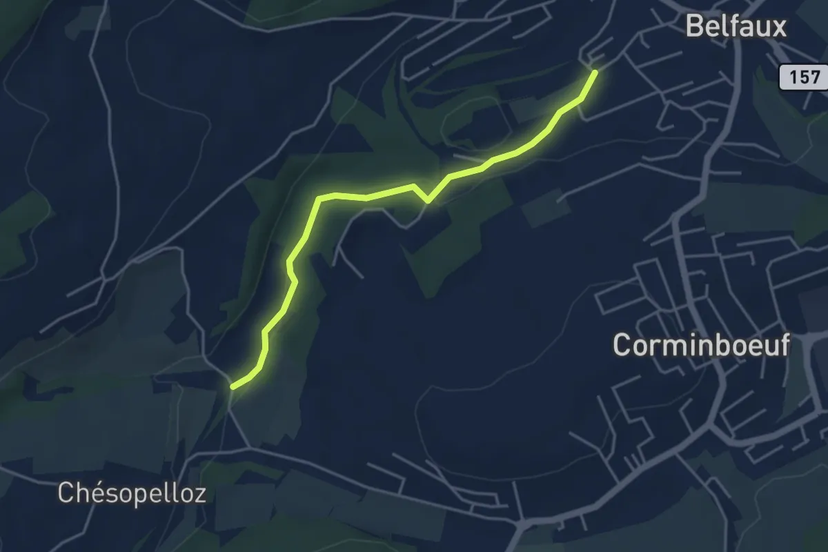
Easy · Trail
Le Moulin - Belfaux rte de Chésopelloz
3.9 km · ↑ 83 m · 1 h 6 min