Trails in Switzerland
15,029 hiking trails, each with its route, climb, walking time and grade.
All trails, page 62 of 314
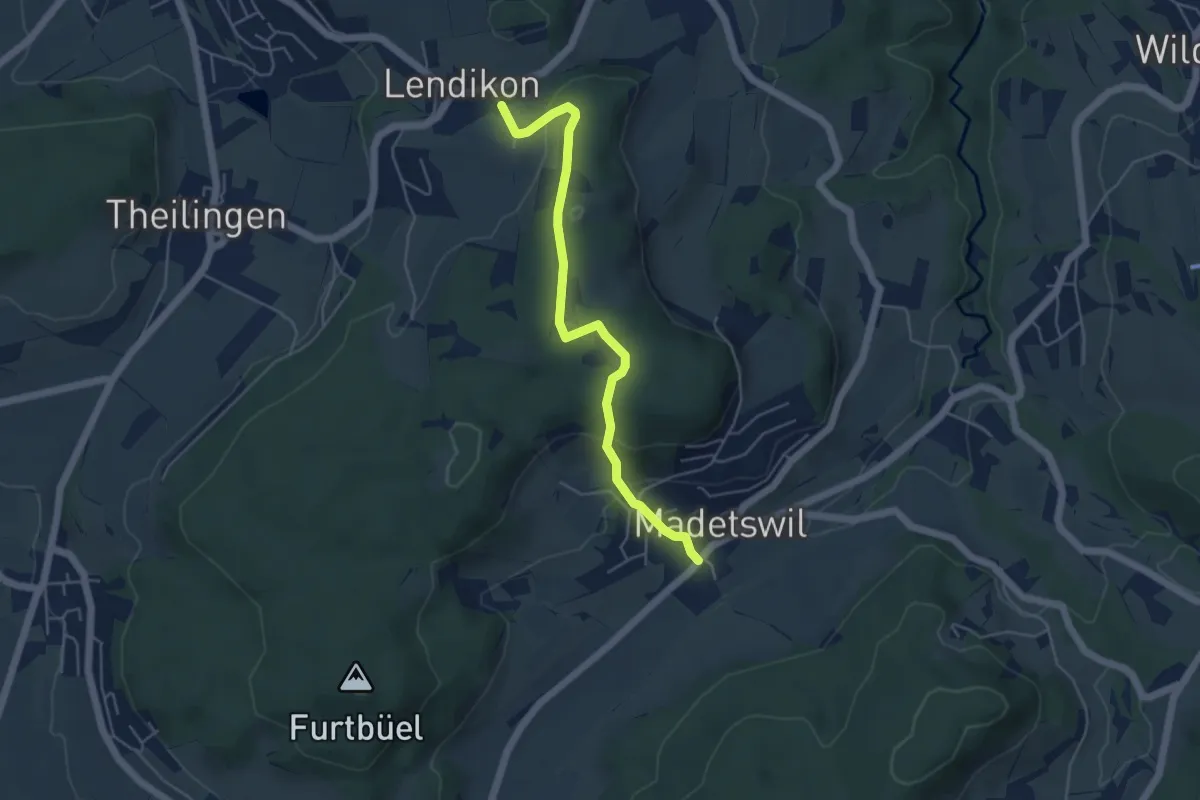
Medium · Trail
Lendikon – Madetswil
4.8 km · ↑ 183 m · 1 h 32 min
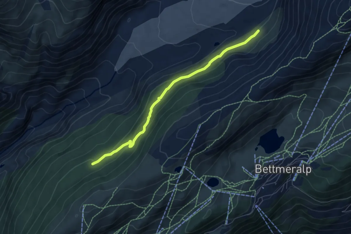
Medium · Trail
Lengmoosweg
6.3 km · ↑ 274 m · 2 h 5 min
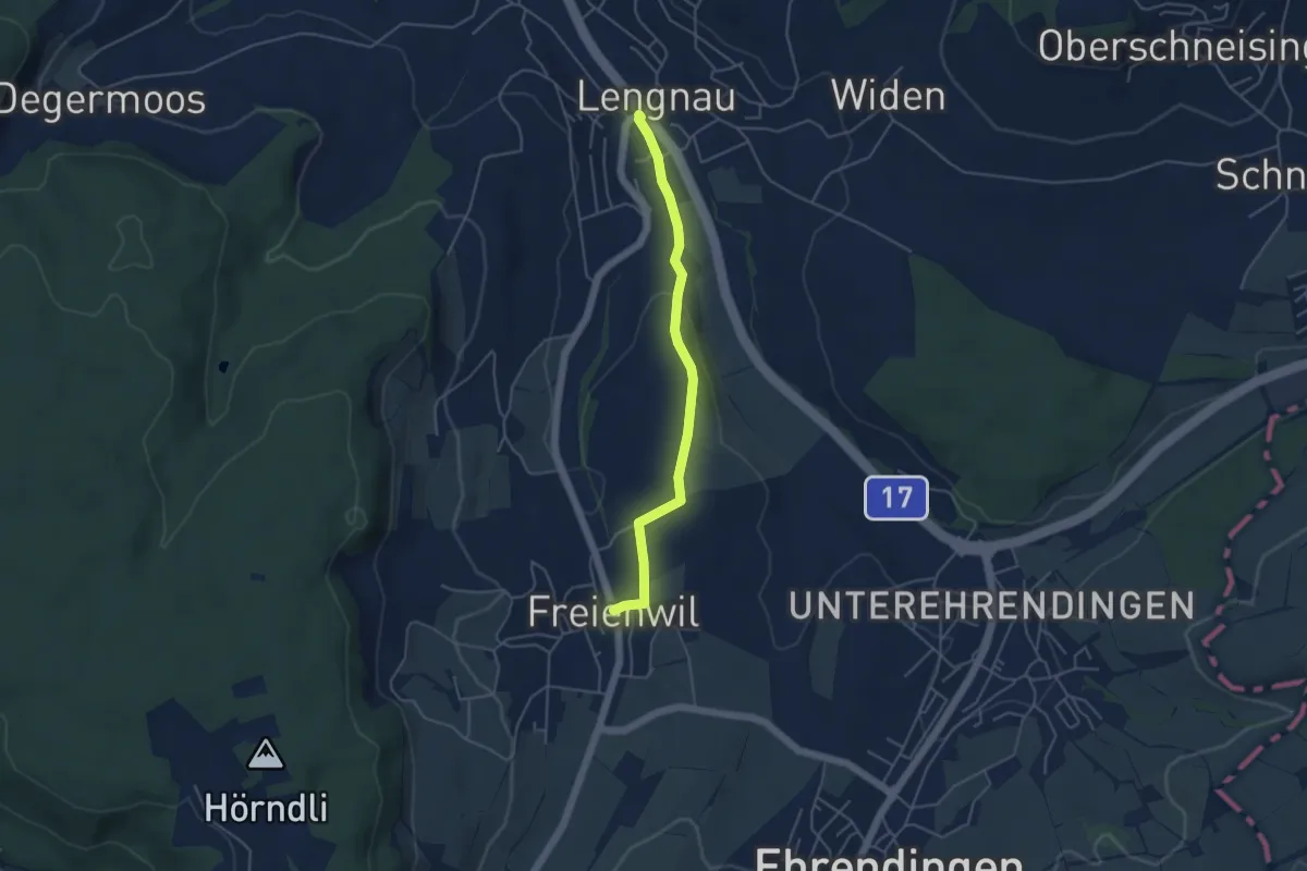
Easy · Trail
Lengnau - Freienwil
4.3 km · ↑ 65 m · 1 h 9 min
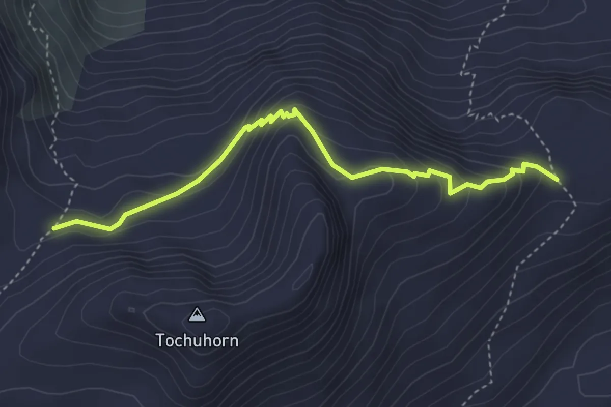
Expert · Trail
Lengritz - Gälmji
3.8 km · ↑ 339 m · 1 h 37 min
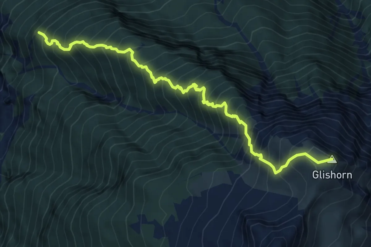
Demanding · Summit
Lengritz - Glishorn - Schratt
8.4 km · ↑ 1291 m · 4 h 47 min
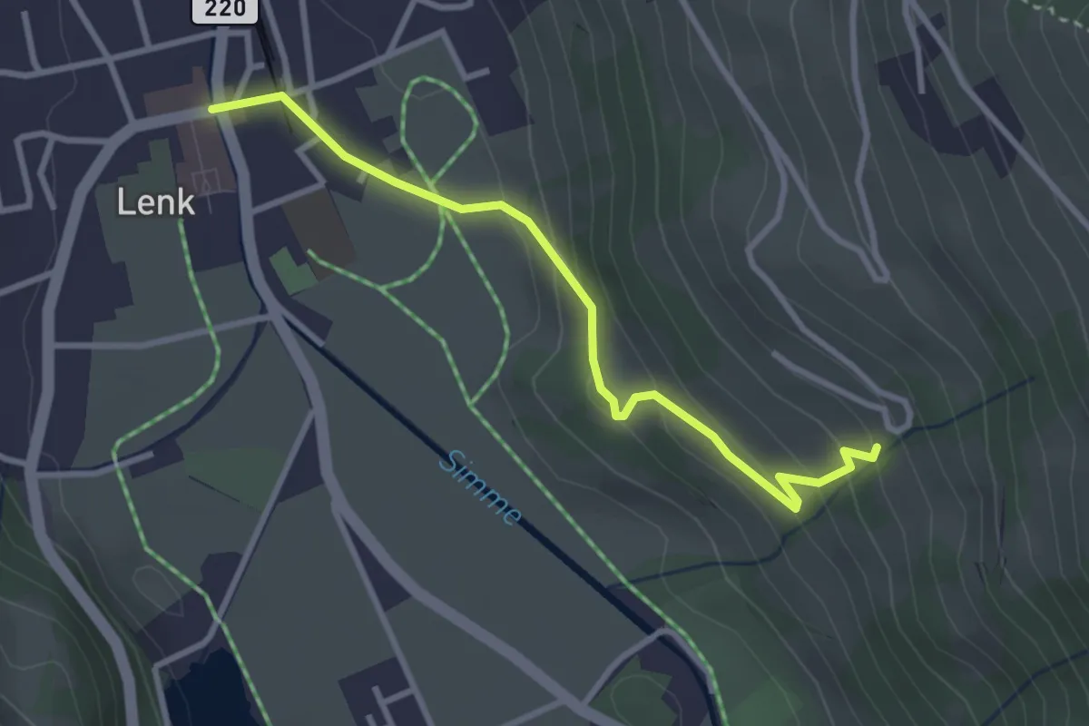
Easy · Trail
Lenk - Innere Brand
3.1 km · ↑ 162 m · 1 h 5 min
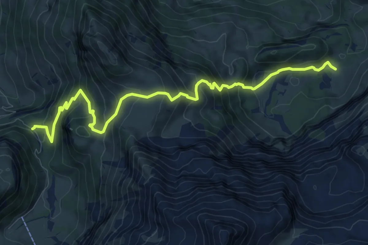
Demanding · Trail
Lenk (Ritzdole) - Lenk (Sibe Brünne - Rezlibergli)
11.2 km · ↑ 872 m · 4 h 32 min
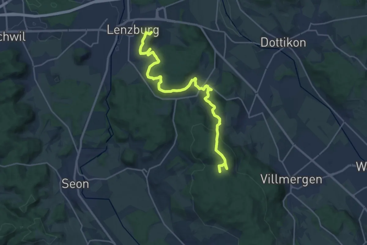
Medium · Summit
Lenzburg - Ammerswil - Grossmoos
17.9 km · ↑ 554 m · 5 h 25 min
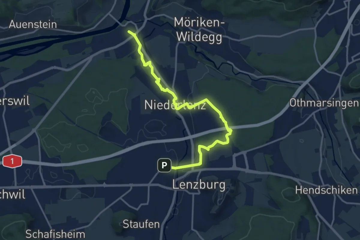
Medium · Trail
Lenzburg - Niederlenz - Wildegg
12.4 km · ↑ 158 m · 3 h 16 min
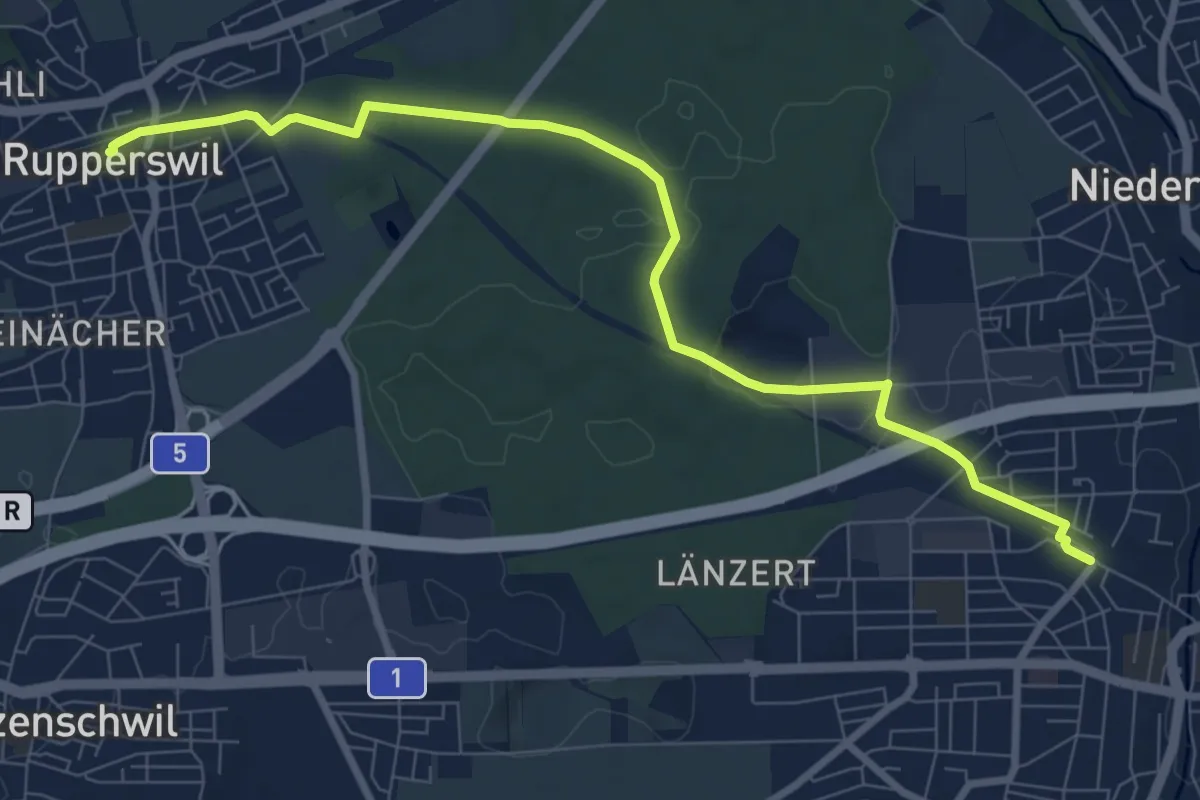
Medium · Trail
Lenzburg - Rupperswil
9.1 km · ↑ 69 m · 2 h 18 min
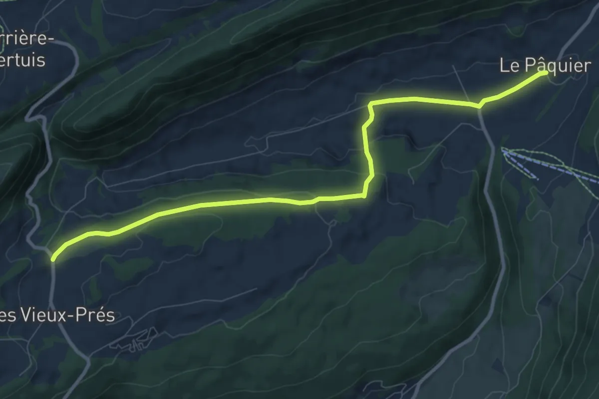
Medium · Trail
Le Pâquier - Blanche Herbe
9.4 km · ↑ 243 m · 2 h 45 min
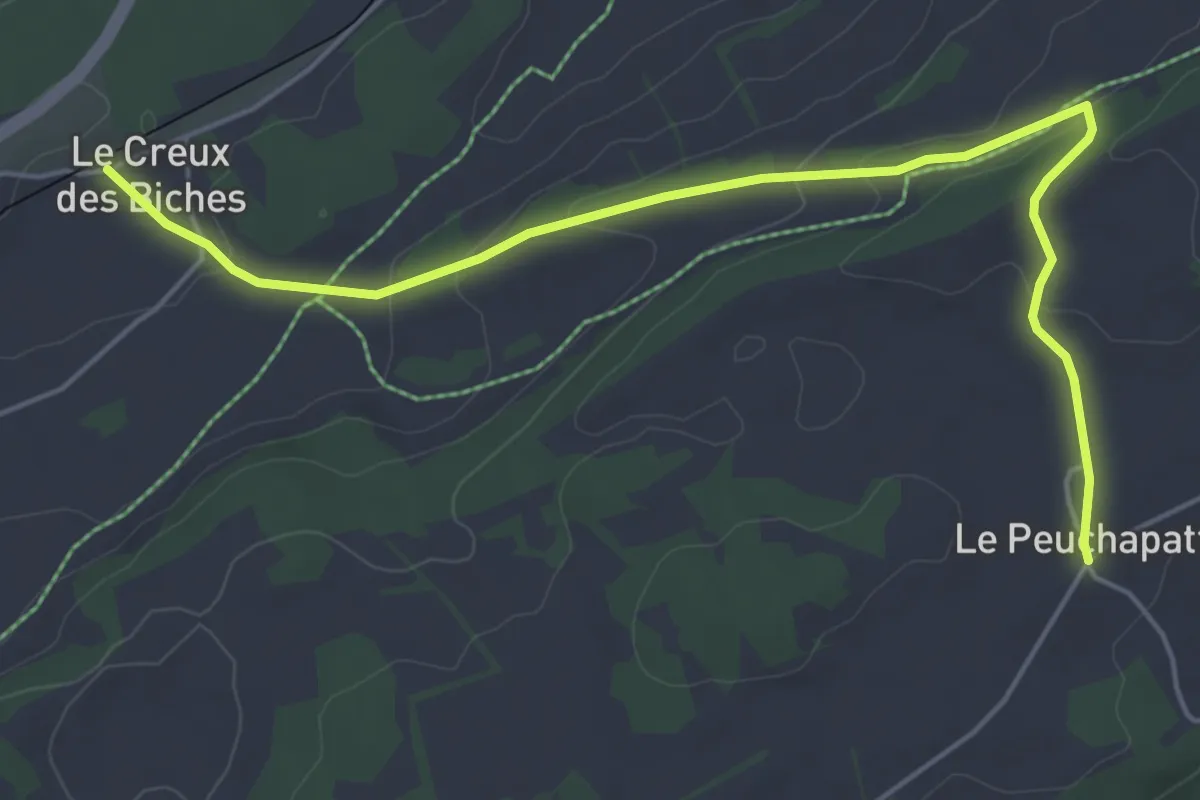
Easy · Trail
Le Peuchapatte - Le Creux-de-Biches
5.8 km · ↑ 147 m · 1 h 42 min
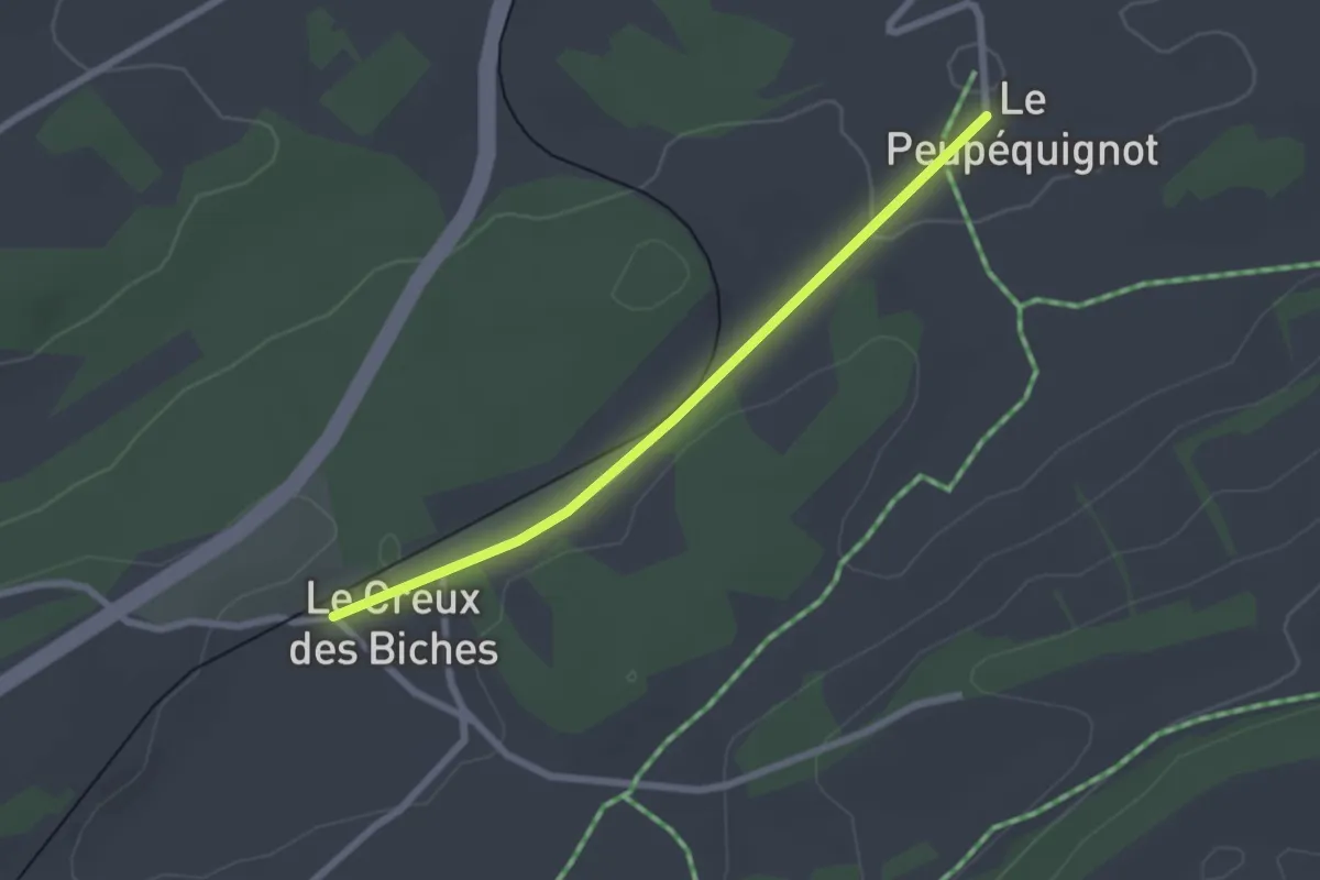
Easy · Trail
Le Peu-Pequignot - Le Creux-de-Biches
2.3 km · ↑ 18 m · 34 min
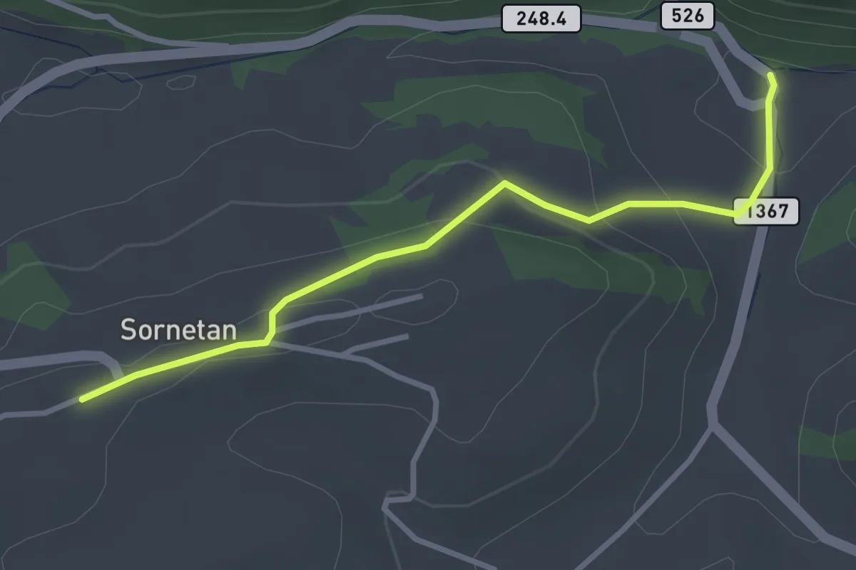
Easy · Trail
Le Pichoux - Sornetan
3.0 km · ↑ 104 m · 56 min
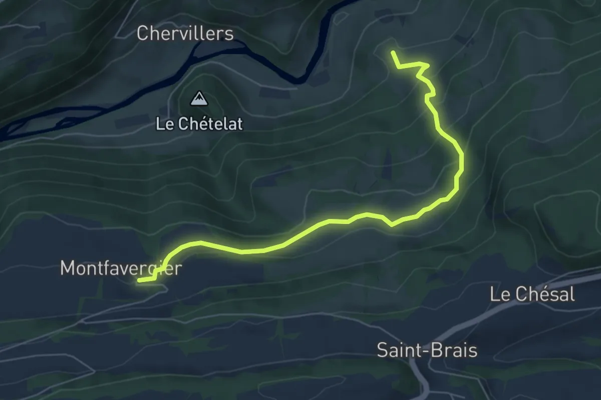
Medium · Trail
Le Poye - fixme
6.3 km · ↑ 379 m · 2 h 18 min
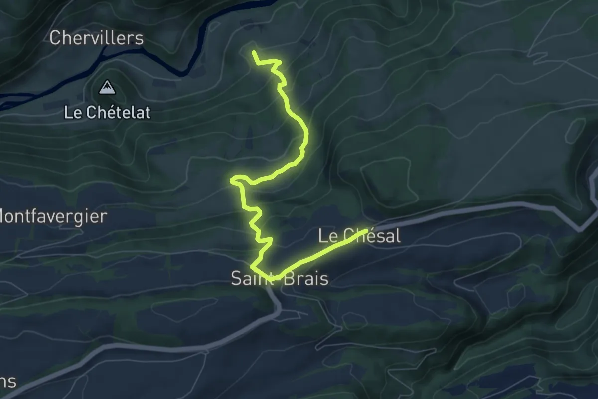
Medium · Trail
Le Poye - fixme
7.4 km · ↑ 494 m · 2 h 49 min
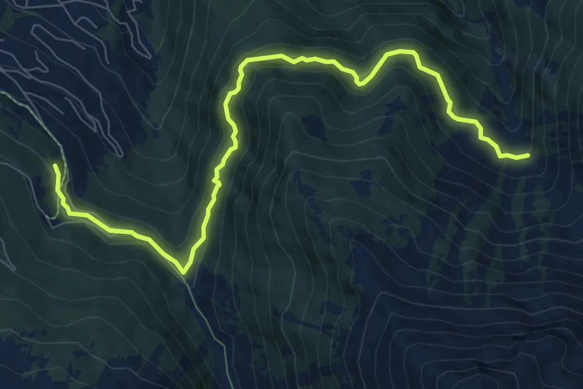
Medium · Trail
Le Rosey - Taillay
8.7 km · ↑ 556 m · 3 h 16 min
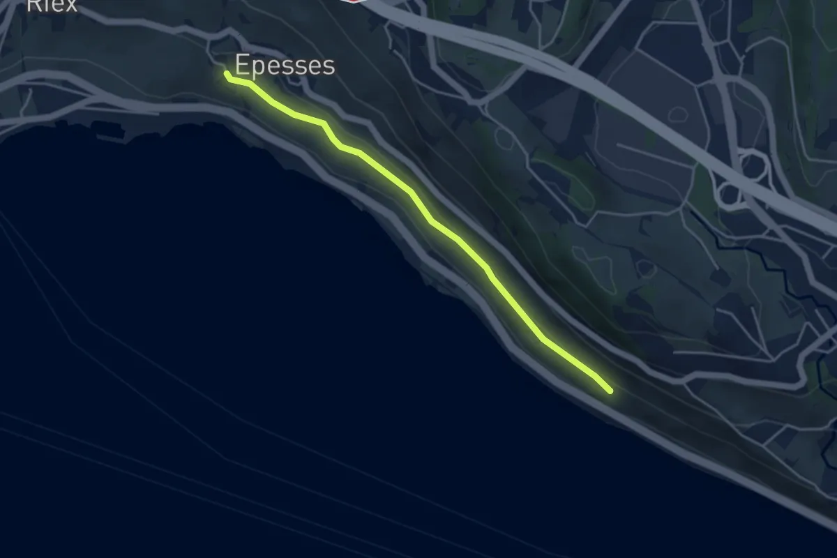
Easy · Trail
Les Abbayes - Epesses
3.9 km · ↑ 75 m · 1 h 6 min
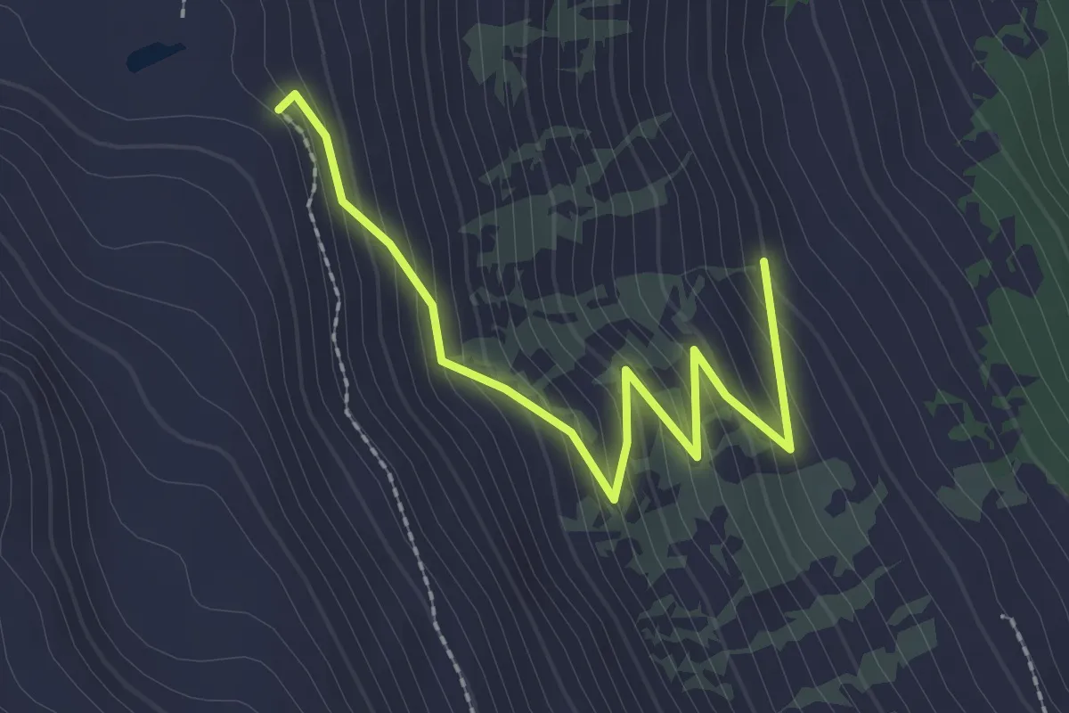
Easy · Trail
Les Arpalles > Champlong dessus
2.5 km · ↑ 210 m · 1 h 2 min
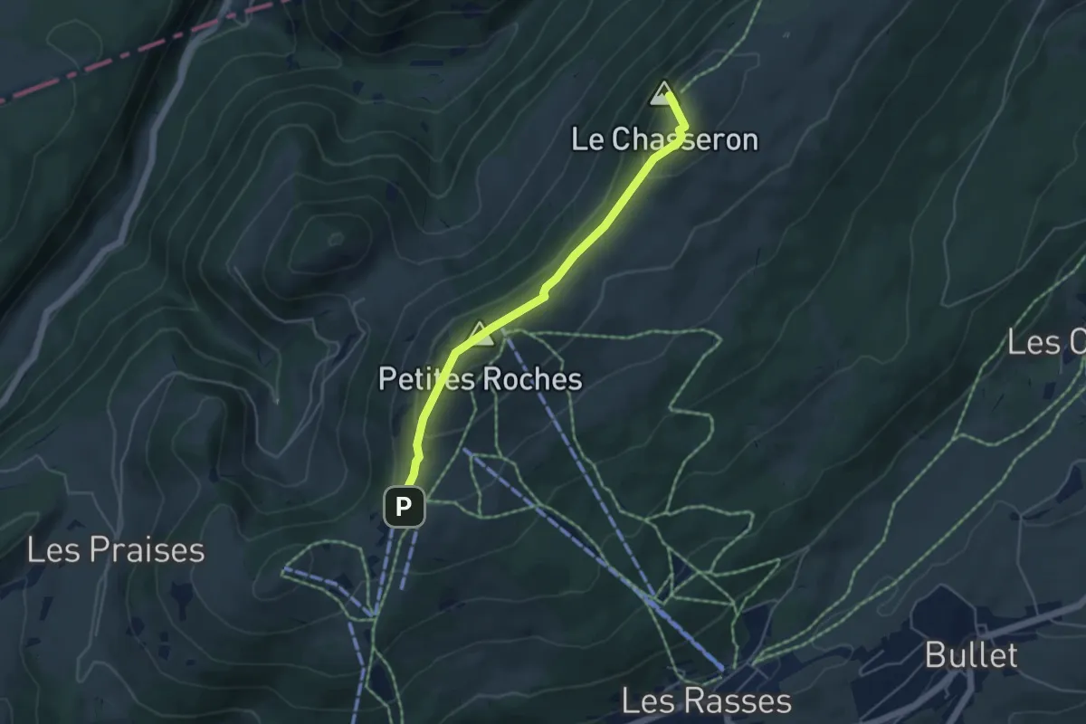
Medium · Summit
Les Avattes - Hôtel du Chasseron
4.5 km · ↑ 211 m · 1 h 30 min
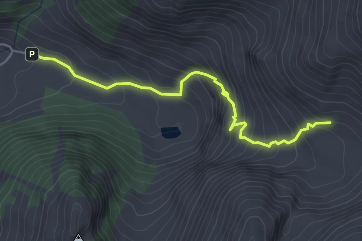
Medium · Cabin
Les Baudes - Cabane de Bounavaux
3.9 km · ↑ 376 m · 1 h 44 min
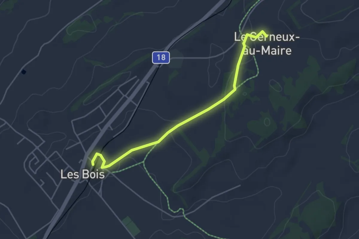
Easy · Trail
Les Bois - Cerneux au Maire
3.8 km · ↑ 63 m · 1 h 2 min
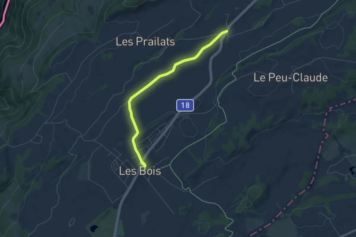
Easy · Trail
Les Bois - Le Boéchet
5.8 km · ↑ 65 m · 1 h 31 min
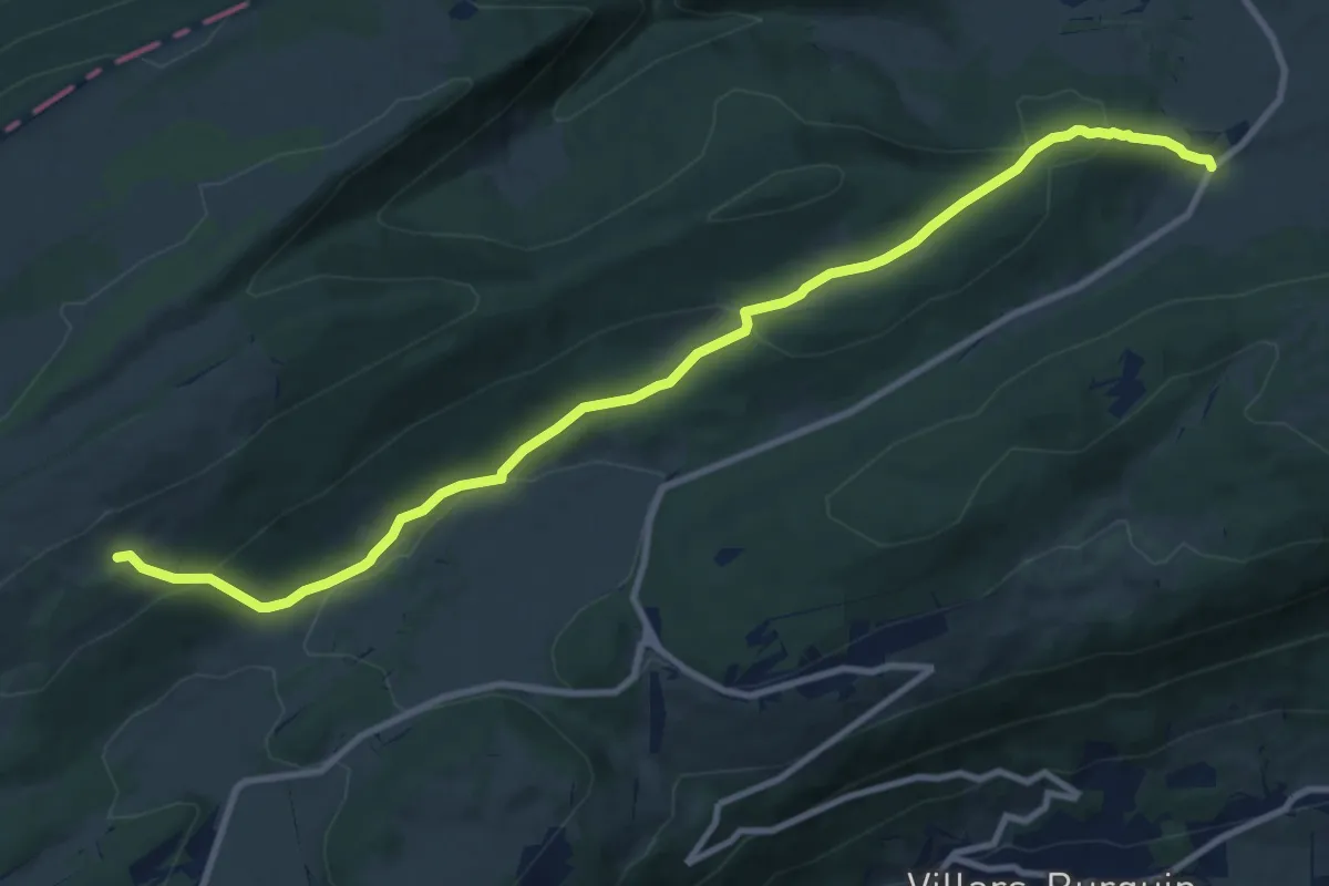
Medium · Trail
Les Cernets Dessous-La Combaz
11.4 km · ↑ 467 m · 3 h 42 min
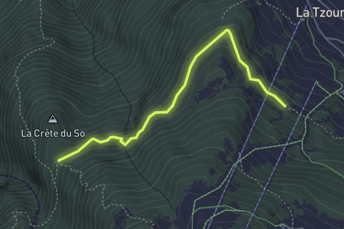
Expert · Trail
Les Chablotays - Crête de Seu
4.1 km · ↑ 293 m · 1 h 36 min
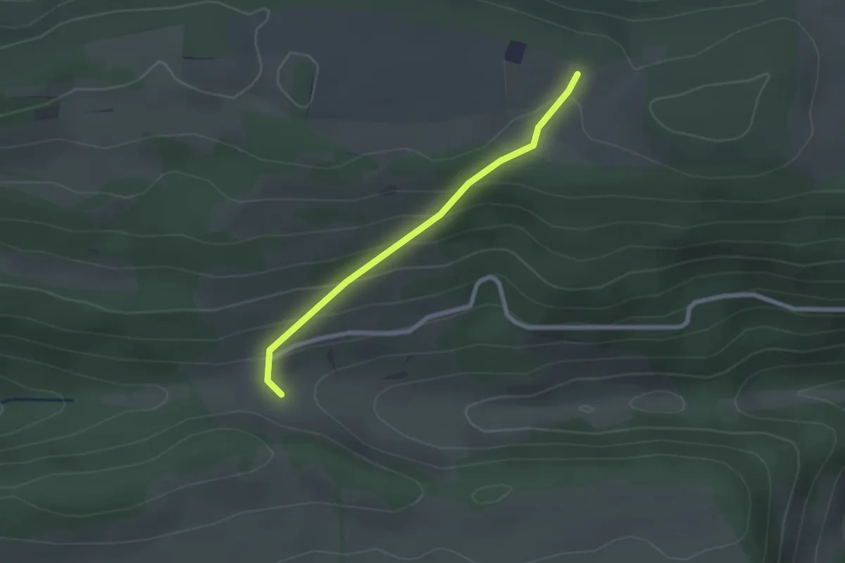
Easy · Trail
Les Chainois - fixme
2.0 km · ↑ 121 m · 45 min
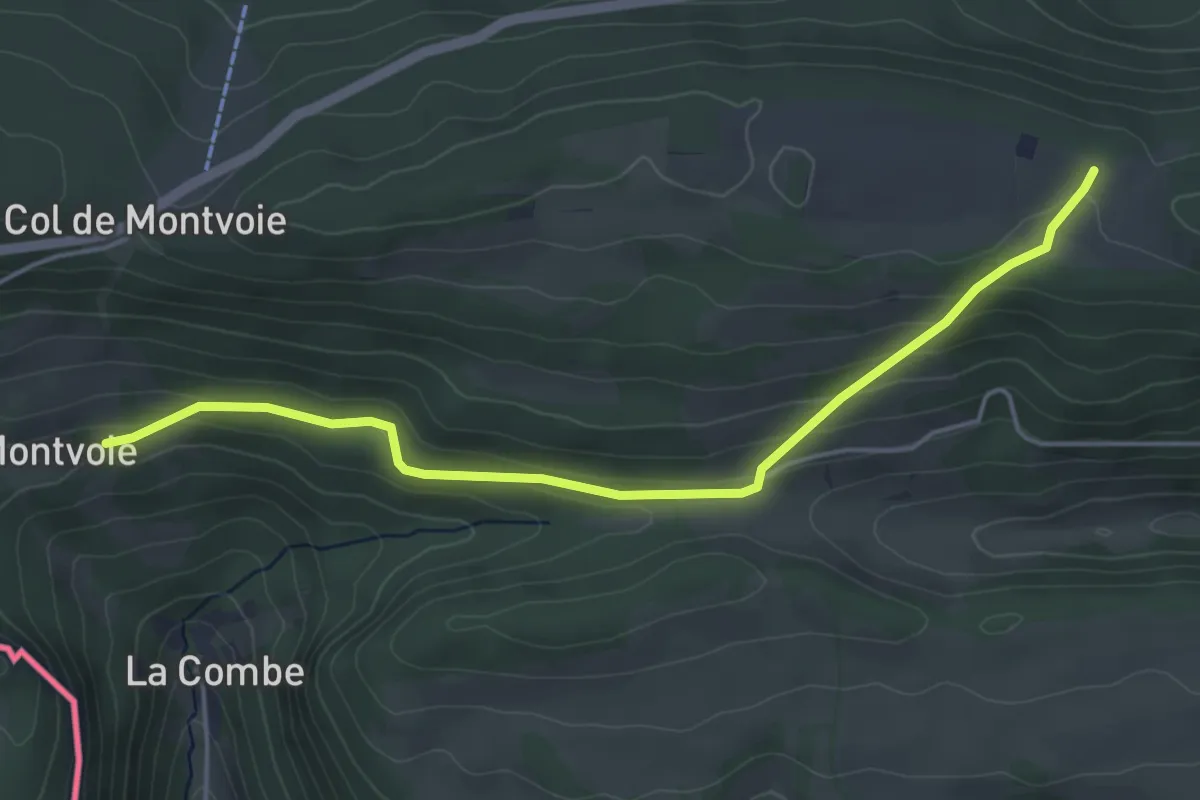
Easy · Trail
Les Chainois - Montvoie
4.7 km · ↑ 201 m · 1 h 33 min
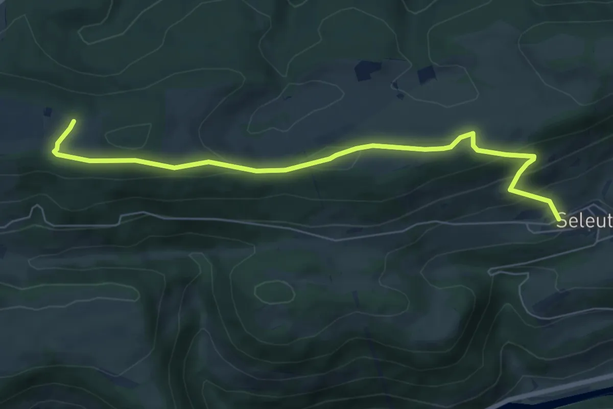
Easy · Trail
Les Chainois-Seleute
6.8 km · ↑ 275 m · 2 h 12 min
Medium · Trail
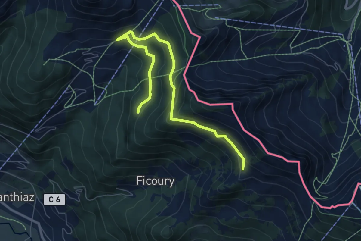
Les Chalets du Mouet
7.4 km · ↑ 397 m · 2 h 36 min
Easy · Trail
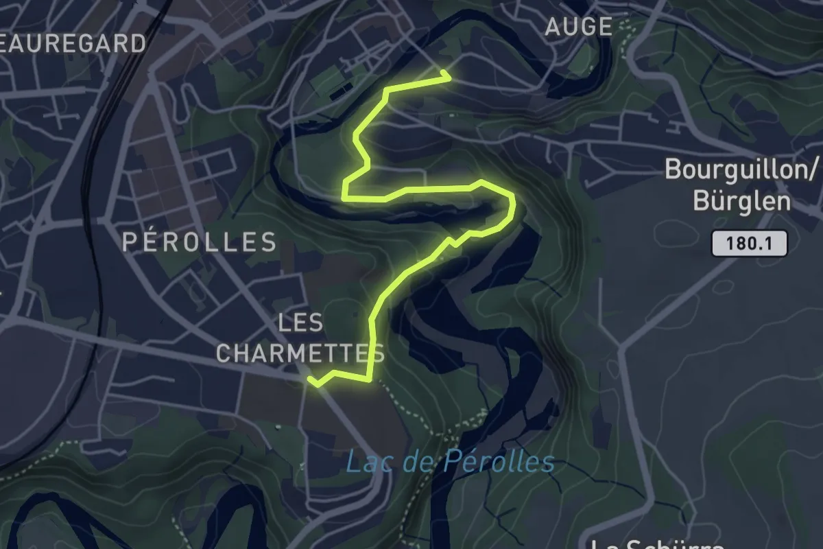
Les Charmettes - Freiburg
4.4 km · ↑ 212 m · 1 h 30 min
Medium · Trail
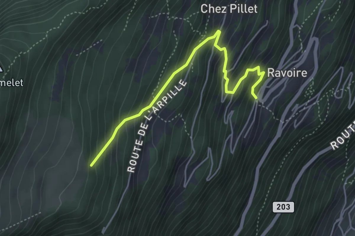
Les Chesaux - Ravoire > Grands Communaux
4.3 km · ↑ 466 m · 2 h 2 min
Medium · Trail
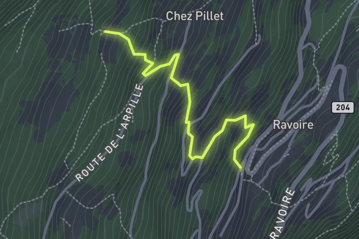
Les Chesaux - Ravoire > Plan Bocon
2.9 km · ↑ 363 m · 1 h 28 min
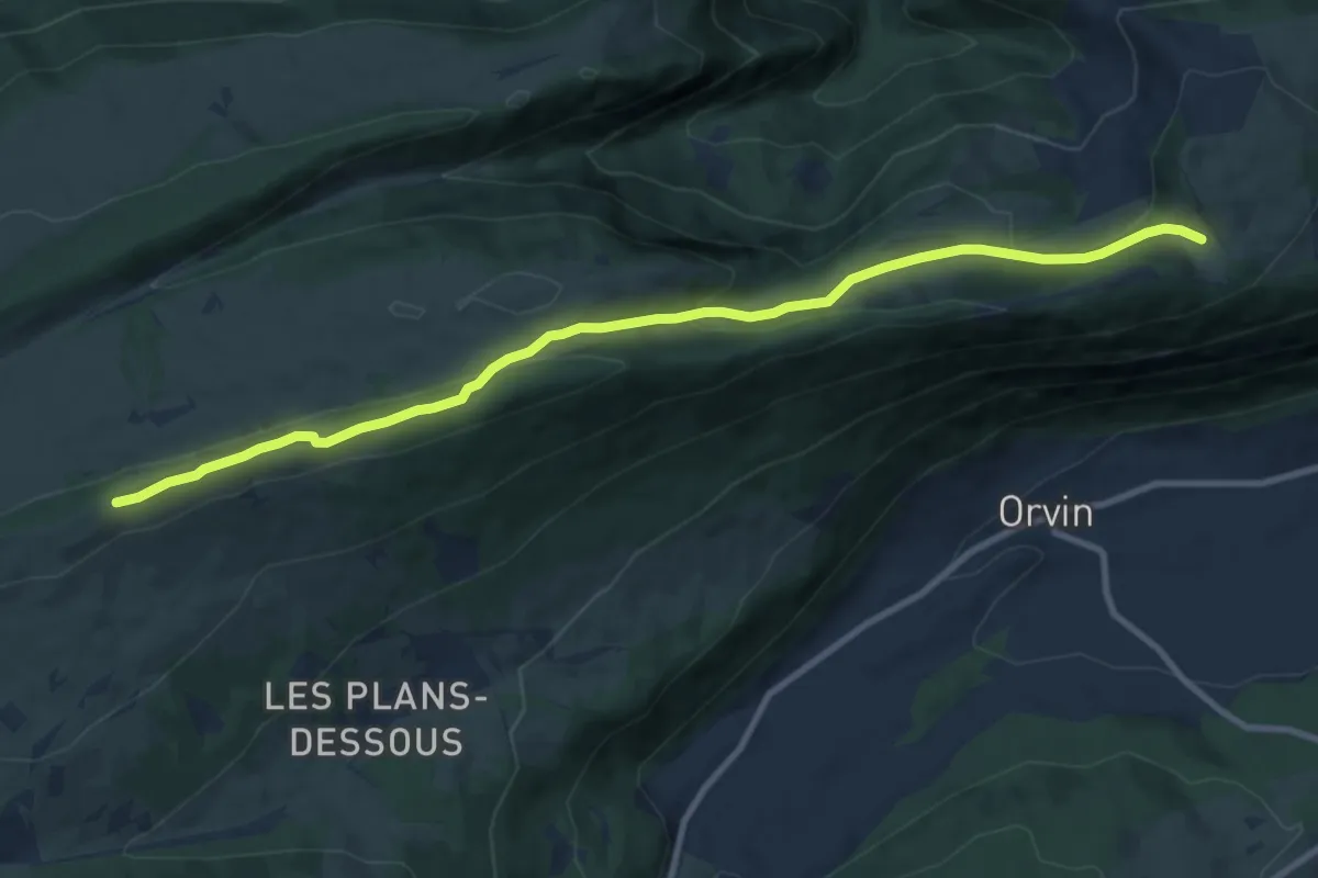
Medium · Cabin
Les Coperies-Jurahaus
10.4 km · ↑ 314 m · 3 h 8 min
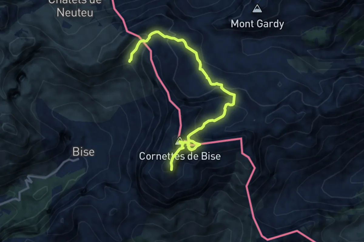
Demanding · Summit
Les Cornettes de Bise depuis le refuge de Bise
4.6 km · ↑ 641 m · 2 h 20 min
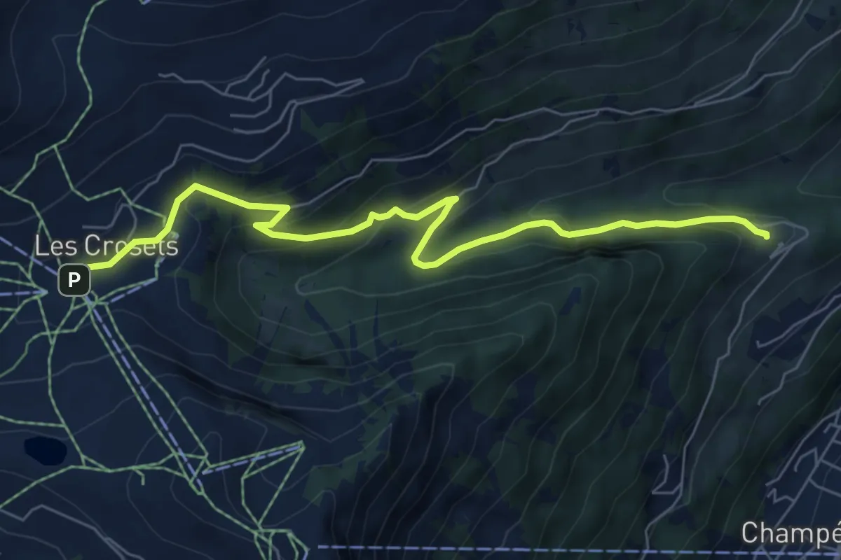
Medium · Trail
Les Crosets-Sur Cou
7.1 km · ↑ 378 m · 2 h 29 min
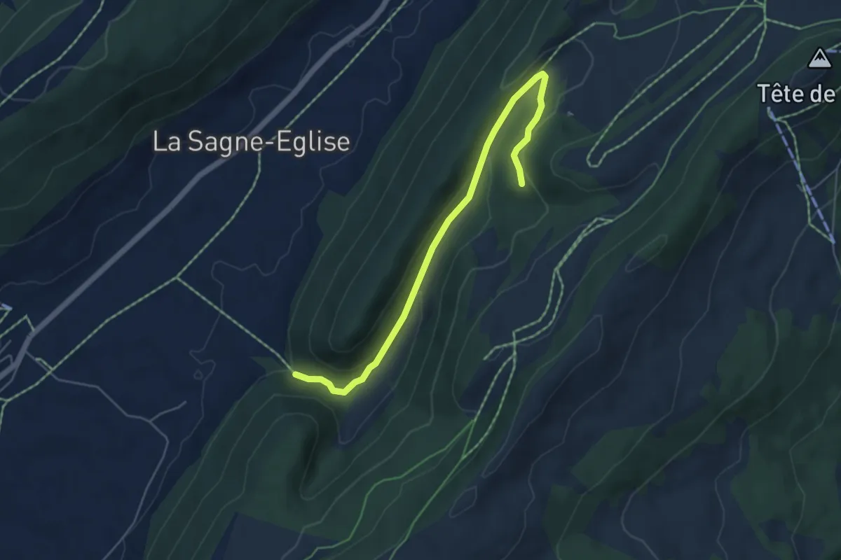
Easy · Trail
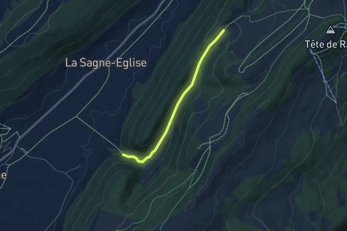
Les Cugnets -fixme
5.3 km · ↑ 167 m · 1 h 37 min
Easy · Trail
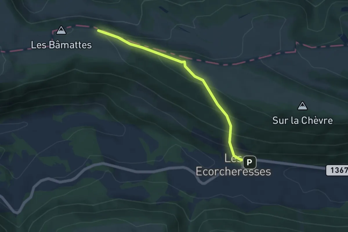
Les Cugnets -Mont Dar
4.3 km · ↑ 142 m · 1 h 20 min
Easy · Trail
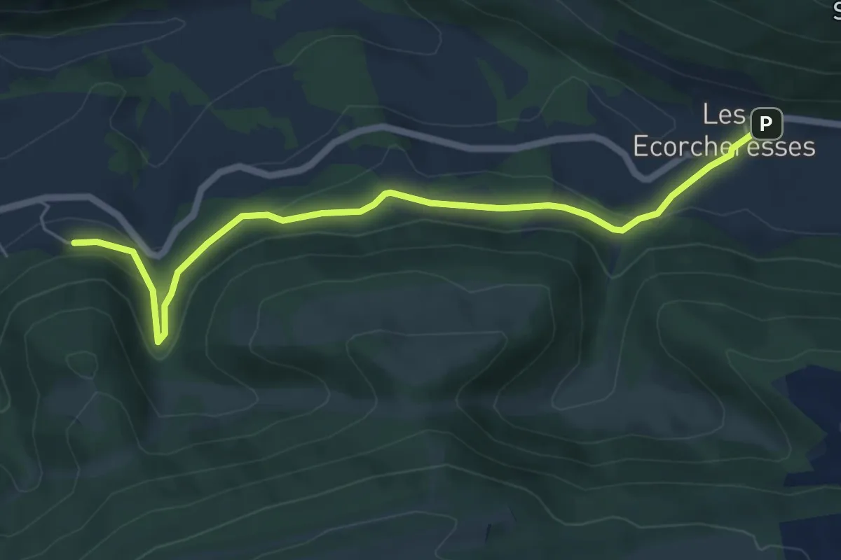
Les Ecorcheresses - fixme
3.8 km · ↑ 274 m · 1 h 30 min
Easy · Trail
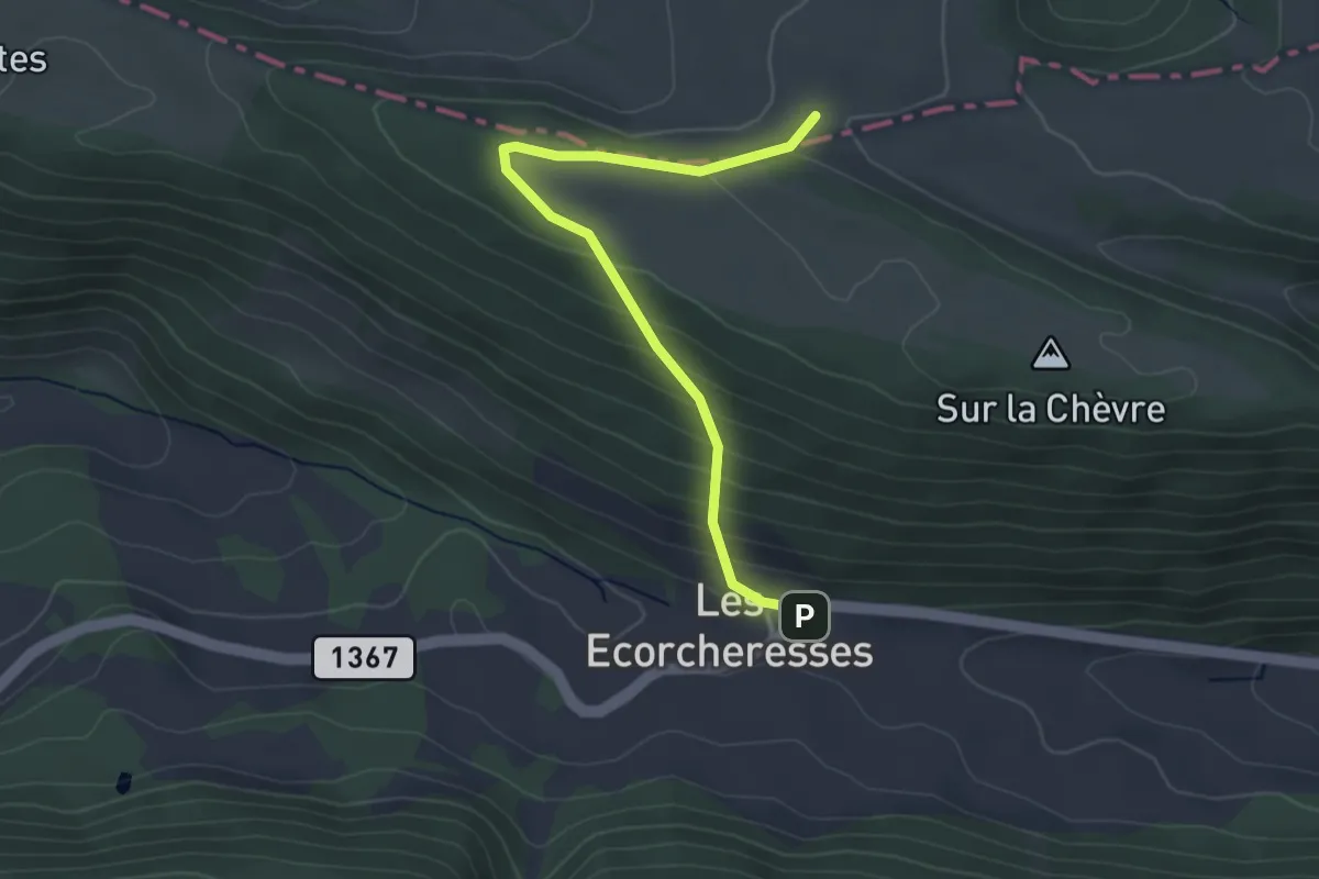
Les Ecorcheresses - fixme
5.9 km · ↑ 254 m · 1 h 56 min
Easy · Trail
Les Ecorcheresses - Pré La Vigne
3.5 km · ↑ 215 m · 1 h 17 min
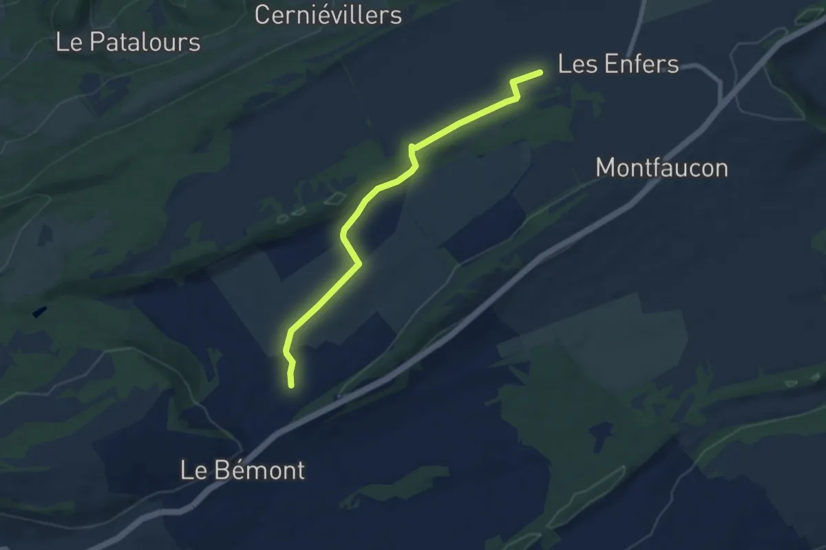
Easy · Trail
Les Enfers - La Bosse
6.4 km · ↑ 100 m · 1 h 44 min
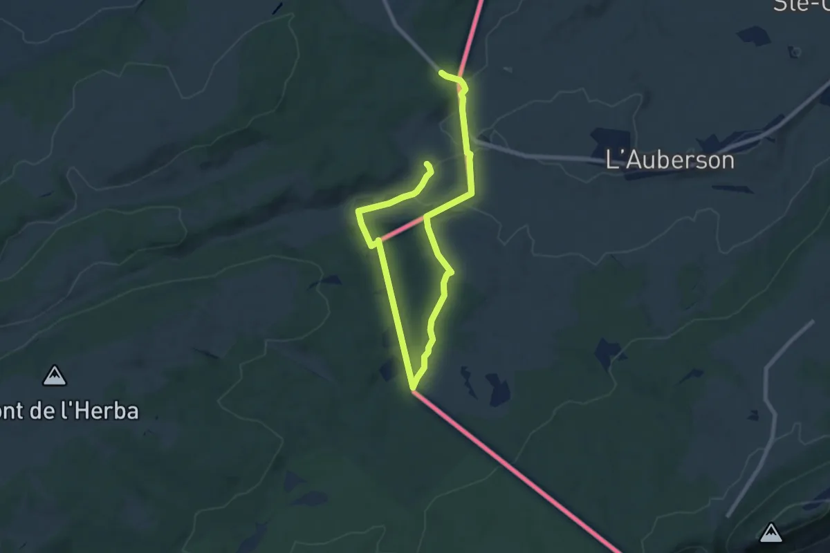
Medium · Trail
Le Sentier des Bornes
10.8 km · ↑ 177 m · 2 h 56 min
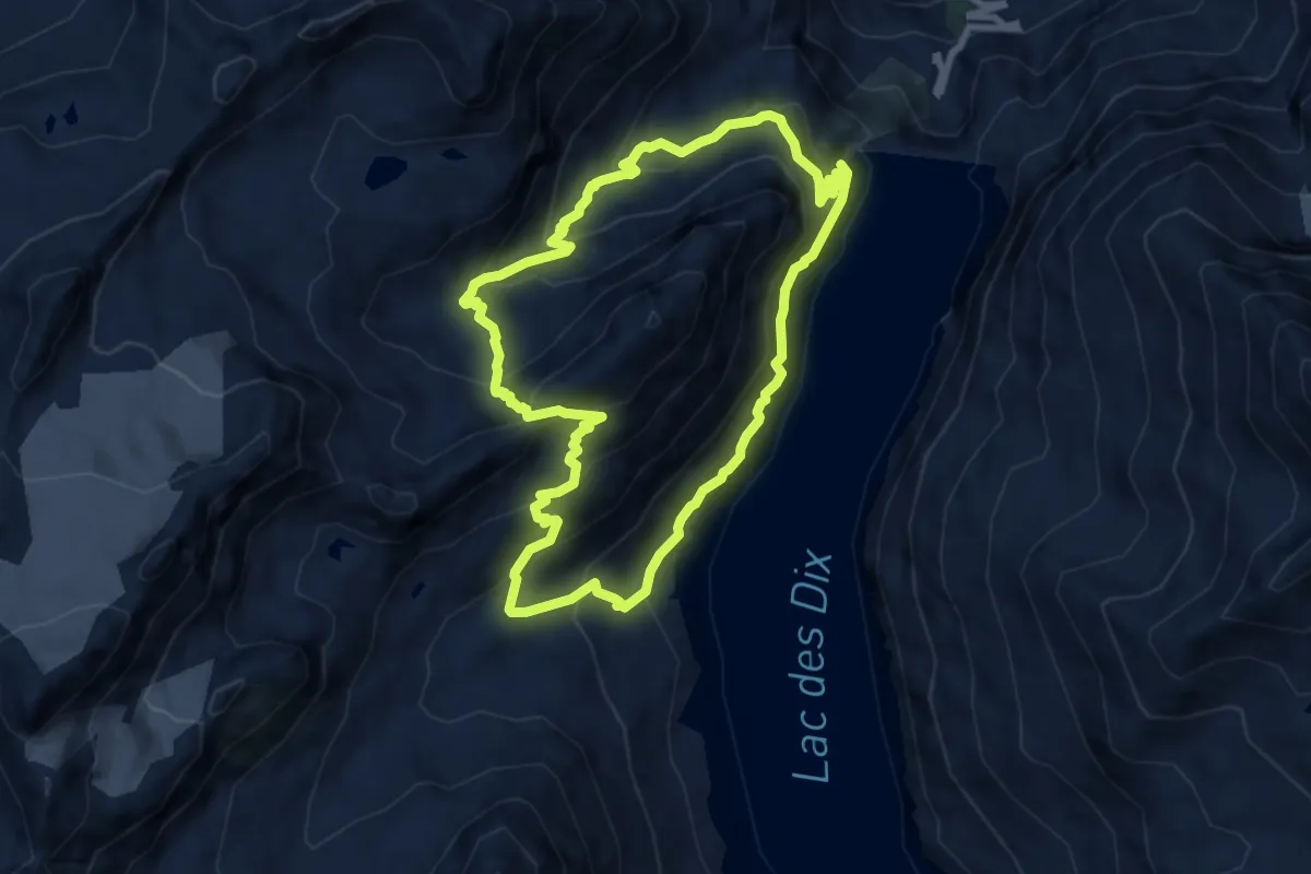
Medium · Trail
Le sentier des bouquetins
8.2 km · ↑ 766 m · 3 h 42 min
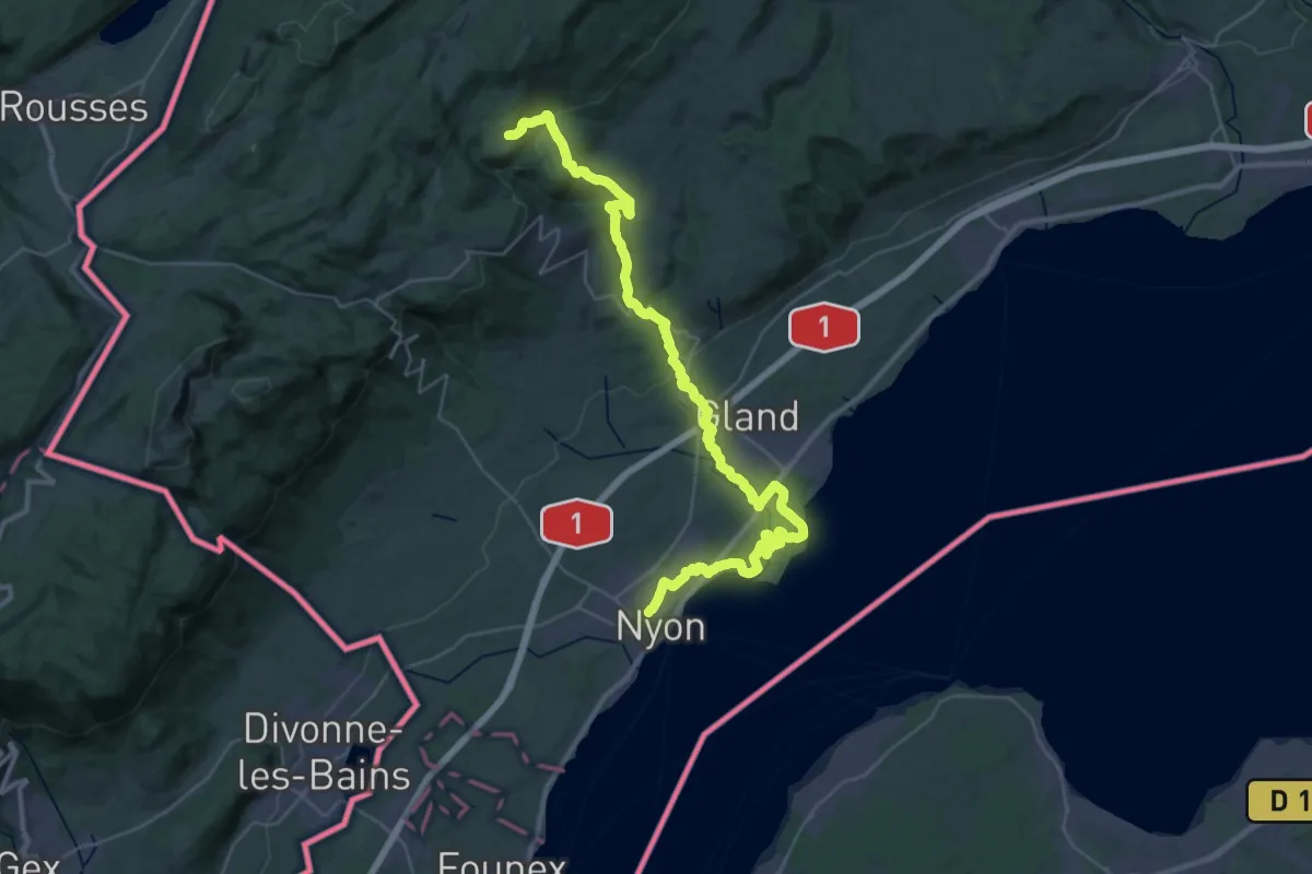
Demanding · Trail
Le sentier des Toblerones
22.0 km · ↑ 827 m · 6 h 55 min
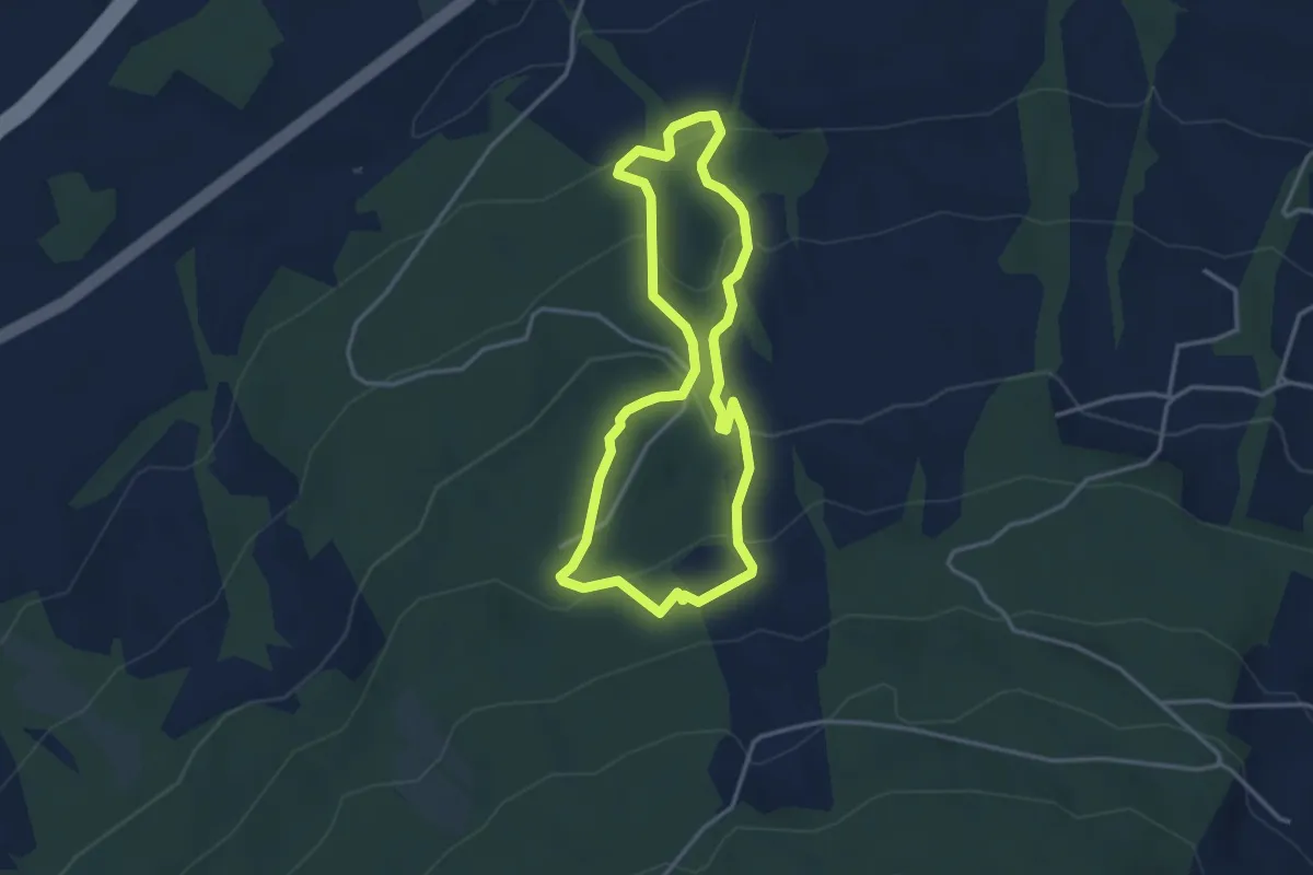
Easy · Trail
Le sentier des Tsèrotons
3.2 km · ↑ 198 m · 1 h 14 min
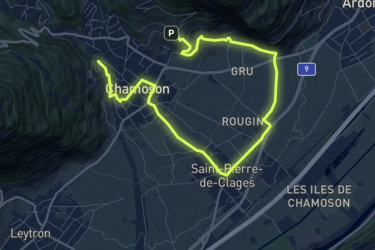
Easy · Trail
Le sentier du cep à la cime
6.2 km · ↑ 215 m · 2 h 3 min
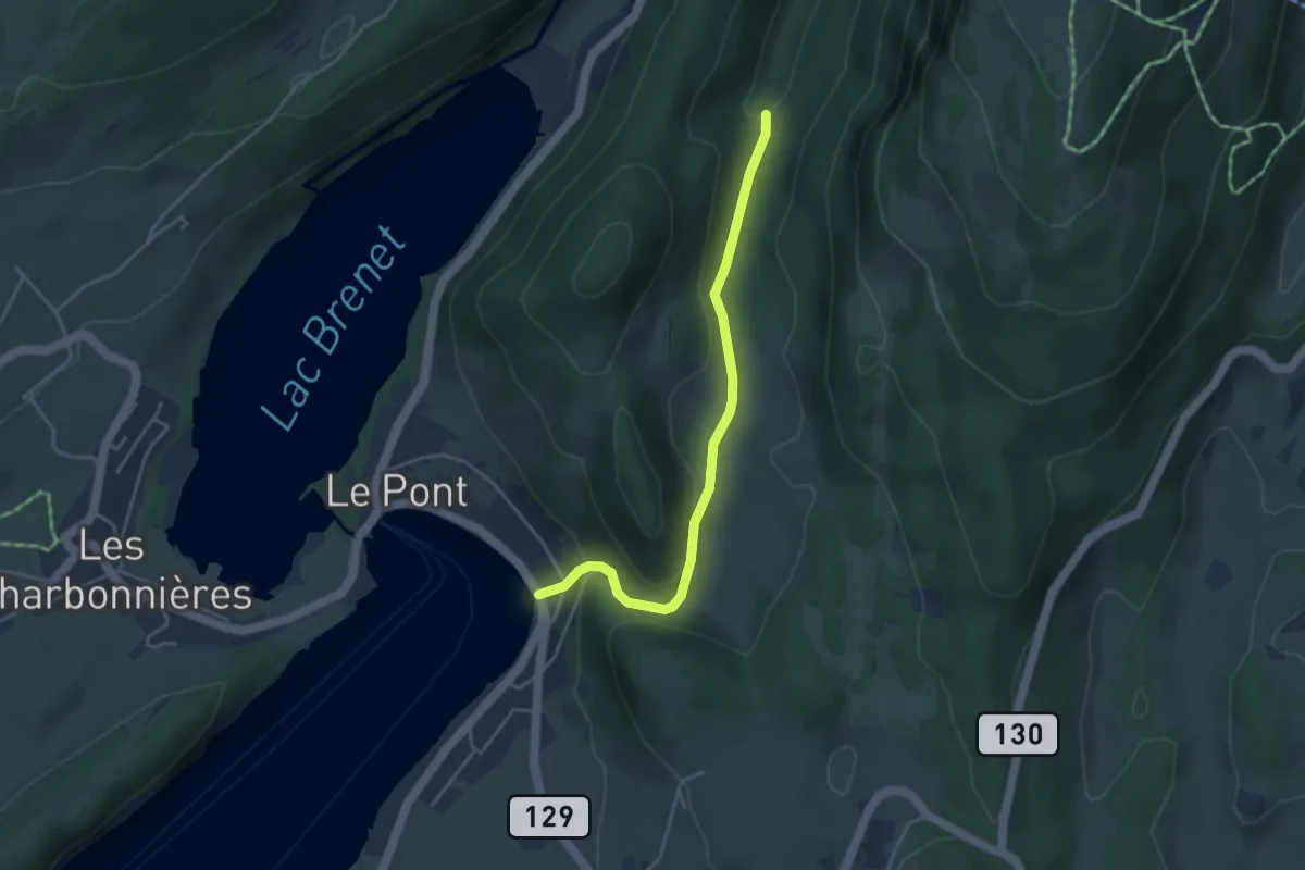
Easy · Trail
Les Epoisats-Le Pont
3.9 km · ↑ 163 m · 1 h 16 min
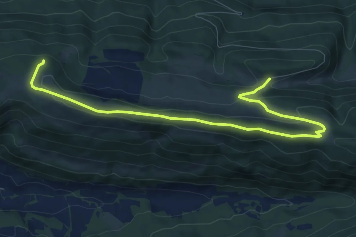
Medium · Trail
Les Fouchies - fixme
9.7 km · ↑ 301 m · 2 h 57 min