Trails in Switzerland
15,029 hiking trails, each with its route, climb, walking time and grade.
All trails, page 63 of 314
Easy · Trail
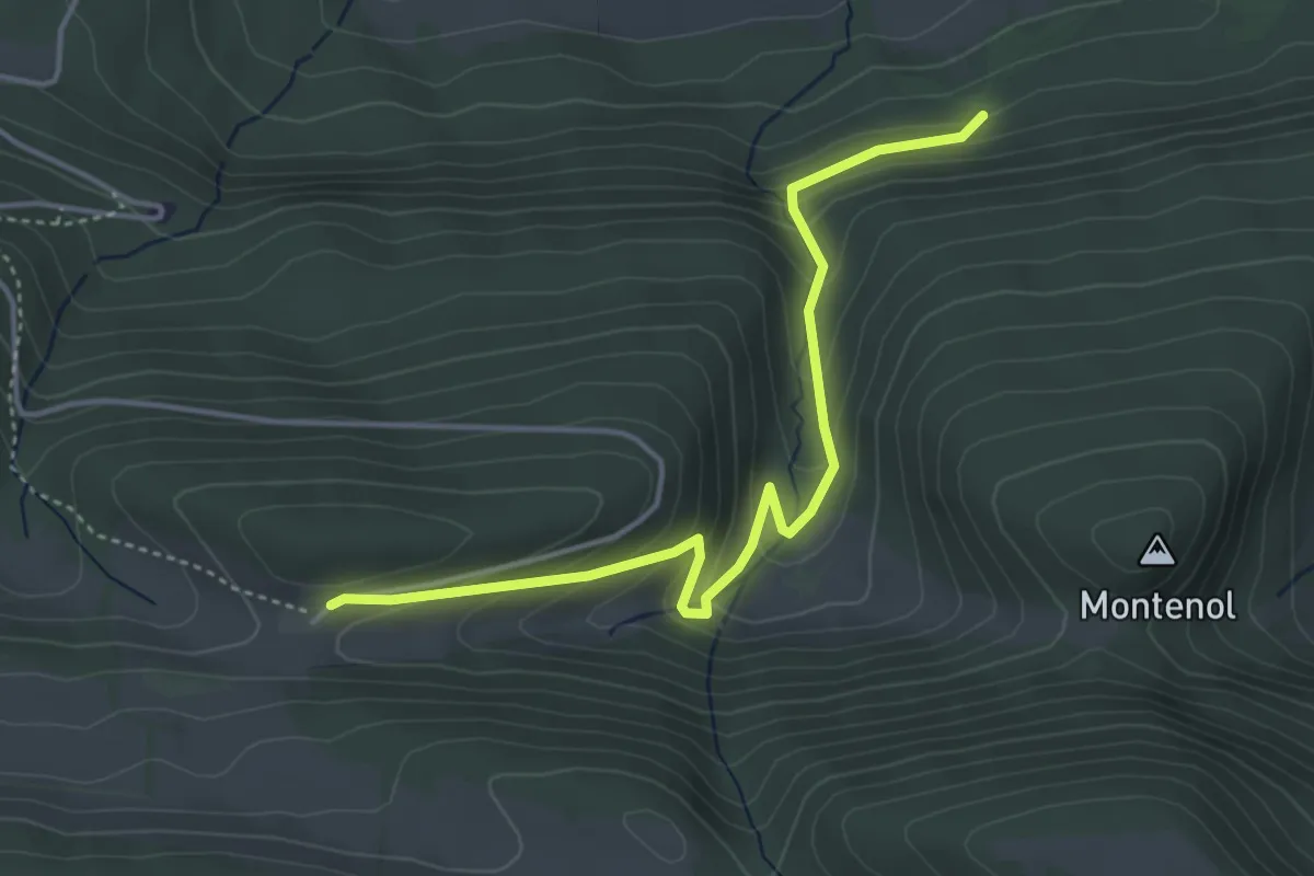
Les Fouchies - fixme
4.3 km · ↑ 283 m · 1 h 38 min
Easy · Trail
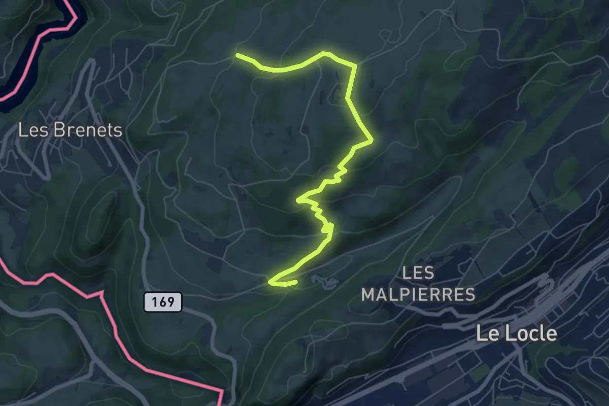
Les Frêtes - fixme
6.8 km · ↑ 300 m · 2 h 15 min
Medium · Trail
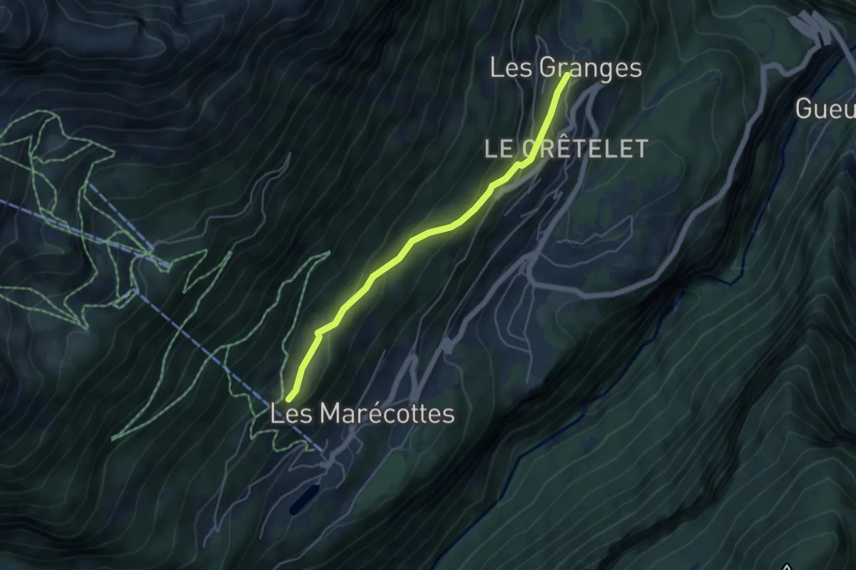
Les Granges -> Planajeur
4.5 km · ↑ 221 m · 1 h 32 min
Easy · Trail
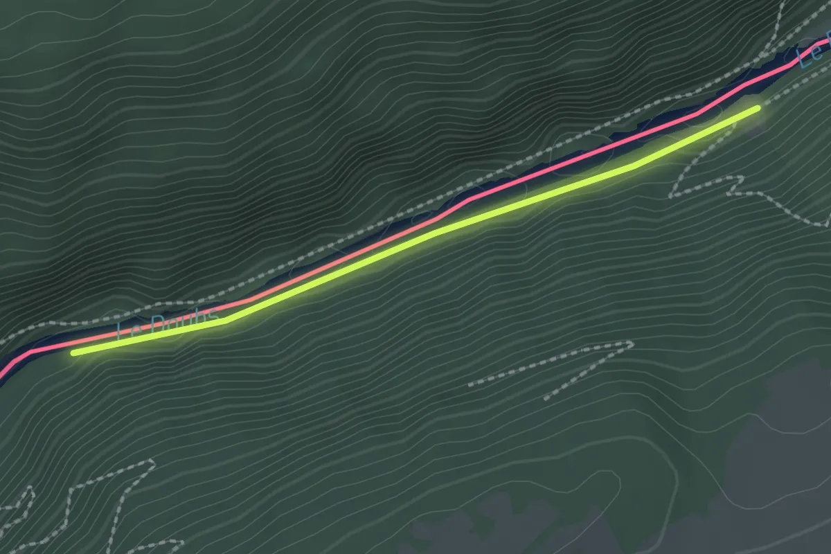
Les Graviers - Moulins de la Chaux
2.0 km · ↑ 9 m · 30 min
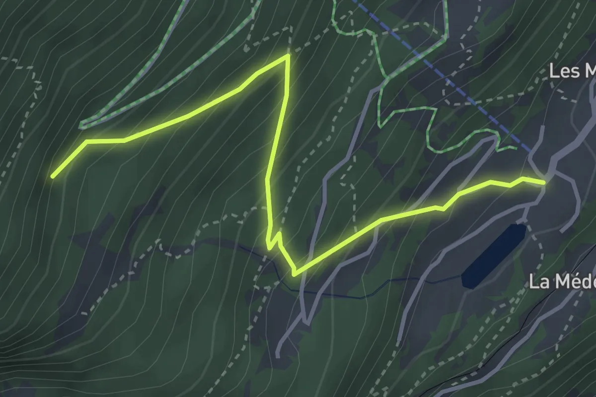
Medium · Trail
Les Marécottes Télécabine -> Le Temelet
3.7 km · ↑ 430 m · 1 h 49 min
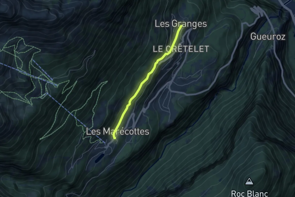
Easy · Trail
Les Marécottes Village -> Les Granges
4.3 km · ↑ 118 m · 1 h 17 min
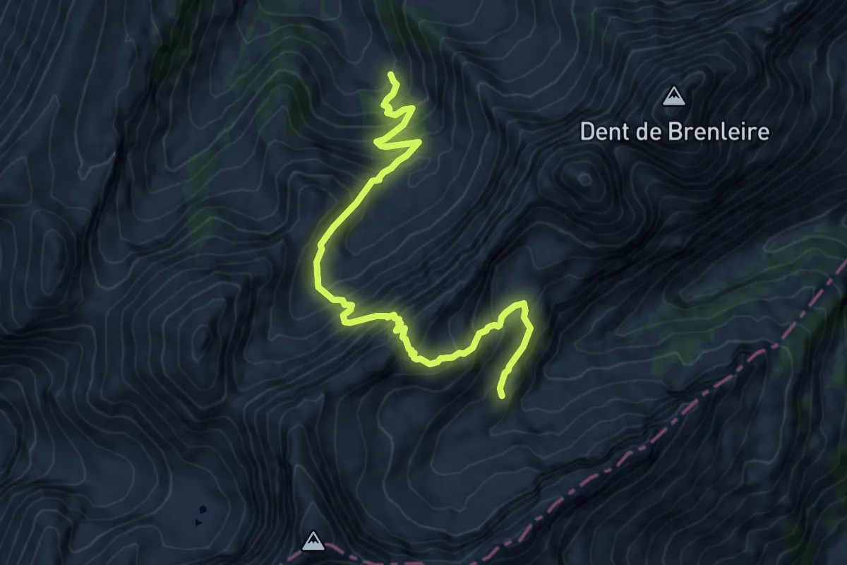
Expert · Cabin
Les Marindes-Motélon
8.8 km · ↑ 968 m · 4 h 11 min
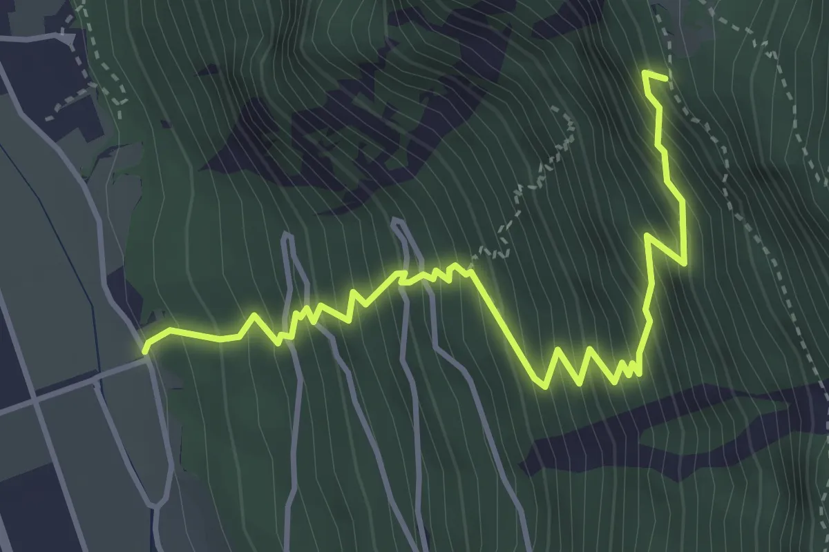
Medium · Trail
Les Martenaux - Plex ?
4.3 km · ↑ 753 m · 2 h 39 min
Easy · Trail
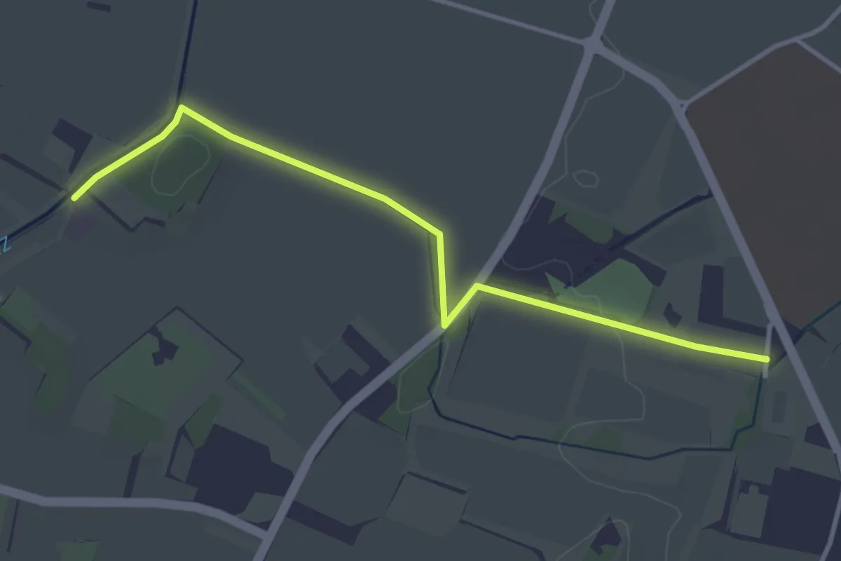
Les Montagnys - Presinge
3.7 km · ↑ 26 m · 56 min
Medium · Trail
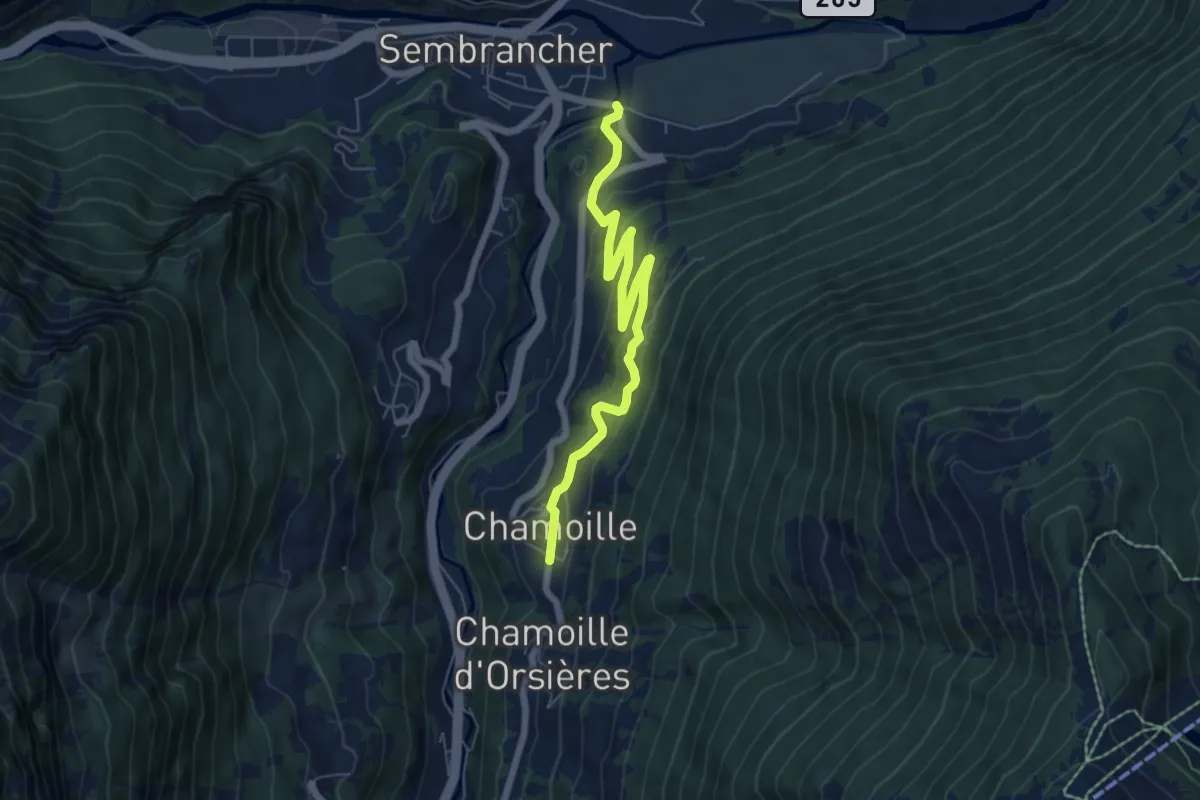
Les Moulins > Chamoille d'en Haut
6.7 km · ↑ 339 m · 2 h 19 min
Easy · Trail
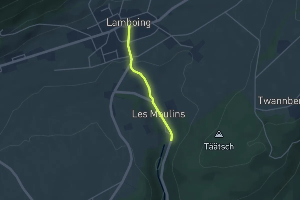
Les Moulins - Lamboing
2.3 km · ↑ 57 m · 40 min
Easy · Trail
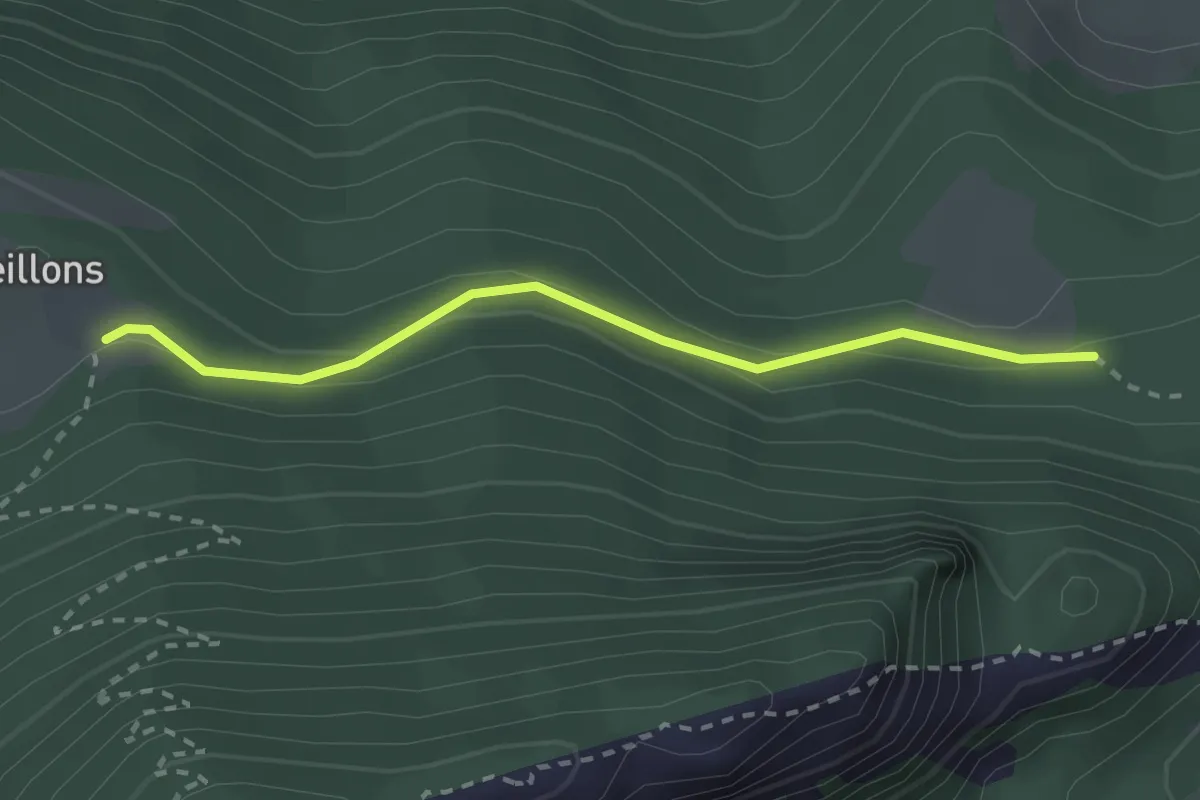
Les Oeuillons-Ferme Robert
2.4 km · ↑ 87 m · 45 min
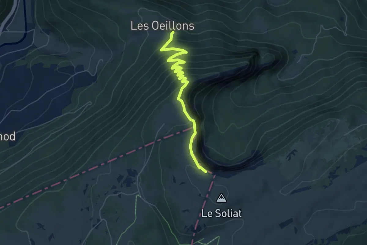
Medium · Trail
Les Oeuillons-Le Soliat
6.1 km · ↑ 532 m · 2 h 35 min
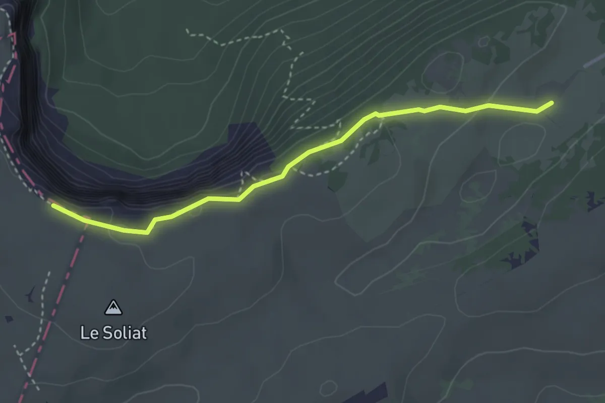
Easy · Cabin
Le Soliat-La Grand Vy
3.3 km · ↑ 139 m · 1 h 5 min
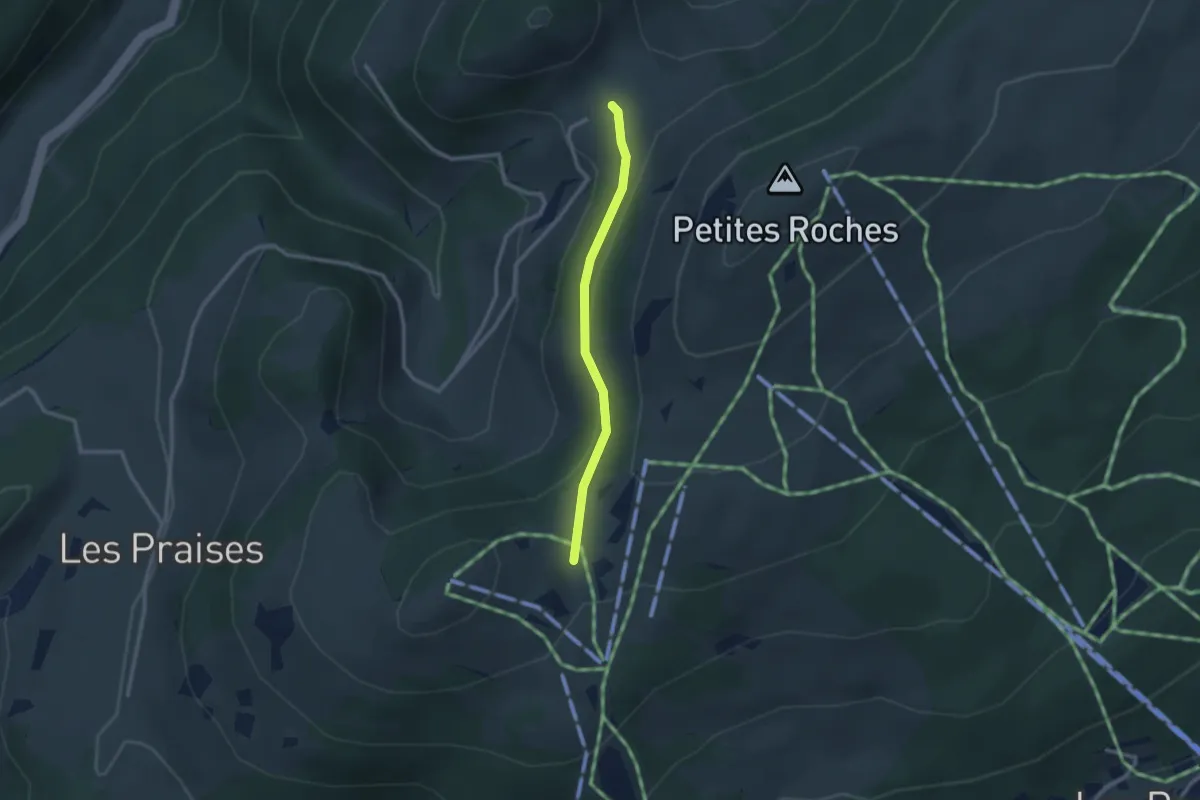
Easy · Trail
Le Sollier - fixme
2.3 km · ↑ 79 m · 43 min
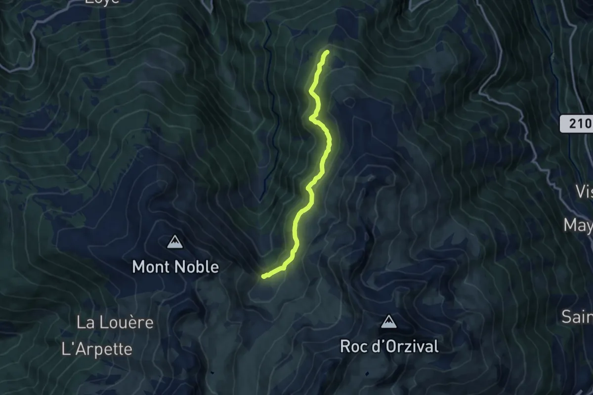
Medium · Trail
Les Planards-L'Ar du Tsan
9.6 km · ↑ 350 m · 3 h 1 min
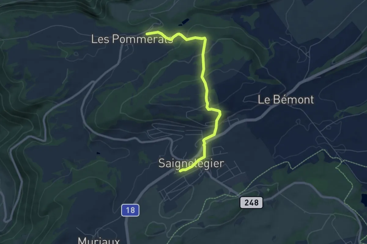
Easy · Trail
Les Pommerats - Saignelégier
6.4 km · ↑ 247 m · 2 h 3 min
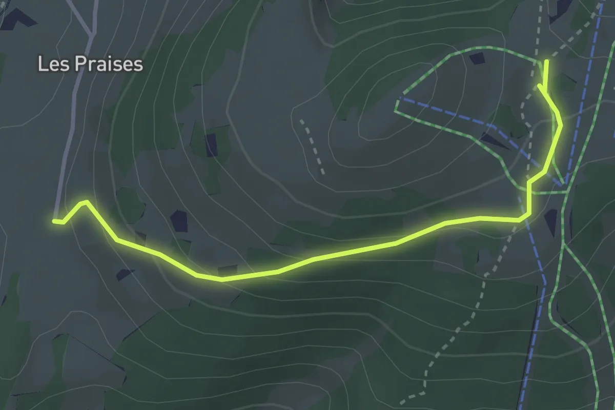
Easy · Trail
Les Praises-La Casba
3.2 km · ↑ 153 m · 1 h 5 min
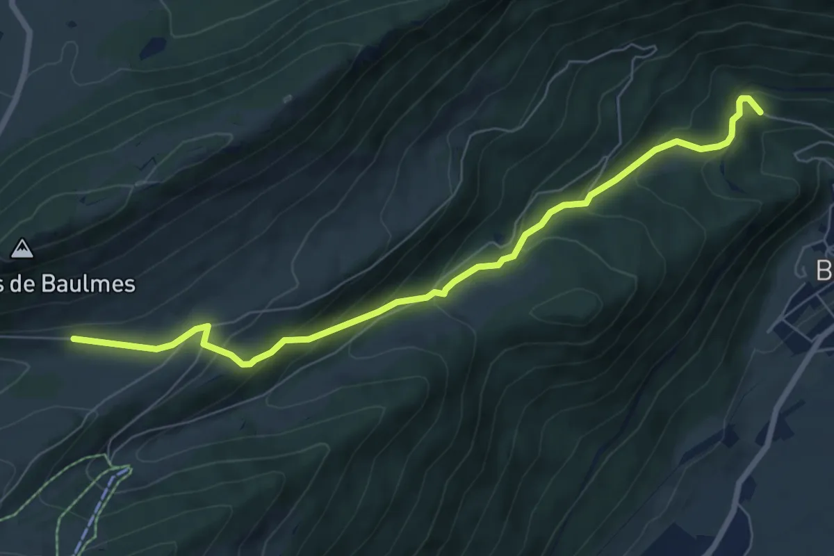
Medium · Trail
Les Praz - Baulmes
7.4 km · ↑ 476 m · 2 h 47 min
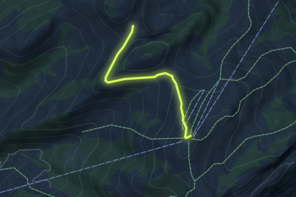
Medium · Summit
Les Reposoirs
3.6 km · ↑ 183 m · 1 h 15 min
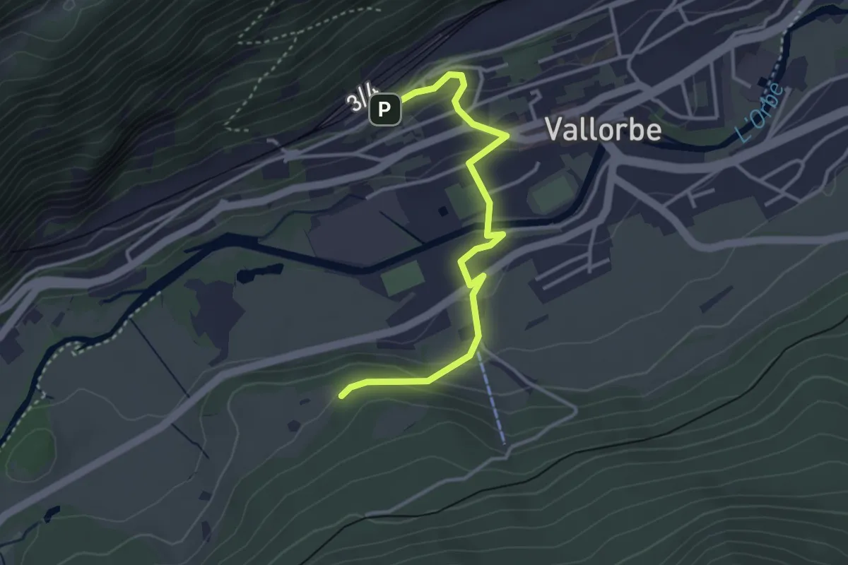
Easy · Cabin
Les Revines-Vallorbe Gare (direct)
3.5 km · ↑ 115 m · 1 h 4 min
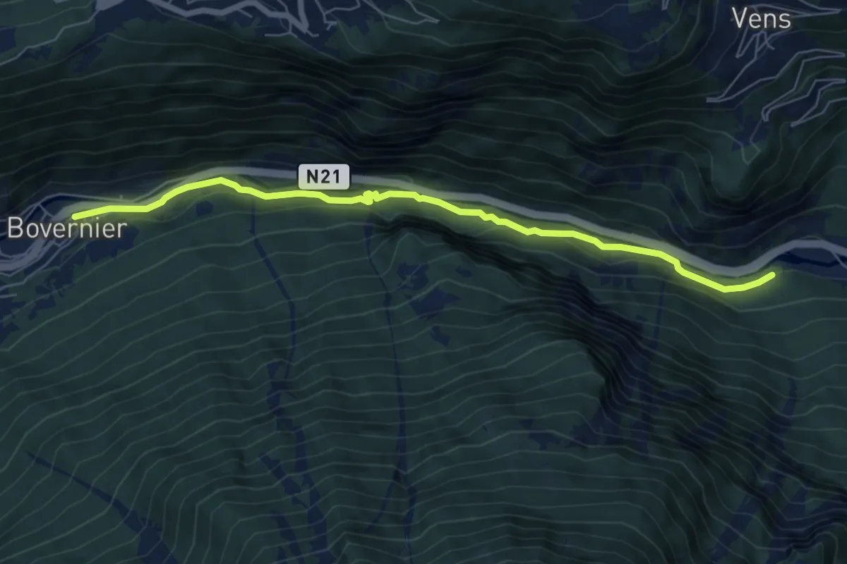
Medium · Trail
Les Trappistes > Bovernier - Village
6.7 km · ↑ 242 m · 2 h 7 min
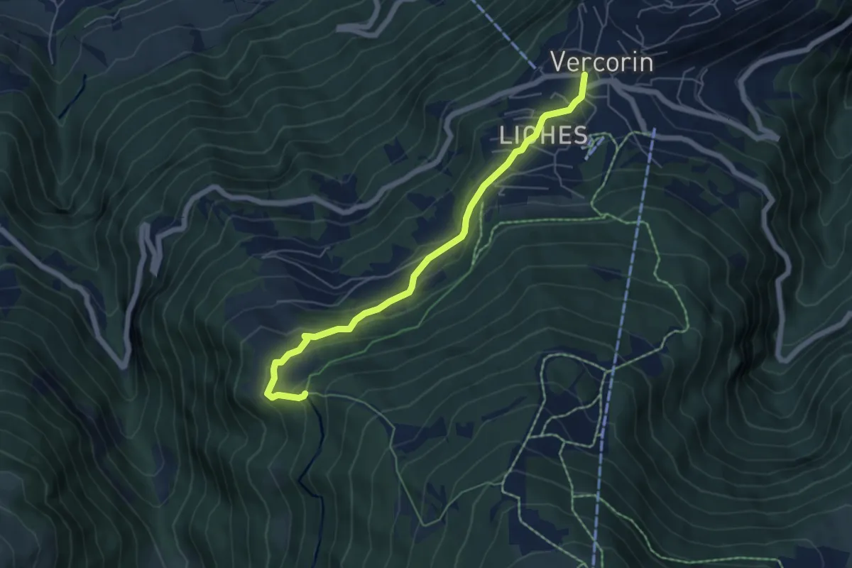
Easy · Trail
Les Tsâblos-Vercorin
5.6 km · ↑ 311 m · 1 h 59 min
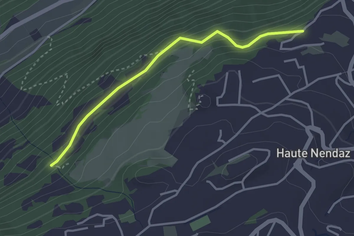
Easy · Trail
Les Tsintres - fixme
2.9 km · ↑ 177 m · 1 h 4 min
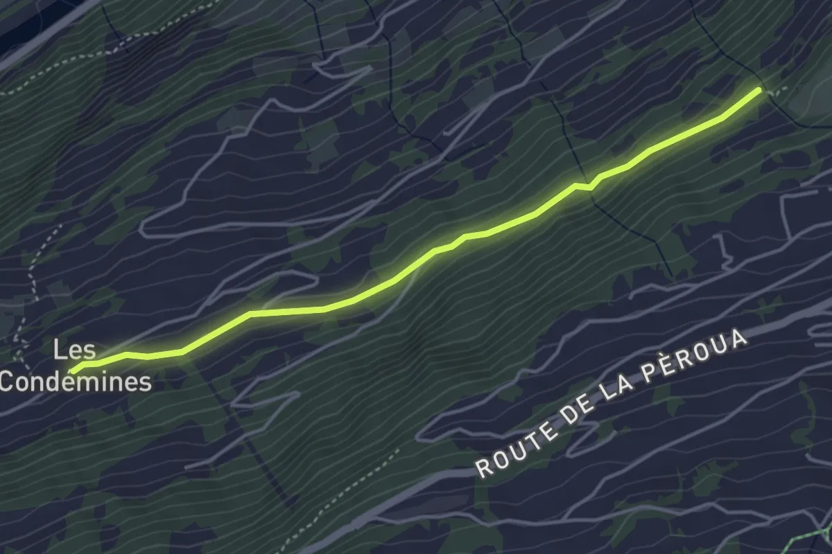
Easy · Trail
Les Tsintres - Les Condémines
4.2 km · ↑ 127 m · 1 h 17 min
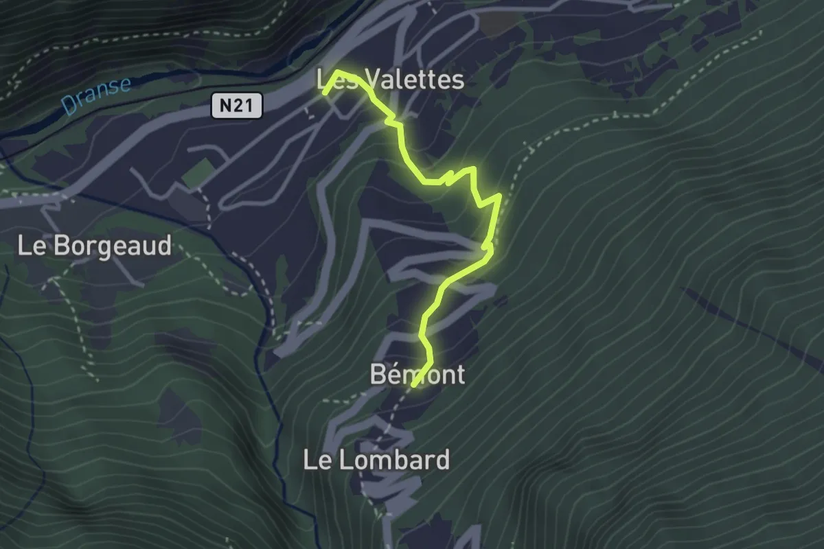
Medium · Trail
Les Valettes > Bémont #1
2.7 km · ↑ 227 m · 1 h 7 min
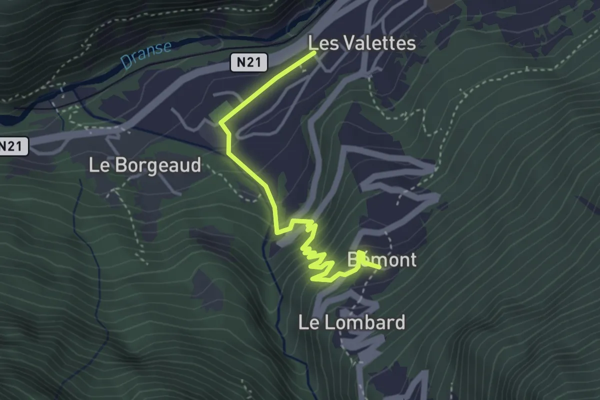
Medium · Trail
Les Valettes > Bémont #2
3.6 km · ↑ 281 m · 1 h 28 min
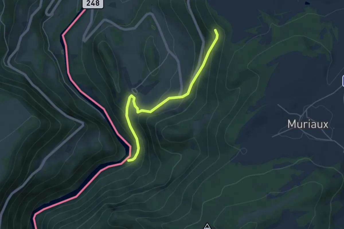
Easy · Trail
Le Theusseret - fixme
4.5 km · ↑ 302 m · 1 h 42 min
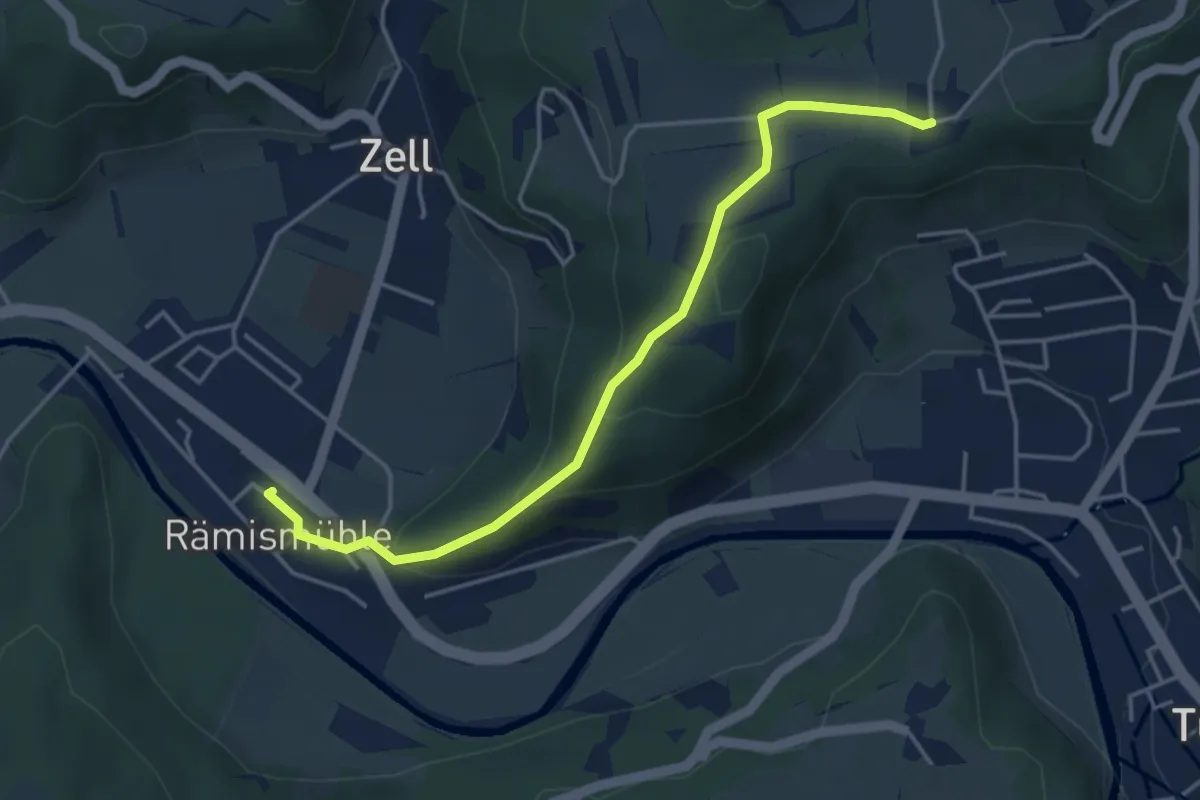
Easy · Trail
Lettenberg – Stn. Rämismühle-Zell
4.2 km · ↑ 191 m · 1 h 25 min
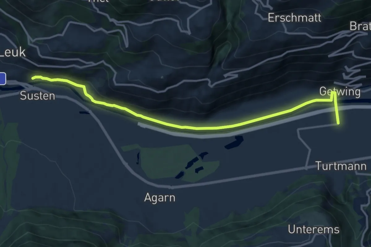
Medium · Trail
Leuk Bahnhof Turtmann
11.1 km · ↑ 138 m · 2 h 56 min
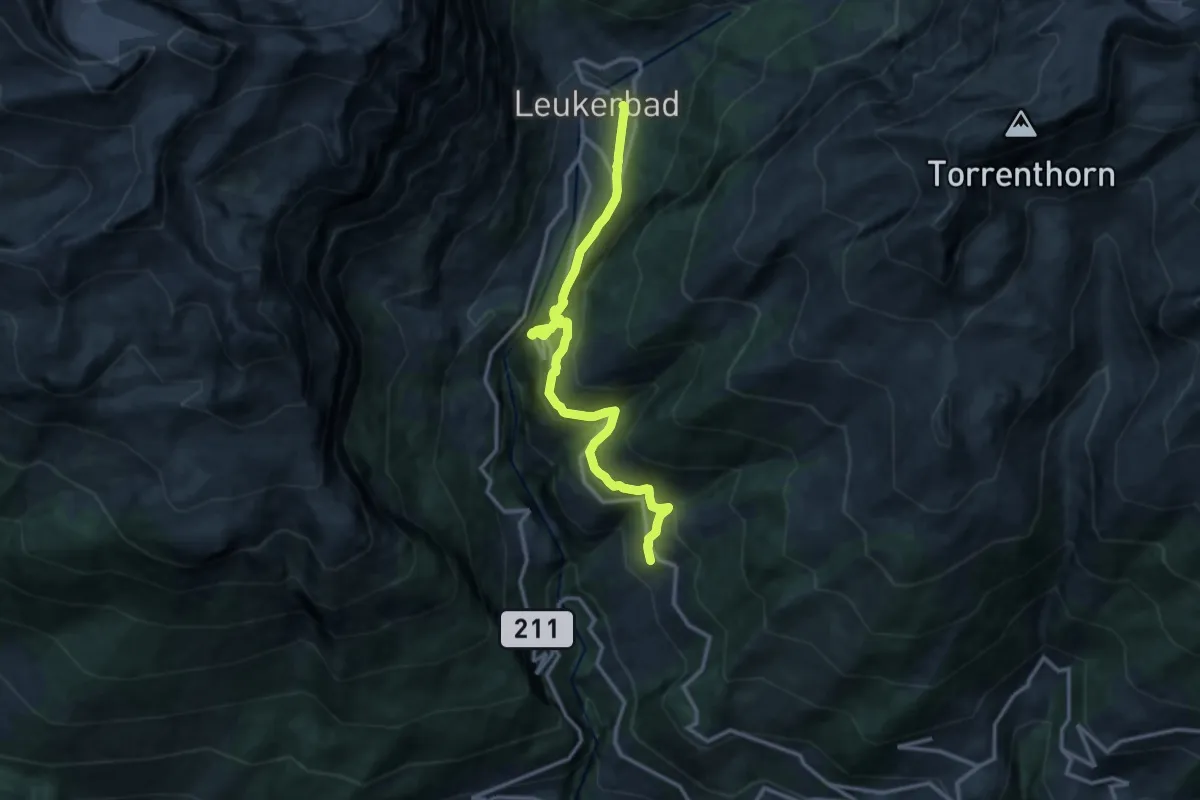
Demanding · Trail
Leukerbad Albinen
13.3 km · ↑ 1015 m · 5 h 20 min
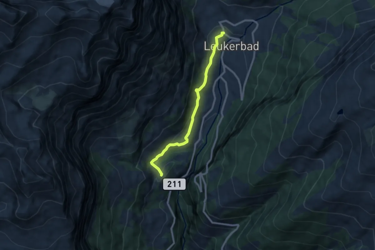
Medium · Trail
Leukerbad Bodmen
6.2 km · ↑ 195 m · 1 h 53 min
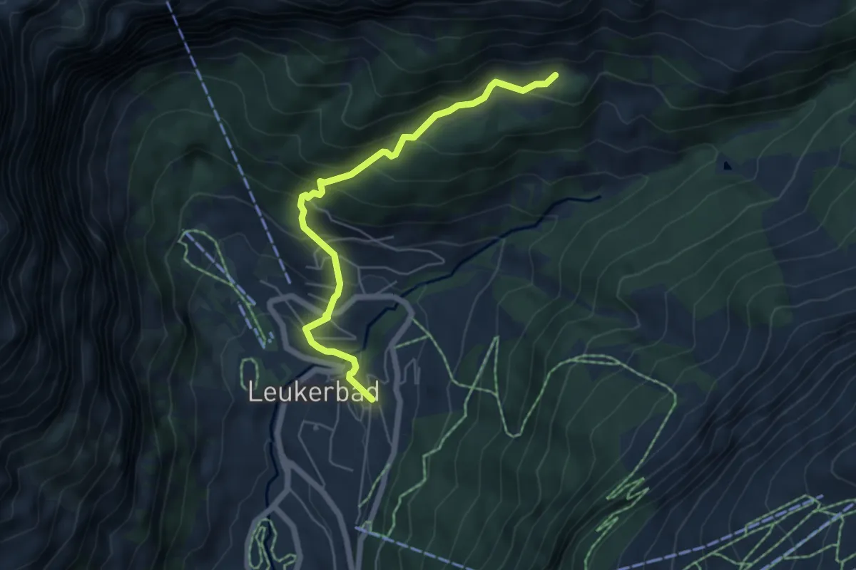
Medium · Trail
Leukerbad Flüekapelle
5.3 km · ↑ 422 m · 2 h 11 min
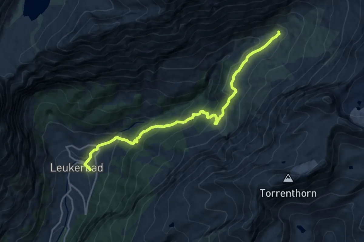
Demanding · Trail
Leukerbad Flüekapelle
12.0 km · ↑ 766 m · 4 h 30 min
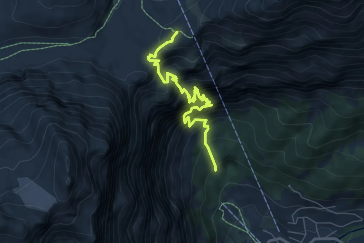
Demanding · Trail
Leukerbad Gemmi
6.1 km · ↑ 1376 m · 4 h 26 min
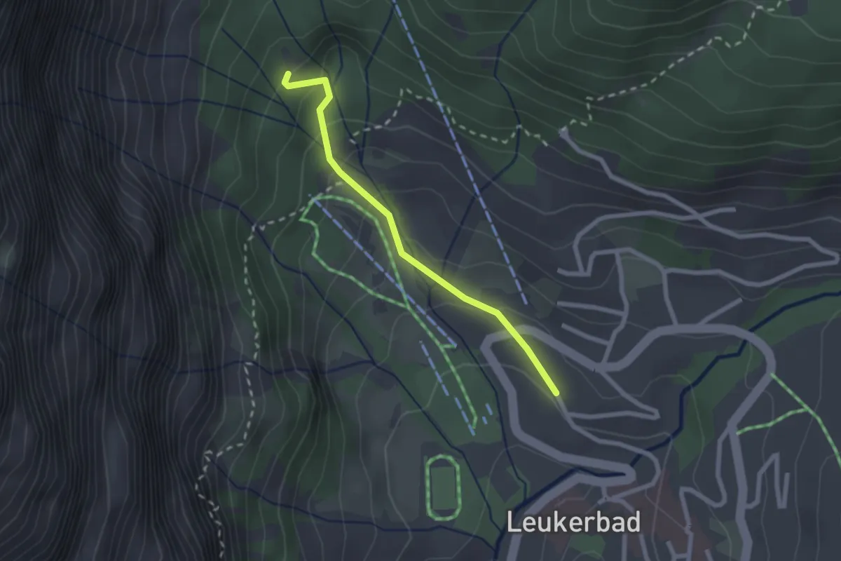
Easy · Trail
Leukerbad Gemmi
2.1 km · ↑ 119 m · 45 min
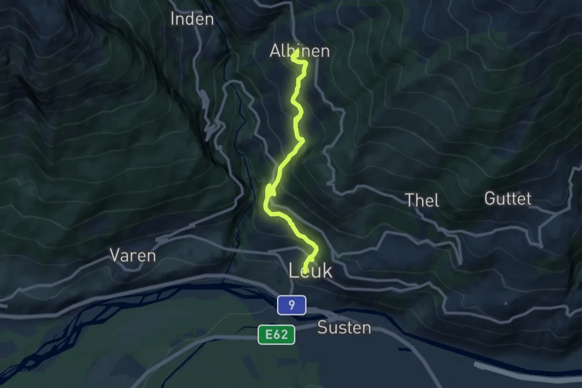
Medium · Trail
Leuk Stadt Albinen
8.0 km · ↑ 617 m · 3 h 14 min
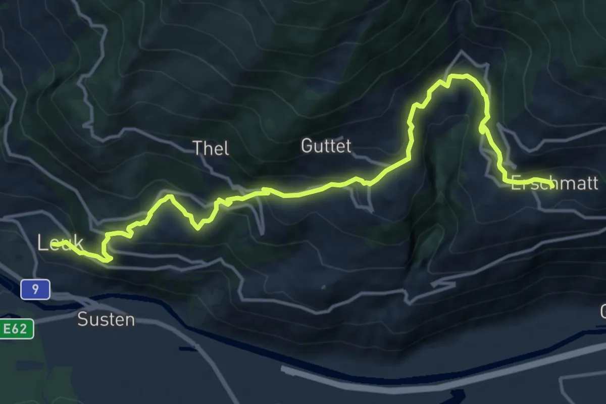
Demanding · Trail
Leuk Stadt Erschmatt
14.4 km · ↑ 907 m · 5 h 22 min
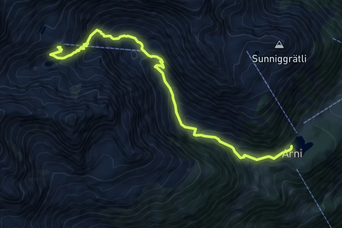
Expert · Cabin
Leutschachhütte SAC Hüttenweg
10.3 km · ↑ 849 m · 4 h 17 min
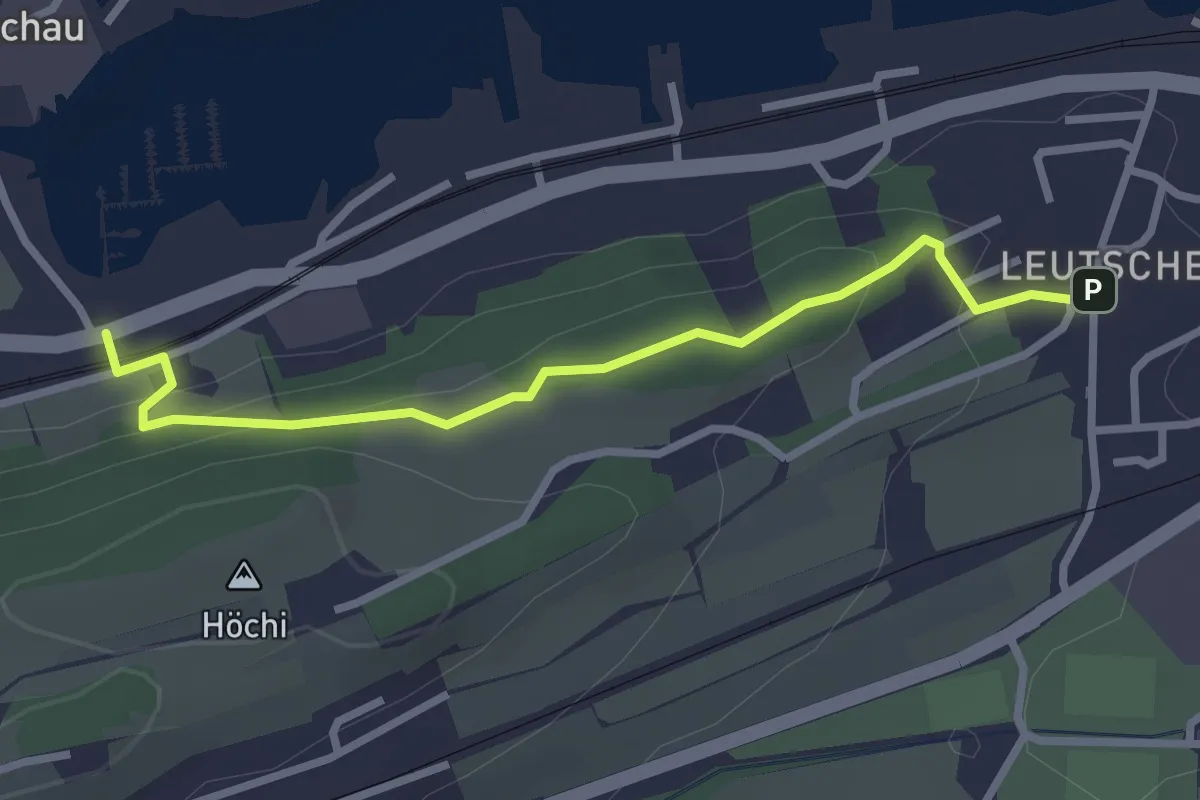
Easy · Trail
Leutschen - Usserbäch
2.8 km · ↑ 104 m · 53 min
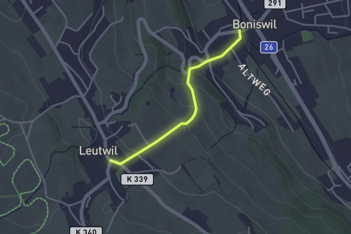
Easy · Trail
Leutwil - Boniswil
2.5 km · ↑ 123 m · 52 min
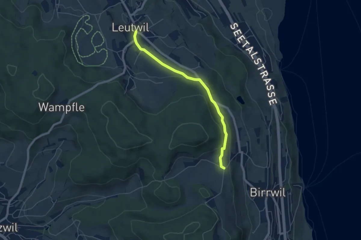
Easy · Trail
Leutwil - Häfni - Birrwil Uf Berg
4.8 km · ↑ 121 m · 1 h 24 min
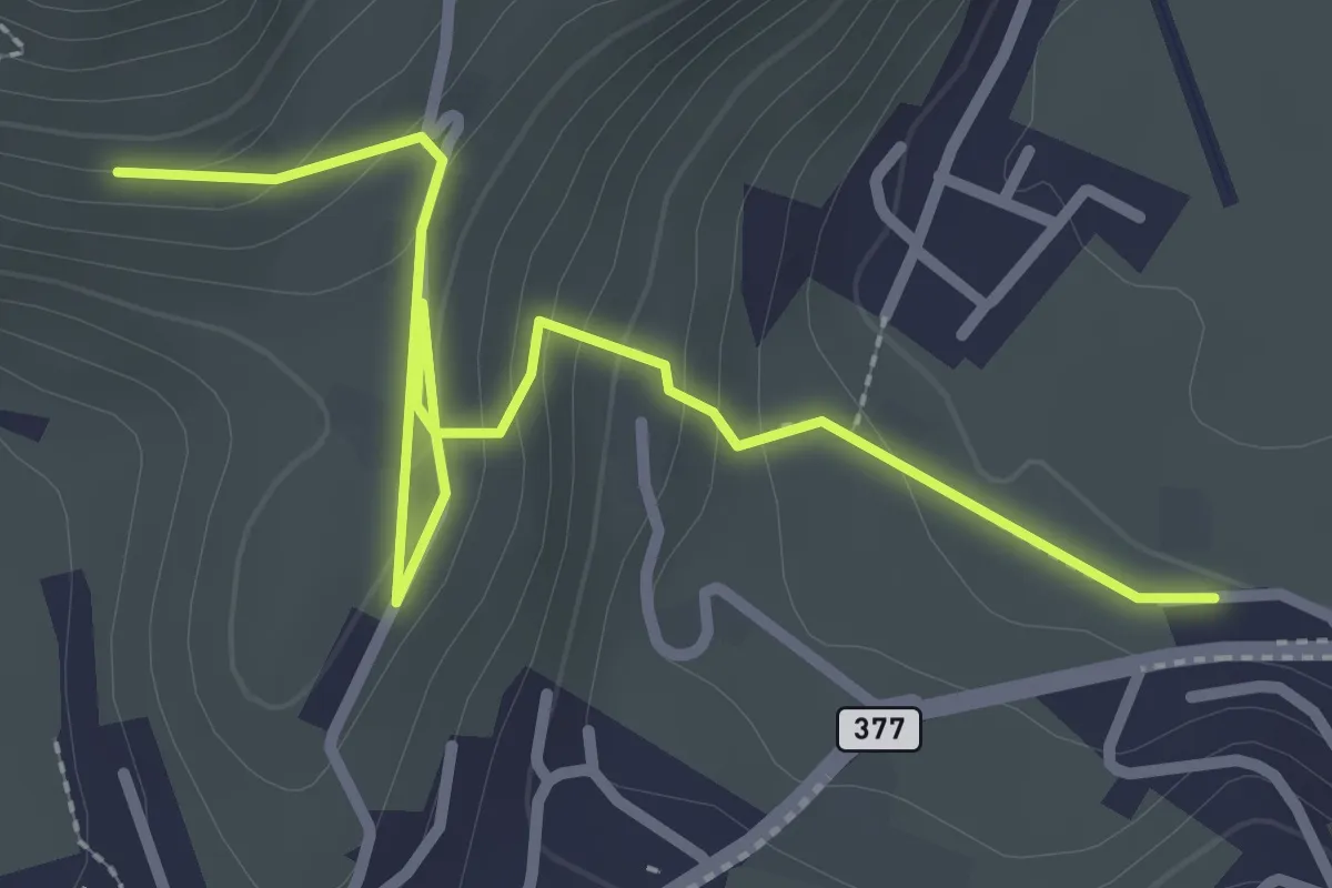
Easy · Trail
Lewengrueben - Burg
3.3 km · ↑ 150 m · 1 h 6 min
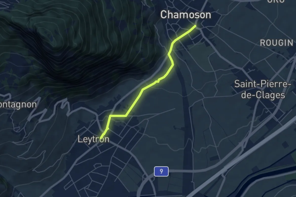
Easy · Trail
Leytron - Chamoson
4.5 km · ↑ 134 m · 1 h 22 min
Easy · Trail
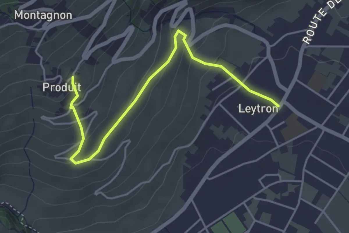
Leytron - Produit
4.2 km · ↑ 204 m · 1 h 26 min
Easy · Trail
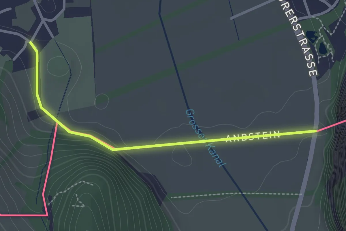
Lichtenstein-Weg
2.5 km · ↑ 34 m · 40 min
Demanding · Summit
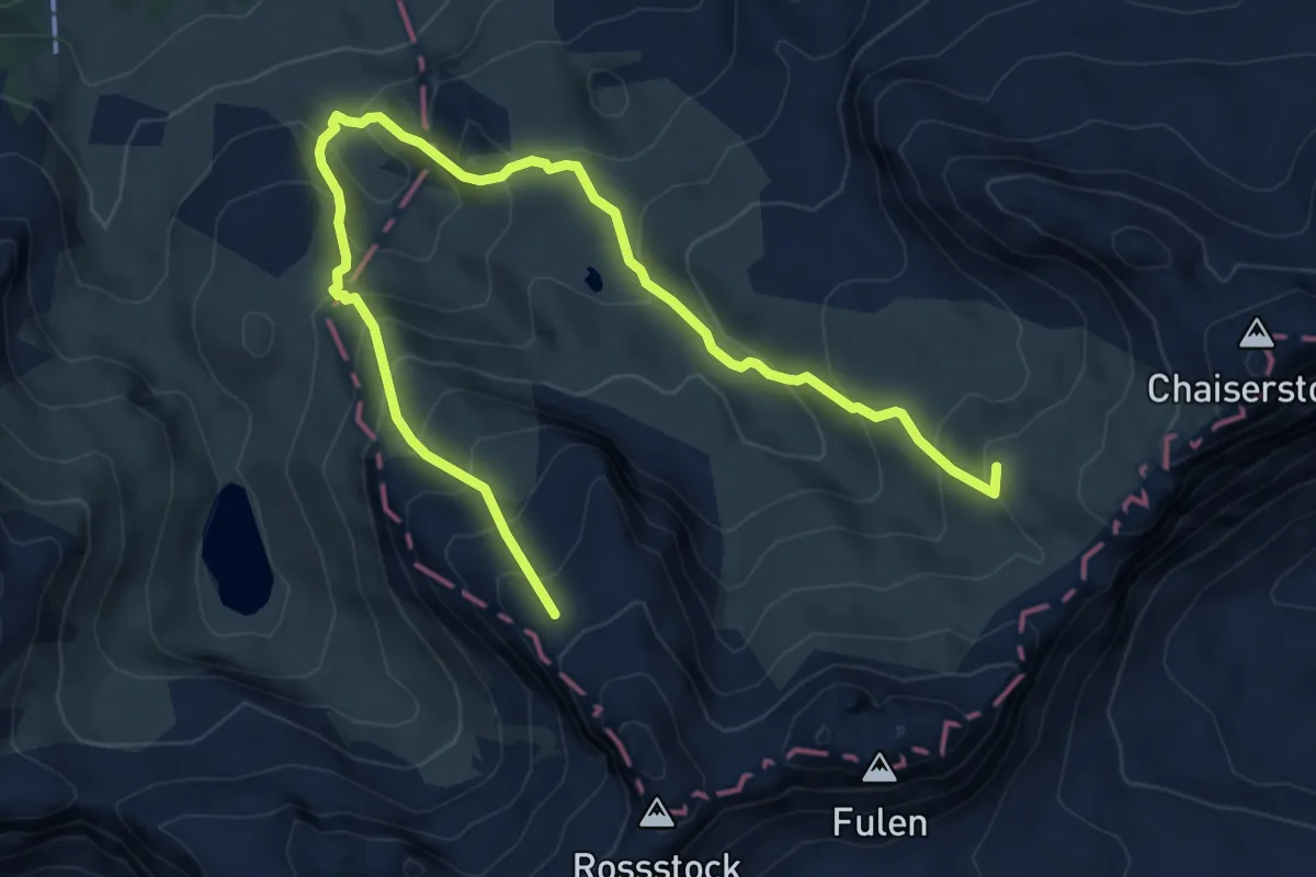
Lidernenhütte Rundwanderung rot
7.8 km · ↑ 805 m · 3 h 35 min
Easy · Trail
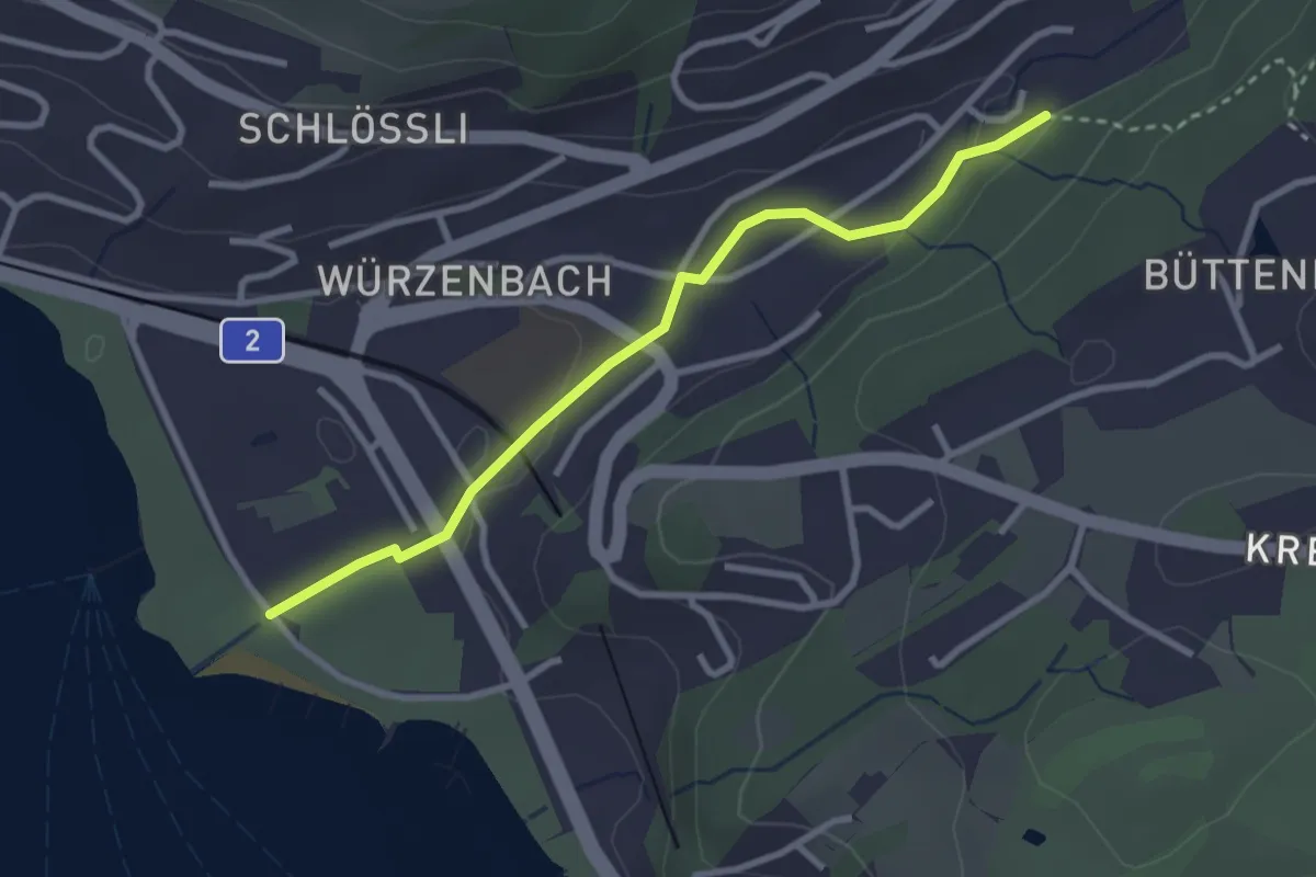
Lido - Würzenbach
2.9 km · ↑ 34 m · 46 min