Trails in Switzerland
15,029 hiking trails, each with its route, climb, walking time and grade.
All trails, page 64 of 314
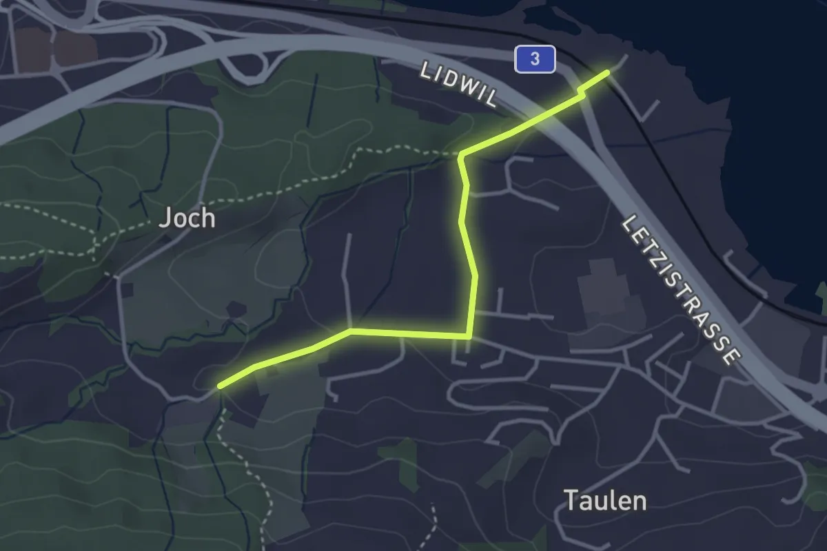
Easy · Trail
Lidwil - Tal
3.1 km · ↑ 59 m · 51 min
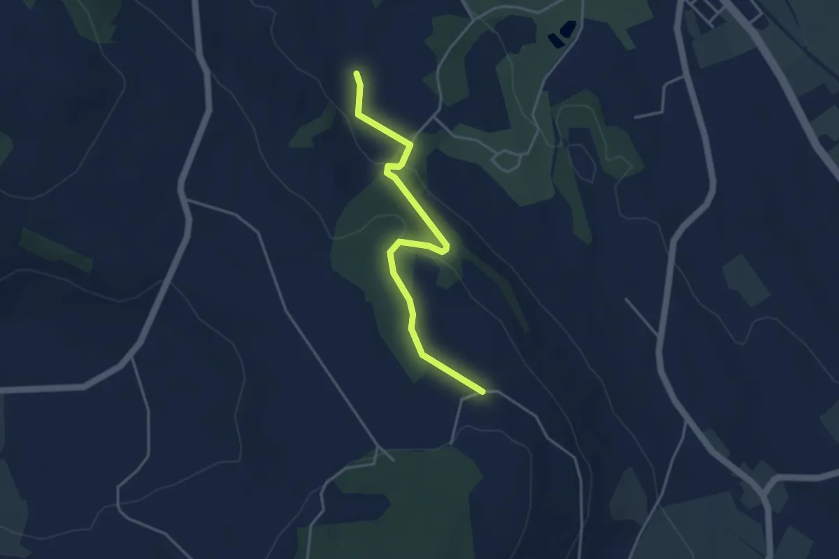
Easy · Trail
Liebergott - Hinter Tannenfels
3.6 km · ↑ 99 m · 1 h 4 min
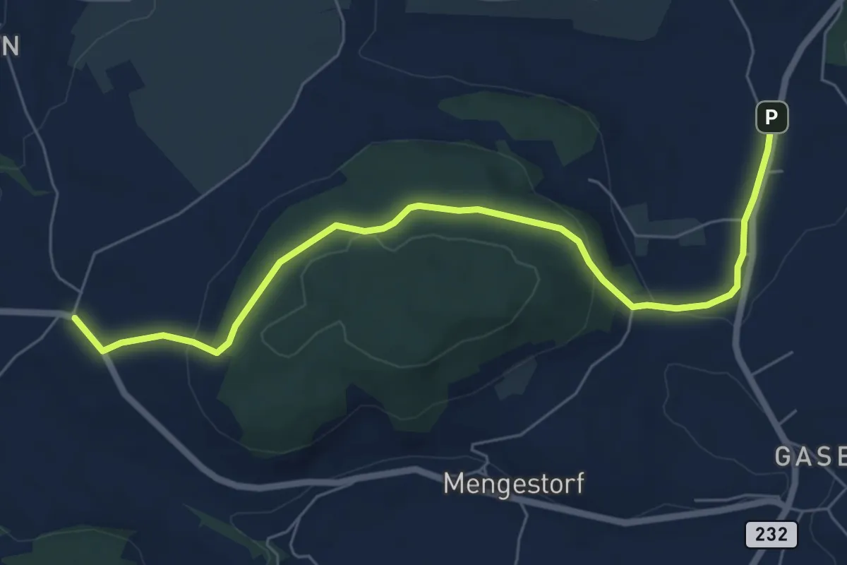
Easy · Trail
Liebewil - Moos
7.0 km · ↑ 194 m · 2 h 4 min
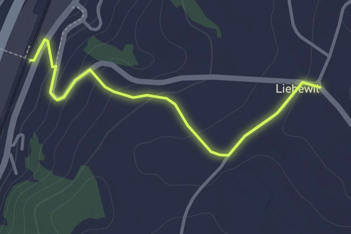
Easy · Trail
Liebewil - Thörishaus Station
2.5 km · ↑ 82 m · 46 min
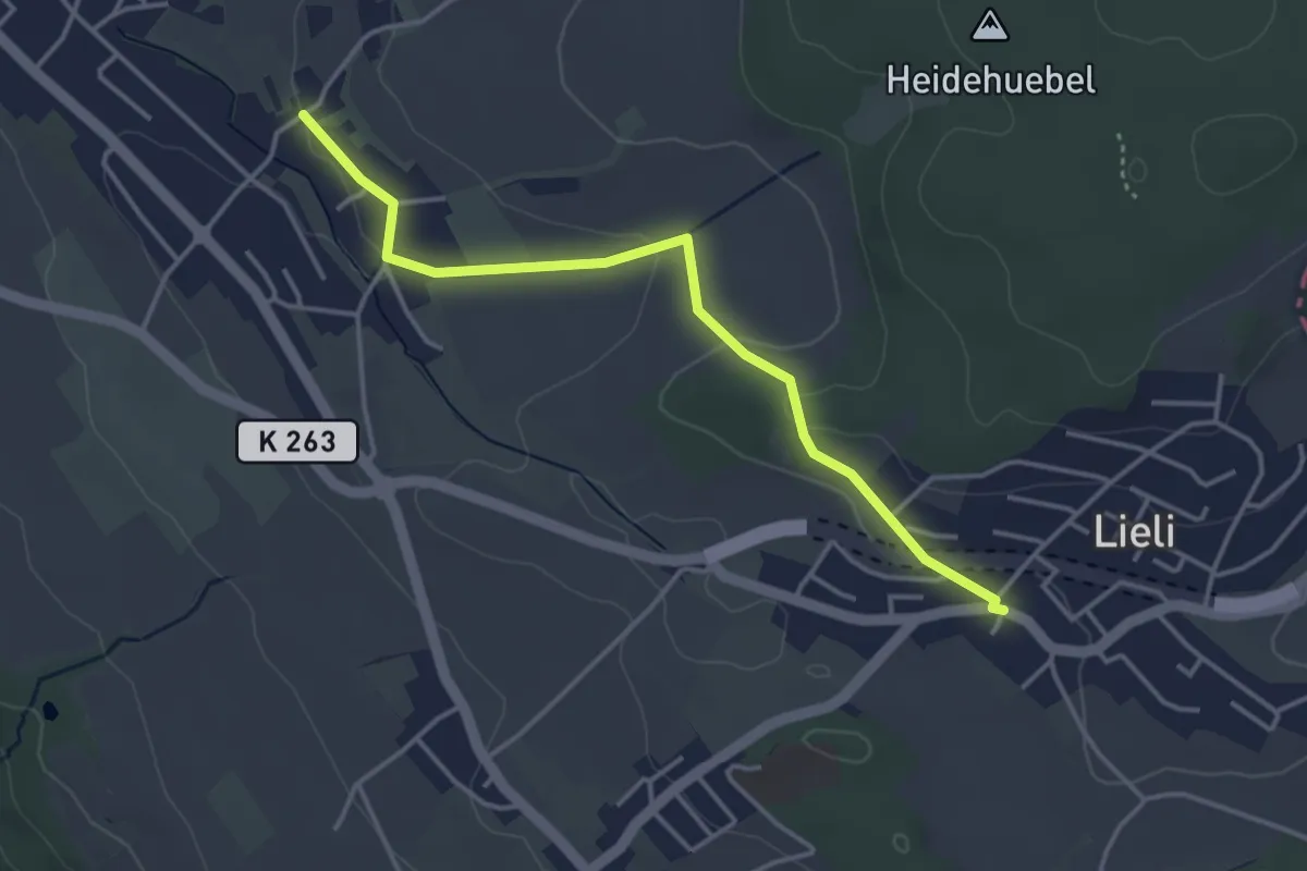
Easy · Trail
Lieli Dorf - Ober Berikon
3.8 km · ↑ 79 m · 1 h 5 min
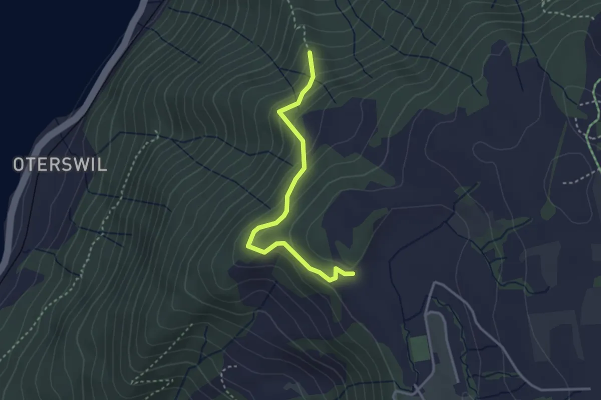
Easy · Trail
Lienisberg-Höhe - Maitlischritt Hütte
2.9 km · ↑ 232 m · 1 h 12 min
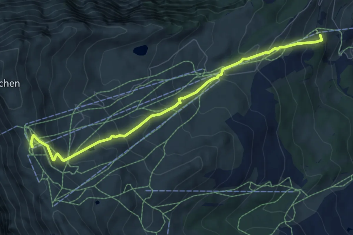
Medium · Trail
Lieselotte Weg
7.1 km · ↑ 602 m · 2 h 59 min
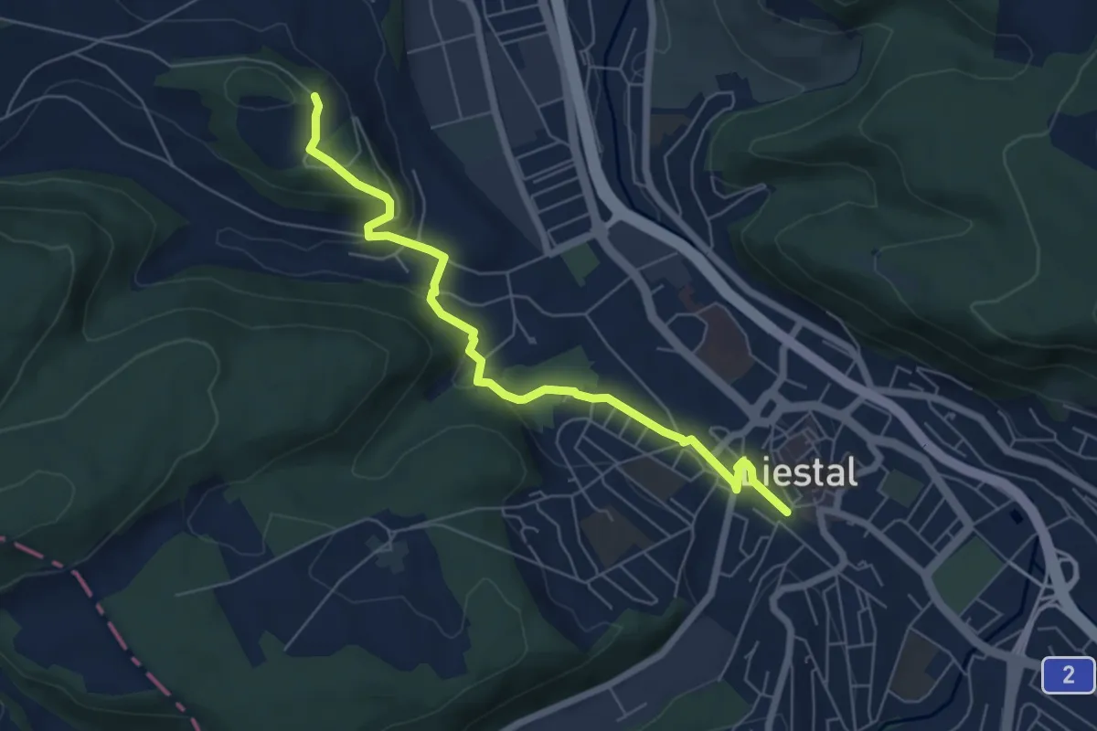
Easy · Trail
Liestal - Bintal - Bienenberg
6.2 km · ↑ 175 m · 1 h 50 min
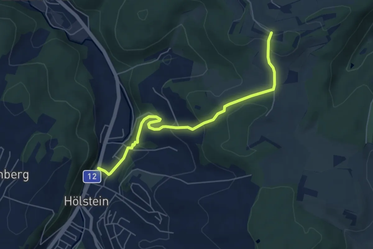
Easy · Trail
Liestal-Hölstein
5.2 km · ↑ 229 m · 1 h 44 min
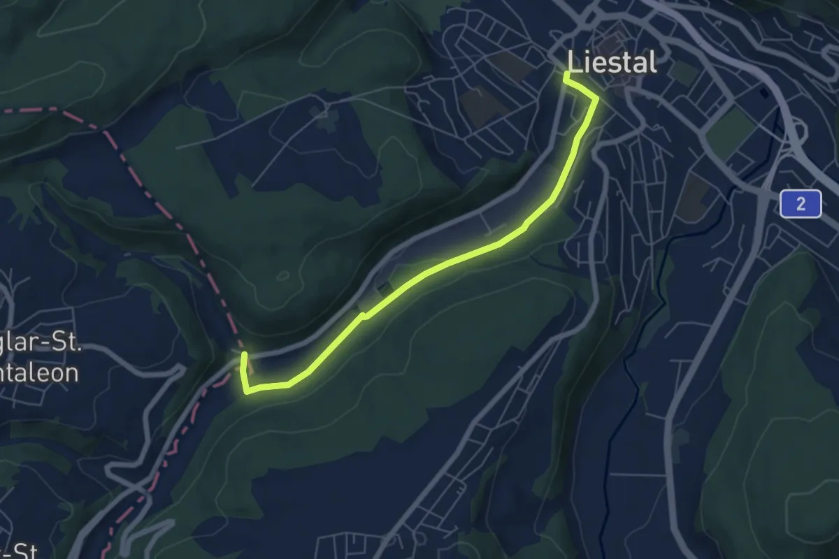
Easy · Trail
Liestal - Neu-Nuglar
5.9 km · ↑ 71 m · 1 h 32 min
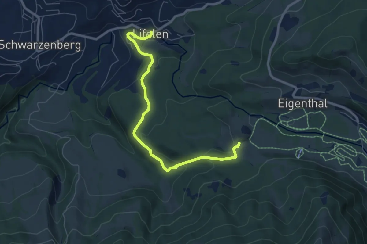
Easy · Trail
Lifelen - Moos - 850 - Meiestoss
6.4 km · ↑ 220 m · 1 h 59 min
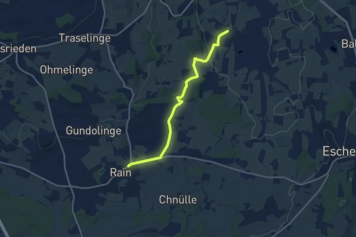
Medium · Trail
Ligschwil - Herbrig - Rain
8.2 km · ↑ 132 m · 2 h 14 min
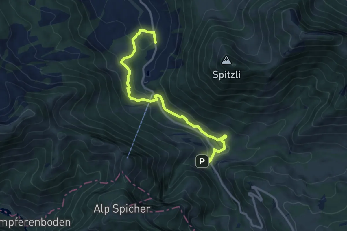
Medium · Trail
Lillyweg
8.5 km · ↑ 311 m · 2 h 41 min
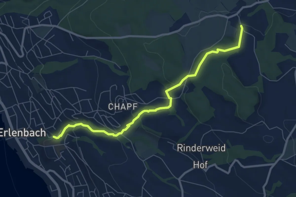
Easy · Trail
Limberg - Erlenbach Dorfbach
7.0 km · ↑ 273 m · 2 h 15 min
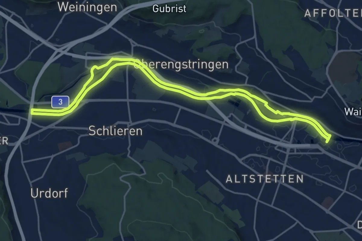
Medium · Trail
Limmat-Uferweg
15.1 km · ↑ 41 m · 3 h 52 min
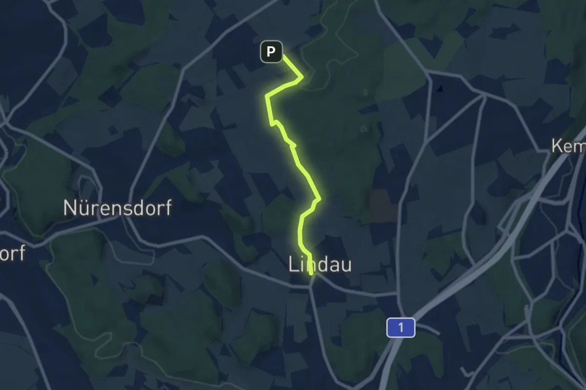
Easy · Trail
Lindau - Breite
5.3 km · ↑ 86 m · 1 h 26 min
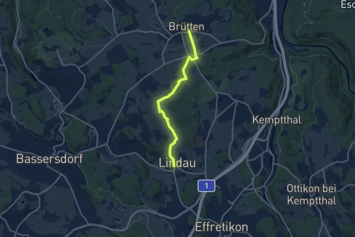
Medium · Trail
Lindau - Brütten Bus
8.8 km · ↑ 130 m · 2 h 22 min
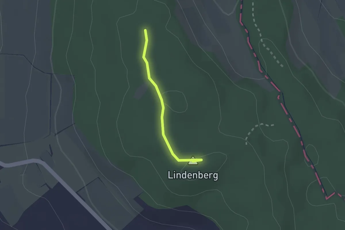
Easy · Summit
Lindenberg 872
1.5 km · ↑ 16 m · 24 min
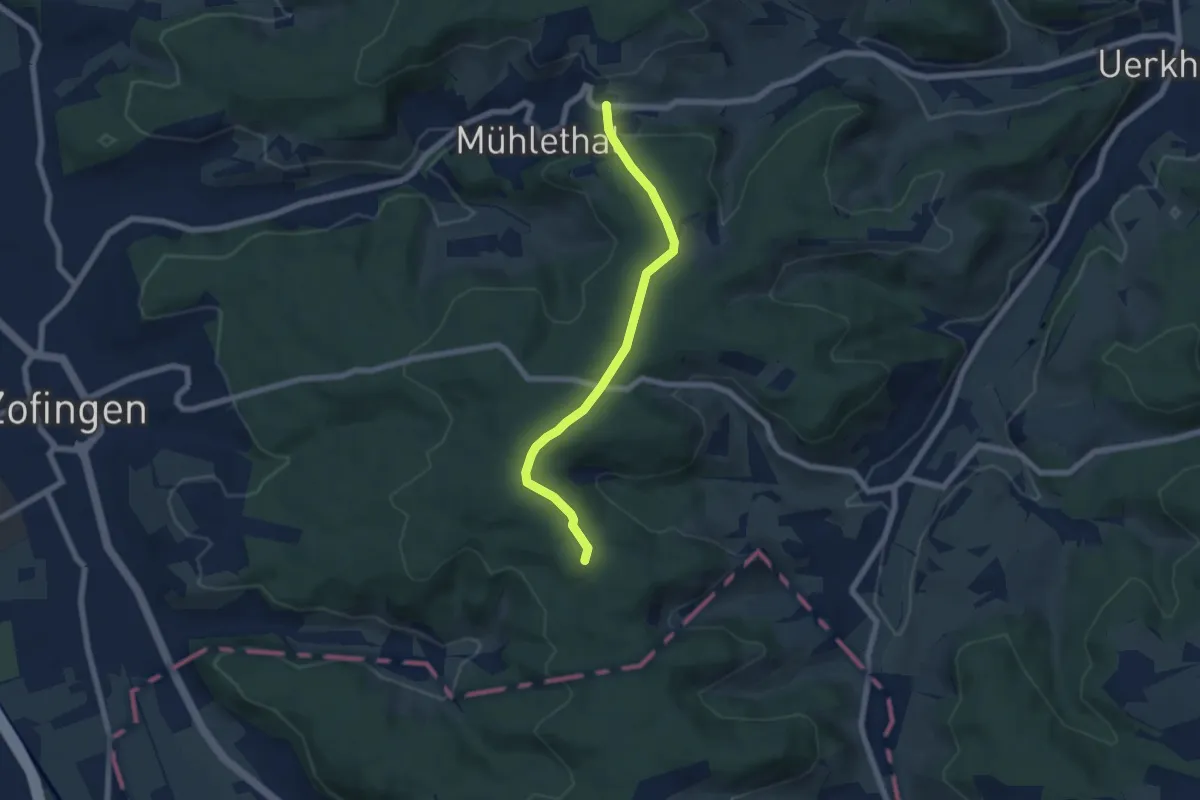
Easy · Trail
Linden - Rottannhubel
6.0 km · ↑ 108 m · 1 h 39 min
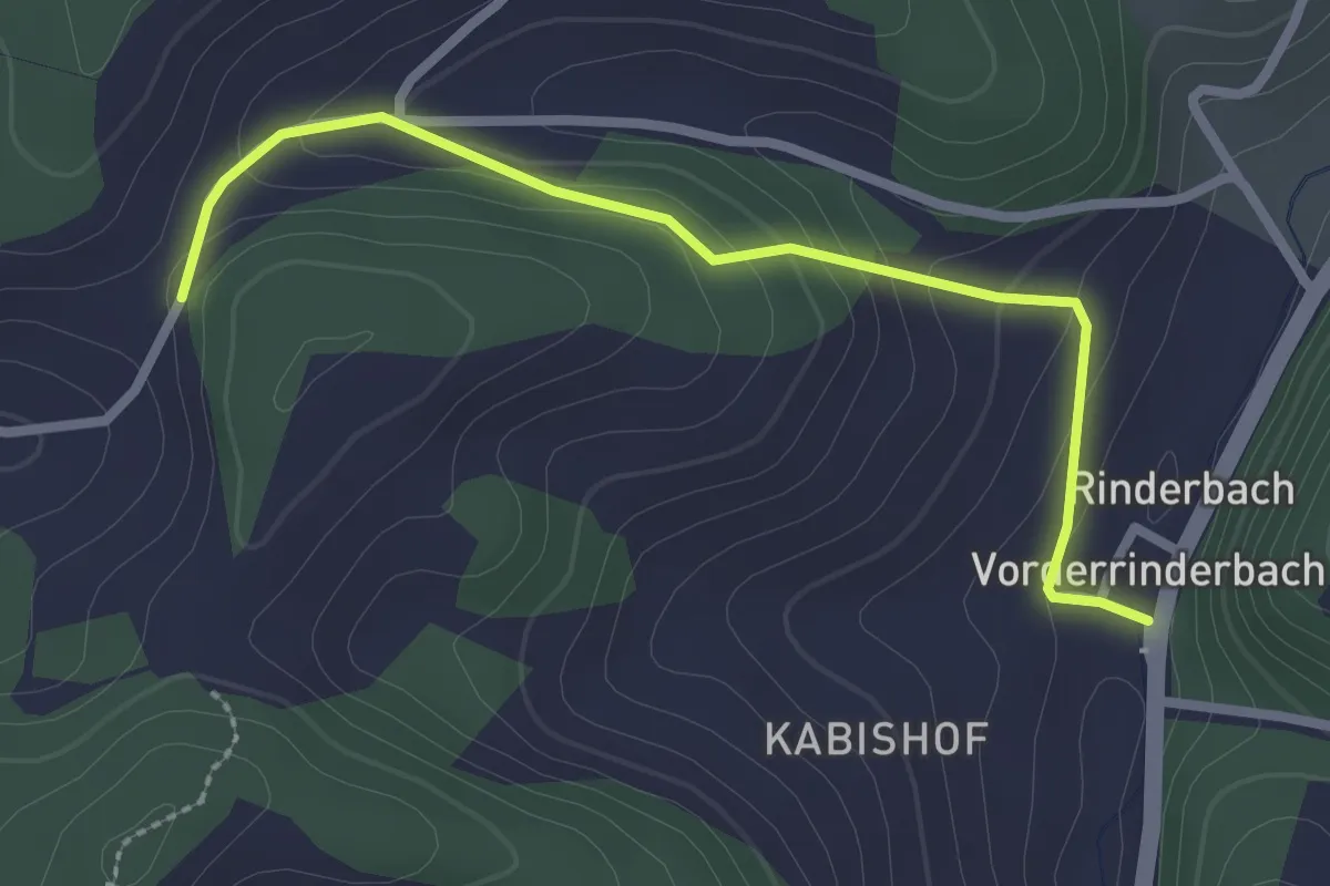
Easy · Trail
Linden - Vorder Rinderbach
2.6 km · ↑ 110 m · 51 min
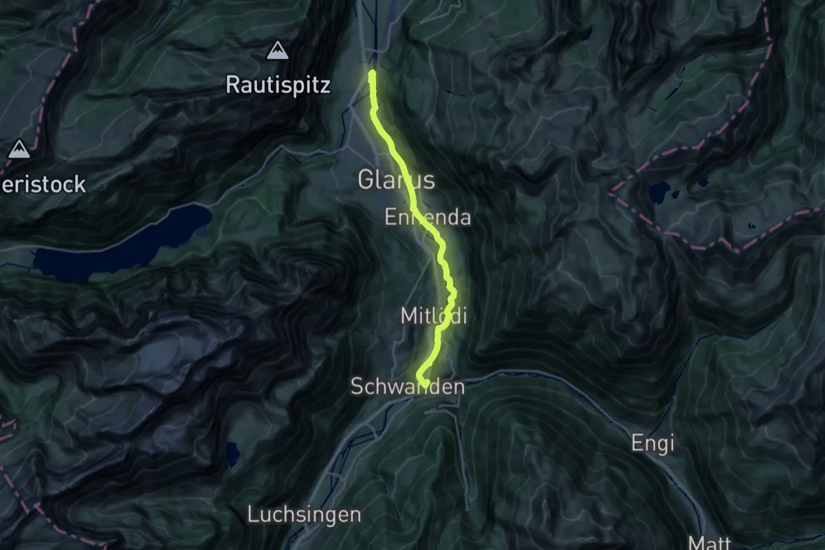
Medium · Trail
Linth-Uferweg
9.4 km · ↑ 108 m · 2 h 37 min
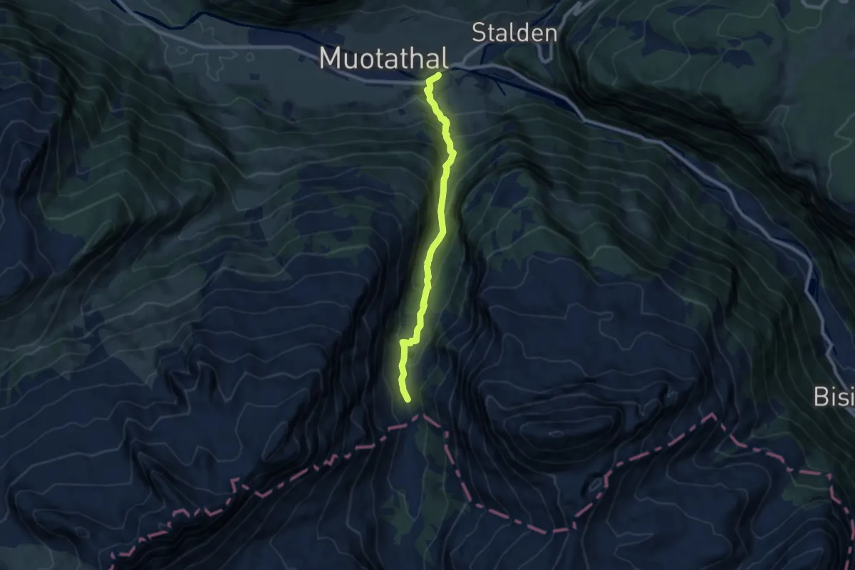
Medium · Trail
Liplisbüel - Muotathal Hinterthal
7.7 km · ↑ 639 m · 3 h 13 min
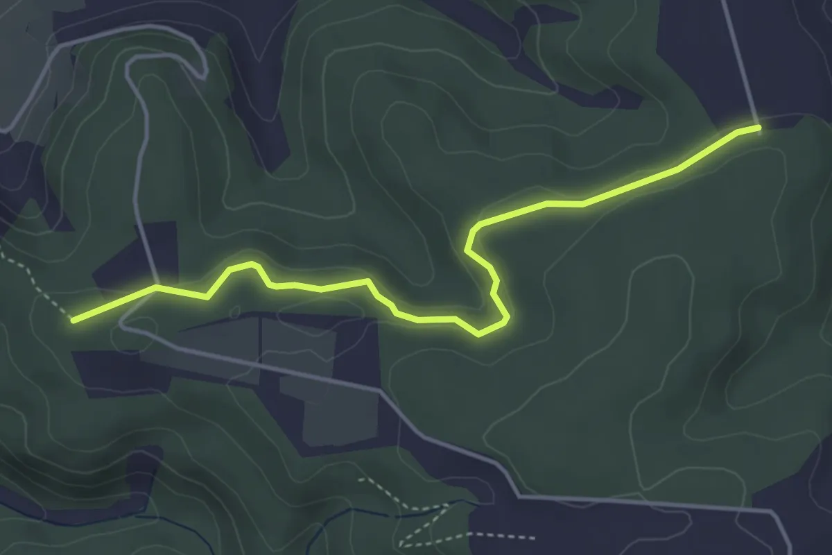
Easy · Trail
Lochbrunne - Äbnet
4.2 km · ↑ 83 m · 1 h 10 min
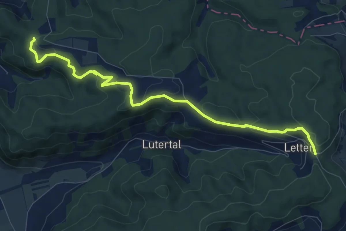
Medium · Trail
Lochbrunne - Lätten
9.1 km · ↑ 229 m · 2 h 39 min
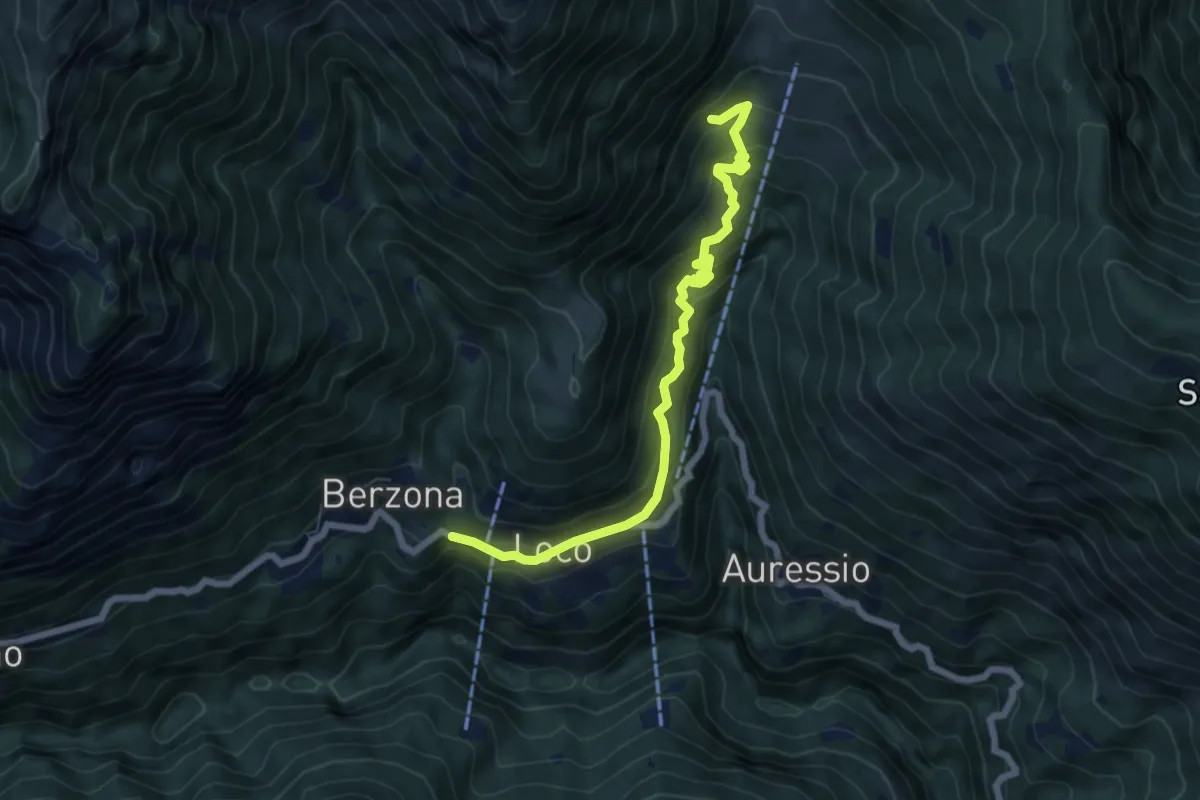
Medium · Trail
Loco - Mulegn
6.7 km · ↑ 523 m · 2 h 43 min
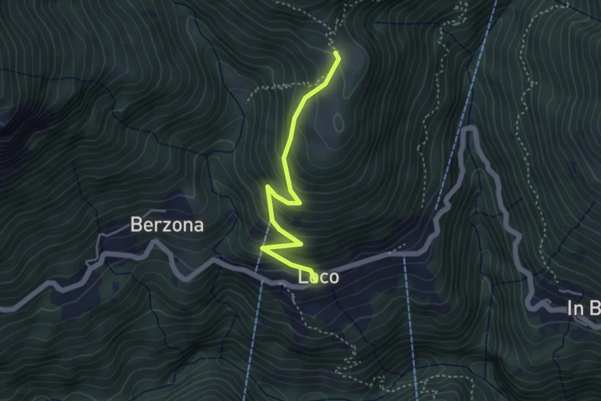
Easy · Trail
Loco - Sella
3.2 km · ↑ 315 m · 1 h 27 min
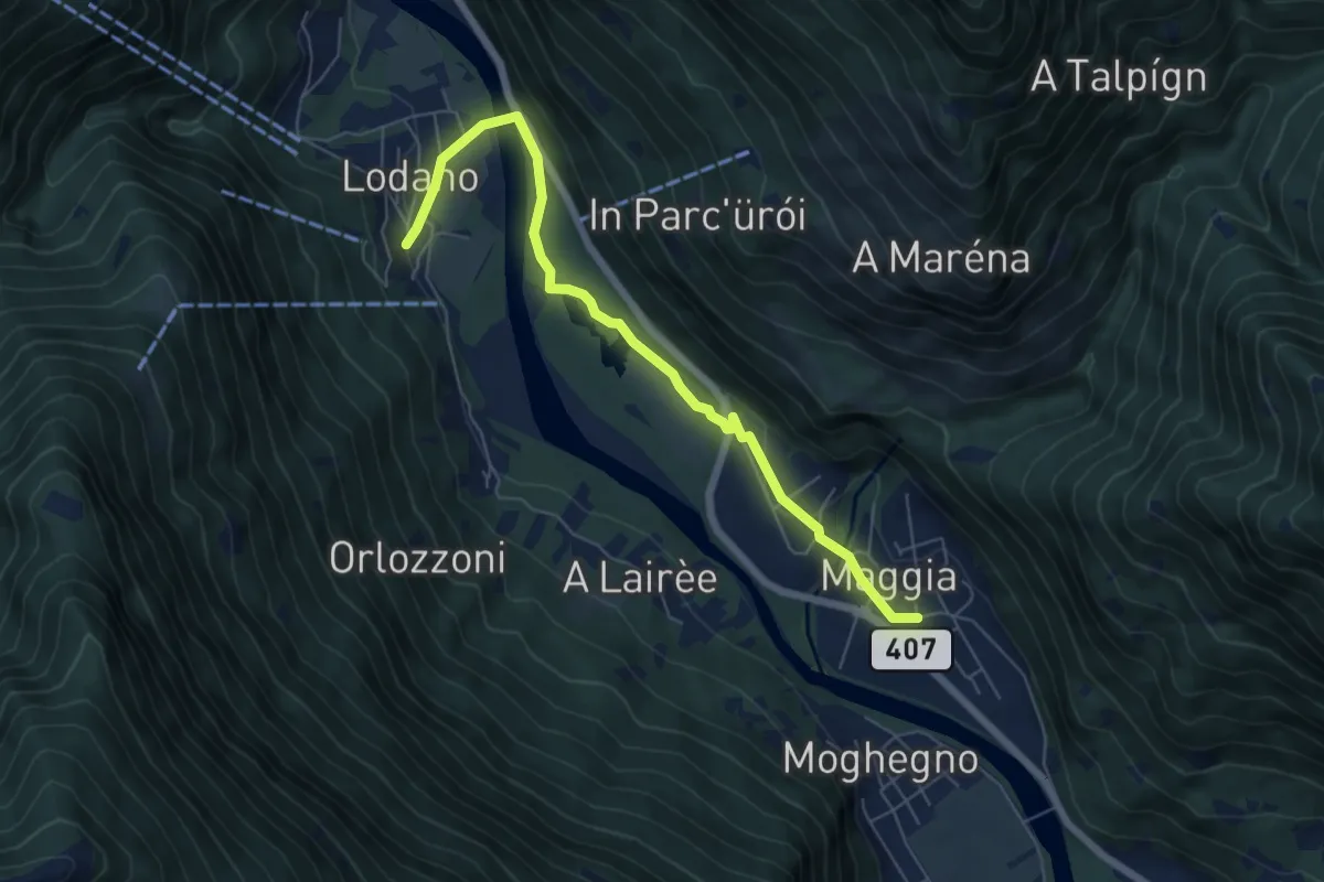
Medium · Trail
Lodano - Maggia
6.4 km · ↑ 79 m · 1 h 41 min
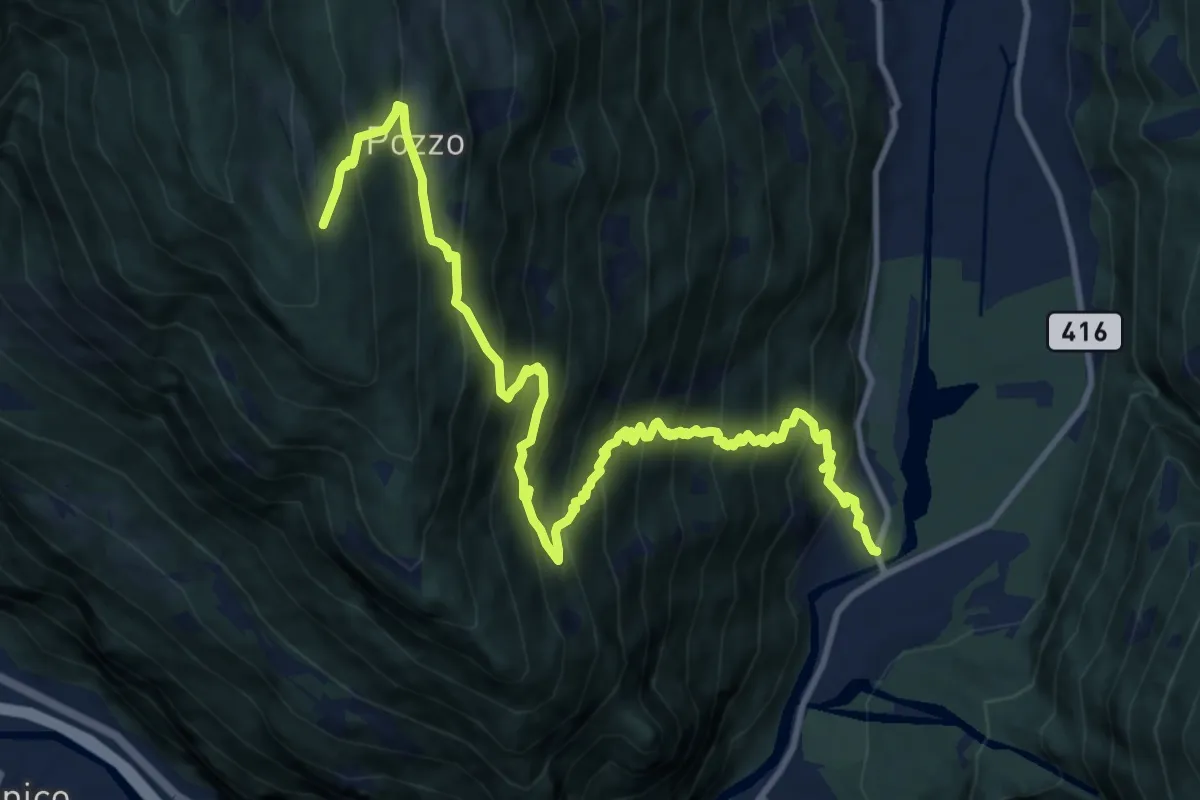
Demanding · Cabin
Loderio - Capanna Pian d'Alpe
13.9 km · ↑ 1474 m · 6 h 29 min
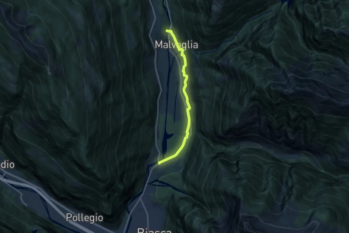
Medium · Trail
Loderio - Malvaglia Rongie
10.1 km · ↑ 161 m · 2 h 44 min
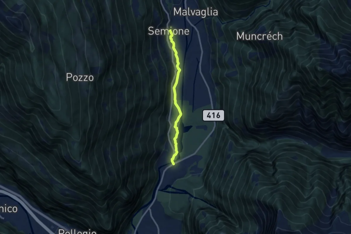
Easy · Trail
Loderio - Semione
7.0 km · ↑ 65 m · 1 h 48 min
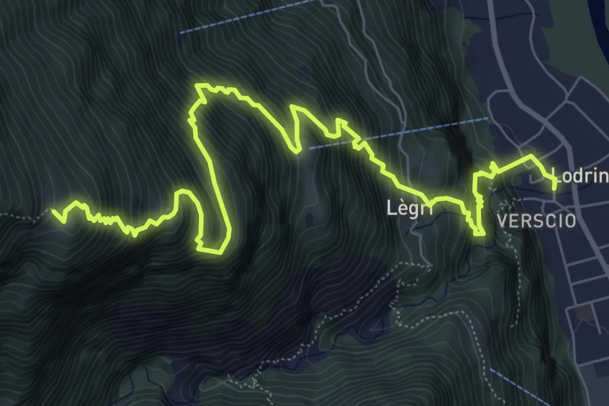
Demanding · Cabin
Lodrino-Alpe d,Alva
10.0 km · ↑ 1377 m · 5 h 21 min
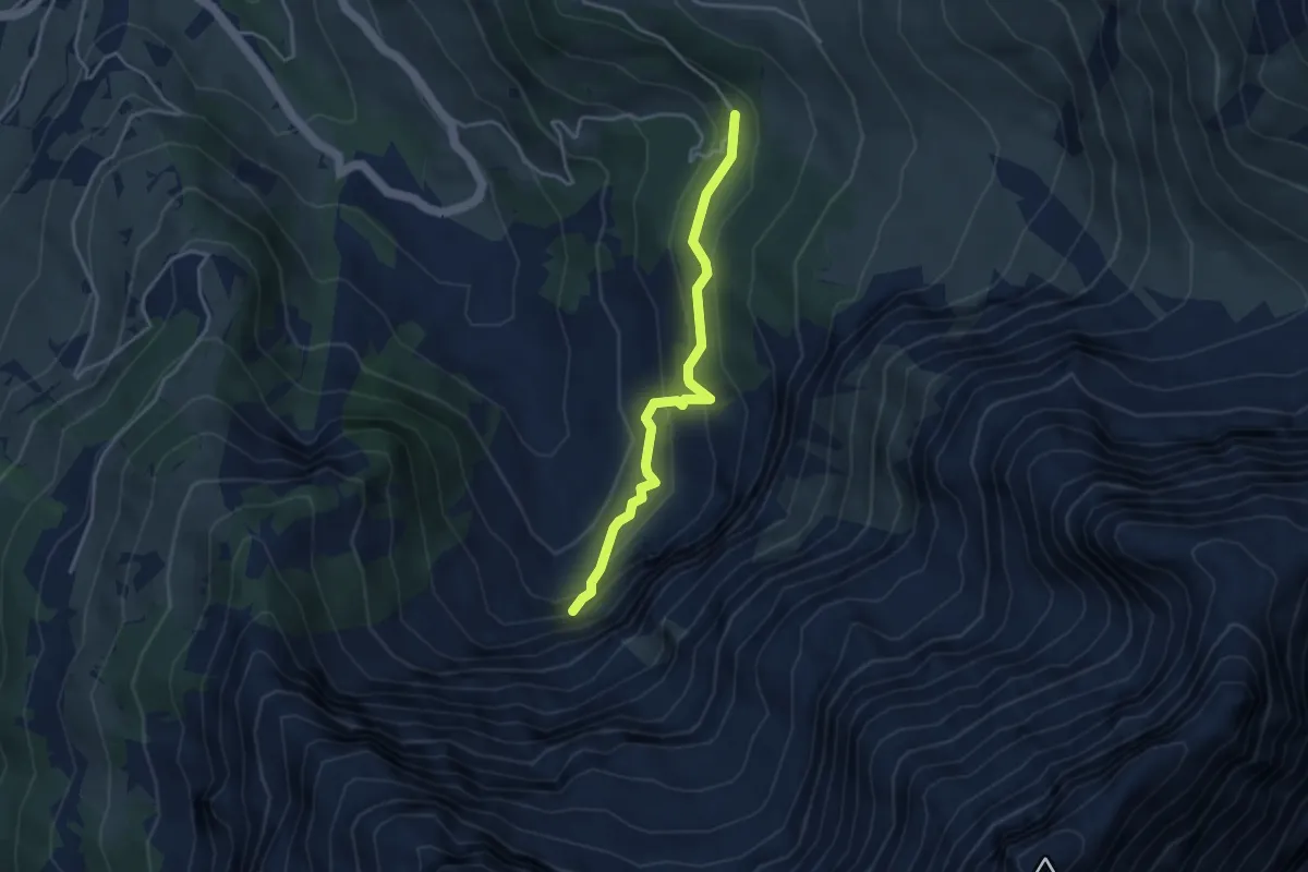
Easy · Trail
Lohnerfälle - Bonderalp
3.6 km · ↑ 249 m · 1 h 23 min
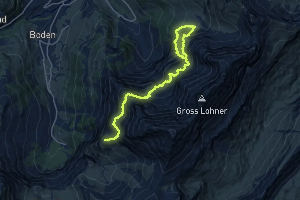
Expert · Summit
Lohnerhütte SAC
13.2 km · ↑ 1836 m · 7 h 6 min
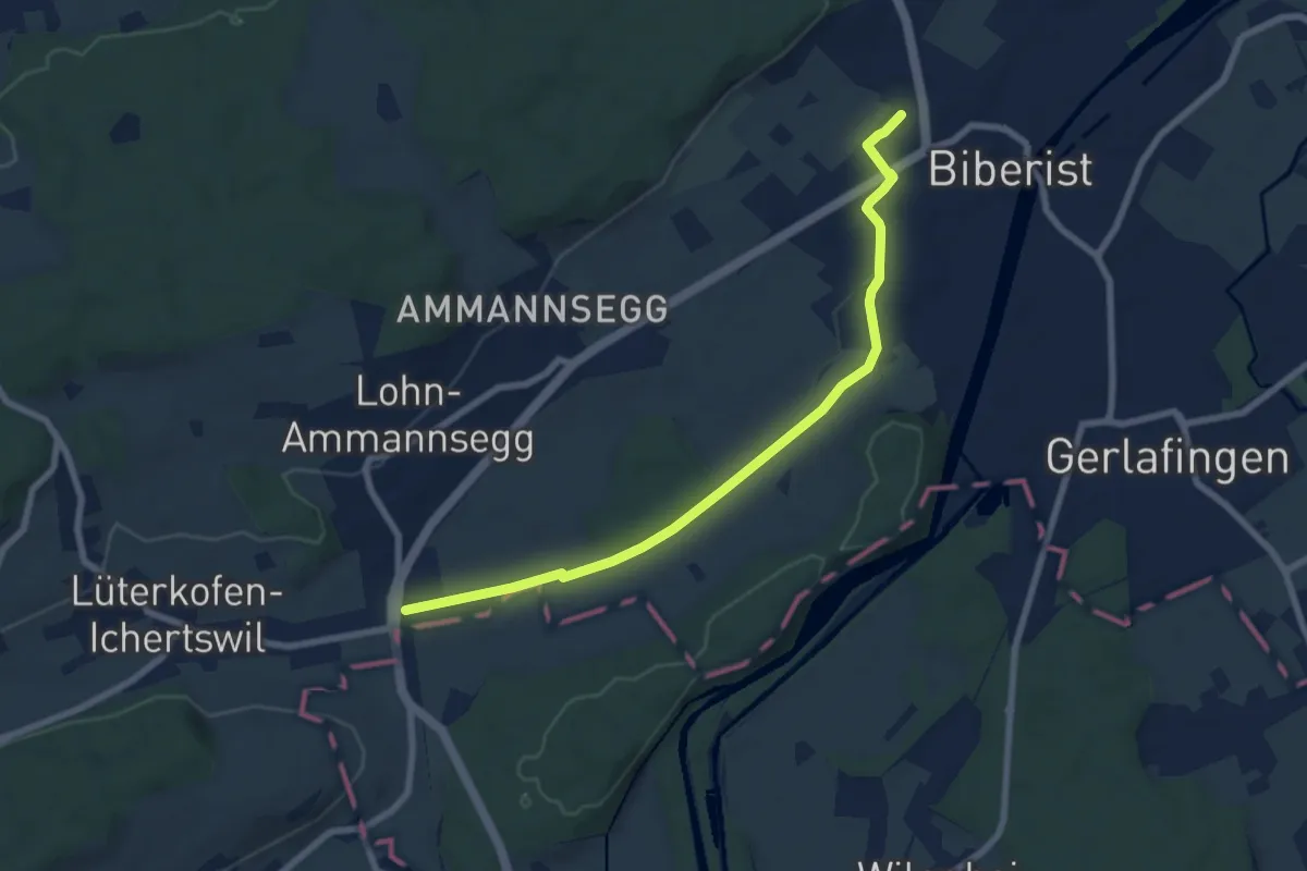
Easy · Trail
Lohn Lüterkofen - Biberist
7.6 km · ↑ 31 m · 1 h 51 min
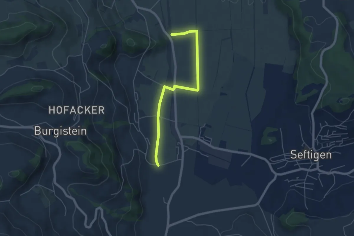
Easy · Trail
Lohnstorfbrügg - Neuhus
4.8 km · ↑ 17 m · 1 h 10 min
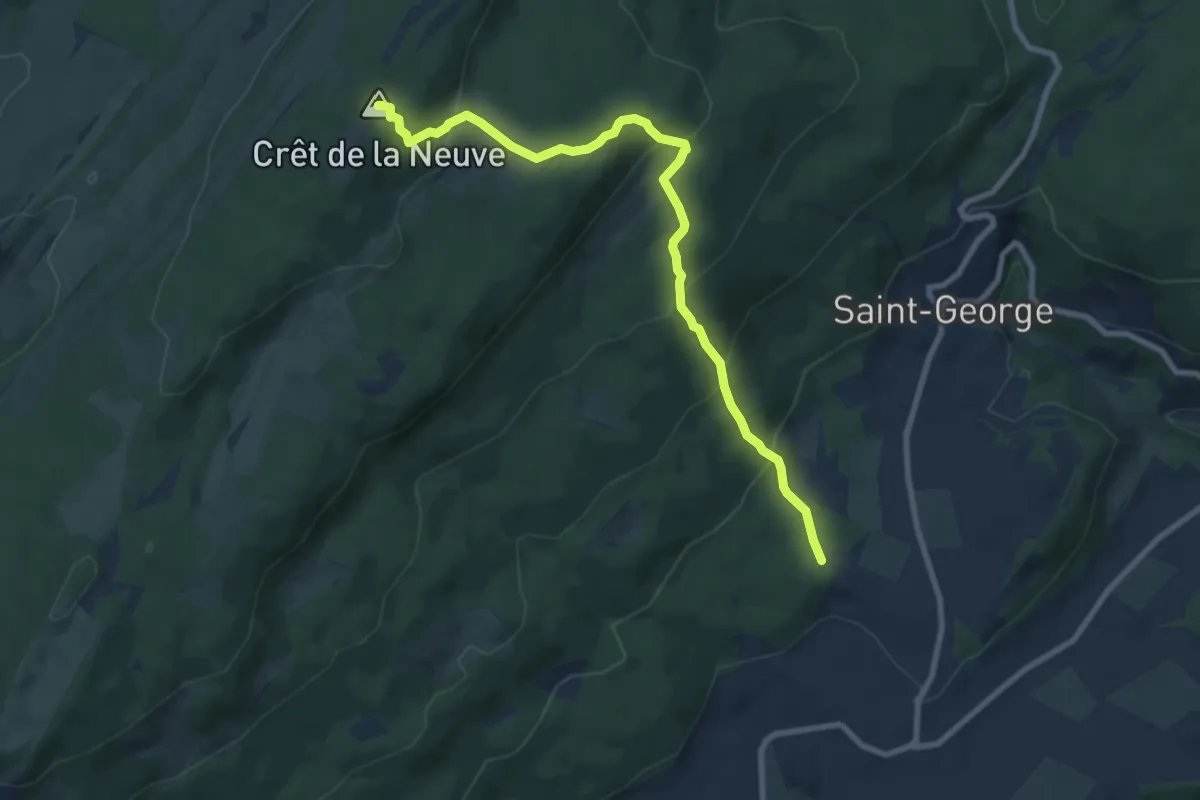
Medium · Summit
Longirod - La Neuve
9.0 km · ↑ 533 m · 3 h 17 min
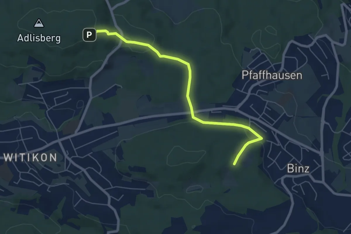
Easy · Trail
Lorenchopf - Fridlimatt
5.6 km · ↑ 157 m · 1 h 40 min
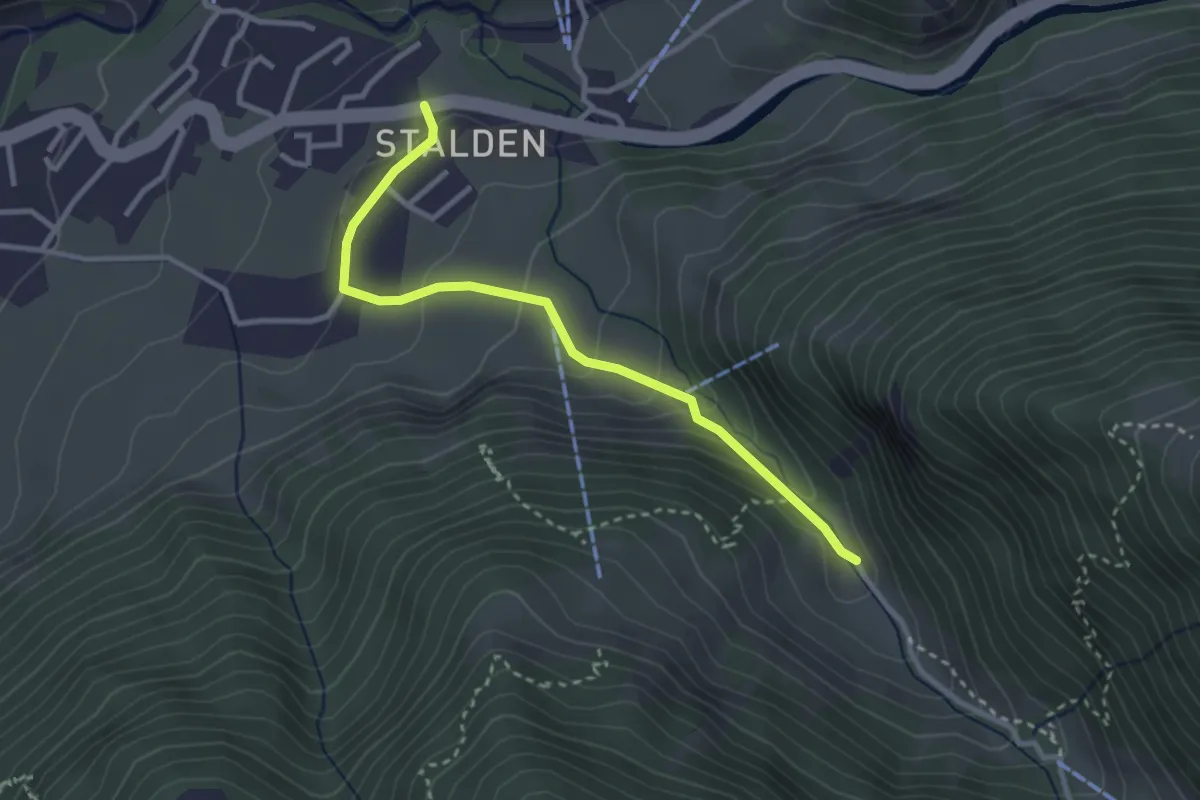
Easy · Trail
Lorenzo-?
3.0 km · ↑ 168 m · 1 h 4 min
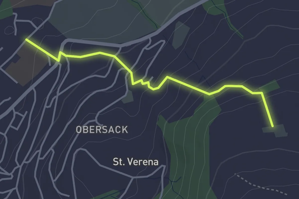
Easy · Trail
Loreto - Wildenburg
3.4 km · ↑ 225 m · 1 h 17 min
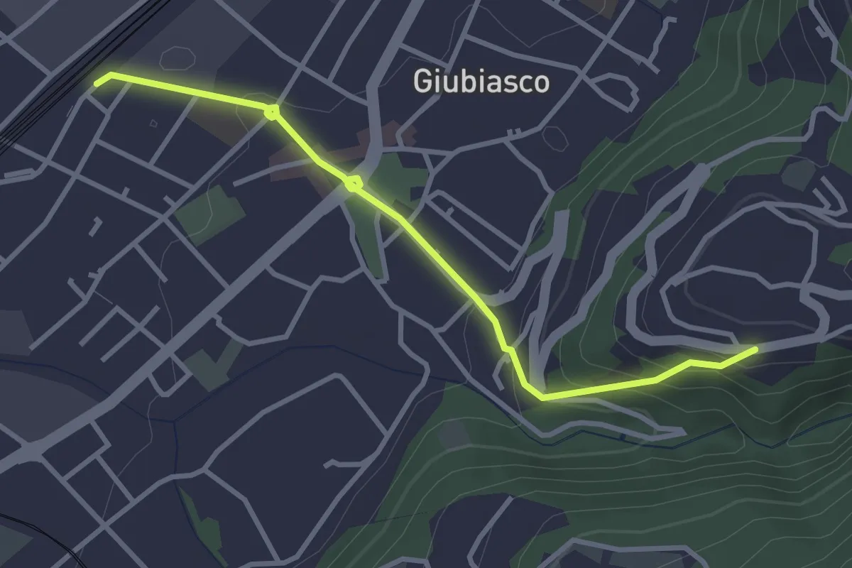
Easy · Trail
Lôro-Giubiasco Stazione
3.3 km · ↑ 161 m · 1 h 8 min
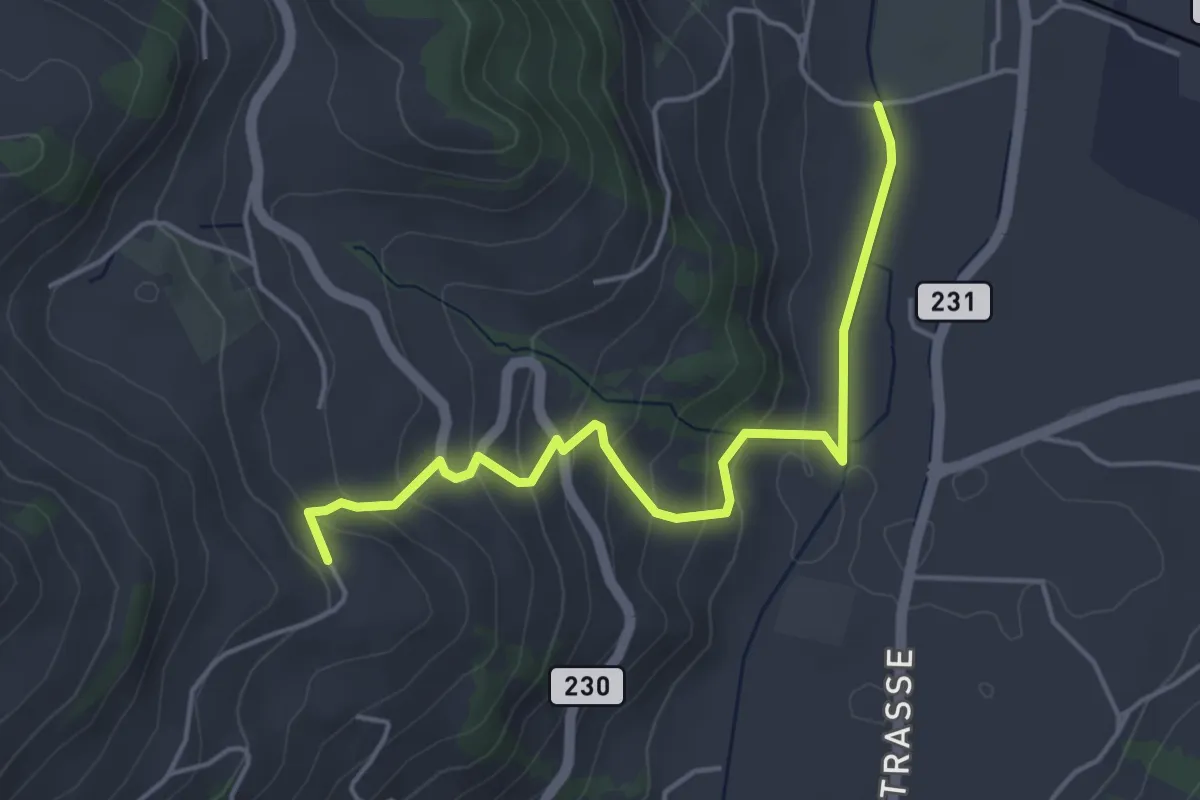
Easy · Trail
Lörtscherei - Neuhus
4.7 km · ↑ 224 m · 1 h 35 min
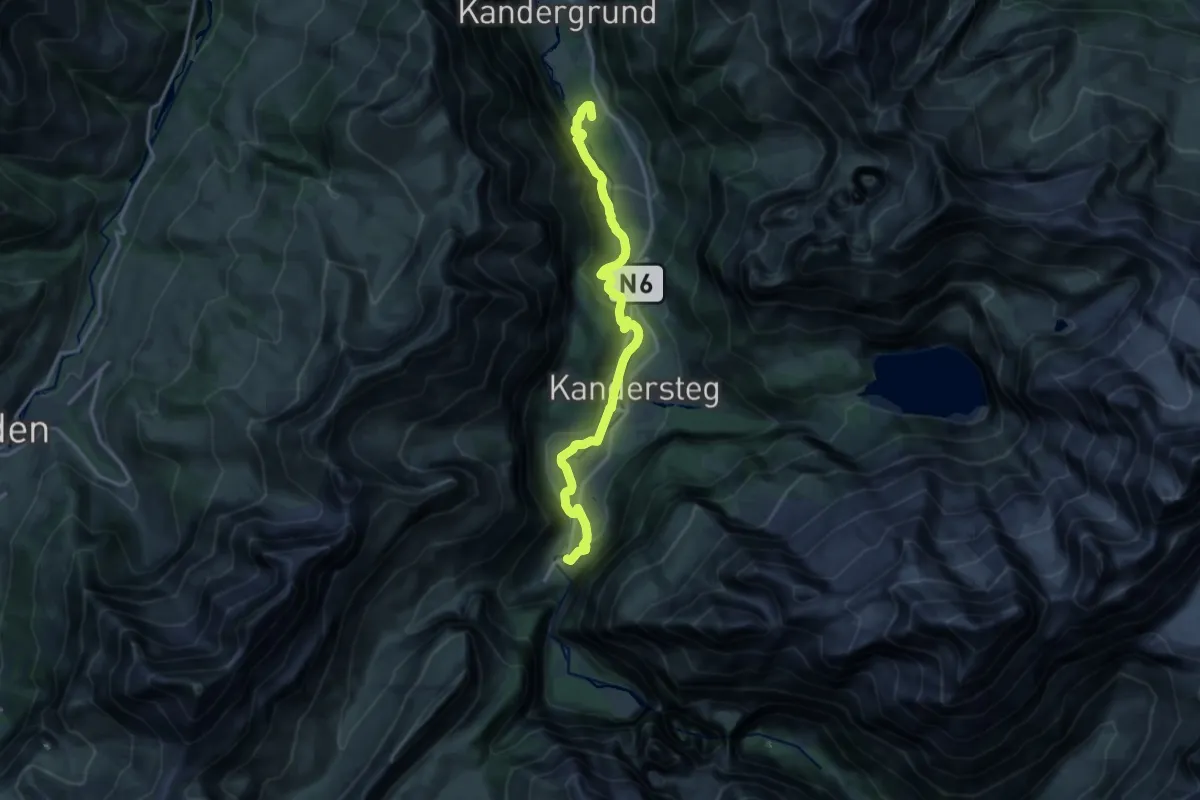
Medium · Summit
Lötschberger Nordrampe
16.6 km · ↑ 441 m · 4 h 52 min
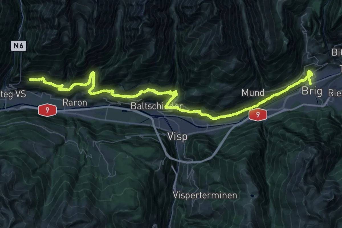
Demanding · Trail
Lötschberger Südrampe
27.0 km · ↑ 1331 m · 9 h 50 min
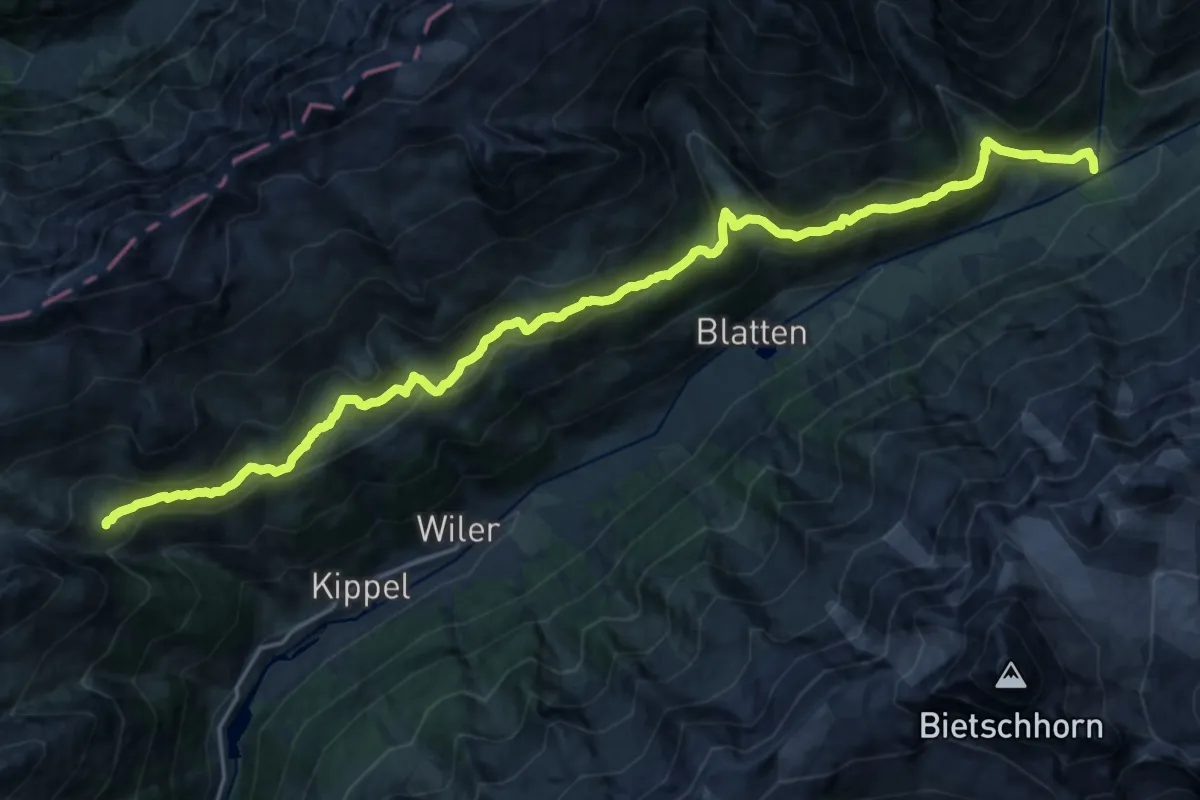
Medium · Trail
Lötschentaler Höhenwanderweg
11.9 km · ↑ 411 m · 4 h 2 min
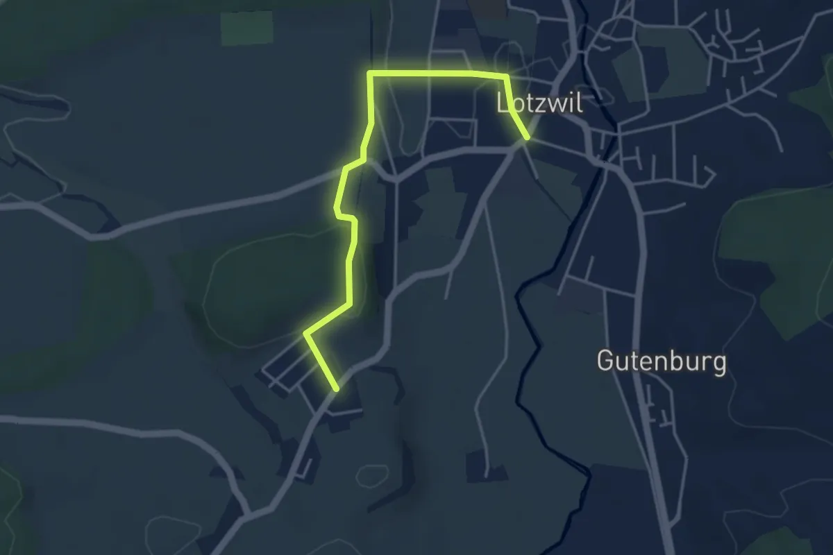
Easy · Trail
Lotzwil-Berg
3.8 km · ↑ 79 m · 1 h 4 min
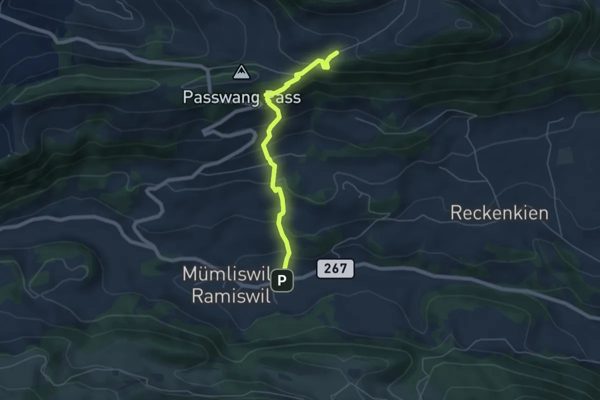
Medium · Trail
Lourdweg Brüggli - 1001
4.6 km · ↑ 413 m · 1 h 59 min
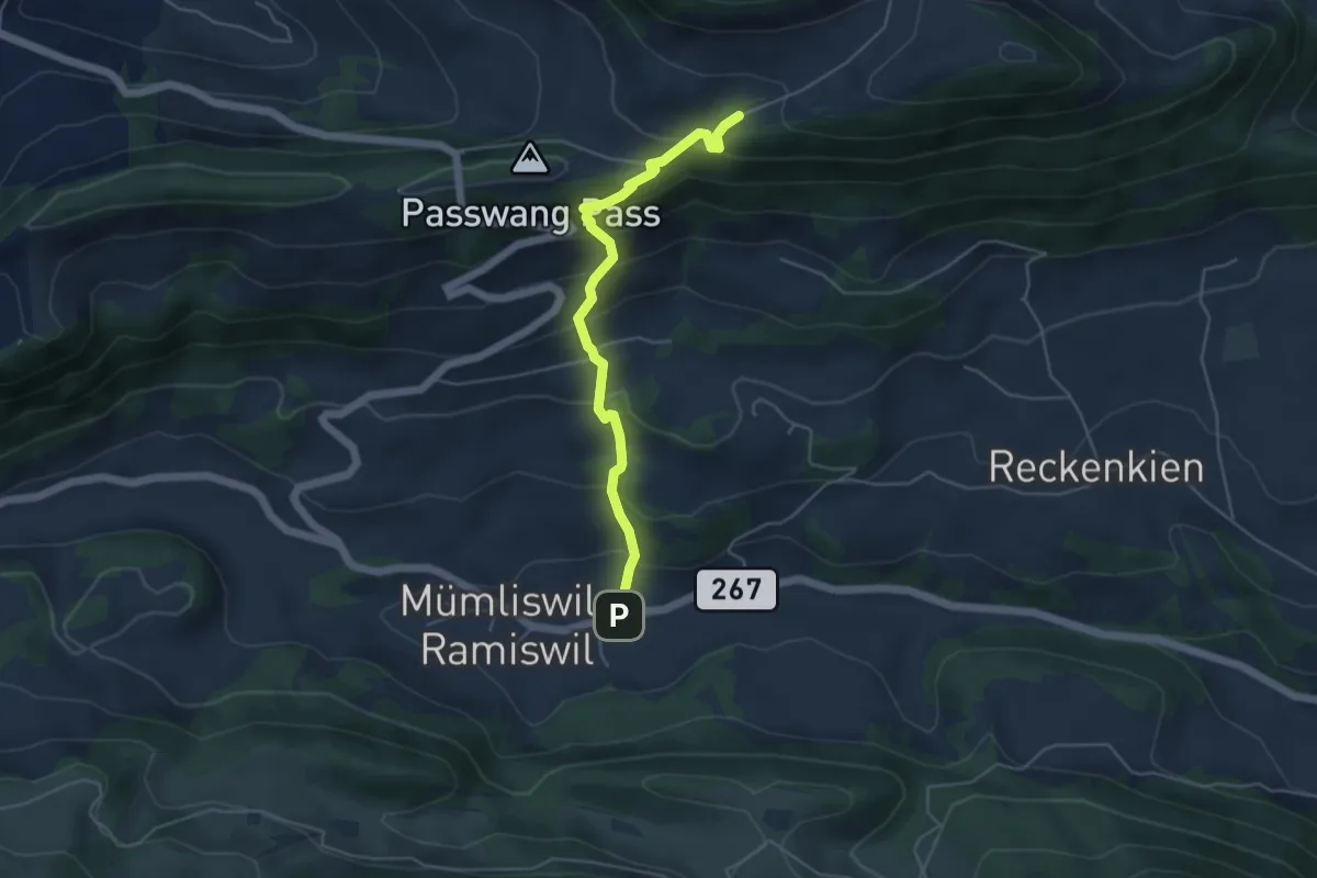
Medium · Trail
Lourdweg Brüggli - Zingelen
4.6 km · ↑ 413 m · 1 h 59 min
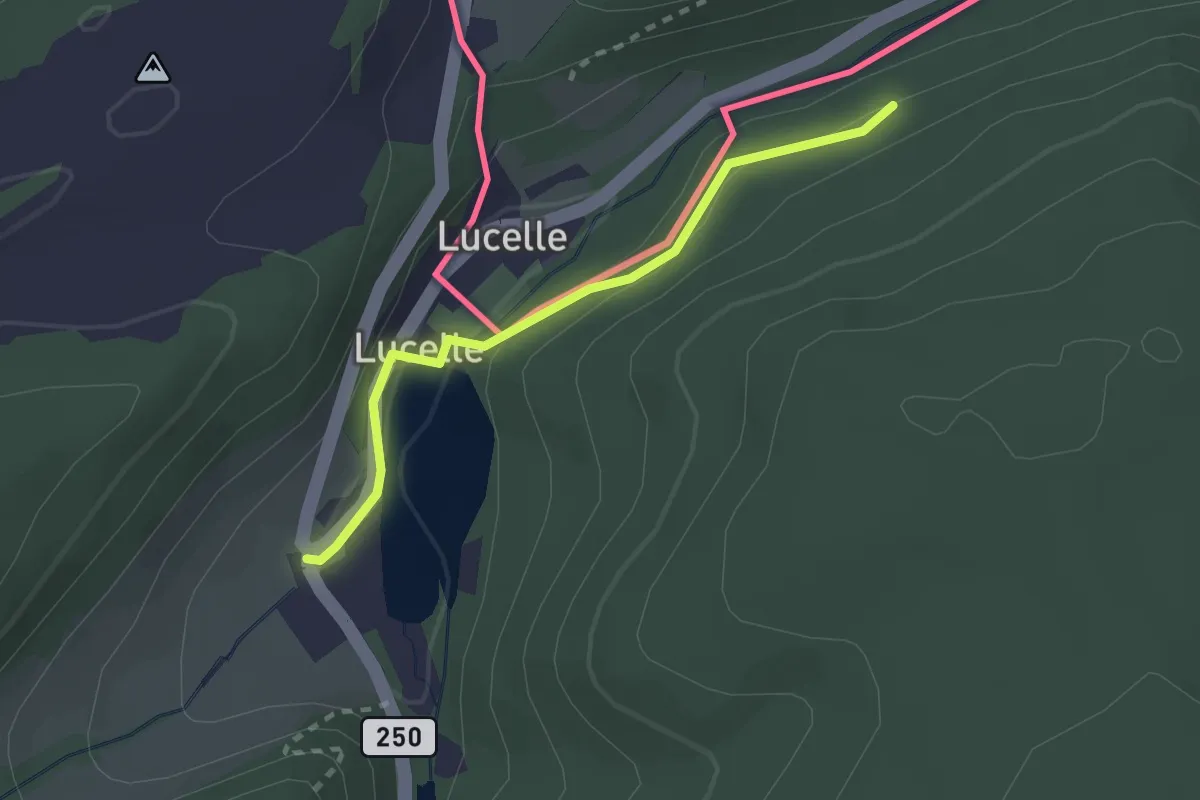
Easy · Trail
Lucelle Douane - fixme
2.2 km · ↑ 61 m · 39 min