Trails in Switzerland
15,029 hiking trails, each with its route, climb, walking time and grade.
All trails, page 65 of 314
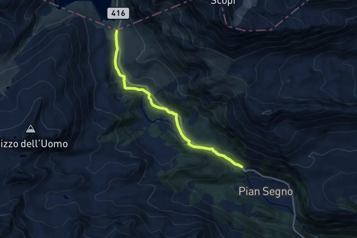
Medium · Trail
Lucomagno - Acquacalda
9.3 km · ↑ 189 m · 2 h 36 min
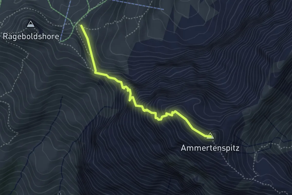
Expert · Summit
Luegli - Ammertenspitz
3.9 km · ↑ 509 m · 2 h 2 min
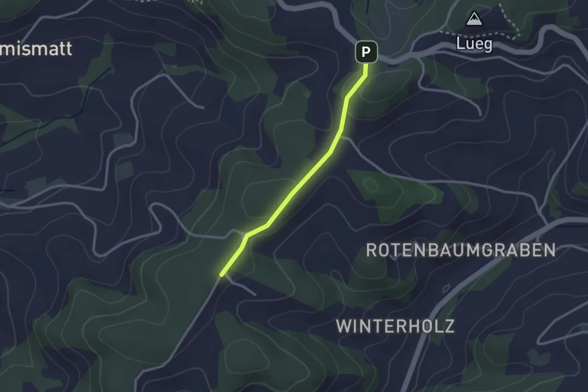
Easy · Trail
Lueg/Wirtschaft - Rotenbaum
2.2 km · ↑ 63 m · 39 min
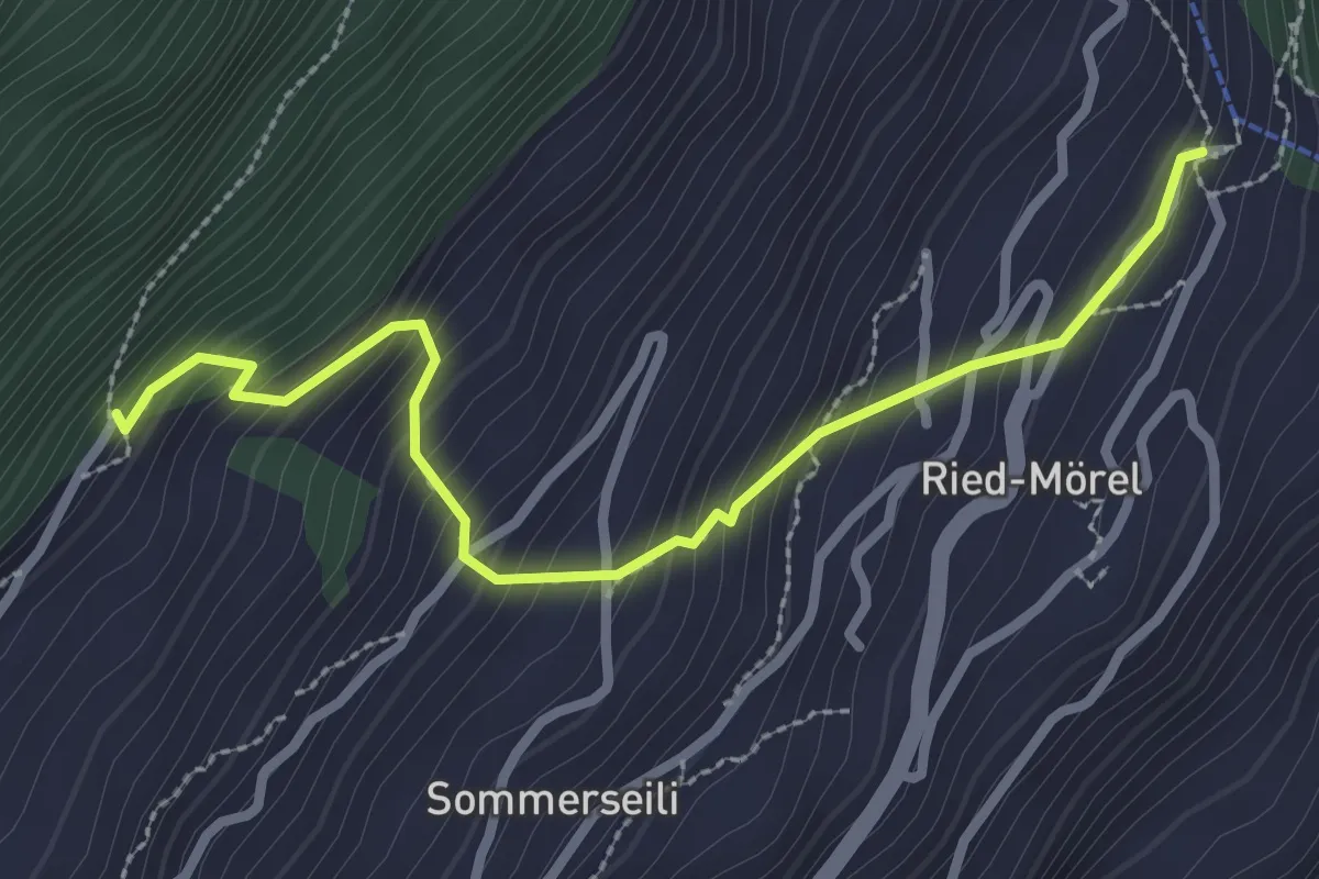
Medium · Trail
Luftbahnstation Ried-Mörel - Nieschbord
2.9 km · ↑ 339 m · 1 h 25 min
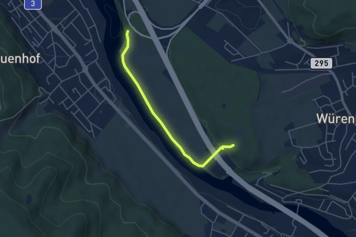
Easy · Trail
Lugibach-Runde
1.8 km · ↑ 11 m · 30 min
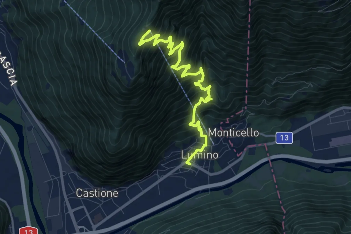
Demanding · Trail
Lumino Monti Saurù
11.2 km · ↑ 1201 m · 5 h 16 min
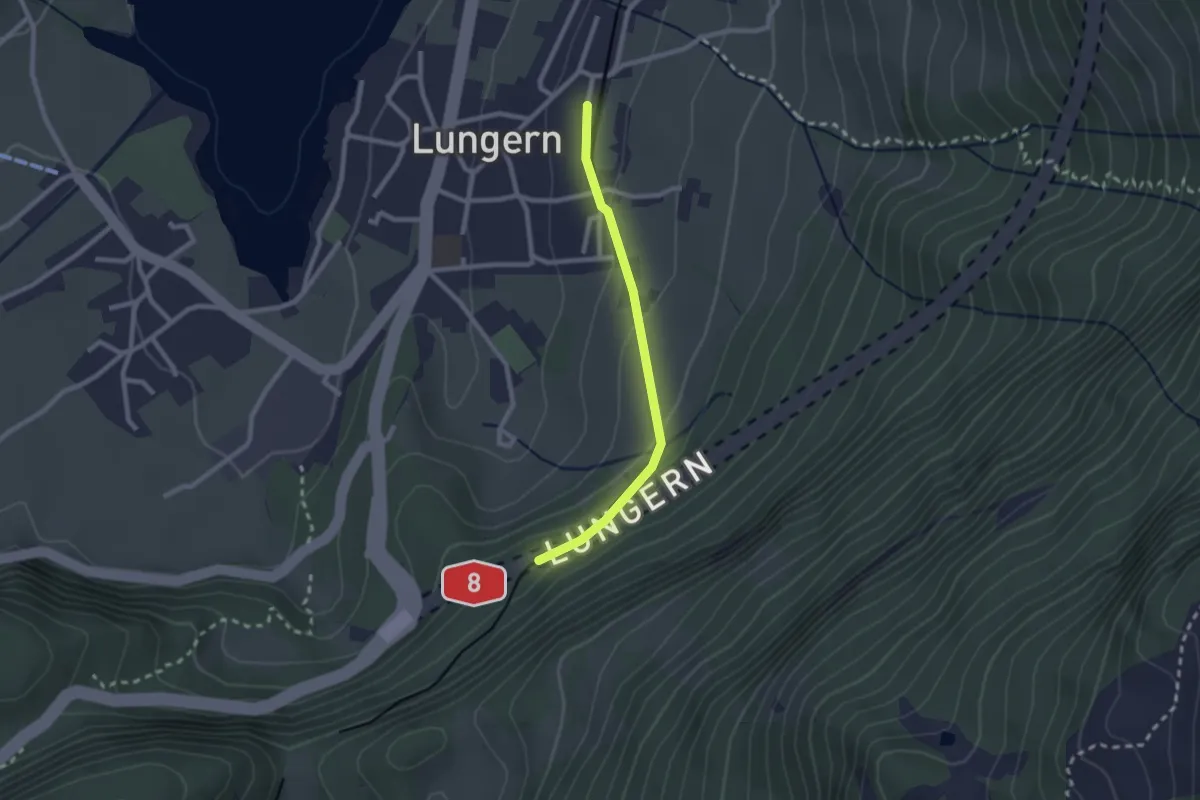
Easy · Trail
Lungern - Bannwald
2.1 km · ↑ 101 m · 43 min
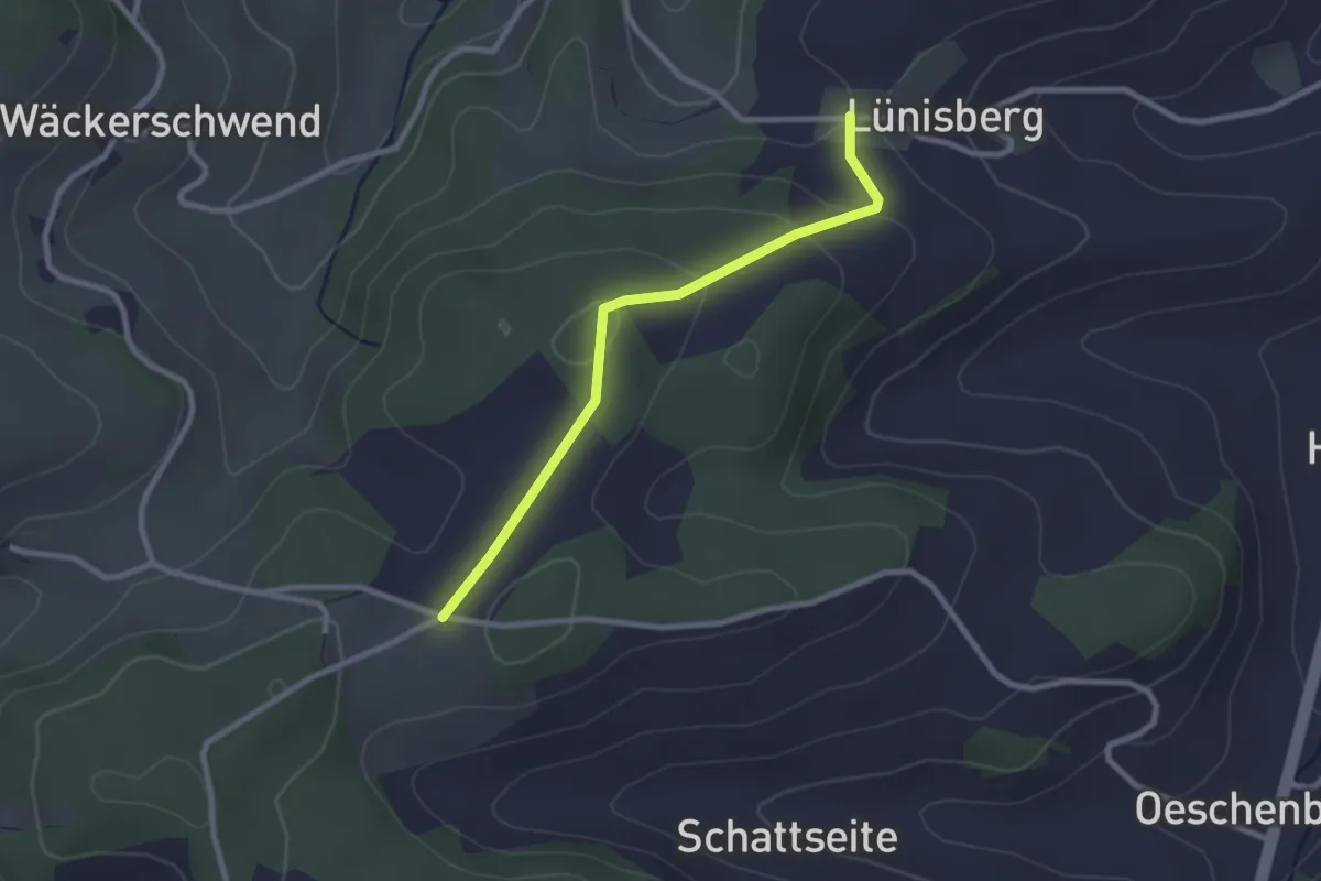
Easy · Trail
Lünschberg-Pt 795
2.4 km · ↑ 97 m · 47 min
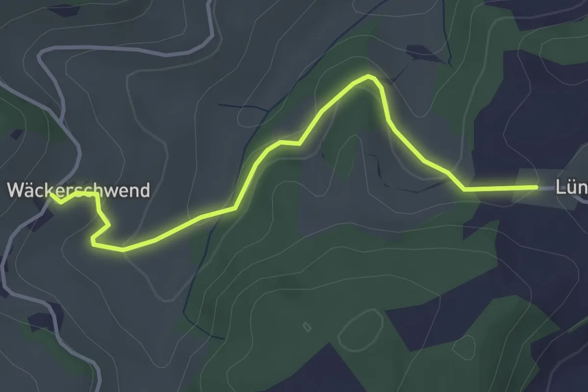
Easy · Trail
Lünschberg - Wäckerschwend
3.4 km · ↑ 114 m · 1 h 2 min
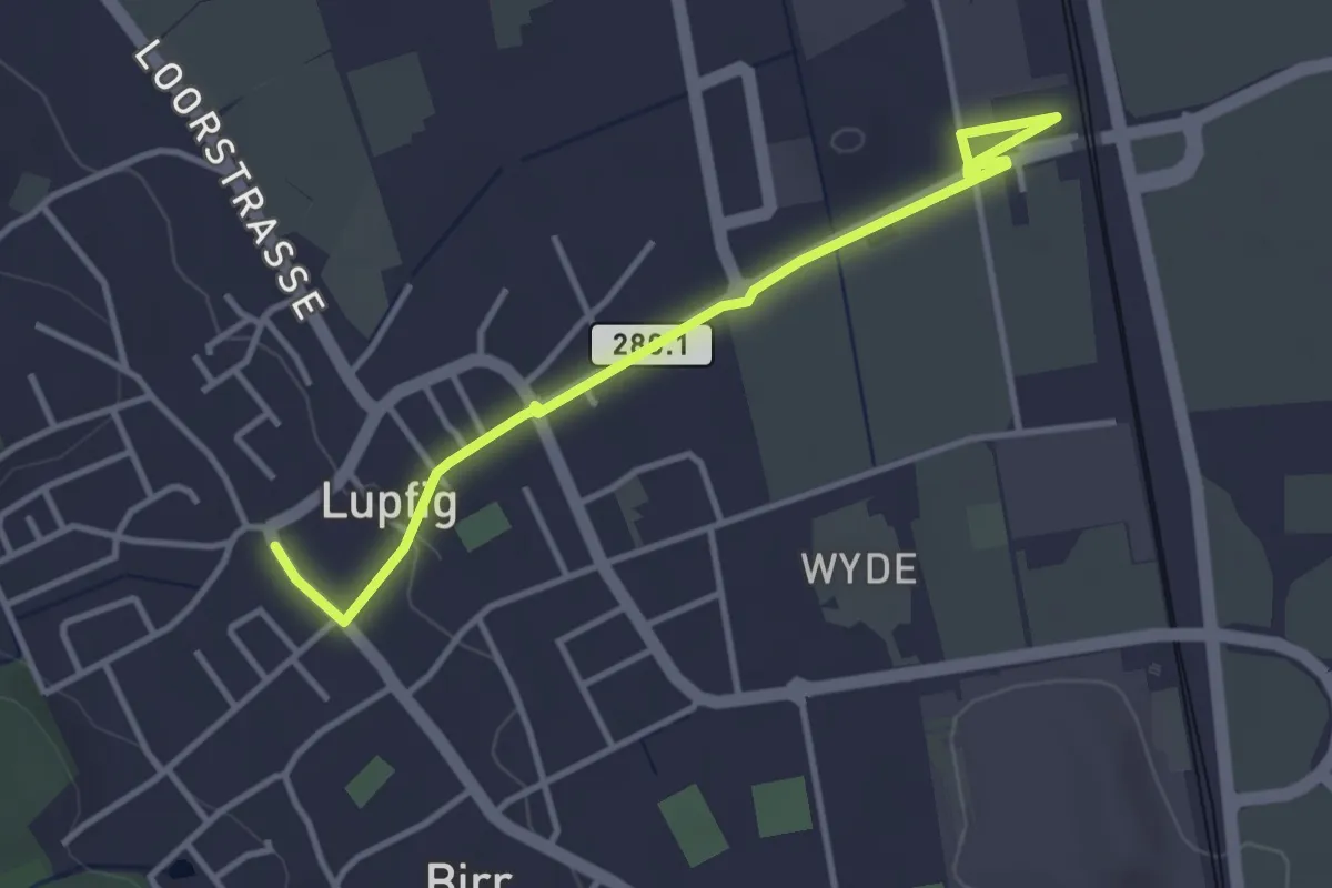
Easy · Trail
Lupfig Bahnhof - Lupfig Oberdorf
3.8 km · ↑ 17 m · 56 min
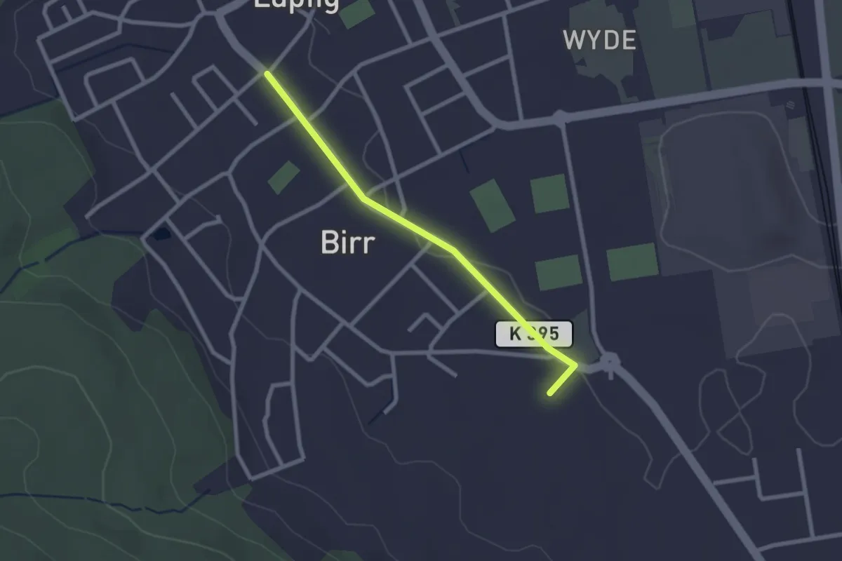
Easy · Trail
Lupfig - Pestalozziheim-Neudorf
2.2 km · ↑ 9 m · 32 min
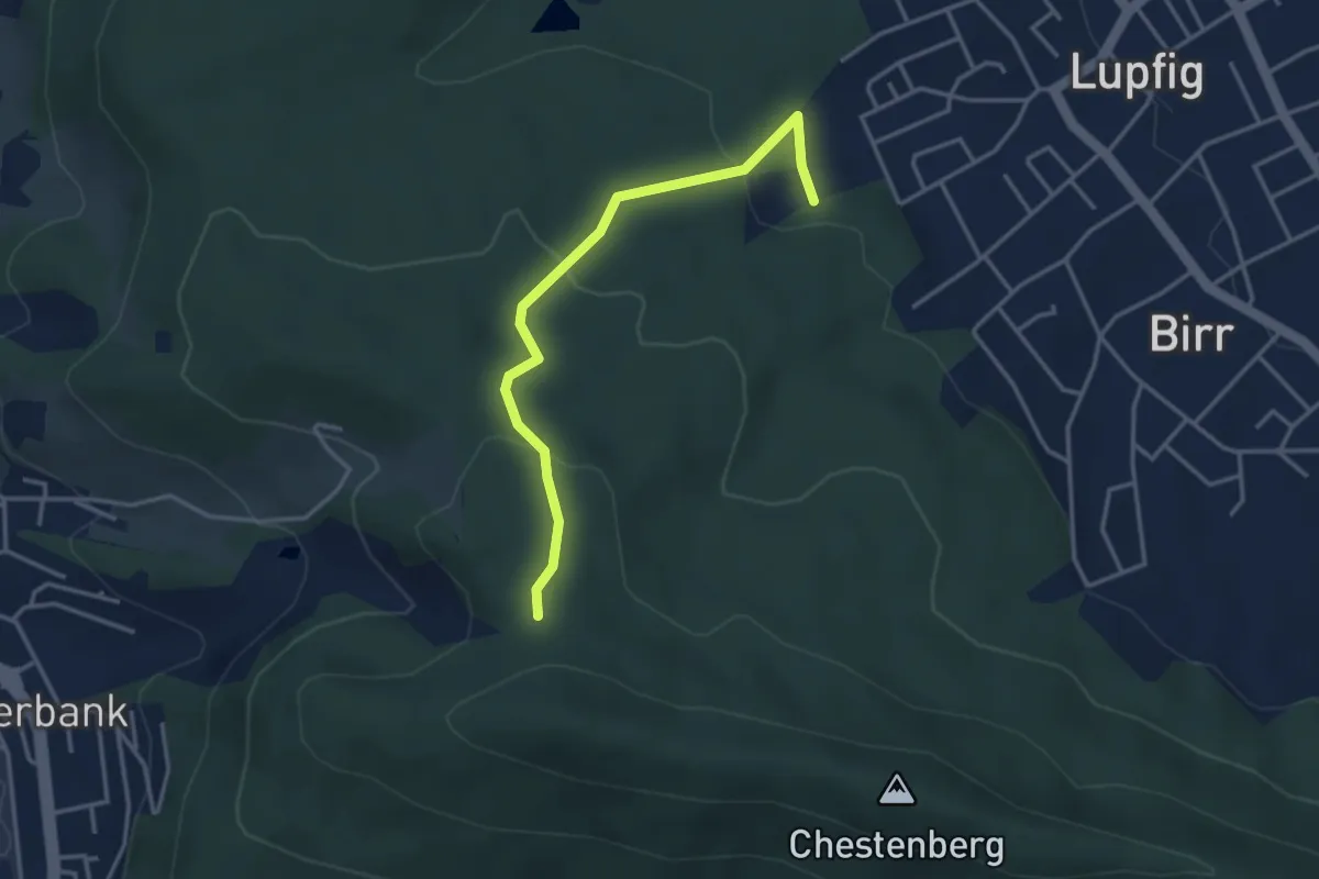
Easy · Trail
Lupfig Weihermatten - Ob Chalch
3.5 km · ↑ 144 m · 1 h 8 min
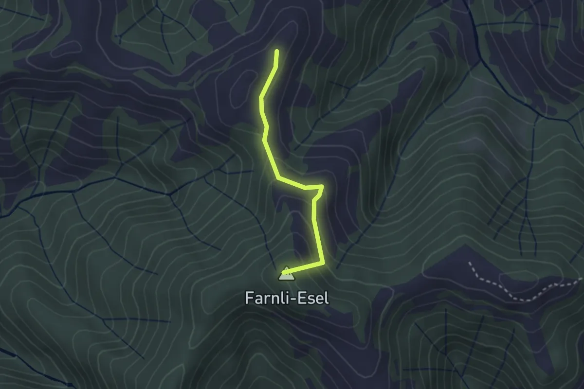
Easy · Summit
Lushüttenalp - Farnli
2.2 km · ↑ 145 m · 50 min
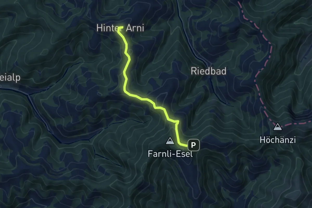
Easy · Summit
Lushüttenalp - Hinderarni
5.7 km · ↑ 295 m · 1 h 59 min
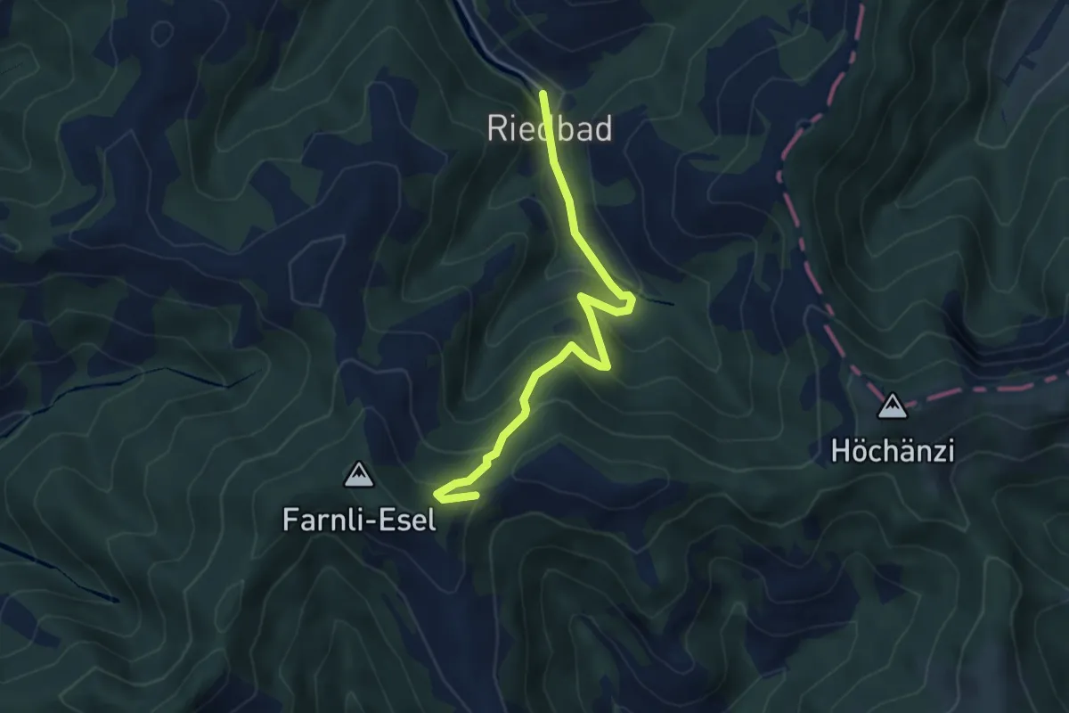
Medium · Trail
Lushüttenalp - Riedbad
4.4 km · ↑ 343 m · 1 h 46 min
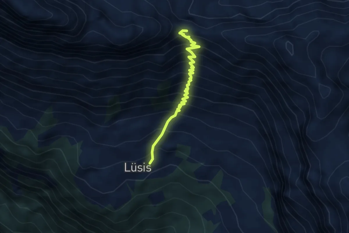
Medium · Trail
Lüsis Nideri
3.6 km · ↑ 519 m · 1 h 59 min
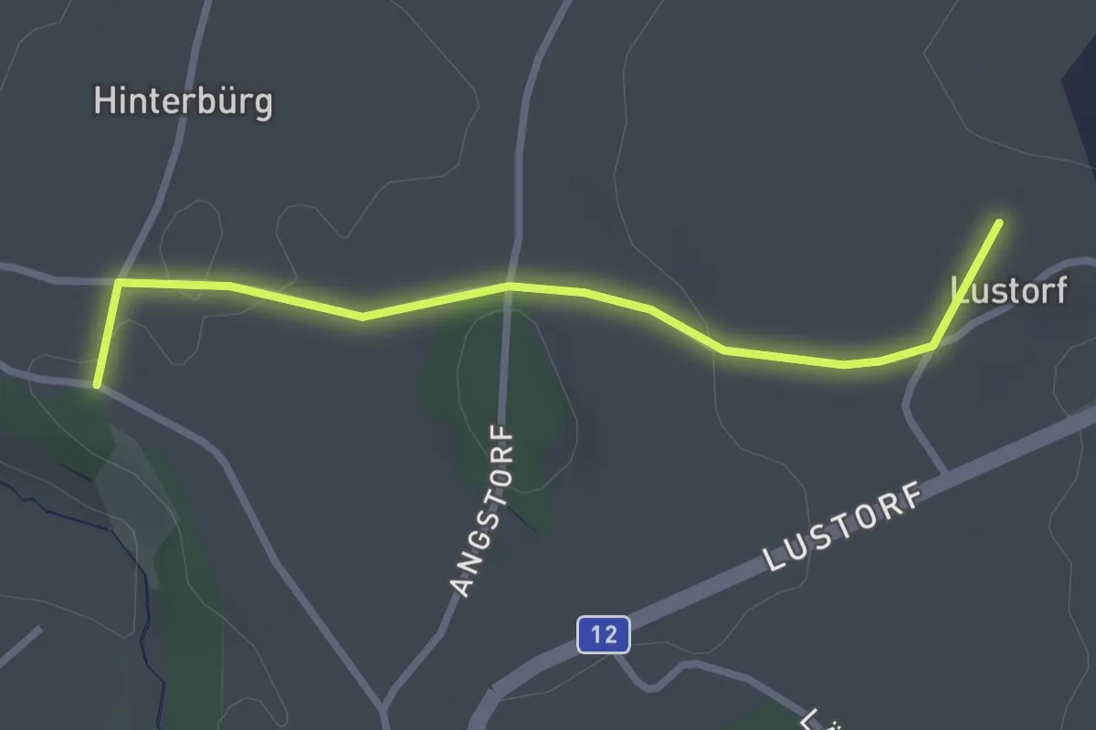
Easy · Trail
Lustorf - Zelgli
2.7 km · ↑ 33 m · 42 min
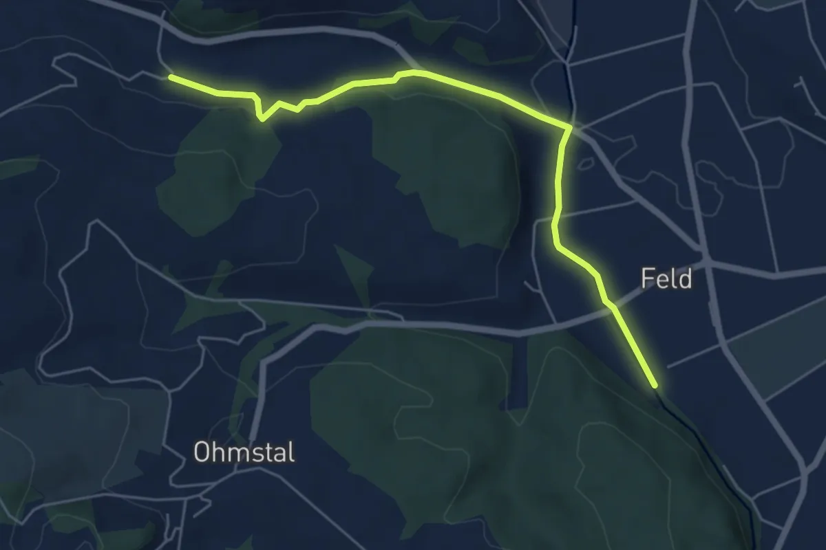
Easy · Trail
Luterenächer - Badachthal
5.5 km · ↑ 75 m · 1 h 27 min
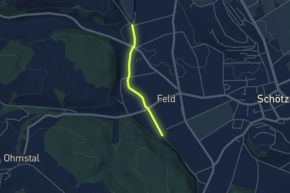
Easy · Trail
Luterenächer - Gläng
2.7 km · ↑ 13 m · 40 min
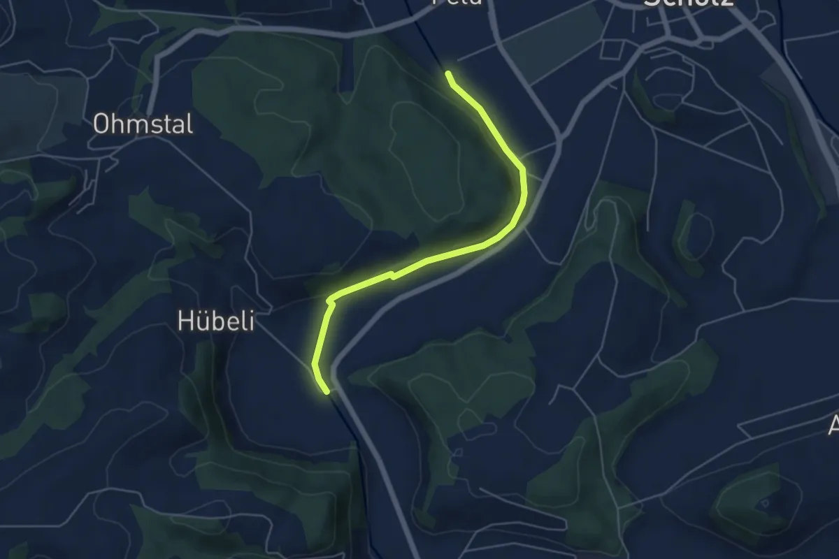
Easy · Trail
Luterenächer - Niderwil
4.8 km · ↑ 77 m · 1 h 18 min
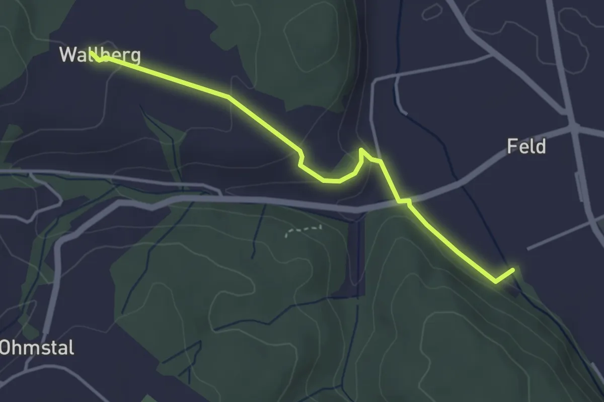
Easy · Trail
Luterenächer - Wallbrig
3.5 km · ↑ 95 m · 1 h 2 min
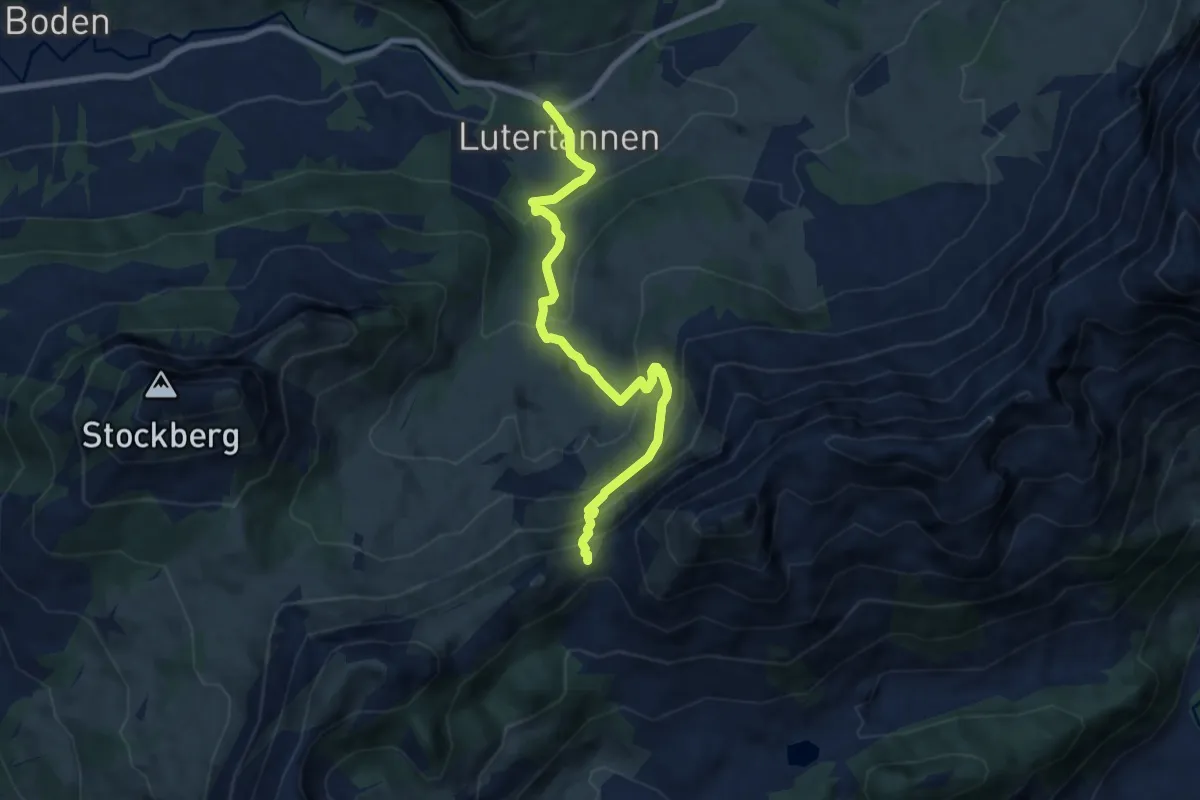
Demanding · Trail
Lutertannen-Windenpass
7.7 km · ↑ 584 m · 3 h 5 min
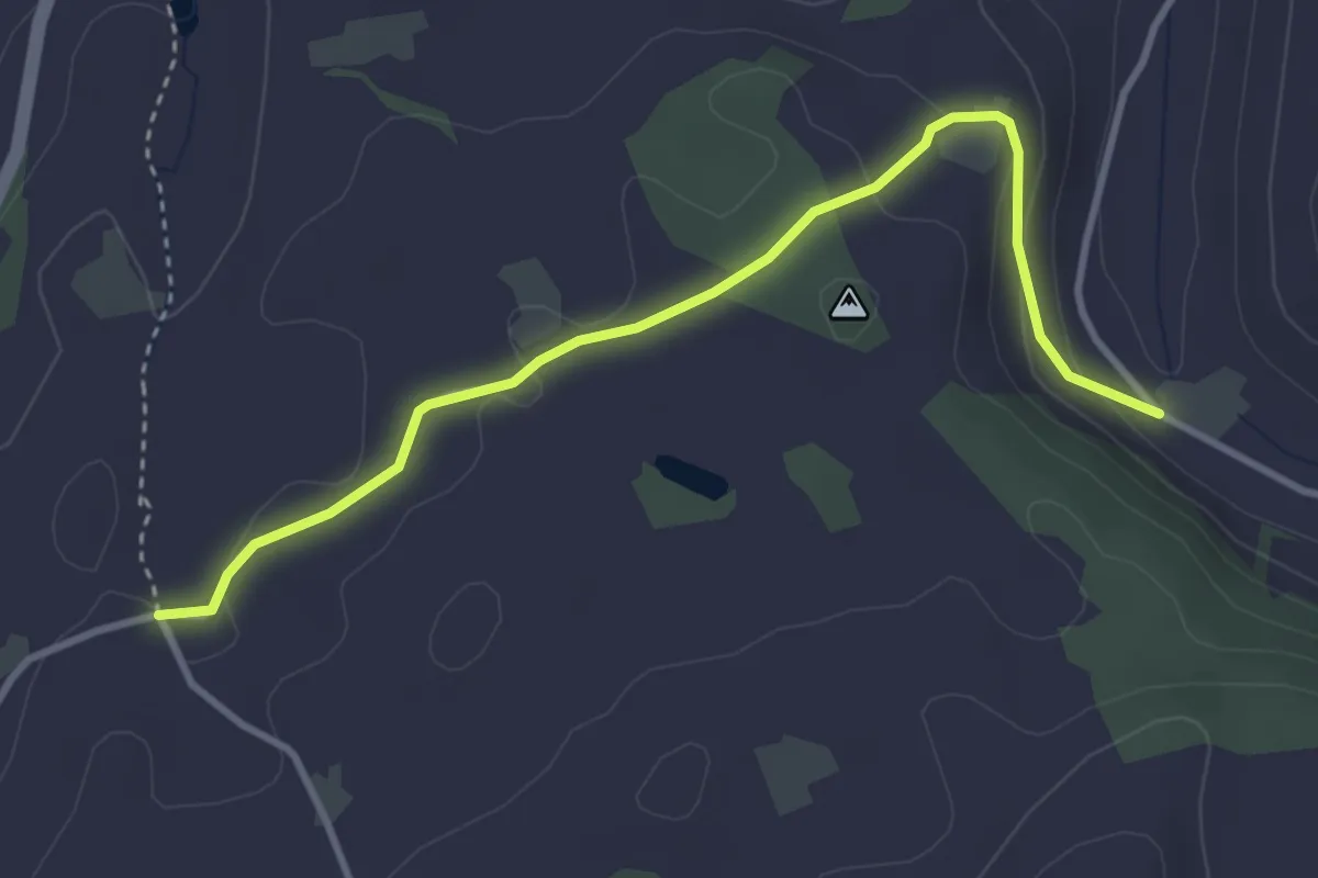
Easy · Trail
Lüthärtigen - Erlenbach
3.7 km · ↑ 97 m · 1 h 5 min
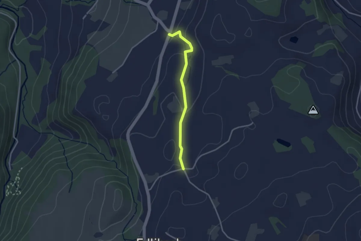
Easy · Trail
Lüthärtigen - Hinterburg-Müll
2.3 km · ↑ 62 m · 40 min
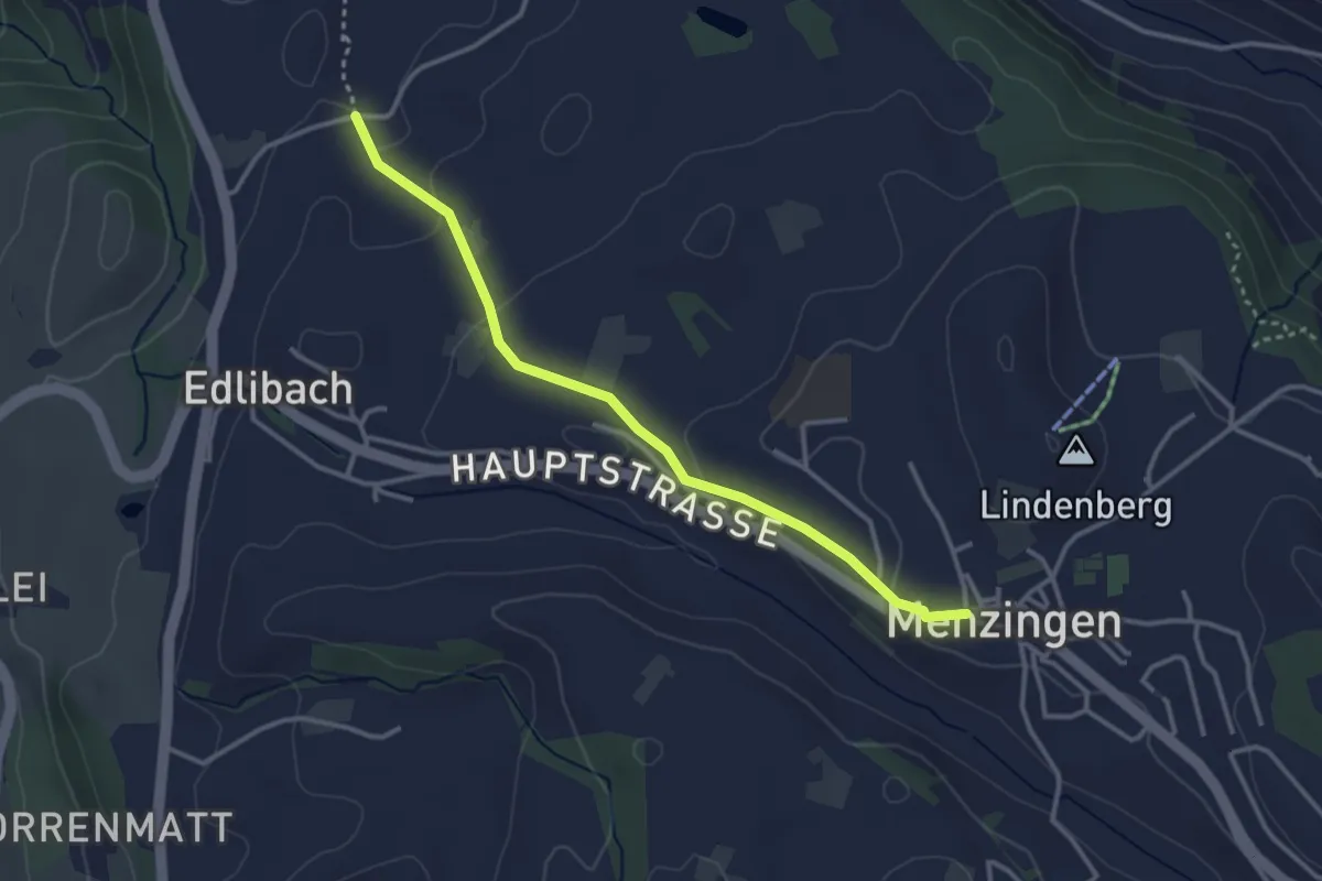
Easy · Trail
Lüthärtigen - Menzingen
3.2 km · ↑ 83 m · 57 min
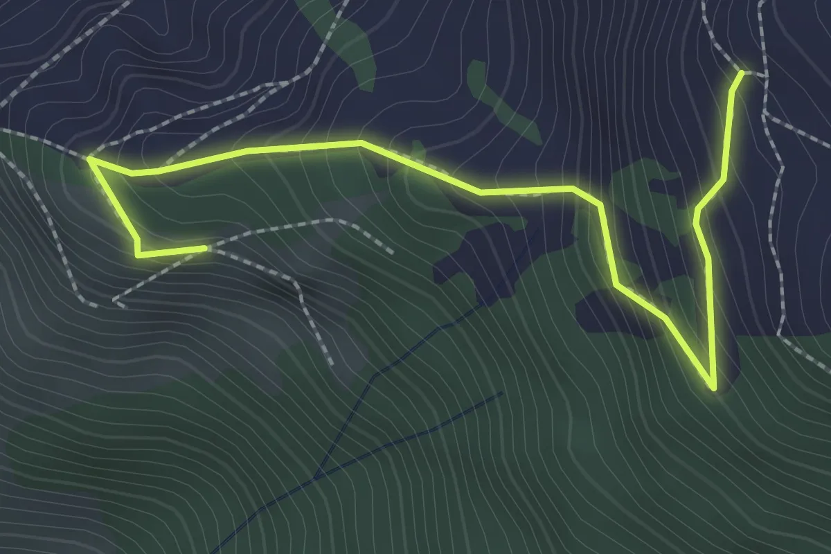
Medium · Trail
Luthensak - Gigi
2.8 km · ↑ 300 m · 1 h 18 min
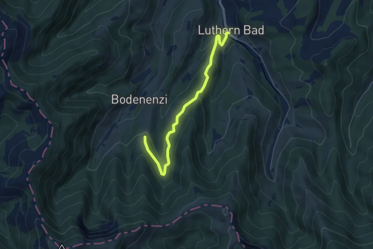
Easy · Trail
Luthernbad - Änzegg
4.9 km · ↑ 203 m · 1 h 36 min
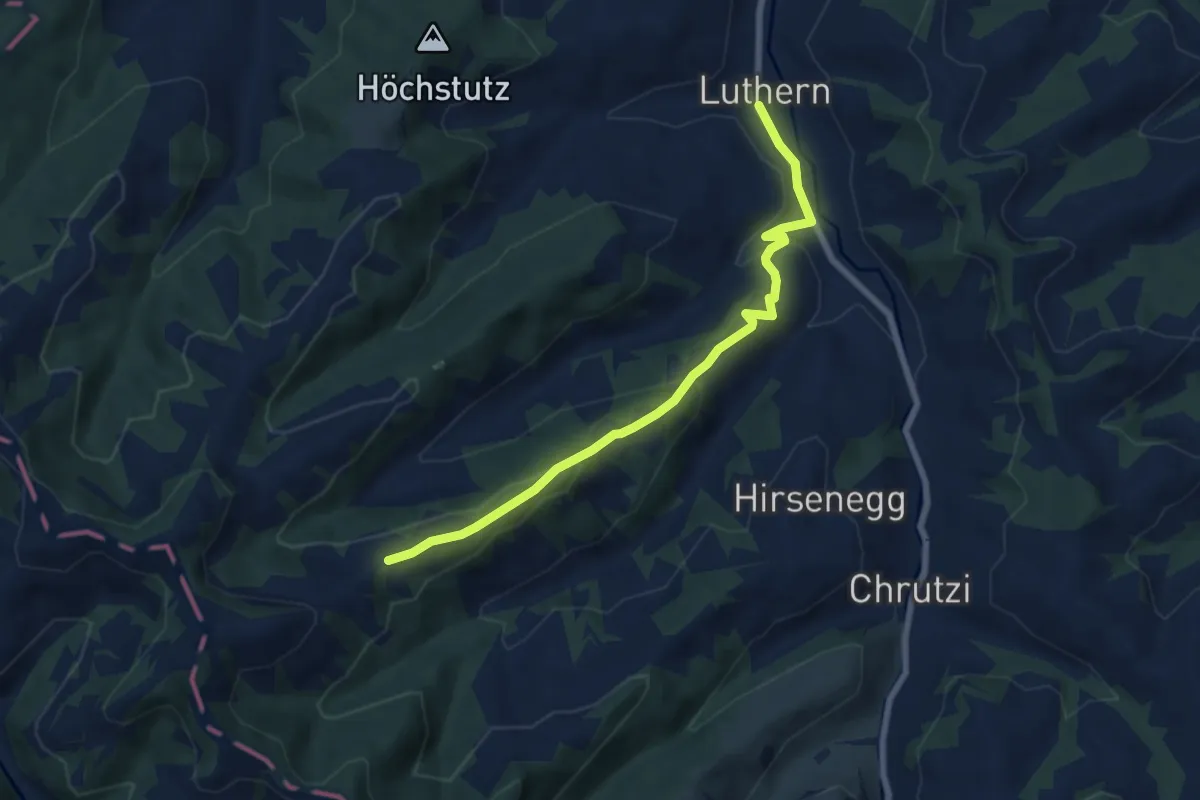
Easy · Trail
Luthern - Birbaum
6.9 km · ↑ 277 m · 2 h 14 min
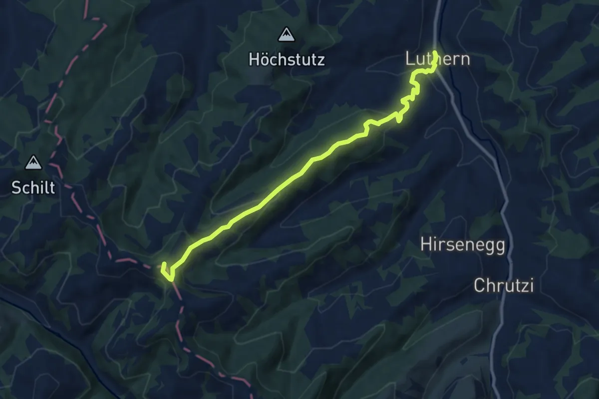
Medium · Summit
Luthern - Nesslisboden - Ahorn
8.7 km · ↑ 420 m · 2 h 57 min
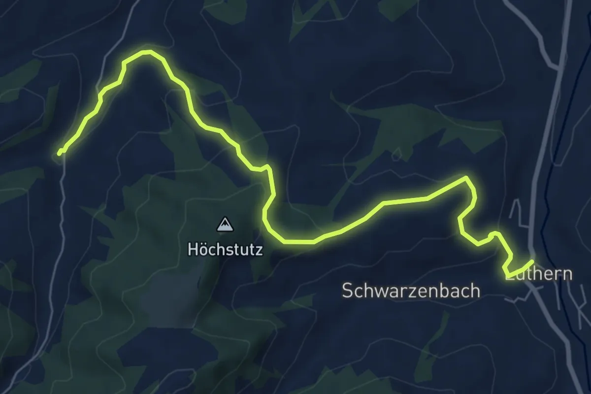
Medium · Trail
Luthern - Under Schluck
7.6 km · ↑ 361 m · 2 h 34 min
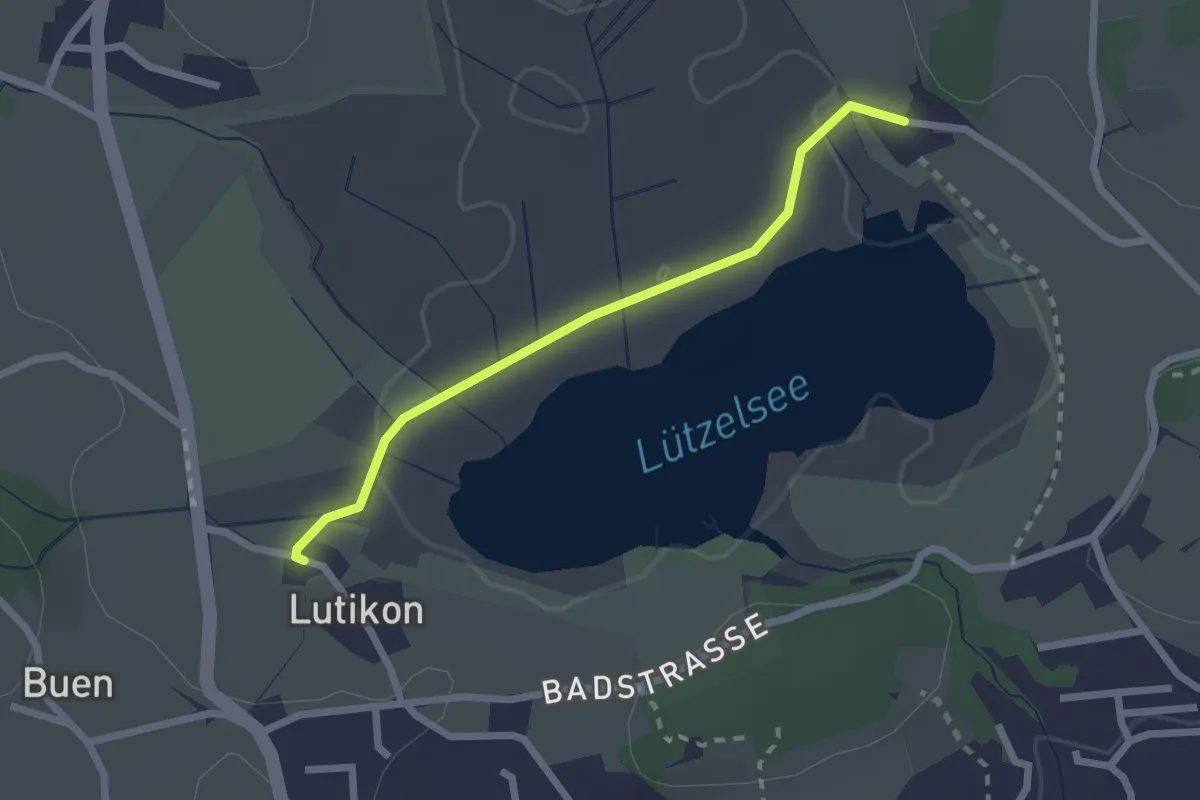
Easy · Trail
Lutikon - Hasel
2.1 km · ↑ 14 m · 31 min
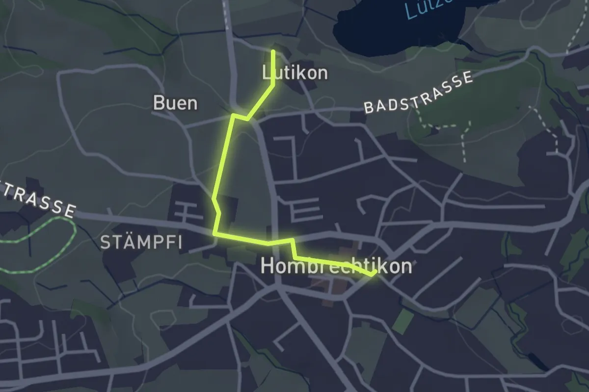
Easy · Trail
Lutikon - Hombrechtikon Post
2.4 km · ↑ 32 m · 38 min
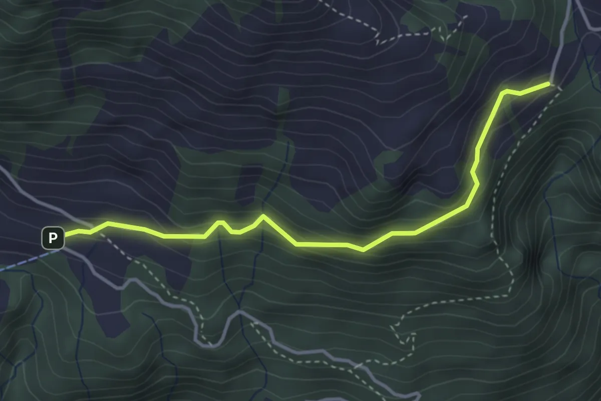
Easy · Trail
Lütoldsmatt - Deneten
3.5 km · ↑ 275 m · 1 h 25 min
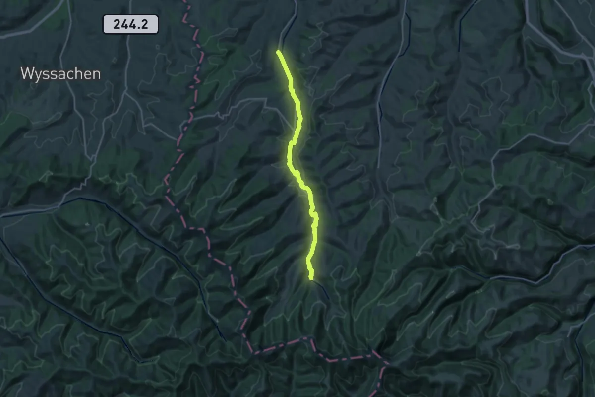
Medium · Trail
LUTRUN
16.0 km · ↑ 245 m · 4 h 19 min
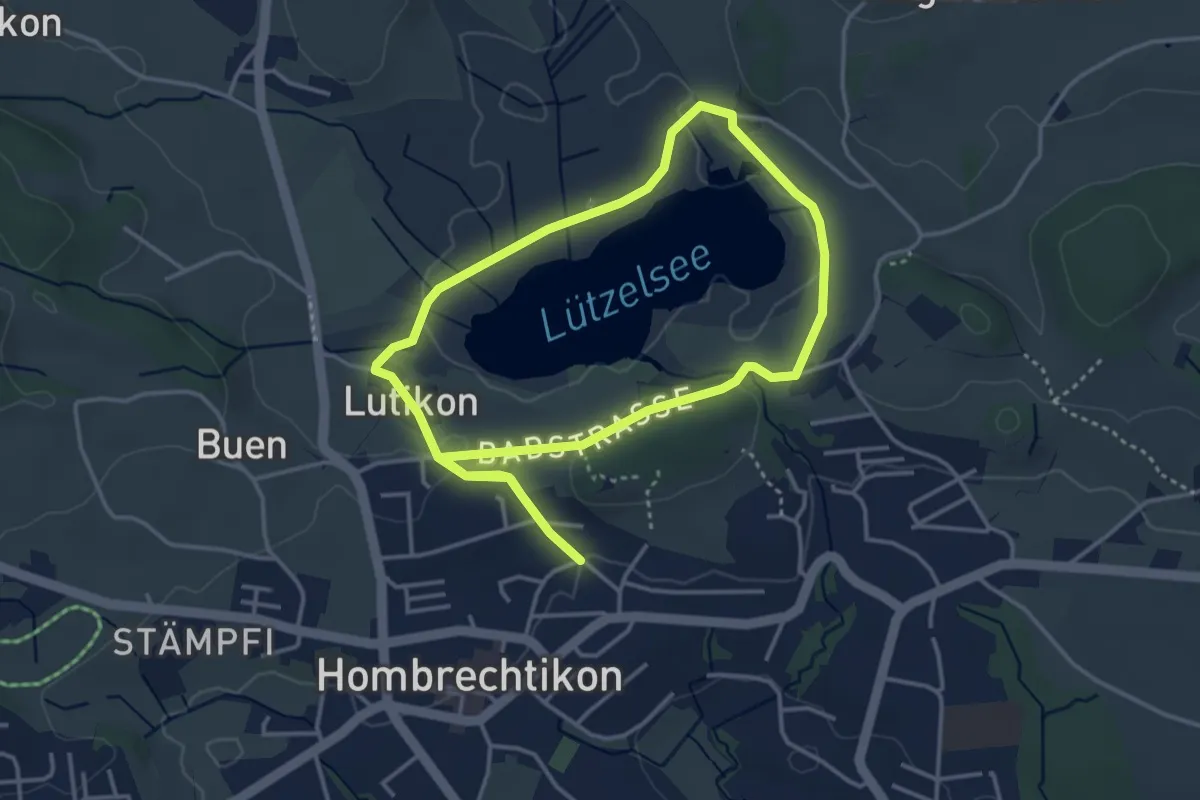
Easy · Trail
Lützelsee Rundweg
3.5 km · ↑ 45 m · 59 min
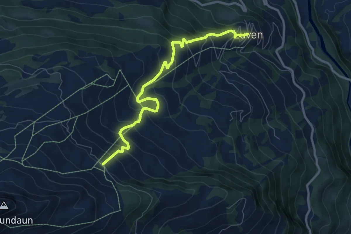
Medium · Trail
Luven Bündner Rigi
7.6 km · ↑ 628 m · 3 h 9 min
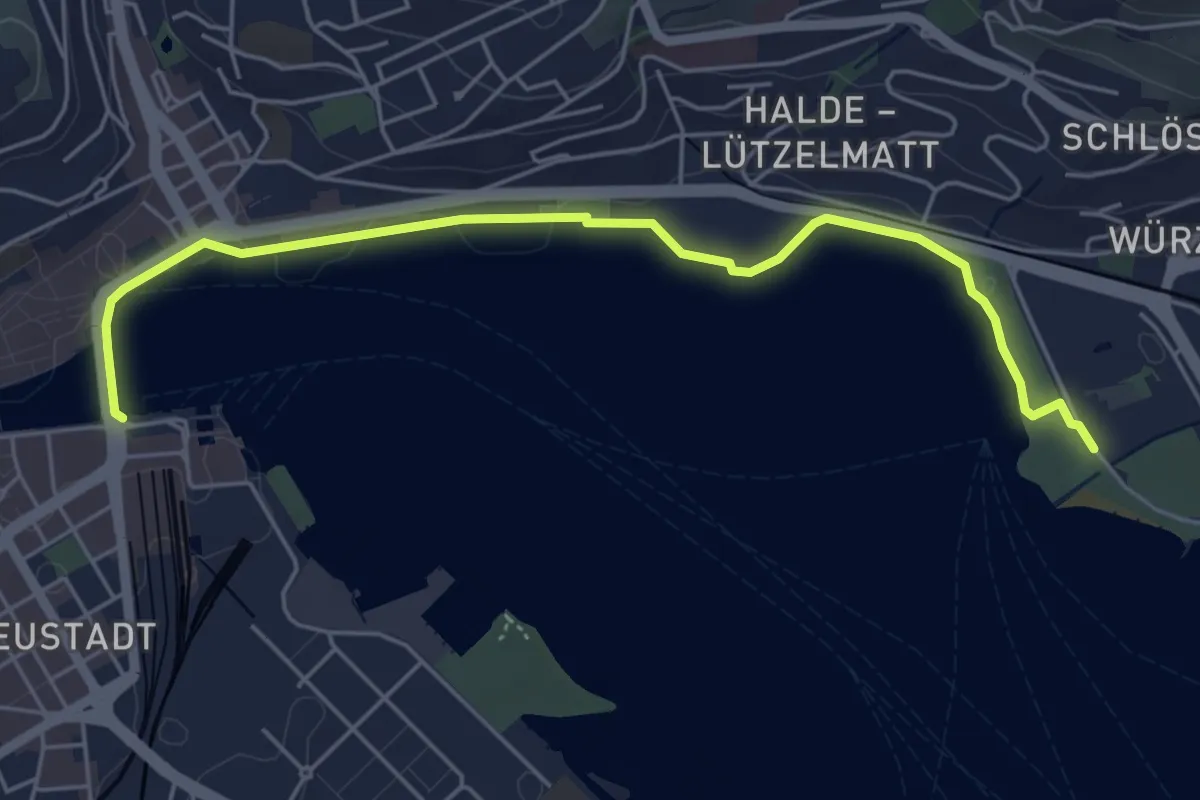
Easy · Trail
Luzern - Lido
5.6 km · ↑ 27 m · 1 h 23 min
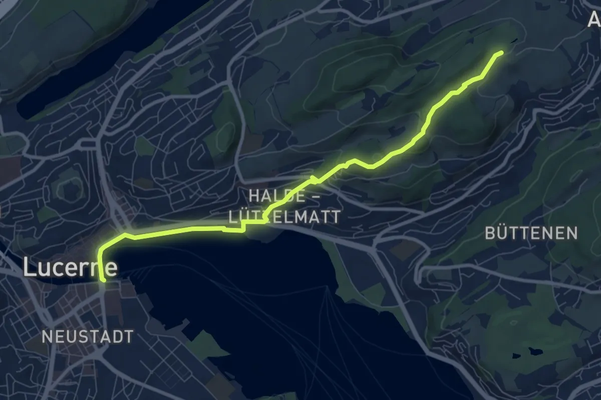
Medium · Trail
Luzern - Talacheri
8.9 km · ↑ 238 m · 2 h 37 min
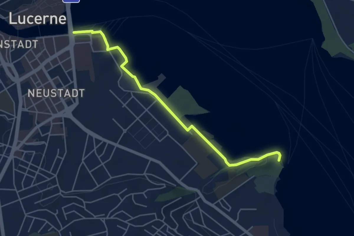
Easy · Trail
Luzern - Tribschen
4.6 km · ↑ 29 m · 1 h 8 min
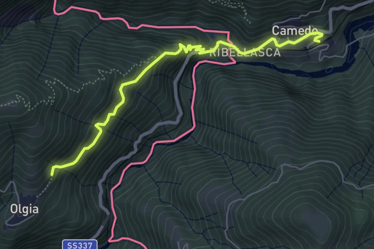
Medium · Trail
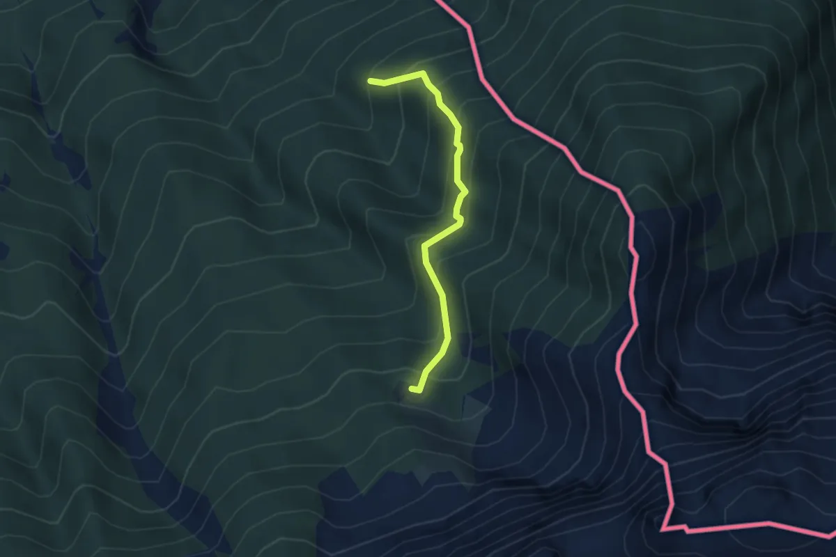
M00 - Via del Mercato da Re a Camedo (seconda sezione)
5.7 km · ↑ 502 m · 2 h 26 min
Medium · Trail
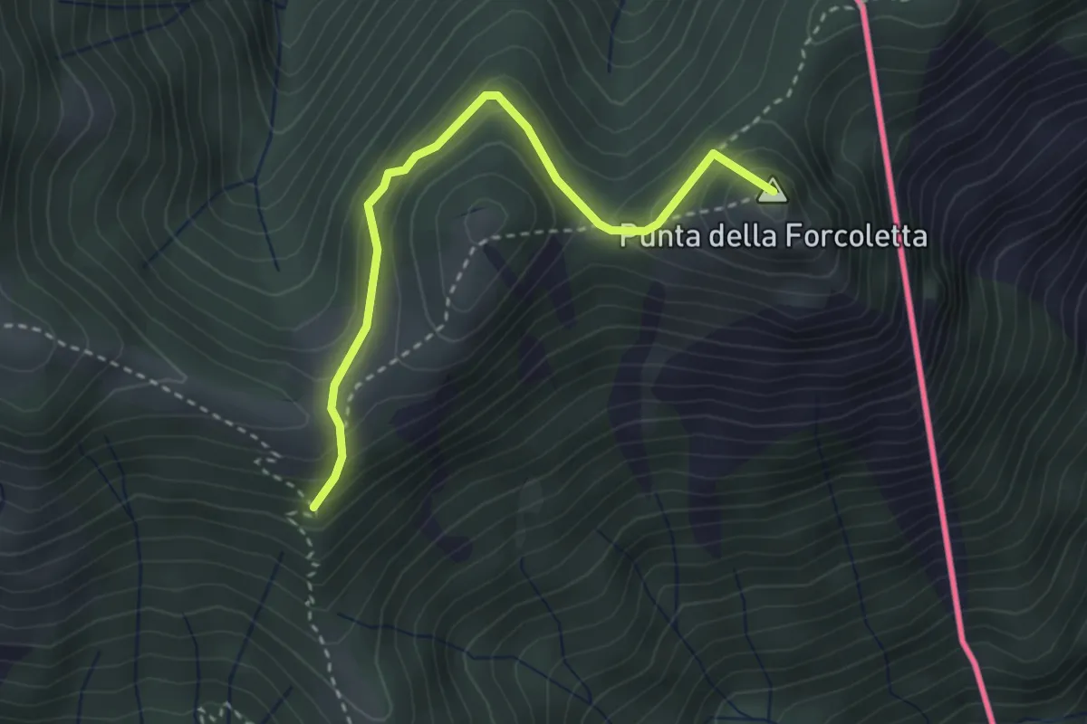
M22b - Sassone - Alpe l'Alpino
3.2 km · ↑ 341 m · 1 h 29 min
Medium · Summit
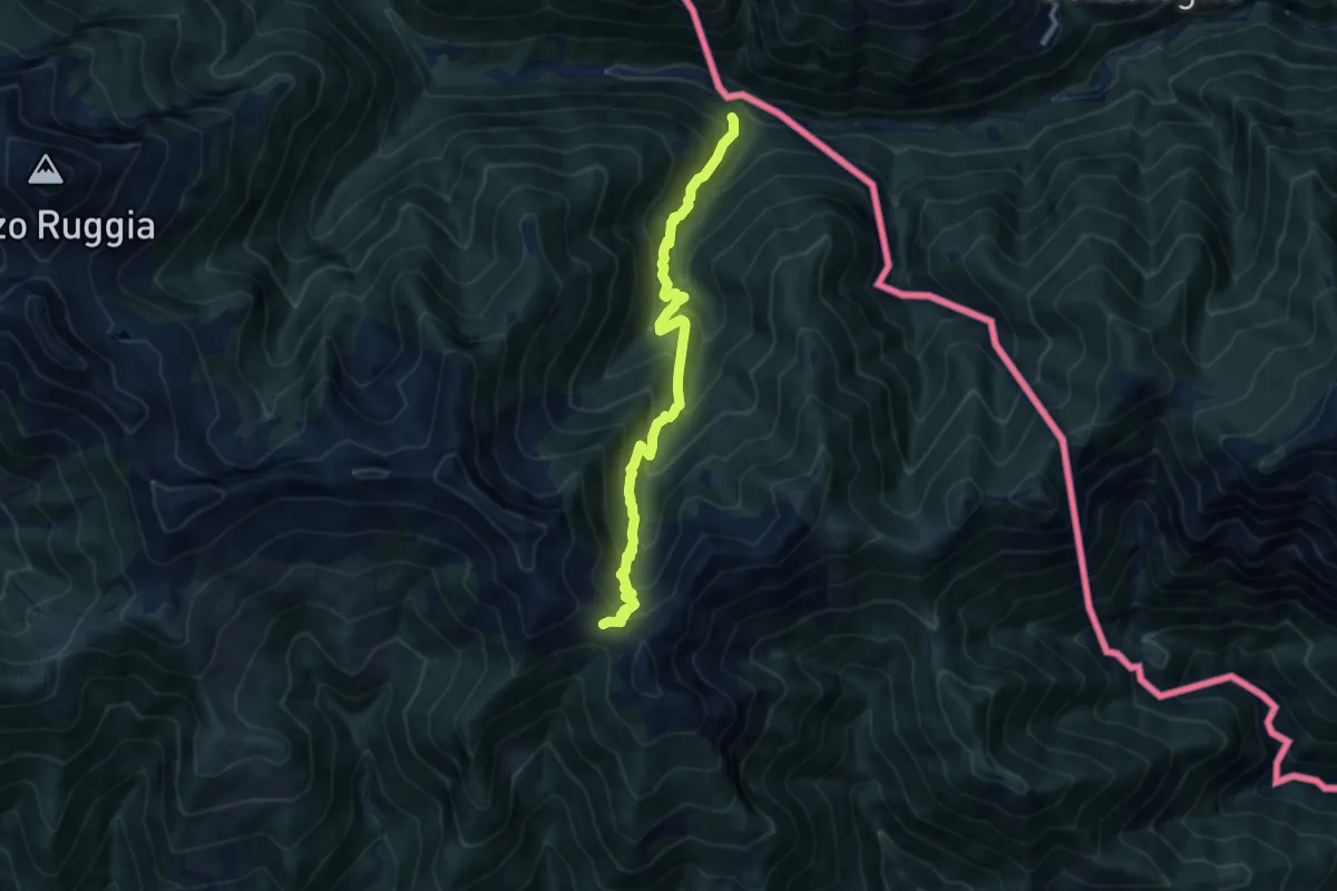
M41a - Alpe Cortaccio - Confine Svizzero
3.1 km · ↑ 201 m · 1 h 10 min
Demanding · Trail
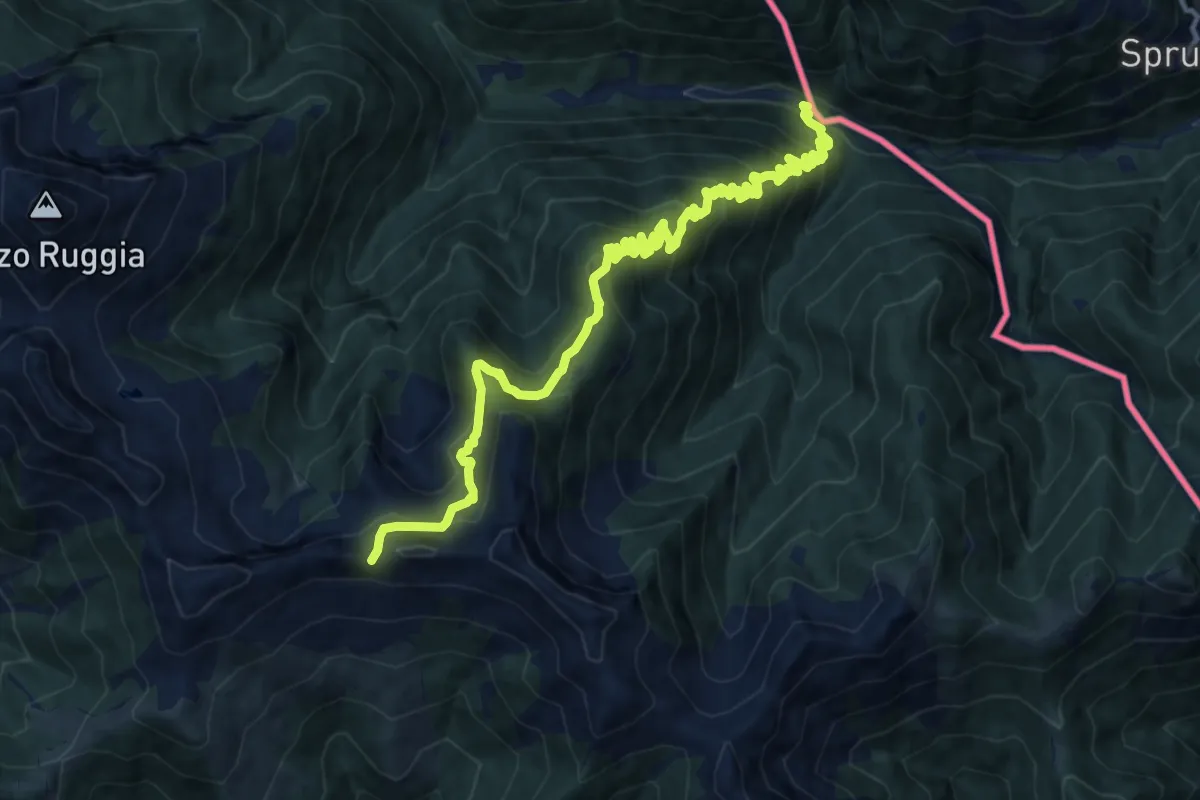
M43 - Bagni di Craveggia - Bocchetta di S. Antonio
9.5 km · ↑ 902 m · 4 h 12 min
Demanding · Trail
M45 - Bagni di Craveggia - Bocchetta della Cima
15.2 km · ↑ 1179 m · 6 h 9 min
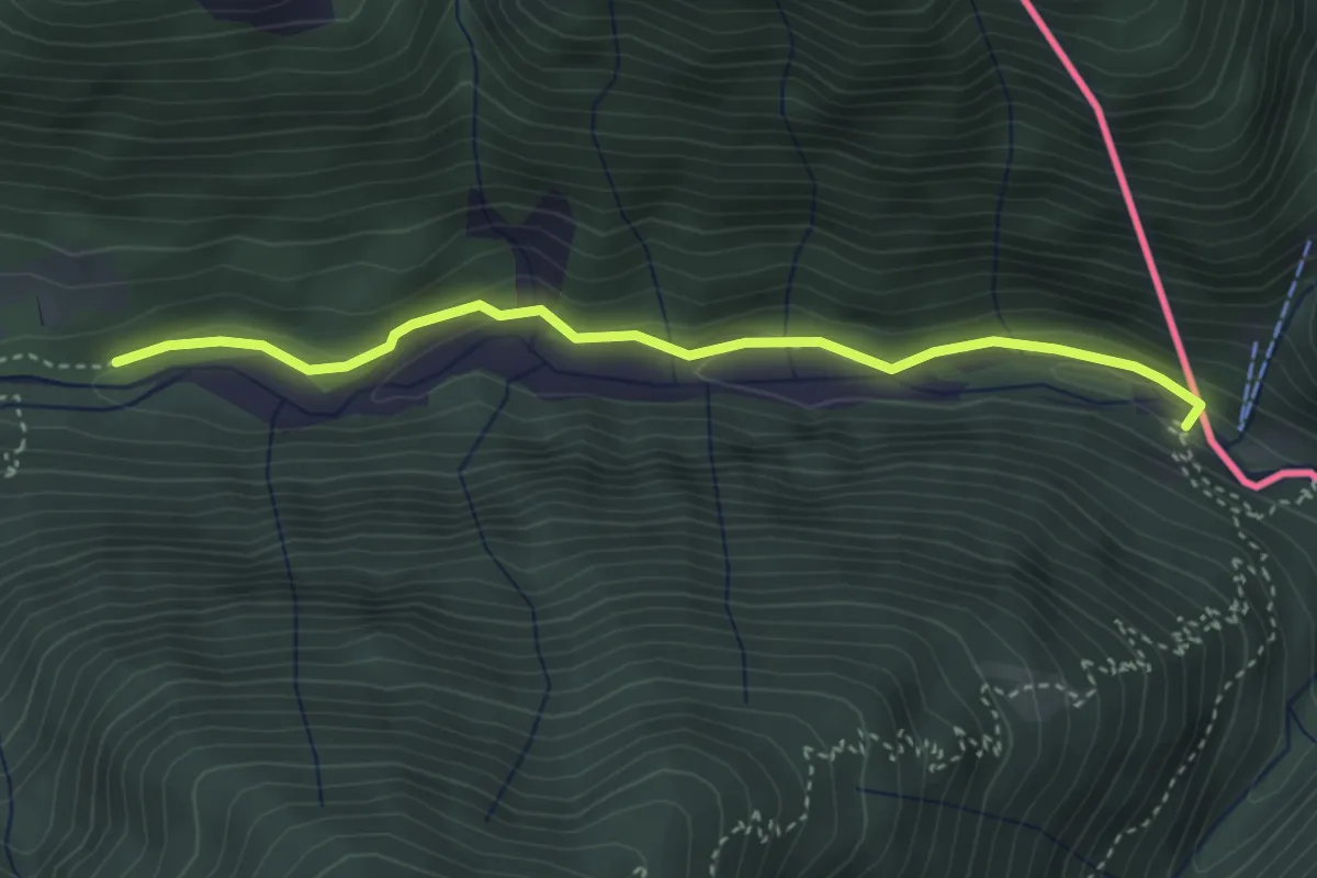
Medium · Trail
M51- Bagni di Craveggia - Bocchetta del Ragozzo
3.6 km · ↑ 84 m · 1 h 2 min
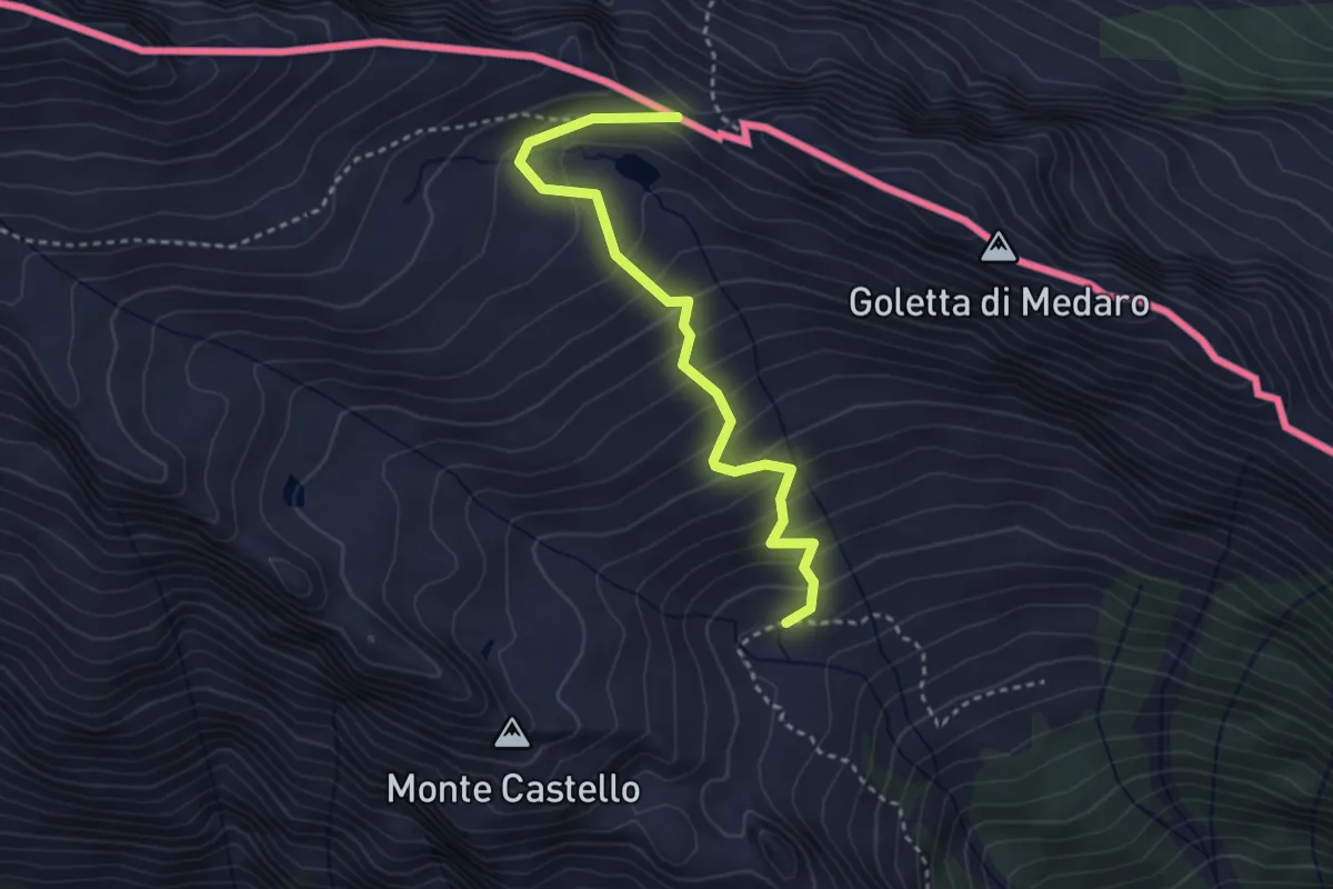
Demanding · Trail
M53 - Fondo Isorno - B.ta di Medaro
3.3 km · ↑ 317 m · 1 h 28 min
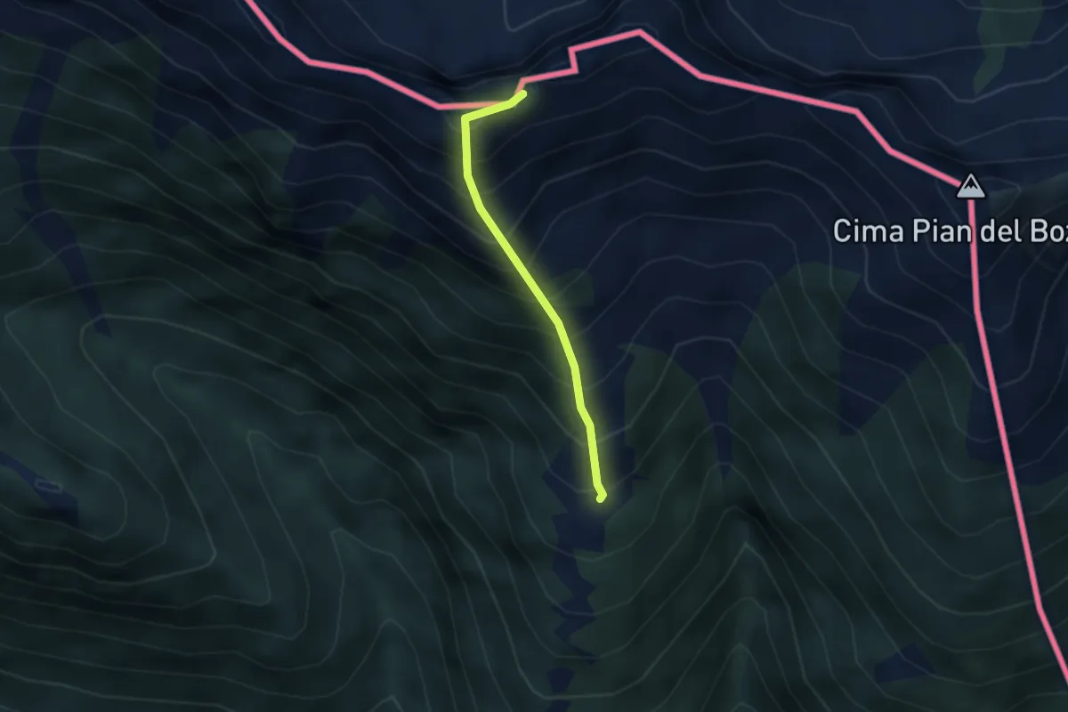
Expert · Trail
M55 - Fondo Monfracchio - Cima di Fracchia
2.4 km · ↑ 461 m · 1 h 34 min
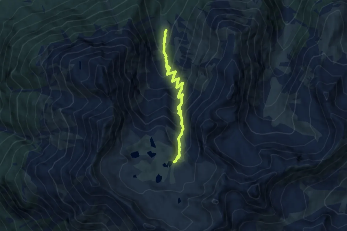
Medium · Trail
Macun-Alp Zeznina Dadaint
7.7 km · ↑ 684 m · 3 h 18 min