Trails in Switzerland
15,029 hiking trails, each with its route, climb, walking time and grade.
All trails, page 66 of 314
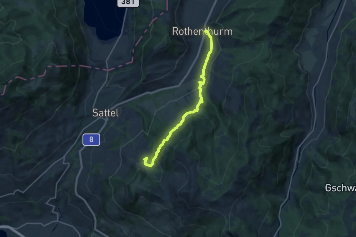
Medium · Trail
Mäderenweg
12.6 km · ↑ 514 m · 4 h 6 min
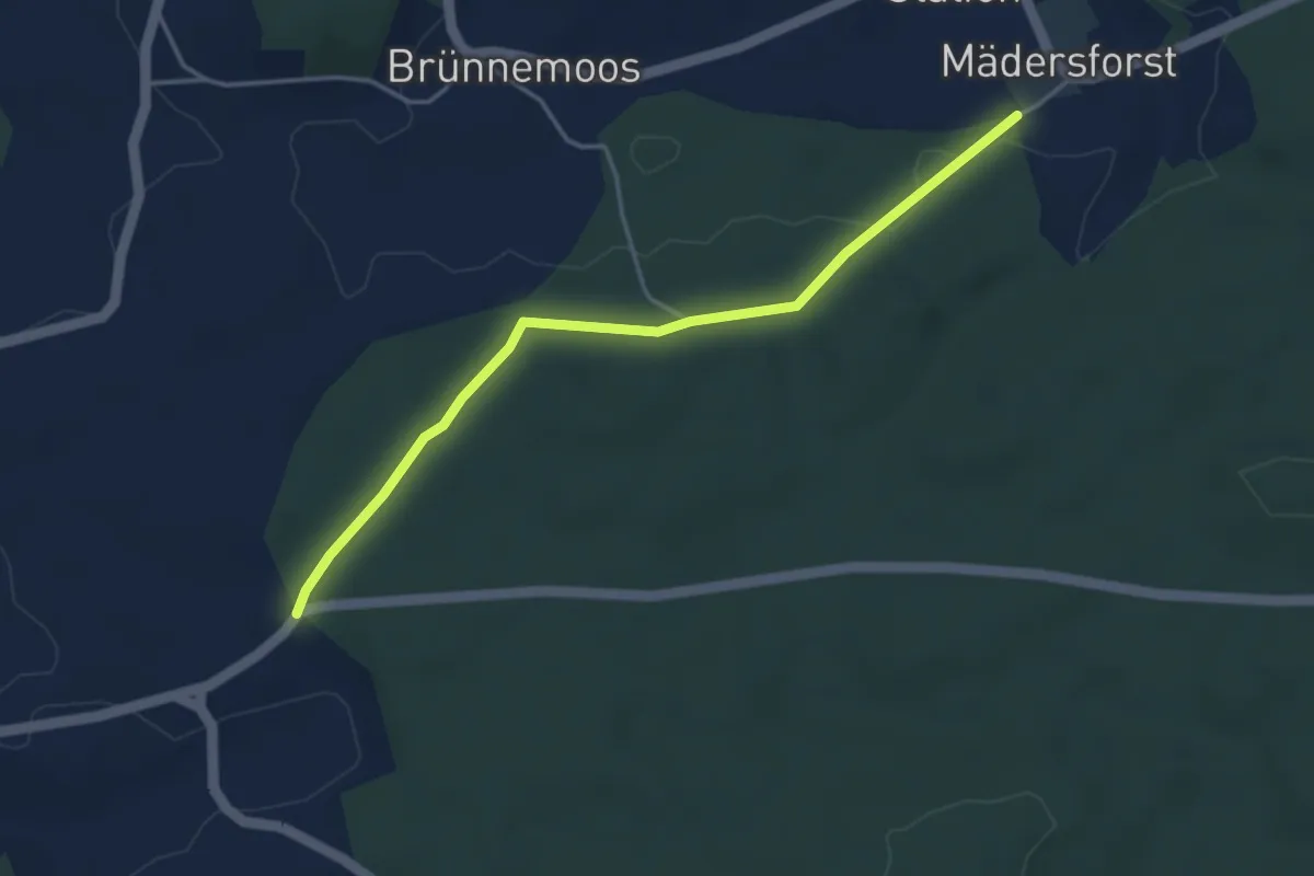
Easy · Trail
Mädersforst-Ischlag - Süri
4.0 km · ↑ 49 m · 1 h 3 min
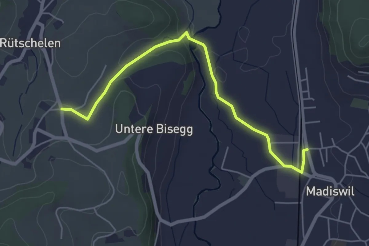
Easy · Trail
Madiswil-Spiegelberg
4.7 km · ↑ 72 m · 1 h 16 min
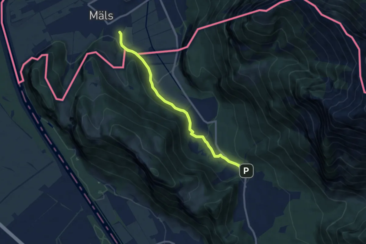
Easy · Trail
Maels - St. Luzisteig (CH)
7.3 km · ↑ 216 m · 2 h 11 min
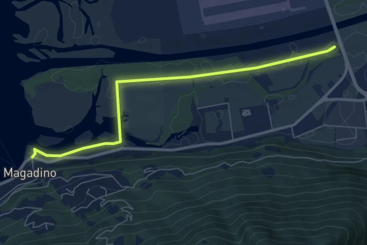
Easy · Trail
Magadino - Ponte Fiume Ticino Quartino
6.3 km · ↑ 4 m · 1 h 30 min
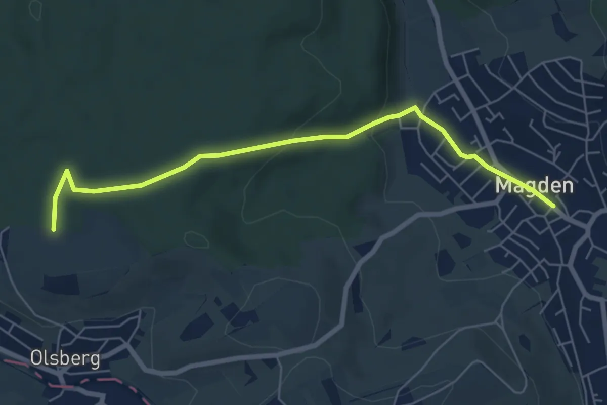
Easy · Trail
Magden-Weid
5.5 km · ↑ 124 m · 1 h 34 min
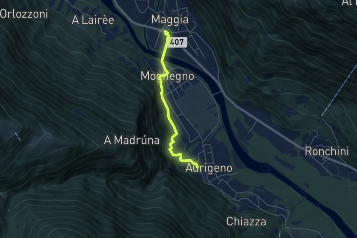
Easy · Trail
Maggia - Aurigeno
4.1 km · ↑ 176 m · 1 h 21 min
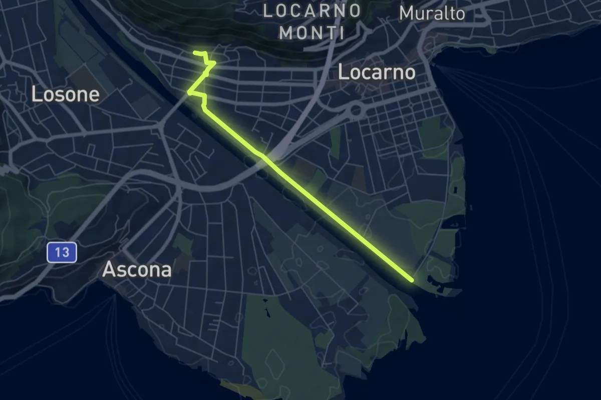
Easy · Trail
Maggia Delta Solduno
5.9 km · ↑ 42 m · 1 h 29 min
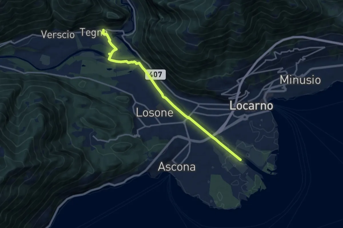
Medium · Trail
Maggia Delta Tegna
11.2 km · ↑ 78 m · 2 h 48 min
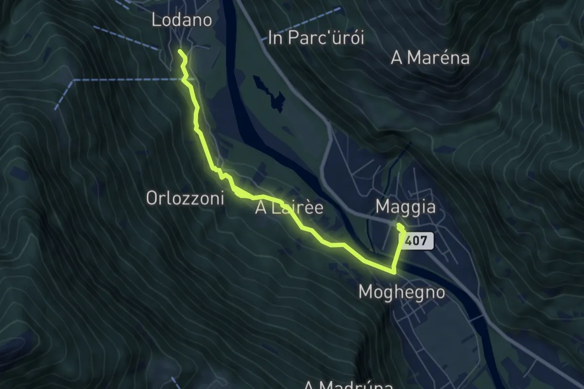
Easy · Trail
Maggia - Lodano
7.0 km · ↑ 195 m · 2 h 5 min
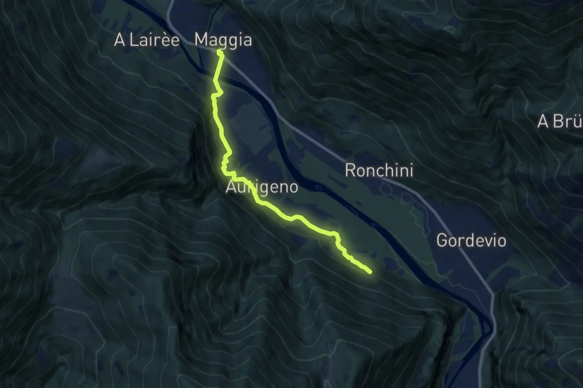
Easy · Trail
Maggia - Terra di Fuori
7.9 km · ↑ 276 m · 2 h 27 min
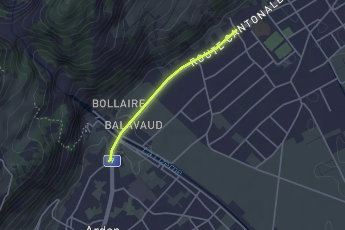
Easy · Trail
Magnot - fixme
2.2 km · ↑ 14 m · 33 min
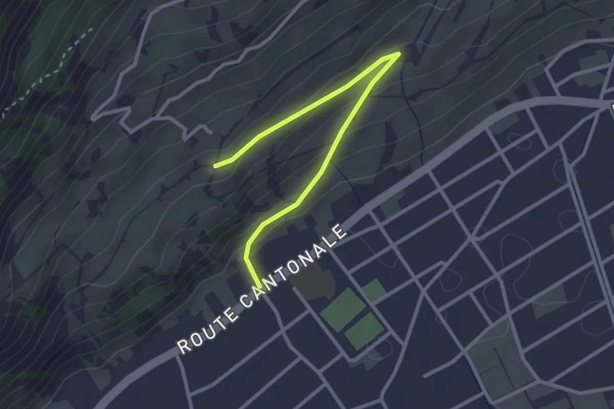
Easy · Trail
Magnot - fixme
2.7 km · ↑ 127 m · 55 min
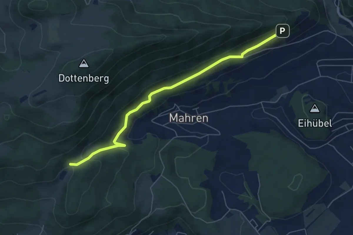
Medium · Trail
Mahrenacker - Schloss Wartenfels
5.8 km · ↑ 263 m · 1 h 57 min
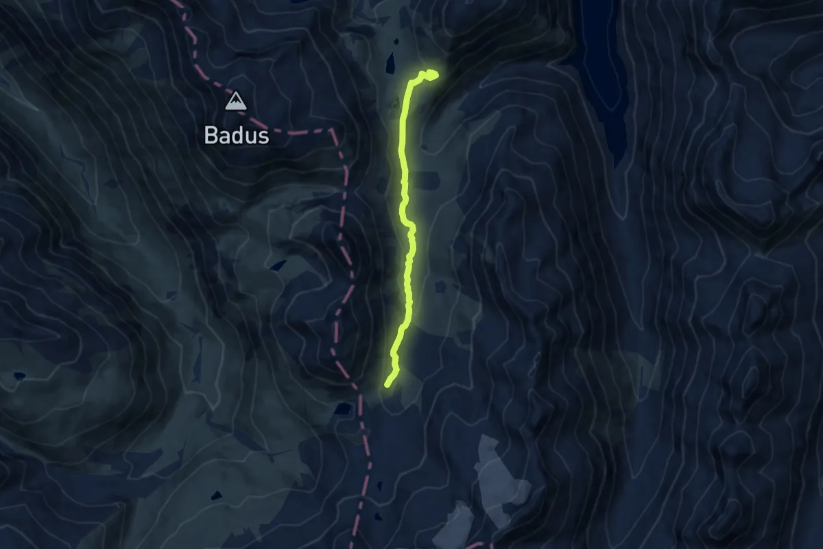
Expert · Cabin
Maighelspass - Cabana da Maighels CAS
7.6 km · ↑ 242 m · 2 h 19 min
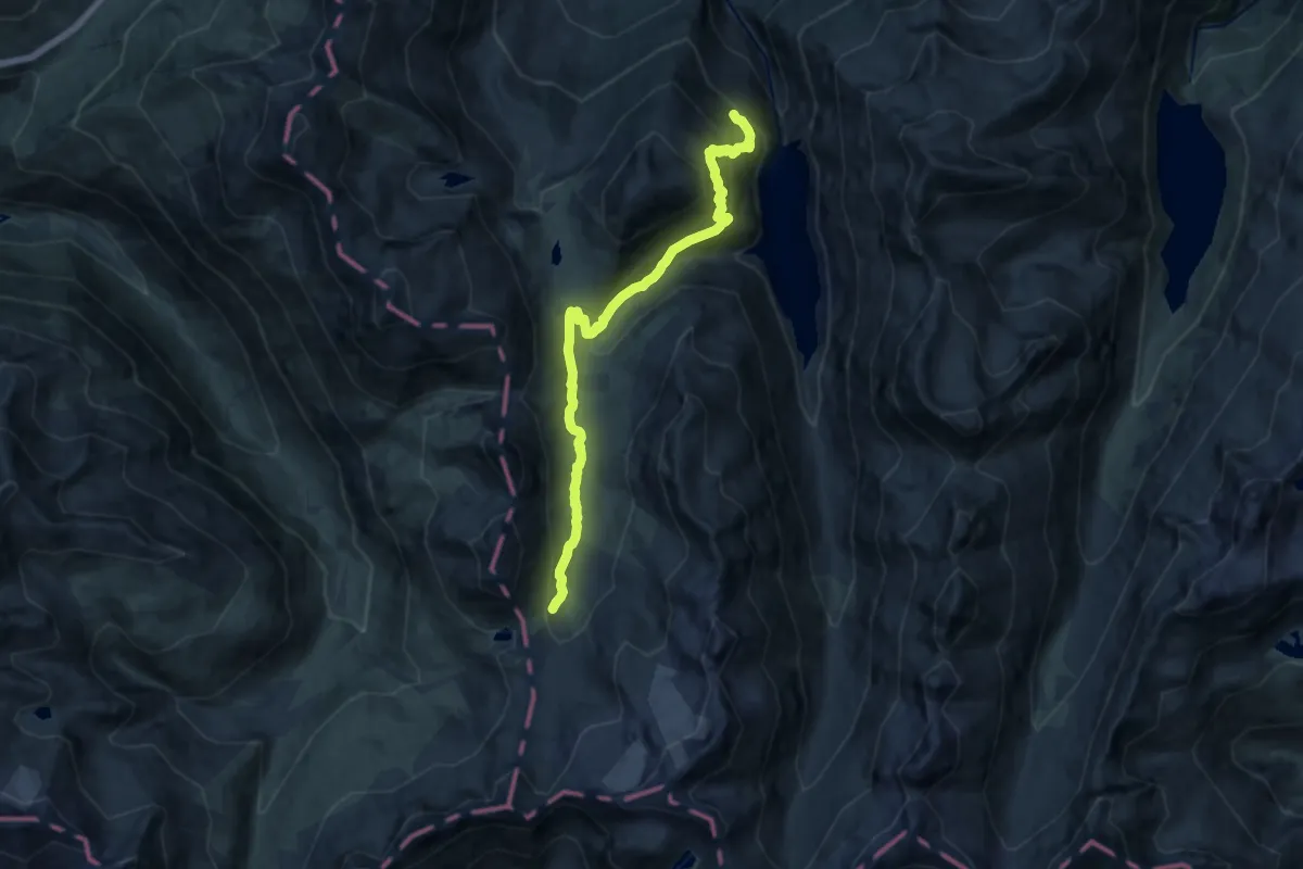
Expert · Trail
Maighelspass - fixme
13.9 km · ↑ 944 m · 5 h 19 min
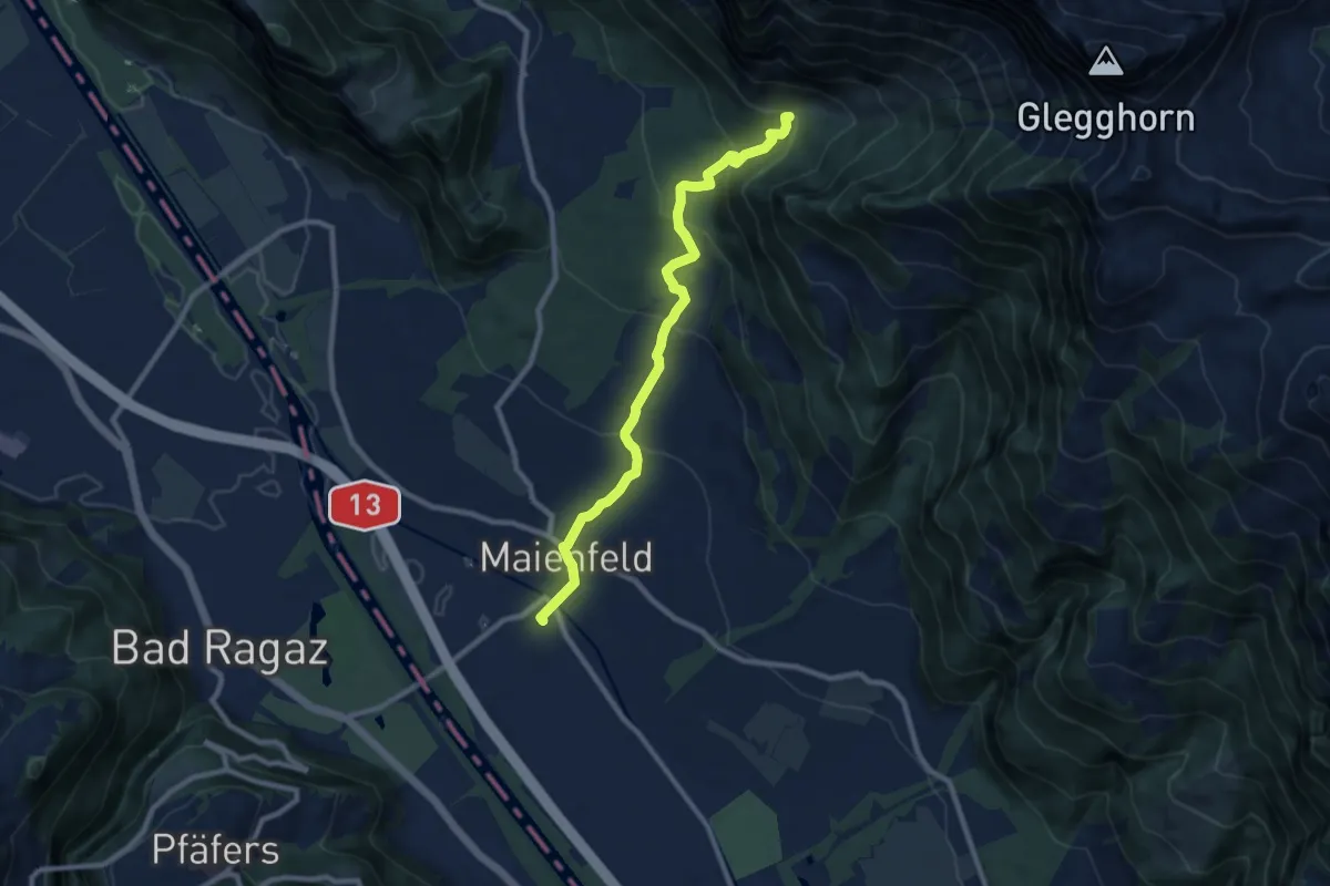
Medium · Trail
Mainefeld Enderlinhütte
9.0 km · ↑ 484 m · 3 h 11 min
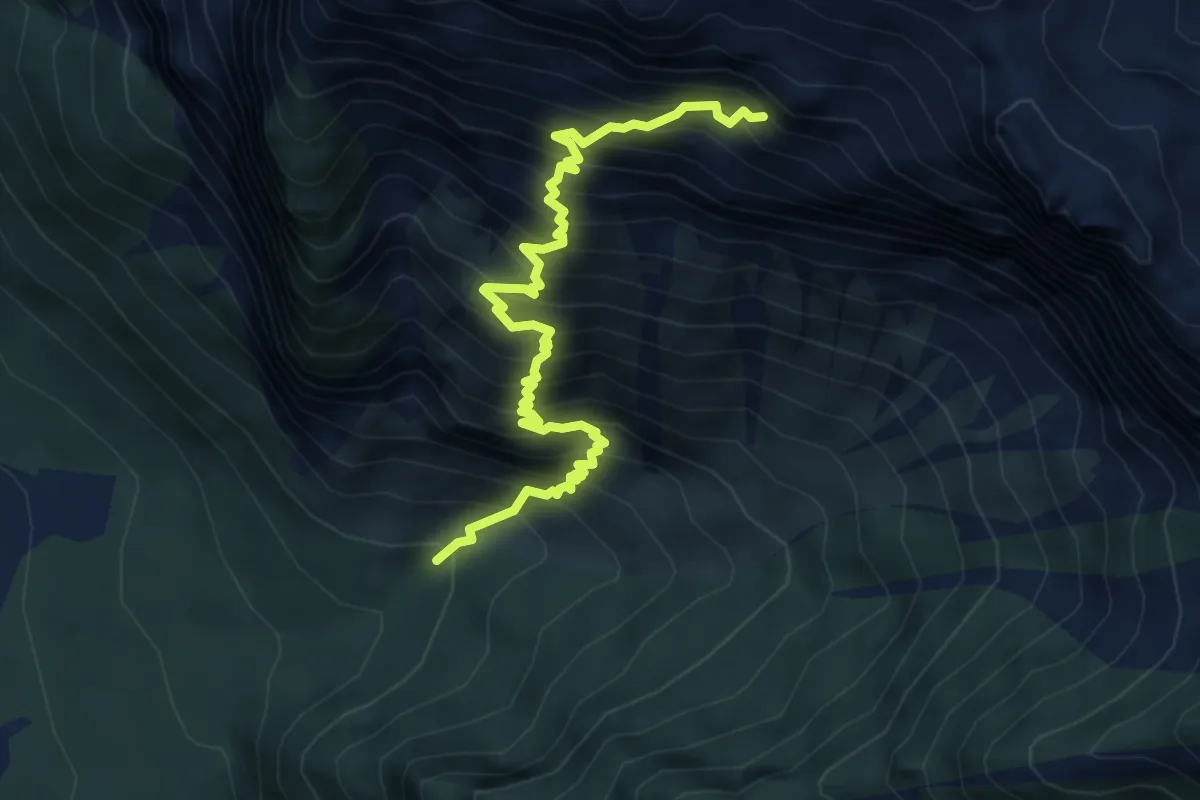
Expert · Summit
Mainefeld Enderlinhütte
5.6 km · ↑ 1062 m · 3 h 38 min
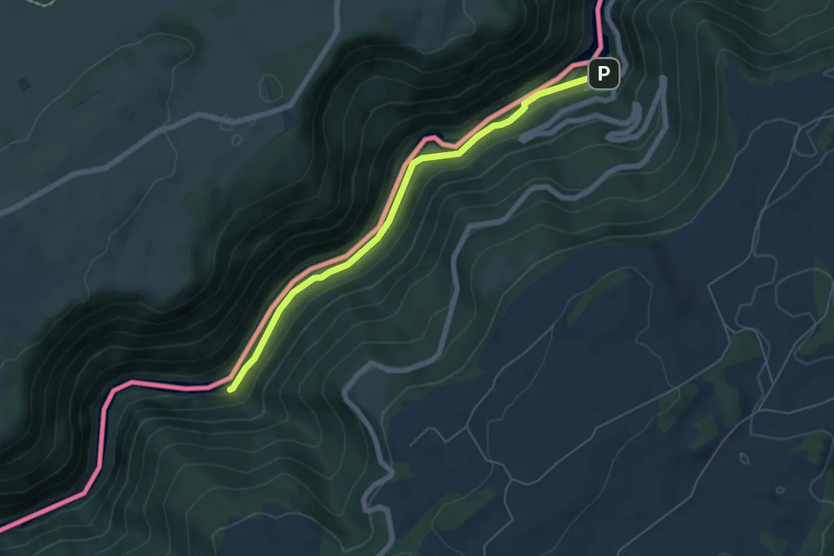
Easy · Trail
Maison Monsieur - Chez Bonaparte
5.2 km · ↑ 82 m · 1 h 24 min
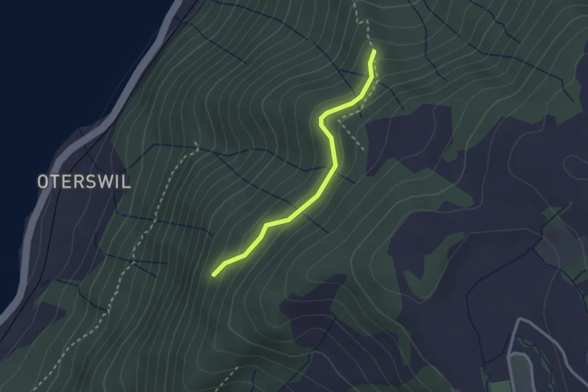
Easy · Trail
Maitlischritt Hütte - Winterstein - fixme
2.1 km · ↑ 161 m · 51 min
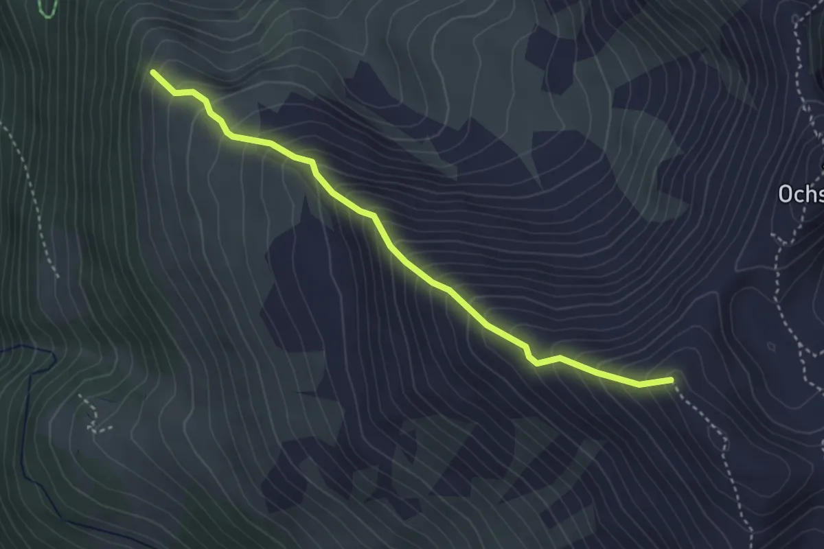
Medium · Trail
Mälachji - Wyssgrat
3.7 km · ↑ 504 m · 1 h 57 min
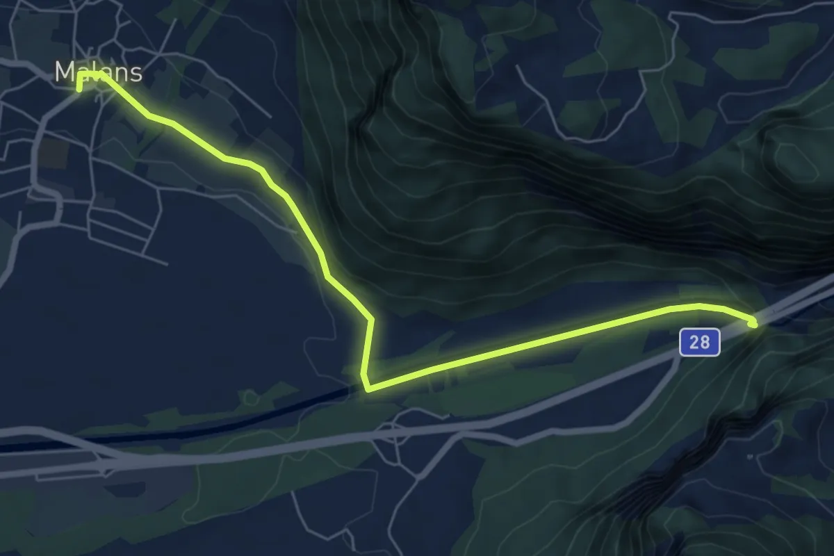
Easy · Trail
Malans - Felsenbach
6.8 km · ↑ 124 m · 1 h 52 min
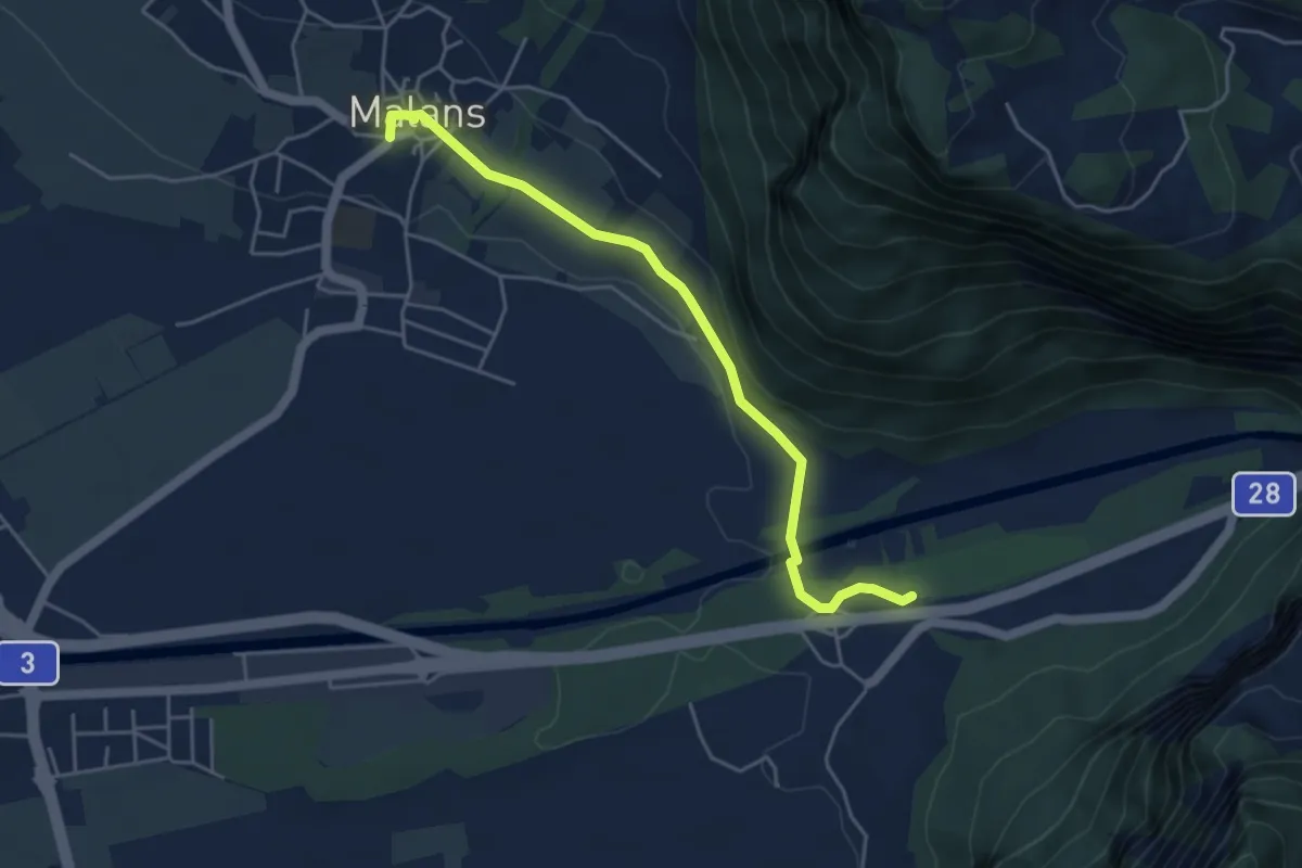
Easy · Trail
Malans - Ganda
4.6 km · ↑ 49 m · 1 h 12 min
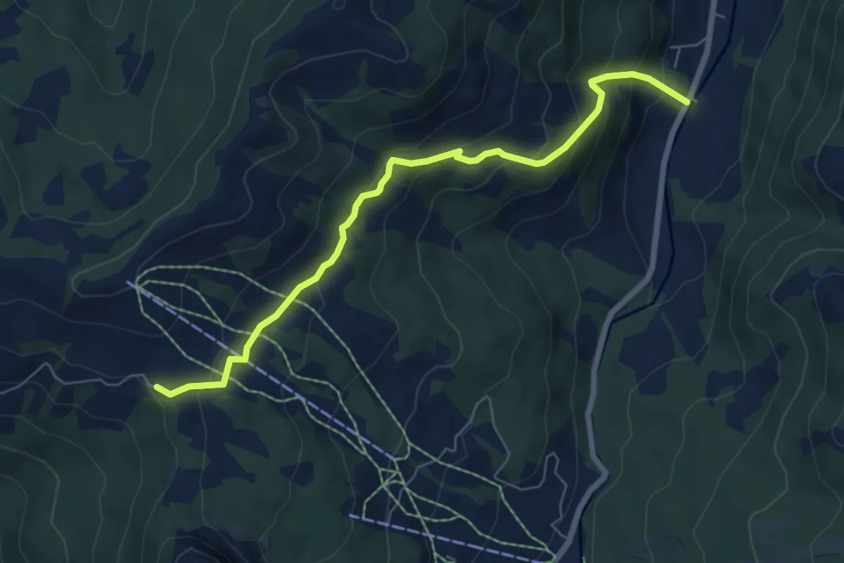
Medium · Trail
Malosen - Hagenegg
6.3 km · ↑ 466 m · 2 h 30 min
Easy · Trail
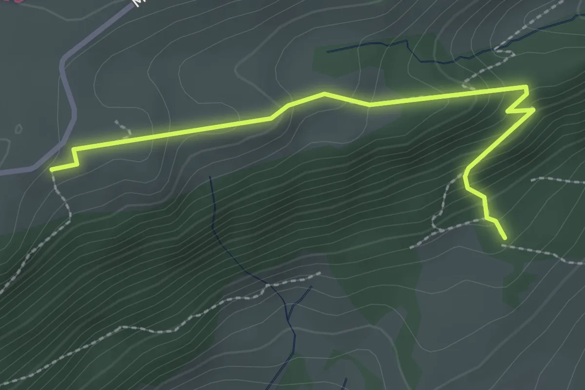
Malsenberg - Harzerstrasse
2.5 km · ↑ 205 m · 1 h 3 min
Easy · Trail
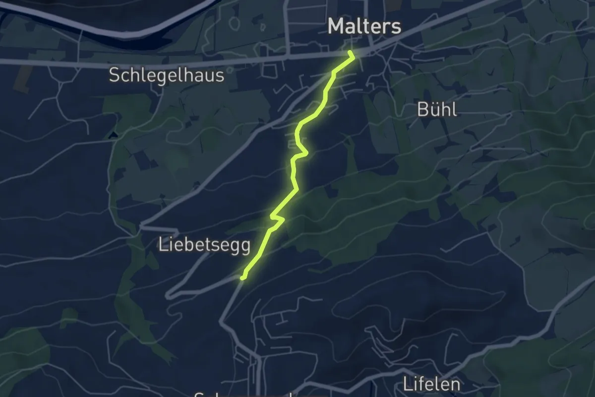
Malters - Boden
4.2 km · ↑ 259 m · 1 h 33 min
Medium · Trail
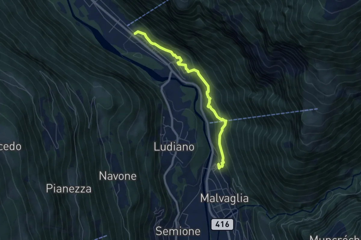
Malvaglia - Marogno
5.9 km · ↑ 346 m · 2 h 9 min
Medium · Trail
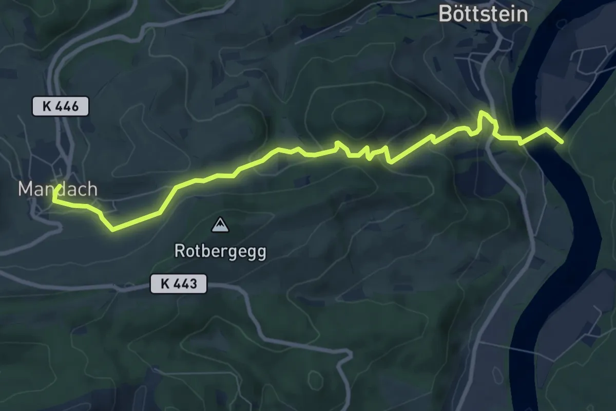
Mandach - Beznau Steg
8.5 km · ↑ 378 m · 2 h 49 min
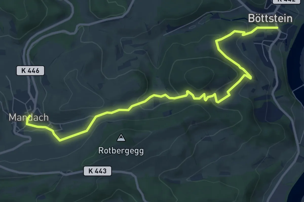
Medium · Trail
Mandach - Böttstein
9.3 km · ↑ 367 m · 3 h
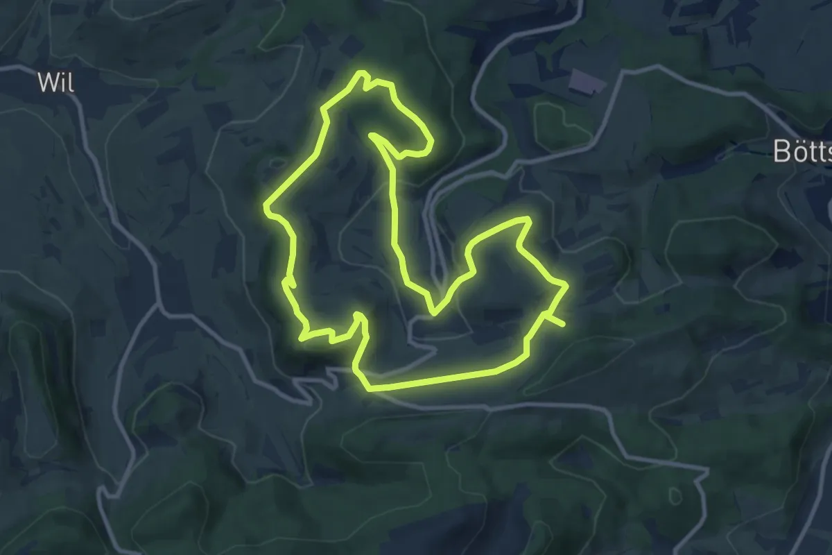
Medium · Trail
Mandacher Bänklirundweg
9.6 km · ↑ 209 m · 2 h 51 min
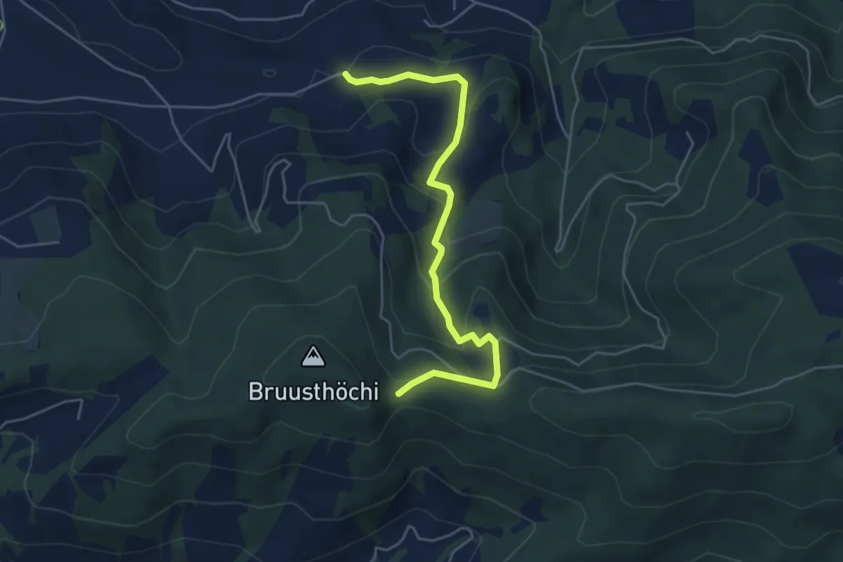
Easy · Trail
Mangelhöhe - Usser Black
4.9 km · ↑ 294 m · 1 h 48 min
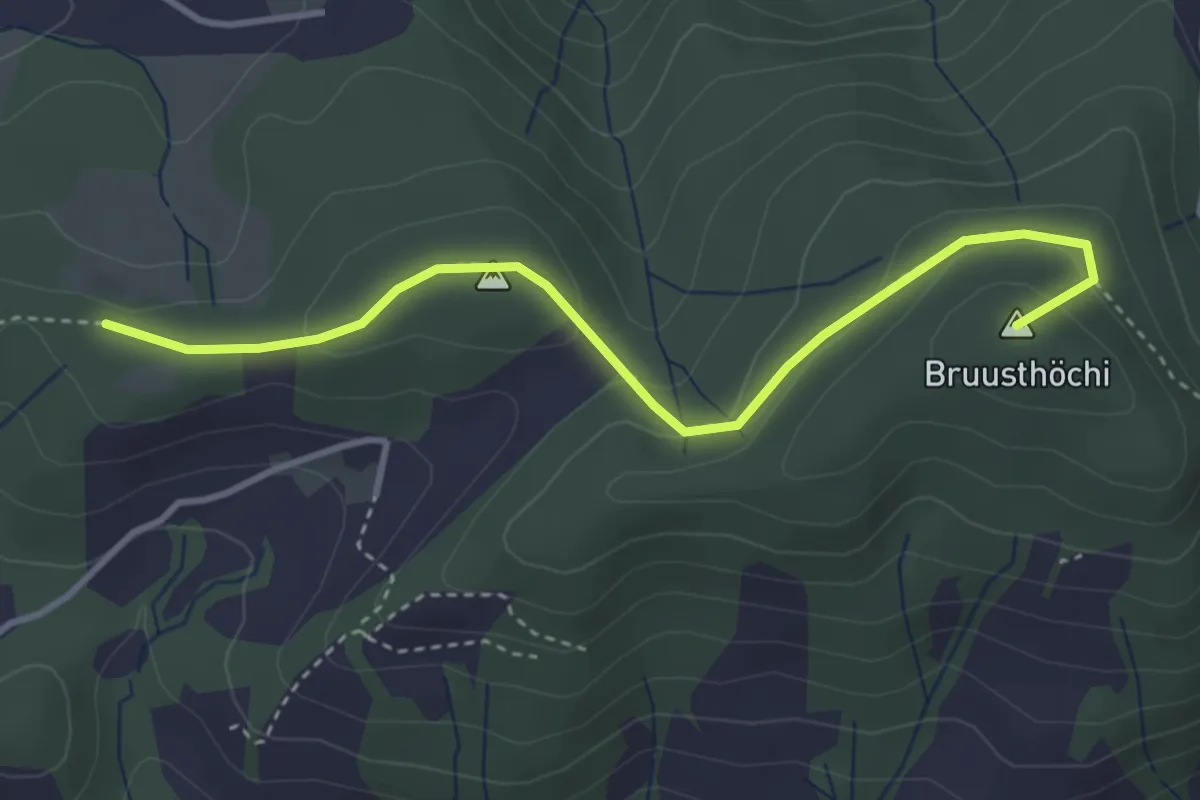
Easy · Summit
Mangelihöche - Chnollenweid Sätteli
3.7 km · ↑ 142 m · 1 h 11 min
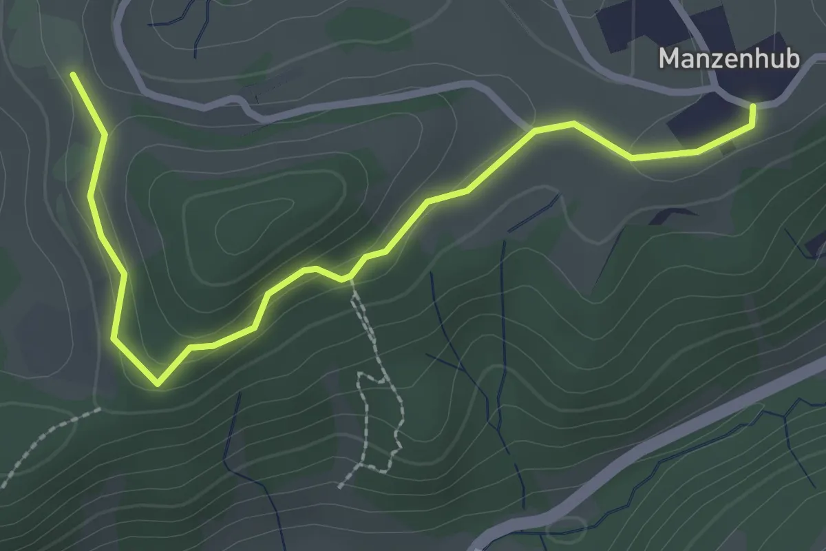
Easy · Trail
Manzenhueb – Vordereich
2.7 km · ↑ 69 m · 47 min
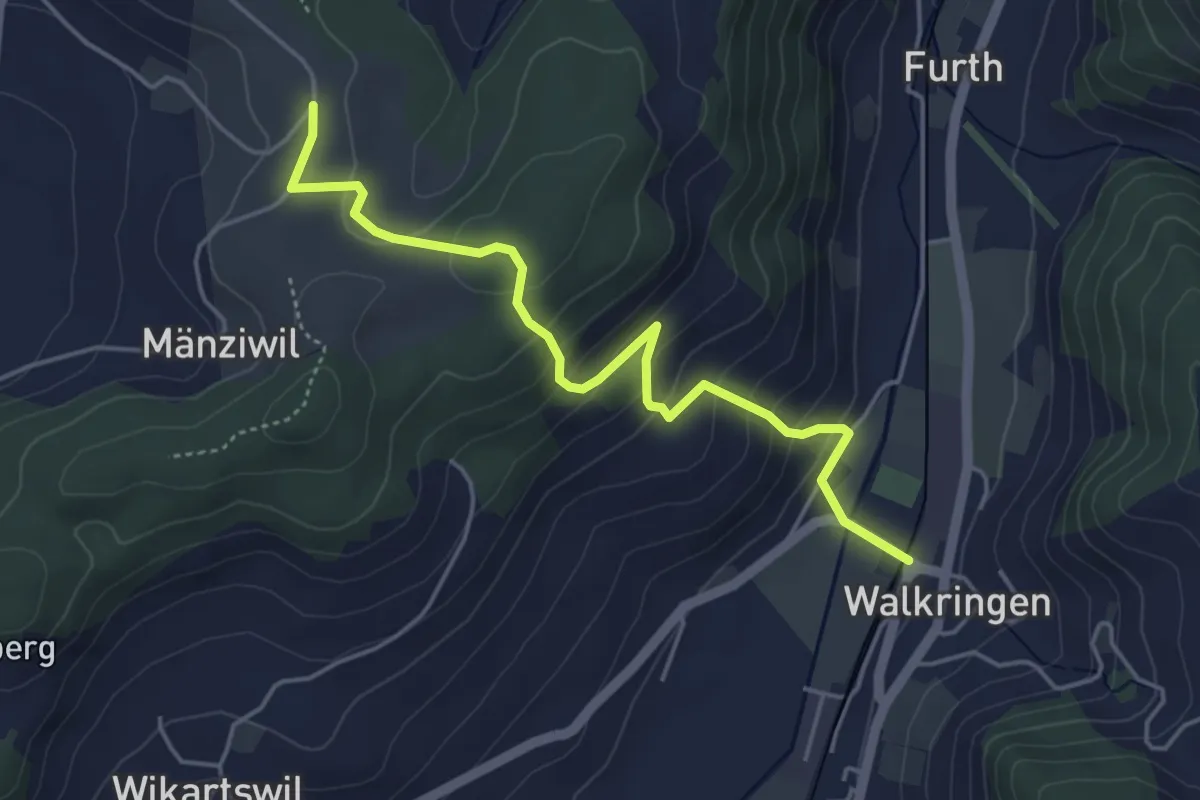
Easy · Trail
Mänziwilegg - Walkringen
4.7 km · ↑ 274 m · 1 h 43 min
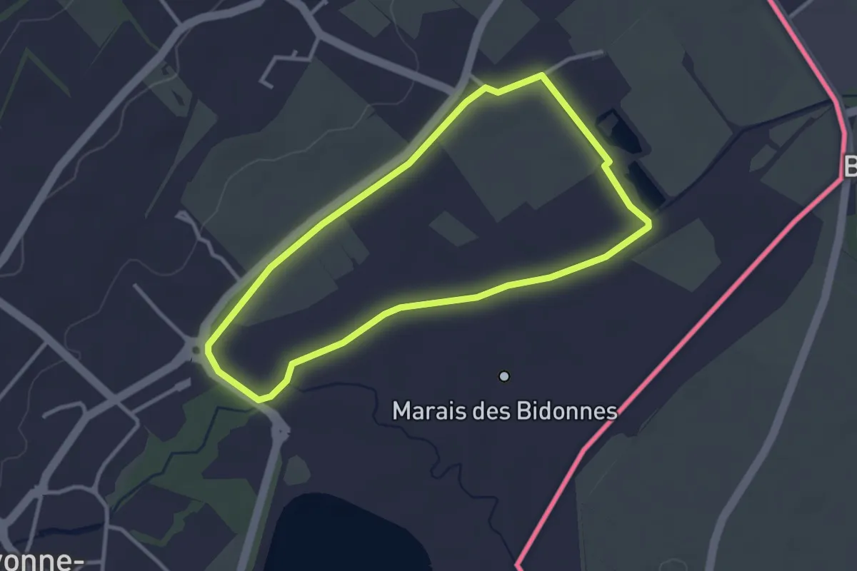
Easy · Trail
Marais des Bidonnes
2.9 km · ↑ 4 m · 44 min
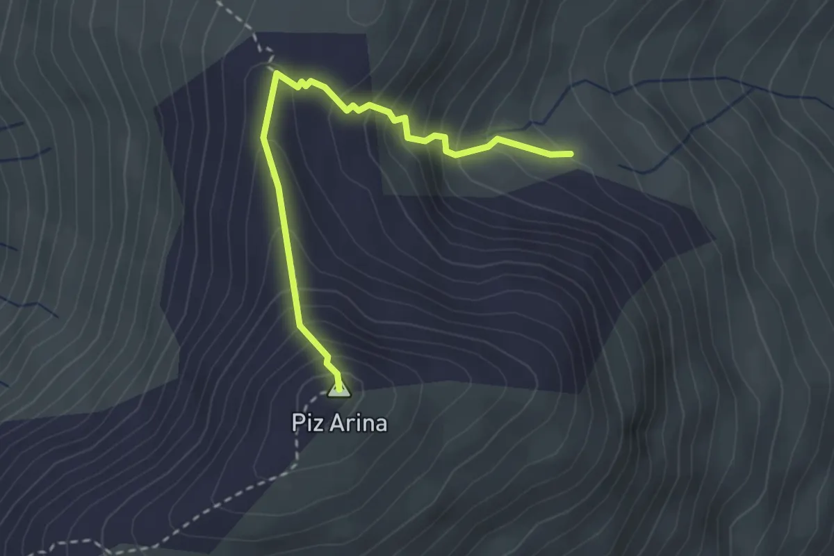
Demanding · Summit
Marangun - Piz Arina
2.8 km · ↑ 336 m · 1 h 24 min
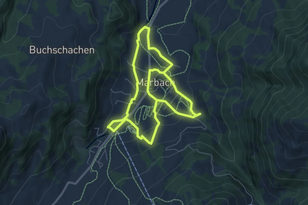
Medium · Trail
Marbach - Dorfrundweg
10.4 km · ↑ 283 m · 3 h 5 min
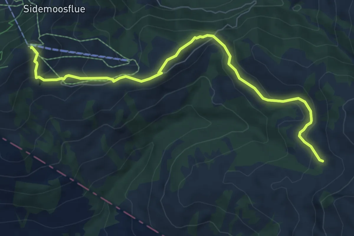
Easy · Trail
Marbachegg - Imbrig
7.7 km · ↑ 314 m · 2 h 30 min
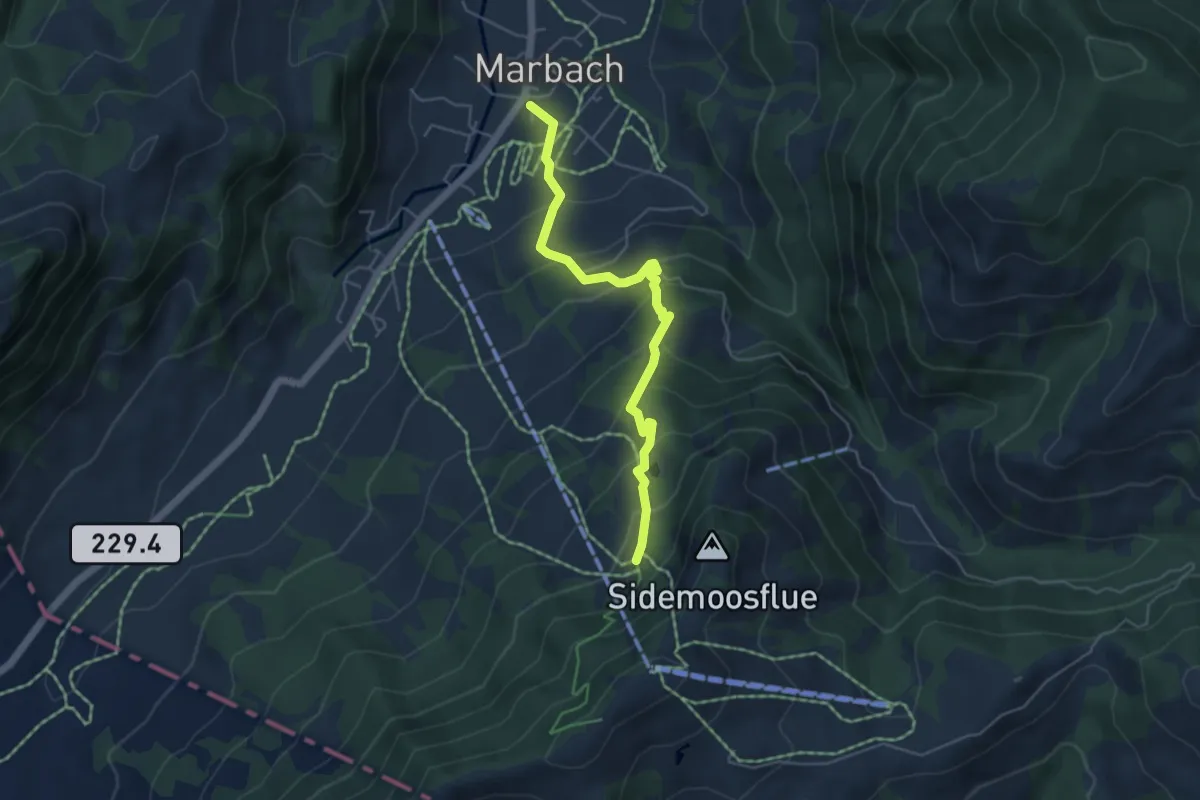
Medium · Trail
Marbach - Ober Sidenmoos
4.9 km · ↑ 395 m · 2 h 1 min
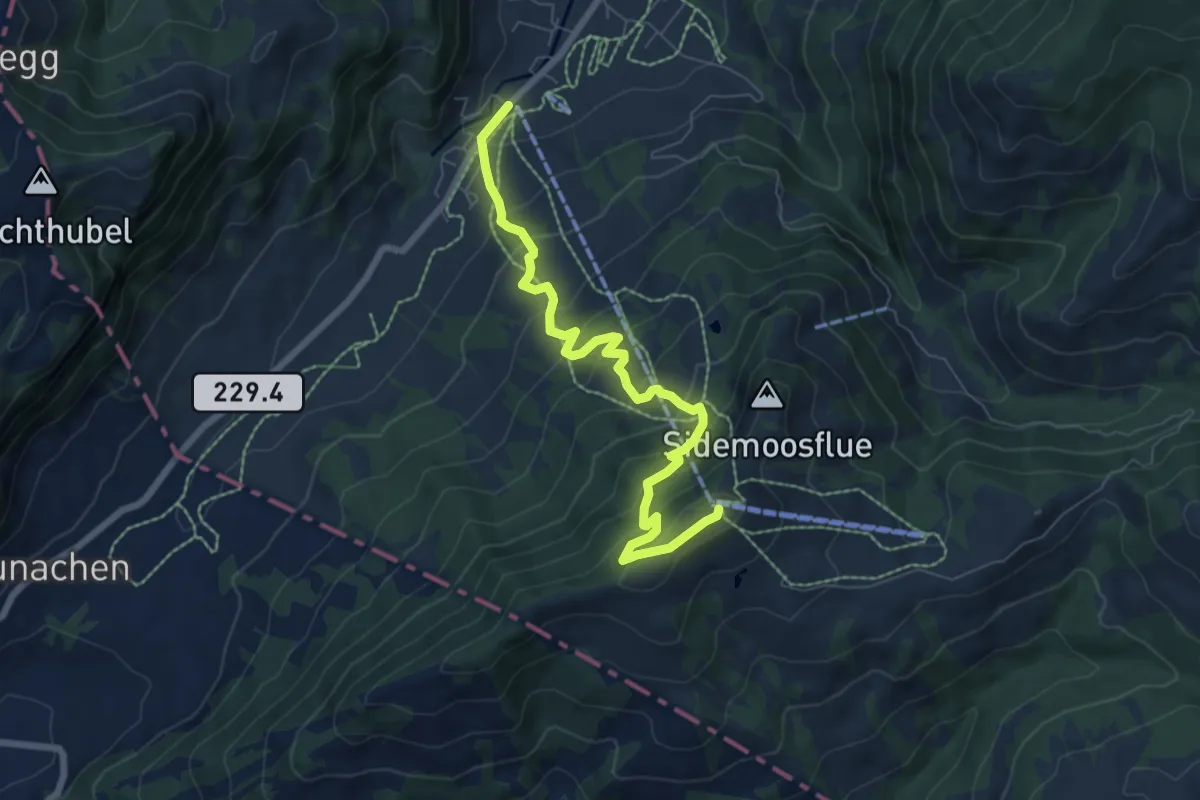
Medium · Trail
Marbach Talstaion - Marbachegg
7.5 km · ↑ 596 m · 3 h 3 min
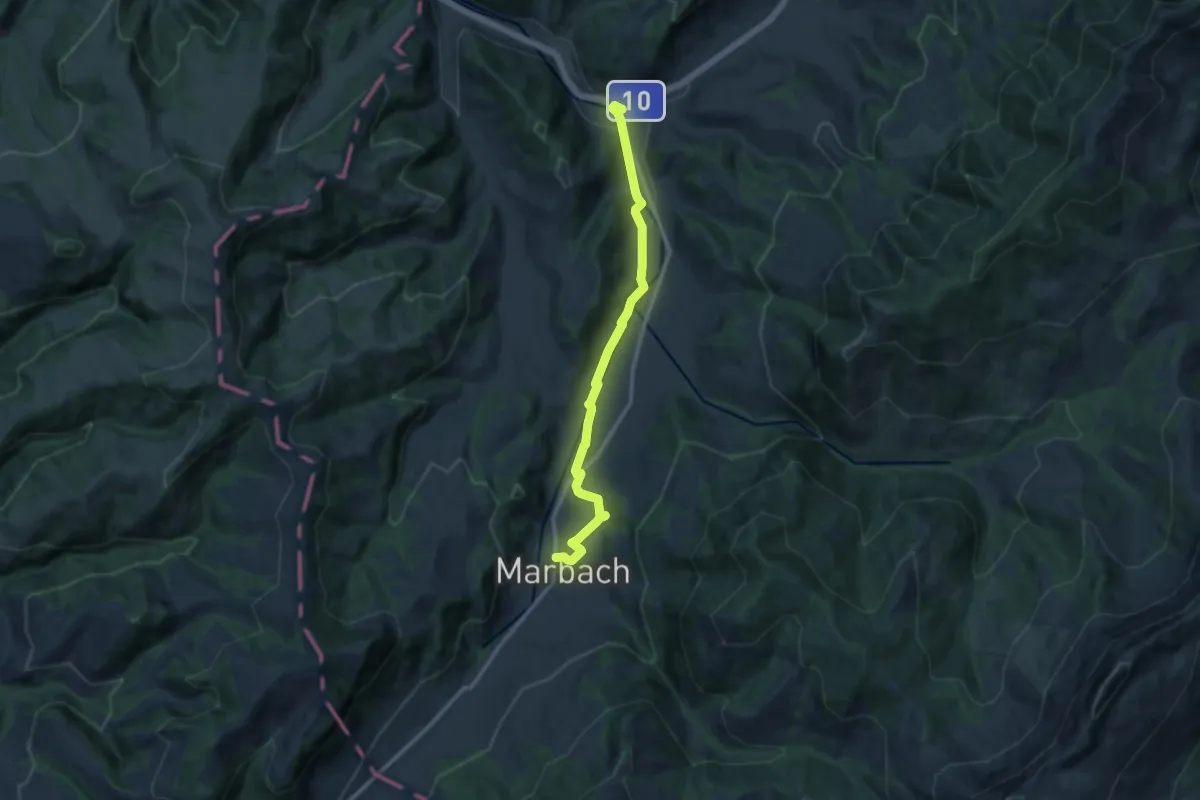
Medium · Trail
Marbach - Wiggen
11.2 km · ↑ 162 m · 2 h 59 min
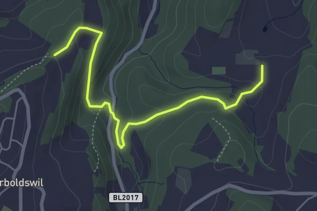
Easy · Trail
Marcel-Wunderlin-Weg
4.6 km · ↑ 171 m · 1 h 27 min
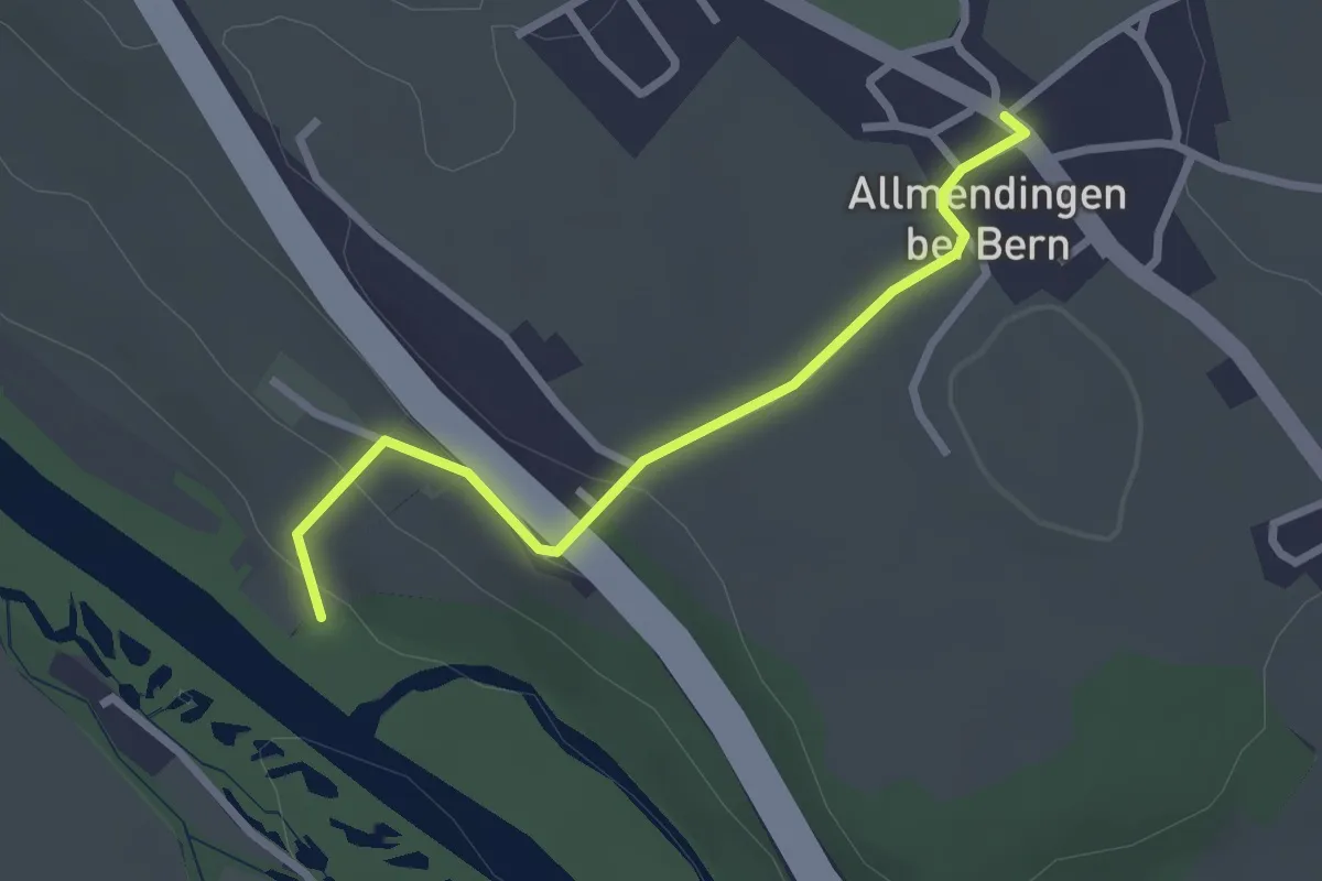
Easy · Trail
Märchligenau-Allmendingen
2.5 km · ↑ 63 m · 44 min
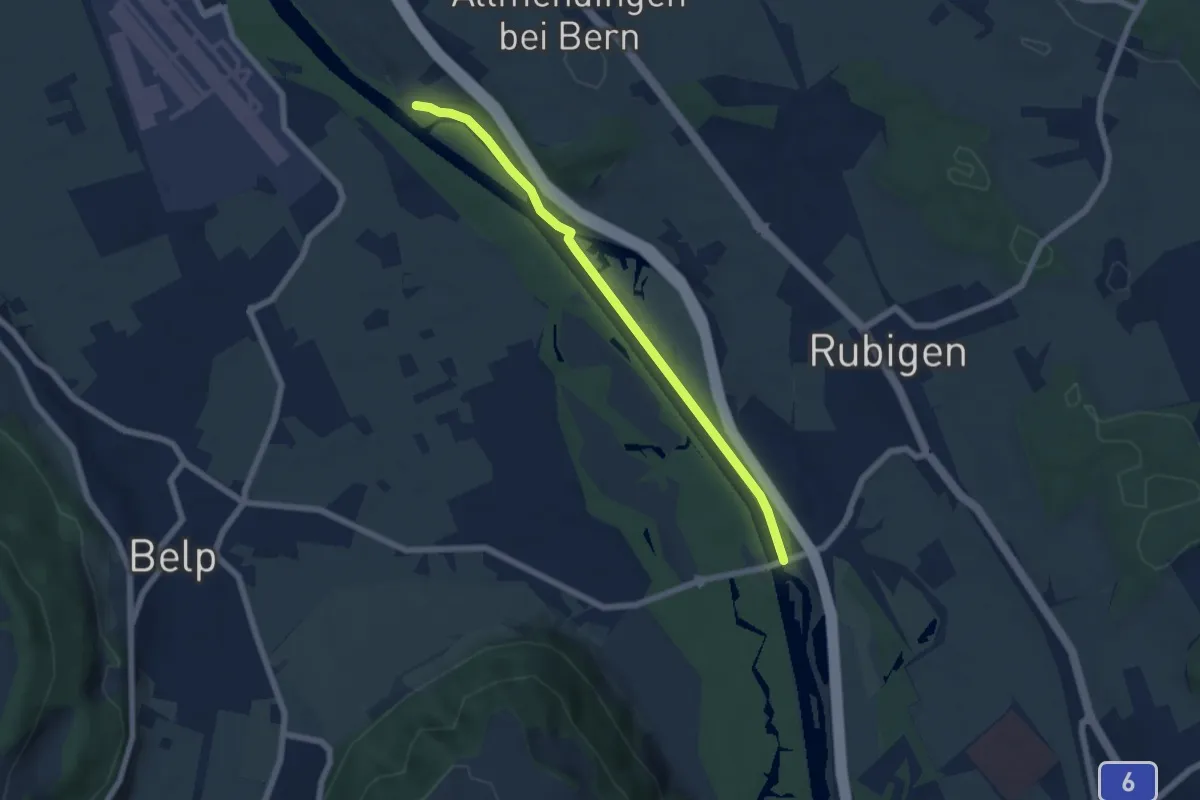
Easy · Trail
Märchligenau - Hunzigebrügg
5.9 km · ↑ 32 m · 1 h 28 min
Easy · Trail
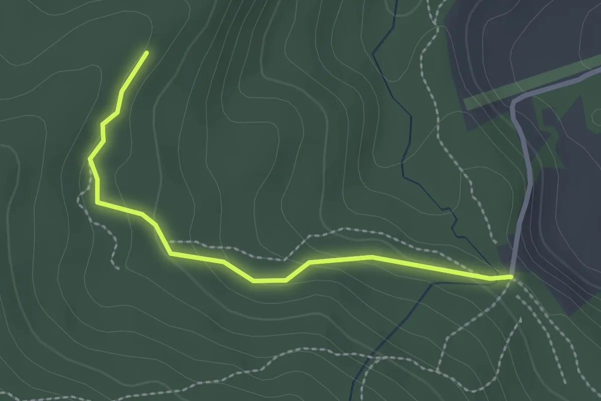
Marchweg Pt. 1105 - Stafelalp
2.3 km · ↑ 122 m · 49 min
Easy · Trail
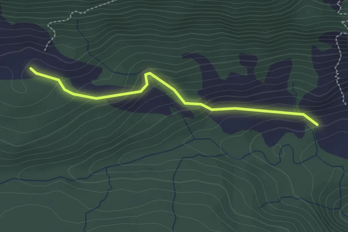
Märenschlag - Balismatt
2.3 km · ↑ 150 m · 52 min
Medium · Trail
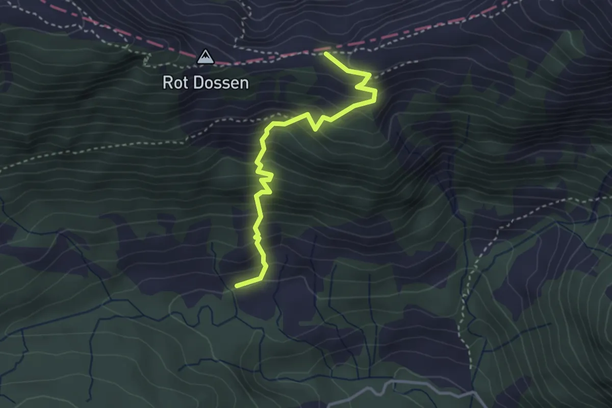
Märenschlag - Felli
3.1 km · ↑ 388 m · 1 h 34 min
Demanding · Summit
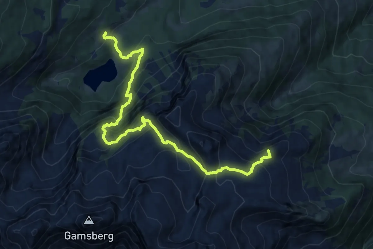
Margelchopf-Gipfelweg
13.5 km · ↑ 1153 m · 5 h 42 min