Trails in Switzerland
15,029 hiking trails, each with its route, climb, walking time and grade.
All trails, page 67 of 314
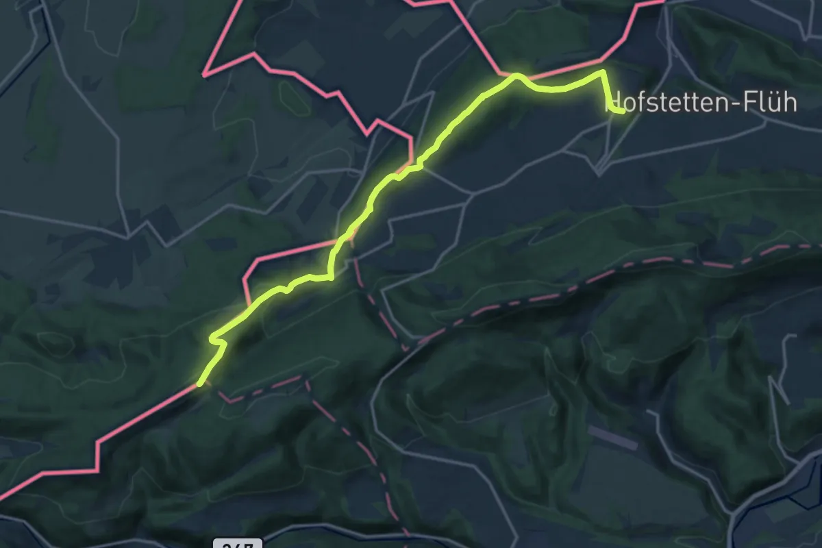
Medium · Summit
Mariastein Le Chemin
16.3 km · ↑ 610 m · 5 h 11 min
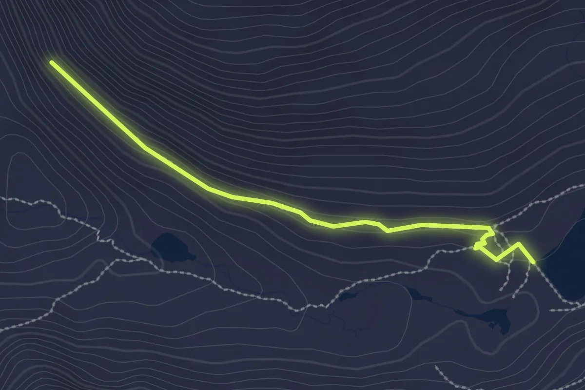
Medium · Cabin
Märjela - Platta
2.7 km · ↑ 77 m · 48 min
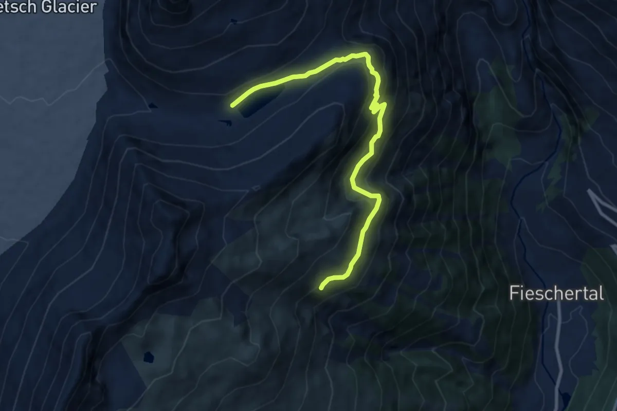
Medium · Cabin
Märjela - Unters Tälli - Fiescheralp
9.2 km · ↑ 602 m · 3 h 28 min
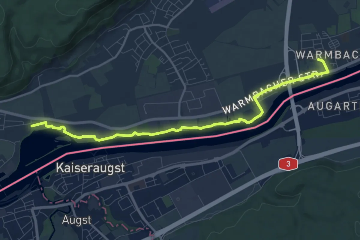
Medium · Trail
Markhof - Warmbach
9.8 km · ↑ 13 m · 2 h 21 min
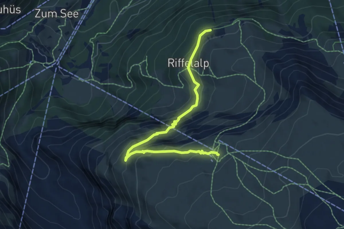
Medium · Trail
Mark Twain Weg
6.5 km · ↑ 394 m · 2 h 23 min
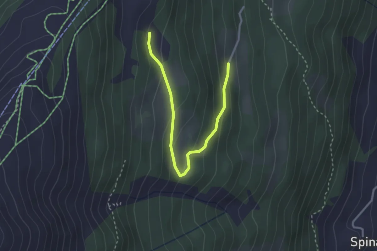
Easy · Trail
Märliweg
2.8 km · ↑ 139 m · 58 min
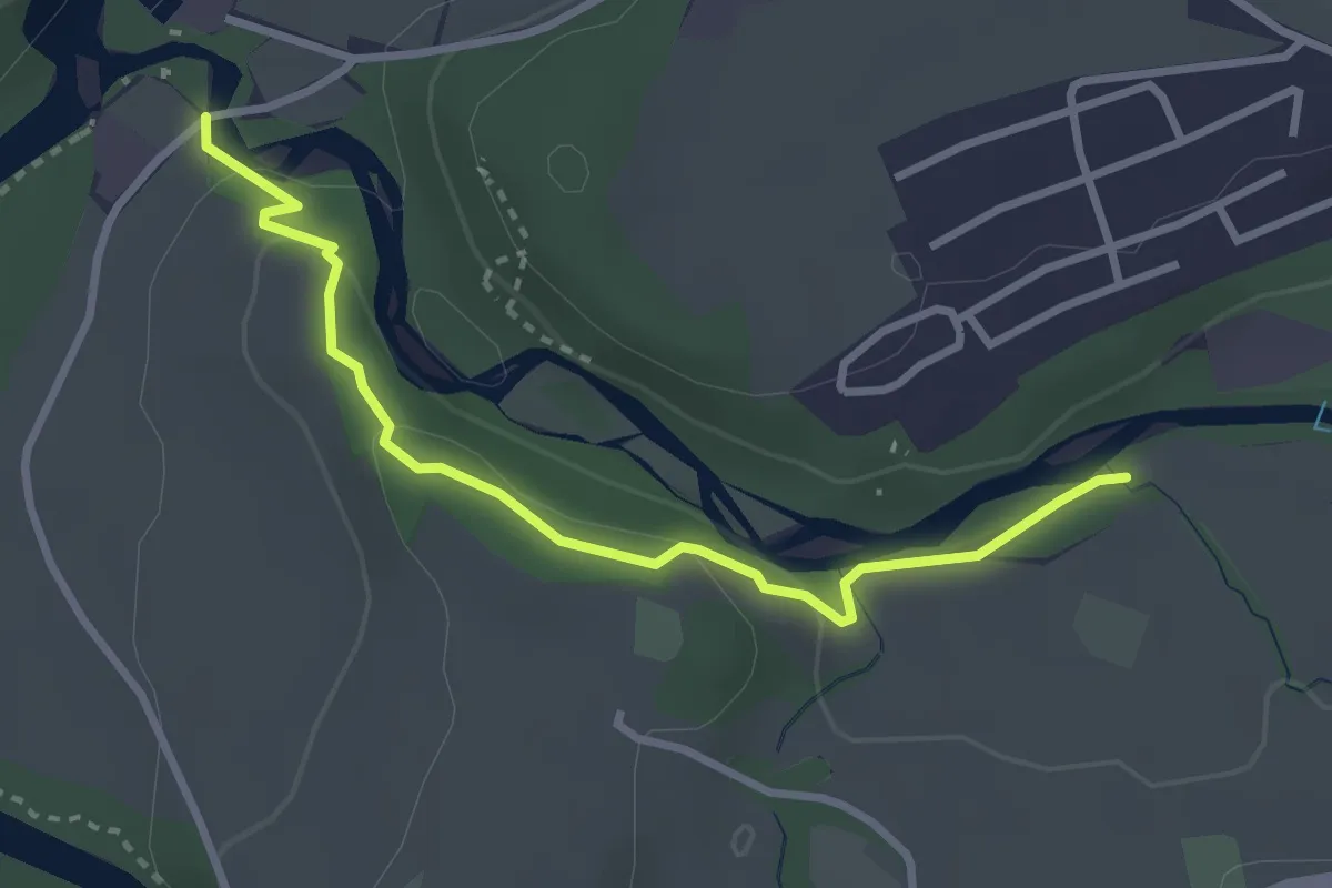
Easy · Trail
Marly Au Port - Marly la Vernaie
3.1 km · ↑ 99 m · 57 min
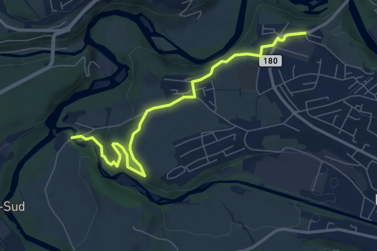
Easy · Trail
Marly Au Port - Marly Les Rittes
6.4 km · ↑ 204 m · 1 h 57 min
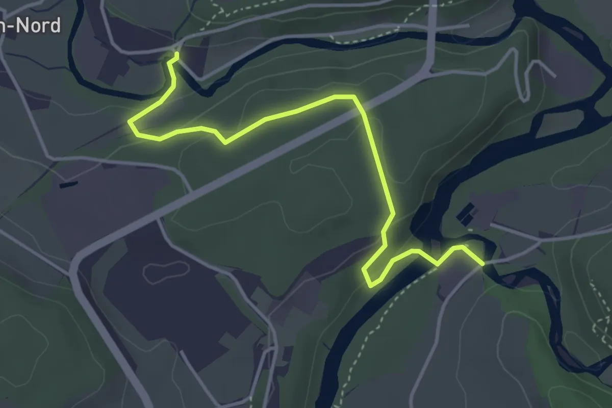
Easy · Trail
Marly Au Port - Villars-sur-Glâne Ste. Appoline
4.0 km · ↑ 121 m · 1 h 12 min
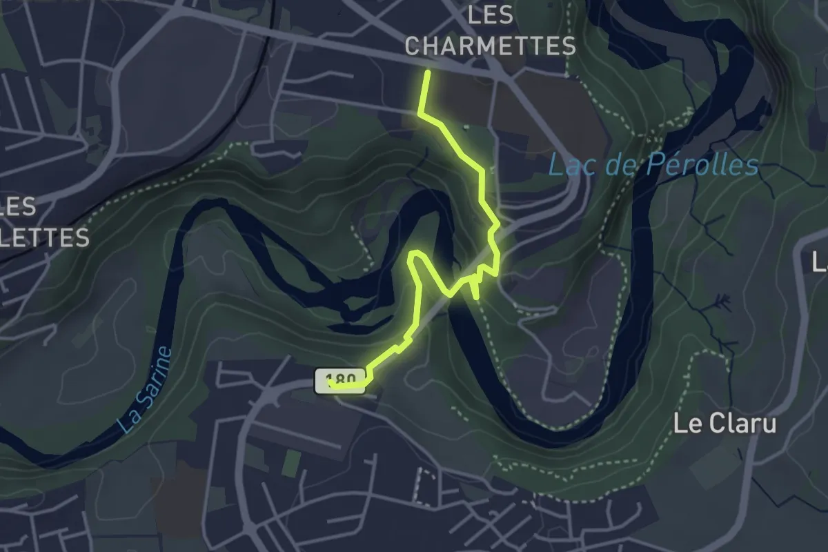
Easy · Trail
Marly Les Rittes - Les Charmettes
3.4 km · ↑ 213 m · 1 h 16 min
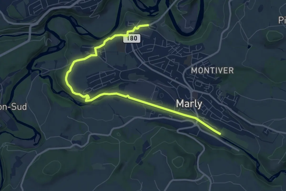
Medium · Trail
Marly Les Rittes - Marly la Vernaie
9.8 km · ↑ 175 m · 2 h 41 min
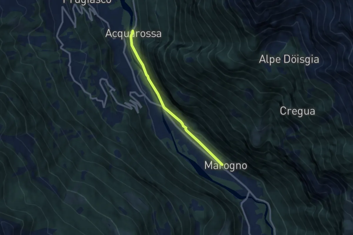
Easy · Trail
Marogno - Acquarossa
6.4 km · ↑ 114 m · 1 h 45 min
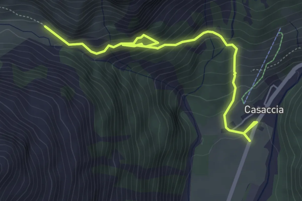
Medium · Trail
Maroz Dora-Casaccia
5.8 km · ↑ 468 m · 2 h 23 min
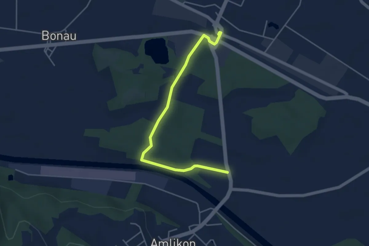
Easy · Trail
Märstetten - Amlikon
3.9 km · ↑ 37 m · 1 h
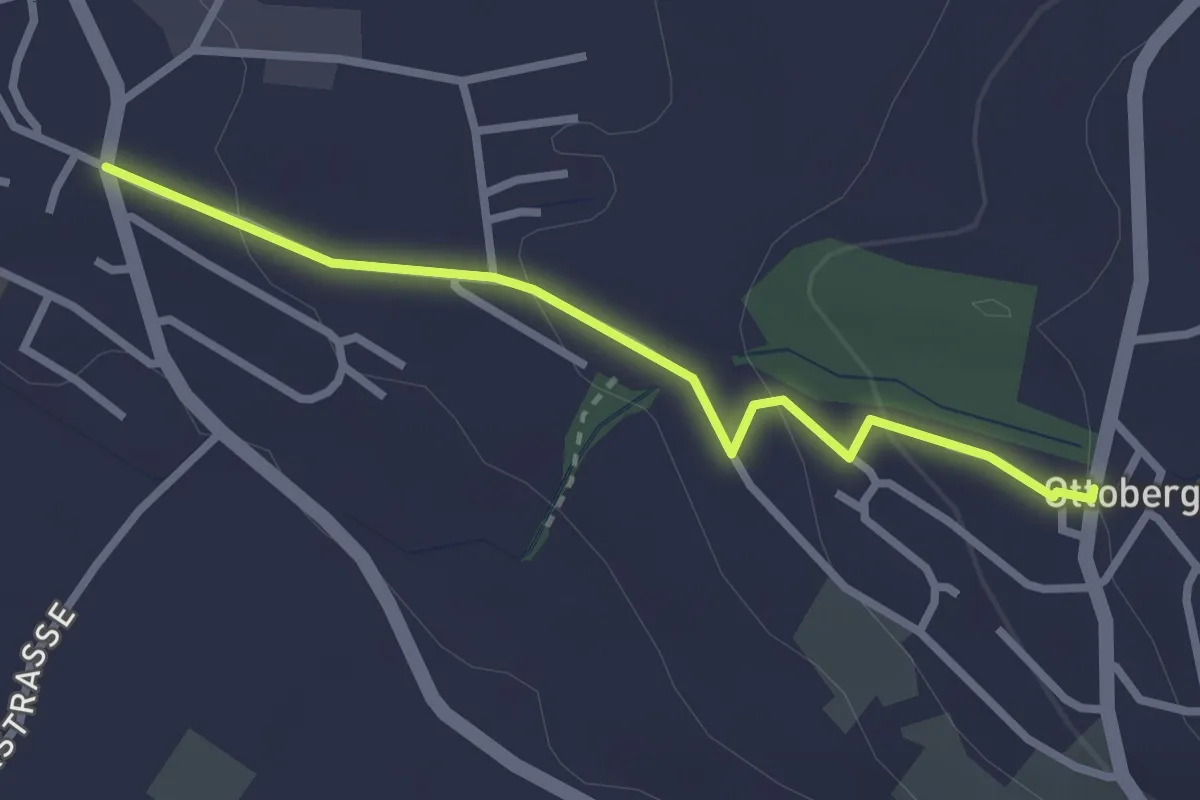
Easy · Trail
Märstetten - Ottoberg
2.6 km · ↑ 98 m · 49 min
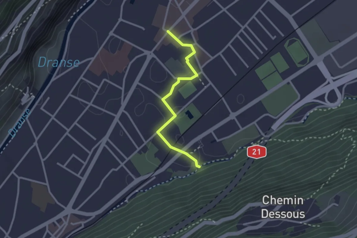
Easy · Trail
Martigny - Place centrale > Amphithéâtre
2.3 km · ↑ 9 m · 34 min
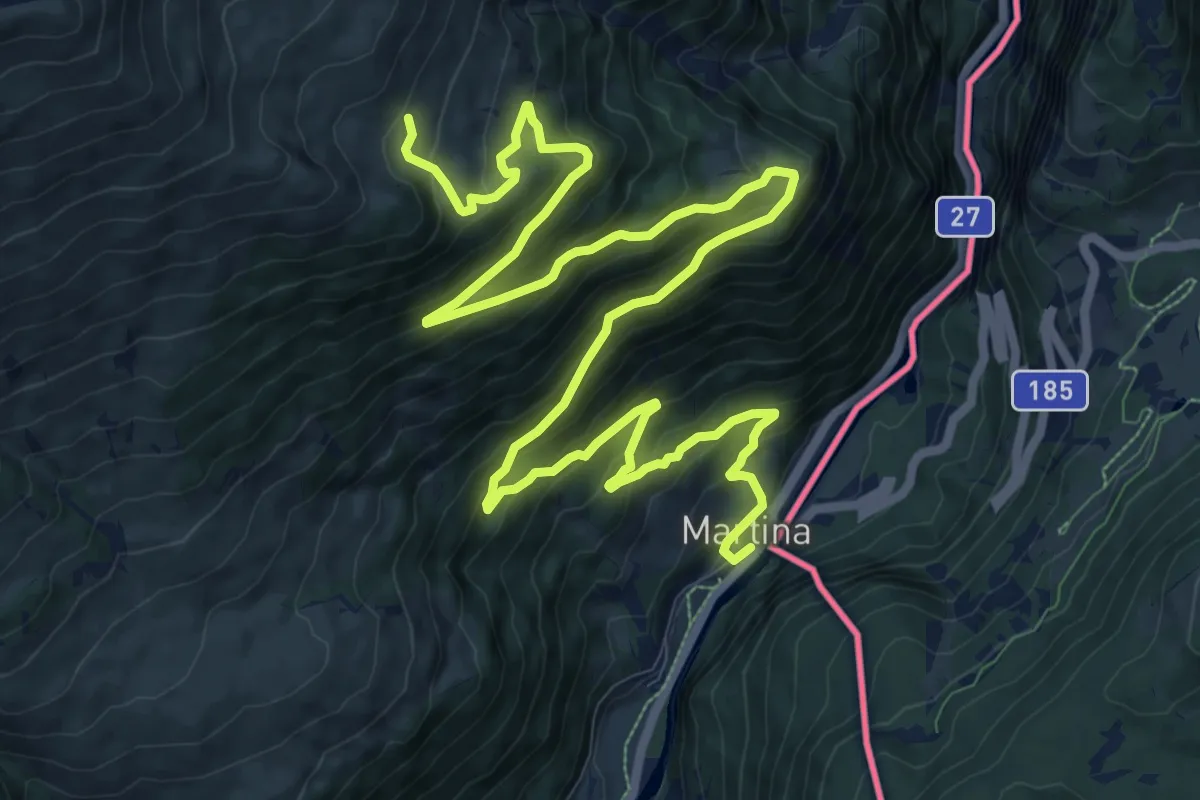
Demanding · Trail
Martina - Alp Tea
18.2 km · ↑ 1078 m · 6 h 38 min
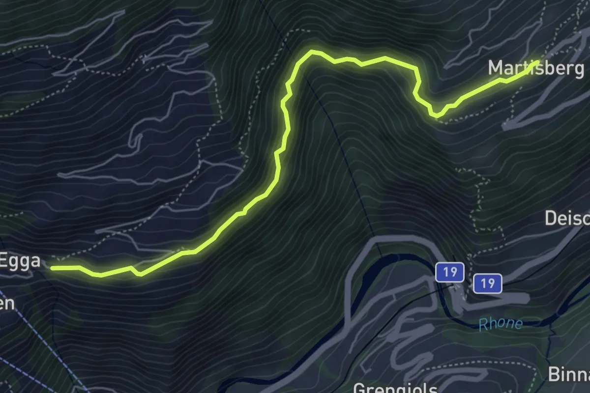
Medium · Trail
Martisberg - Betten
6.1 km · ↑ 507 m · 2 h 32 min
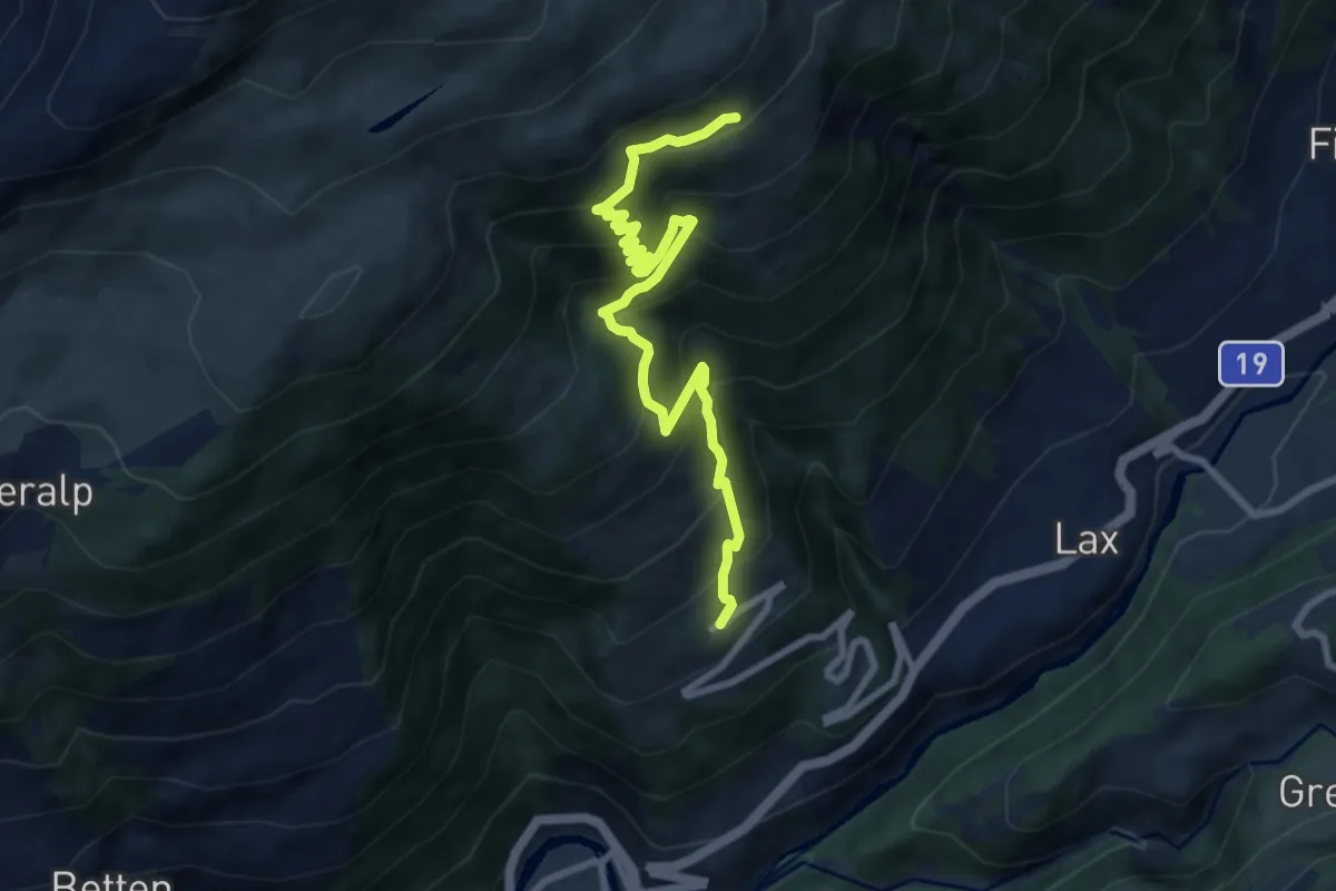
Demanding · Trail
Martisberg - Laxeralp
9.0 km · ↑ 946 m · 4 h 11 min
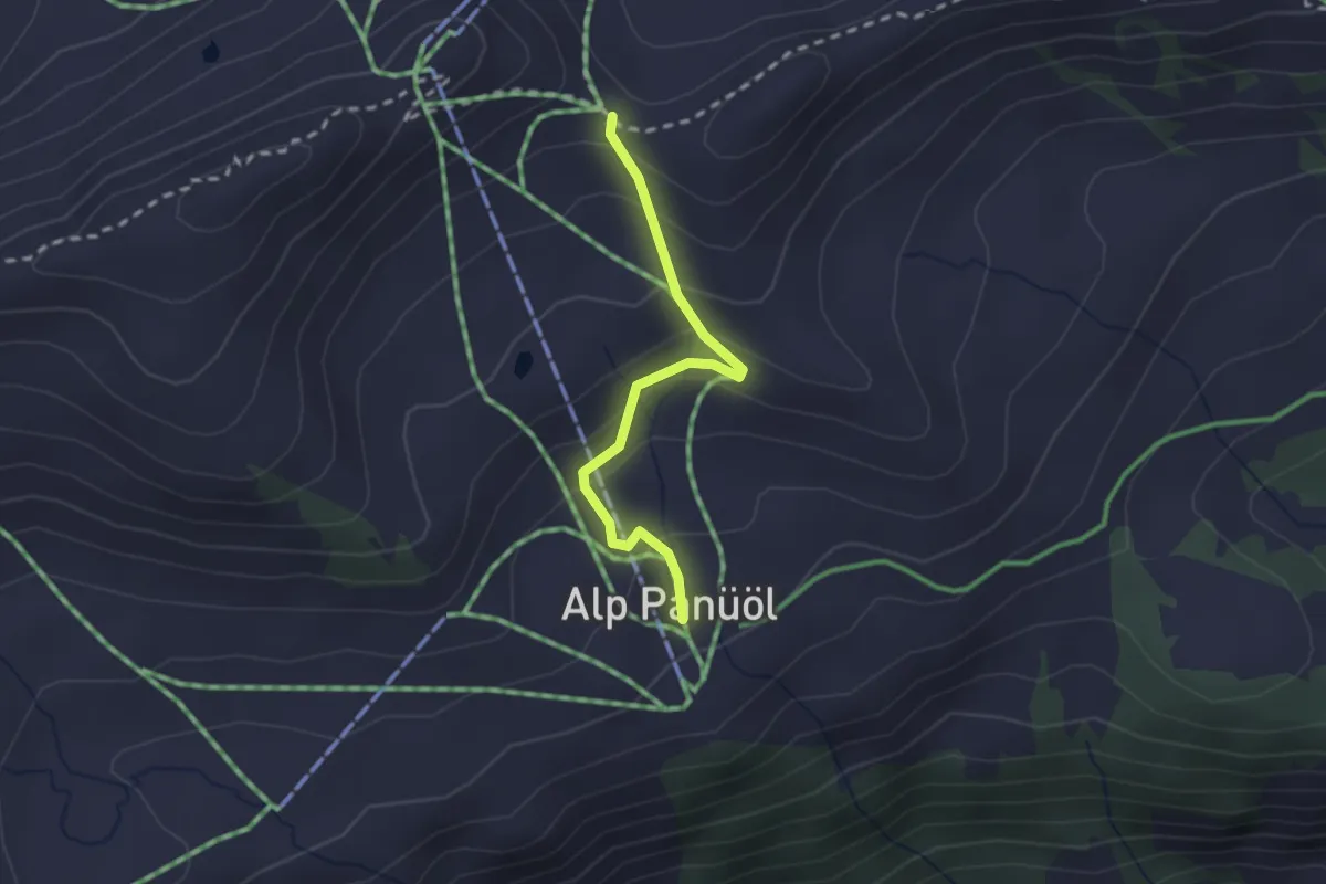
Medium · Trail
Maschgenlugge - Panüöl
2.1 km · ↑ 144 m · 48 min
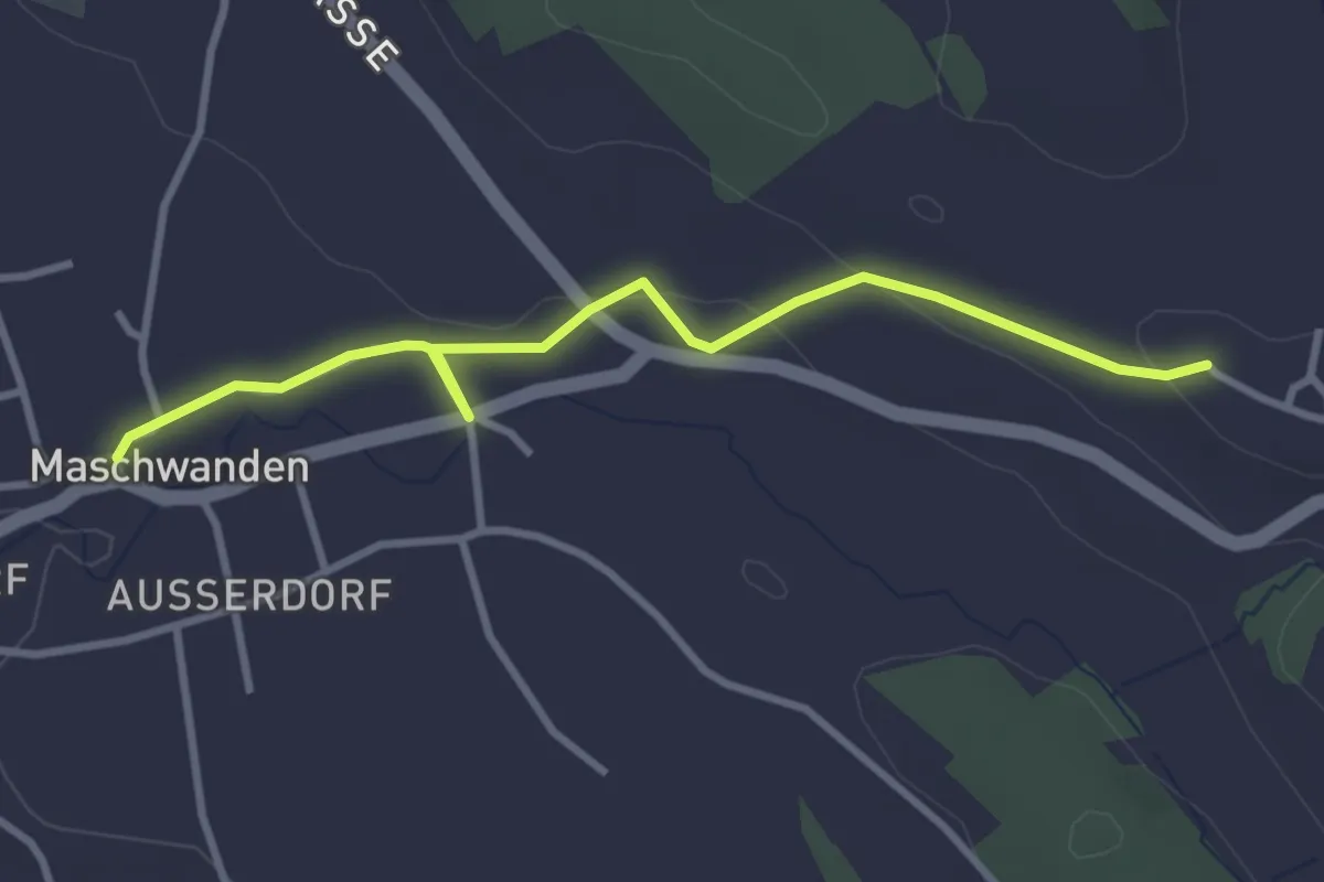
Easy · Trail
Maschwanden - Hinter-Uttenberg
3.4 km · ↑ 73 m · 57 min
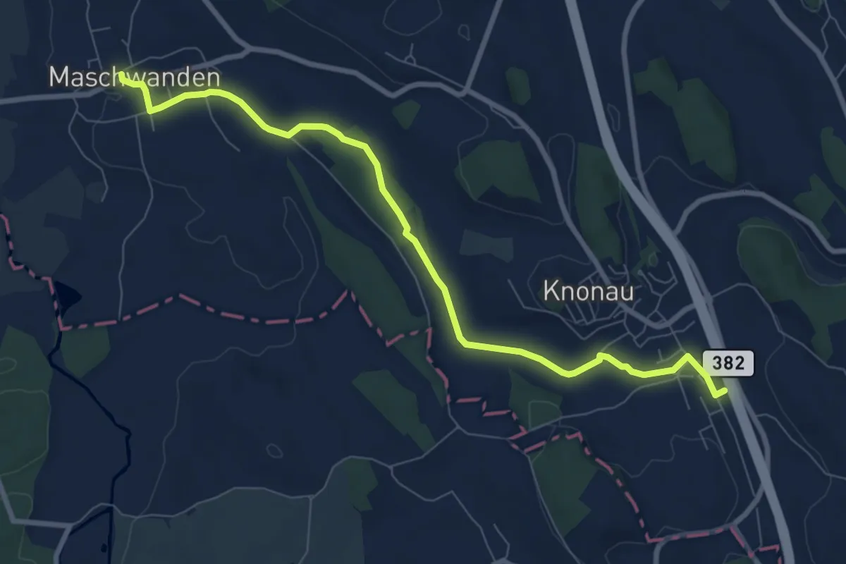
Medium · Trail
Maschwanden - Knonau
8.5 km · ↑ 56 m · 2 h 7 min
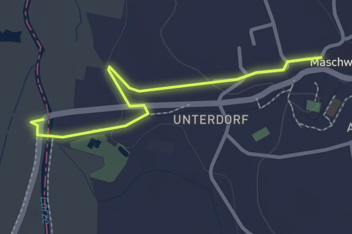
Easy · Trail
Maschwanden - Reusspitz
2.2 km · ↑ 18 m · 33 min
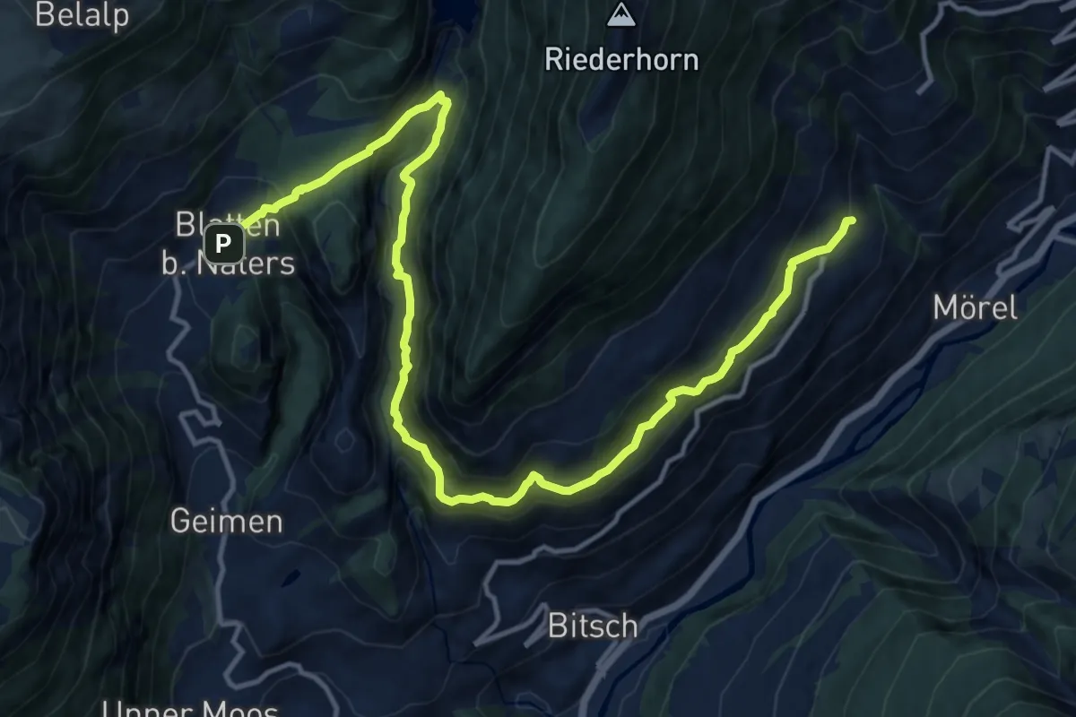
Demanding · Trail
Massaweg
16.3 km · ↑ 1193 m · 6 h 26 min
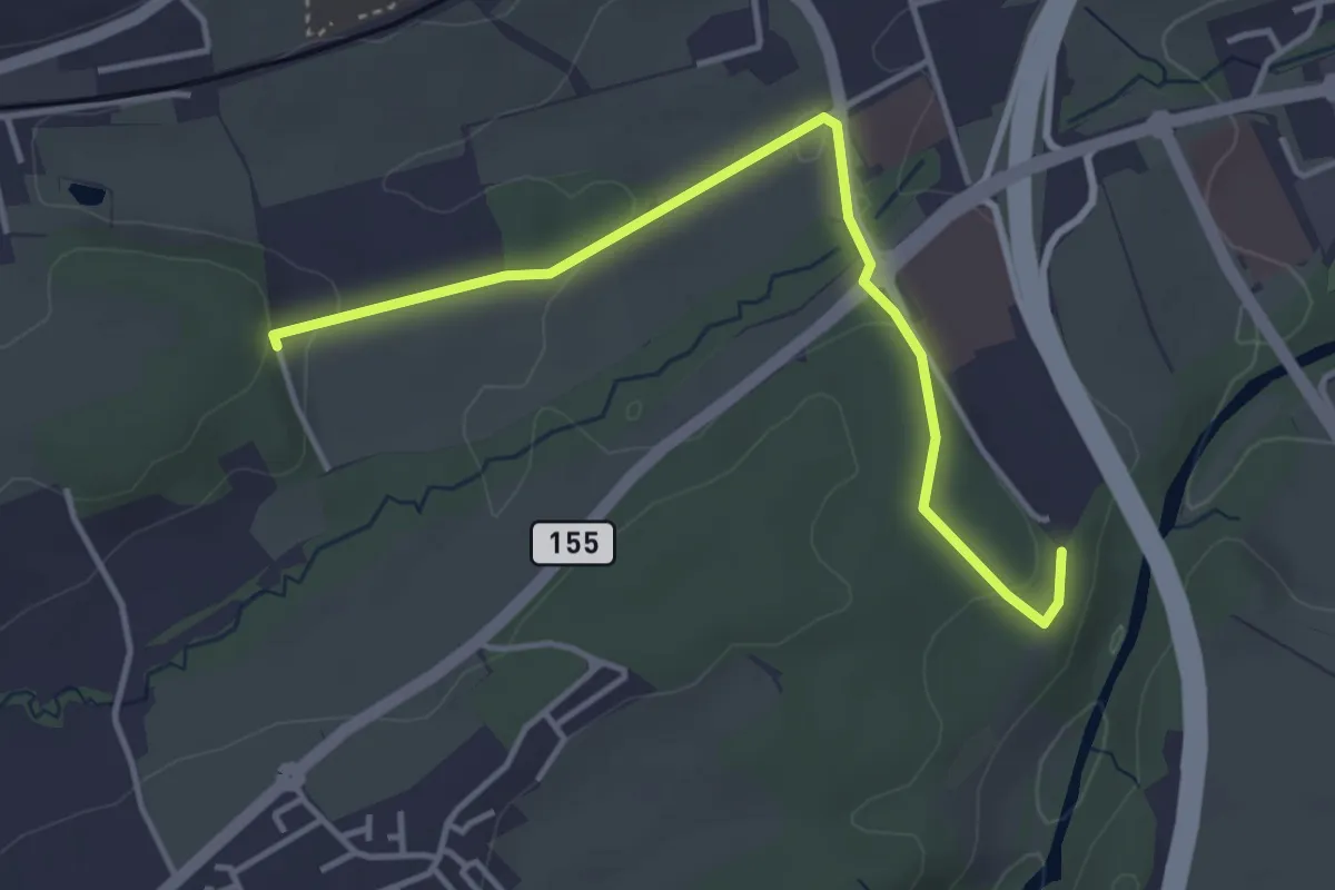
Easy · Trail
Matran Bois de Chavagny - Matran Centre commercial
4.1 km · ↑ 108 m · 1 h 12 min
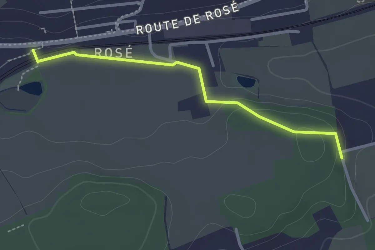
Easy · Trail
Matran Bois de Chavigny - Rosé
2.3 km · ↑ 20 m · 36 min
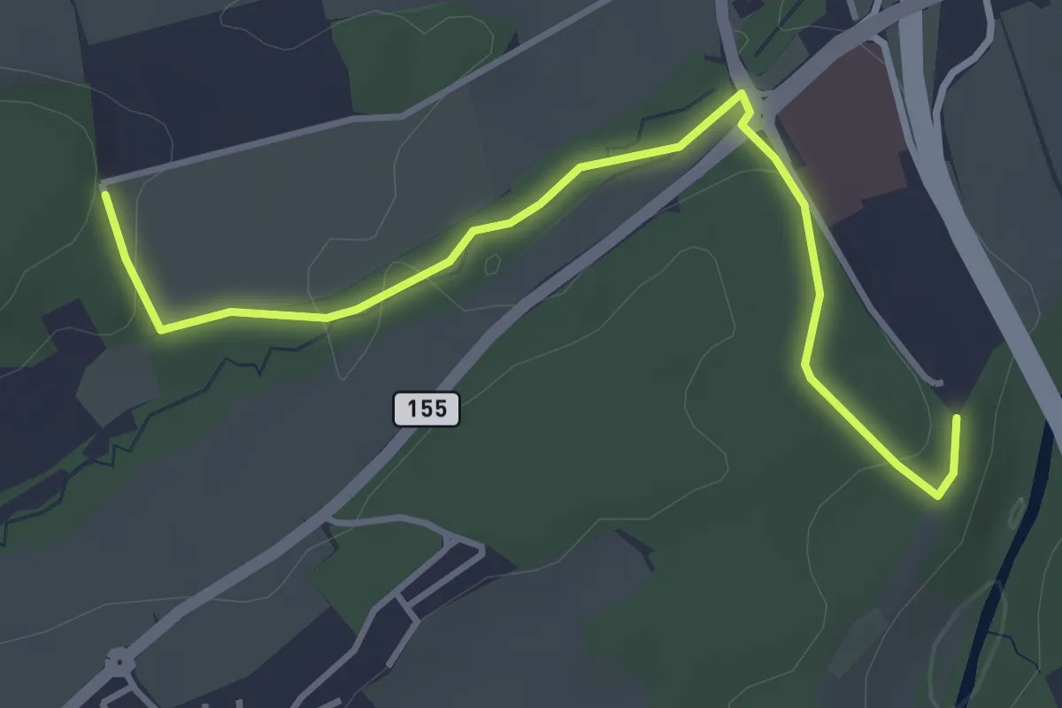
Easy · Trail
Matran Centre commercial - Matran Bois de Chavagny
4.0 km · ↑ 89 m · 1 h 8 min
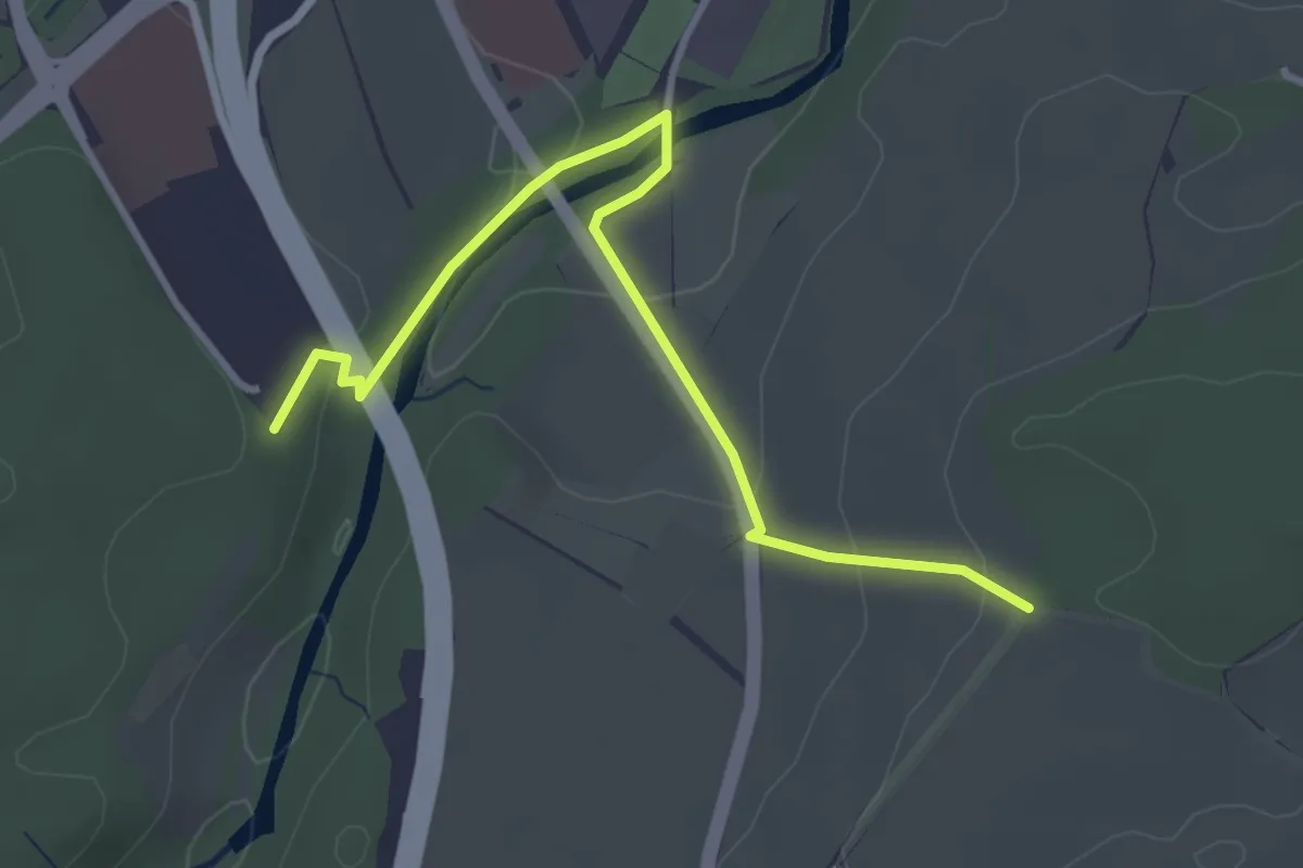
Easy · Trail
Matran Centre commercial - Monterban
3.6 km · ↑ 118 m · 1 h 6 min
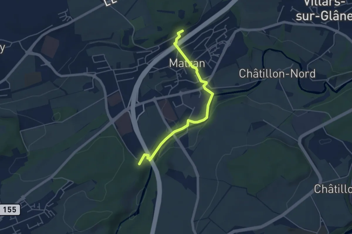
Easy · Trail
Matran Gare - Bois des Morts
4.4 km · ↑ 126 m · 1 h 19 min
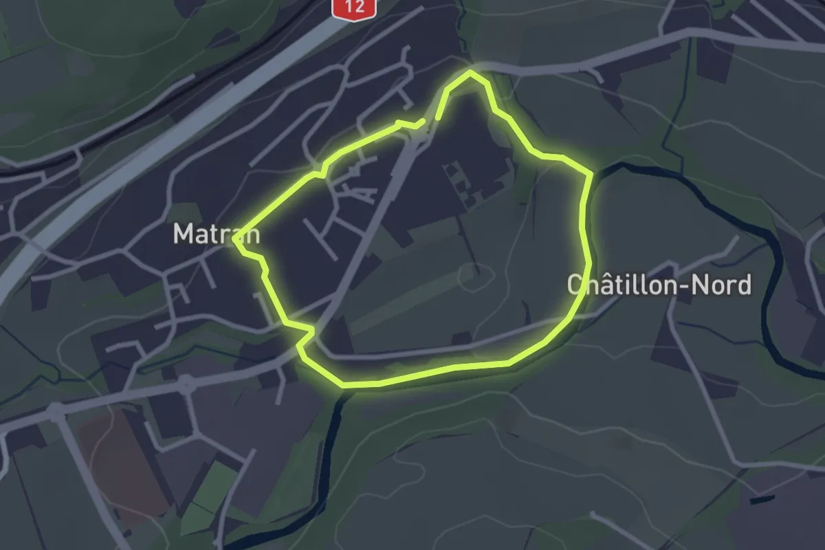
Easy · Trail
Matran - Sentier bleu🔵
2.3 km · ↑ 27 m · 38 min
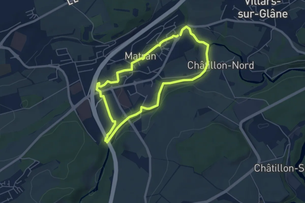
Easy · Trail
Matran - Sentier rouge🔴
4.6 km · ↑ 68 m · 1 h 17 min
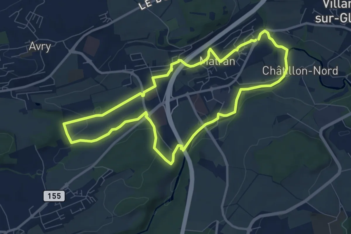
Easy · Trail
Matran - Sentier vert🟢
7.5 km · ↑ 161 m · 2 h 13 min
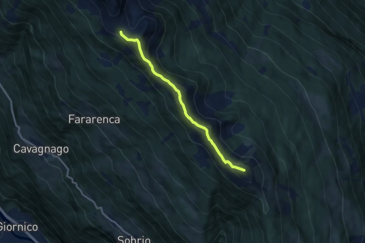
Demanding · Summit
Matro - Passo dei Laghetti
6.7 km · ↑ 452 m · 2 h 34 min
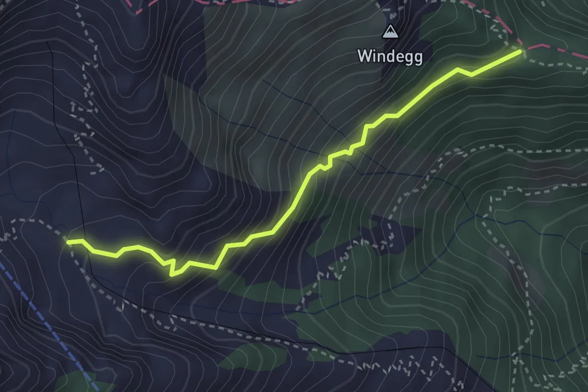
Easy · Trail
Mattalp - Obersteigli - Tellenfad
3.0 km · ↑ 287 m · 1 h 20 min
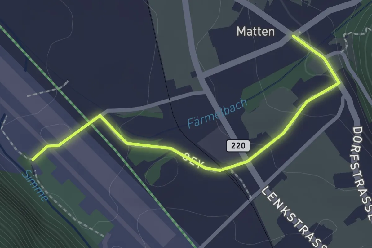
Easy · Trail
Matten - Bachweiden
2.1 km · ↑ 50 m · 36 min
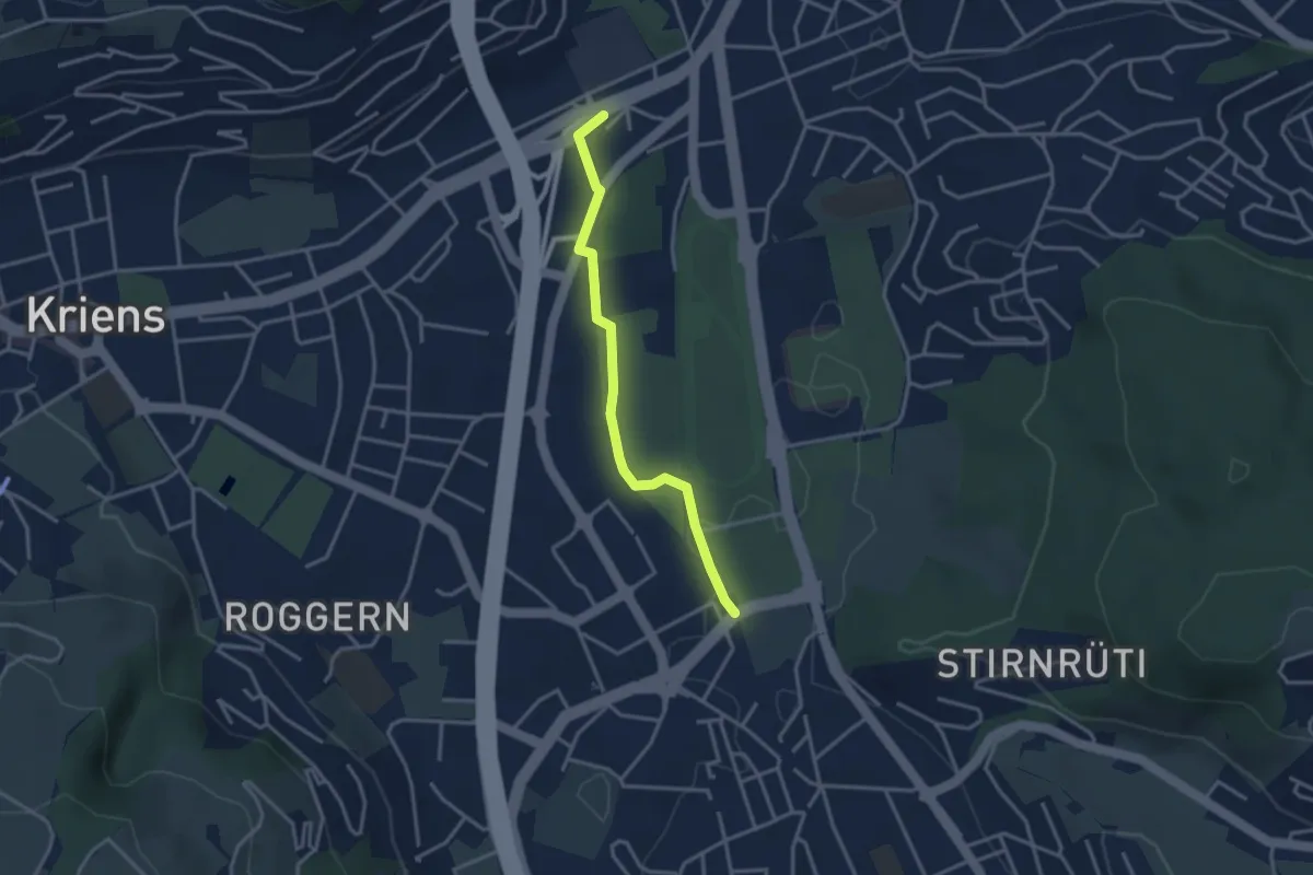
Easy · Trail
Mattenhof - Grosshofstrasse
3.1 km · ↑ 13 m · 45 min
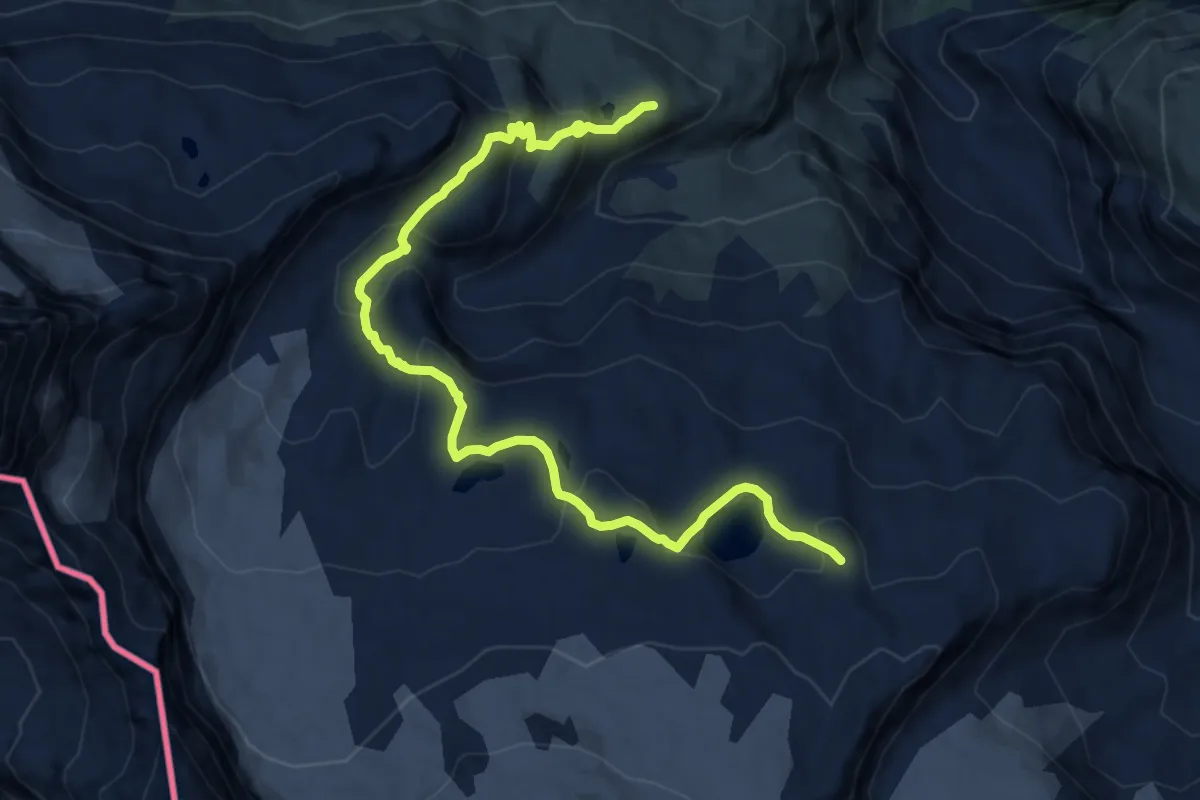
Demanding · Trail
Matterhorn glacier trail
12.4 km · ↑ 625 m · 4 h 16 min
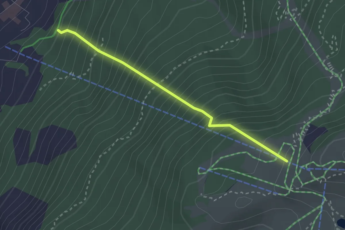
Medium · Trail
Matterhorn Konditionstraining
2.4 km · ↑ 561 m · 1 h 46 min
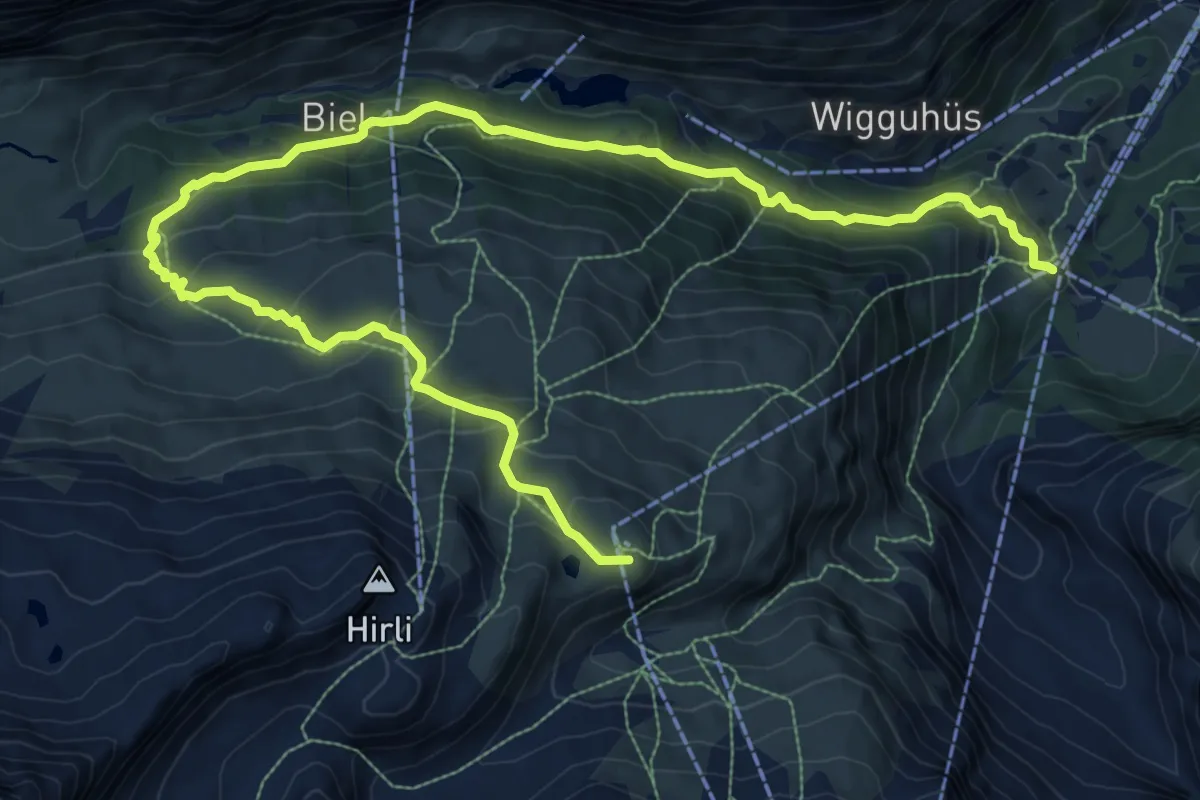
Demanding · Trail
Matterhorn-Trail
14.3 km · ↑ 846 m · 5 h 13 min
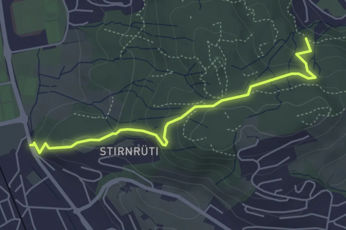
Easy · Trail
Matthof - Waldegg
4.5 km · ↑ 213 m · 1 h 32 min
Easy · Trail
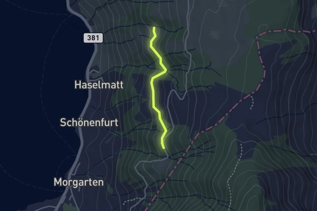
Mattli - Brestenberg
2.2 km · ↑ 129 m · 48 min
Demanding · Trail
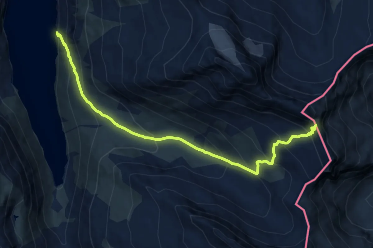
Mattmark - Jazzilücke
11.4 km · ↑ 868 m · 4 h 34 min
Demanding · Summit
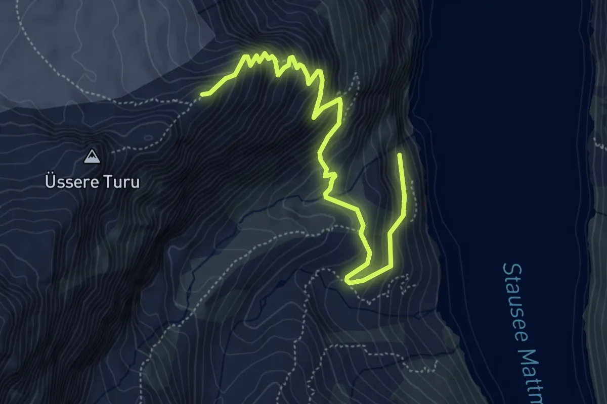
Mattmark - Schwarzbergchopf
6.0 km · ↑ 654 m · 2 h 50 min
Easy · Trail
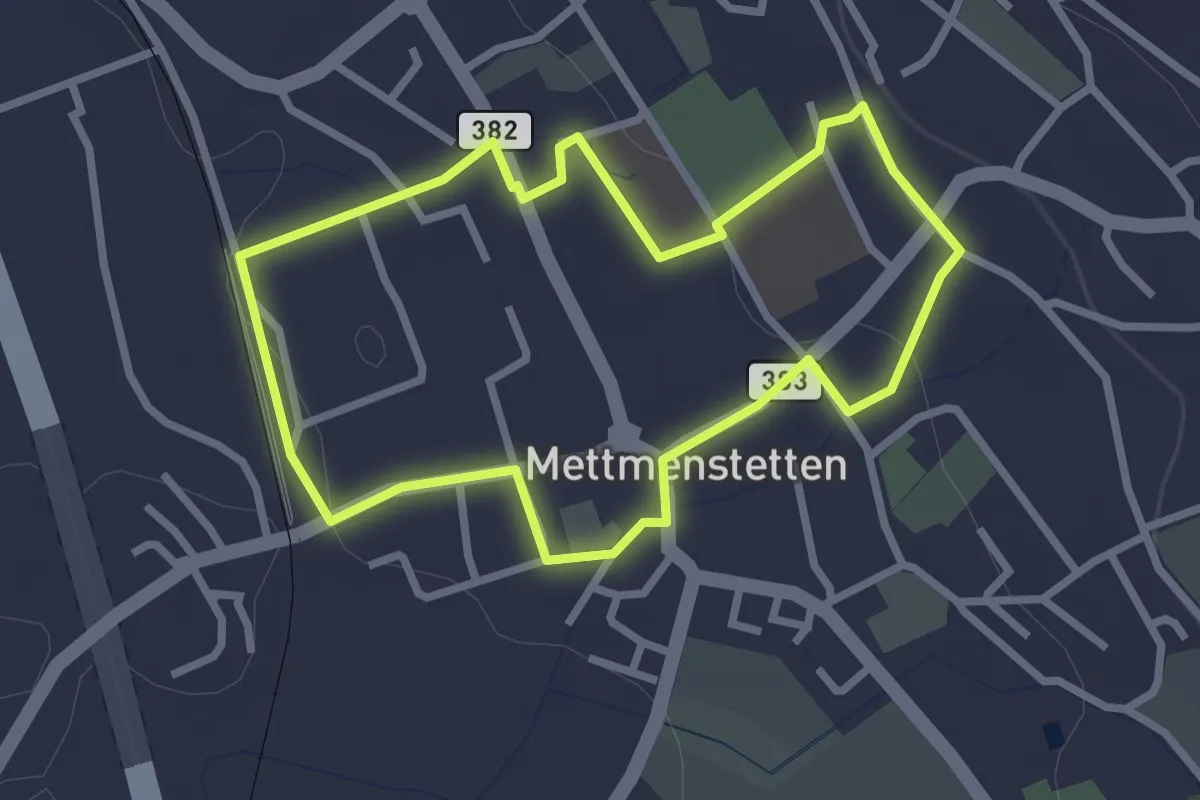
Mättmiwäg 1 Dorf
2.6 km · ↑ 30 m · 43 min
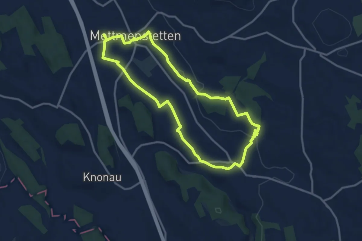
Easy · Trail
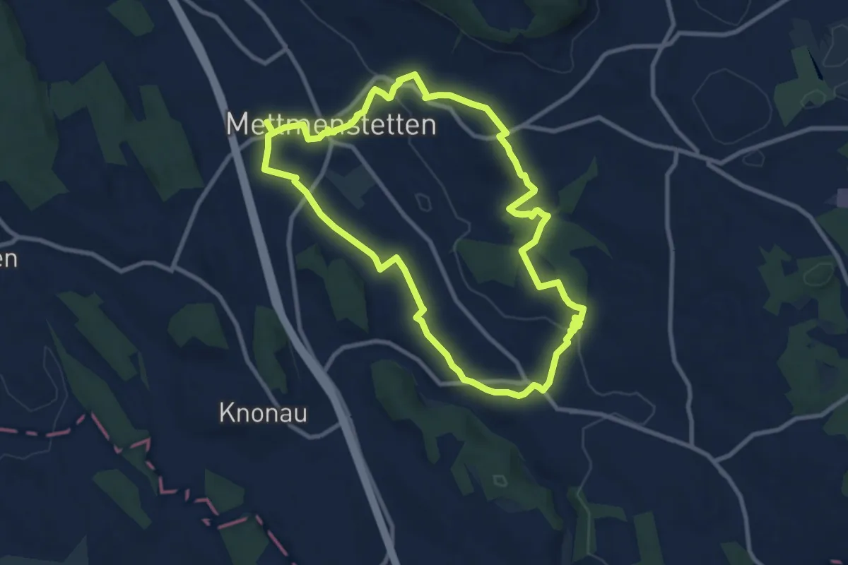
Mättmiwäg 2 Rossau Badi
7.4 km · ↑ 72 m · 2 h
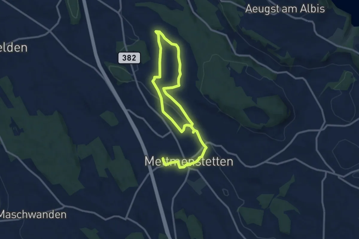
Medium · Trail
Mättmiwäg 2 Rossau via Sternen
8.6 km · ↑ 125 m · 2 h 25 min
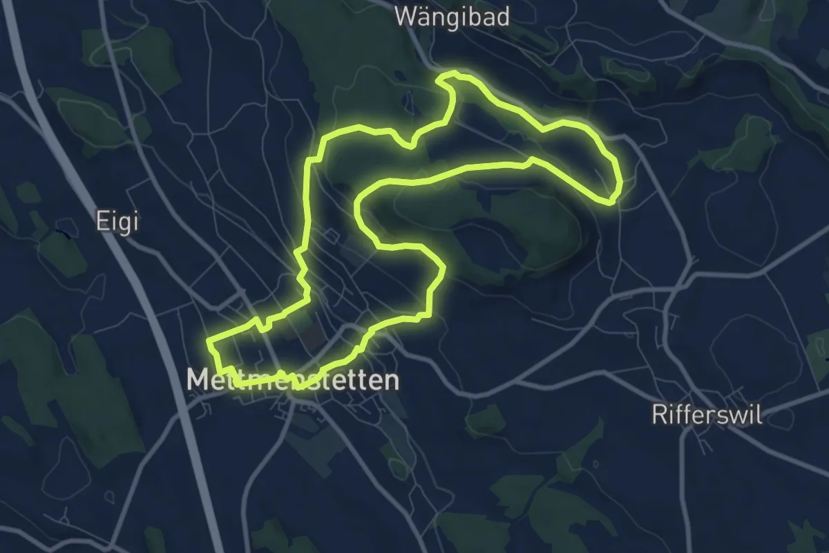
Medium · Trail
Mättmiwäg 4 Grossholz
12.8 km · ↑ 177 m · 3 h 25 min
Medium · Trail
Mättmiwäg 5 Herferswil
9.3 km · ↑ 305 m · 2 h 59 min