Trails in Switzerland
15,029 hiking trails, each with its route, climb, walking time and grade.
All trails, page 68 of 314
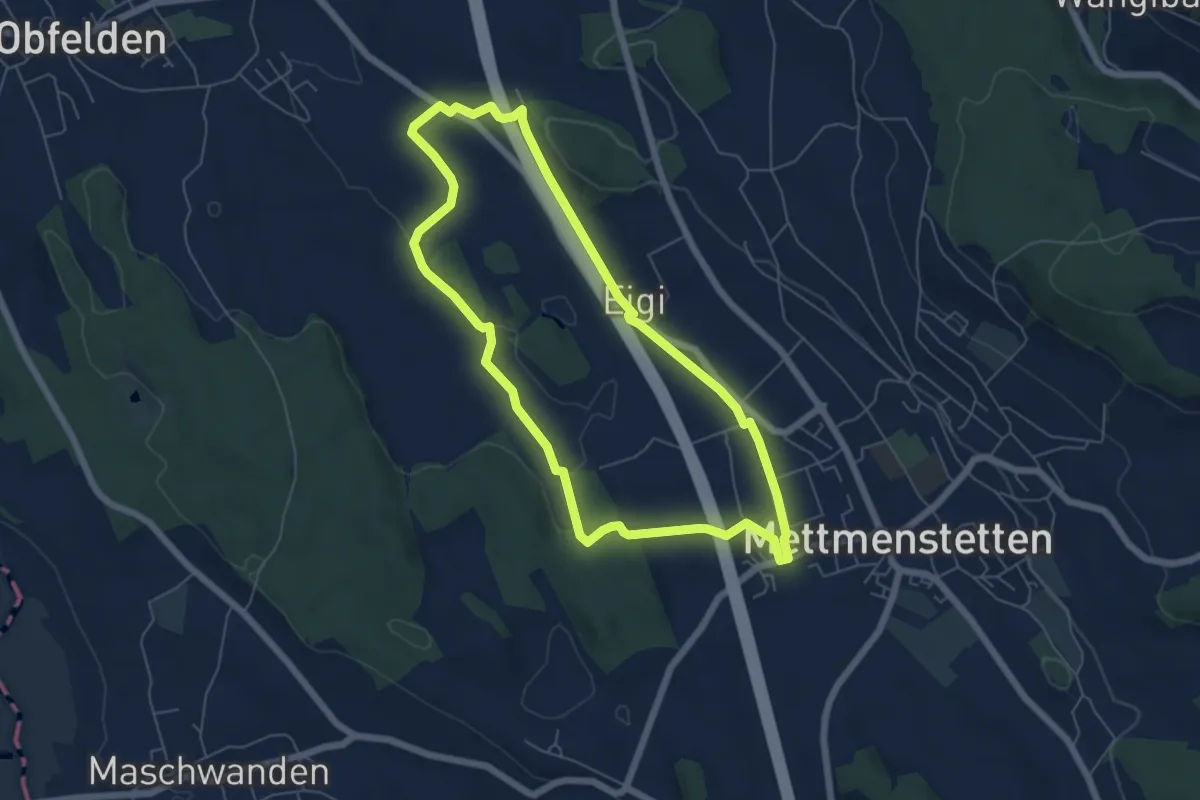
Easy · Trail
Mättmiwäg Dachlissen
5.8 km · ↑ 52 m · 1 h 34 min
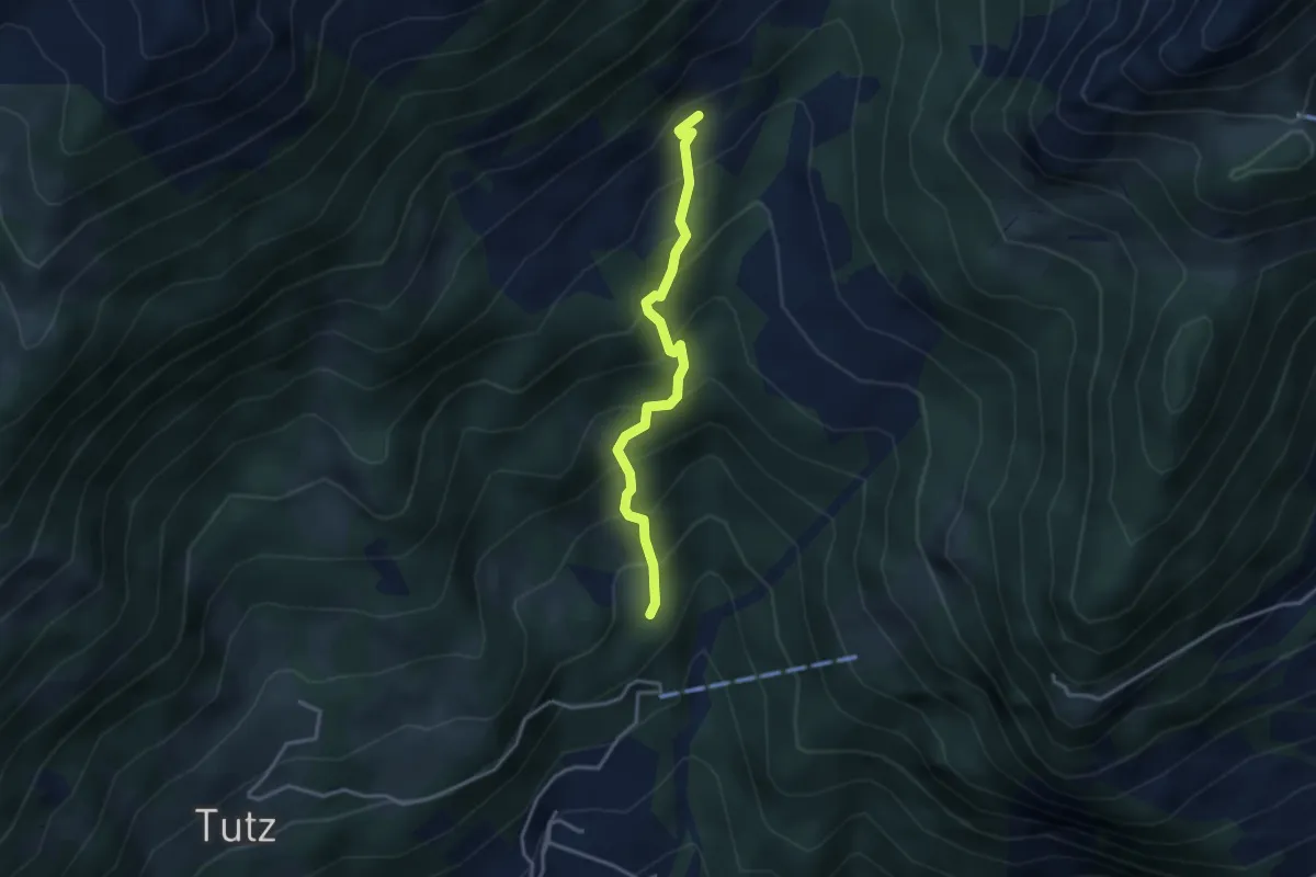
Medium · Trail
Matt - Schluchen
3.1 km · ↑ 376 m · 1 h 33 min
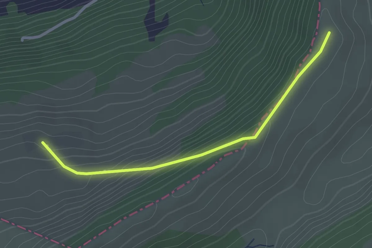
Easy · Trail
Matzendörfer Stierenberg - Rotlach
2.3 km · ↑ 123 m · 49 min
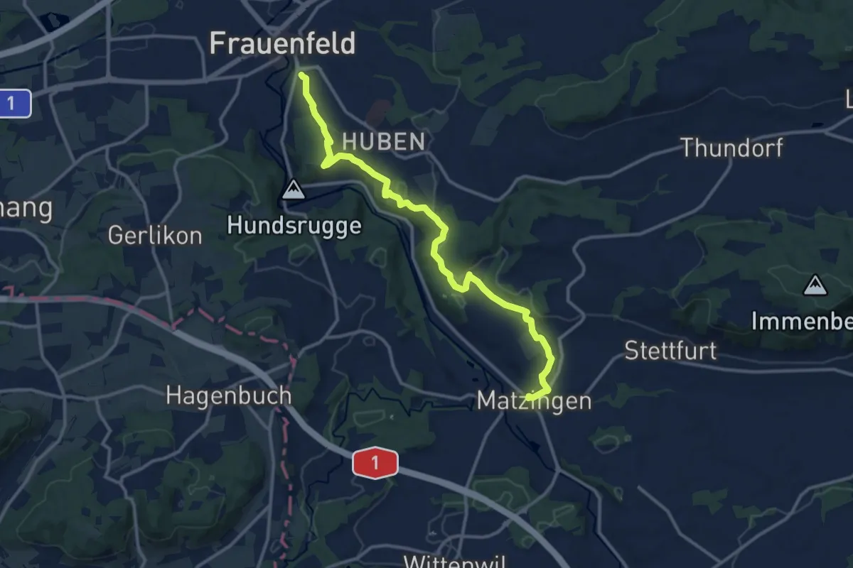
Medium · Trail
Matzingen - Frauenfeld
12.6 km · ↑ 238 m · 3 h 29 min
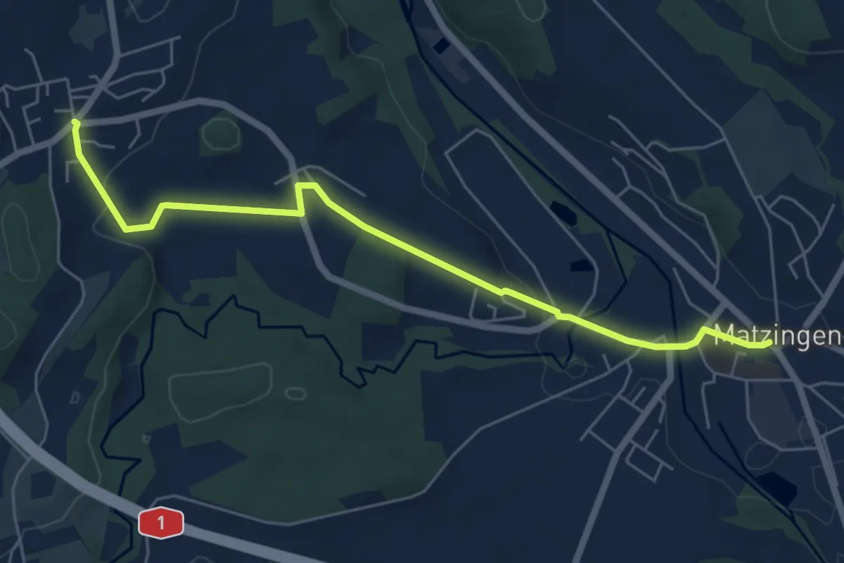
Easy · Trail
Matzingen – Häuslenen
5.8 km · ↑ 82 m · 1 h 33 min
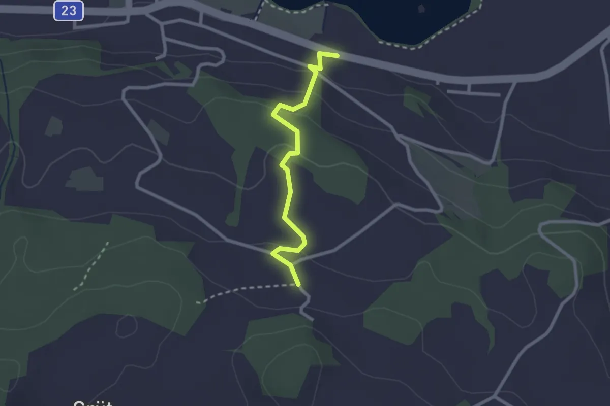
Easy · Trail
Mauensee - Berghof
2.2 km · ↑ 108 m · 45 min
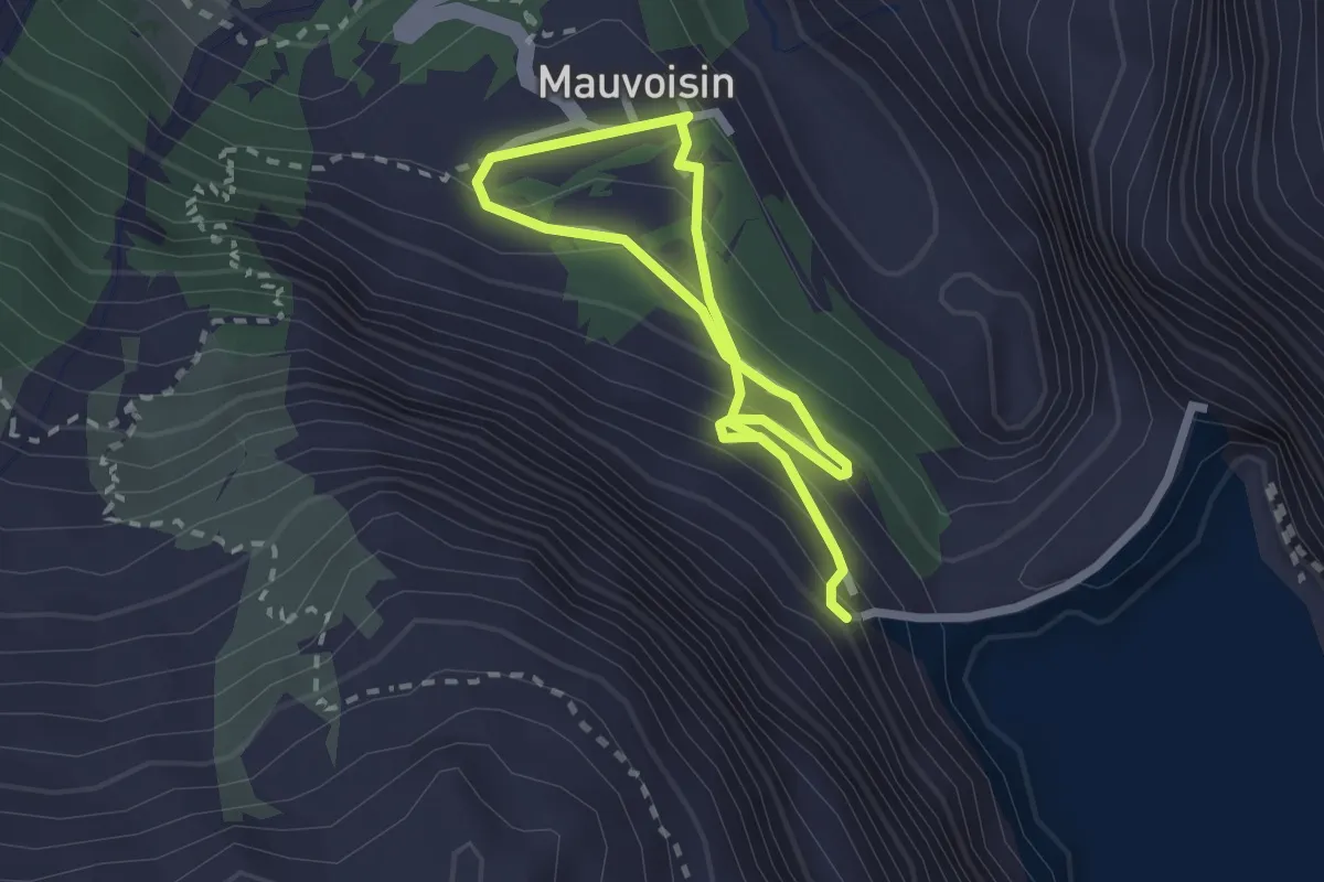
Medium · Trail
Mauvoisin-Barrage de Mauvoisin
3.3 km · ↑ 277 m · 1 h 23 min
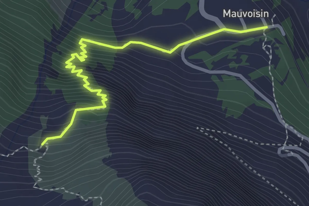
Medium · Trail
Mauvoisin-Pazagnou
2.5 km · ↑ 283 m · 1 h 13 min
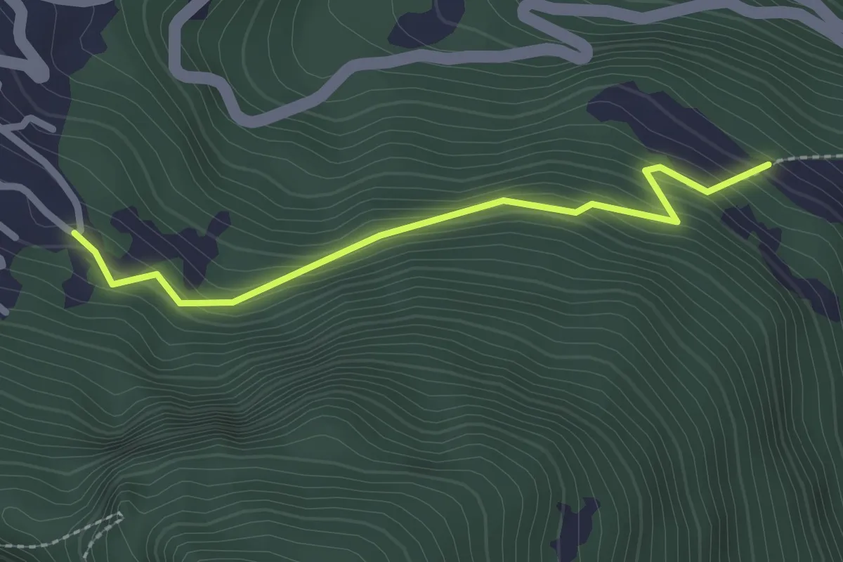
Easy · Trail
Mayens de l'Ardève - fixme
2.2 km · ↑ 188 m · 56 min
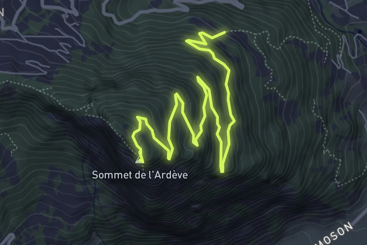
Medium · Summit
Mayens de l'Ardève - L'Ardève
8.2 km · ↑ 645 m · 3 h 19 min
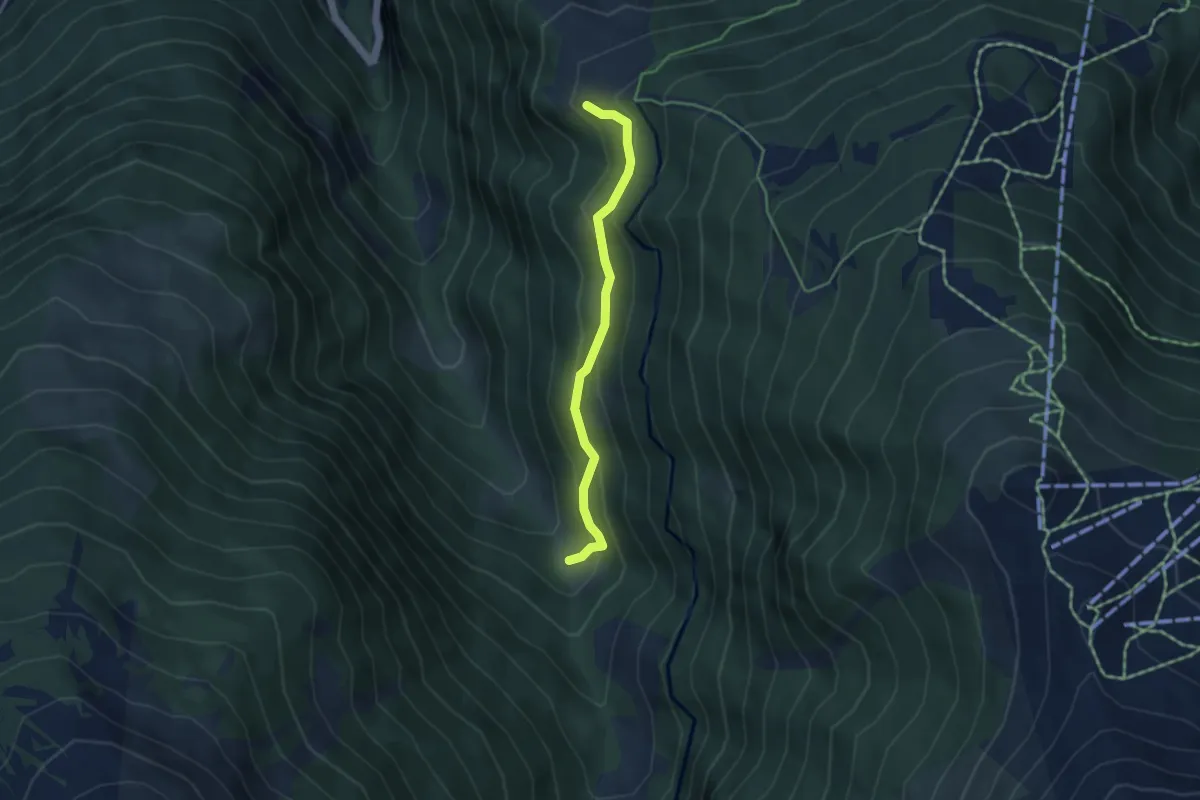
Easy · Trail
Mayens de Réchy-Les Tsâblos
3.9 km · ↑ 253 m · 1 h 28 min
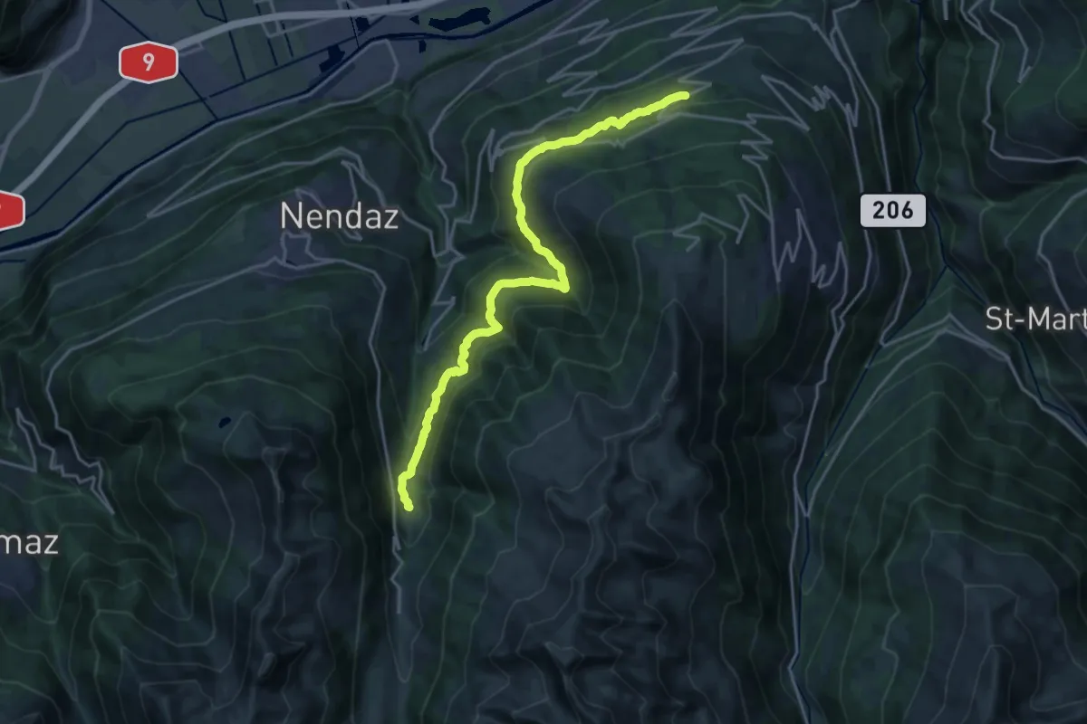
Demanding · Trail
Mayens-de-Sion ouest - Planchouet
20.0 km · ↑ 801 m · 6 h 28 min
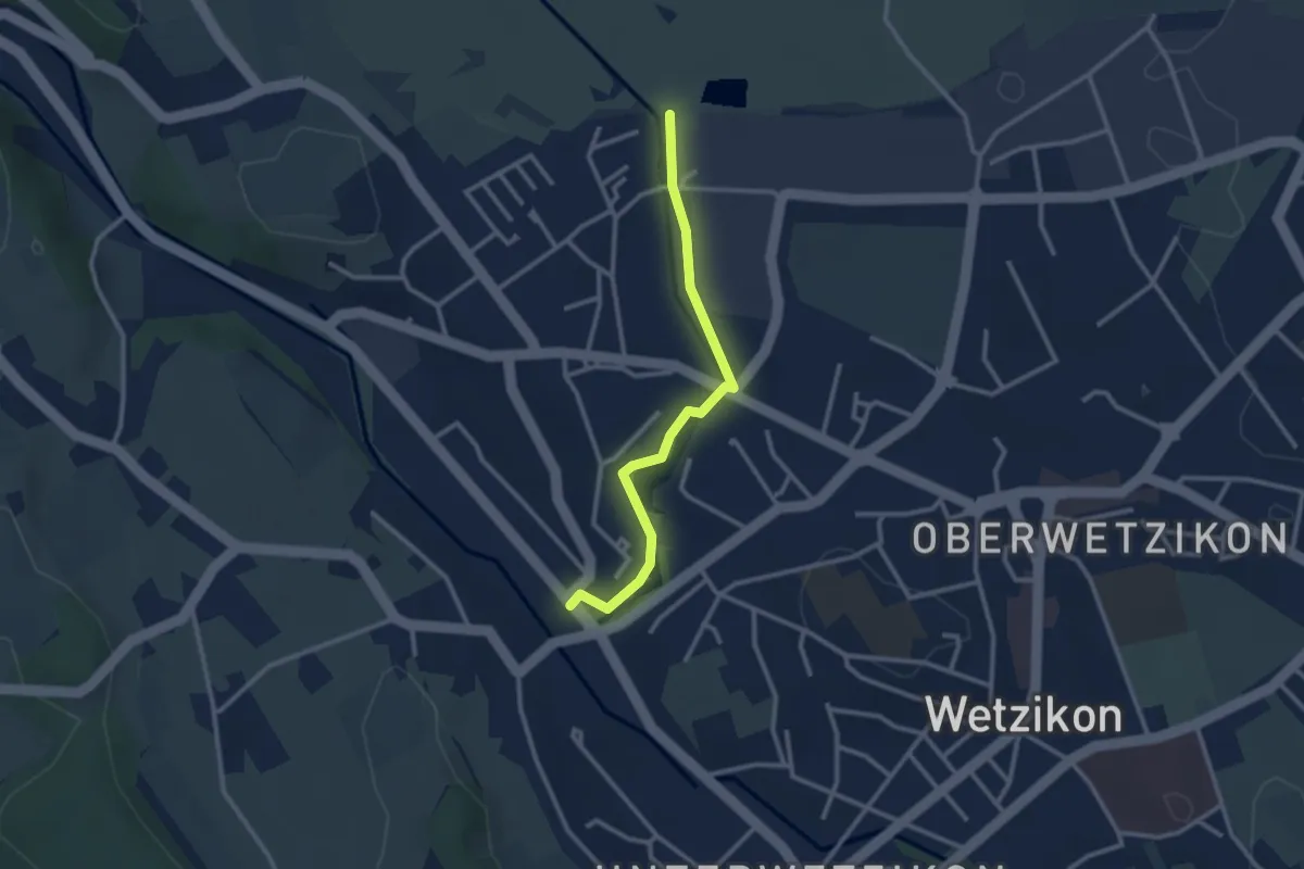
Easy · Trail
Medikon - Robenhausen
2.6 km · ↑ 21 m · 40 min
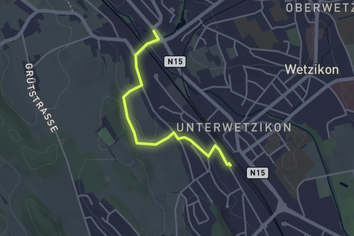
Easy · Trail
Medikon - Wetzikon
3.1 km · ↑ 41 m · 49 min
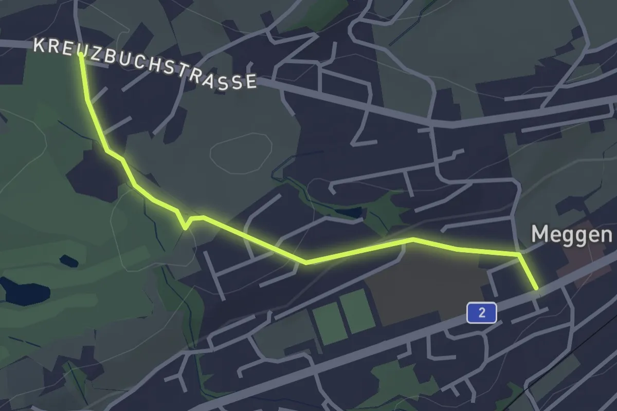
Easy · Trail
Meggen - Buchmatt
2.8 km · ↑ 52 m · 47 min
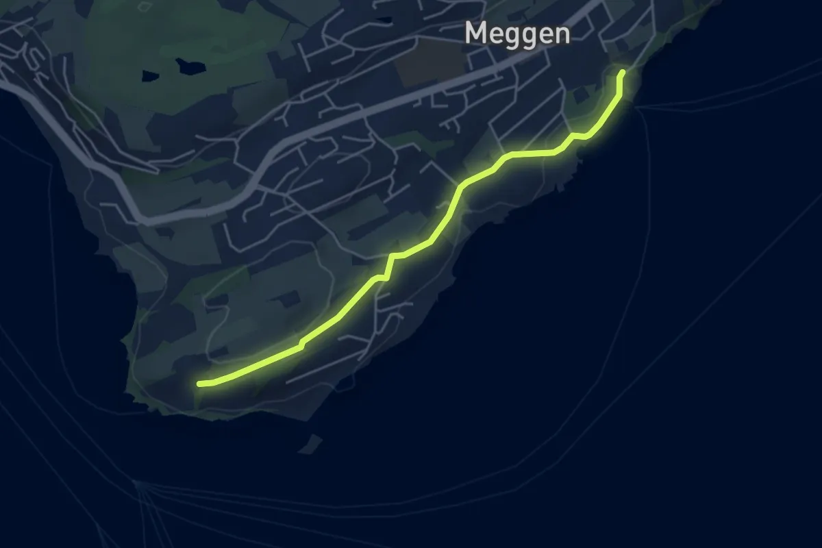
Easy · Trail
Meggenhorn - Meggen (Schiff)
4.5 km · ↑ 98 m · 1 h 16 min
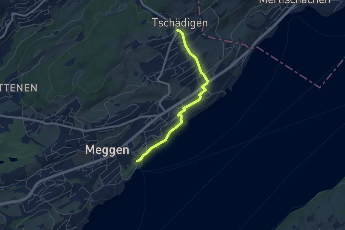
Easy · Trail
Meggen (Schiff) - Tschädigen
5.1 km · ↑ 156 m · 1 h 32 min
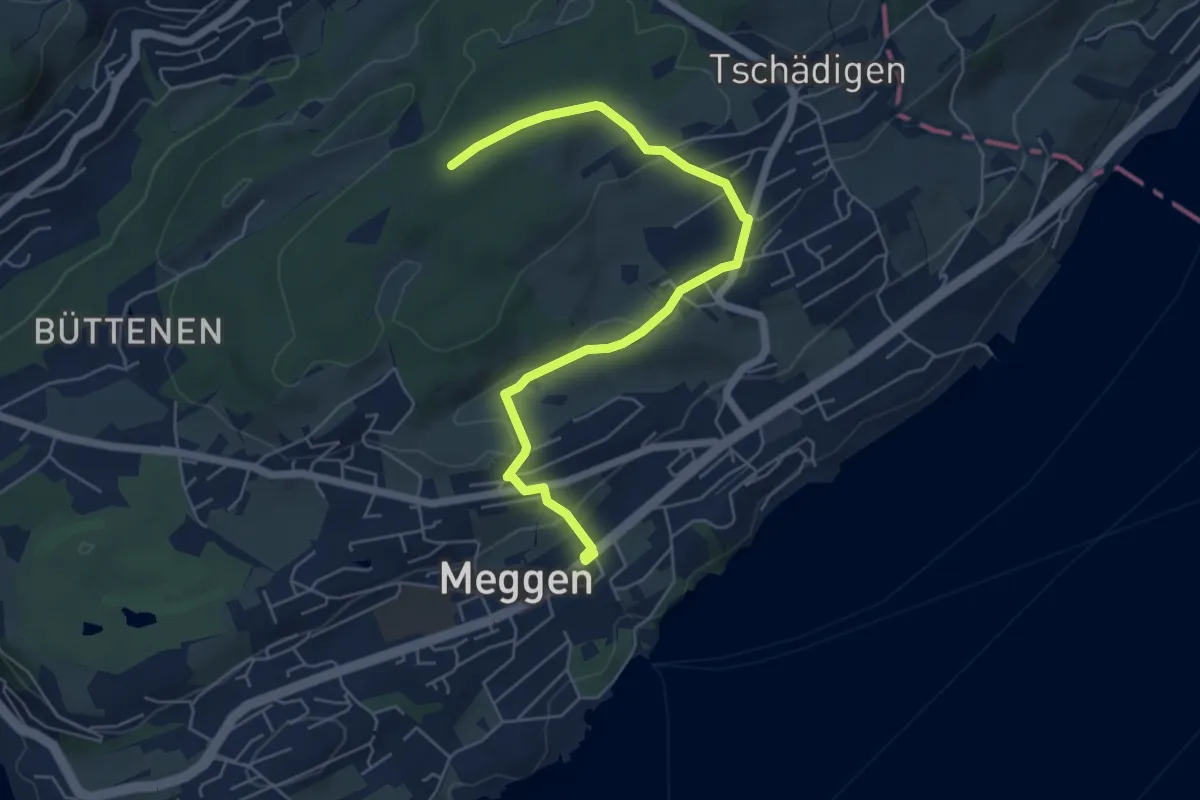
Easy · Trail
Meggen Schulhaus - Meggerwald
6.3 km · ↑ 176 m · 1 h 52 min
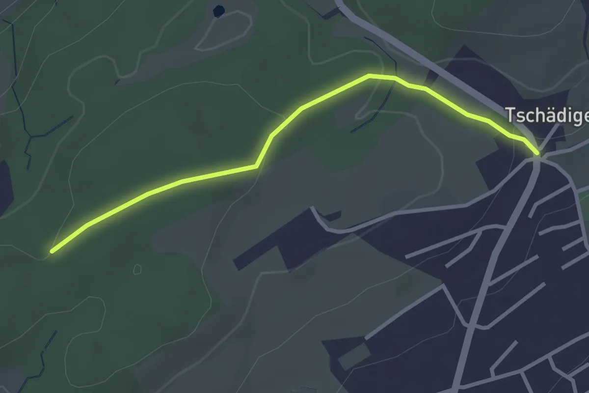
Easy · Trail
Meggerwald - Tschädigen
2.7 km · ↑ 61 m · 46 min
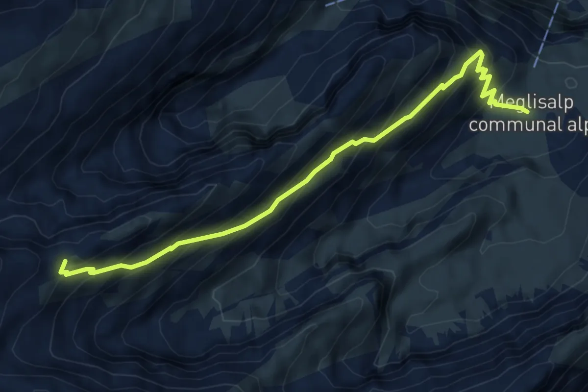
Expert · Cabin
Meglisalp - Wagenlücke
6.0 km · ↑ 568 m · 2 h 39 min
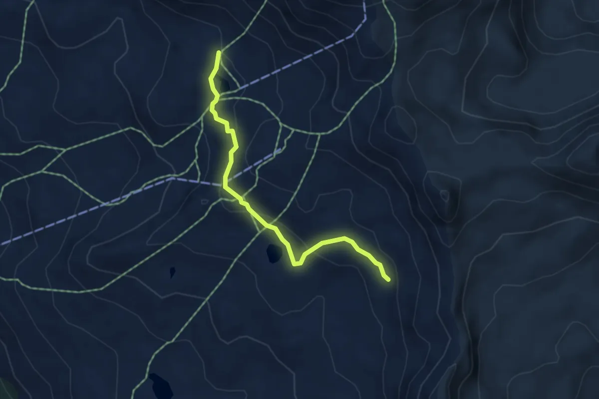
Medium · Trail
Meidpass-Lac de Bella Tola
4.3 km · ↑ 184 m · 1 h 25 min
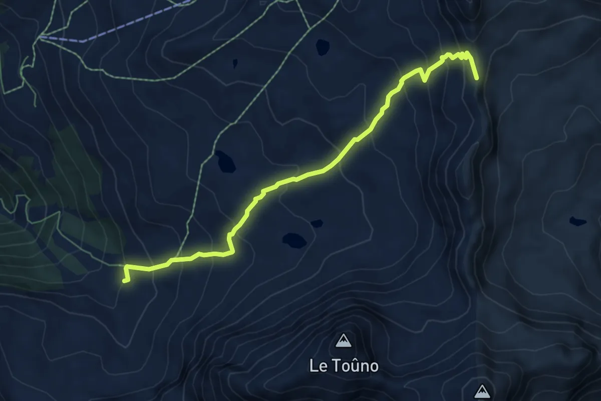
Demanding · Trail
Meidpass-Toûno
6.9 km · ↑ 569 m · 2 h 51 min
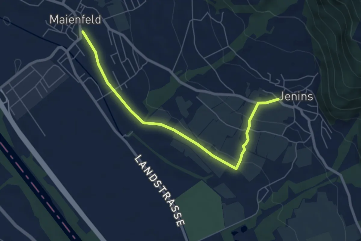
Easy · Trail
Meienfeld - Jenins
5.7 km · ↑ 123 m · 1 h 37 min
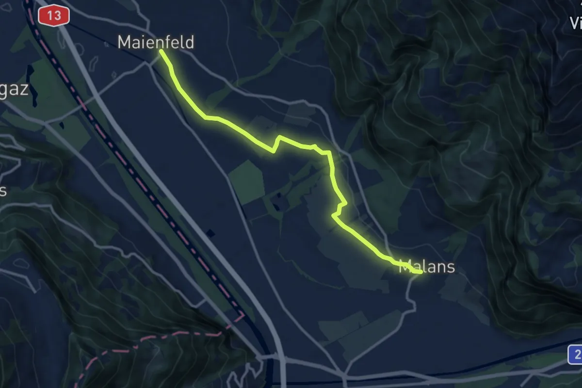
Medium · Trail
Meienfeld - Malans
10.3 km · ↑ 123 m · 2 h 43 min
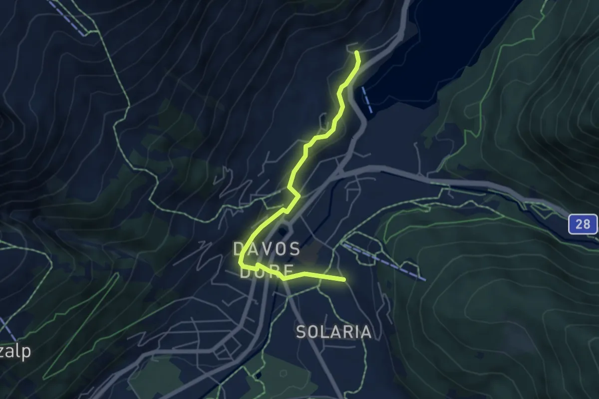
Easy · Trail
Meierhof - Davos Dorf - Bünda
4.9 km · ↑ 140 m · 1 h 28 min
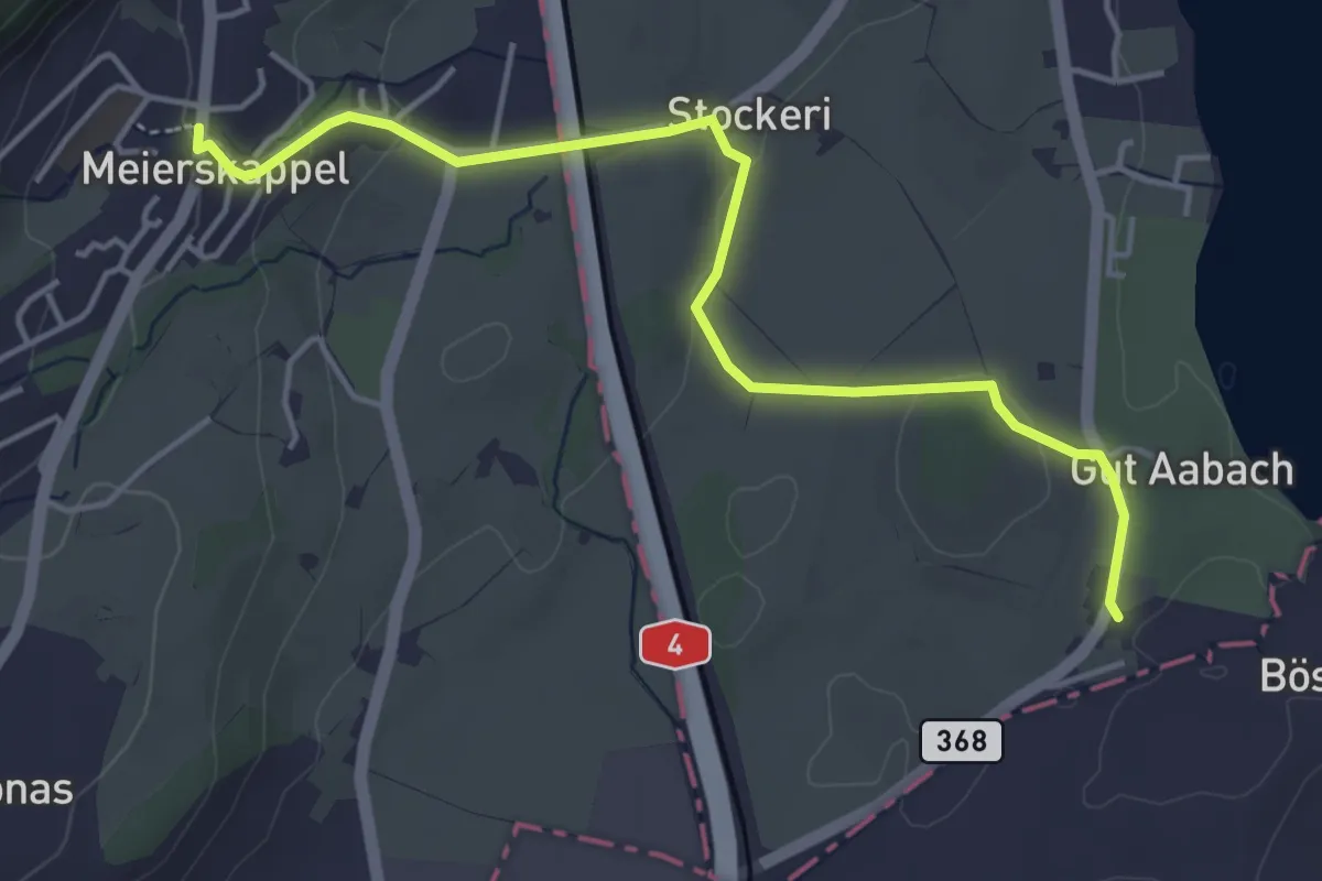
Easy · Trail
Meierskappel - Landhaus
4.7 km · ↑ 125 m · 1 h 22 min
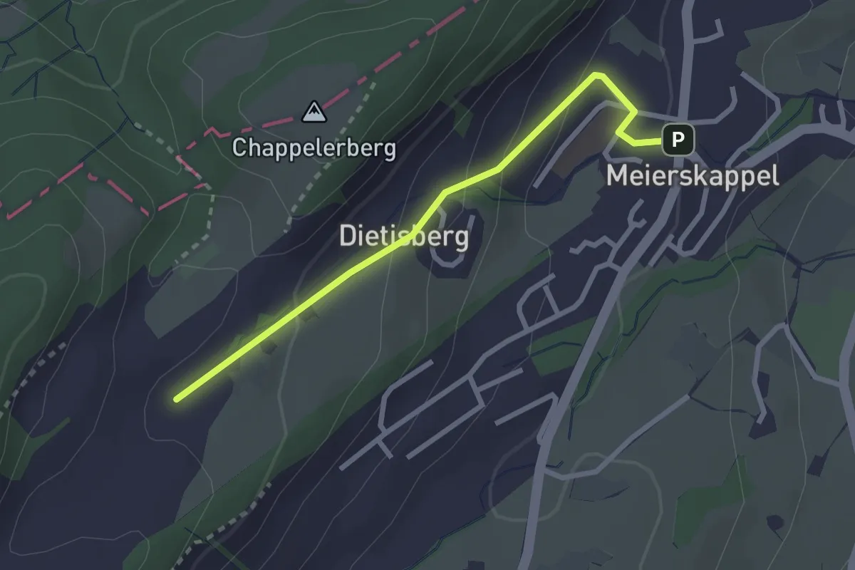
Easy · Trail
Meierskappel-Oberstenhof
2.5 km · ↑ 116 m · 50 min
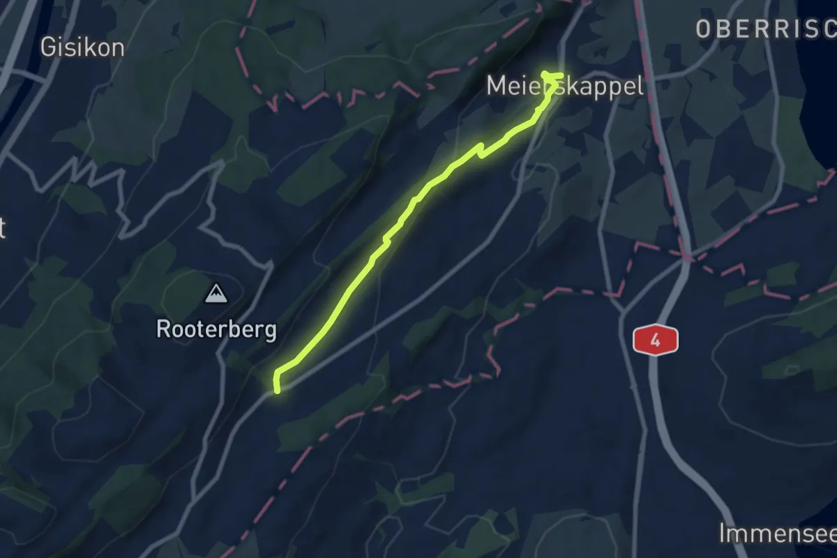
Easy · Trail
Meierskappel - Robmatt
6.6 km · ↑ 209 m · 2 h
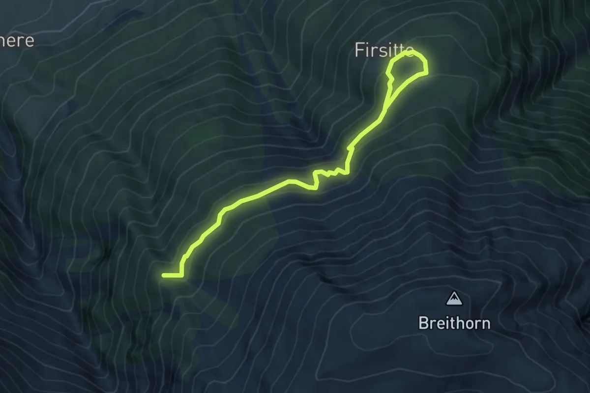
Medium · Trail
Meiggera - Firsitte
5.9 km · ↑ 355 m · 2 h 10 min
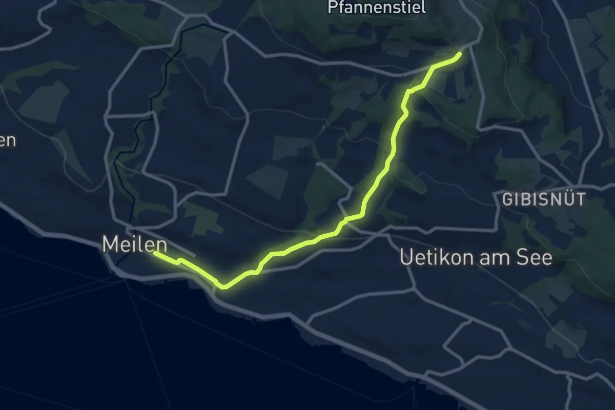
Medium · Trail
Meilen - Vorderpfannenstiel
8.4 km · ↑ 313 m · 2 h 39 min
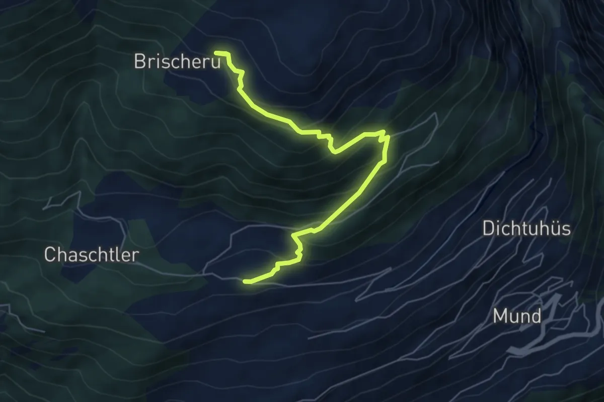
Medium · Trail
Meinimatte - Brischeru
5.9 km · ↑ 509 m · 2 h 30 min
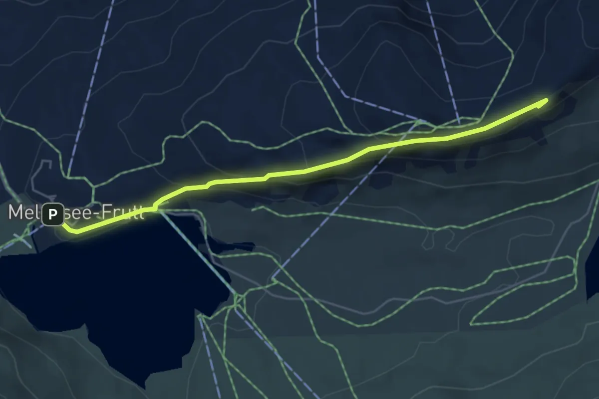
Medium · Summit
Melchsee-Frutt - Chringen - Bonistock
4.9 km · ↑ 235 m · 1 h 40 min
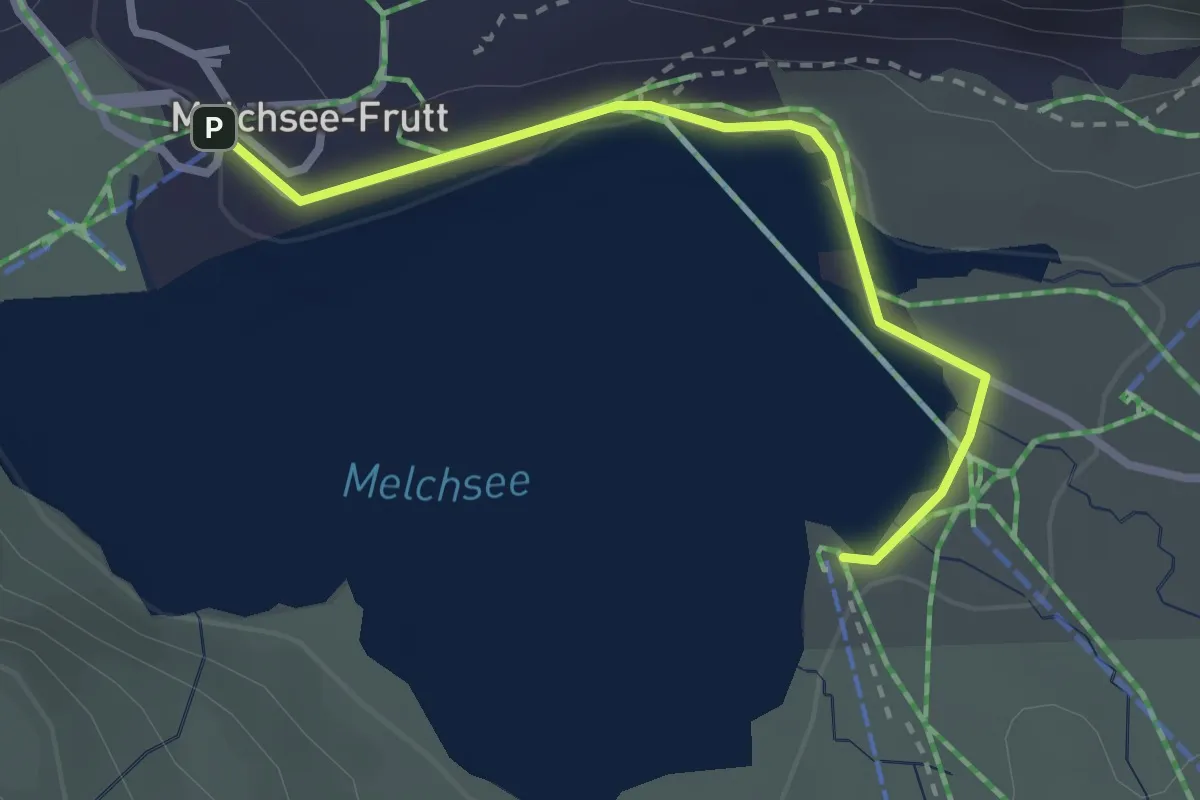
Medium · Trail
Melchsee-Frutt - Melchsee
2.7 km · ↑ 18 m · 40 min
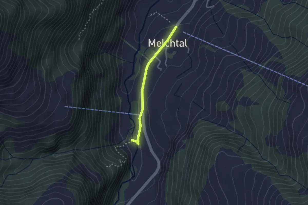
Easy · Trail
Melchtal - Fluemätteli
2.0 km · ↑ 30 m · 33 min
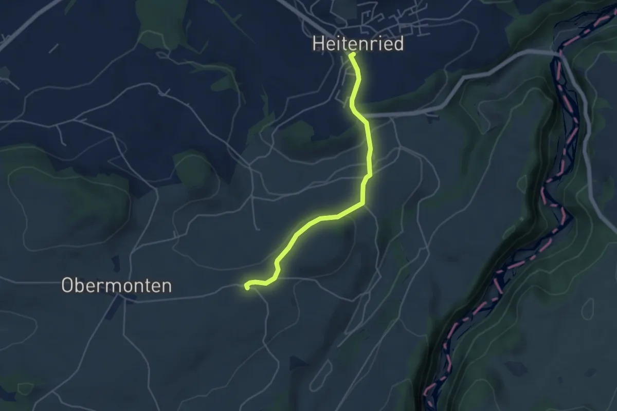
Easy · Trail
Melisried - Heitenried
4.2 km · ↑ 102 m · 1 h 13 min
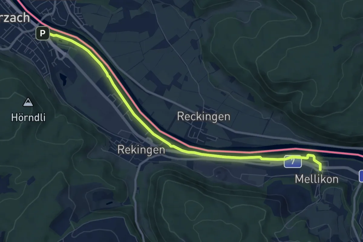
Medium · Trail
Mellikon Bahnhof - fixme
9.2 km · ↑ 46 m · 2 h 16 min
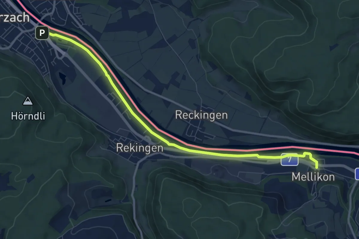
Medium · Trail
Mellikon Bahnhof - fixme
9.2 km · ↑ 46 m · 2 h 16 min
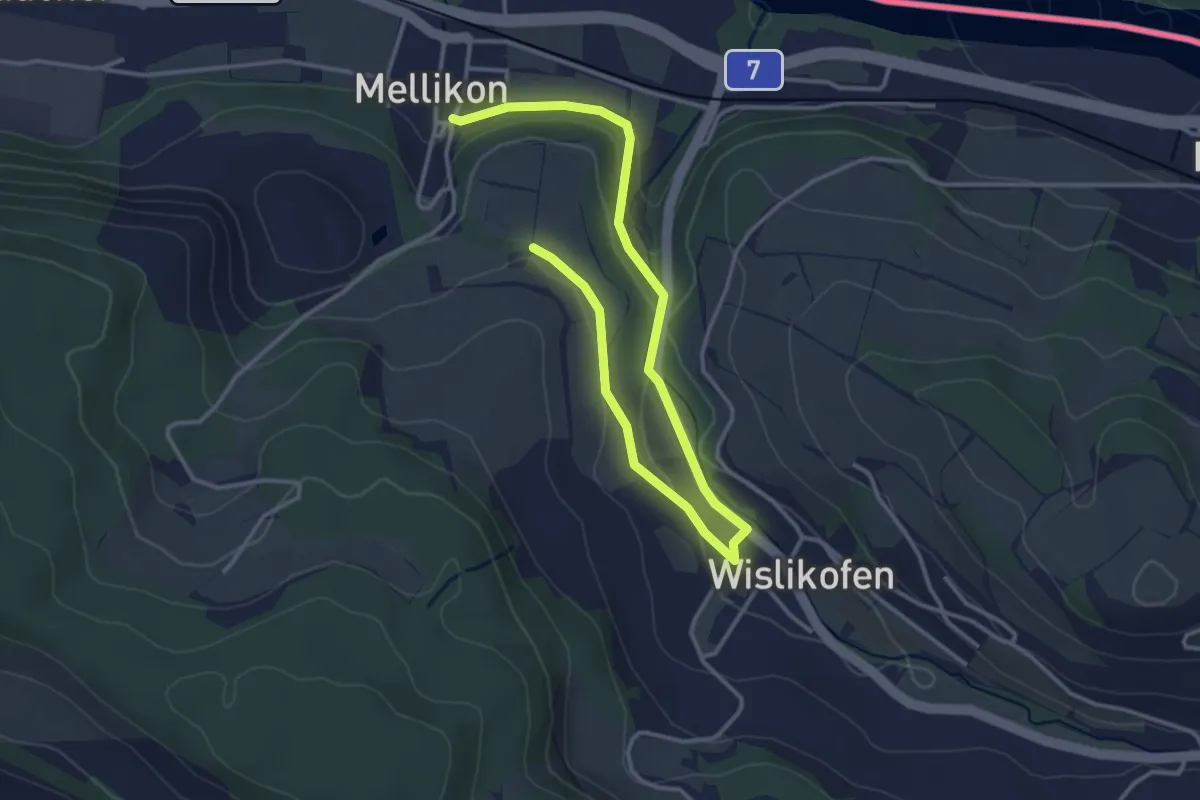
Easy · Trail
Mellikon Dorf - Wislikofen
4.5 km · ↑ 79 m · 1 h 14 min
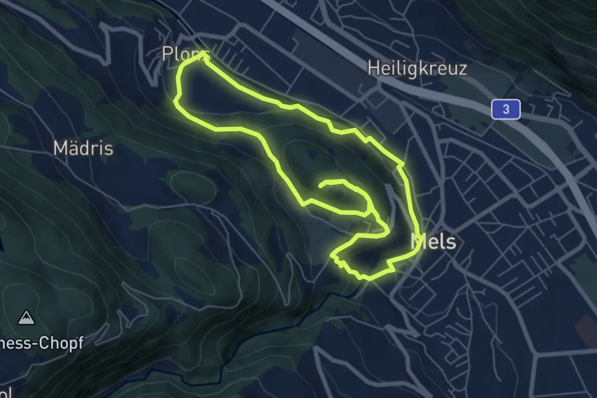
Medium · Trail
Melser Geoweg
5.7 km · ↑ 215 m · 1 h 54 min
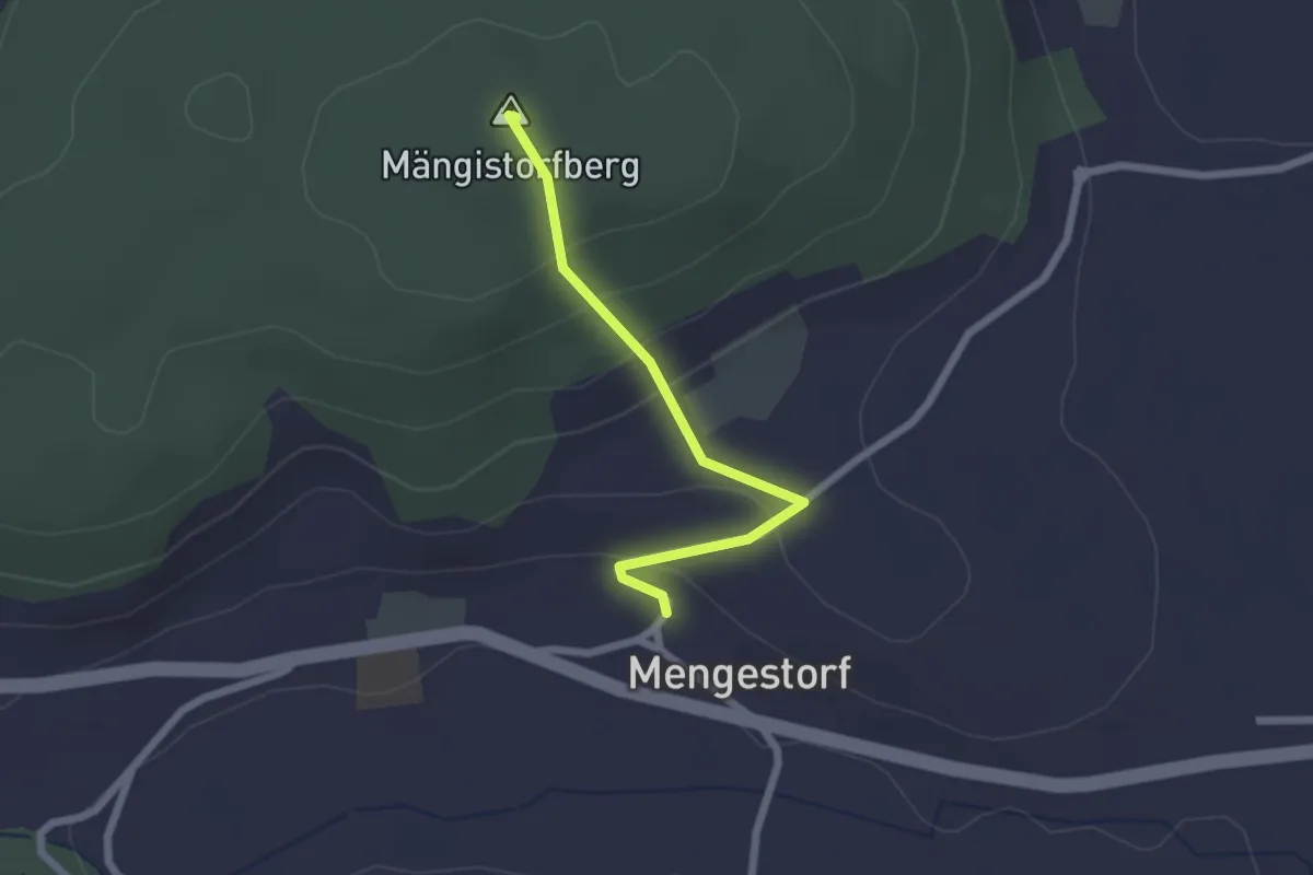
Easy · Summit
Mengestorfberg - Mengestorf
2.0 km · ↑ 124 m · 45 min
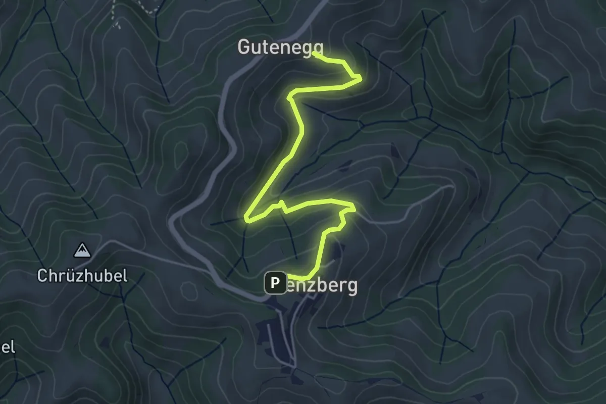
Easy · Trail
Menzberg - Gutenegg
4.5 km · ↑ 212 m · 1 h 32 min
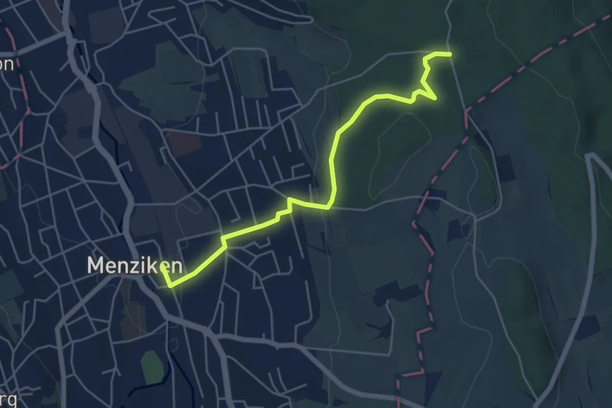
Easy · Trail
Menziken - Breitholz
4.6 km · ↑ 116 m · 1 h 20 min
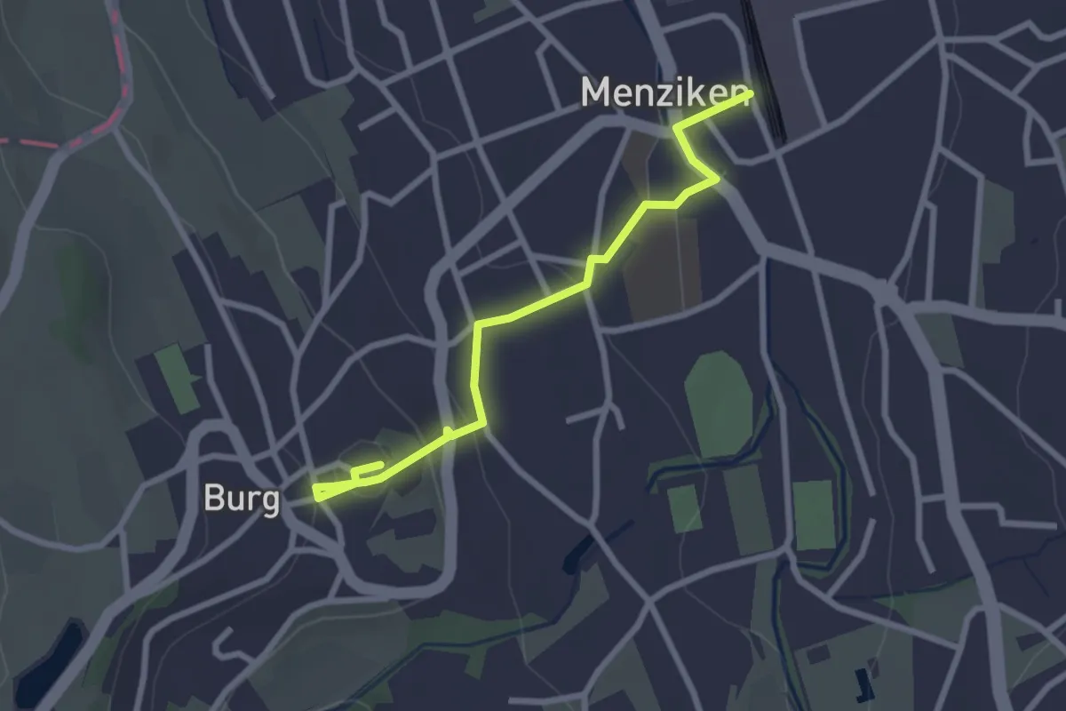
Easy · Trail
Menziken - Burg
2.6 km · ↑ 74 m · 46 min
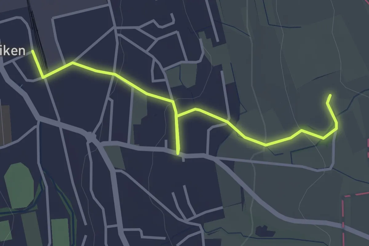
Easy · Trail
Menziken - Trolerhof
3.4 km · ↑ 89 m · 1 h
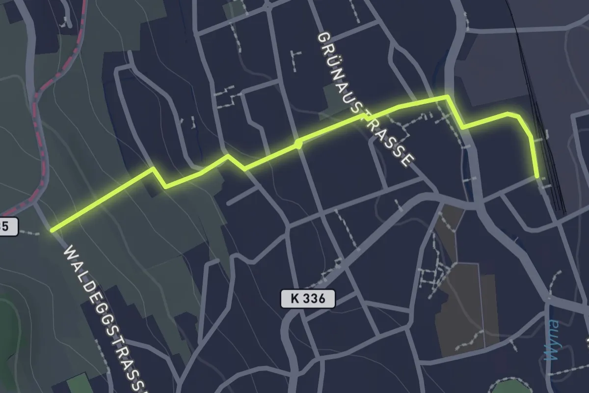
Easy · Trail
Menziken - Waldegg
2.4 km · ↑ 71 m · 44 min
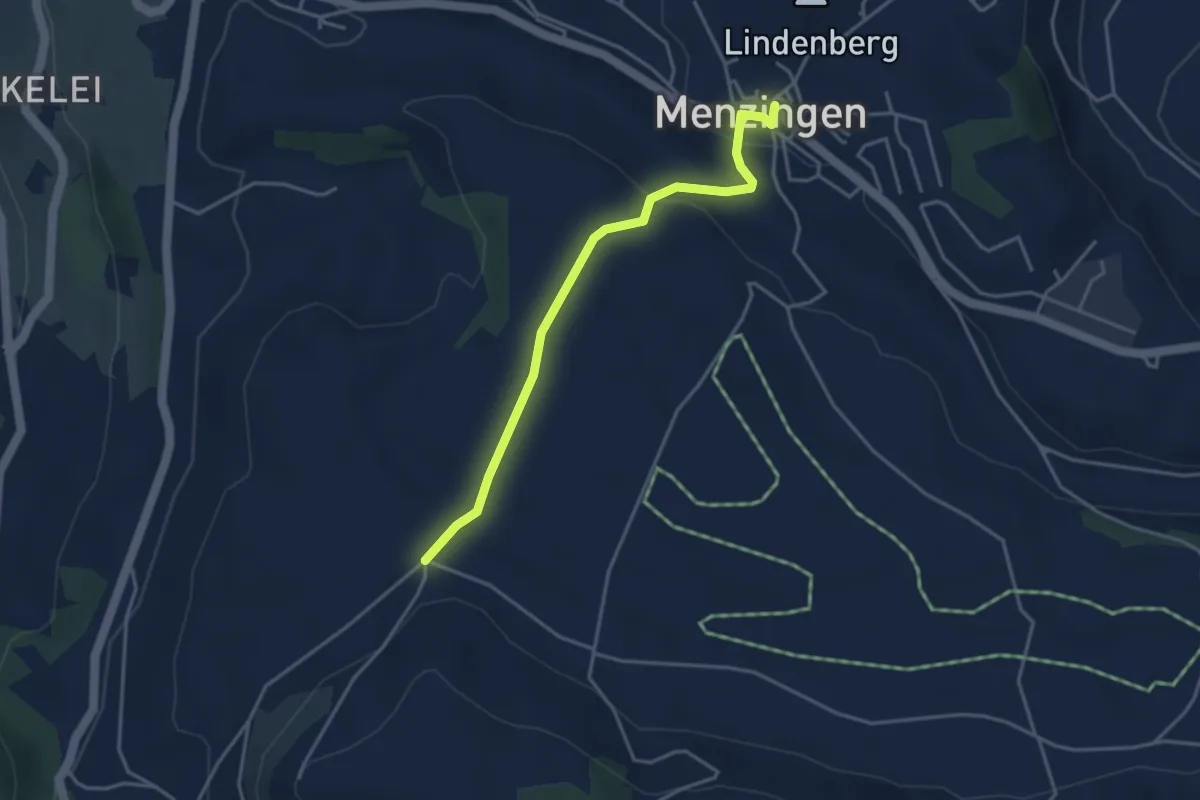
Easy · Trail
Menzingen - Bolzli
3.7 km · ↑ 70 m · 1 h 2 min
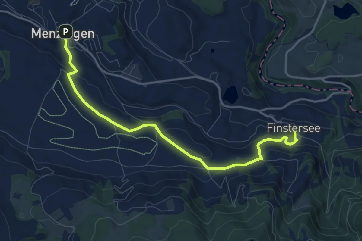
Medium · Trail
Menzingen - Finstersee
9.4 km · ↑ 171 m · 2 h 36 min
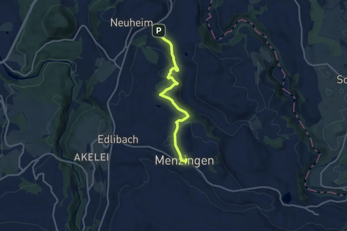
Medium · Trail
Menzingen - Sarbach
8.3 km · ↑ 190 m · 2 h 22 min