Trails in Switzerland
15,029 hiking trails, each with its route, climb, walking time and grade.
All trails, page 69 of 314
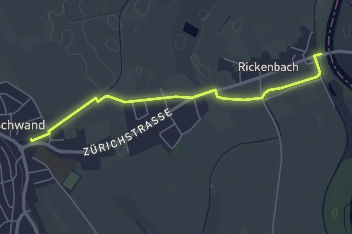
Easy · Trail
Merenschwand - Brücke Rickenbach
4.4 km · ↑ 9 m · 1 h 3 min
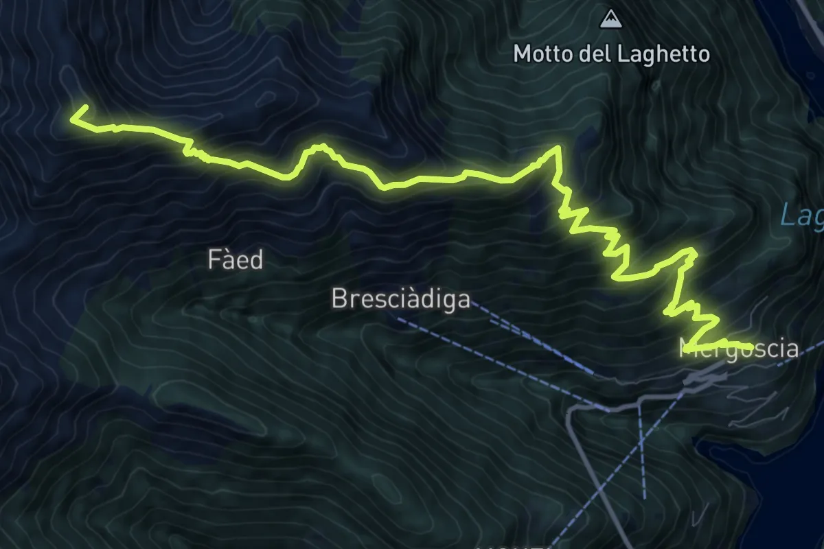
Demanding · Summit
Mergoscia-Madone
13.9 km · ↑ 1338 m · 6 h 11 min
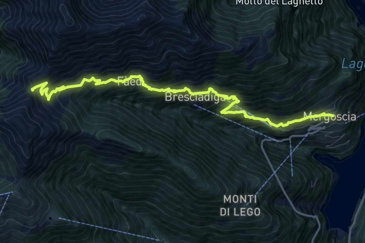
Demanding · Trail
Mergoscia-P1650
13.0 km · ↑ 1219 m · 5 h 43 min
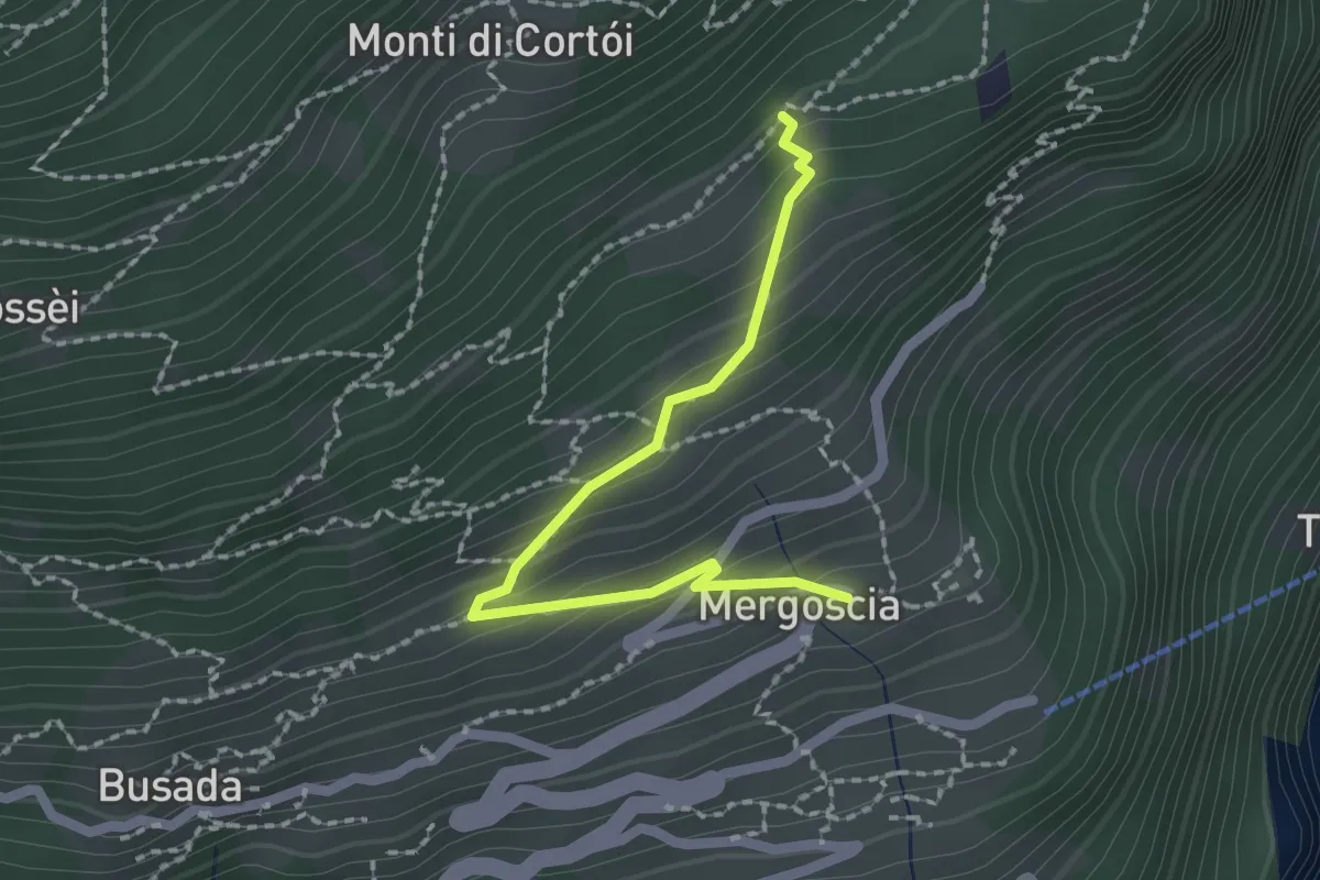
Easy · Trail
Mergoscia - Perbioi
2.0 km · ↑ 171 m · 51 min
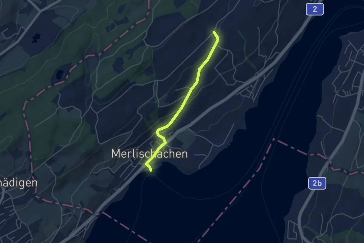
Easy · Trail
Merlischachen - Allmig
3.8 km · ↑ 123 m · 1 h 10 min
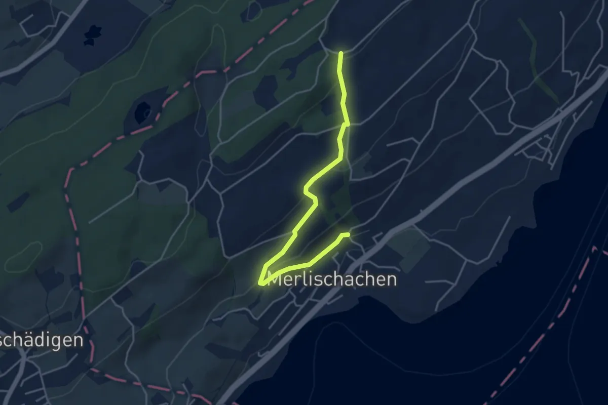
Easy · Trail
Merlischachen - Forenmoos
4.0 km · ↑ 139 m · 1 h 15 min
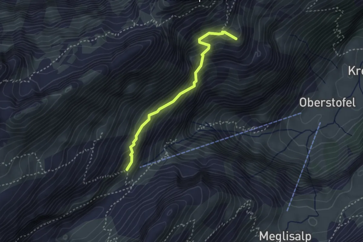
Demanding · Summit
Mesmer Nord
2.8 km · ↑ 282 m · 1 h 16 min
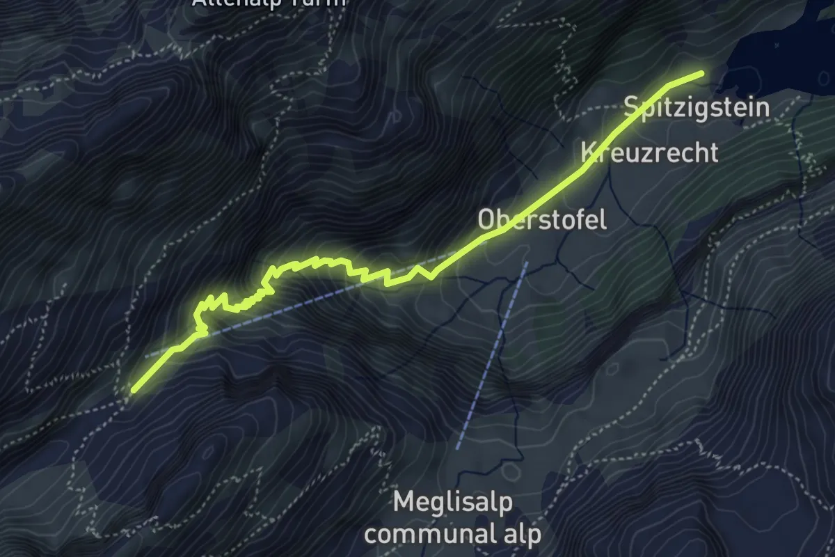
Demanding · Cabin
Mesmer - Seealpsee
5.2 km · ↑ 476 m · 2 h 16 min
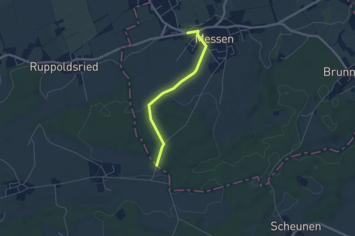
Easy · Trail
Messen Junkholz - Messen Post
4.1 km · ↑ 71 m · 1 h 8 min
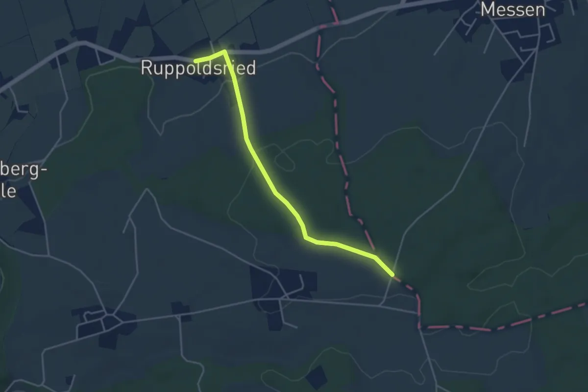
Easy · Trail
Messen Junkholz - Ruppoldsried
3.7 km · ↑ 89 m · 1 h 4 min
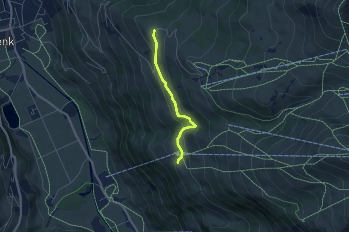
Easy · Trail
Metsch - Brandegg
3.7 km · ↑ 197 m · 1 h 19 min
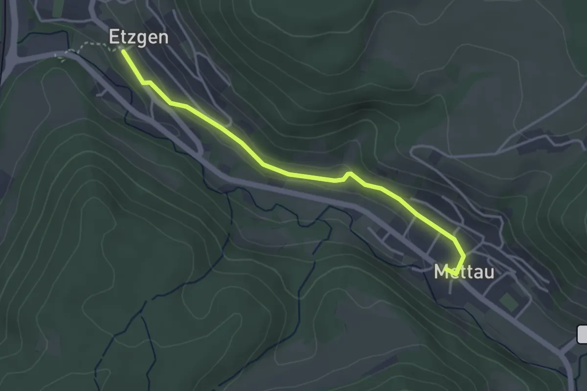
Easy · Trail
Mettau Postauto - Etzgen Dorf
3.5 km · ↑ 44 m · 55 min
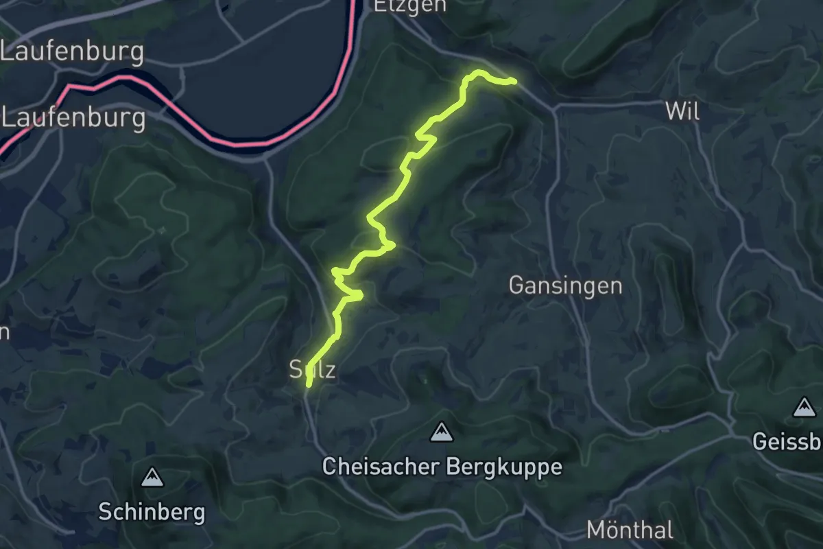
Medium · Trail
Mettau Postauto - Sulz
12.2 km · ↑ 388 m · 3 h 44 min
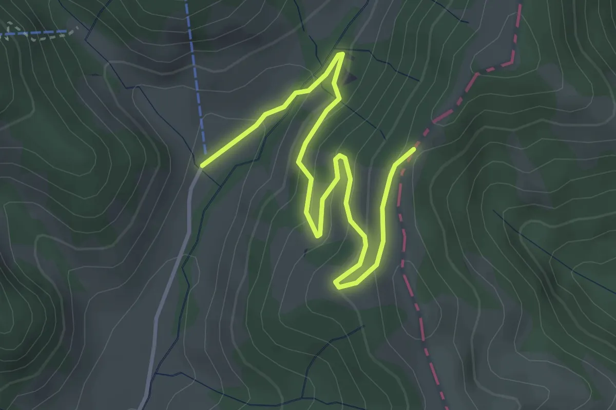
Easy · Cabin
Mettlenalp - Trimle
4.1 km · ↑ 194 m · 1 h 23 min
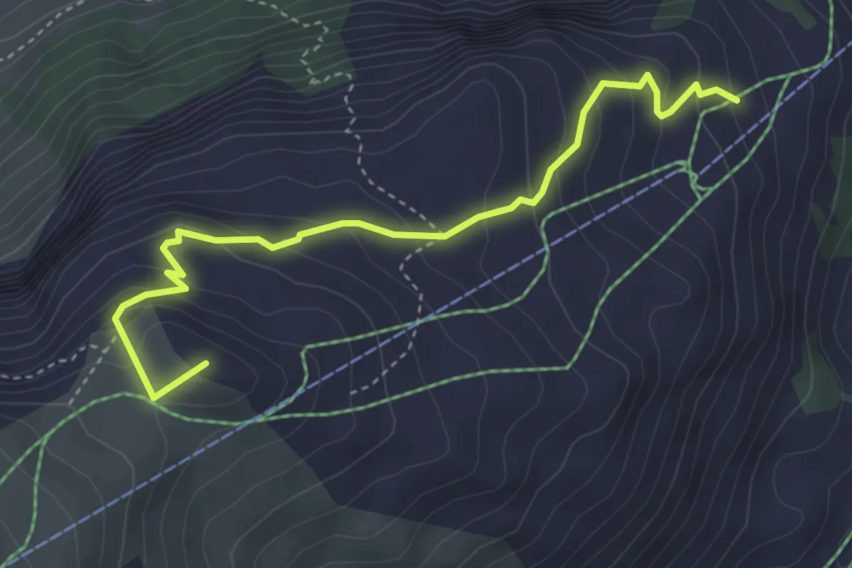
Medium · Summit
Mettlen - Charenstöckli
4.1 km · ↑ 328 m · 1 h 41 min
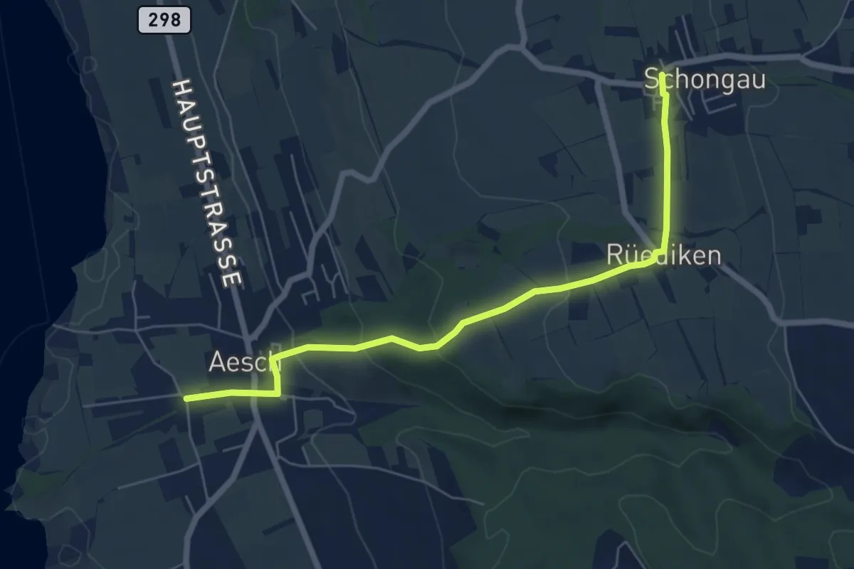
Easy · Trail
Mettmenschongau - Aesch
6.1 km · ↑ 204 m · 1 h 53 min
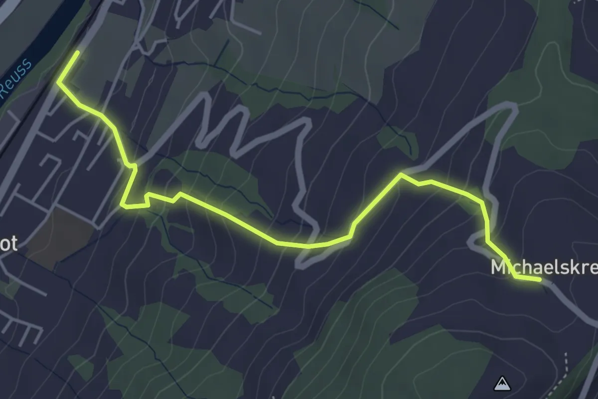
Medium · Trail
Michaelskreuz - Gisikon-Root
4.7 km · ↑ 346 m · 1 h 51 min
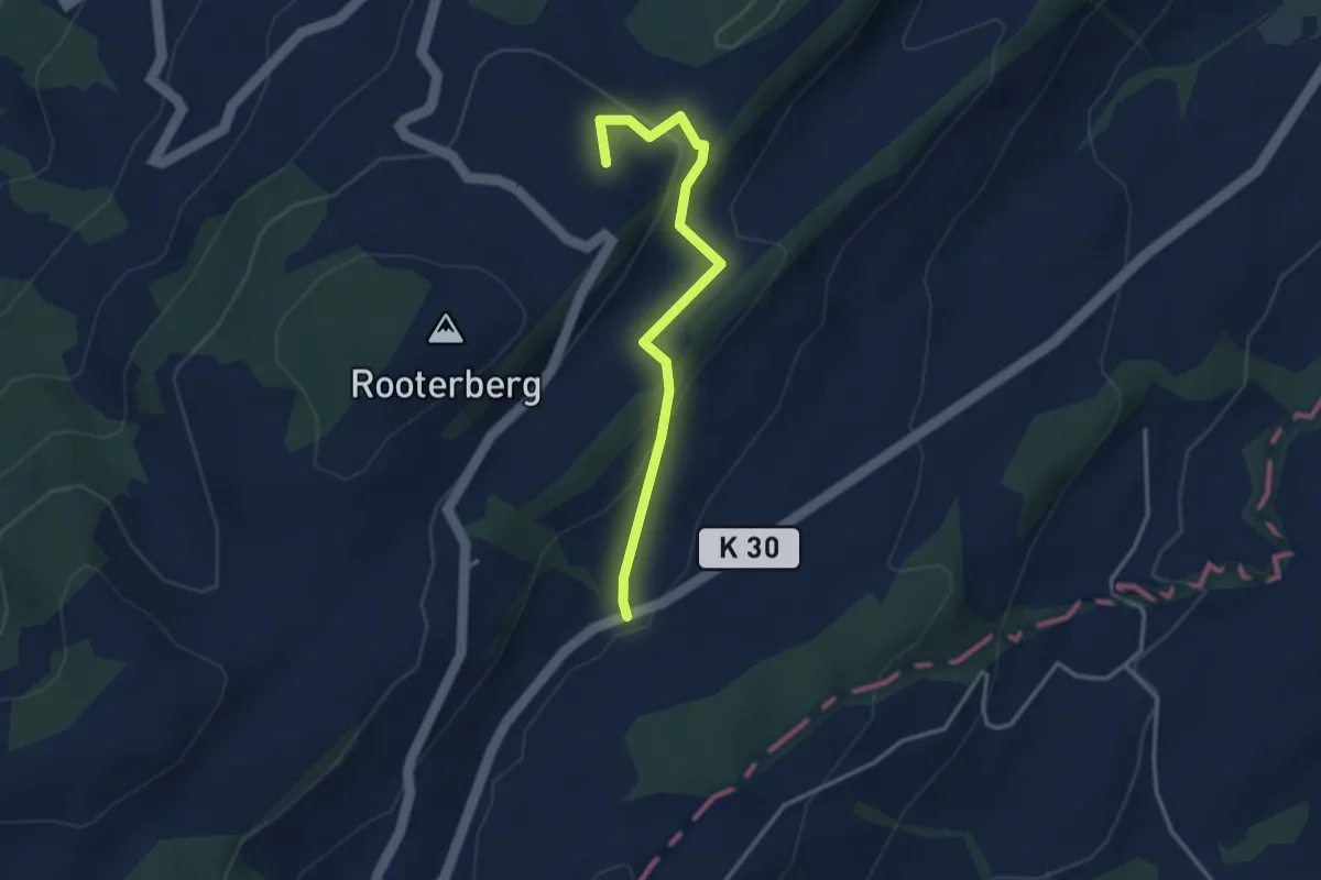
Easy · Summit
Michaelskreuz - Robmatt
3.3 km · ↑ 144 m · 1 h 5 min
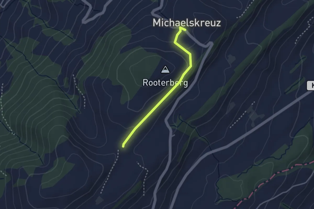
Easy · Trail
Michaelskreuz-Schiffmannshof
2.5 km · ↑ 52 m · 43 min
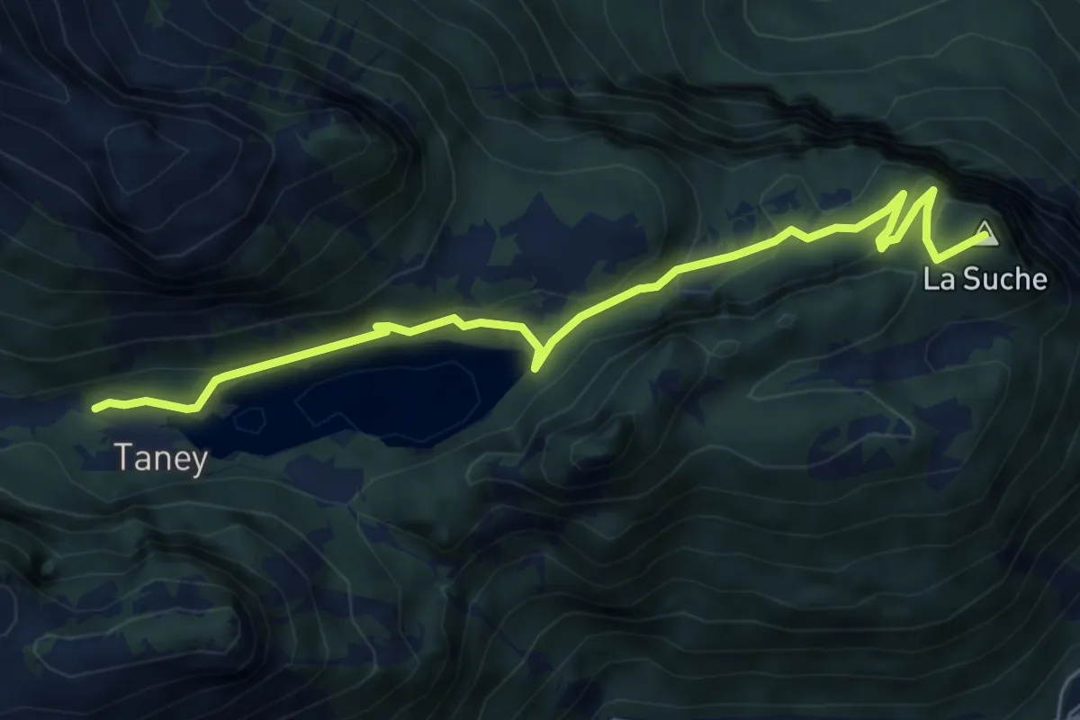
Easy · Summit
Miex-Lac de Taney (via Prélagine)
6.0 km · ↑ 315 m · 2 h 7 min
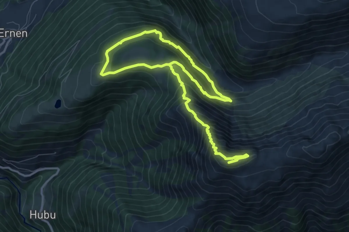
Demanding · Summit
Milebach - Eggerhorn
14.0 km · ↑ 1149 m · 5 h 47 min
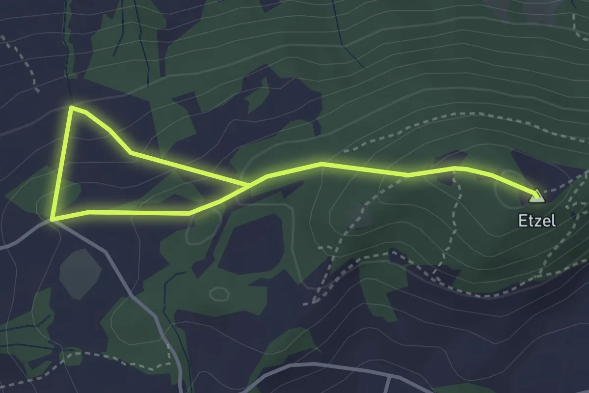
Easy · Summit
Milten - Etzel Kulm
4.2 km · ↑ 282 m · 1 h 36 min
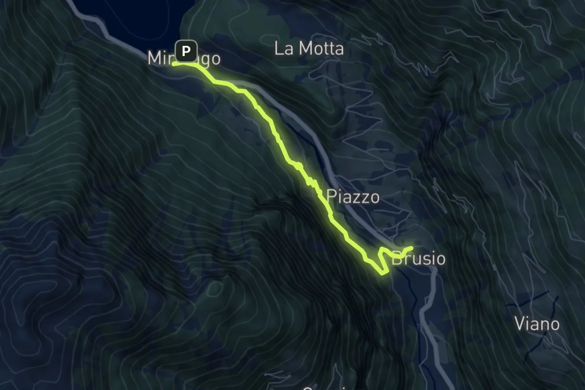
Medium · Trail
Miralago - Golbia - Brusio
7.0 km · ↑ 363 m · 2 h 27 min
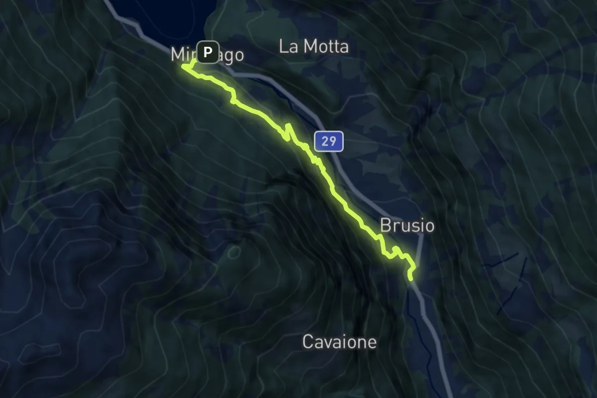
Medium · Trail
Miralago - Mot - Brusio
8.5 km · ↑ 532 m · 3 h 10 min
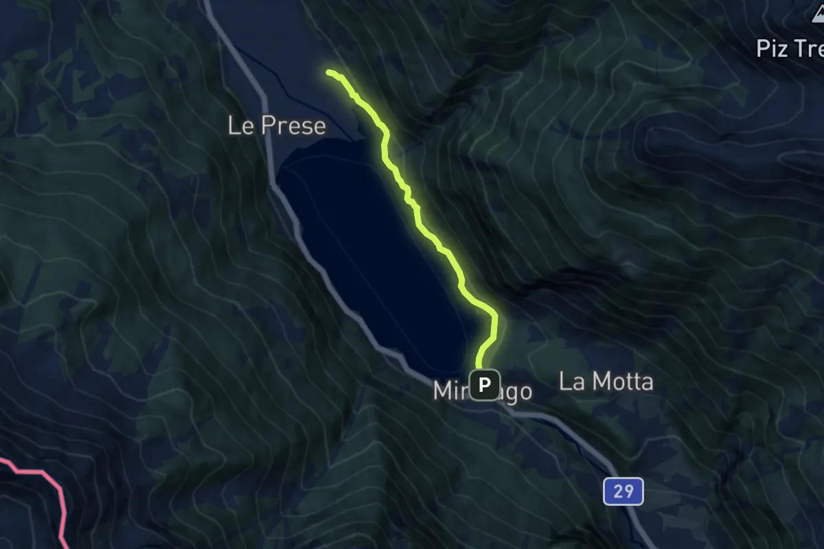
Easy · Trail
Miralego - Canton
6.6 km · ↑ 188 m · 1 h 57 min
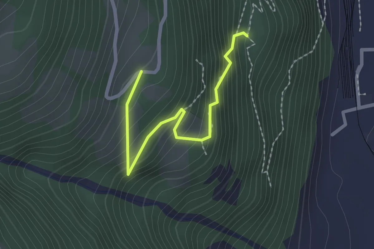
Medium · Trail
Miraval-Campel
2.0 km · ↑ 203 m · 54 min
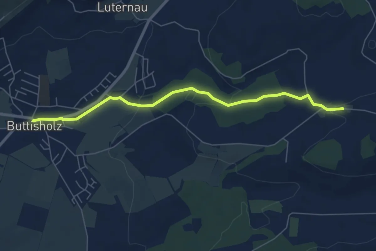
Easy · Trail
Mittelarig-Buttisholz
5.6 km · ↑ 132 m · 1 h 36 min
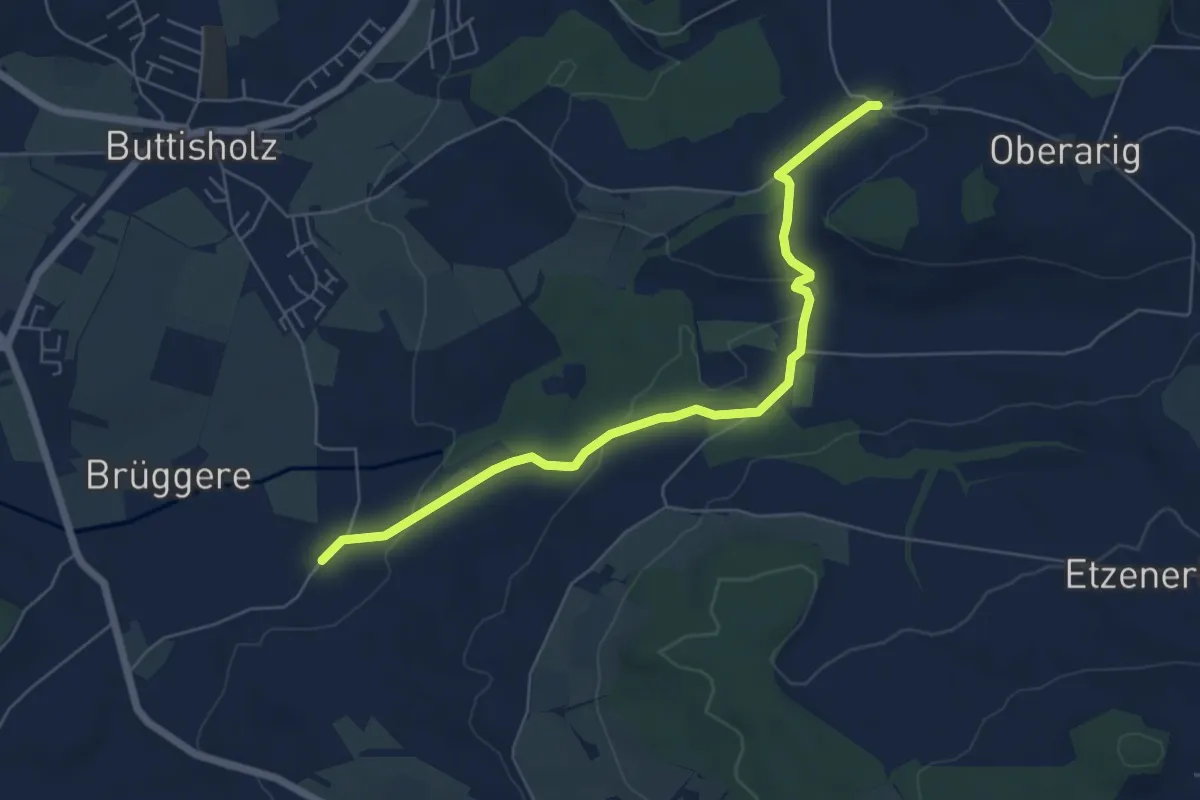
Easy · Trail
Mittelarig - St.Ottilien
6.3 km · ↑ 122 m · 1 h 45 min
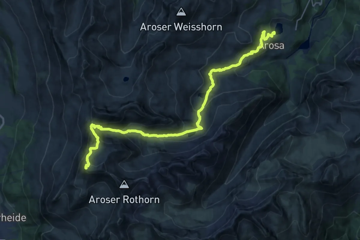
Demanding · Summit
Mittelbünden-Panoramaweg Stage 1
24.1 km · ↑ 1269 m · 8 h 26 min
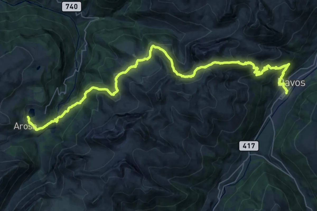
Demanding · Trail
Mittelbünden-Panoramaweg Stage 2
19.2 km · ↑ 1019 m · 7 h 6 min
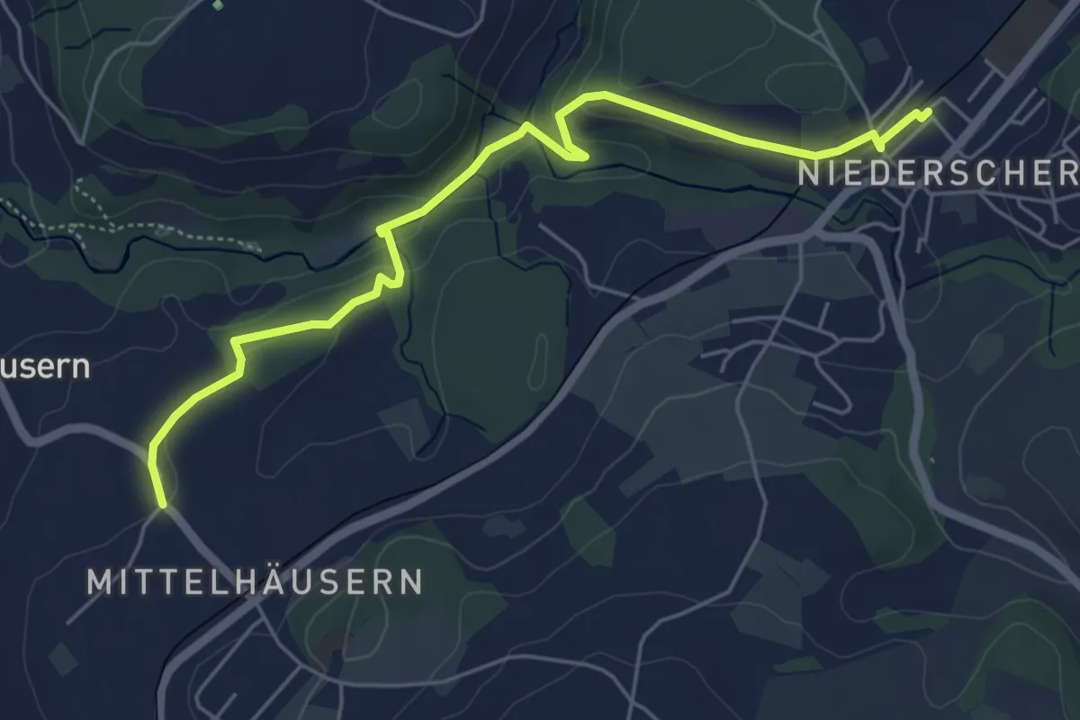
Easy · Trail
Mittelhäusern - Niederscherli
5.7 km · ↑ 165 m · 1 h 42 min
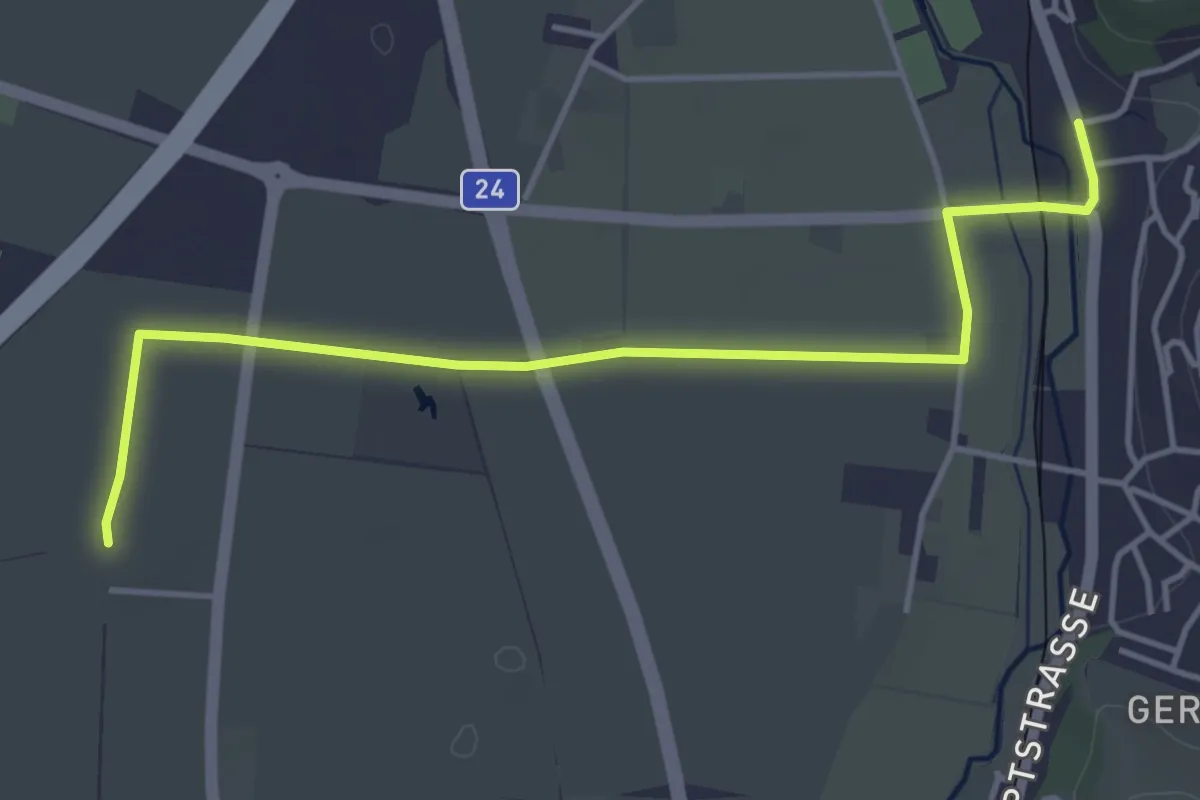
Easy · Trail
Mittel-Muhen - Matten
4.6 km · ↑ 4 m · 1 h 6 min
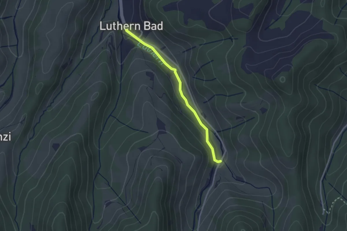
Easy · Trail
Mittler Ei - Luthernbad
2.3 km · ↑ 72 m · 42 min
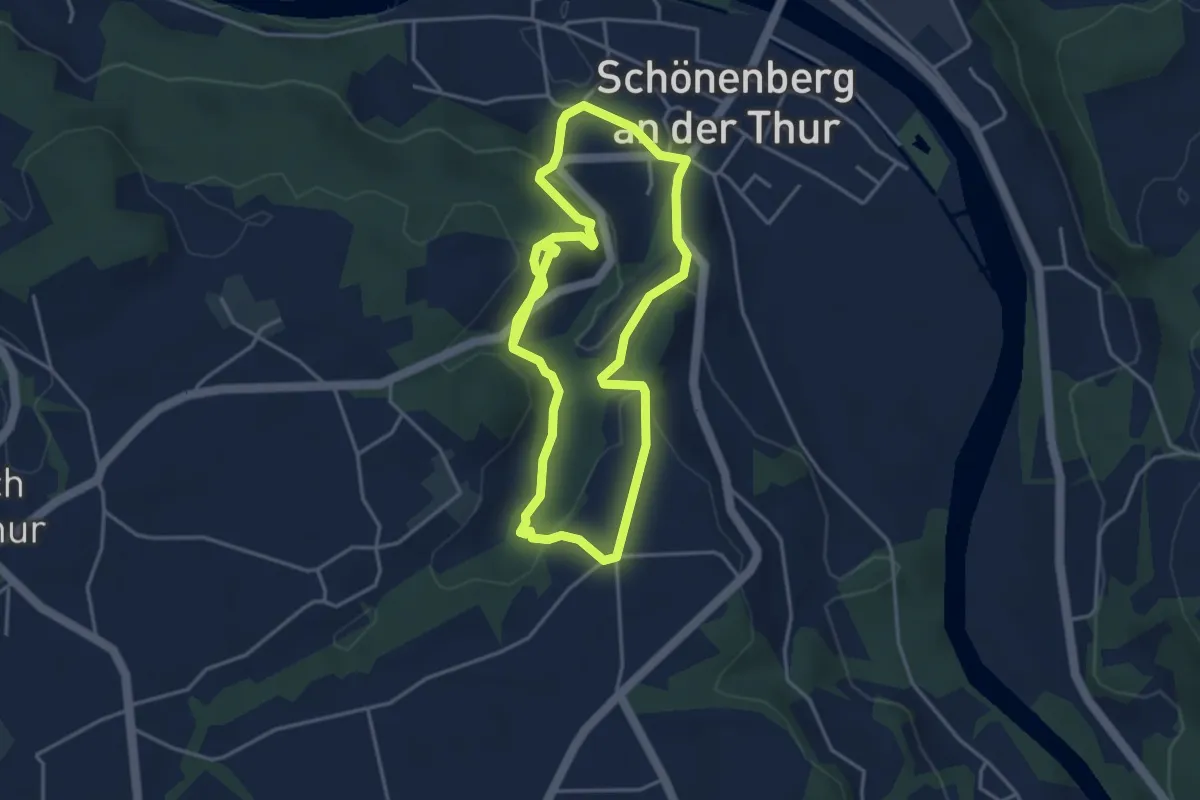
Easy · Trail
mittlerer Ruinenweg
7.4 km · ↑ 231 m · 2 h 15 min
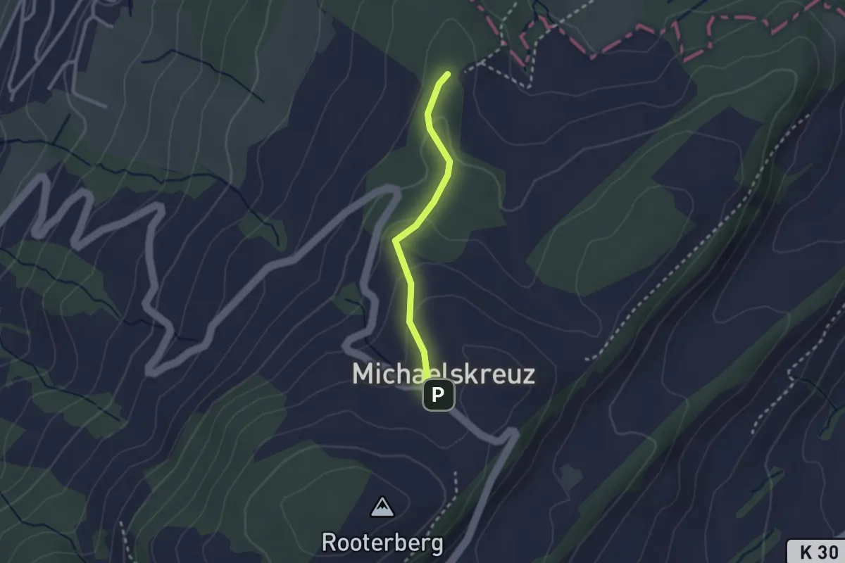
Easy · Trail
Mittler Sonderi - Michaelskreuz
2.1 km · ↑ 88 m · 41 min
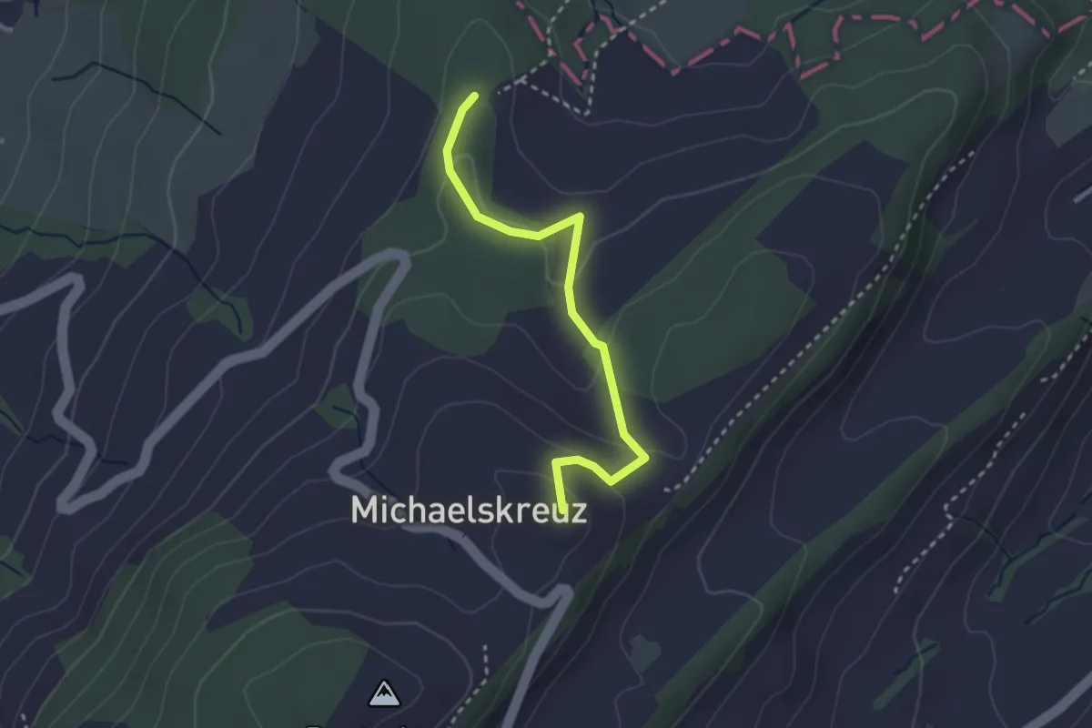
Easy · Summit
Mittler Sonderi - Michaelskreuz
2.7 km · ↑ 120 m · 54 min
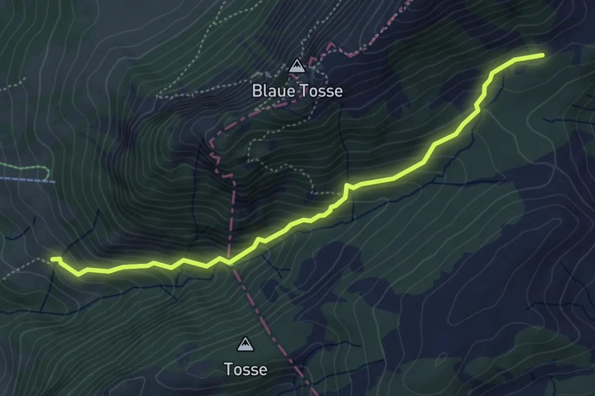
Medium · Trail
Mittlist Hütten - Rickmettlen
5.2 km · ↑ 460 m · 2 h 14 min
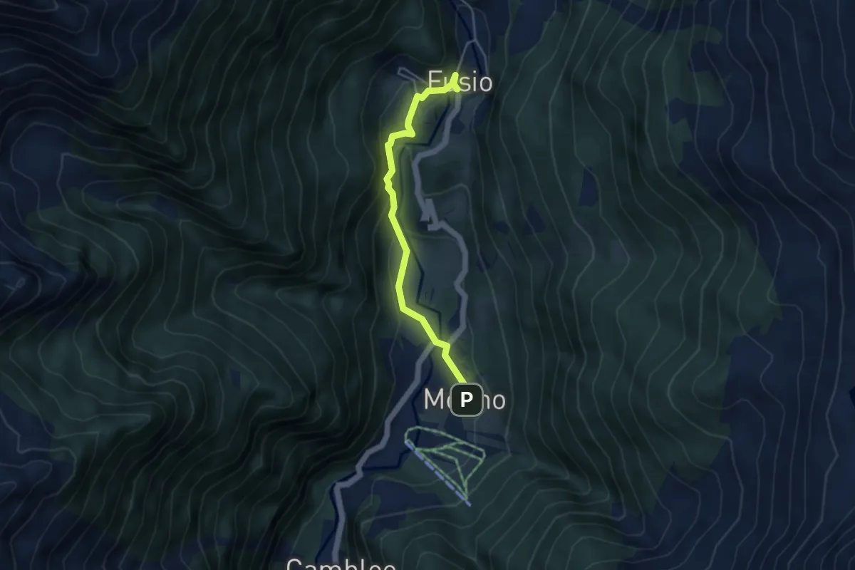
Demanding · Trail
Mogno-Fusio
4.0 km · ↑ 226 m · 1 h 26 min
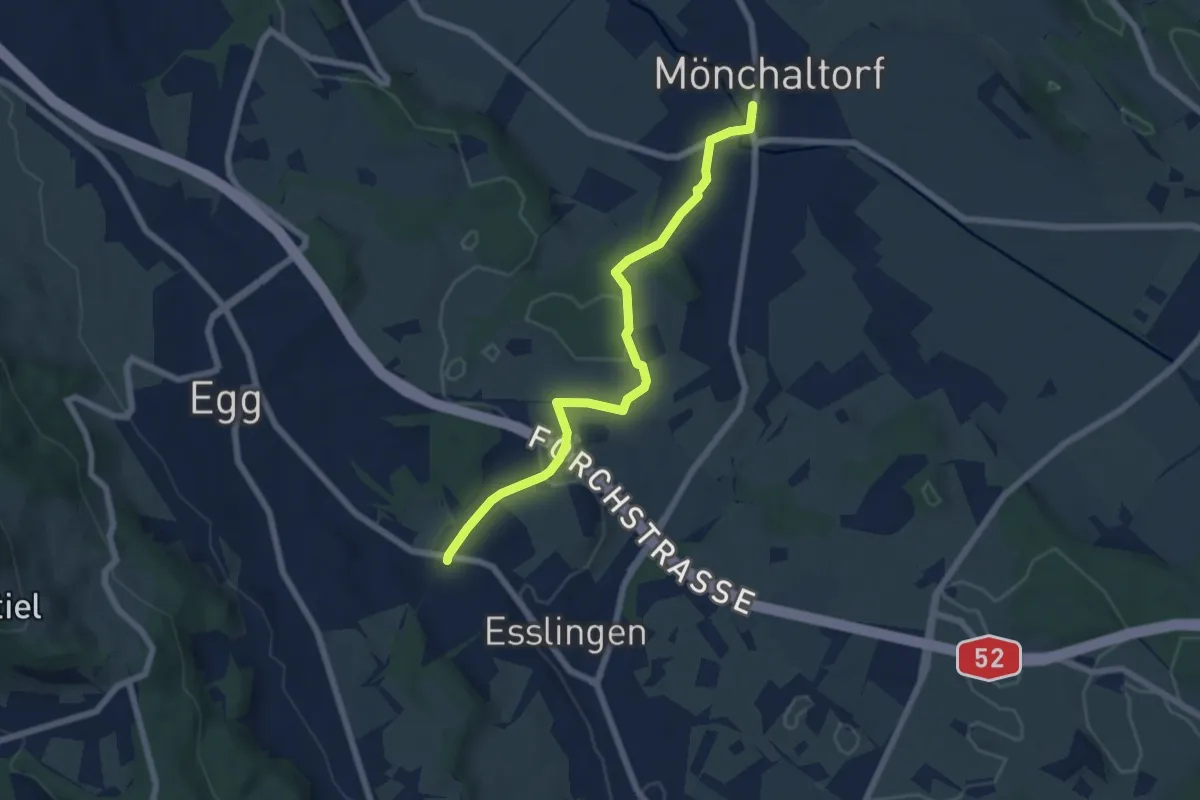
Easy · Trail
Mönchaltorf - Emmat
6.4 km · ↑ 97 m · 1 h 44 min
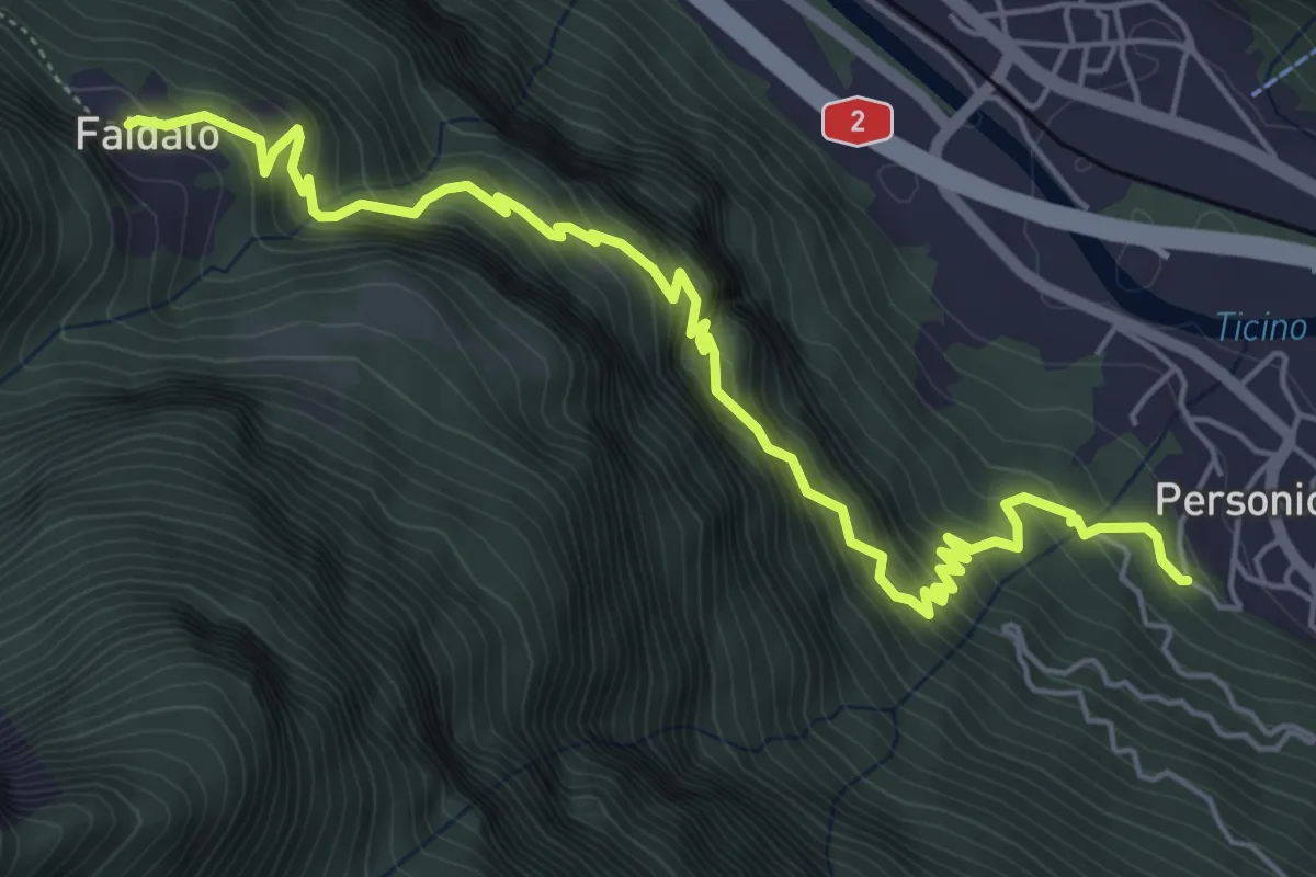
Medium · Trail
Mondo-Faidàl
6.7 km · ↑ 663 m · 3 h 1 min
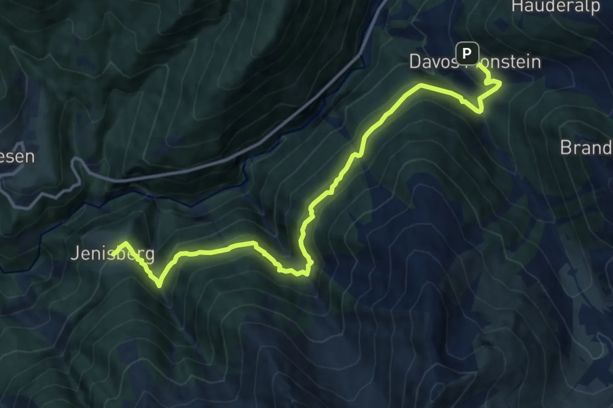
Demanding · Trail
Monstein - Jenisberg
12.7 km · ↑ 1137 m · 5 h 27 min
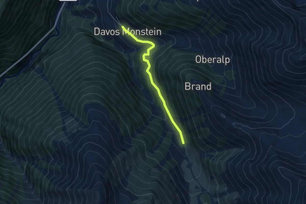
Easy · Trail
Monstein - Laubenalp
4.6 km · ↑ 248 m · 1 h 38 min
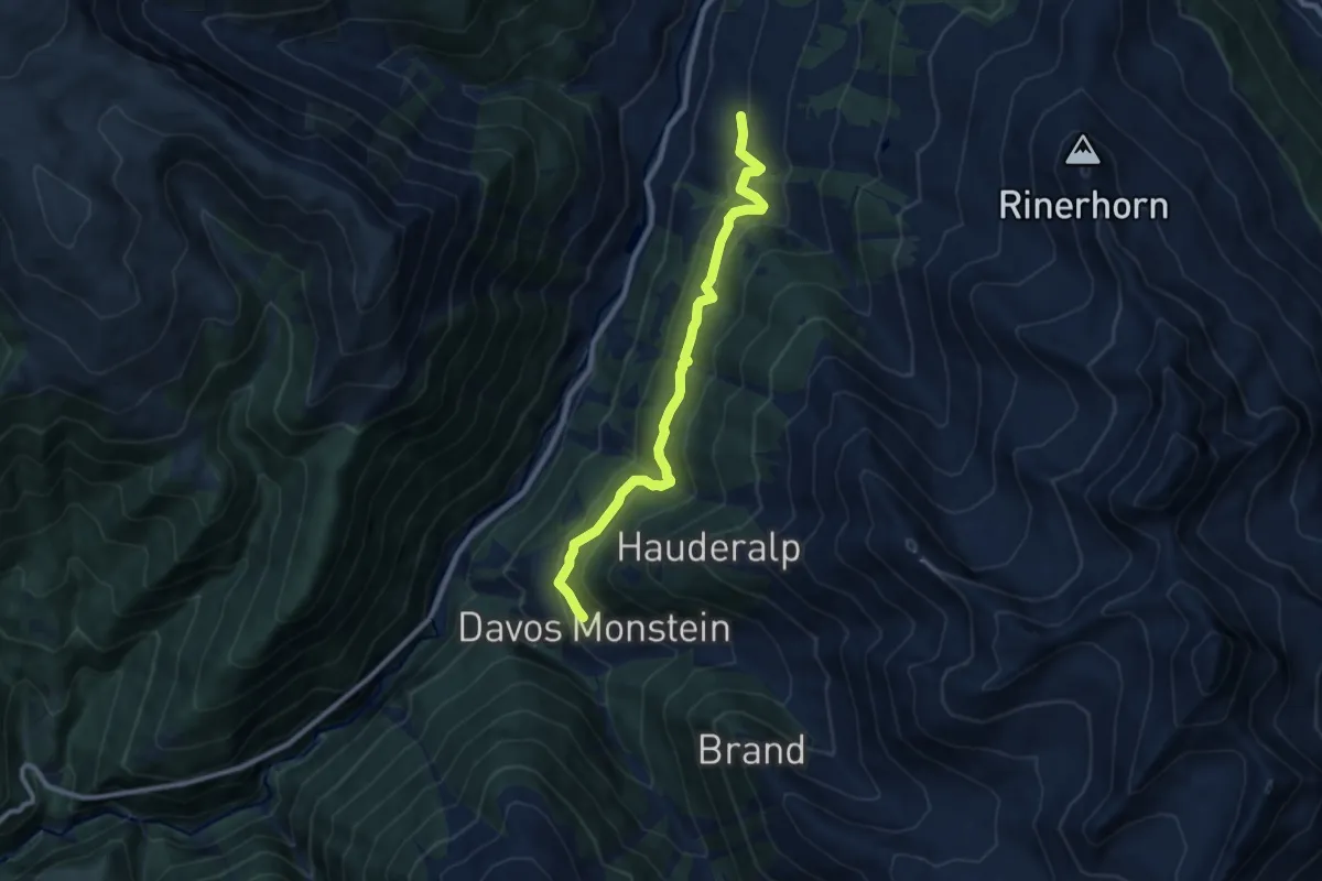
Medium · Trail
Monstein - Spina
8.9 km · ↑ 602 m · 3 h 25 min
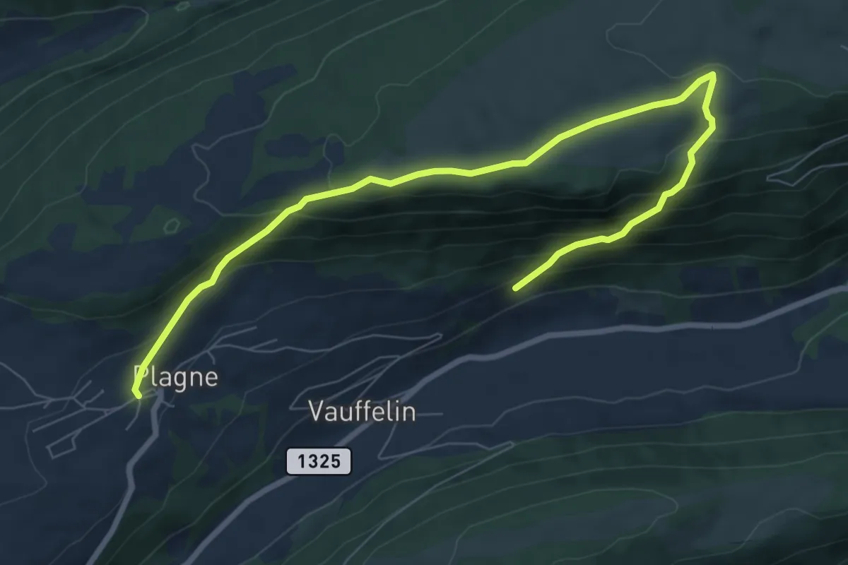
Medium · Trail
Montagne de Romont-Plagne
9.1 km · ↑ 565 m · 3 h 23 min
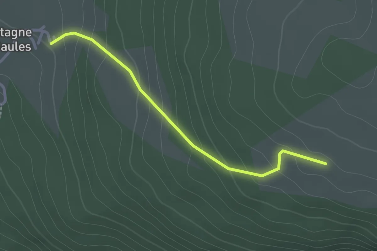
Easy · Trail
Montagne de Saules - Bergerie de Loveresse
2.2 km · ↑ 130 m · 49 min
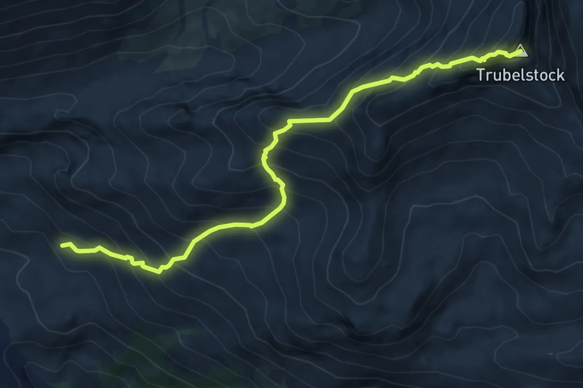
Demanding · Summit
Montagne du Plan - Trubelstock
7.5 km · ↑ 833 m · 3 h 35 min
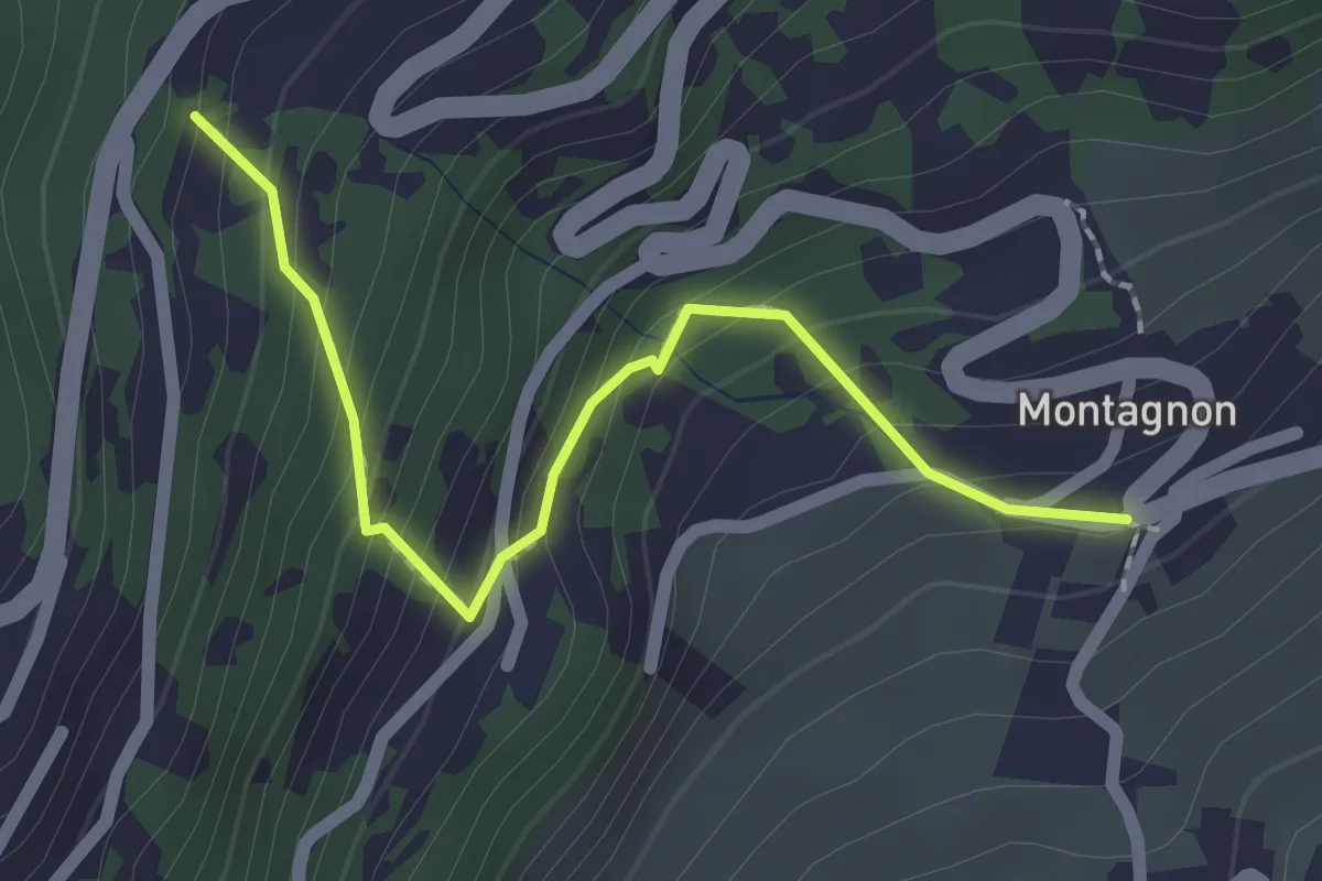
Easy · Trail
Montagnon - Dugny
2.1 km · ↑ 215 m · 57 min
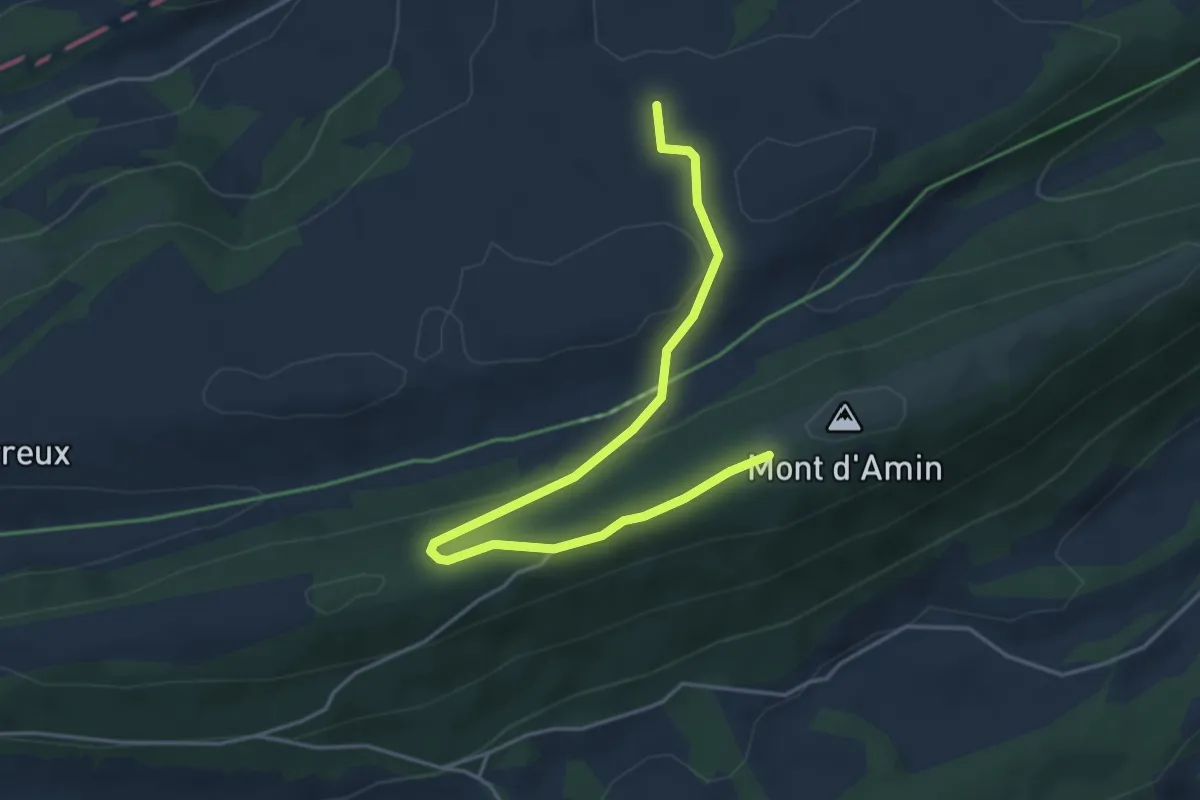
Easy · Trail
Mont d'Amin - fixme
4.8 km · ↑ 127 m · 1 h 24 min