Trails in Switzerland
15,029 hiking trails, each with its route, climb, walking time and grade.
All trails, page 71 of 314
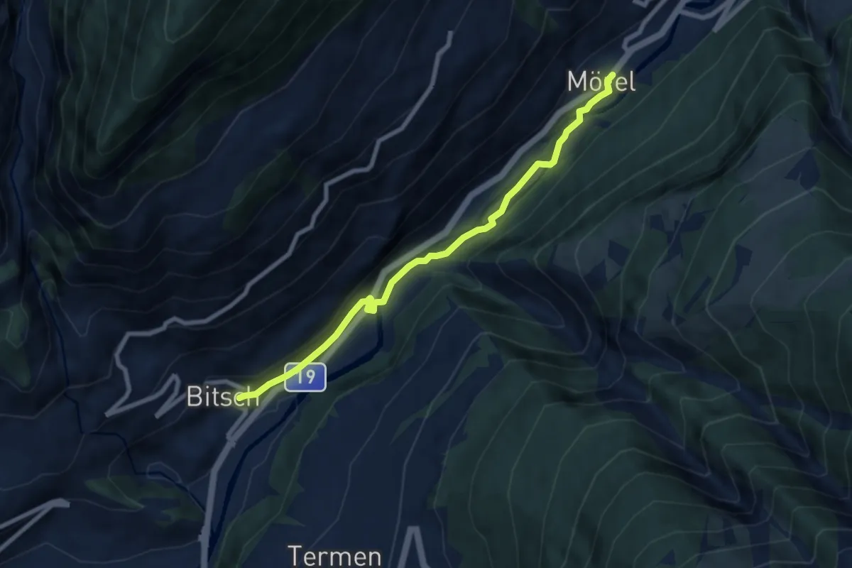
Easy · Trail
Mörel - Bitsch
7.0 km · ↑ 108 m · 1 h 53 min
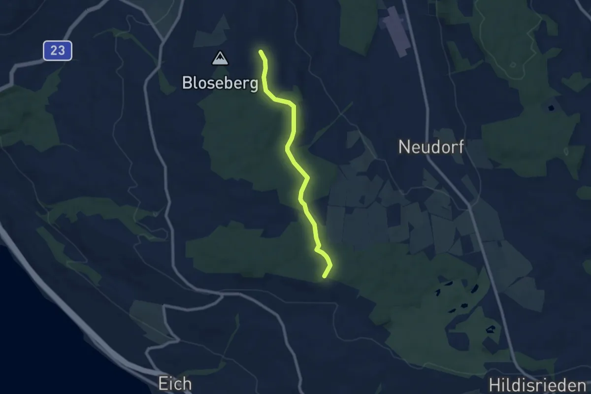
Easy · Trail
Morentaler Wald - Blosenberg
6.4 km · ↑ 49 m · 1 h 37 min
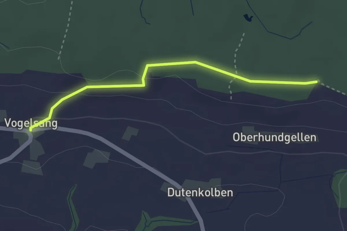
Easy · Trail
Morentaler Wald - Vogelsang
2.8 km · ↑ 54 m · 47 min
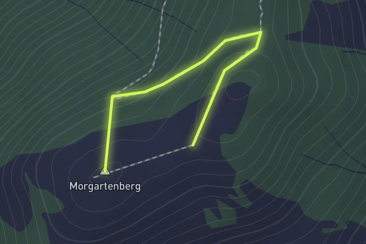
Easy · Summit
Morgartenberg - Chli Morgarten?
1.5 km · ↑ 84 m · 32 min
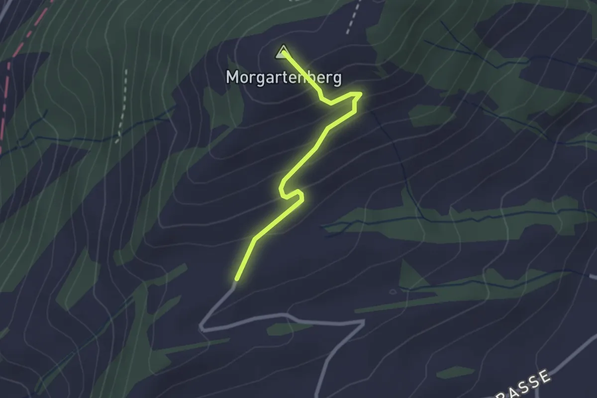
Easy · Summit
Morgartenberg - Lustnau? / Sattel? - fixme
2.0 km · ↑ 152 m · 49 min
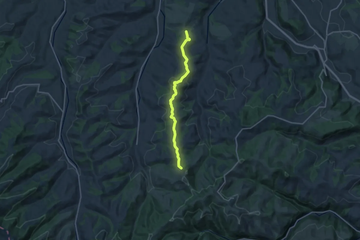
Medium · Trail
Mörisegg - St.Joder
11.5 km · ↑ 356 m · 3 h 29 min
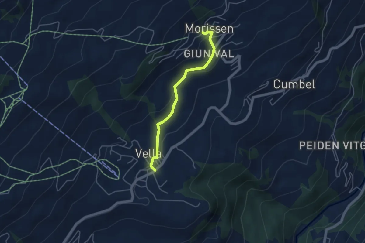
Easy · Trail
Morissen Vella
3.5 km · ↑ 124 m · 1 h 6 min
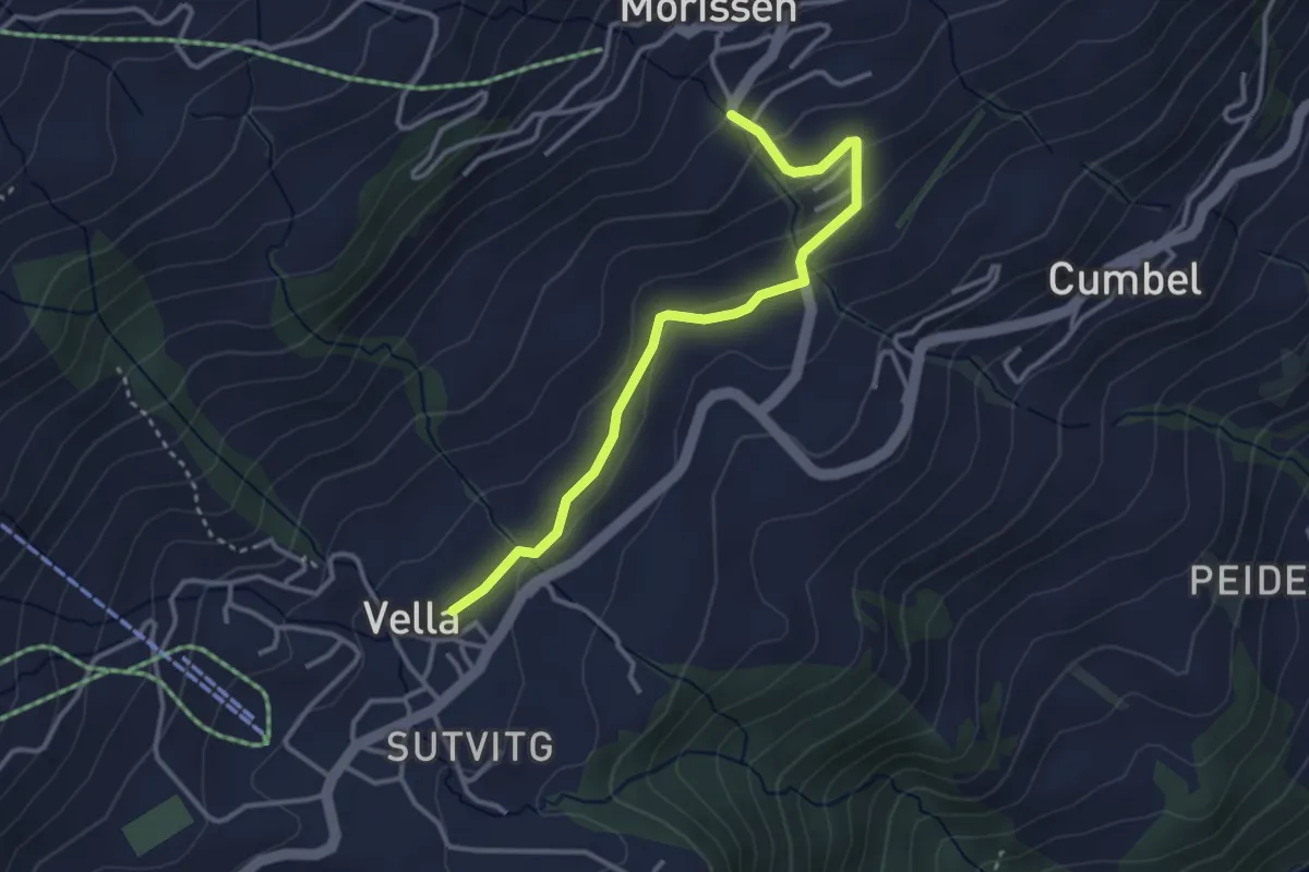
Easy · Trail
Morissen Vella
3.3 km · ↑ 106 m · 1 h 1 min
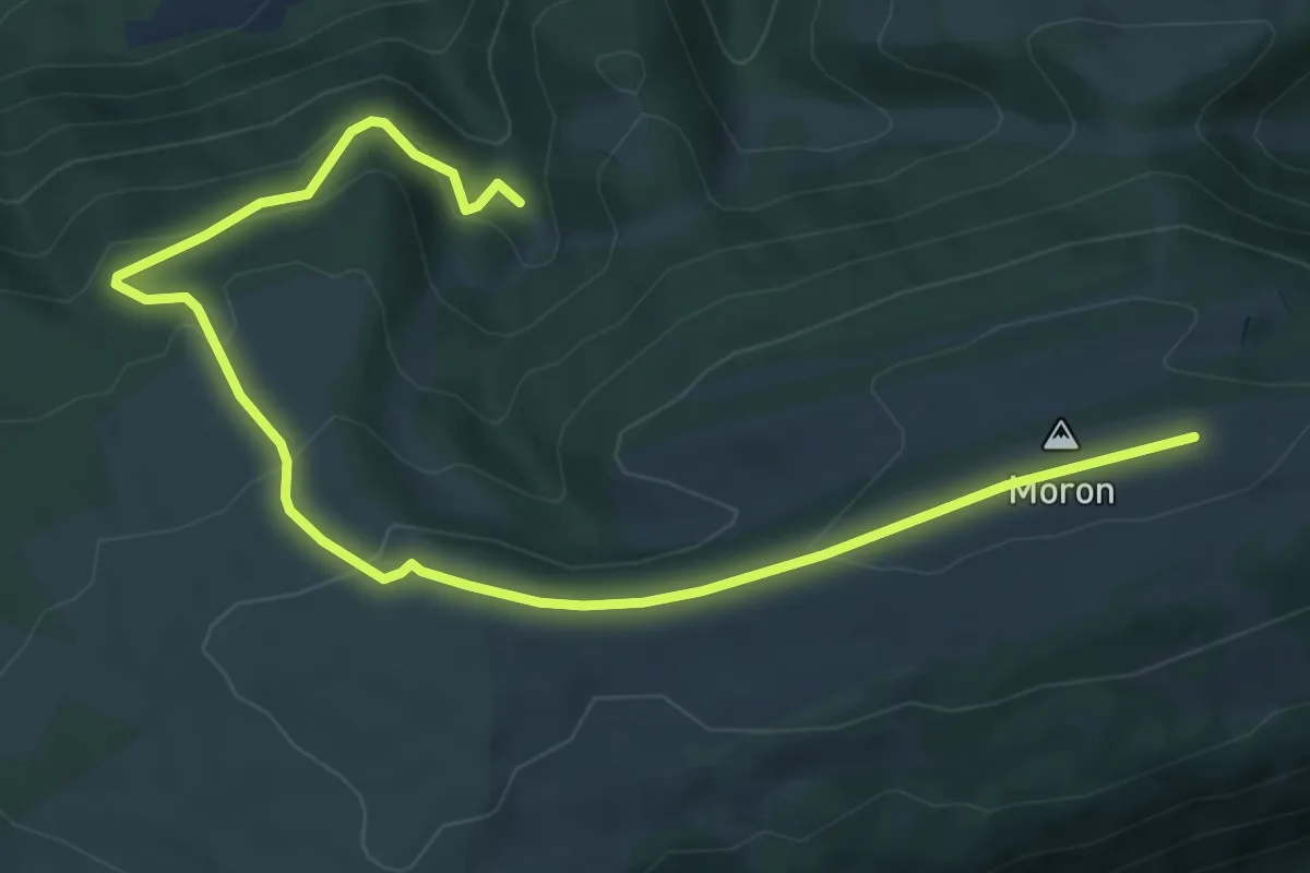
Medium · Trail
Moron/Sommet- fixme
7.8 km · ↑ 351 m · 2 h 35 min
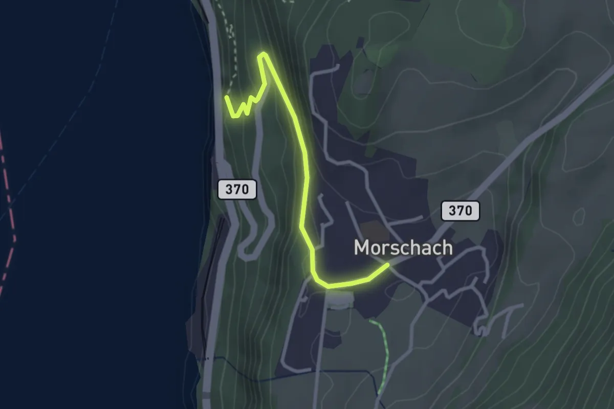
Easy · Trail
Morschach - Brunnen
2.6 km · ↑ 195 m · 1 h 2 min
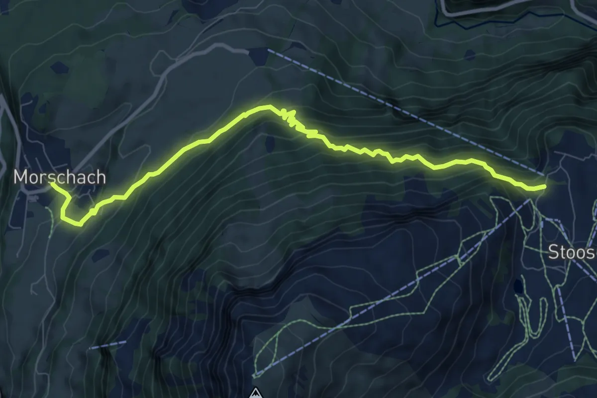
Demanding · Trail
Morschach - Stoss
9.5 km · ↑ 868 m · 4 h 8 min
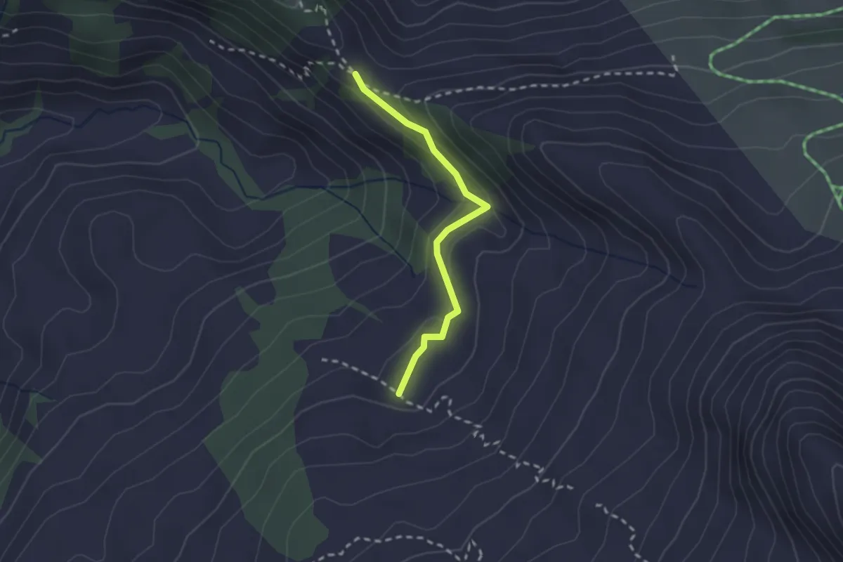
Easy · Trail
Morschfeld - Bärfallen
2.0 km · ↑ 81 m · 39 min
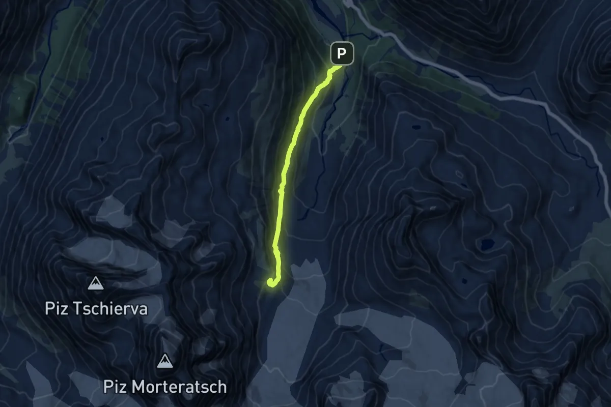
Medium · Cabin
Morteratsch-chamanna da Boval
9.7 km · ↑ 675 m · 3 h 45 min
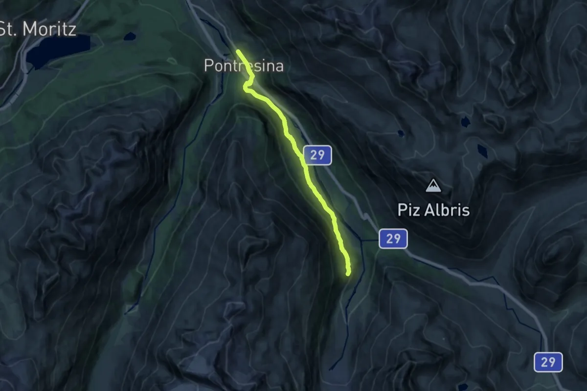
Medium · Trail
Morteratsch-Pontresina
13.1 km · ↑ 357 m · 3 h 52 min
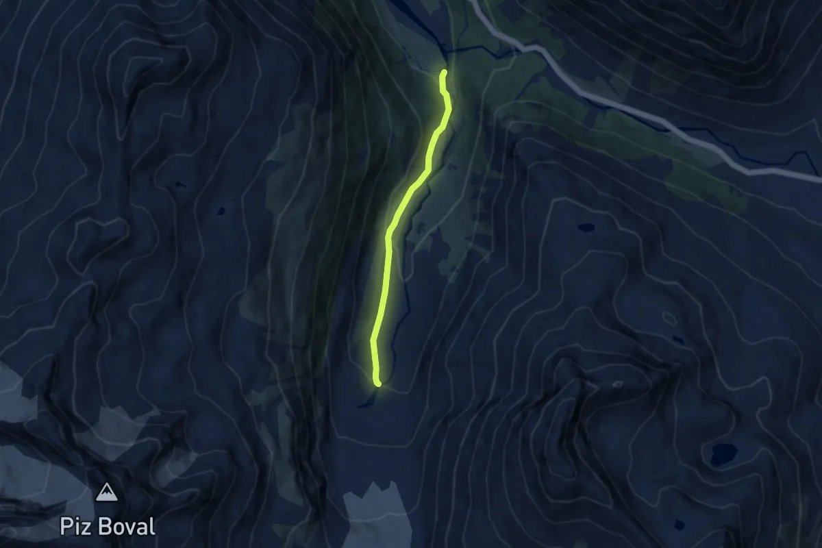
Easy · Cabin
Morteratsch-Vadret da Morteratsch
5.8 km · ↑ 195 m · 1 h 48 min
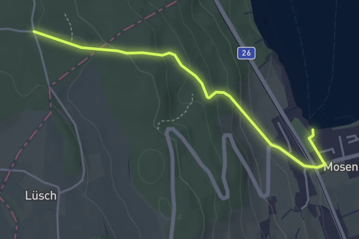
Easy · Trail
Mosen - Breitholz
3.8 km · ↑ 171 m · 1 h 16 min
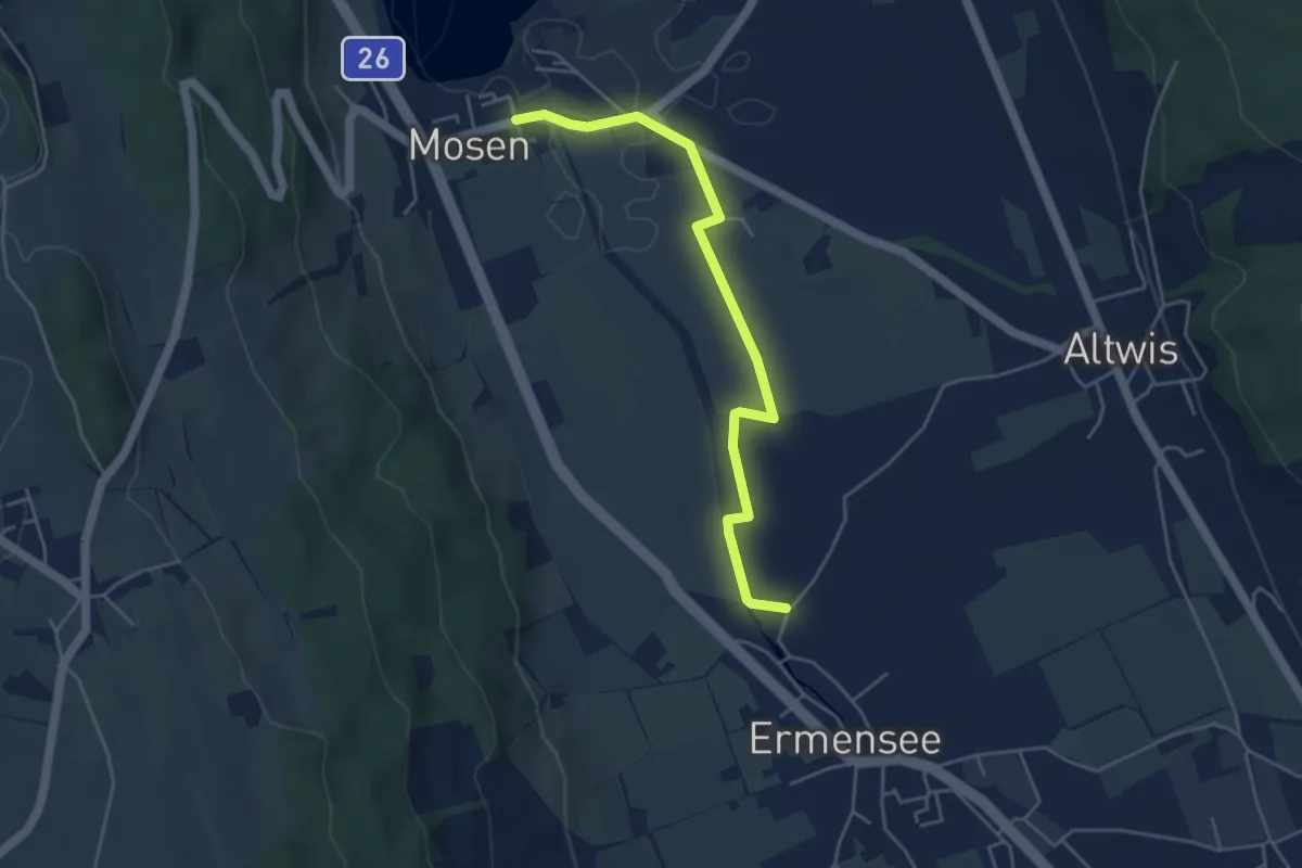
Easy · Trail
Mosen - Ermensee
4.6 km · ↑ 9 m · 1 h 6 min
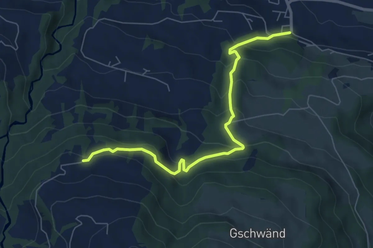
Medium · Trail
Mosen - Grabenegg
6.3 km · ↑ 460 m · 2 h 29 min
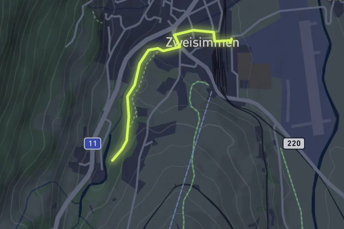
Easy · Trail
Mosenried - Zweisimmen
2.4 km · ↑ 60 m · 42 min
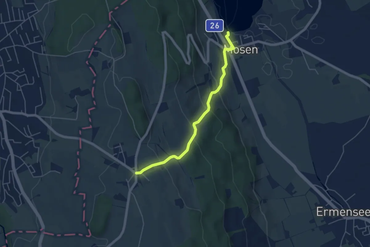
Easy · Trail
Mosen - Schwarzenbach
4.4 km · ↑ 212 m · 1 h 30 min
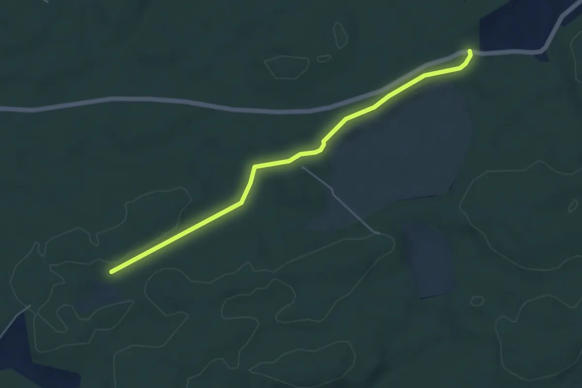
Easy · Trail
Mösli - Fuessacher
4.8 km · ↑ 53 m · 1 h 14 min
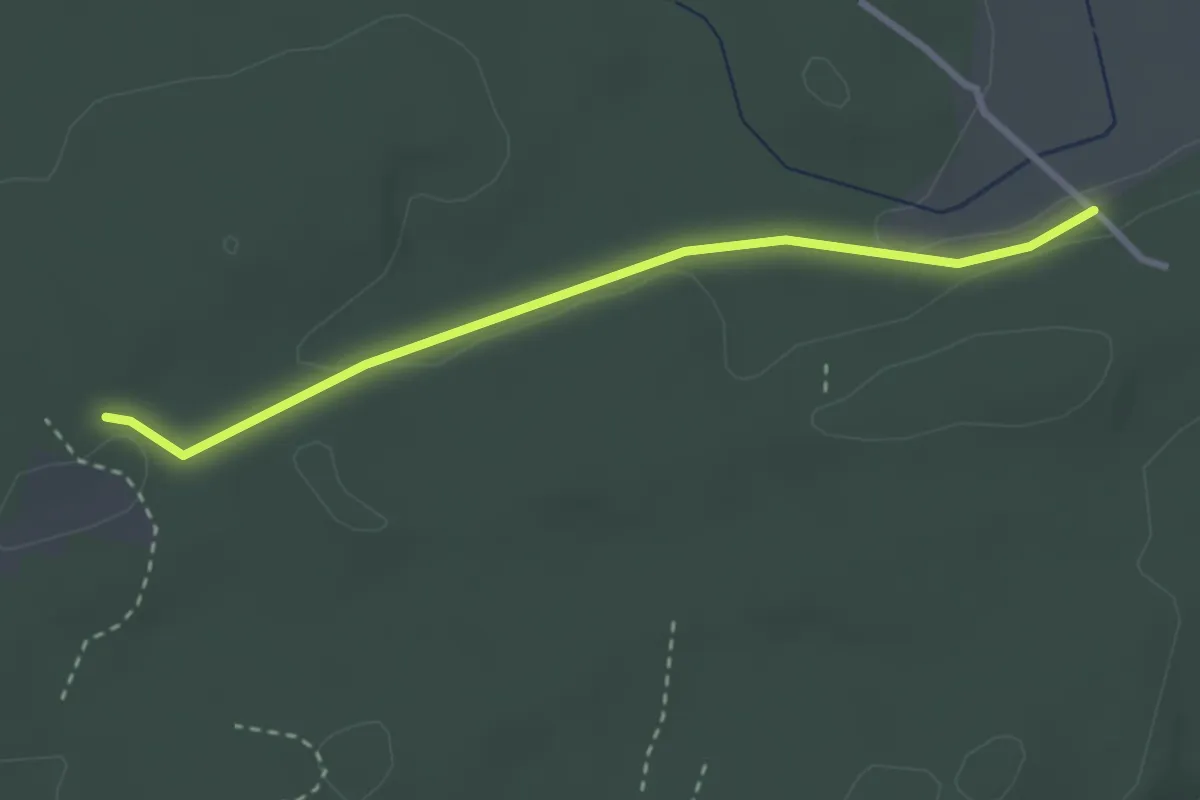
Easy · Trail
Mösli - Heitere
2.9 km · ↑ 18 m · 43 min
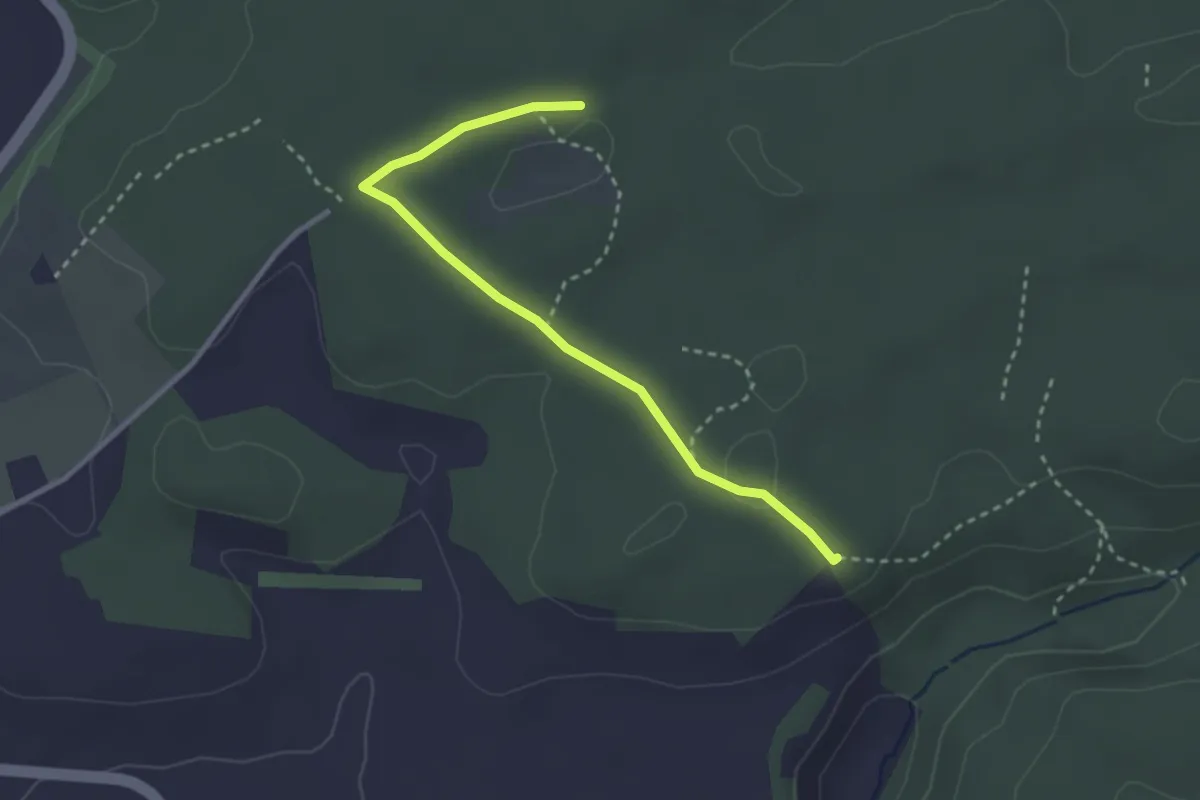
Easy · Trail
Mösli - Tannholzweid
2.9 km · ↑ 35 m · 46 min
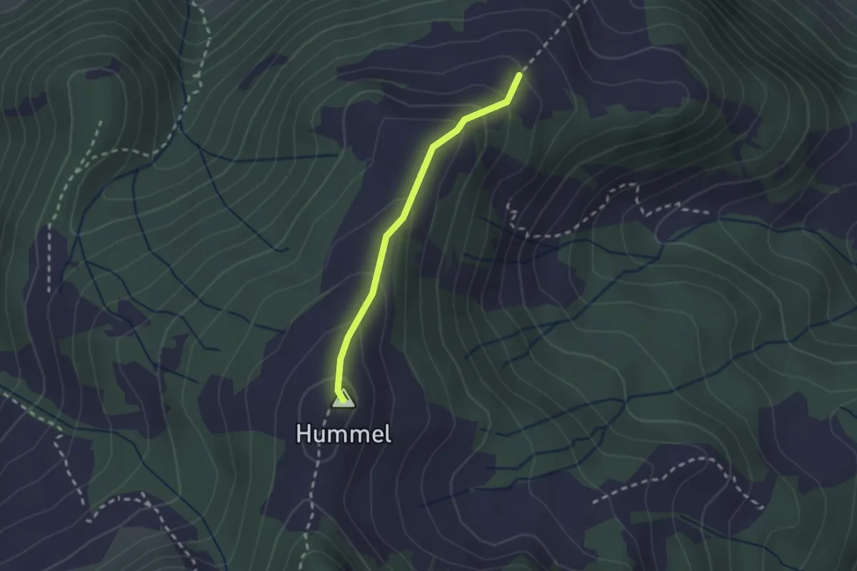
Medium · Summit
Mösliwald - Unter Hummel
1.8 km · ↑ 134 m · 43 min
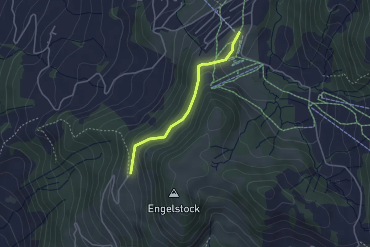
Easy · Trail
Mostelberg - Engelstockweid
2.6 km · ↑ 108 m · 51 min
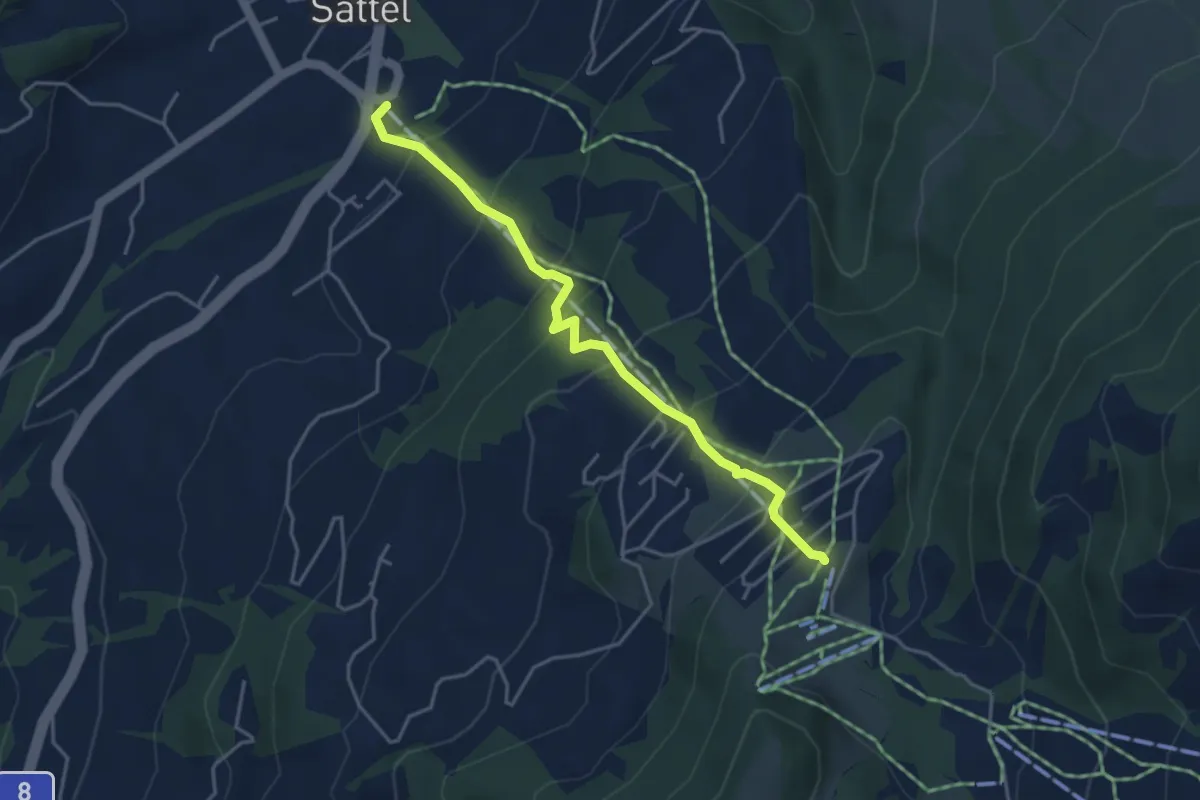
Medium · Trail
Mostelberg - Sattel Talstation
4.1 km · ↑ 398 m · 1 h 50 min
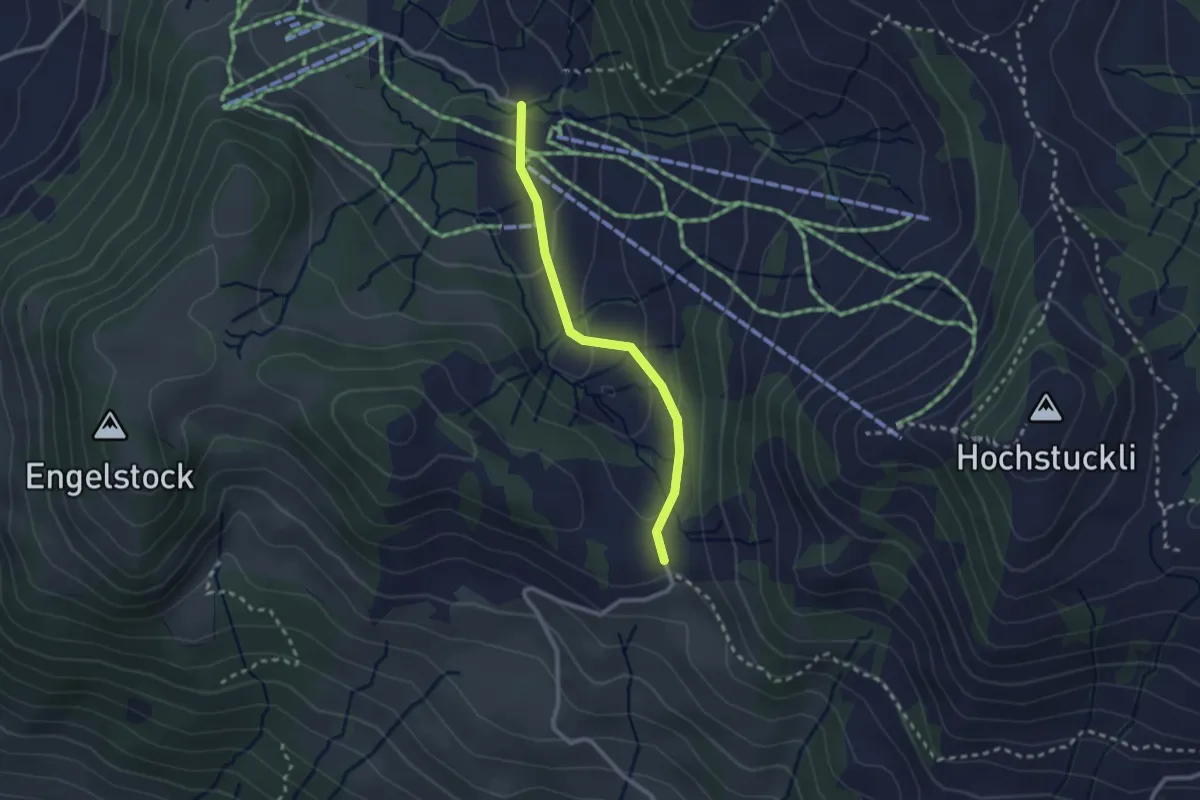
Easy · Trail
Mostelegg - Herrenboden
2.3 km · ↑ 86 m · 43 min
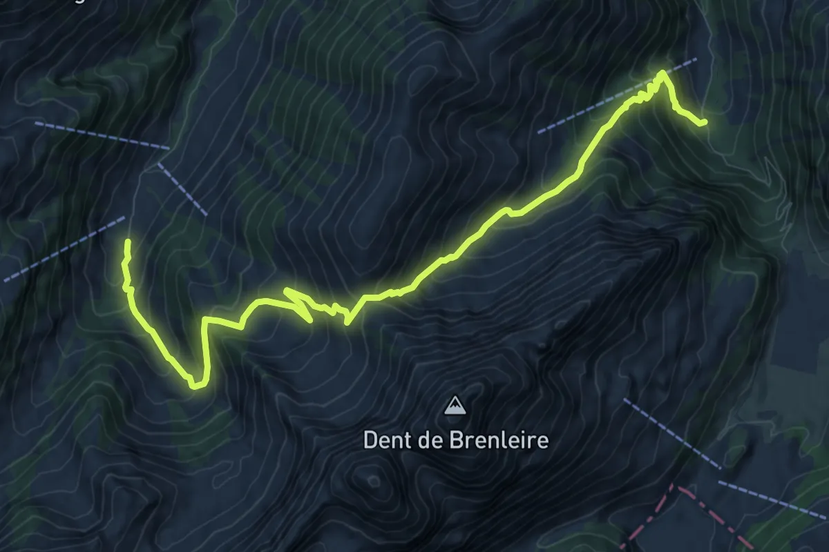
Demanding · Trail
Motélon-La Gueyre
12.7 km · ↑ 1262 m · 5 h 44 min
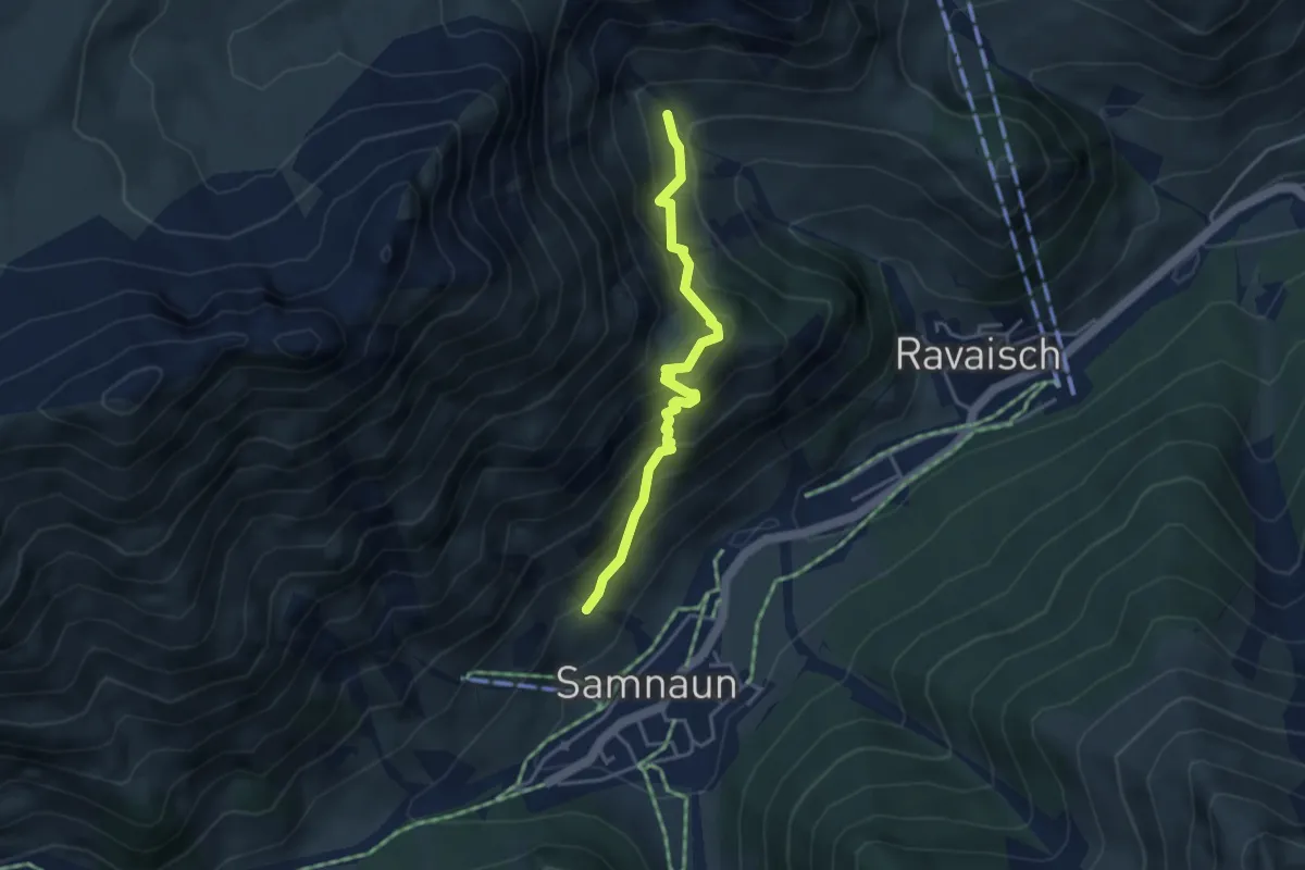
Medium · Trail
Mot Grond
3.6 km · ↑ 472 m · 1 h 53 min
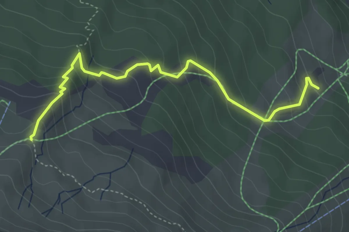
Medium · Trail
Mot Laritg - Monas
4.4 km · ↑ 371 m · 1 h 50 min
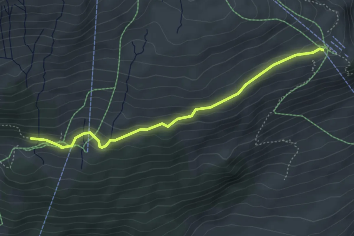
Easy · Trail
Motta Naluns-Prui
4.3 km · ↑ 147 m · 1 h 20 min
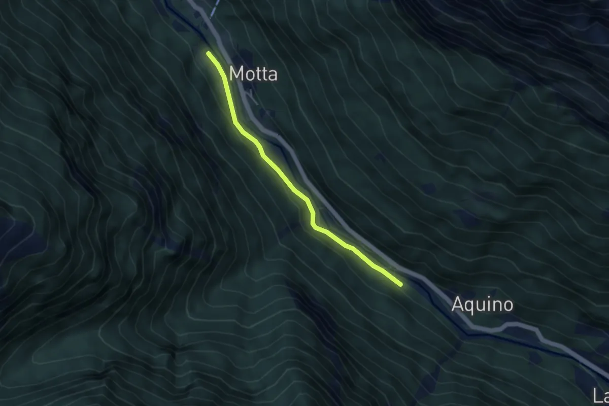
Easy · Trail
Motta - Piano
3.5 km · ↑ 75 m · 59 min
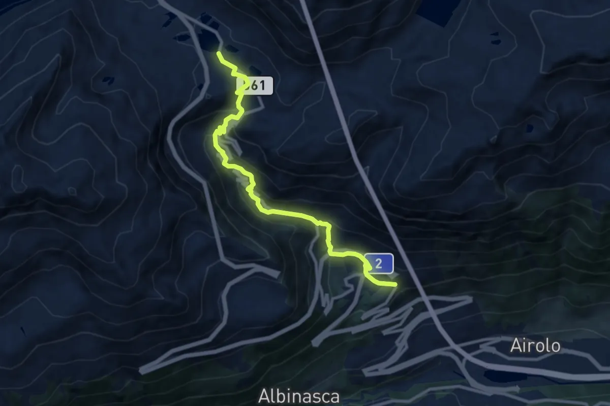
Medium · Trail
Motto Bartola-Ospizio San Gottardo
8.9 km · ↑ 554 m · 3 h 19 min
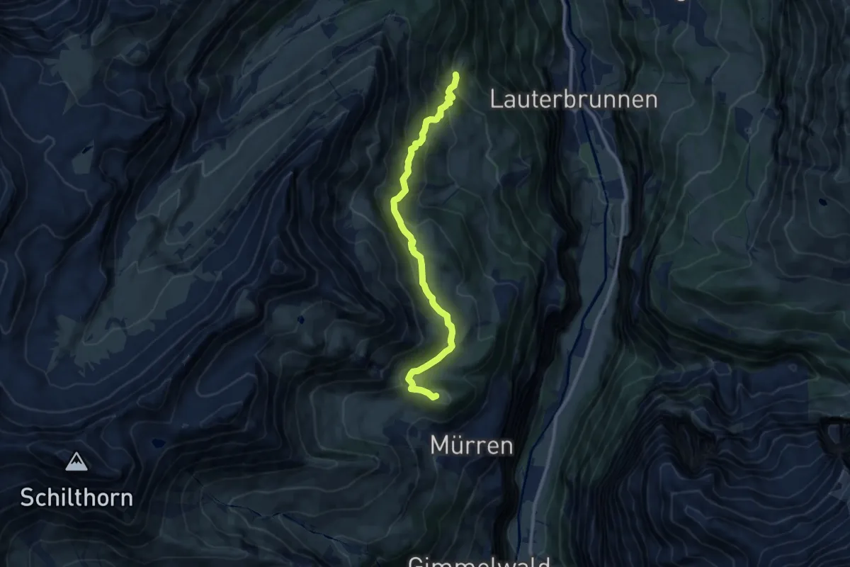
Medium · Summit
Mountain View Trail
9.7 km · ↑ 535 m · 3 h 27 min
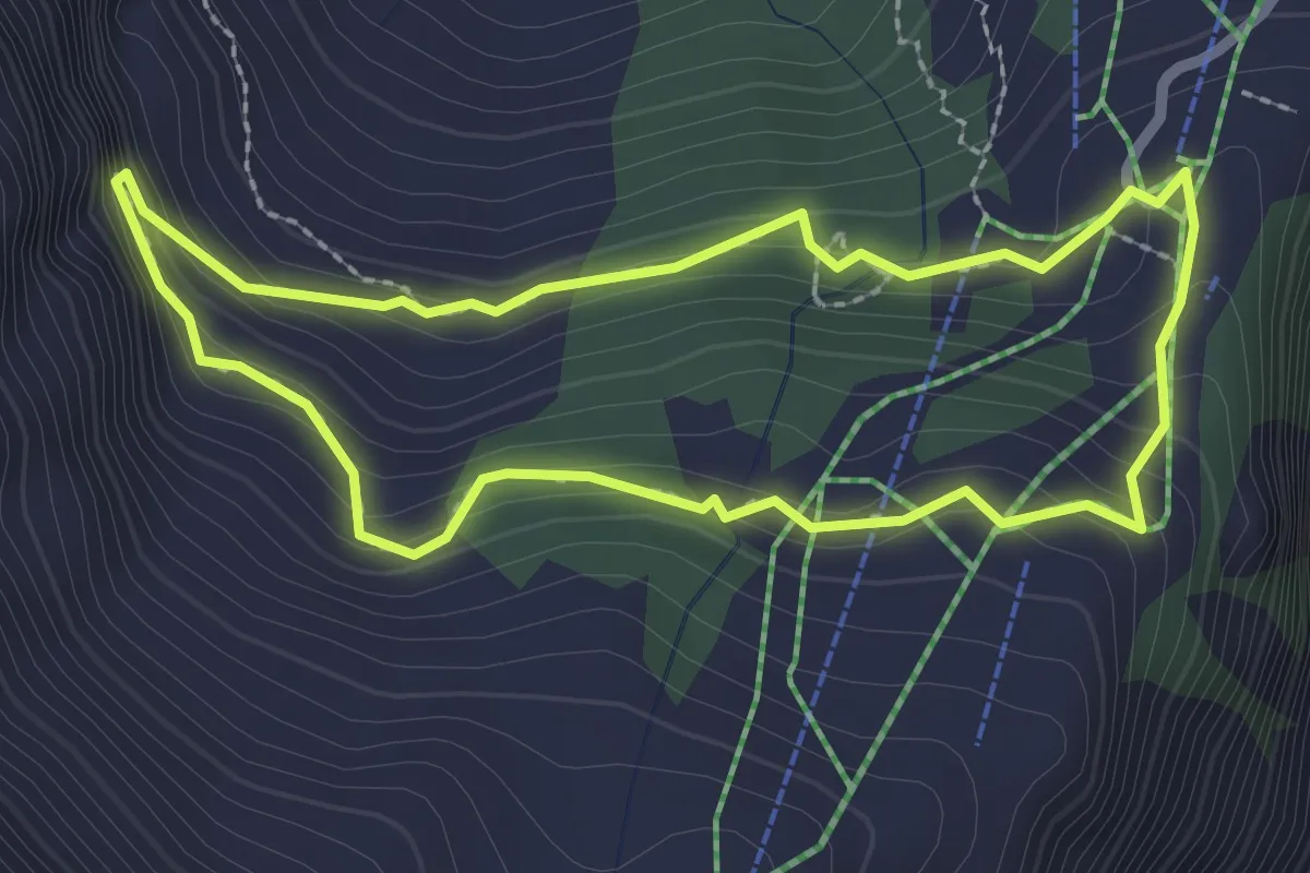
Medium · Trail
Mounteens Detektiv-Weg
2.3 km · ↑ 150 m · 54 min
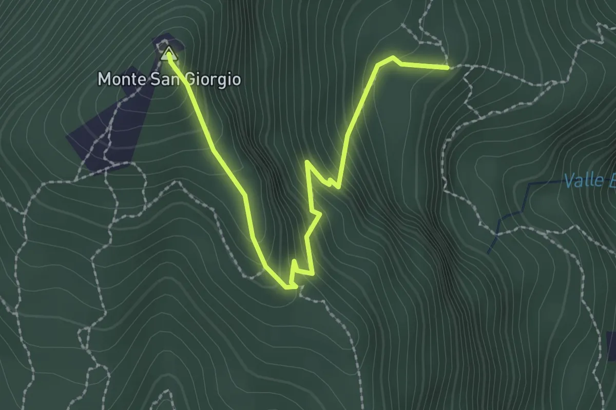
Easy · Summit
M.te San Giorgio - Pozzo? - fixme
2.6 km · ↑ 257 m · 1 h 11 min
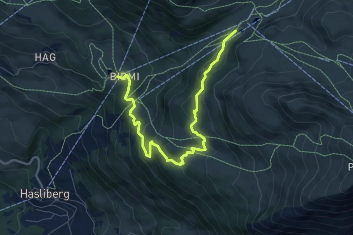
Medium · Trail
Muggestutz Zwergenweg Mägisalp - Bidmi
7.9 km · ↑ 335 m · 2 h 35 min
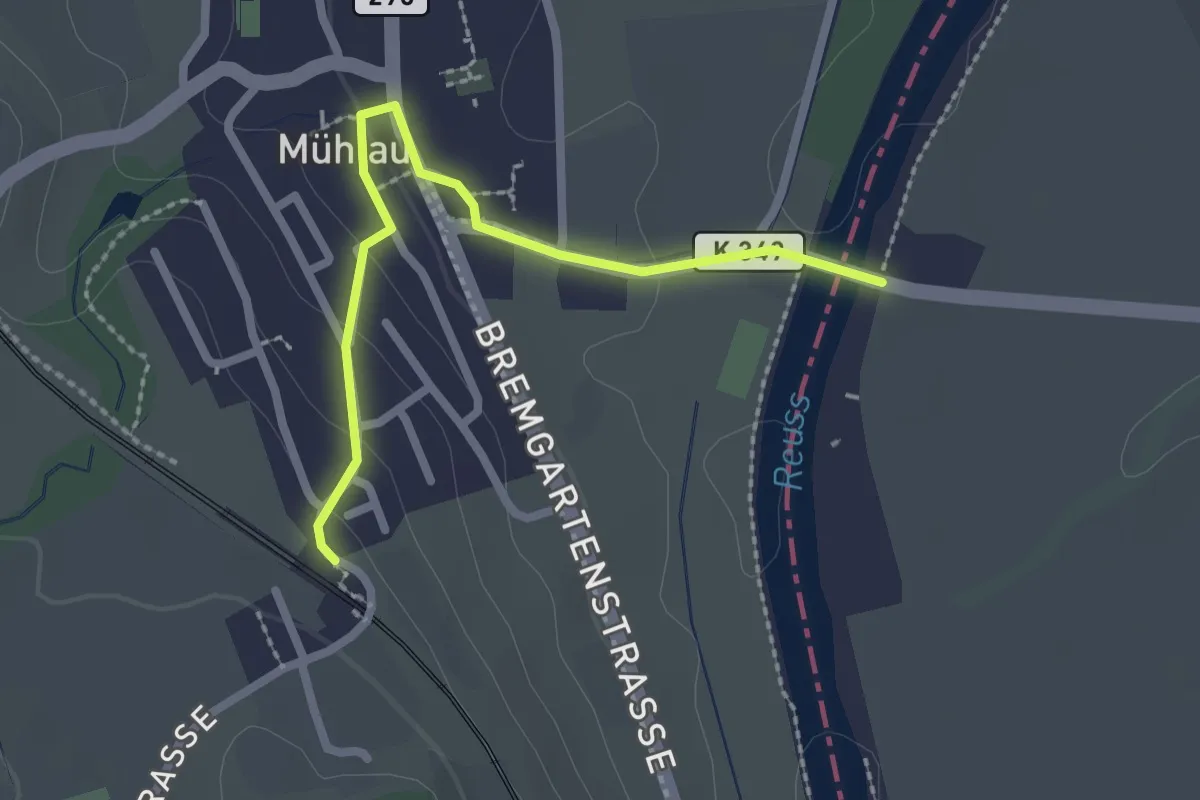
Easy · Trail
Mühlau - Brücke Mühlau
2.3 km · ↑ 55 m · 40 min
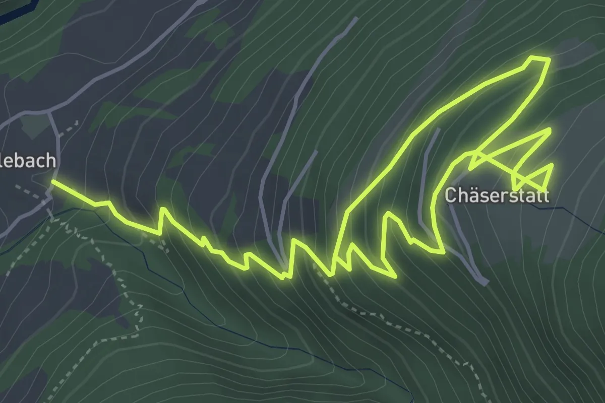
Medium · Trail
Mühlebach - Chäserstatt
7.7 km · ↑ 778 m · 3 h 31 min
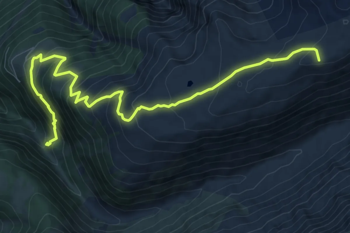
Demanding · Summit
Mühlebach - Grittlesee
12.3 km · ↑ 909 m · 4 h 52 min
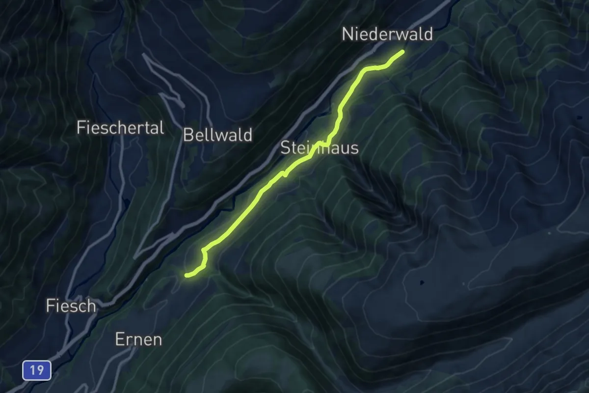
Medium · Trail
Mühlebach-Niederwald
9.1 km · ↑ 195 m · 2 h 35 min
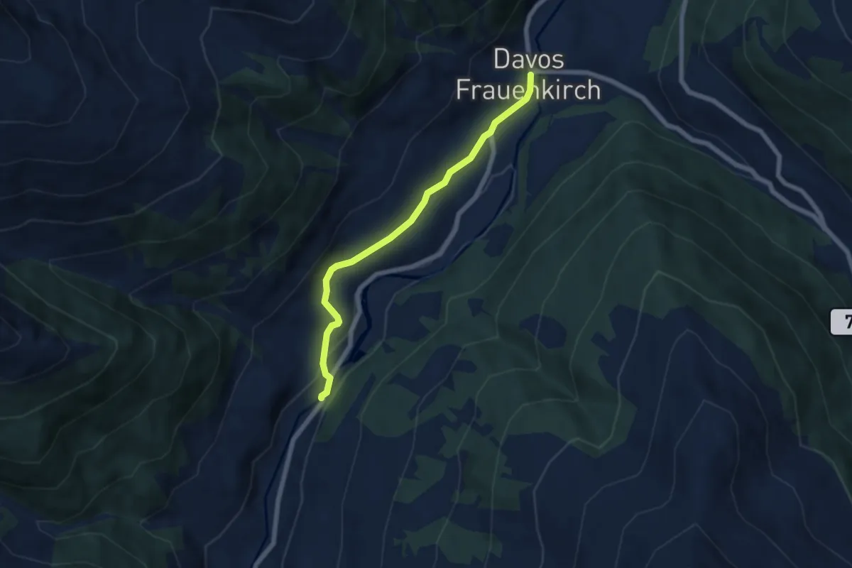
Easy · Trail
Mühle - Frauenkirch
5.5 km · ↑ 137 m · 1 h 35 min
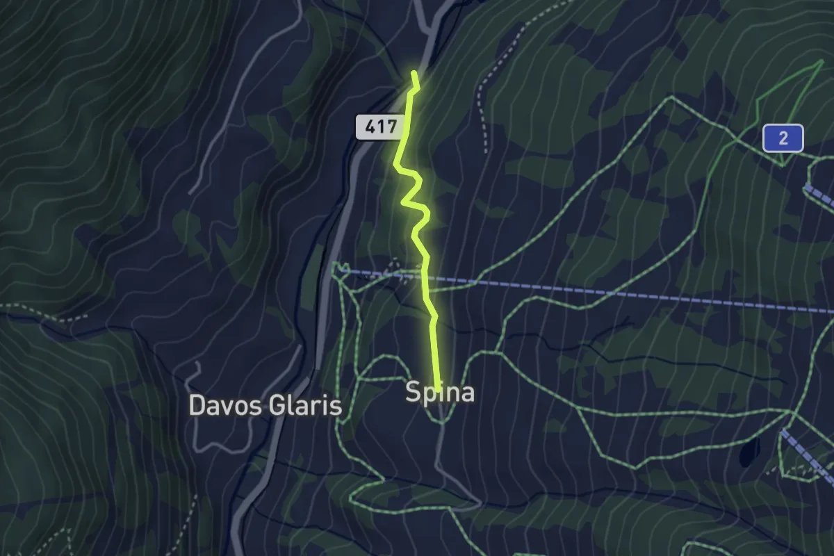
Easy · Trail
Mühle - Spina
2.3 km · ↑ 136 m · 50 min
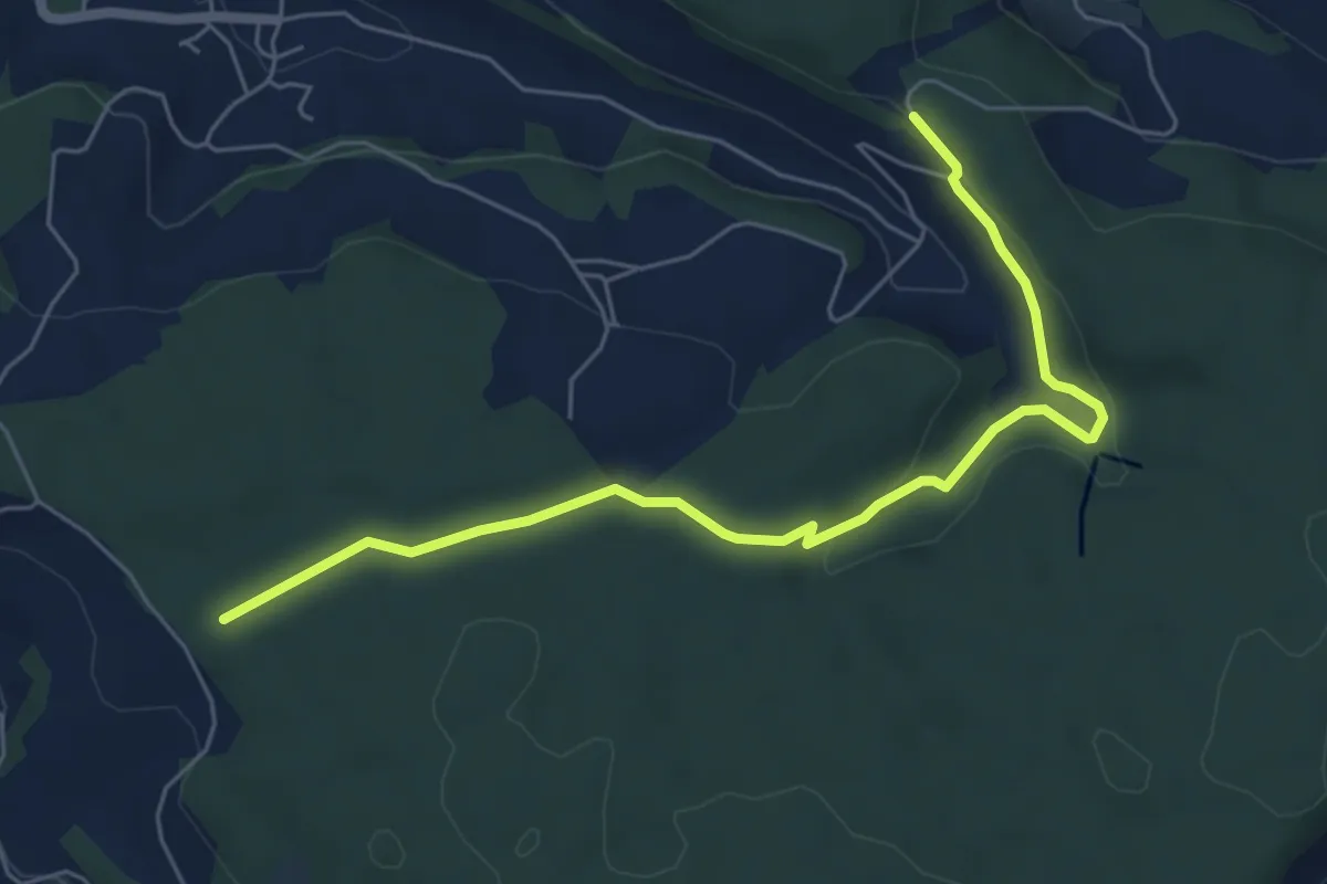
Easy · Trail
Mühlibach - Althau
6.3 km · ↑ 181 m · 1 h 53 min
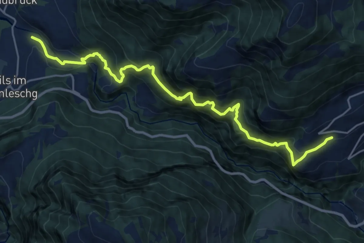
Demanding · Trail
Muldain-Siedlung Albula
15.6 km · ↑ 1485 m · 6 h 54 min
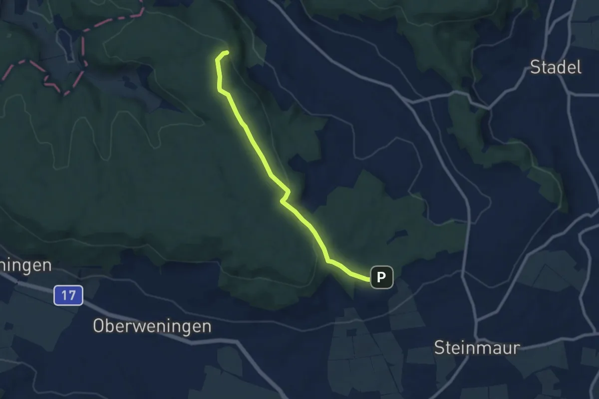
Easy · Trail
Mulflenflue - Egg
7.2 km · ↑ 156 m · 2 h 3 min
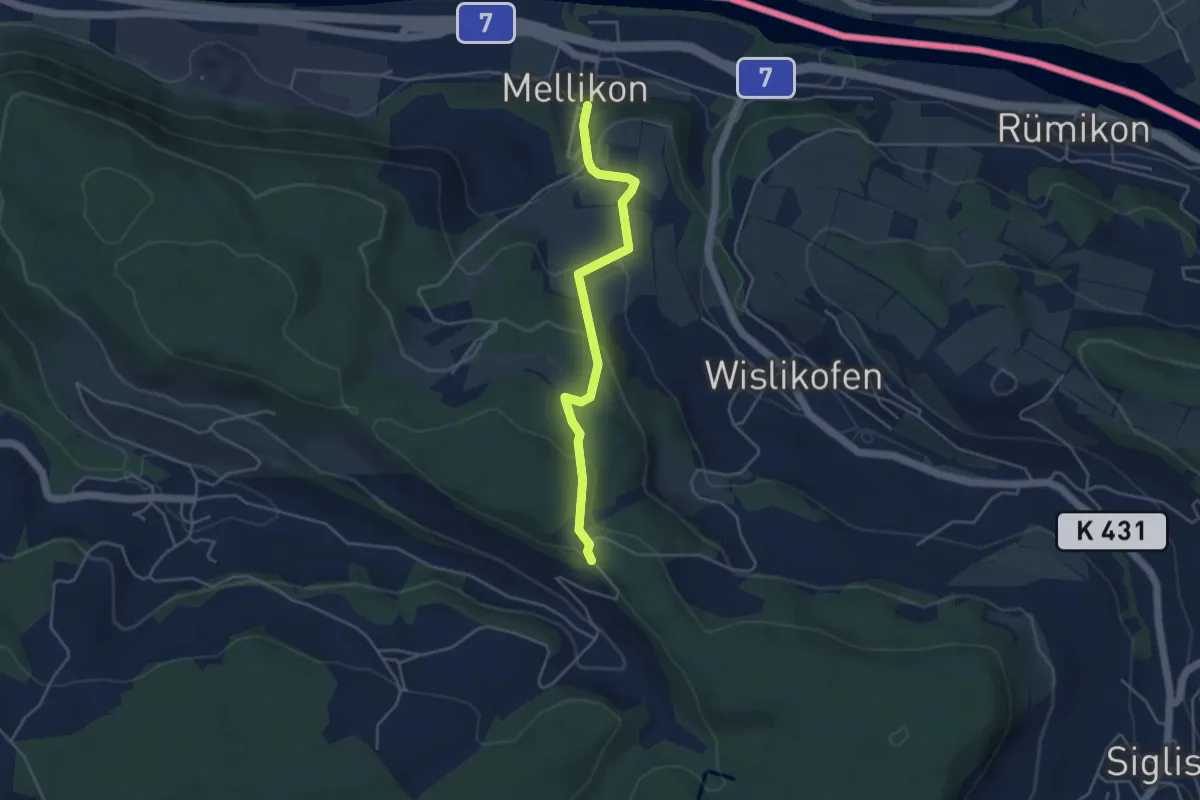
Easy · Trail
Mülibach - Mellikon Dorf
4.1 km · ↑ 192 m · 1 h 22 min
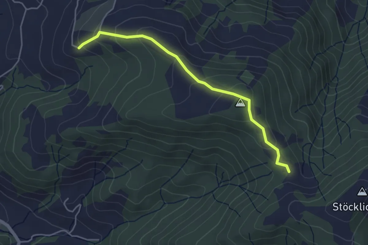
Easy · Trail
Müligassegg - Chörnlisegg
3.8 km · ↑ 160 m · 1 h 15 min