Trails in Switzerland
15,029 hiking trails, each with its route, climb, walking time and grade.
All trails, page 72 of 314
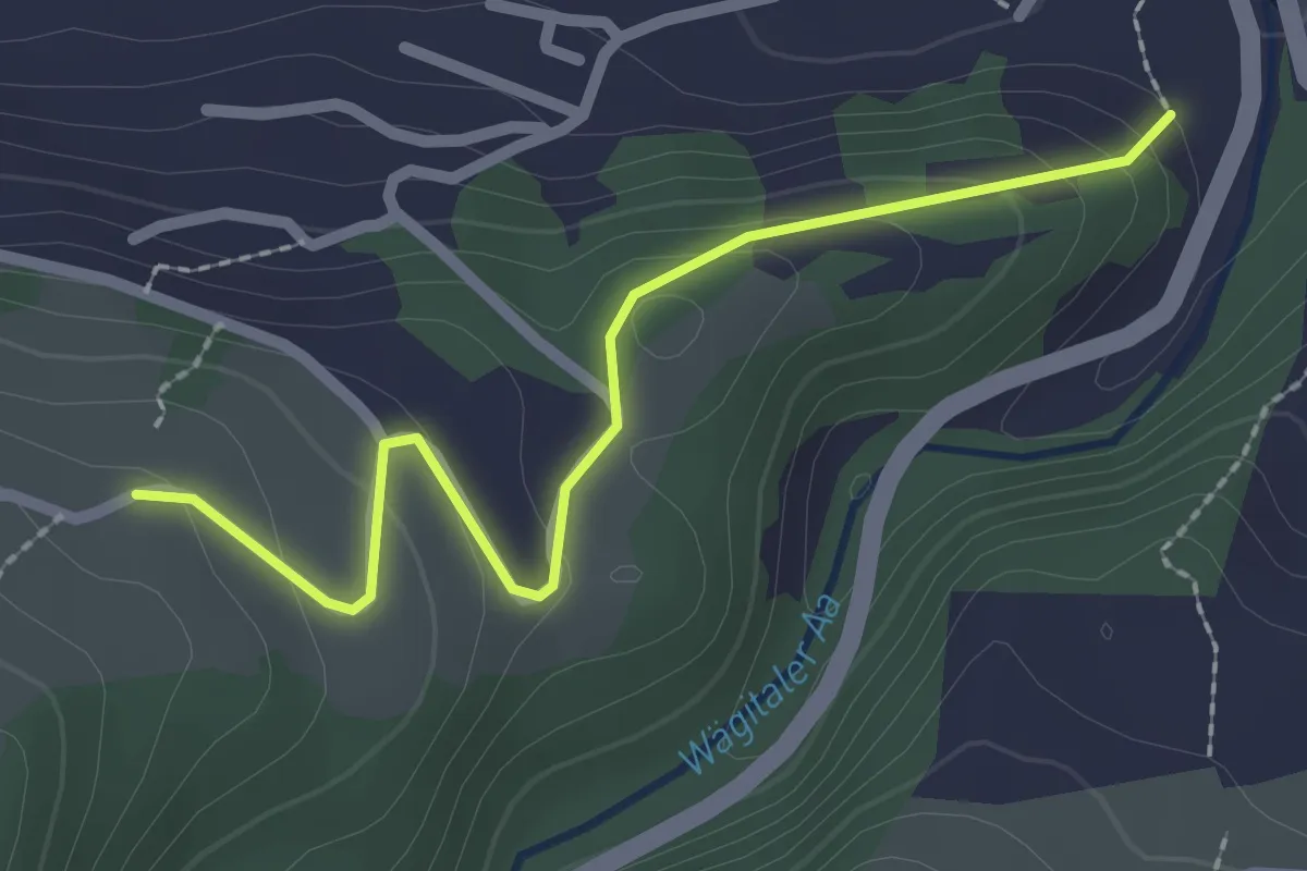
Easy · Trail
Müli - Gusöteli
2.3 km · ↑ 112 m · 47 min
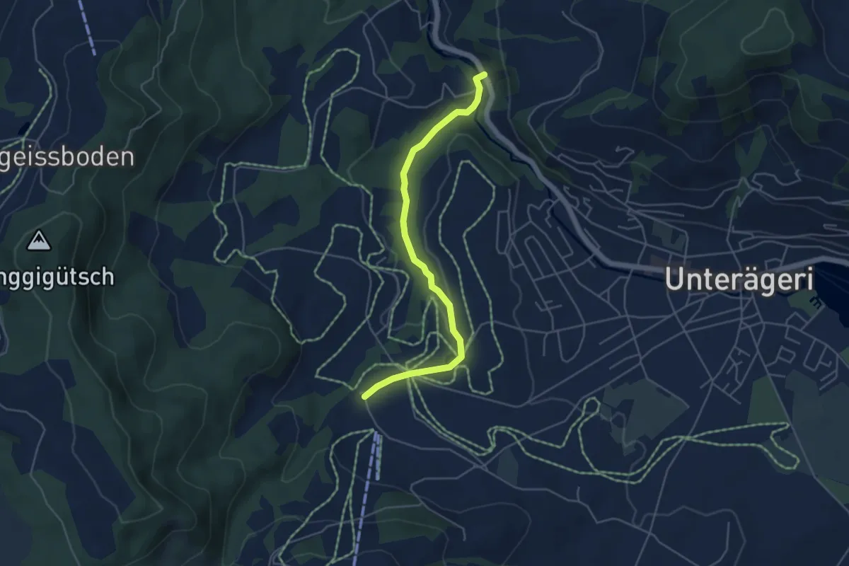
Easy · Trail
Mülischwändi Brücke - Boden
4.6 km · ↑ 48 m · 1 h 12 min
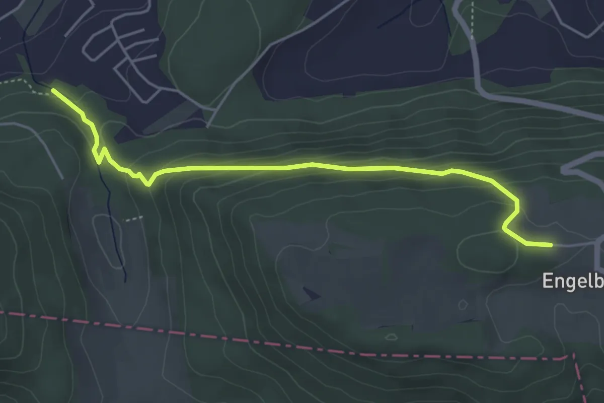
Easy · Trail
Mülitäli Wildpark - Engelberg
4.6 km · ↑ 212 m · 1 h 33 min
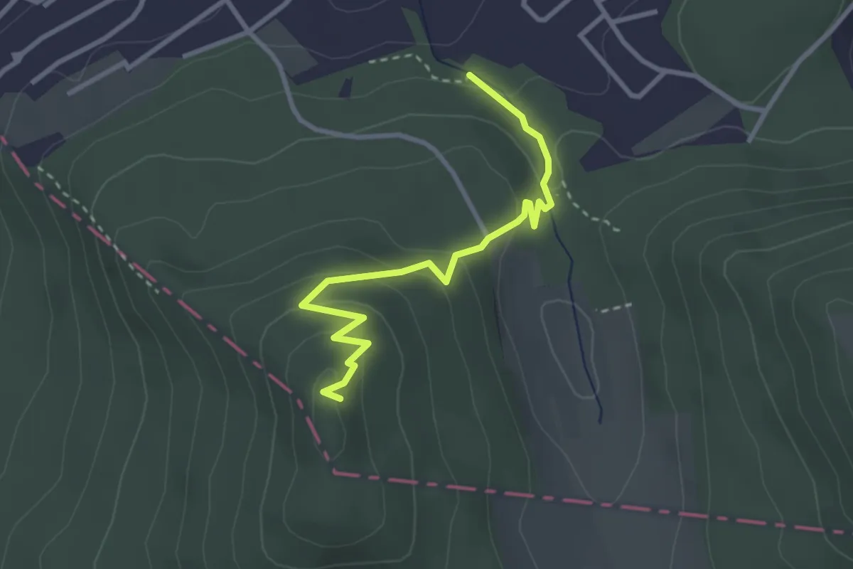
Easy · Trail
Mülitäli Wildpark - Sälischlössli
3.0 km · ↑ 149 m · 1 h 2 min
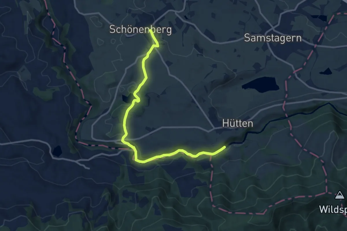
Medium · Trail
Mülitobel-Sihl-Weg
10.7 km · ↑ 255 m · 3 h 4 min
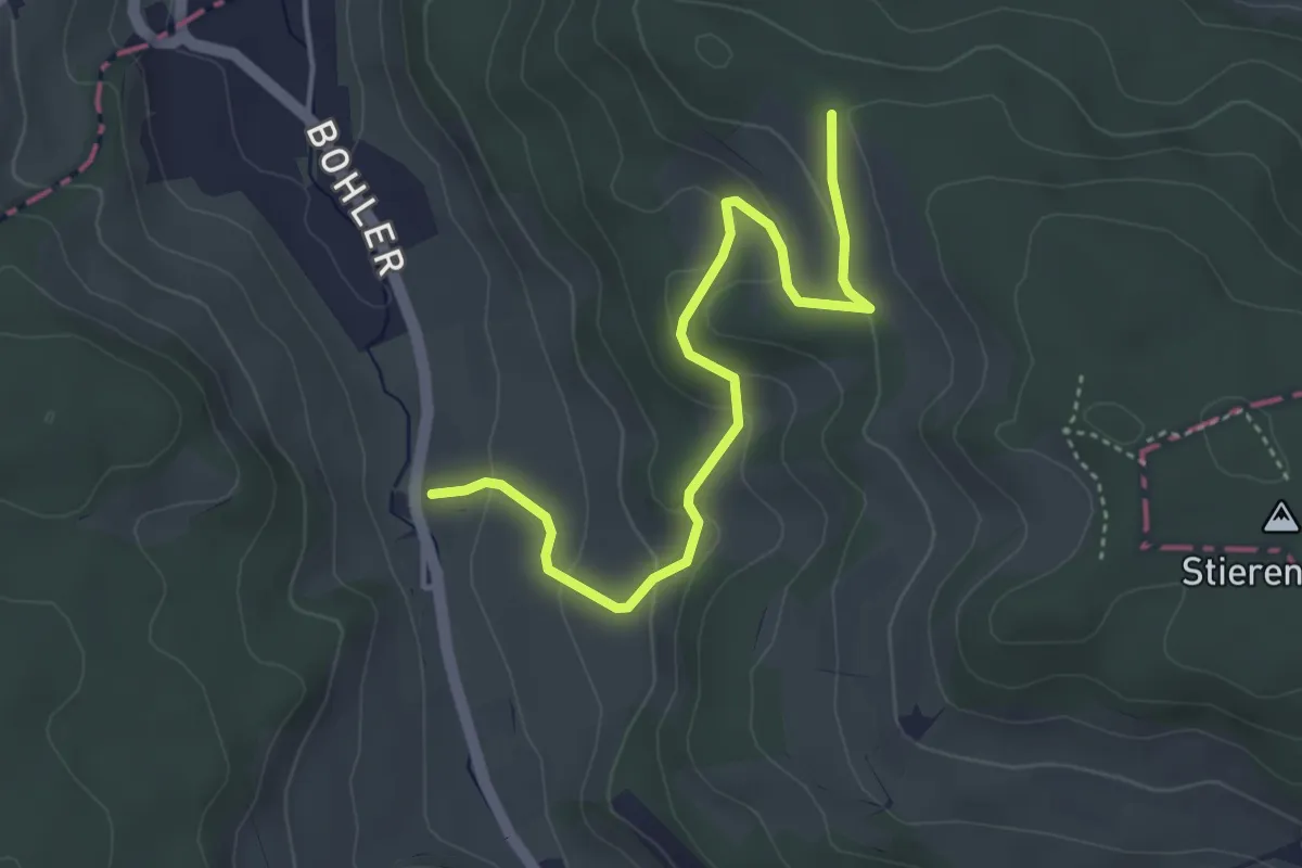
Easy · Trail
Mullwil - Chanzel
4.2 km · ↑ 157 m · 1 h 20 min
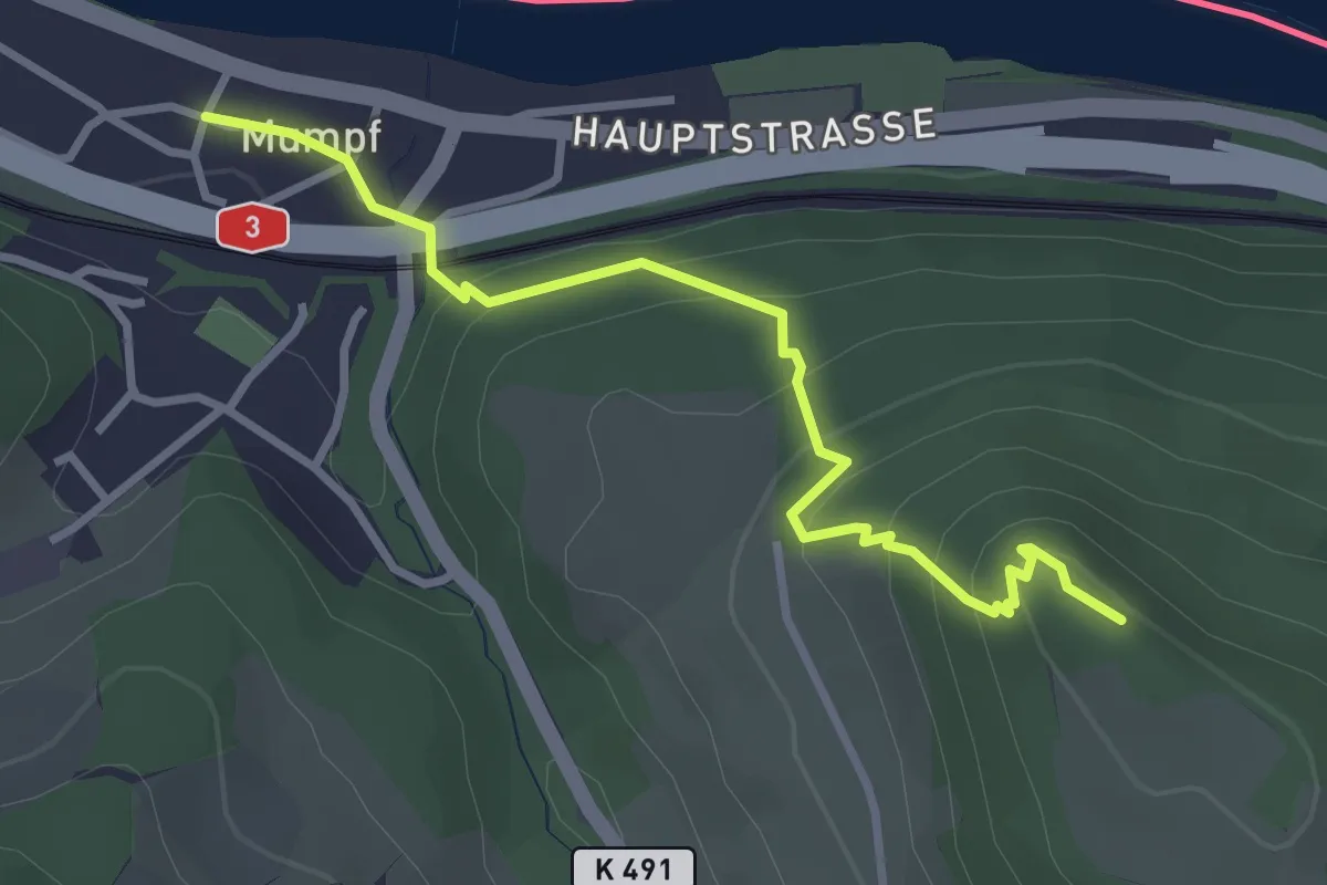
Easy · Trail
Mumpf - Mumpferflue
3.2 km · ↑ 222 m · 1 h 14 min
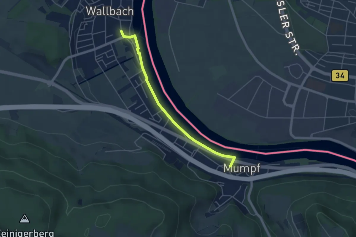
Easy · Trail
Mumpf - Wallbach
4.0 km · ↑ 14 m · 59 min
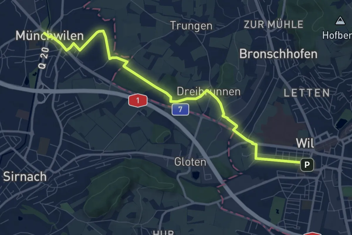
Medium · Trail
Münchwilen - Dreibrunnen - Wil
9.9 km · ↑ 78 m · 2 h 30 min
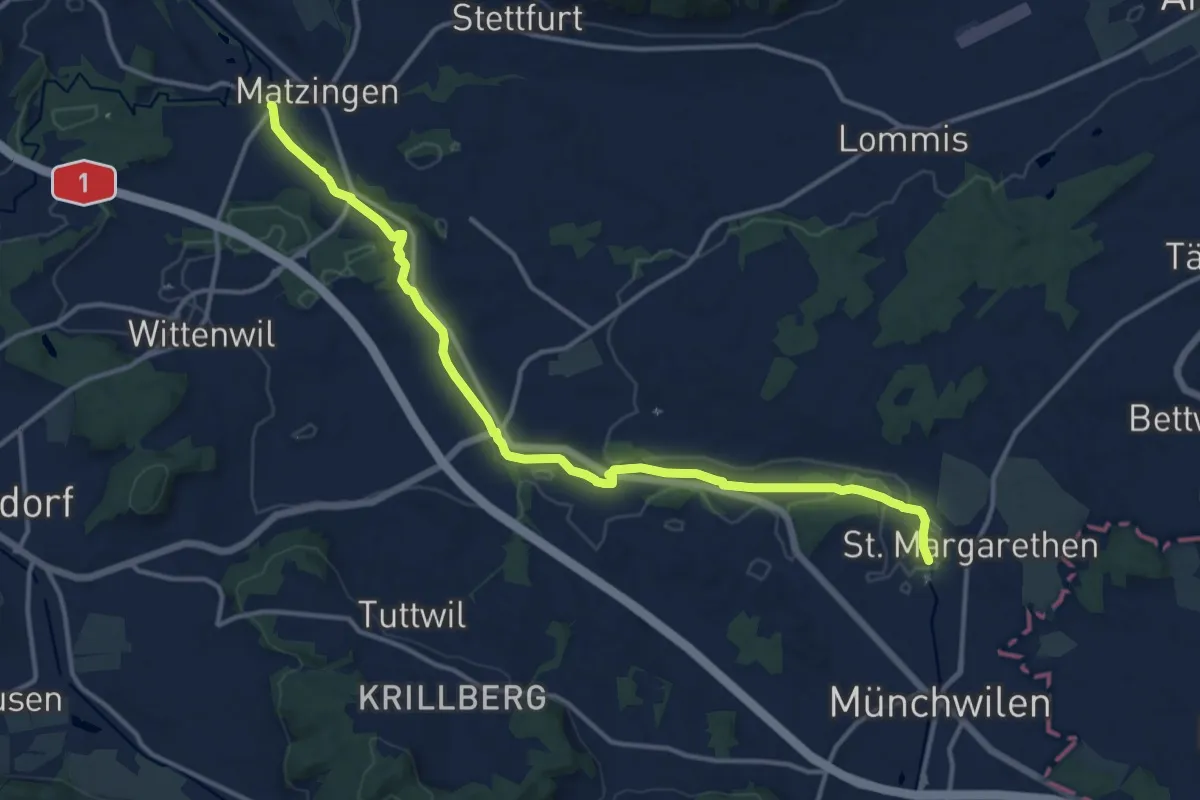
Medium · Trail
Münchwilen - Frauenfeld
14.8 km · ↑ 81 m · 3 h 40 min
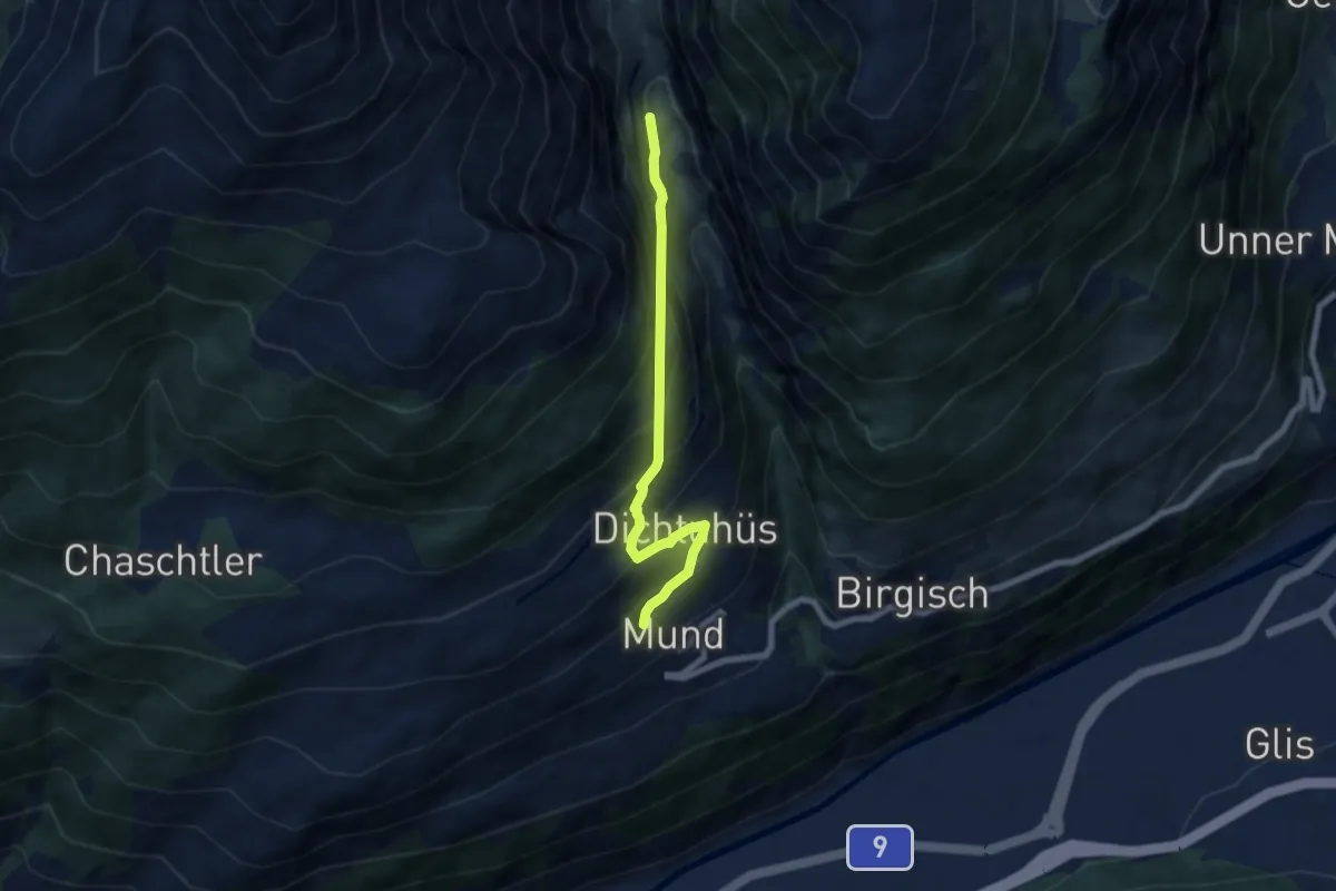
Medium · Trail
Mund - Strick
6.4 km · ↑ 636 m · 2 h 53 min
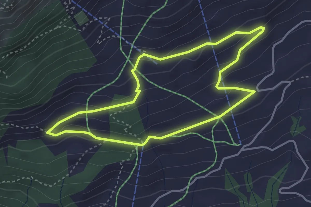
Demanding · Trail
Munggenweg
3.0 km · ↑ 137 m · 1 h 3 min
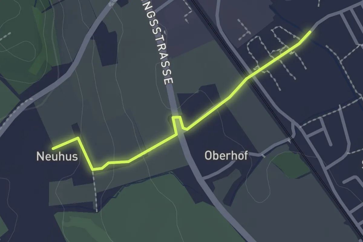
Easy · Trail
Münigen - Neuhus
2.0 km · ↑ 39 m · 33 min
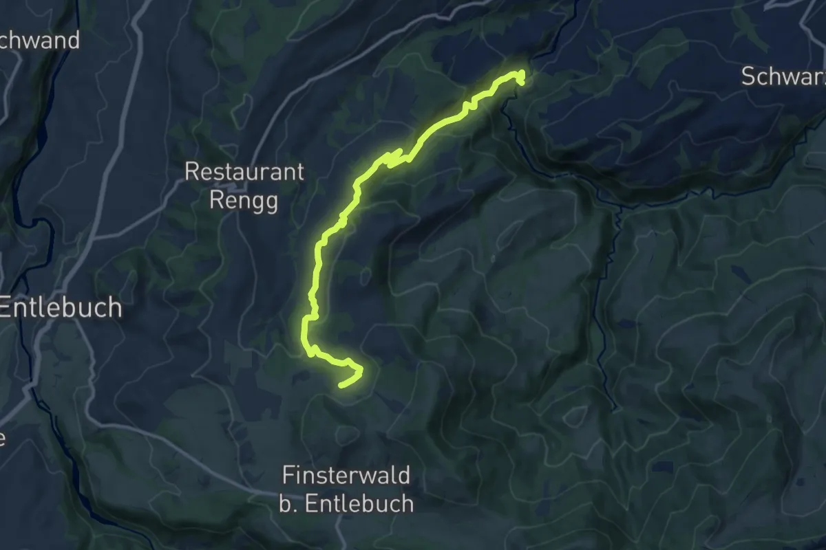
Medium · Trail
Munistein -Dietenwart Gräben
12.5 km · ↑ 585 m · 4 h 13 min
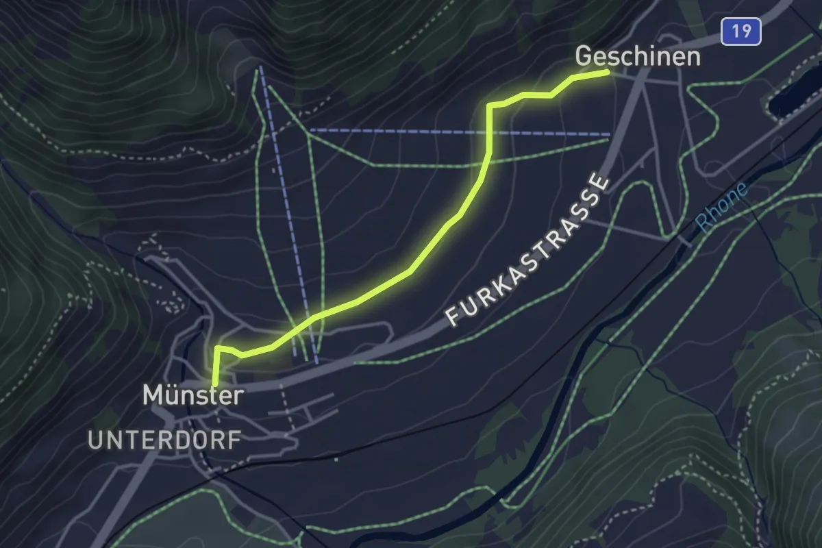
Easy · Trail
Münster - Geschinen
3.3 km · ↑ 96 m · 59 min
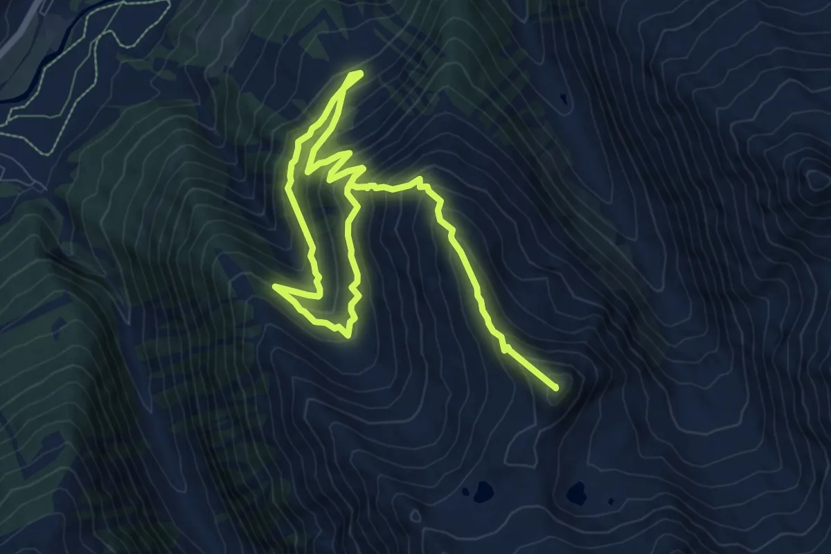
Demanding · Summit
Münster - Stockji
13.8 km · ↑ 1265 m · 6 h
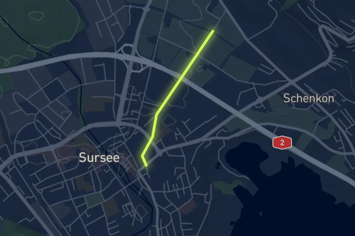
Easy · Trail
Münsterstrasse - Chommlibach
2.9 km · ↑ 8 m · 42 min
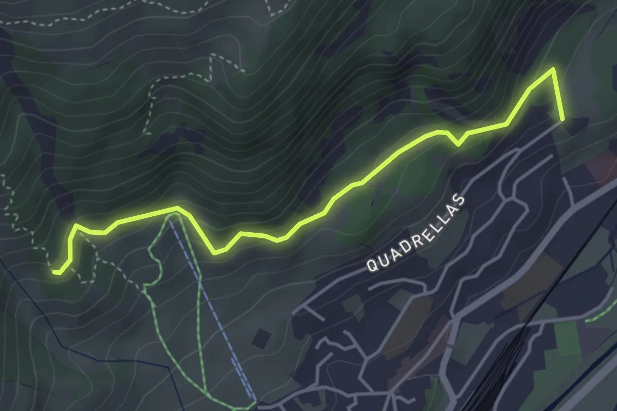
Medium · Trail
Muntarütsch - Peidra Grossa
4.1 km · ↑ 222 m · 1 h 26 min
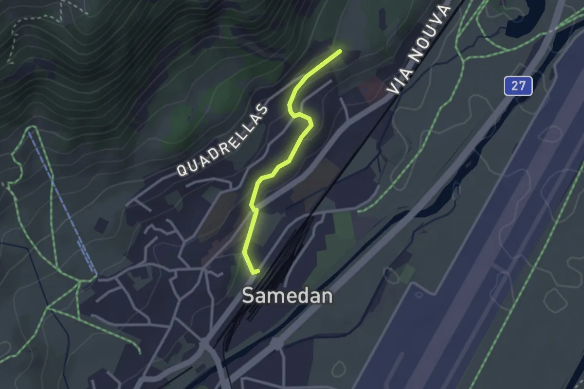
Easy · Trail
Muntarütsch - Samedan Staziun
2.2 km · ↑ 71 m · 40 min
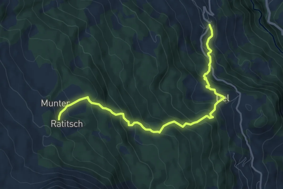
Medium · Trail
Munter Del Mon Trail
10.3 km · ↑ 743 m · 4 h 3 min
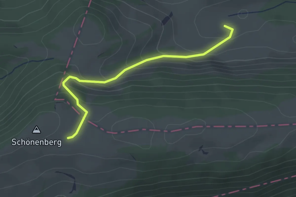
Easy · Trail
Muolte - Schönenberg
2.9 km · ↑ 226 m · 1 h 11 min
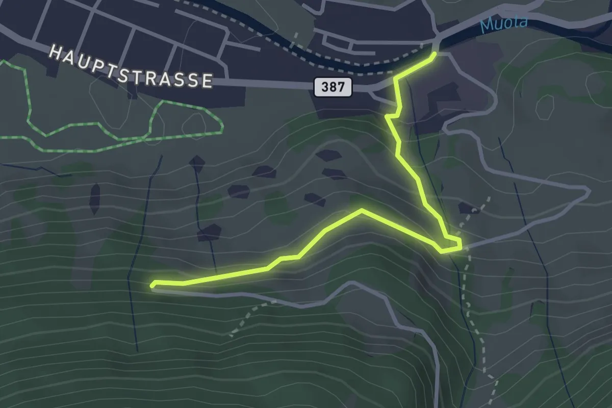
Medium · Trail
Muotathal Hinterthal - fixme
2.9 km · ↑ 198 m · 1 h 7 min
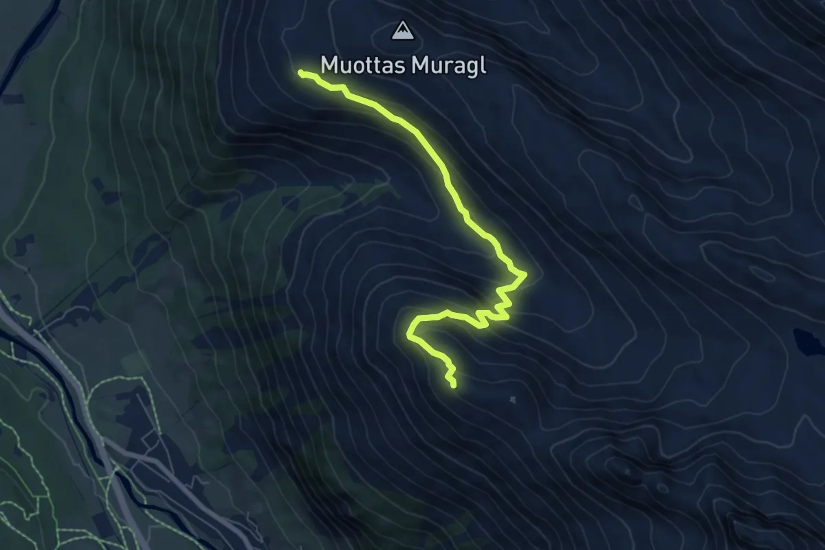
Medium · Trail
Muottas Muragl - Chna. Segantini
6.8 km · ↑ 492 m · 2 h 40 min
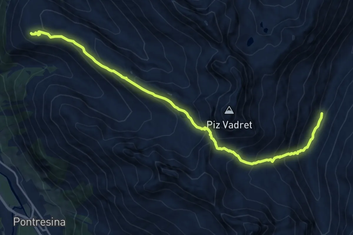
Demanding · Trail
Muottas Muragl-Fuorcla Muragl
14.5 km · ↑ 1096 m · 5 h 48 min
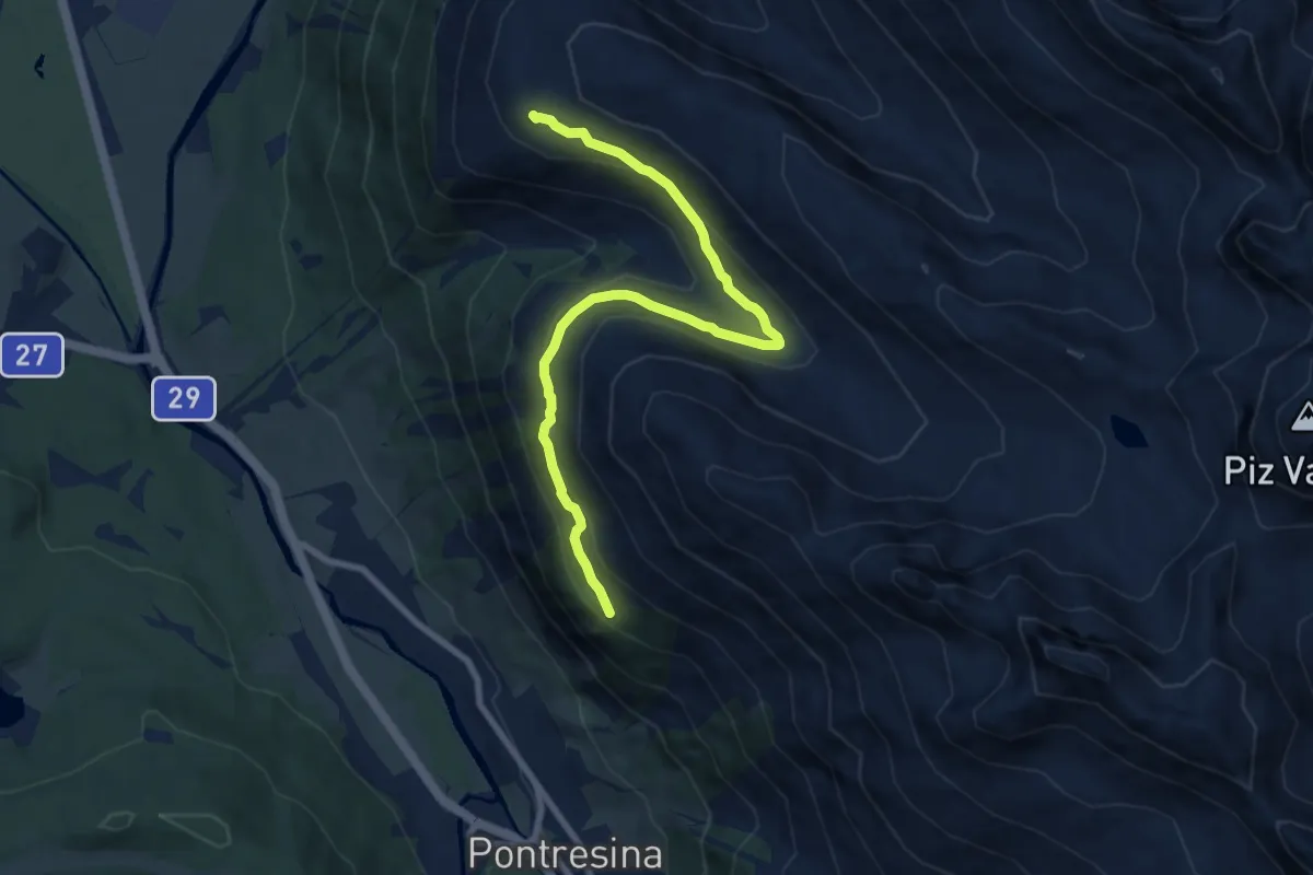
Medium · Cabin
Muottas Muragl - Unterer Schafberg
8.8 km · ↑ 371 m · 2 h 53 min
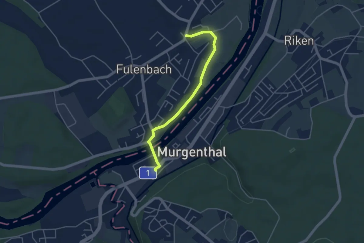
Easy · Trail
Murgenthal - Fulenbach
3.5 km · ↑ 51 m · 56 min
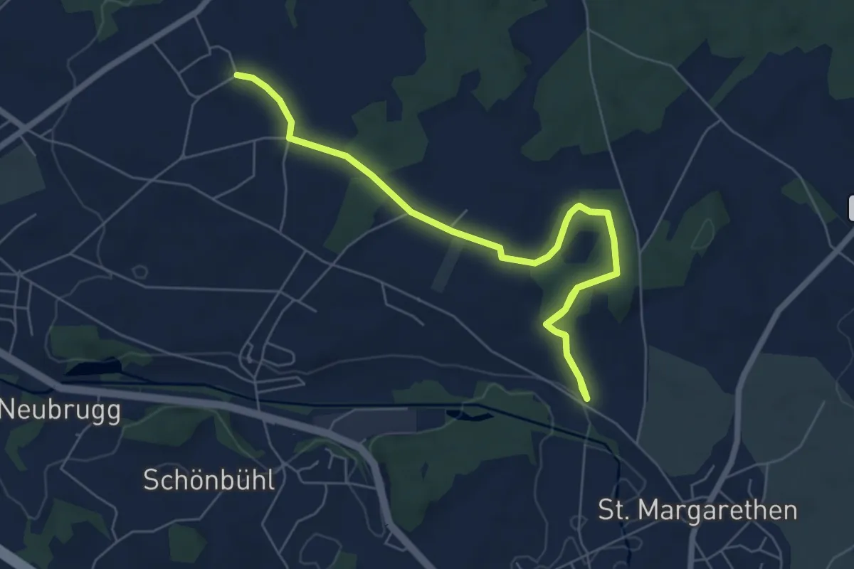
Easy · Trail
Murgtal - Anetswil
7.8 km · ↑ 99 m · 2 h 4 min
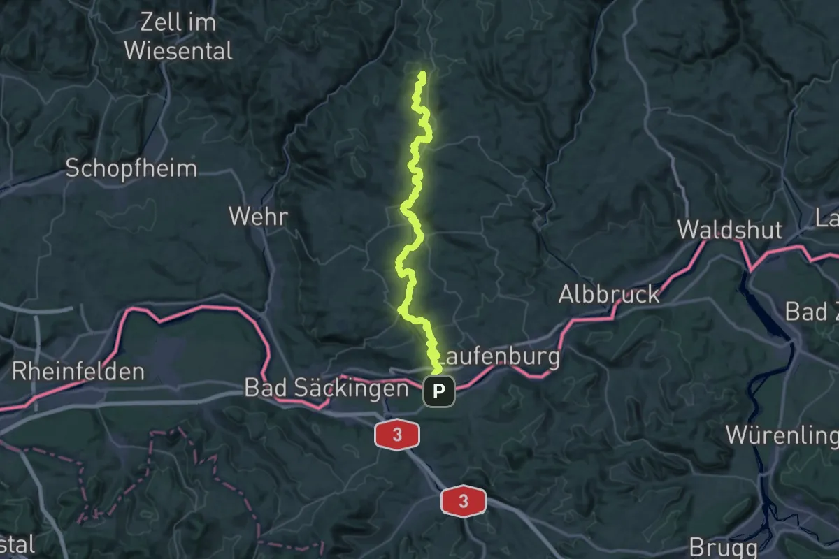
Demanding · Summit
Murgtalpfad
50.5 km · ↑ 1446 m · 15 h 3 min
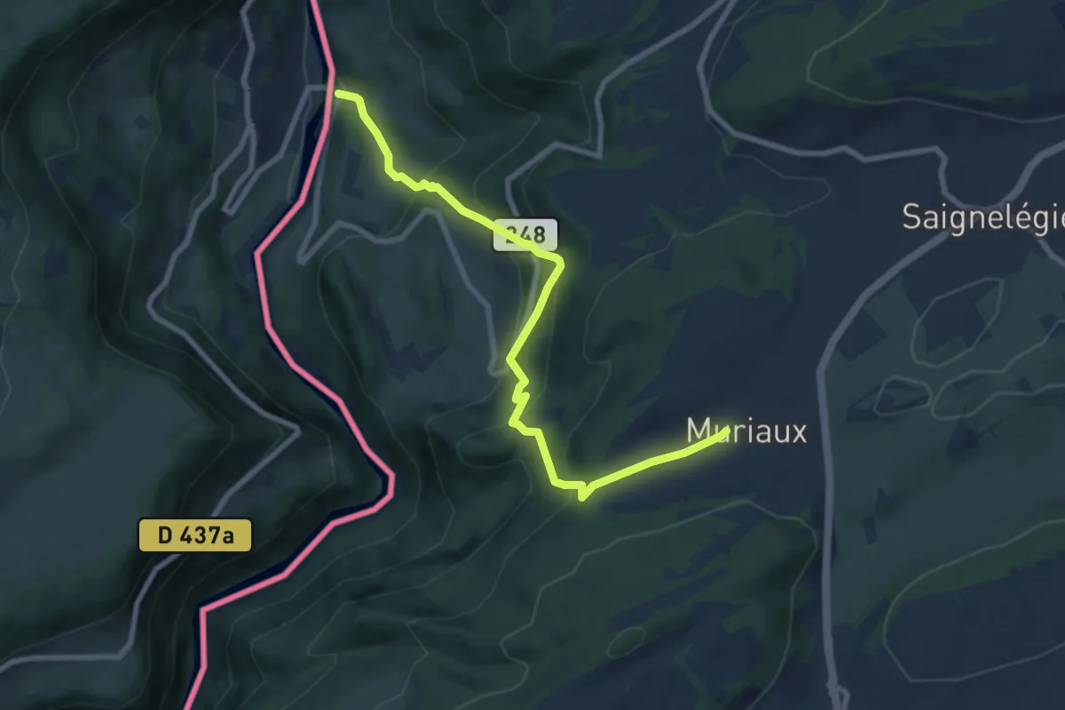
Medium · Trail
Muriaux - Goumois
8.0 km · ↑ 669 m · 3 h 20 min
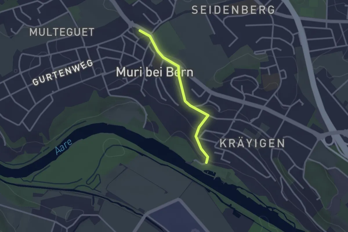
Easy · Trail
Muribad - Muri
2.3 km · ↑ 43 m · 38 min
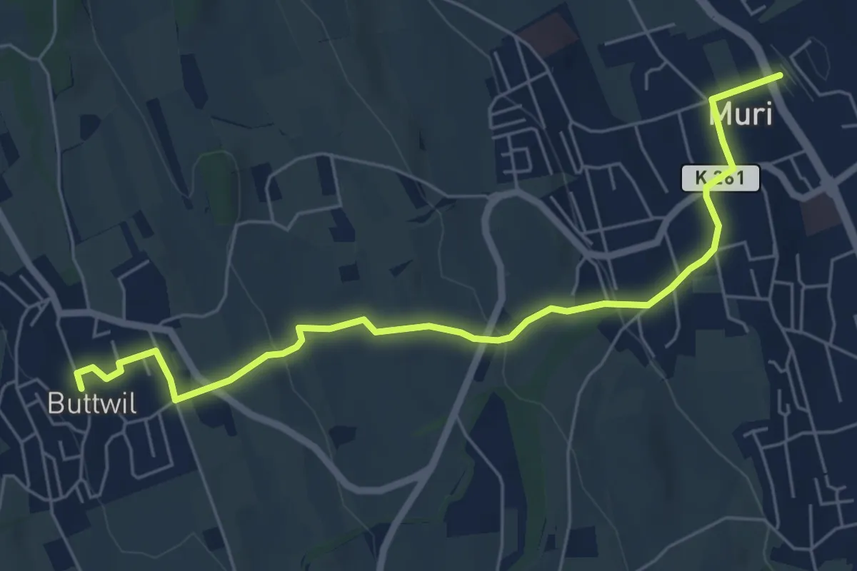
Easy · Trail
Muri - Buttwil
6.3 km · ↑ 182 m · 1 h 53 min
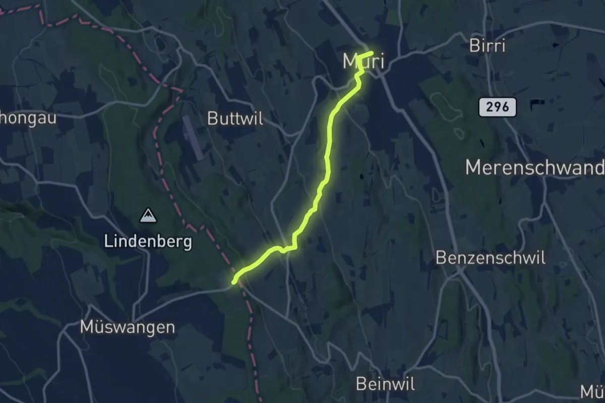
Medium · Trail
Muri - Geltwil - Schlatt
9.7 km · ↑ 370 m · 3 h 5 min
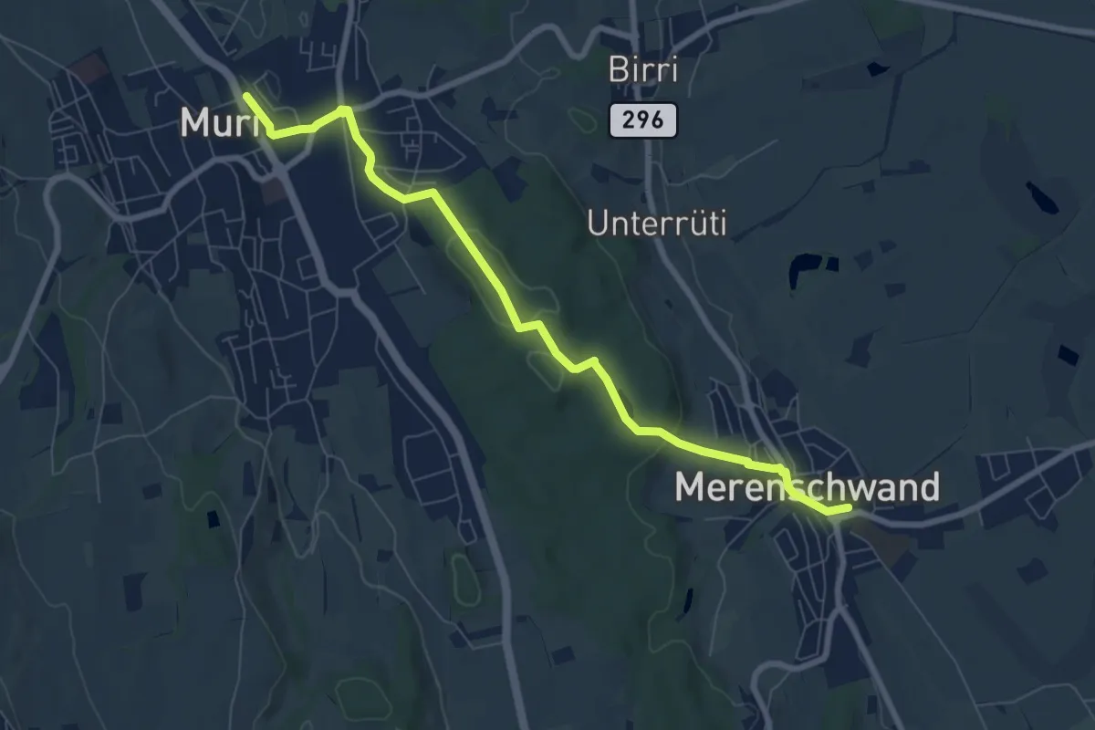
Easy · Trail
Muri - Merenschwand
7.9 km · ↑ 171 m · 2 h 15 min
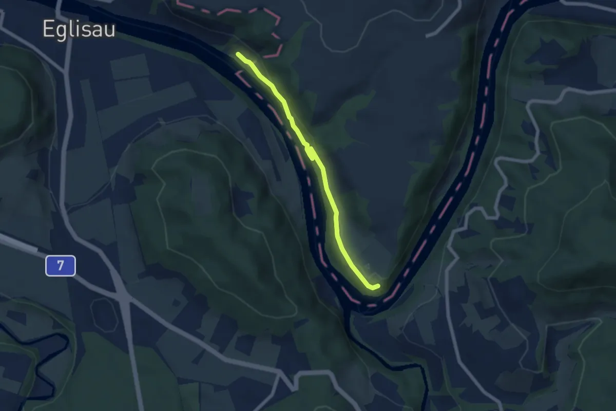
Easy · Trail
Murkathof - Oberriet
5.1 km · ↑ 131 m · 1 h 30 min
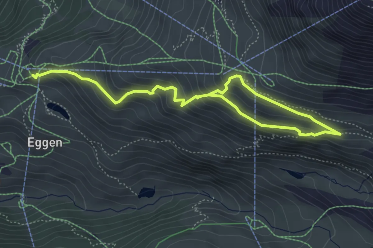
Medium · Trail
Murmelweg
6.7 km · ↑ 427 m · 2 h 30 min
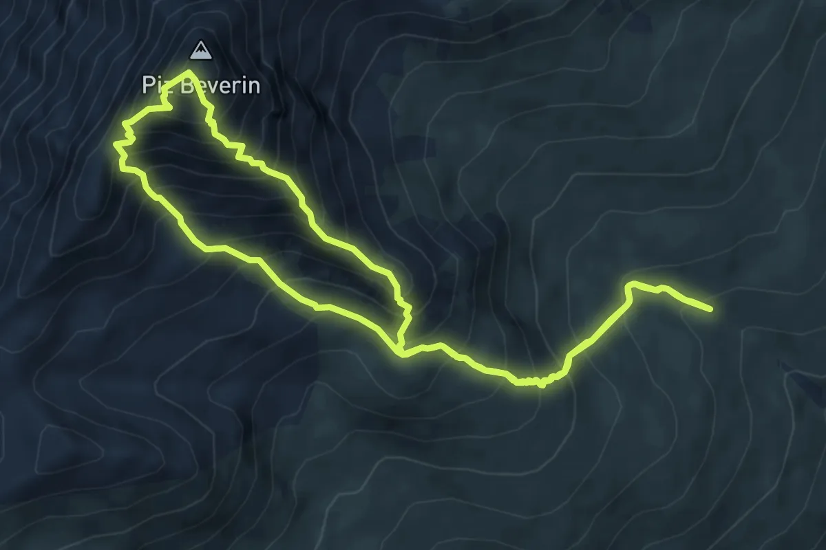
Demanding · Summit
Mursenas-Beverin Lucke-Piz Beverin-Beverin Pintg-Mursenas
6.9 km · ↑ 857 m · 3 h 34 min
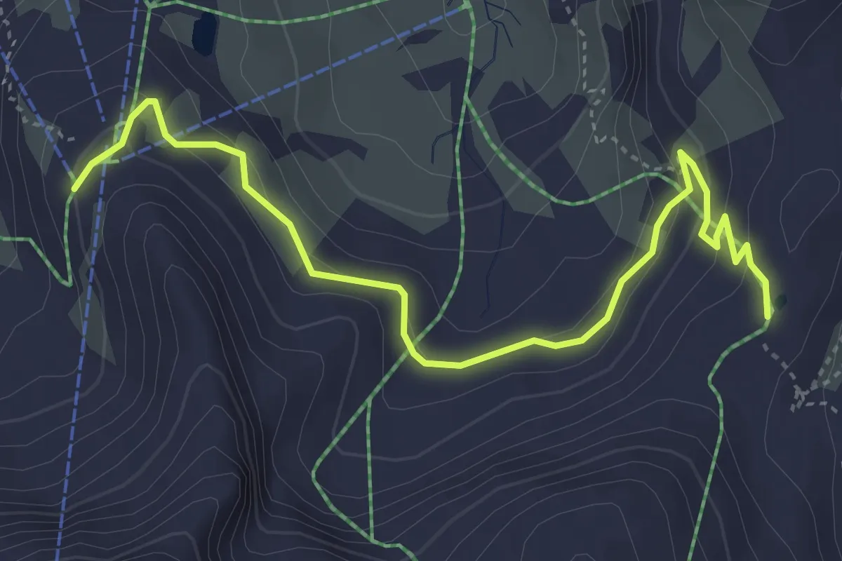
Easy · Trail
Murtél-Fuorcla Surlej
4.6 km · ↑ 235 m · 1 h 36 min
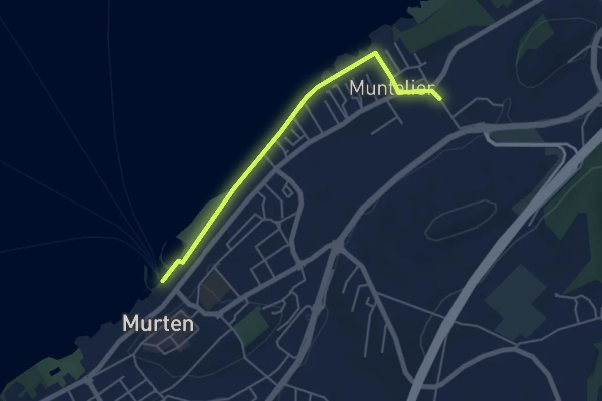
Easy · Trail
Murten Schiffstation - Muntelier-Löwenberg
3.8 km · ↑ 5 m · 54 min
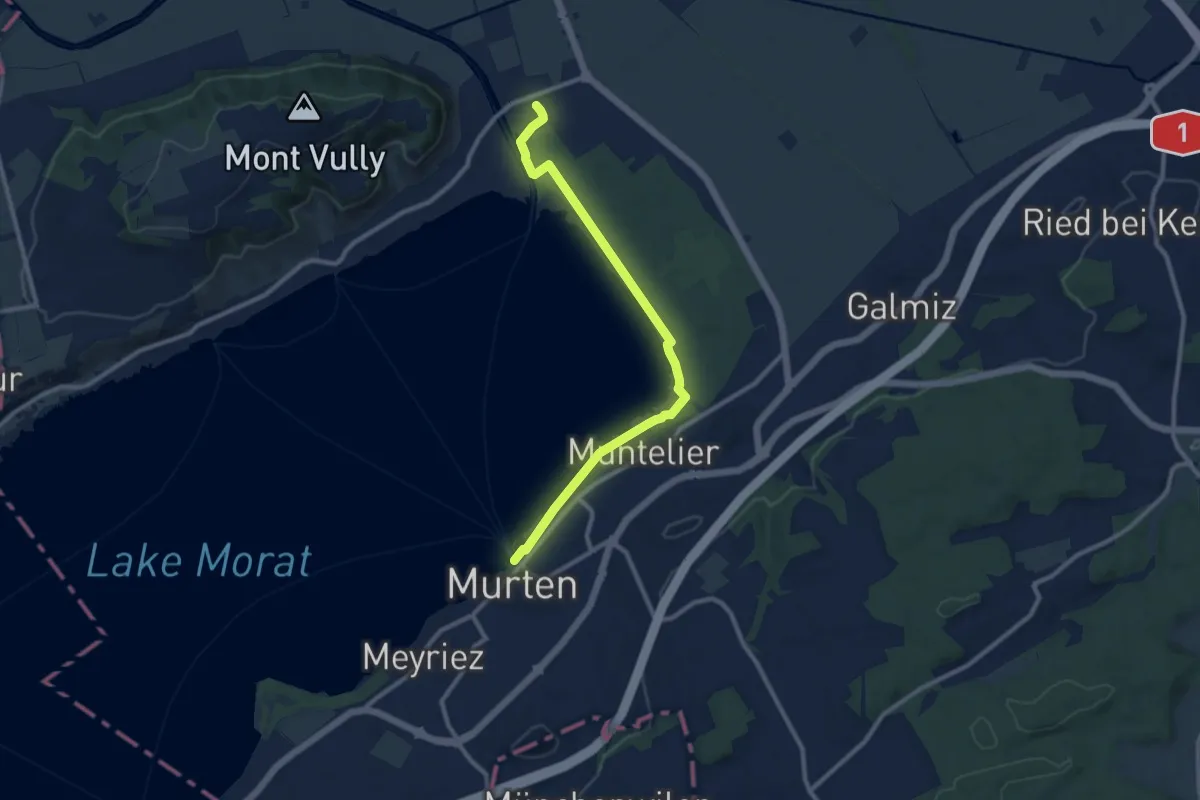
Medium · Trail
Murten Schiffstation – Sugiez gare
10.3 km · ↑ 25 m · 2 h 29 min
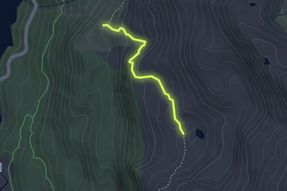
Medium · Cabin
Murtér - Alp Natons
2.7 km · ↑ 246 m · 1 h 10 min
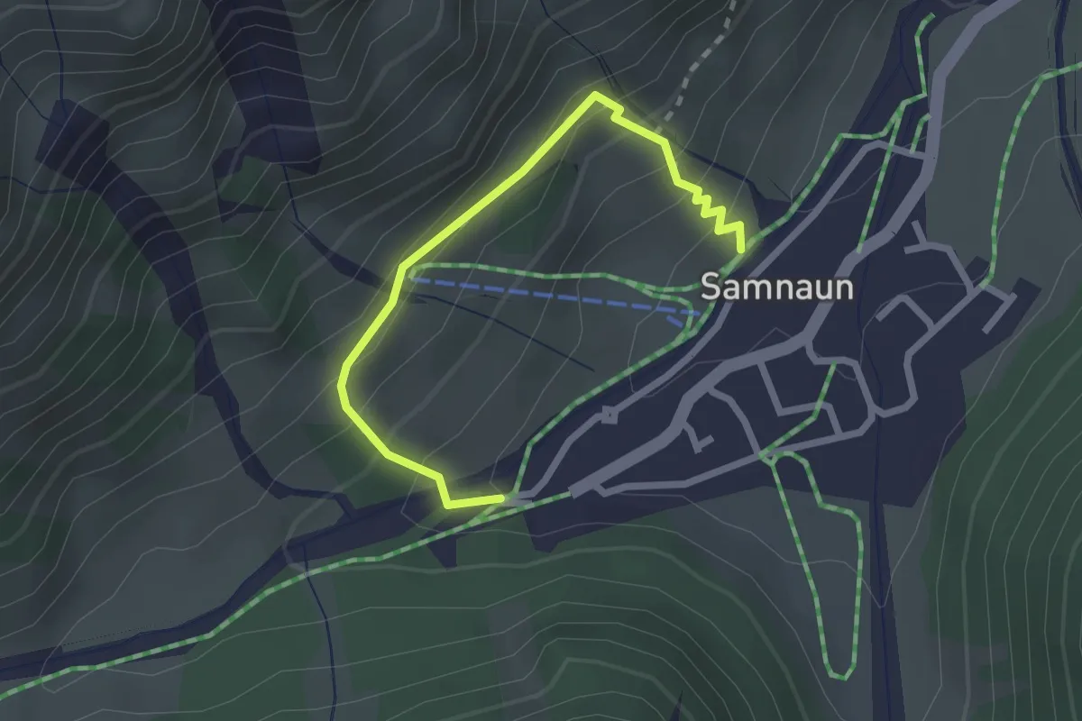
Medium · Trail
Musella
2.4 km · ↑ 196 m · 59 min
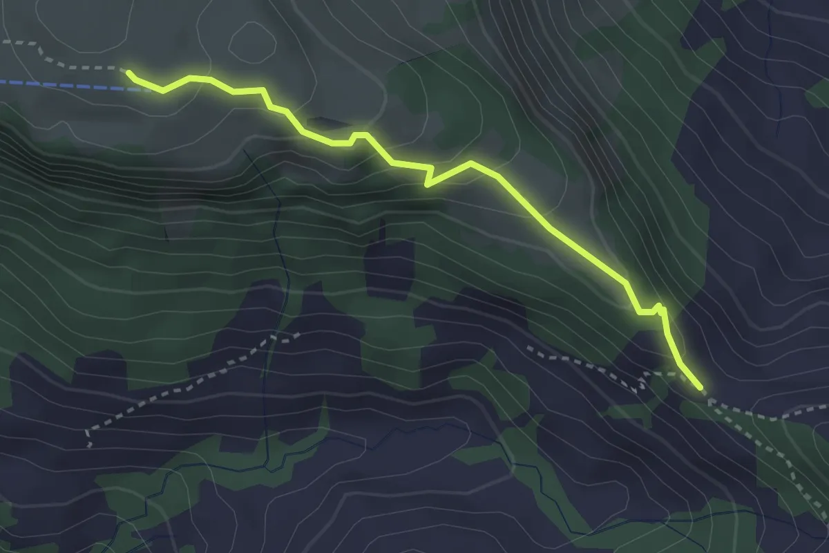
Easy · Trail
Musenalp - Bärenfallen
3.0 km · ↑ 181 m · 1 h 6 min
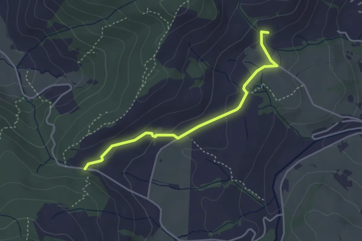
Easy · Trail
Müser - Chälen
3.3 km · ↑ 90 m · 58 min
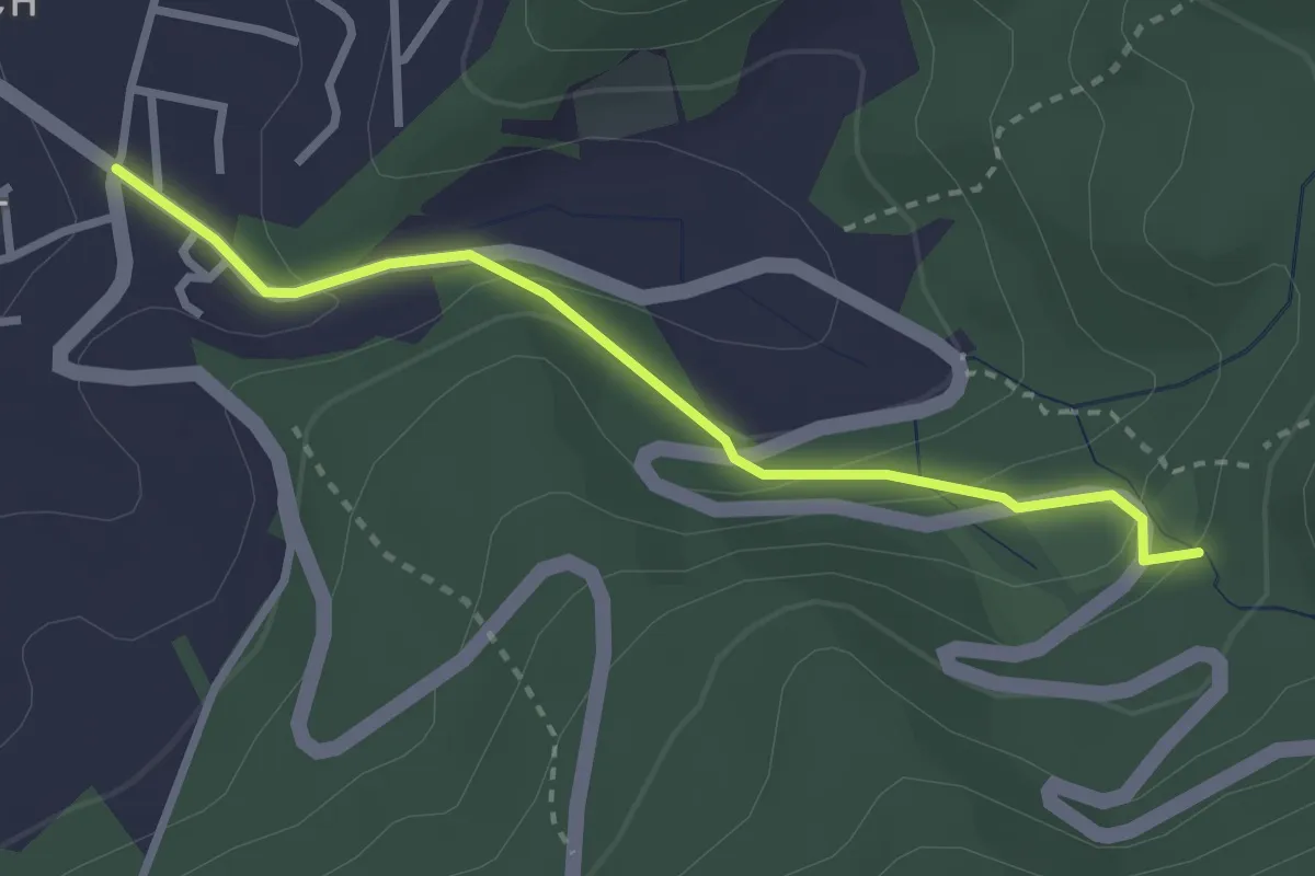
Easy · Trail
Musikschule - Woll
2.8 km · ↑ 131 m · 56 min
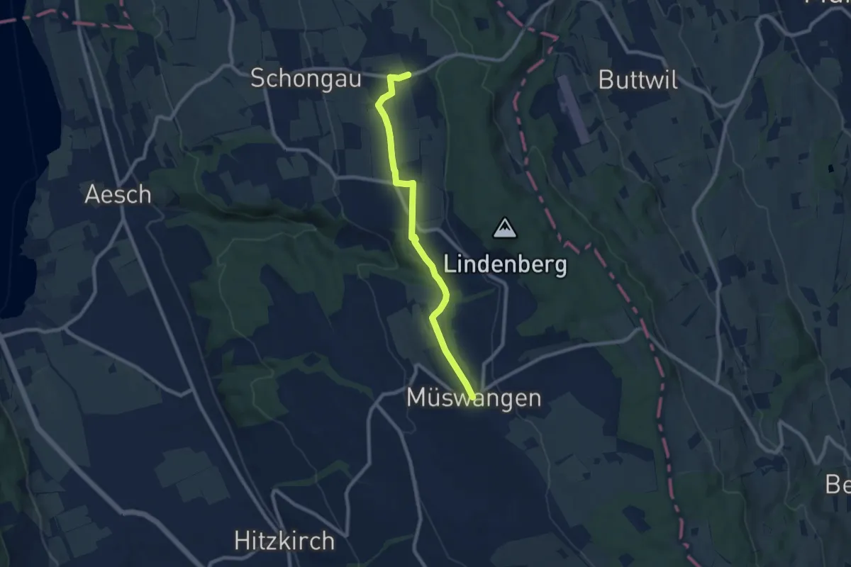
Medium · Trail
Müswangen - Schongiland
8.1 km · ↑ 124 m · 2 h 10 min
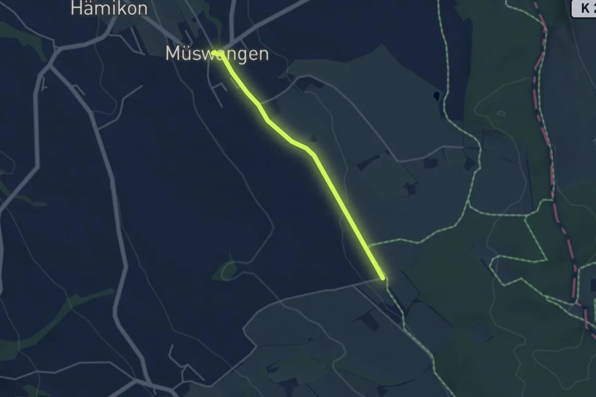
Easy · Trail
Müswangen - Sulzerberg
3.5 km · ↑ 22 m · 52 min
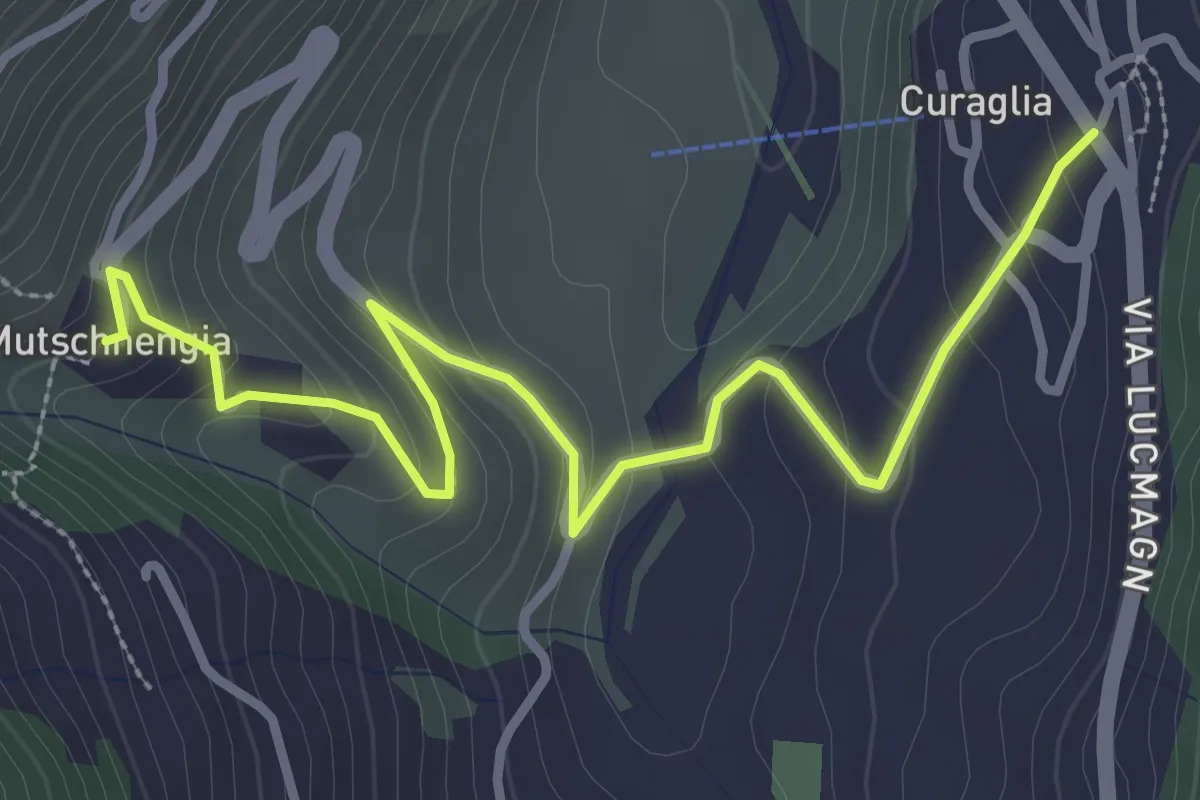
Easy · Trail
Mutschnengia - Curagila
3.7 km · ↑ 196 m · 1 h 18 min
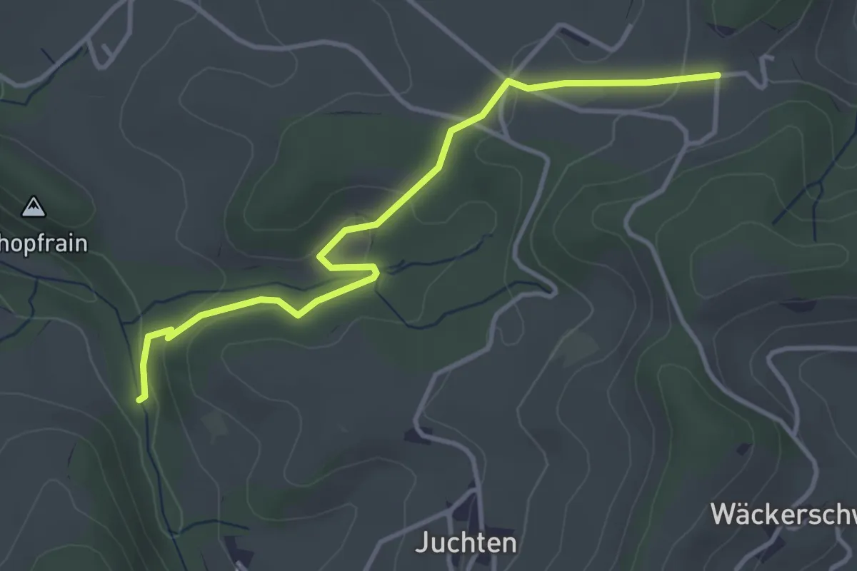
Easy · Trail
Mutzgraben - Wanntalhöchi
3.7 km · ↑ 112 m · 1 h 7 min