Trails in Switzerland
15,029 hiking trails, each with its route, climb, walking time and grade.
All trails, page 73 of 314
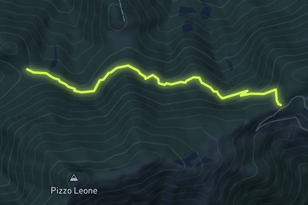
Medium · Trail
Naccio - Termine
6.2 km · ↑ 456 m · 2 h 28 min
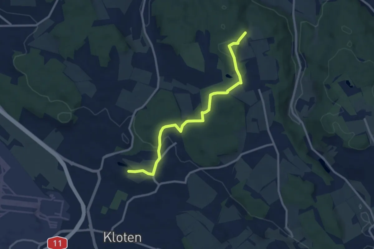
Easy · Trail
Nägelimoos - Hinterbänikon
7.2 km · ↑ 165 m · 2 h 4 min
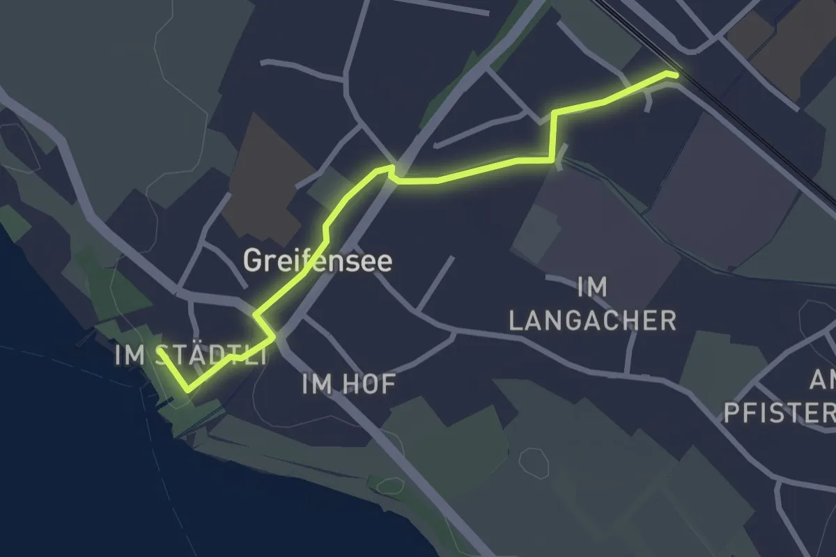
Easy · Trail
Nänikon-Greifensee - Greifensee
2.5 km · ↑ 8 m · 36 min
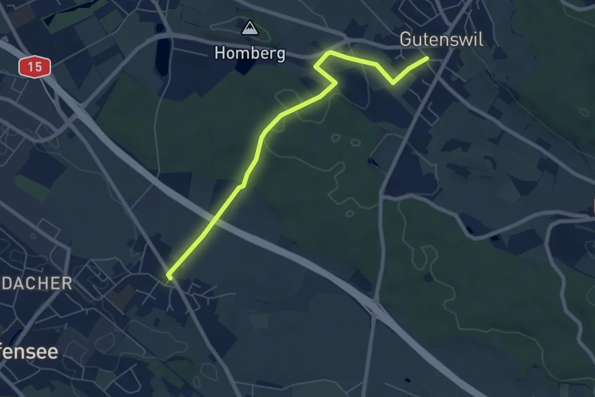
Easy · Trail
Nänikon - Gutenswil
5.8 km · ↑ 96 m · 1 h 35 min
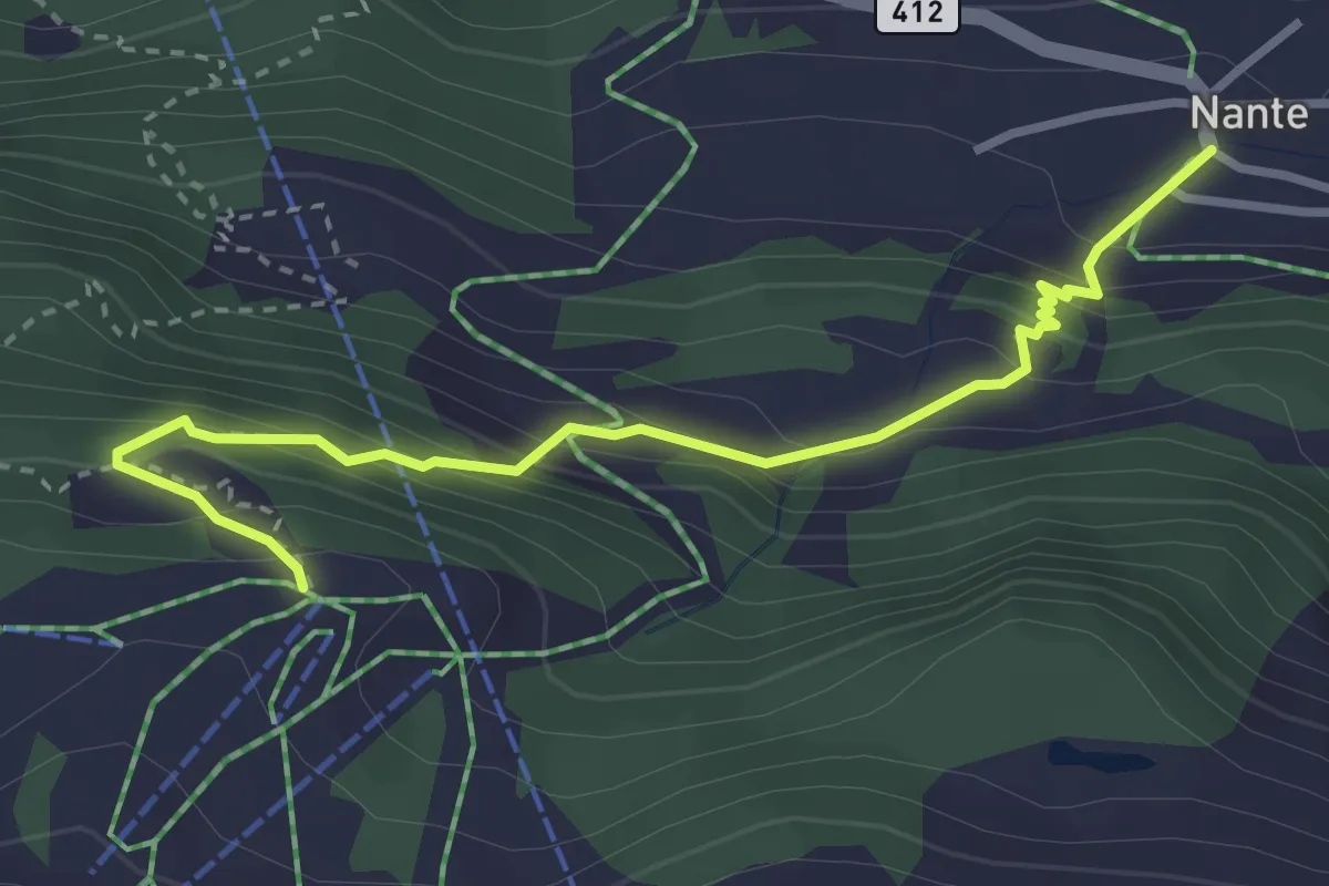
Medium · Trail
Nante-Alpe di Pesciüm
3.4 km · ↑ 340 m · 1 h 32 min
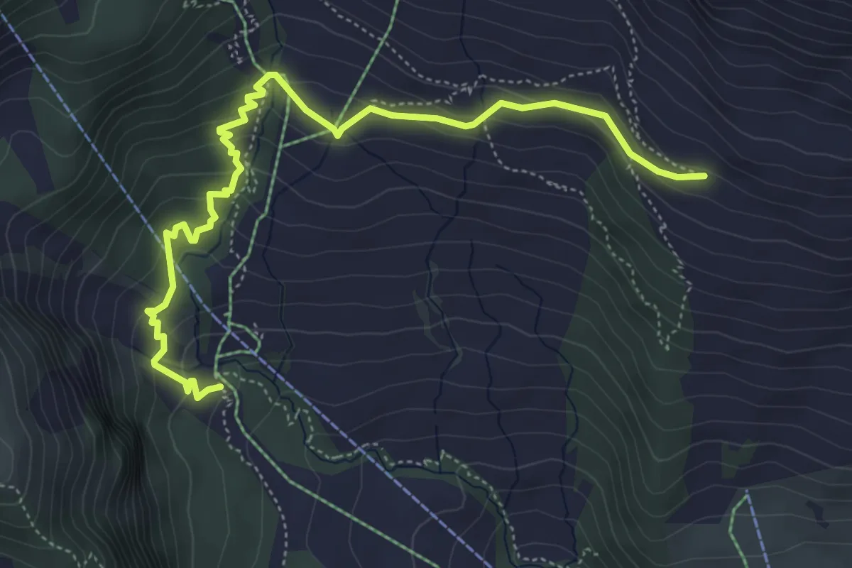
Medium · Trail
Naraus - Startgels
6.0 km · ↑ 304 m · 2 h 4 min
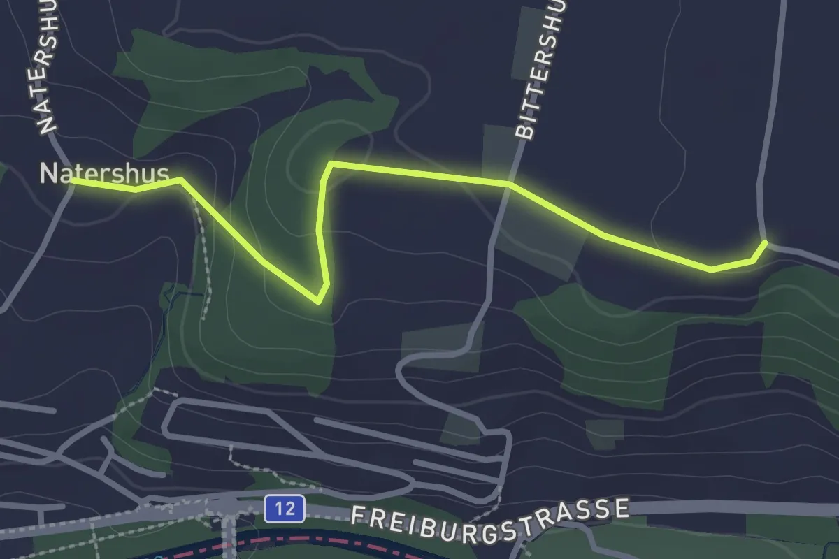
Easy · Trail
Natershus - Ufem Shoren
2.7 km · ↑ 58 m · 46 min
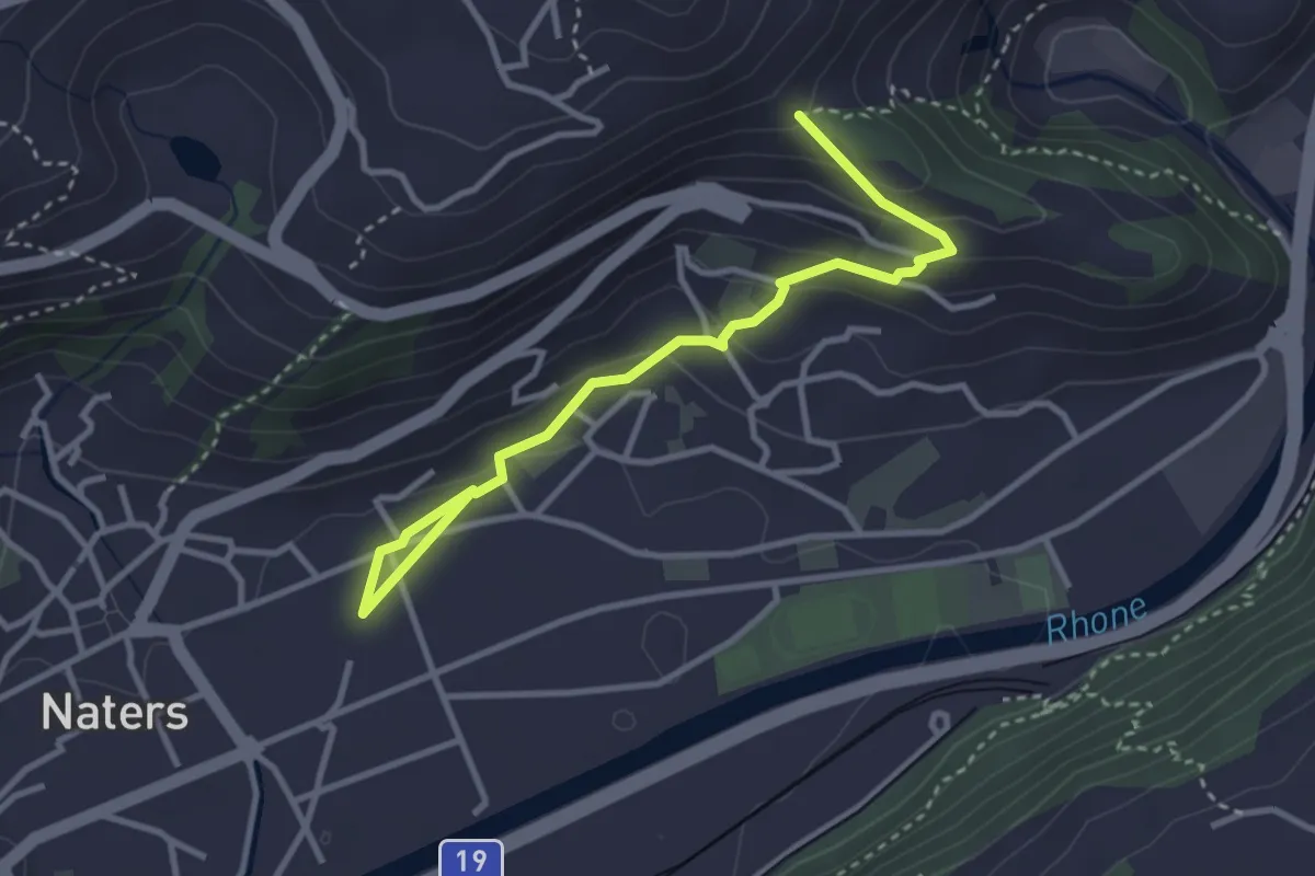
Easy · Trail
Naters - Masaegg
3.6 km · ↑ 170 m · 1 h 13 min
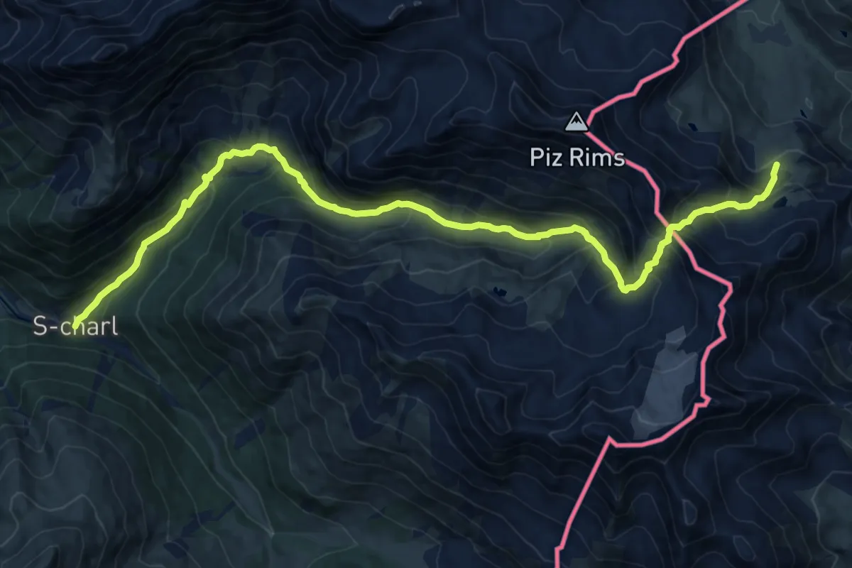
Demanding · Trail
Nationalpark Panoramaweg
18.8 km · ↑ 1331 m · 7 h 20 min
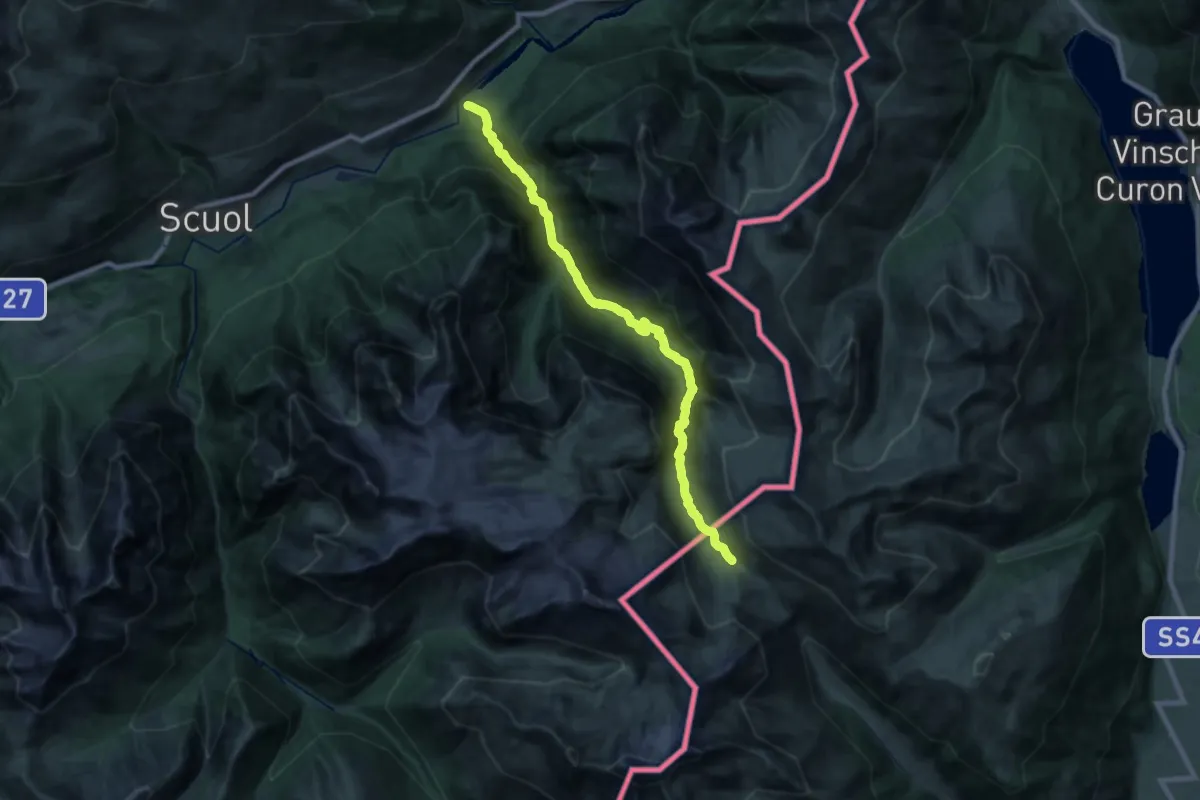
Demanding · Trail
Nationalpark Panoramaweg
11.8 km · ↑ 1338 m · 5 h 15 min
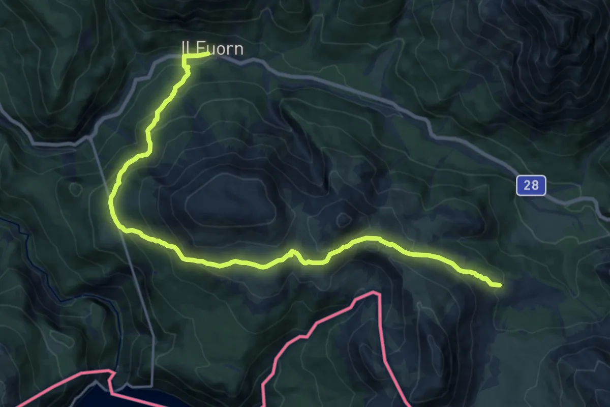
Demanding · Trail
Nationalpark Panoramaweg
17.8 km · ↑ 946 m · 6 h 16 min
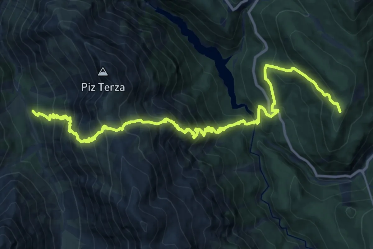
Demanding · Summit
Nationalpark Panoramaweg
20.1 km · ↑ 1982 m · 9 h 3 min
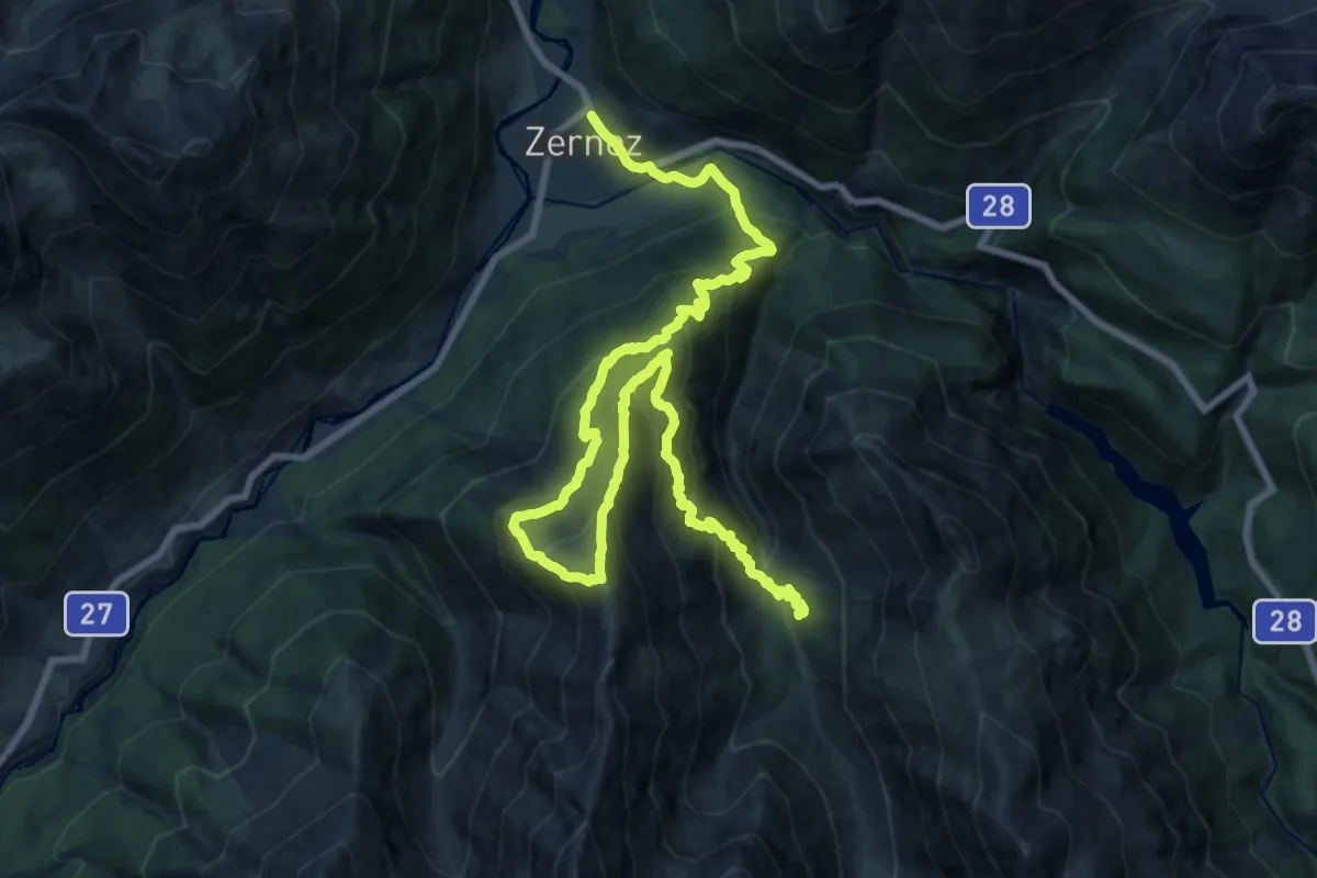
Demanding · Cabin
Nationalpark Panoramaweg
13.1 km · ↑ 1340 m · 5 h 59 min
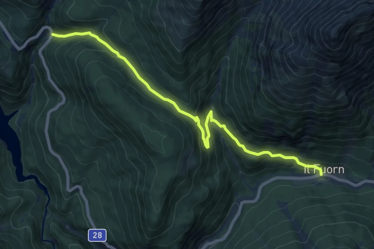
Medium · Trail
Nationalpark Wanderroute 13 (Champlönch)
9.9 km · ↑ 487 m · 3 h 23 min
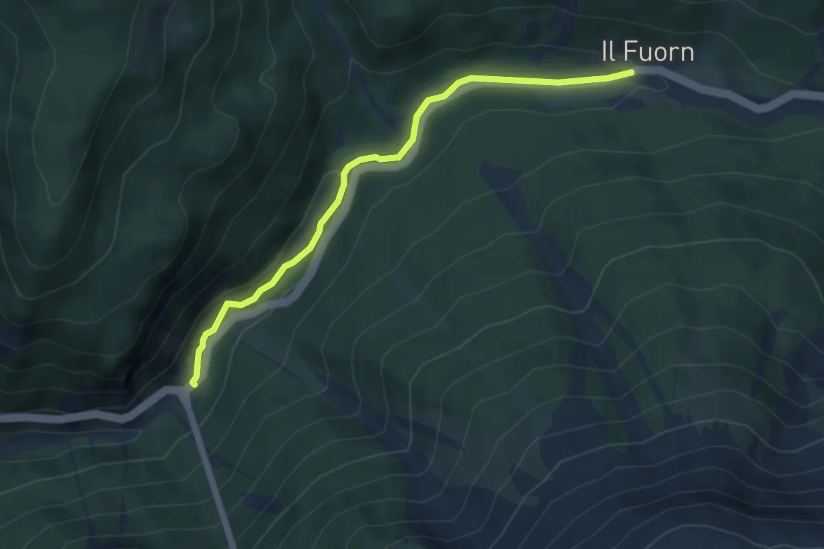
Easy · Trail
Nationalpark Wanderroute 14 (Punt la Drossa - Il Fuorn)
4.4 km · ↑ 88 m · 1 h 13 min
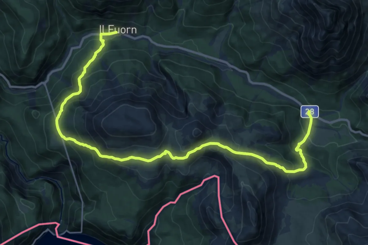
Demanding · Trail
Nationalpark Wanderroute 15 (Munt la Schera)
21.6 km · ↑ 1203 m · 7 h 43 min
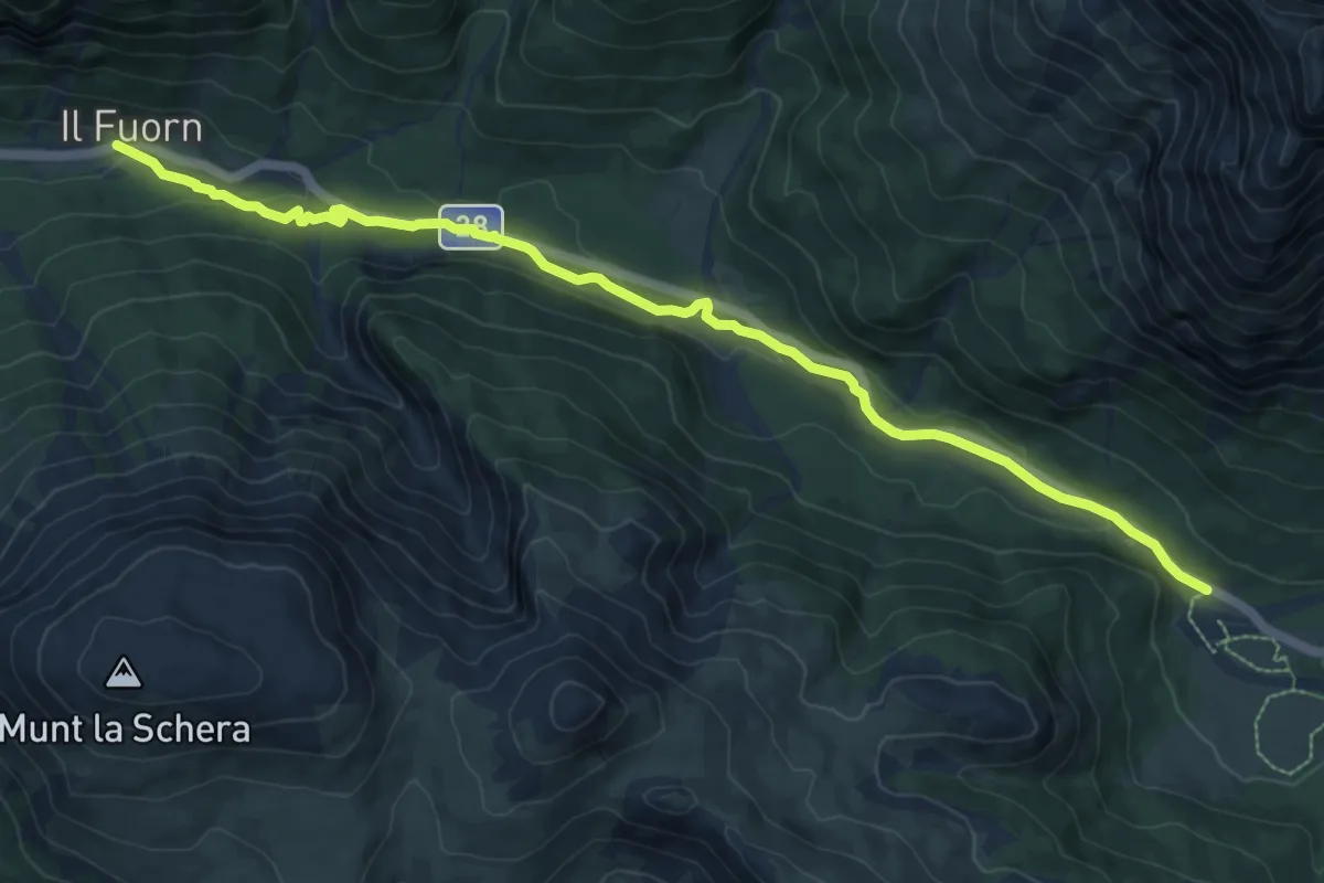
Medium · Trail
Nationalpark Wanderroute 16 (Fuorntal)
10.2 km · ↑ 185 m · 2 h 49 min
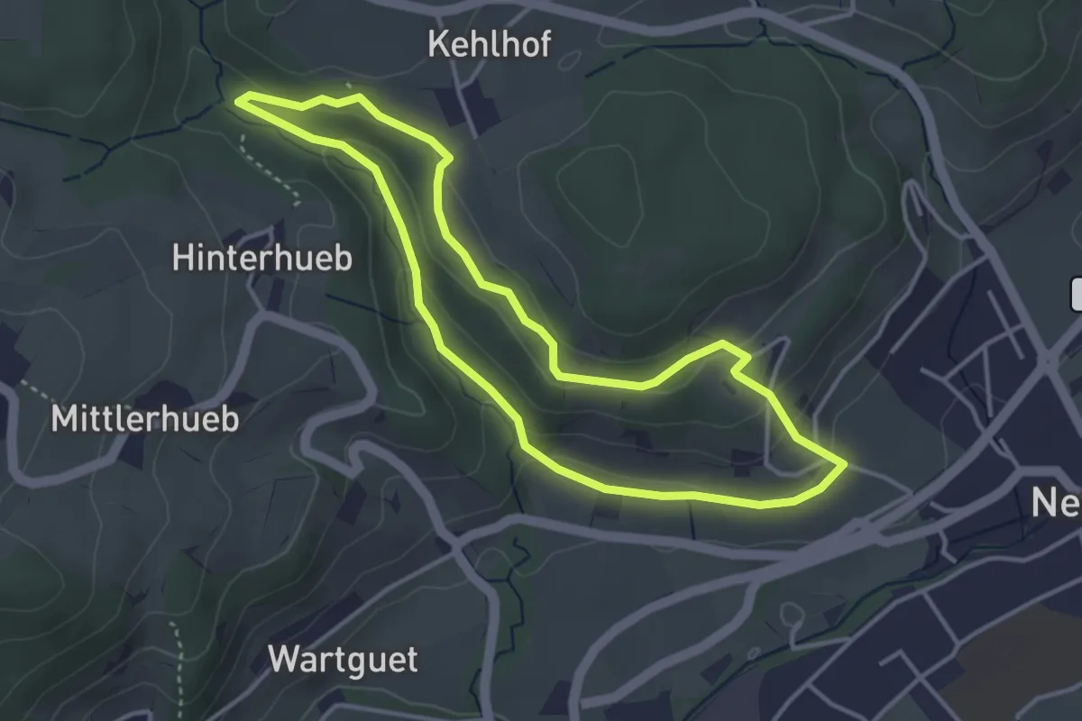
Easy · Trail
Naturerlebnispfad
3.5 km · ↑ 115 m · 1 h 8 min
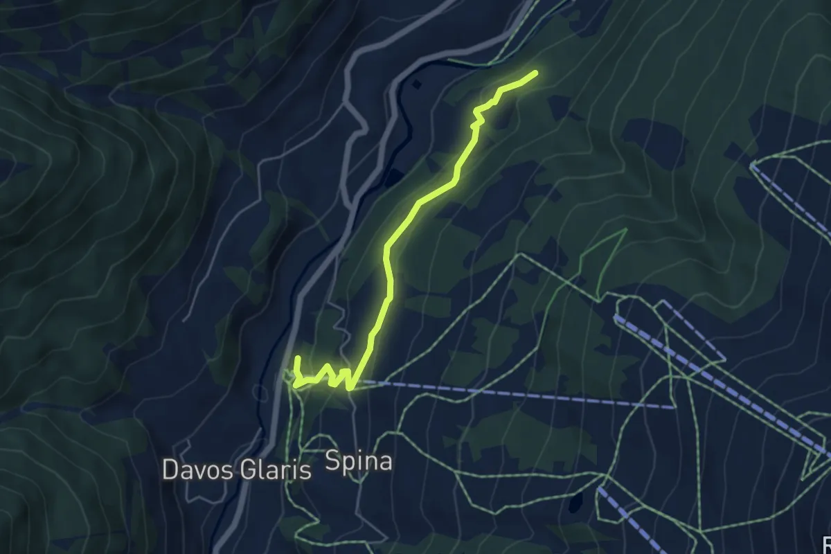
Easy · Trail
Naturerlebnispfad GWunderwald 8 (türkis)
4.7 km · ↑ 190 m · 1 h 31 min
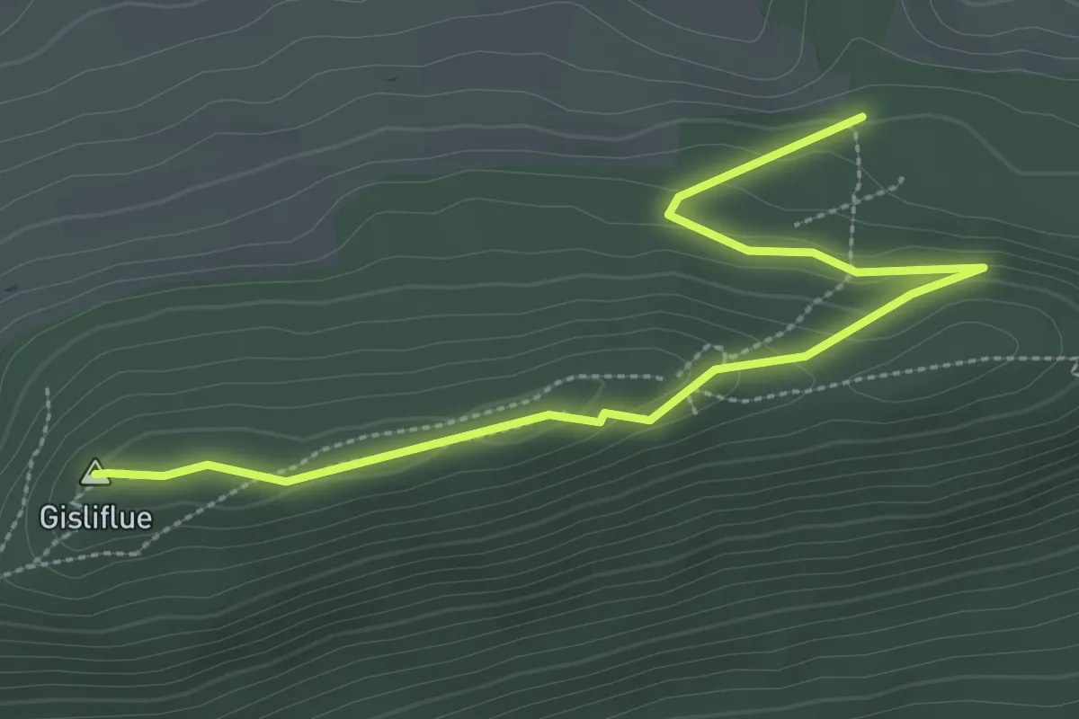
Easy · Summit
Naturfreundehaus - Gisliflue
3.5 km · ↑ 136 m · 1 h 8 min
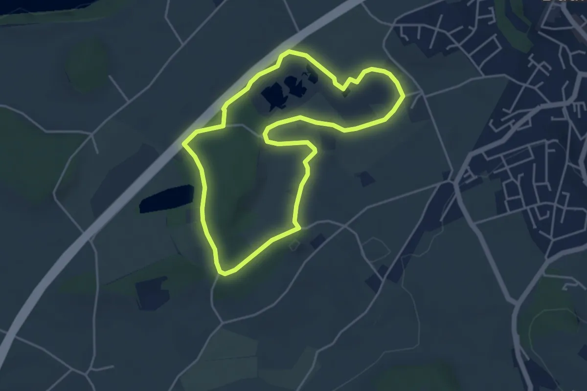
Easy · Trail
Naturhistorischer Pfad
3.8 km · ↑ 21 m · 1 h
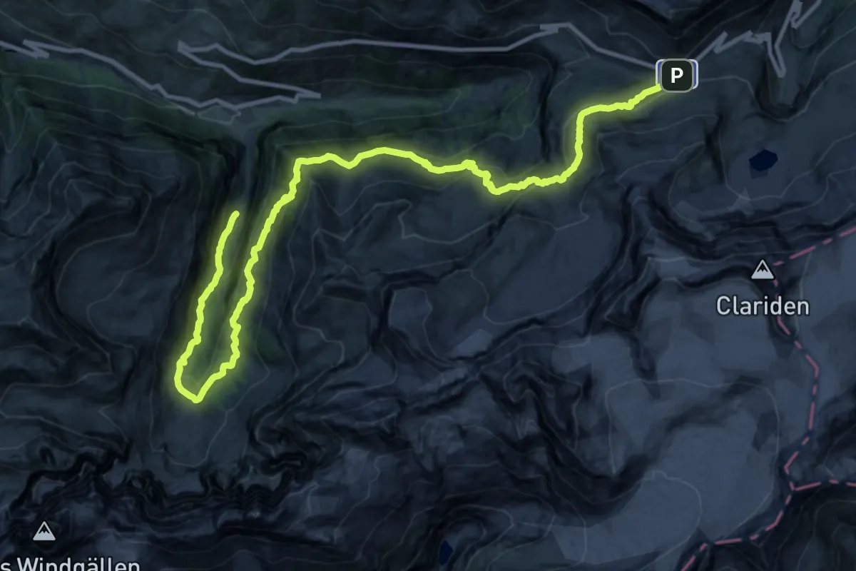
Medium · Trail
Naturkundlicher Höhenweg Schächental
15.5 km · ↑ 424 m · 5 h 13 min
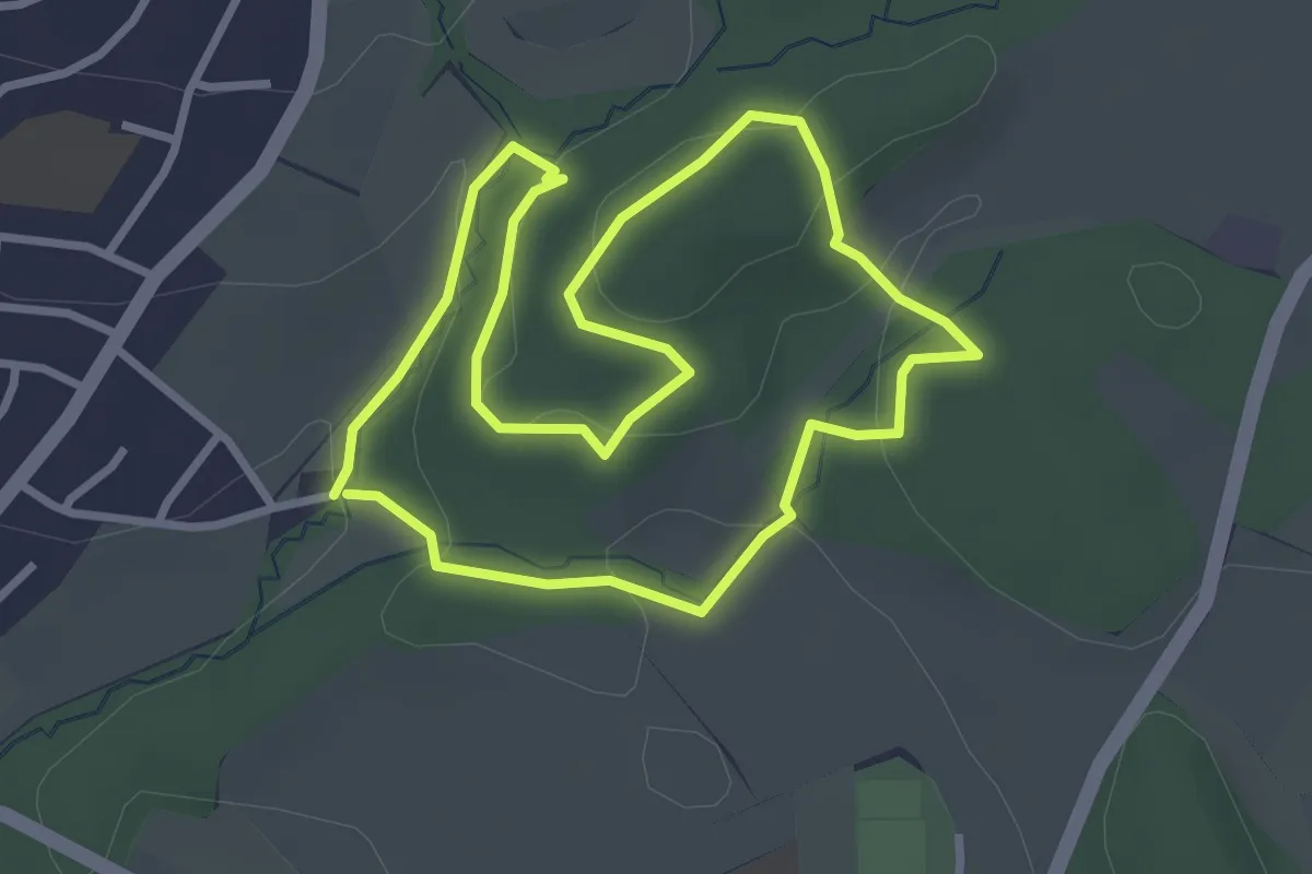
Easy · Trail
Naturlehrpfad
2.9 km · ↑ 79 m · 53 min
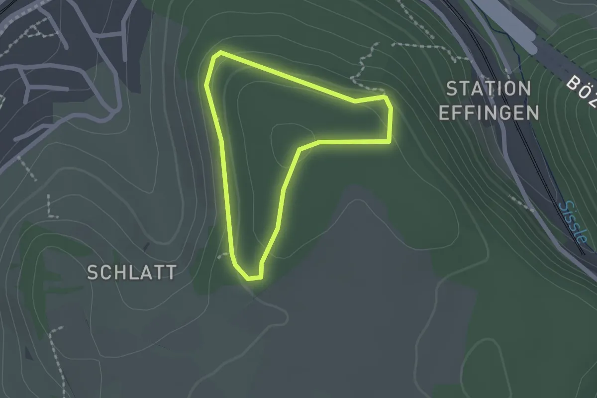
Easy · Trail
Naturlehrpfad "Eichwald"
1.4 km · ↑ 56 m · 29 min
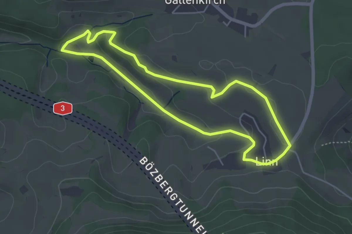
Easy · Trail
Natur- und Kulturweg Linn
4.0 km · ↑ 81 m · 1 h 10 min
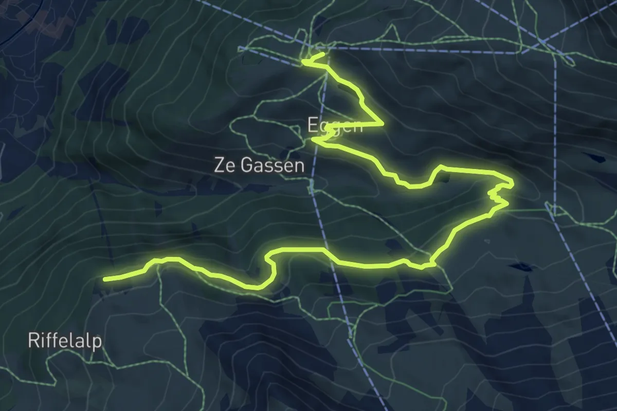
Medium · Trail
Naturweg
11.8 km · ↑ 526 m · 3 h 56 min
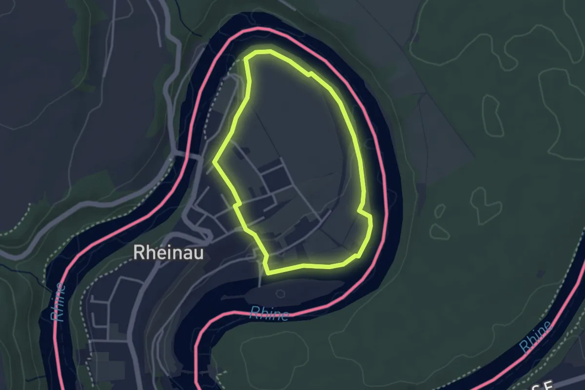
Easy · Trail
Naturweg Au
2.6 km · ↑ 30 m · 43 min
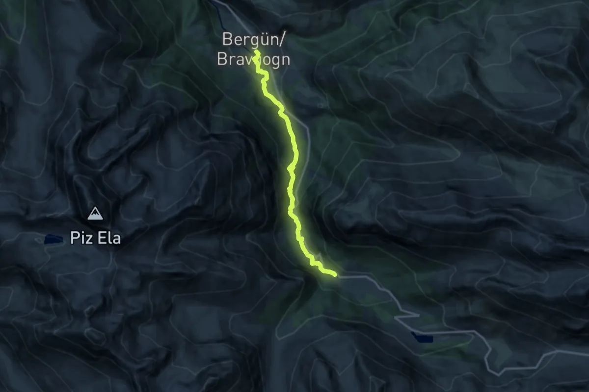
Medium · Trail
Naz-Bergün
10.8 km · ↑ 443 m · 3 h 30 min
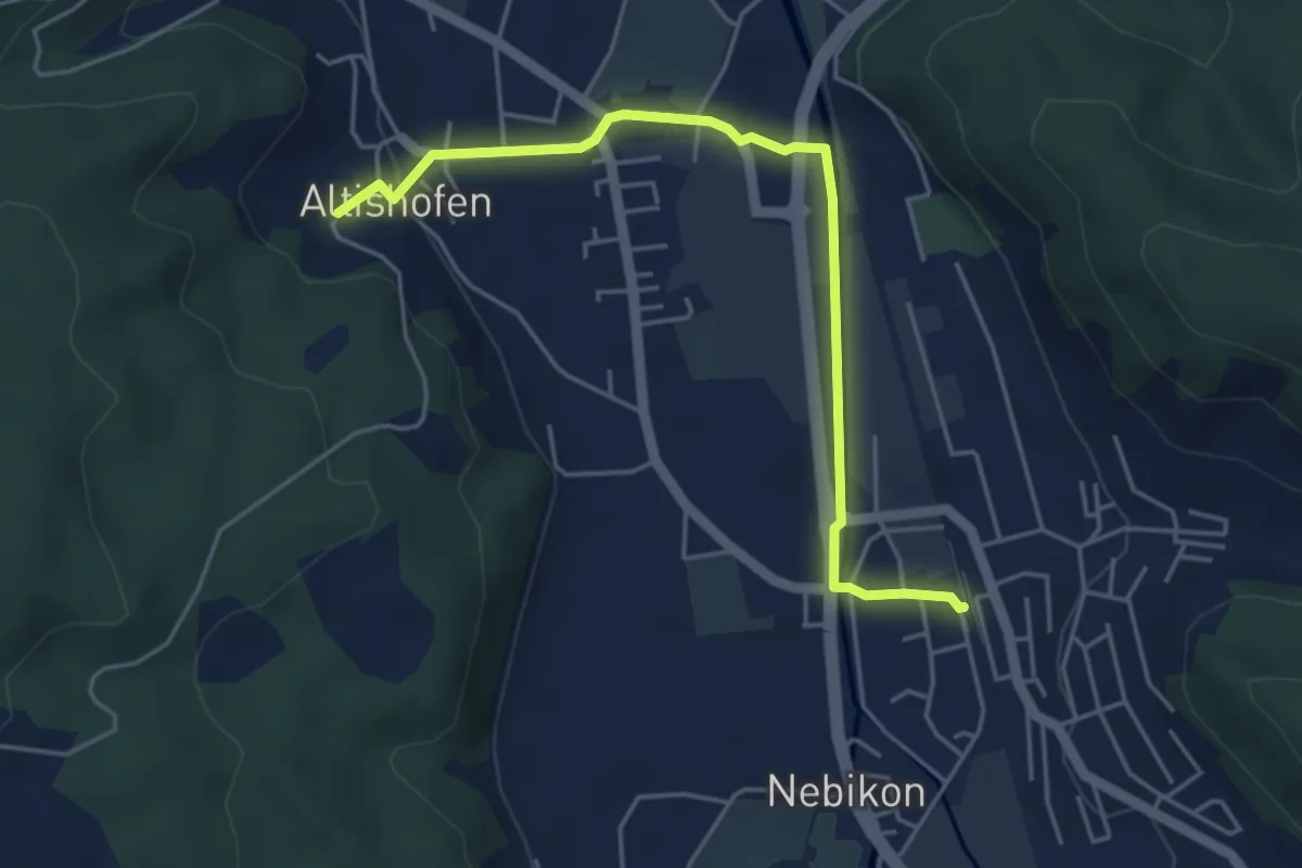
Easy · Trail
Nebikon - Altishofen
4.8 km · ↑ 52 m · 1 h 15 min
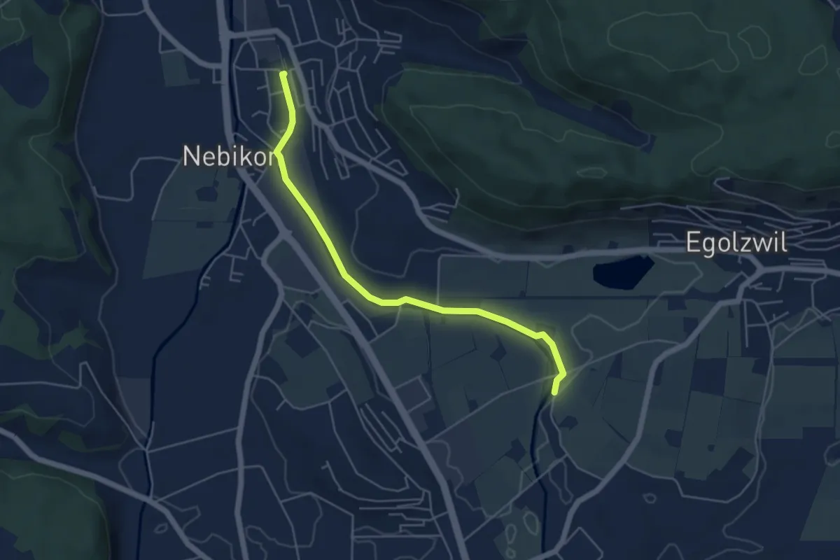
Easy · Trail
Nebikon (Bahnhof) - Ronmüli
4.9 km · ↑ 13 m · 1 h 10 min
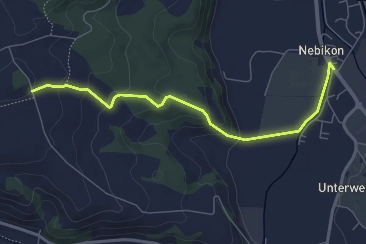
Easy · Trail
Nebikon - Uf em Äasch
5.3 km · ↑ 173 m · 1 h 37 min
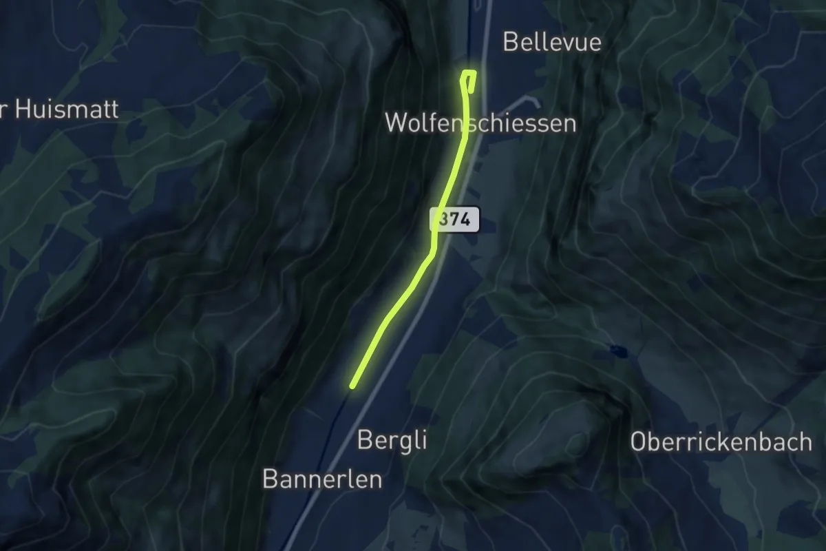
Easy · Trail
Nechimatt - Wolfenschiessen
5.2 km · ↑ 56 m · 1 h 21 min
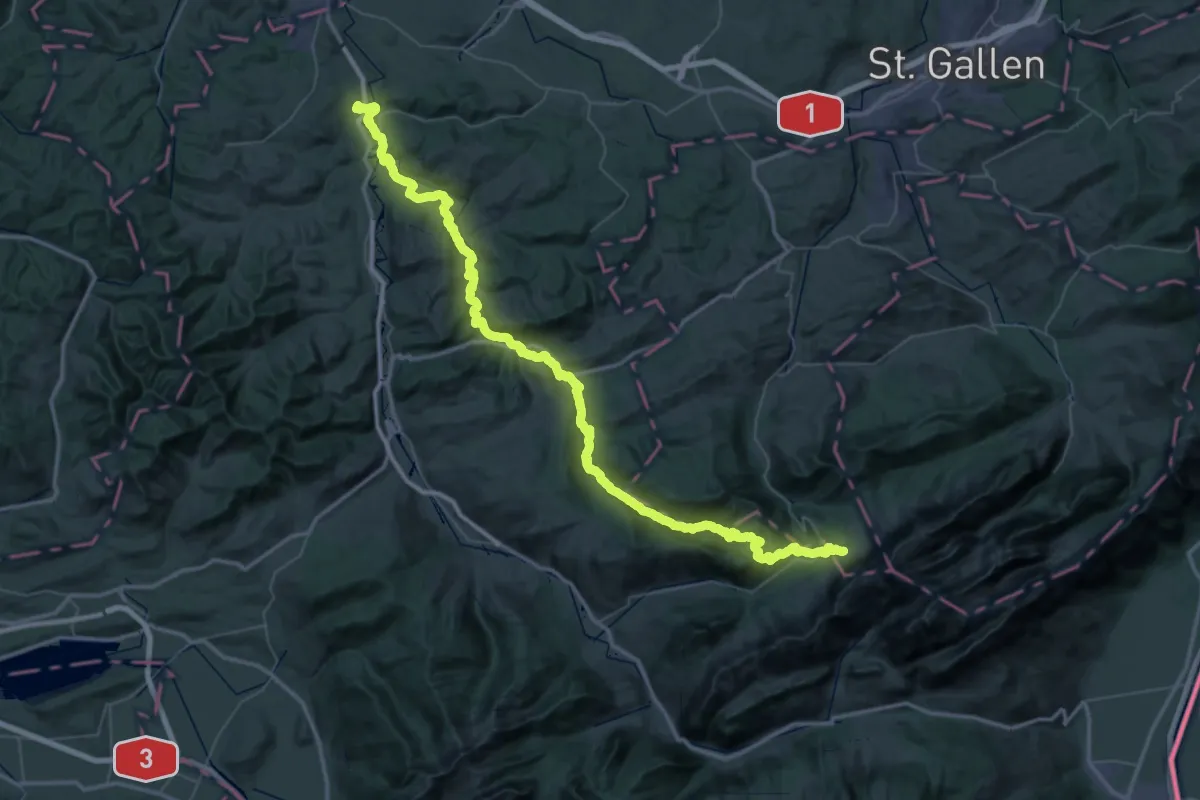
Demanding · Trail
Neckerweg
37.3 km · ↑ 1683 m · 12 h 36 min
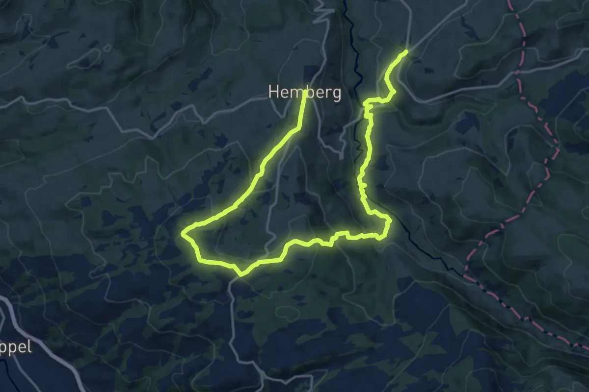
Demanding · Trail
Neckiweg: Abschnitt Bächli - Hemberg
21.0 km · ↑ 852 m · 6 h 49 min
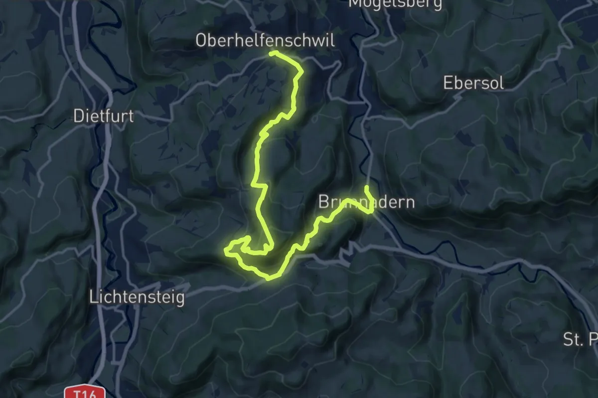
Demanding · Trail
Neckiweg: Abschnitt Brunnadern - Oberhelfenschwil
16.7 km · ↑ 1035 m · 6 h 11 min
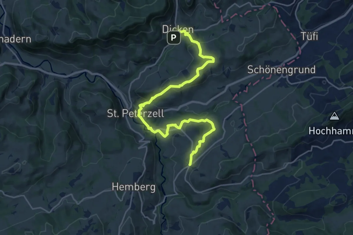
Medium · Trail
Neckiweg: Abschnitt Dicken - Bächli
17.5 km · ↑ 621 m · 5 h 28 min
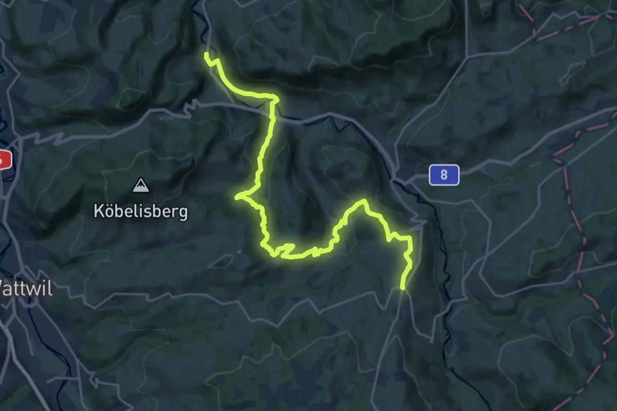
Demanding · Trail
Neckiweg: Abschnitt Hemberg - Brunnadern
21.3 km · ↑ 702 m · 6 h 33 min
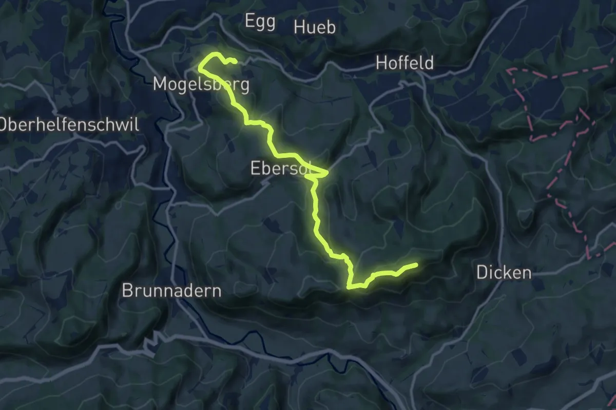
Medium · Summit
Neckiweg: Abschnitt Mogelsberg - Dicken
13.2 km · ↑ 623 m · 4 h 27 min
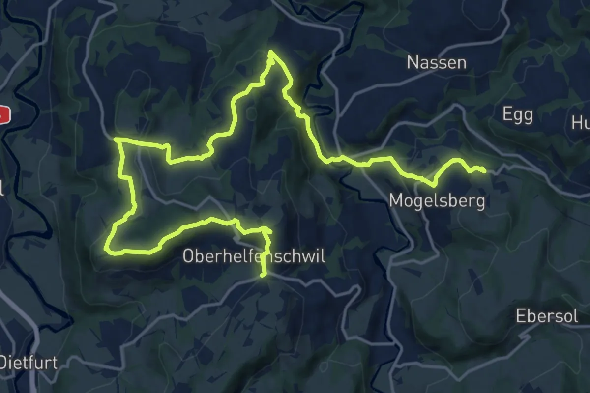
Demanding · Trail
Neckiweg: Abschnitt Oberhelfenschwil - Mogelsberg
19.7 km · ↑ 710 m · 6 h 12 min
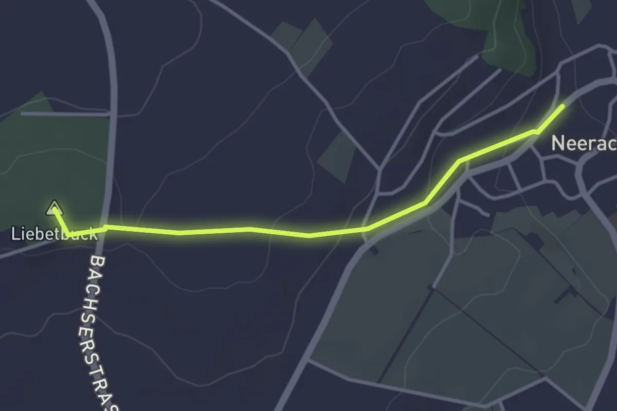
Easy · Summit
Neerach - Egg
3.1 km · ↑ 94 m · 56 min
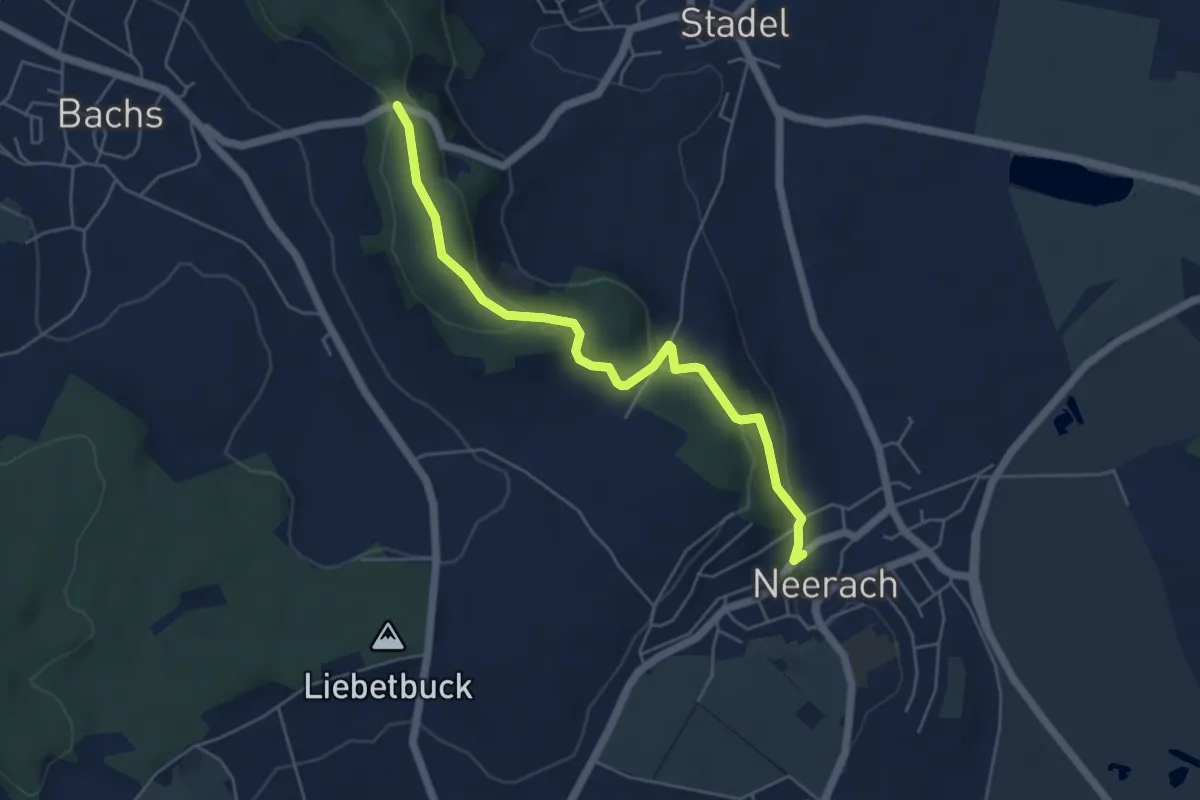
Easy · Trail
Neerach - Stig
5.2 km · ↑ 172 m · 1 h 36 min
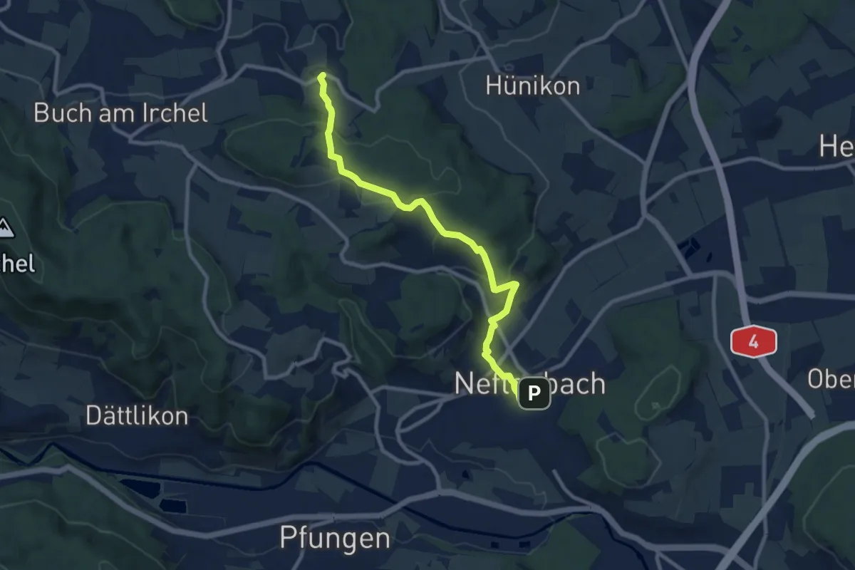
Medium · Trail
Neftenbach - Desibach
9.0 km · ↑ 299 m · 2 h 46 min
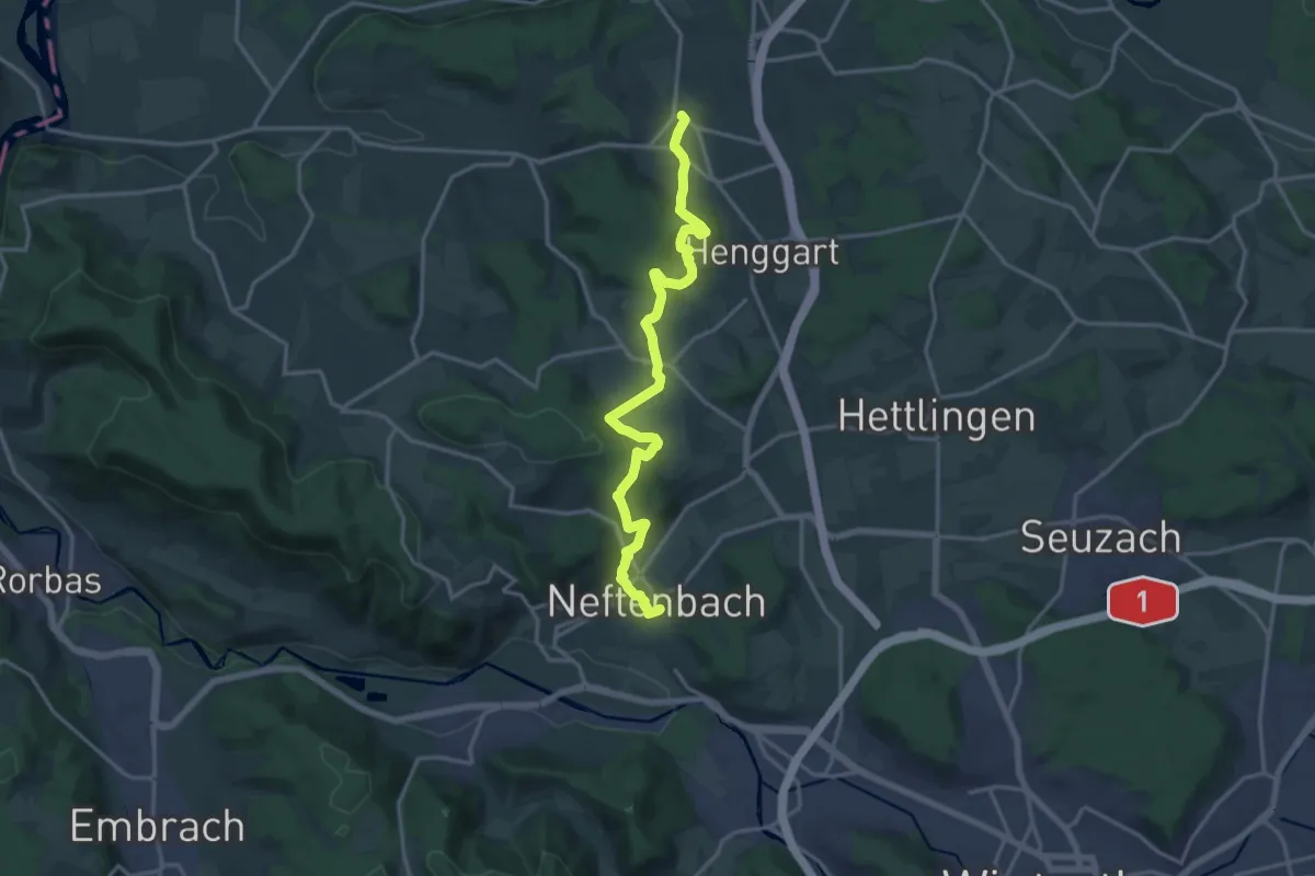
Medium · Trail
Neftenbach – Humlikon
17.0 km · ↑ 498 m · 5 h 5 min
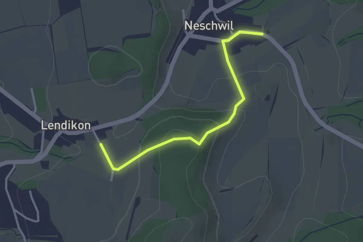
Easy · Trail
Neschwil – Lendikon
2.5 km · ↑ 104 m · 48 min
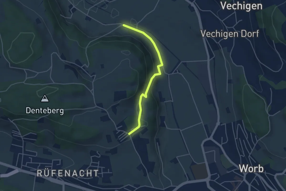
Easy · Trail
Nesselbank - Neuhus
3.8 km · ↑ 126 m · 1 h 10 min
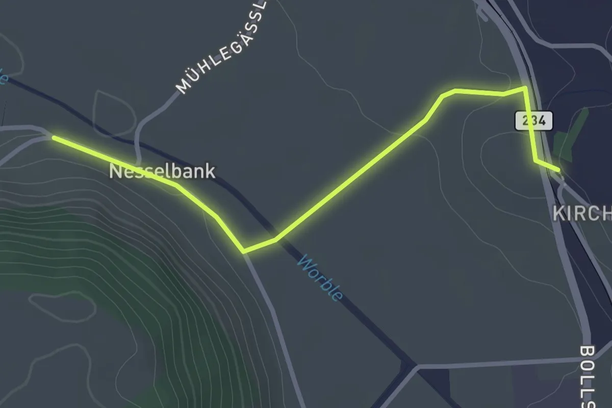
Easy · Trail
Nesselbank - Vechigen Hst.
2.7 km · ↑ 40 m · 43 min
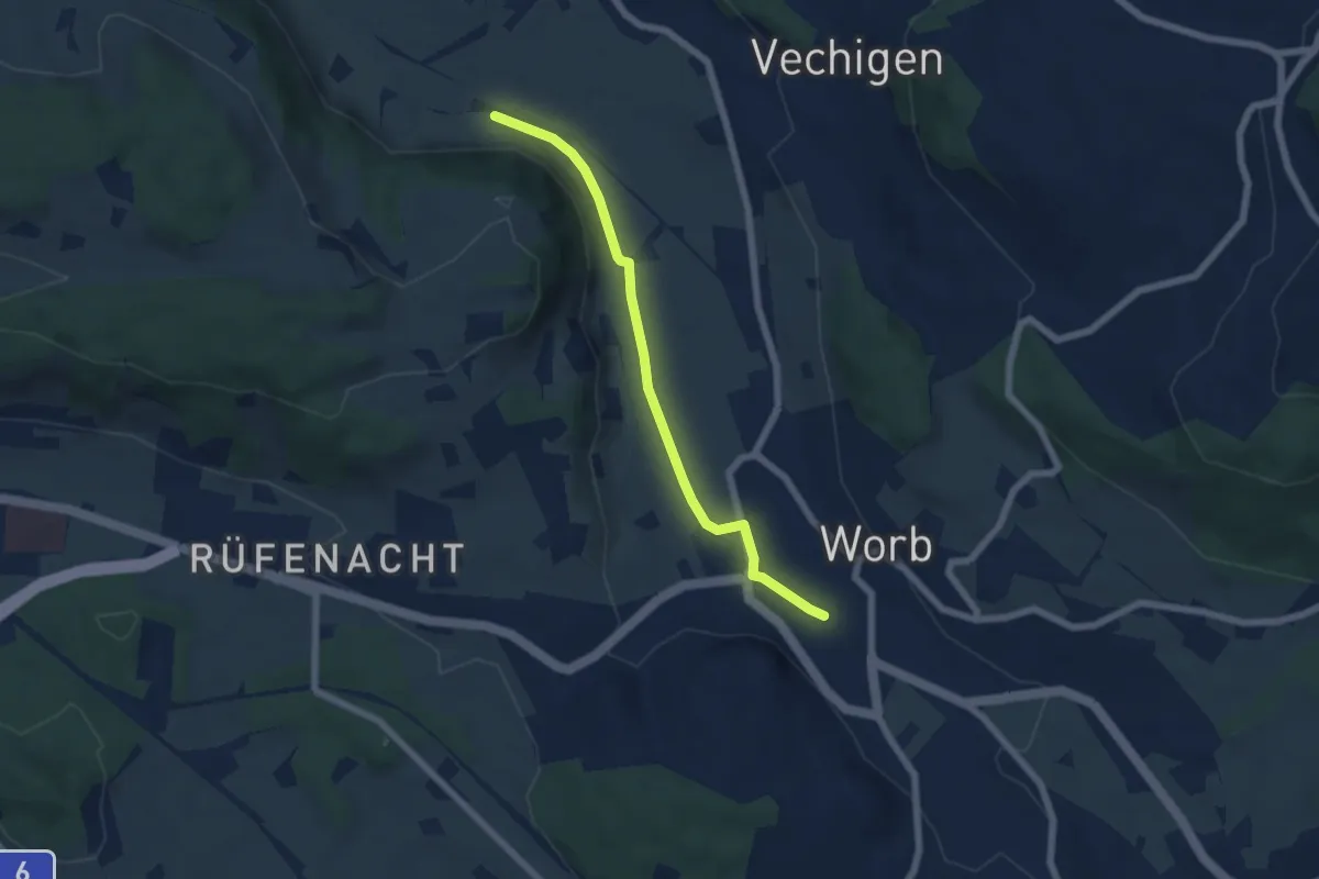
Easy · Trail
Nesselbank - Worb Sternen
5.6 km · ↑ 31 m · 1 h 24 min
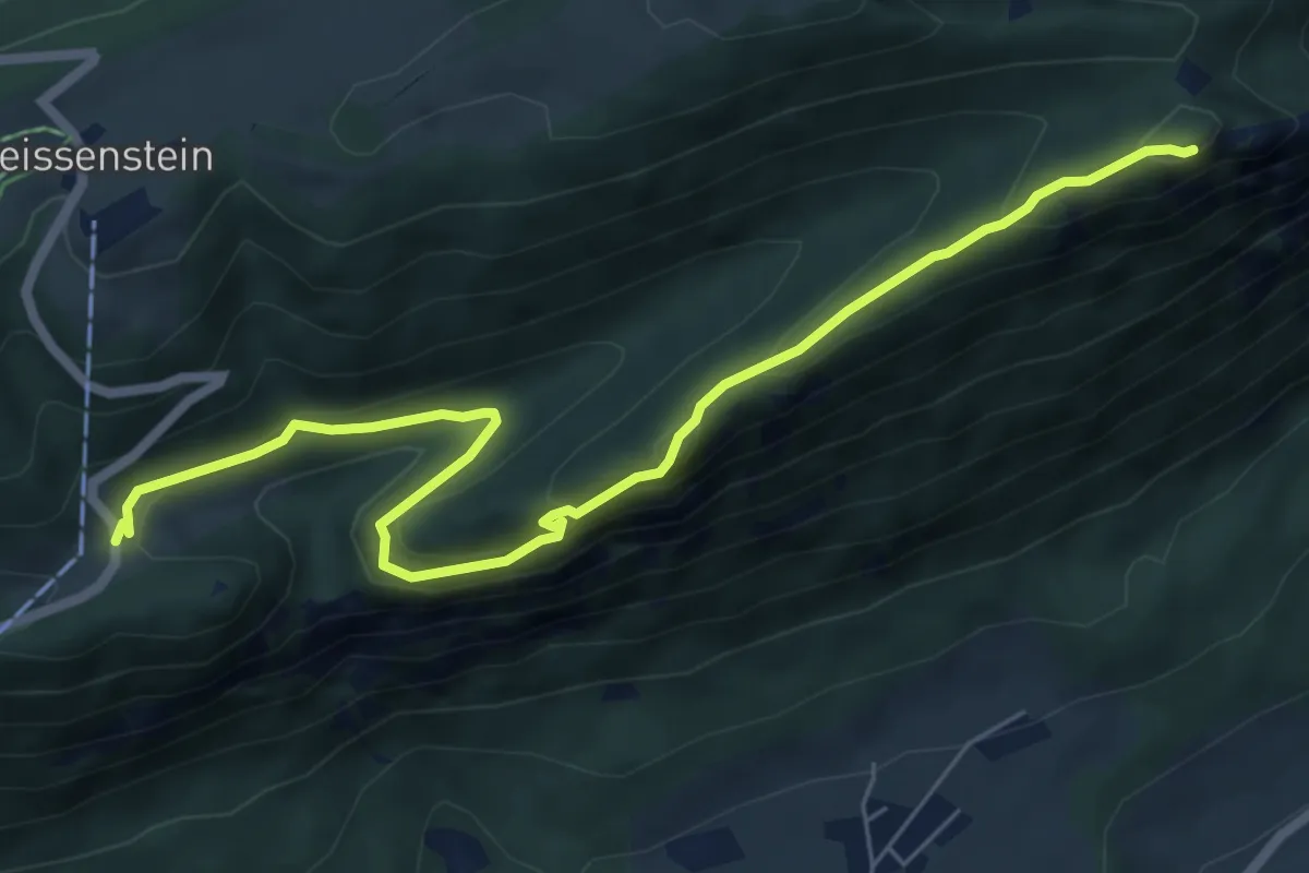
Medium · Summit
Nesselboden - Balmfluechöpfli
7.2 km · ↑ 309 m · 2 h 23 min