Trails in Switzerland
15,029 hiking trails, each with its route, climb, walking time and grade.
All trails, page 74 of 314
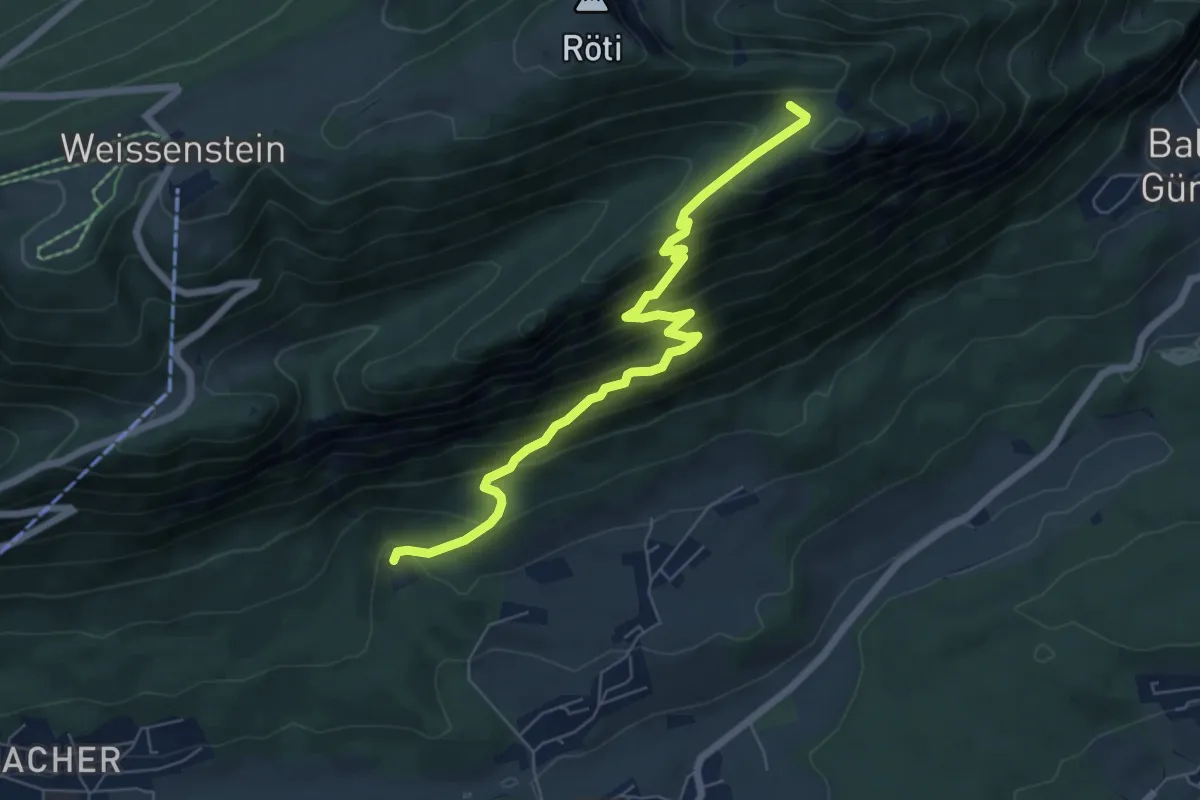
Medium · Trail
Nesselbodenröti - Forsthaus Rüttenen
6.7 km · ↑ 613 m · 2 h 54 min
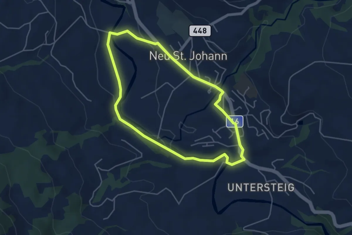
Easy · Trail
Nesslauer Rundweg
3.8 km · ↑ 40 m · 1 h 2 min
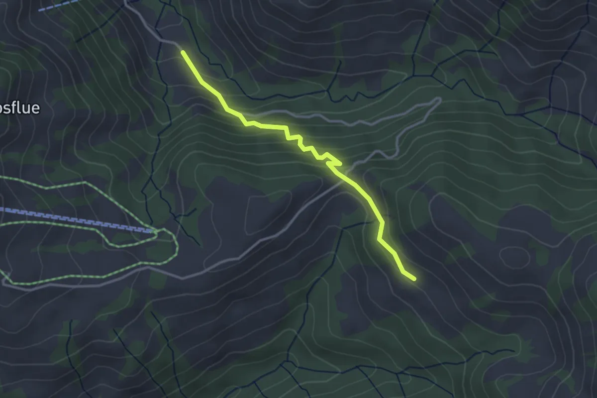
Easy · Trail
Nesslenboden - Chadhus
3.0 km · ↑ 205 m · 1 h 9 min
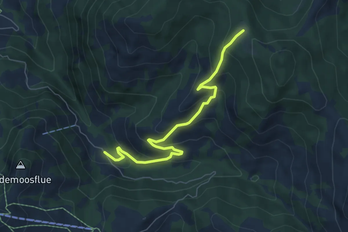
Medium · Trail
Nesslenboden - Hürnli
6.1 km · ↑ 379 m · 2 h 15 min
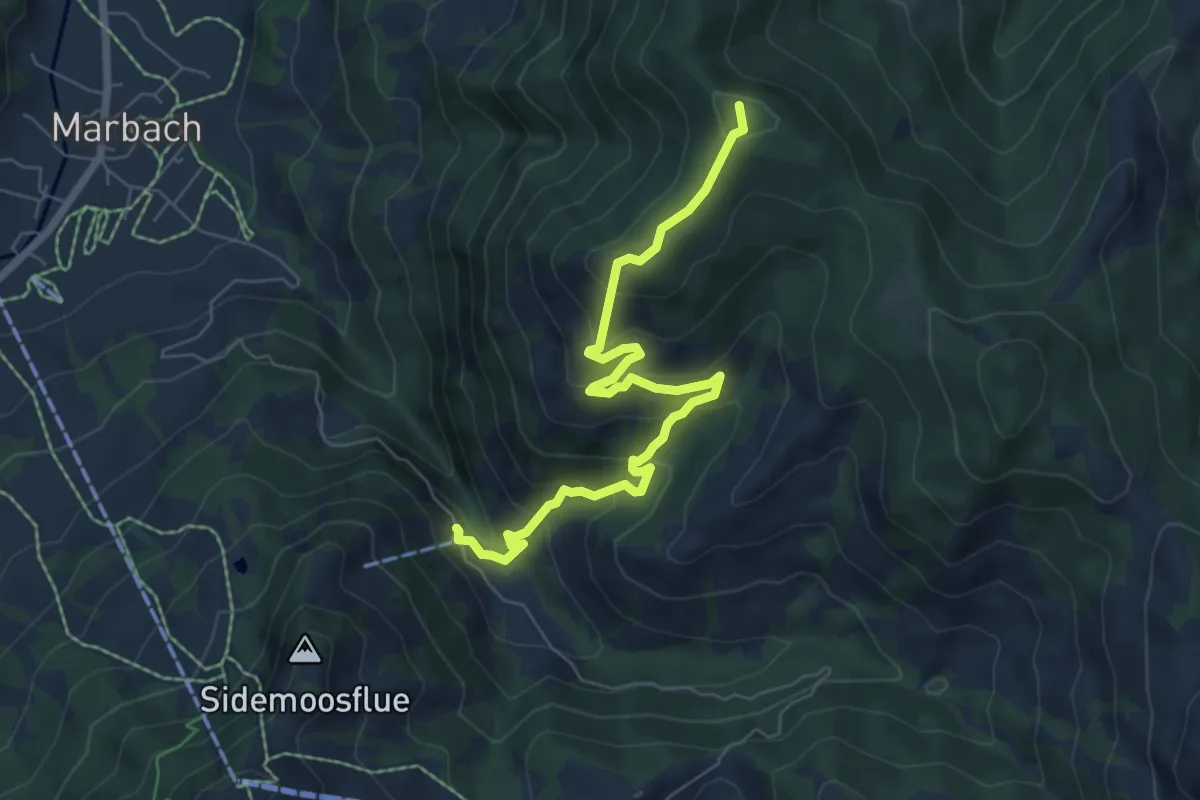
Medium · Summit
Nesslenboden - Unt. Schübelsmoos - Hürnli
7.0 km · ↑ 479 m · 2 h 42 min
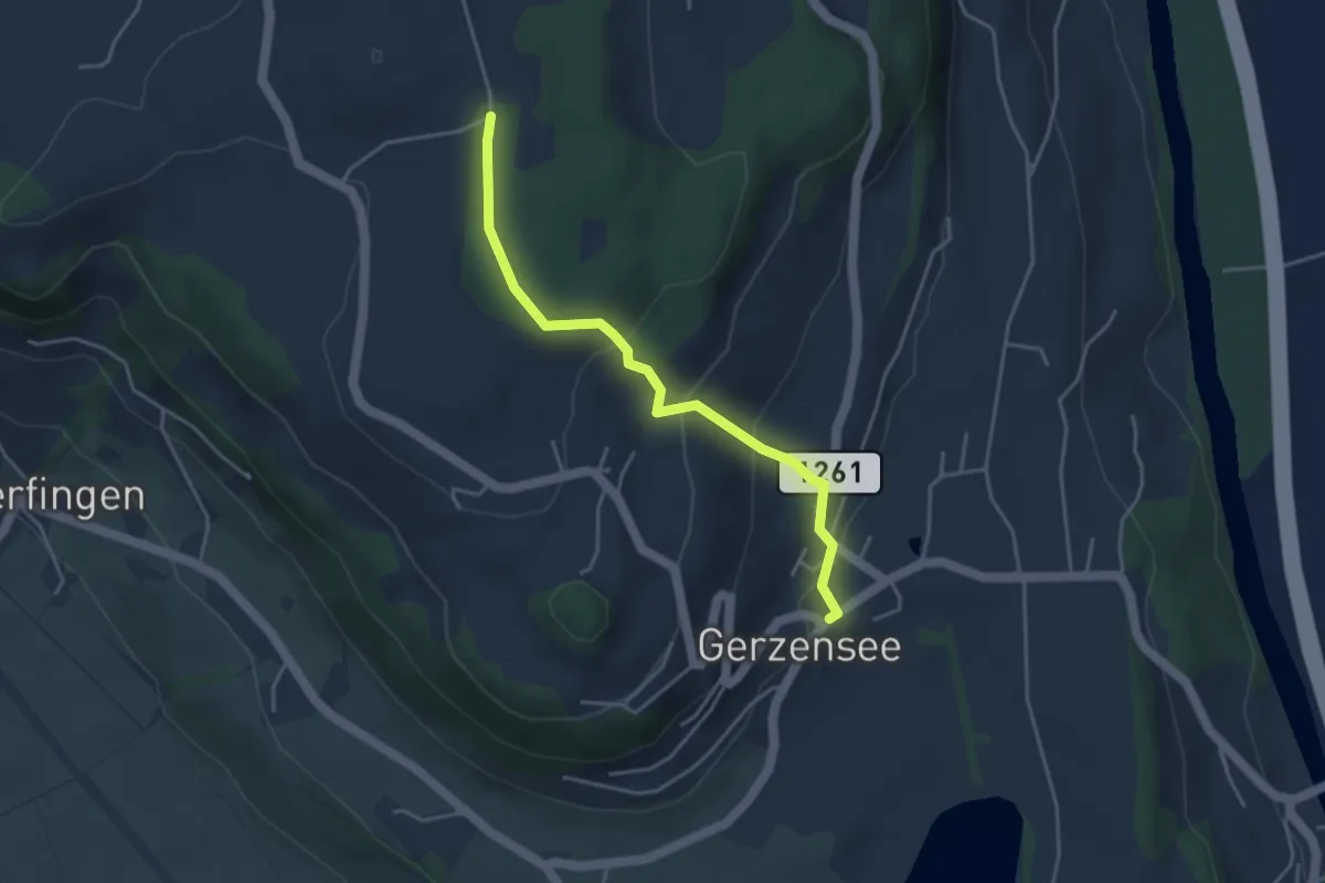
Easy · Trail
Nessleren - Gerzensee
3.8 km · ↑ 223 m · 1 h 23 min
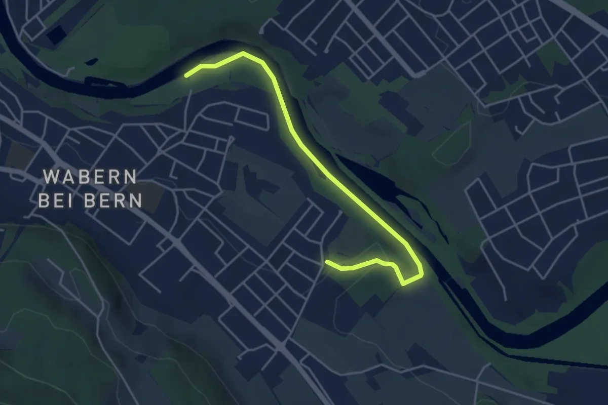
Easy · Trail
Nesslerenhölzli - Eichholz
4.1 km · ↑ 64 m · 1 h 7 min
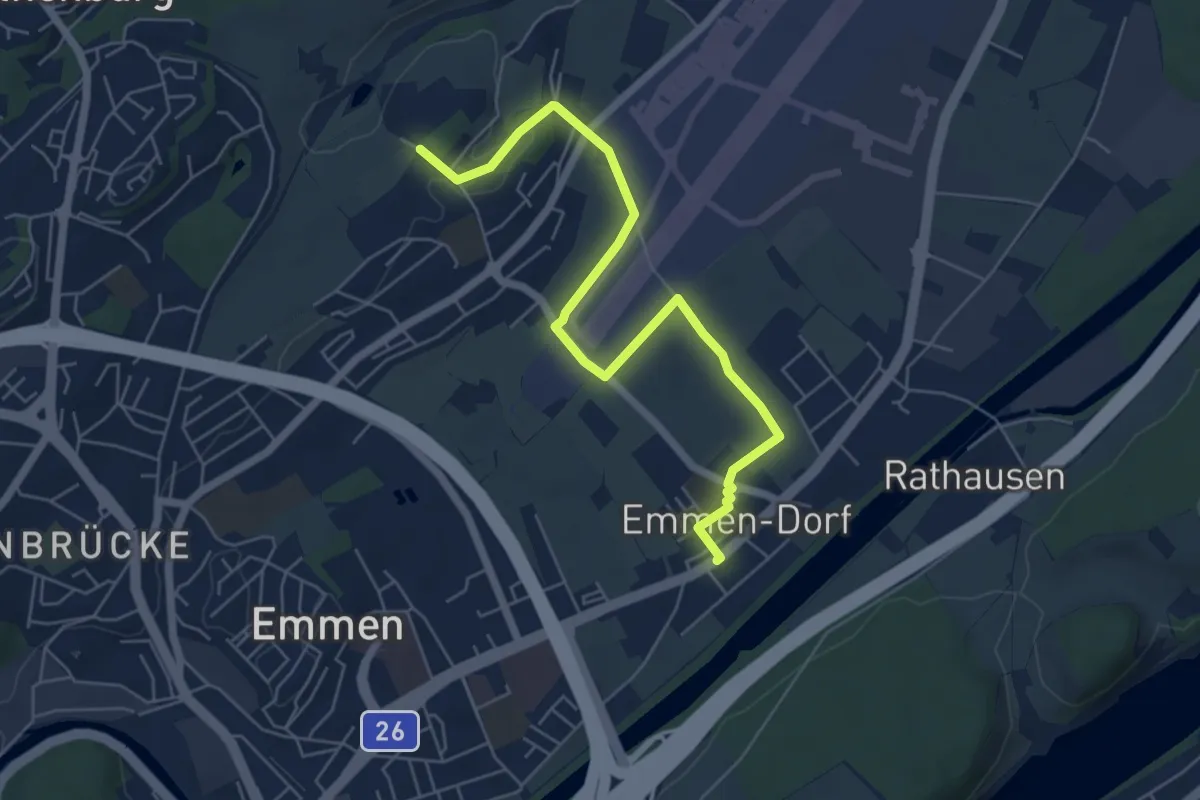
Easy · Trail
Neu Adligen - Emmen
6.4 km · ↑ 38 m · 1 h 36 min
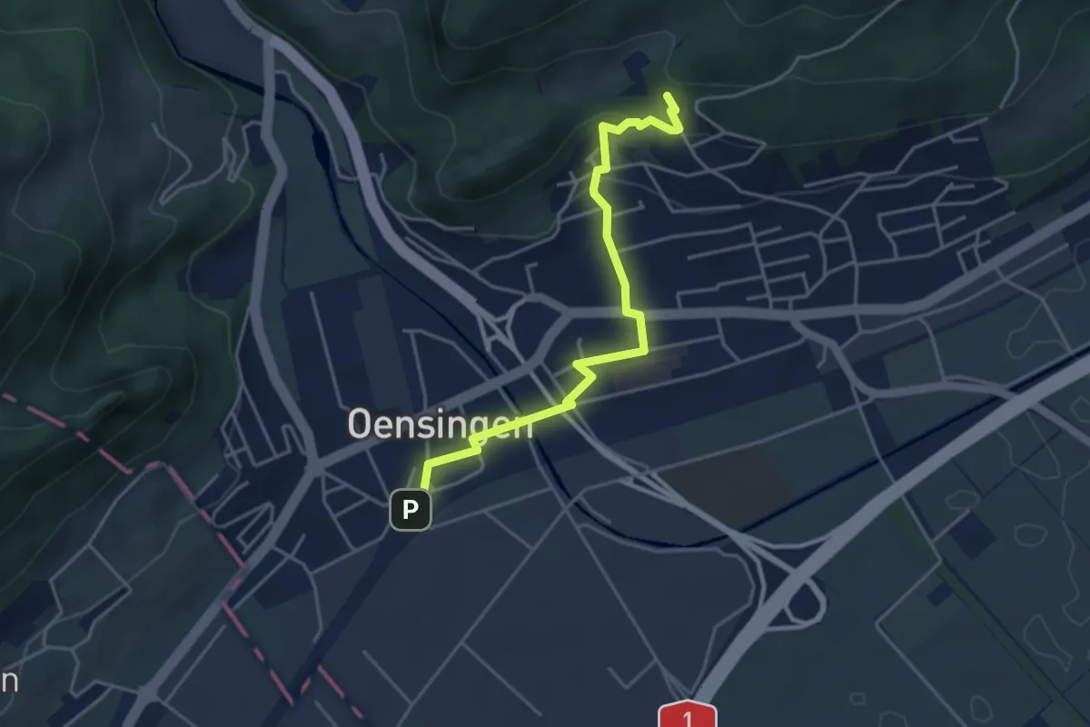
Easy · Trail
Neu Bechburg - Oensingen
4.1 km · ↑ 131 m · 1 h 15 min
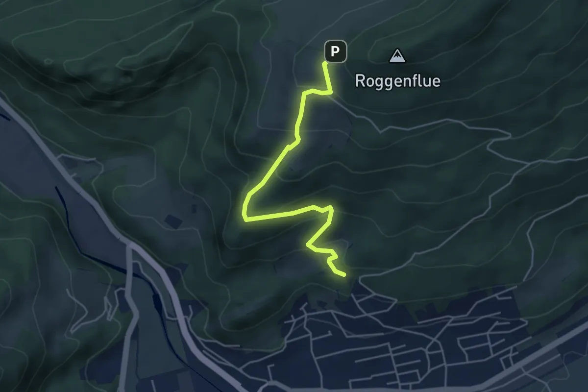
Medium · Trail
Neu Bechburg - Roggenweid
4.3 km · ↑ 294 m · 1 h 40 min
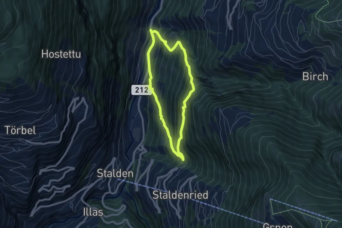
Medium · Trail
Neubrück - Staldenried
4.9 km · ↑ 473 m · 2 h 15 min
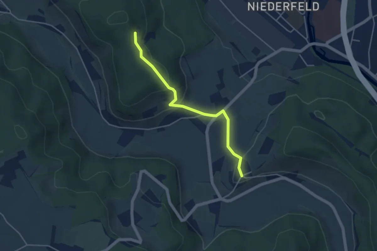
Easy · Trail
Neuburg - Berenberg Kloster
3.3 km · ↑ 140 m · 1 h 6 min
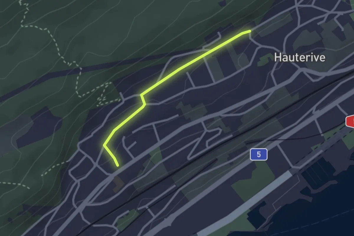
Easy · Trail
Neuchâtel La Coudre - fixme
2.1 km · ↑ 51 m · 37 min
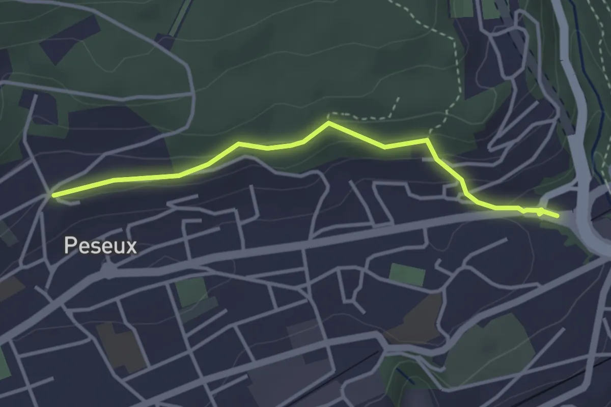
Easy · Trail
Neuchâtel Vauseyon - Peseux
3.1 km · ↑ 114 m · 59 min
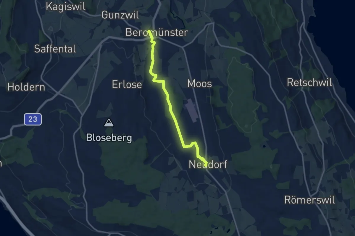
Medium · Trail
Neudorf - Beromünster
9.3 km · ↑ 65 m · 2 h 20 min
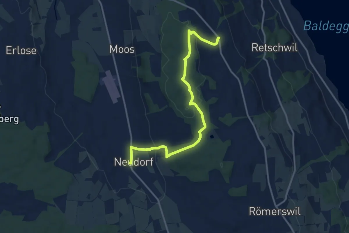
Medium · Trail
Neudorf - Herlisberg
9.9 km · ↑ 231 m · 2 h 50 min
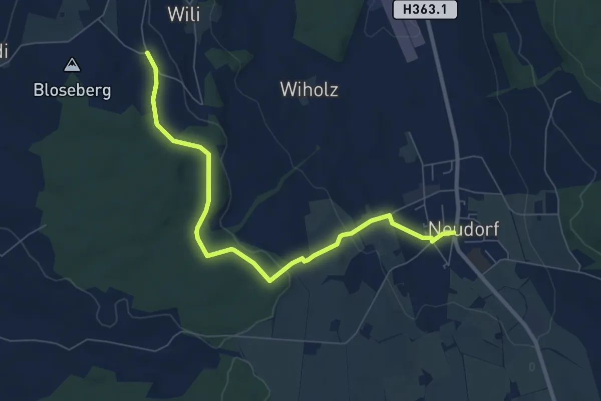
Easy · Trail
Neudorf - Unter Blosenberg
7.0 km · ↑ 118 m · 1 h 54 min
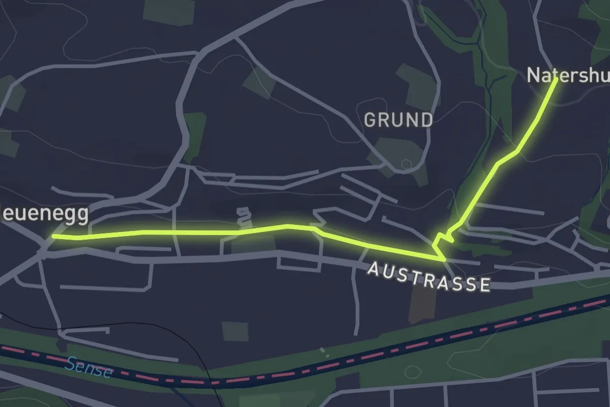
Easy · Trail
Neuenegg - Natershus
3.3 km · ↑ 67 m · 55 min
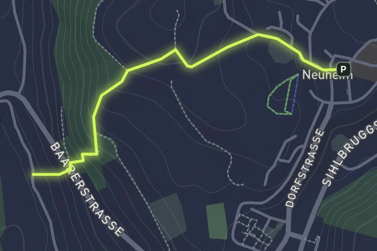
Easy · Trail
Neuheim - Baarburg
2.7 km · ↑ 177 m · 1 h 2 min
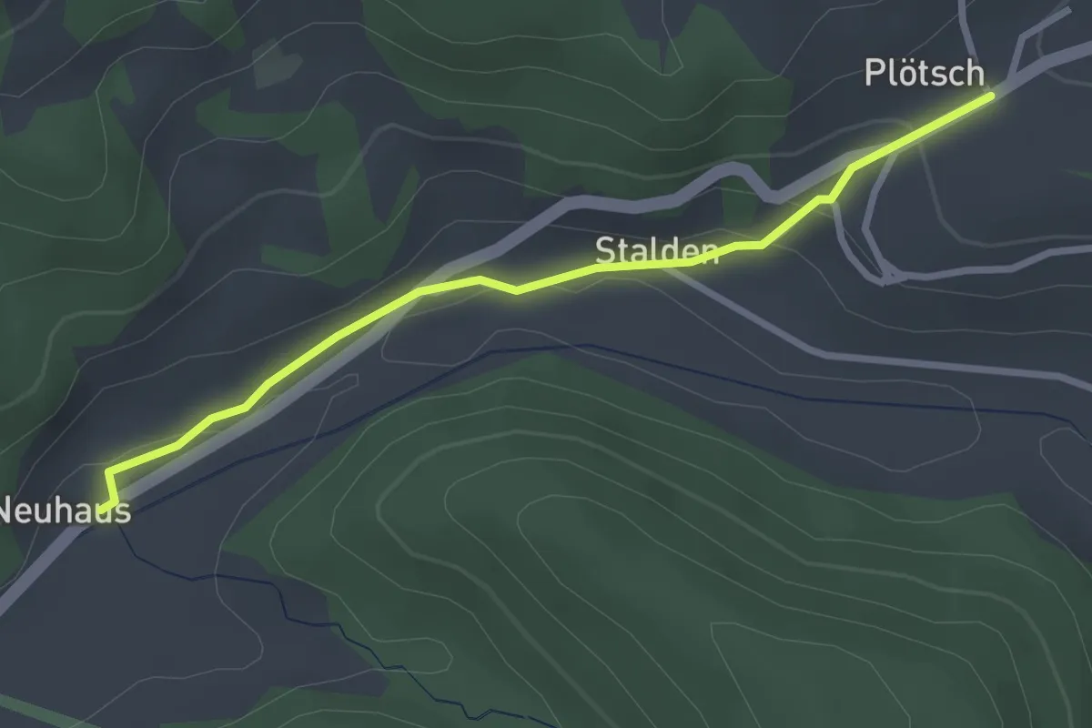
Easy · Trail
Neuhus - Oberplötsch
2.7 km · ↑ 83 m · 49 min
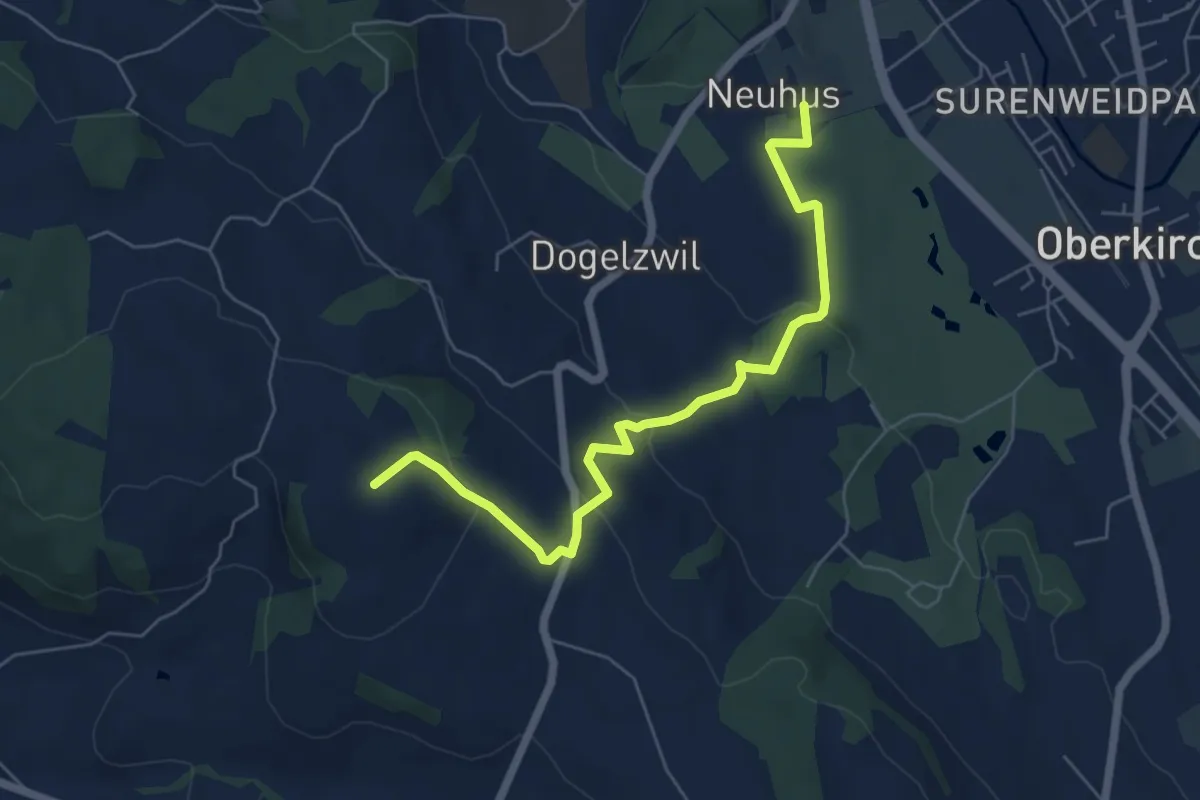
Easy · Trail
Neuhus - Renzligen
6.3 km · ↑ 209 m · 1 h 56 min
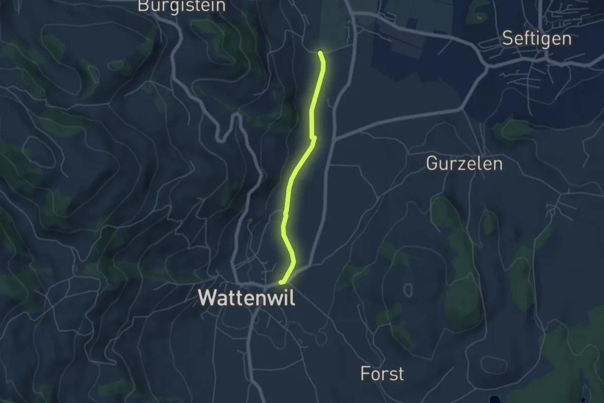
Easy · Trail
Neuhus - Wattenwil
4.2 km · ↑ 31 m · 1 h 3 min
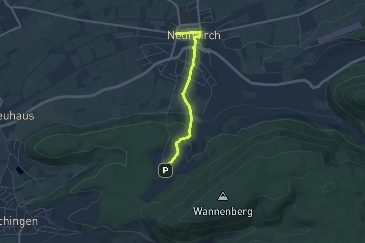
Easy · Trail
Neunkirch - Armenfeldhütte
5.1 km · ↑ 97 m · 1 h 24 min
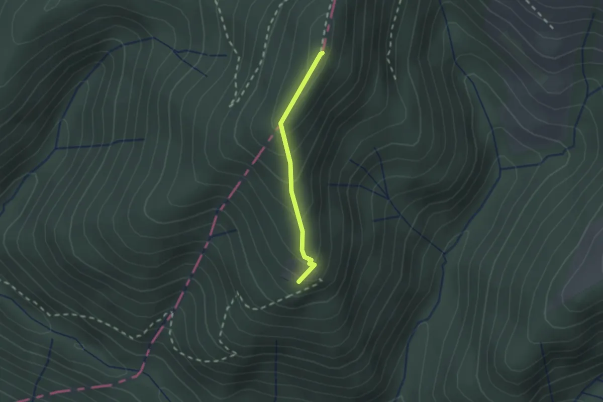
Medium · Summit
Neurüti - Dägelsberger Wiesli
1.4 km · ↑ 134 m · 38 min
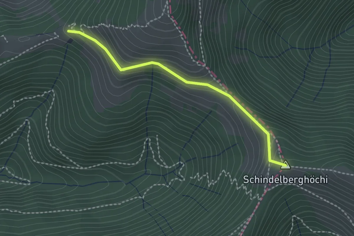
Easy · Summit
Neurüti - Tierhag
2.0 km · ↑ 162 m · 49 min
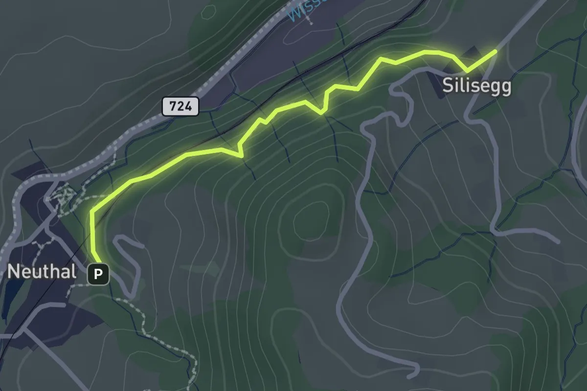
Easy · Trail
Neuthal - Silisegg
2.2 km · ↑ 126 m · 48 min
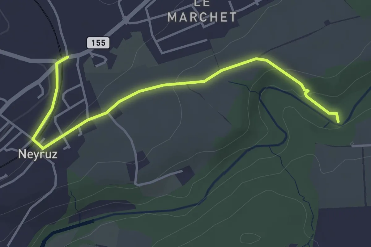
Easy · Trail
Neyruz - La Glâne
3.9 km · ↑ 79 m · 1 h 5 min
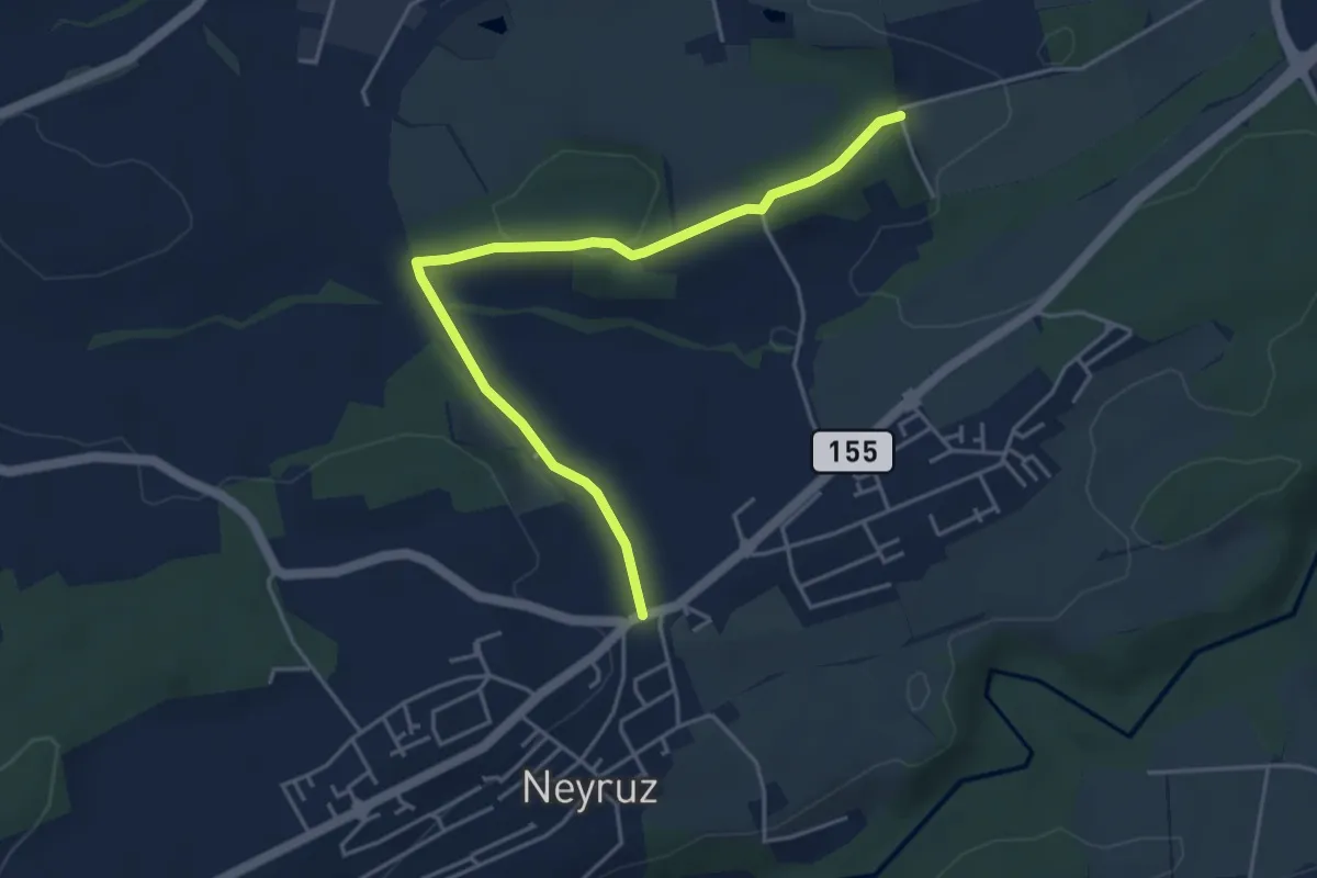
Easy · Trail
Neyruz - Matran Bois de Chavigny
4.6 km · ↑ 97 m · 1 h 18 min
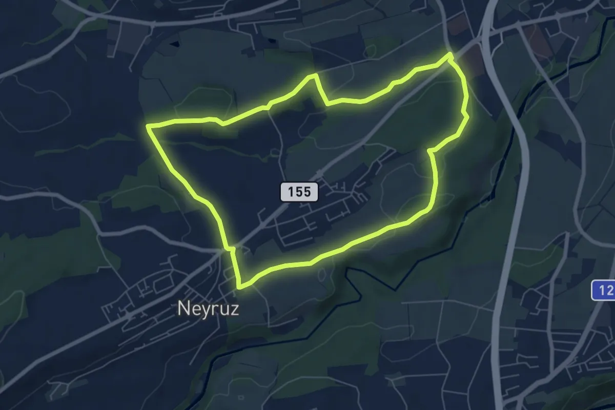
Easy · Trail
Neyruz - Sentier jaune🟡
6.5 km · ↑ 107 m · 1 h 52 min
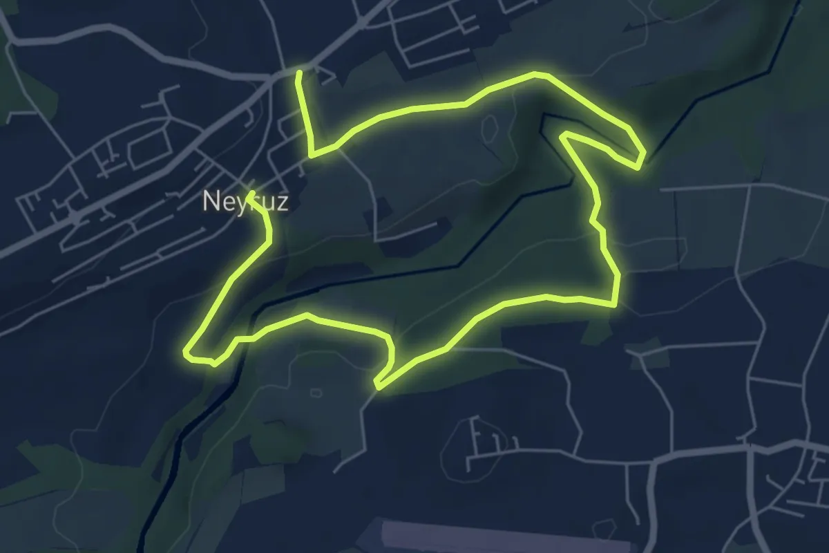
Medium · Trail
Neyruz - Sentier Rouge🔴
9.6 km · ↑ 260 m · 2 h 50 min
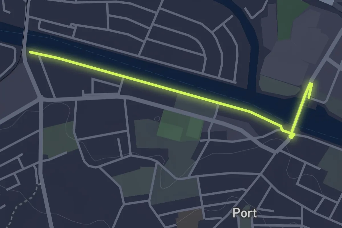
Easy · Trail
Nidau-Büren Kanal - Stauwehr
3.0 km · ↑ 4 m · 43 min
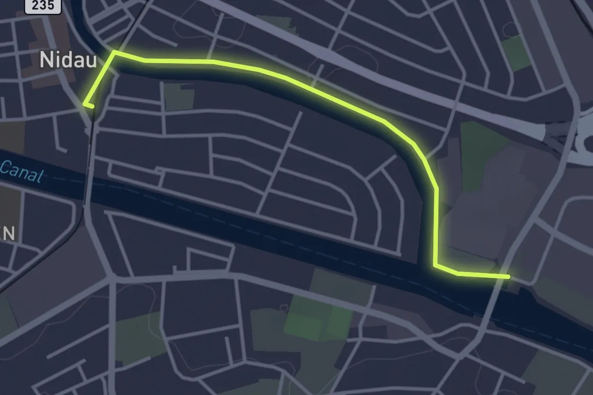
Easy · Trail
Nidau - Stauwehr
3.4 km · ↑ 5 m · 48 min
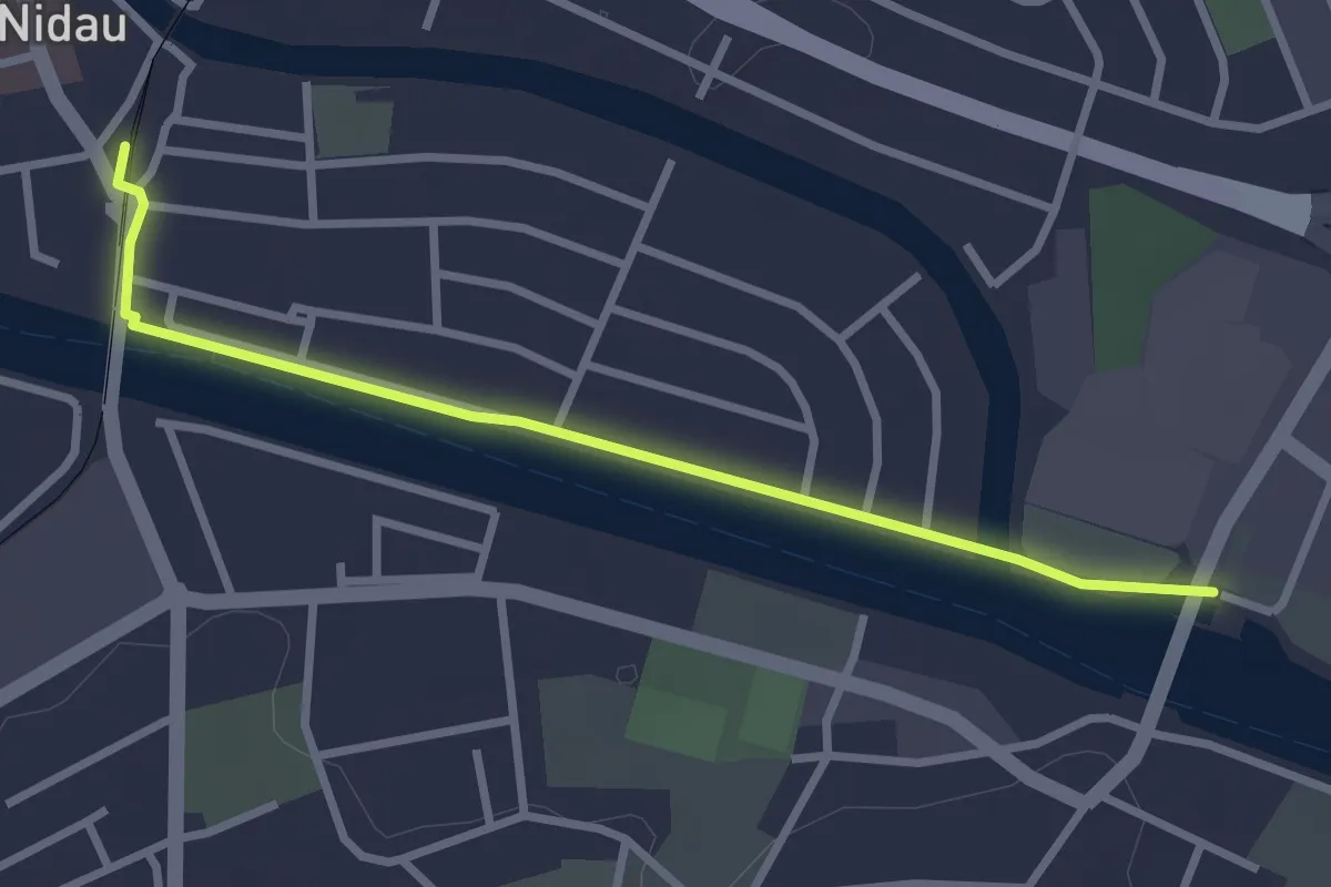
Easy · Trail
Nidau - Stauwehr
2.9 km · ↑ 0 m · 41 min
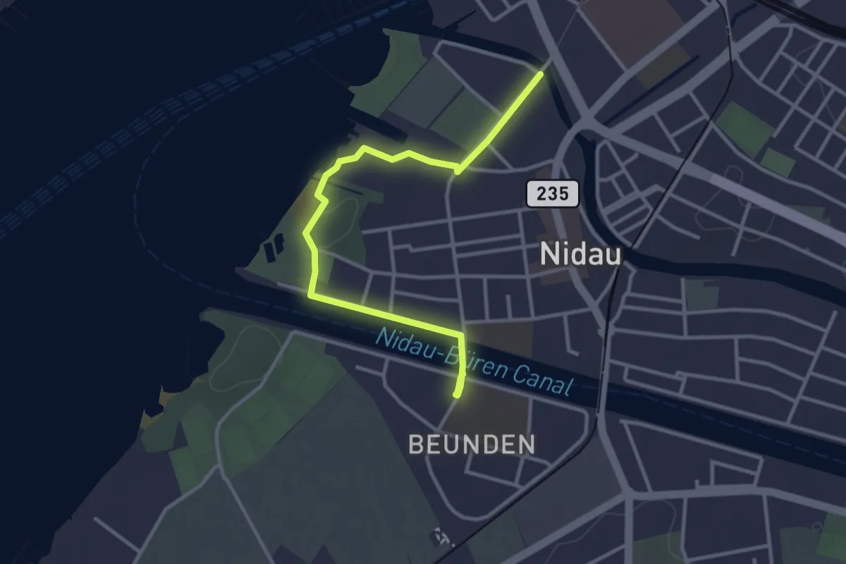
Easy · Trail
Nidau Zihl - Nidau Beunden
3.4 km · ↑ 35 m · 53 min
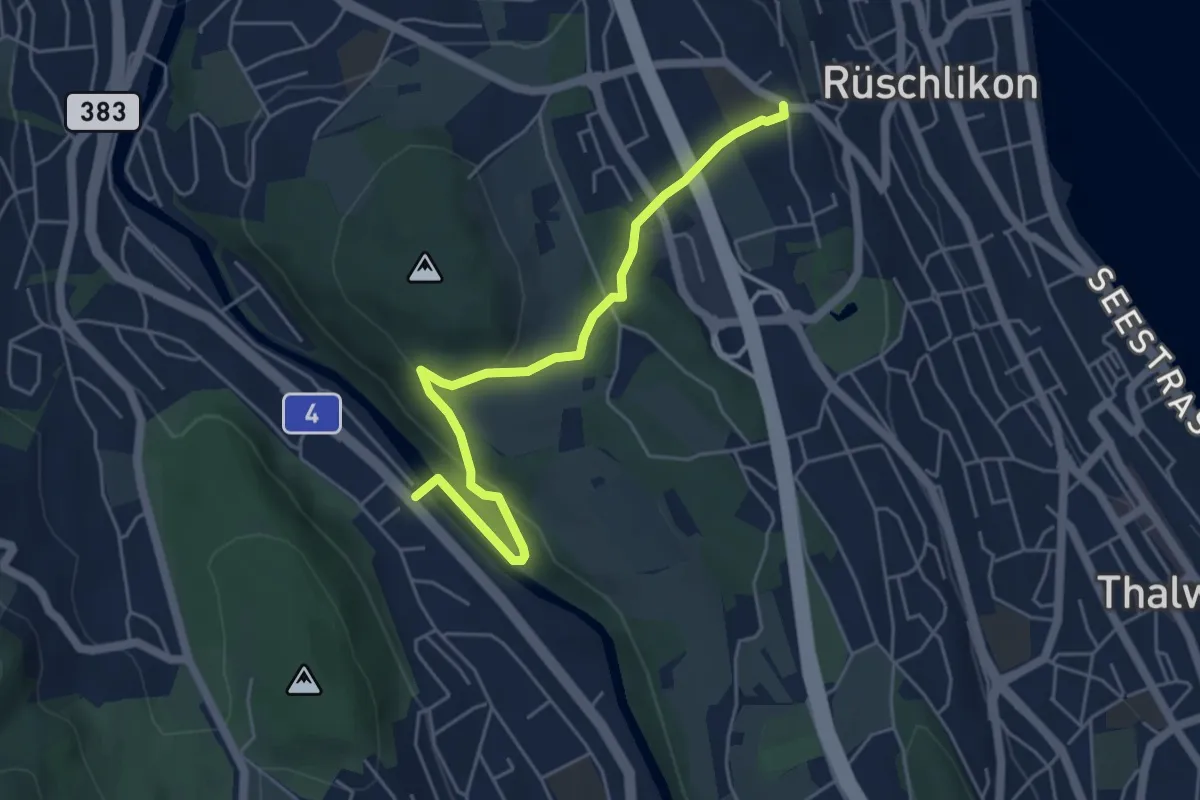
Easy · Trail
Nidelbad - Wildpark Höfli
5.1 km · ↑ 182 m · 1 h 36 min
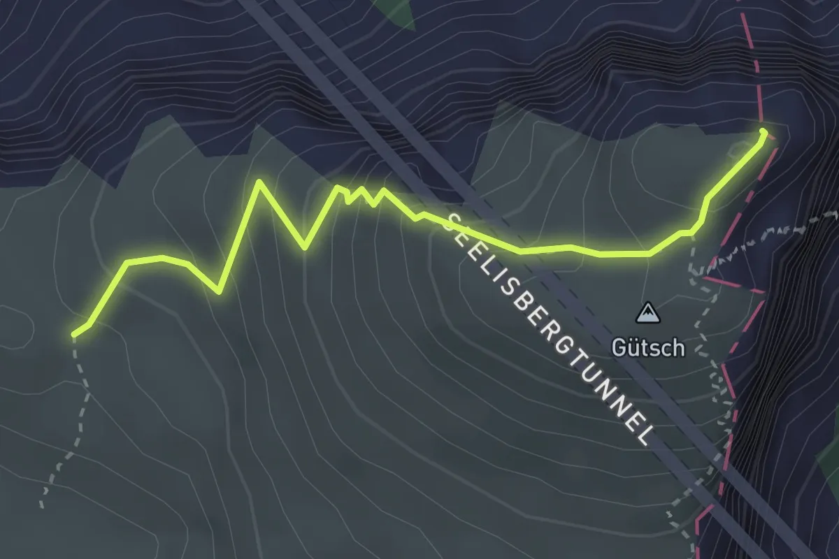
Medium · Summit
Niderbauen-Chulm - Tritthütte
3.2 km · ↑ 310 m · 1 h 25 min
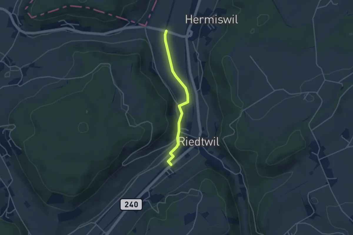
Easy · Trail
Nidermatten - Riedtwil Station
3.1 km · ↑ 34 m · 48 min
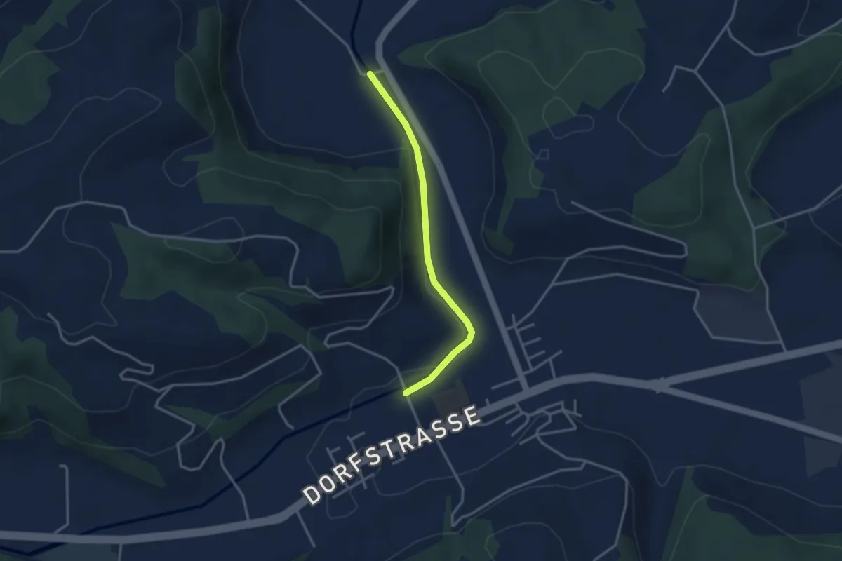
Easy · Trail
Niderwil - Gettnau
2.9 km · ↑ 31 m · 44 min
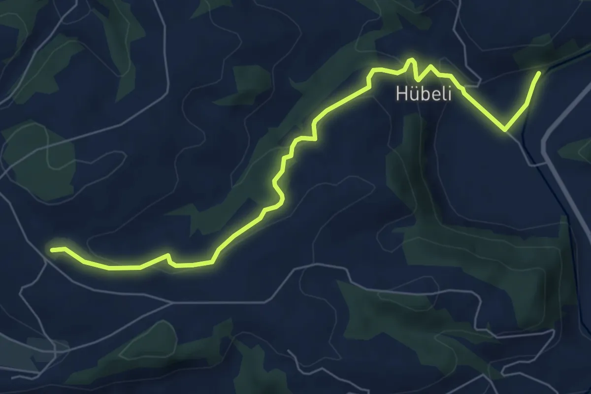
Easy · Trail
Niderwil - Hünkihof
7.0 km · ↑ 270 m · 2 h 14 min
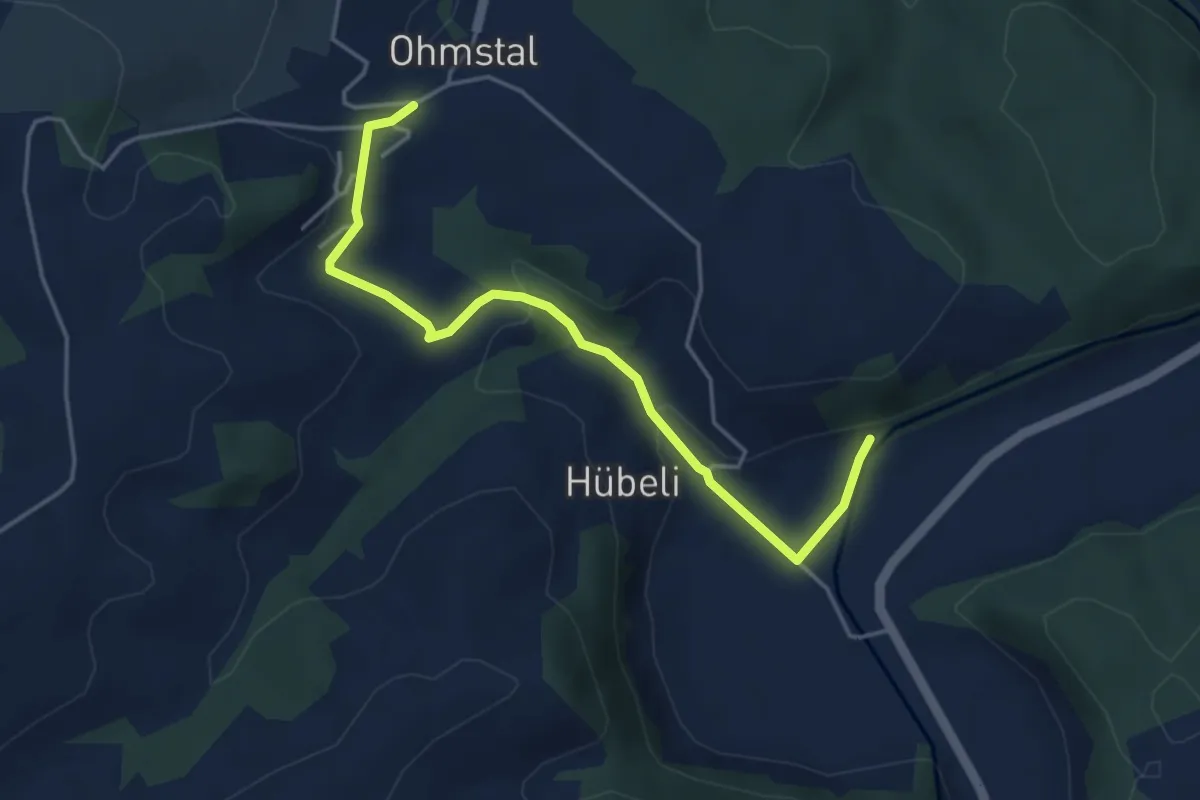
Easy · Trail
Niderwil - Ohmstal
4.4 km · ↑ 139 m · 1 h 21 min
Easy · Trail
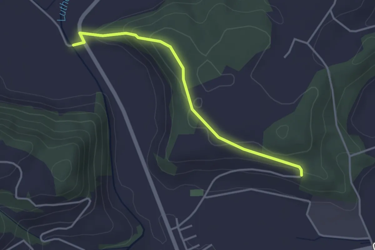
Niderwil - Punkt 568
3.3 km · ↑ 111 m · 1 h 1 min
Demanding · Summit
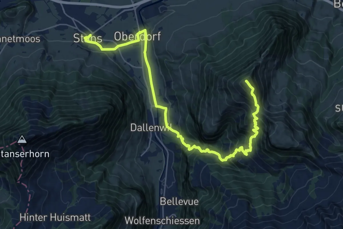
Nidwaldner Zentrumsweg
25.3 km · ↑ 1406 m · 9 h 1 min
Easy · Trail
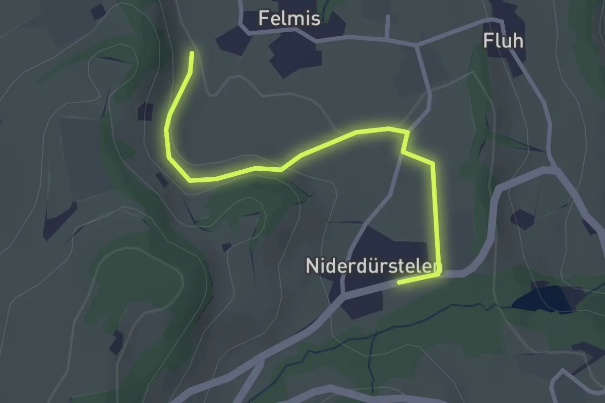
Niederdürstelen - Fälmis
2.5 km · ↑ 56 m · 42 min
Demanding · Trail
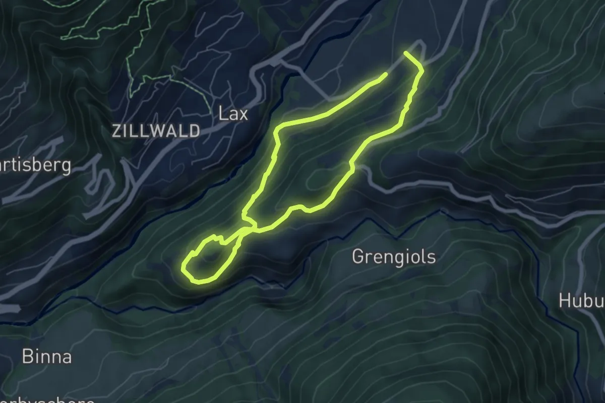
Niederernen - Seng
10.2 km · ↑ 671 m · 3 h 52 min
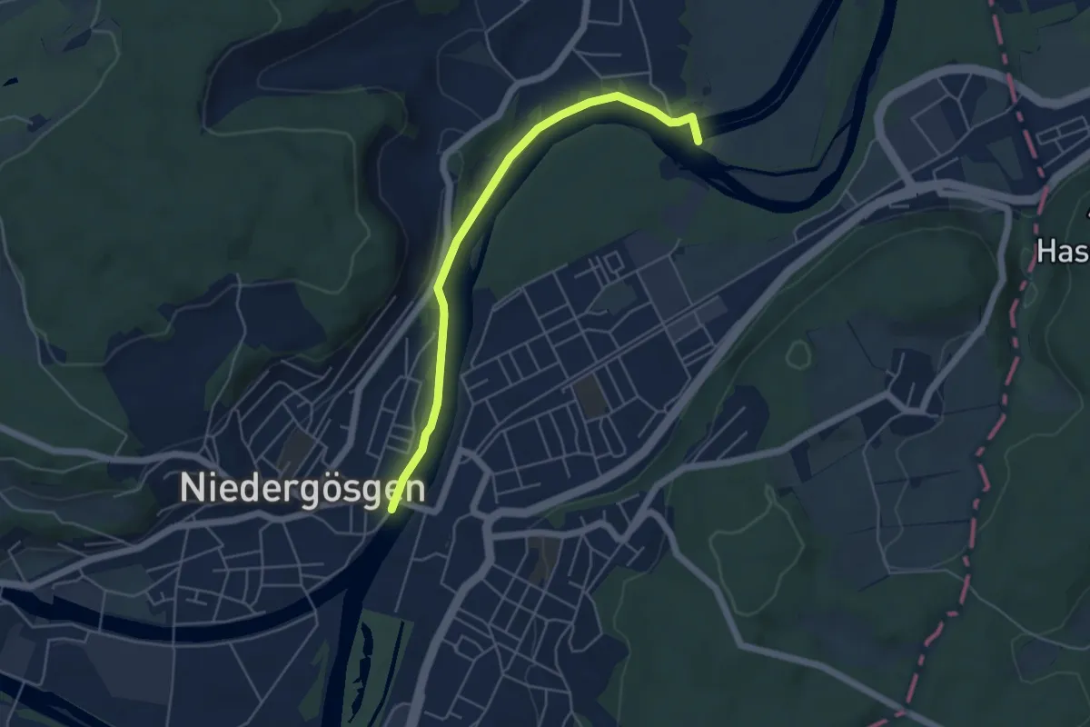
Easy · Trail
Niedergösgen - Erlinsbach Stauwehr
4.9 km · ↑ 42 m · 1 h 15 min
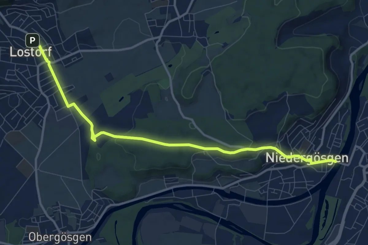
Medium · Trail
Niedergösgen - Lostorf
9.9 km · ↑ 246 m · 2 h 53 min
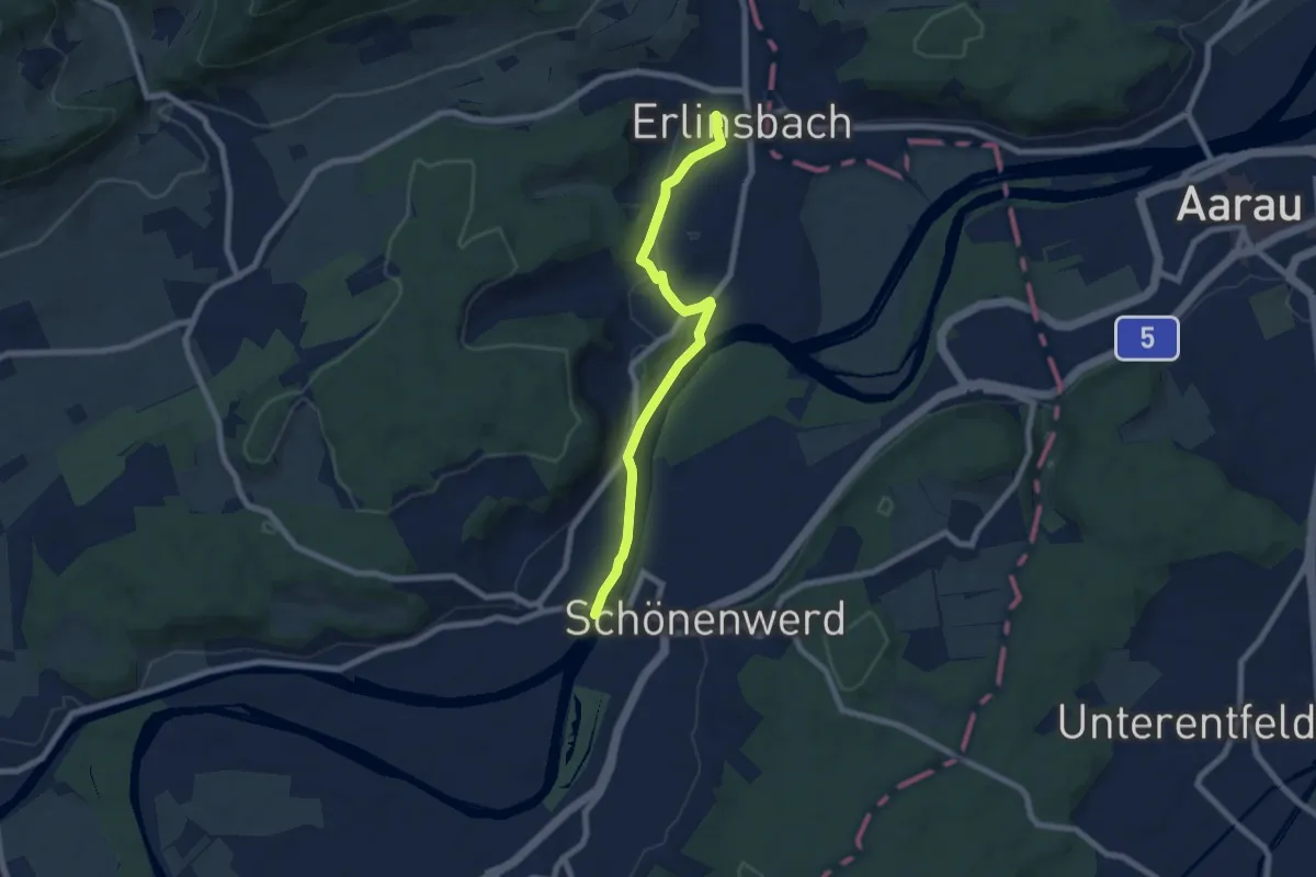
Easy · Trail
Niedergösgen - Niedererlinsbach
7.0 km · ↑ 105 m · 1 h 53 min
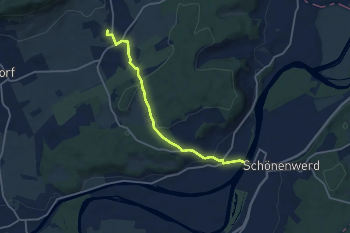
Easy · Trail
Niedergösgen - Stüsslingen
7.2 km · ↑ 171 m · 2 h 4 min