Trails in Switzerland
15,029 hiking trails, each with its route, climb, walking time and grade.
All trails, page 77 of 314
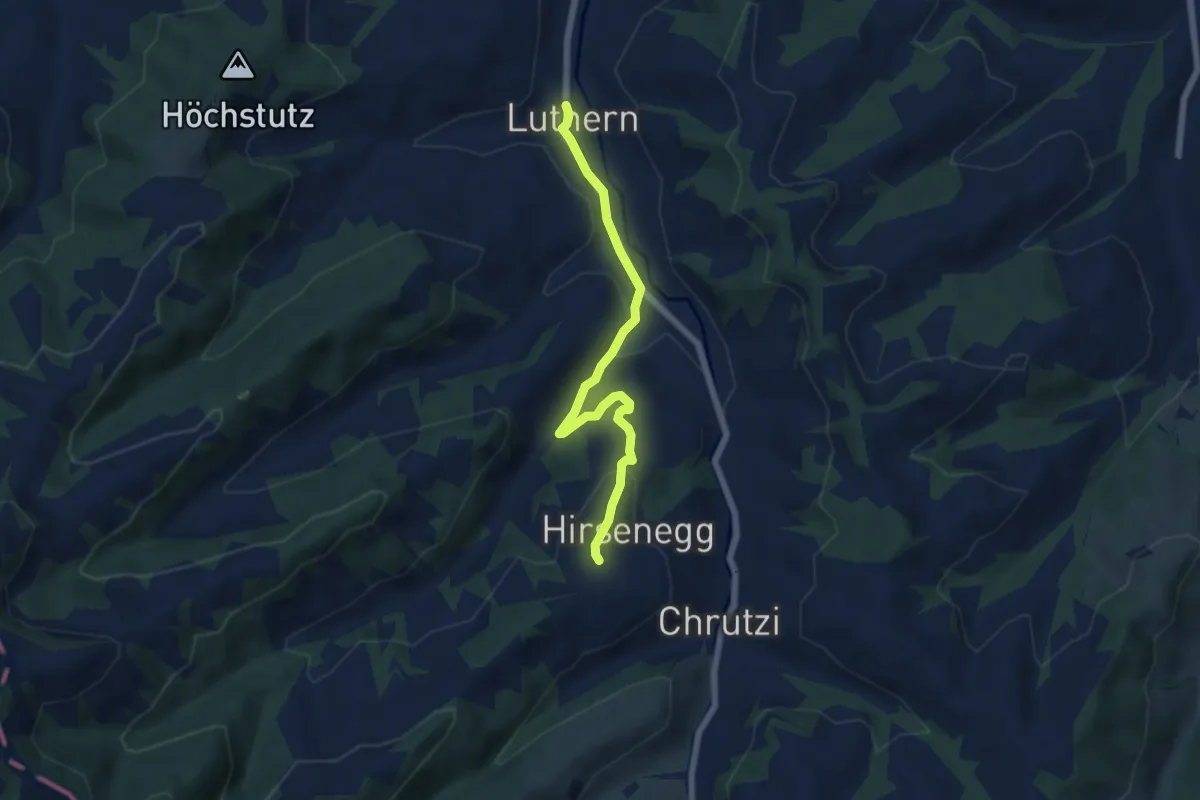
Easy · Trail
Ober Hirsenegg - Luthern
5.8 km · ↑ 167 m · 1 h 43 min
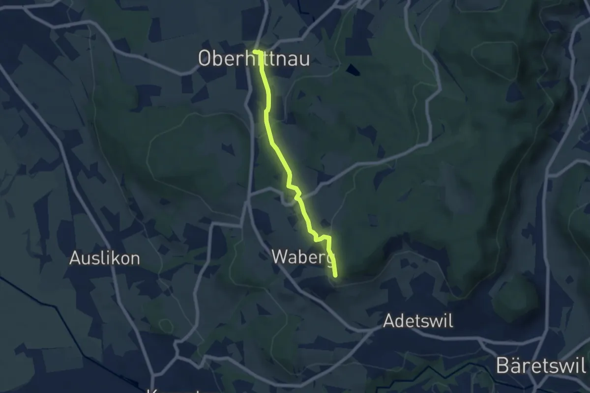
Easy · Trail
Oberhittnau - Rosinli
4.8 km · ↑ 149 m · 1 h 27 min
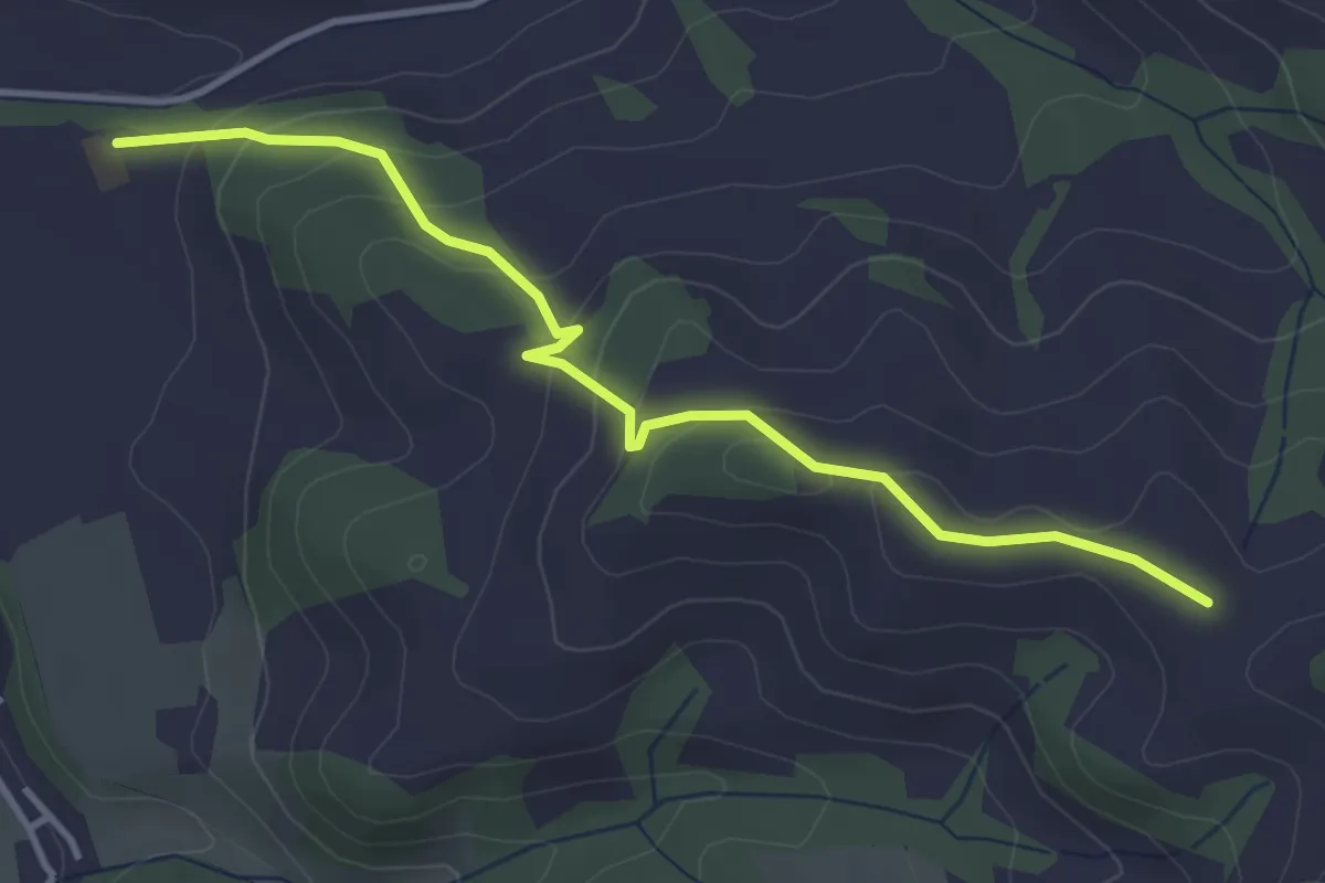
Easy · Trail
Oberhochfeld - Aebnit
3.9 km · ↑ 198 m · 1 h 21 min
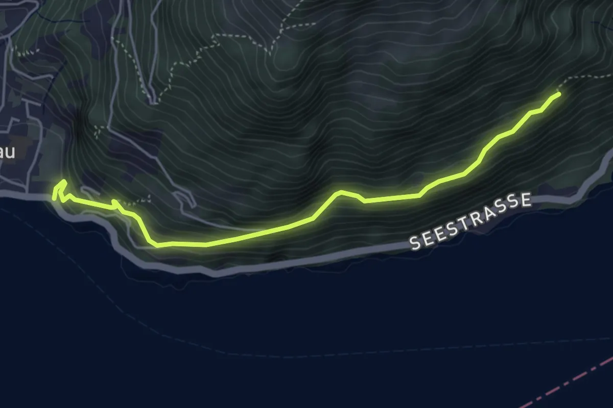
Medium · Trail
Oberholz - Fluhegg
4.7 km · ↑ 363 m · 1 h 54 min
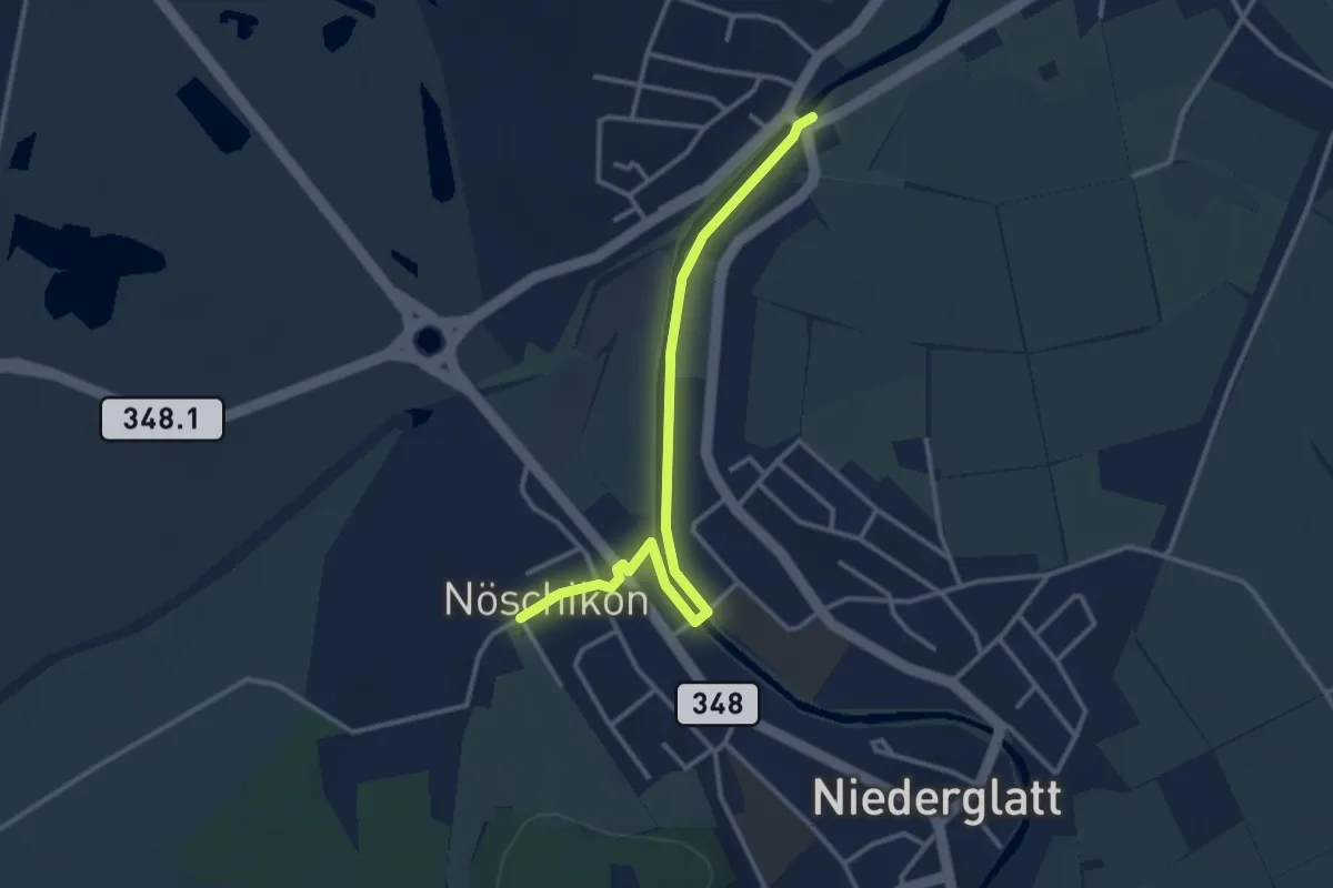
Easy · Trail
Oberhöri - Nöschikon
3.3 km · ↑ 9 m · 48 min
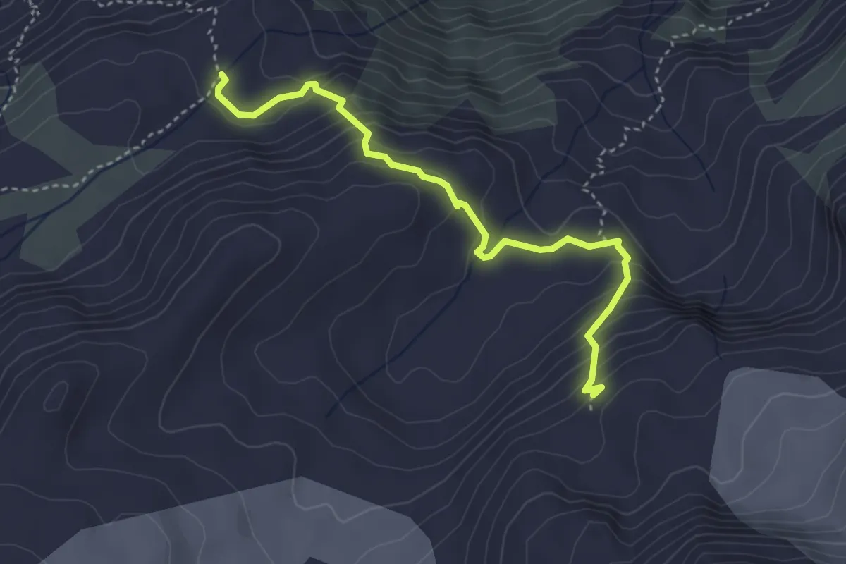
Expert · Cabin
Oberhorn - Schmadrihütte
3.7 km · ↑ 309 m · 1 h 33 min
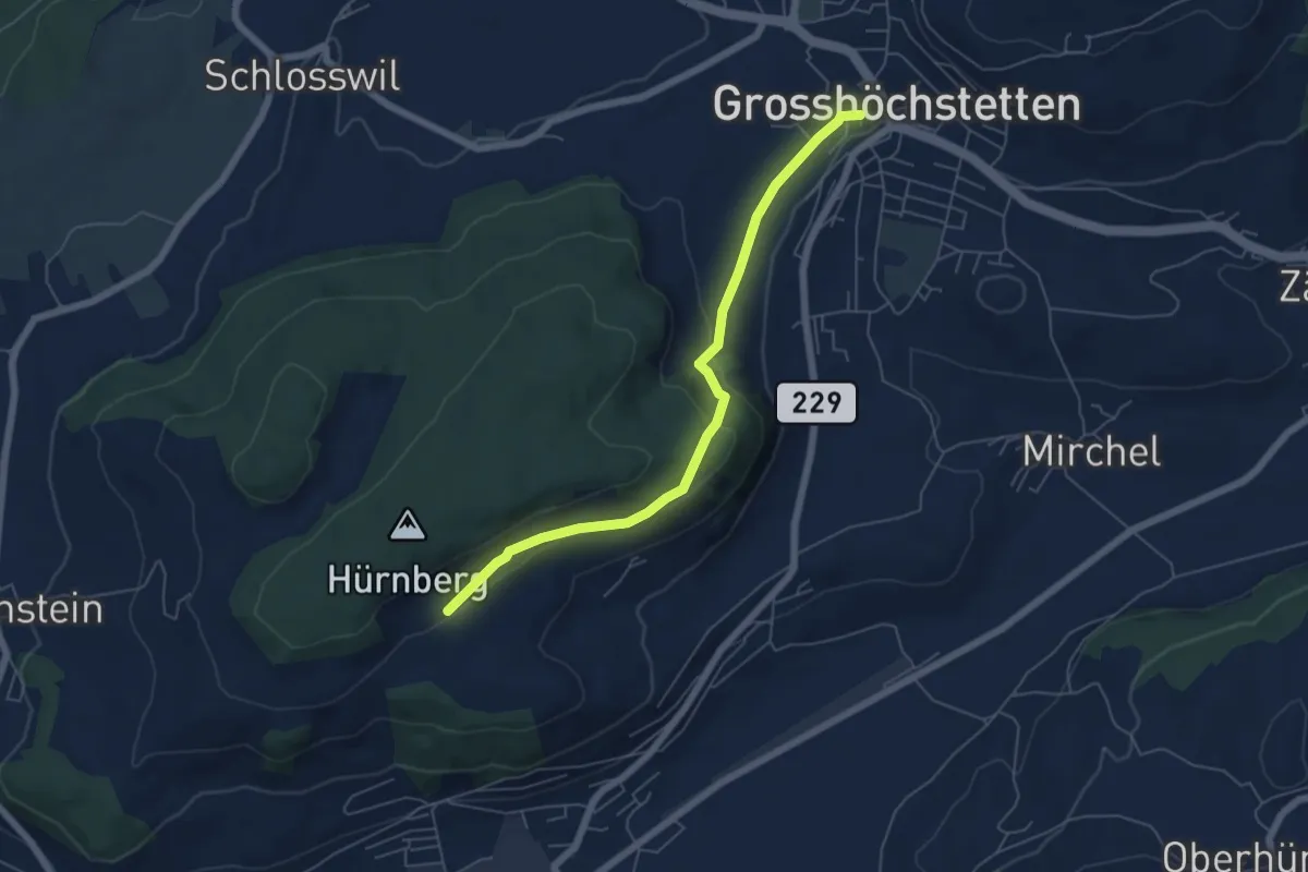
Easy · Trail
Ober Hötschige - Marktplatz
5.7 km · ↑ 176 m · 1 h 44 min
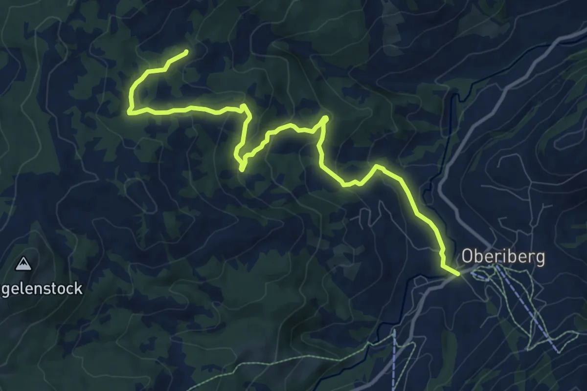
Medium · Trail
Oberiberg Furggelen
10.8 km · ↑ 401 m · 3 h 25 min
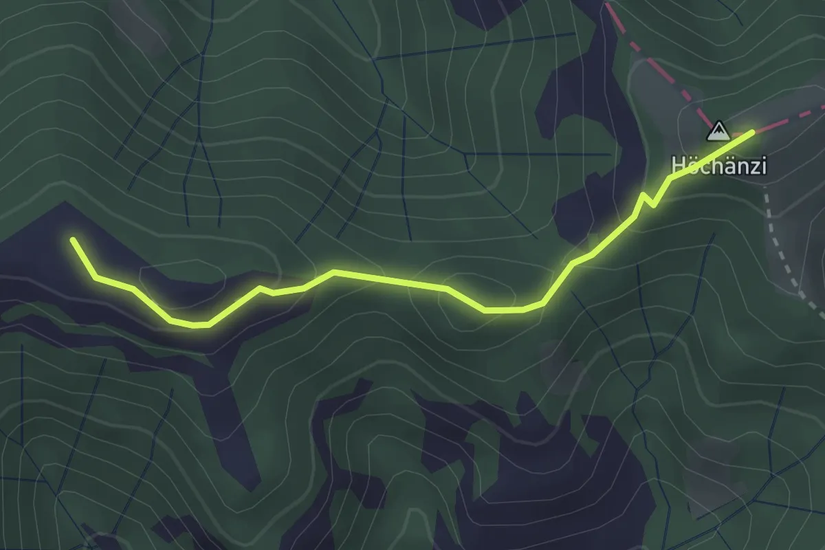
Demanding · Summit
Oberi Lushütte - Höchänzialp
2.7 km · ↑ 156 m · 59 min
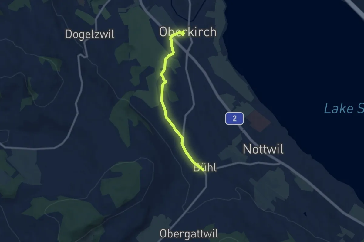
Easy · Trail
Oberkirch (Bahnhof) - Büel
5.8 km · ↑ 65 m · 1 h 31 min
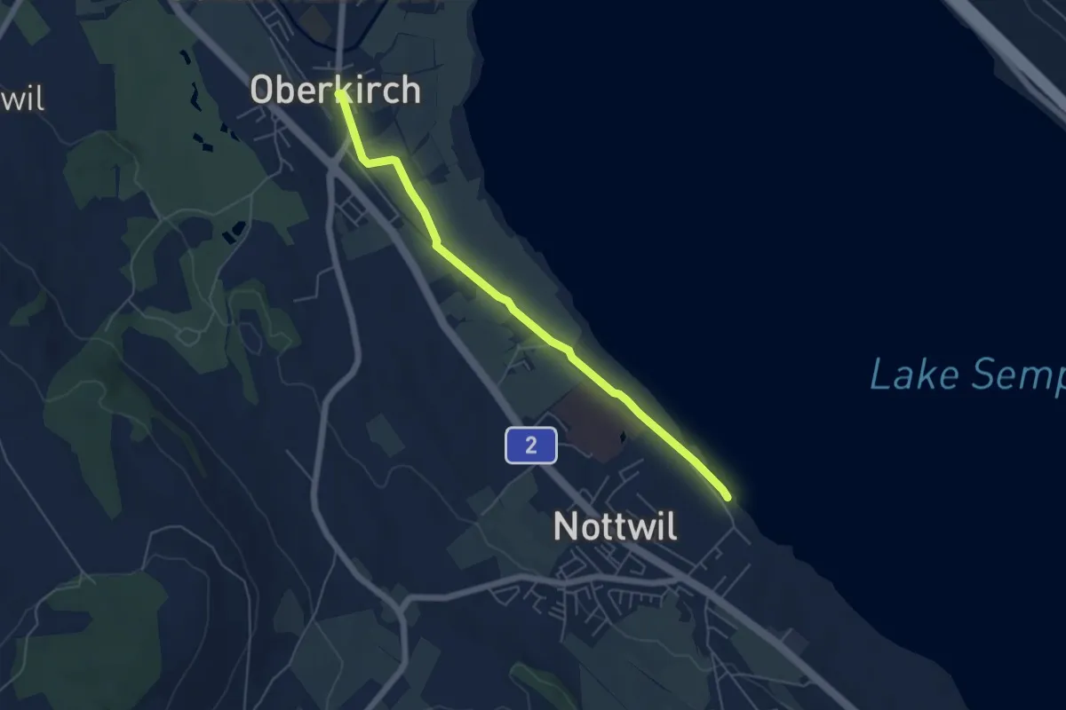
Easy · Trail
Oberkirch (Hirschen) - Nottwil
5.4 km · ↑ 9 m · 1 h 17 min
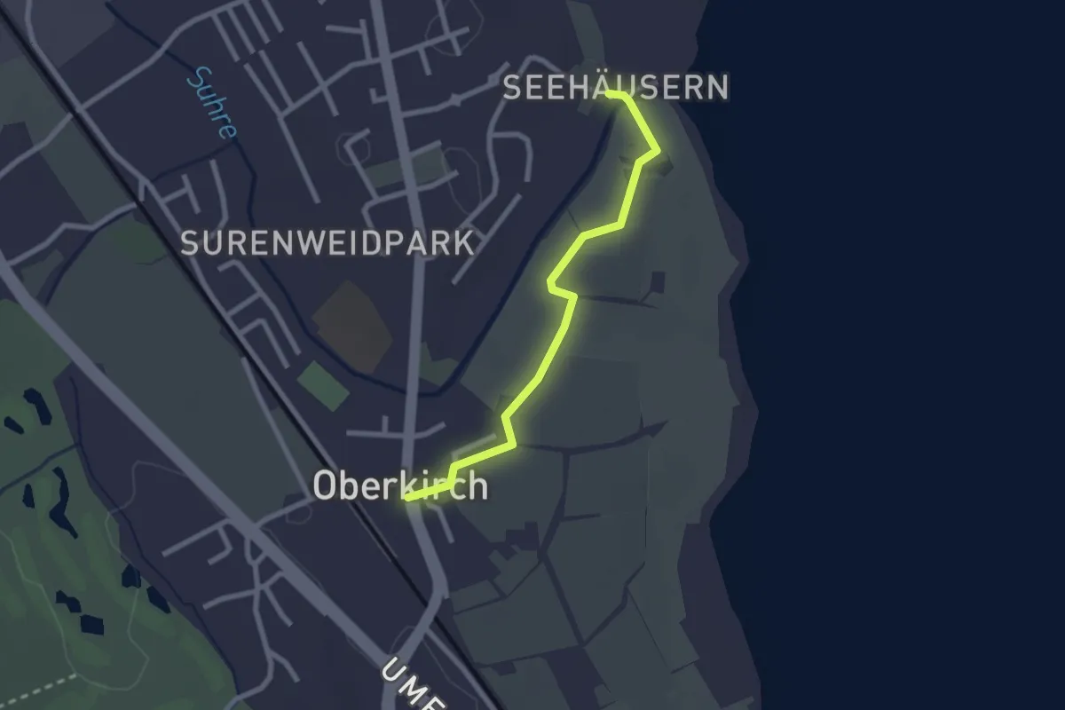
Easy · Trail
Oberkirch (Hirschen) - Seehüseren
2.2 km · ↑ 8 m · 32 min
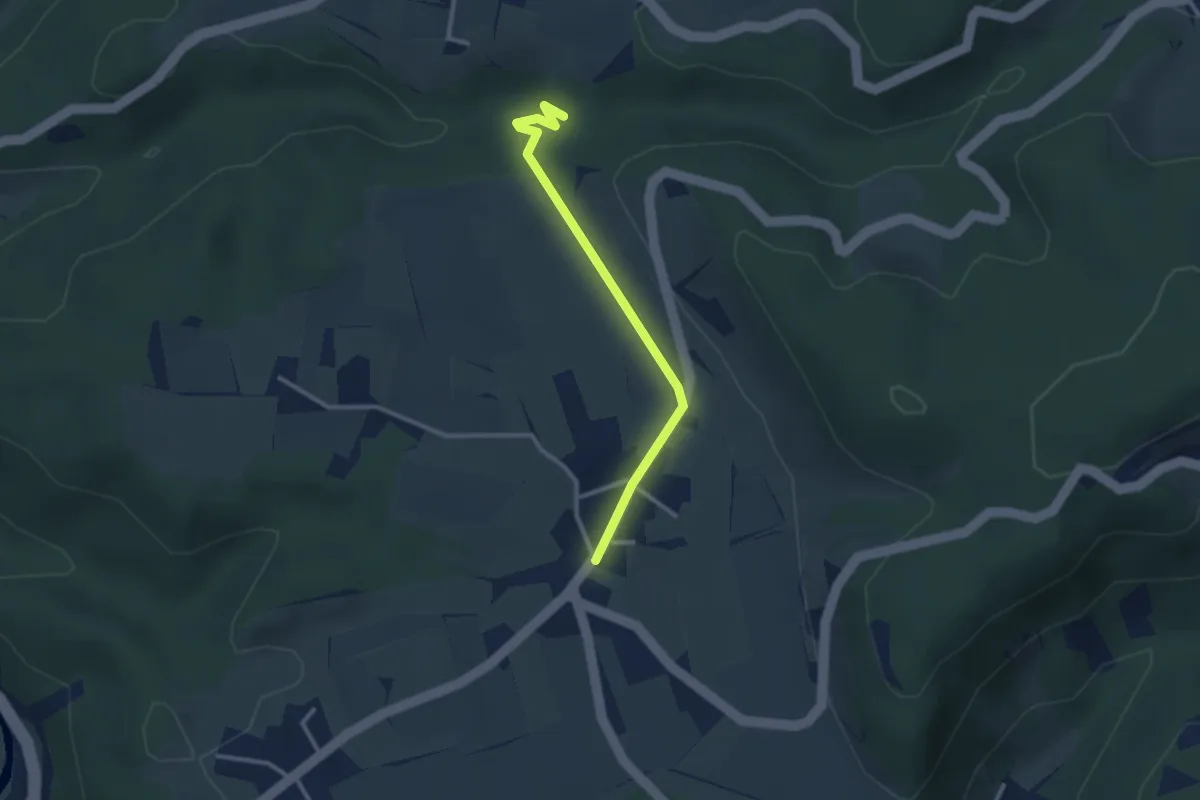
Easy · Trail
Oberlangenhard – Rörlitobel
2.6 km · ↑ 47 m · 43 min
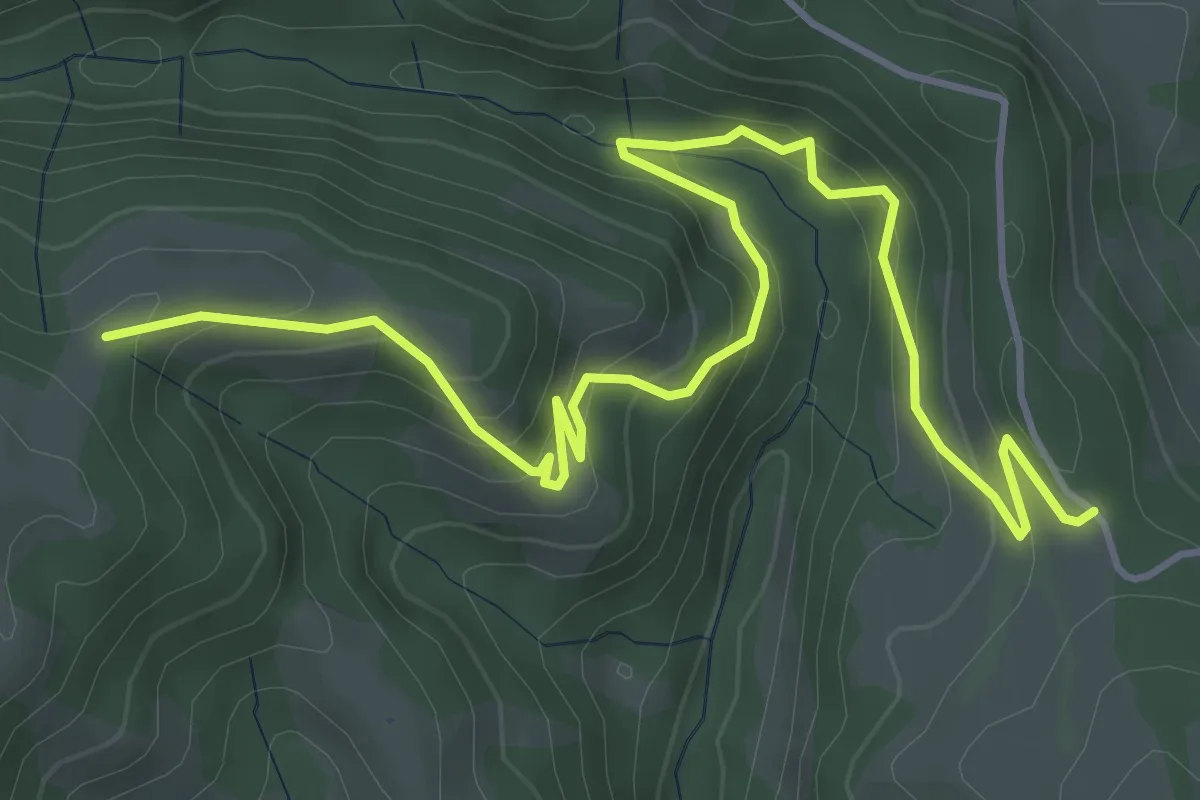
Medium · Trail
Ober Länggrat - Schwändi
5.9 km · ↑ 429 m · 2 h 19 min
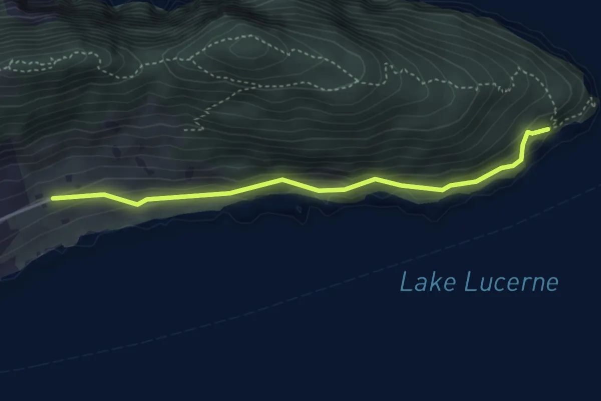
Easy · Trail
Oberlee - Unter Nas
3.7 km · ↑ 223 m · 1 h 21 min
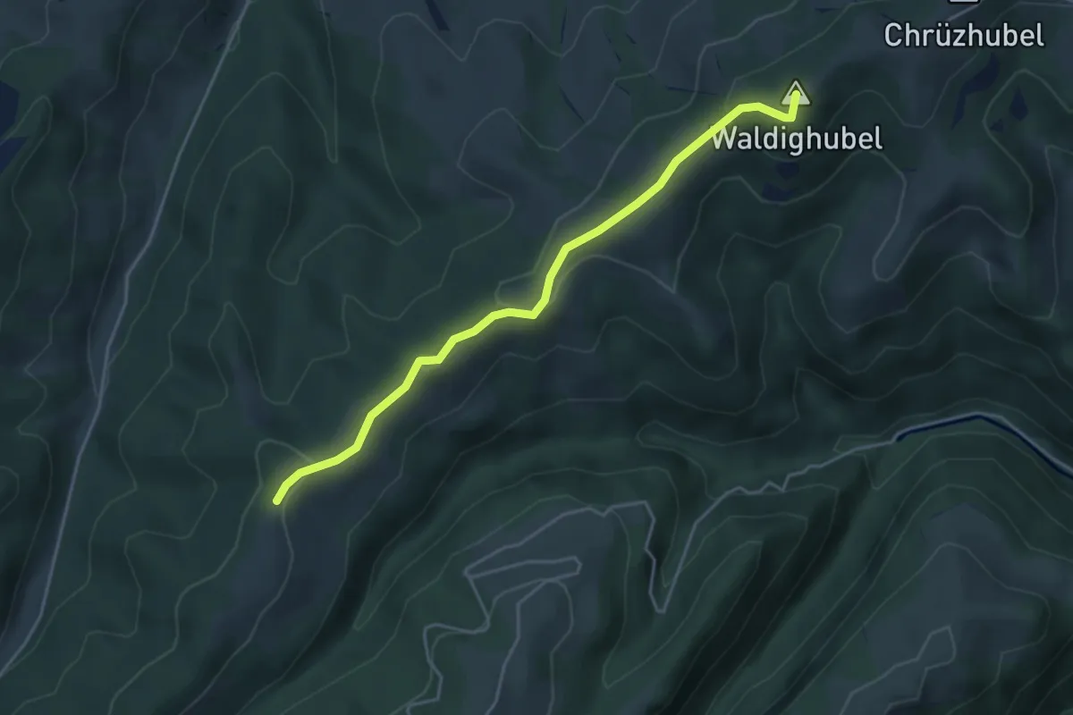
Easy · Summit
Oberlehn - Gmeinalp
4.2 km · ↑ 108 m · 1 h 14 min
Medium · Cabin
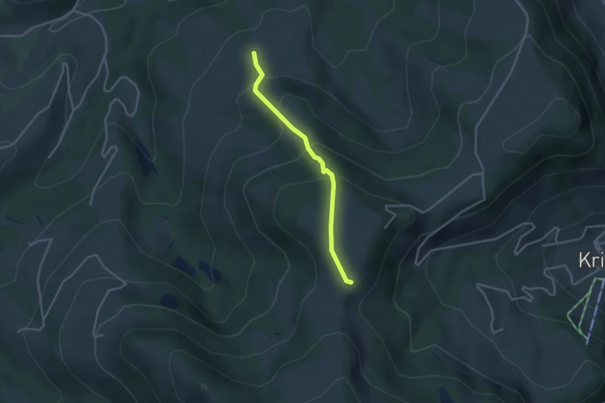
Ober Loh - Untere Alpli
2.5 km · ↑ 210 m · 1 h 3 min
Easy · Trail
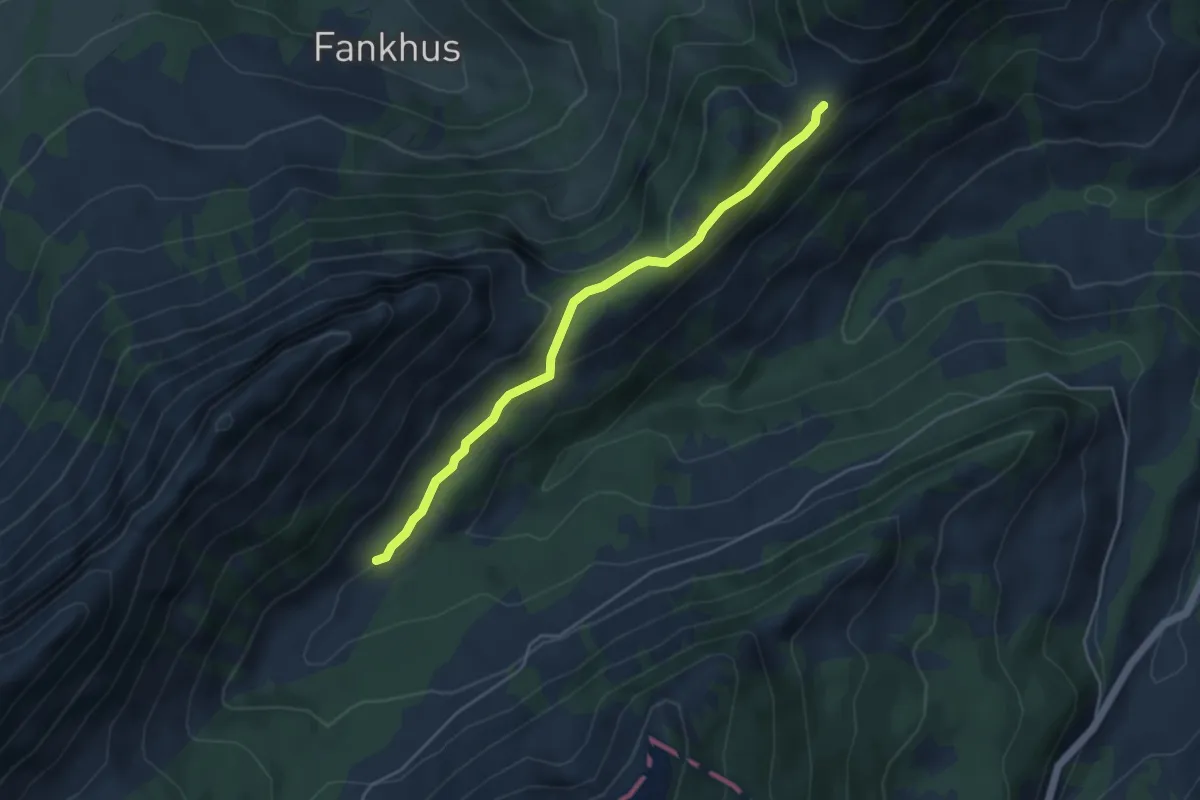
Ober Looeg - Chlusmättili
4.4 km · ↑ 156 m · 1 h 23 min
Easy · Trail
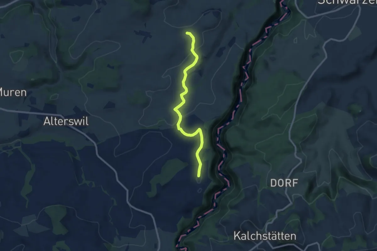
Ober Maggenberg - Melisried
8.0 km · ↑ 165 m · 2 h 14 min
Medium · Trail
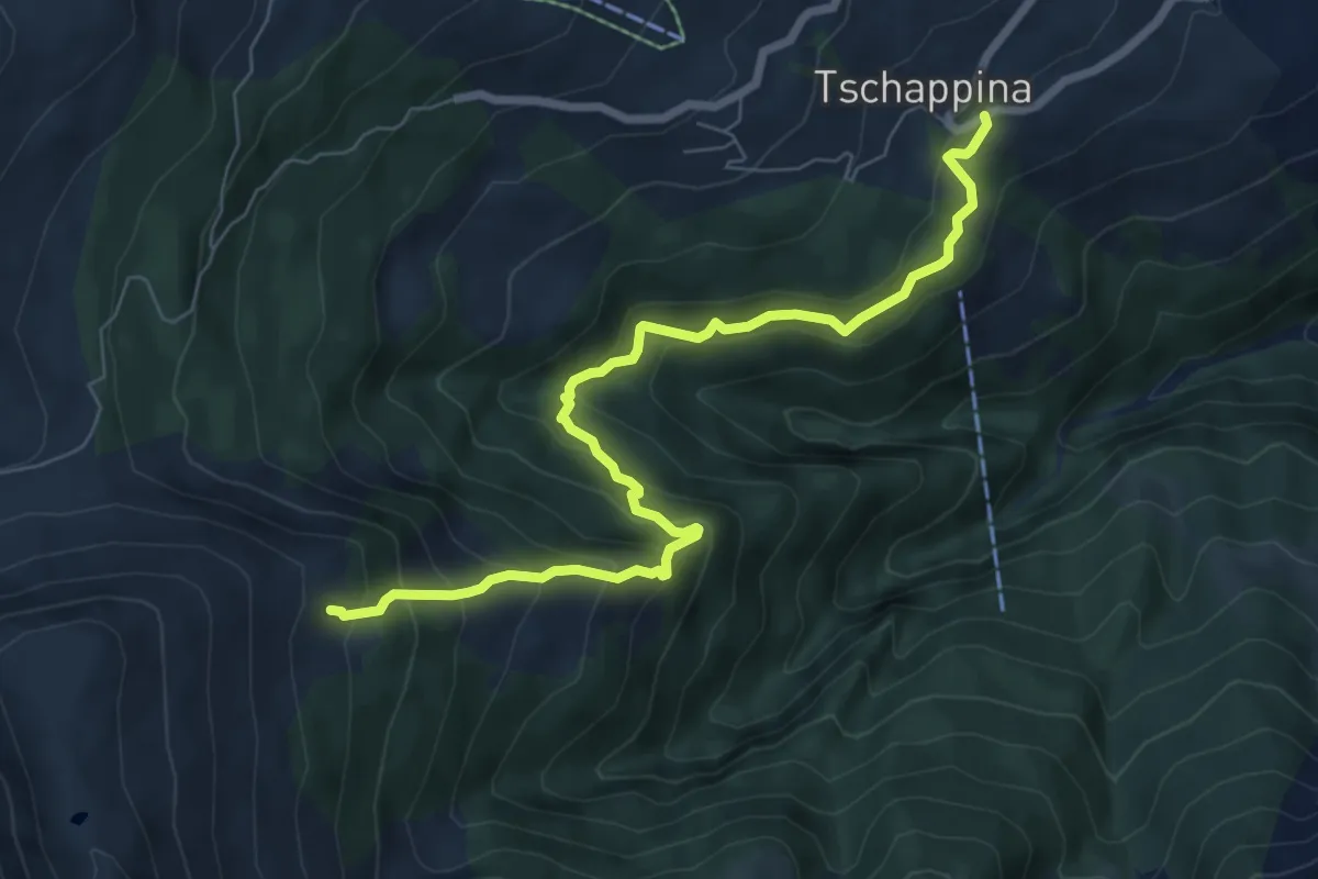
Ober Masügg-Unter Tschappina
7.6 km · ↑ 638 m · 3 h 10 min
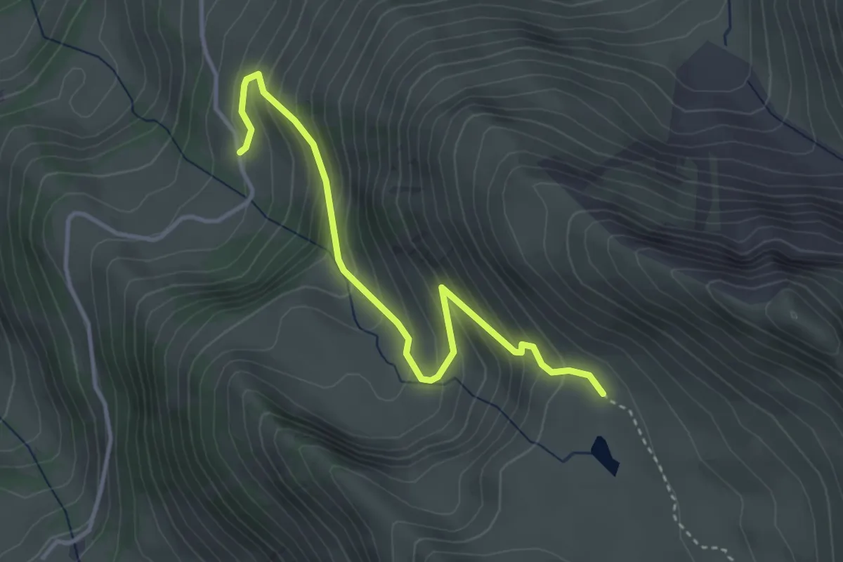
Medium · Trail
Ober Mechlistall - Horn
3.7 km · ↑ 355 m · 1 h 38 min
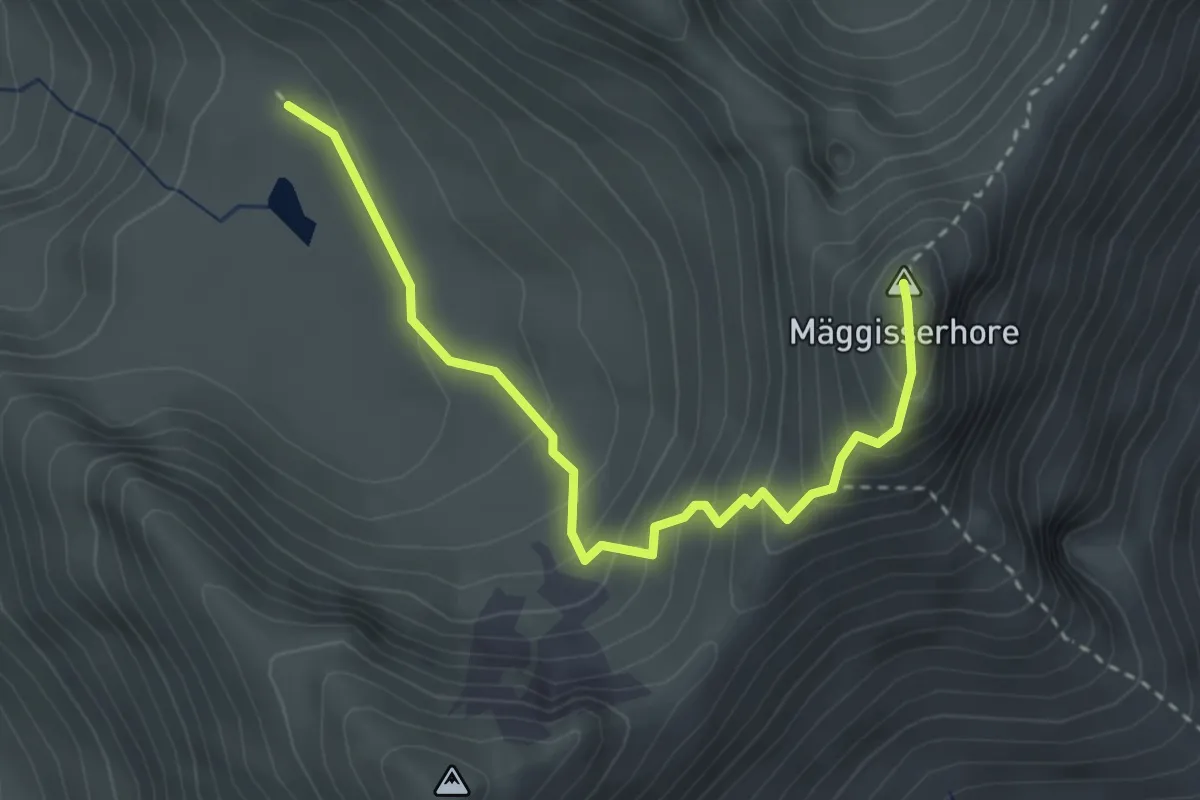
Medium · Summit
Ober Mechlistall - Mäggisserehohe
3.3 km · ↑ 294 m · 1 h 25 min
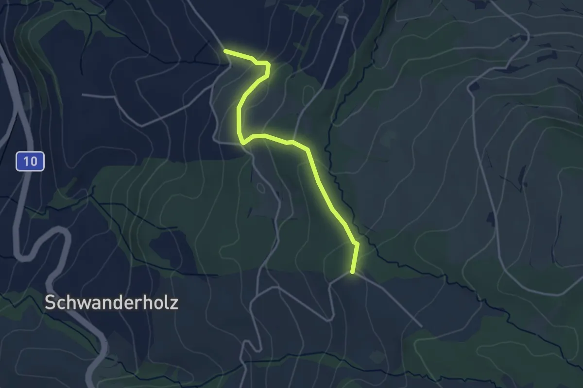
Easy · Trail
Obermoos- Häntschen
3.1 km · ↑ 127 m · 1 h
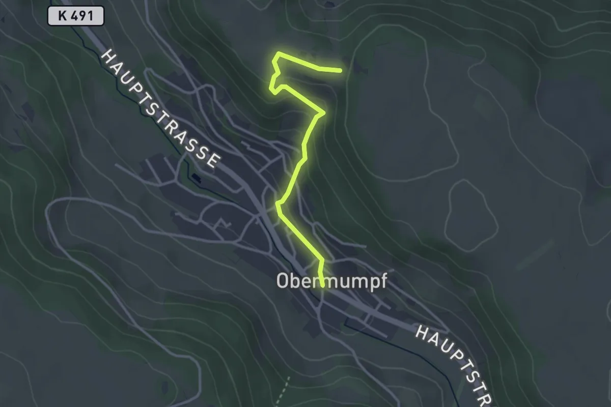
Easy · Trail
Obermupf - Chatzenflue
2.8 km · ↑ 121 m · 55 min
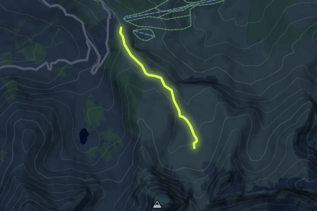
Easy · Trail
Obernünenen - Nünenenberg
3.5 km · ↑ 144 m · 1 h 8 min
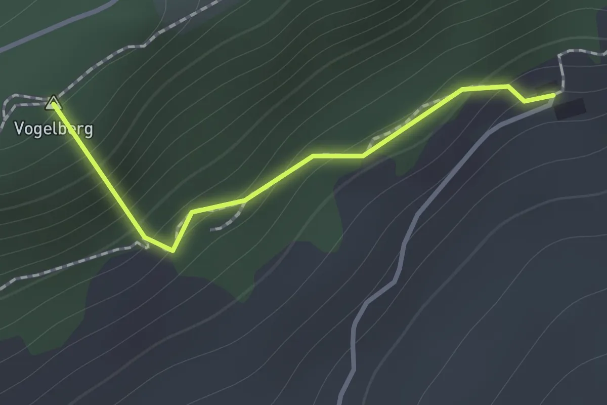
Easy · Summit
Ober Passwang - Berghaus Obere Wechten
1.0 km · ↑ 154 m · 34 min
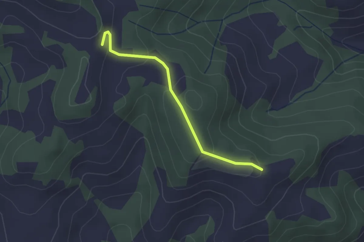
Easy · Trail
Ober Rainsberg - Ofeneggalp
2.3 km · ↑ 86 m · 44 min
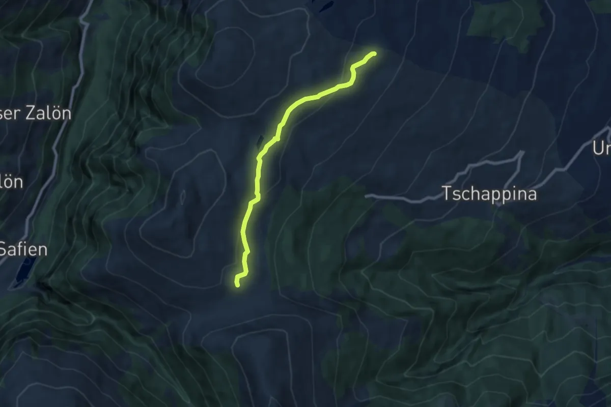
Medium · Trail
Ober Rascheins-Glaspass
6.8 km · ↑ 225 m · 2 h 6 min
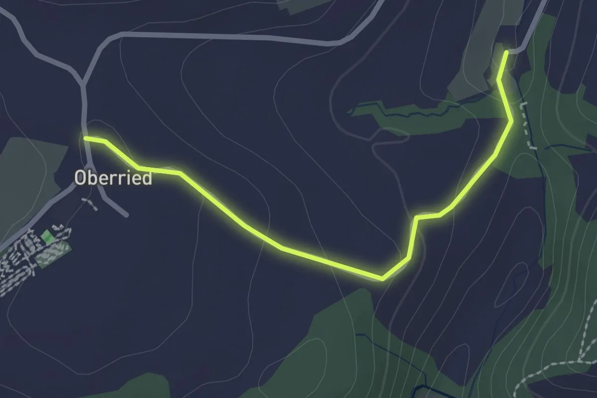
Easy · Trail
Oberried - Grabenmüli
2.2 km · ↑ 64 m · 39 min
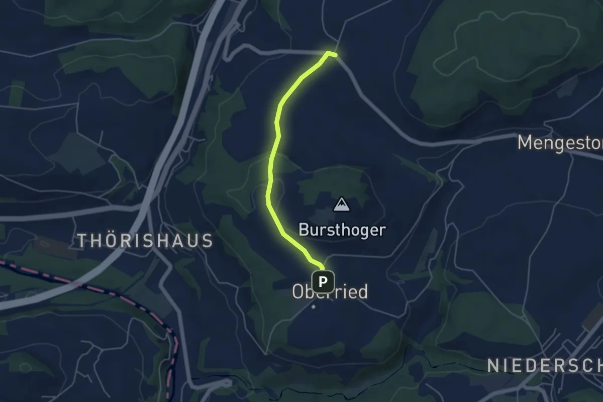
Easy · Trail
Oberried - Liebewil
3.8 km · ↑ 62 m · 1 h 2 min
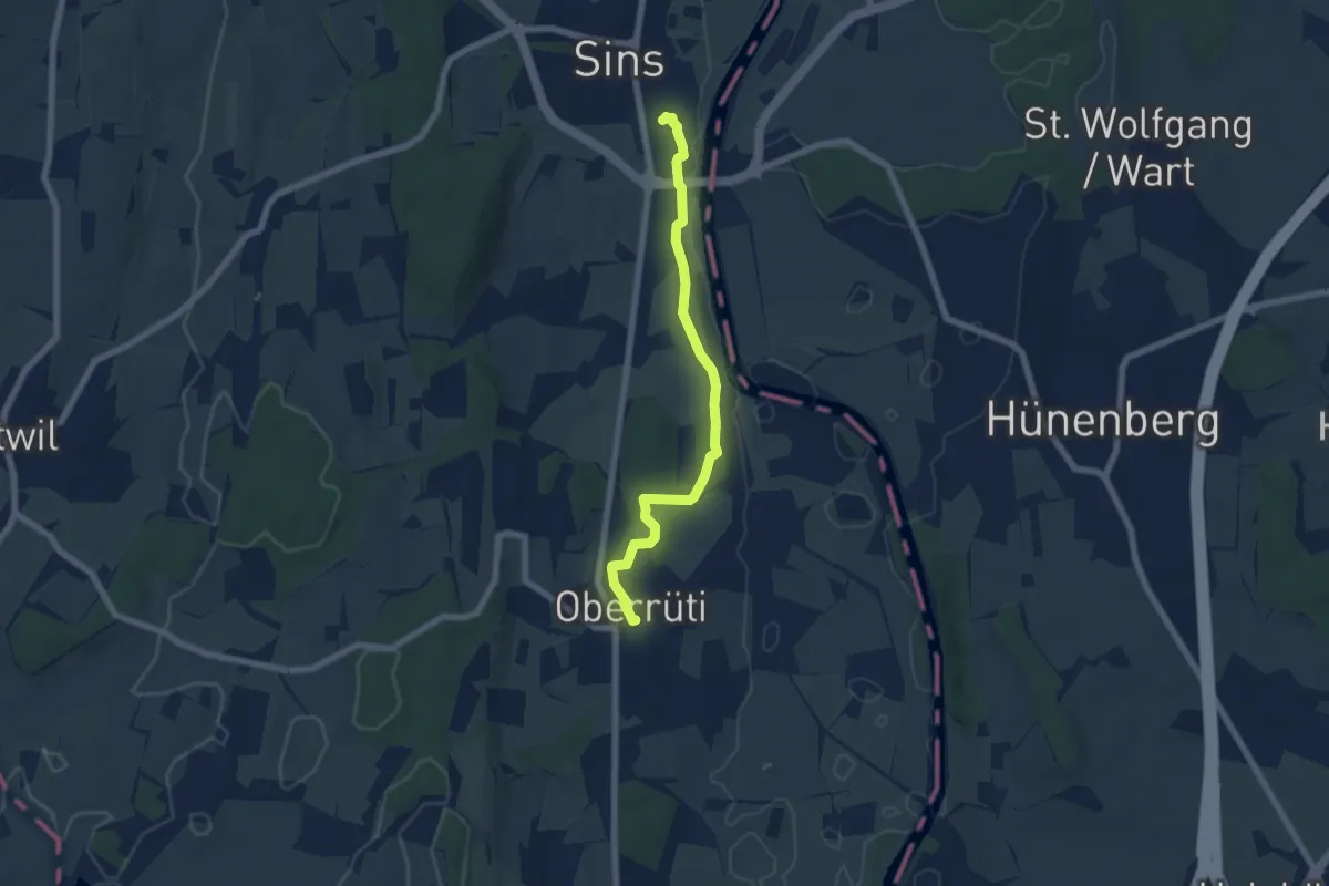
Easy · Trail
Oberrüti - Sins
6.3 km · ↑ 56 m · 1 h 36 min
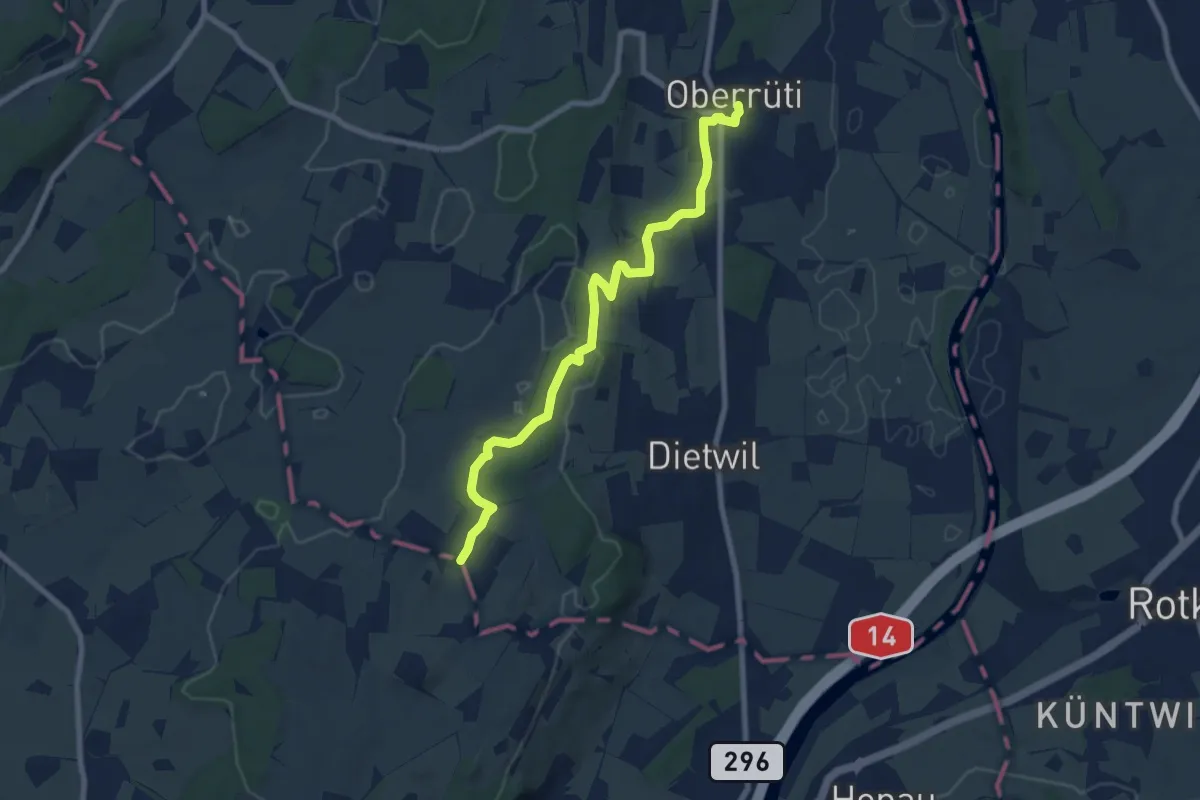
Medium · Trail
Oberrüti - Sulzberg
8.2 km · ↑ 132 m · 2 h 13 min
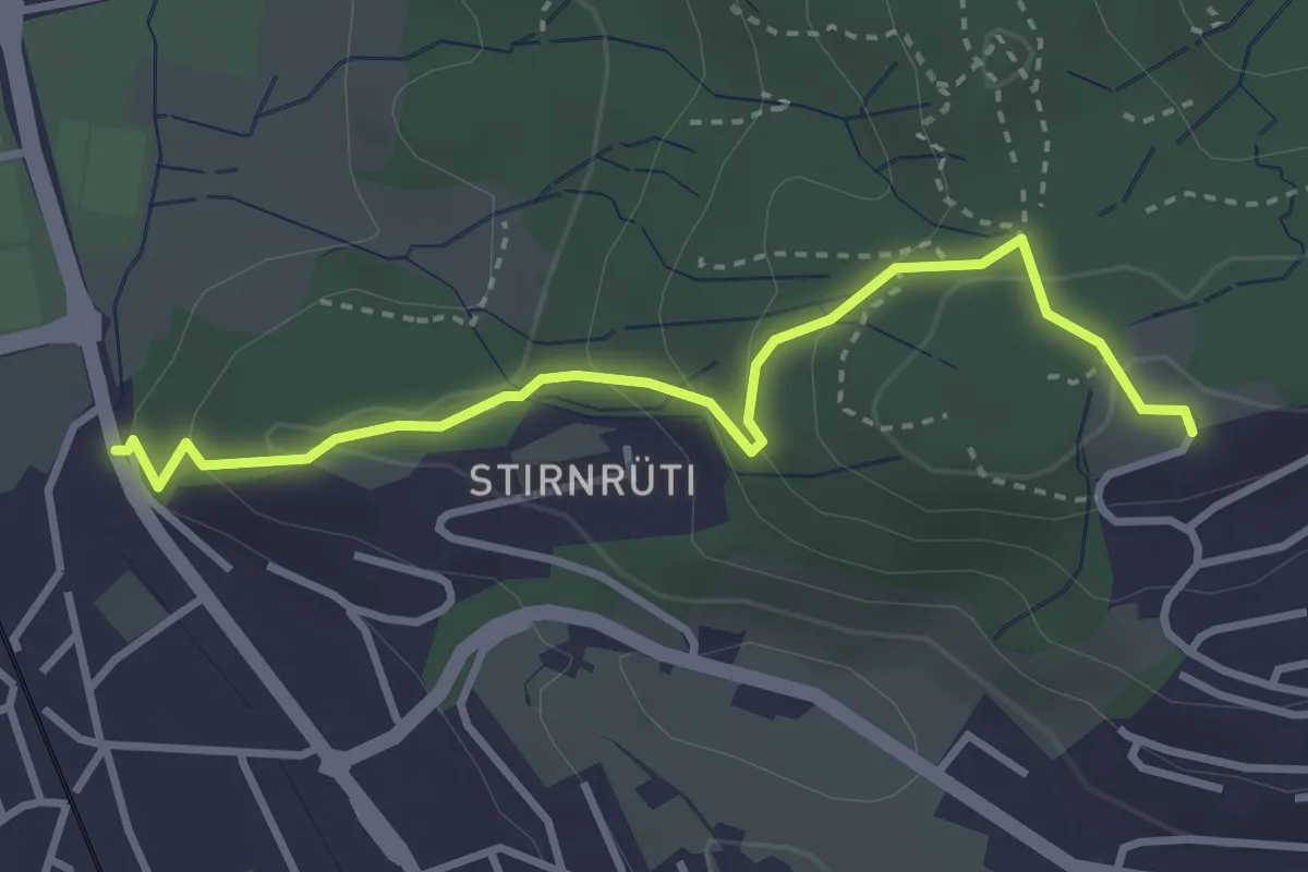
Easy · Trail
Oberrüti - Waldegg
3.4 km · ↑ 155 m · 1 h 8 min
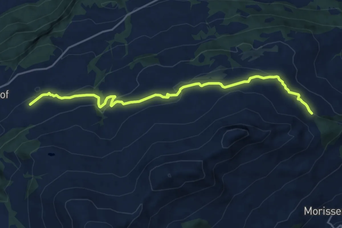
Medium · Trail
Obersaxen Bündner Rigi
13.0 km · ↑ 482 m · 4 h 6 min
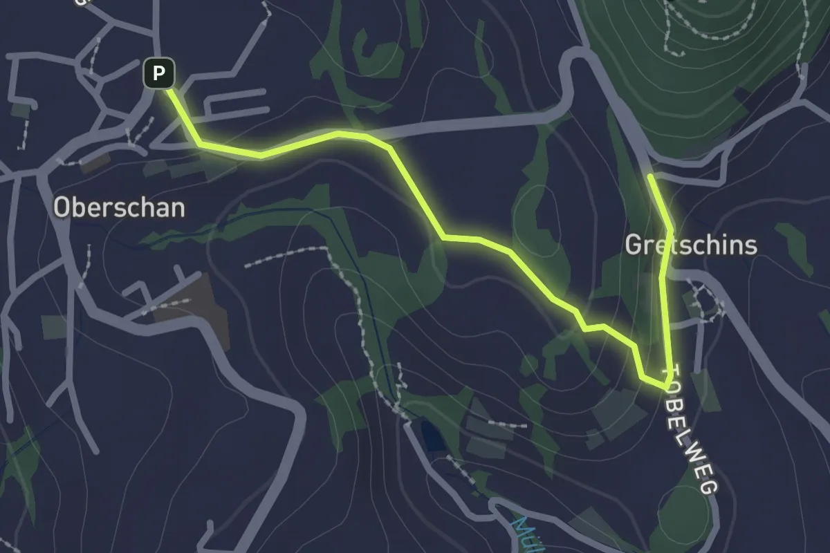
Easy · Trail
Oberschan - Gretschins
2.4 km · ↑ 87 m · 46 min
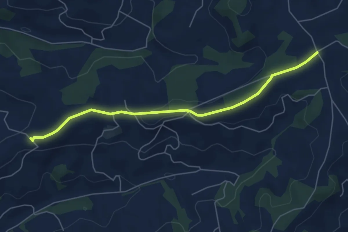
Easy · Trail
Ober Scheidegg - Büelfeld
5.0 km · ↑ 95 m · 1 h 22 min
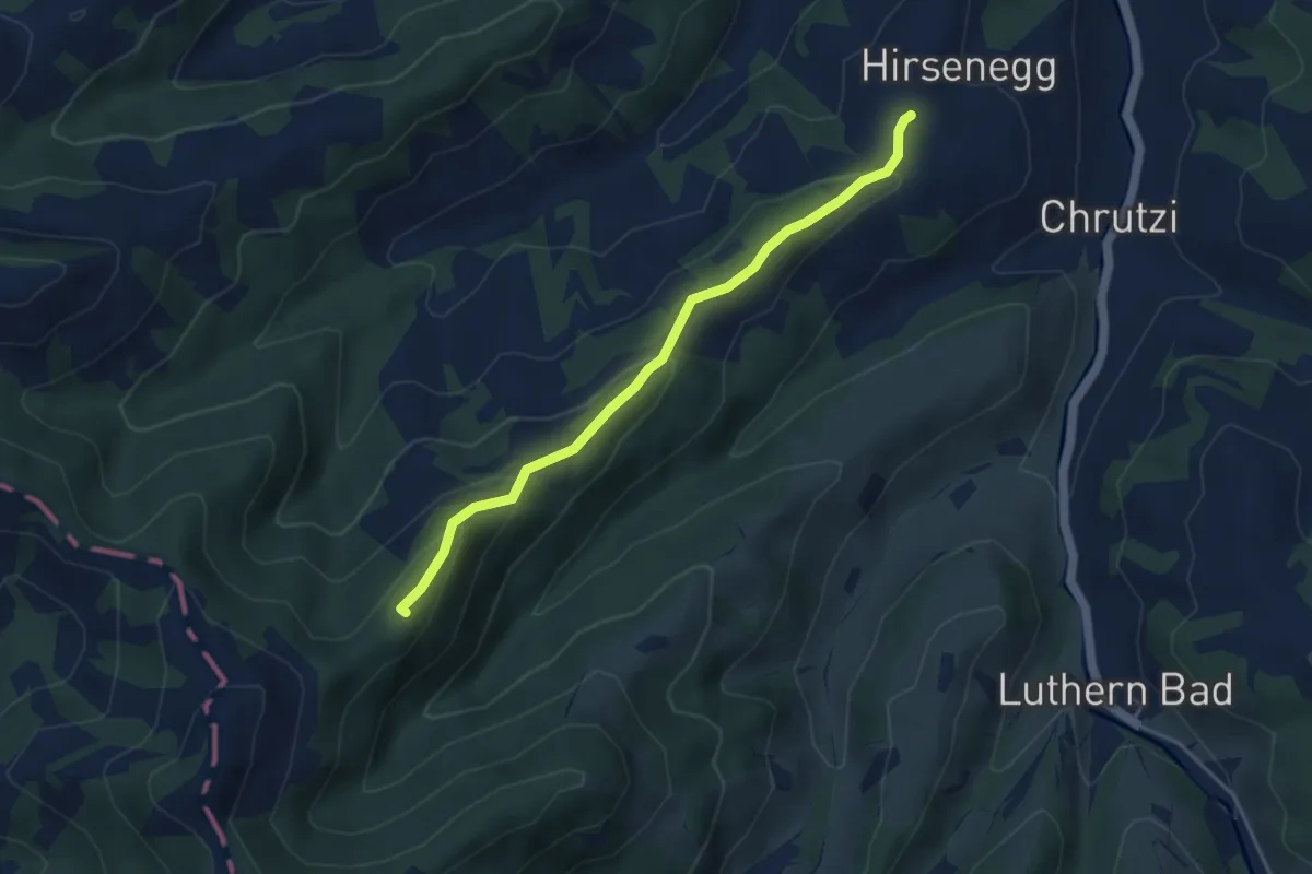
Easy · Summit
Ober Scheidegg - Ober Hirsenegg
4.1 km · ↑ 188 m · 1 h 22 min
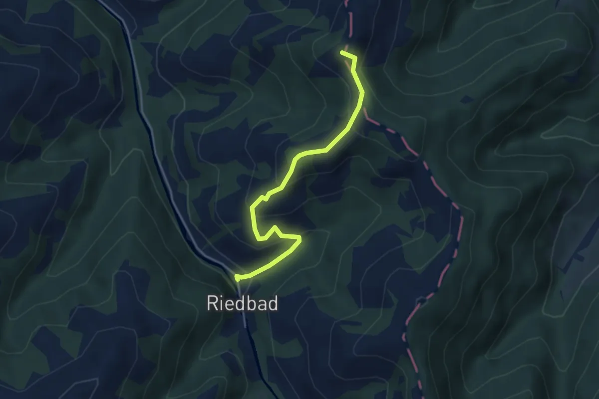
Easy · Summit
Ober Scheidegg - Riedbad
3.6 km · ↑ 257 m · 1 h 24 min
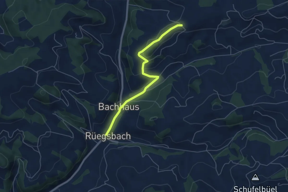
Easy · Trail
Ober Scheidegg - Rüegsbach
4.9 km · ↑ 171 m · 1 h 32 min
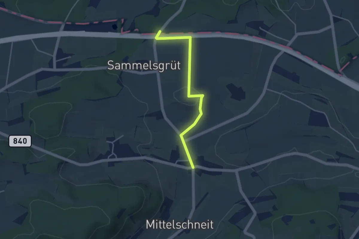
Easy · Trail
Oberschneit – Cholgrueb
3.3 km · ↑ 39 m · 52 min
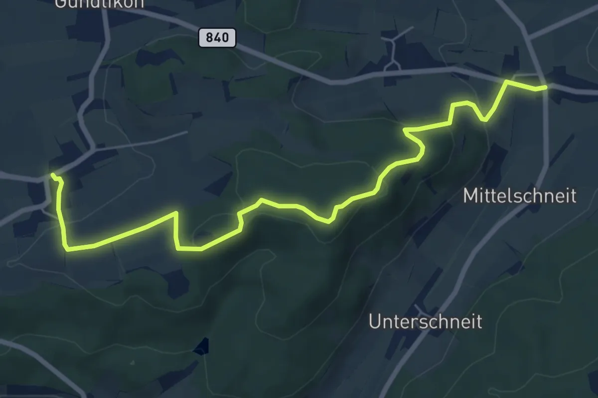
Easy · Trail
Oberschneit – Zünikon
6.7 km · ↑ 208 m · 2 h 2 min
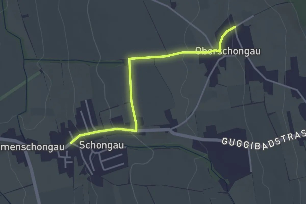
Easy · Trail
Oberschongau - Mettmenschongau
3.1 km · ↑ 70 m · 53 min
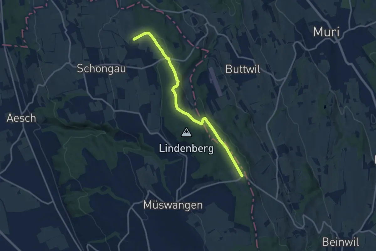
Medium · Trail
Oberschongau - Schlatt
10.1 km · ↑ 202 m · 2 h 49 min
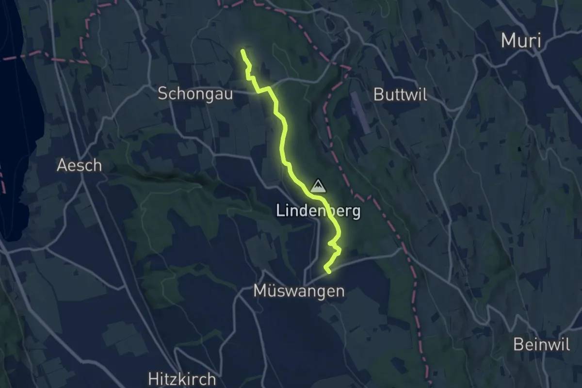
Medium · Trail
Oberschongau - Schlatt - Hämikon Berg
9.7 km · ↑ 221 m · 2 h 46 min
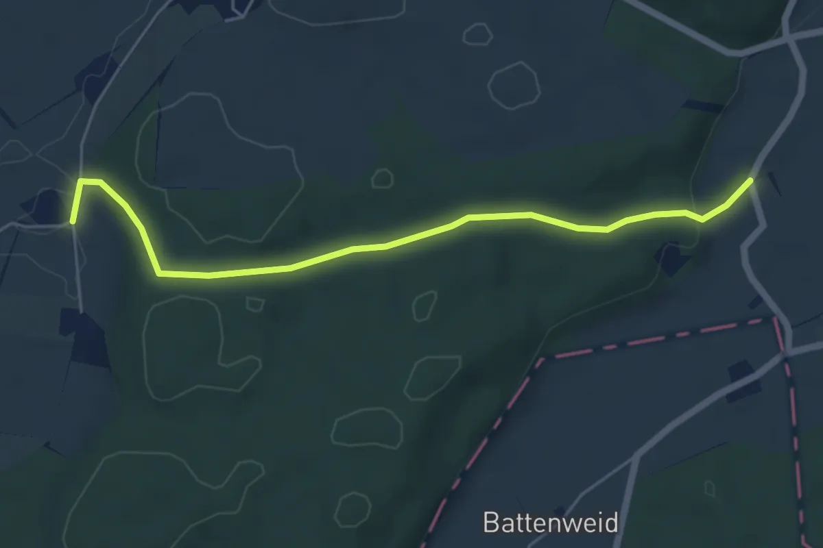
Easy · Trail
Ober Schweissacher - Im Holz
5.0 km · ↑ 117 m · 1 h 26 min
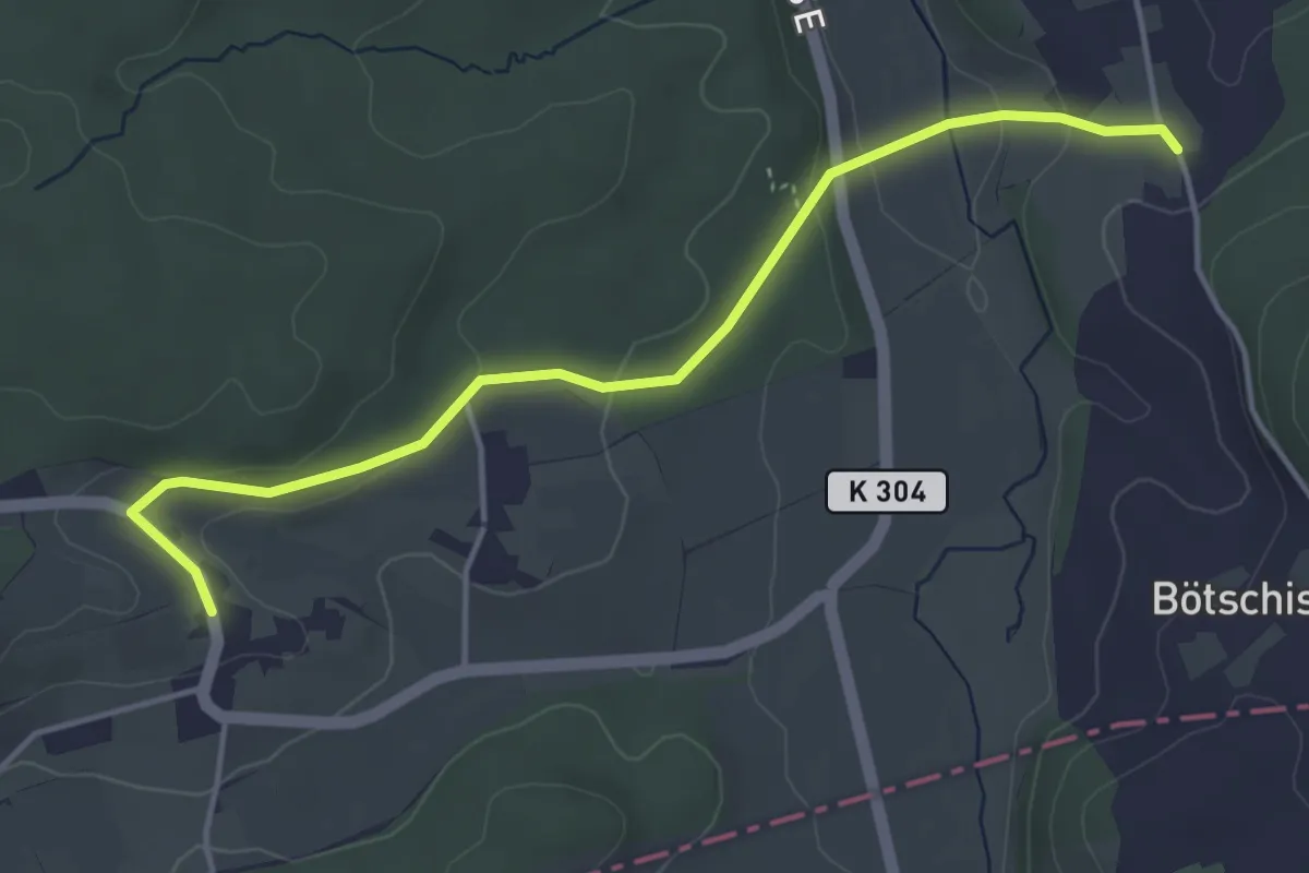
Easy · Trail
Ober Sennhof - Balzenwil
4.5 km · ↑ 125 m · 1 h 20 min
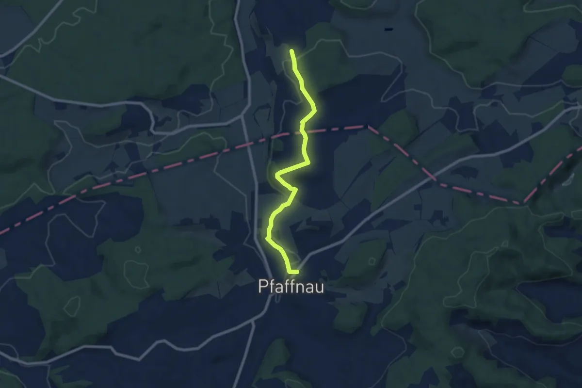
Easy · Trail
Ober Sennhof - Pfaffnau
6.7 km · ↑ 145 m · 1 h 54 min
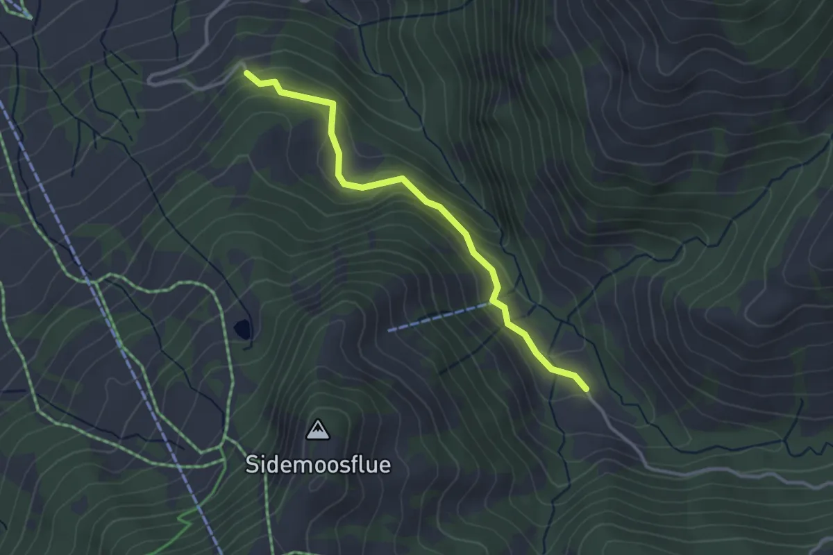
Easy · Trail
Ober Sidenmoos - Nesslenboden
3.0 km · ↑ 183 m · 1 h 7 min