Trails in Switzerland
15,029 hiking trails, each with its route, climb, walking time and grade.
All trails, page 78 of 314
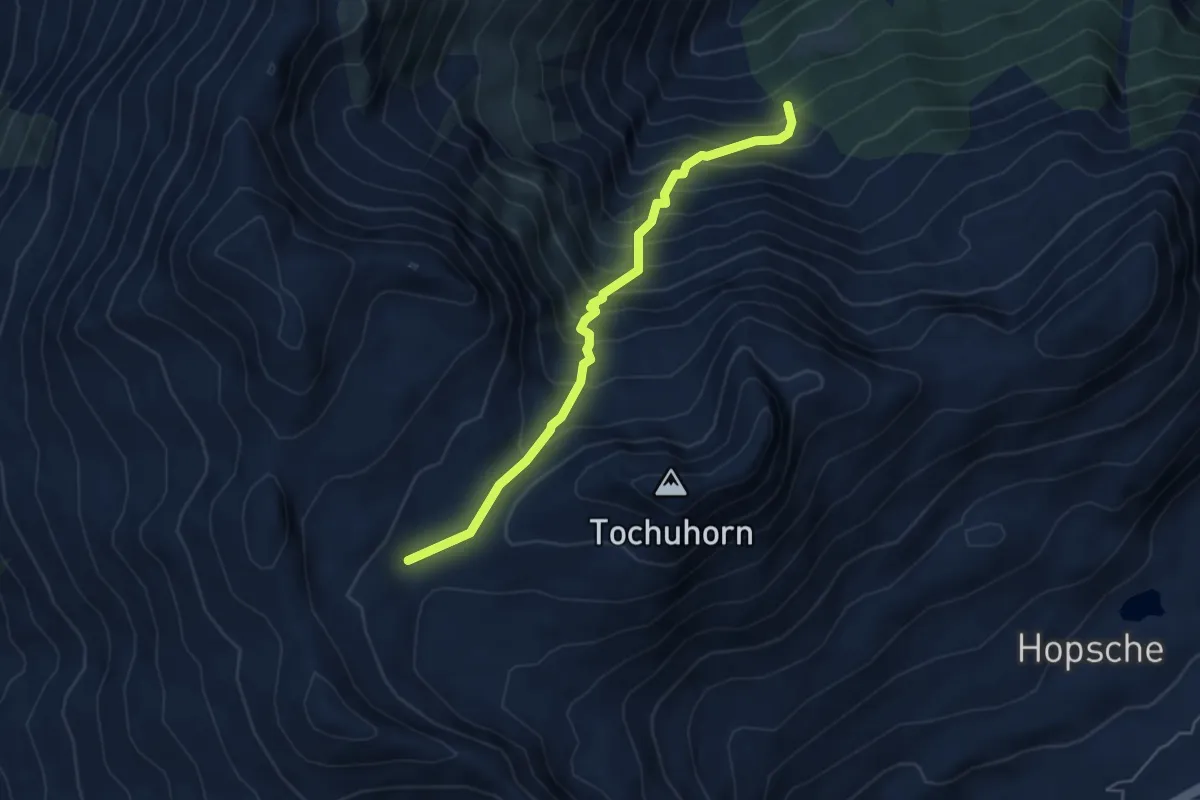
Demanding · Trail
Obers Nesseltal - Undre Rossusee
5.0 km · ↑ 611 m · 2 h 31 min
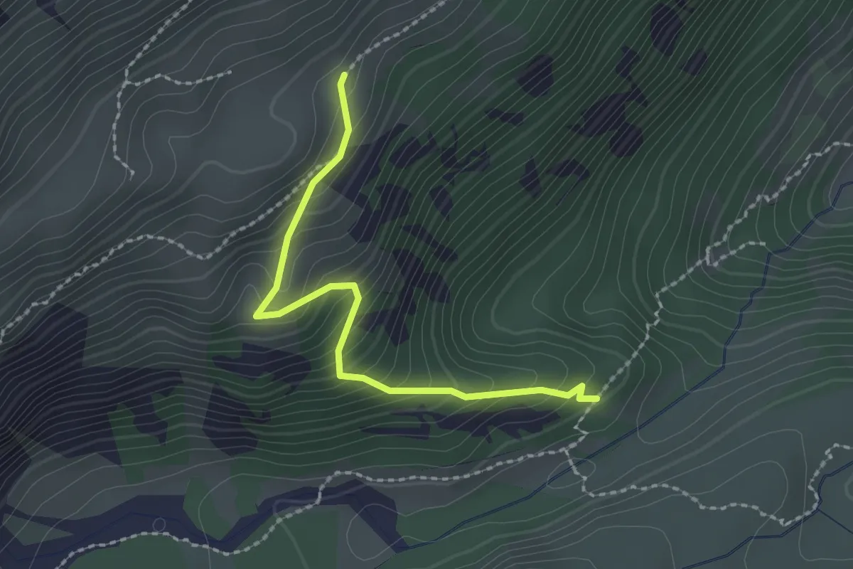
Demanding · Cabin
Obersteinberg - fixme
2.1 km · ↑ 249 m · 1 h 2 min
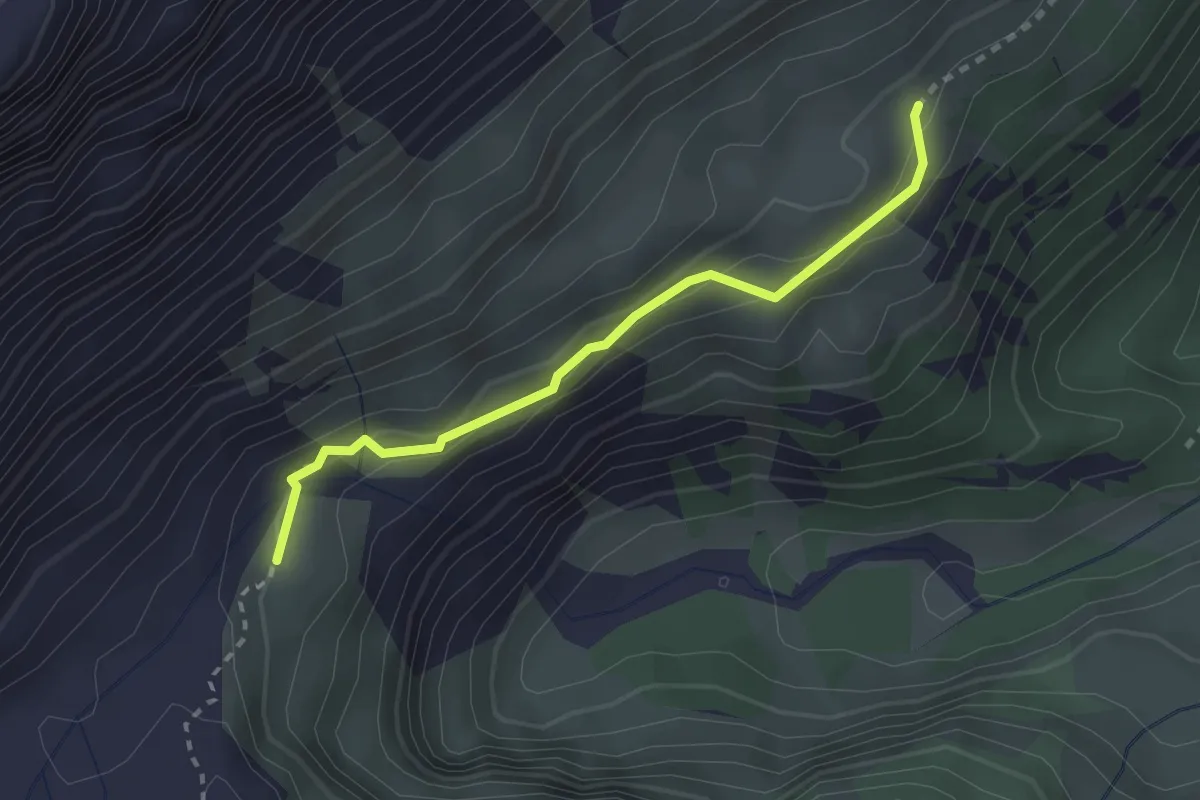
Expert · Cabin
Obersteinberg - fixme
2.4 km · ↑ 127 m · 51 min
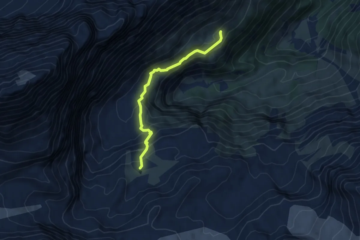
Expert · Cabin
Obersteinberg - Oberhornsee
5.0 km · ↑ 390 m · 2 h 2 min
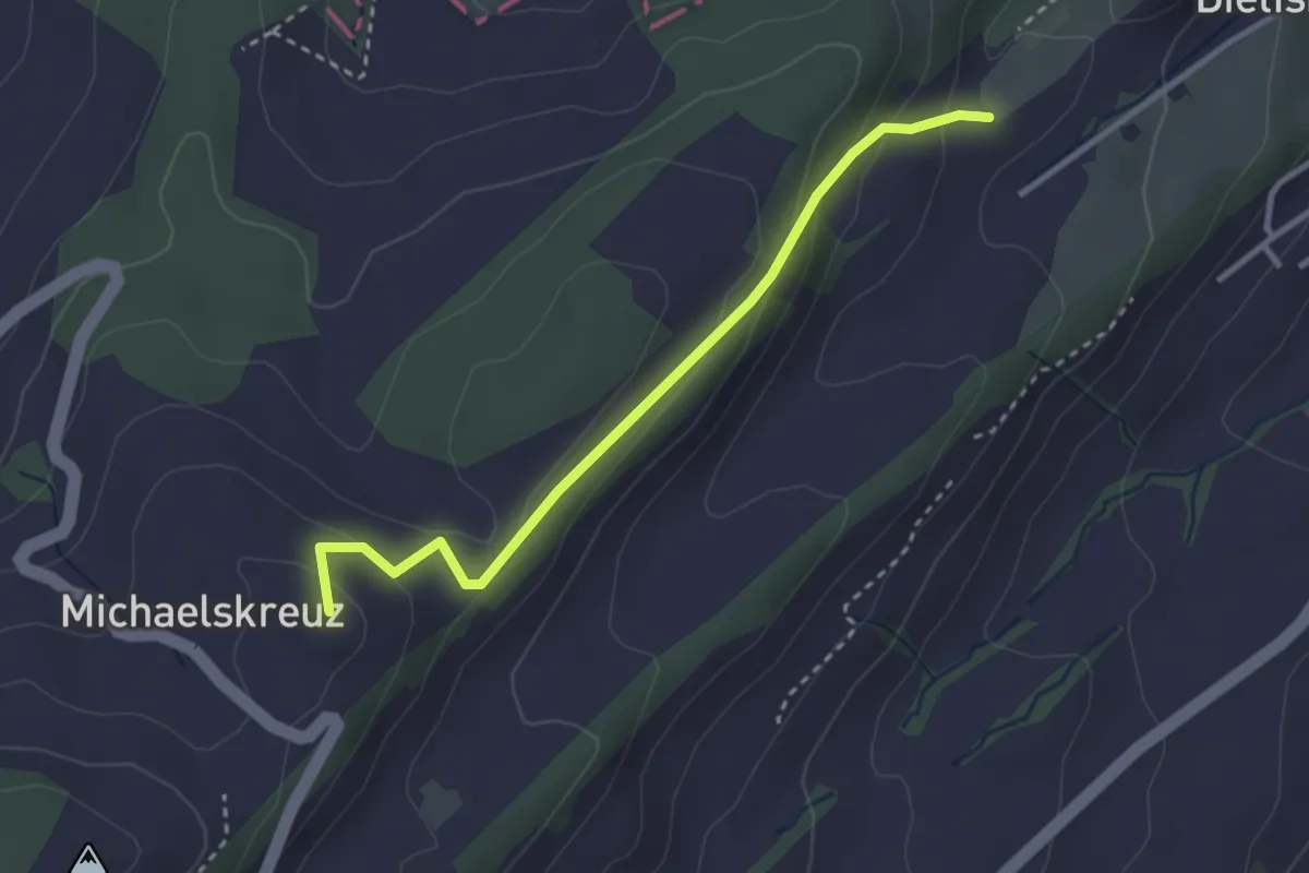
Easy · Summit
Obertal-Michaelskreuz
3.0 km · ↑ 147 m · 1 h 1 min
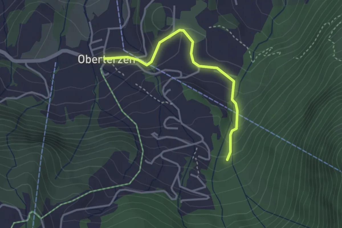
Easy · Trail
Oberterzen - Männis Rundweg
2.8 km · ↑ 147 m · 59 min
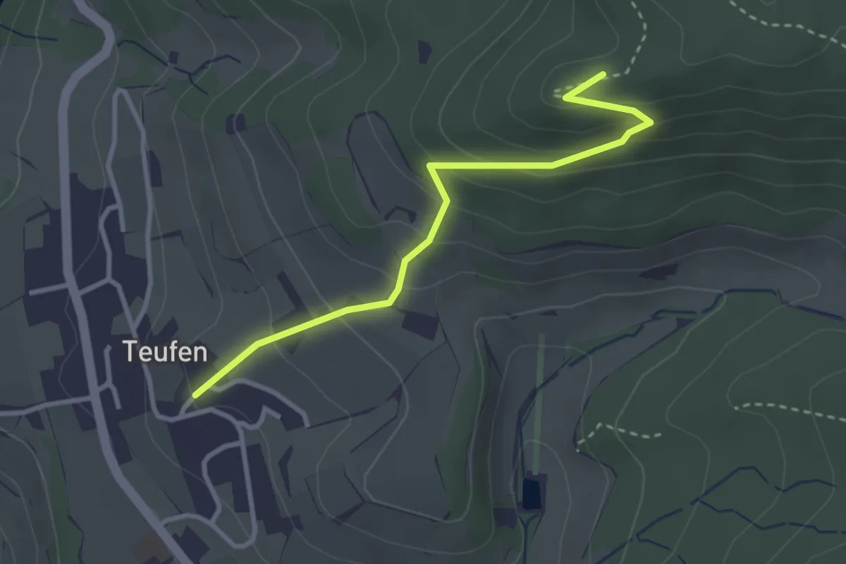
Easy · Summit
Ober Teufen - Hörnli
3.0 km · ↑ 201 m · 1 h 8 min
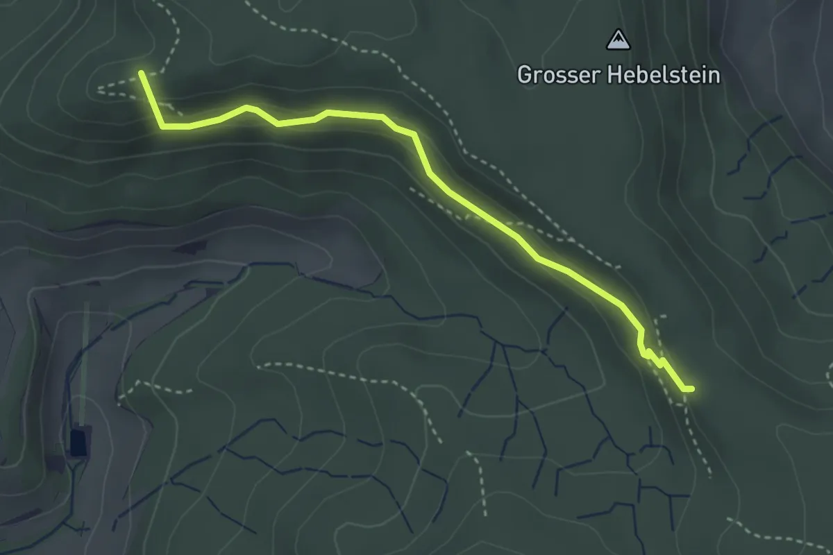
Easy · Summit
Ober Teufen - Schartenflue
3.3 km · ↑ 159 m · 1 h 8 min
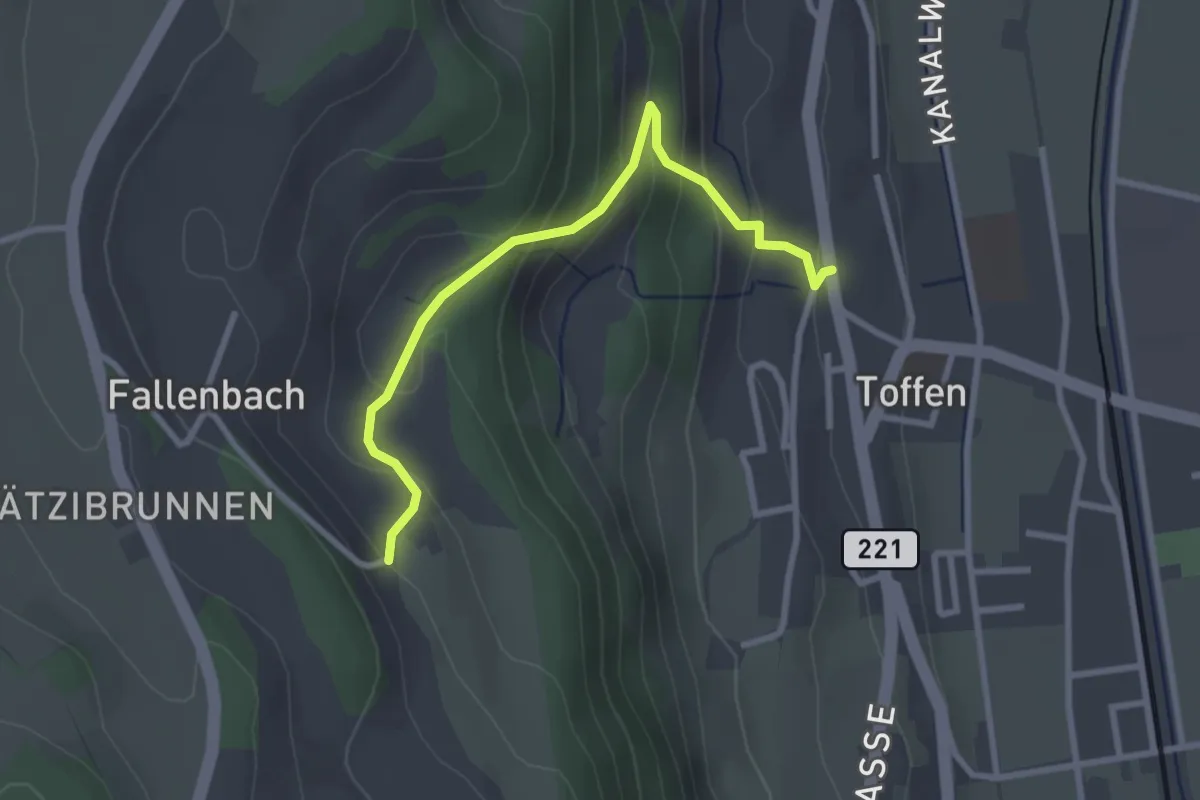
Easy · Trail
Obertoffen - Toffen/Dorf
2.8 km · ↑ 197 m · 1 h 6 min
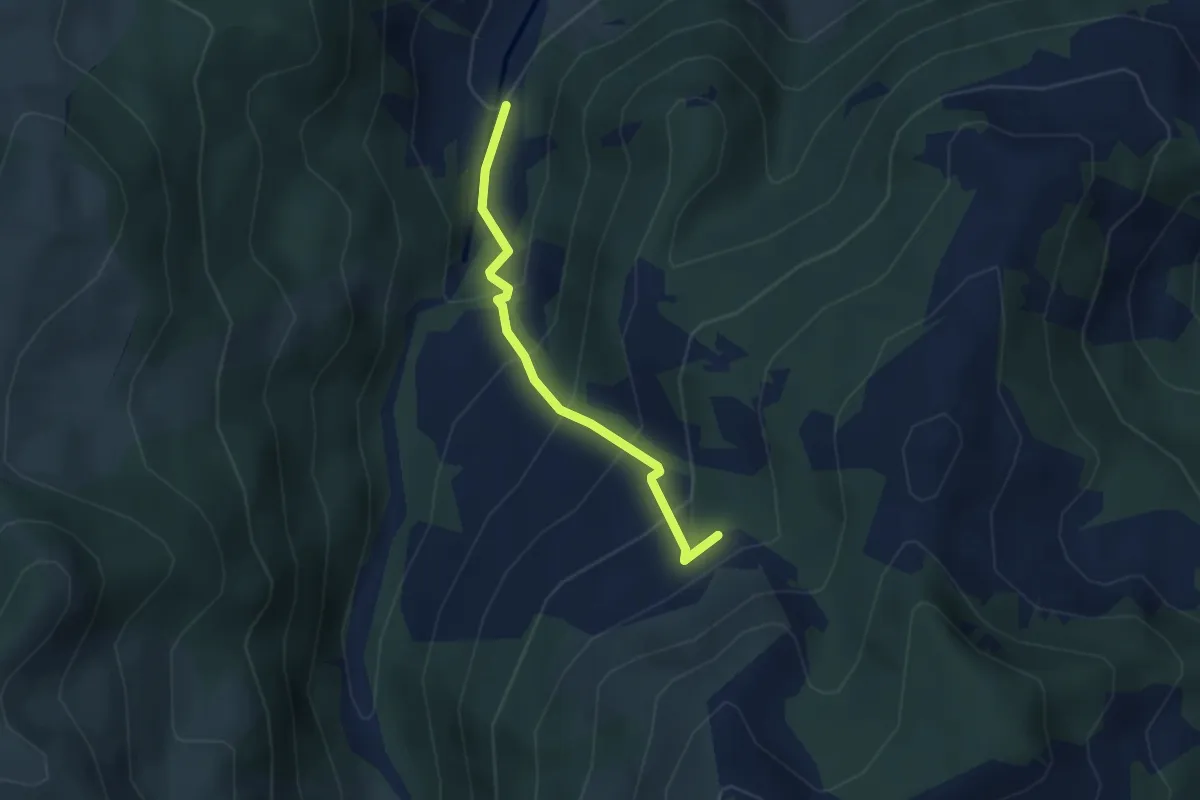
Medium · Trail
Ober Tries - Ijenschatten
2.8 km · ↑ 279 m · 1 h 16 min
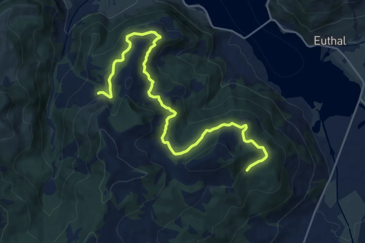
Medium · Trail
Ober Tries - Unter Hummel
14.2 km · ↑ 569 m · 4 h 35 min
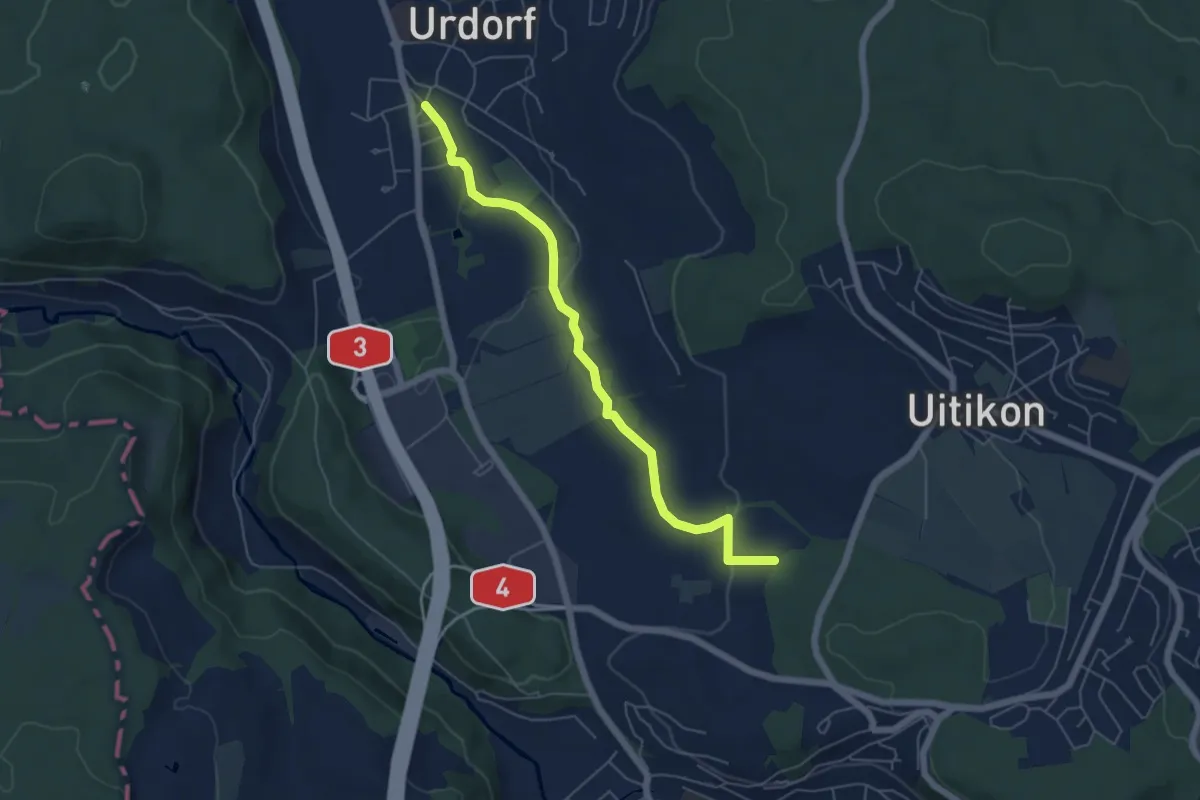
Easy · Trail
Oberurdorf - Leerbreiti
5.5 km · ↑ 97 m · 1 h 31 min
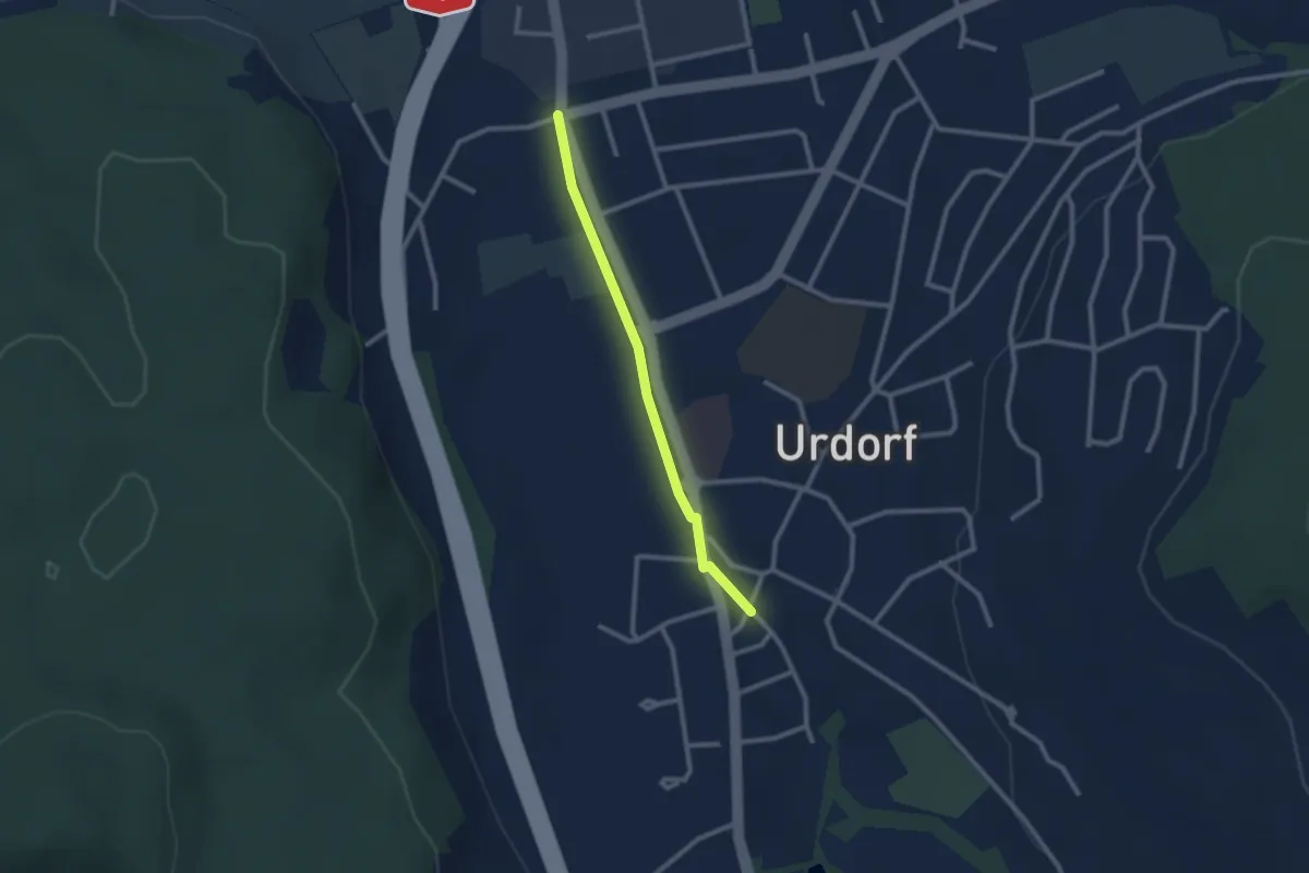
Easy · Trail
Oberurdorf - Niederurdorf
2.2 km · ↑ 9 m · 32 min
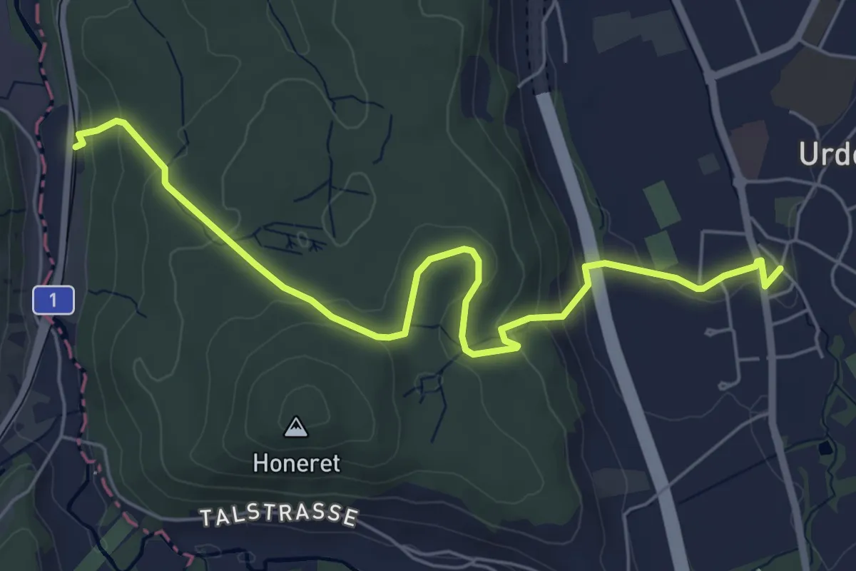
Easy · Trail
Oberurdorf - Reppischhof
6.4 km · ↑ 210 m · 1 h 58 min
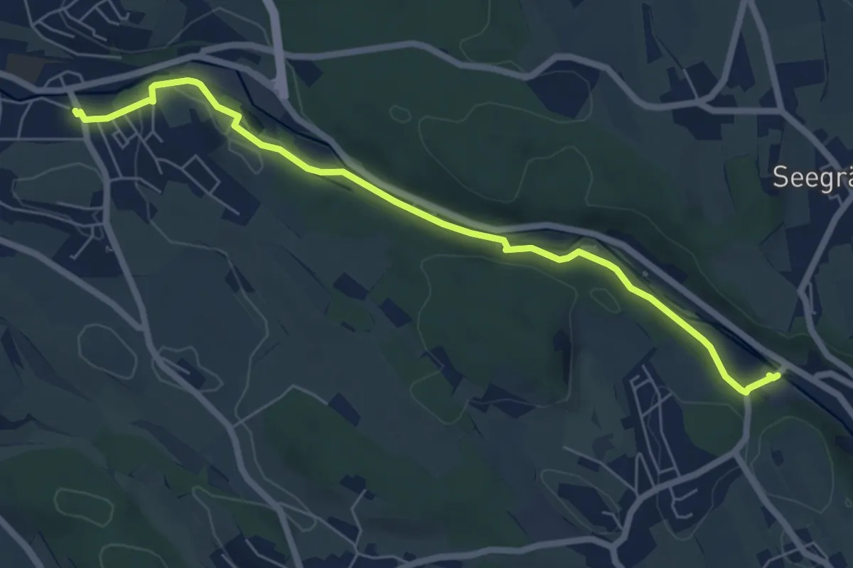
Easy · Trail
Oberuster - Aathal
6.4 km · ↑ 104 m · 1 h 44 min
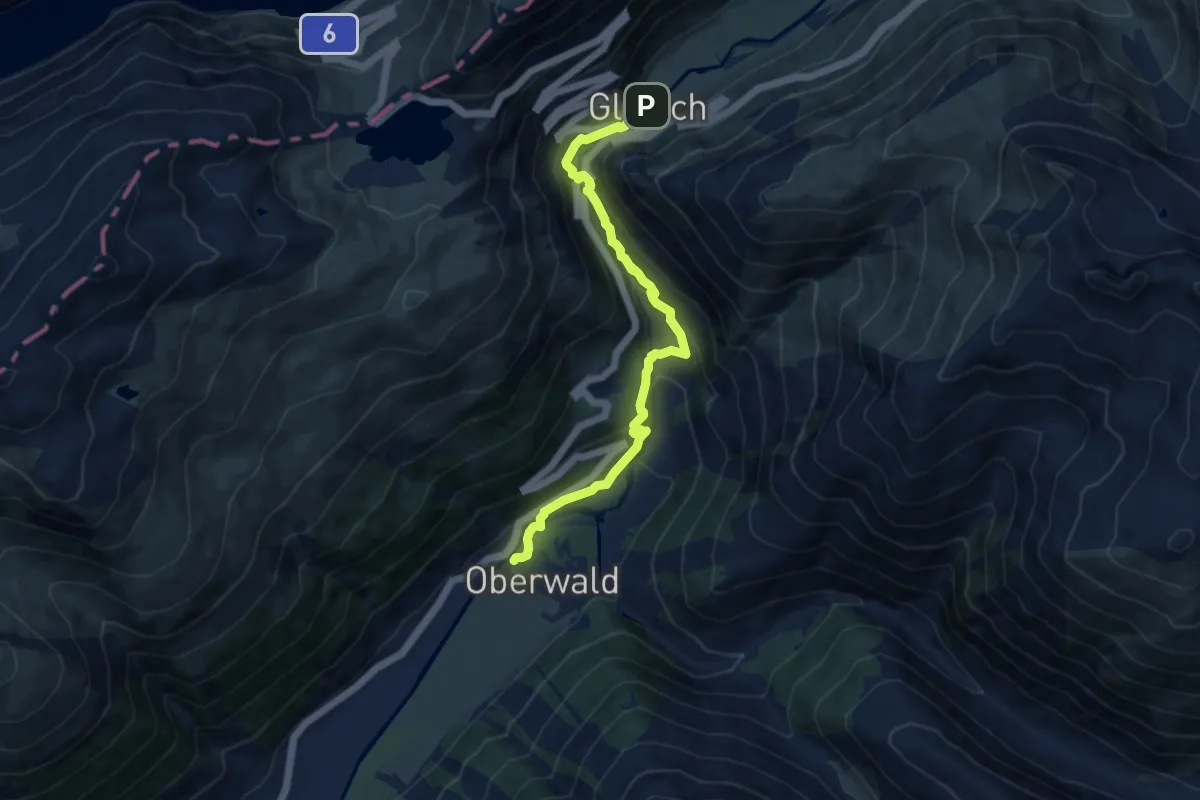
Demanding · Trail
Oberwald - Gletsch
9.8 km · ↑ 504 m · 3 h 25 min
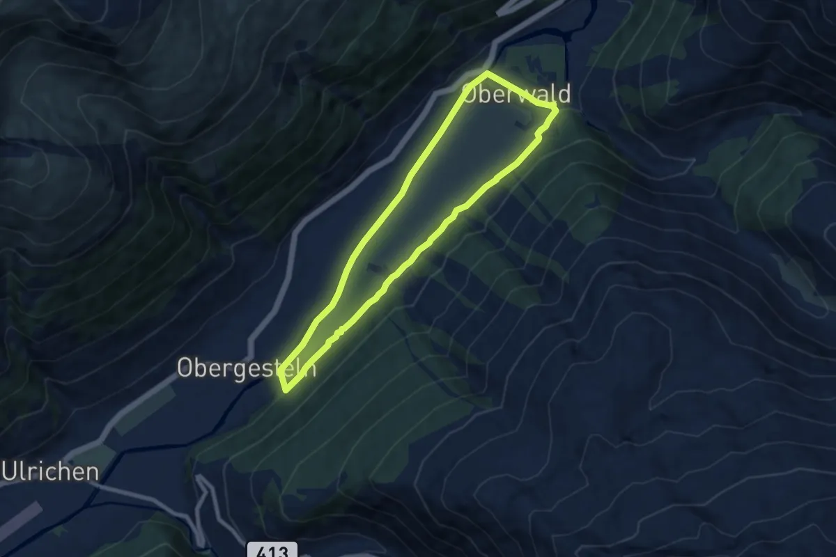
Medium · Trail
Oberwald - Obergesteln
14.1 km · ↑ 181 m · 3 h 44 min
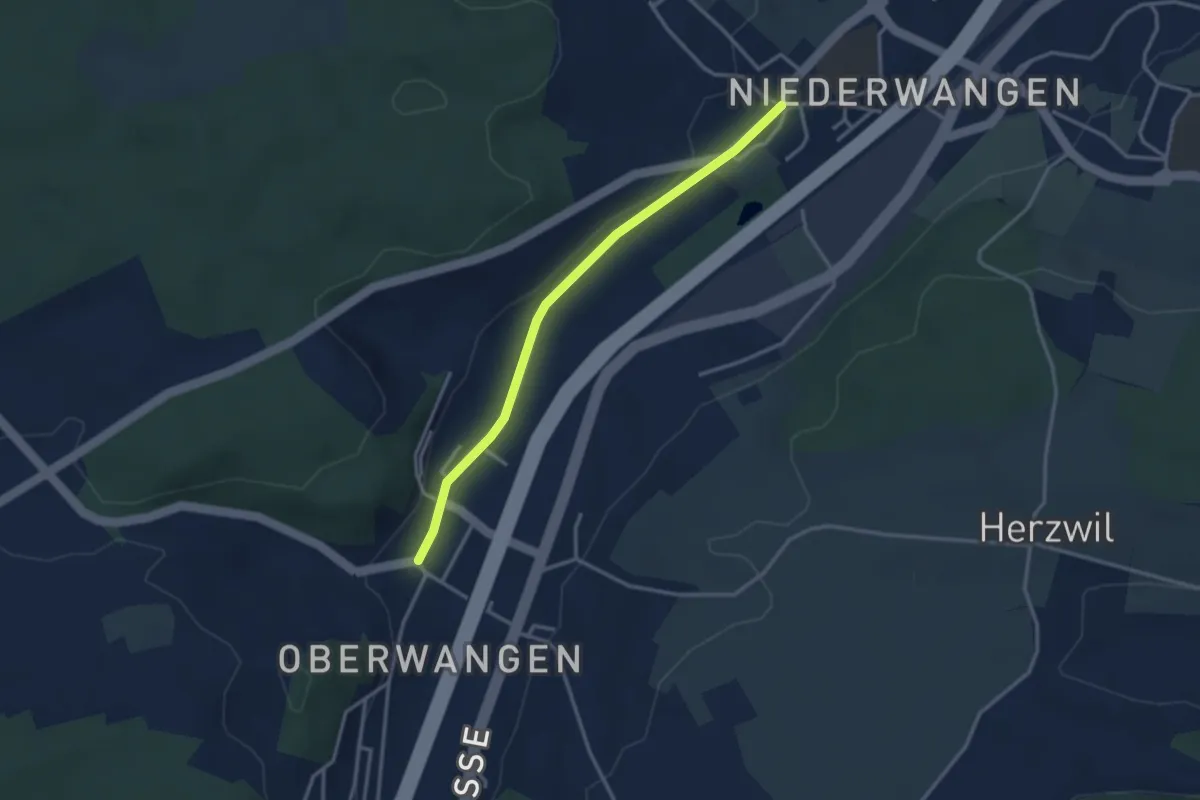
Easy · Trail
Oberwangen - Niederwangen
3.1 km · ↑ 34 m · 48 min
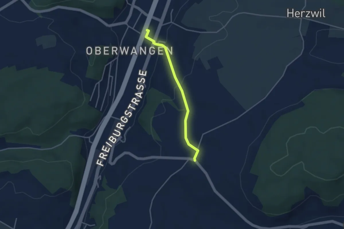
Easy · Trail
Oberwangen Station - Liebewil
2.8 km · ↑ 93 m · 51 min
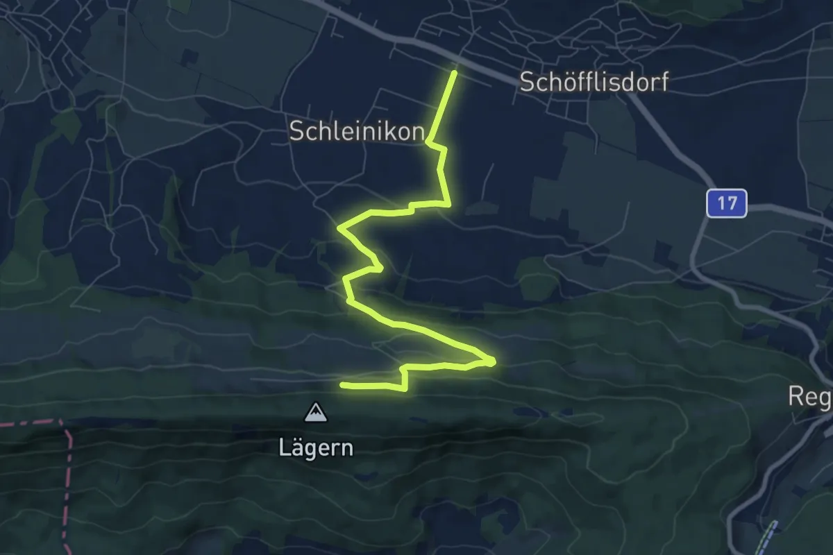
Medium · Trail
Oberweningen - Lägernweid
8.7 km · ↑ 350 m · 2 h 49 min
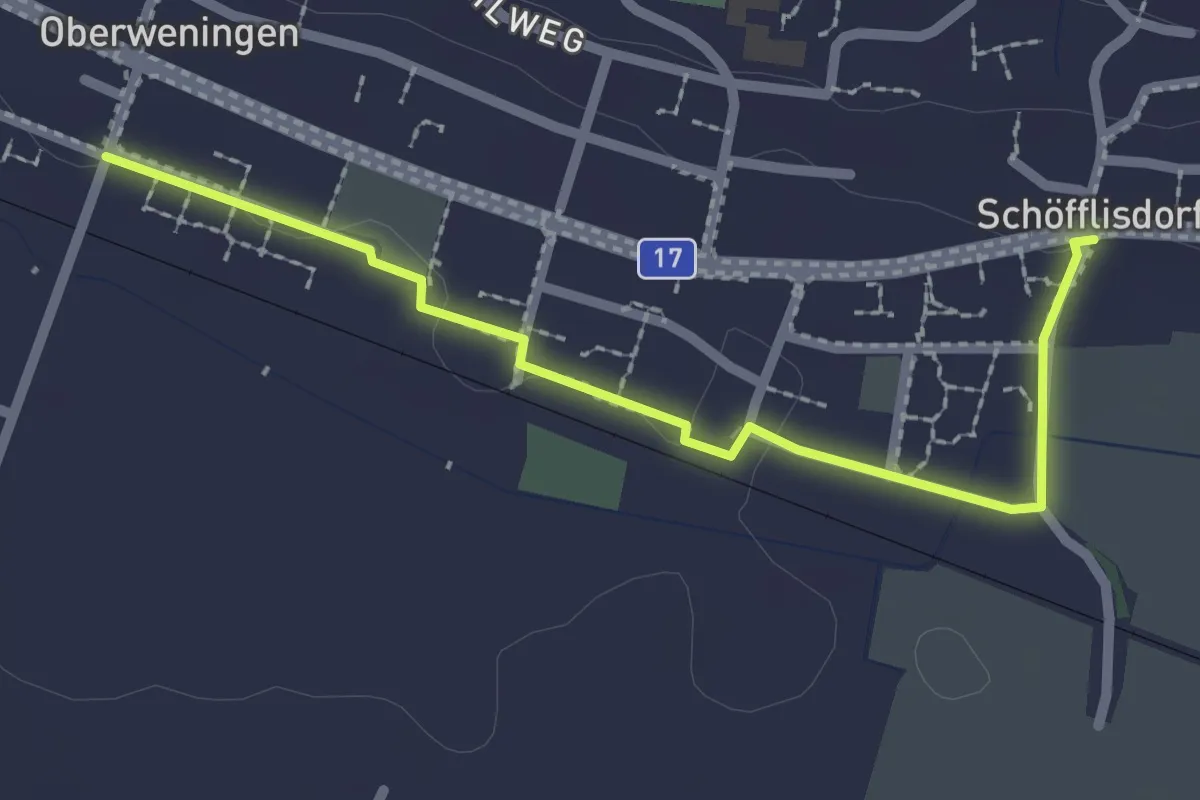
Easy · Trail
Oberweningen - Schöfflisdorf
2.4 km · ↑ 8 m · 35 min
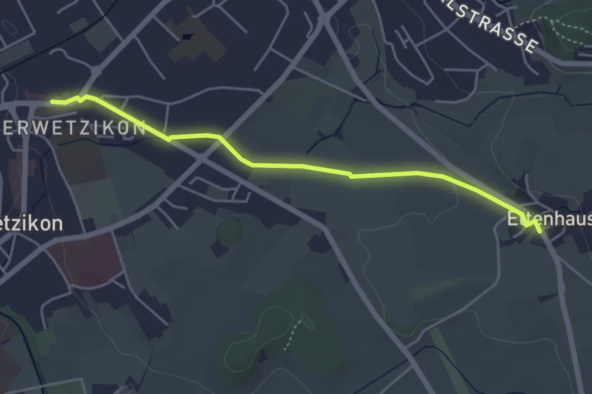
Easy · Trail
Oberwetzikon - Ettenhausen
4.1 km · ↑ 22 m · 1 h 1 min
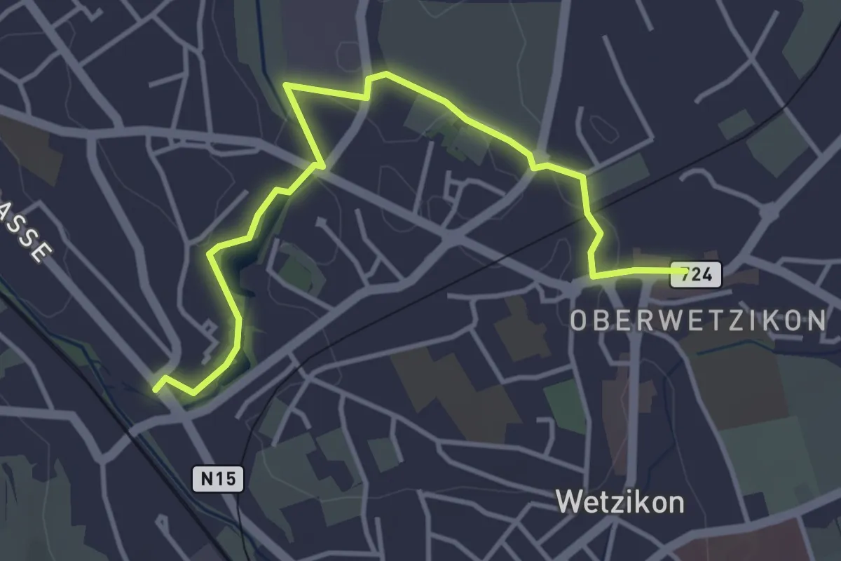
Easy · Trail
Oberwetzikon - Medikon
4.0 km · ↑ 27 m · 1 h
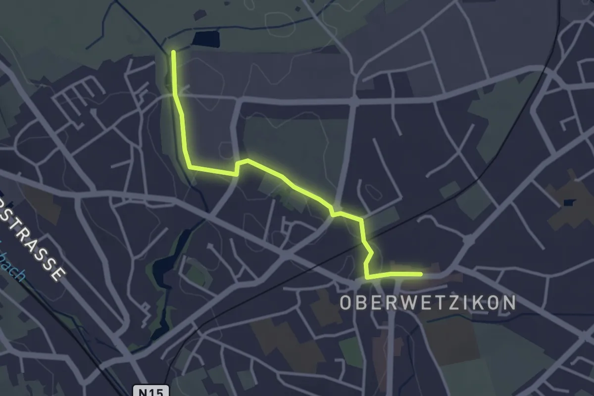
Easy · Trail
Oberwetzikon - Robenhausen
3.0 km · ↑ 8 m · 44 min
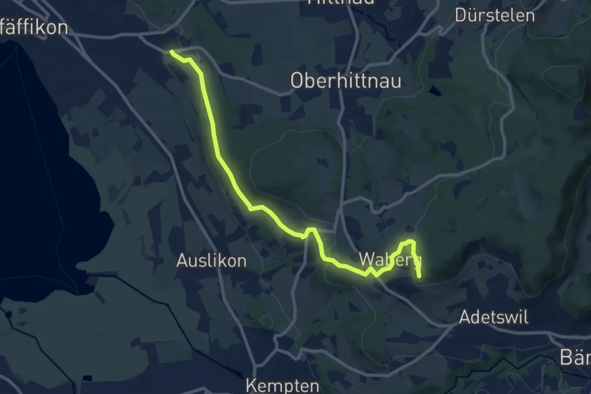
Medium · Trail
Oberwil - Rosinli
8.9 km · ↑ 244 m · 2 h 38 min
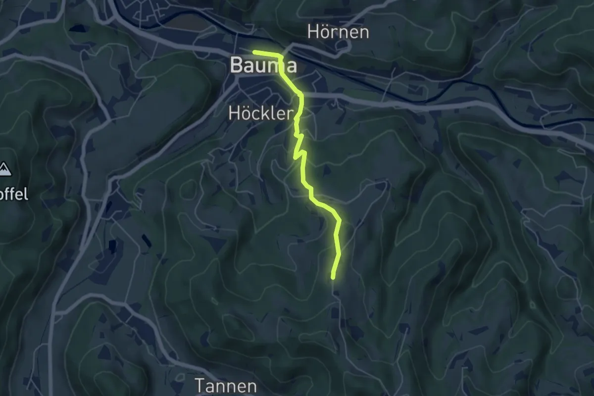
Easy · Trail
Ober Wolfsberg - Bauma Bhf.
4.5 km · ↑ 232 m · 1 h 33 min
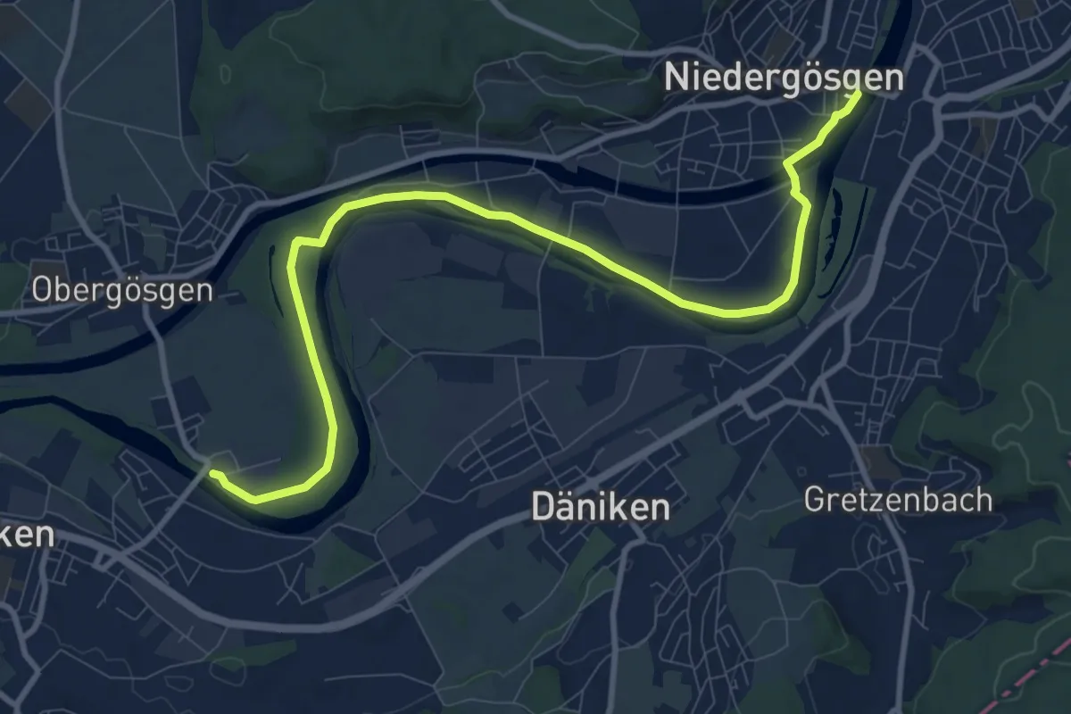
Medium · Trail
Ob. Gösgen Schachen - Niedergösgen
10.9 km · ↑ 35 m · 2 h 39 min
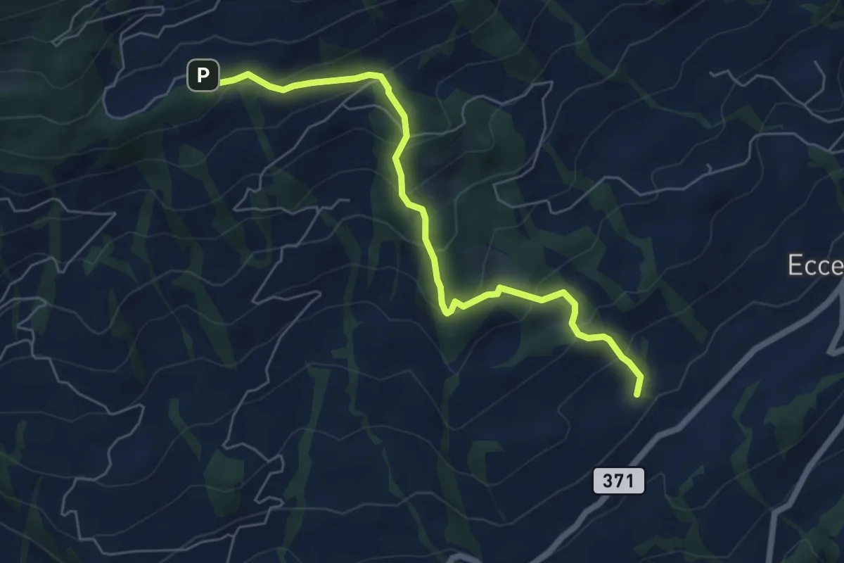
Medium · Trail
Obhegkapelle - Talacher? / Steinen? - fixme
6.0 km · ↑ 491 m · 2 h 29 min
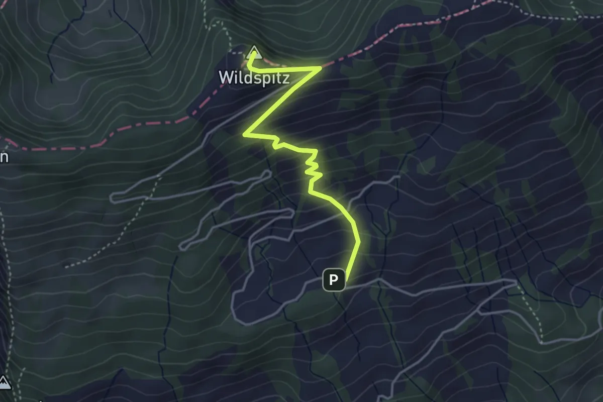
Medium · Summit
Obhegkapelle - Wildspitz
3.7 km · ↑ 323 m · 1 h 35 min
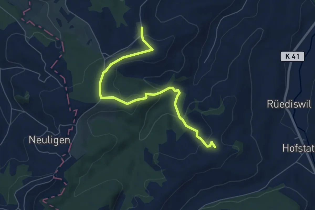
Easy · Trail
Ob. Hilferdingen - Älbachegg
6.2 km · ↑ 259 m · 2 h 2 min
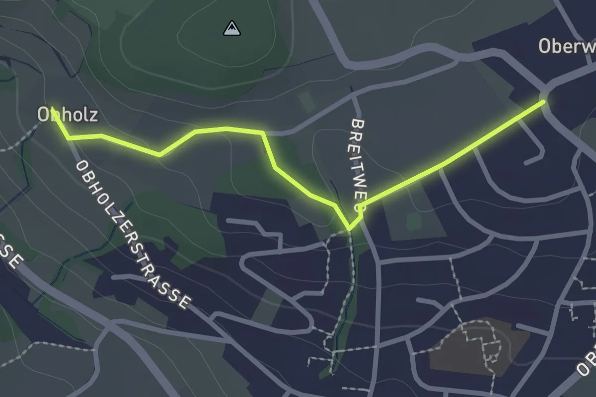
Easy · Trail
Obholz - Oberwil
2.3 km · ↑ 58 m · 40 min
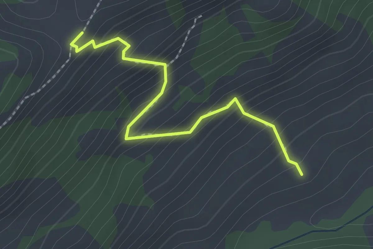
Easy · Trail
Ob. Looegg - fixme
2.1 km · ↑ 228 m · 59 min
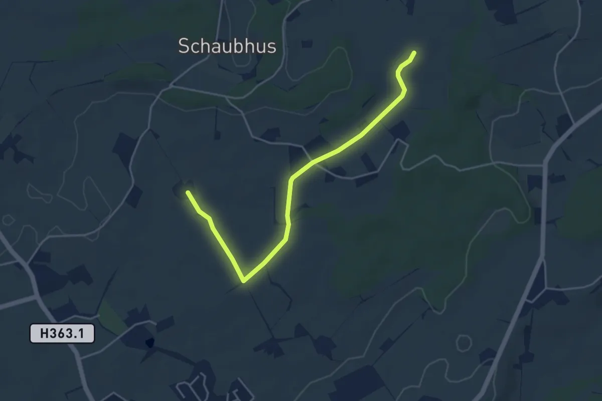
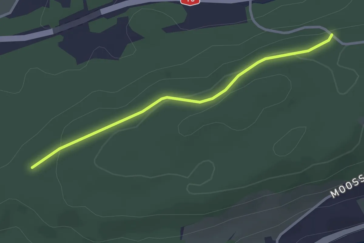
Easy · Trail
Obmoos - Hirselen
4.3 km · ↑ 27 m · 1 h 4 min
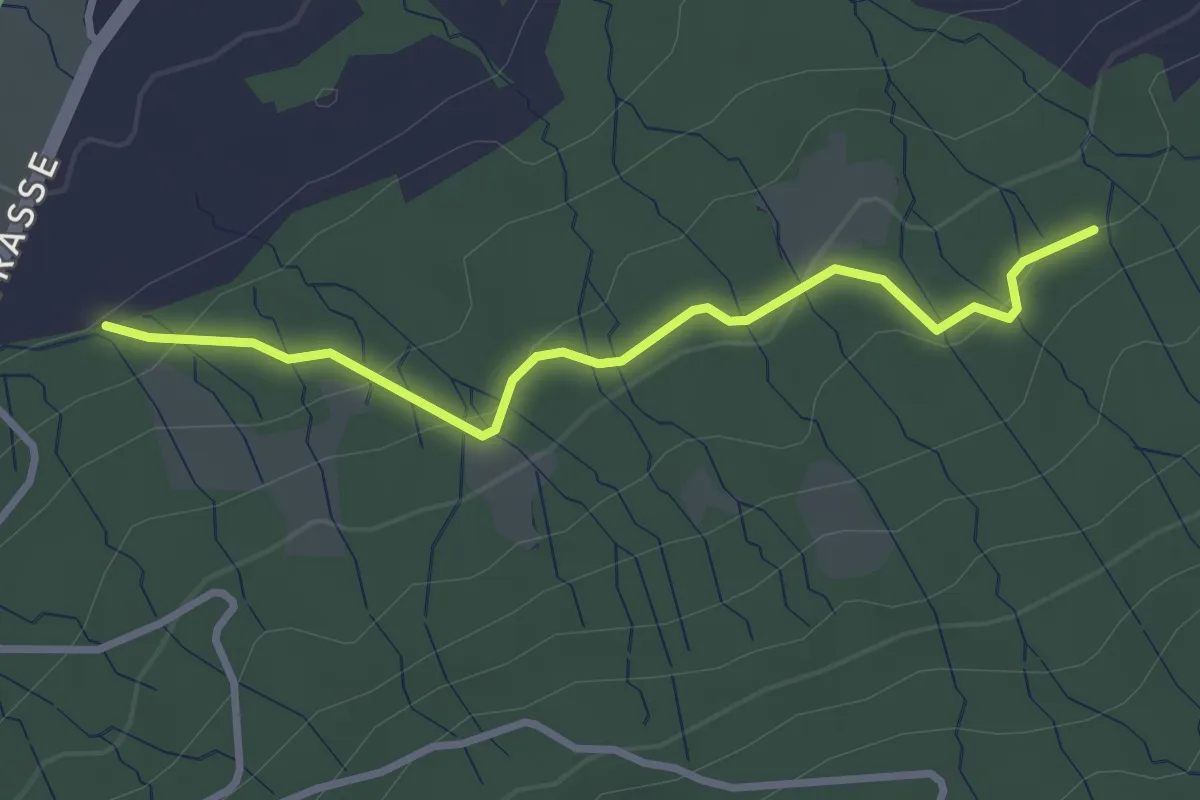
Easy · Trail
Ob. Rüti - Ober Buchmatt
2.5 km · ↑ 63 m · 43 min
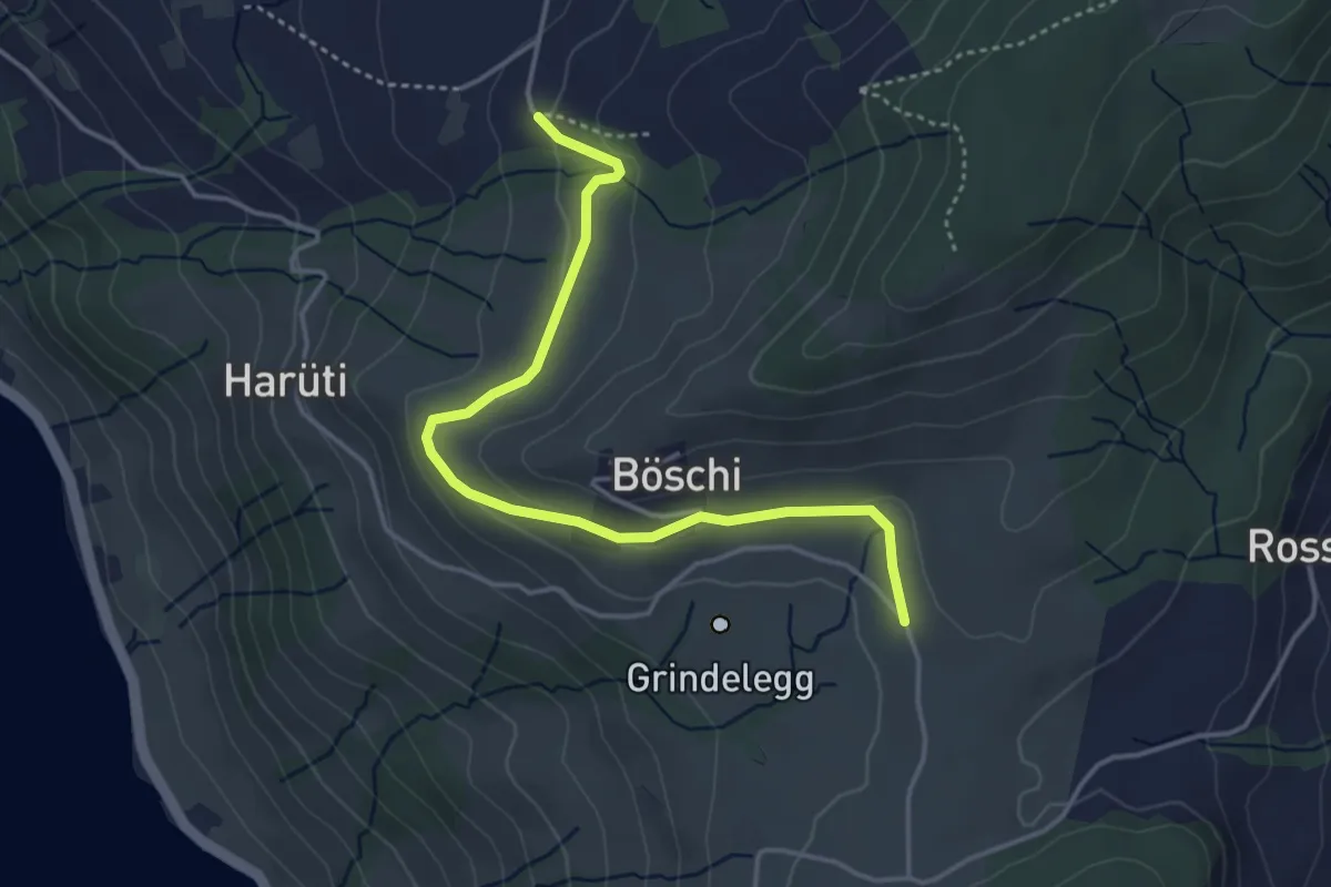
Easy · Trail
Ob. Stosslegi - Eich?`- fixme
2.9 km · ↑ 110 m · 56 min
Easy · Trail
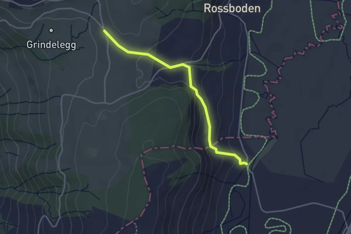
Ob Tännli - Grindel - Waldschlagchrüz
4.1 km · ↑ 102 m · 1 h 12 min
Easy · Trail
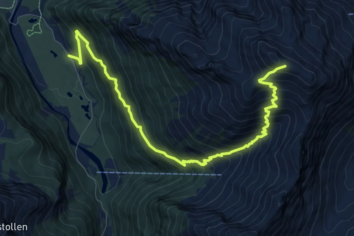
Ob Tännli - Tännli Chappeli - Möslibrugg
3.1 km · ↑ 114 m · 58 min
Demanding · Trail
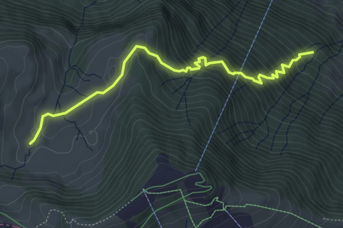
Ochsenboden-Diethelm
9.8 km · ↑ 1207 m · 4 h 56 min
Medium · Trail
Ochsenchneu - Rotenflue Allmig
5.5 km · ↑ 573 m · 2 h 32 min
Easy · Trail
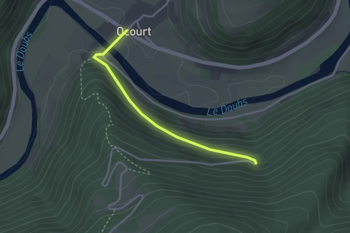
Ocourt - fixme
2.6 km · ↑ 141 m · 55 min
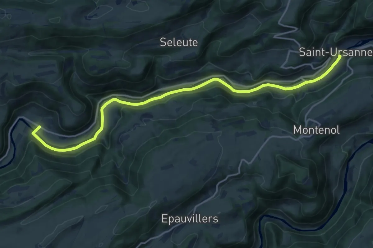
Medium · Trail
Ocourt - St. Ursanne
14.7 km · ↑ 129 m · 3 h 46 min
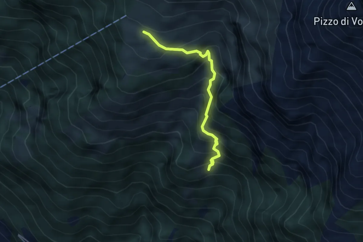
Medium · Cabin
Odro - Alpe Bardughè
3.5 km · ↑ 448 m · 1 h 48 min
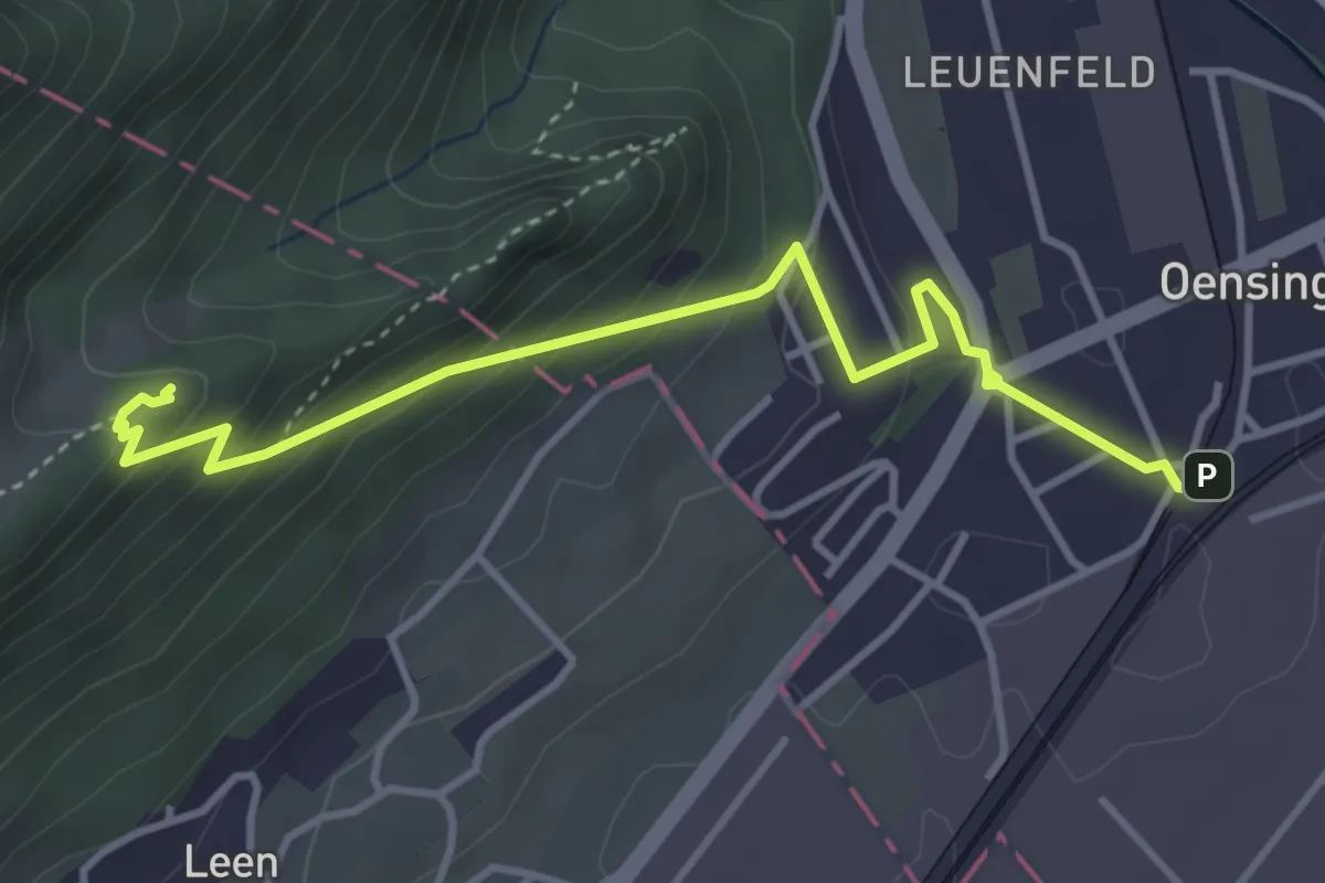
Easy · Trail
Oensingen - Erlinsburg
4.1 km · ↑ 269 m · 1 h 33 min
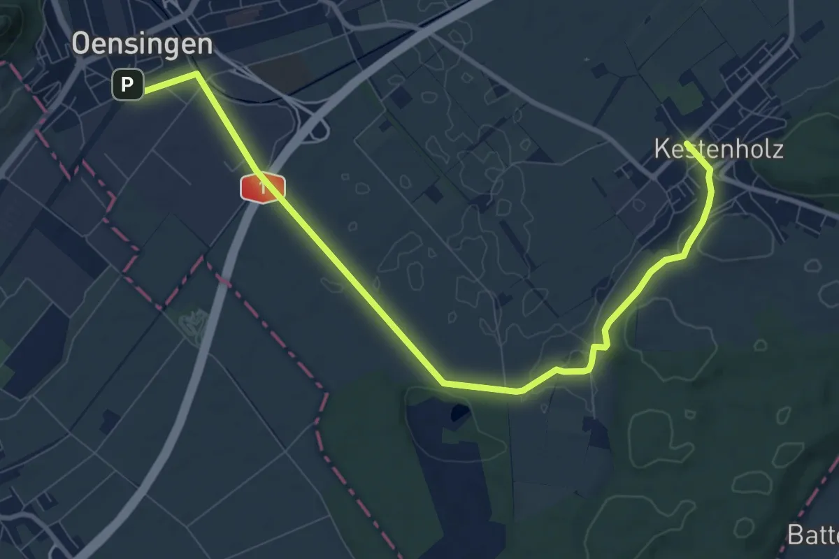
Medium · Trail
Oensingen - Kestenholz
10.6 km · ↑ 93 m · 2 h 42 min
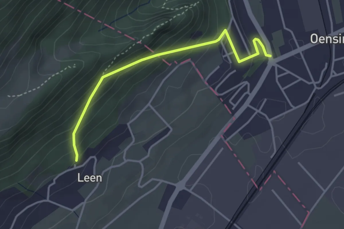
Easy · Trail
Oensingen - Leen
3.3 km · ↑ 283 m · 1 h 23 min
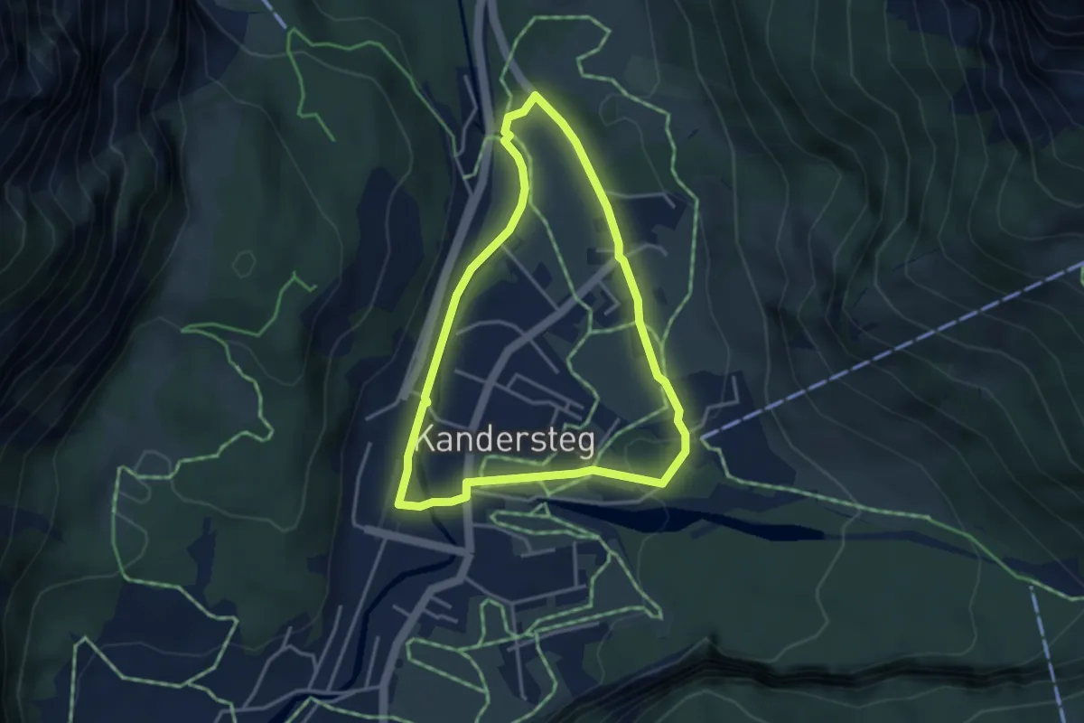
Easy · Trail
Oeschigässli-Kander-Rundweg
3.3 km · ↑ 42 m · 55 min
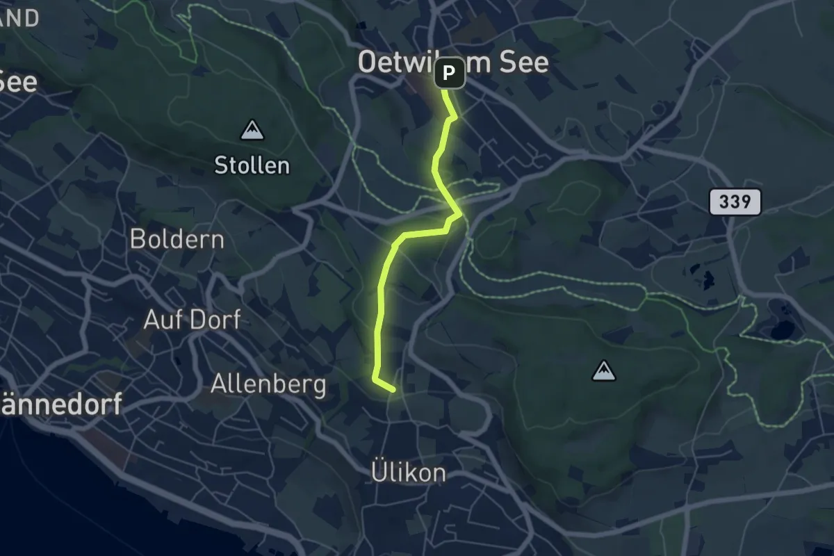
Easy · Trail
Oetwil - Püntacher
4.5 km · ↑ 147 m · 1 h 23 min
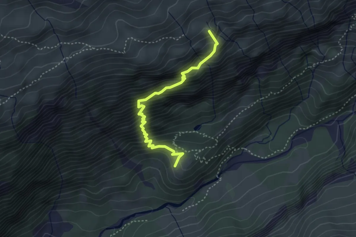
Medium · Trail
Öfeli - Hotel Maderanertal
3.6 km · ↑ 502 m · 1 h 56 min