Trails in Switzerland
15,029 hiking trails, each with its route, climb, walking time and grade.
All trails, page 79 of 314
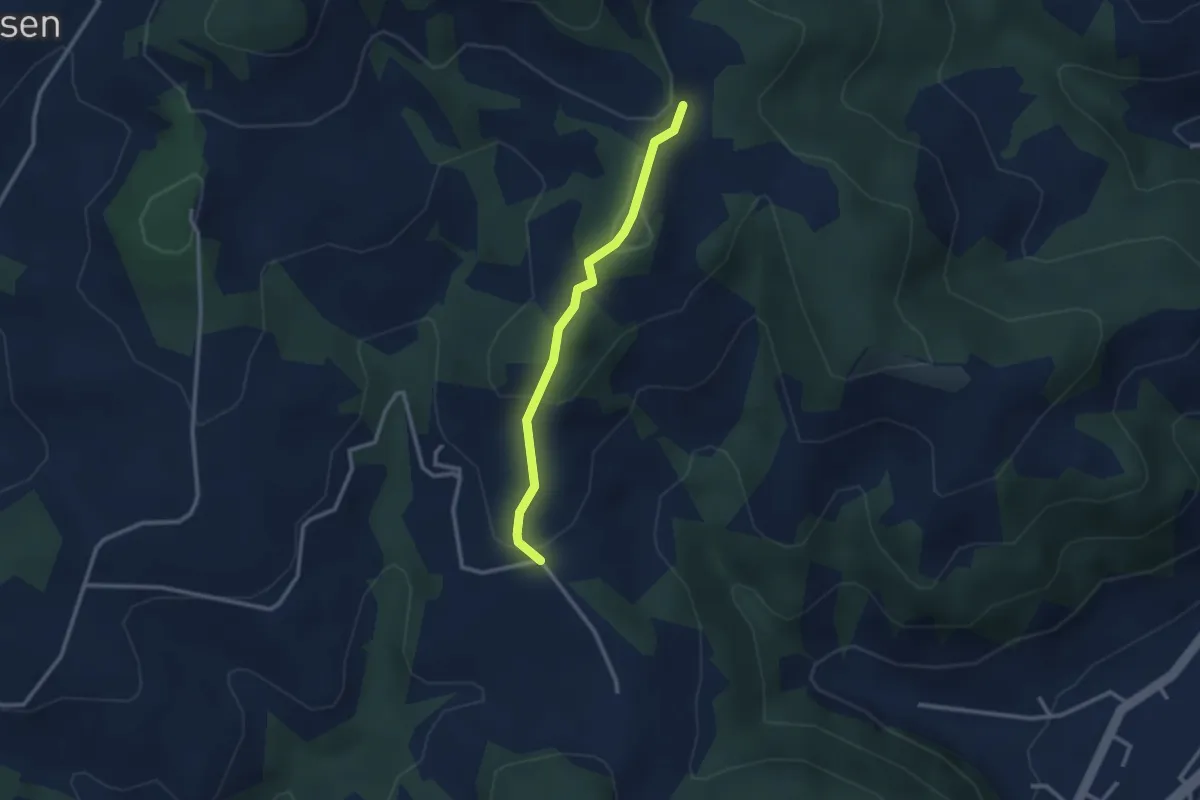
Easy · Trail
Ofeneggalp - Hüslebach
2.5 km · ↑ 103 m · 49 min
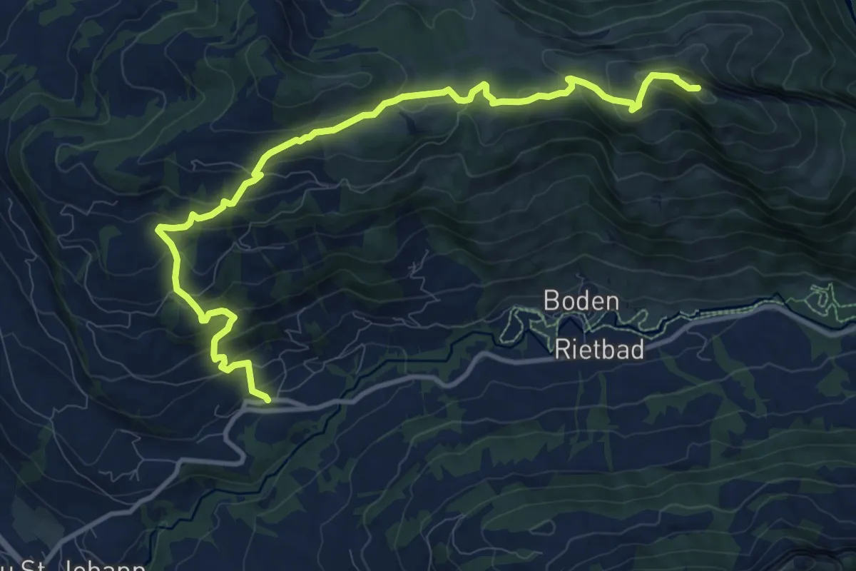
Medium · Summit
Ofenloch-Weg
11.9 km · ↑ 735 m · 4 h 25 min
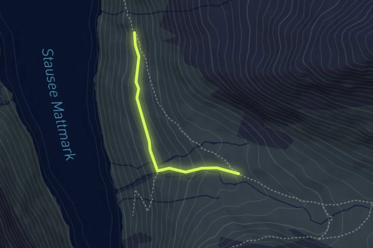
Medium · Trail
Offental - Distel
3.0 km · ↑ 141 m · 1 h
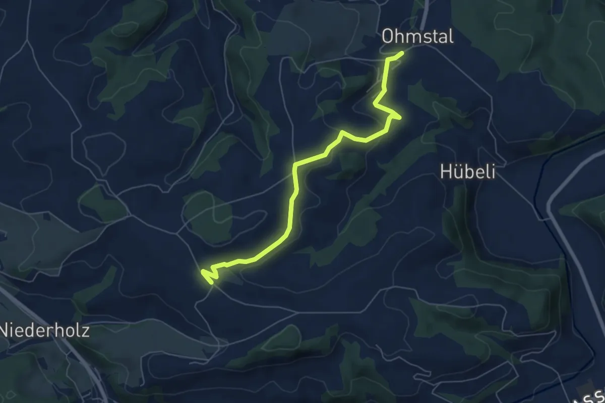
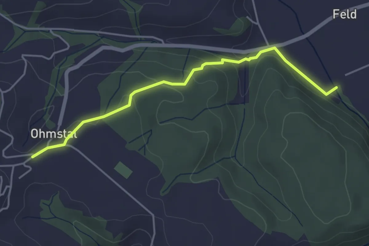
Easy · Trail
Ohmstal - Hünkihof
6.1 km · ↑ 163 m · 1 h 47 min
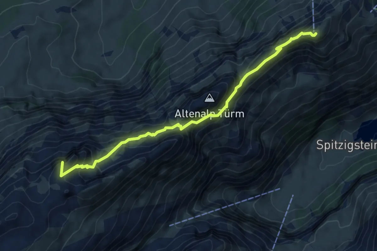
Easy · Trail
Ohmstal - Luternacher
4.0 km · ↑ 119 m · 1 h 12 min
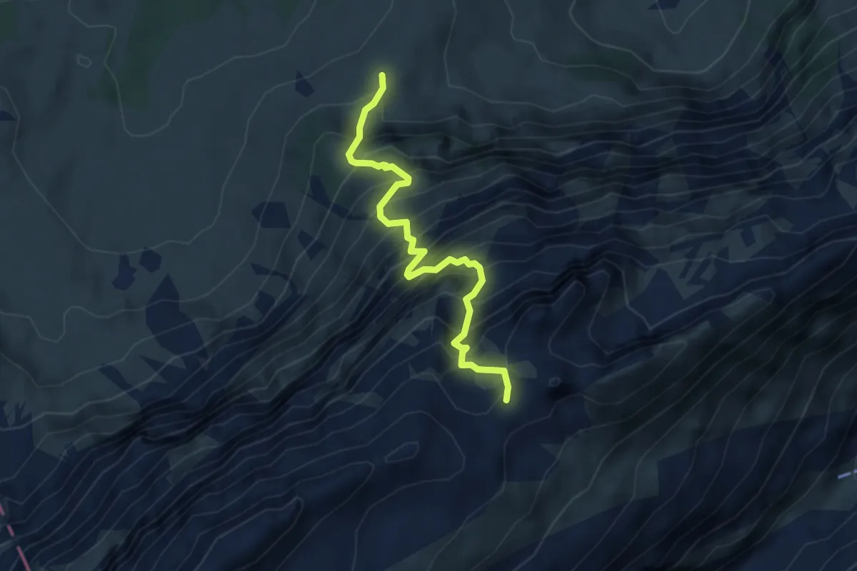
Demanding · Summit
Öhrligrueb - Schäfler
6.5 km · ↑ 604 m · 2 h 51 min
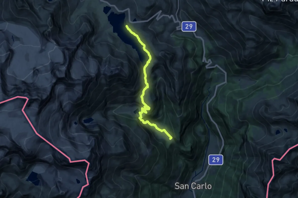
Expert · Trail
Öhrligrueb - Schwizerälpli
4.0 km · ↑ 737 m · 2 h 33 min
Medium · Trail
Ökostrompfad (Repower)
17.0 km · ↑ 706 m · 5 h 33 min
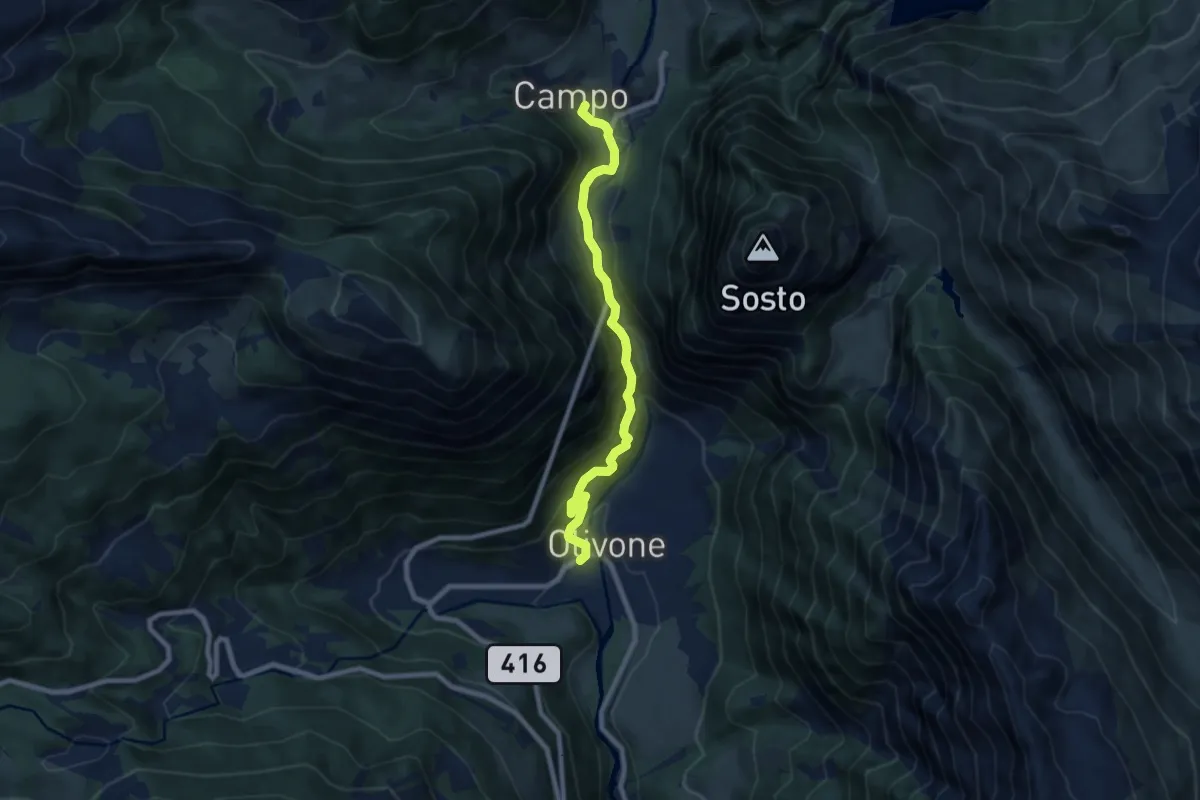
Medium · Trail
Olivone - Campo Blenio
8.0 km · ↑ 729 m · 3 h 28 min
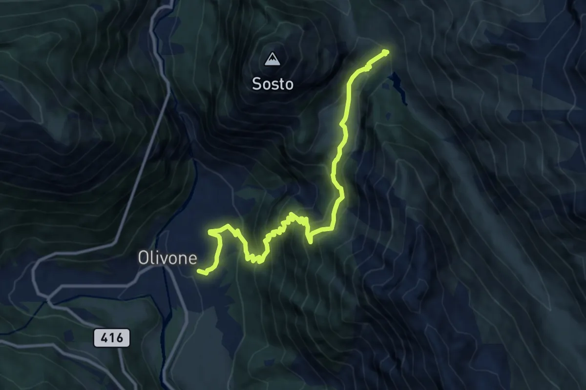
Demanding · Trail
Olivone - Compietto
10.6 km · ↑ 1021 m · 4 h 43 min
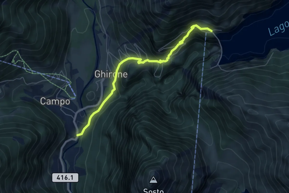
Medium · Trail
Olivone - Diga del Luzzone
5.7 km · ↑ 446 m · 2 h 19 min
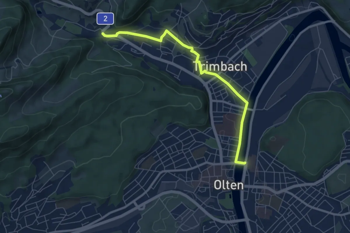
Easy · Trail
Olten HB - Trimbach
6.7 km · ↑ 114 m · 1 h 50 min
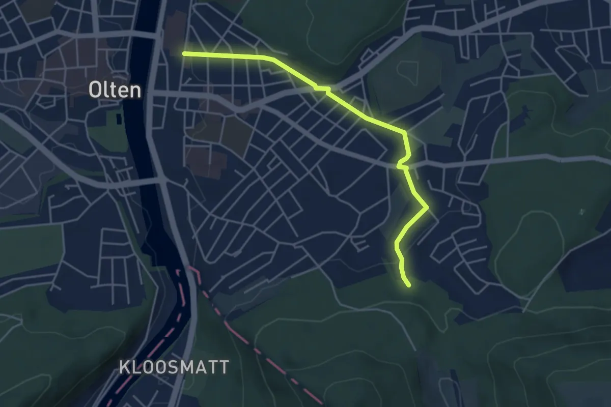
Easy · Trail
Olten - Mülitäli Wildpark
4.2 km · ↑ 83 m · 1 h 10 min
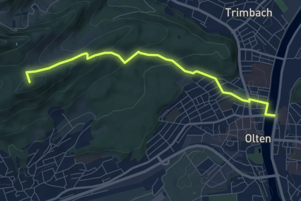
Easy · Summit
Olten - Rumpelweid
7.3 km · ↑ 318 m · 2 h 25 min
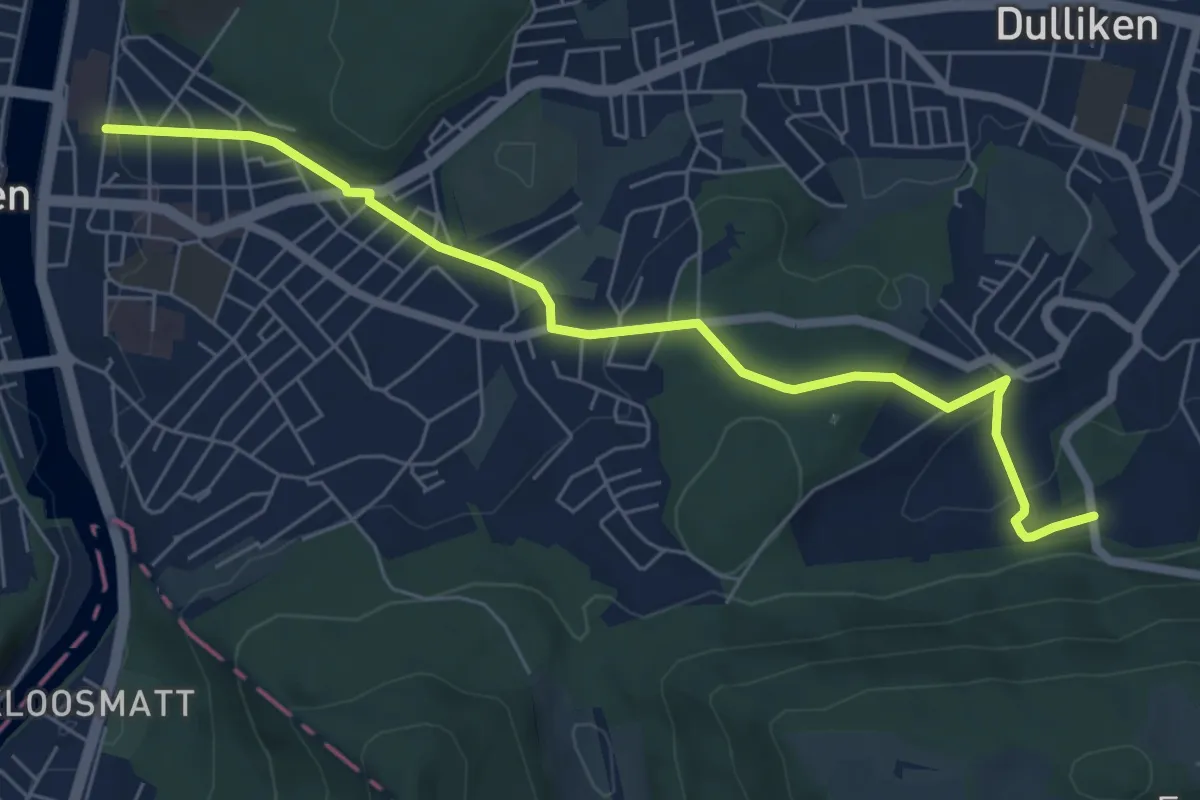
Easy · Trail
Olten - Rüti
6.7 km · ↑ 179 m · 1 h 59 min
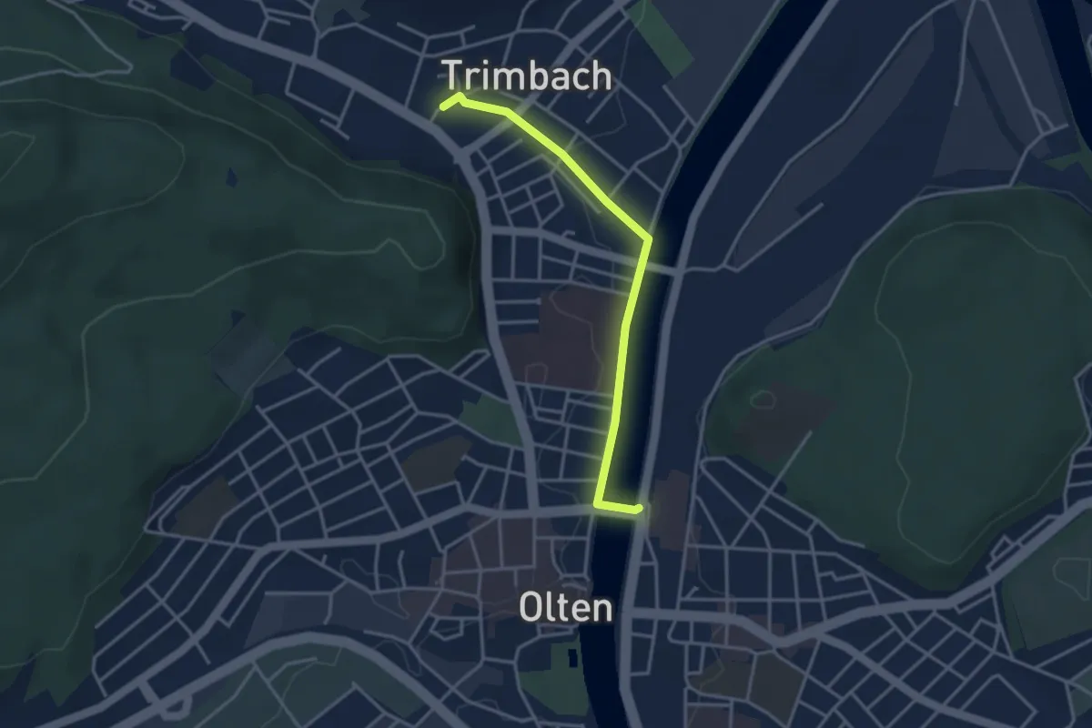
Easy · Trail
Olten - Trimbach
3.2 km · ↑ 26 m · 49 min
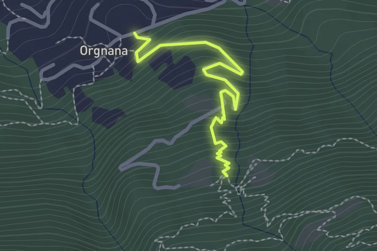
Medium · Trail
Orgnana - Bruno
2.2 km · ↑ 252 m · 1 h 4 min
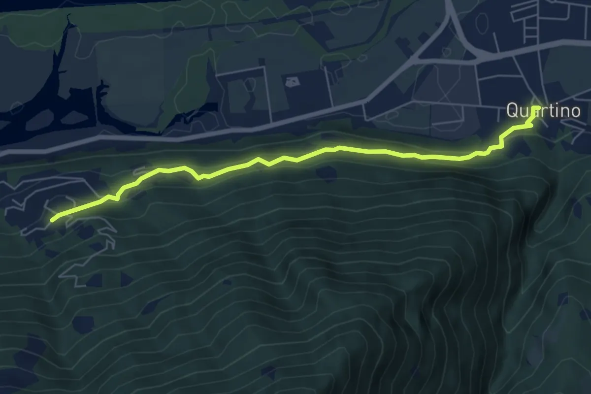
Easy · Trail
Orgnana - Quartino
5.9 km · ↑ 275 m · 2 h
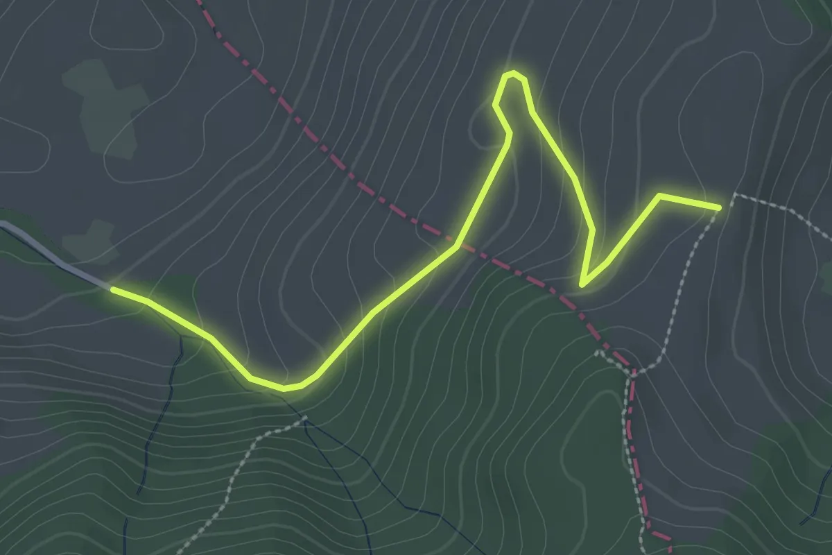
Easy · Trail
Örischwand - Rossberg
3.1 km · ↑ 160 m · 1 h 5 min
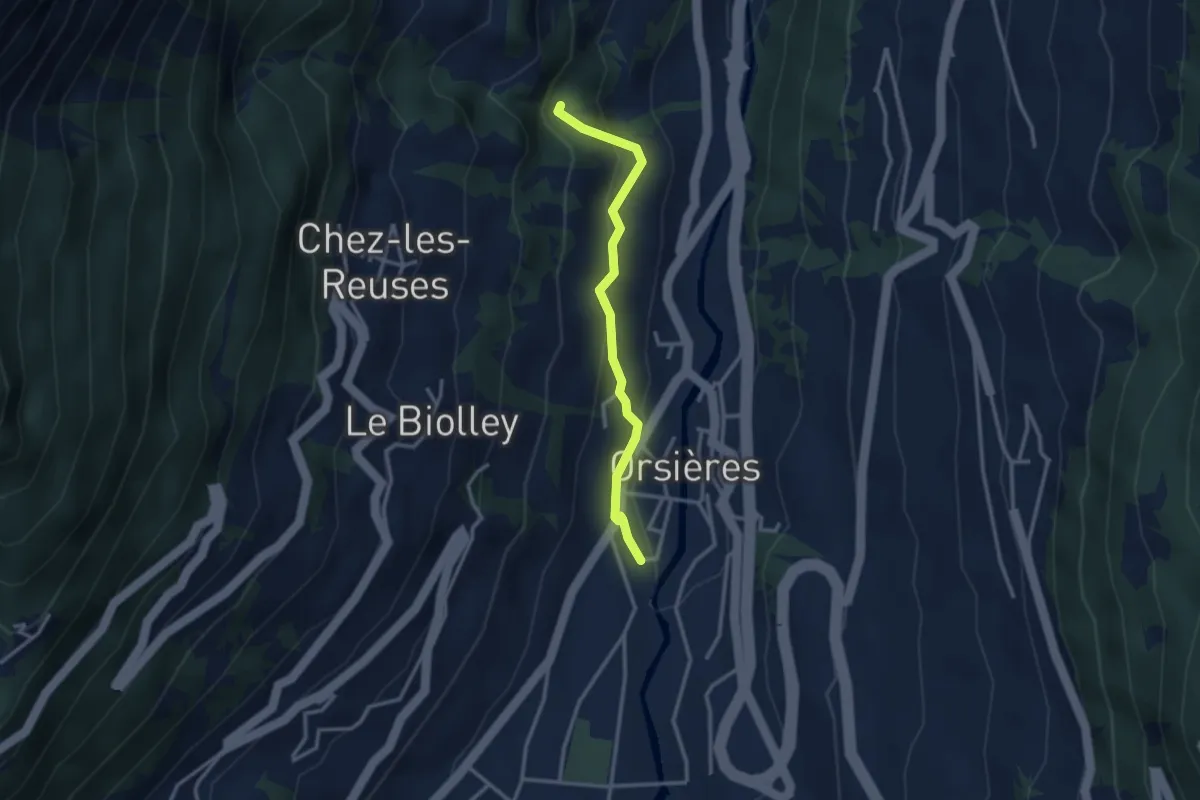
Medium · Trail
Orsières - Gare > Torrent des Fornys
2.8 km · ↑ 156 m · 1 h
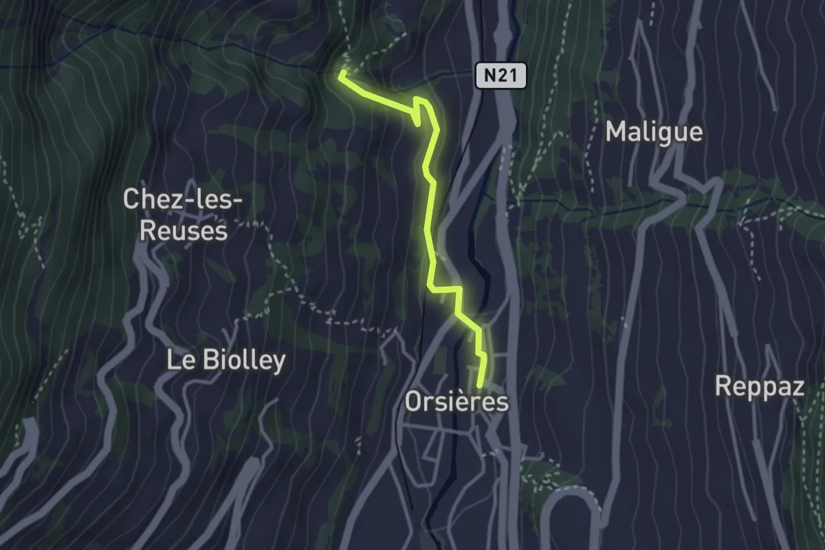
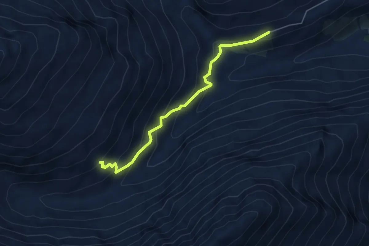
Medium · Trail
Orsières - La Place > Torrent des Fornys
2.6 km · ↑ 120 m · 52 min
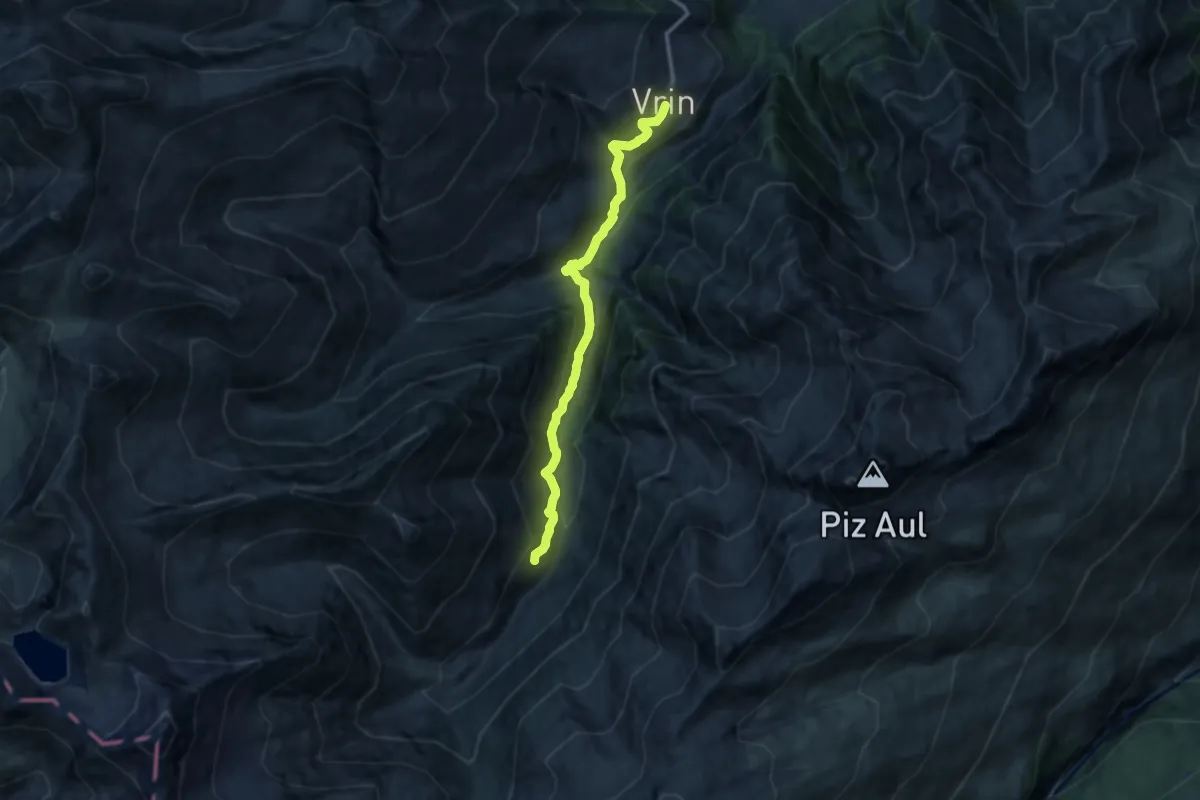
Demanding · Trail
Orte der Magie - Greina
4.1 km · ↑ 368 m · 1 h 46 min
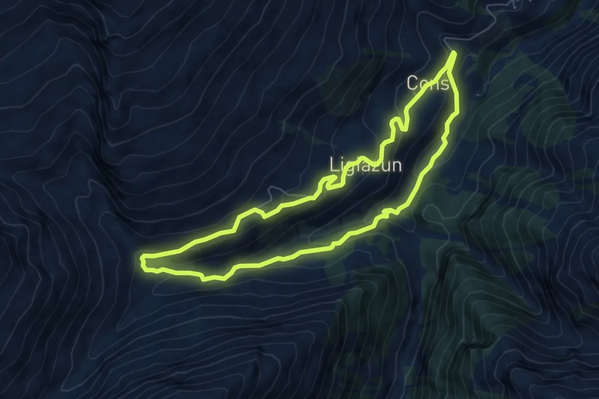
Medium · Trail
Orte der Magie - Salischina
5.6 km · ↑ 449 m · 2 h 16 min
Medium · Trail
Orte der Magie - Vrin
6.5 km · ↑ 315 m · 2 h 18 min
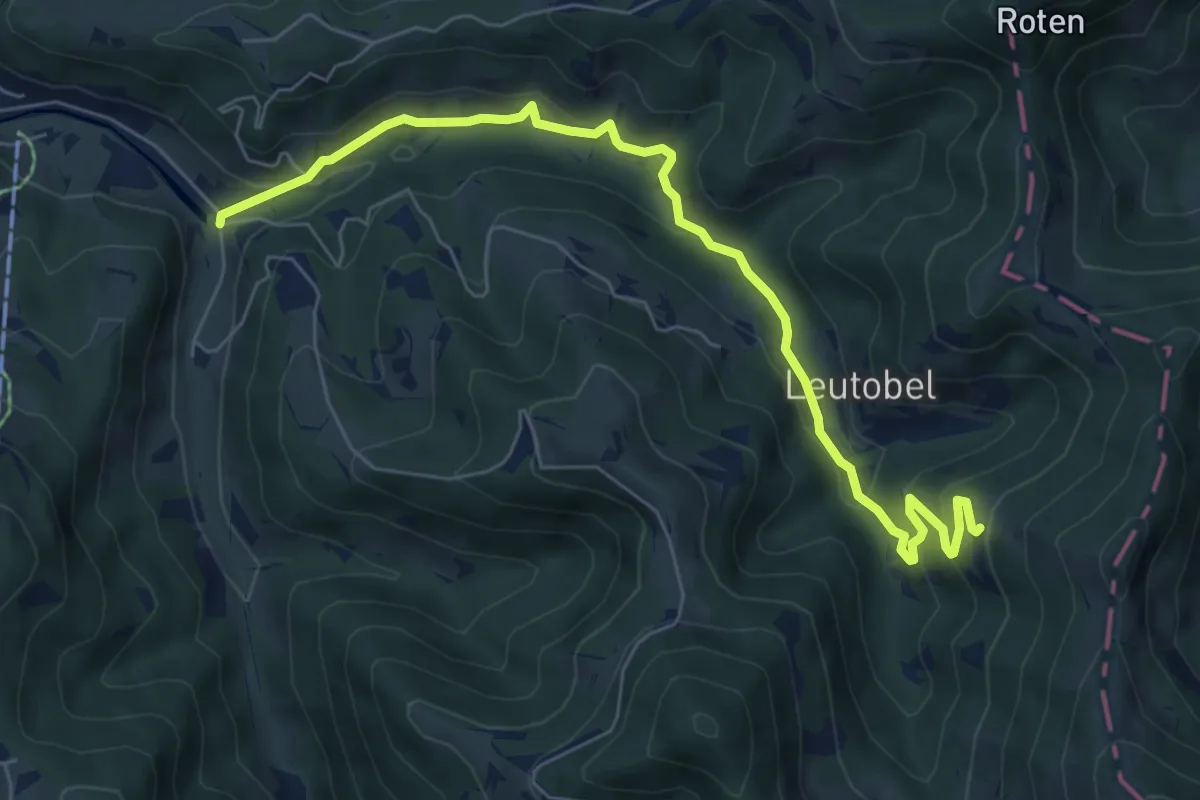
Medium · Trail
Orüti-Grossegg
7.2 km · ↑ 380 m · 2 h 32 min
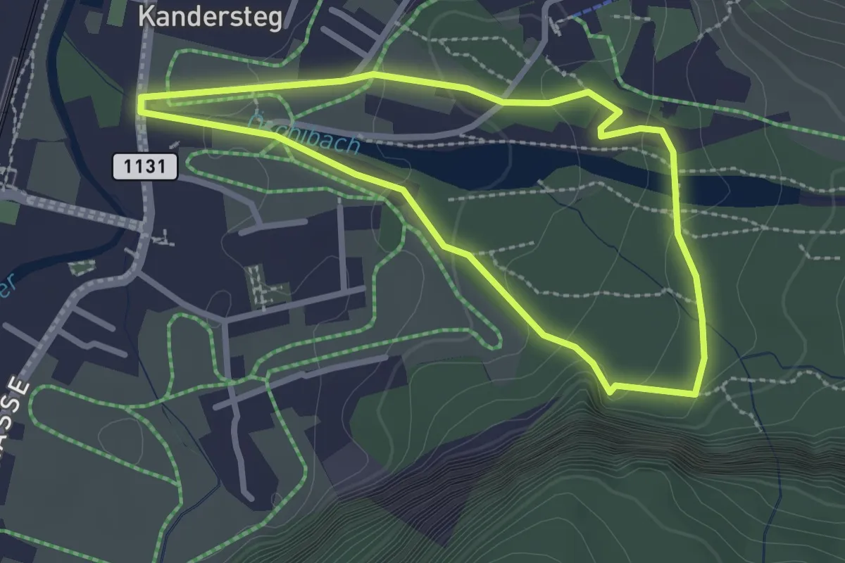
Easy · Trail
Öschiwald-Rundweg
2.3 km · ↑ 131 m · 52 min
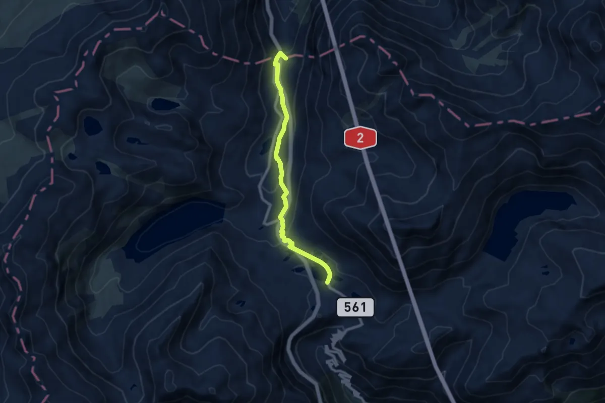
Easy · Summit
Ospizio San Gottardo-Hospental
7.3 km · ↑ 235 m · 2 h 14 min
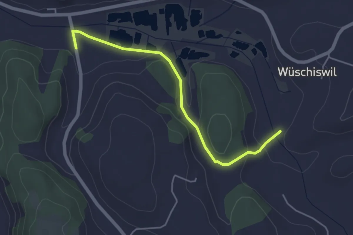
Easy · Trail
Ostergau - Wüschiswil
3.8 km · ↑ 74 m · 1 h 4 min
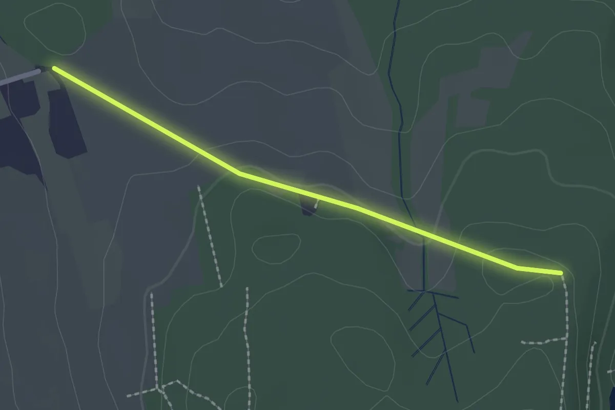
Easy · Trail
östliche Sennhof - Widenhau
2.0 km · ↑ 34 m · 33 min
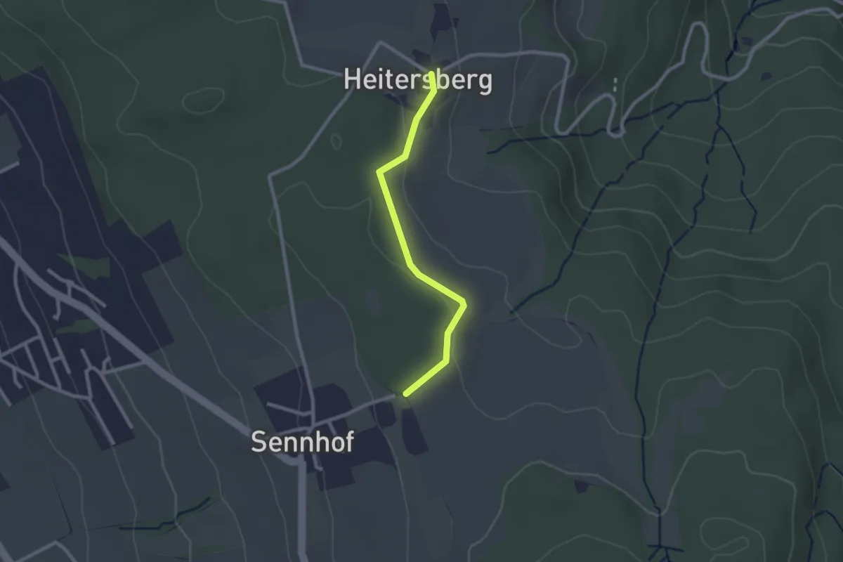
Easy · Trail
östlich Sennhof - Heitersberg
2.1 km · ↑ 39 m · 35 min
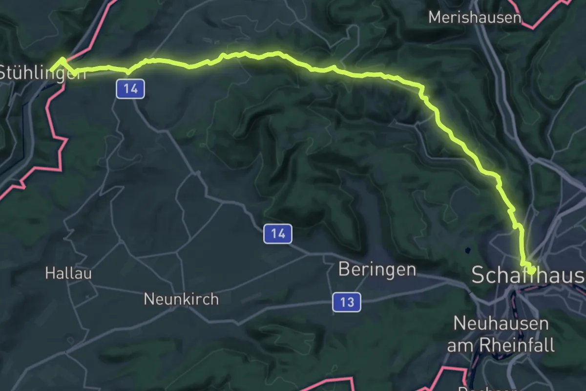
Demanding · Trail
Ostweg
19.0 km · ↑ 605 m · 6 h 2 min
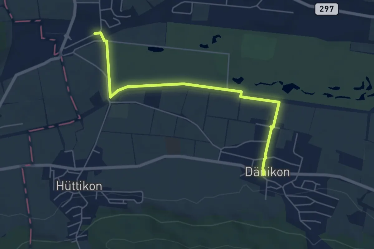
Easy · Trail
Otelfingen Bahnhof - Dänikon
5.0 km · ↑ 22 m · 1 h 14 min
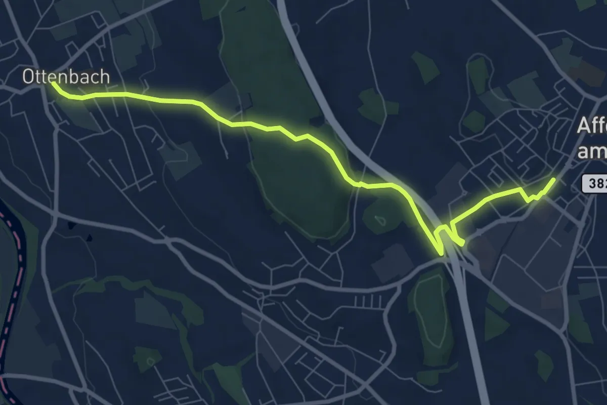
Medium · Trail
Ottenbach - Affoltern a.A.
8.5 km · ↑ 184 m · 2 h 24 min
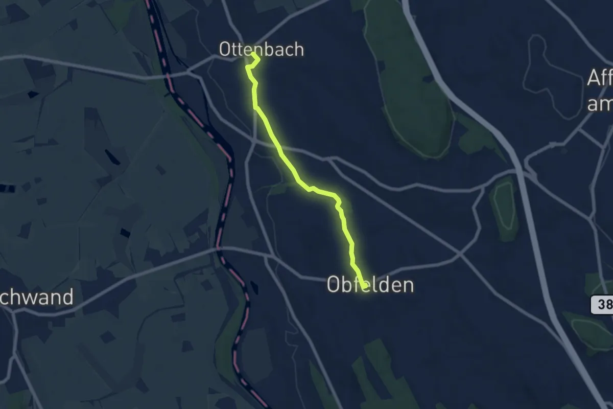
Easy · Trail
Ottenbach - Ober Lunnern
5.6 km · ↑ 32 m · 1 h 23 min
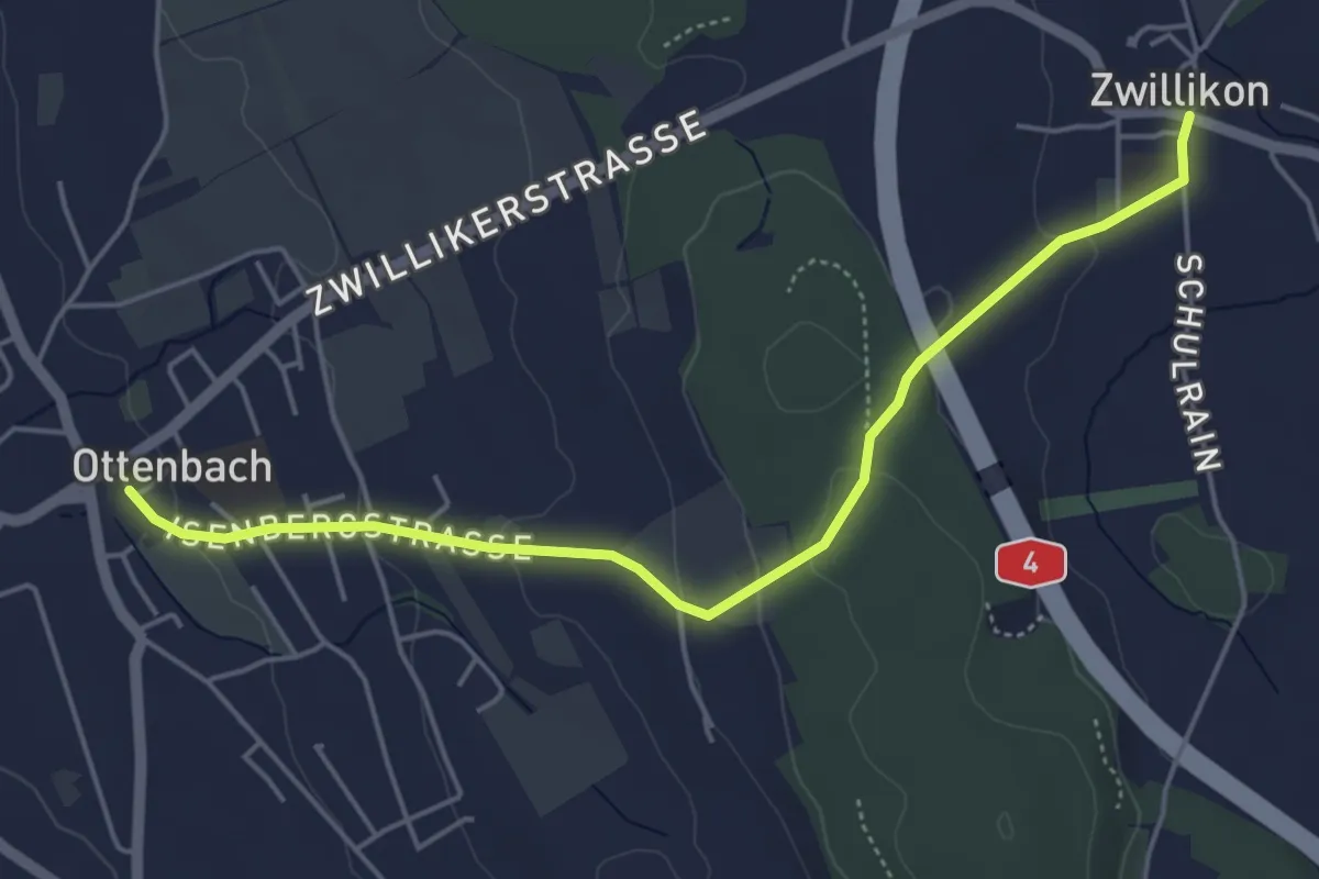
Easy · Trail
Ottenbach - Zwillikon
5.1 km · ↑ 162 m · 1 h 33 min
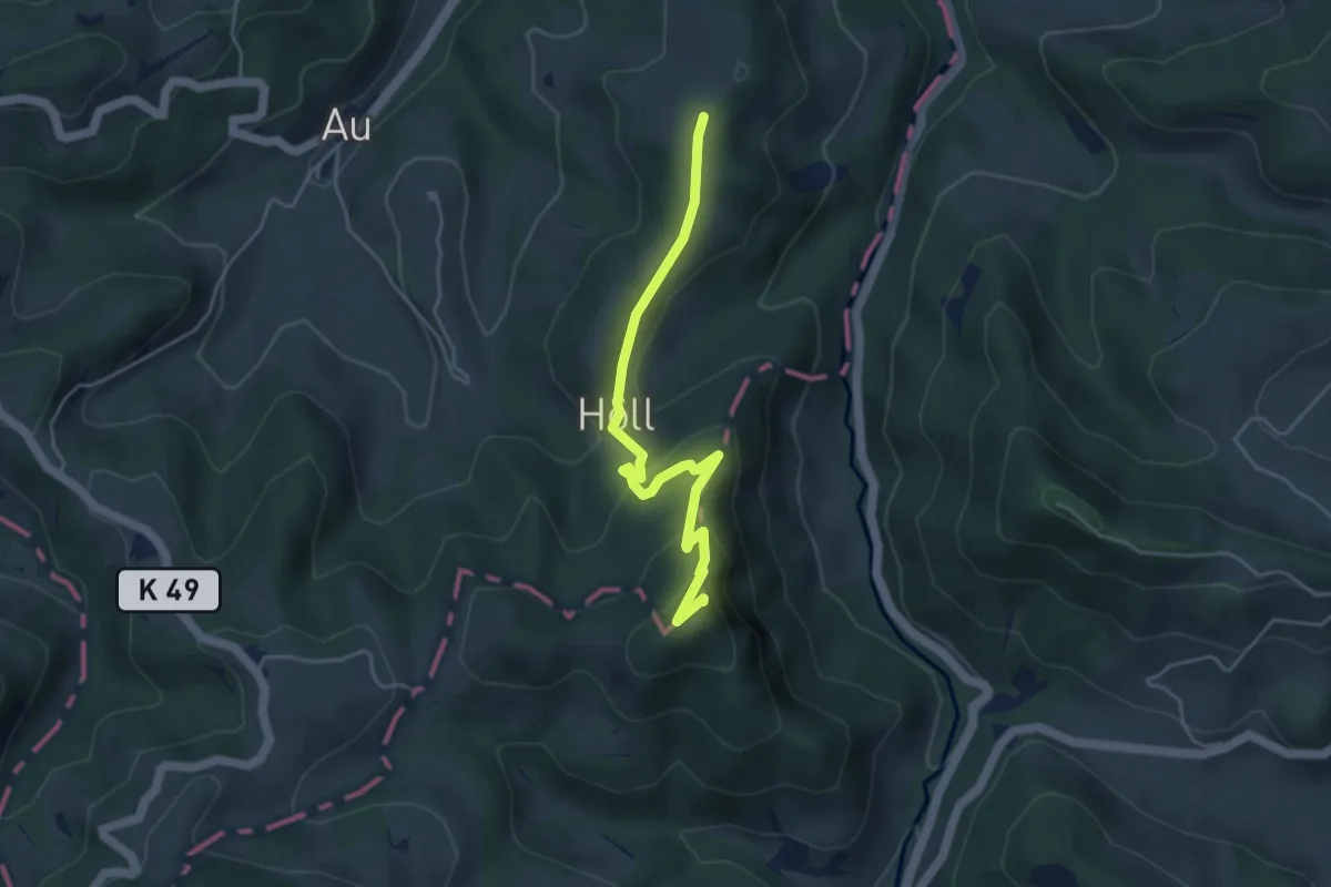
Medium · Summit
Ottenegg - Holenstein
4.5 km · ↑ 316 m · 1 h 45 min
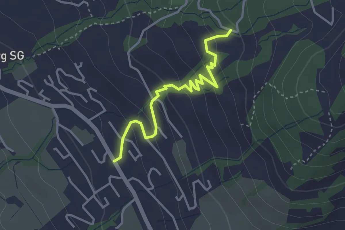
Easy · Trail
Ottenhofen - Rämel? - fixme
2.9 km · ↑ 179 m · 1 h 5 min
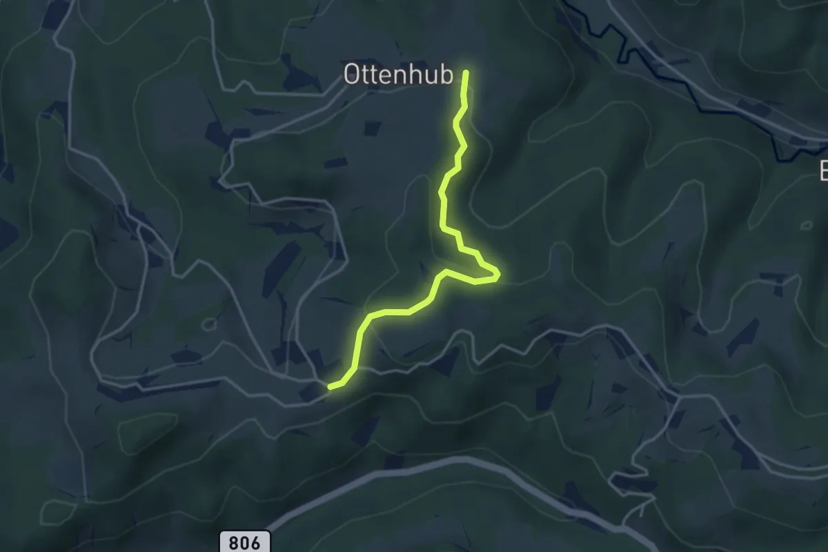
Easy · Trail
Ottenhueb – Manzenhueb
3.2 km · ↑ 142 m · 1 h 3 min
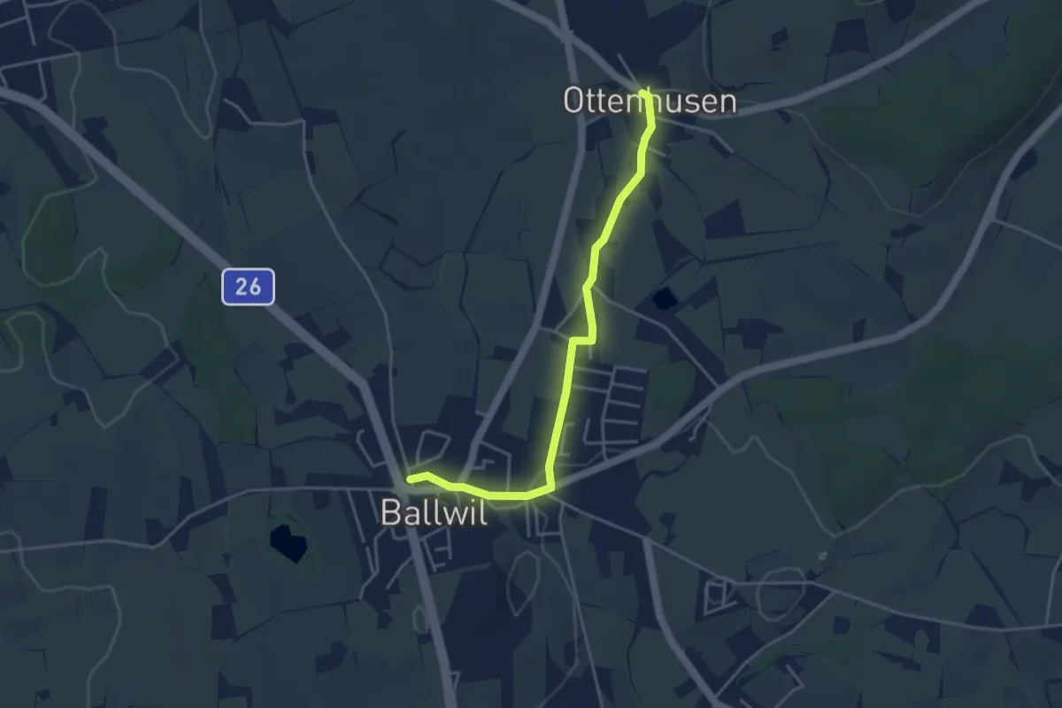
Easy · Trail
Ottenhusen - Ballwil
3.9 km · ↑ 41 m · 1 h 1 min
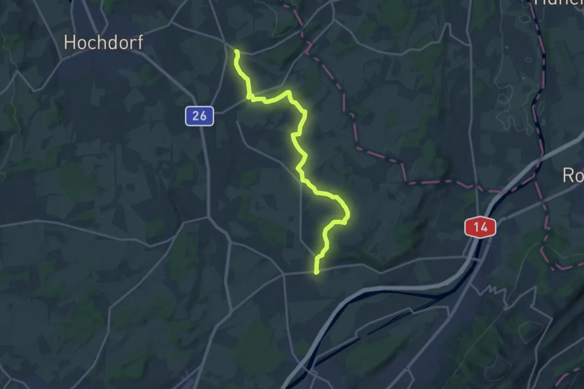
Medium · Trail
Ottenhusen - Inwil
15.4 km · ↑ 233 m · 4 h 9 min
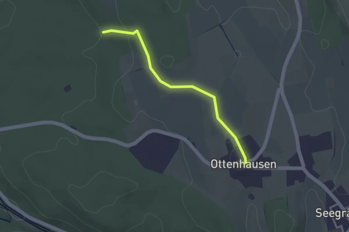
Easy · Trail
Ottenhusen - Römerbrünneli
2.4 km · ↑ 36 m · 39 min
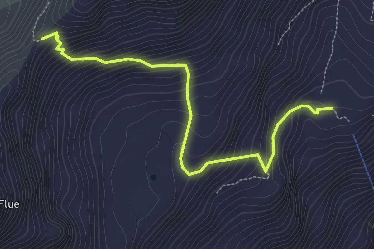
Medium · Trail
Otterealp - Otternpass
3.3 km · ↑ 345 m · 1 h 32 min
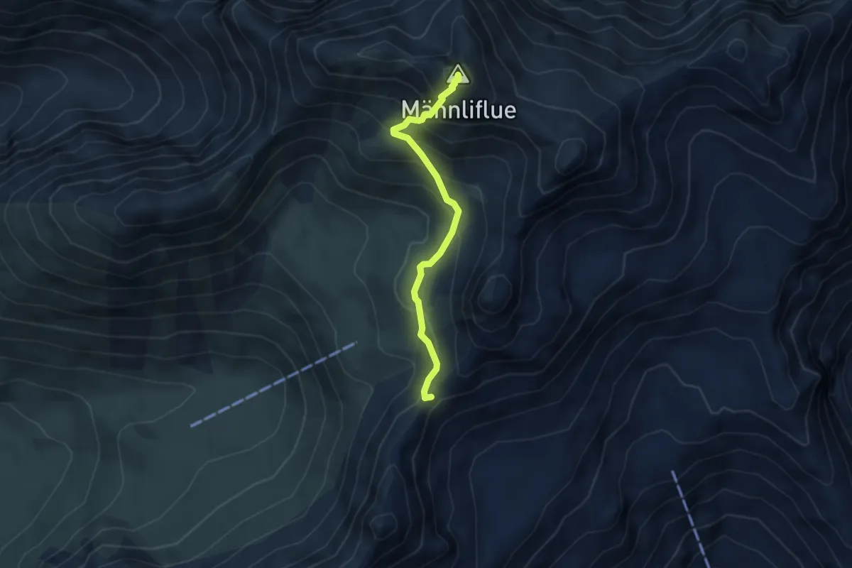
Medium · Summit
Otternpass - Männliflue
3.6 km · ↑ 432 m · 1 h 47 min
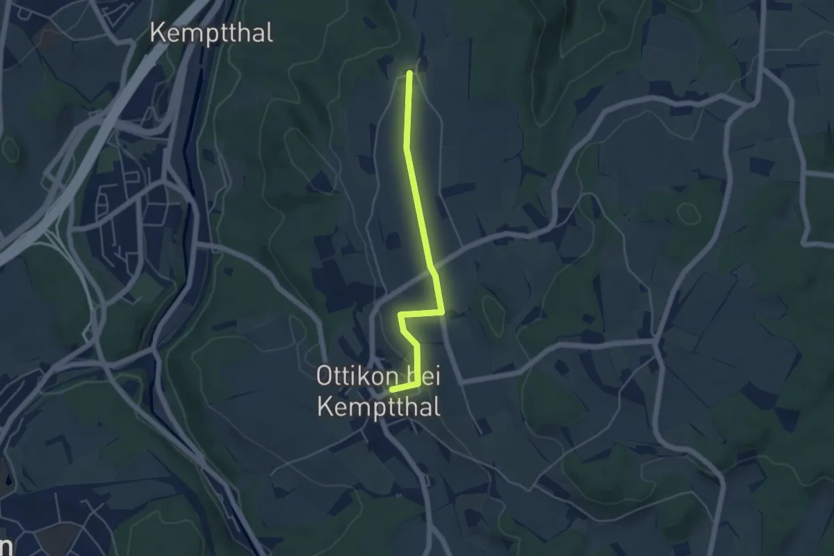
Easy · Trail
Ottikon - Kemleten
4.0 km · ↑ 69 m · 1 h 6 min
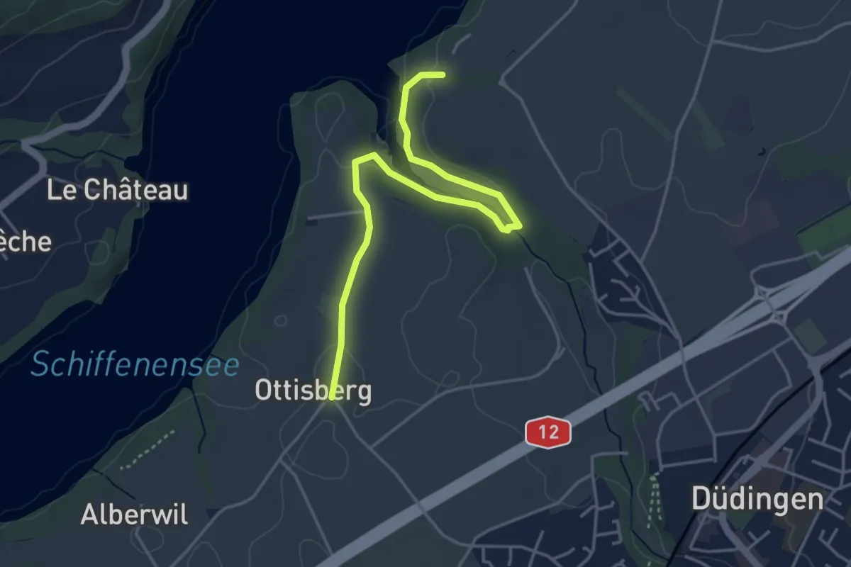
Easy · Trail
Ottisberg - Felliwil
4.2 km · ↑ 118 m · 1 h 15 min
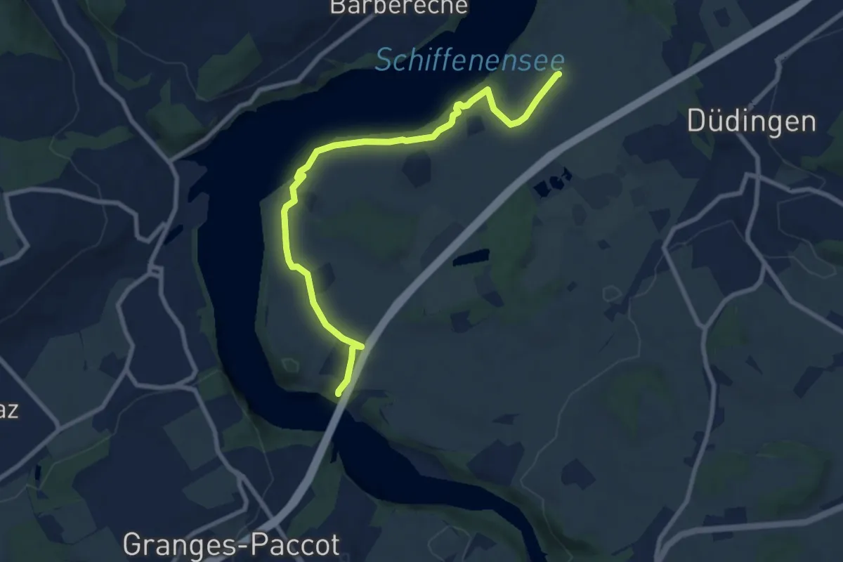
Medium · Trail
Ottisberg - Magdalena-Einsiedelei
8.5 km · ↑ 197 m · 2 h 26 min
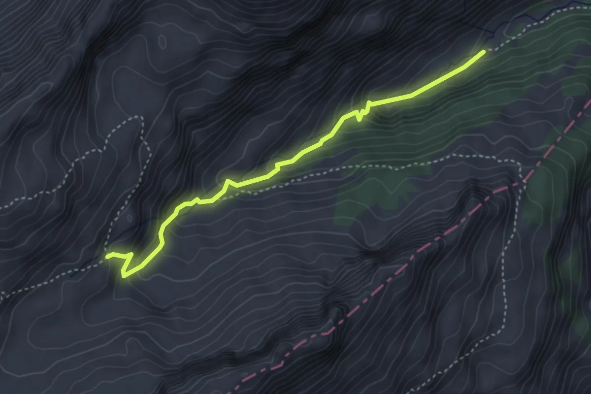
Medium · Cabin
Oussanne-Les Marindes
3.9 km · ↑ 343 m · 1 h 39 min
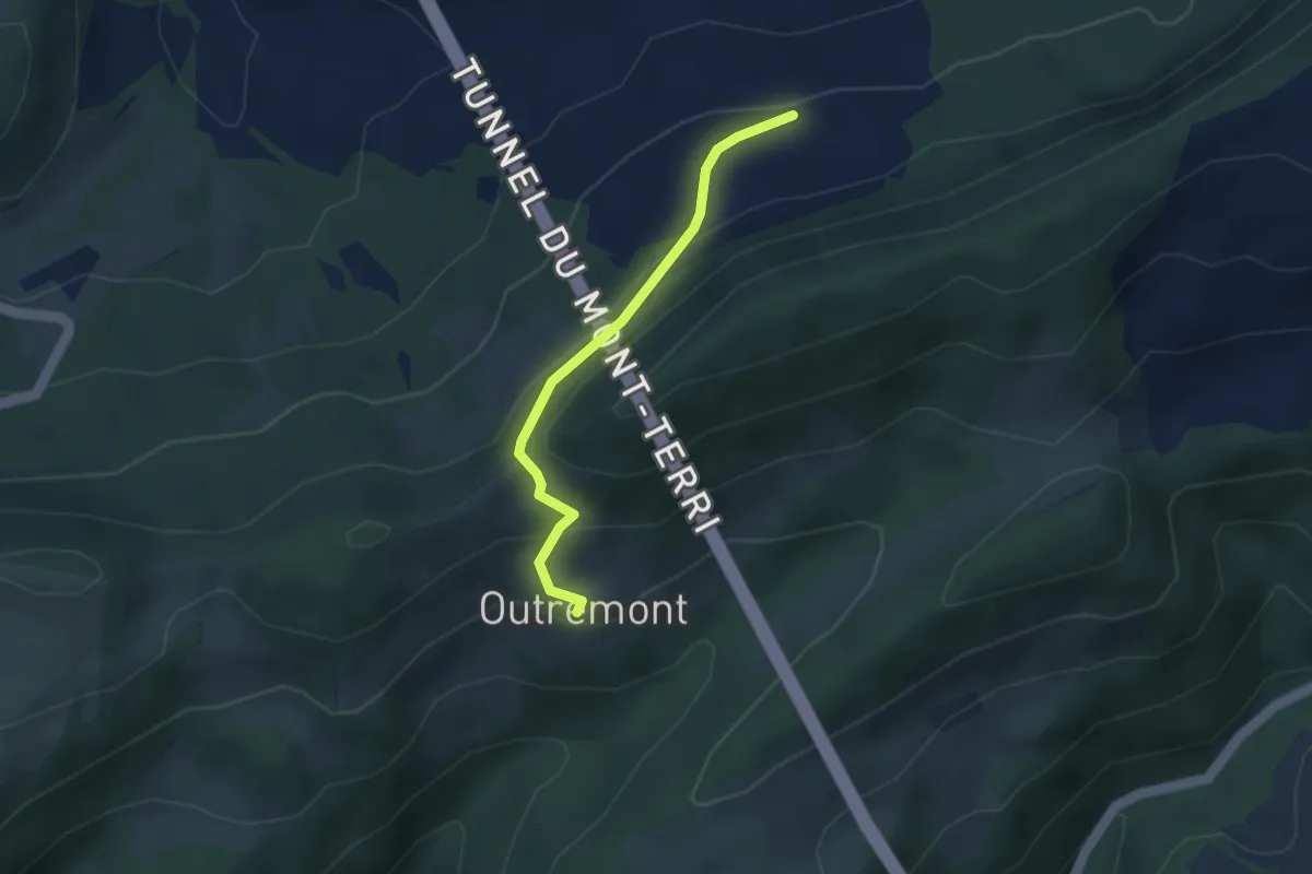
Easy · Trail
Outremont - fixme
2.9 km · ↑ 179 m · 1 h 5 min