Trails in Switzerland
15,029 hiking trails, each with its route, climb, walking time and grade.
All trails, page 80 of 314
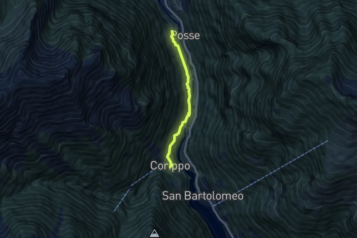
Easy · Trail
Oviga di Fuori - Corippo
4.6 km · ↑ 259 m · 1 h 38 min
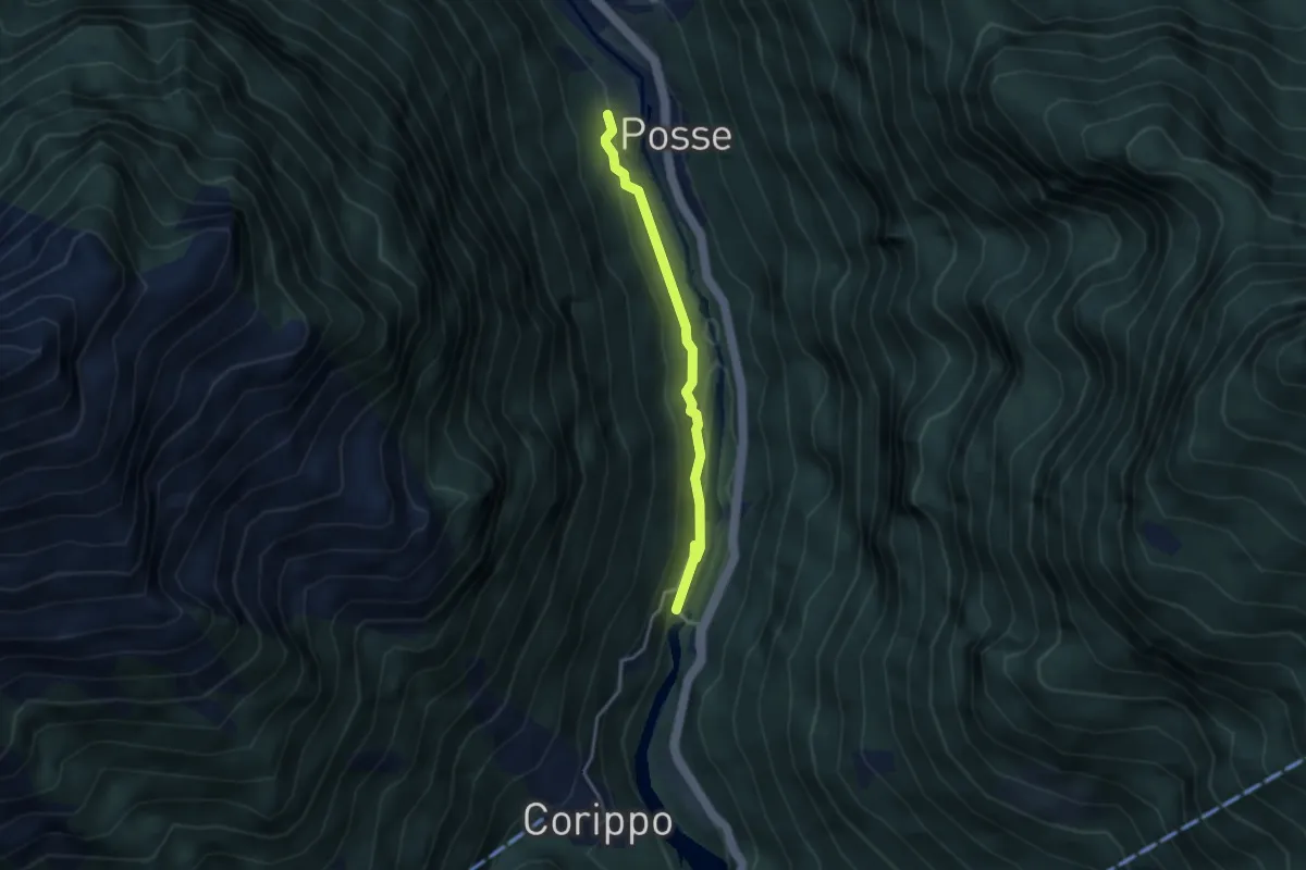
Easy · Trail
Oviga di Fuori - Ponte di Corippo
3.1 km · ↑ 133 m · 1 h 1 min
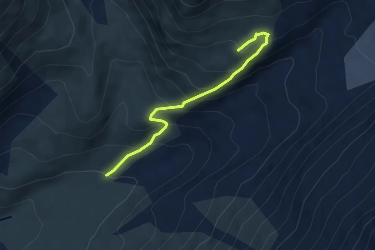
Medium · Cabin
P1998 Anenhütte
4.1 km · ↑ 390 m · 1 h 49 min
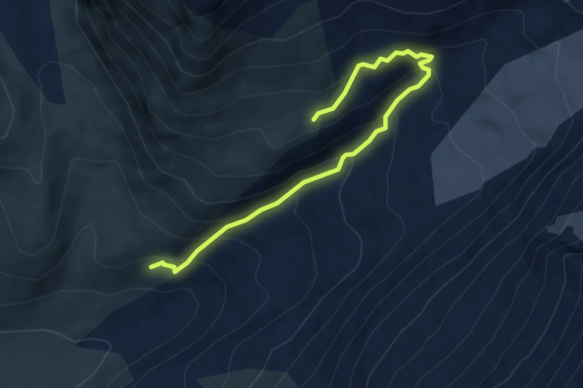
Expert · Trail
P2080 Anenhütte
5.1 km · ↑ 396 m · 2 h 3 min
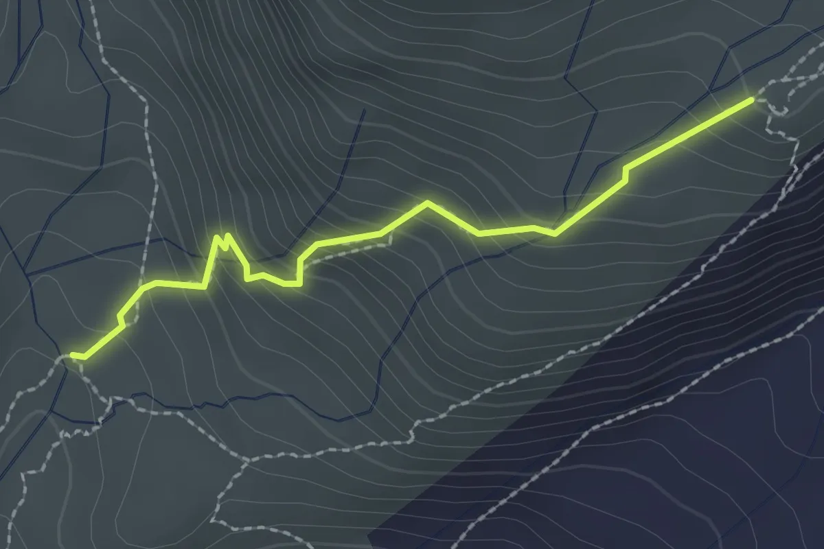
Medium · Cabin
P2107 Anenhütte
2.1 km · ↑ 231 m · 59 min
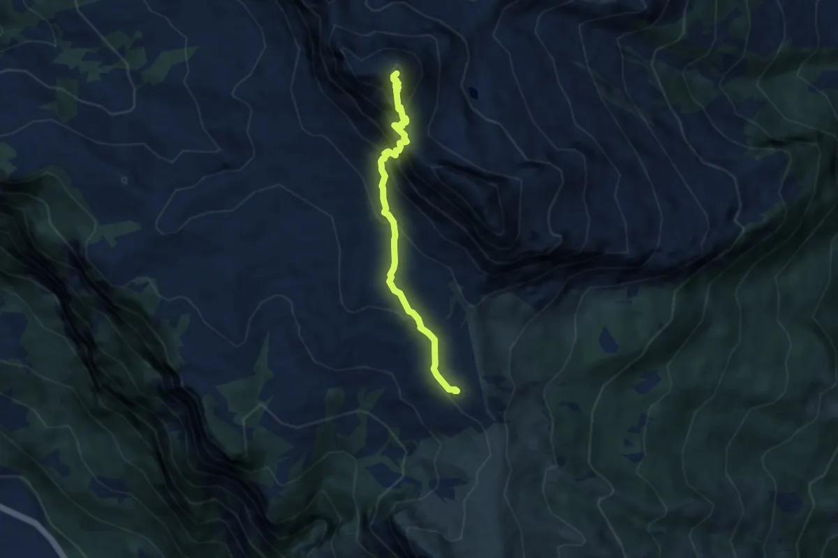
Demanding · Summit
Palfries - Gipfelhütte Alvier
6.3 km · ↑ 641 m · 2 h 52 min
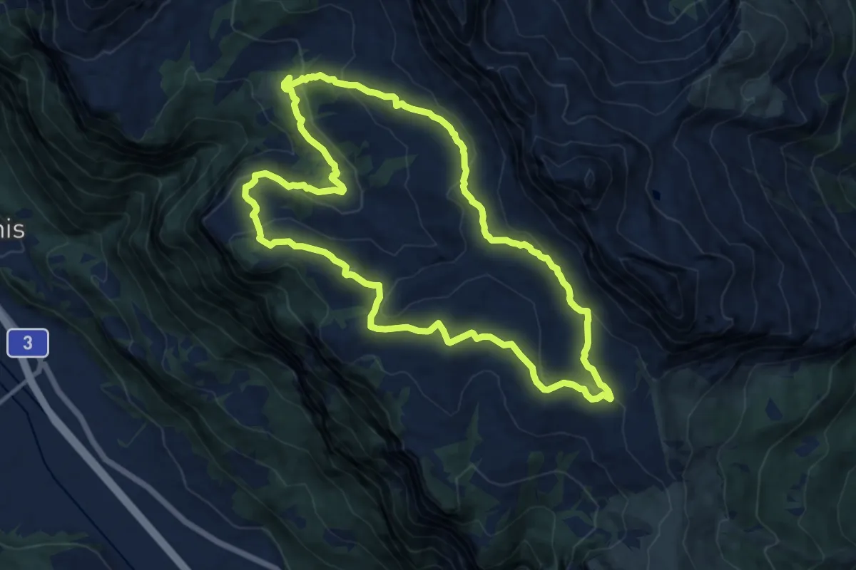
Medium · Trail
Palfries - Kurhaus Sennis Rundtour
11.5 km · ↑ 455 m · 3 h 51 min
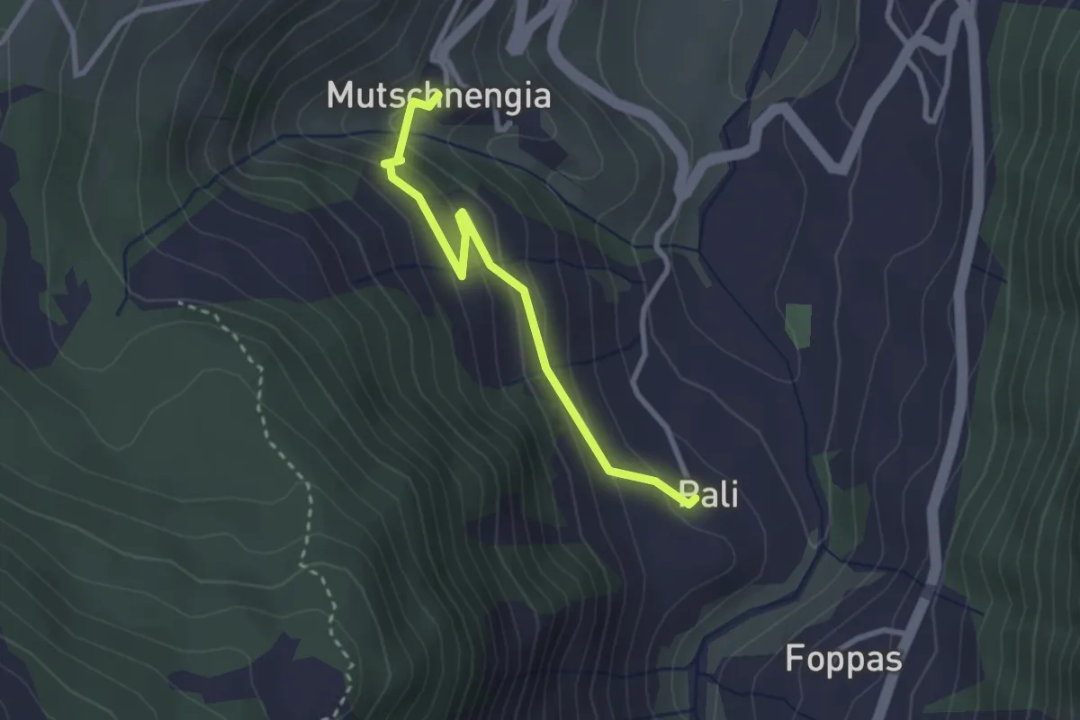
Medium · Trail
Pali - Mutschnengia
2.6 km · ↑ 152 m · 57 min
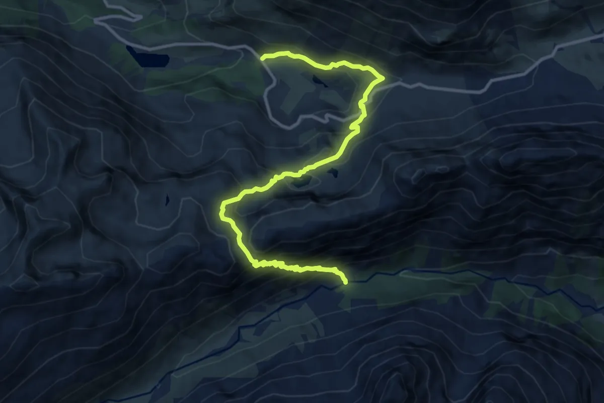
Demanding · Trail
Palüd Marscha-Crap Alv
11.6 km · ↑ 1023 m · 4 h 58 min
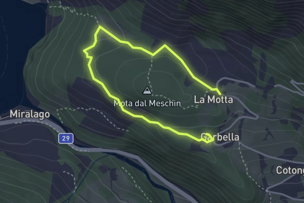
Medium · Summit
Paneneve
2.1 km · ↑ 66 m · 40 min
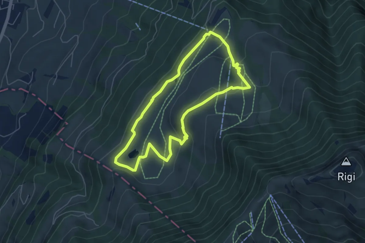
Easy · Trail
Panoramarundweg (Seebodenalp - Altruodisegg - Holderen - Seebodenalp)
5.1 km · ↑ 168 m · 1 h 39 min
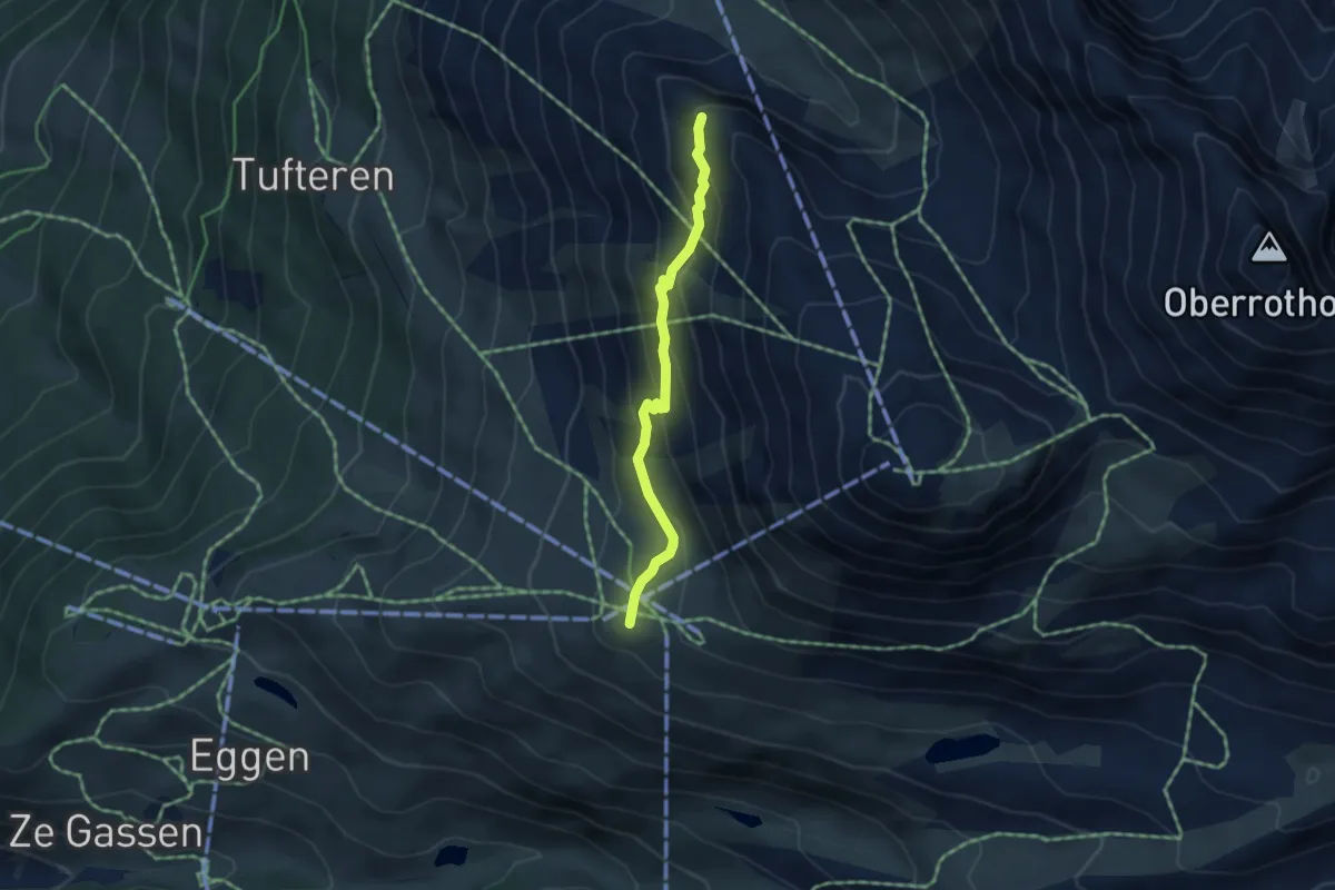
Demanding · Trail
Panoramaweg
3.8 km · ↑ 233 m · 1 h 24 min
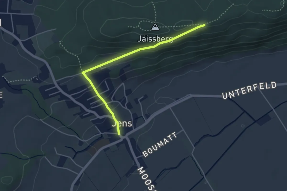
Easy · Trail
Panoramaweg
3.7 km · ↑ 134 m · 1 h 10 min
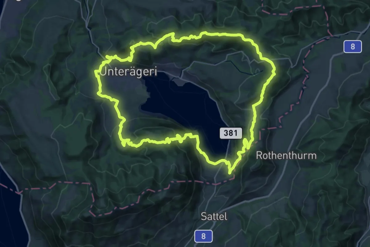
Demanding · Summit
Panoramaweg Aegerital
30.2 km · ↑ 1210 m · 10 h 11 min
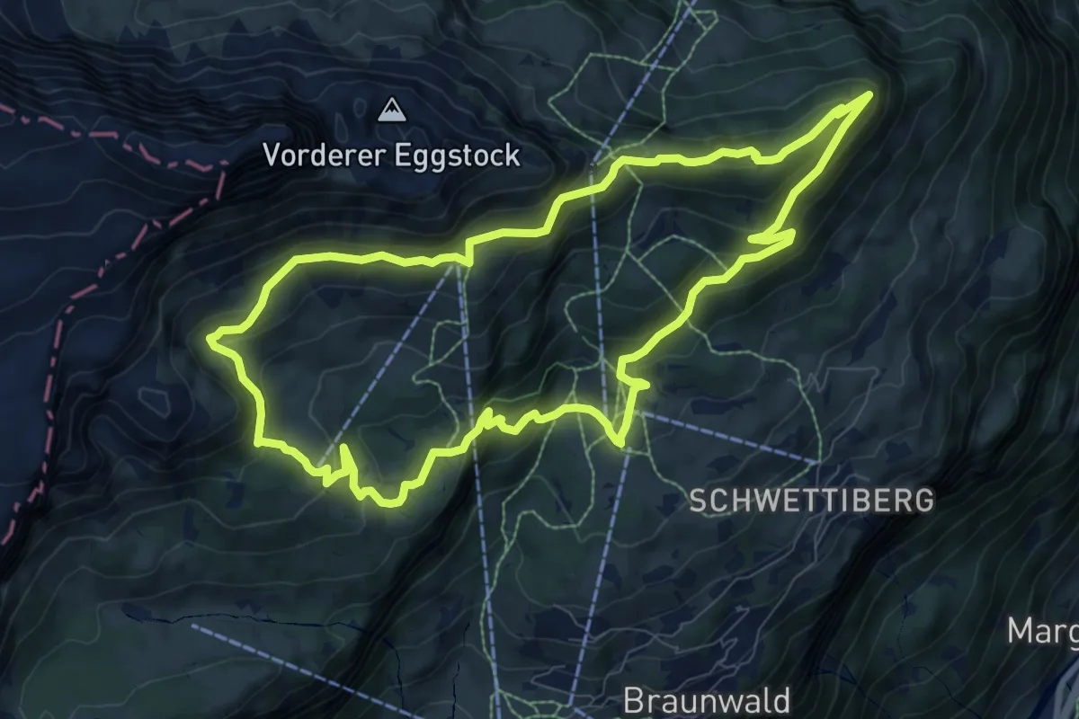
Medium · Trail
Panoramaweg Braunwald
8.9 km · ↑ 600 m · 3 h 31 min
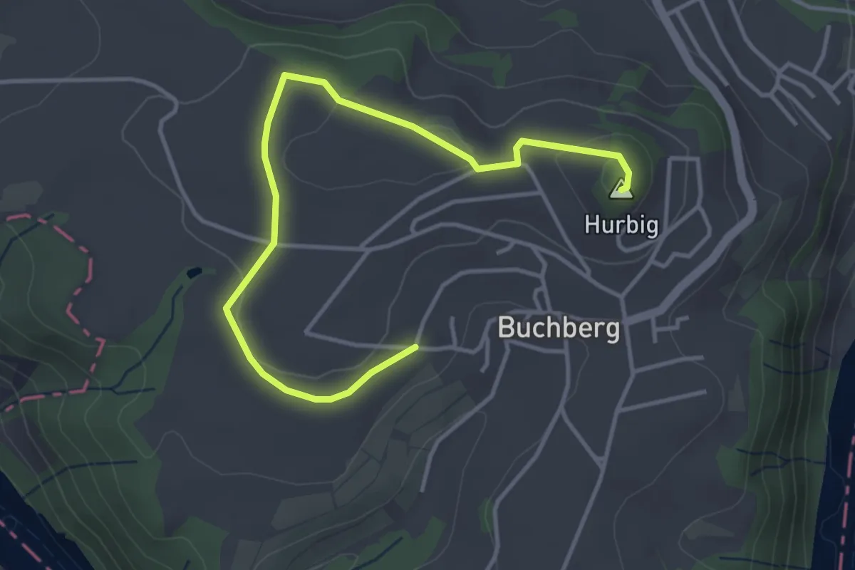
Easy · Summit
Panoramaweg Buchberg
4.3 km · ↑ 60 m · 1 h 8 min
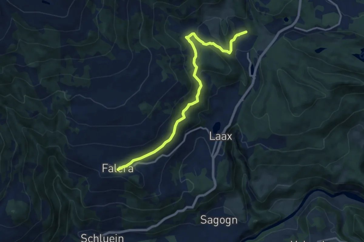
Medium · Trail
Panoramaweg Falera-Laax Murschetg
10.3 km · ↑ 317 m · 3 h 8 min
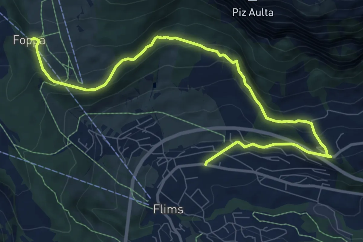
Medium · Trail
Panoramaweg Foppa-Fidaz-Flims
9.8 km · ↑ 488 m · 3 h 22 min
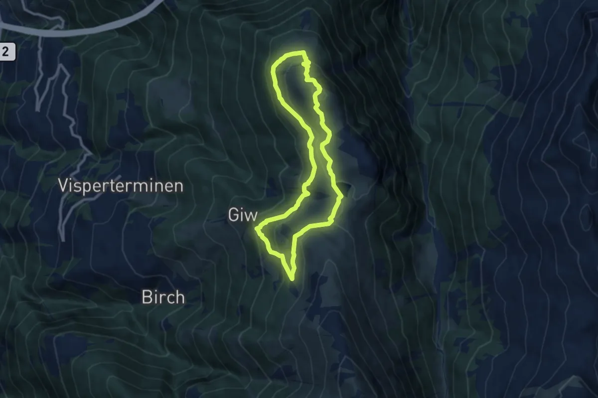
Medium · Summit
Panoramaweg Gebidem
7.9 km · ↑ 373 m · 2 h 47 min
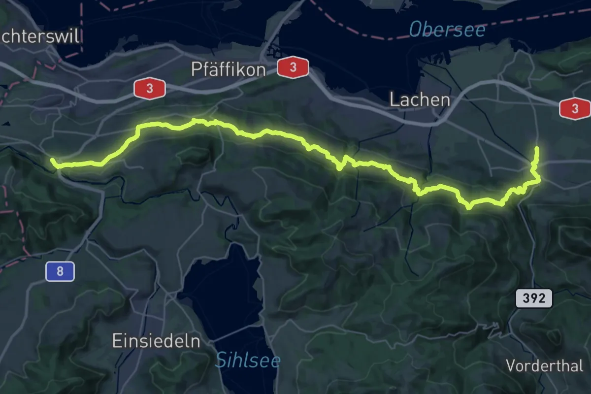
Demanding · Trail
Panoramaweg March Höfe
19.7 km · ↑ 863 m · 6 h 38 min
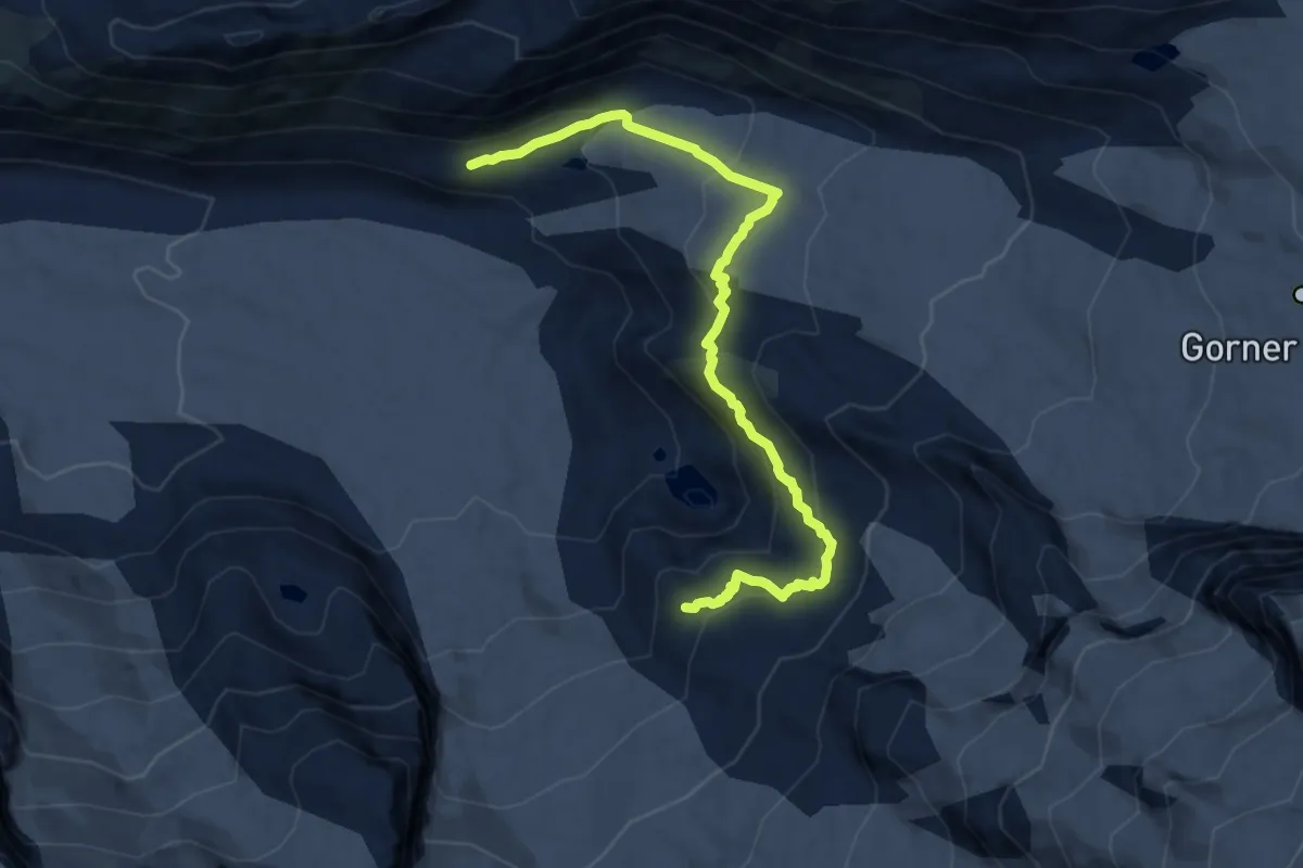
Expert · Cabin
Panoramaweg Monte Rosa Hütte
10.7 km · ↑ 641 m · 3 h 55 min
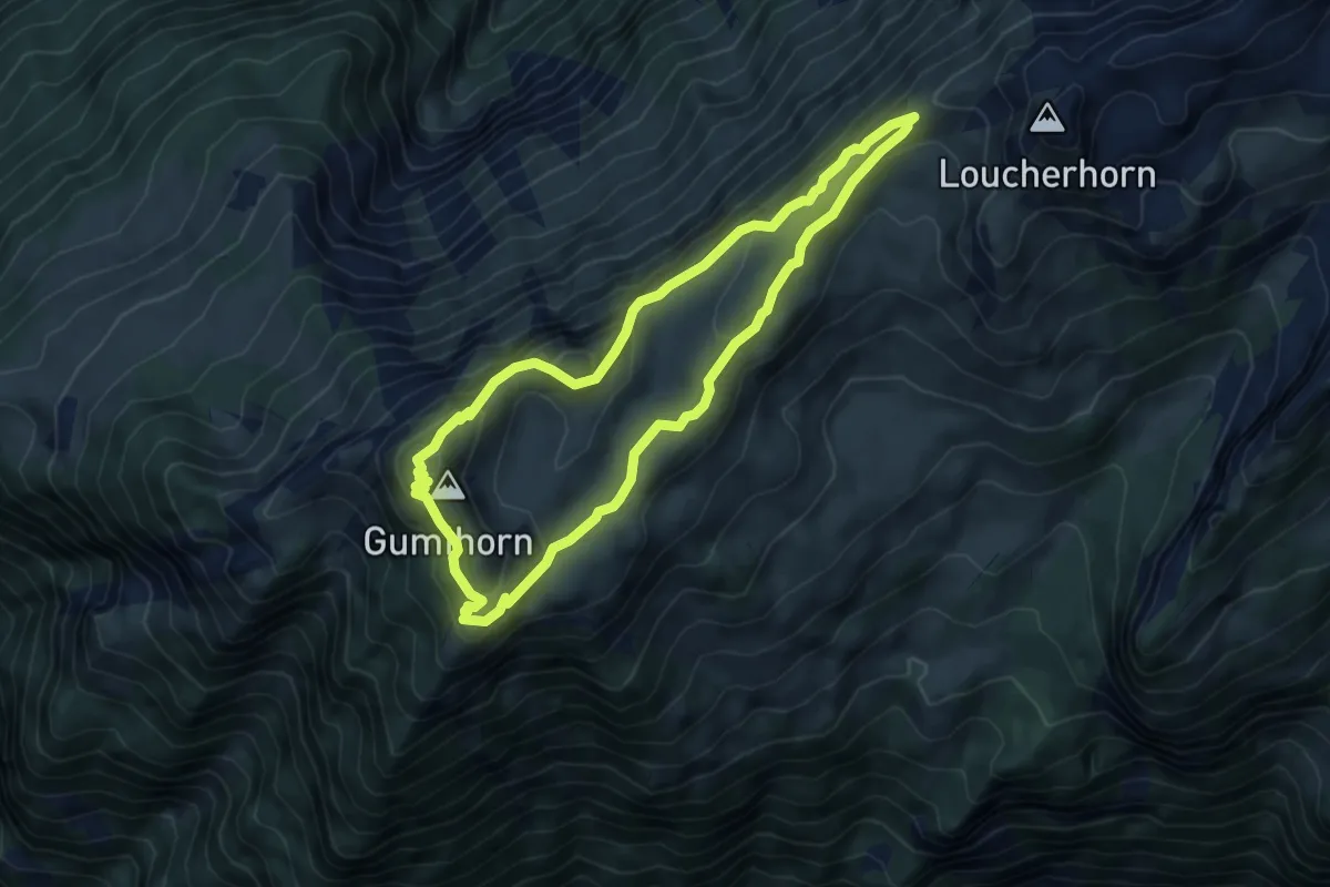
Medium · Summit
Panoramaweg Schynige Platte
5.5 km · ↑ 278 m · 1 h 59 min
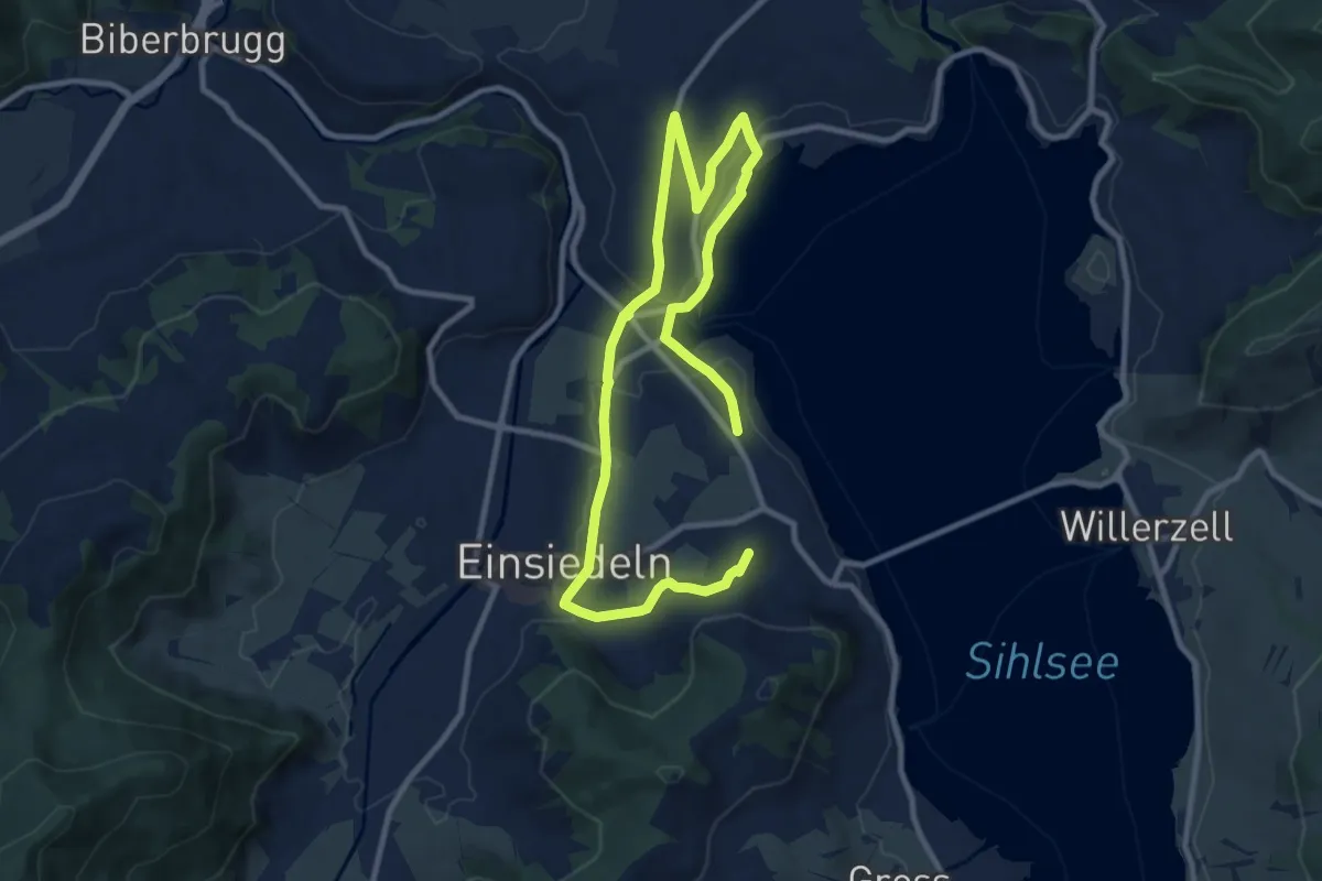
Medium · Summit
Panoramaweg Sihlsee
15.1 km · ↑ 246 m · 4 h 5 min
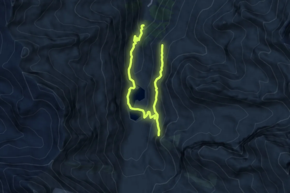
Demanding · Trail
Panoramaweg Turtmanntal
11.3 km · ↑ 815 m · 4 h 26 min
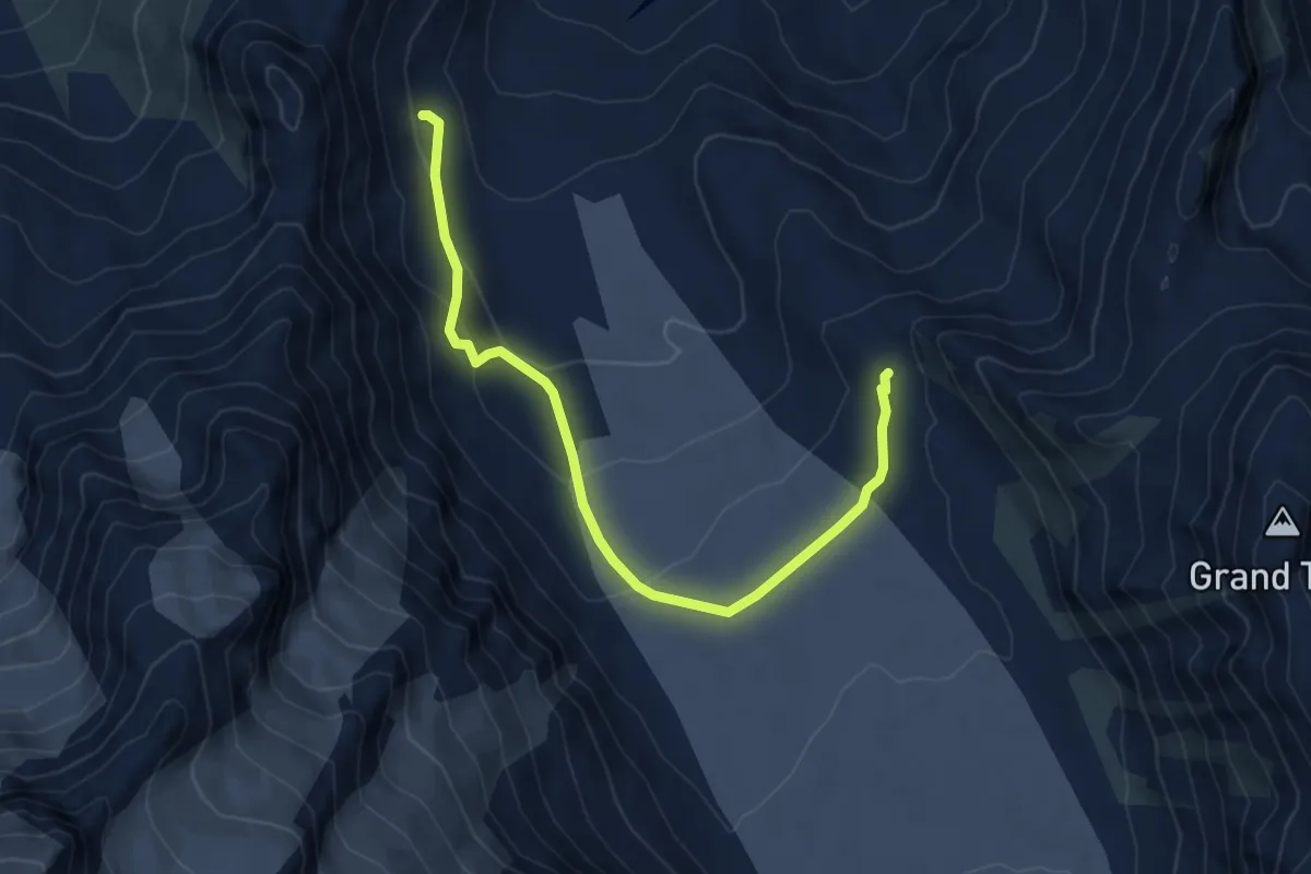
Expert · Cabin
Panossière-Luis Darray
5.6 km · ↑ 338 m · 2 h 4 min
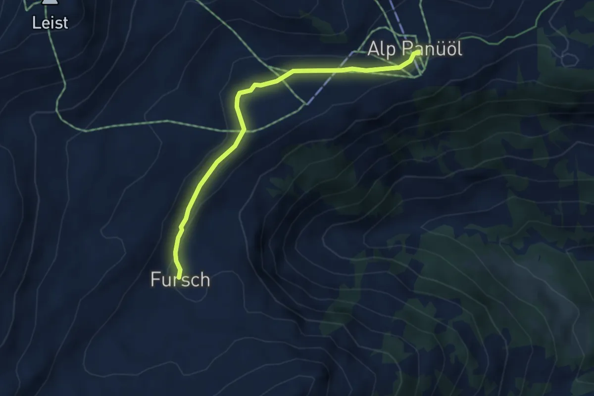
Easy · Trail
Panüöl - Fursch
4.0 km · ↑ 98 m · 1 h 10 min
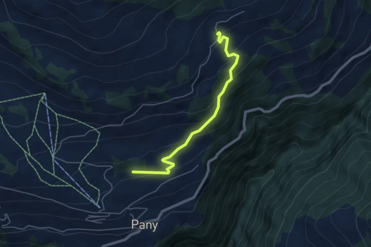
Easy · Trail
Panyer Rundweg
2.2 km · ↑ 264 m · 59 min
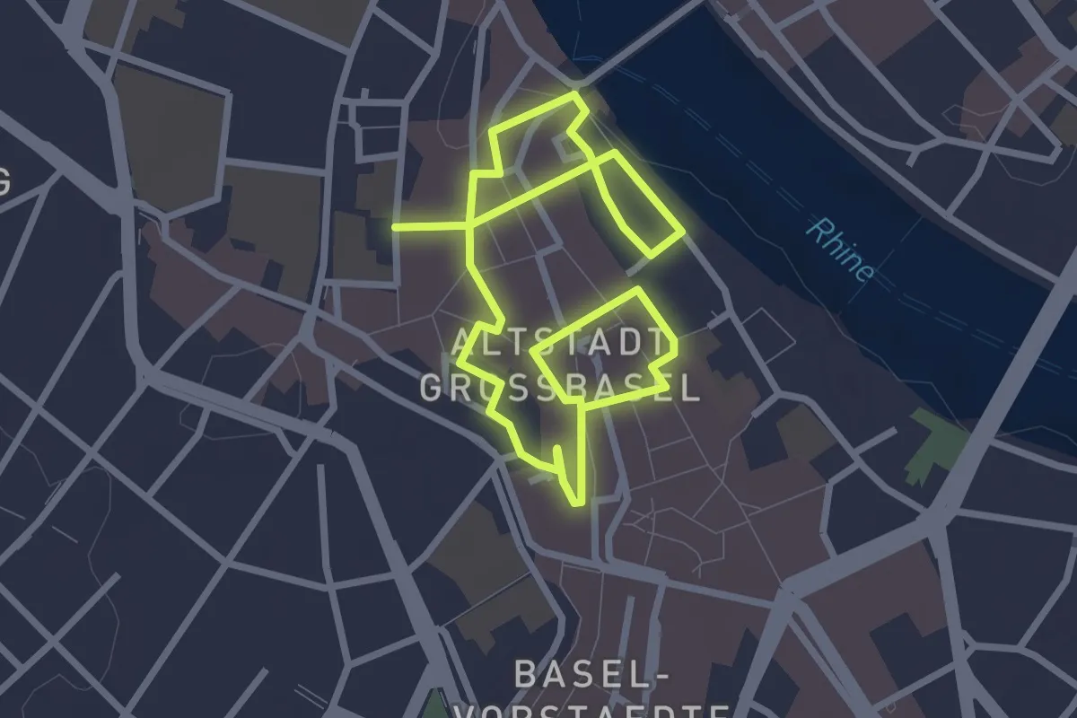
Easy · Trail
Paracelsus Rundgang
4.4 km · ↑ 65 m · 1 h 11 min
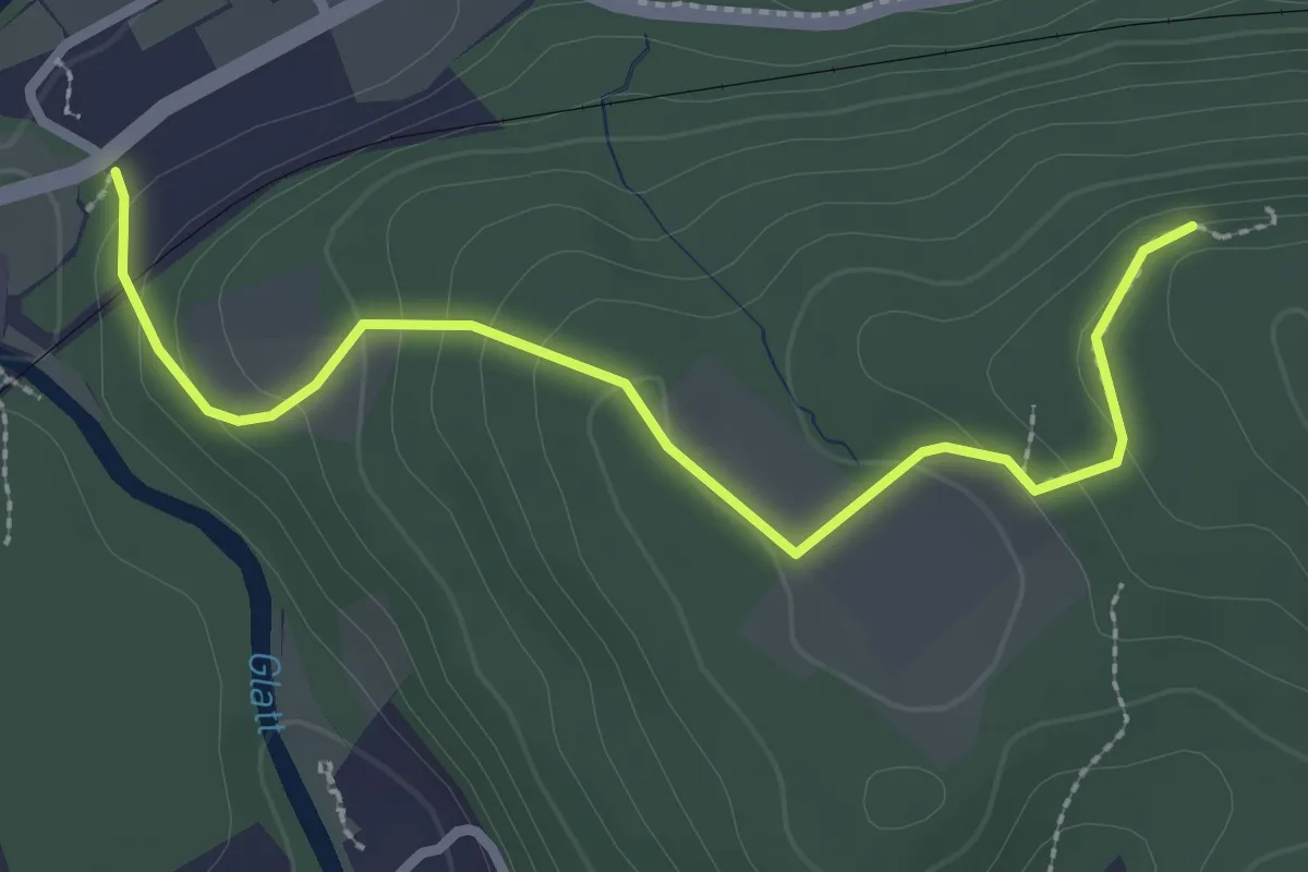
Easy · Trail
Paradiesgärtli - Rheinsfelden
2.8 km · ↑ 130 m · 57 min
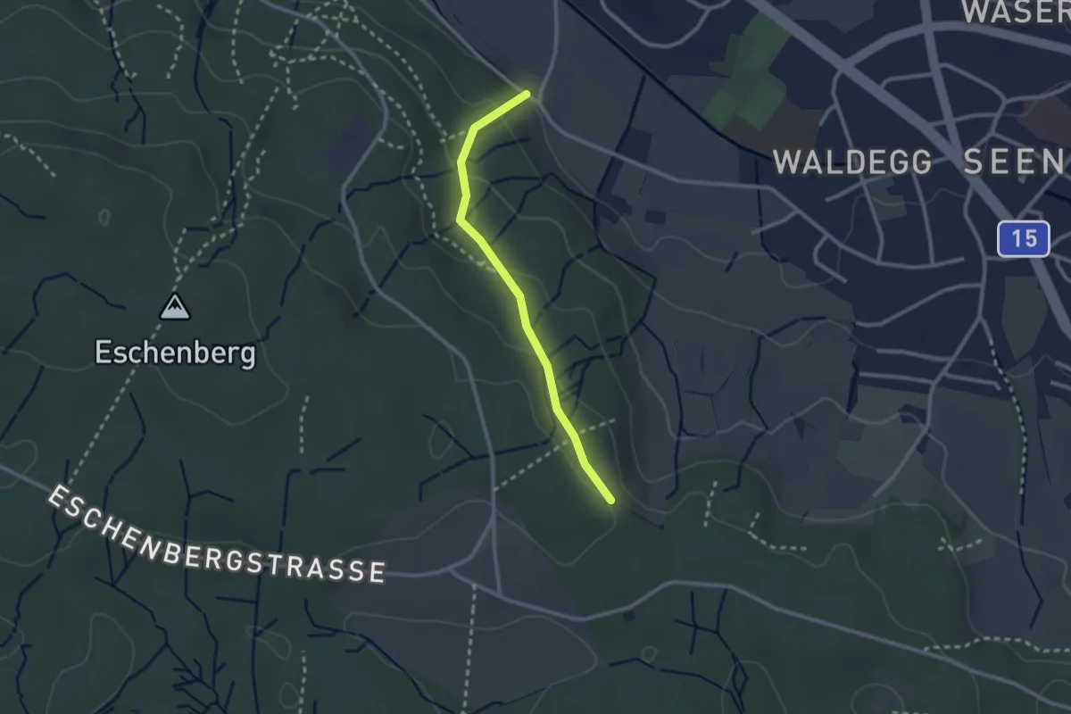
Easy · Trail
Paradis – Waldegg
2.3 km · ↑ 105 m · 46 min
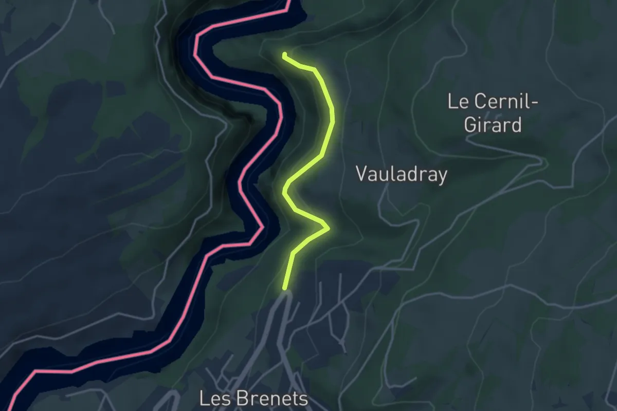
Easy · Trail
Parc de la crête - Tête de Calvin
2.8 km · ↑ 241 m · 1 h 11 min
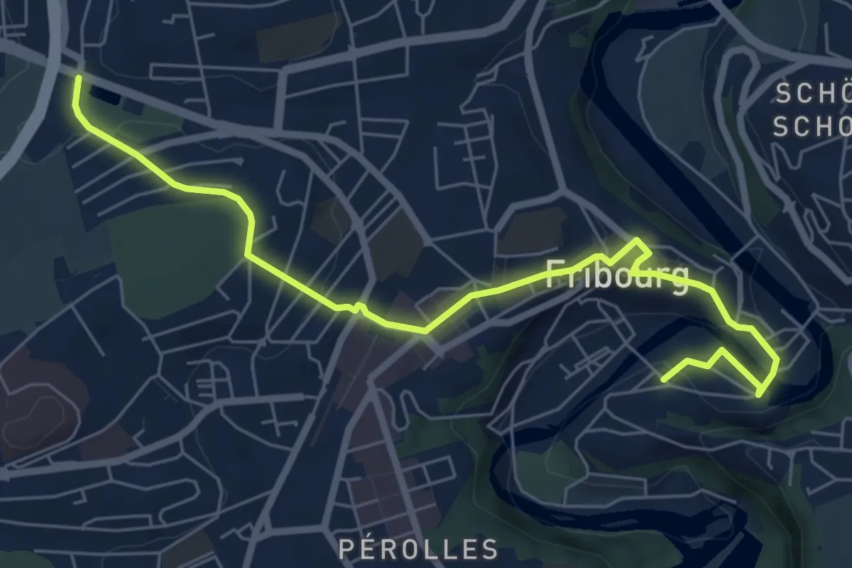
Easy · Trail
Parc du Jura - Planche Sup.
7.0 km · ↑ 214 m · 2 h 6 min
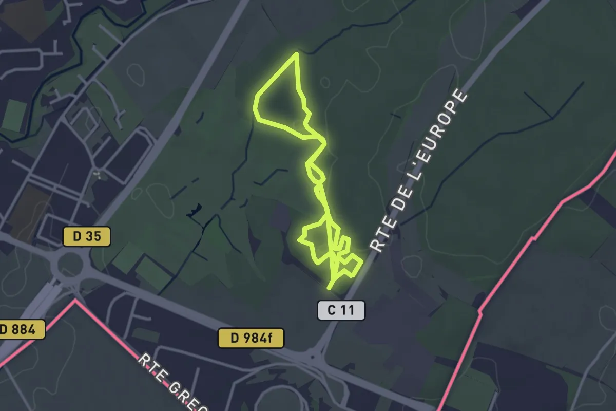
Easy · Trail
Parcours de santé de Bois de Serve
5.7 km · ↑ 22 m · 1 h 24 min
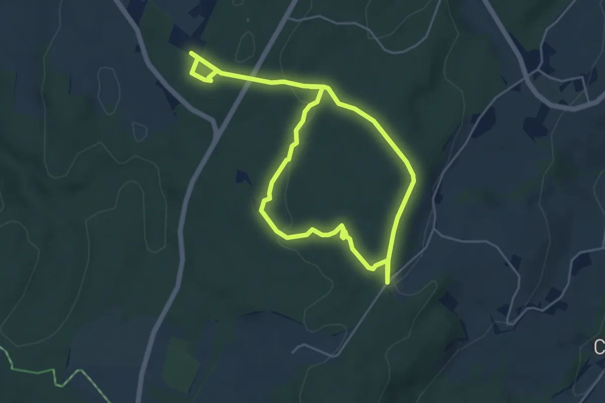
Easy · Trail
Parcours Handicap et Nature
7.4 km · ↑ 122 m · 2 h
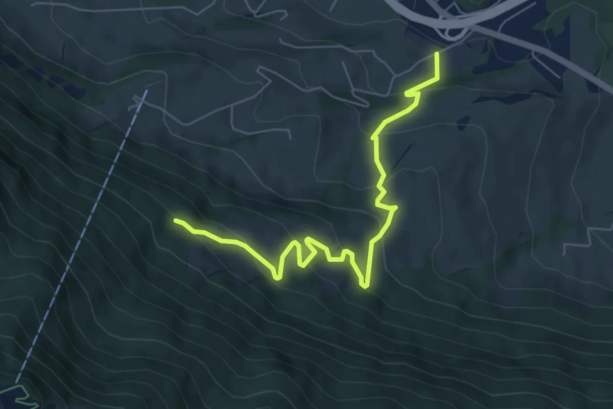
Medium · Trail
Parkplatz A4 - Ochsenchneu
6.1 km · ↑ 414 m · 2 h 21 min
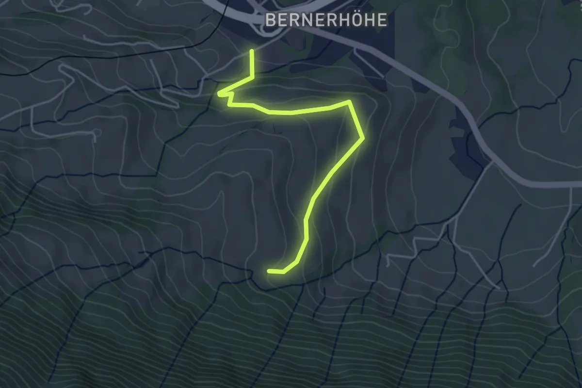
Easy · Trail
Parkplatz A4 - Truben
3.7 km · ↑ 205 m · 1 h 20 min
Easy · Trail
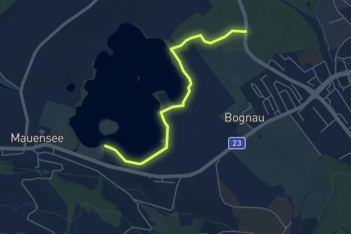
Parkplatz Baselstrasse - Schloss Mauensee
4.2 km · ↑ 28 m · 1 h 3 min
Easy · Trail
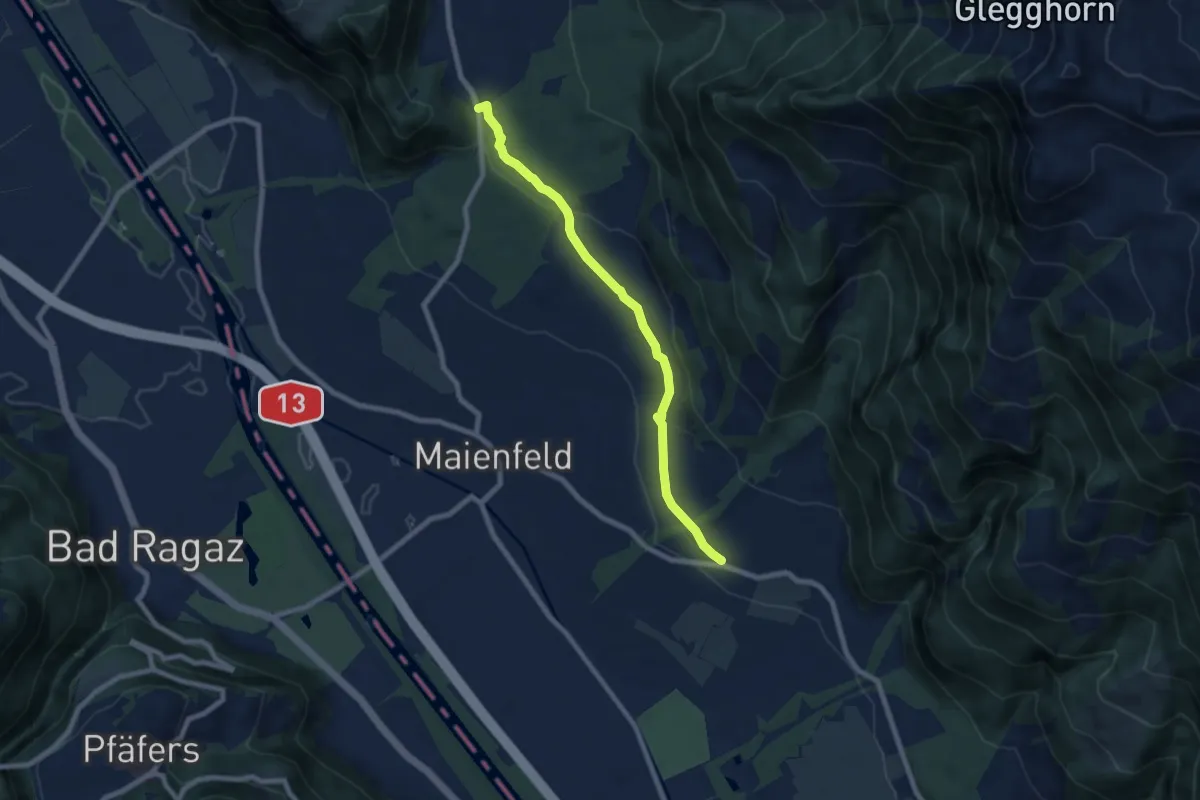
Parkplatz Chrützli-St. Luzisteig
7.2 km · ↑ 170 m · 2 h 4 min
Medium · Trail
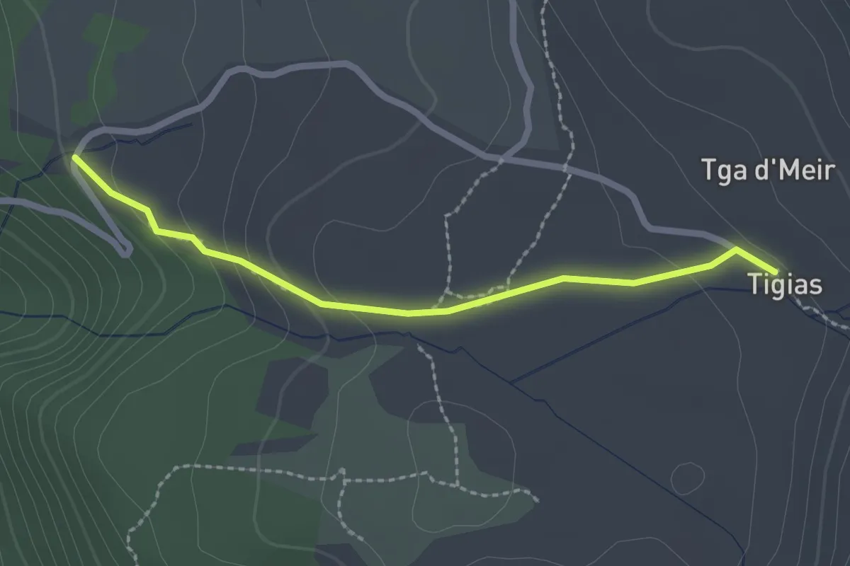
Parkplatz Vanastg - Tigias
2.1 km · ↑ 72 m · 40 min
Medium · Trail
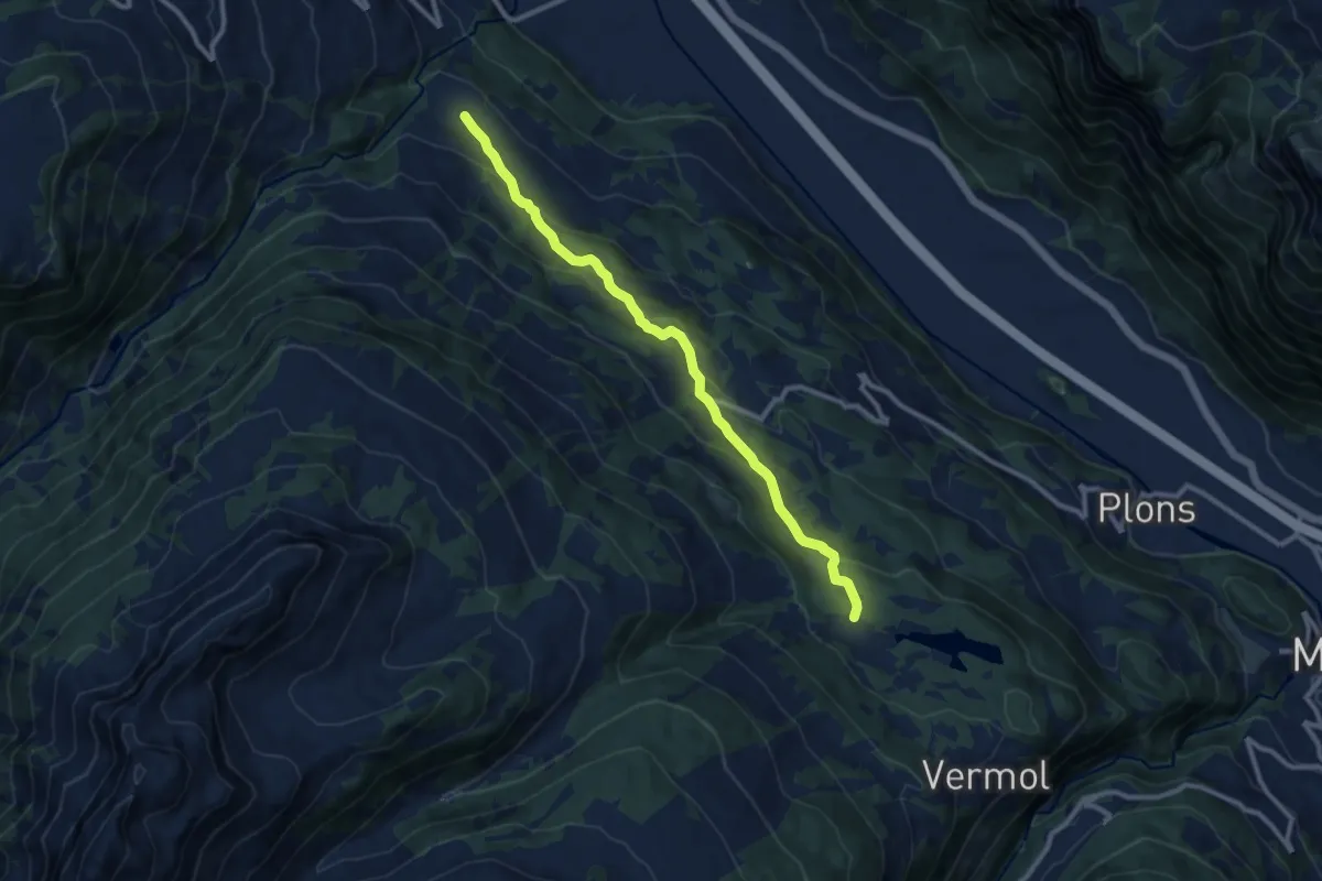
Parmort Portels
10.1 km · ↑ 409 m · 3 h 16 min
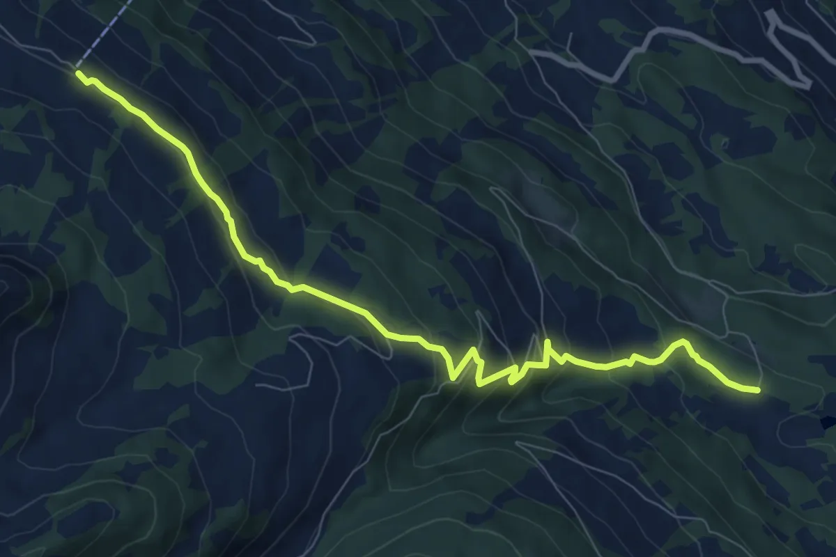
Medium · Trail
Parmort Schönhalden
9.1 km · ↑ 460 m · 3 h 8 min
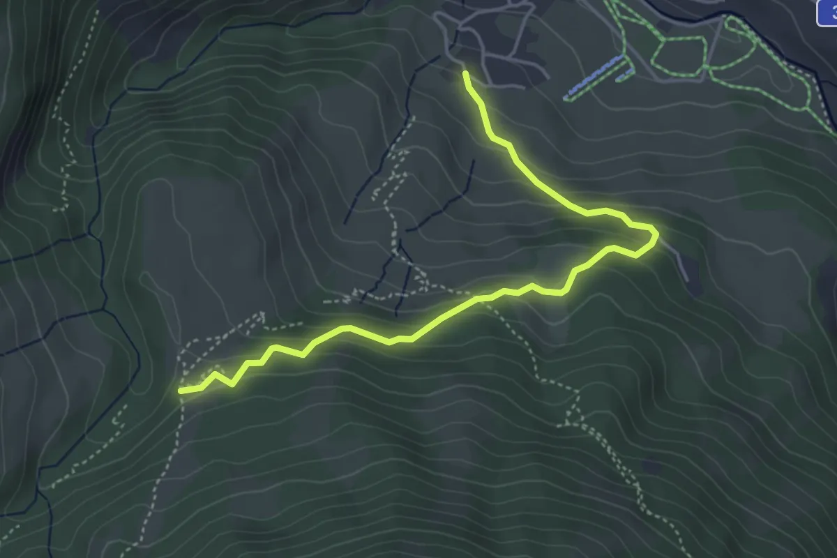
Easy · Trail
Parnoz - Savognin Son Martegn
4.7 km · ↑ 290 m · 1 h 45 min
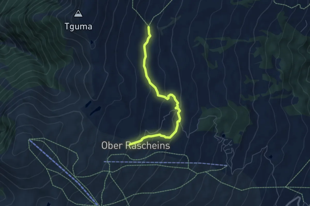
Easy · Trail
Parsiras-Ober Rascheins
5.7 km · ↑ 284 m · 1 h 58 min
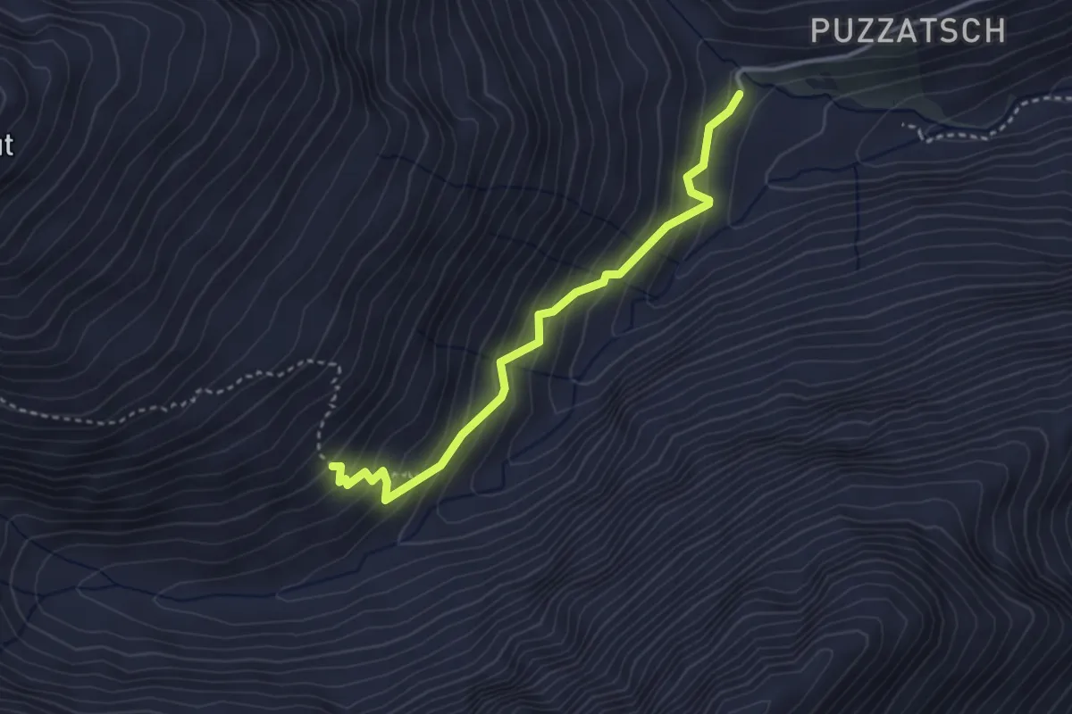
Demanding · Trail
Parvalsauns-Alp Diesrut
3.2 km · ↑ 316 m · 1 h 27 min
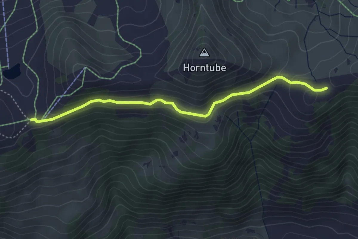
Easy · Trail
Parwengen - Hornberg
4.1 km · ↑ 208 m · 1 h 26 min
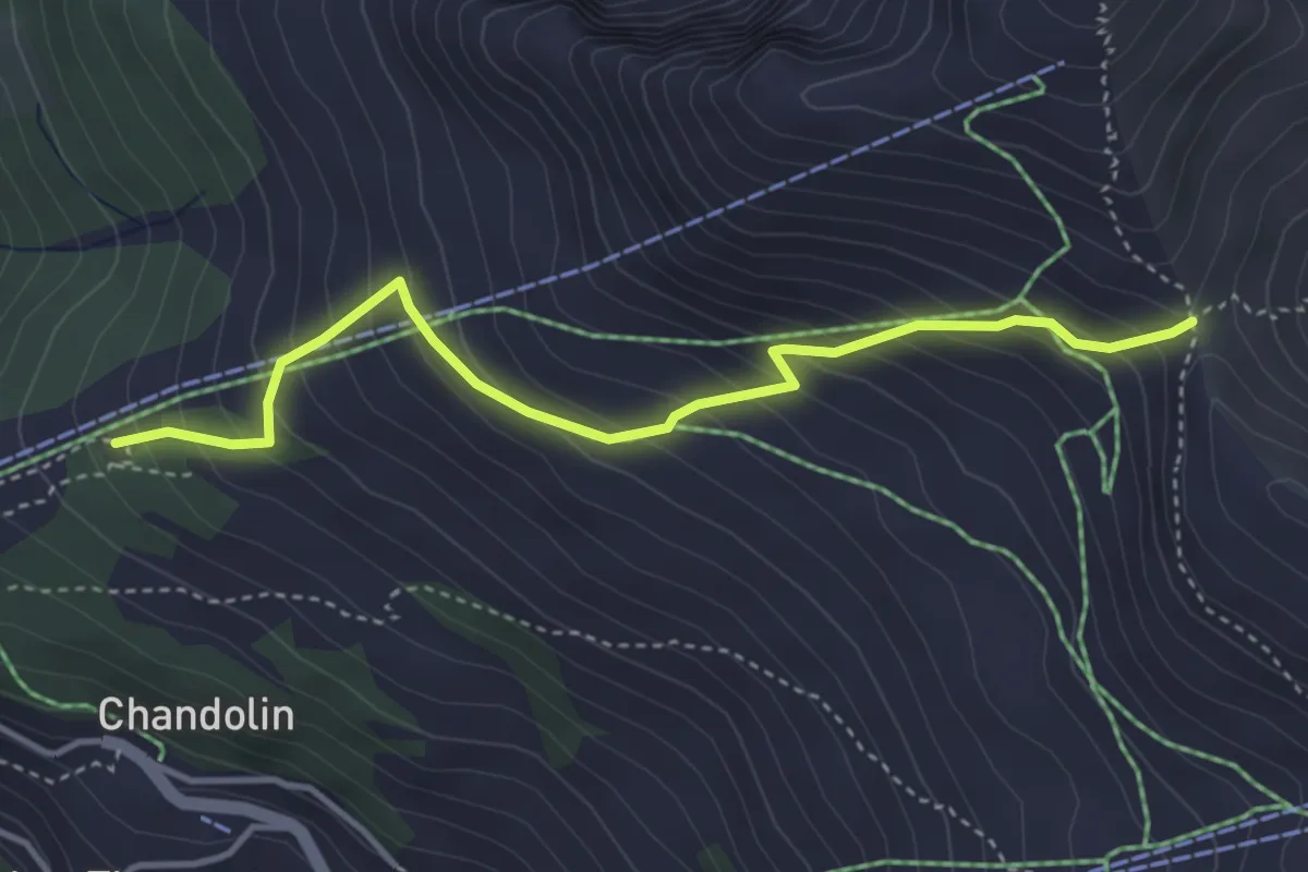
Medium · Cabin
Pas de l'Illsee-cabane de l'Illhorn
3.9 km · ↑ 401 m · 1 h 47 min
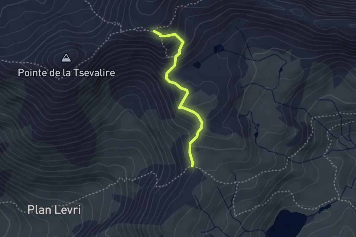
Medium · Cabin
Pas de Lona - Becs de Bosson
2.7 km · ↑ 245 m · 1 h 11 min
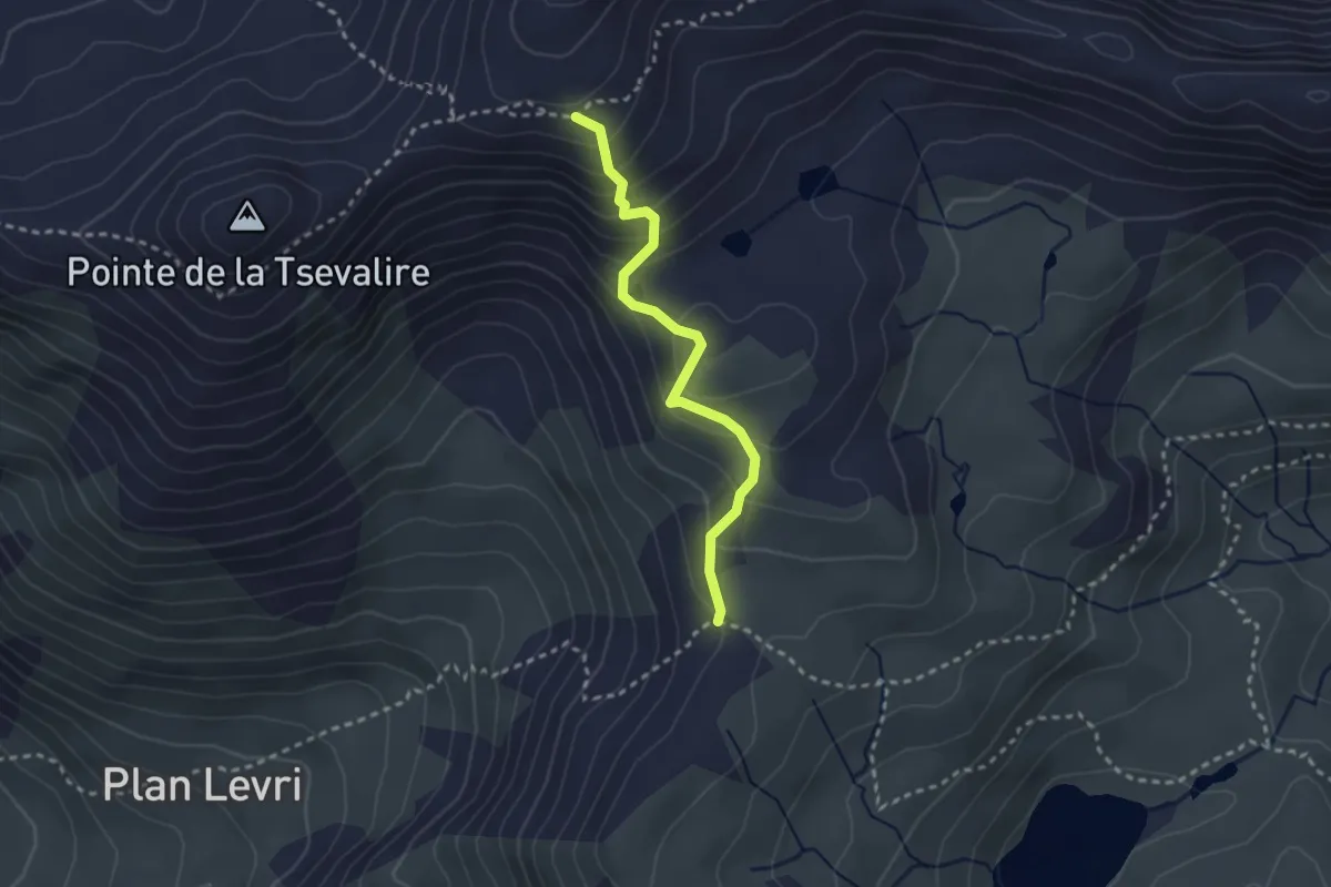
Medium · Cabin
Pas de Lona - Becs de Bosson
2.6 km · ↑ 247 m · 1 h 8 min