Trails in Switzerland
15,029 hiking trails, each with its route, climb, walking time and grade.
All trails, page 81 of 314
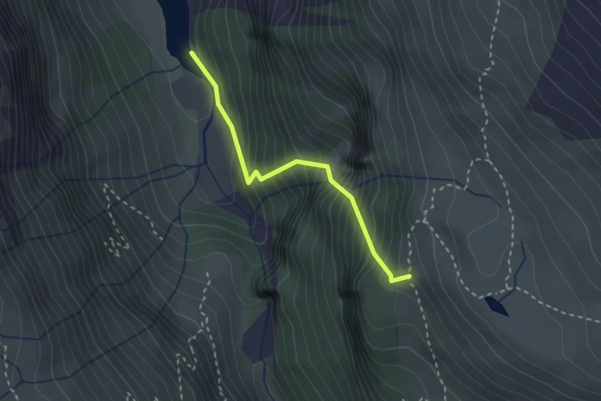
Expert · Trail
Pas du Chasseur
2.2 km · ↑ 421 m · 1 h 26 min
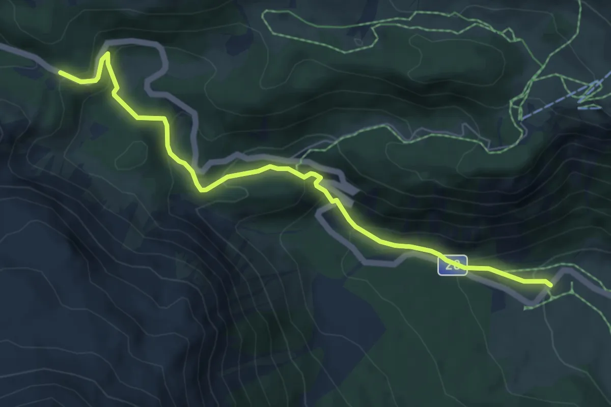
Medium · Trail
Pass dal Fuorn - Süsom Tschierv
7.0 km · ↑ 413 m · 2 h 32 min
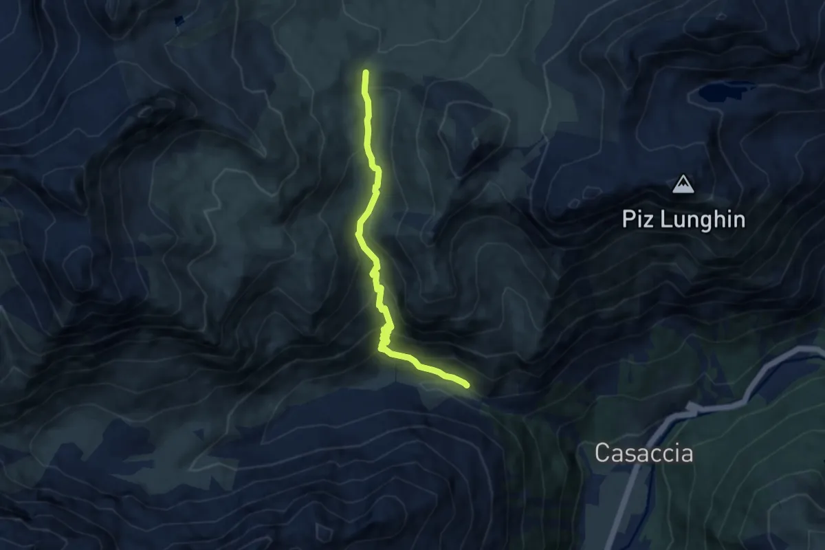
Medium · Trail
Pass da Sett-Maroz Dora
7.2 km · ↑ 509 m · 2 h 48 min
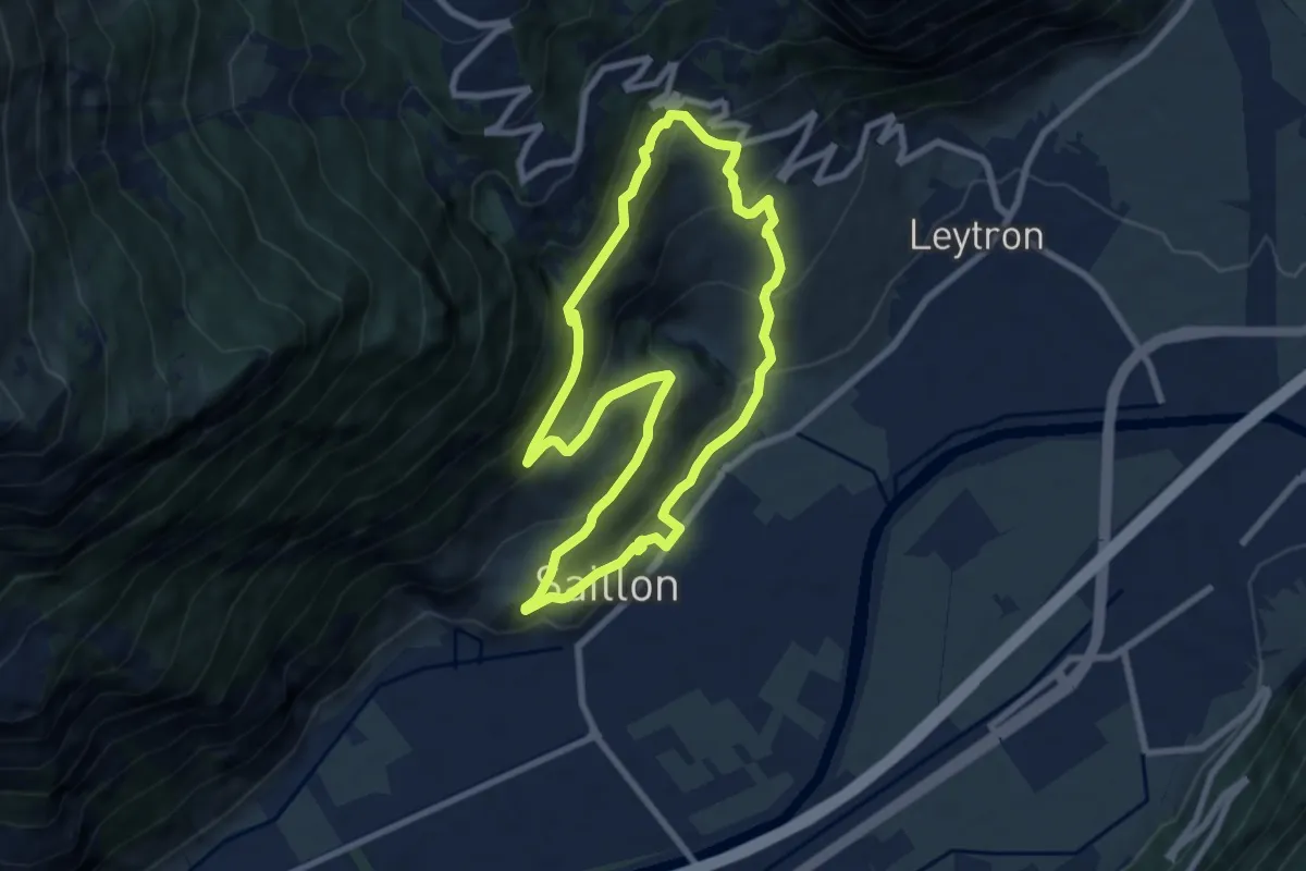
Medium · Trail
Passerelle à Farinet
7.6 km · ↑ 458 m · 2 h 54 min
Easy · Trail
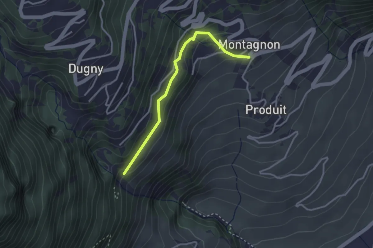
Passerelle à Farinet - Montagnon
2.6 km · ↑ 184 m · 1 h 1 min
Easy · Trail
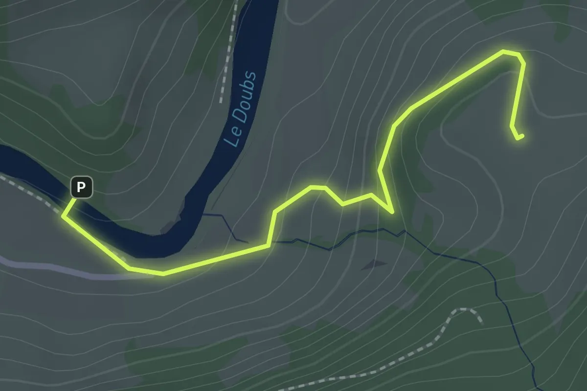
Passerelle de La Charbonniere - Le Poye
2.2 km · ↑ 118 m · 47 min
Medium · Trail
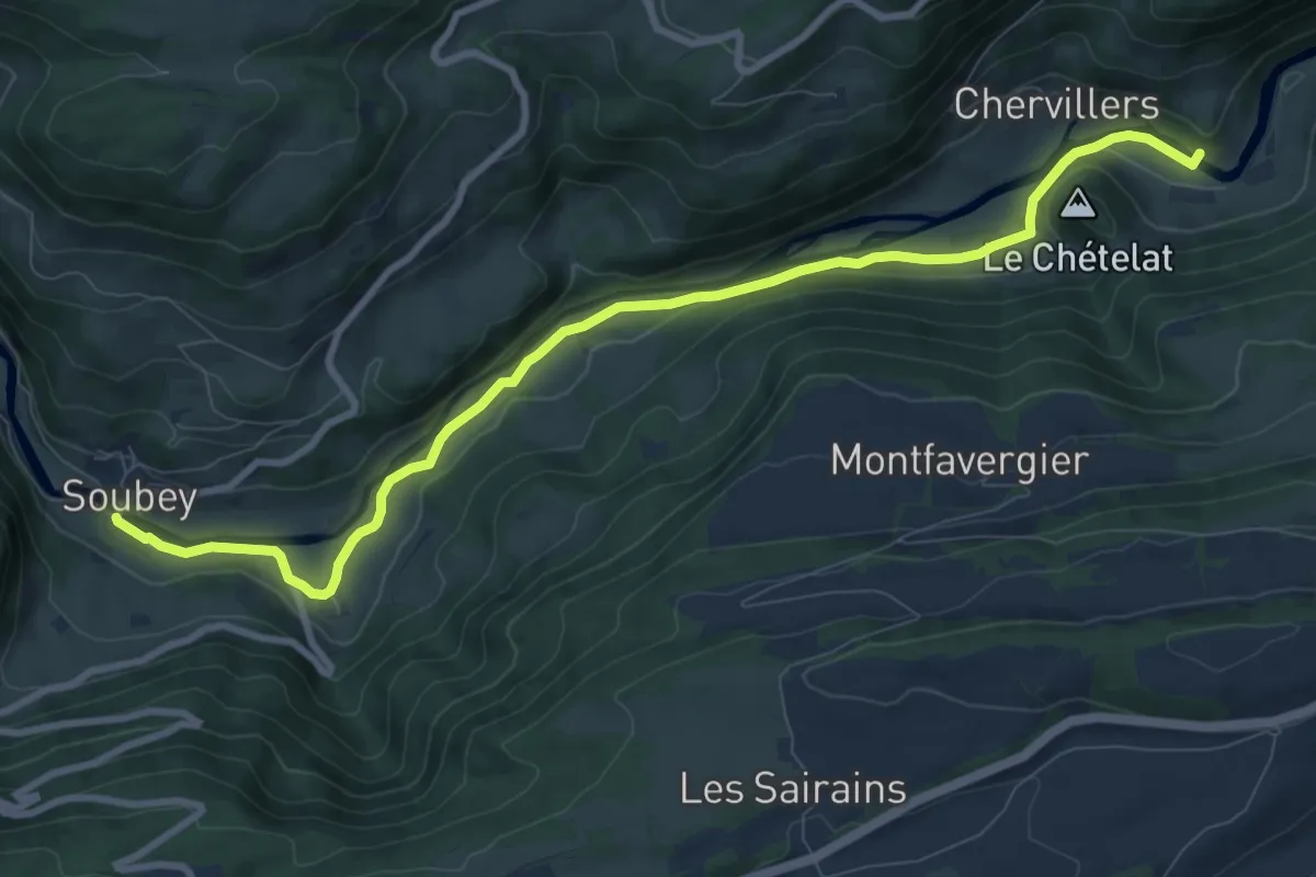
Passerelle de La Charbonniere - Soubey
10.0 km · ↑ 77 m · 2 h 32 min
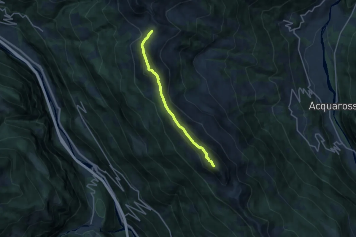
Demanding · Cabin
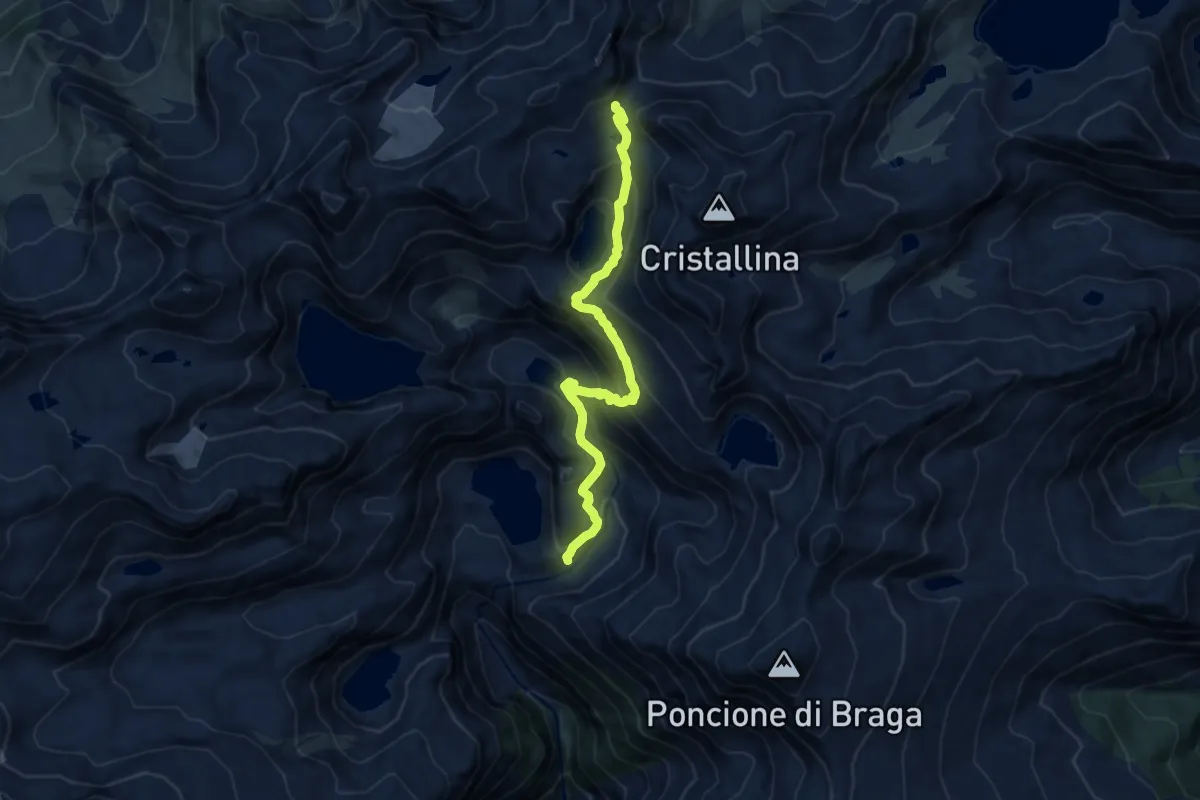
Passo Cristallina-Lielp
10.1 km · ↑ 849 m · 4 h 14 min
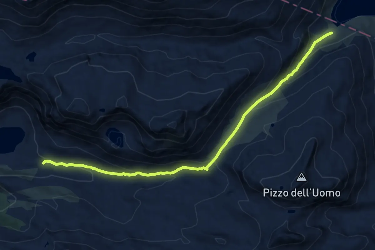
Expert · Summit
Passo dei Laghetti - Bassa di Nara
10.3 km · ↑ 691 m · 3 h 55 min
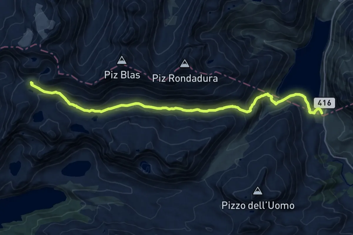
Medium · Cabin
Passo del Lucomagno - Capanna Cadagno
12.0 km · ↑ 524 m · 3 h 58 min
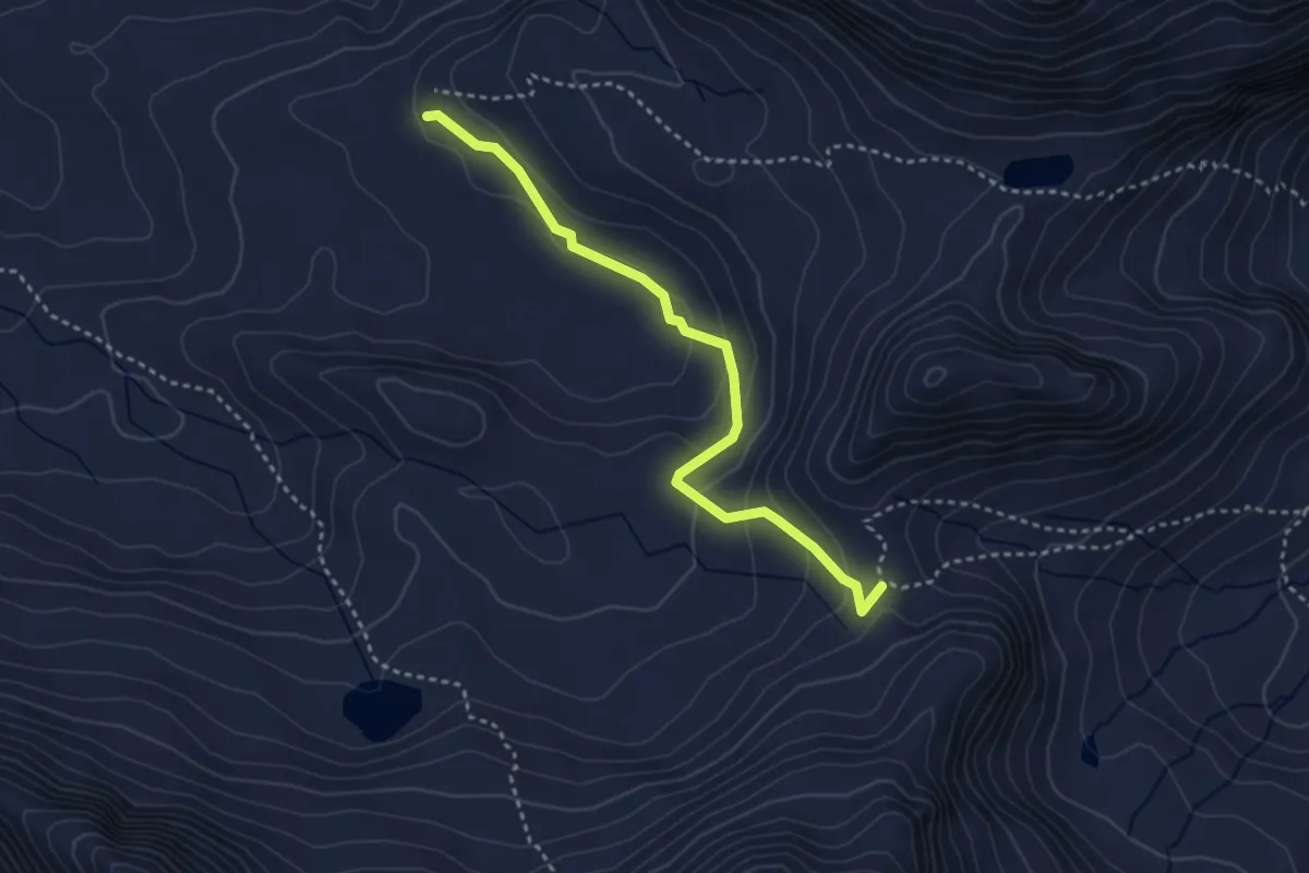
Demanding · Cabin
Passo del Lucomagno - Capanna Cadlimo
19.2 km · ↑ 709 m · 6 h 4 min
Medium · Trail
Passo Sole-Capanna Cadagno
3.4 km · ↑ 143 m · 1 h 6 min
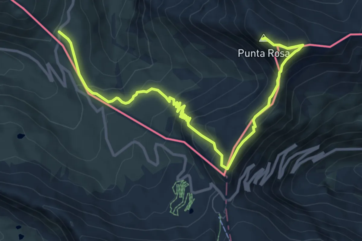
Expert · Summit
Pass Umbrail - Piz da las Trais Linguas - Piz Cotschen
9.5 km · ↑ 608 m · 3 h 34 min
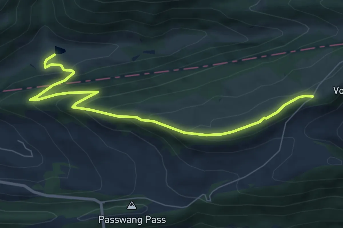
Medium · Trail
Passwang - Bogental
7.1 km · ↑ 411 m · 2 h 35 min
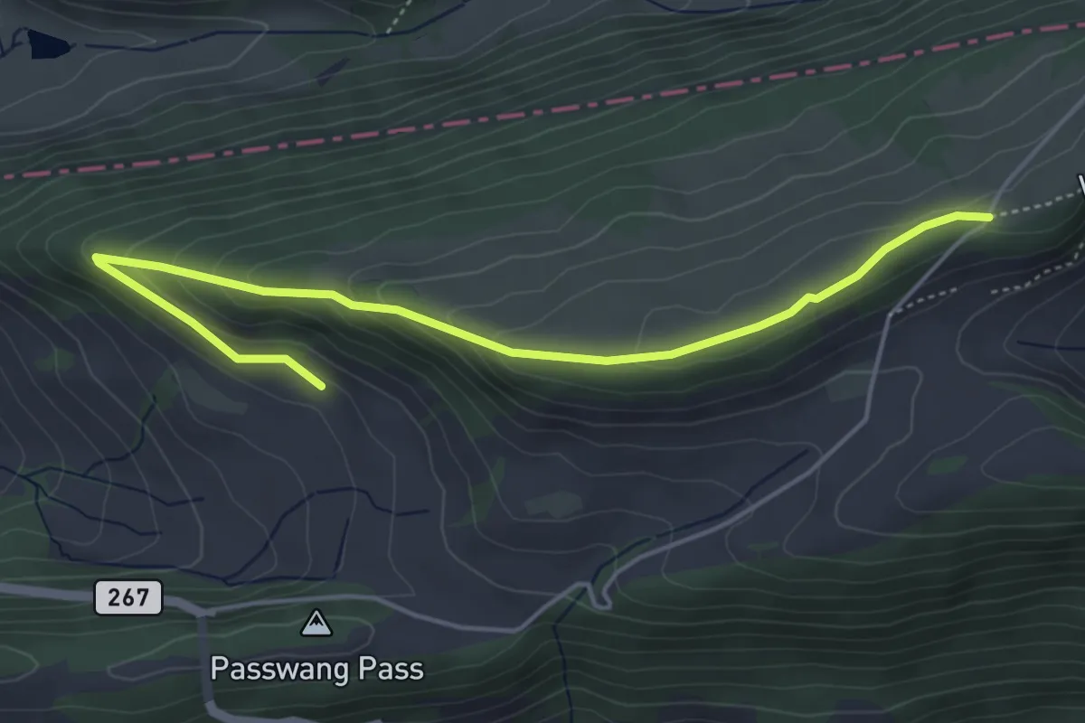
Easy · Trail
Passwang - fixme
5.1 km · ↑ 236 m · 1 h 43 min
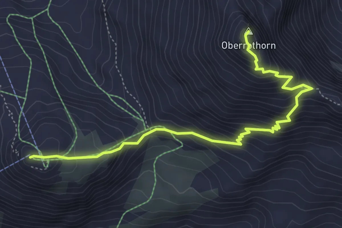
Demanding · Summit
Path to Freedom
5.5 km · ↑ 497 m · 2 h 22 min
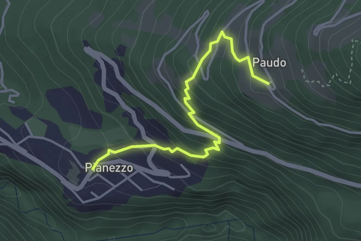
Medium · Trail
Paudo bus-Pianezzo
3.3 km · ↑ 328 m · 1 h 29 min
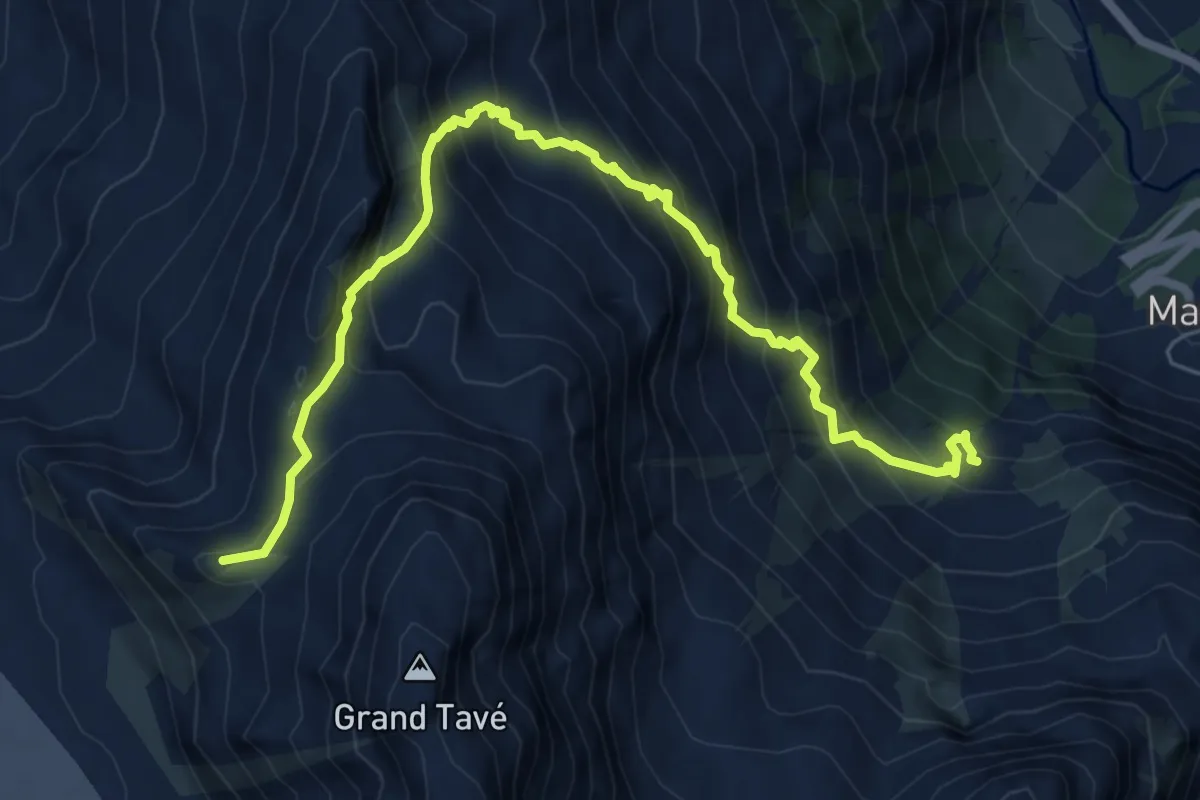
Demanding · Summit
Pazagnou-Col des Otanes
7.7 km · ↑ 879 m · 3 h 44 min
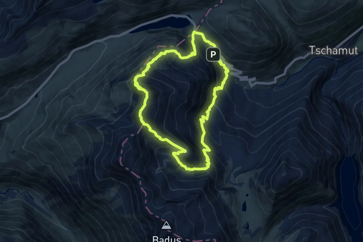
Expert · Summit
Pazolastock-Rheinquelle-Weg
10.5 km · ↑ 918 m · 4 h 37 min
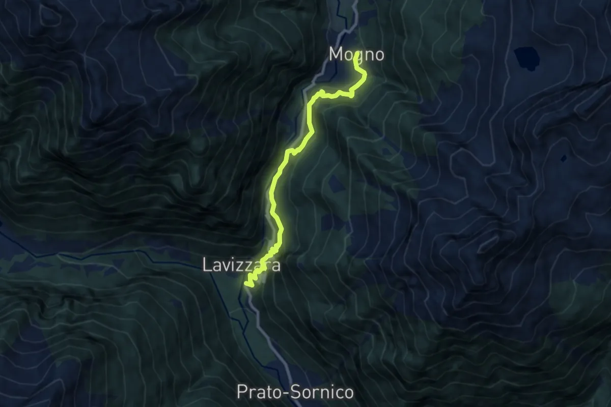
Medium · Trail
Peccia-Mogno
8.2 km · ↑ 565 m · 3 h 9 min
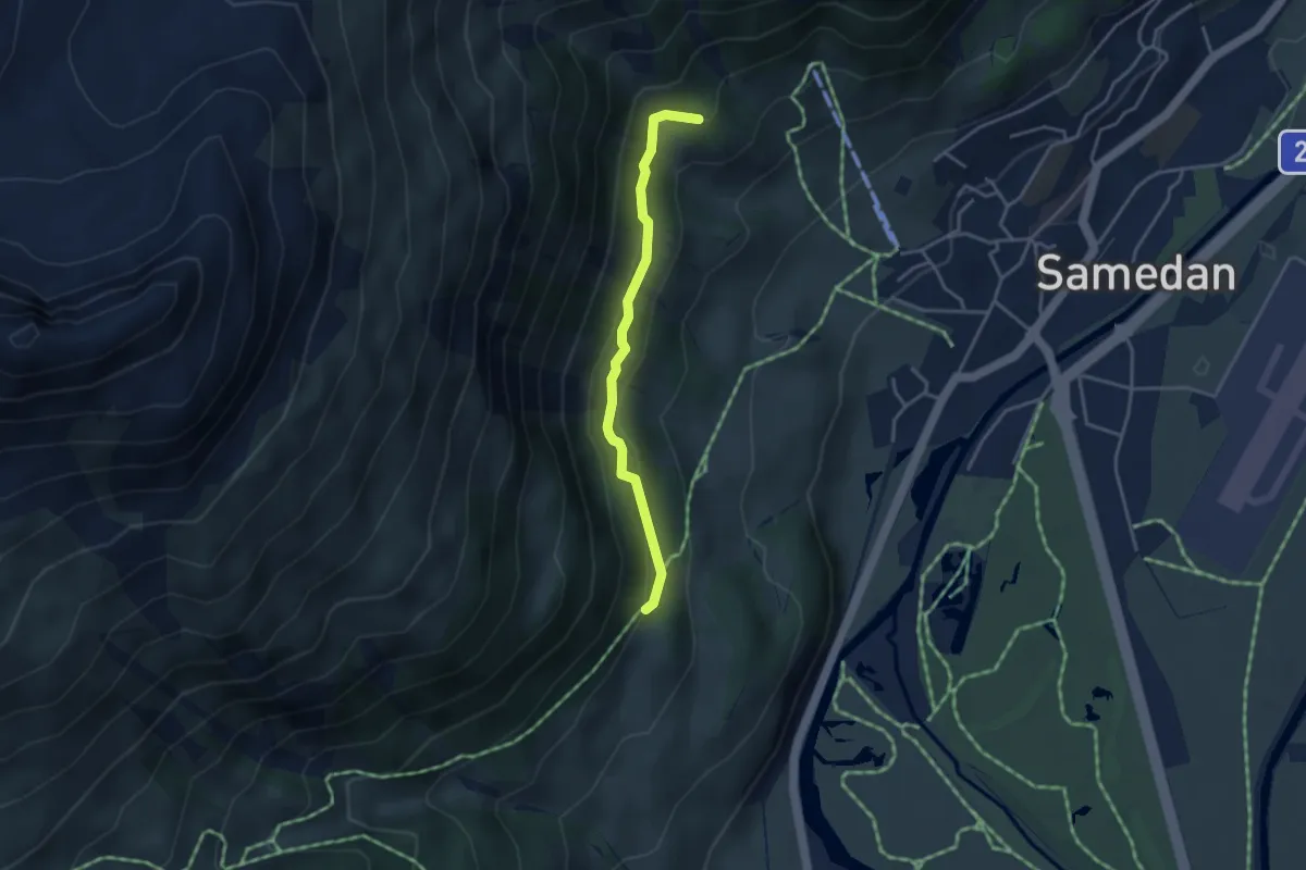
Medium · Trail
Peidra Grossa - Cristolais
3.4 km · ↑ 160 m · 1 h 9 min
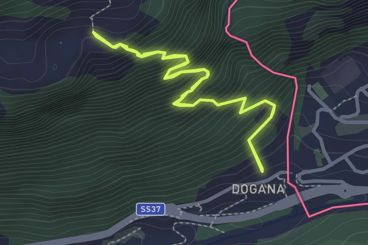
Medium · Trail
Percorso B21
2.3 km · ↑ 401 m · 1 h 27 min
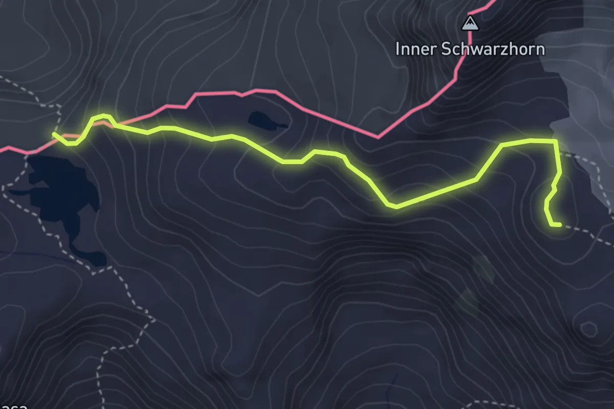
Medium · Trail
Percorso C14
3.8 km · ↑ 341 m · 1 h 39 min
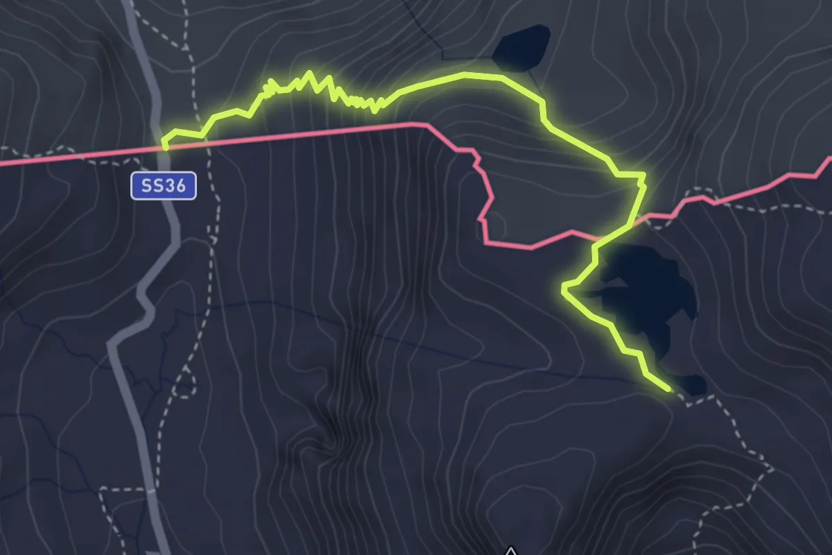
Demanding · Trail
Percorso C15
4.1 km · ↑ 316 m · 1 h 39 min
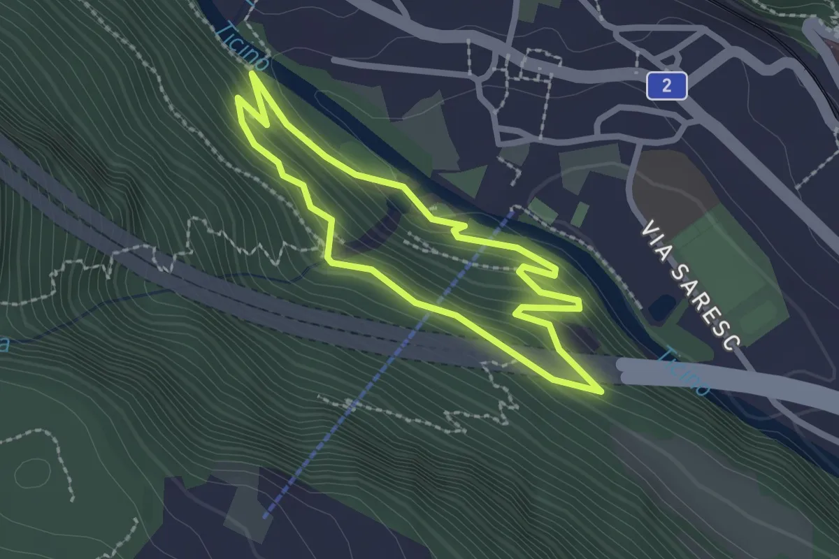
Medium · Trail
Percorso didattico
1.9 km · ↑ 139 m · 47 min
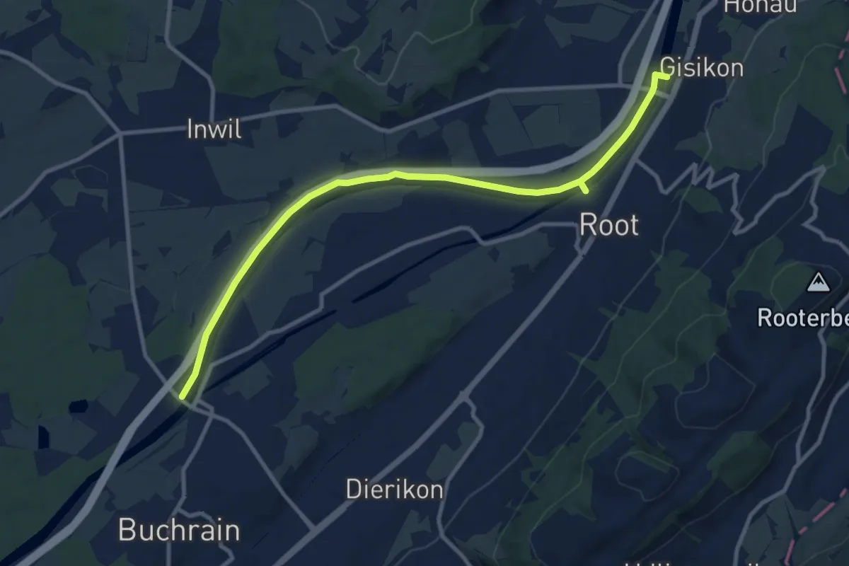
Medium · Trail
Perlenbrücke - Gisikon
10.6 km · ↑ 17 m · 2 h 33 min
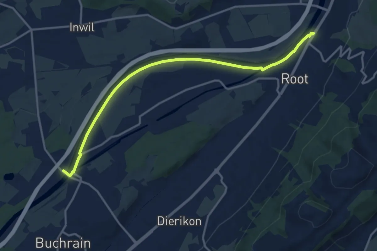
Medium · Trail
Perlenbrücke - Gisikon Root
9.5 km · ↑ 17 m · 2 h 17 min
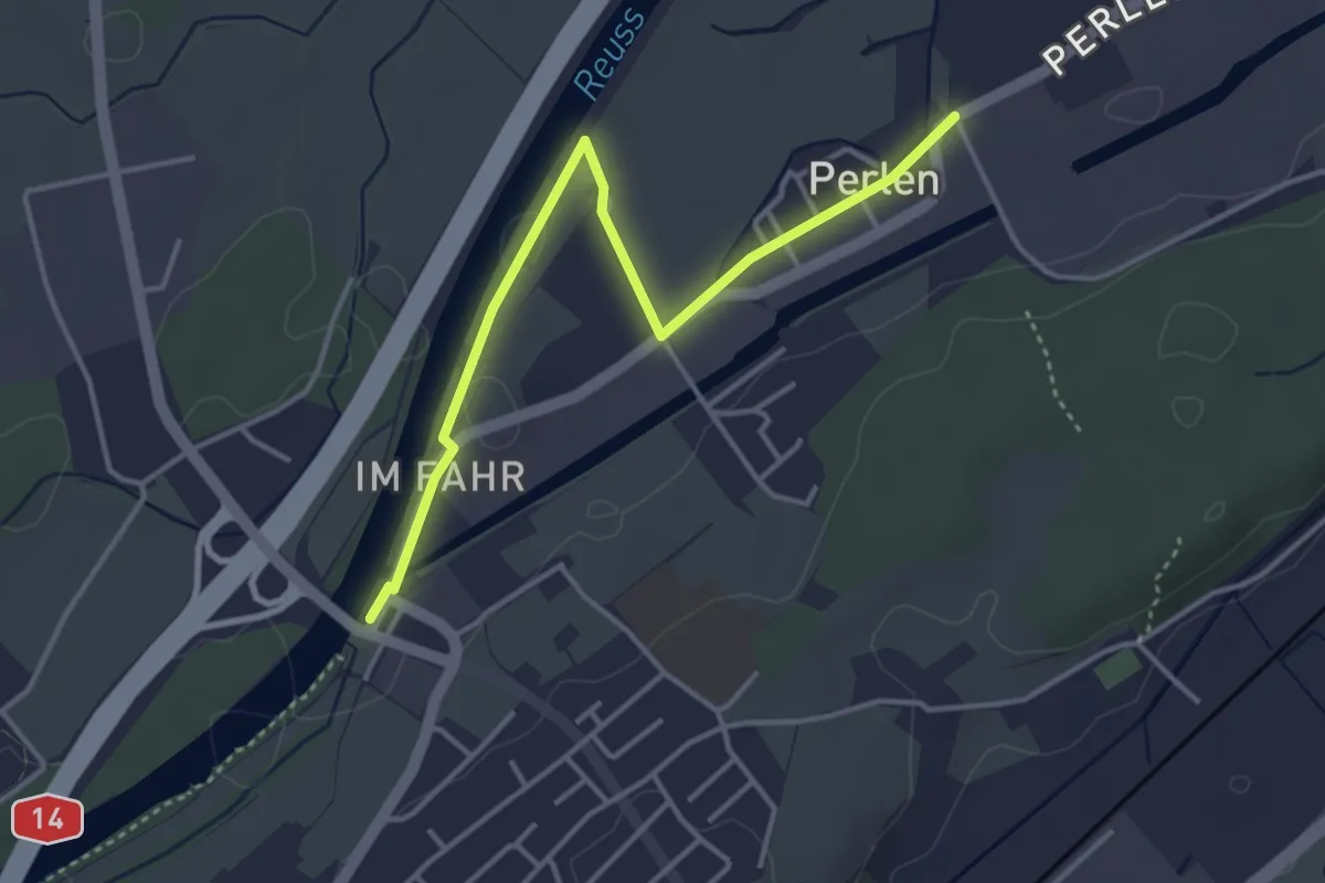
Easy · Trail
Perlenbrücke - Perlen
3.9 km · ↑ 4 m · 56 min
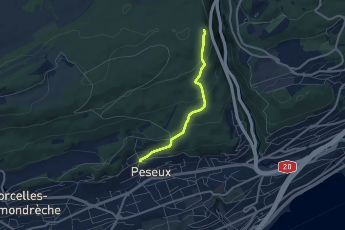
Easy · Trail
Peseux - Le Gibet
4.4 km · ↑ 209 m · 1 h 30 min
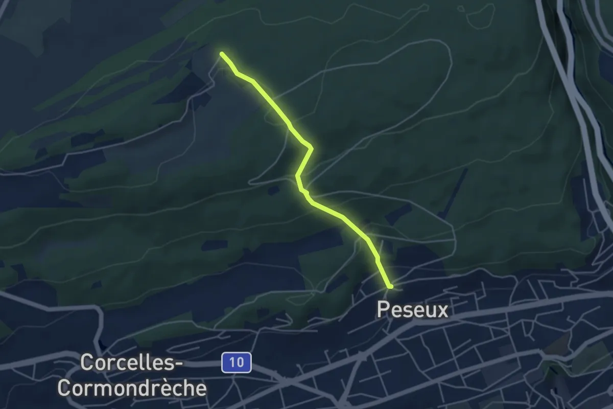
Easy · Trail
Peseux - Serroue
3.7 km · ↑ 241 m · 1 h 24 min
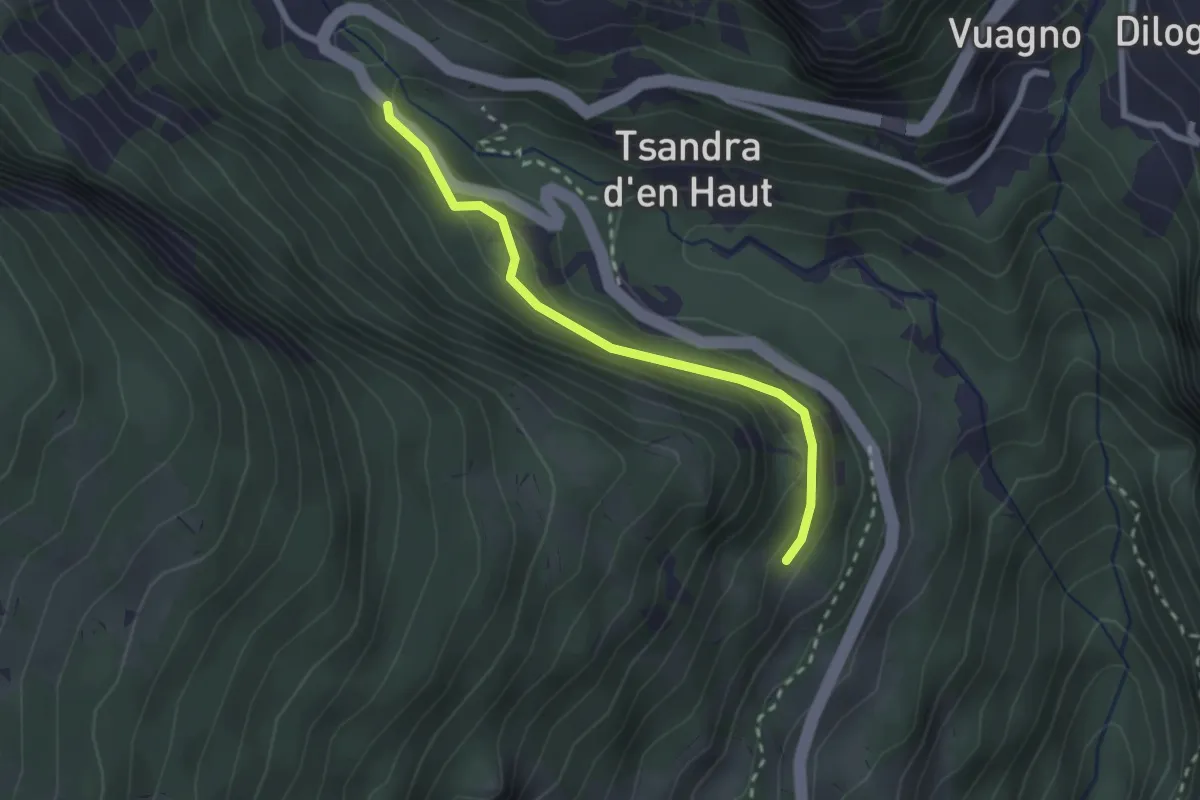
Medium · Trail
Petit bisse
2.3 km · ↑ 137 m · 50 min
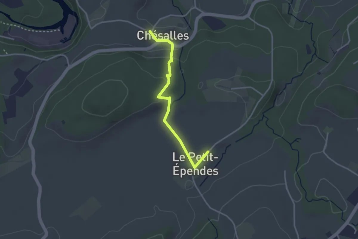
Easy · Trail
Petit Ependes Observatoire - Chésalles
2.7 km · ↑ 70 m · 47 min
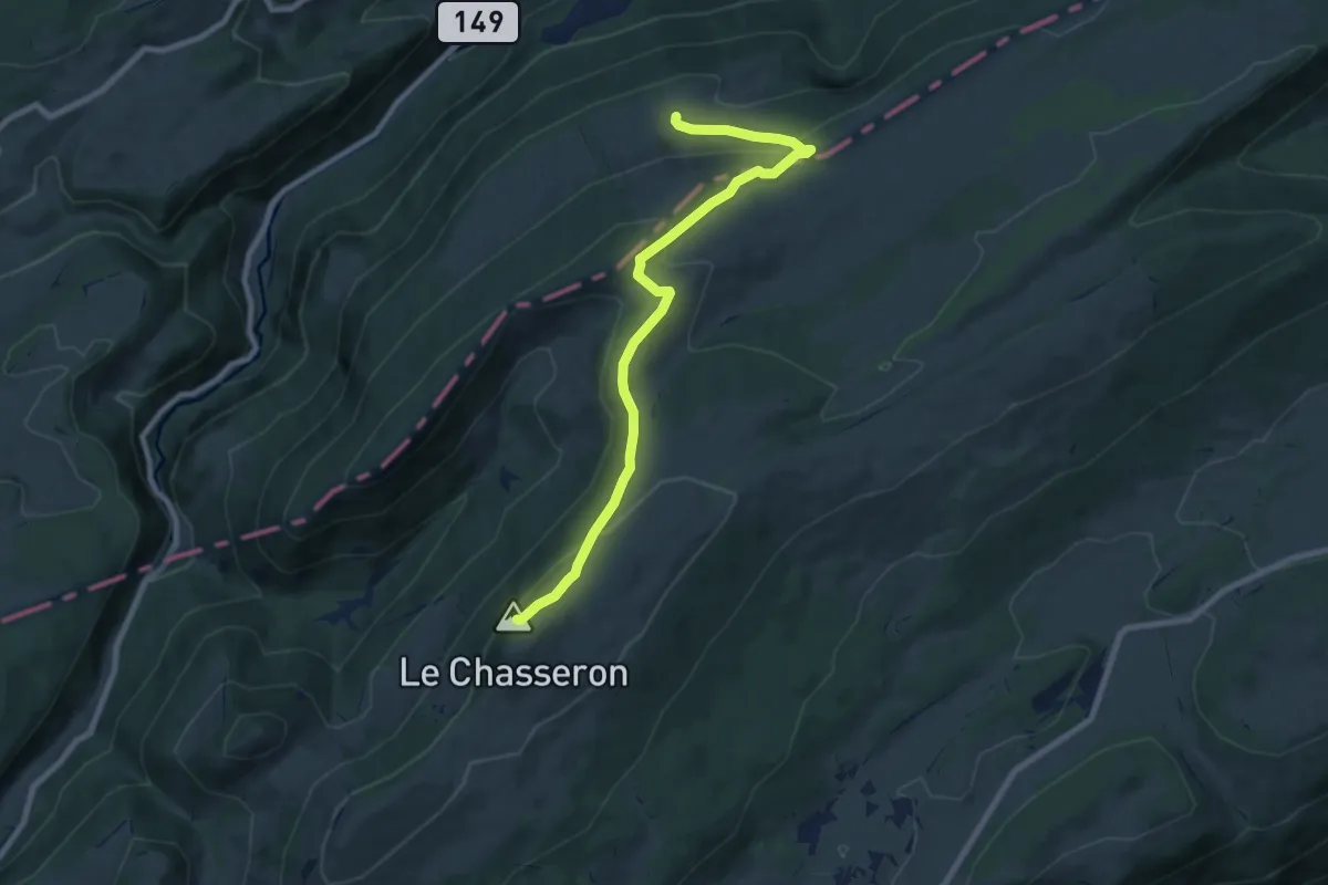
Medium · Summit
Petite Robella - Hôtel du Chasseron
8.5 km · ↑ 414 m · 2 h 55 min
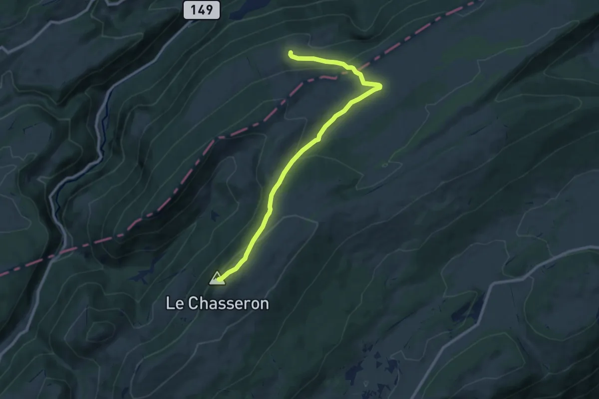
Medium · Summit
Petite Robella - Hôtel du Chasseron
8.7 km · ↑ 353 m · 2 h 49 min
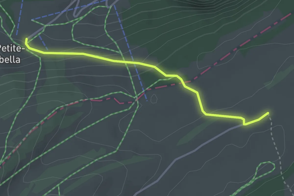
Easy · Trail
Petite Robella-La Preisette
2.8 km · ↑ 101 m · 52 min
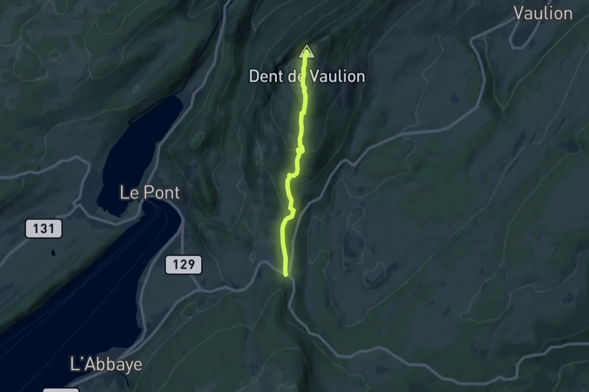
Easy · Summit
Pétra Félix-Dent du Vaulion
6.2 km · ↑ 307 m · 2 h 7 min
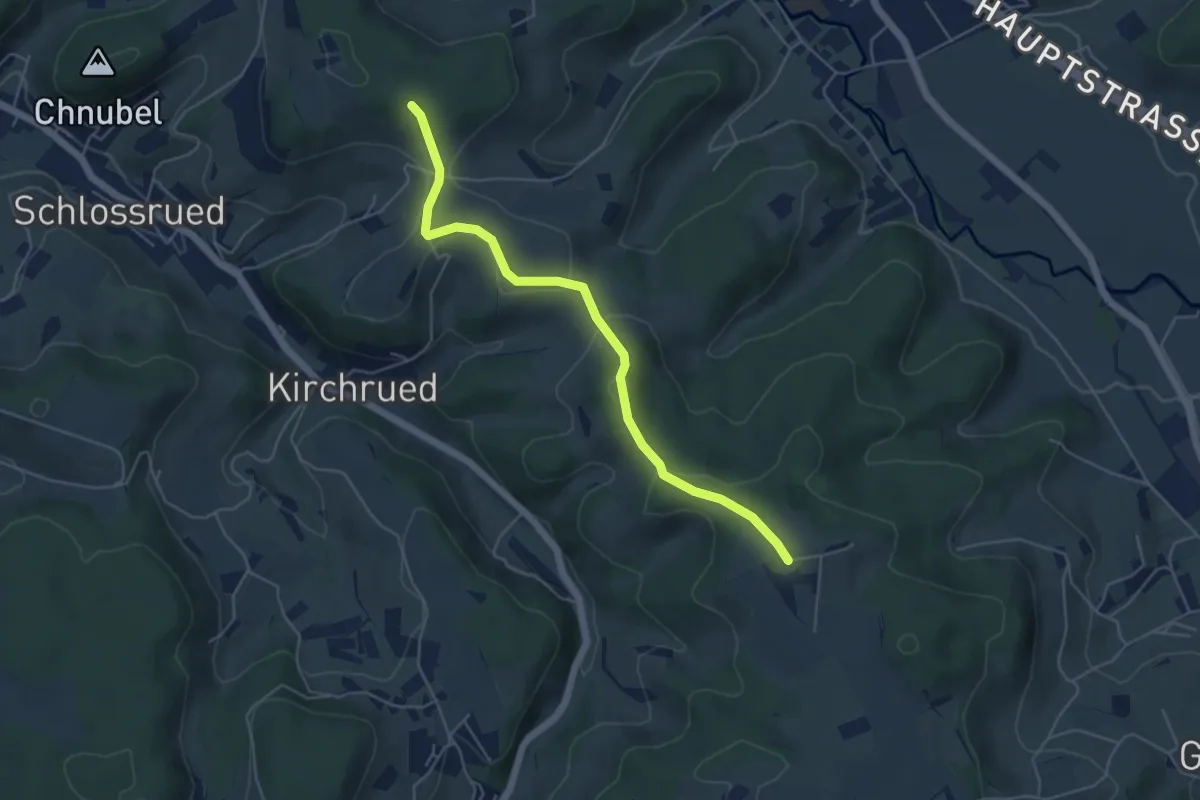
Easy · Trail
Pfaffenberg - Waltersholz
5.1 km · ↑ 165 m · 1 h 34 min
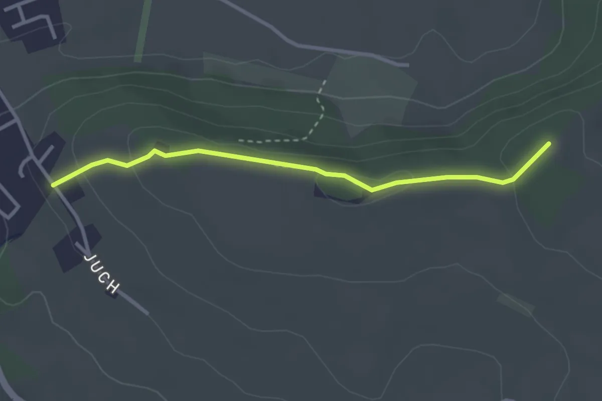
Easy · Trail
Pfaffenhölzli - Juch
2.8 km · ↑ 85 m · 51 min
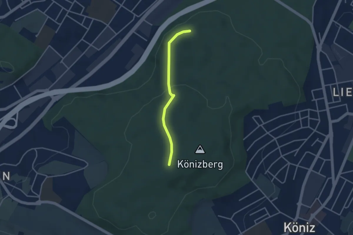
Easy · Trail
Pfaffensteig - Könizberg/Stärn
2.5 km · ↑ 70 m · 45 min
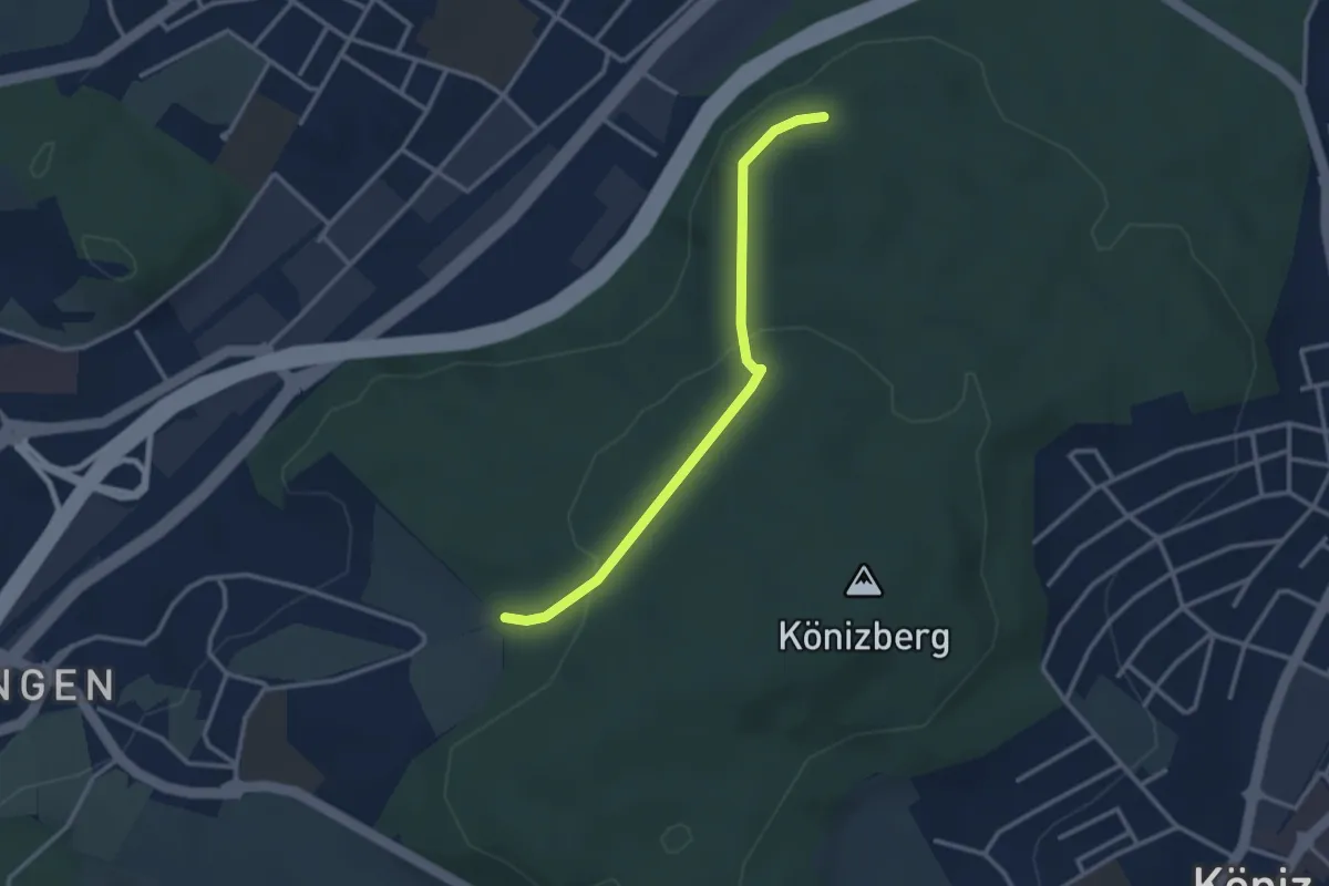
Easy · Trail
Pfaffensteig - Tubentränke
2.9 km · ↑ 88 m · 52 min
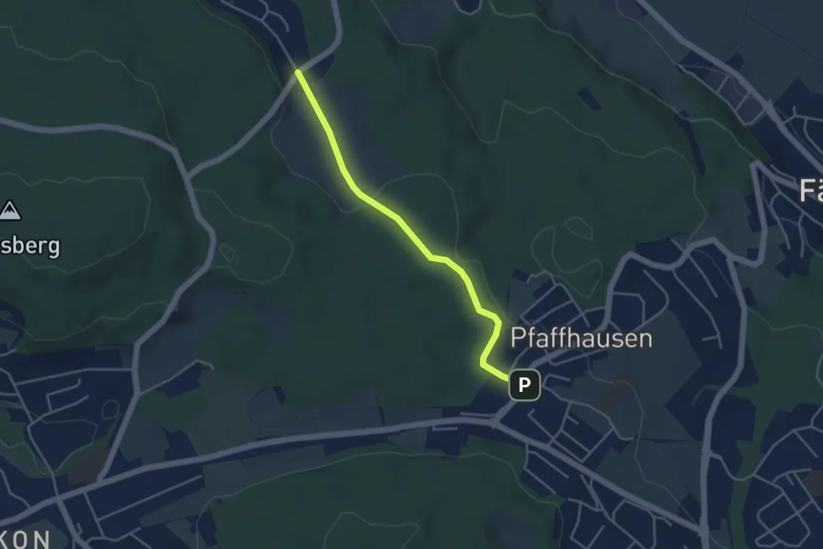
Easy · Trail
Pfaffhausen - Geeren
3.5 km · ↑ 86 m · 1 h 1 min
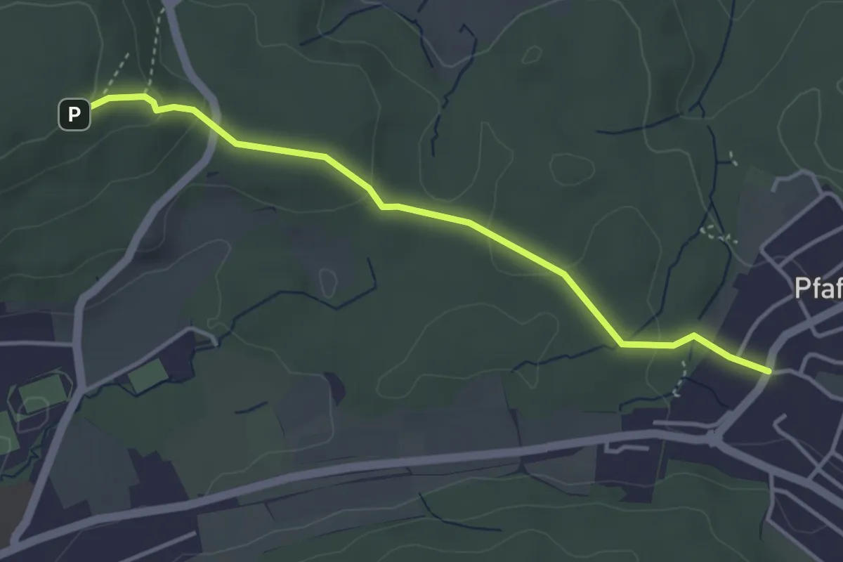
Easy · Trail
Pfaffhausen - Lorenchopf
3.7 km · ↑ 123 m · 1 h 9 min
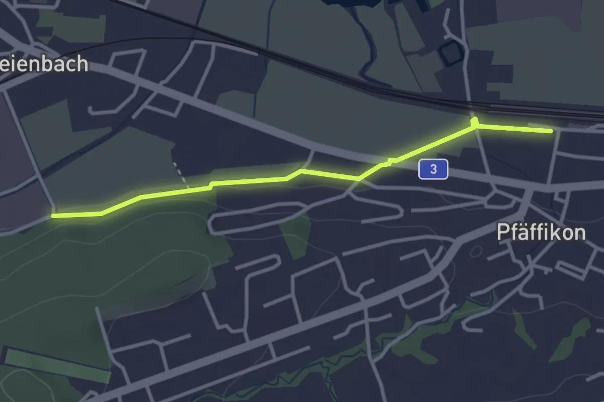
Easy · Trail
Pfäffikon - Eichholz
2.9 km · ↑ 24 m · 44 min
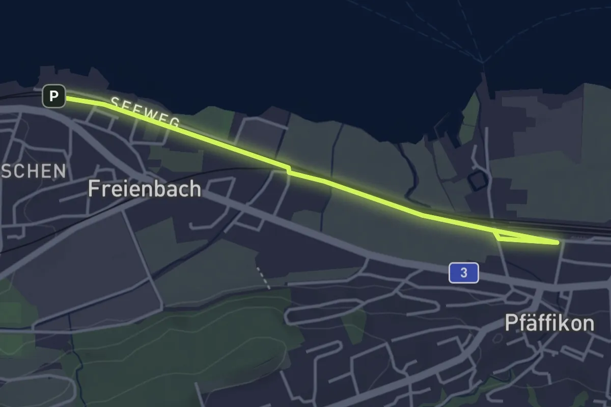
Easy · Trail
Pfäffikon - Freienbach
4.0 km · ↑ 8 m · 58 min
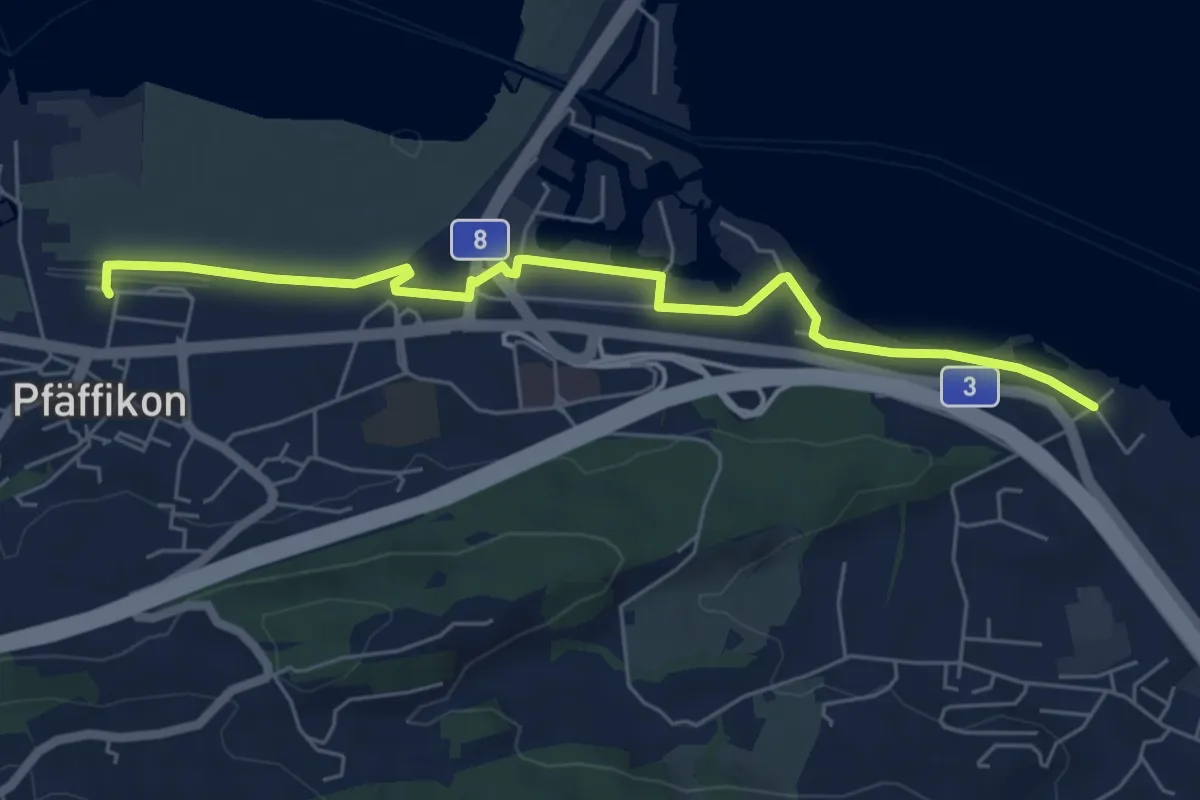
Easy · Trail
Pfäffikon - Lidwil
6.1 km · ↑ 18 m · 1 h 29 min
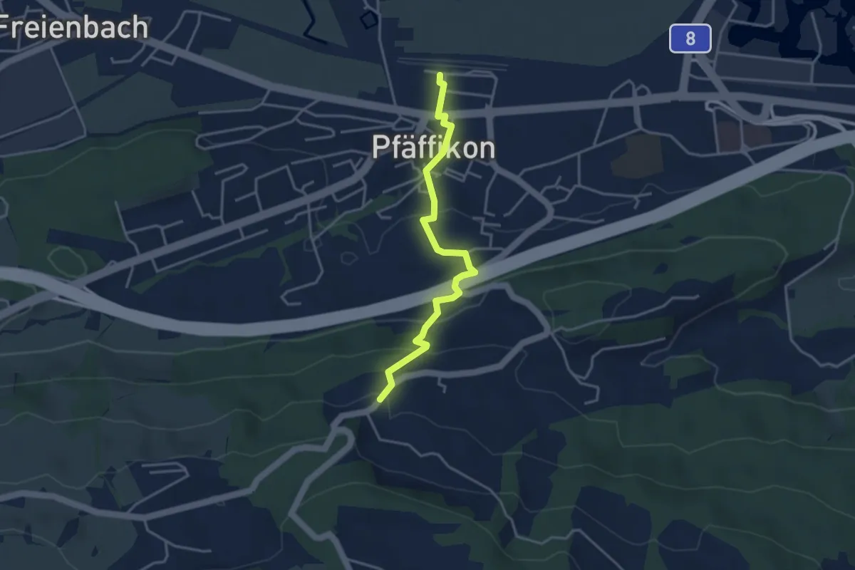
Easy · Trail
Pfäffikon - Luegeten
3.5 km · ↑ 186 m · 1 h 14 min
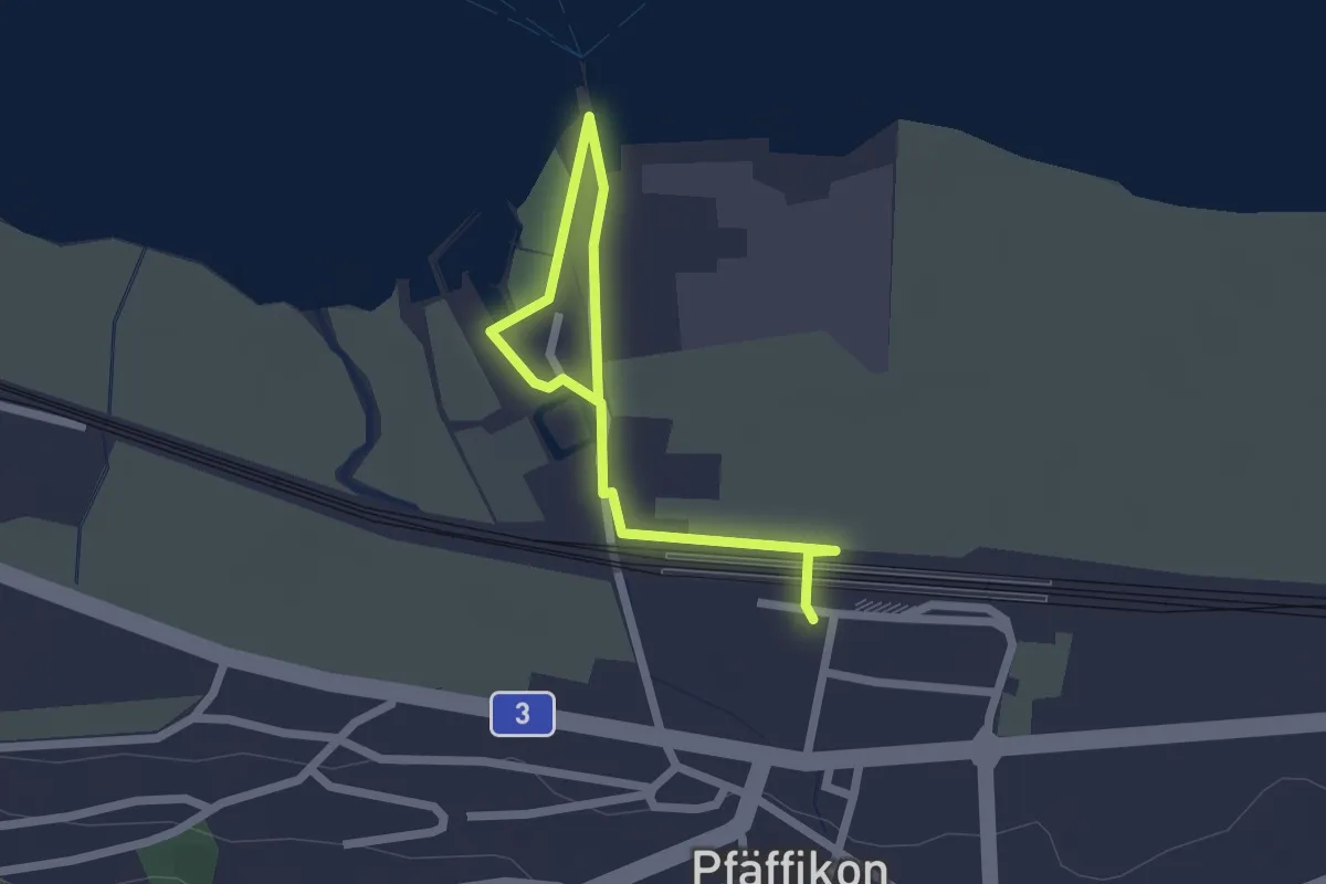
Easy · Trail
Pfäffikon - Pfäffikon Unterdorf
2.5 km · ↑ 9 m · 36 min
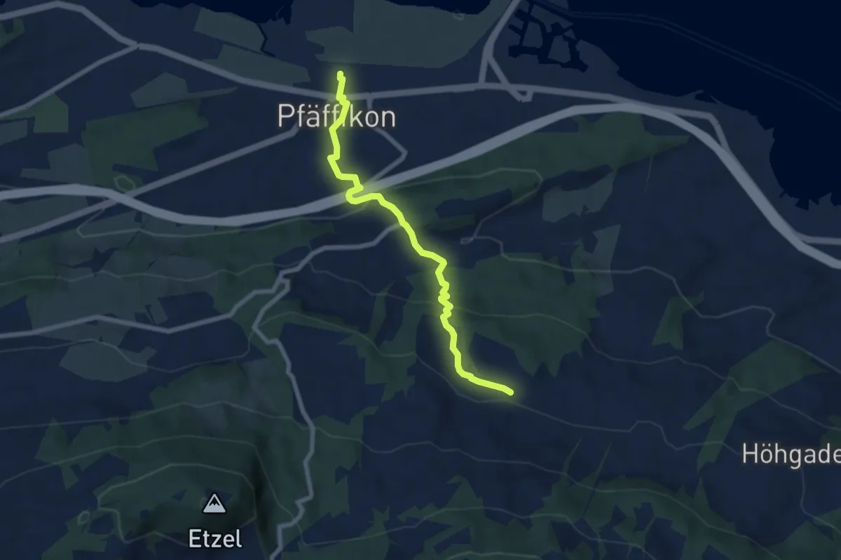
Easy · Trail
Pfäffikon - Schwändi
6.4 km · ↑ 300 m · 2 h 10 min