Trails in Switzerland
15,029 hiking trails, each with its route, climb, walking time and grade.
All trails, page 82 of 314
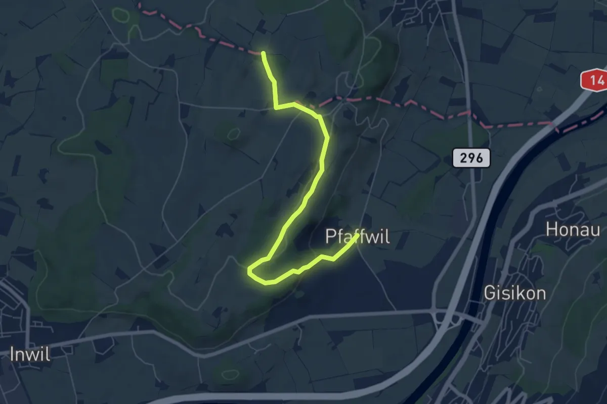
Easy · Trail
Pfaffwil - Sulzberg
6.5 km · ↑ 159 m · 1 h 53 min
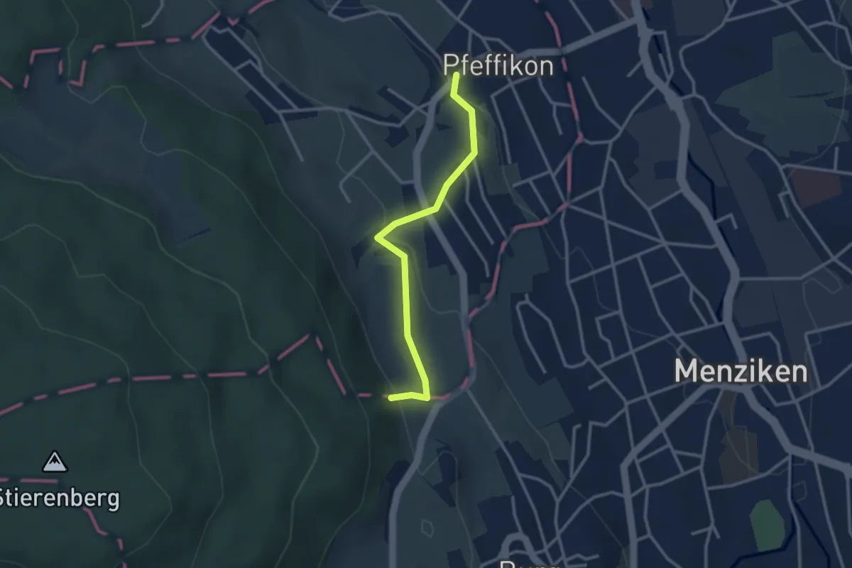
Easy · Trail
Pfeffikon Mühle - Halde
2.7 km · ↑ 114 m · 53 min
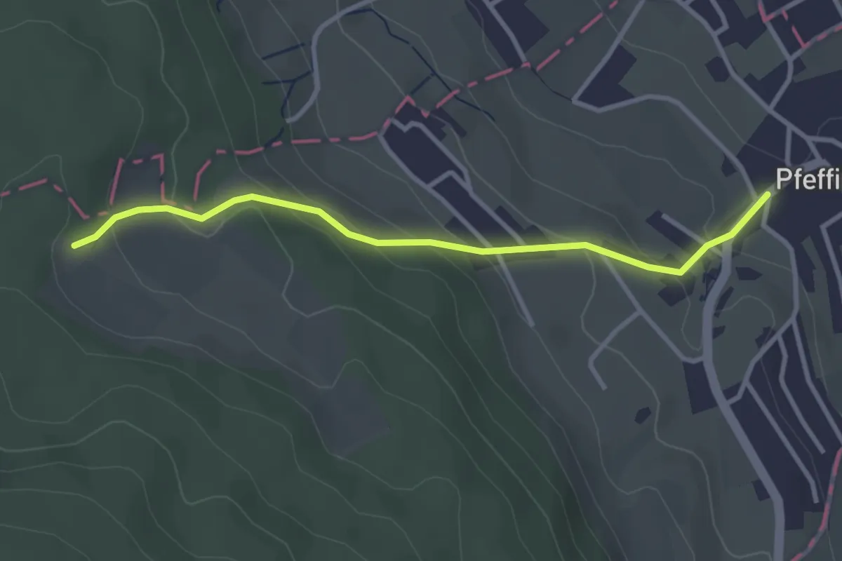
Easy · Trail
Pfeffikon Mühle - Knabenrütihütte
3.1 km · ↑ 184 m · 1 h 7 min
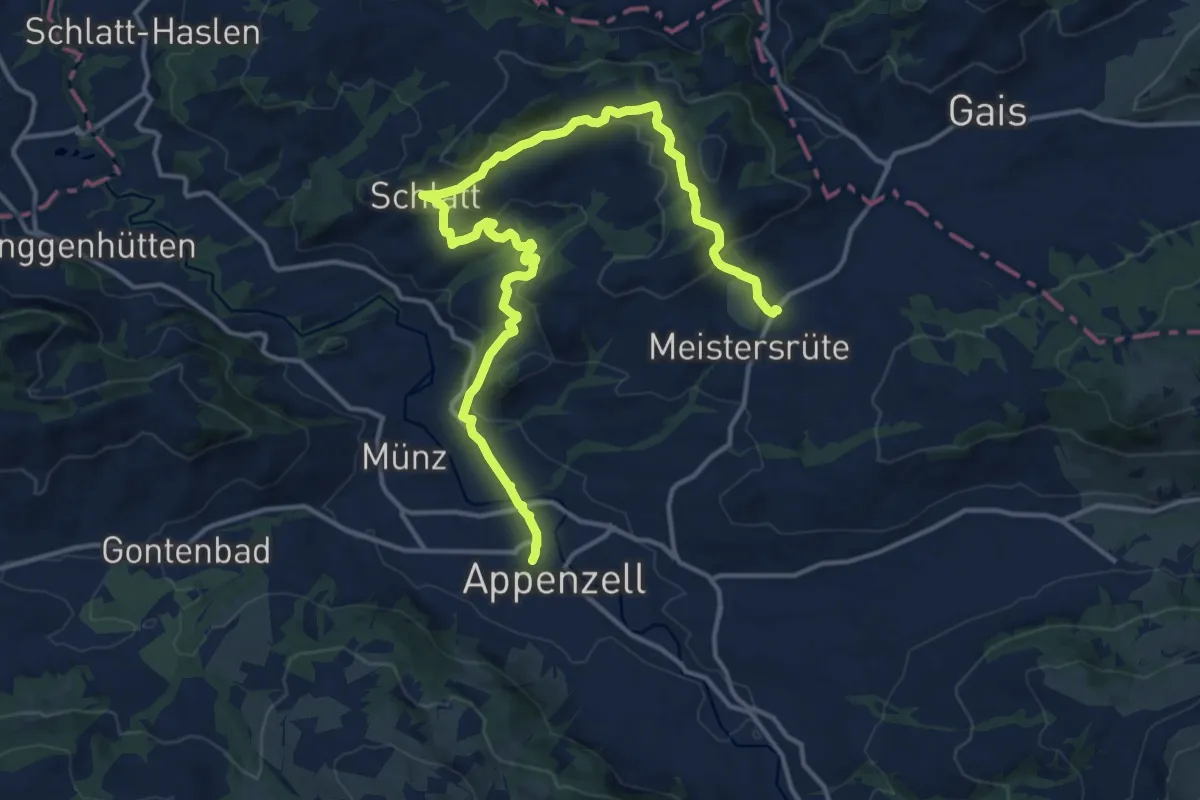
Medium · Trail
Pfeff ond Lischt Weg
17.9 km · ↑ 600 m · 5 h 32 min
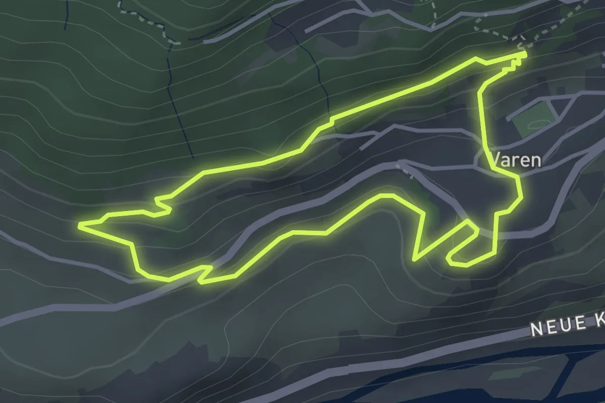
Easy · Trail
Pfyfoltruweg
3.5 km · ↑ 178 m · 1 h 16 min
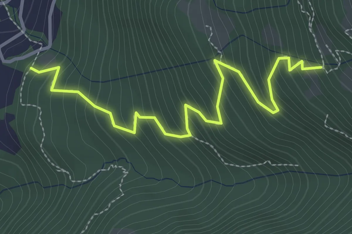
Medium · Trail
Pian Laghetto - Monti di Artore
3.2 km · ↑ 353 m · 1 h 31 min
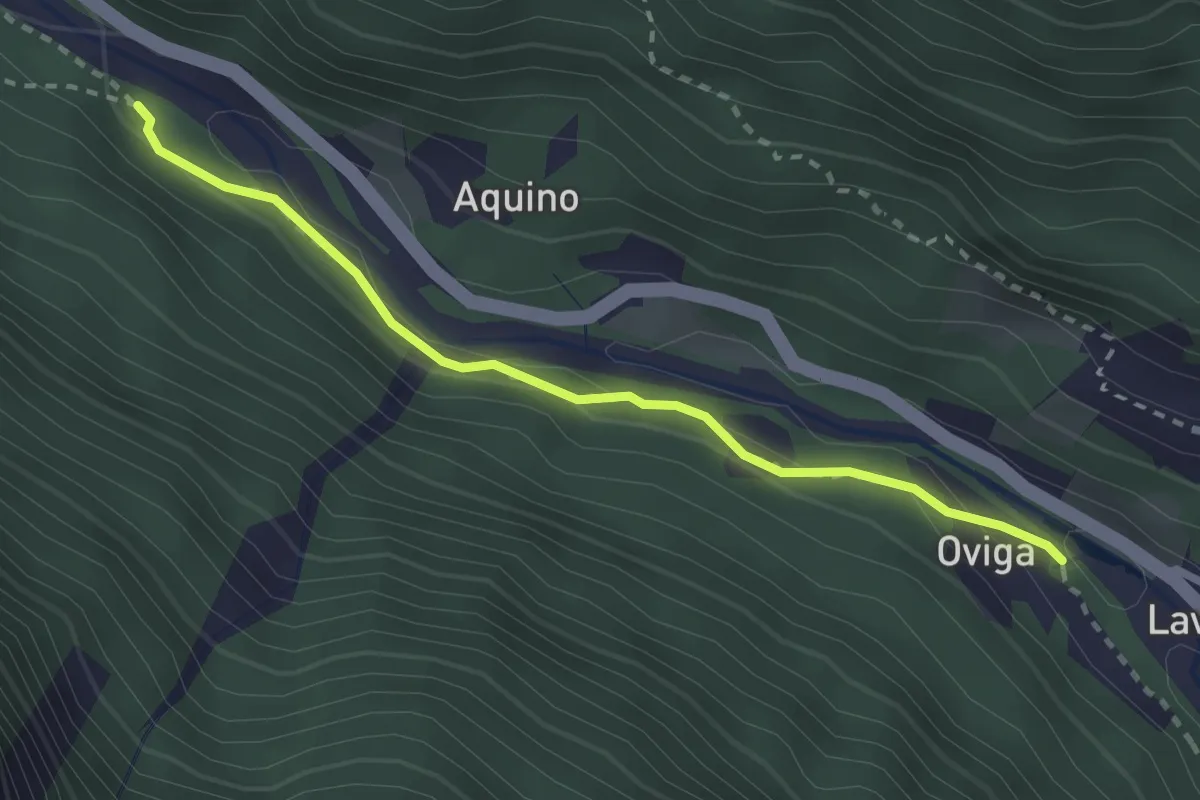
Easy · Trail
Piano - Oviga
2.6 km · ↑ 89 m · 48 min
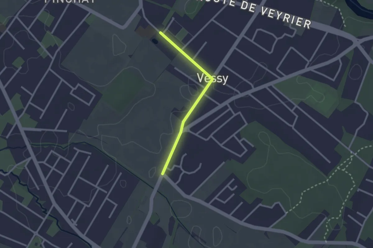
Easy · Trail
Pinchat - Place Verte
2.1 km · ↑ 4 m · 30 min
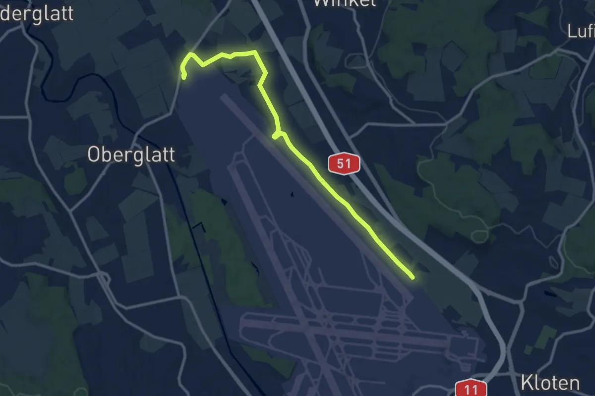
Medium · Trail
Pistenende - Himmelbach
9.4 km · ↑ 26 m · 2 h 17 min
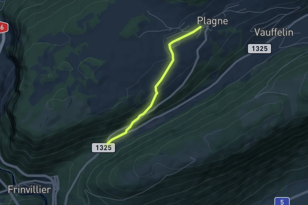
Easy · Trail
Plagne-Pâturage de Sagne
4.4 km · ↑ 190 m · 1 h 27 min
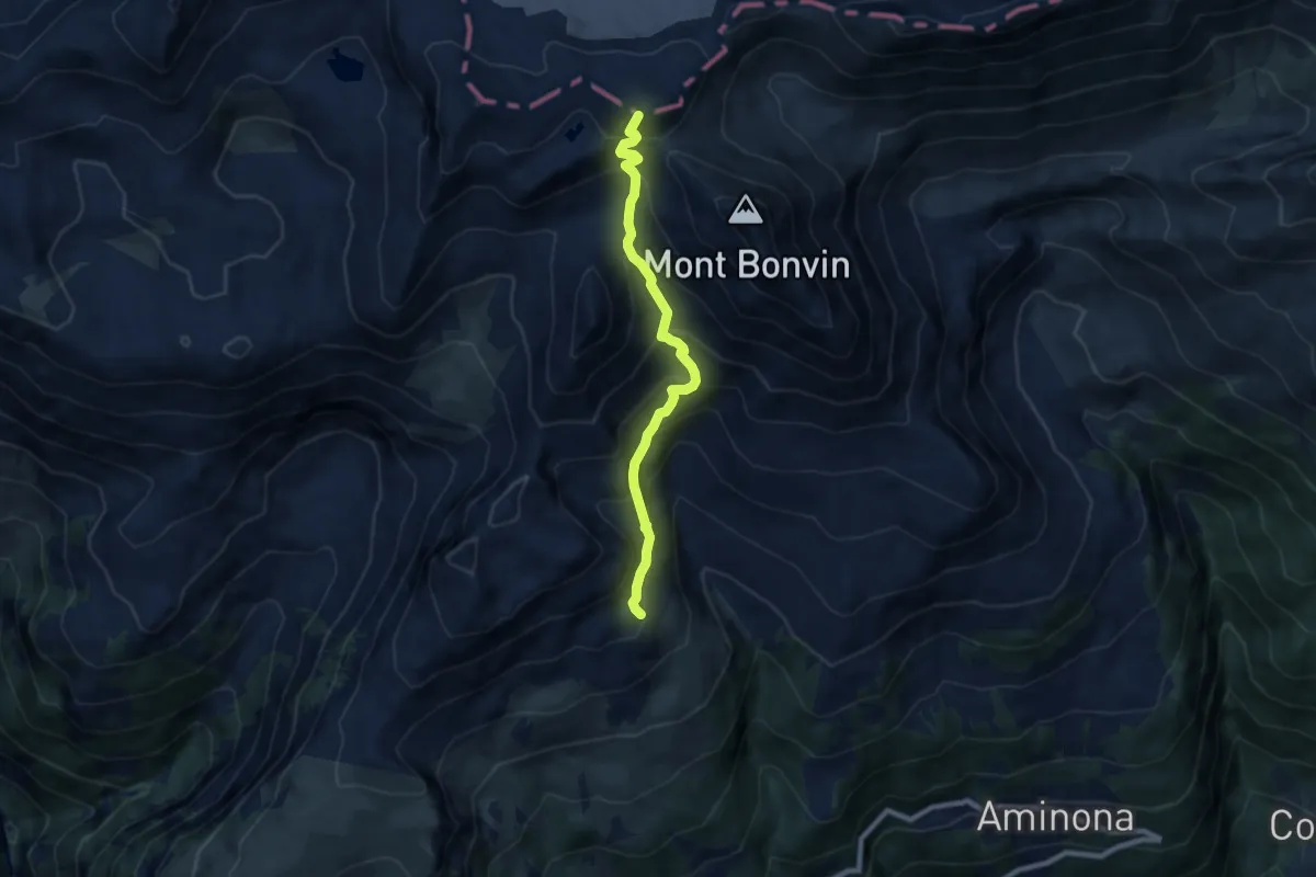
Medium · Summit
Plaine Morte-Les Violettes
7.5 km · ↑ 782 m · 3 h 29 min
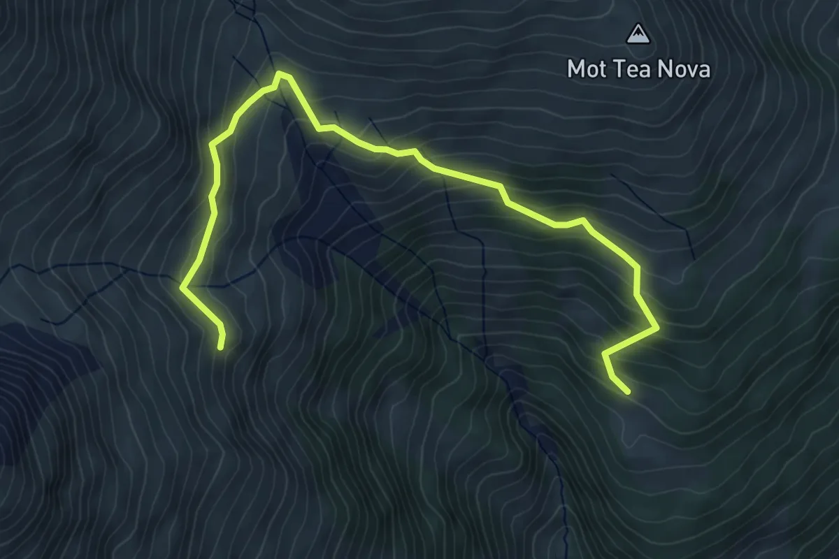
Medium · Trail
Plajazan - Marangun
5.8 km · ↑ 444 m · 2 h 20 min
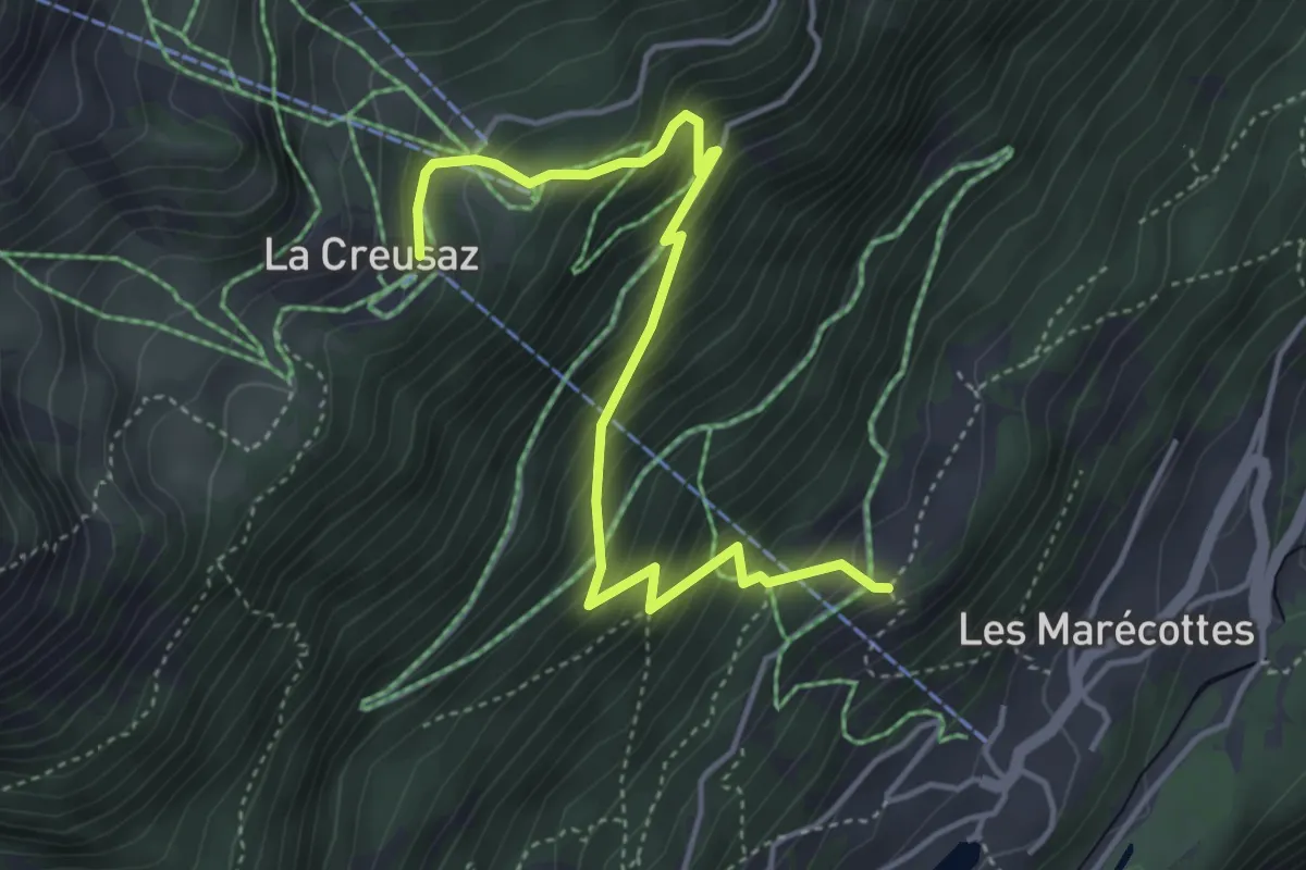
Medium · Trail
Planajeur -> La Creusaz
4.7 km · ↑ 490 m · 2 h 10 min
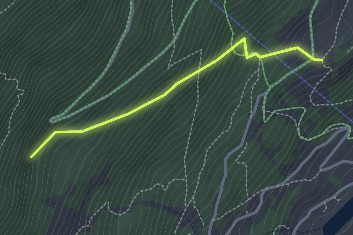
Easy · Trail
Planajeur -> Le Temelet
2.3 km · ↑ 262 m · 1 h 6 min
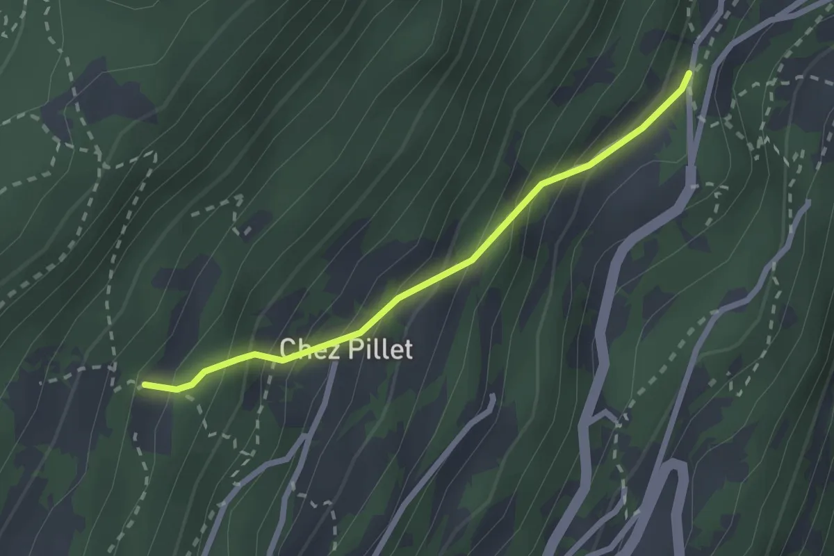
Medium · Trail
Plan Bocon > Chez les Proz
2.1 km · ↑ 273 m · 1 h 5 min
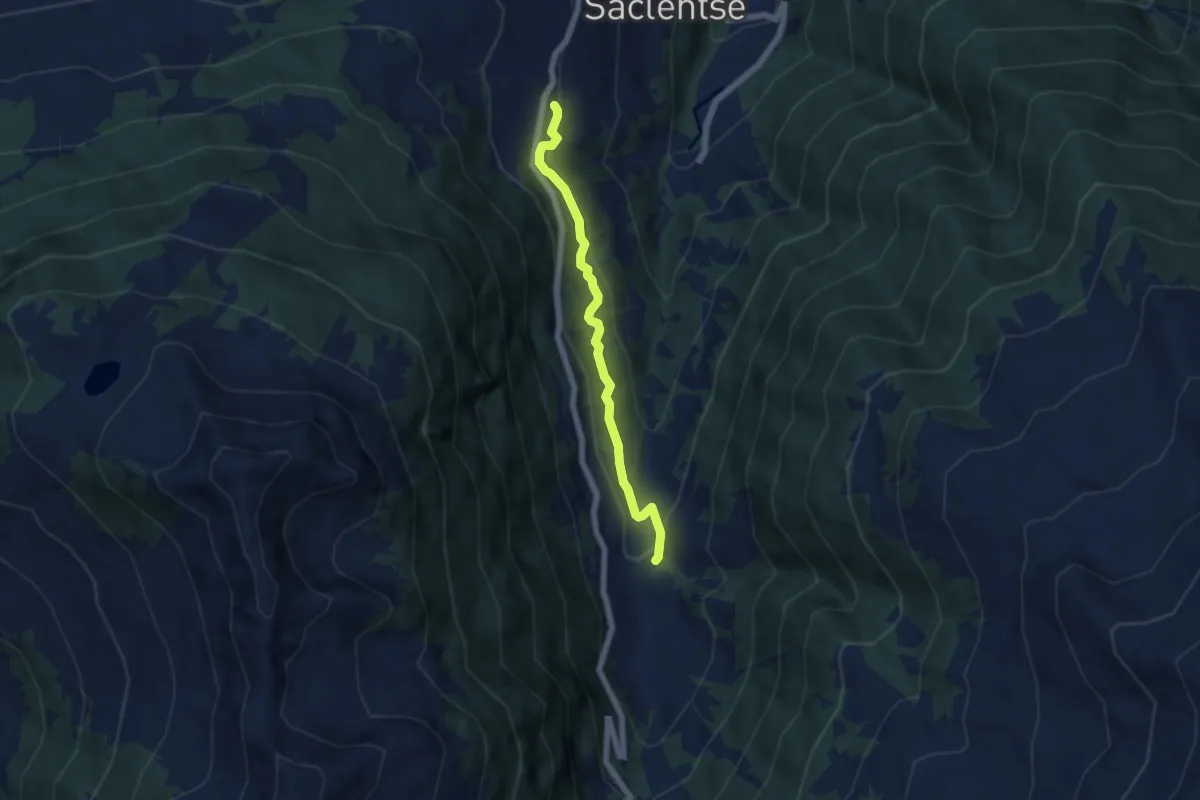
Easy · Trail
Planchouet - Le Bleusy
5.3 km · ↑ 255 m · 1 h 48 min
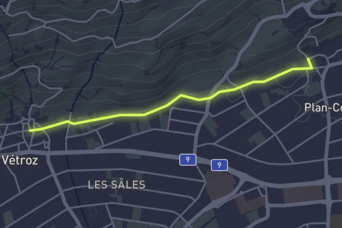
Easy · Trail
Plan-Conthey - Vétroz
3.4 km · ↑ 30 m · 52 min
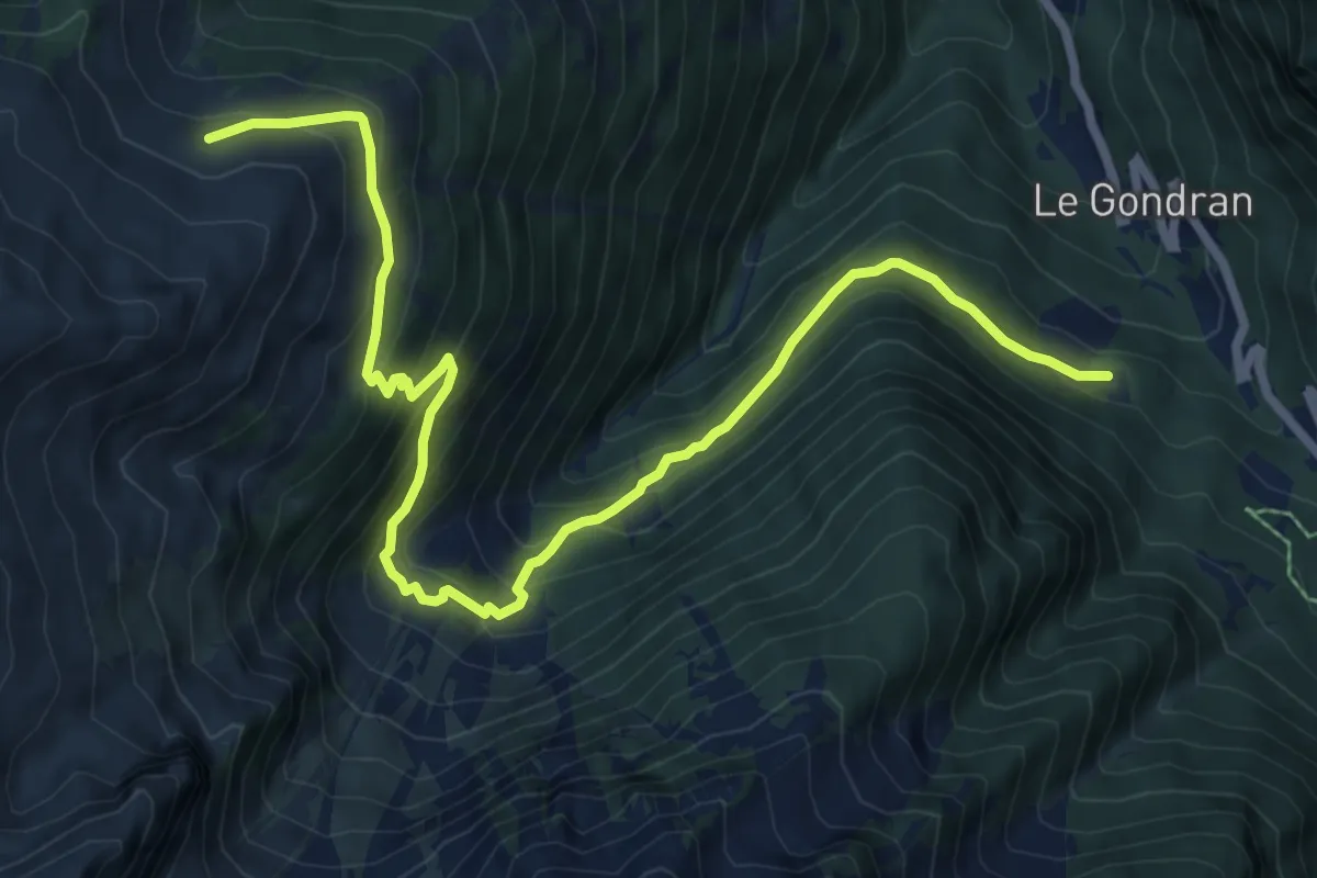
Medium · Trail
Plan de l'Au > Bovine
9.5 km · ↑ 763 m · 3 h 53 min
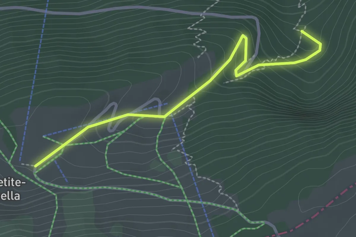
Easy · Trail
Plan des Auges - fixme
2.6 km · ↑ 184 m · 1 h 1 min
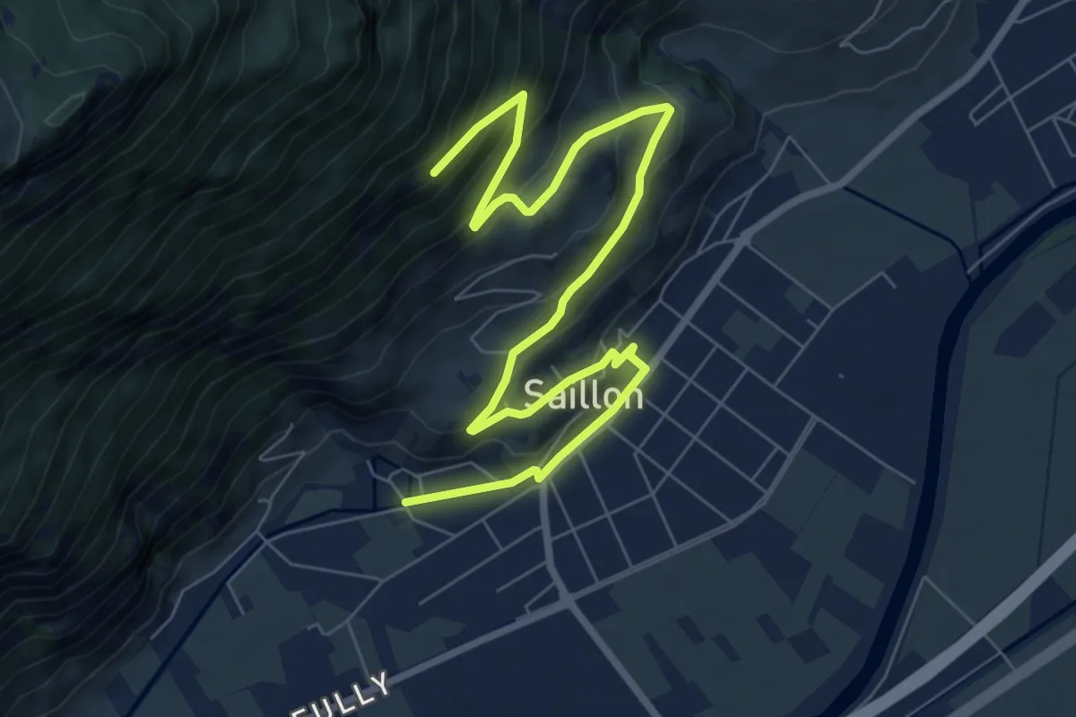
Easy · Trail
Plan des combes - Sinlio
4.8 km · ↑ 44 m · 1 h 31 min
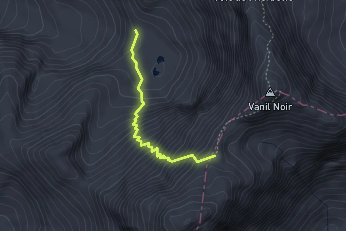
Demanding · Trail
Plan des Eaux - Bounaveletta
2.8 km · ↑ 460 m · 1 h 40 min
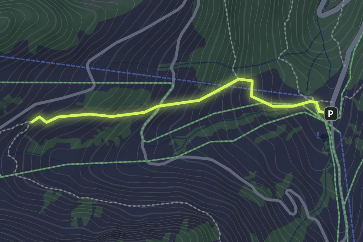
Easy · Trail
Plan du Croix - Recon
2.2 km · ↑ 237 m · 1 h 2 min
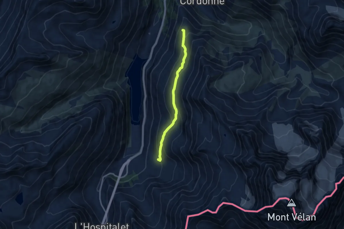
Medium · Cabin
Plan du Jeu > Tsalevey
7.6 km · ↑ 396 m · 2 h 39 min
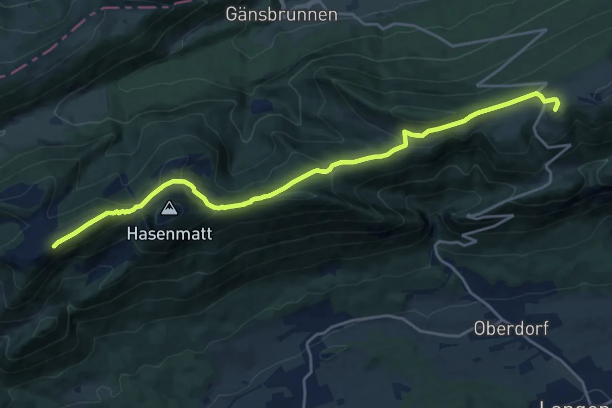
Medium · Summit
Planetenweg
13.6 km · ↑ 488 m · 4 h 16 min
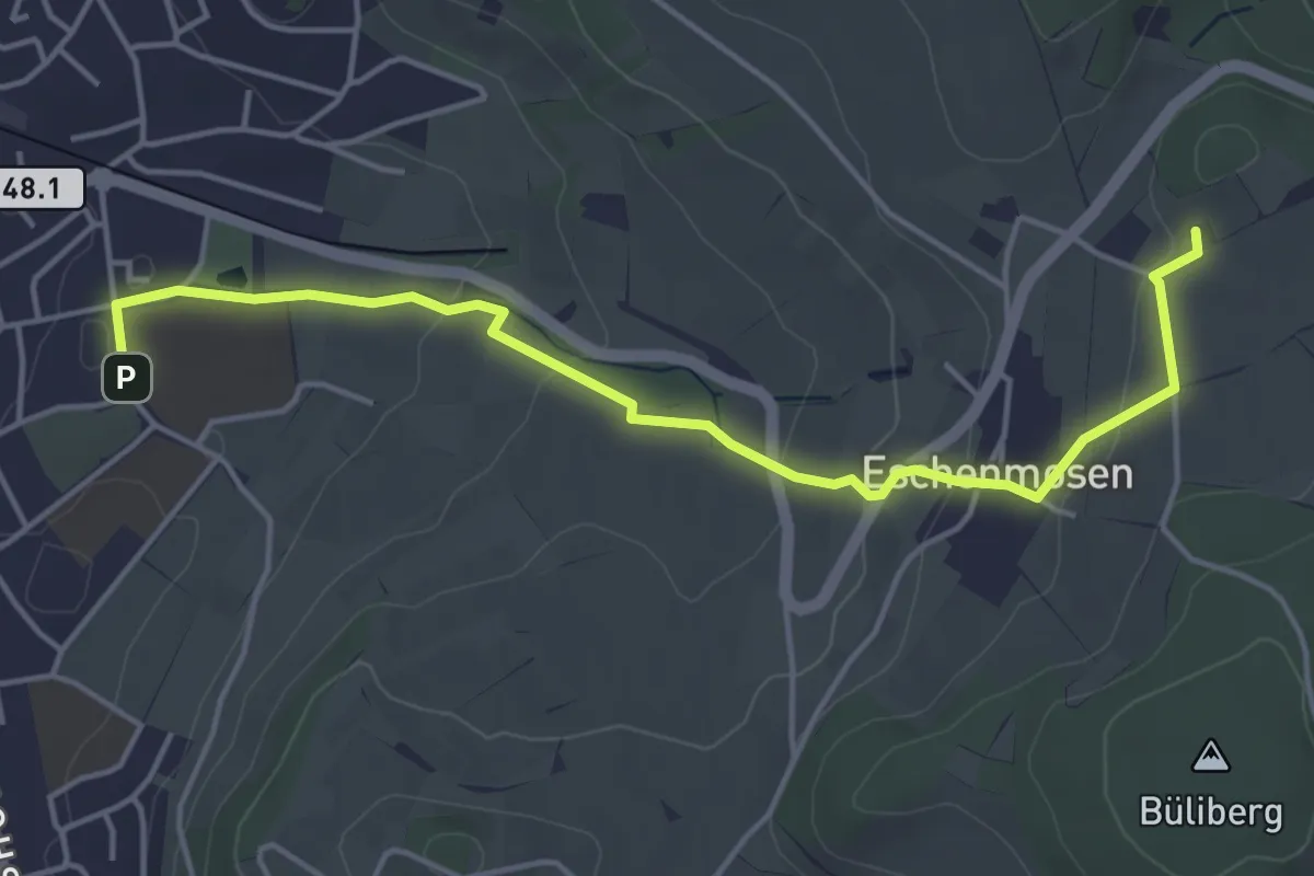
Easy · Trail
Planetenweg Bülach
4.9 km · ↑ 120 m · 1 h 25 min
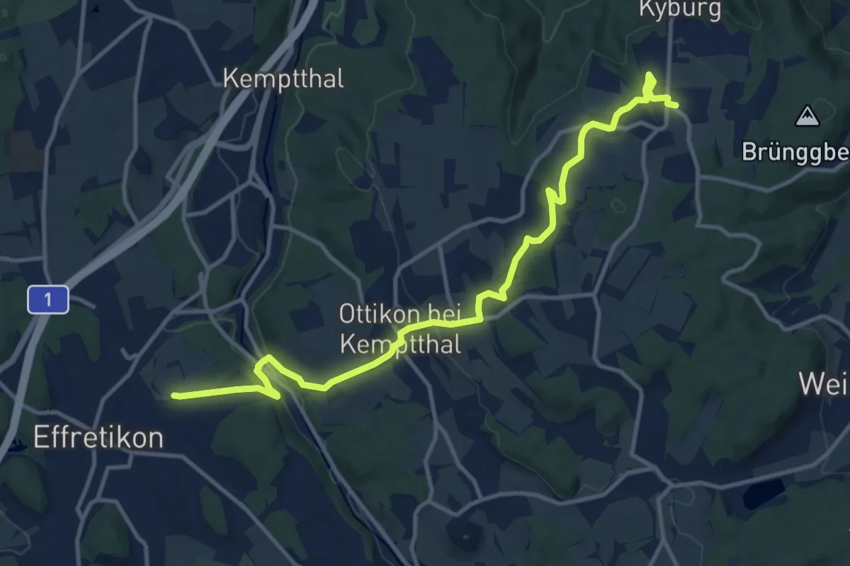
Medium · Trail
Planetenweg Effretikon-Kyburg
12.7 km · ↑ 291 m · 3 h 37 min
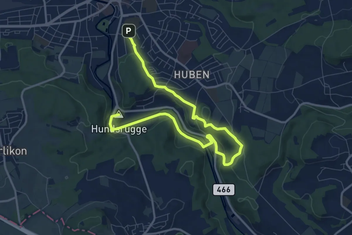
Medium · Summit
Planetenweg Frauenfeld
11.1 km · ↑ 261 m · 3 h 12 min
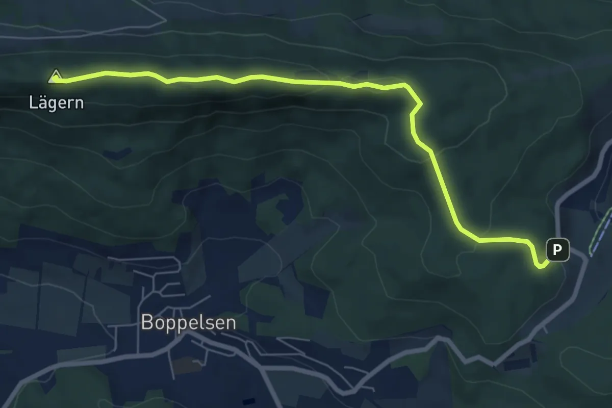
Medium · Summit
Planetenweg Lägern
6.5 km · ↑ 243 m · 2 h 3 min
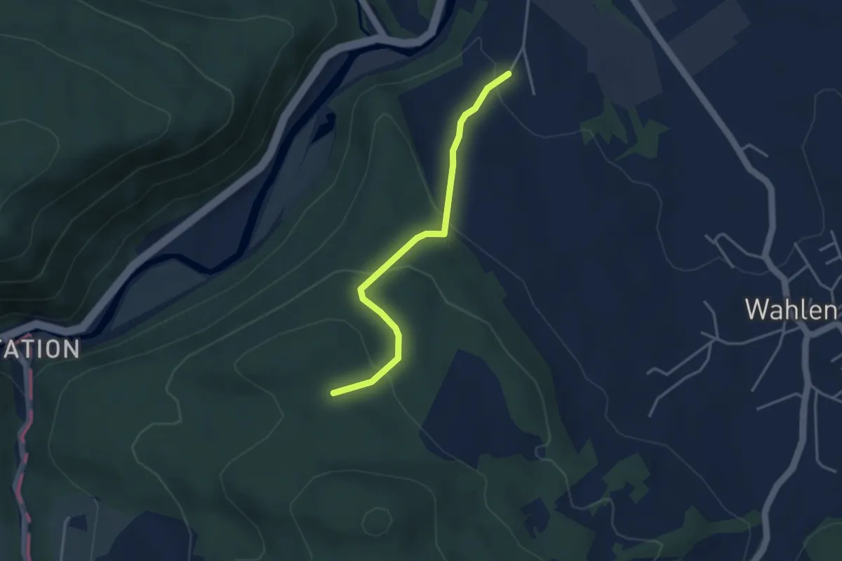
Easy · Trail
Planetenweg Laufen
1.7 km · ↑ 165 m · 41 min
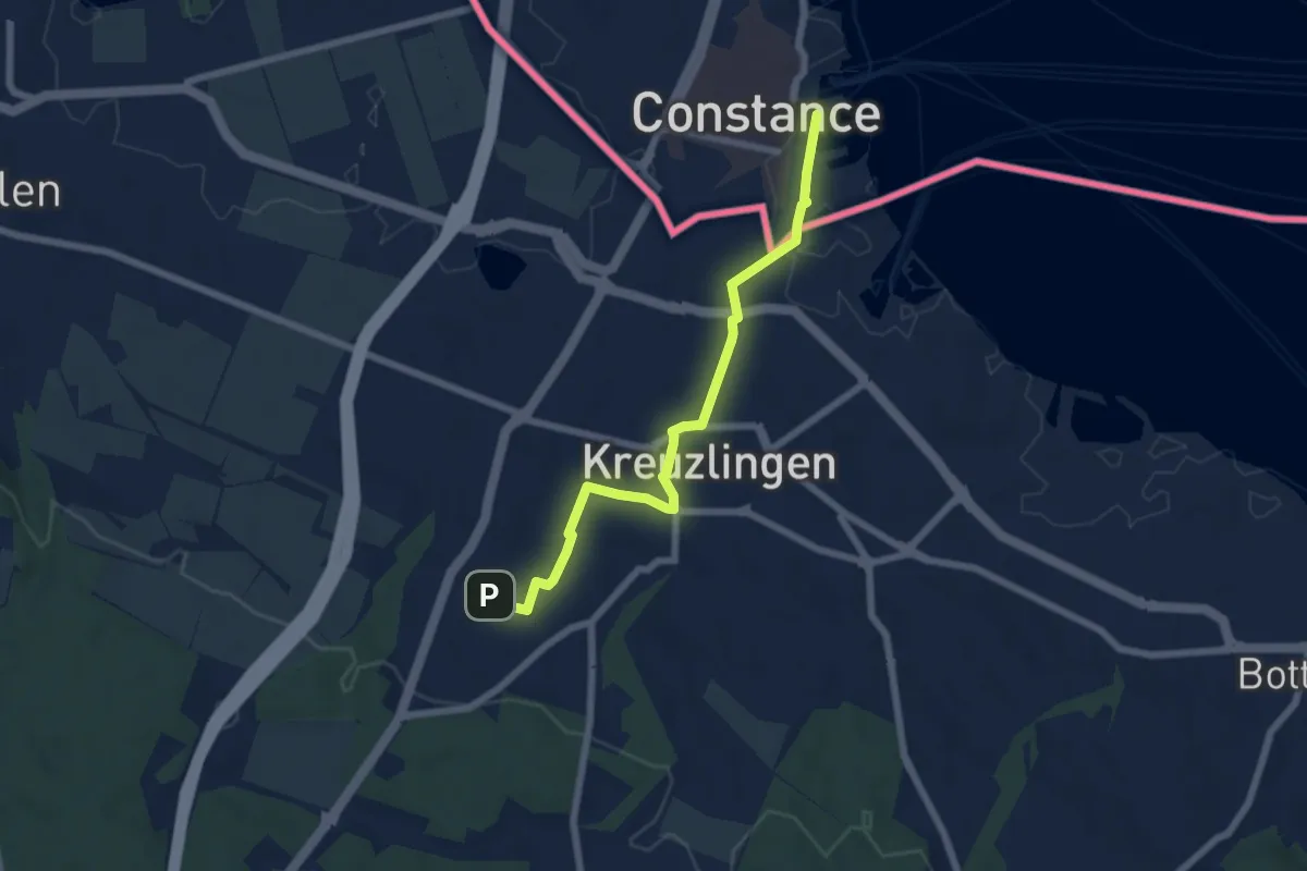
Easy · Trail
Planetenweg Nord
6.2 km · ↑ 73 m · 1 h 37 min
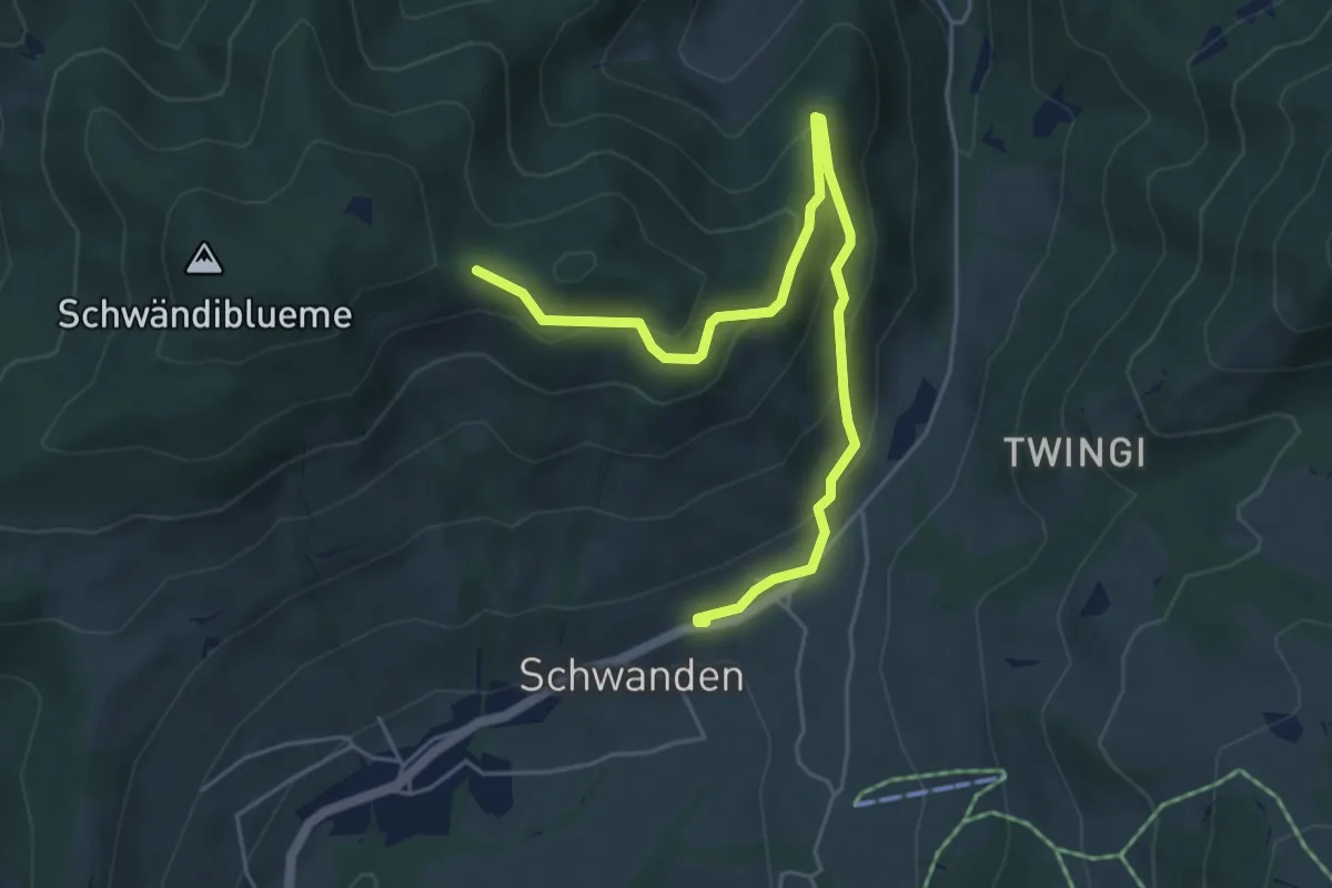
Easy · Trail
Planetenweg Sirius
5.9 km · ↑ 297 m · 2 h 2 min
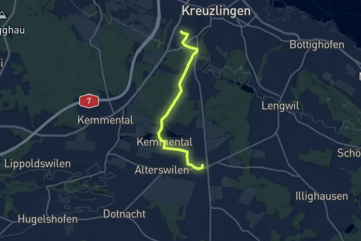
Medium · Trail
Planetenweg Süd
10.3 km · ↑ 145 m · 2 h 45 min
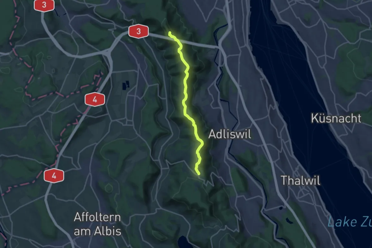
Medium · Summit
Planetenweg Uetliberg
13.8 km · ↑ 418 m · 4 h 9 min
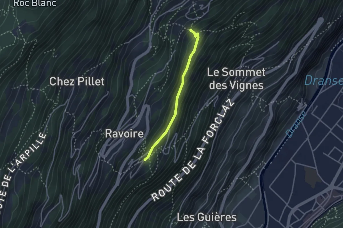
Medium · Trail
Planojan > Closuit - Laboureau
2.3 km · ↑ 82 m · 43 min
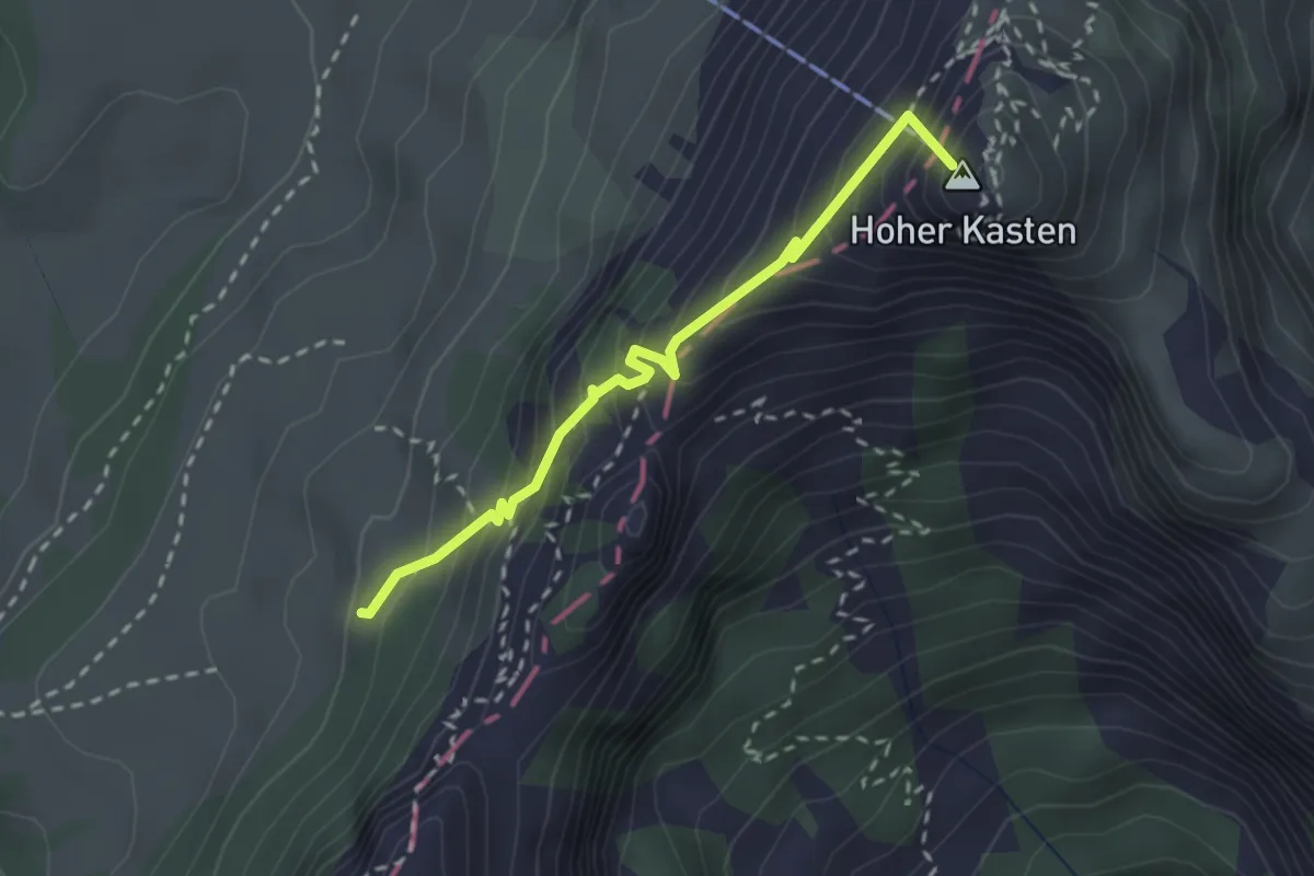
Medium · Summit
Plattenbödeli - Kastensattel
2.4 km · ↑ 312 m · 1 h 15 min
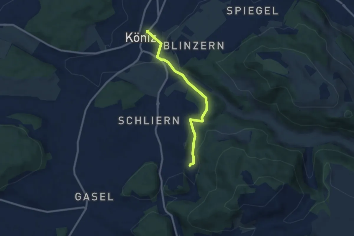
Easy · Trail
Platten - Köniz
5.9 km · ↑ 176 m · 1 h 46 min
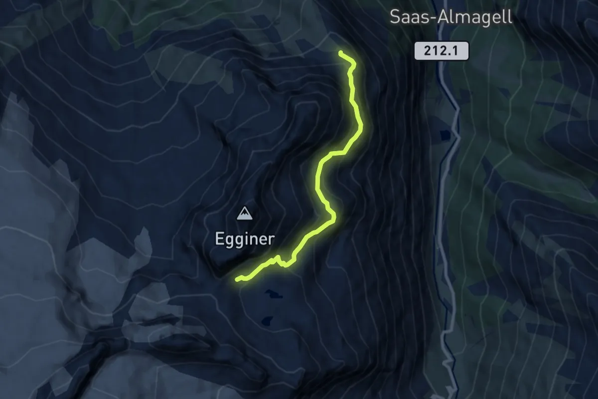
Medium · Trail
Plattjen - Egginerjoch
7.2 km · ↑ 635 m · 3 h 4 min
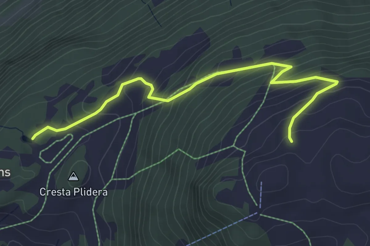
Medium · Trail
Plaun Graund - Alp da Veulden
5.5 km · ↑ 372 m · 2 h 6 min
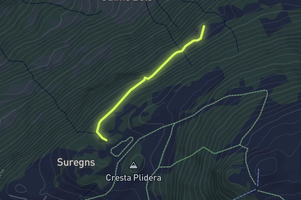
Easy · Trail
Plaun Graund - Tschetscha? / Zeus? / Juchs? - fixme
2.9 km · ↑ 144 m · 1 h
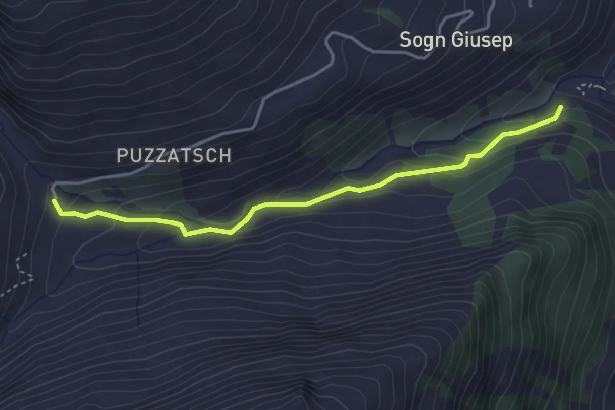
Medium · Trail
Plaun Tgiern-Parvalsauns
3.5 km · ↑ 178 m · 1 h 13 min
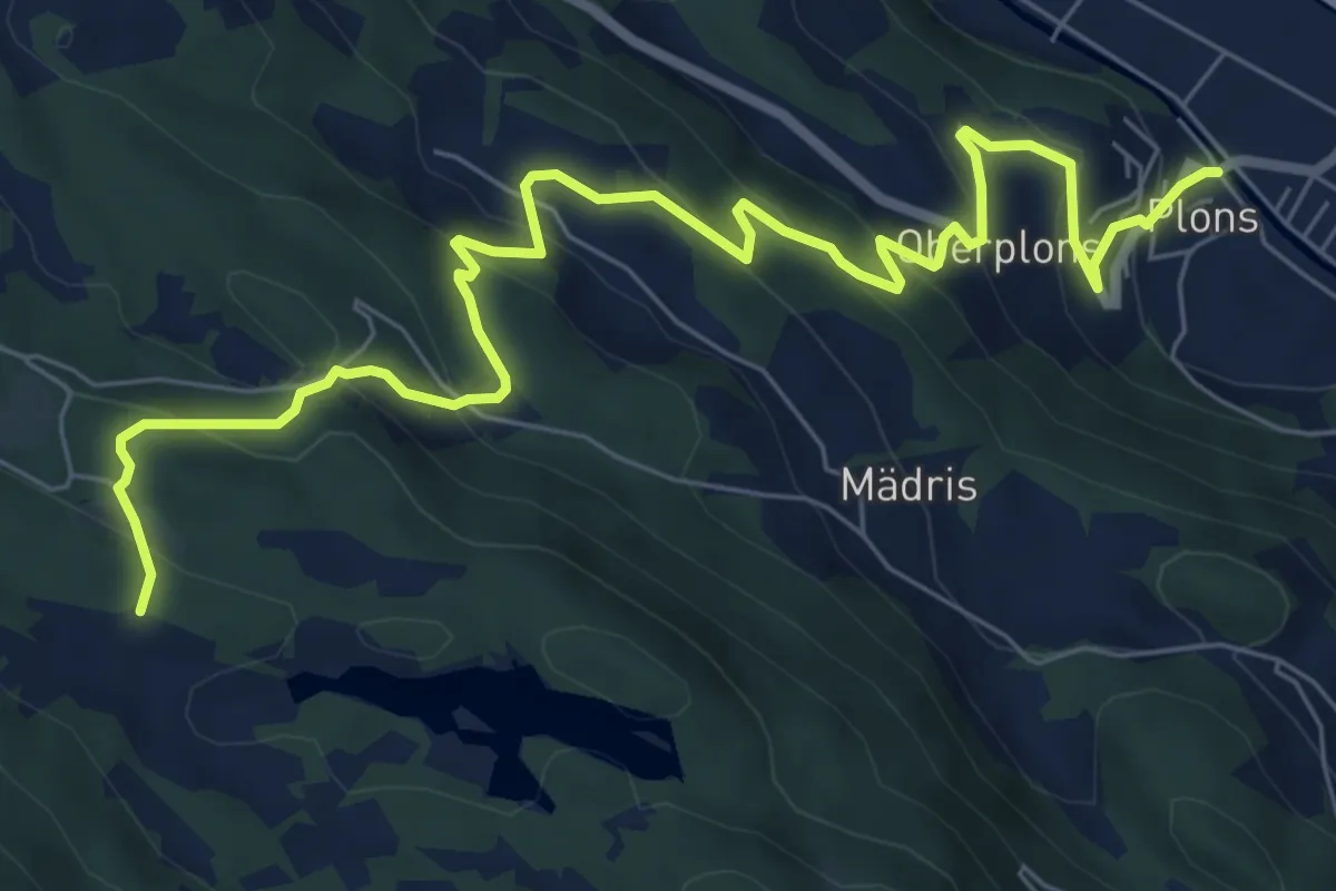
Medium · Trail
Ploms Parmort
8.9 km · ↑ 580 m · 3 h 21 min
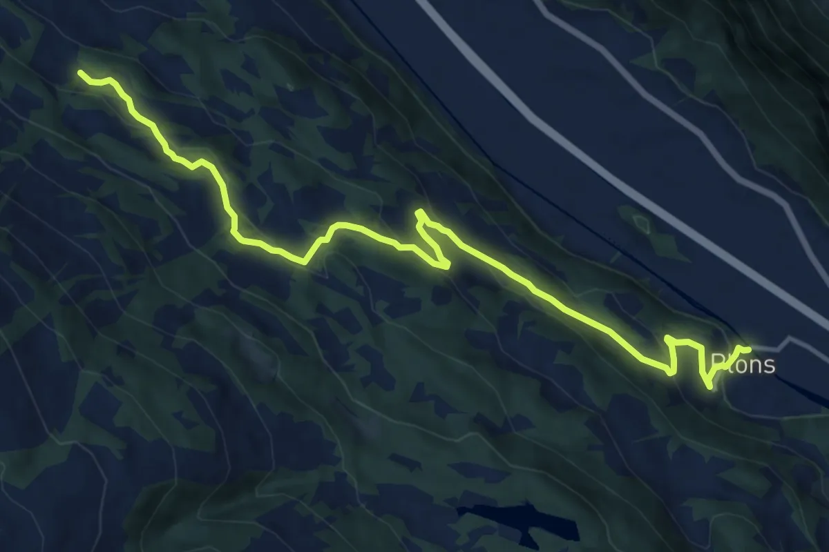
Medium · Trail
Plons Geisswiesen
13.6 km · ↑ 639 m · 4 h 35 min
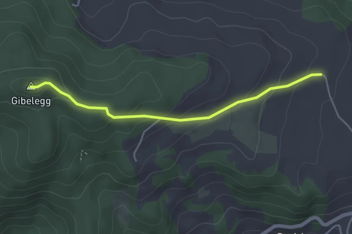
Easy · Summit
Plötschweid - Gibelegg
3.4 km · ↑ 145 m · 1 h 7 min
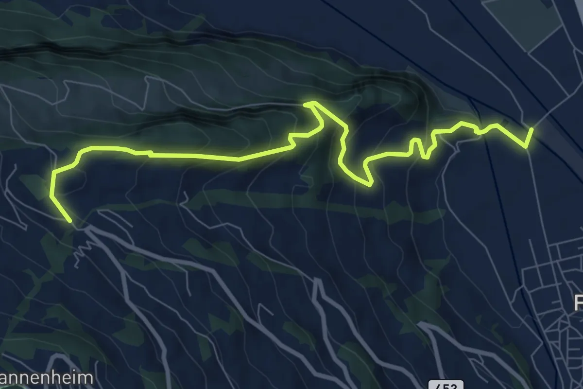
Medium · Trail
Pluder - Bergheim Vadella
8.6 km · ↑ 592 m · 3 h 19 min
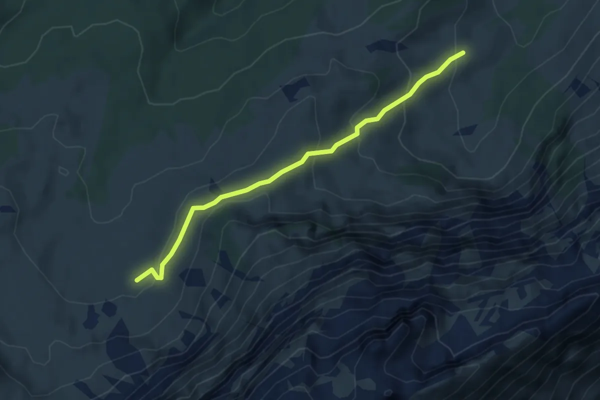
Easy · Trail
Poltersalp - Grossberndli
4.2 km · ↑ 226 m · 1 h 29 min
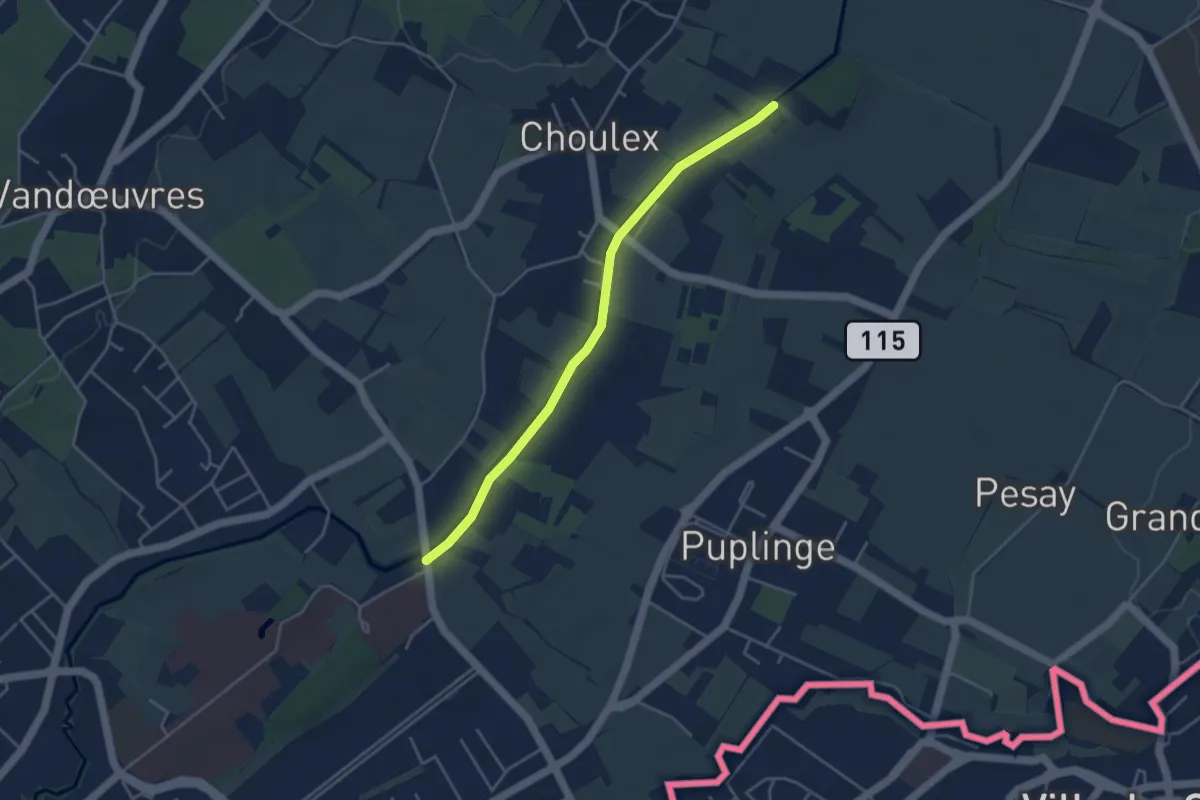
Easy · Trail
Pont Bochet - Les Montagnys
4.0 km · ↑ 0 m · 57 min
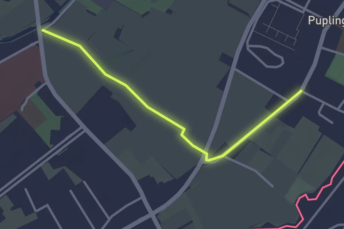
Easy · Trail
Pont Bochet - Puplinge
2.6 km · ↑ 4 m · 38 min
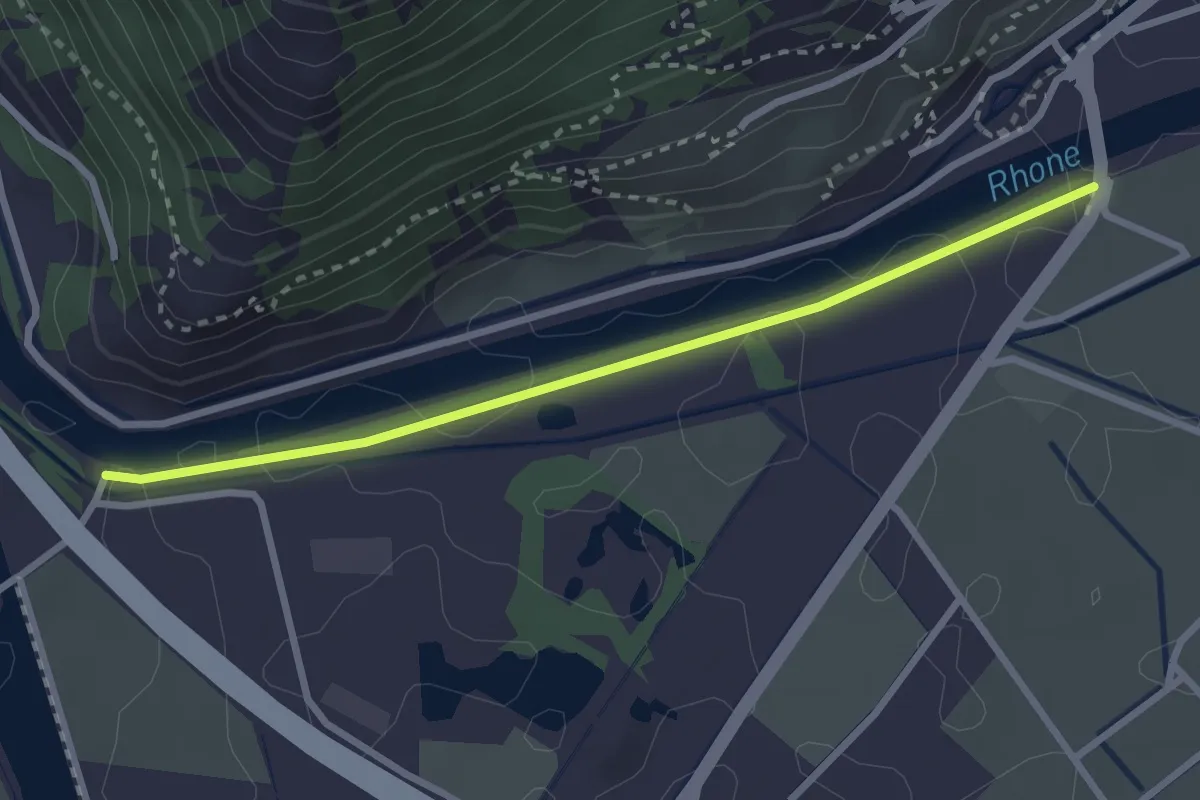
Easy · Trail
Pont de Branson > Coude du Rhône
2.7 km · ↑ 0 m · 39 min