Trails in Switzerland
15,029 hiking trails, each with its route, climb, walking time and grade.
All trails, page 83 of 314
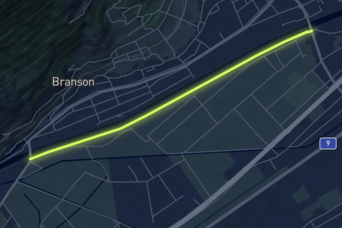
Easy · Trail
Pont de Branson > Pont de Fully
6.0 km · ↑ 0 m · 1 h 25 min
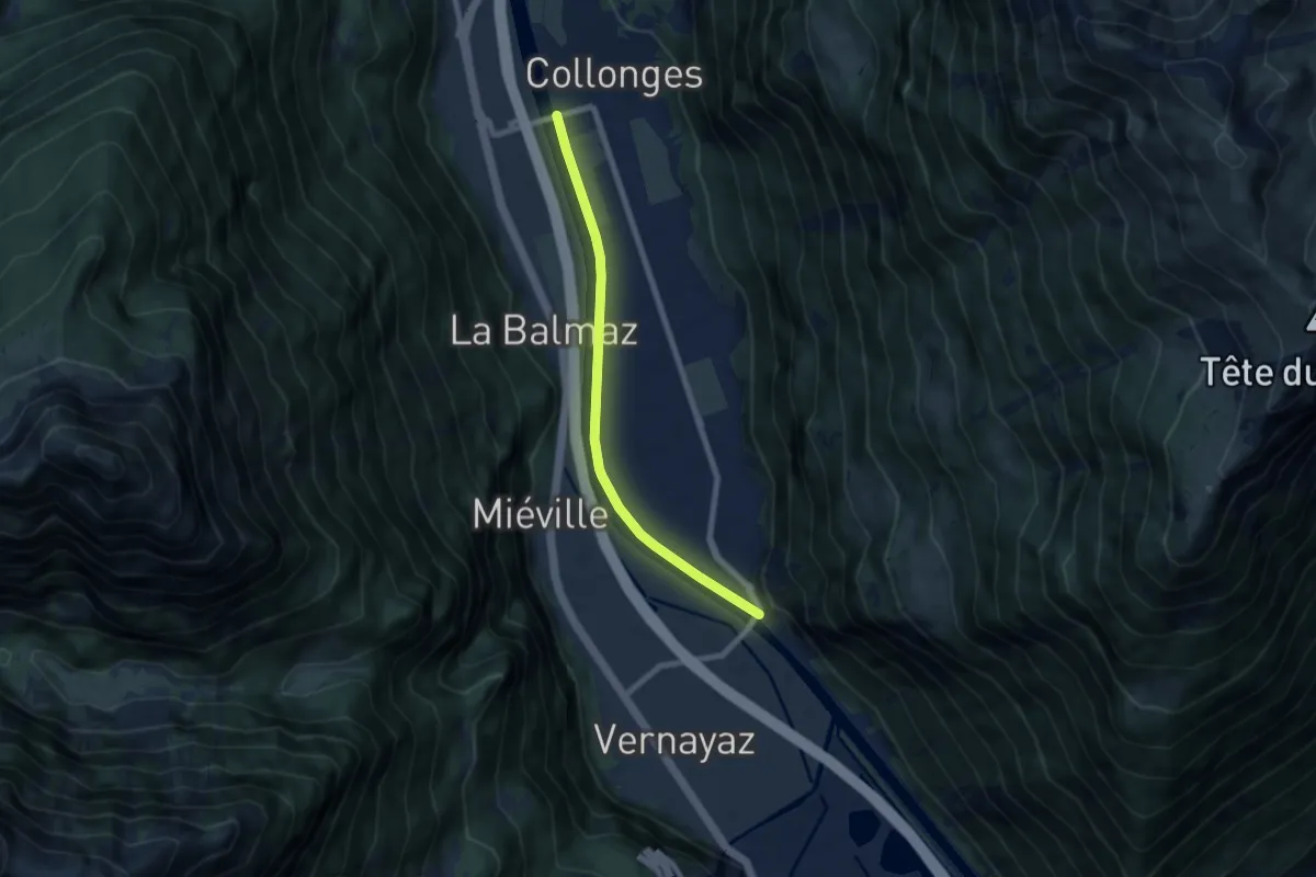
Easy · Trail
Pont de Collonges - Pont de Dorénaz
6.8 km · ↑ 9 m · 1 h 37 min
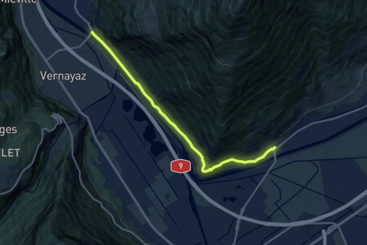
Medium · Trail
Pont de Dorénaz - Branson - Pont du Rhône
9.1 km · ↑ 422 m · 3 h 3 min
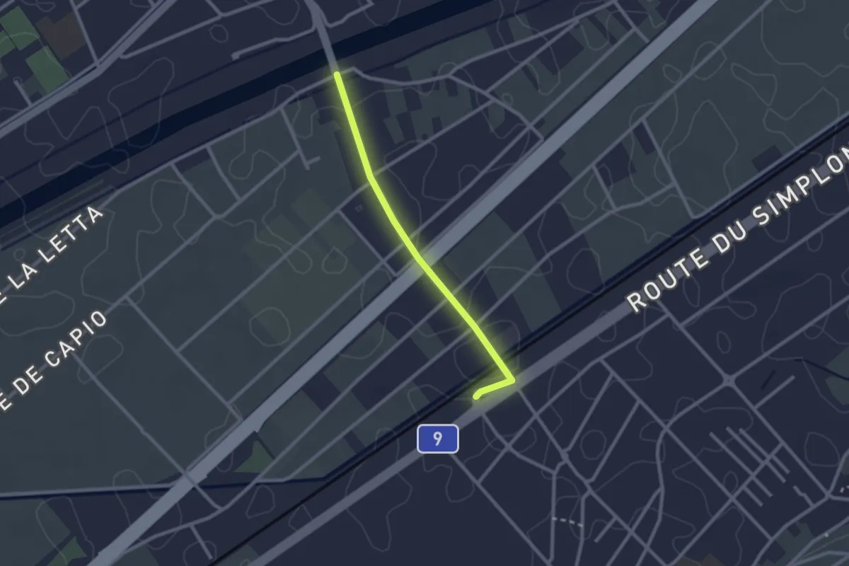
Easy · Trail
Pont de Fully - Charrat Gare
2.2 km · ↑ 0 m · 31 min
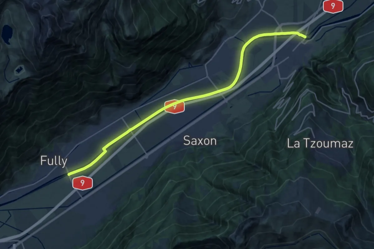
Demanding · Trail
Pont de Fully > Pont de Riddes
20.8 km · ↑ 8 m · 4 h 56 min
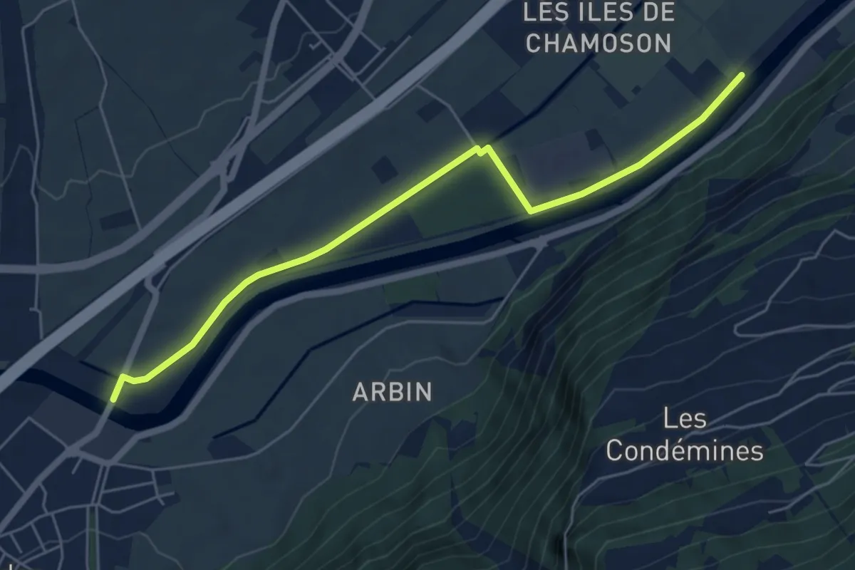
Easy · Trail
Pont de Riddes - Pont d'Aproz
5.9 km · ↑ 13 m · 1 h 25 min
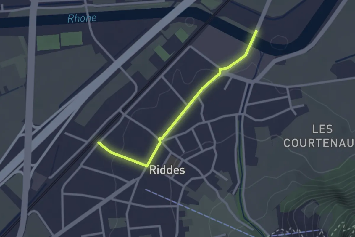
Easy · Trail
Pont de Riddes - Riddes
2.2 km · ↑ 36 m · 36 min
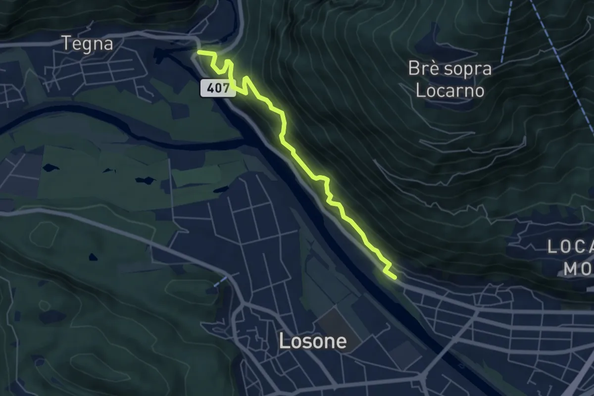
Medium · Trail
Ponte Brolla-Solduno S. Martino
5.4 km · ↑ 451 m · 2 h 15 min
Easy · Trail
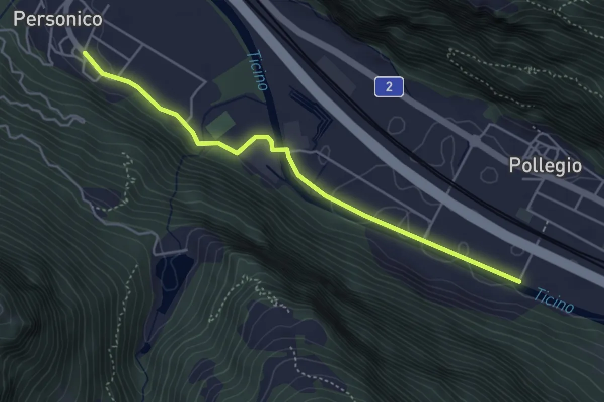
Ponte di Biasca-Personico
4.3 km · ↑ 53 m · 1 h 8 min
Easy · Trail
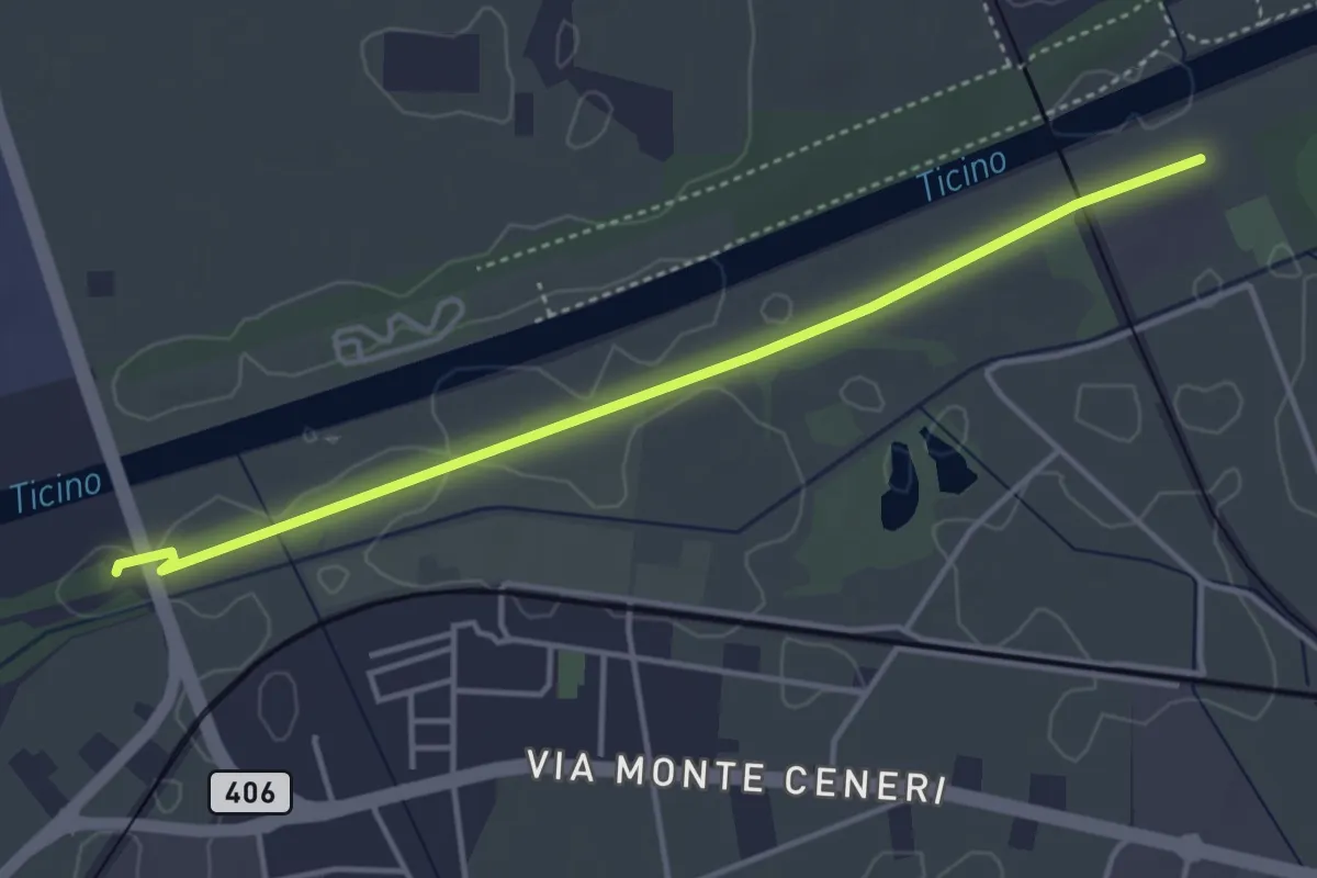
Ponte Fiume Ticino Quartino - Alta Monda
4.1 km · ↑ 4 m · 59 min
Demanding · Trail
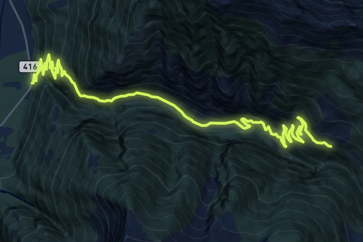
Ponte Leggiuna - Fontana
20.1 km · ↑ 1403 m · 7 h 48 min
Medium · Trail
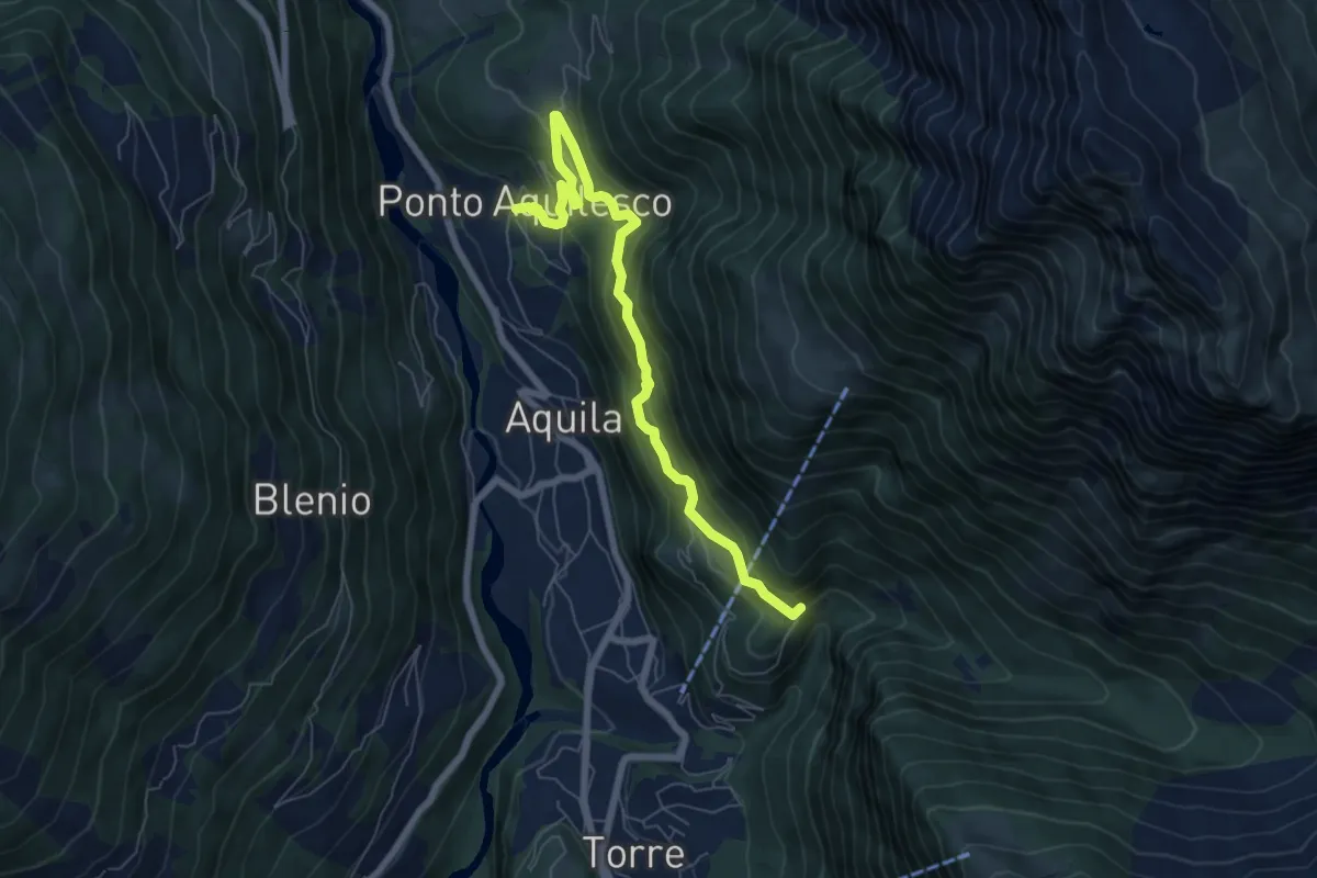
Ponto Aquilesco
6.9 km · ↑ 437 m · 2 h 35 min
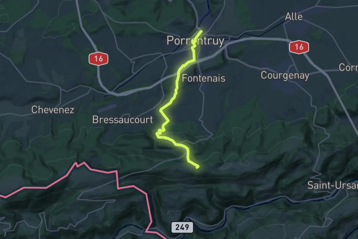
Medium · Trail
Porrentruy-Les Chainions
16.4 km · ↑ 510 m · 4 h 59 min
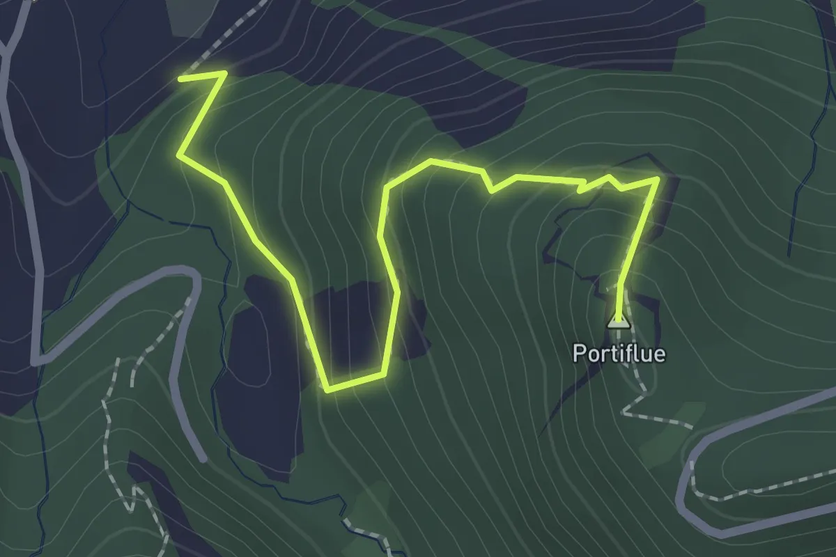
Medium · Summit
Portiflue
2.2 km · ↑ 205 m · 58 min
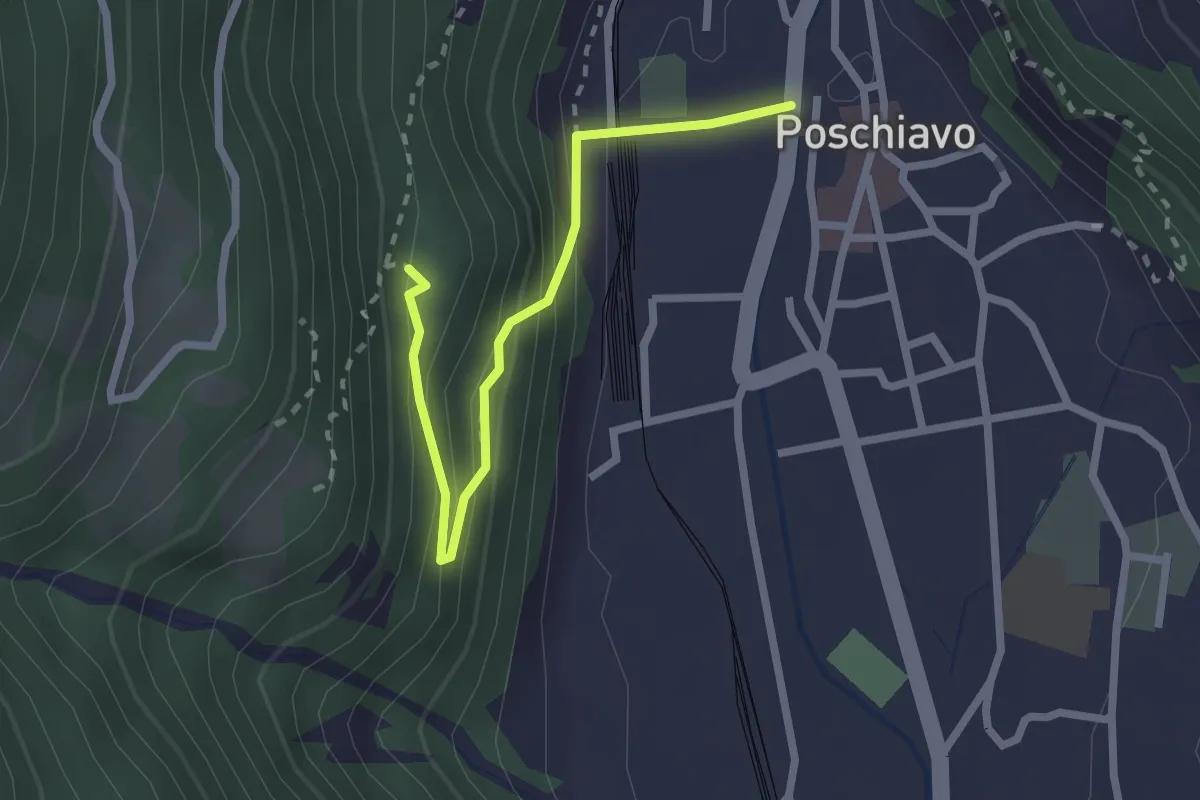
Medium · Trail
Poschiavo-Miraval
2.4 km · ↑ 199 m · 1 h
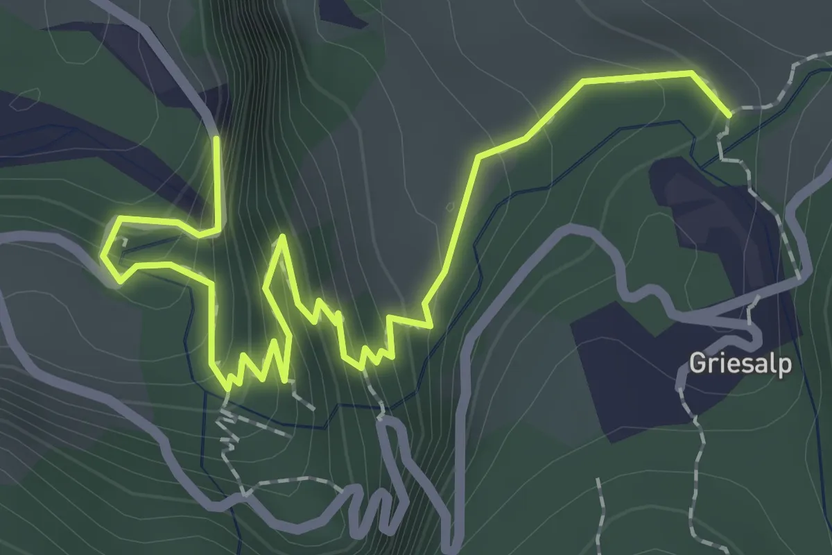
Medium · Trail
Postauto Erlebnisweg
2.6 km · ↑ 240 m · 1 h 8 min
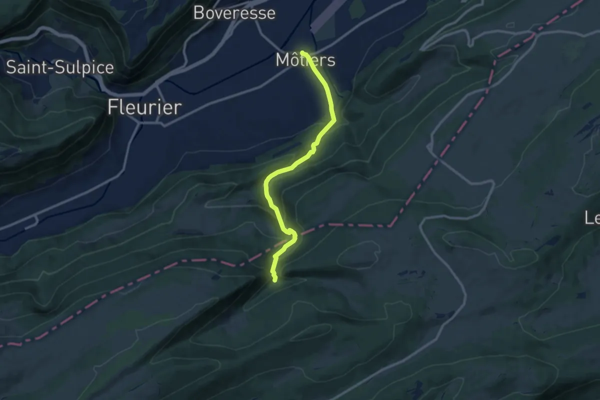
Medium · Trail
Pouetta Raisse-Môtiers
8.8 km · ↑ 464 m · 3 h 4 min
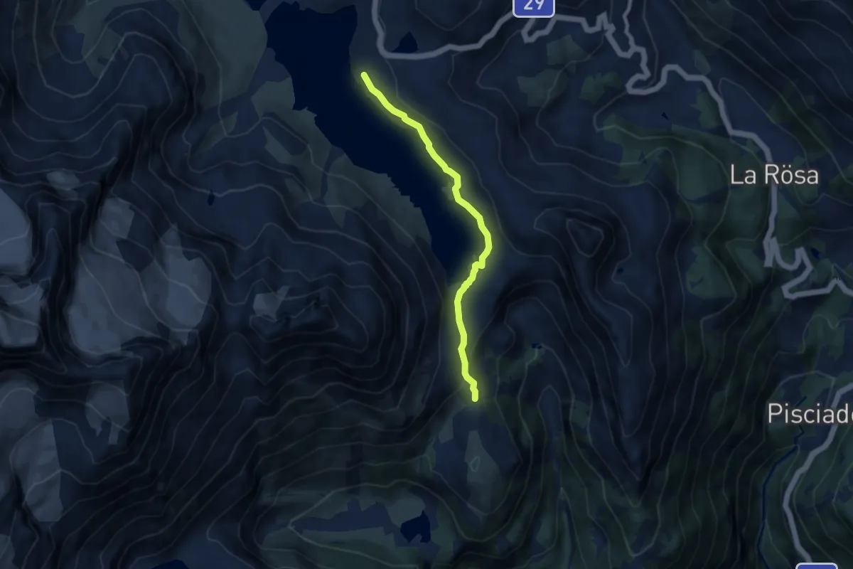
Easy · Trail
Pozzo del Drago-Stazione Ospizio Bernina
7.1 km · ↑ 177 m · 2 h 4 min
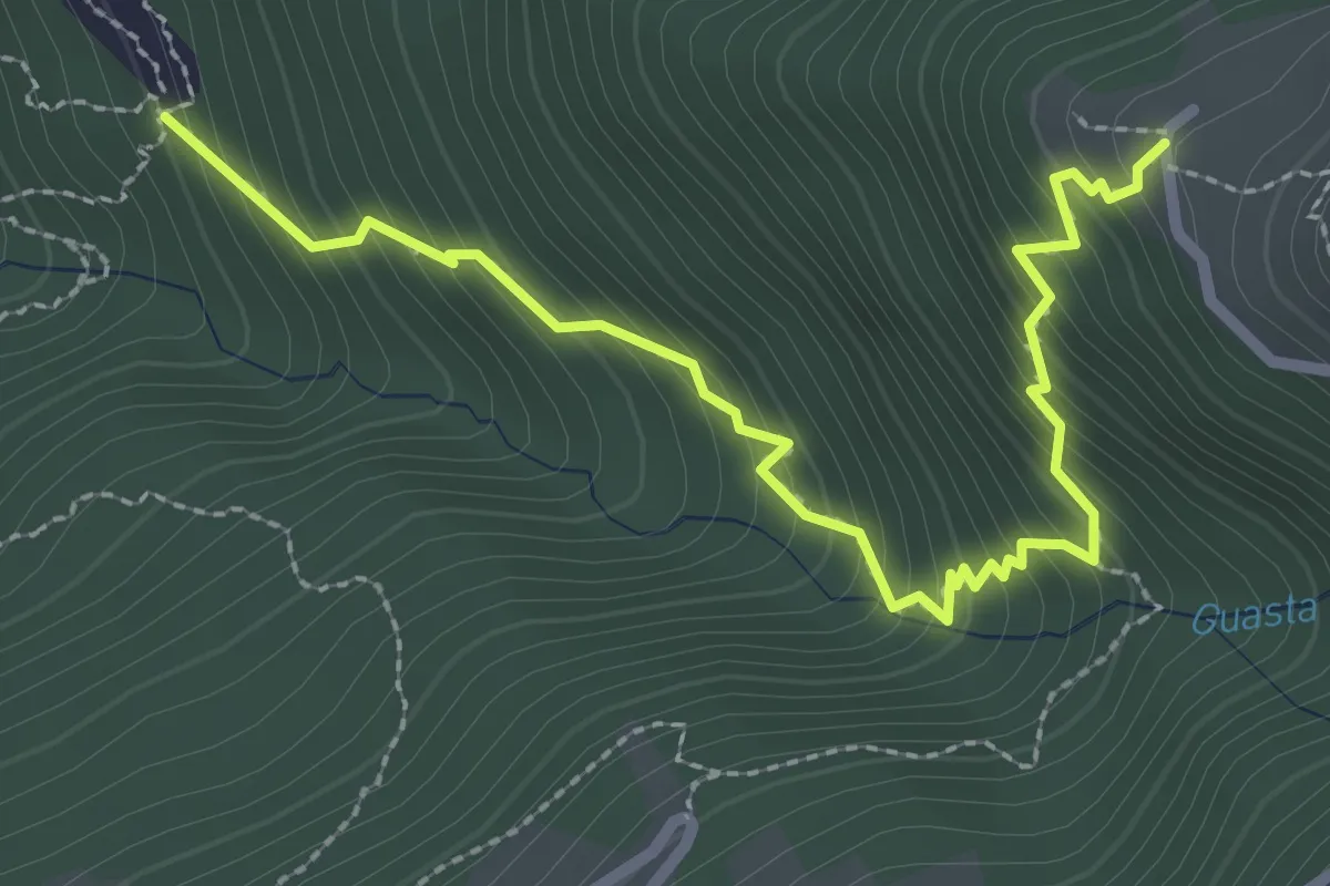
Medium · Trail
Prada - Monti di Ravecchia
3.1 km · ↑ 382 m · 1 h 33 min
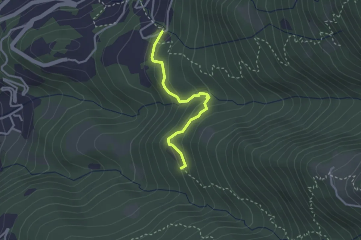
Easy · Trail
Prada - Pian Laghetto
2.3 km · ↑ 158 m · 53 min
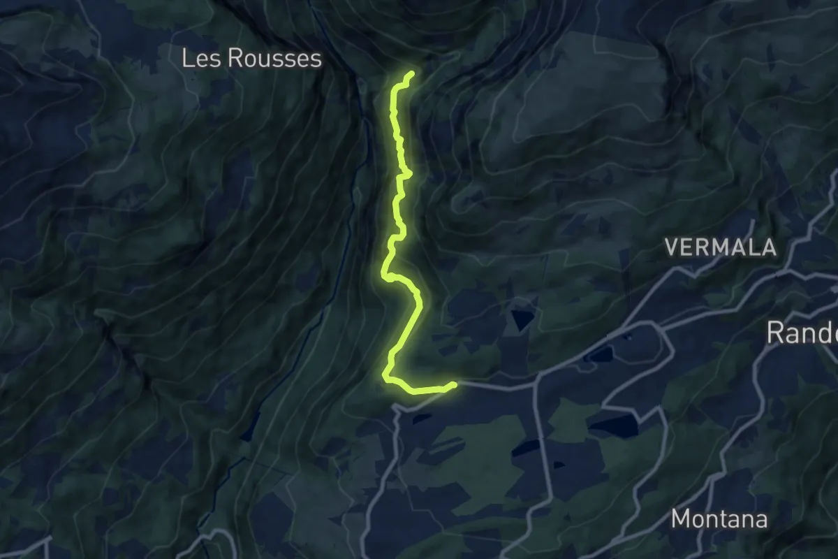
Demanding · Trail
Pra du taillour-Pas de l'ours
7.9 km · ↑ 779 m · 3 h 33 min
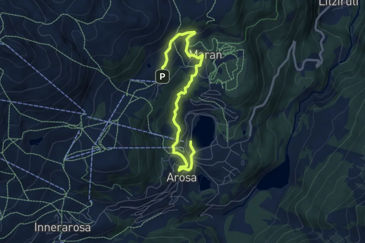
Easy · Trail
Prätschli-Eichhörnliweg (hindernisfreier Wanderweg)
7.2 km · ↑ 307 m · 2 h 22 min
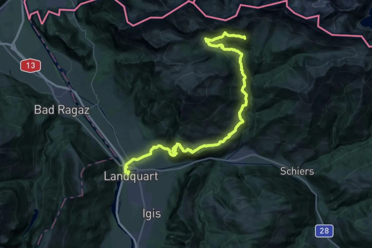
Demanding · Summit
Prättigauer Höhenweg - Etappe 1
46.2 km · ↑ 2816 m · 17 h
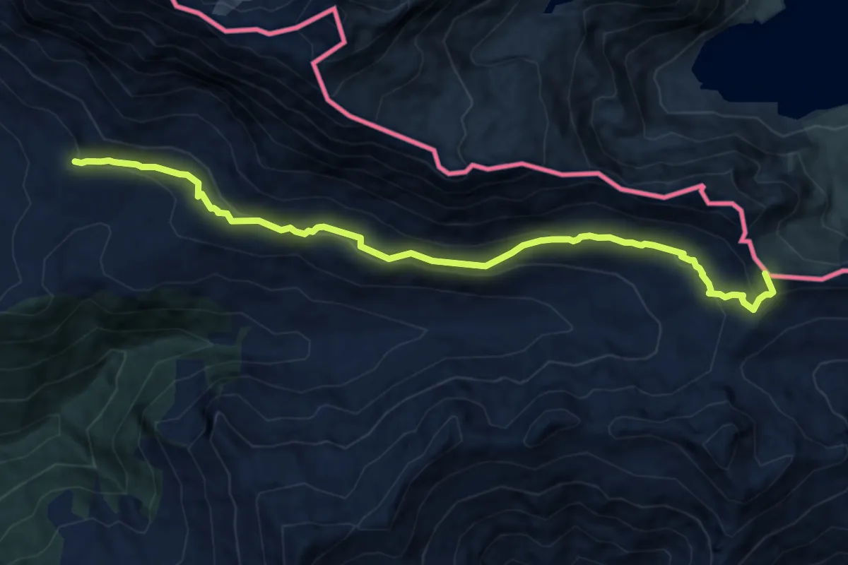
Medium · Summit
Prättigauer Höhenweg - Etappe 2
11.7 km · ↑ 524 m · 3 h 54 min
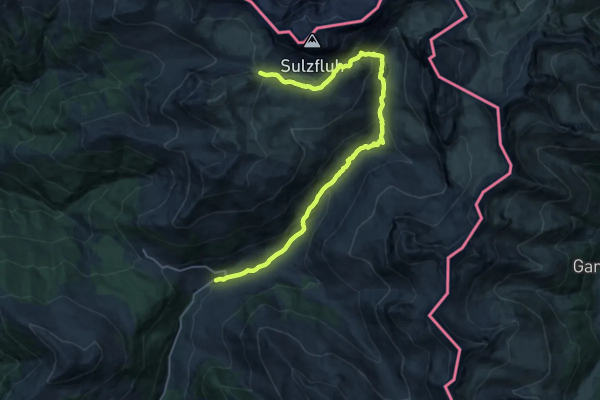
Demanding · Cabin
Prättigauer Höhenweg - Etappe 3
19.4 km · ↑ 916 m · 6 h 33 min
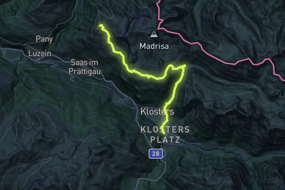
Demanding · Summit
Prättigauer Höhenweg - Etappe 4
32.2 km · ↑ 1940 m · 11 h 48 min
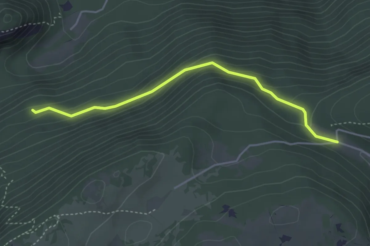
Easy · Trail
Pré au Favre - fixme
3.7 km · ↑ 201 m · 1 h 18 min
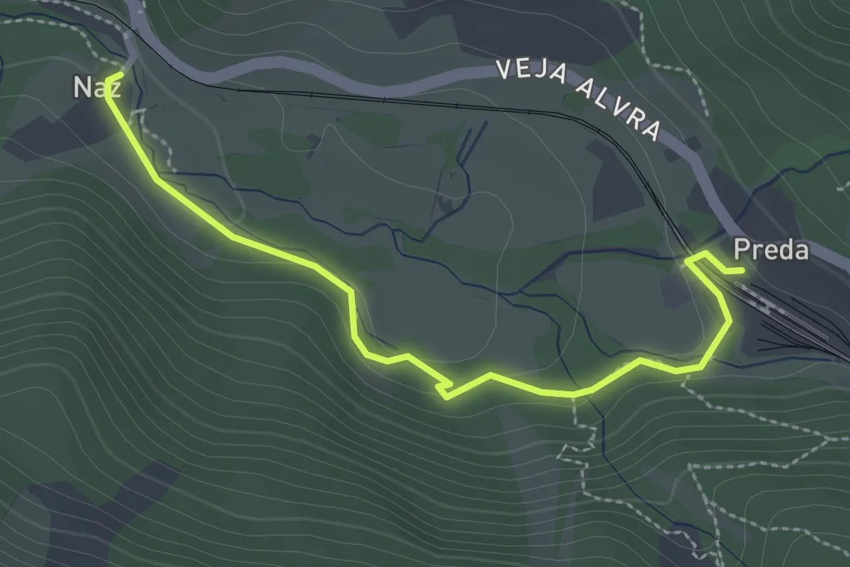
Medium · Trail
Preda-Naz
2.7 km · ↑ 32 m · 43 min
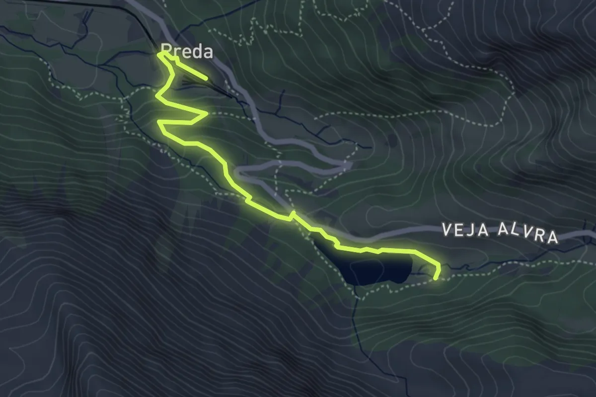
Easy · Trail
Preda Station-Lei de Palpuogne
4.8 km · ↑ 158 m · 1 h 28 min
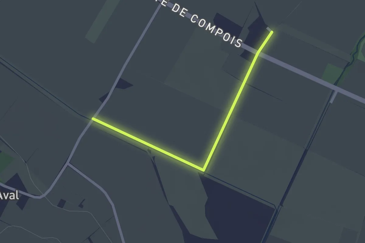
Easy · Trail
Pré de la Donnaz - Compois
2.0 km · ↑ 4 m · 29 min
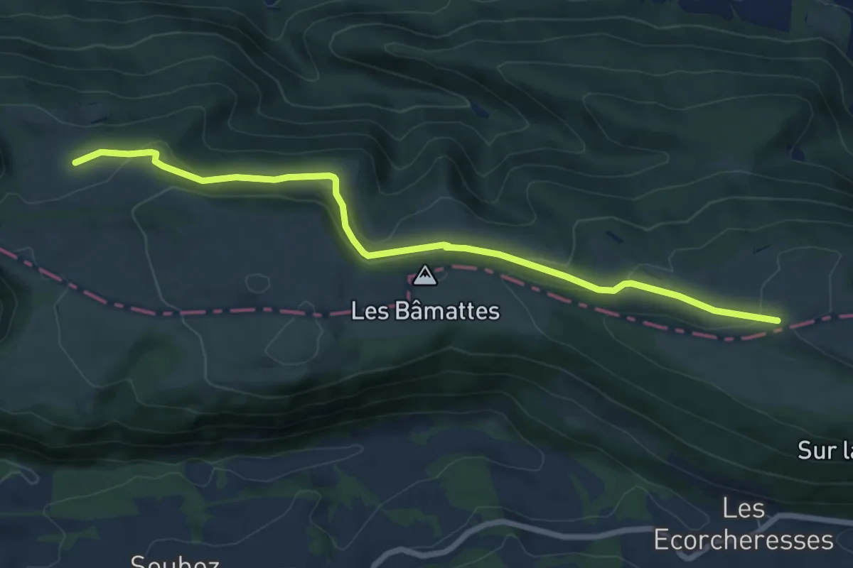
Easy · Trail
Pré La Vigne - fixme
7.4 km · ↑ 268 m · 2 h 20 min
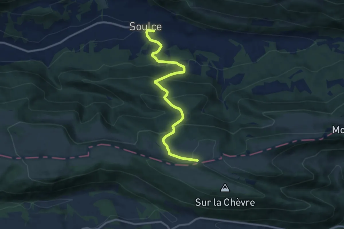
Medium · Trail
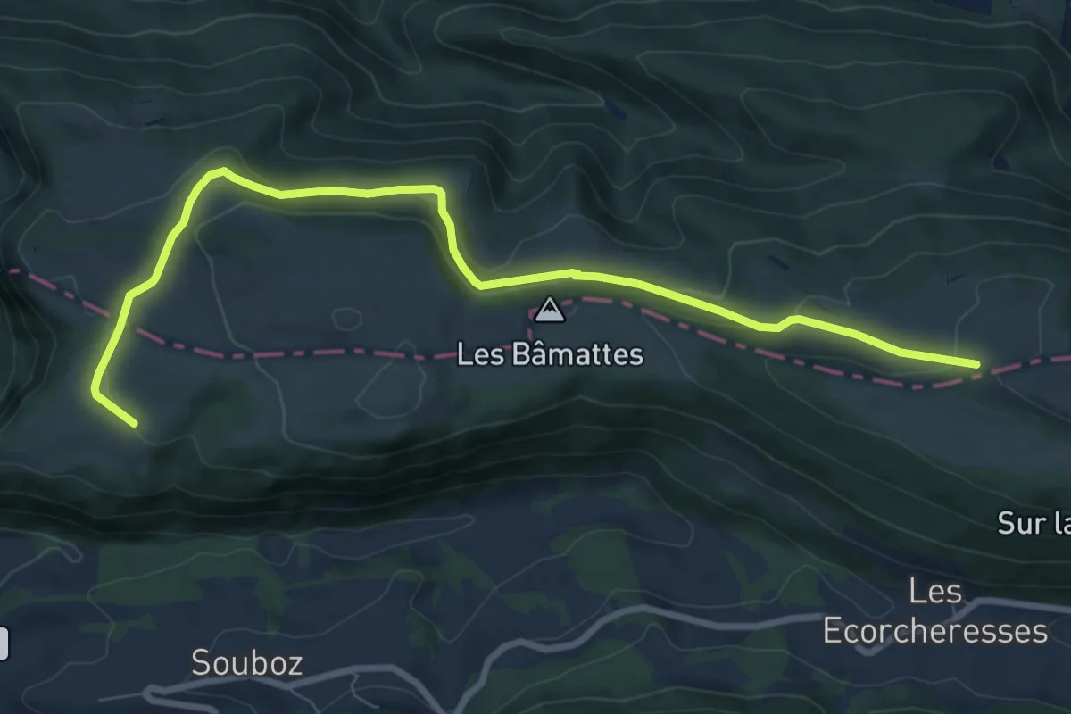
Pré La Vigne - Soulce
7.7 km · ↑ 498 m · 2 h 54 min
Medium · Trail
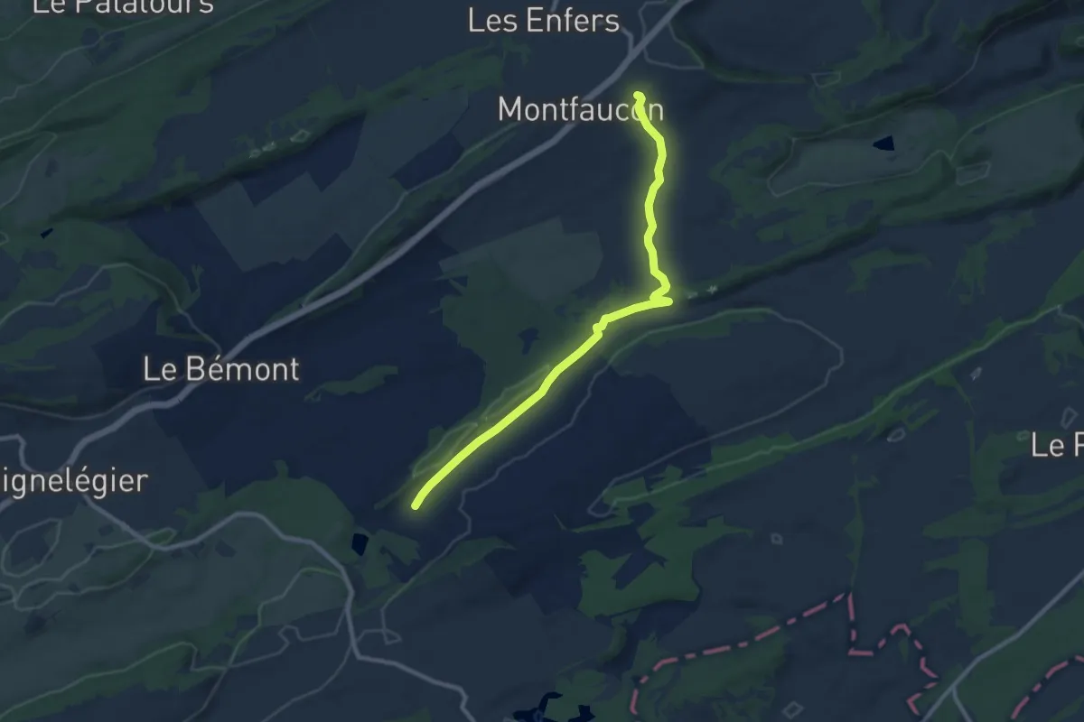
Pré La Vigne - Sur la Côte
9.0 km · ↑ 287 m · 2 h 45 min
Medium · Trail
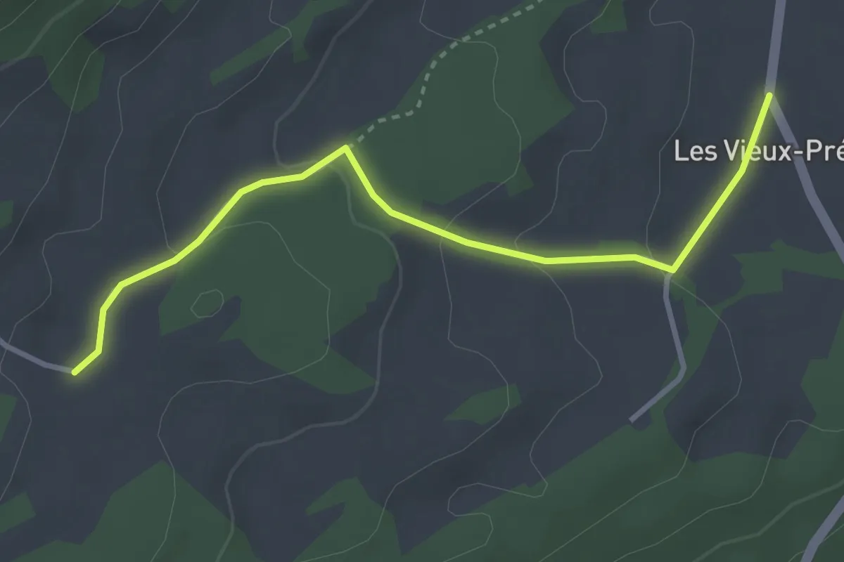
Pré Petitjean -
9.3 km · ↑ 182 m · 2 h 35 min
Easy · Trail
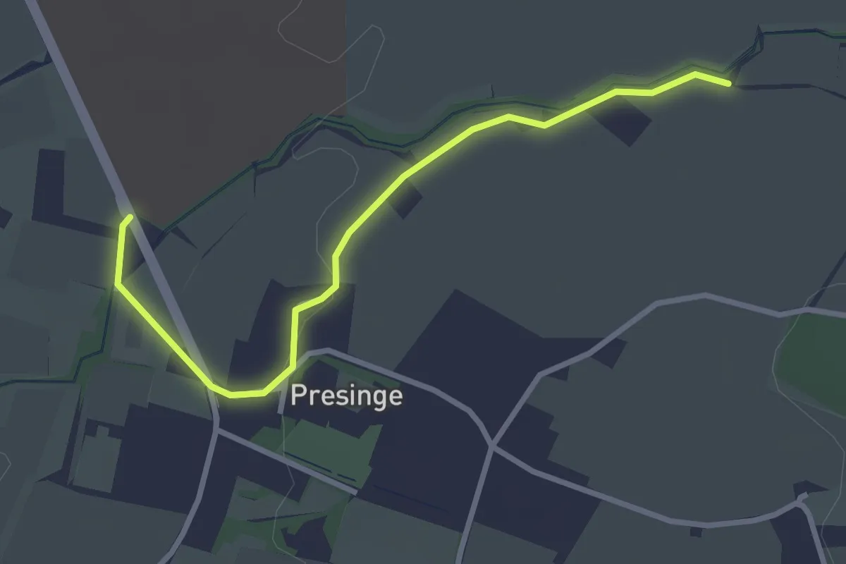
Prés Battereau - Les Vieux Prés
3.3 km · ↑ 102 m · 1 h
Easy · Trail
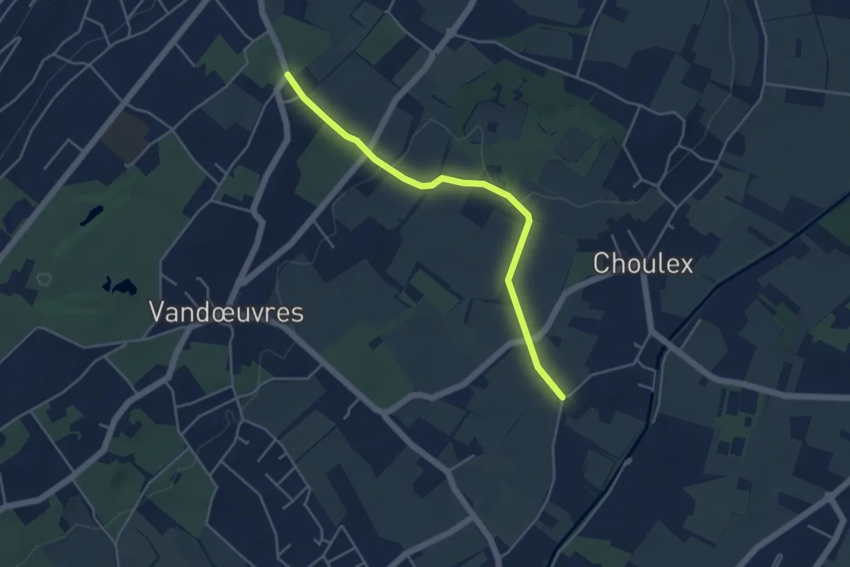
Presinge - Les Blessonniers
3.0 km · ↑ 22 m · 45 min
Easy · Trail
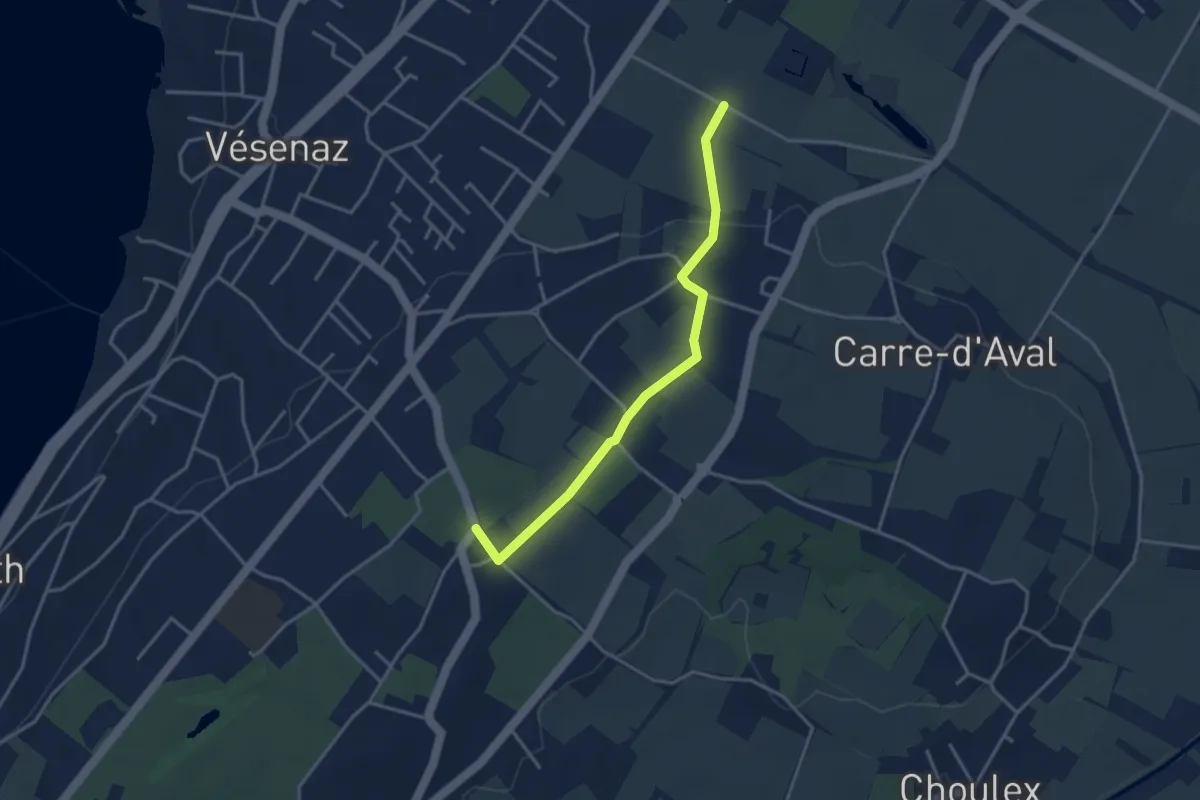
Pressy - Chevrier
4.0 km · ↑ 63 m · 1 h 5 min
Easy · Trail
Pressy - Rouelbeau
3.5 km · ↑ 52 m · 57 min
Easy · Trail
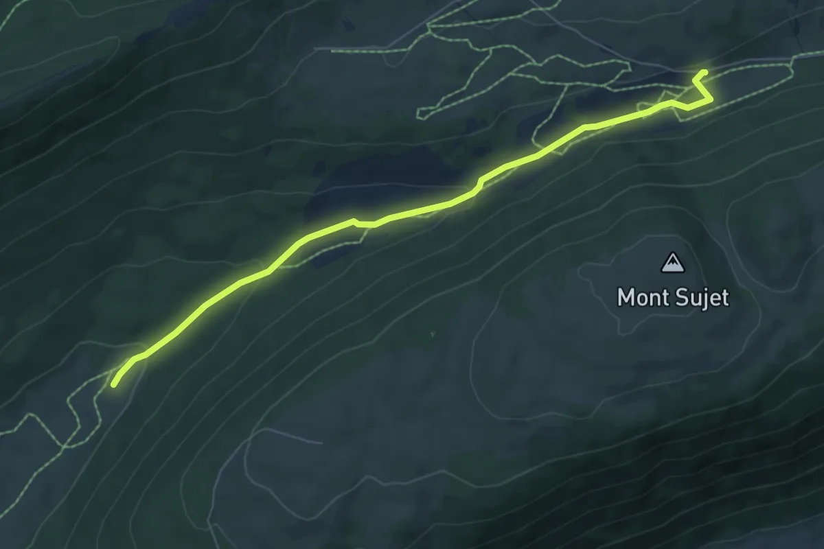
Prés Vaillons - métairie de Prêles
6.9 km · ↑ 159 m · 1 h 59 min
Demanding · Cabin
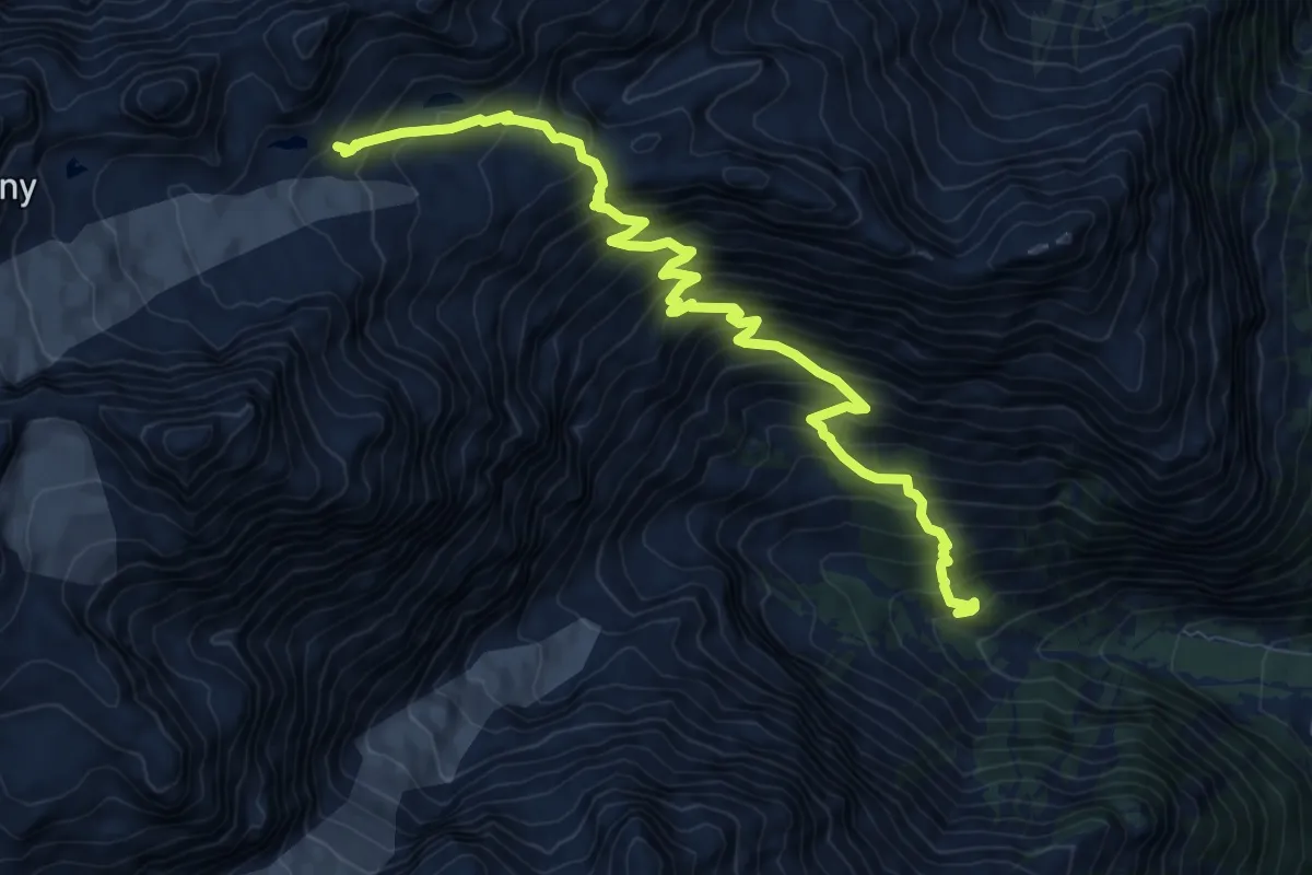
Prise d'eau de Saleina -> Cabane d'Orny
10.4 km · ↑ 1293 m · 5 h 15 min
Medium · Trail
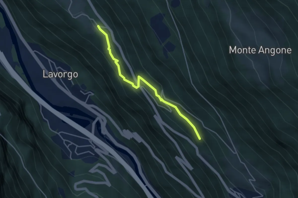
Pro Bell - Lombarda
3.3 km · ↑ 199 m · 1 h 12 min
Medium · Trail
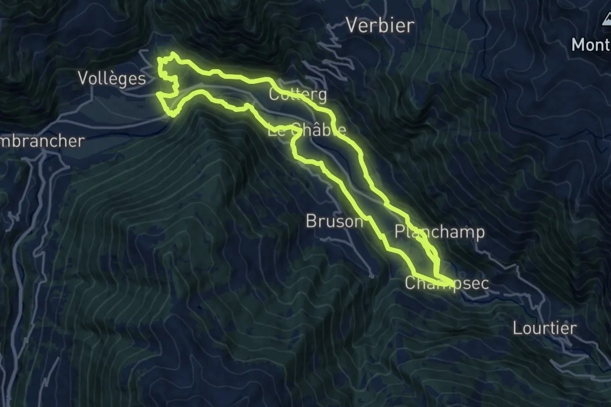
Promenade de la Dranse
17.1 km · ↑ 433 m · 5 h 13 min
Medium · Trail
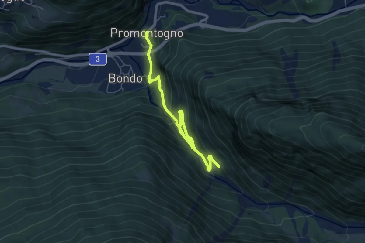
Promontogno - Laret
5.8 km · ↑ 436 m · 2 h 18 min
Demanding · Cabin
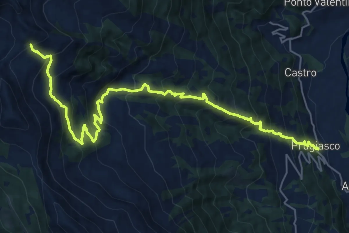
Prugiasco - Bassa di Nara
17.1 km · ↑ 1507 m · 7 h 19 min
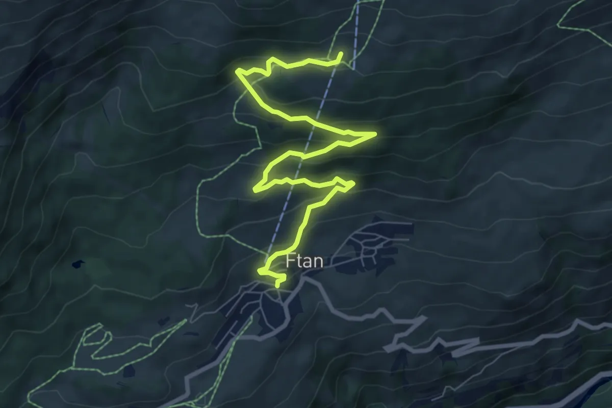
Medium · Trail
Prui - Ftan
8.5 km · ↑ 478 m · 3 h 2 min
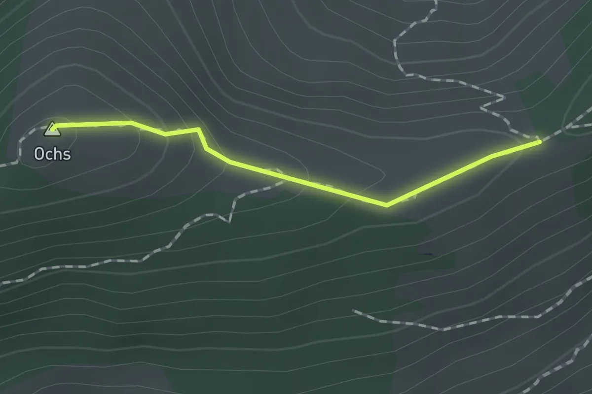
Medium · Summit
pt. 1508 - Hüenerhubel
1.2 km · ↑ 67 m · 26 min
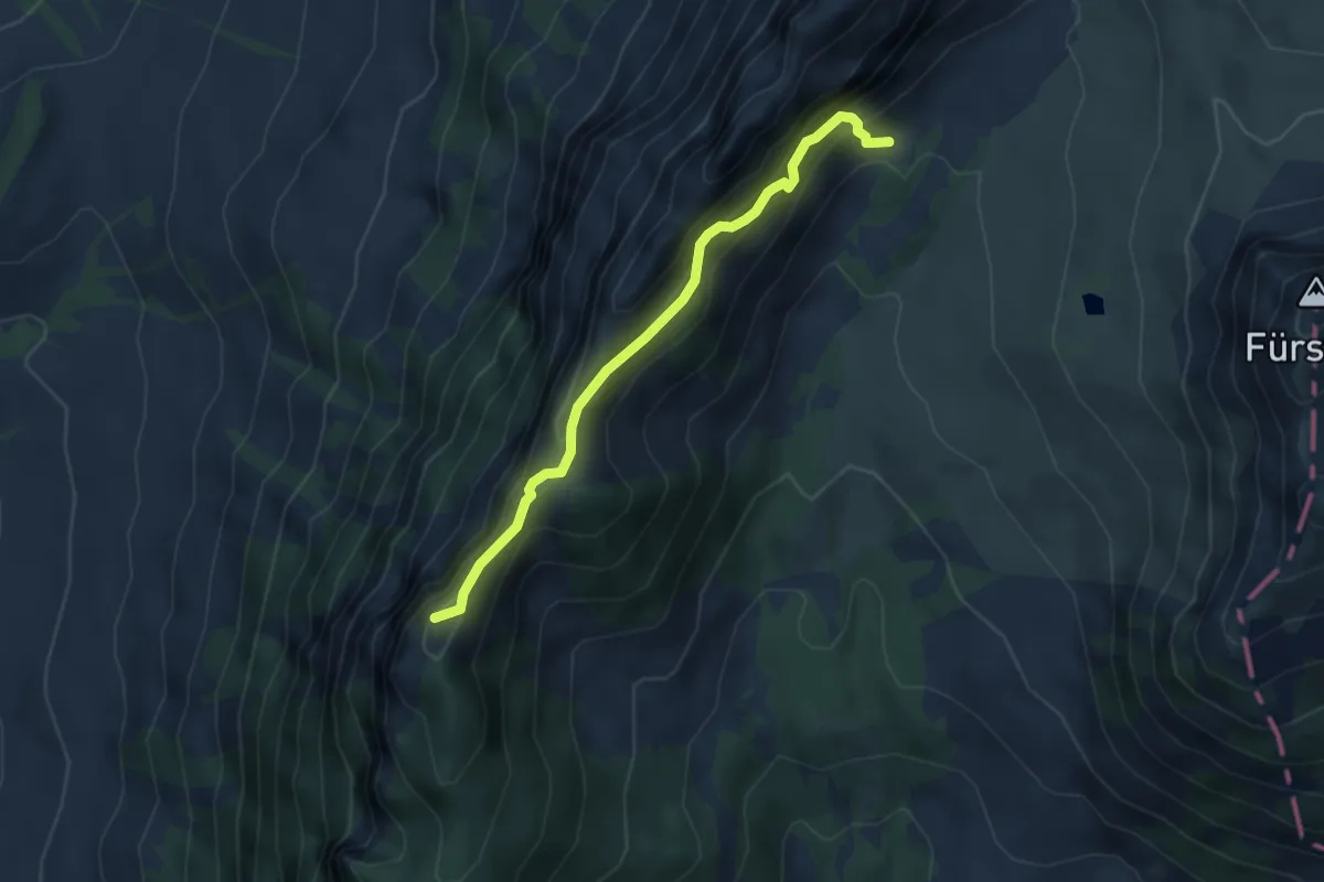
Expert · Trail
Pt 1605 - Schwändiliflueh
4.3 km · ↑ 387 m · 1 h 51 min
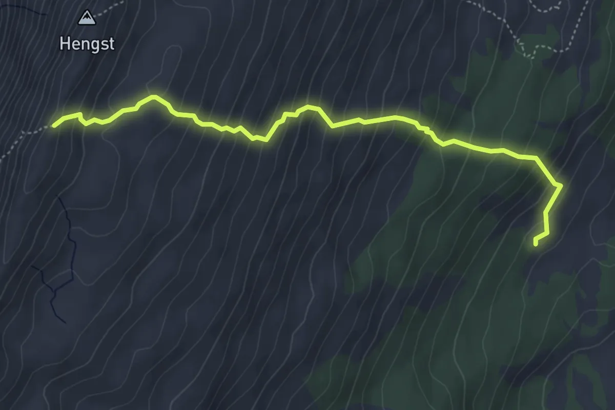
Medium · Trail
Pt. 2052 - Schlund
5.2 km · ↑ 550 m · 2 h 25 min