Trails in Switzerland
15,064 hiking trails, each with its route, climb, walking time and grade.
All trails, page 84 of 314
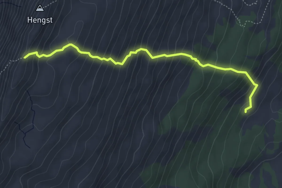
Medium · Trail
Pt. 2052 - Schlund
5.2 km · ↑ 550 m · 2 h 25 min
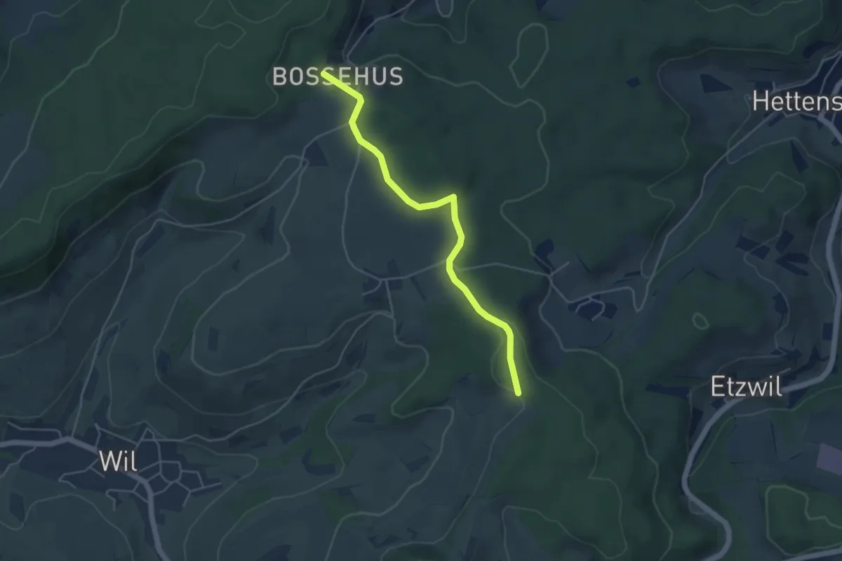
Easy · Trail
Pt. 547 - Bossenhus
4.4 km · ↑ 74 m · 1 h 13 min
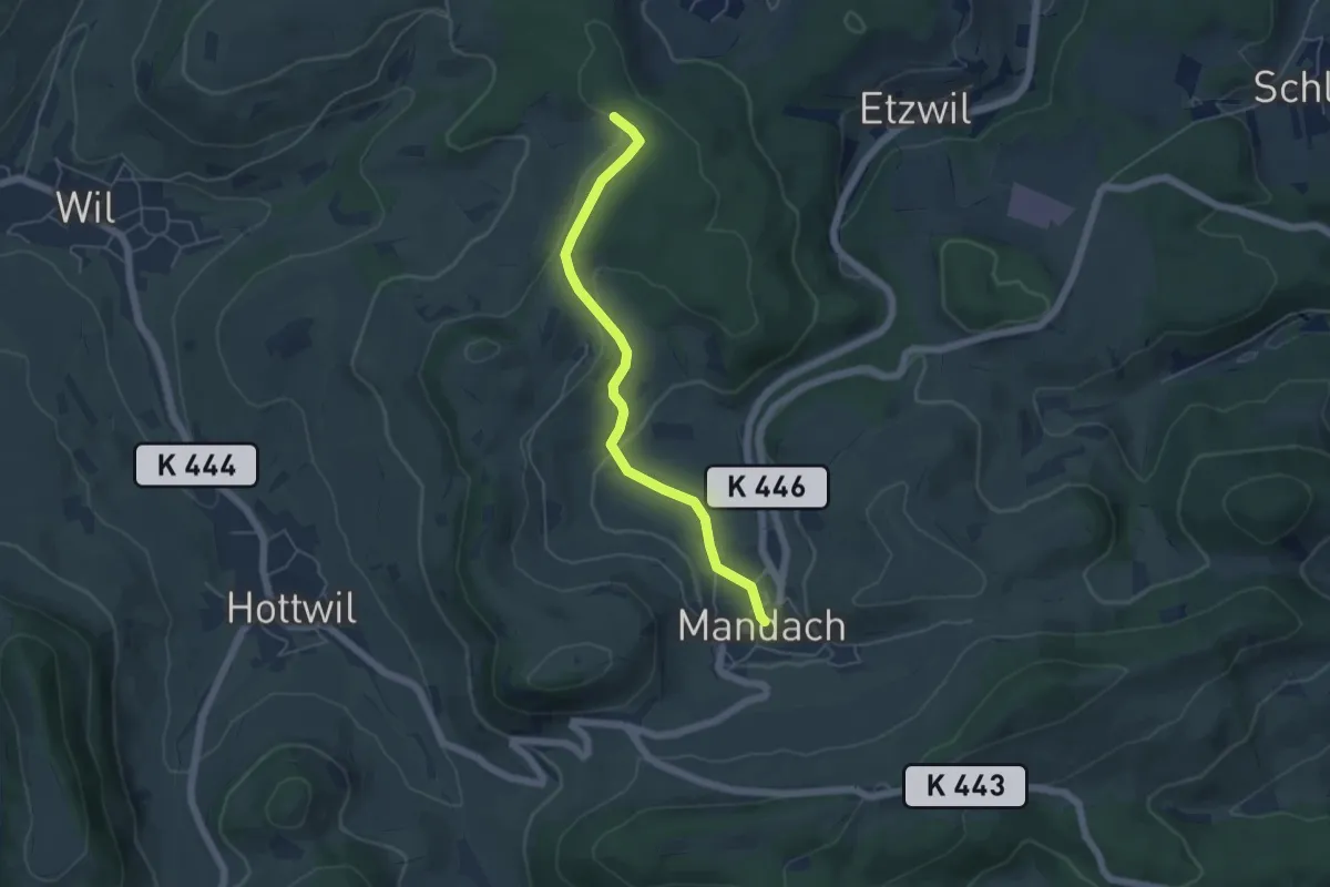
Easy · Trail
Pt. 547 - Mandach
4.9 km · ↑ 111 m · 1 h 23 min
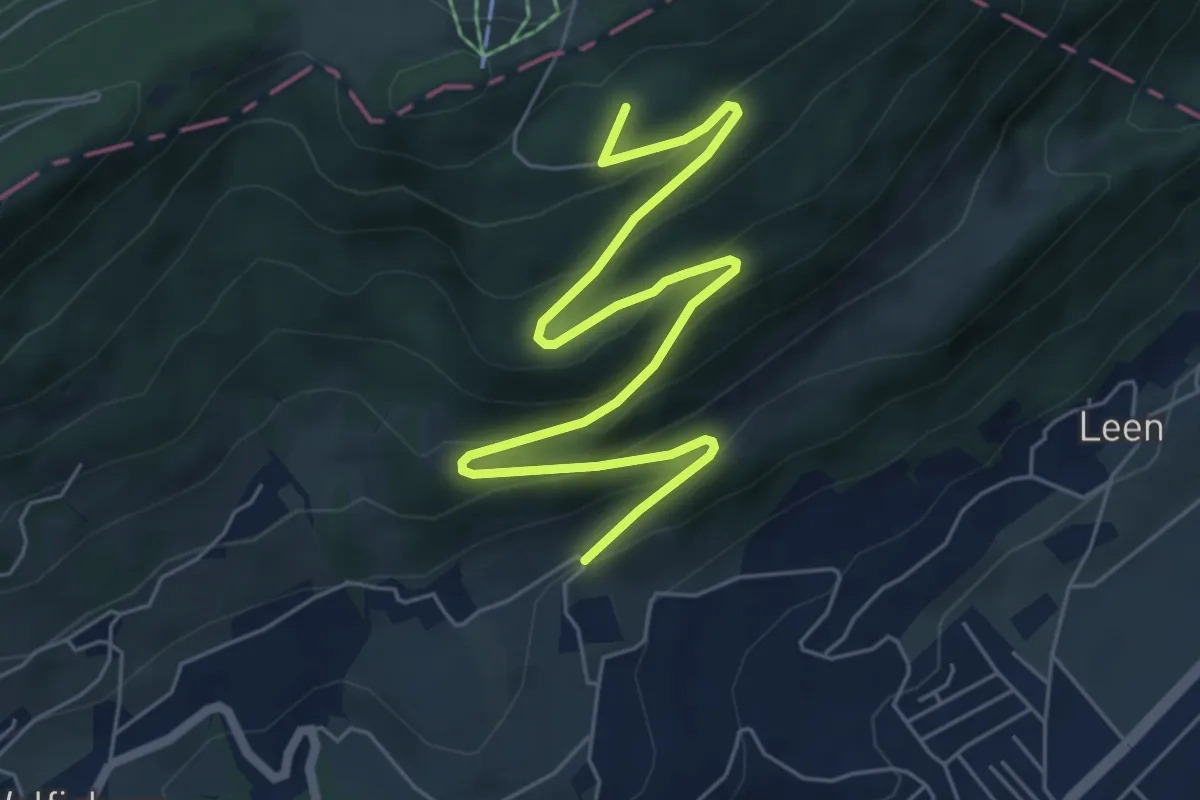
Medium · Summit
Pt. 699 - fixme
7.3 km · ↑ 375 m · 2 h 32 min
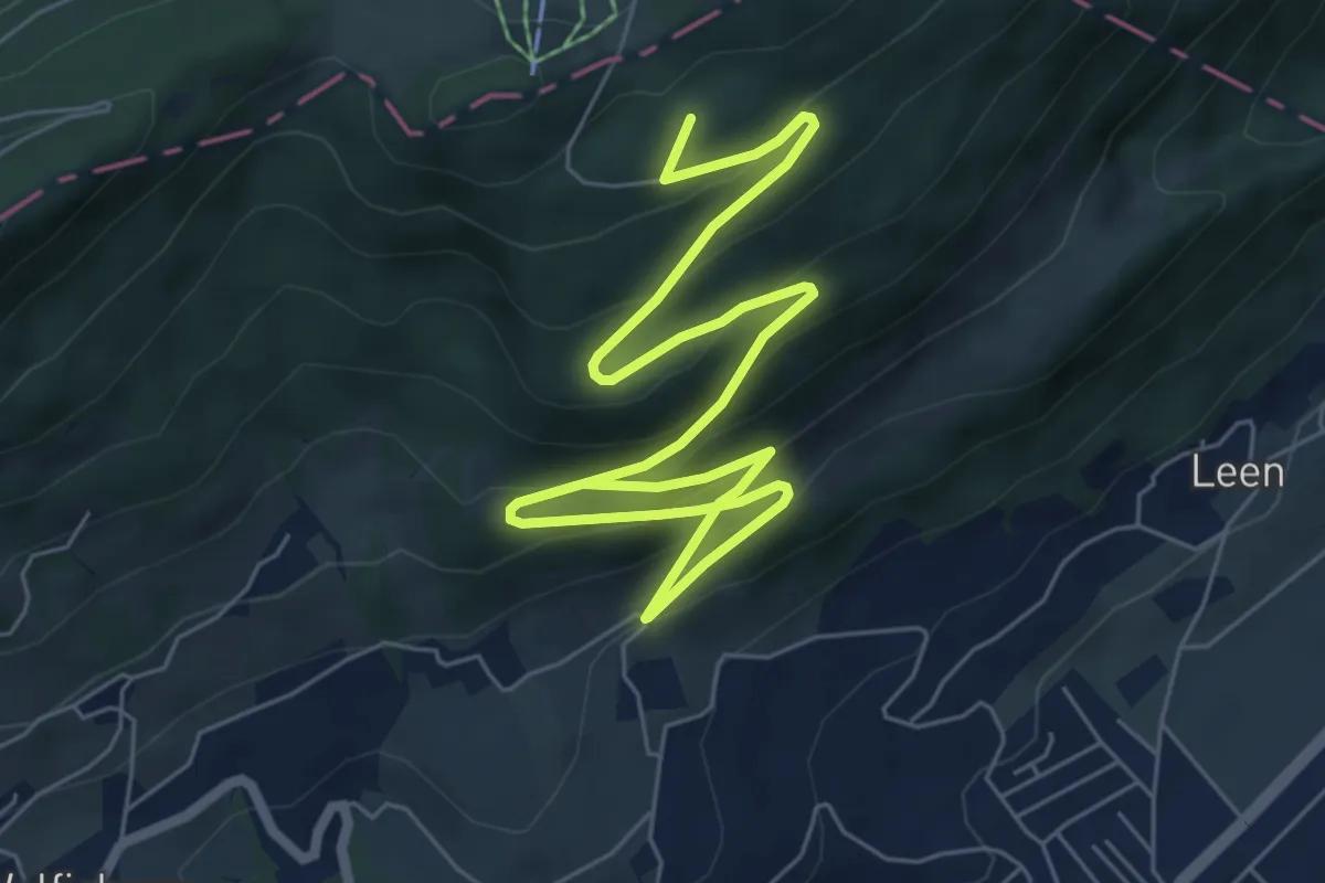
Medium · Summit
Pt. 699 - fixme
9.0 km · ↑ 527 m · 3 h 16 min
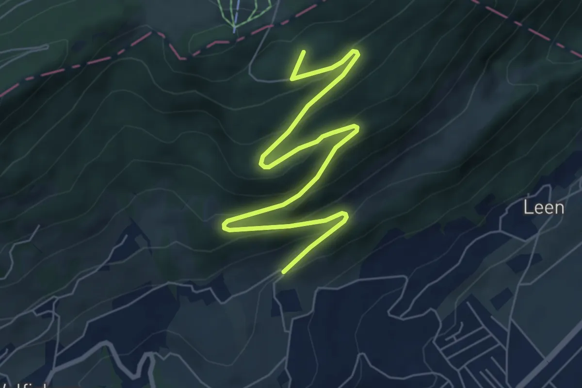
Medium · Summit
Pt. 699 - Leen
7.3 km · ↑ 375 m · 2 h 32 min
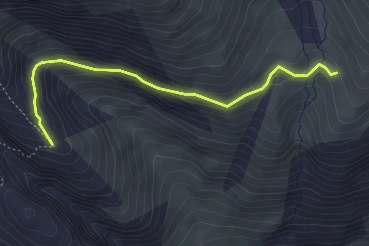
Easy · Trail
Punkt 2228 - Driest, Gletscherrand
3.9 km · ↑ 235 m · 1 h 25 min
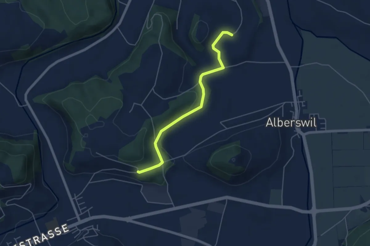
Easy · Trail
Punkt 568 -
4.4 km · ↑ 106 m · 1 h 17 min
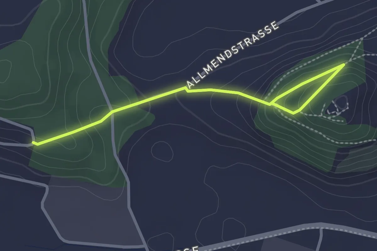
Easy · Trail
Punkt 568 - Chastelen
2.7 km · ↑ 139 m · 57 min
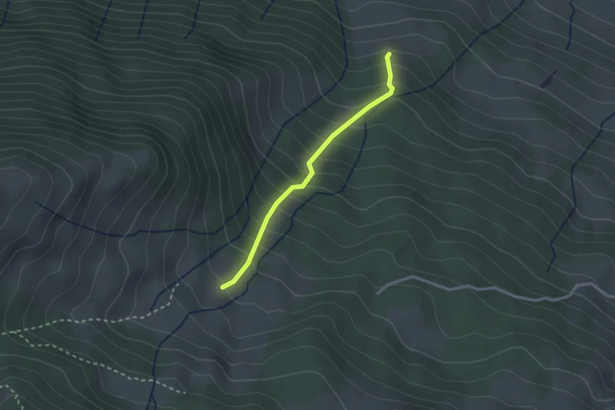
Easy · Trail
Punkt 775 m - Ried
2.1 km · ↑ 290 m · 1 h 7 min
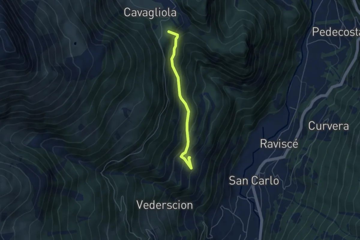
Medium · Summit
Puntalta-Cadera
4.3 km · ↑ 382 m · 1 h 51 min
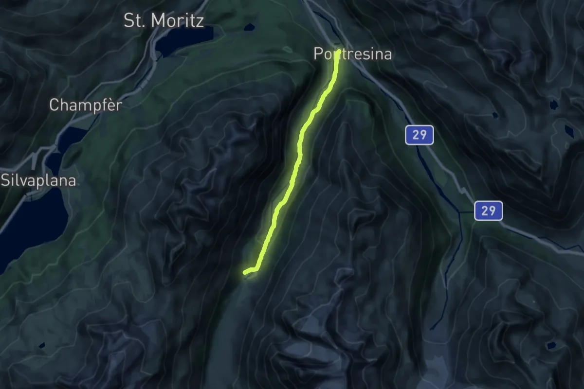
Medium · Trail
Puntraschigna - Roseg
13.5 km · ↑ 333 m · 3 h 55 min
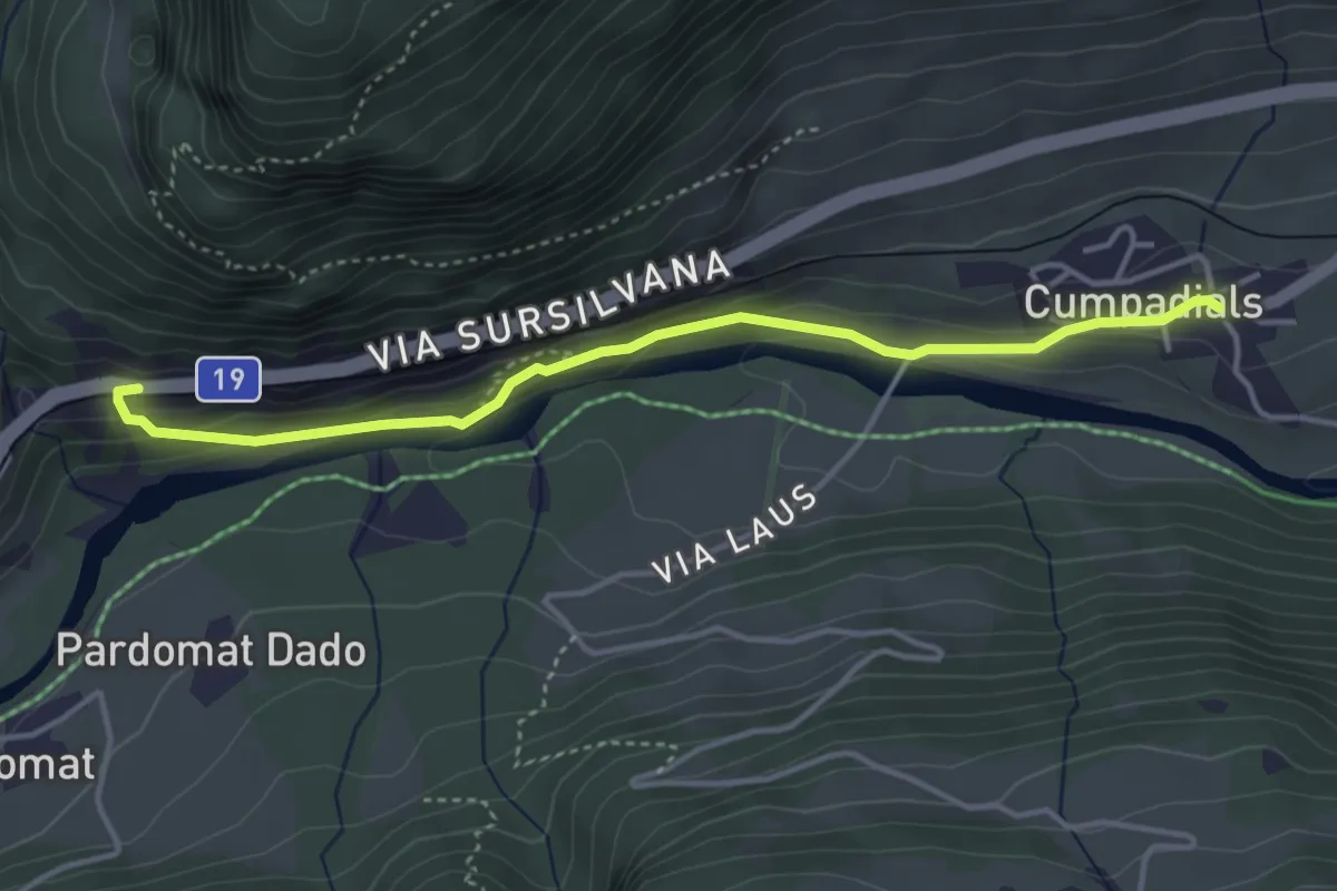
Medium · Trail
Punt Russein-Campadials
4.0 km · ↑ 153 m · 1 h 16 min
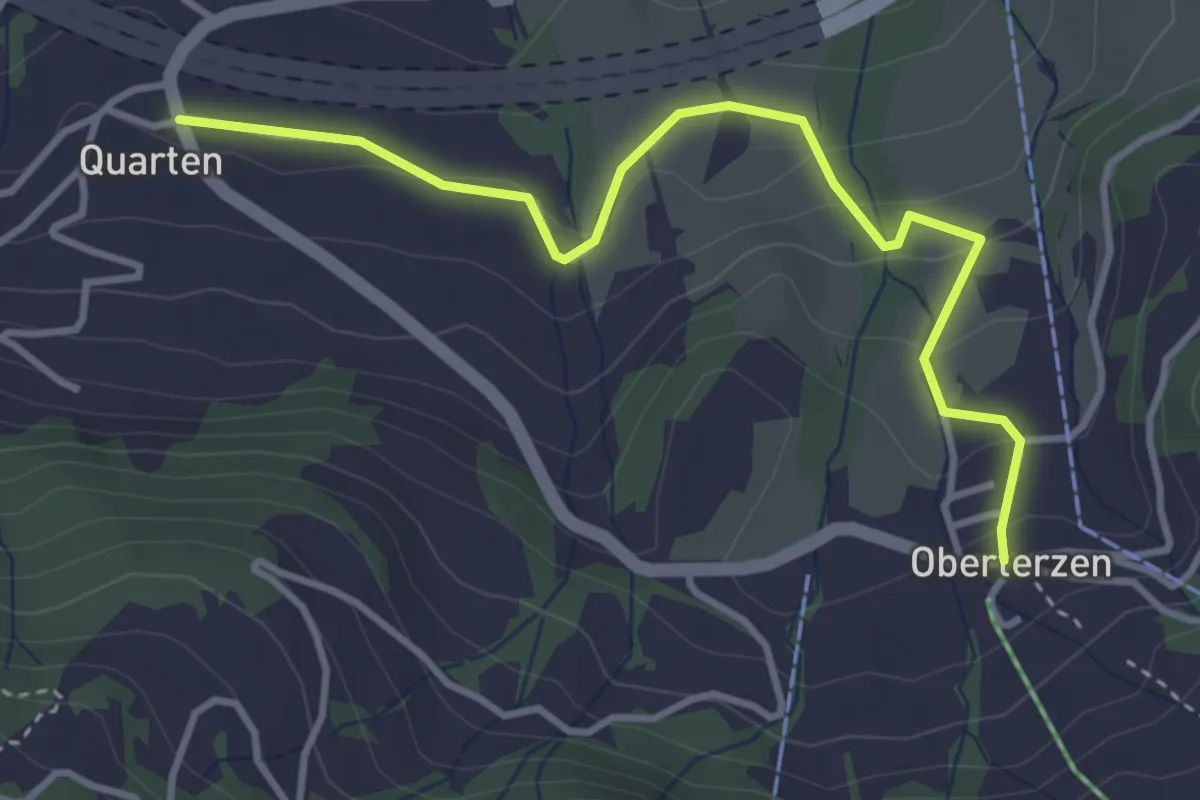
Easy · Trail
Quarten - Oberterzen
3.8 km · ↑ 164 m · 1 h 15 min
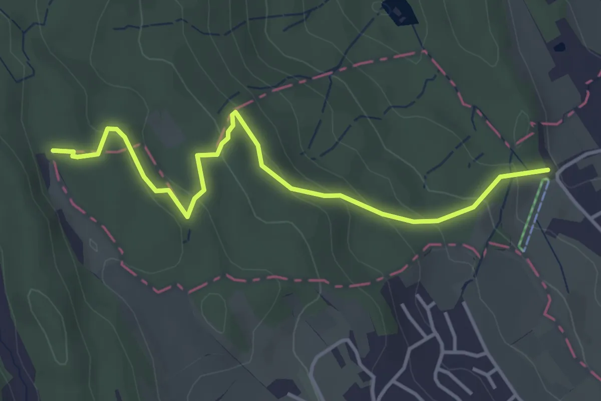
Easy · Trail
Quellenweg
4.0 km · ↑ 202 m · 1 h 22 min
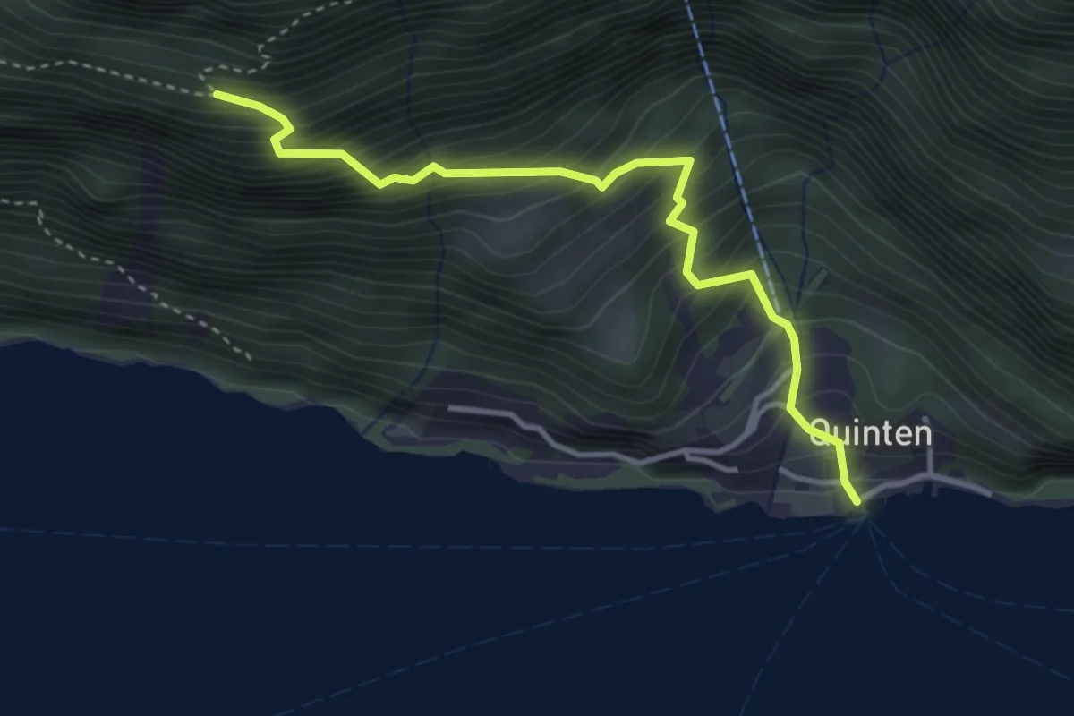
Medium · Trail
Quinten - Bidem
3.5 km · ↑ 532 m · 1 h 59 min
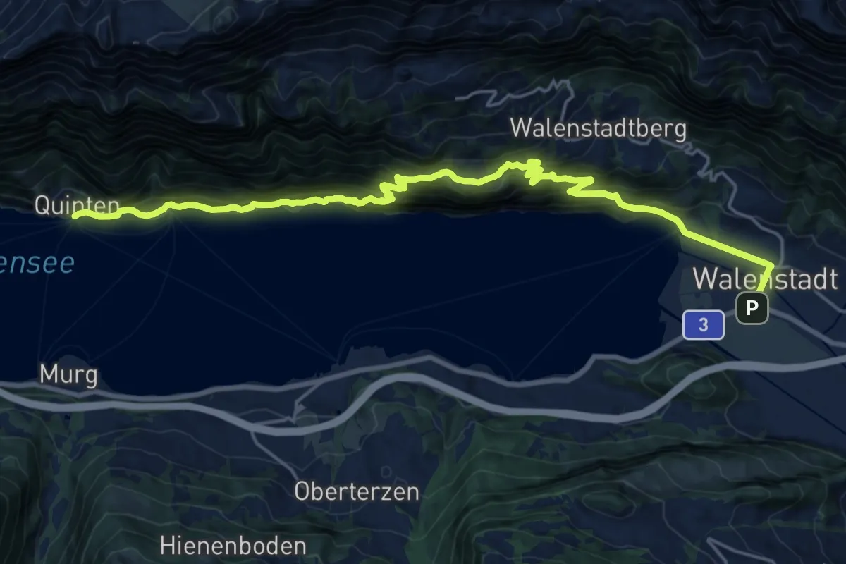
Medium · Trail
Quinten Seeweg
10.5 km · ↑ 747 m · 4 h 15 min
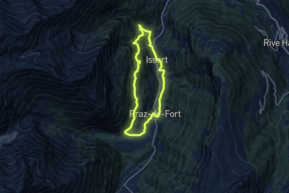
Medium · Trail
Raccard du blé
7.9 km · ↑ 495 m · 3 h 3 min
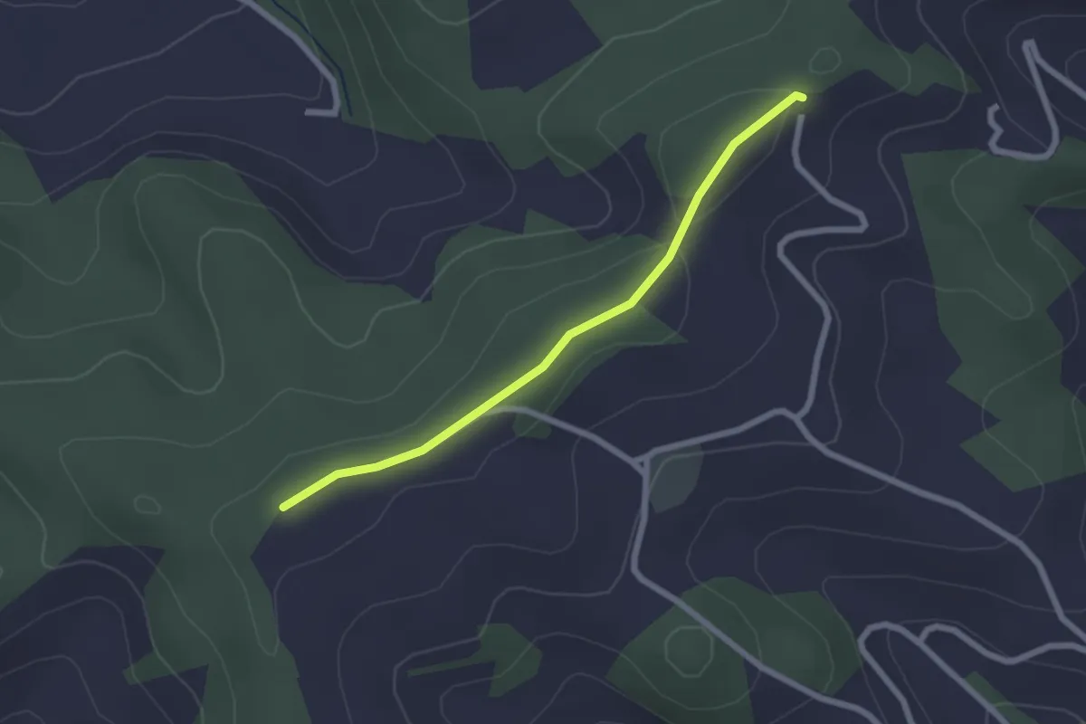
Easy · Trail
Rachisberg - Almisbergegg
2.1 km · ↑ 19 m · 33 min
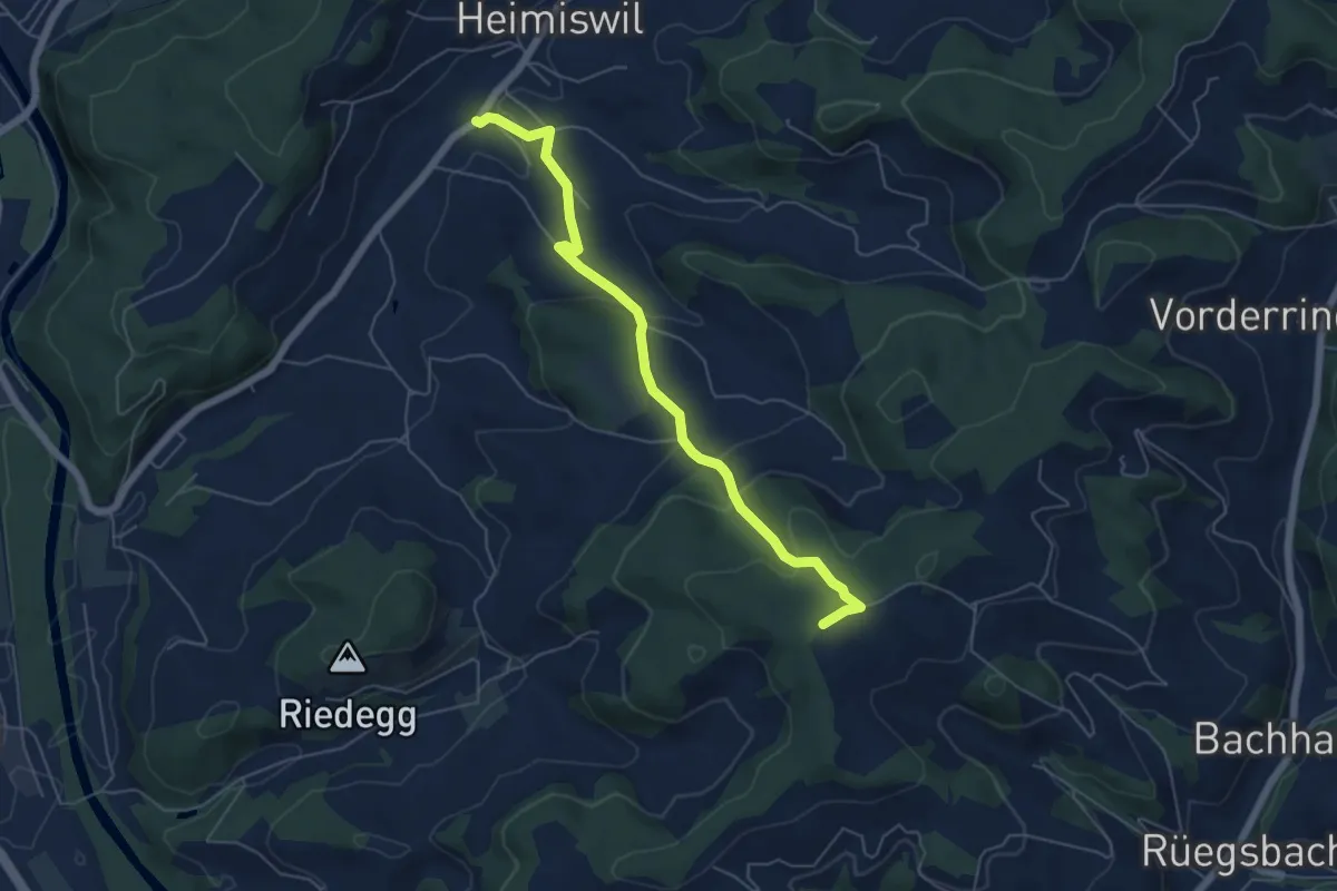
Easy · Trail
Rachisberg - fixme
5.7 km · ↑ 258 m · 1 h 54 min
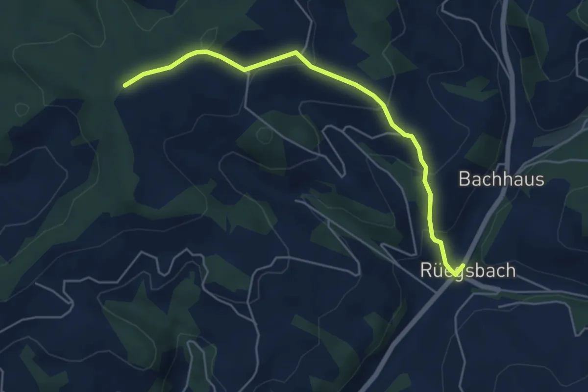
Easy · Trail
Rachisberg - fixme
4.5 km · ↑ 224 m · 1 h 33 min
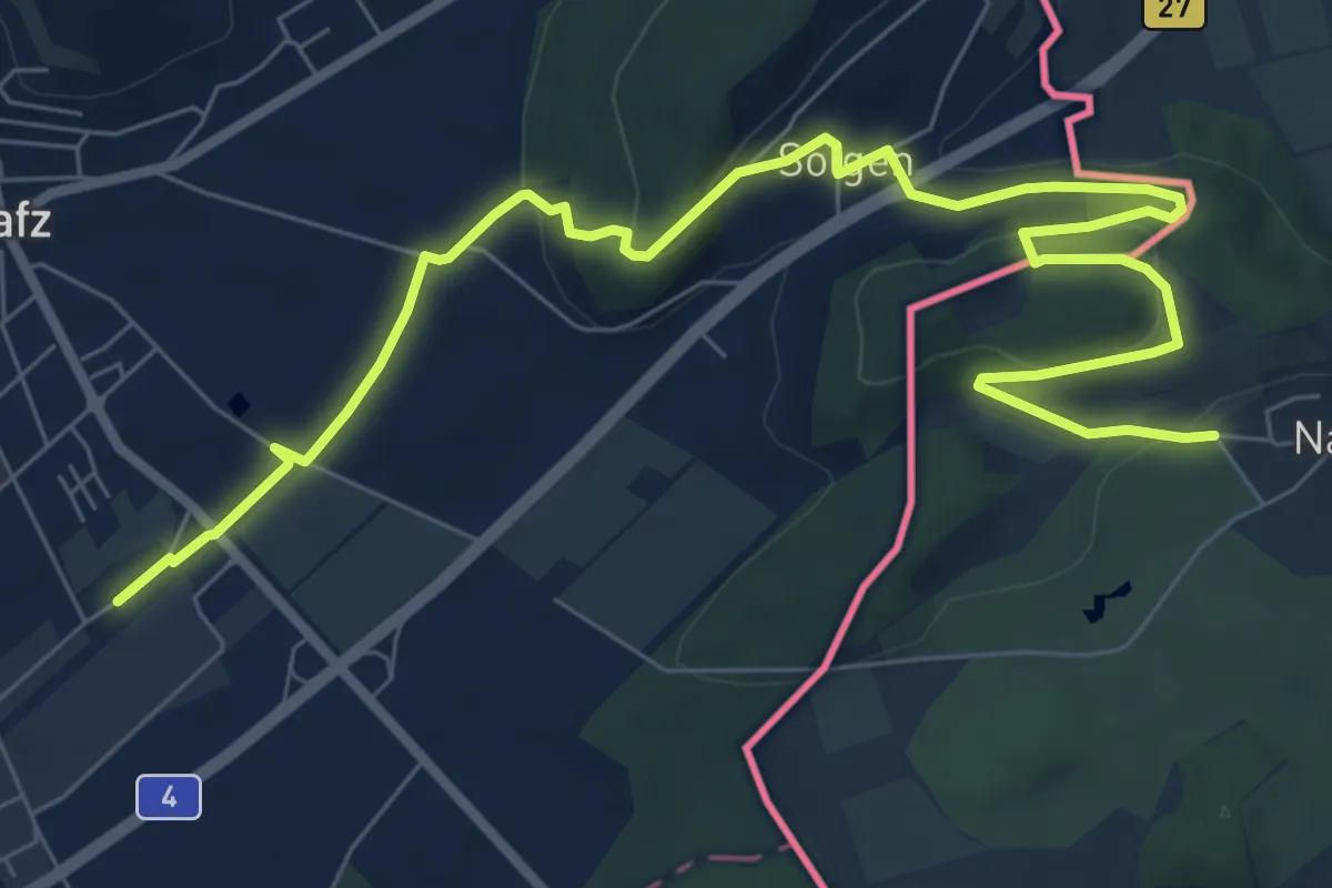
Medium · Trail
Rafz (Bahnhof) - Nack
10.1 km · ↑ 287 m · 3 h
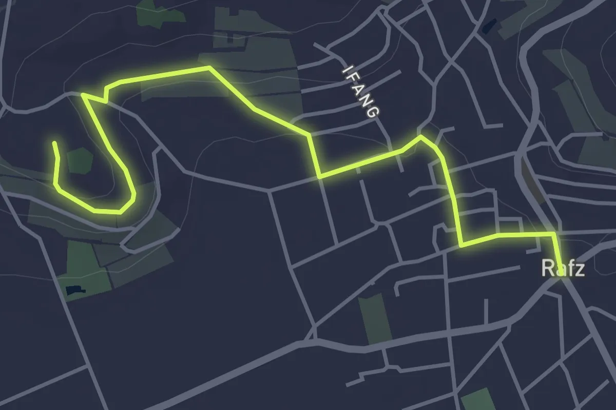
Easy · Trail
Rafz - Schürlibuck
4.5 km · ↑ 57 m · 1 h 10 min
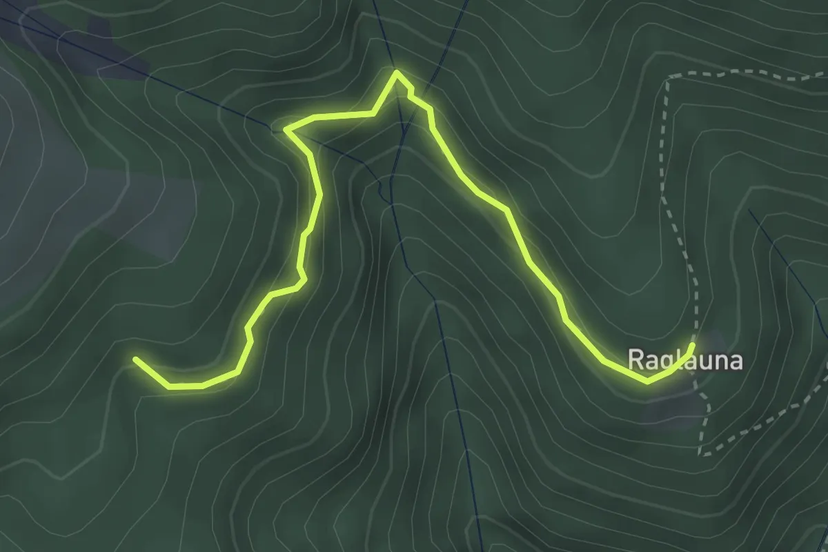
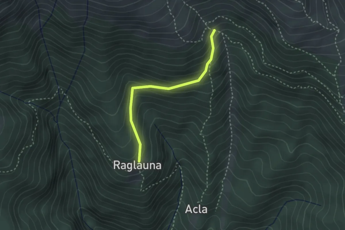
Medium · Trail
Raglauna
3.5 km · ↑ 223 m · 1 h 18 min
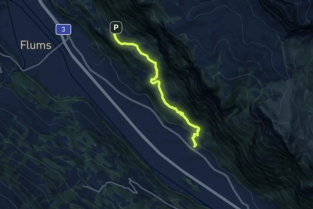
Medium · Trail
Raglauna - Zaplina
2.5 km · ↑ 190 m · 1 h
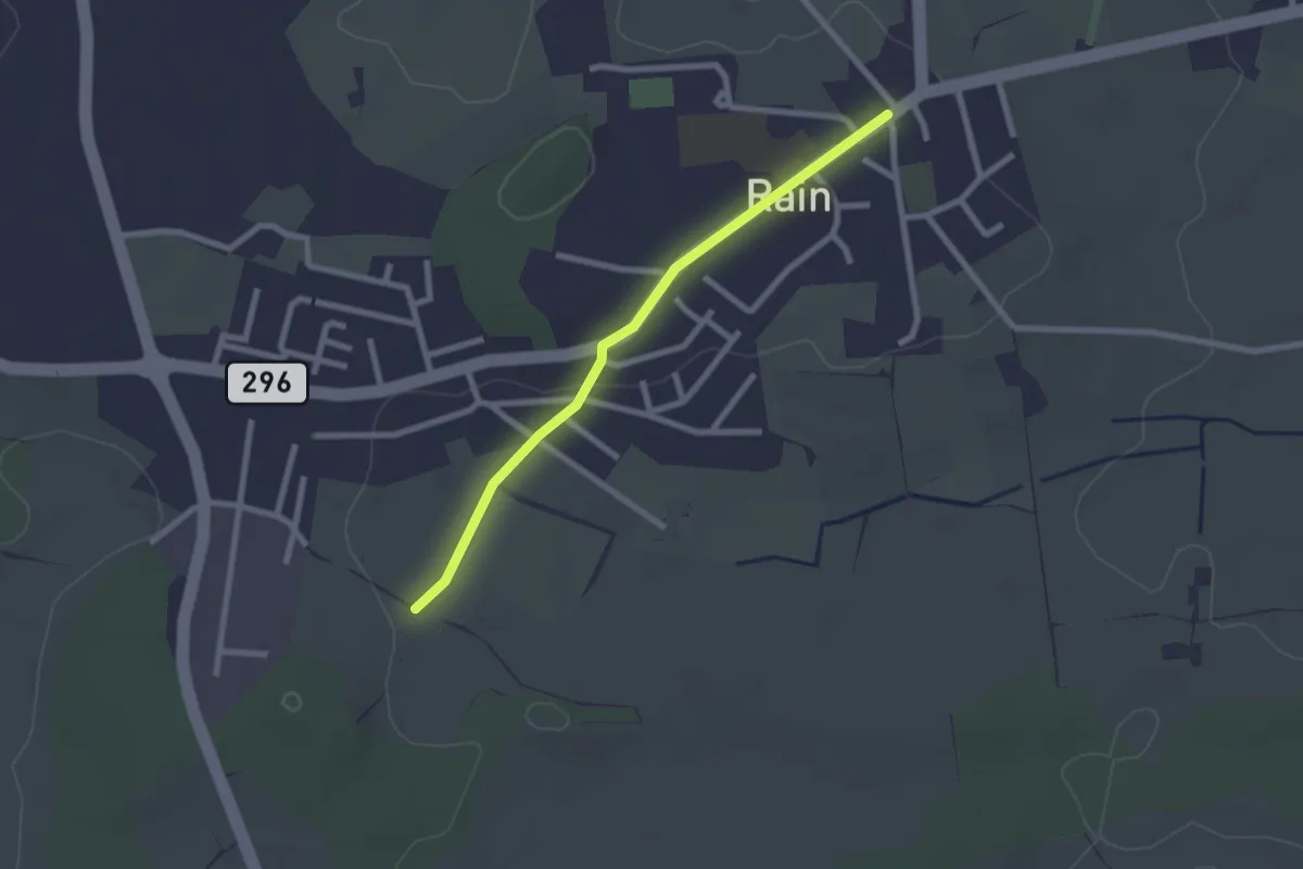
Medium · Trail
Ragnatsch Talstation - Forggels
9.4 km · ↑ 499 m · 3 h 18 min
Easy · Trail
Rain - Büel
2.2 km · ↑ 10 m · 32 min
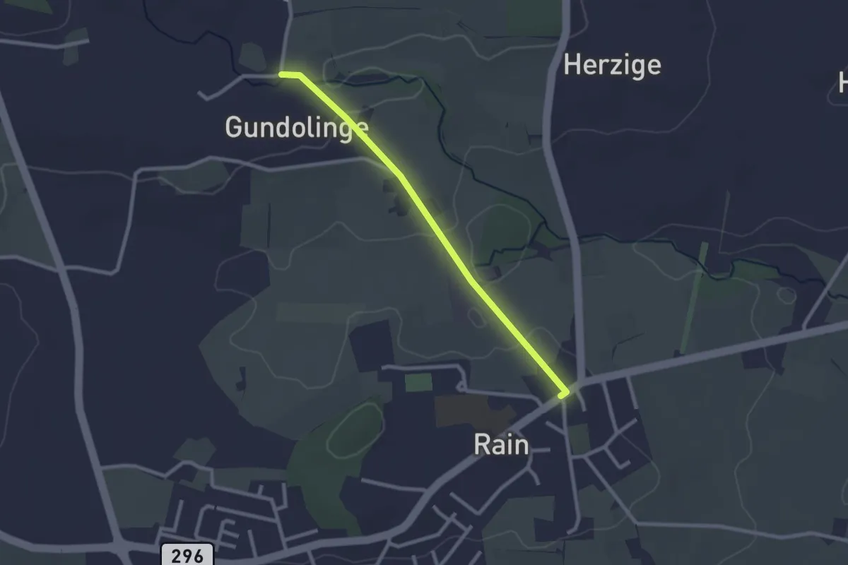
Easy · Trail
Rain - Gundelingen
2.3 km · ↑ 28 m · 36 min
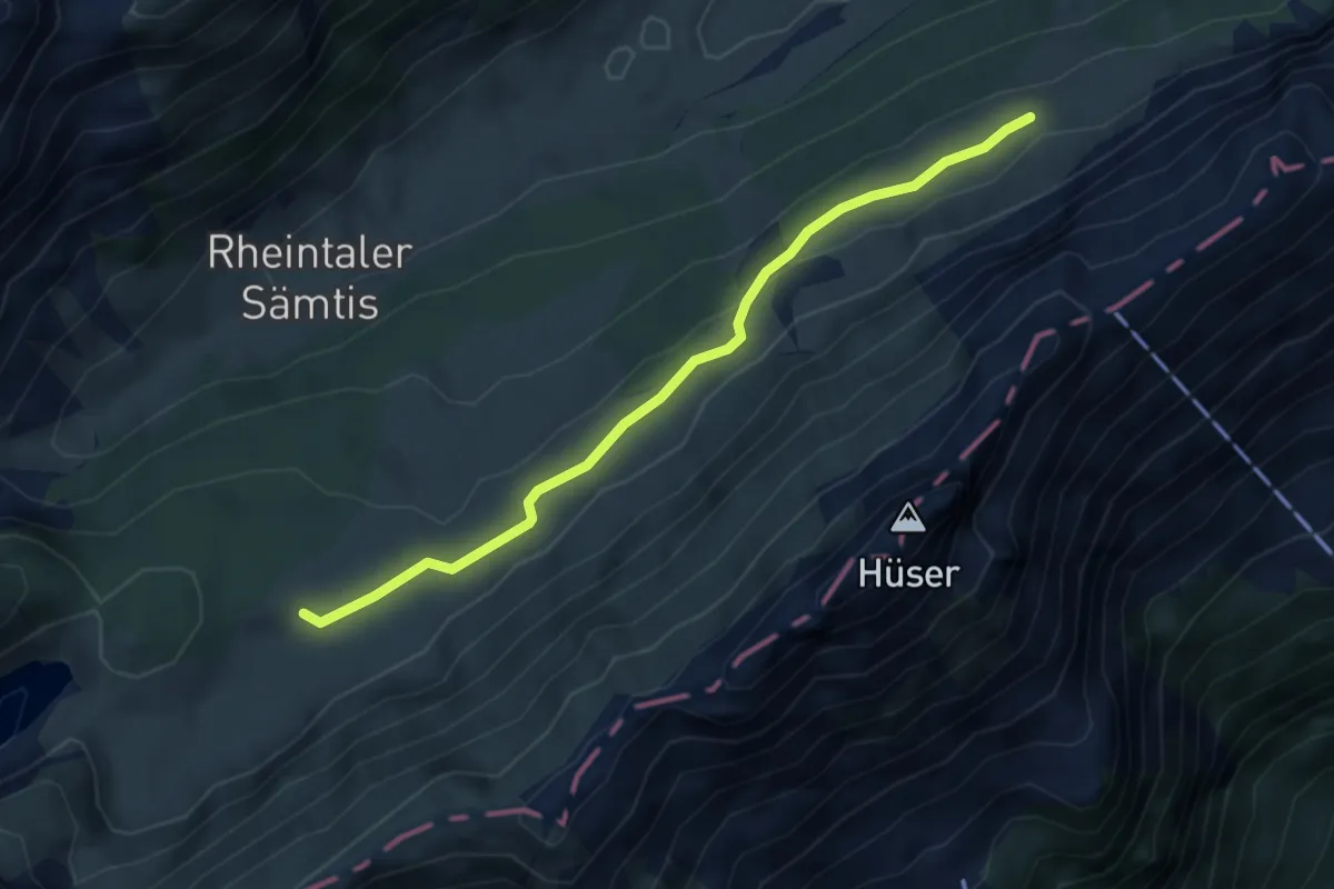
Easy · Trail
Rainhütte - Bollenwees
4.0 km · ↑ 86 m · 1 h 8 min
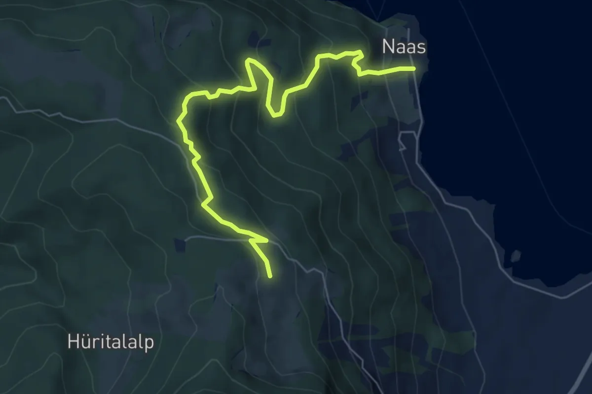
Medium · Trail
Ramenegg - Nas
6.7 km · ↑ 456 m · 2 h 34 min
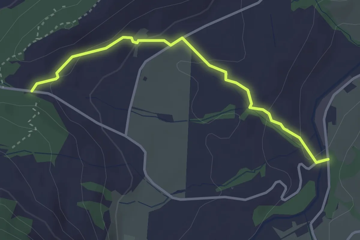
Easy · Trail
Rämpelensäge - Chälen
2.9 km · ↑ 97 m · 54 min
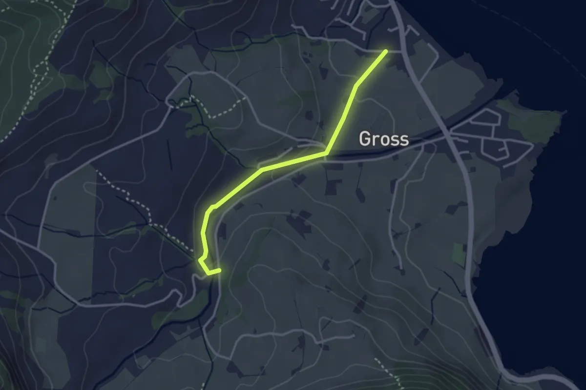
Easy · Trail
Rämpelensäge - Gross
2.8 km · ↑ 50 m · 46 min
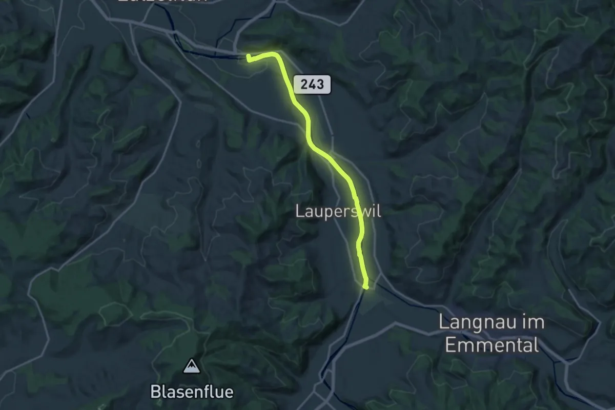
Medium · Trail
Ramseisteg-Emmenmatt
13.6 km · ↑ 86 m · 3 h 24 min
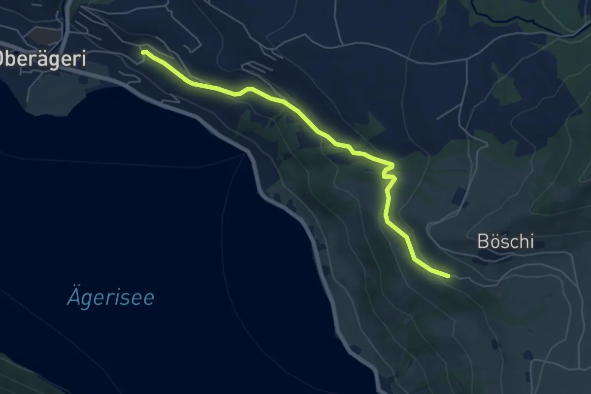
Easy · Trail
Rämsli - Oberägerie
5.4 km · ↑ 204 m · 1 h 43 min
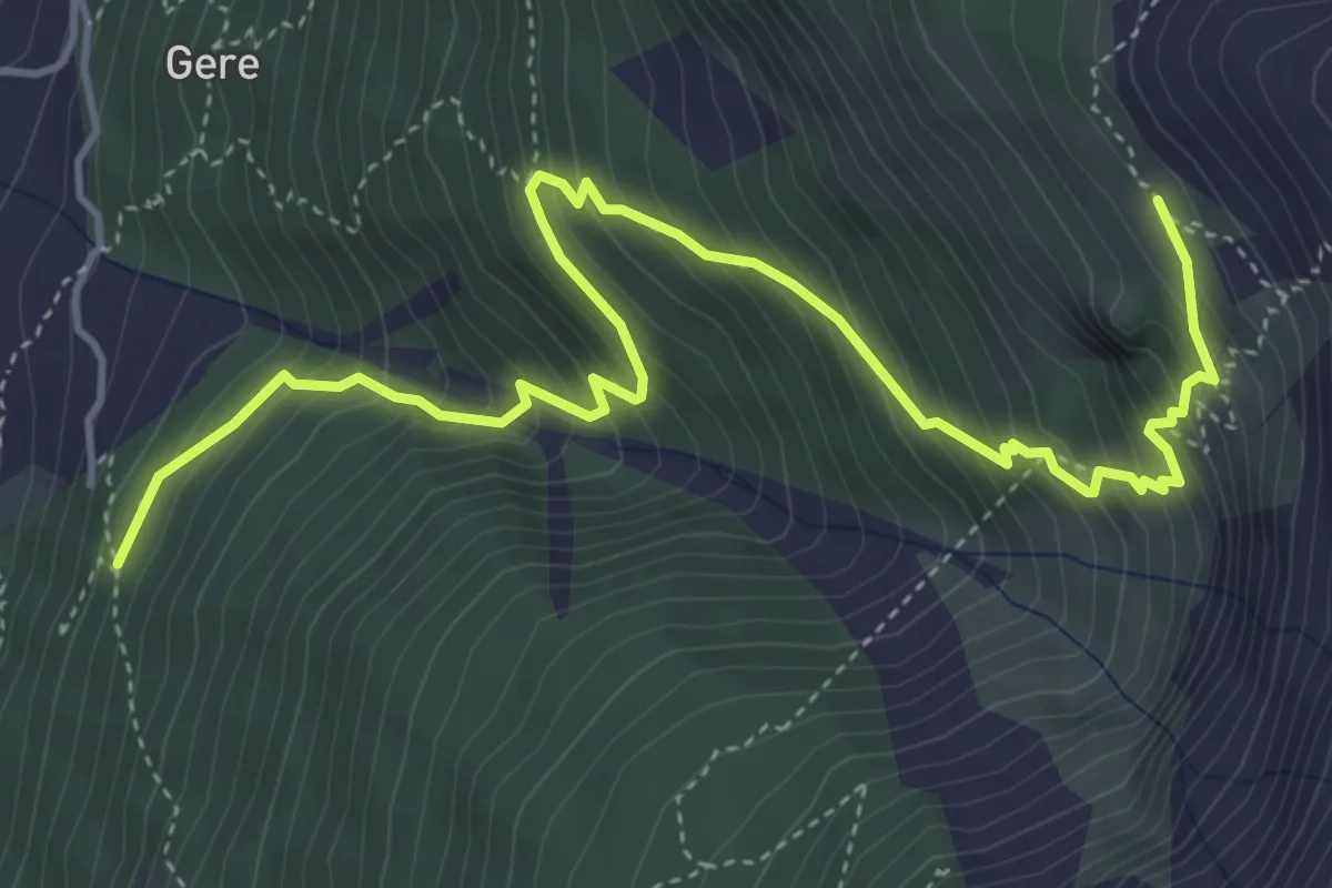
Medium · Cabin
Randa - Europahütte
5.7 km · ↑ 681 m · 2 h 50 min
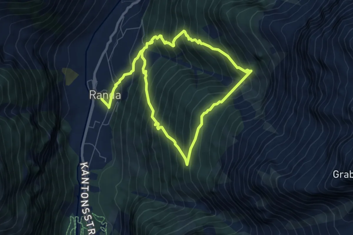
Medium · Trail
Randa Hängebrückenweg
5.9 km · ↑ 741 m · 3 h 1 min
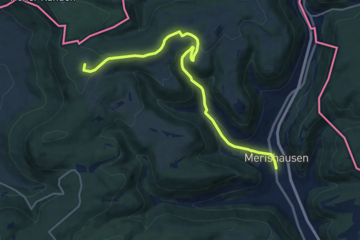
Medium · Summit
Randen Weg
11.7 km · ↑ 416 m · 3 h 40 min
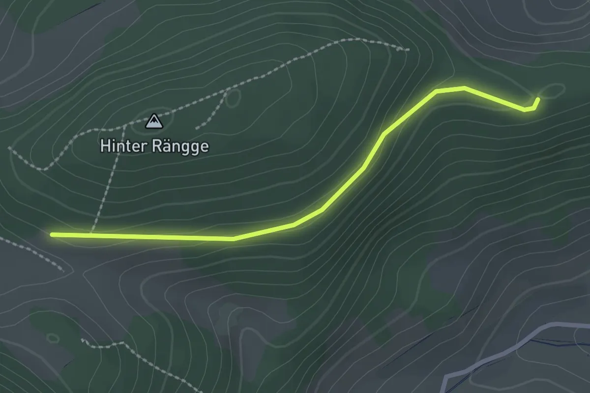
Easy · Trail
Ränggen - Reien
2.3 km · ↑ 67 m · 41 min
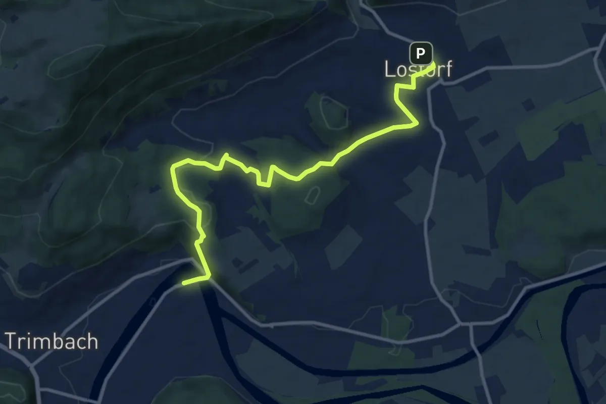
Medium · Trail
Rankwog - Lostorf
10.4 km · ↑ 303 m · 3 h 7 min
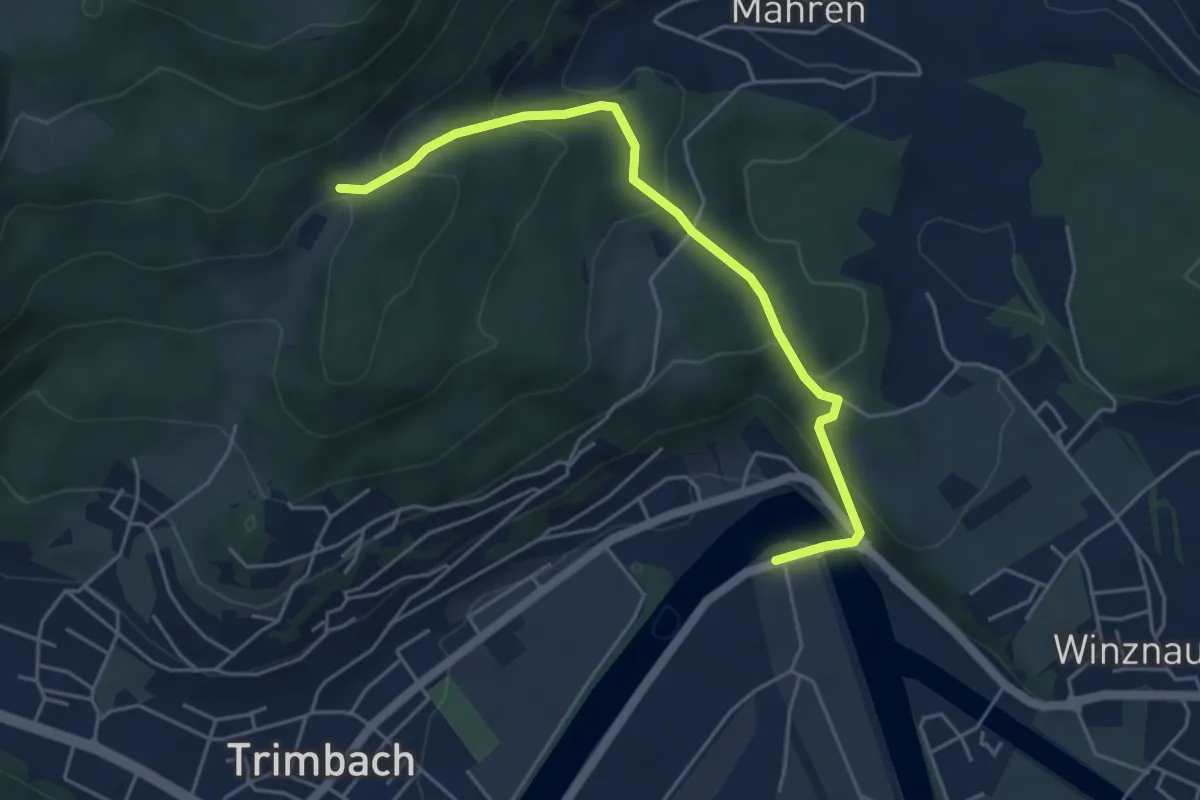
Medium · Trail
Rankwog - Mahrenacker
4.9 km · ↑ 274 m · 1 h 45 min
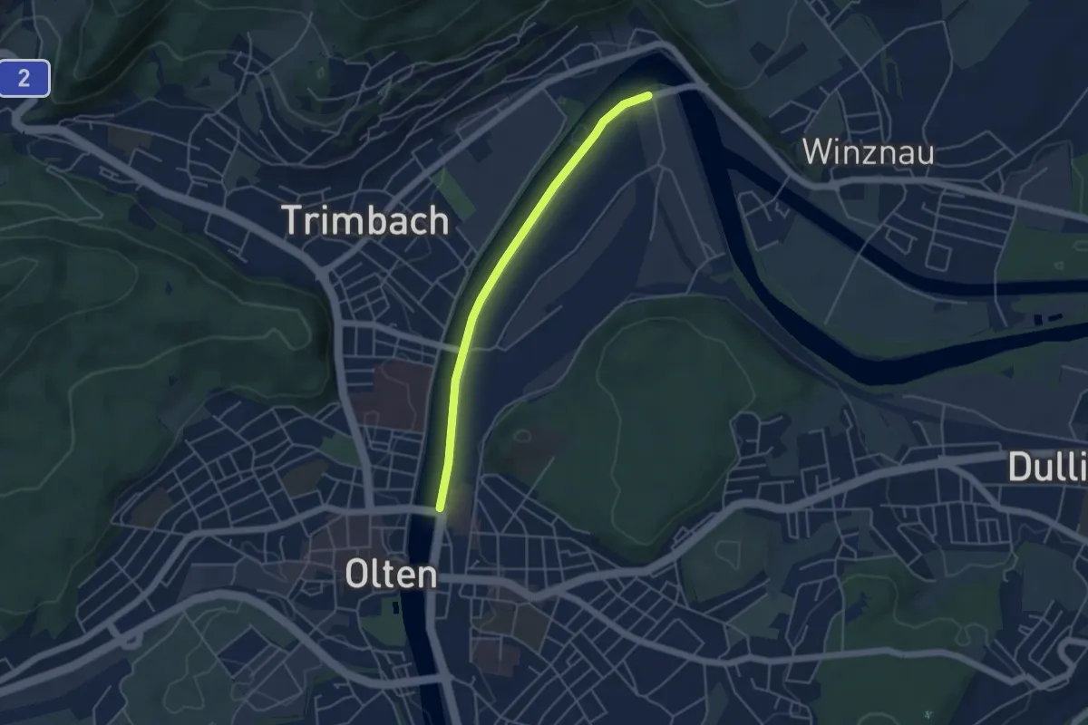
Easy · Trail
Rankwog - Olten Bhf
4.1 km · ↑ 0 m · 58 min
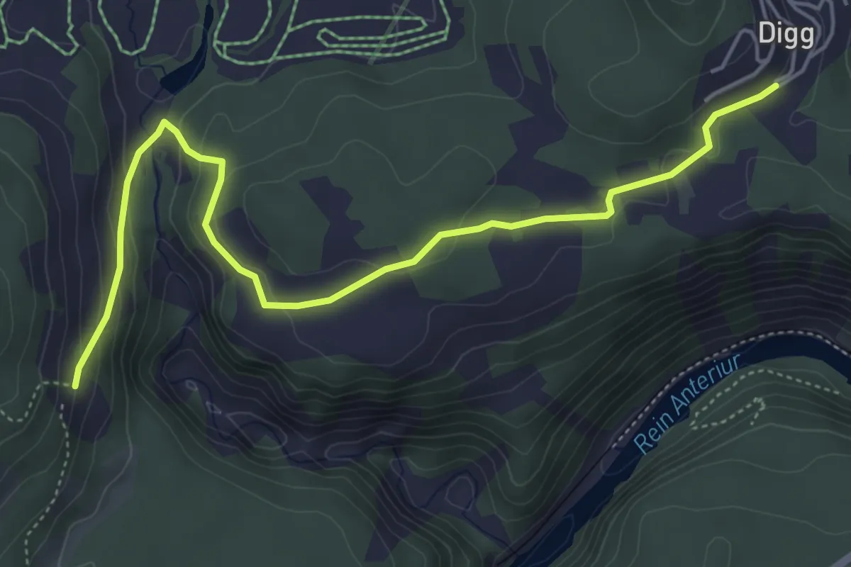
Easy · Trail
Ransum Digg
5.7 km · ↑ 199 m · 1 h 46 min
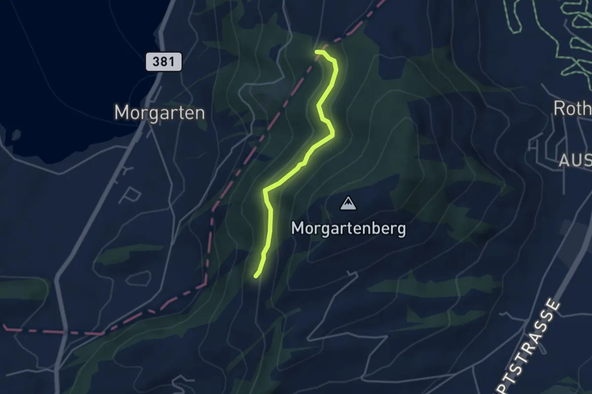
Easy · Trail
Rapperen - Fisterenwald
3.2 km · ↑ 159 m · 1 h 6 min
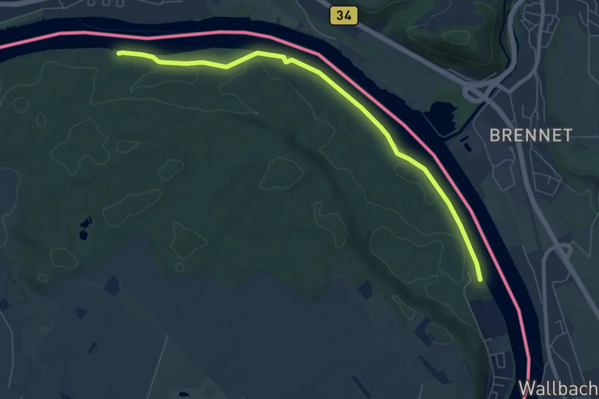
Easy · Trail
Rappertshüseren - Stelli
6.7 km · ↑ 37 m · 1 h 40 min
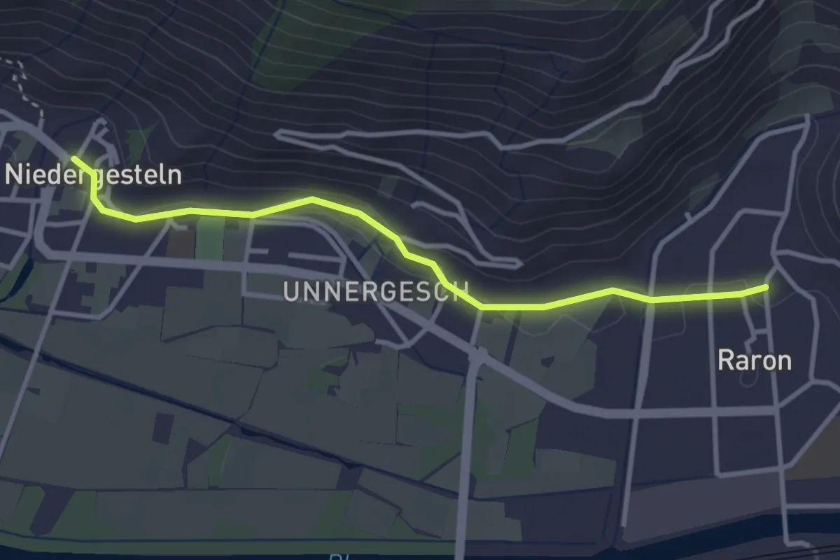
Easy · Trail
Raron - Niedergesteln
3.2 km · ↑ 51 m · 52 min
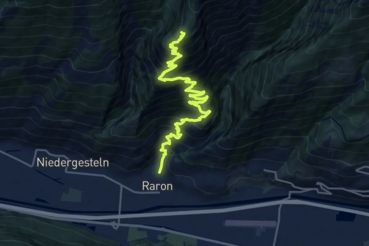
Demanding · Trail
Raron - Prag
13.6 km · ↑ 1296 m · 6 h 1 min
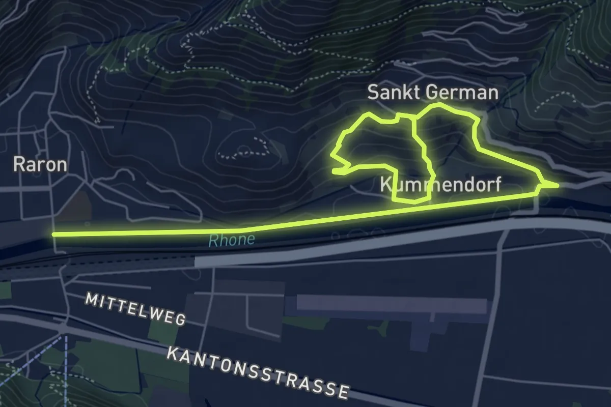
Medium · Trail
Raron - Sankt German
9.2 km · ↑ 350 m · 2 h 56 min
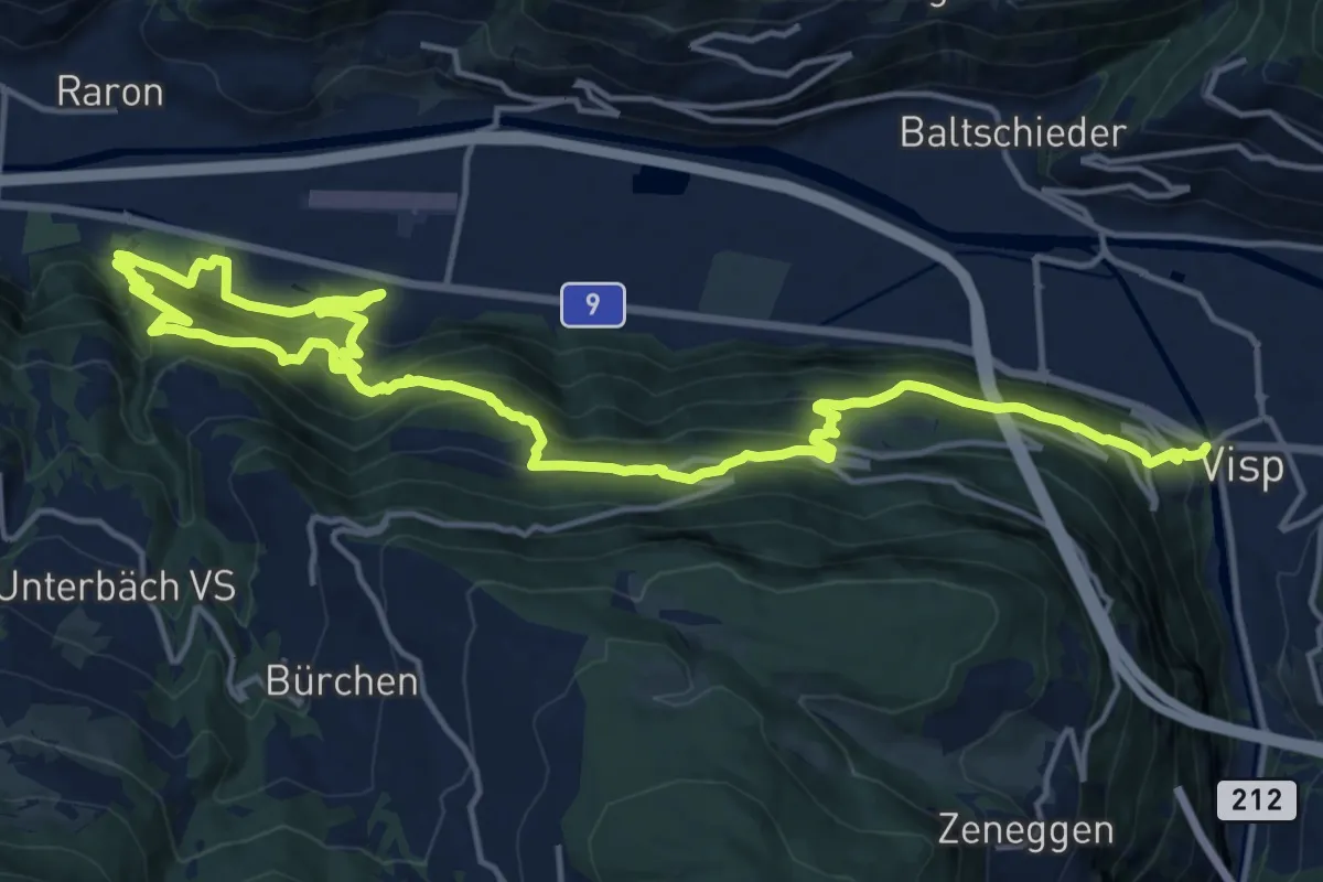
Demanding · Trail
Raron - Visp
11.7 km · ↑ 871 m · 4 h 45 min