Trails in Switzerland
15,064 hiking trails, each with its route, climb, walking time and grade.
All trails, page 85 of 314
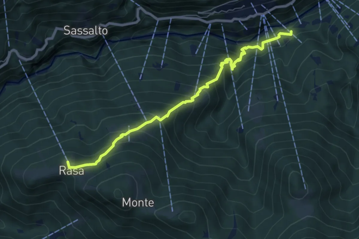
Medium · Trail
Rasa - Remagliaseo
6.4 km · ↑ 641 m · 2 h 54 min
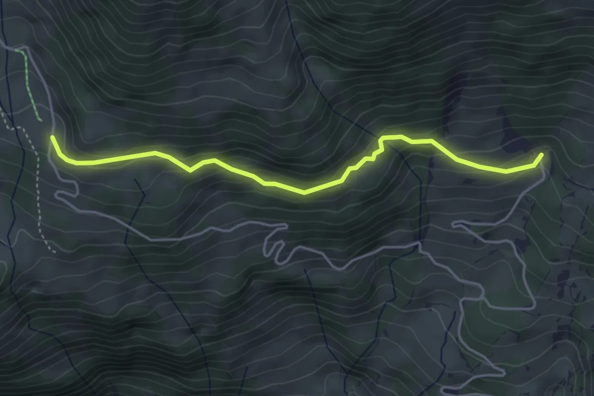
Easy · Trail
Rasthysi - fixme
4.2 km · ↑ 218 m · 1 h 28 min
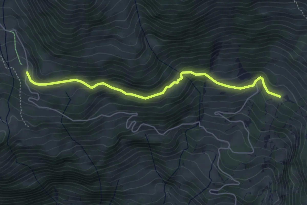
Easy · Trail
Rasthysi - Holewang
4.8 km · ↑ 252 m · 1 h 41 min
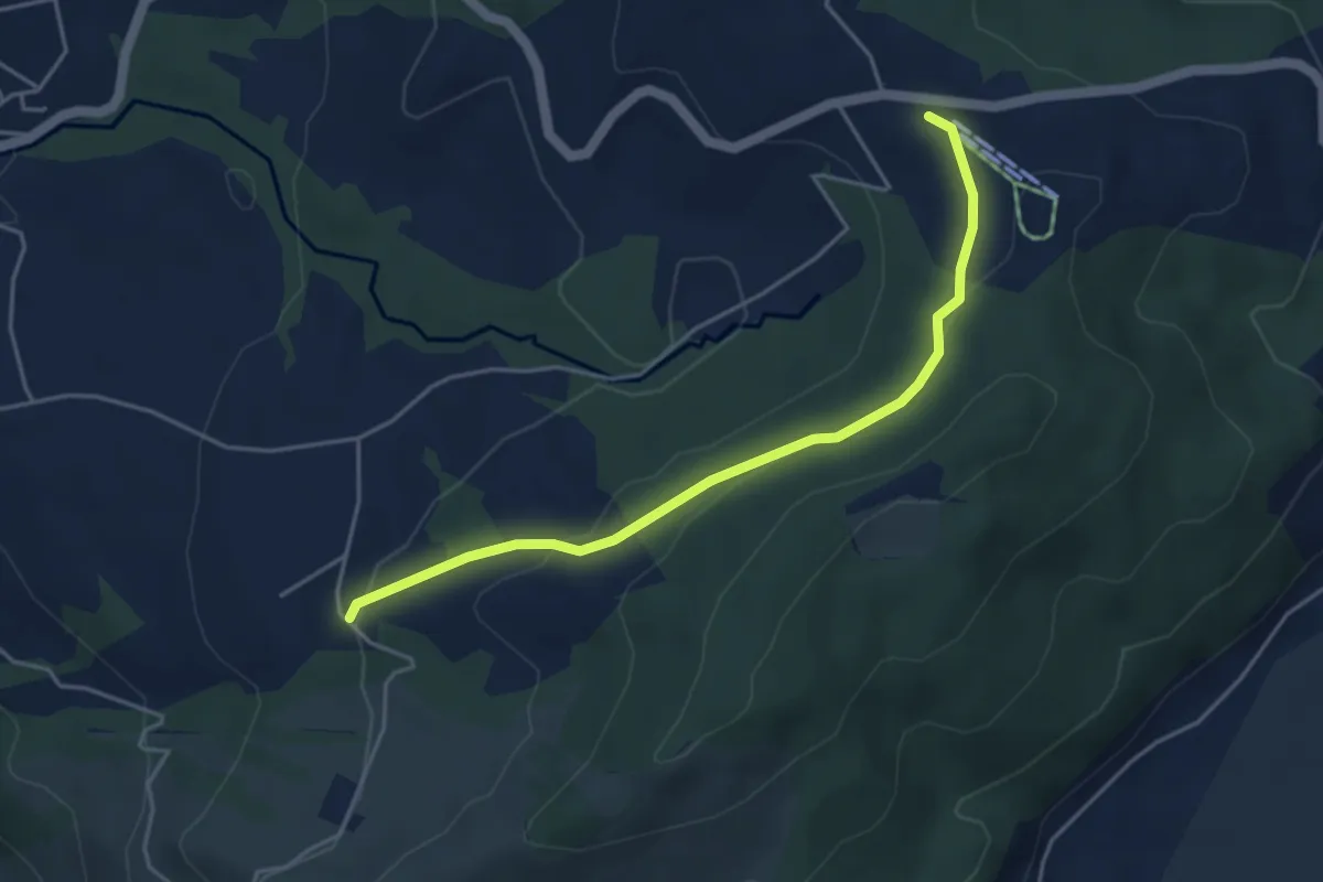
Easy · Trail
Raten - Waldschlagchrütz
4.3 km · ↑ 156 m · 1 h 21 min
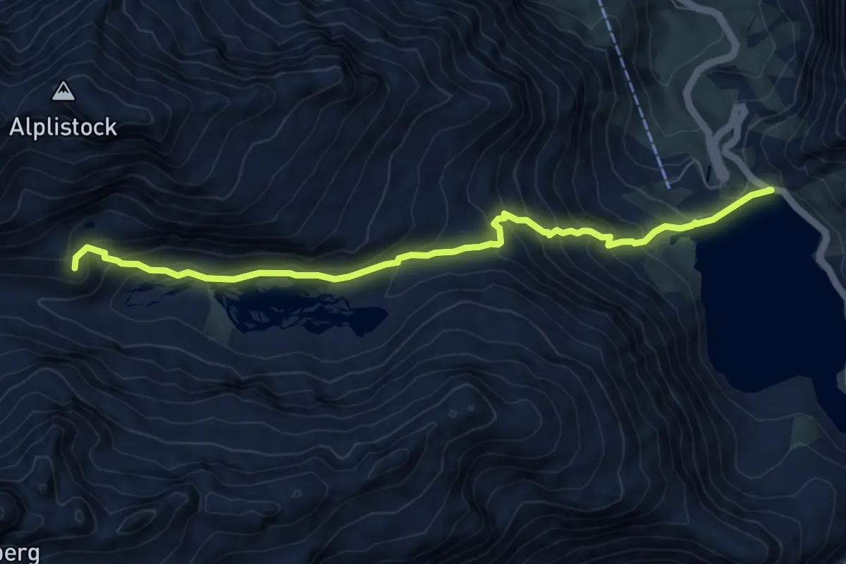
Demanding · Cabin
Räterichsboden - Bächlitallhütte
8.0 km · ↑ 643 m · 3 h 17 min
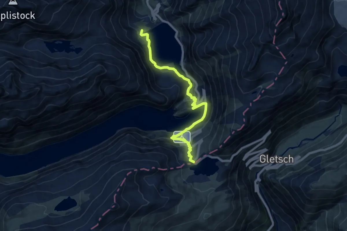
Demanding · Trail
Räterichsboden - Grimselpass
11.5 km · ↑ 610 m · 4 h 2 min
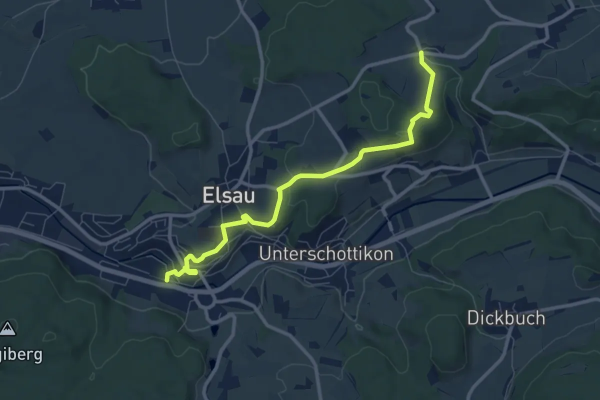
Easy · Trail
Räterschen Bhf. – Fulau
7.6 km · ↑ 170 m · 2 h 9 min
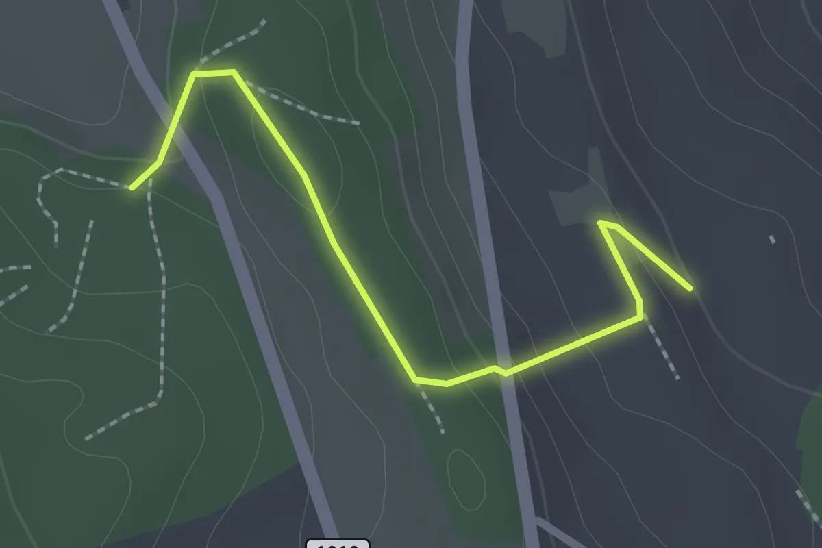
Easy · Trail
Rattenholz - Oberfeld
2.1 km · ↑ 70 m · 39 min
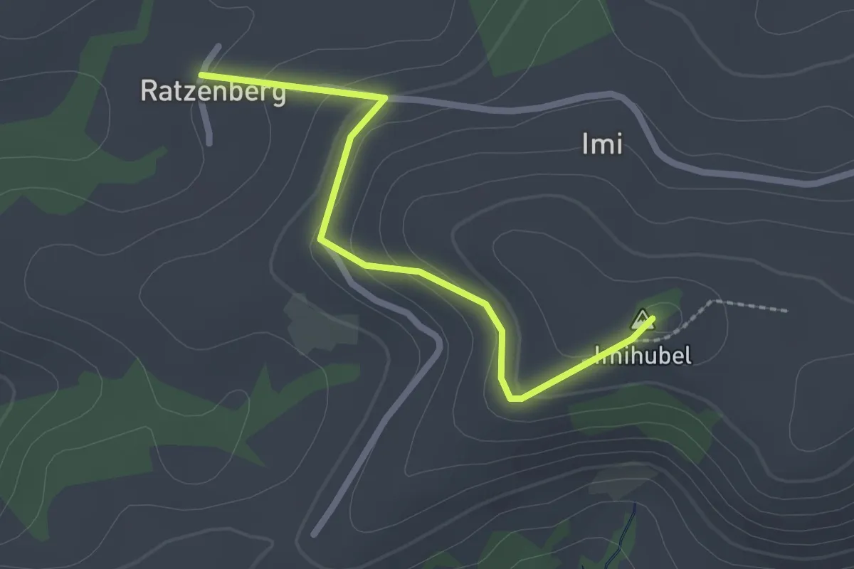
Easy · Summit
Ratzenberg - Imihubel
2.2 km · ↑ 97 m · 44 min
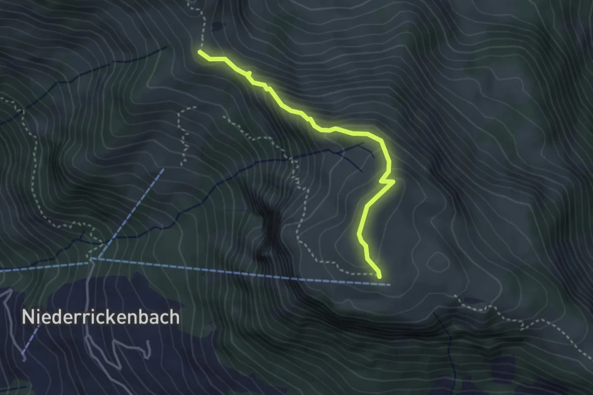
Expert · Trail
Rätzlenweg
3.2 km · ↑ 236 m · 1 h 16 min
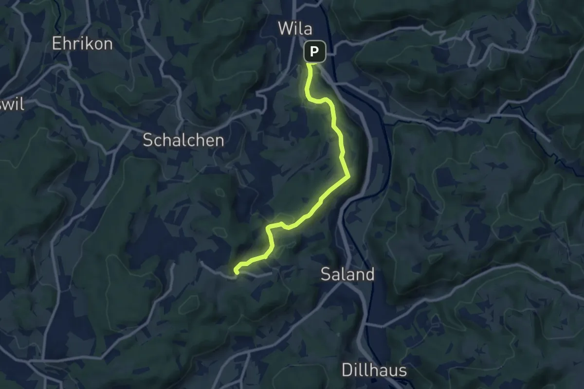
Medium · Trail
Ravensbüel – Wila Stn.
8.4 km · ↑ 220 m · 2 h 28 min
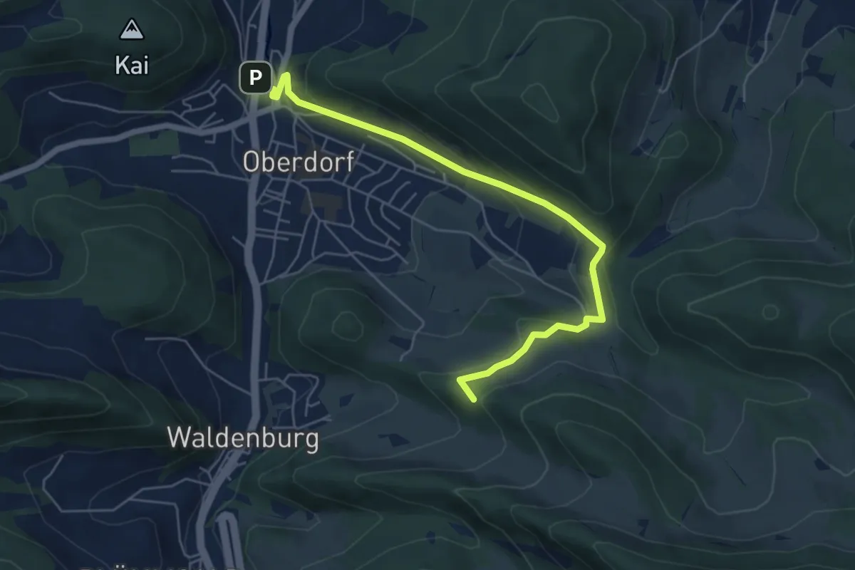
Easy · Summit
Rebenweg
6.0 km · ↑ 229 m · 1 h 55 min
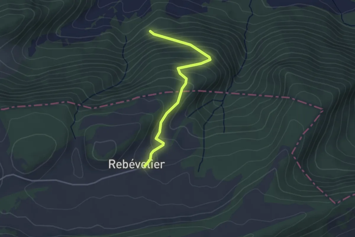
Easy · Trail
Rebévelier - fixme
3.1 km · ↑ 269 m · 1 h 19 min
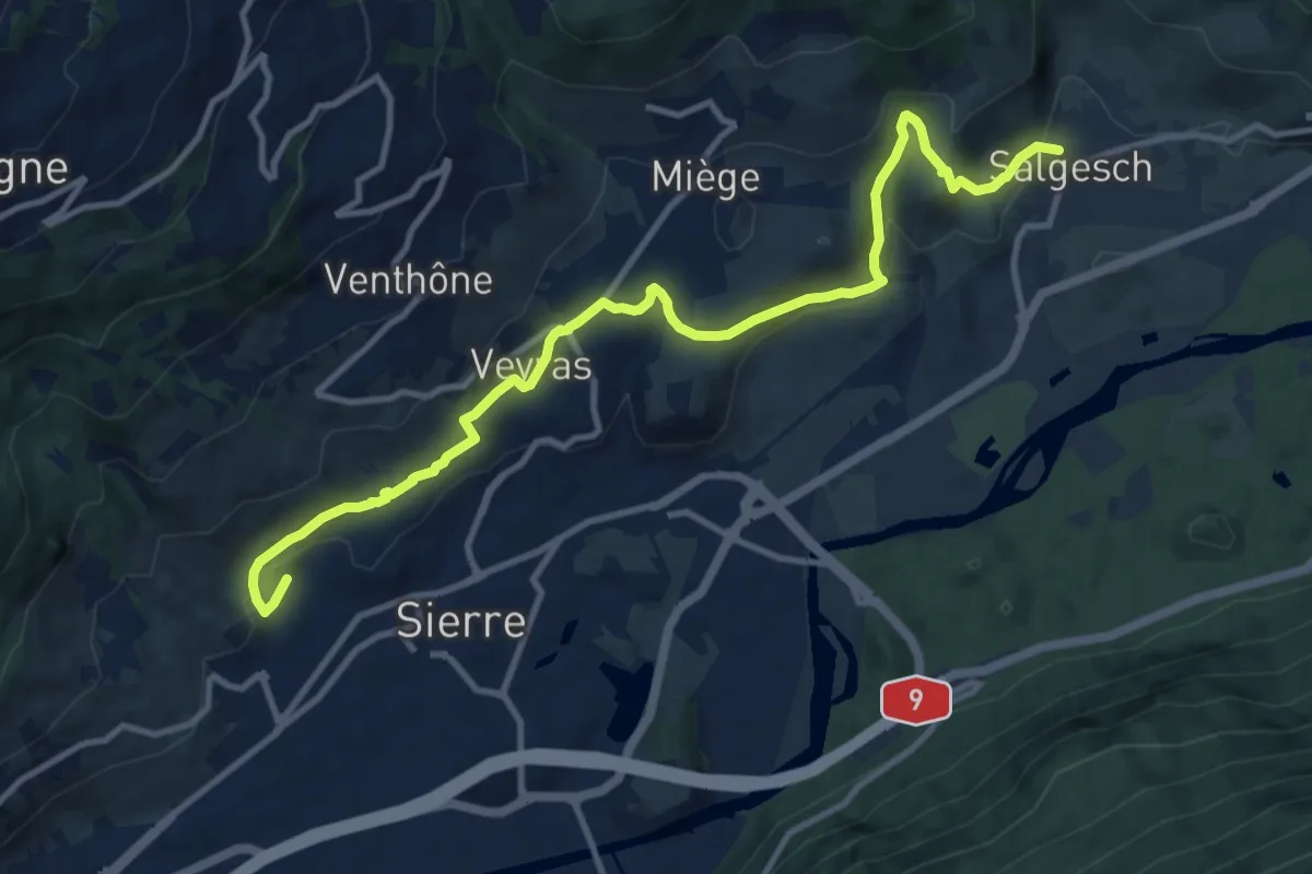
Medium · Trail
Rebweg
12.5 km · ↑ 336 m · 3 h 41 min
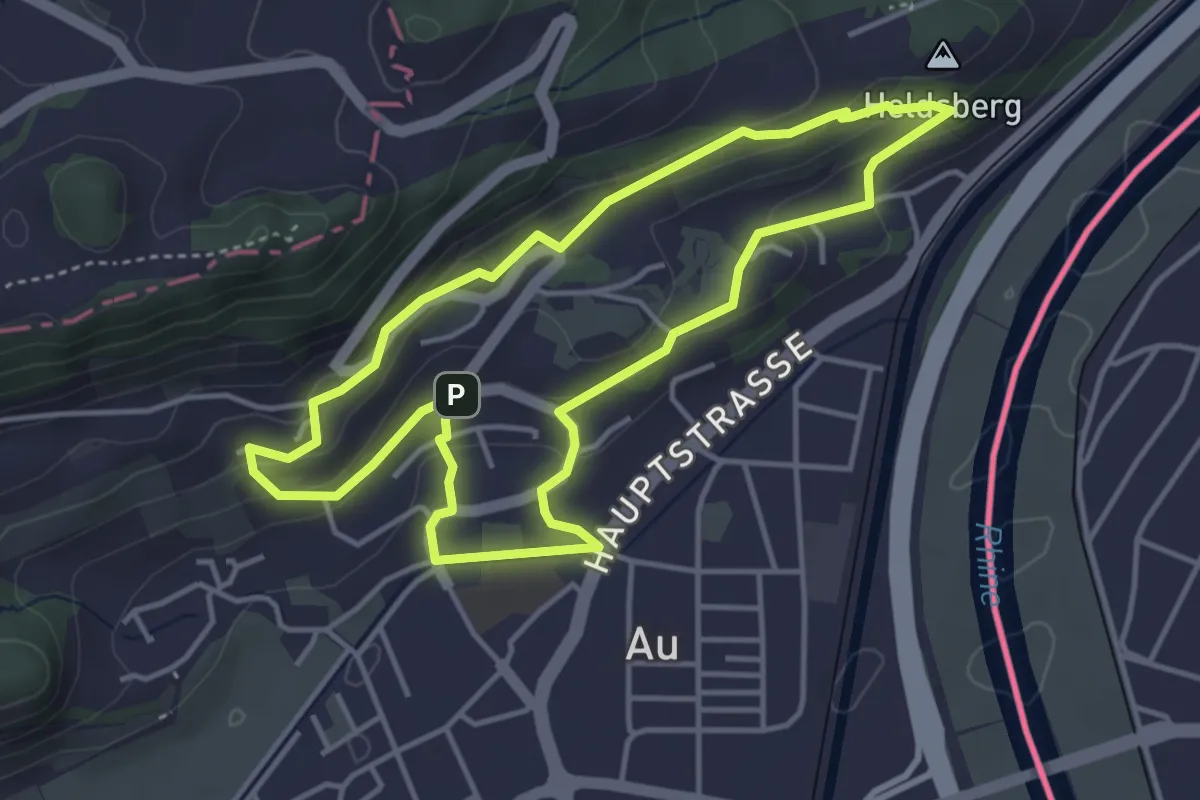
Easy · Summit
Rebweg
3.9 km · ↑ 156 m · 1 h 19 min
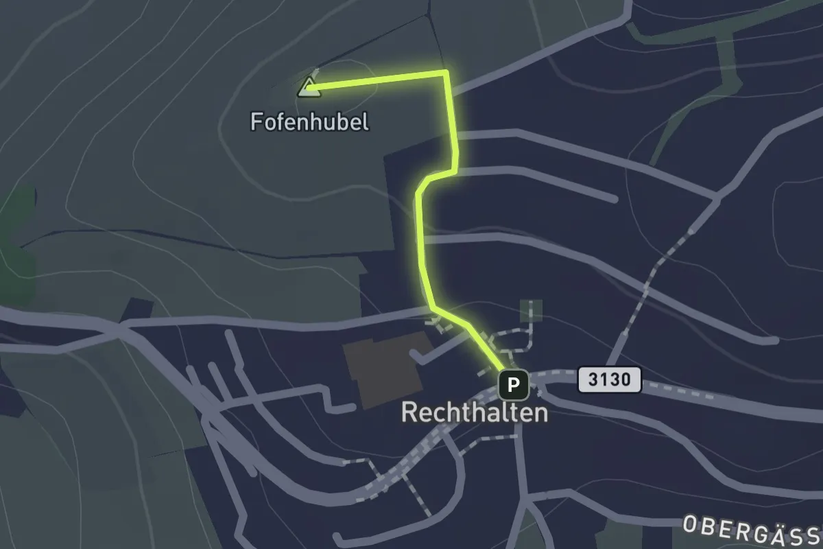
Easy · Summit
Rechthalten - Baletswil
1.1 km · ↑ 19 m · 18 min
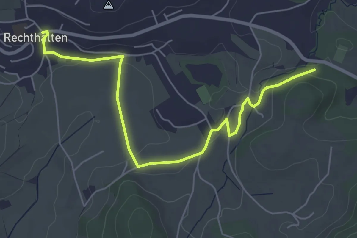
Easy · Trail
Rechthalten - Brügi
5.7 km · ↑ 92 m · 1 h 33 min
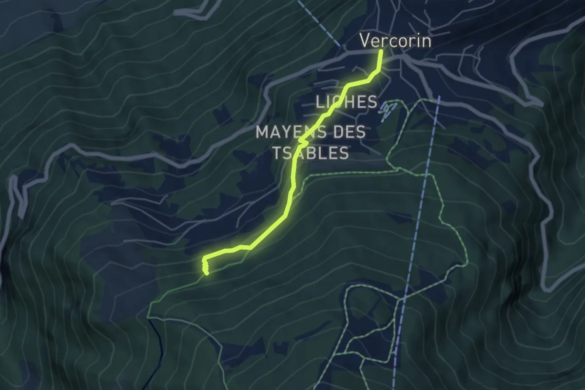
Easy · Trail
refuge du Bisse-Vercorin
4.1 km · ↑ 293 m · 1 h 36 min
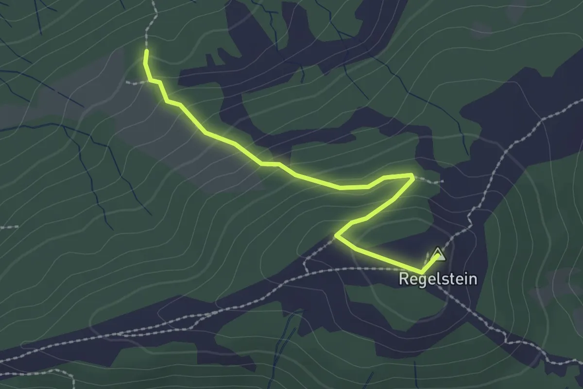
Easy · Summit
Regelstein - Cholertoni
2.3 km · ↑ 166 m · 54 min
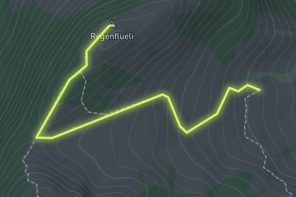
Medium · Summit
Regenflüeli - Gumm
2.3 km · ↑ 153 m · 52 min
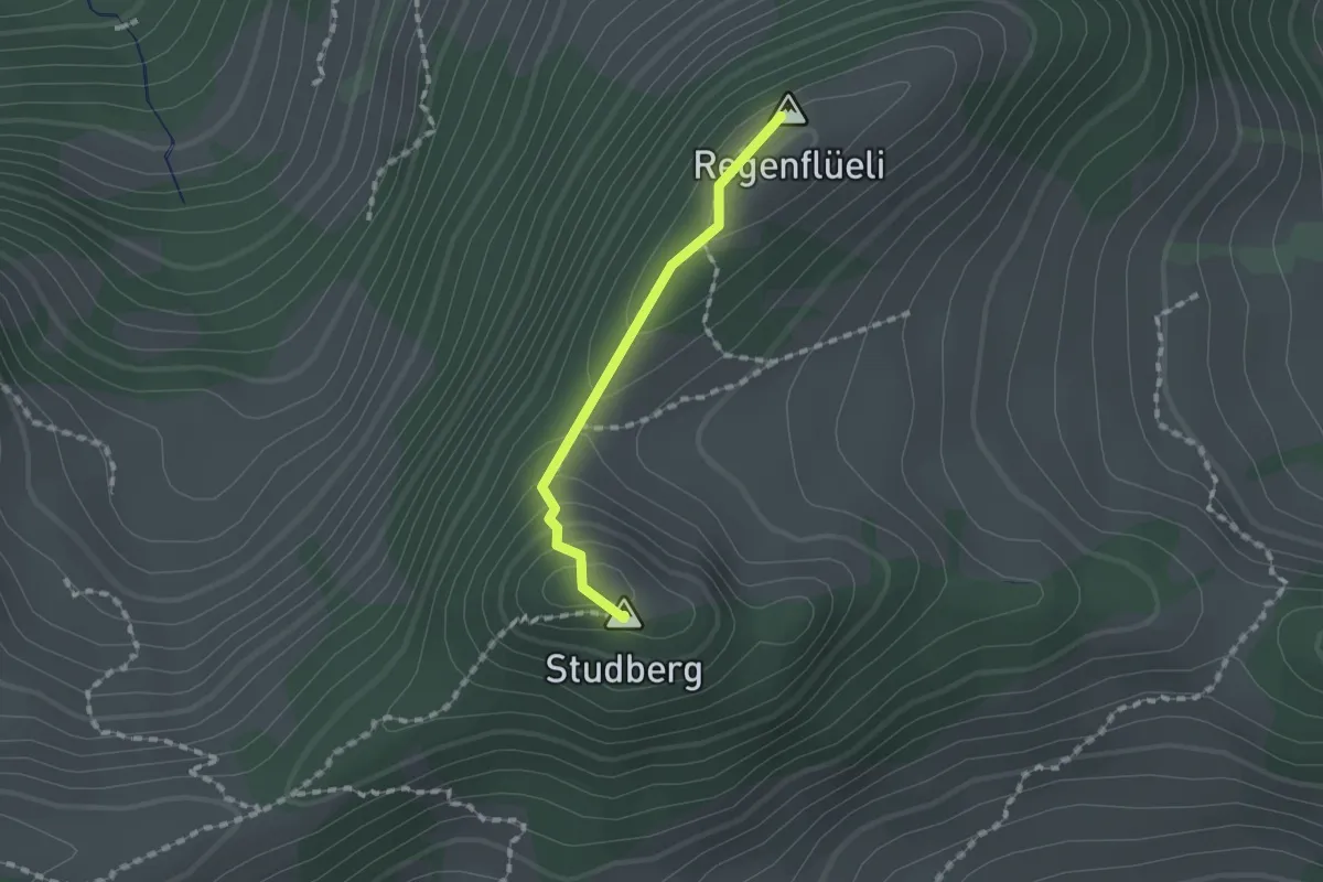
Medium · Summit
Regenflüeli - Pt. 1508
1.2 km · ↑ 79 m · 28 min
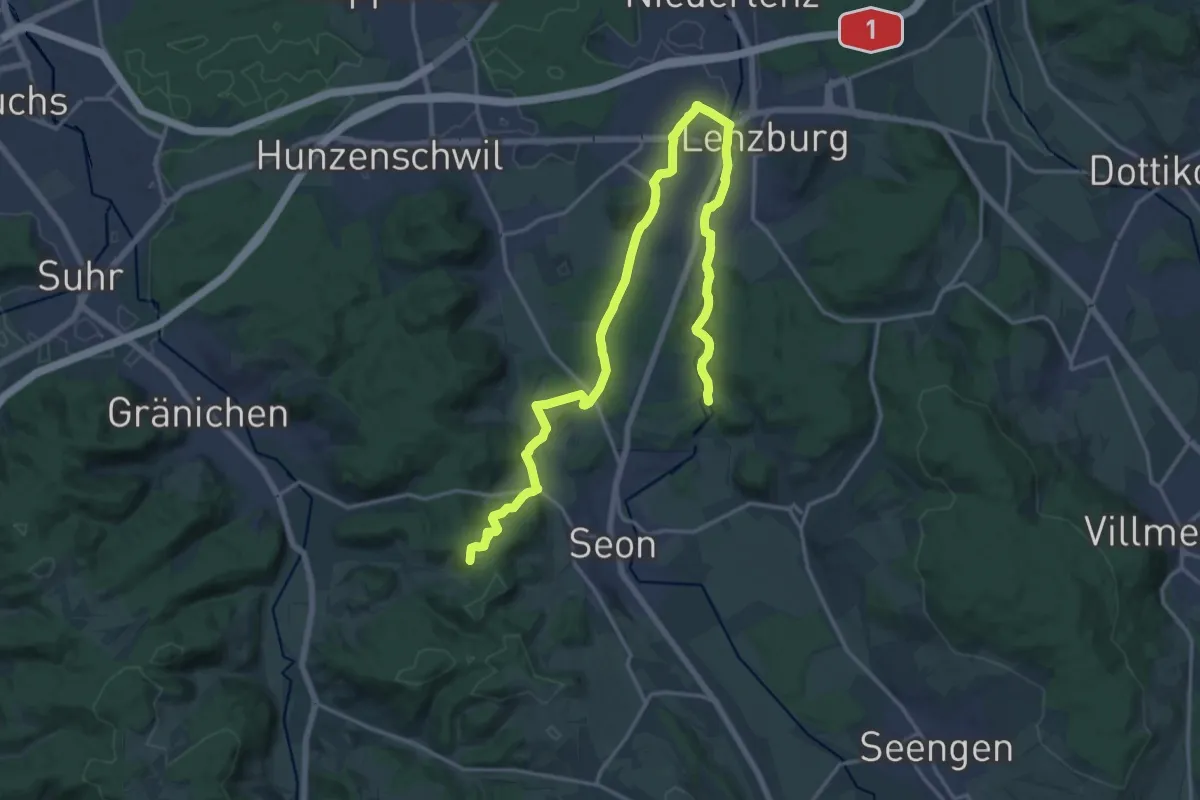
Demanding · Summit
Region Lenzburg Wanderwege
21.9 km · ↑ 380 m · 6 h
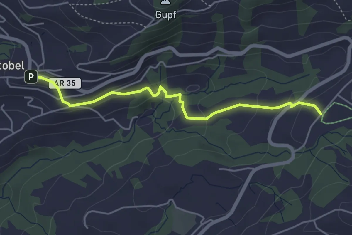
Easy · Trail
Rehetobel-Nasen
4.0 km · ↑ 144 m · 1 h 16 min
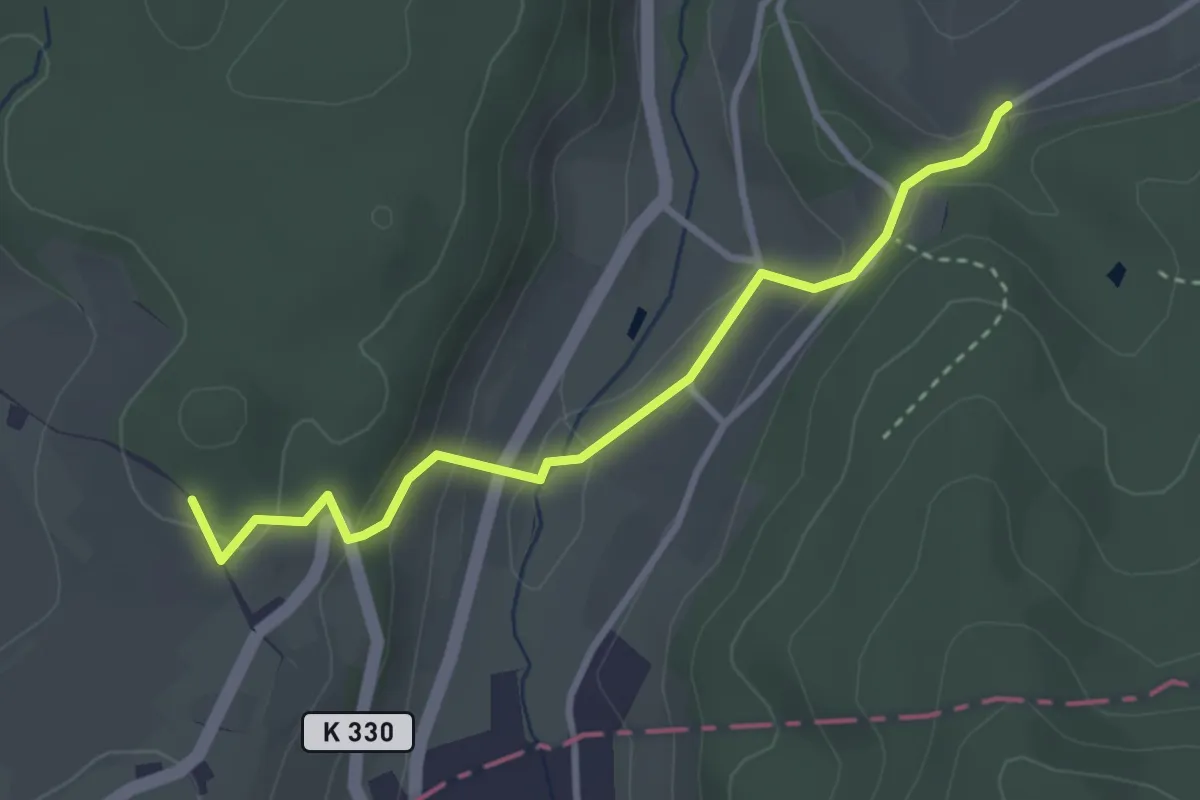
Easy · Trail
Rehhag - Geisshof
3.2 km · ↑ 124 m · 1 h 1 min
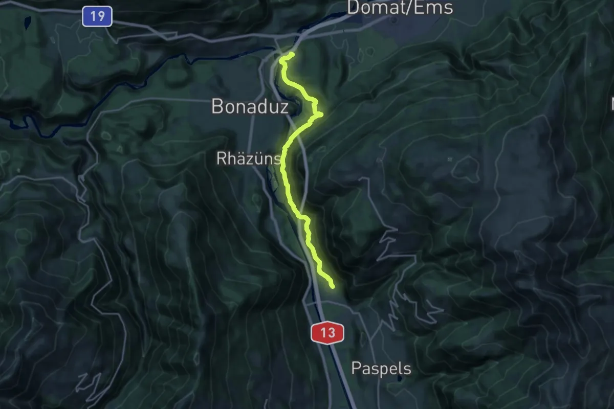
Medium · Trail
Reichenau-Rothenbrunnen
16.4 km · ↑ 712 m · 5 h 25 min
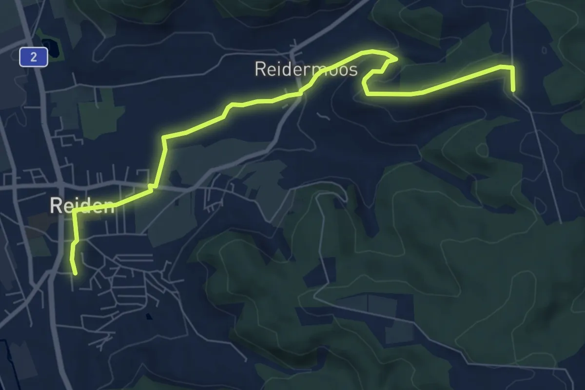
Medium · Trail
Reiden - Höferberg
8.3 km · ↑ 198 m · 2 h 24 min
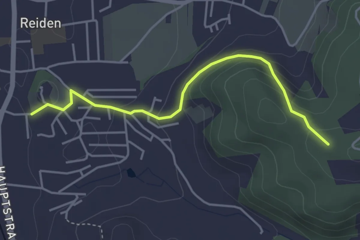
Easy · Trail
Reiden - Lochbrunne
3.6 km · ↑ 182 m · 1 h 14 min
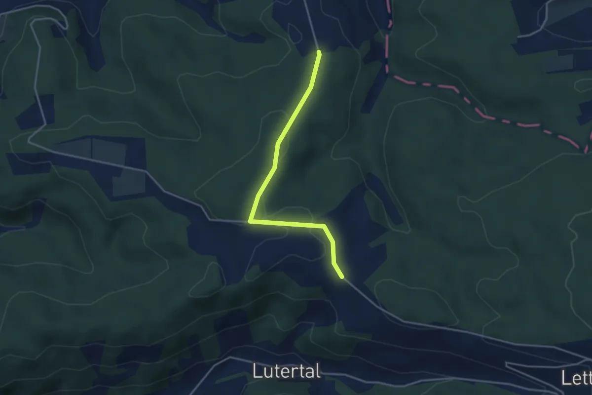
Easy · Trail
Reiden - Reiden Station
3.2 km · ↑ 58 m · 53 min
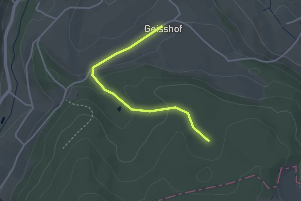
Easy · Trail
Reinacher Waldhaus - Geisshof
2.7 km · ↑ 75 m · 47 min
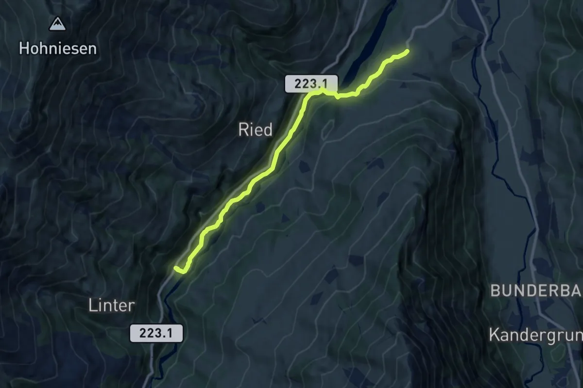
Medium · Trail
Reinisch - Rohrbach
9.1 km · ↑ 243 m · 2 h 40 min
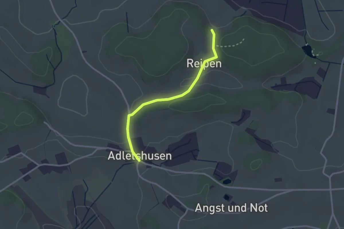
Easy · Trail
Reipen - Adletshusen
2.3 km · ↑ 27 m · 36 min
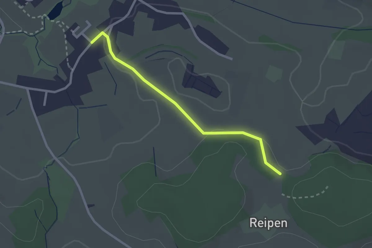
Easy · Trail
Reipen - Itzikon
2.1 km · ↑ 32 m · 35 min
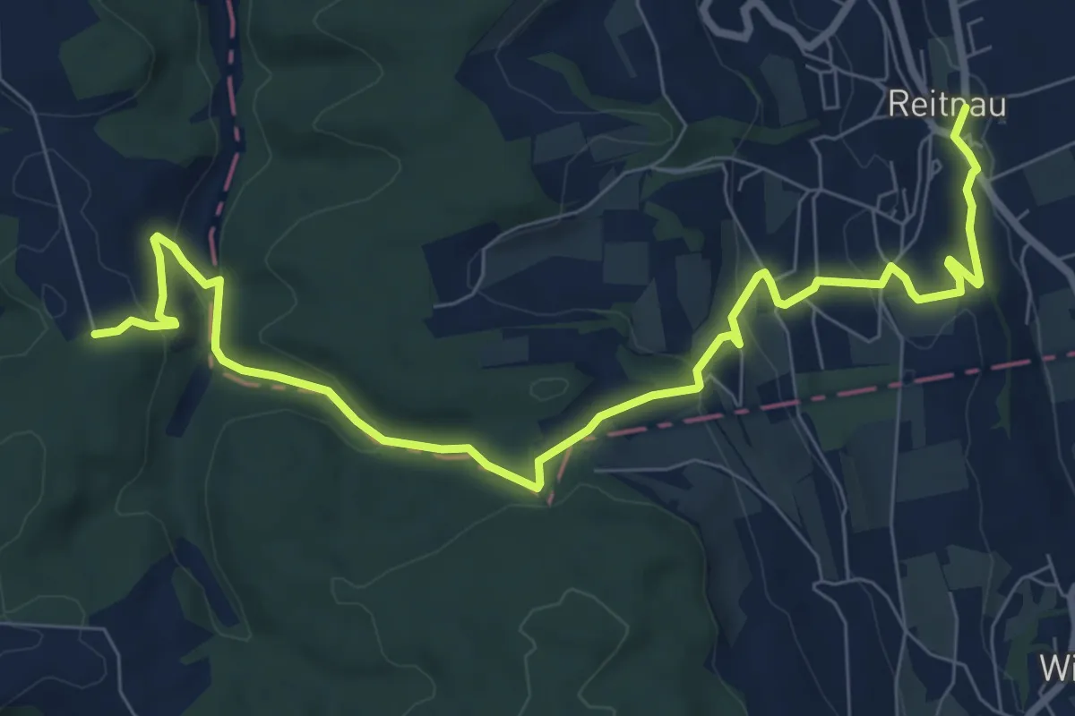
Medium · Trail
Reitnau - Lusberg
9.6 km · ↑ 374 m · 3 h 4 min
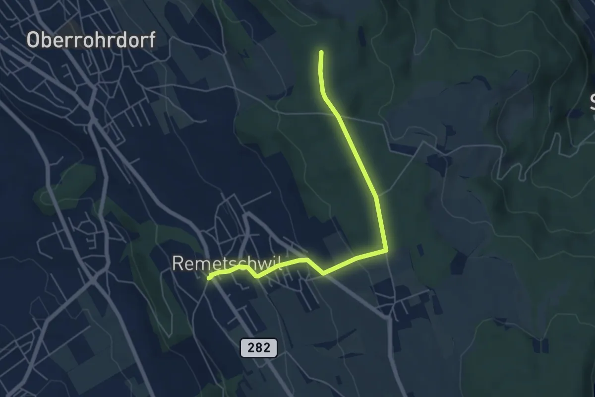
Easy · Trail
Remetschwil - Hinterhau
5.2 km · ↑ 175 m · 1 h 37 min
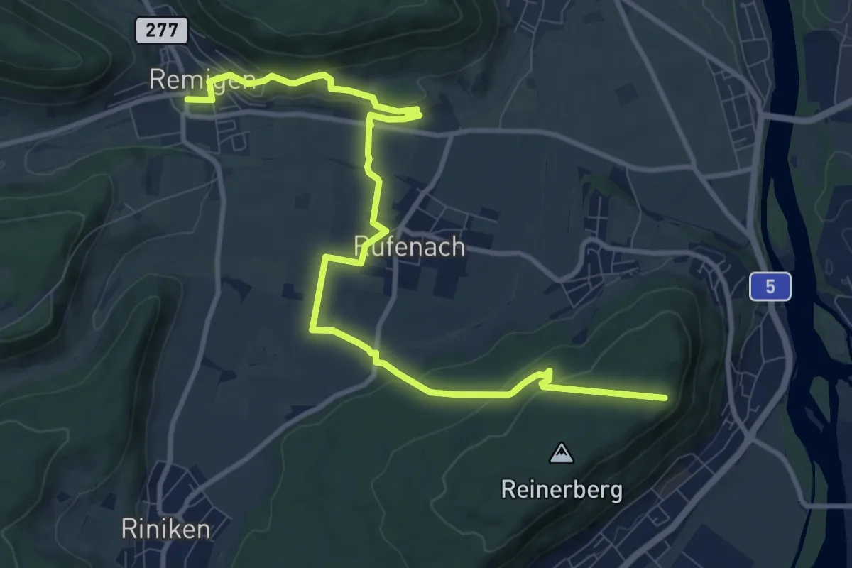
Medium · Trail
Remigen - Ufem Berg
11.7 km · ↑ 337 m · 3 h 29 min
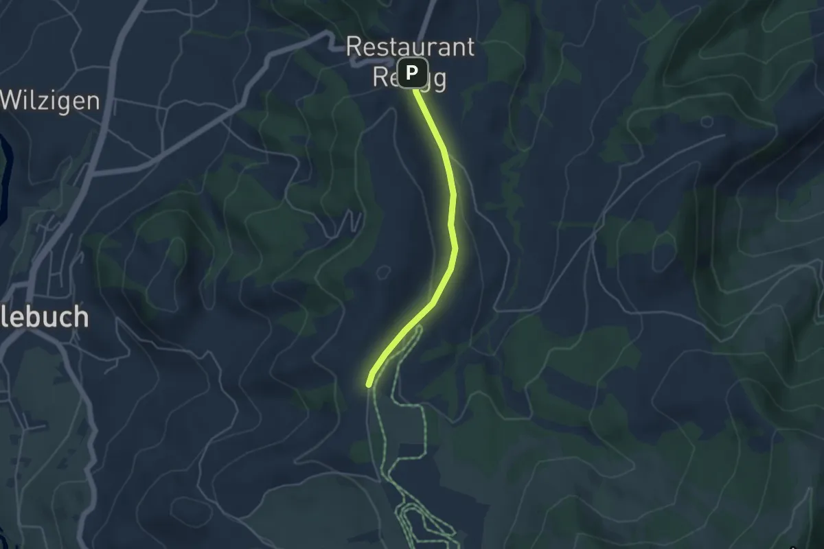
Easy · Trail
Rengg - Feldmoos
3.6 km · ↑ 72 m · 1 h
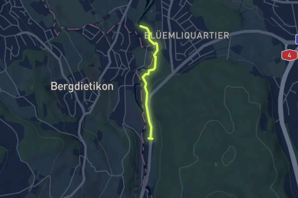
Easy · Trail
Repischhof - Basi
2.9 km · ↑ 58 m · 49 min
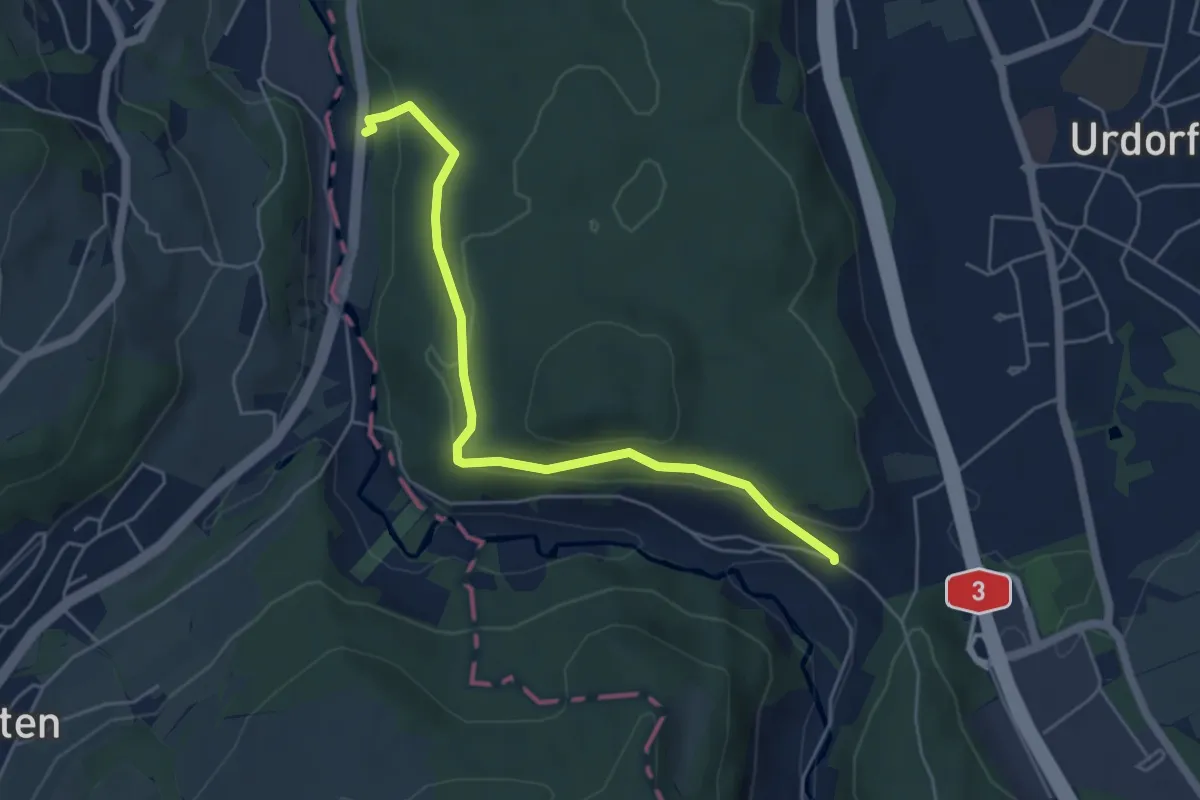
Easy · Trail
Reppischhof - Unter Reppischtal
5.0 km · ↑ 190 m · 1 h 36 min
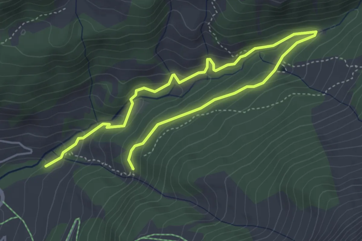
Medium · Trail
Reservoir Heilbad
6.2 km · ↑ 364 m · 2 h 15 min
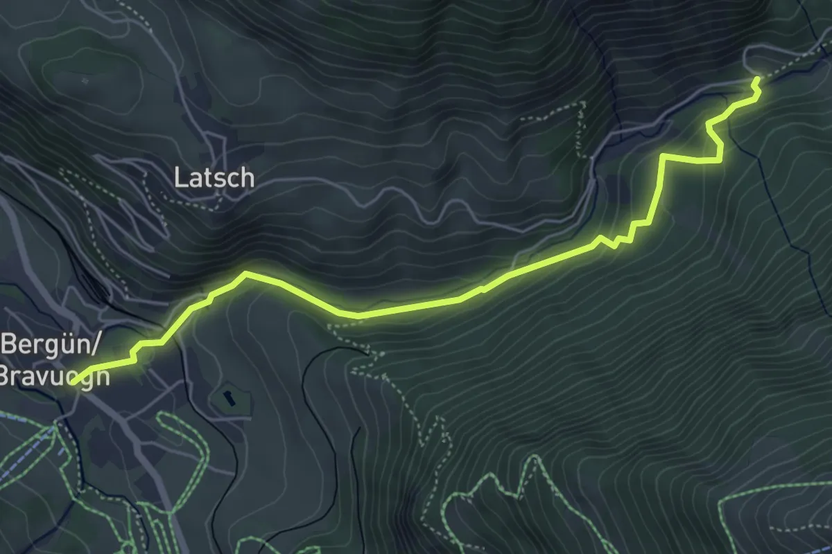
Medium · Trail
Resiga da Latsch - Bergün
5.6 km · ↑ 245 m · 1 h 51 min
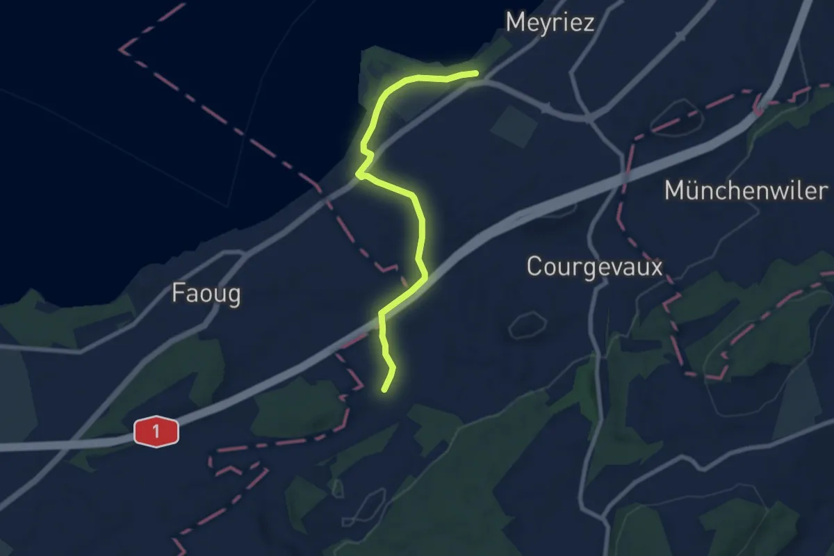
Easy · Trail
resSchlacht-Denkmal - Clavaleyer
6.8 km · ↑ 27 m · 1 h 40 min
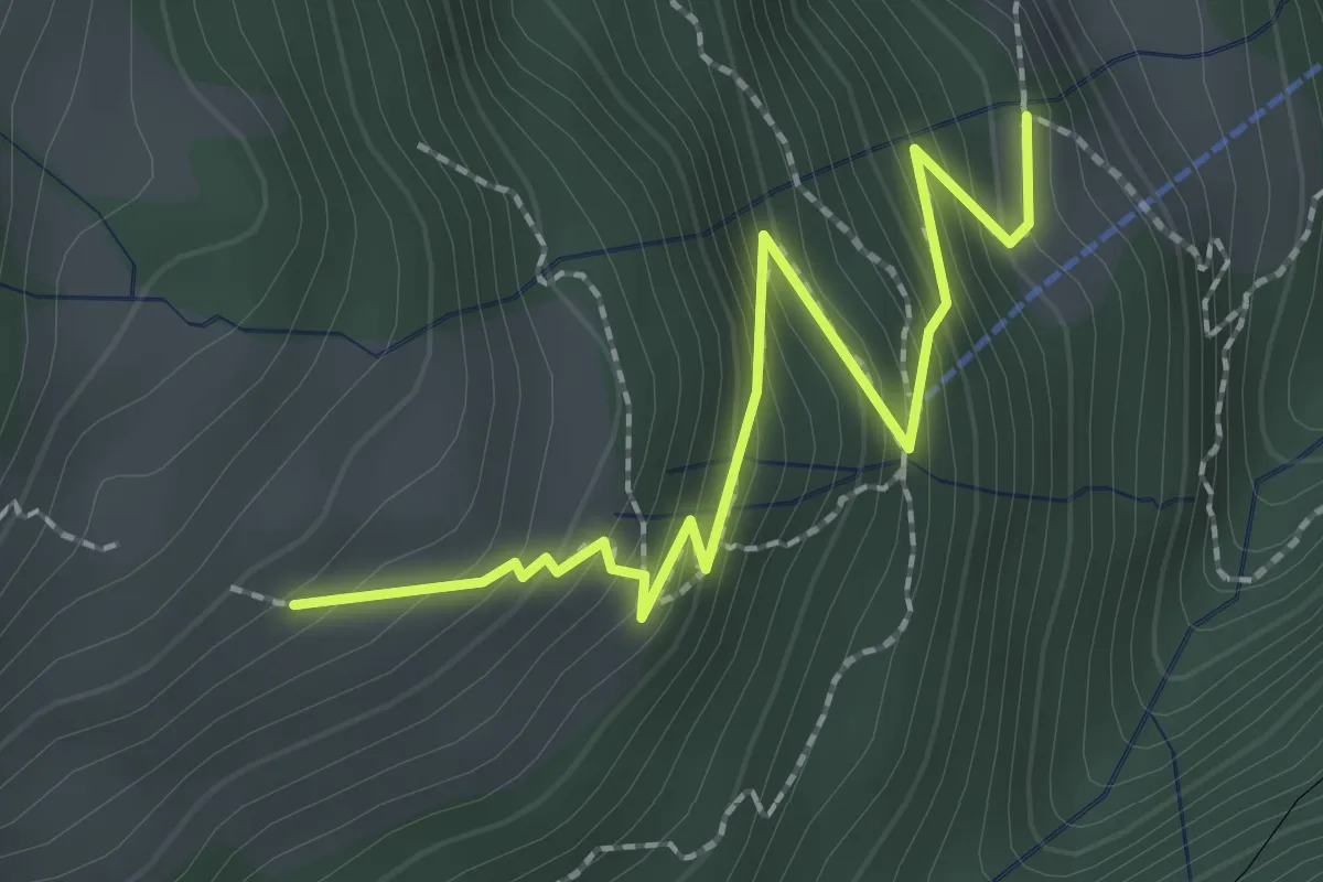
Medium · Trail
Resti-Dächli
2.4 km · ↑ 268 m · 1 h 10 min
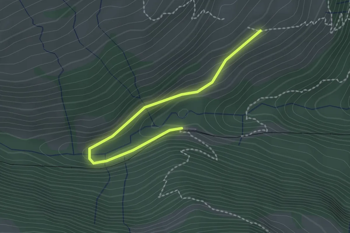
Easy · Trail
Resti-Fruttli
2.2 km · ↑ 97 m · 44 min
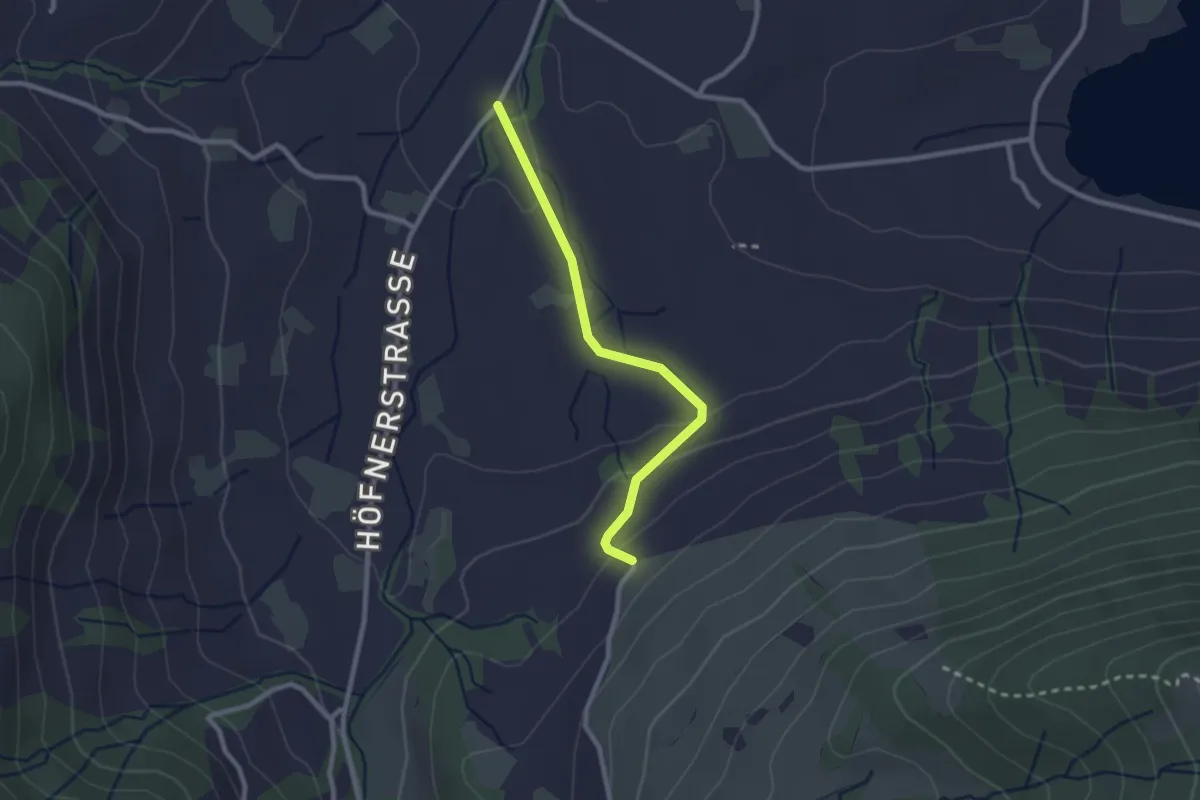
Easy · Trail
Resti - Rogenau Brücke
2.3 km · ↑ 65 m · 41 min
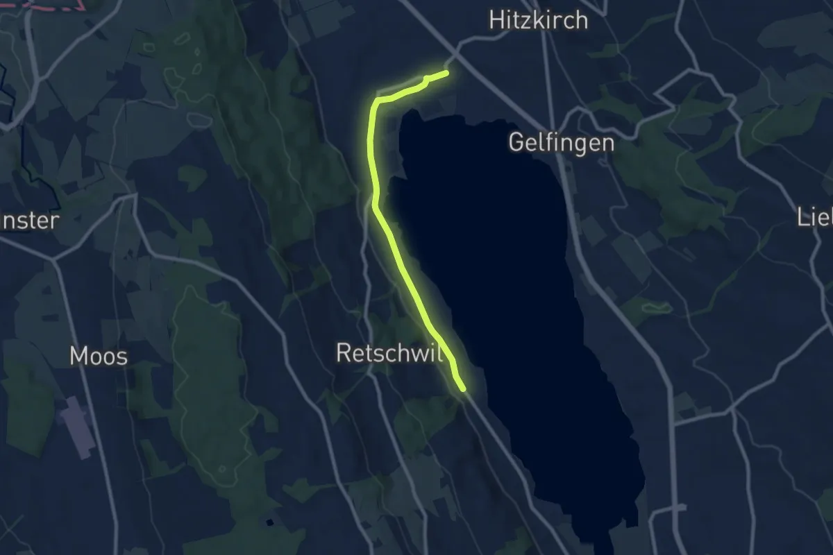
Easy · Trail
Retschwil - Stäfligen - Richensee
7.5 km · ↑ 17 m · 1 h 49 min
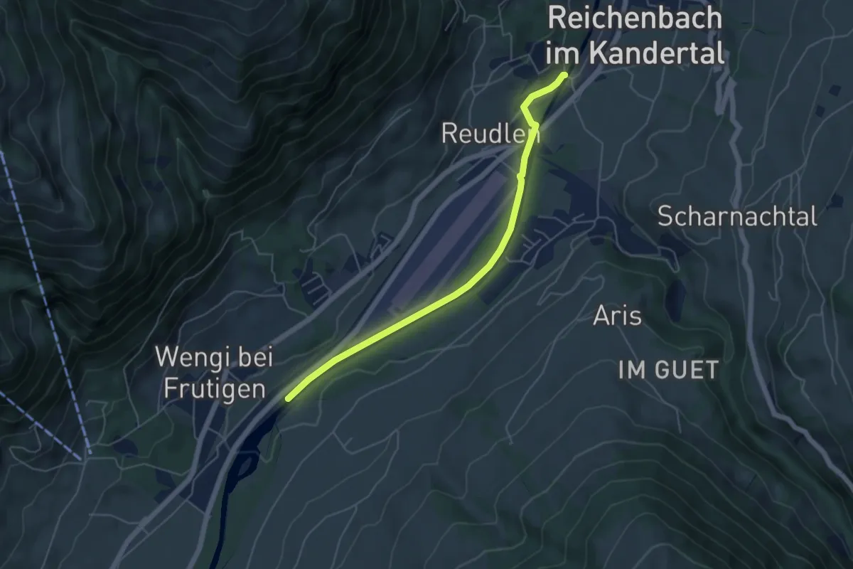
Easy · Trail
Reudlenbrücke - Schwandisteg
5.0 km · ↑ 41 m · 1 h 16 min
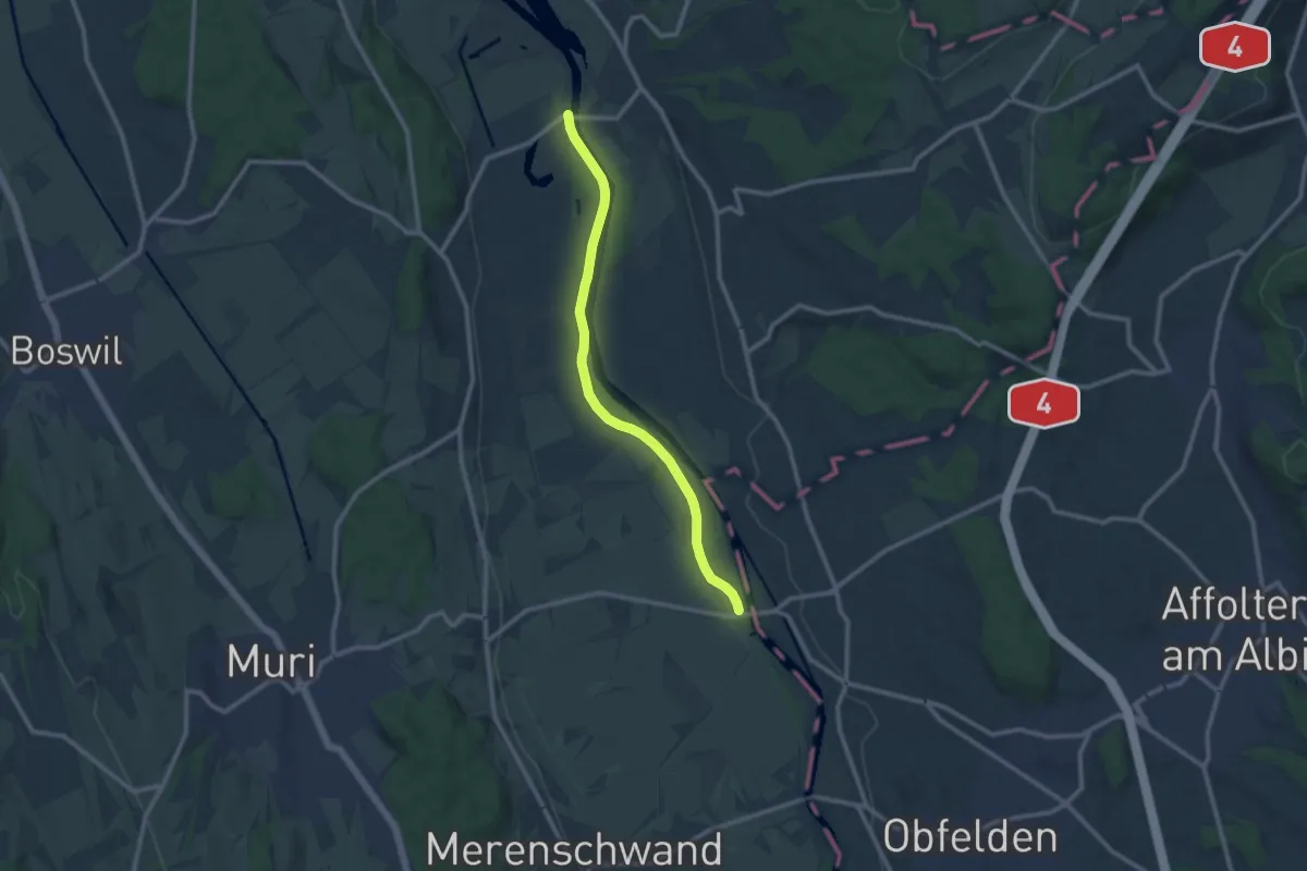
Medium · Trail
Reuss-Uferweg
10.1 km · ↑ 13 m · 2 h 25 min
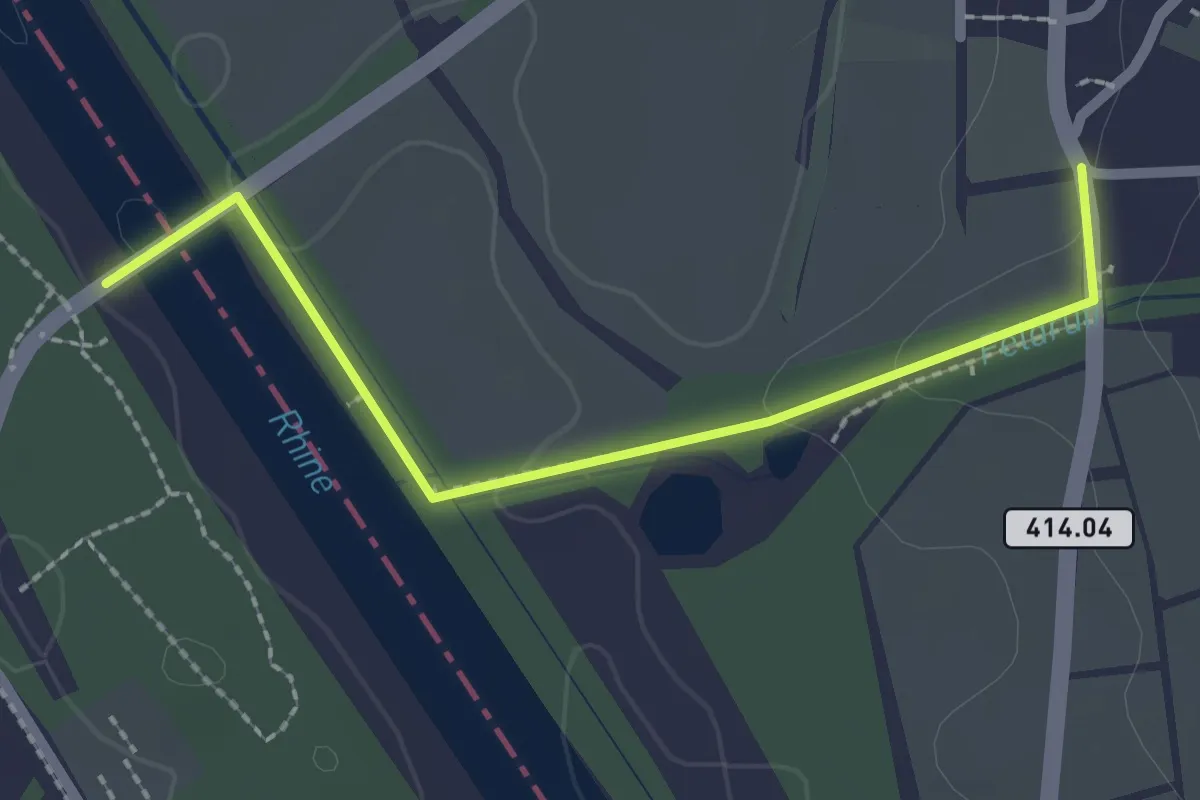
Easy · Trail
Rheinau Brücke - Fläsch
2.3 km · ↑ 41 m · 38 min