Trails in Taiwan
613 hiking trails, each with its route, climb, walking time and grade.
Near a town
All trails, page 1 of 13
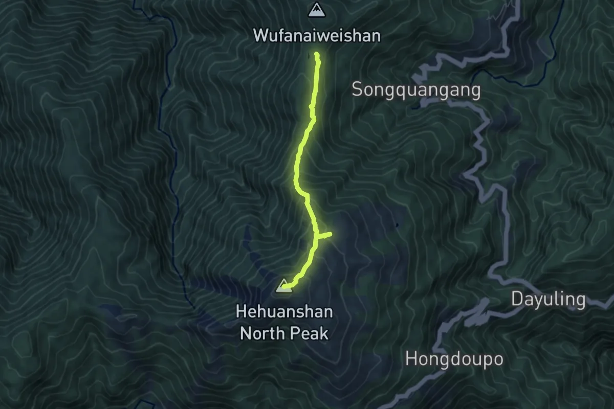
Medium · Summit
To camp trial and Tianluanchi lake
6.6 km · ↑ 585 m · 2 h 50 min
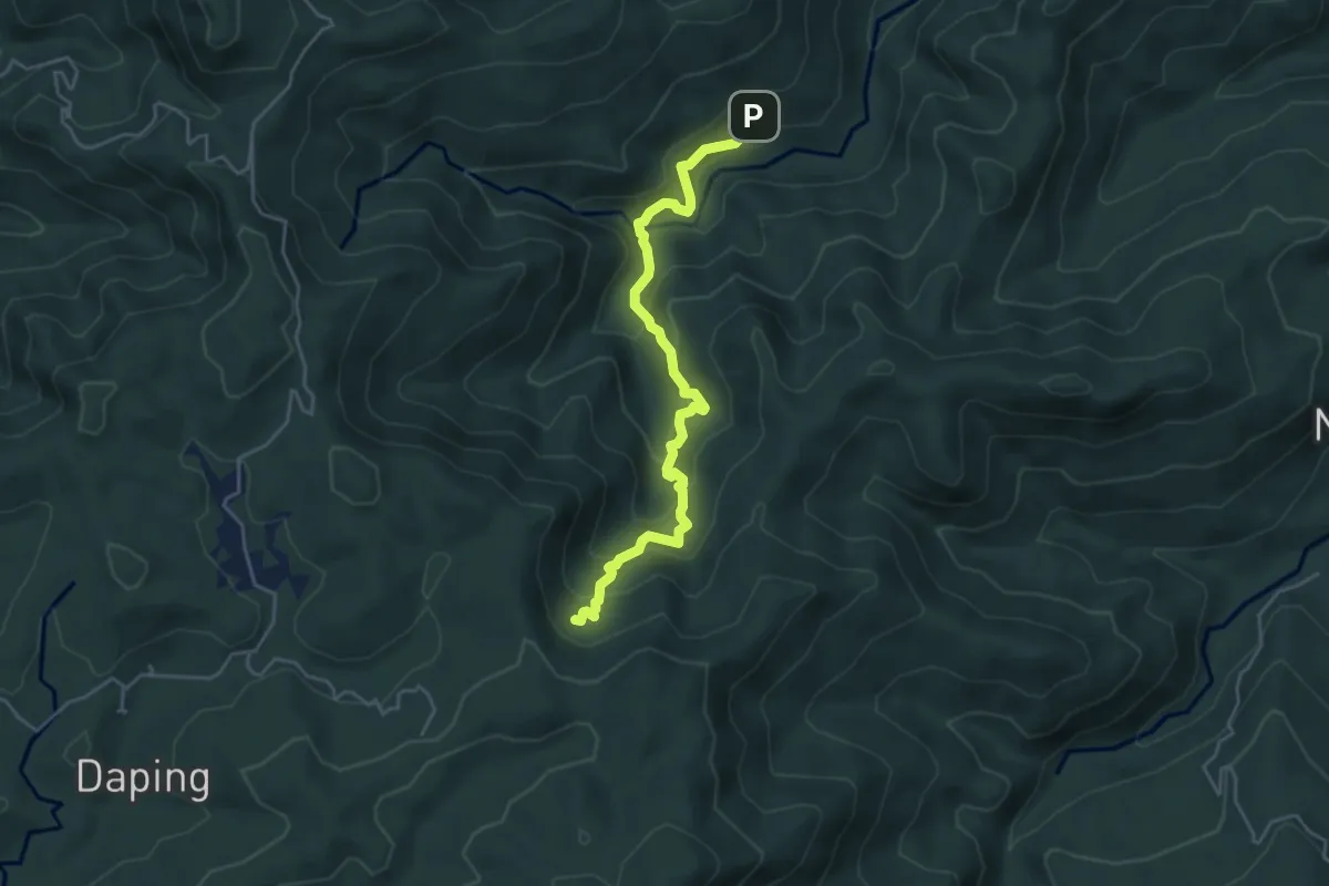
Medium · Trail
丁蘭古道
5.9 km · ↑ 365 m · 2 h 11 min
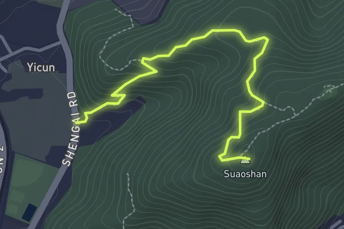
Easy · Summit
七星山健走步道
3.6 km · ↑ 255 m · 1 h 24 min
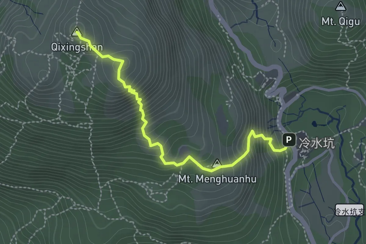
Medium · Summit
七星山步道冷水坑線
3.6 km · ↑ 389 m · 1 h 41 min
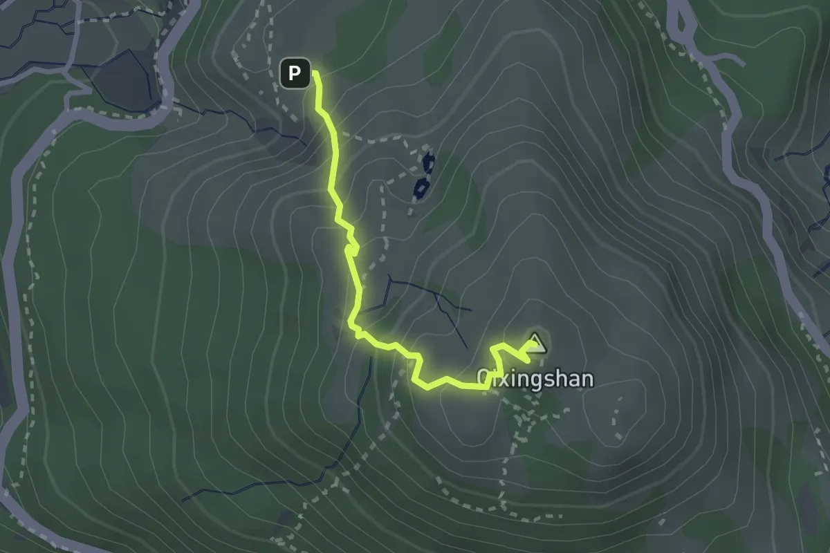
Easy · Summit
七星山步道小油坑線
3.1 km · ↑ 301 m · 1 h 23 min
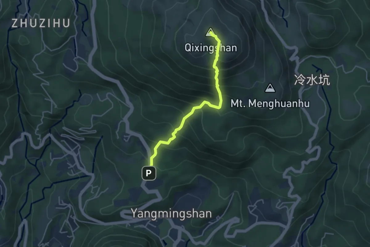
Medium · Summit
七星山登山步道苗圃線
4.5 km · ↑ 560 m · 2 h 17 min
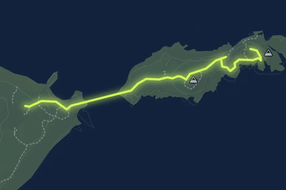
Easy · Trail
三仙台步道
3.6 km · ↑ 79 m · 1 h 1 min
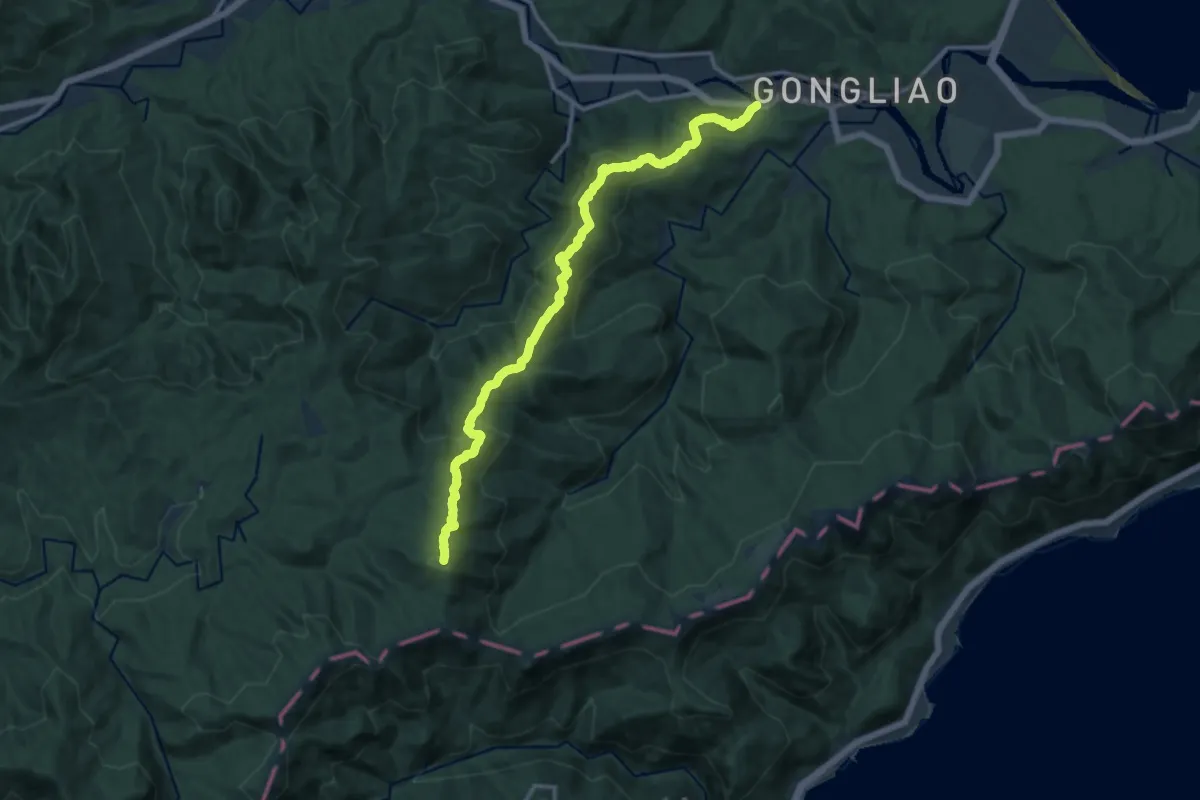
Demanding · Summit
三方向山北稜
17.3 km · ↑ 926 m · 6 h 5 min
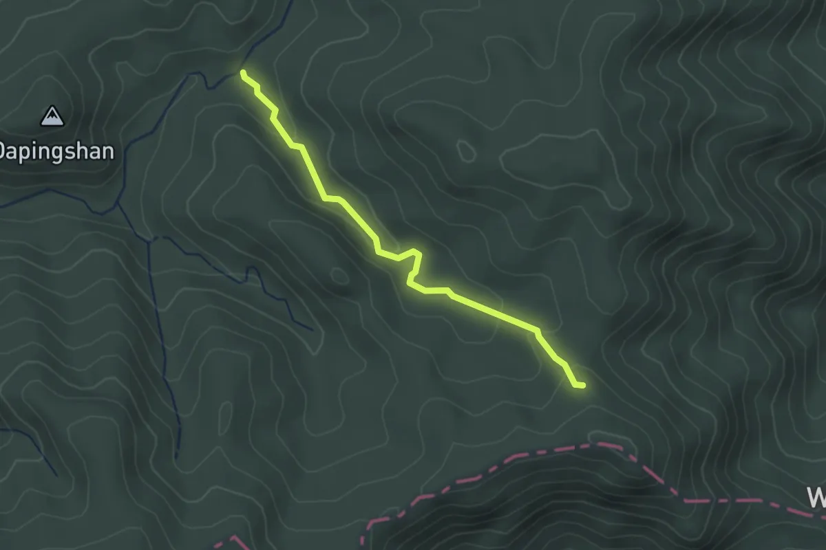
Easy · Trail
三方向山古道
3.1 km · ↑ 115 m · 59 min
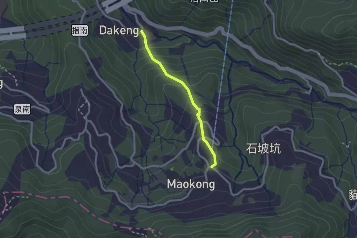
Easy · Trail
三玄宮步道
2.2 km · ↑ 219 m · 1 h
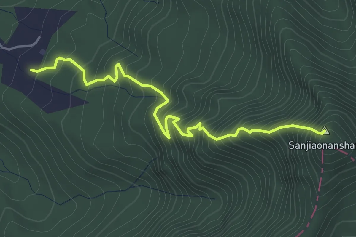
Medium · Summit
三腳南山登山路線
5.3 km · ↑ 733 m · 2 h 50 min
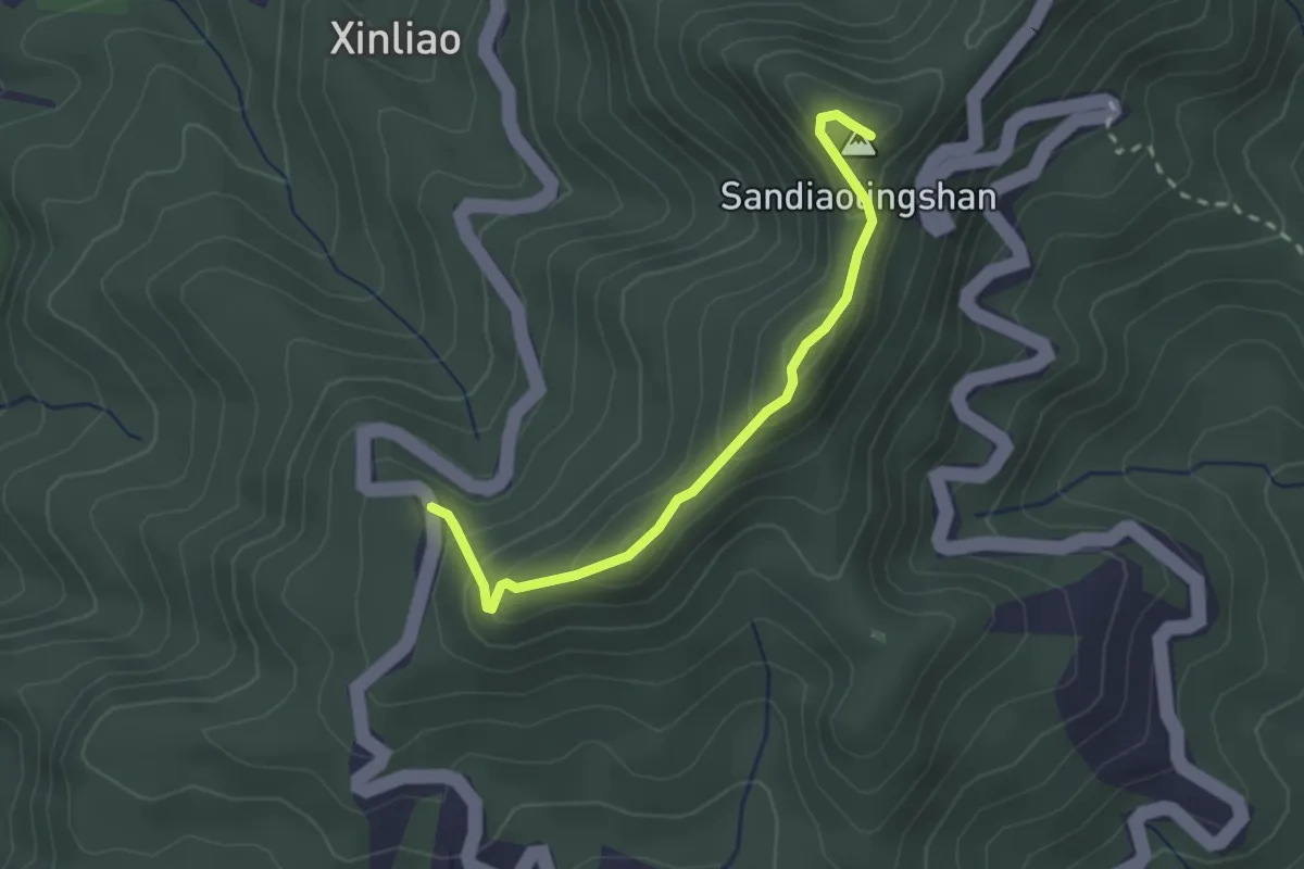
Easy · Summit
三貂大崙登山路線
3.1 km · ↑ 221 m · 1 h 12 min
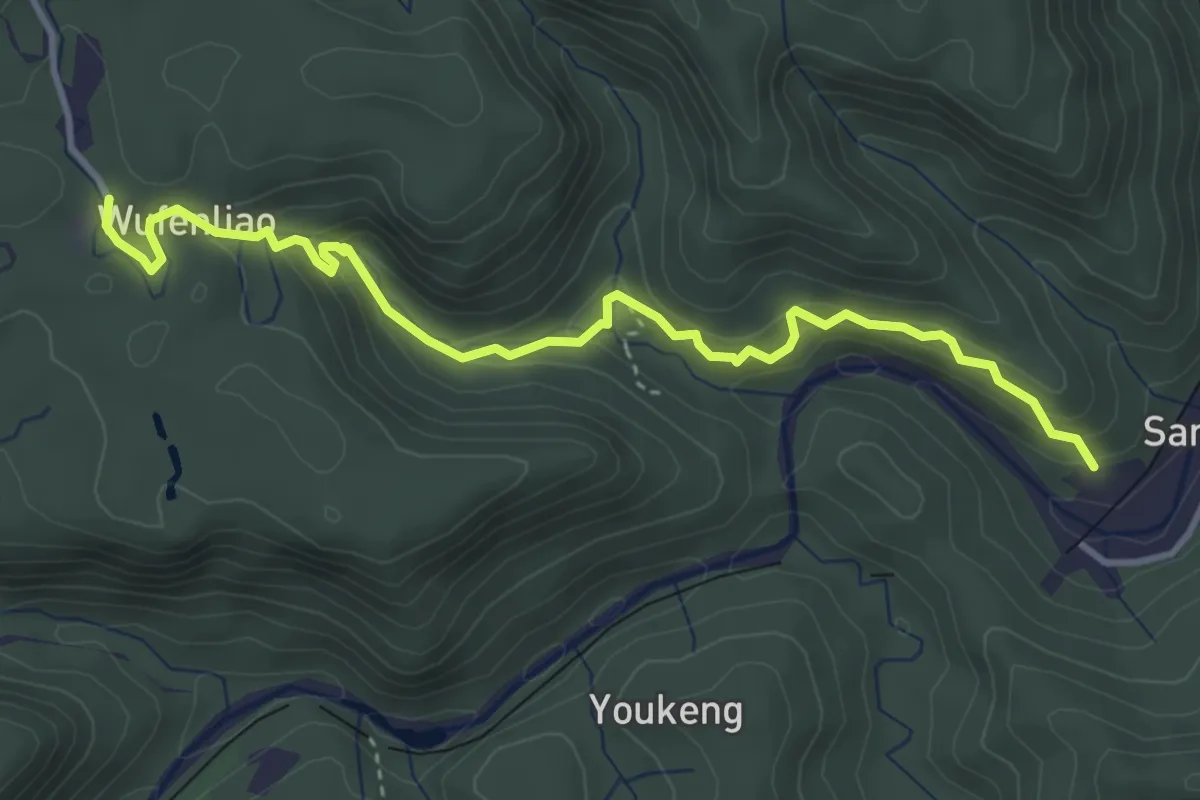
Medium · Trail
三貂嶺步道
5.4 km · ↑ 352 m · 2 h 2 min
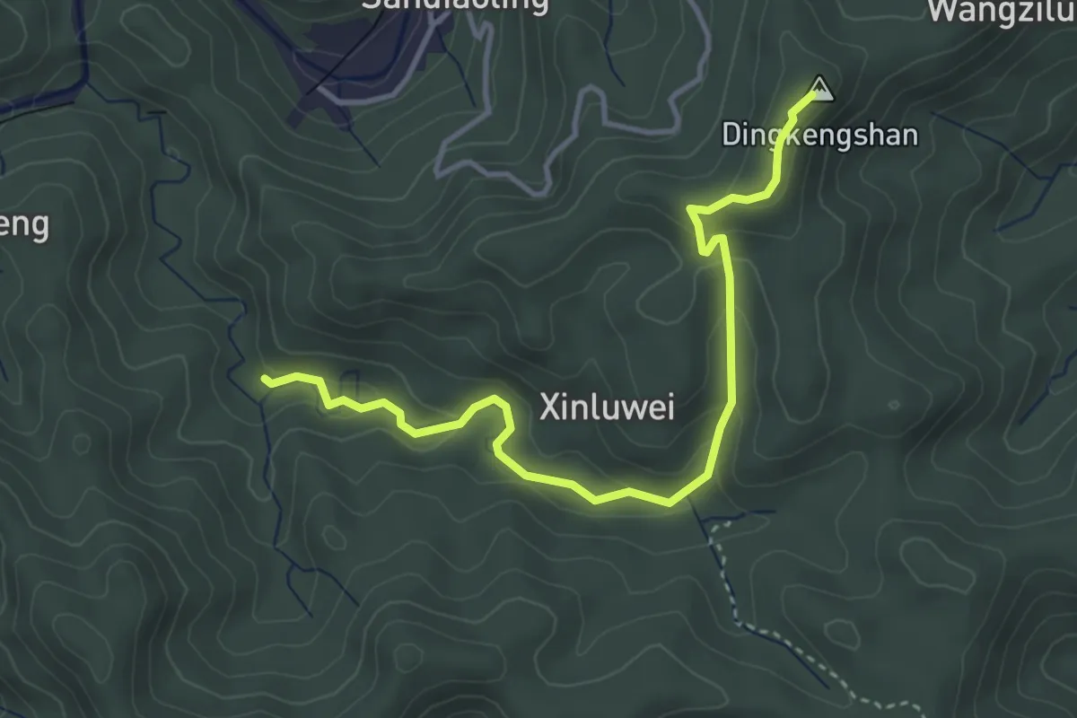
Easy · Summit
三貂嶺登山路線
5.1 km · ↑ 217 m · 1 h 41 min
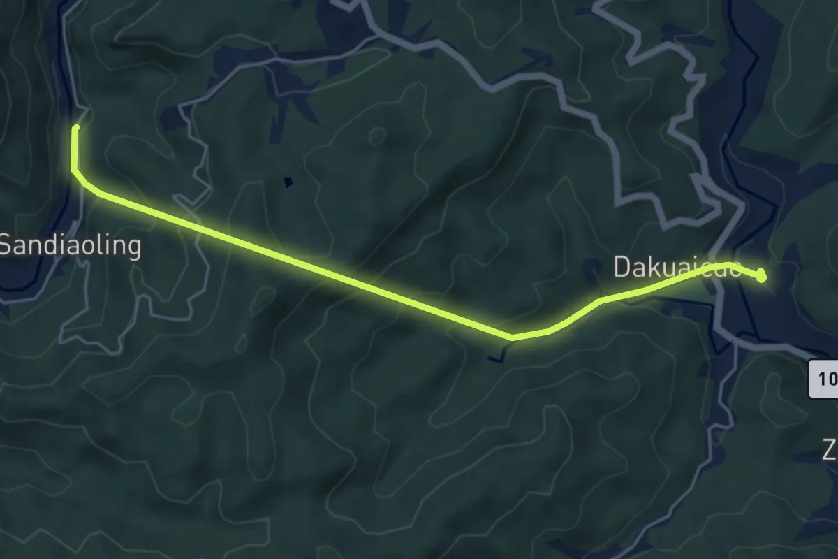
Medium · Trail
三貂嶺青春山海線
6.8 km · ↑ 467 m · 2 h 37 min
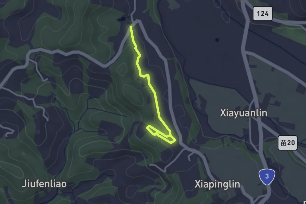
Easy · Trail
三連埤步道
3.2 km · ↑ 56 m · 52 min
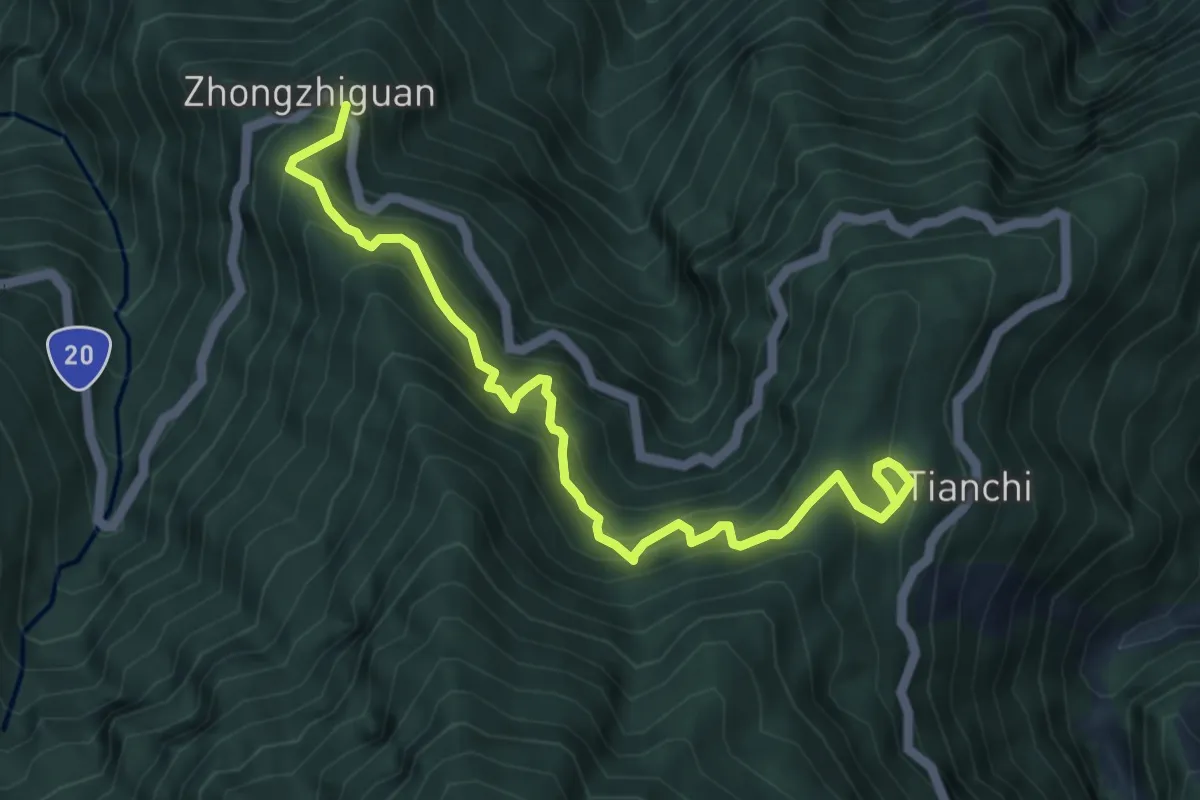
Medium · Trail
中之關古道
7.2 km · ↑ 763 m · 3 h 21 min
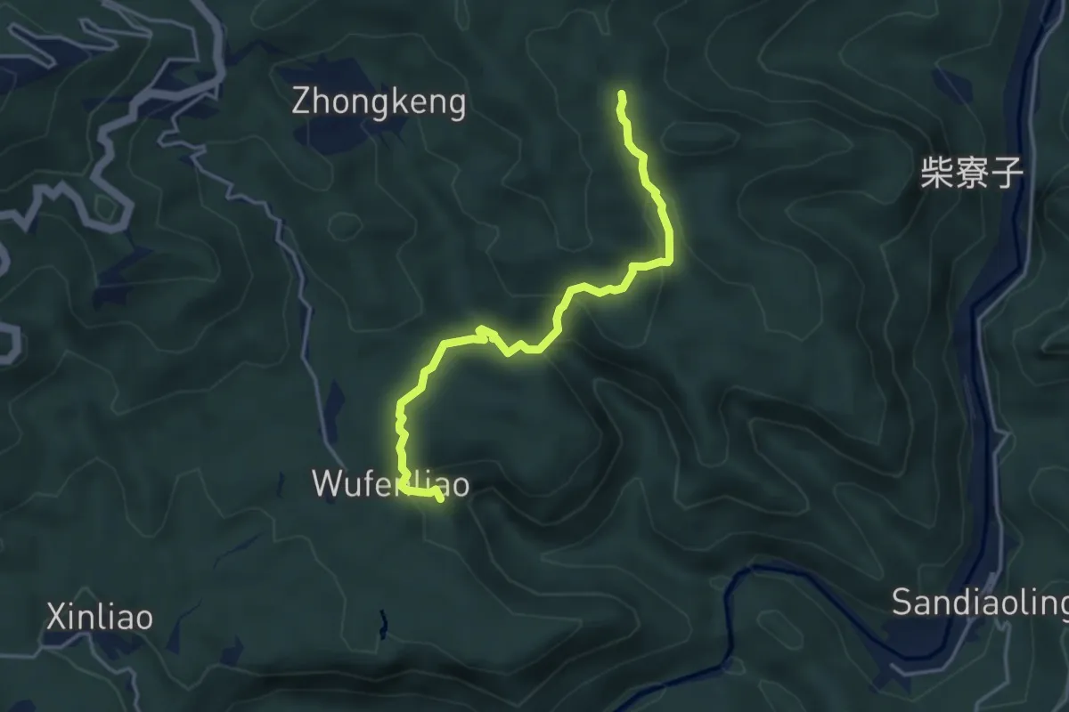
Easy · Trail
中坑古道
4.9 km · ↑ 235 m · 1 h 40 min
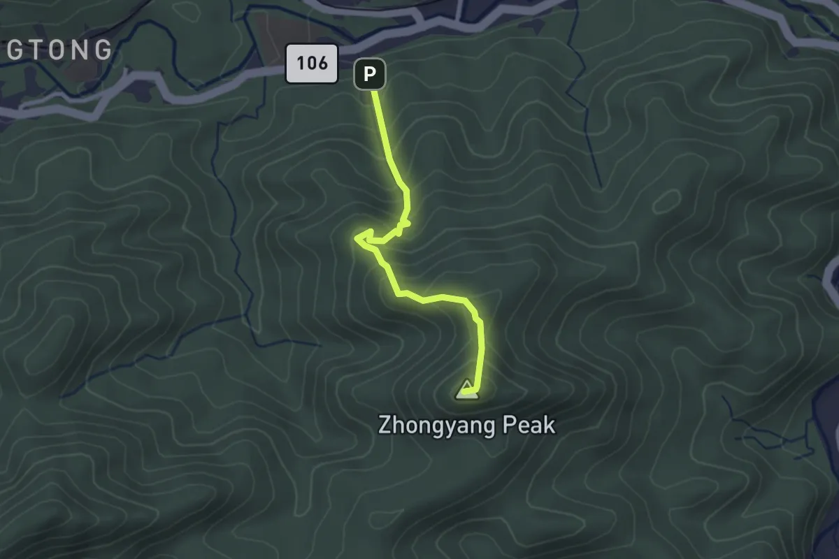
Easy · Summit
中央尖登山步道
3.0 km · ↑ 298 m · 1 h 22 min
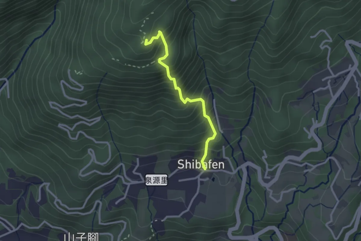
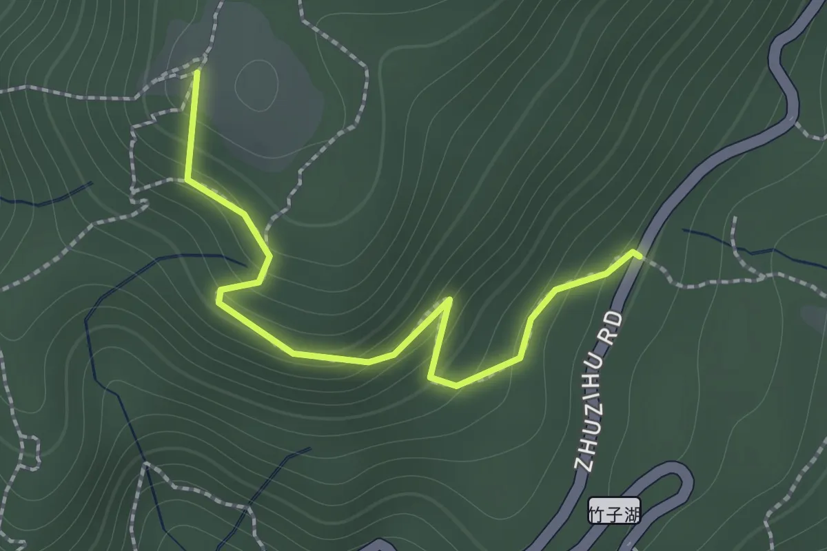
Medium · Summit
中正山親山步道-十八份登山口線
2.9 km · ↑ 382 m · 1 h 31 min
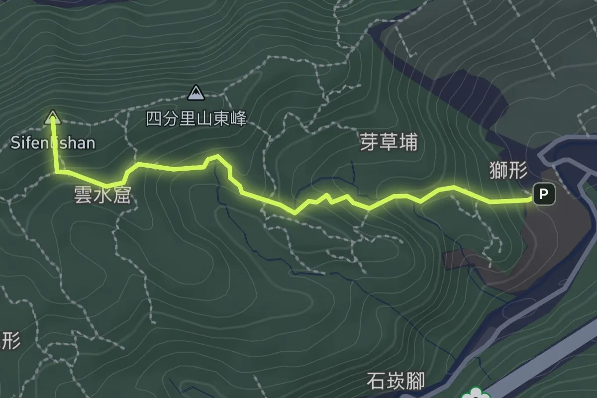
Easy · Summit
中正山親山步道-第一登山口線
1.9 km · ↑ 162 m · 48 min
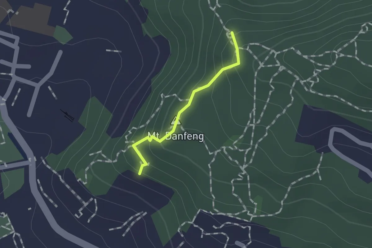
Easy · Summit
中華技術學院步道
3.2 km · ↑ 198 m · 1 h 11 min
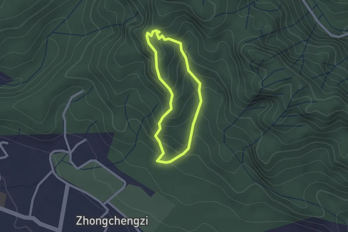
Easy · Summit
丹鳳山步道
1.1 km · ↑ 95 m · 28 min
Easy · Trail
九九峰森林步道
2.0 km · ↑ 173 m · 52 min
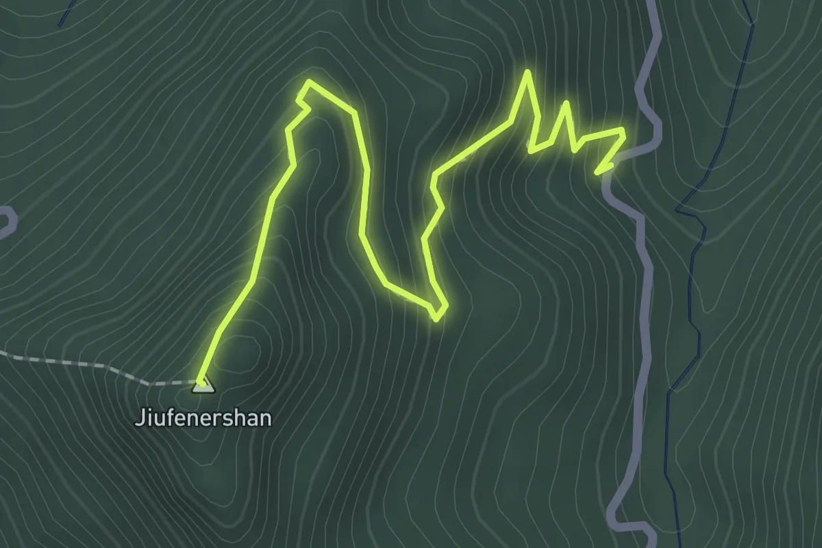
Medium · Summit
九份二山登山步道
3.2 km · ↑ 323 m · 1 h 27 min
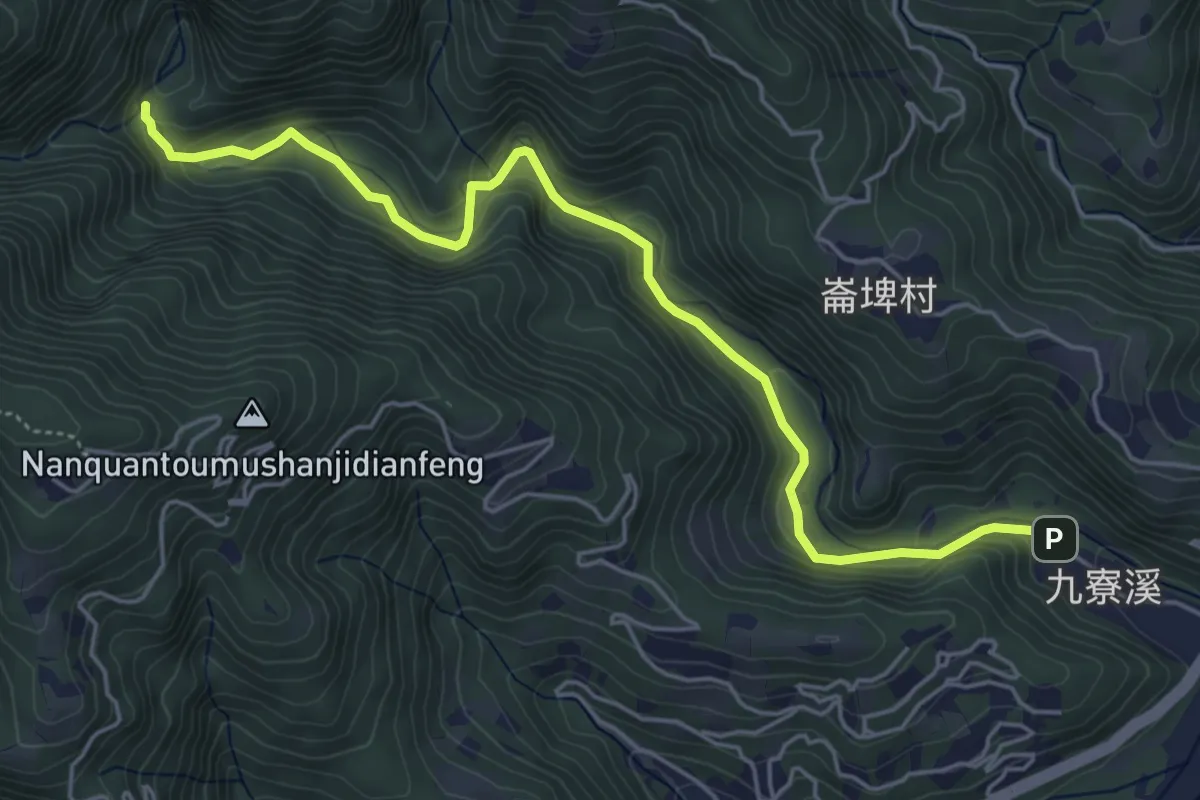
Easy · Trail
九寮溪自然步道
7.5 km · ↑ 311 m · 2 h 26 min
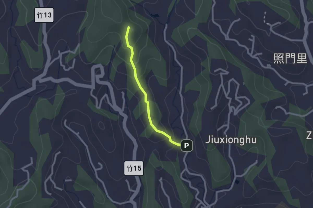
Easy · Trail
九福步道
2.2 km · ↑ 122 m · 47 min
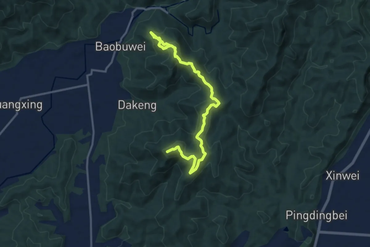
Medium · Summit
九茶縱走
12.1 km · ↑ 666 m · 4 h 18 min
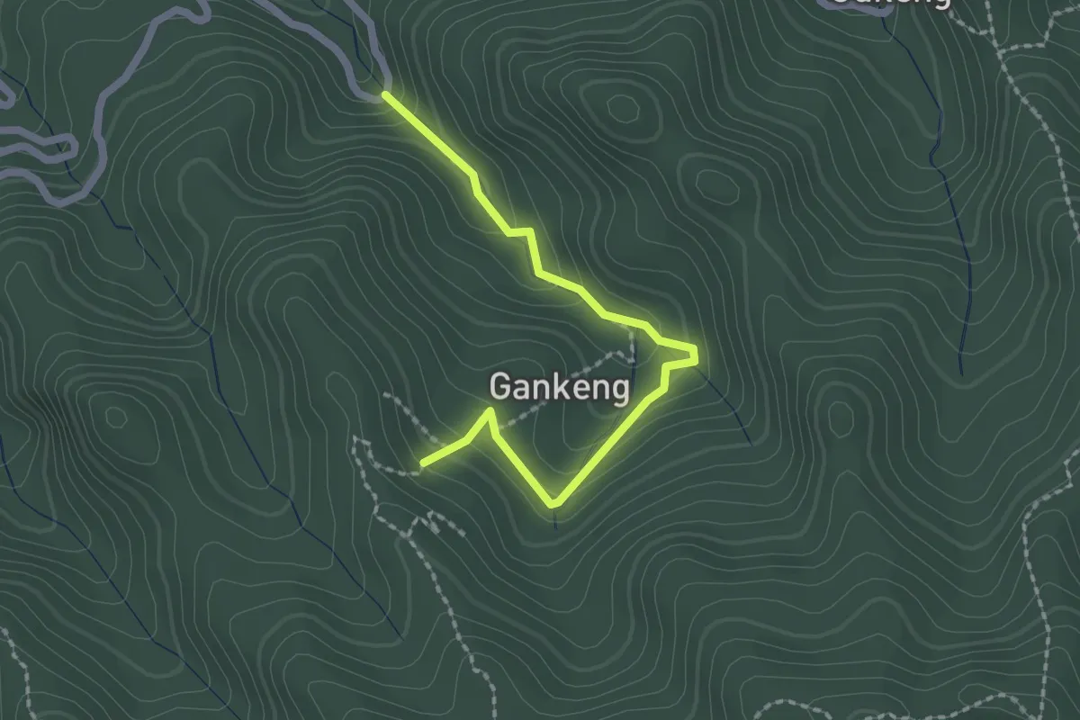
Easy · Trail
乾坑古道
2.7 km · ↑ 148 m · 57 min
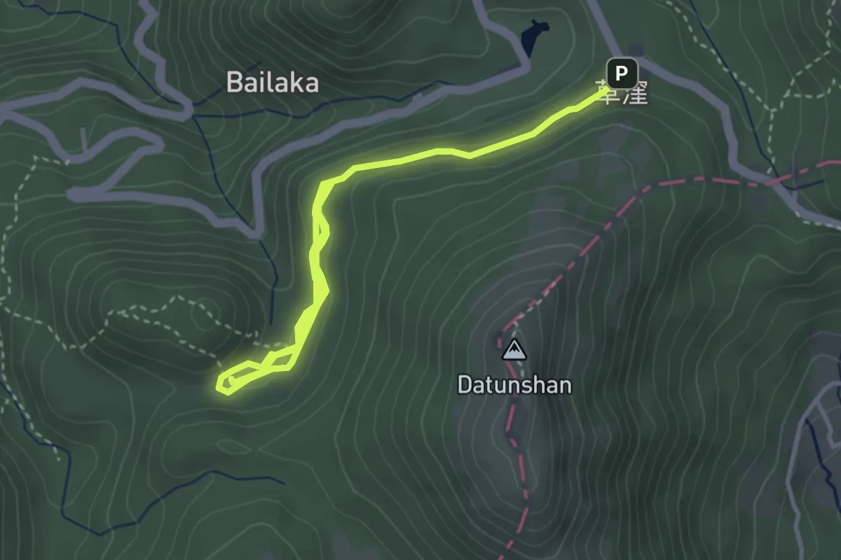
Easy · Trail
二子坪步道
6.7 km · ↑ 183 m · 1 h 58 min
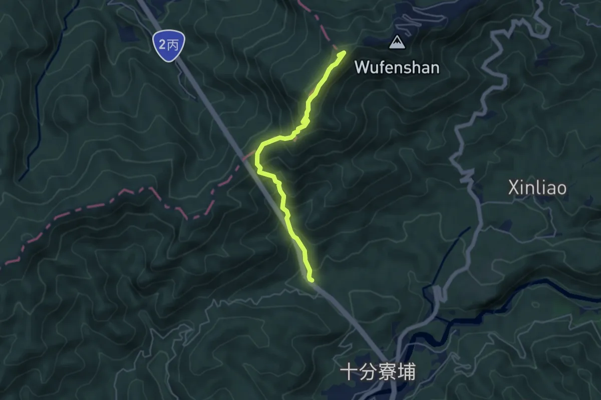
Medium · Summit
五分山登山步道
5.5 km · ↑ 487 m · 2 h 21 min
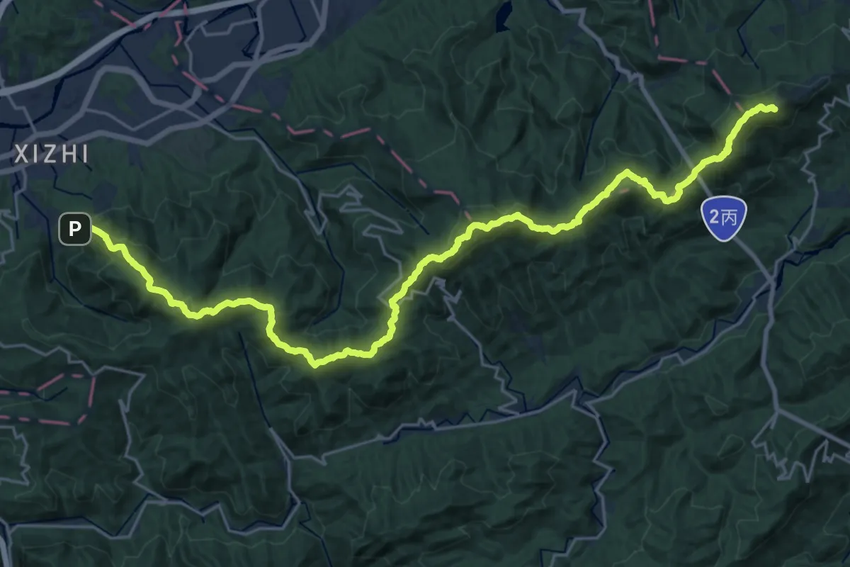
Demanding · Summit
五四縱走
35.0 km · ↑ 2075 m · 12 h 46 min
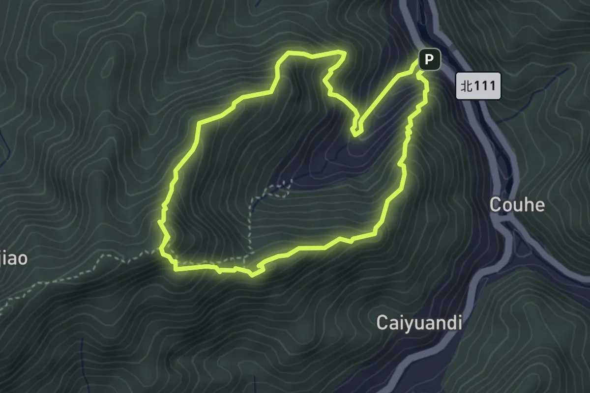
Demanding · Summit
五寮尖登山步道
4.6 km · ↑ 520 m · 2 h 17 min
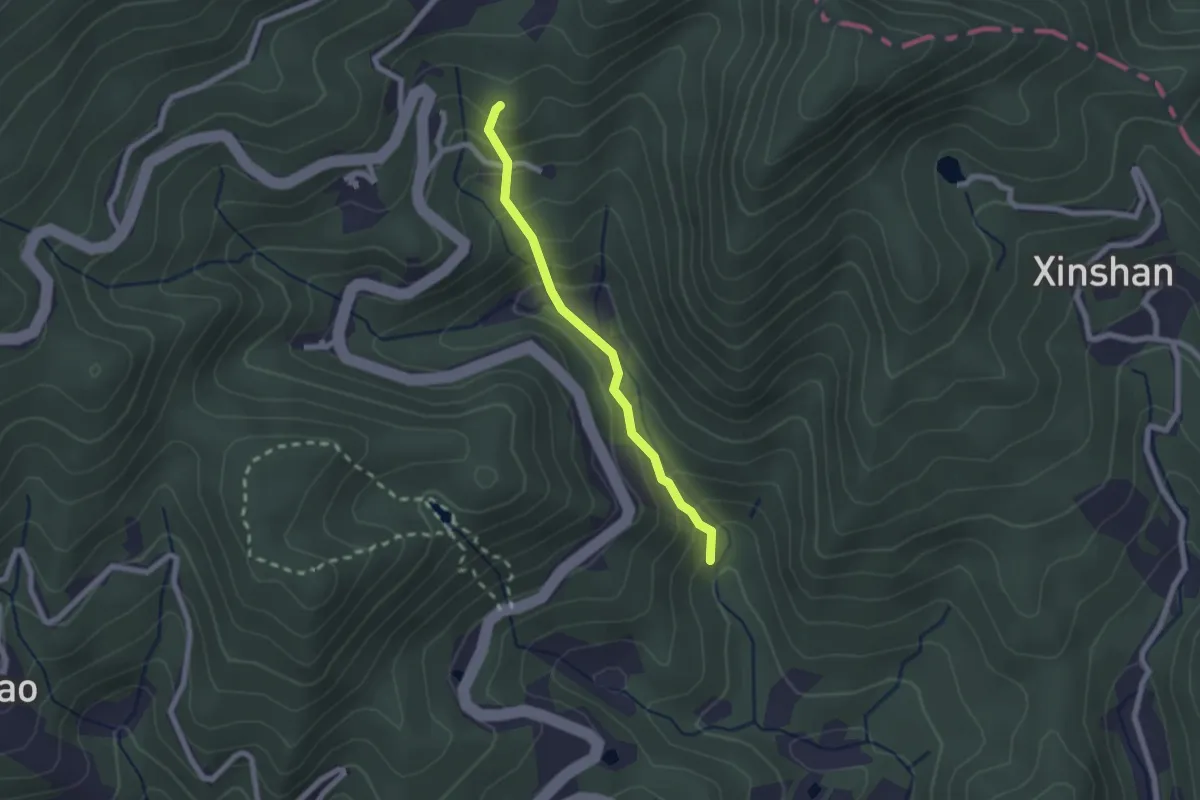
Easy · Summit
五指山古道
2.5 km · ↑ 224 m · 1 h 4 min
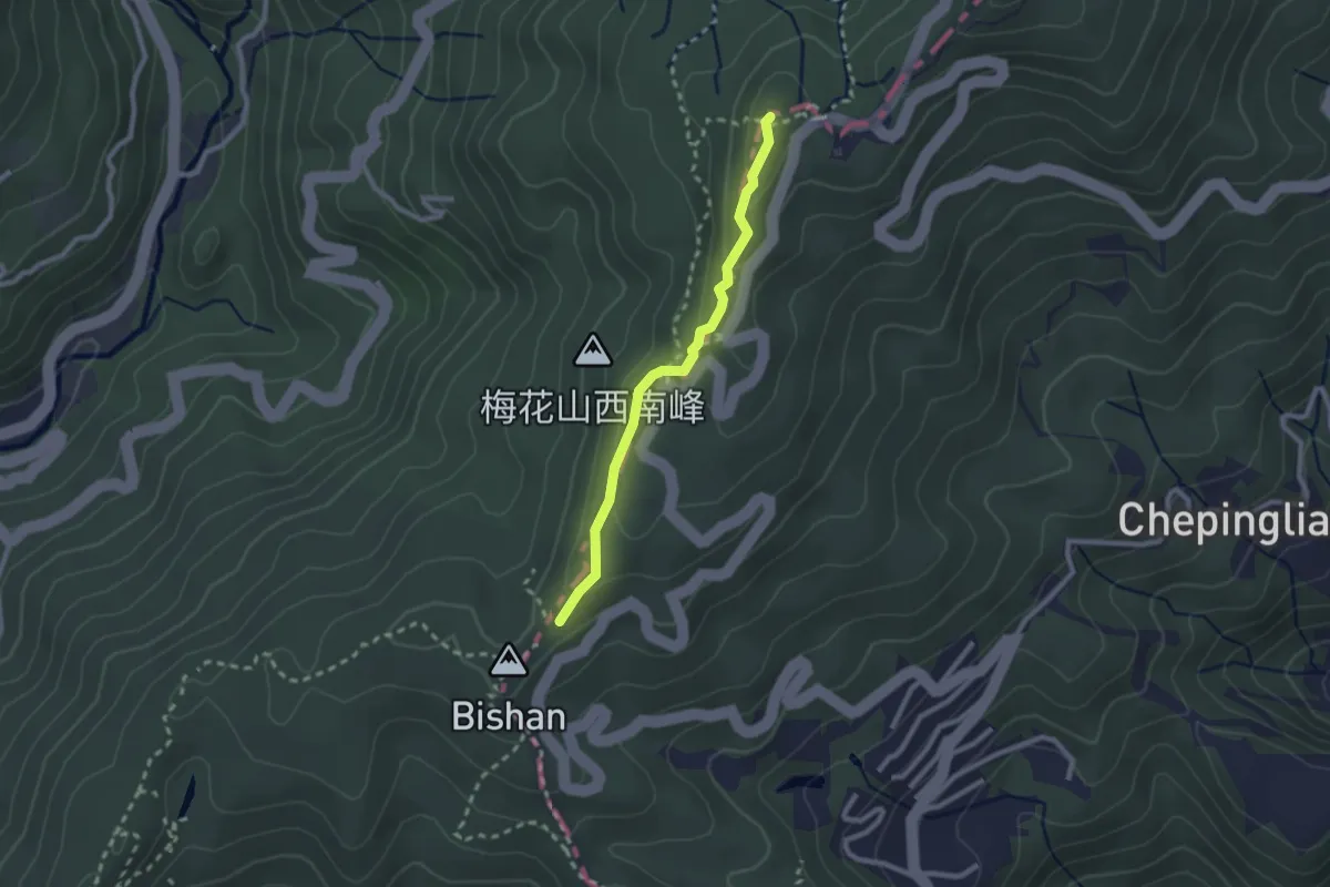
Easy · Summit
五指山古道
2.9 km · ↑ 127 m · 57 min
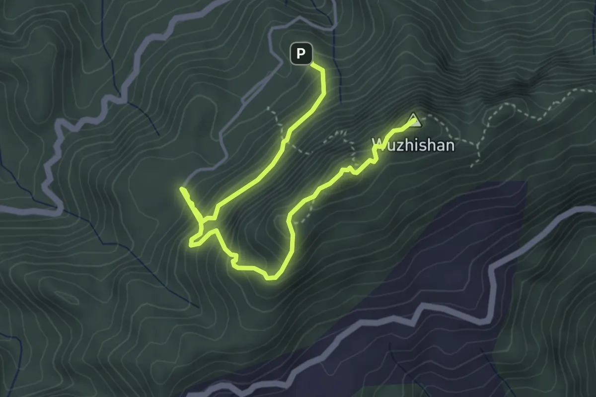
Medium · Summit
五指山登山步道
6.2 km · ↑ 666 m · 2 h 55 min
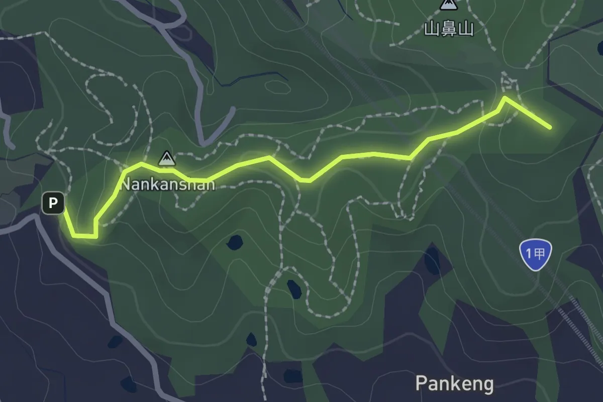
Easy · Summit
五酒桶步道
2.6 km · ↑ 87 m · 49 min
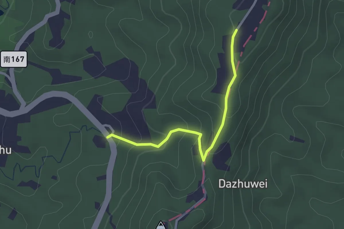
Easy · Trail
五間登山步道
3.0 km · ↑ 147 m · 1 h 1 min
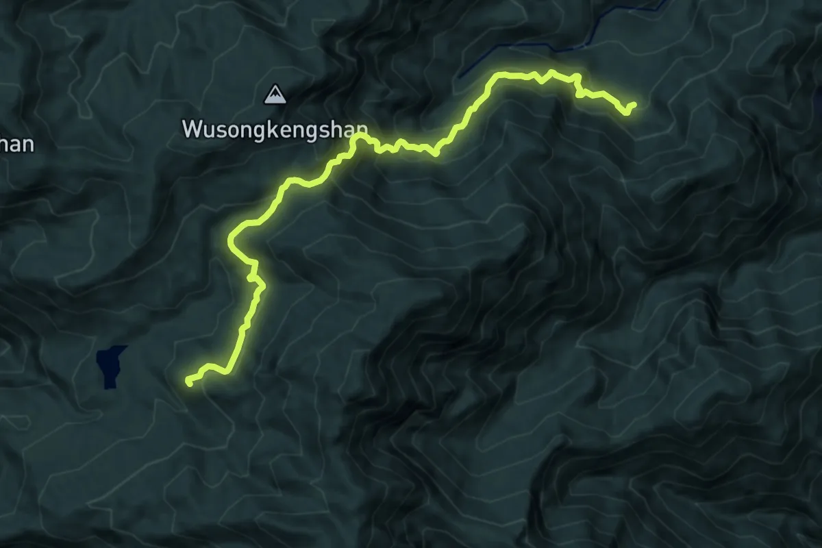
Demanding · Trail
亞杉坪林道支線
13.8 km · ↑ 1187 m · 5 h 50 min
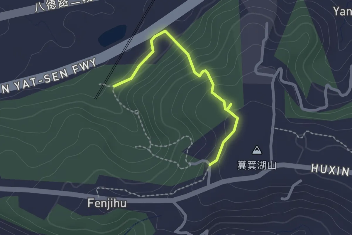
Easy · Trail
仁和步道
2.4 km · ↑ 123 m · 50 min
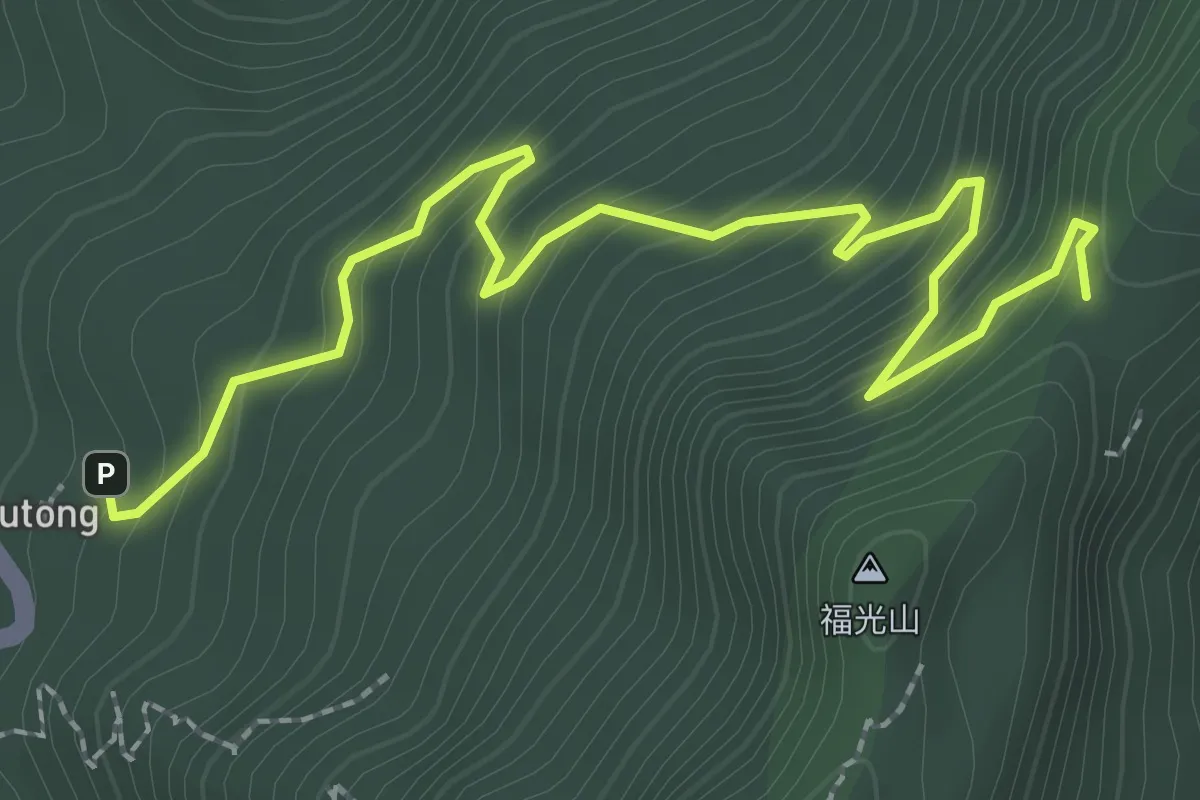
Easy · Trail
伍龍步道
4.0 km · ↑ 278 m · 1 h 32 min
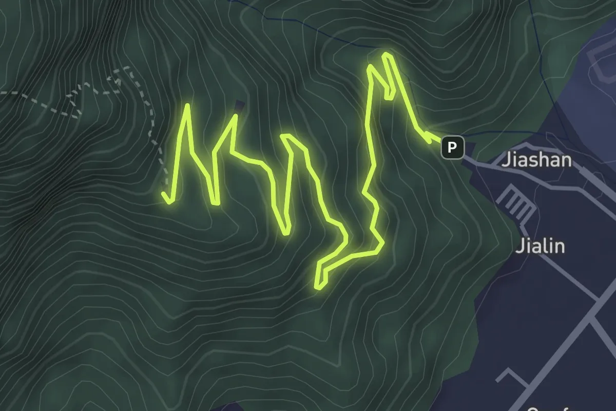
Medium · Trail
佐倉步道
7.6 km · ↑ 552 m · 3 h
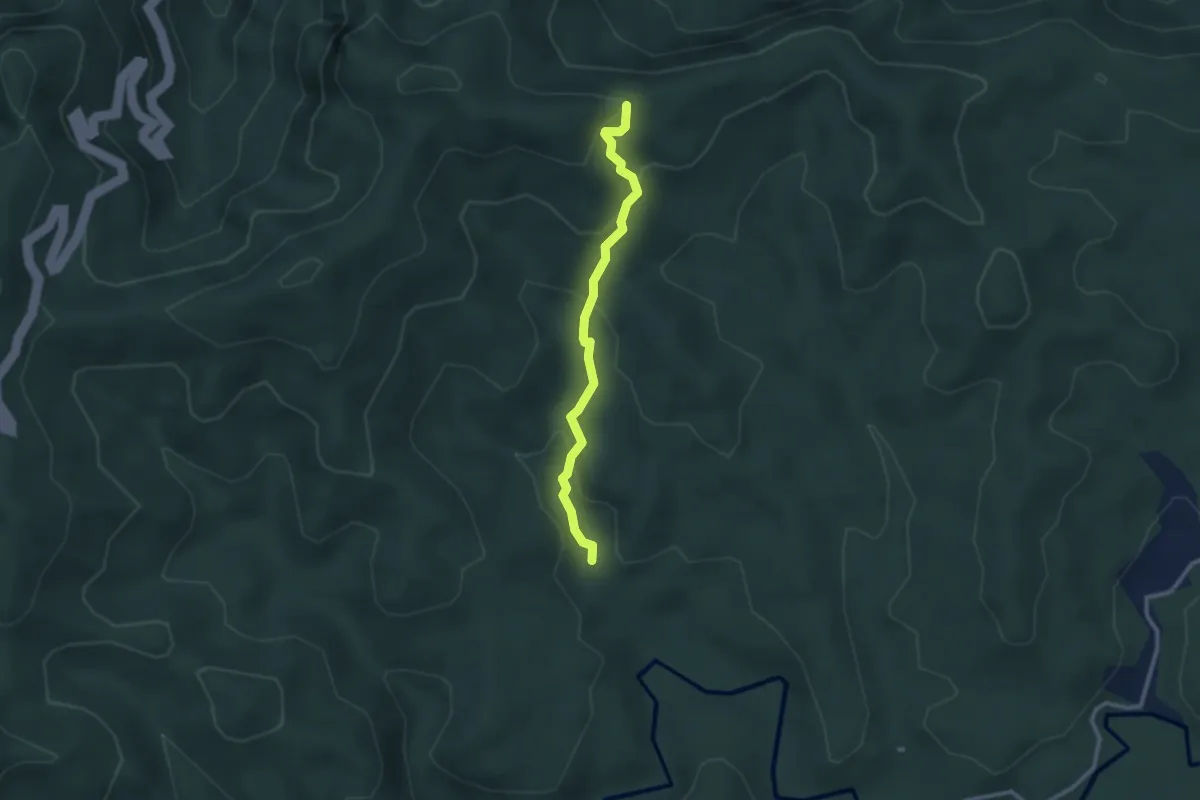
Easy · Trail
保成坑古道
3.2 km · ↑ 172 m · 1 h 8 min
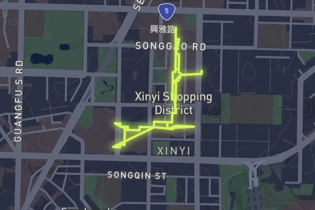
Easy · Trail
信義商圈空橋
6.0 km · ↑ 140 m · 1 h 43 min
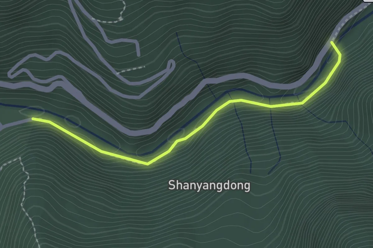
Easy · Trail
信賢步道
2.7 km · ↑ 178 m · 1 h 1 min
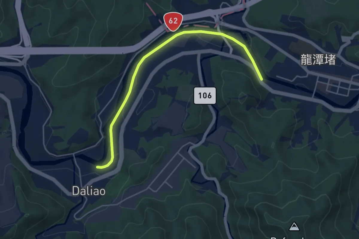
Easy · Trail
傑魚坑步道
5.5 km · ↑ 29 m · 1 h 21 min
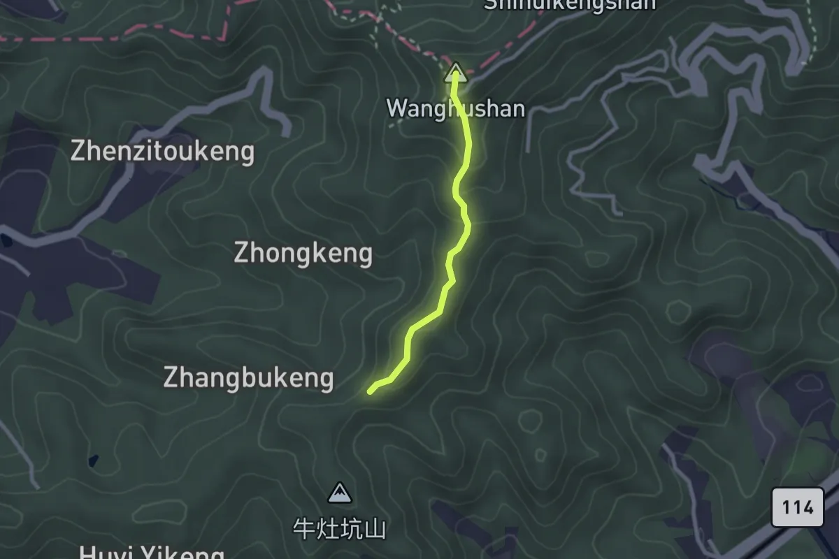
Easy · Summit
光明山稜線步道
2.4 km · ↑ 135 m · 52 min
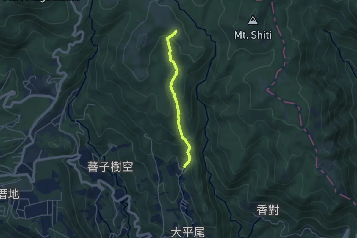
Easy · Trail
內寮古道
4.0 km · ↑ 250 m · 1 h 29 min