Trails near 五峰鄉
24 hikes starting within 15 km, nearest first.
Nearest first
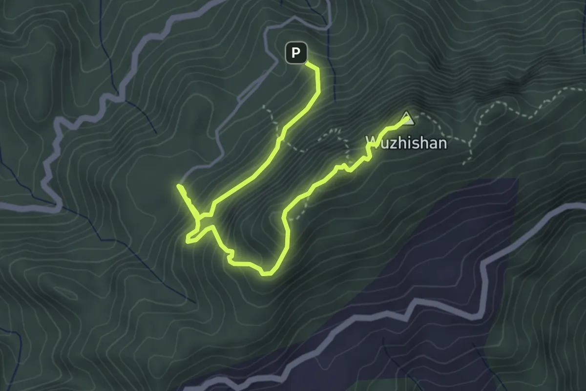
Medium · Summit
五指山登山步道
6.2 km · ↑ 666 m · 2 h 55 min · 3 km away
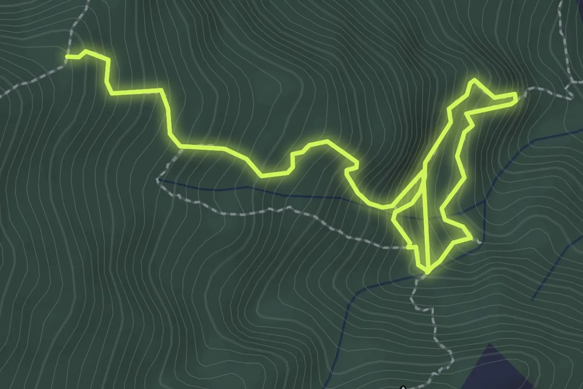
Medium · Trail
鵝公髻山雲霧步道線
5.0 km · ↑ 628 m · 2 h 32 min · 4 km away
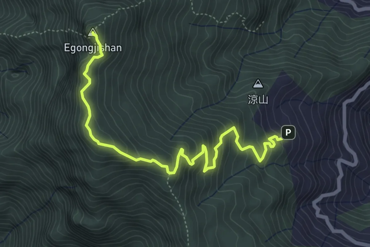
Medium · Summit
鵝公髻山登山步道
7.4 km · ↑ 552 m · 2 h 56 min · 4 km away
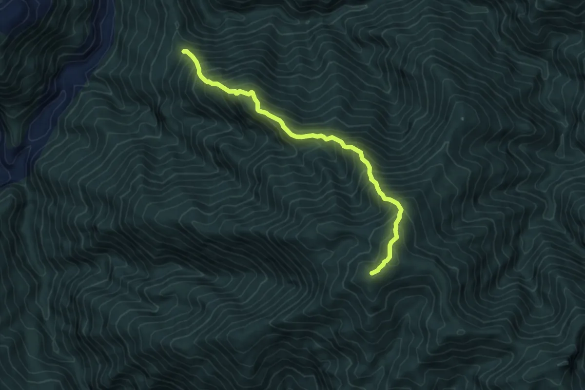
Demanding · Summit
麥巴來登山路線
8.3 km · ↑ 1070 m · 4 h 16 min · 5 km away
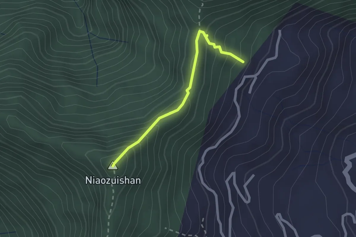
Medium · Summit
鳥嘴山路線
2.3 km · ↑ 235 m · 1 h 3 min · 7 km away
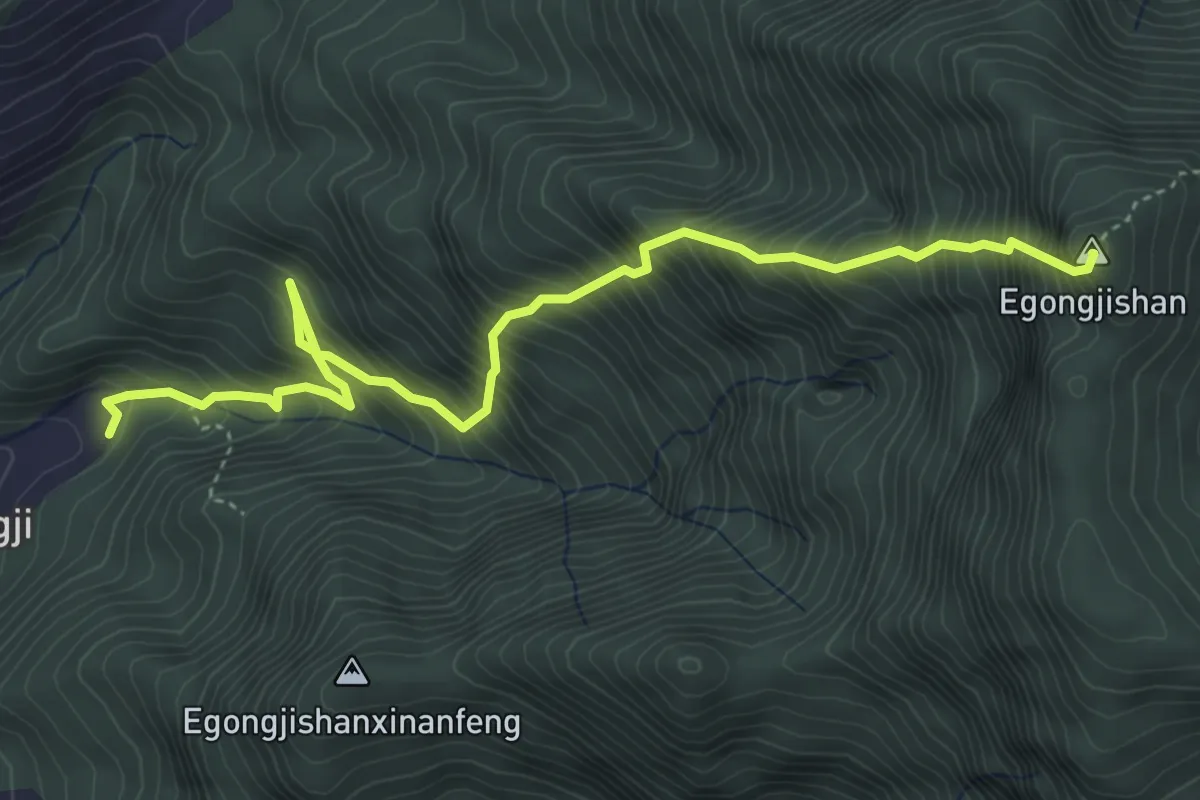
Demanding · Summit
鵝公髻山東河線
6.6 km · ↑ 1150 m · 4 h 3 min · 7 km away
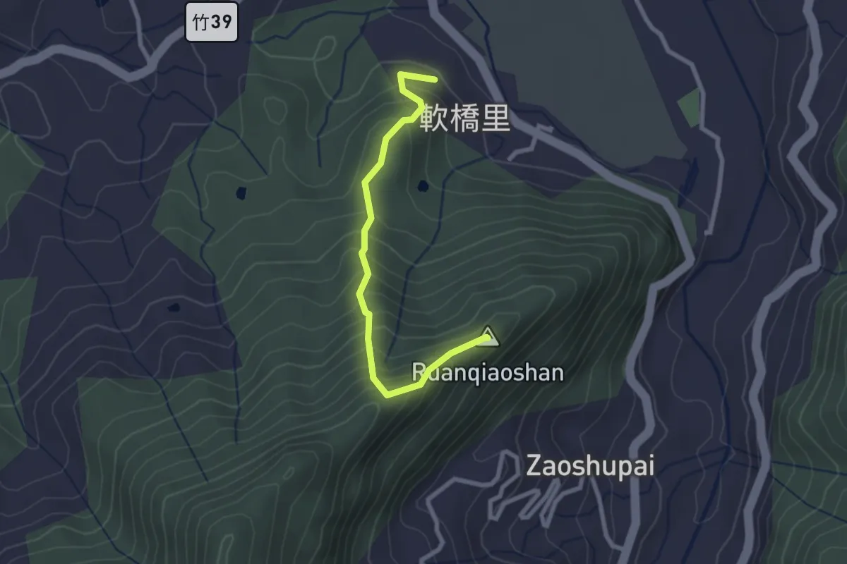
Medium · Summit
軟橋山登山步道
3.1 km · ↑ 361 m · 1 h 31 min · 7 km away
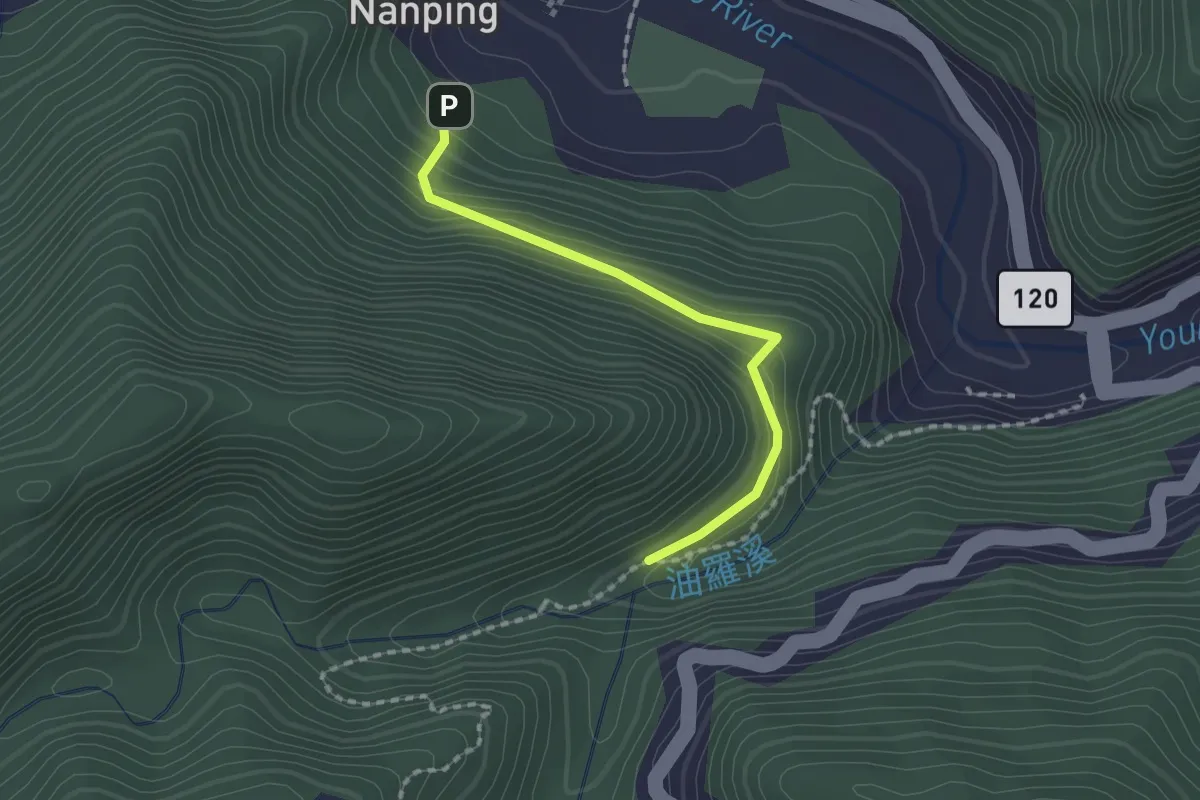
Easy · Trail
情人谷步道
2.2 km · ↑ 130 m · 48 min · 10 km away
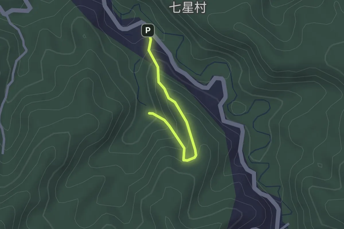
Easy · Trail
藤坪步道
2.4 km · ↑ 210 m · 1 h 1 min · 10 km away
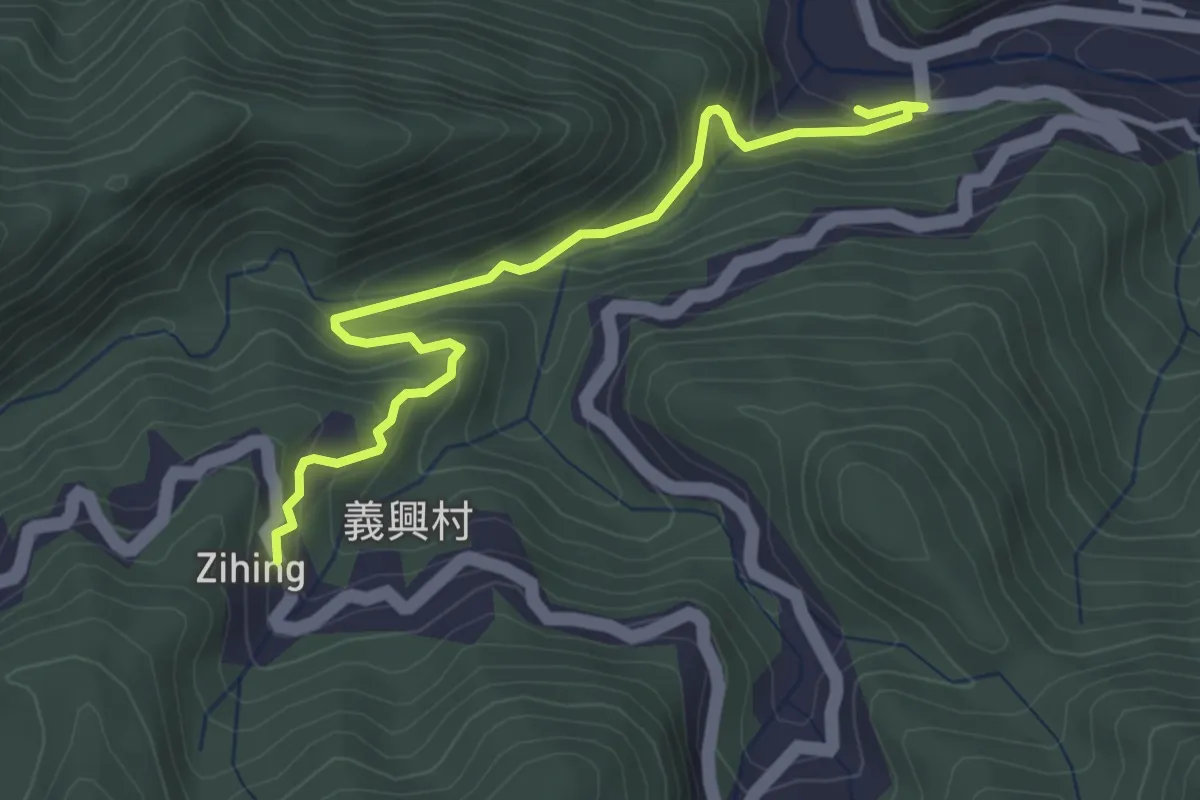
Medium · Trail
馬胎古道
4.7 km · ↑ 366 m · 1 h 54 min · 10 km away
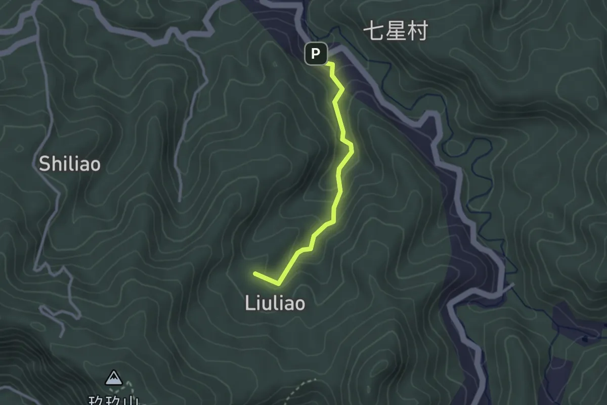
Easy · Summit
六寮古道
2.9 km · ↑ 148 m · 1 h · 10 km away
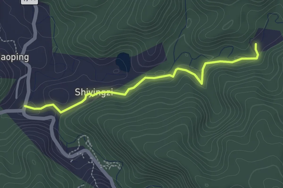
Easy · Trail
石硬子步道(石峎古道)
3.6 km · ↑ 94 m · 1 h 3 min · 10 km away
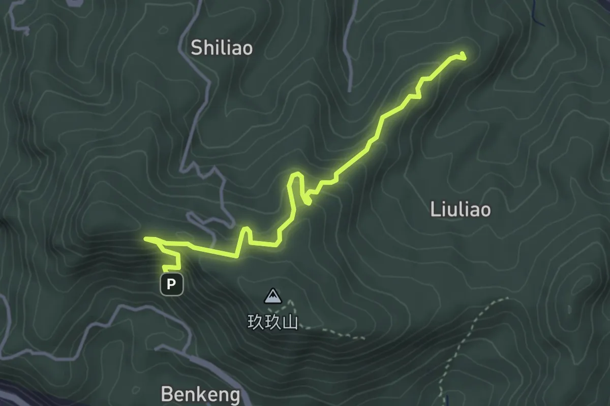
Medium · Summit
獅山古道
4.9 km · ↑ 436 m · 2 h 7 min · 11 km away
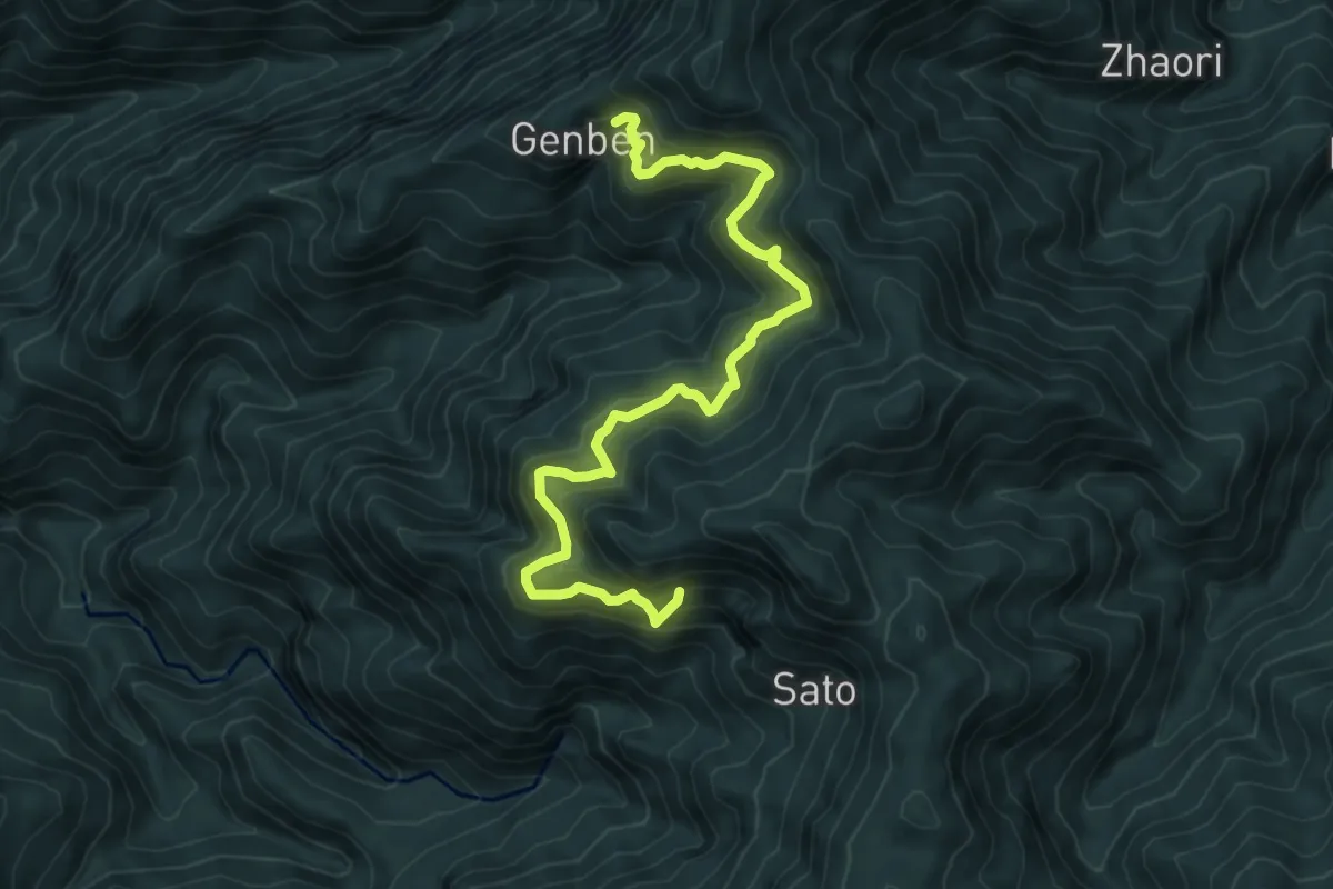
Demanding · Trail
根本古道
9.5 km · ↑ 896 m · 4 h 11 min · 11 km away
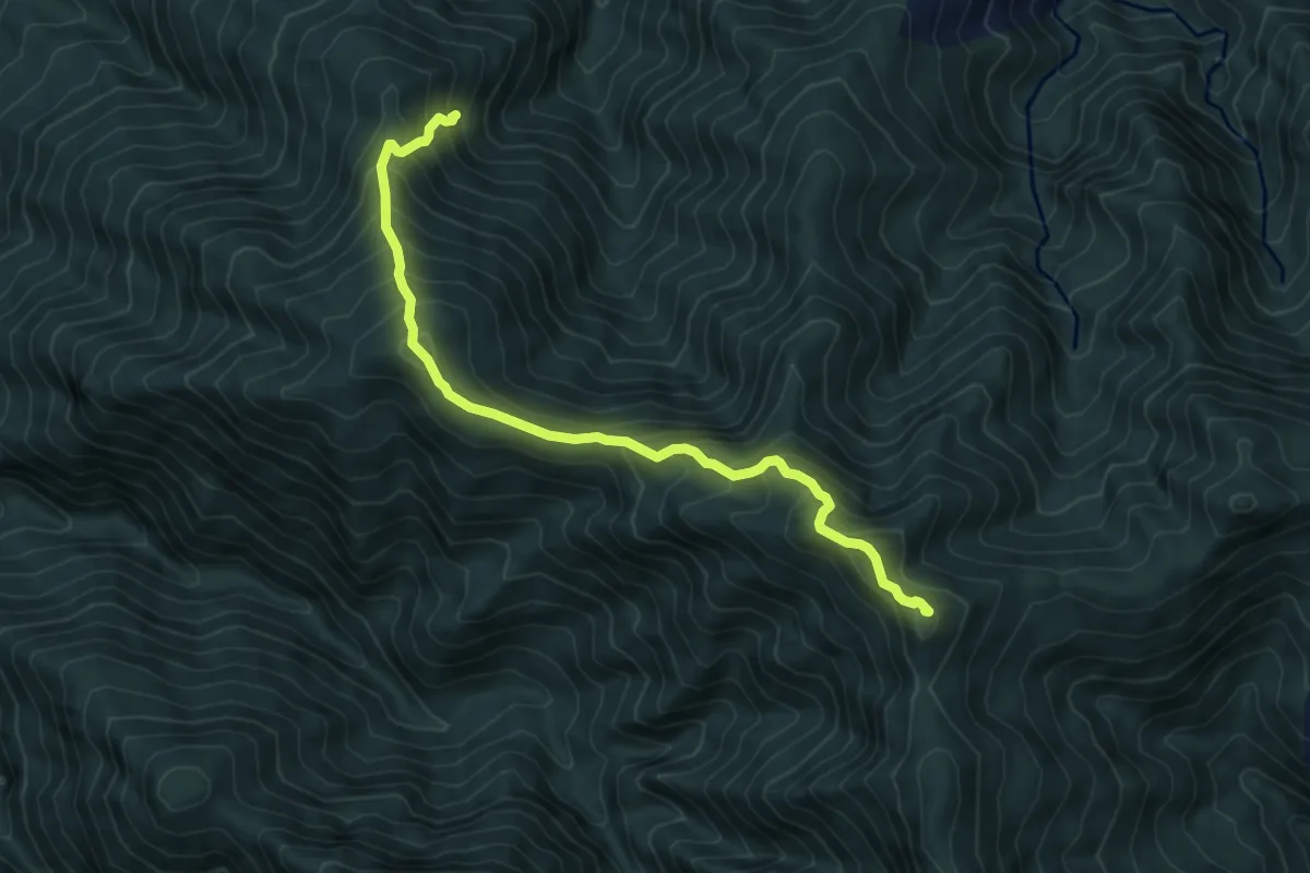
Demanding · Summit
高島縱走
8.0 km · ↑ 854 m · 3 h 45 min · 11 km away
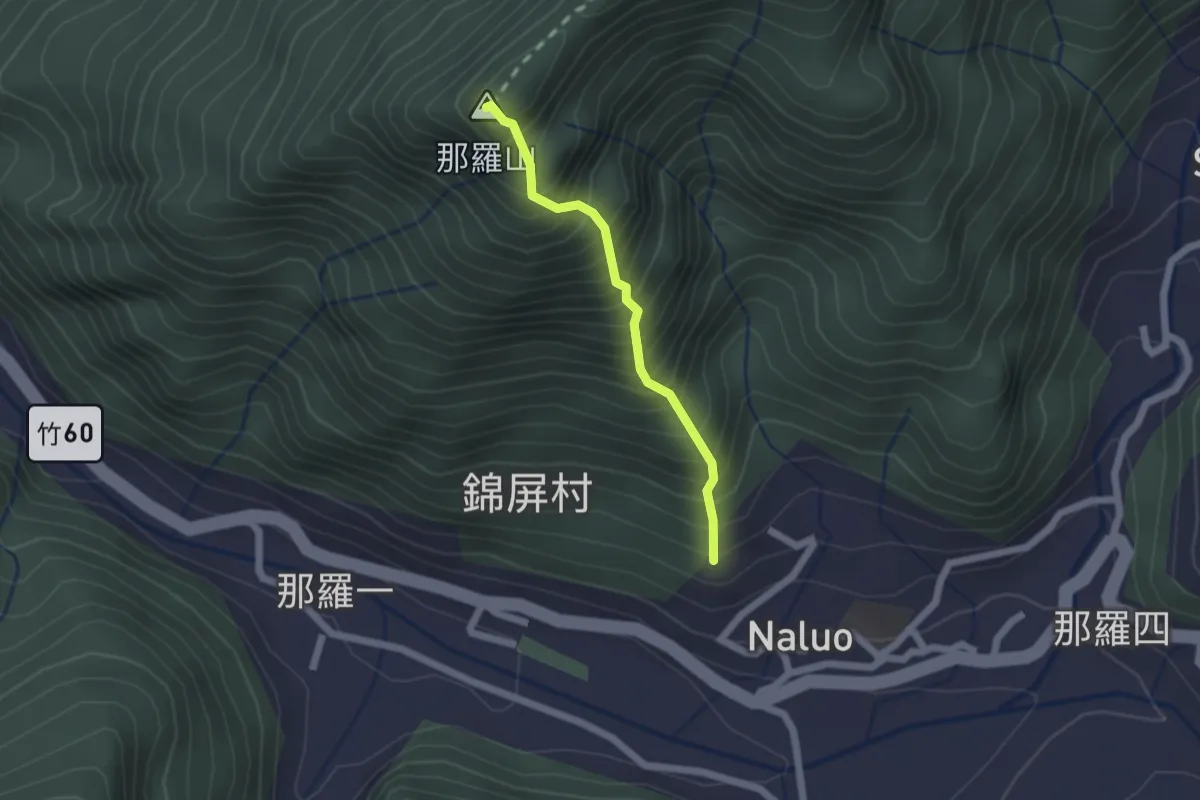
Medium · Summit
那羅山登山路線
2.0 km · ↑ 474 m · 1 h 31 min · 14 km away
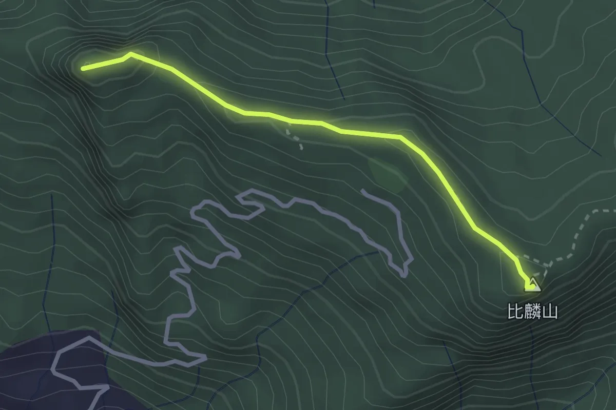
Medium · Summit
尖石山比麟山步道
3.3 km · ↑ 174 m · 1 h 10 min · 14 km away
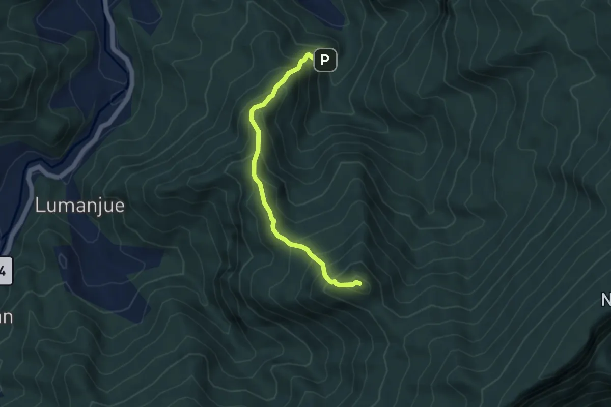
Medium · Summit
小東河山與大龍山登山路線
5.0 km · ↑ 604 m · 2 h 29 min · 14 km away
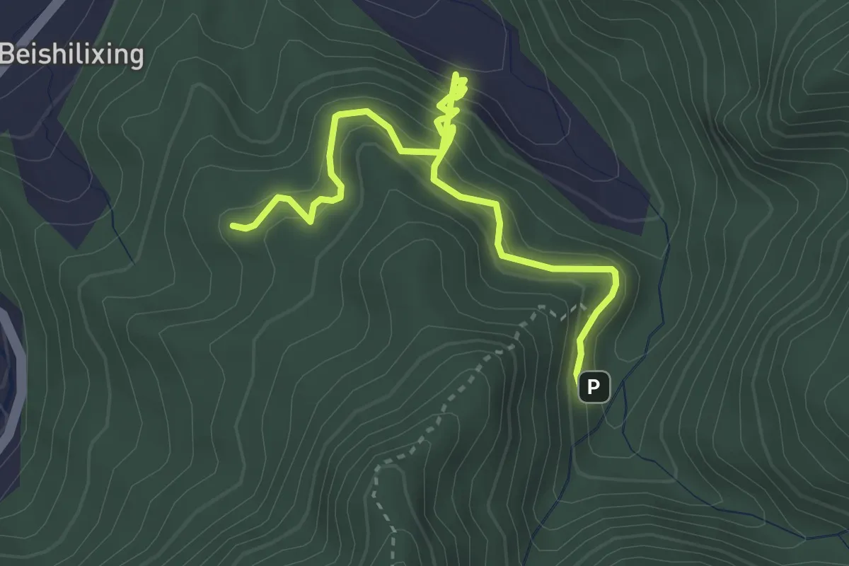
Medium · Trail
小東河步道
4.9 km · ↑ 487 m · 2 h 13 min · 14 km away
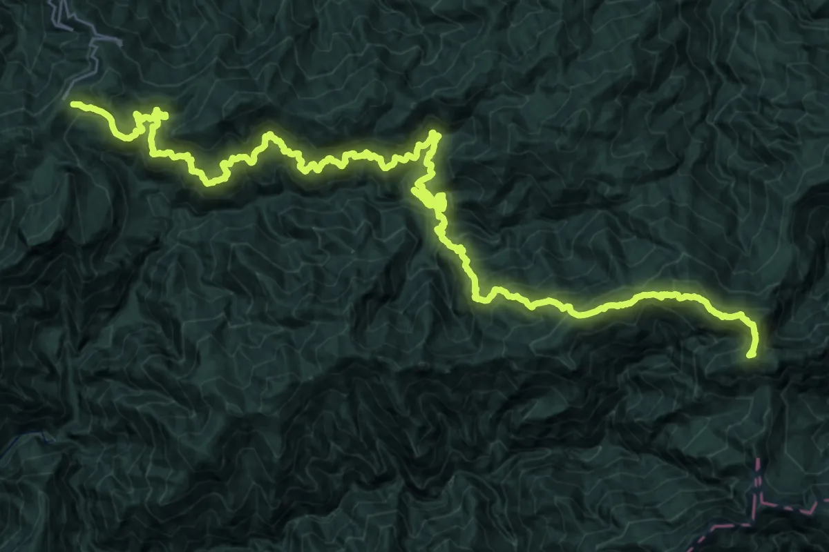
Demanding · Summit
大霸線
59.0 km · ↑ 5391 m · 25 h 37 min · 14 km away
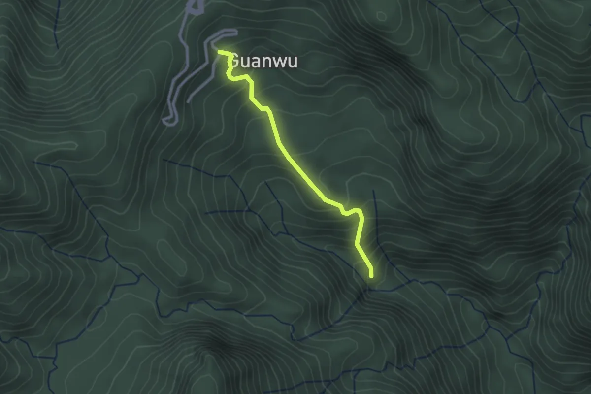
Easy · Trail
觀霧瀑布步道
2.8 km · ↑ 259 m · 1 h 14 min · 14 km away
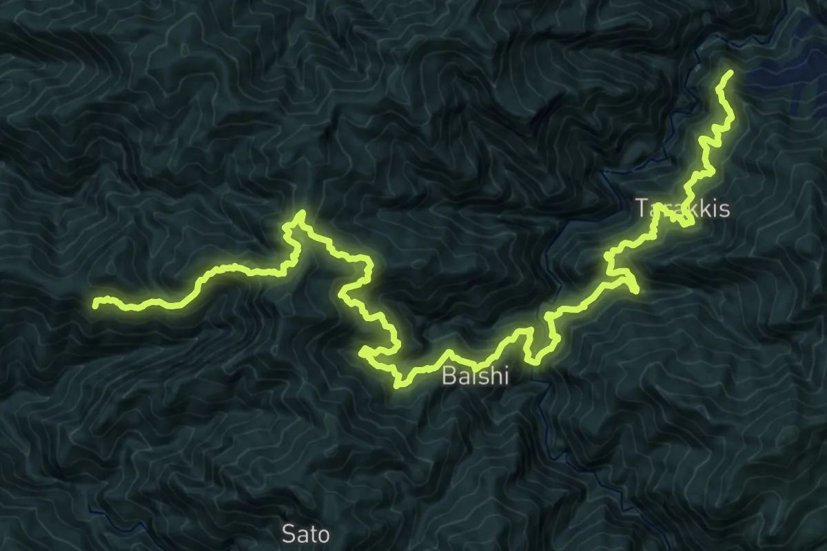
Demanding · Trail
霞喀羅國家步道
20.4 km · ↑ 2090 m · 9 h 26 min · 14 km away
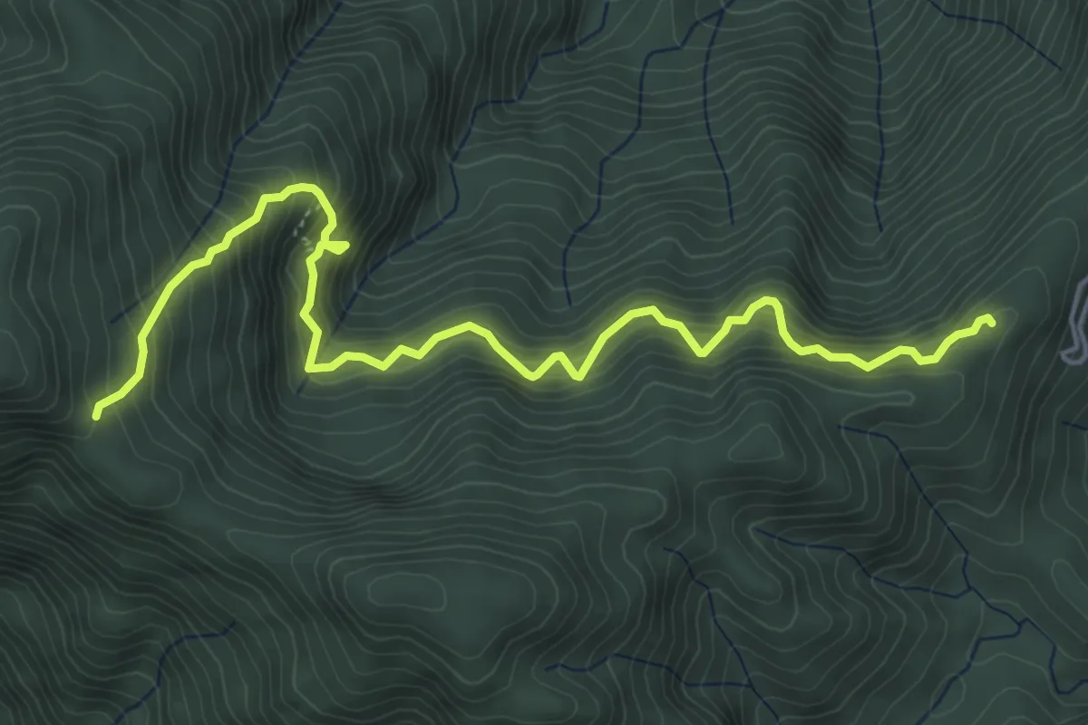
Demanding · Trail
檜山巨木群步道
7.7 km · ↑ 889 m · 3 h 44 min · 15 km away
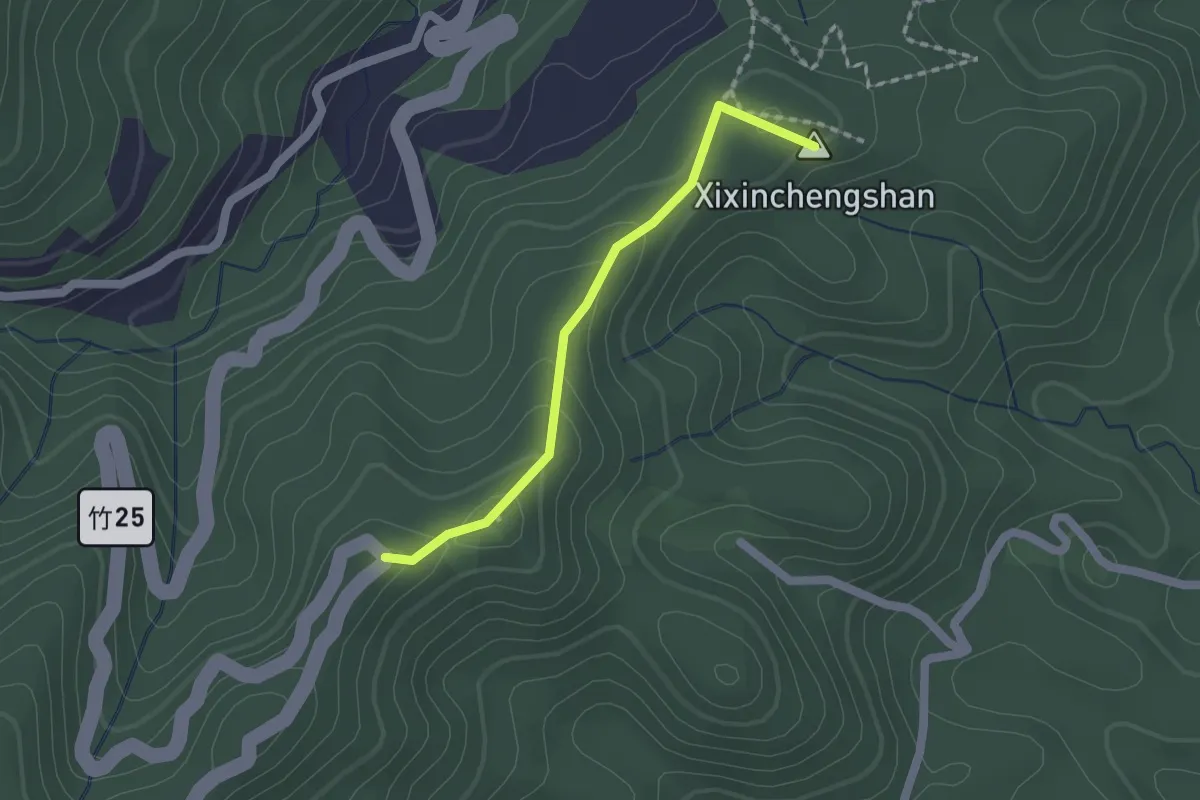
Easy · Summit
飛鳳古道
2.0 km · ↑ 93 m · 41 min · 15 km away