Trails near 礁溪鄉
24 hikes starting within 15 km, nearest first.
Nearest first
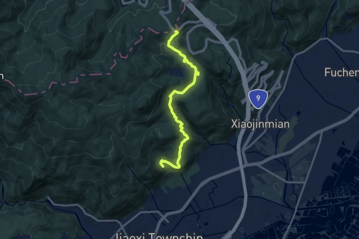
Medium · Trail
礁溪跑馬古道
10.0 km · ↑ 710 m · 3 h 54 min · 2 km away
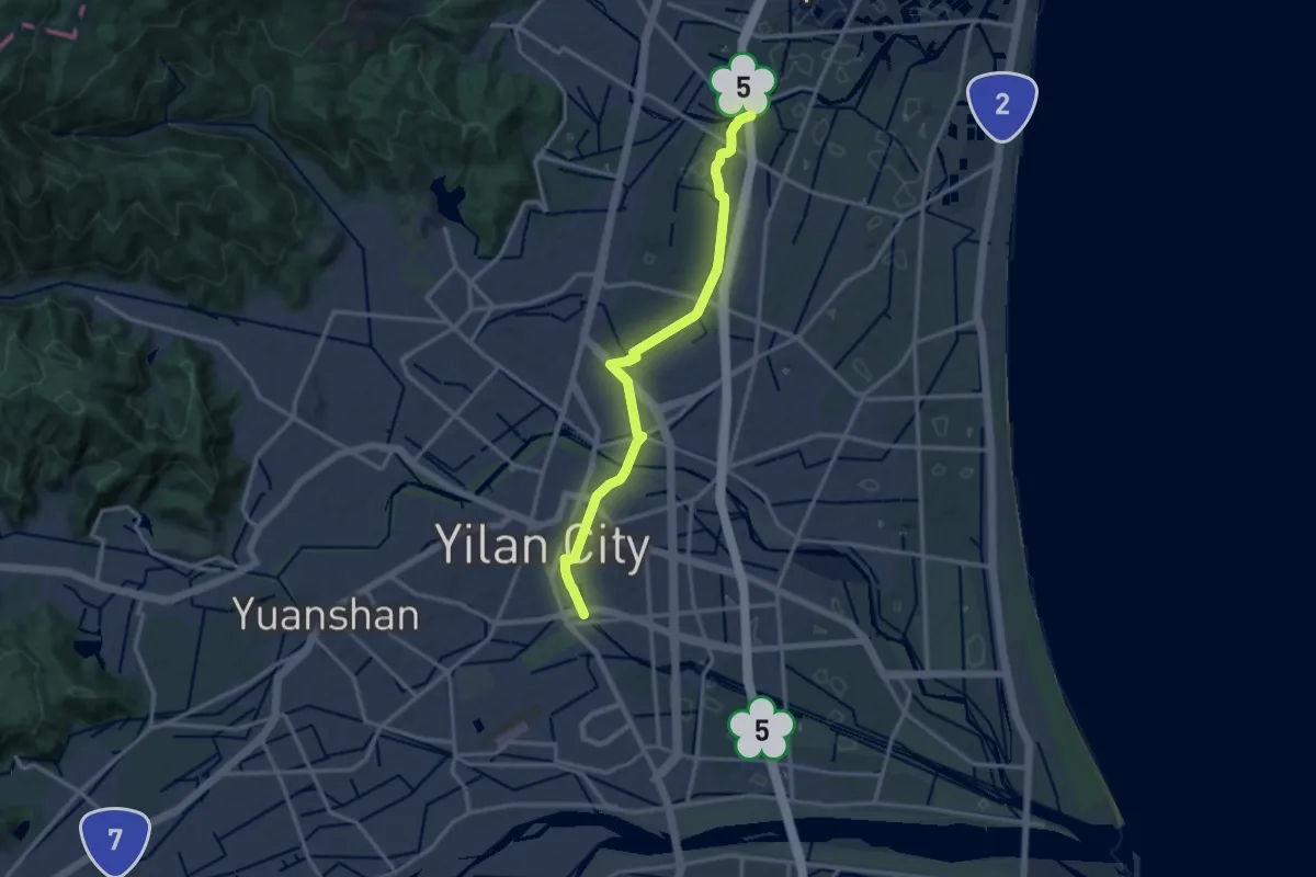
Medium · Trail
千里步道宜蘭溪北支線
17.7 km · ↑ 48 m · 4 h 18 min · 2 km away
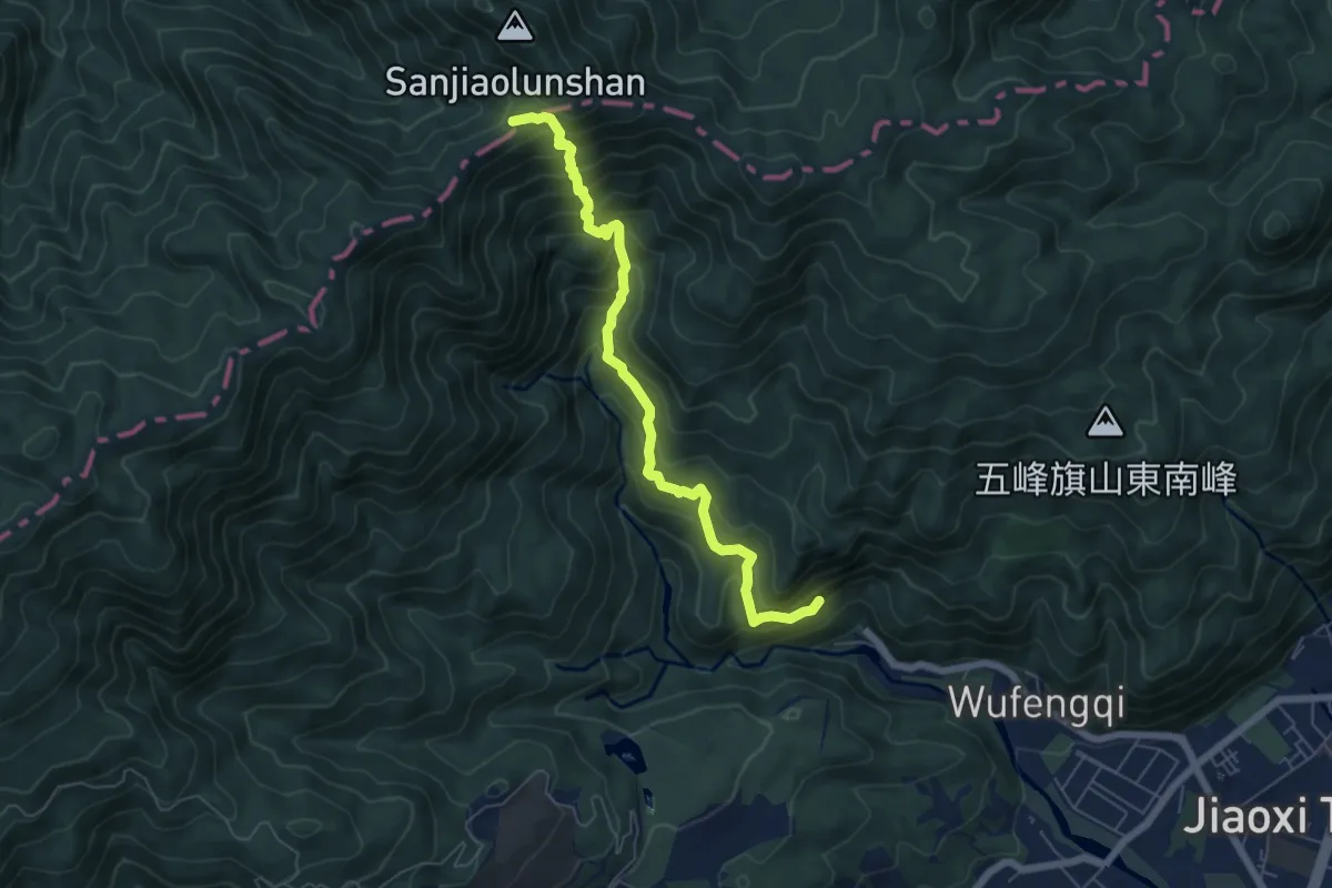
Demanding · Summit
聖母登山步道
8.1 km · ↑ 815 m · 3 h 40 min · 3 km away
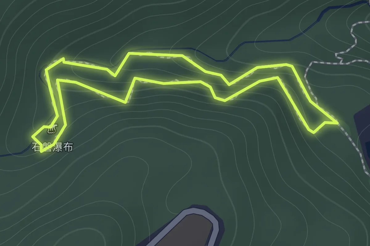
Easy · Trail
林美石磐步道
1.7 km · ↑ 135 m · 43 min · 4 km away
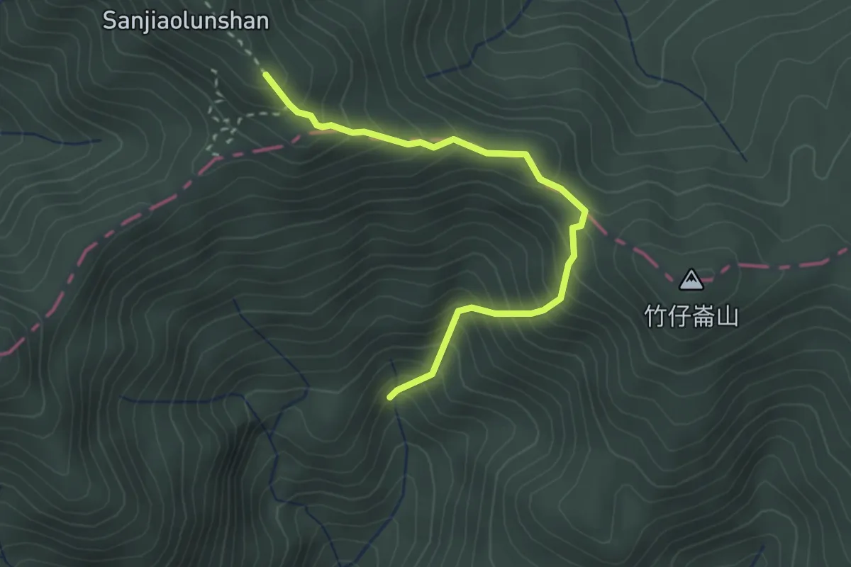
Medium · Summit
巴唐古道
3.6 km · ↑ 446 m · 1 h 49 min · 5 km away
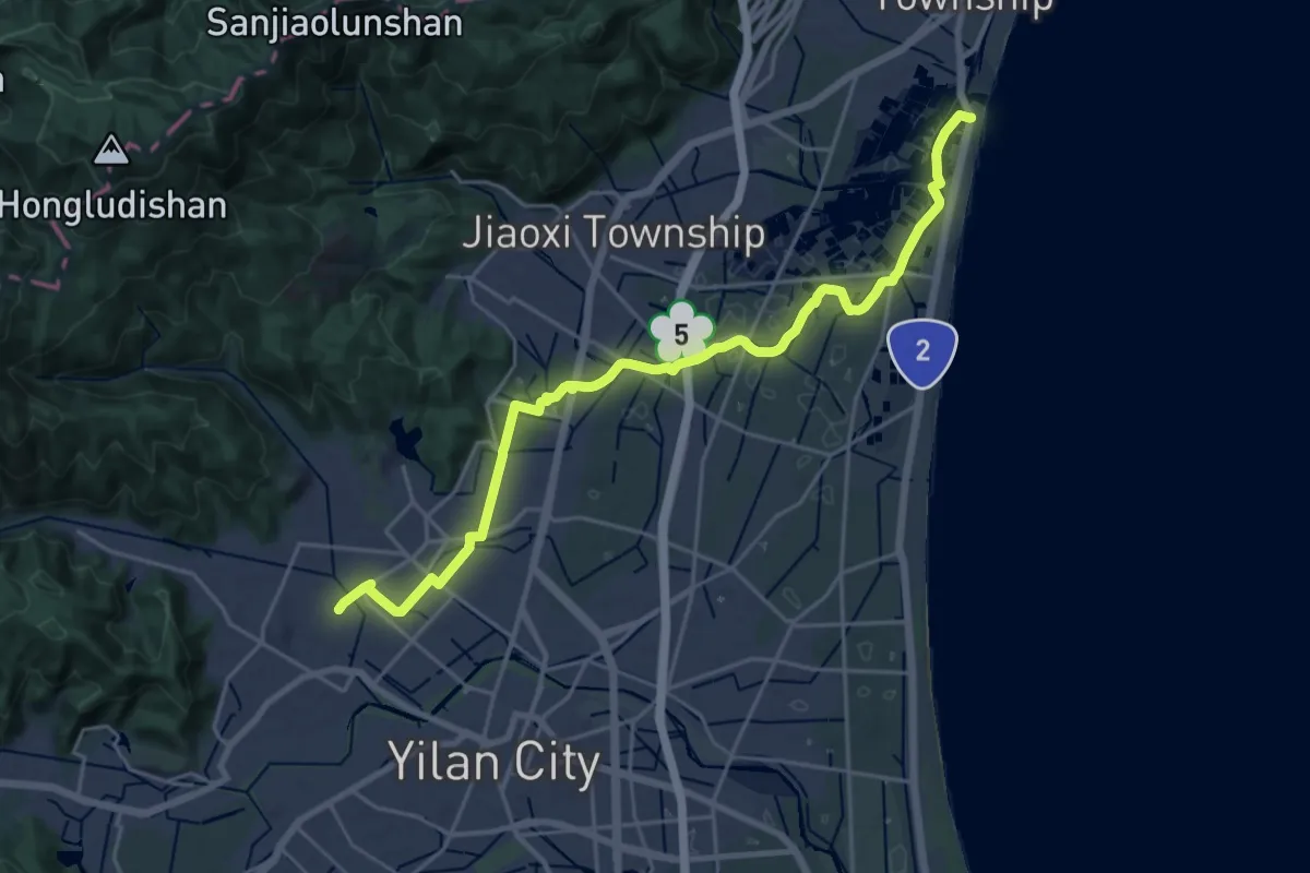
Demanding · Trail
千里步道宜蘭支線2
31.4 km · ↑ 120 m · 7 h 41 min · 6 km away
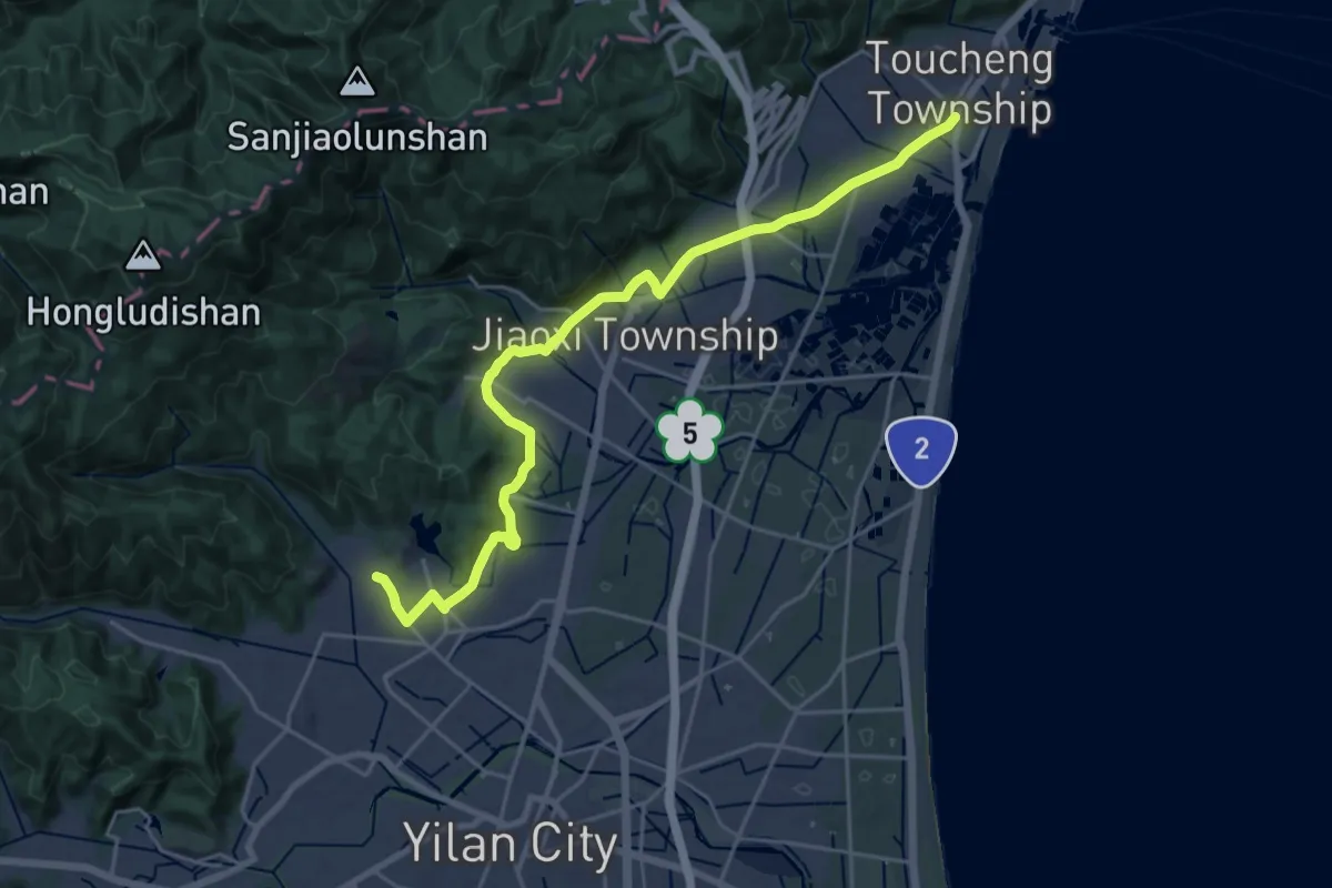
Demanding · Summit
千里步道宜蘭山線
31.8 km · ↑ 282 m · 8 h 8 min · 6 km away
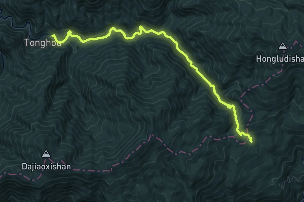
Medium · Trail
桶後越嶺步道
13.4 km · ↑ 606 m · 4 h 28 min · 8 km away
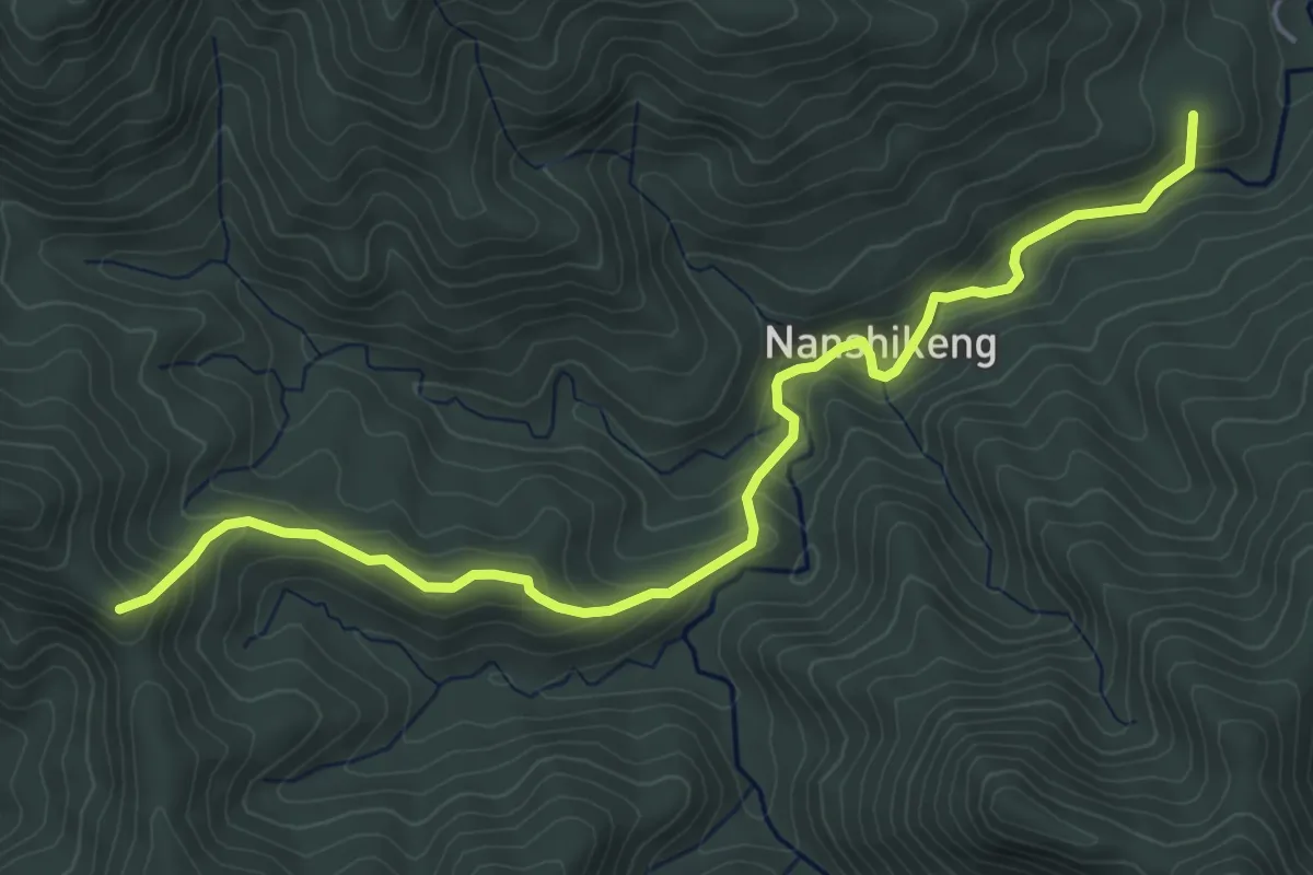
Medium · Summit
南勢坑古道
7.0 km · ↑ 373 m · 2 h 28 min · 10 km away
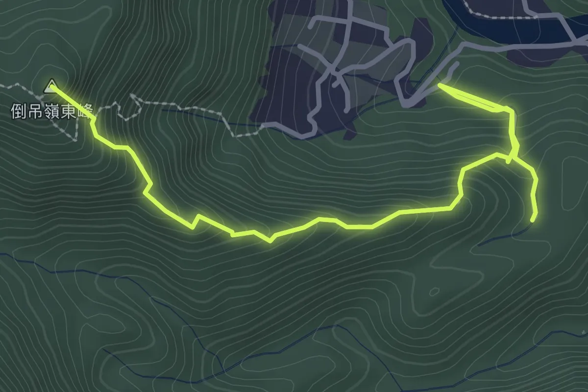
Medium · Summit
大林油杉步道
4.5 km · ↑ 442 m · 2 h 2 min · 11 km away
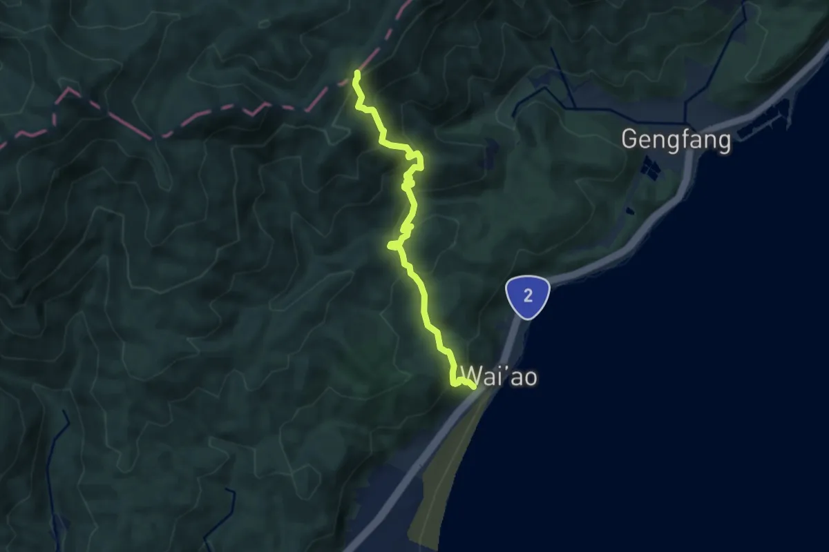
Medium · Trail
石空古道
8.1 km · ↑ 630 m · 3 h 17 min · 11 km away
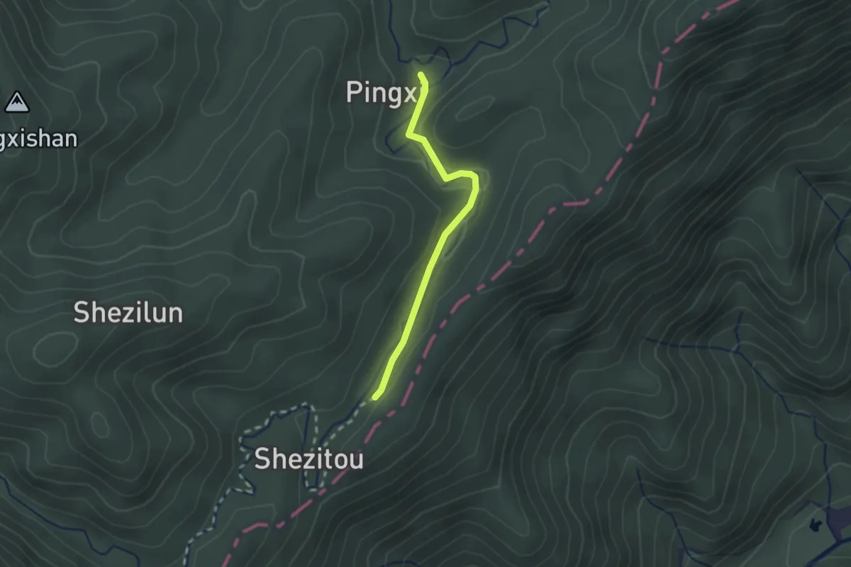
Easy · Trail
坪溪古道
2.4 km · ↑ 53 m · 40 min · 12 km away
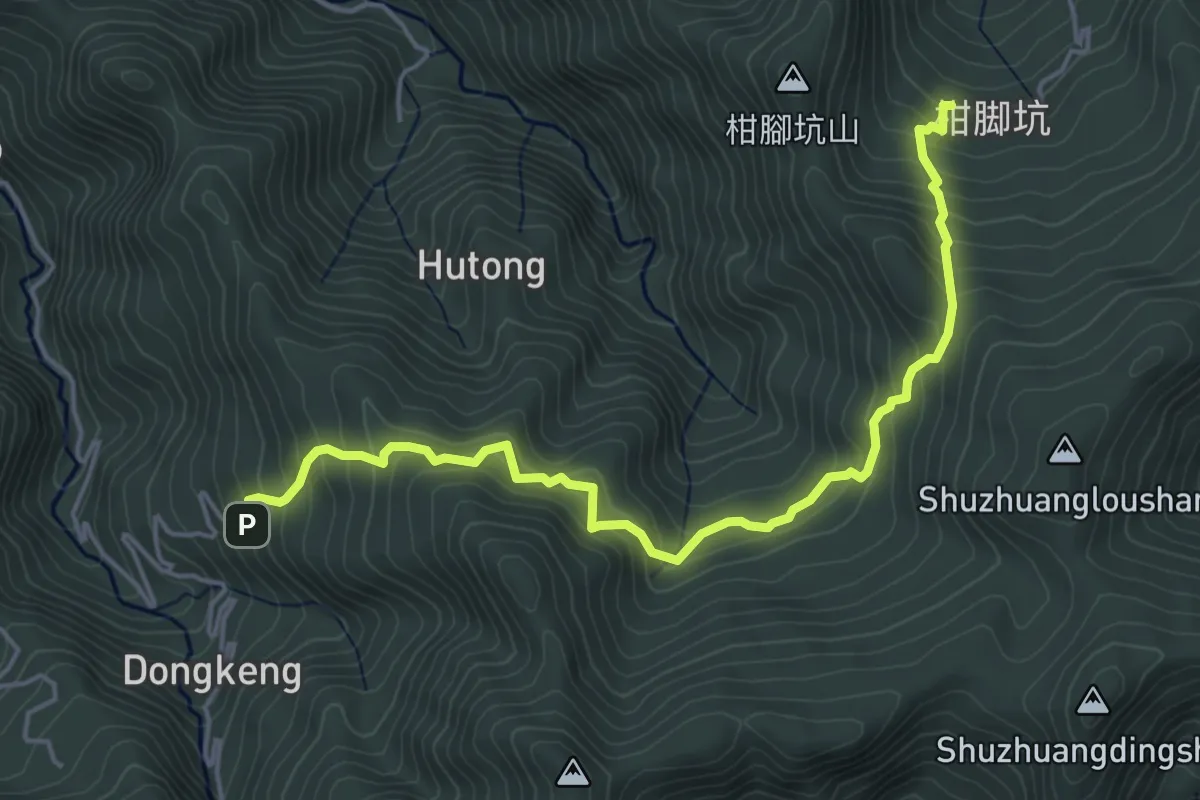
Medium · Trail
湖桶古道
6.9 km · ↑ 592 m · 2 h 54 min · 12 km away
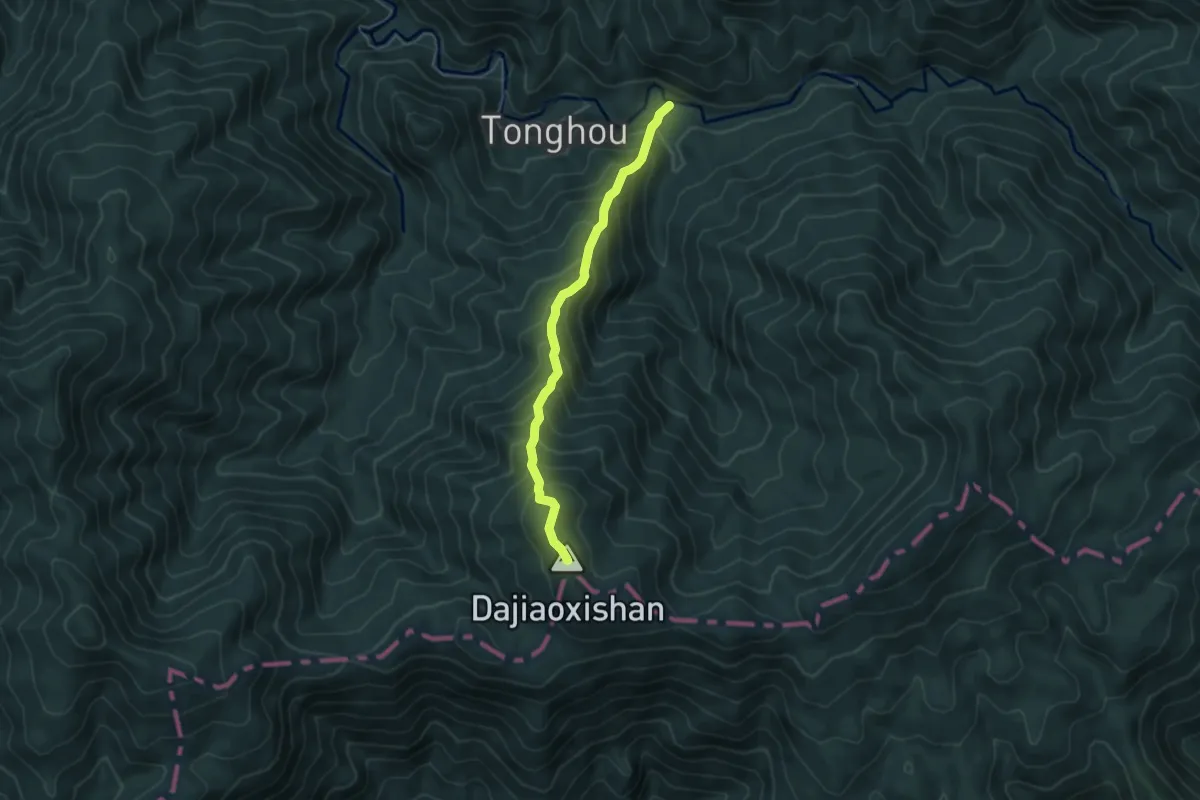
Medium · Summit
大礁溪山步道
5.8 km · ↑ 679 m · 2 h 50 min · 12 km away
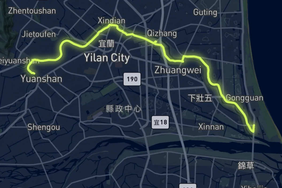
Demanding · Summit
千里步道宜蘭溪北環線
31.8 km · ↑ 113 m · 7 h 44 min · 12 km away
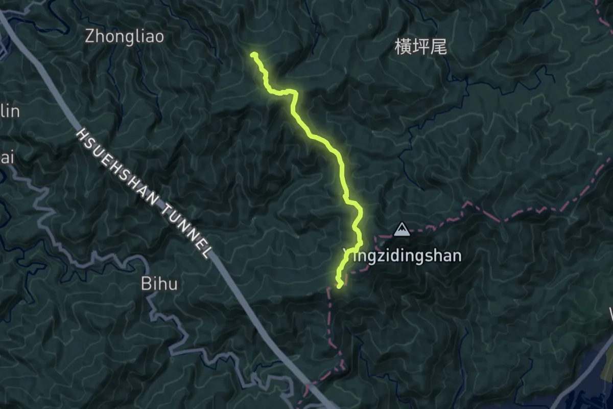
Demanding · Summit
北宜古道
13.9 km · ↑ 883 m · 5 h 11 min · 12 km away
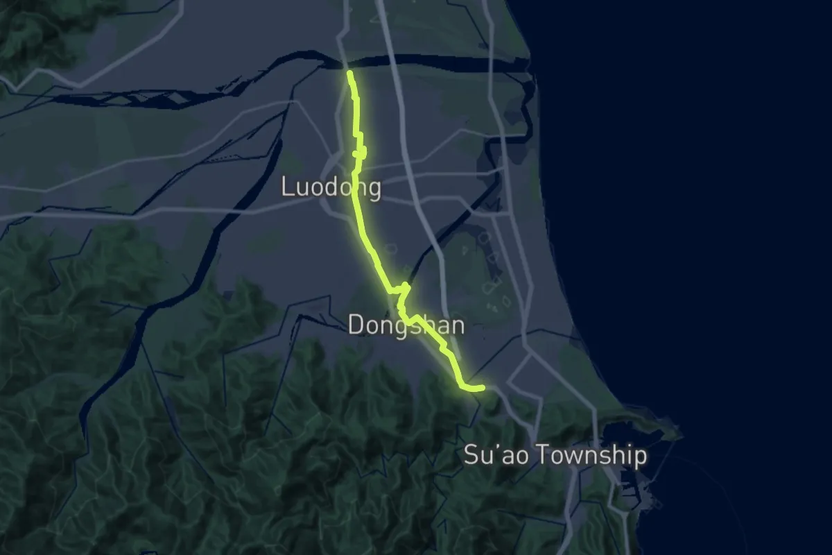
Demanding · Trail
千里步道宜蘭溪南支線
29.9 km · ↑ 144 m · 7 h 23 min · 12 km away
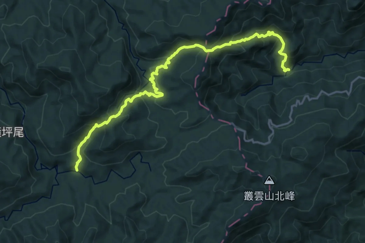
Demanding · Trail
烏山古道
16.1 km · ↑ 1139 m · 6 h 17 min · 13 km away
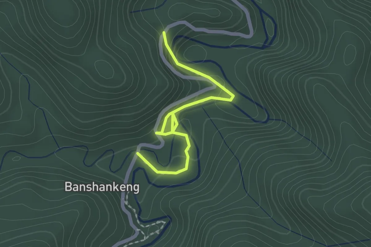
Easy · Trail
金瓜寮魚蕨步道
2.4 km · ↑ 118 m · 50 min · 13 km away
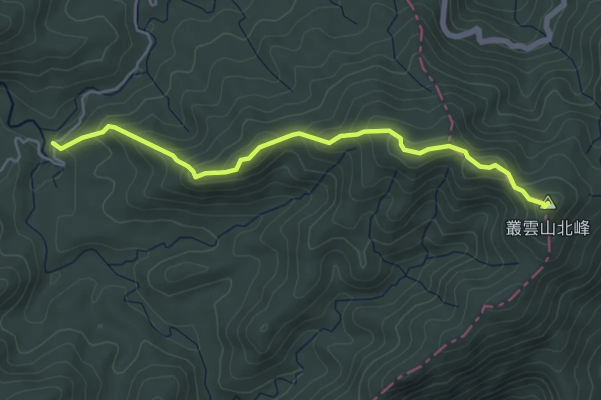
Medium · Summit
叢雲山登山路線
5.5 km · ↑ 376 m · 2 h 7 min · 13 km away
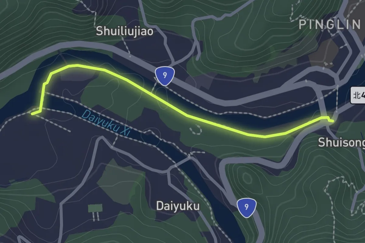
Easy · Trail
觀魚步道
2.9 km · ↑ 27 m · 44 min · 14 km away
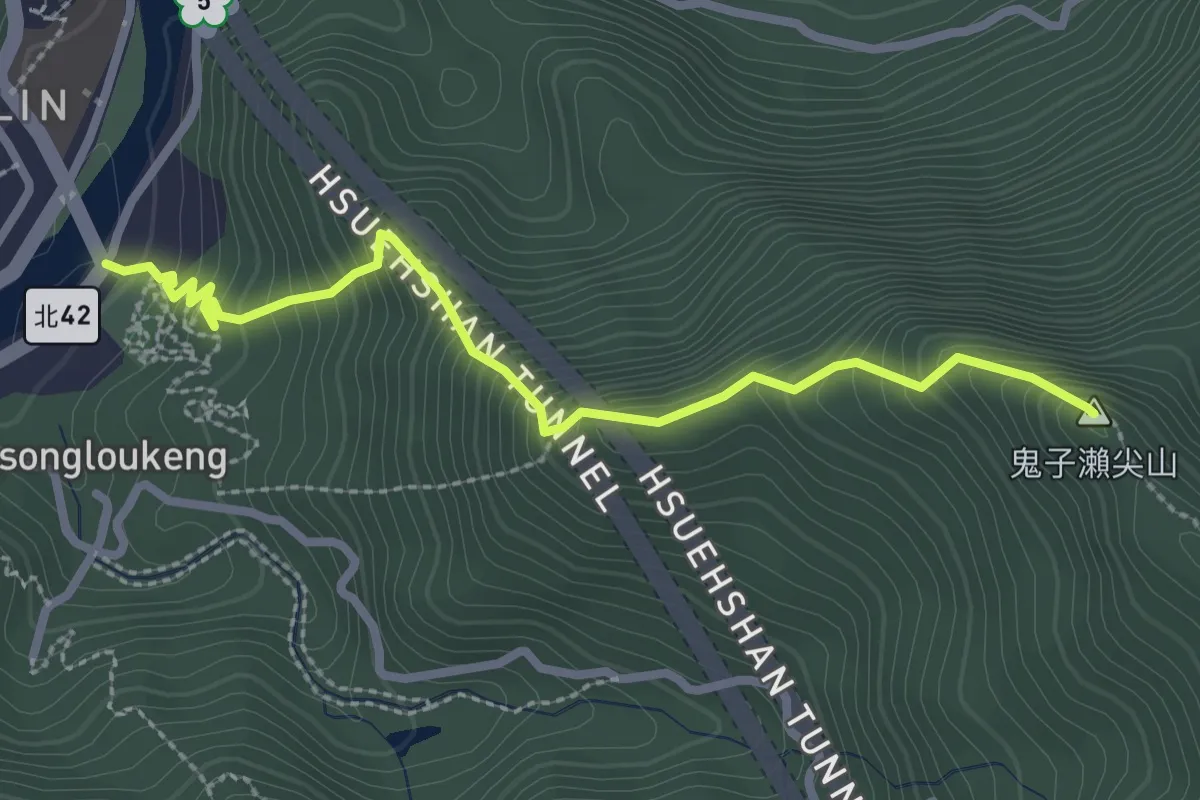
Medium · Summit
大尾山登山步道
3.7 km · ↑ 428 m · 1 h 47 min · 14 km away
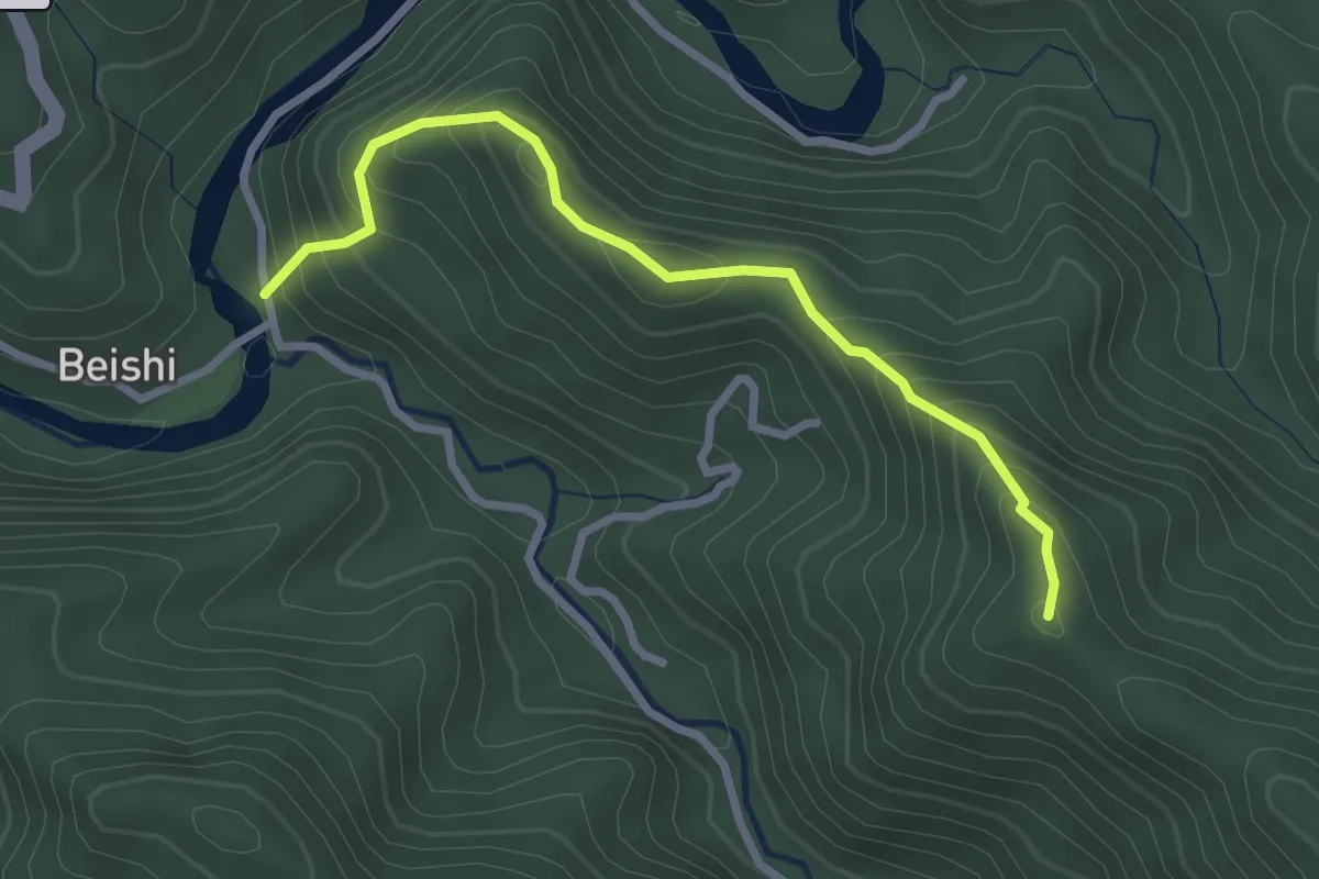
Medium · Summit
虎寮潭山路線
3.6 km · ↑ 372 m · 1 h 39 min · 14 km away
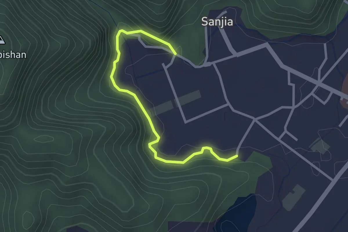
Easy · Trail
環山百年水圳步道
3.3 km · ↑ 163 m · 1 h 8 min · 15 km away