Trails in Taiwan
613 hiking trails, each with its route, climb, walking time and grade.
All trails, page 12 of 13
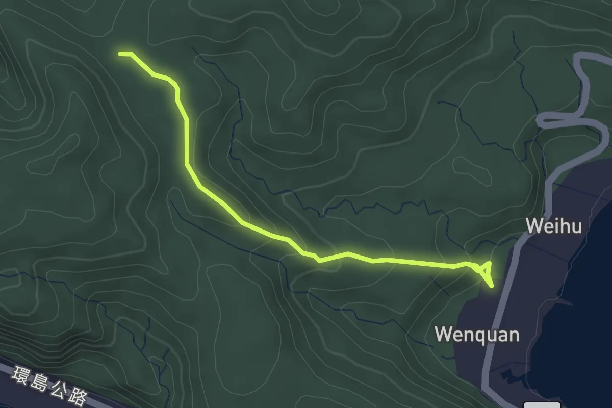
Easy · Trail
過山古道
3.9 km · ↑ 200 m · 1 h 21 min
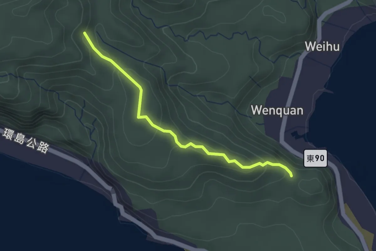
Easy · Trail
過山步道
3.5 km · ↑ 133 m · 1 h 7 min
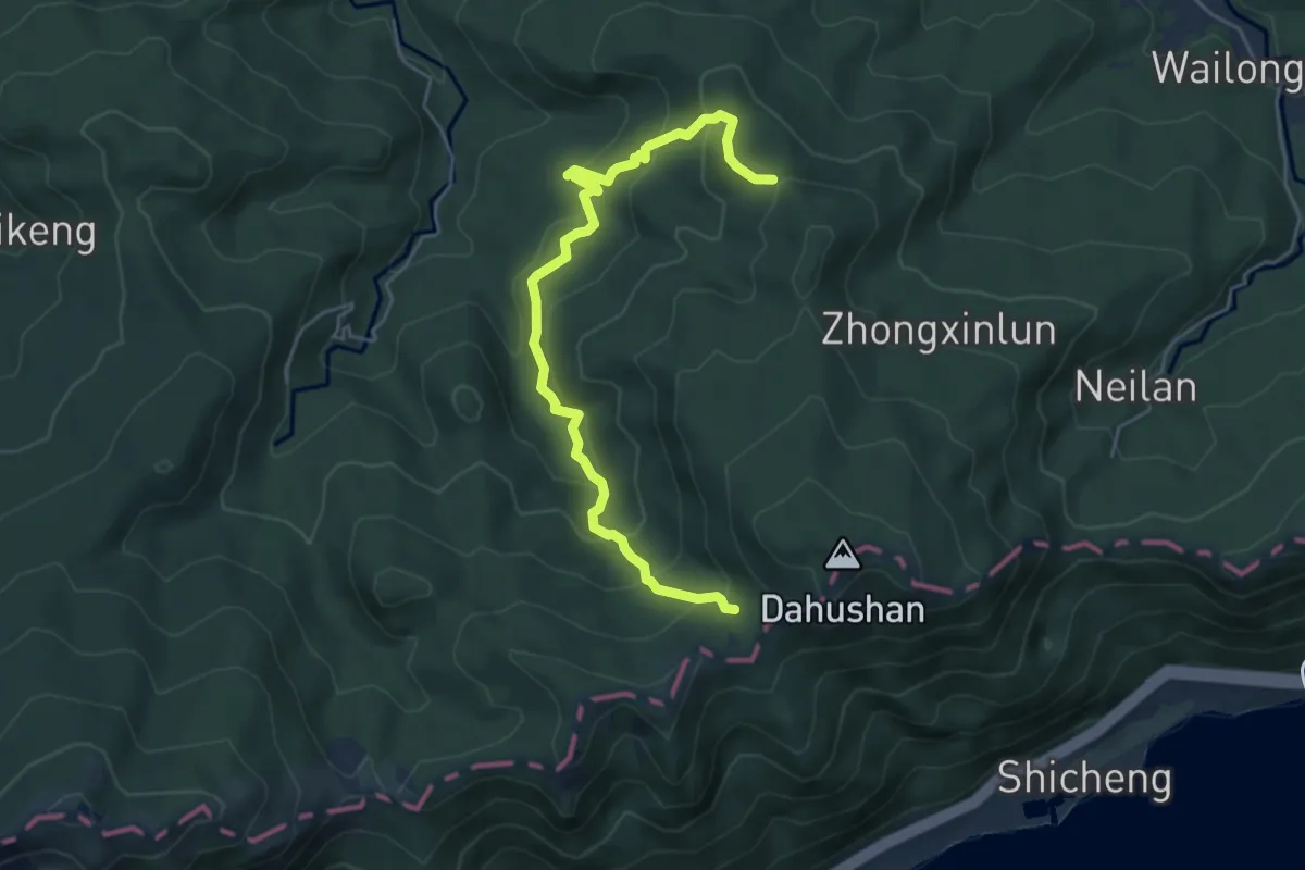
Medium · Trail
遠望坑古道
6.9 km · ↑ 414 m · 2 h 32 min
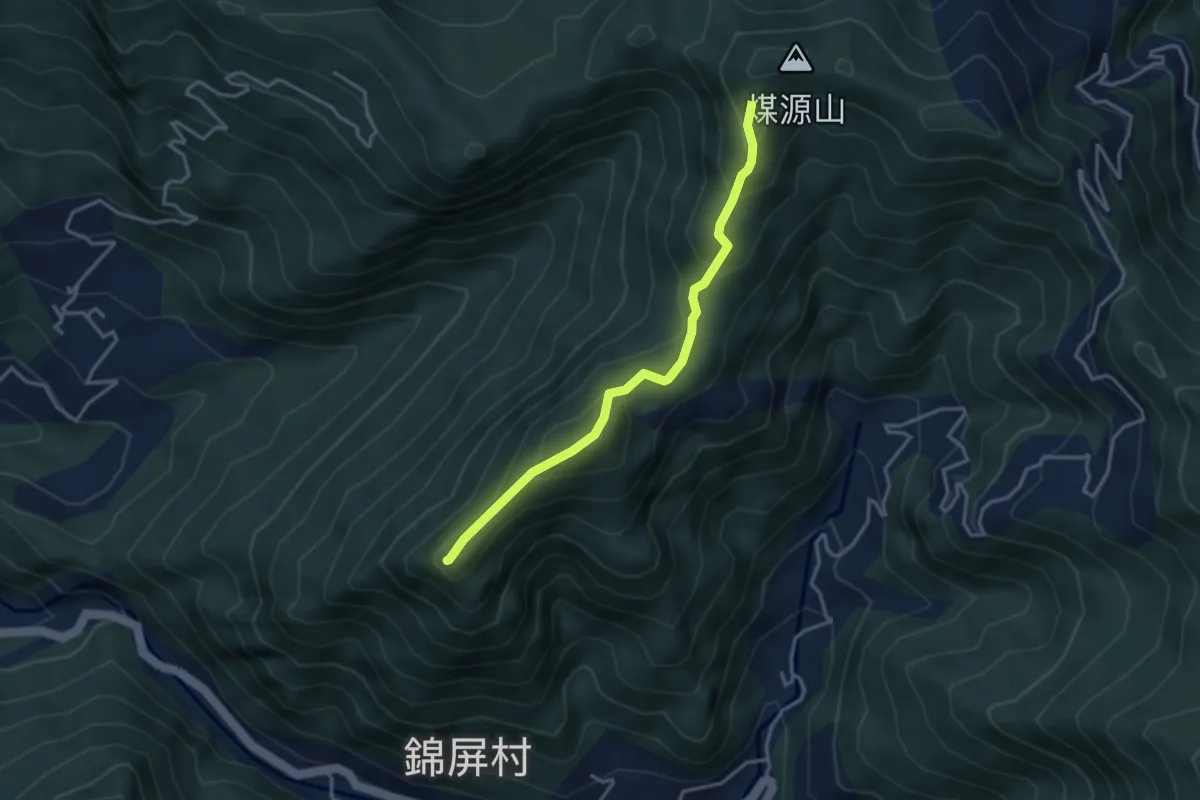
Medium · Summit
那羅山煤源山登山路線
4.3 km · ↑ 361 m · 1 h 48 min
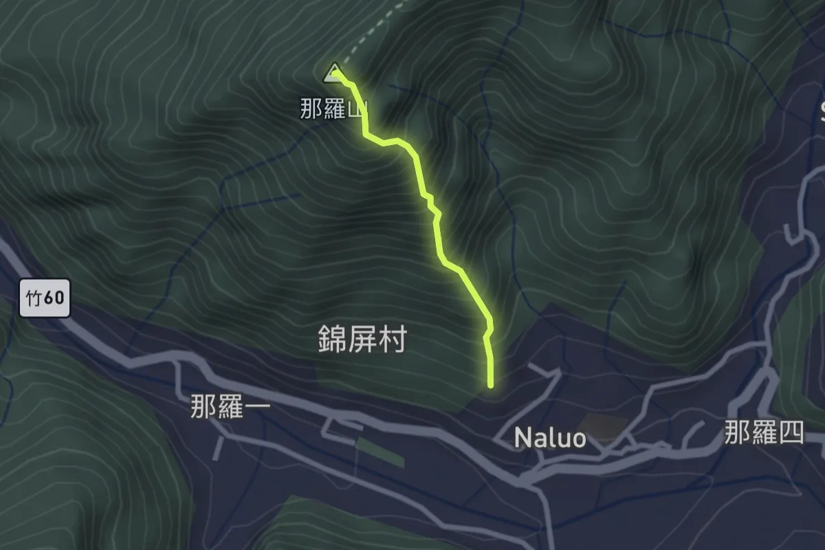
Medium · Summit
那羅山登山路線
2.0 km · ↑ 474 m · 1 h 31 min
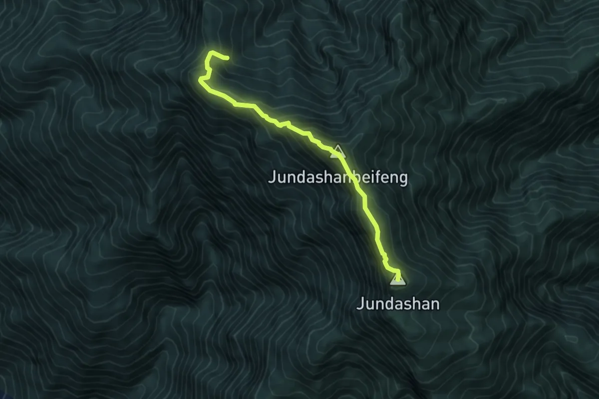
Medium · Summit
郡大山登山步道
7.0 km · ↑ 588 m · 2 h 55 min
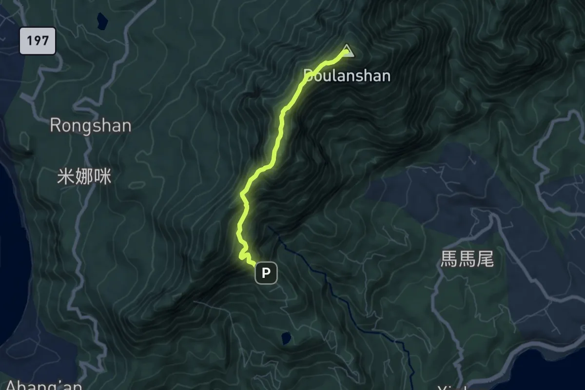
Medium · Summit
都蘭山步道
6.8 km · ↑ 686 m · 3 h 5 min
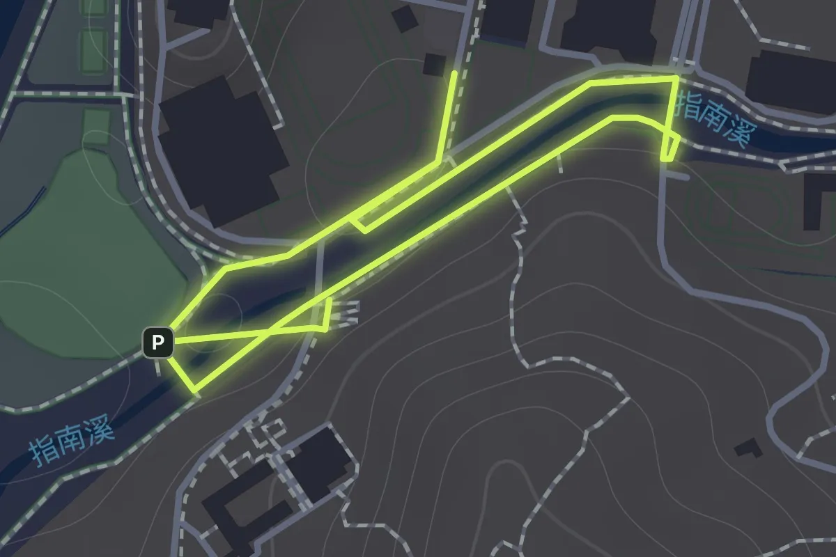
Easy · Trail
野薑花步道
1.3 km · ↑ 31 m · 23 min
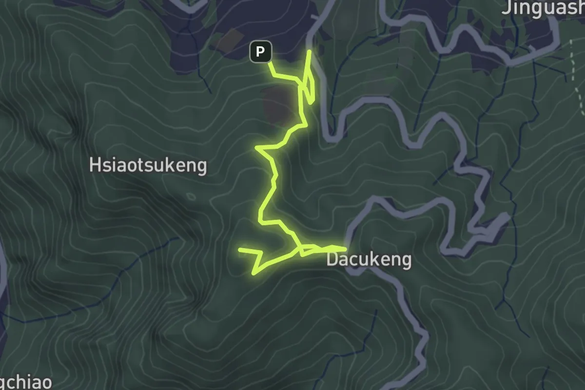
Easy · Summit
金仔山步道
4.8 km · ↑ 300 m · 1 h 47 min
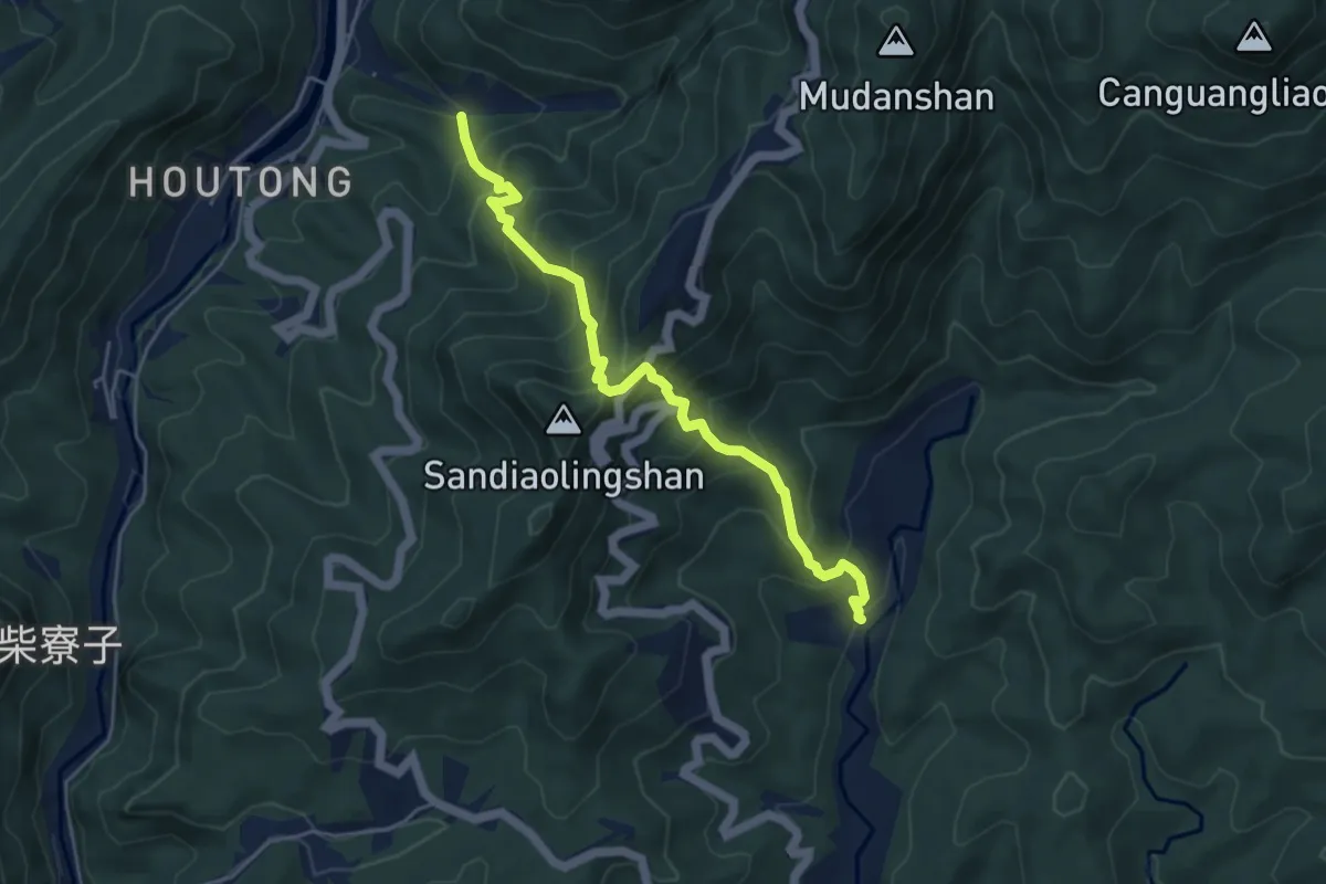
Medium · Trail
金字碑登山步道
6.3 km · ↑ 754 m · 3 h 7 min
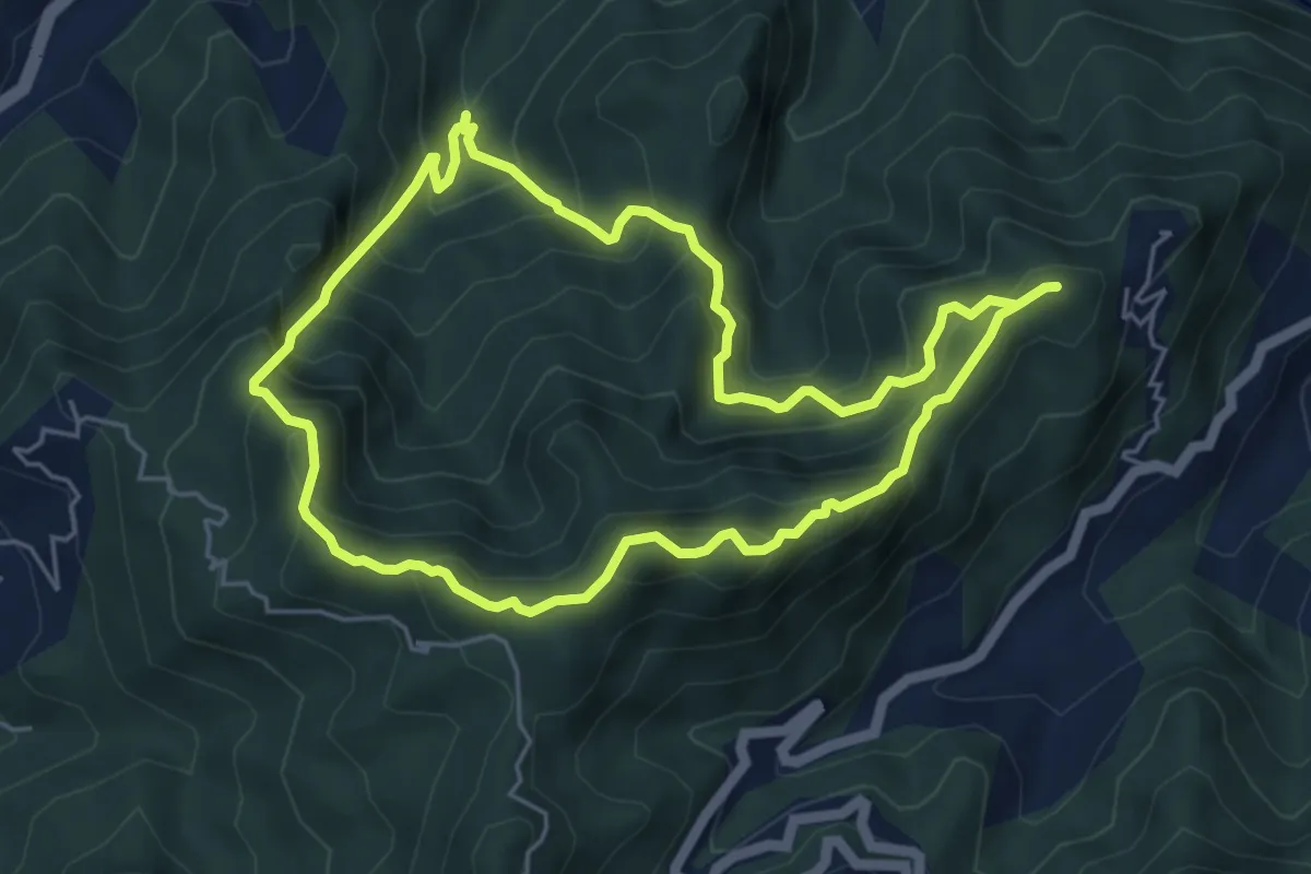
Medium · Summit
金敏四山
6.6 km · ↑ 620 m · 3 h
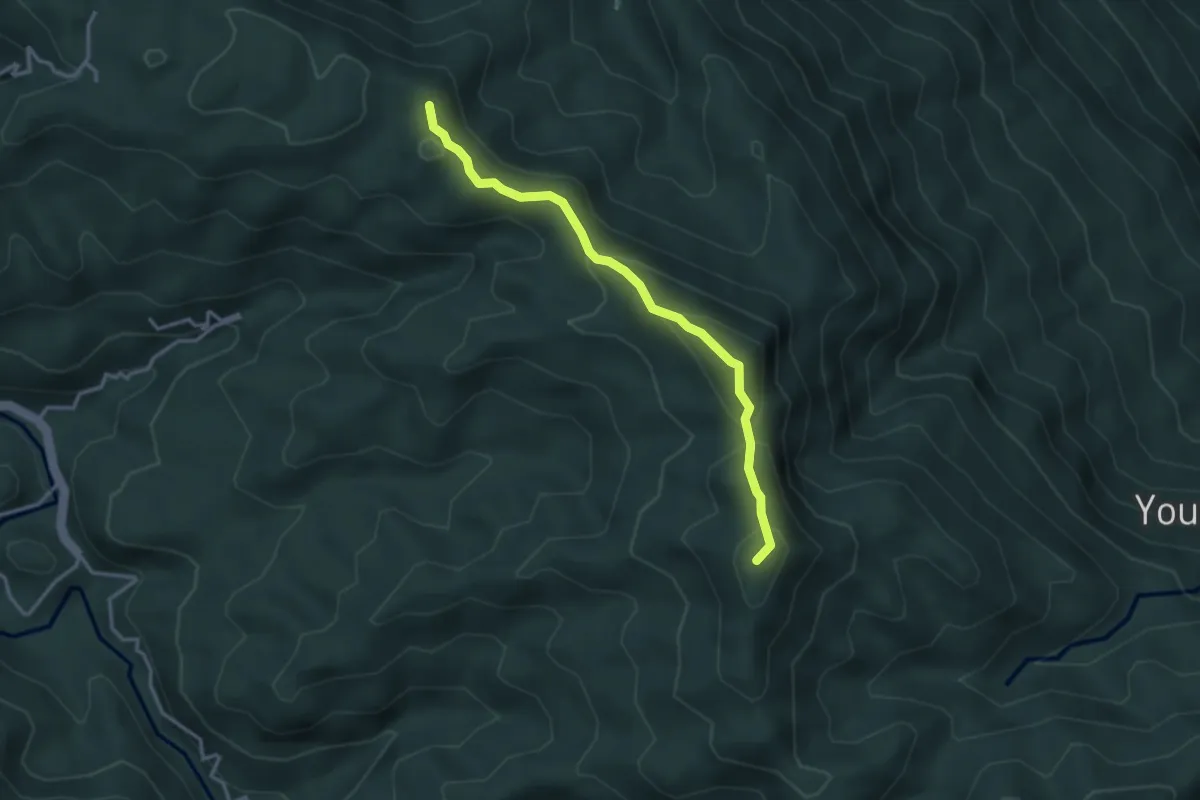
Demanding · Summit
金柑樹山步道
4.2 km · ↑ 257 m · 1 h 32 min
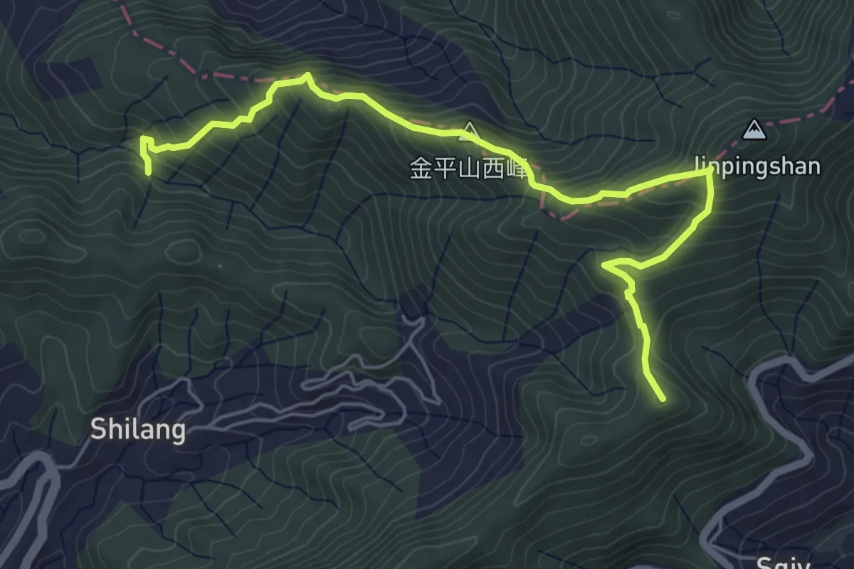
Medium · Summit
金牌縱走
7.8 km · ↑ 679 m · 3 h 18 min
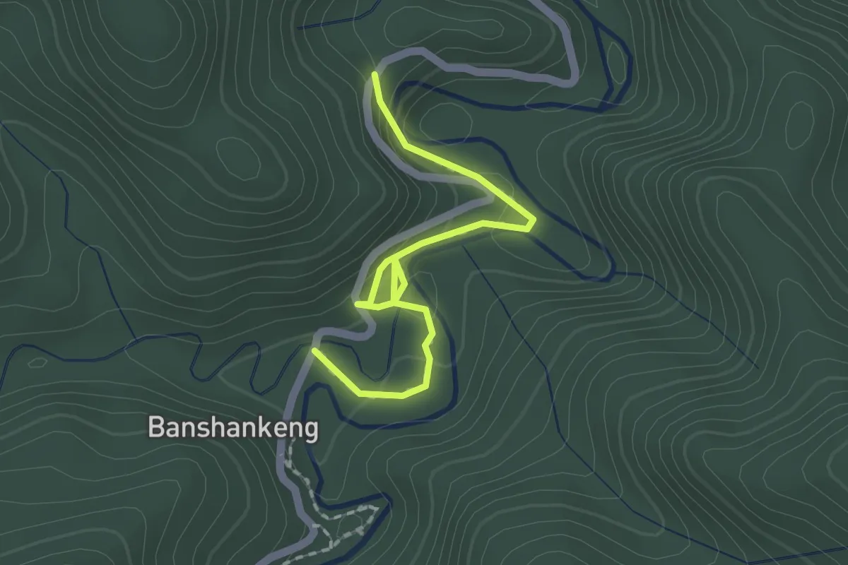
Easy · Trail
金瓜寮魚蕨步道
2.4 km · ↑ 118 m · 50 min
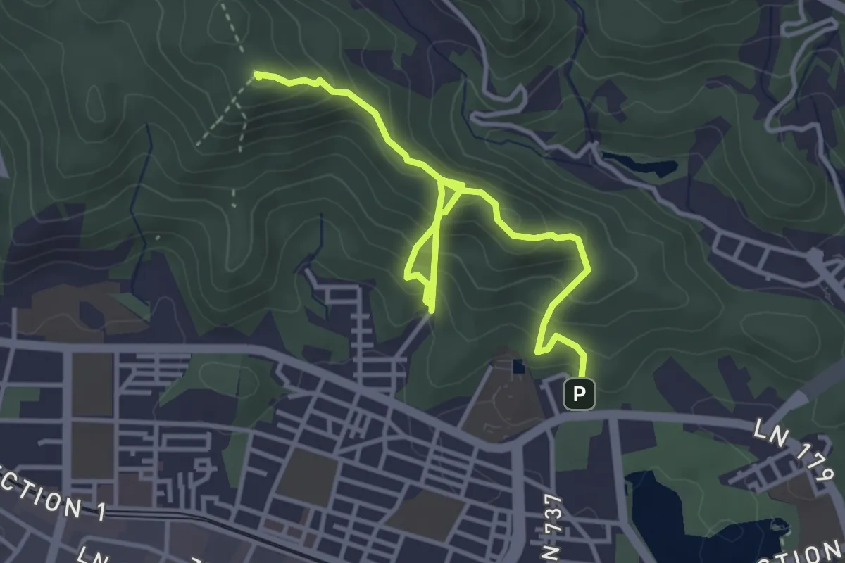
Medium · Summit
金面山步道
5.4 km · ↑ 499 m · 2 h 21 min
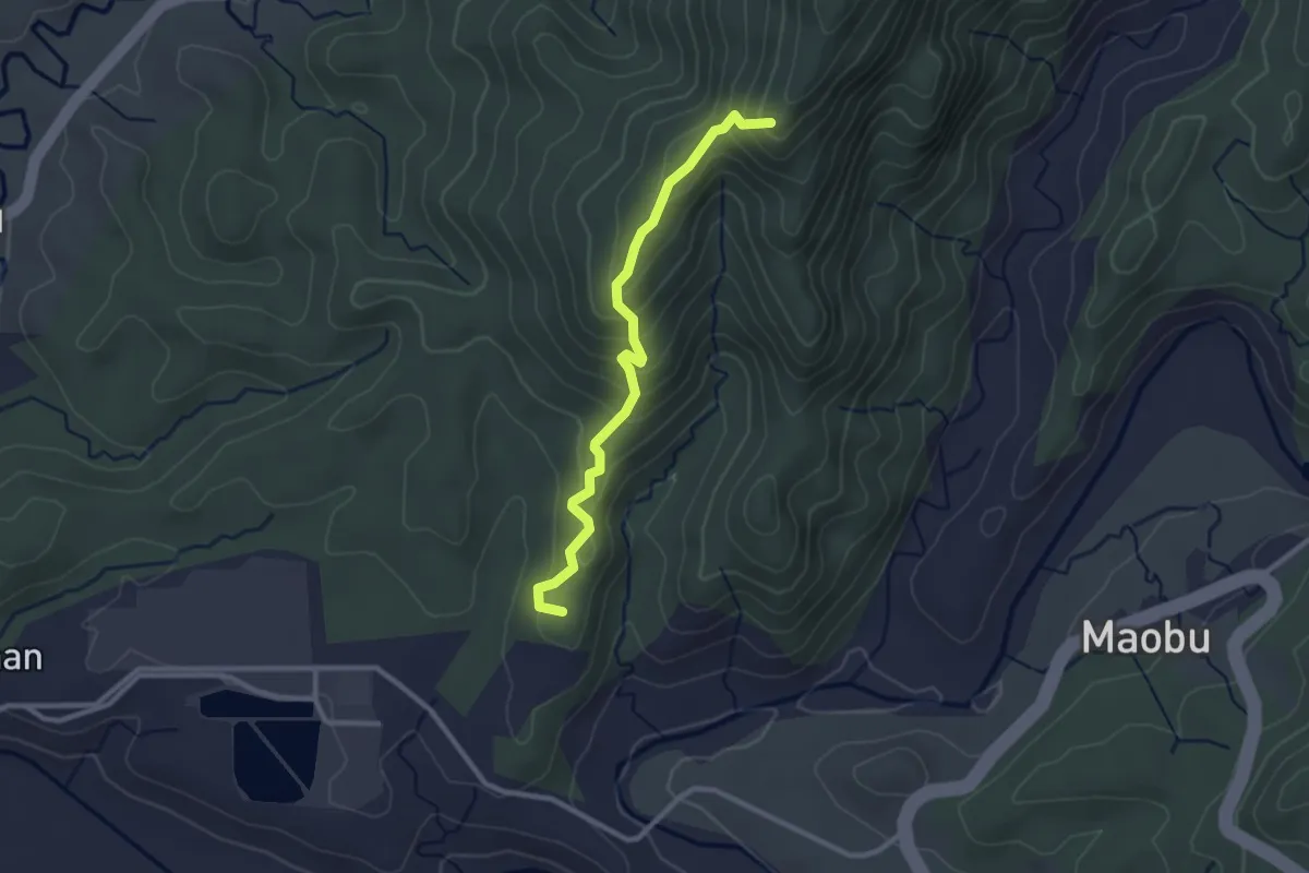
Easy · Summit
鈺鼎步道
3.5 km · ↑ 272 m · 1 h 25 min
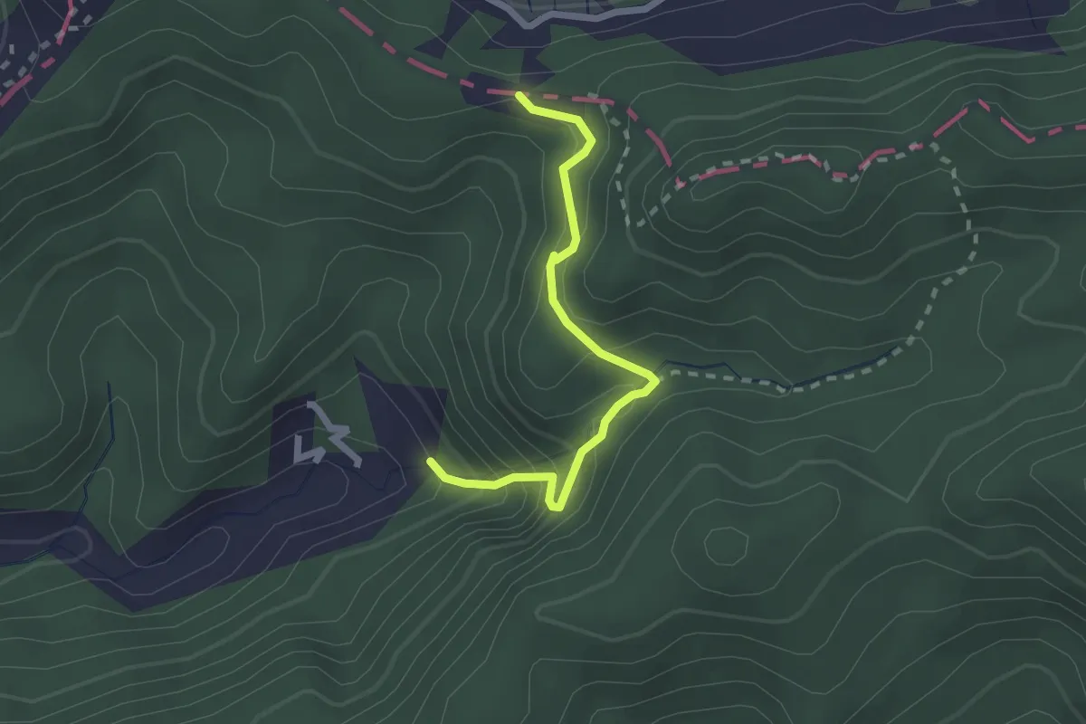
Easy · Trail
銀河洞越嶺步道
2.7 km · ↑ 254 m · 1 h 12 min
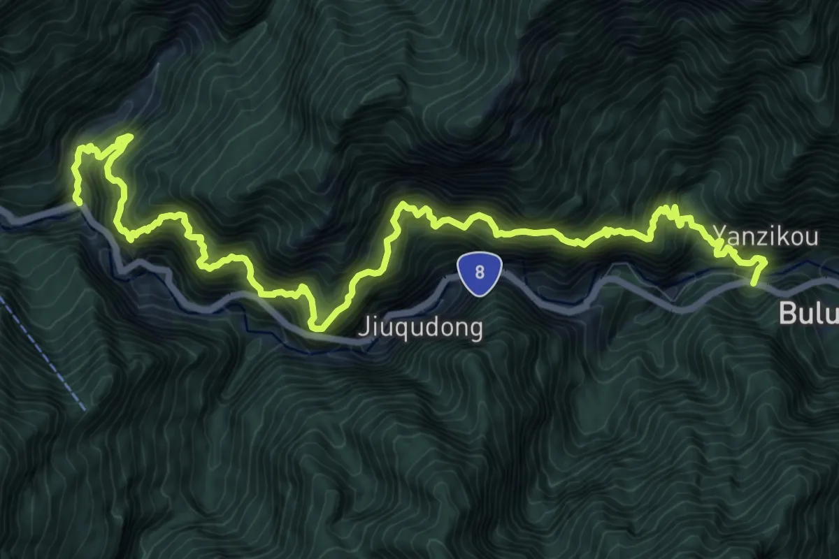
Demanding · Trail
錐麓古道
9.5 km · ↑ 1509 m · 5 h 42 min
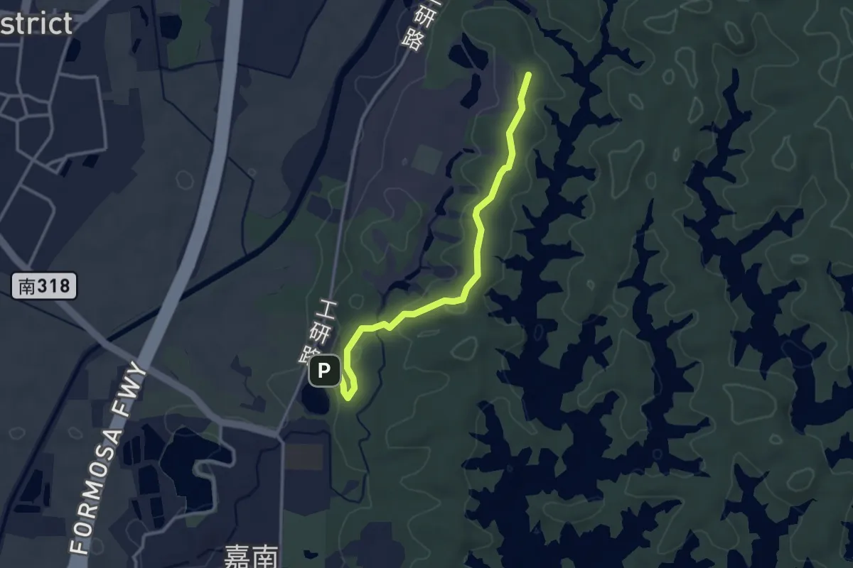
Easy · Trail
鎮南宮後山步道
3.9 km · ↑ 95 m · 1 h 7 min
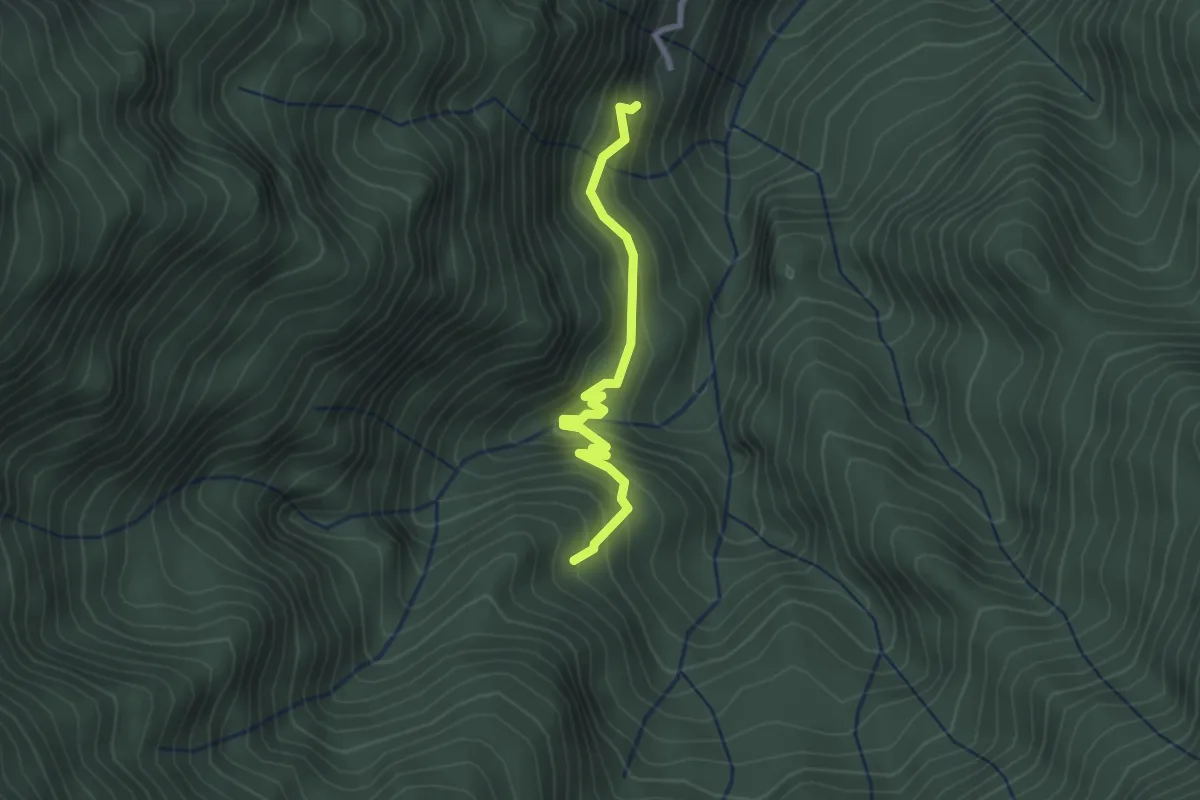
Easy · Trail
鎮西堡巨木群步道
3.0 km · ↑ 229 m · 1 h 13 min
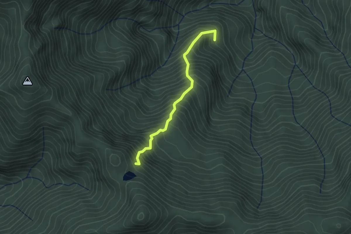
Medium · Trail
鎮西堡巨木群步道A區
3.1 km · ↑ 523 m · 1 h 52 min
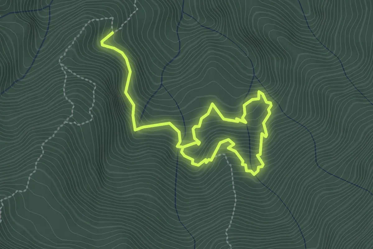
Medium · Trail
鎮西堡巨木群步道B區
5.4 km · ↑ 518 m · 2 h 23 min
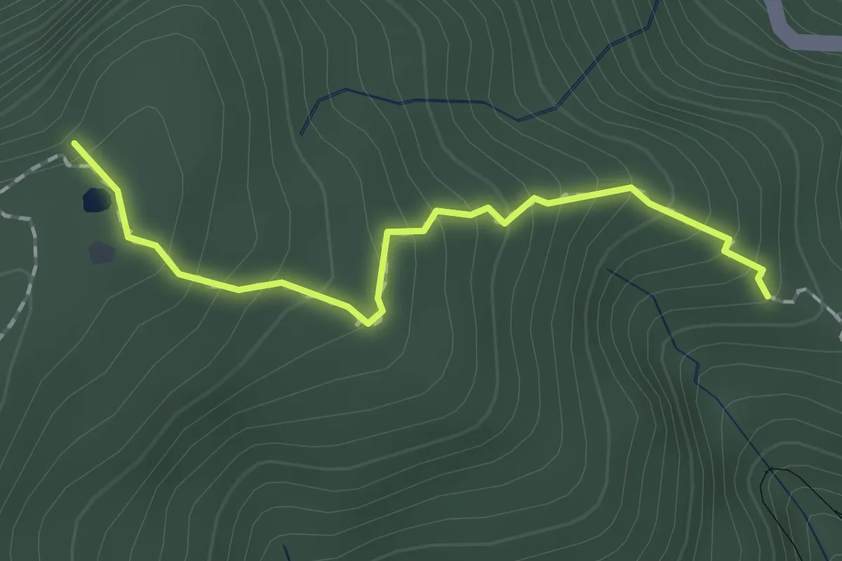
Easy · Trail
鐵杉林自然步道
2.0 km · ↑ 193 m · 53 min
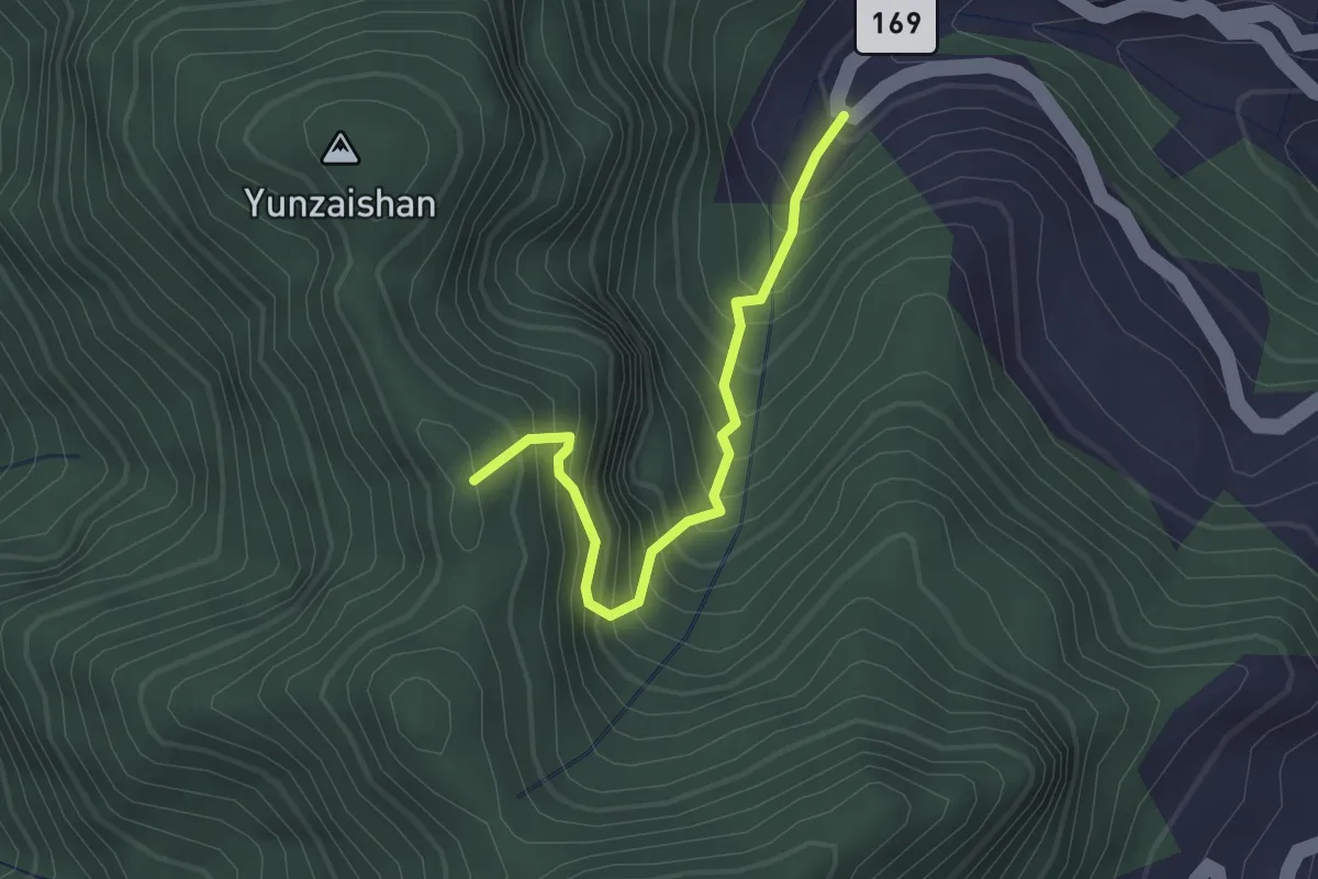
Medium · Trail
長山步道
2.8 km · ↑ 435 m · 1 h 37 min
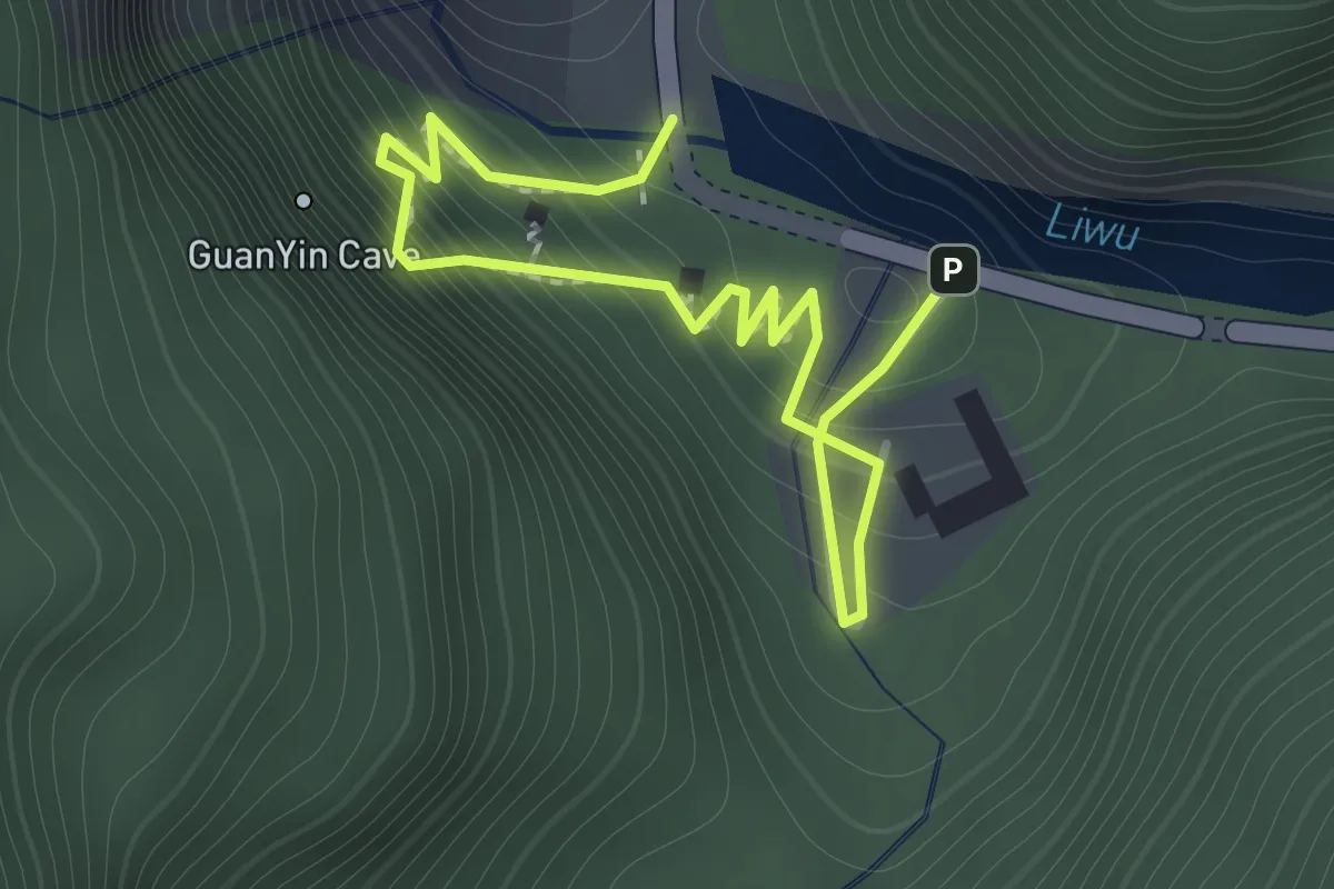
Easy · Trail
長春祠步道
2.2 km · ↑ 281 m · 1 h 7 min
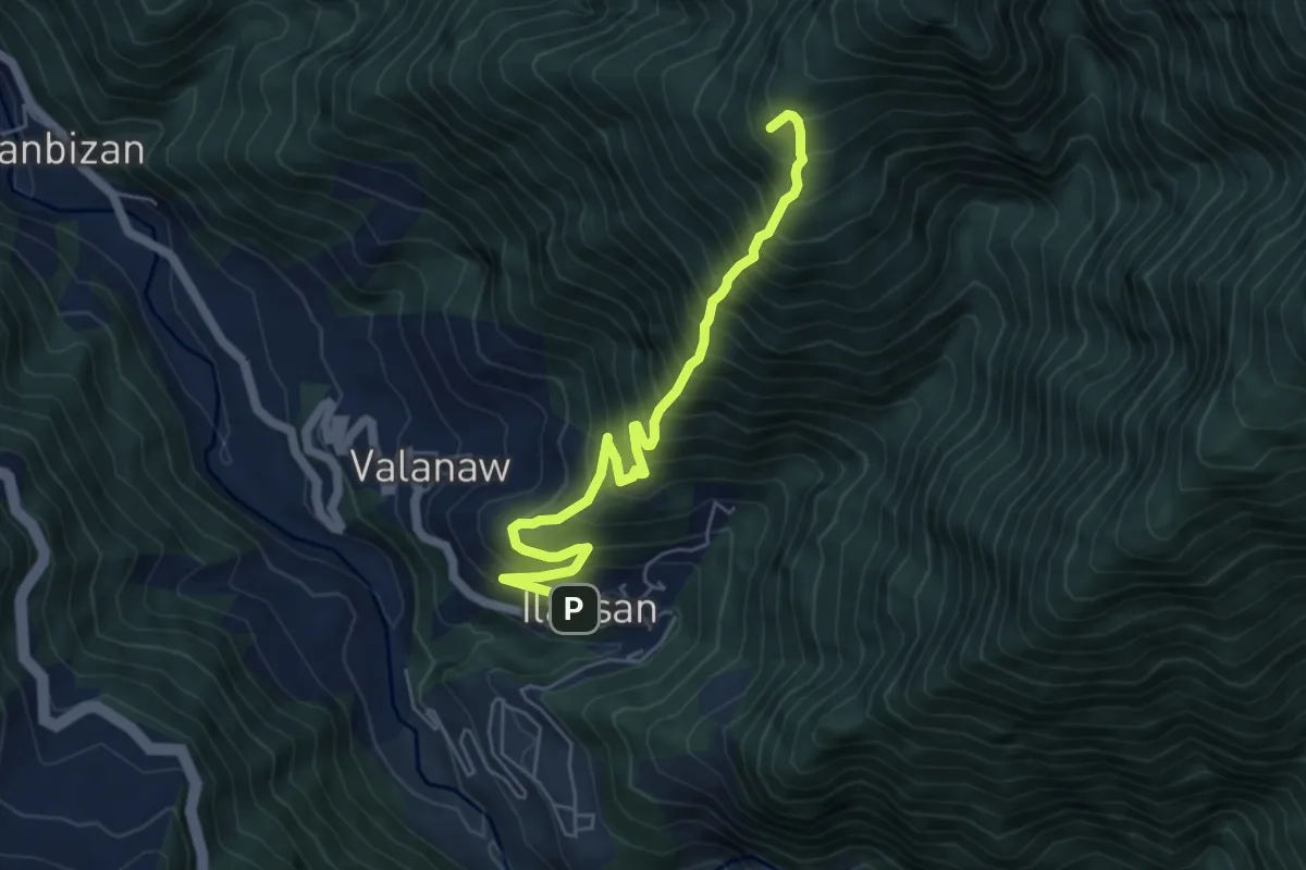
Demanding · Summit
開高山南稜
7.4 km · ↑ 1049 m · 4 h 1 min
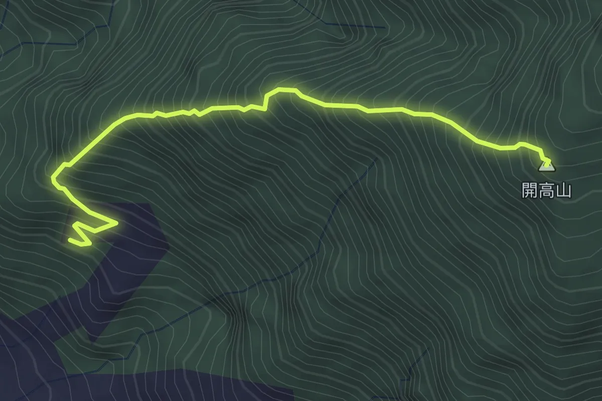
Demanding · Summit
開高山西稜
5.0 km · ↑ 924 m · 3 h 10 min
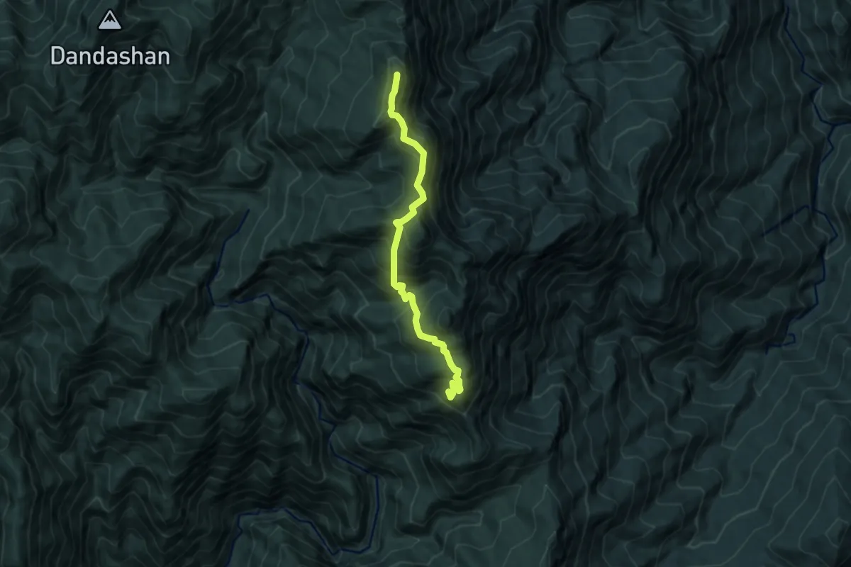
Demanding · Summit
阿屘那來山登山路線
9.7 km · ↑ 1099 m · 4 h 41 min
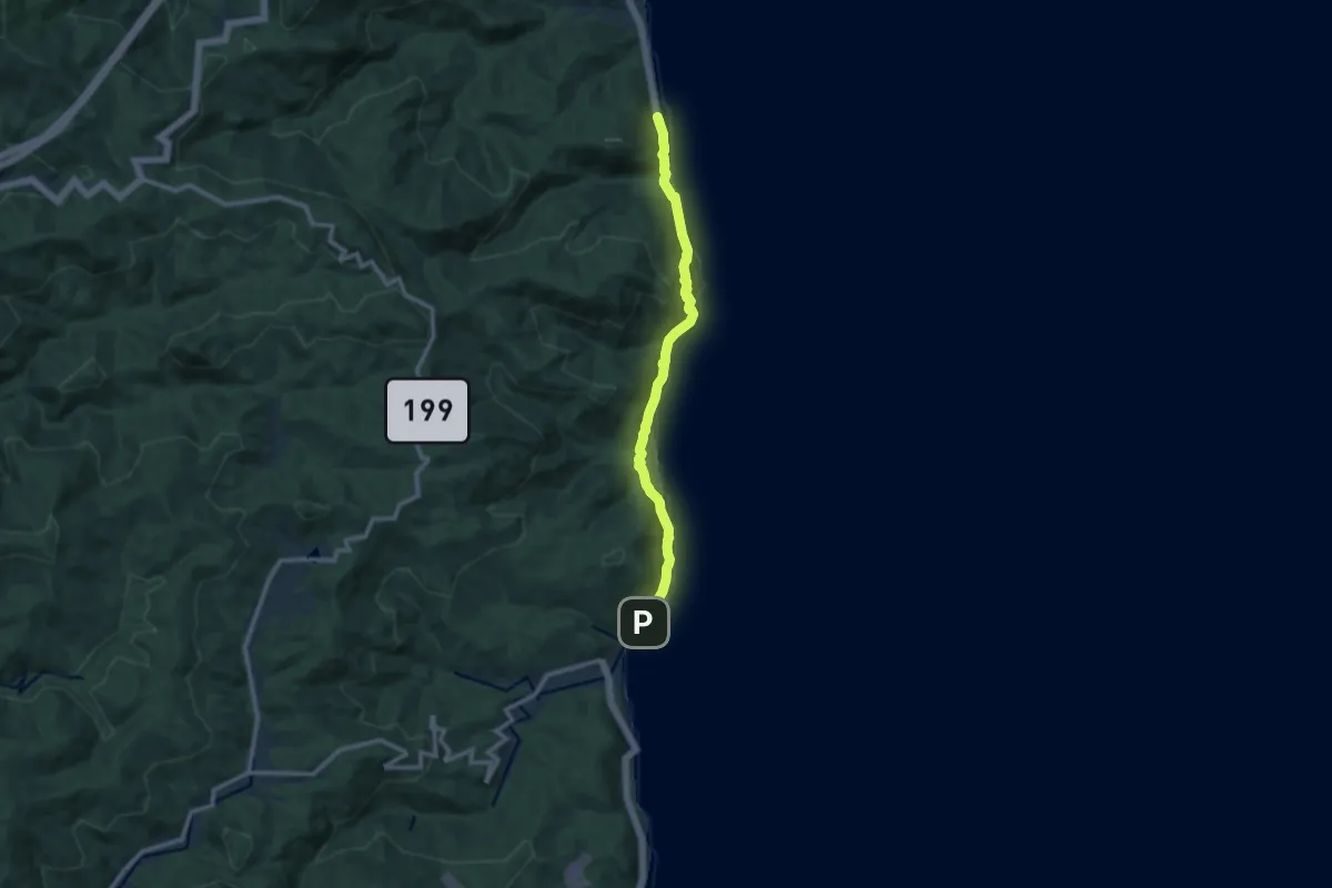
Medium · Trail
阿朗壹古道
13.1 km · ↑ 532 m · 4 h 14 min
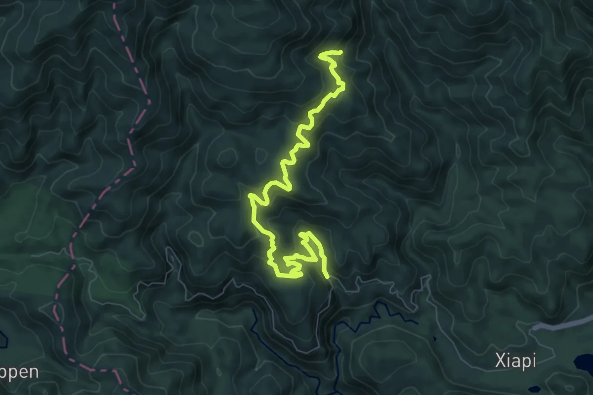
Medium · Trail
阿玉山林道
10.8 km · ↑ 692 m · 4 h 2 min
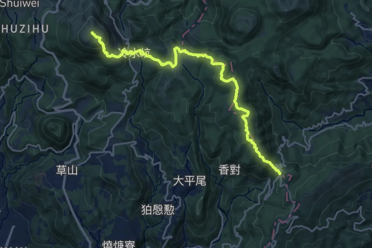
Demanding · Summit
陽明山東西大縱走
19.6 km · ↑ 1109 m · 7 h 1 min
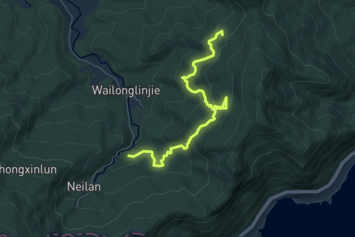
Medium · Trail
隆隆山山腰古厝群
7.9 km · ↑ 495 m · 2 h 57 min
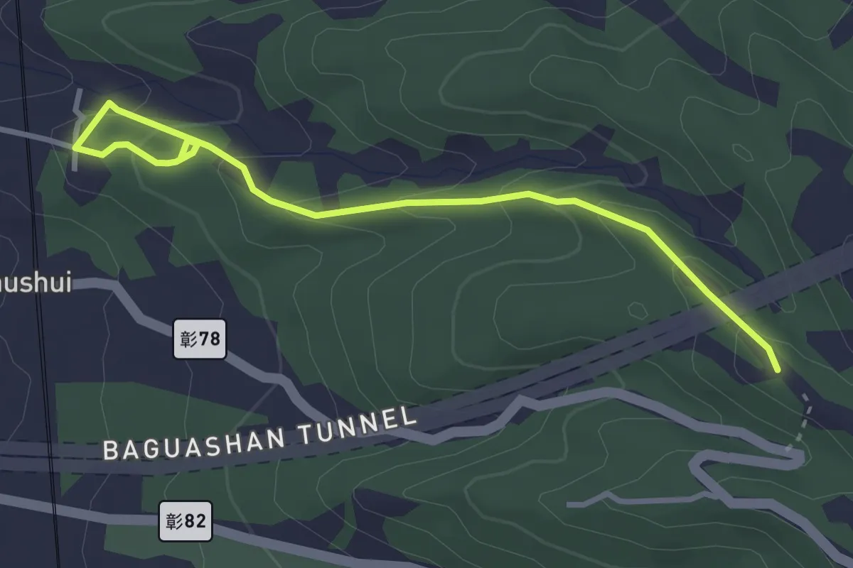
Easy · Trail
隴頂古道
4.5 km · ↑ 226 m · 1 h 33 min
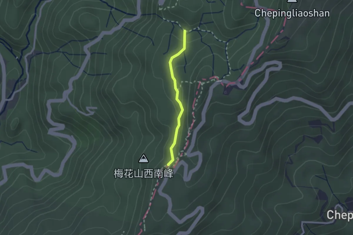
Easy · Trail
雙溪溝古道
2.1 km · ↑ 63 m · 38 min
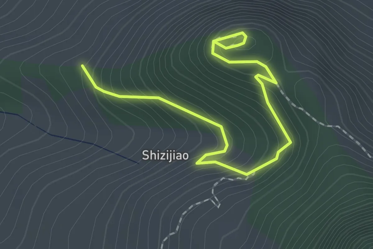
Easy · Trail
雞巃山步道
2.8 km · ↑ 223 m · 1 h 9 min
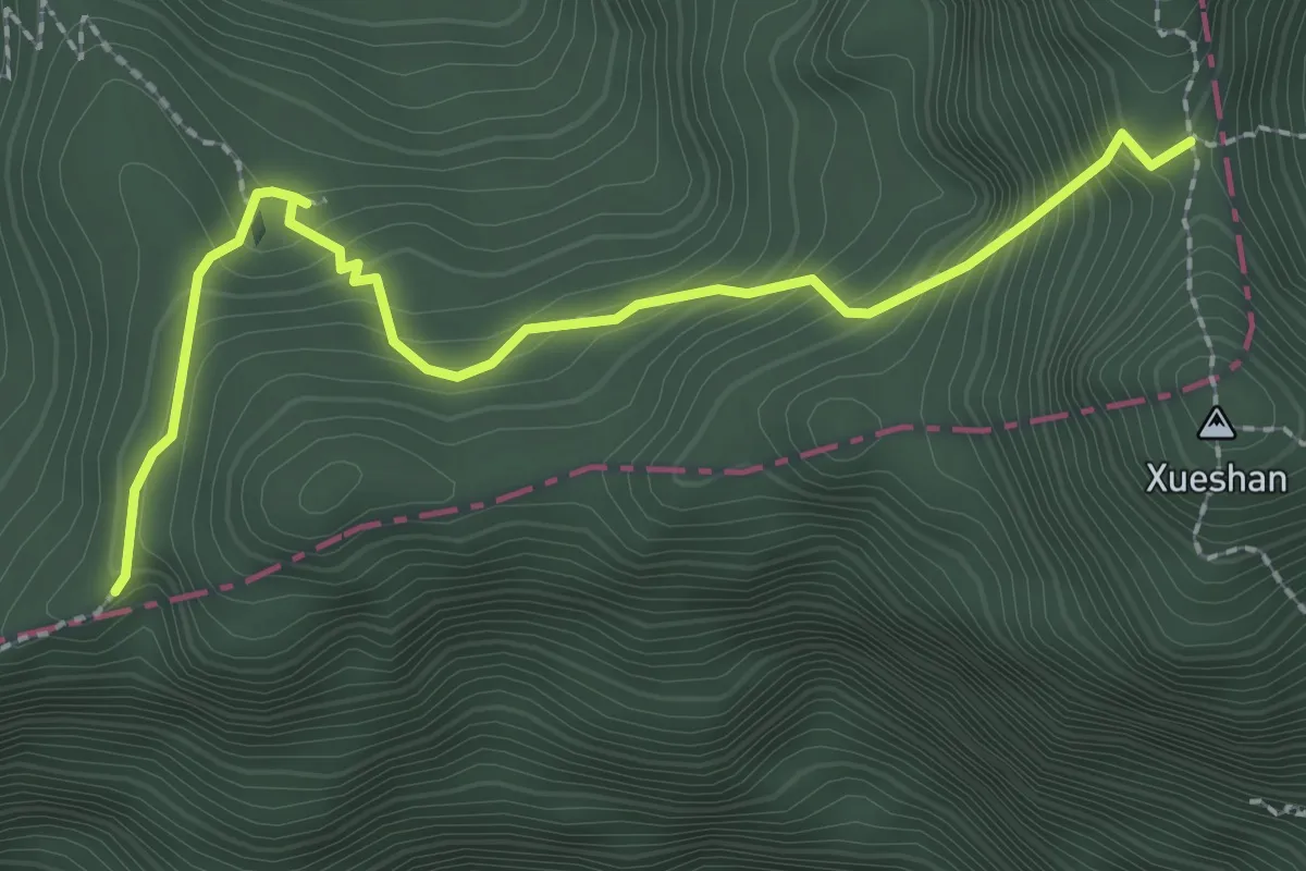
Medium · Trail
雪山主峰翠池步道
3.3 km · ↑ 340 m · 1 h 31 min
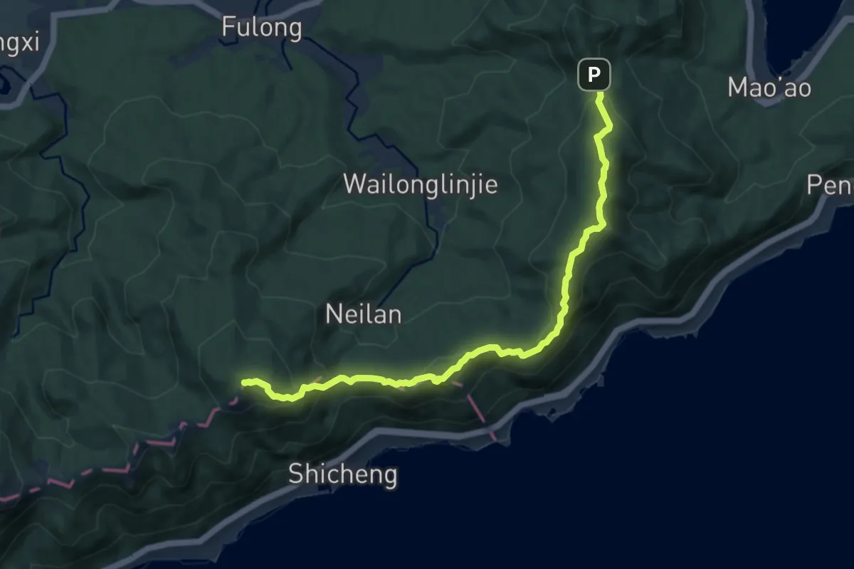
Demanding · Summit
雪山尾稜
11.9 km · ↑ 824 m · 4 h 36 min
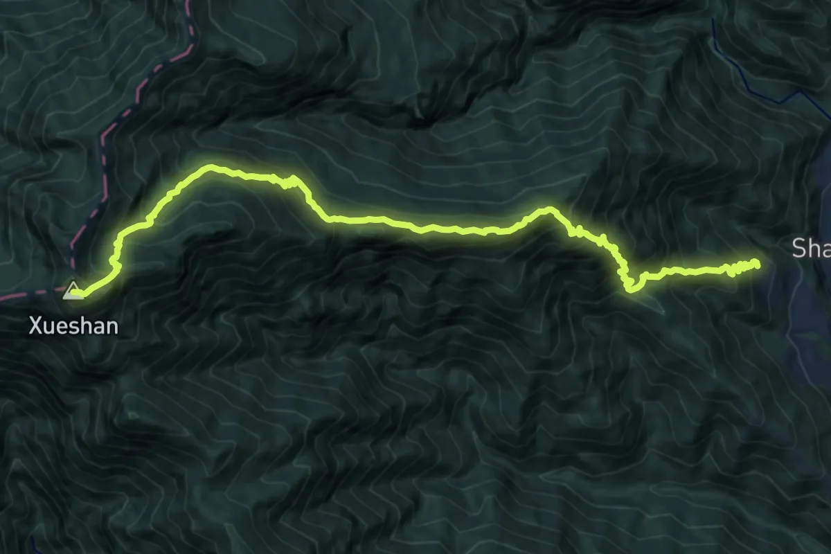
Demanding · Summit
雪東線
19.8 km · ↑ 2033 m · 9 h 5 min
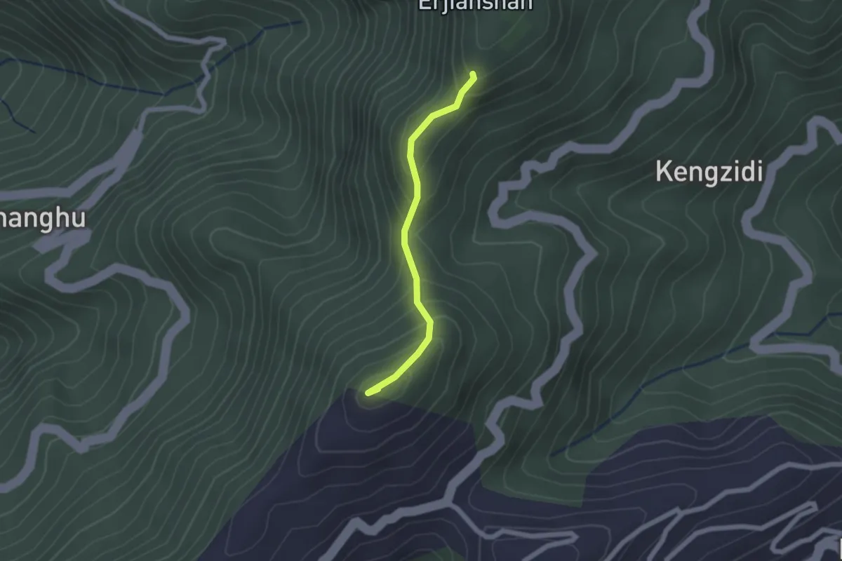
Easy · Summit
雲嘉五連峰步道
2.1 km · ↑ 203 m · 57 min
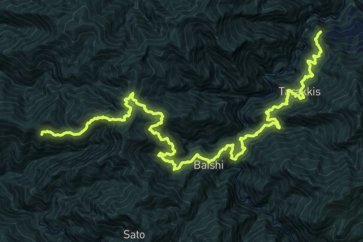
Demanding · Trail
霞喀羅國家步道
20.4 km · ↑ 2090 m · 9 h 26 min
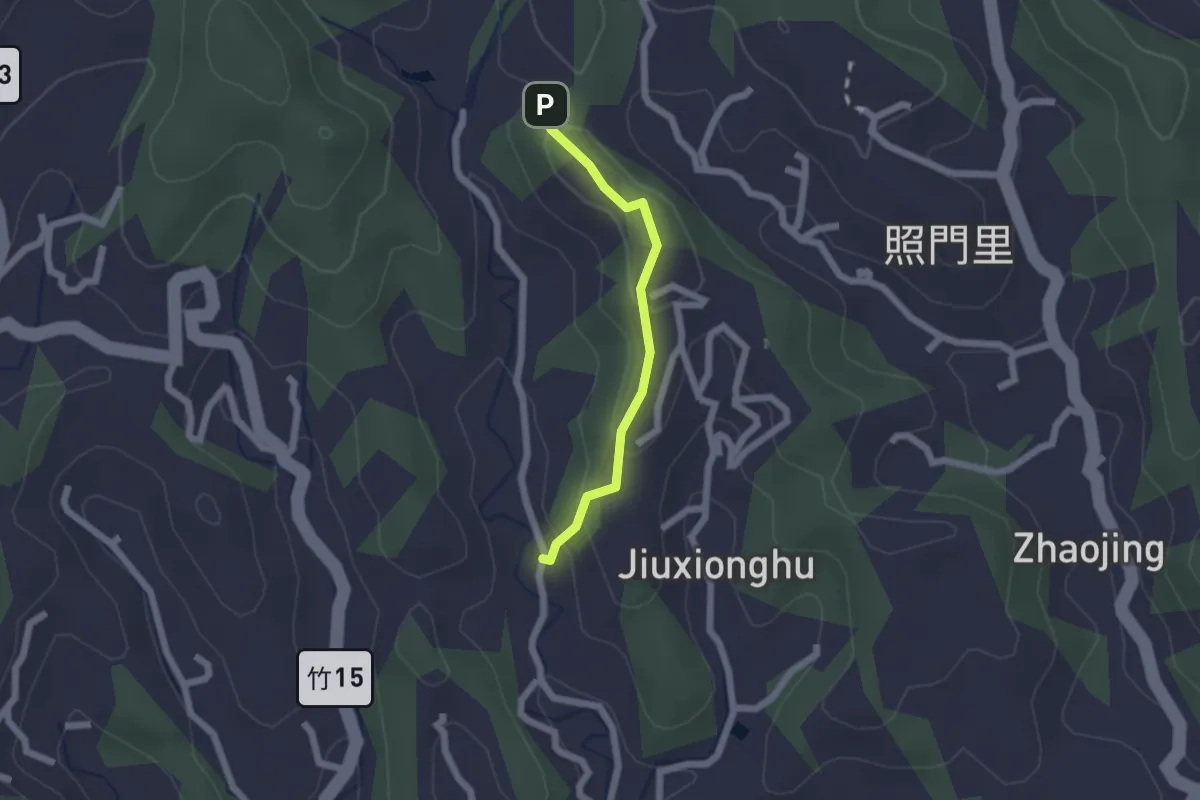
Easy · Trail
霽月步道
2.2 km · ↑ 116 m · 46 min
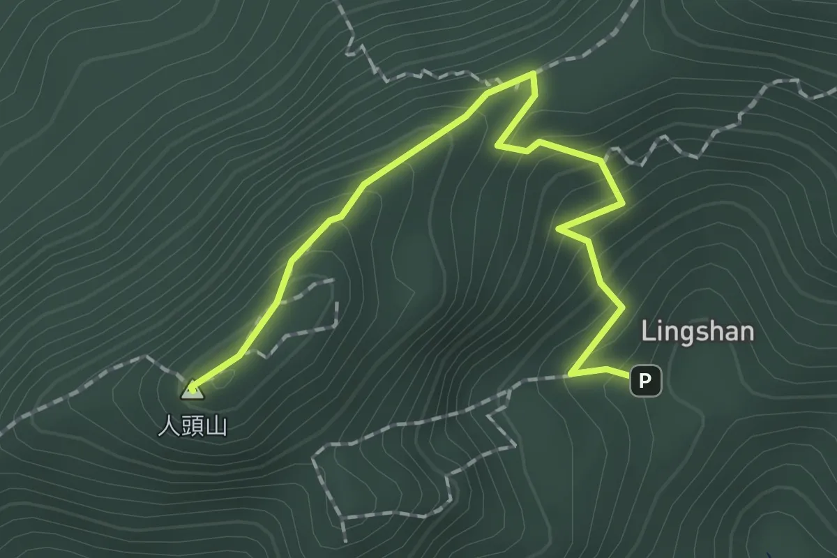
Easy · Summit
靈山步道
2.5 km · ↑ 205 m · 1 h 2 min
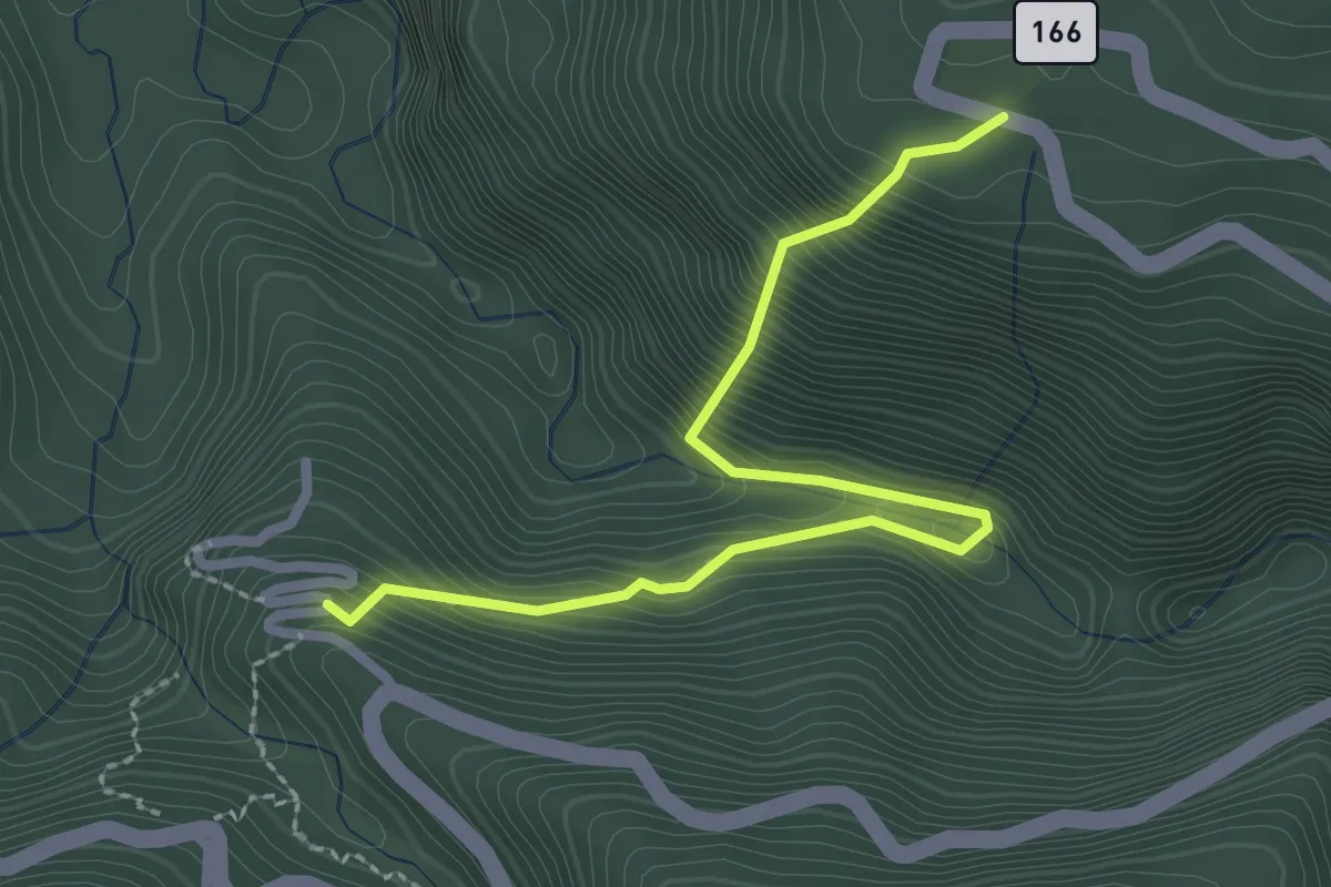
Medium · Trail
青年嶺步道
3.6 km · ↑ 487 m · 1 h 54 min
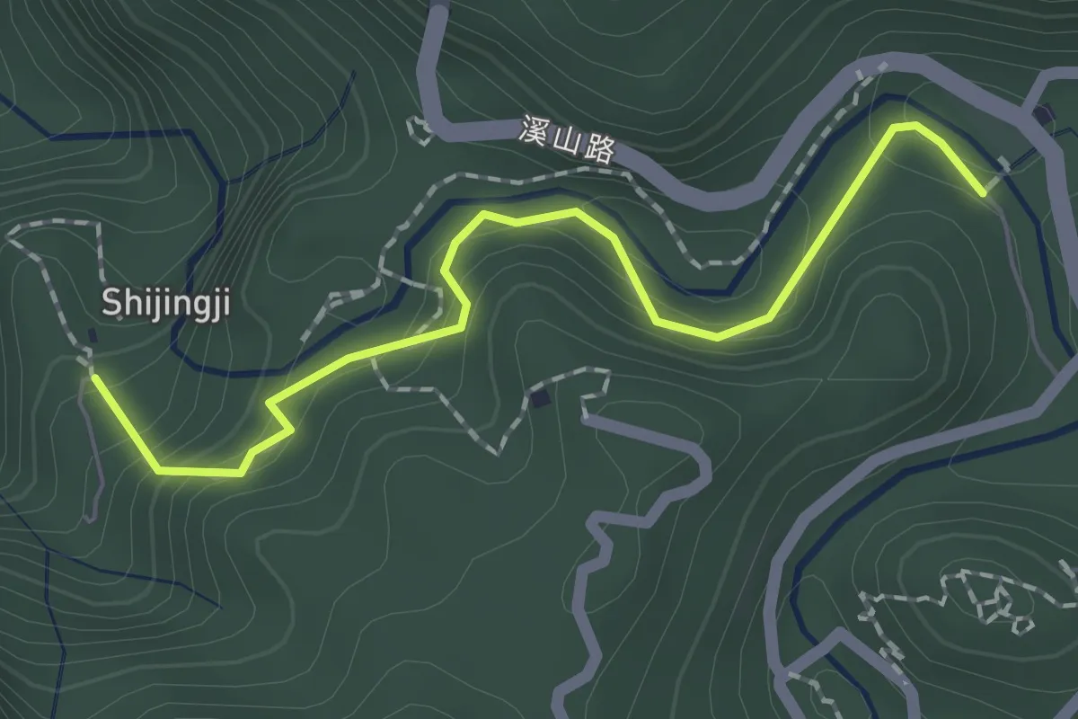
Easy · Trail
青龍蕨類步道
2.4 km · ↑ 191 m · 59 min
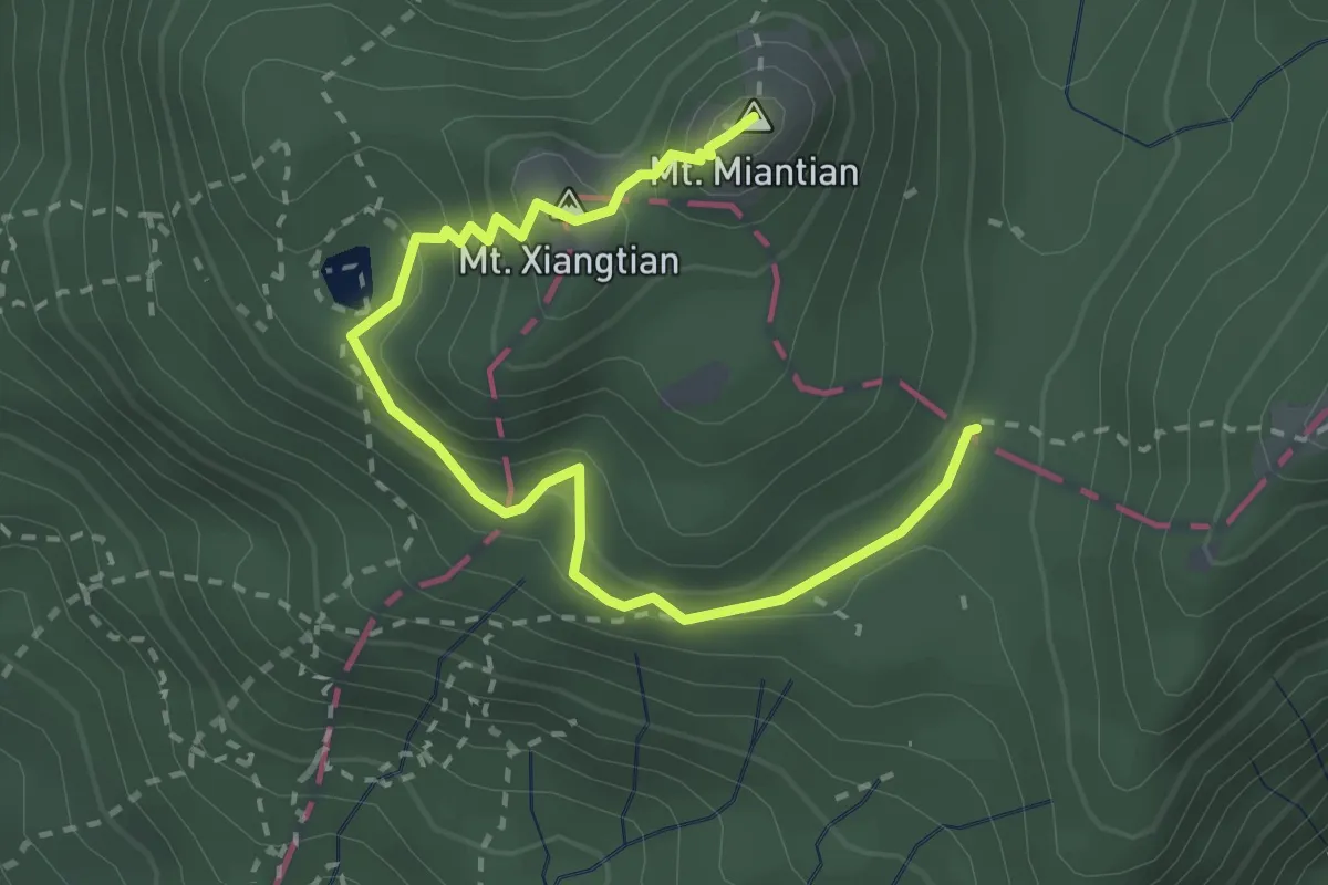
Easy · Summit
面天山-向天山步道
4.0 km · ↑ 305 m · 1 h 37 min
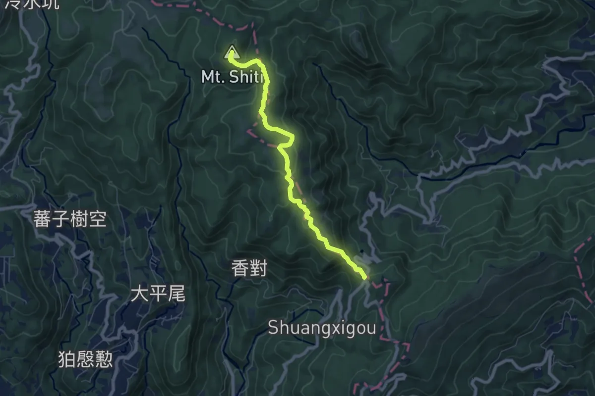
Medium · Summit
頂山石梯嶺步道
7.9 km · ↑ 399 m · 2 h 43 min
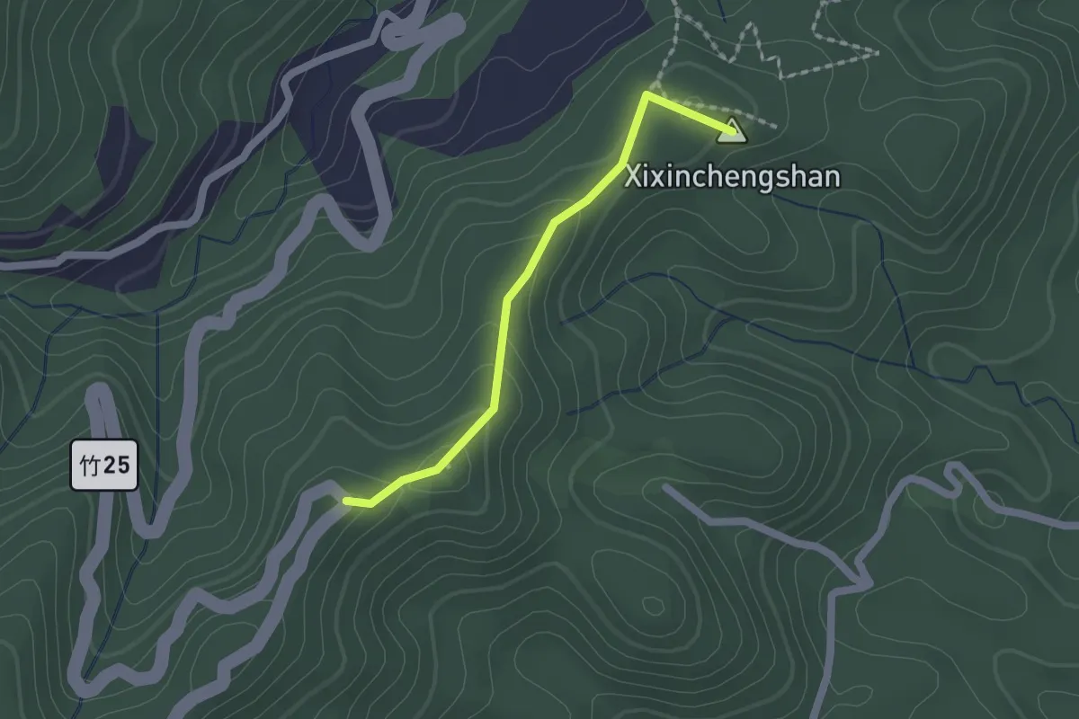
Easy · Summit
飛鳳古道
2.0 km · ↑ 93 m · 41 min
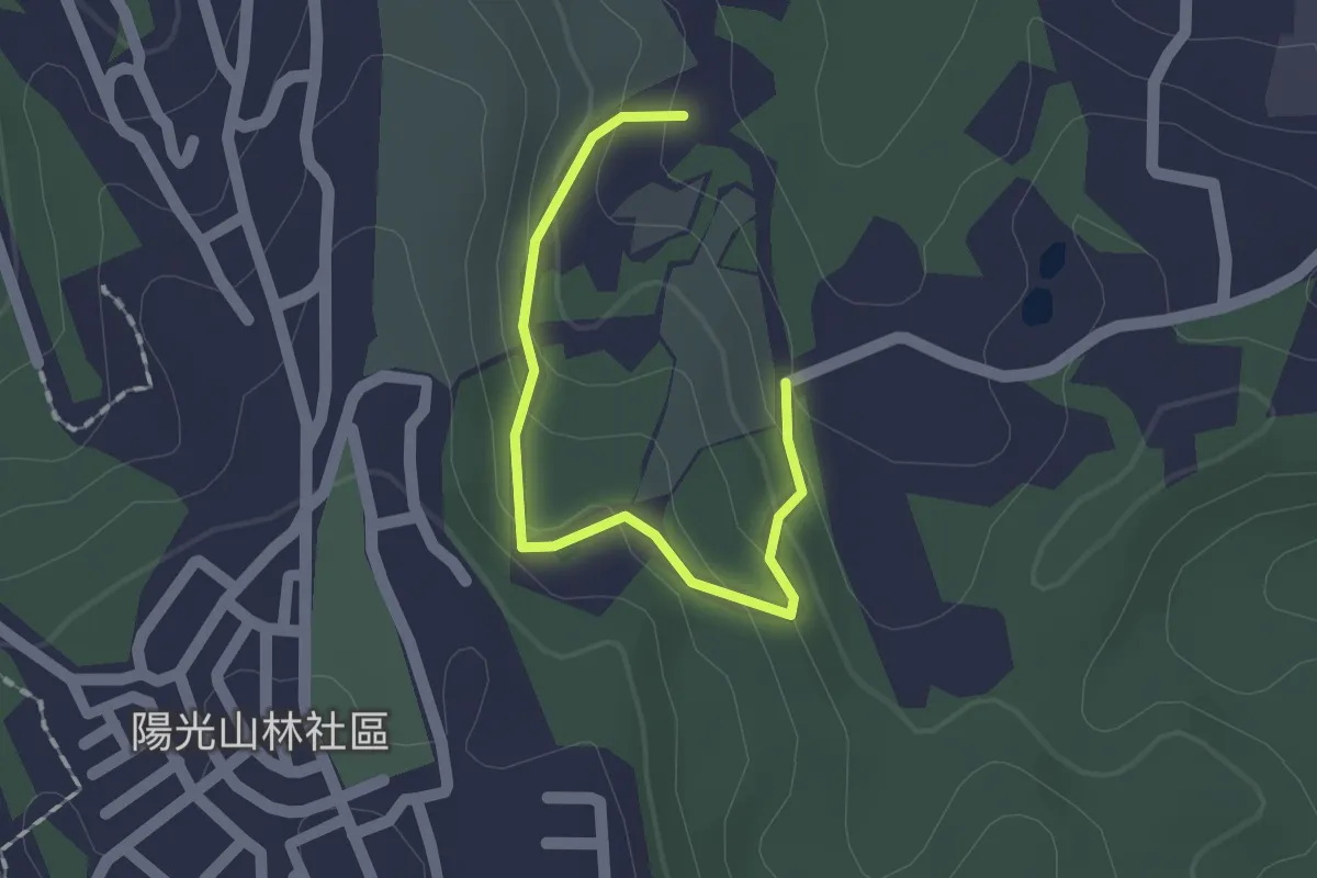
Easy · Trail
食水坑步道
2.1 km · ↑ 104 m · 44 min