Trails in Taiwan
613 hiking trails, each with its route, climb, walking time and grade.
All trails, page 13 of 13
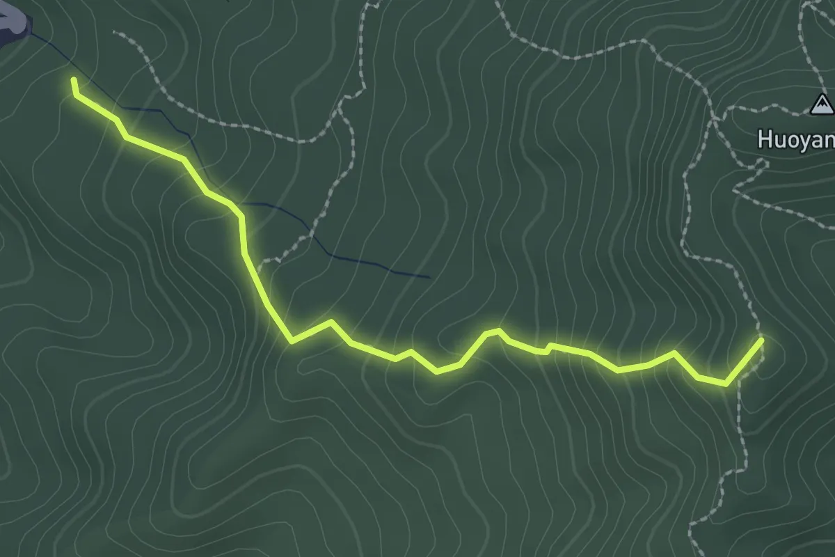
Easy · Trail
香茅古道
3.2 km · ↑ 295 m · 1 h 24 min
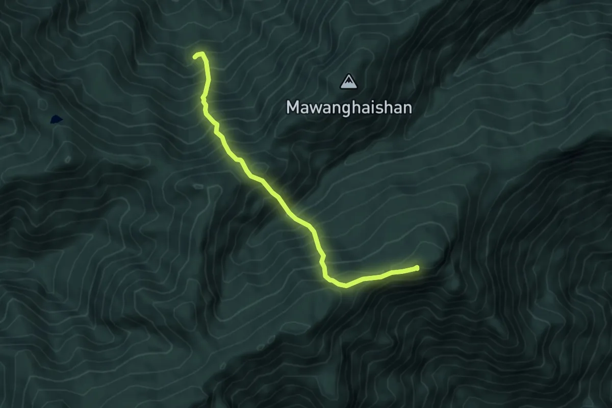
Demanding · Summit
馬望女苦山路線
6.3 km · ↑ 1114 m · 3 h 54 min
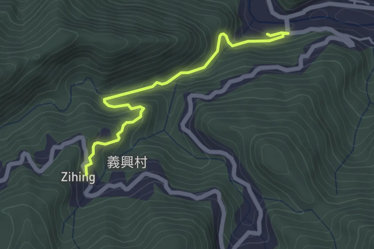
Medium · Trail
馬胎古道
4.7 km · ↑ 366 m · 1 h 54 min
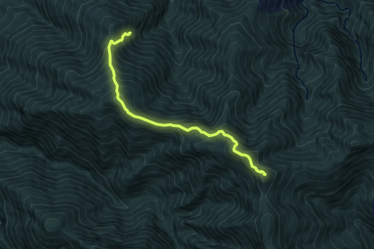
Demanding · Summit
高島縱走
8.0 km · ↑ 854 m · 3 h 45 min
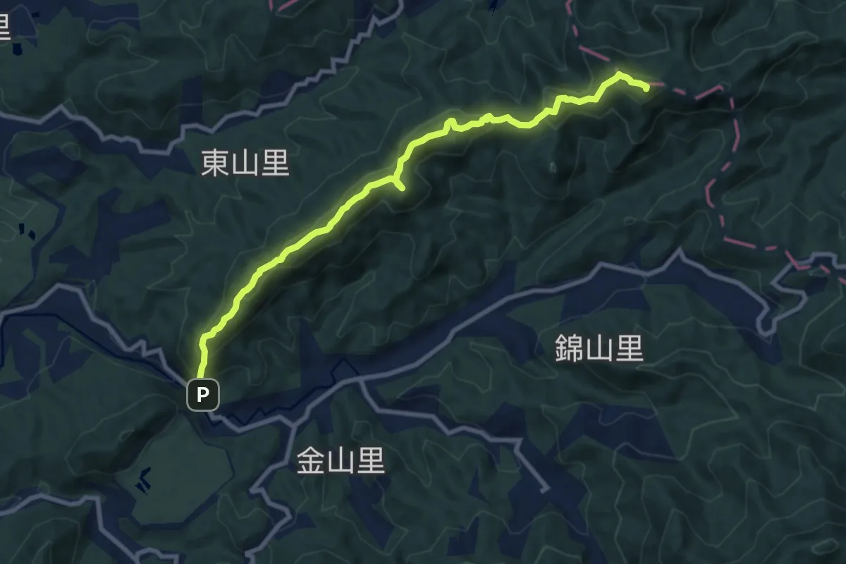
Demanding · Summit
高石縱走
11.7 km · ↑ 1075 m · 5 h 5 min
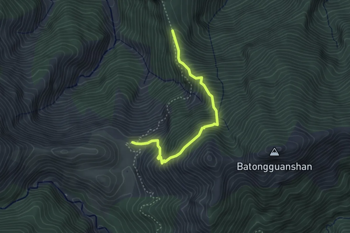
Medium · Trail
高繞路線
4.5 km · ↑ 743 m · 2 h 41 min
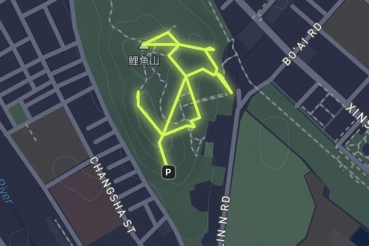
Easy · Summit
鯉魚山步道
2.7 km · ↑ 145 m · 58 min
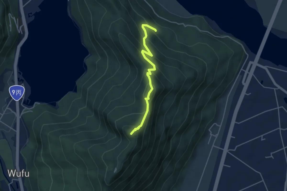
Medium · Summit
鯉魚山遠眺步道
4.6 km · ↑ 404 m · 1 h 57 min
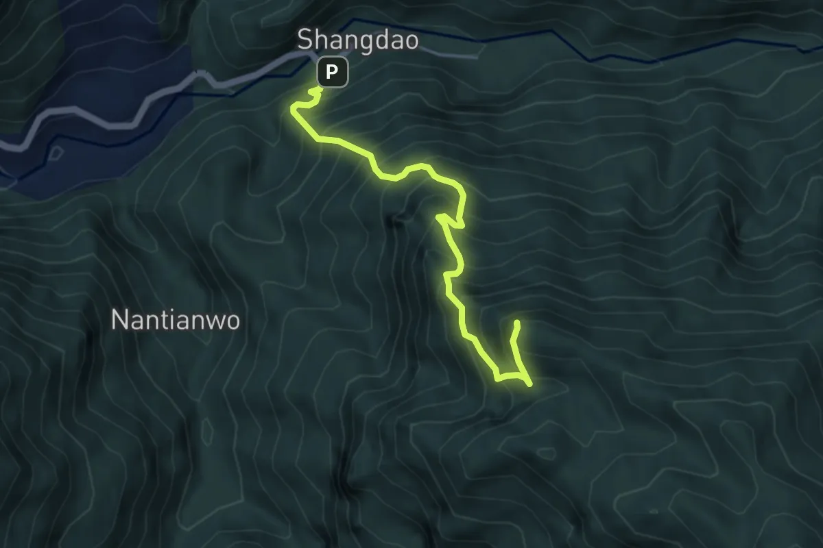
Demanding · Summit
鳥嘴山登山步道
5.8 km · ↑ 913 m · 3 h 20 min
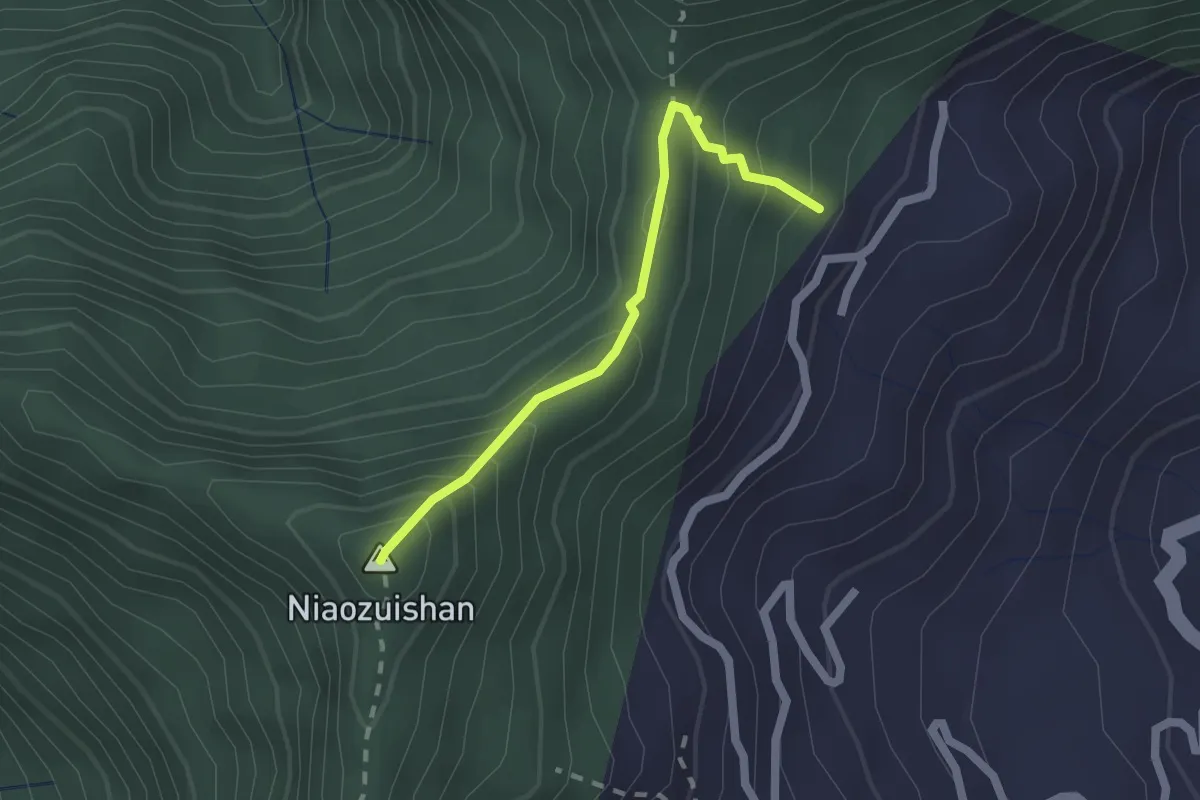
Medium · Summit
鳥嘴山路線
2.3 km · ↑ 235 m · 1 h 3 min
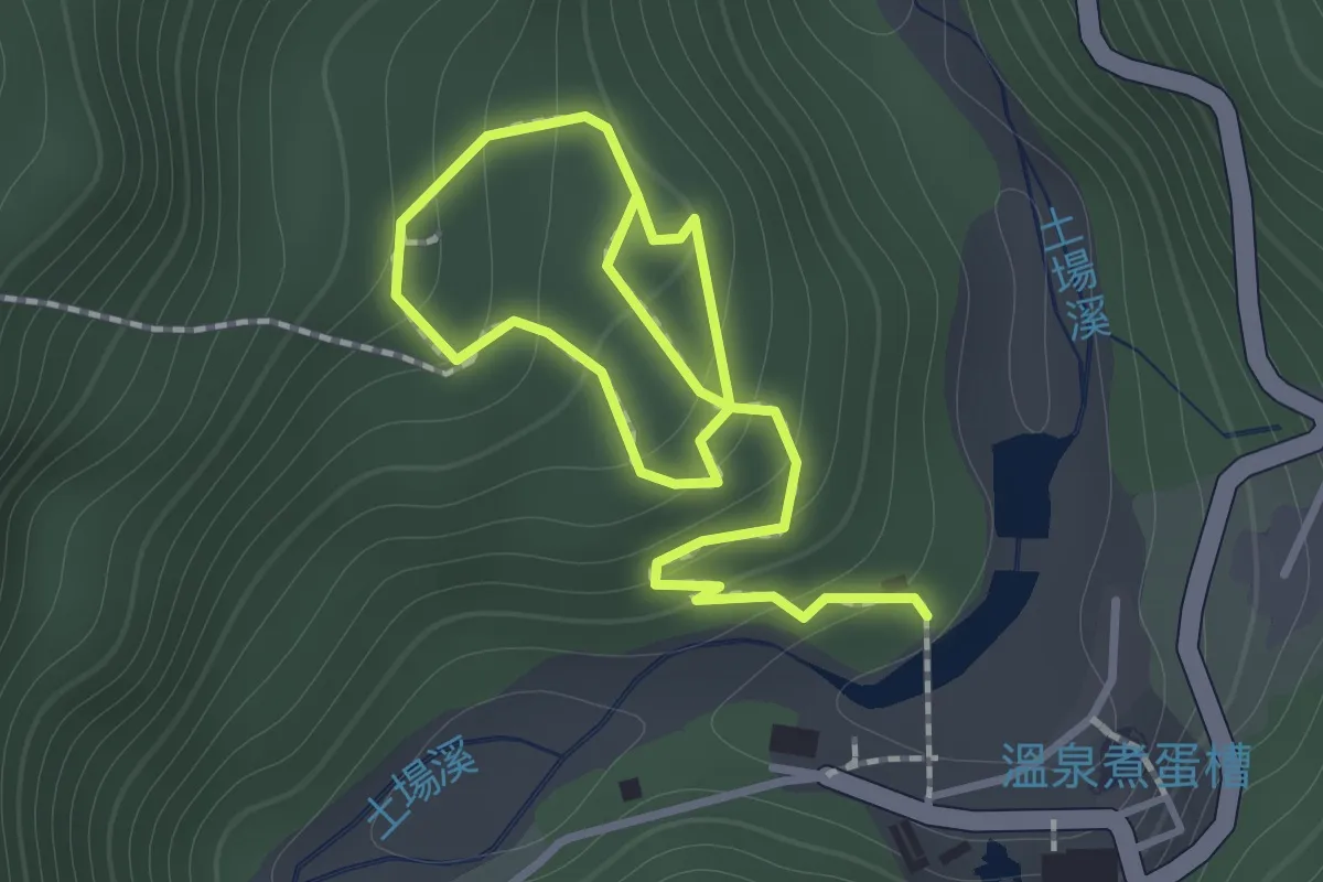
Easy · Trail
鳩之澤自然步道
2.4 km · ↑ 208 m · 1 h 2 min
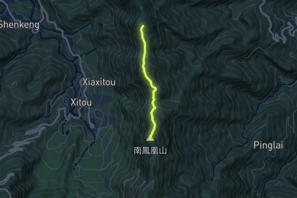
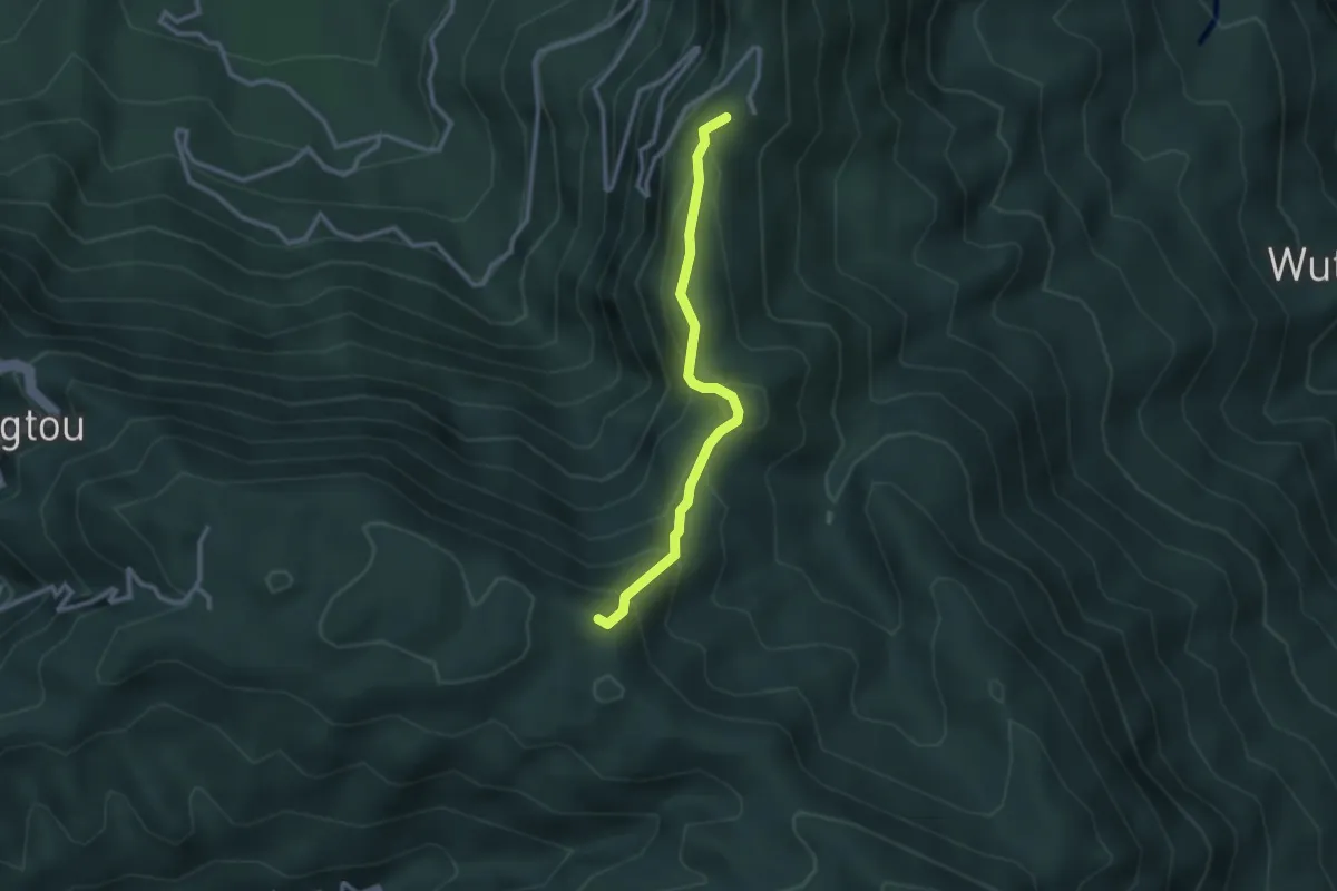
Demanding · Summit
鳯凰山北嶺線
5.2 km · ↑ 621 m · 2 h 34 min
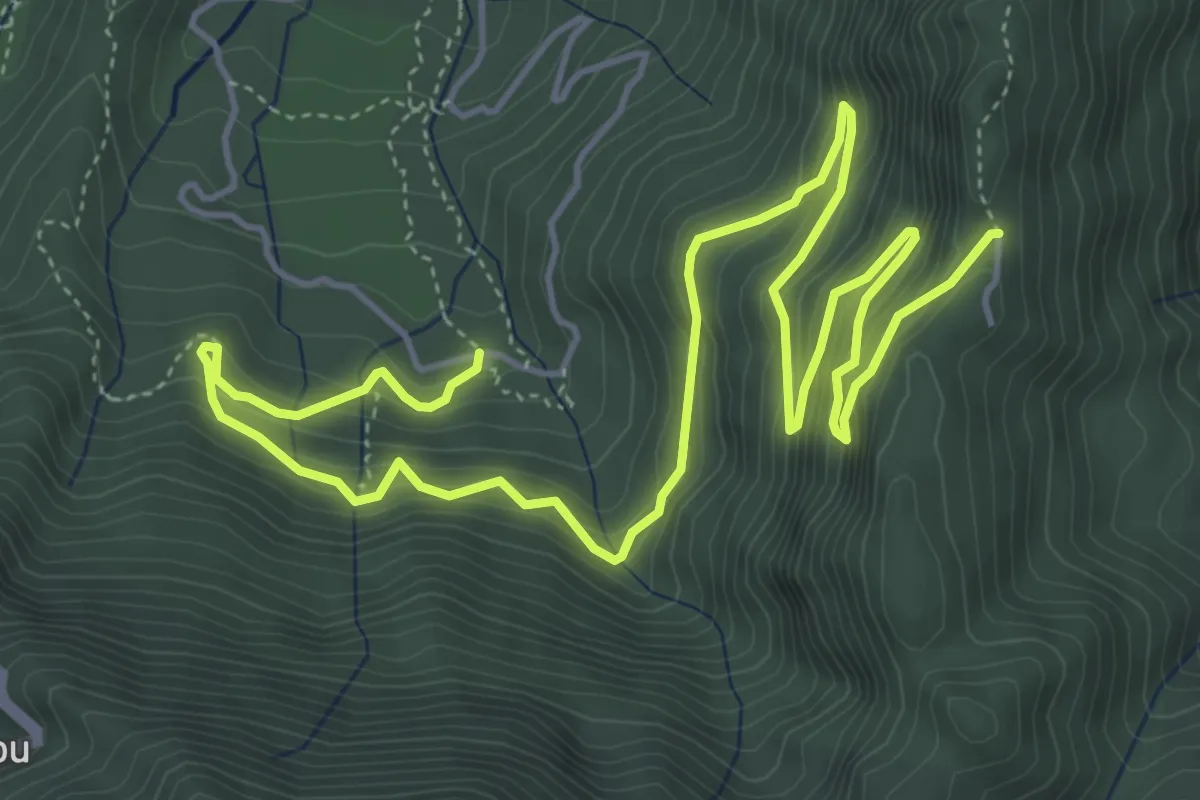
Medium · Summit
鳳凰山南嶺線
3.4 km · ↑ 330 m · 1 h 31 min
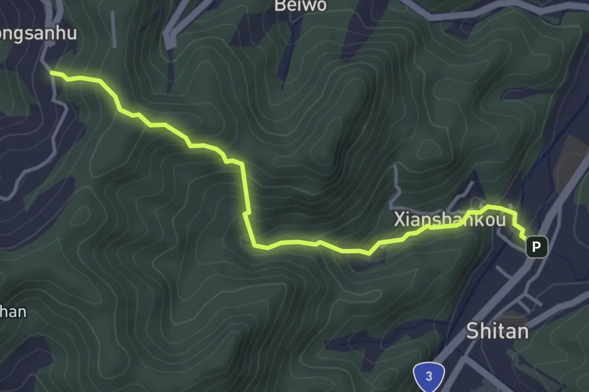
Medium · Trail
鳳凰林道
10.4 km · ↑ 737 m · 4 h 4 min
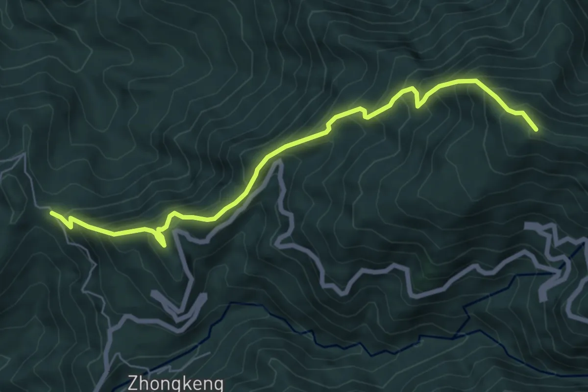
Medium · Trail
鳴鳳古道
4.9 km · ↑ 419 m · 2 h 4 min
Demanding · Summit
鳶嘴山西稜線川棟林道
8.3 km · ↑ 1028 m · 4 h 12 min
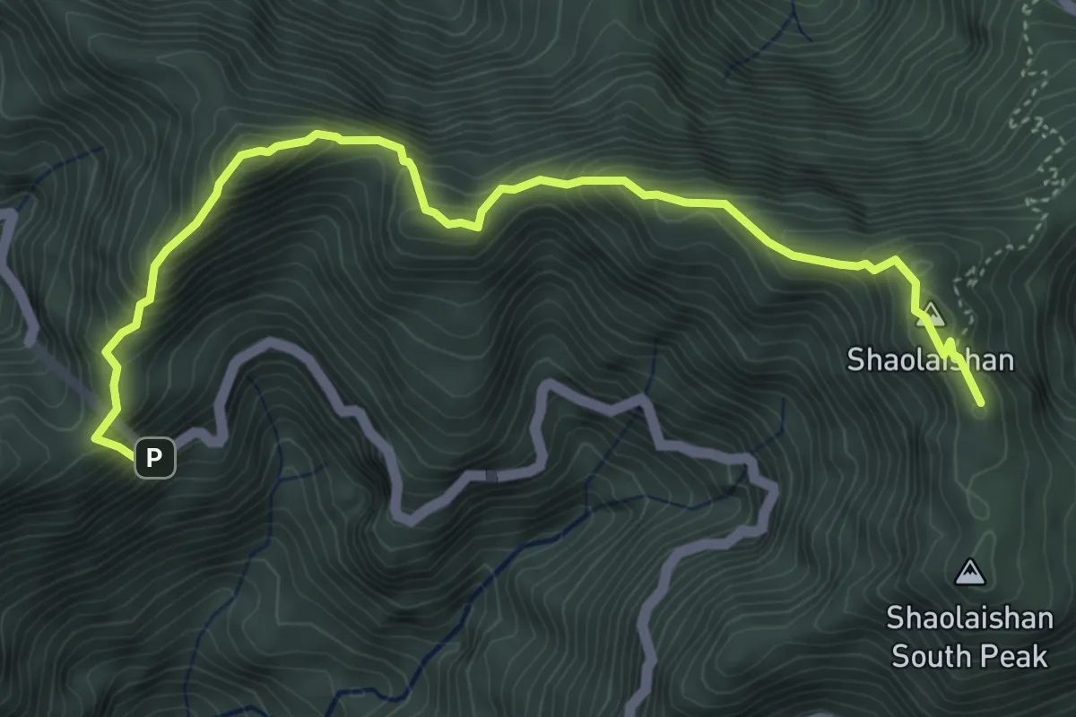
Demanding · Summit
鳶嘴稍來山步道
6.9 km · ↑ 717 m · 3 h 11 min
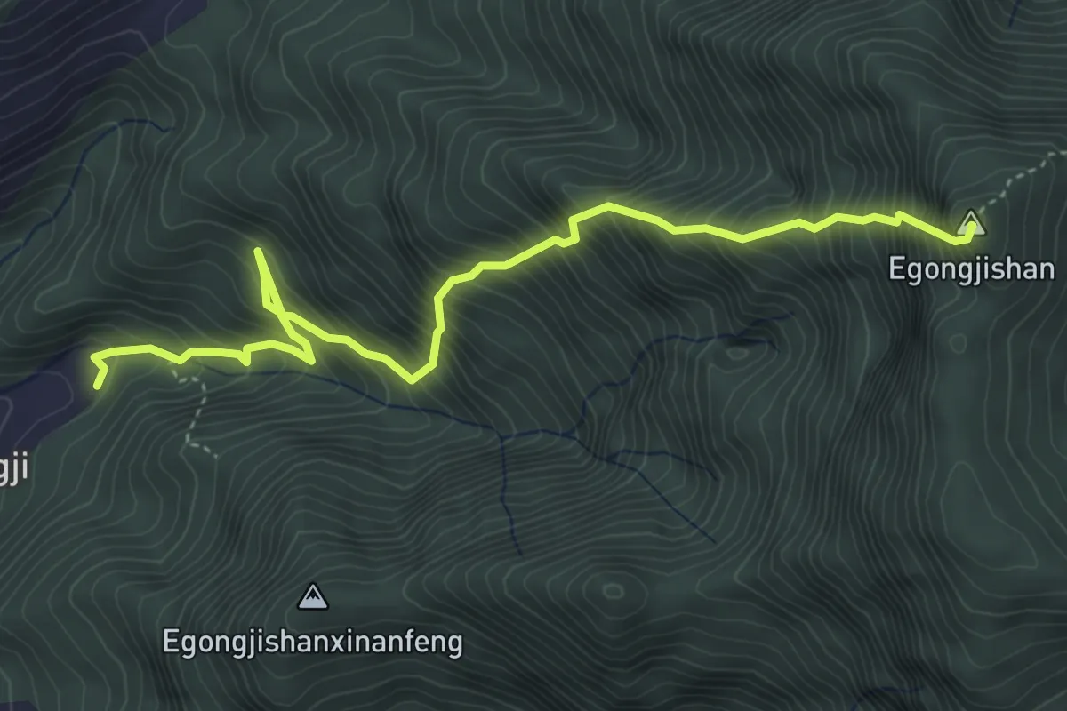
Demanding · Summit
鵝公髻山東河線
6.6 km · ↑ 1150 m · 4 h 3 min
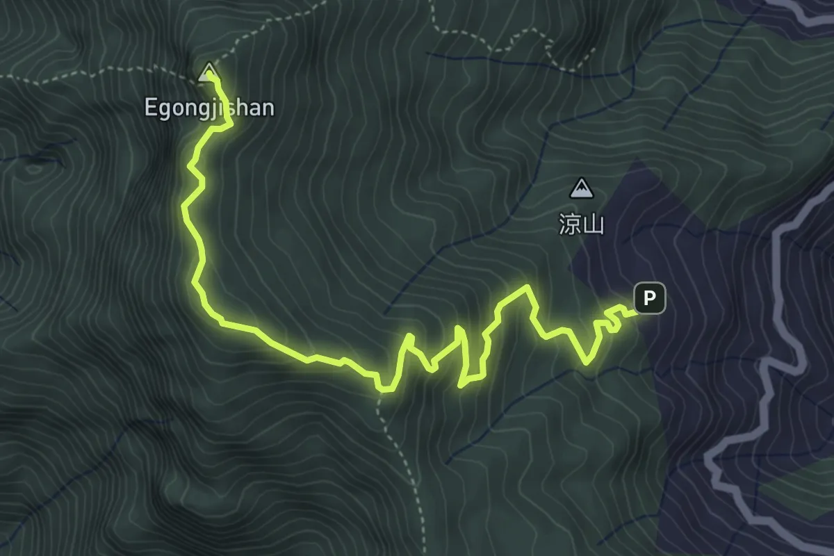
Medium · Summit
鵝公髻山登山步道
7.4 km · ↑ 552 m · 2 h 56 min
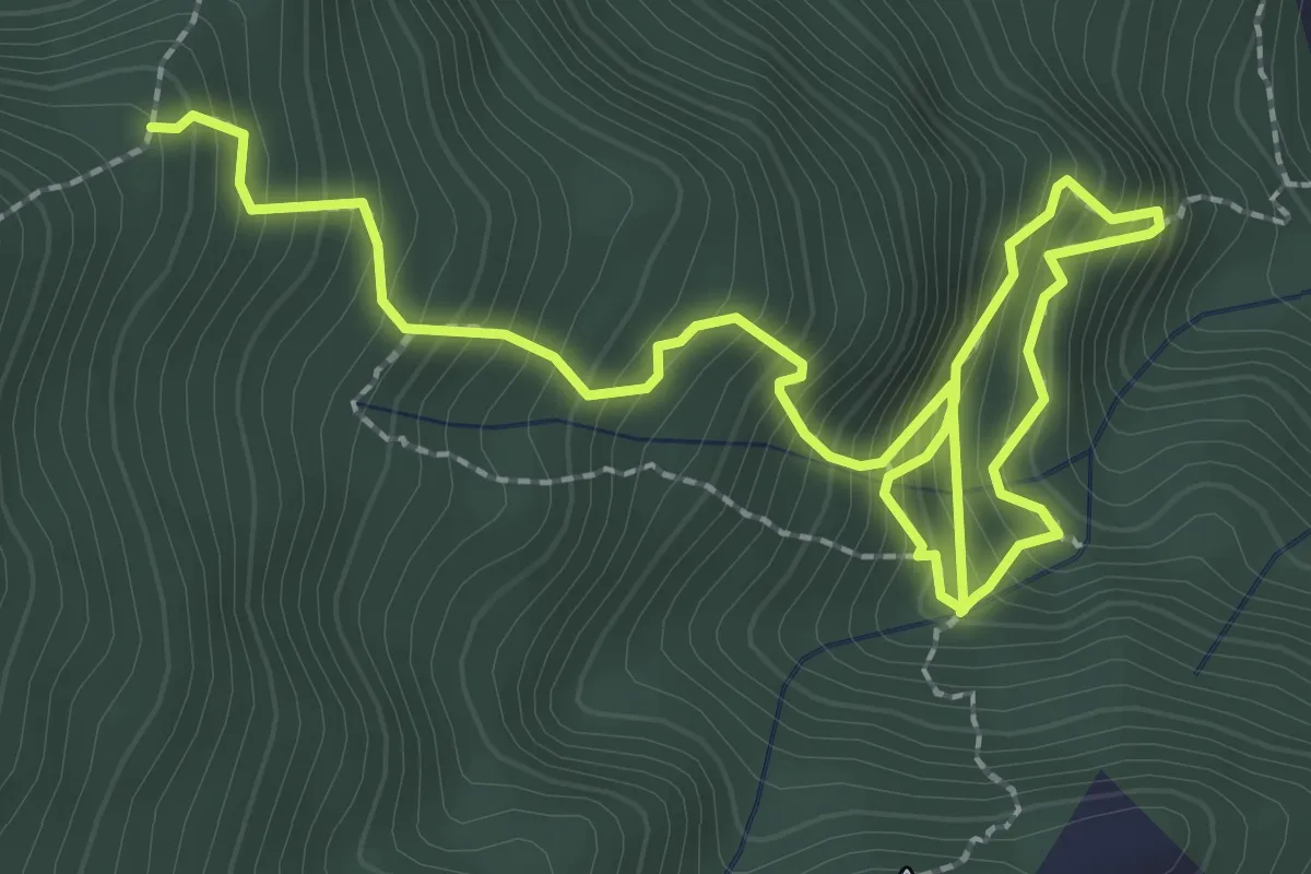
Medium · Trail
鵝公髻山雲霧步道線
5.0 km · ↑ 628 m · 2 h 32 min
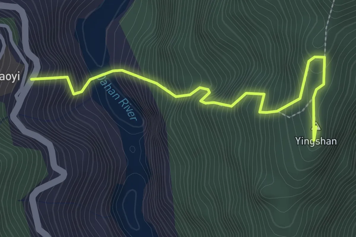
Expert · Summit
鷹山登山步道
3.7 km · ↑ 605 m · 2 h 10 min
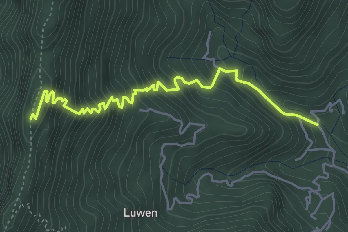
Demanding · Summit
鹿塭北線
5.7 km · ↑ 621 m · 2 h 41 min
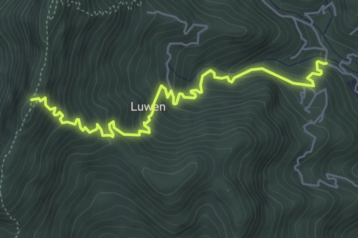
Demanding · Summit
鹿塭南線
6.7 km · ↑ 632 m · 2 h 58 min
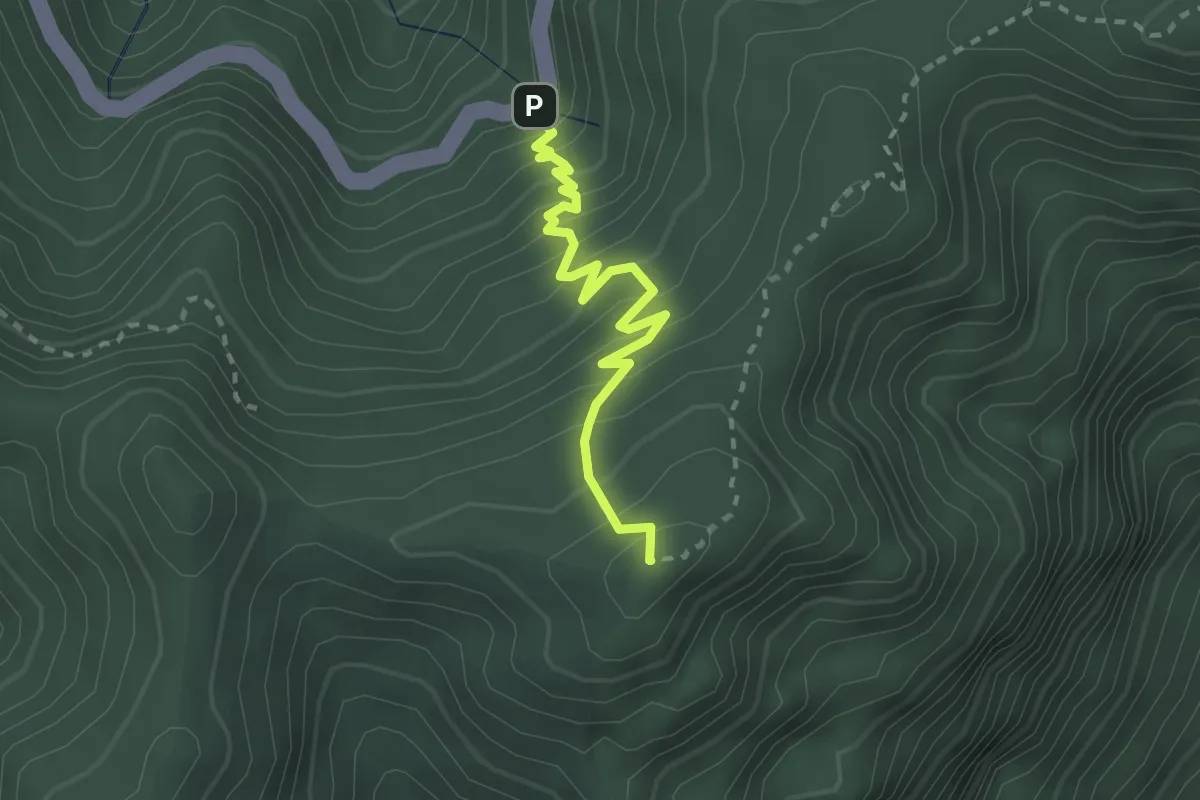
Medium · Summit
鹿林山登山步道
3.2 km · ↑ 320 m · 1 h 28 min
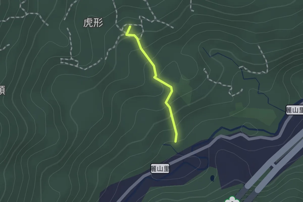
Easy · Summit
麗山橋口步道
1.1 km · ↑ 75 m · 26 min
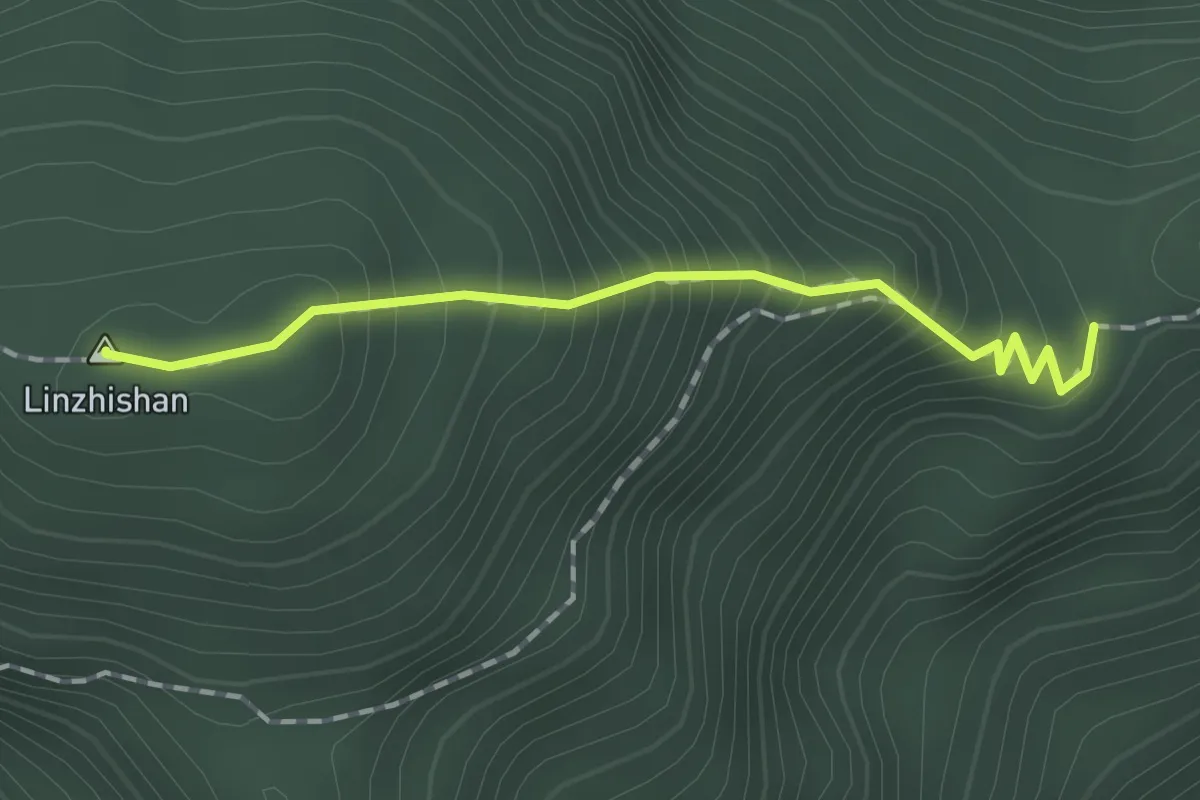
Medium · Summit
麟趾山登山步道
1.9 km · ↑ 240 m · 58 min
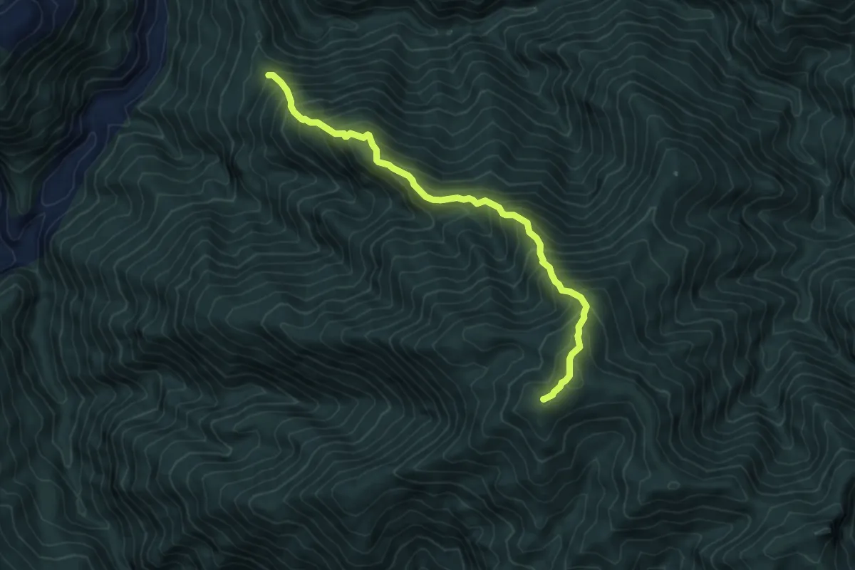
Demanding · Summit
麥巴來登山路線
8.3 km · ↑ 1070 m · 4 h 16 min
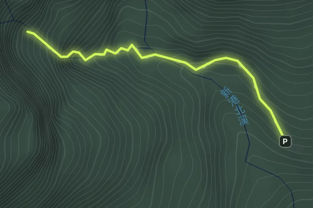
Easy · Trail
麻荖漏步道
2.0 km · ↑ 235 m · 1 h
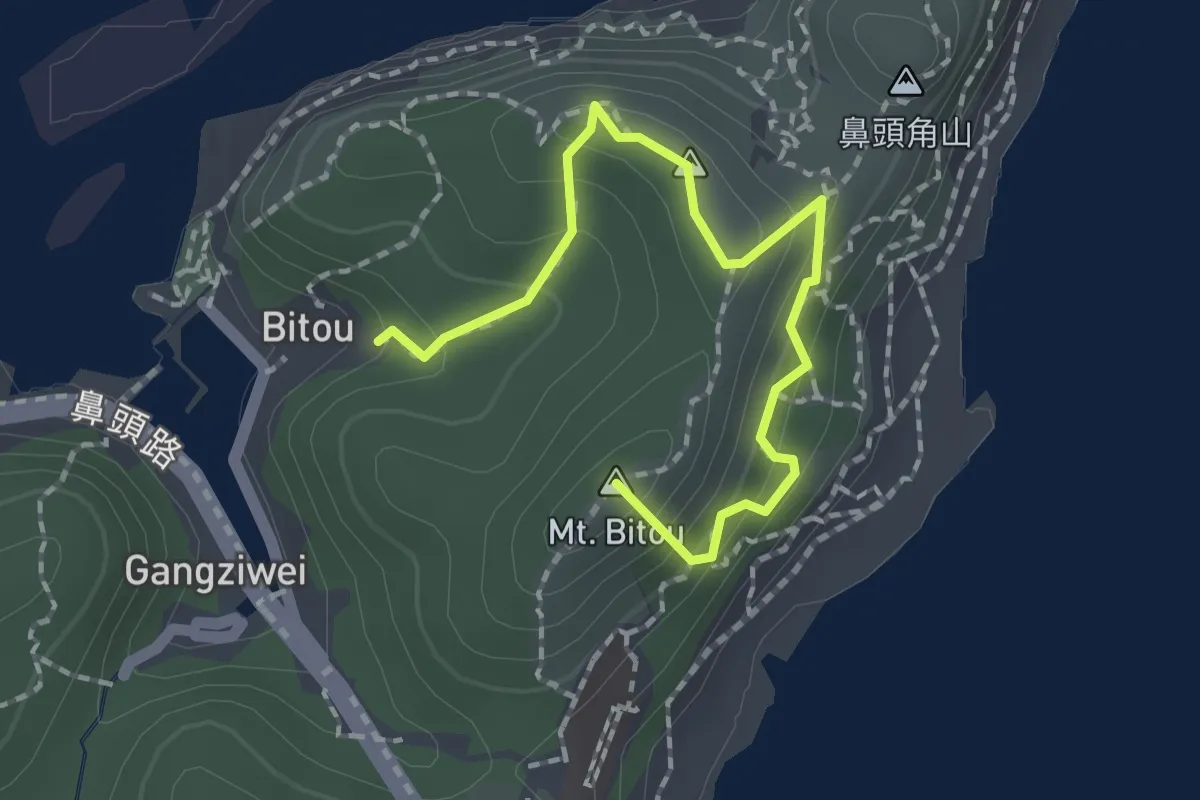
Easy · Summit
鼻頭角步道
2.6 km · ↑ 182 m · 1 h 1 min
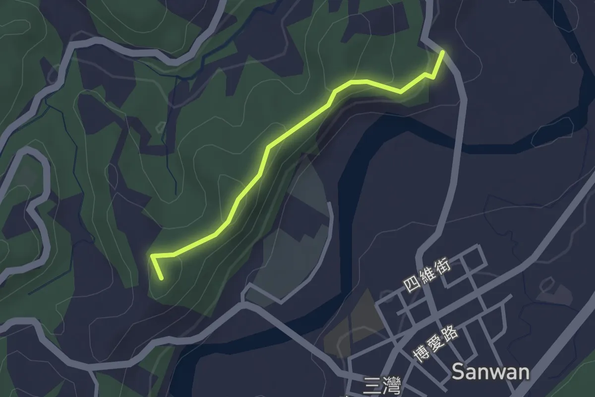
Easy · Summit
龍崀頂步道
2.8 km · ↑ 137 m · 58 min
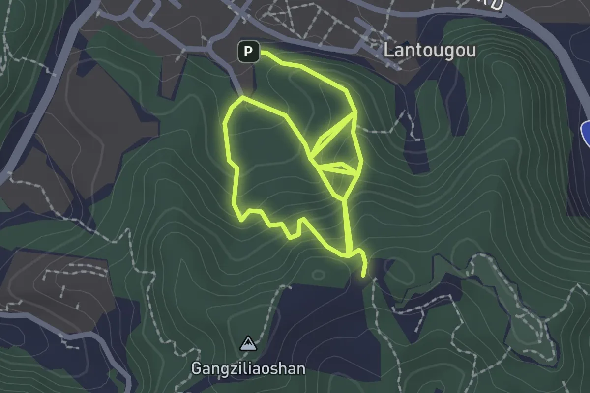
Medium · Trail
龍崗步道
4.6 km · ↑ 393 m · 1 h 56 min
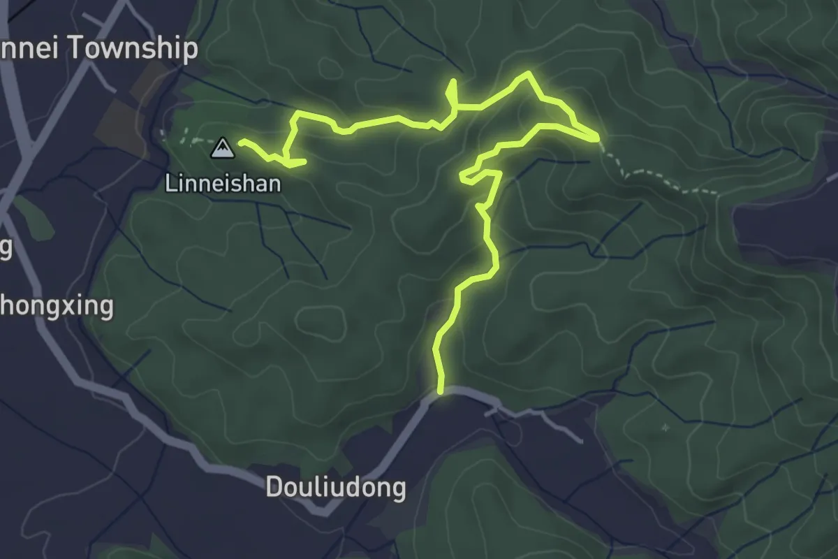
Medium · Summit
龍過脈森林步道
6.5 km · ↑ 324 m · 2 h 15 min
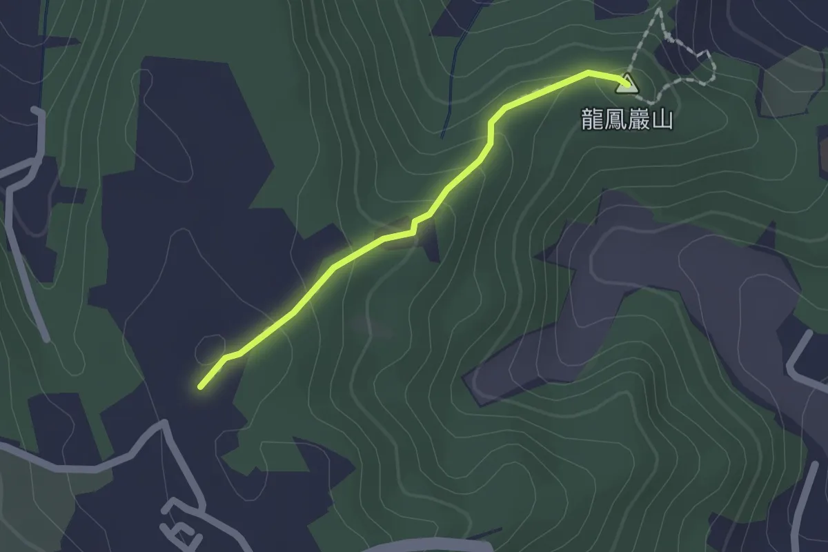
Easy · Summit
龍鳳巖登山步道
1.8 km · ↑ 75 m · 35 min
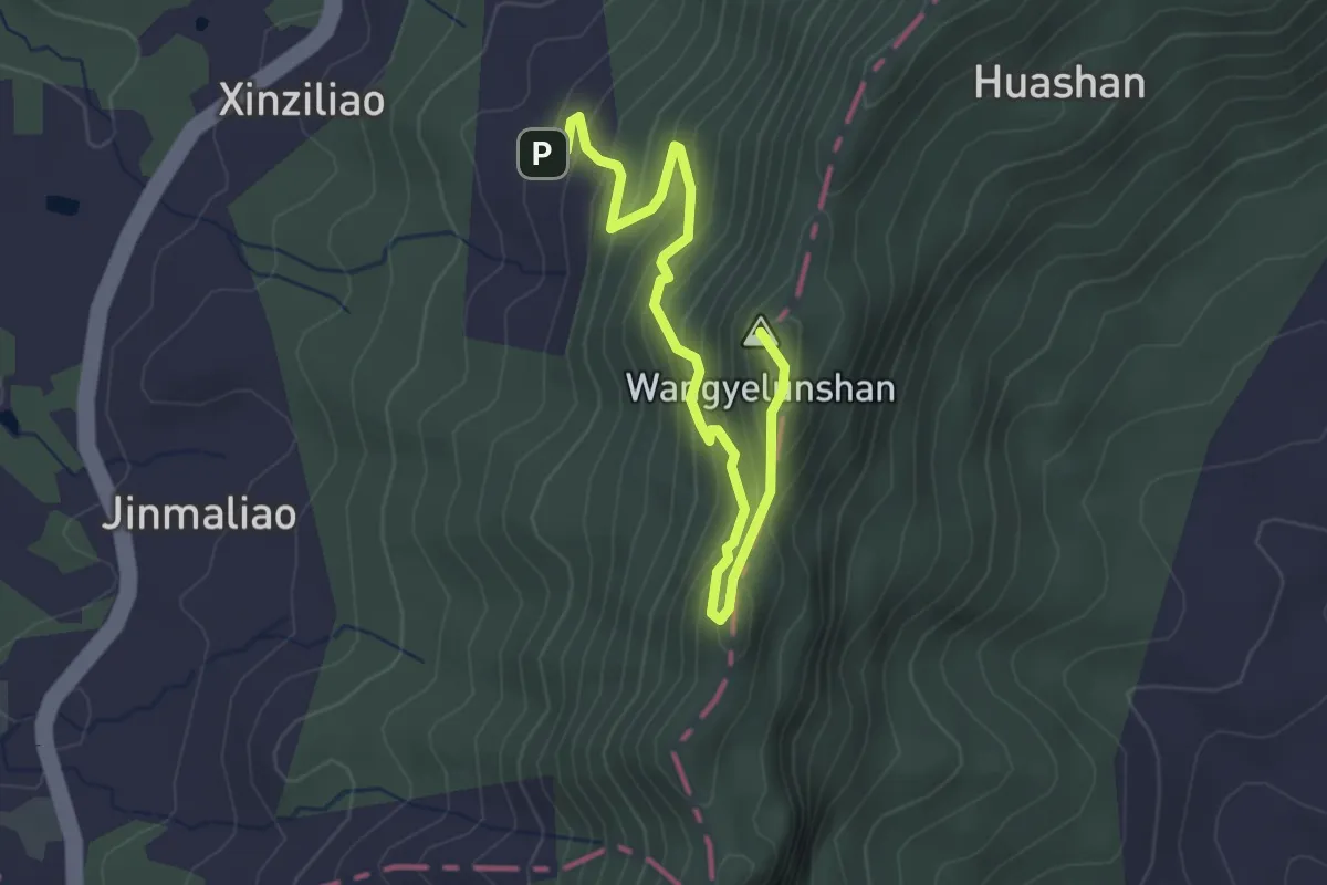
Medium · Summit
龍麟山步道
4.2 km · ↑ 361 m · 1 h 46 min
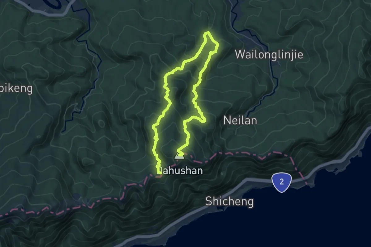
Demanding · Summit
龜媽坑古道
13.0 km · ↑ 921 m · 5 h 4 min
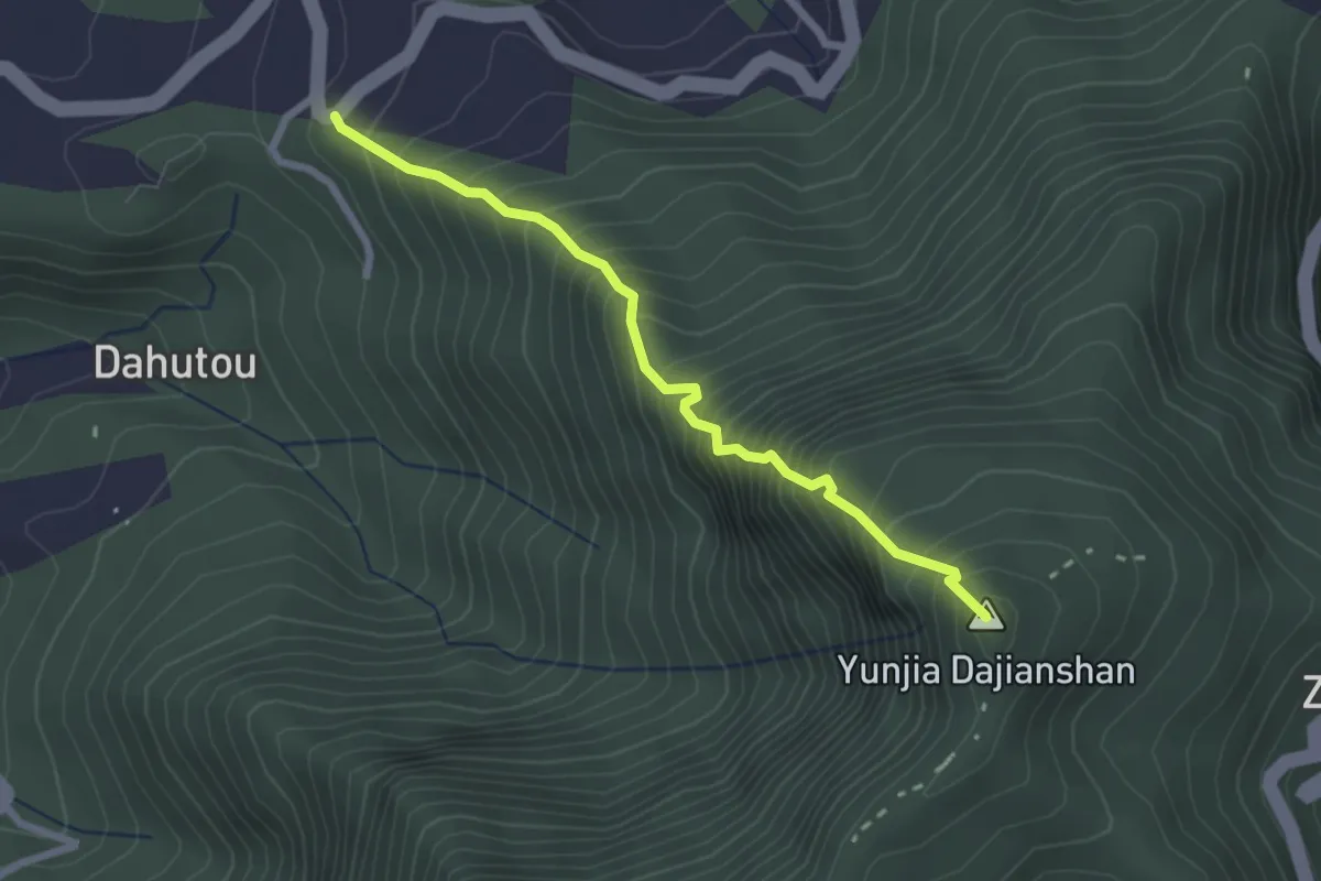
Medium · Summit
10-5號步道與12號步道
3.1 km · ↑ 621 m · 2 h 5 min
Medium · Summit
358路
1.6 km · ↑ 129 m · 40 min