Trails in Taiwan
613 hiking trails, each with its route, climb, walking time and grade.
All trails, page 3 of 13
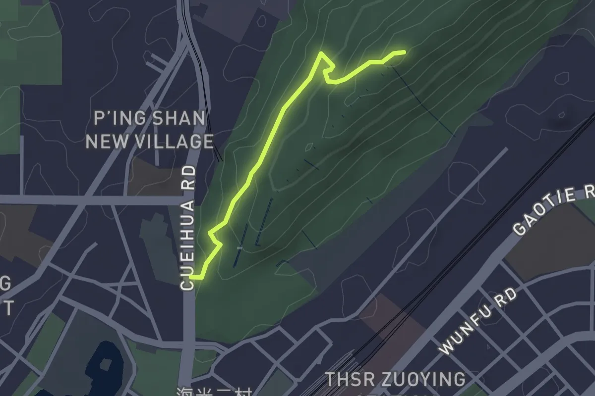
Easy · Summit
半屏山步道 - A1 線
2.9 km · ↑ 178 m · 1 h 4 min
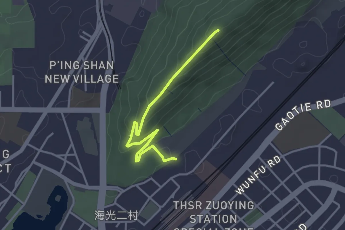
Easy · Summit
半屏山步道 - A2 路線
4.1 km · ↑ 175 m · 1 h 20 min
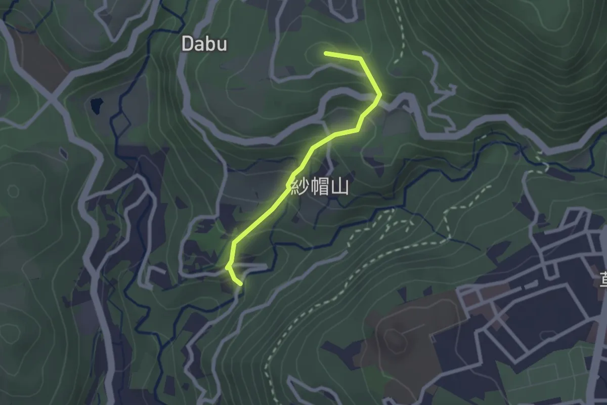
Easy · Summit
半嶺步道
2.4 km · ↑ 217 m · 1 h 3 min
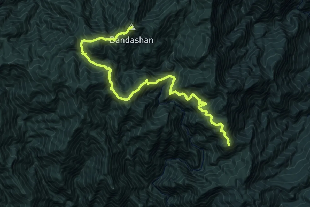
Demanding · Summit
南三段橫斷
29.5 km · ↑ 3008 m · 13 h 28 min
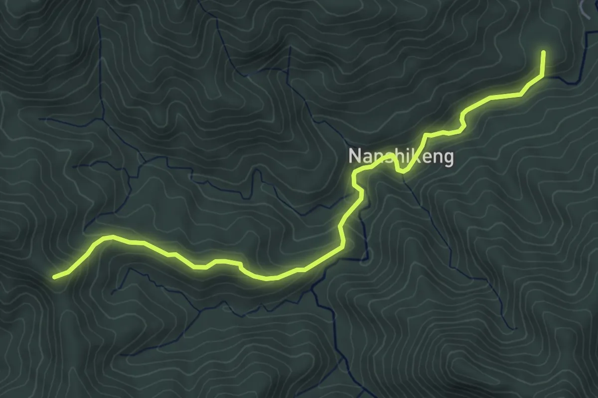
Medium · Summit
南勢坑古道
7.0 km · ↑ 373 m · 2 h 28 min
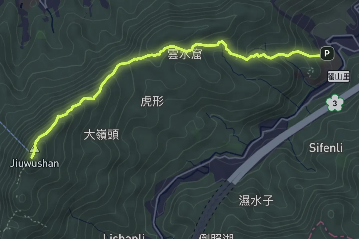
Medium · Summit
南港山縱走
6.1 km · ↑ 341 m · 2 h 10 min
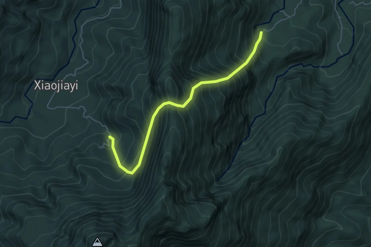
Demanding · Trail
南溪越嶺古道
6.1 km · ↑ 1125 m · 3 h 53 min
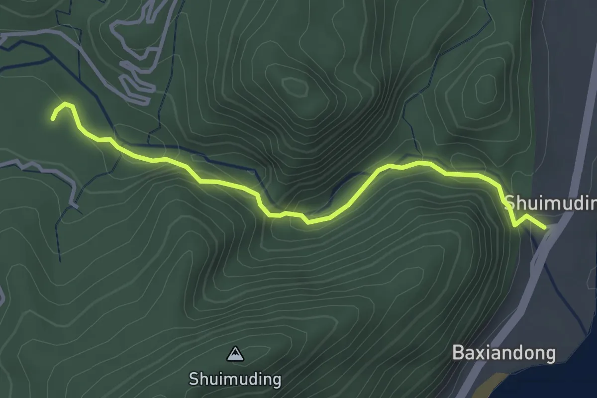
Medium · Trail
南澳古道
4.1 km · ↑ 350 m · 1 h 44 min
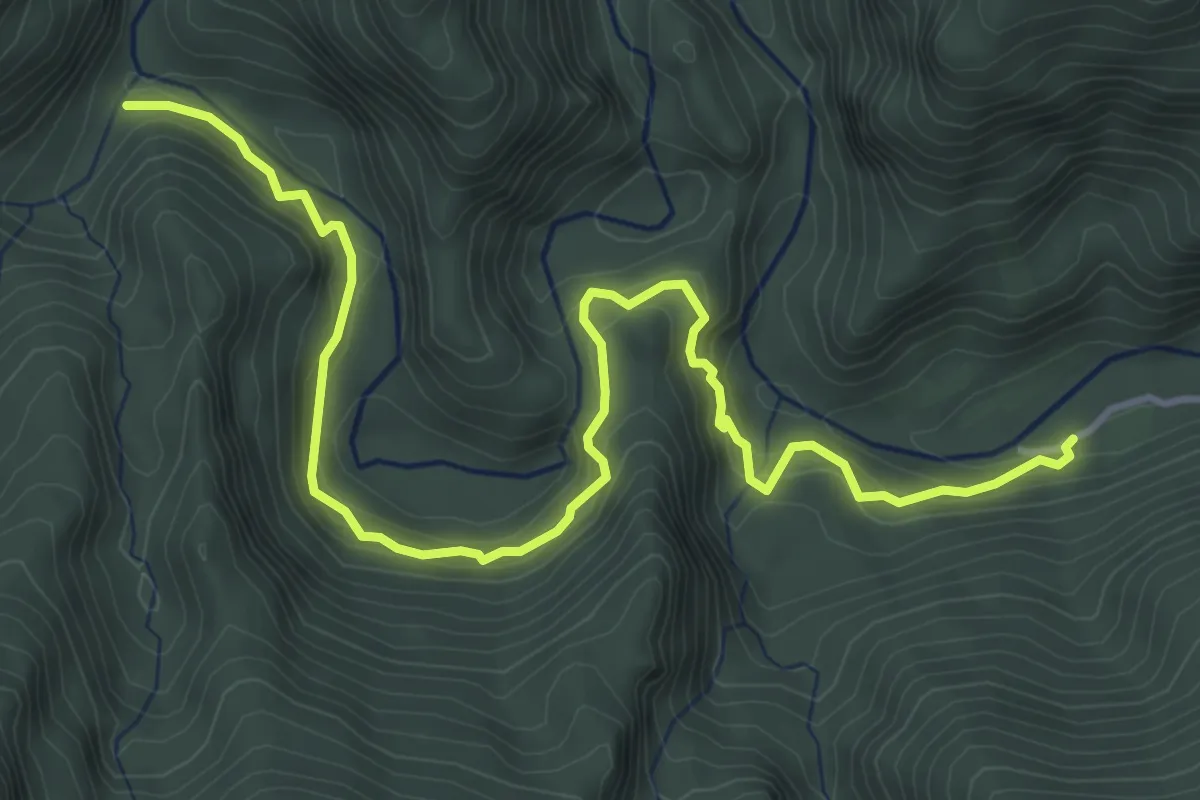
Medium · Trail
南澳古道
6.9 km · ↑ 562 m · 2 h 50 min
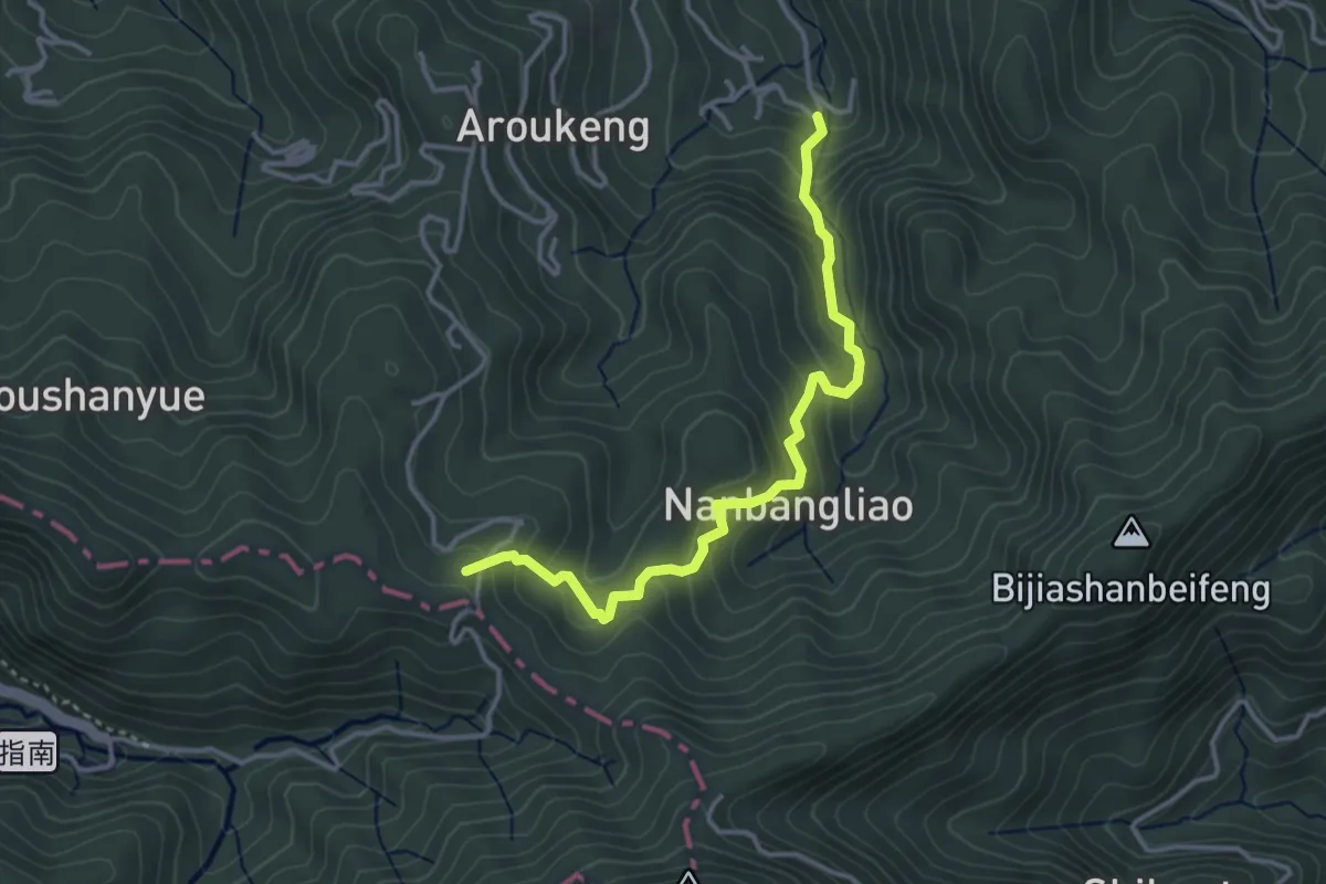
Medium · Summit
南邦寮古道
4.7 km · ↑ 380 m · 1 h 55 min
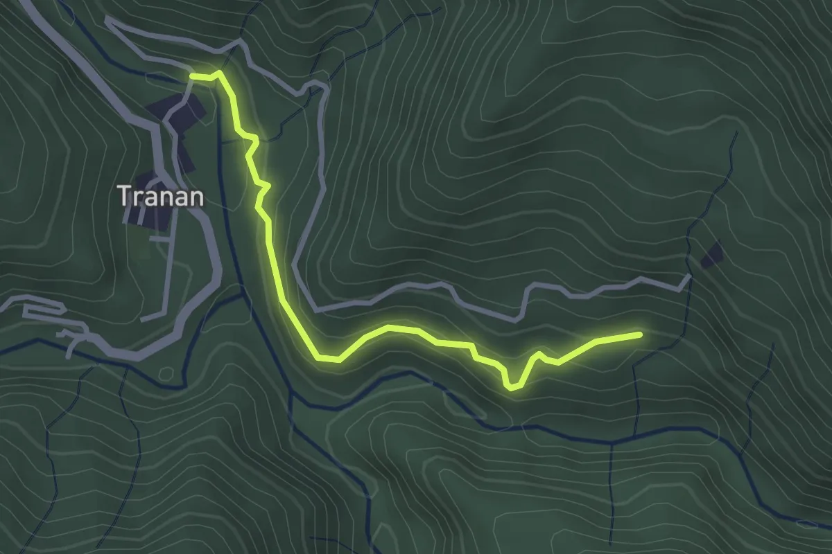
Easy · Trail
卡拉莫基步道
3.7 km · ↑ 244 m · 1 h 25 min
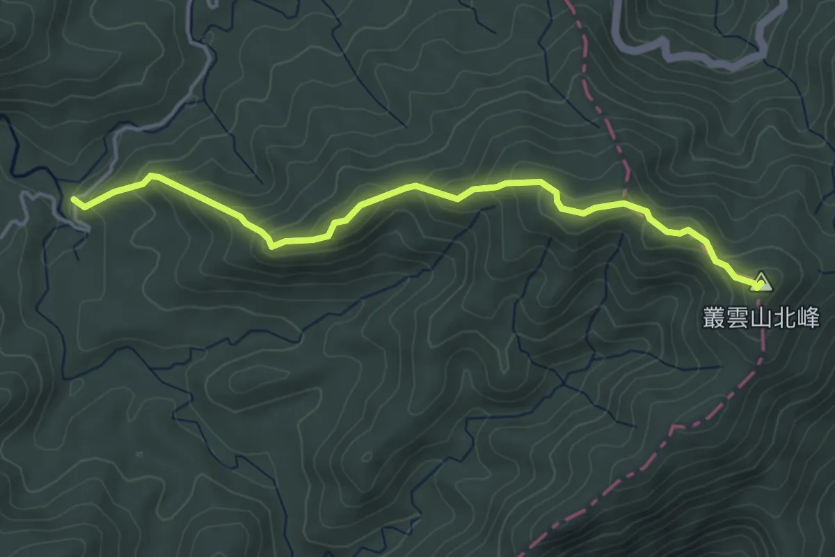
Medium · Summit
叢雲山登山路線
5.5 km · ↑ 376 m · 2 h 7 min
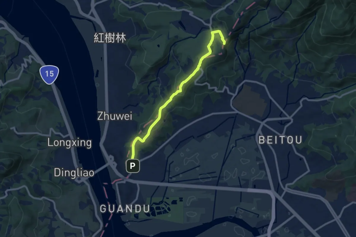
Medium · Summit
台北大縱走#1
9.5 km · ↑ 339 m · 2 h 59 min
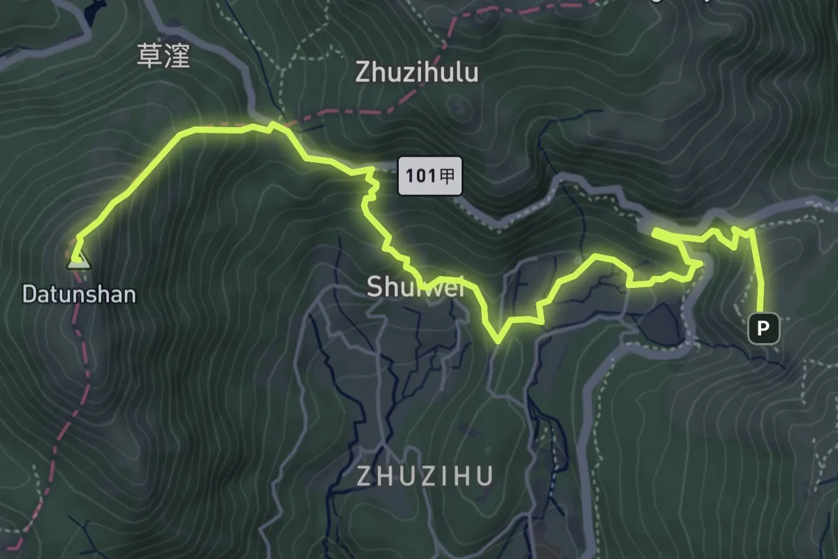
Medium · Summit
台北大縱走#2
9.1 km · ↑ 637 m · 3 h 32 min
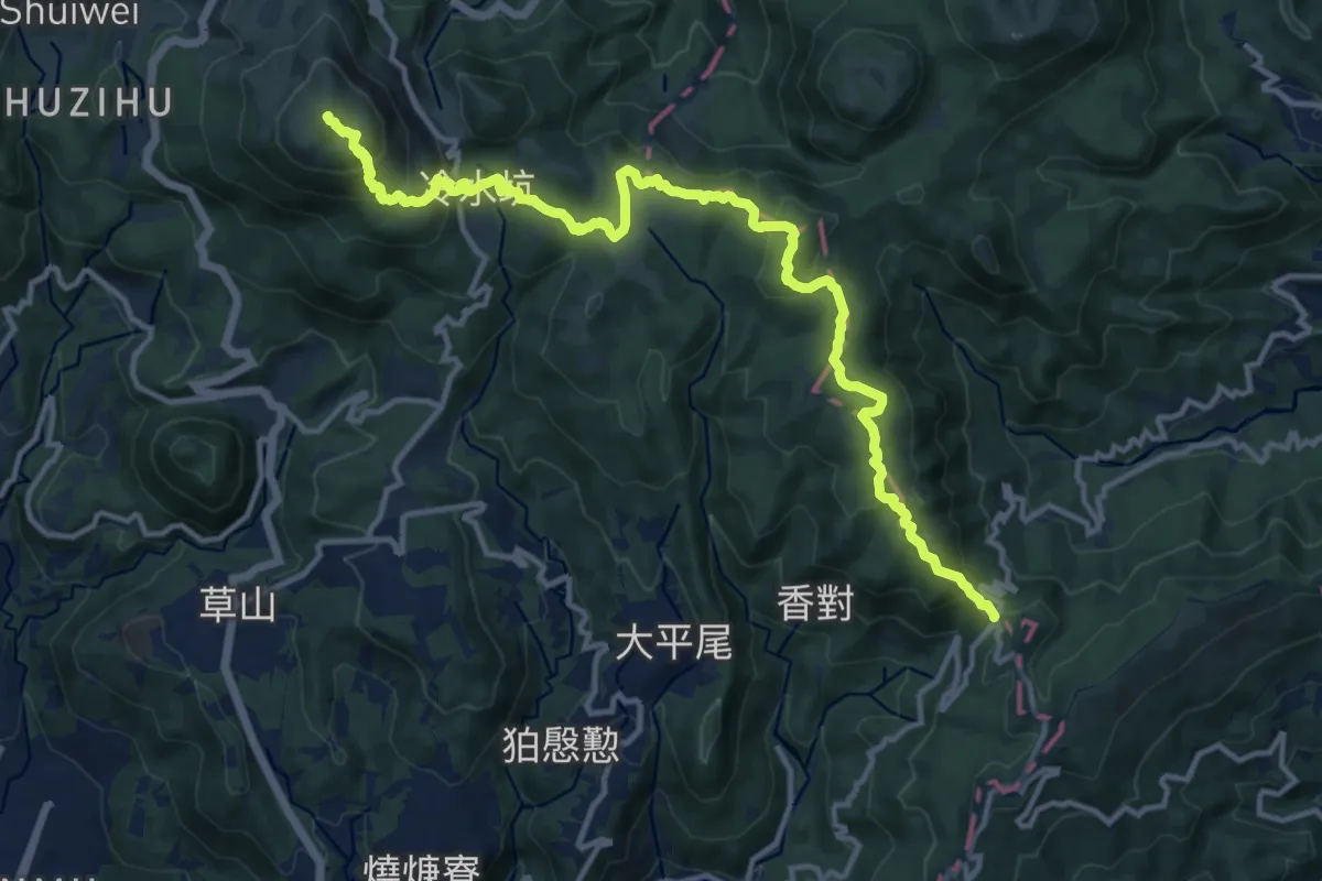
Demanding · Summit
台北大縱走#3
20.0 km · ↑ 1110 m · 7 h 8 min
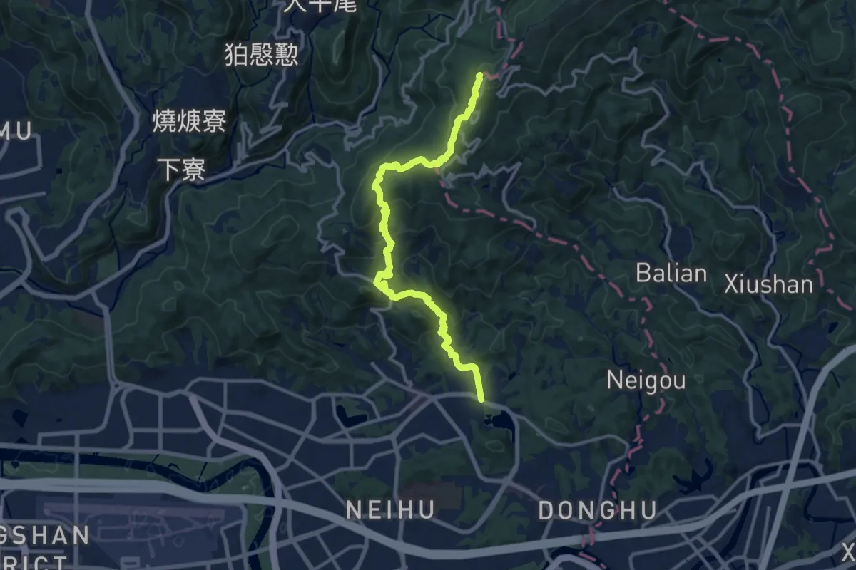
Medium · Summit
台北大縱走#4
15.9 km · ↑ 691 m · 5 h 16 min
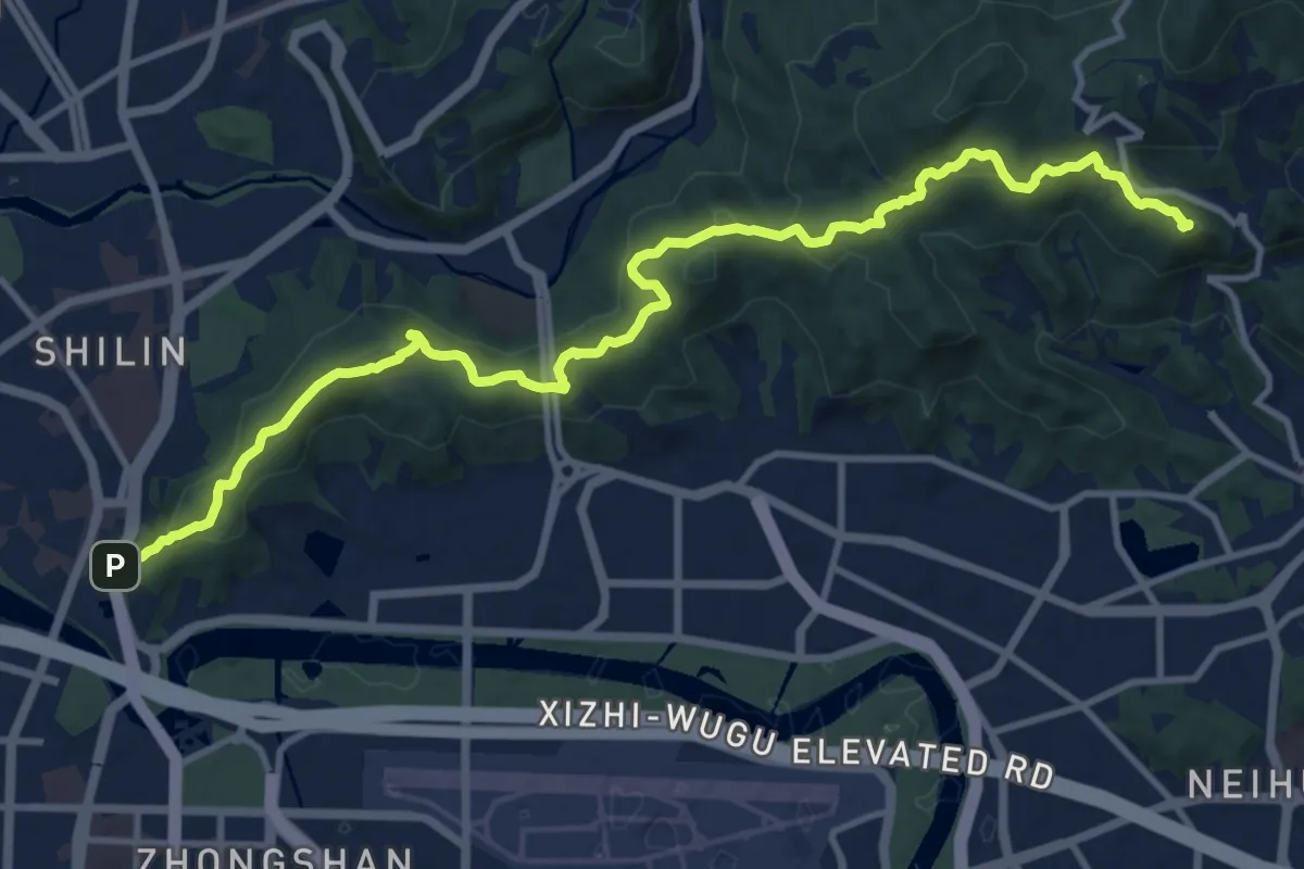
Medium · Summit
台北大縱走#5
17.7 km · ↑ 713 m · 5 h 43 min
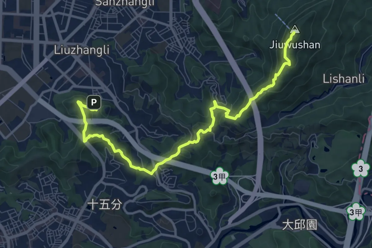
Medium · Summit
台北大縱走#6
13.1 km · ↑ 754 m · 4 h 44 min
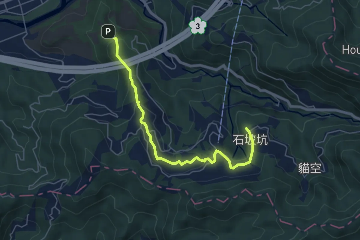
Easy · Summit
台北大縱走#7
6.6 km · ↑ 275 m · 2 h 10 min
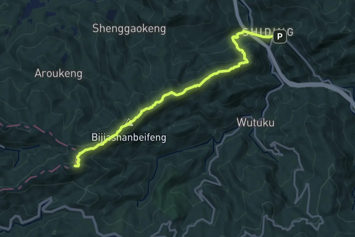
Demanding · Summit
台北天際線#1
12.8 km · ↑ 834 m · 4 h 49 min
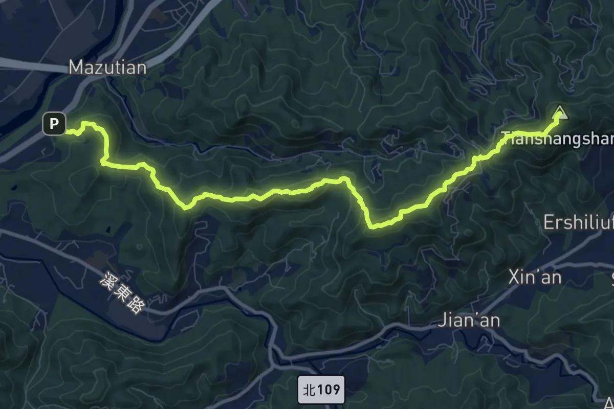
Demanding · Summit
台北天際線#10
14.5 km · ↑ 853 m · 5 h 16 min
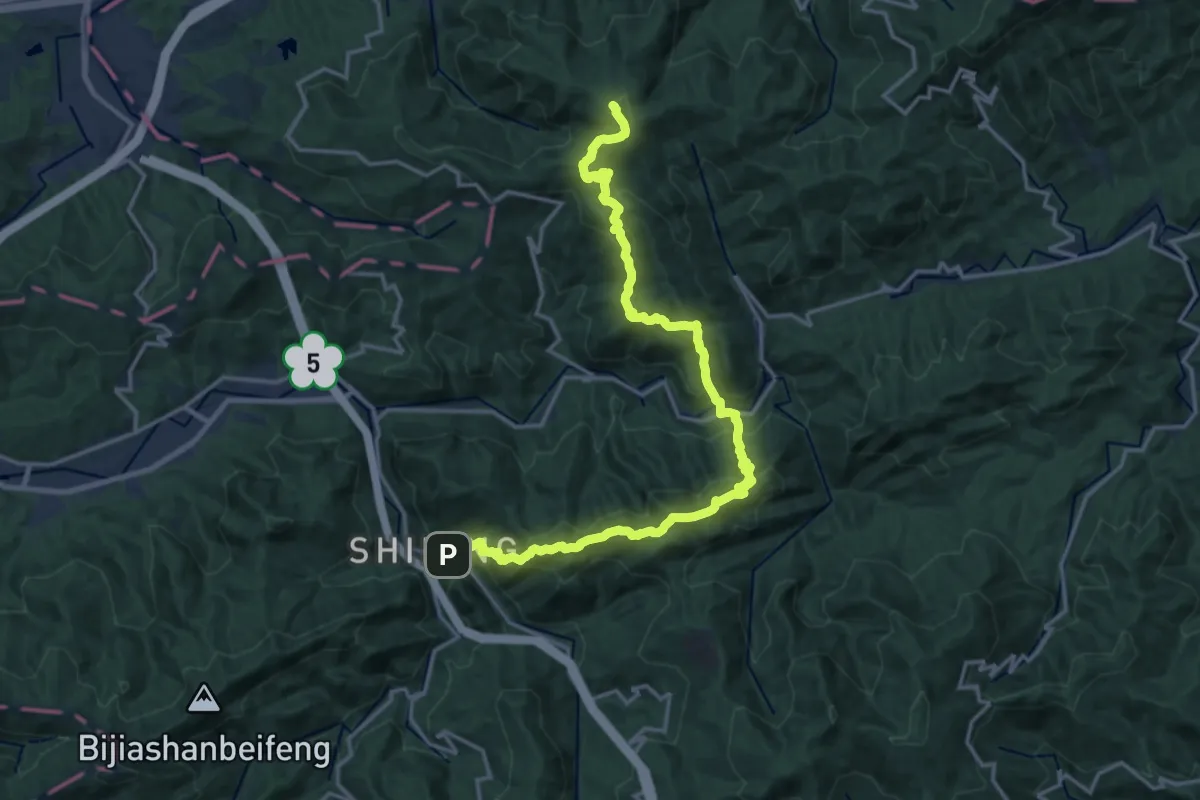
Demanding · Summit
台北天際線#2
24.8 km · ↑ 1902 m · 9 h 58 min
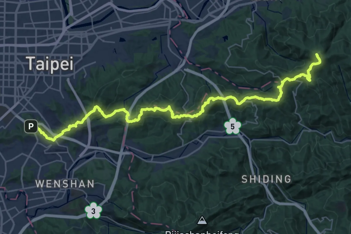
Demanding · Summit
台北天際線#2A
40.6 km · ↑ 2107 m · 14 h 9 min
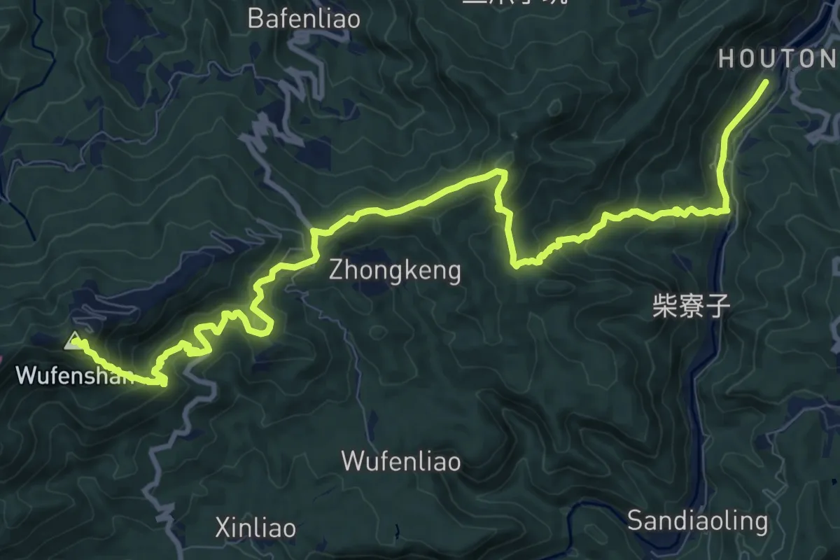
Demanding · Summit
台北天際線#3
17.1 km · ↑ 1132 m · 6 h 30 min
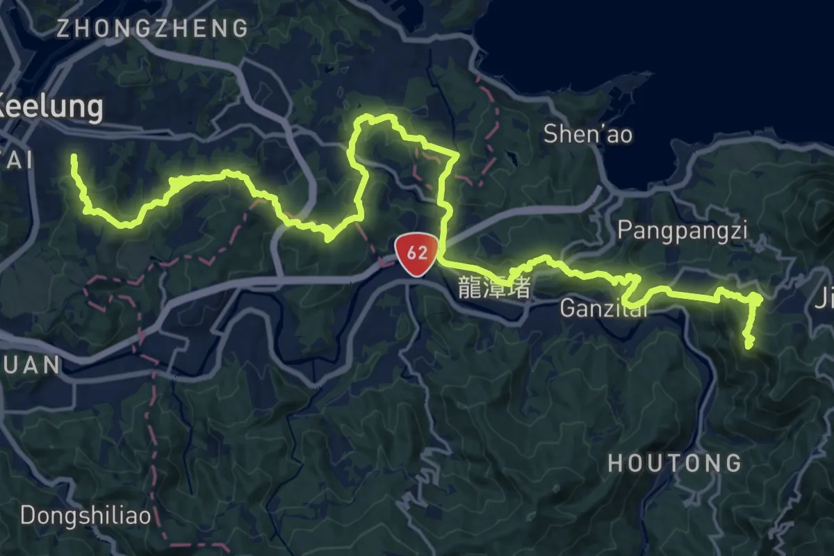
Demanding · Summit
台北天際線#4
37.9 km · ↑ 1766 m · 12 h 46 min
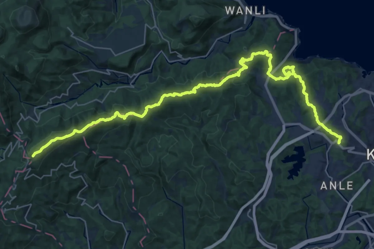
Demanding · Summit
台北天際線#5
39.7 km · ↑ 1704 m · 13 h 5 min
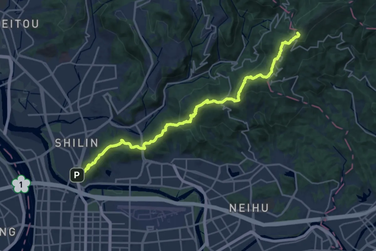
Demanding · Summit
台北天際線#5A
26.6 km · ↑ 1204 m · 8 h 53 min
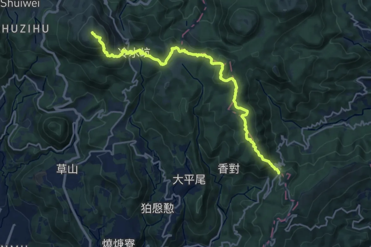
Demanding · Summit
台北天際線#6
19.5 km · ↑ 1104 m · 7 h
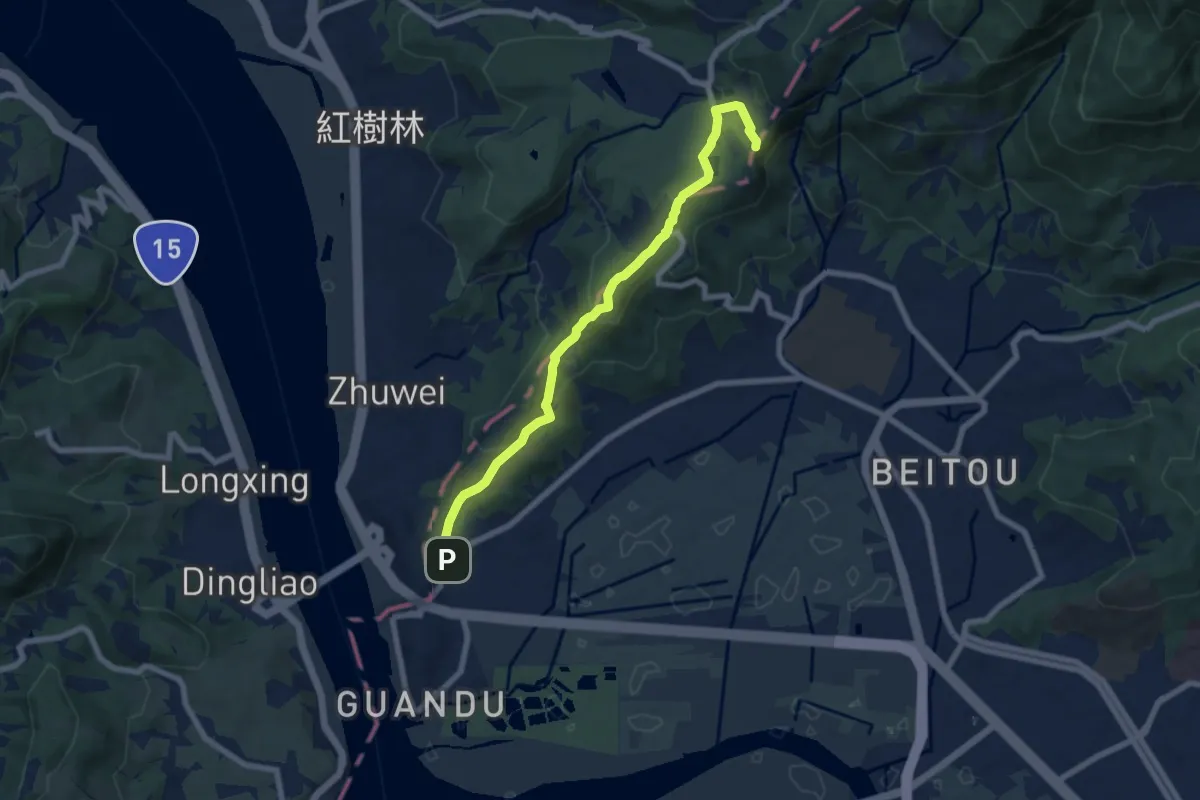
Medium · Summit
台北天際線#6A
9.4 km · ↑ 310 m · 2 h 53 min
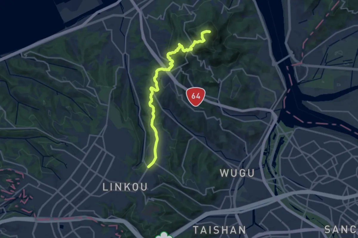
Demanding · Summit
台北天際線#7
19.1 km · ↑ 984 m · 6 h 39 min
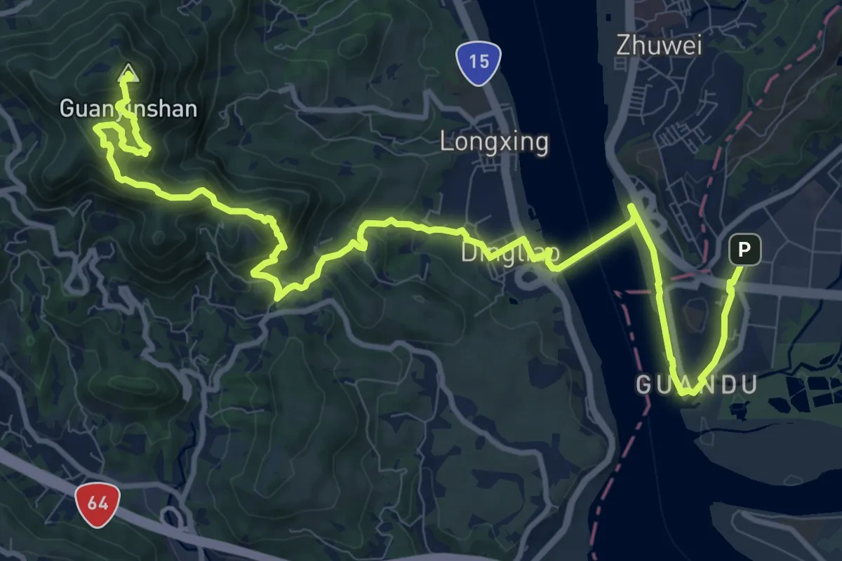
Expert · Summit
台北天際線#7A
18.7 km · ↑ 1053 m · 6 h 42 min
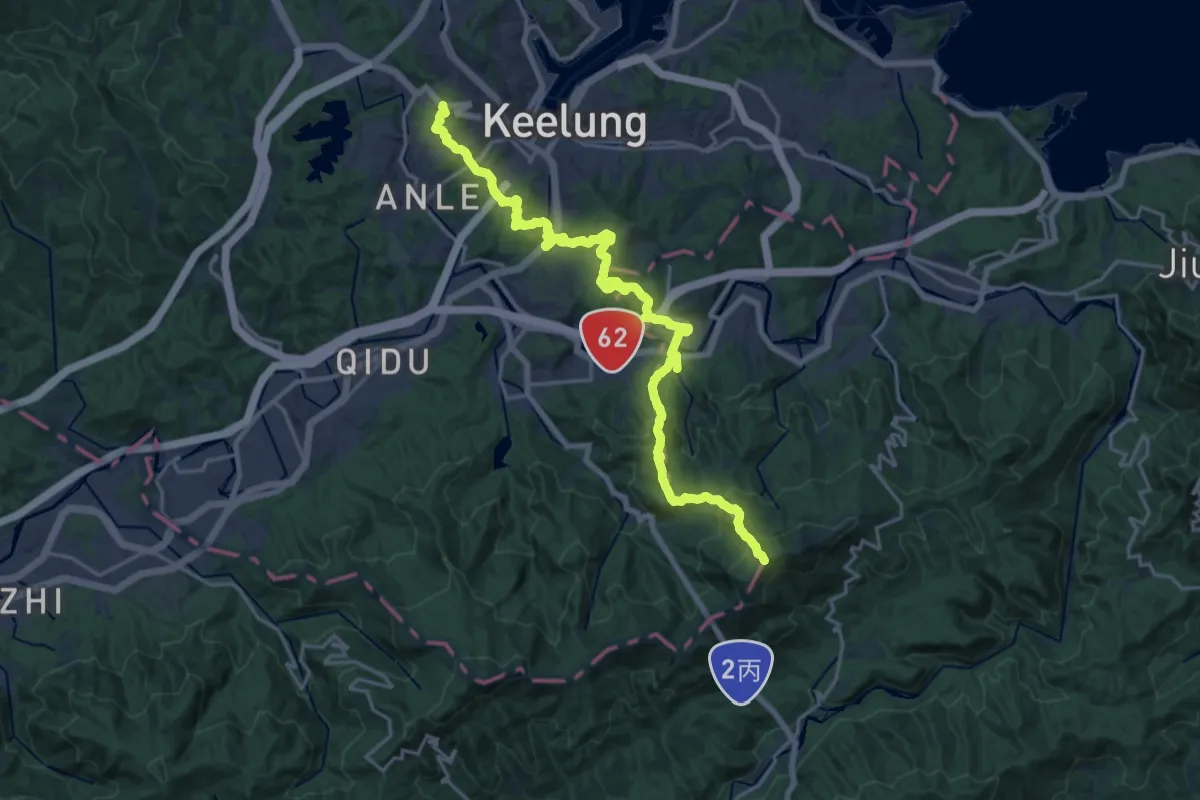
Demanding · Summit
台北天際線非原版支線
28.5 km · ↑ 1734 m · 10 h 30 min
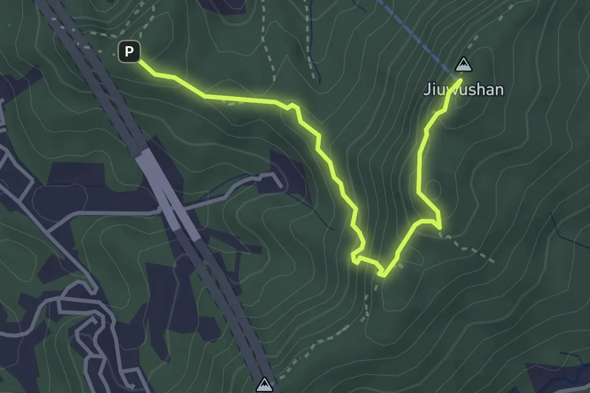
Medium · Summit
台北市政府四獸山步道總長4公里
4.4 km · ↑ 344 m · 1 h 46 min
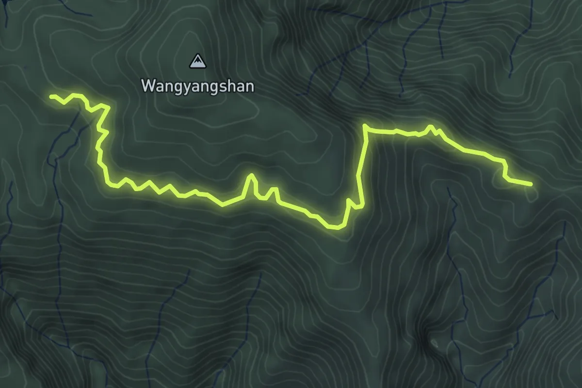
Medium · Cabin
台灣山毛櫸步道
7.1 km · ↑ 384 m · 2 h 30 min
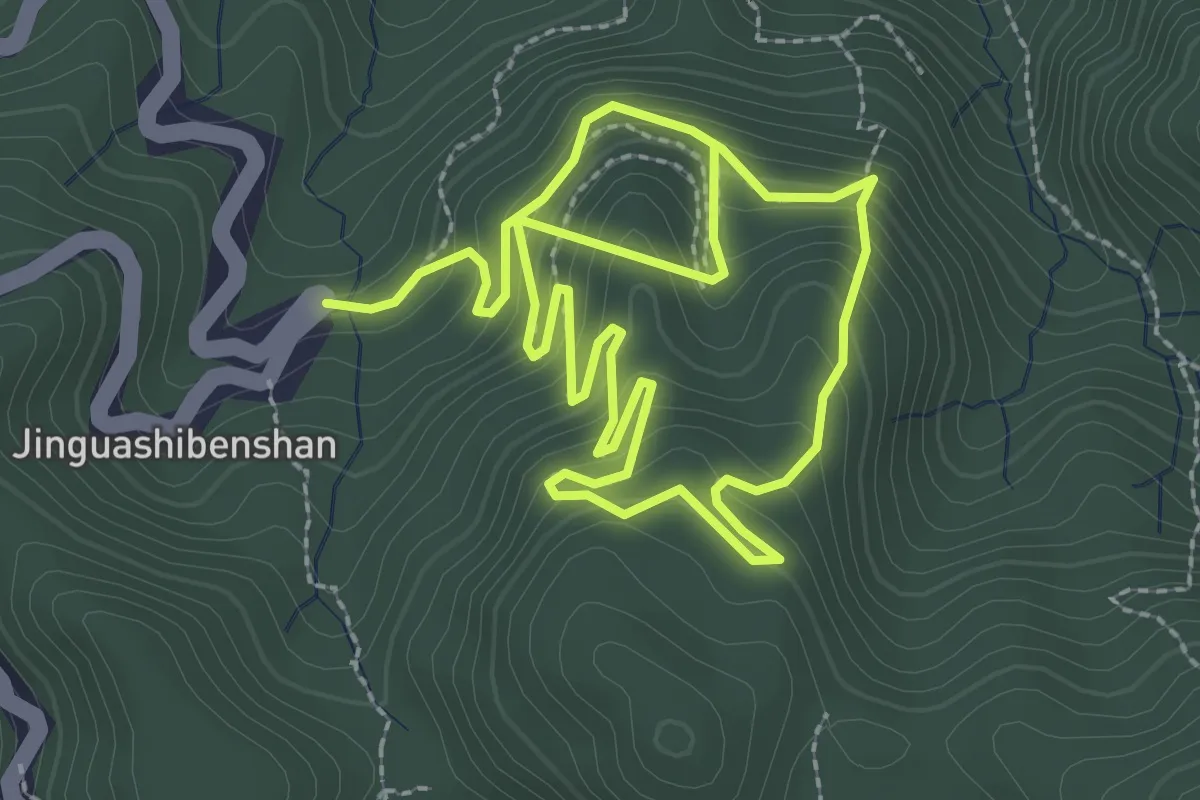
Medium · Trail
台電金瓜石地質公園環形步道
6.2 km · ↑ 482 m · 2 h 31 min
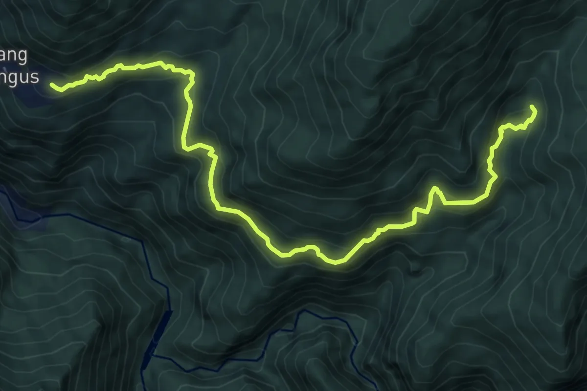
Medium · Trail
司馬庫斯神木群步道
10.5 km · ↑ 748 m · 4 h 7 min
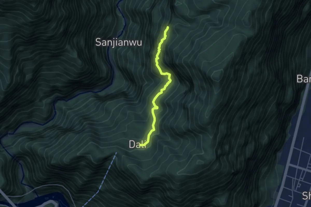
Medium · Cabin
同禮步道
4.9 km · ↑ 415 m · 2 h 4 min
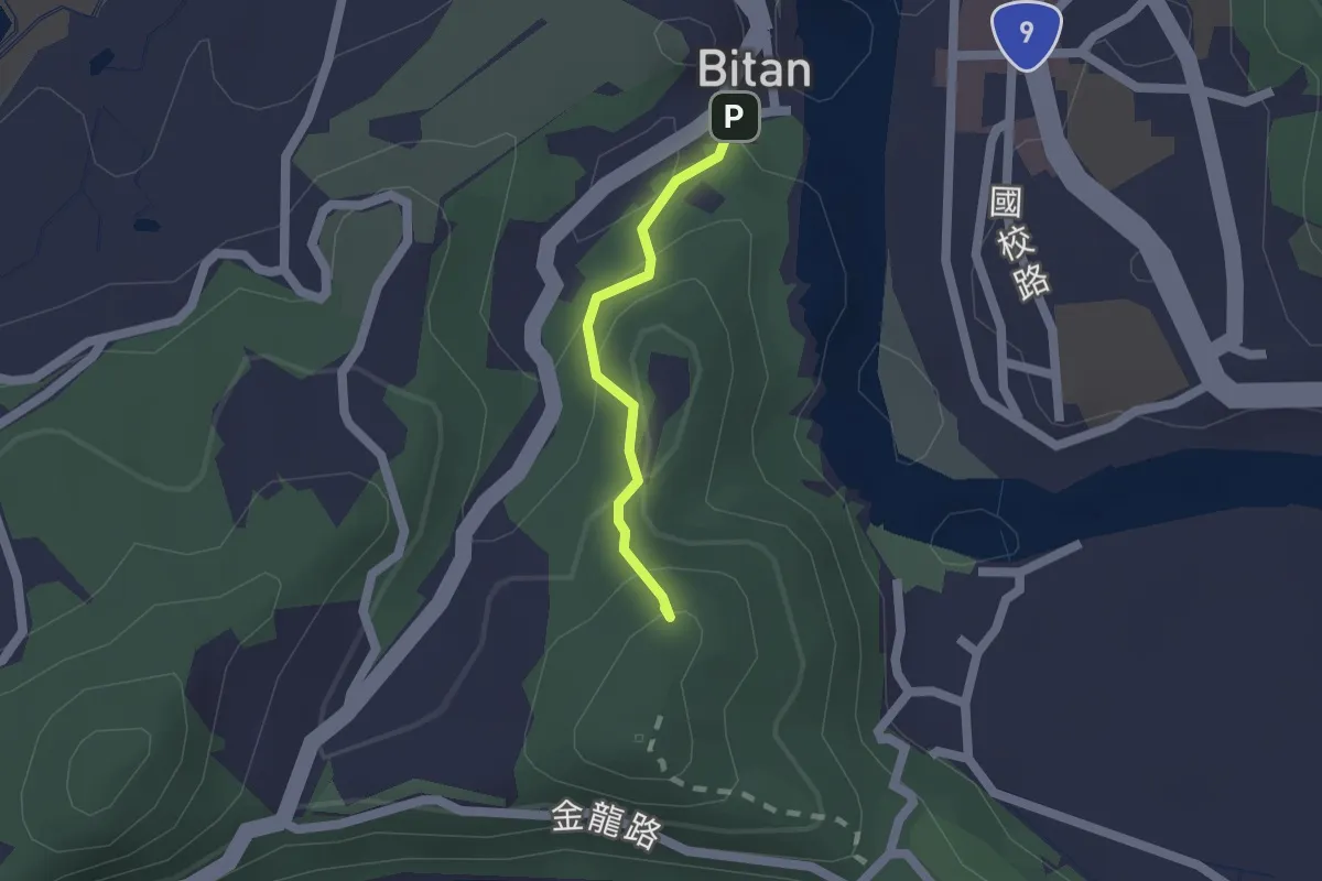
Easy · Summit
和美山登山步道
1.7 km · ↑ 119 m · 39 min
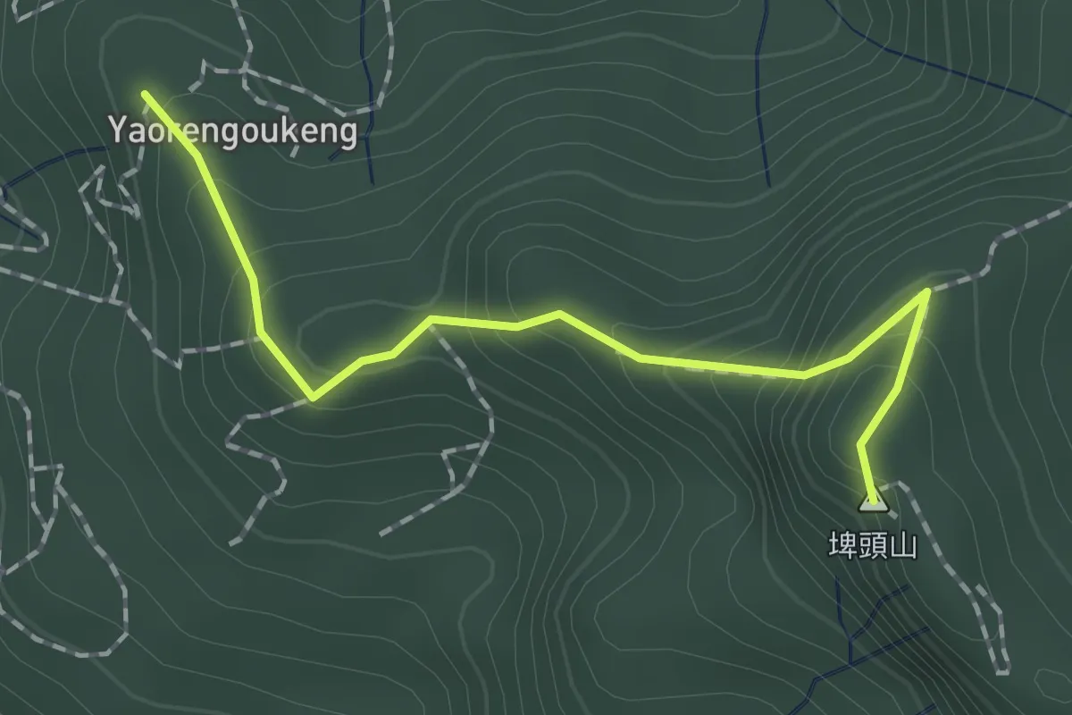
Easy · Summit
咬人狗坑步道
2.2 km · ↑ 172 m · 53 min
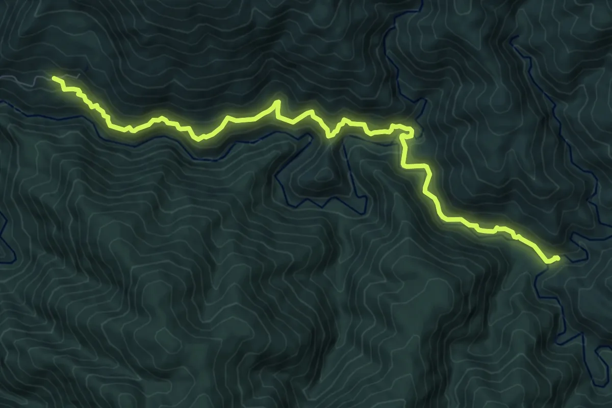
Demanding · Trail
哈盆越嶺步道
13.7 km · ↑ 985 m · 5 h 22 min
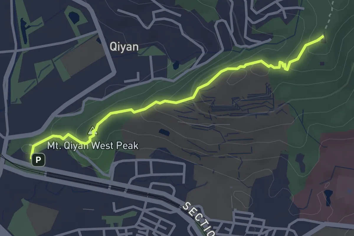
Medium · Summit
唭哩岸烏尖連峰步道
3.9 km · ↑ 204 m · 1 h 22 min
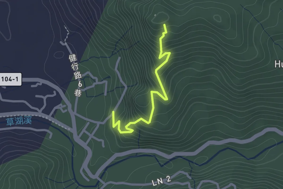
Easy · Trail
單槓亭步道
2.7 km · ↑ 213 m · 1 h 5 min
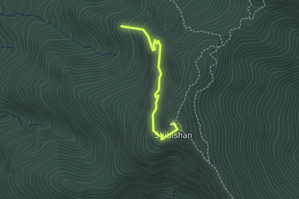
Medium · Summit
嘉南雲峰步道
2.2 km · ↑ 328 m · 1 h 14 min
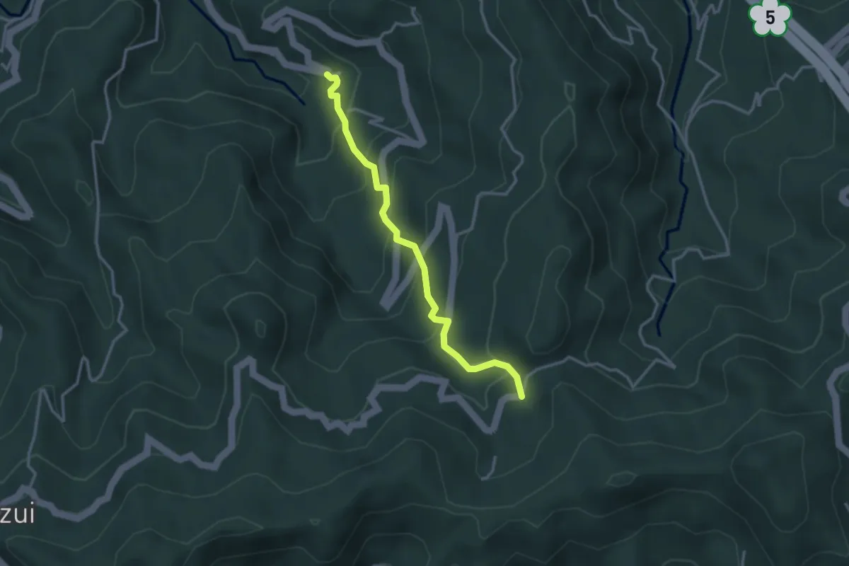
Easy · Trail
四分子古道
3.9 km · ↑ 293 m · 1 h 33 min
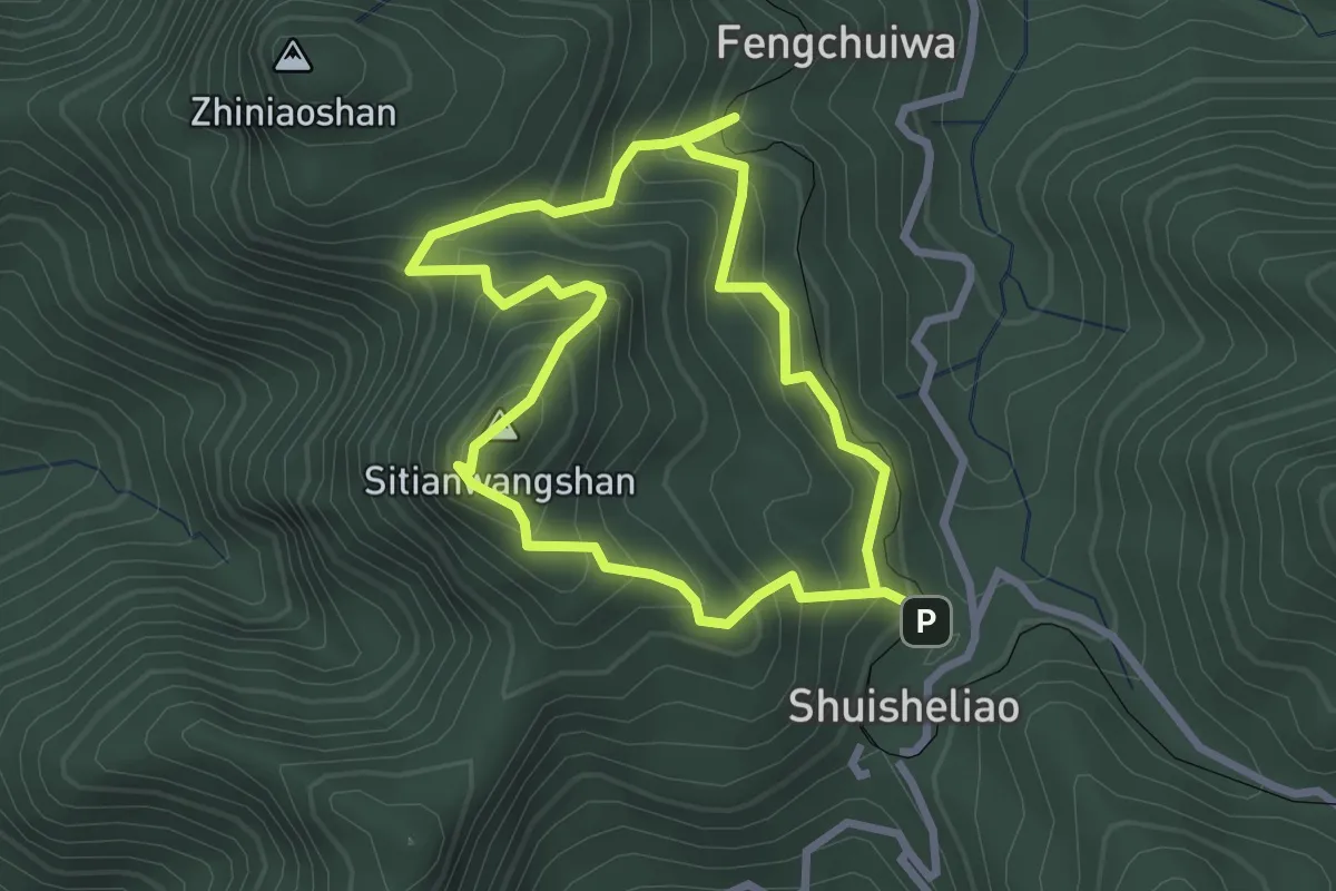
Medium · Summit
四大天王山步道
3.3 km · ↑ 370 m · 1 h 37 min
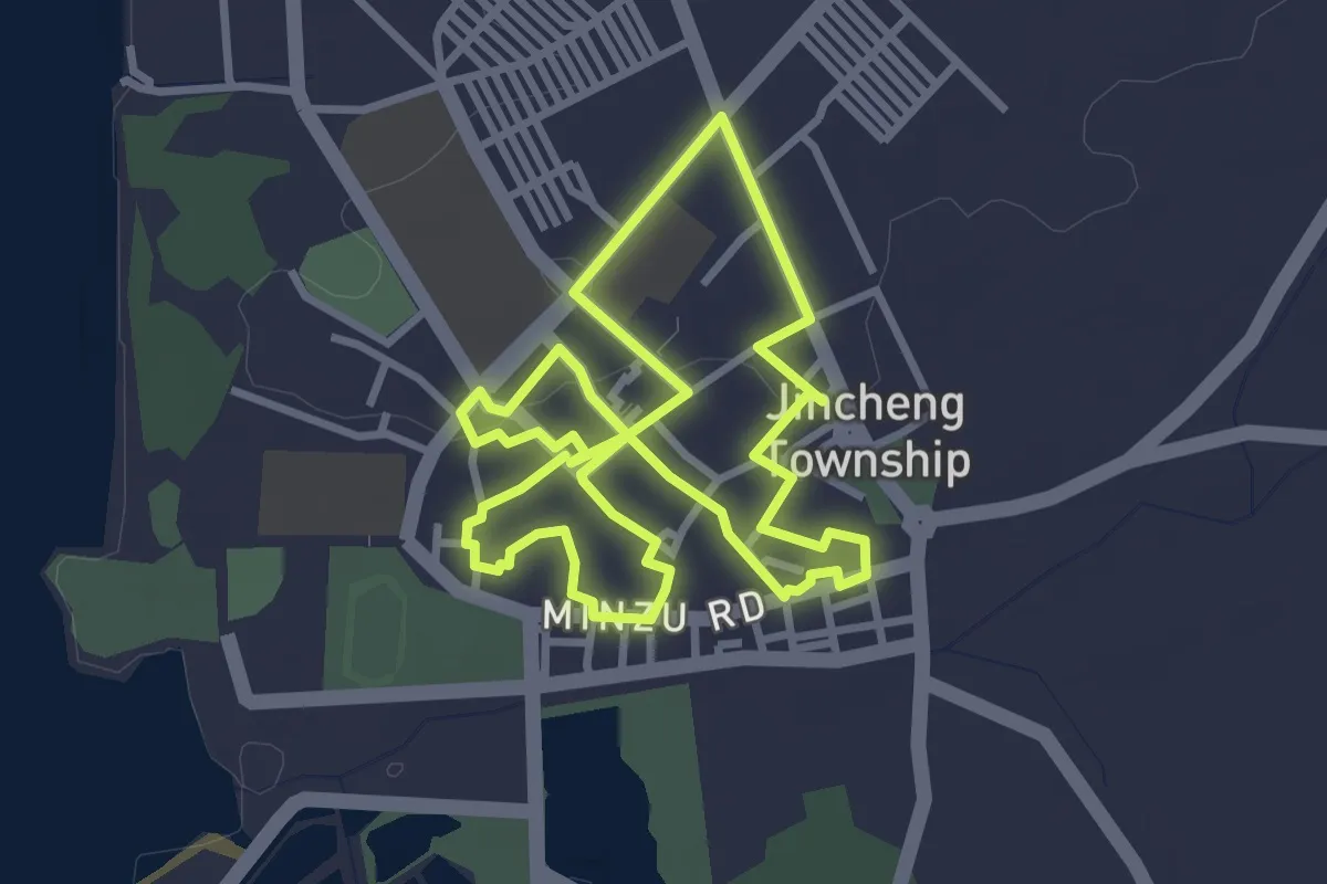
Easy · Pilgrim path
四月十二迎城隍
4.2 km · ↑ 24 m · 1 h 6 min
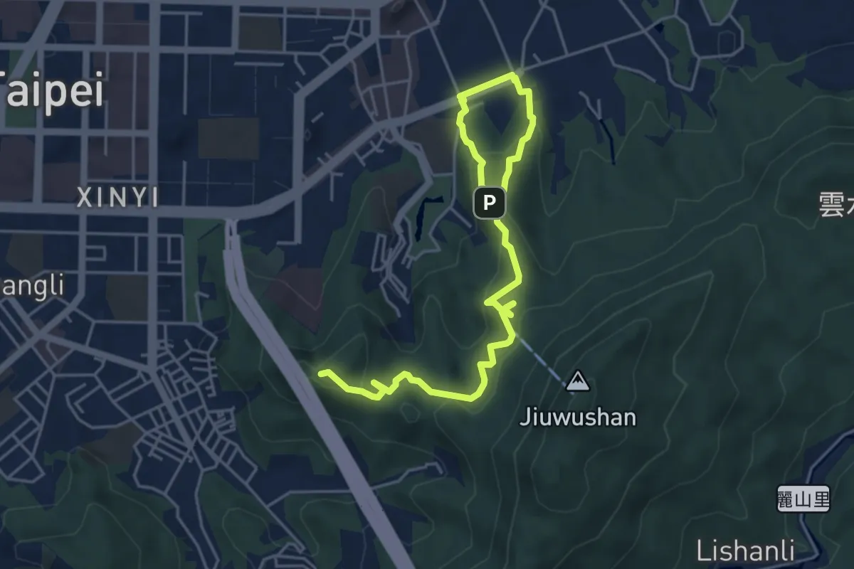
Medium · Summit
四獸山環路線
7.5 km · ↑ 373 m · 2 h 34 min
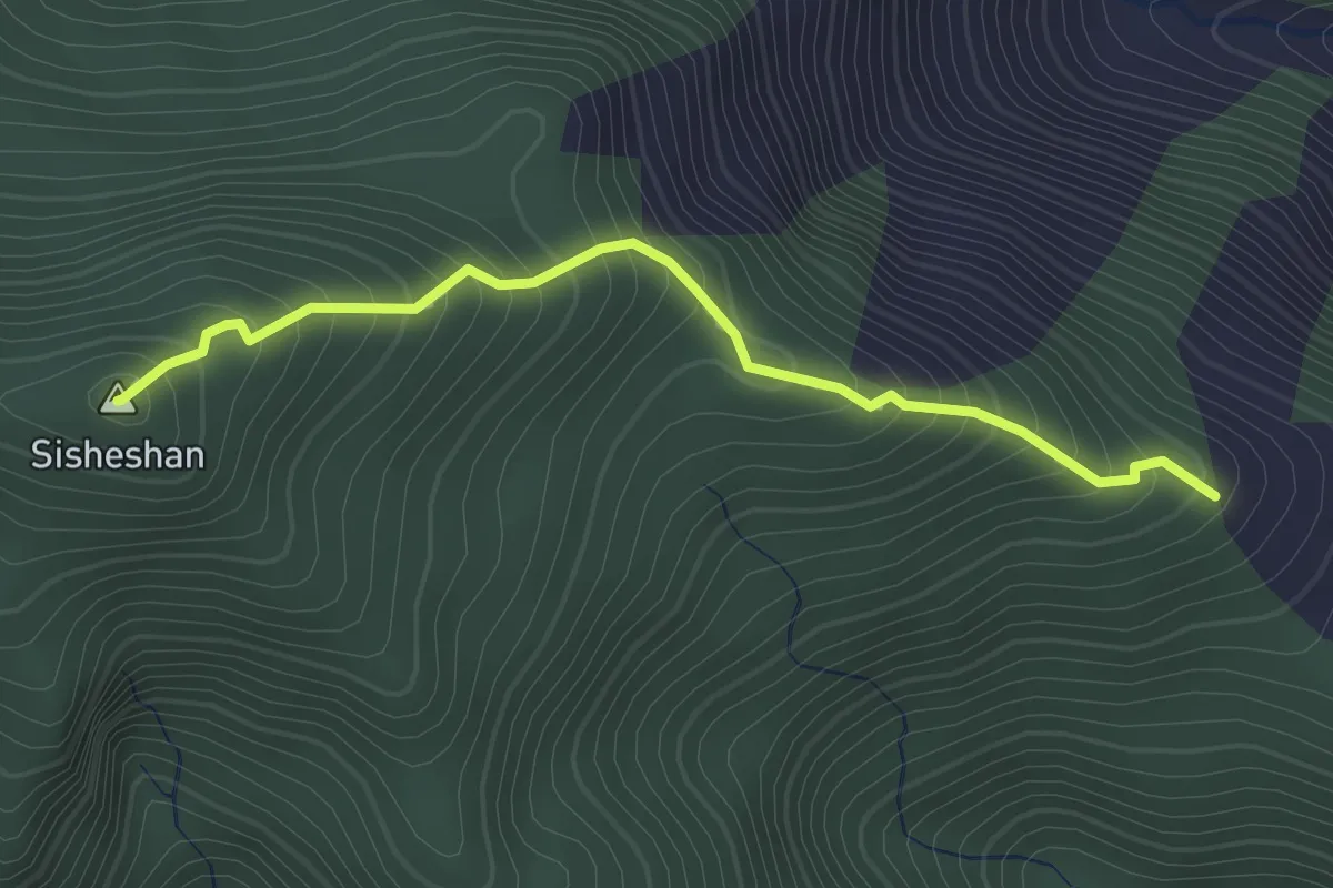
Medium · Summit
四社山登山路線
2.5 km · ↑ 275 m · 1 h 12 min