Trails in Taiwan
613 hiking trails, each with its route, climb, walking time and grade.
All trails, page 4 of 13
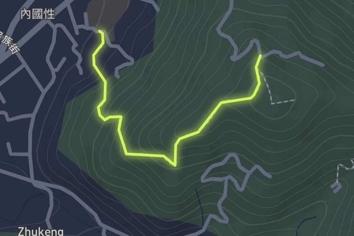
Easy · Trail
國姓國中後山
2.3 km · ↑ 167 m · 54 min
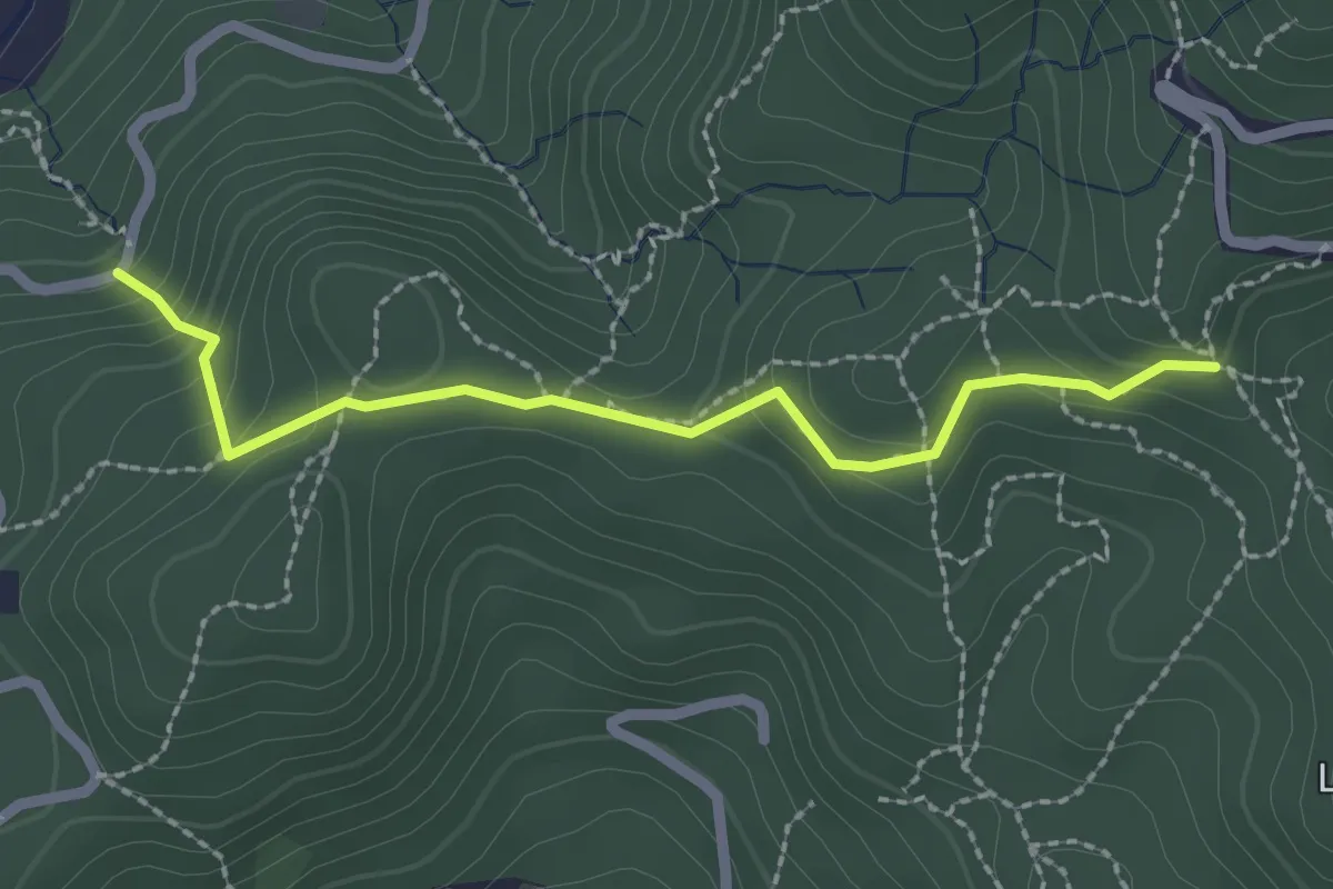
Easy · Trail
圓明寺步道
2.9 km · ↑ 143 m · 1 h
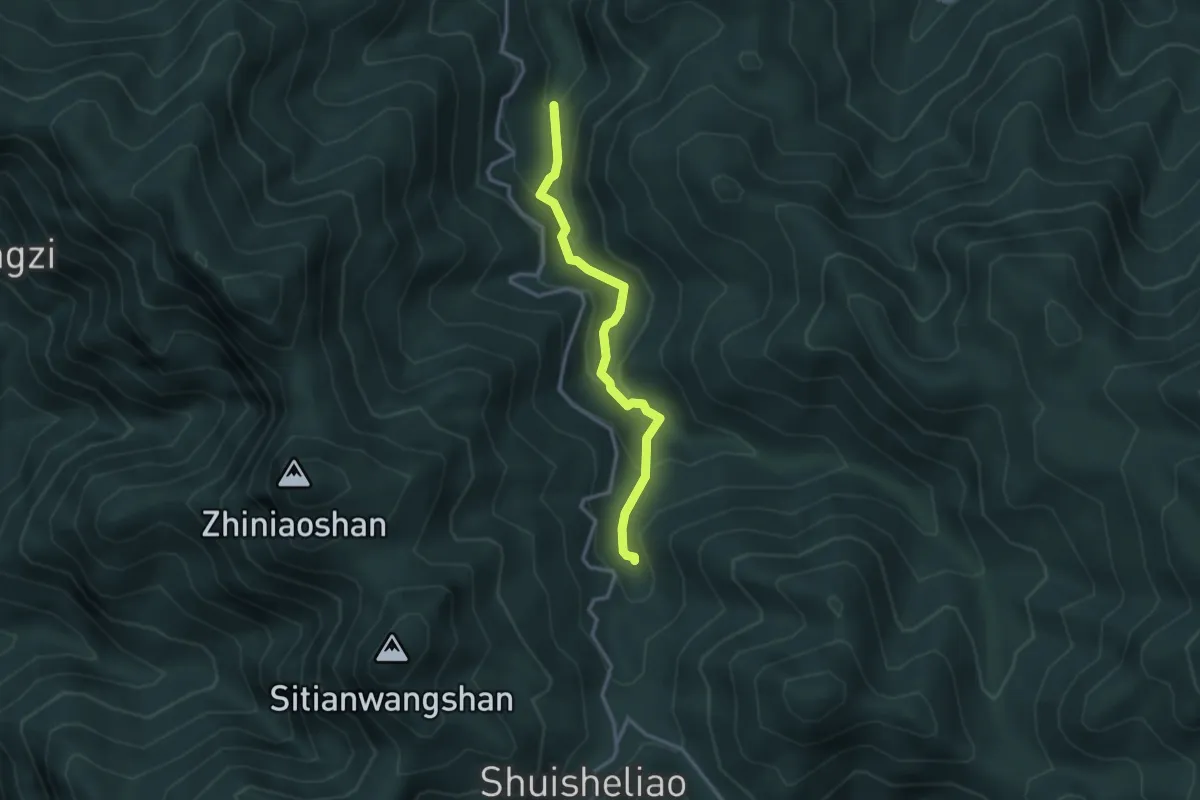
Easy · Trail
圓水古道
3.8 km · ↑ 236 m · 1 h 24 min
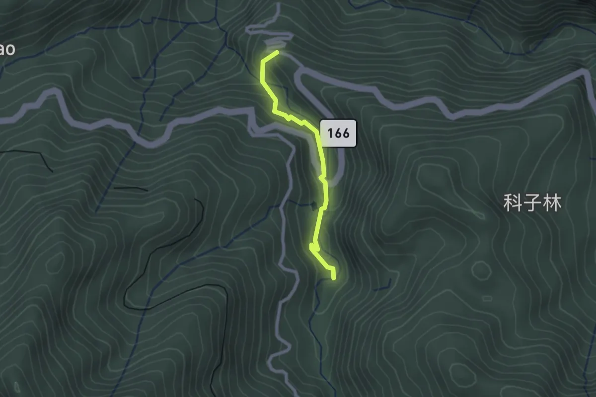
Easy · Trail
圓潭步道
2.4 km · ↑ 141 m · 53 min
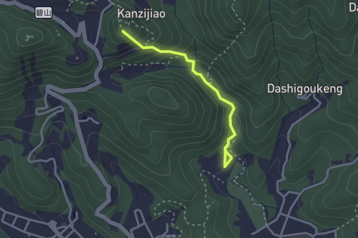
Easy · Summit
圓覺寺步道
2.7 km · ↑ 237 m · 1 h 9 min
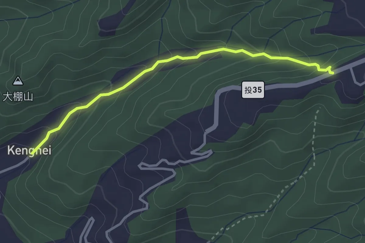
Easy · Trail
坑內坑步道
3.7 km · ↑ 243 m · 1 h 24 min
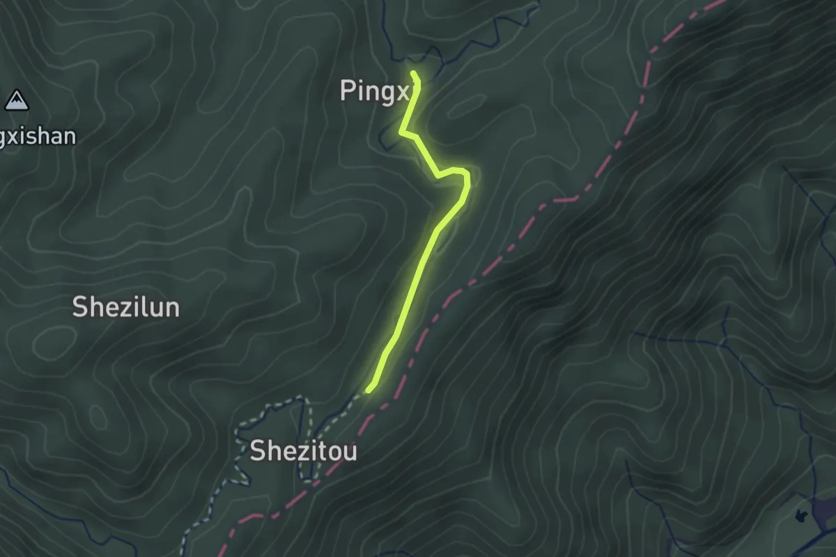
Easy · Trail
坪溪古道
2.4 km · ↑ 53 m · 40 min
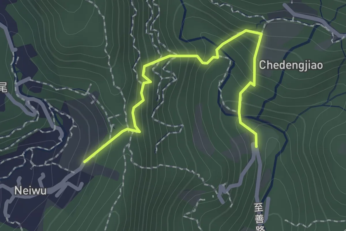
Easy · Trail
坪頂古圳步道
2.5 km · ↑ 298 m · 1 h 14 min
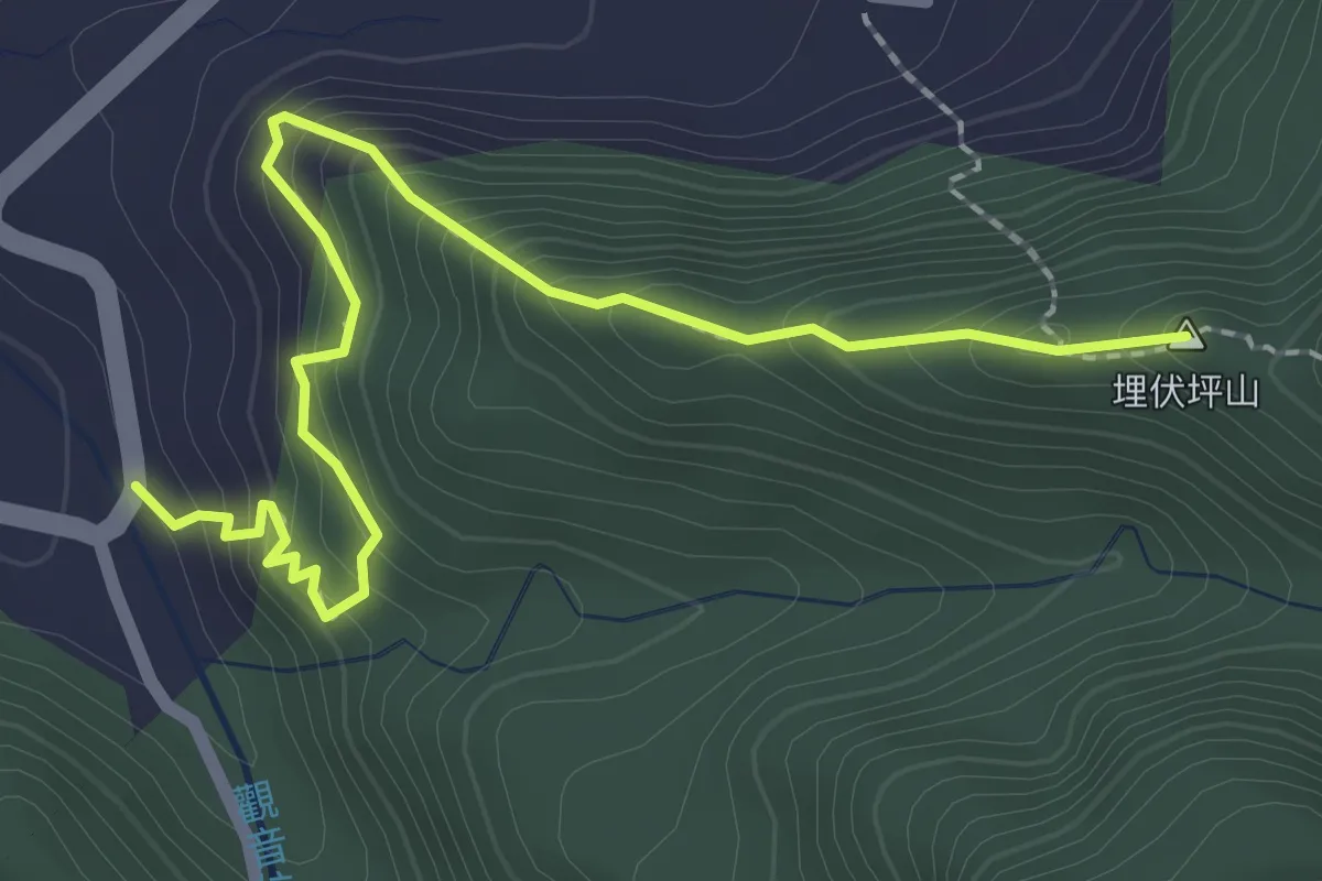
Medium · Summit
埋伏坪步道
3.4 km · ↑ 334 m · 1 h 31 min
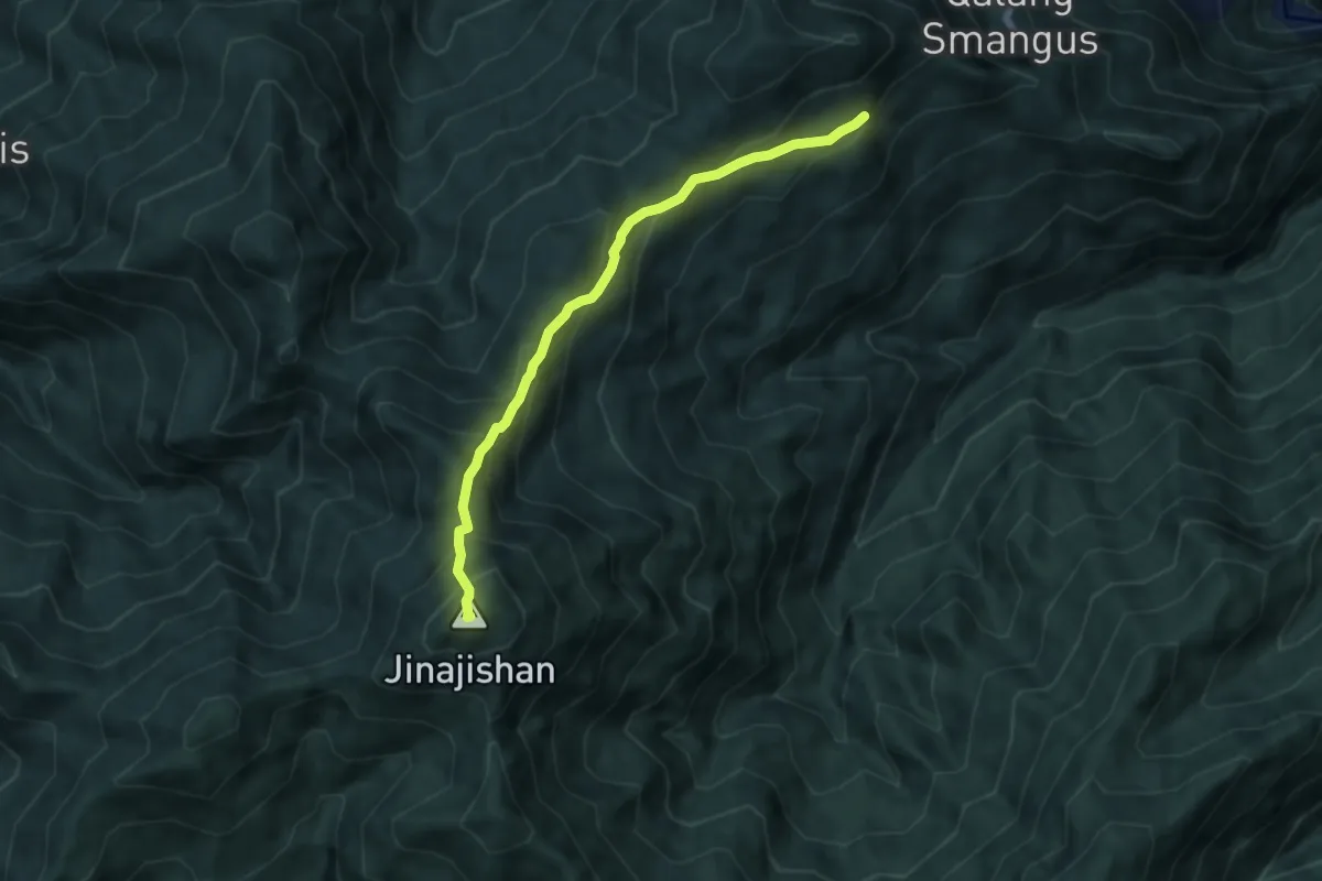
Medium · Summit
基那吉山路線
7.9 km · ↑ 695 m · 3 h 22 min
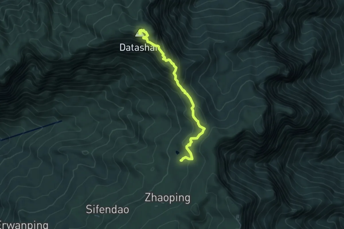
Medium · Summit
塔山步道
6.5 km · ↑ 413 m · 2 h 26 min
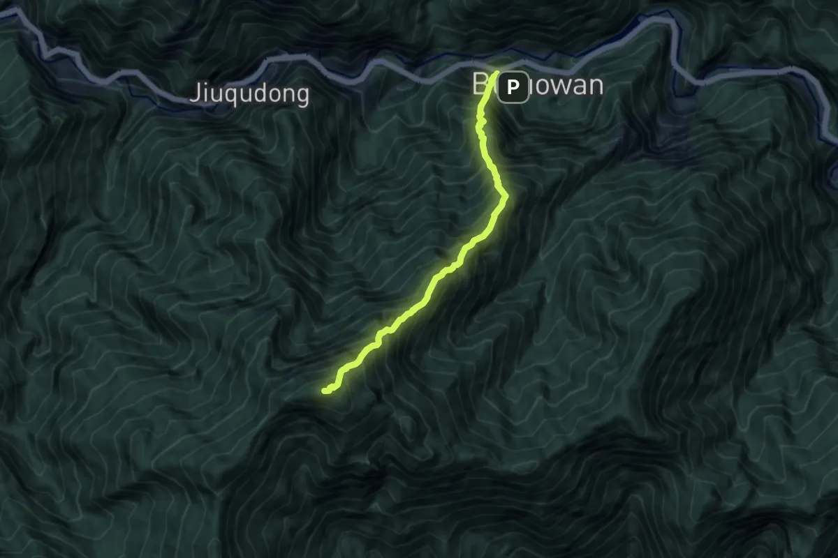
Expert · Summit
塔山登山路線
9.6 km · ↑ 2076 m · 6 h 46 min
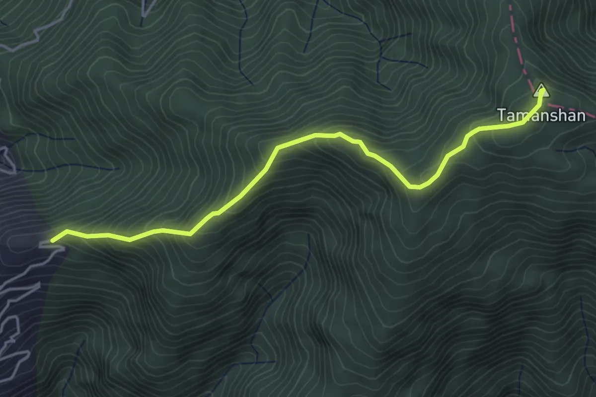
Medium · Summit
塔曼山步道
5.7 km · ↑ 458 m · 2 h 21 min
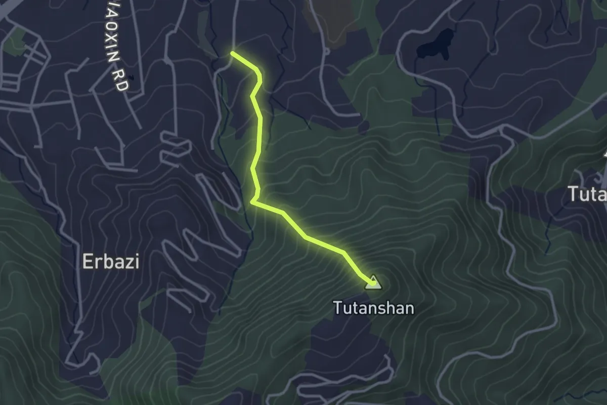
Medium · Summit
塗潭山步道
3.1 km · ↑ 408 m · 1 h 37 min
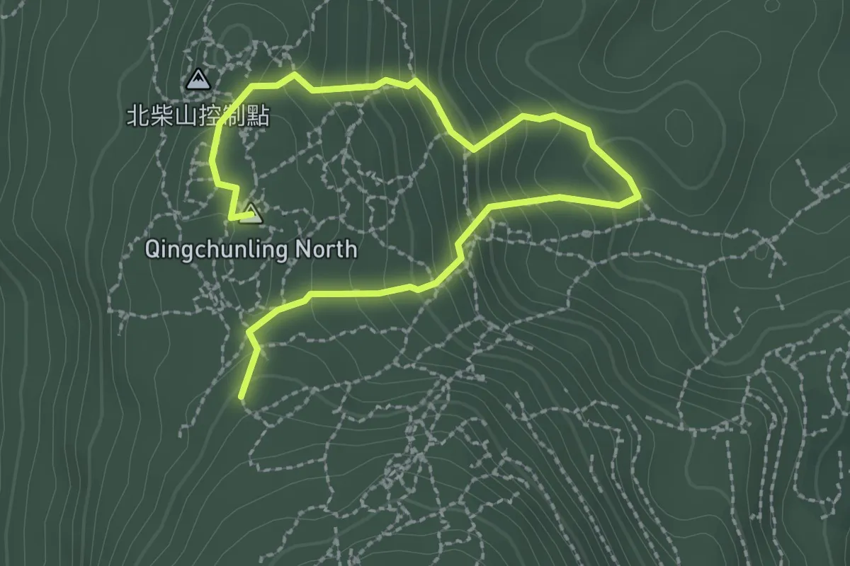
Medium · Summit
壽山森林步道 - 悠然密林
4.3 km · ↑ 323 m · 1 h 43 min
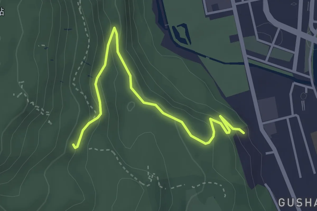
Easy · Trail
壽山步道元亨寺線
4.5 km · ↑ 172 m · 1 h 26 min
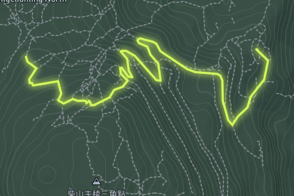
Easy · Summit
壽山步道北壽山線
5.4 km · ↑ 307 m · 1 h 57 min
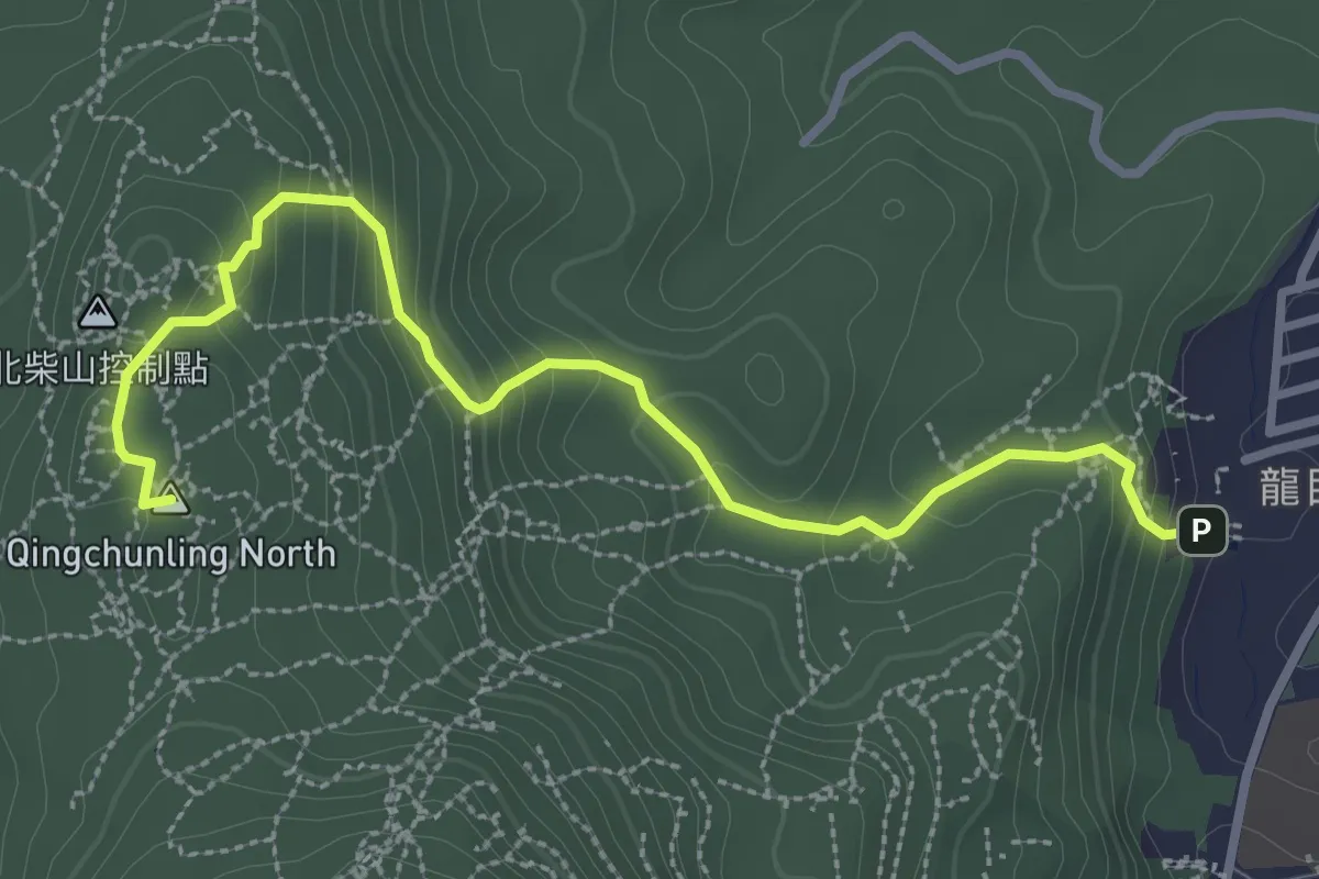
Medium · Summit
壽山步道龍泉寺線
4.4 km · ↑ 247 m · 1 h 35 min
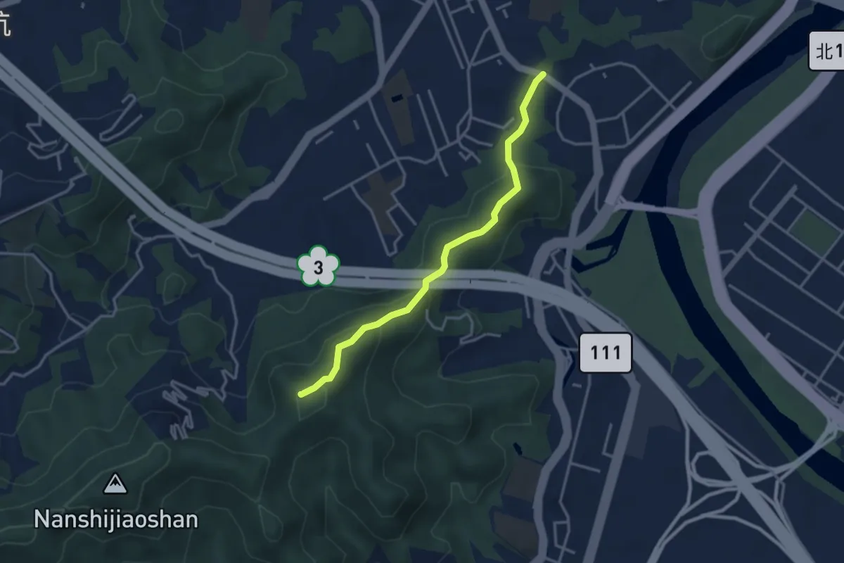
Easy · Summit
外挖子山步道
4.2 km · ↑ 286 m · 1 h 37 min
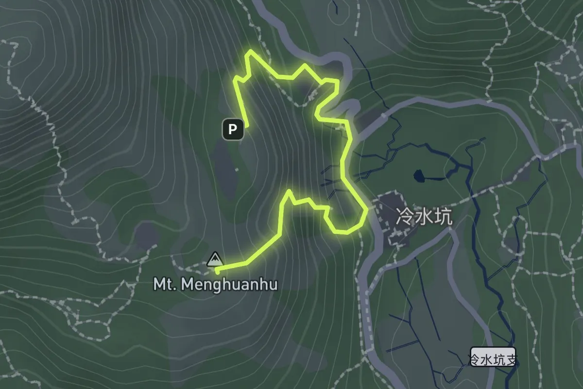
Easy · Summit
夢幻湖步道
2.8 km · ↑ 269 m · 1 h 15 min
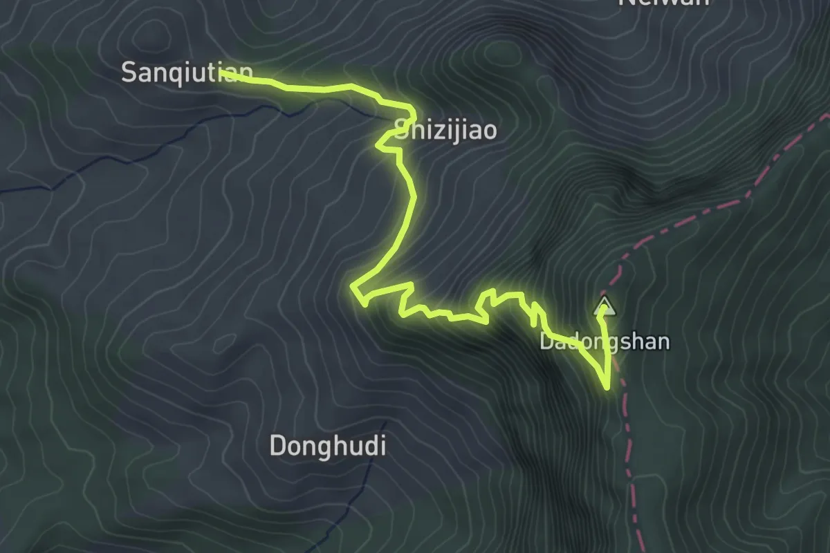
Medium · Summit
大凍山步道
6.7 km · ↑ 637 m · 2 h 58 min
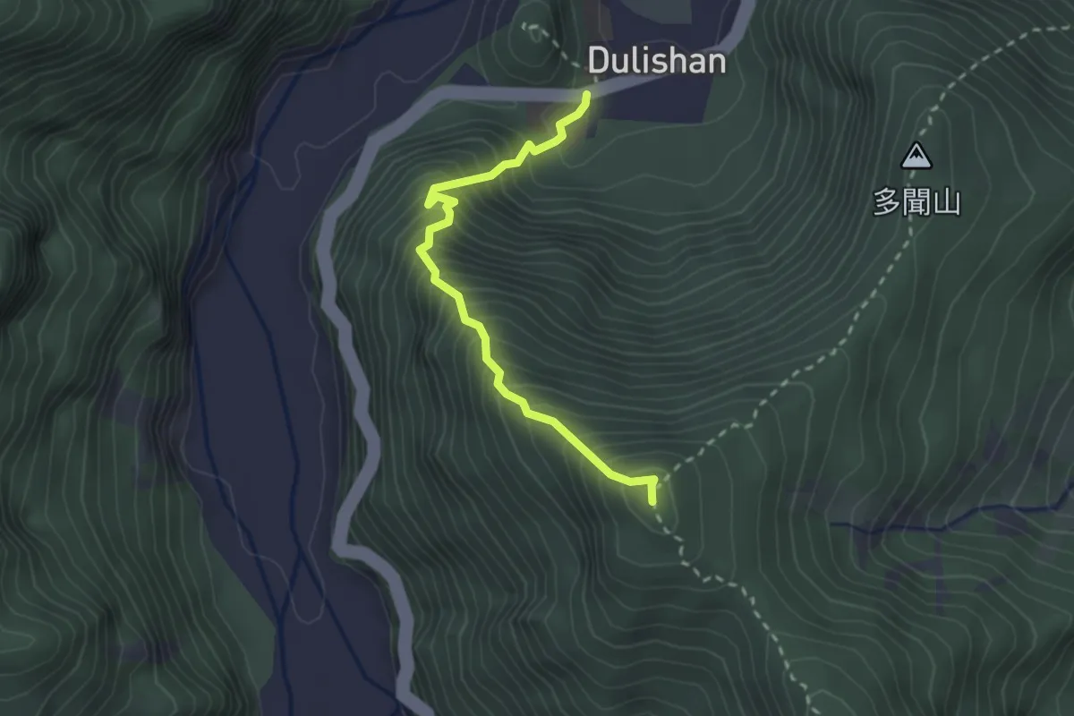
Medium · Summit
大同國中登烏帽子山路線
3.2 km · ↑ 522 m · 1 h 53 min
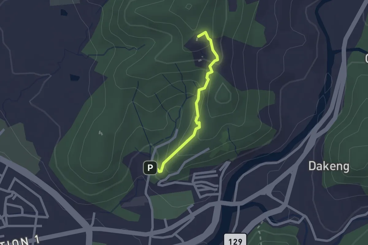
Easy · Trail
大坑10號步道
2.2 km · ↑ 194 m · 56 min
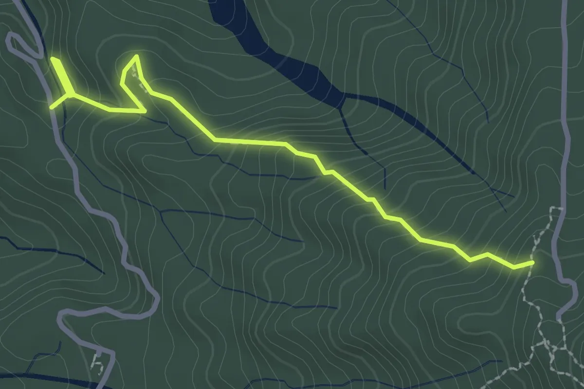
Easy · Trail
大坑1號步道
3.4 km · ↑ 289 m · 1 h 26 min
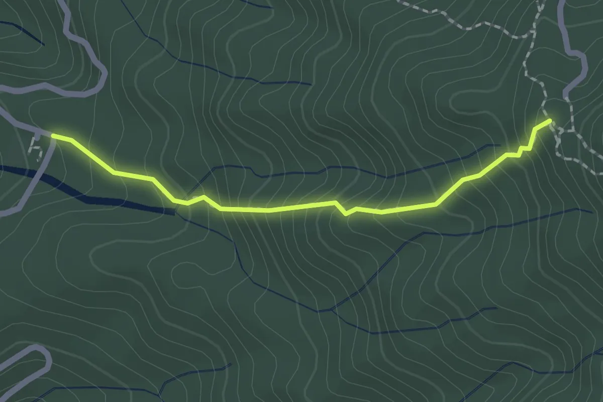
Medium · Trail
大坑2號步道
2.3 km · ↑ 269 m · 1 h 7 min
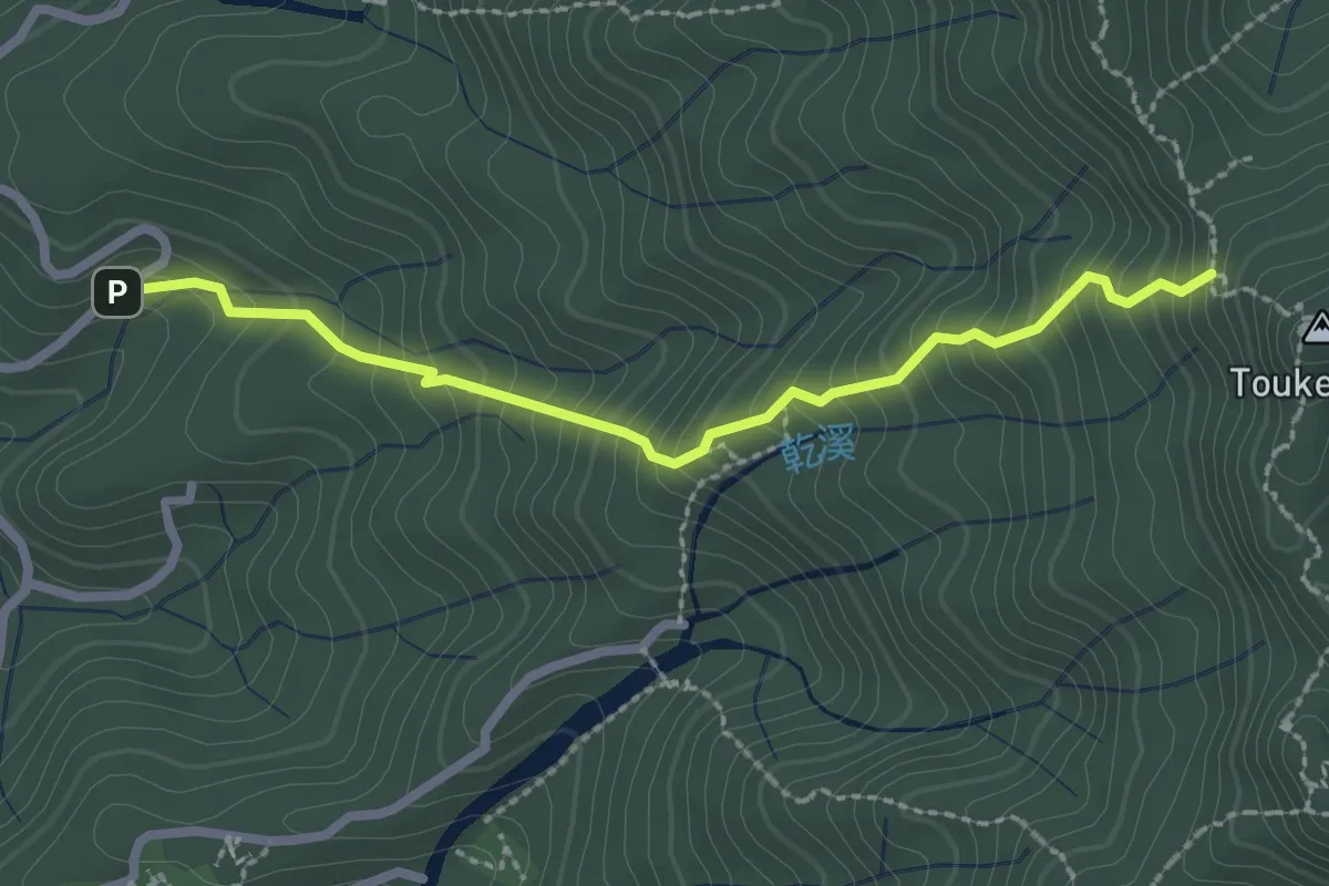
Medium · Trail
大坑3號步道
3.2 km · ↑ 348 m · 1 h 31 min
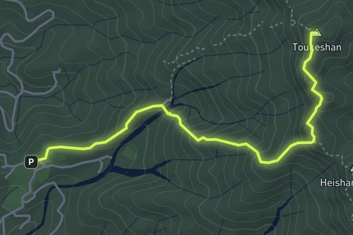
Medium · Summit
大坑4號步道
5.4 km · ↑ 450 m · 2 h 15 min
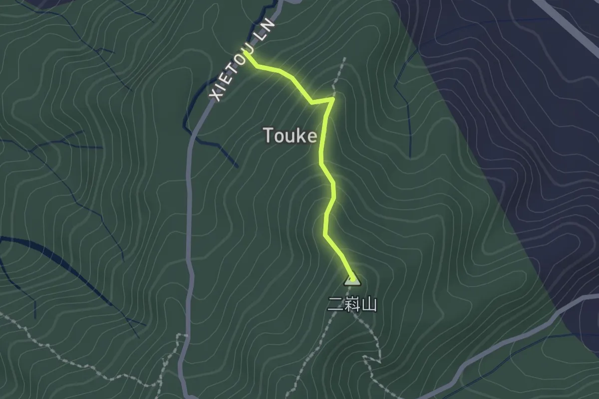
Medium · Summit
大坑5-1步道
1.6 km · ↑ 170 m · 45 min
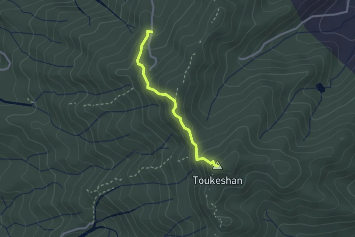
Medium · Summit
大坑5號步道
2.5 km · ↑ 206 m · 1 h 3 min
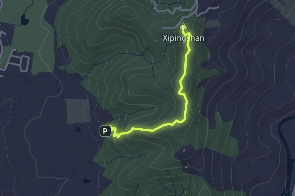
Easy · Summit
大坑6號步道
3.0 km · ↑ 191 m · 1 h 7 min
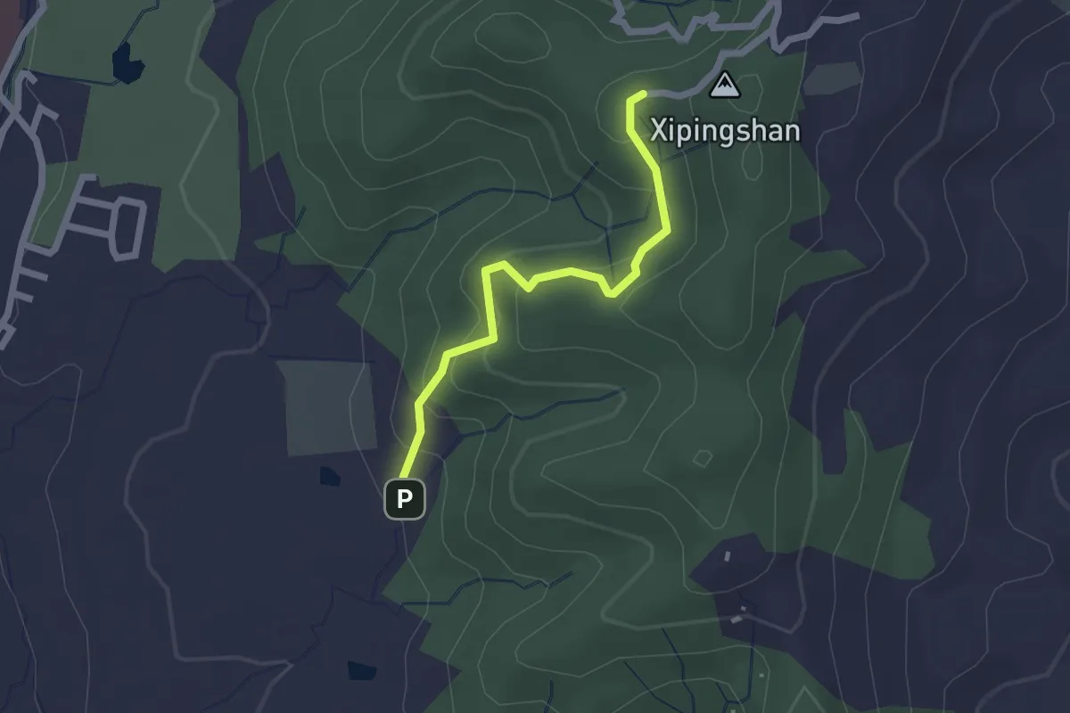
Easy · Trail
大坑7號步道
2.4 km · ↑ 167 m · 56 min
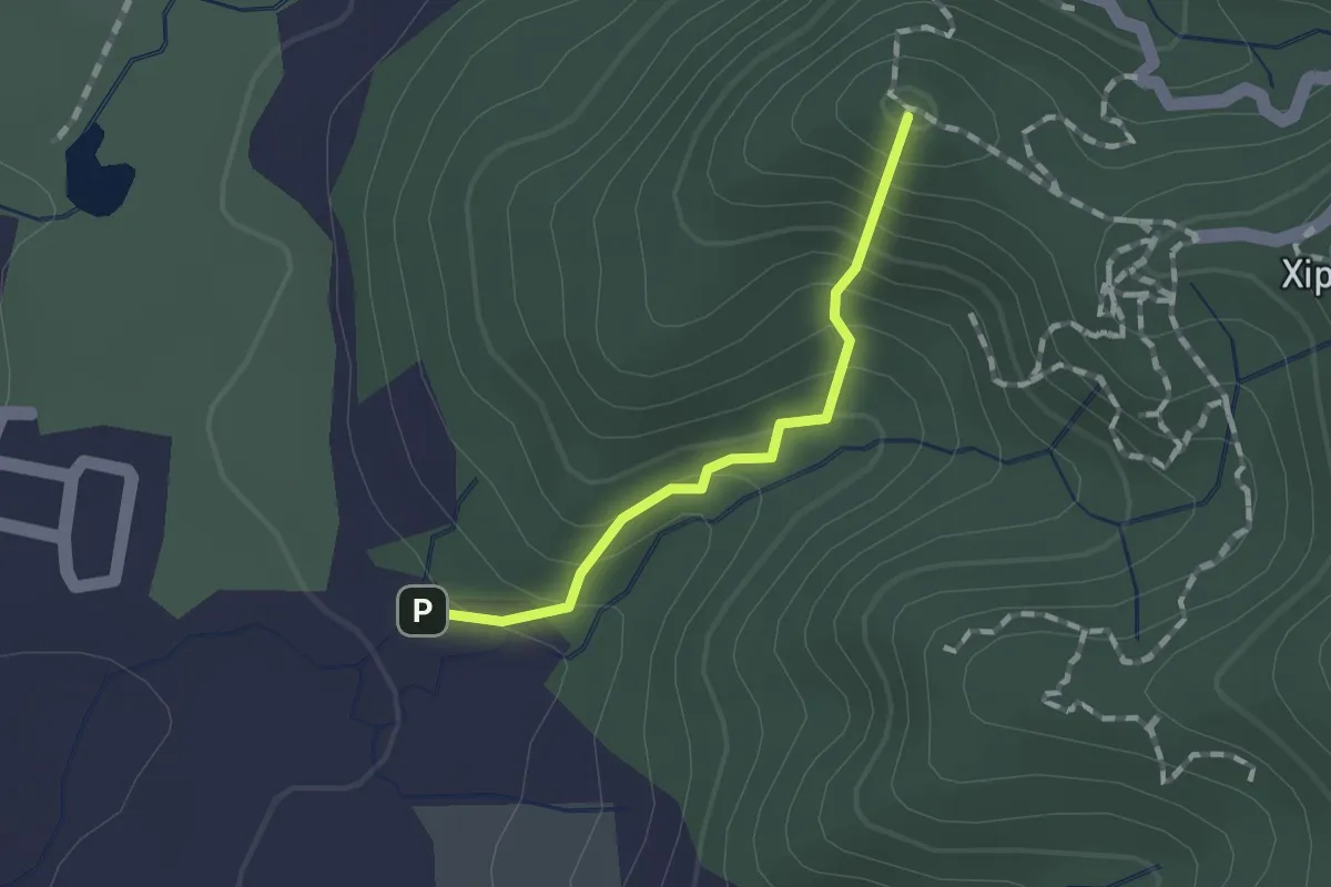
Easy · Summit
大坑8號步道
1.4 km · ↑ 145 m · 39 min
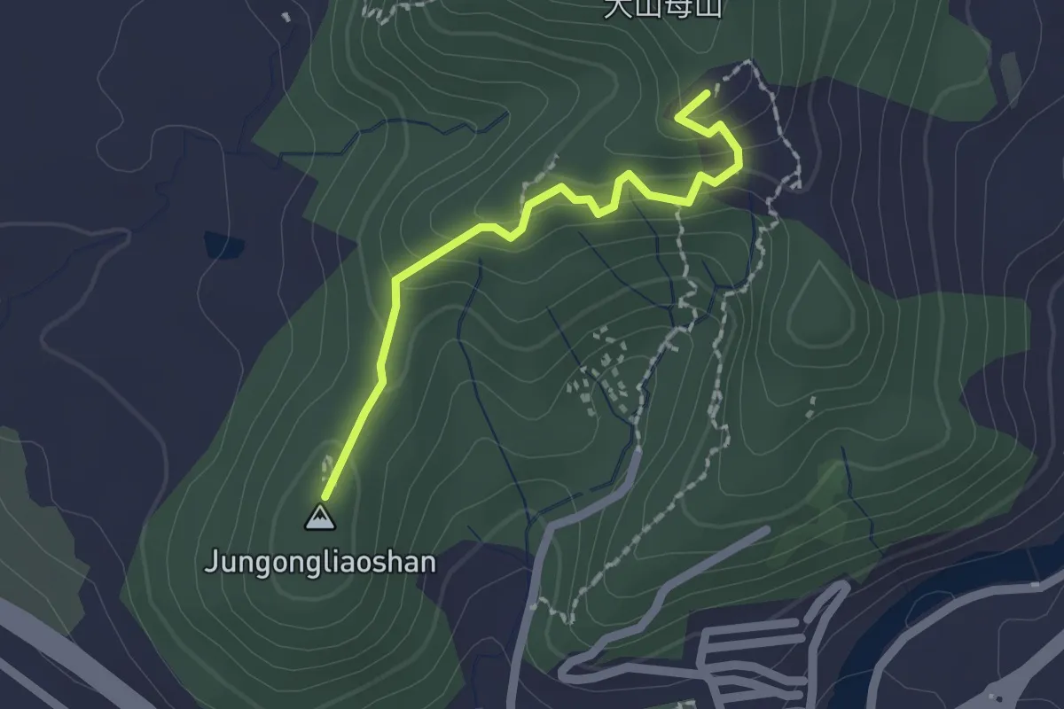
Easy · Summit
大坑9號步道
2.2 km · ↑ 138 m · 50 min
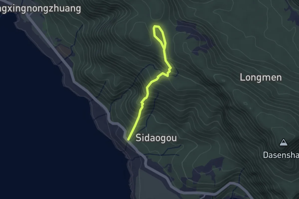
Easy · Trail
大天池步道
3.7 km · ↑ 310 m · 1 h 32 min
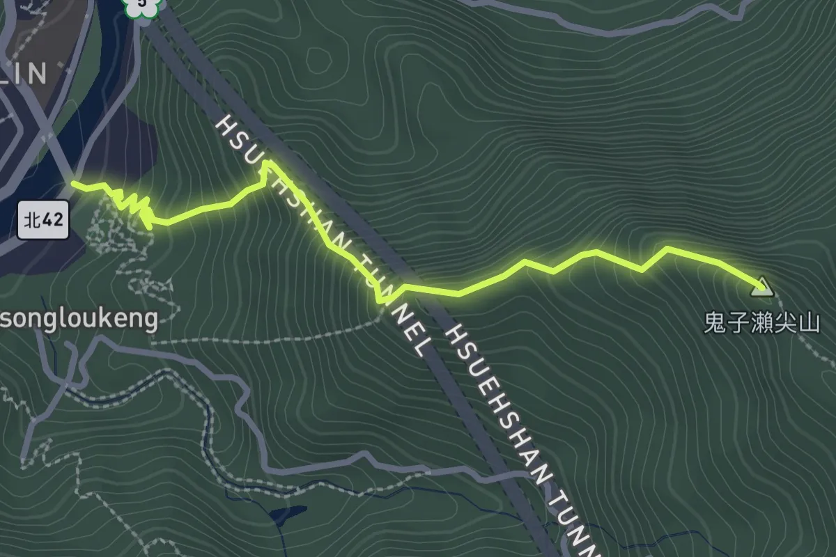
Medium · Summit
大尾山登山步道
3.7 km · ↑ 428 m · 1 h 47 min
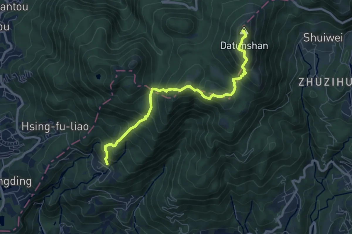
Demanding · Summit
大屯主峰.連峰步道
8.7 km · ↑ 868 m · 3 h 57 min
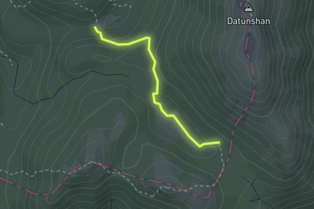
Easy · Trail
大屯坪步道
2.4 km · ↑ 129 m · 51 min
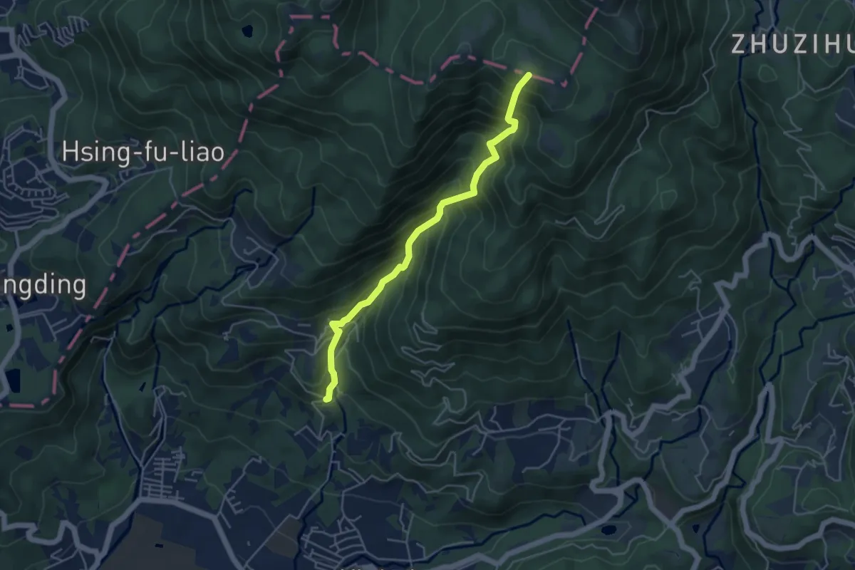
Medium · Summit
大屯谷路線
5.7 km · ↑ 778 m · 3 h 3 min
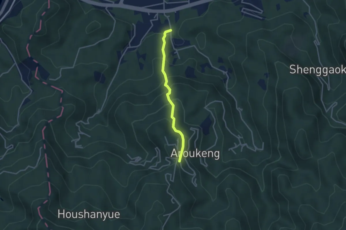
Easy · Trail
大崎嶺登山步道
3.2 km · ↑ 292 m · 1 h 24 min
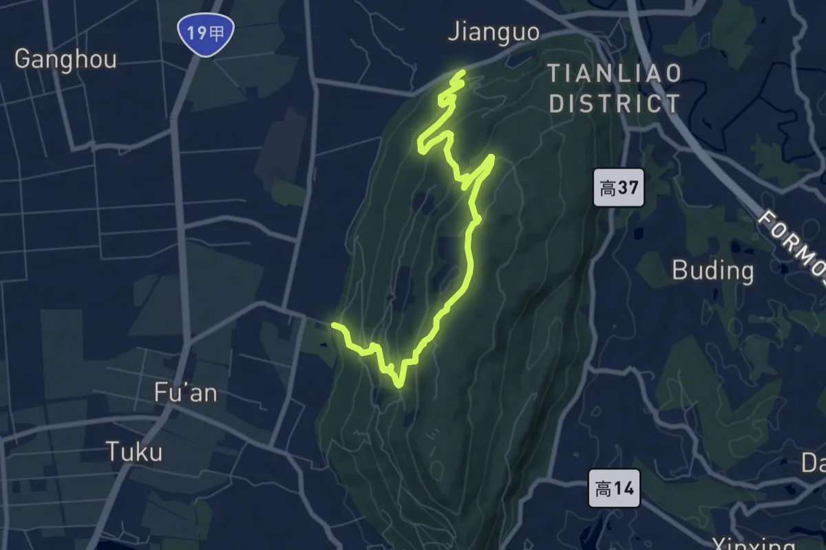
Medium · Trail
大崗山登山步道
11.6 km · ↑ 493 m · 3 h 48 min
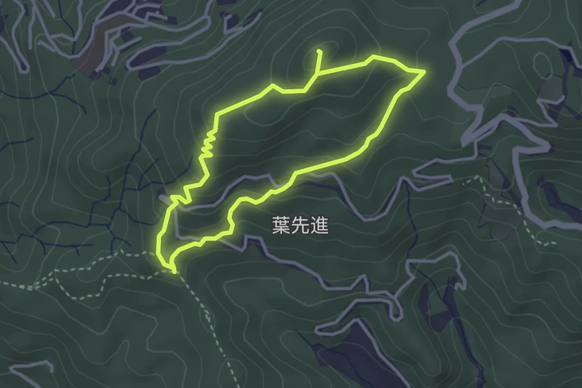
Medium · Summit
大崙尾山步道
6.9 km · ↑ 385 m · 2 h 28 min
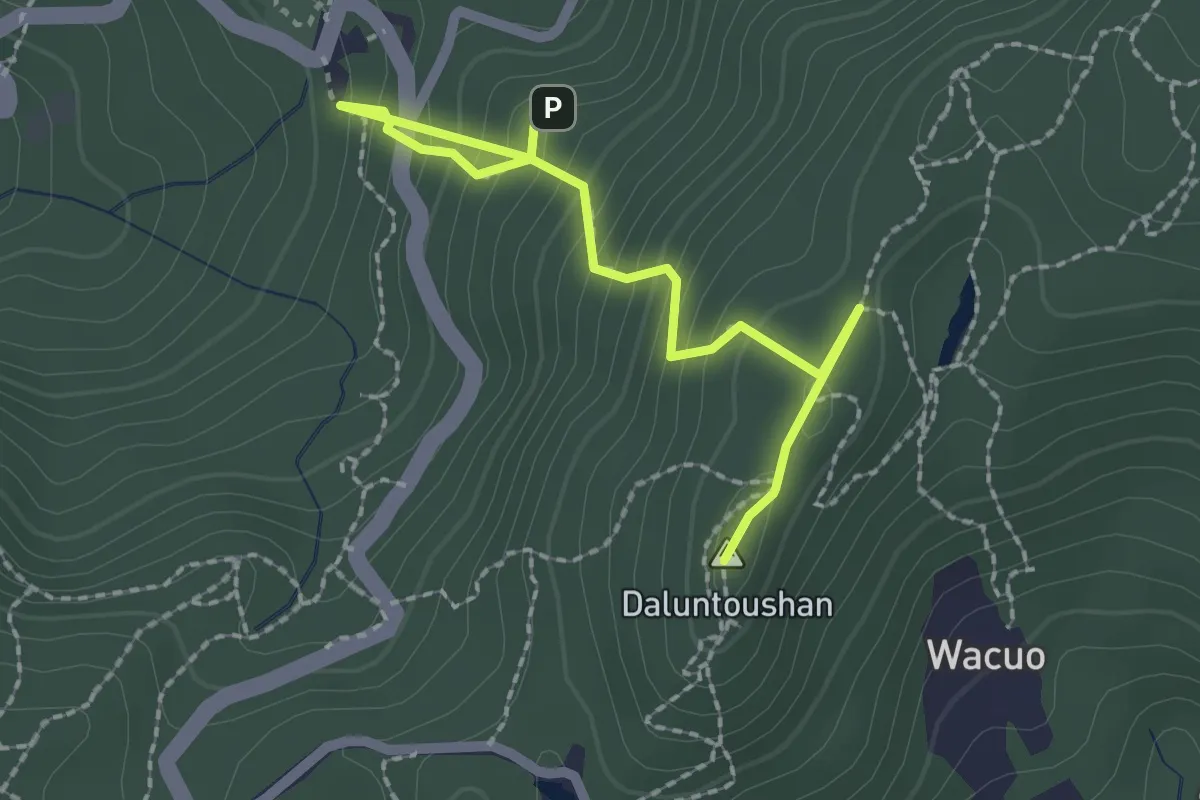
Easy · Summit
大崙頭山步道
3.1 km · ↑ 283 m · 1 h 21 min
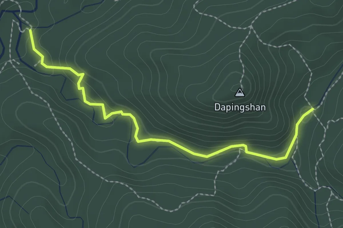
Easy · Trail
大平山山腰古道
3.2 km · ↑ 98 m · 58 min
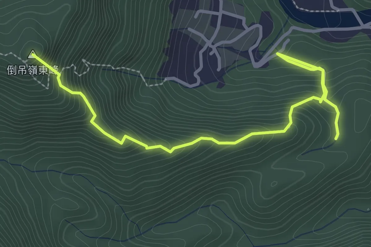
Medium · Summit
大林油杉步道
4.5 km · ↑ 442 m · 2 h 2 min
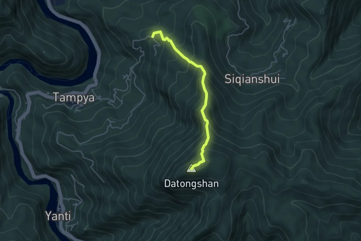
Medium · Summit
大桶山登山步道(忠治)
4.5 km · ↑ 546 m · 2 h 14 min
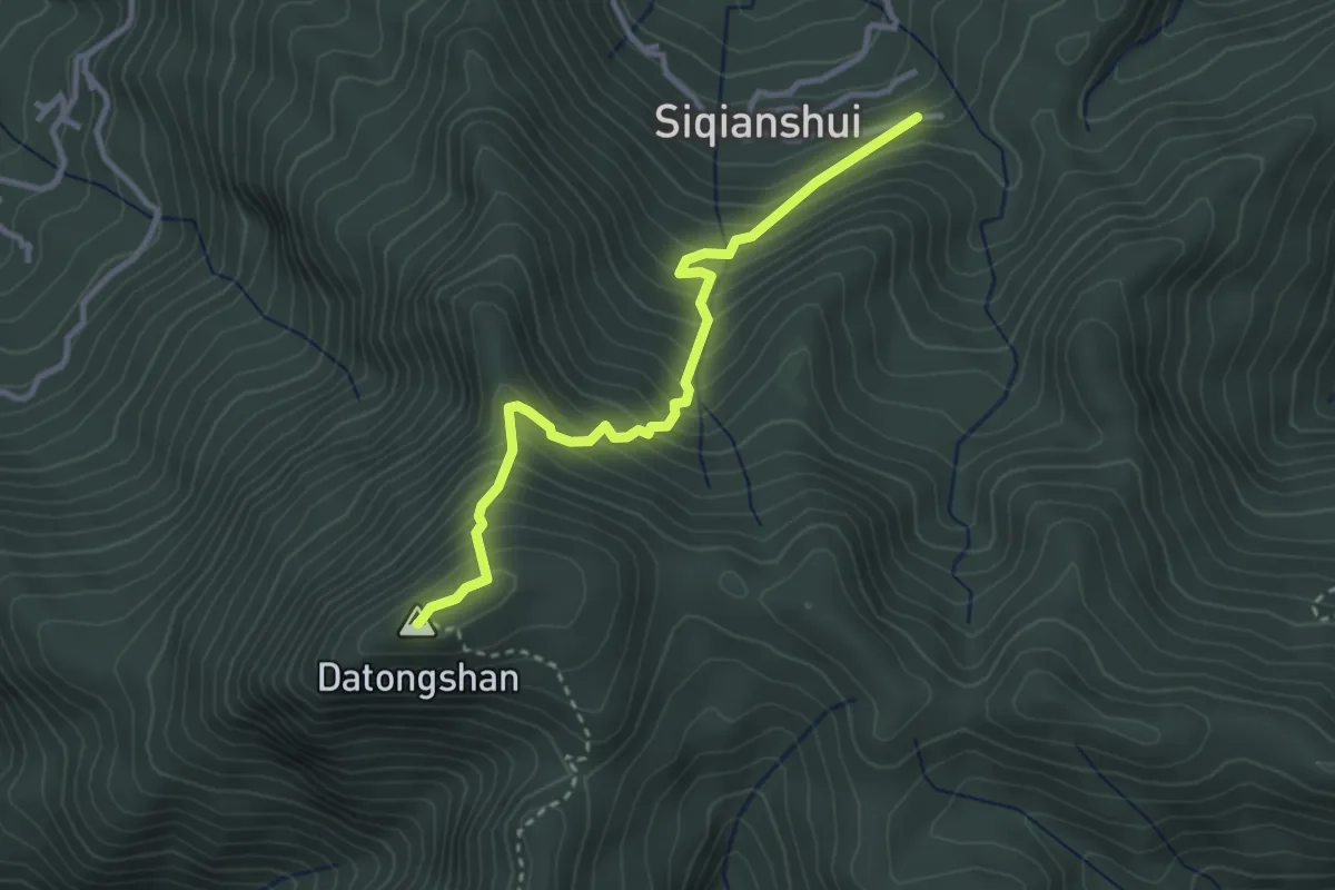
Medium · Summit
大桶山登山步道(桂山)
4.1 km · ↑ 438 m · 1 h 55 min
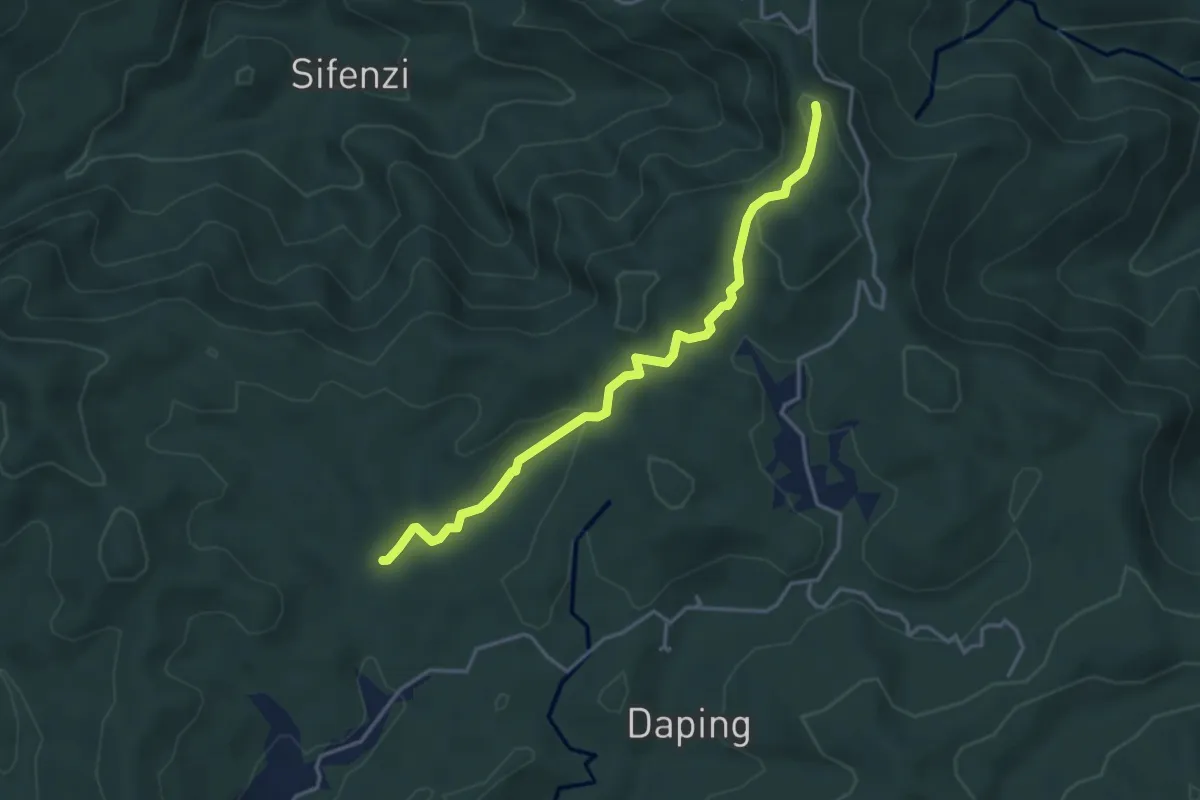
Easy · Summit
大樟嶺古道
4.9 km · ↑ 182 m · 1 h 33 min
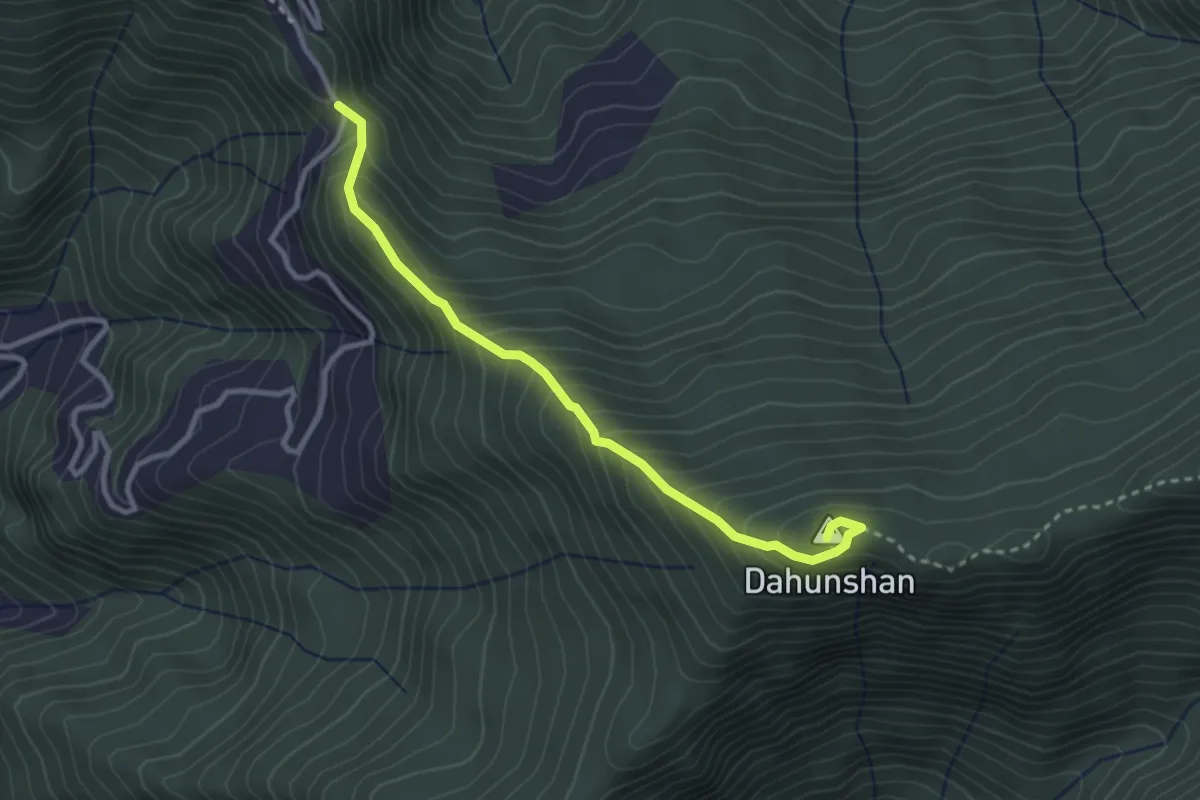
Medium · Summit
大混山步道
3.9 km · ↑ 357 m · 1 h 42 min