Trails in United Kingdom
3,857 hiking trails, each with its route, climb, walking time and grade.
All trails, page 36 of 81
Demanding · Trail
John O'Groats Trail (Dornoch to Golspie)
22.7 km · ↑ 138 m · 5 h 58 min
Medium · Trail
John O'Groats Trail (Dunbeath to Lybster)
14.6 km · ↑ 384 m · 4 h 28 min
Demanding · Trail
John O'Groats Trail (Golspie to Brora)
18.6 km · ↑ 110 m · 4 h 38 min
Medium · Trail
John O'Groats Trail (Helmsdale to Berriedale)
14.6 km · ↑ 549 m · 4 h 50 min
Demanding · Trail
John O'Groats Trail (Inverness to Culbokie)
24.5 km · ↑ 380 m · 7 h
Demanding · Summit
John O'Groats Trail (Keiss to John O'Groats)
37.7 km · ↑ 526 m · 10 h 2 min
Demanding · Trail
John O'Groats Trail (Lybster to Whaligoe)
24.8 km · ↑ 815 m · 7 h 37 min
Demanding · Trail
John O'Groats Trail (Tain to Dornoch)
28.0 km · ↑ 189 m · 7 h 1 min
Demanding · Trail
John O'Groats Trail (Whaligoe to Wick)
18.7 km · ↑ 458 m · 5 h 41 min
Demanding · Trail
John O'Groats Trail (Wick to Keiss)
18.4 km · ↑ 66 m · 4 h 44 min
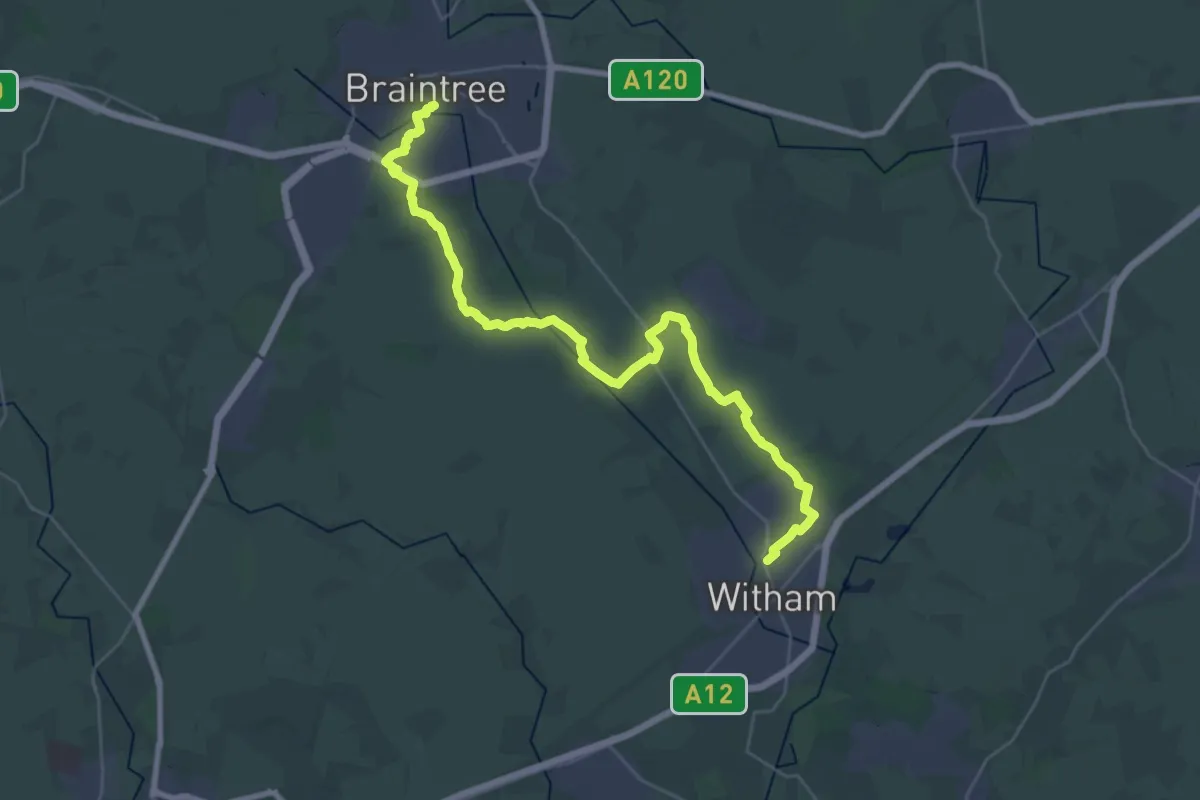
Medium · Trail
John Ray Walk
16.4 km · ↑ 101 m · 4 h 19 min
Easy · Trail
John's Water Walk, Blickling Estate
3.1 km · ↑ 23 m · 49 min
Medium · Trail
Jorvic Way
9.4 km · ↑ 0 m · 2 h 13 min
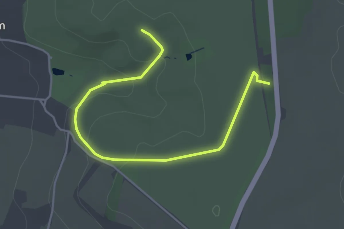
Easy · Summit
Journey of Discovery trail, Dyrham Park
3.7 km · ↑ 97 m · 1 h 5 min
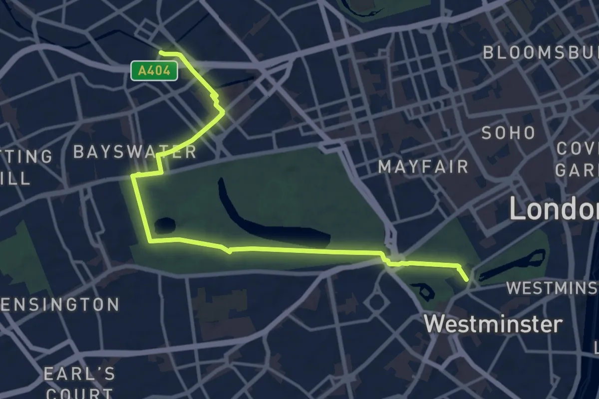
Medium · Trail
Jubilee Greenway (section 1)
12.4 km · ↑ 39 m · 3 h
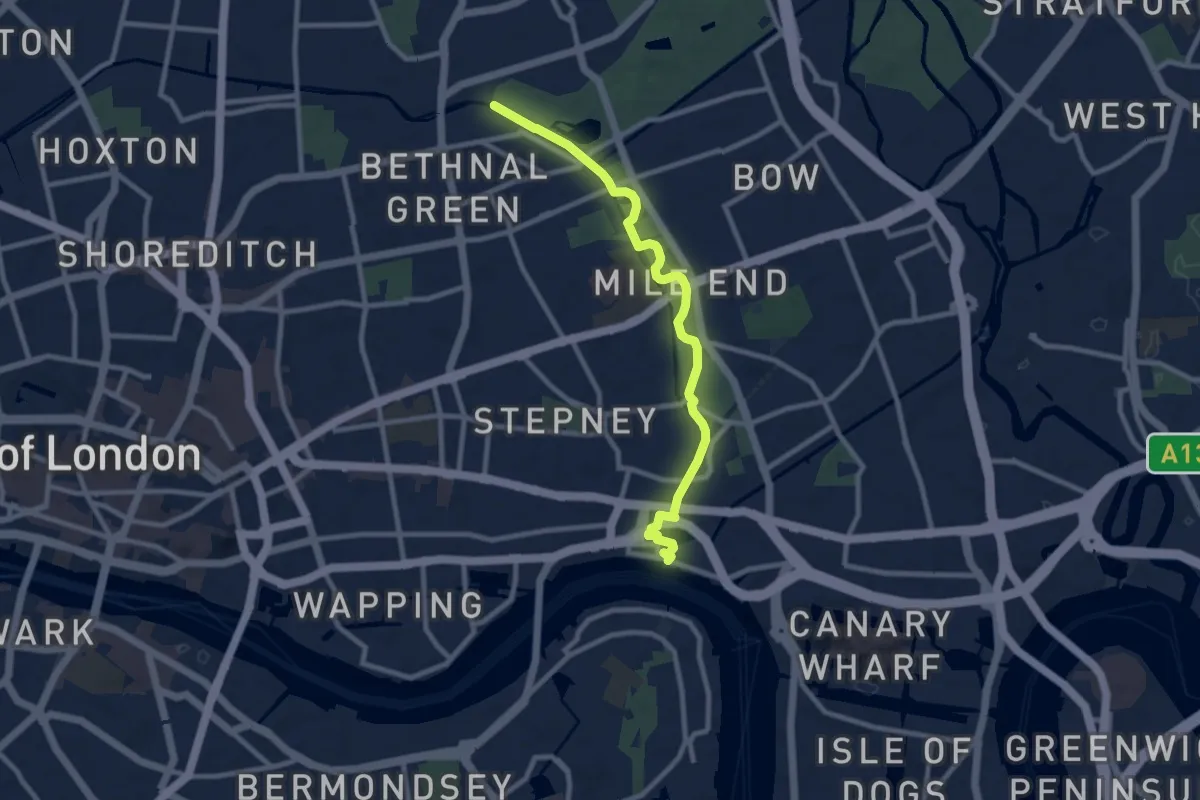
Medium · Trail
Jubilee Greenway (section 10)
8.4 km · ↑ 9 m · 2 h
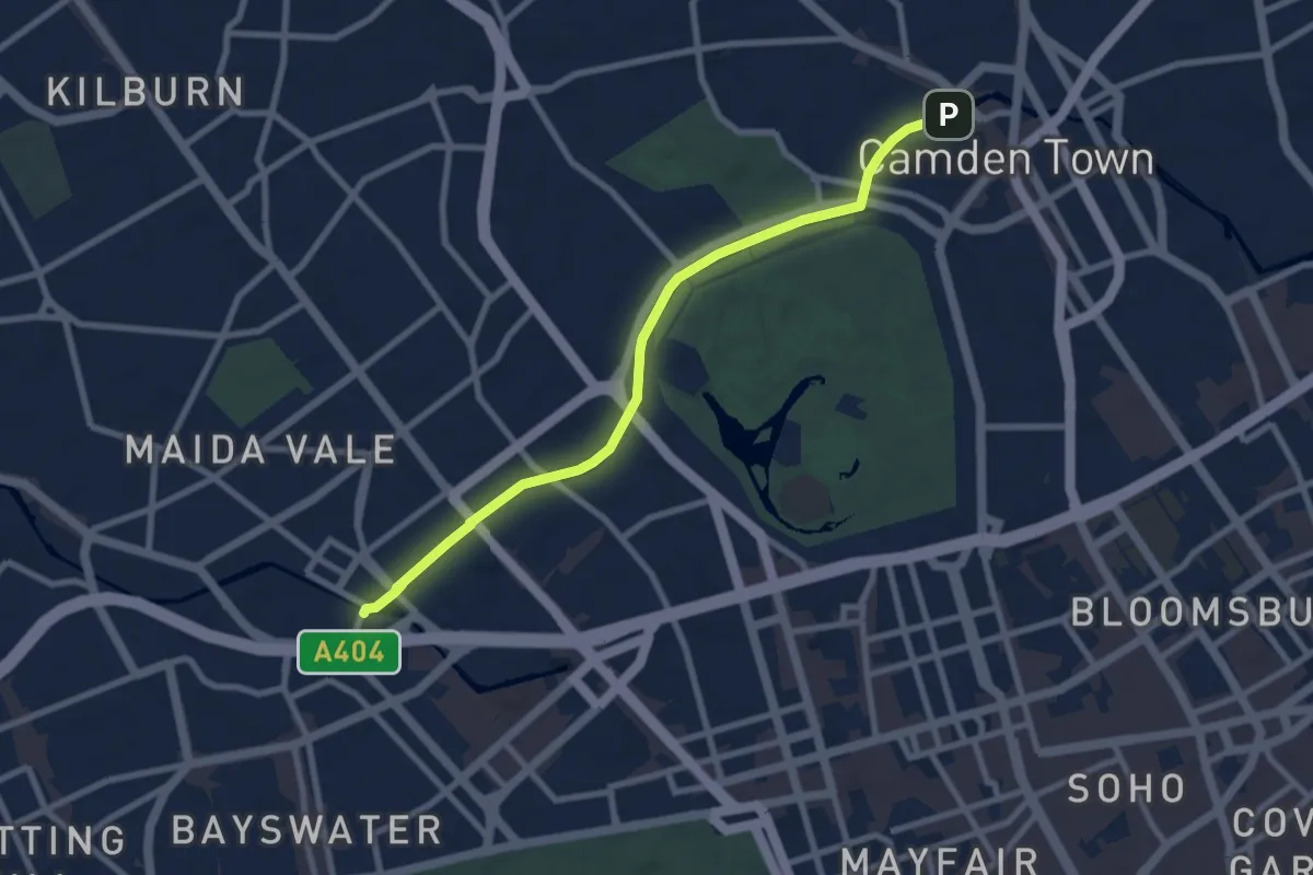
Easy · Trail
Jubilee Greenway (section 2)
7.4 km · ↑ 9 m · 1 h 46 min
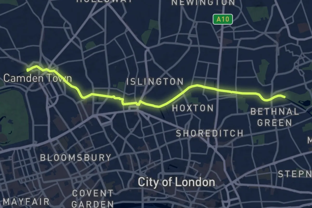
Medium · Trail
Jubilee Greenway (section 3)
15.0 km · ↑ 41 m · 3 h 37 min
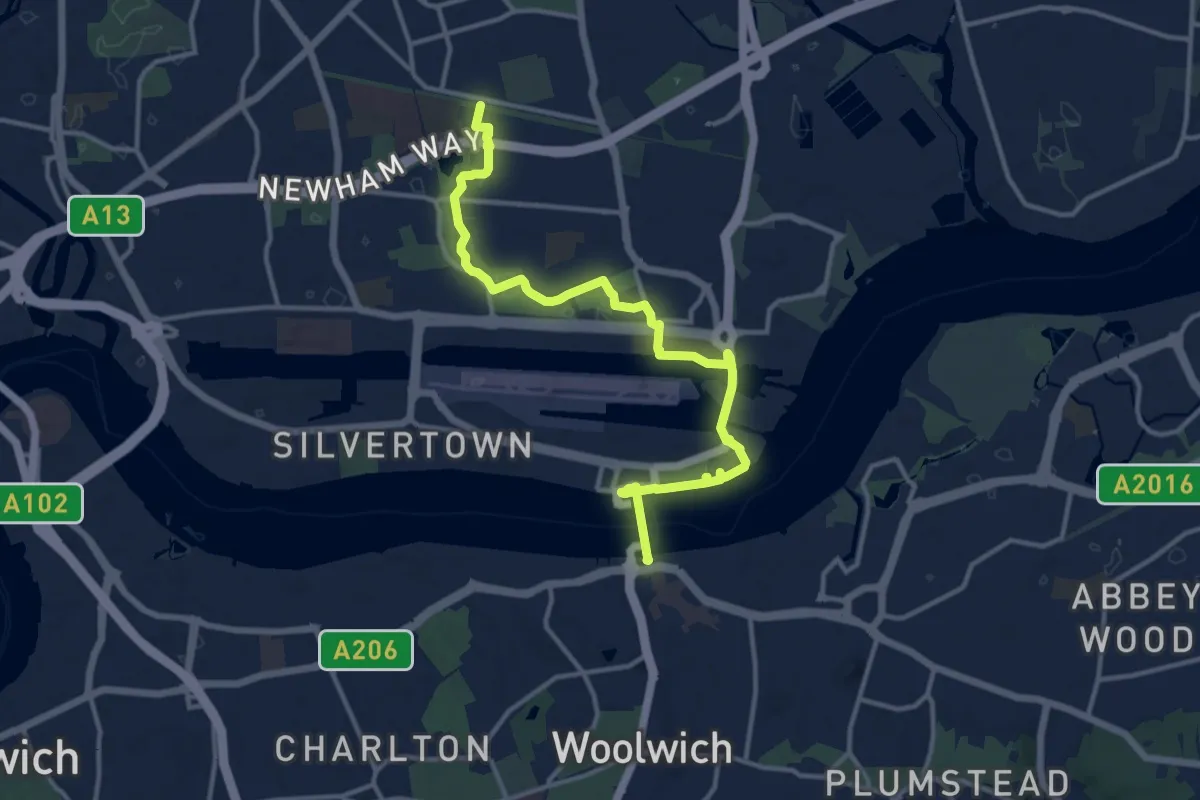
Medium · Trail
Jubilee Greenway (section 5)
13.5 km · ↑ 23 m · 3 h 14 min
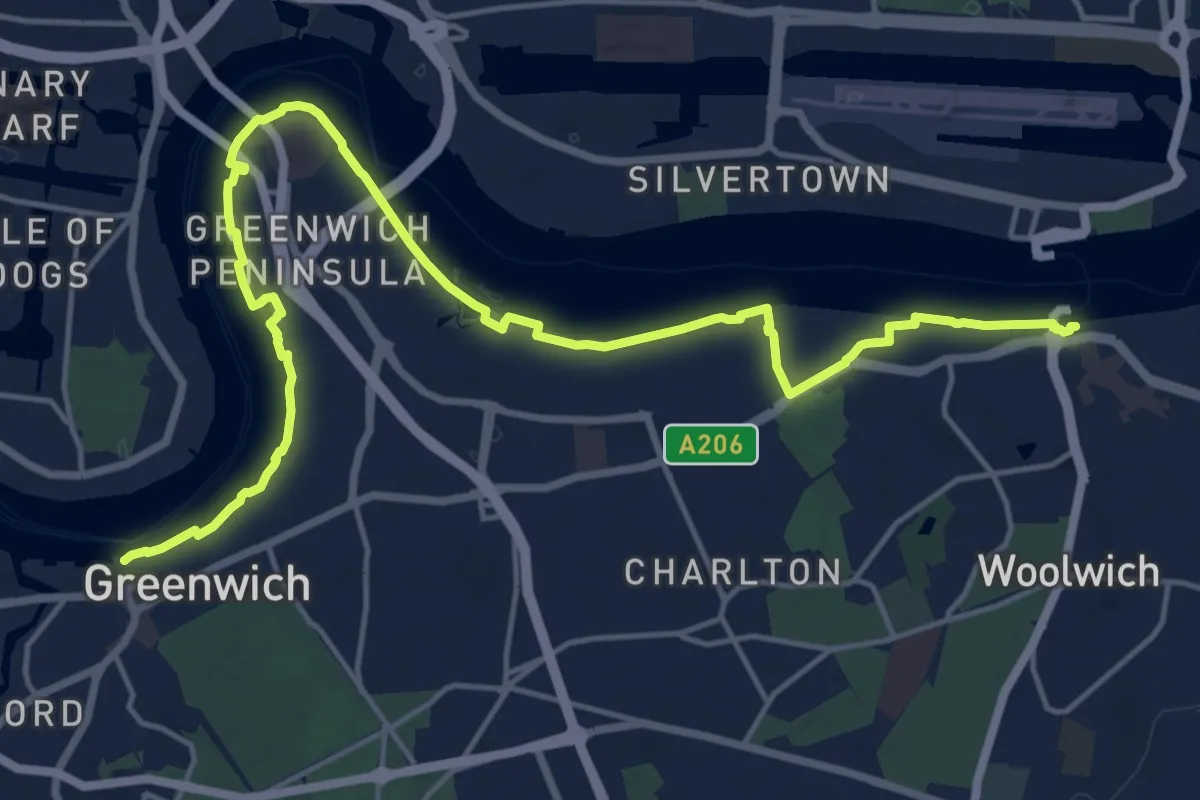
Demanding · Trail
Jubilee Greenway (section 6)
18.4 km · ↑ 0 m · 4 h 20 min
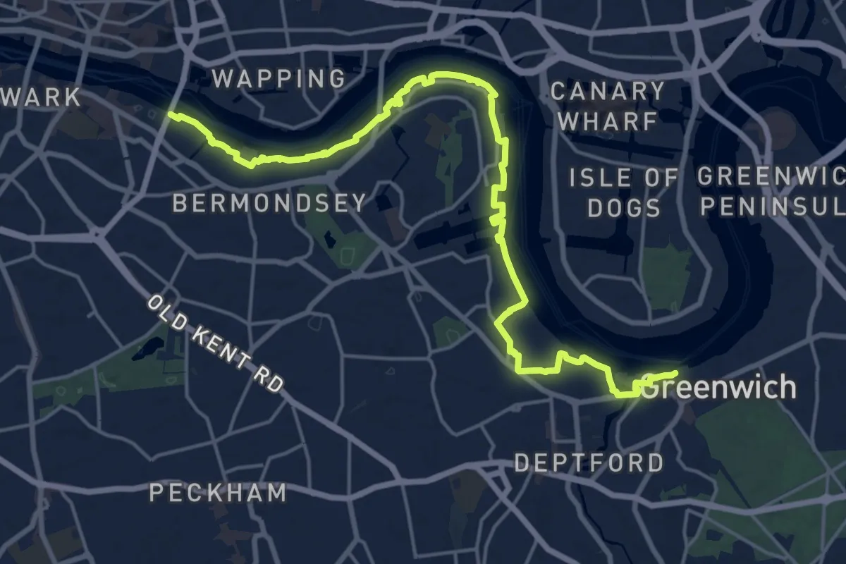
Demanding · Trail
Jubilee Greenway (section 7)
18.6 km · ↑ 0 m · 4 h 23 min
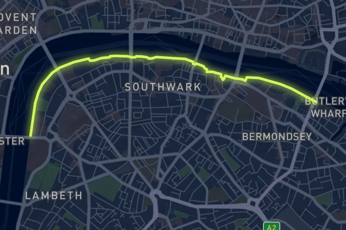
Easy · Trail
Jubilee Greenway (section 8)
7.7 km · ↑ 0 m · 1 h 49 min
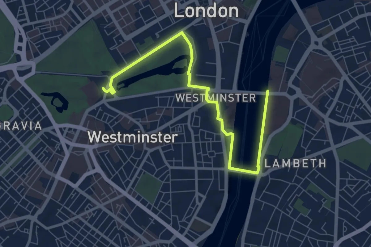
Easy · Trail
Jubilee Greenway (section 9)
7.2 km · ↑ 5 m · 1 h 42 min
Easy · Trail
Jubilee Path
2.3 km · ↑ 96 m · 47 min
Medium · Trail
Jubilee Path
10.8 km · ↑ 137 m · 2 h 50 min
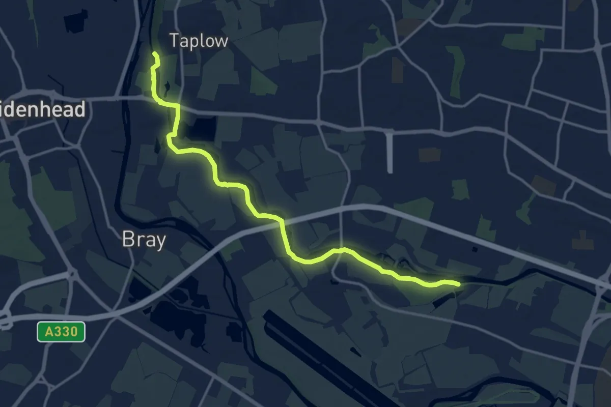
Medium · Trail
Jubilee River Path
12.3 km · ↑ 4 m · 2 h 55 min
Easy · Trail
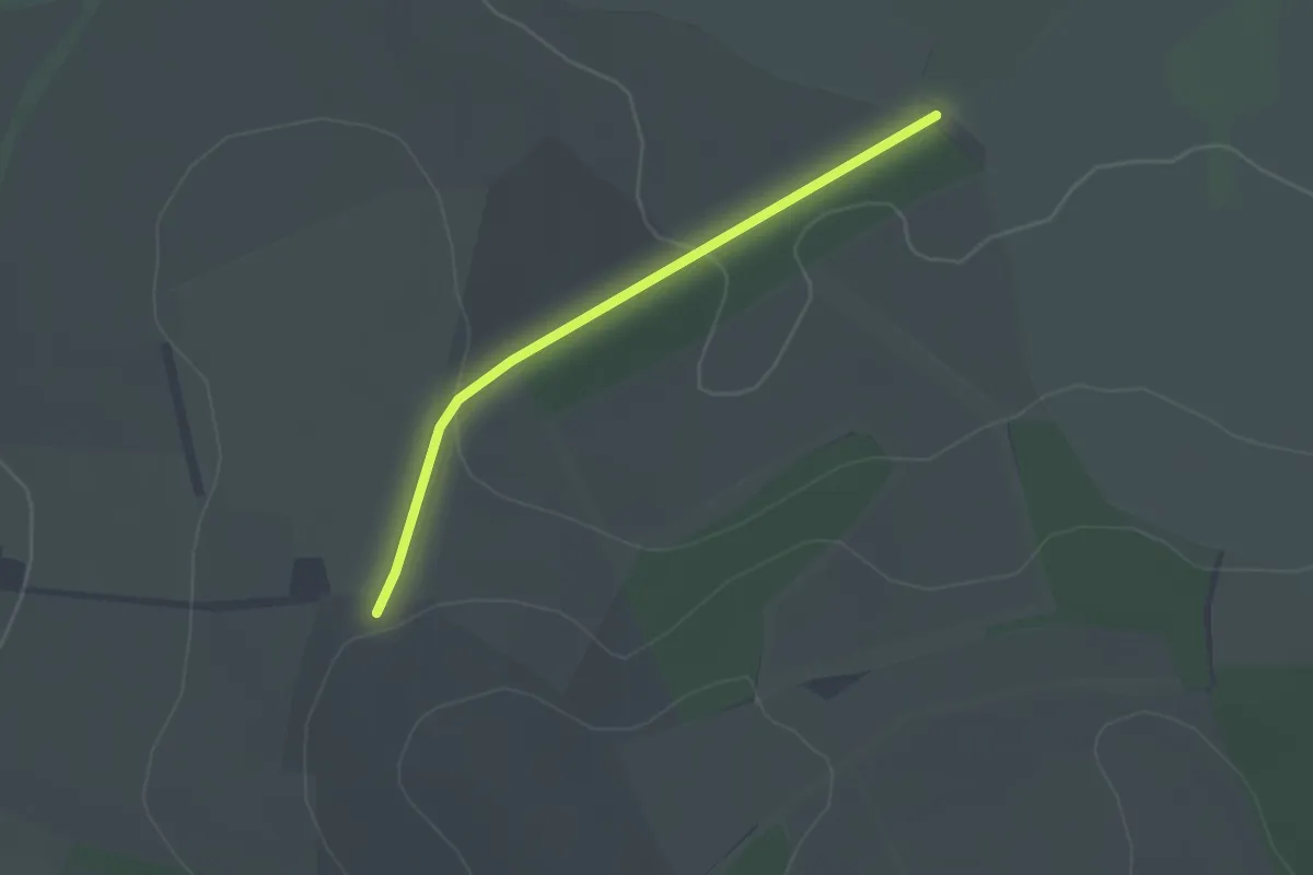
Jubilee Trail
1.2 km · ↑ 11 m · 19 min
Easy · Trail
Jubilee Trail (Dorset)
2.0 km · ↑ 52 m · 35 min
Demanding · Trail
Jubilee Walk
24.3 km · ↑ 101 m · 5 h 58 min
Easy · Trail
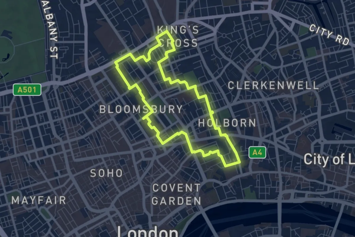
Jubilee Walk
1.1 km · ↑ 32 m · 21 min
Easy · Trail
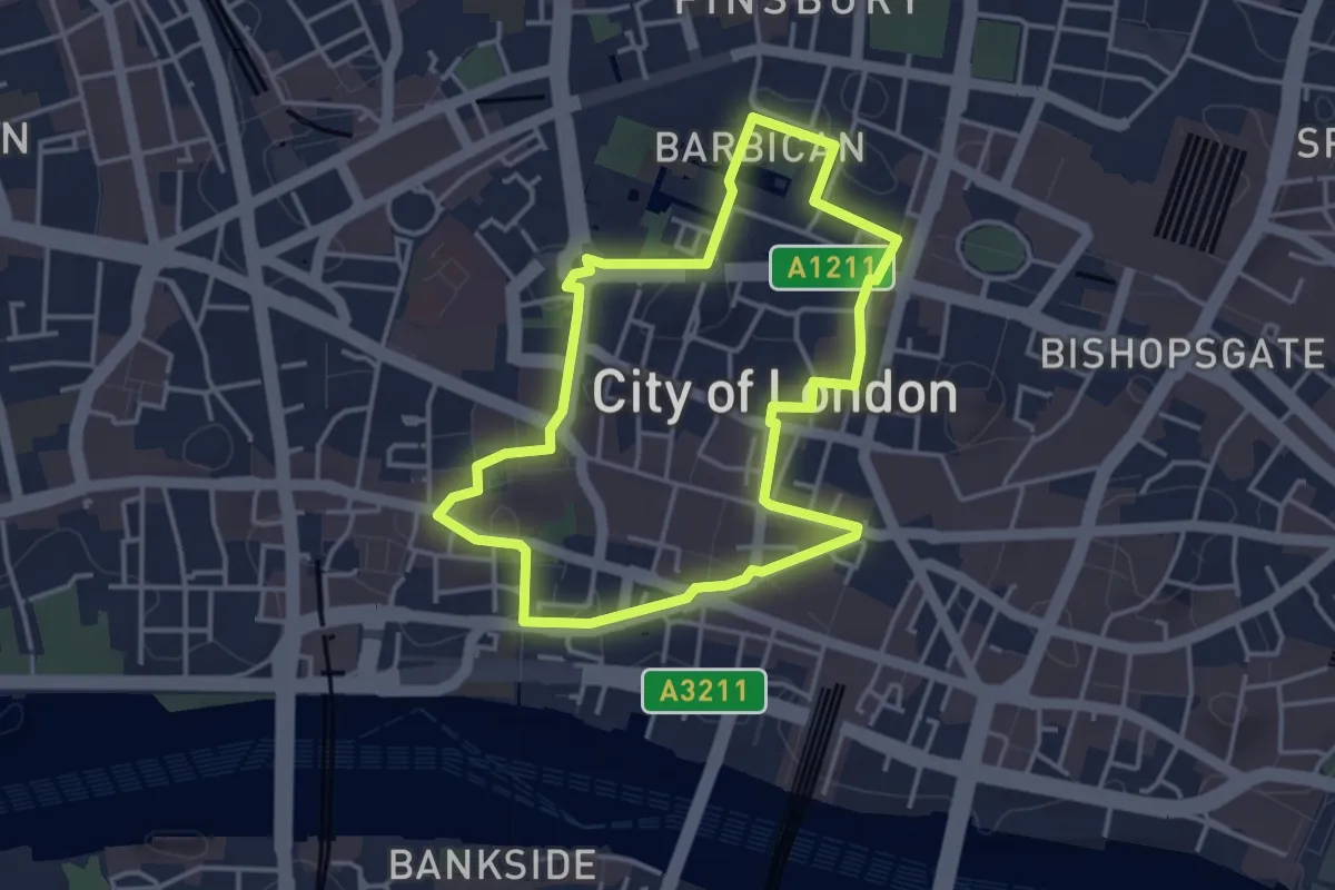
Jubilee Walkway (Camden Loop)
6.5 km · ↑ 12 m · 1 h 38 min
Easy · Trail
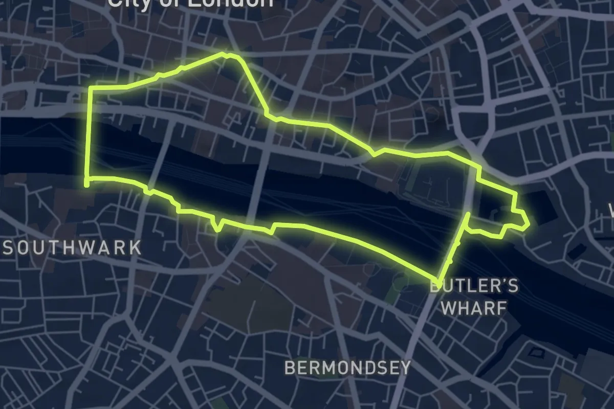
Jubilee Walkway (City Loop)
3.3 km · ↑ 0 m · 49 min
Easy · Trail
Jubilee Walkway (Eastern Loop)
5.4 km · ↑ 18 m · 1 h 24 min
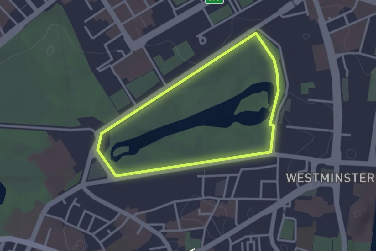
Easy · Trail
Jubilee Walkway (Jubilee Loop)
2.1 km · ↑ 0 m · 31 min
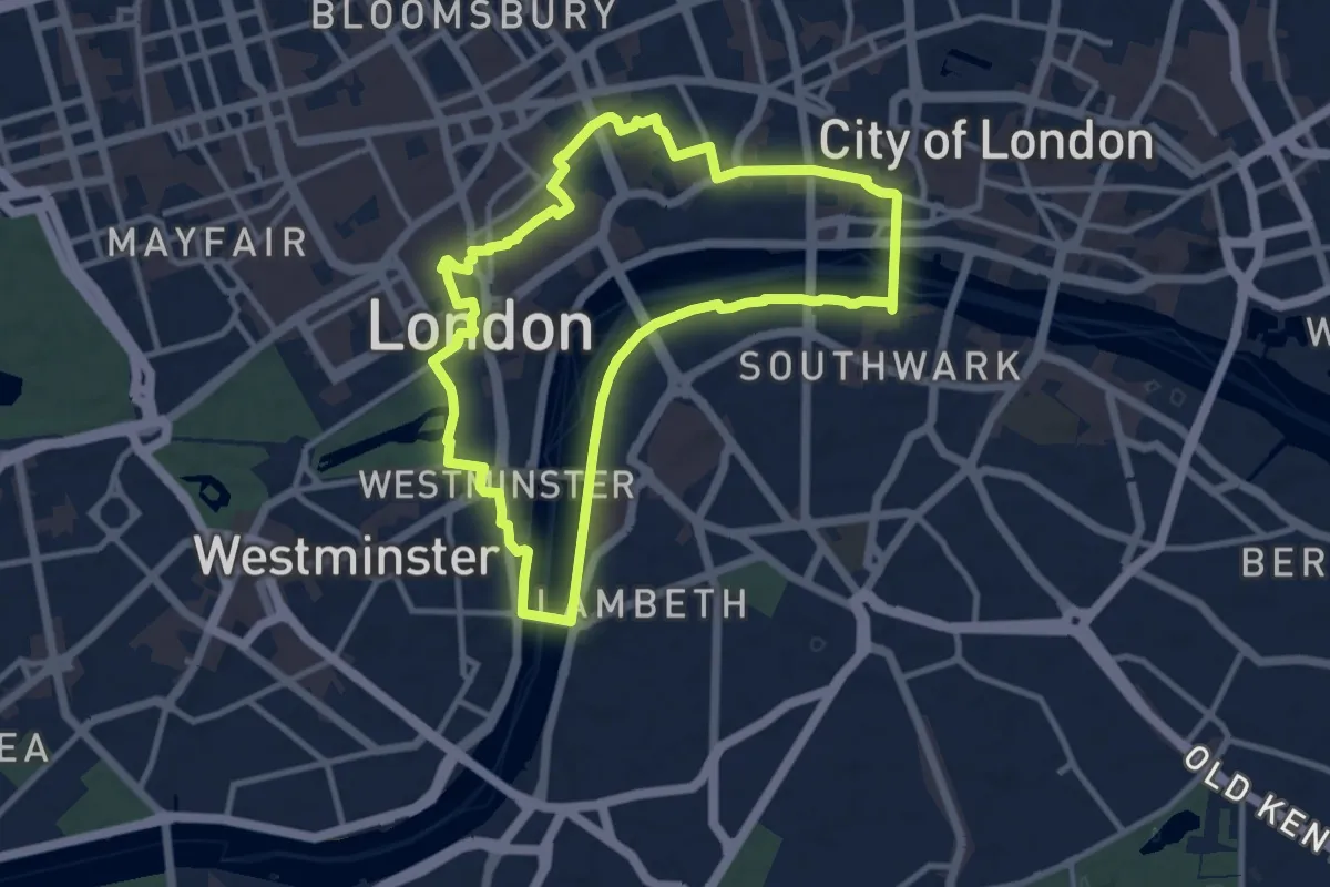
Medium · Trail
Jubilee Walkway (Western Loop)
9.2 km · ↑ 29 m · 2 h 22 min
Easy · Trail
Jubilee Way (Leicestershire)
4.1 km · ↑ 82 m · 1 h 8 min
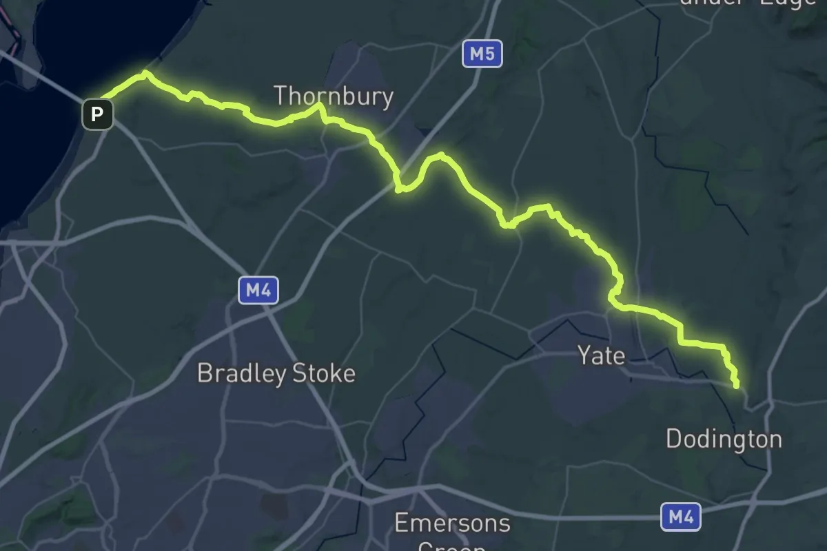
Demanding · Trail
Jubilee Way (South Gloucestershire)
28.1 km · ↑ 278 m · 7 h 36 min
Easy · Trail
Jurassic Way
3.5 km · ↑ 6 m · 50 min
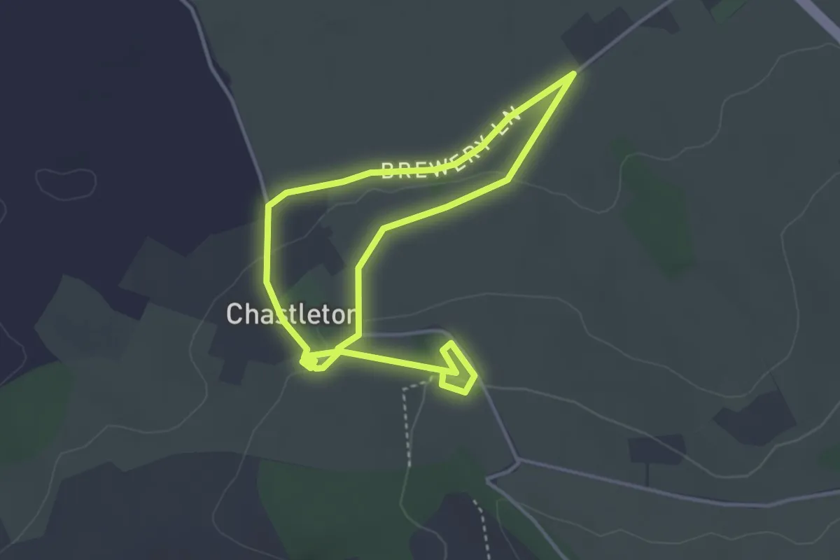
Easy · Trail
Juxon Walk, Chastleton
3.0 km · ↑ 29 m · 49 min
Medium · Trail
Katherine’s Walk
14.1 km · ↑ 125 m · 3 h 47 min
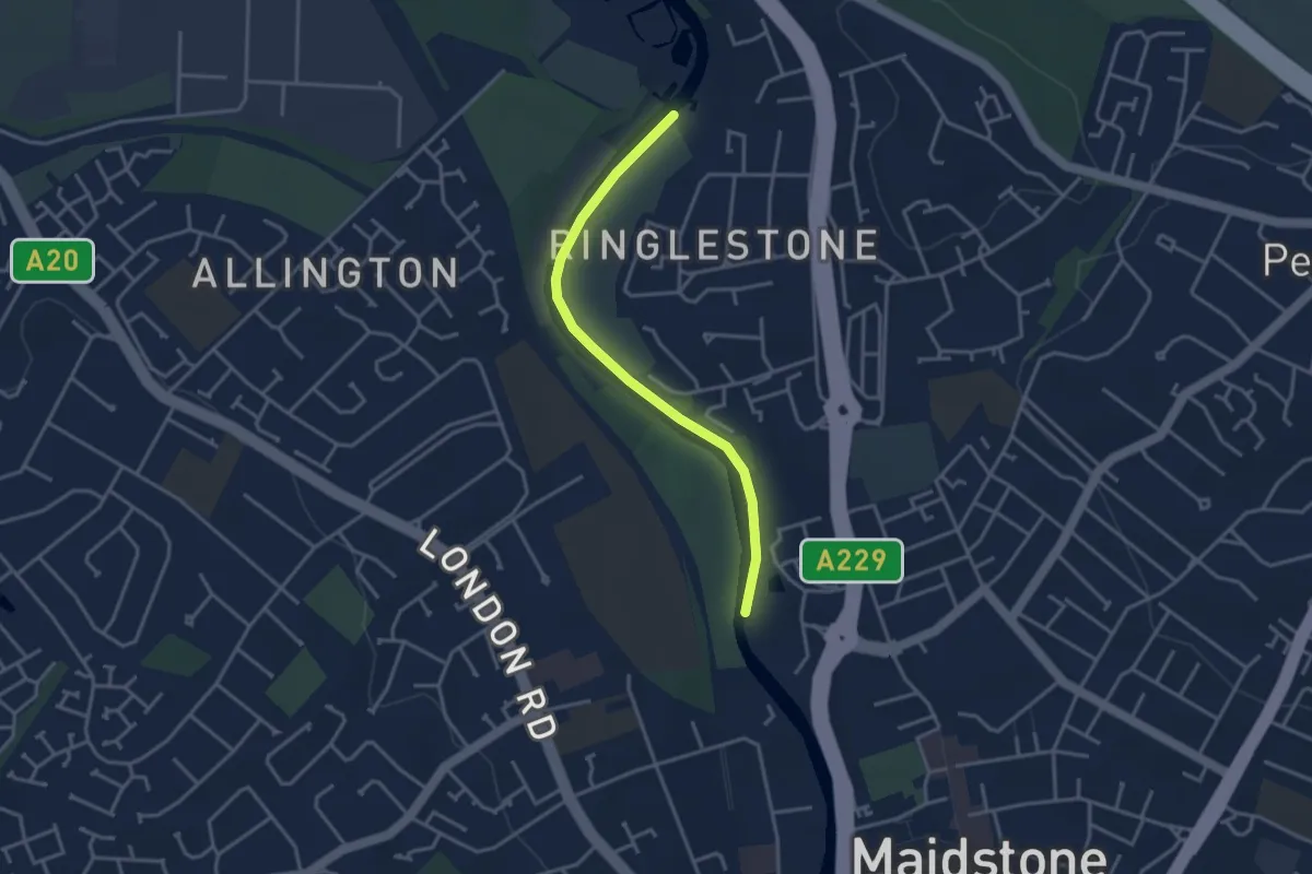
Easy · Trail
KCC Centenary Walk
3.1 km · ↑ 0 m · 44 min
Easy · Trail
Kearney Coastal Walk, Kearney
2.2 km · ↑ 0 m · 34 min
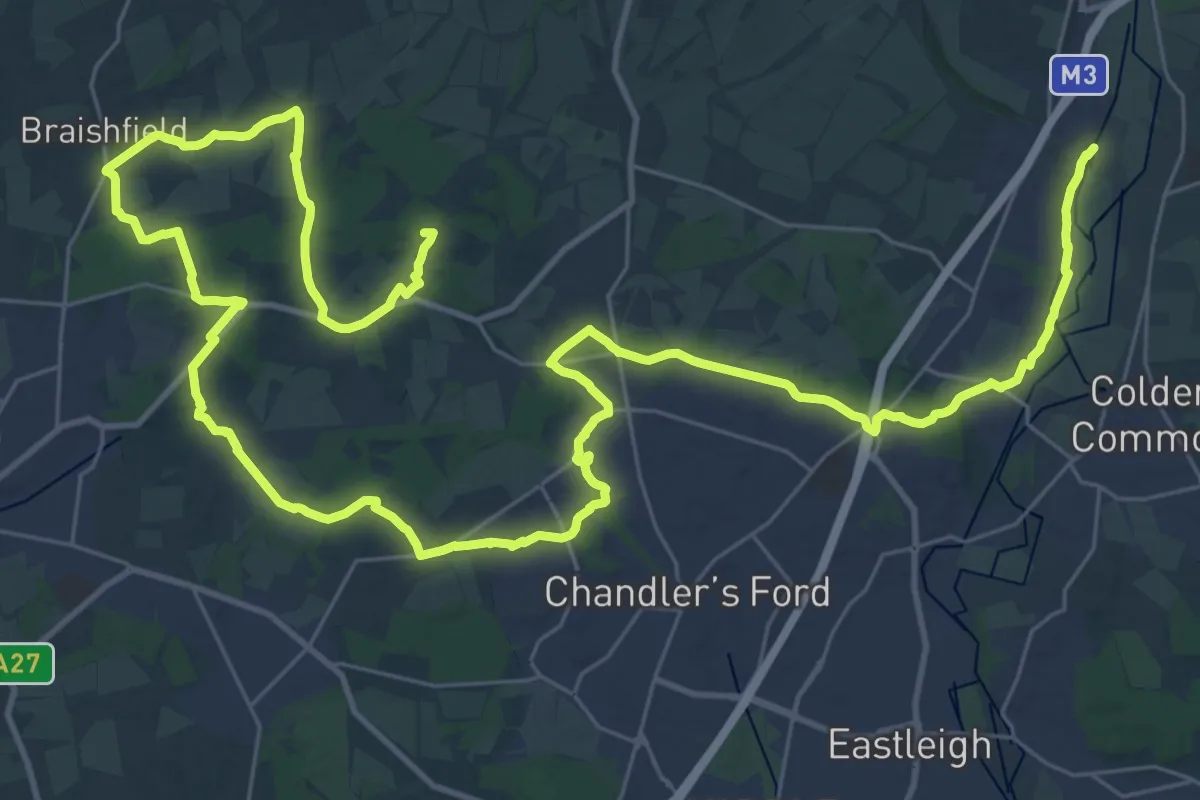
Demanding · Summit
Keble Way
51.2 km · ↑ 398 m · 12 h 57 min
Medium · Trail
Kendal to Sizergh along the River Kent, Sizergh
17.8 km · ↑ 95 m · 4 h 24 min
Easy · Trail
Ken Hill Circular
3.4 km · ↑ 30 m · 55 min
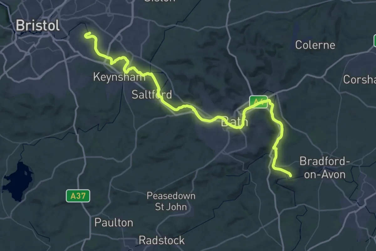
Demanding · Trail
Kennet and Avon Canal Trail
32.6 km · ↑ 42 m · 8 h 15 min
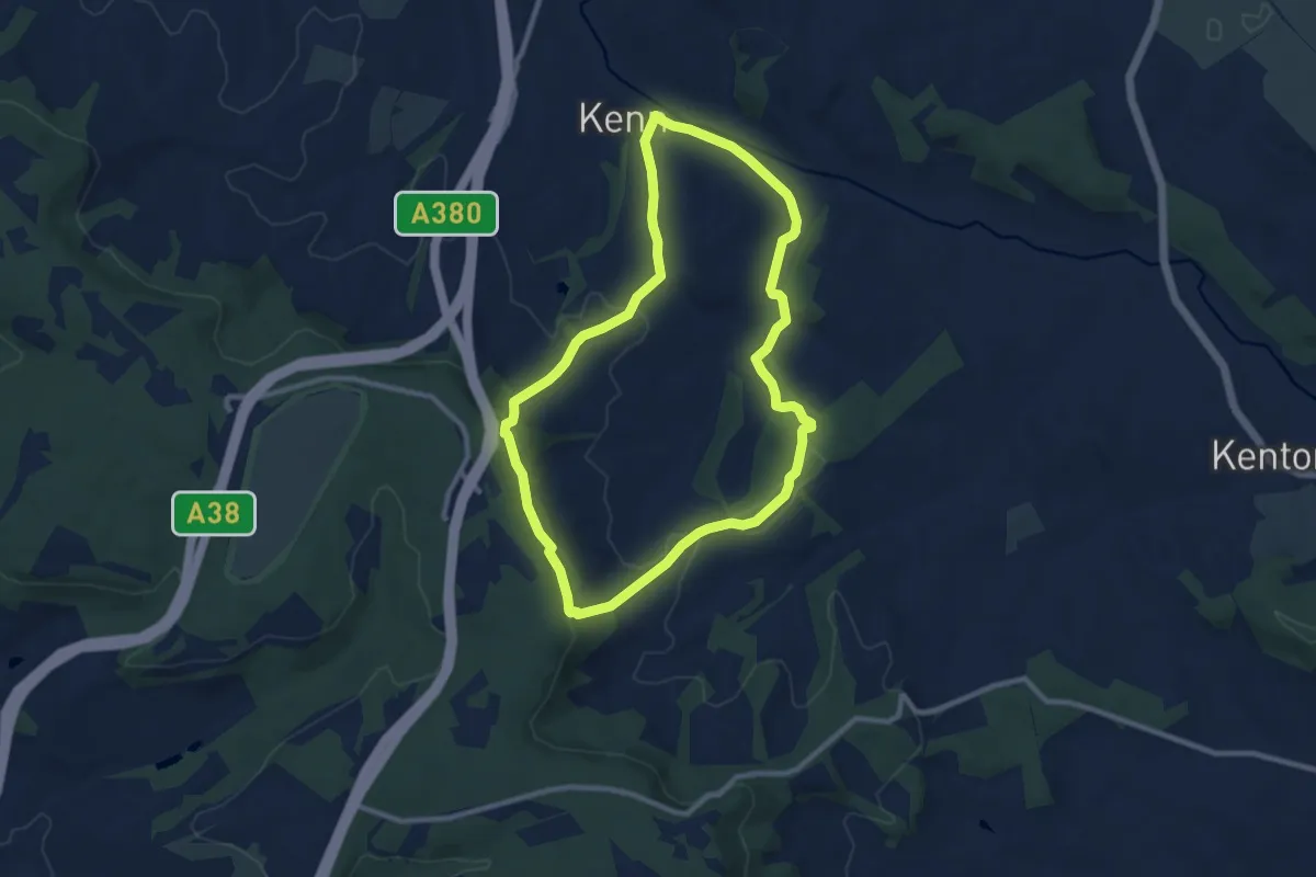
Medium · Trail
Kenn to Haldon Trail
8.3 km · ↑ 206 m · 2 h 32 min
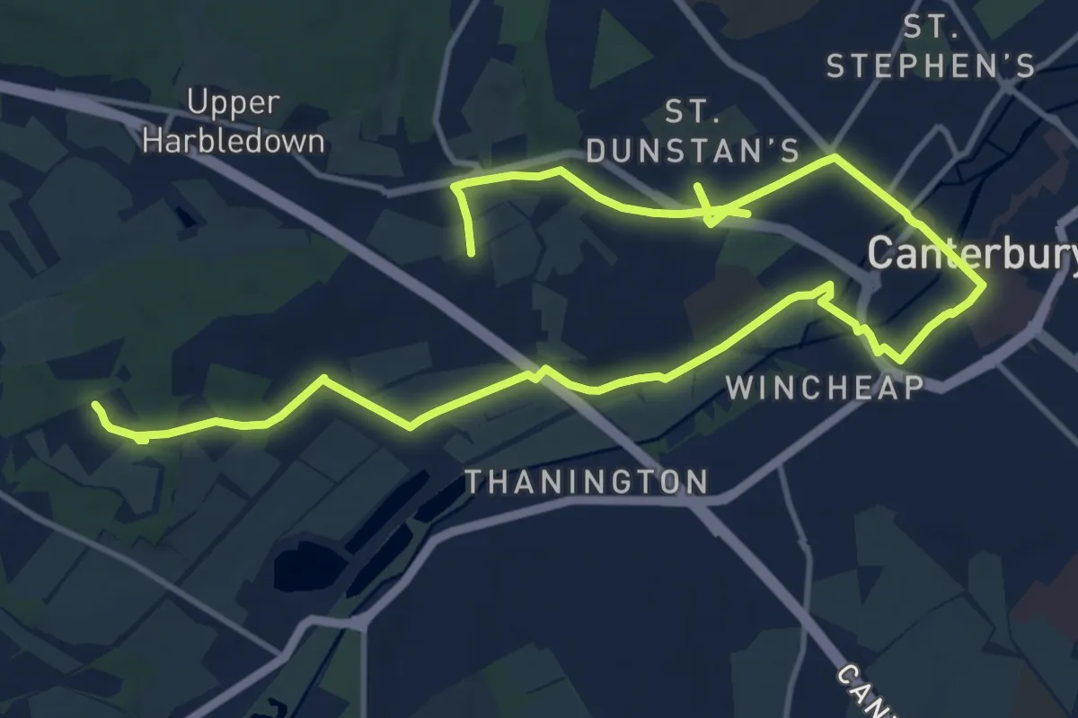
Medium · Trail
Kent County Council Centenary Walk
17.6 km · ↑ 159 m · 4 h 30 min