Trails in United Kingdom
3,857 hiking trails, each with its route, climb, walking time and grade.
All trails, page 37 of 81
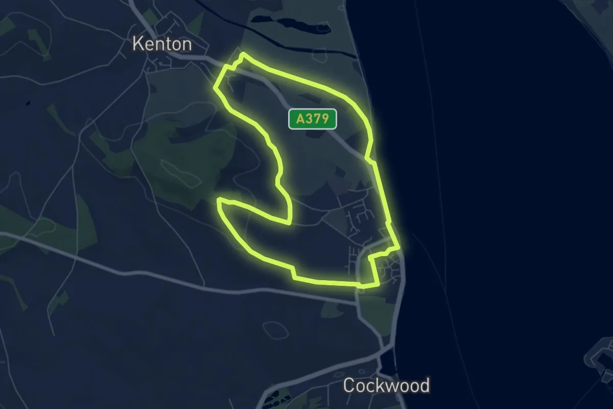
Easy · Trail
Kenton Starcross Circular
6.5 km · ↑ 106 m · 1 h 52 min
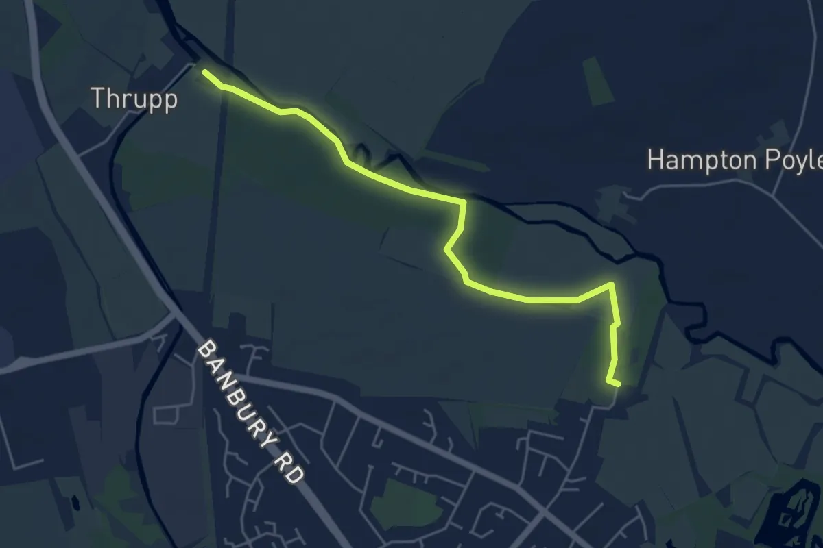
Easy · Trail
Kidlington Circular Walk (Short Route)
4.6 km · ↑ 0 m · 1 h 5 min
Demanding · Trail
Kidsgrove to Stoke Ridgeway
29.3 km · ↑ 455 m · 7 h 54 min
Medium · Trail
Kilbo Path
12.5 km · ↑ 559 m · 4 h 19 min
Easy · Trail
Killard National Nature Reserve
4.3 km · ↑ 0 m · 1 h 1 min
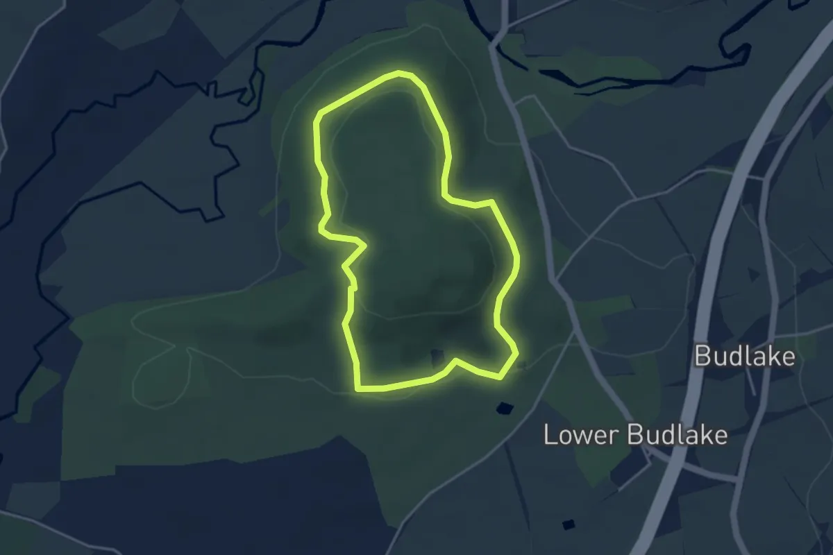
Easy · Trail
Killerton Dog Walk, Killerton
3.2 km · ↑ 70 m · 57 min
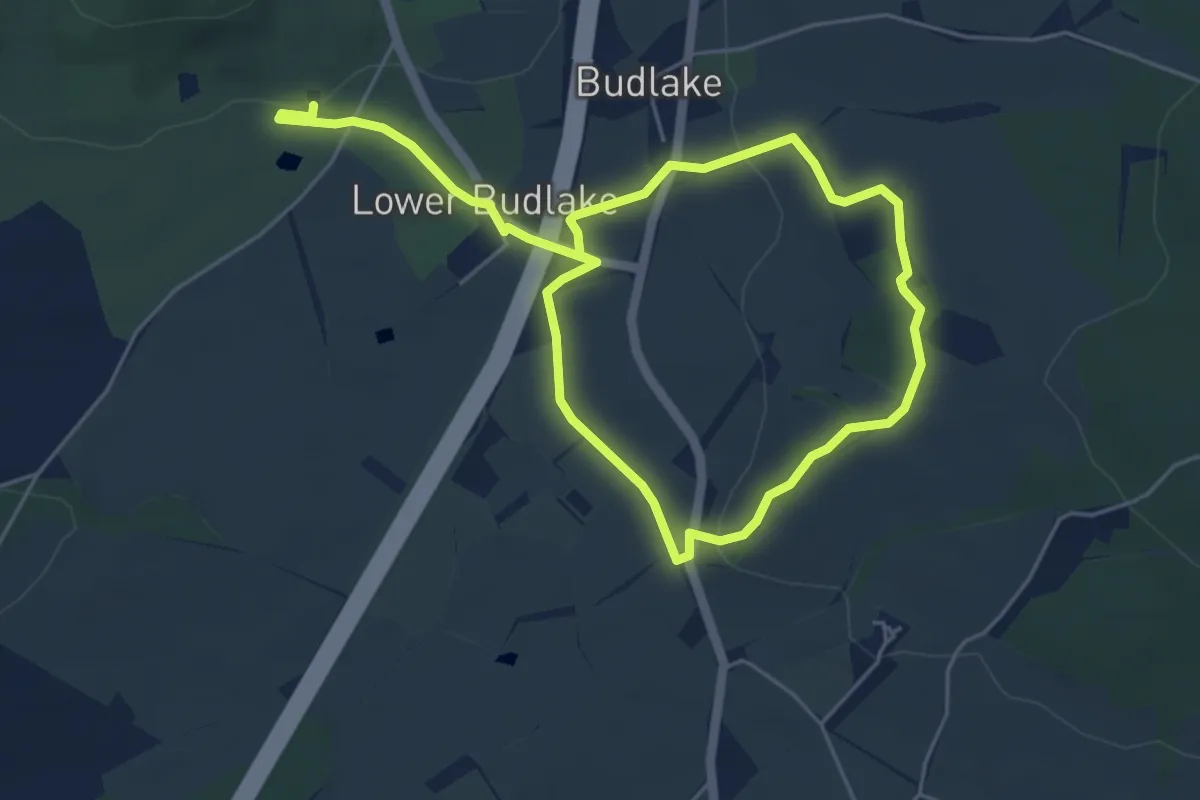
Easy · Trail
Killerton to Sprydon
3.9 km · ↑ 46 m · 1 h 5 min
Demanding · Trail
KILLETER TO GORTIN
18.6 km · ↑ 330 m · 5 h 21 min
Medium · Trail
Killin to Ardtalnaig
16.7 km · ↑ 240 m · 4 h 43 min
Demanding · Trail
Killin to St Fillans
23.7 km · ↑ 331 m · 6 h 39 min
Easy · Trail
Killyclougher Burn Walk
3.6 km · ↑ 73 m · 1 h
Easy · Trail
Killyfole Lough Nature Walk
2.2 km · ↑ 0 m · 34 min
Demanding · Trail
Kilmory Bay
18.7 km · ↑ 234 m · 4 h 56 min
Demanding · Summit
Kinder Scout Circular Walk, High Peak
12.1 km · ↑ 441 m · 3 h 59 min
Medium · Summit
Kinder Scout Mass Trespass Walk, High Peak
14.2 km · ↑ 533 m · 4 h 42 min
Easy · Trail
Kinder Trespass 75
3.2 km · ↑ 18 m · 48 min
Demanding · Trail
King Charles III England Coast Path: Aldeburgh to Southwold
27.0 km · ↑ 44 m · 6 h 51 min
Demanding · Summit
King Charles III England Coast Path: Allonby to Whitehaven
27.6 km · ↑ 343 m · 7 h 15 min
Easy · Trail
King Charles III England Coast Path: Birkenhead to Welsh Border
3.2 km · ↑ 0 m · 45 min
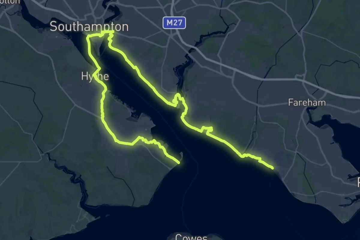
Demanding · Trail
King Charles III England Coast Path: Calshot to Gosport
38.9 km · ↑ 87 m · 9 h 55 min
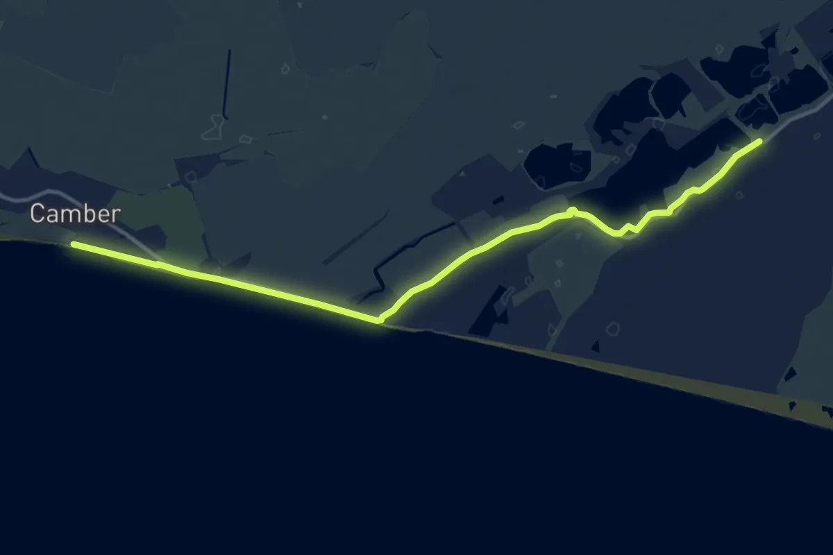
Medium · Trail
King Charles III England Coast Path: Camber to Folkestone
12.5 km · ↑ 0 m · 2 h 57 min
Demanding · Trail
King Charles III England Coast Path: Cleveleys to Liverpool
18.1 km · ↑ 0 m · 4 h 32 min
Demanding · Trail
King Charles III England Coast Path: Easington to Filey Brigg
33.3 km · ↑ 83 m · 8 h 30 min
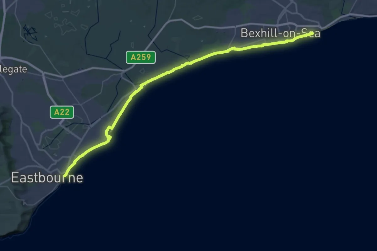
Demanding · Summit
King Charles III England Coast Path: Eastbourne to Rye Harbour
38.1 km · ↑ 30 m · 9 h 4 min
Easy · Trail
King Charles III England Coast Path: Filey Brigg to Newport Bridge
5.5 km · ↑ 4 m · 1 h 19 min
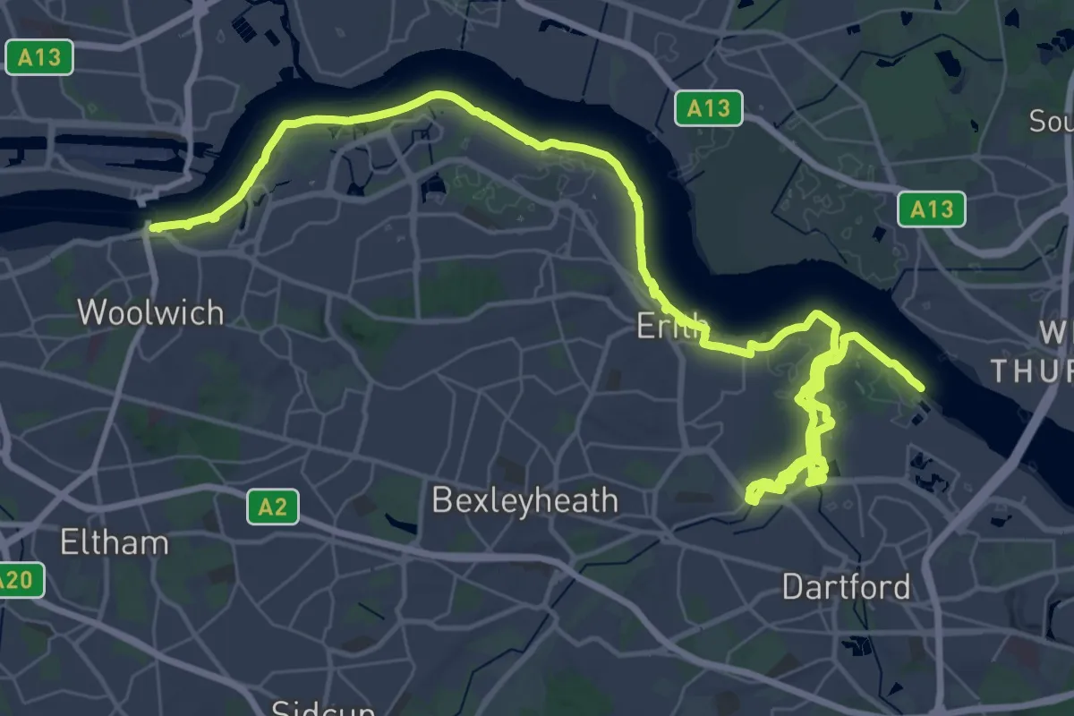
Demanding · Trail
King Charles III England Coast Path: Grain to Woolwich
25.1 km · ↑ 9 m · 6 h 18 min
Easy · Trail
King Charles III England Coast Path: Humber Bridge to Easington
2.1 km · ↑ 21 m · 32 min
Demanding · Trail
King Charles III England Coast Path: Hunstanton to Sutton Bridge
31.7 km · ↑ 9 m · 7 h 31 min
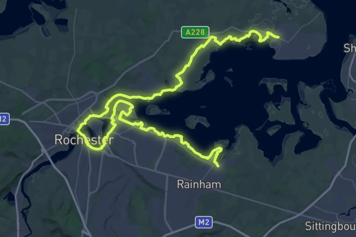
Demanding · Trail
King Charles III England Coast Path: Iwade to Grain
37.8 km · ↑ 86 m · 9 h 38 min
Demanding · Trail
King Charles III England Coast Path: Lowestoft to Sea Palling
19.2 km · ↑ 43 m · 4 h 38 min
Demanding · Trail
King Charles III England Coast Path: Mablethorpe to Humber Bridge
39.3 km · ↑ 10 m · 9 h 51 min
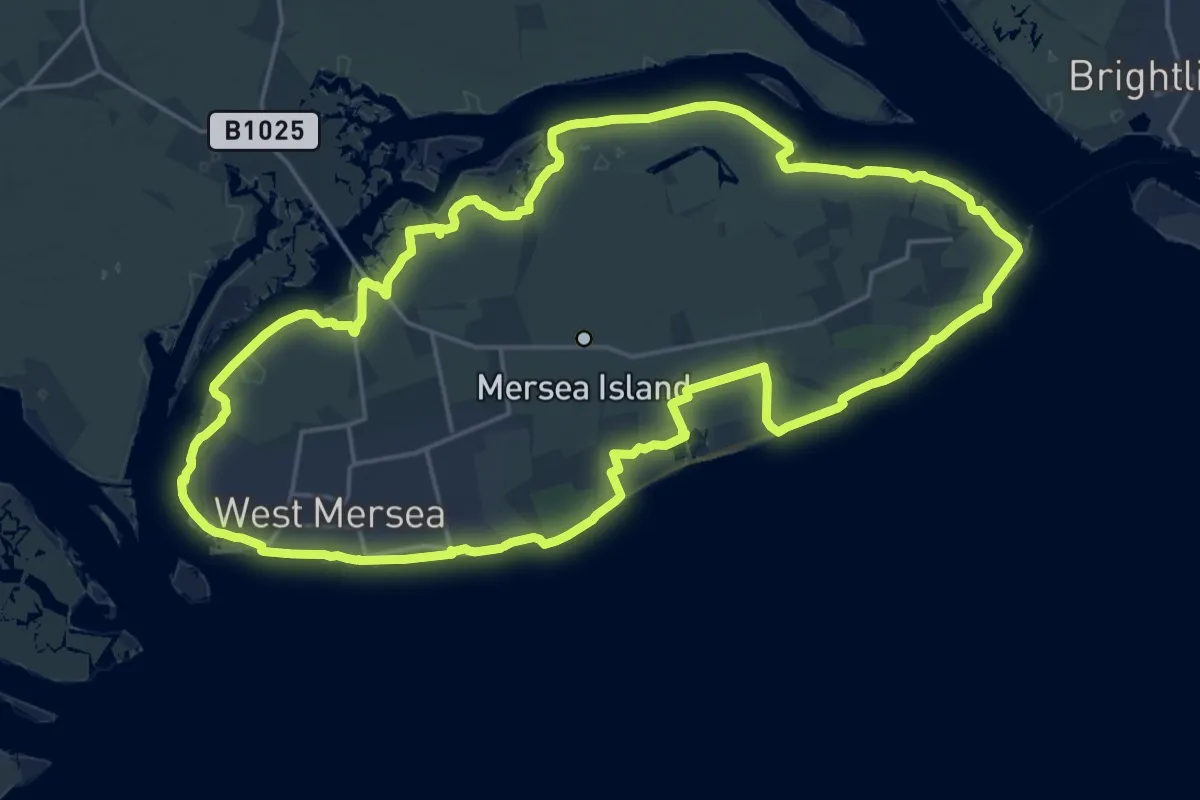
Demanding · Trail
King Charles III England Coast Path: Mersea Island
20.9 km · ↑ 18 m · 5 h 16 min
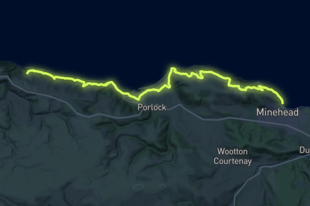
Demanding · Summit
King Charles III England Coast Path: Minehead to Combe Martin
47.0 km · ↑ 1447 m · 14 h 14 min
Easy · Trail
King Charles III England Coast Path: Newport Bridge to North Gare
5.0 km · ↑ 0 m · 1 h 10 min
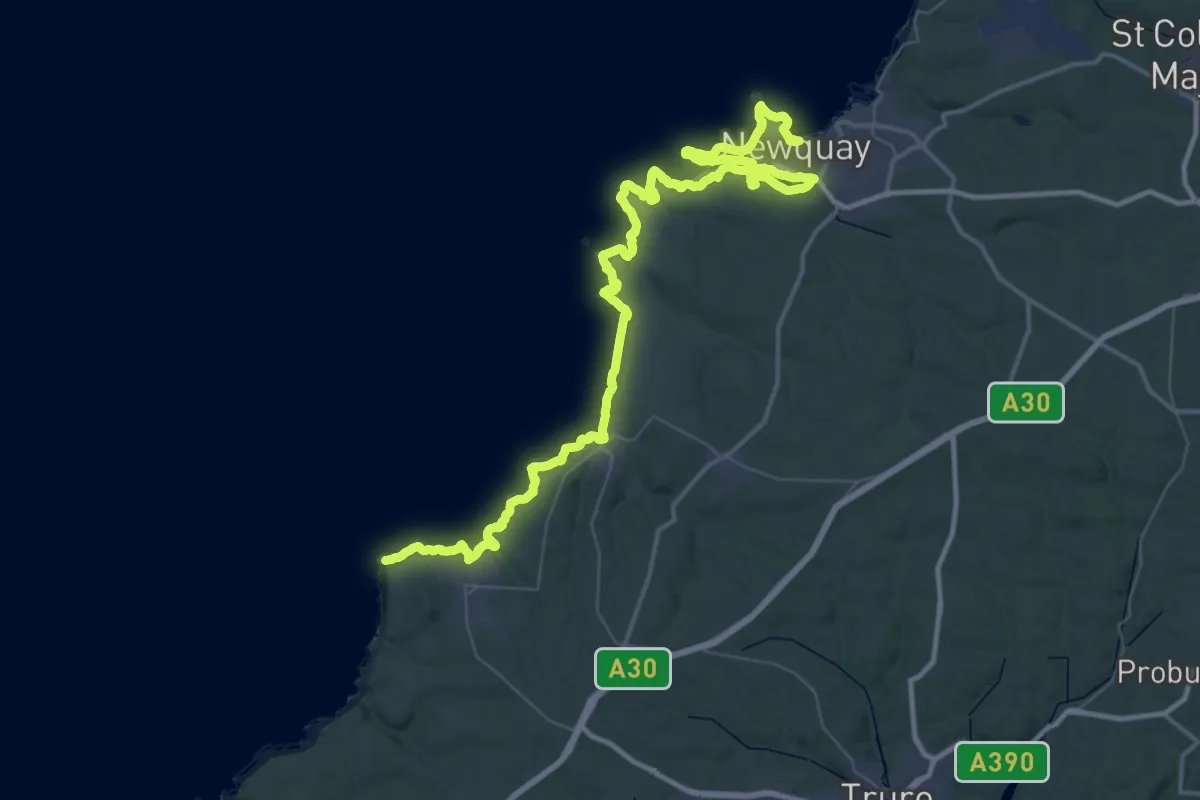
Demanding · Trail
King Charles III England Coast Path: Newquay to Penzance
33.3 km · ↑ 732 m · 9 h 53 min
Medium · Trail
King Charles III England Coast Path: North Gare to South Bents
15.9 km · ↑ 123 m · 4 h 14 min
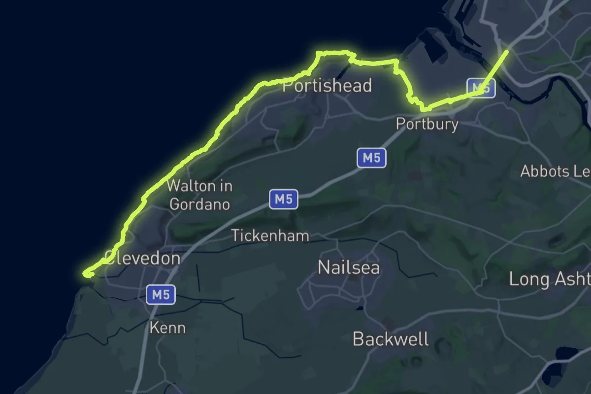
Demanding · Trail
King Charles III England Coast Path: Old Passage, Aust to Wain's Hill, Clevedon
20.6 km · ↑ 146 m · 5 h 29 min
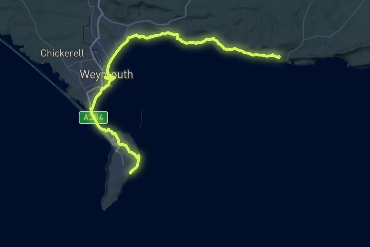
Demanding · Summit
King Charles III England Coast Path: Portland to Lulworth
61.0 km · ↑ 1364 m · 17 h 22 min
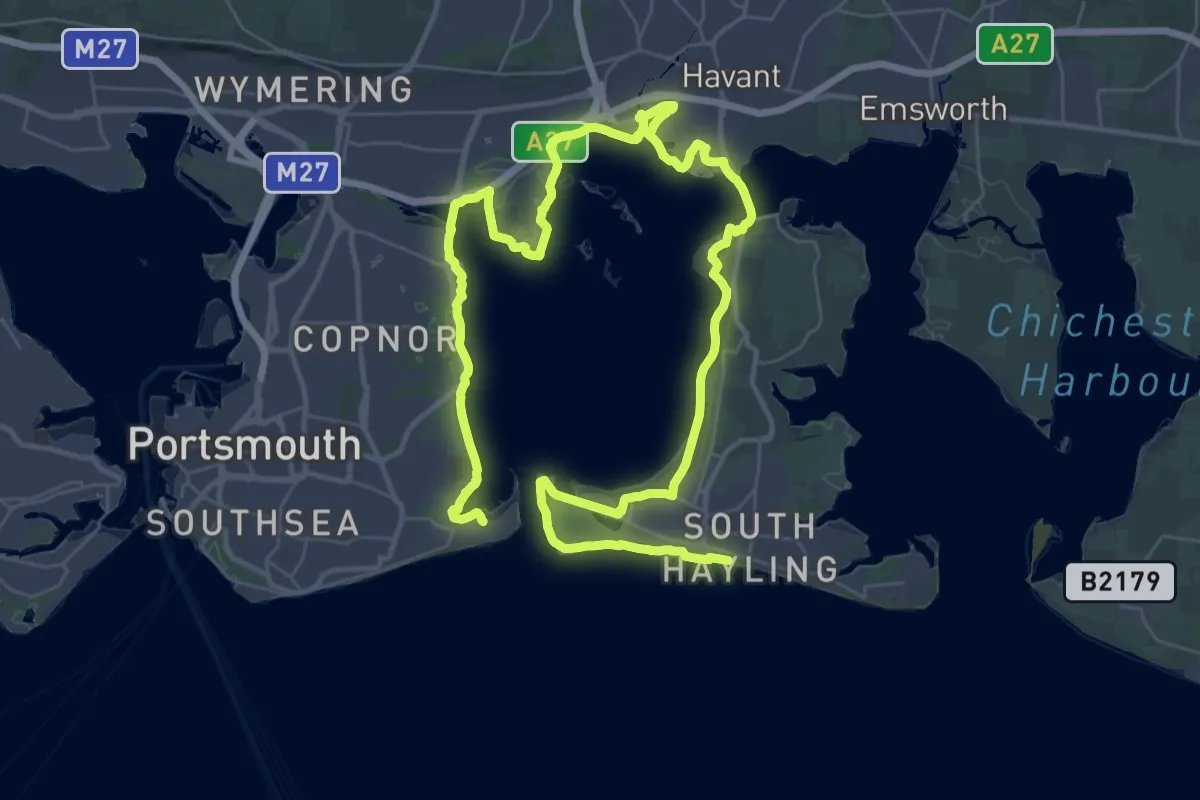
Demanding · Trail
King Charles III England Coast Path: Portsmouth to South Hayling
27.6 km · ↑ 8 m · 6 h 56 min
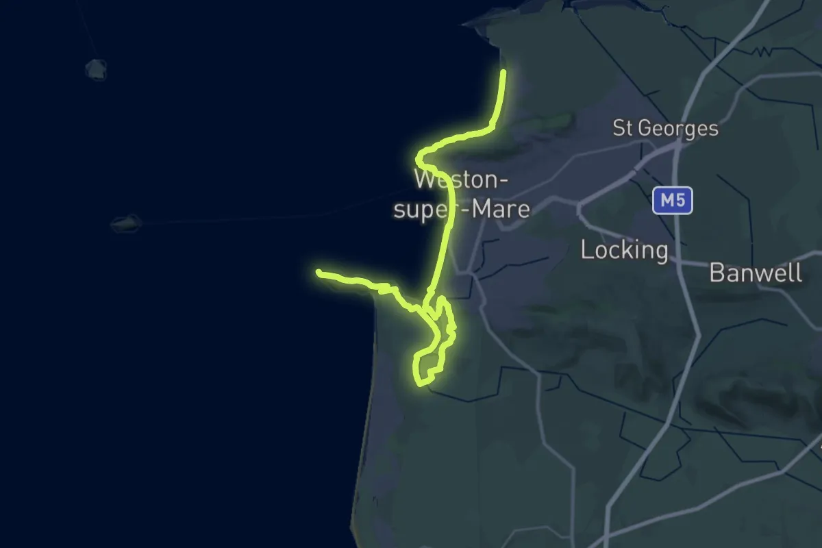
Demanding · Trail
King Charles III England Coast Path: Sand Bay to Brean Down
19.0 km · ↑ 104 m · 4 h 59 min
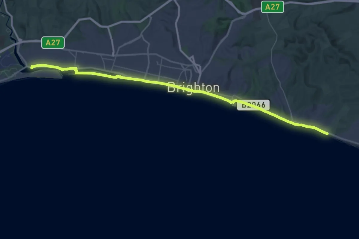
Demanding · Trail
King Charles III England Coast Path: Shoreham to Eastbourne
18.8 km · ↑ 63 m · 4 h 50 min
Demanding · Trail
King Charles III England Coast Path: Silecroft to Silverdale
18.5 km · ↑ 14 m · 4 h 39 min
Demanding · Trail
King Charles III England Coast Path: Skegness to Mablethorpe
26.2 km · ↑ 15 m · 6 h 35 min
Demanding · Trail
King Charles III England Coast Path: South Bents to Amble
25.3 km · ↑ 114 m · 6 h 35 min
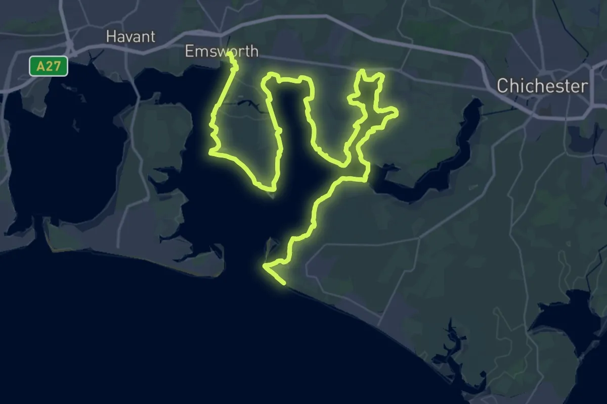
Demanding · Trail
King Charles III England Coast Path: South Hayling to East Head
34.8 km · ↑ 4 m · 8 h 43 min
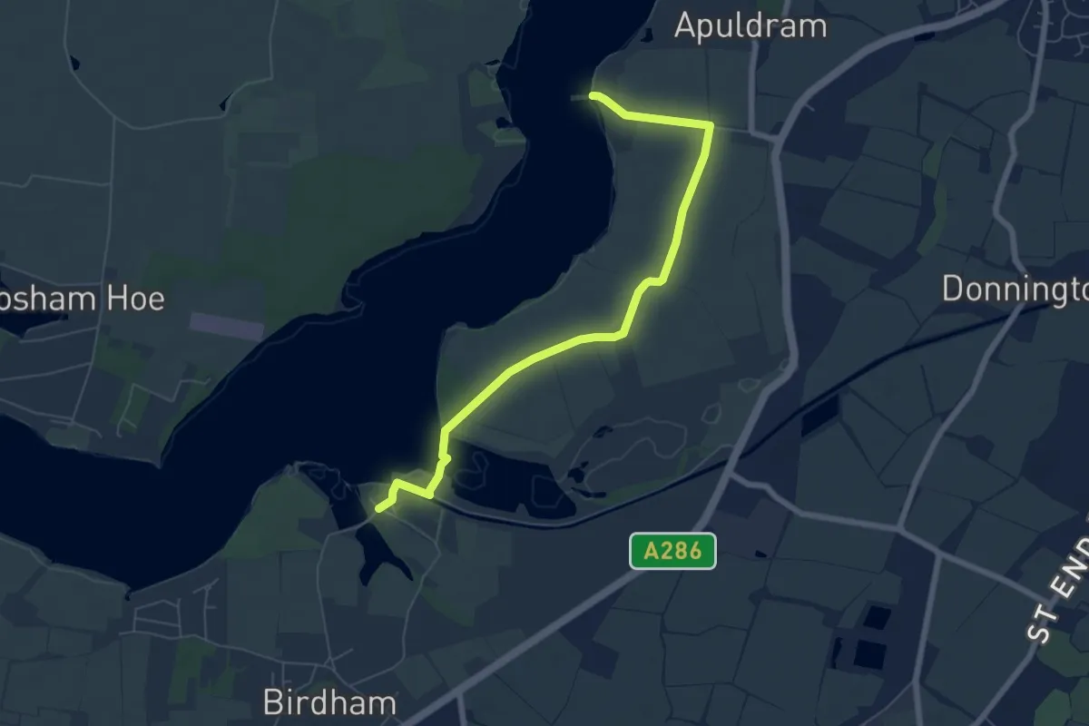
Easy · Trail
King Charles III England Coast Path: South Hayling to East Head: Avoidance of Itchenor Ferry
6.3 km · ↑ 0 m · 1 h 29 min
Demanding · Summit
King Charles III England Coast Path: Walney Island
25.9 km · ↑ 21 m · 6 h 31 min
Easy · Trail
Kingfisher Route
6.0 km · ↑ 0 m · 1 h 25 min