Trails in United Kingdom
3,857 hiking trails, each with its route, climb, walking time and grade.
All trails, page 49 of 81
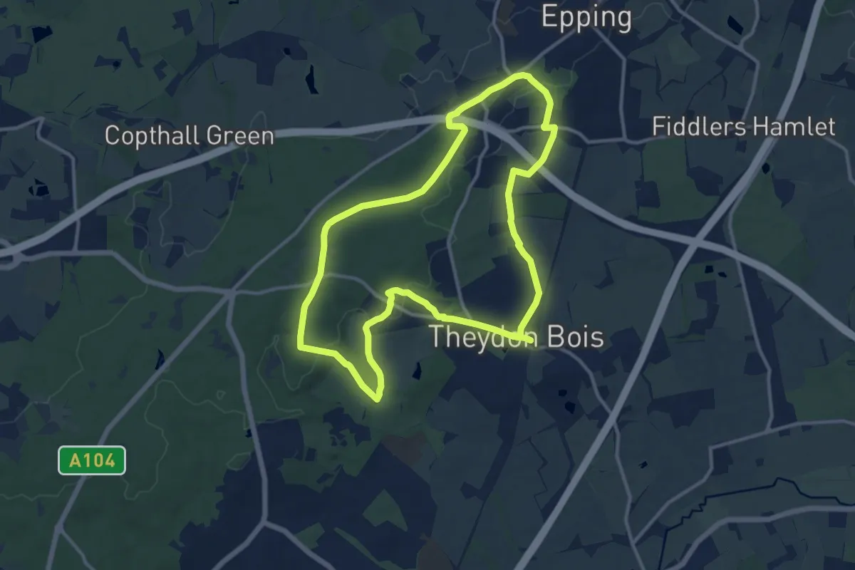
Medium · Trail
Oak Trail
10.4 km · ↑ 125 m · 2 h 53 min
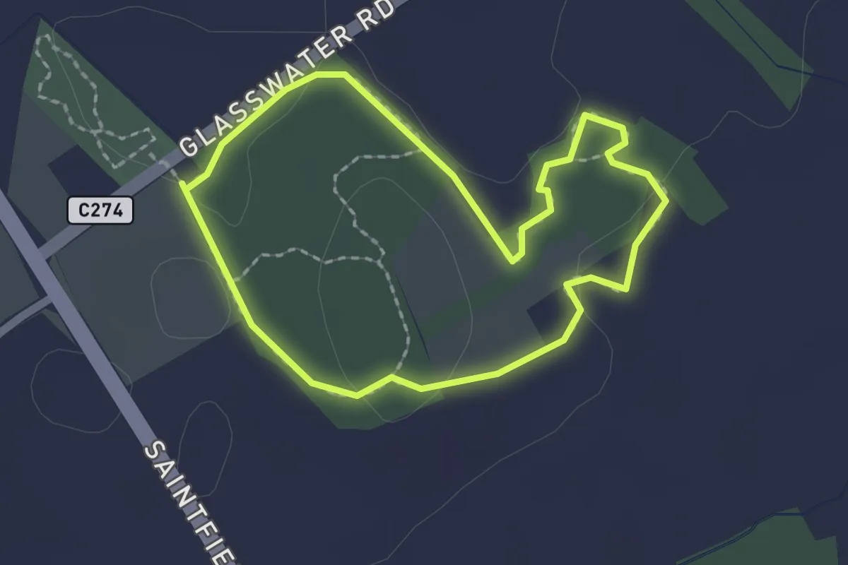
Easy · Trail
Oak Trail
1.5 km · ↑ 14 m · 24 min
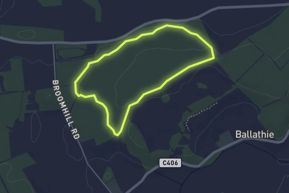
Easy · Trail
Oakwood Loop
2.6 km · ↑ 29 m · 42 min
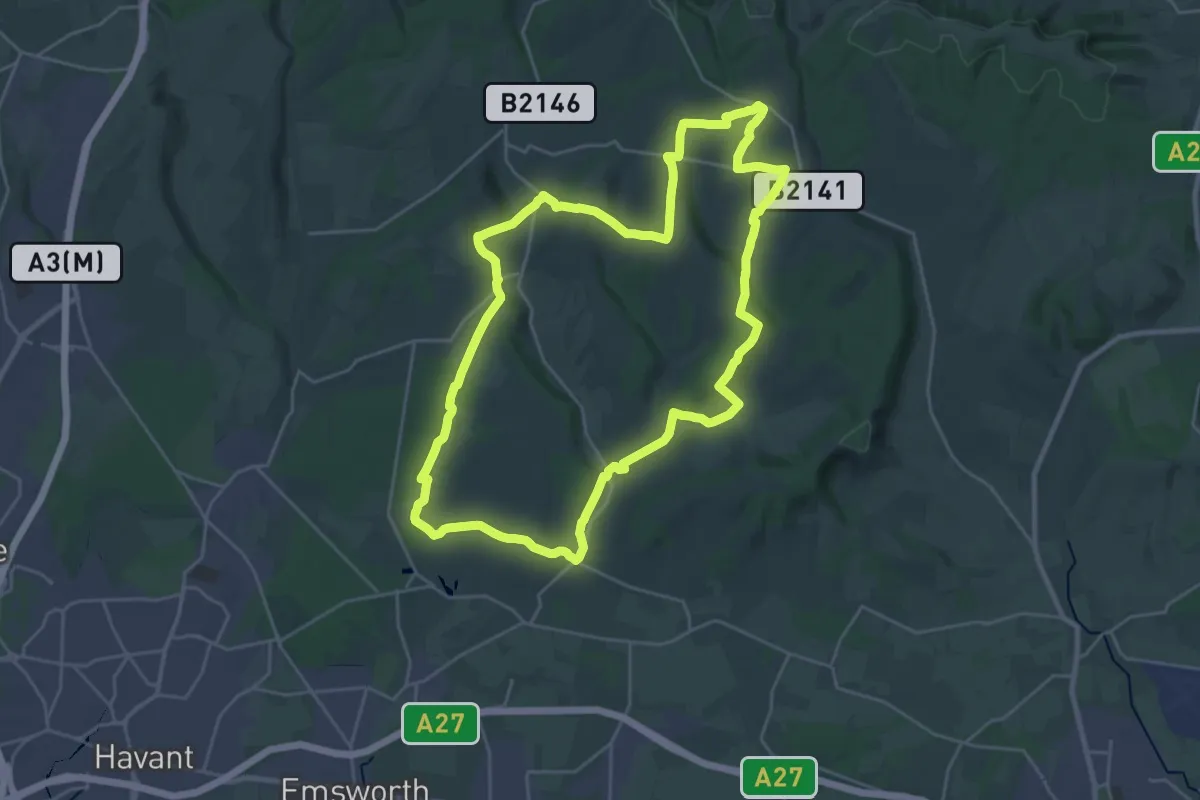
Demanding · Summit
Octagon Way
24.3 km · ↑ 477 m · 7 h 6 min
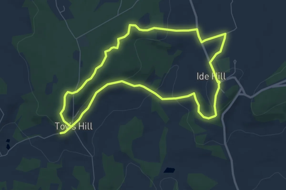
Easy · Trail
Octavia Hill centenary trail east
6.1 km · ↑ 145 m · 1 h 50 min
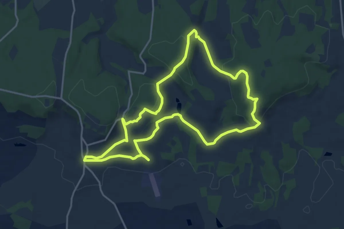
Medium · Trail
Octavia Hill Centenary walk west
9.7 km · ↑ 279 m · 3 h 1 min
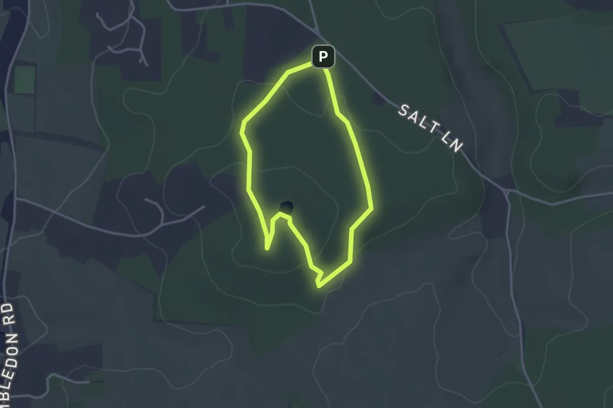
Easy · Summit
Octavia Hill Walk around Hydon's Ball and Heath, Hindhead
2.5 km · ↑ 57 m · 44 min
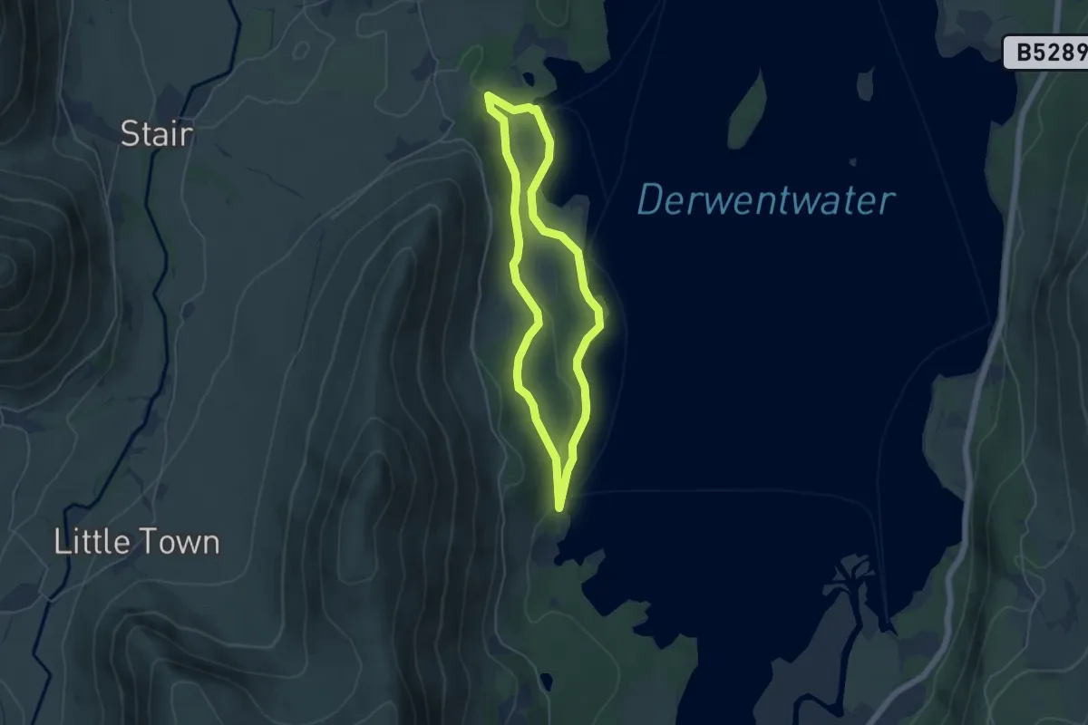
Easy · Trail
Octavia Hill walk at Brandelhow Park, Derwent Water, North Lakes Outdoors
3.7 km · ↑ 41 m · 1 h 1 min
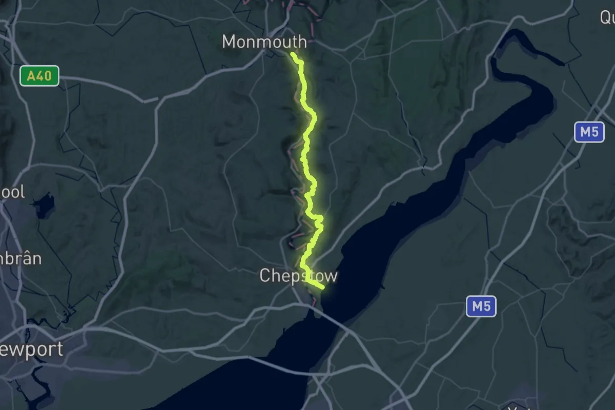
Demanding · Trail
Offa's Dyke Path
25.6 km · ↑ 920 m · 8 h 20 min
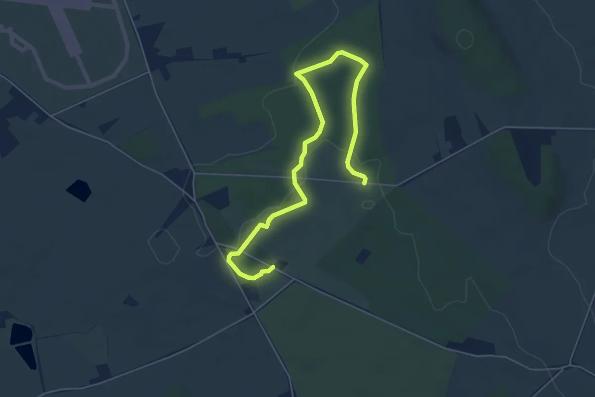
Easy · Trail
Oil Beetle Trail
2.7 km · ↑ 13 m · 42 min
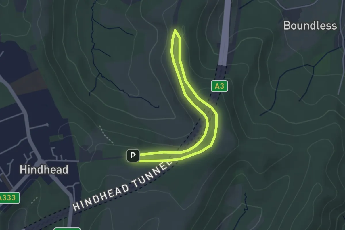
Easy · Trail
Old A3 Trail, Hindhead
2.8 km · ↑ 34 m · 46 min
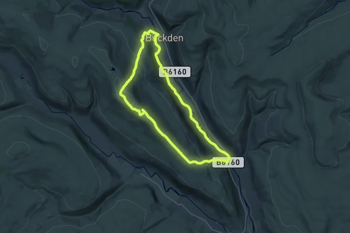
Medium · Trail
Old Cote Moor from Kettlewell trail, Upper Wharfdale
15.9 km · ↑ 402 m · 4 h 51 min
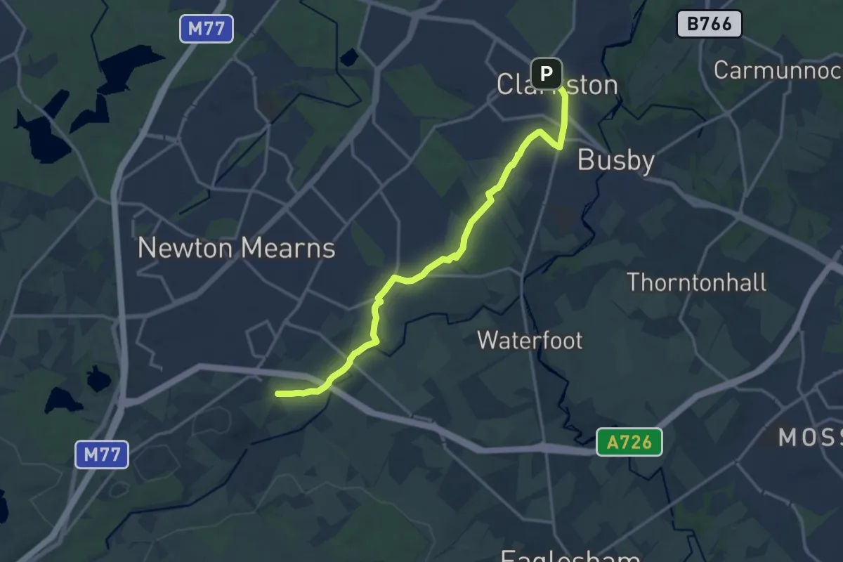
Medium · Trail
Old Drove Road Walking Route
12.0 km · ↑ 123 m · 3 h 7 min
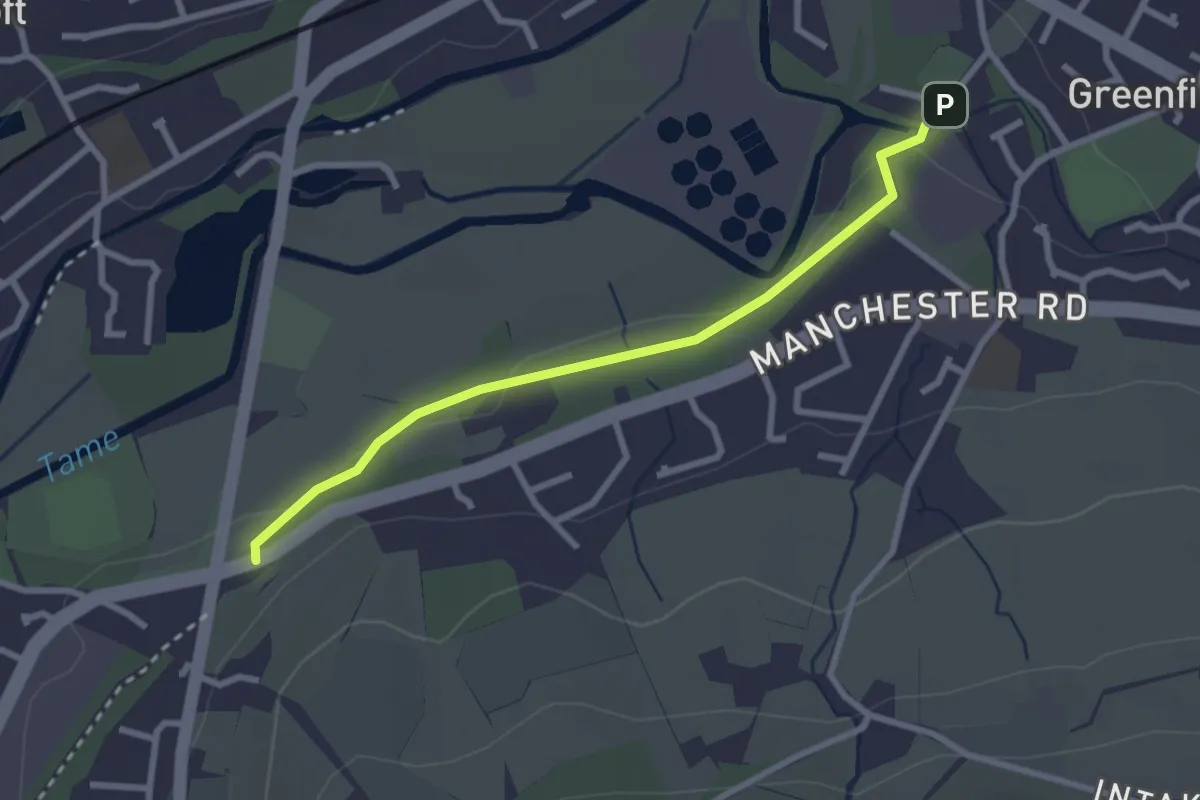
Easy · Trail
Oldham Link
2.3 km · ↑ 18 m · 36 min
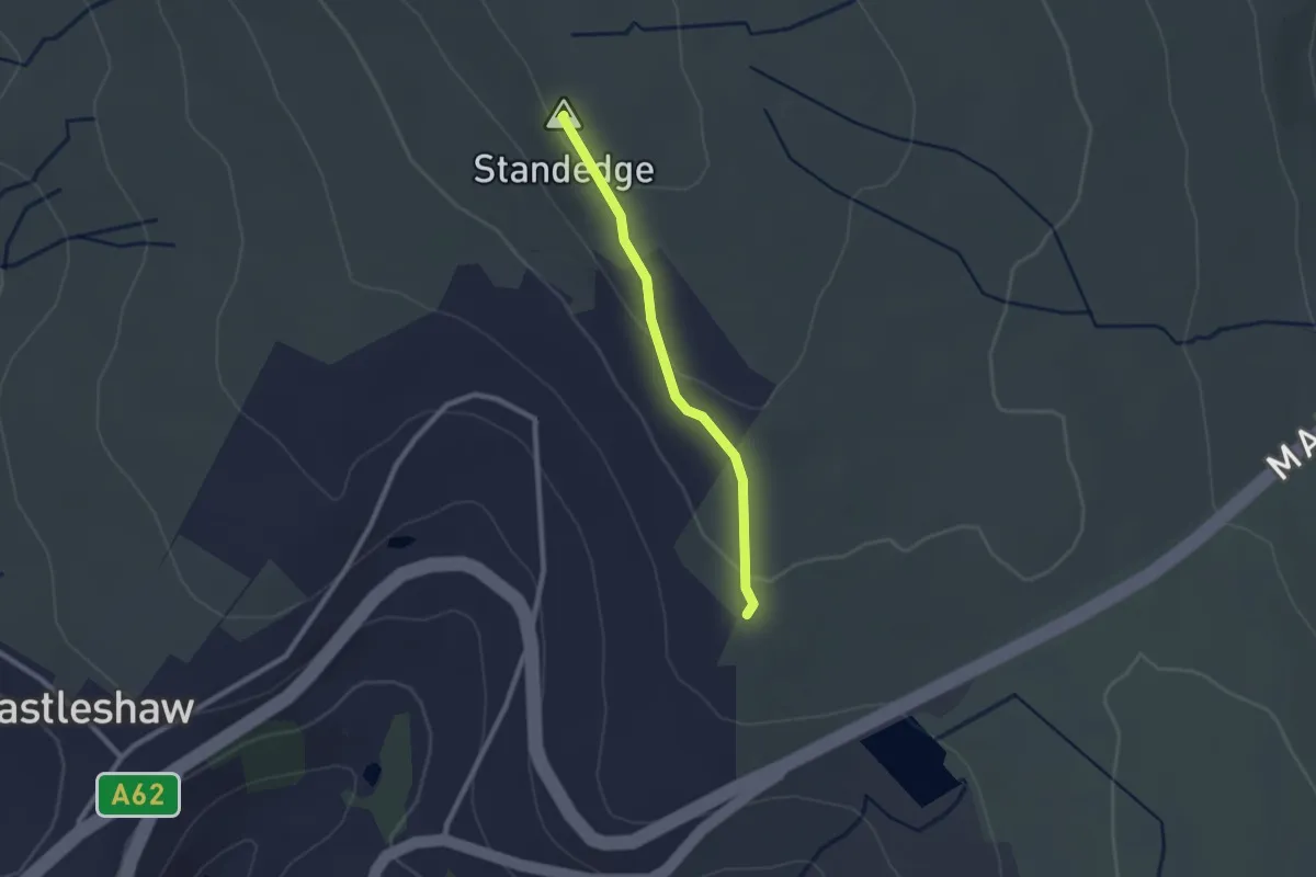
Easy · Summit
Oldham Way
1.8 km · ↑ 42 m · 31 min
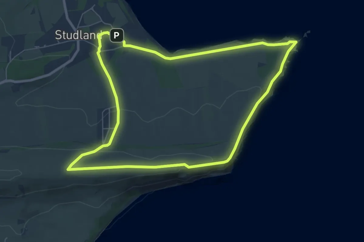
Easy · Summit
Old Harry Rocks Walk, Purbeck Estate
6.2 km · ↑ 138 m · 1 h 51 min
Easy · Trail
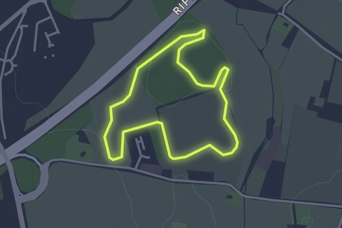
Oldlands Copse Circular Walk
2.1 km · ↑ 0 m · 32 min
Medium · Trail
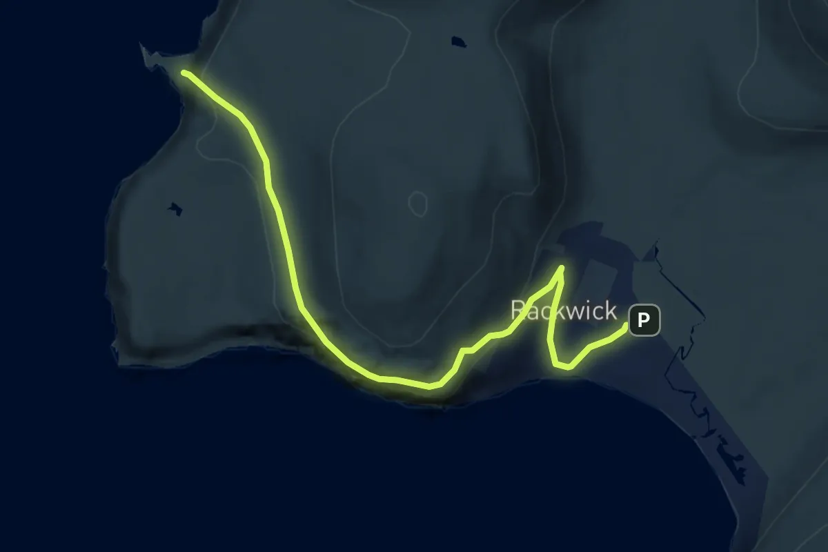
Old Man of Hoy Trail
9.0 km · ↑ 342 m · 2 h 52 min
Medium · Trail
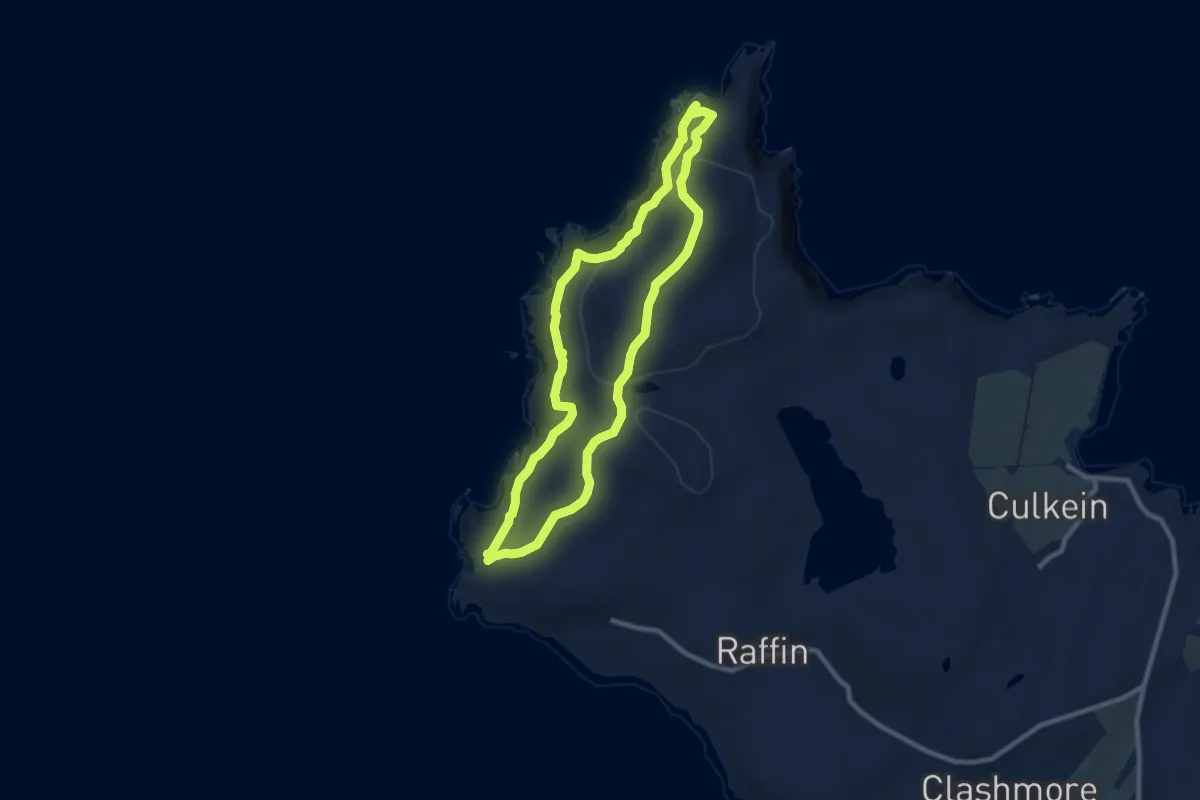
Old Man of Stoer Trail
6.7 km · ↑ 309 m · 2 h 20 min
Easy · Trail
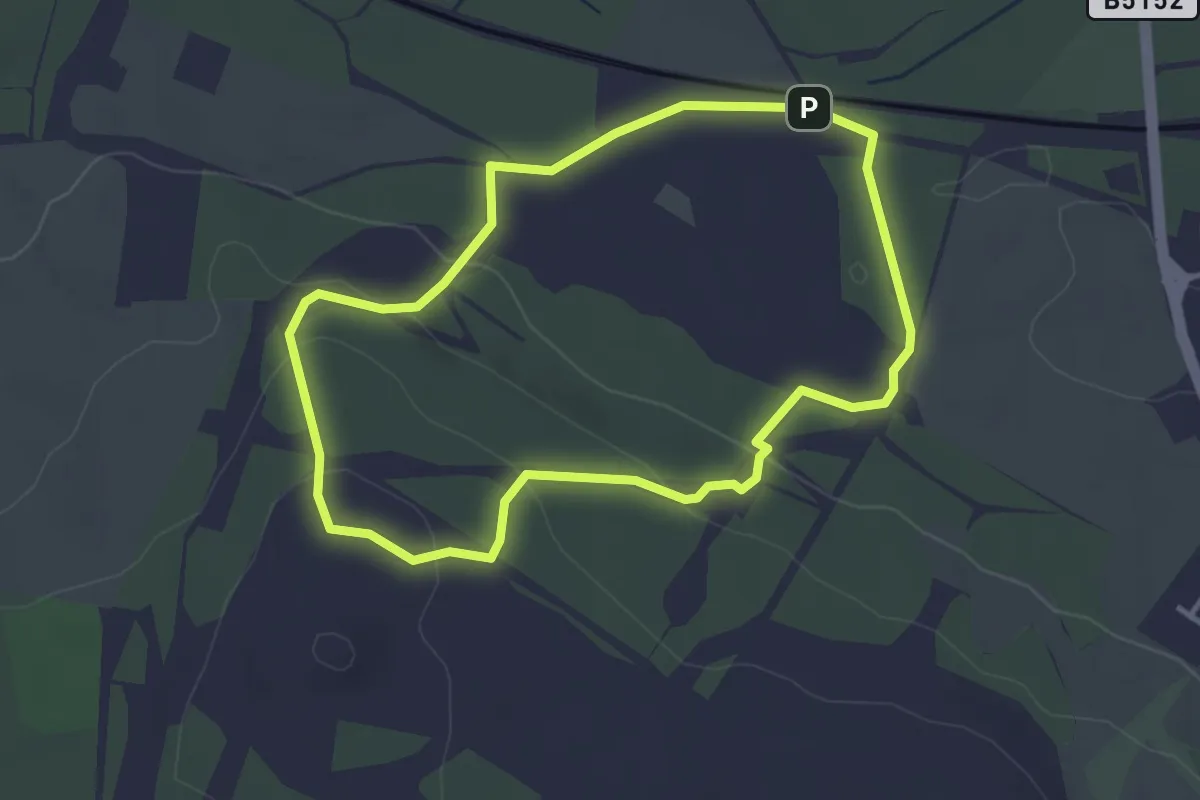
Old Pale Trail
2.9 km · ↑ 87 m · 55 min
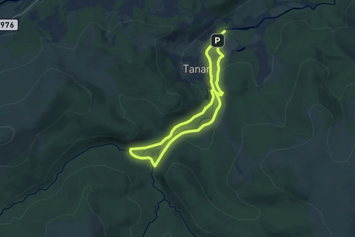
Medium · Trail
Old Pines
16.1 km · ↑ 234 m · 4 h 18 min
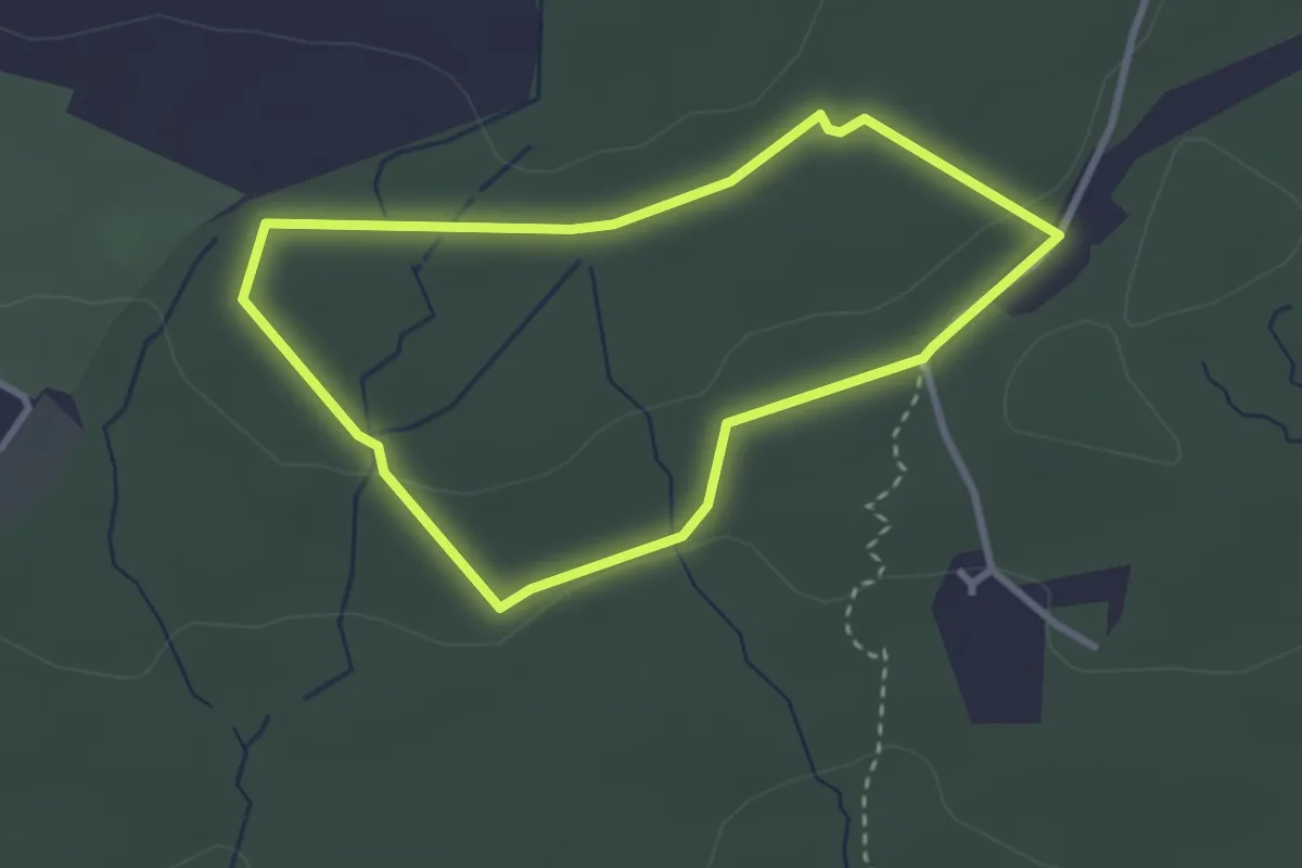
Easy · Trail
Old Railway Footpath
2.3 km · ↑ 44 m · 40 min
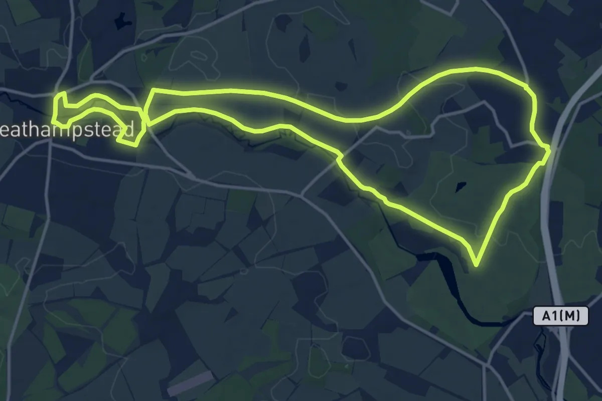
Medium · Trail
Old Railway & River Lea
12.1 km · ↑ 87 m · 3 h 13 min
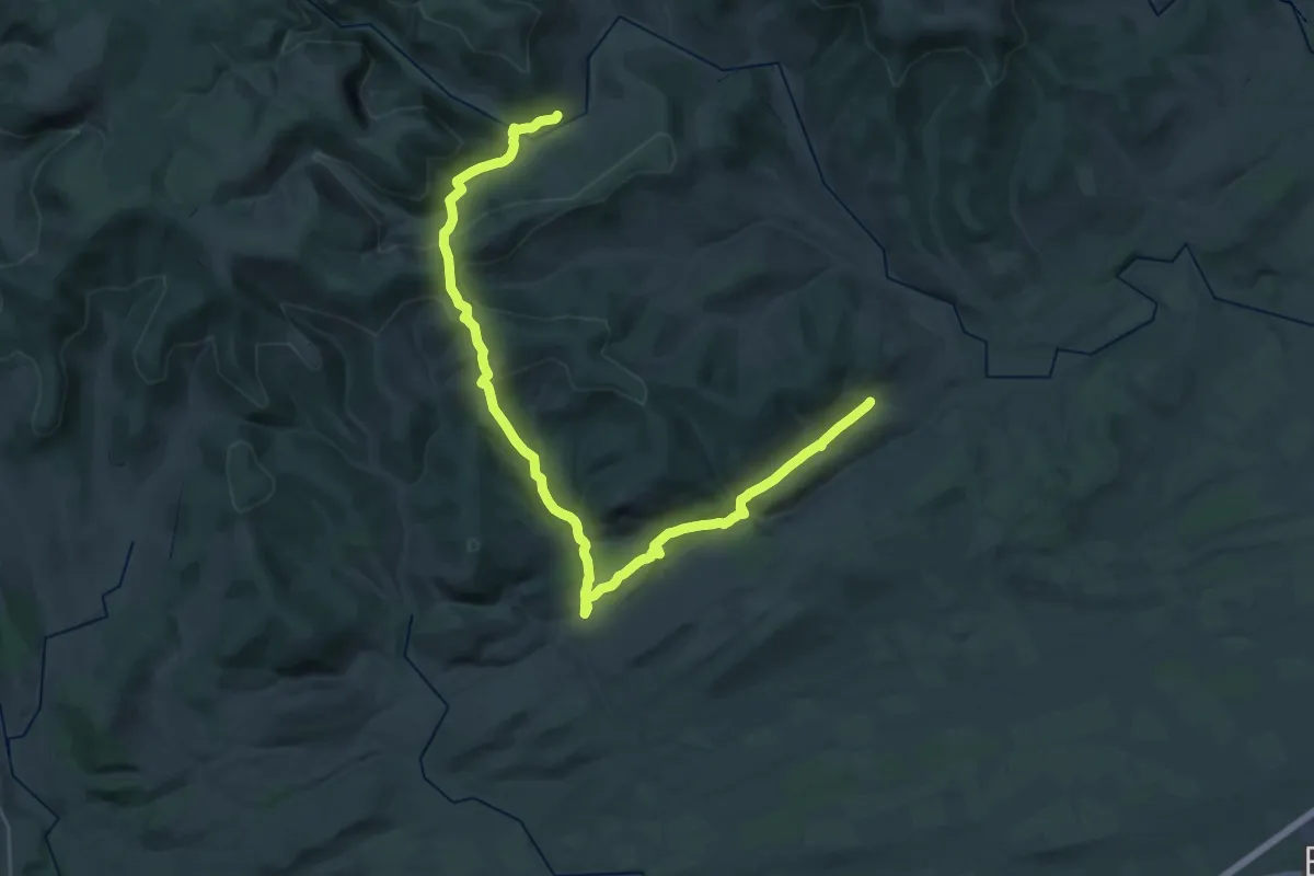
Medium · Trail
Old Roads from Afflochie
16.0 km · ↑ 433 m · 4 h 59 min
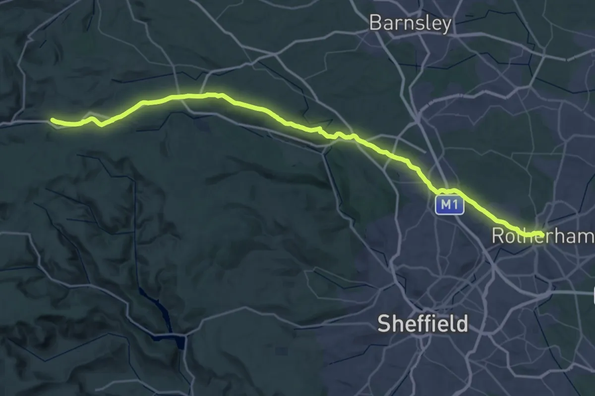
Demanding · Trail
Old Salt Road
35.5 km · ↑ 414 m · 9 h 56 min
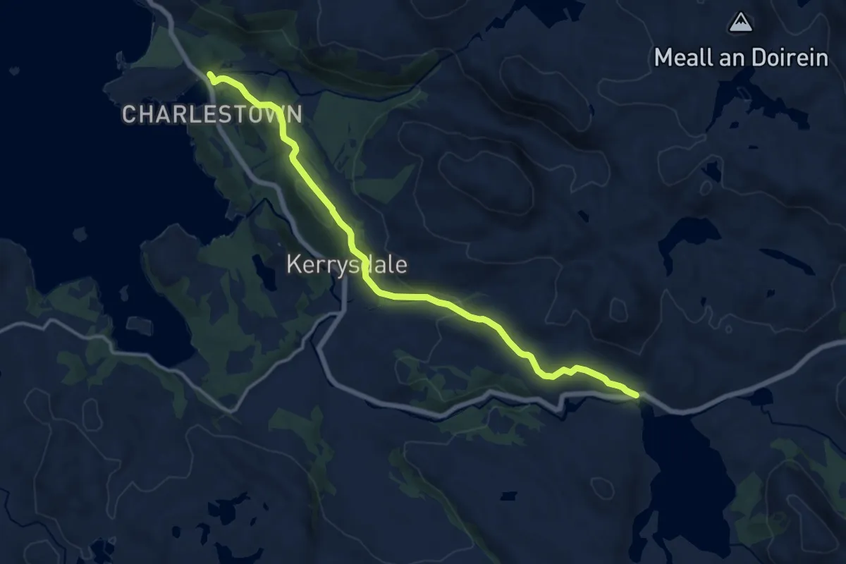
Medium · Trail
Old Slattadale - Gairloch Road
10.9 km · ↑ 277 m · 3 h 11 min
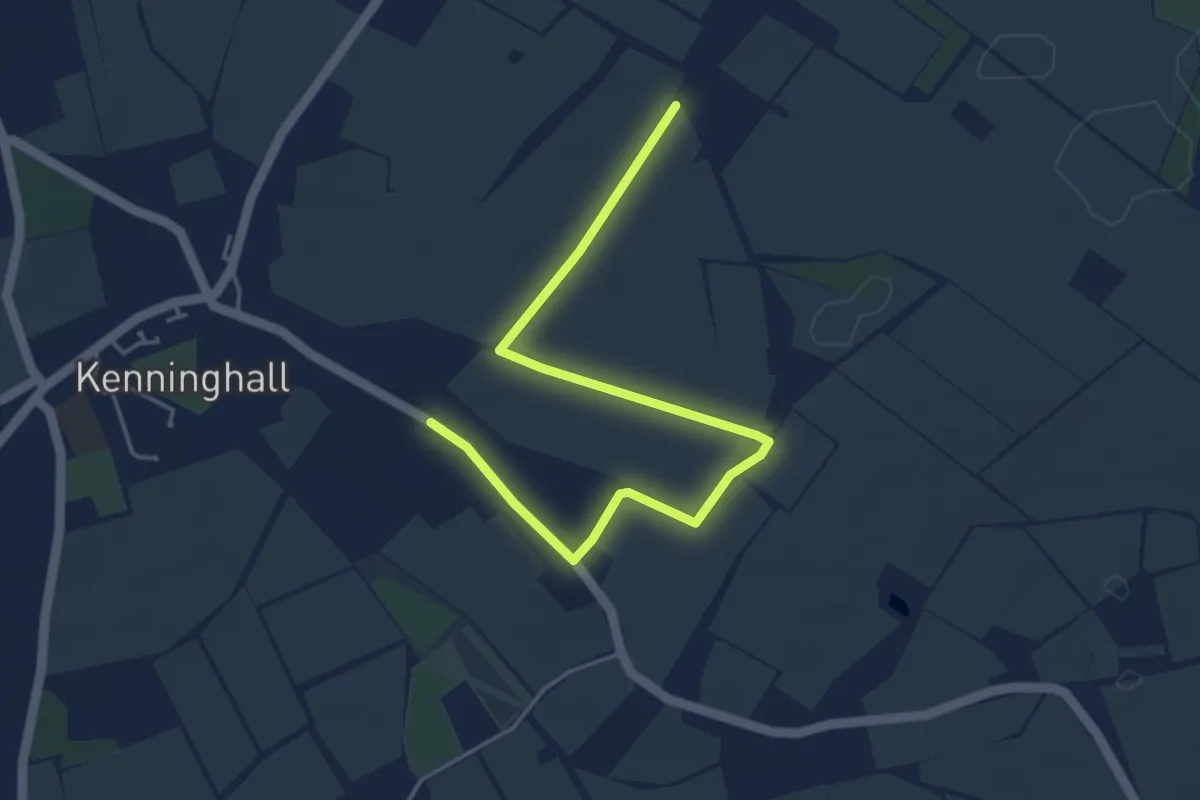
Easy · Trail
Oliver's Way
4.4 km · ↑ 13 m · 1 h 4 min
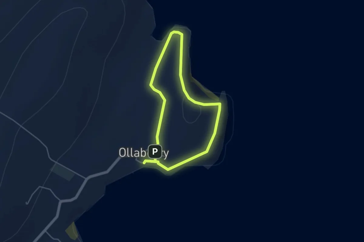
Easy · Trail
Ollaberry Back Sands
2.5 km · ↑ 95 m · 50 min
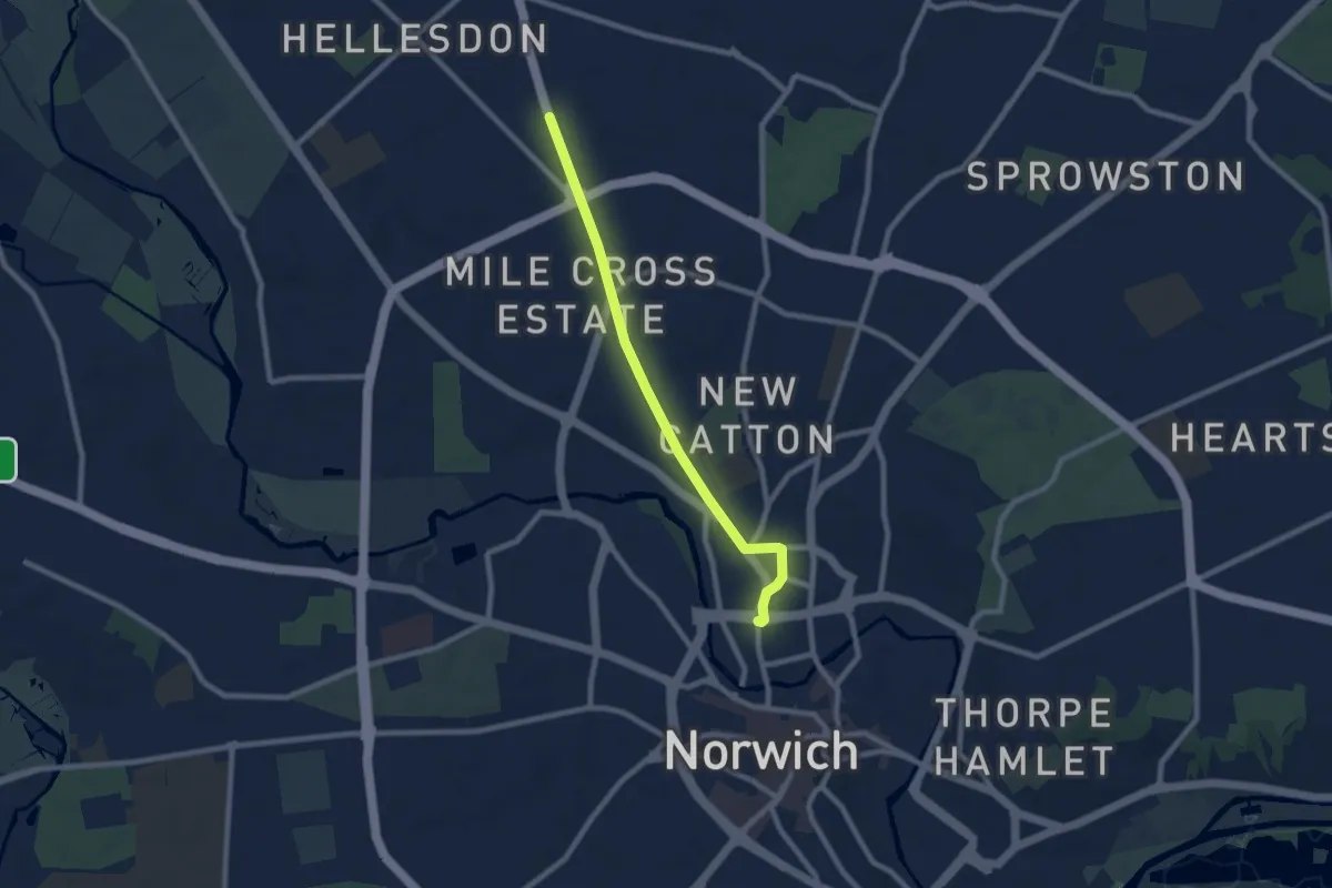
Easy · Trail
Olympic Torch Relay (Norwich)
6.8 km · ↑ 26 m · 1 h 39 min
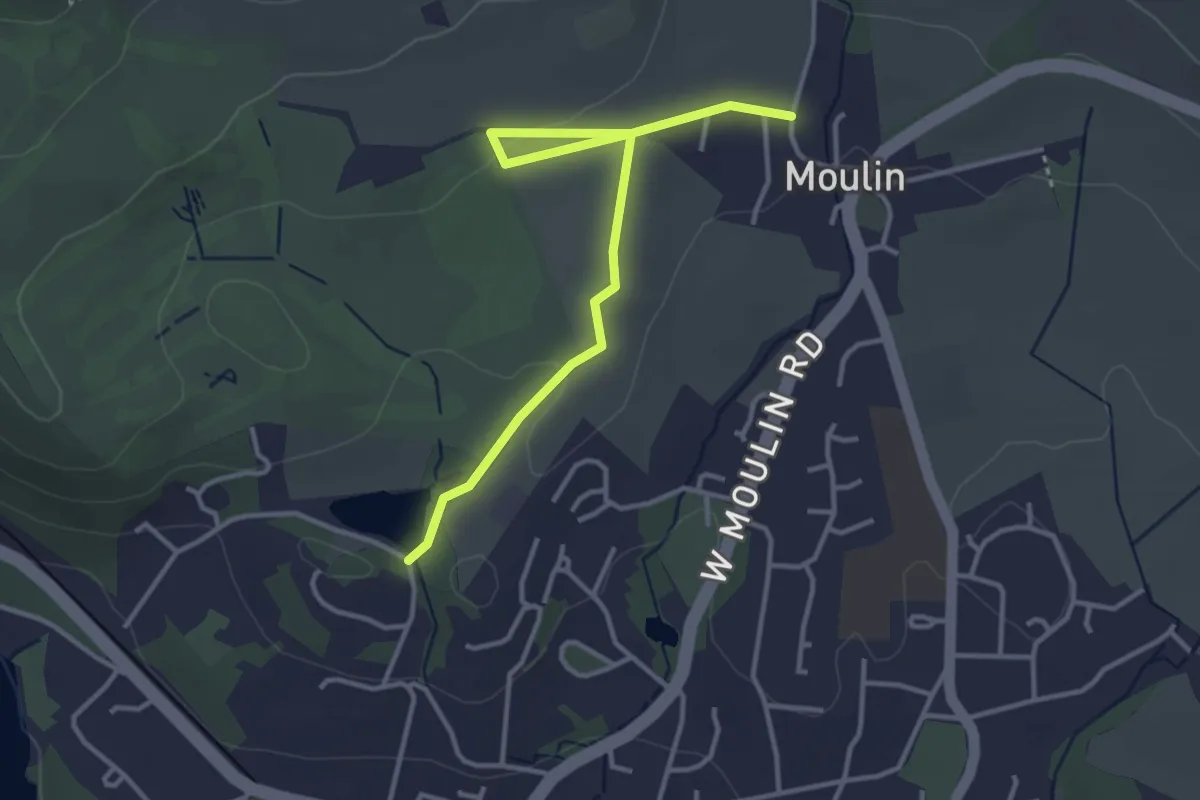
Easy · Trail
'orange'
3.1 km · ↑ 36 m · 48 min
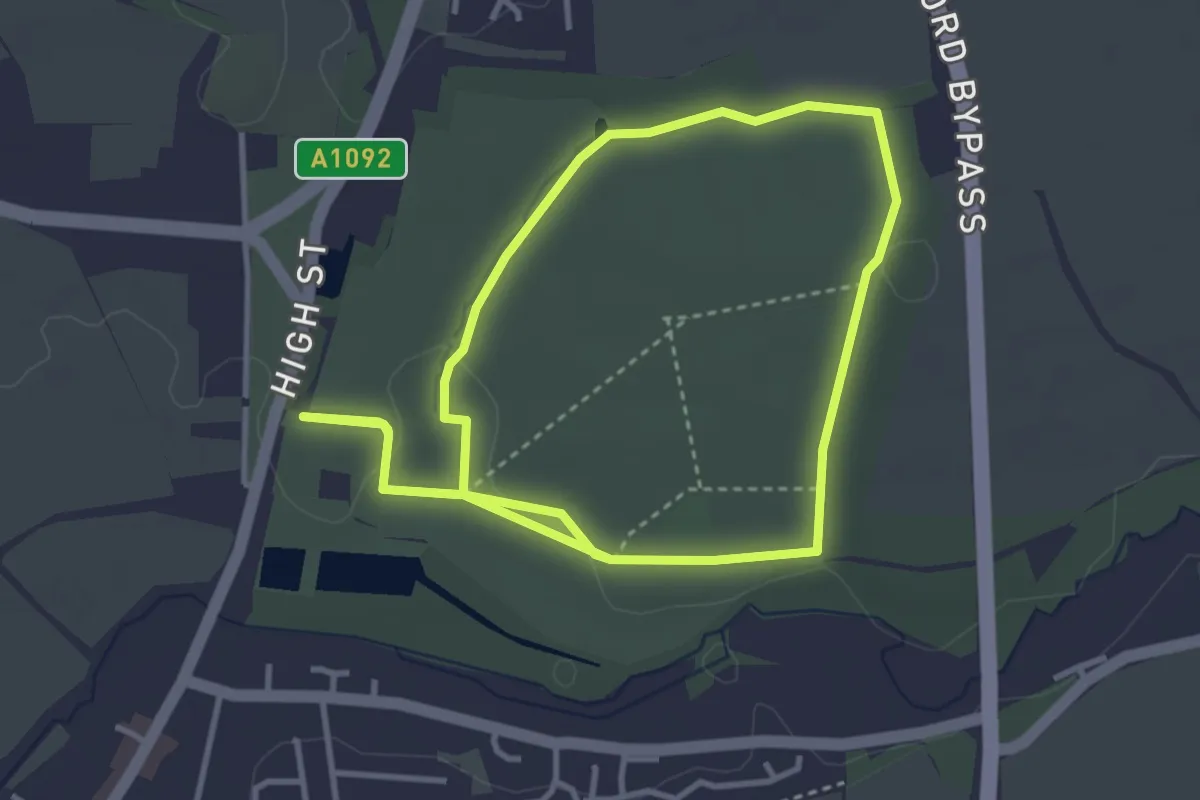
Easy · Trail
Orange Parkland Estate Walk, Melford Hall
3.2 km · ↑ 19 m · 50 min
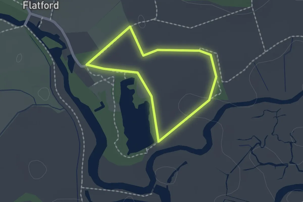
Easy · Trail
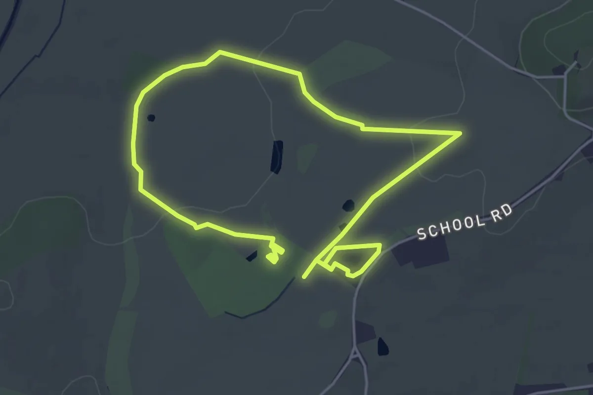
Orange Route, Flatford Mill
1.3 km · ↑ 0 m · 19 min
Easy · Trail
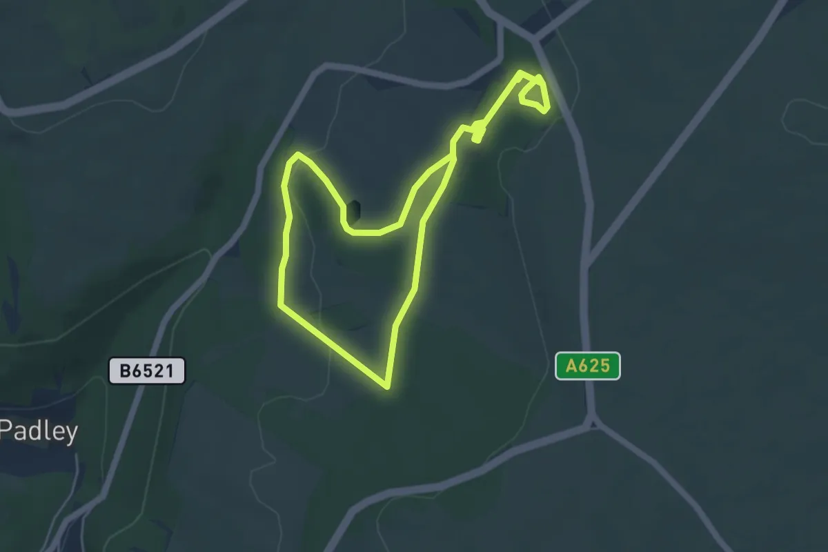
Orange Route, Hanbury Hall
3.5 km · ↑ 26 m · 56 min
Easy · Trail
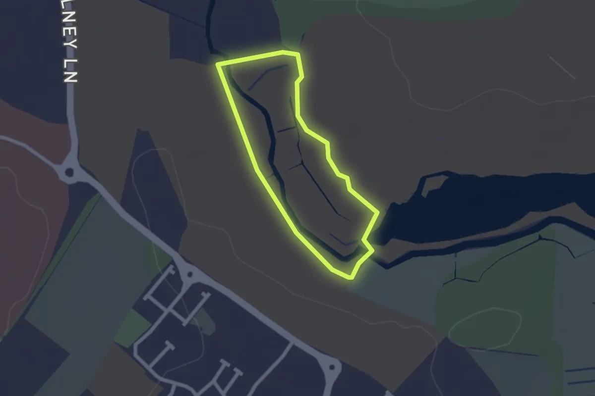
Orange Route, Longshaw Estate
3.6 km · ↑ 58 m · 1 h 2 min
Easy · Trail
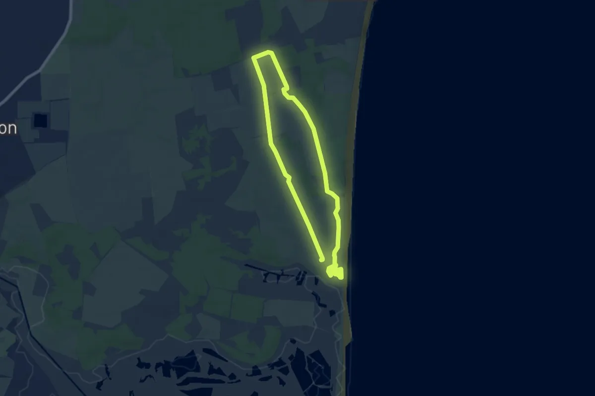
Orange Trail
1.5 km · ↑ 0 m · 23 min
Easy · Trail
Orange Trail, Dunwich Heath
5.6 km · ↑ 9 m · 1 h 24 min
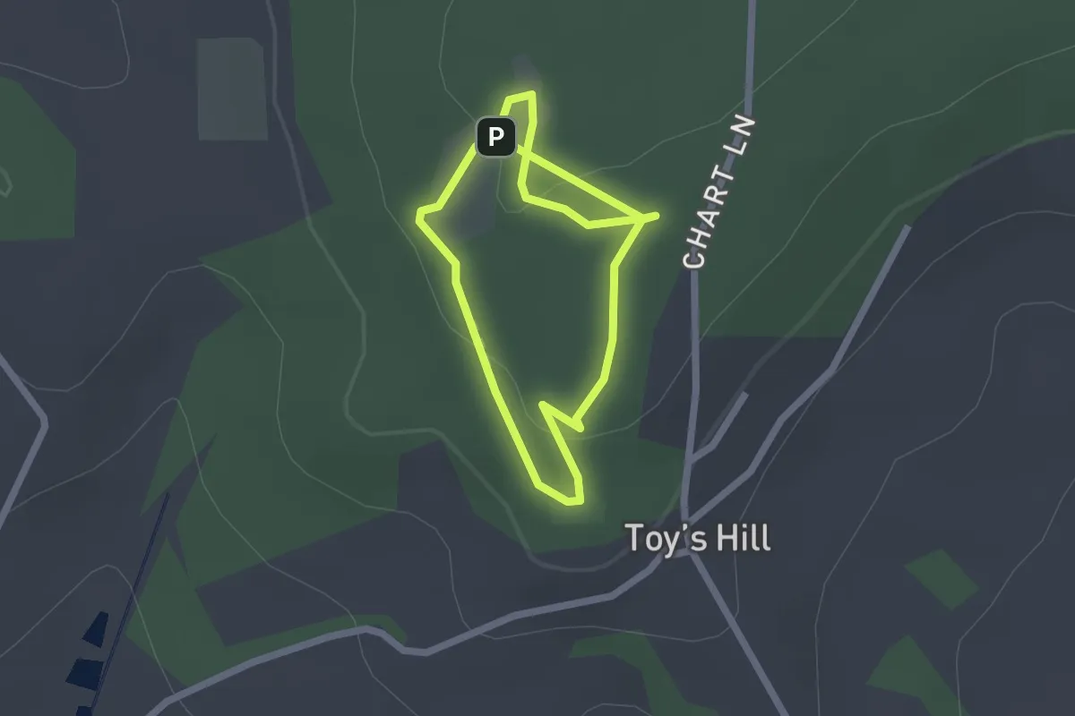
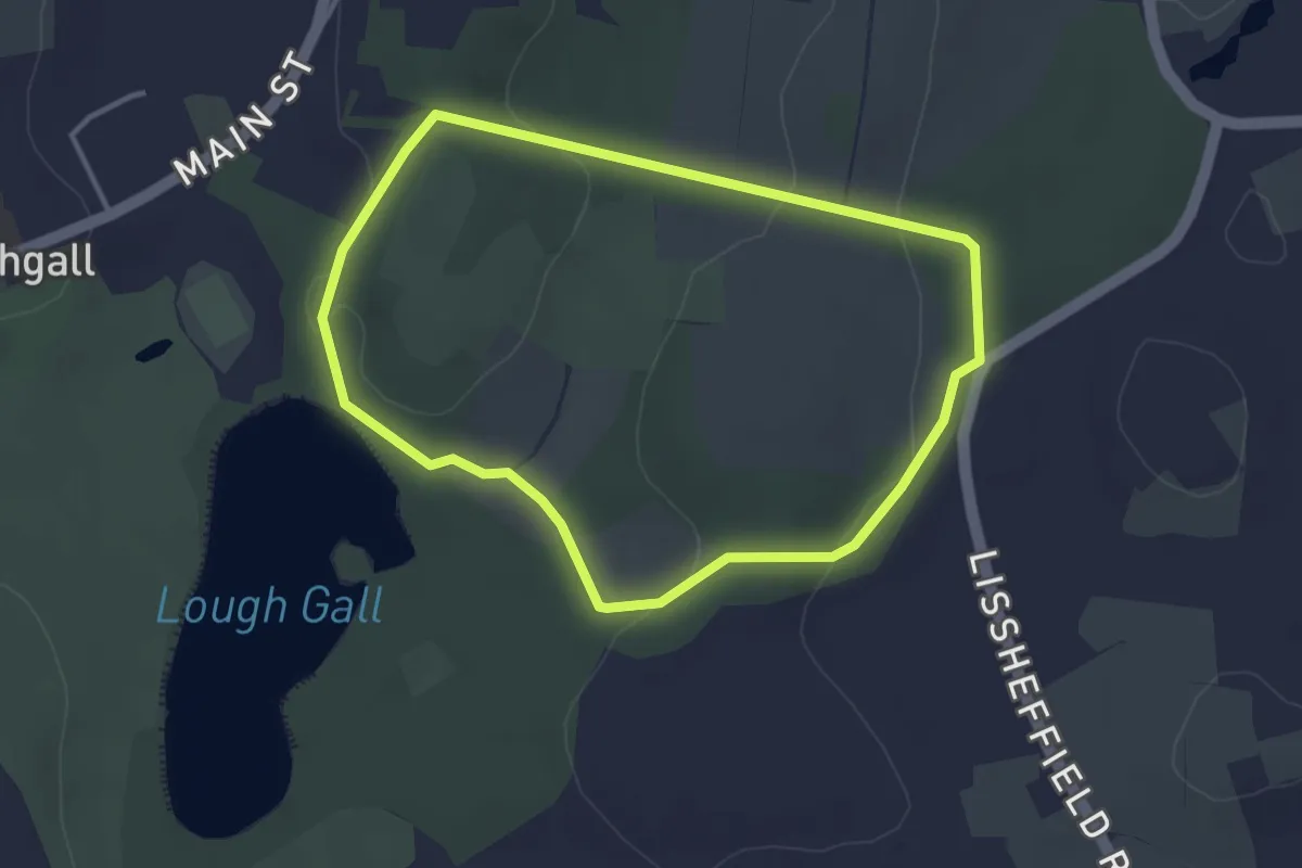
Easy · Trail
Orange Walk, Emmetts
1.6 km · ↑ 28 m · 27 min
Easy · Trail
Orchard Trail
2.8 km · ↑ 38 m · 47 min
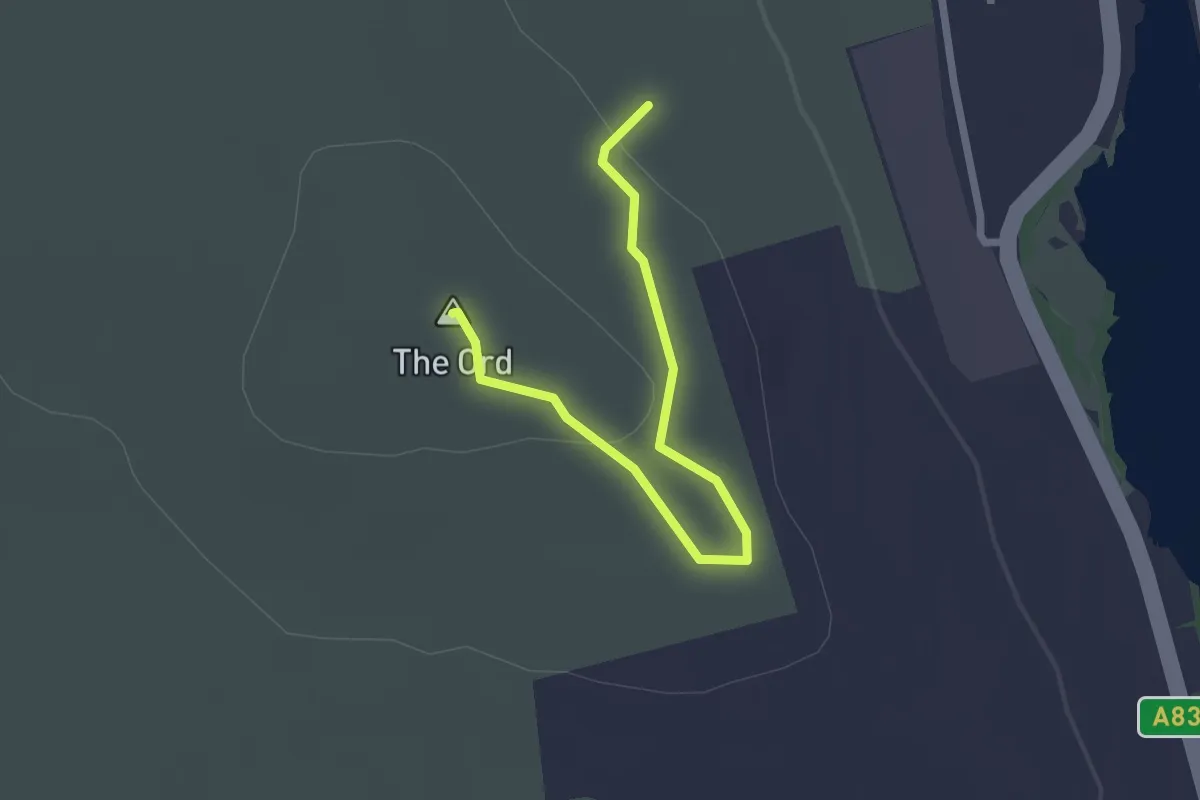
Easy · Summit
Ord Hill Trail
1.8 km · ↑ 41 m · 31 min
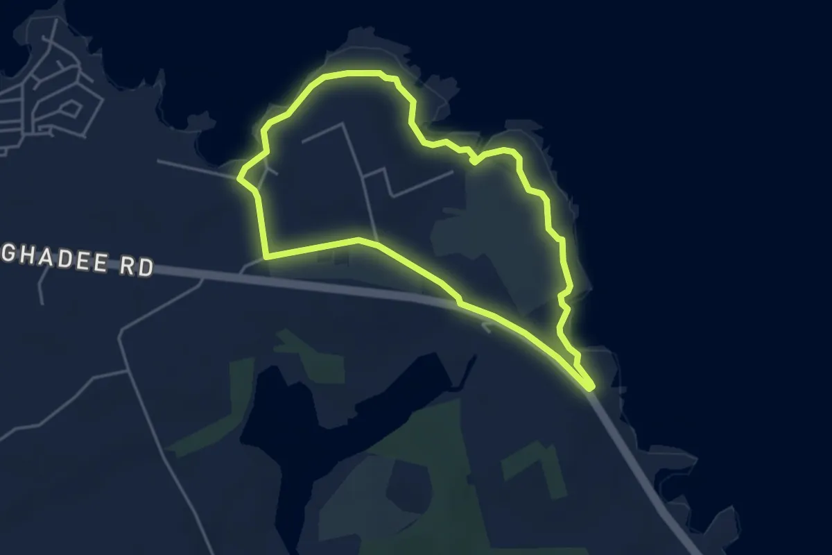
Easy · Trail
Orlock Point Walk, Strangford Lough
3.2 km · ↑ 35 m · 53 min
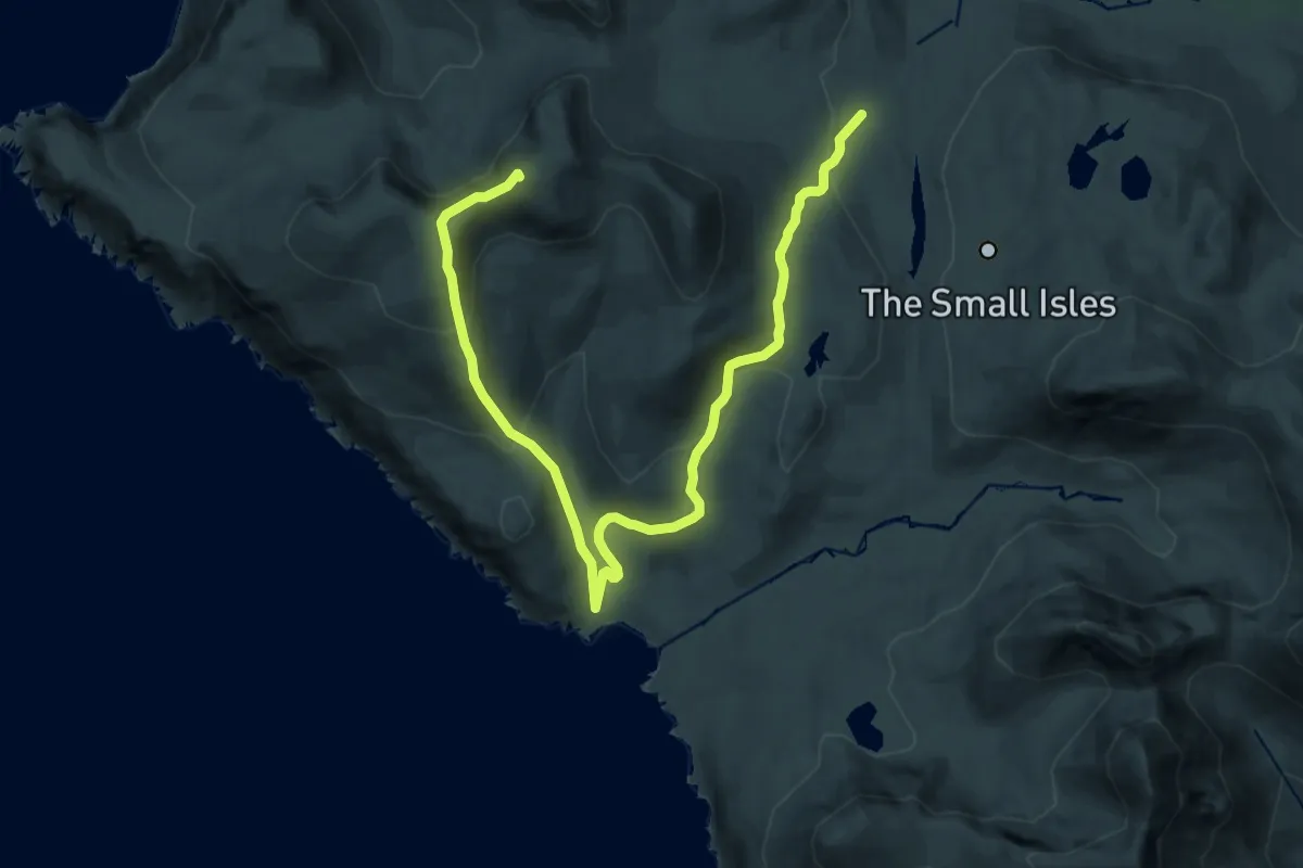
Demanding · Summit
Orval, return via Harris
18.8 km · ↑ 905 m · 6 h 24 min
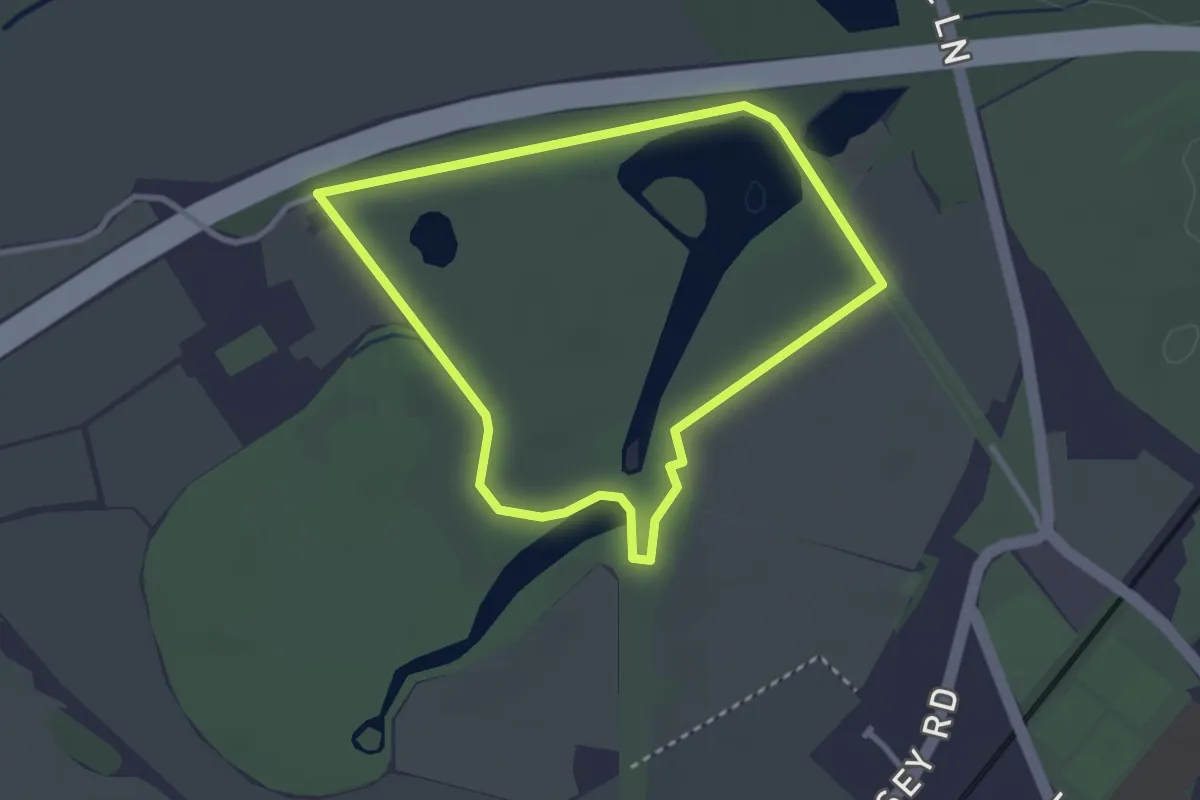
Easy · Trail
Osterley Trail, Osterley
2.5 km · ↑ 4 m · 38 min
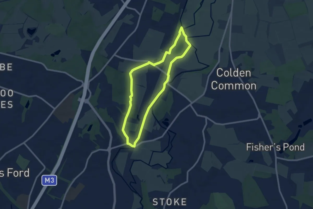
Easy · Trail
Otter Trail
5.7 km · ↑ 26 m · 1 h 29 min
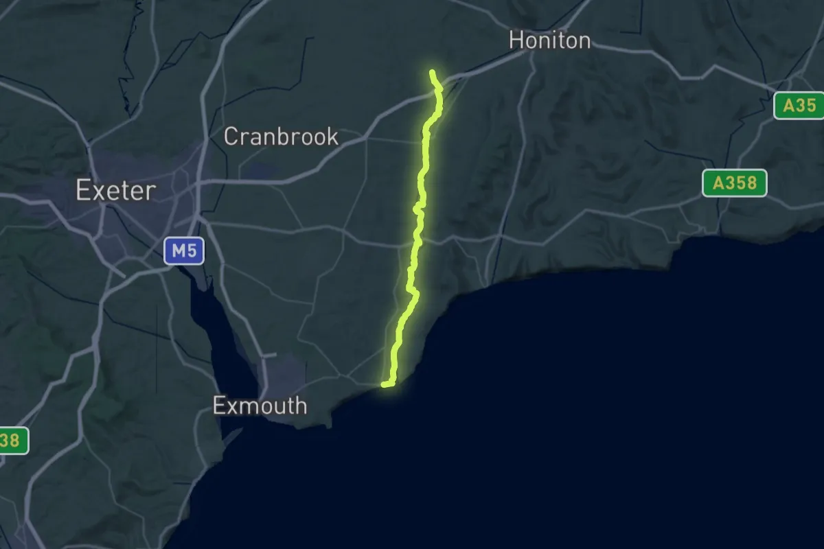
Demanding · Trail
Otter Valley Walk
20.5 km · ↑ 97 m · 5 h 18 min
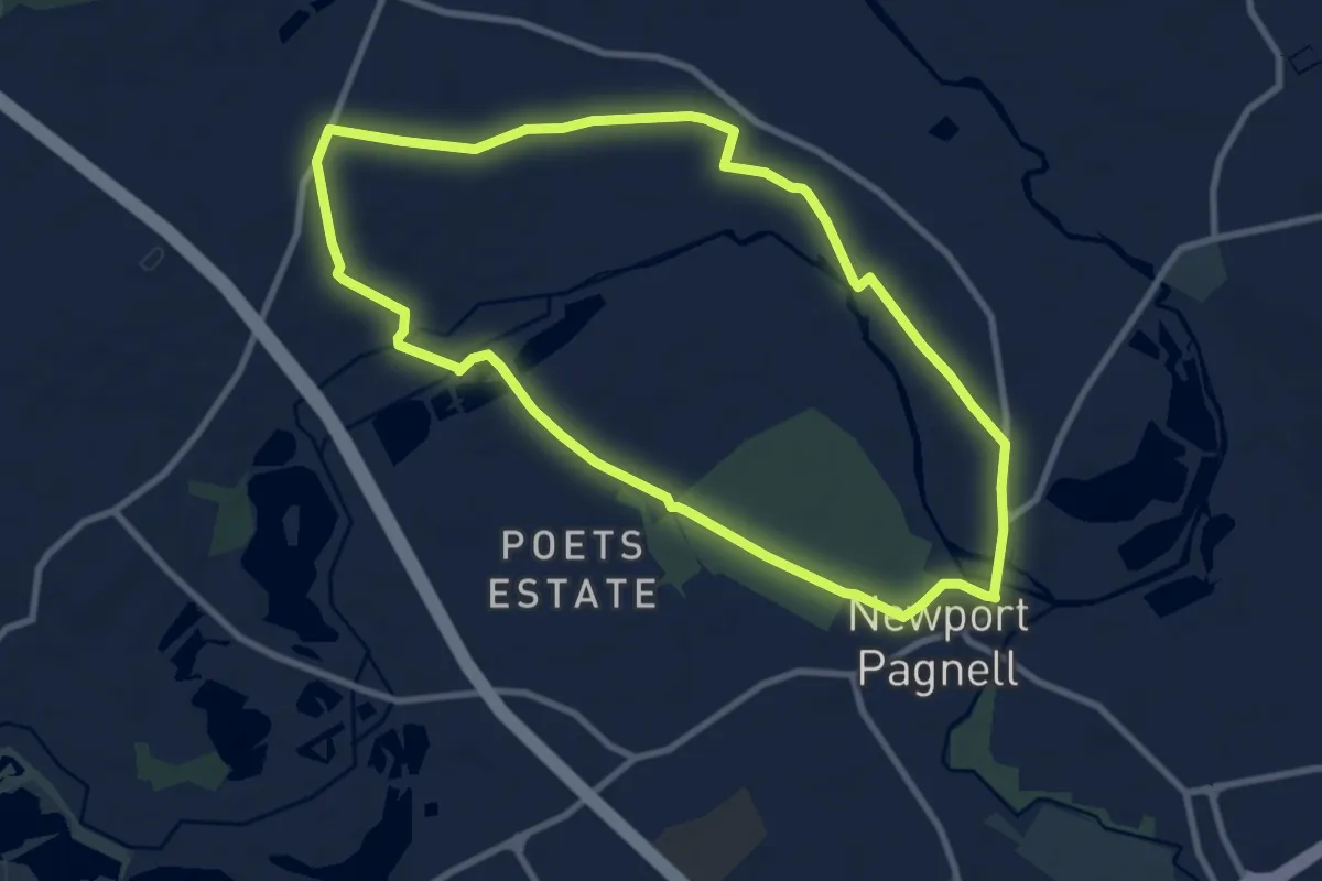
Medium · Trail
Ouse Valley Circular Walk
8.1 km · ↑ 36 m · 2 h 6 min
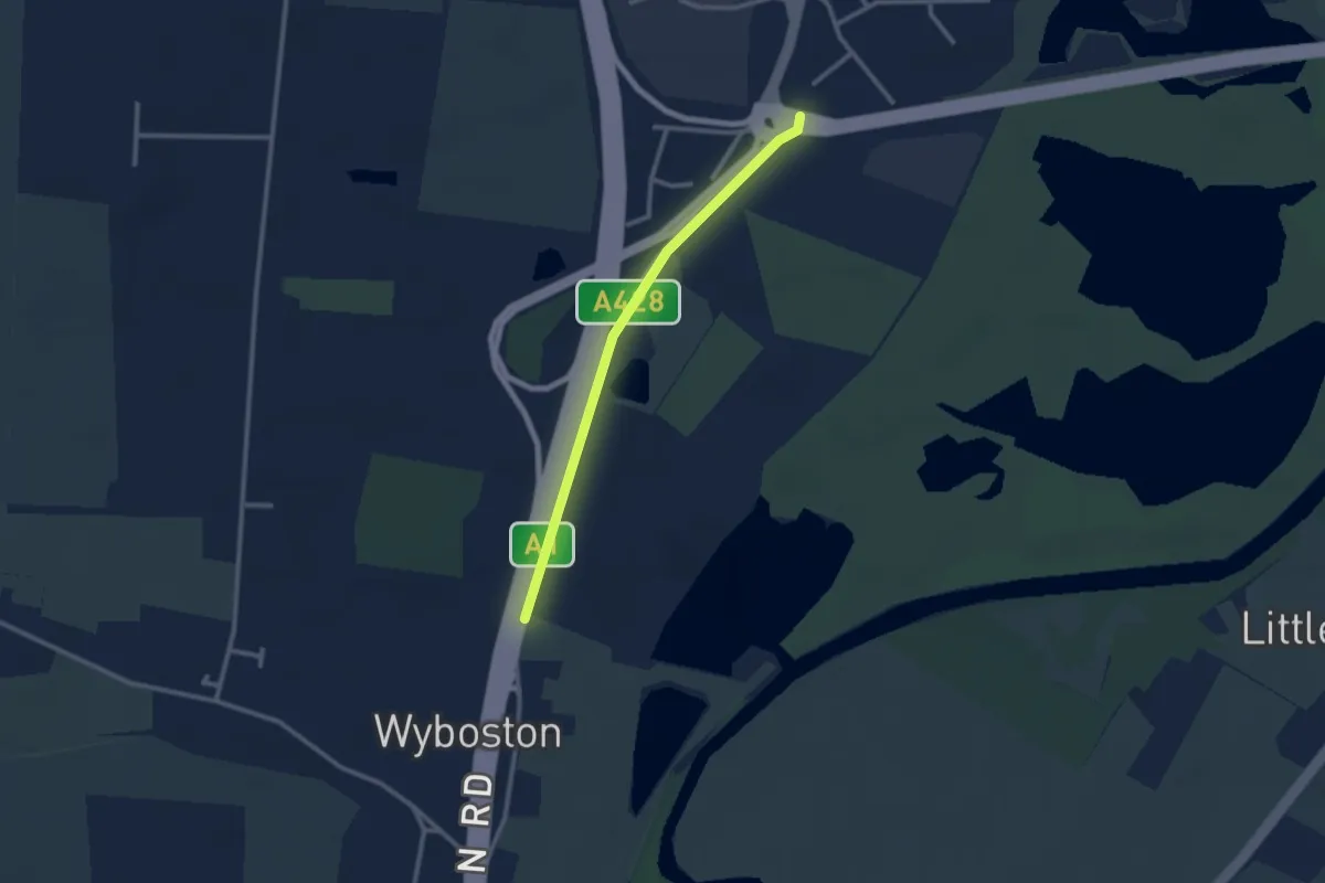
Easy · Trail
Ouse Valley Way 2 (Turvey to Eaton Socon)
2.2 km · ↑ 0 m · 31 min
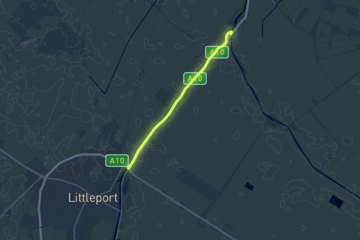
Medium · Trail
Ouse Valley Way 3 (Eaton Socon to Brandon Creek)
10.4 km · ↑ 0 m · 2 h 27 min
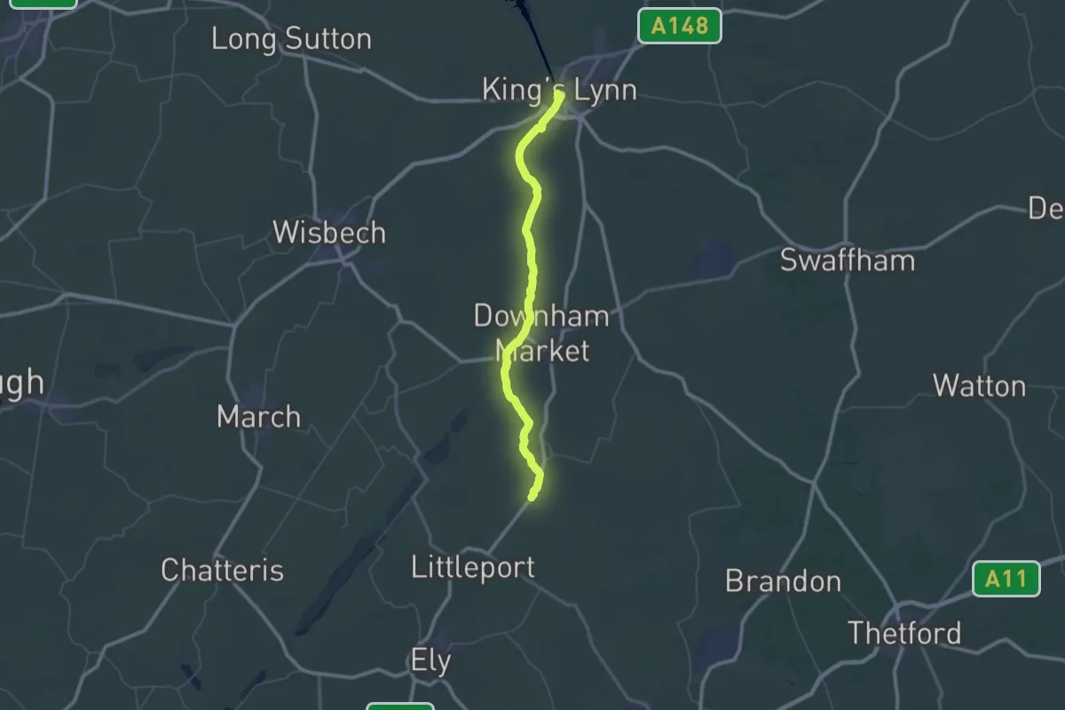
Demanding · Trail
Ouse Valley Way 4 (Brandon Creek to King’s Lynn)
32.1 km · ↑ 0 m · 8 h 2 min