Trails in United Kingdom
3,857 hiking trails, each with its route, climb, walking time and grade.
All trails, page 50 of 81
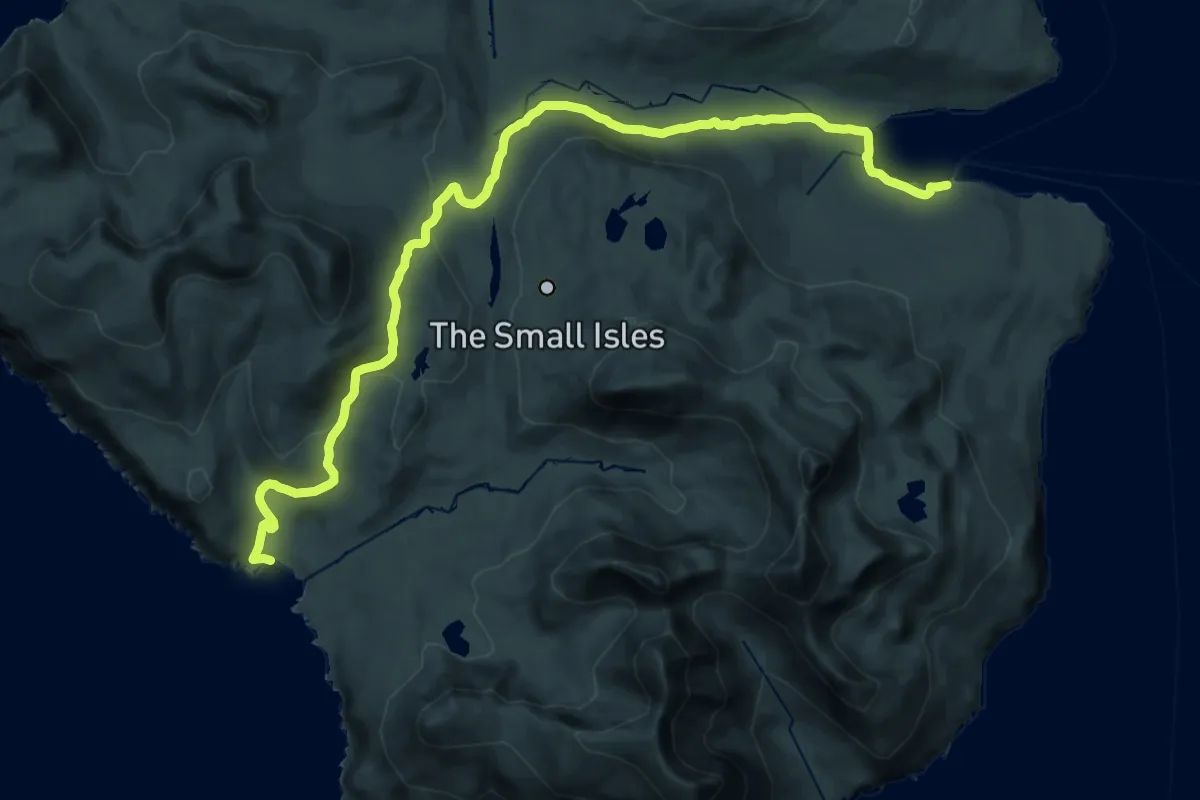
Demanding · Trail
Out-and-back walk to Harris from Kinloch
24.3 km · ↑ 552 m · 6 h 56 min
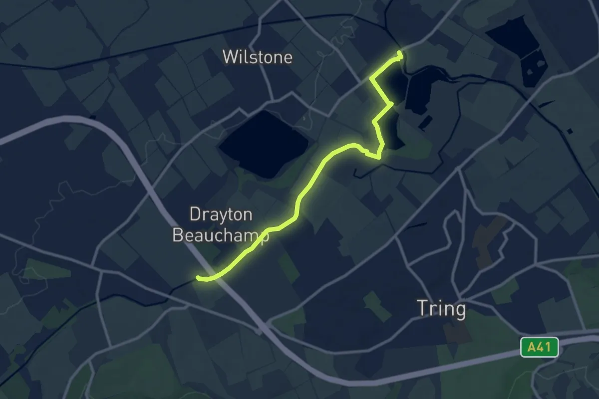
Medium · Trail
Outer Aylesbury Ring
8.2 km · ↑ 13 m · 1 h 57 min
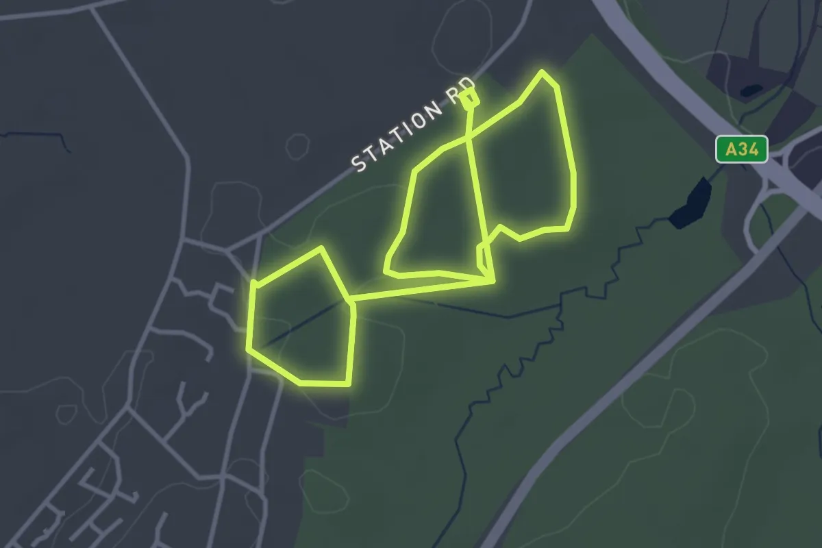
Easy · Trail
Outward Hound, NW Hants
2.9 km · ↑ 18 m · 46 min
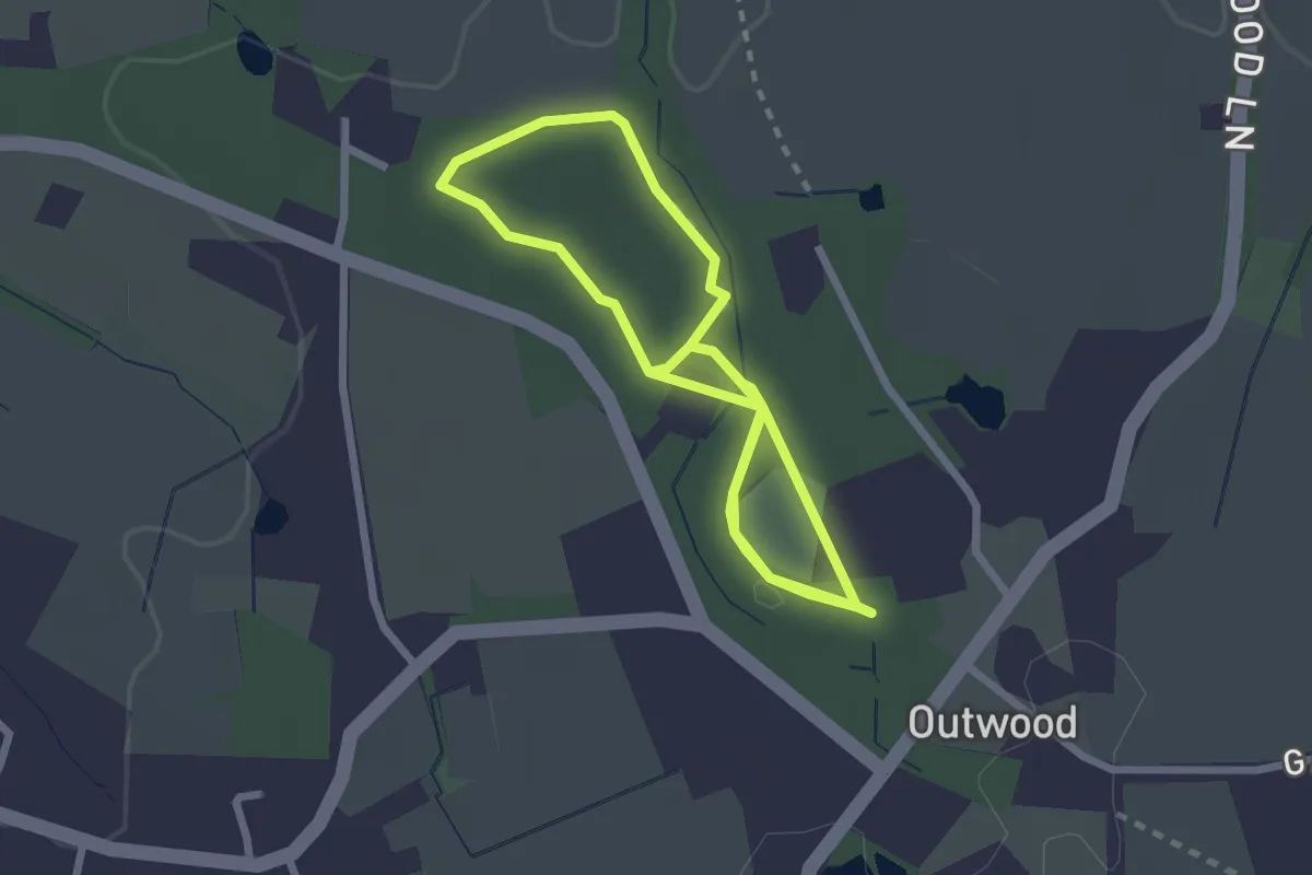
Easy · Trail
Outwood Common All Weathers Loop, Harewoods
2.2 km · ↑ 10 m · 34 min
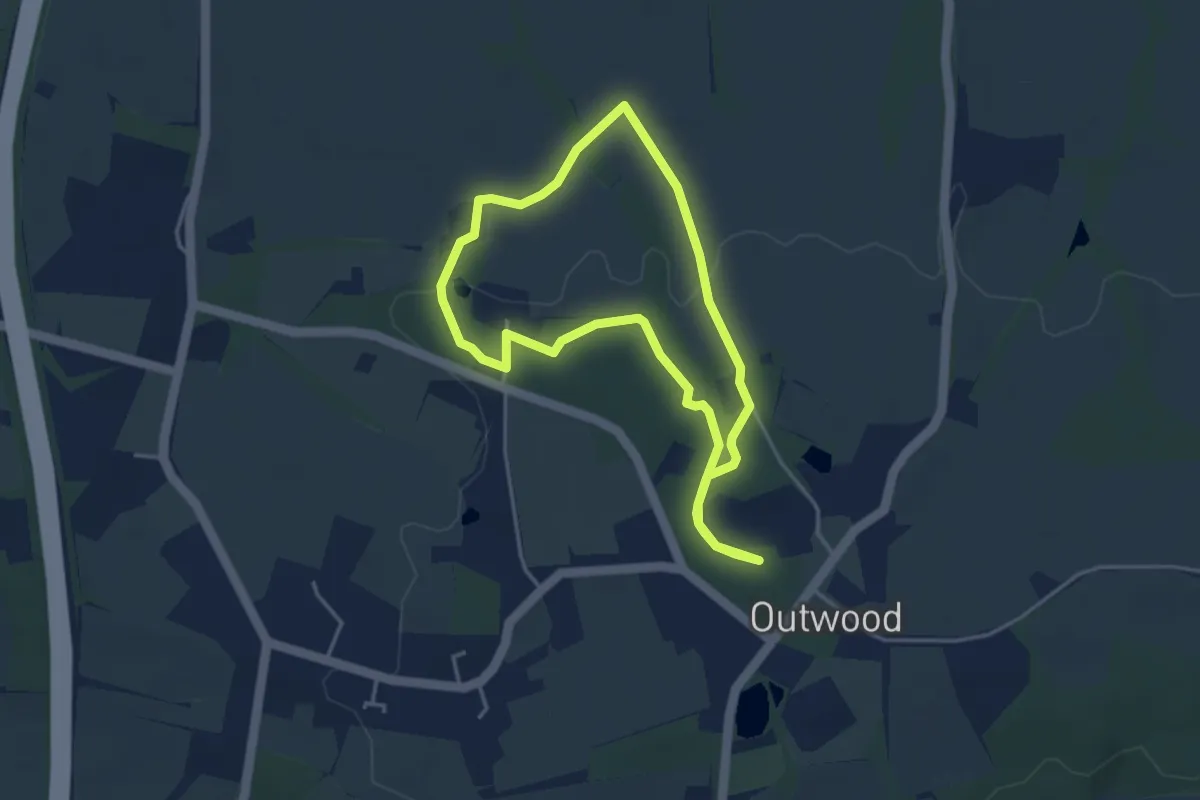
Easy · Trail
Outwood Common Walk at Harewoods
3.3 km · ↑ 26 m · 52 min
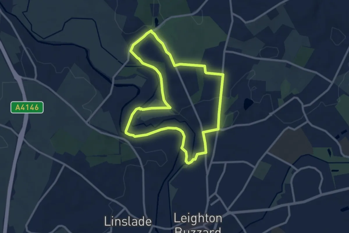
Easy · Trail
Ouzel Meander
6.4 km · ↑ 43 m · 1 h 42 min
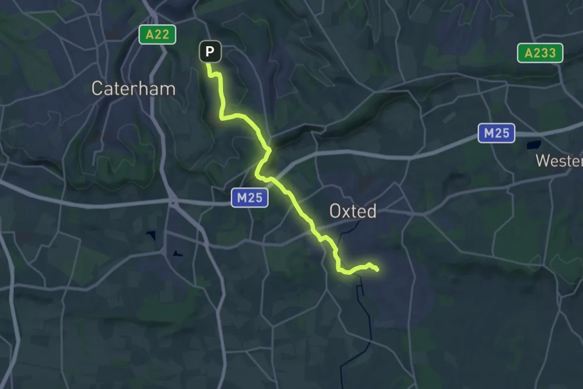
Medium · Trail
Over the Downs to Oxted Mill walk (SCC)
16.9 km · ↑ 331 m · 4 h 42 min
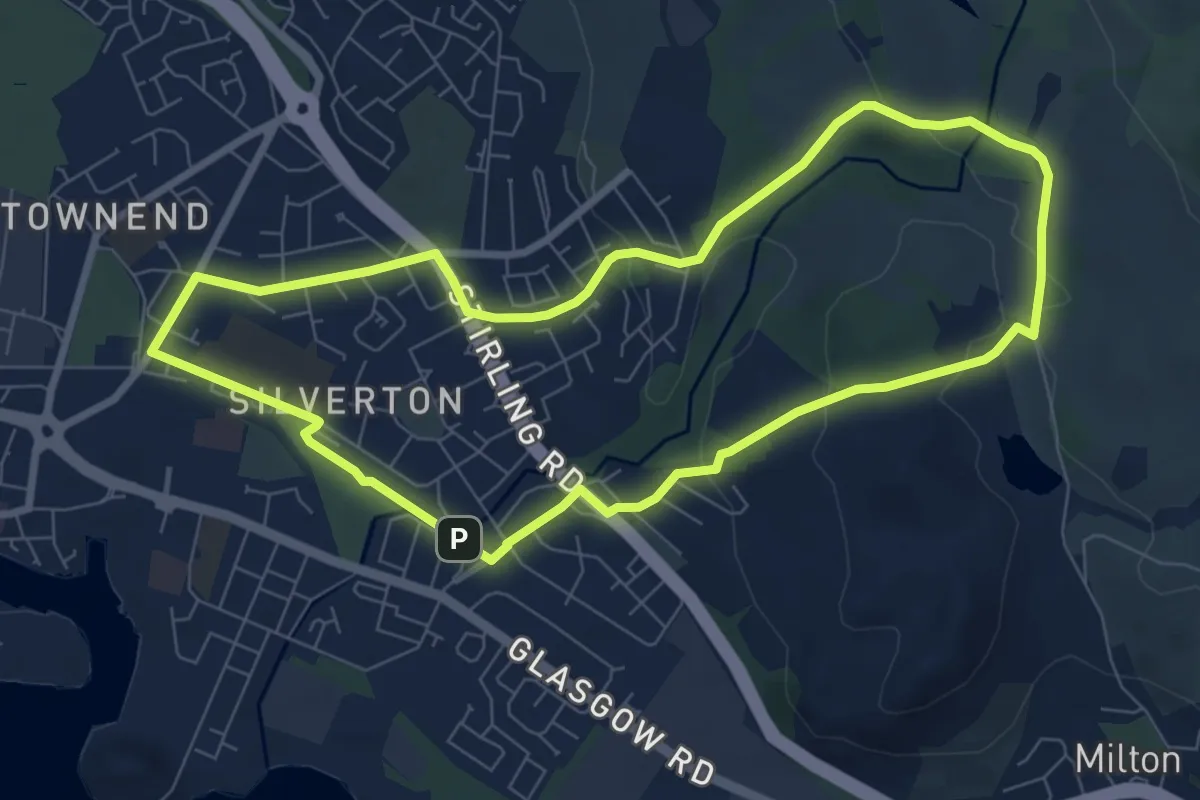
Easy · Trail
Overtoun House Circular Path
6.4 km · ↑ 118 m · 1 h 51 min
Easy · Trail
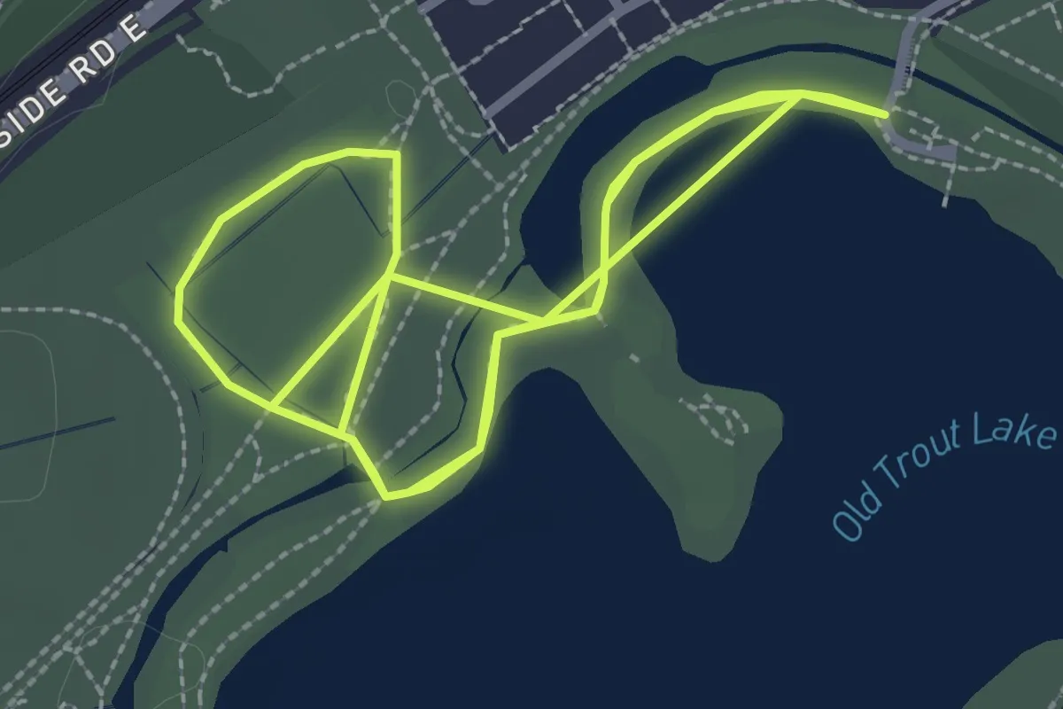
Owl Route
5.0 km · ↑ 0 m · 1 h 11 min
Easy · Trail
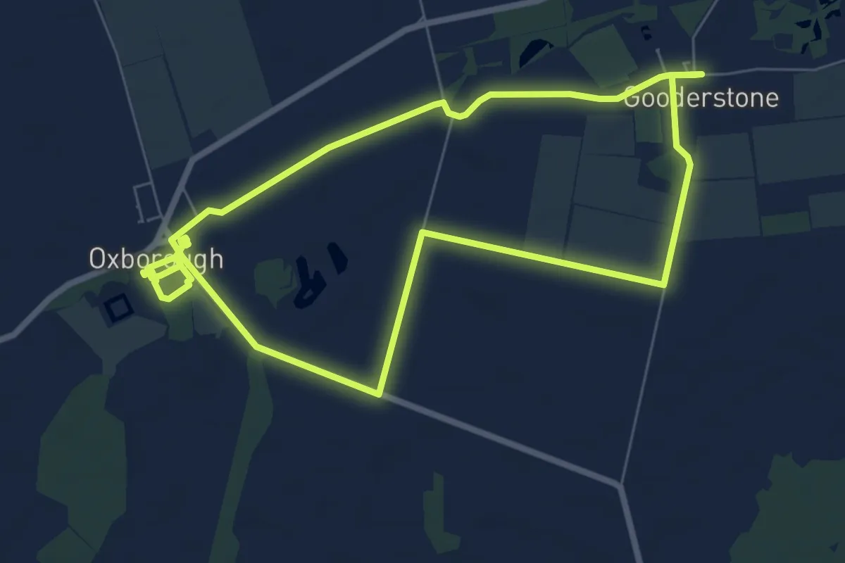
Oxborough to Gooderstone Heritage Walk, Oxburgh Hall
6.1 km · ↑ 9 m · 1 h 33 min
Easy · Trail
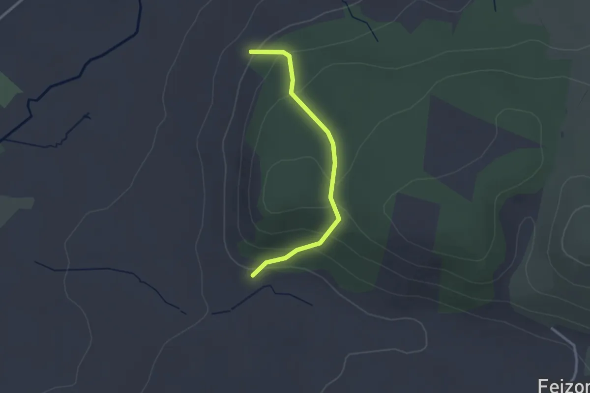
Oxenber Wood trail
2.1 km · ↑ 131 m · 47 min
Demanding · Trail
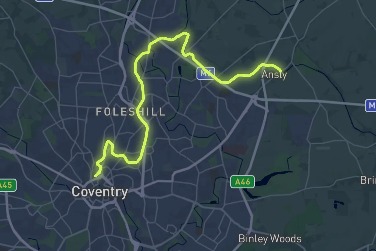
Oxford Canal Walk
28.6 km · ↑ 0 m · 6 h 44 min
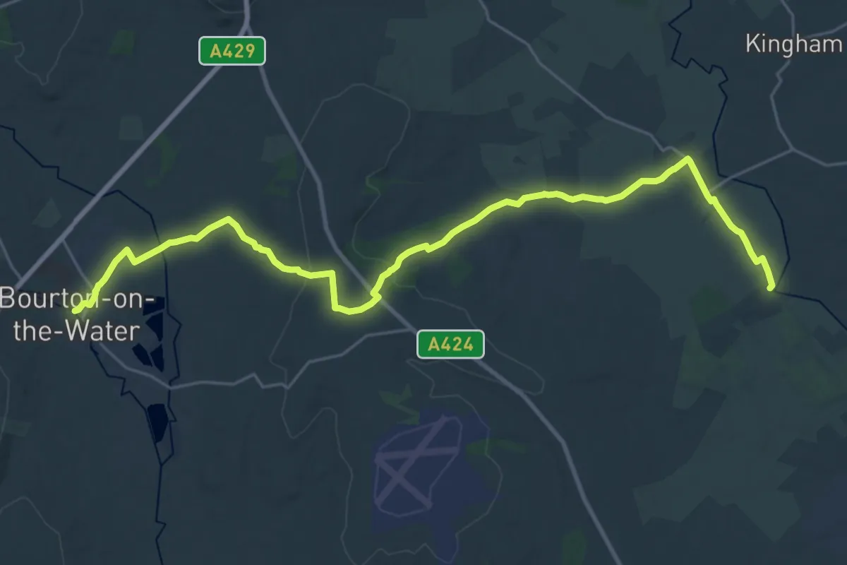
Demanding · Trail
Oxfordshire Way
25.0 km · ↑ 271 m · 6 h 29 min
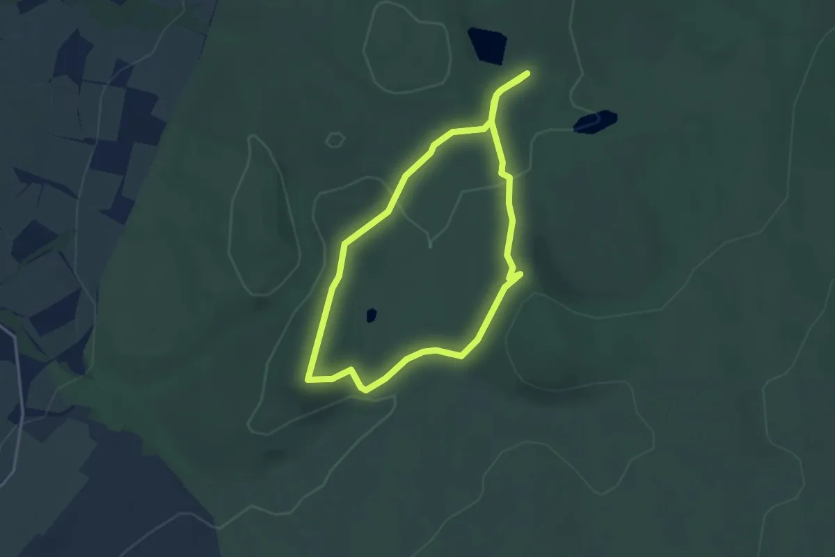
Easy · Trail
Paddock Cottage Walk
2.7 km · ↑ 48 m · 46 min
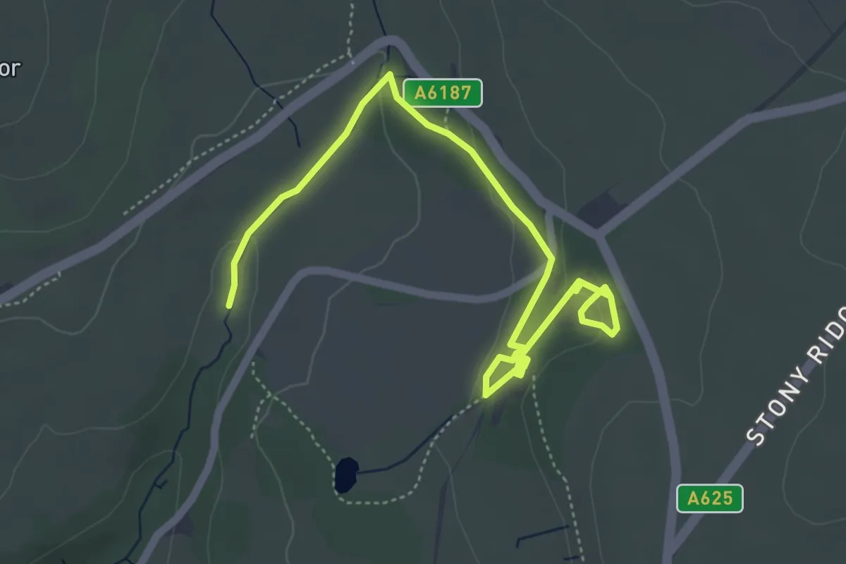
Easy · Trail
Padley Gorge and Burbage Brook Walk, Longshaw Estate
2.7 km · ↑ 74 m · 48 min
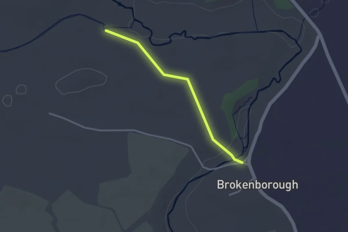
Easy · Trail
Palladian Way
2.2 km · ↑ 40 m · 36 min
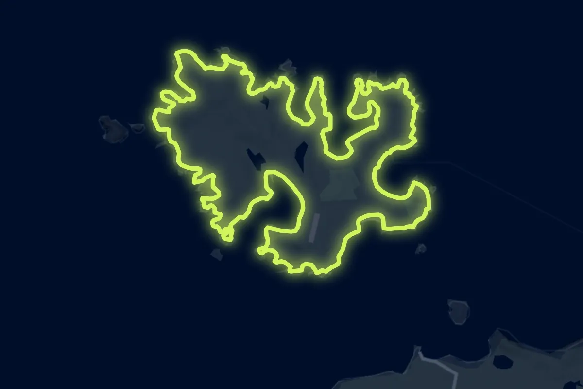
Demanding · Summit
Papa Stour Circular
26.4 km · ↑ 641 m · 7 h 59 min
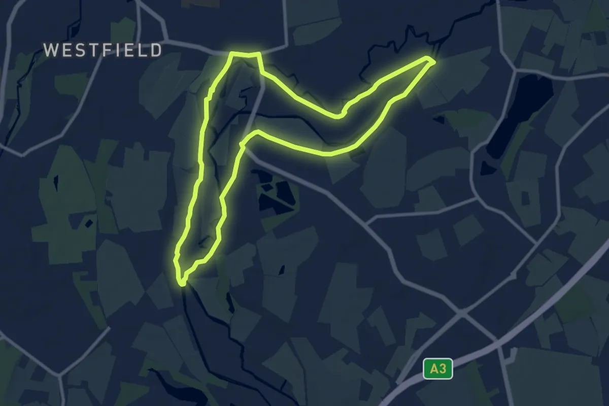
Easy · Trail
Papercourt Lock to Triggs Lock Walk, River Wey Navigations
7.9 km · ↑ 0 m · 1 h 59 min
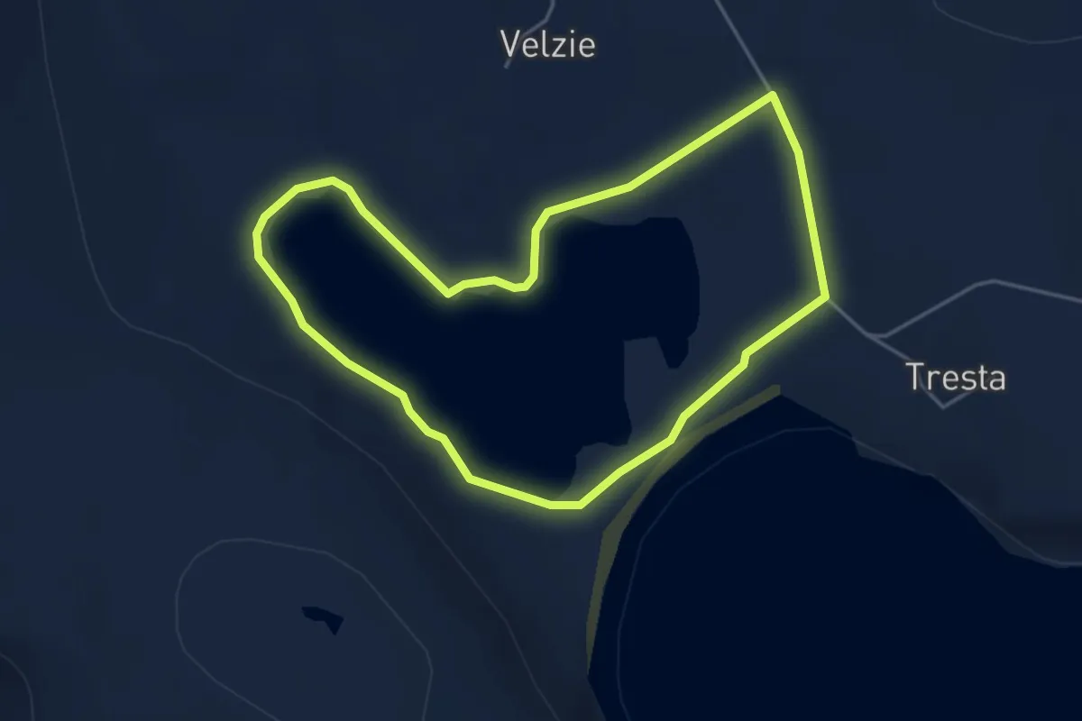
Easy · Trail
Papil Water
3.1 km · ↑ 4 m · 47 min
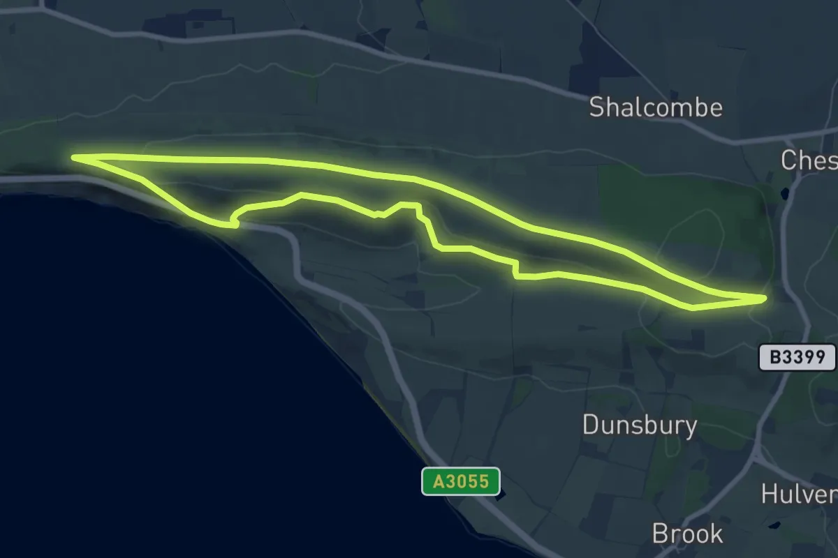
Easy · Summit
Paradise on the Isle of Wight Butterfly Walk, Isle of Wight
7.7 km · ↑ 183 m · 2 h 19 min
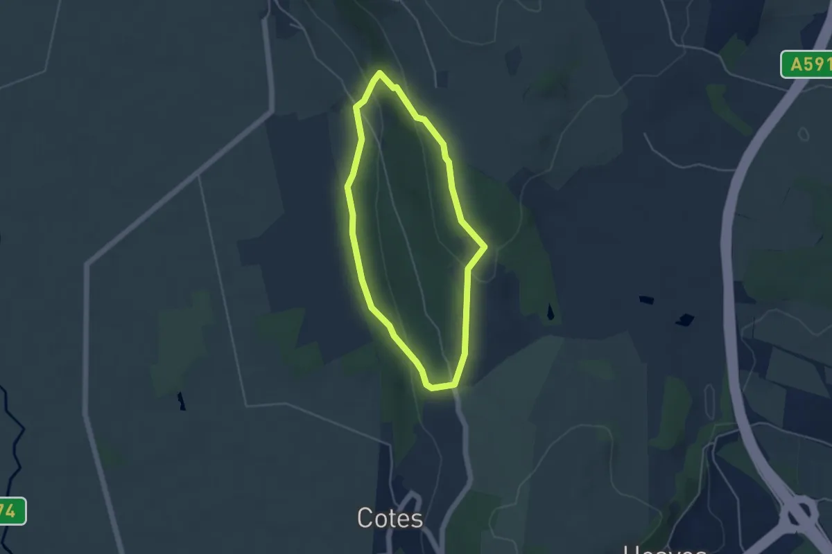
Easy · Trail
Park End Moss Wetland Walk at Sizergh
3.2 km · ↑ 111 m · 1 h 3 min
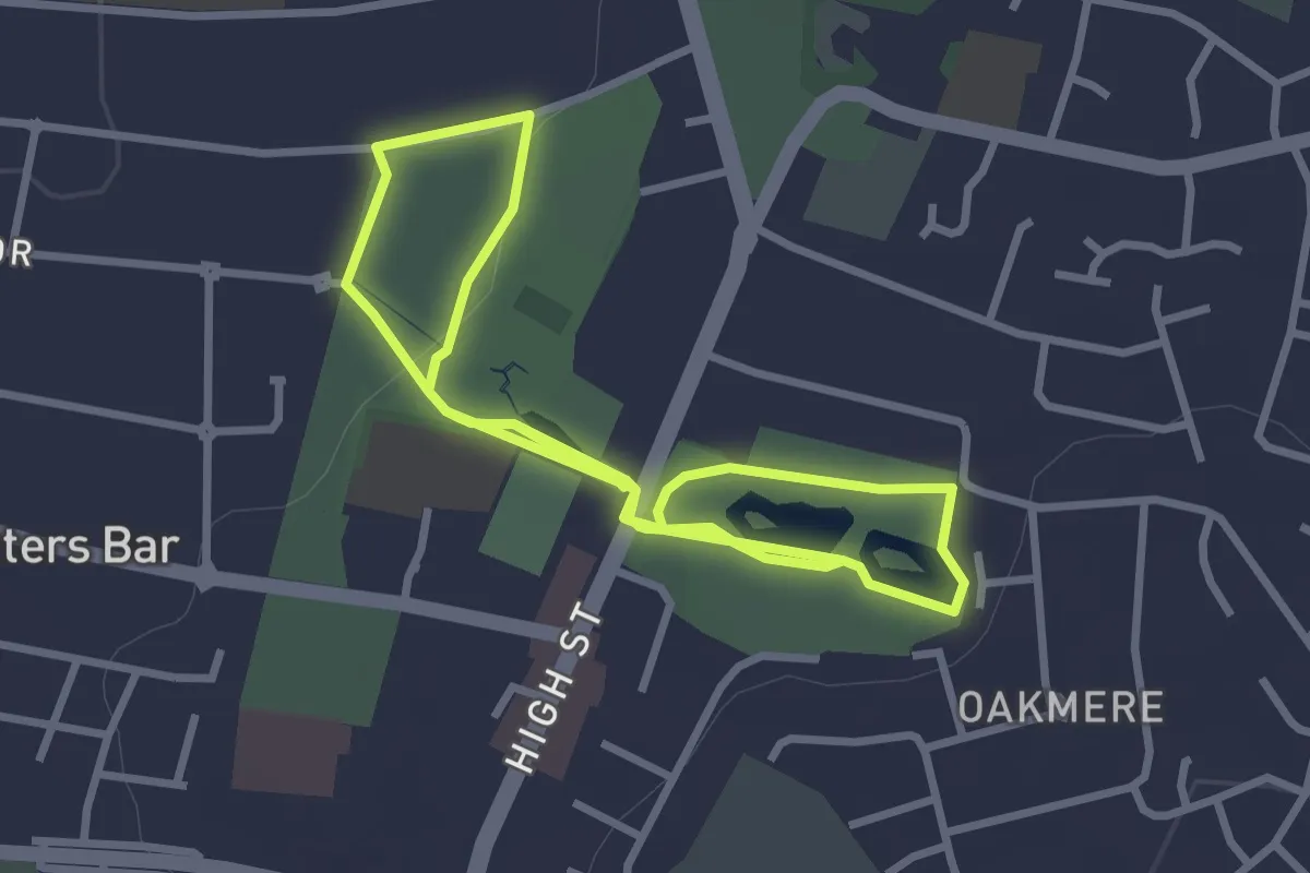
Easy · Trail
Parkfield, Oakmere & Beyond 1 mile walk
2.7 km · ↑ 18 m · 43 min
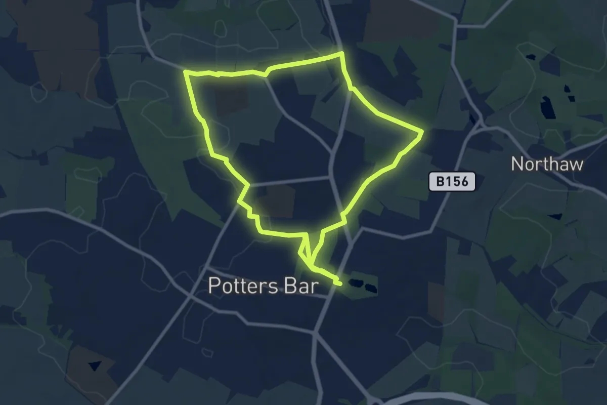
Easy · Trail
Parkfield, Oakmere & Beyond 4 mile walk
7.4 km · ↑ 61 m · 1 h 58 min
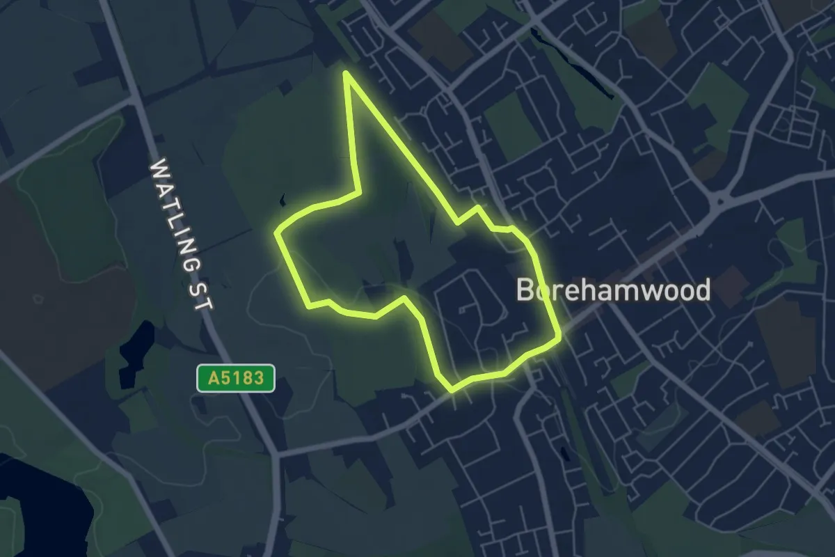
Easy · Trail
Parkfields & Beyond
4.3 km · ↑ 25 m · 1 h 8 min
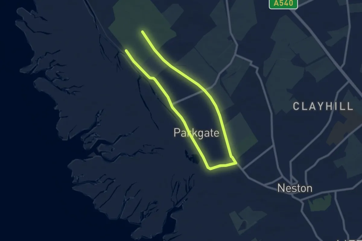
Medium · Trail
Parkgate Walk
9.1 km · ↑ 17 m · 2 h 11 min
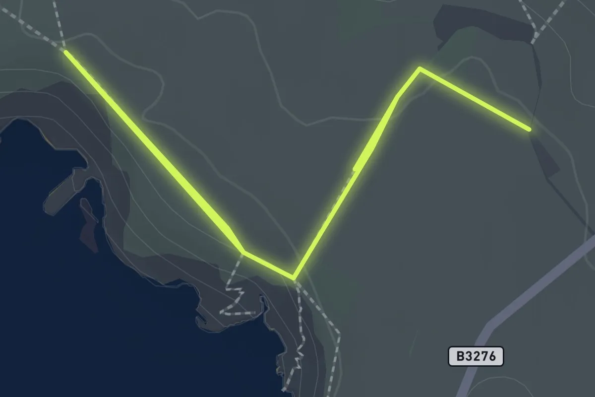
Easy · Trail
Park Head walk, North Cornwall
1.8 km · ↑ 9 m · 28 min
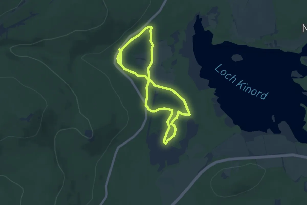
Easy · Trail
Parkin's Moss Trail
3.3 km · ↑ 27 m · 53 min
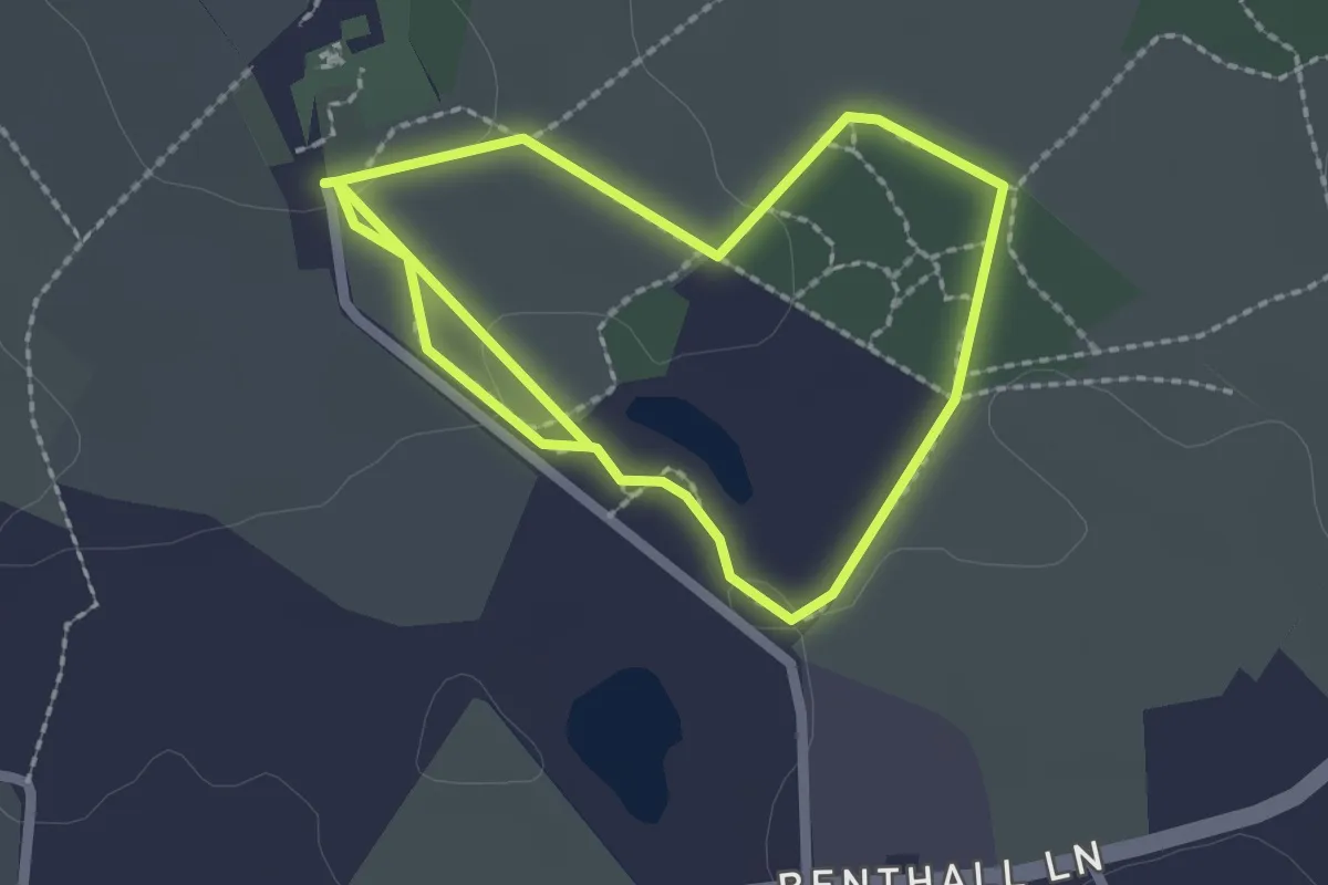
Easy · Trail
Parkland and Meadow Walk, Benthall Hall
1.8 km · ↑ 14 m · 29 min
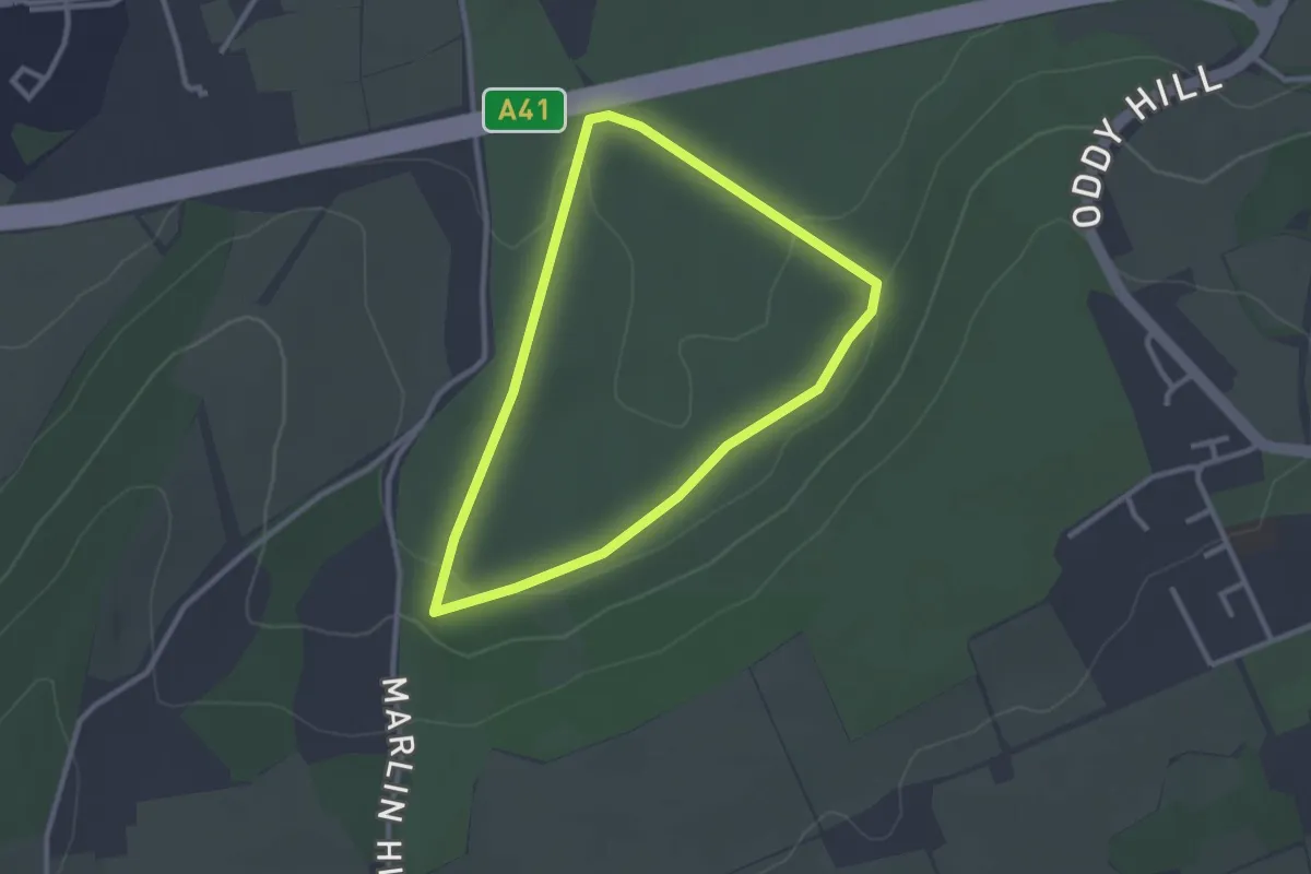
Easy · Trail
Parkland Walk
2.3 km · ↑ 37 m · 39 min
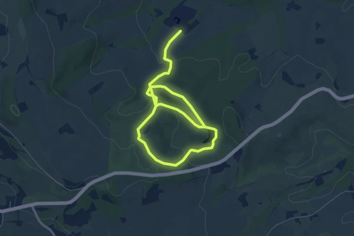
Easy · Trail
Parkland Walk
8.0 km · ↑ 236 m · 2 h 24 min
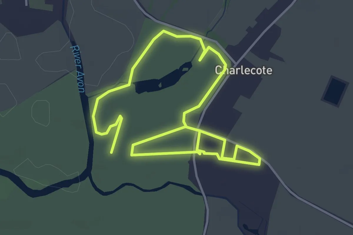
Easy · Trail
Parkland Walk, Charlecote Park
2.9 km · ↑ 4 m · 44 min
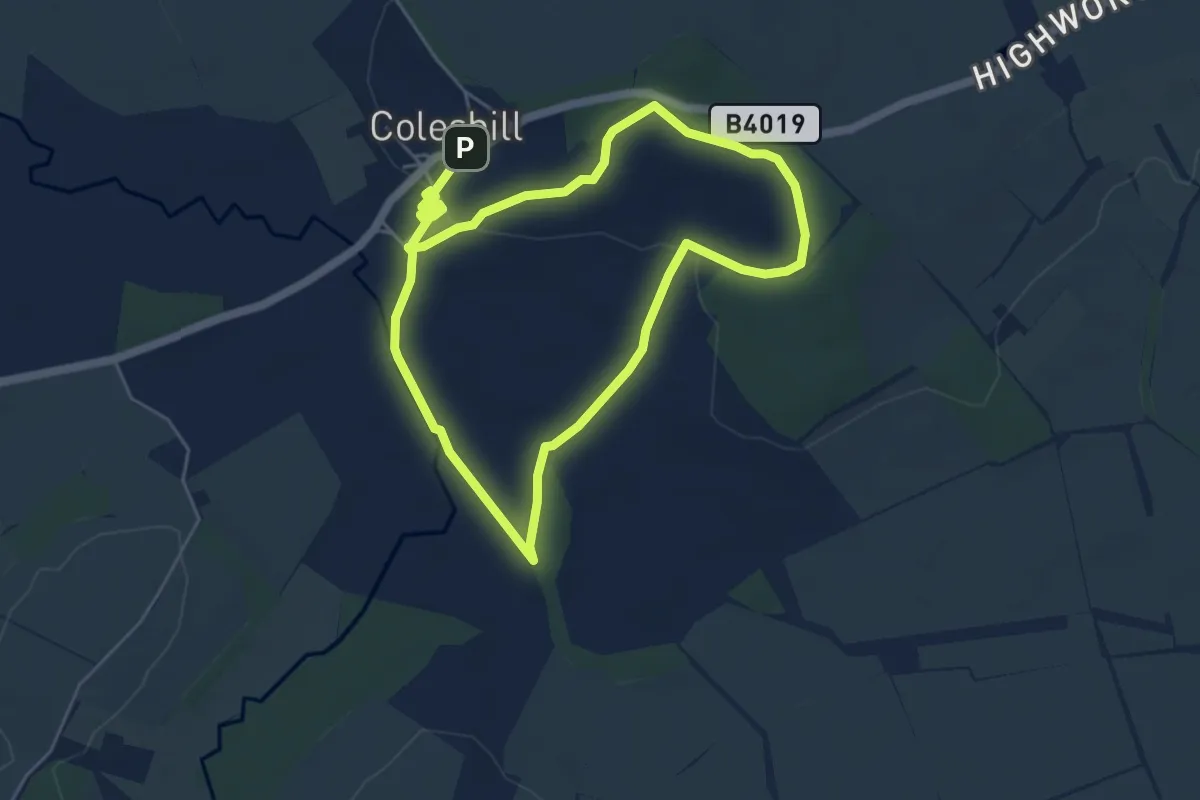
Easy · Summit
Parkland Walk, Coleshill
4.5 km · ↑ 48 m · 1 h 14 min
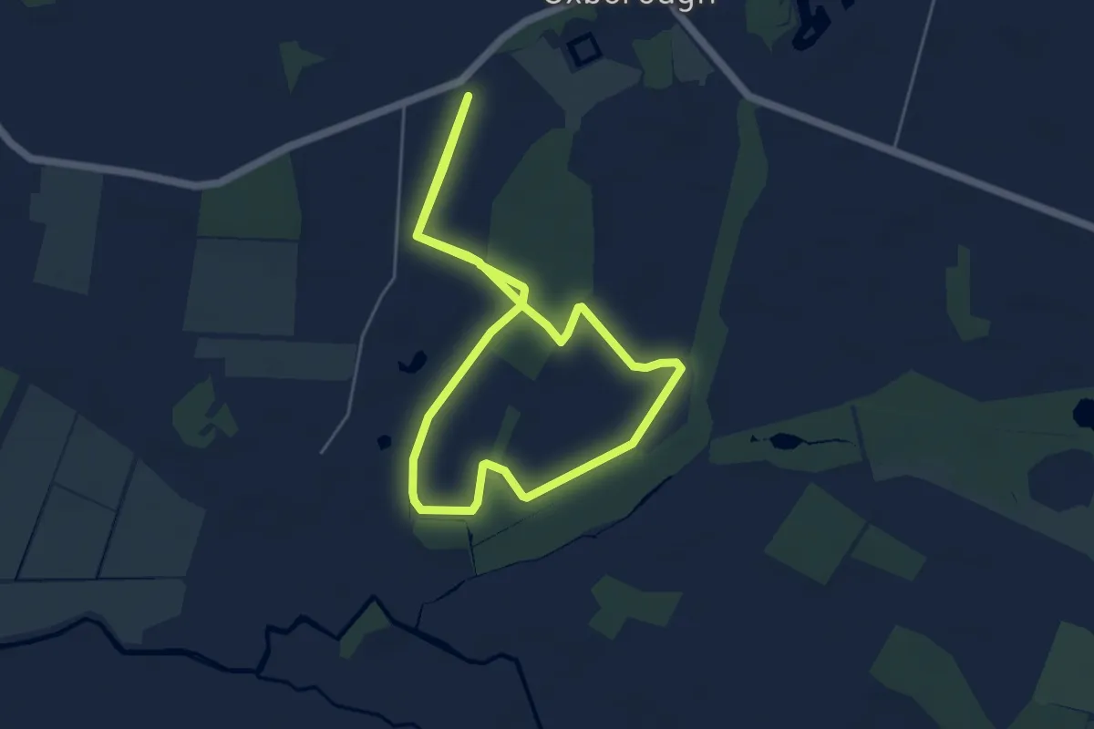
Easy · Trail
Parkland Walk, Oxburgh Estate
4.3 km · ↑ 4 m · 1 h 5 min
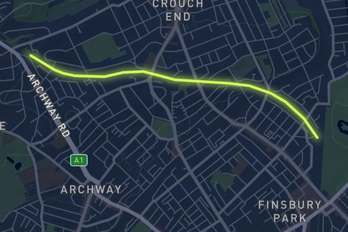
Easy · Trail
Parkland Walk (South)
5.4 km · ↑ 44 m · 1 h 23 min
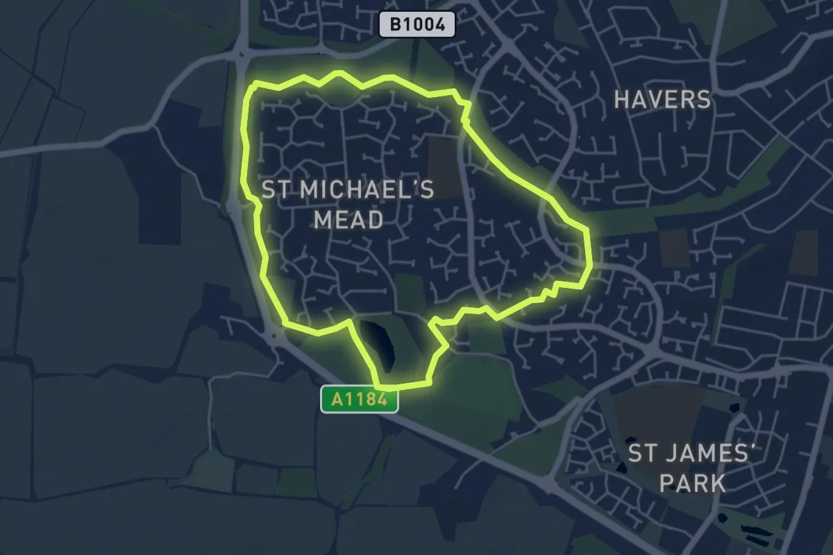
Easy · Trail
Parks and Beyond Green Route
4.3 km · ↑ 22 m · 1 h 7 min
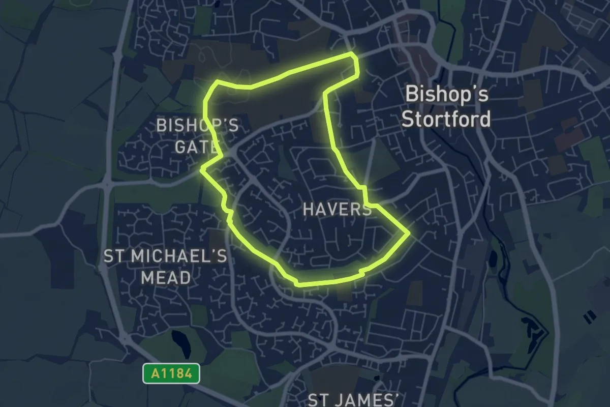
Easy · Trail
Parks and Beyond Orange Route
5.1 km · ↑ 40 m · 1 h 22 min
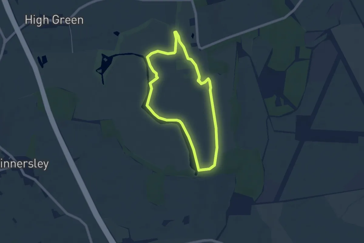
Easy · Trail
Park Seat Circular Walk, Croome
3.7 km · ↑ 14 m · 57 min
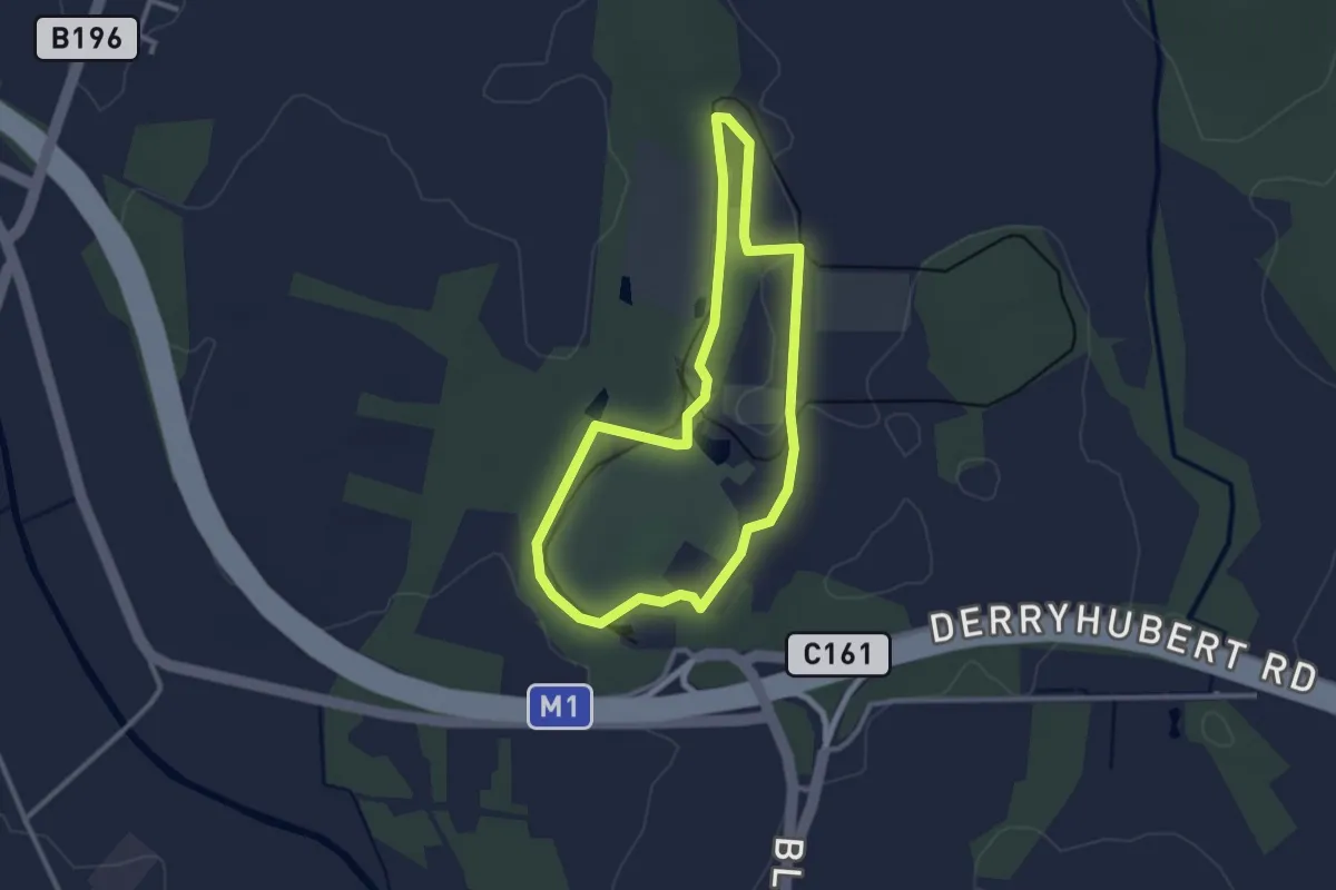
Easy · Trail
Parkside Walk
2.2 km · ↑ 4 m · 34 min
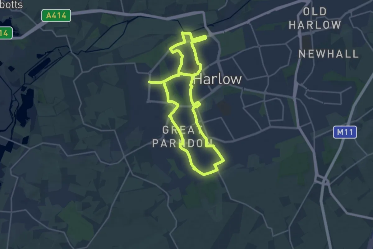
Demanding · Trail
Parndon Trail
26.3 km · ↑ 245 m · 6 h 44 min
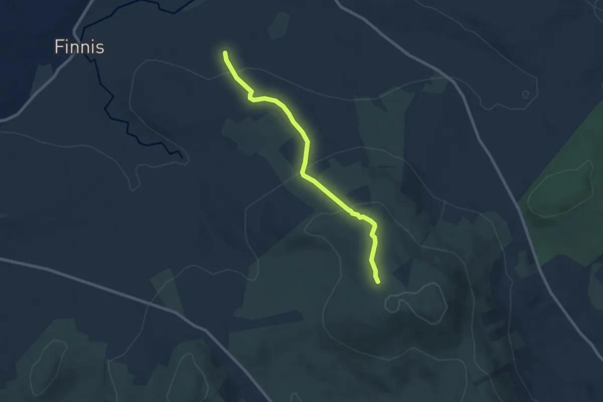
Easy · Trail
Pass Loaning
3.0 km · ↑ 283 m · 1 h 13 min
Easy · Trail
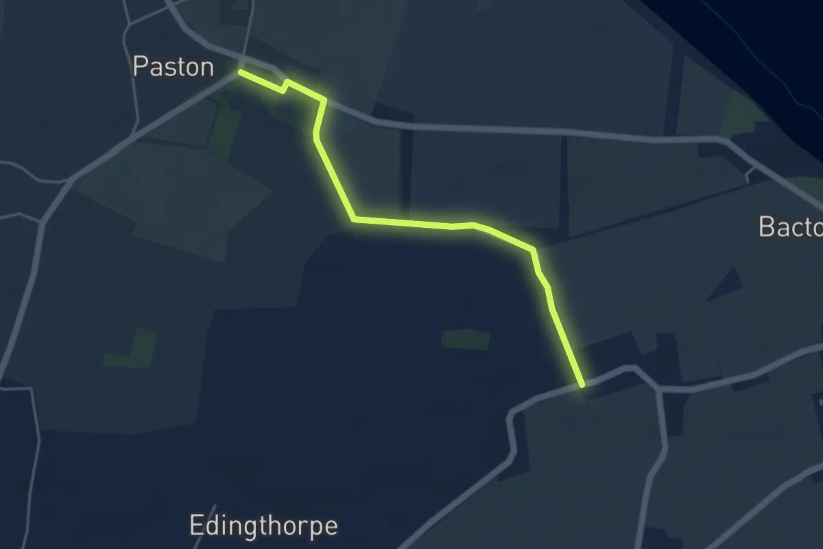
Paston Heritage Walk
1.8 km · ↑ 4 m · 28 min
Demanding · Trail
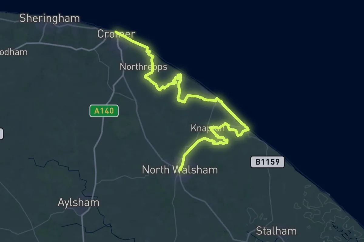
Paston Way
36.0 km · ↑ 186 m · 9 h 25 min
Medium · Trail
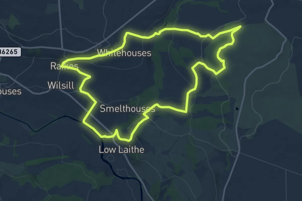
Pastures and Panoramas Walk at Brimham Rocks
9.1 km · ↑ 259 m · 2 h 50 min
Medium · Trail
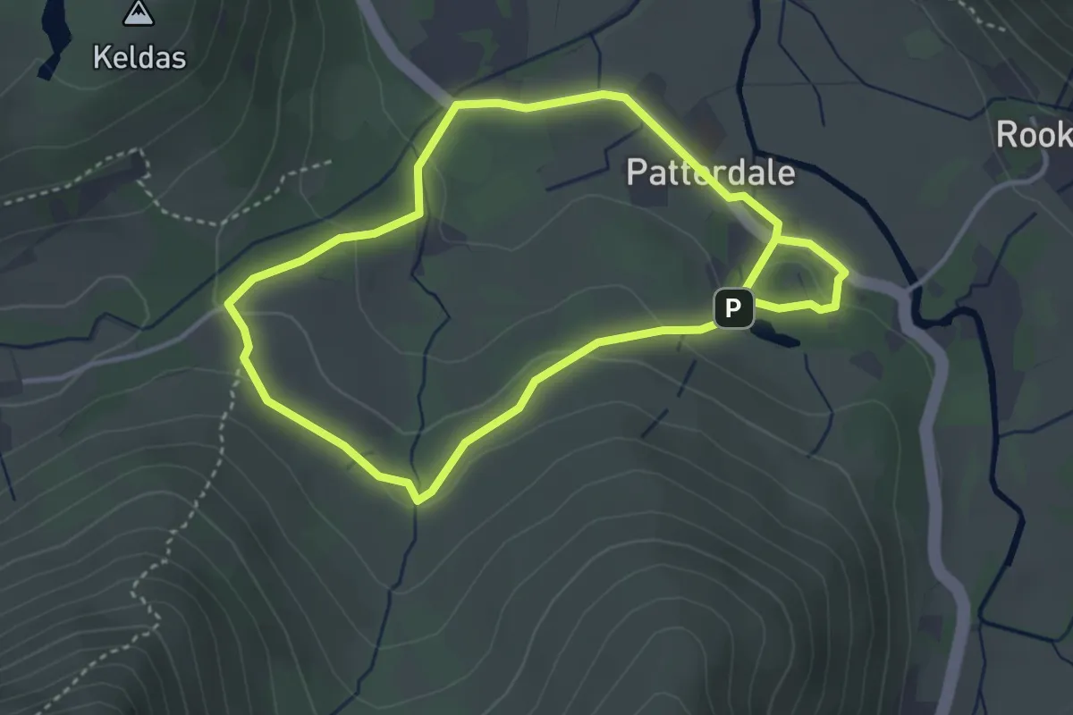
Patterdale and Glenamara Park Trail, Ullswater Valley
2.9 km · ↑ 61 m · 52 min
Easy · Trail
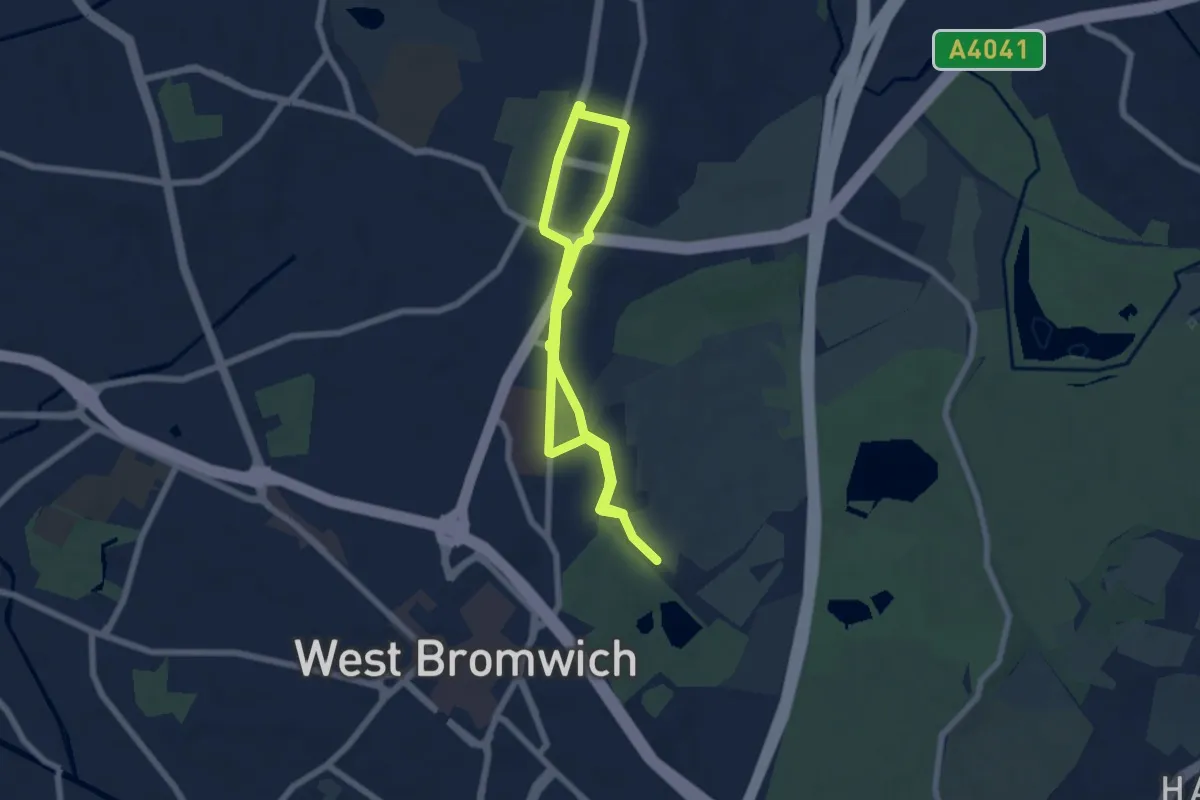
Paupers Memorial Trail
4.7 km · ↑ 41 m · 1 h 16 min
Easy · Trail
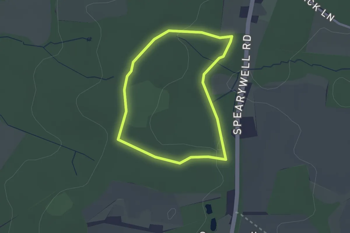
PAWS Woodland Walk, Mottisfont
1.7 km · ↑ 18 m · 29 min
Easy · Trail
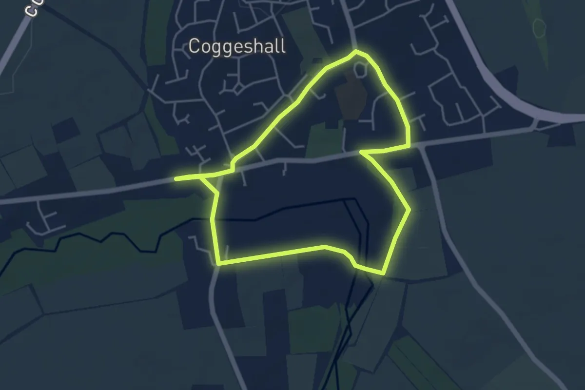
Paycocke's Tudor Coggeshall Walk, Paycocke's House and Garden
3.4 km · ↑ 18 m · 53 min
Easy · Trail
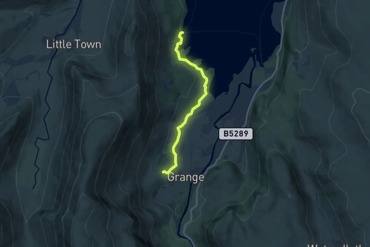
Peace How Walk From High Brandelhow Jetty, North Lakes Outdoors
3.0 km · ↑ 51 m · 50 min