Trails in United Kingdom
3,857 hiking trails, each with its route, climb, walking time and grade.
All trails, page 51 of 81
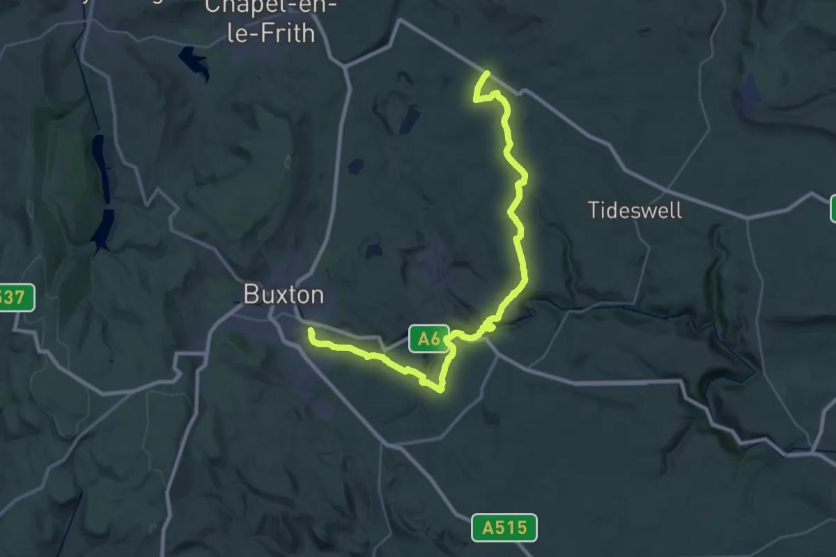
Medium · Trail
Peak District Boundary Walk Stage 1
16.2 km · ↑ 331 m · 4 h 46 min
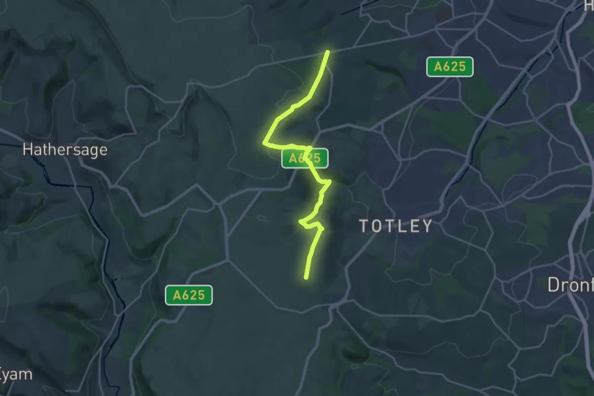
Medium · Trail
Peak District Boundary Walk Stage 10
15.7 km · ↑ 499 m · 4 h 47 min
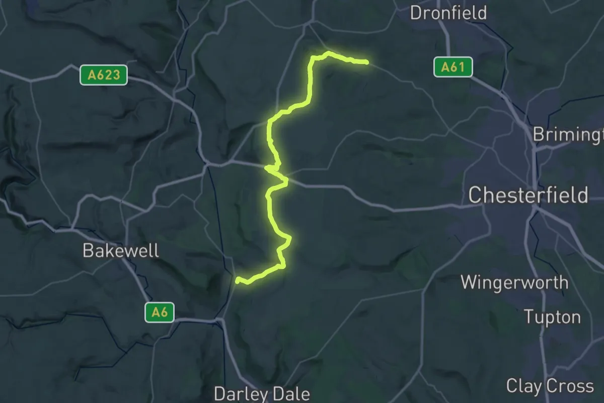
Medium · Trail
Peak District Boundary Walk Stage 11
16.5 km · ↑ 327 m · 4 h 51 min
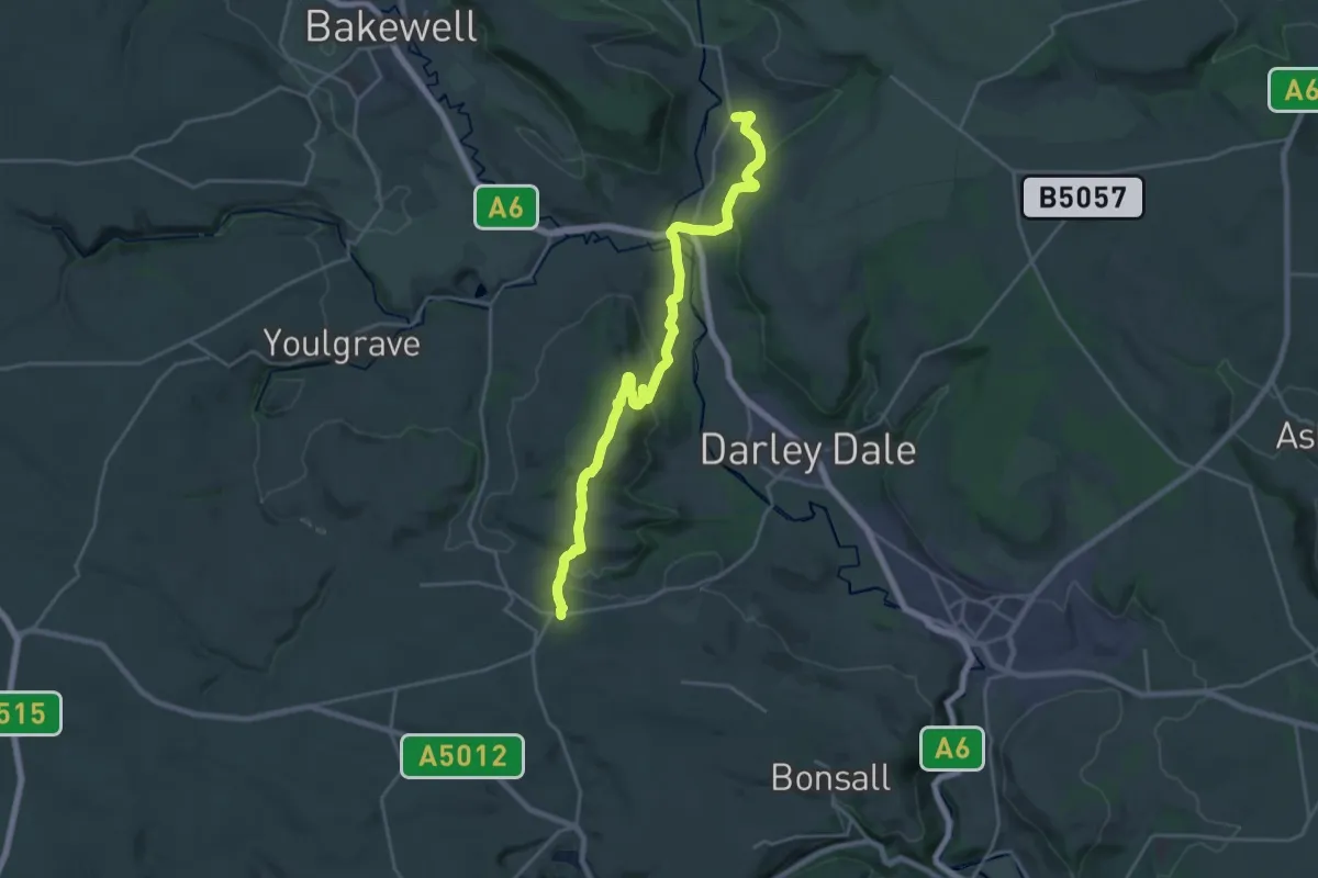
Demanding · Trail
Peak District Boundary Walk Stage 12
20.5 km · ↑ 585 m · 6 h 6 min
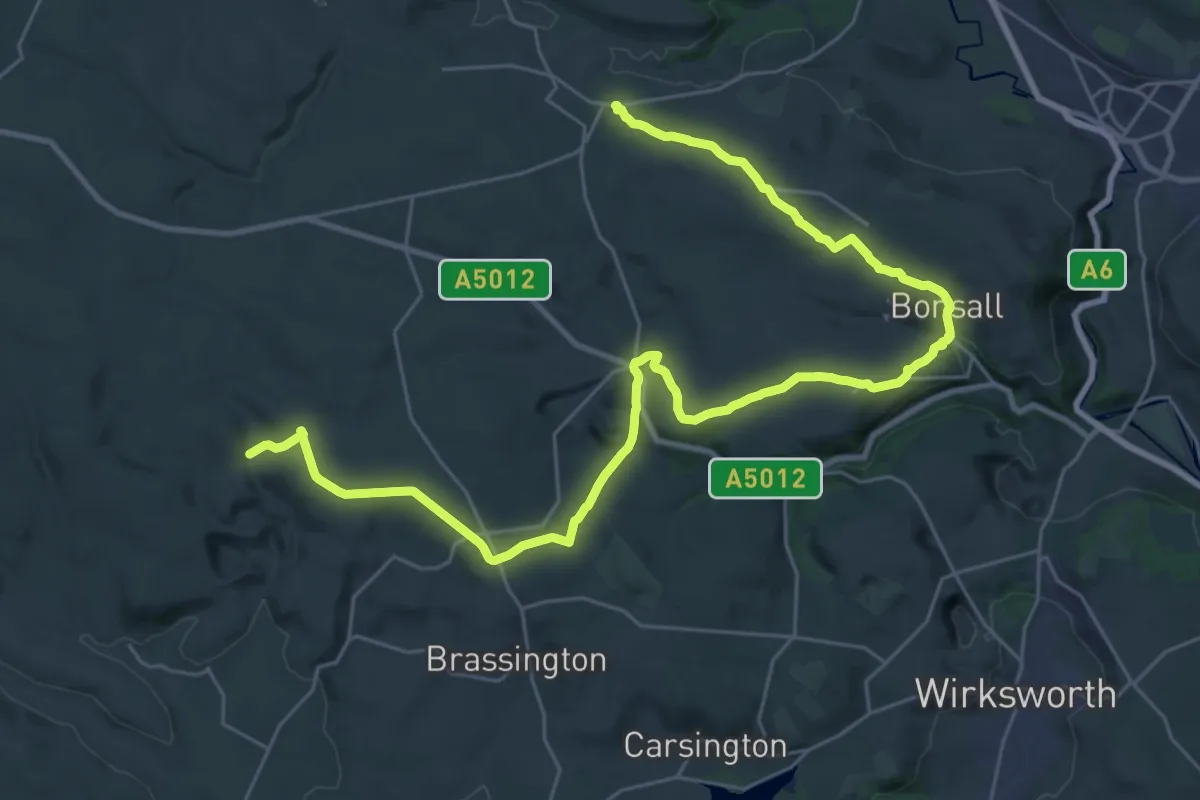
Medium · Trail
Peak District Boundary Walk Stage 13
16.5 km · ↑ 270 m · 4 h 44 min
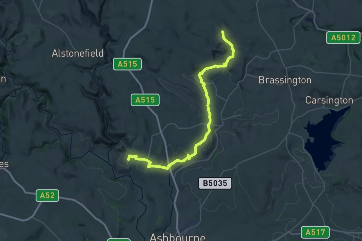
Demanding · Trail
Peak District Boundary Walk Stage 14
25.0 km · ↑ 563 m · 7 h 8 min
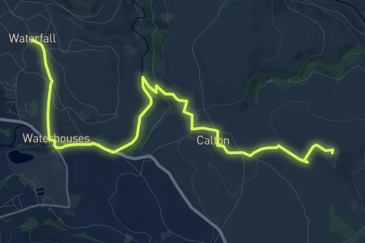
Medium · Summit
Peak District Boundary Walk Stage 15
13.9 km · ↑ 209 m · 3 h 45 min
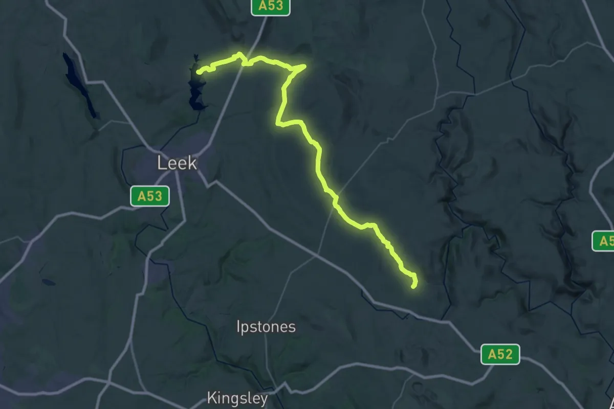
Demanding · Trail
Peak District Boundary Walk Stage 16
18.5 km · ↑ 353 m · 5 h 25 min
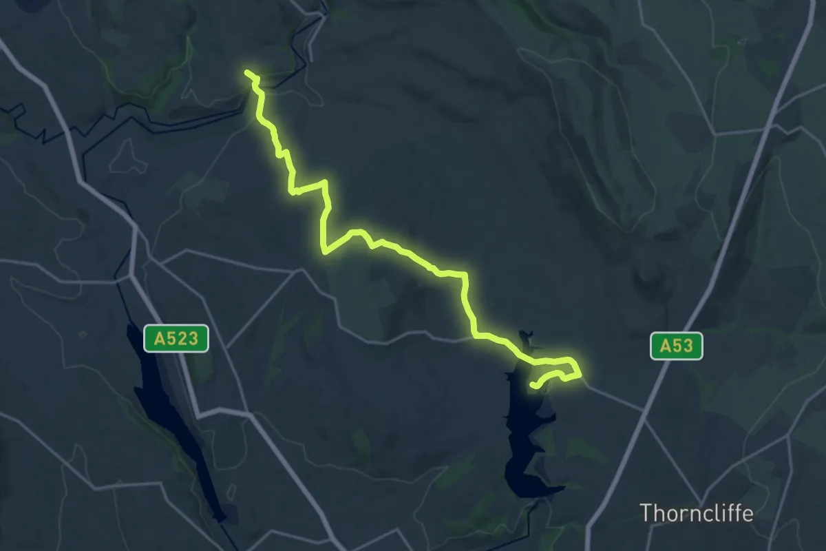
Medium · Trail
Peak District Boundary Walk Stage 17
17.9 km · ↑ 396 m · 5 h 5 min
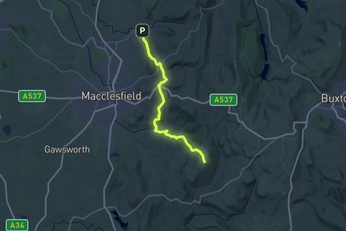
Demanding · Summit
Peak District Boundary Walk Stage 18
25.2 km · ↑ 984 m · 8 h 4 min
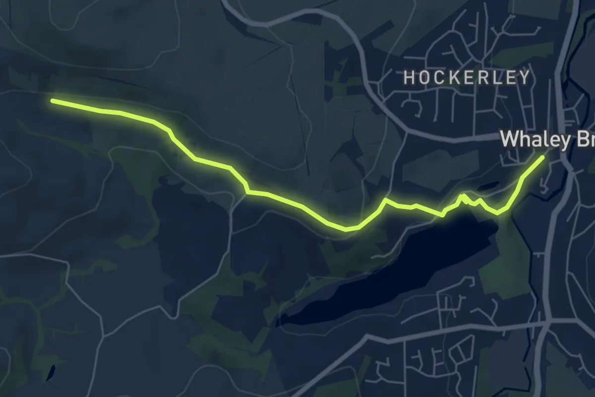
Easy · Trail
Peak District Boundary Walk Stage 19
5.4 km · ↑ 147 m · 1 h 35 min
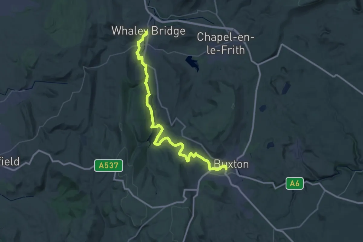
Medium · Trail
Peak District Boundary Walk Stage 20
15.6 km · ↑ 438 m · 4 h 46 min
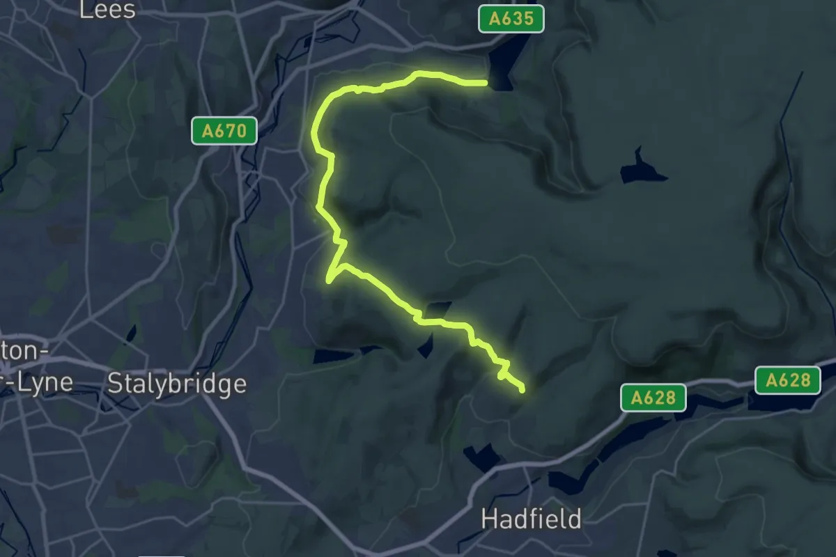
Demanding · Trail
Peak District Boundary Walk Stage 4
21.4 km · ↑ 629 m · 6 h 25 min
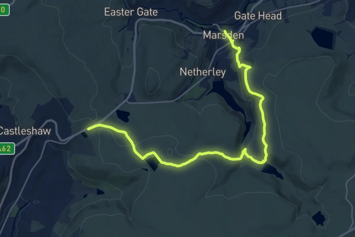
Medium · Trail
Peak District Boundary Walk Stage 5
17.2 km · ↑ 535 m · 5 h 13 min
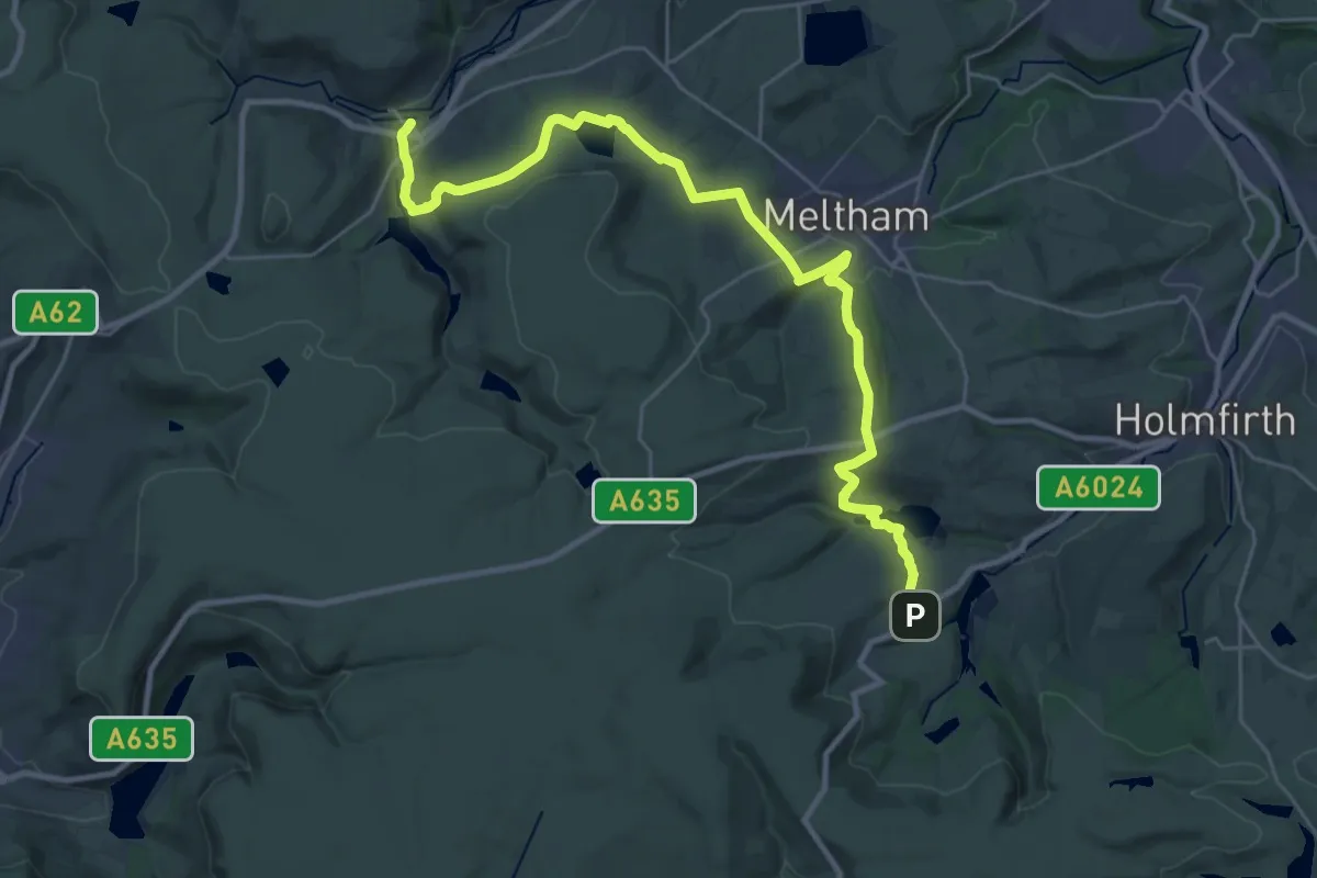
Medium · Trail
Peak District Boundary Walk Stage 6
13.7 km · ↑ 350 m · 4 h 14 min
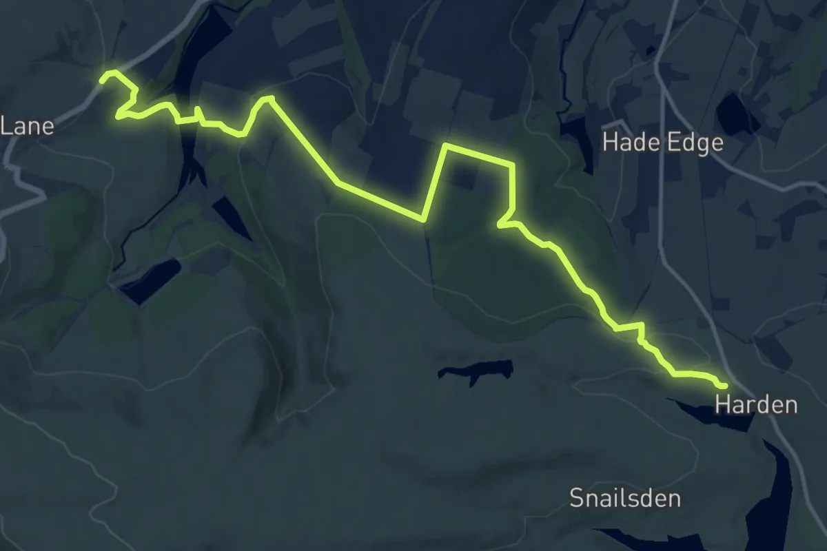
Medium · Trail
Peak District Boundary Walk Stage 7
13.7 km · ↑ 358 m · 4 h 1 min
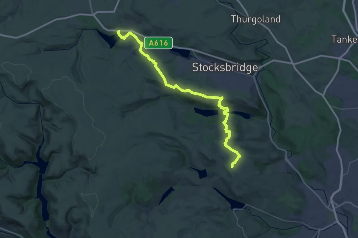
Demanding · Summit
Peak District Boundary Walk Stage 8
28.5 km · ↑ 704 m · 8 h 16 min
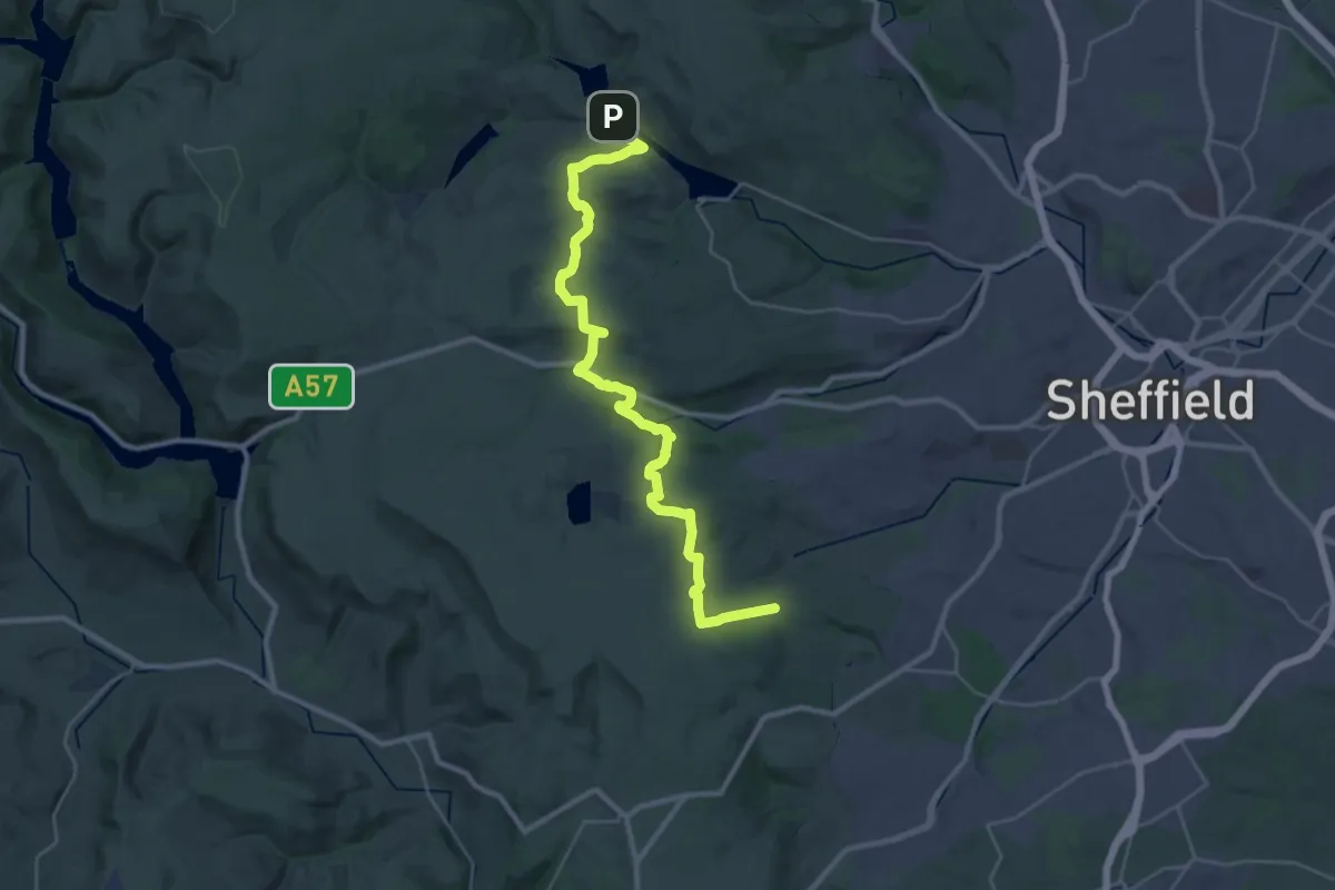
Medium · Trail
Peak District Boundary Walk Stage 9
14.6 km · ↑ 476 m · 4 h 37 min
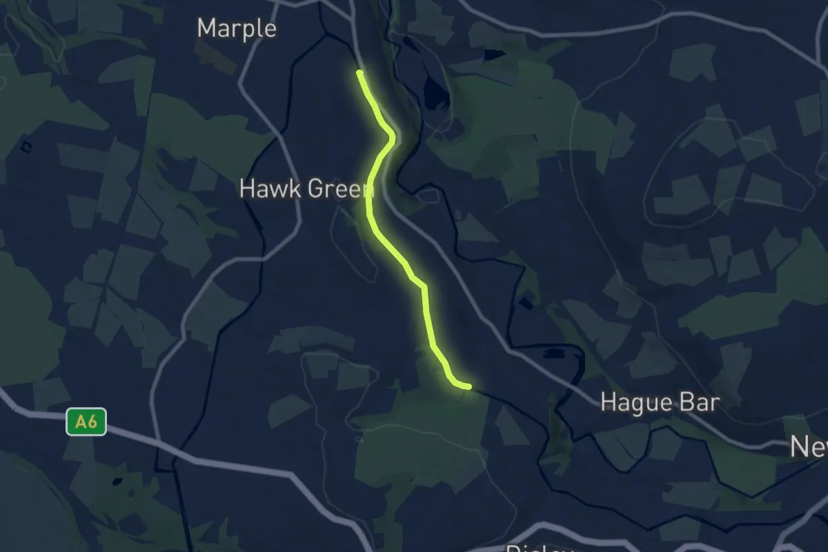
Easy · Trail
Peak Forest Canal towpath - part Marple to Disley
5.4 km · ↑ 0 m · 1 h 16 min
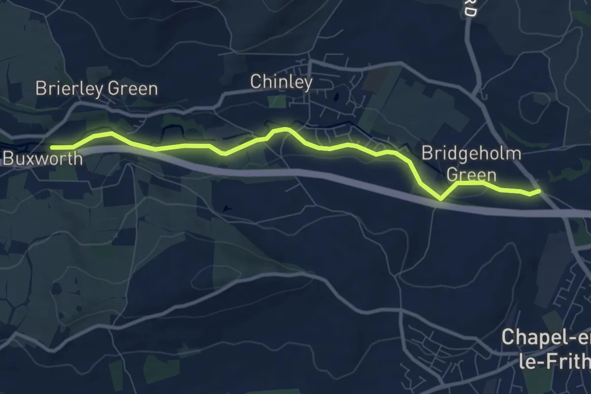
Easy · Trail
Peak Forest Tramway Trail
7.3 km · ↑ 48 m · 1 h 50 min
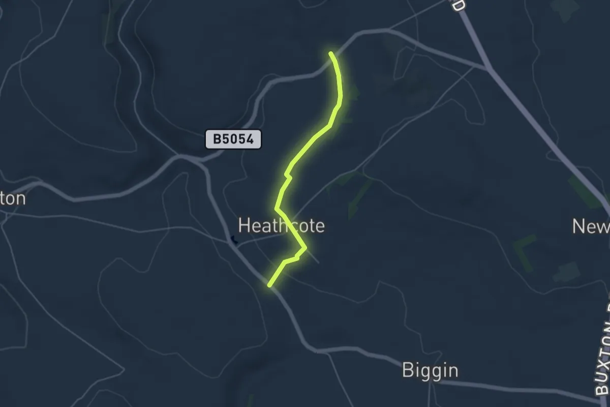
Easy · Trail
Peak Pilgrimage
3.3 km · ↑ 45 m · 53 min
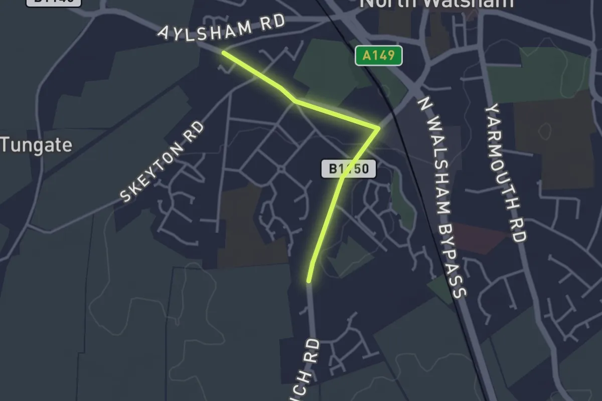
Easy · Trail
Peasant’ Revolt Circular
1.2 km · ↑ 0 m · 18 min
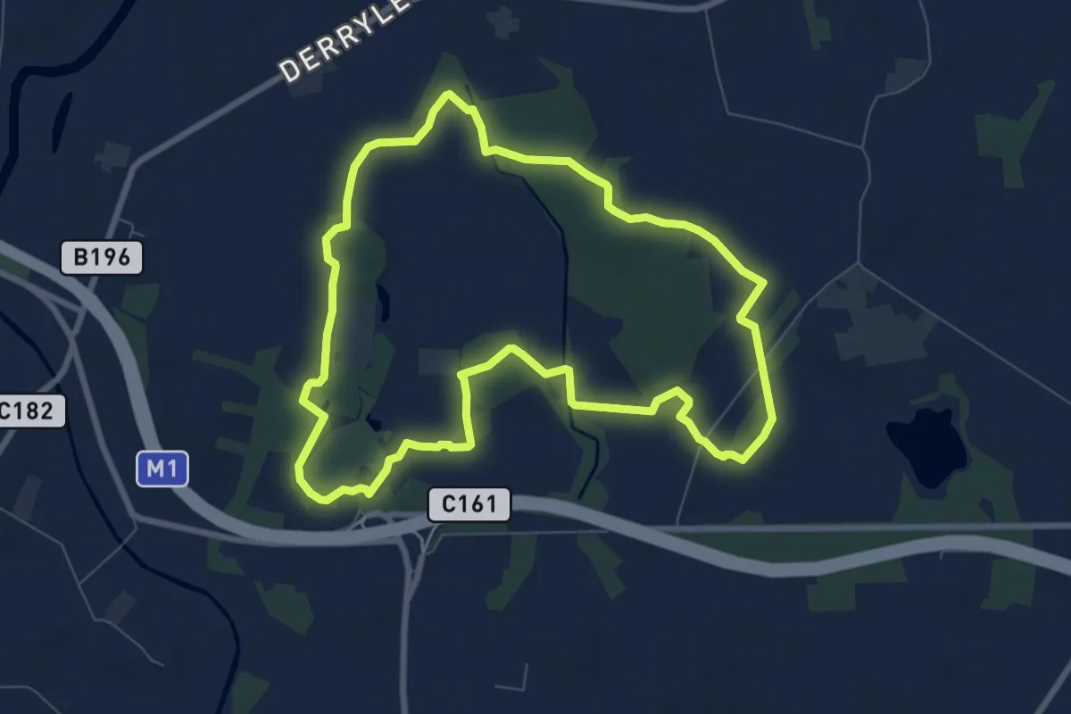
Easy · Trail
Peatlands Walk
6.7 km · ↑ 22 m · 1 h 43 min
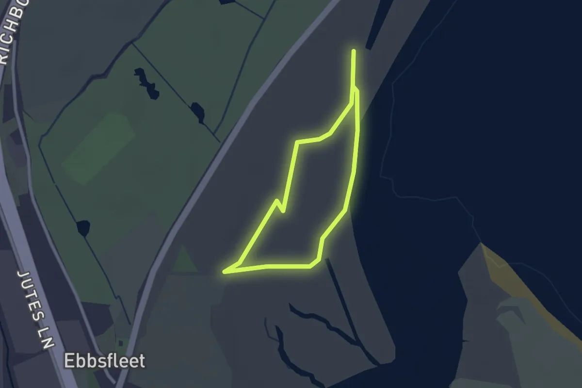
Easy · Trail
Pegwell Bay Country Park Long Nature Trail
1.7 km · ↑ 0 m · 25 min
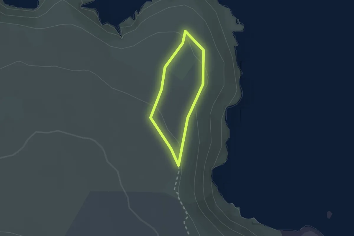
Easy · Trail
Pen Anglas Headland Walk, Pembroke
1.2 km · ↑ 32 m · 22 min
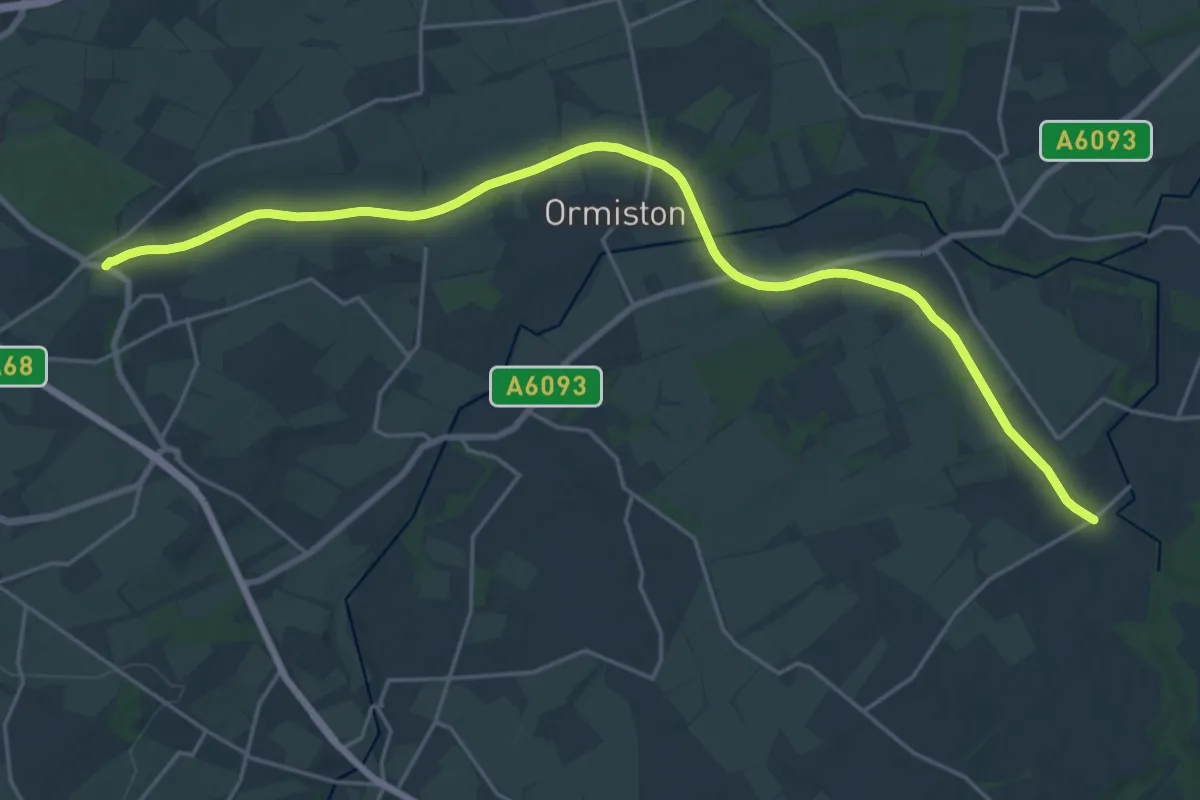
Demanding · Trail
Pencaitland Railway Walk
20.5 km · ↑ 112 m · 5 h 6 min
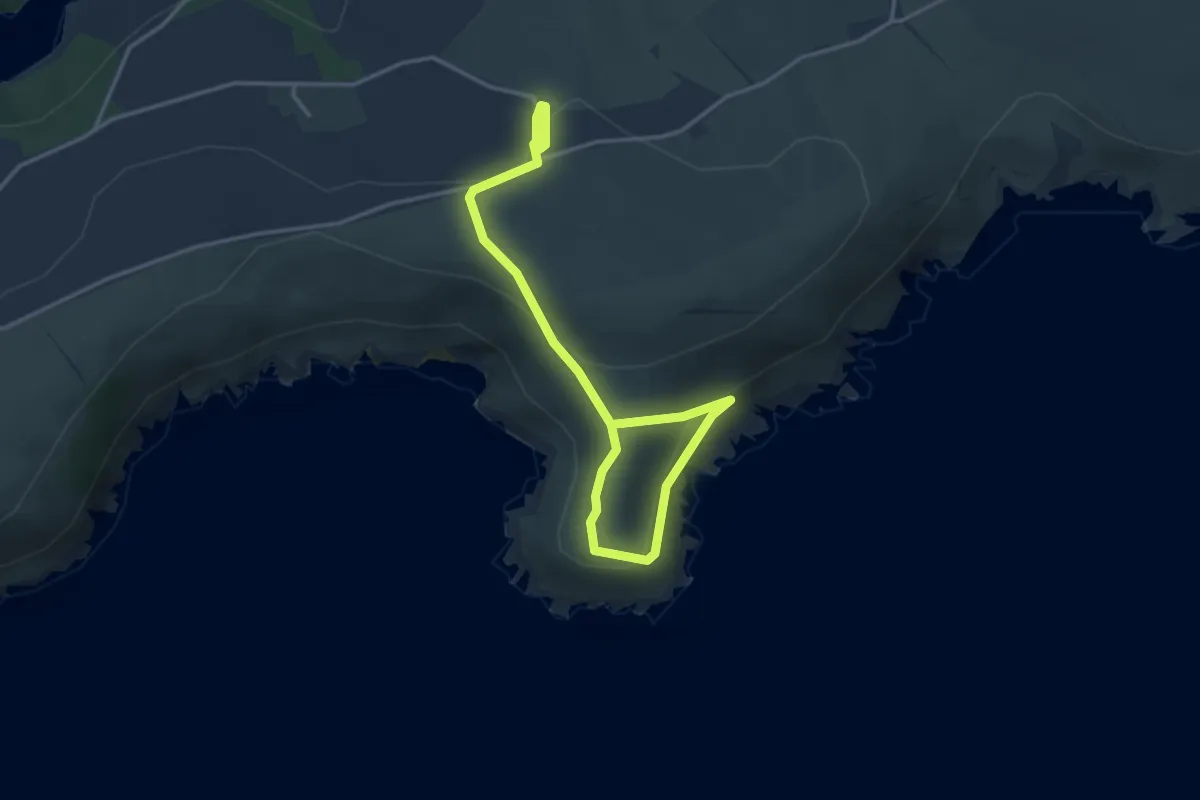
Easy · Trail
Pencarrow Head short walk, Lantic Bay
2.1 km · ↑ 63 m · 40 min
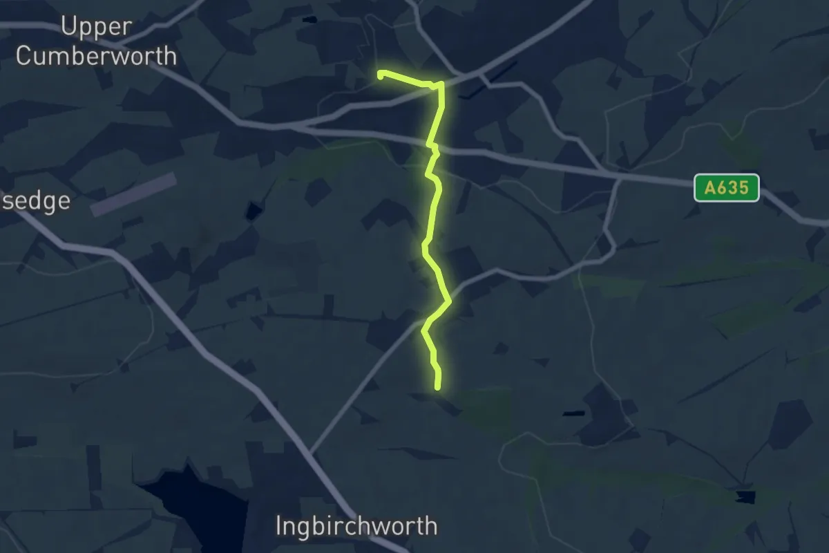
Easy · Trail
Pen-Den Trail
4.7 km · ↑ 158 m · 1 h 27 min
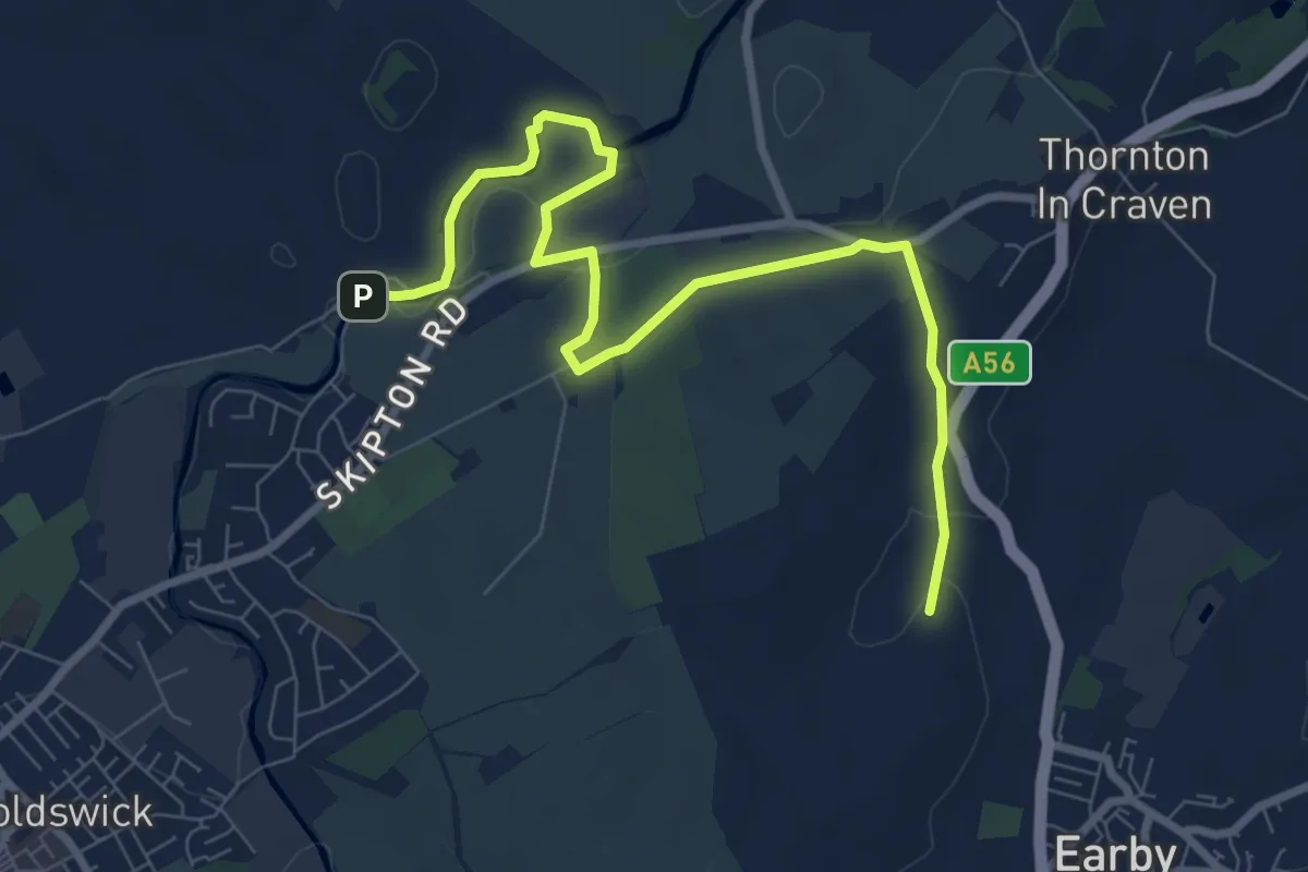
Easy · Trail
Pendle Way
8.0 km · ↑ 120 m · 2 h 9 min
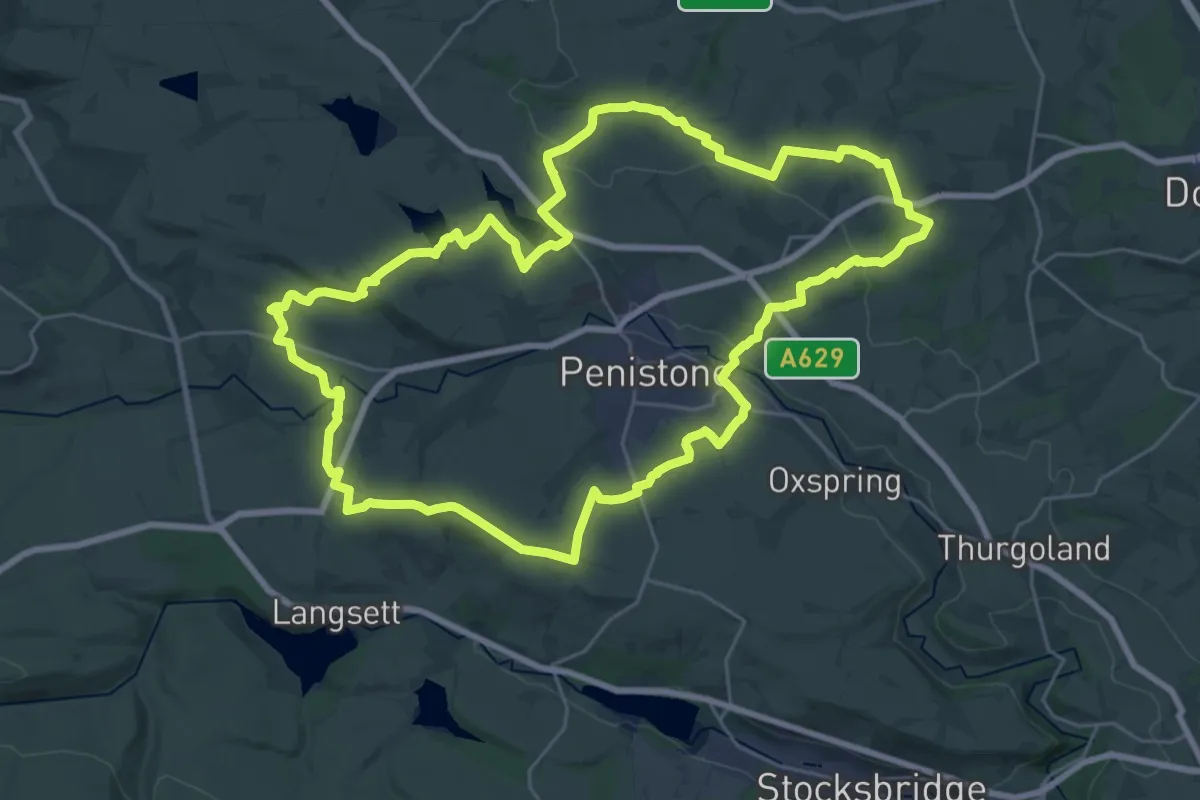
Demanding · Summit
Penistone Boundary Walk
24.7 km · ↑ 484 m · 7 h 13 min
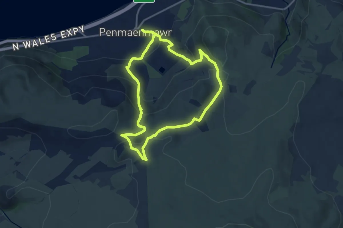
Medium · Trail
Penmaenmawr Upland walk
7.1 km · ↑ 360 m · 2 h 34 min
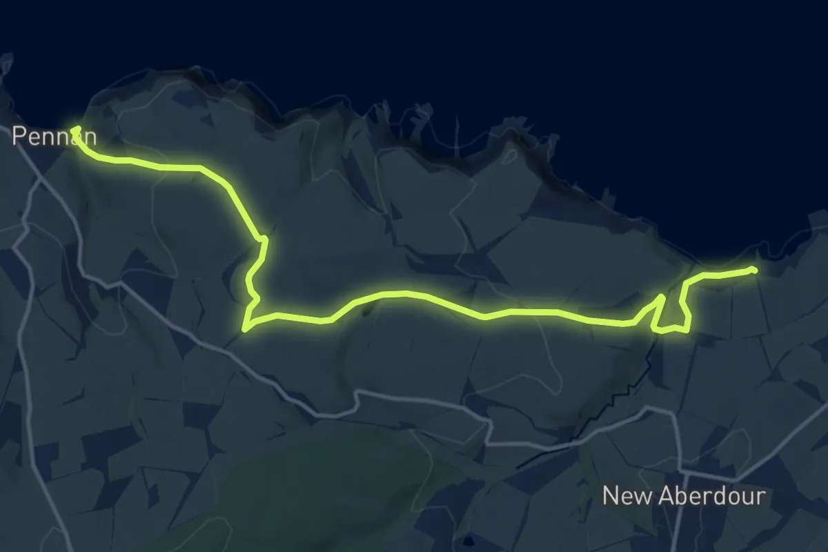
Medium · Trail
Pennan to New Aberdour
12.2 km · ↑ 328 m · 3 h 35 min
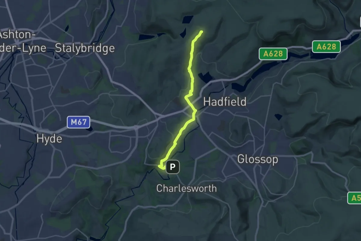
Medium · Trail
Pennine Bridleway Interim Route for Walkers
15.1 km · ↑ 330 m · 4 h 16 min
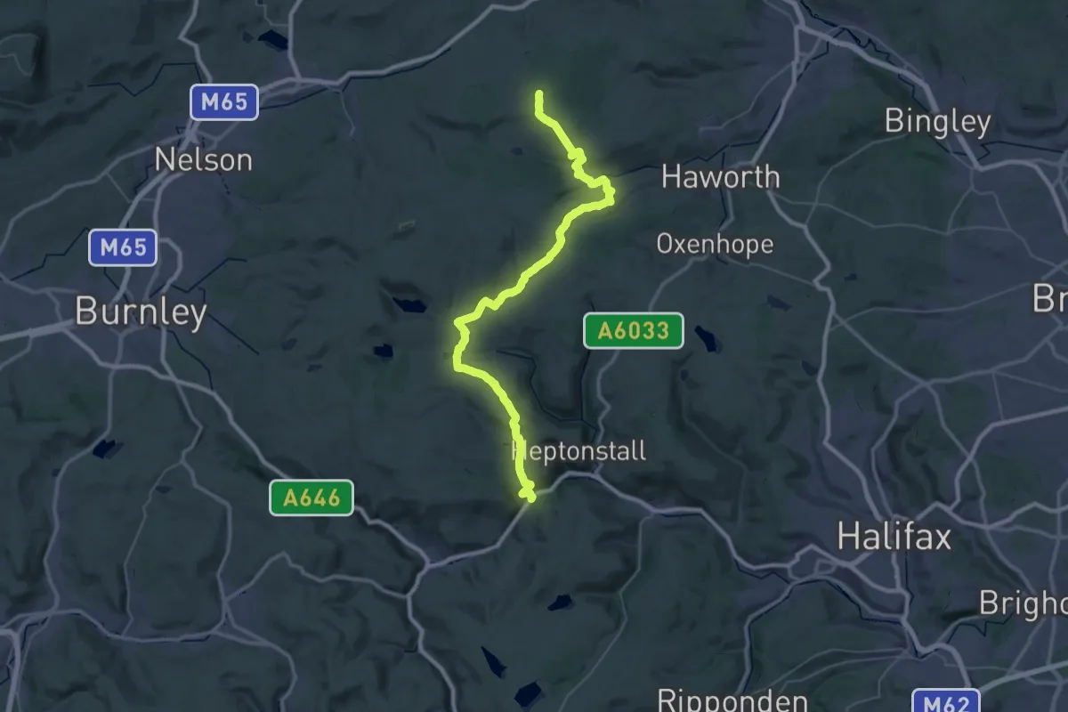
Demanding · Trail
Pennine Way
21.4 km · ↑ 474 m · 6 h 32 min
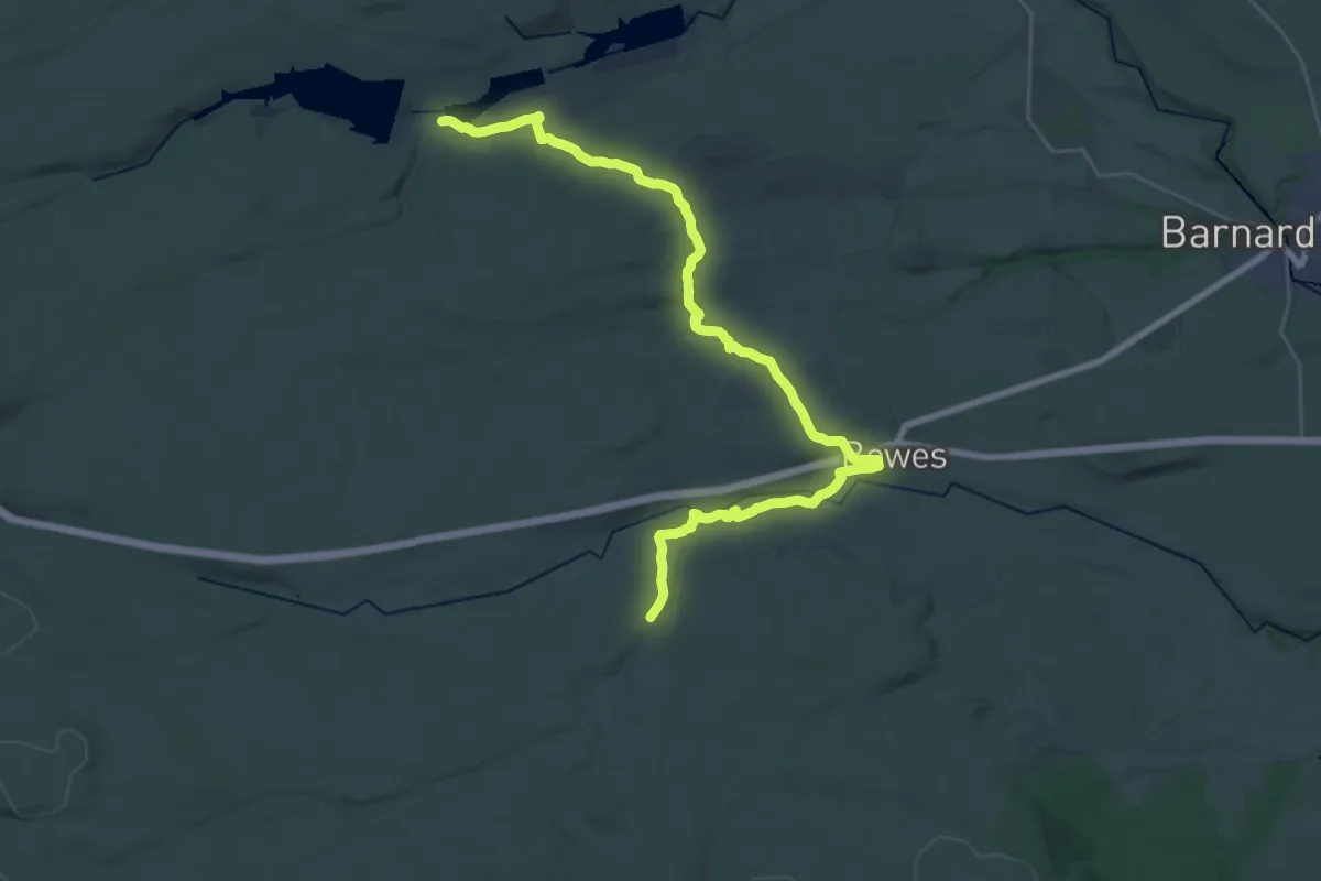
Demanding · Trail
Pennine Way - Bowes Loop
28.3 km · ↑ 381 m · 7 h 30 min
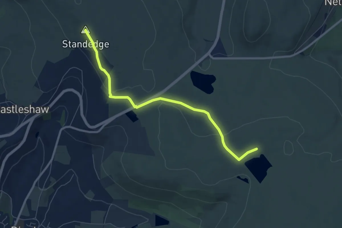
Easy · Summit
Pennine Way (Crowden to Standedge)
6.3 km · ↑ 127 m · 1 h 45 min
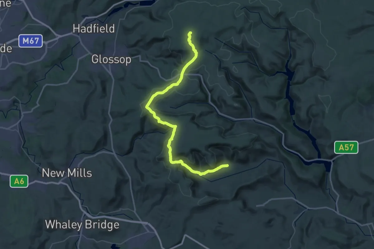
Demanding · Summit
Pennine Way (Edale to Crowden)
37.9 km · ↑ 921 m · 10 h 56 min
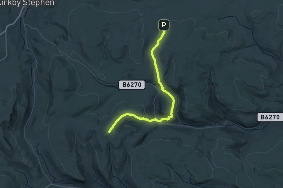
Demanding · Summit
Pennine Way (Hawes to Tan Hill)
32.7 km · ↑ 1097 m · 10 h 6 min
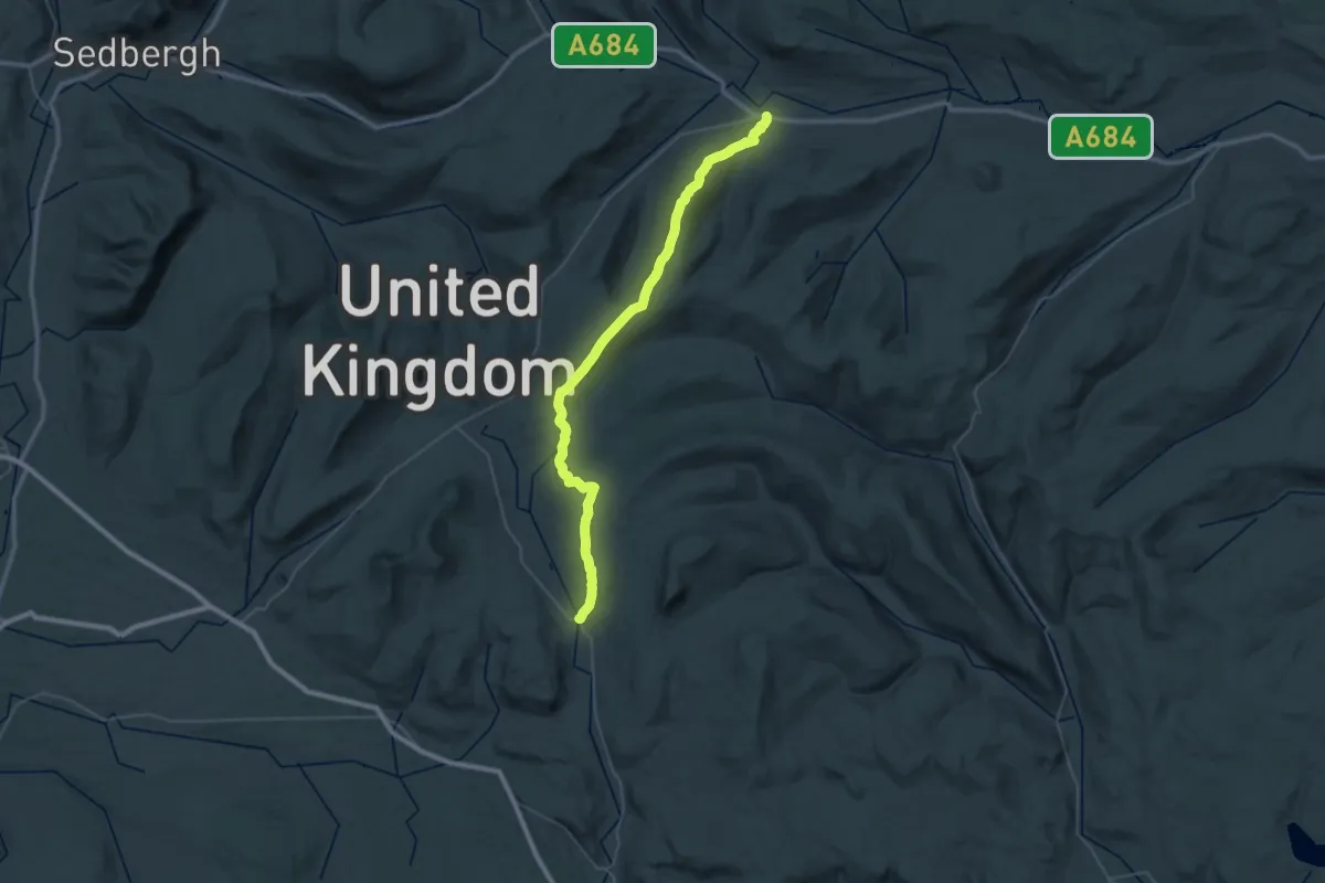
Demanding · Trail
Pennine Way (Horton in Ribblesdale to Hawes)
21.7 km · ↑ 444 m · 6 h 23 min
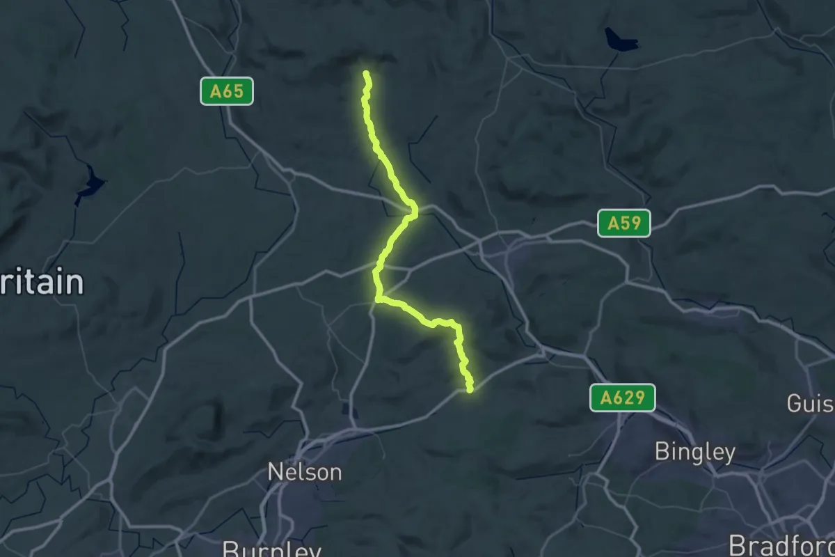
Demanding · Trail
Pennine Way (Ickornshaw to Malham)
27.9 km · ↑ 643 m · 8 h 22 min
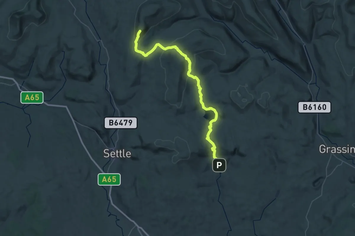
Demanding · Summit
Pennine Way (Malham to Horton in Ribblesdale)
36.9 km · ↑ 1152 m · 11 h 13 min
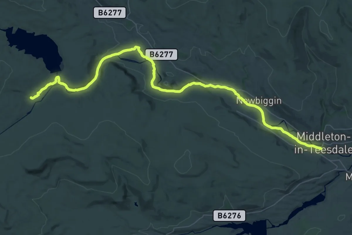
Expert · Trail
Pennine Way (Middleton in Teesdale to Kirk Yetholm)
19.8 km · ↑ 105 m · 5 h 19 min
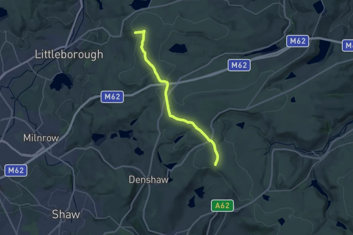
Medium · Trail
Pennine Way (Standedge to Warland Reservoir)
16.1 km · ↑ 330 m · 4 h 30 min
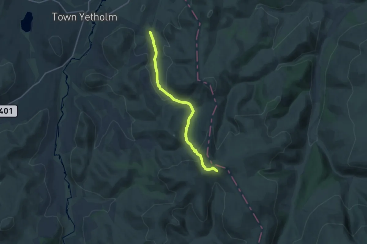
Medium · Trail
Pennine Way (Tan Hill to Kirk Yetholm) - deviation
10.9 km · ↑ 373 m · 3 h 23 min
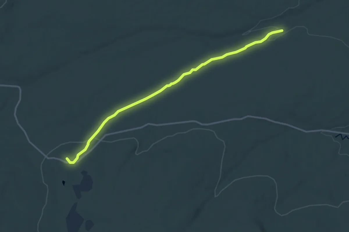
Medium · Summit
Pennine Way (Tan Hill to Middleton in Teesdale)
9.4 km · ↑ 123 m · 2 h 29 min
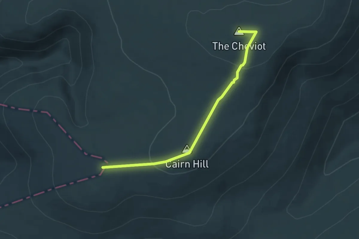
Easy · Summit
Pennine Way (Tan Hill to Yetholm) - deviation to The Cheviot via Scotsman's Cairn
4.2 km · ↑ 86 m · 1 h 11 min
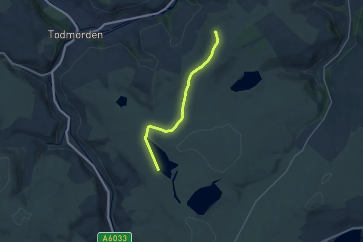
Medium · Summit
Pennine Way (Warland Reservoir to Calder Valley)
9.7 km · ↑ 108 m · 2 h 32 min
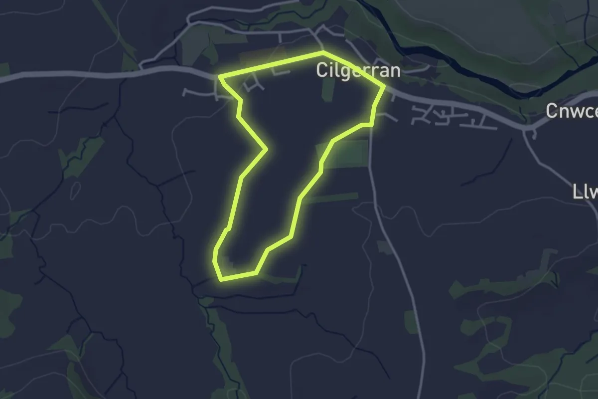
Easy · Trail
Penrallt Fach
2.4 km · ↑ 18 m · 38 min