Trails in United Kingdom
3,857 hiking trails, each with its route, climb, walking time and grade.
All trails, page 52 of 81
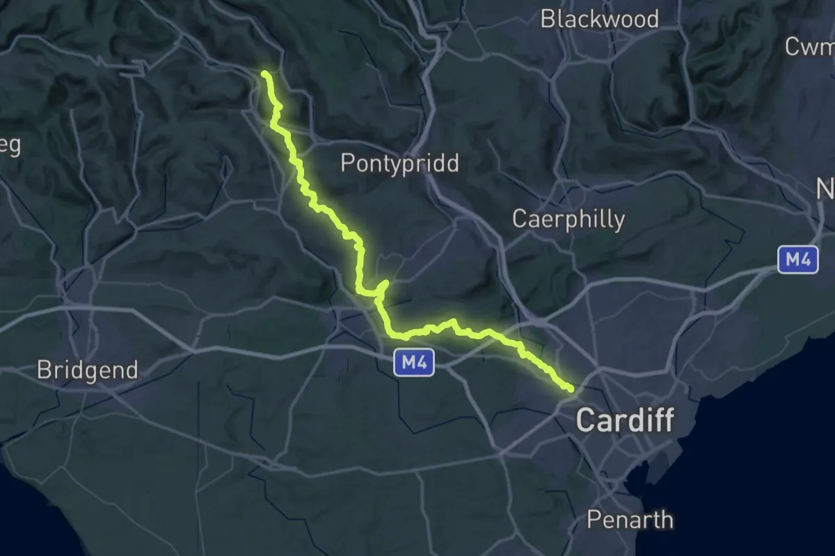
Demanding · Trail
Penrhys Pilgrimage
33.0 km · ↑ 733 m · 9 h 43 min
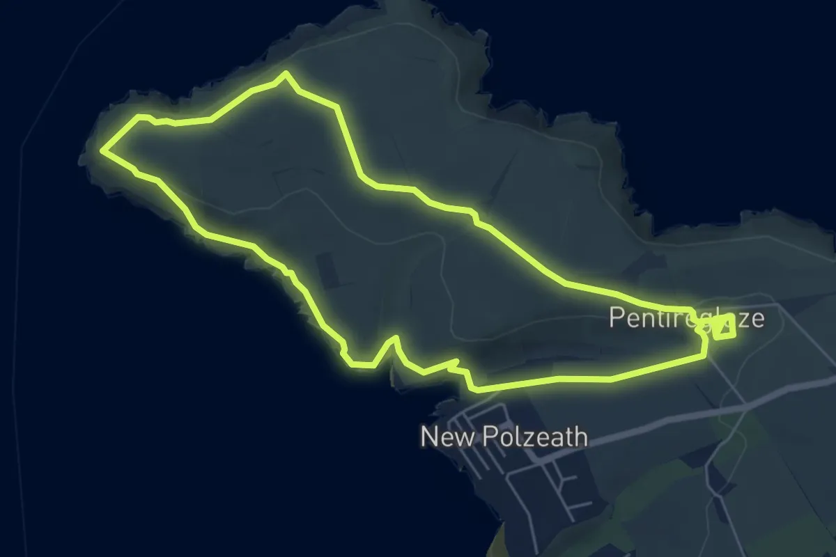
Easy · Trail
Pentire and Baby Bay circular walk, North Cornwall
5.5 km · ↑ 109 m · 1 h 36 min
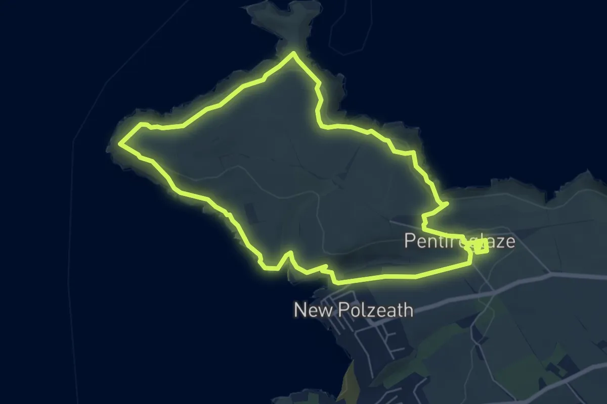
Easy · Trail
Pentire headland walk, North Cornwall
6.2 km · ↑ 205 m · 1 h 59 min
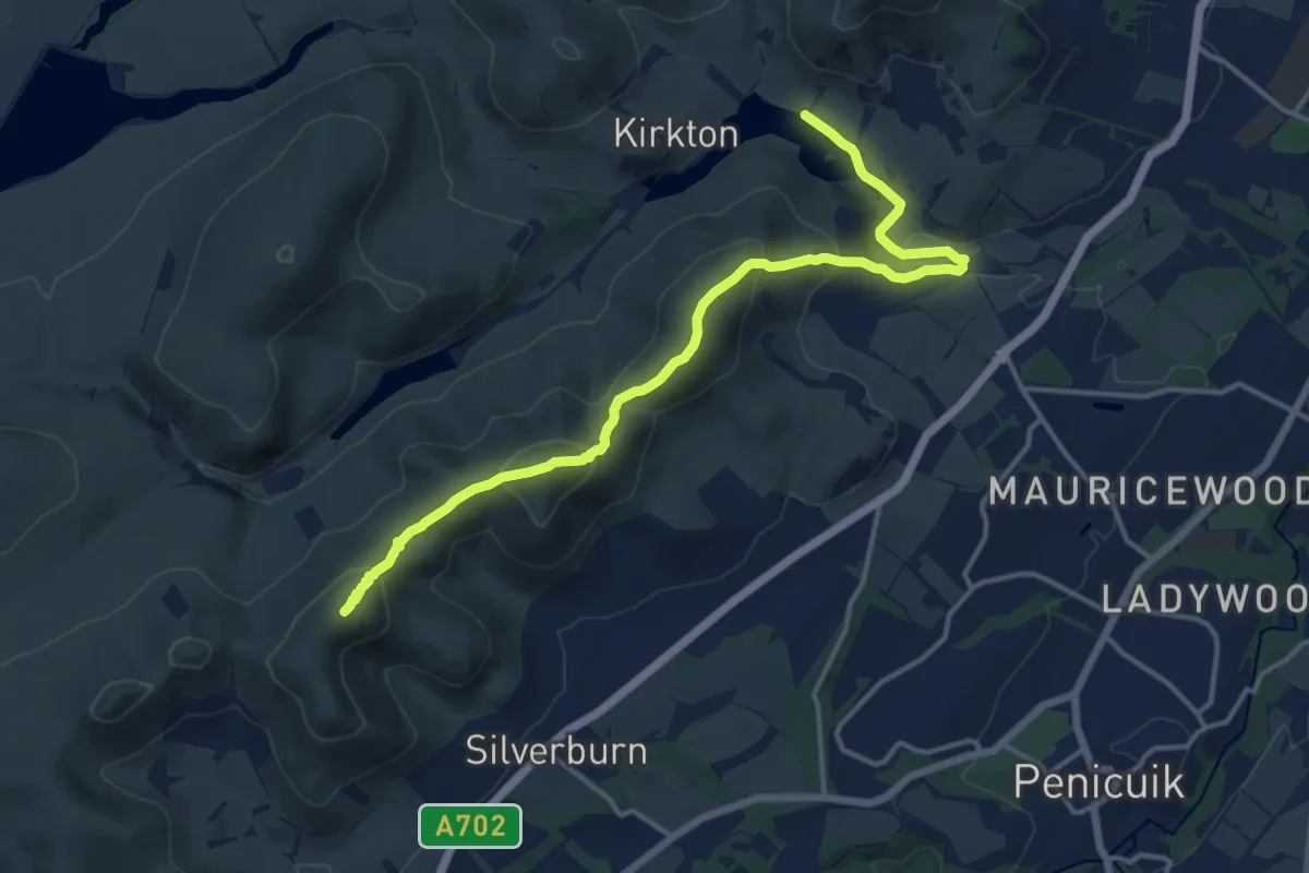
Medium · Summit
Pentland Way (Cross Borders Drove Road to Glencorse Reservoir)
12.7 km · ↑ 719 m · 4 h 33 min
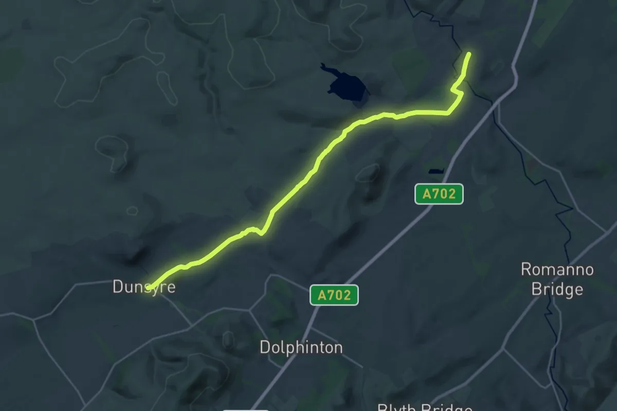
Demanding · Trail
Pentland Way (Dunsyre to Cross Borders Drove Road)
19.5 km · ↑ 190 m · 5 h
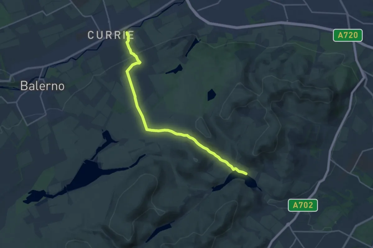
Medium · Trail
Pentland Way E2 Link
12.6 km · ↑ 317 m · 3 h 39 min
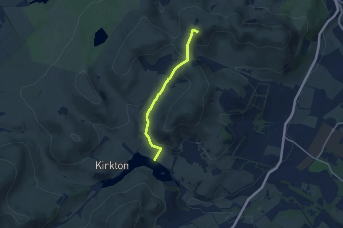
Easy · Summit
Pentland Way (Glencorse Reservoir to Swanston)
5.7 km · ↑ 263 m · 1 h 55 min
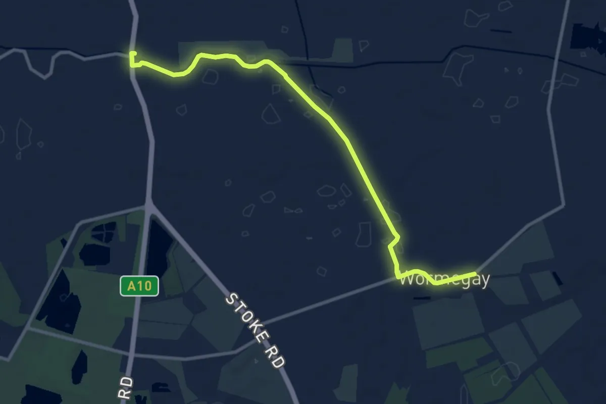
Easy · Trail
Pentney and Shouldham Warren via Pentney Abbey
4.1 km · ↑ 0 m · 1 h 1 min
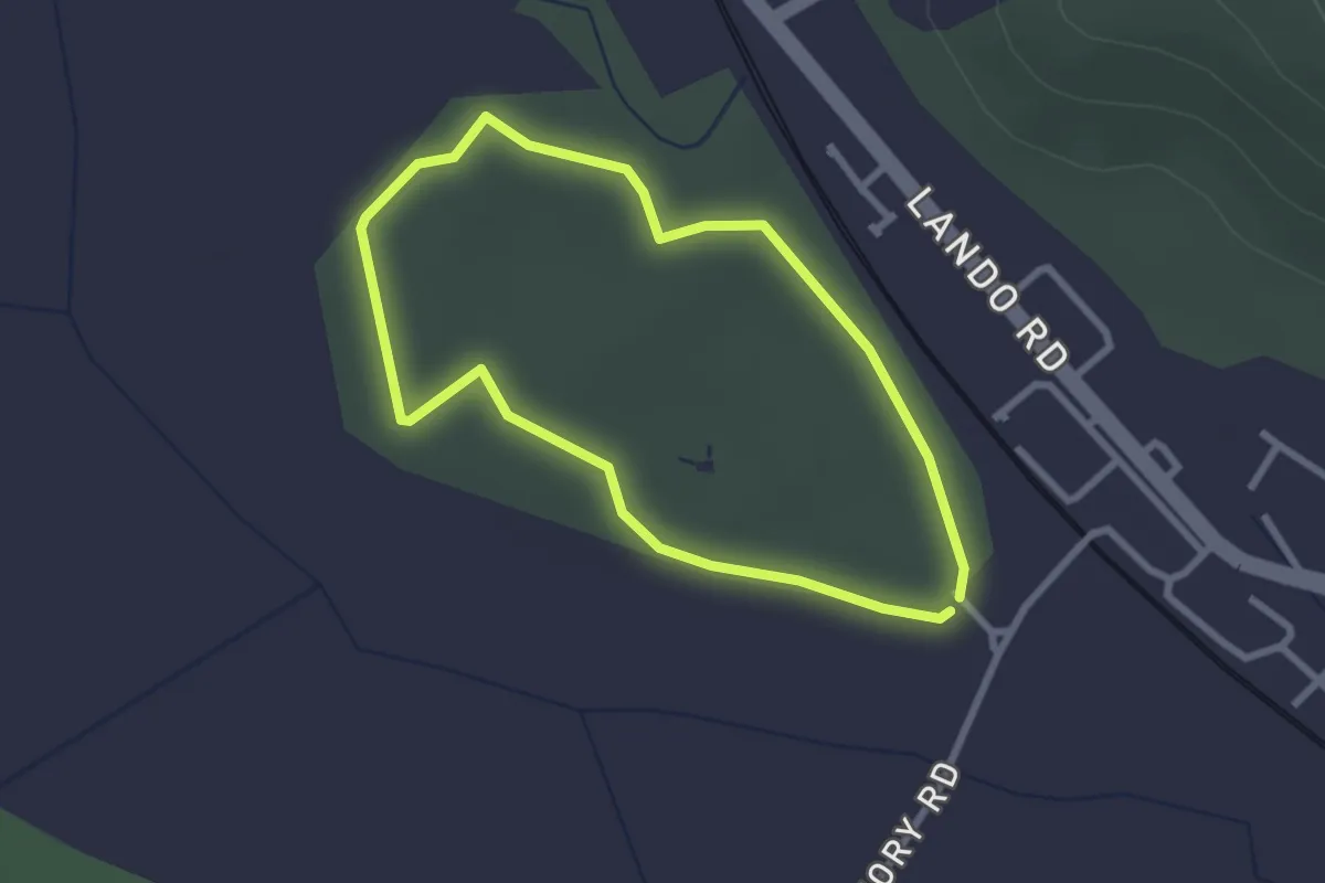
Easy · Trail
Penybedd Trail
2.2 km · ↑ 0 m · 32 min
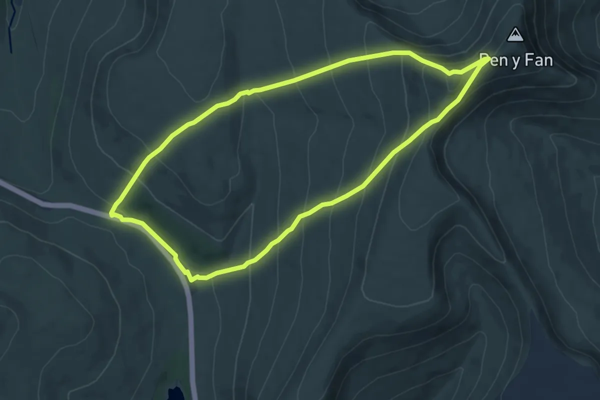
Medium · Summit
Pen y Fan and Corn Du Circular Walk, East Wales
6.9 km · ↑ 436 m · 2 h 40 min
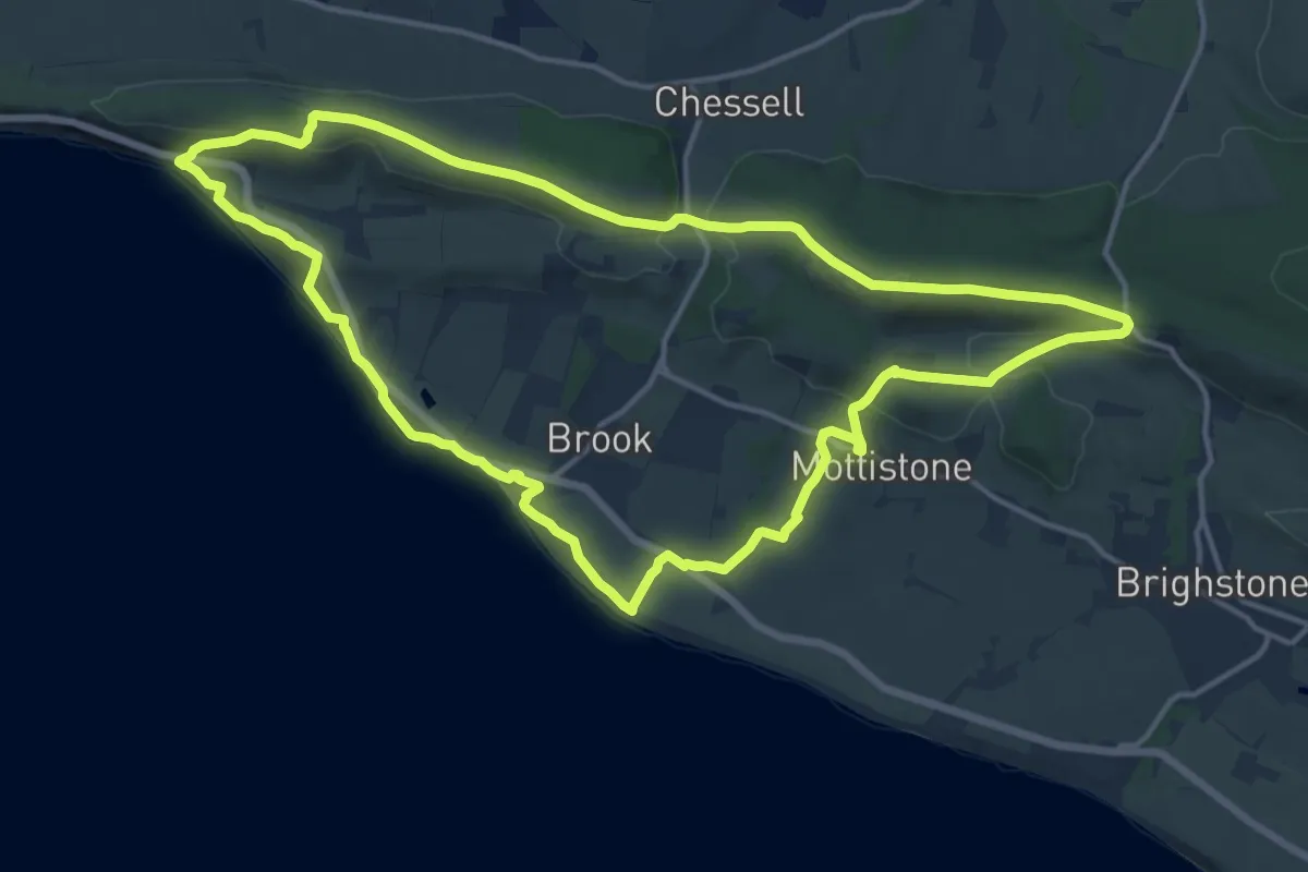
Medium · Summit
Perimeter Route, Mottistone
14.3 km · ↑ 324 m · 4 h 16 min
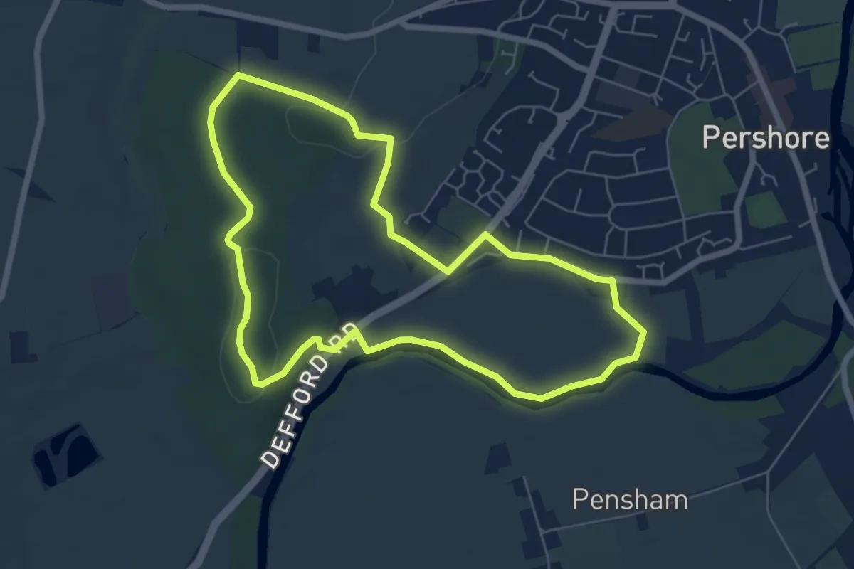
Easy · Trail
Pershore Bridges Circular Walk
5.4 km · ↑ 64 m · 1 h 29 min
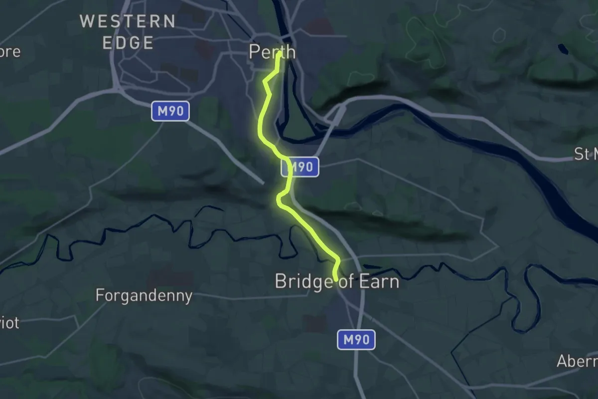
Medium · Trail
Perth to Bridge of Earn
12.8 km · ↑ 121 m · 3 h 18 min
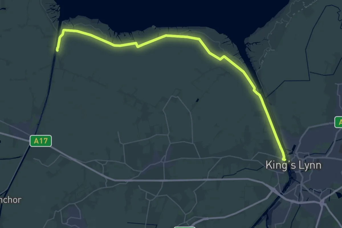
Demanding · Trail
Peter Scott Walk
33.8 km · ↑ 0 m · 7 h 58 min
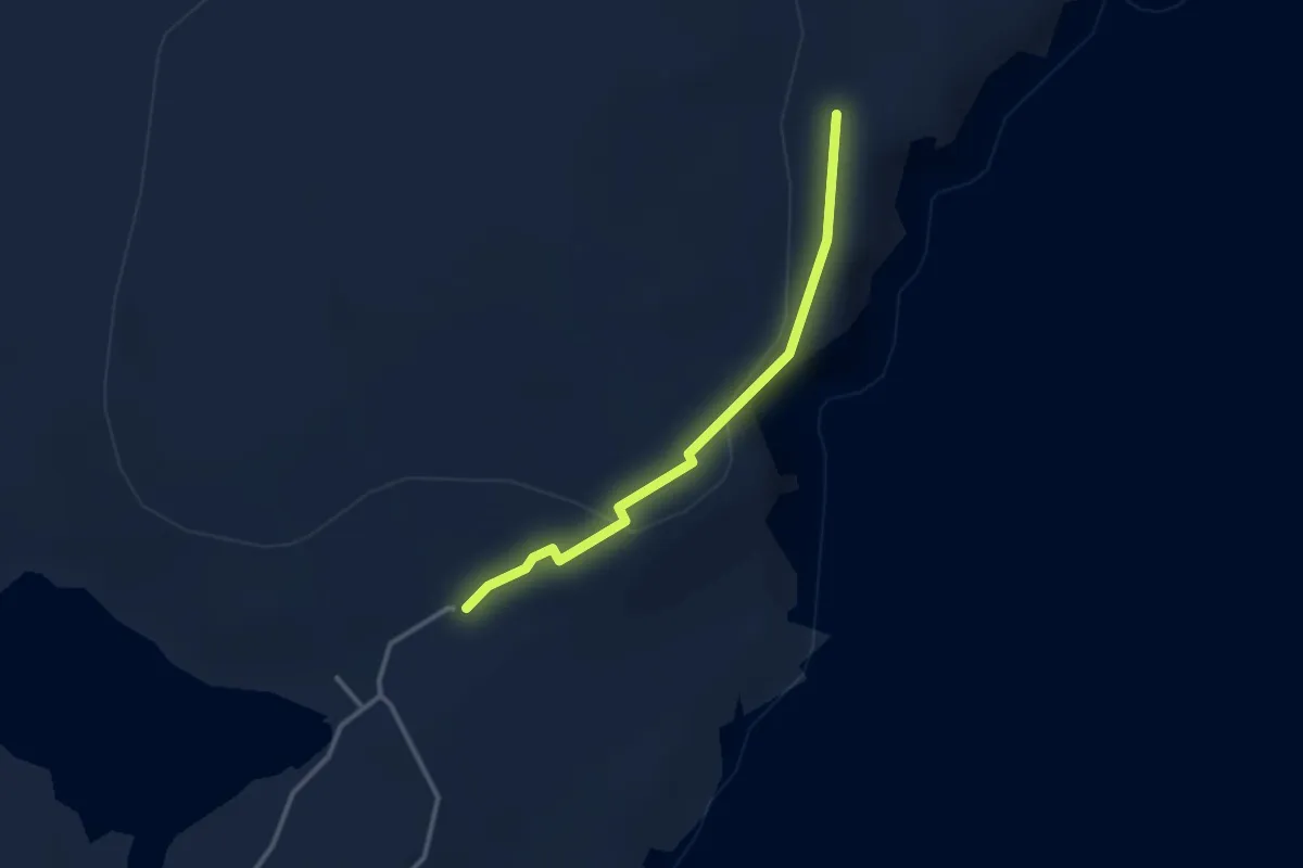
Easy · Trail
Pettigarth field
2.0 km · ↑ 33 m · 33 min
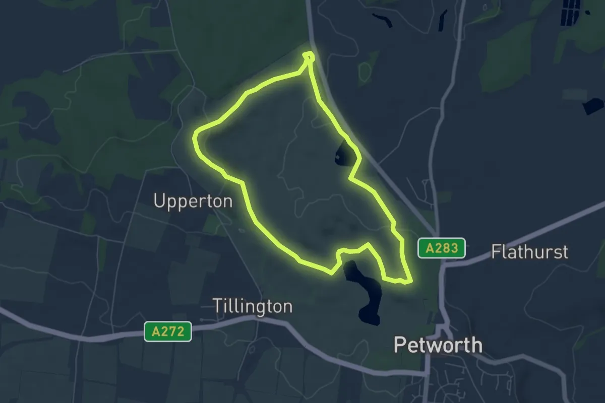
Easy · Trail
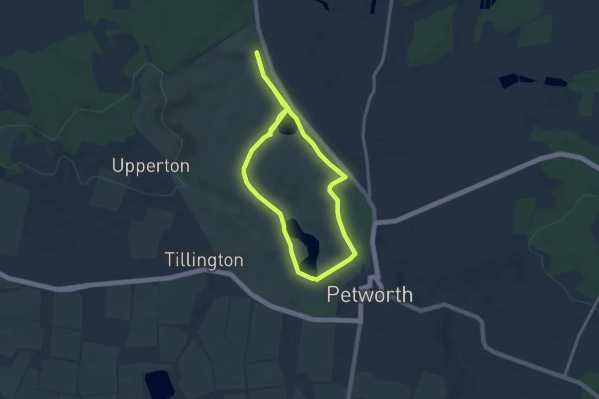
Petworth Ancient Trees Walk, Petworth
5.9 km · ↑ 115 m · 1 h 43 min
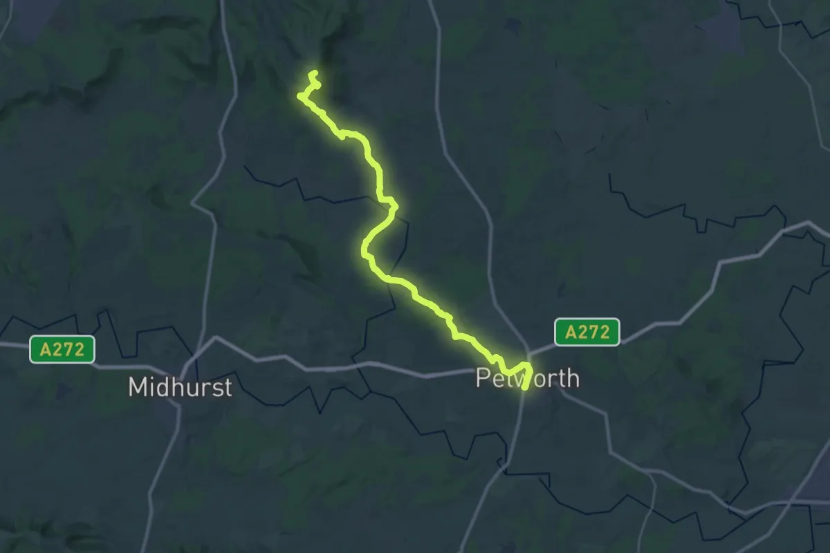
Easy · Trail
Petworth Park Through Turner's Eyes, Petworth
5.5 km · ↑ 40 m · 1 h 28 min
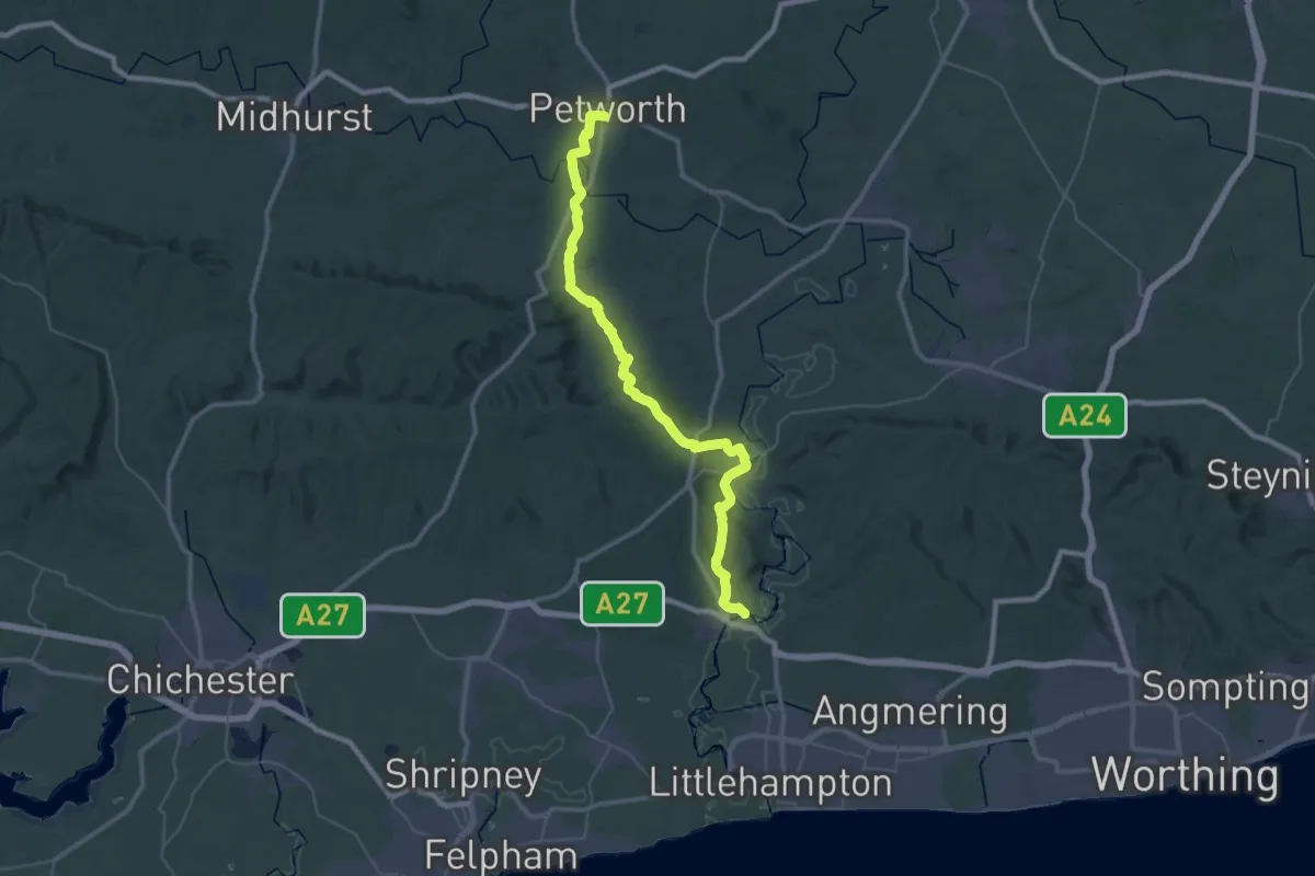
Demanding · Summit
Petworth Way Day 1
28.2 km · ↑ 539 m · 7 h 50 min
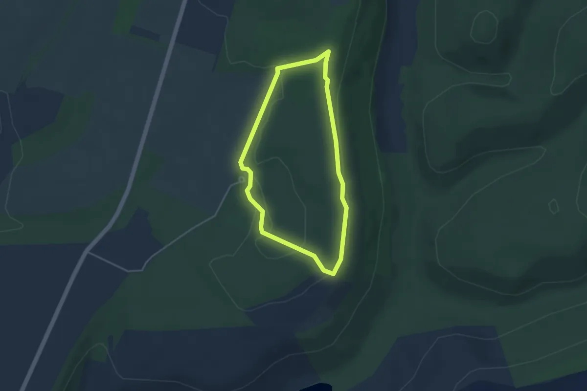
Demanding · Trail
Petworth Way Day 2
20.6 km · ↑ 453 m · 6 h 7 min
Easy · Trail
Pexton Trail
2.7 km · ↑ 22 m · 44 min
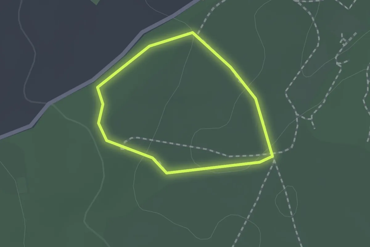
Easy · Trail
Pheasant Park, Basildon Park
1.0 km · ↑ 18 m · 18 min
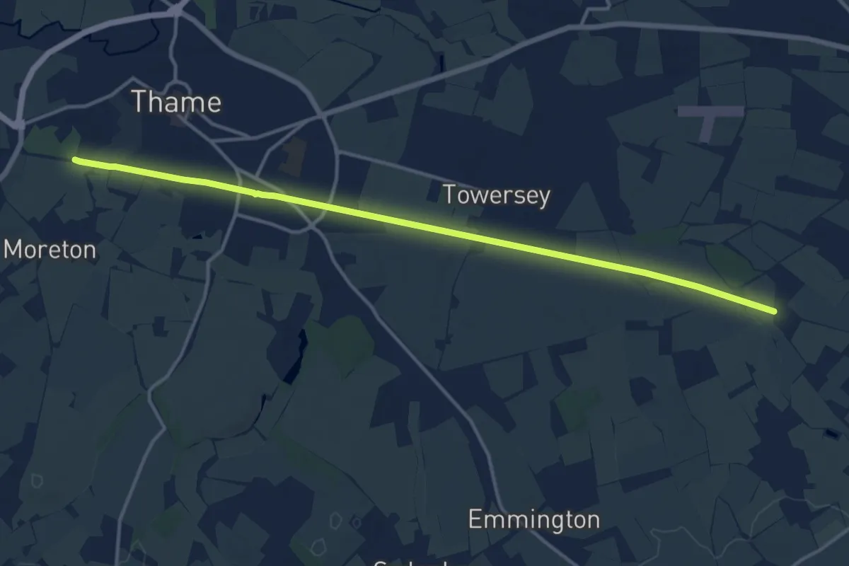
Medium · Trail
Phoenix Trail
12.9 km · ↑ 17 m · 3 h 4 min
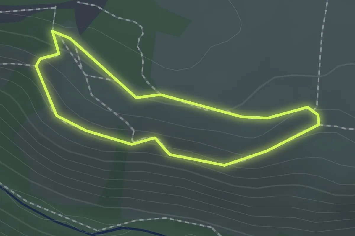
Easy · Summit
Piddledown Common Walk, Castle Drogo
1.3 km · ↑ 34 m · 24 min
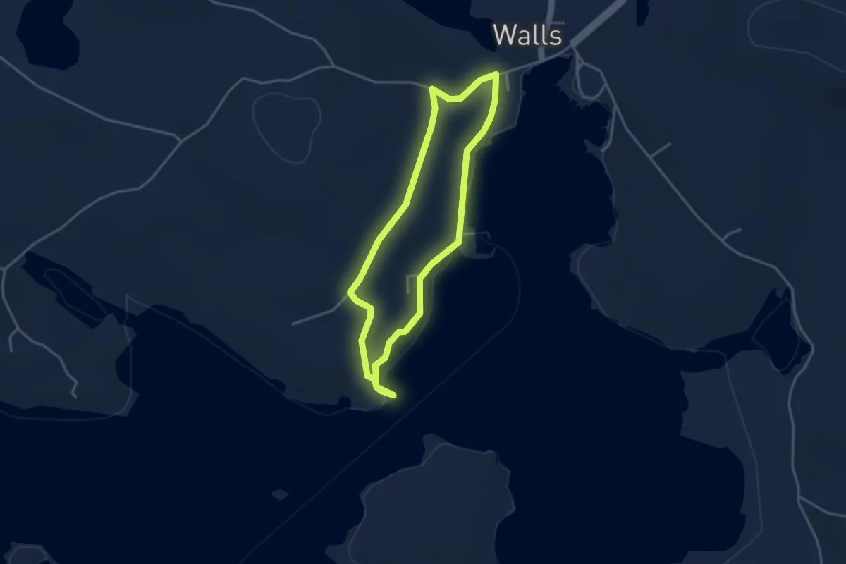
Easy · Trail
Pier to Pointataing Circular
2.4 km · ↑ 19 m · 39 min
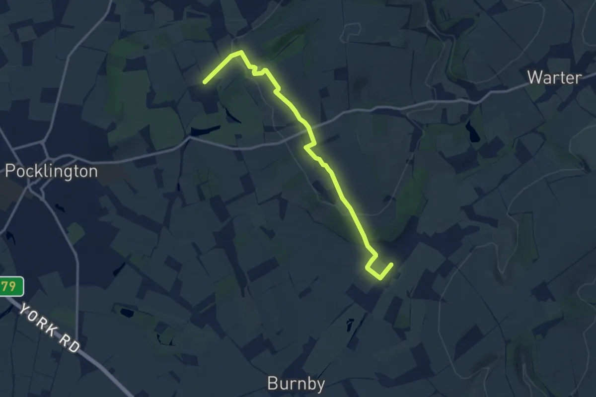
Medium · Trail
Pilgrimage of Grace
9.6 km · ↑ 165 m · 2 h 37 min
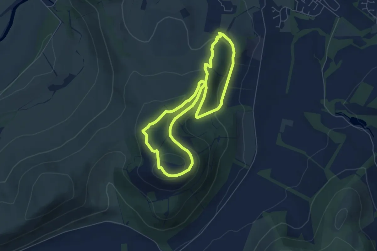
Easy · Summit
Pilots' Trail
4.9 km · ↑ 195 m · 1 h 39 min
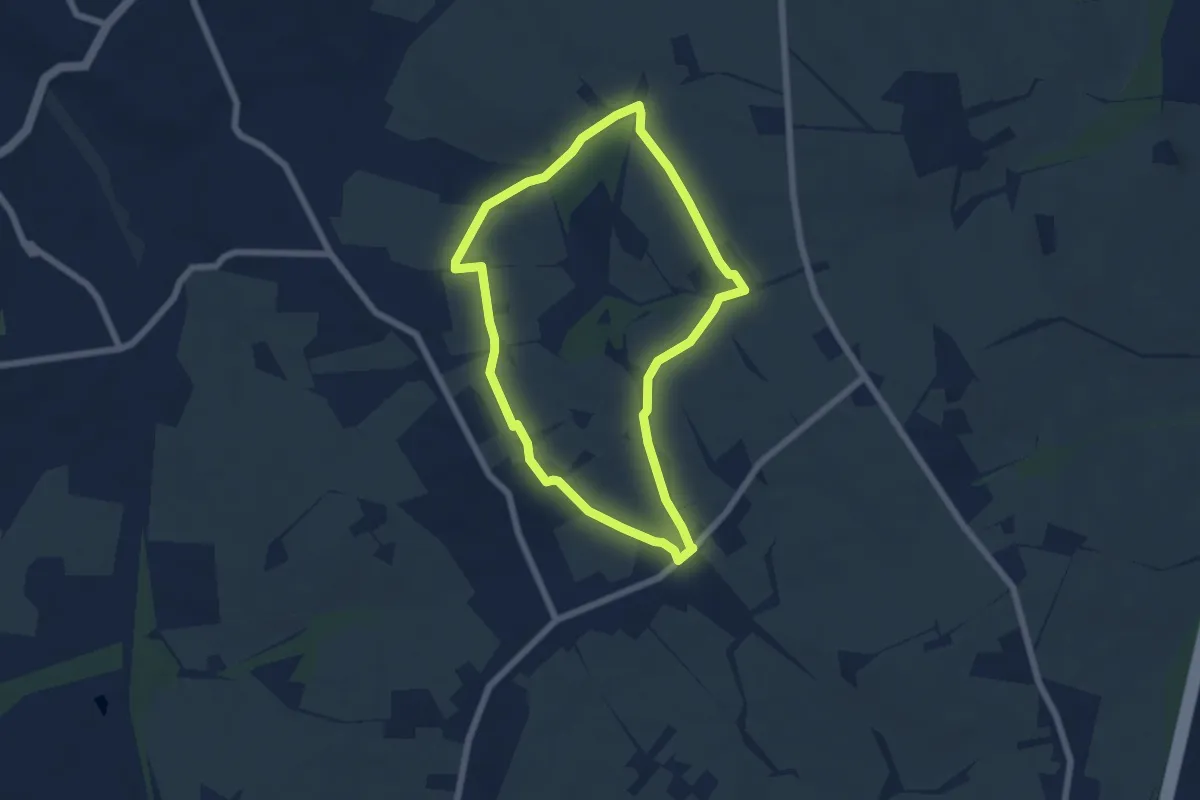
Easy · Trail
Pilsley Walk
5.0 km · ↑ 58 m · 1 h 22 min
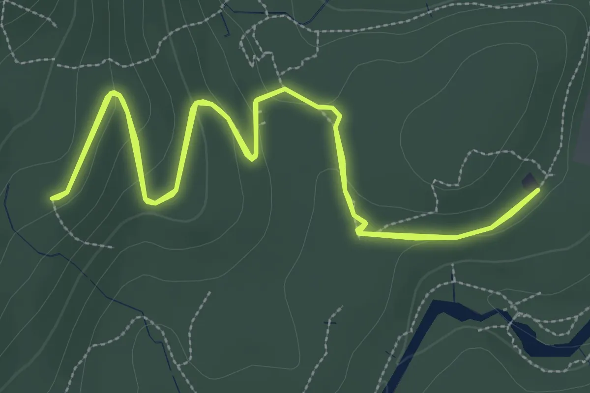
Easy · Trail
Pine Cone Point Path
3.0 km · ↑ 79 m · 55 min
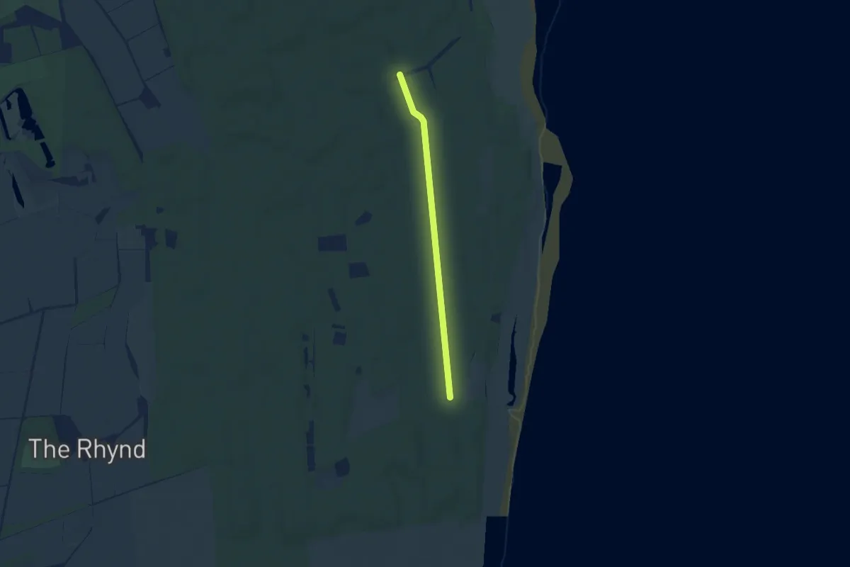
Easy · Trail
Pinecone Trail
5.5 km · ↑ 8 m · 1 h 18 min
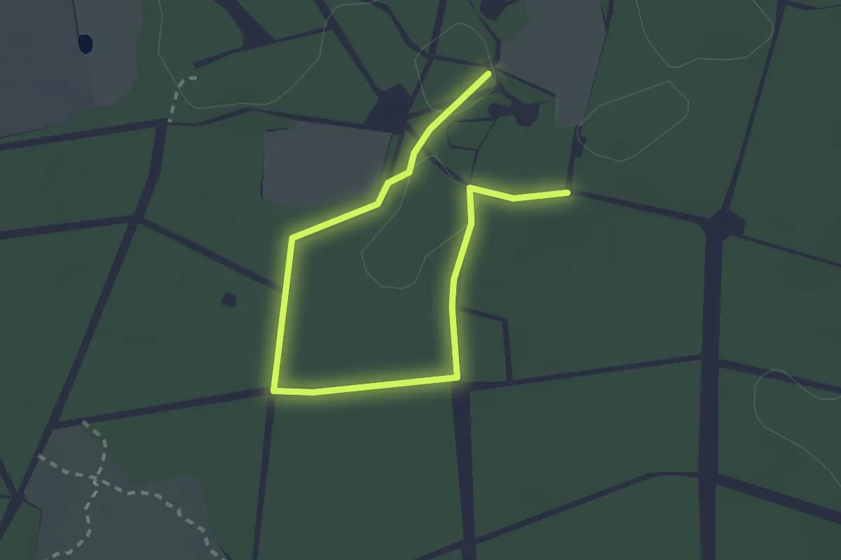
Easy · Trail
Pine Trail
2.8 km · ↑ 4 m · 41 min
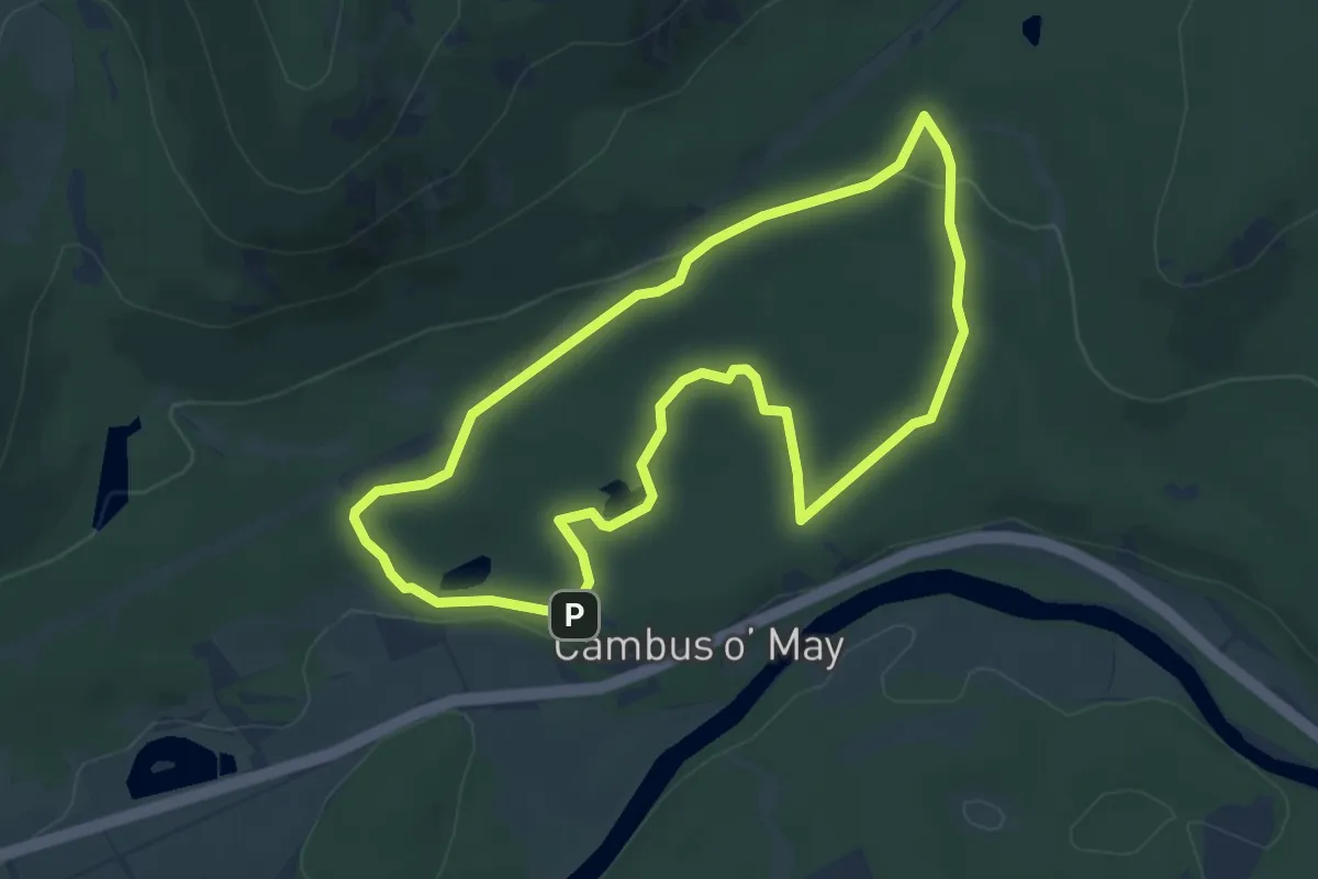
Easy · Trail
Pine Tree Trail
4.3 km · ↑ 58 m · 1 h 12 min
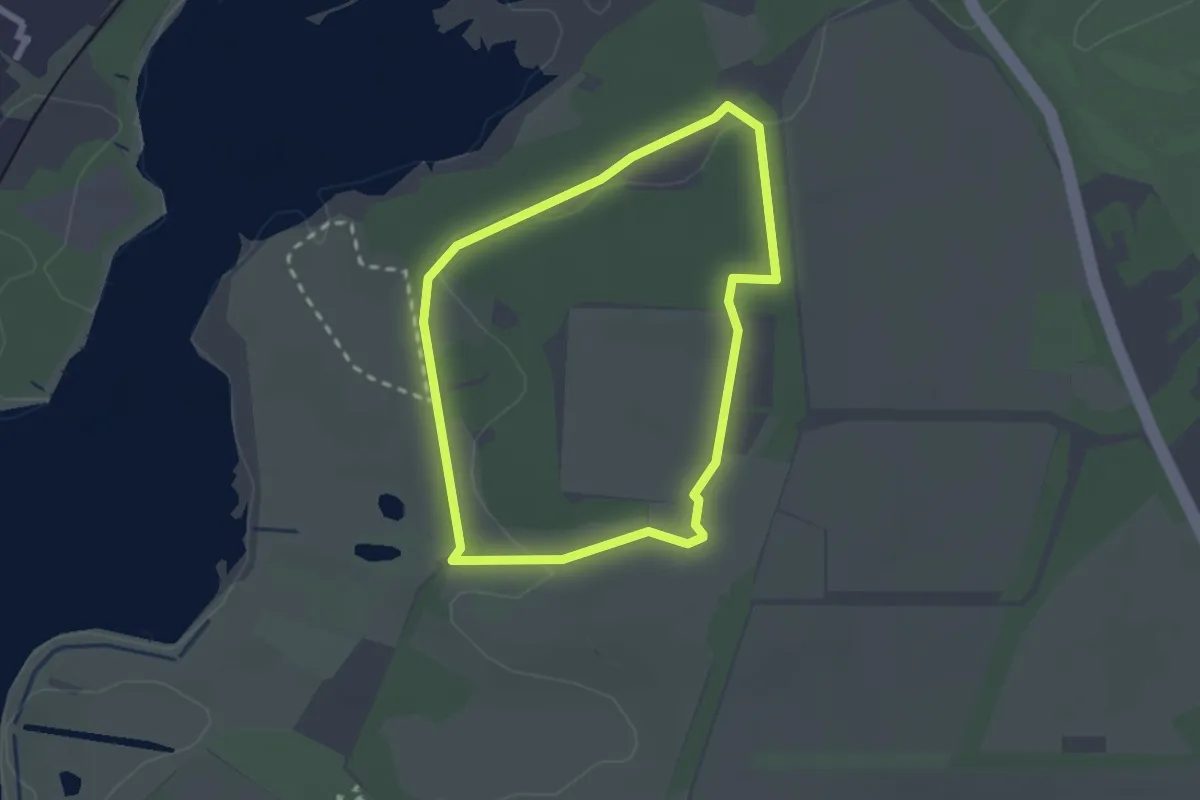
Easy · Trail
Pinewood Walk (Blue Route), Sutton Hoo
1.9 km · ↑ 26 m · 32 min
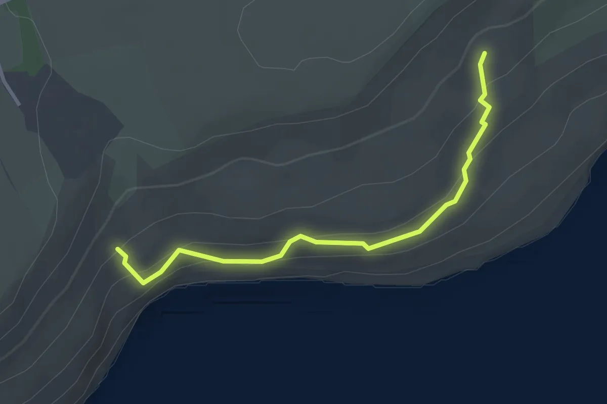
Easy · Trail
Pinhay Warren Permissive Path
2.7 km · ↑ 62 m · 47 min
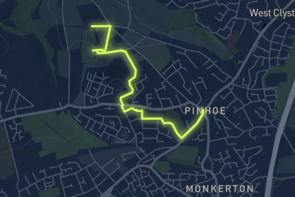
Easy · Trail
Pinhoe to Exeter Way
4.8 km · ↑ 80 m · 1 h 19 min
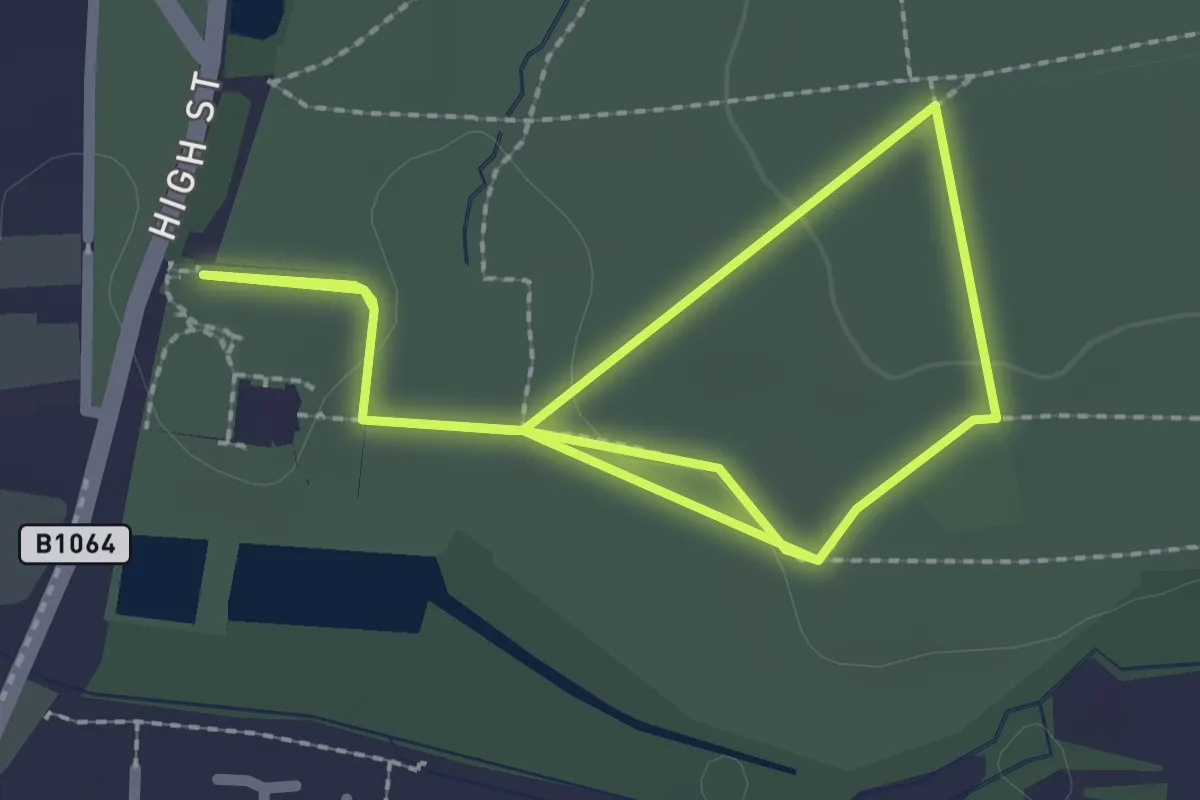
Easy · Trail
Pink Parkland Estate Walk, Melford Hall
2.0 km · ↑ 15 m · 31 min
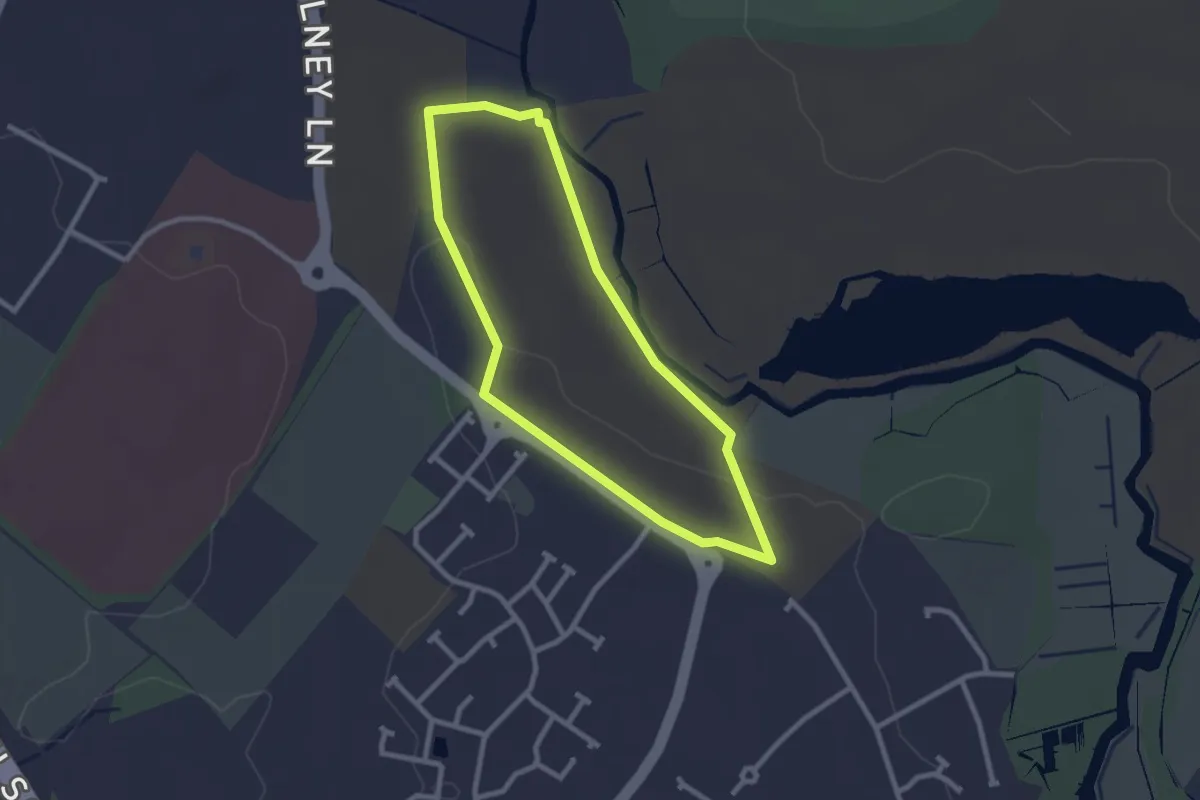
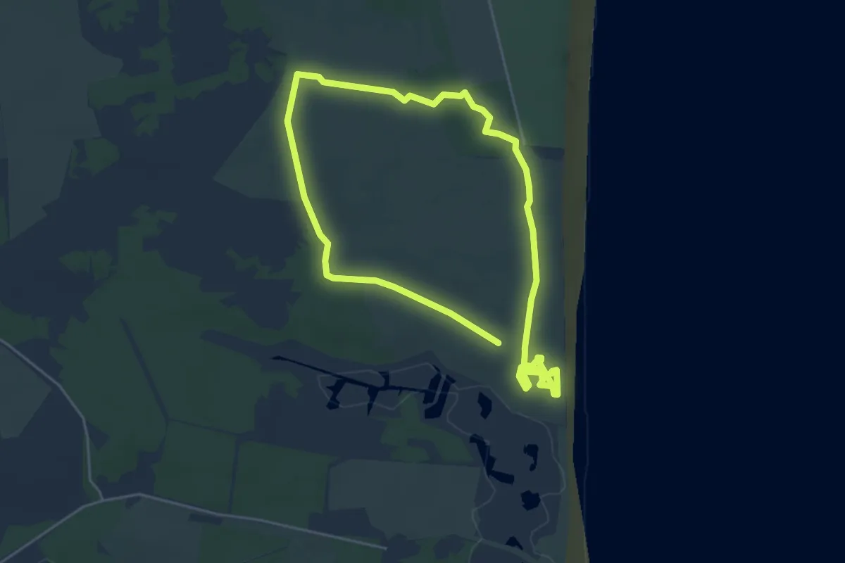
Easy · Trail
Pink Trail
2.1 km · ↑ 11 m · 33 min
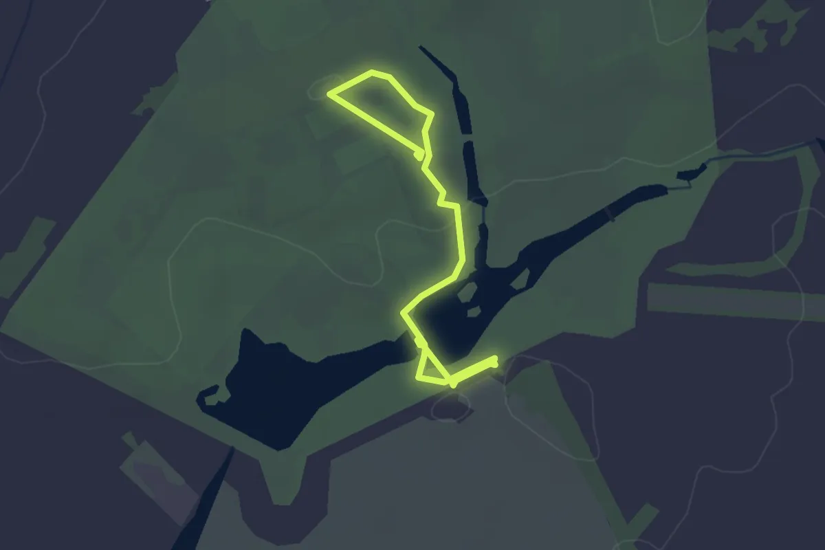
Easy · Trail
Pink Trail, Dunwich Heath
3.9 km · ↑ 9 m · 59 min
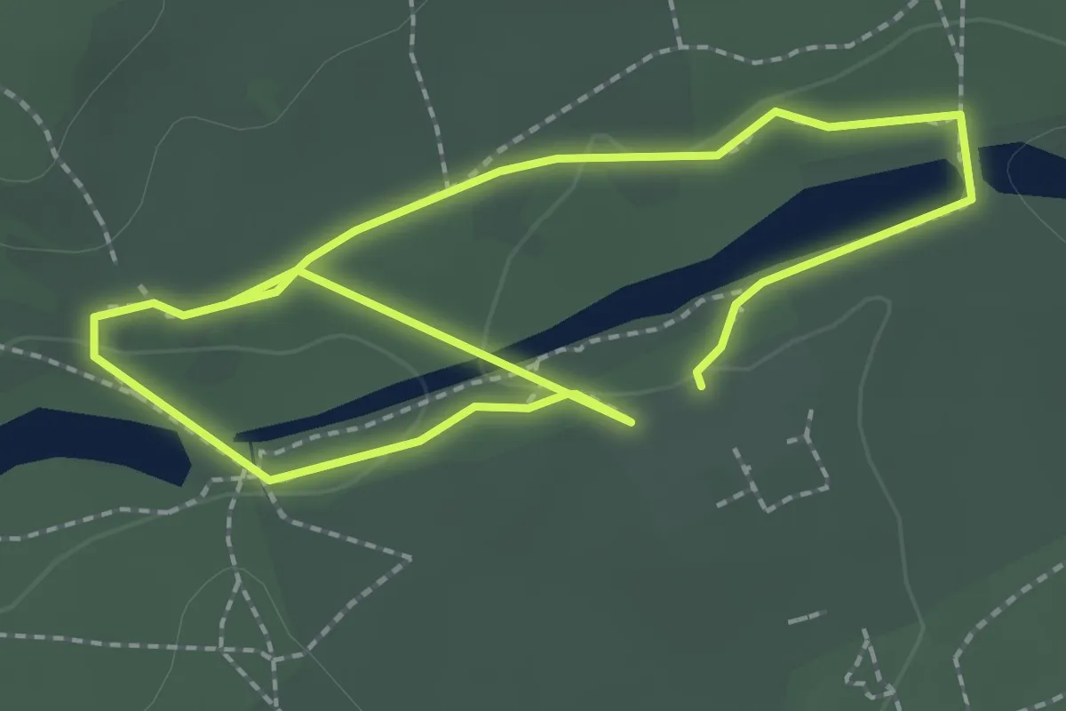
Easy · Trail
Pink Trail, Stowe
2.9 km · ↑ 30 m · 46 min
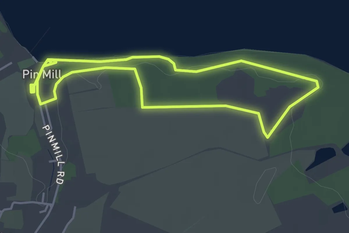
Easy · Trail
Pink Walk
3.5 km · ↑ 18 m · 51 min
Easy · Trail
Pin Mill Nature Walk, Pin Mill
3.2 km · ↑ 22 m · 51 min
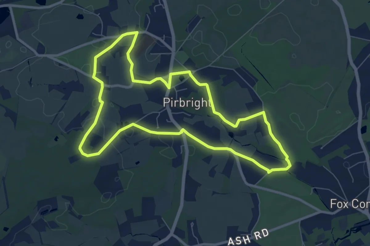
Easy · Trail
Pirbright walk (SCC)
6.5 km · ↑ 15 m · 1 h 40 min
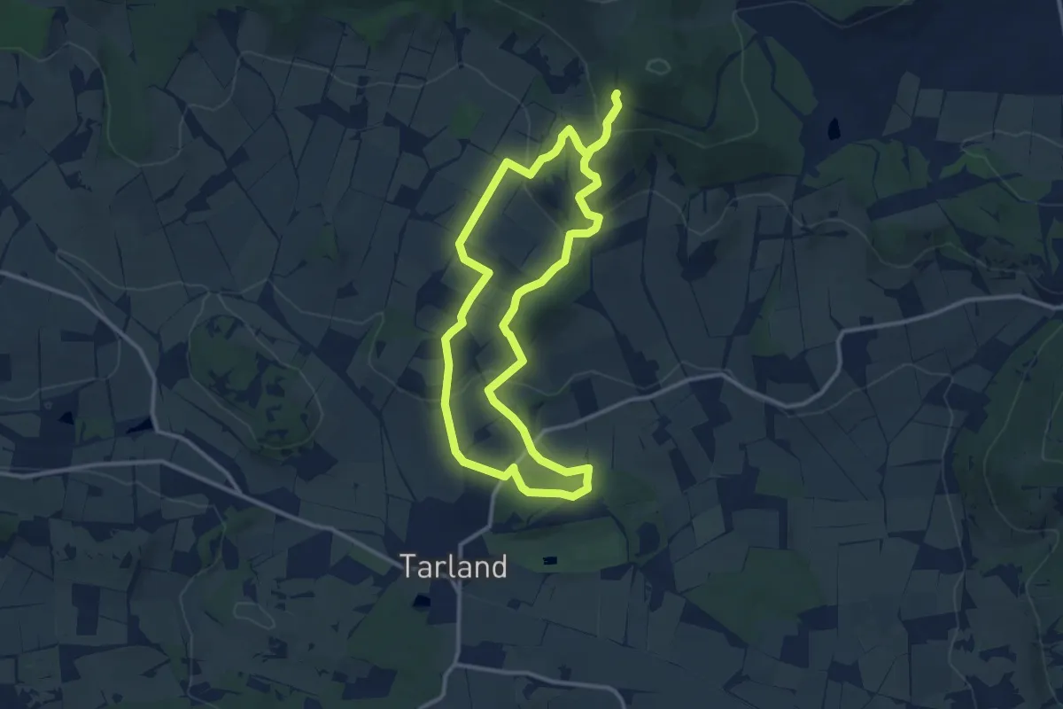
Medium · Trail
Pittenderich
9.0 km · ↑ 290 m · 2 h 52 min
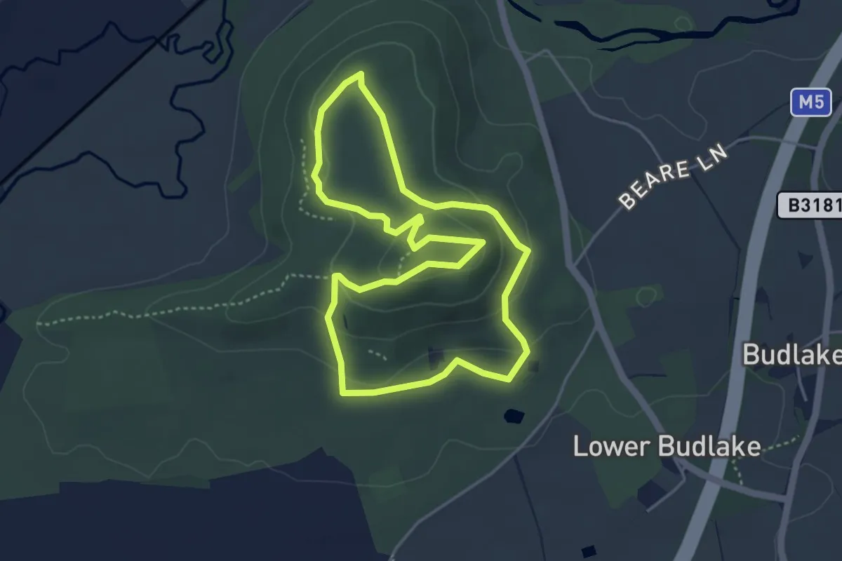
Easy · Summit
Plains Walk, Killerton
3.6 km · ↑ 98 m · 1 h 7 min
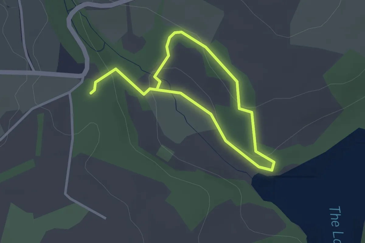
Easy · Trail
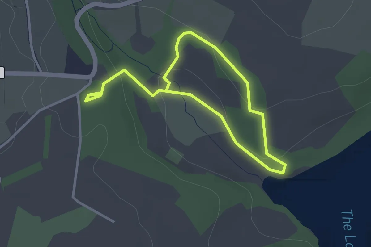
Plantations and parkland
1.8 km · ↑ 60 m · 34 min
Easy · Trail
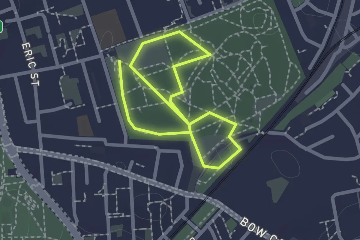
Plantations and parkland walk, Penrose
1.9 km · ↑ 66 m · 37 min
Easy · Trail
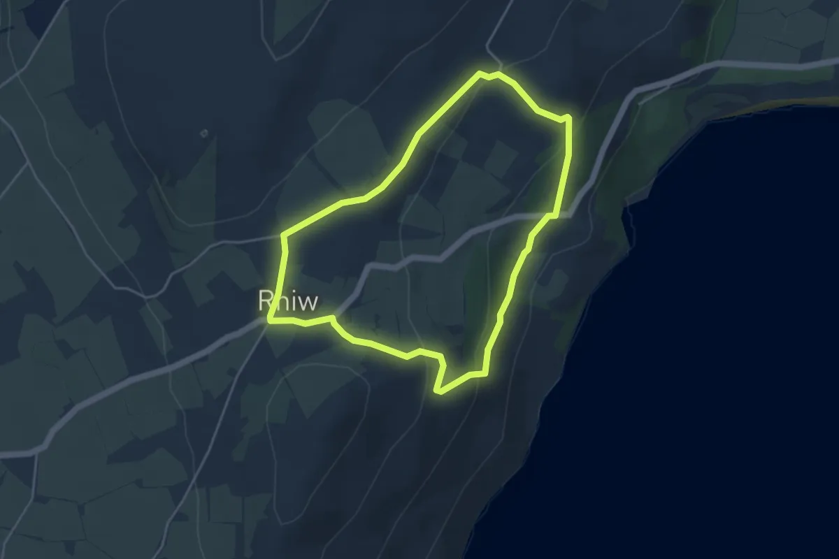
Plants and People Trail
2.7 km · ↑ 0 m · 39 min
Easy · Trail
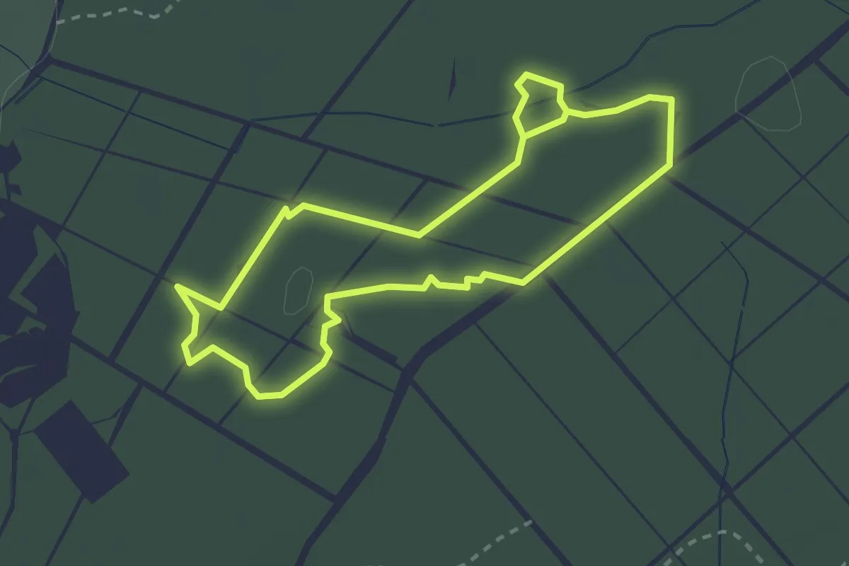
Plas yn Rhiw and Rhiw village walk, Plas yn Rhiw
3.5 km · ↑ 136 m · 1 h 11 min
Easy · Trail
Play Trail
2.2 km · ↑ 9 m · 35 min