Trails in United Kingdom
3,857 hiking trails, each with its route, climb, walking time and grade.
All trails, page 53 of 81
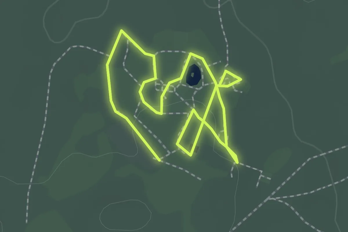
Easy · Trail
Pleasure Gardens Walk
2.9 km · ↑ 4 m · 41 min
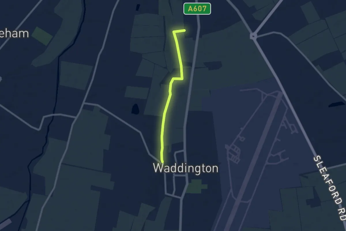
Easy · Trail
Plossland Round
5.0 km · ↑ 4 m · 1 h 11 min
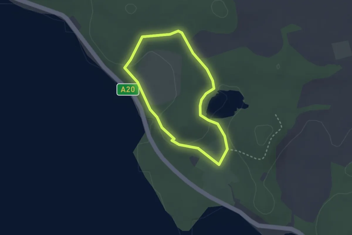
Easy · Trail
Ploughman's Hill Walk, Mount Stewart
1.9 km · ↑ 20 m · 32 min
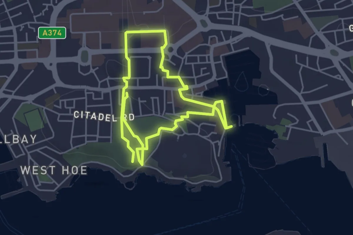
Easy · Trail
Plymouth City Trail
7.2 km · ↑ 70 m · 1 h 51 min
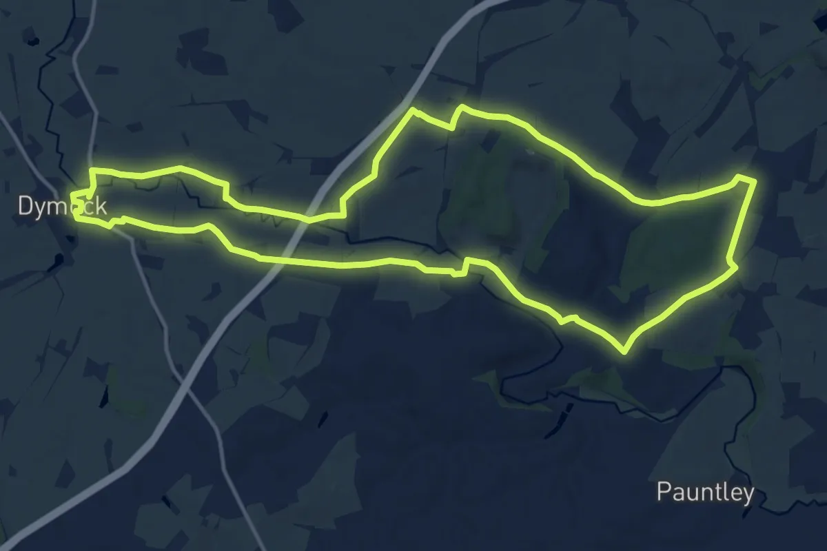
Medium · Trail
Poets' Path No 1
13.0 km · ↑ 106 m · 3 h 29 min
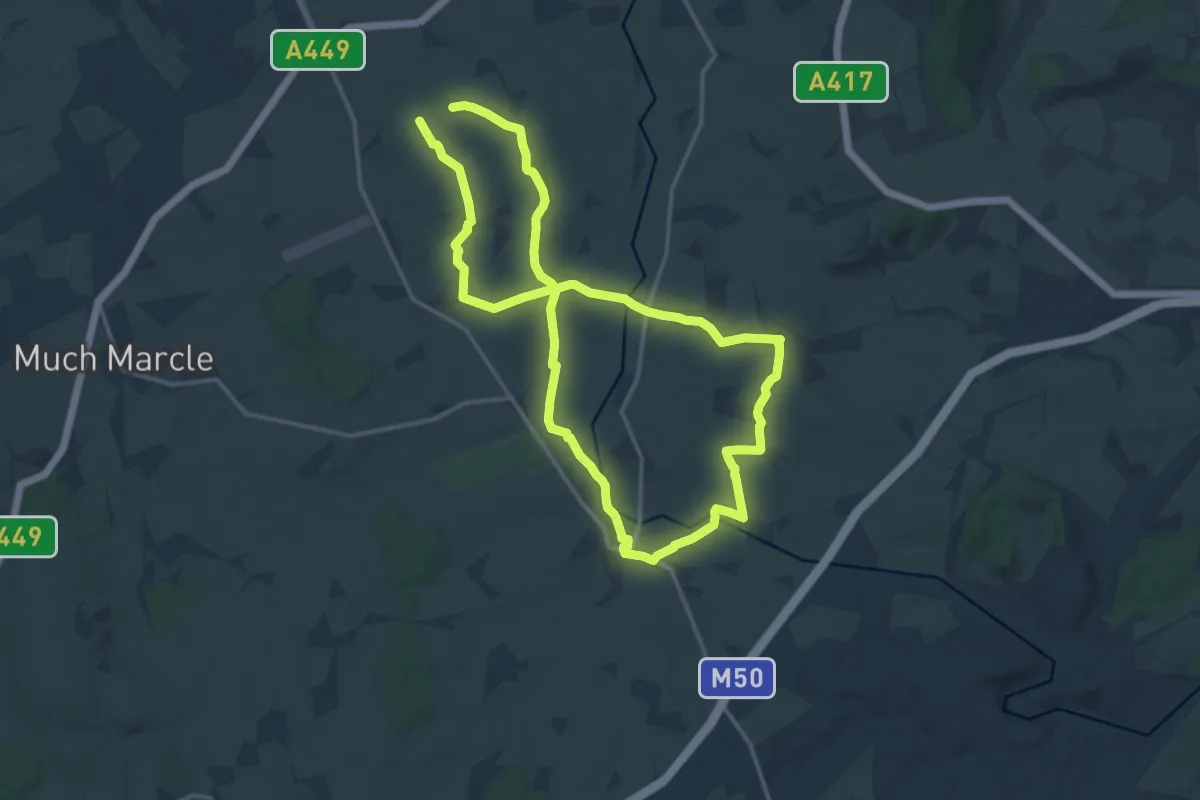
Demanding · Trail
Poets' Path No 2
24.8 km · ↑ 205 m · 6 h 18 min
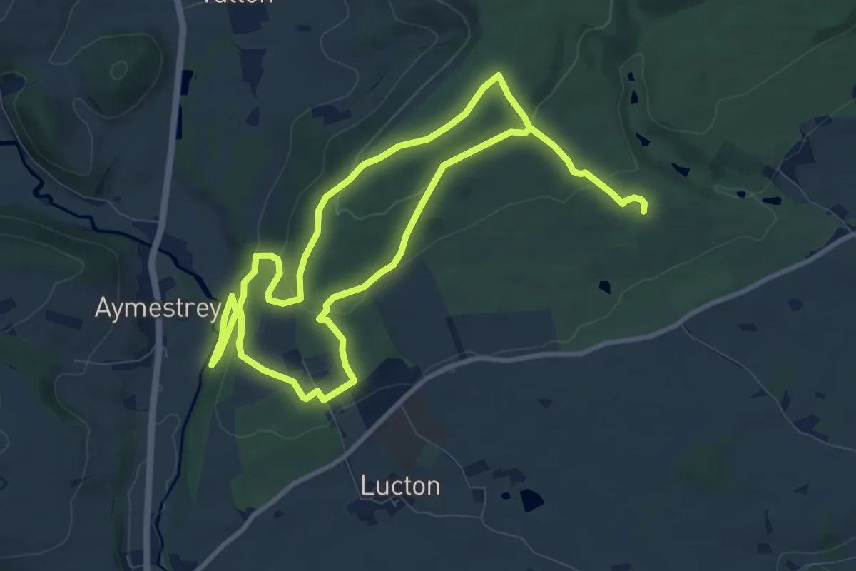
Easy · Trail
Pokehouse wood walk
7.5 km · ↑ 272 m · 2 h 26 min
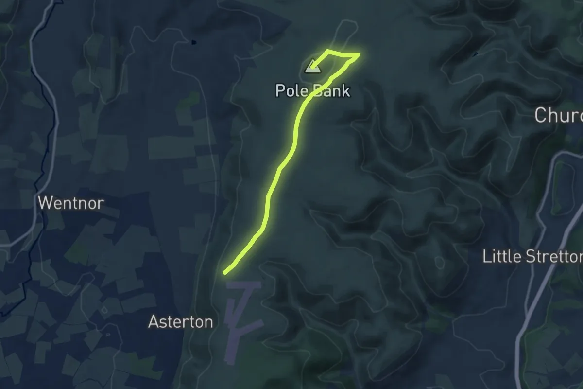
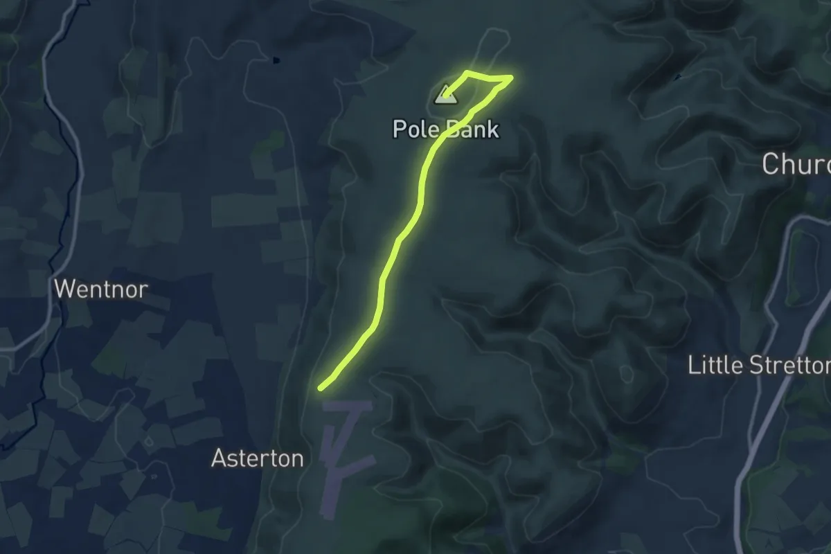
Medium · Summit
Pole Bank Walk
8.2 km · ↑ 121 m · 2 h 13 min
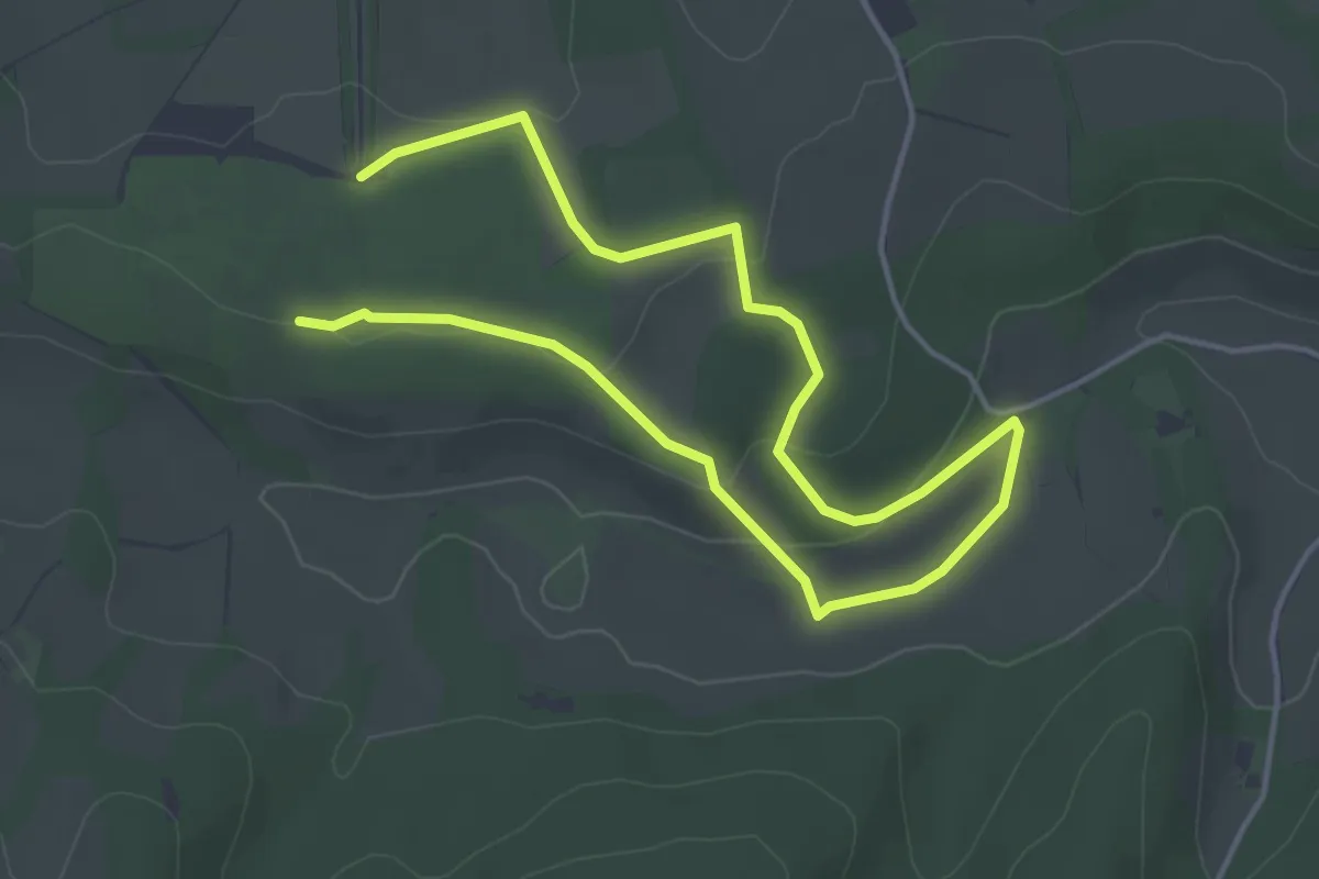
Medium · Summit
Pole Bank Walk
8.2 km · ↑ 121 m · 2 h 13 min
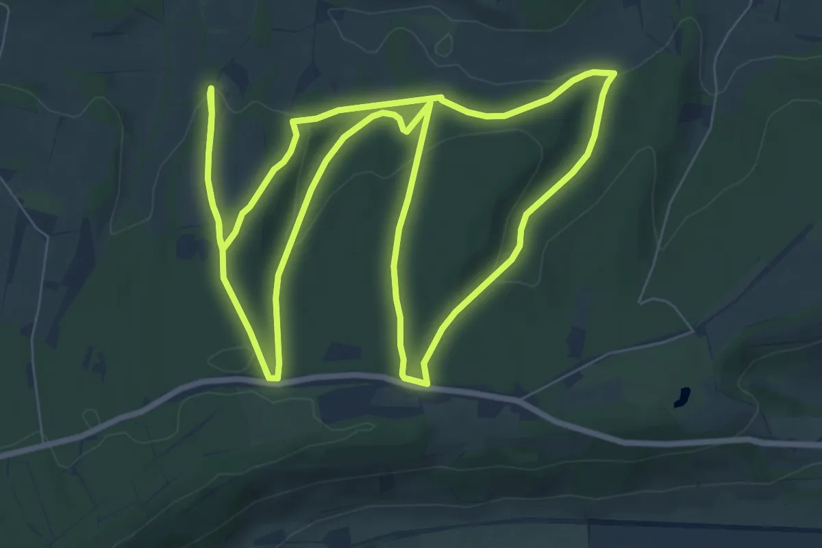
Easy · Trail
Polesden Lacey Butterfly Walk, Polesden Lacey
3.1 km · ↑ 64 m · 54 min
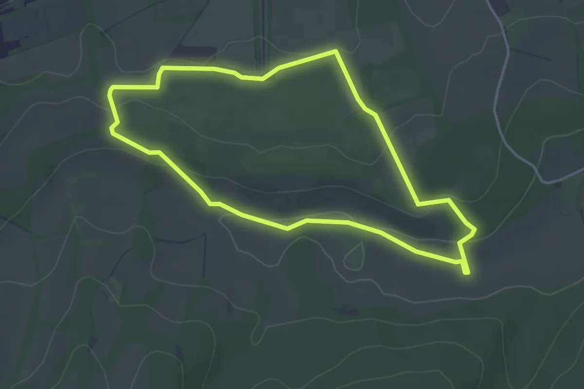
Medium · Trail
Polesden Lacey Ranger Run, Polesden Lacey
8.0 km · ↑ 198 m · 2 h 26 min
Easy · Trail
Polesden Valley Walk, Polesden Lacey
3.4 km · ↑ 55 m · 58 min
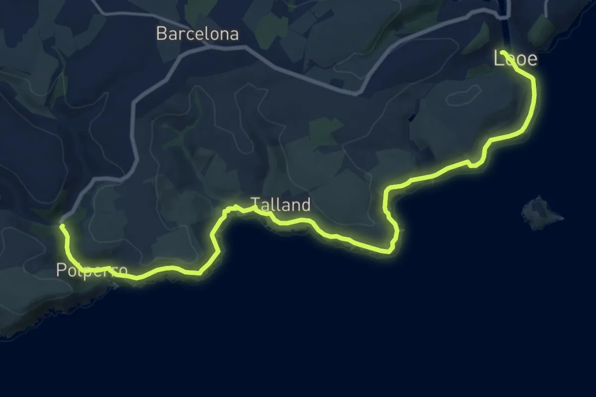
Medium · Trail
Polperro to Looe coast walk, Lantic Bay, Mid & SE Cornwall
16.6 km · ↑ 392 m · 4 h 46 min
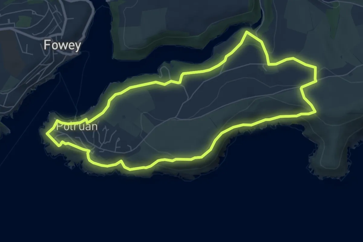
Easy · Trail
Polruan coast and creek walk, Lantic Bay
7.0 km · ↑ 267 m · 2 h 20 min
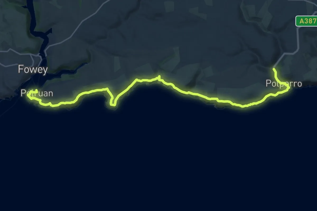
Demanding · Trail
Polruan to Polperro rollercoaster walk, Lansallos
24.1 km · ↑ 1026 m · 7 h 55 min
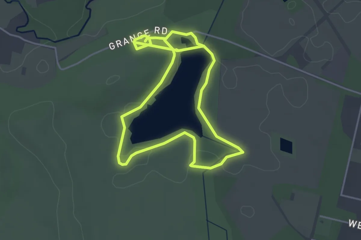
Easy · Trail
Pond Walk, Frensham
3.5 km · ↑ 4 m · 53 min
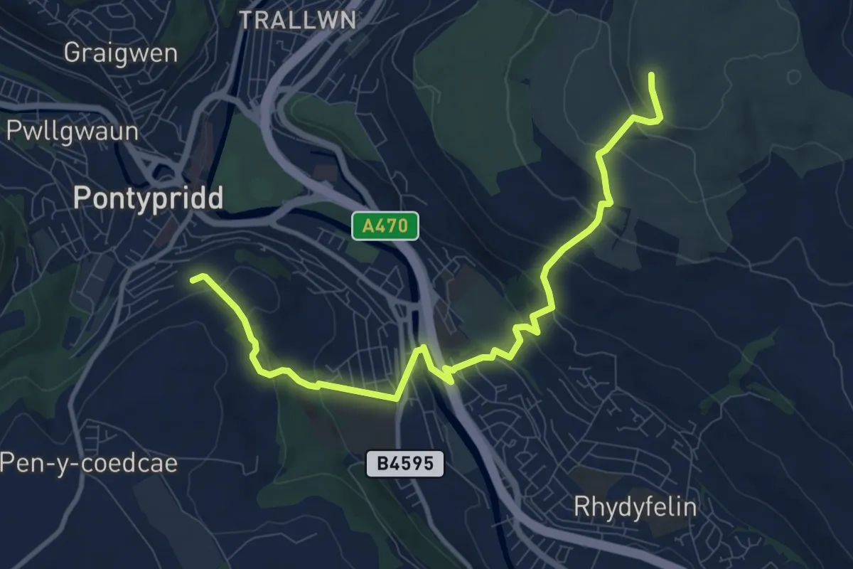
Medium · Summit
Pontypridd Circular
9.6 km · ↑ 475 m · 3 h 17 min
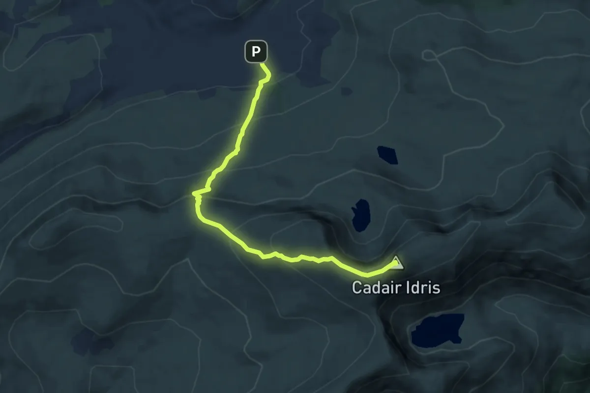
Medium · Summit
Pony Path
8.7 km · ↑ 688 m · 3 h 33 min
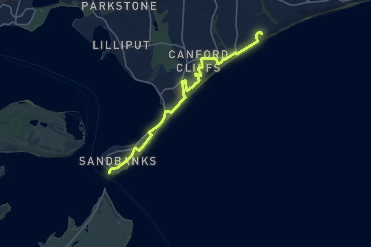
Medium · Trail
Poole Coast Path
12.5 km · ↑ 135 m · 3 h 14 min
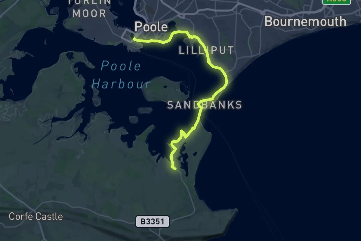
Demanding · Trail
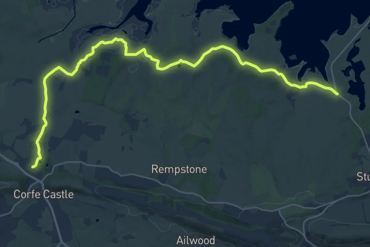
Poole Harbour Trails 1
25.1 km · ↑ 37 m · 6 h
Demanding · Trail
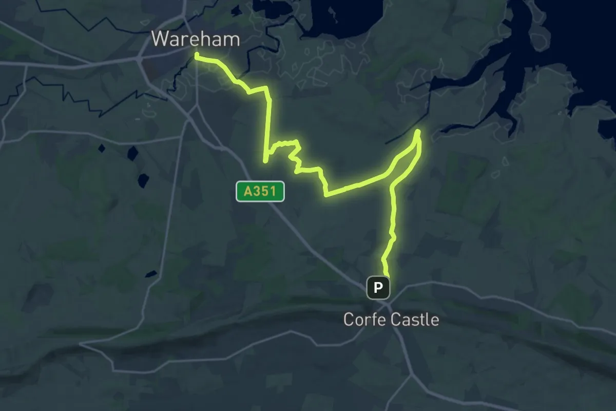
Poole Harbour Trails 2
21.1 km · ↑ 89 m · 5 h 11 min
Demanding · Trail
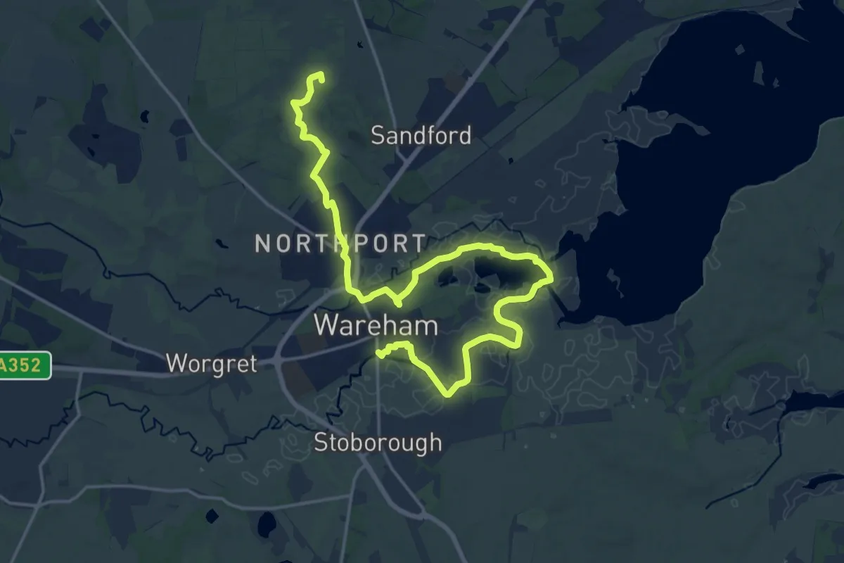
Poole Harbour Trails 3
22.8 km · ↑ 112 m · 5 h 37 min
Demanding · Summit
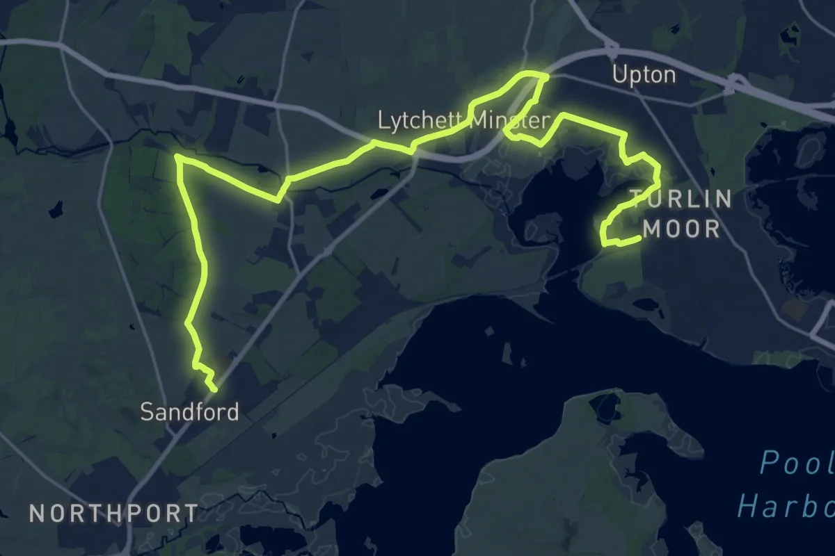
Poole Harbour Trails 4
19.3 km · ↑ 61 m · 4 h 42 min
Demanding · Trail
Poole Harbour Trails 5b
26.1 km · ↑ 72 m · 6 h 19 min
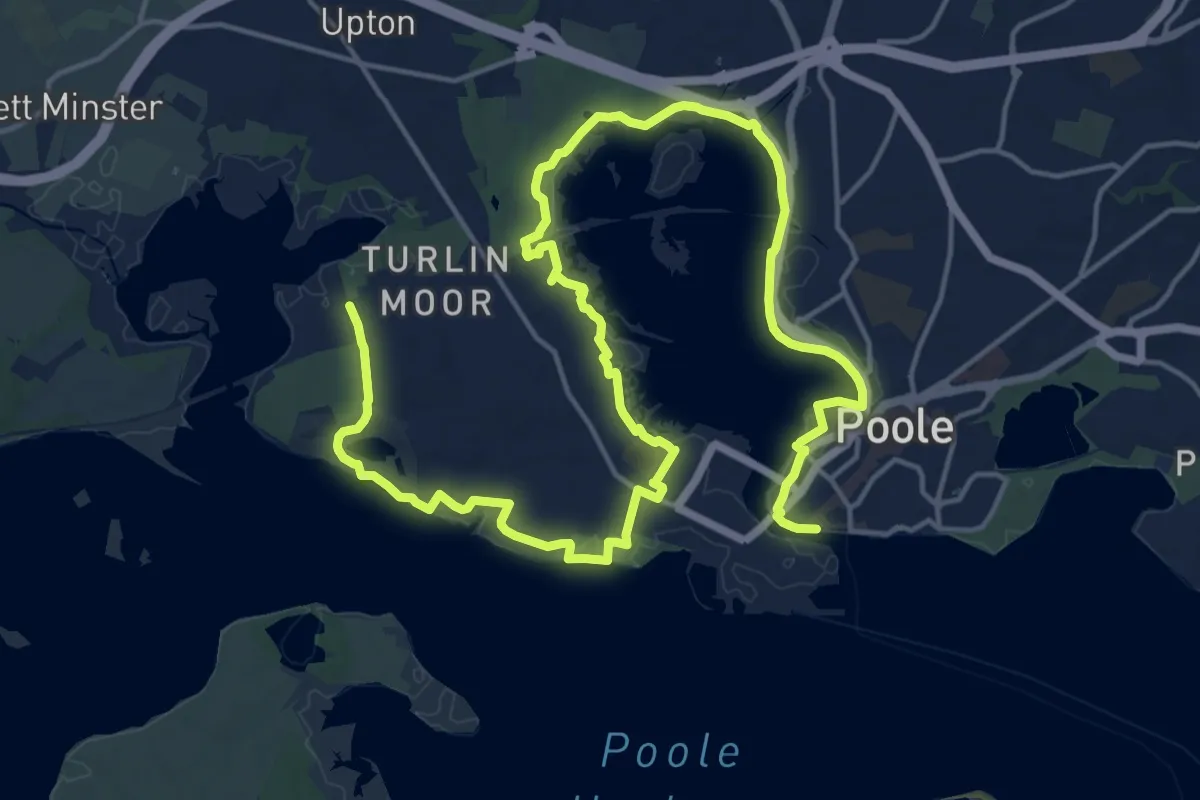
Demanding · Trail
Poole Harbour Trails 6
24.9 km · ↑ 40 m · 5 h 58 min
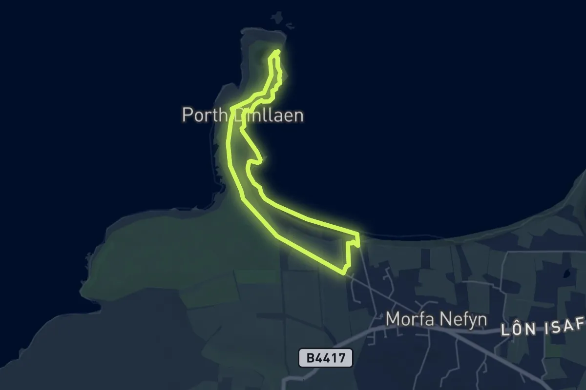
Easy · Trail
Porthdinllaen marine trail on the Llŷn Peninsula, Porthdinllaen
3.9 km · ↑ 43 m · 1 h 5 min
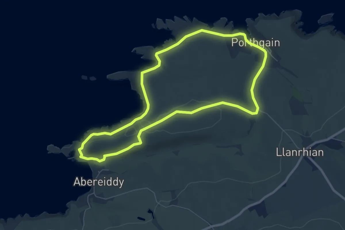
Easy · Trail
Porthgain to Abereiddi Coastal Walk, Pembroke
5.8 km · ↑ 104 m · 1 h 40 min
Easy · Trail
Porthleven BR 13
2.3 km · ↑ 0 m · 33 min
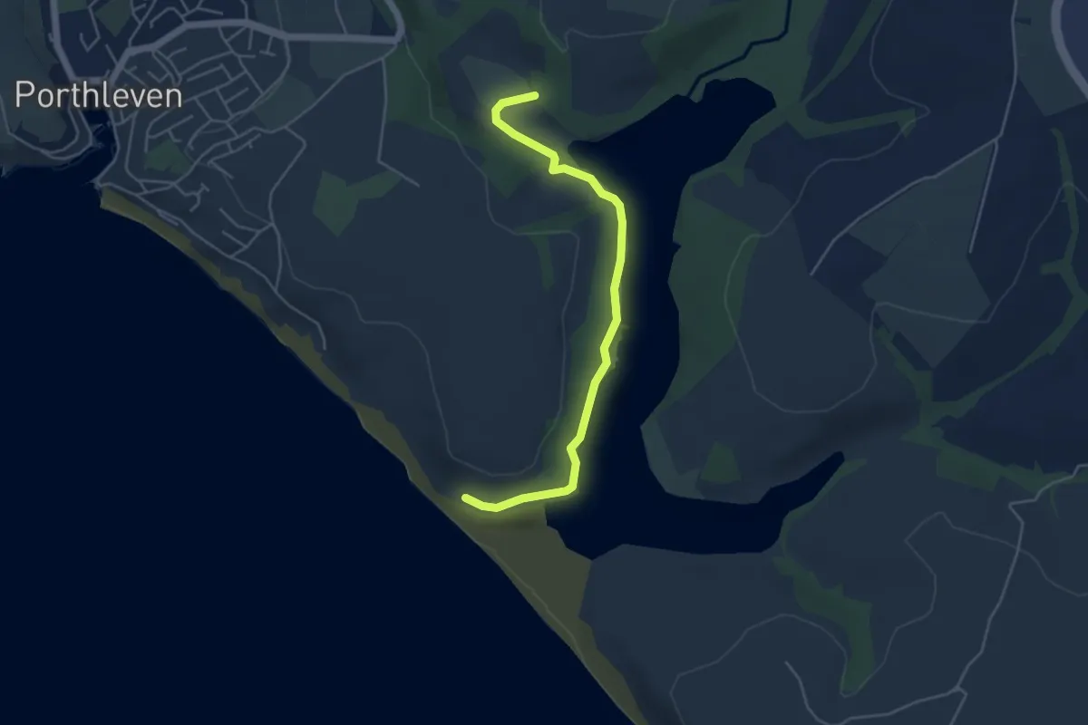
Easy · Trail
Porthleven BR 18
4.4 km · ↑ 44 m · 1 h 8 min
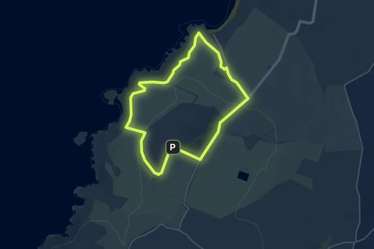
Easy · Summit
Porthor Walk, Llyn
3.3 km · ↑ 101 m · 1 h 2 min
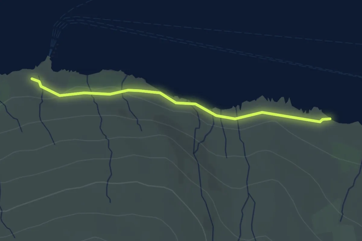
Medium · Trail
Port na Caranean
2.6 km · ↑ 34 m · 41 min
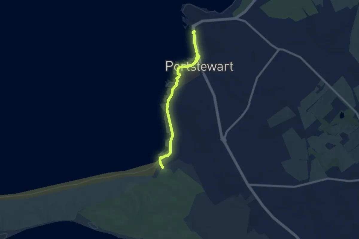
Easy · Trail
Portstewart Cliff Path
4.4 km · ↑ 18 m · 1 h 4 min
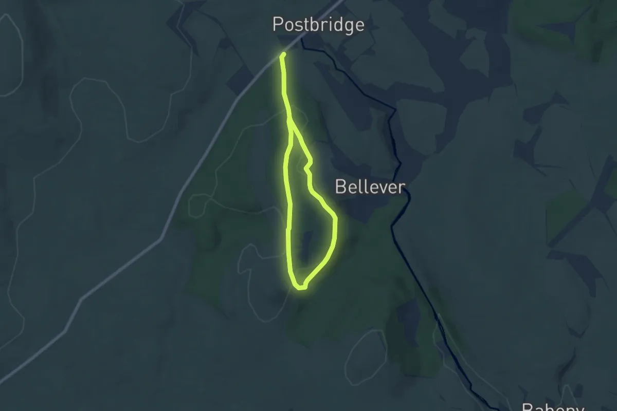
Medium · Trail
Postbridge Trail
8.7 km · ↑ 154 m · 2 h 23 min
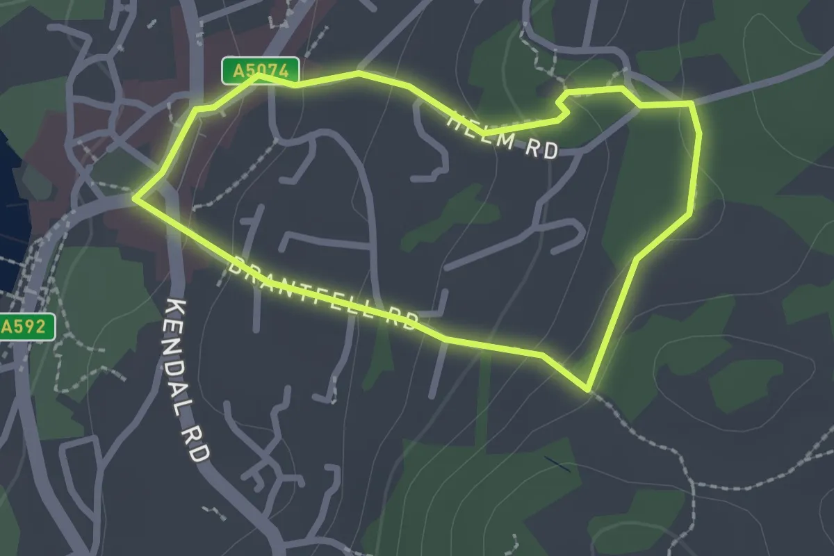
Easy · Trail
Post Knott, Windermere Views Walk, Windermere
1.7 km · ↑ 73 m · 34 min
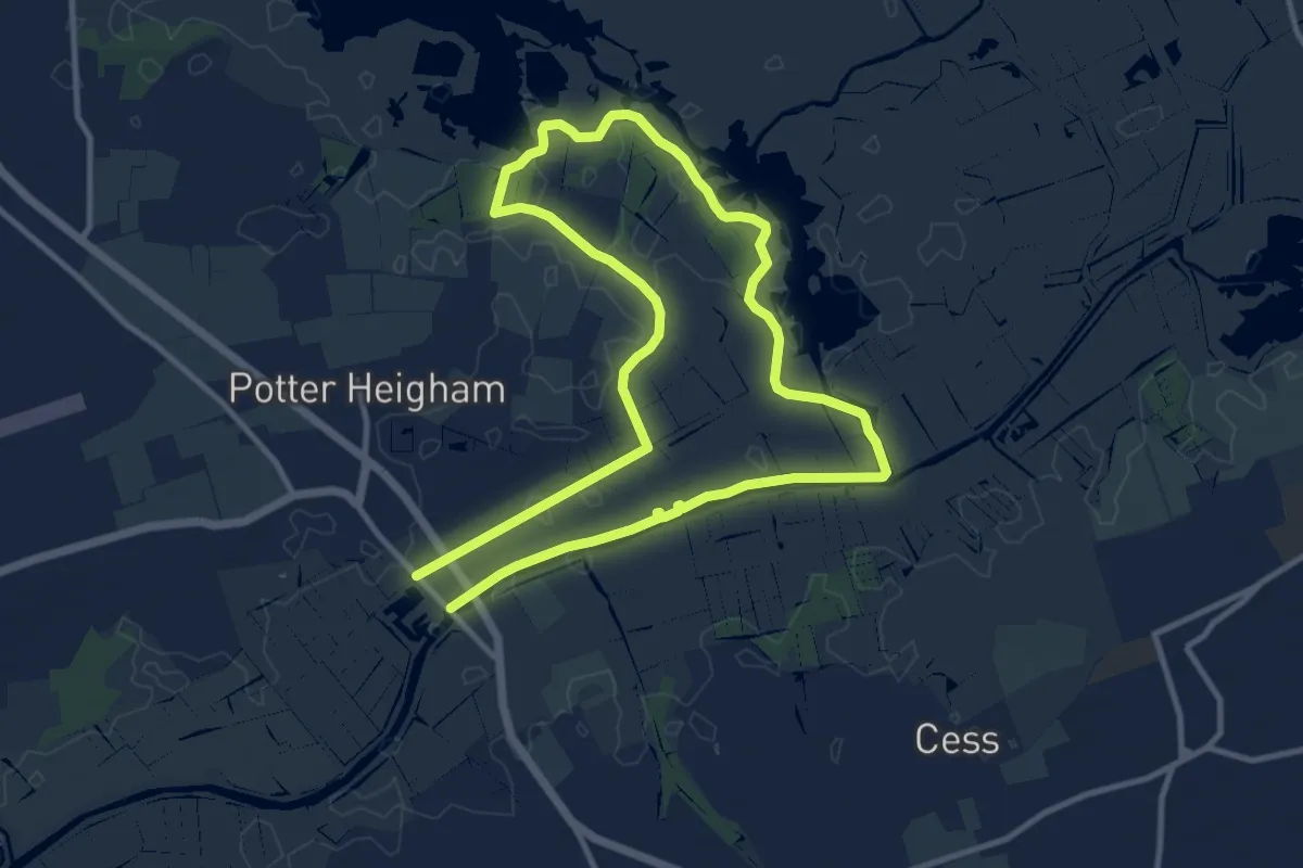
Medium · Trail
Potter Heigham Circular
9.0 km · ↑ 0 m · 2 h 14 min
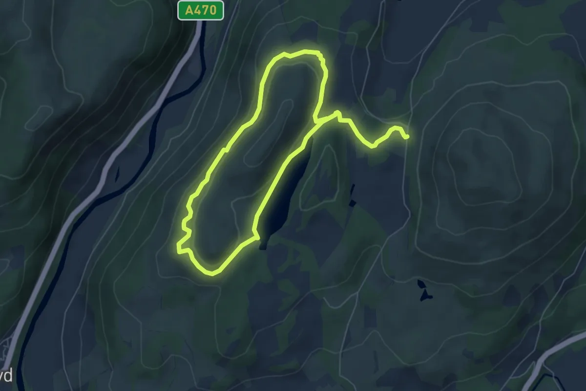
Easy · Summit
Precipice Walk
4.8 km · ↑ 132 m · 1 h 30 min
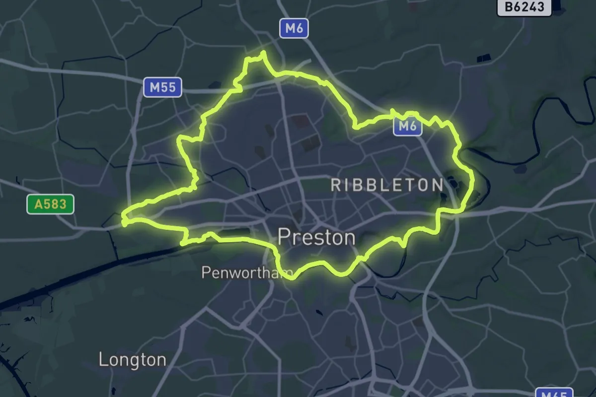
Demanding · Trail
Preston Guild Wheel
33.7 km · ↑ 118 m · 8 h 40 min
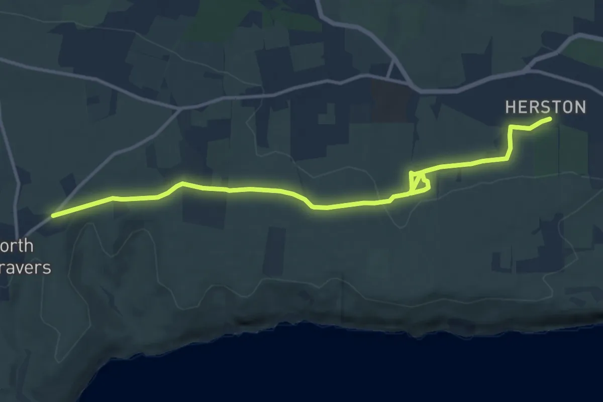
Medium · Trail
Priest's Way
10.4 km · ↑ 127 m · 2 h 44 min
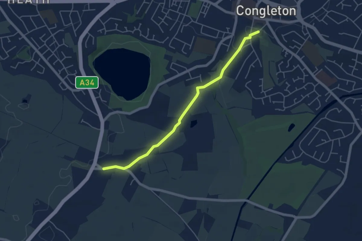
Easy · Trail
Priesty Trail
3.9 km · ↑ 36 m · 1 h
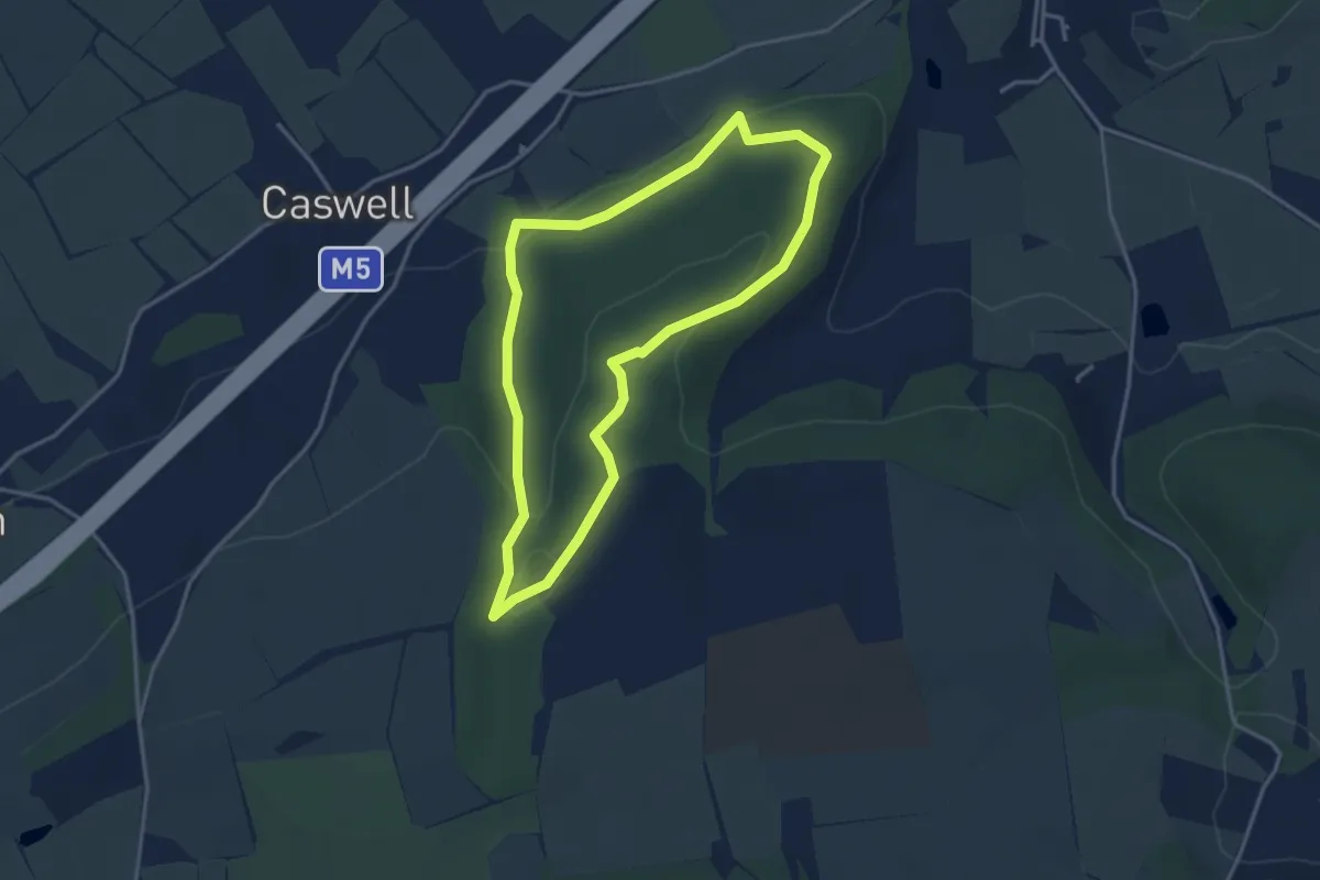
Easy · Trail
Prior's Wood
3.1 km · ↑ 95 m · 59 min
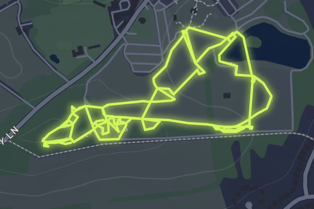
Easy · Trail
Priory Farm Discovery Trail
5.6 km · ↑ 97 m · 1 h 32 min
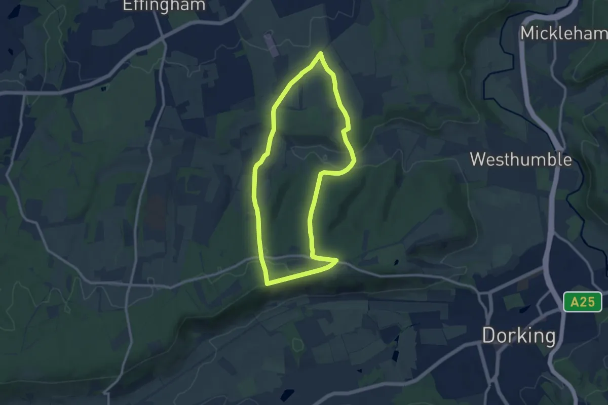
Easy · Trail
Prospects of Polesden (SCC)
7.9 km · ↑ 175 m · 2 h 21 min
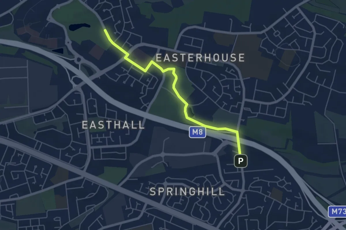
Easy · Trail
Provan Hall Trail
4.3 km · ↑ 18 m · 1 h 3 min
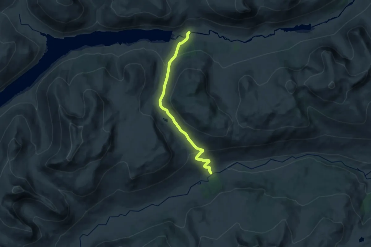
Medium · Trail
Pubil to Glenknock (The hydro road)
14.6 km · ↑ 469 m · 4 h 28 min
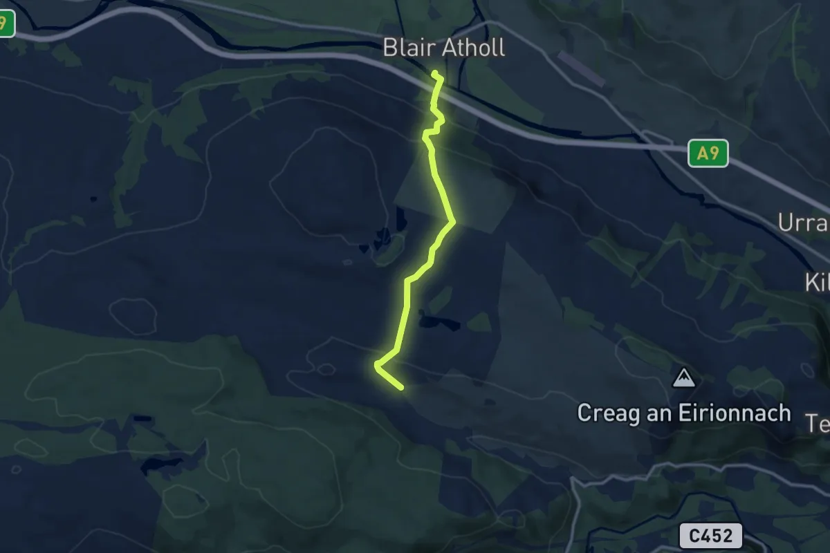
Medium · Trail
Public Footpath to Blair Atholl
7.4 km · ↑ 368 m · 2 h 33 min
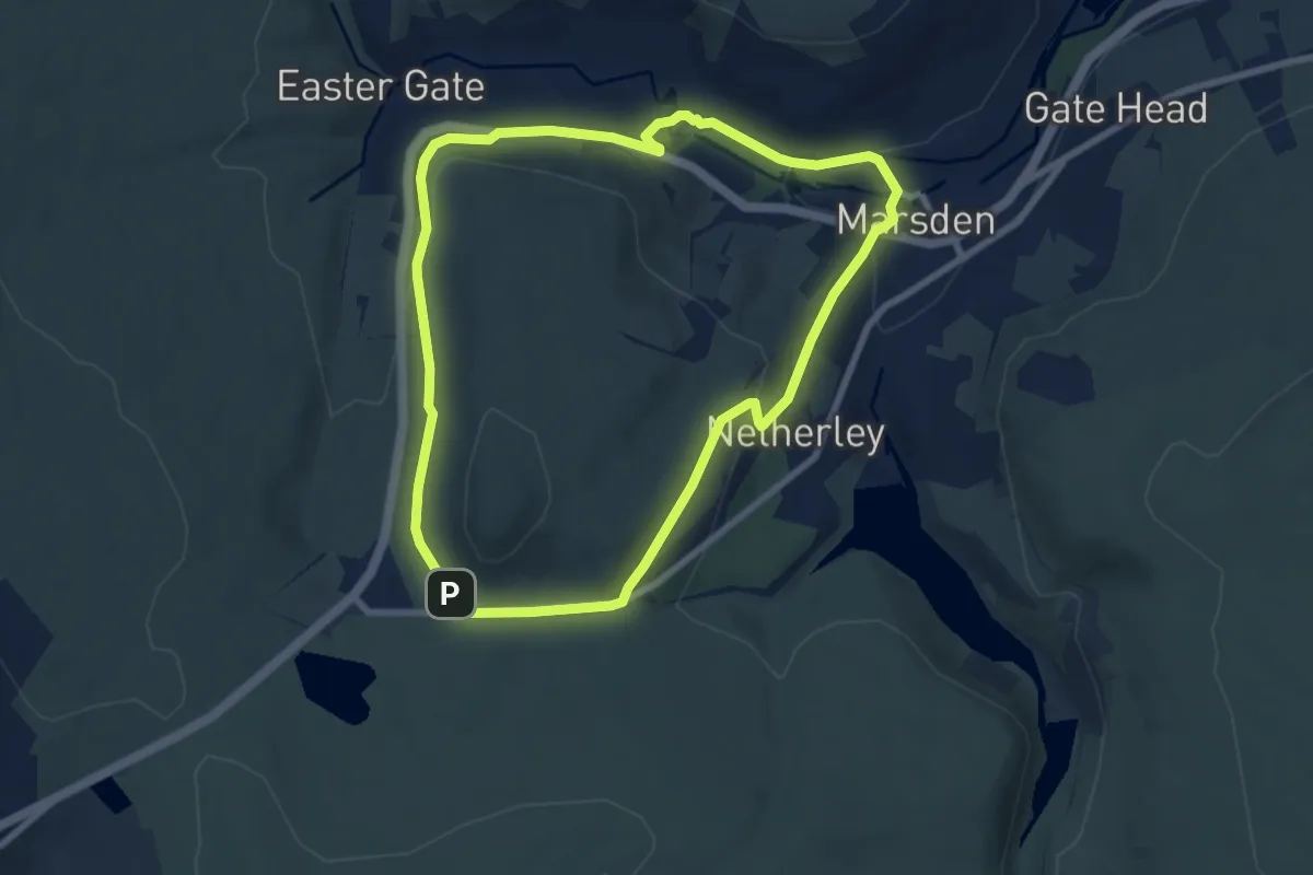
Easy · Trail
Pule Hill Walk, Marsden Moor
6.7 km · ↑ 182 m · 2 h 4 min
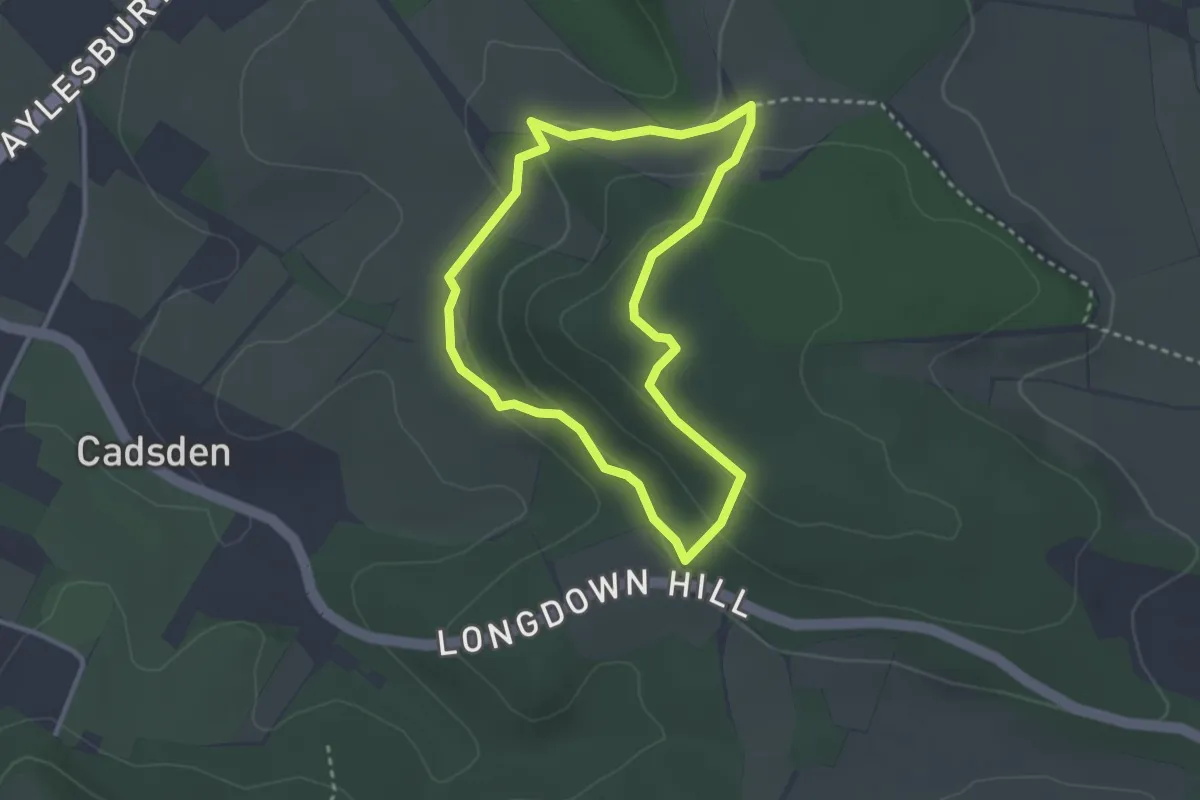
Easy · Summit
Pulpit Hill Fort and Nature Reserves Circular Walk, Central Chilterns
2.5 km · ↑ 78 m · 48 min
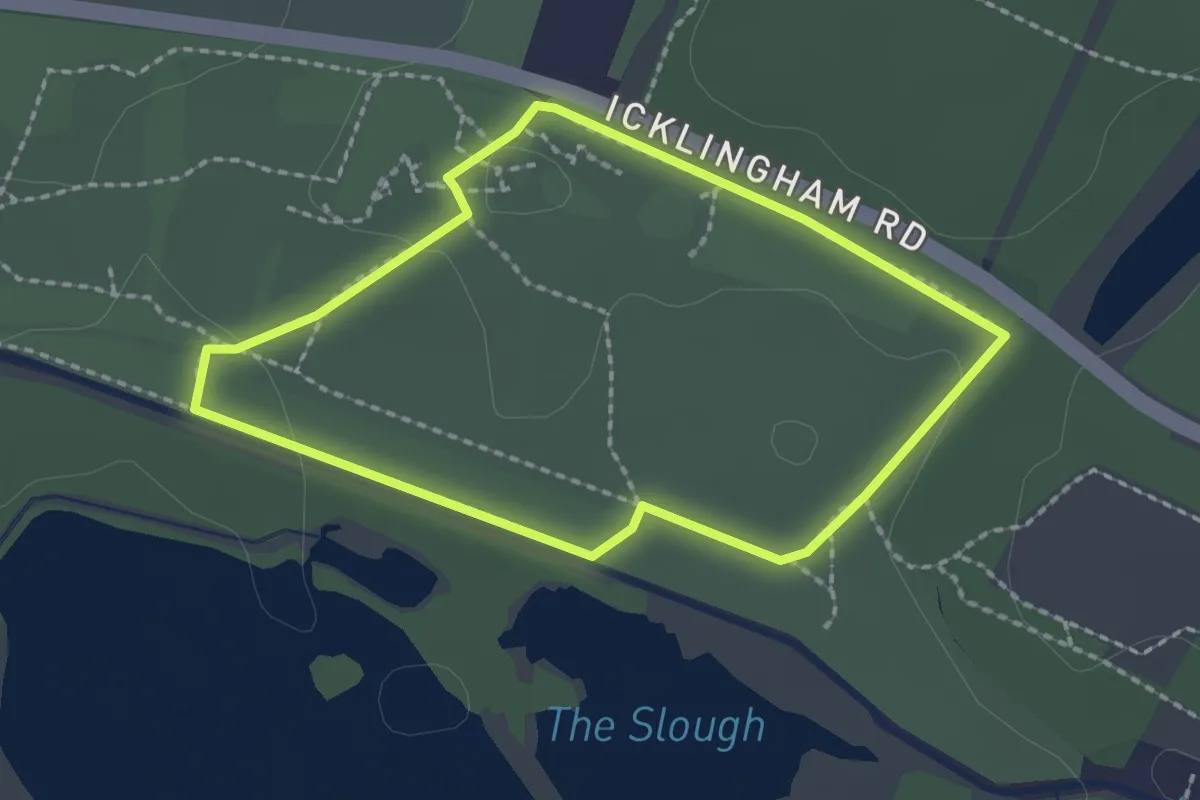
Easy · Trail
Pumphouse Route
1.7 km · ↑ 4 m · 26 min