Trails in United Kingdom
3,857 hiking trails, each with its route, climb, walking time and grade.
All trails, page 55 of 81
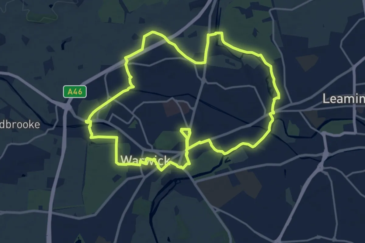
Medium · Trail
Rail Trail: Warwick Circular
12.0 km · ↑ 45 m · 3 h 7 min
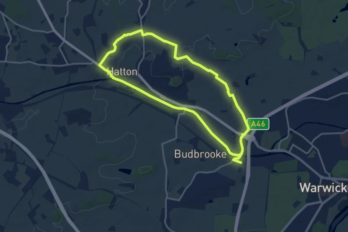
Medium · Trail
Rail Trail: Warwick Parkway Circular via Hatton
8.1 km · ↑ 54 m · 2 h 8 min
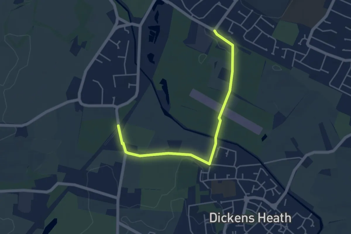
Easy · Trail
Rail Trail: Whitlocks End > Shirley
3.8 km · ↑ 0 m · 53 min
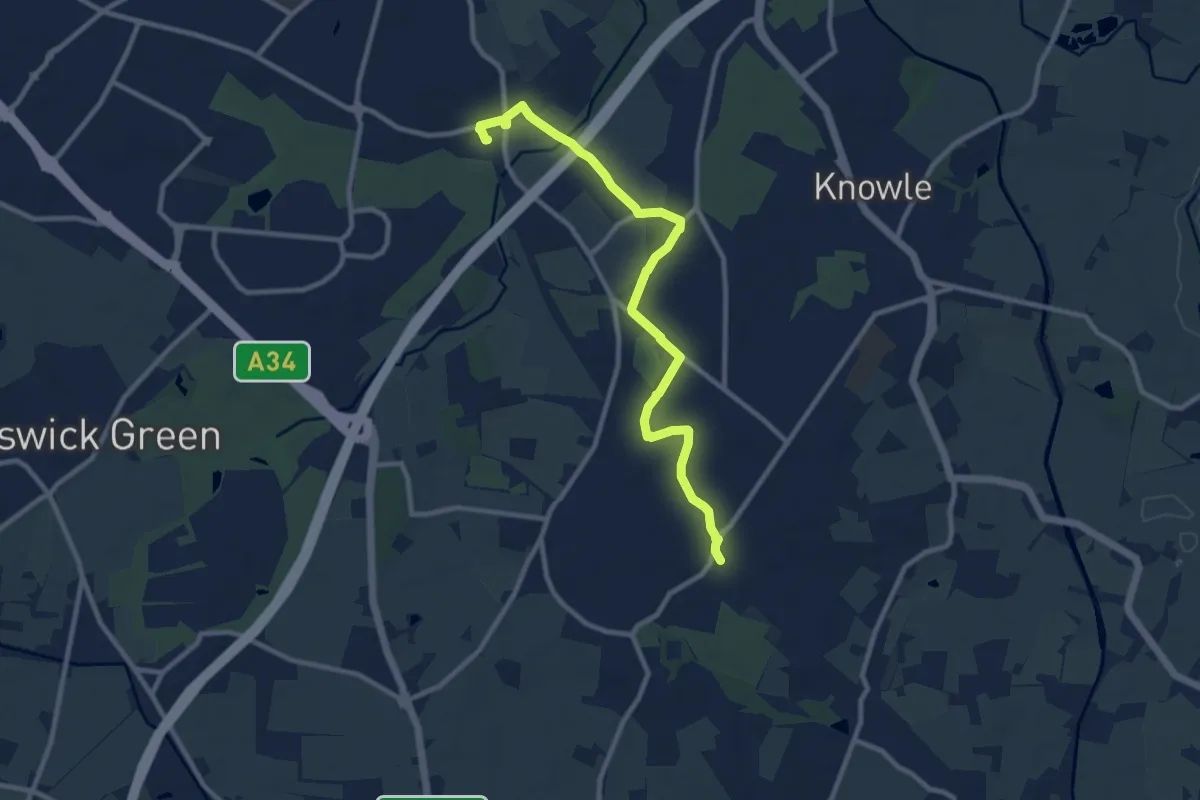
Medium · Trail
Rail Trail: Widney Manor > Dorridge
9.2 km · ↑ 27 m · 2 h 14 min
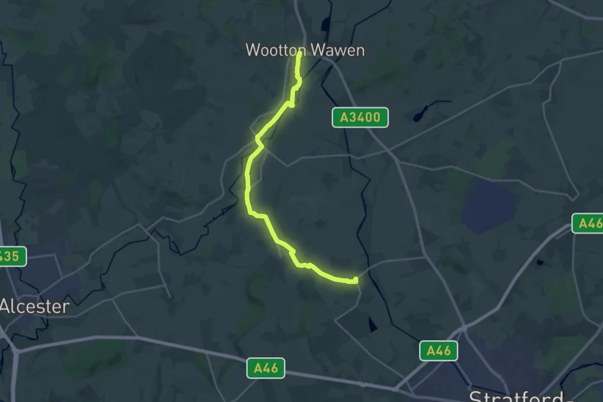
Medium · Trail
Rail Trail: Wilmcote > Wootton Wawen
15.6 km · ↑ 74 m · 3 h 50 min
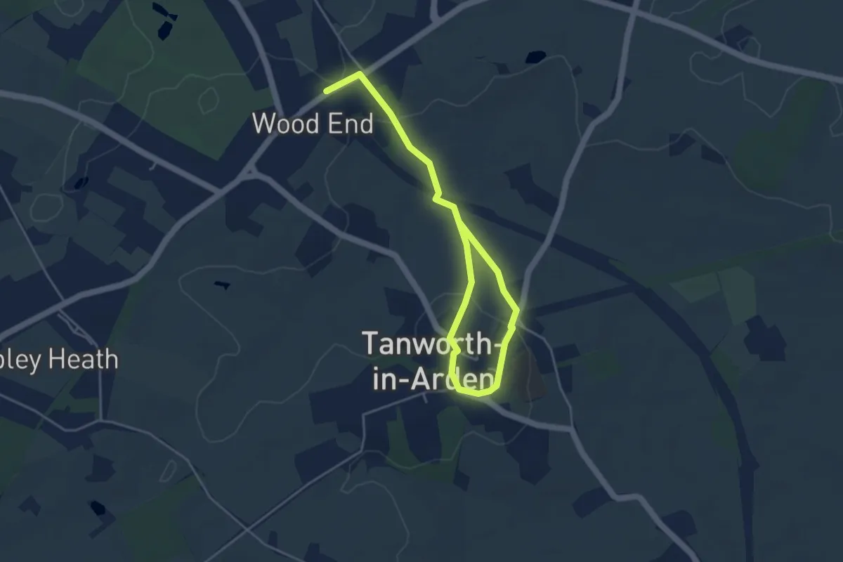
Easy · Trail
Rail Trail: Wood End Circular
2.3 km · ↑ 26 m · 39 min
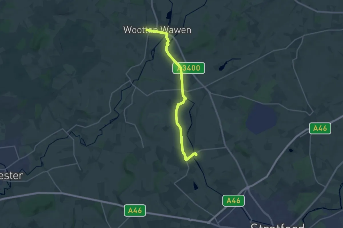
Medium · Trail
Rail Trail: Wootton Wawen > Wilmcote
14.2 km · ↑ 56 m · 3 h 28 min
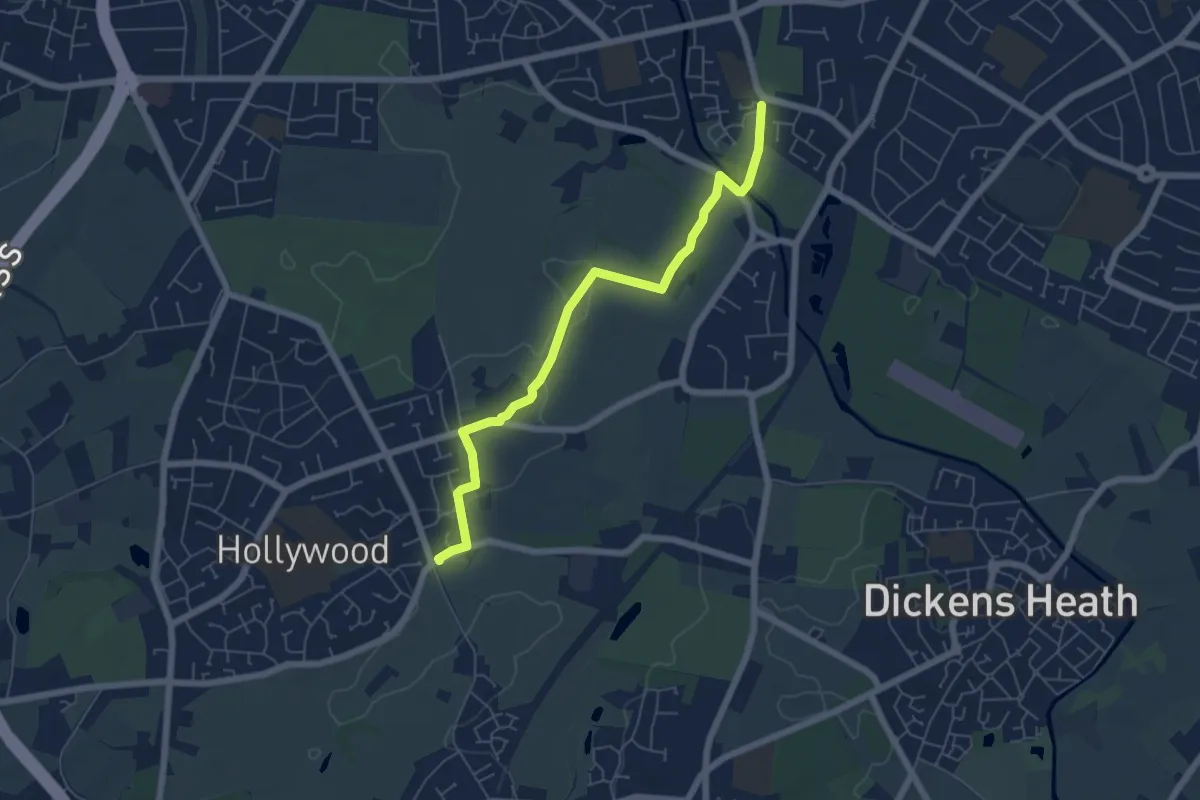
Easy · Trail
Rail Trail: Wythall > Shirley
5.5 km · ↑ 30 m · 1 h 21 min
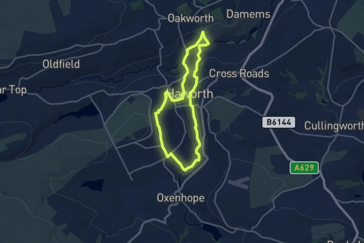
Easy · Trail
Railway Children Walk
8.0 km · ↑ 166 m · 2 h 21 min
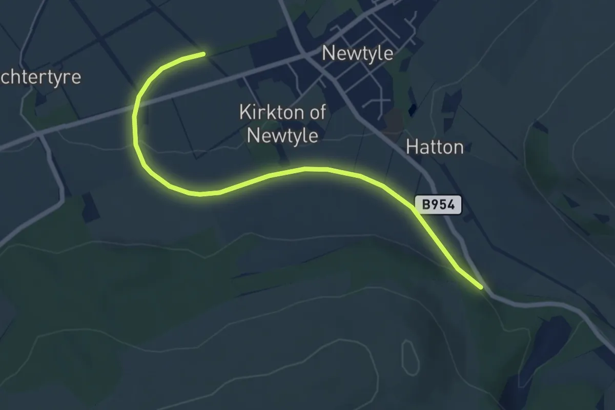
Easy · Trail
Railway Loop Path
4.7 km · ↑ 56 m · 1 h 14 min
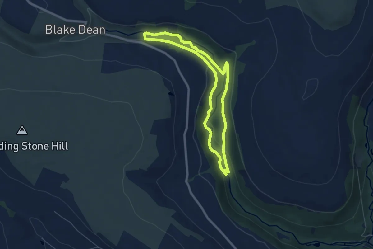
Easy · Trail
Railway Trail Walk, Hardcaslte Crags
4.7 km · ↑ 79 m · 1 h 21 min
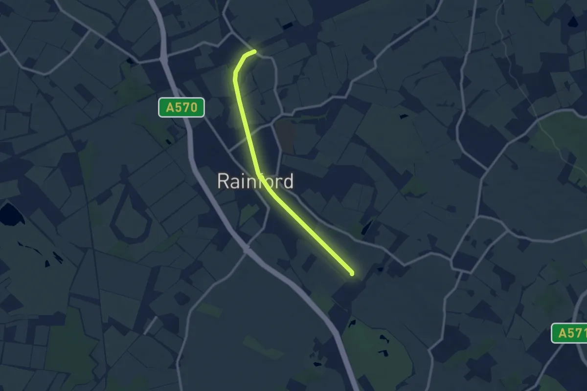
Easy · Trail
Rainford Linear Park
7.0 km · ↑ 21 m · 1 h 42 min
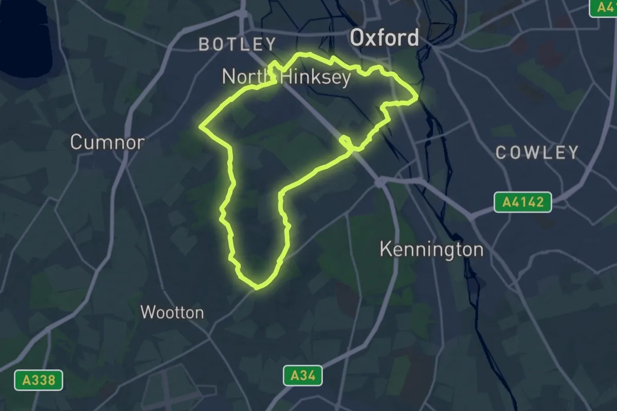
Medium · Summit
Ramblers Jubilee Circular Walk
15.7 km · ↑ 176 m · 4 h 18 min
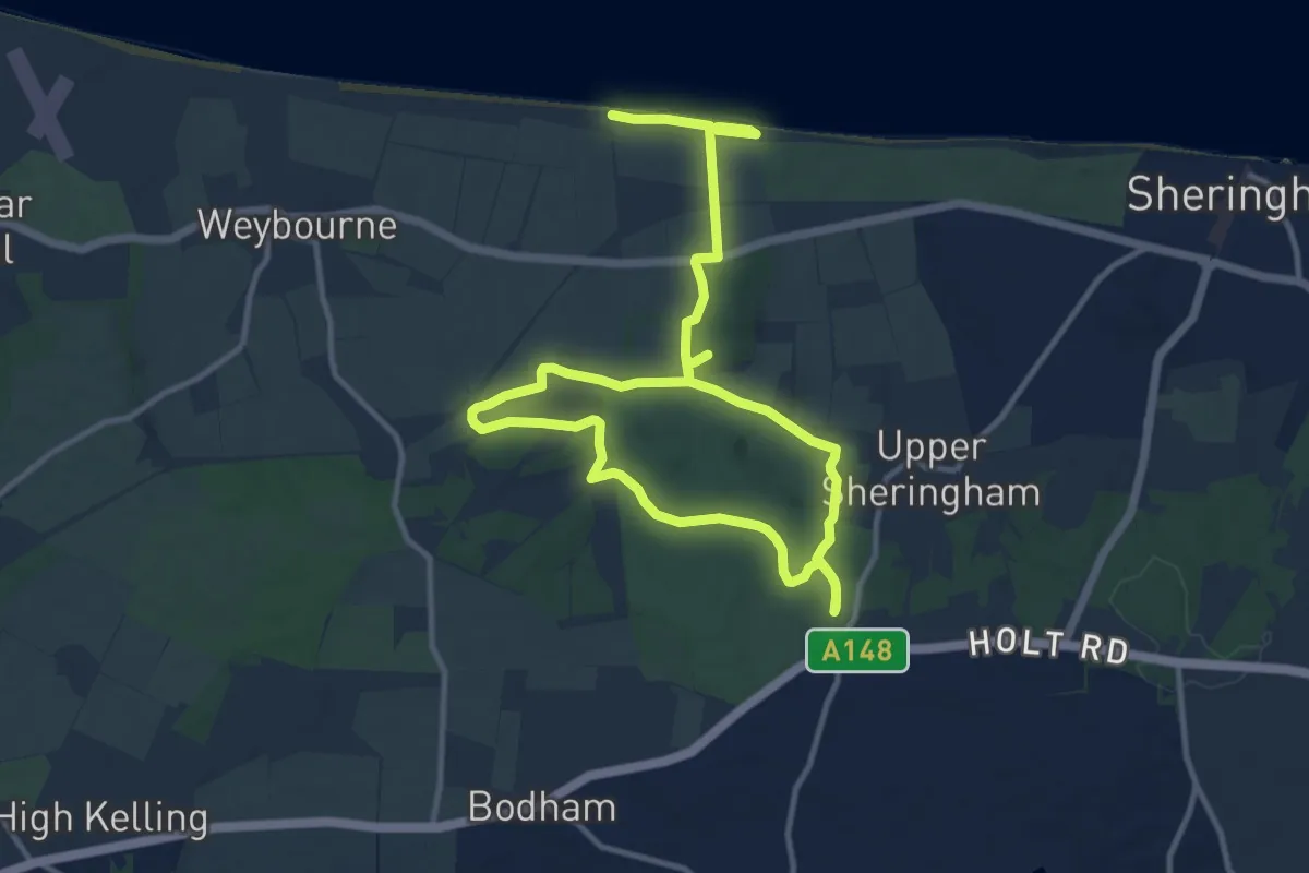
Medium · Trail
Ramblers Route, Sheringham Park
8.2 km · ↑ 82 m · 2 h 16 min
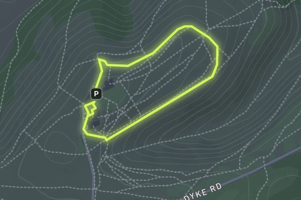
Easy · Trail
Rampart Ramble, Sussex East
1.6 km · ↑ 36 m · 28 min
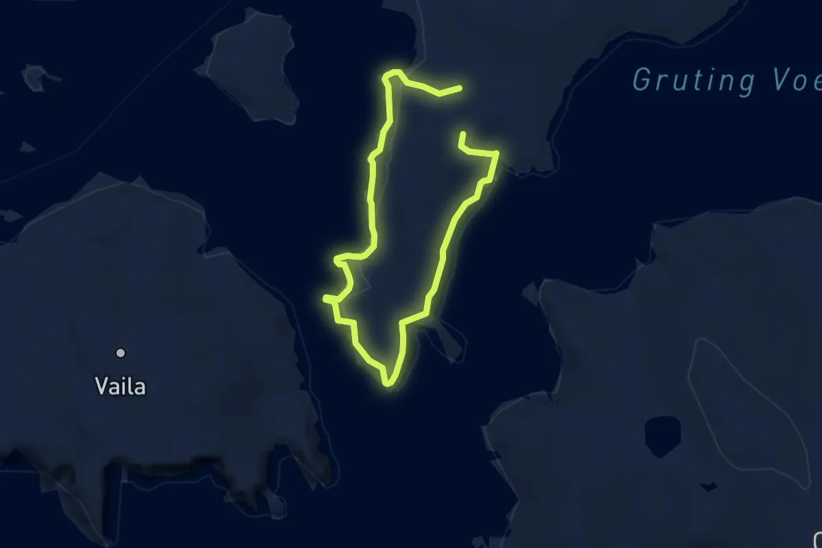
Medium · Trail
Rams Head Lighthouse, Whitesness
9.2 km · ↑ 83 m · 2 h 21 min
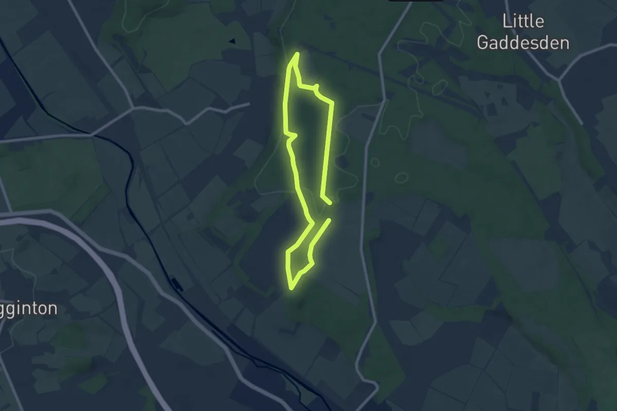
Easy · Trail
Rangers' Ramble, Ashridge Estate
5.6 km · ↑ 40 m · 1 h 29 min
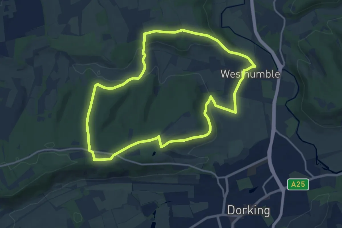
Medium · Trail
Ranmore Circular (SCC)
9.5 km · ↑ 213 m · 2 h 50 min
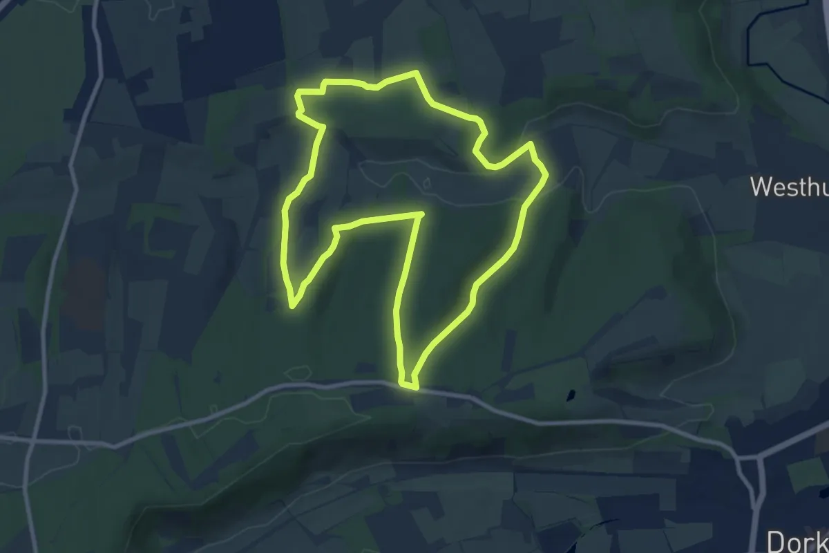
Easy · Trail
Ranmore Common Walk, Polesden Lacey
8.0 km · ↑ 206 m · 2 h 27 min
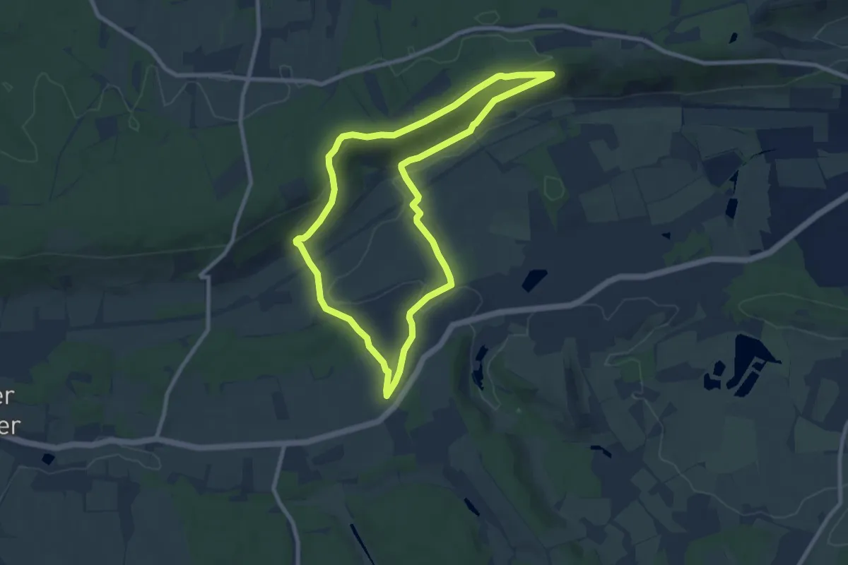
Easy · Trail
Ranmore West to Wotton Hatch Pub Walk, North Downs West
7.3 km · ↑ 172 m · 2 h 11 min
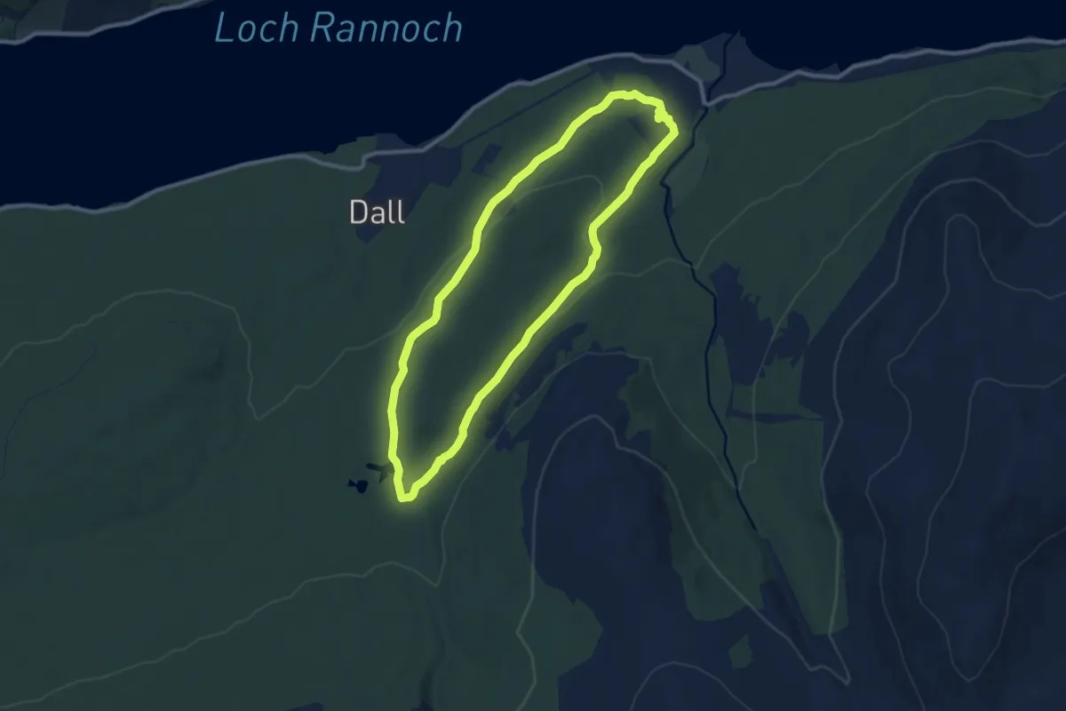
Easy · Trail
Rannoch Forest Walk
7.8 km · ↑ 134 m · 2 h 14 min
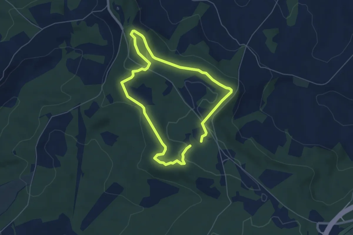
Easy · Trail
Raptor Trail
4.5 km · ↑ 93 m · 1 h 19 min
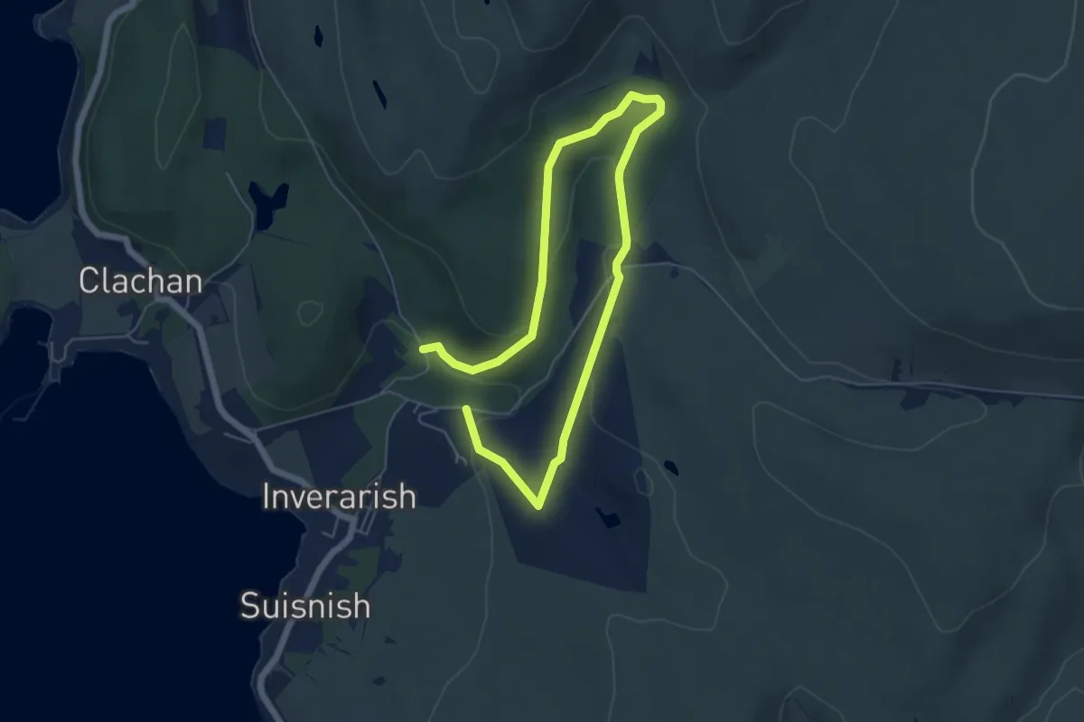
Easy · Trail
Rathad Bhurma agus Slighe nam Mèinnearan / Burma Road and Miners' Trail
6.7 km · ↑ 155 m · 1 h 55 min
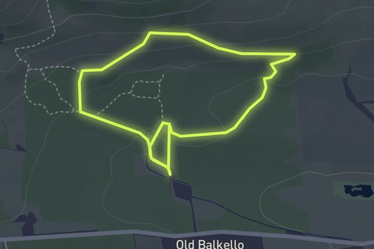
Easy · Trail
Raven Trail
2.5 km · ↑ 70 m · 47 min
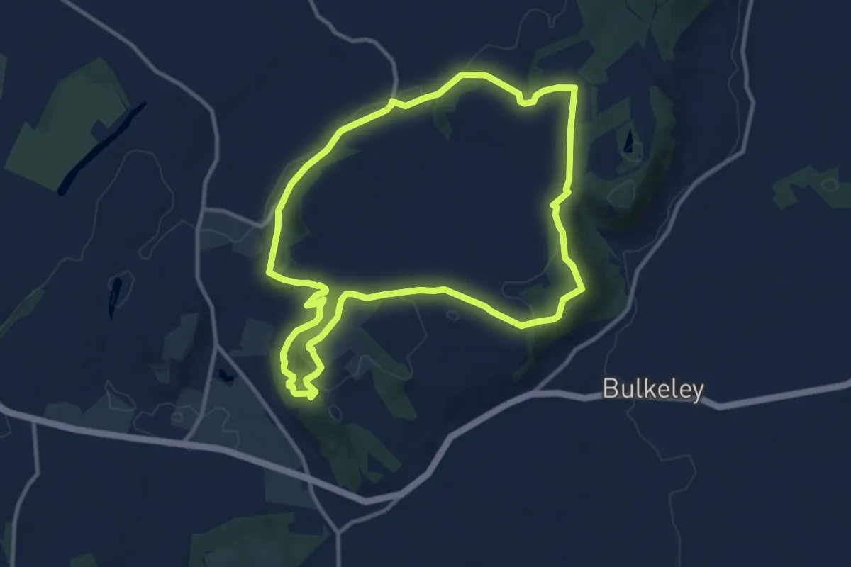
Medium · Summit
Raw Head
8.8 km · ↑ 238 m · 2 h 42 min
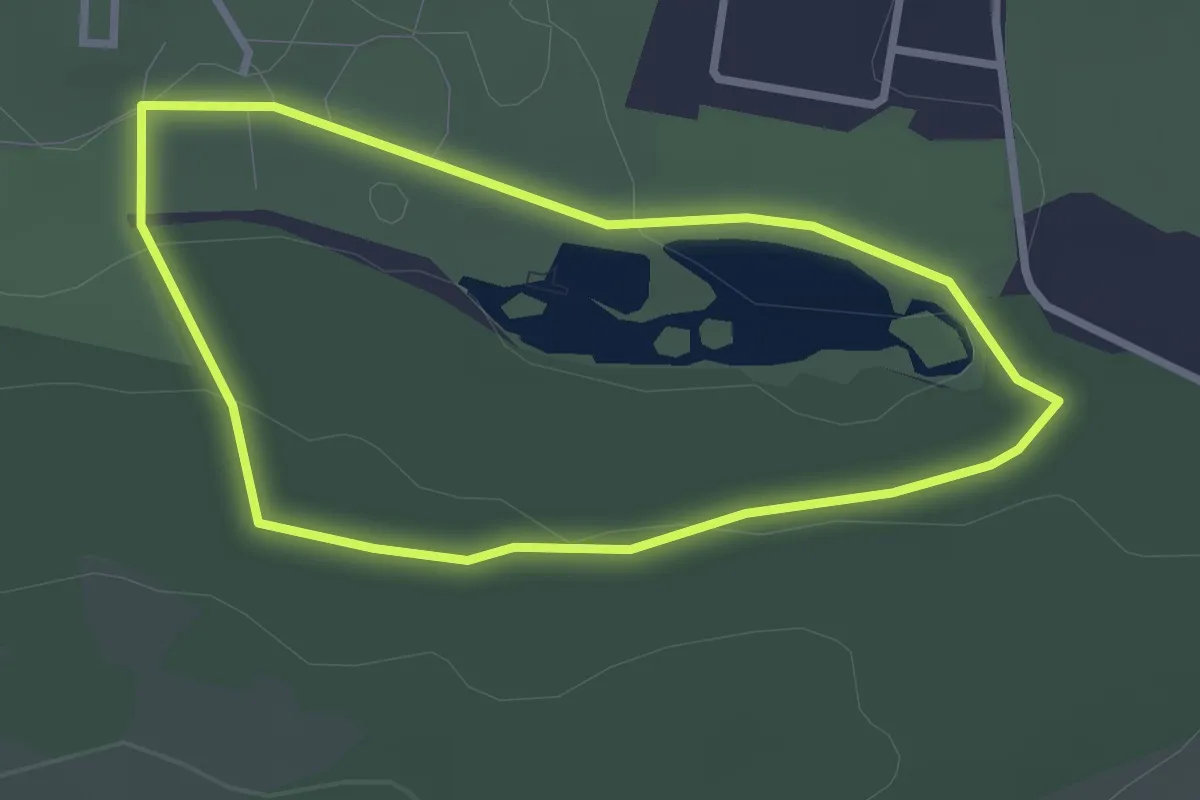
Easy · Trail
red
2.1 km · ↑ 31 m · 36 min
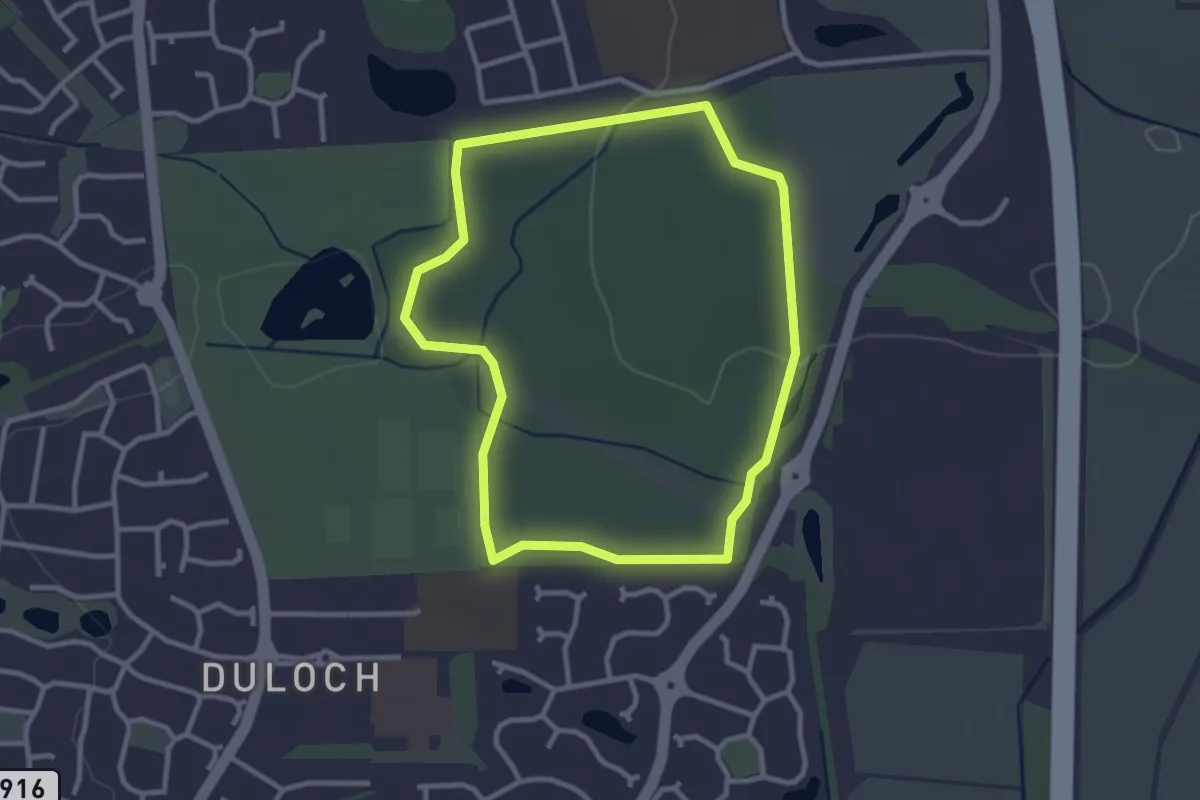
Easy · Trail
red
2.3 km · ↑ 21 m · 37 min
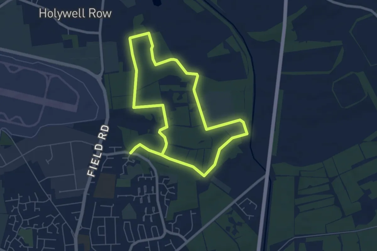
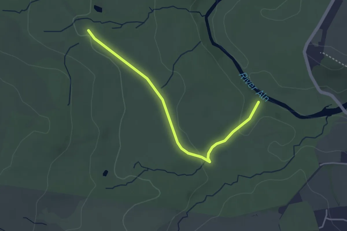
Medium · Trail
Red
9.9 km · ↑ 0 m · 2 h 20 min
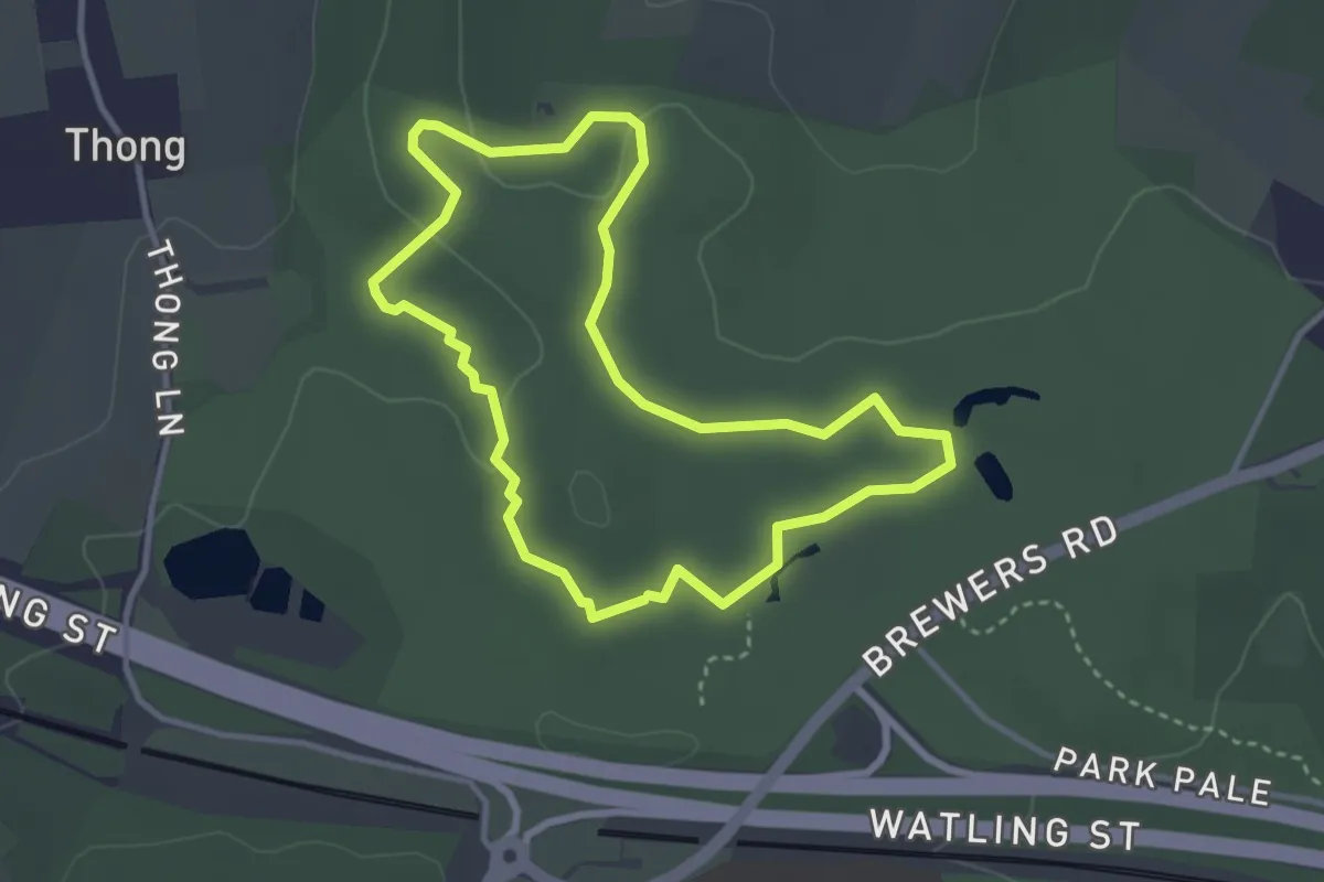
Easy · Trail
Red
3.0 km · ↑ 51 m · 49 min
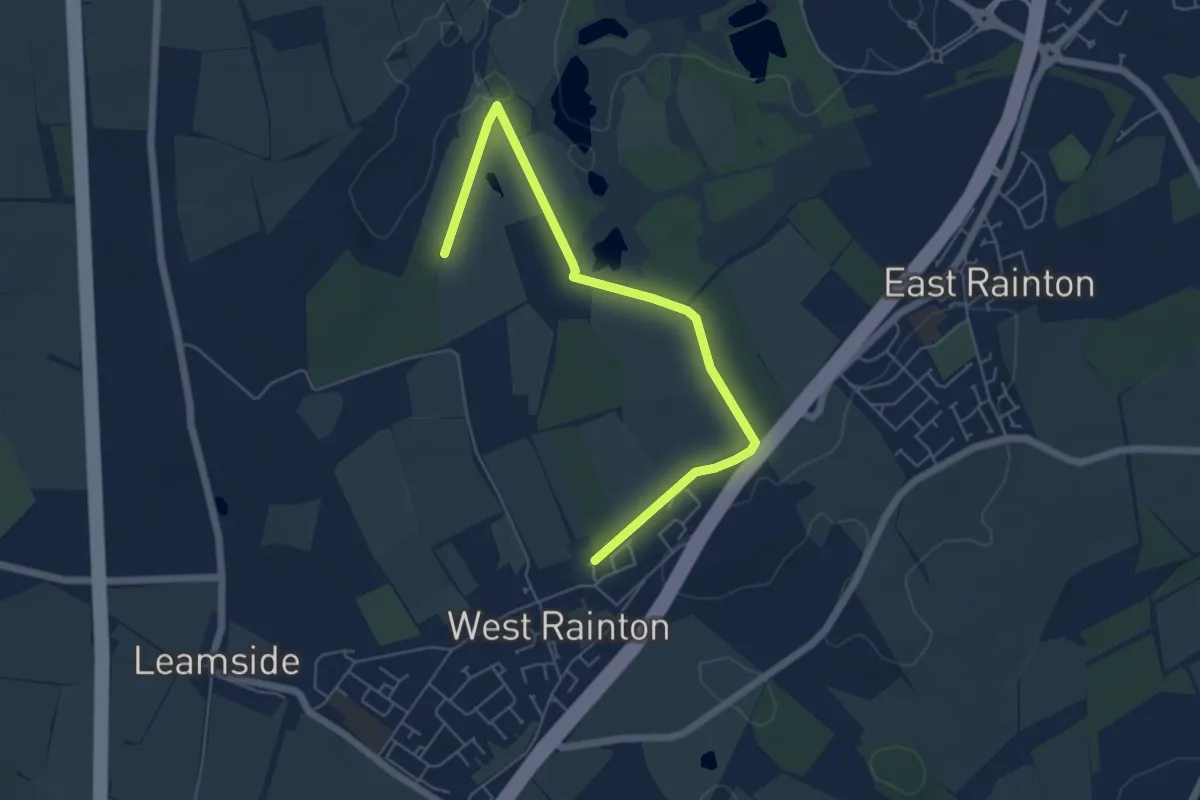
Easy · Trail
Red Circular Walk
2.9 km · ↑ 36 m · 49 min
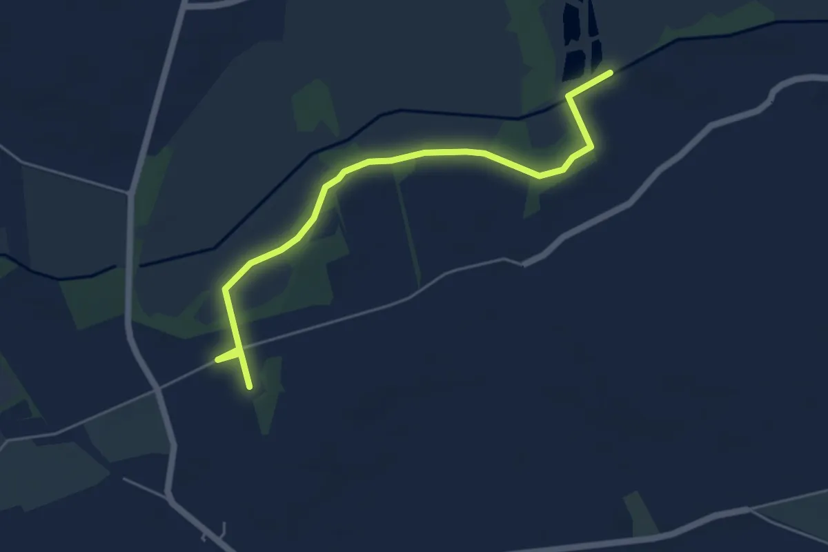
Easy · Trail
Red Clover Leaf Walk
2.6 km · ↑ 38 m · 43 min
Easy · Trail
Redgrave and Lopham Fen Circular Walk
2.4 km · ↑ 4 m · 37 min
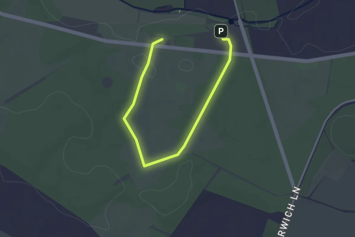
Easy · Trail
Red Heathland Trail
1.5 km · ↑ 13 m · 25 min
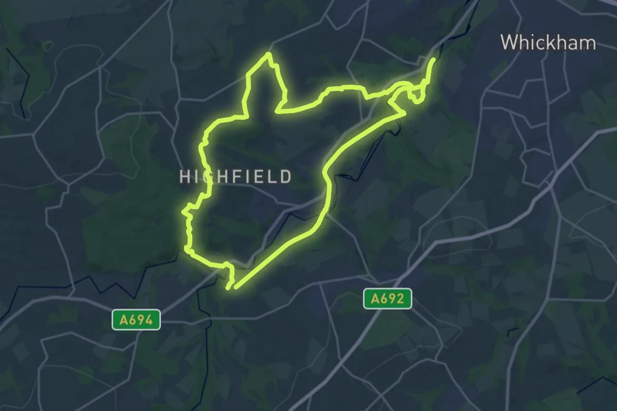
Demanding · Trail
Red Kite Trail
18.2 km · ↑ 256 m · 5 h 6 min
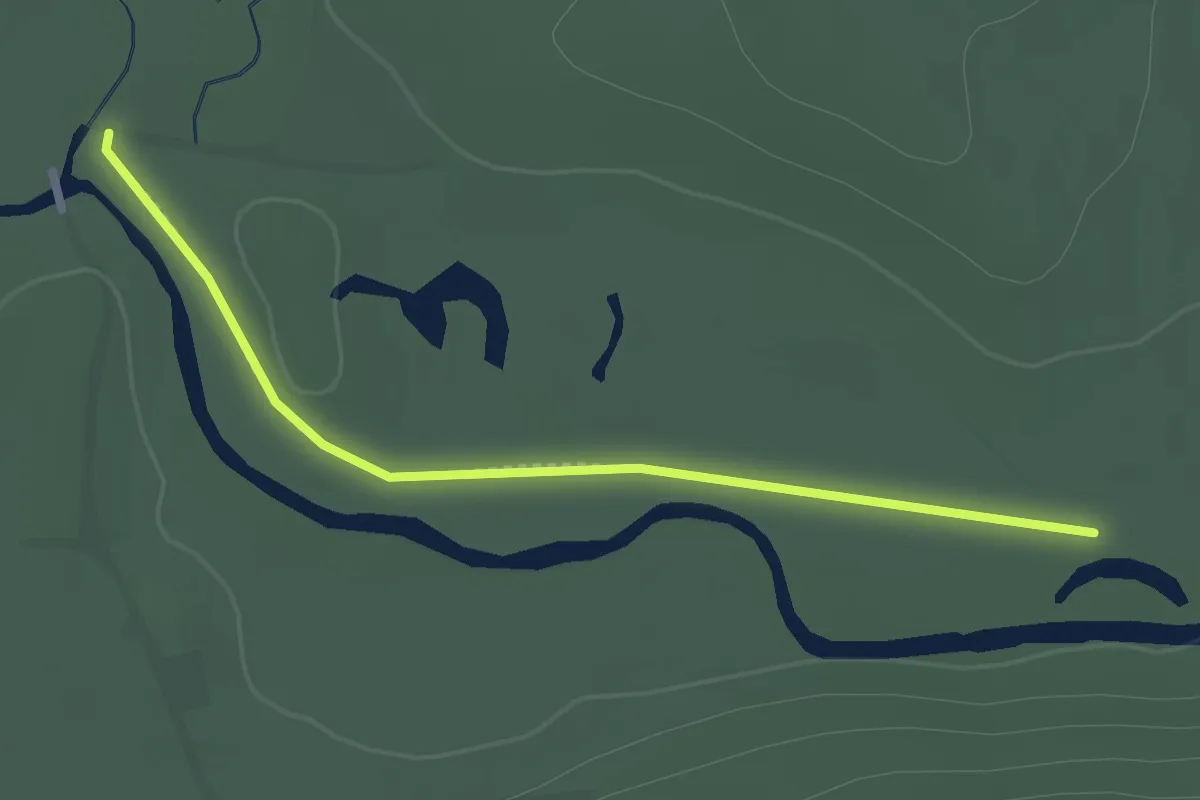
Easy · Trail
Red: (Open 15 June-15 Oct)
2.0 km · ↑ 0 m · 28 min
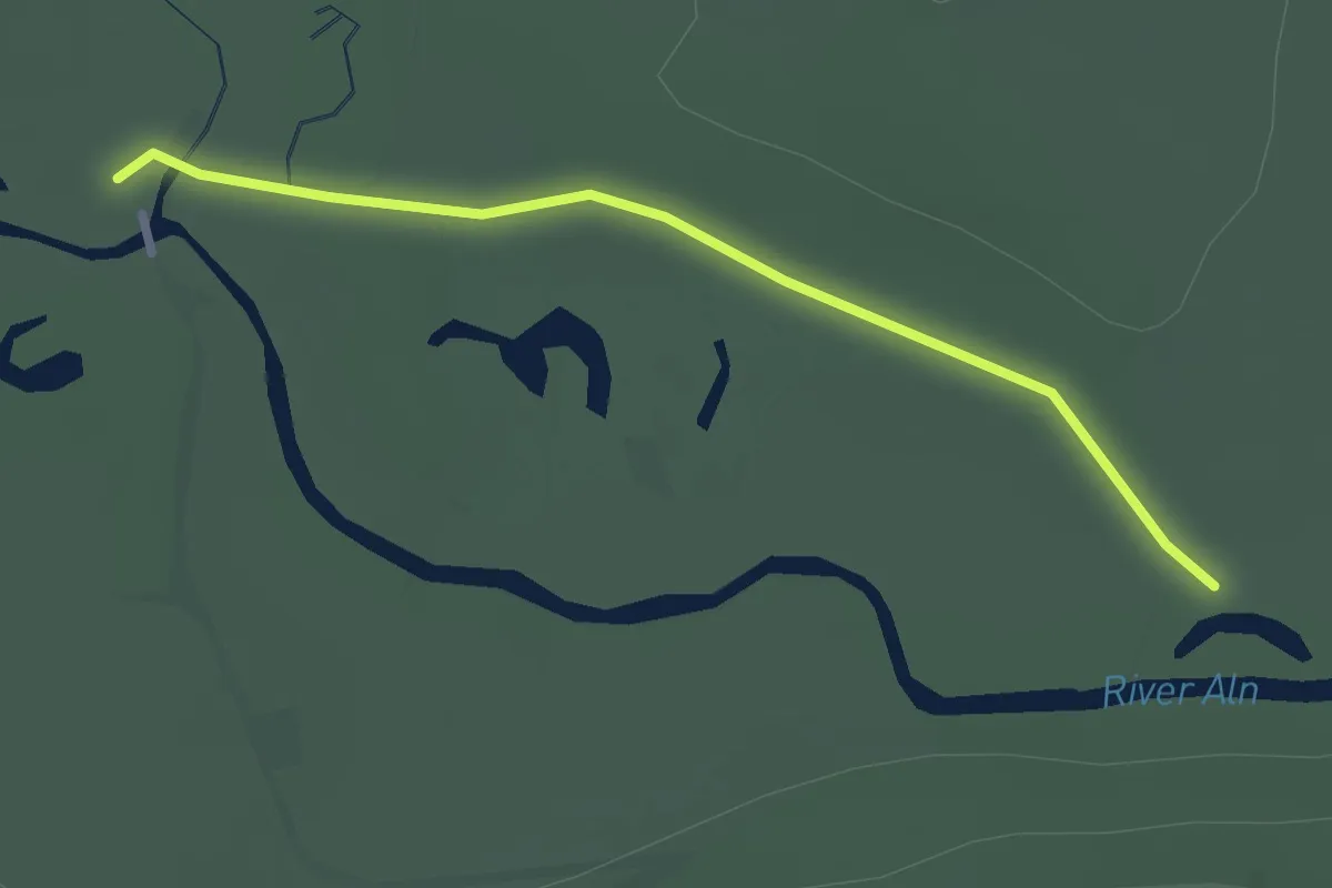
Easy · Trail
Red: (Open 16 Oct-14 June)
2.1 km · ↑ 0 m · 29 min
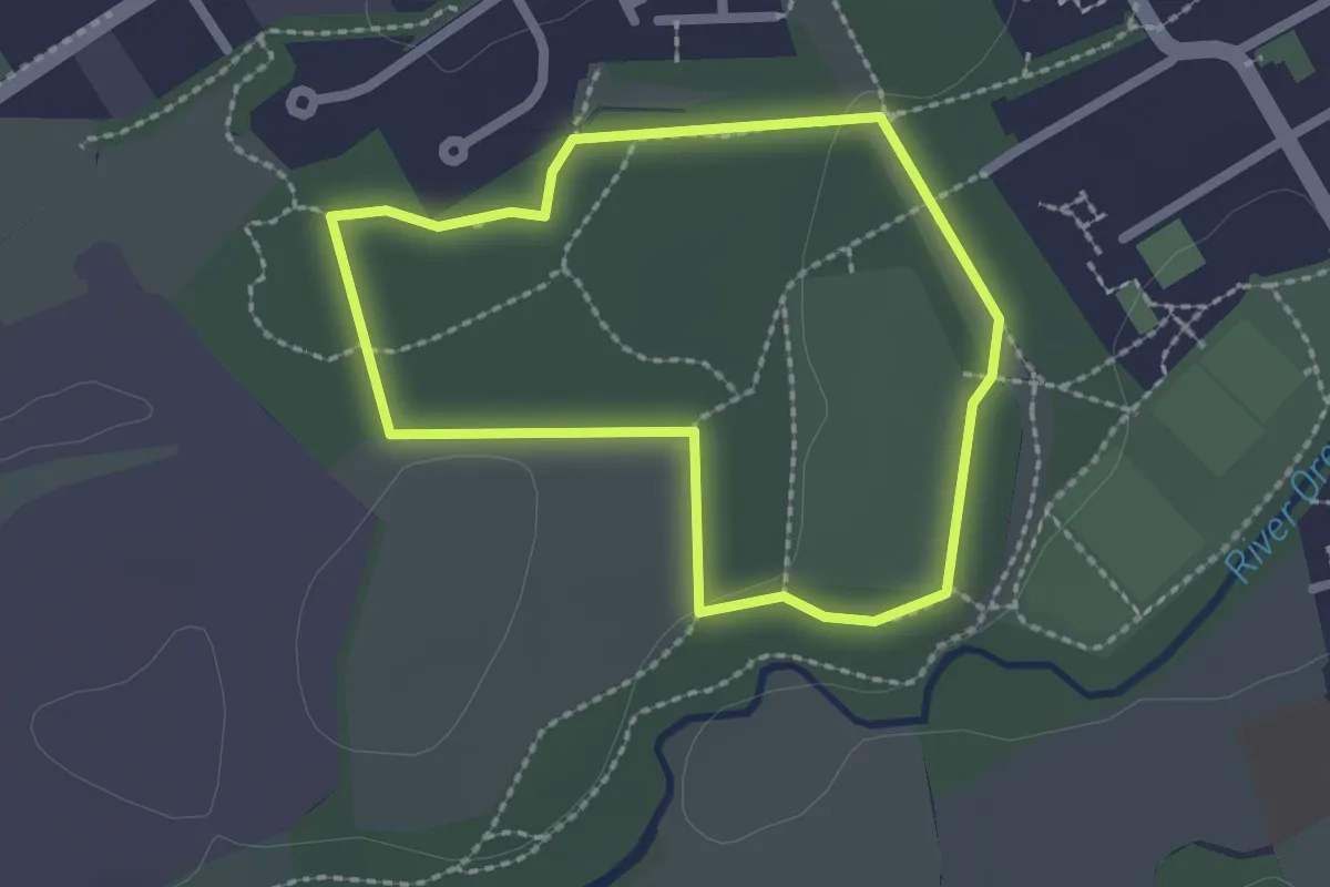
Easy · Trail
Red route
1.6 km · ↑ 14 m · 25 min
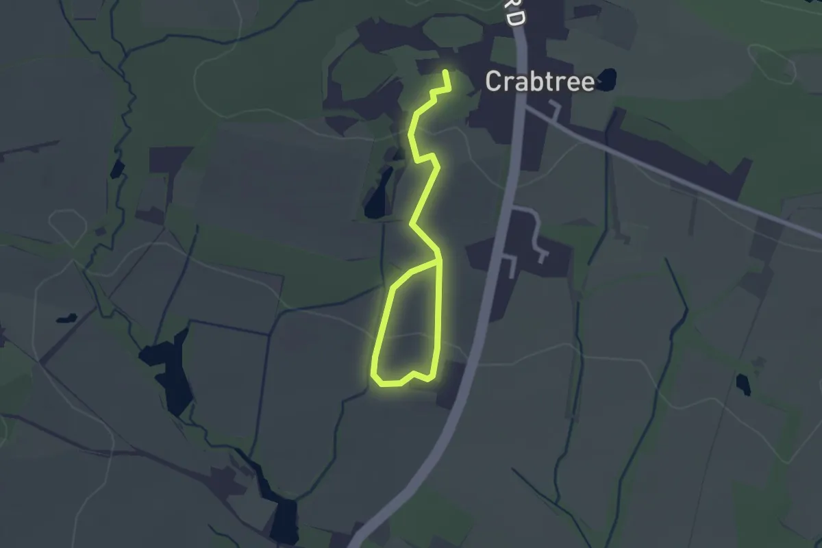
Easy · Trail
Red Route
2.4 km · ↑ 41 m · 39 min
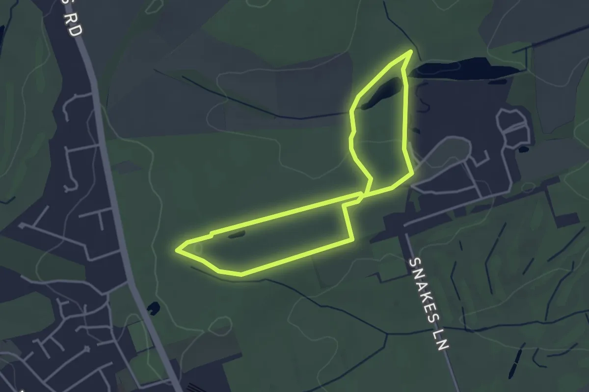
Easy · Trail
Red Route
2.9 km · ↑ 28 m · 47 min
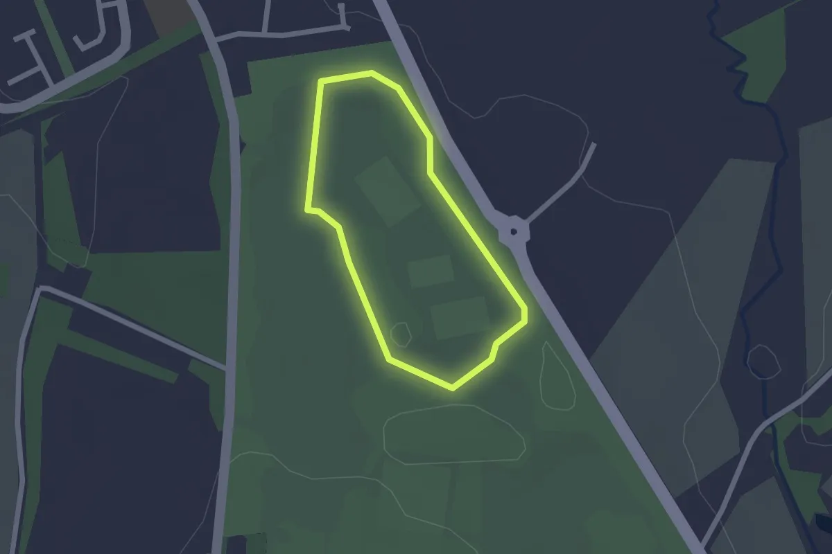
Easy · Trail
Red Route
1.4 km · ↑ 9 m · 21 min
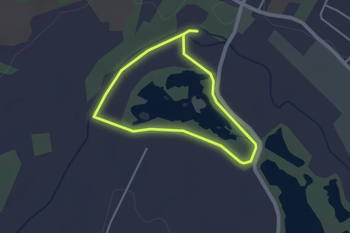
Easy · Trail
Red Route
2.1 km · ↑ 0 m · 31 min
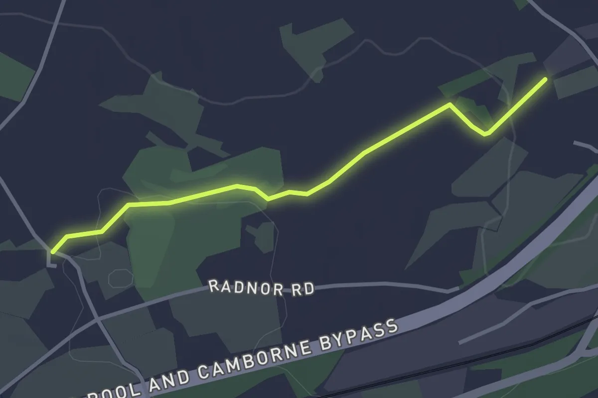
Easy · Trail
Redruth FP 17 Ground Truth
2.6 km · ↑ 22 m · 40 min
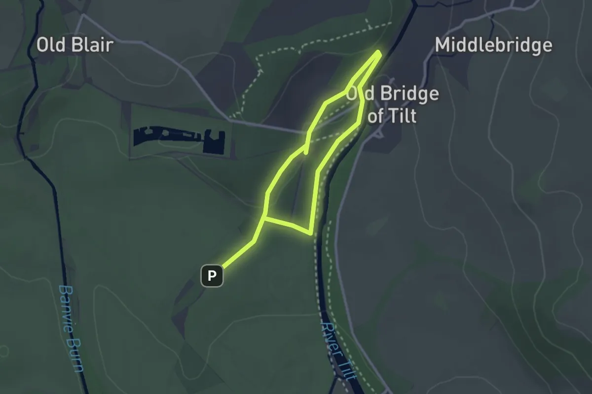
Easy · Trail
Red Squirrel Walk
1.6 km · ↑ 28 m · 28 min
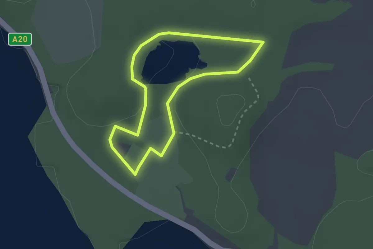
Easy · Trail
Red Squirrel Walk, Mount Stewart
1.7 km · ↑ 19 m · 28 min
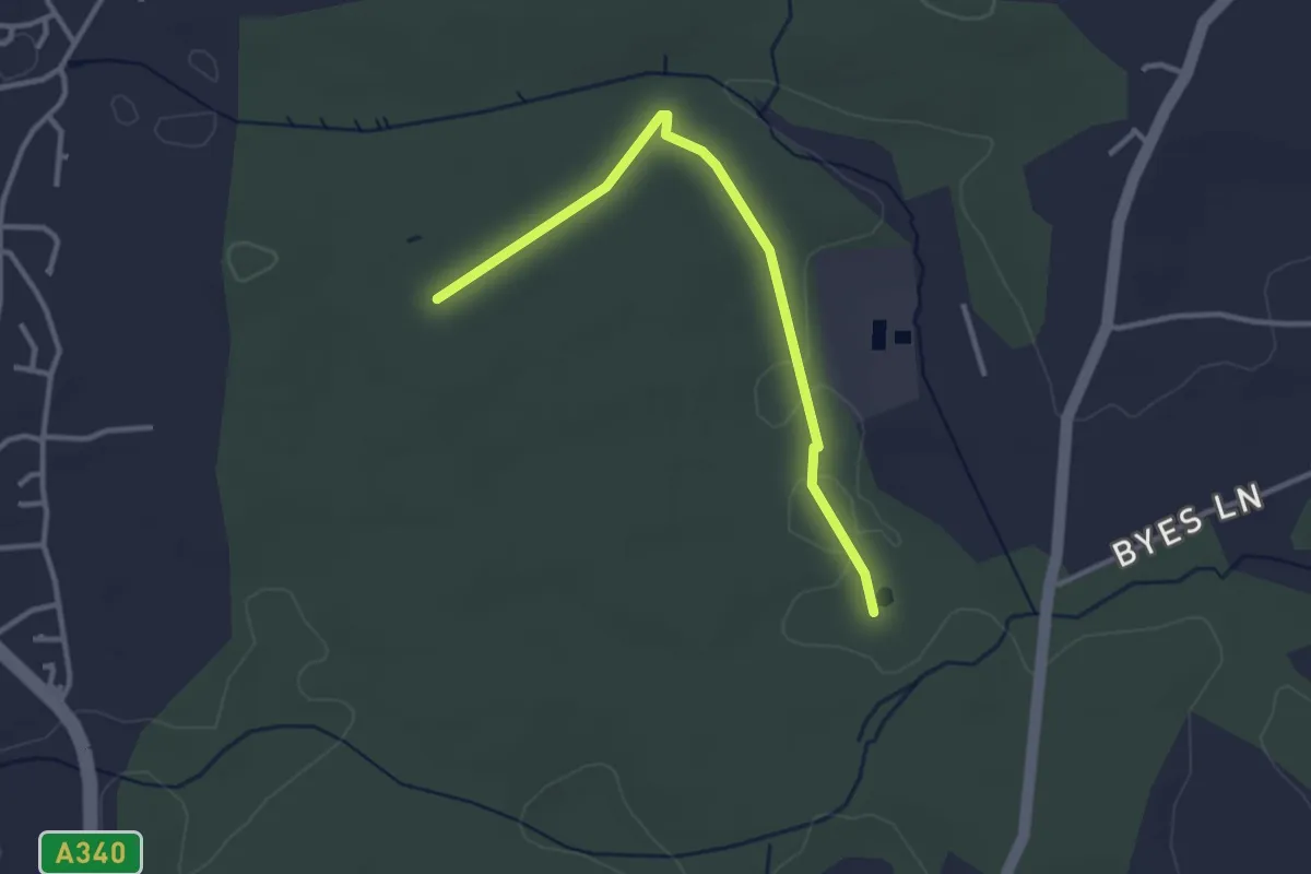
Easy · Trail
red trail
2.9 km · ↑ 8 m · 42 min
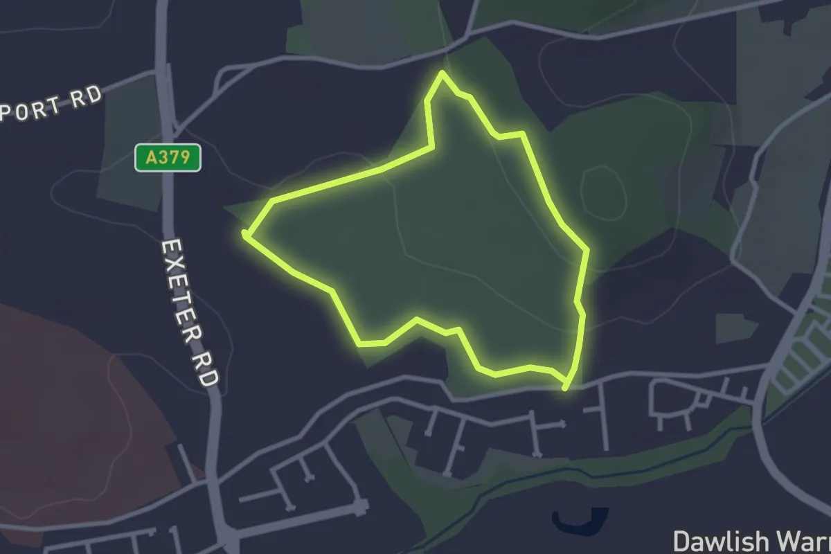
Easy · Trail
Red Trail
2.2 km · ↑ 40 m · 38 min
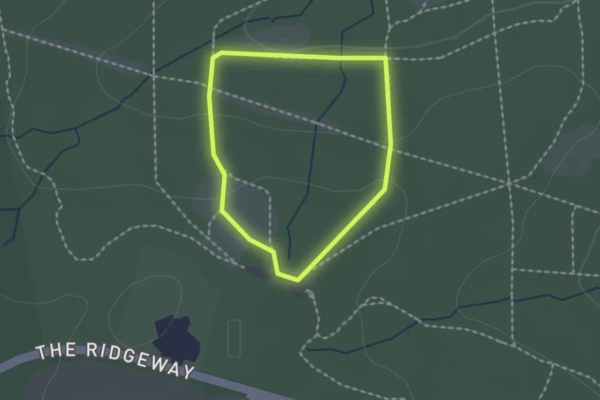
Easy · Trail
Red Trail
1.2 km · ↑ 36 m · 22 min
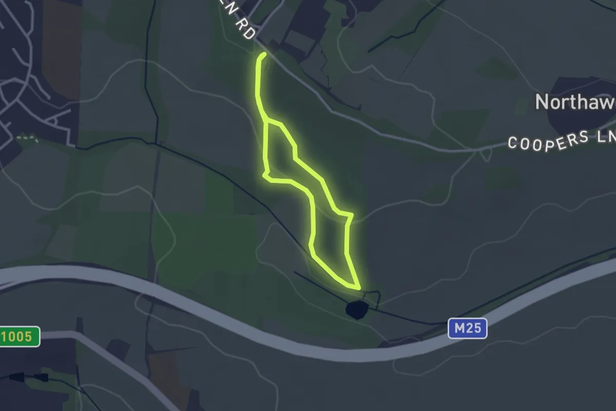
Easy · Trail
Red Trail
2.0 km · ↑ 31 m · 33 min