Trails in United Kingdom
3,857 hiking trails, each with its route, climb, walking time and grade.
All trails, page 56 of 81
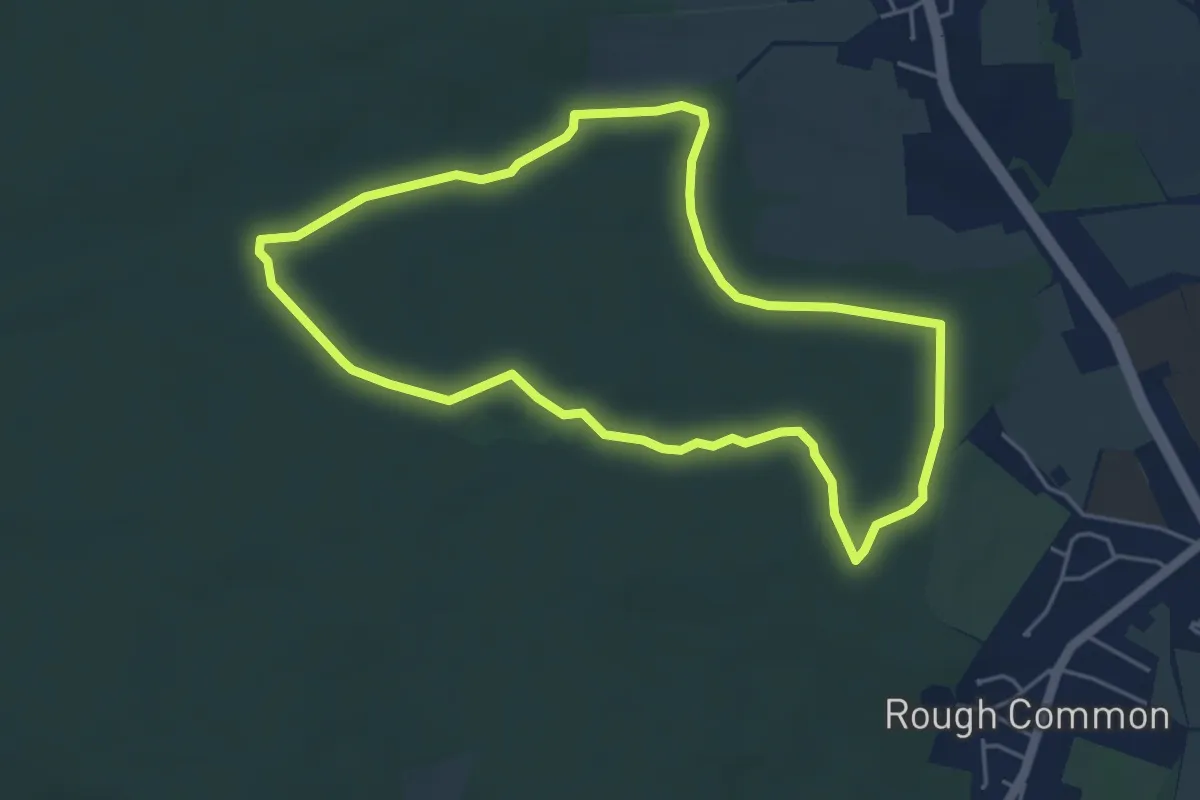
Easy · Trail
Red Trail
4.3 km · ↑ 13 m · 1 h 7 min
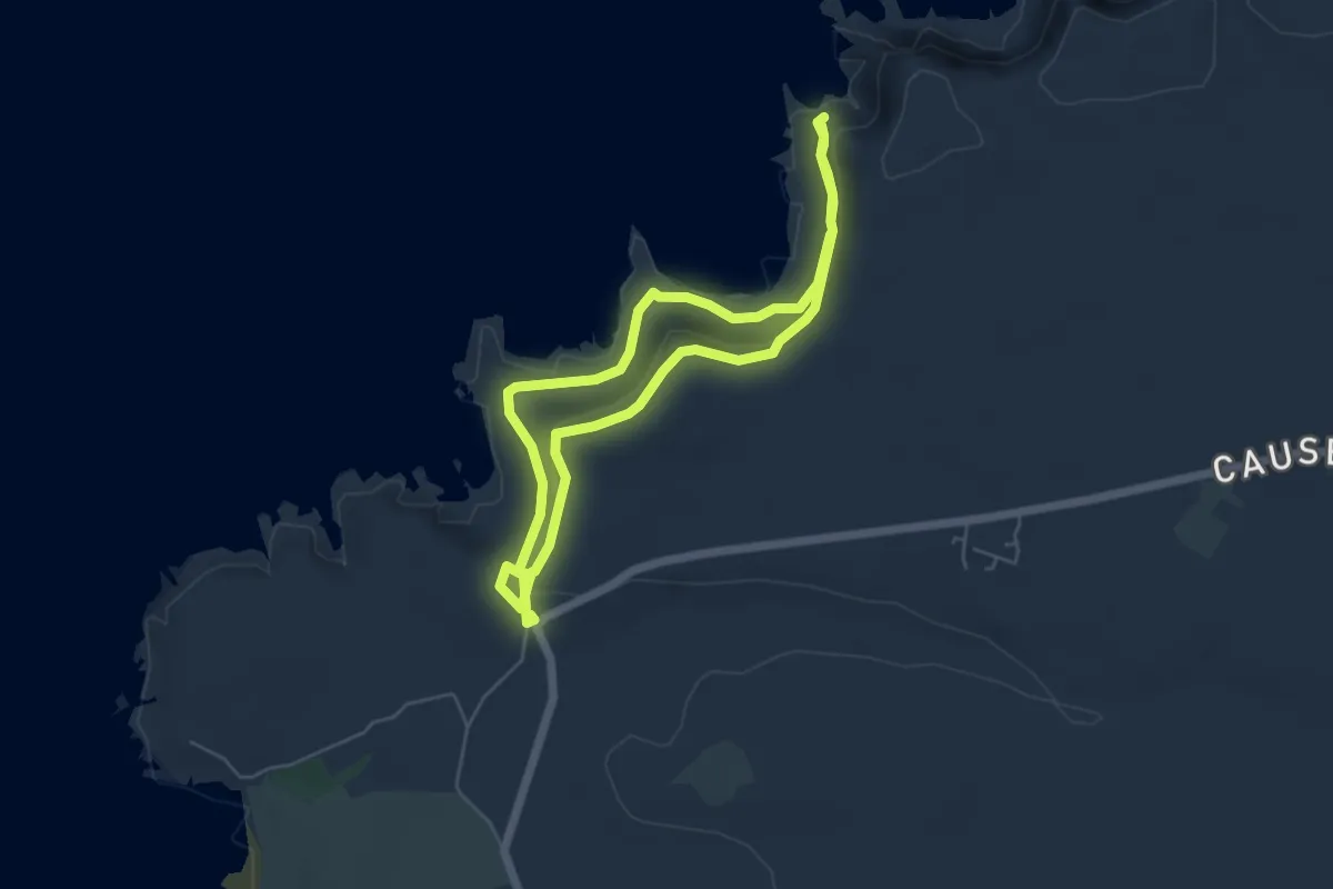
Easy · Trail
Red Trail, Giant's Causeway
4.1 km · ↑ 130 m · 1 h 19 min
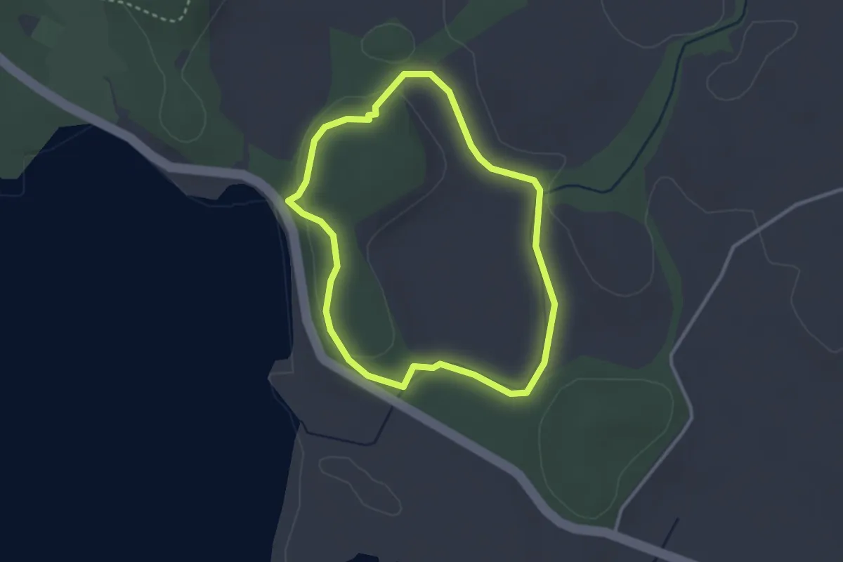
Easy · Trail
Red Trail, Mount Stewart
2.3 km · ↑ 21 m · 37 min
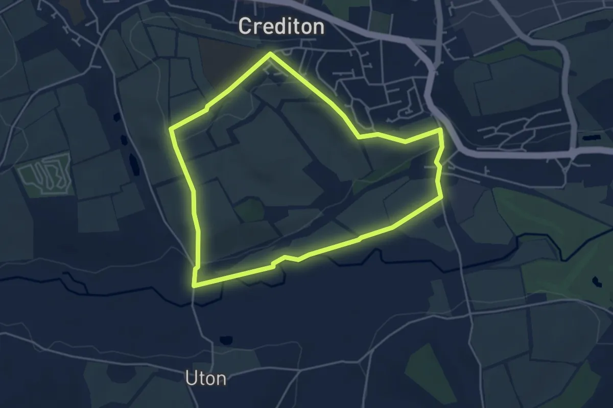
Easy · Trail
Redvers Ramble
4.0 km · ↑ 64 m · 1 h 8 min
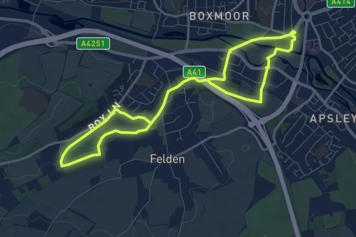
Medium · Trail
Red Walk
12.4 km · ↑ 247 m · 3 h 27 min
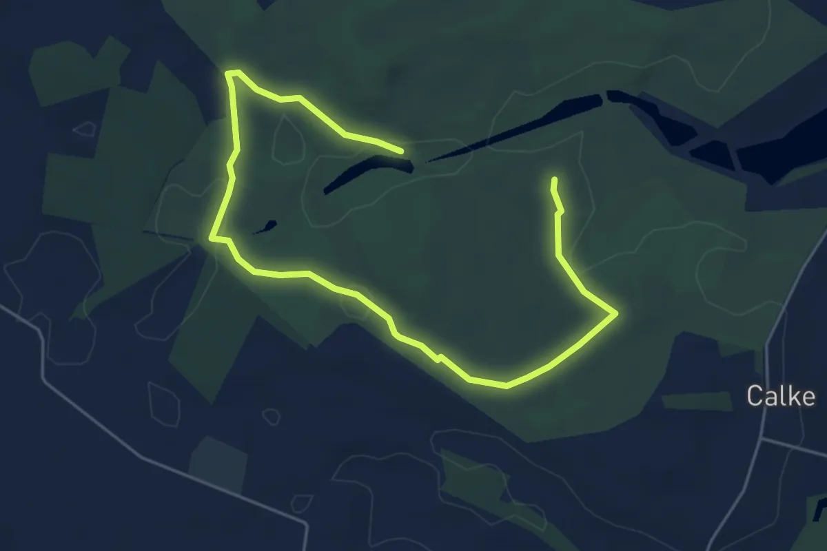
Easy · Trail
Red Walk
5.9 km · ↑ 30 m · 1 h 27 min
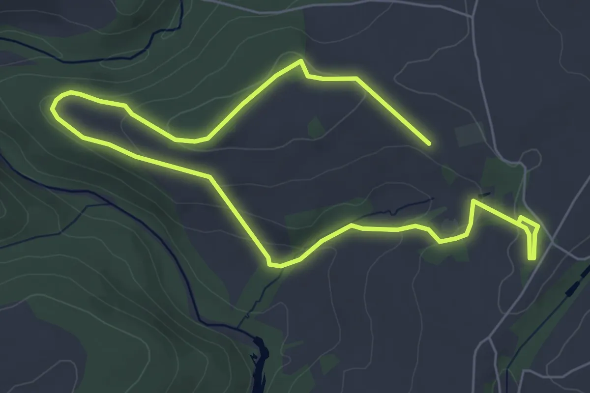
Easy · Trail
Red Walk, Buckland Abbey
4.3 km · ↑ 138 m · 1 h 22 min
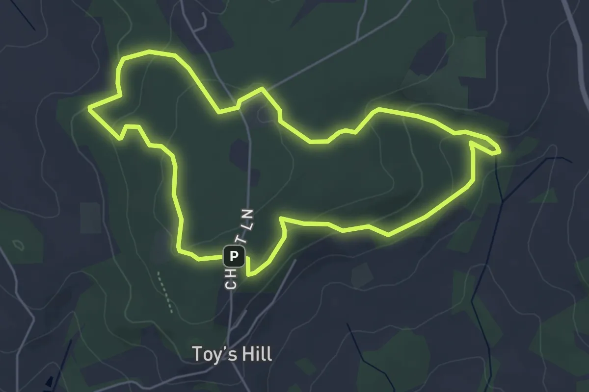
Easy · Trail
Red Walk, Emmetts
4.7 km · ↑ 133 m · 1 h 27 min
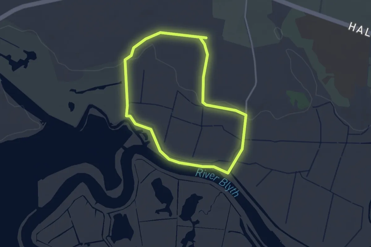
Easy · Trail
Reebed Ramble
2.5 km · ↑ 9 m · 38 min
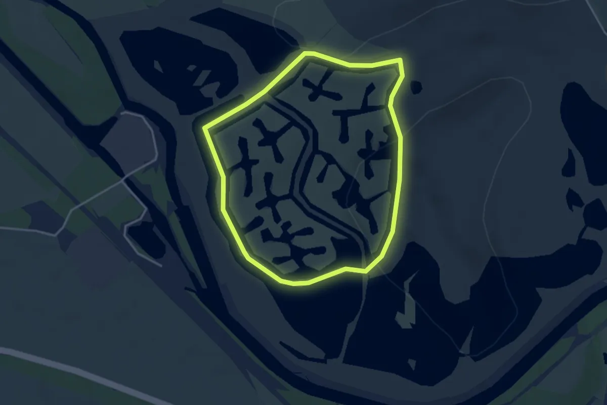
Easy · Trail
Reedbed Ramble
2.8 km · ↑ 0 m · 42 min
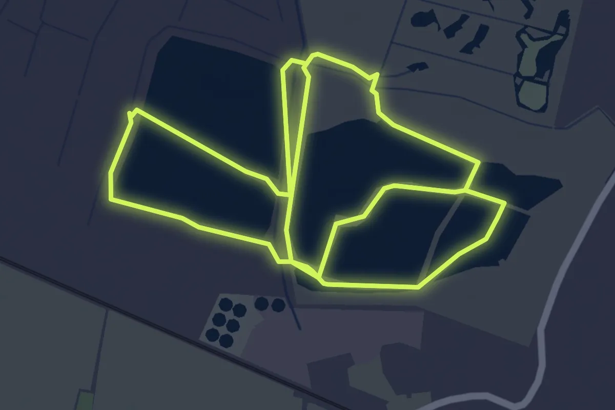
Easy · Trail
Reedbed Walk
7.7 km · ↑ 0 m · 1 h 49 min
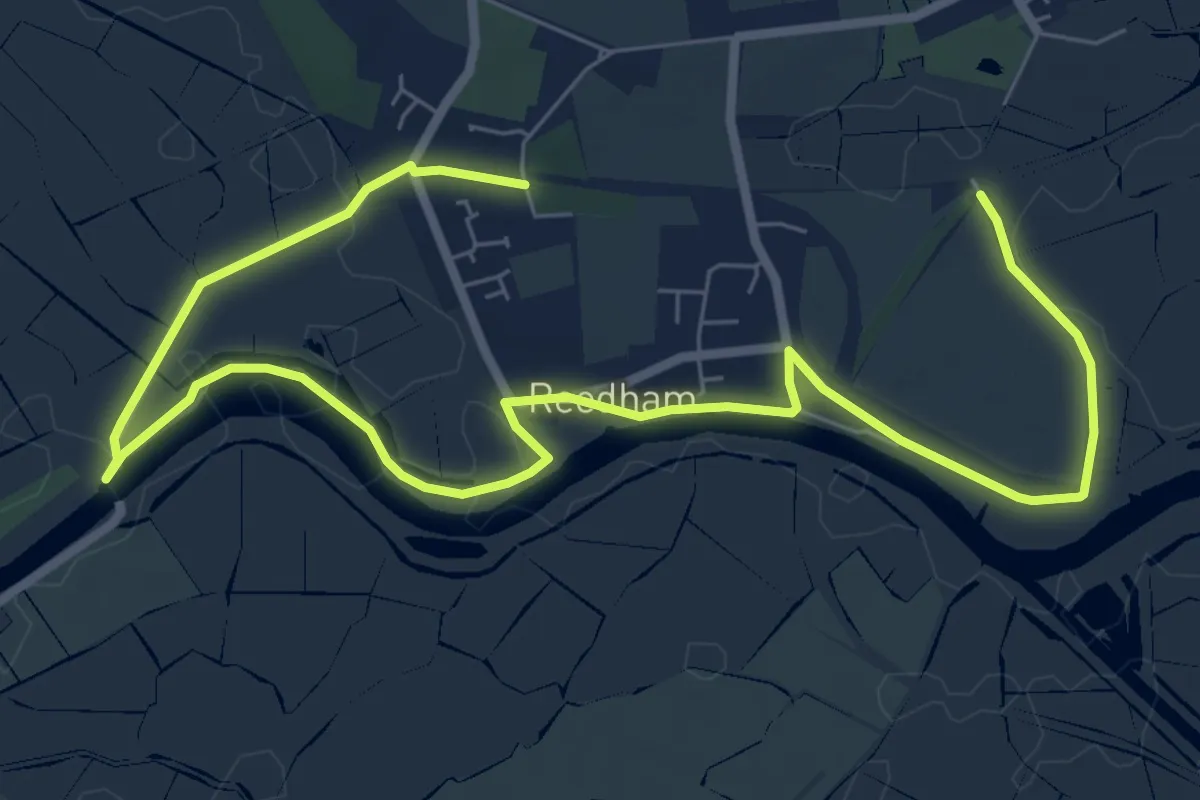
Easy · Trail
Reedham Circular
4.7 km · ↑ 9 m · 1 h 12 min
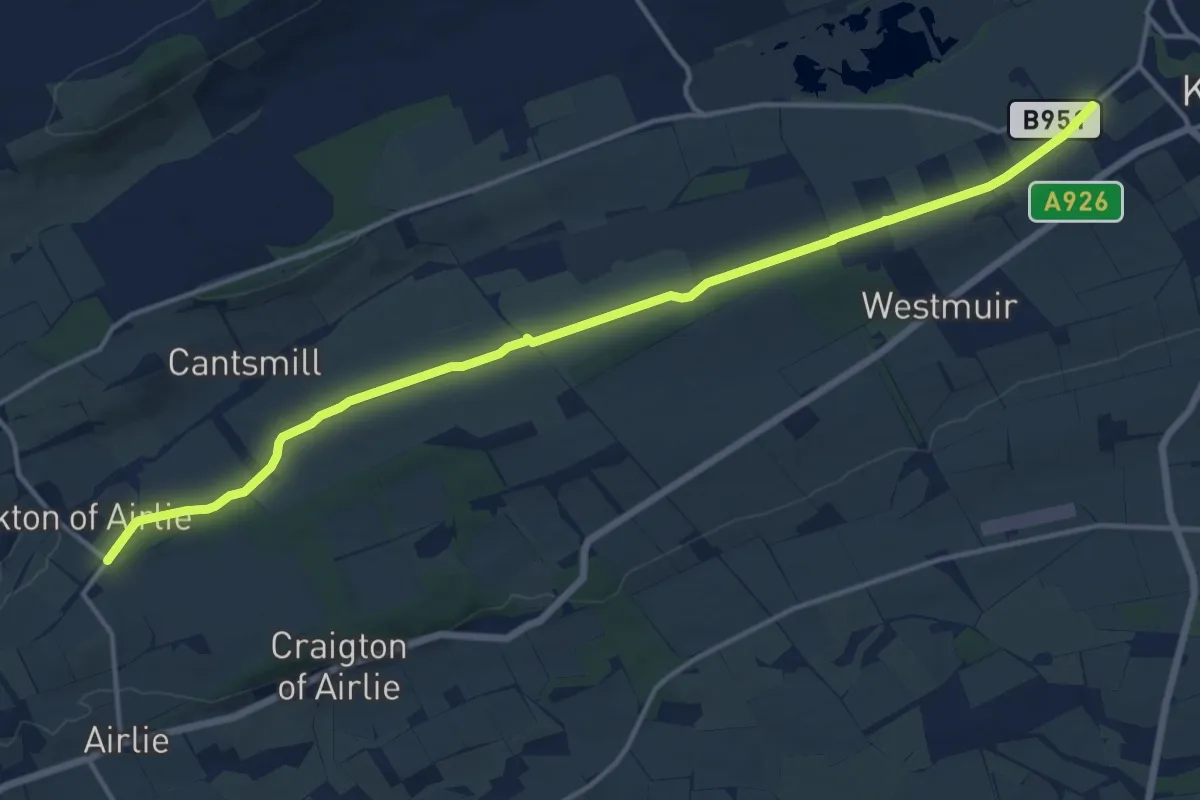
Medium · Trail
Reedie Market Drove Road
13.3 km · ↑ 70 m · 3 h 18 min
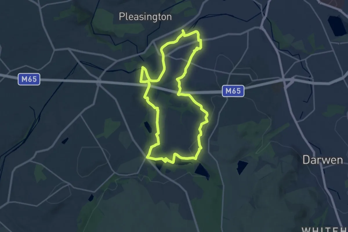
Medium · Trail
Reelers Trail - Witton Weavers Way
13.0 km · ↑ 210 m · 3 h 42 min
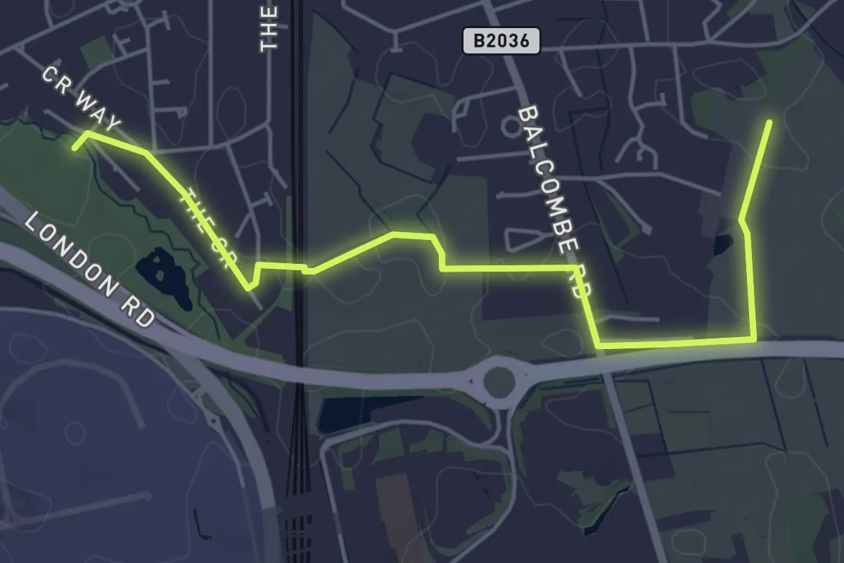
Easy · Trail
Reigate and Banstead Millennium Trail
5.0 km · ↑ 4 m · 1 h 11 min
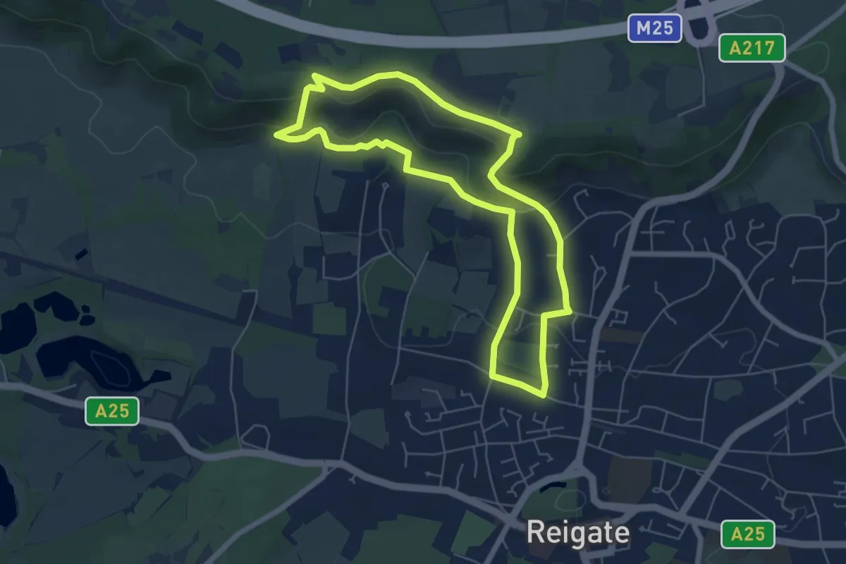
Easy · Trail
Reigate Hill From the Train Station Walk, Harewoods
5.2 km · ↑ 172 m · 1 h 41 min
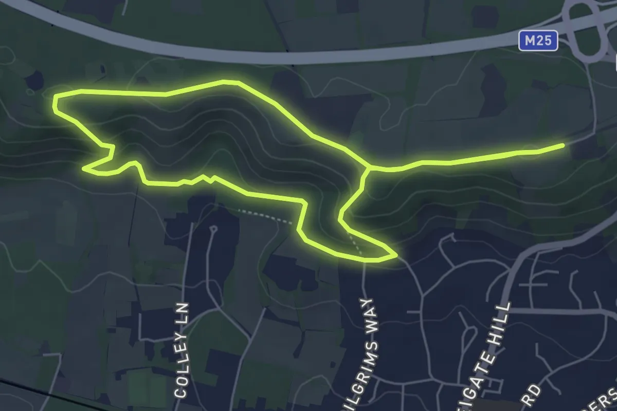
Easy · Trail
Reigate Hill Walk, Harewoods
5.2 km · ↑ 128 m · 1 h 34 min
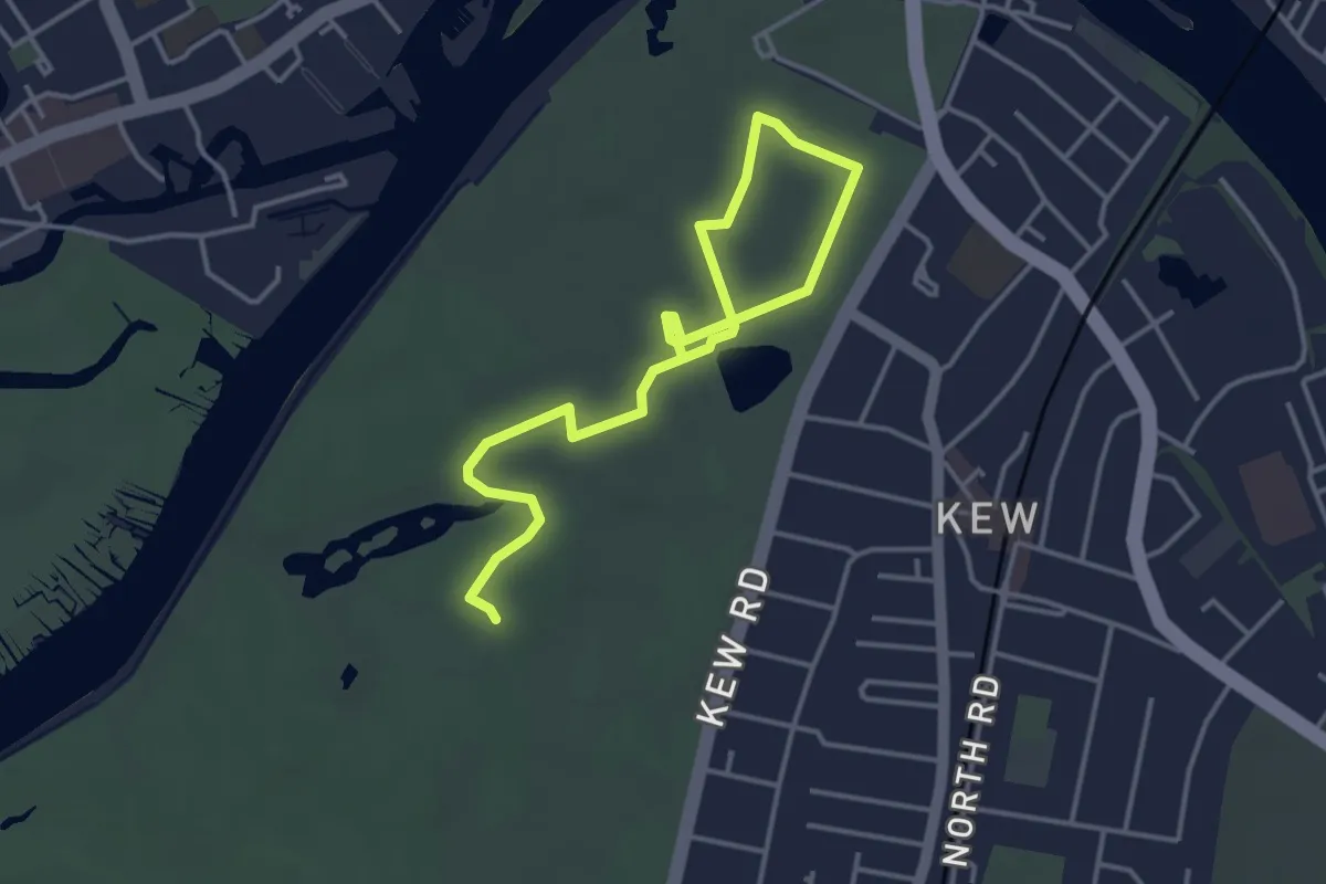
Easy · Trail
Remarkable Trees at Kew
4.5 km · ↑ 0 m · 1 h 4 min
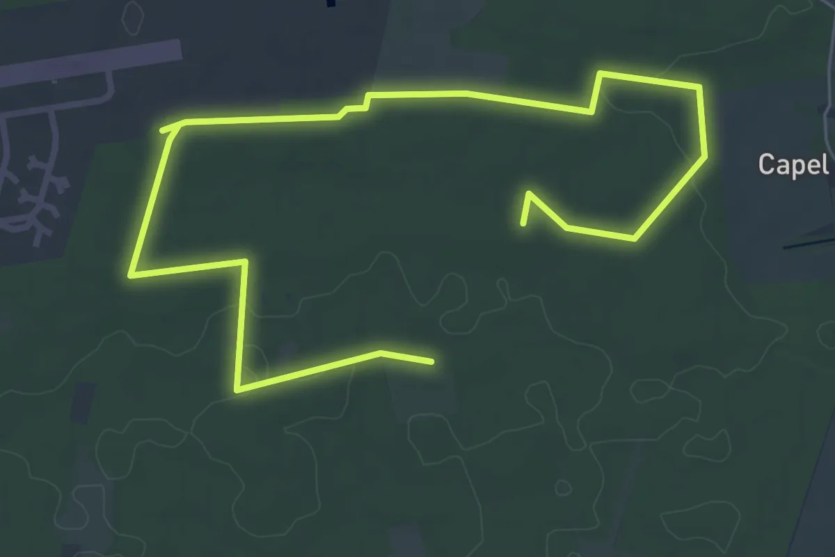
Medium · Trail
Rendlesham Forest UFO Trail
8.5 km · ↑ 26 m · 2 h 4 min
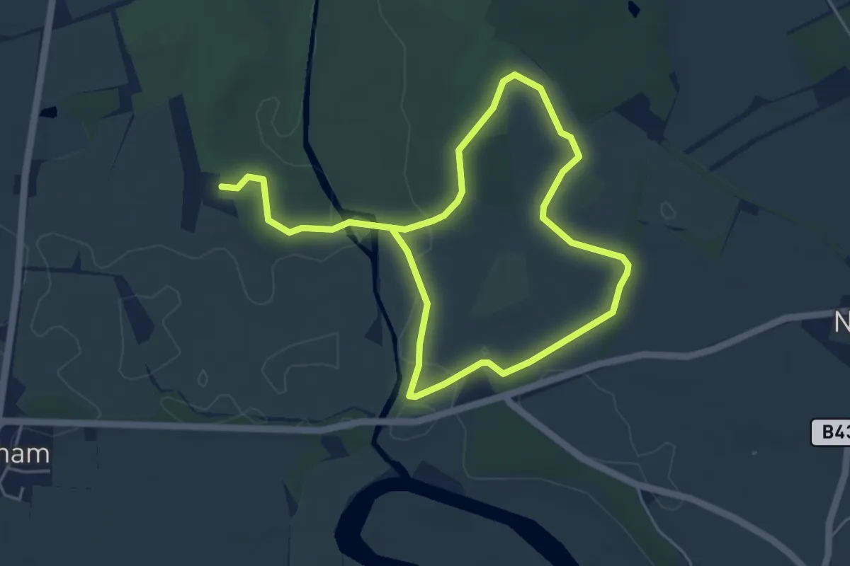
Easy · Trail
Repton Ramble, Attingham Park
3.5 km · ↑ 16 m · 54 min
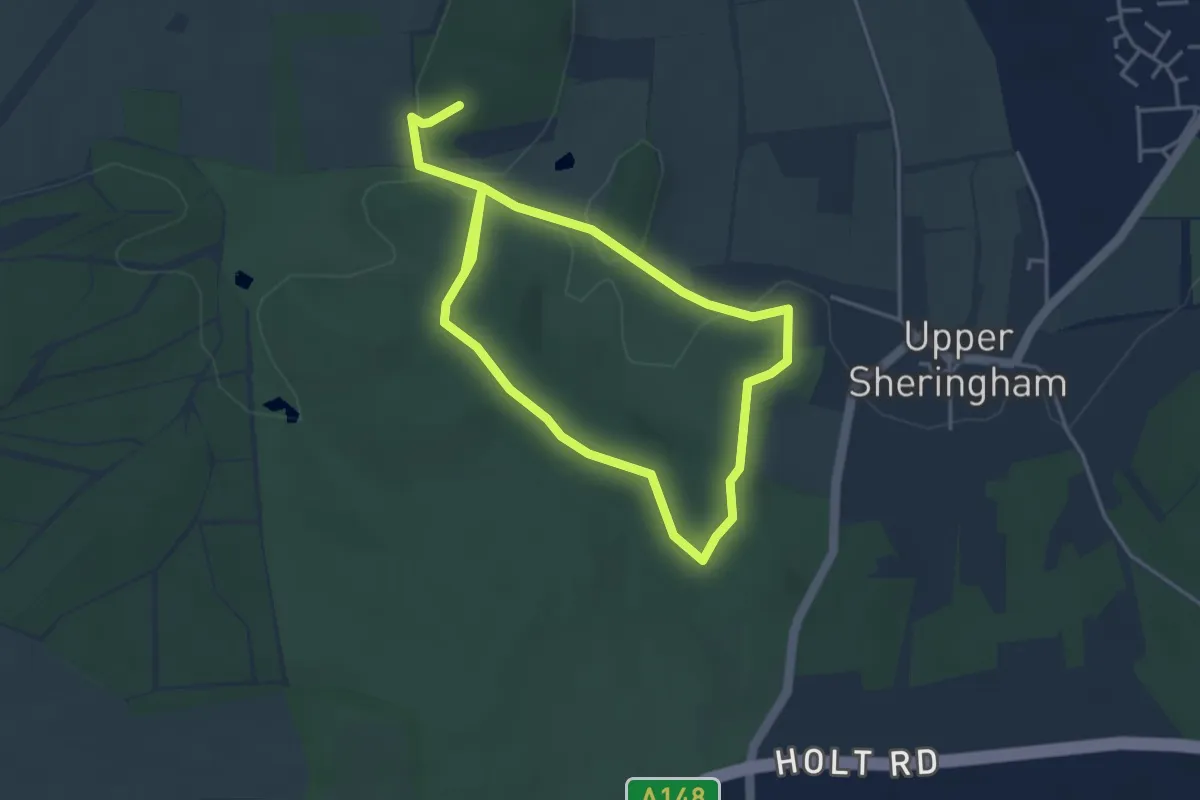
Easy · Trail
Repton Route and Rhododendrons, Sheringham Park
3.1 km · ↑ 56 m · 54 min
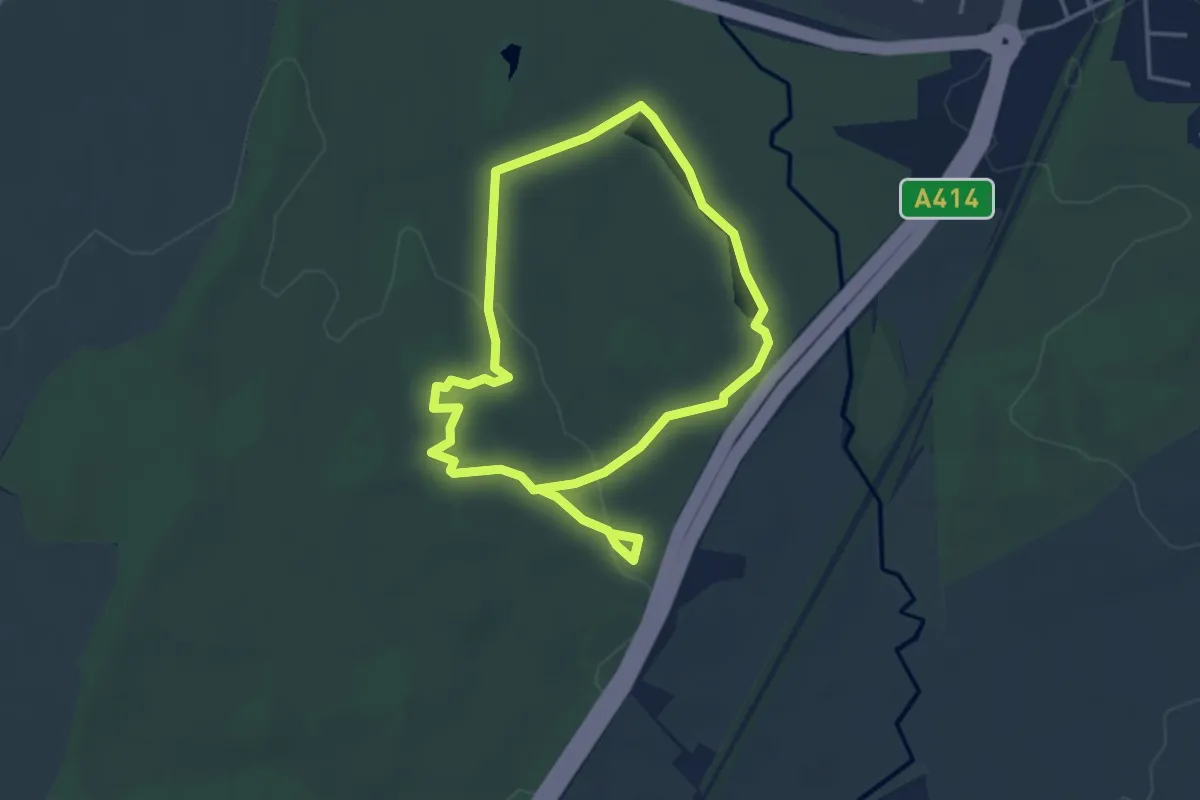
Easy · Trail
Repton's Walk
6.0 km · ↑ 46 m · 1 h 31 min
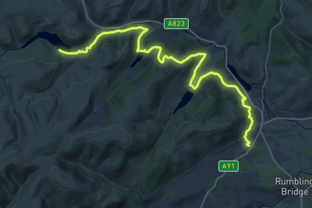
Medium · Trail
Reservoirs Trail
13.9 km · ↑ 458 m · 4 h 24 min
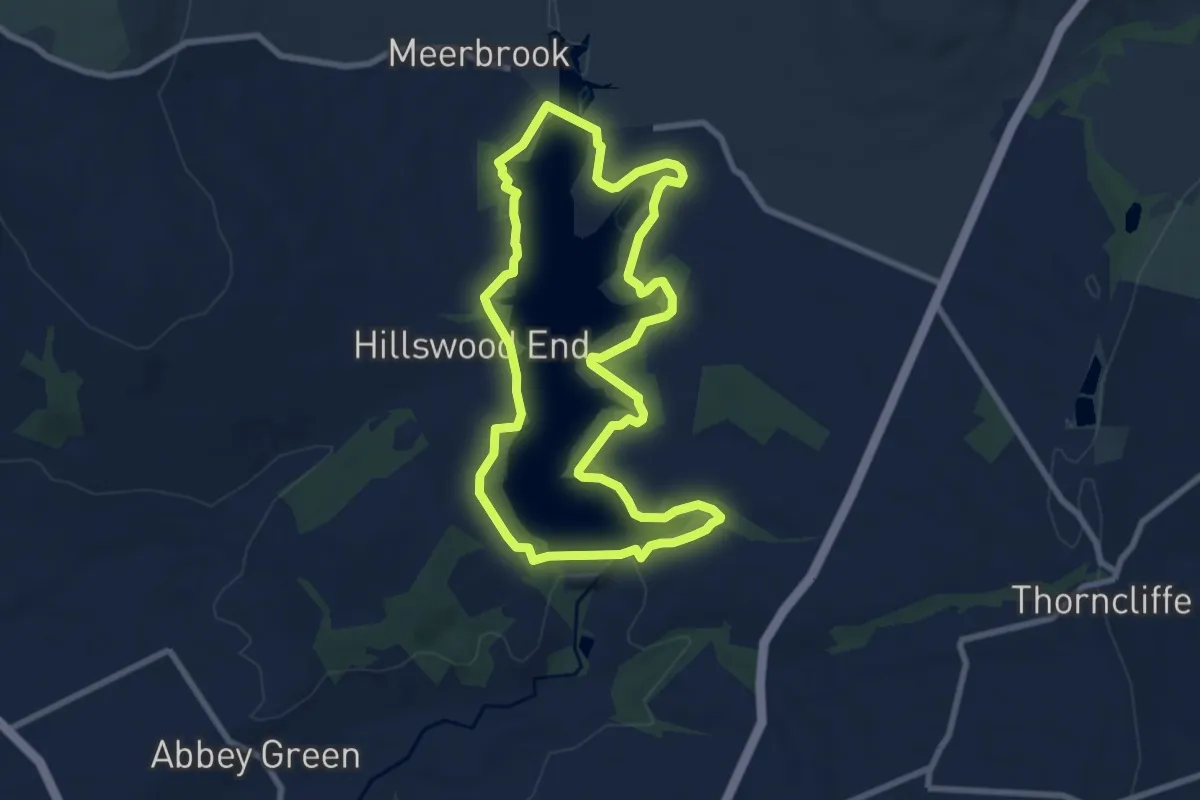
Easy · Trail
Reservoir Trail
7.1 km · ↑ 60 m · 1 h 54 min
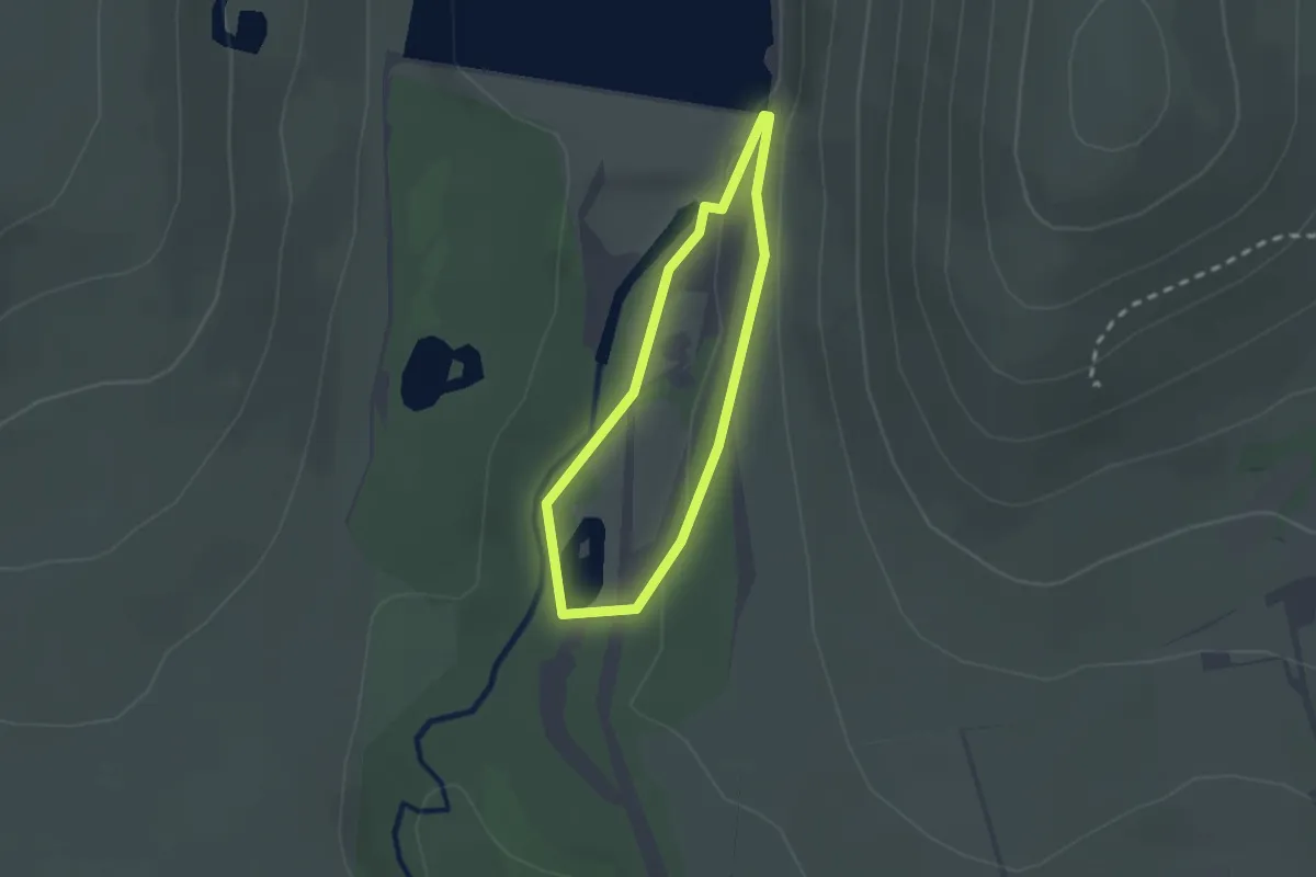
Easy · Trail
Reservoir Trail
1.4 km · ↑ 19 m · 24 min
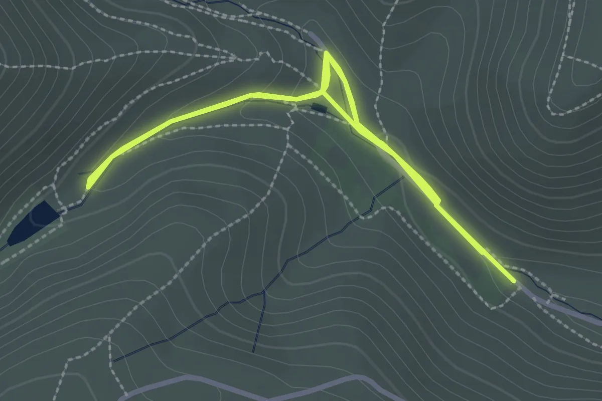
Easy · Trail
Reservoir Walk, Carding Mill Valley
2.3 km · ↑ 65 m · 42 min
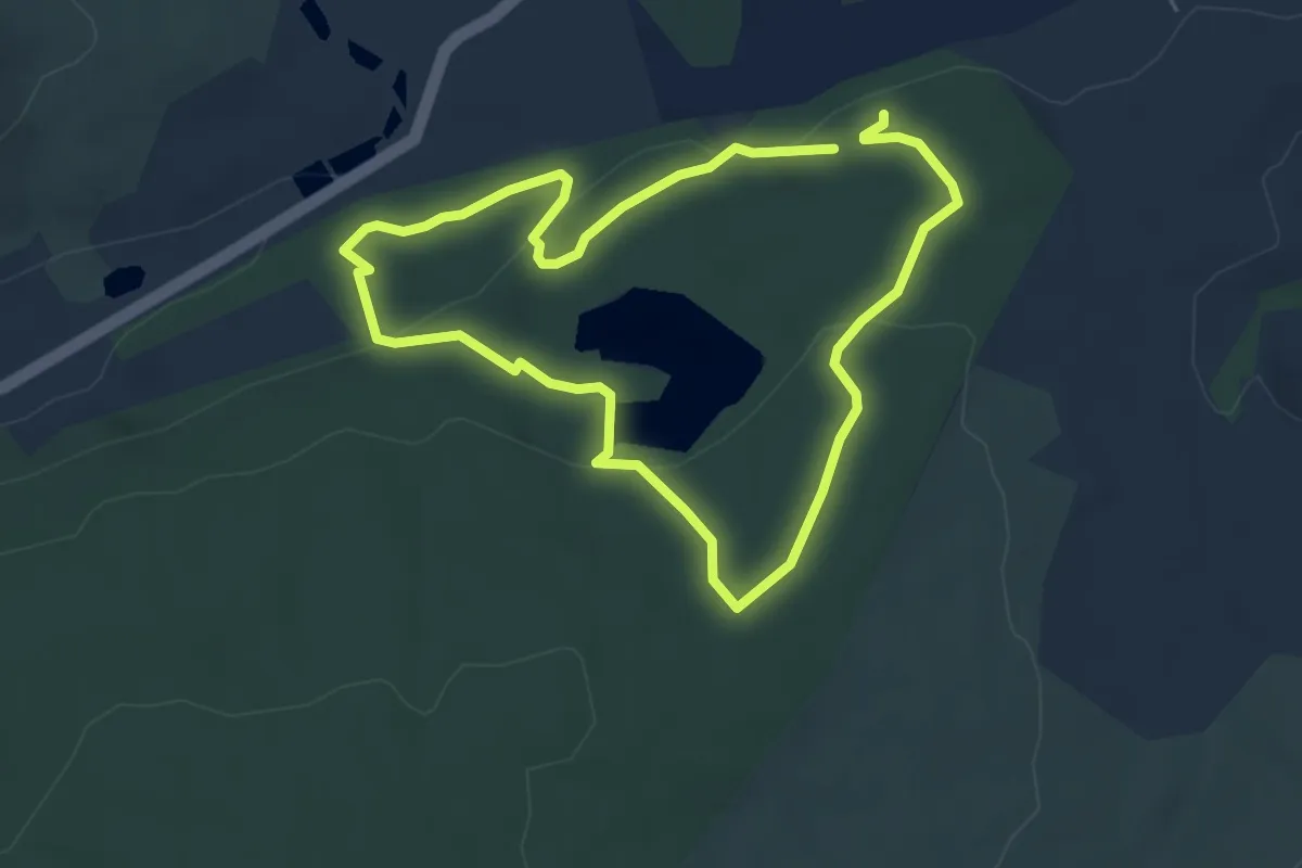
Easy · Trail
Reservoir Walk Route
4.2 km · ↑ 124 m · 1 h 19 min
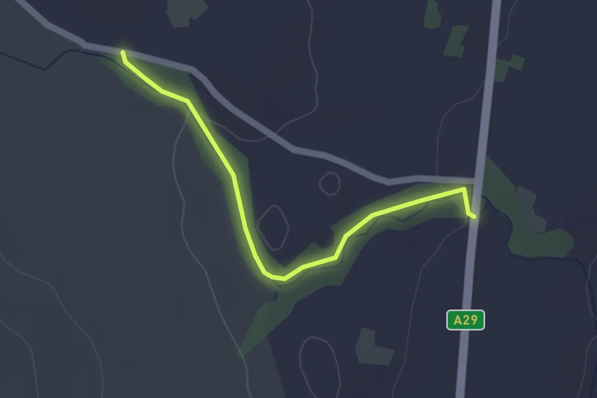
Easy · Trail
REUBENS GLEN
2.6 km · ↑ 25 m · 41 min
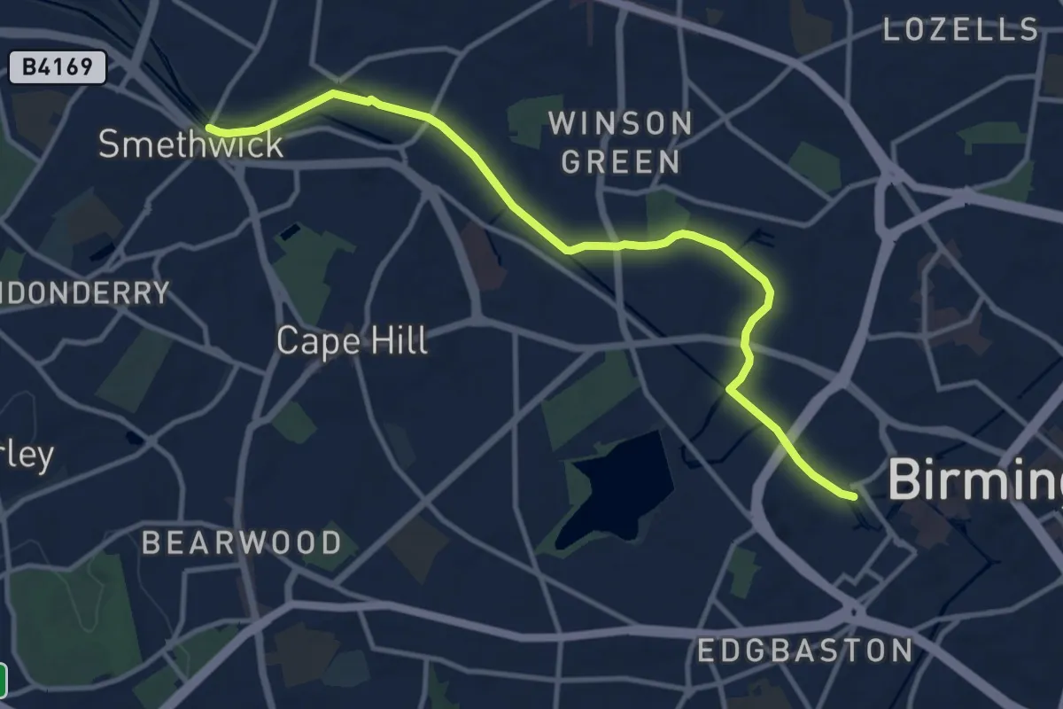
Medium · Trail
Revolution Walk
10.6 km · ↑ 13 m · 2 h 32 min
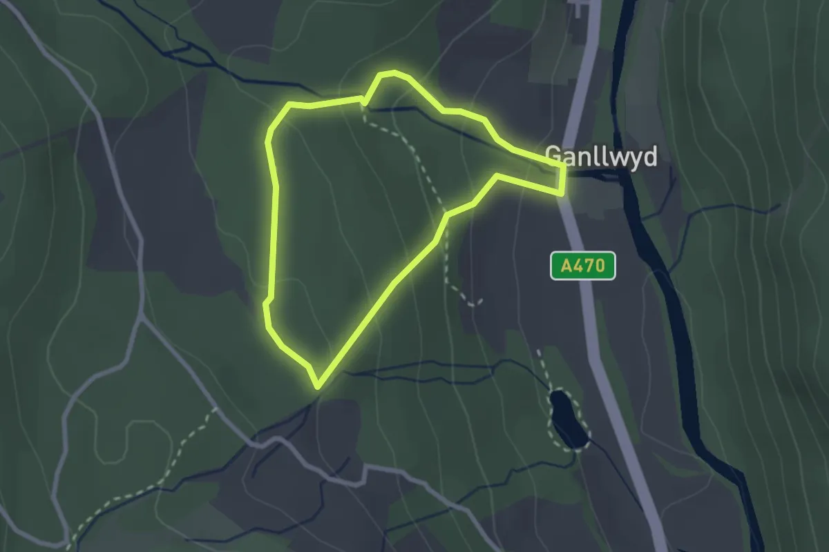
Easy · Trail
Rhaeadr Ddu and Coed Ganllwyd walk, Dolmelynllyn
1.9 km · ↑ 106 m · 42 min
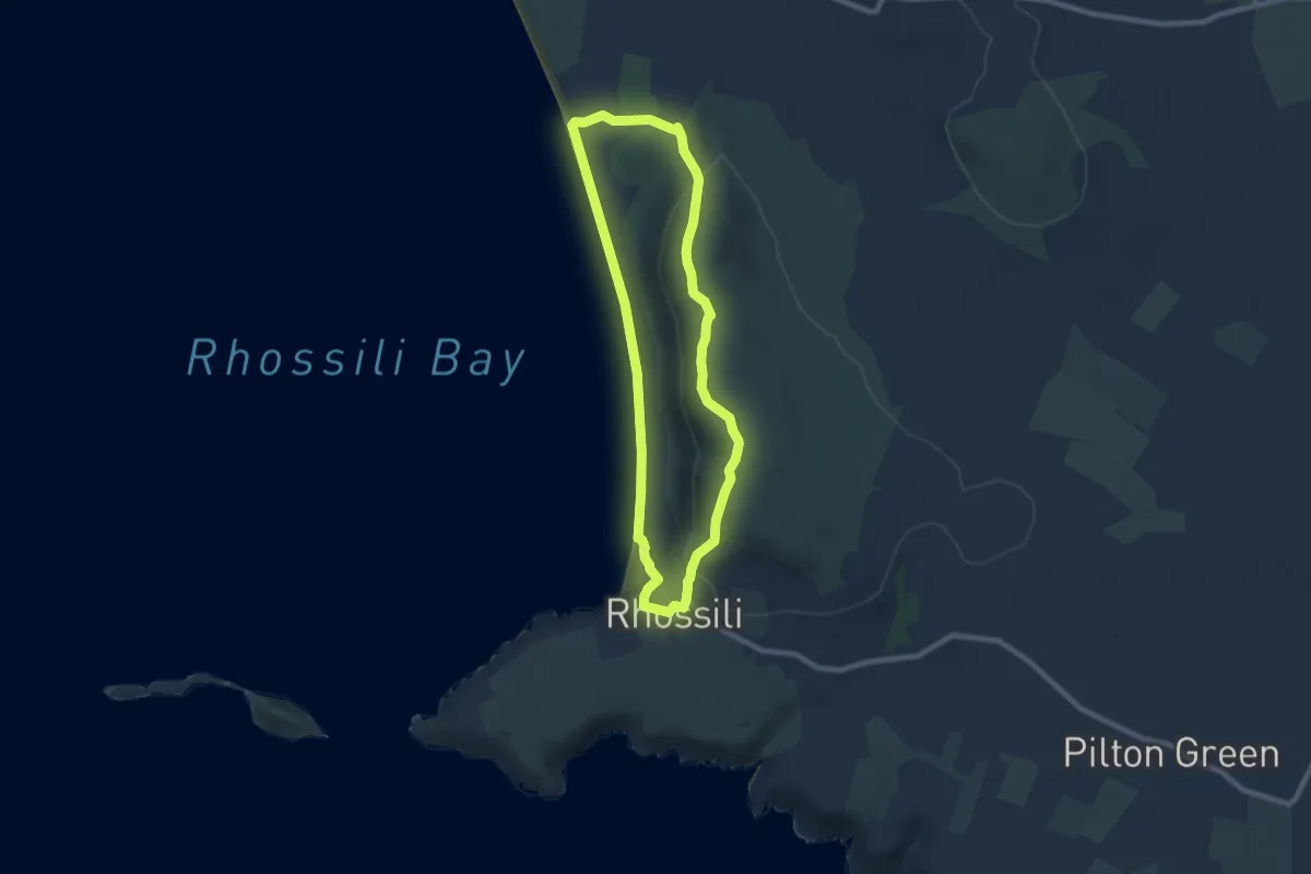
Easy · Summit
Rhosili Down, Hillend and beach walk, Gower
6.8 km · ↑ 232 m · 2 h 12 min
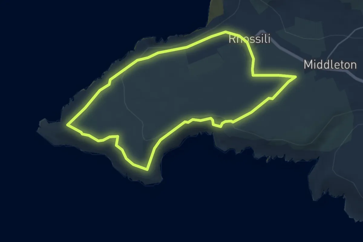
Easy · Trail
Rhosili Headland Walk, Gower
4.3 km · ↑ 74 m · 1 h 14 min
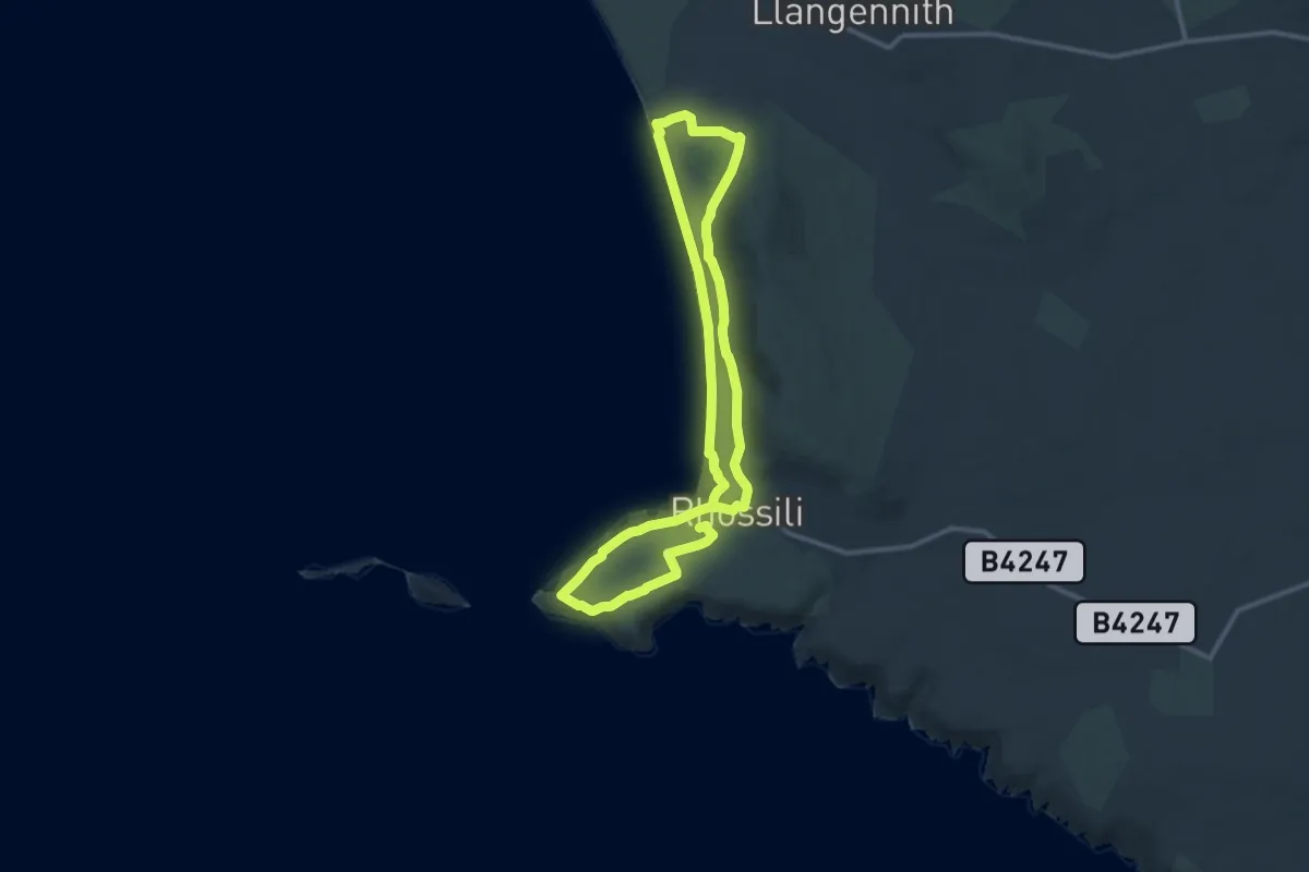
Medium · Trail
Rhossili Ranger Run, Gower
9.8 km · ↑ 198 m · 2 h 53 min
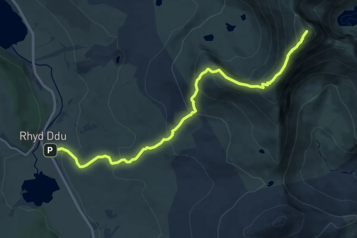
Demanding · Summit
Rhyd Ddu Path
11.5 km · ↑ 848 m · 4 h 33 min
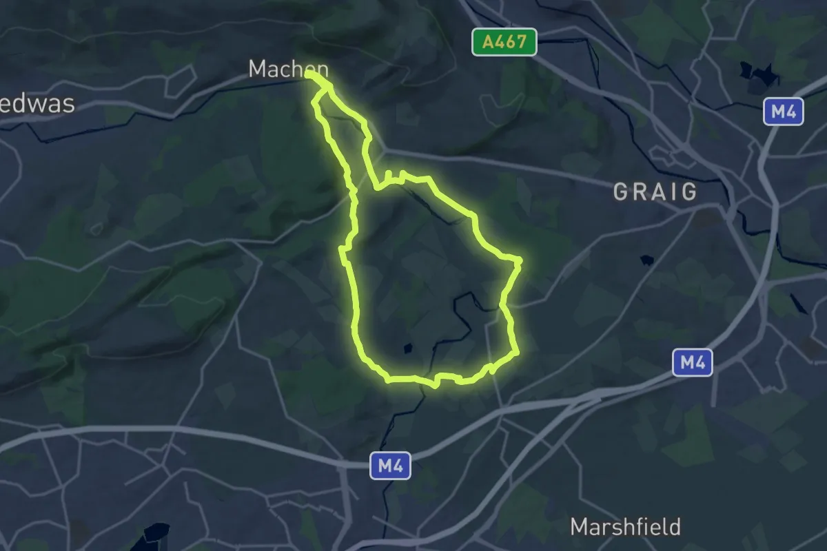
Medium · Trail
Rhymney River Circular
15.3 km · ↑ 226 m · 4 h 19 min
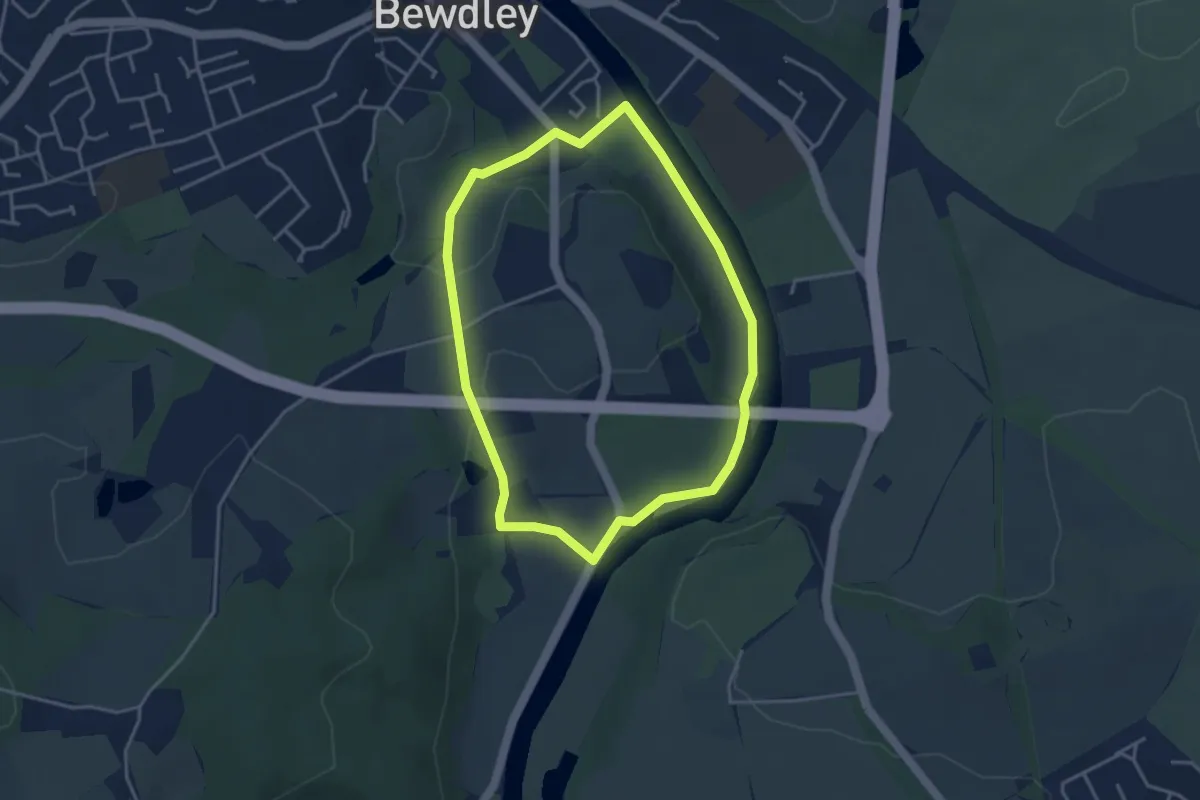
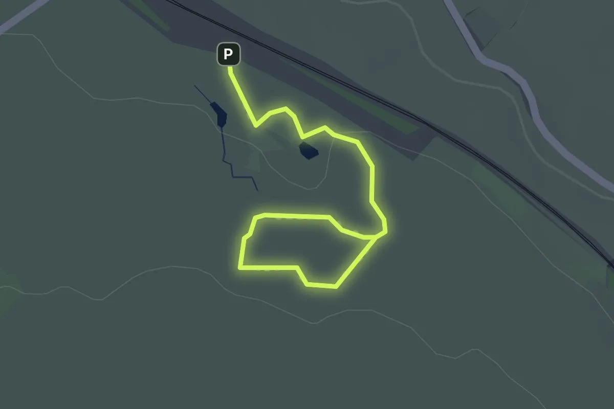
Easy · Trail
Ribbesford Circular Trail
3.1 km · ↑ 30 m · 51 min
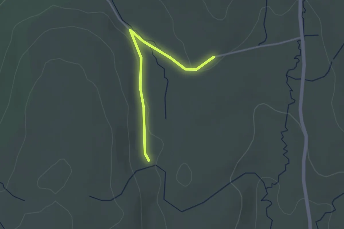
Easy · Trail
Ribblehead Quarry Walk
1.3 km · ↑ 18 m · 22 min
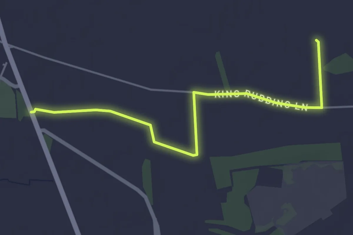
Easy · Trail
Ribble Way
2.4 km · ↑ 24 m · 37 min
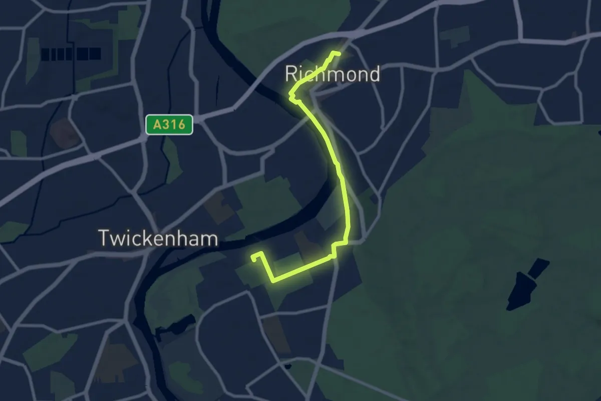
Easy · Trail
Riccall Round Walk 2
4.1 km · ↑ 0 m · 58 min
Easy · Trail
Richmond Station to Ham House Historic Scenic Walk, Ham House
3.7 km · ↑ 0 m · 55 min
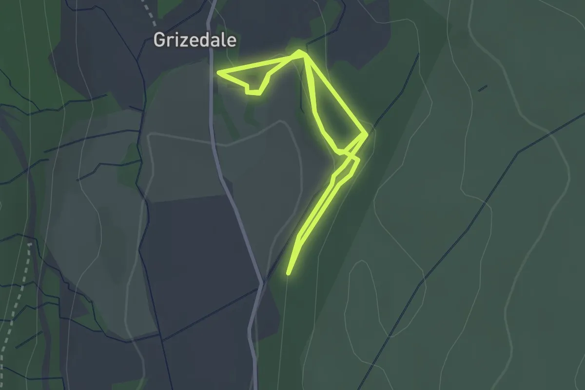
Easy · Trail
Ridding Wood Trail
2.3 km · ↑ 73 m · 43 min
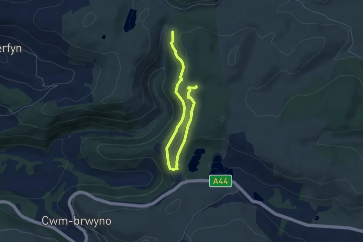
Easy · Trail
Ridgetop Trail
5.9 km · ↑ 183 m · 1 h 48 min
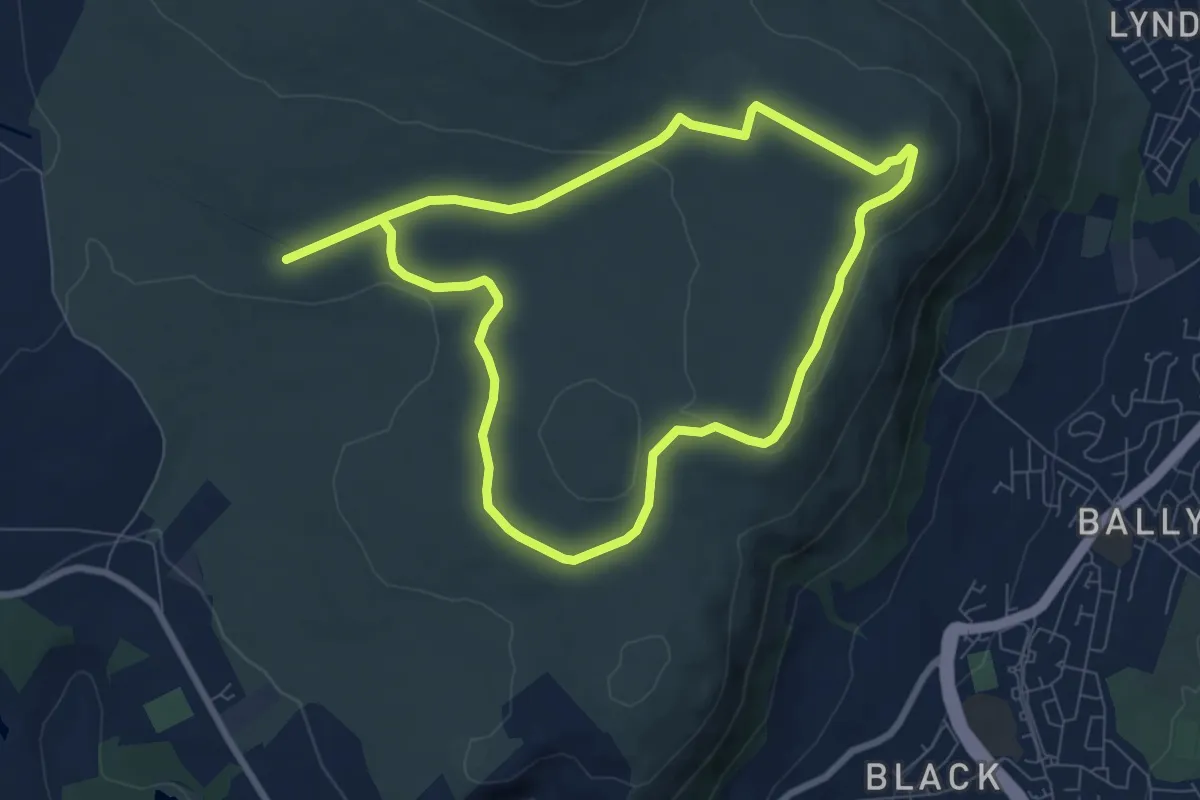
Easy · Summit
Ridge Trail, Belfast Area
6.3 km · ↑ 111 m · 1 h 48 min
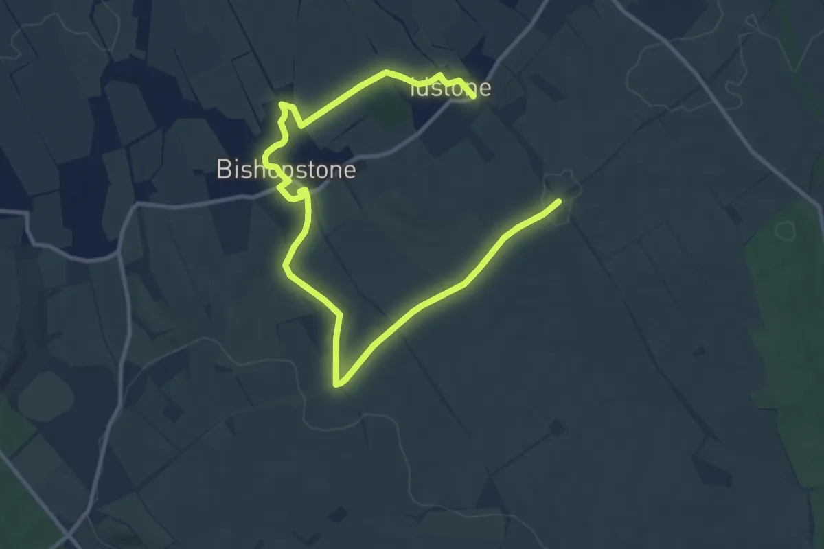
Easy · Trail
Ridgeway Circular Route
6.0 km · ↑ 23 m · 1 h 36 min
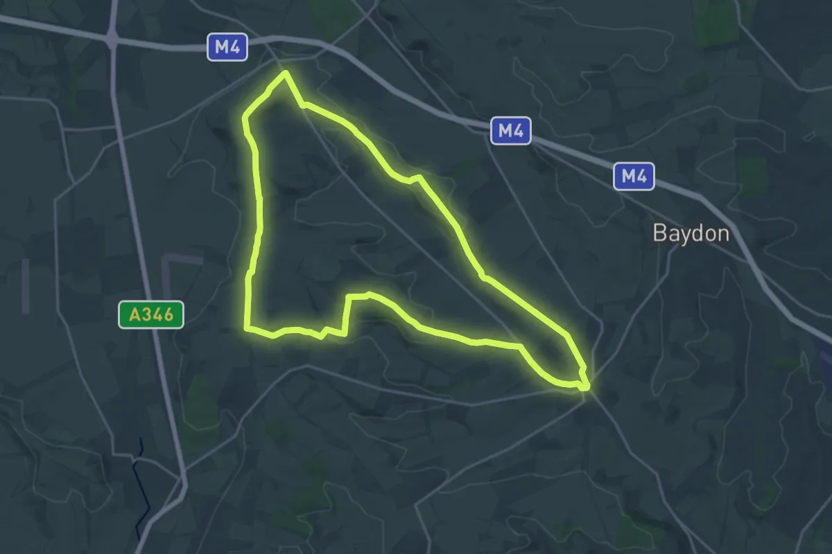
Medium · Summit
Ridgeway Circular Route
17.6 km · ↑ 246 m · 4 h 56 min
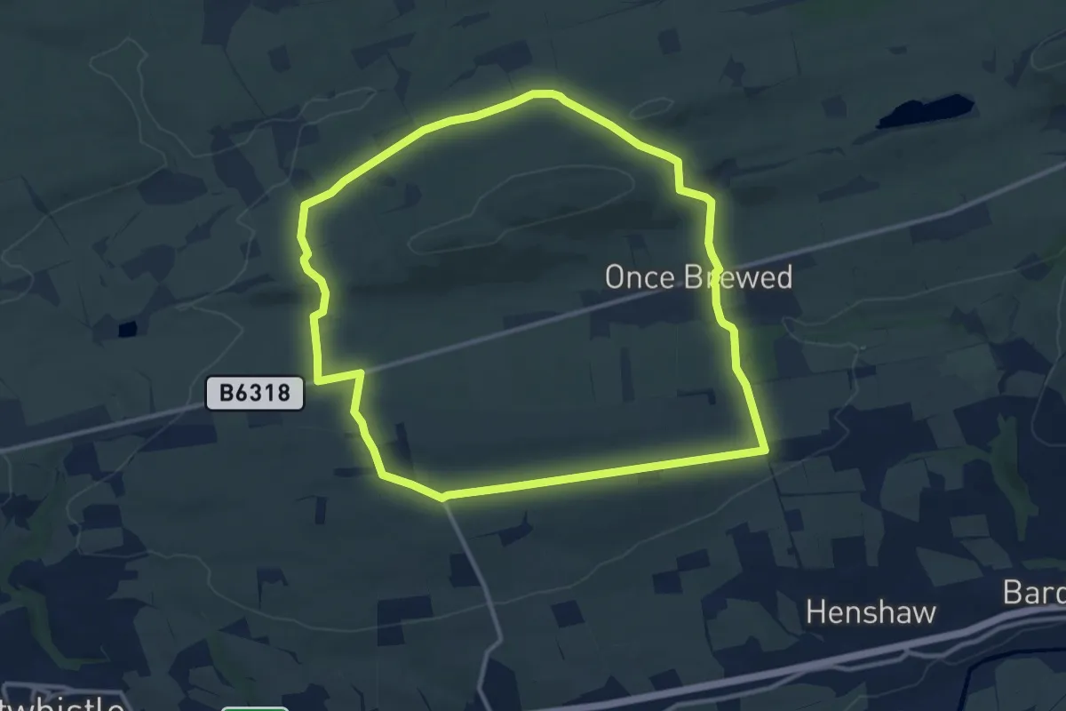
Medium · Trail
Riever Trails: The Sill Circular
9.8 km · ↑ 183 m · 2 h 50 min
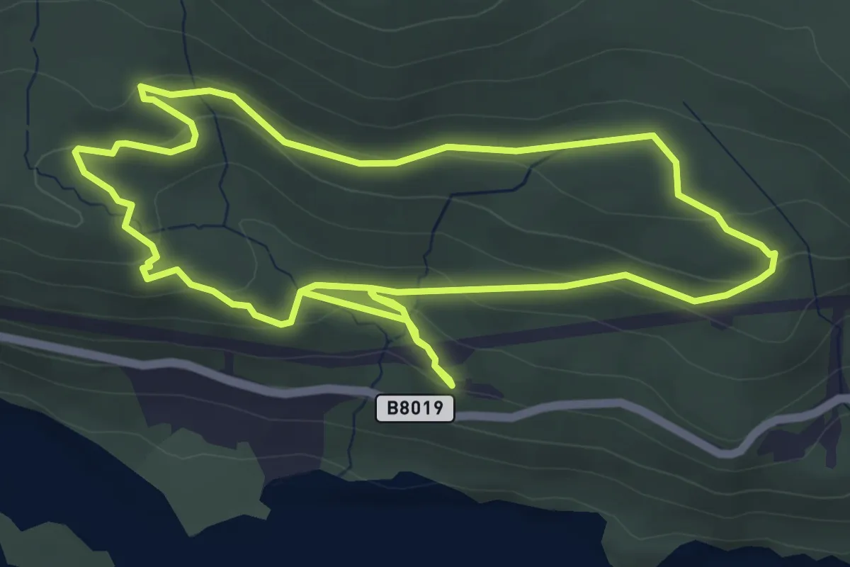
Easy · Trail
Ring Fort Trail
4.1 km · ↑ 142 m · 1 h 20 min
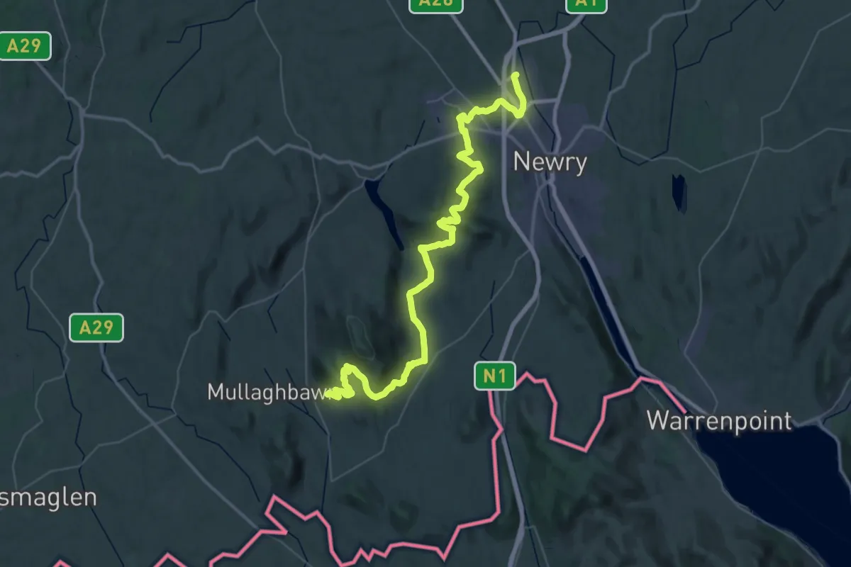
Demanding · Trail
Ring of Gullion Way
22.8 km · ↑ 554 m · 6 h 58 min