Trails in United Kingdom
3,857 hiking trails, each with its route, climb, walking time and grade.
All trails, page 57 of 81
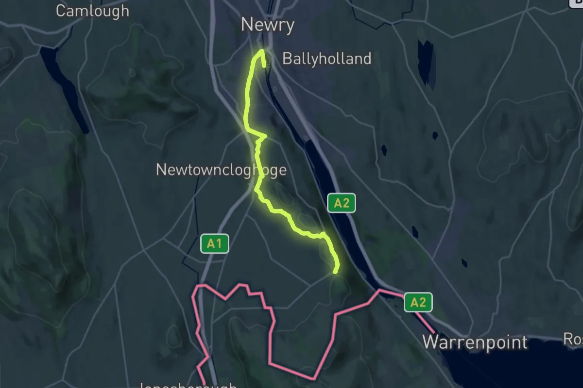
Medium · Trail
Ring of Gullion Way - Section 1
17.0 km · ↑ 314 m · 4 h 41 min
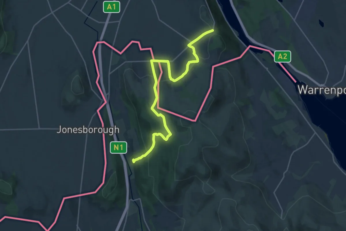
Medium · Trail
Ring of Gullion Way - Section 2
17.2 km · ↑ 672 m · 5 h 32 min
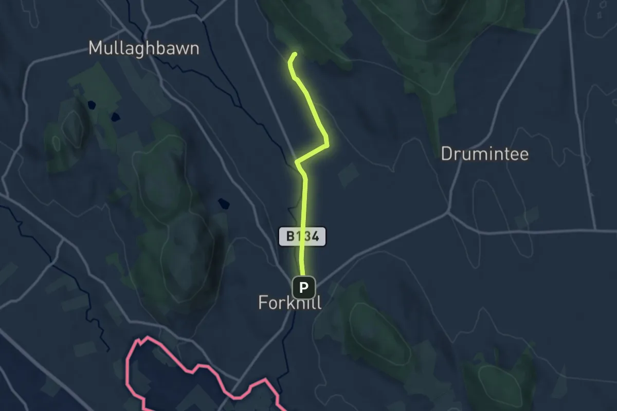
Easy · Trail
Ring of Gullion Way - Section 4
6.4 km · ↑ 71 m · 1 h 40 min
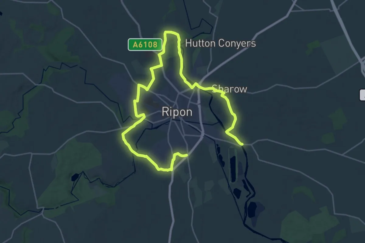
Demanding · Trail
Ripon Sanctuary Way
26.5 km · ↑ 128 m · 6 h 32 min
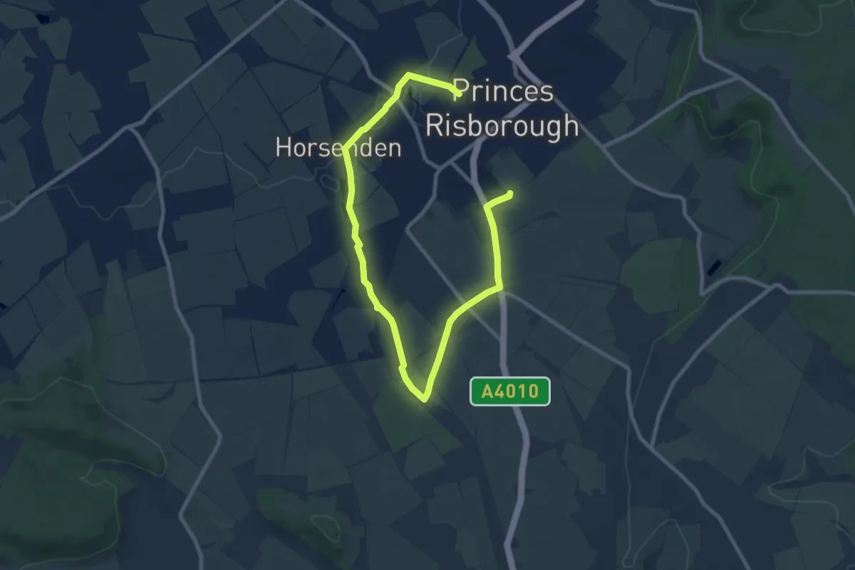
Medium · Trail
Risborough Blue Route
10.3 km · ↑ 64 m · 2 h 35 min
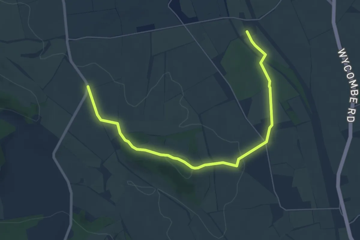
Easy · Trail
Risborough Green Route
6.1 km · ↑ 107 m · 1 h 40 min
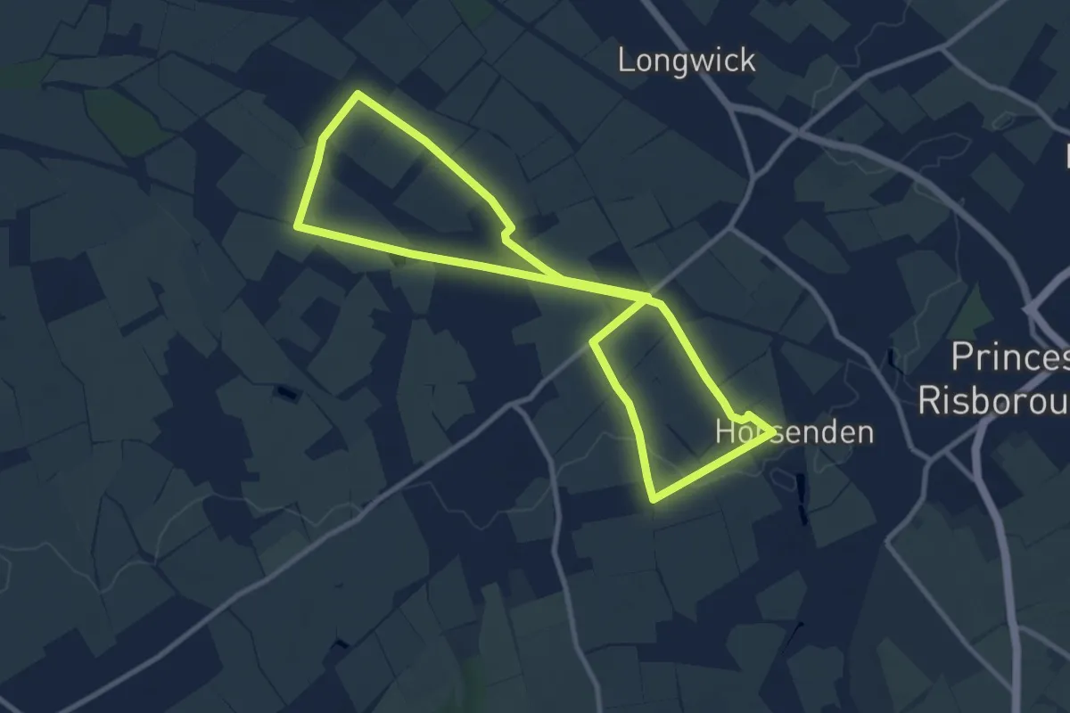
Medium · Trail
Risborough Pink Route
8.2 km · ↑ 30 m · 2 h 6 min
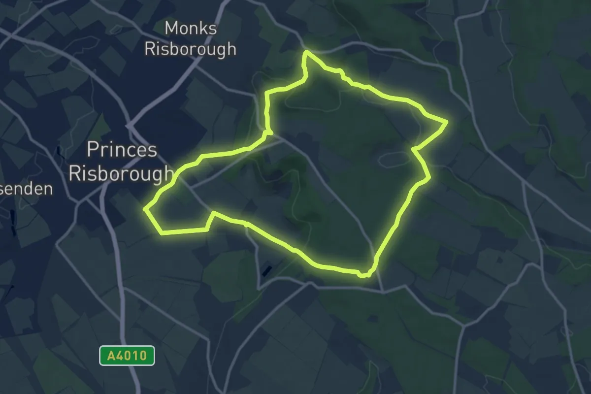
Medium · Summit
Risborough Purple Route
9.8 km · ↑ 249 m · 2 h 59 min
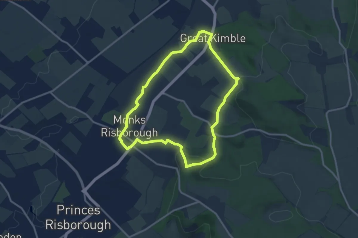
Easy · Summit
Risborough Red Route
6.4 km · ↑ 155 m · 1 h 56 min
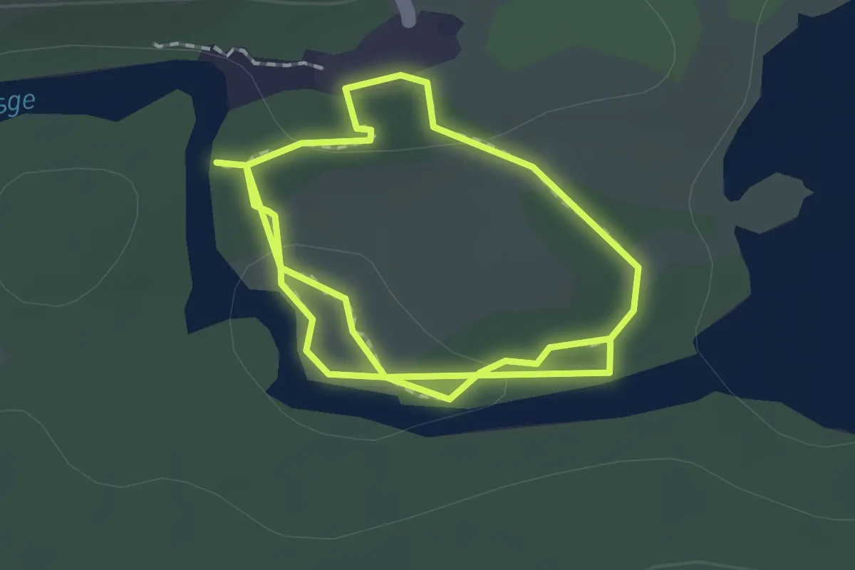
Medium · Trail
River Affric Walk
2.7 km · ↑ 31 m · 42 min
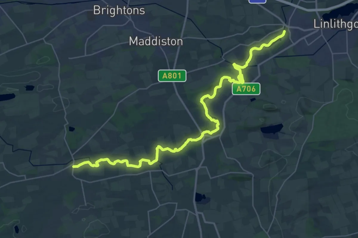
Demanding · Trail
River Avon Heritage Trail
27.8 km · ↑ 309 m · 7 h 13 min
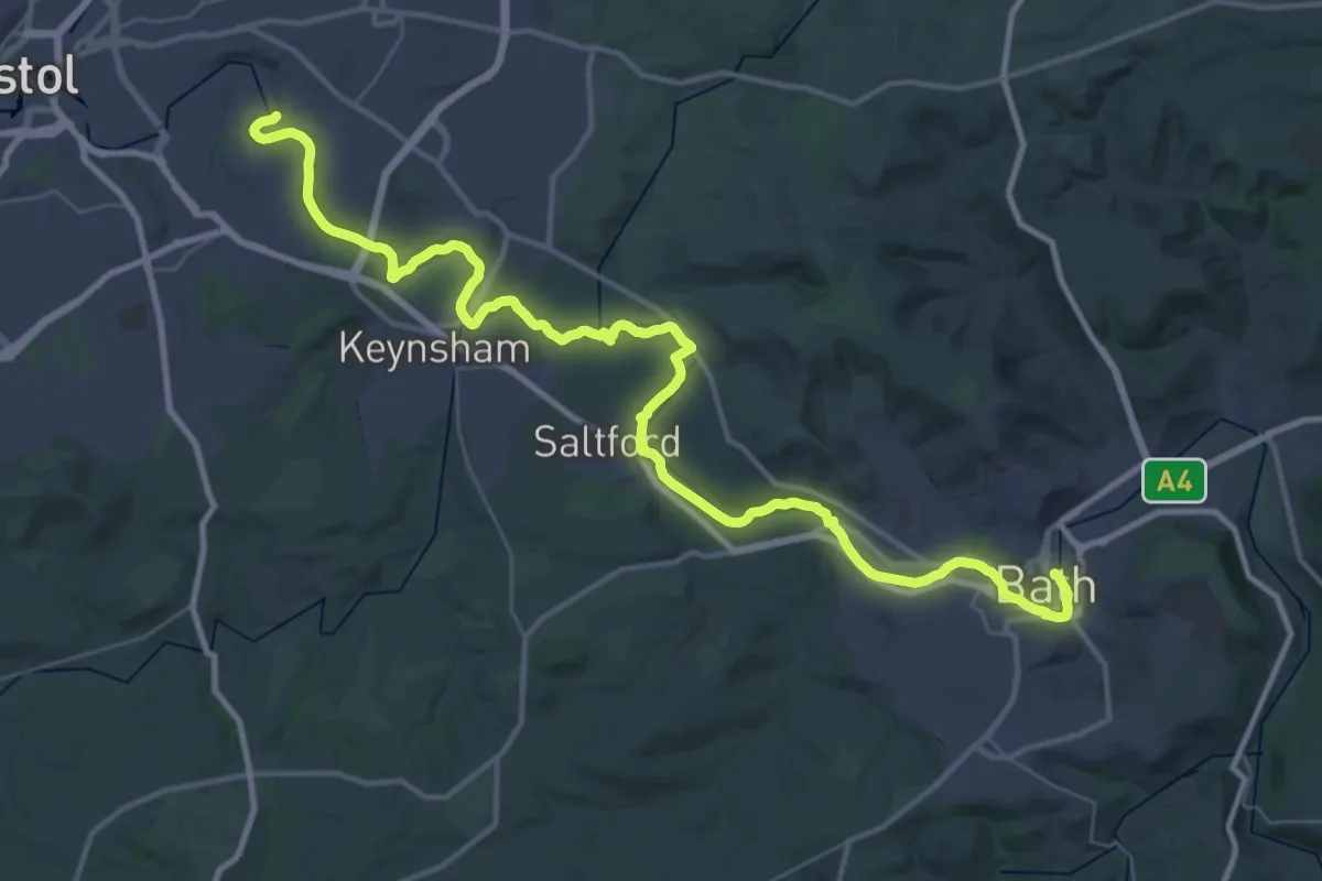
Demanding · Trail
River Avon Trail
22.8 km · ↑ 22 m · 5 h 45 min
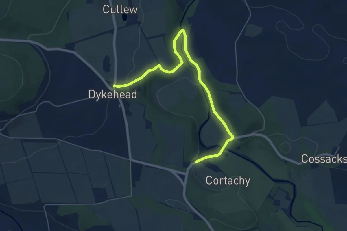
Easy · Trail
River Esk and Sawmill Walk
4.8 km · ↑ 89 m · 1 h 20 min
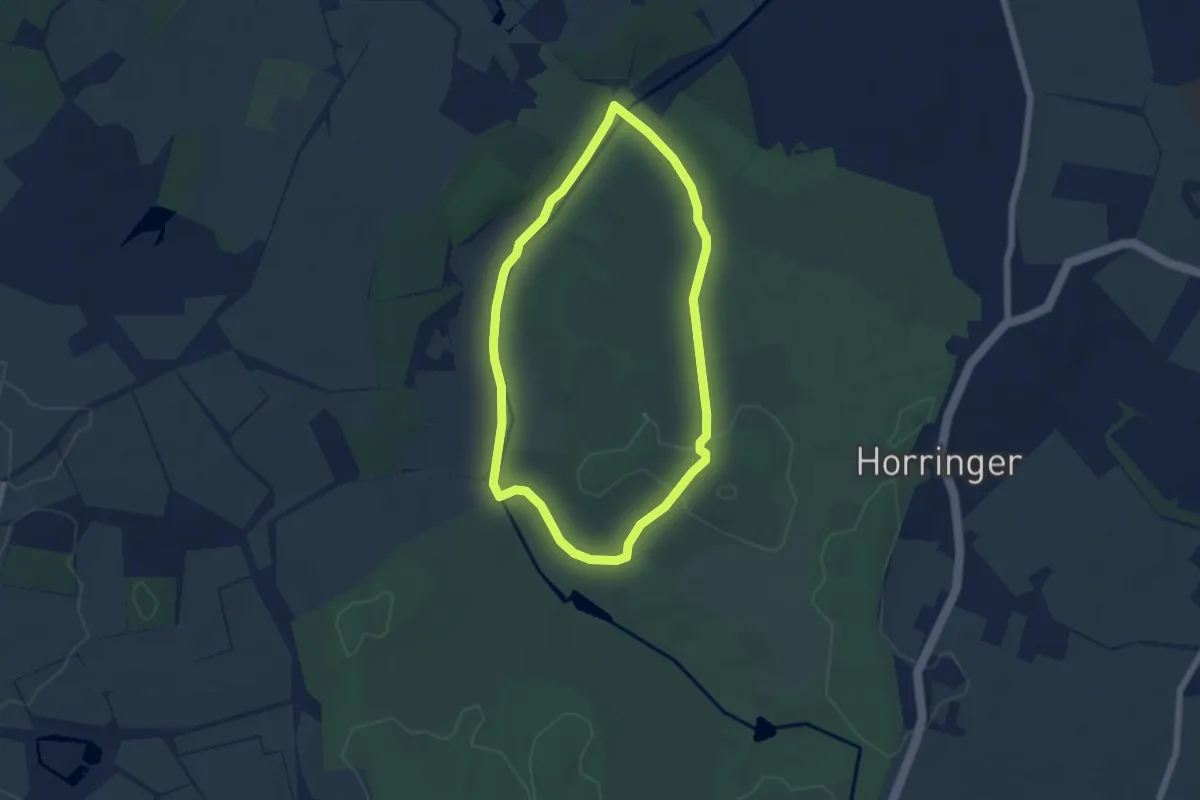
Easy · Trail
River Linnet Trail, Ickworth Estate
4.6 km · ↑ 38 m · 1 h 14 min
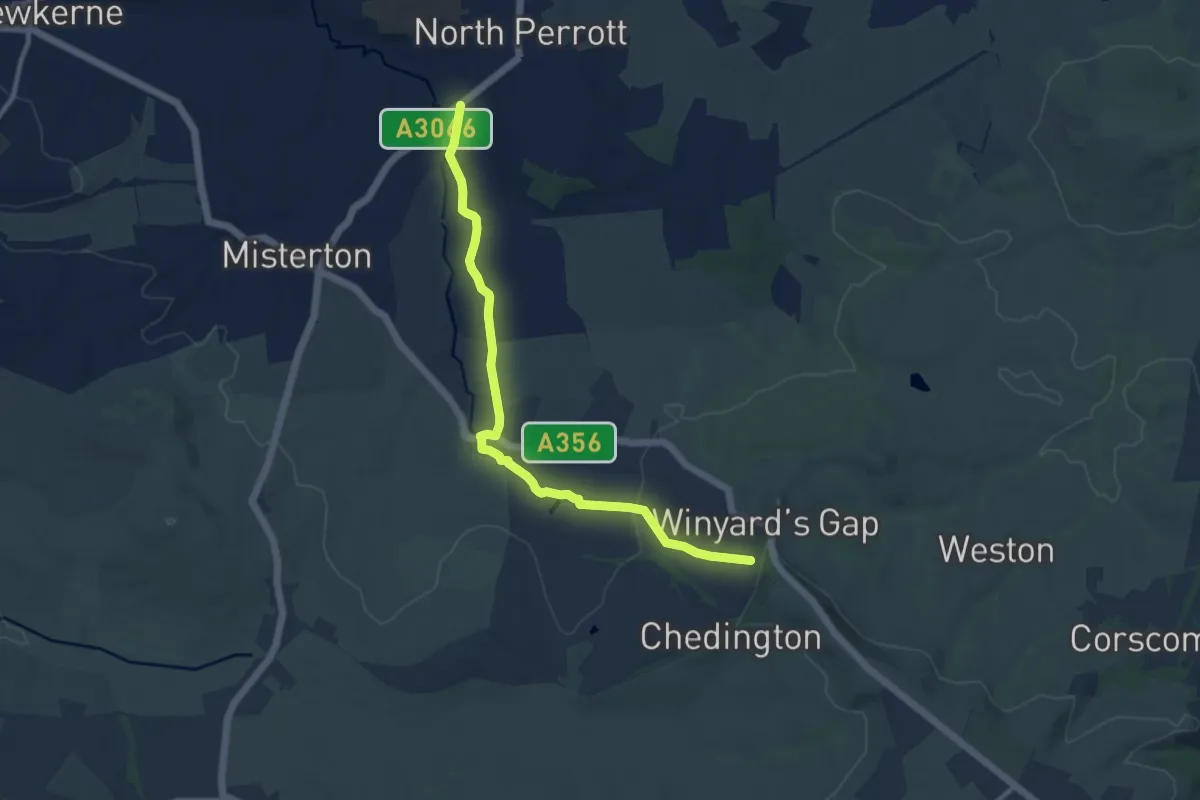
Medium · Trail
River Parrett Trail
9.5 km · ↑ 163 m · 2 h 36 min
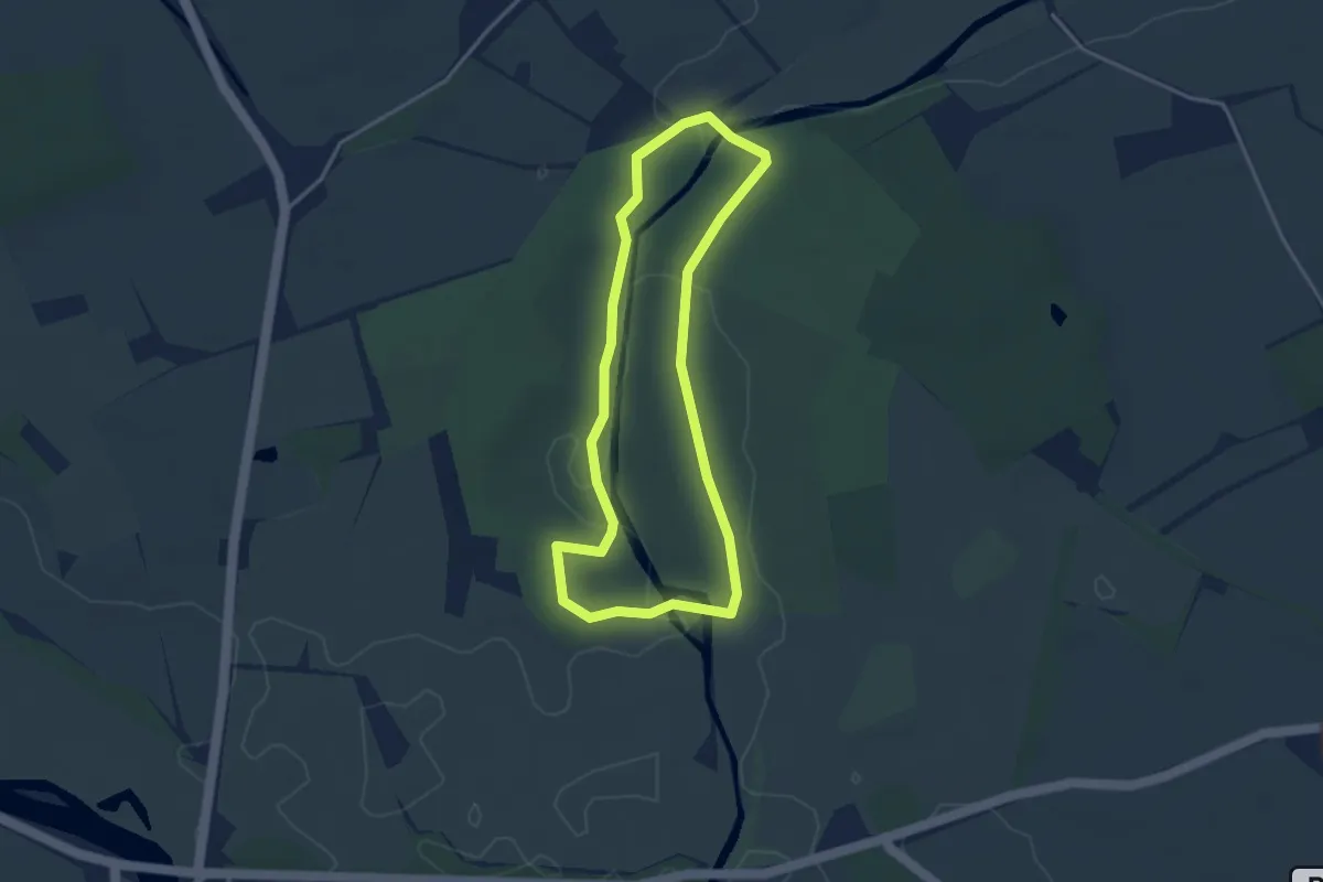
Easy · Trail
River Reflections Walk, Attingham Park
2.9 km · ↑ 4 m · 44 min
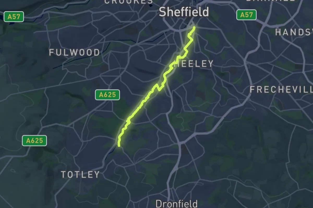
Medium · Trail
River Sheaf Walk
17.3 km · ↑ 167 m · 4 h 27 min
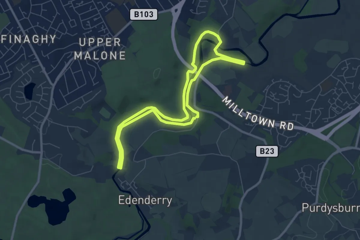
Easy · Trail
Riverside Circular Walk, Minnowburn
5.4 km · ↑ 22 m · 1 h 24 min
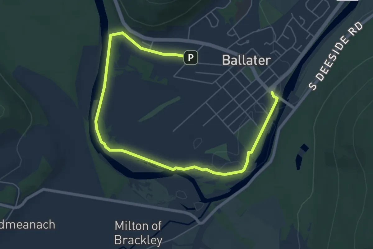
Easy · Trail
Riverside Loop
5.9 km · ↑ 26 m · 1 h 27 min
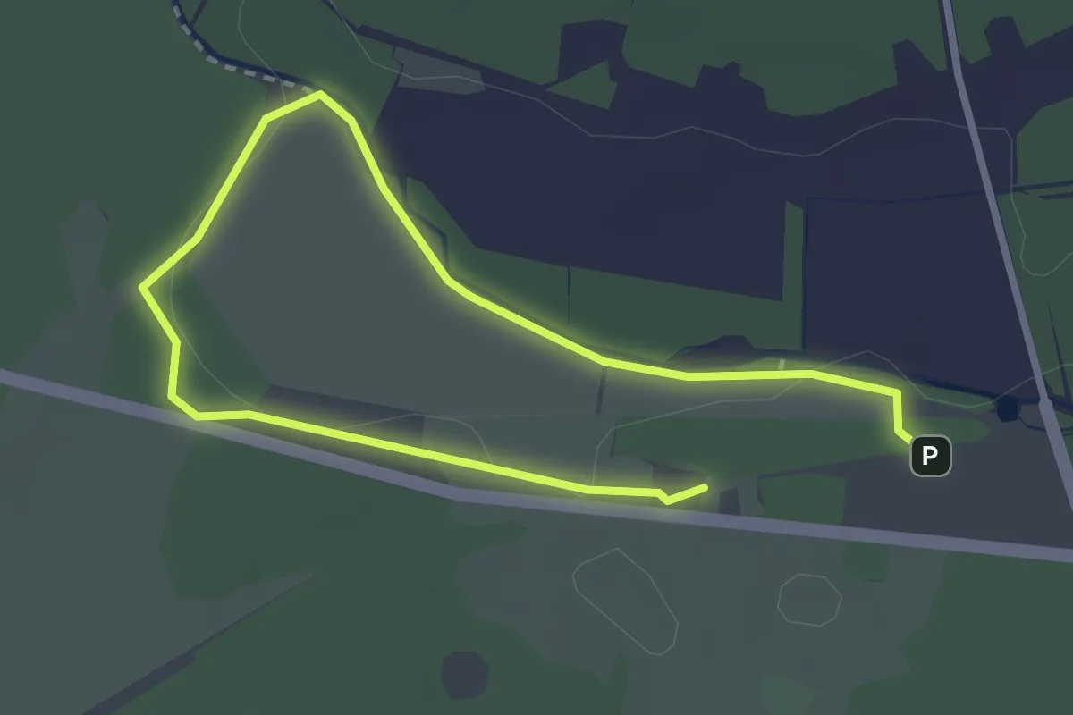
Easy · Trail
Riverside Trail
1.9 km · ↑ 0 m · 28 min
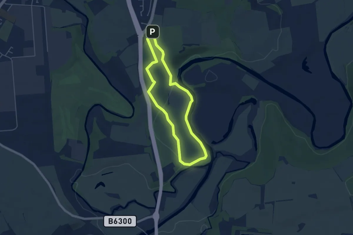
Easy · Trail
Riverside Trail
3.5 km · ↑ 54 m · 59 min
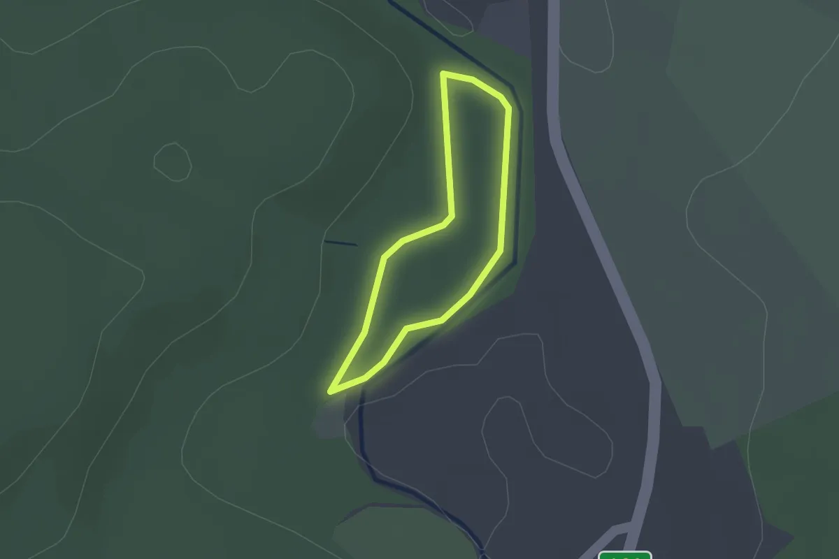
Easy · Trail
Riverside Trail
1.2 km · ↑ 4 m · 19 min
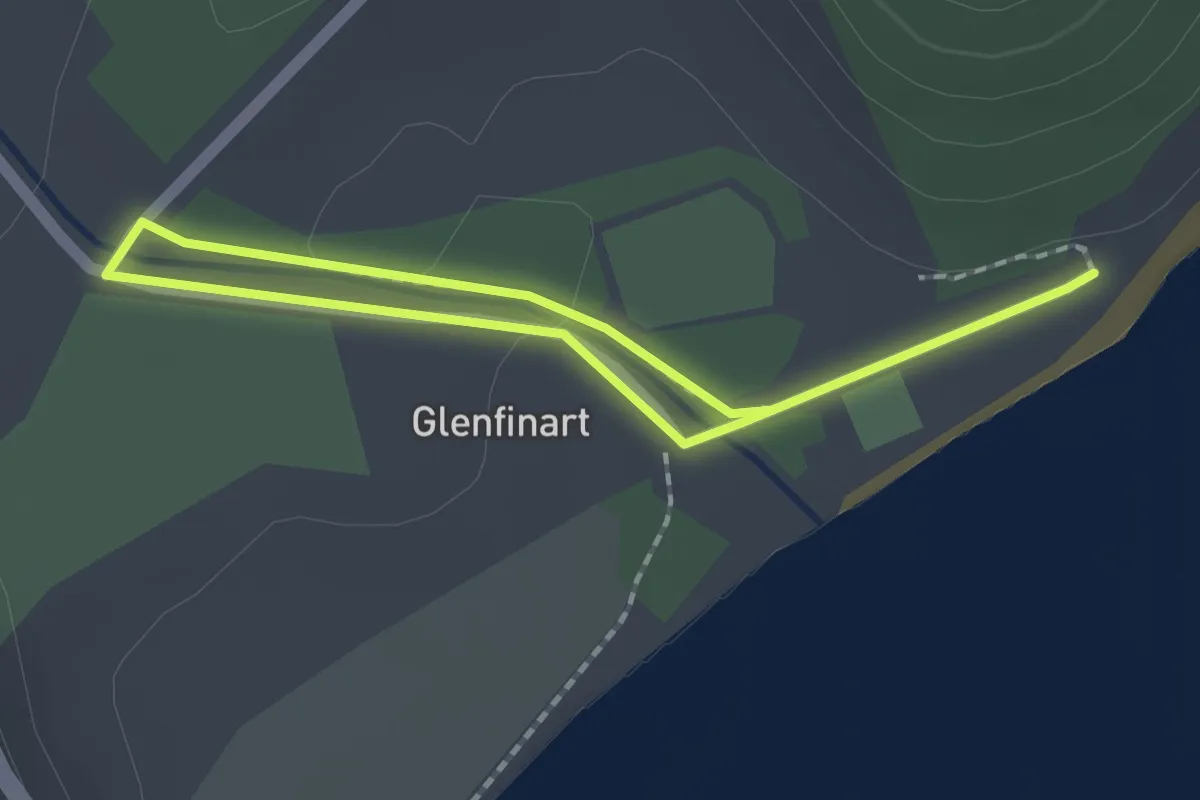
Easy · Trail
Riverside Trail
2.1 km · ↑ 13 m · 32 min
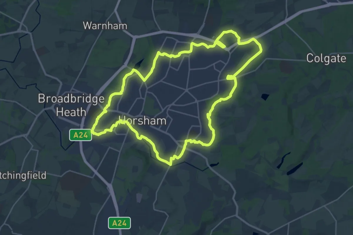
Demanding · Trail
Riverside Walk
20.1 km · ↑ 84 m · 5 h 12 min
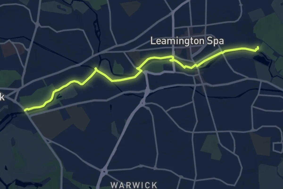
Medium · Trail
Riverside Walk
10.9 km · ↑ 18 m · 2 h 36 min
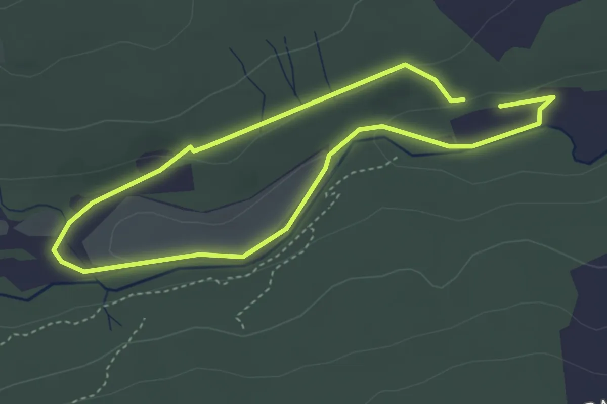
Easy · Trail
Riverside Walk
2.6 km · ↑ 22 m · 42 min
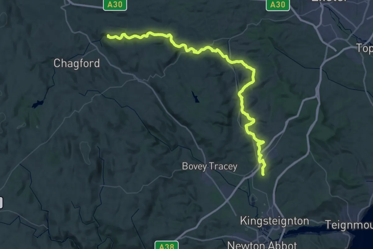
Demanding · Summit
River Teign Walk
59.6 km · ↑ 1227 m · 16 h 44 min
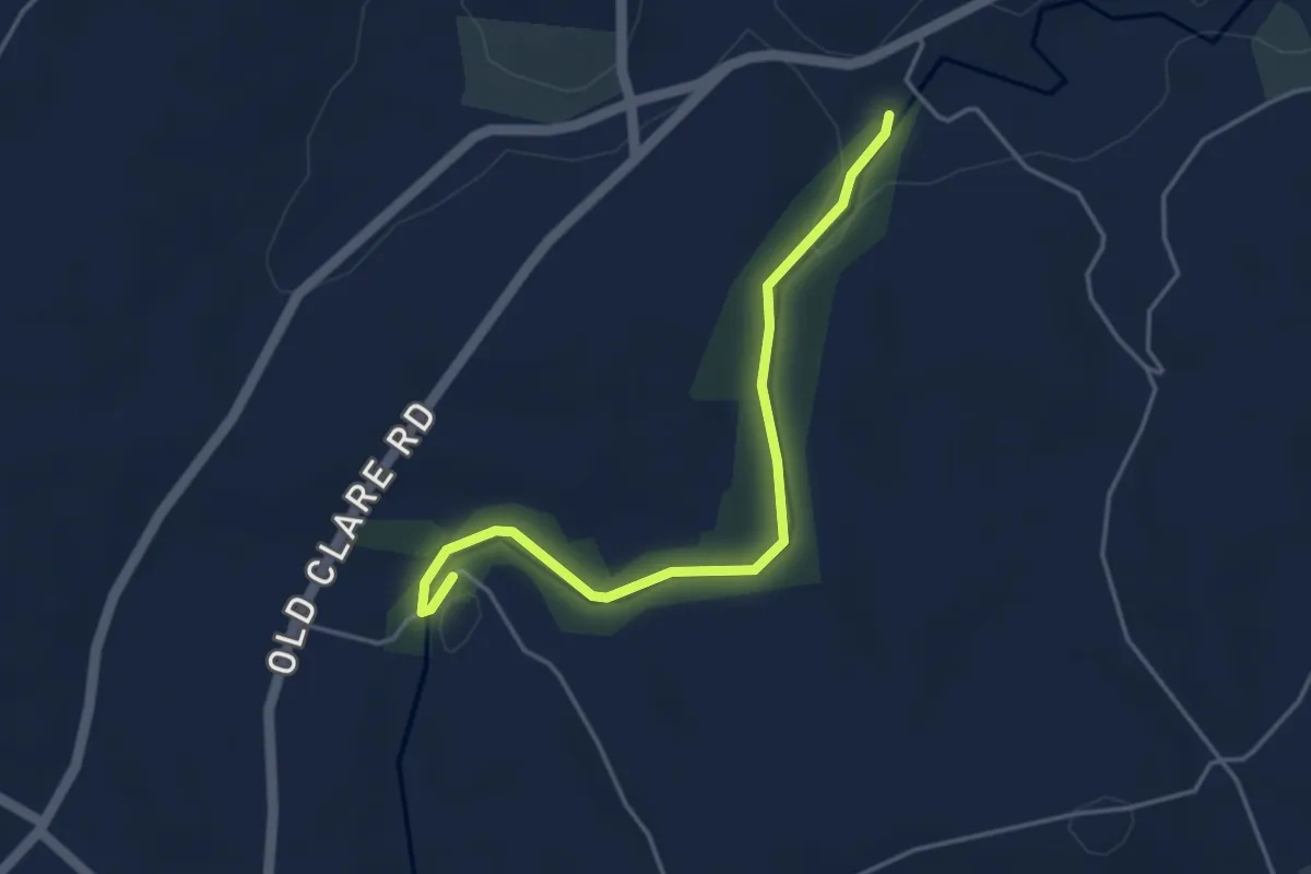
Easy · Trail
River Trail
3.6 km · ↑ 19 m · 53 min
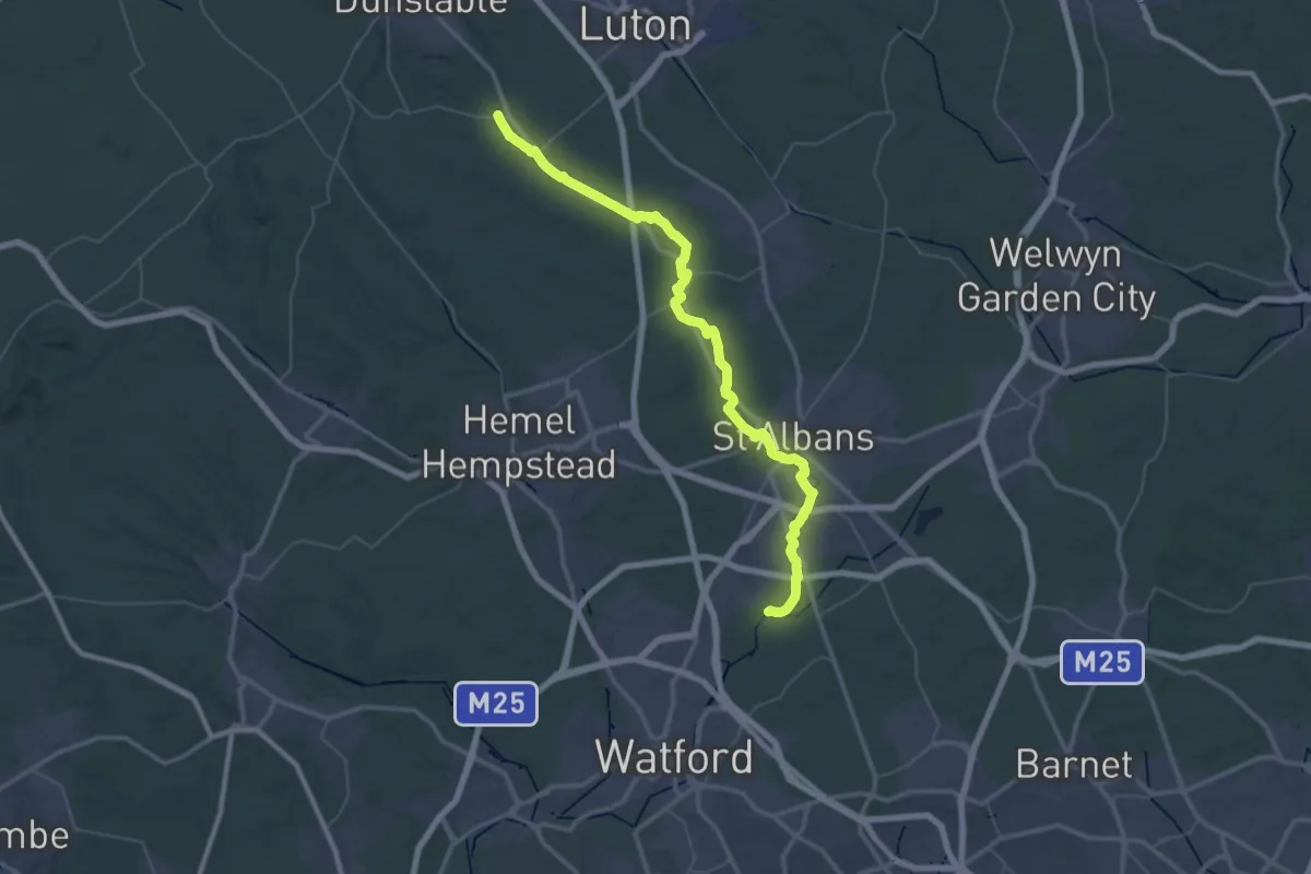
Demanding · Trail
River Ver Trail
26.2 km · ↑ 42 m · 6 h 40 min
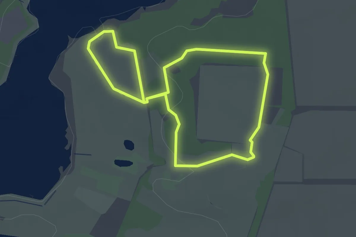
Easy · Trail
River View Walk (Green Route), Sutton Hoo
2.2 km · ↑ 27 m · 37 min
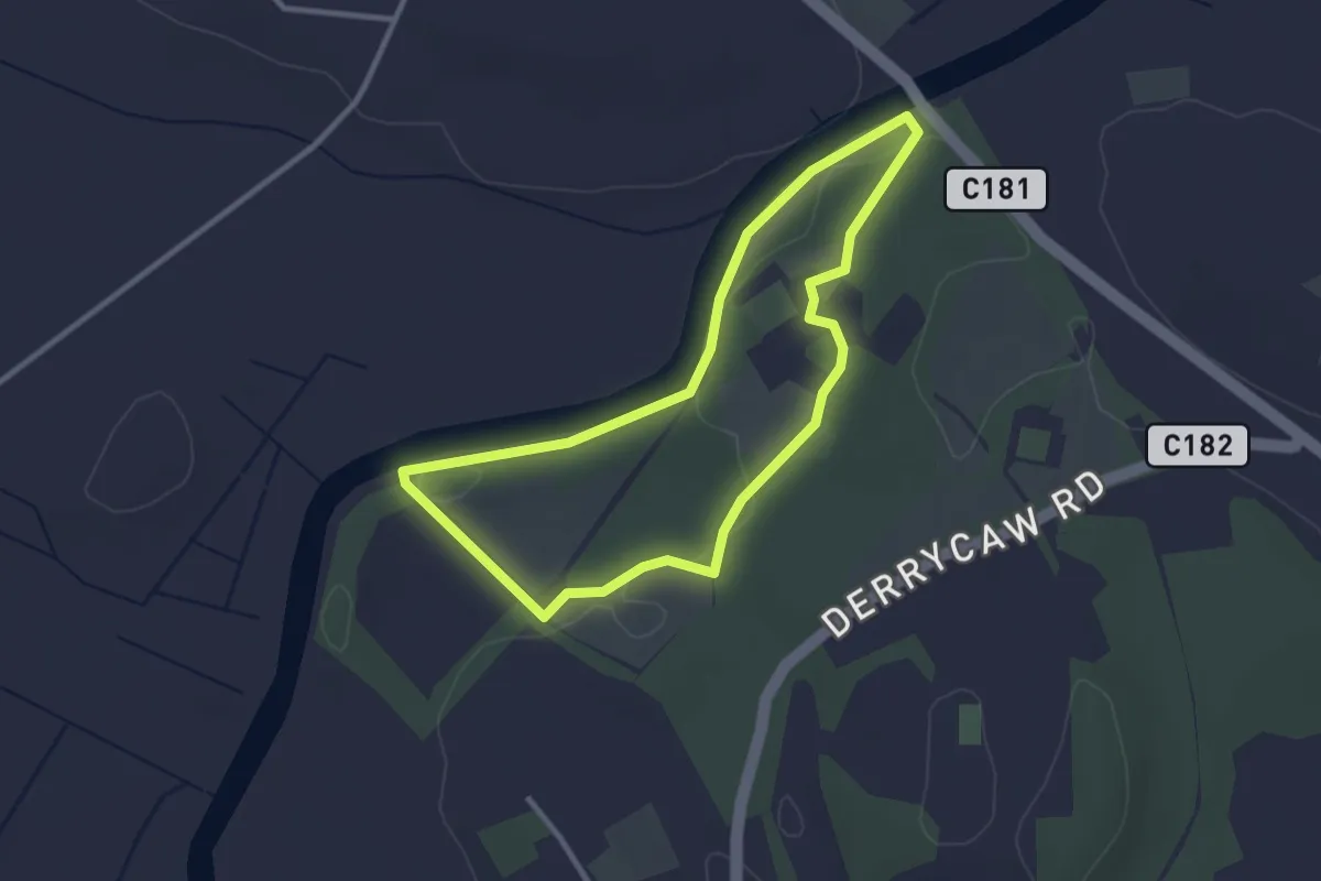
Easy · Trail
River Walk at The Argory
2.4 km · ↑ 9 m · 37 min
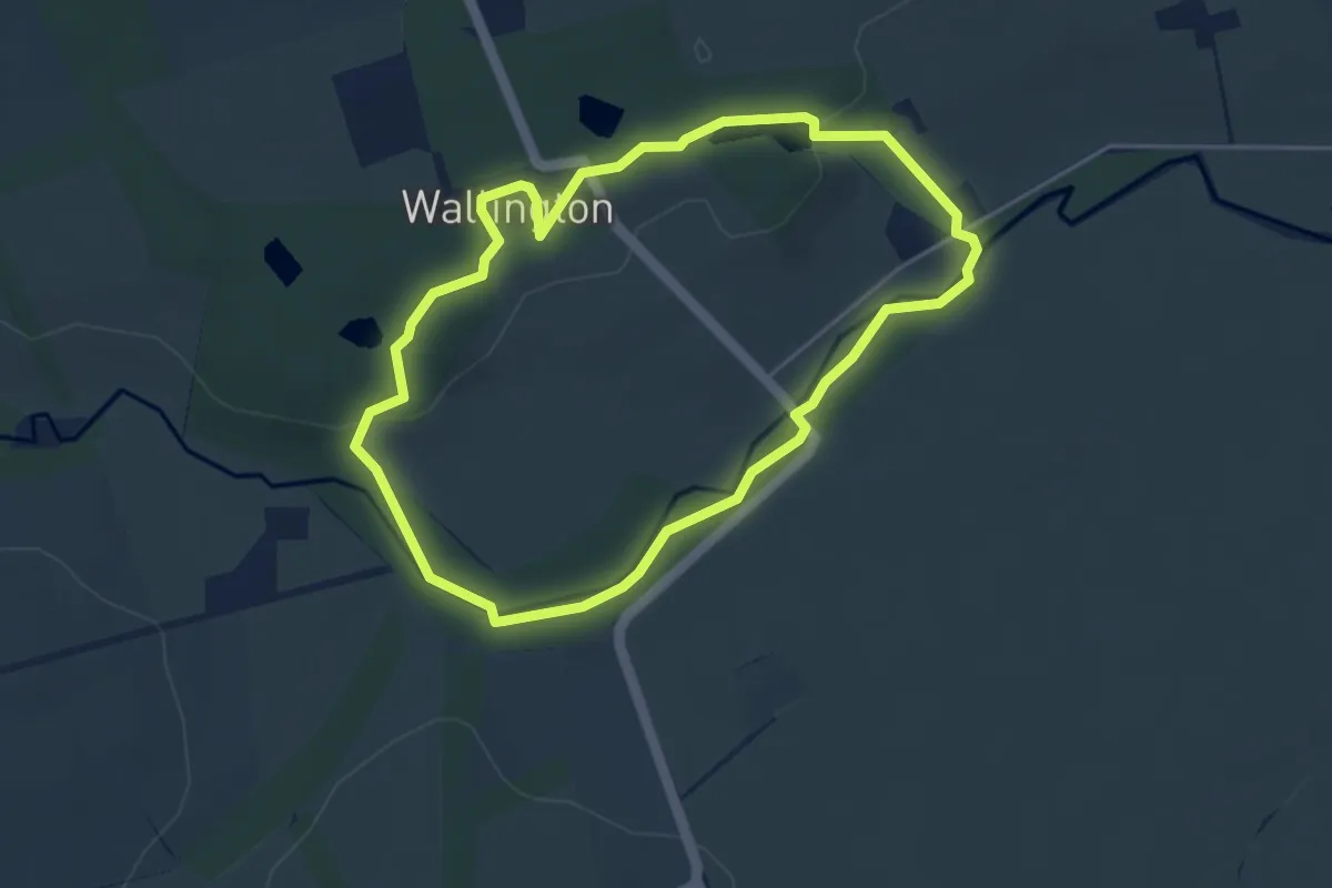
Easy · Trail
River Walk at Wallington
3.3 km · ↑ 35 m · 54 min
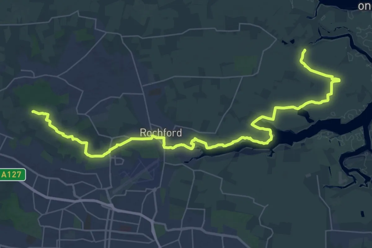
Medium · Trail
Roach Valley Walk
18.0 km · ↑ 72 m · 4 h 37 min
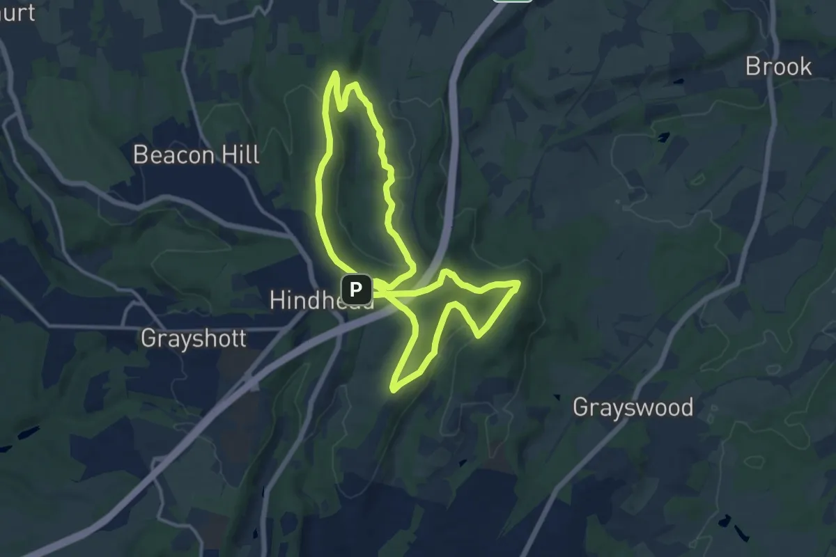
Medium · Trail
Roam 639 Walk at Hindhead Commons and the Devil's Punch Bowl, Hindhead
10.6 km · ↑ 244 m · 3 h 11 min
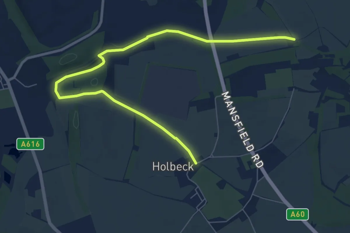
Easy · Trail
Robin Hood Way
7.3 km · ↑ 68 m · 1 h 52 min
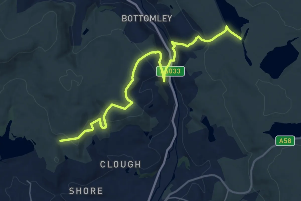
Medium · Trail
Rochdale Way
16.1 km · ↑ 630 m · 5 h 9 min
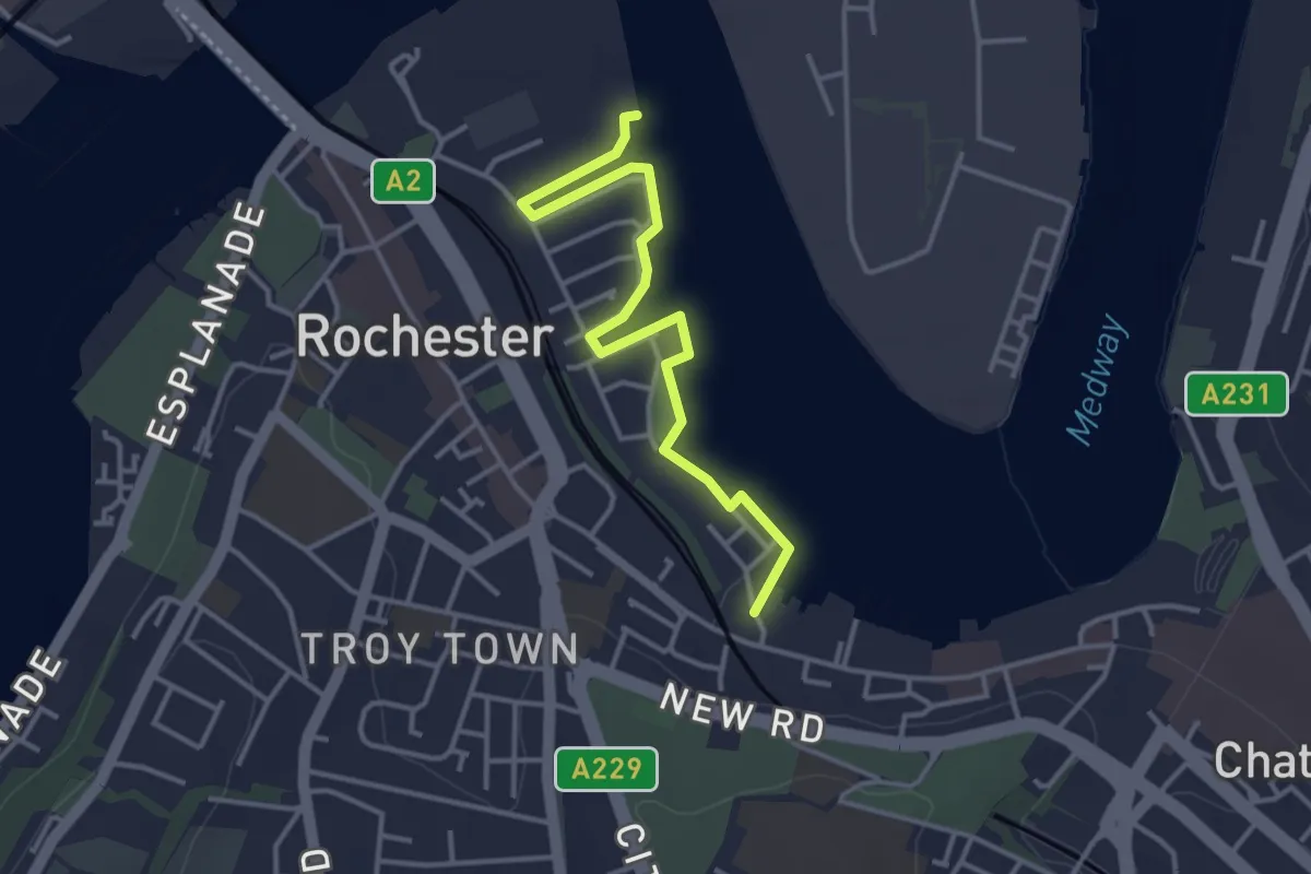
Easy · Trail
Rochester Riverside Walk
3.5 km · ↑ 0 m · 49 min
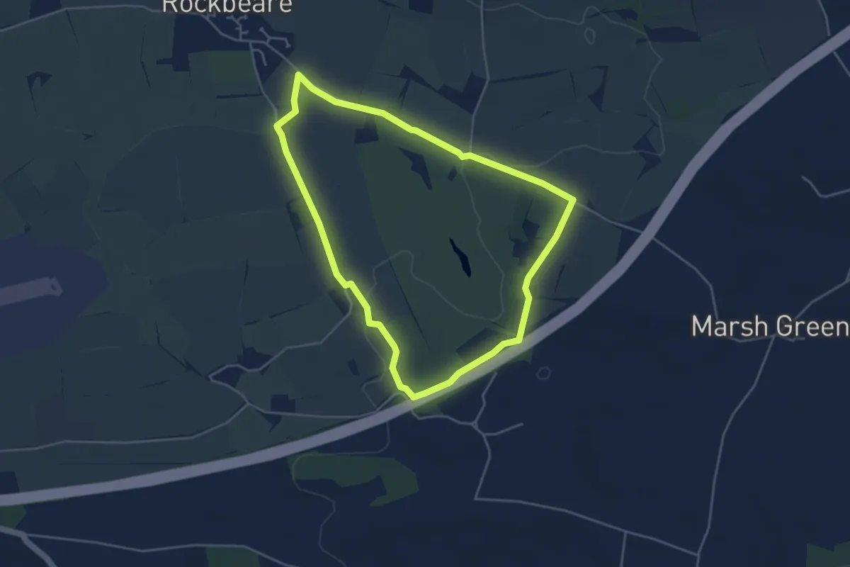
Easy · Trail
Rockbeare Circular
3.8 km · ↑ 22 m · 1 h 1 min
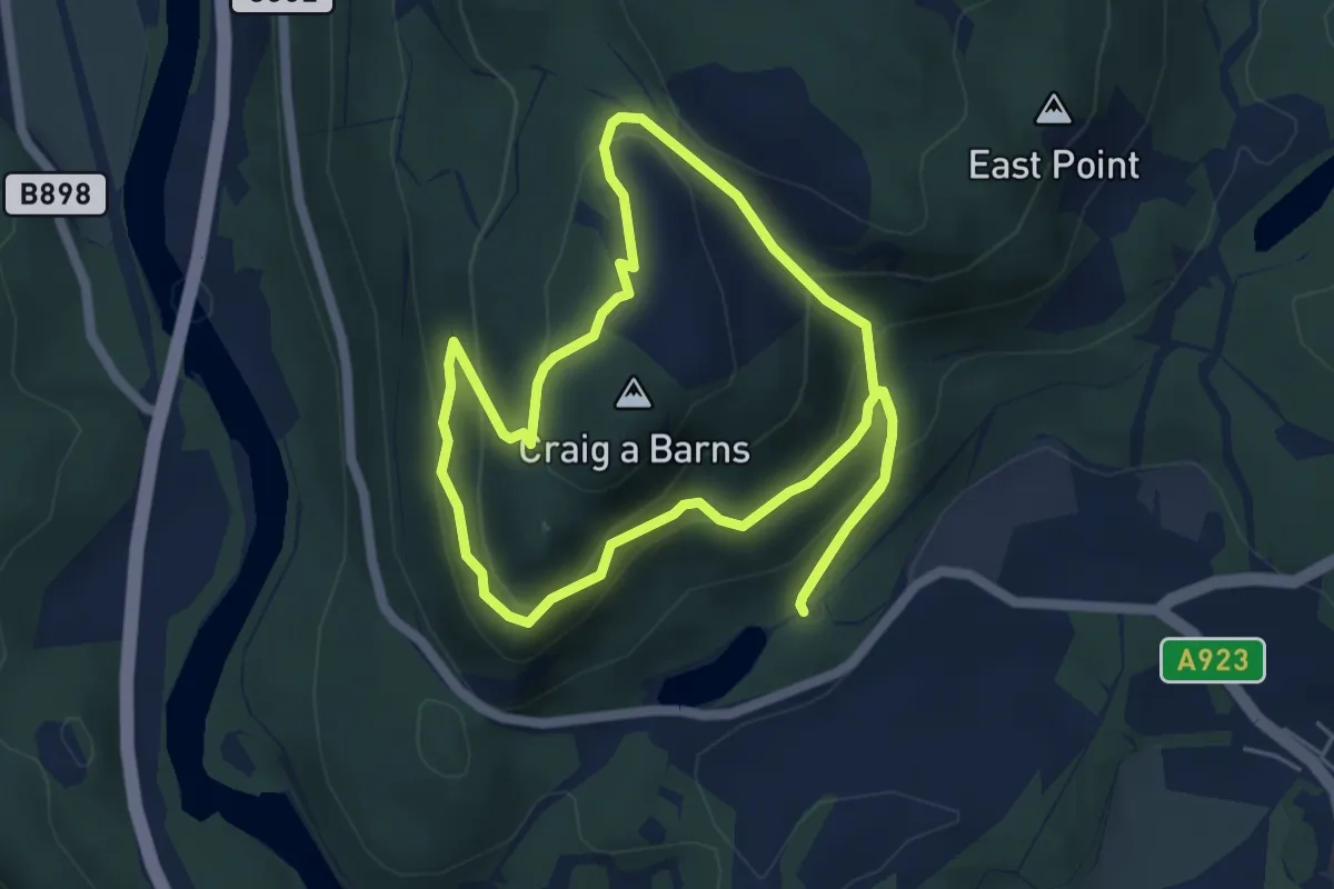
Demanding · Summit
Rocking Stone Path
4.3 km · ↑ 252 m · 1 h 37 min
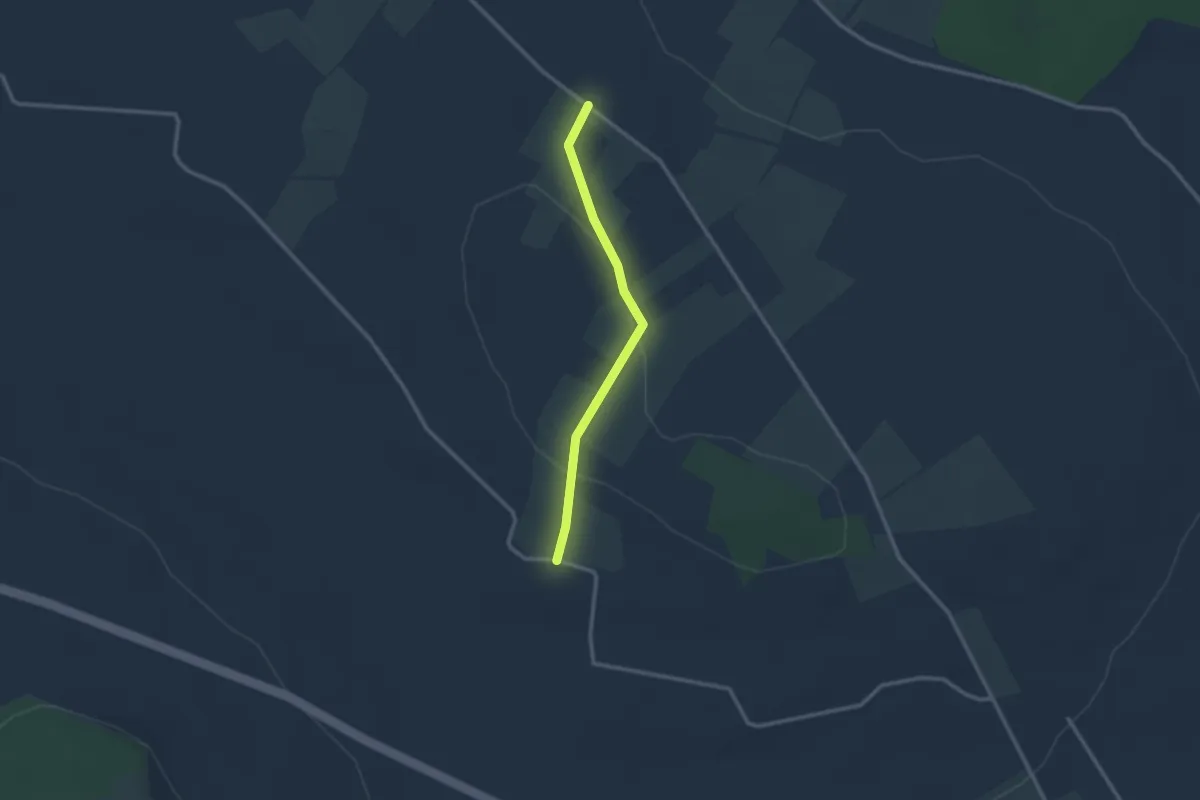
Easy · Trail
Rock Lane
2.0 km · ↑ 53 m · 36 min
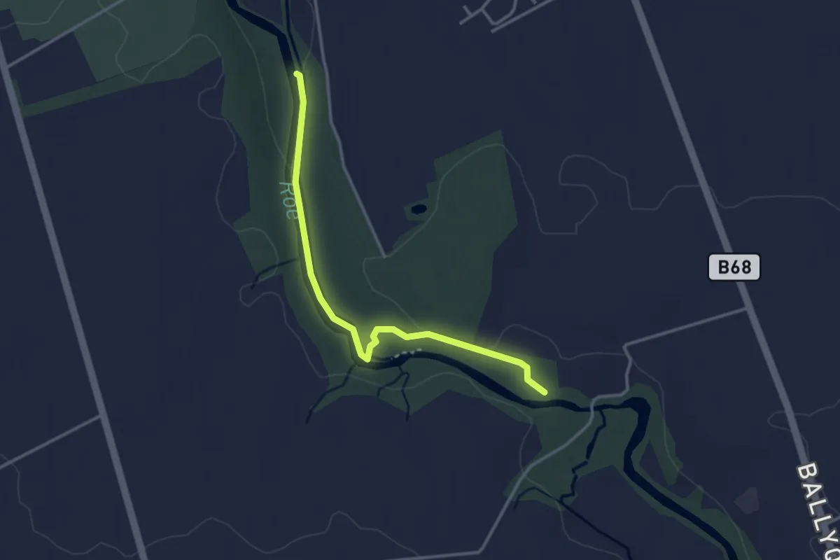
Easy · Trail
Roe Valley Country Park
2.7 km · ↑ 17 m · 41 min
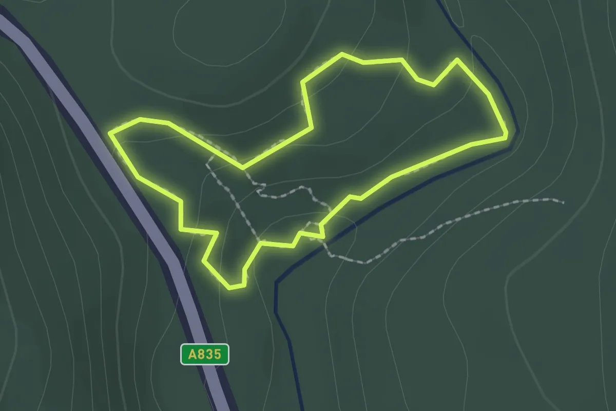
Easy · Trail
Rogie Falls Riverside Trail
1.4 km · ↑ 37 m · 25 min
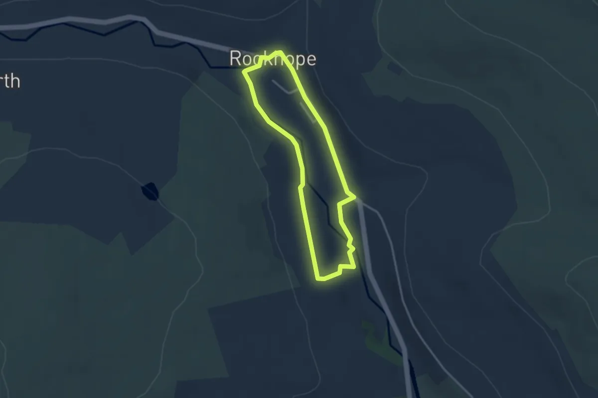
Easy · Trail
Rookhope Trails 1
2.2 km · ↑ 28 m · 37 min
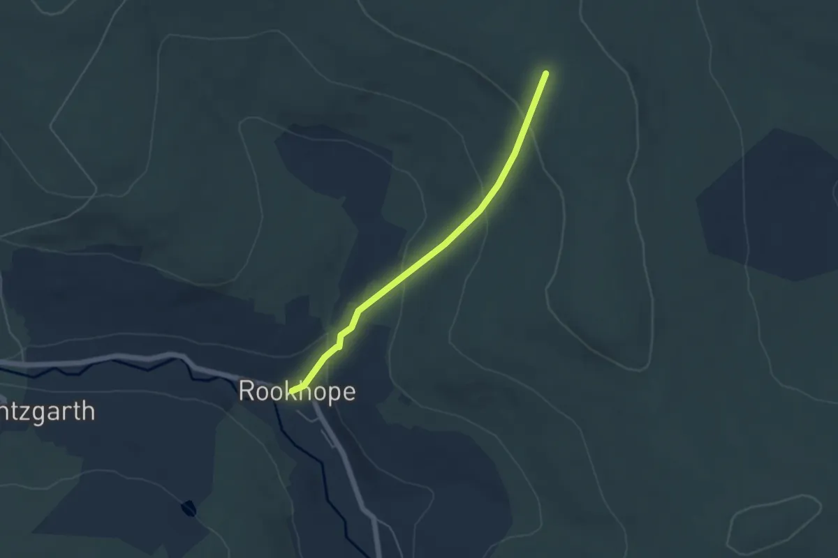
Easy · Trail
Rookhope Trails 4
3.7 km · ↑ 191 m · 1 h 17 min
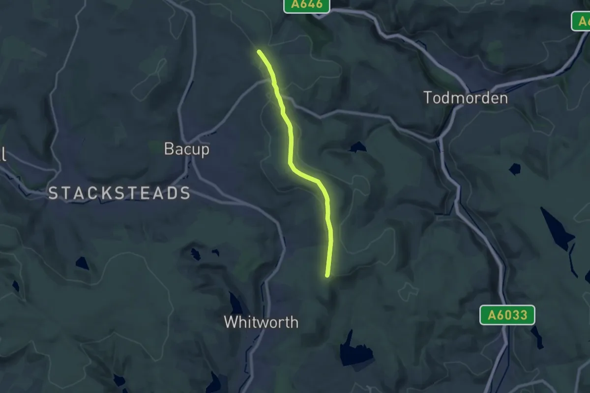
Medium · Trail
Rossendale Way
12.2 km · ↑ 126 m · 3 h 10 min
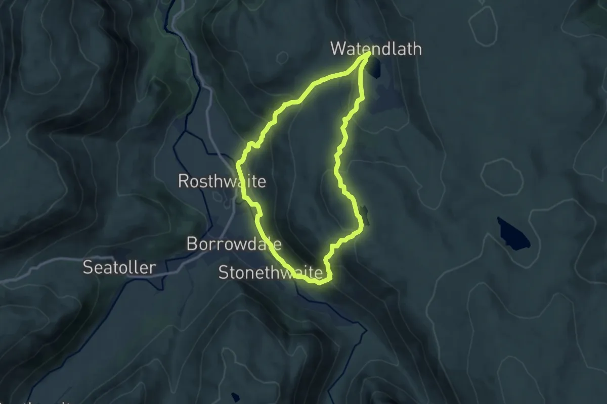
Medium · Summit
Rosthwaite Round, Fells, Tarn and Beck Walk, North Lakes Outdoors
7.6 km · ↑ 393 m · 2 h 45 min
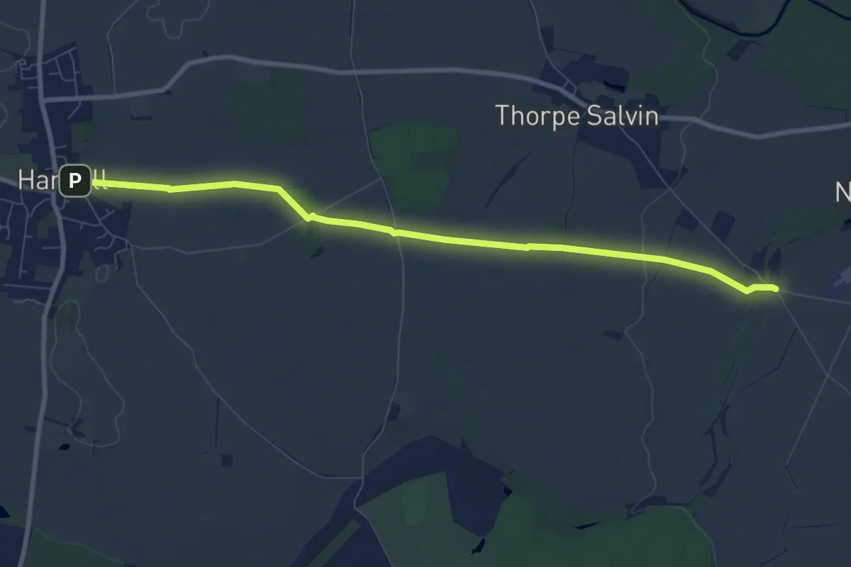
Easy · Trail
Rotherham Ring
7.5 km · ↑ 68 m · 1 h 56 min
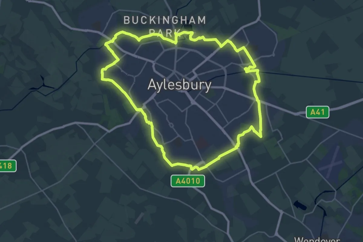
Demanding · Trail
Round Aylesbury Walk
21.0 km · ↑ 35 m · 5 h 19 min