Trails in United Kingdom
3,857 hiking trails, each with its route, climb, walking time and grade.
All trails, page 58 of 81
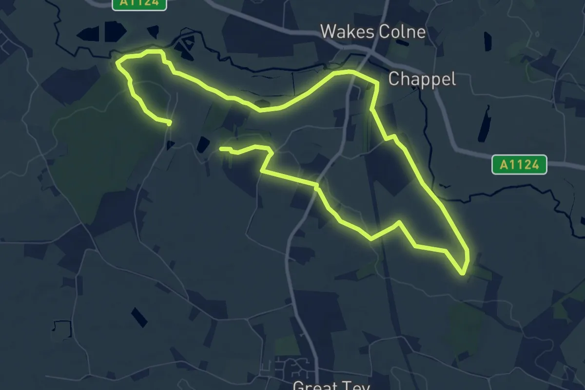
Medium · Trail
Round Chapel
15.1 km · ↑ 107 m · 3 h 47 min
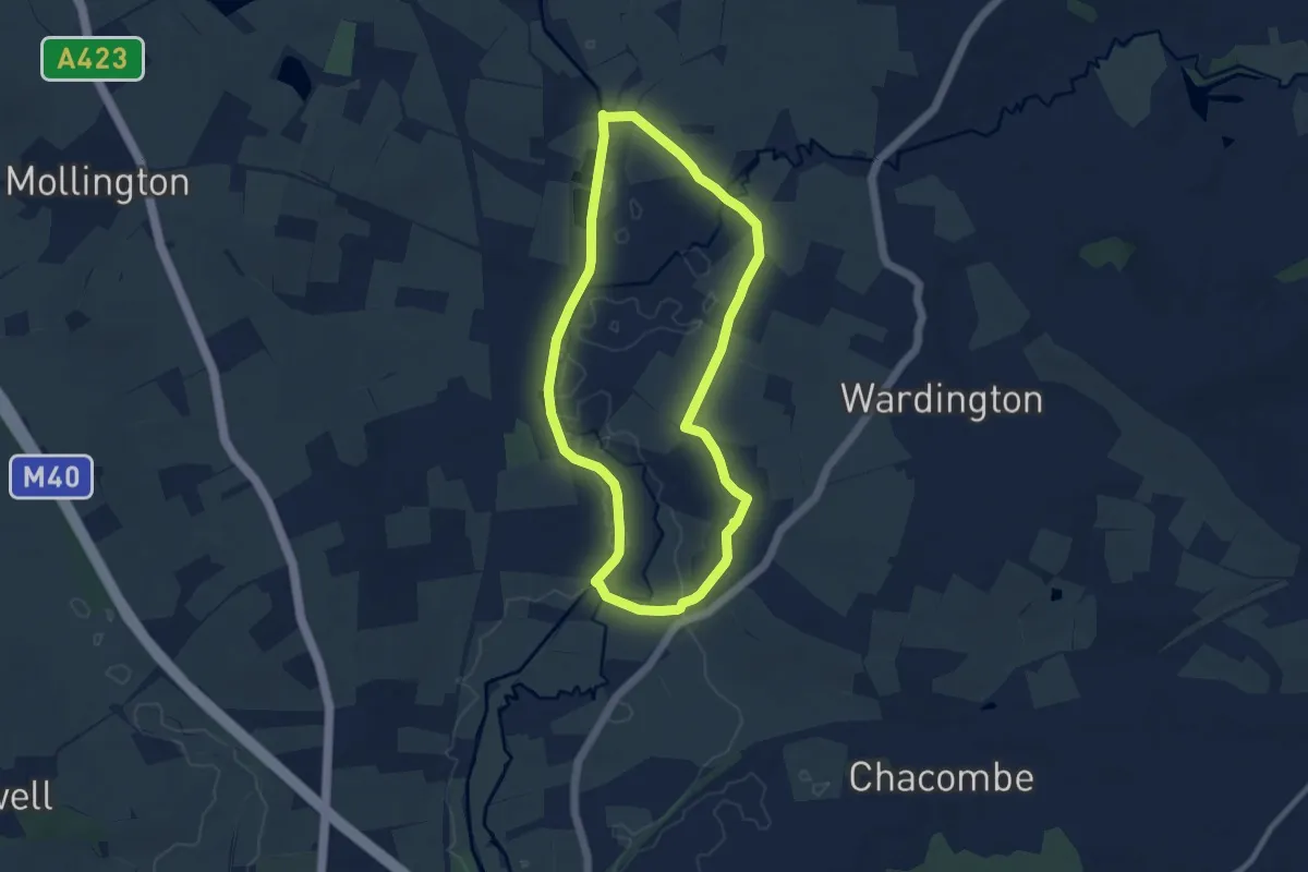
Easy · Trail
Round Cropredy Walk
7.5 km · ↑ 44 m · 1 h 59 min
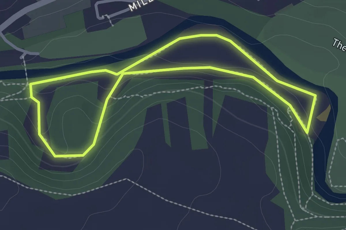
Easy · Trail
Round Howe and Billy Bank Woods Trail, Hudswell
2.1 km · ↑ 20 m · 34 min
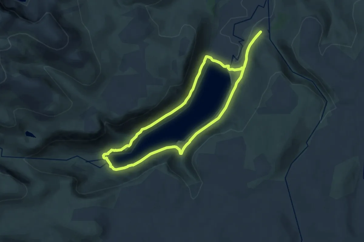
Medium · Trail
Round Loch Muick
11.3 km · ↑ 146 m · 3 h 8 min
Easy · Trail
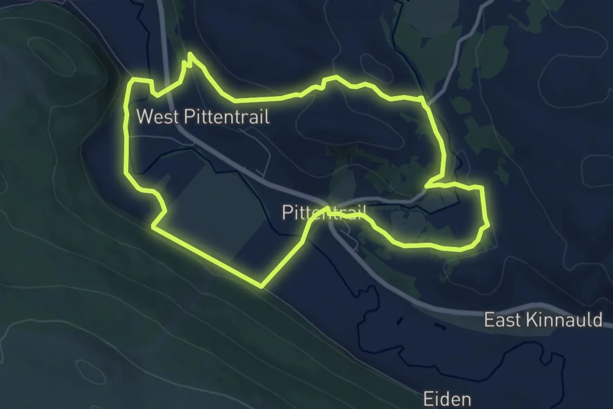
Round Rogart Path
7.0 km · ↑ 125 m · 2 h 2 min
Demanding · Summit
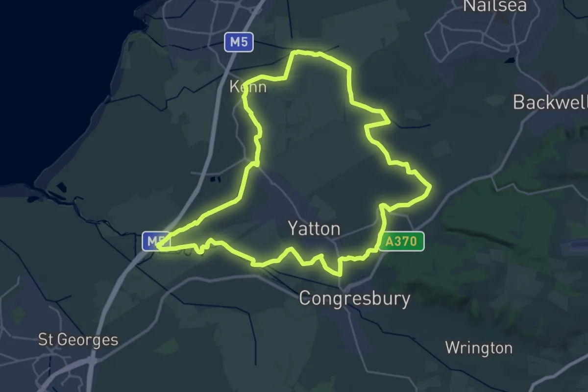
Round Yatton Walk
22.3 km · ↑ 81 m · 5 h 45 min
Easy · Trail
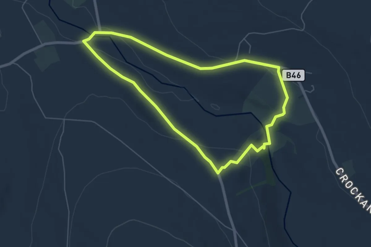
Rousky Walk
4.4 km · ↑ 115 m · 1 h 20 min
Easy · Trail
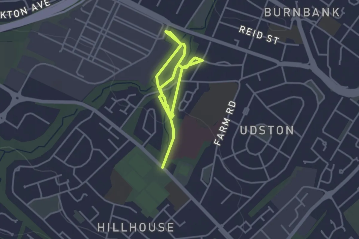
Routes around roots
3.7 km · ↑ 36 m · 57 min
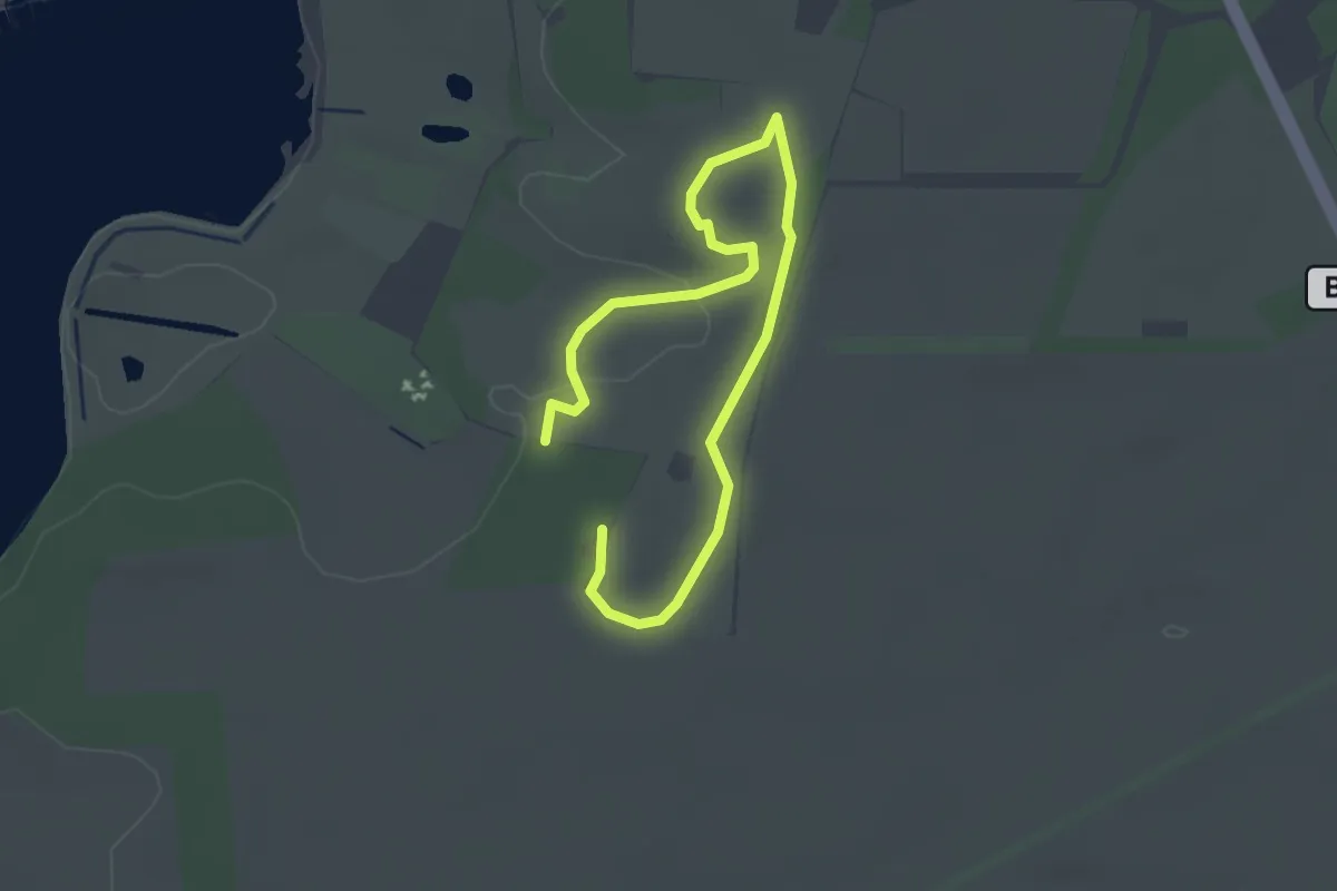
Easy · Trail
Route to the Royal Burial Ground and Viewing Tower (Purple Route), Sutton Hoo
1.7 km · ↑ 5 m · 26 min
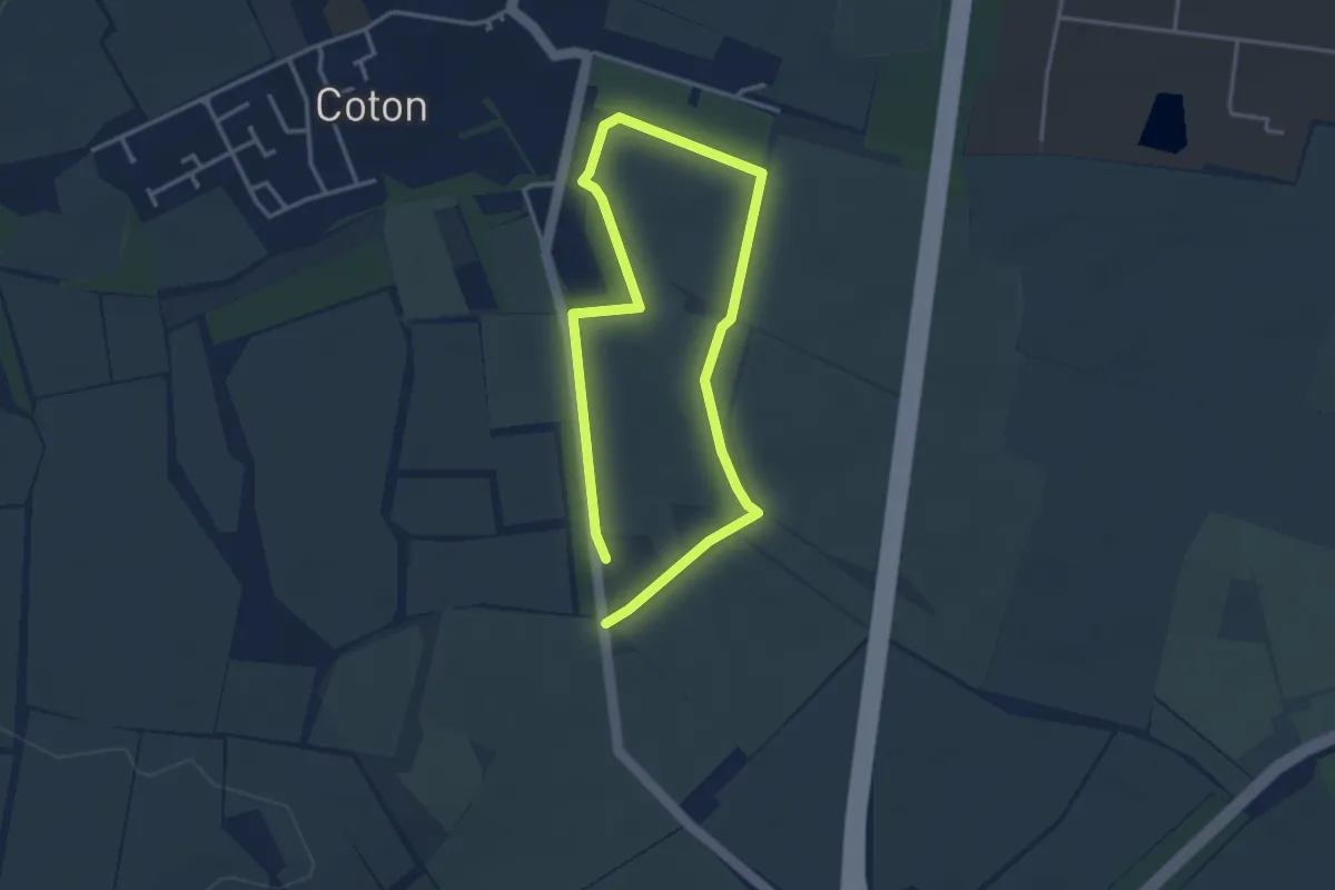
Easy · Trail
Rowan's Walk
2.5 km · ↑ 4 m · 38 min
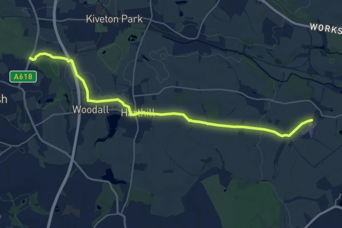
Medium · Trail
Rowbotham's Round
16.8 km · ↑ 180 m · 4 h 21 min
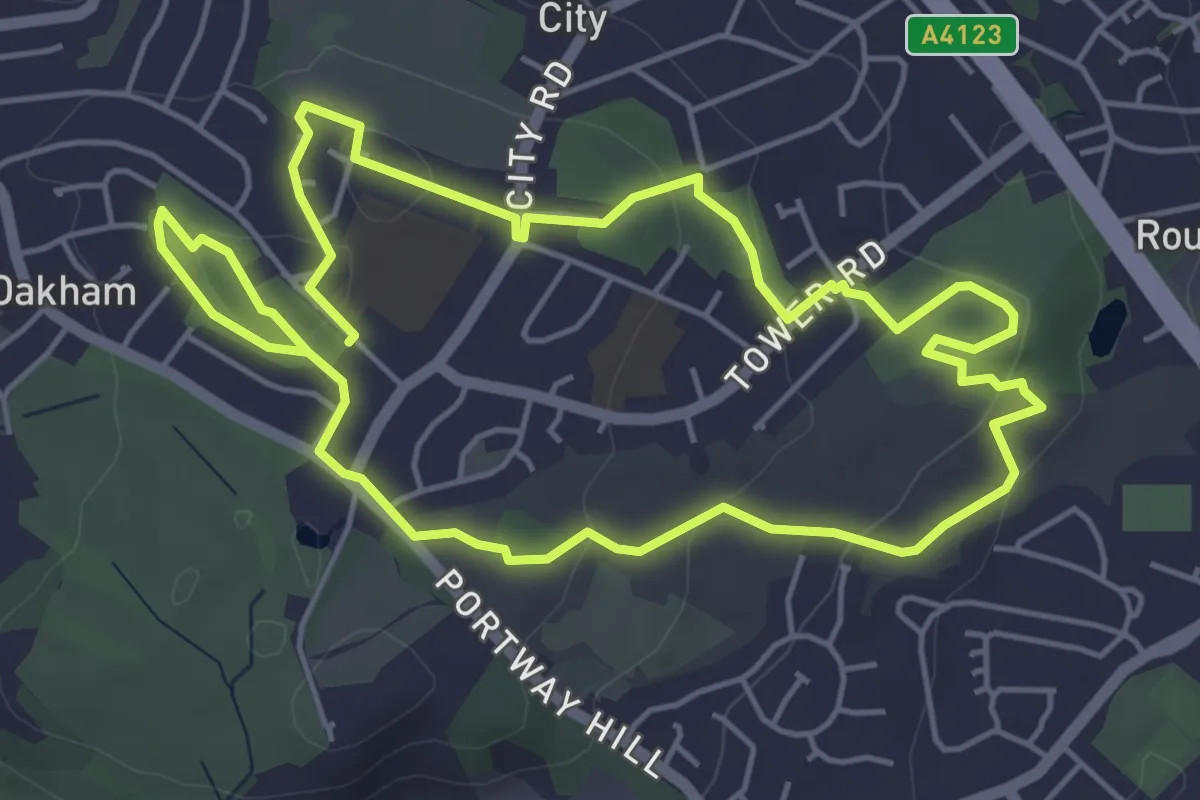
Easy · Summit
Rowley Hills Geology Trail
4.5 km · ↑ 102 m · 1 h 21 min
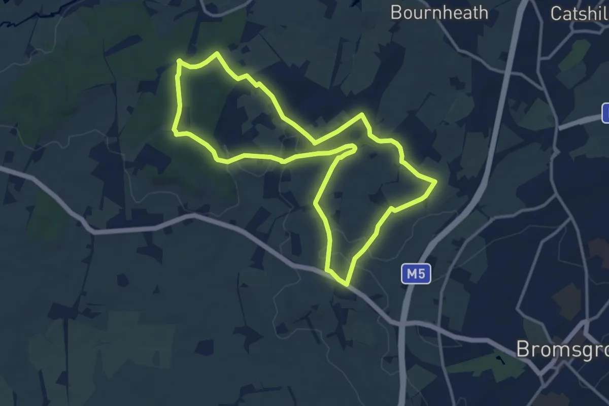
Medium · Trail
Royal Hunters Walks - Chartists' walk
9.1 km · ↑ 157 m · 2 h 37 min
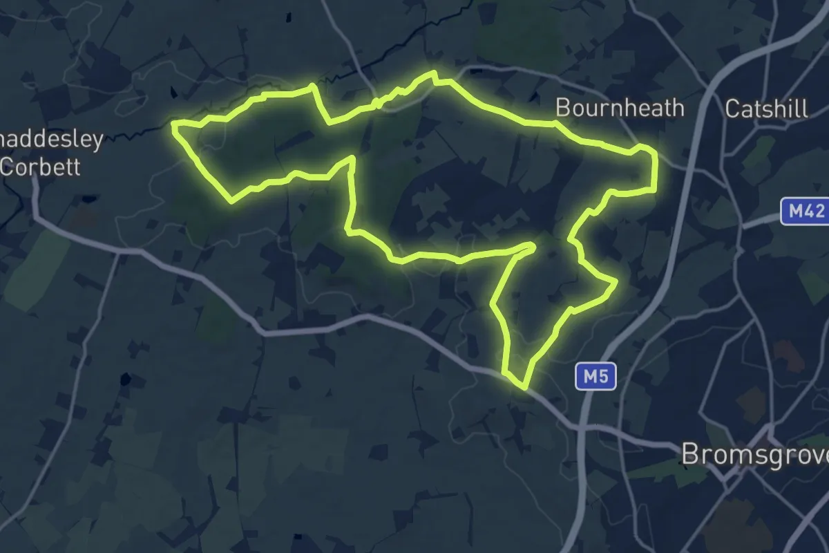
Medium · Trail
Royal Hunters Walks - Foresters' walk
15.4 km · ↑ 223 m · 4 h 20 min
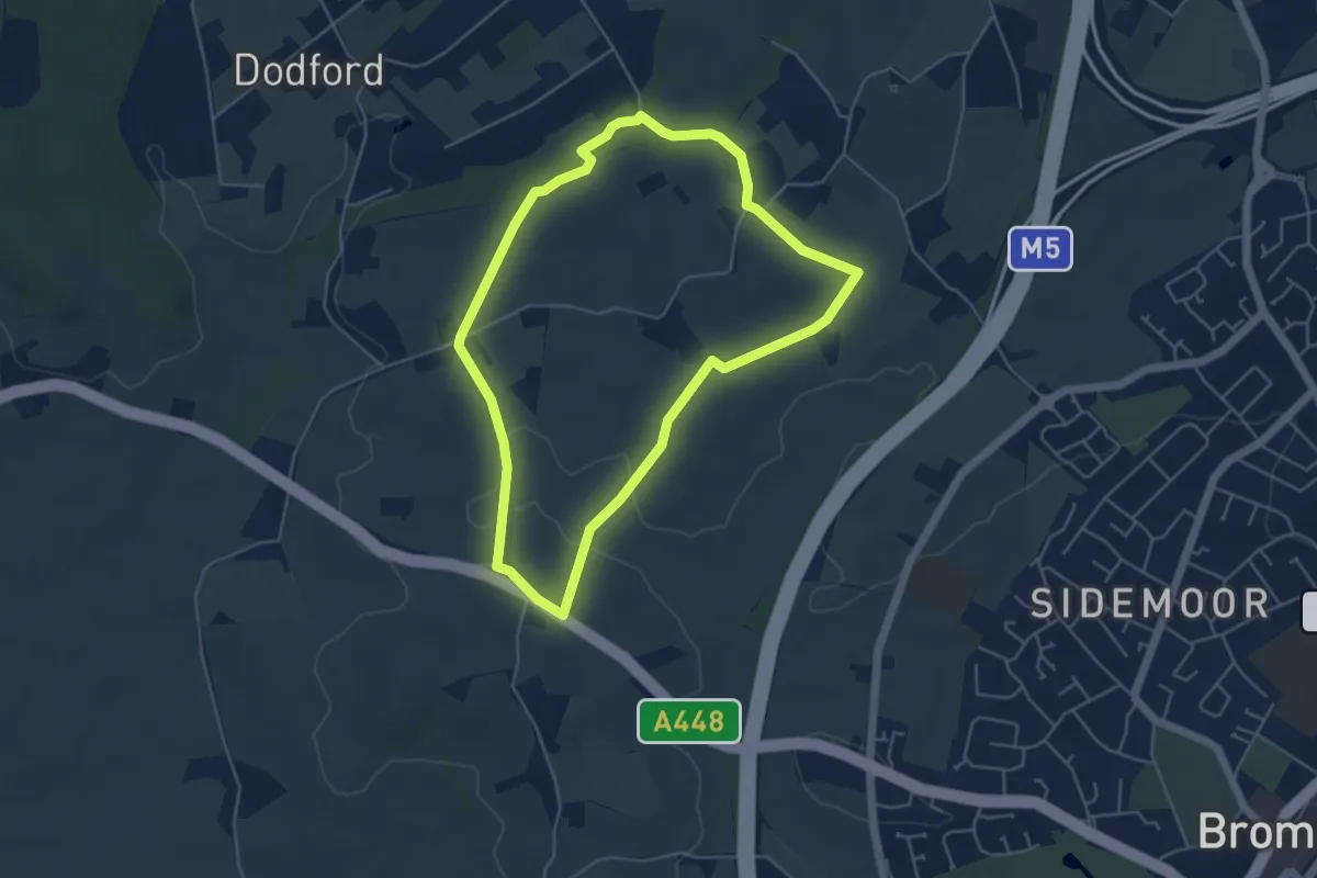
Easy · Trail
Royal Hunters Walks - Hedgelayers' walk
4.1 km · ↑ 67 m · 1 h 11 min
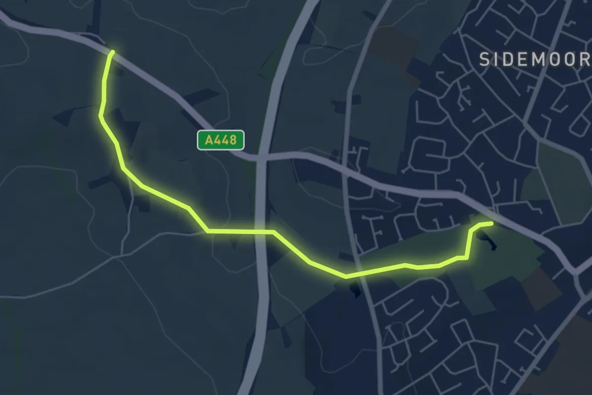
Easy · Trail
Royal Hunters Walks - Saunders Park to Park Gate Link
4.7 km · ↑ 51 m · 1 h 14 min
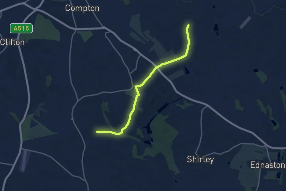
Medium · Trail
Royal Shrovetide Challenge Walk (down'ards)
9.5 km · ↑ 158 m · 2 h 36 min
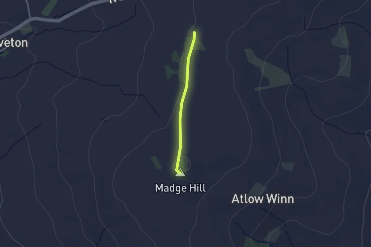
Easy · Summit
Royal Shrovetide Challenge Walk (up'ards)
1.6 km · ↑ 14 m · 24 min
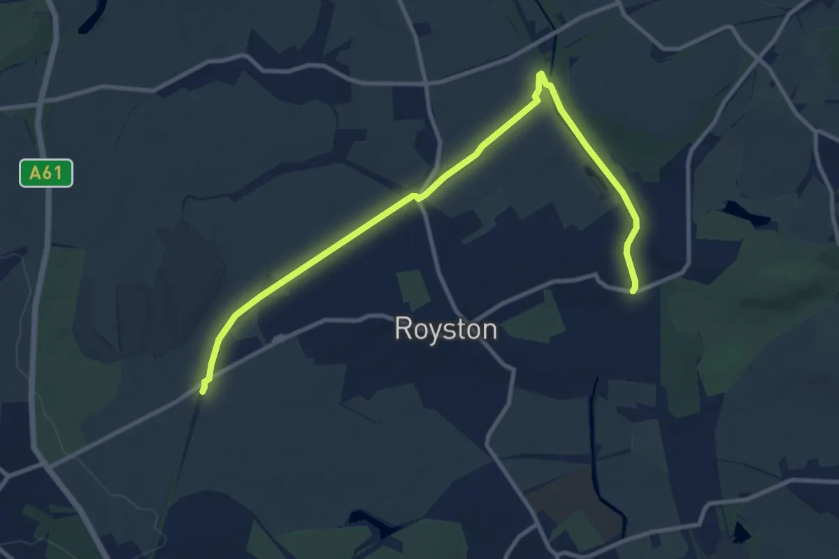
Easy · Trail
Royston & Carlton Boundary Walk
4.7 km · ↑ 4 m · 1 h 12 min
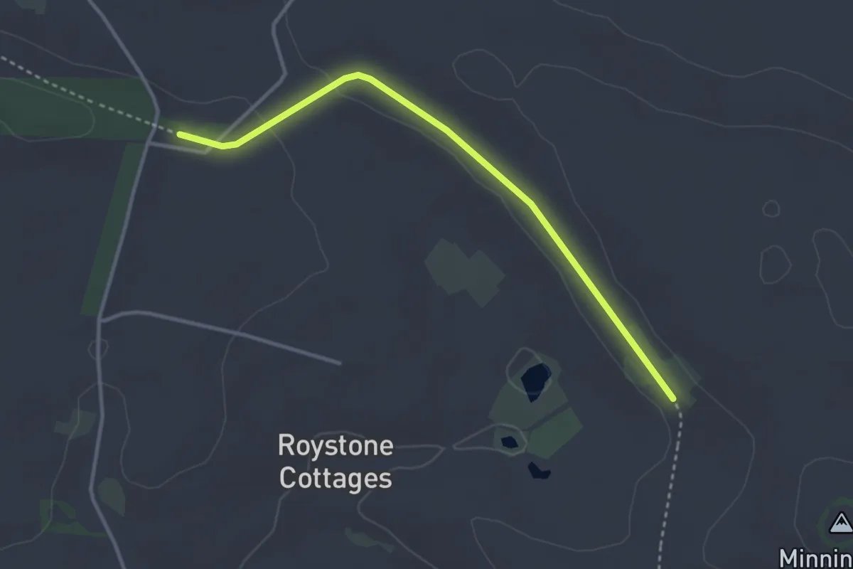
Easy · Trail
Roystone Grange Trail
3.0 km · ↑ 15 m · 44 min
Easy · Trail
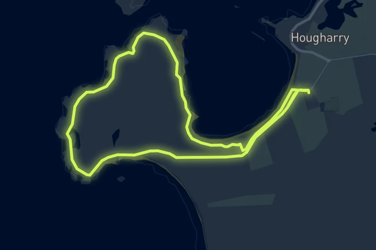
RSPB Balranald Nature Trail
5.9 km · ↑ 4 m · 1 h 29 min
Easy · Trail
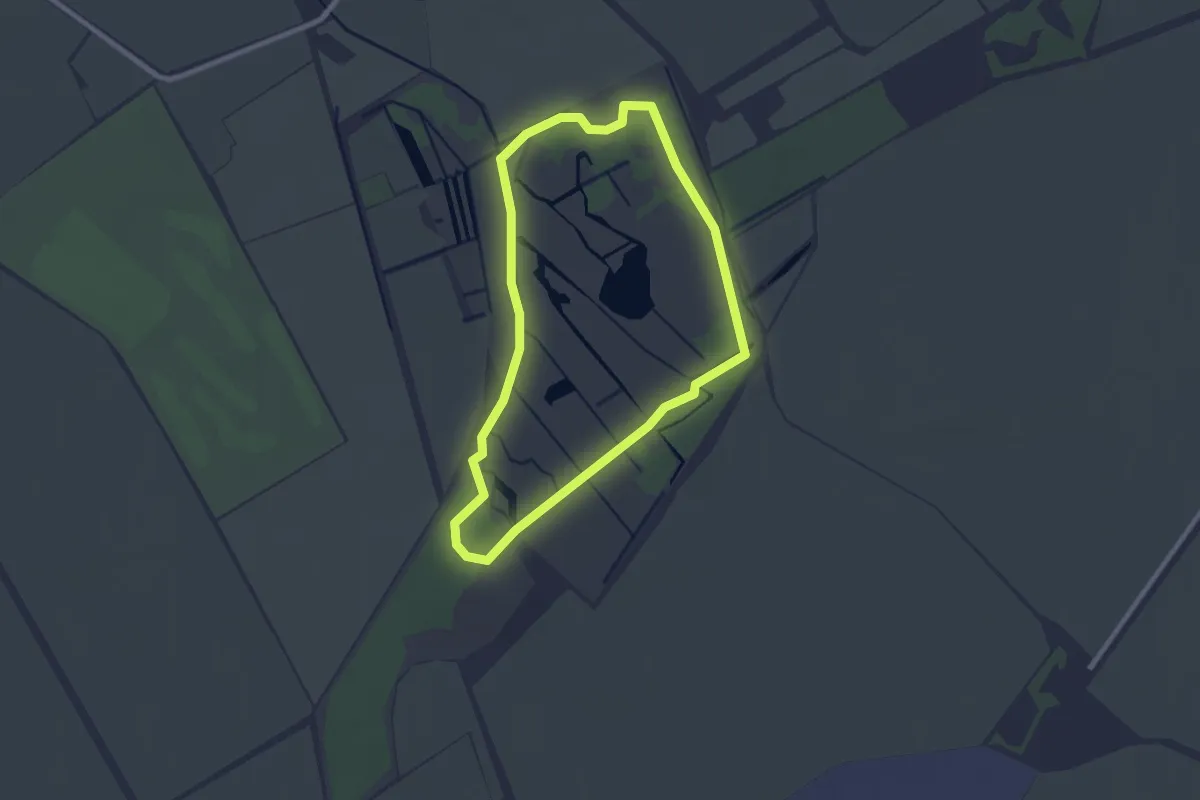
RSPB Fowlmere Nature Trail
2.1 km · ↑ 0 m · 31 min
Easy · Trail
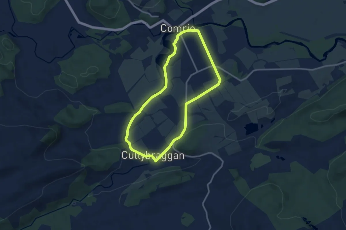
Ruchill Walk
6.3 km · ↑ 32 m · 1 h 38 min
Demanding · Summit
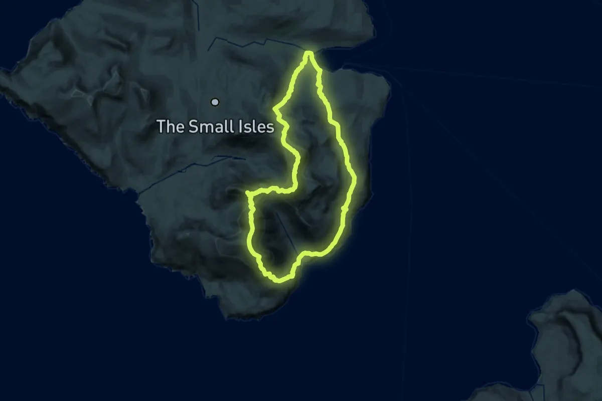
Rum Cuillin traverse
21.5 km · ↑ 1610 m · 8 h 51 min
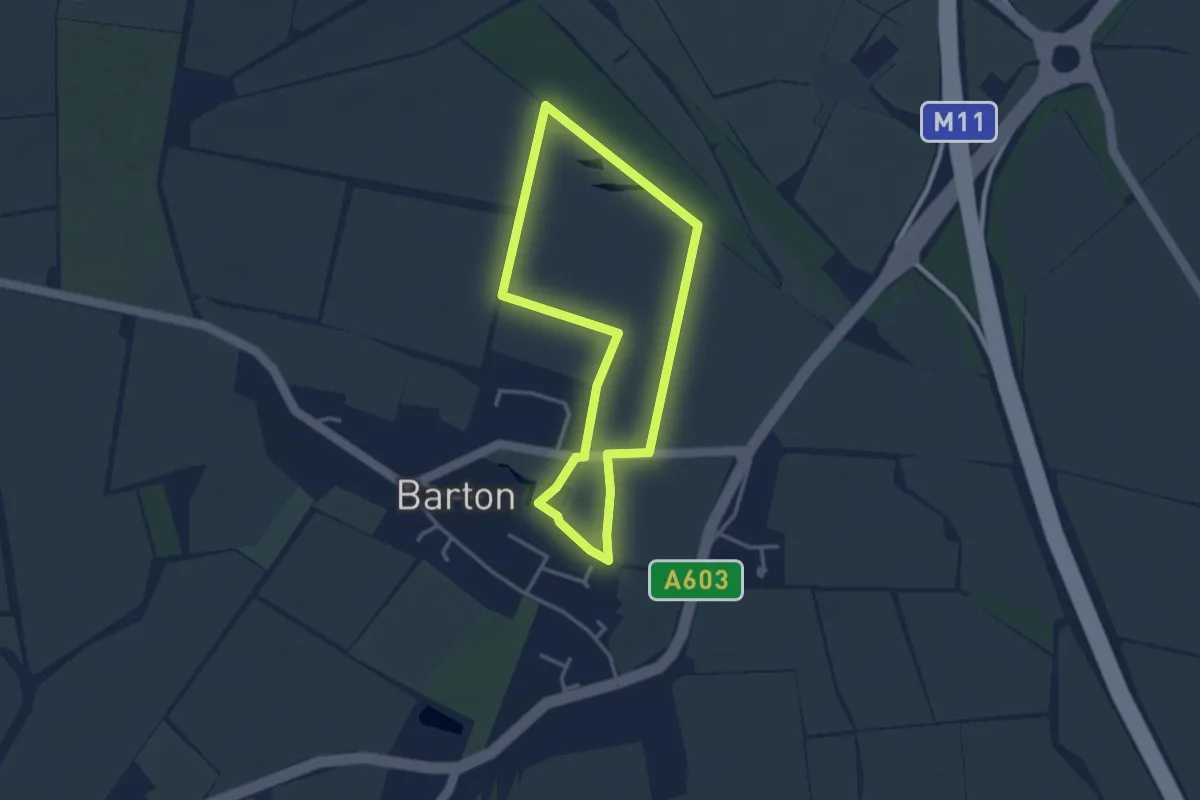
Easy · Trail
Running Fox Walk 2
2.8 km · ↑ 4 m · 42 min
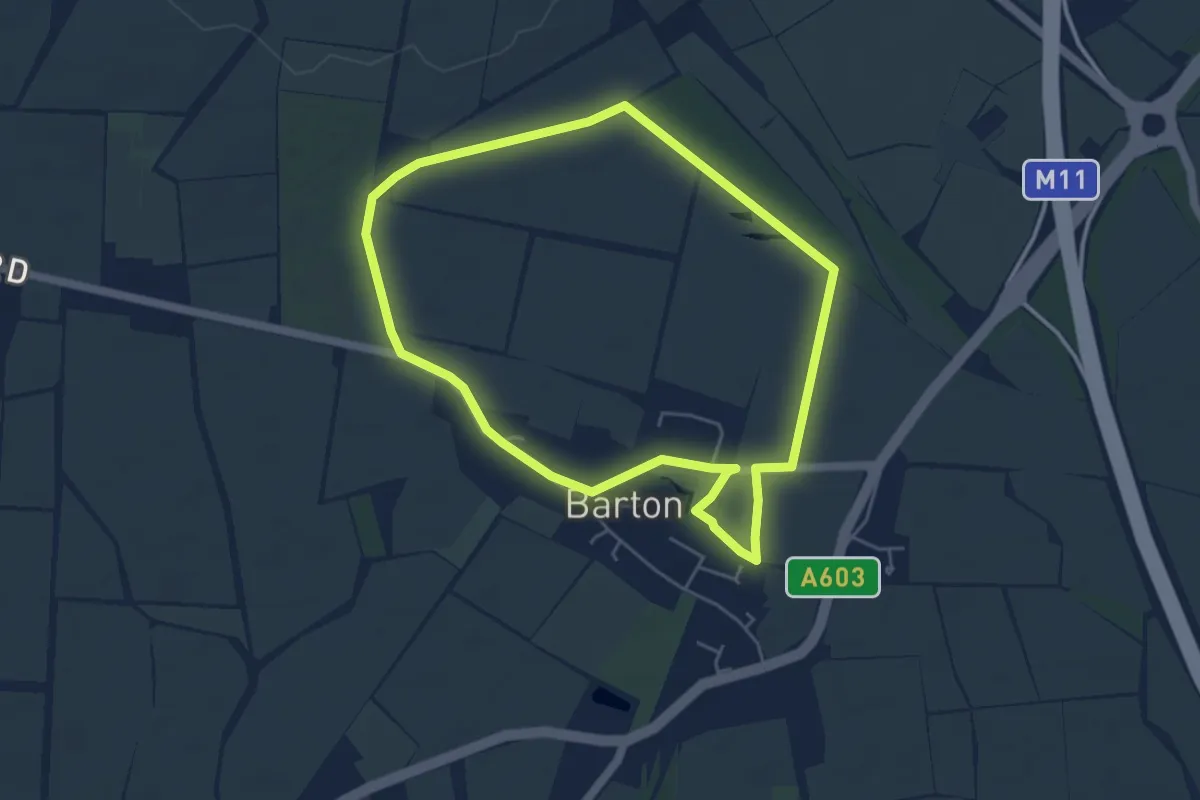
Easy · Trail
Running Fox Walk 3
4.2 km · ↑ 18 m · 1 h 5 min
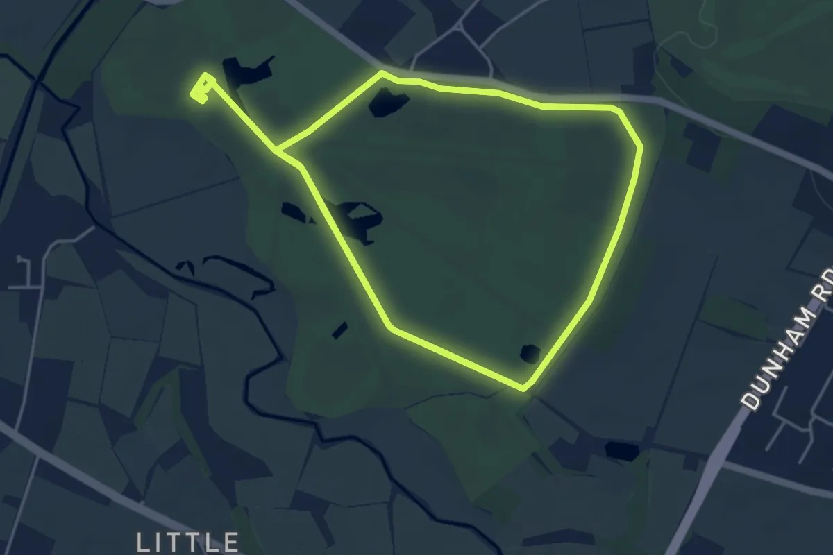
Easy · Trail
Running routes at Dunham Massey
4.4 km · ↑ 13 m · 1 h 7 min
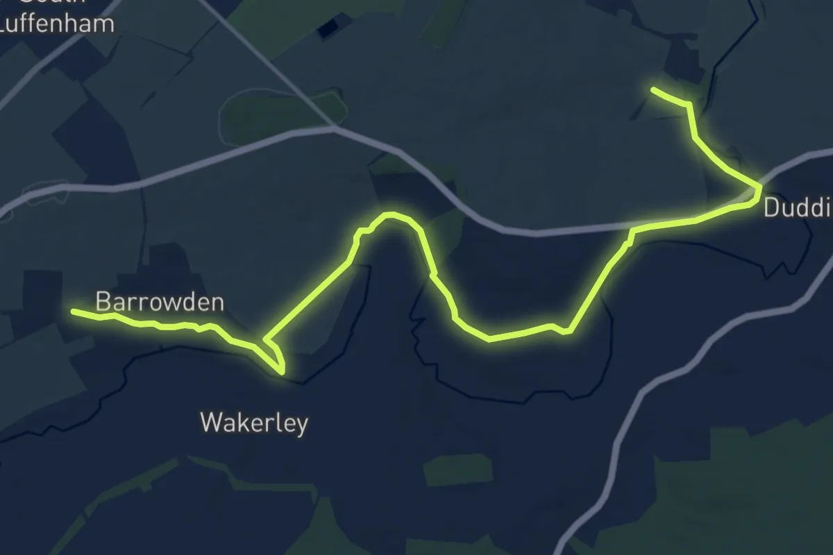
Medium · Trail
Rutland Round
13.8 km · ↑ 77 m · 3 h 26 min
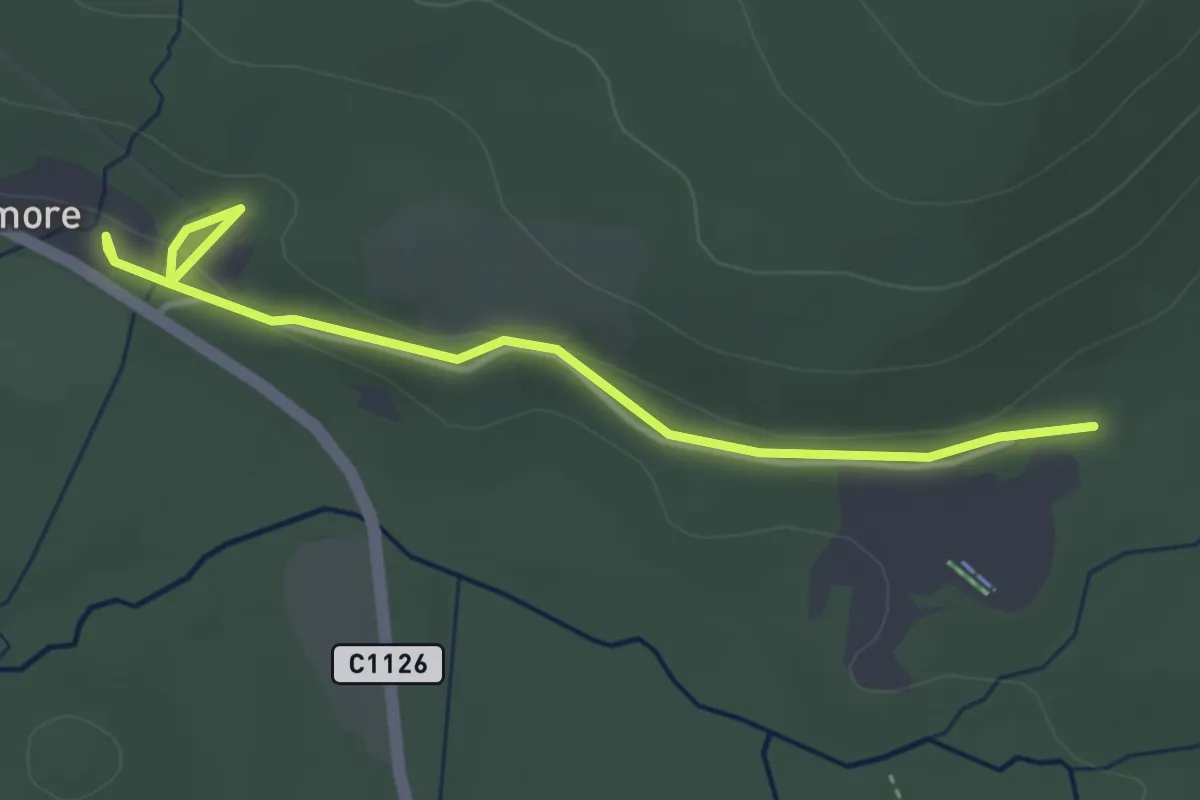
Easy · Trail
Ryvoan Trail
1.7 km · ↑ 34 m · 30 min
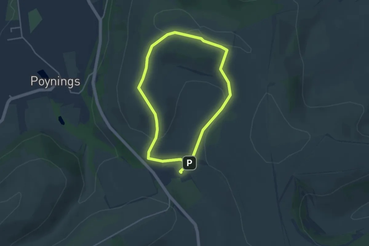
Easy · Summit
Saddlescombe Farm and Newtimber walk, Sussex East
2.7 km · ↑ 83 m · 51 min
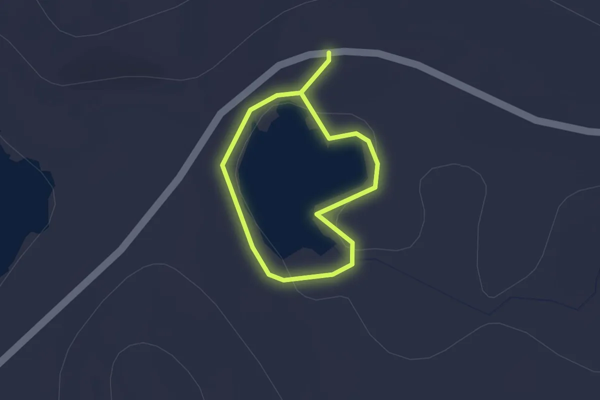
Easy · Trail
Saewaters
1.2 km · ↑ 9 m · 20 min
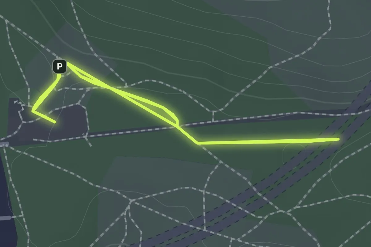
Easy · Trail
Sailor's Stroll Walk at Hindhead Commons
1.8 km · ↑ 13 m · 28 min
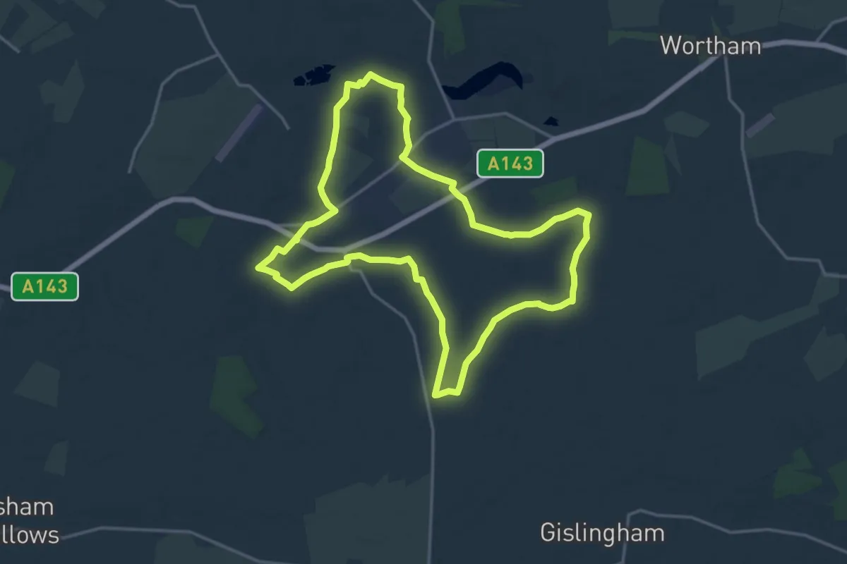
Medium · Trail
Saint Botolph's Way
14.1 km · ↑ 64 m · 3 h 40 min
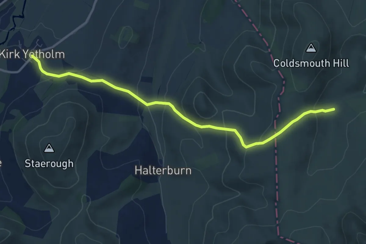
Demanding · Trail
Saint Cuthbert's Way (Kirk Yetholm to Lindisfarne)
7.5 km · ↑ 375 m · 2 h 36 min
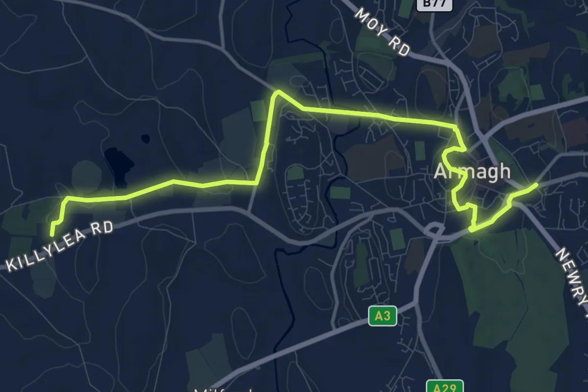
Medium · Trail
Saint Patrick's Way: The Pilgrim Walk
11.1 km · ↑ 75 m · 2 h 47 min
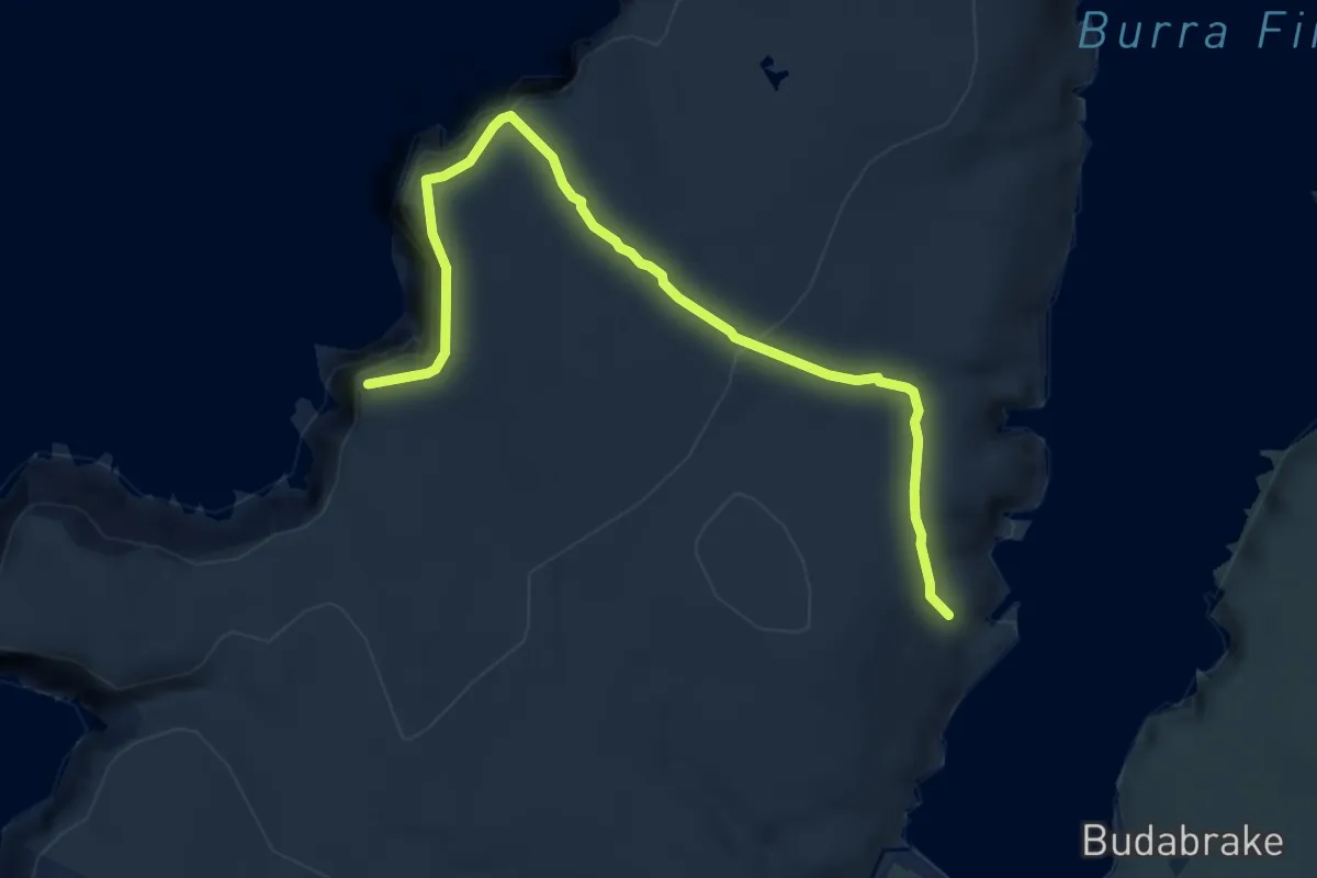
Easy · Trail
Saito Trail
6.9 km · ↑ 242 m · 2 h 10 min
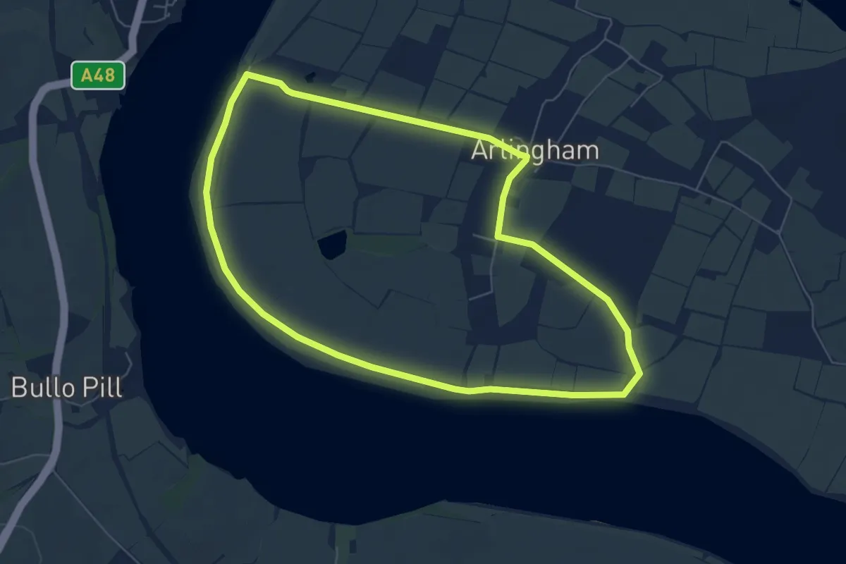
Easy · Trail
Salmon Way
5.8 km · ↑ 0 m · 1 h 27 min
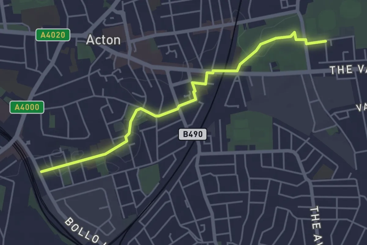
Easy · Trail
SALSA route (Acton Swimming Baths)
4.2 km · ↑ 13 m · 1 h 1 min
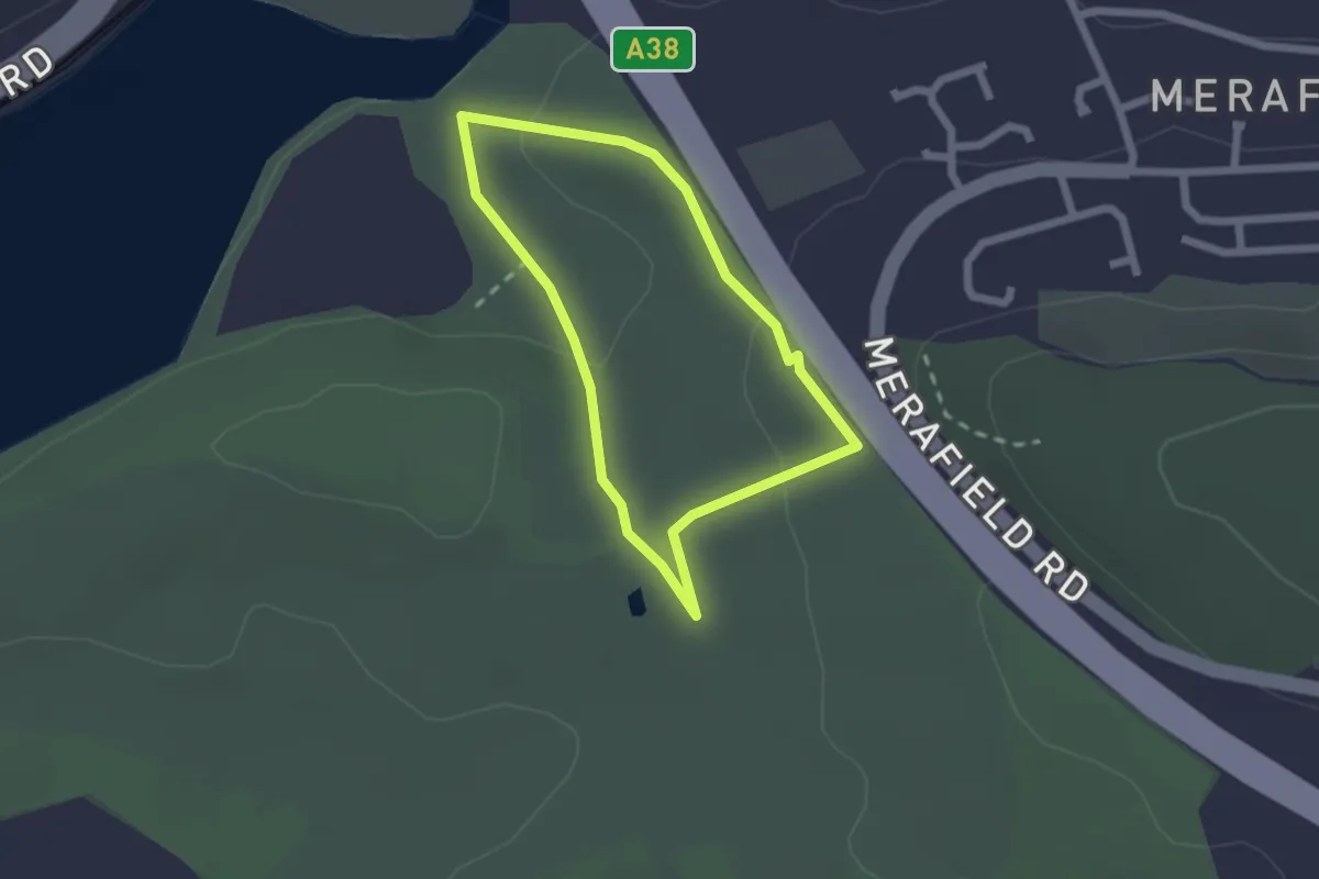
Easy · Trail
Saltram boundary walk, Saltram
1.7 km · ↑ 41 m · 30 min
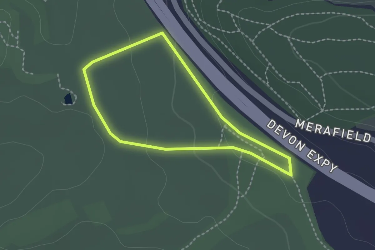
Easy · Trail
Saltram pillars walk, Saltram
1.5 km · ↑ 28 m · 26 min
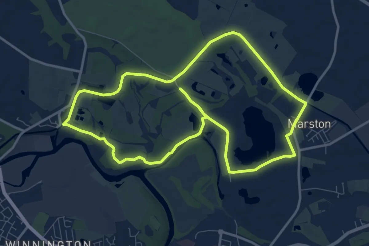
Easy · Trail
Saltscape Trail
7.5 km · ↑ 27 m · 1 h 56 min
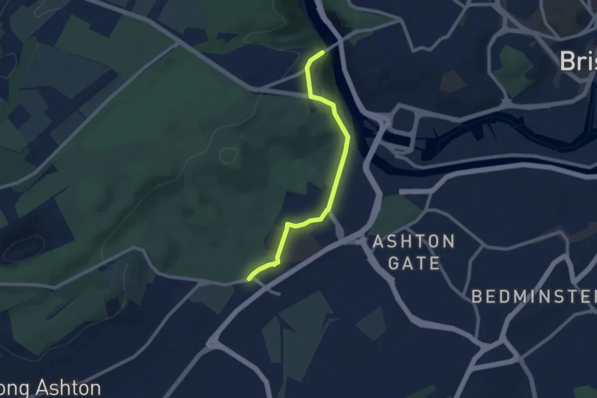
Easy · Trail
Samaritans Way South West
5.0 km · ↑ 101 m · 1 h 24 min
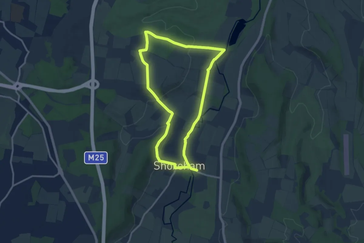
Medium · Trail
Samuel Palmer Trail
14.8 km · ↑ 319 m · 4 h 11 min
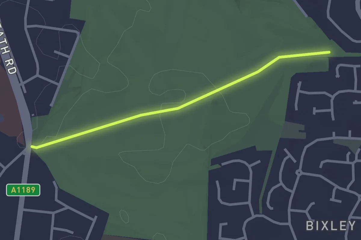
Easy · Trail
Sandlings Walk (Heath Road route)
2.1 km · ↑ 9 m · 30 min
Medium · Trail
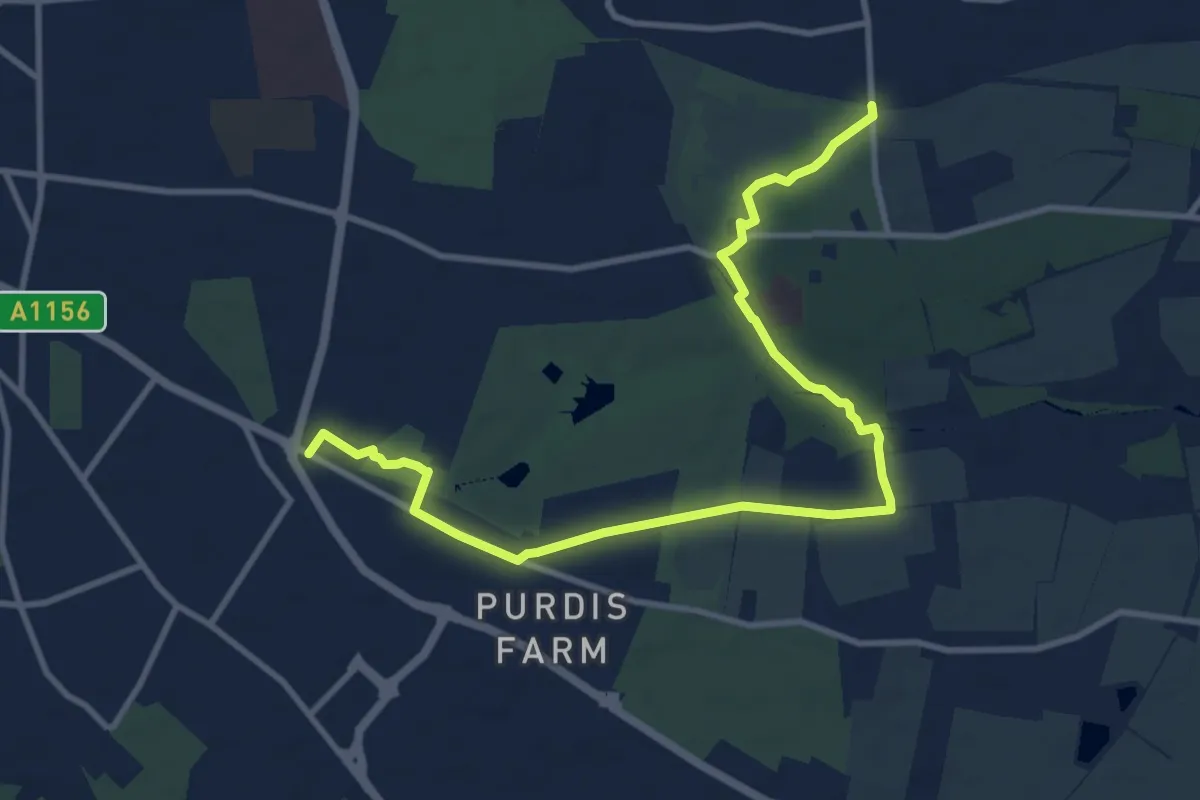
Sandlings Walk (St Augustine's route)
10.9 km · ↑ 58 m · 2 h 42 min
Medium · Trail
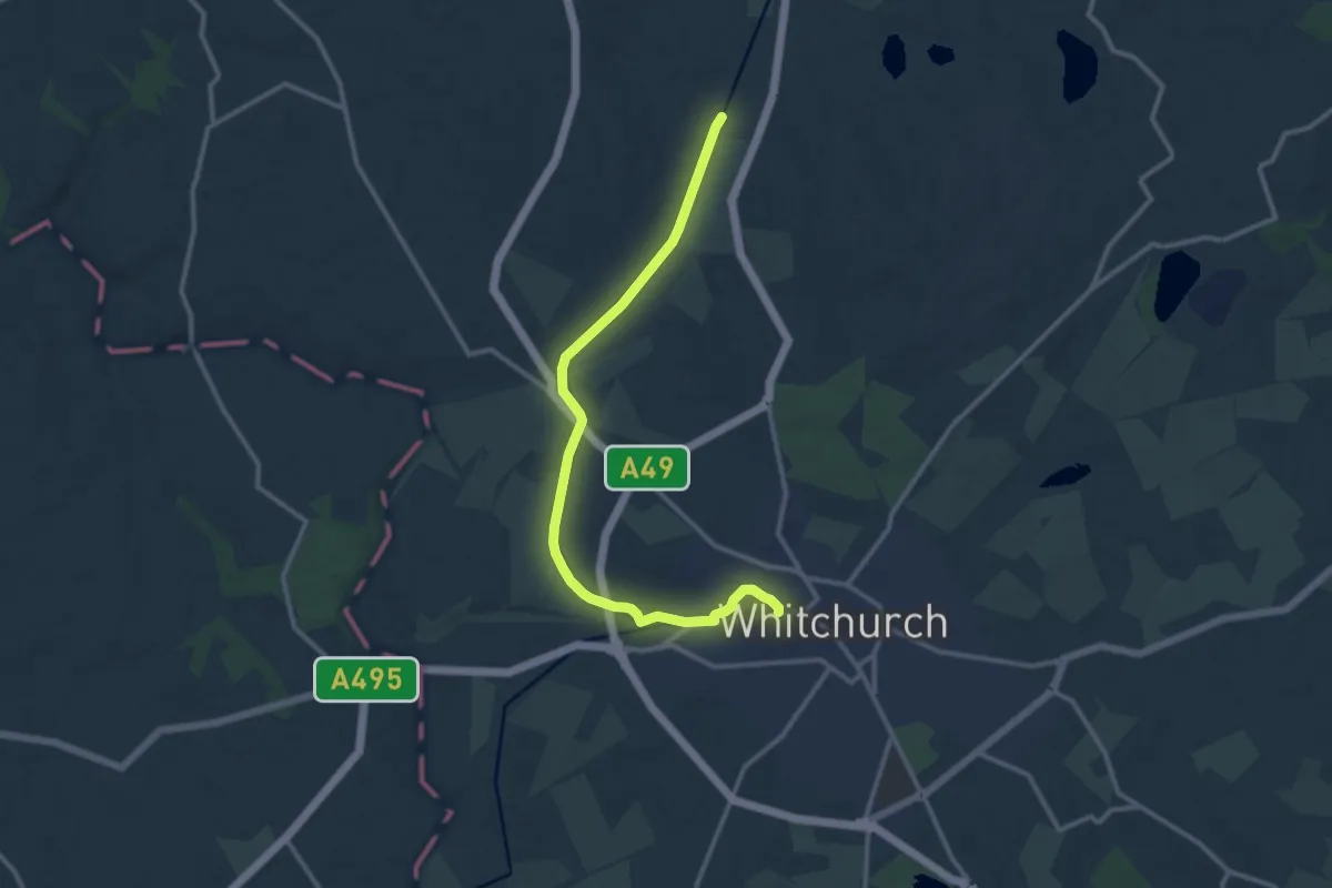
Sandstone Trail
11.1 km · ↑ 31 m · 2 h 41 min
Easy · Trail
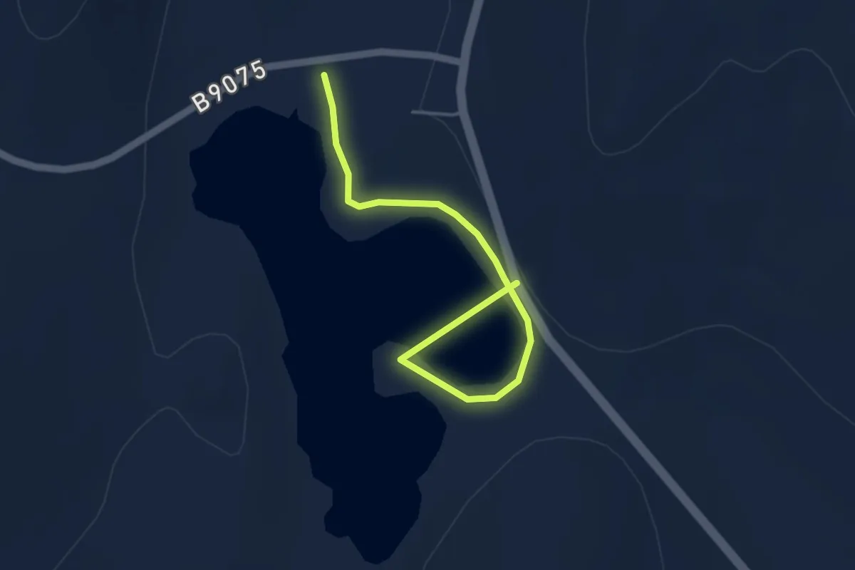
Sandwater Loch
3.2 km · ↑ 28 m · 50 min
Easy · Trail
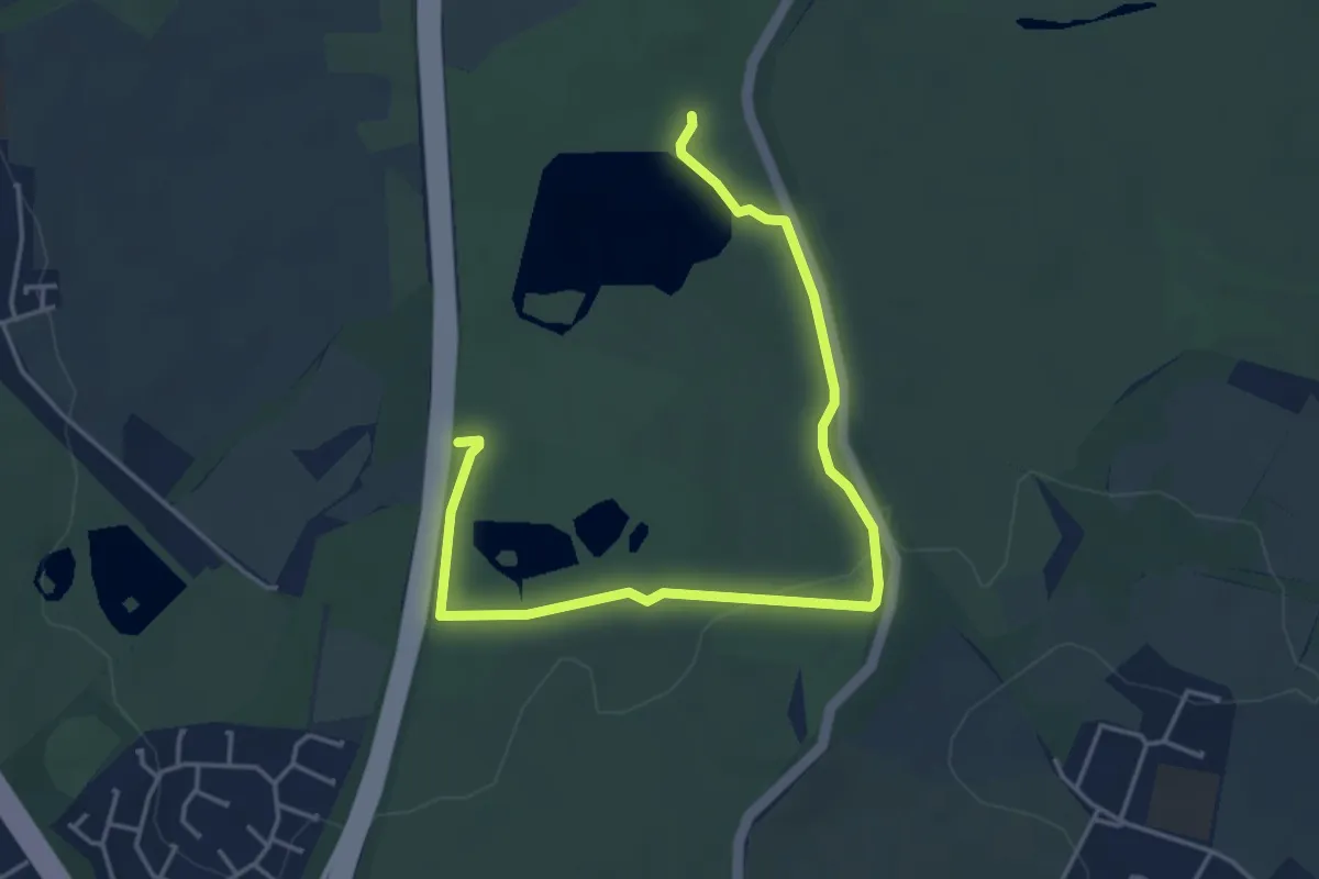
Sandwell Park Colliery Trail
2.3 km · ↑ 22 m · 37 min