Trails in United Kingdom
3,857 hiking trails, each with its route, climb, walking time and grade.
All trails, page 60 of 81
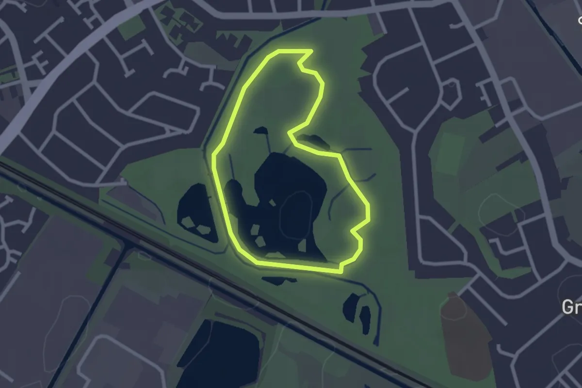
Easy · Trail
Sheepwash Park Circular Health Walk
1.7 km · ↑ 8 m · 27 min
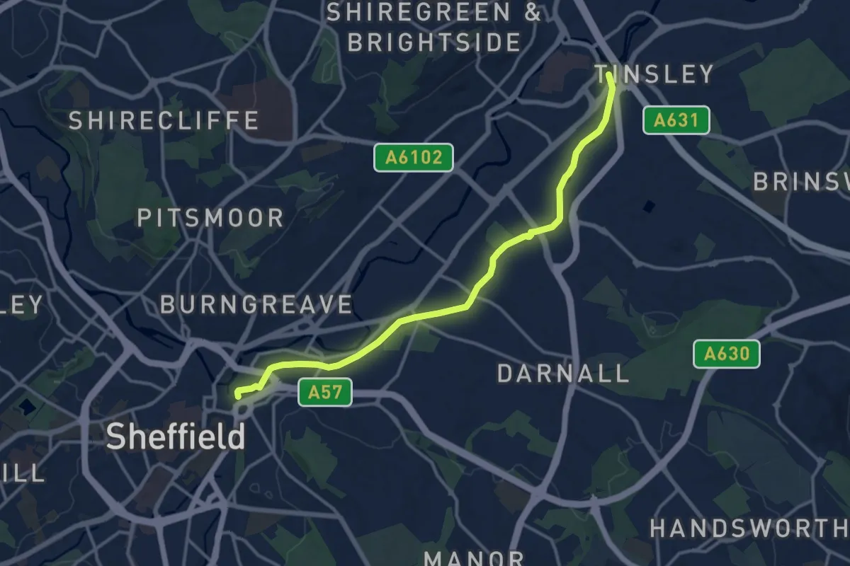
Medium · Trail
Sheffield Canal
11.4 km · ↑ 25 m · 2 h 45 min
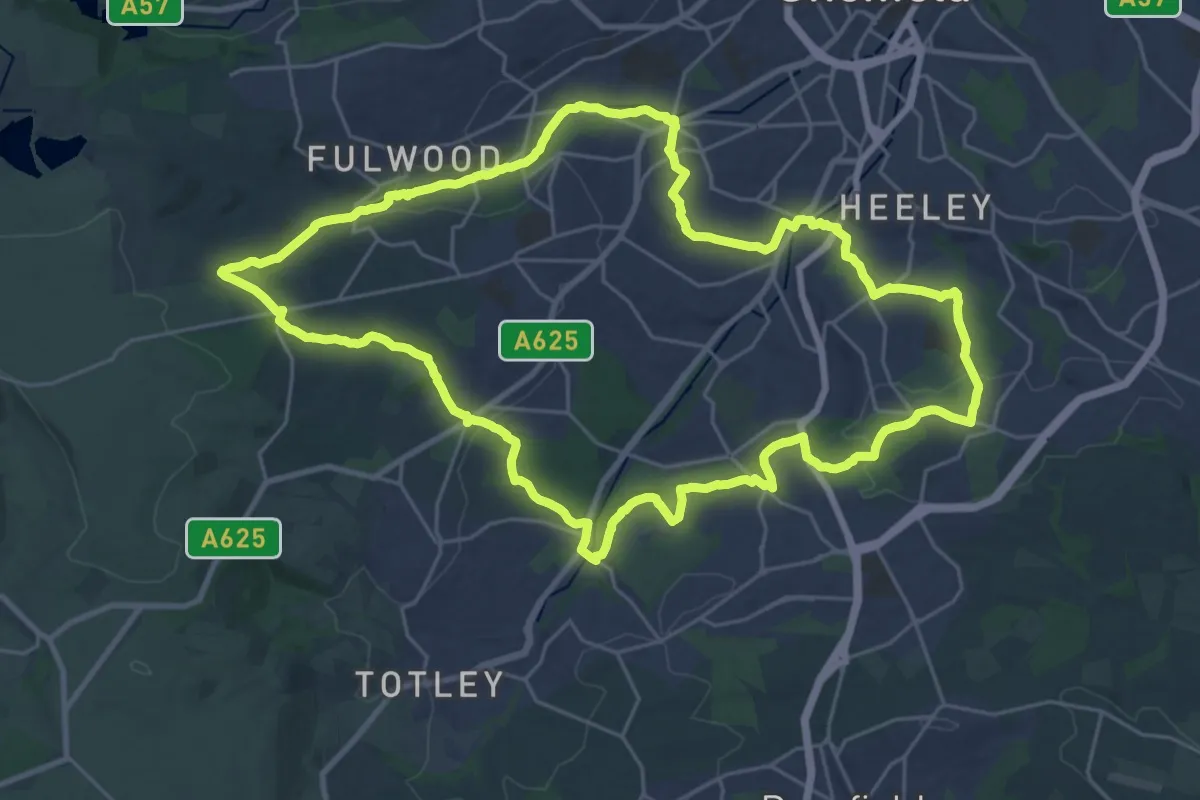
Demanding · Trail
Sheffield Round Walk
24.1 km · ↑ 557 m · 7 h 14 min
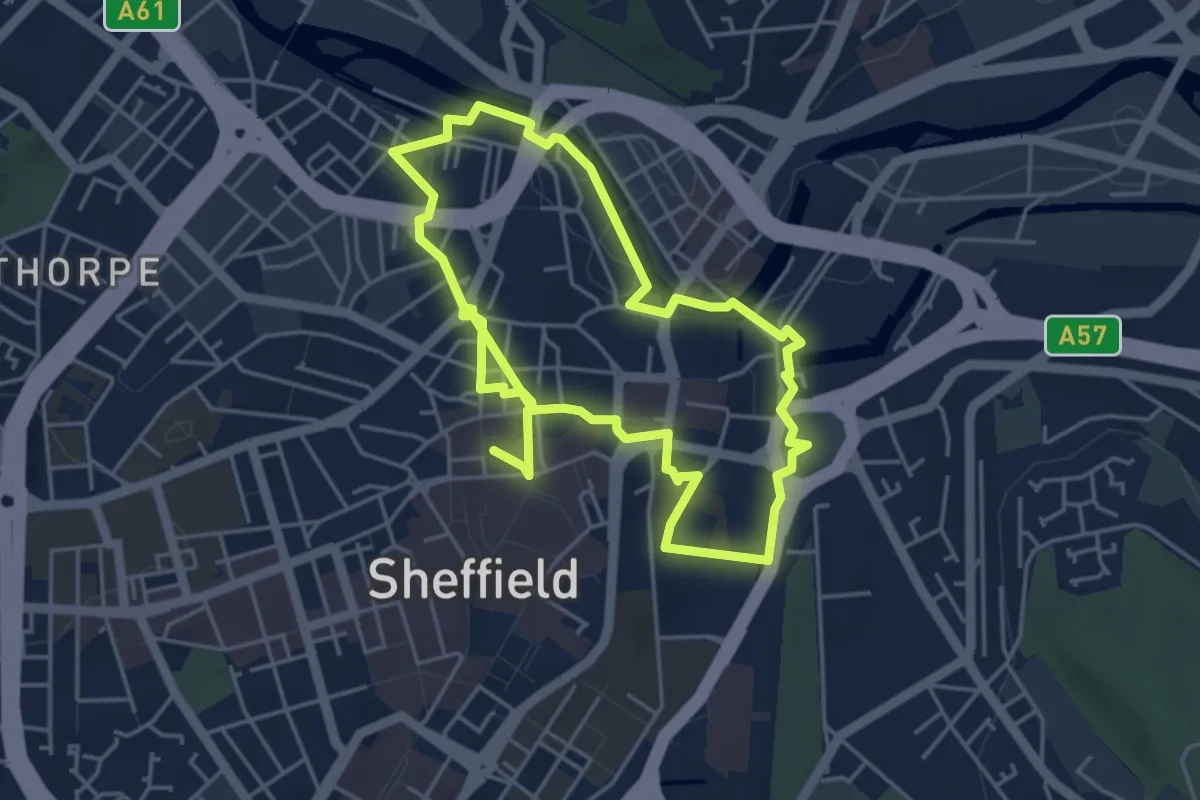
Easy · Trail
Sheffield Town Walk
7.7 km · ↑ 76 m · 1 h 58 min
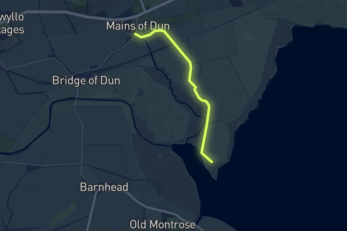
Easy · Trail
Shelduck Hide
3.9 km · ↑ 5 m · 56 min
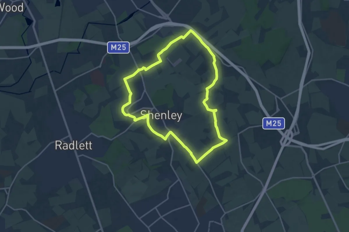
Medium · Trail
Shenley Route 5
12.1 km · ↑ 109 m · 3 h 16 min
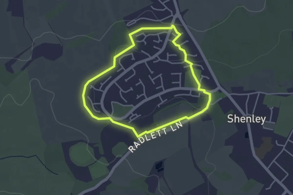
Easy · Trail
Shenley Walk 1
2.7 km · ↑ 32 m · 44 min
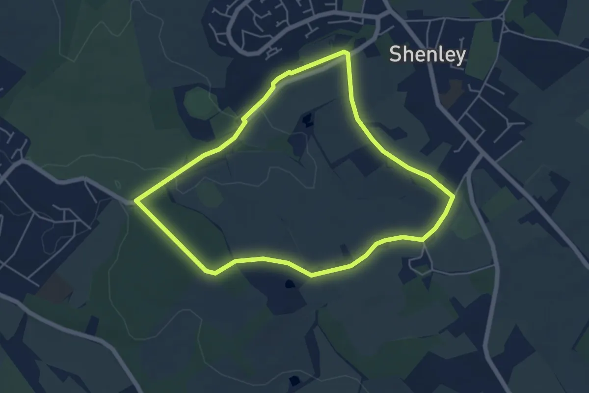
Easy · Trail
Shenley Walk 2
4.2 km · ↑ 40 m · 1 h 7 min
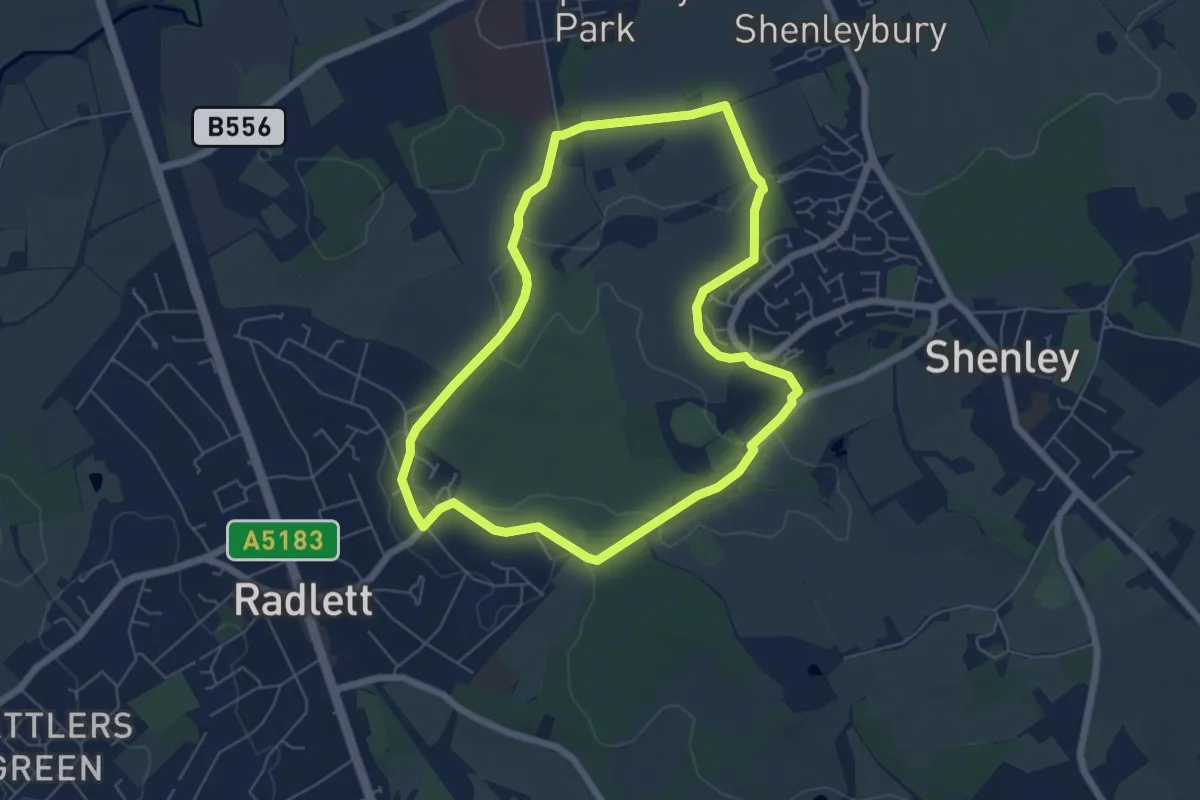
Easy · Trail
Shenley Walk 3
5.4 km · ↑ 56 m · 1 h 28 min
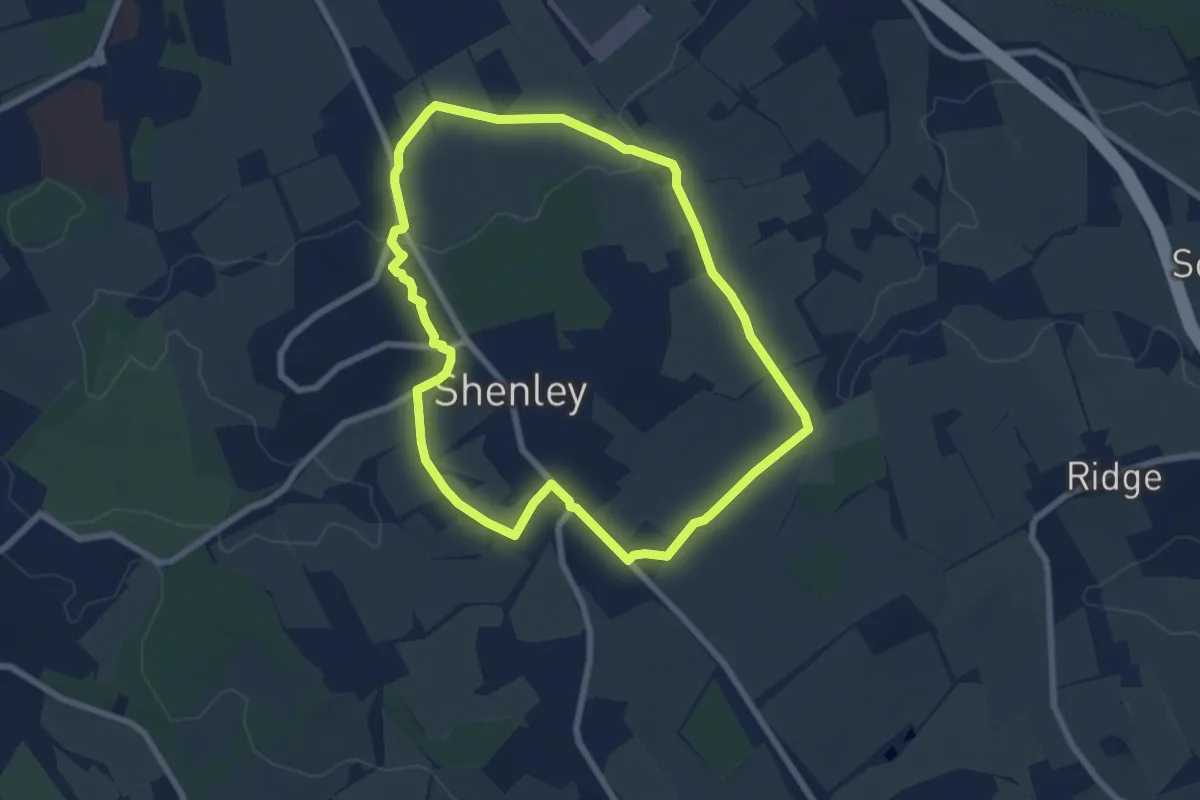
Easy · Trail
Shenley Walk 4
6.4 km · ↑ 84 m · 1 h 47 min
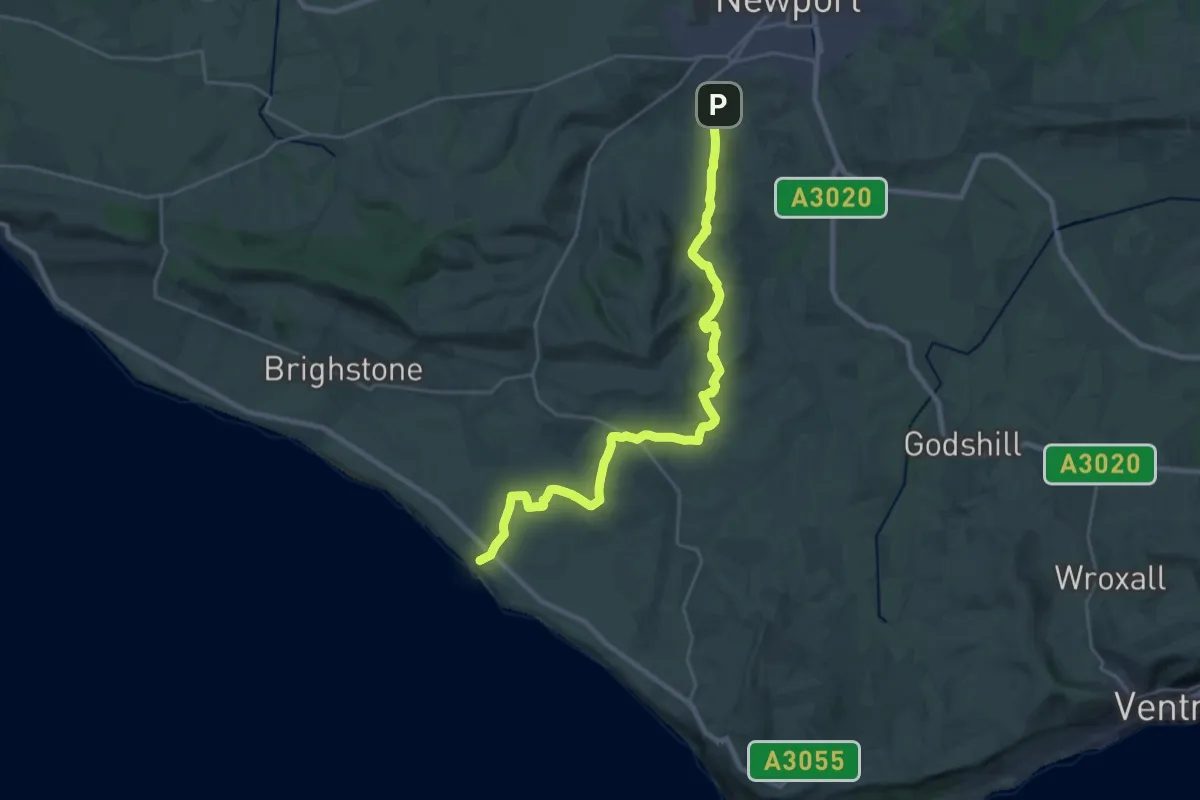
Demanding · Trail
Shepherds Trail
24.7 km · ↑ 422 m · 6 h 45 min
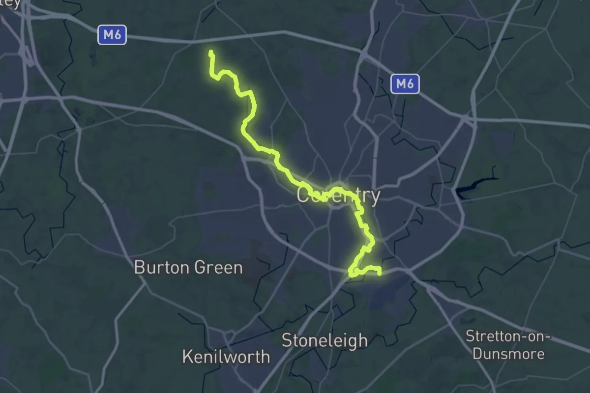
Demanding · Trail
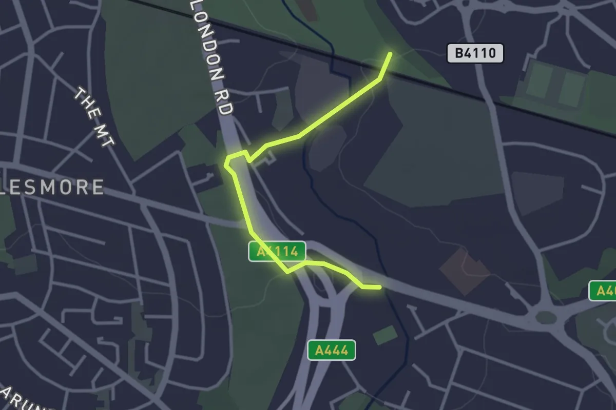
Sherbourne Valley Walk
20.0 km · ↑ 58 m · 5 h 10 min
Easy · Trail
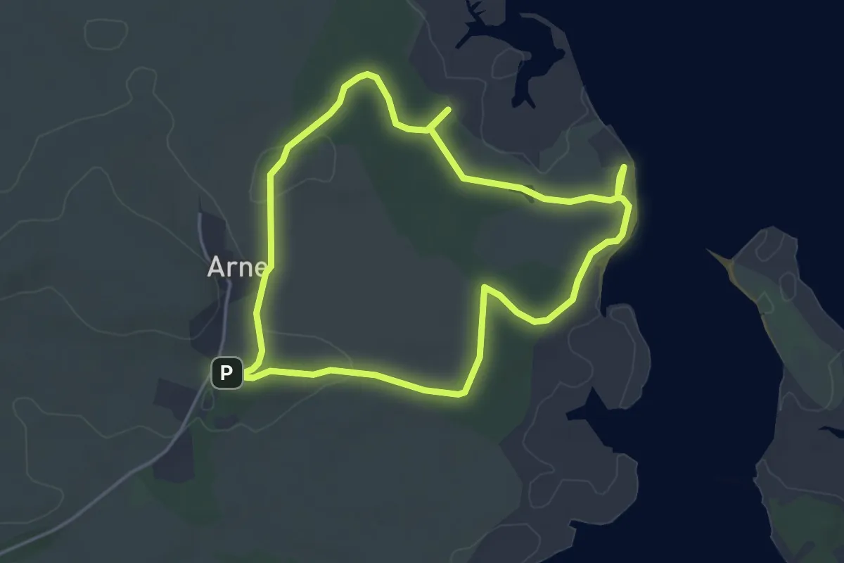
Sherbourne Valley Walk - Alternative Route 1
2.5 km · ↑ 18 m · 38 min
Easy · Trail
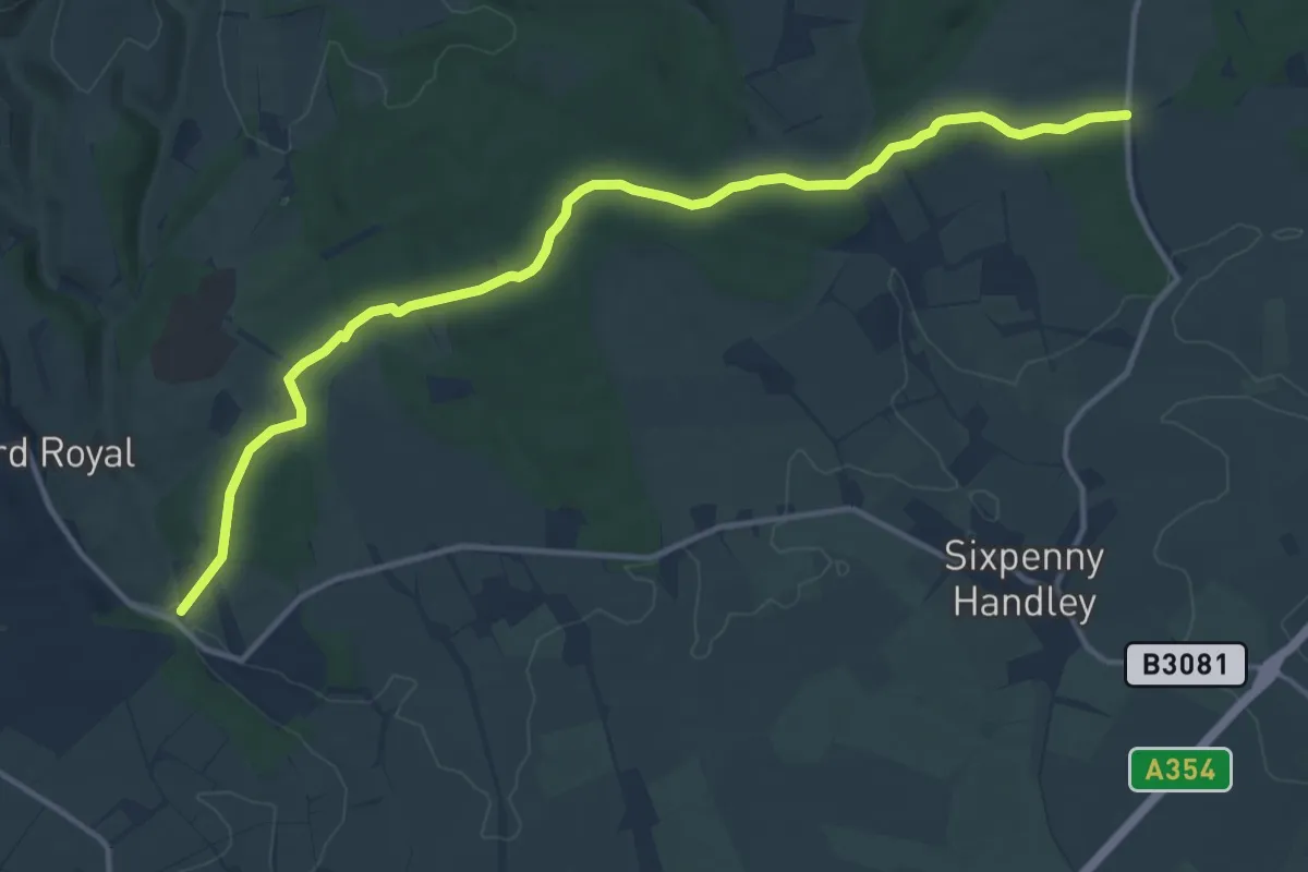
Shipstal trail
3.8 km · ↑ 33 m · 1 h 2 min
Medium · Trail
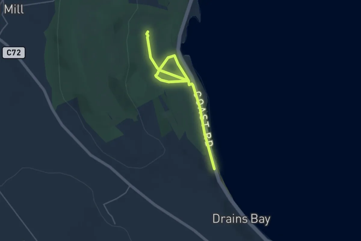
Shire Rack
13.3 km · ↑ 258 m · 3 h 41 min
Easy · Trail
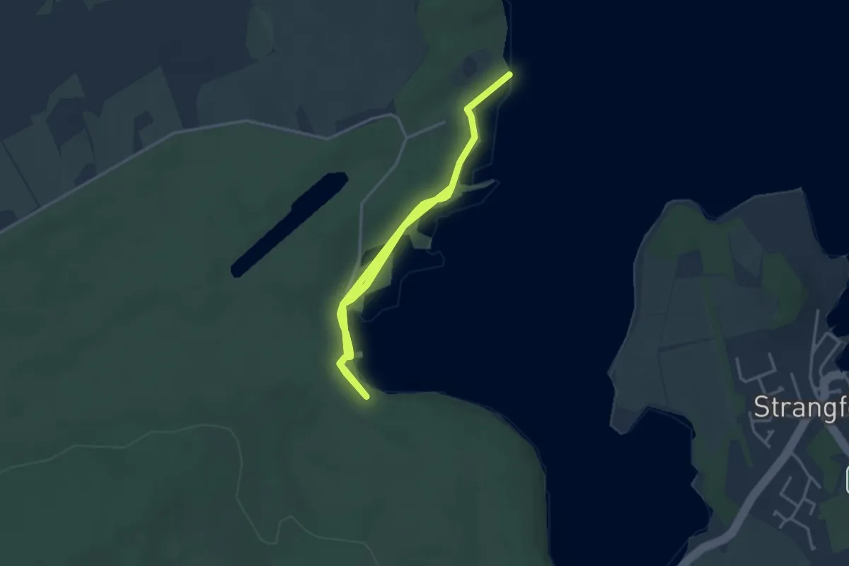
Shore Trail
3.7 km · ↑ 47 m · 58 min
Easy · Trail
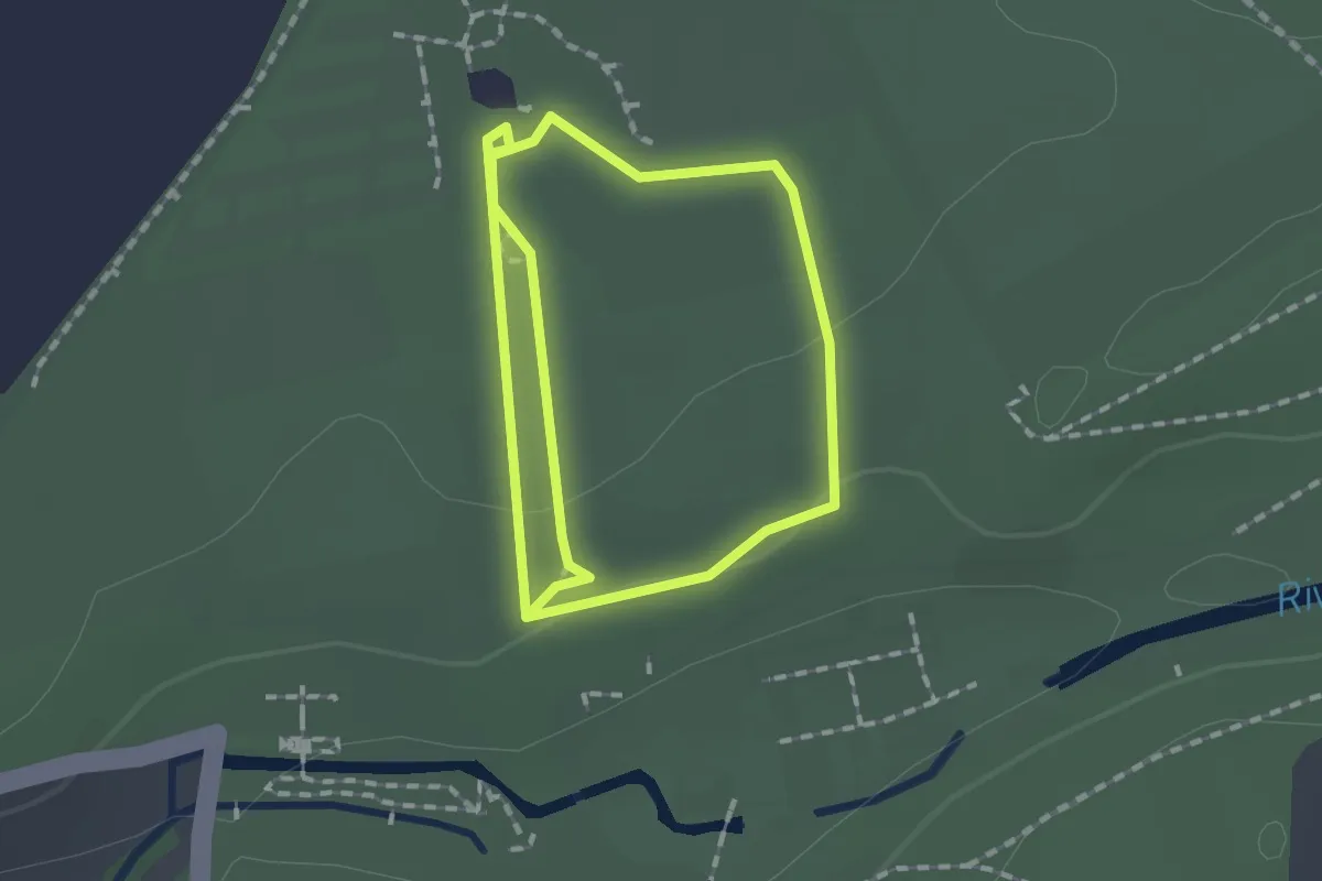
Shore Trail, Castle Ward
2.7 km · ↑ 13 m · 41 min
Easy · Trail
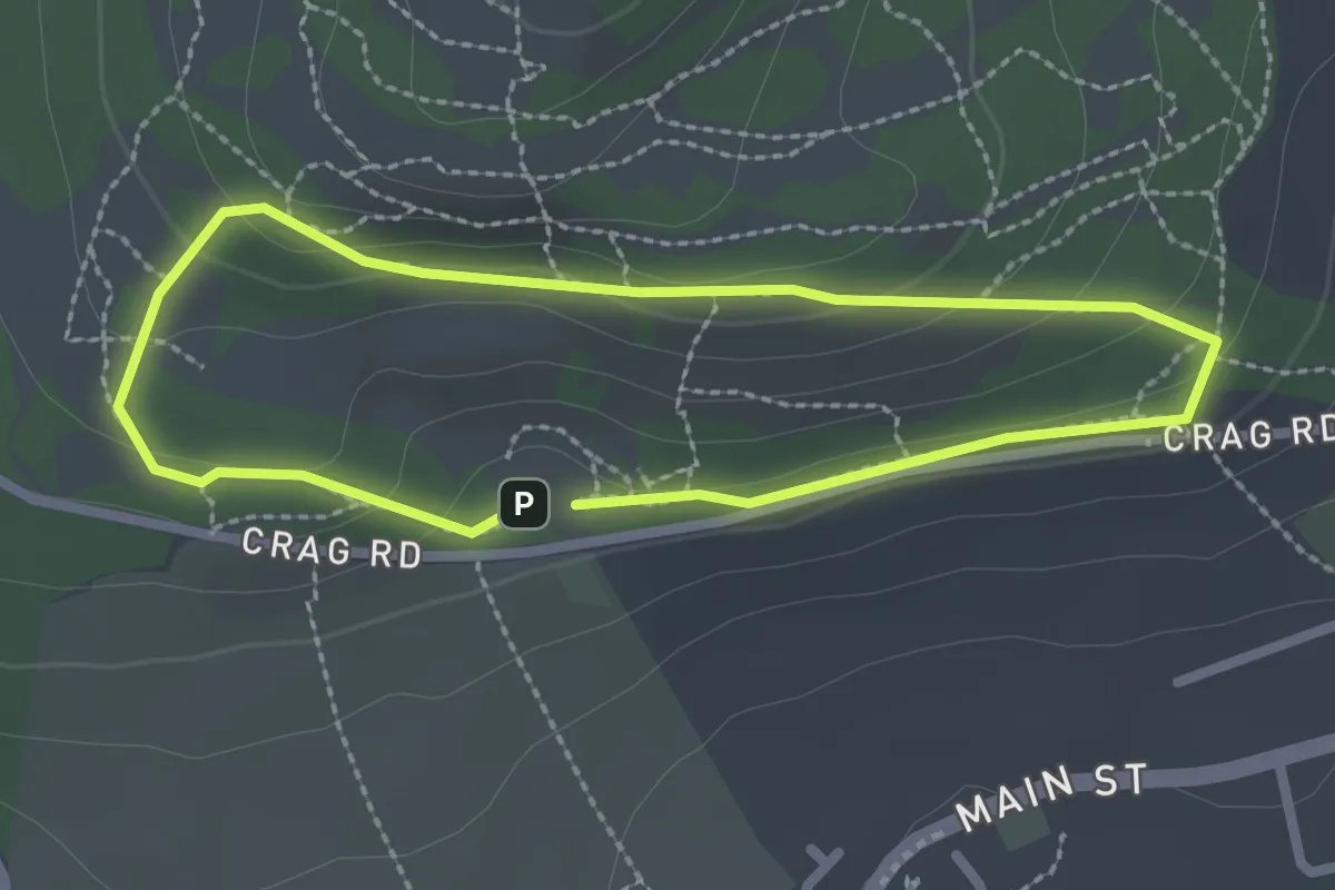
Short Powered Mobility Vehicle Route, Fountains Abbey
1.3 km · ↑ 23 m · 22 min
Easy · Trail
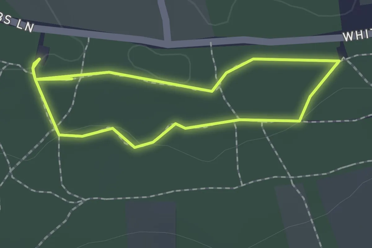
Short Route
1.8 km · ↑ 74 m · 37 min
Easy · Trail
Short Trail
1.3 km · ↑ 17 m · 22 min
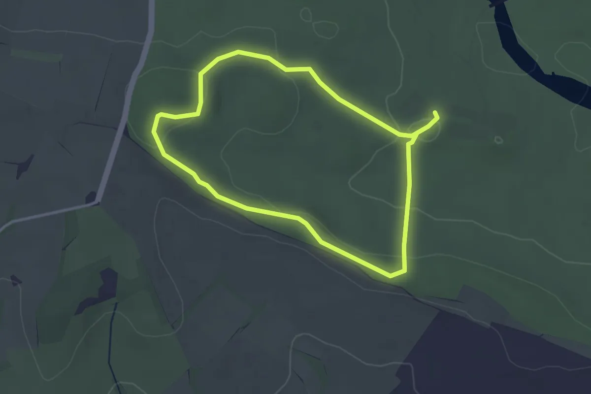
Easy · Trail
Short walk
2.6 km · ↑ 42 m · 44 min
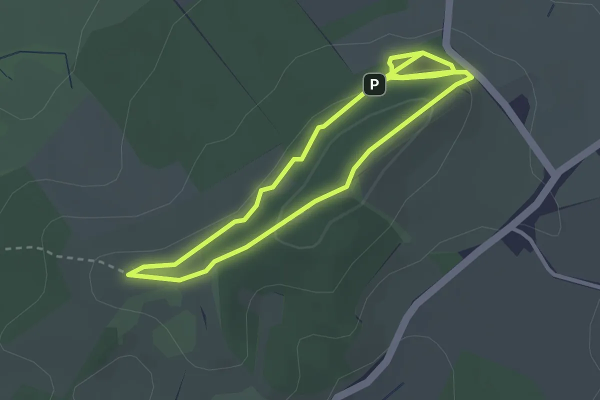
Easy · Summit
Short Walk, Clent Hills
2.2 km · ↑ 39 m · 38 min
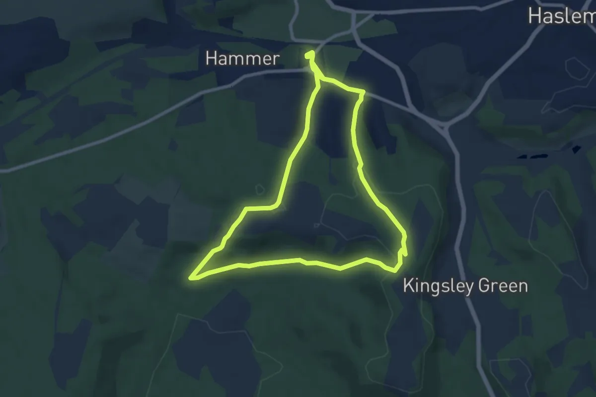
Easy · Trail
Shottermill to Marley Common and Cognor Wood walk, Black Down
7.0 km · ↑ 189 m · 2 h 9 min
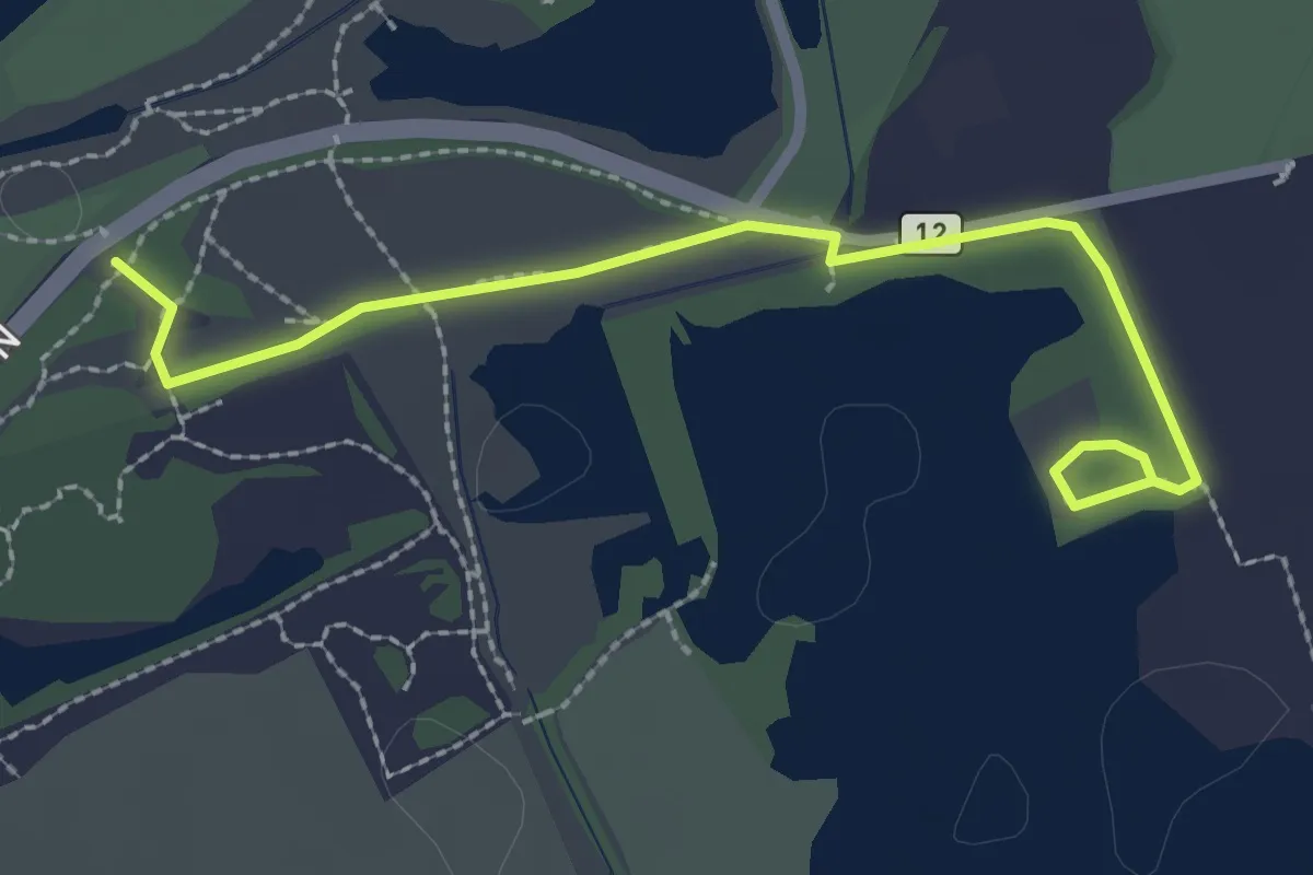
Easy · Trail
Shoveler Trail
2.4 km · ↑ 0 m · 34 min
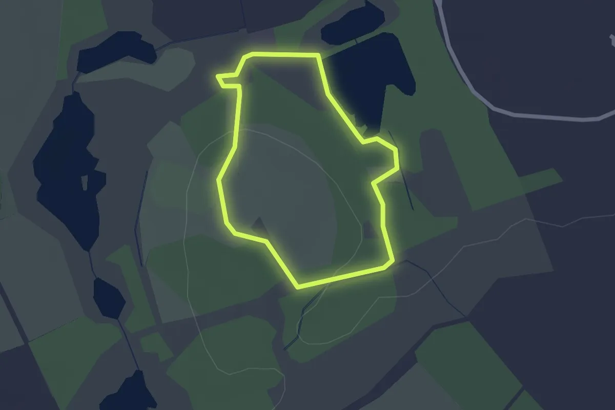
Easy · Trail
Shrew route
1.4 km · ↑ 17 m · 24 min
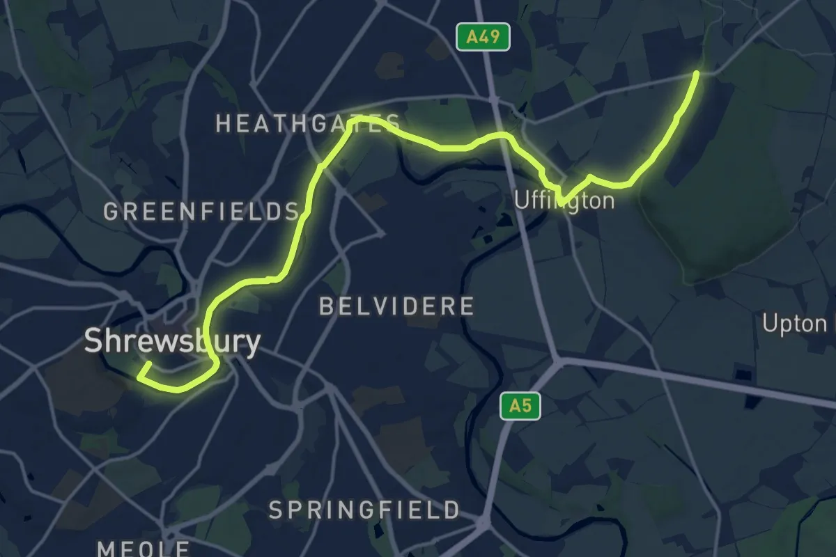
Medium · Trail
Shropshire Way - link
17.0 km · ↑ 83 m · 4 h 11 min
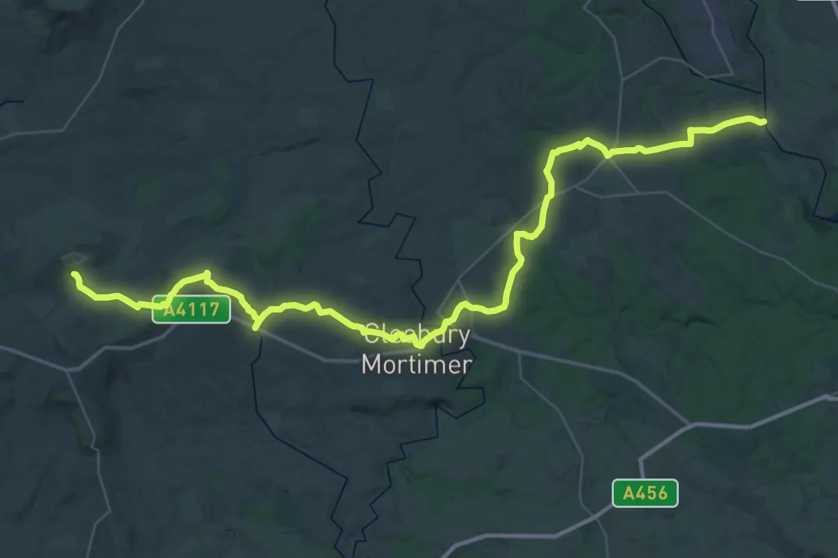
Demanding · Trail
Shropshire Way (Route 11, Link to Severn Way)
23.0 km · ↑ 723 m · 7 h 6 min
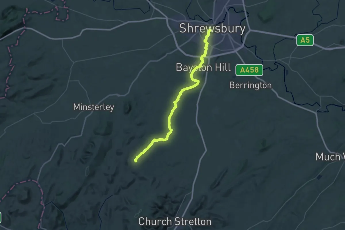
Demanding · Summit
Shropshire Way - stage 01
37.2 km · ↑ 580 m · 10 h 2 min
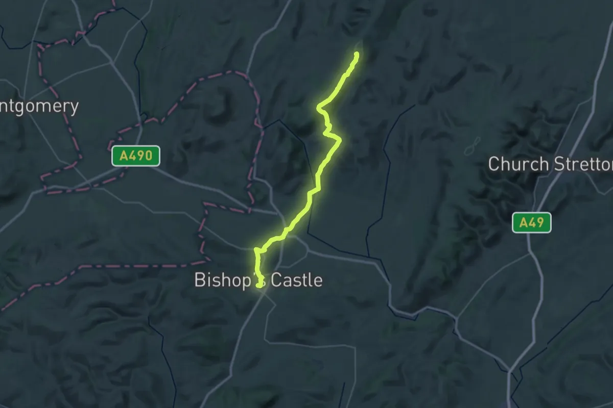
Demanding · Summit
Shropshire Way - stage 02
27.5 km · ↑ 812 m · 8 h 15 min
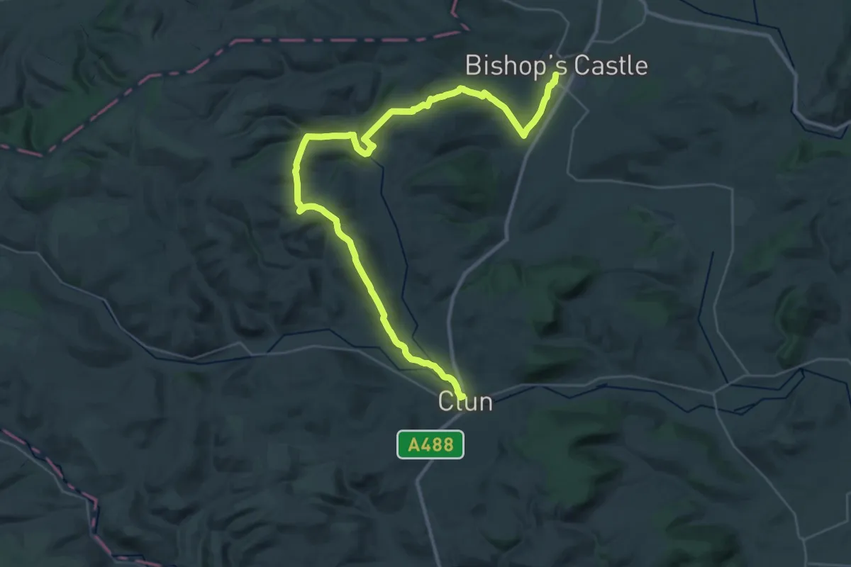
Medium · Trail
Shropshire Way - stage 03
17.4 km · ↑ 523 m · 5 h 30 min
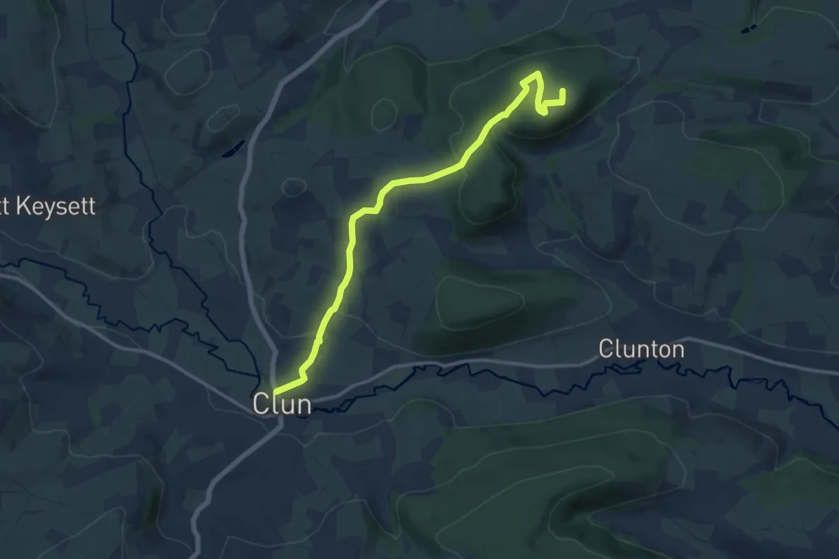
Medium · Summit
Shropshire Way - stage 04
10.4 km · ↑ 253 m · 3 h 1 min
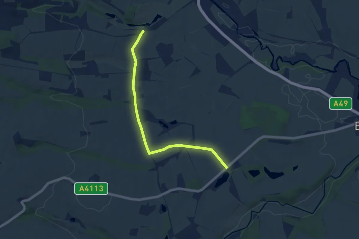
Easy · Trail
Shropshire Way - stage 05
6.5 km · ↑ 35 m · 1 h 36 min
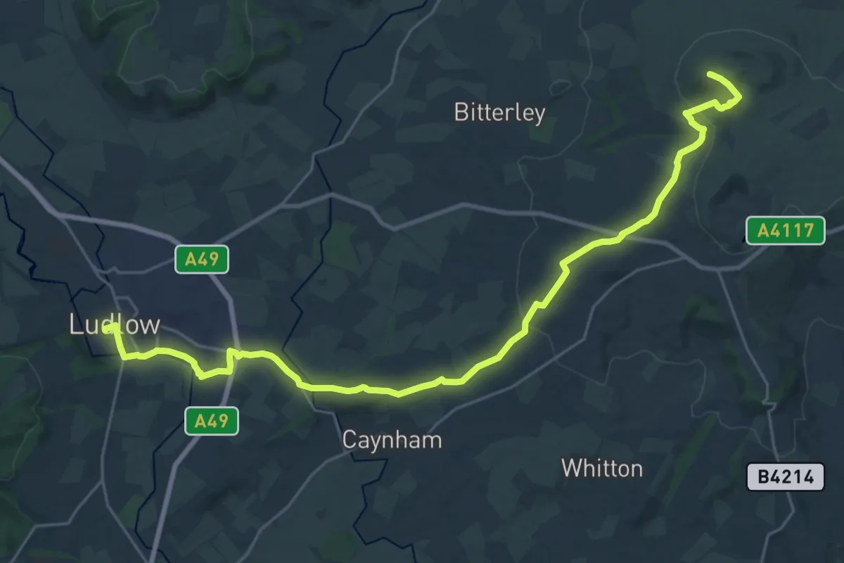
Demanding · Summit
Shropshire Way - stage 06
25.5 km · ↑ 645 m · 7 h 26 min
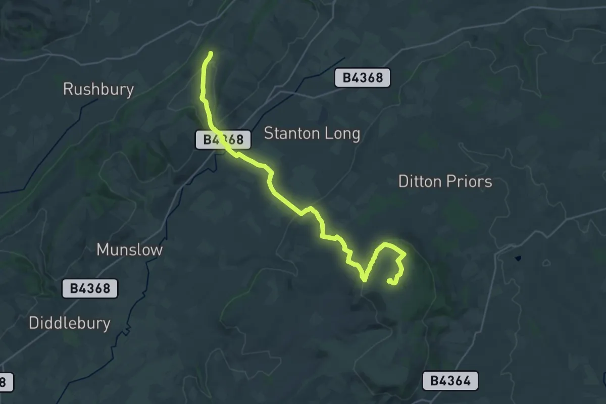
Demanding · Summit
Shropshire Way - stage 07
24.6 km · ↑ 562 m · 7 h 2 min
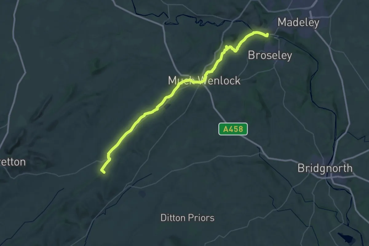
Demanding · Trail
Shropshire Way - stage 08
19.9 km · ↑ 255 m · 5 h 37 min
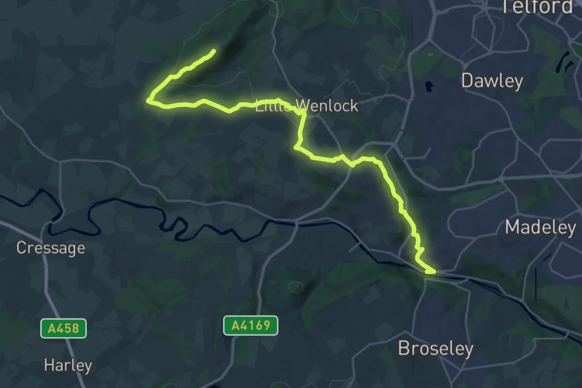
Demanding · Summit
Shropshire Way - stage 09
22.5 km · ↑ 705 m · 6 h 51 min
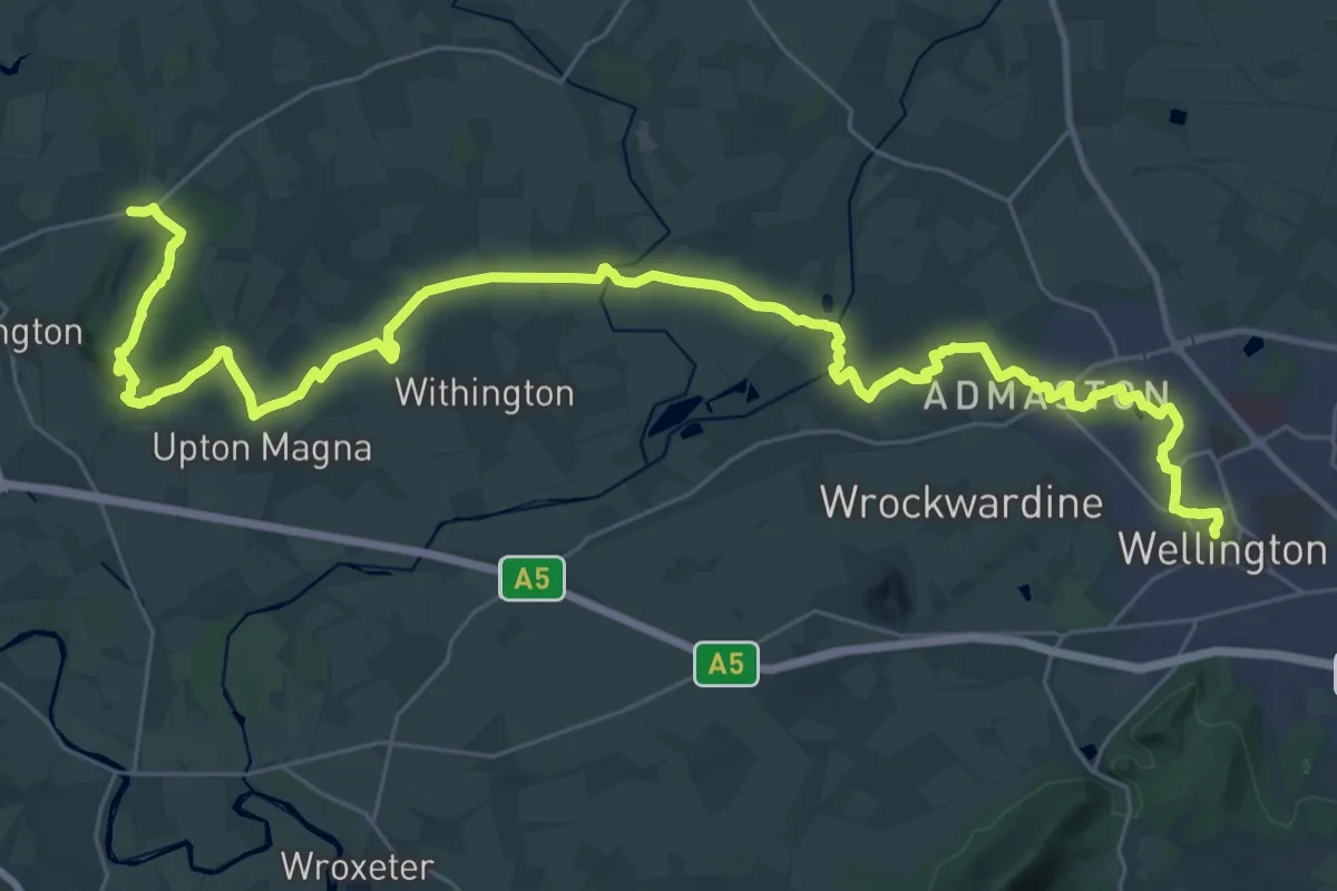
Demanding · Trail
Shropshire Way - stage 10
19.0 km · ↑ 110 m · 5 h
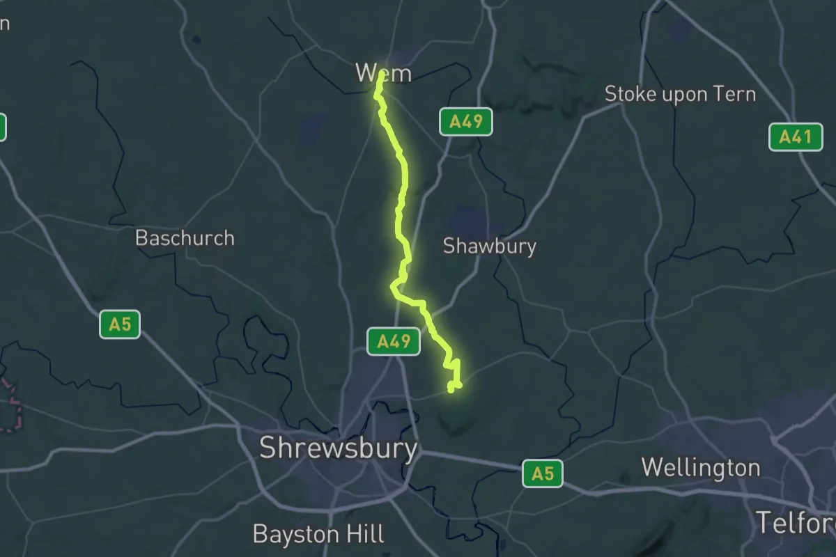
Demanding · Trail
Shropshire Way - stage 11
18.1 km · ↑ 133 m · 4 h 50 min
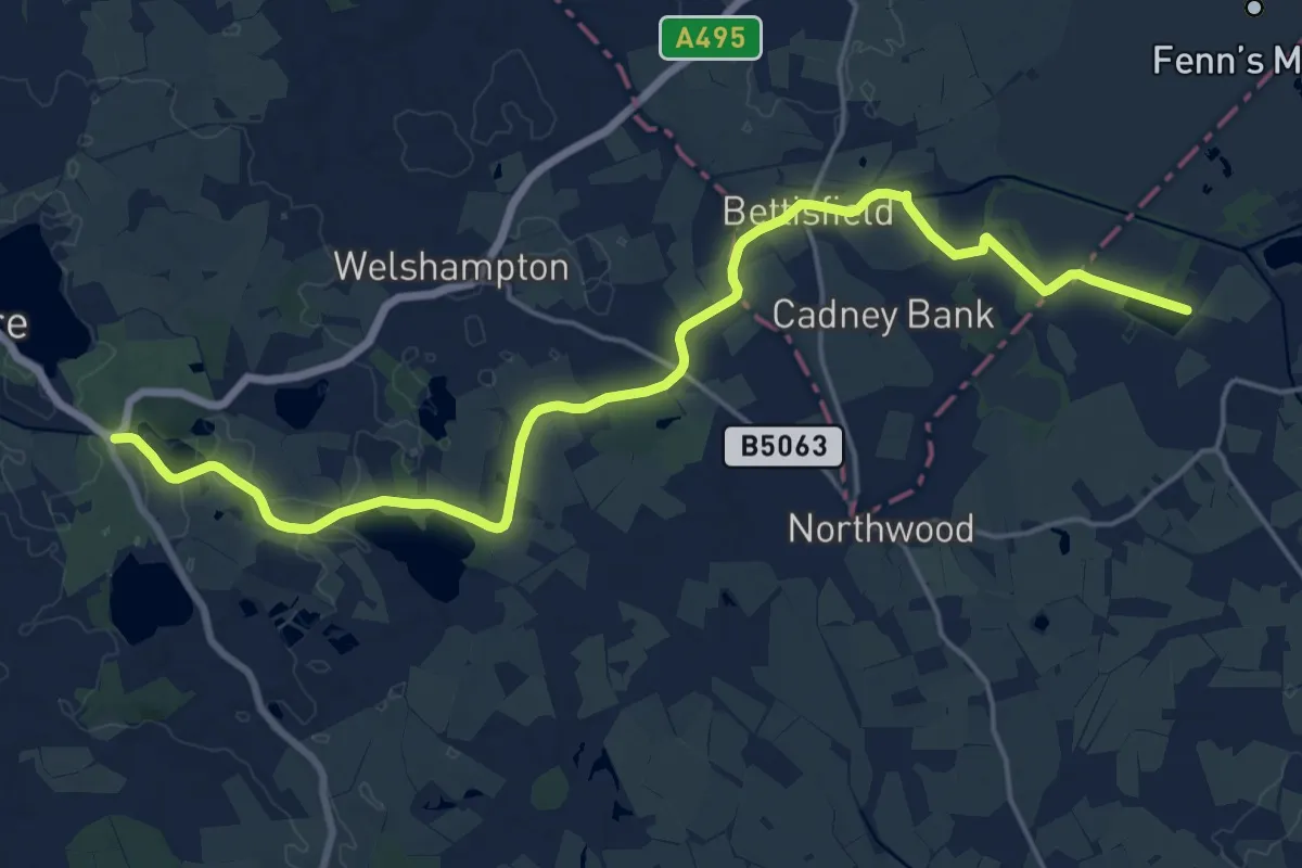
Demanding · Trail
Shropshire Way - stage 12
19.2 km · ↑ 17 m · 4 h 34 min
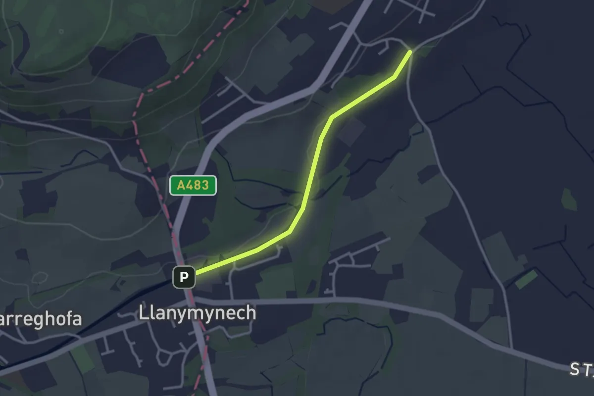
Easy · Trail
Shropshire Way - stage 13
2.4 km · ↑ 0 m · 34 min
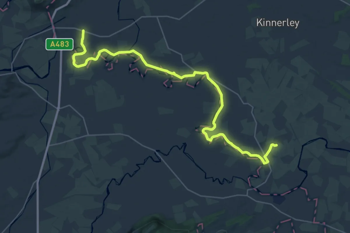
Demanding · Trail
Shropshire Way - stage 14
24.4 km · ↑ 4 m · 5 h 46 min
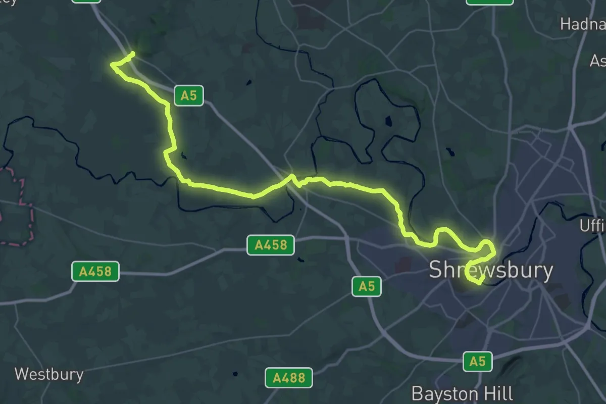
Demanding · Trail
Shropshire Way - stage 15
19.8 km · ↑ 147 m · 5 h 15 min
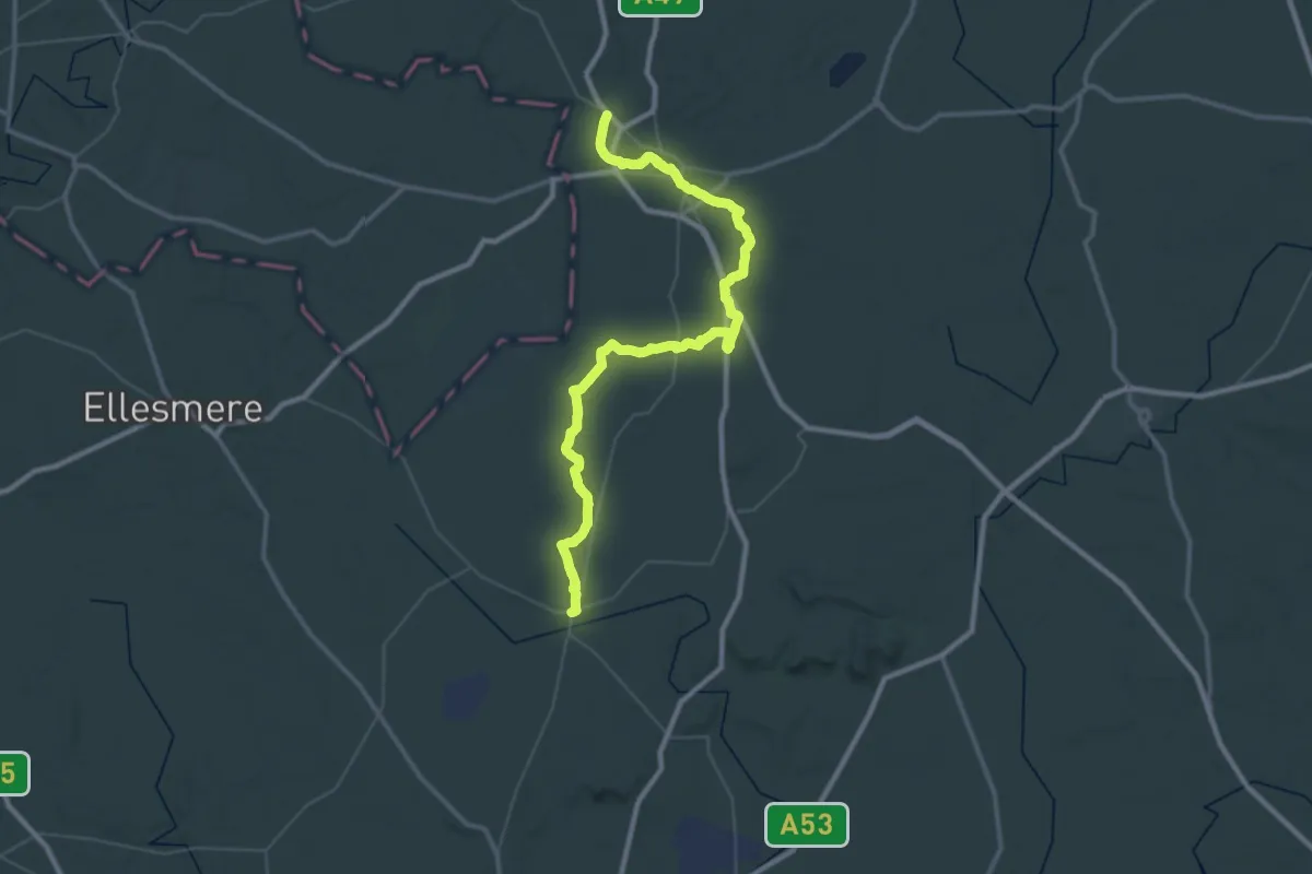
Demanding · Trail
Shropshire Way - Wem to Whitchurch
24.5 km · ↑ 55 m · 6 h 15 min
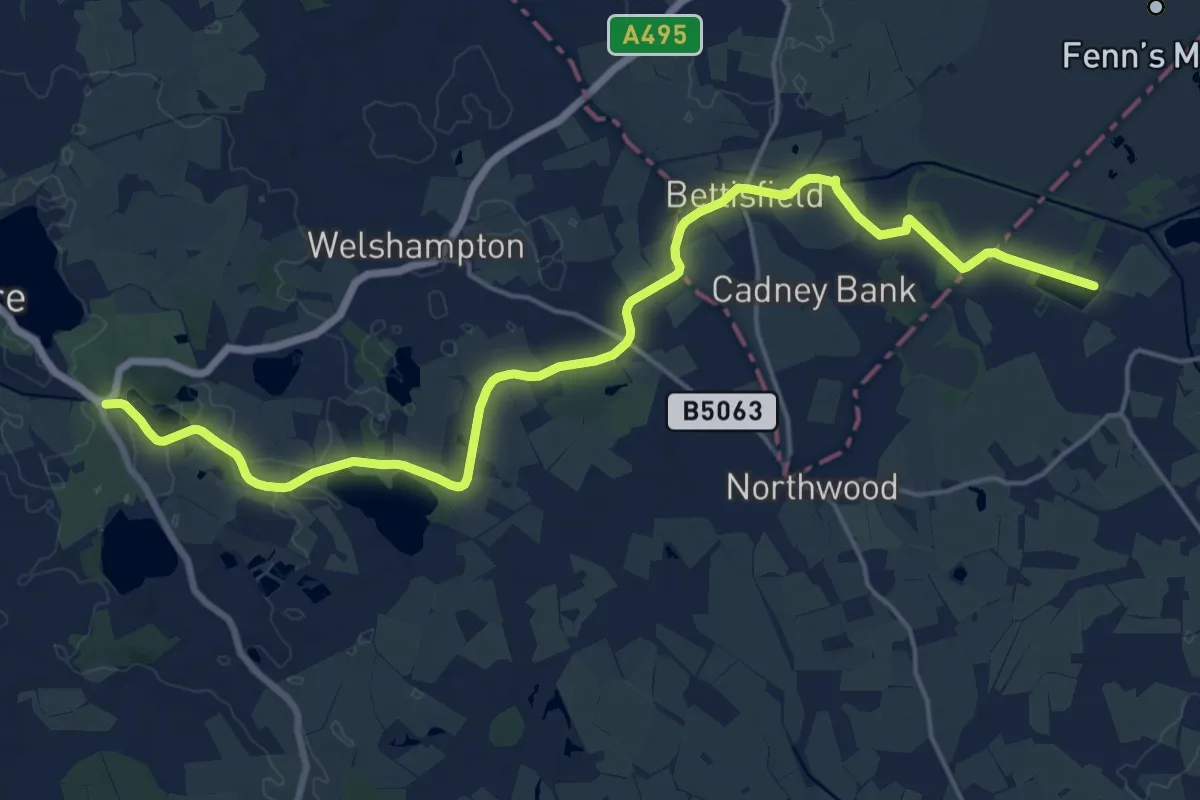
Demanding · Trail
Shropshire Way - Whitchurch to Ellesmere
19.2 km · ↑ 17 m · 4 h 34 min
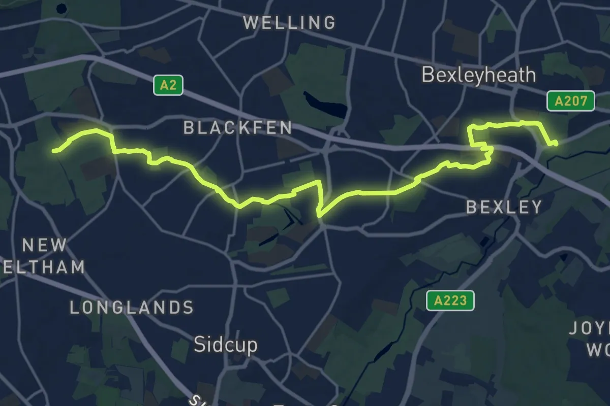
Medium · Trail
Shuttle Riverway
17.9 km · ↑ 105 m · 4 h 28 min
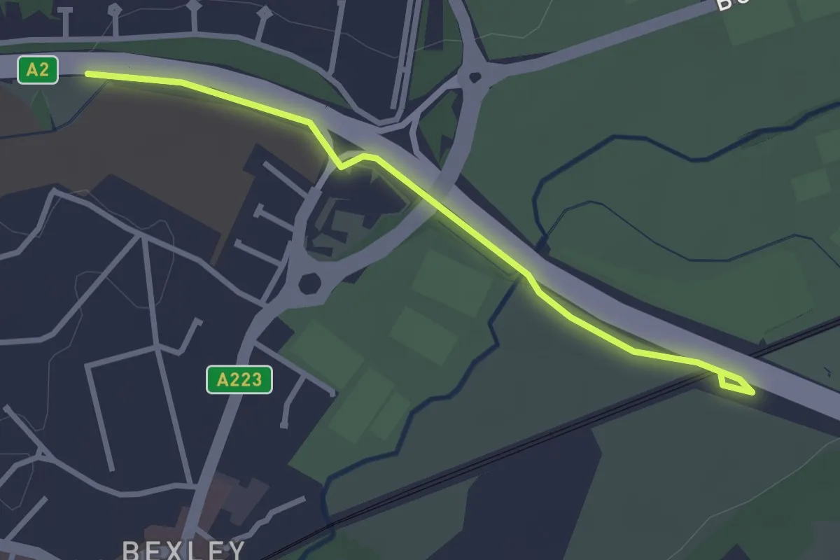
Easy · Trail
Shuttle to Cray Link
2.5 km · ↑ 0 m · 35 min
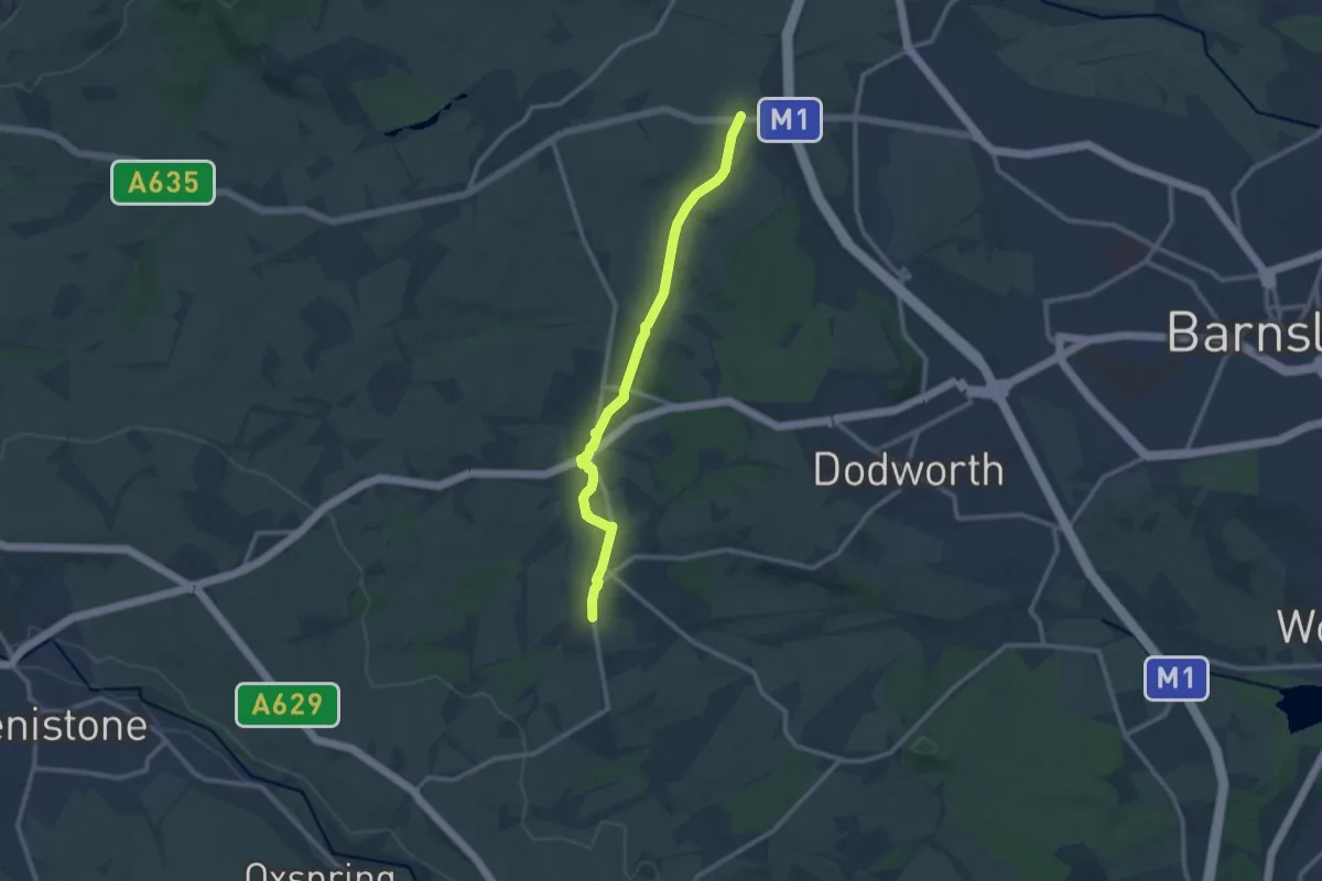
Medium · Trail
Silkstone Waggonway
9.4 km · ↑ 103 m · 2 h 27 min
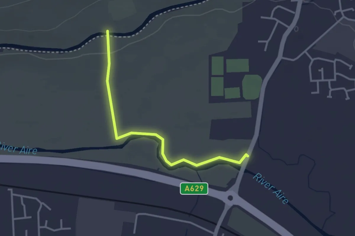
Easy · Trail
Silsden Circle
2.6 km · ↑ 15 m · 38 min