Trails in United Kingdom
3,857 hiking trails, each with its route, climb, walking time and grade.
All trails, page 61 of 81
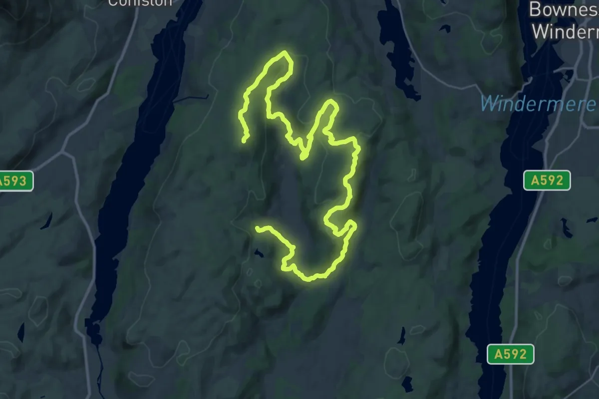
Demanding · Summit
Silurian Way
34.7 km · ↑ 1017 m · 10 h 24 min
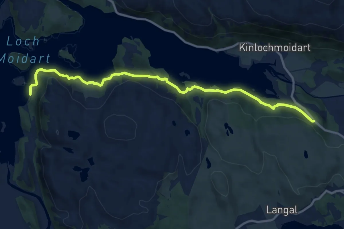
Medium · Trail
Silver Walk
12.5 km · ↑ 685 m · 4 h 27 min
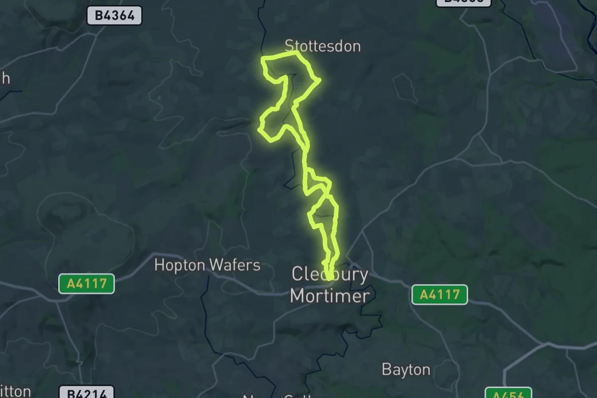
Demanding · Trail
Simon Evans Way
19.4 km · ↑ 335 m · 5 h 35 min
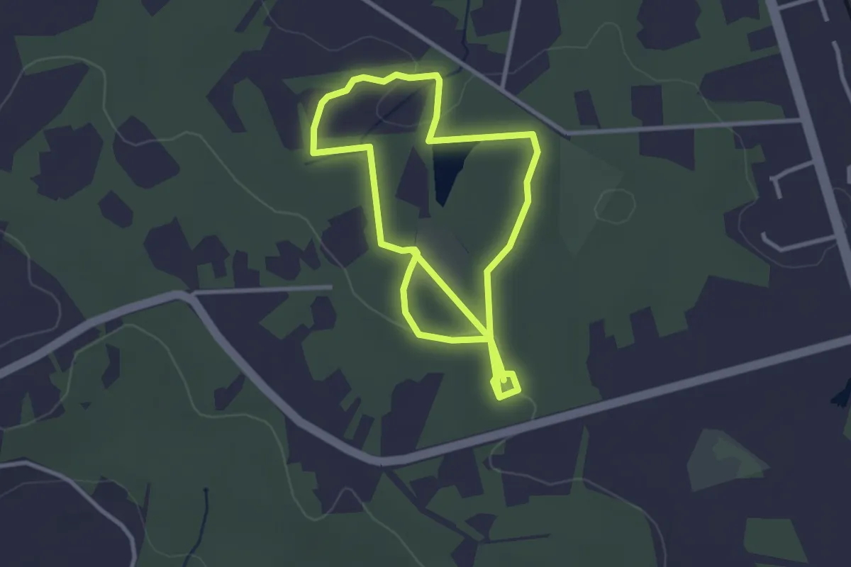
Easy · Trail
Simons Wood Trail, Finchampstead Ridges
2.7 km · ↑ 19 m · 43 min
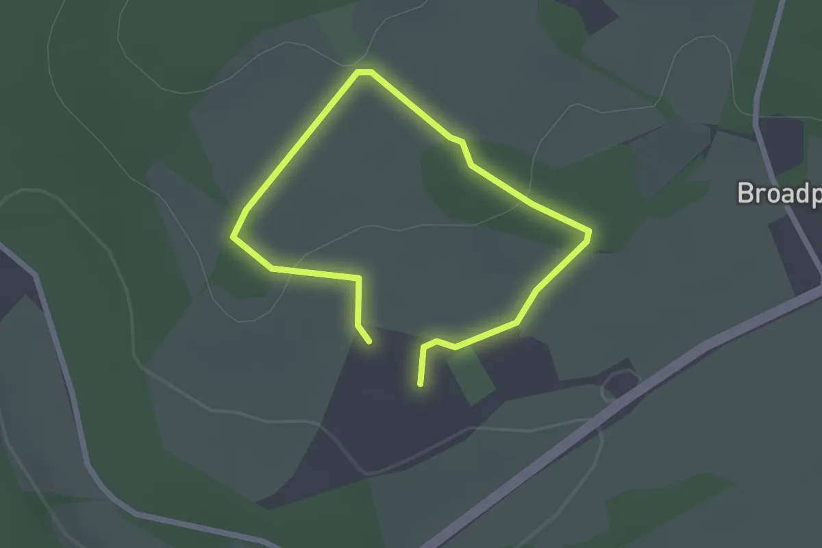
Easy · Trail
Sir Felix's Gentle Walk, Greys Court
1.4 km · ↑ 24 m · 24 min
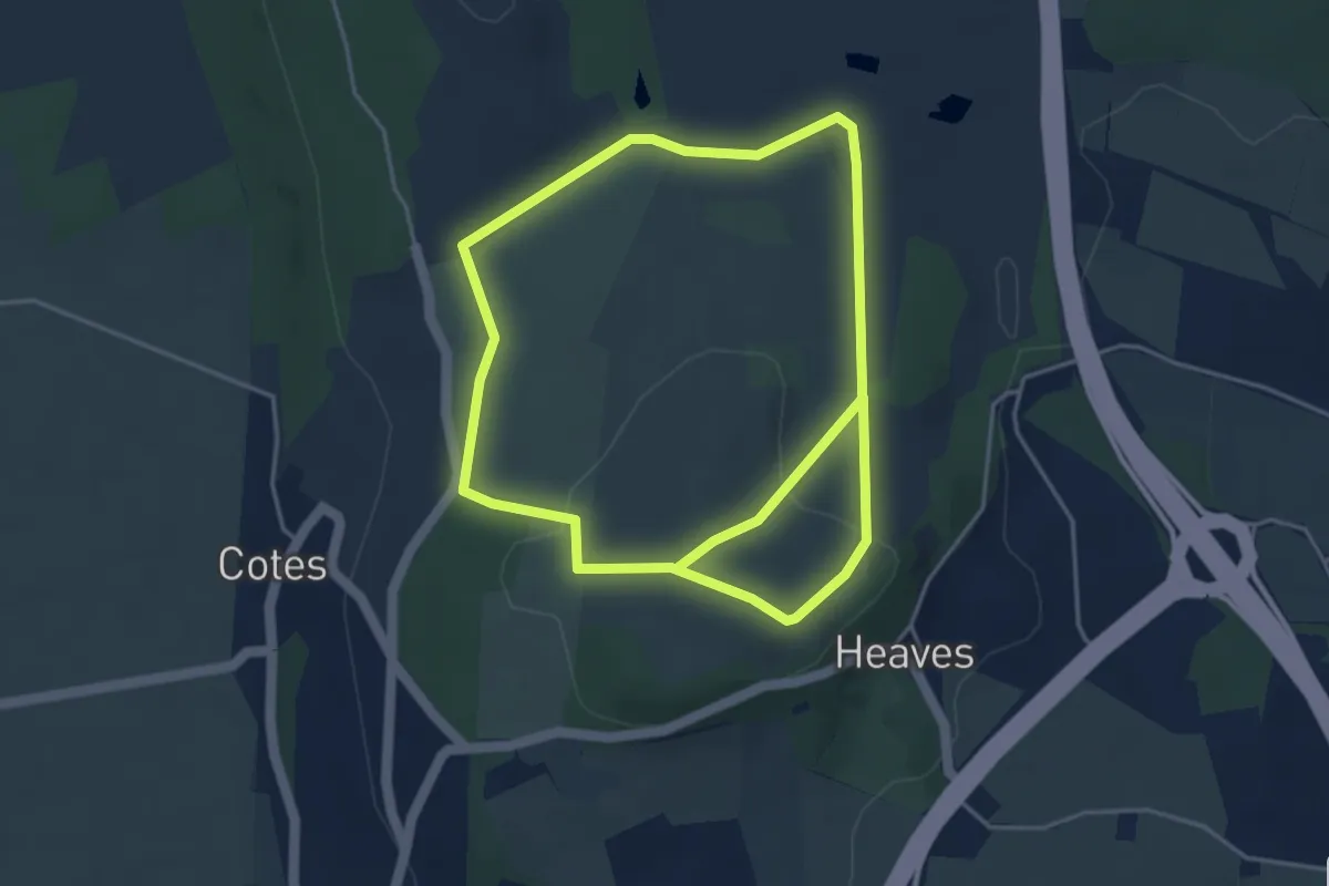
Easy · Trail
Sizergh Fell, Sizergh
3.6 km · ↑ 60 m · 1 h 2 min
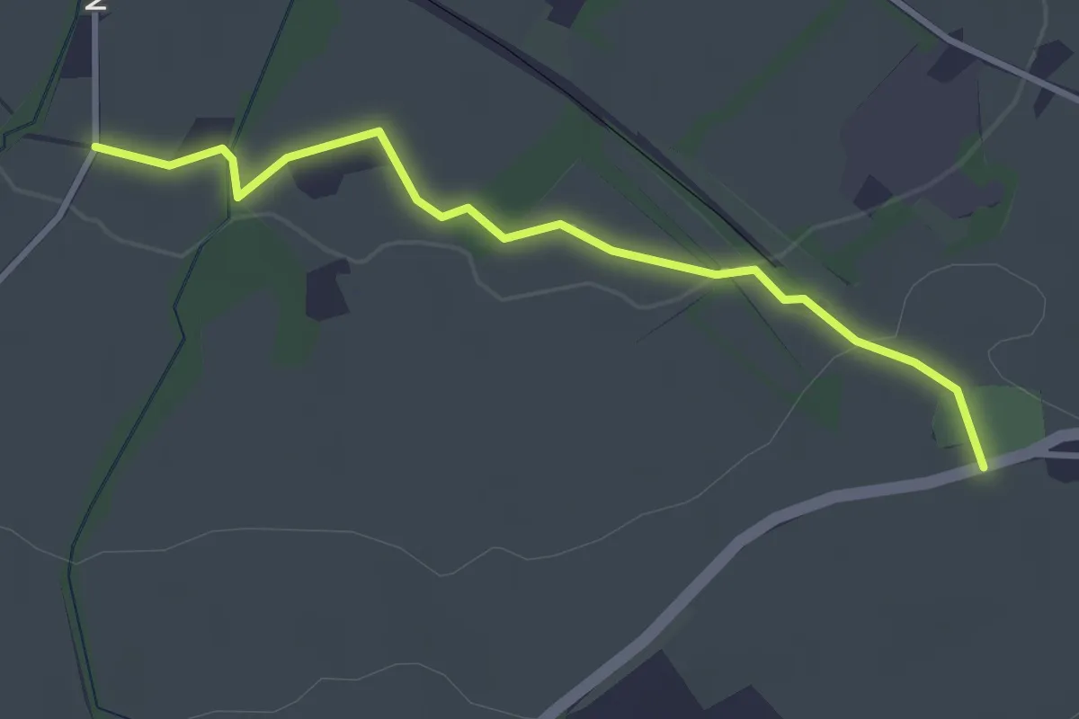
Easy · Trail
Skelmanthorpe Circular
2.9 km · ↑ 44 m · 47 min
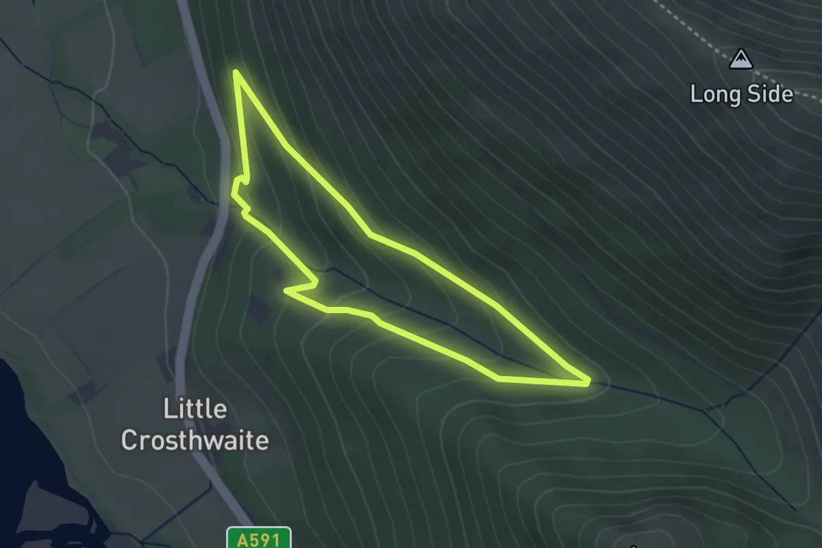
Easy · Trail
Skill Beck Trail
2.6 km · ↑ 157 m · 59 min
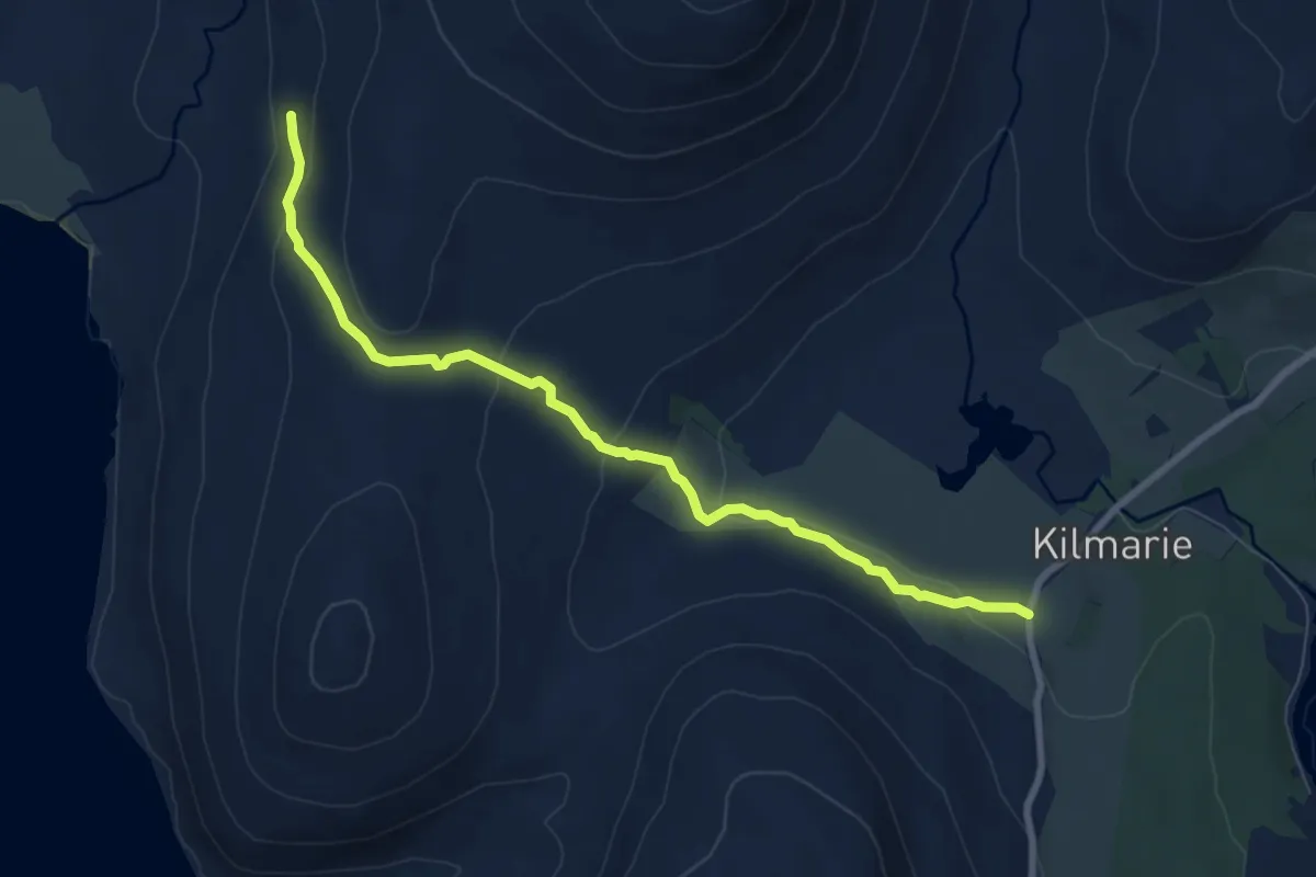
Medium · Trail
Skye Trail - shortcut Camasunary to Kilmarie
6.4 km · ↑ 234 m · 2 h 2 min
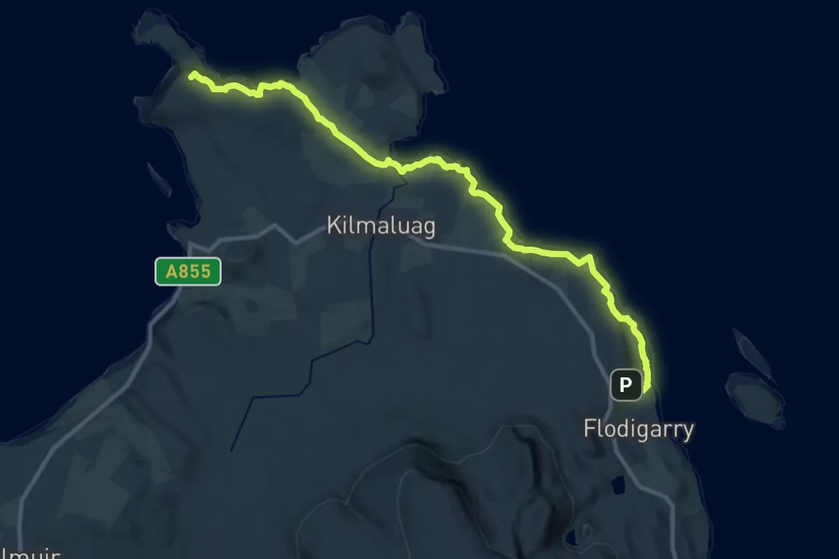
Demanding · Summit
Skye Trail - Stage 1
18.0 km · ↑ 619 m · 5 h 36 min
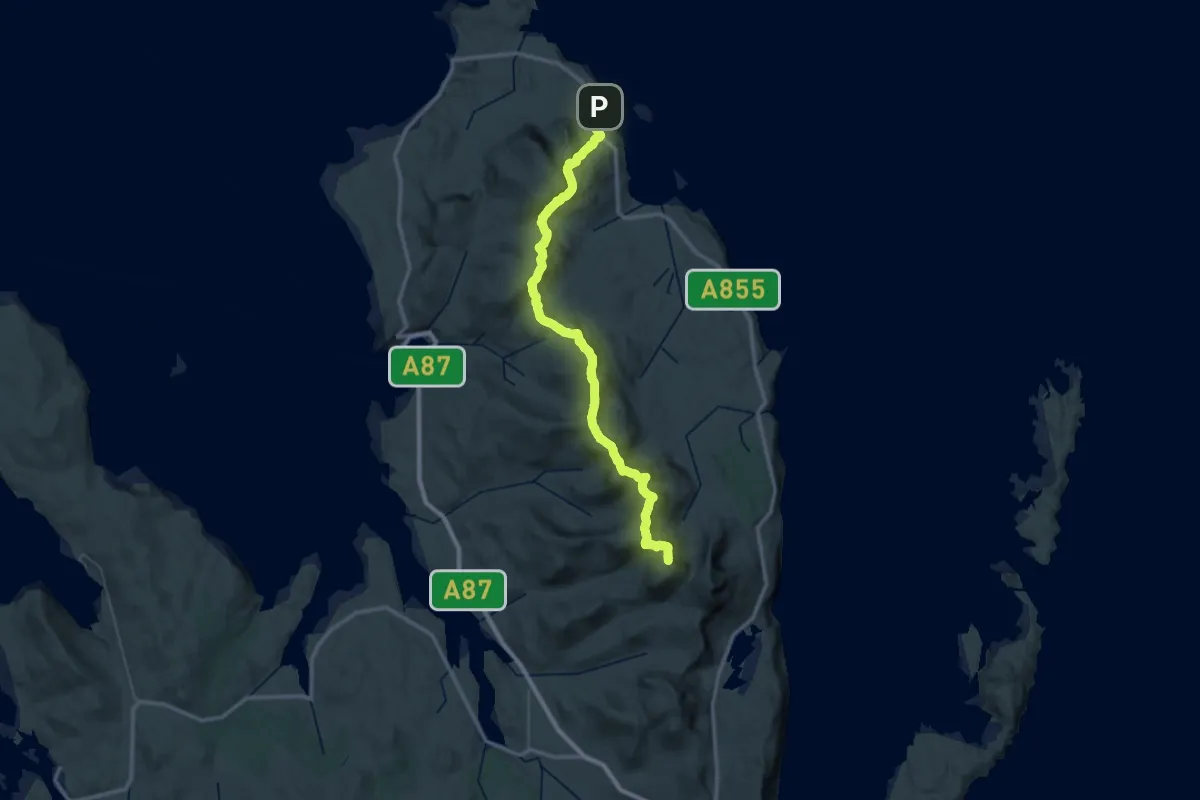
Expert · Summit
Skye Trail - Stage 2
45.9 km · ↑ 2365 m · 15 h 57 min
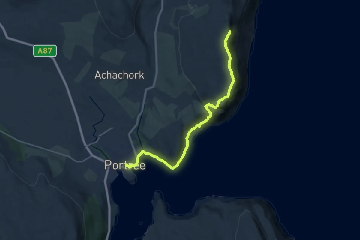
Demanding · Summit
Skye Trail - Stage 3
11.6 km · ↑ 557 m · 3 h 57 min
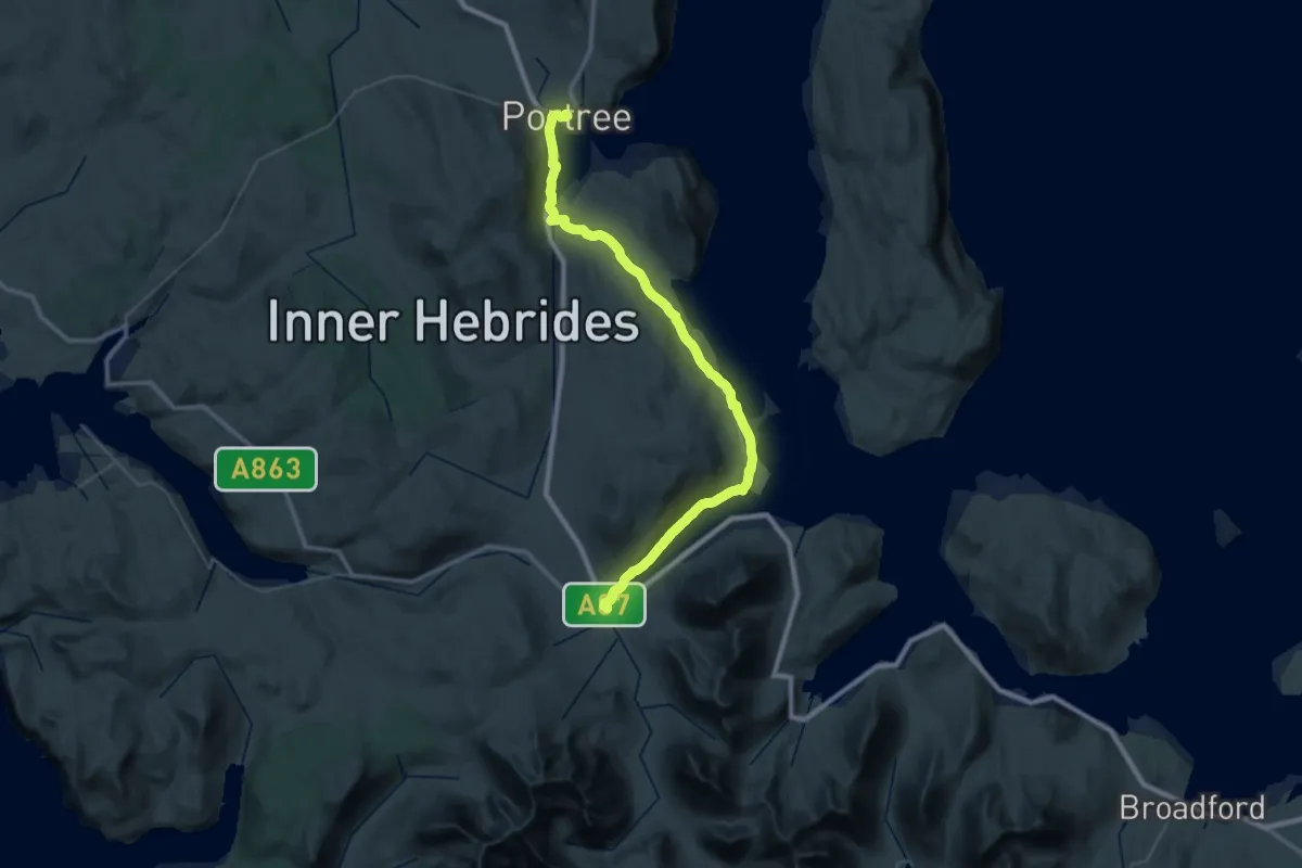
Demanding · Trail
Skye Trail - Stage 4
19.4 km · ↑ 268 m · 5 h 26 min
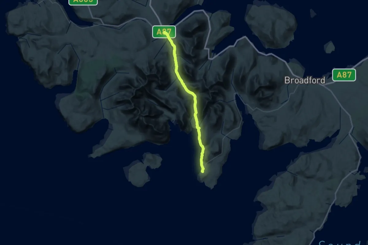
Demanding · Trail
Skye Trail - Stage 5
18.6 km · ↑ 283 m · 5 h 15 min
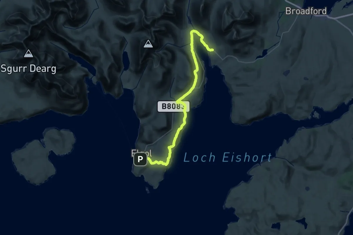
Medium · Trail
Skye Trail - Stage 6
16.1 km · ↑ 363 m · 4 h 49 min
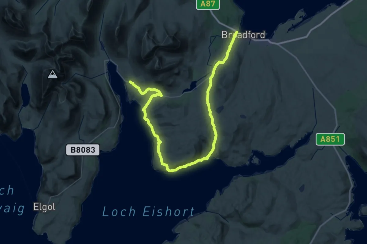
Demanding · Trail
Skye Trail - Stage 7
19.5 km · ↑ 408 m · 5 h 46 min
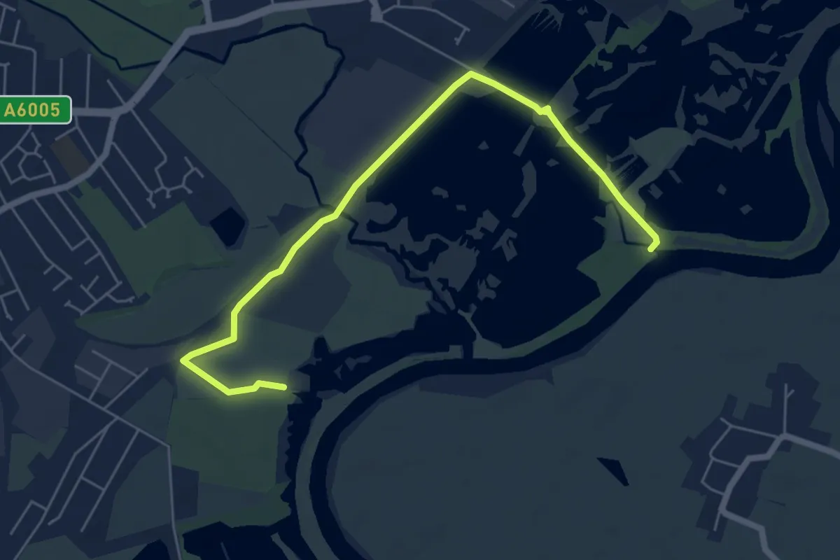
Easy · Trail
Skylark Route
5.6 km · ↑ 0 m · 1 h 20 min
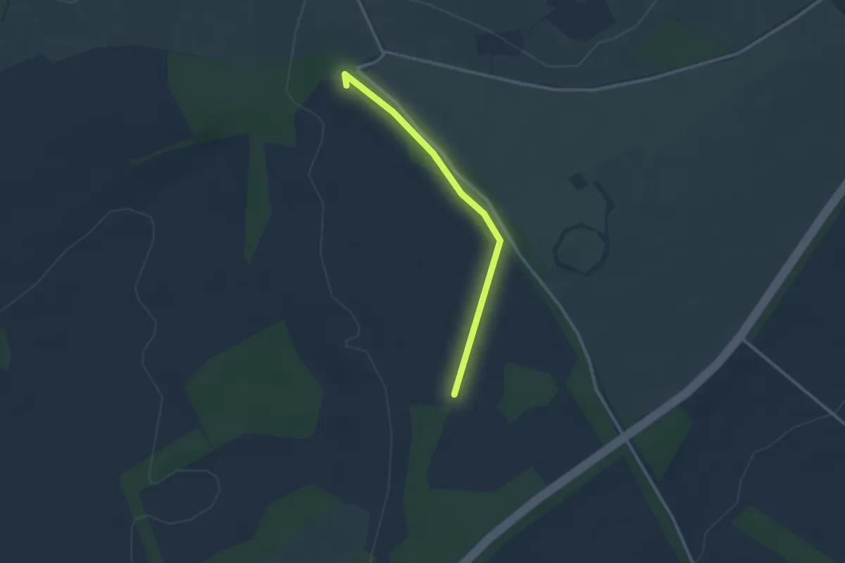
Easy · Trail
Skylark Walk, Chastleton
1.1 km · ↑ 18 m · 19 min
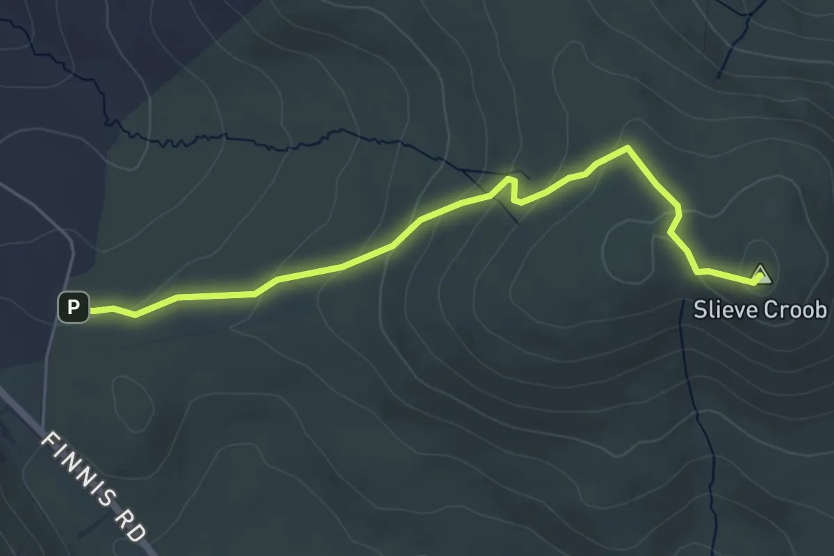
Easy · Summit
Slieve Croob Transmitter Road walk
4.4 km · ↑ 179 m · 1 h 26 min
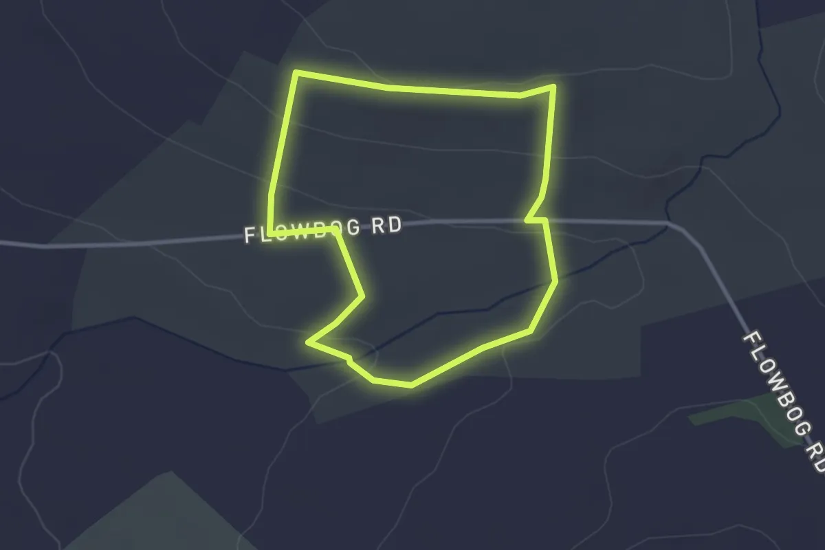
Easy · Trail
Slievenacloy - Stoneyford River
2.3 km · ↑ 61 m · 43 min
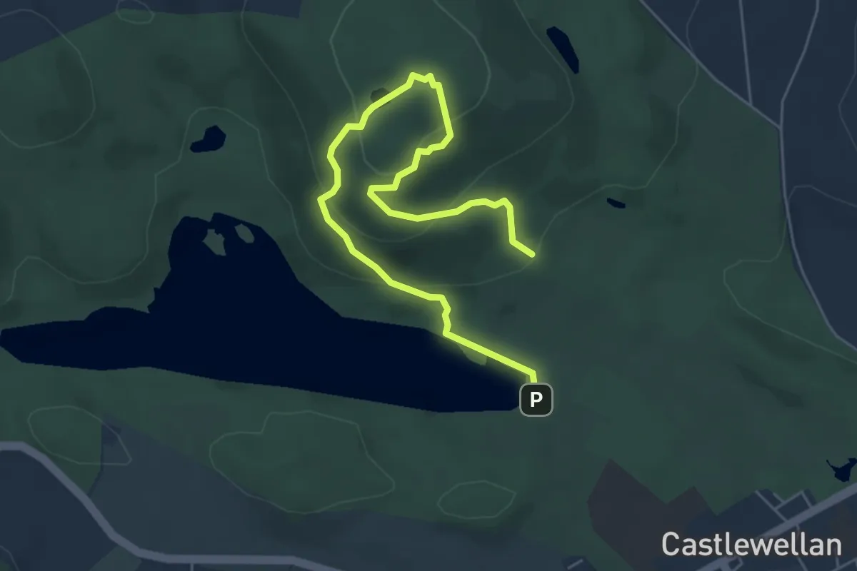
Easy · Summit
Slievenaslat Walk
2.8 km · ↑ 152 m · 1 h 1 min
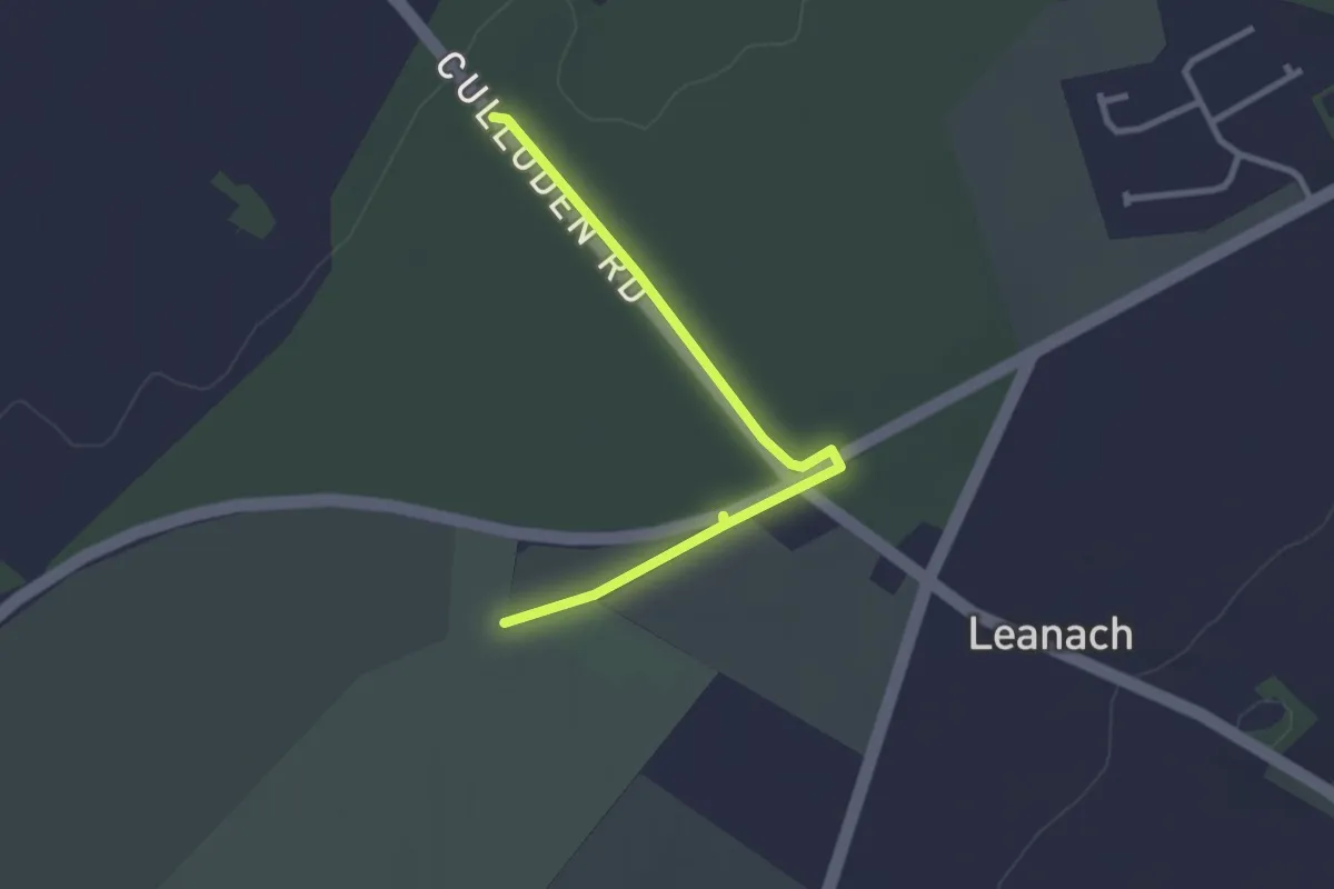
Easy · Trail
Slighe Blàr Chùil Lodair
2.2 km · ↑ 10 m · 33 min
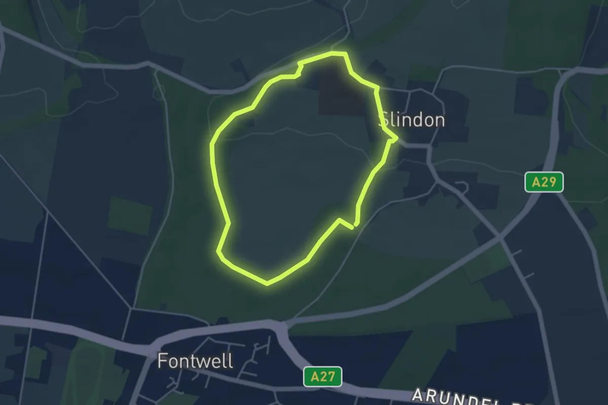
Easy · Trail
Slindon medieval park pale and village walk, Slindon Estate
3.3 km · ↑ 38 m · 55 min
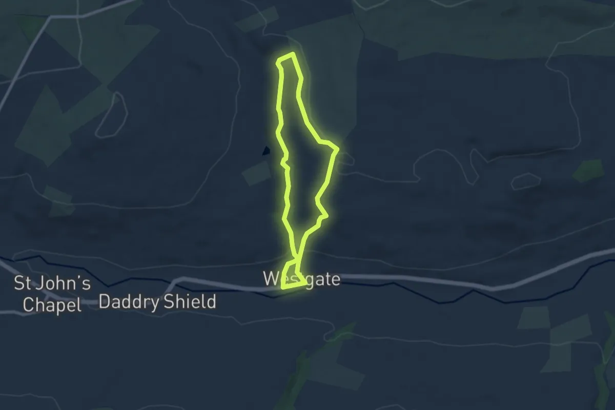
Easy · Trail
Slitt Wood and West Rigg Geotrail
5.0 km · ↑ 133 m · 1 h 32 min
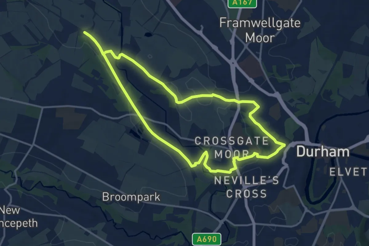
Medium · Trail
Small Pilgrim Places
9.2 km · ↑ 108 m · 2 h 32 min
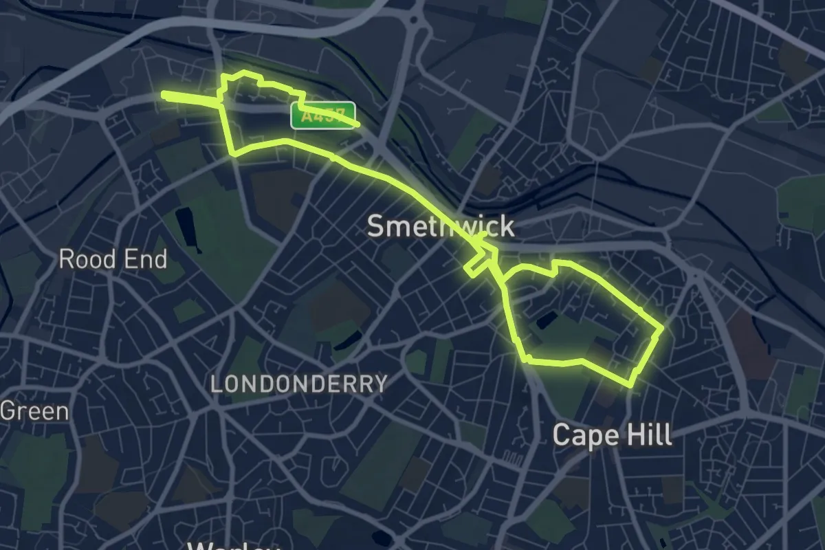
Medium · Trail
Smethwick Places of Worship Heritage Trail
13.5 km · ↑ 73 m · 3 h 21 min
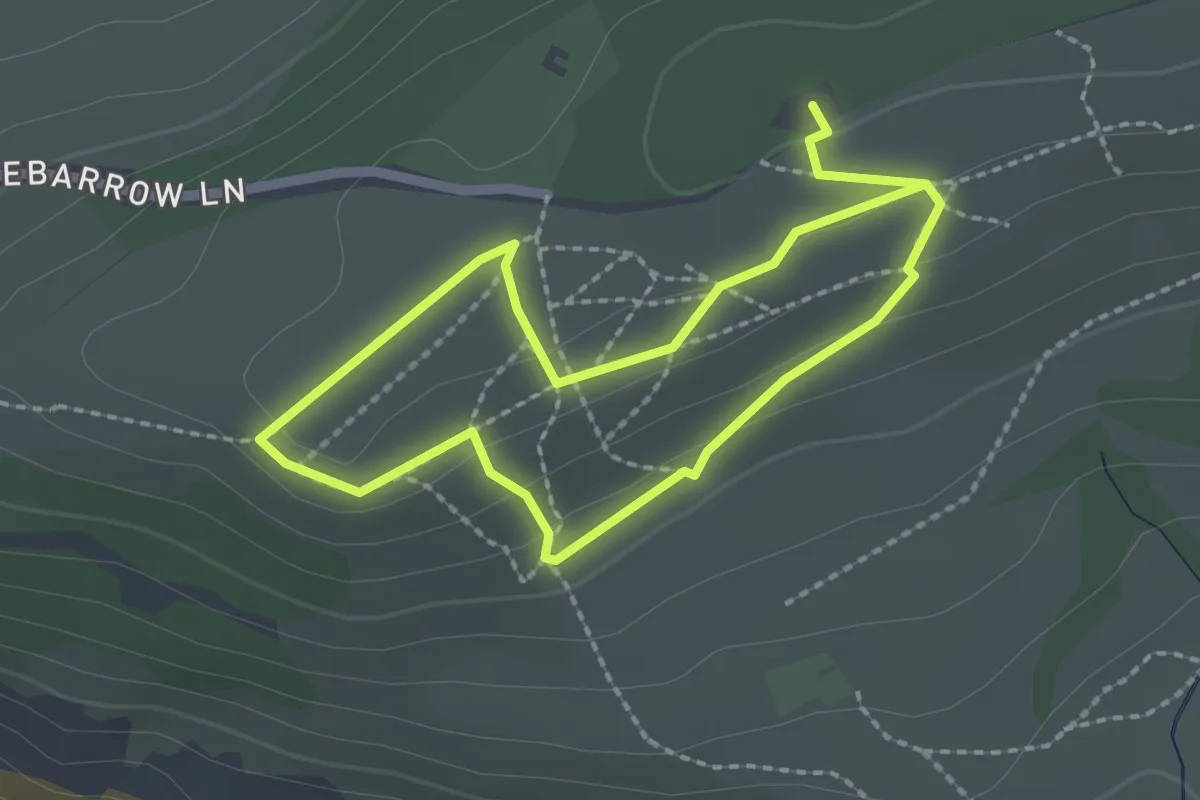
Easy · Trail
Smuggler's Trail, Golden Cap
1.7 km · ↑ 50 m · 33 min
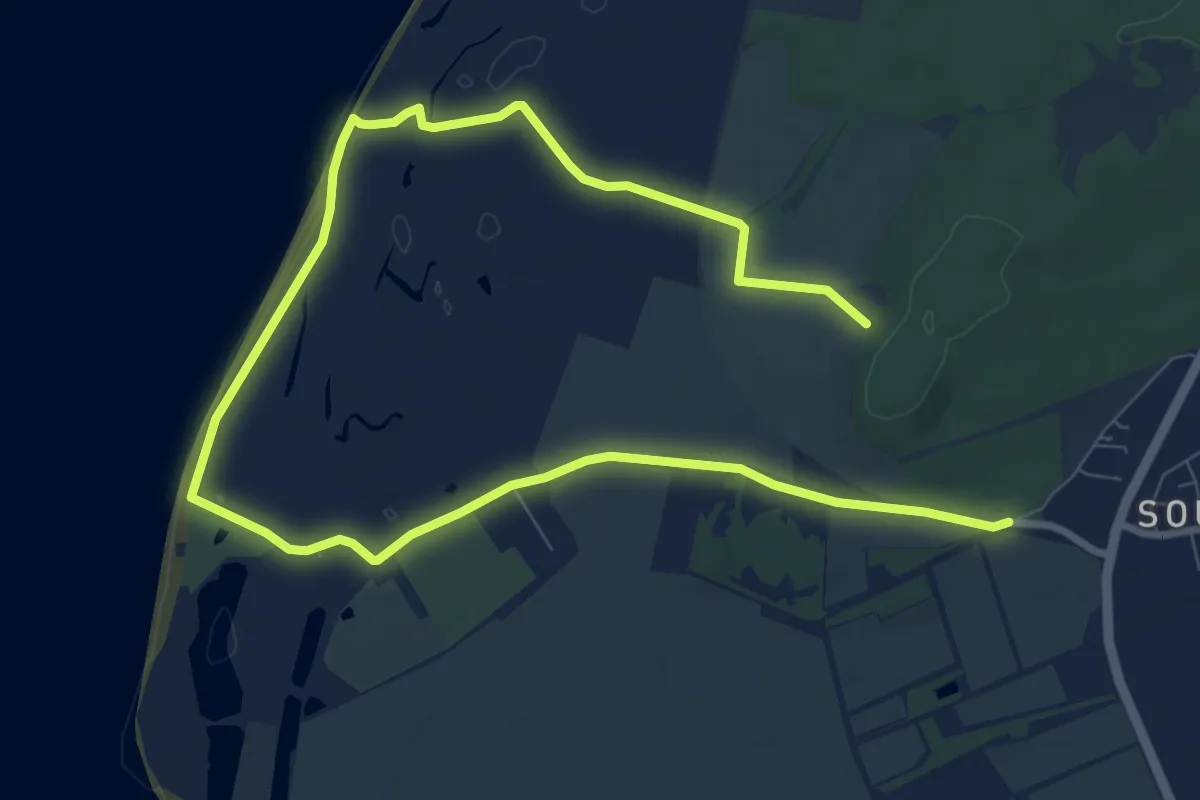
Easy · Trail
Snettisham Circular
6.0 km · ↑ 4 m · 1 h 31 min
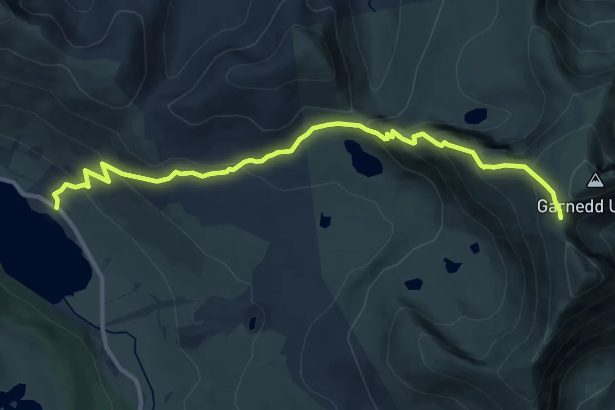
Demanding · Trail
Snowdon Ranger Path
11.4 km · ↑ 812 m · 4 h 28 min
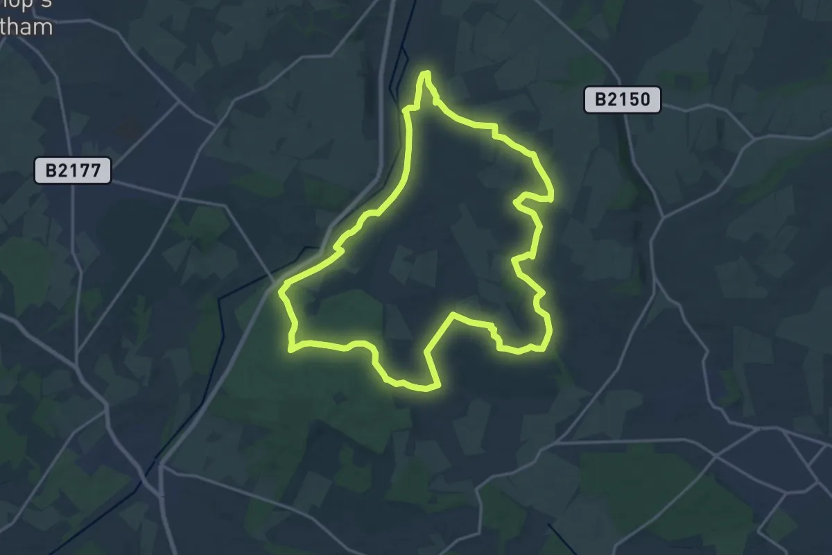
Medium · Trail
Soberton and Newtown Millennium Walk
16.0 km · ↑ 134 m · 4 h 17 min
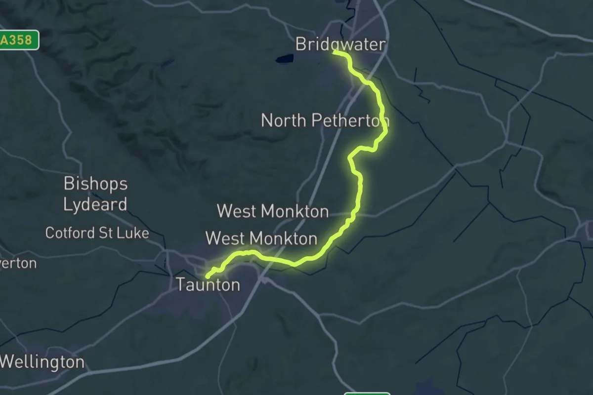
Demanding · Trail
Somerset Space Walk
21.3 km · ↑ 0 m · 5 h 20 min
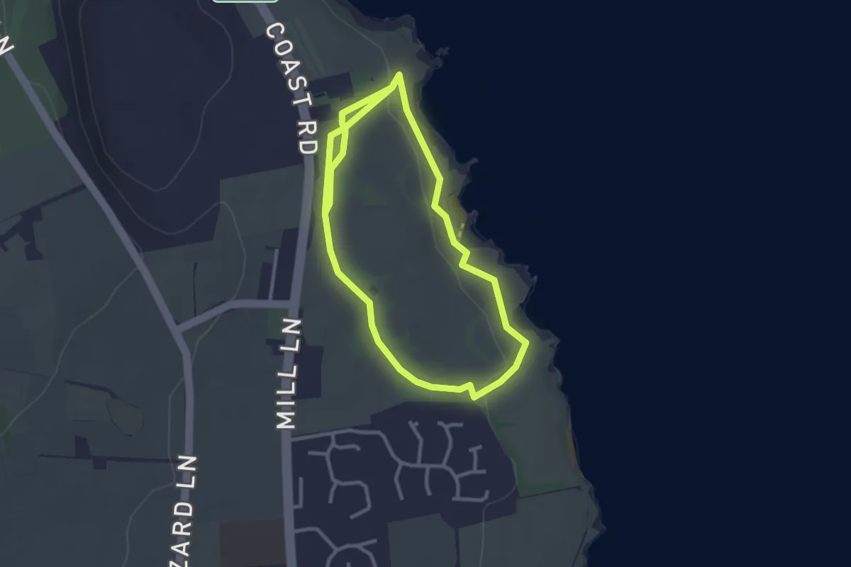
Easy · Trail
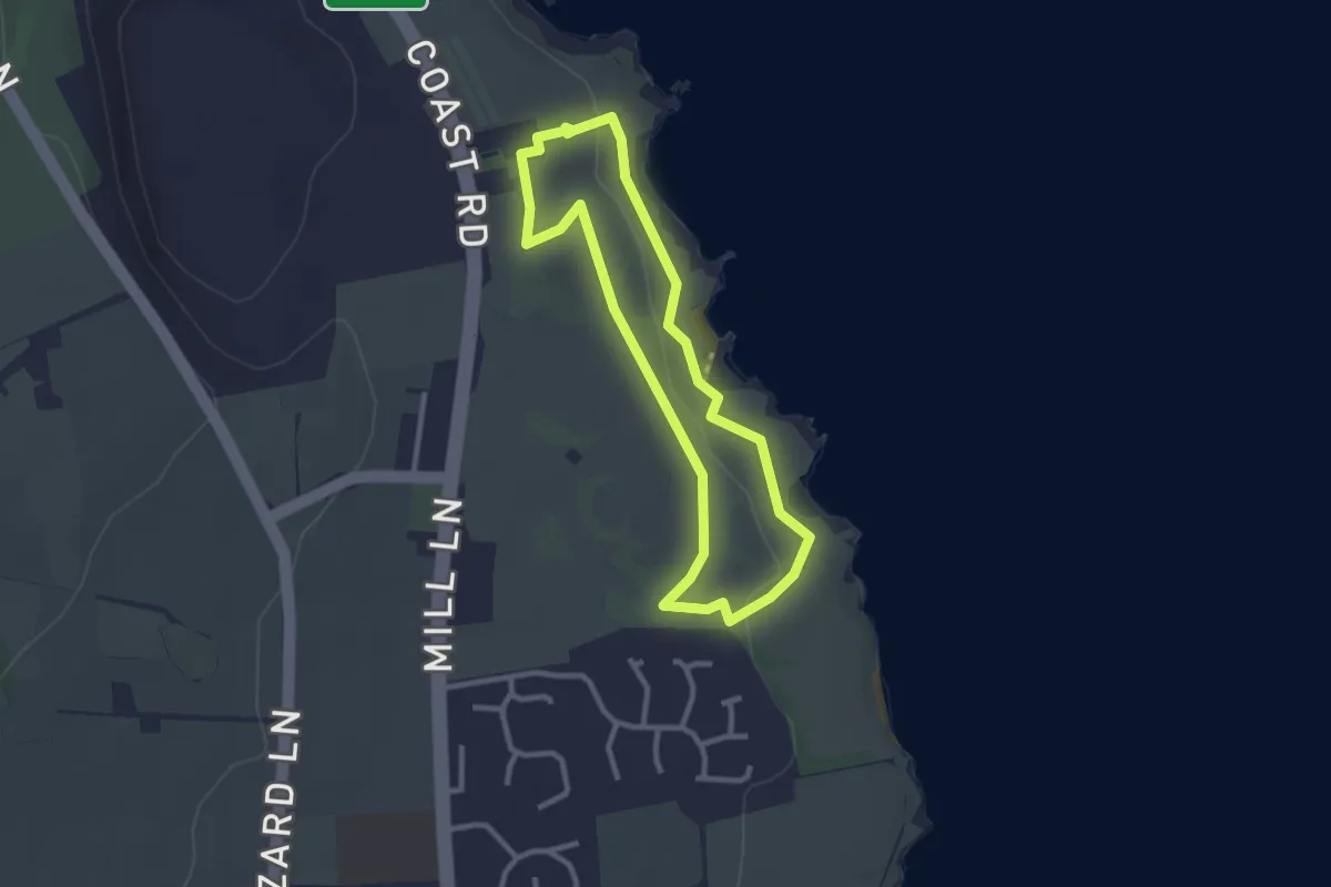
Souter Lighthouse Ranger Run, Souter Lighthouse
2.3 km · ↑ 24 m · 38 min
Easy · Trail
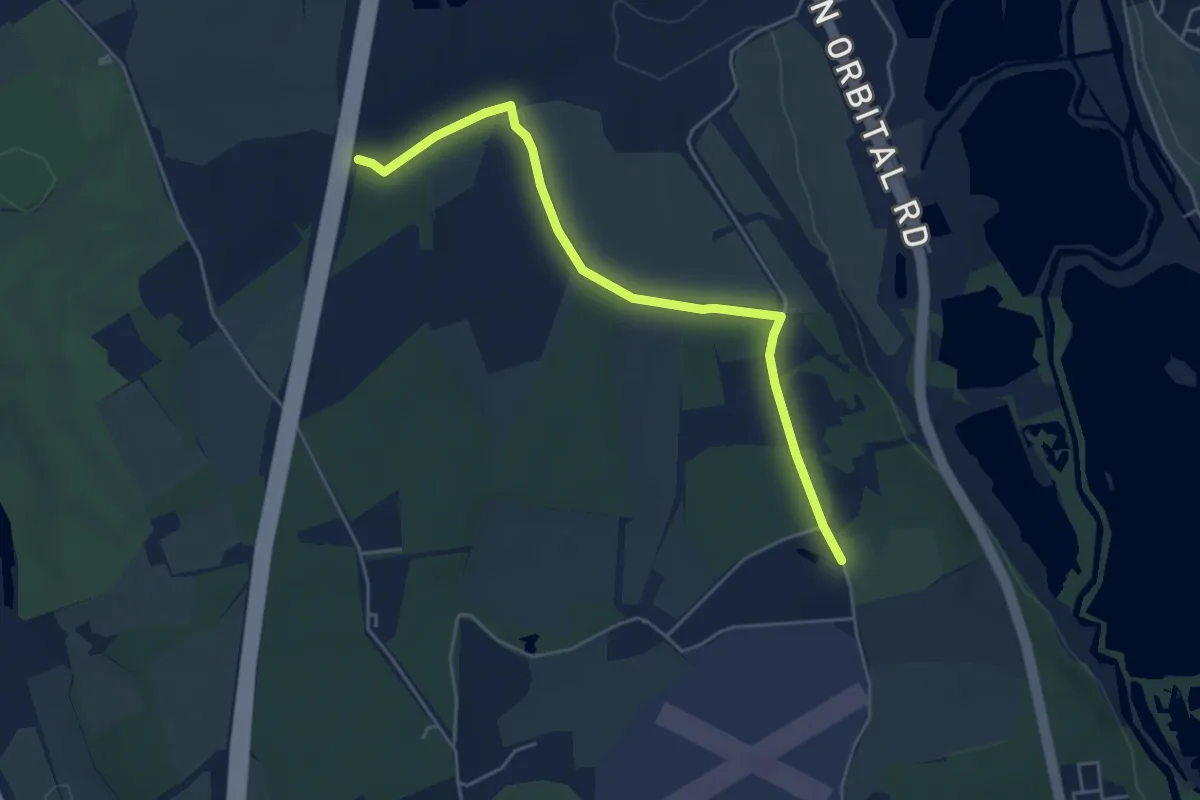
Souter Lighthouse Trail, Souter Lighthouse
2.1 km · ↑ 15 m · 34 min
Easy · Trail
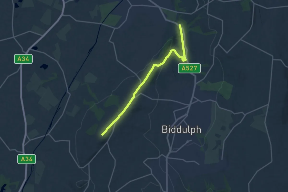
South Bucks Way
4.6 km · ↑ 46 m · 1 h 11 min
Medium · Summit
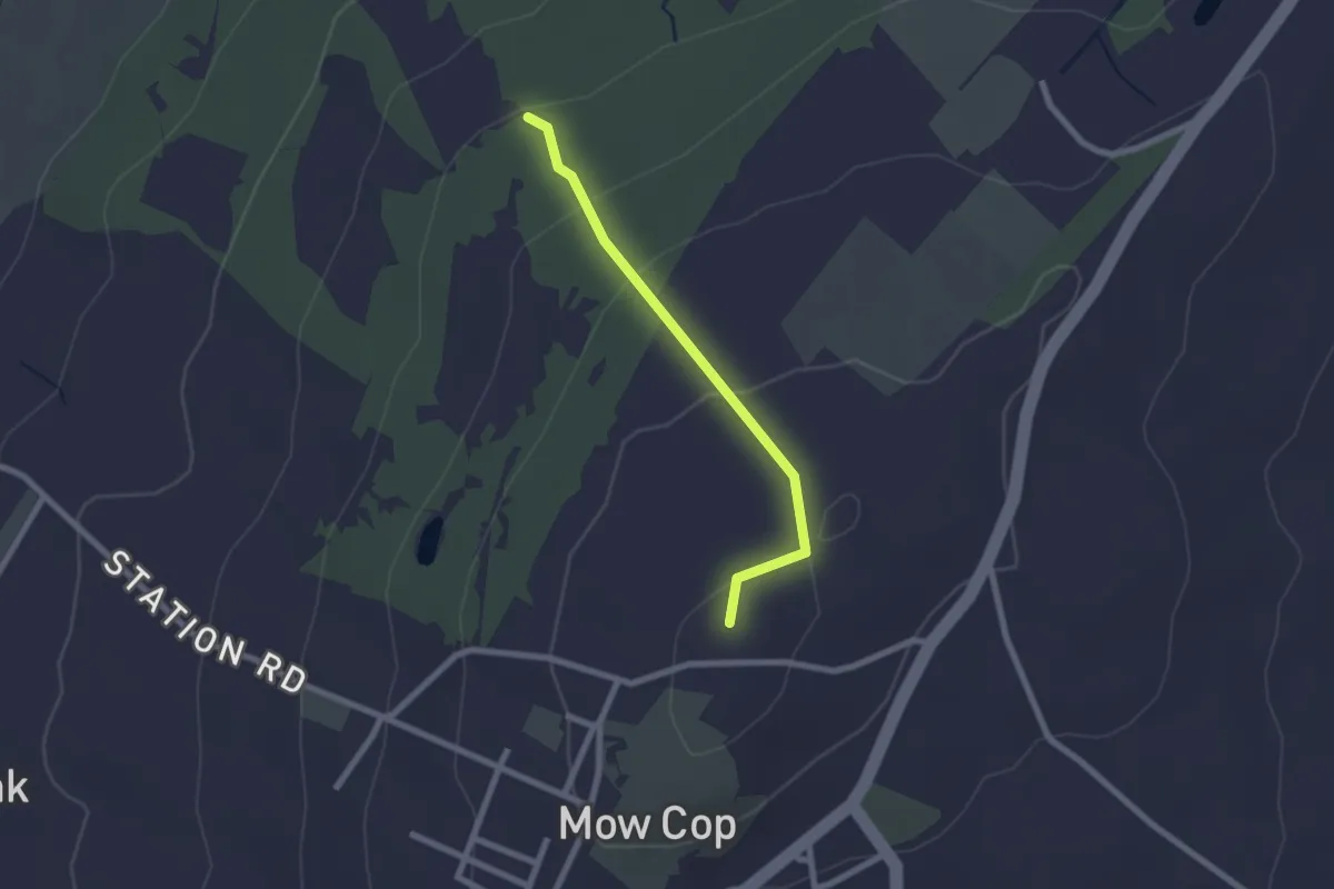
South Cheshire Market Towns Trail
11.4 km · ↑ 220 m · 3 h 10 min
Easy · Summit
South Cheshire Way
1.8 km · ↑ 92 m · 37 min
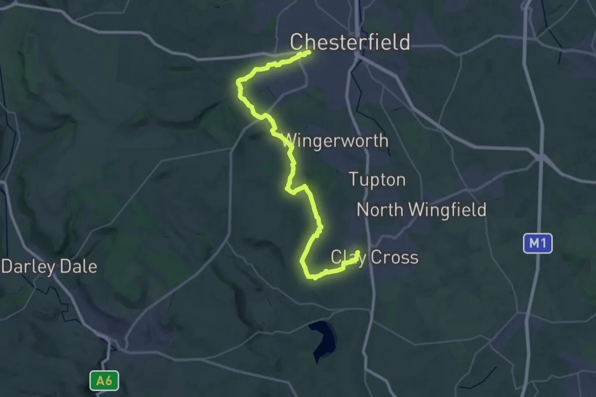
Medium · Trail
South Chesterfield Way
15.4 km · ↑ 276 m · 4 h 26 min
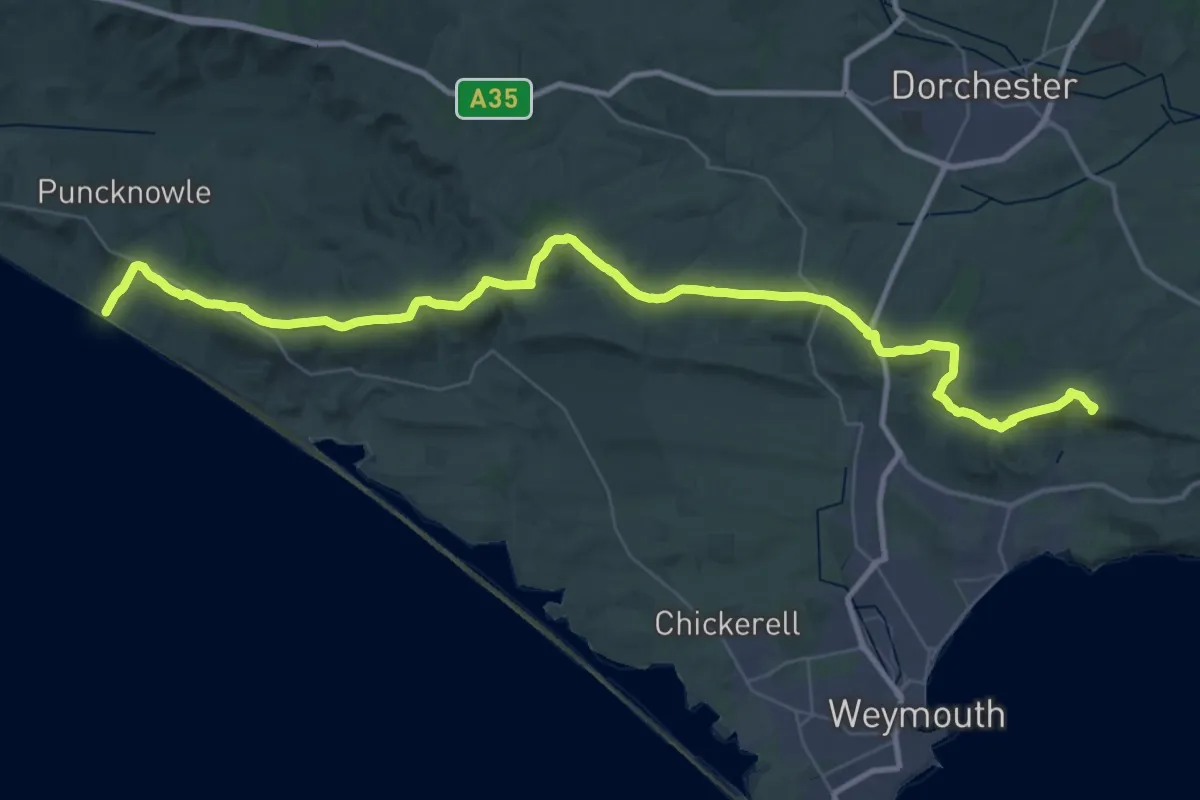
Demanding · Summit
South Dorset Ridgeway
45.9 km · ↑ 796 m · 12 h 34 min
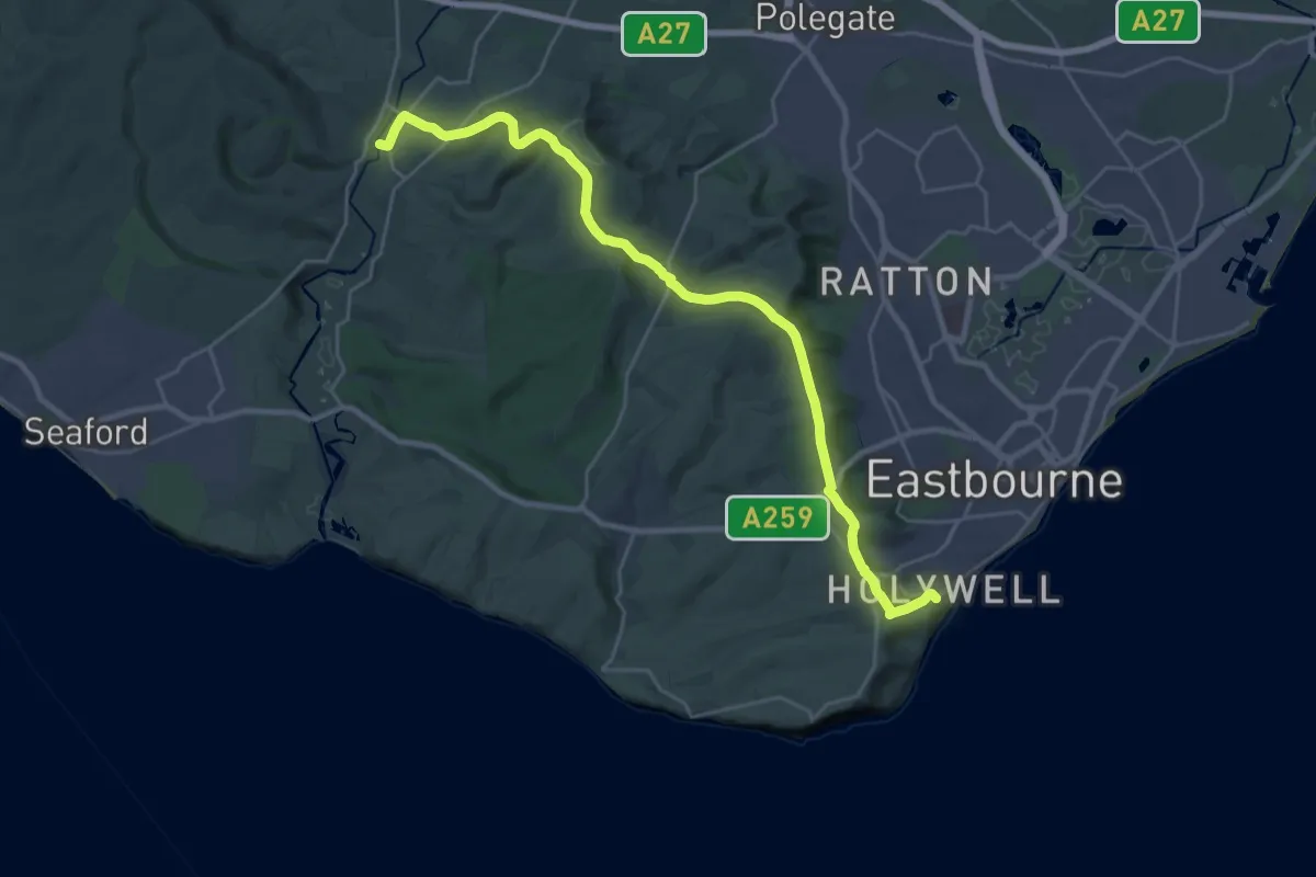
Demanding · Trail
South Downs Way (Inland Route)
25.5 km · ↑ 645 m · 7 h 25 min
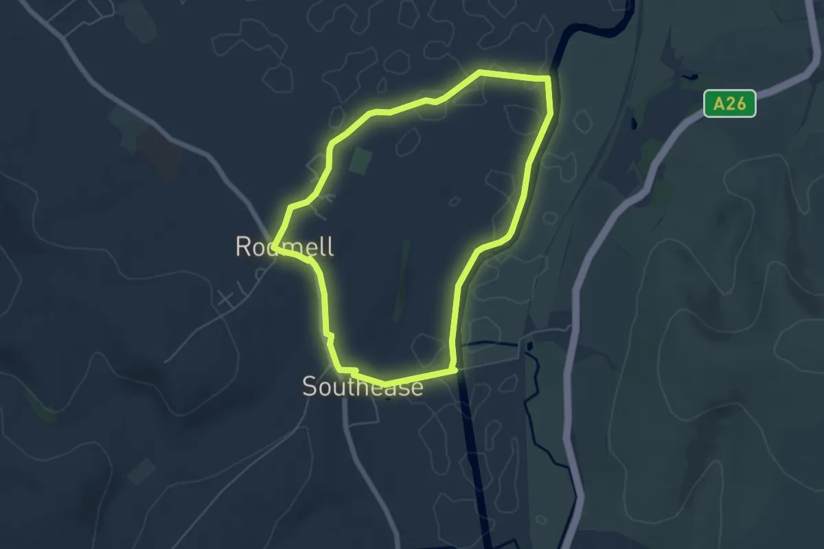
Easy · Trail
Southease to Monk's House Circular Walk, Monks House
4.9 km · ↑ 32 m · 1 h 18 min
Medium · Trail
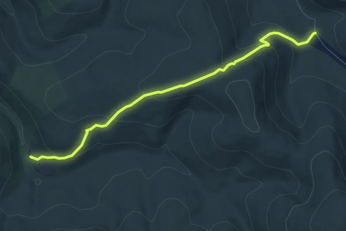
Southern Upland Way - deviation
6.7 km · ↑ 326 m · 2 h 17 min
Demanding · Summit
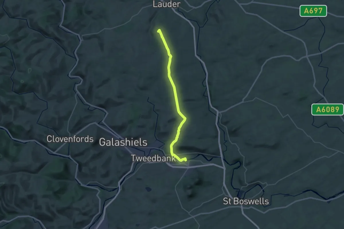
Southern Upland Way (Section B - Melrose to Lauder)
25.8 km · ↑ 368 m · 6 h 53 min
Easy · Trail
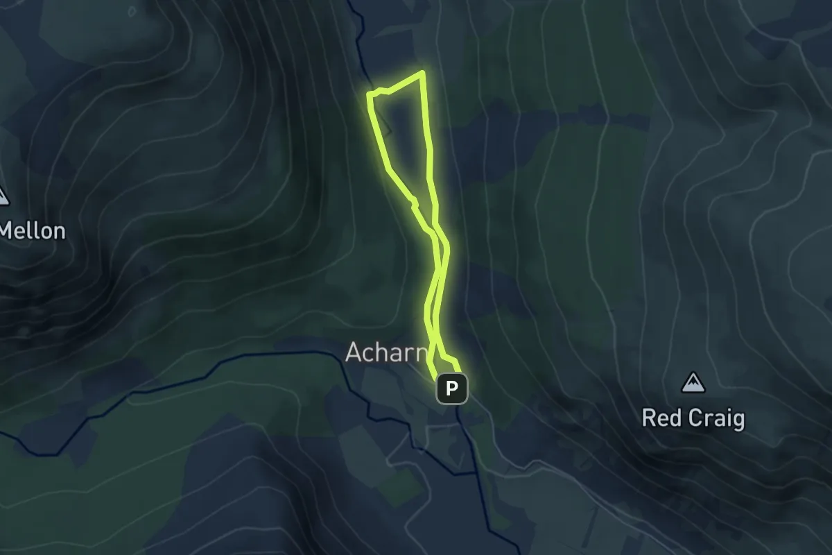
South Esk Trail
3.2 km · ↑ 38 m · 52 min
Easy · Trail
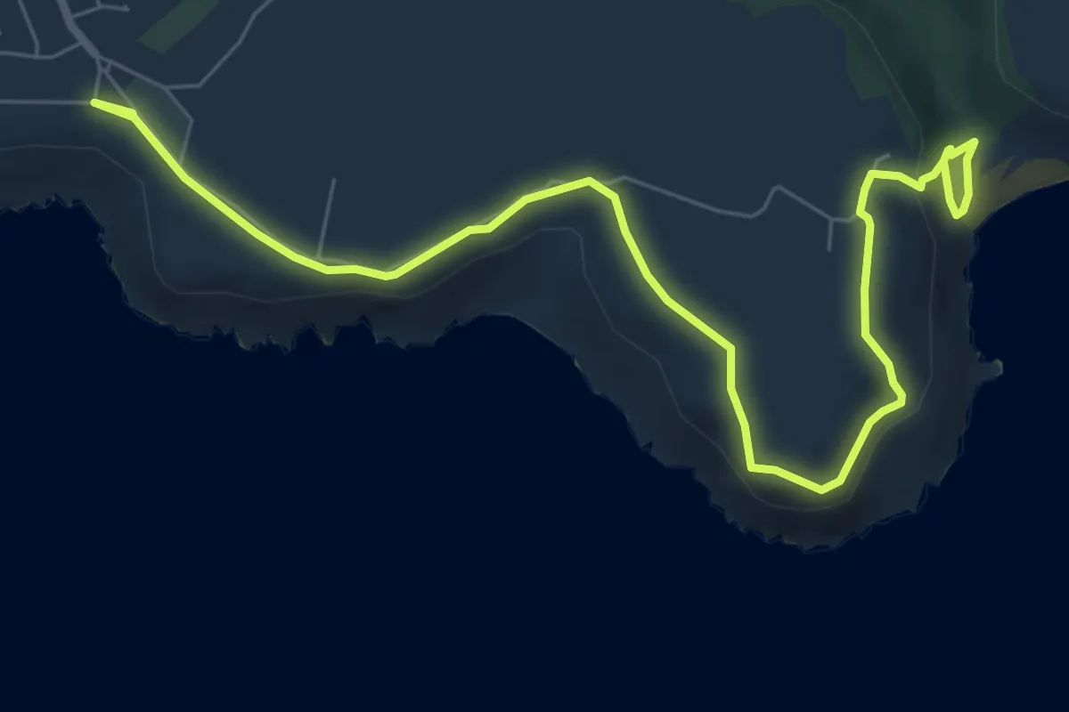
Southgate, Hunts Bay and Pwll Du walk, Gower
3.9 km · ↑ 70 m · 1 h 9 min
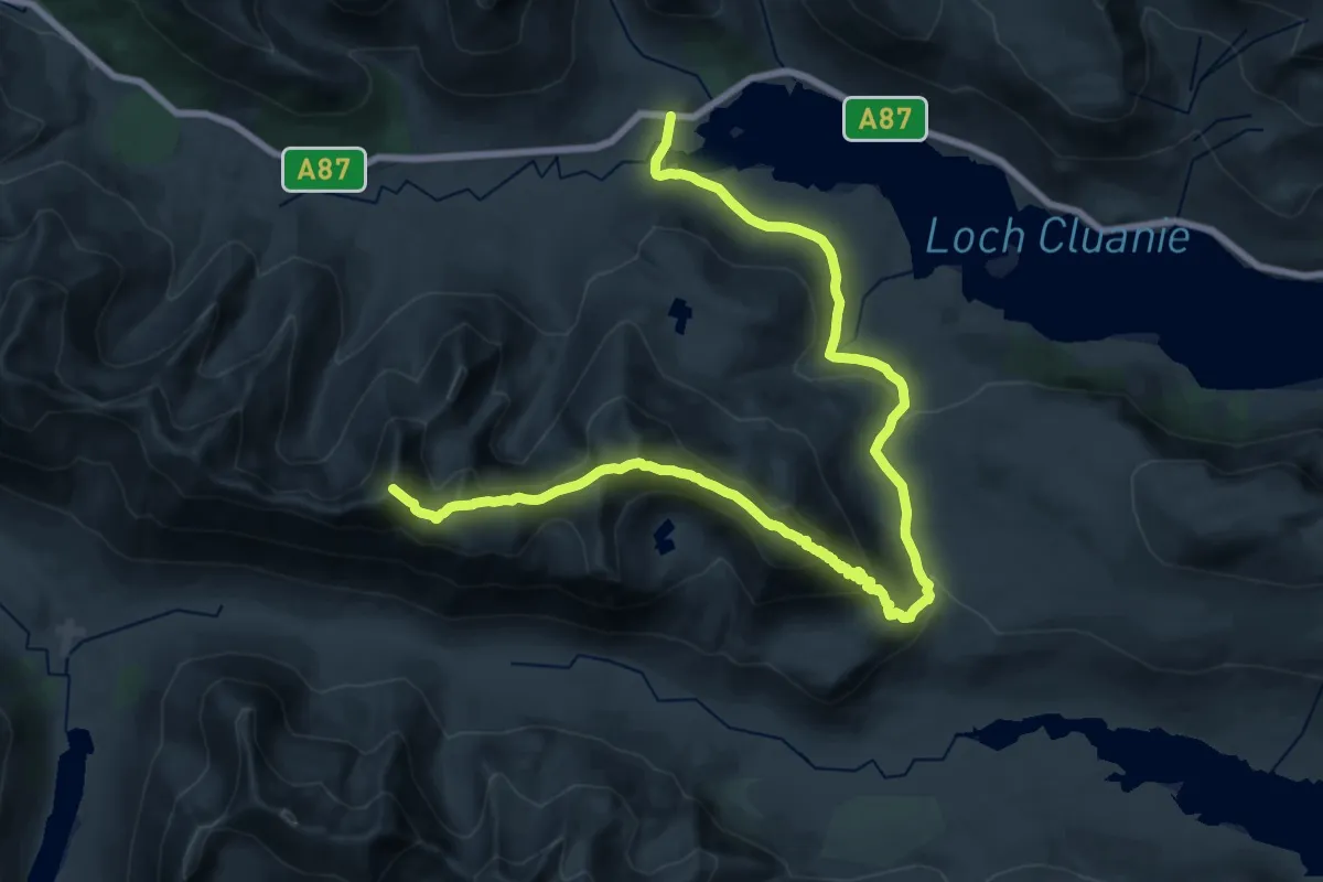
Demanding · Summit
South Glen Shiel Ridge
26.0 km · ↑ 1252 m · 8 h 51 min
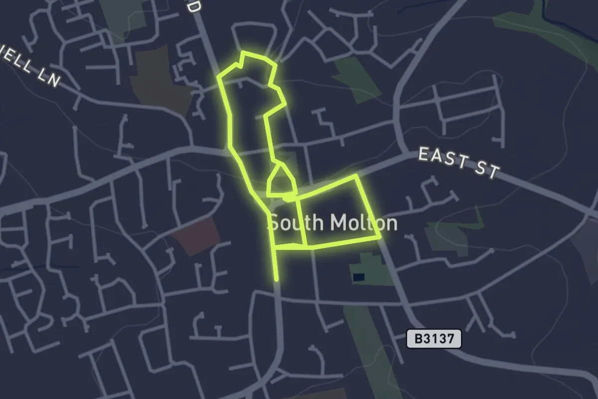
Easy · Trail
South Molton Community Trail
4.6 km · ↑ 58 m · 1 h 13 min
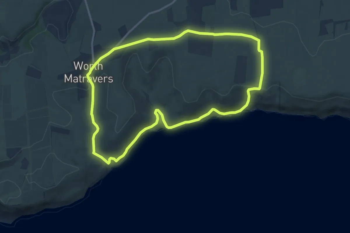
Medium · Trail
South Purbeck Cliffs Walk, Purbeck Coast
8.2 km · ↑ 151 m · 2 h 22 min
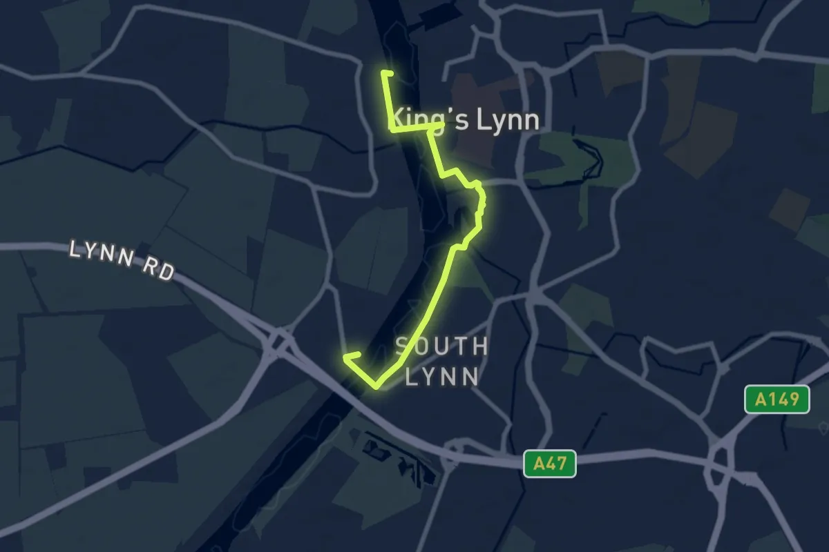
Easy · Trail
South Quay/West Lynn (via West Lynn Ferry)
3.0 km · ↑ 5 m · 46 min