Trails in United Kingdom
3,857 hiking trails, each with its route, climb, walking time and grade.
All trails, page 63 of 81
Medium · Trail
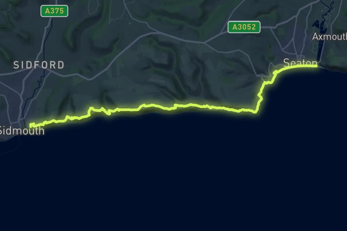
South West Coast Path (Section 45: Sidmouth to Seaton)
16.0 km · ↑ 640 m · 5 h 21 min
Demanding · Summit
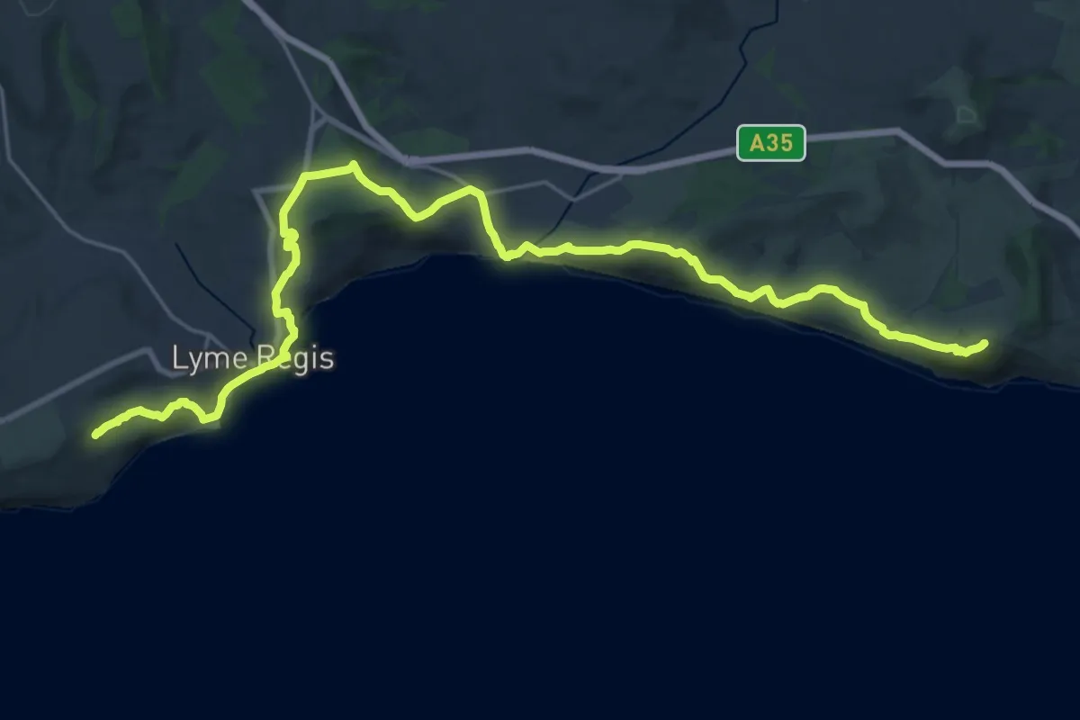
South West Coast Path (Section 46: Seaton to Seatown)
23.8 km · ↑ 936 m · 7 h 39 min
Demanding · Summit
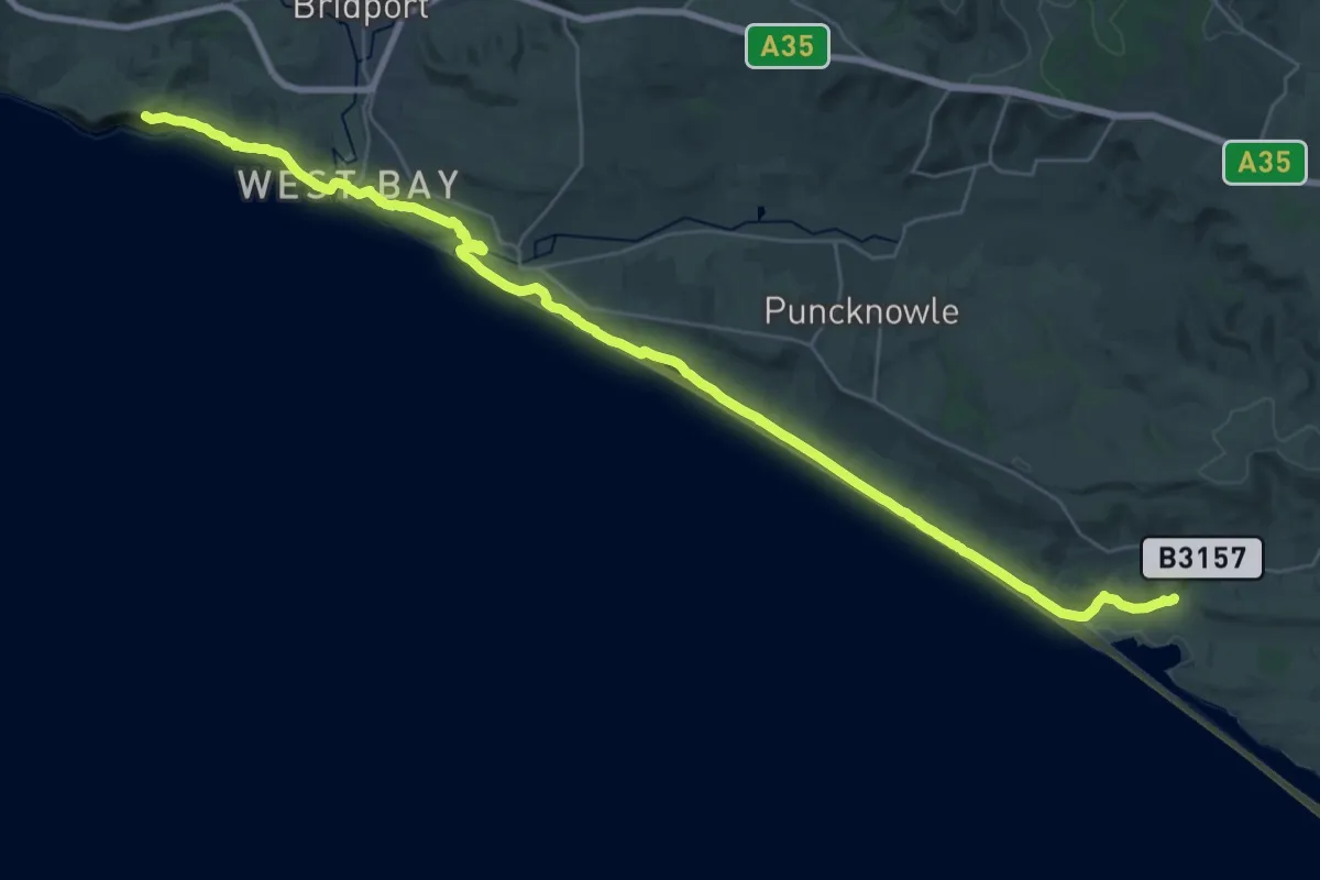
South West Coast Path (Section 47: Seatown to Abbotsbury)
35.4 km · ↑ 452 m · 9 h 21 min
Medium · Trail
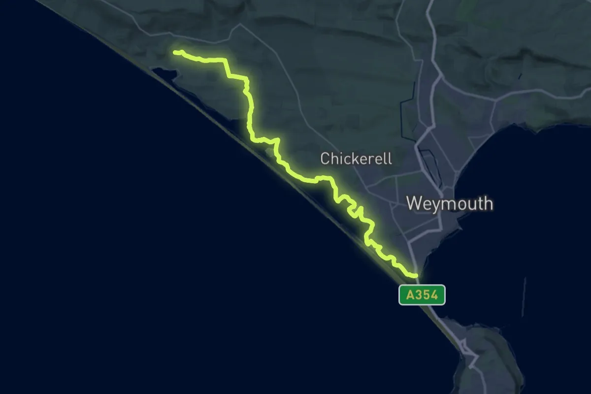
South West Coast Path (Section 48: Abbotsbury to Ferrybridge)
17.1 km · ↑ 173 m · 4 h 40 min
Demanding · Trail
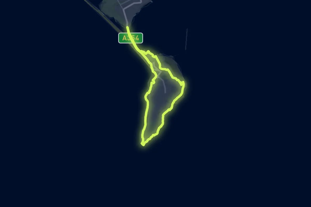
South West Coast Path (Section 49: Isle of Portland Circuit)
21.8 km · ↑ 361 m · 6 h 14 min
Demanding · Trail
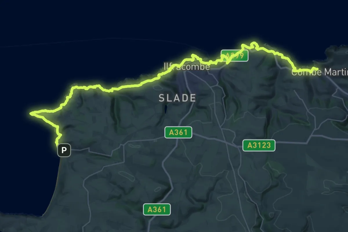
South West Coast Path (Section 4: Combe Martin to Woolacombe)
22.3 km · ↑ 873 m · 7 h 29 min
Demanding · Summit
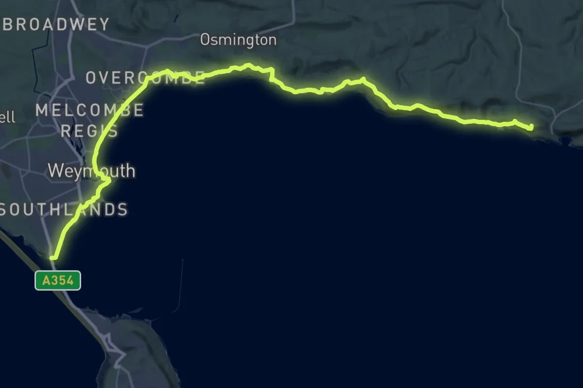
South West Coast Path (Section 50: Ferrybridge to Lulworth Cove)
42.5 km · ↑ 1067 m · 12 h 20 min
Medium · Summit
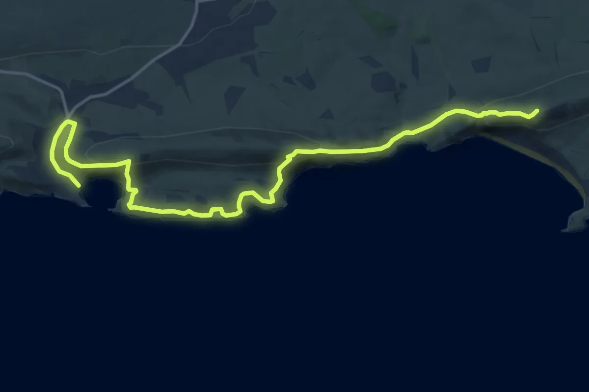
South West Coast Path (Section 51: Lulworth Cove to Worth Matravers)
13.5 km · ↑ 708 m · 4 h 43 min
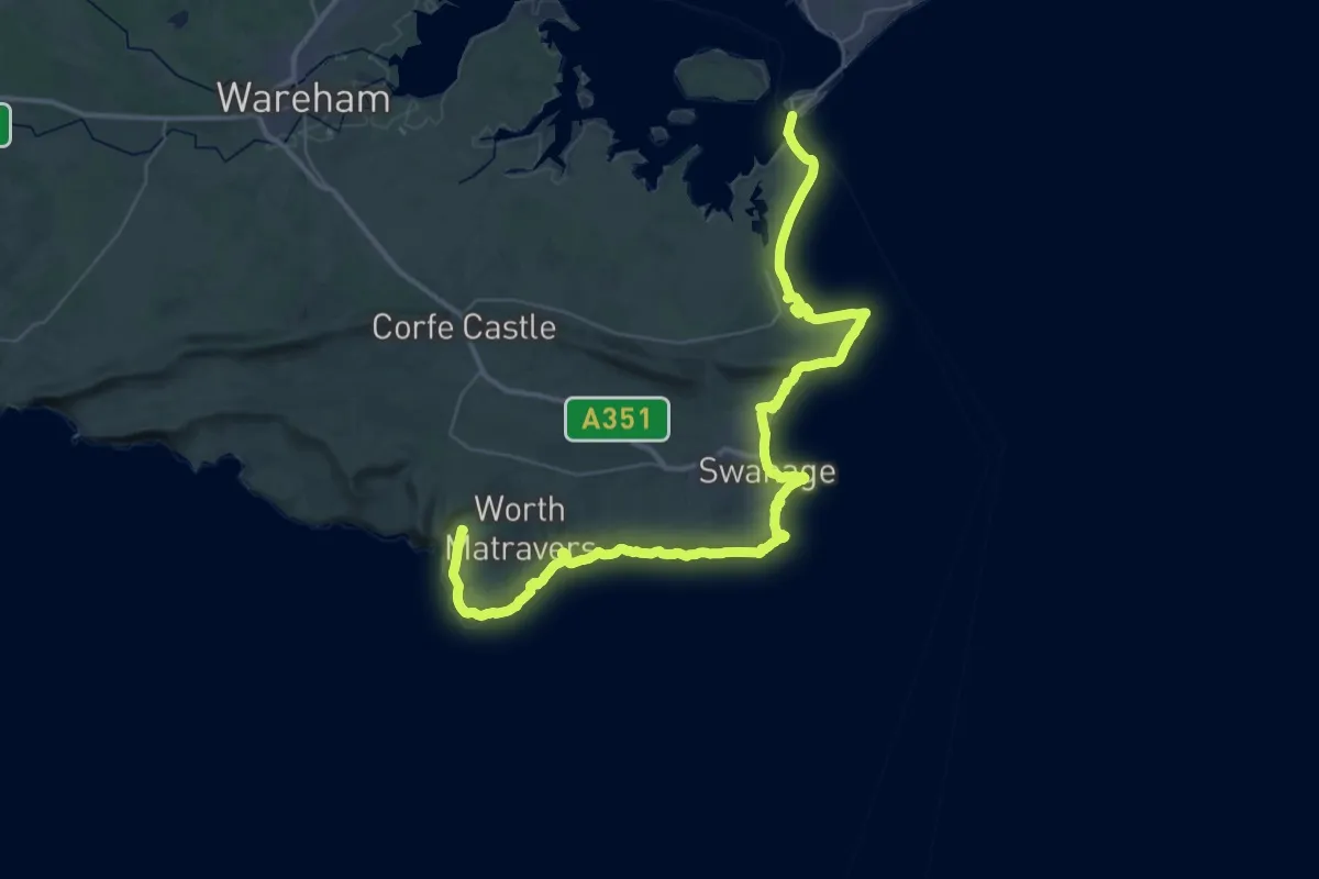
Demanding · Summit
South West Coast Path (Section 52: Worth Matravers to South Haven Point)
53.1 km · ↑ 1026 m · 14 h 46 min
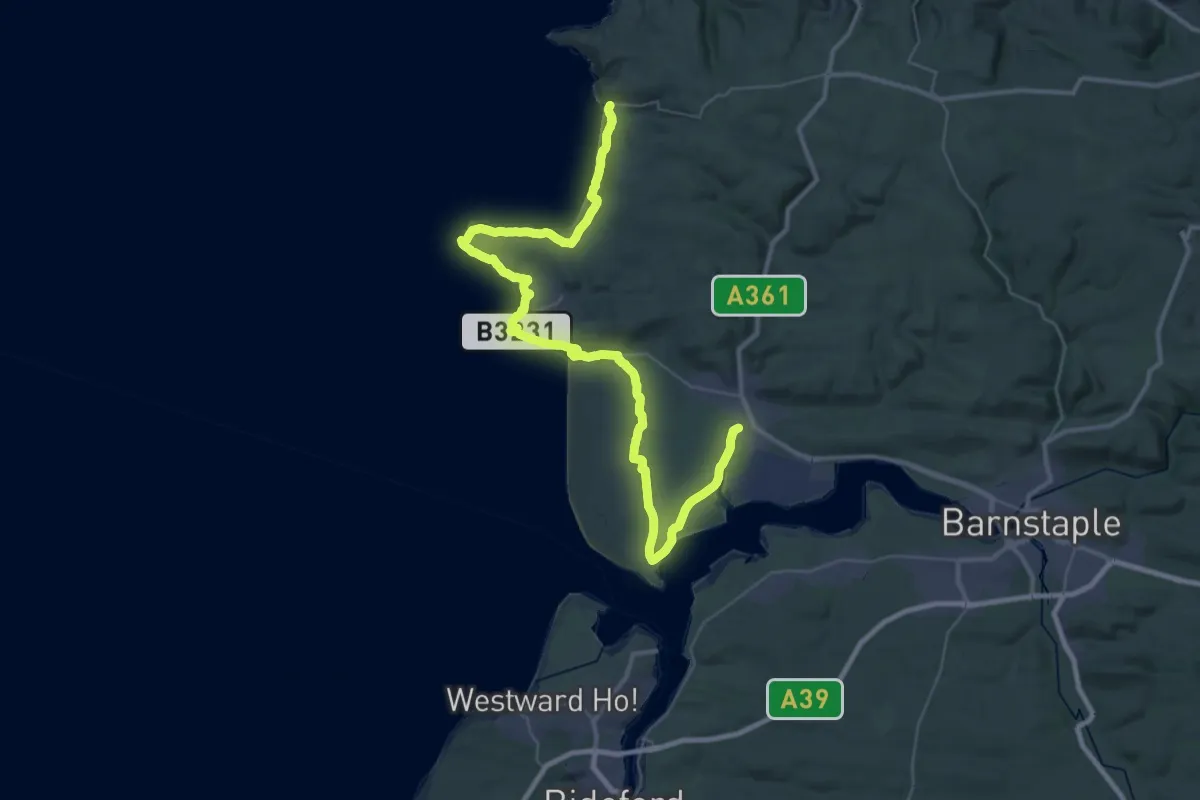
Demanding · Trail
South West Coast Path (Section 5: Woolacombe to Braunton)
23.6 km · ↑ 231 m · 6 h 23 min
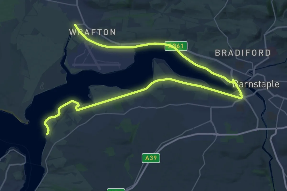
Medium · Trail
South West Coast Path (Section 6: Braunton to Instow)
17.5 km · ↑ 24 m · 4 h 25 min
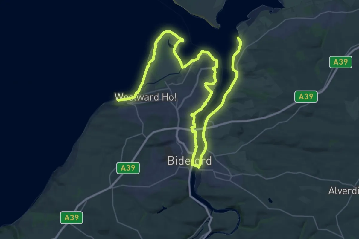
Demanding · Trail
South West Coast Path (Section 7: Instow to Westward Ho! )
19.7 km · ↑ 85 m · 5 h 6 min
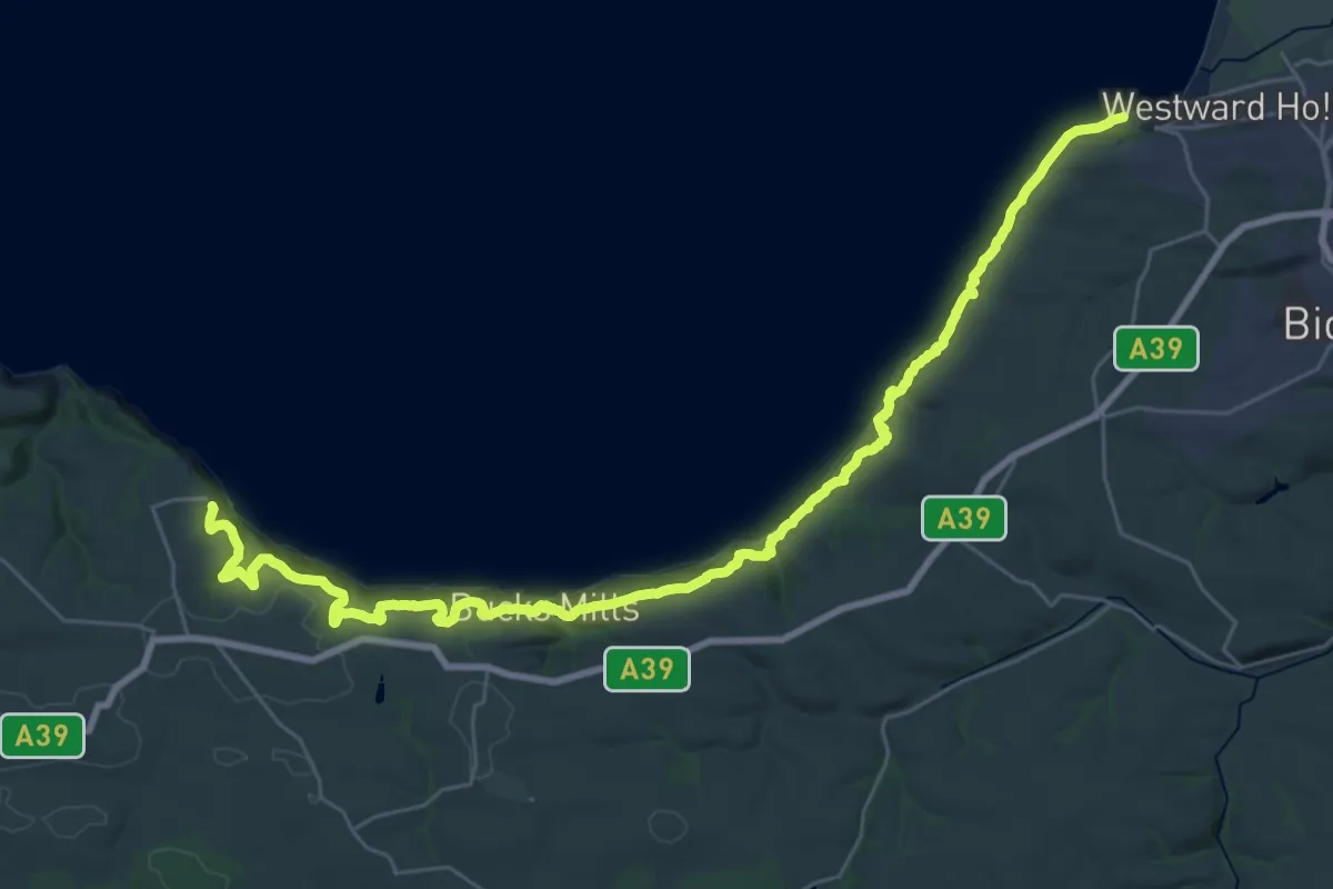
Medium · Trail
South West Coast Path (Section 8: Westward Ho! to Clovelly)
17.6 km · ↑ 727 m · 5 h 55 min
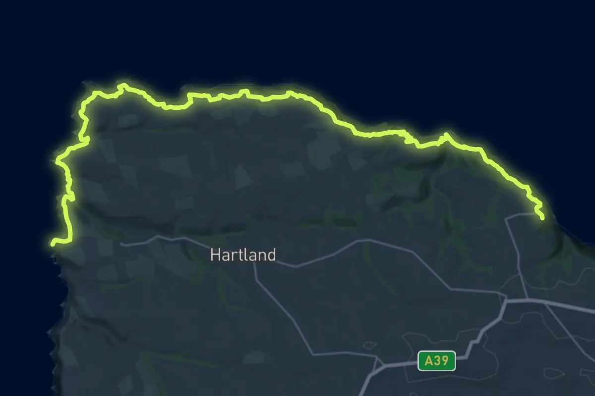
Medium · Trail
South West Coast Path (Section 9: Clovelly to Hartland Quay)
16.1 km · ↑ 800 m · 5 h 42 min
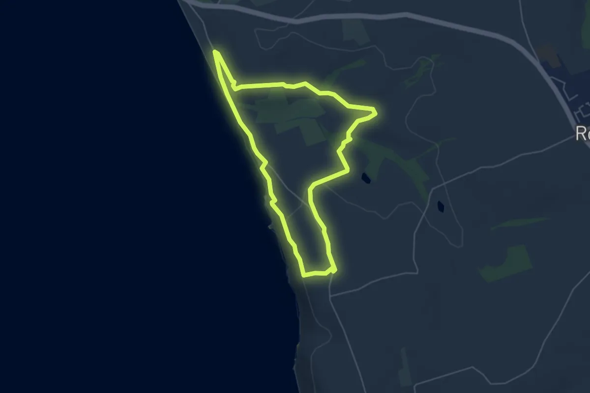
Easy · Trail
Southwood Estate Coast to Coast Walk, Pembroke
4.4 km · ↑ 89 m · 1 h 18 min
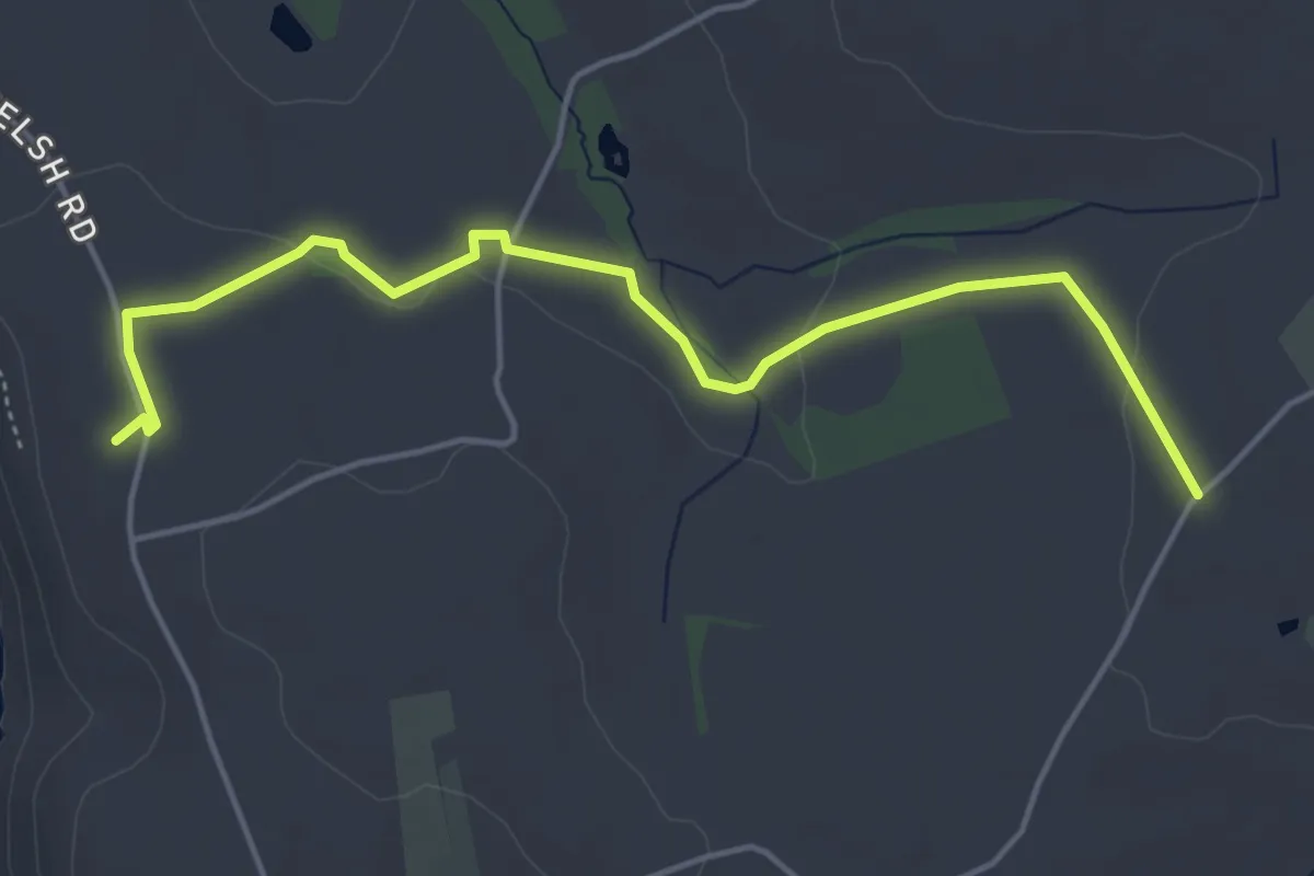
Easy · Trail
Southwood Estate Wildlife Walk, Pembroke
4.6 km · ↑ 46 m · 1 h 11 min
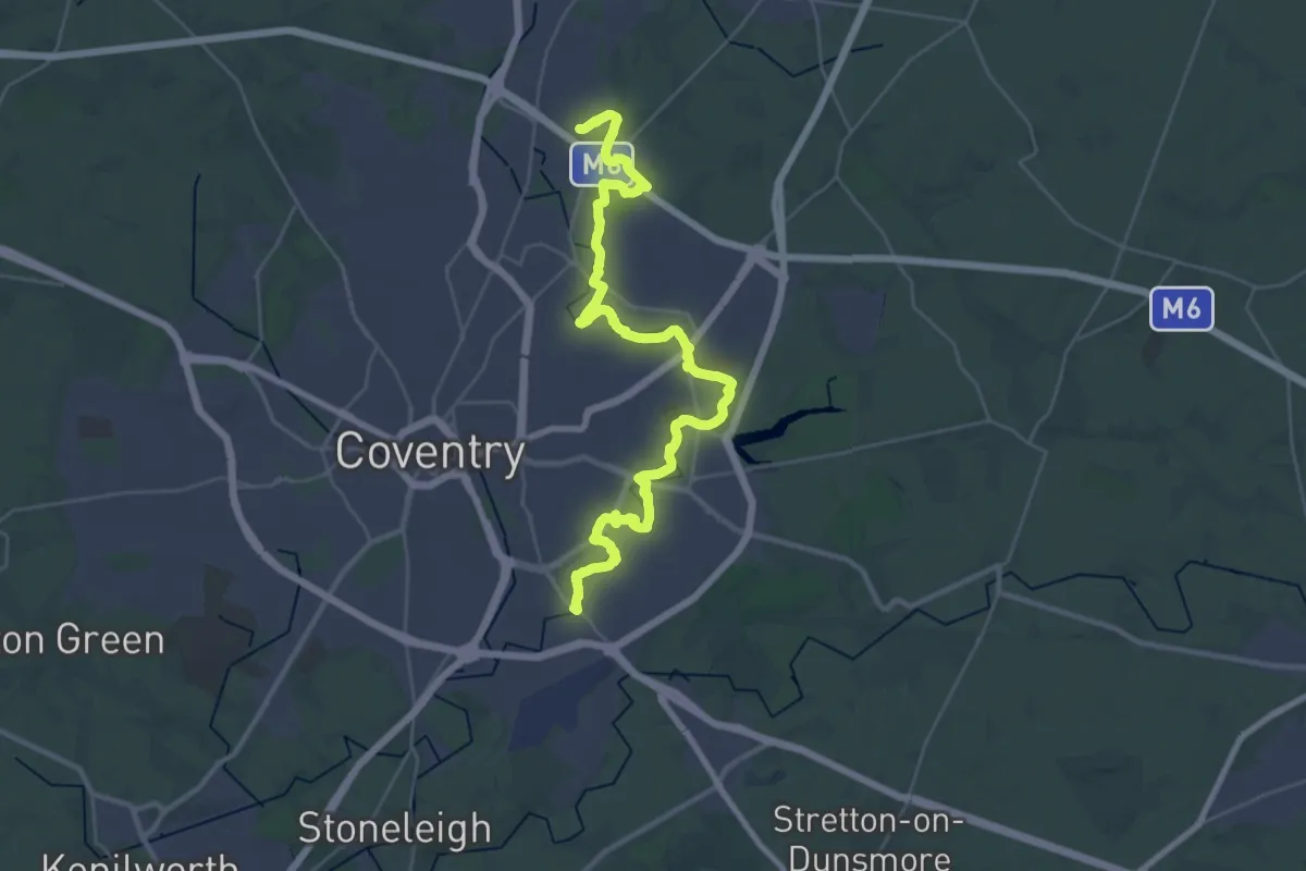
Medium · Trail
Sowe Valley Footpath
17.0 km · ↑ 5 m · 4 h 16 min
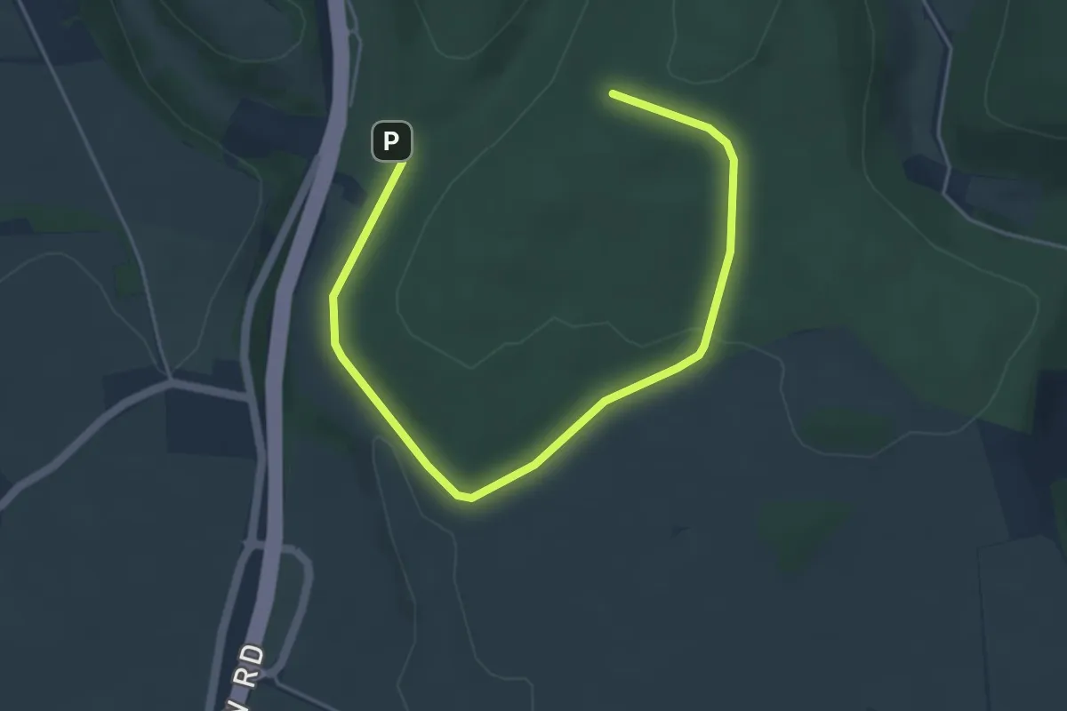
Easy · Trail
Space Trail
5.2 km · ↑ 137 m · 1 h 31 min
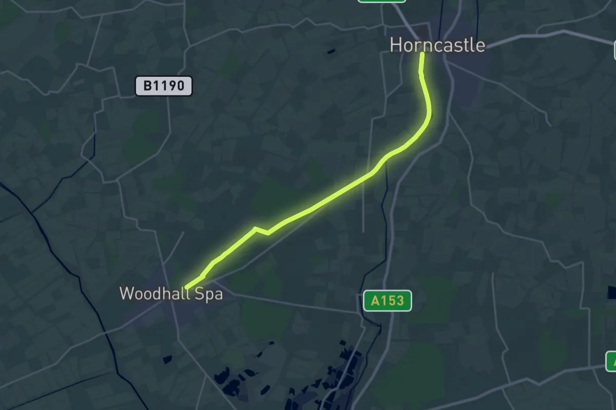
Demanding · Trail
Spa Trail
18.8 km · ↑ 48 m · 4 h 33 min
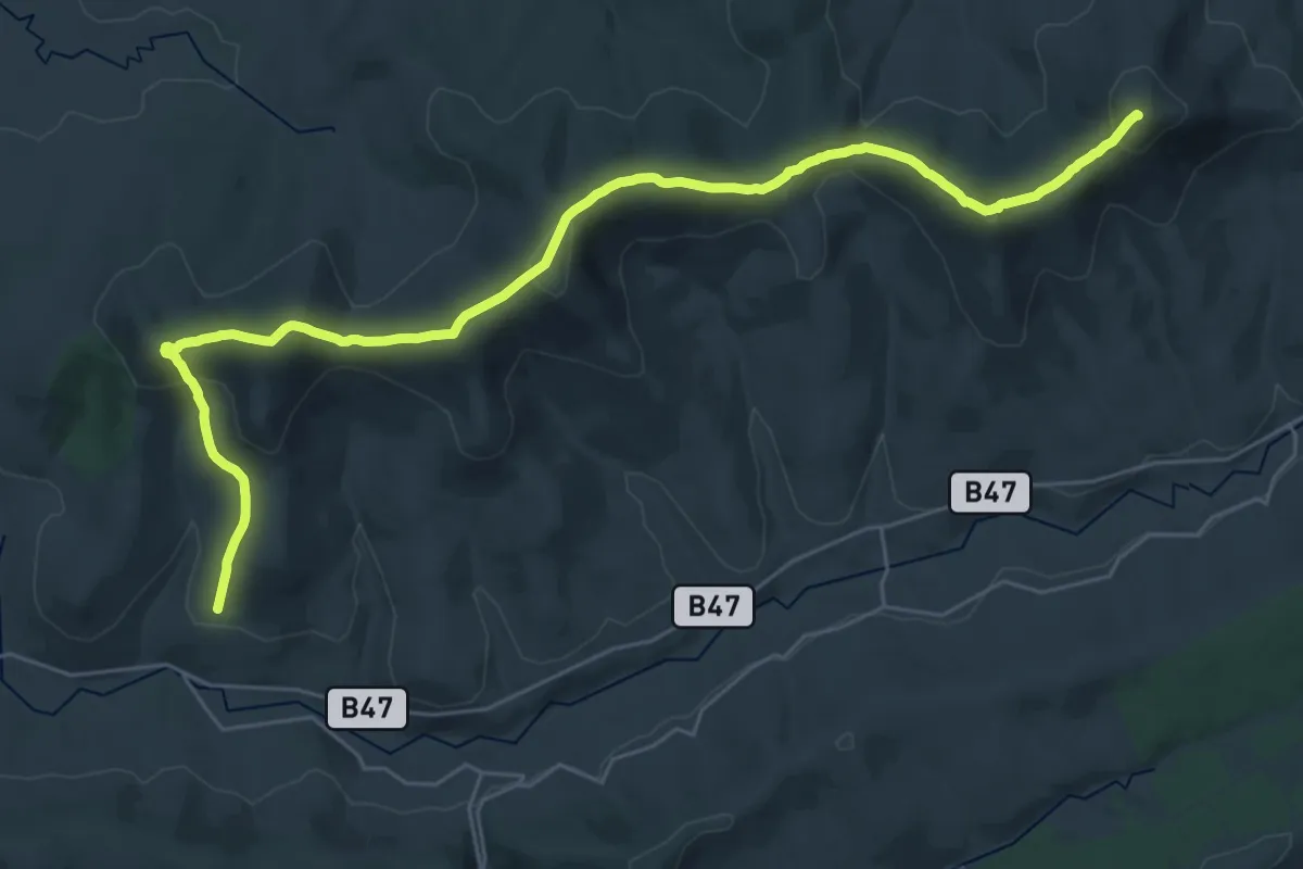
Demanding · Summit
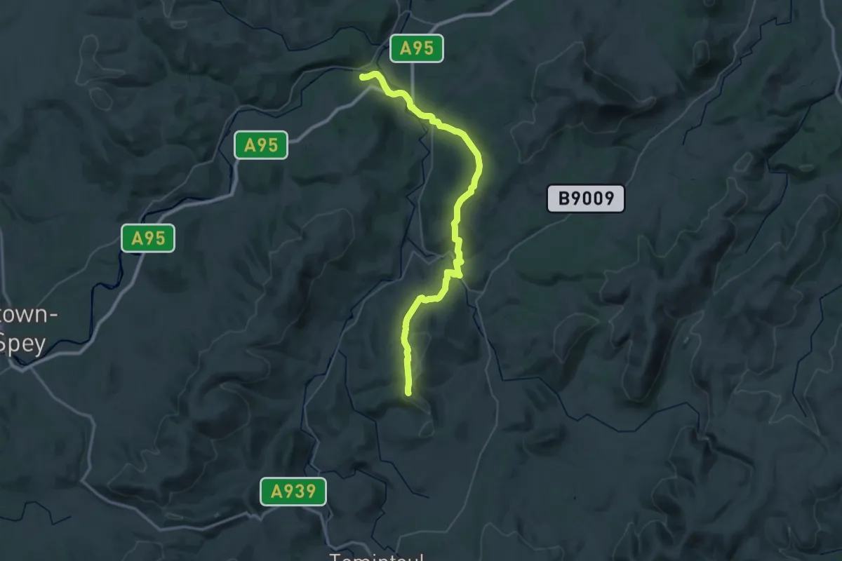
Sperrins Challenge Walk 2011
29.2 km · ↑ 1347 m · 9 h 48 min
Demanding · Summit
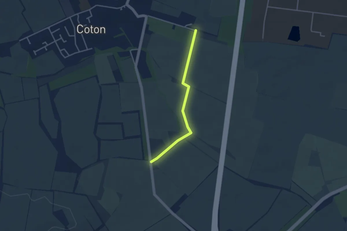
Speyside Way (Tominoul Spur)
34.0 km · ↑ 992 m · 10 h 10 min
Easy · Trail
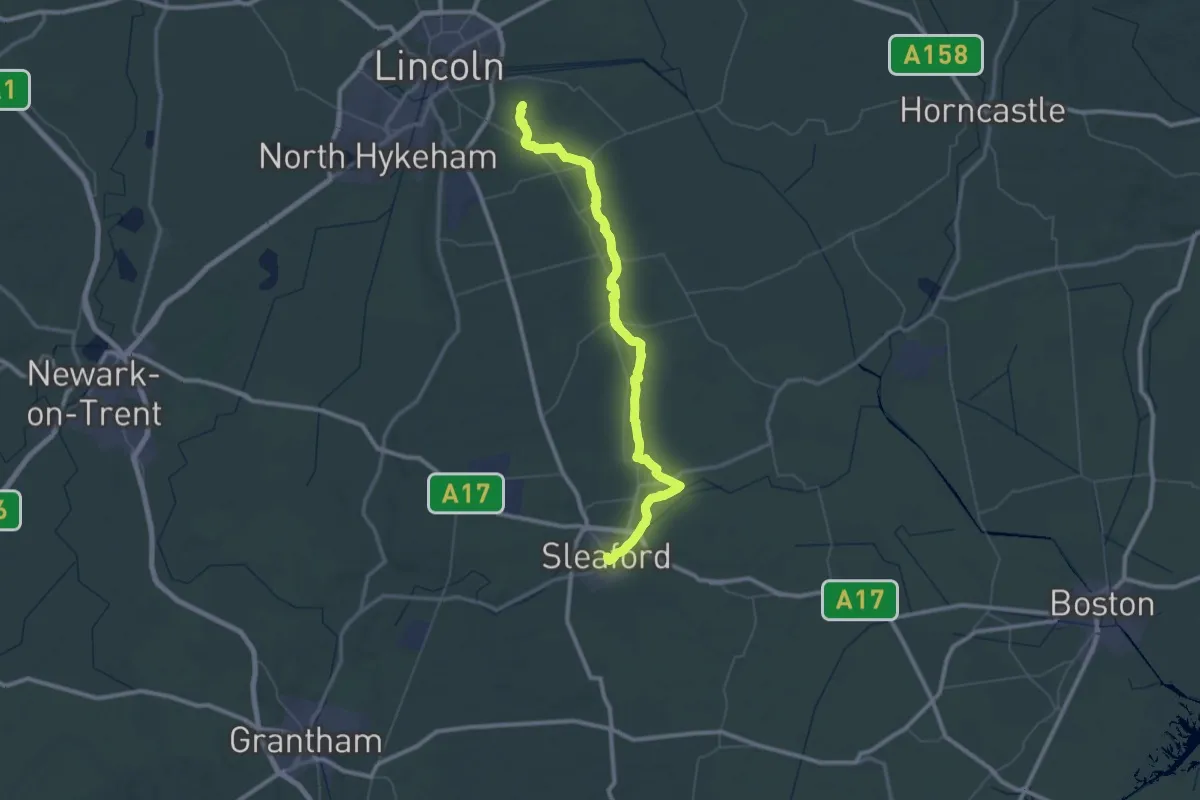
Spine Route Walk
2.5 km · ↑ 0 m · 35 min
Demanding · Trail
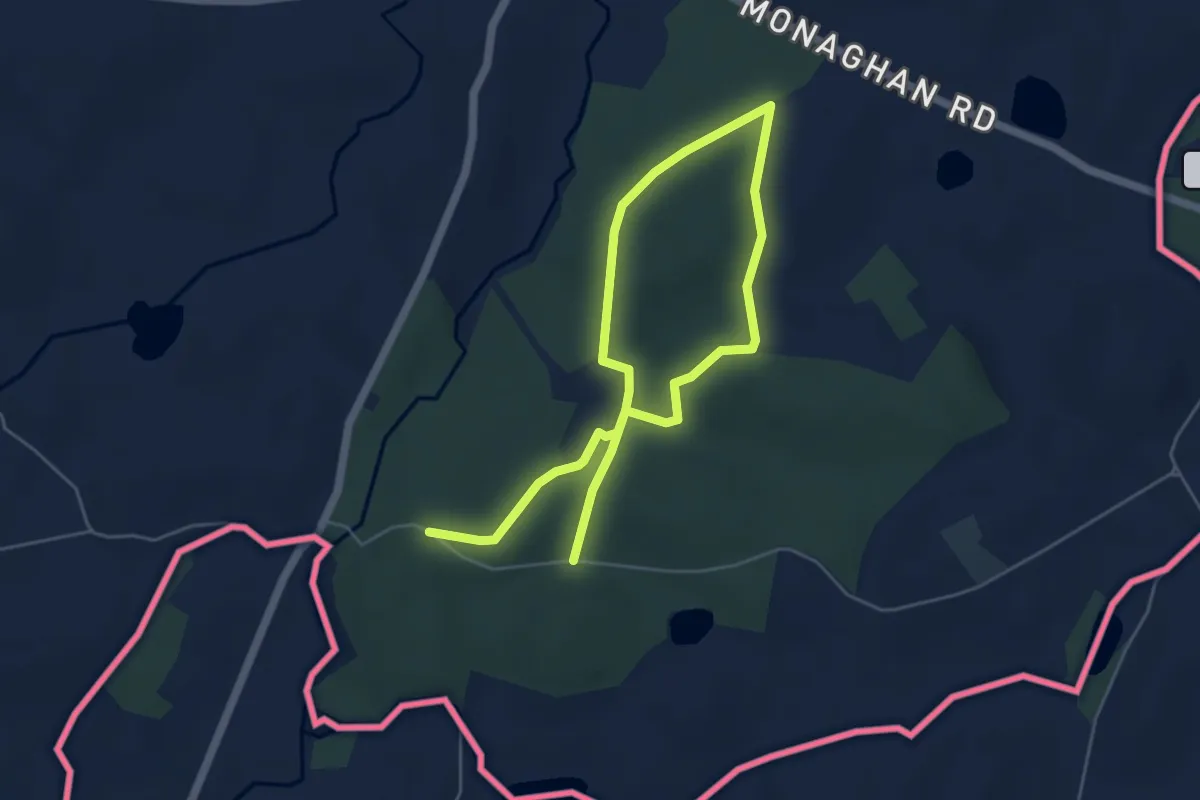
Spires and Steeples Trail
33.0 km · ↑ 59 m · 8 h 24 min
Easy · Trail
Spring Grove EcoTrail
6.8 km · ↑ 72 m · 1 h 45 min
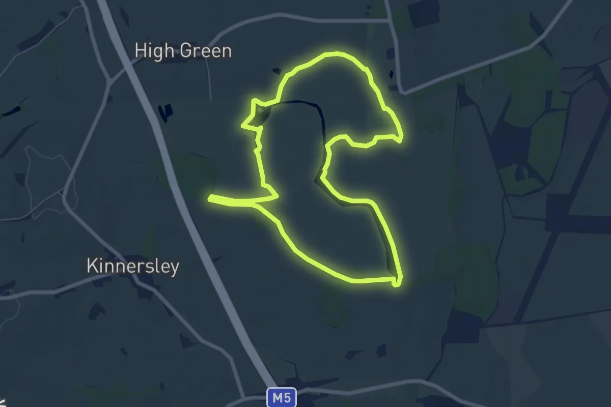
Easy · Trail
Spring Walk, Croome
5.9 km · ↑ 19 m · 1 h 32 min
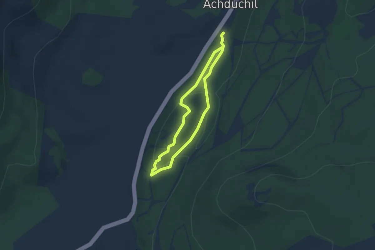
Easy · Trail
Spruce & Squirrel Trail
2.1 km · ↑ 56 m · 39 min
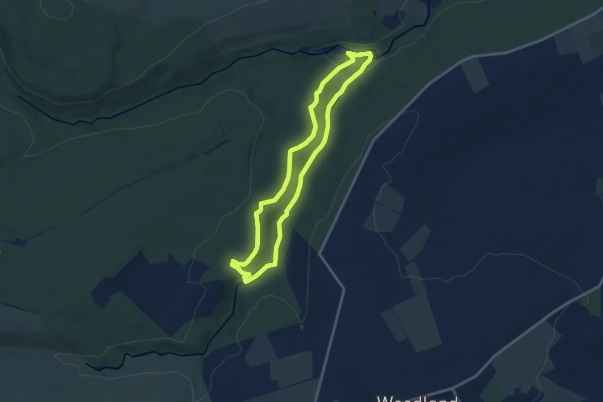
Easy · Trail
Spurlswood Walk
6.3 km · ↑ 94 m · 1 h 47 min
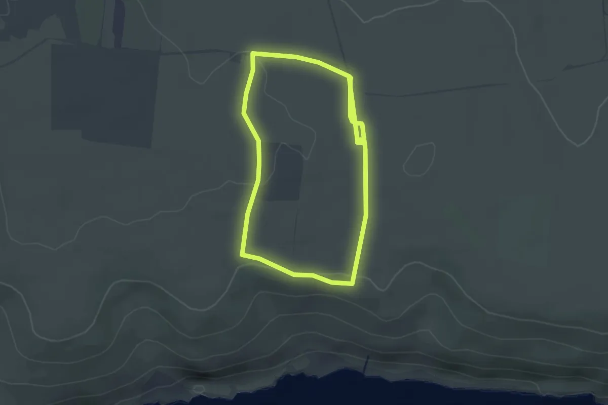
Easy · Trail
Spyway Sea Saunter, Purbeck Coast
2.5 km · ↑ 37 m · 42 min
Easy · Trail
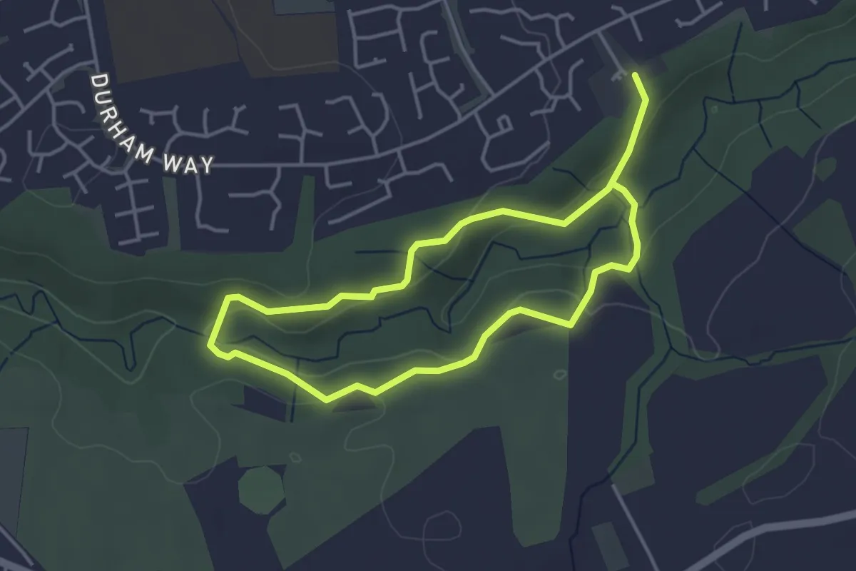
Squirrel Trail
5.5 km · ↑ 208 m · 1 h 46 min
Easy · Summit
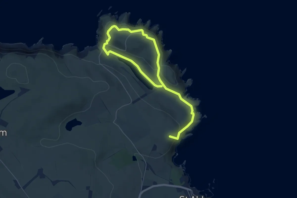
St. Abb's Head Trail
6.7 km · ↑ 200 m · 2 h 1 min
Medium · Trail
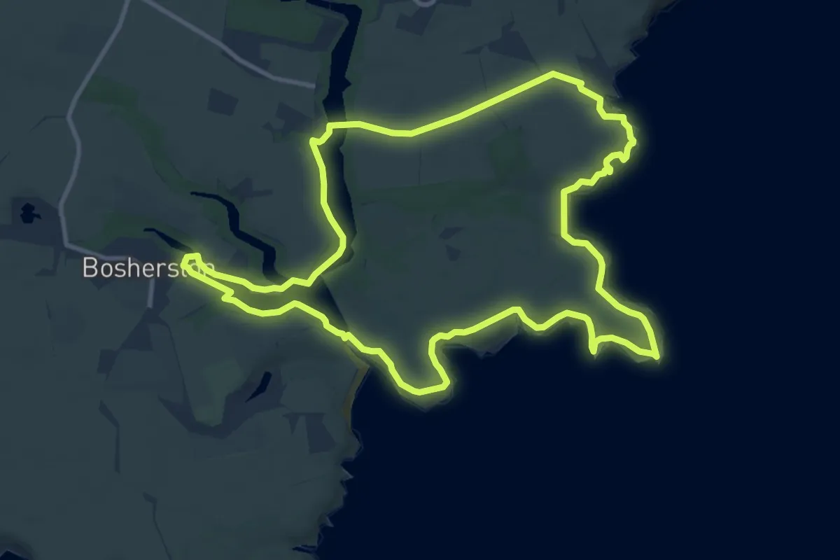
Stackpole Estate Wildlife Walk, Stackpole
9.9 km · ↑ 102 m · 2 h 42 min
Demanding · Summit
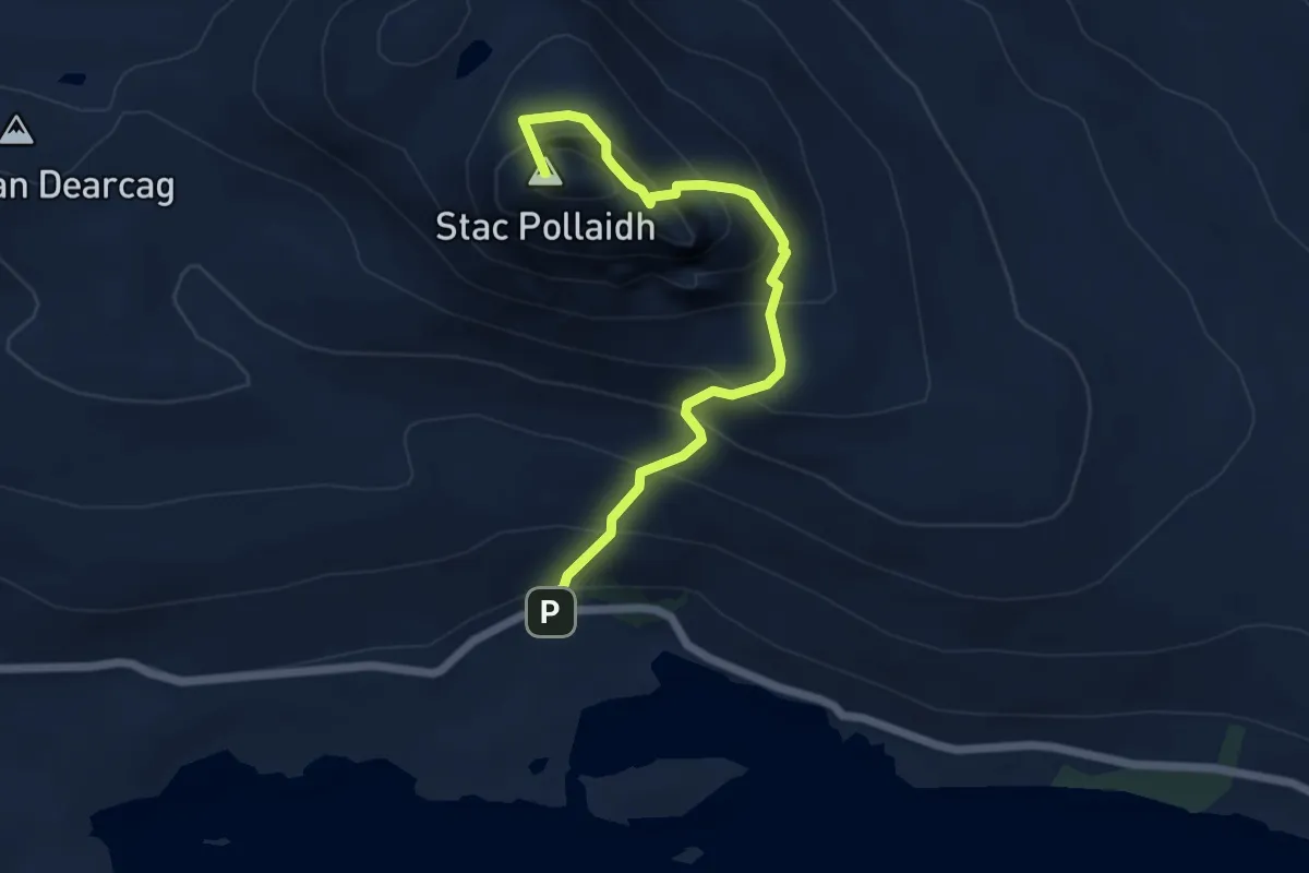
Stac Pollaidh Trail
4.5 km · ↑ 511 m · 2 h 10 min
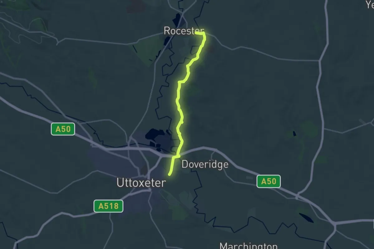
Medium · Trail
Staffordshire Way (Rushton Spencer - Cannock Chase)
13.6 km · ↑ 97 m · 3 h 25 min
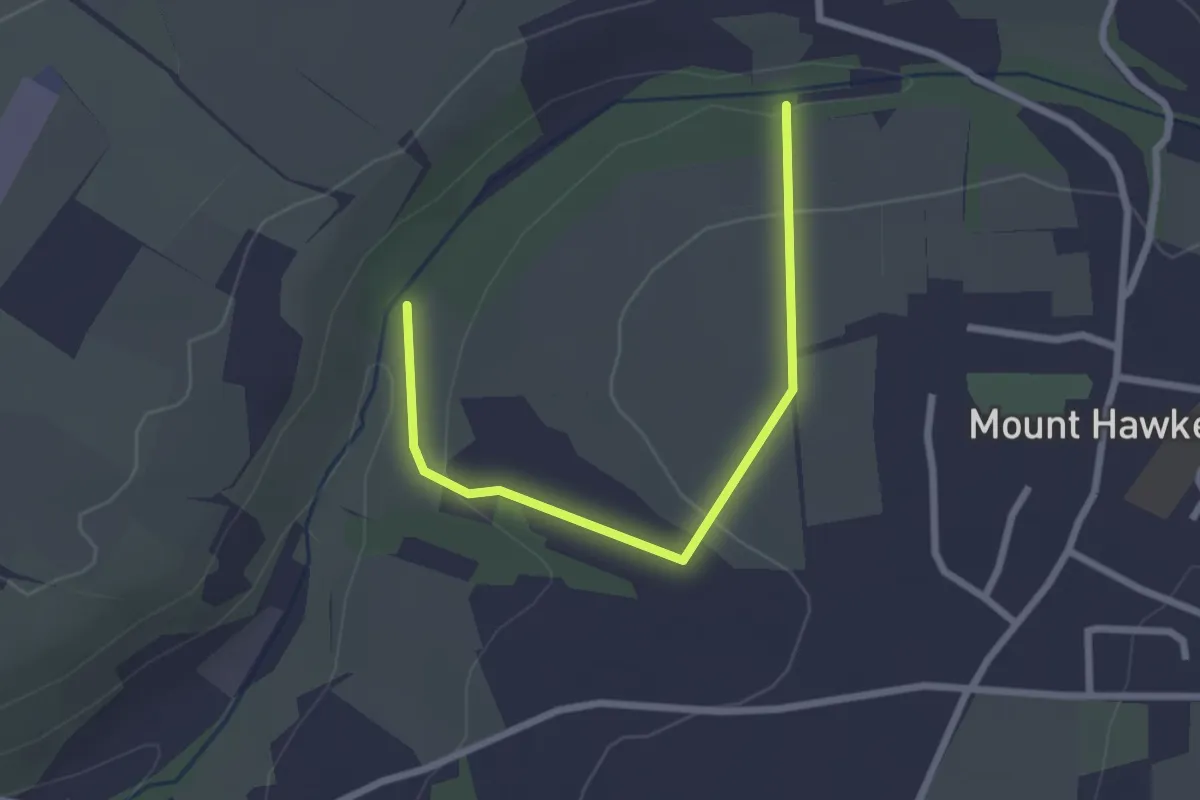
Easy · Trail
St Agnes FP 39
2.4 km · ↑ 86 m · 45 min
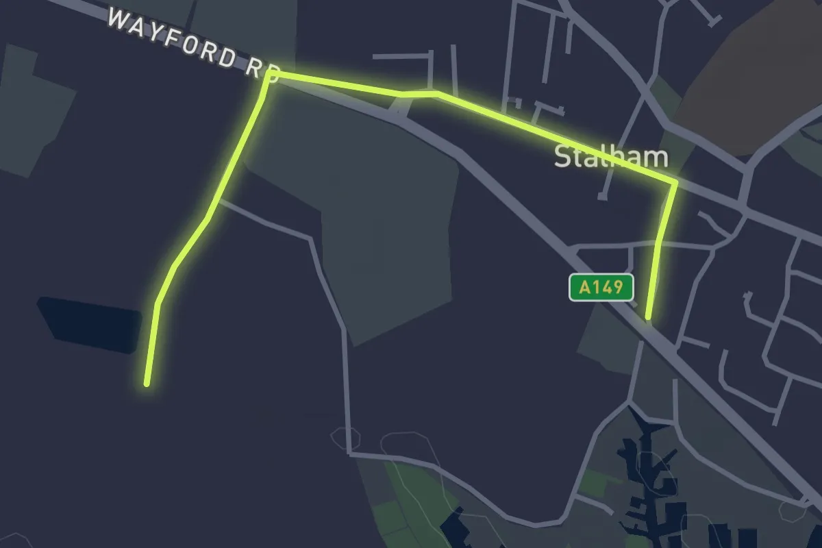
Easy · Trail
Stalham Staithe Circular
1.5 km · ↑ 4 m · 23 min
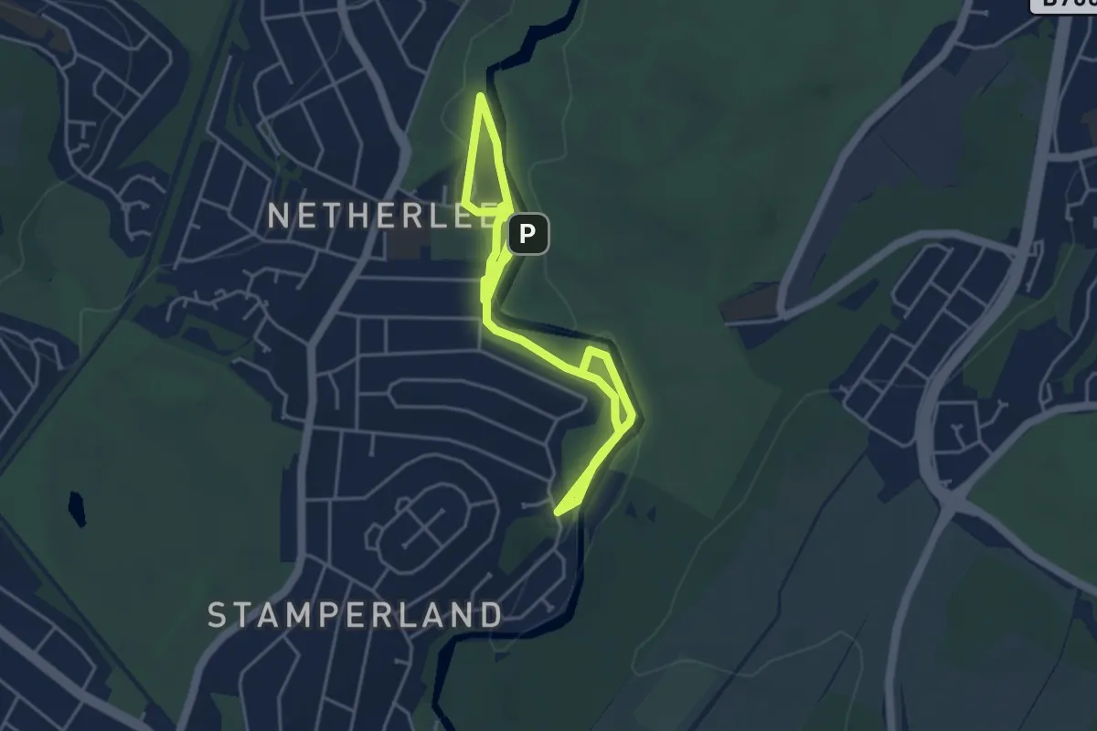
Easy · Trail
Stamperland Walkway
5.5 km · ↑ 23 m · 1 h 21 min
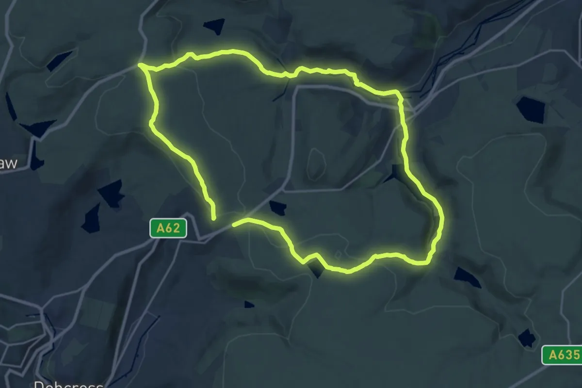
Medium · Summit
Standedge Circuit Walk, Marsden Moor
16.1 km · ↑ 408 m · 4 h 55 min
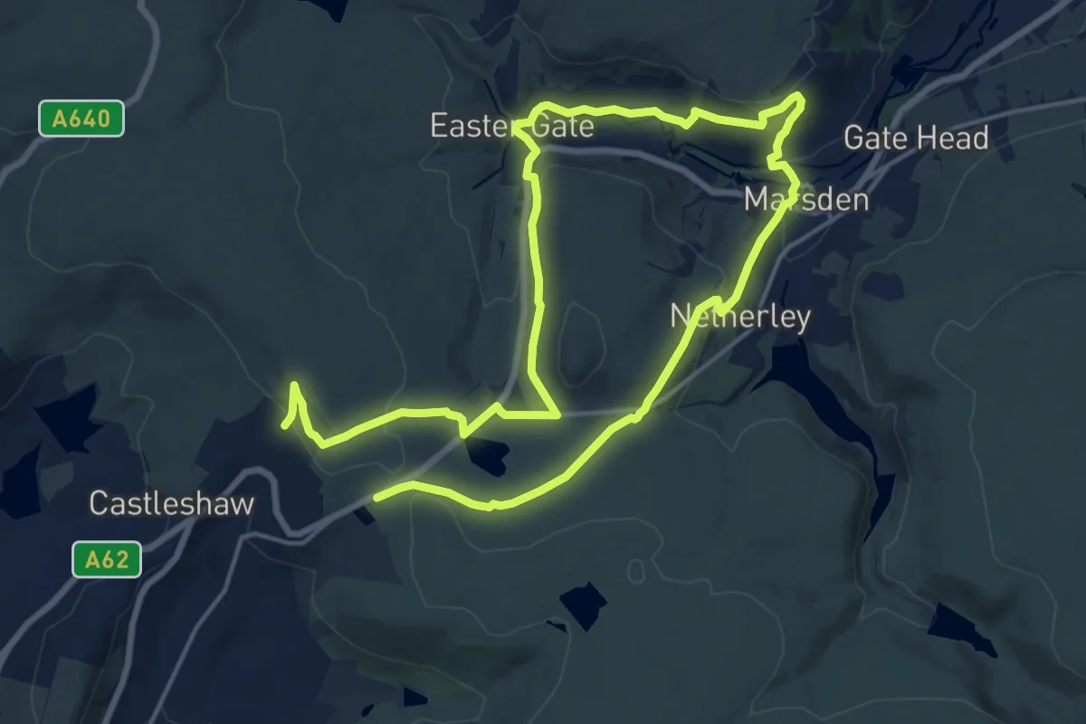
Demanding · Trail
Standedge Trail
24.3 km · ↑ 684 m · 7 h 14 min
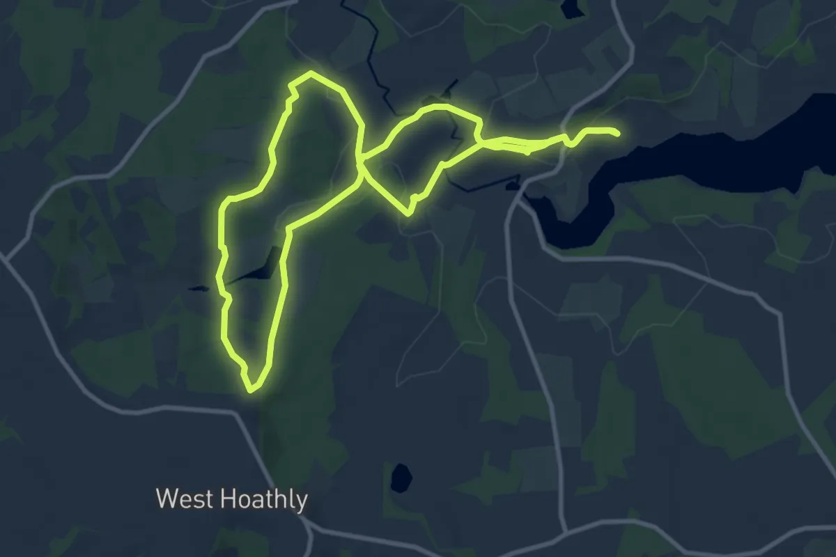
Medium · Trail
Standen to Selsfield Common, Standen
8.7 km · ↑ 221 m · 2 h 39 min
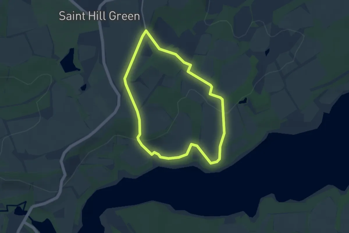
Easy · Trail
Standen to Weir Wood Reservoir Walk, Standen
2.8 km · ↑ 57 m · 50 min
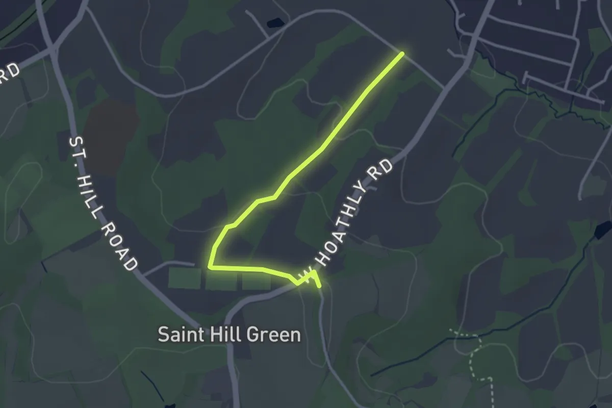
Easy · Trail
Standen Trail
2.7 km · ↑ 50 m · 45 min
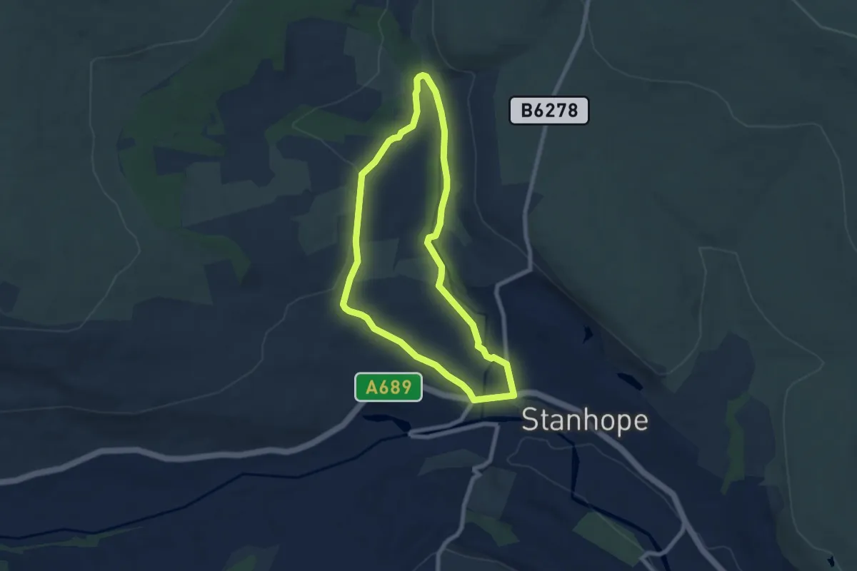
Easy · Trail
Stanhope Burn Geotrail
5.5 km · ↑ 112 m · 1 h 36 min
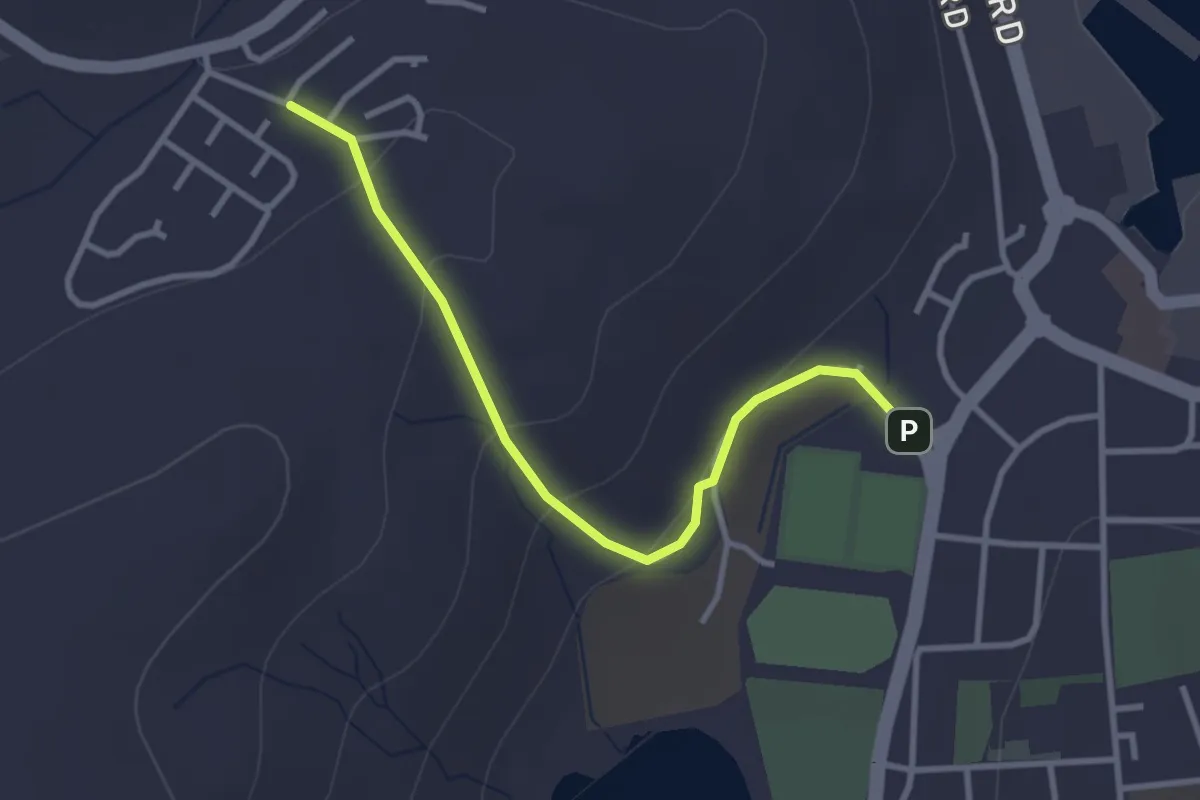
Easy · Trail
Stanley Hill
2.3 km · ↑ 76 m · 42 min
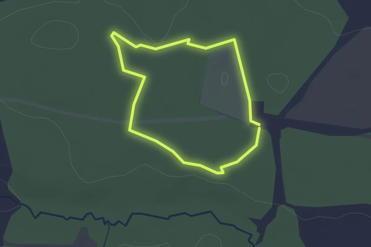
Easy · Trail
Stanley Walk
1.8 km · ↑ 4 m · 27 min
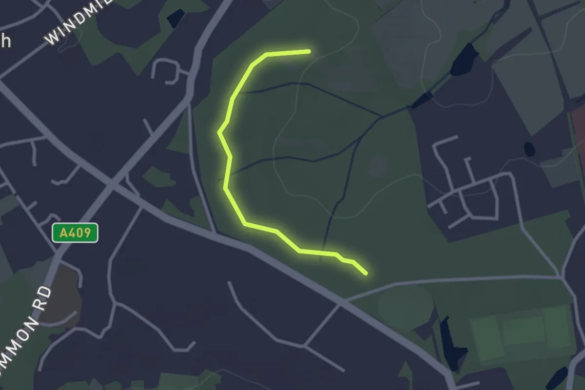
Easy · Trail
Stanmore Common Nature Trail - Long Trail
2.1 km · ↑ 21 m · 32 min
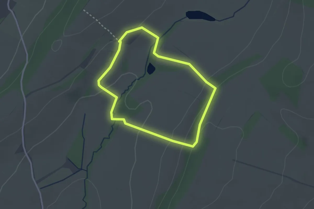
Easy · Trail
Stanway Coppice Walk, Wilderhope Manor
2.1 km · ↑ 78 m · 42 min
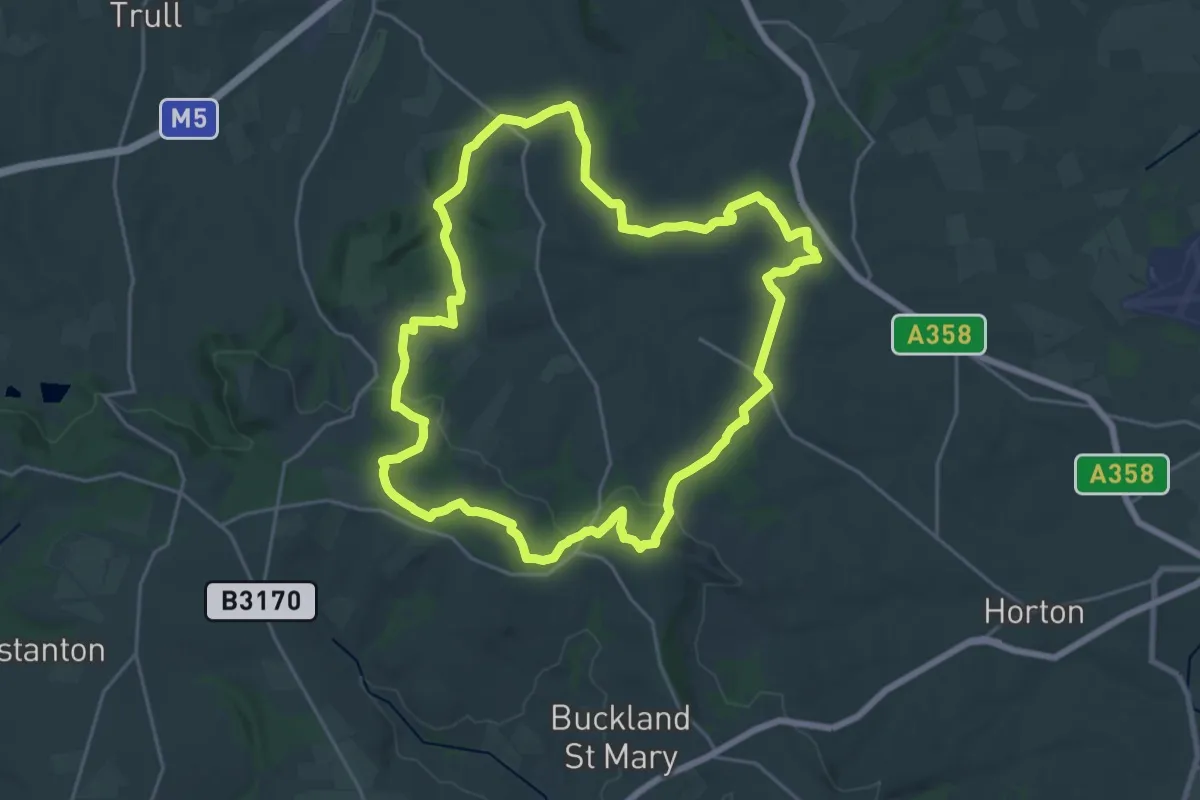
Demanding · Trail
Staple Fitzpaine Herepath
21.4 km · ↑ 412 m · 6 h 15 min
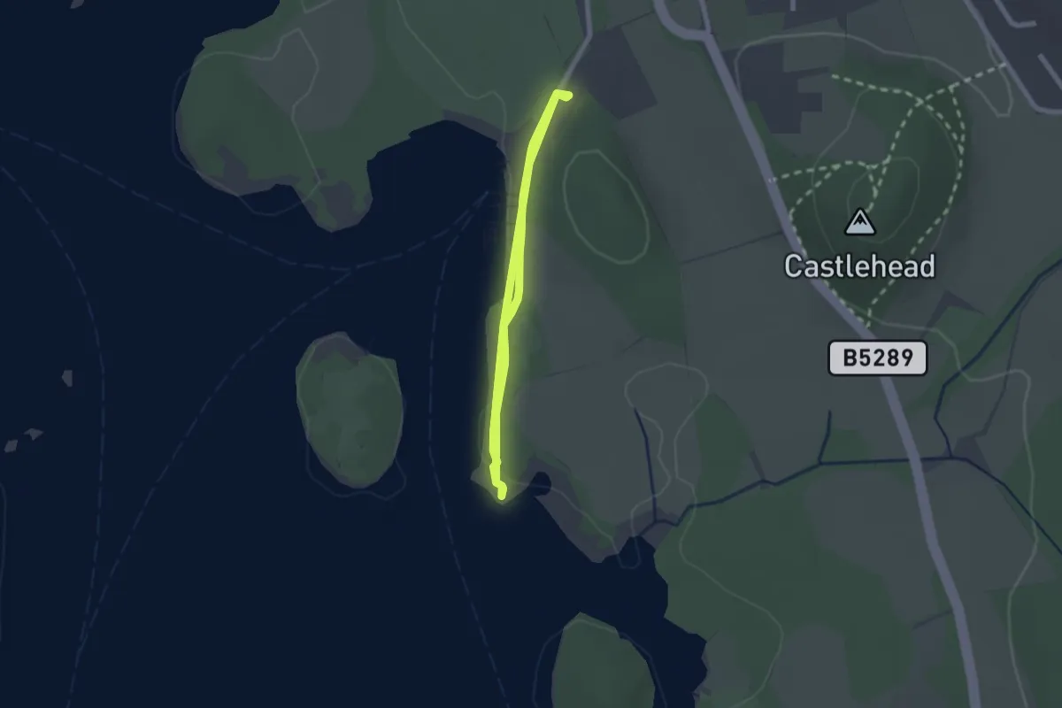
Easy · Trail
Stargazing Walk at Friars Crag, North Lakes Outdoors
2.1 km · ↑ 4 m · 32 min