Trails in United Kingdom
3,857 hiking trails, each with its route, climb, walking time and grade.
All trails, page 64 of 81
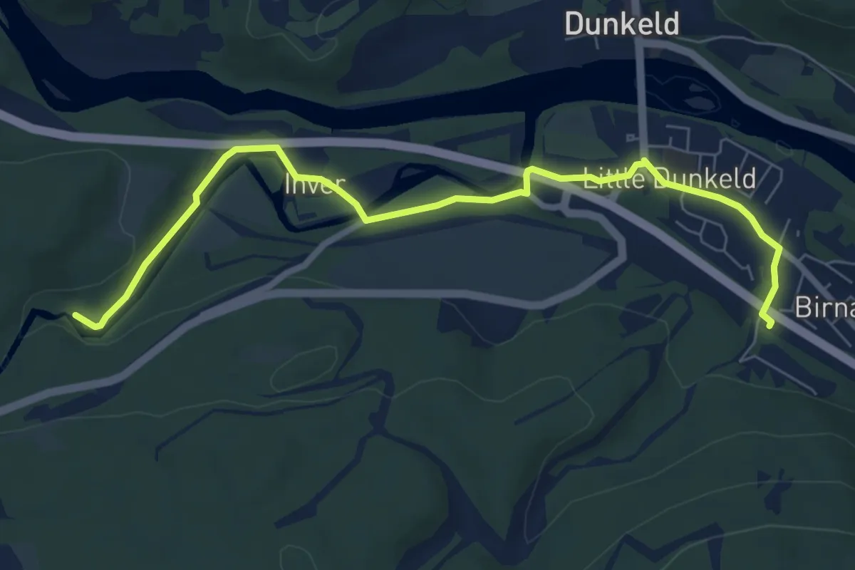
Easy · Trail
Station to the Hermitage
6.2 km · ↑ 66 m · 1 h 36 min
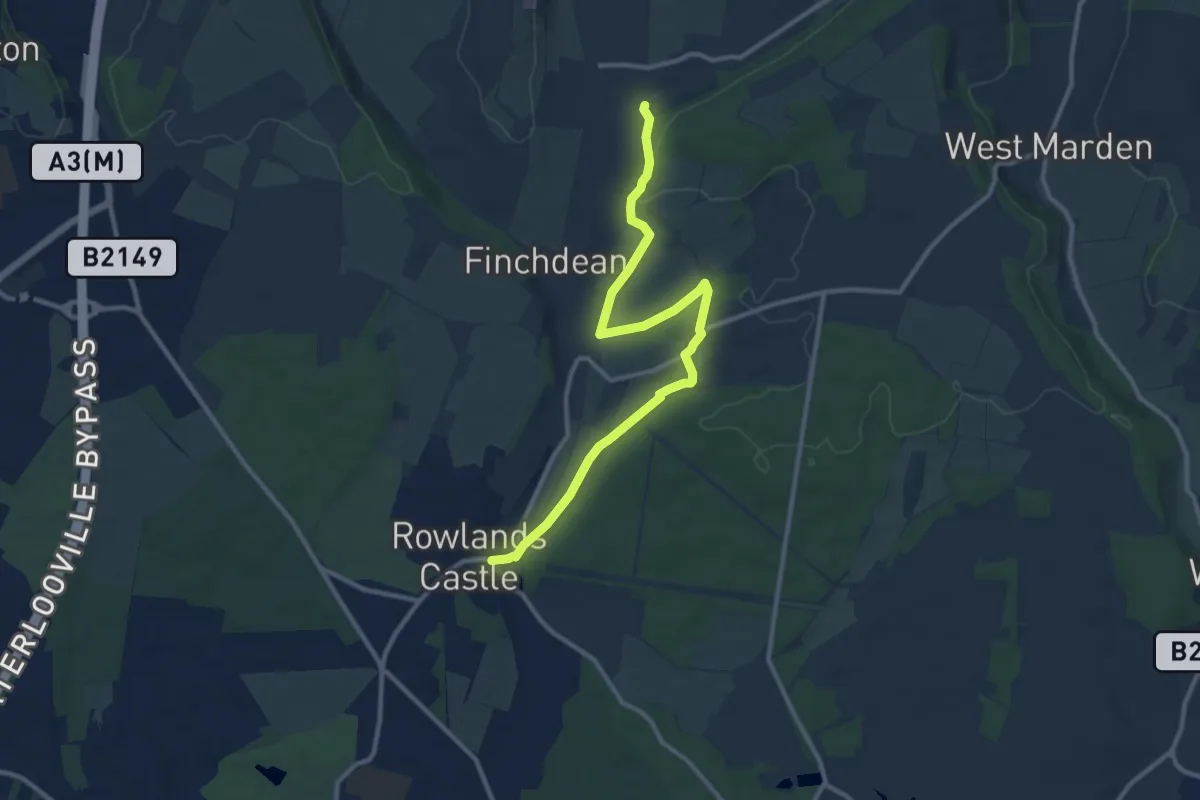
Medium · Trail
Staunton Way
10.9 km · ↑ 182 m · 2 h 58 min
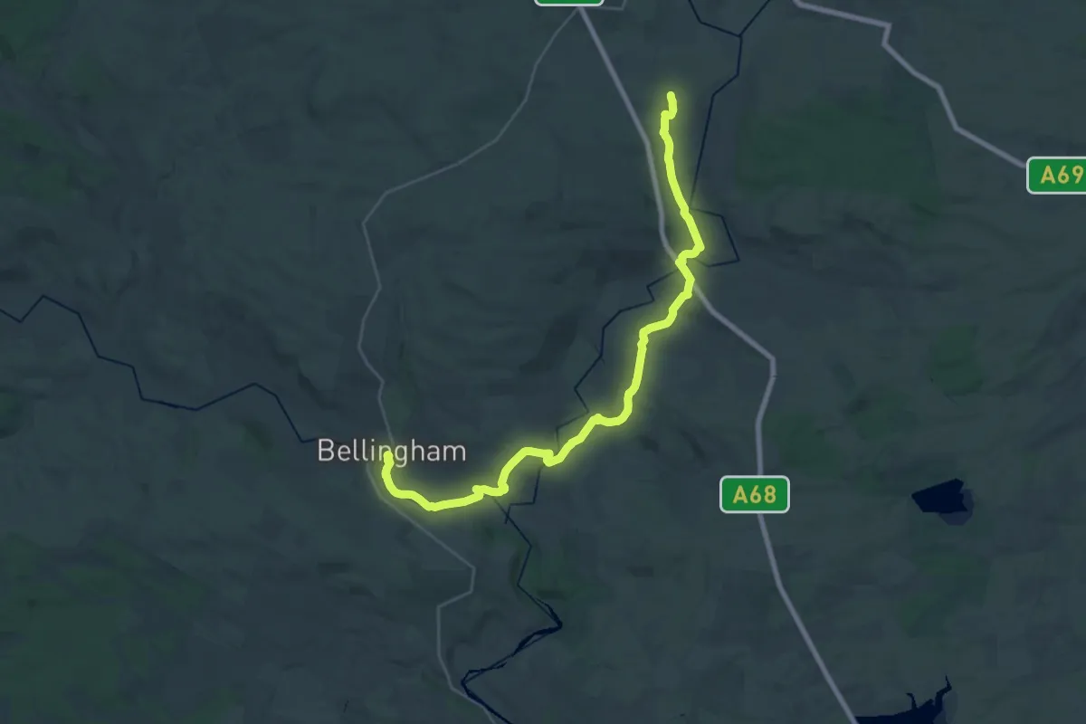
Demanding · Trail
St Cuthbert's Three Church Trail
27.9 km · ↑ 519 m · 7 h 43 min
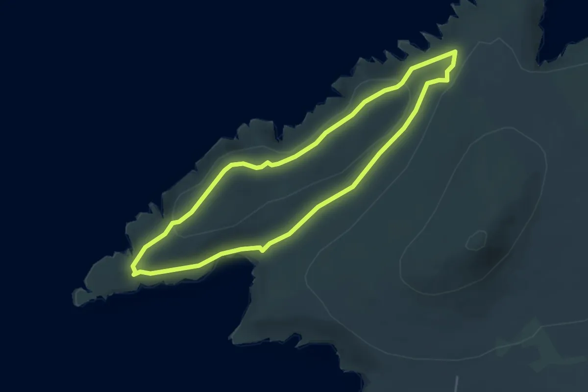
Easy · Summit
St David's Head Coastal Walk, Pembroke
3.5 km · ↑ 81 m · 1 h 3 min
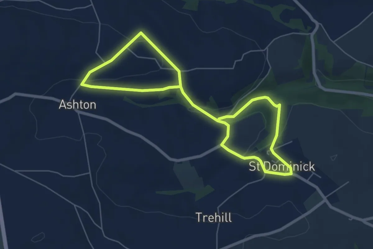
Medium · Trail
St Dominica Heritage Trail (Ashton Route)
8.8 km · ↑ 256 m · 2 h 38 min
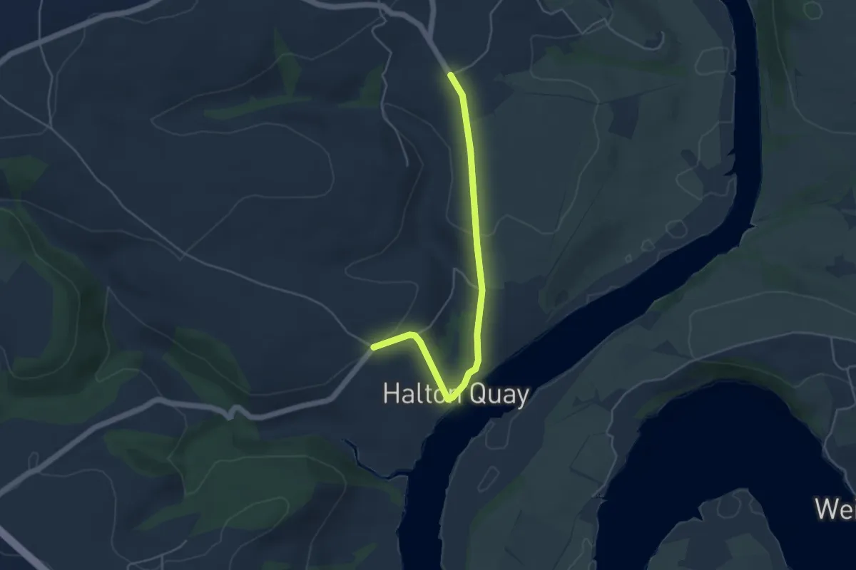
Easy · Trail
St Dominica Heritage Trail (Halton Quay Route)
4.2 km · ↑ 114 m · 1 h 14 min
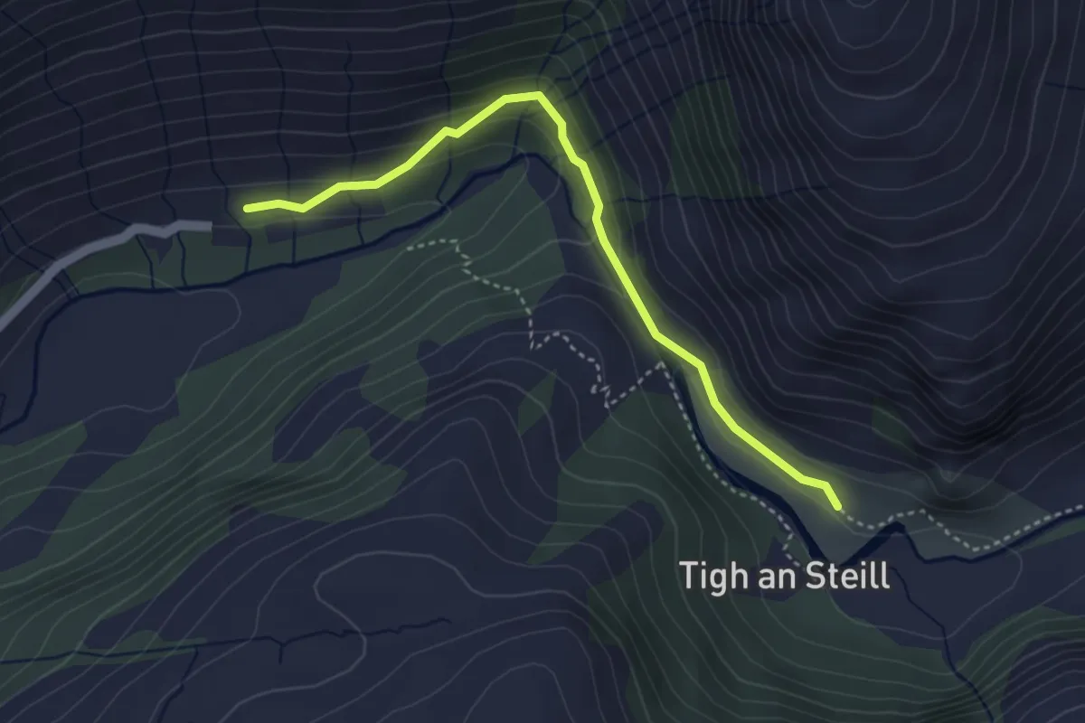
Medium · Trail
Steal Falls
3.0 km · ↑ 122 m · 59 min
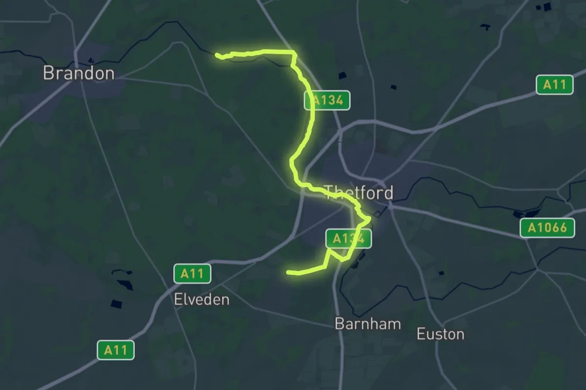
Demanding · Trail
St Edmund Way
26.7 km · ↑ 62 m · 6 h 26 min
Medium · Trail
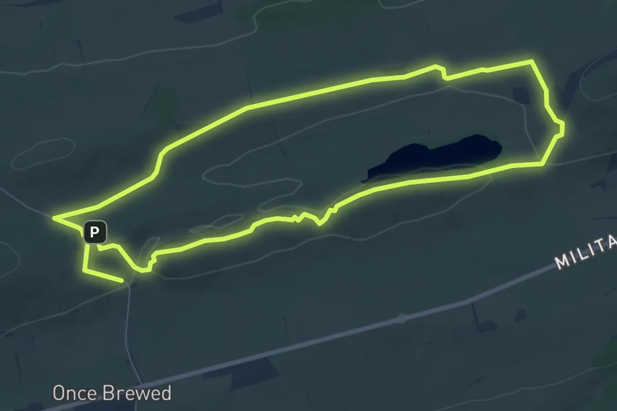
Steel Rigg & Hadrians Wall Walk
11.9 km · ↑ 257 m · 3 h 22 min
Medium · Trail
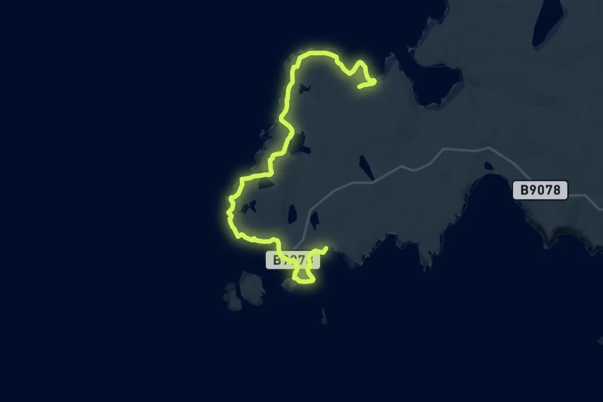
Stenness to Eshaness coastal route
17.1 km · ↑ 670 m · 5 h 30 min
Easy · Trail
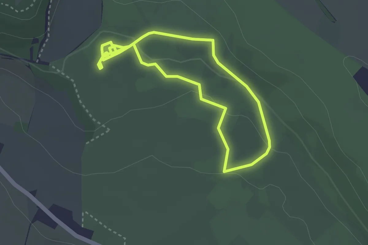
Step Free Route, Tyntesfield
2.4 km · ↑ 47 m · 43 min
Easy · Summit
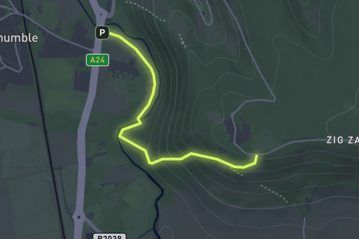
Stepping Stones Path
3.3 km · ↑ 138 m · 1 h 4 min
Easy · Trail
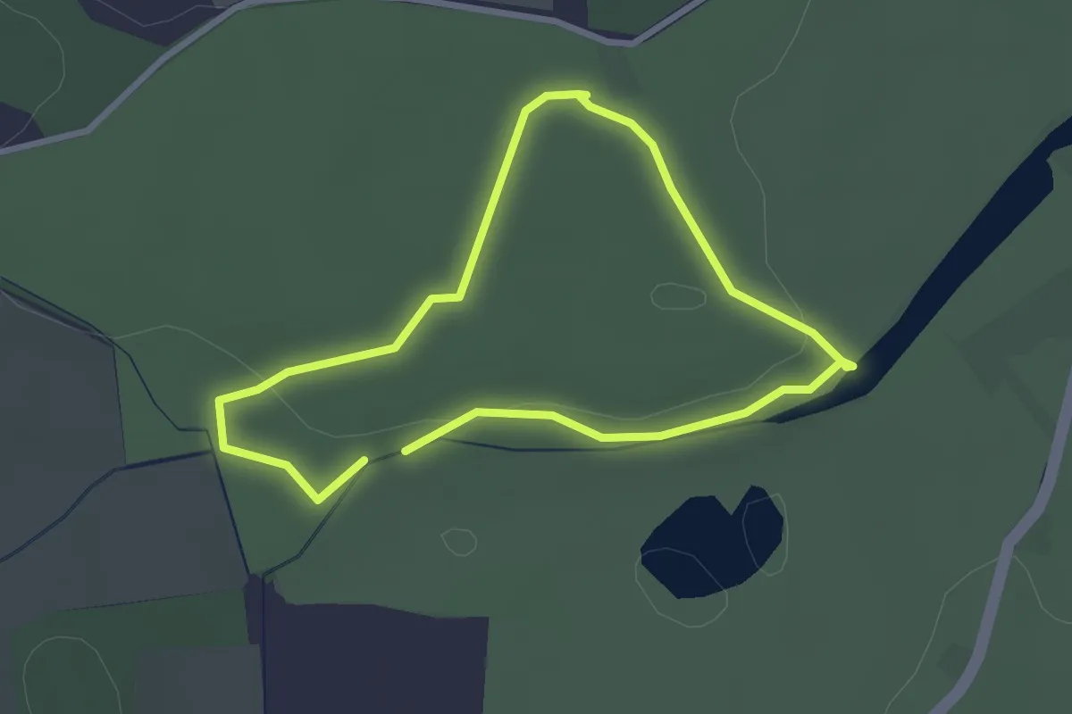
Steps Through Time Walk
2.2 km · ↑ 15 m · 35 min
Easy · Trail
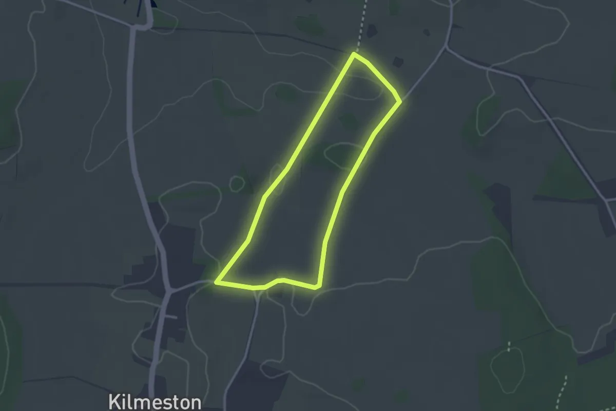
Stewkeley Walk at Hinton Ampner
2.3 km · ↑ 39 m · 40 min
Demanding · Trail
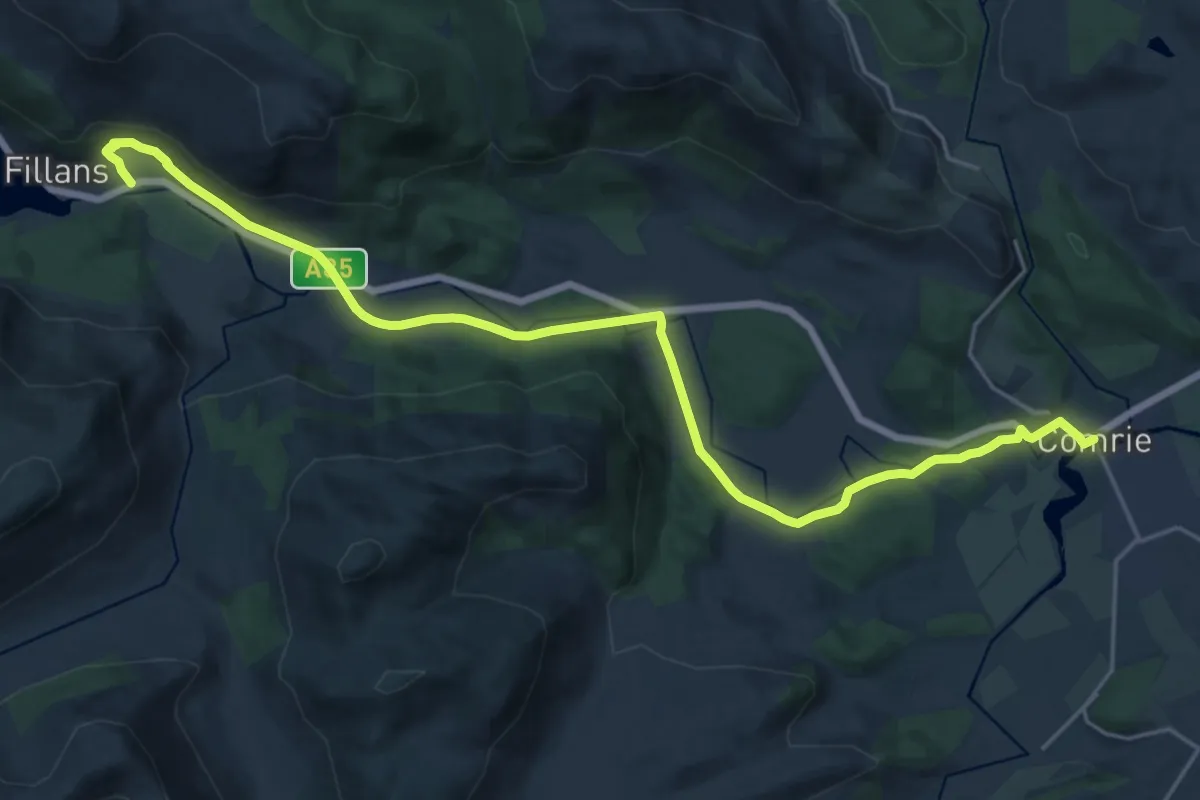
St Fillans to Comrie
19.9 km · ↑ 188 m · 5 h 6 min
Easy · Trail
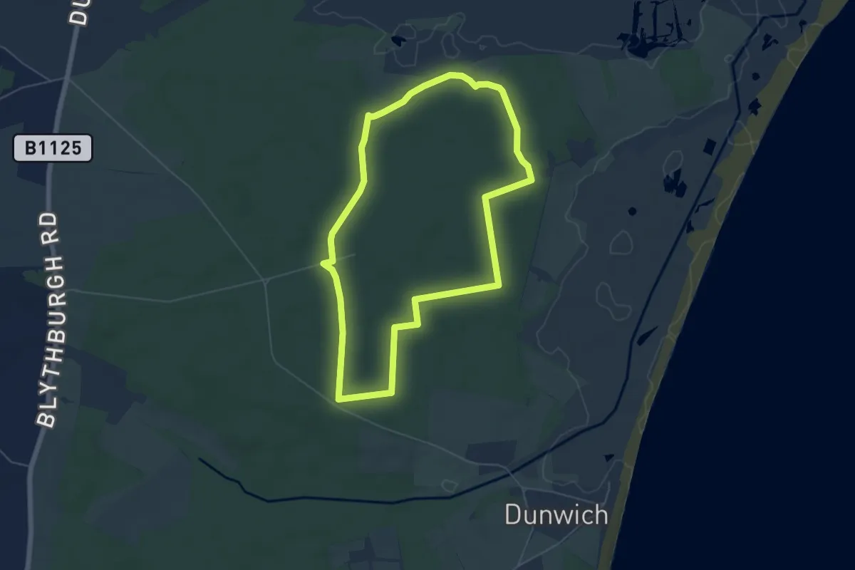
St Helena Trail
4.8 km · ↑ 16 m · 1 h 14 min
Easy · Trail
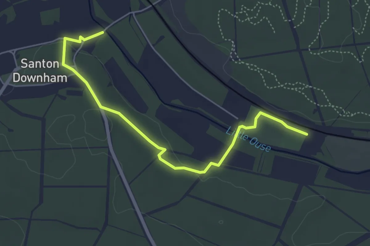
St Helen's Orange Walk
4.7 km · ↑ 30 m · 1 h 11 min
Easy · Trail
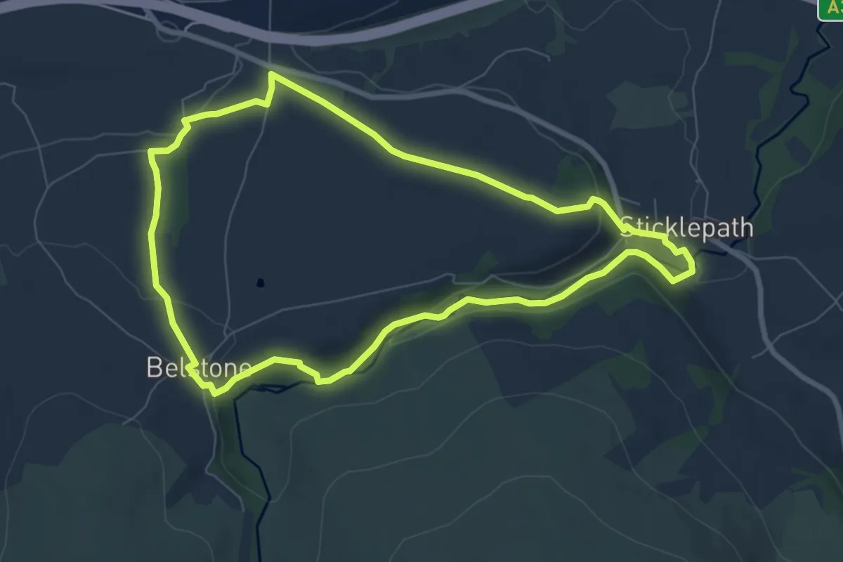
Sticklepath to Belstone Circular
6.7 km · ↑ 153 m · 2 h 1 min
Demanding · Trail
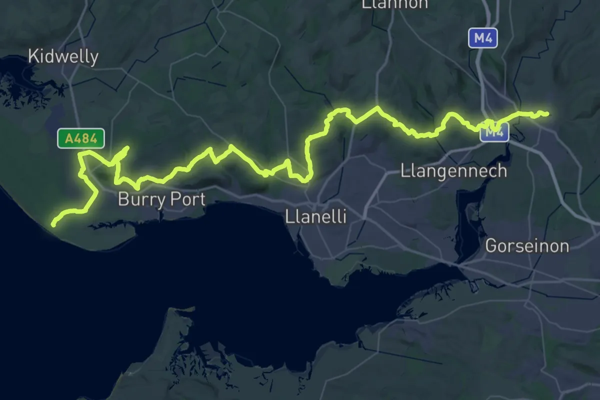
St Illtyd's Walk
34.1 km · ↑ 697 m · 10 h 1 min
Medium · Trail
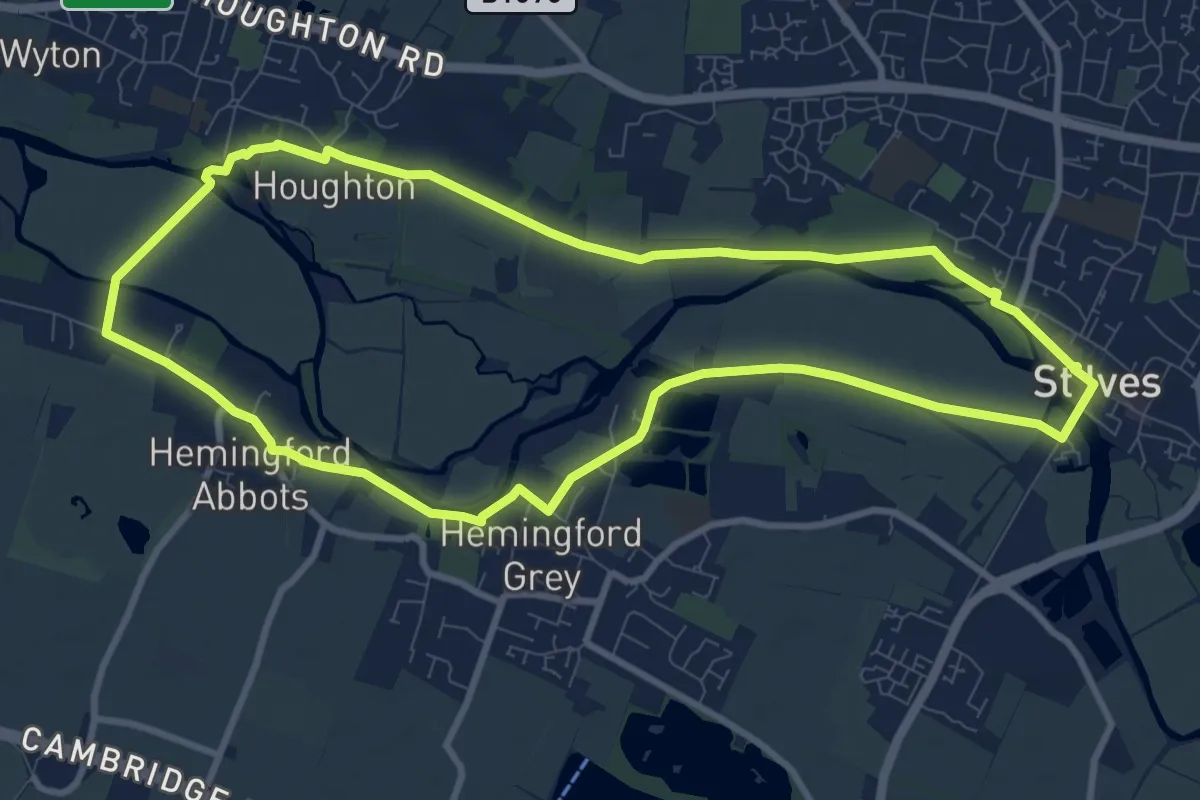
St Ives and the Hemingfords Walk, Houghton Mill
8.7 km · ↑ 0 m · 2 h 10 min
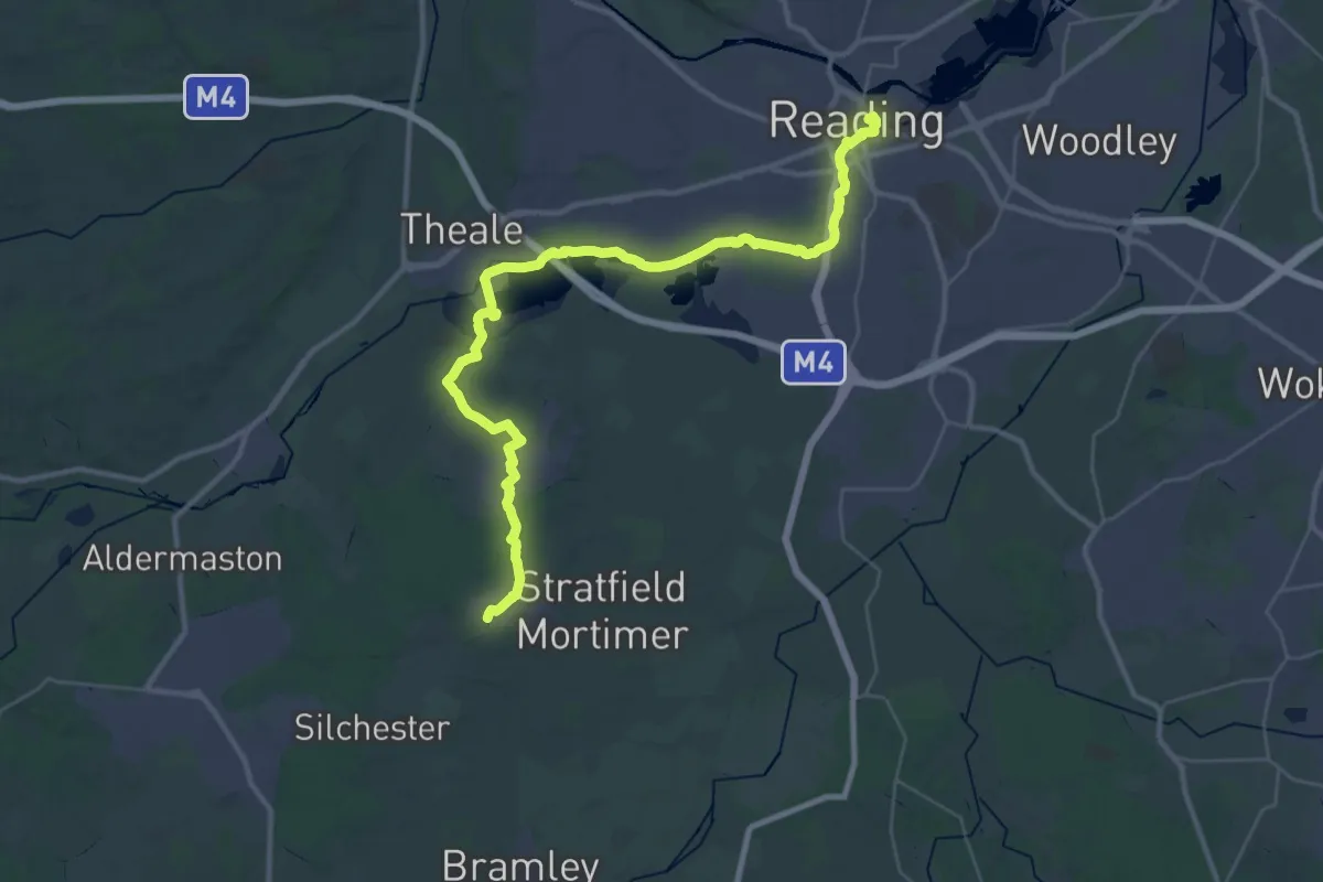
Demanding · Trail
St James' Way
19.4 km · ↑ 45 m · 4 h 58 min
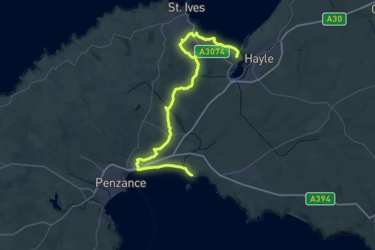
Demanding · Trail
St Michael's Way
20.2 km · ↑ 381 m · 5 h 53 min
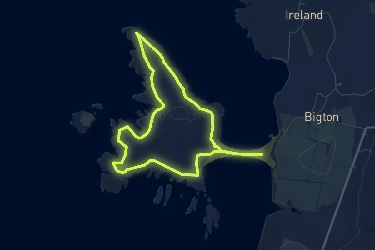
Easy · Trail
St Ninians Circular
5.4 km · ↑ 138 m · 1 h 39 min
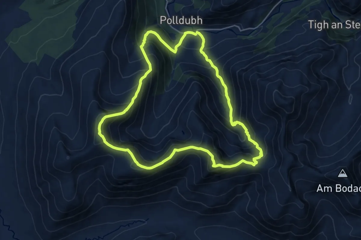
Demanding · Summit
Stob Ban (white peak) and Mullach nan Coirean (Summit of the Corries)
12.9 km · ↑ 1092 m · 5 h 36 min
Easy · Trail
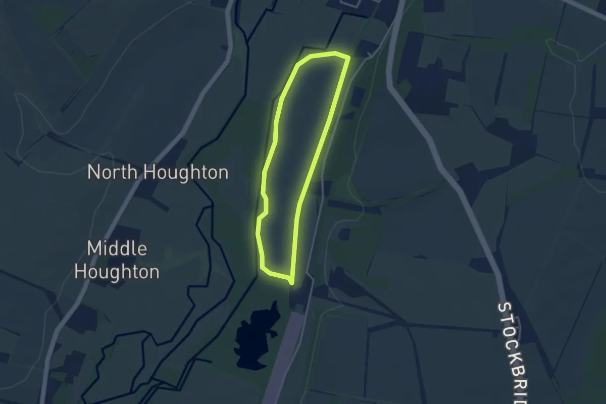
Stockbridge Common Marsh Wildlife Walk, SW Hants
2.5 km · ↑ 0 m · 38 min
Easy · Trail
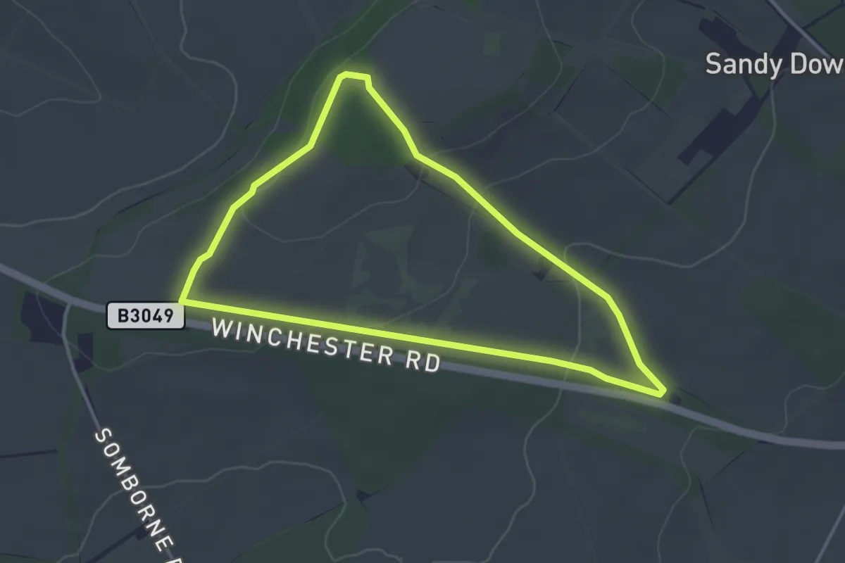
Stockbridge Down Wildlife and History Walk, SW Hants
3.1 km · ↑ 69 m · 55 min
Medium · Trail
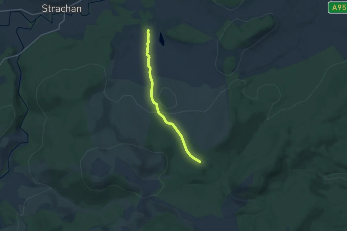
Stockmounth
8.8 km · ↑ 207 m · 2 h 32 min
Easy · Trail
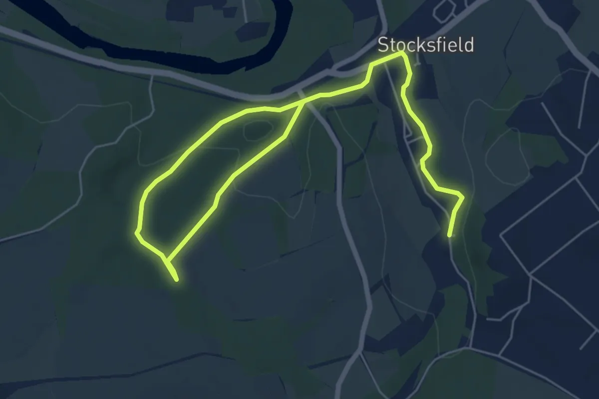
Stocksfields Community Woodland Trails
6.5 km · ↑ 111 m · 1 h 47 min
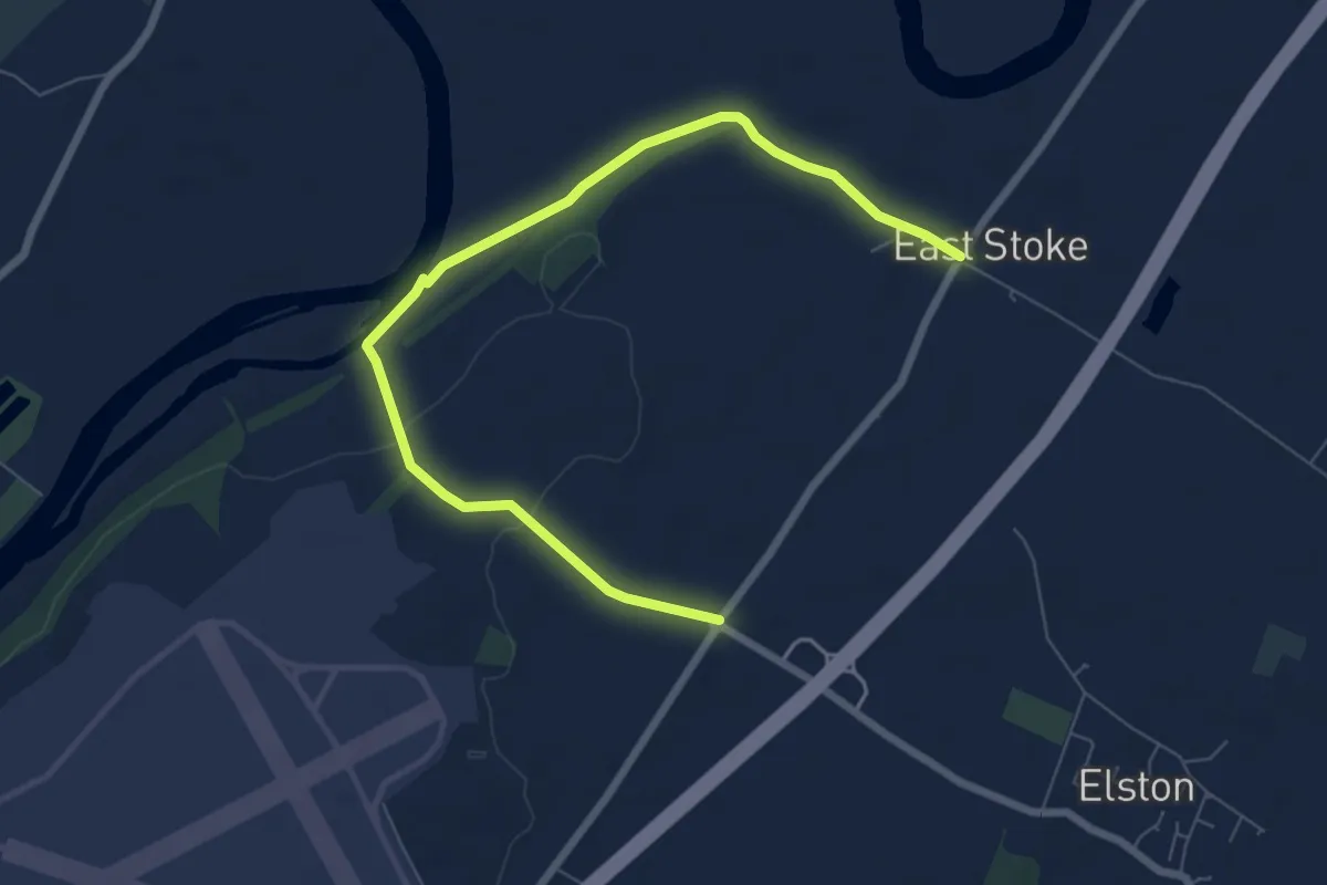
Easy · Trail
Stoke Field Trail
7.2 km · ↑ 62 m · 1 h 51 min
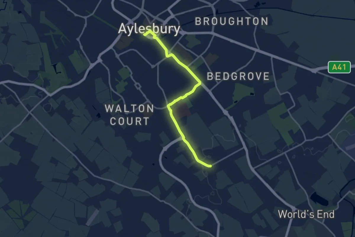
Medium · Trail
Stoke Mandeville Way
9.9 km · ↑ 38 m · 2 h 25 min
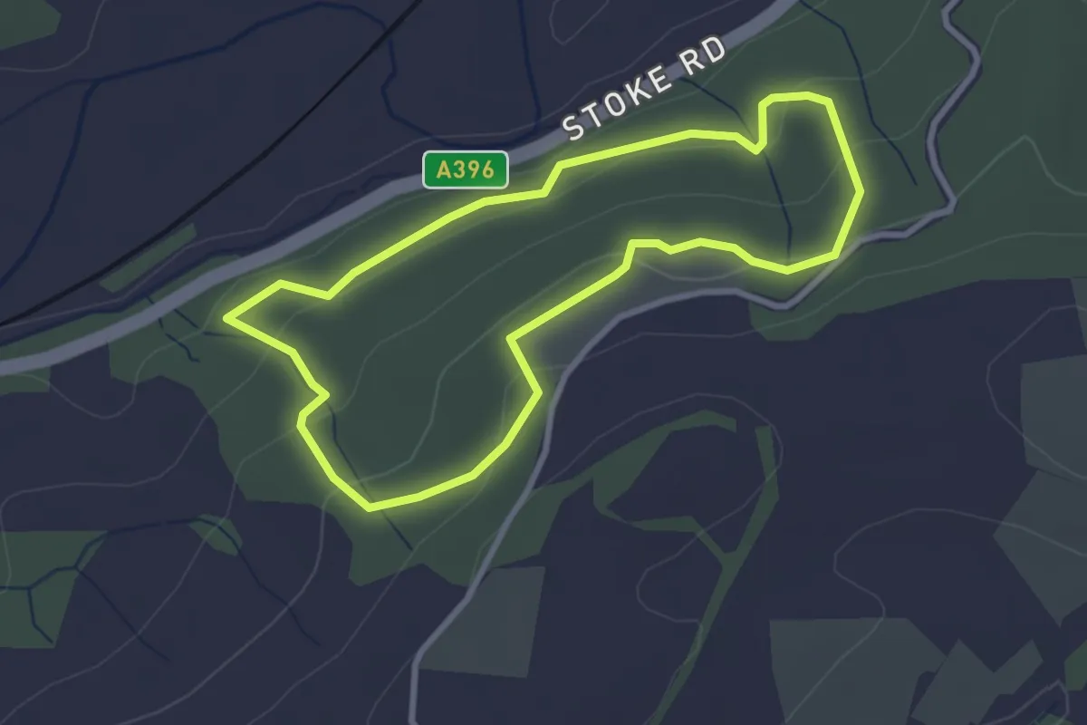
Easy · Trail
Stoke Woods Nature Trail
2.6 km · ↑ 86 m · 50 min
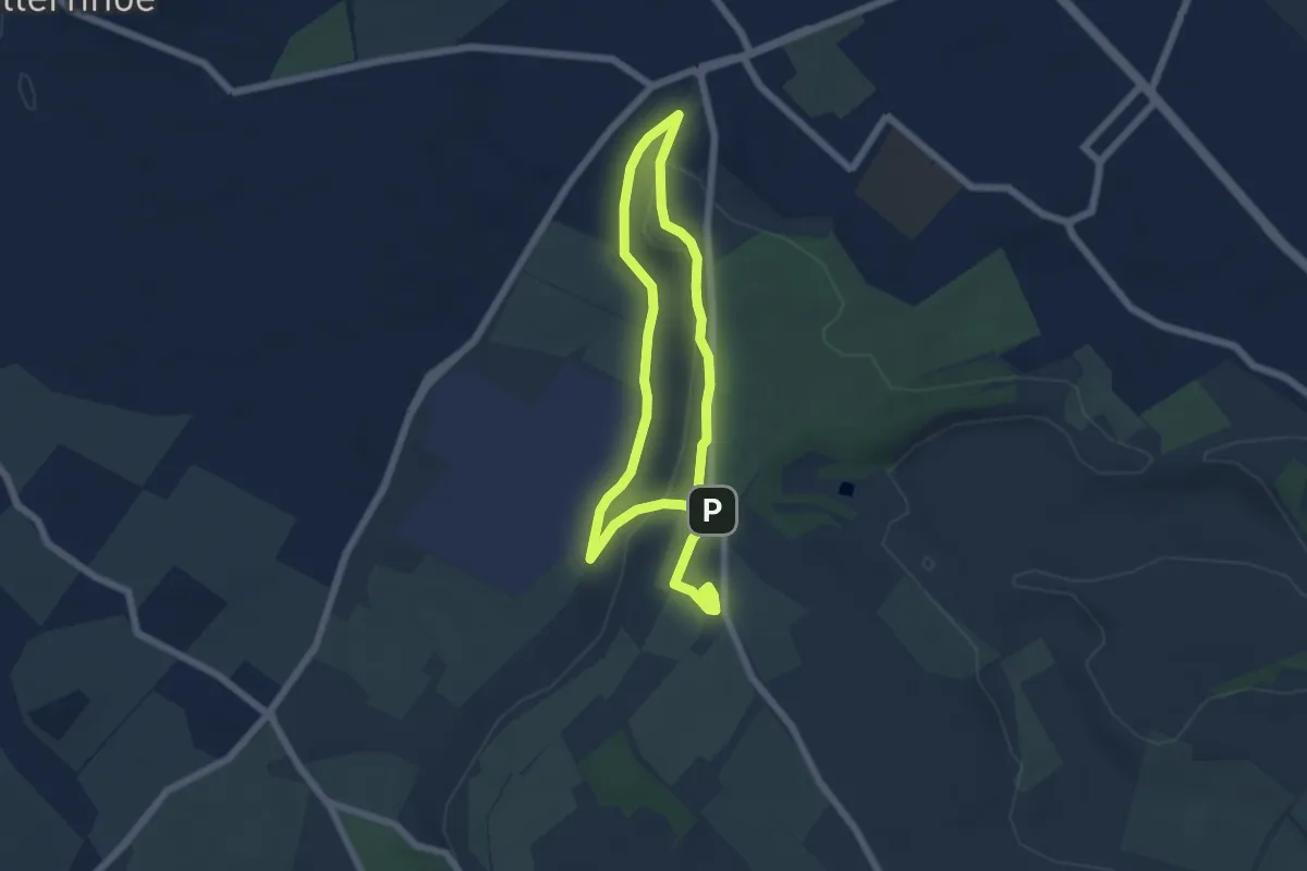
Easy · Summit
Stone Age Walk, Dunstable Downs and Whipsnade Estate
4.6 km · ↑ 94 m · 1 h 22 min
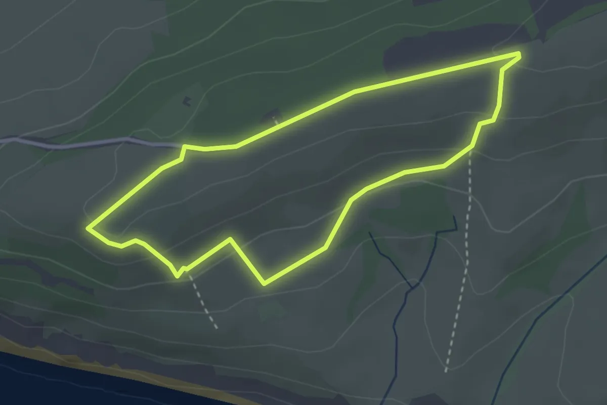
Easy · Trail
Stonebarrow walk, Golden Cap
2.7 km · ↑ 84 m · 52 min
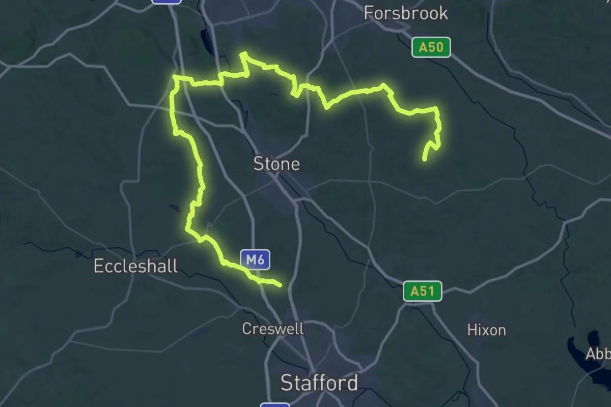
Demanding · Trail
Stone Circles Challenge
37.8 km · ↑ 404 m · 10 h 18 min
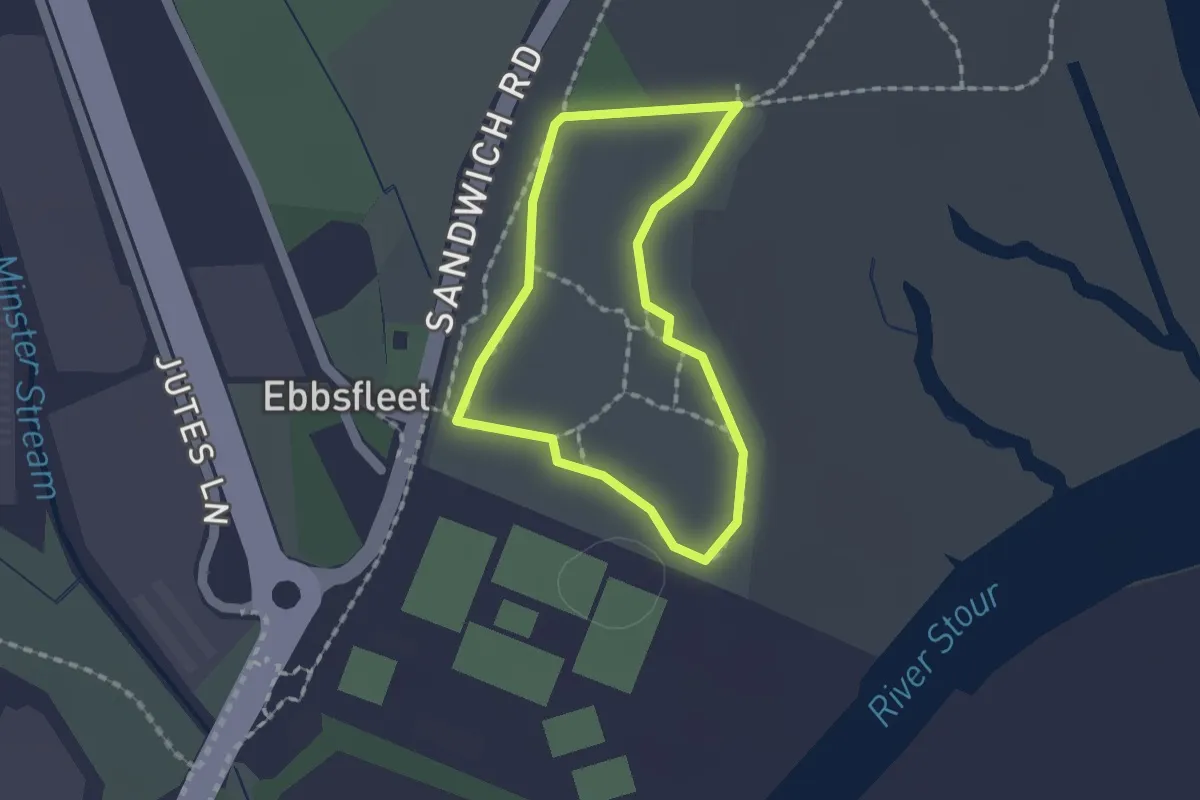
Easy · Trail
Stonelees Trail
1.2 km · ↑ 0 m · 18 min
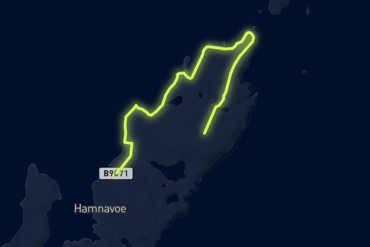
Medium · Summit
Stones of Stofast to Lunna Ness
12.4 km · ↑ 391 m · 3 h 47 min
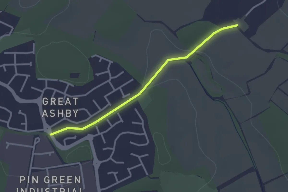
Easy · Trail
STOOP Link Path 1 - Stevenage Outer Orbital Path Link
2.3 km · ↑ 23 m · 36 min
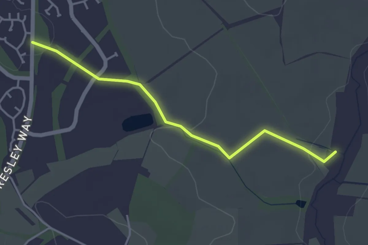
Easy · Trail
STOOP Link Path 2 - Stevenage Outer Orbital Path Link
3.2 km · ↑ 44 m · 51 min
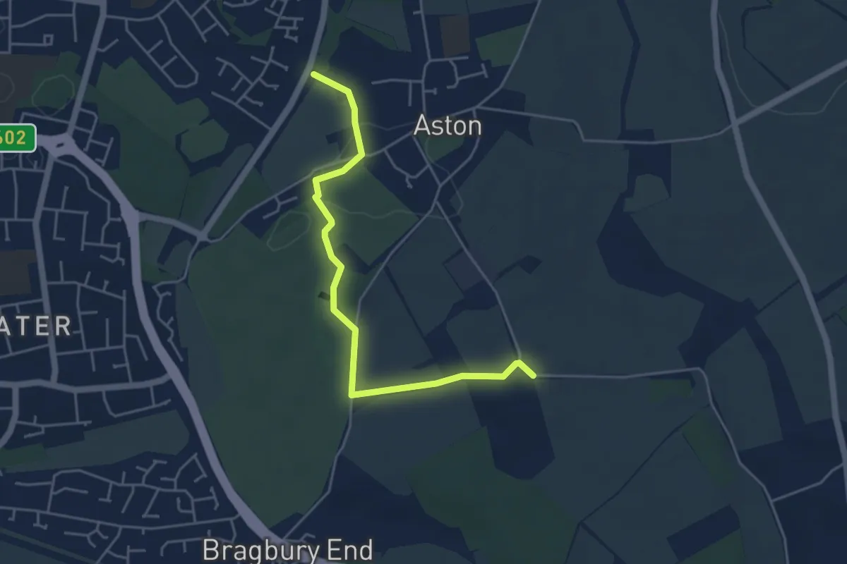
Easy · Trail
STOOP Link Path 3 - Stevenage Outer Orbital Path Link
4.2 km · ↑ 30 m · 1 h 3 min
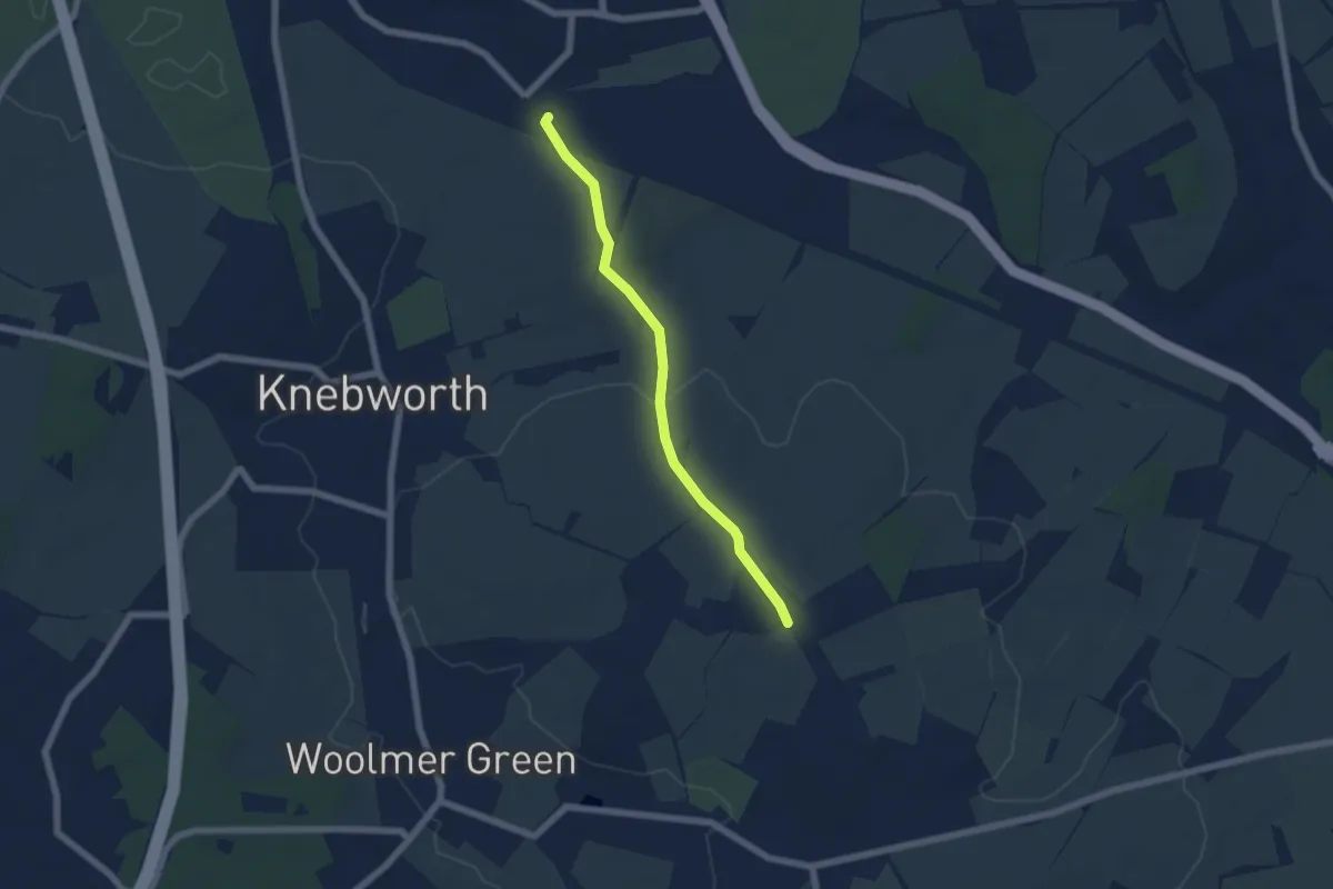
Easy · Trail
STOOP Link Path 4 - Stevenage Outer Orbital Path Link
4.8 km · ↑ 66 m · 1 h 17 min
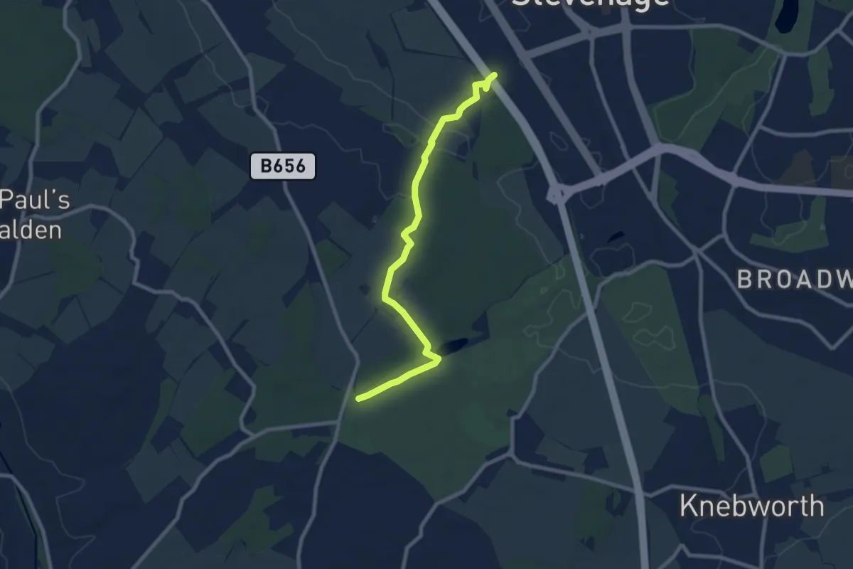
Easy · Trail
STOOP Link Path 5 - Stevenage Outer Orbital Path
7.2 km · ↑ 49 m · 1 h 49 min
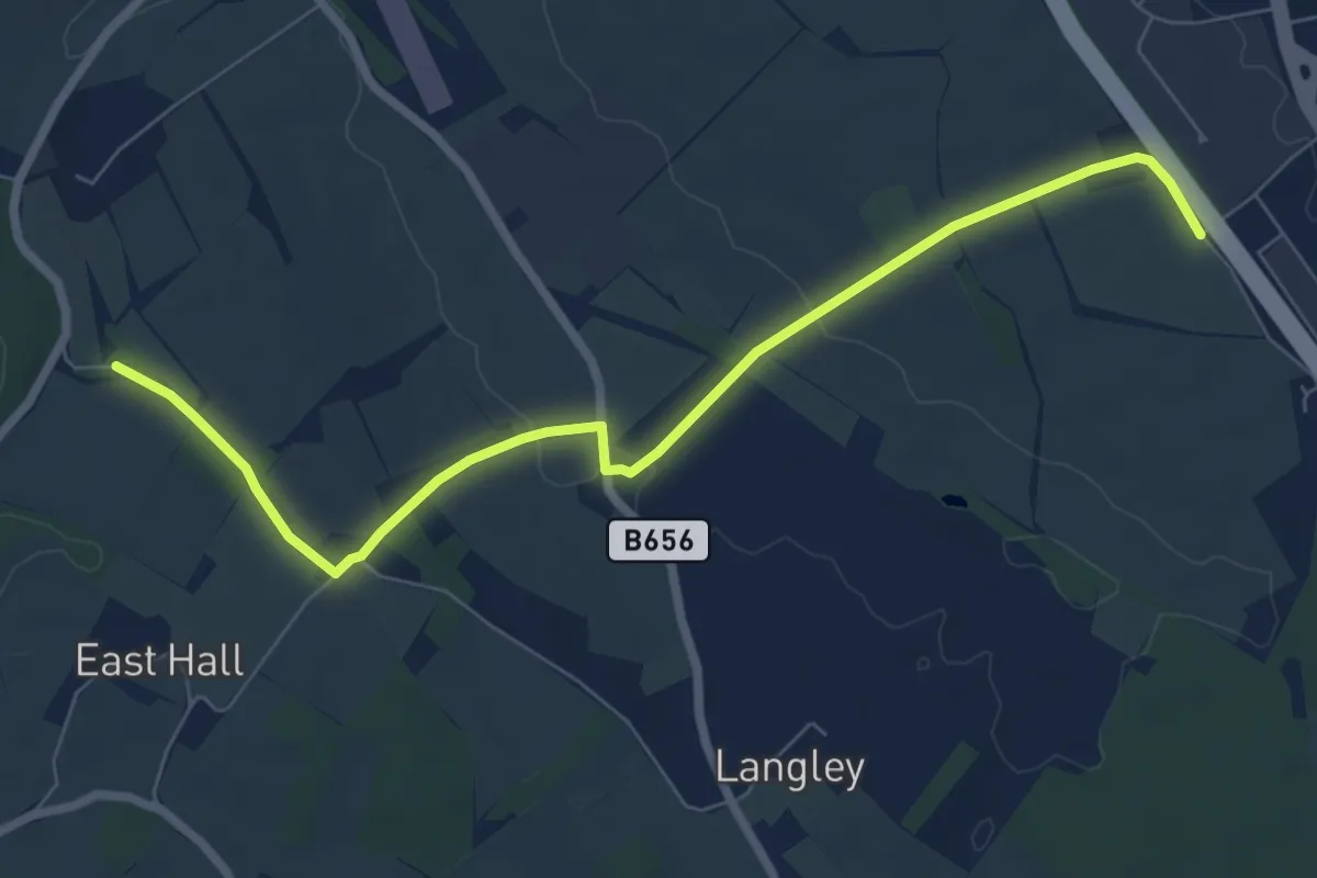
Easy · Trail
STOOP Link Path 6 - Stevenage Outer Orbital Path
7.0 km · ↑ 81 m · 1 h 49 min
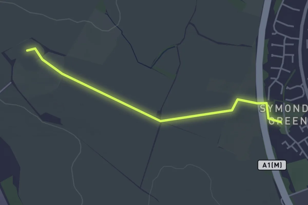
Easy · Trail
STOOP Link Path 7 - Stevenage Outer Orbital Path
3.4 km · ↑ 13 m · 50 min
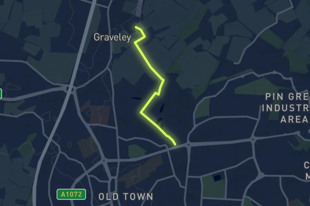
Easy · Trail
STOOP Link Path 8 - Stevenage Outer Orbital Path Link
5.2 km · ↑ 63 m · 1 h 21 min
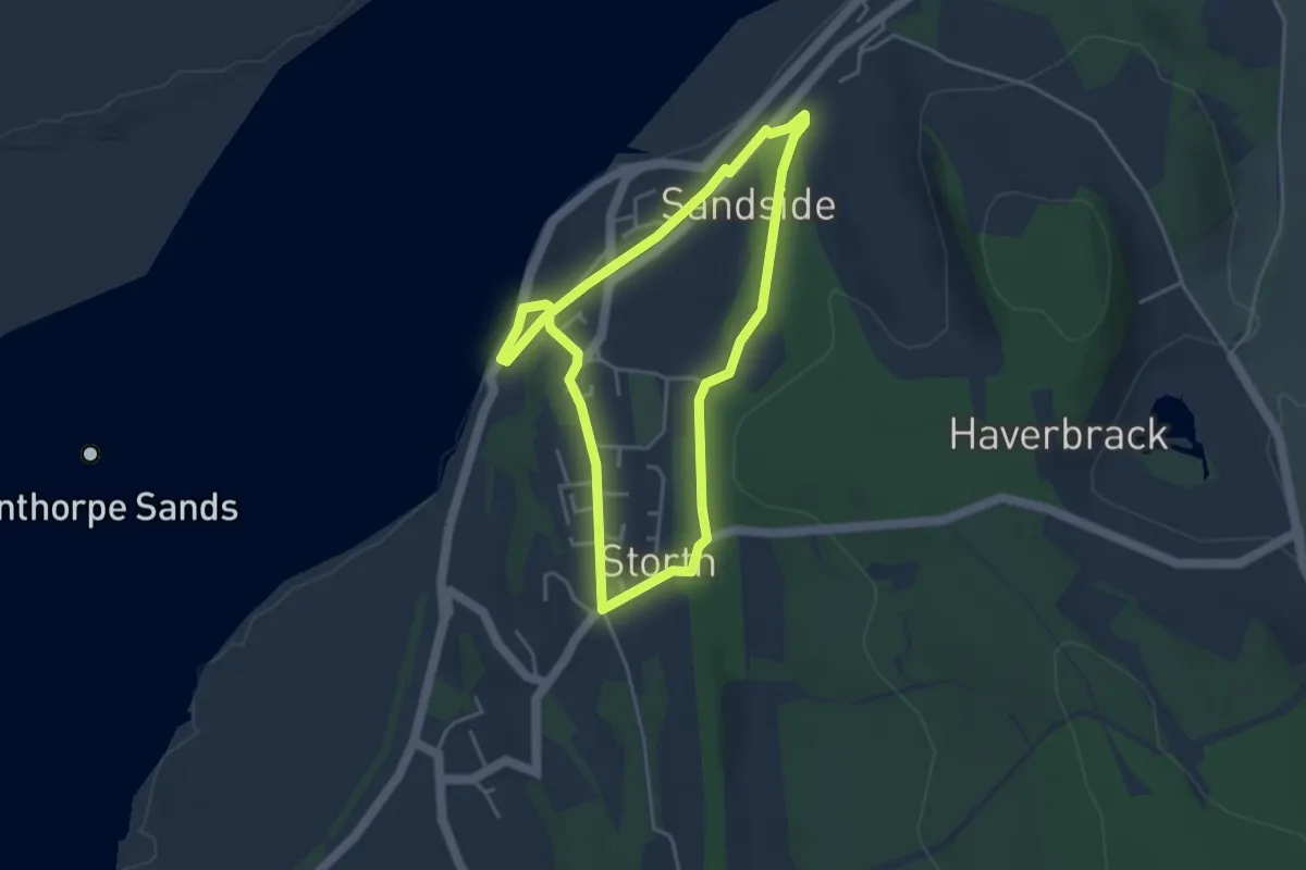
Easy · Trail
Storth Trail
3.2 km · ↑ 45 m · 54 min
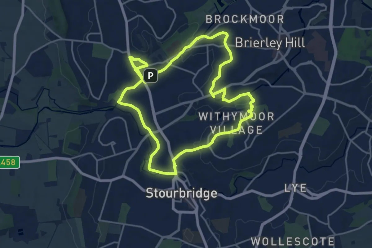
Medium · Trail
Stourbridge Canal & Glass Quarter Heritage Trail
11.0 km · ↑ 84 m · 2 h 56 min
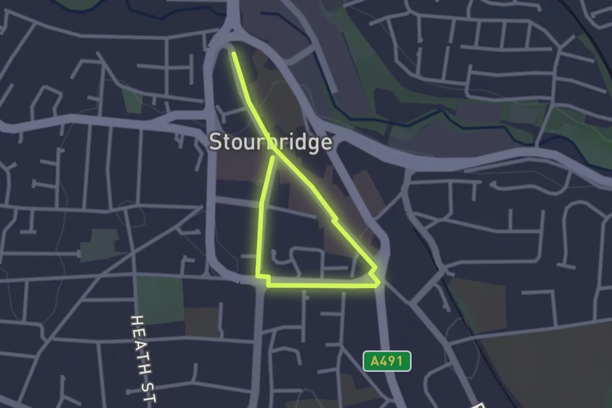
Easy · Trail
Stourbridge Heritage Trail
2.6 km · ↑ 14 m · 39 min
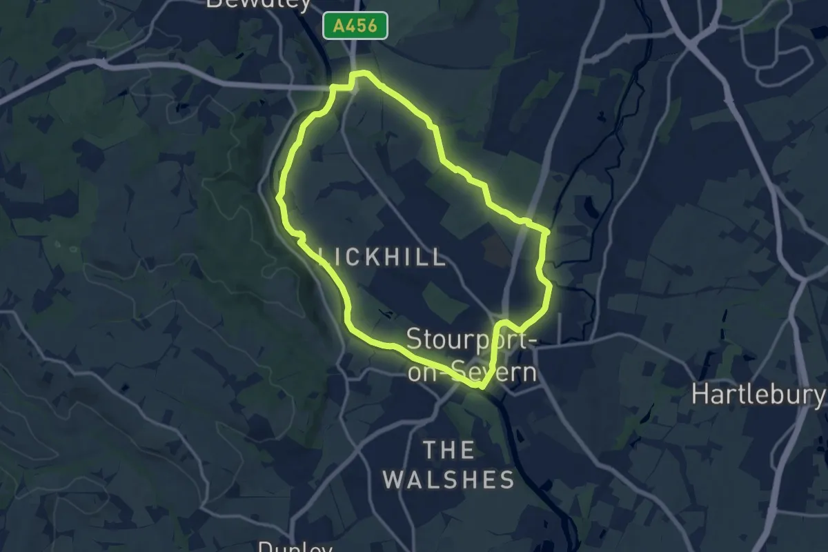
Medium · Trail
Stourport Circular Walk
10.6 km · ↑ 58 m · 2 h 47 min