Trails in United Kingdom
3,857 hiking trails, each with its route, climb, walking time and grade.
All trails, page 65 of 81
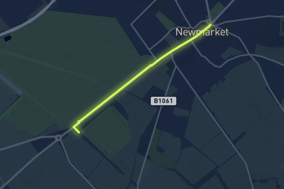
Easy · Trail
Stour Valley Path part 1
7.1 km · ↑ 26 m · 1 h 44 min
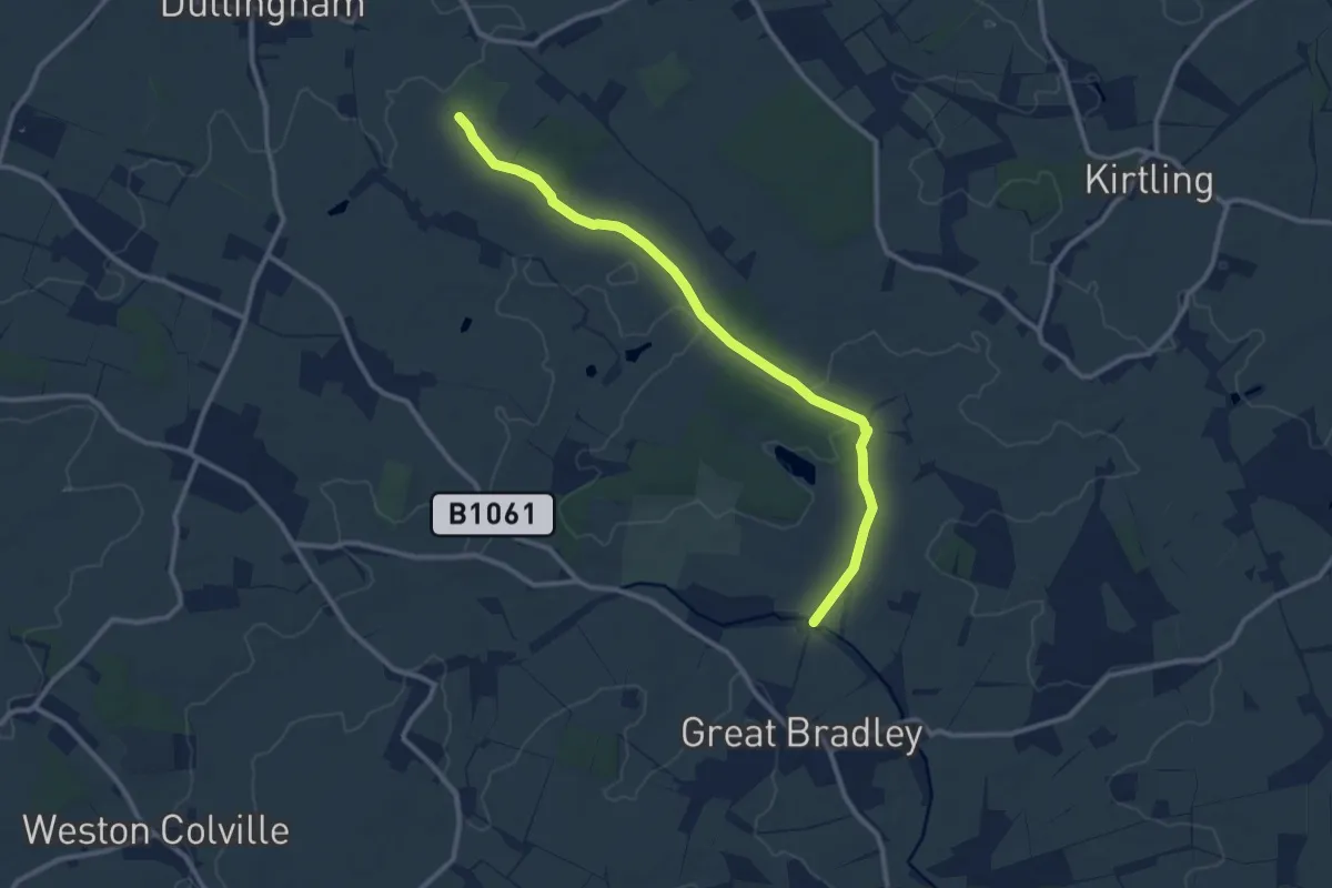
Medium · Trail
Stour Valley Path part 2
10.0 km · ↑ 47 m · 2 h 27 min
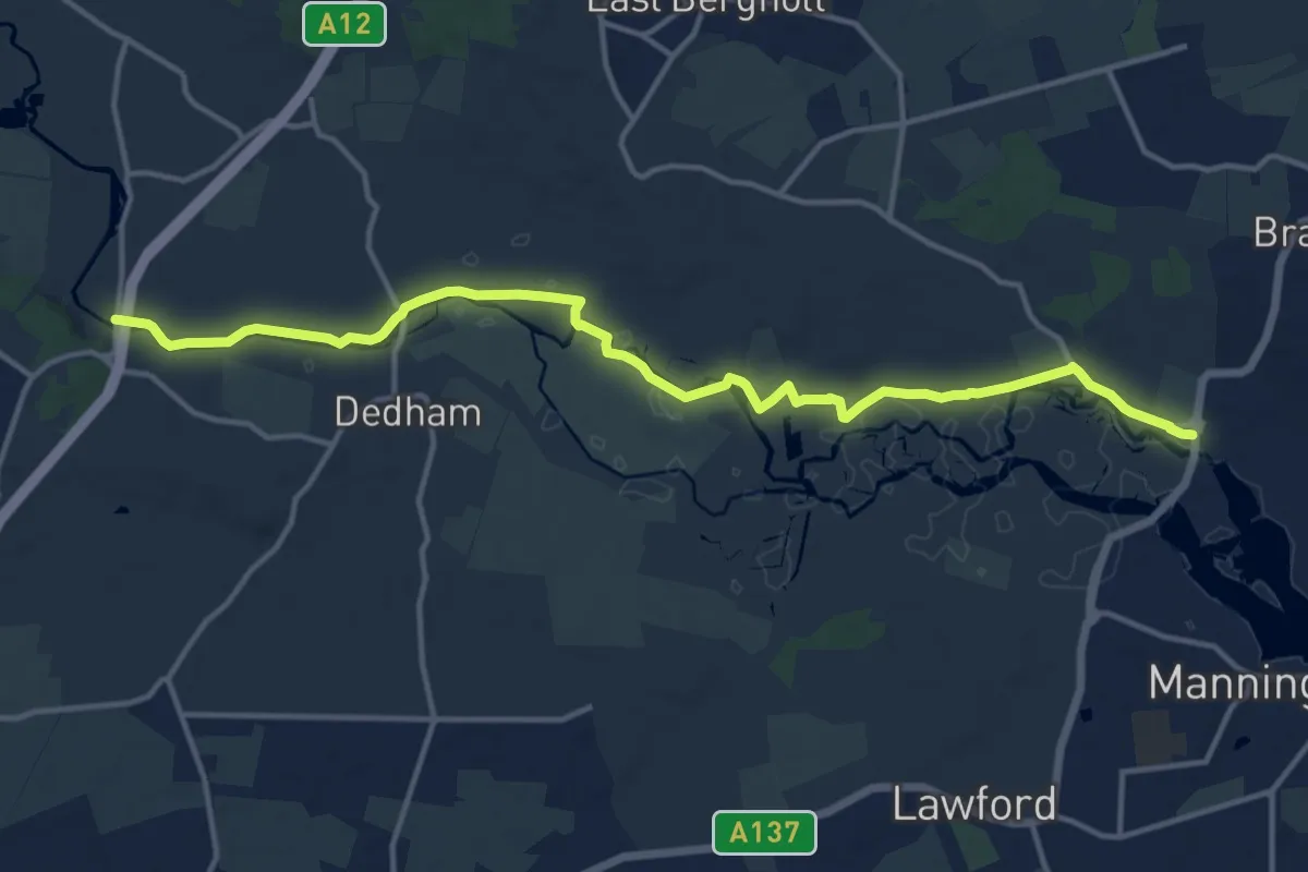
Medium · Trail
Stour Valley Path part 3
13.7 km · ↑ 8 m · 3 h 15 min
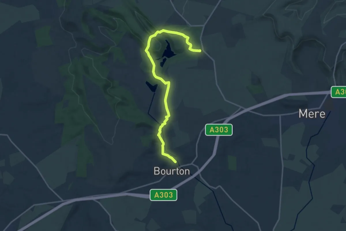
Medium · Trail
Stour Valley Way
12.4 km · ↑ 316 m · 3 h 37 min
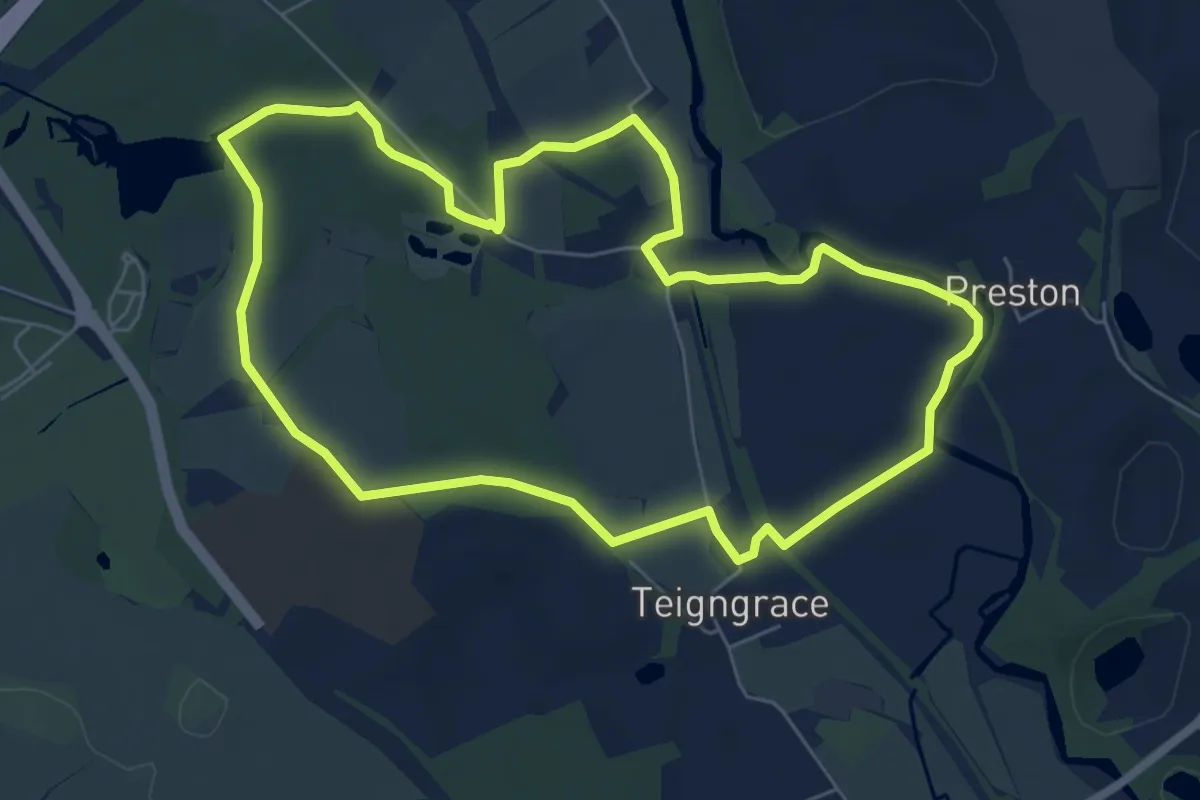
Easy · Trail
Stover Heritage Trail
6.0 km · ↑ 30 m · 1 h 33 min
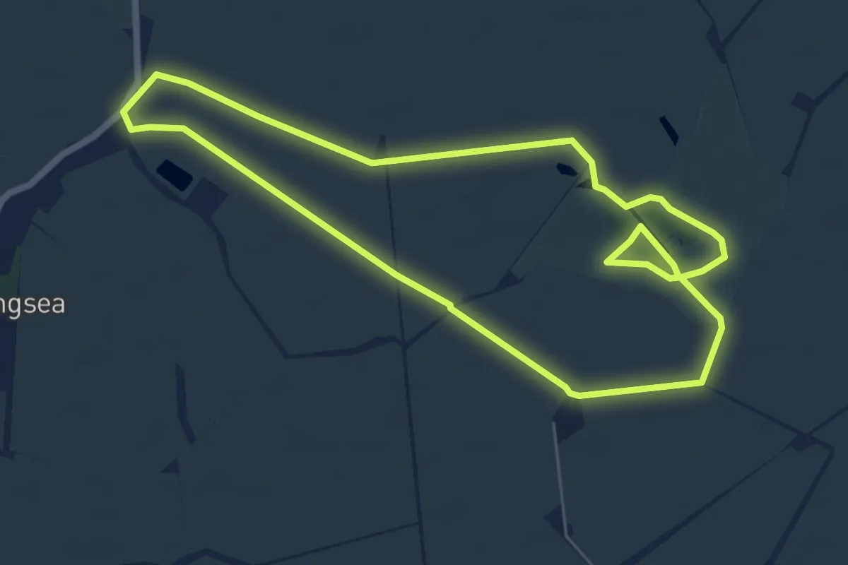
Easy · Trail
Stow-cum-Quy Fen SSSI
5.4 km · ↑ 0 m · 1 h 21 min
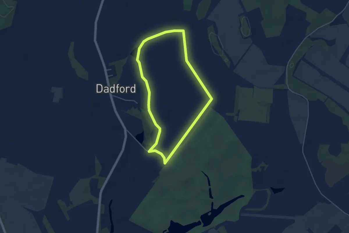
Easy · Trail
Stowe Parkland Walk, Stowe
3.6 km · ↑ 30 m · 58 min
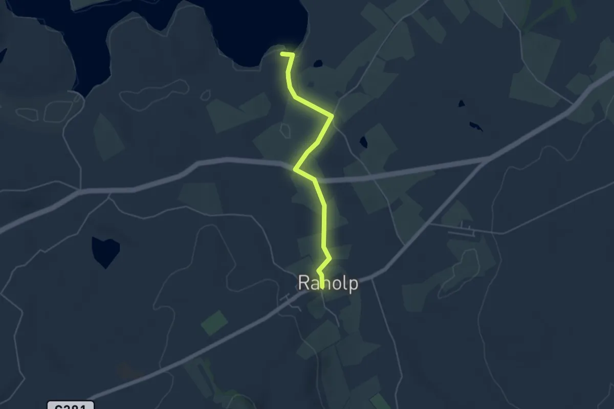
Easy · Trail
St Patrick's Way
3.6 km · ↑ 42 m · 57 min
Easy · Trail
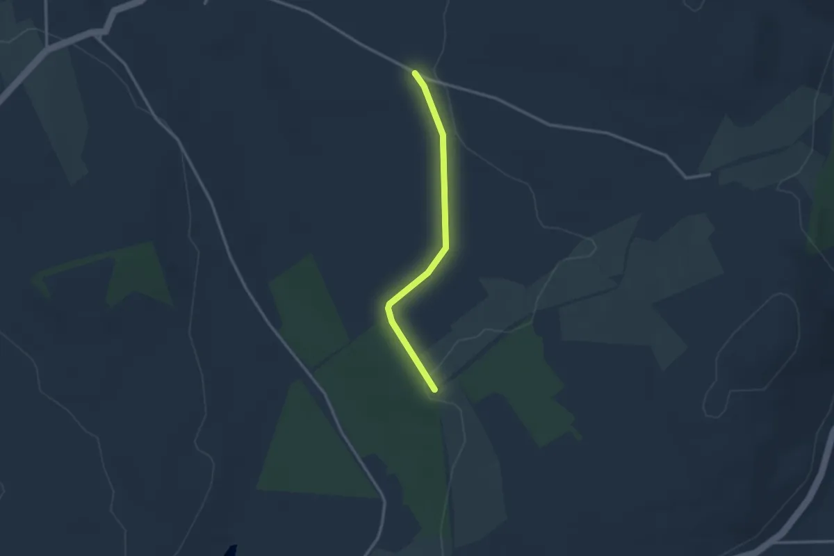
St Patrick's Way
2.1 km · ↑ 4 m · 30 min
Medium · Summit
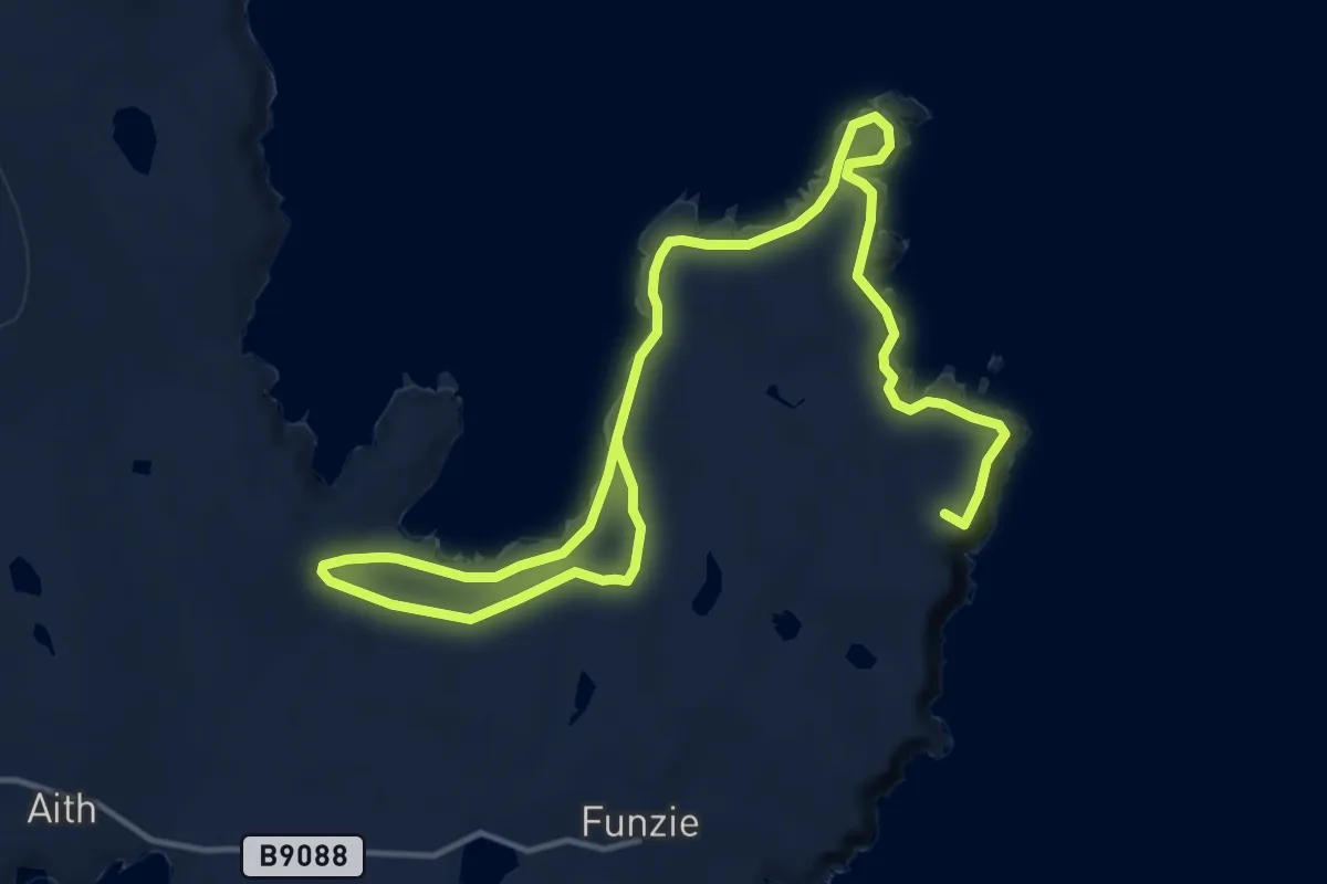
Strandbrough
16.2 km · ↑ 594 m · 5 h 6 min
Easy · Trail
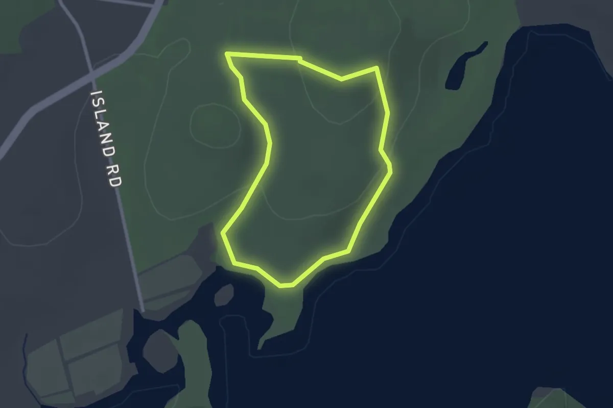
Strangford Walk
1.8 km · ↑ 45 m · 33 min
Demanding · Trail
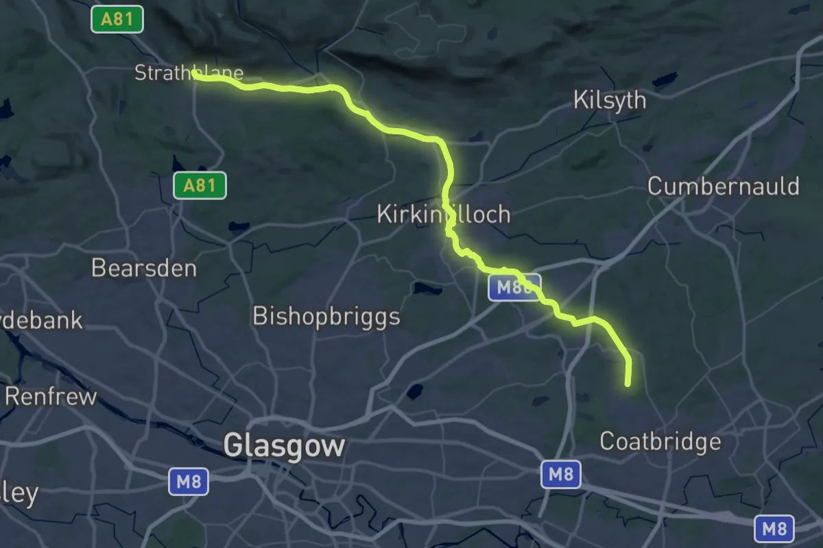
Strathkelvin Railway Path
24.7 km · ↑ 76 m · 6 h 21 min
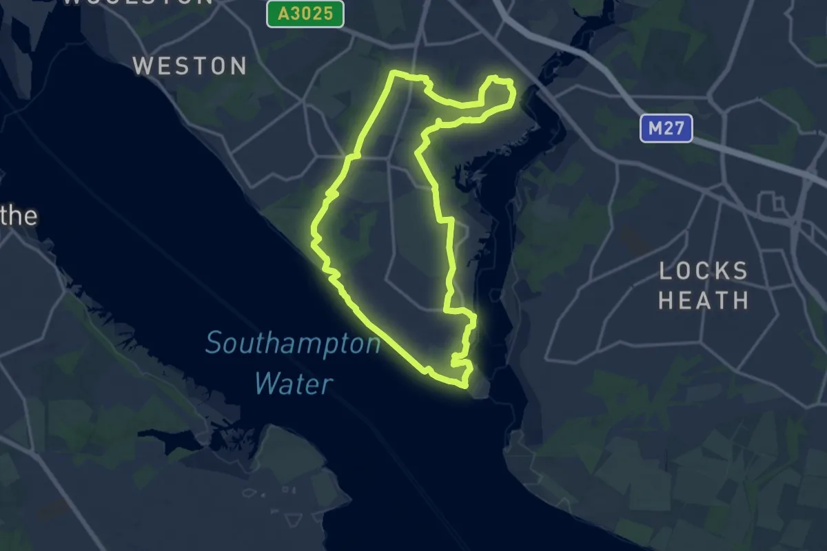
Medium · Trail
Strawberry Trail
13.6 km · ↑ 104 m · 3 h 37 min
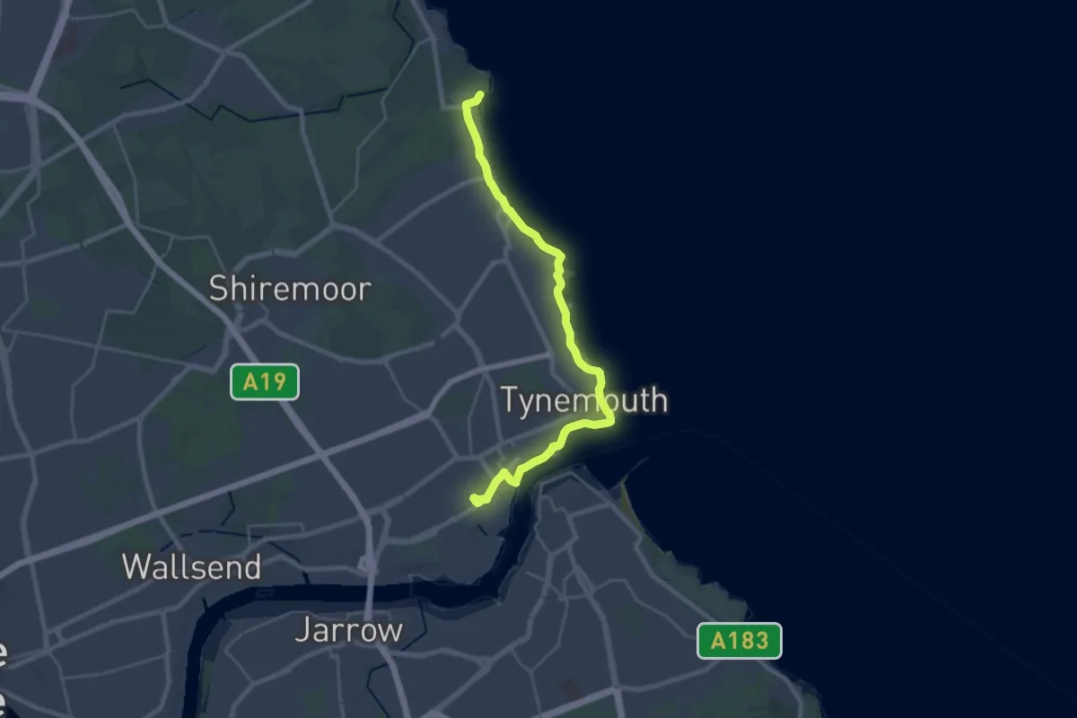
Demanding · Trail
Stride out walk
21.5 km · ↑ 94 m · 5 h 17 min
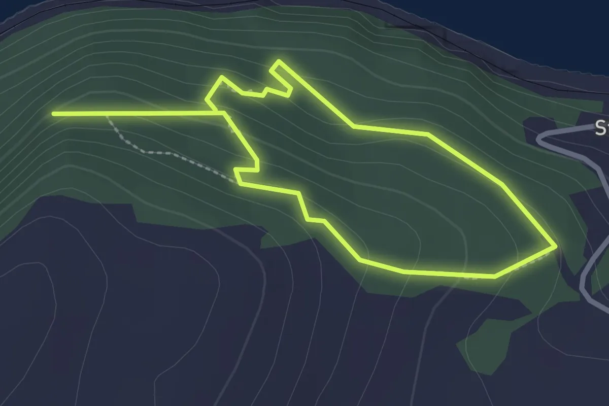
Easy · Trail
Strome Woodland Trail
3.2 km · ↑ 167 m · 1 h 7 min
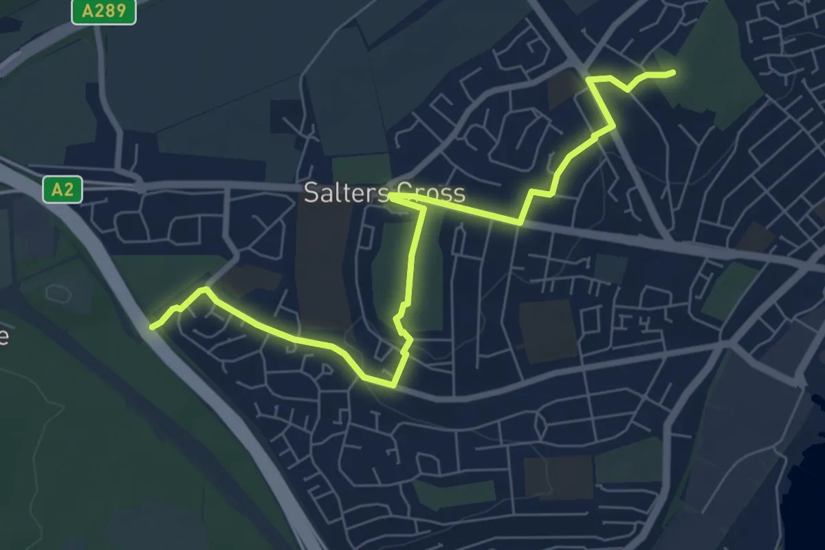
Easy · Summit
Strood Community Trail
7.0 km · ↑ 144 m · 1 h 58 min
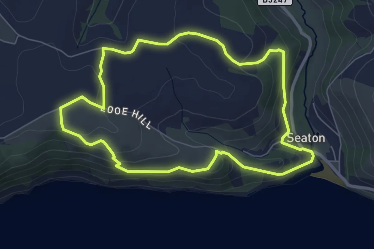
Easy · Trail
Struddicks circular walk, Lansallos
4.9 km · ↑ 167 m · 1 h 35 min
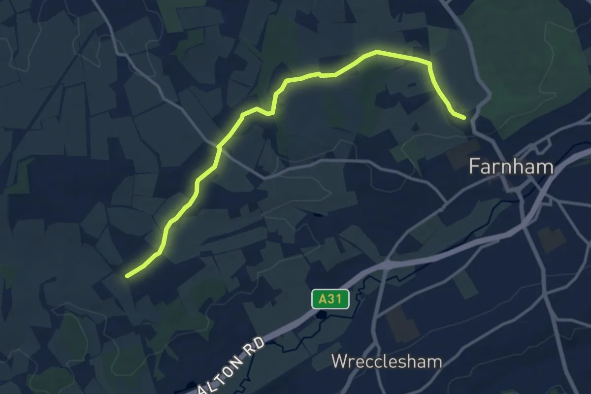
Medium · Trail
St Swithun's Way
9.7 km · ↑ 163 m · 2 h 39 min
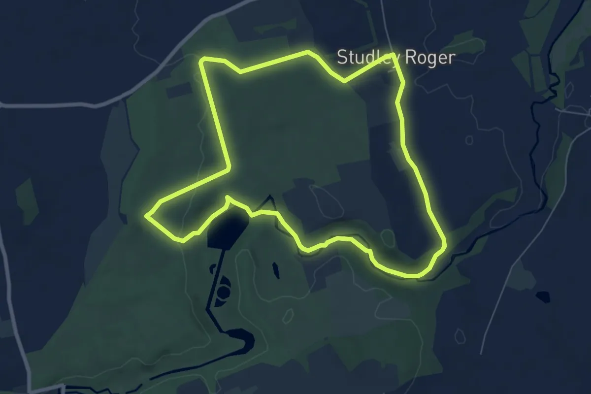
Easy · Trail
Studley Park, Water Gardens and Fountains Abbey Walk
6.0 km · ↑ 89 m · 1 h 42 min
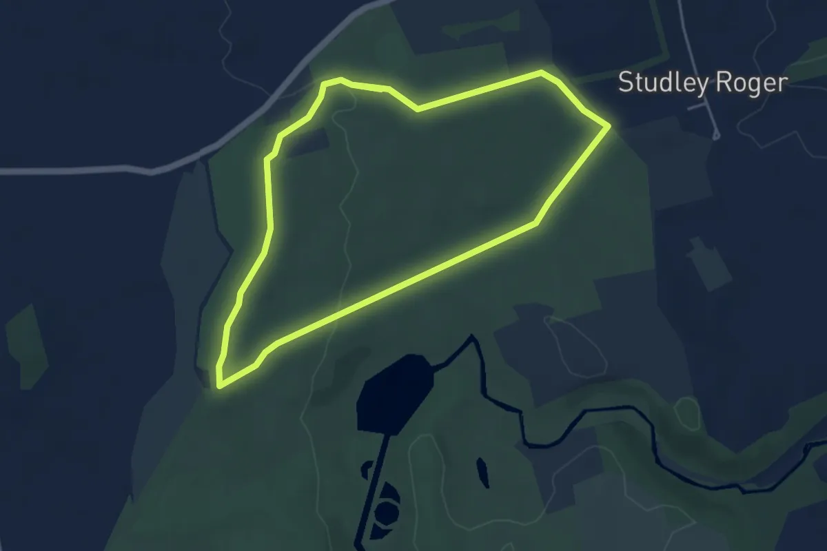
Easy · Trail
Studley Royal Deer Park Walk, Fountains Abbey
3.7 km · ↑ 58 m · 1 h 3 min
Easy · Trail
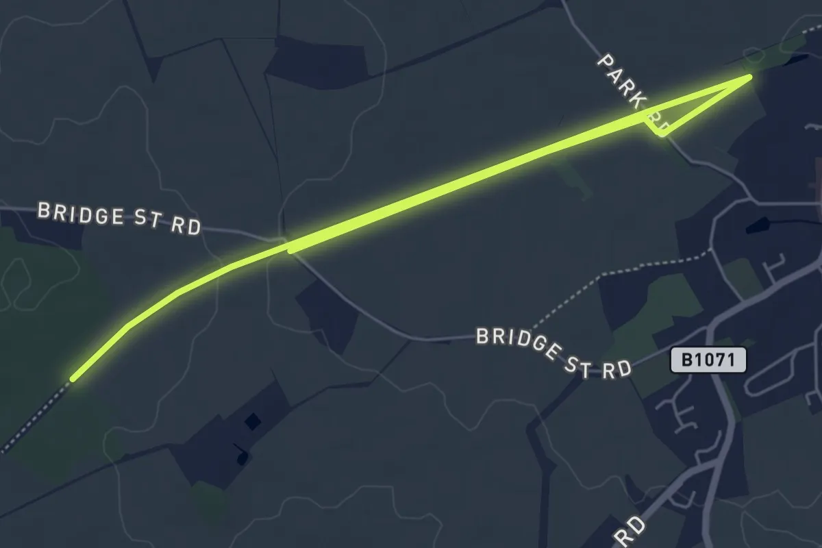
Suffolk Threads Heritage Trail
7.1 km · ↑ 38 m · 1 h 45 min
Easy · Trail
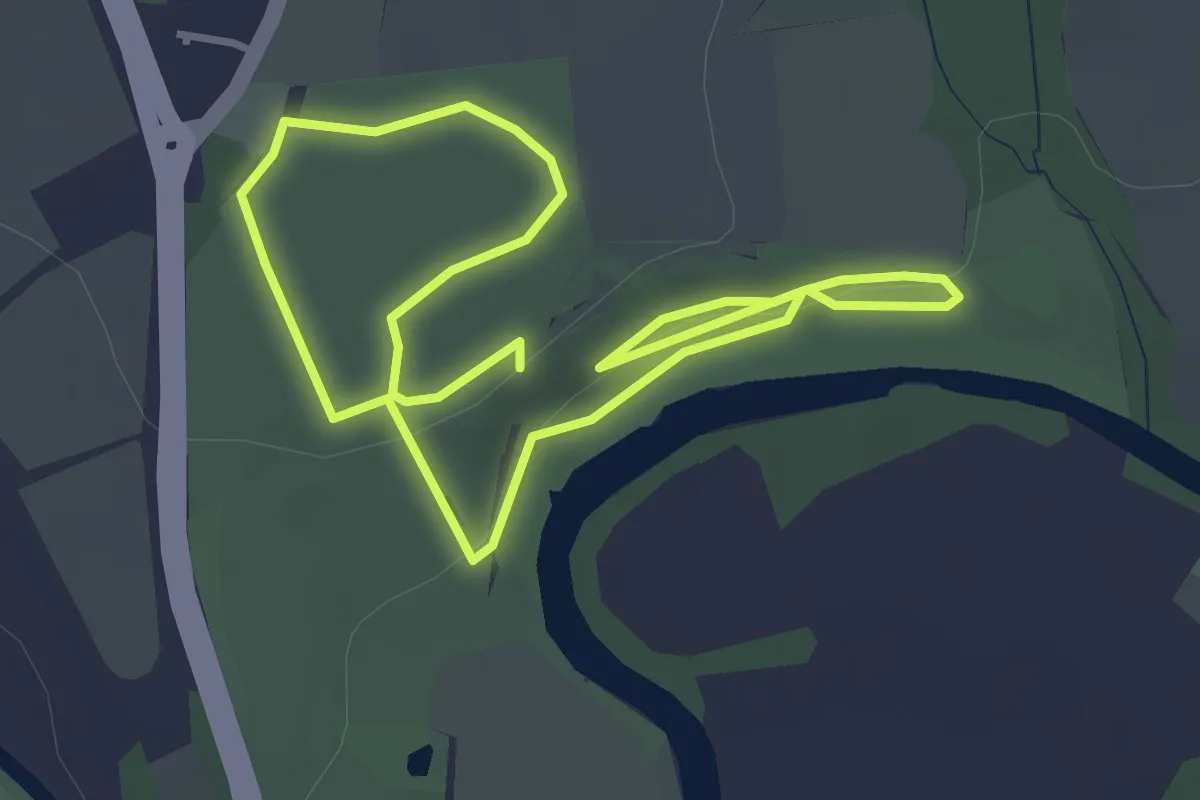
Sulphur and Salt Trail
2.7 km · ↑ 32 m · 45 min
Easy · Summit
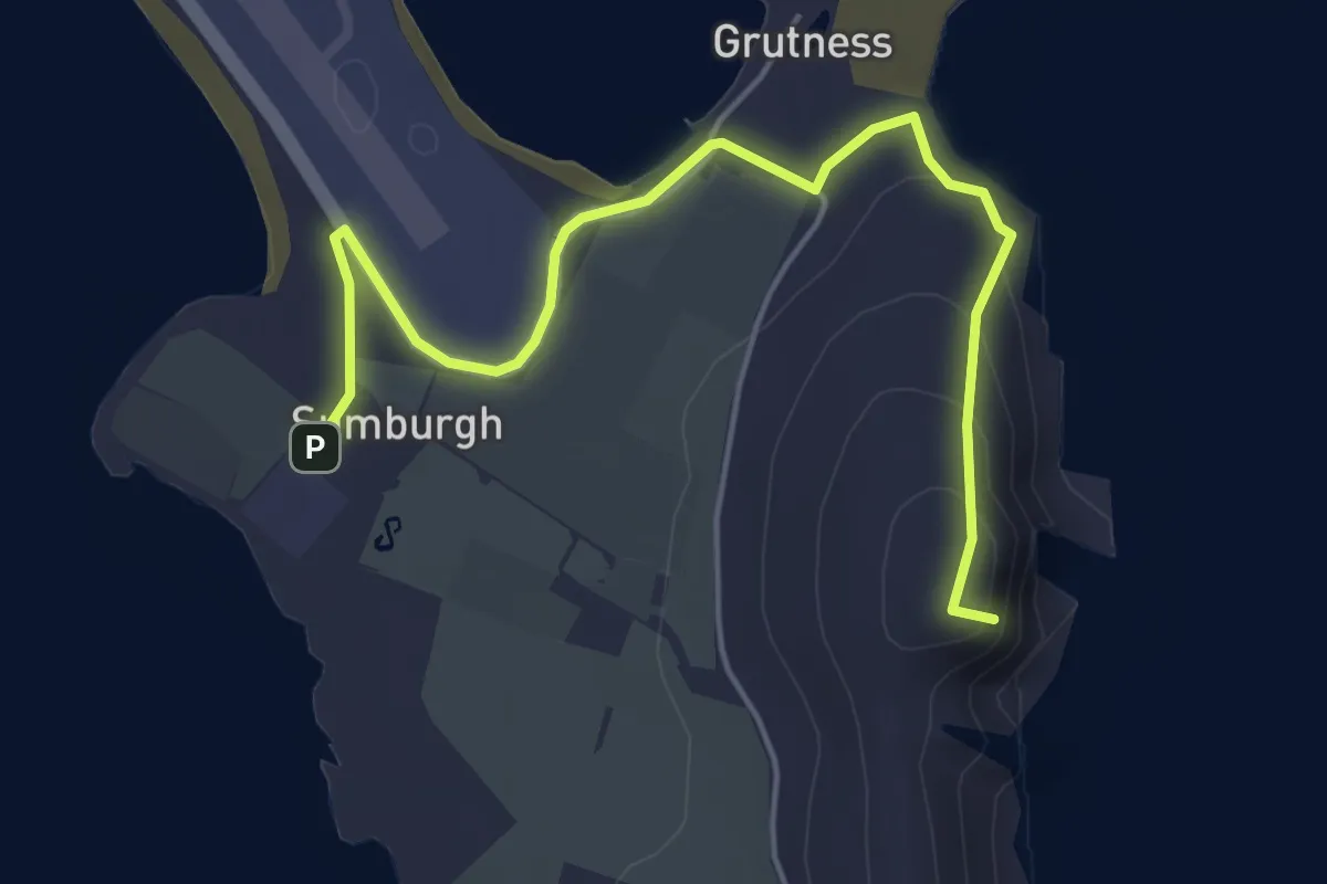
Sumburgh Head to Grutness
4.0 km · ↑ 100 m · 1 h 10 min
Easy · Trail
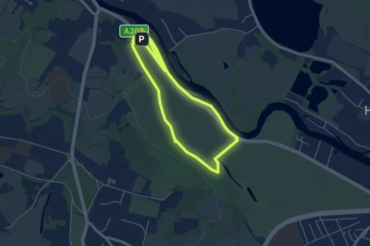
Summer Route, Runnymede
4.1 km · ↑ 11 m · 1 h 2 min
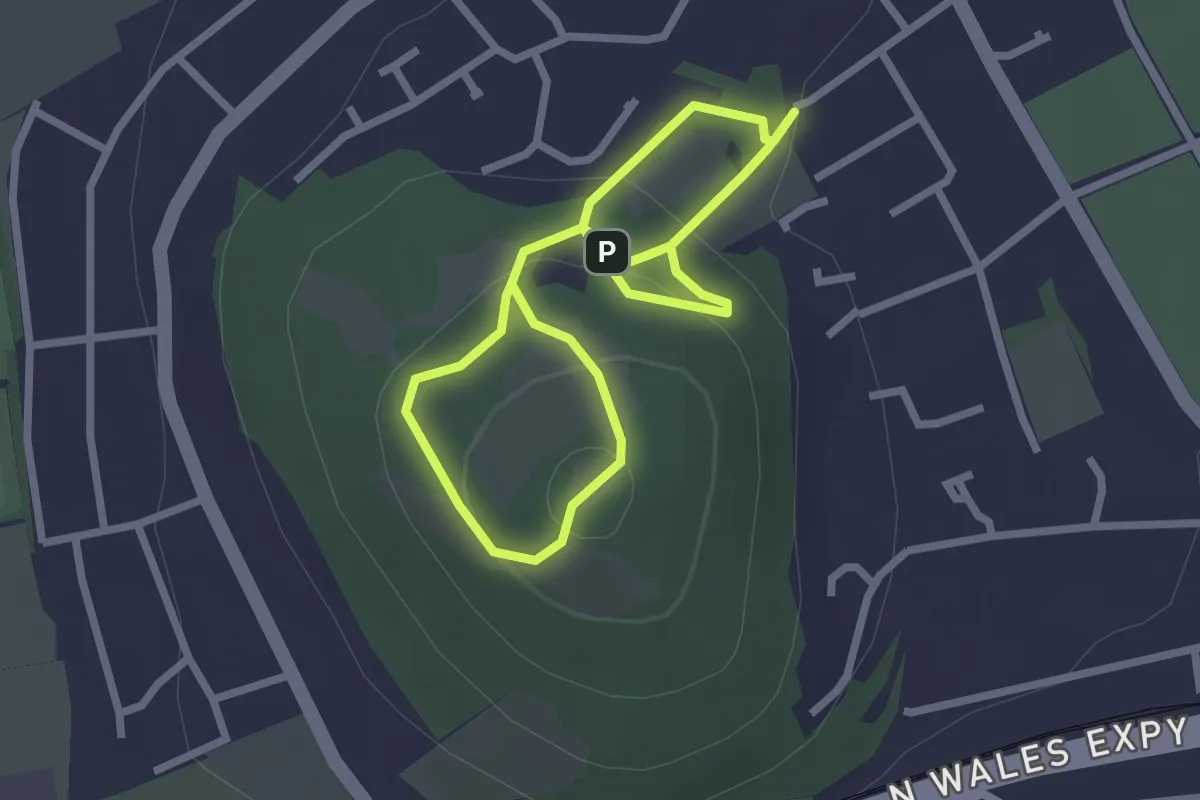
Easy · Summit
Summit Trail
1.8 km · ↑ 99 m · 40 min
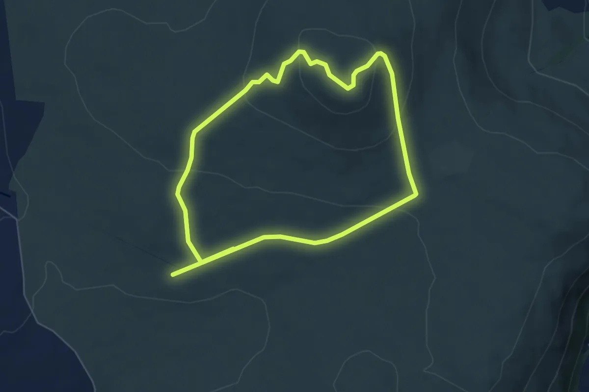
Easy · Summit
Summit Trail, Belfast Area
4.6 km · ↑ 173 m · 1 h 31 min
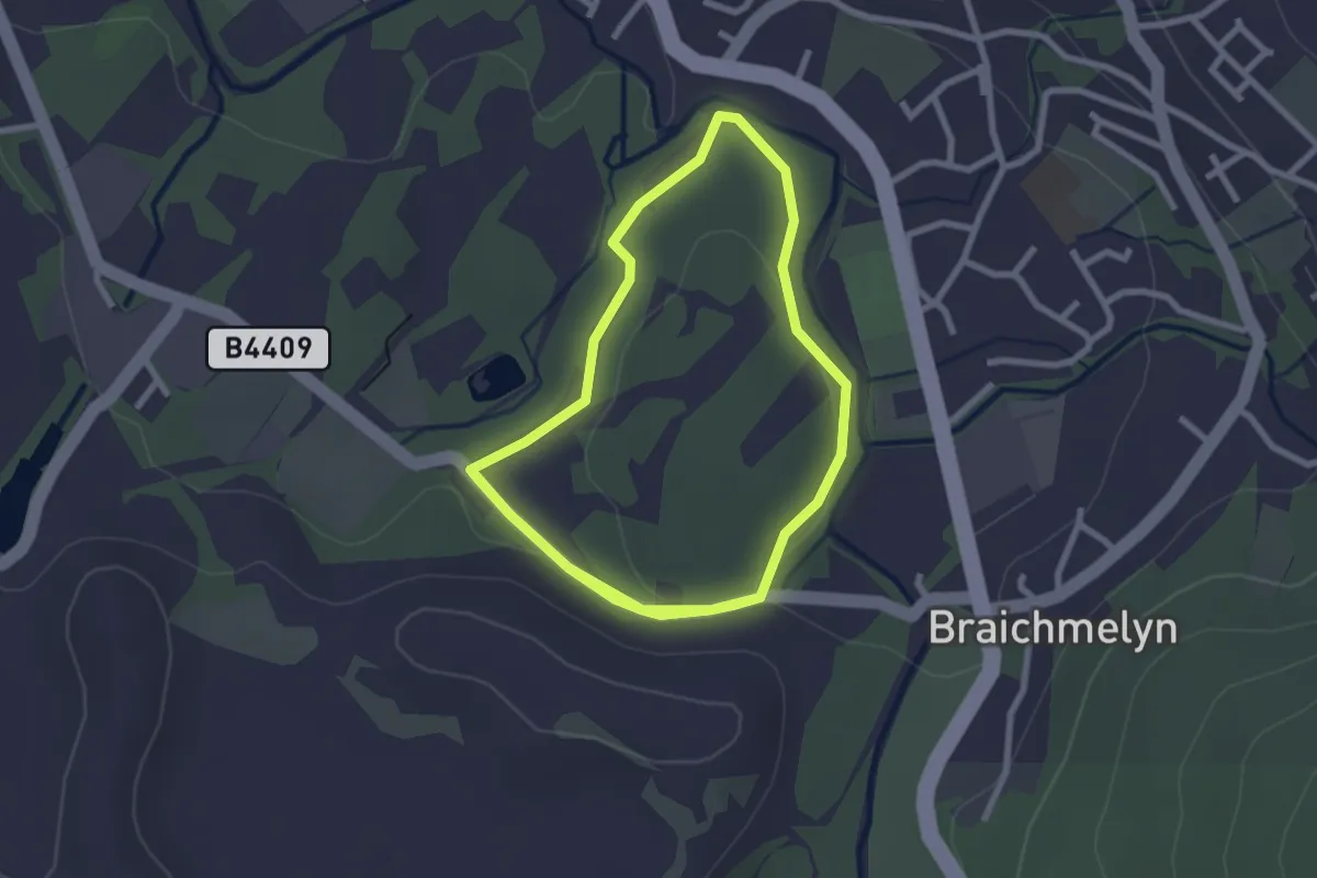
Easy · Trail
Surgeons Walk
4.6 km · ↑ 49 m · 1 h 11 min
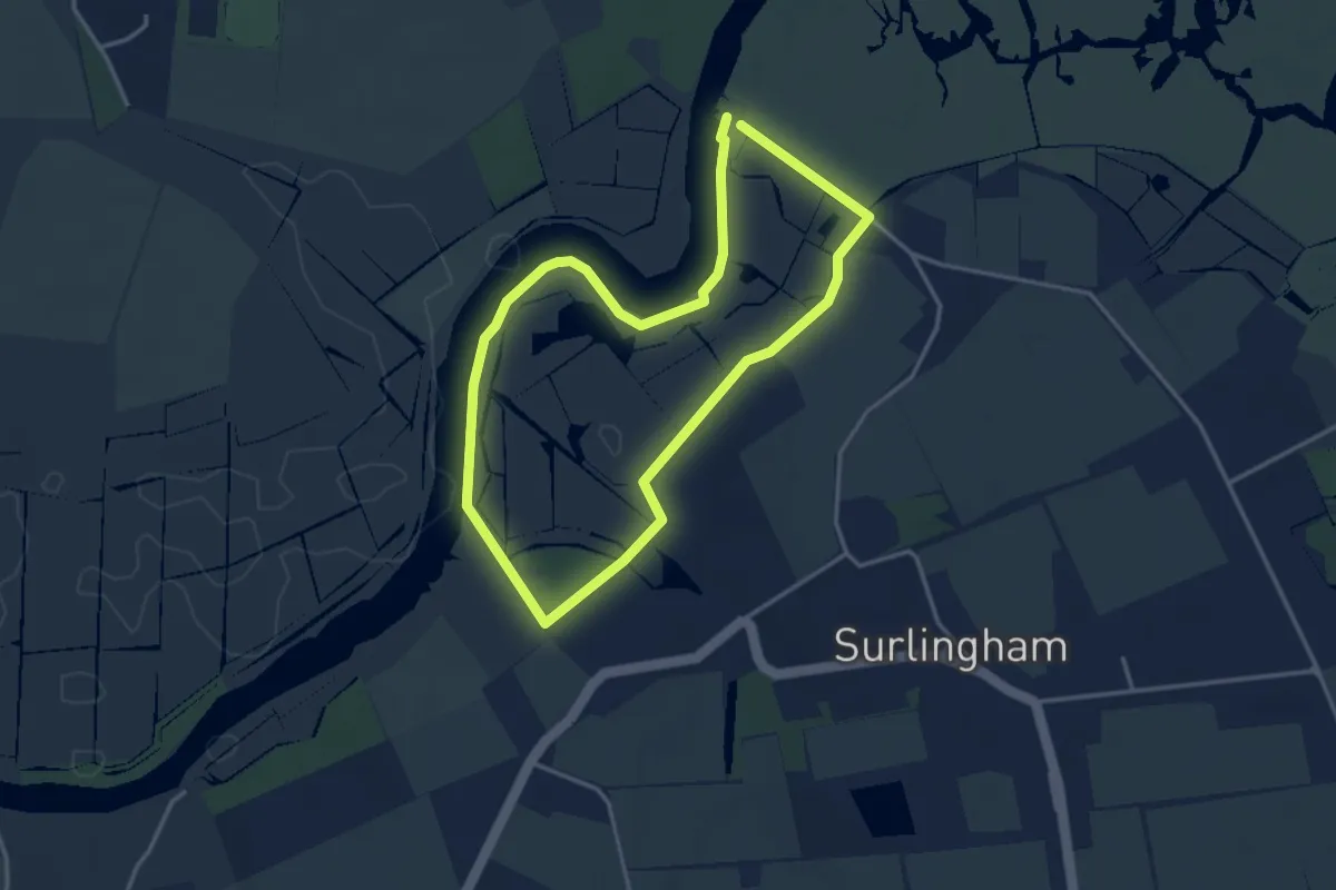
Easy · Trail
Surlingham Circular
3.0 km · ↑ 9 m · 46 min
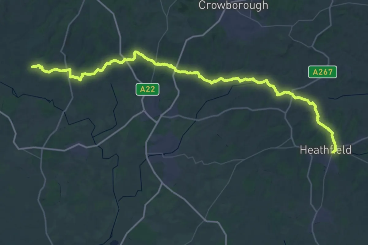
Demanding · Trail
Sussex Diamond Way
28.1 km · ↑ 677 m · 8 h 26 min
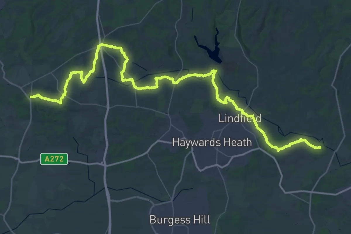
Demanding · Trail
Sussex Ouse Valley Way
30.2 km · ↑ 393 m · 8 h 25 min
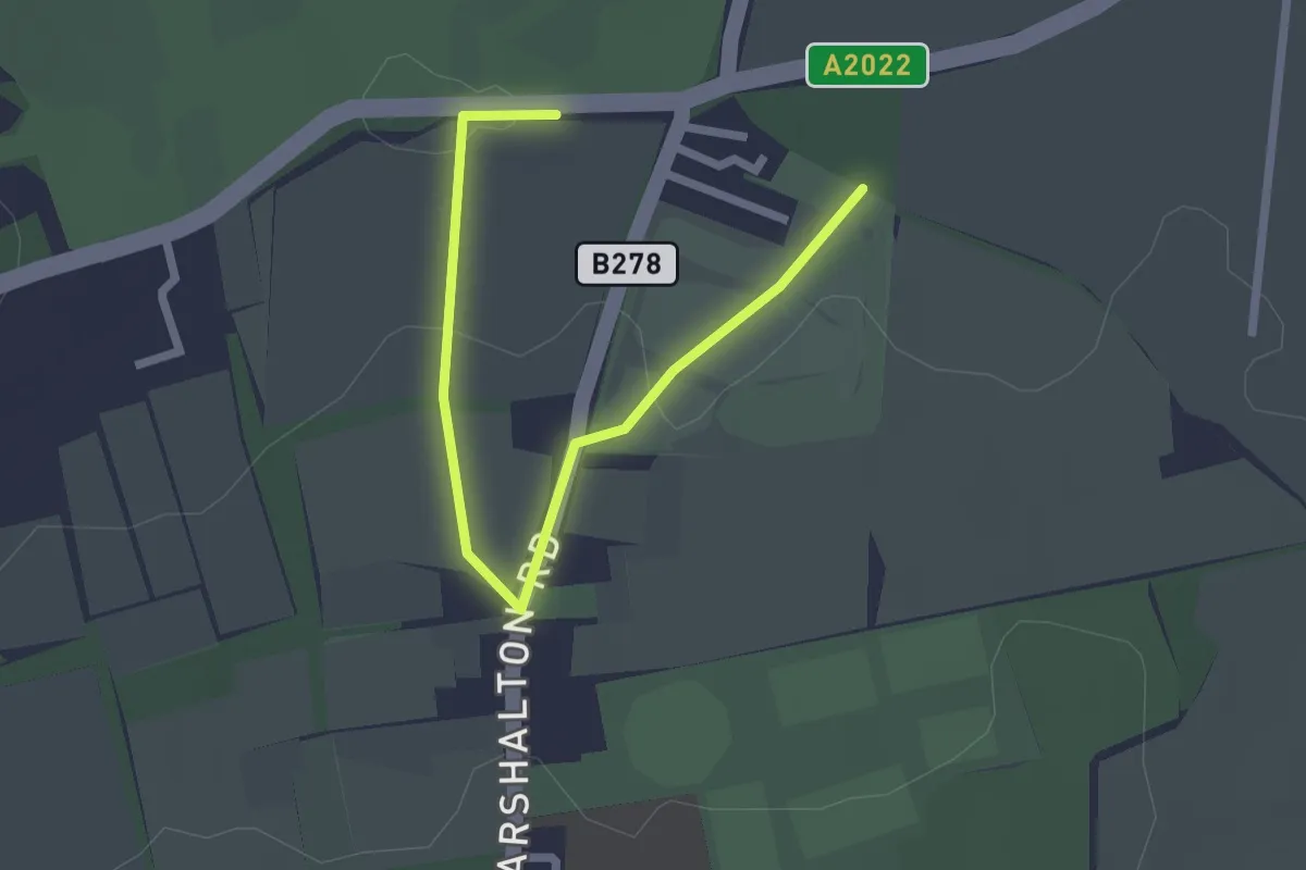
Easy · Trail
Sutton Countryside Walk
2.3 km · ↑ 26 m · 36 min
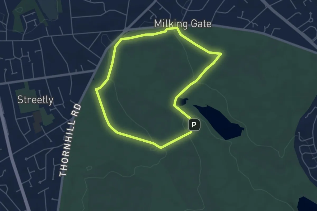
Easy · Trail
Sutton Park Archeology Walk 1: Streetly Gate
3.8 km · ↑ 35 m · 1 h 2 min
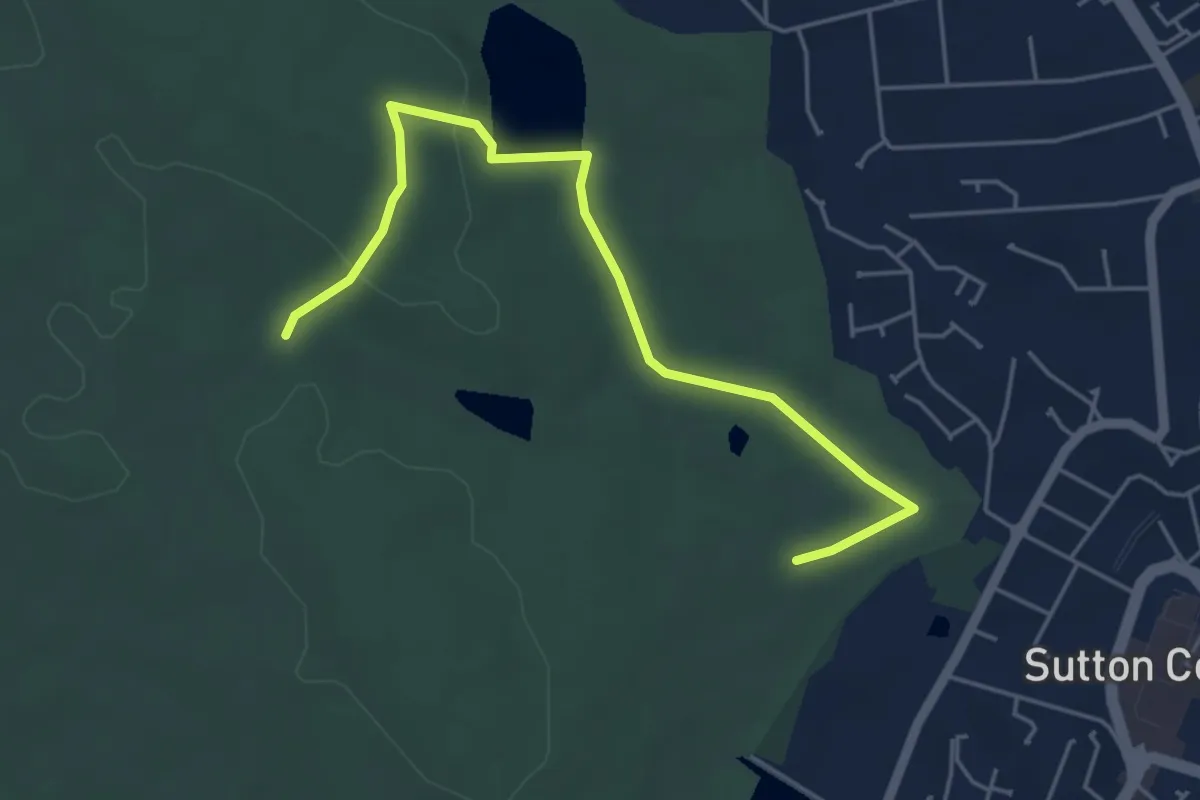
Easy · Trail
Sutton Park Archeology Walk 2: Town Gate
2.3 km · ↑ 23 m · 38 min
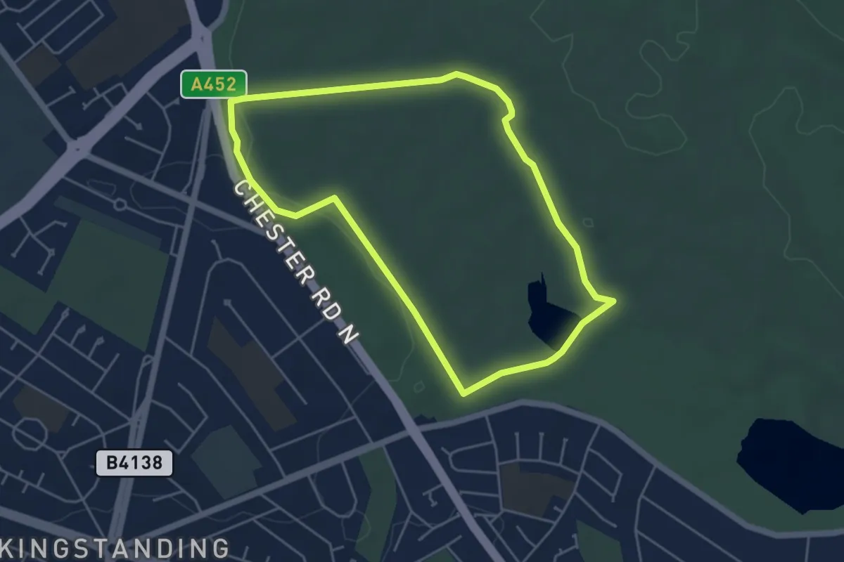
Easy · Trail
Sutton Park Archeology Walk 3: Banners Gate
3.9 km · ↑ 26 m · 1 h 2 min
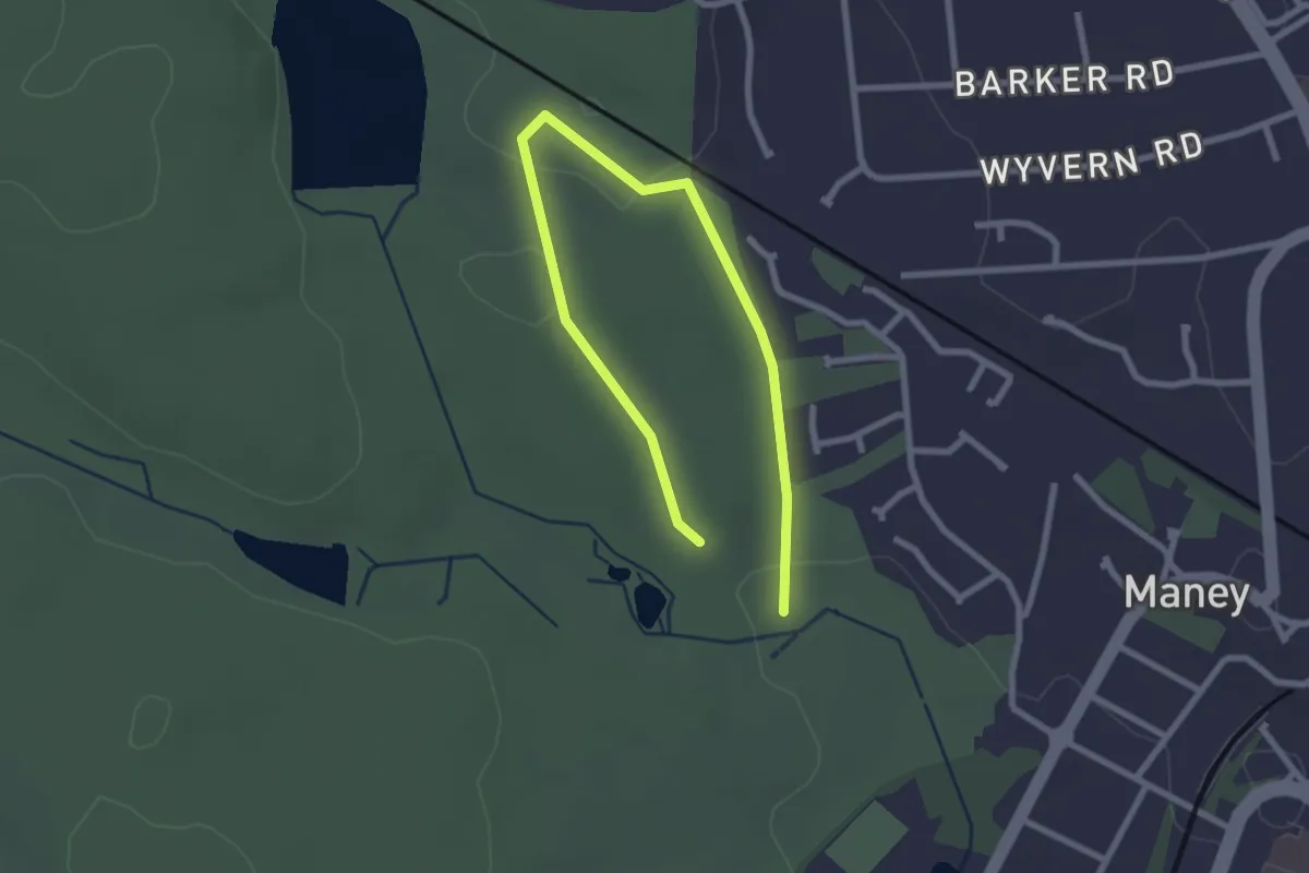
Easy · Trail
Sutton Park Archeology Walk 5: Blackroot Bistro
1.5 km · ↑ 18 m · 25 min
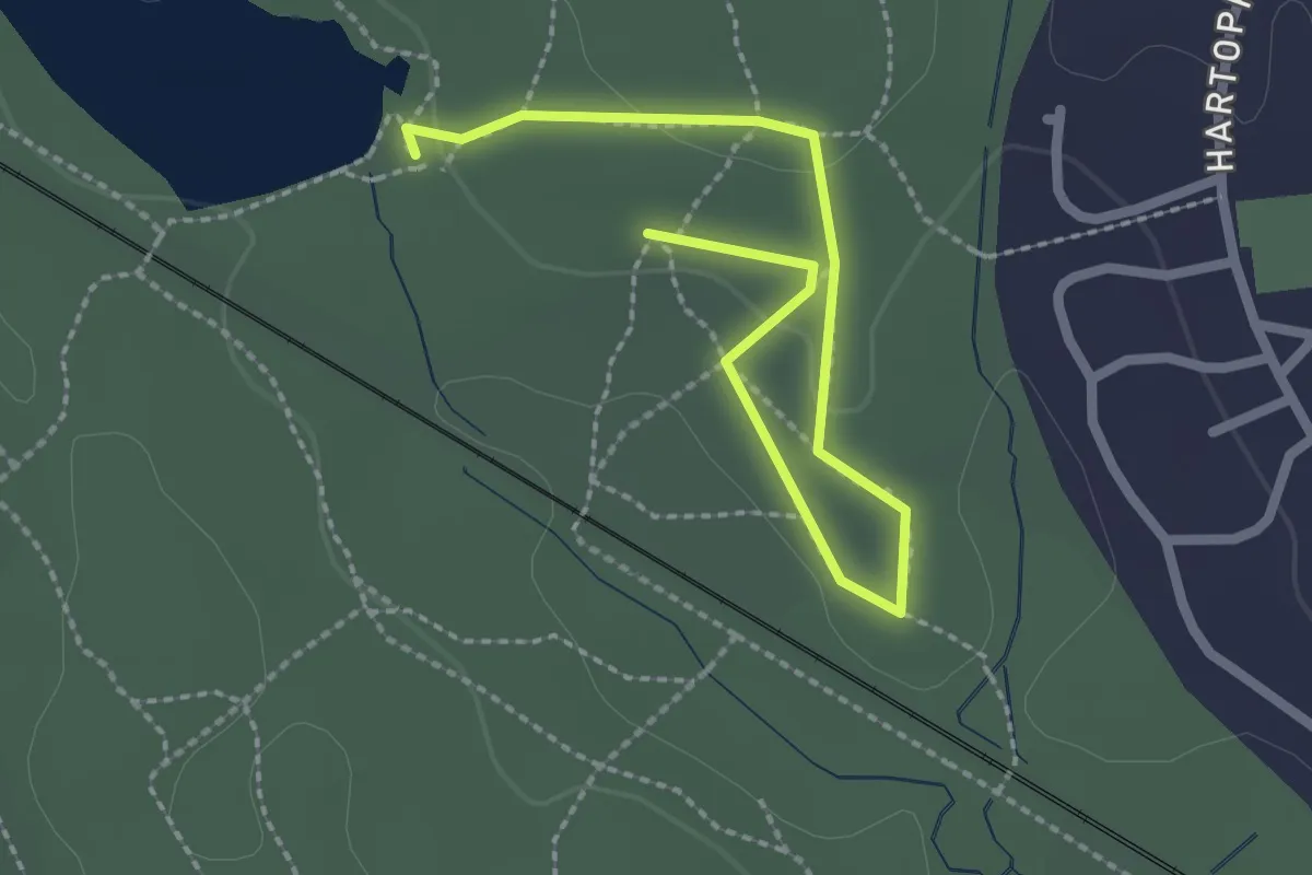
Easy · Trail
Sutton Park Archeology Walk 6: Bracebridge Pool
1.3 km · ↑ 18 m · 21 min
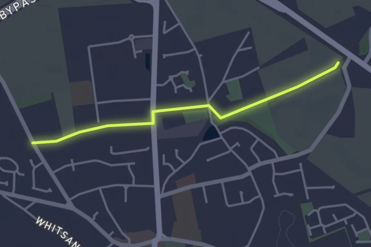
Easy · Trail
Swaefas Way
2.7 km · ↑ 12 m · 40 min
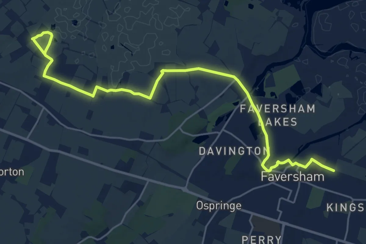
Medium · Trail
Swale Heritage Trail
17.4 km · ↑ 95 m · 4 h 19 min
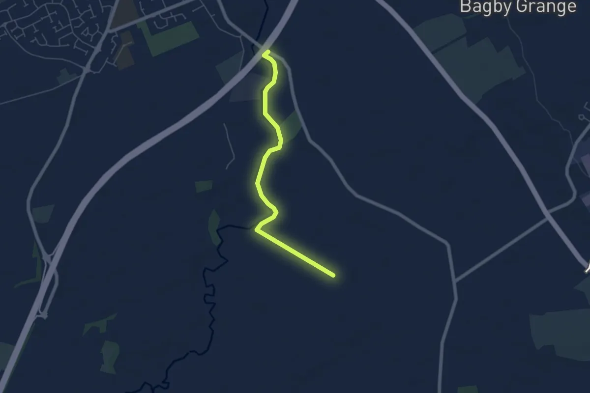
Easy · Trail
Swale Way
4.5 km · ↑ 8 m · 1 h 5 min
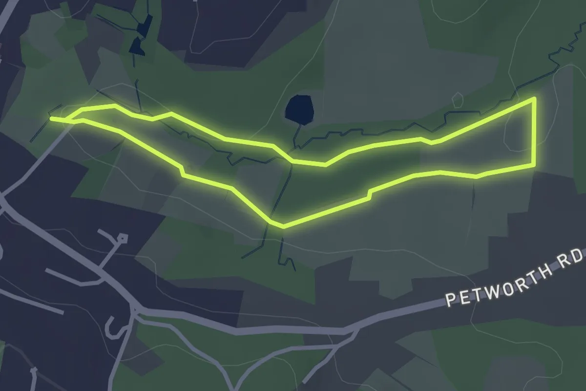
Easy · Trail
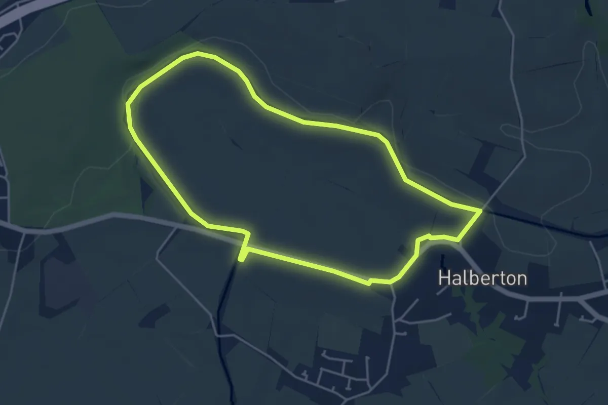
Swan Barn Farm Well, Woodland and Meadow Walk, Black Down
2.3 km · ↑ 32 m · 39 min
Easy · Trail
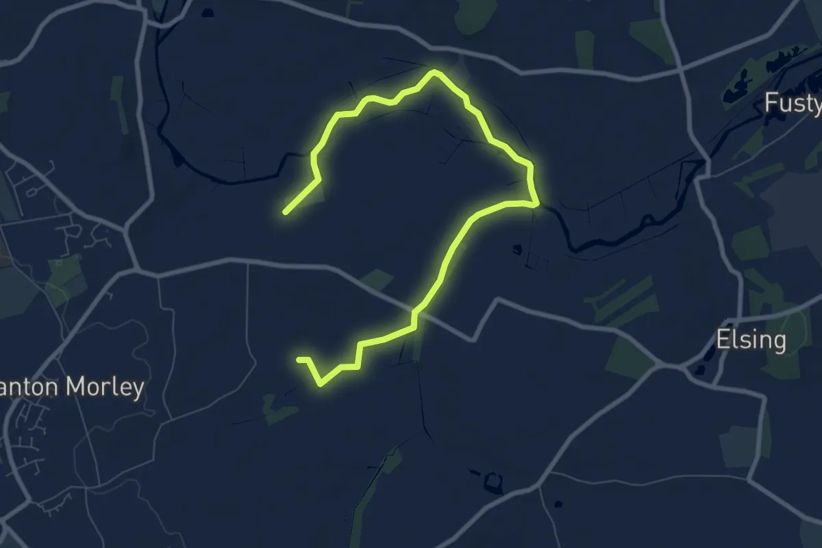
Swan's Neck
3.8 km · ↑ 19 m · 59 min
Easy · Trail
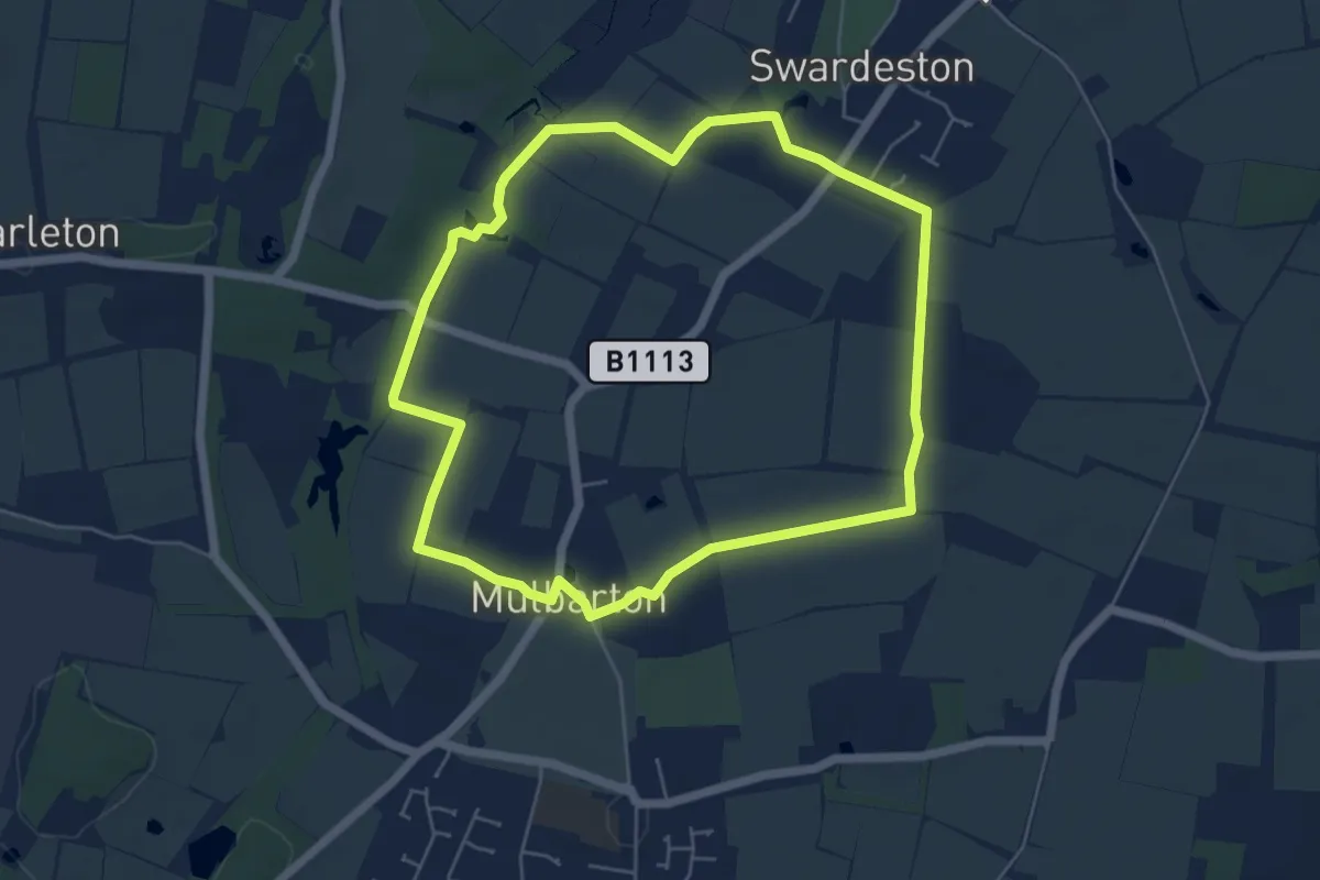
Swanton Morley Circular
4.2 km · ↑ 8 m · 1 h 5 min
Easy · Trail
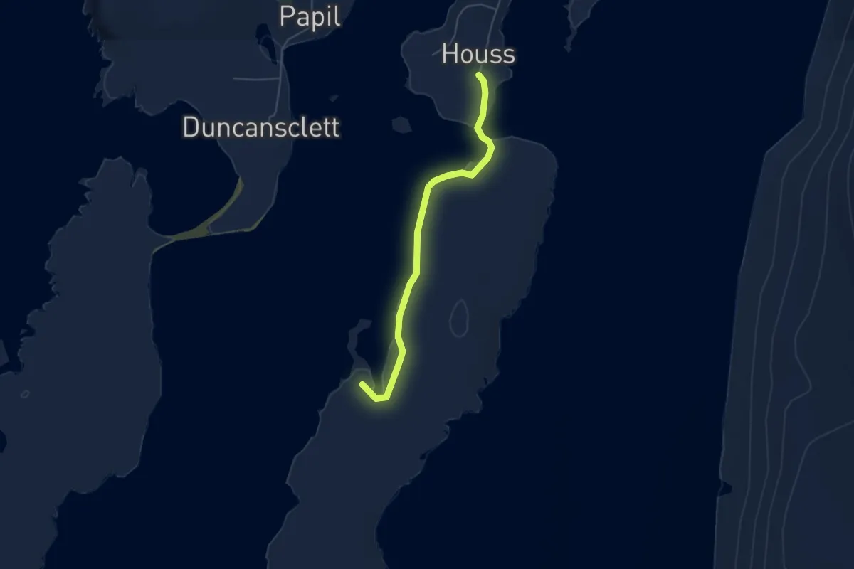
Swardeston’s Trail of Two Commons
4.9 km · ↑ 21 m · 1 h 16 min
Easy · Trail
Symbister
3.5 km · ↑ 19 m · 52 min
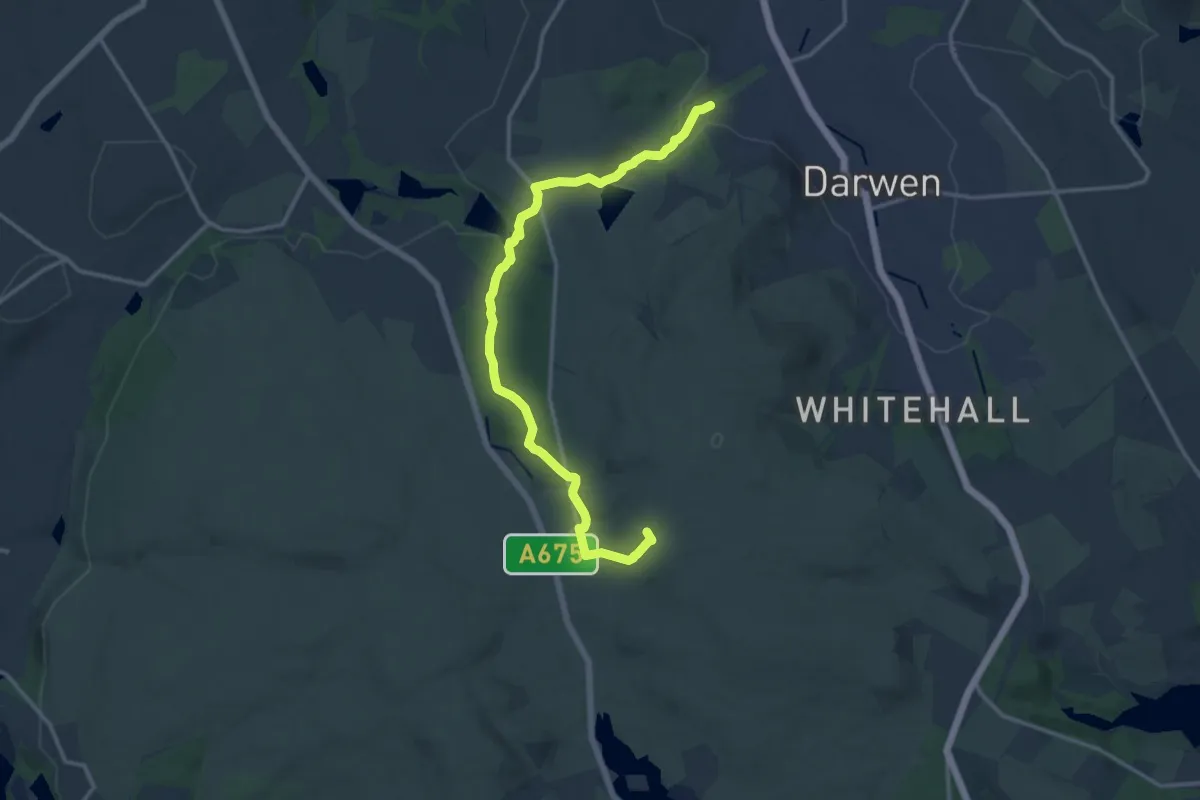
Medium · Summit
Tacklers Trail - Witton Weavers Way
13.3 km · ↑ 415 m · 4 h 3 min
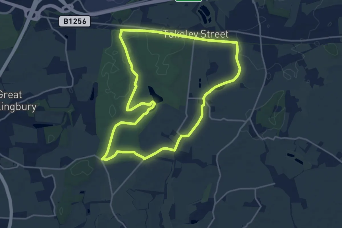
Medium · Trail
Takeley to Wall Wood Circular Walk, Hatfield Forest
11.0 km · ↑ 55 m · 2 h 52 min
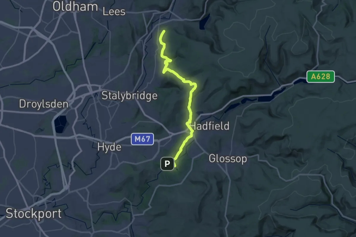
Medium · Trail
Tameside Trail (East - Broadbottom to Mossley)
15.0 km · ↑ 443 m · 4 h 39 min
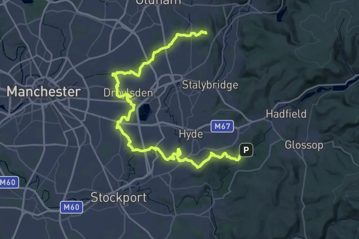
Demanding · Summit
Tameside Trail (West - Broadbottom to Mossley)
65.7 km · ↑ 831 m · 17 h 18 min