Trails in United Kingdom
3,857 hiking trails, each with its route, climb, walking time and grade.
All trails, page 66 of 81
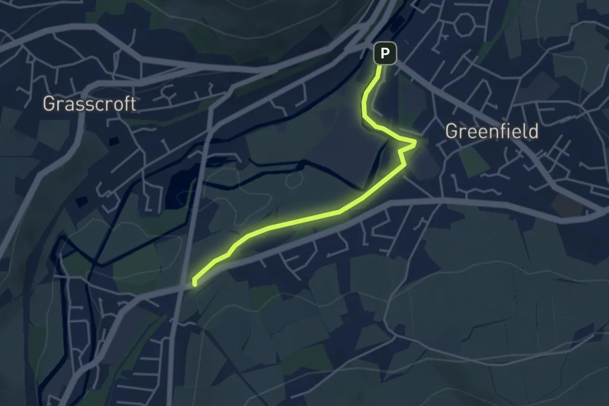
Easy · Trail
Tameside Way
3.3 km · ↑ 23 m · 49 min
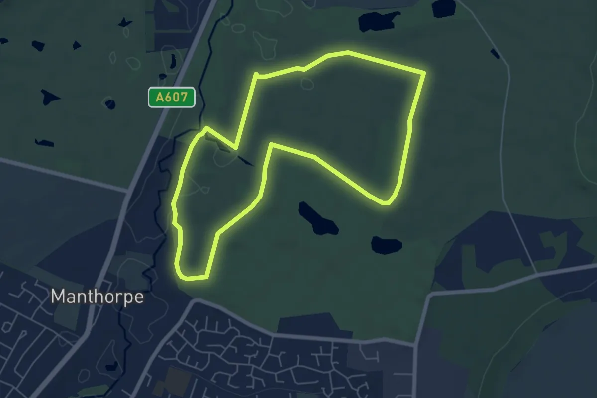
Easy · Trail
Tamper and Walk Trail, Belton House
5.1 km · ↑ 30 m · 1 h 21 min
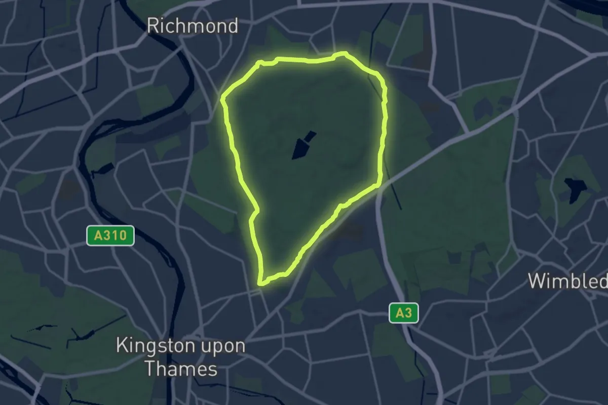
Medium · Trail
Tamsin Trail - hiking
11.4 km · ↑ 83 m · 3 h 2 min
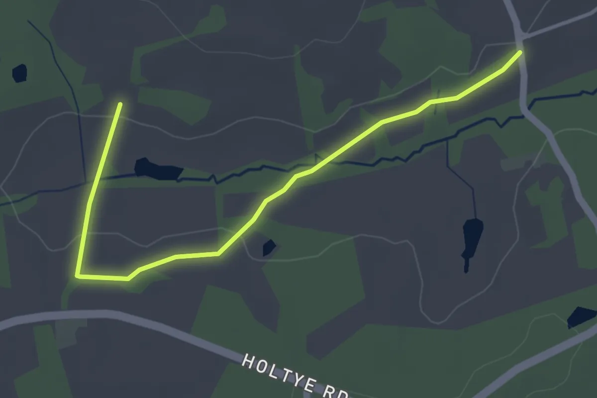
Easy · Trail
Tandridge Border Path
3.5 km · ↑ 31 m · 53 min
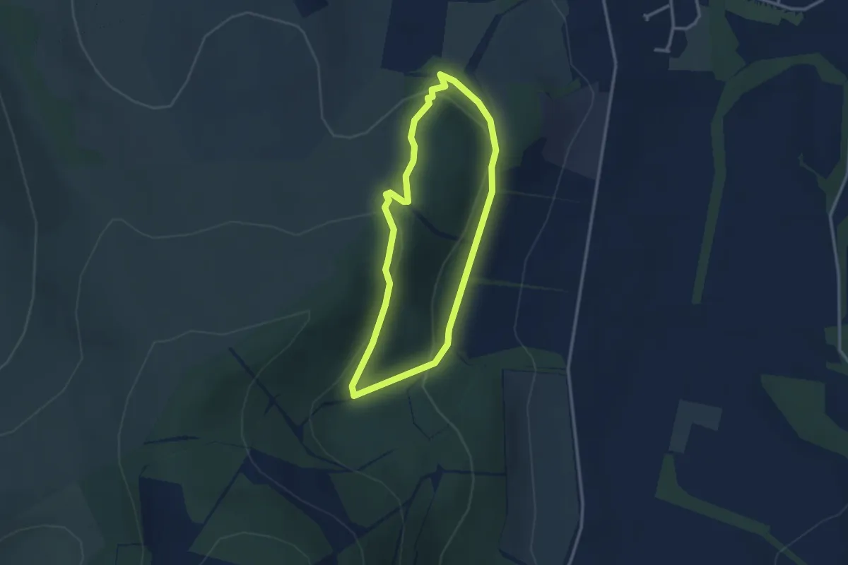
Easy · Trail
Tantah's Trail
2.1 km · ↑ 77 m · 42 min
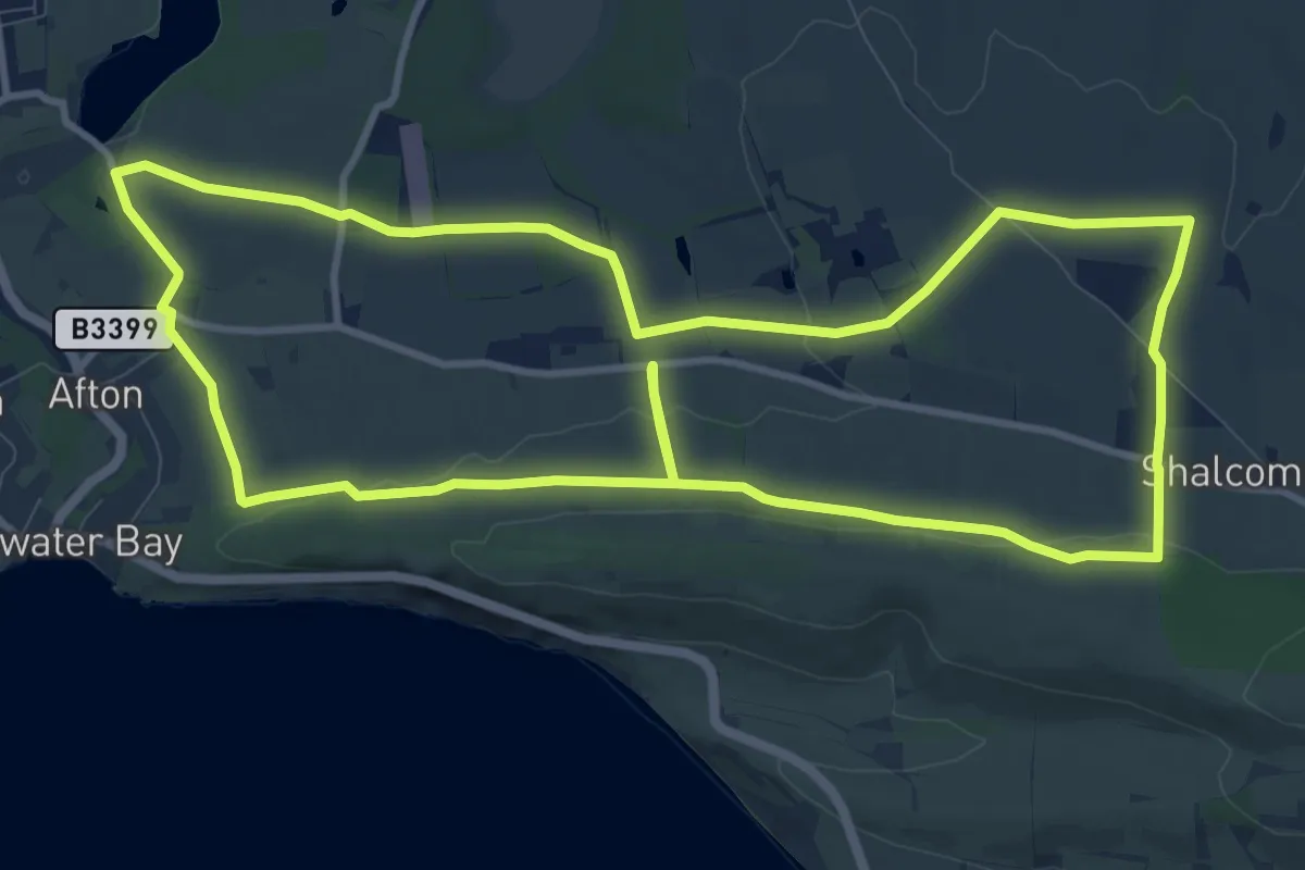
Medium · Trail
Tapnell Trail
10.8 km · ↑ 145 m · 3 h 1 min
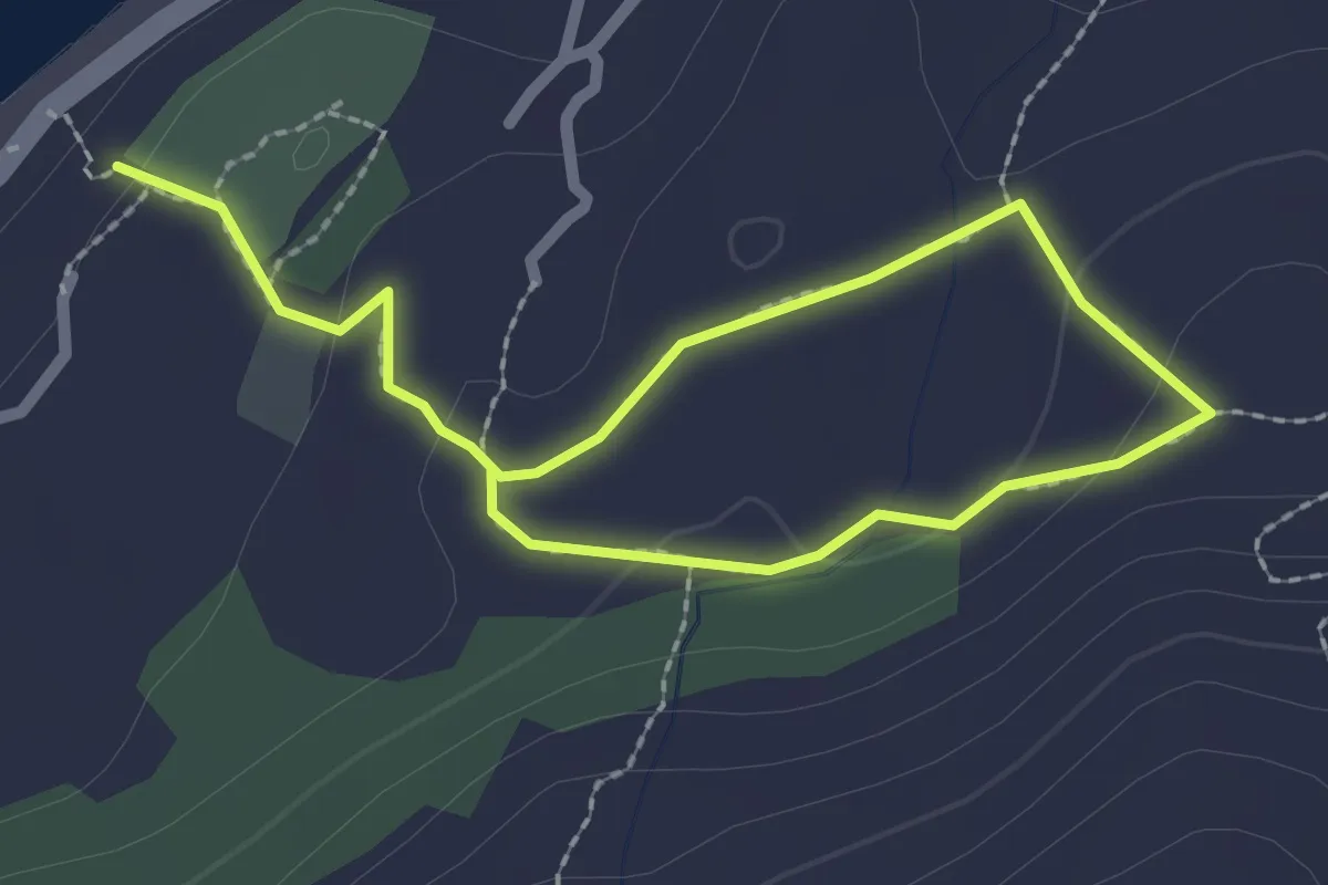
Easy · Trail
Tarbert Castle Trail
1.4 km · ↑ 42 m · 25 min
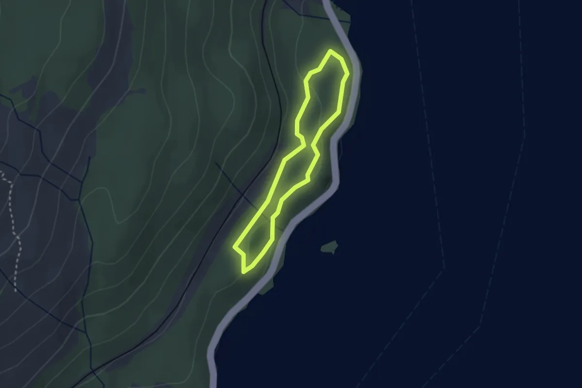
Easy · Trail
Tarbet Isle Loop
1.8 km · ↑ 48 m · 33 min
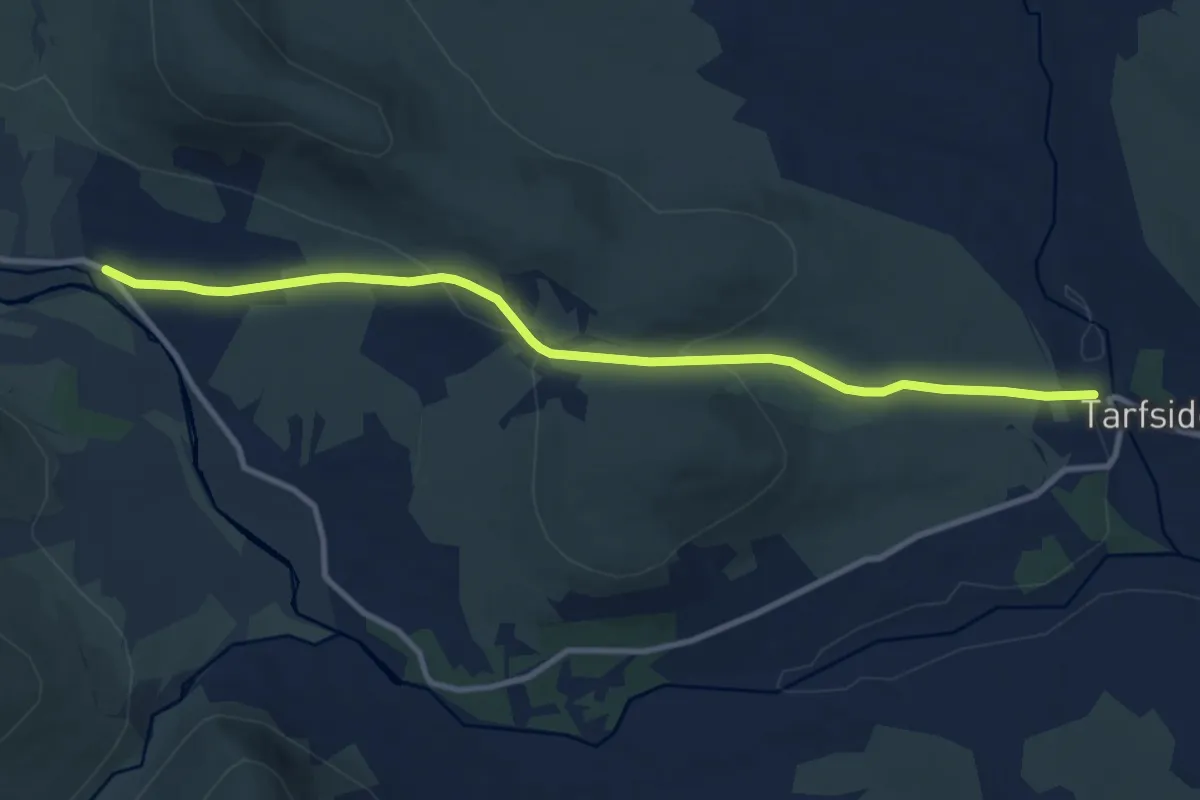
Medium · Trail
Tarfside to Invermark Path
8.6 km · ↑ 195 m · 2 h 28 min
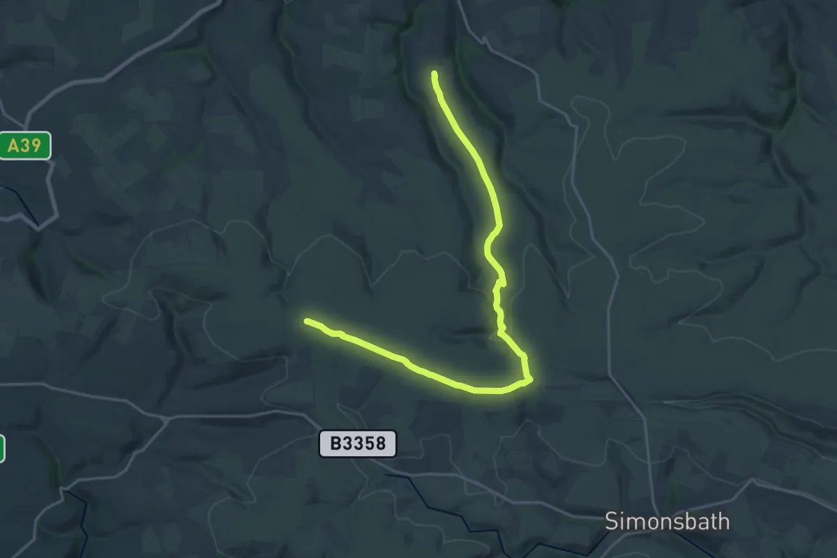
Demanding · Summit
Tarka Trail
18.8 km · ↑ 307 m · 5 h 7 min
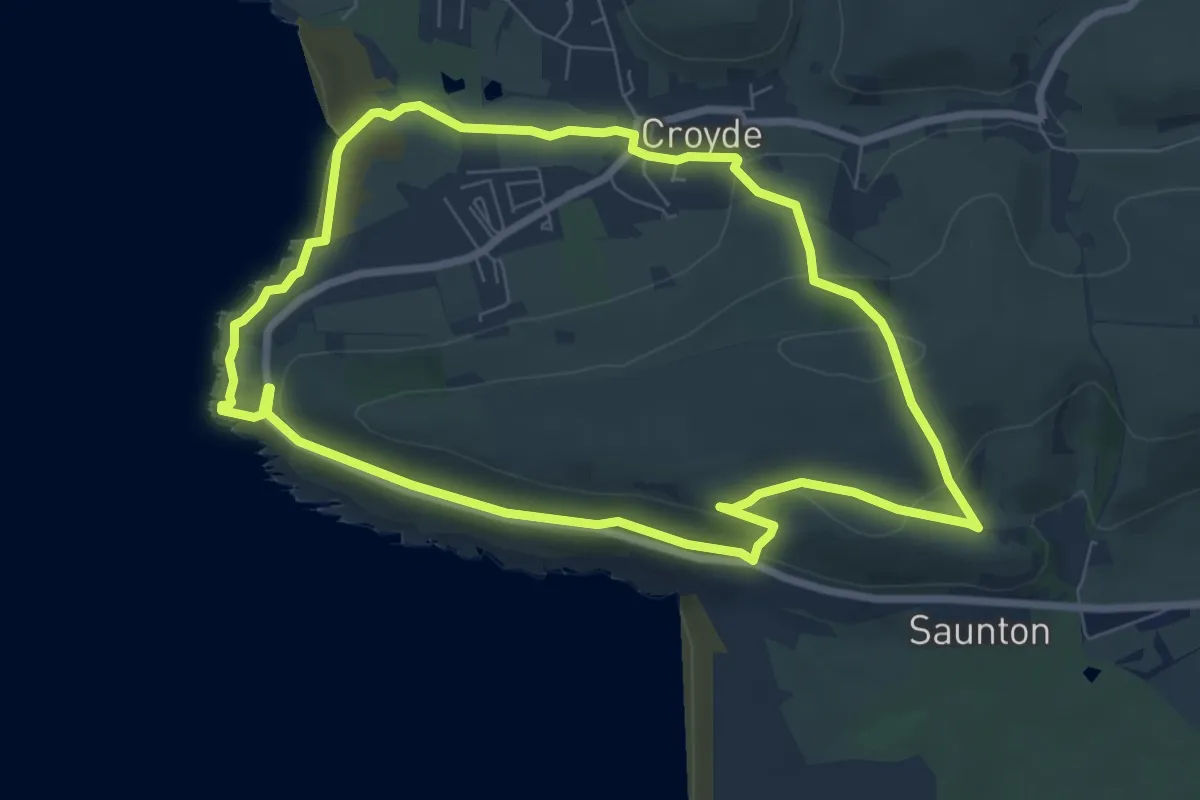
Easy · Trail
Tarka Trail - Croyde to Saunton Circular Route
6.8 km · ↑ 200 m · 2 h 8 min
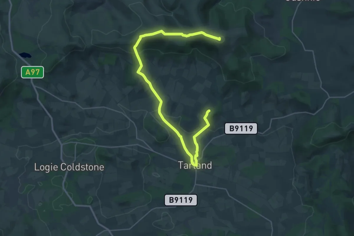
Demanding · Summit
Tarland Skyline
22.4 km · ↑ 704 m · 6 h 48 min
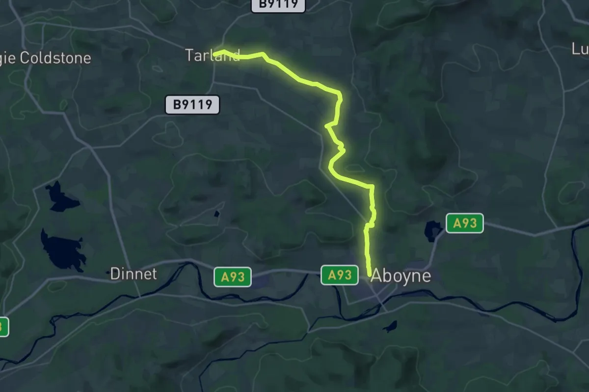
Demanding · Trail
Tarland Way
19.4 km · ↑ 185 m · 4 h 59 min
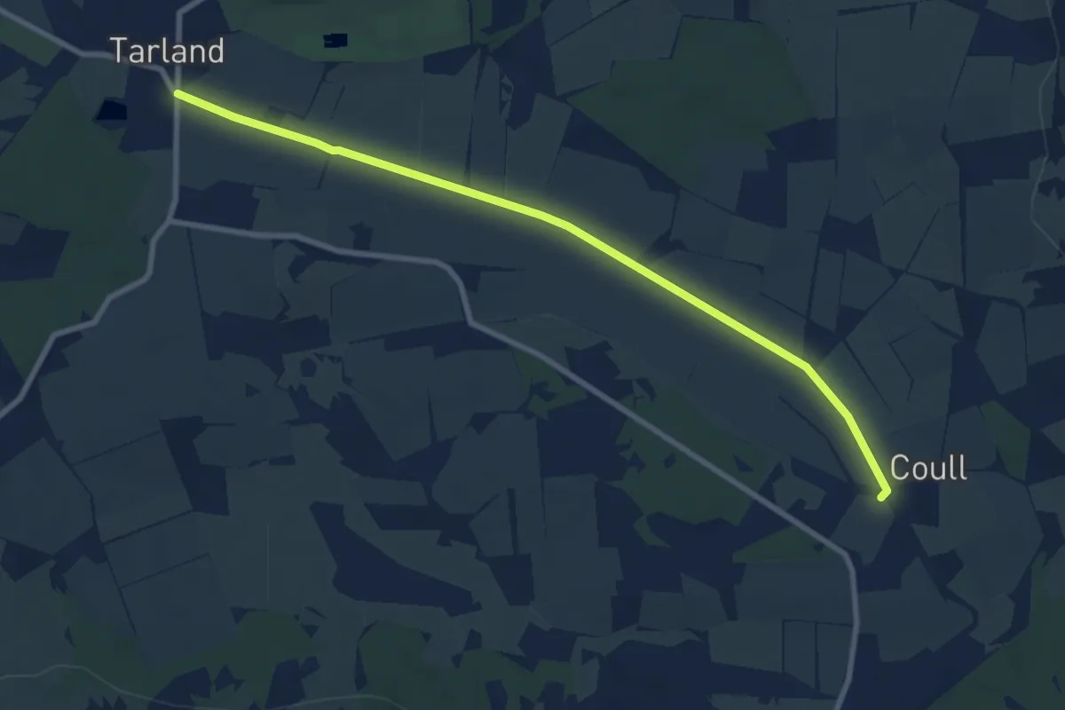
Easy · Trail
Tarland Way (off-road route)
6.9 km · ↑ 12 m · 1 h 40 min
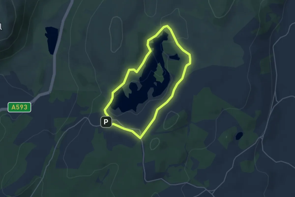
Easy · Trail
Tarn Hows circular walk, Tarn Hows and Coniston, South Lakes Outdoors
2.9 km · ↑ 46 m · 50 min
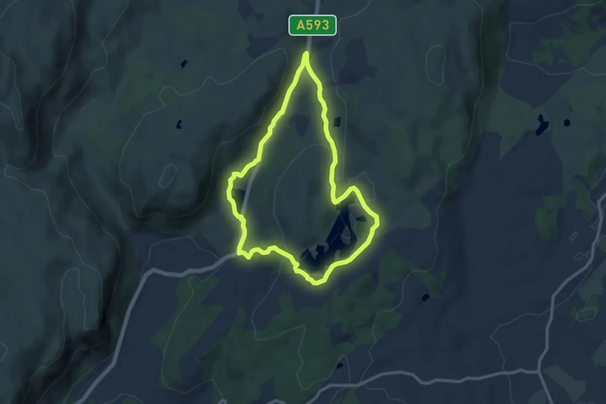
Easy · Trail
Tarn Hows Ranger Run, Tarn Hows and Coniston, South Lakes Outdoors
6.3 km · ↑ 156 m · 1 h 54 min
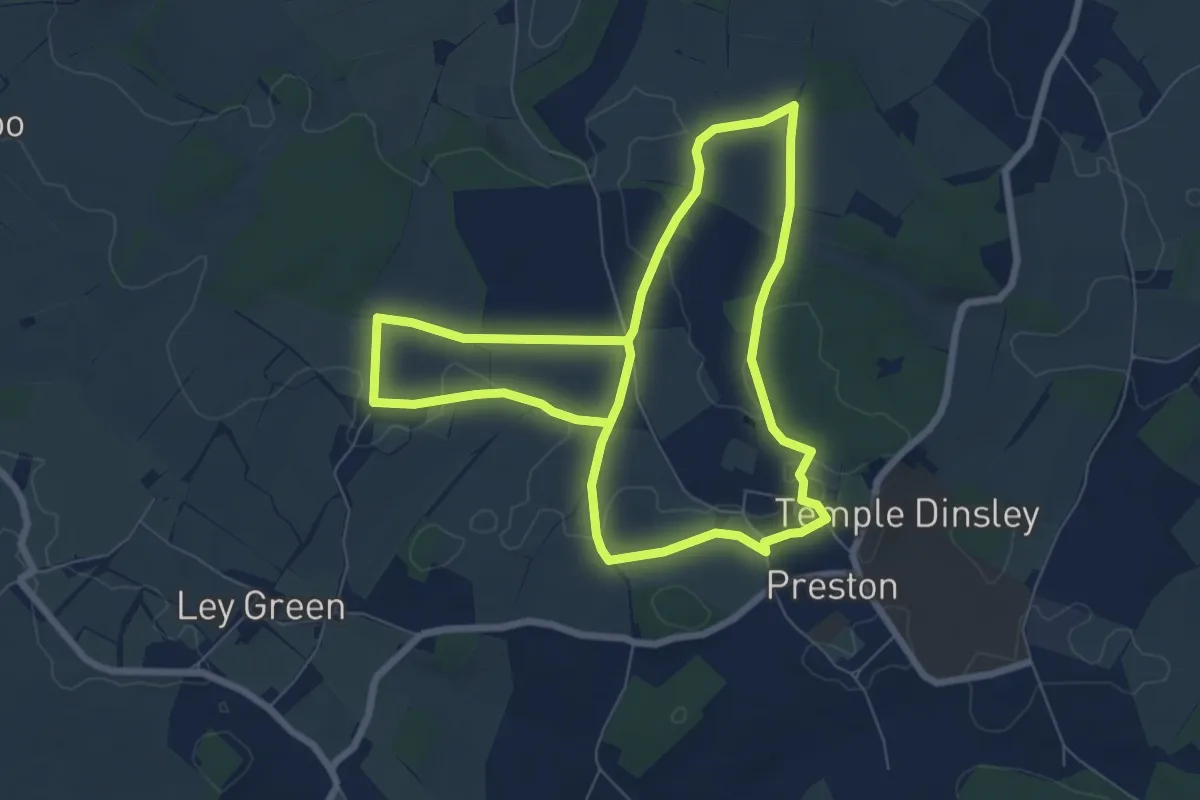
Easy · Trail
Tatmore Hills Loop
6.4 km · ↑ 25 m · 1 h 39 min
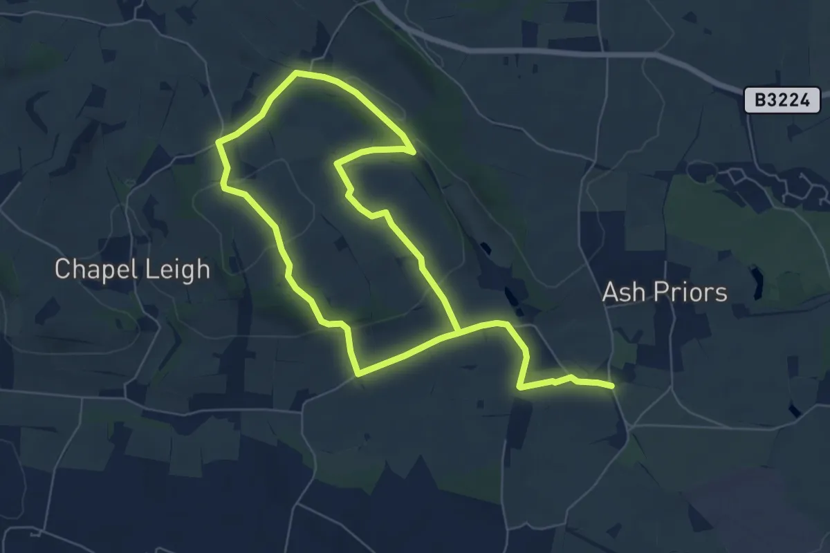
Medium · Trail
Taunton Deane Circular Walk 1
10.6 km · ↑ 278 m · 3 h 6 min
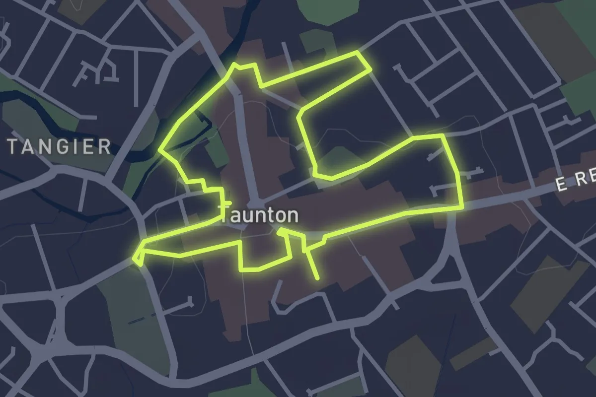
Easy · Trail
Taunton Heritage Trail
2.8 km · ↑ 4 m · 43 min
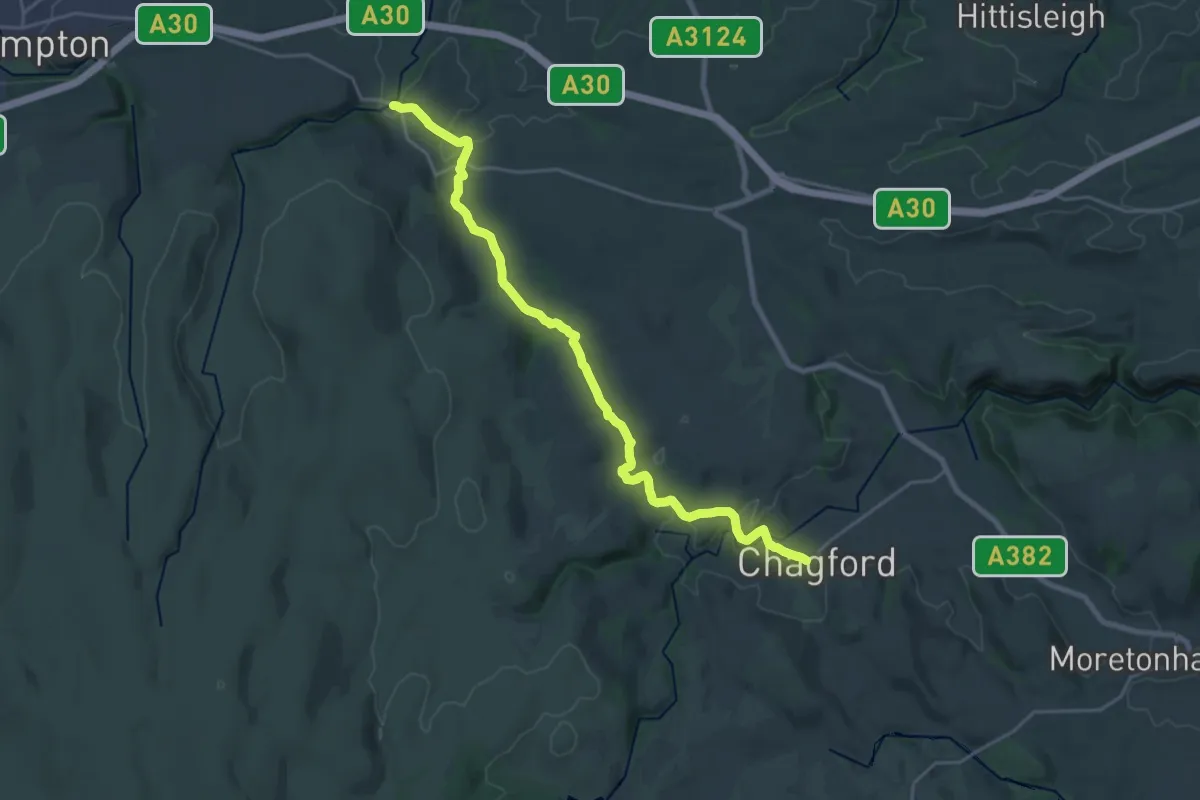
Demanding · Trail
Taw Teign Link
21.3 km · ↑ 494 m · 6 h 6 min
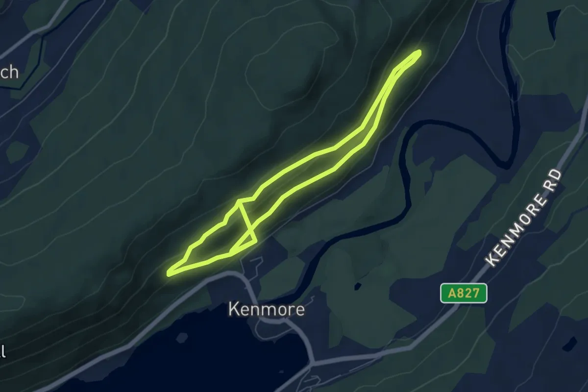
Easy · Trail
Taymouth Trail
5.4 km · ↑ 198 m · 1 h 50 min
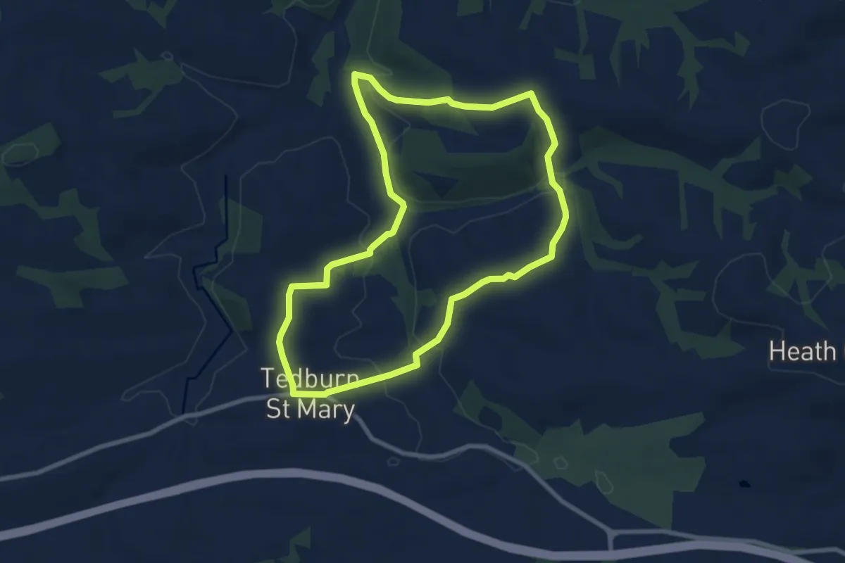
Easy · Trail
Tedbury Circular Walk
7.0 km · ↑ 173 m · 2 h 7 min
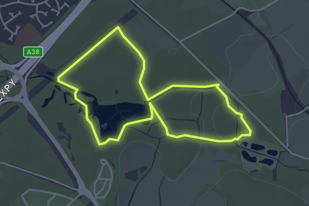
Easy · Trail
Ted Hughes Poetry Trail
3.0 km · ↑ 12 m · 47 min
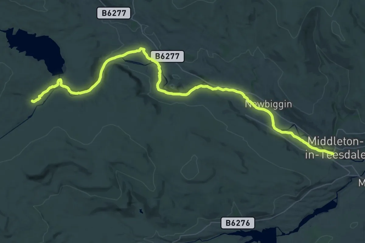
Expert · Trail
Teesdale Way (Dufton to Middleton in Teesdale)
19.8 km · ↑ 105 m · 5 h 19 min
Demanding · Trail
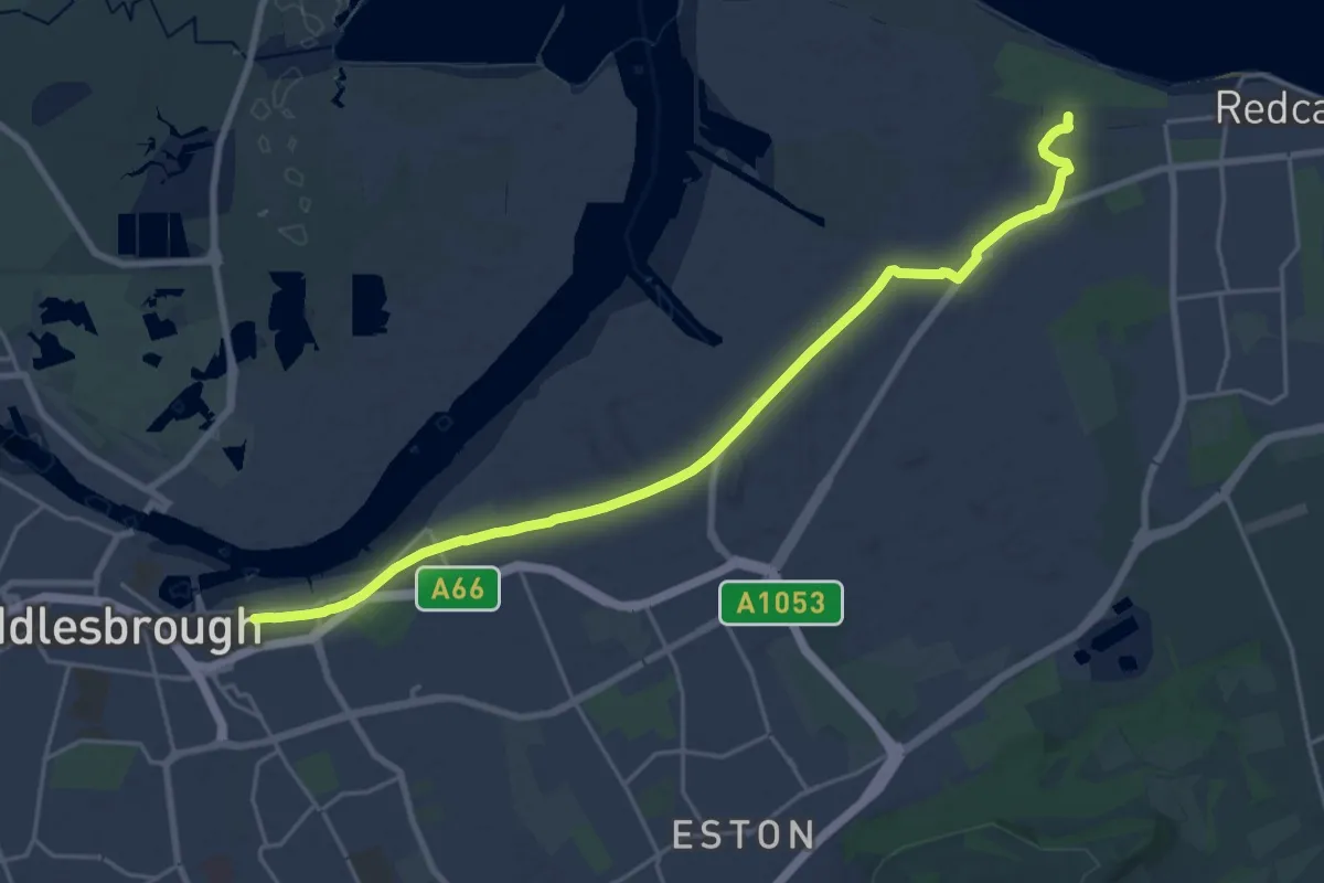
Teesdale Way (Middlesbrough to Warrenby)
19.3 km · ↑ 8 m · 4 h 34 min
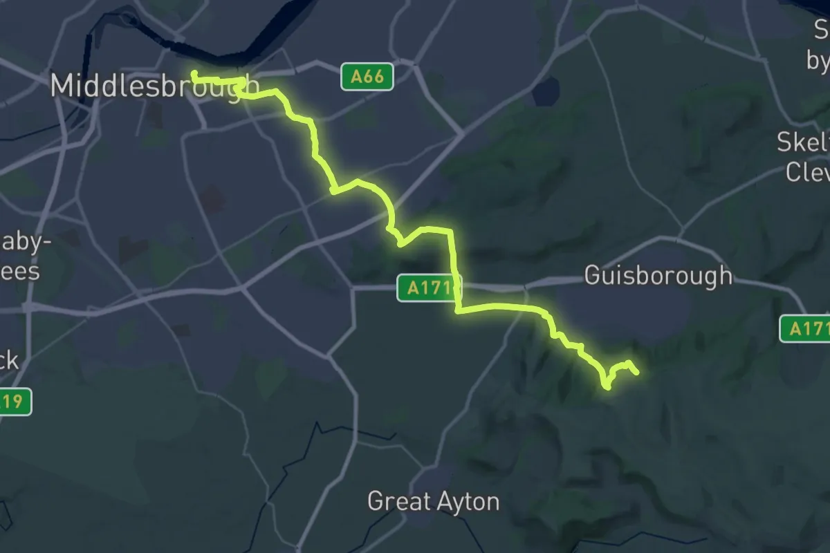
Medium · Trail
Tees Link
17.8 km · ↑ 401 m · 5 h 11 min
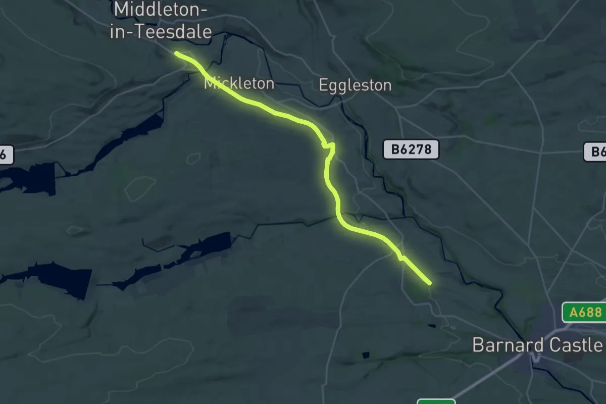
Demanding · Trail
Tees Railway Path
20.9 km · ↑ 163 m · 5 h 17 min
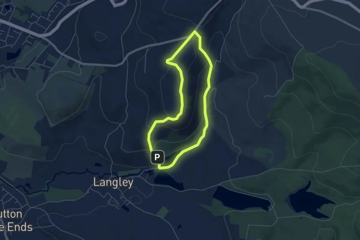
Easy · Summit
Tegg’s Nose Country Park Trail
4.0 km · ↑ 160 m · 1 h 21 min
Medium · Summit
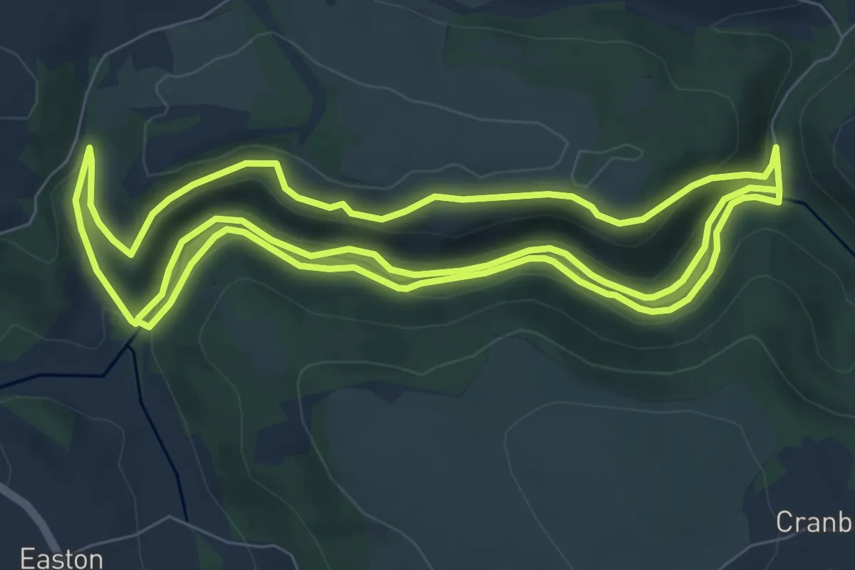
Teign Gorge Classic Circuit, Castle Drogo
9.0 km · ↑ 191 m · 2 h 39 min
Demanding · Trail
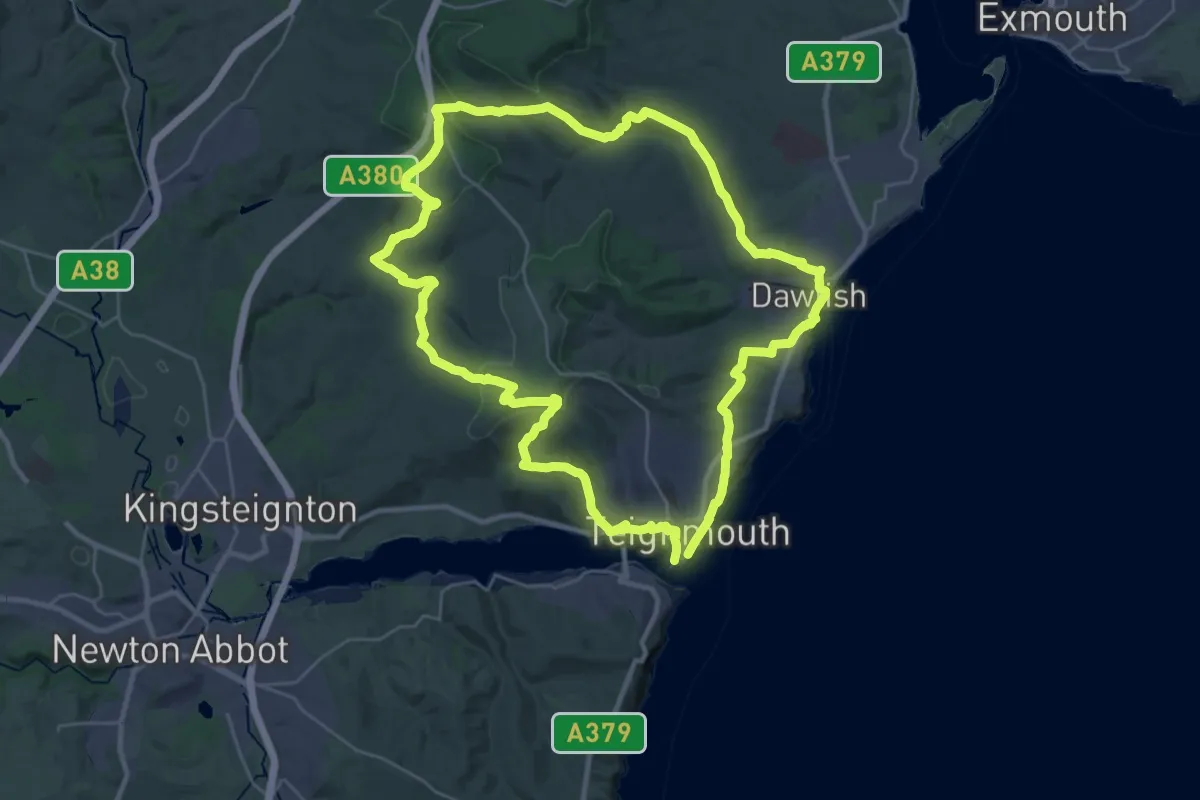
Teignmouth & Dawlish Way
28.1 km · ↑ 734 m · 8 h 37 min
Demanding · Trail
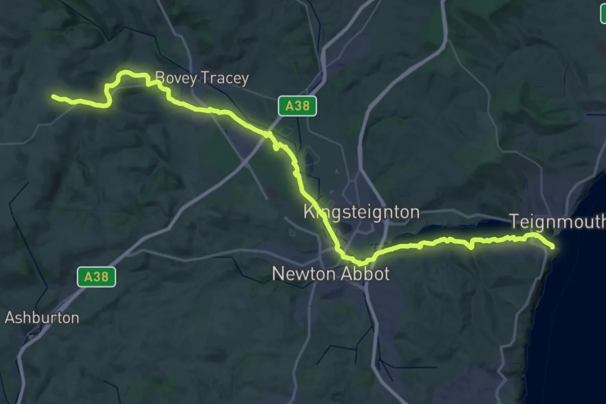
Templer Way
25.1 km · ↑ 54 m · 6 h 35 min
Easy · Trail
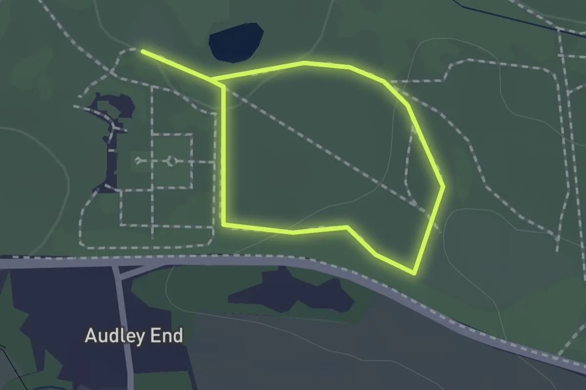
Temple Walk
1.0 km · ↑ 20 m · 18 min
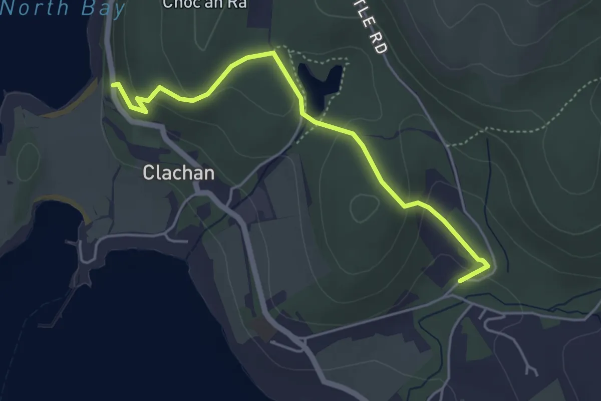
Easy · Trail
Temptation Hill agus Dùn Bhorghadail / Temptation Hill and Dun Borodale
3.5 km · ↑ 124 m · 1 h 5 min
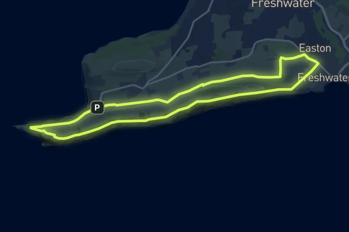
Medium · Summit
Tennyson Down Trail, Isle of Wight
10.5 km · ↑ 254 m · 3 h 11 min
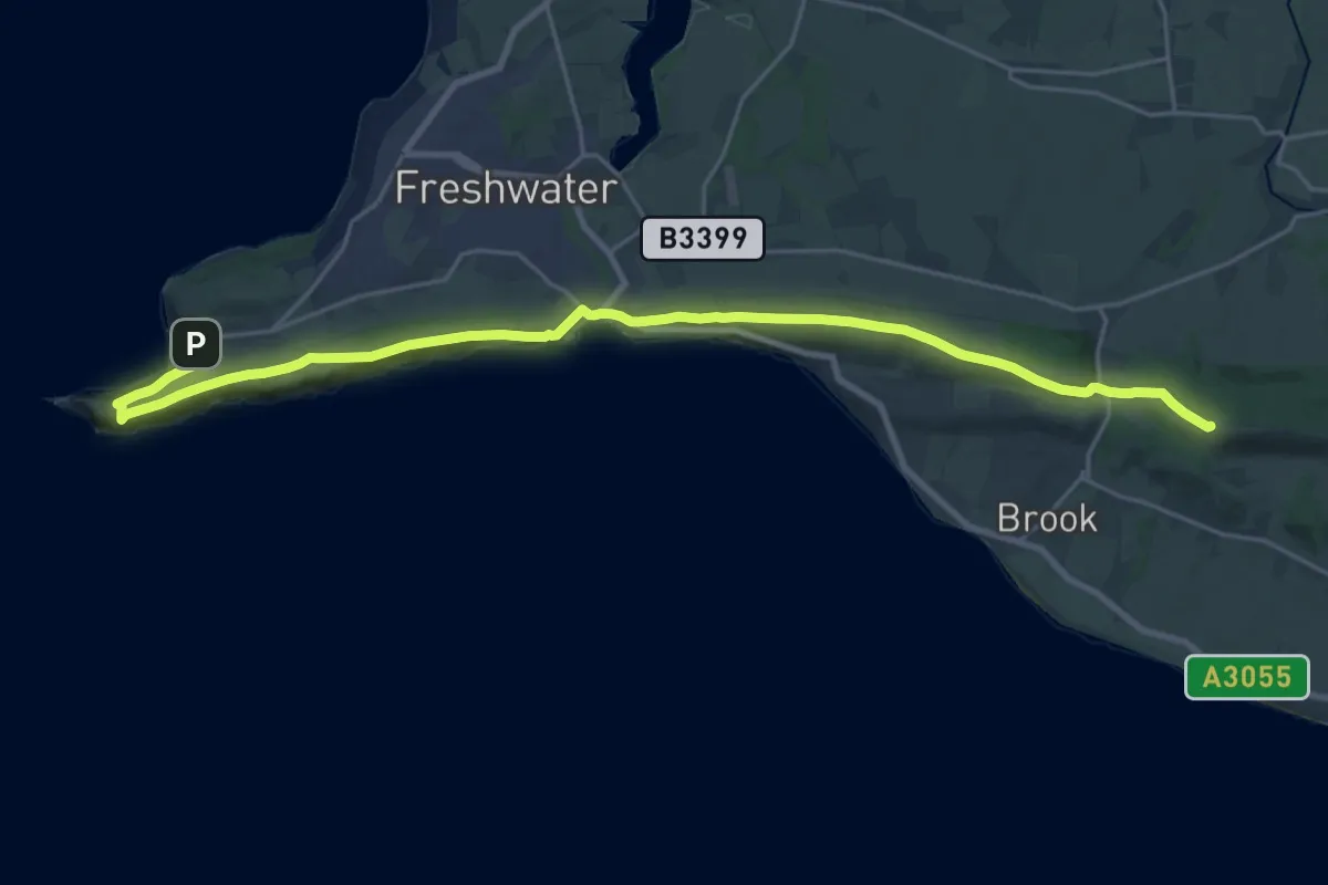
Demanding · Summit
Tennyson Trail
24.6 km · ↑ 588 m · 7 h 5 min
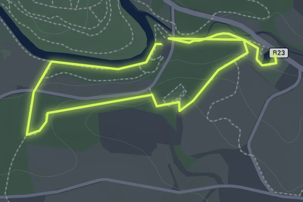
Easy · Trail
Terrace Hill trail, Minnowburn
1.8 km · ↑ 24 m · 30 min
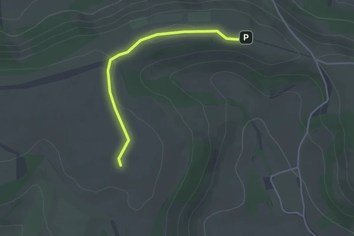
Easy · Summit
Test Way
2.7 km · ↑ 13 m · 40 min
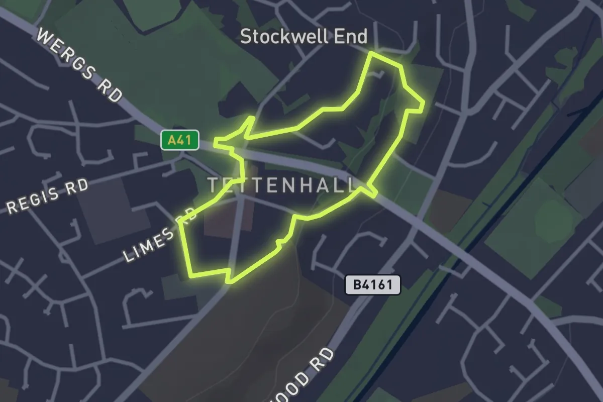
Easy · Trail
Tettenhall Village Trail
2.1 km · ↑ 19 m · 34 min
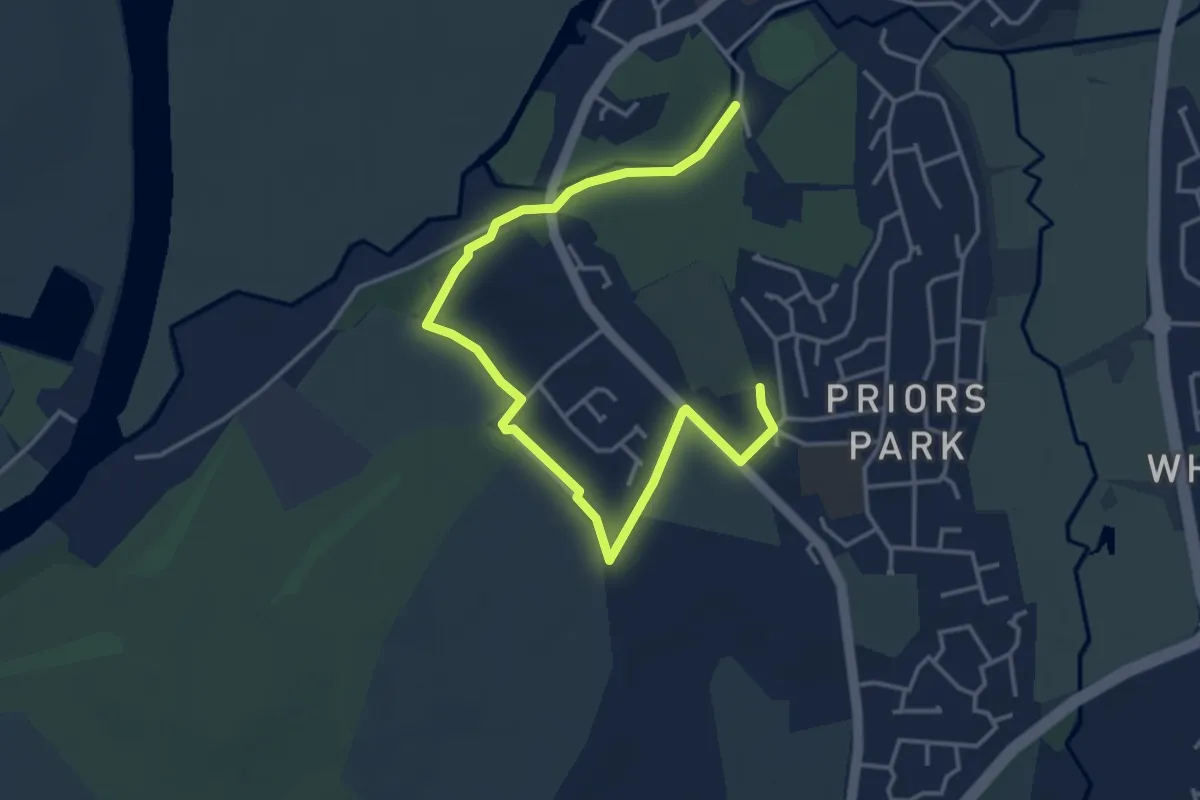
Easy · Trail
Tewkesbury Battle Trail
4.3 km · ↑ 19 m · 1 h 3 min
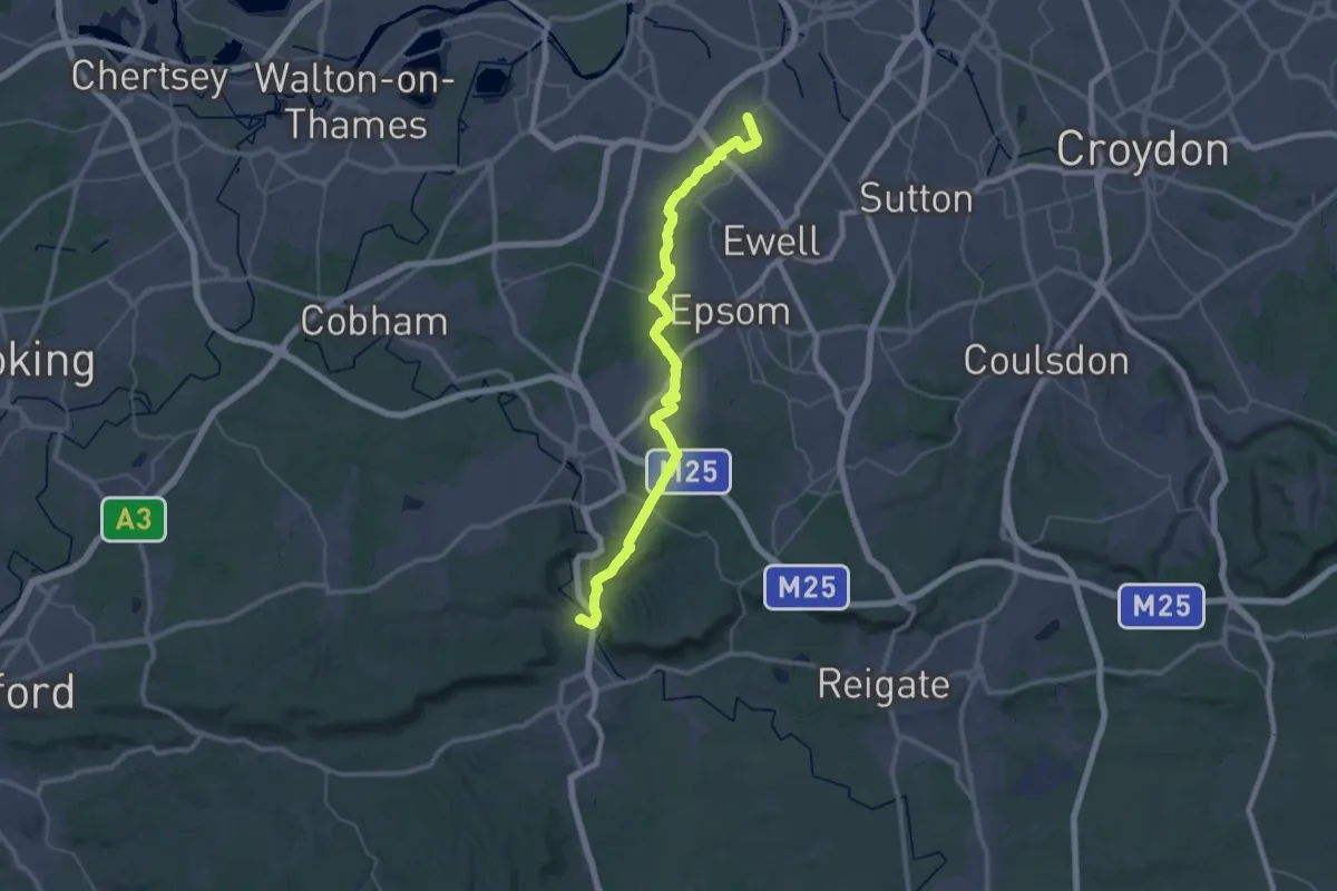
Demanding · Trail
Thames Down Link
19.7 km · ↑ 245 m · 5 h 26 min
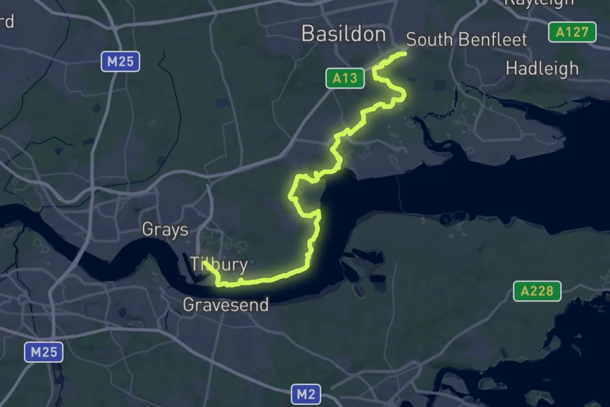
Demanding · Trail
Thames Estuary Path
28.9 km · ↑ 49 m · 7 h 19 min
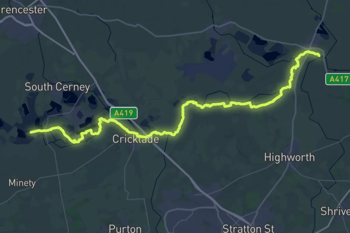
Demanding · Trail
Thames Path
28.0 km · ↑ 0 m · 7 h 1 min
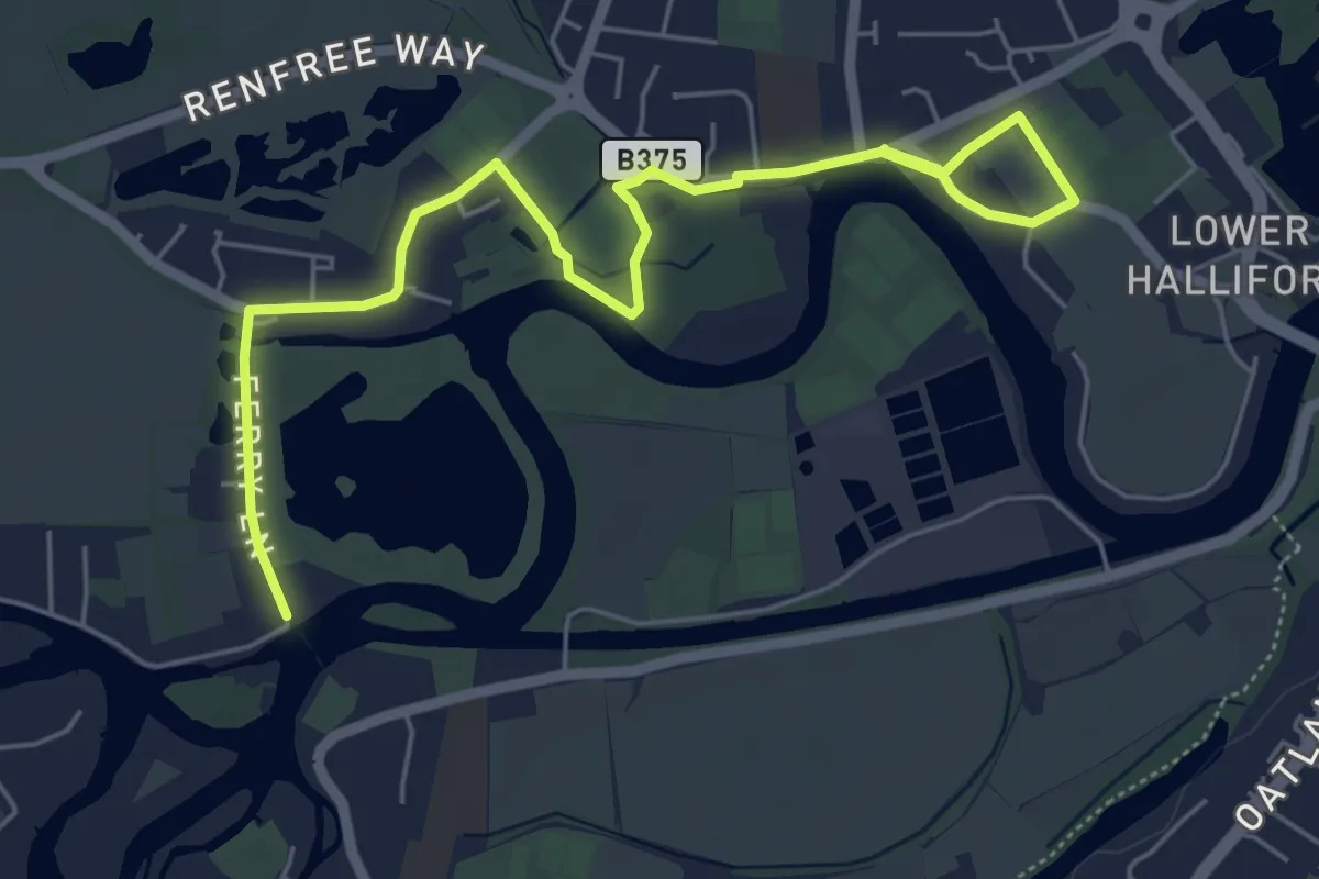
Easy · Trail
Thames Path - alternate
6.3 km · ↑ 0 m · 1 h 29 min
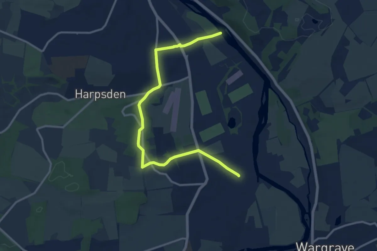
Medium · Trail
Thames Path - diversion near henley
8.7 km · ↑ 108 m · 2 h 18 min
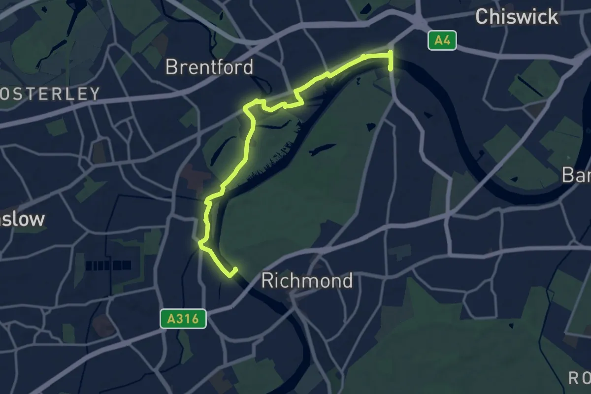
Medium · Trail
Thames Path Kew Gardens diverted due to bank collapse
11.5 km · ↑ 18 m · 2 h 45 min
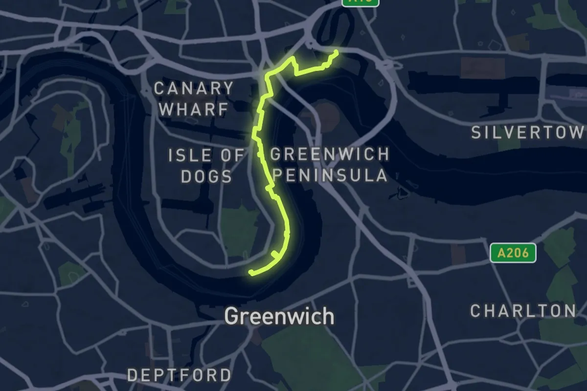
Medium · Trail
Thames Path North Extension
8.9 km · ↑ 8 m · 2 h 6 min
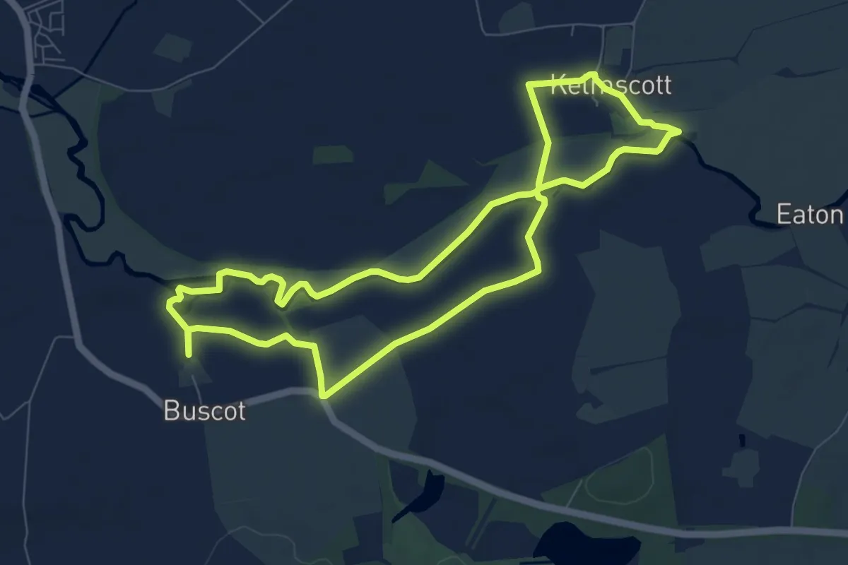
Easy · Trail
Thames River Walk, Buscot
7.2 km · ↑ 5 m · 1 h 48 min
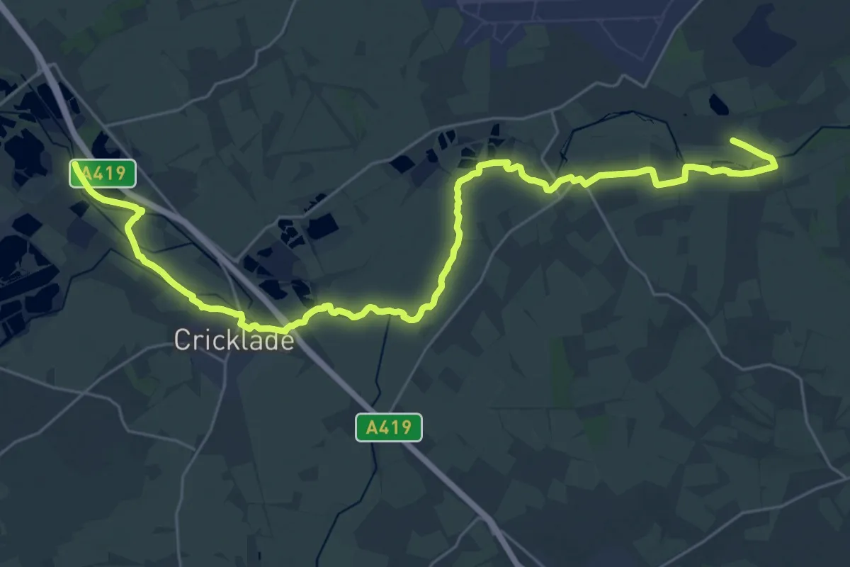
Demanding · Trail
Thames & Severn Way
29.5 km · ↑ 8 m · 6 h 59 min