Trails in United Kingdom
3,857 hiking trails, each with its route, climb, walking time and grade.
All trails, page 67 of 81
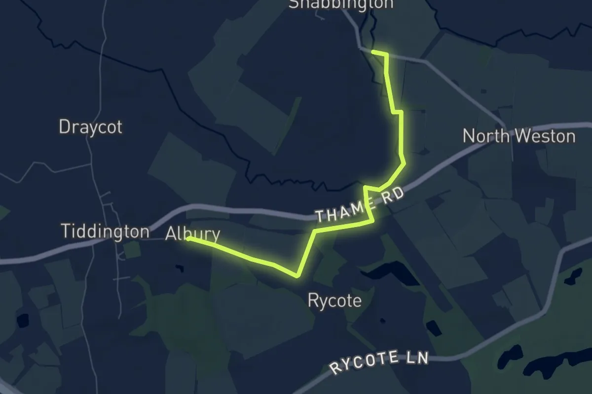
Easy · Trail
Thame Valley Walk
6.5 km · ↑ 27 m · 1 h 36 min
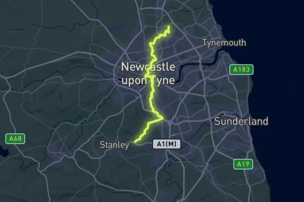
Demanding · Summit
The Angel's Way
60.5 km · ↑ 609 m · 15 h 36 min
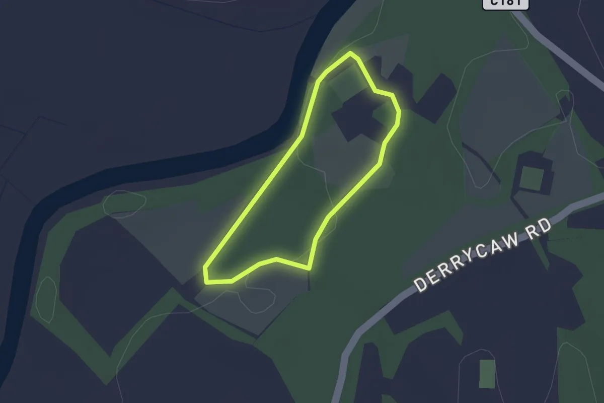
Easy · Trail
The Argory Lime Tree Walk
1.4 km · ↑ 5 m · 21 min
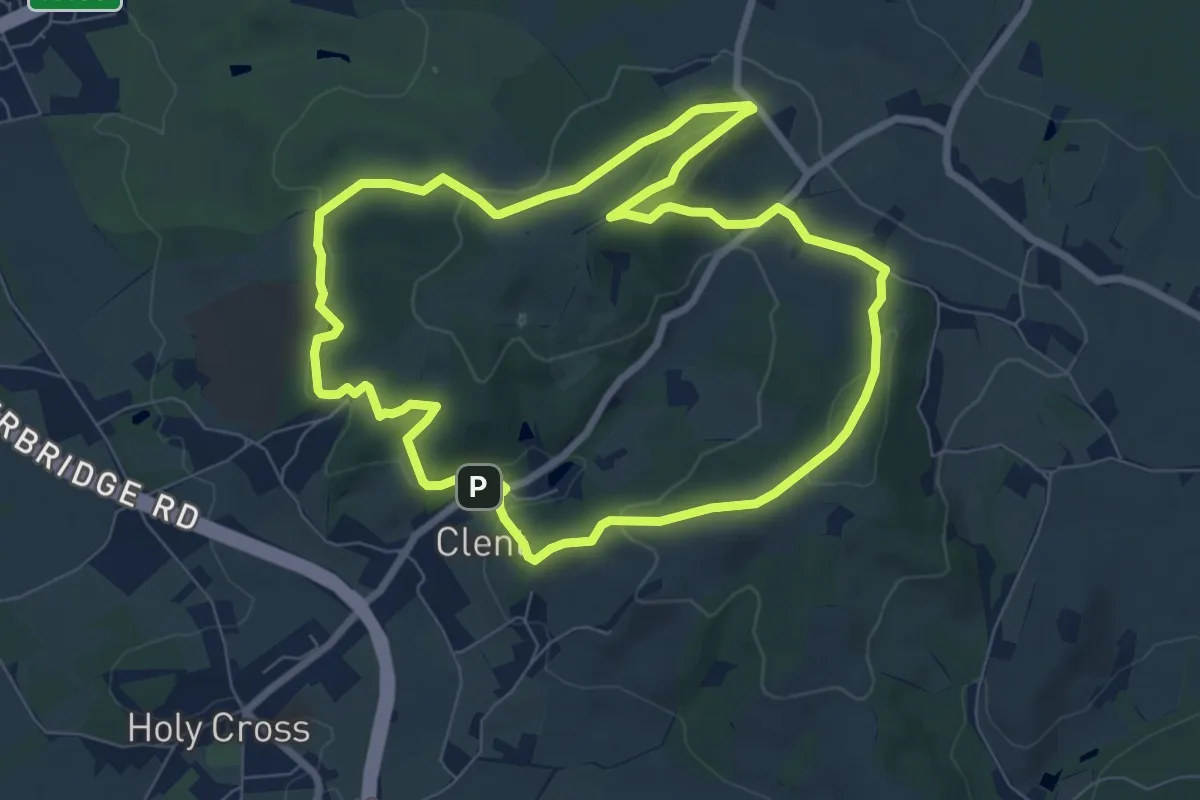
Easy · Summit
The Badger Trail, Clent Hills
6.9 km · ↑ 226 m · 2 h 12 min
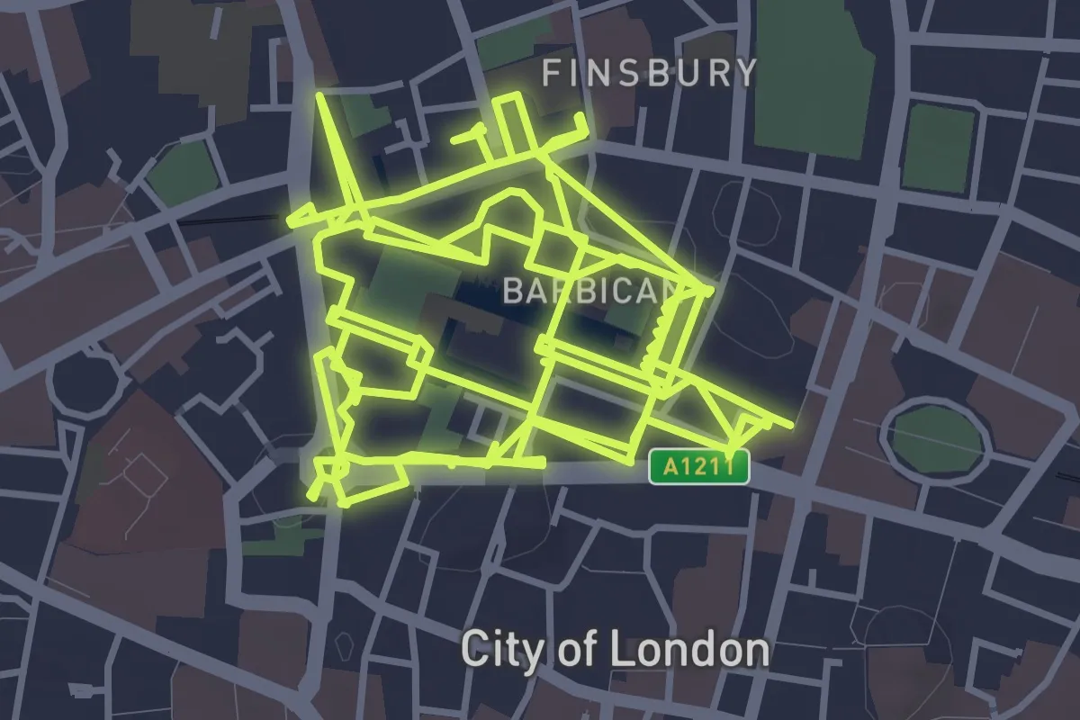
Medium · Trail
The Barbican Highwalks
14.0 km · ↑ 12 m · 3 h 19 min
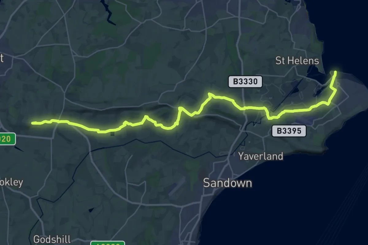
Demanding · Summit
The Bembridge Trail
33.5 km · ↑ 465 m · 8 h 55 min
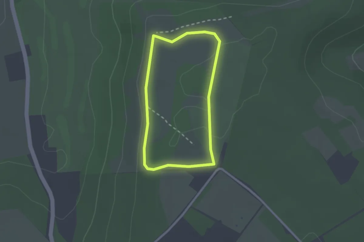
Easy · Summit
The Best of Coombe Hill Walk, Central Chilterns
1.6 km · ↑ 20 m · 27 min
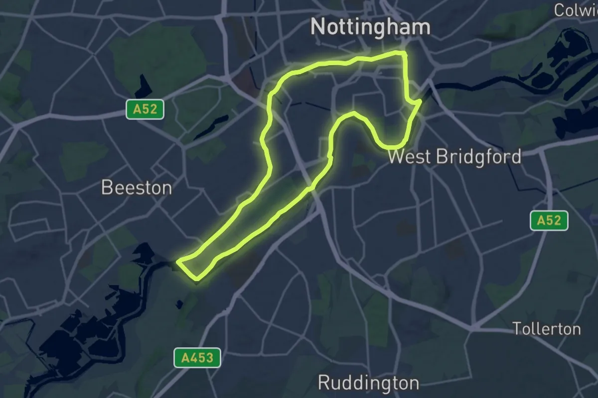
Medium · Trail
The Big Track
16.2 km · ↑ 0 m · 4 h 2 min
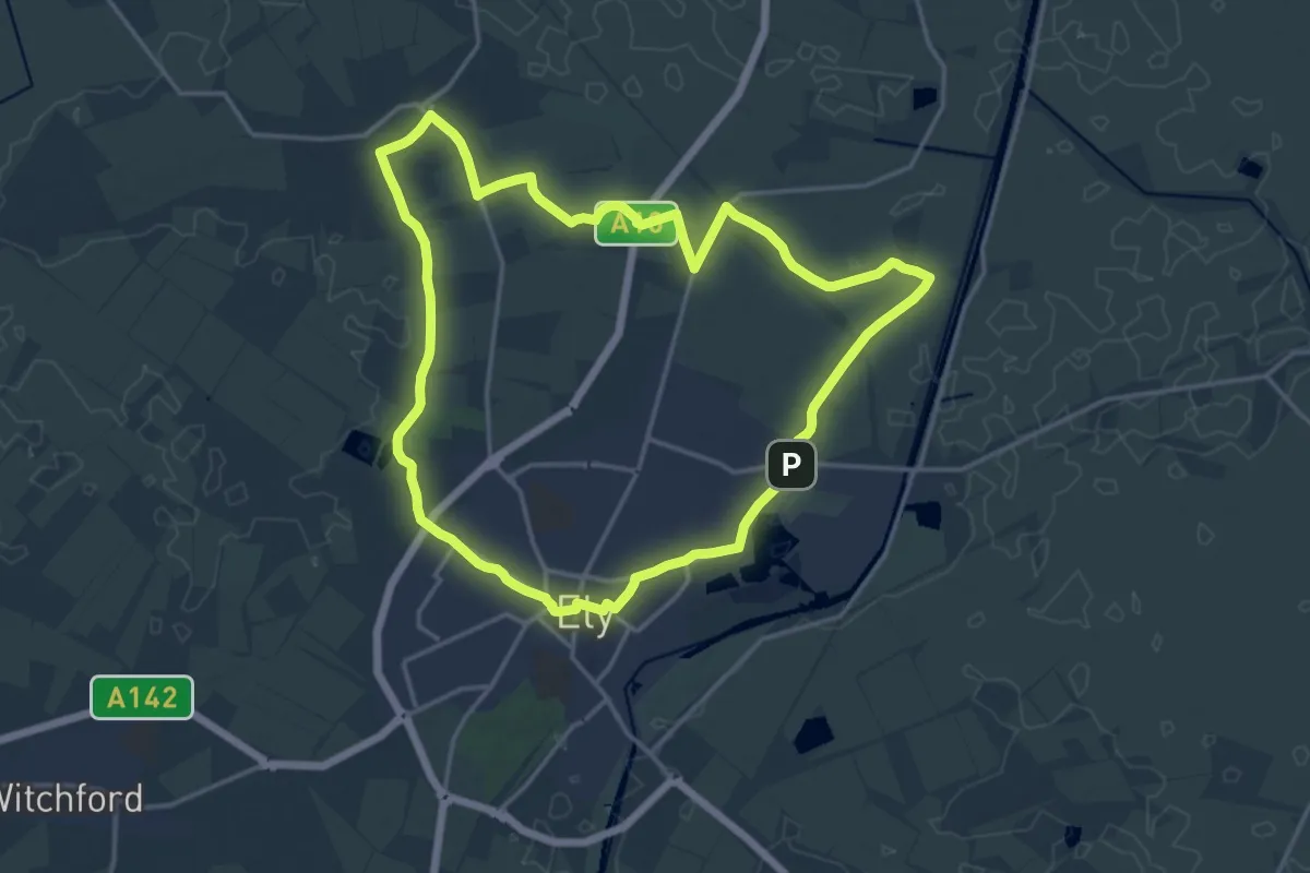
Medium · Summit
The Bishop's Way
14.5 km · ↑ 30 m · 3 h 42 min
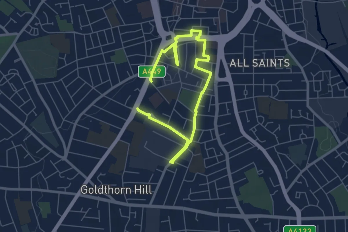
Easy · Trail
The Blakenhall Trail
3.4 km · ↑ 22 m · 54 min
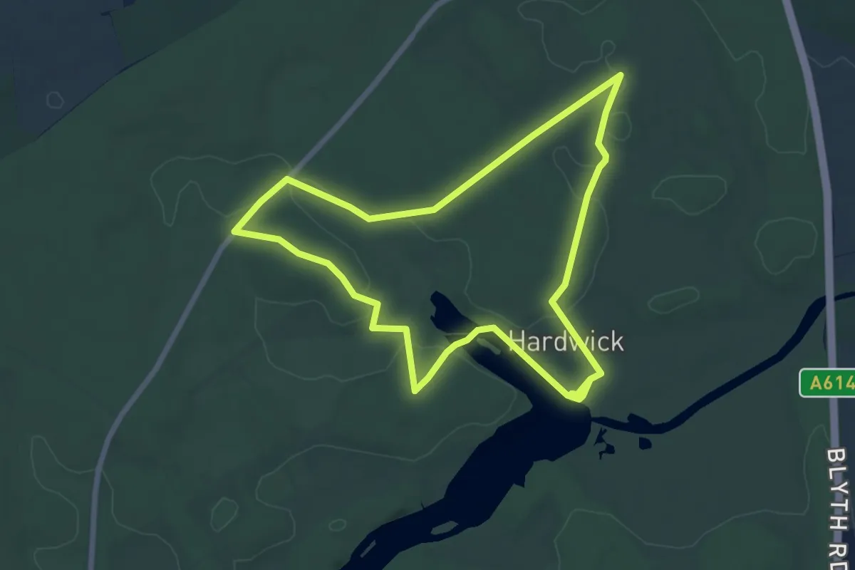
Easy · Trail
The Bluebell Woods of Clumber, Clumber Park
5.7 km · ↑ 36 m · 1 h 30 min
Easy · Trail
The Bogie Line
2.2 km · ↑ 208 m · 58 min
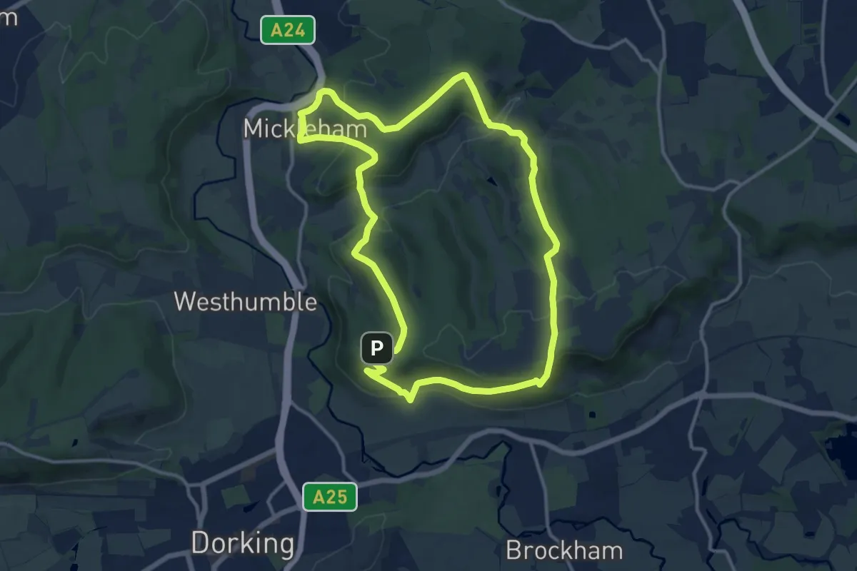
Medium · Summit
The Box Hill Hike, Box Hill
11.3 km · ↑ 442 m · 3 h 46 min
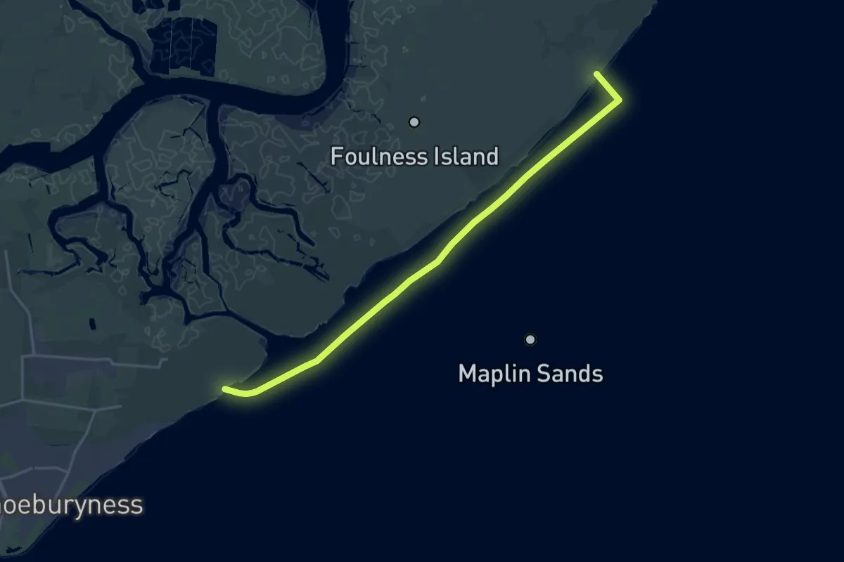
Demanding · Trail
The Broomway
19.1 km · ↑ 0 m · 4 h 31 min
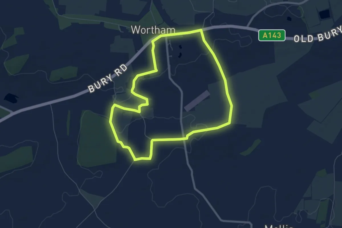
Easy · Trail
The Burgate Walk
6.0 km · ↑ 12 m · 1 h 31 min
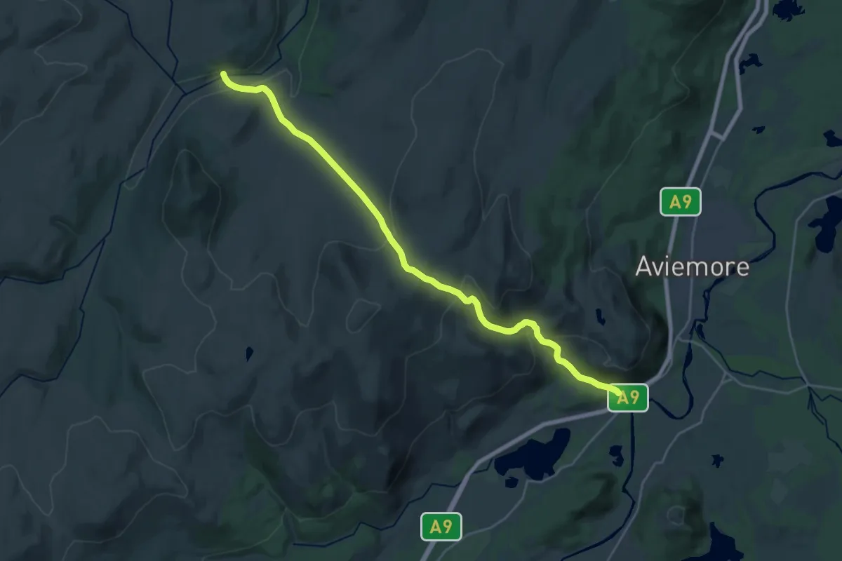
Demanding · Trail
The Burma Road
19.8 km · ↑ 781 m · 6 h 23 min
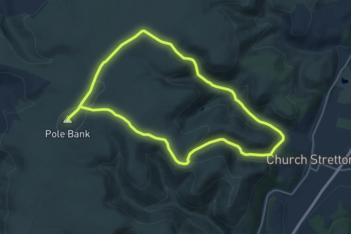
Medium · Summit
The Burway Loop: A Walk to the Top of the Long Mynd, Carding Mill Valley
9.0 km · ↑ 296 m · 2 h 53 min
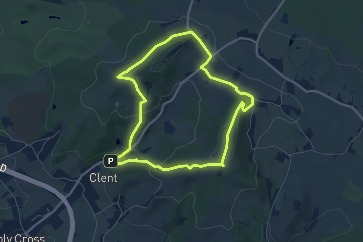
Easy · Summit
The Butterfly Trail, Clent Hills
5.1 km · ↑ 171 m · 1 h 38 min
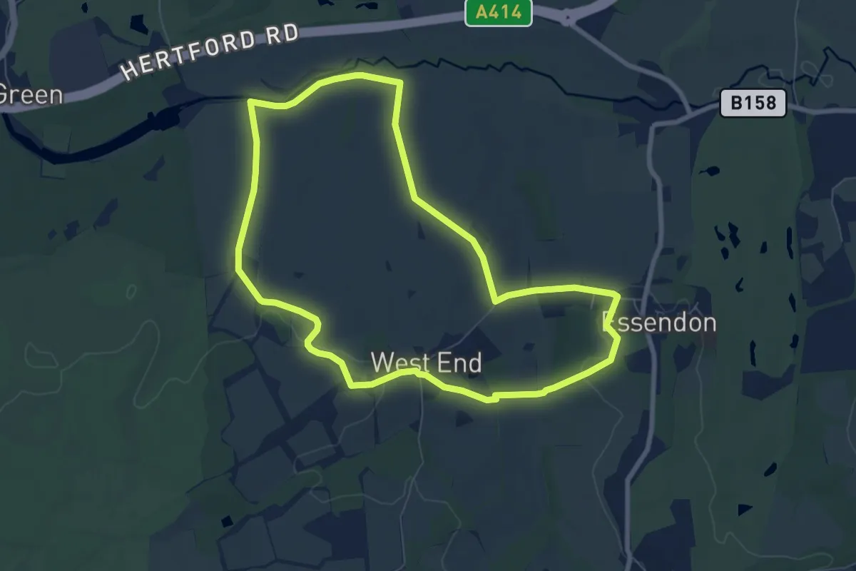
Easy · Trail
The Candlestick Loop
6.6 km · ↑ 96 m · 1 h 51 min
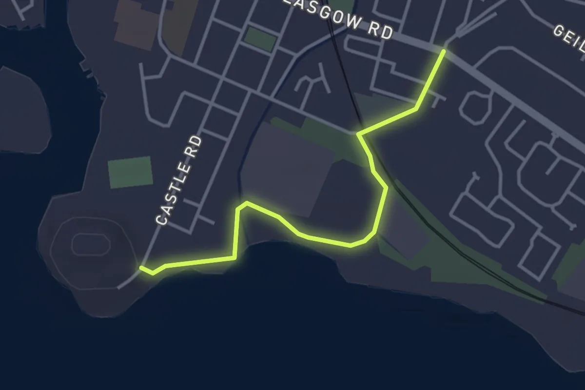
Easy · Trail
The Castle Circular Path
2.6 km · ↑ 9 m · 38 min
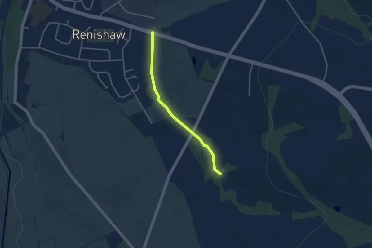
Easy · Trail
The Chaffinch Trail
2.2 km · ↑ 23 m · 34 min
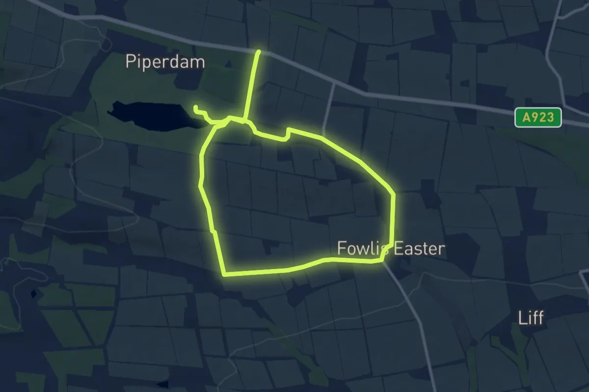
Medium · Trail
The Check Bar Road
12.8 km · ↑ 182 m · 3 h 25 min
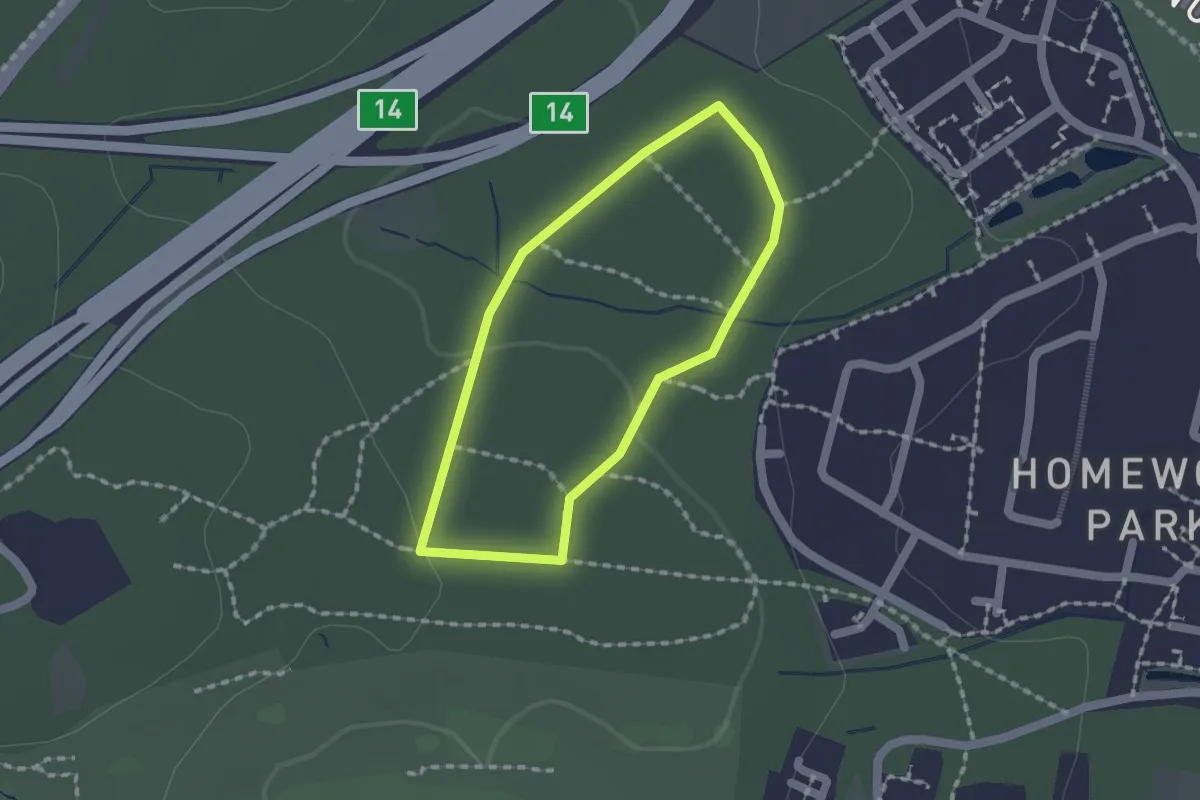
Easy · Trail
The Chestnut Trail
1.2 km · ↑ 18 m · 21 min
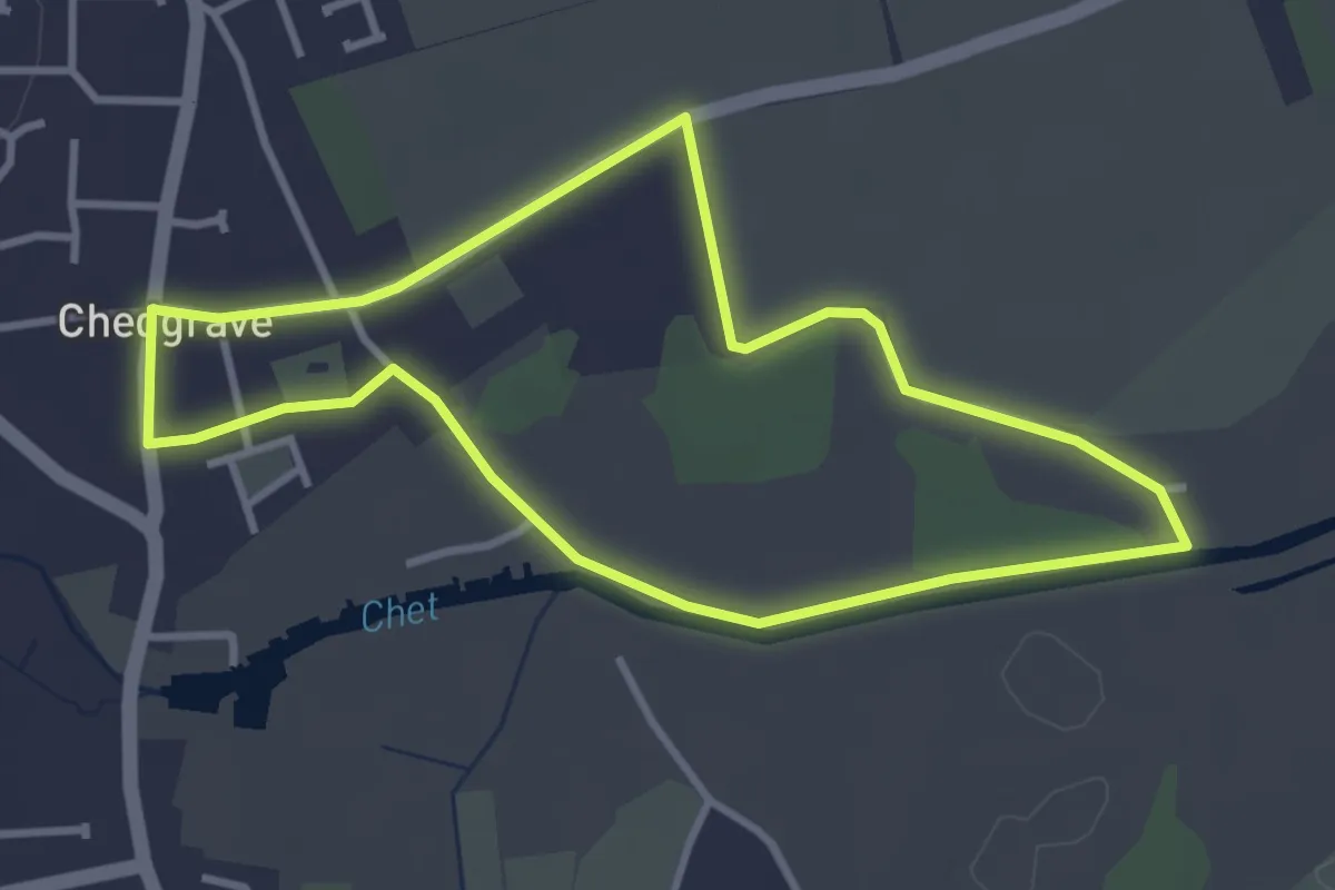
Easy · Trail
The Chet River Circular
2.9 km · ↑ 13 m · 45 min
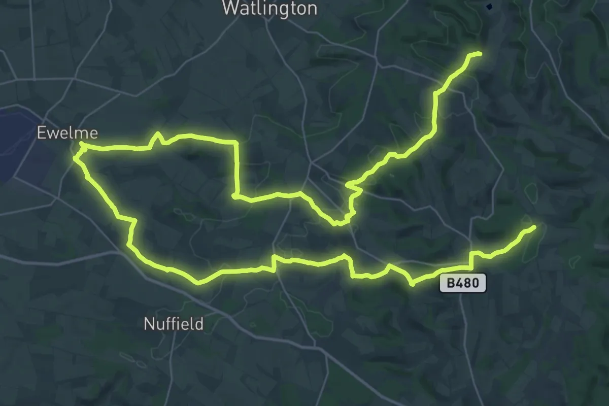
Demanding · Trail
The Chiltern Way
28.9 km · ↑ 670 m · 8 h 39 min
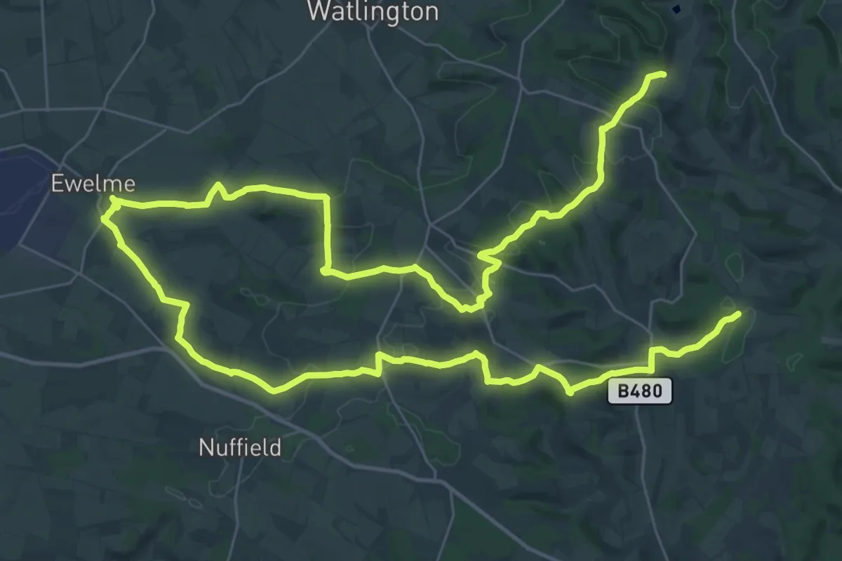
Demanding · Trail
The Chiltern Way
28.9 km · ↑ 670 m · 8 h 39 min
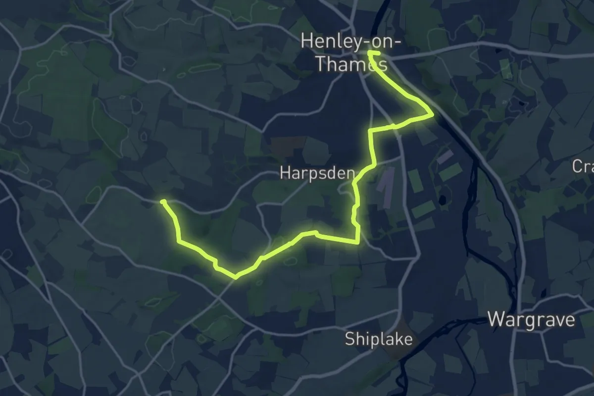
Medium · Trail
The Chiltern Way Berkshire Loop
16.2 km · ↑ 161 m · 4 h 10 min
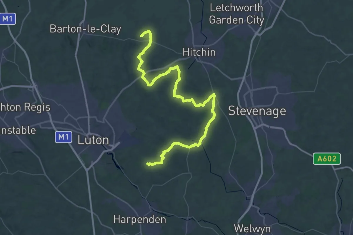
Demanding · Trail
The Chiltern Way Northern Extension
29.4 km · ↑ 375 m · 8 h 11 min
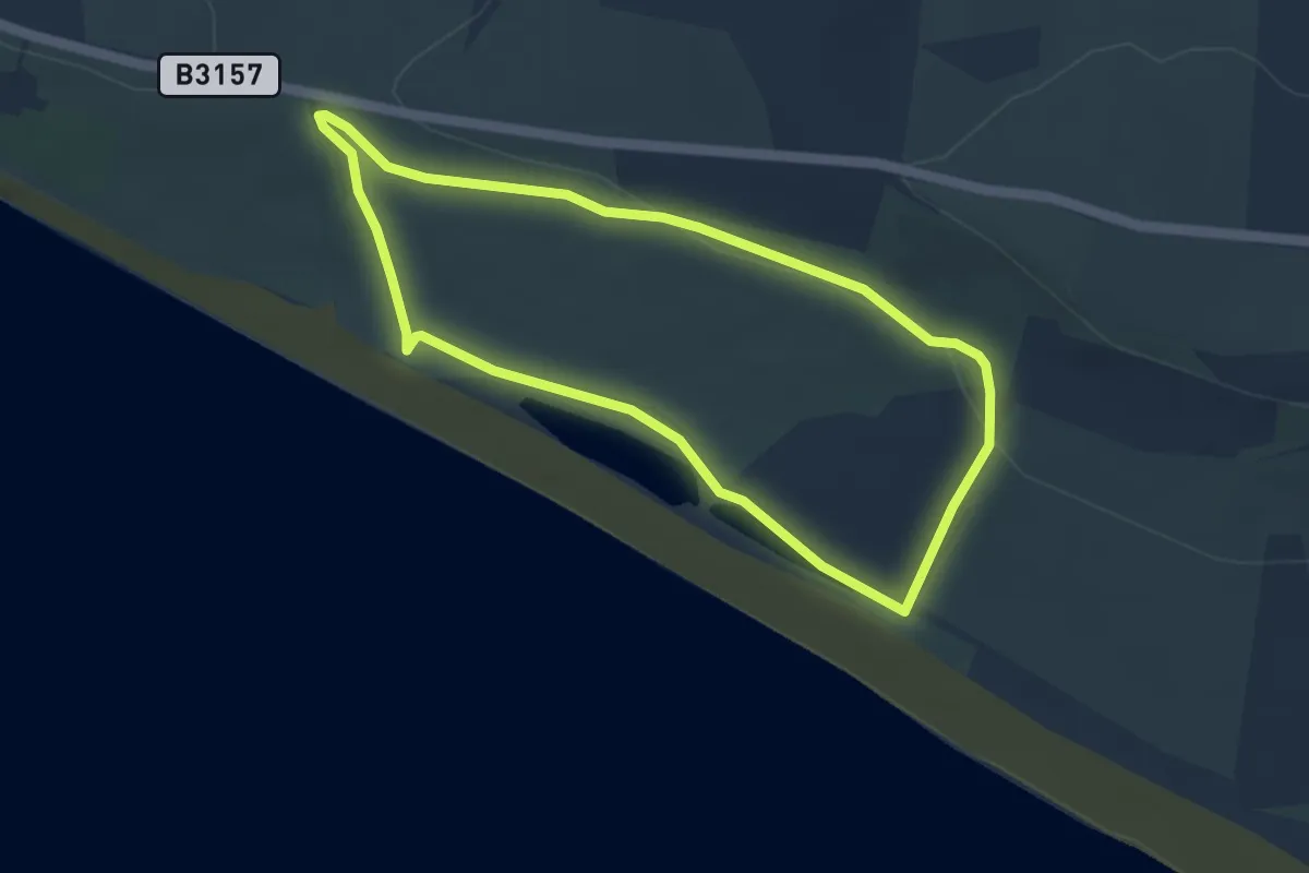
Easy · Trail
The Cogden Circular, Hive Beach
3.6 km · ↑ 55 m · 1 h 1 min
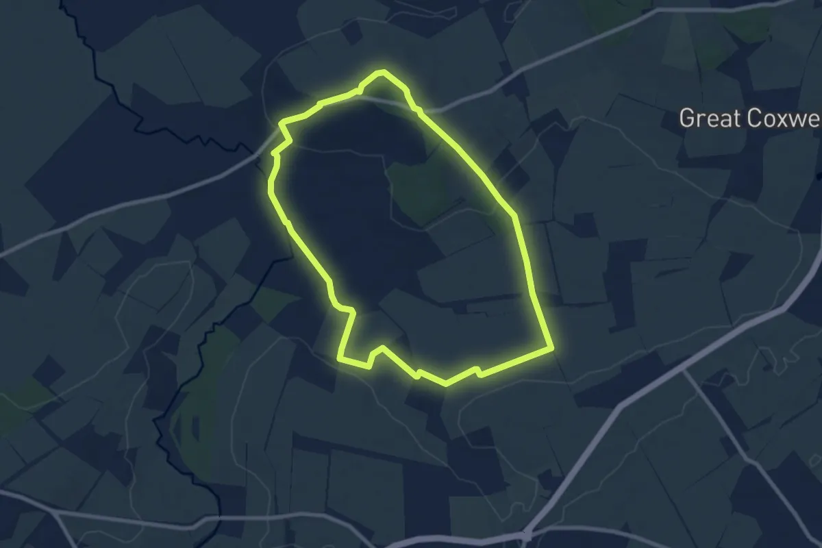
Easy · Summit
The Cole and its Landscape (Formerly the Red Walk: Coleshill)
7.0 km · ↑ 53 m · 1 h 52 min
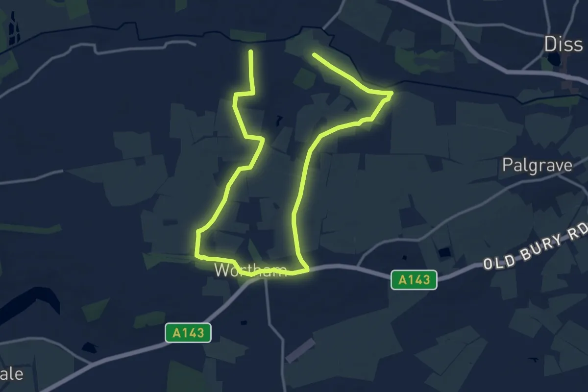
Medium · Trail
The Commons Walk
8.0 km · ↑ 39 m · 2 h 5 min
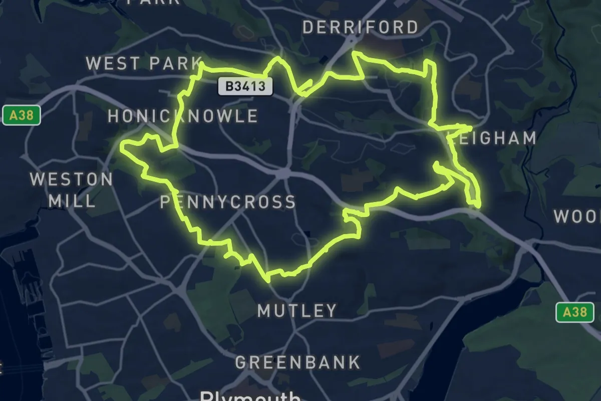
Demanding · Trail
The Co-operative Way
20.9 km · ↑ 453 m · 6 h 13 min
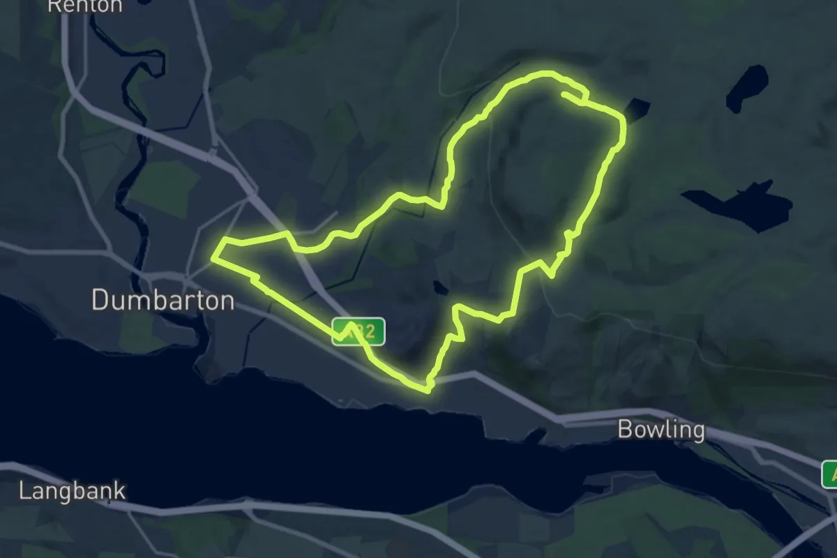
Medium · Trail
The Crags Circular Path
14.0 km · ↑ 343 m · 4 h 14 min
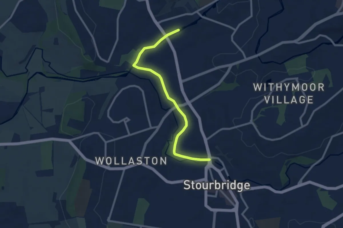
Easy · Trail
The Crystal Canal Walk
5.9 km · ↑ 9 m · 1 h 25 min
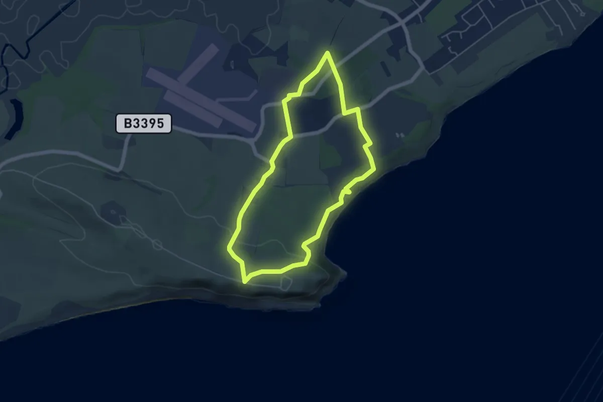
Easy · Trail
The Culver Trail
4.3 km · ↑ 110 m · 1 h 19 min
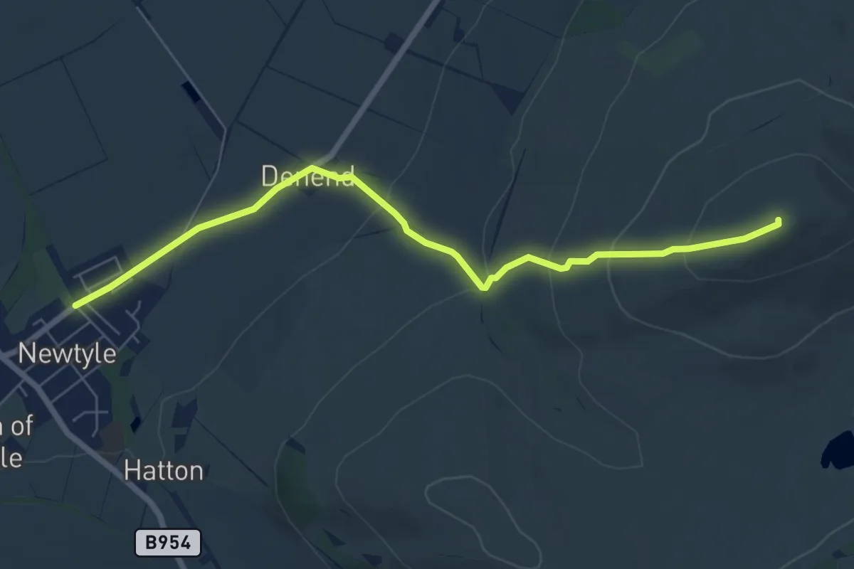
Easy · Summit
The Den and Kinpurney Tower Walk
5.6 km · ↑ 270 m · 1 h 55 min
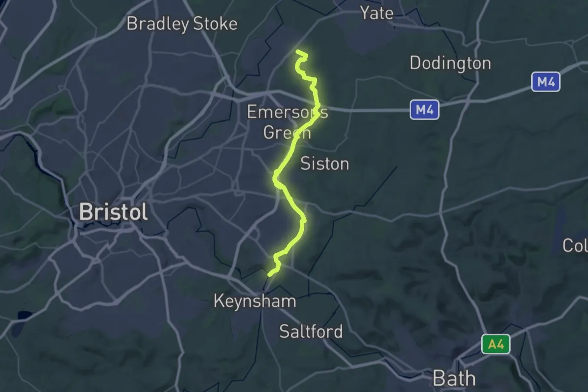
Demanding · Trail
The Dramway
30.2 km · ↑ 156 m · 7 h 29 min
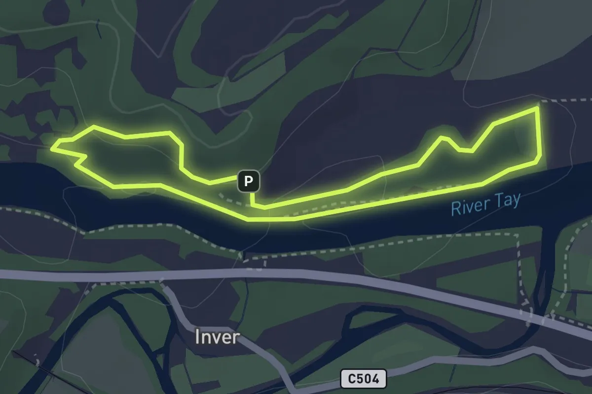
Easy · Trail
The Duchess and the Bishop's Walk
2.4 km · ↑ 44 m · 42 min
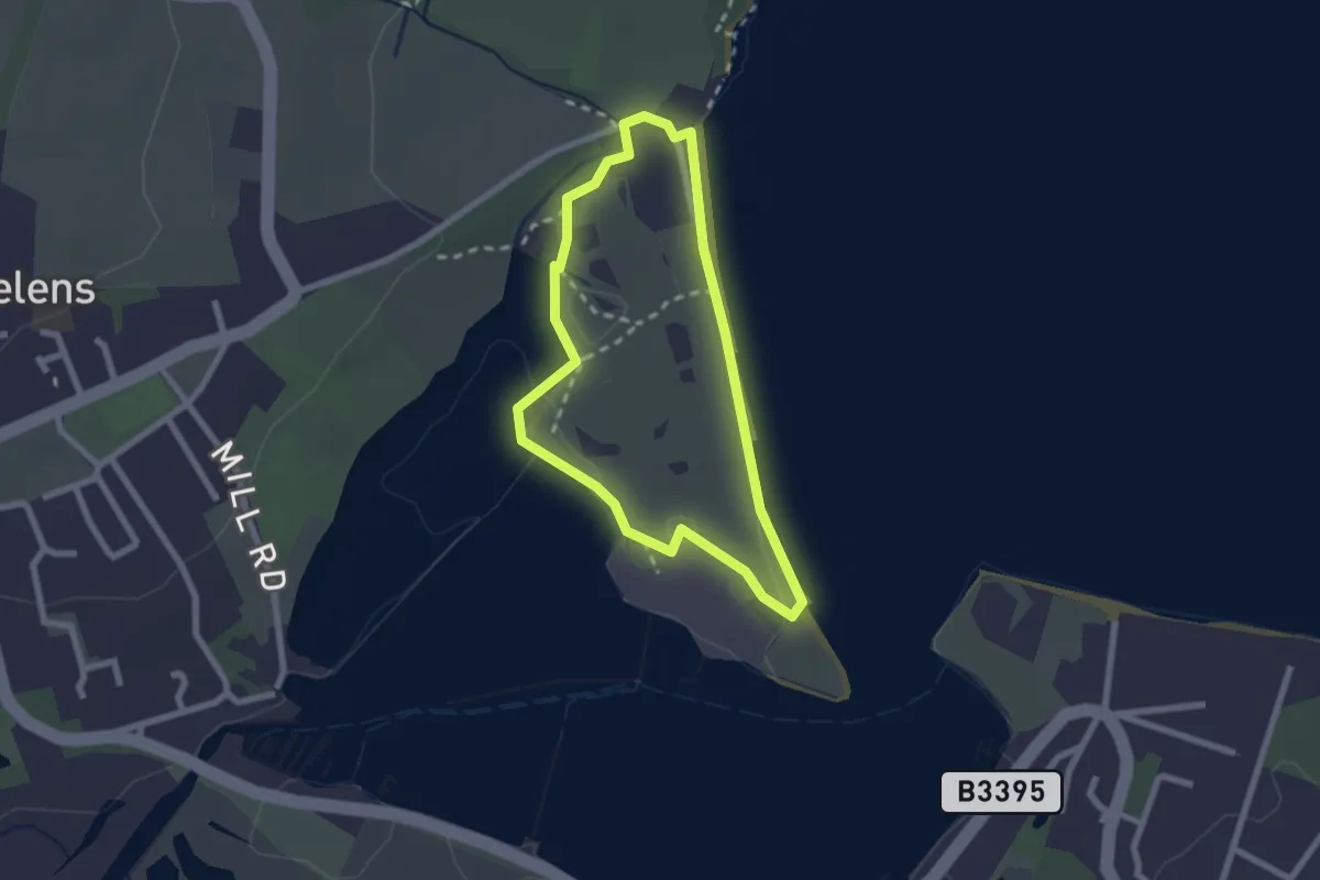
Easy · Trail
The Duver Walk, Isle of Wight
1.9 km · ↑ 0 m · 28 min
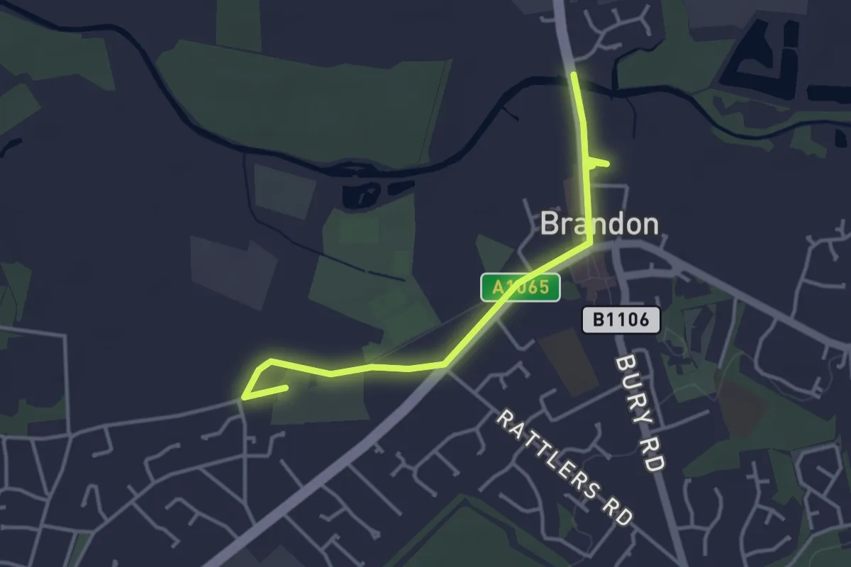
Easy · Trail
The Flint Trail
3.2 km · ↑ 0 m · 46 min
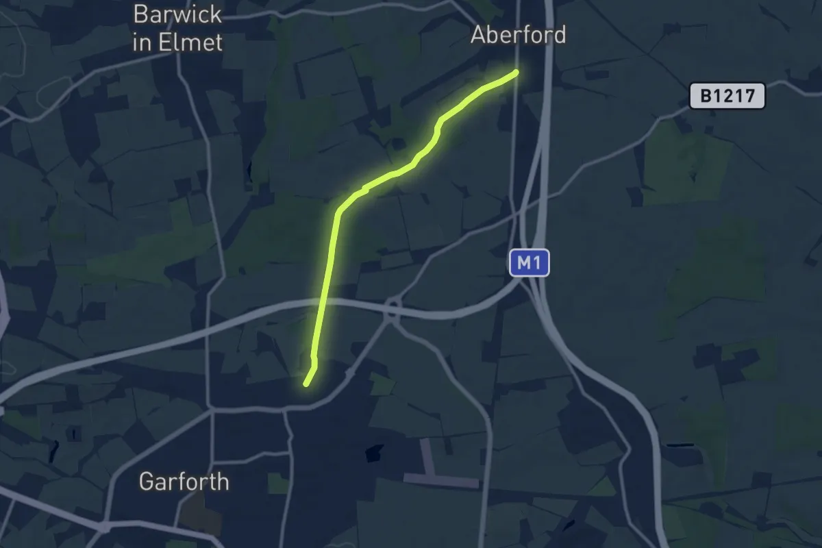
Medium · Trail
The Fly Line
8.0 km · ↑ 27 m · 1 h 57 min
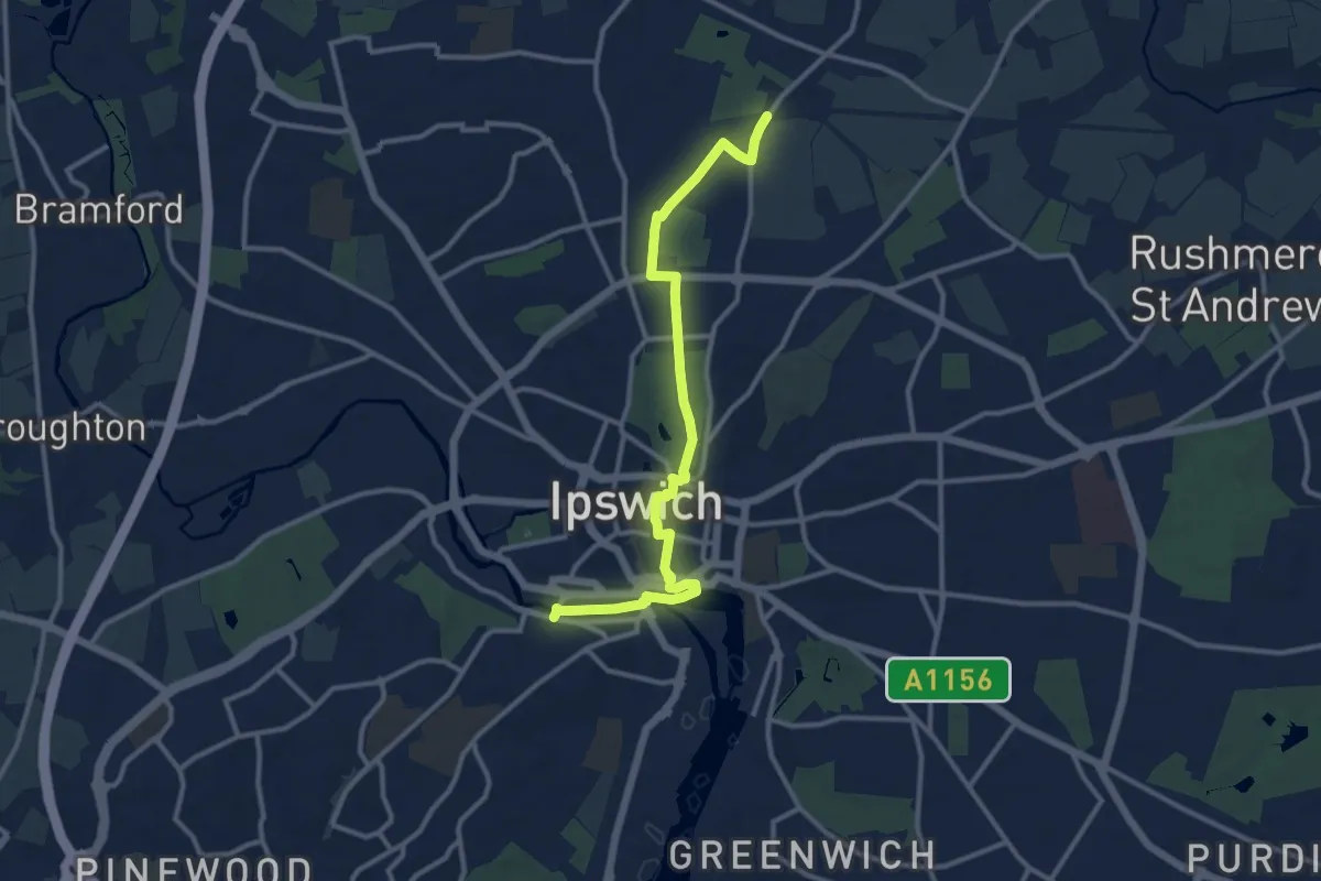
Medium · Trail
The Fonnereau Way
11.0 km · ↑ 68 m · 2 h 45 min
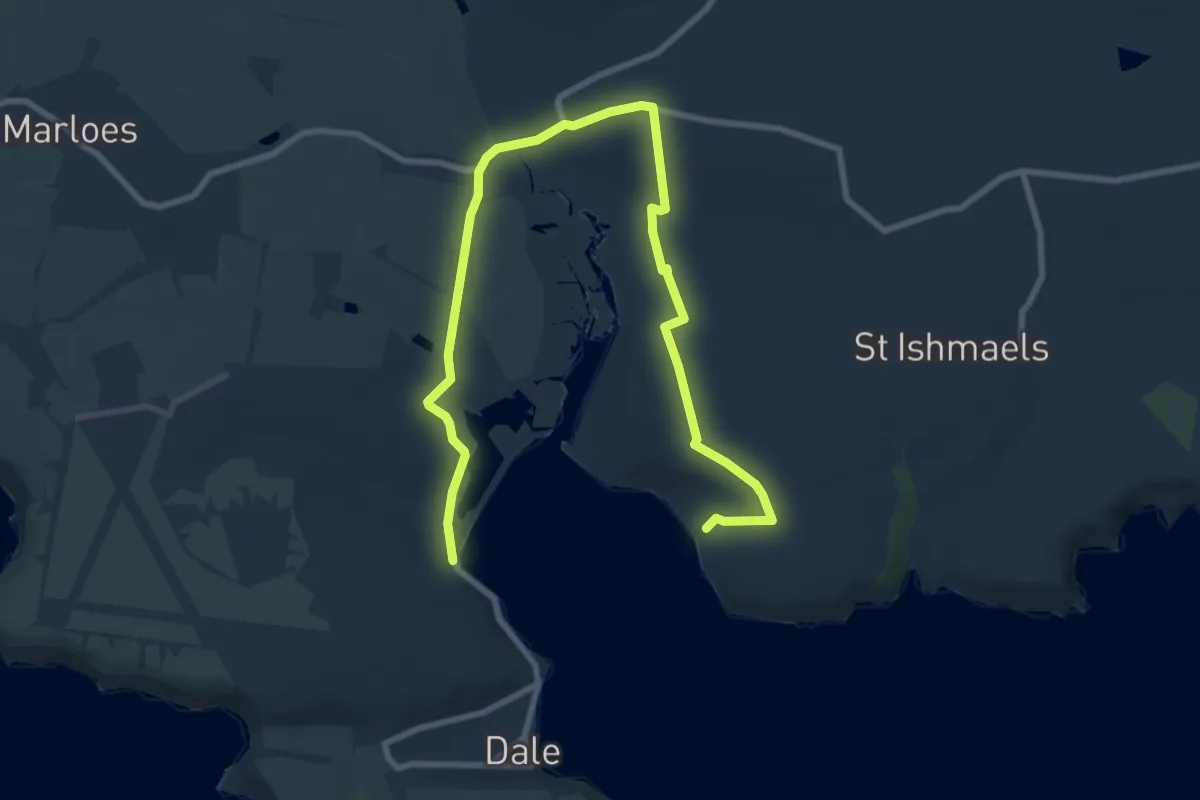
Medium · Trail
The Gann Estuary high tide alternative route
10.2 km · ↑ 161 m · 2 h 45 min
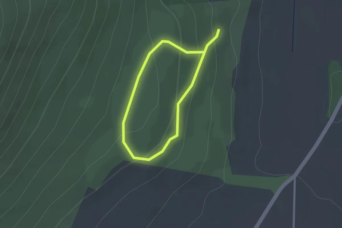
Easy · Trail
The Giant's Lair
1.4 km · ↑ 69 m · 30 min
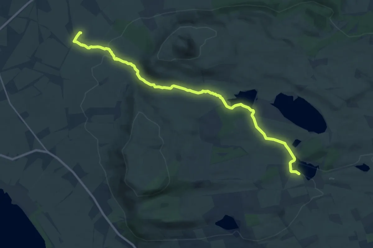
Medium · Trail
The Glen Vale Path
15.3 km · ↑ 226 m · 4 h 6 min
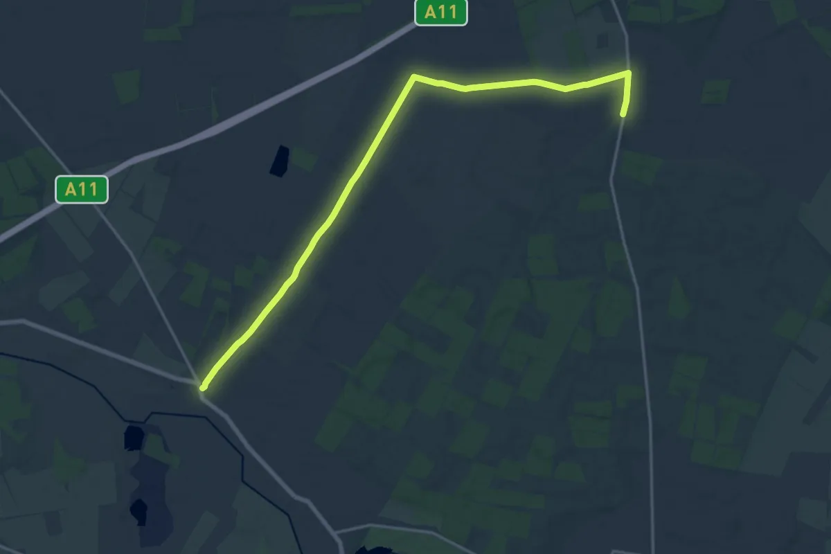
Medium · Trail
The Great Barrow Walk
16.5 km · ↑ 56 m · 4 h 1 min
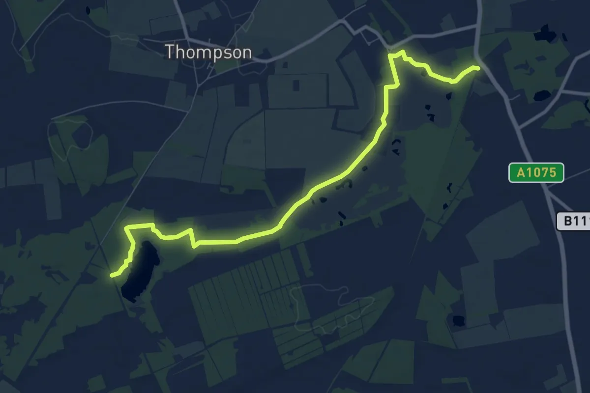
Easy · Trail
The Great Eastern Pingo Trail
4.4 km · ↑ 4 m · 1 h 7 min
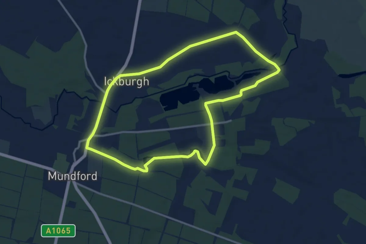
Easy · Trail
The Great Estates Trail
7.5 km · ↑ 17 m · 1 h 55 min