Trails in United Kingdom
3,857 hiking trails, each with its route, climb, walking time and grade.
All trails, page 68 of 81
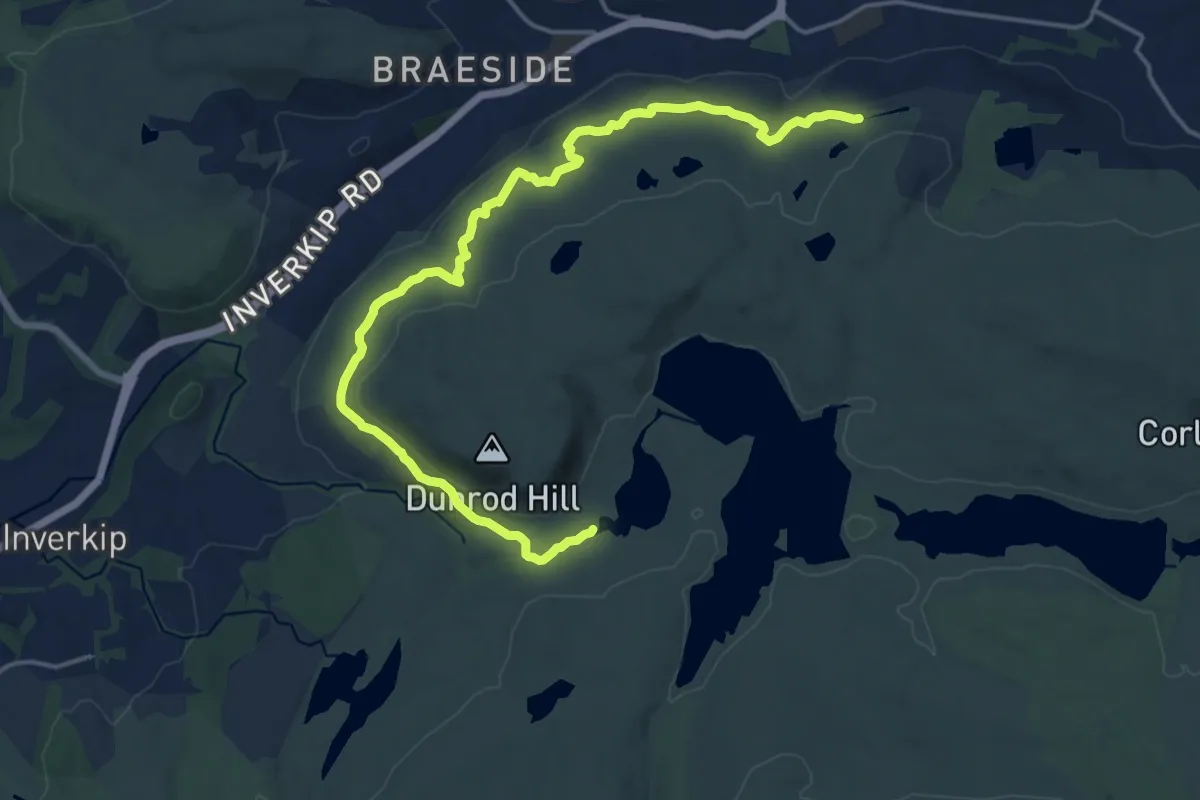
Medium · Trail
The Greenock Cut
15.6 km · ↑ 312 m · 4 h 22 min
Easy · Trail
The Green Road
3.7 km · ↑ 4 m · 54 min
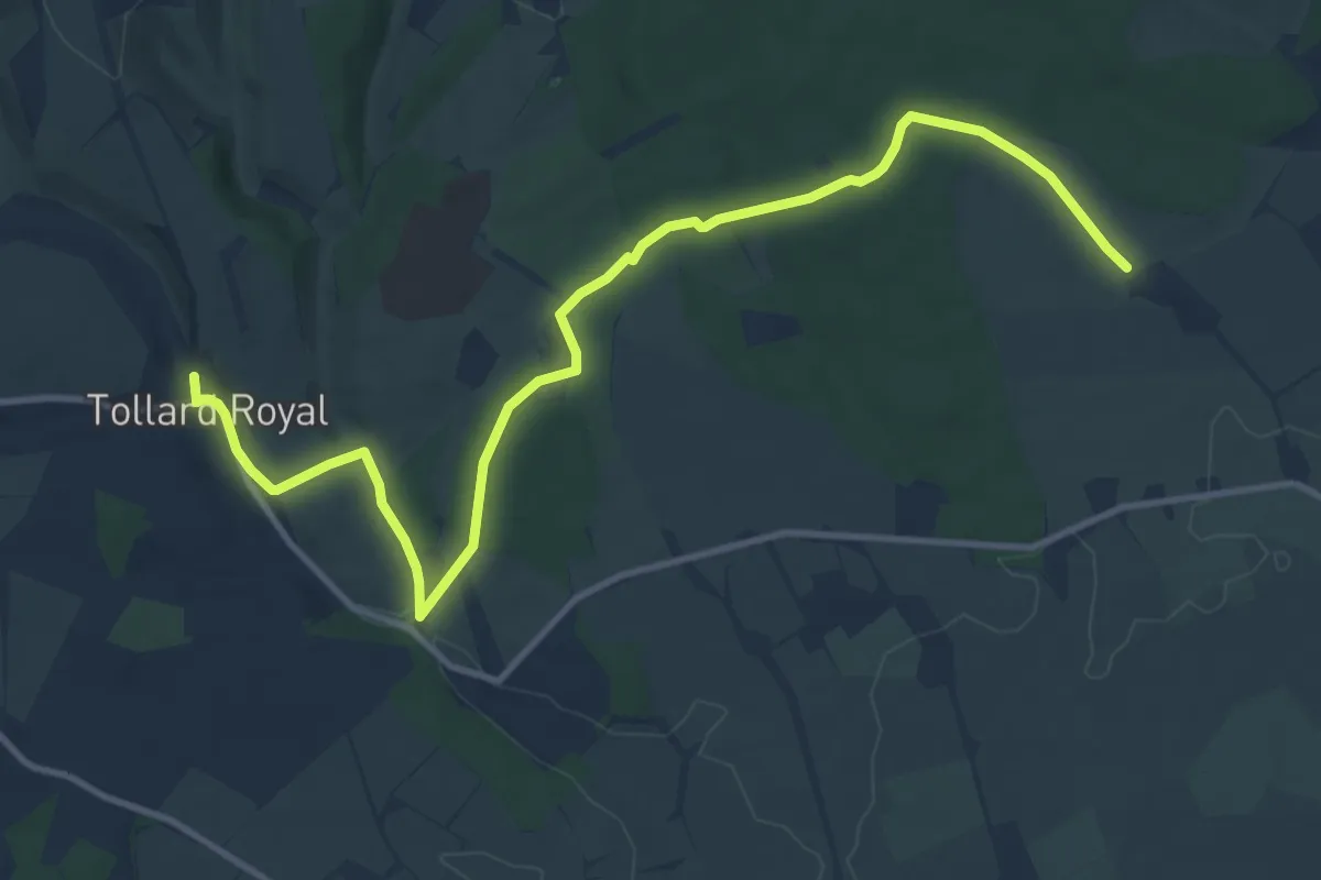
Medium · Trail
The Hardy Way
12.3 km · ↑ 192 m · 3 h 19 min
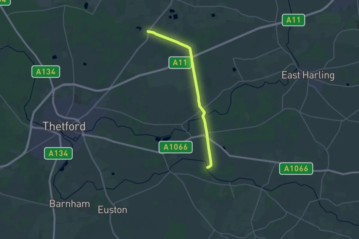
Medium · Trail
The Heathland Trail
17.4 km · ↑ 97 m · 4 h 20 min
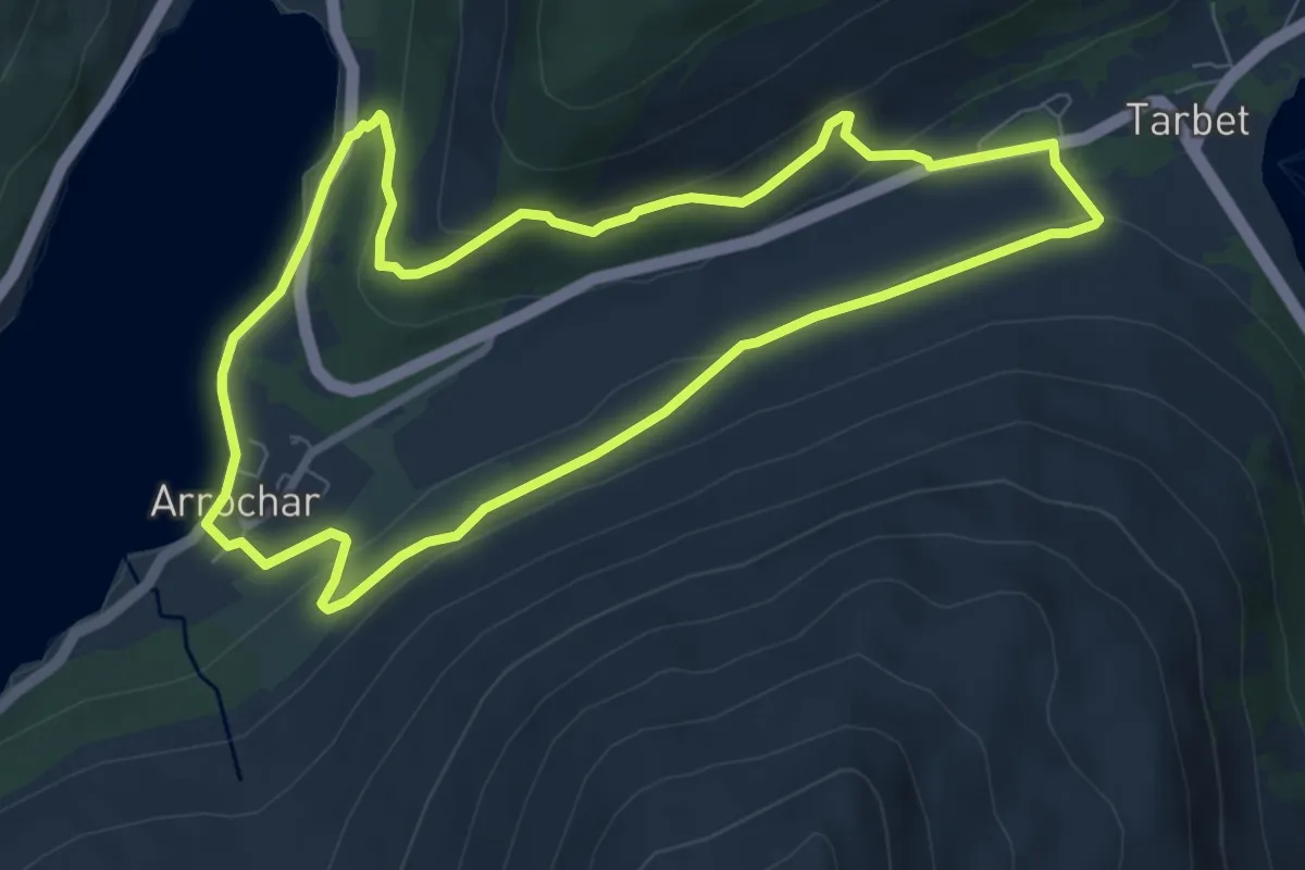
Easy · Trail
The Hidden Heritage Trail
6.3 km · ↑ 277 m · 2 h 11 min
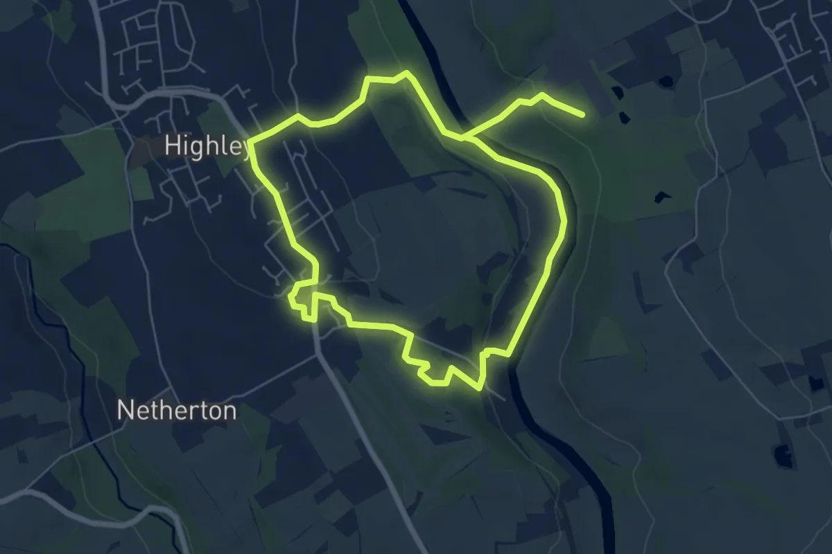
Medium · Trail
The Highley Trail
10.4 km · ↑ 204 m · 2 h 53 min
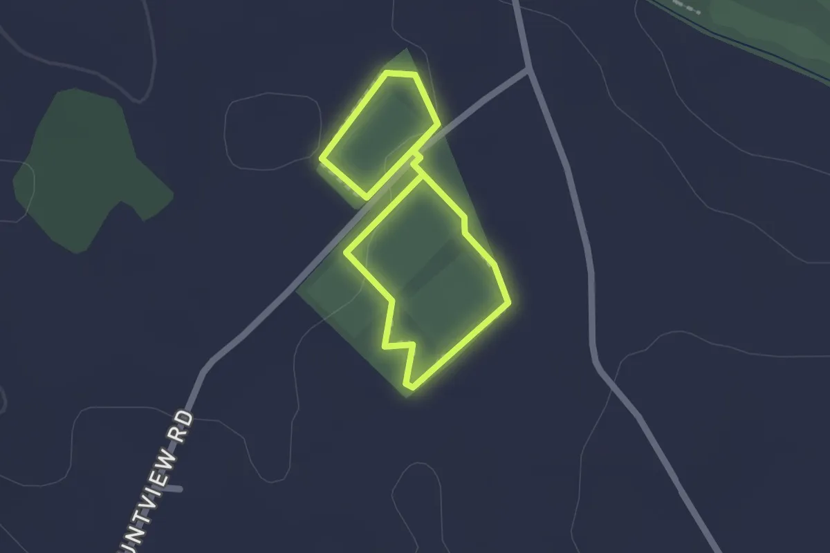
Easy · Trail
The Hinch Trail
1.2 km · ↑ 0 m · 18 min
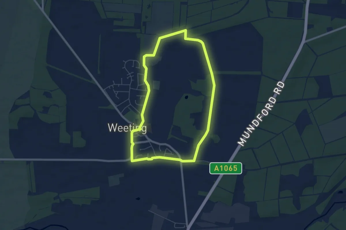
Easy · Trail
The History Trail
5.1 km · ↑ 4 m · 1 h 18 min
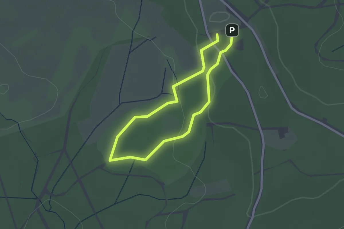
Easy · Trail
The Jubilee Trail
1.6 km · ↑ 35 m · 29 min
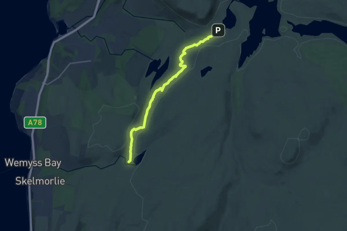
Medium · Trail
The Kelly Cut
11.0 km · ↑ 74 m · 2 h 46 min
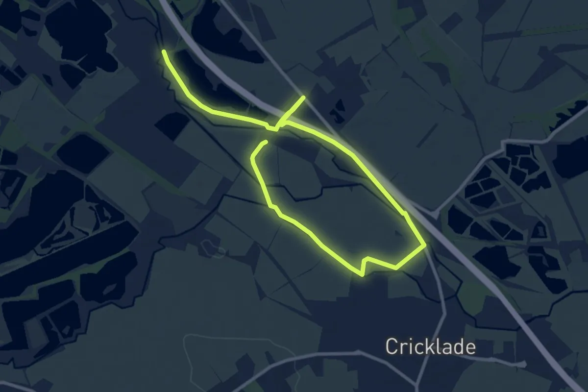
Medium · Trail
The Latton Loop
11.4 km · ↑ 4 m · 2 h 41 min
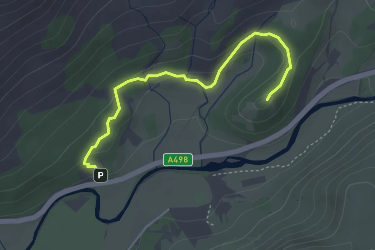
Easy · Summit
The Legendary Trail of Dinas Emrys, Craflwyn
1.6 km · ↑ 76 m · 32 min
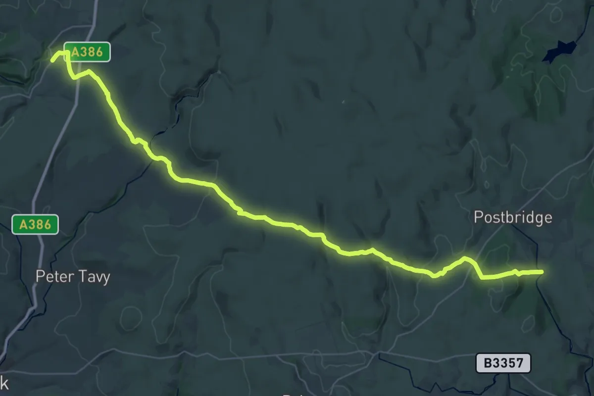
Demanding · Trail
The Lichway
19.6 km · ↑ 574 m · 6 h 5 min
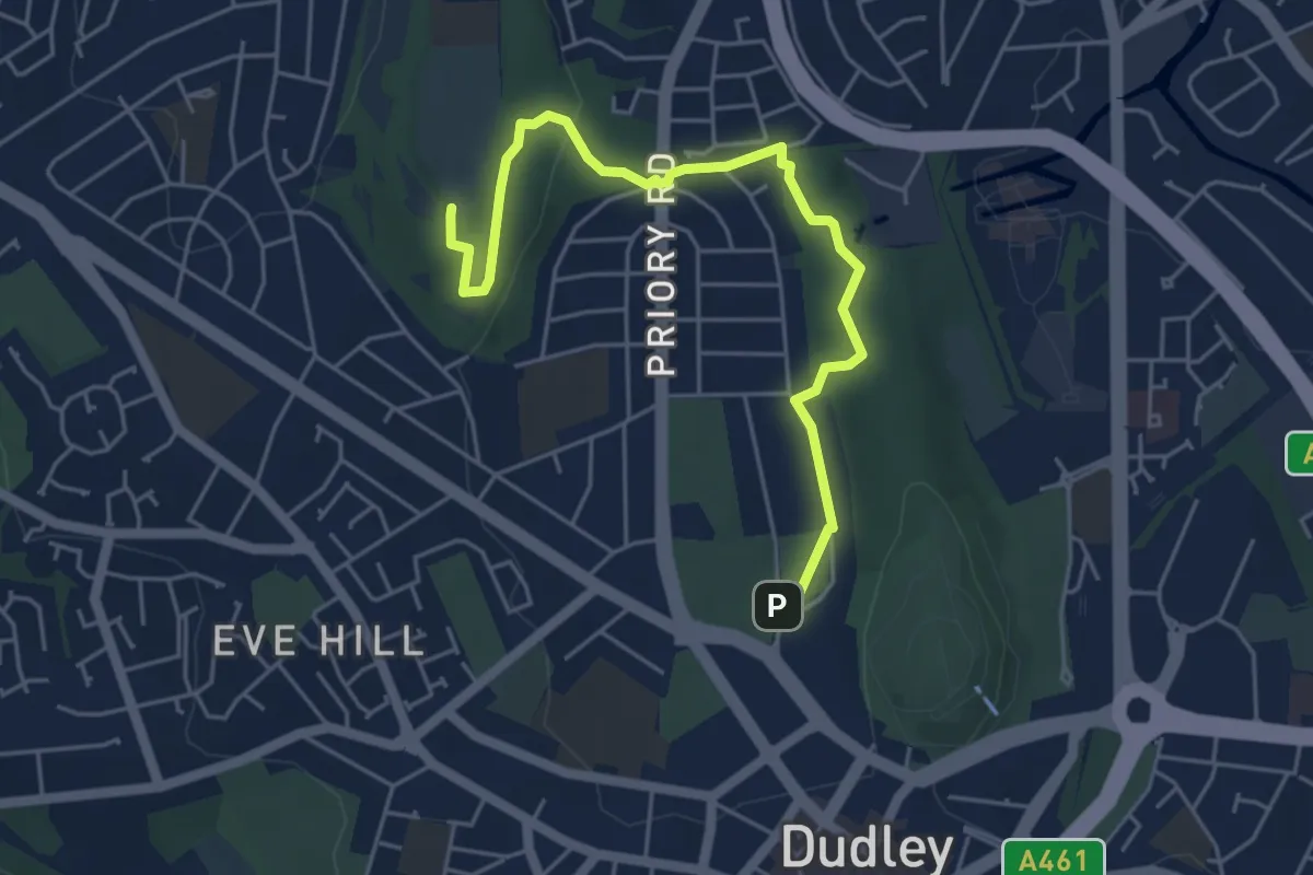
Easy · Summit
The Limestone Way
4.9 km · ↑ 109 m · 1 h 23 min
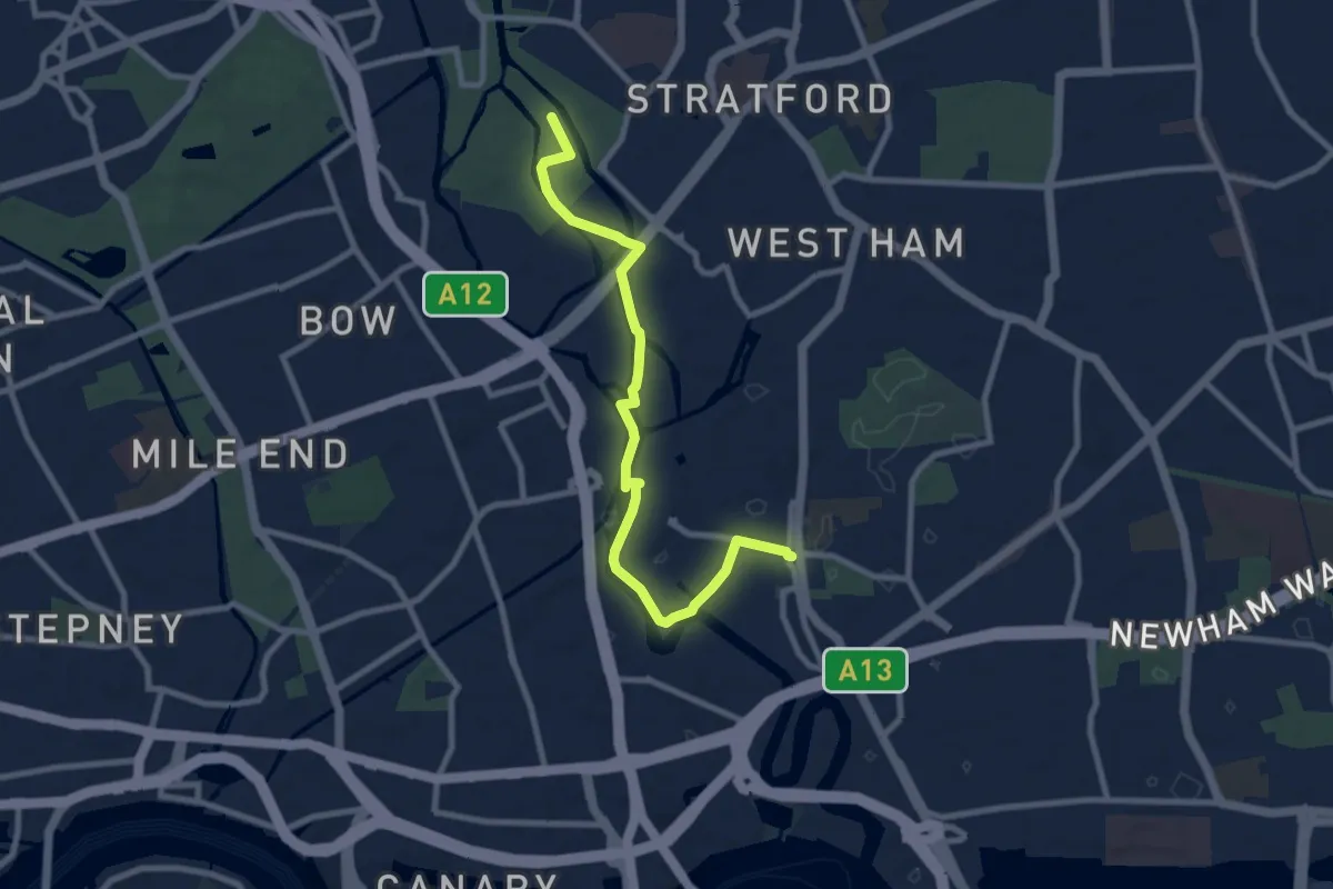
Medium · Trail
The Line
8.2 km · ↑ 8 m · 1 h 57 min
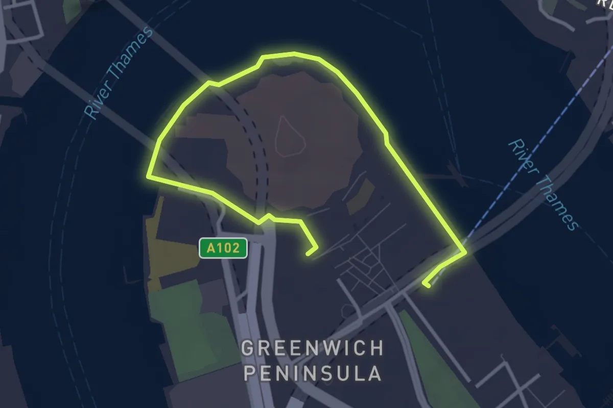
Easy · Trail
The Line
3.7 km · ↑ 0 m · 53 min
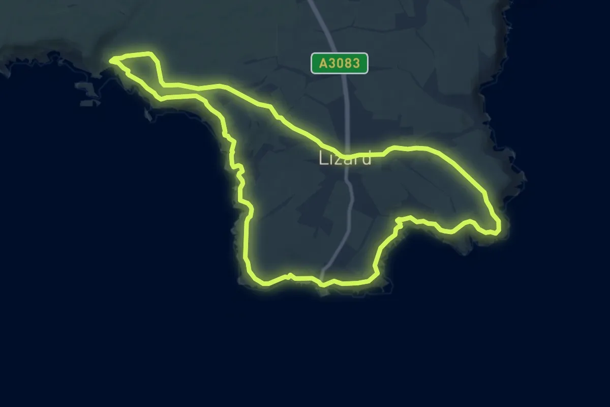
Medium · Trail
The Lizard Coastal Walk
9.1 km · ↑ 221 m · 2 h 45 min
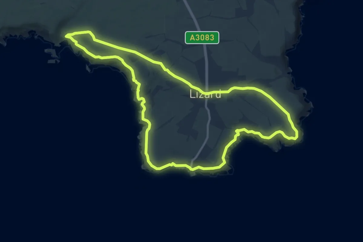
Medium · Trail
The Lizard coastal walk, Lizard Point
9.0 km · ↑ 215 m · 2 h 42 min
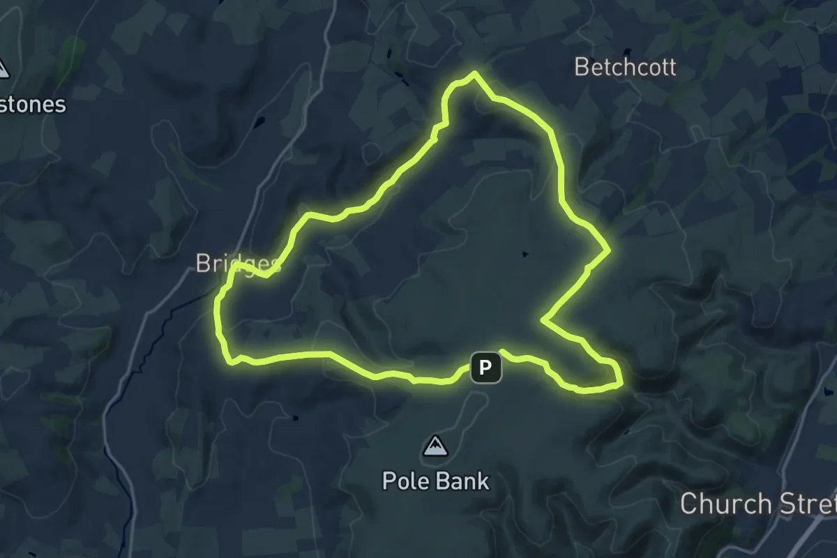
Medium · Summit
The Long Mynd and Ratlinghope Walk, Carding Mill Valley
14.7 km · ↑ 399 m · 4 h 32 min
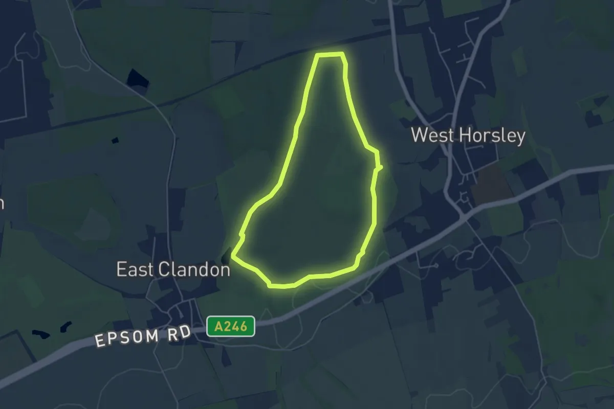
Easy · Trail
The long walk at Hatchlands Park, Hatchlands Park
4.1 km · ↑ 37 m · 1 h 6 min
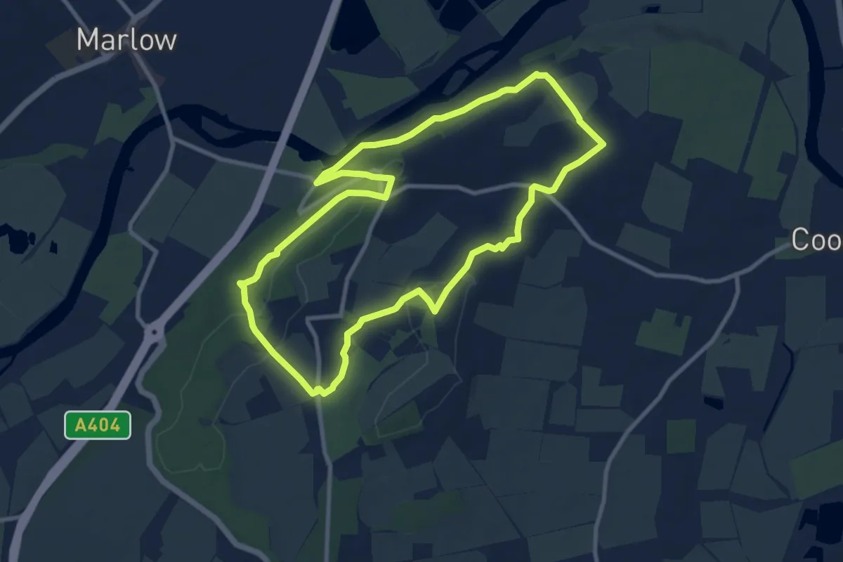
Medium · Trail
The Long Wind in the Willows Walk, Maidenhead
8.1 km · ↑ 171 m · 2 h 24 min
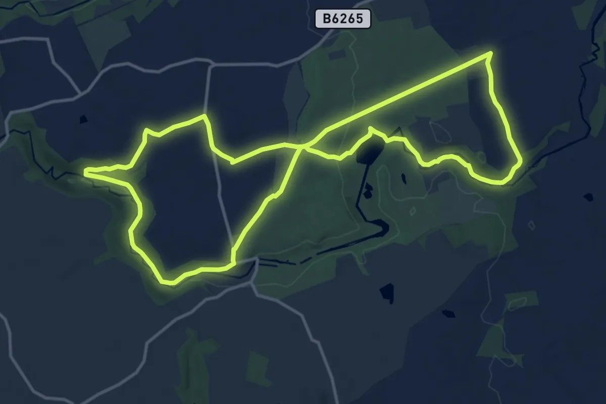
Medium · Trail
The Lost Spa Trail at Fountains Abbey
10.8 km · ↑ 130 m · 2 h 59 min
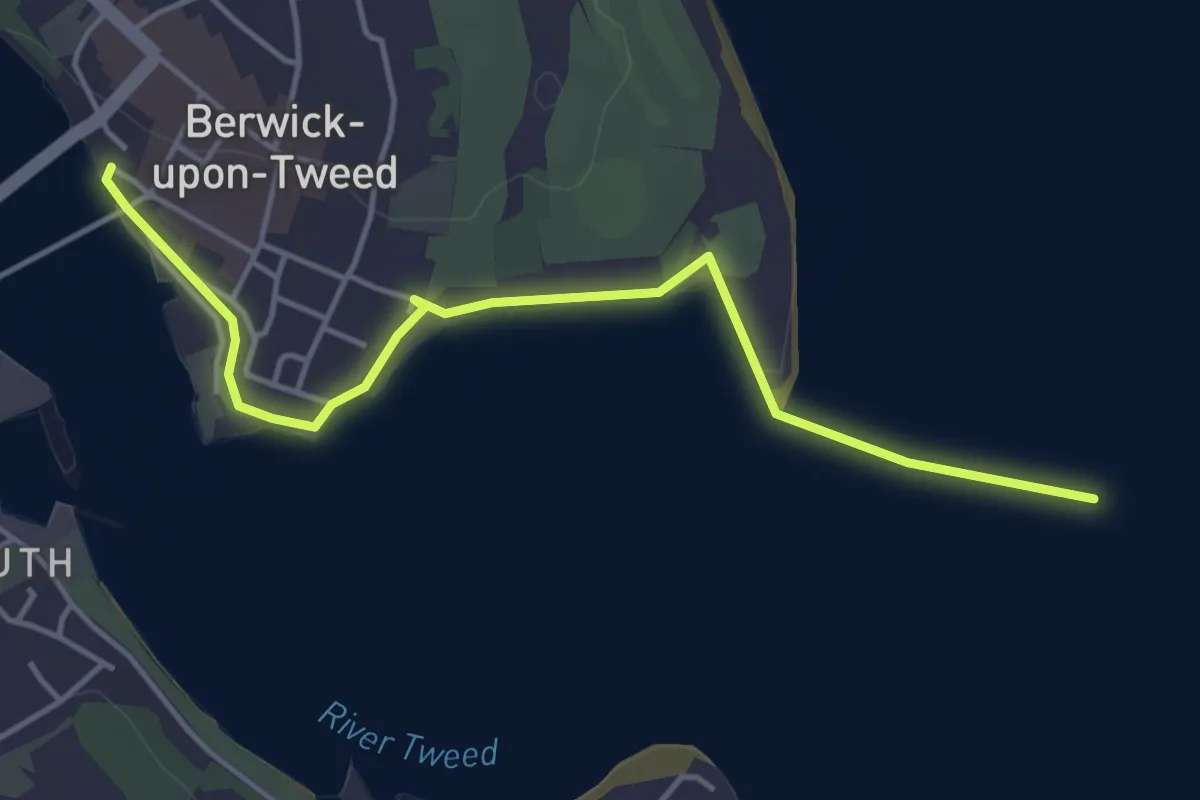
Easy · Trail
The Lowry trail
3.8 km · ↑ 4 m · 55 min
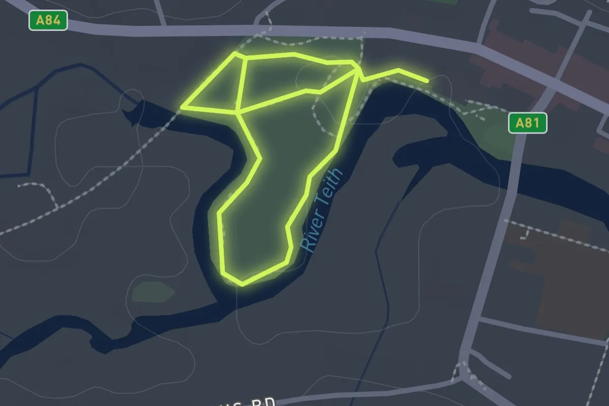
Easy · Trail
The Meadows
2.9 km · ↑ 0 m · 41 min
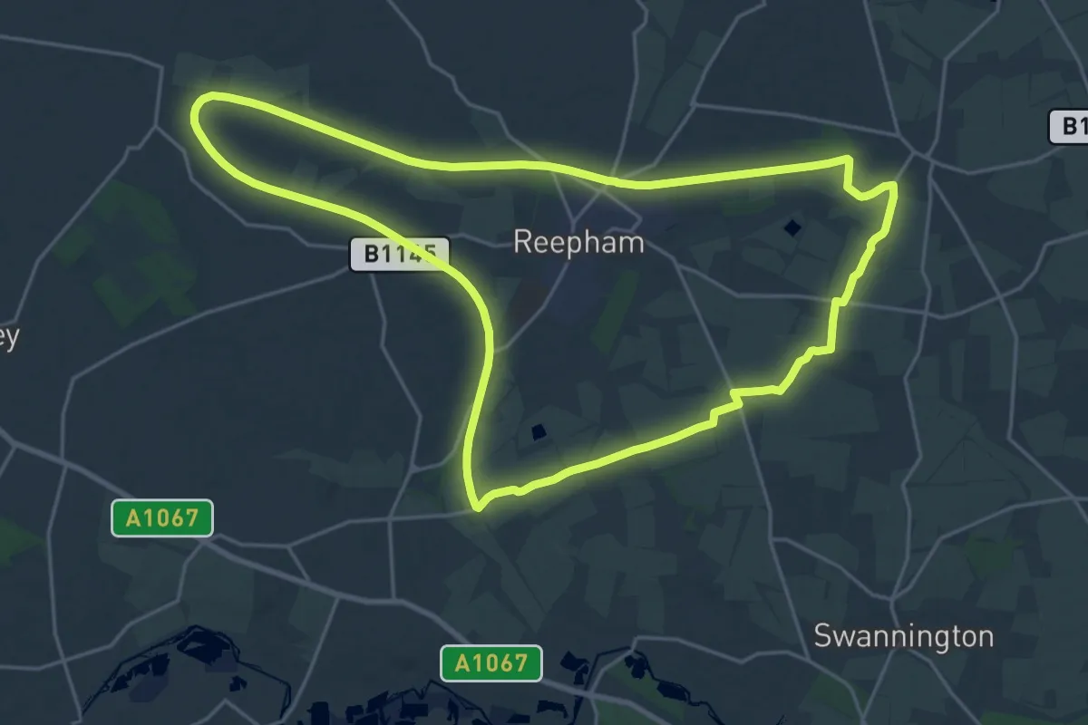
Demanding · Trail
Themelthorpe Loop
19.8 km · ↑ 68 m · 5 h 6 min
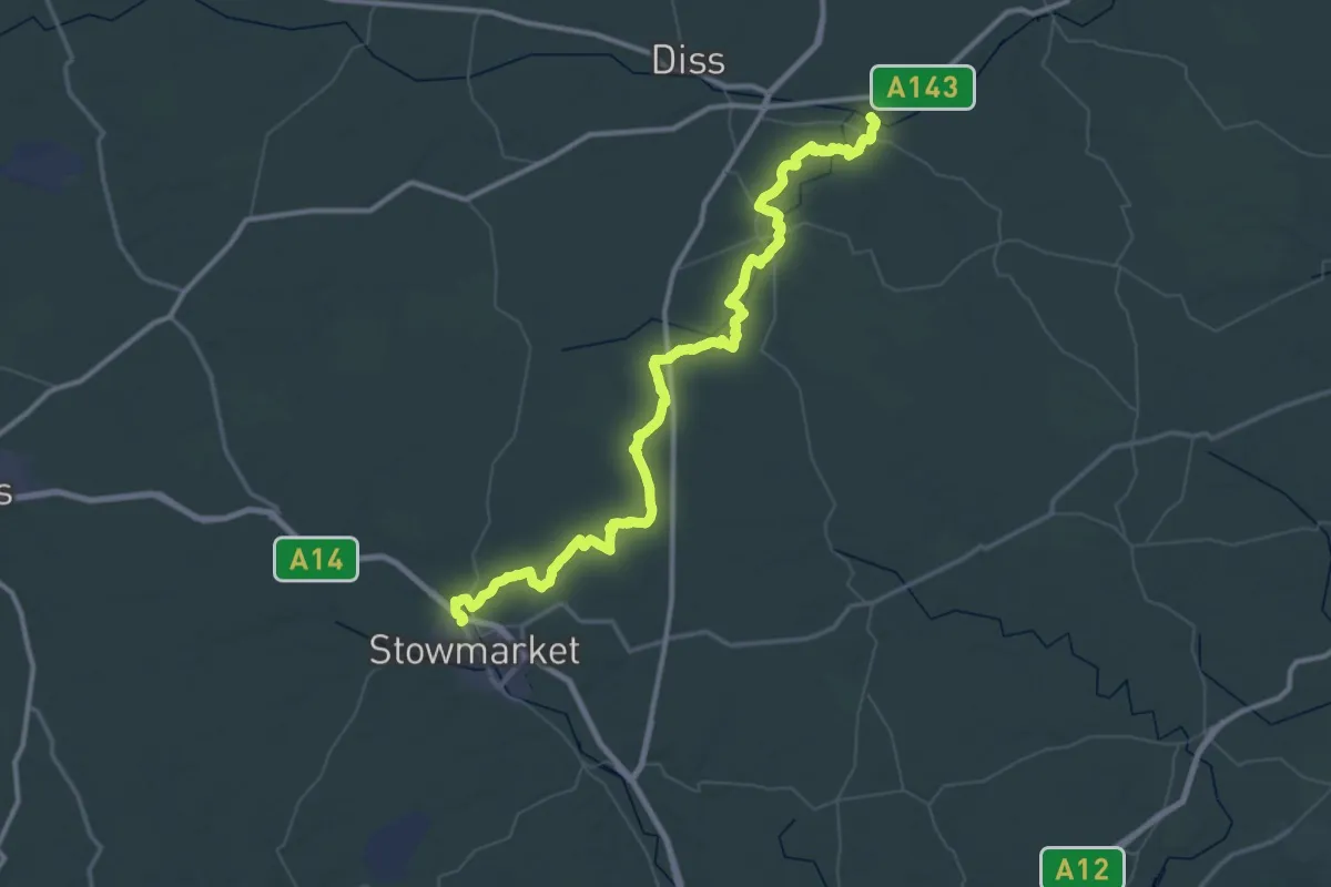
Demanding · Trail
The Mid Suffolk Footpath
35.8 km · ↑ 128 m · 9 h 14 min
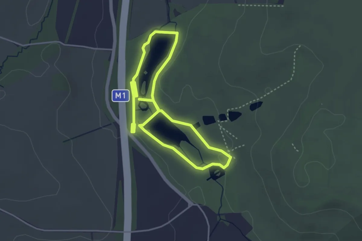
Easy · Trail
The Miller's Walk, Hardwick
3.0 km · ↑ 13 m · 46 min
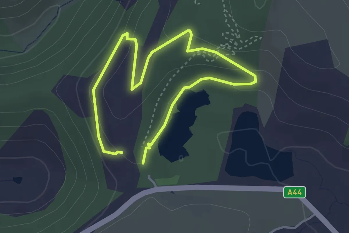
Easy · Trail
The Miners' Trail
2.2 km · ↑ 56 m · 40 min
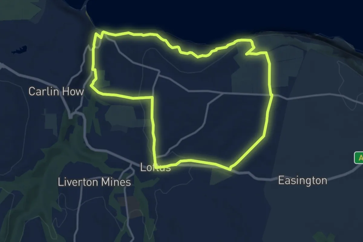
Medium · Trail
The Miners Way
8.8 km · ↑ 226 m · 2 h 42 min
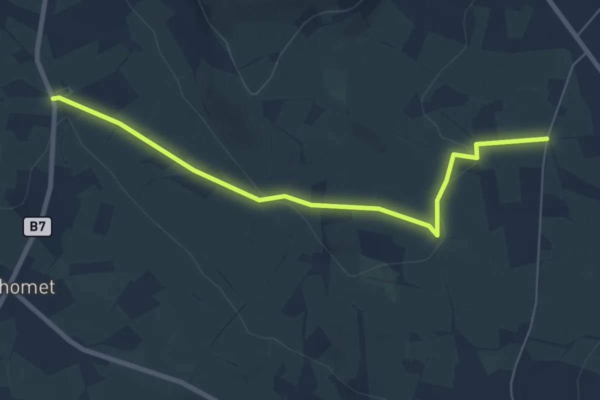
Easy · Trail
The Moat Pad
4.8 km · ↑ 116 m · 1 h 23 min
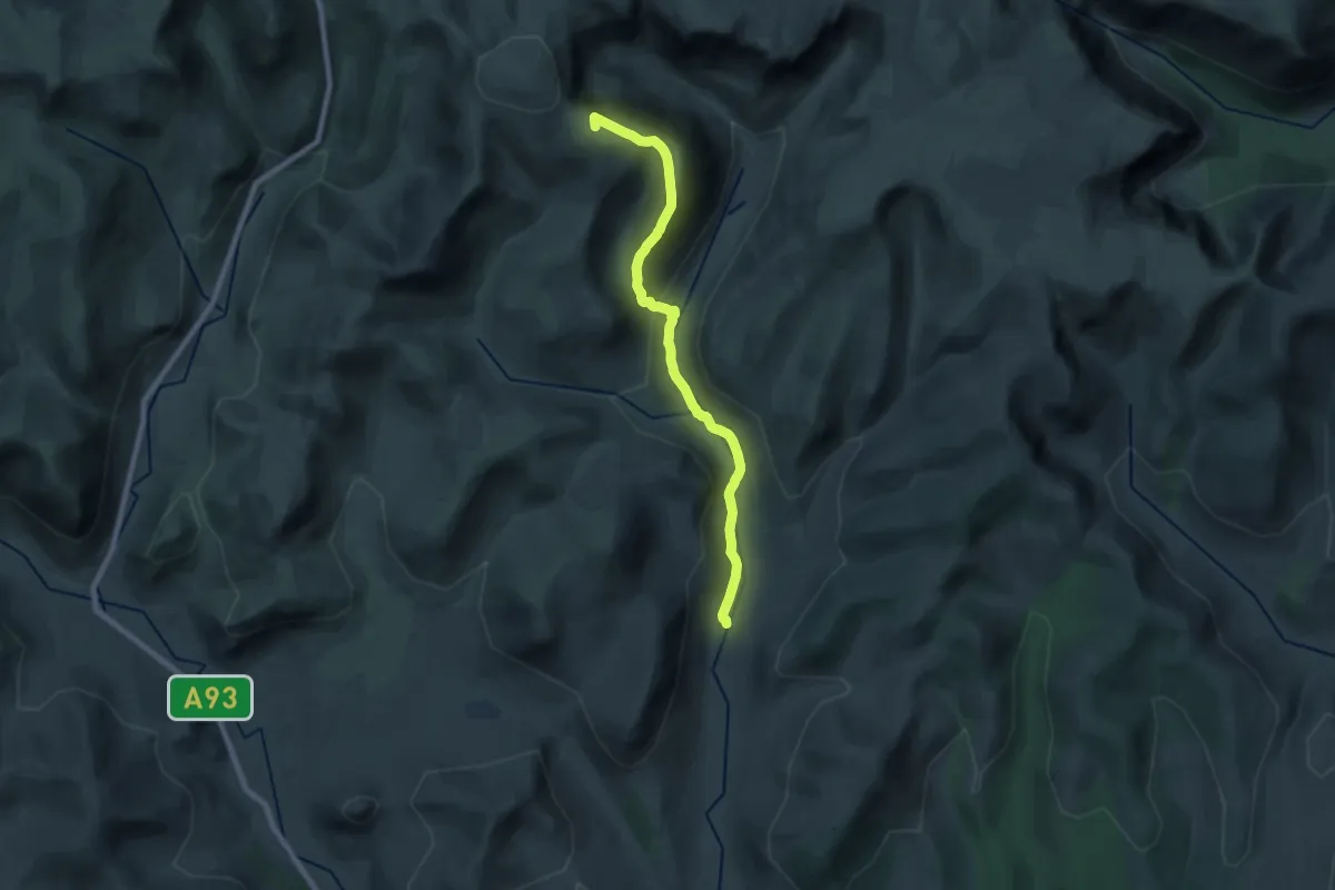
Medium · Summit
The Monega Pass
16.3 km · ↑ 614 m · 5 h 10 min
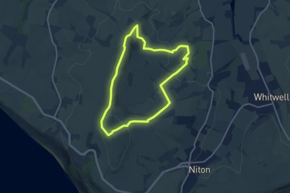
Easy · Summit
The Monk and the Merchant Walk, Isle of Wight
6.1 km · ↑ 189 m · 1 h 57 min
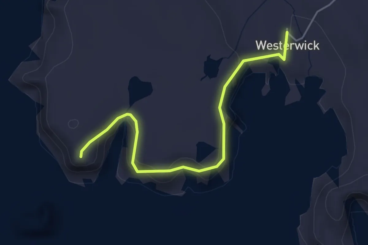
Easy · Trail
The Nev
3.2 km · ↑ 104 m · 59 min
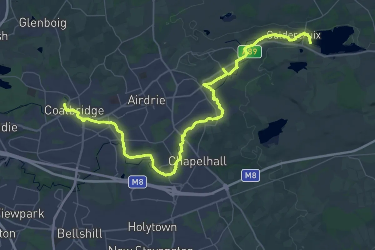
Demanding · Trail
The North Calder Heritage Trail
18.4 km · ↑ 49 m · 4 h 45 min
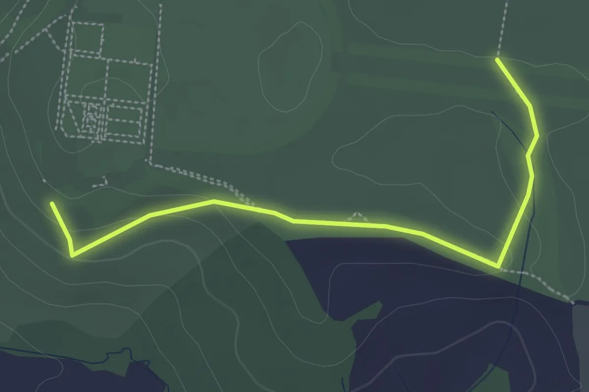
Easy · Trail
The Oak Walk, Hardwick
1.4 km · ↑ 19 m · 23 min
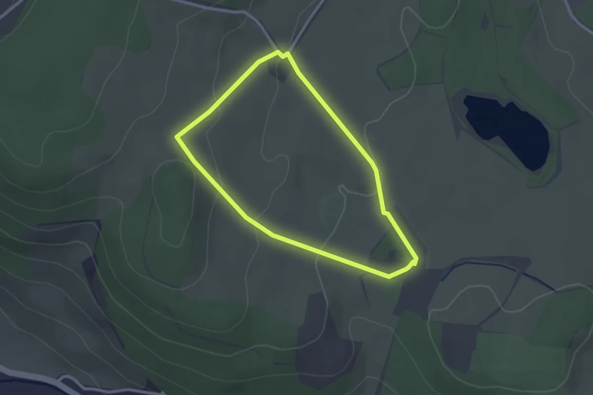
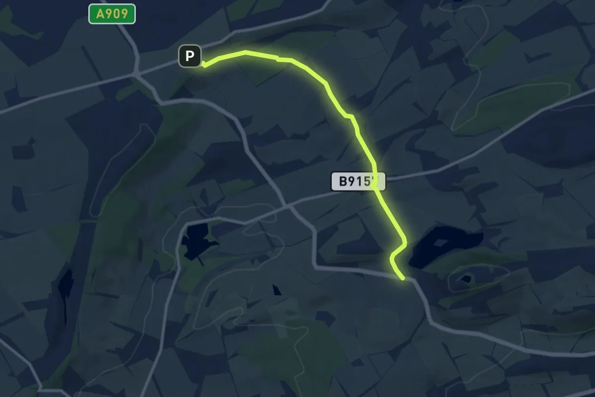
Easy · Trail
The Old Golf walk at Chirk Castle
2.0 km · ↑ 59 m · 38 min
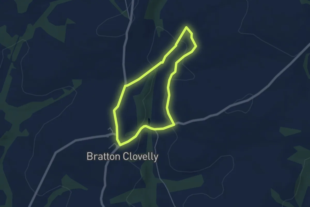
Easy · Trail
The Old North Road
7.0 km · ↑ 150 m · 1 h 58 min
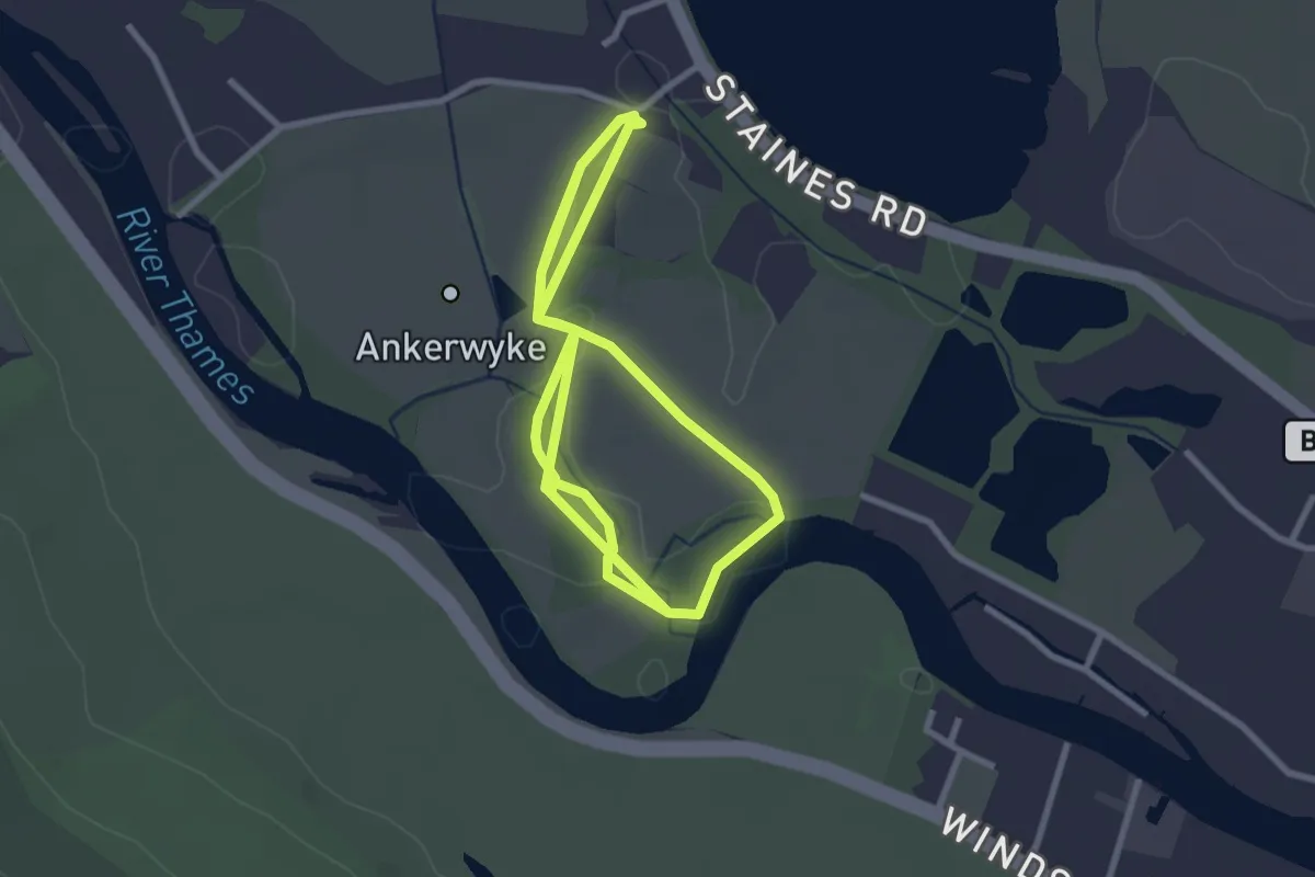
Easy · Trail
The Packhorse Trail
3.5 km · ↑ 102 m · 1 h 5 min
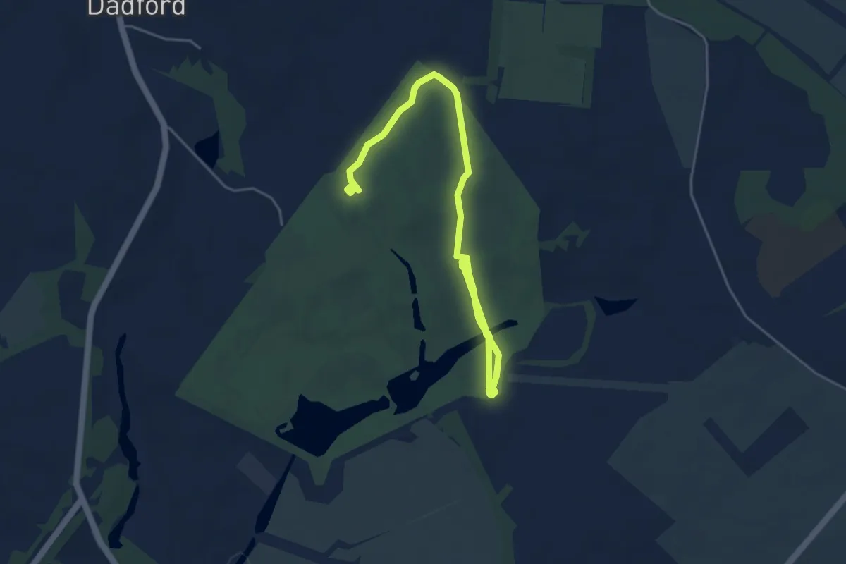
Easy · Trail
The Park Circular Walk at Ankerwycke
2.8 km · ↑ 0 m · 41 min
Easy · Trail
The Path of Liberty, Stowe
5.1 km · ↑ 46 m · 1 h 19 min
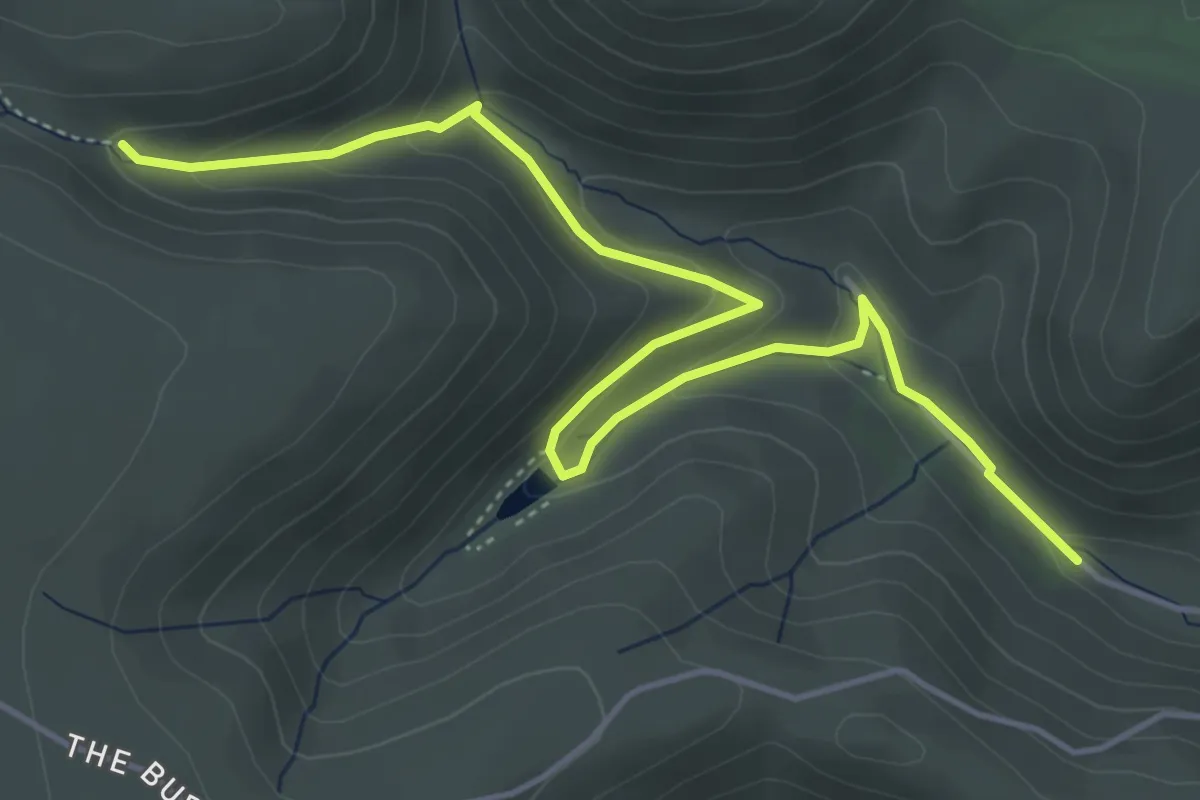
Easy · Trail
The Pipe Walk, Carding Mill Valley
4.9 km · ↑ 189 m · 1 h 35 min
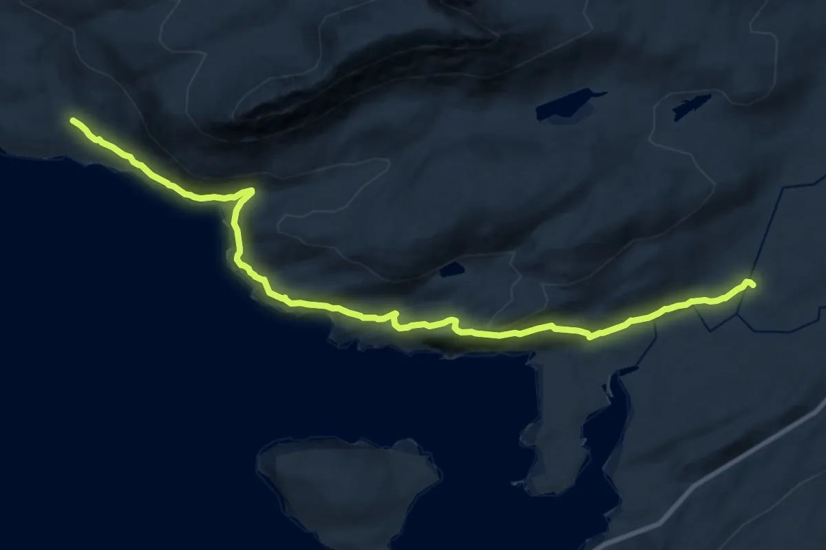
Medium · Trail
The Postie Path
17.7 km · ↑ 701 m · 5 h 41 min
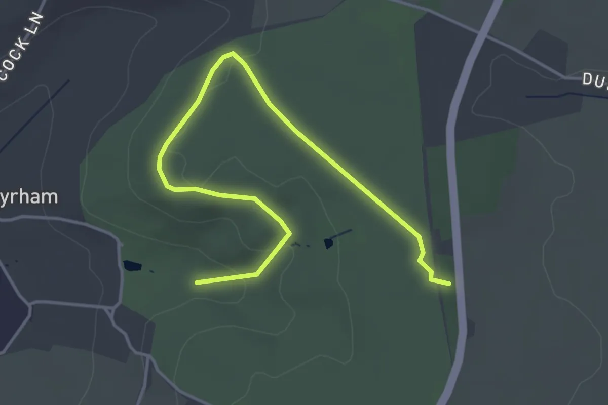
Easy · Summit
The Prospect Walk at Dyrham Park, Dyrham Park
4.3 km · ↑ 76 m · 1 h 11 min
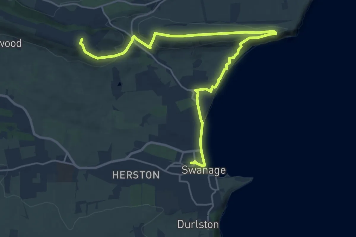
Medium · Summit
The Purbeck Ridgeway - Corfe Castle to the coast, Corfe Castle
16.4 km · ↑ 417 m · 4 h 47 min
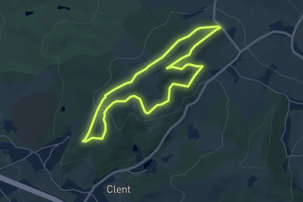
Easy · Summit
The Rabbit Trail, Clent Hills
4.1 km · ↑ 118 m · 1 h 17 min
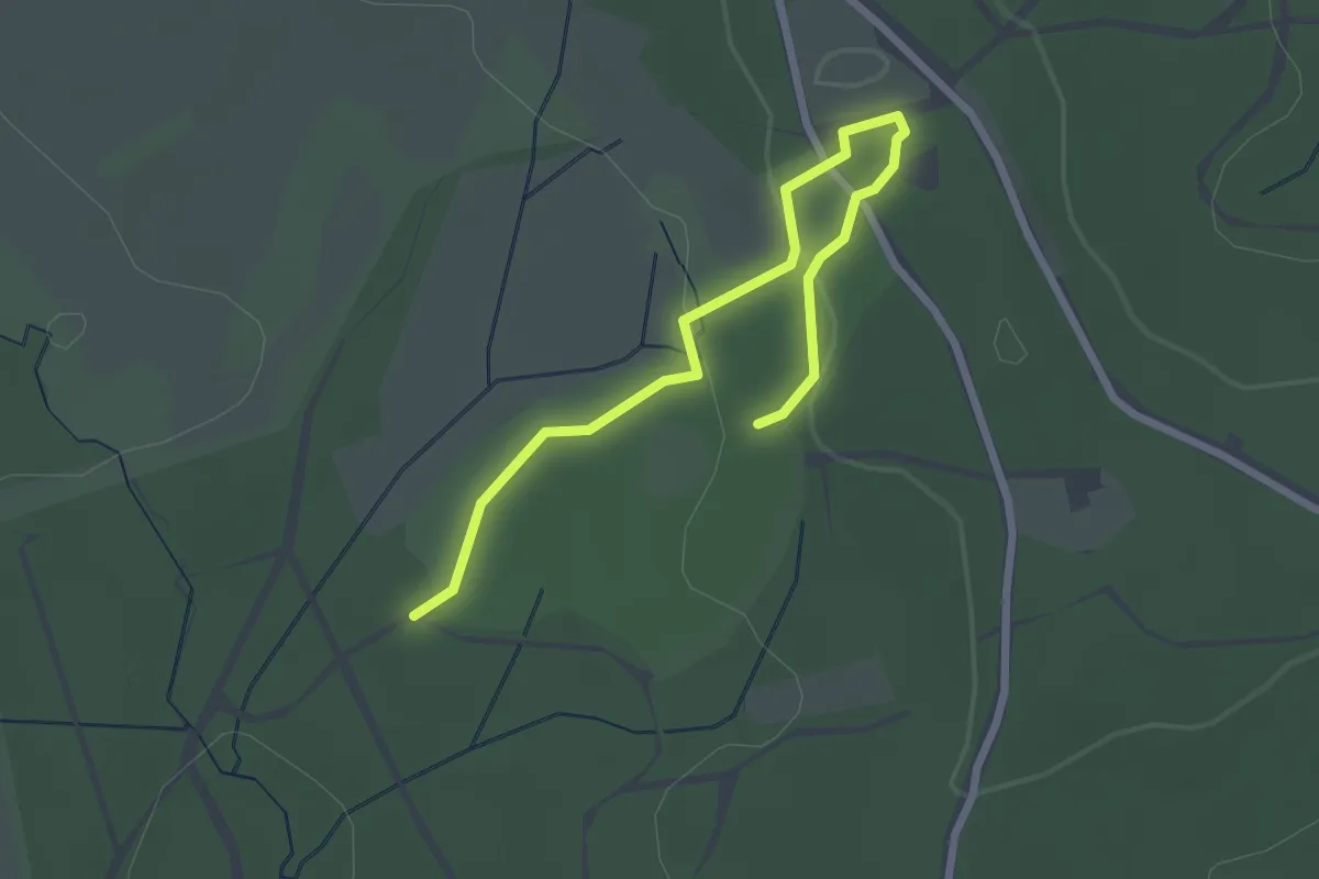
Easy · Trail
The Radnor Trail
2.6 km · ↑ 60 m · 45 min
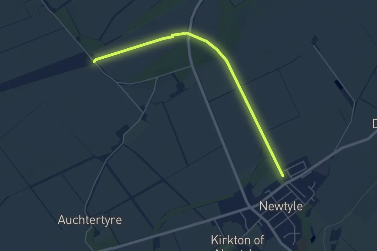
Easy · Trail
The Railway Walk
4.1 km · ↑ 30 m · 1 h 2 min
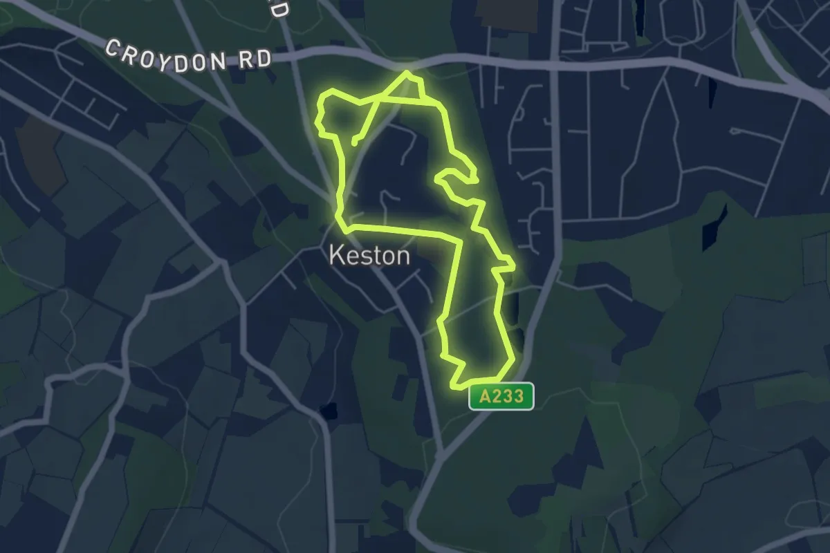
Medium · Trail
The Ravensbourne Trail
8.6 km · ↑ 107 m · 2 h 15 min