Trails in United Kingdom
3,857 hiking trails, each with its route, climb, walking time and grade.
All trails, page 69 of 81
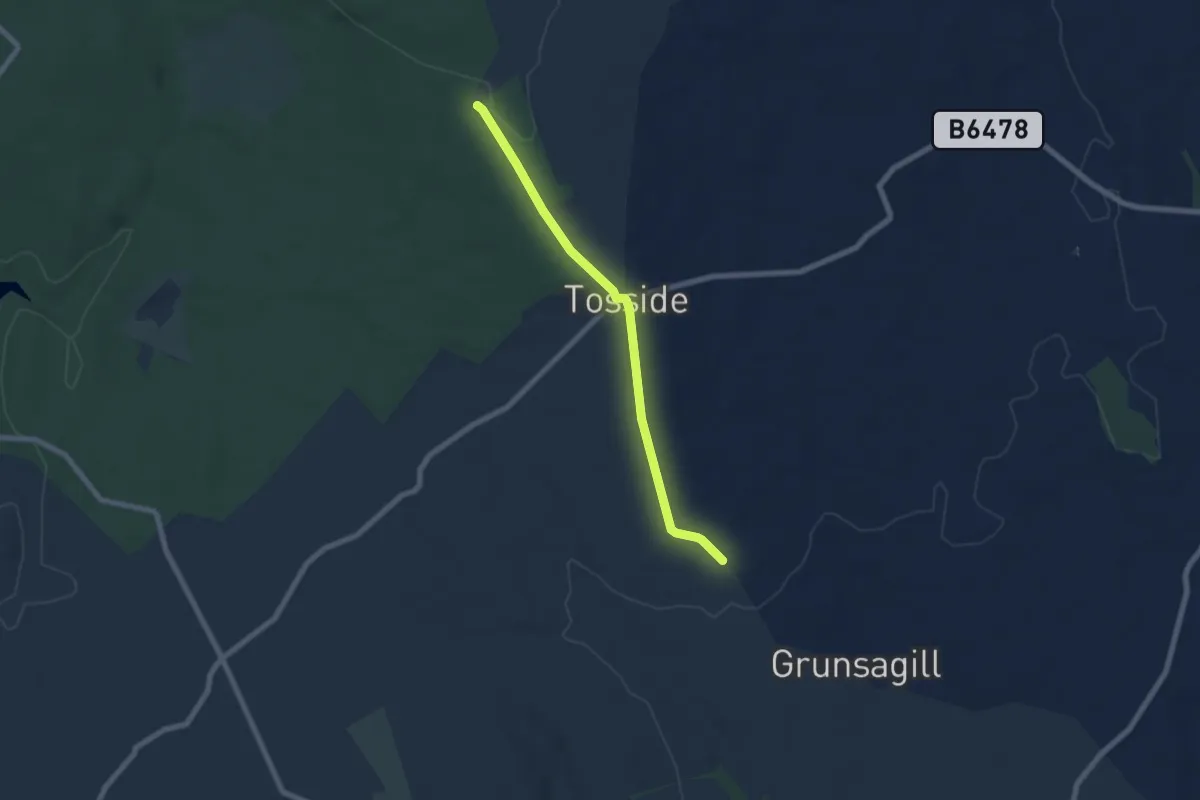
Easy · Trail
The Ribble Valley Jubilee Trail
2.8 km · ↑ 79 m · 49 min
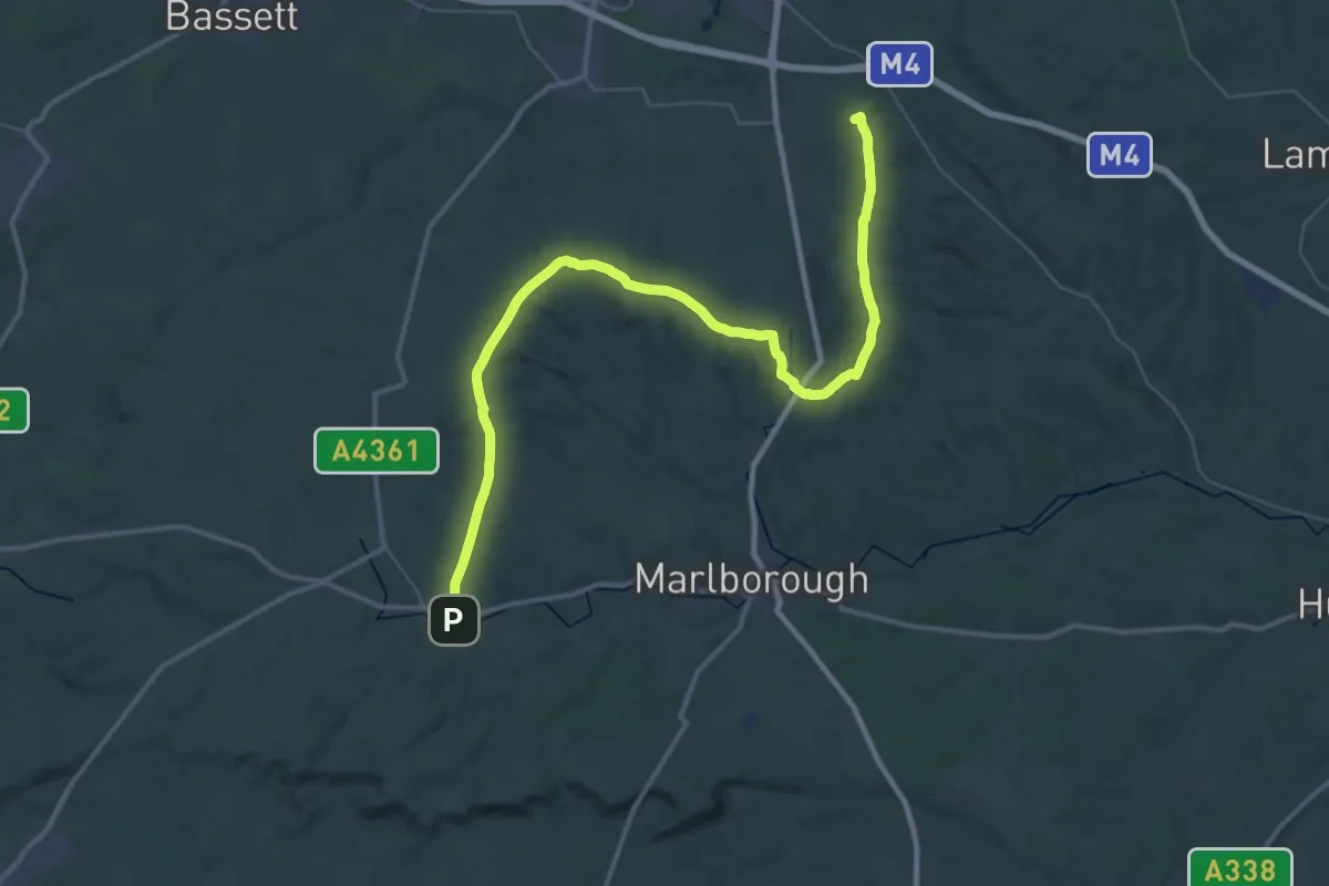
Demanding · Summit
The Ridgeway
48.0 km · ↑ 546 m · 12 h 30 min
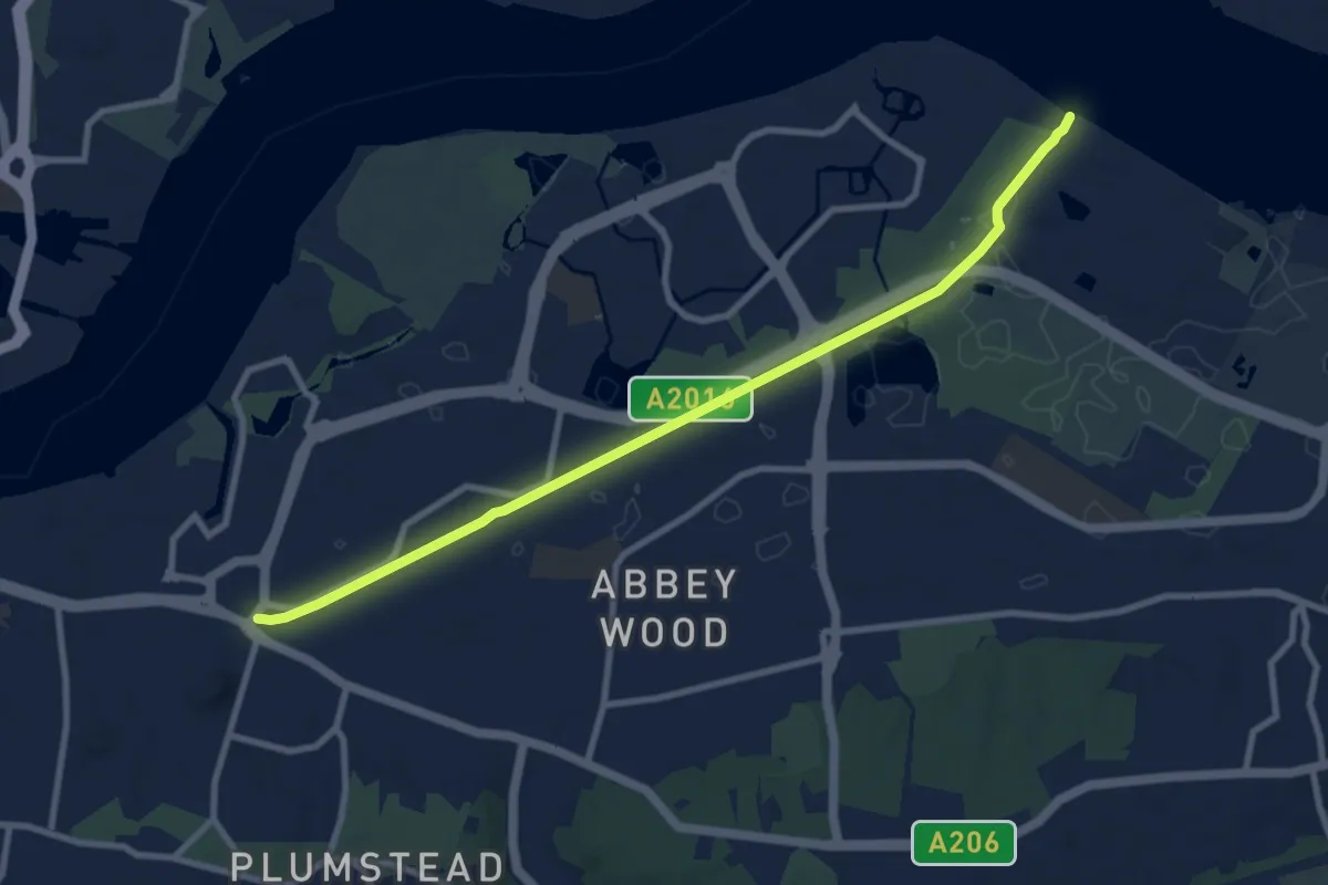
Medium · Trail
The Ridgeway
8.6 km · ↑ 0 m · 2 h 2 min
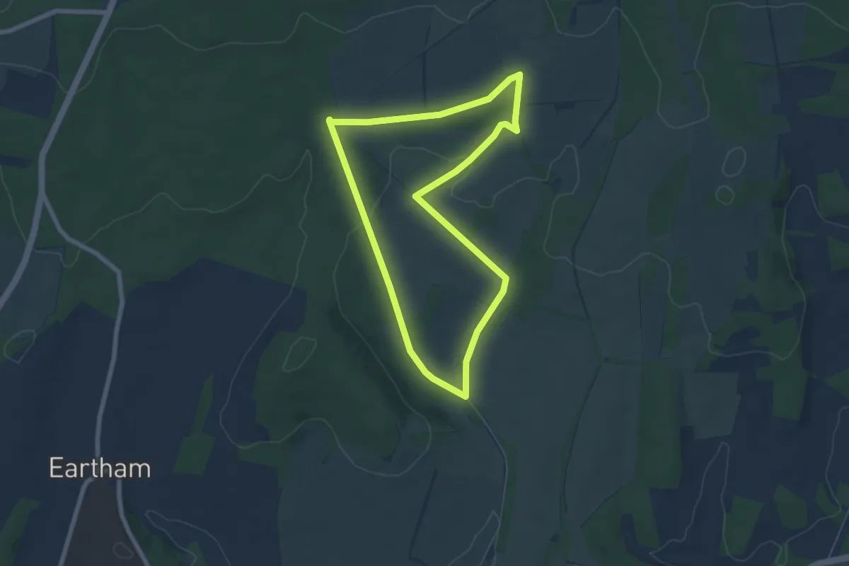
Easy · Trail
The Rise of Northwood Ramble, Slindon
5.3 km · ↑ 78 m · 1 h 30 min
Medium · Trail
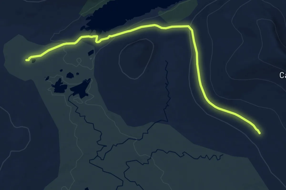
The Road to the Isles Station Hop
14.5 km · ↑ 198 m · 3 h 51 min
Demanding · Trail
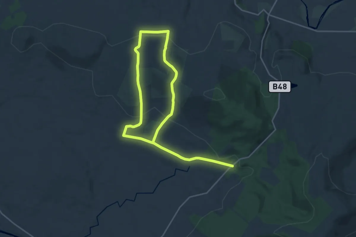
The Robbers Table
19.3 km · ↑ 586 m · 5 h 49 min
Easy · Trail
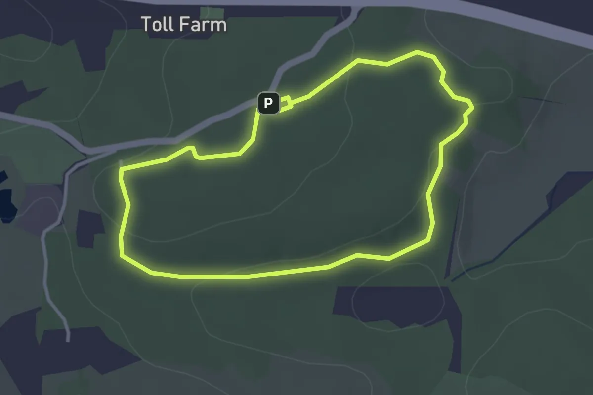
The Robbers Trail
2.4 km · ↑ 35 m · 40 min
Medium · Trail
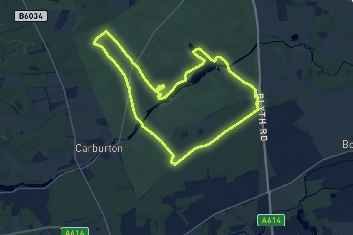
The Robin Hood Way, Clumber Park
13.7 km · ↑ 81 m · 3 h 36 min
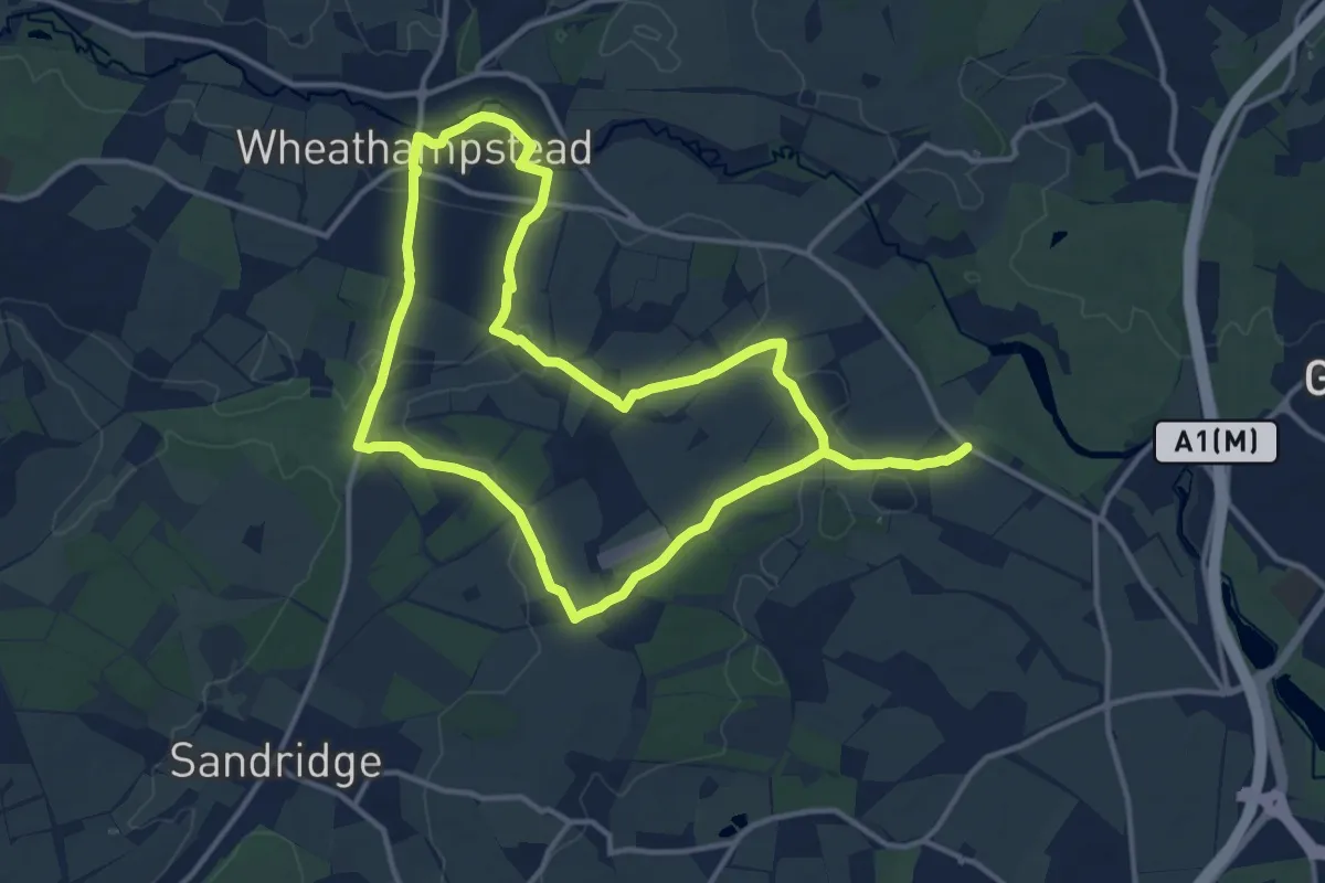
Medium · Trail
The Romans & Nomansland
11.9 km · ↑ 123 m · 3 h 15 min
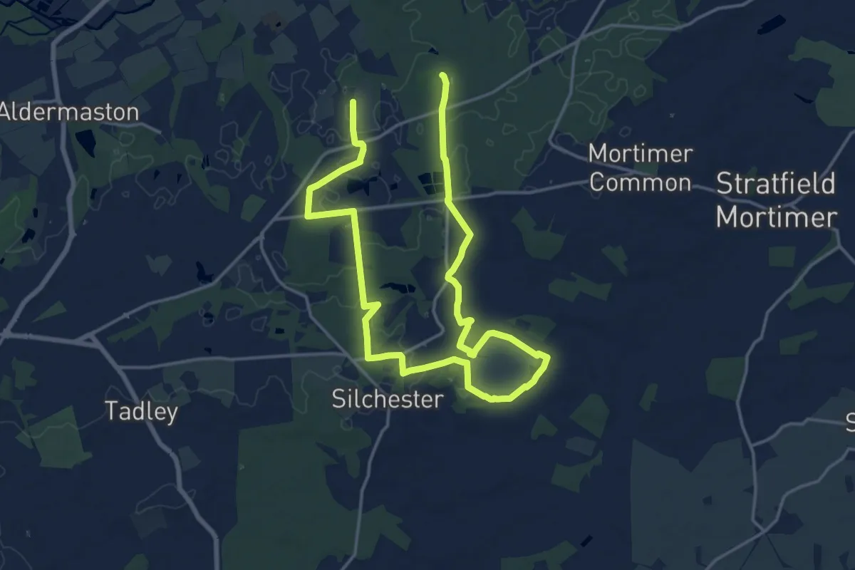
Demanding · Trail
The Roman Way
22.9 km · ↑ 114 m · 5 h 39 min
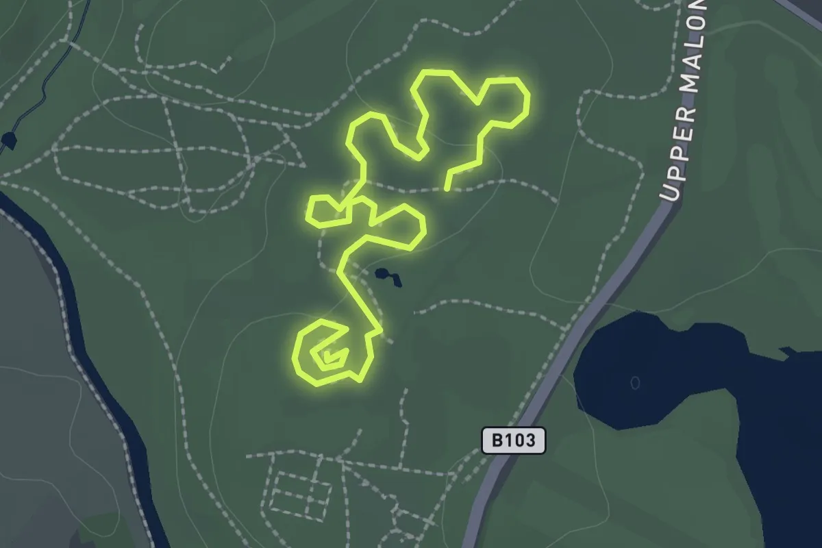
Easy · Trail
The Rose Walk
3.0 km · ↑ 26 m · 46 min
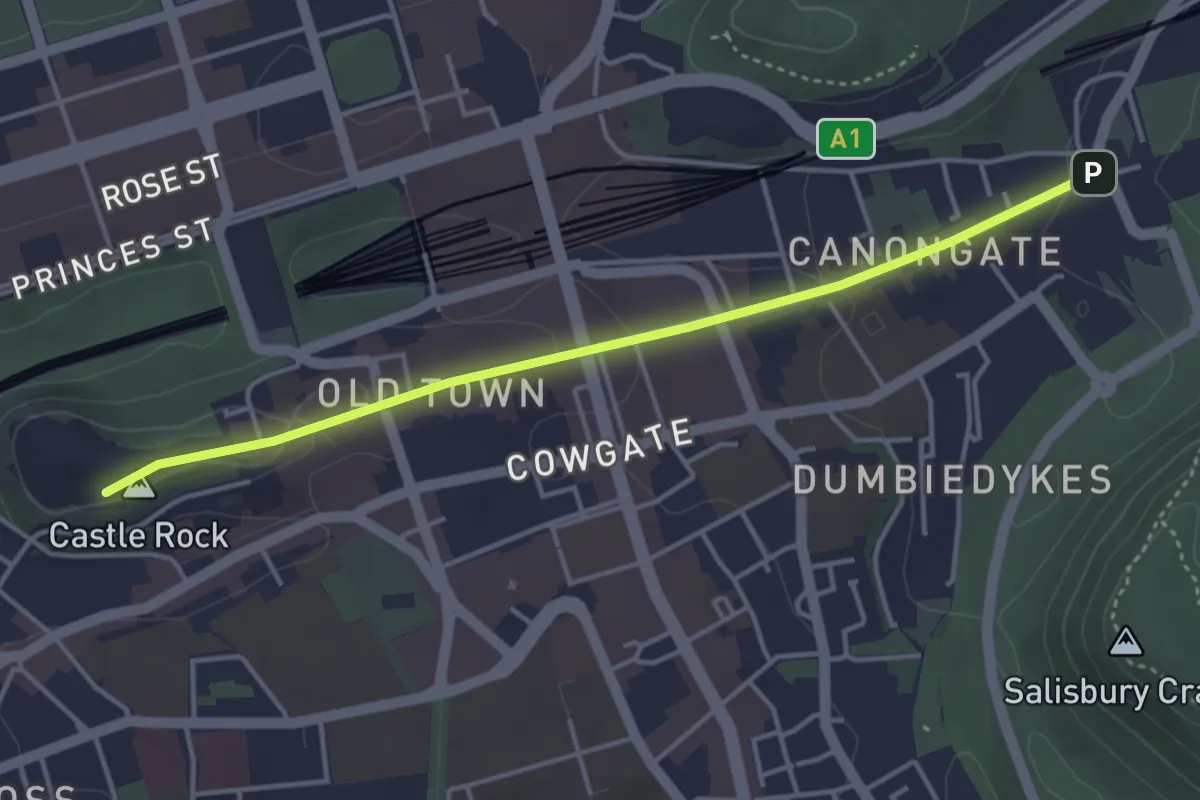
Easy · Summit
The Royal Mile
3.3 km · ↑ 63 m · 55 min
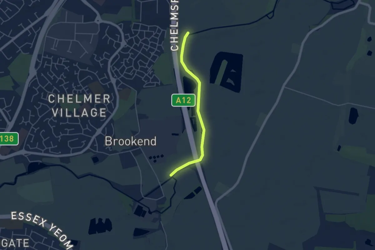
Easy · Trail
The Saffron Trail
3.6 km · ↑ 0 m · 51 min
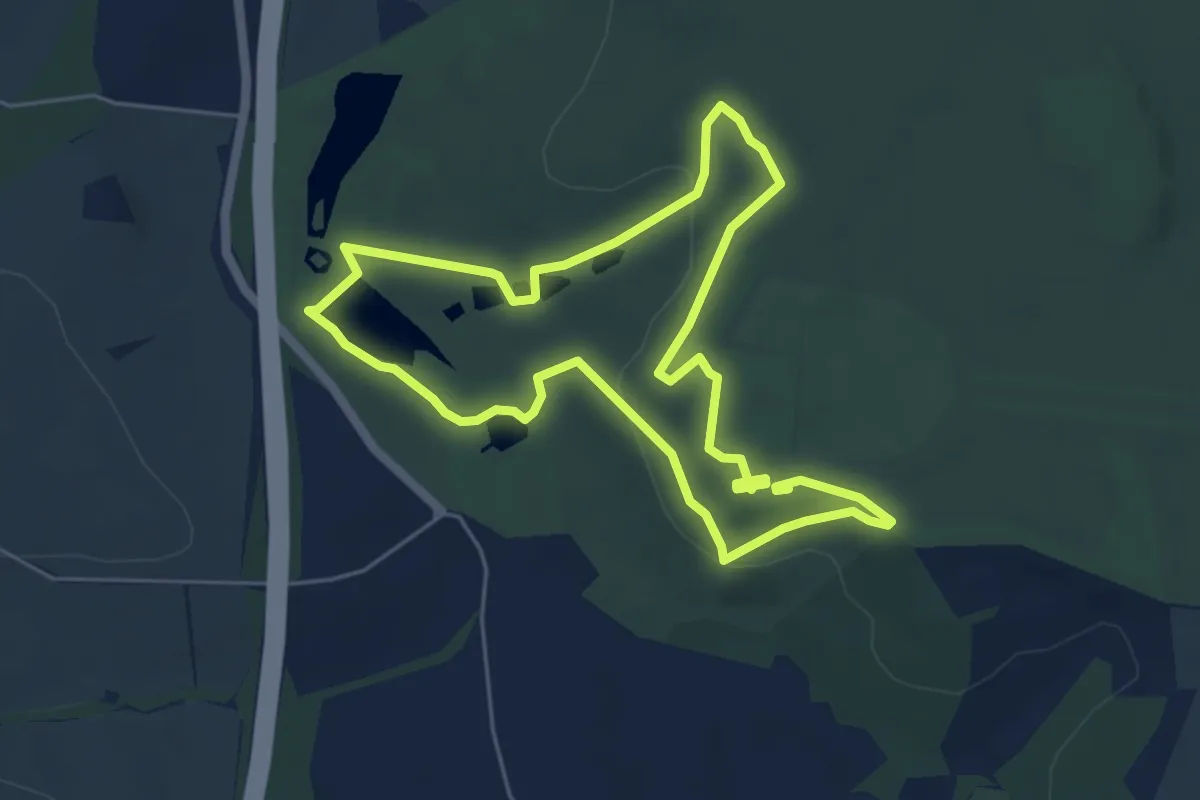
Easy · Trail
The Sculpture Trail, Hardwick
4.7 km · ↑ 76 m · 1 h 20 min
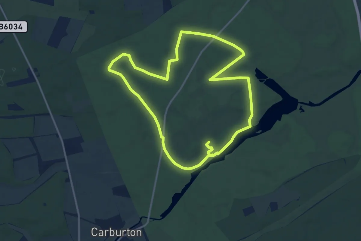
Medium · Trail
The Second World War Walk, Clumber Park
8.7 km · ↑ 43 m · 2 h 16 min
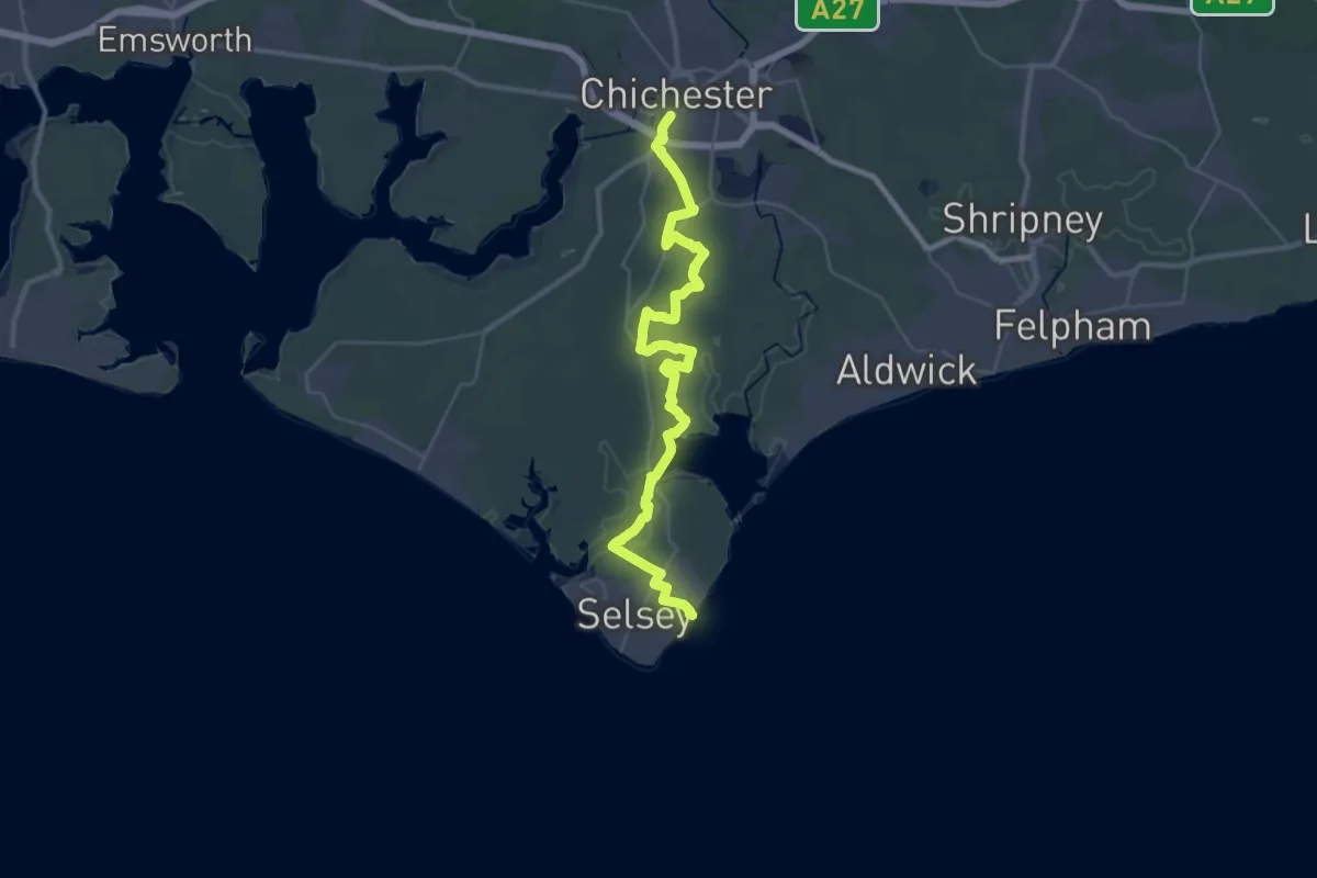
Demanding · Trail
The Selsey Tram Way
18.9 km · ↑ 8 m · 4 h 44 min
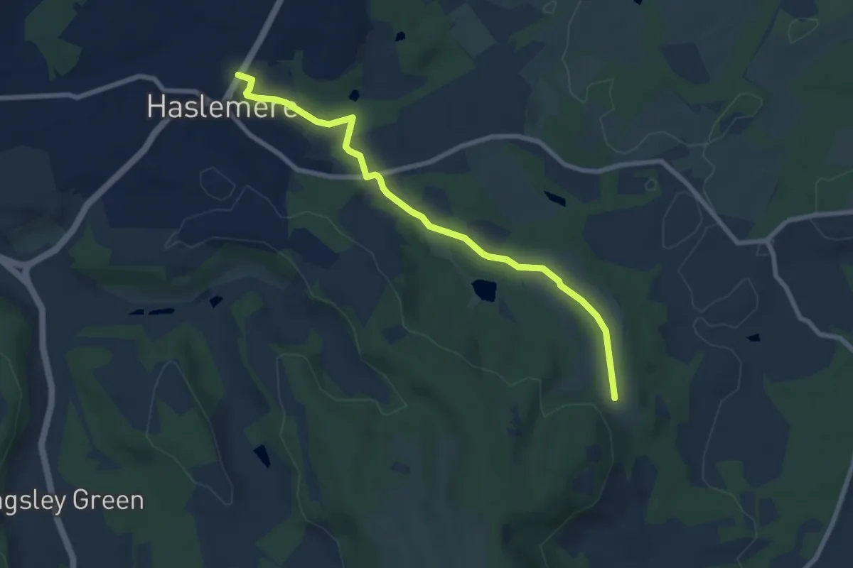
Easy · Trail
The Serpent Trail
6.6 km · ↑ 104 m · 1 h 47 min
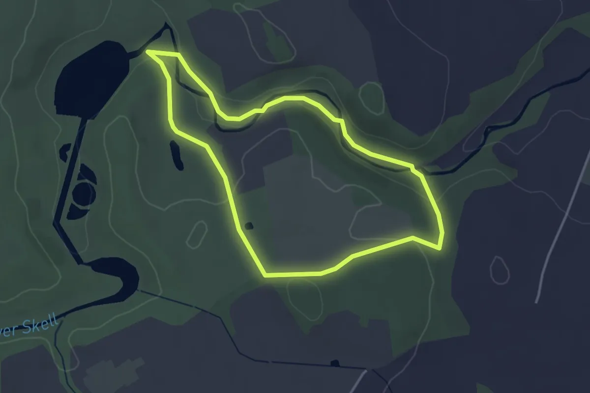
Easy · Trail
The Seven Bridges Valley Walk, Fountains Abbey
2.9 km · ↑ 48 m · 50 min
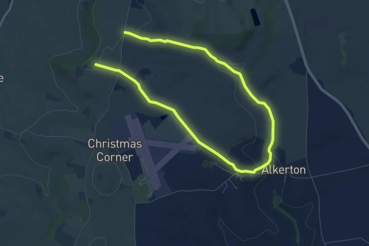
Easy · Trail
The Shenington Round from Upton House, Upton House and Gardens
5.5 km · ↑ 59 m · 1 h 30 min
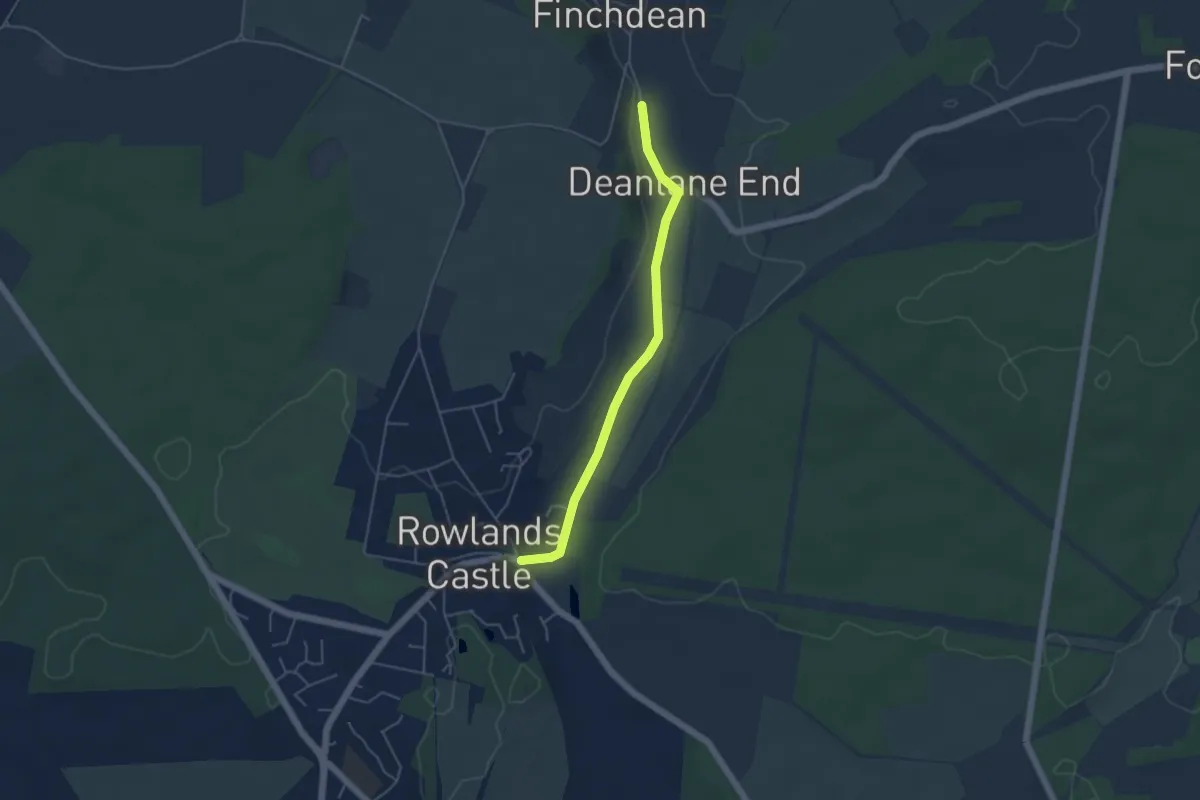
Easy · Trail
The Shipwrights Way
4.1 km · ↑ 9 m · 59 min
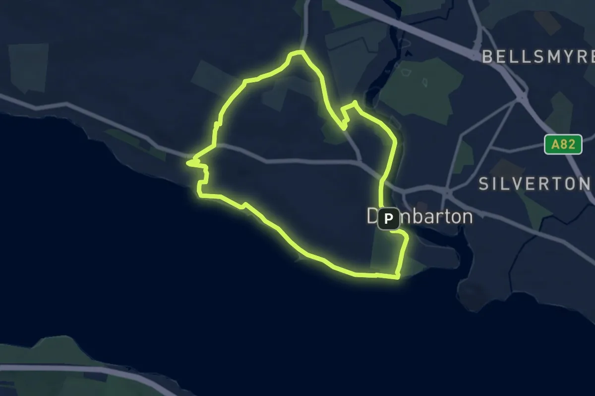
Easy · Trail
The Shore Circular Path
7.5 km · ↑ 60 m · 2 h
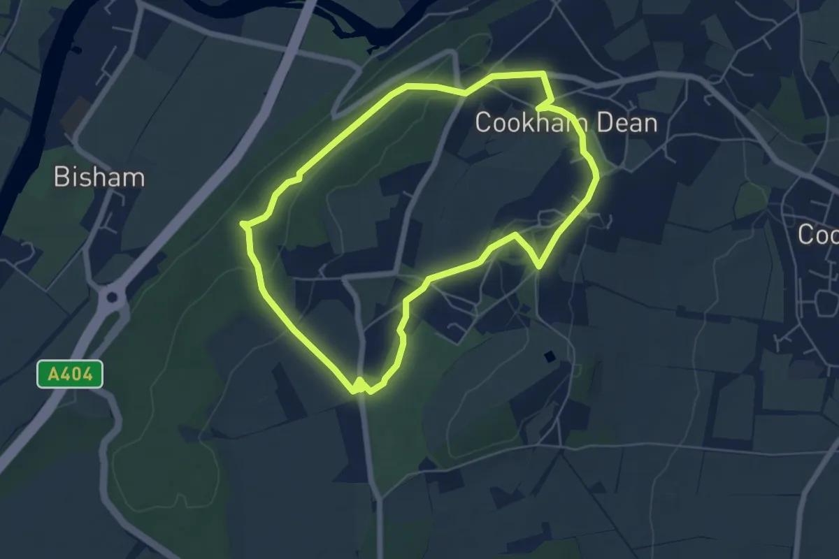
Easy · Trail
The Short Wind in the Willows Walk, Maidenhead
5.0 km · ↑ 106 m · 1 h 28 min
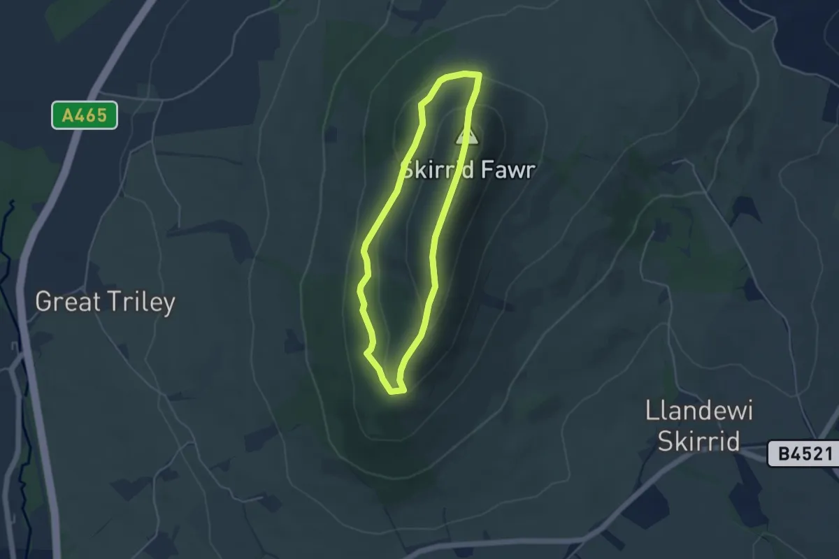
Easy · Summit
The Skirrid trail in the Sugar Loaf and Usk Valley, East Wales
3.3 km · ↑ 170 m · 1 h 12 min
Easy · Trail
The Smew Trail
6.4 km · ↑ 0 m · 1 h 31 min
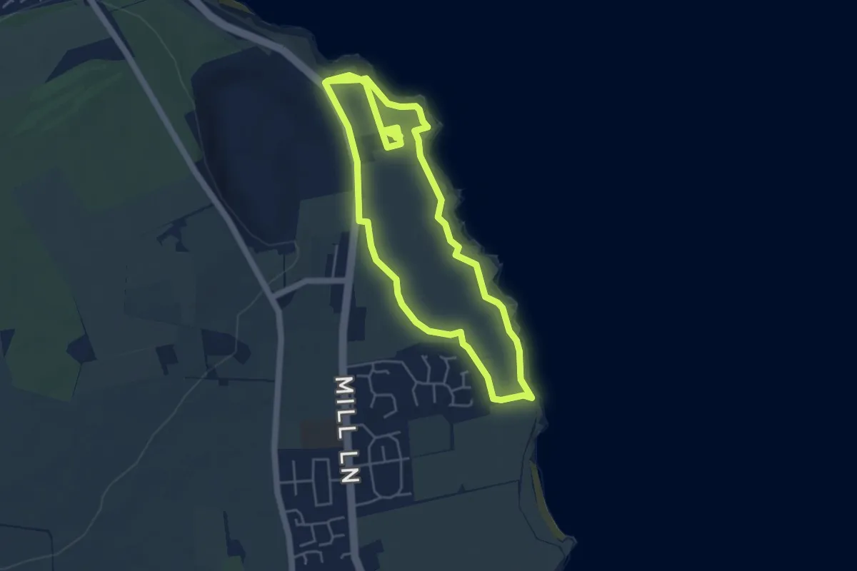
Easy · Trail
The Souter Saunter, Souter Lighthouse
3.8 km · ↑ 25 m · 1 h
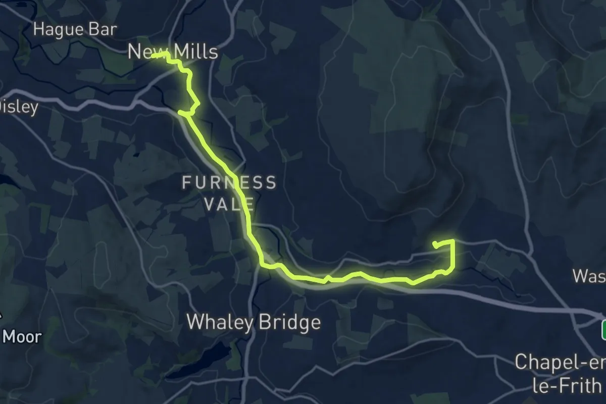
Medium · Trail
The Steel Cotton Rail Trail
15.9 km · ↑ 117 m · 4 h
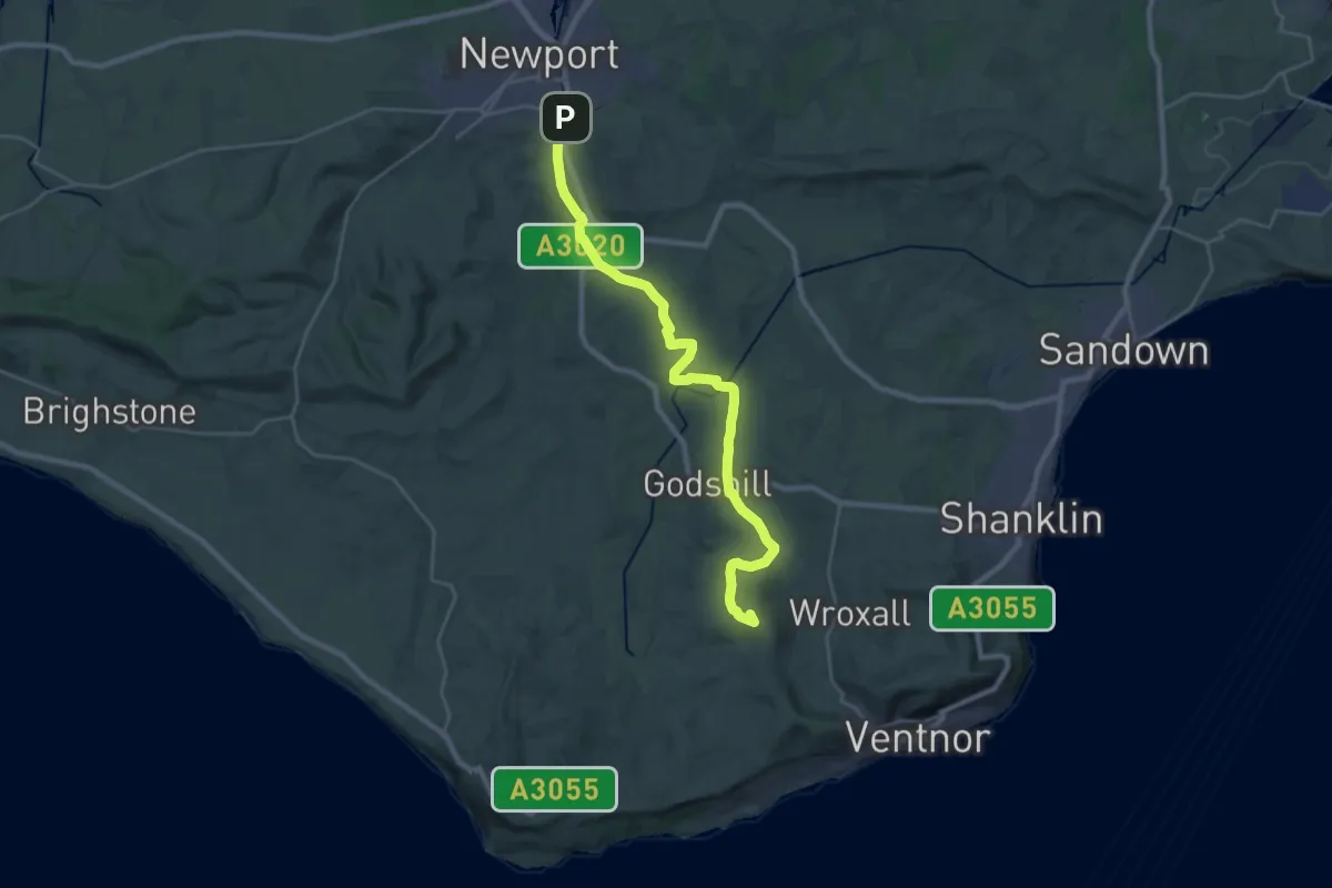
Demanding · Summit
The Stenbury Trail
24.9 km · ↑ 283 m · 6 h 29 min
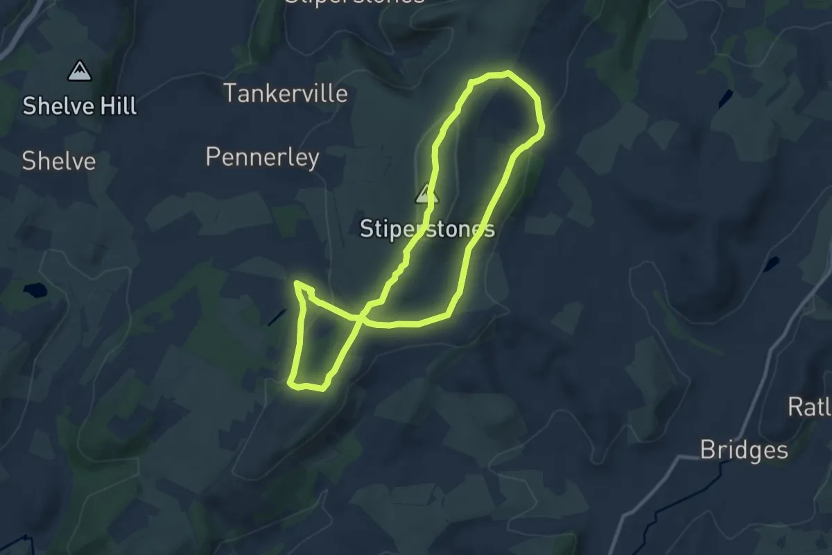
Medium · Summit
The Stiperstones Circular
8.2 km · ↑ 214 m · 2 h 31 min
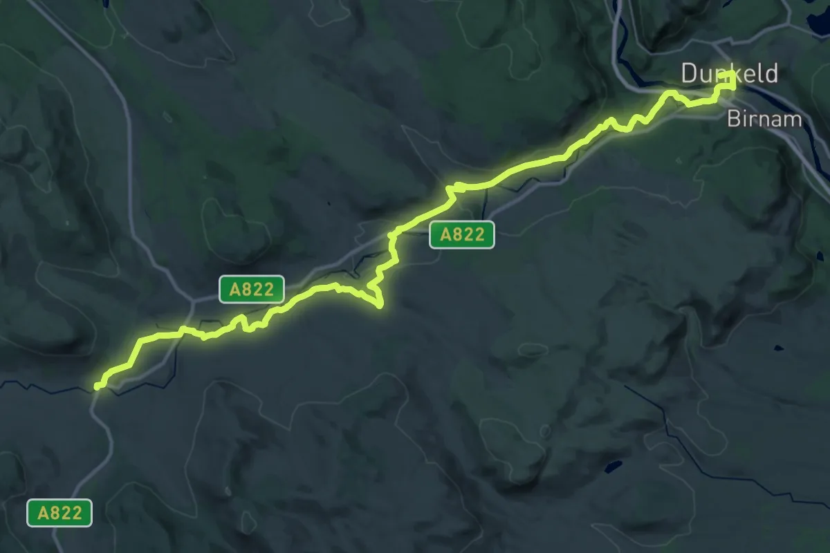
Demanding · Trail
The Strathbraan Pilgrims' Path
18.4 km · ↑ 213 m · 5 h 10 min
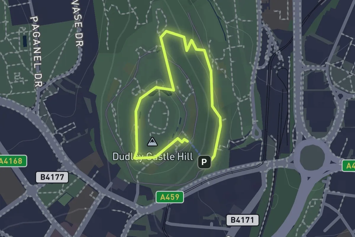
Easy · Summit
The Tecton Trail
1.1 km · ↑ 39 m · 21 min
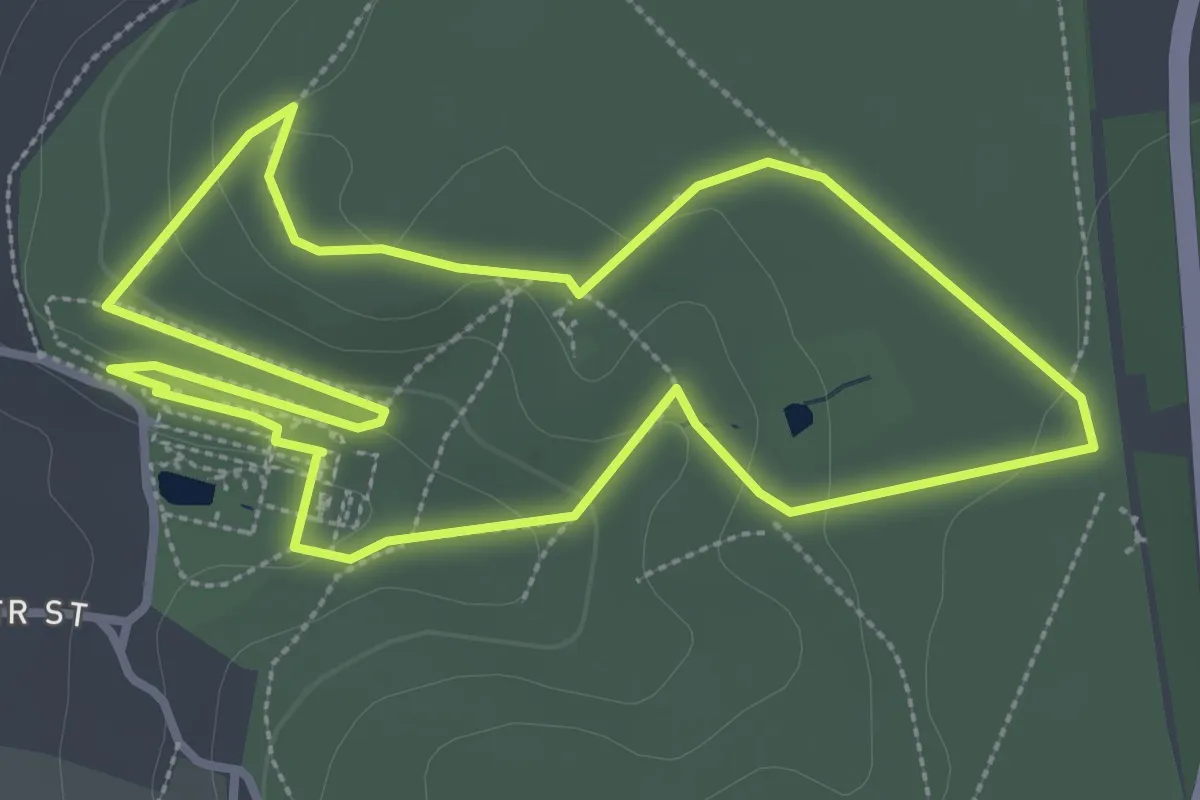
Easy · Summit
The terraces walk at Dyrham Park, Dyrham Park
3.0 km · ↑ 60 m · 53 min
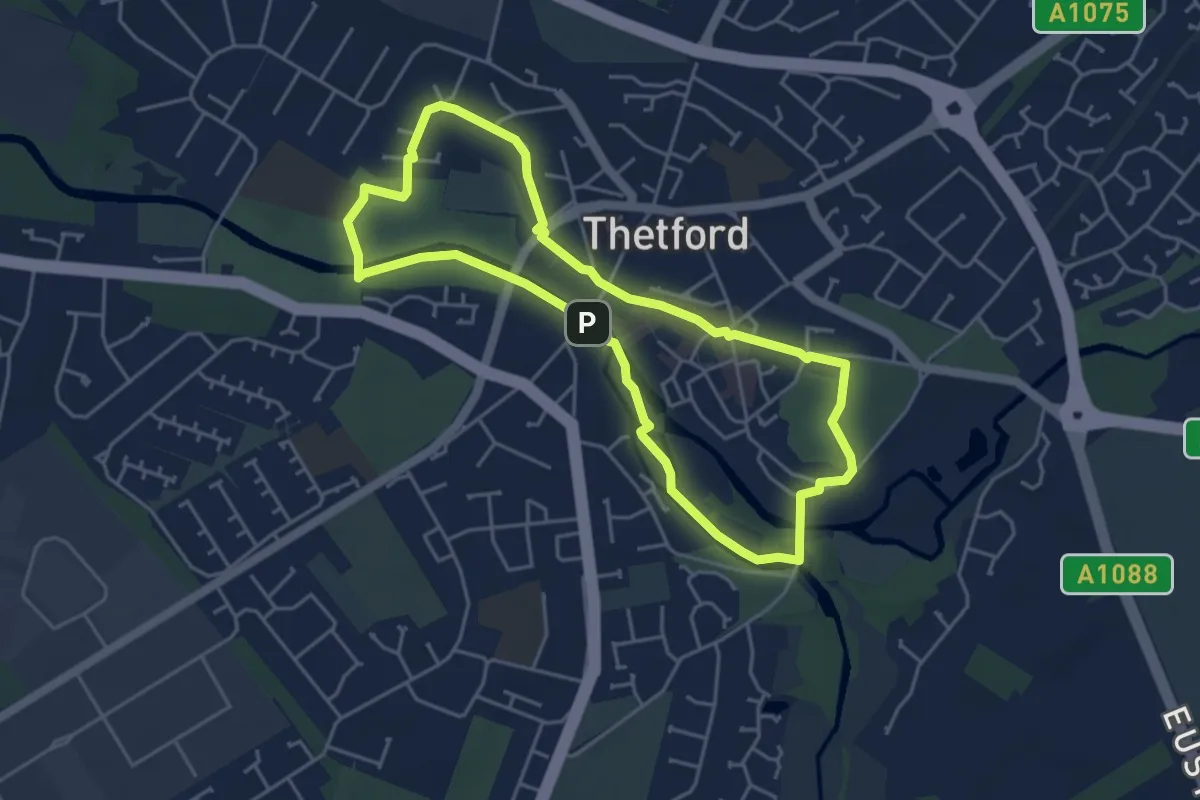
Easy · Trail
Thetford Architecture Trail
3.9 km · ↑ 9 m · 1 h
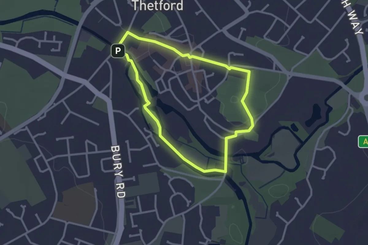
Easy · Trail
Thetford Heritage Trail
2.2 km · ↑ 9 m · 34 min
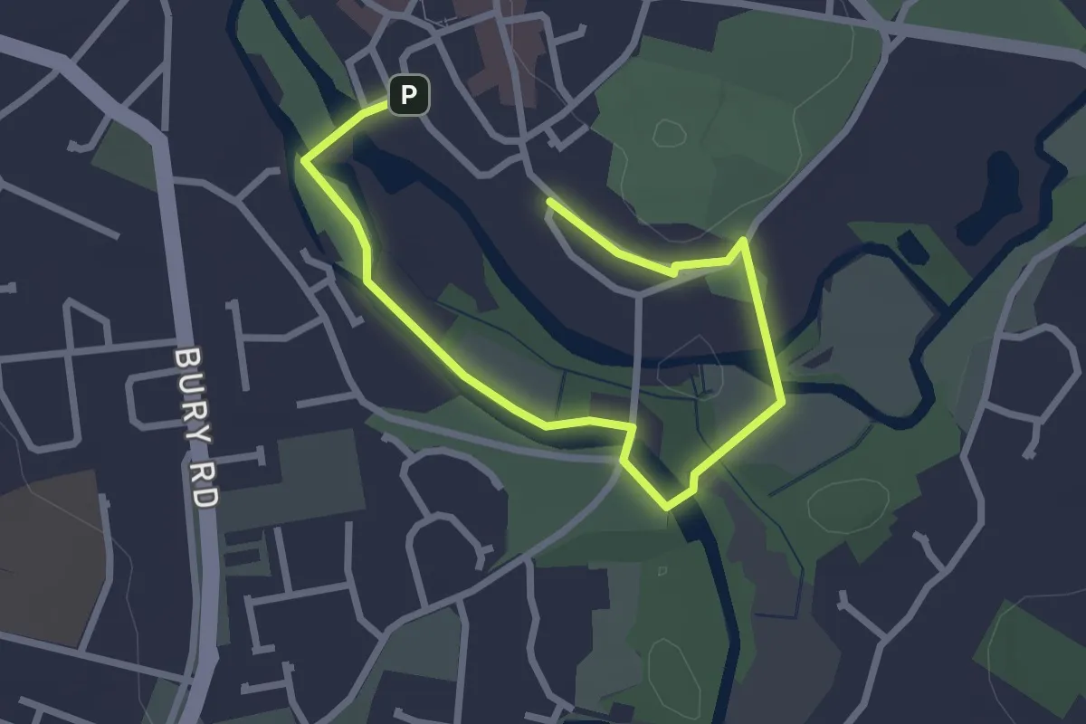
Easy · Trail
Thetford River Trails - Red Route (East)
1.4 km · ↑ 0 m · 21 min
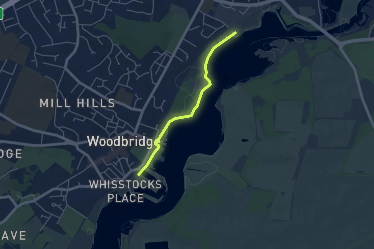
Easy · Trail
The Tide Mill Walk
3.2 km · ↑ 0 m · 45 min
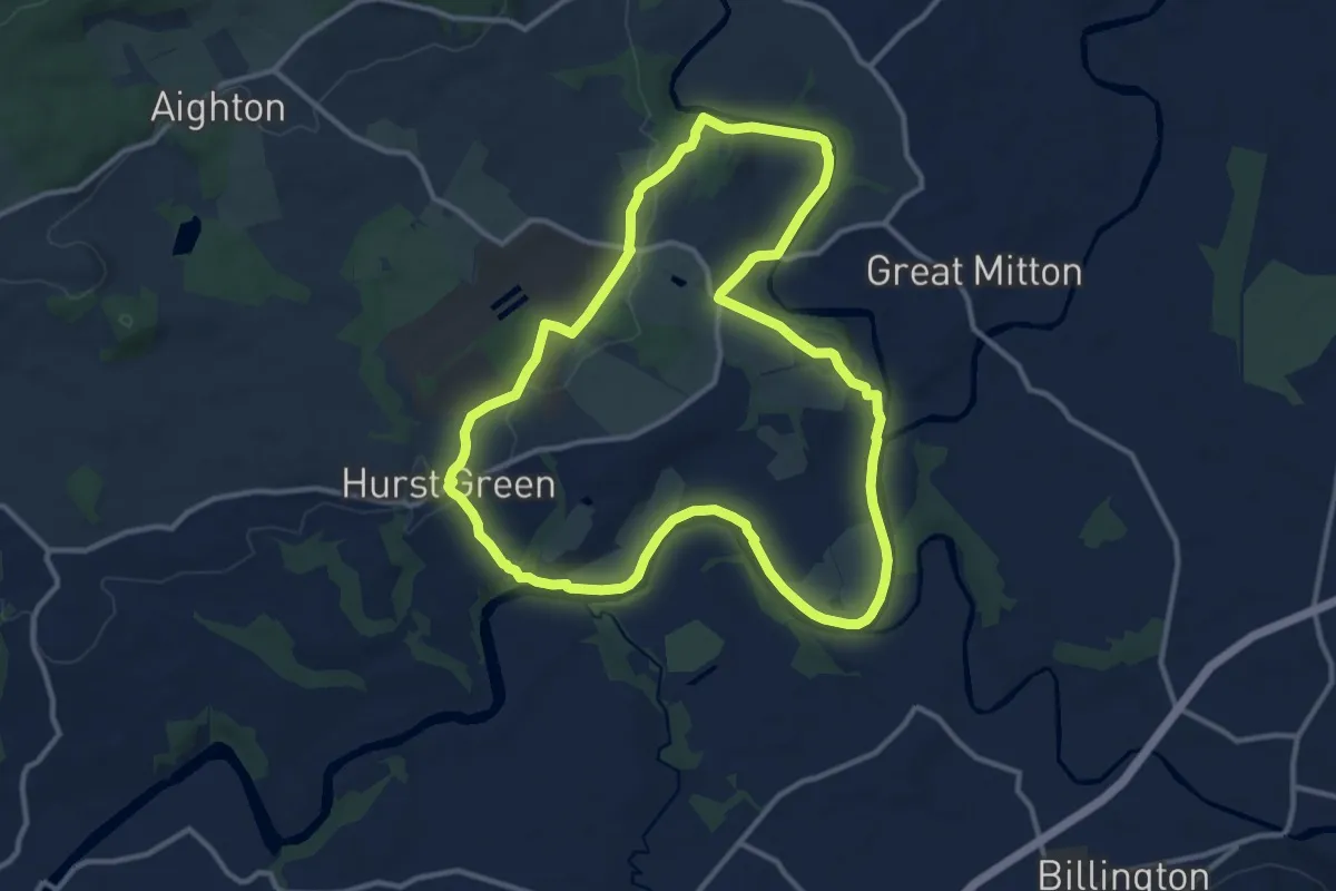
Medium · Trail
The Tolkien Trail
10.4 km · ↑ 133 m · 2 h 53 min
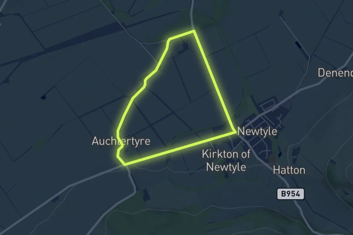
Easy · Trail
The Triangular Route
4.1 km · ↑ 35 m · 1 h 6 min
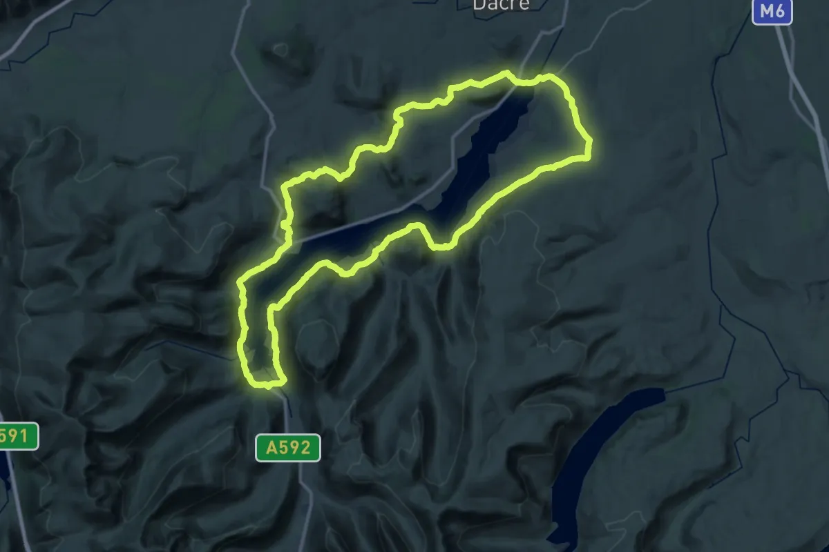
Demanding · Summit
The Ullswater Way
33.8 km · ↑ 885 m · 10 h 22 min
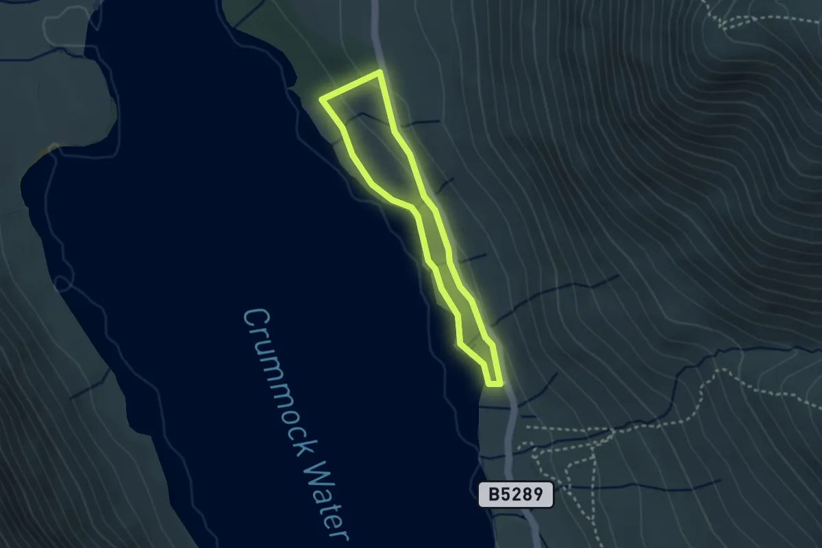
Easy · Trail
The Valley of Cinders Walk, North Lakes Outdoors
2.0 km · ↑ 42 m · 36 min
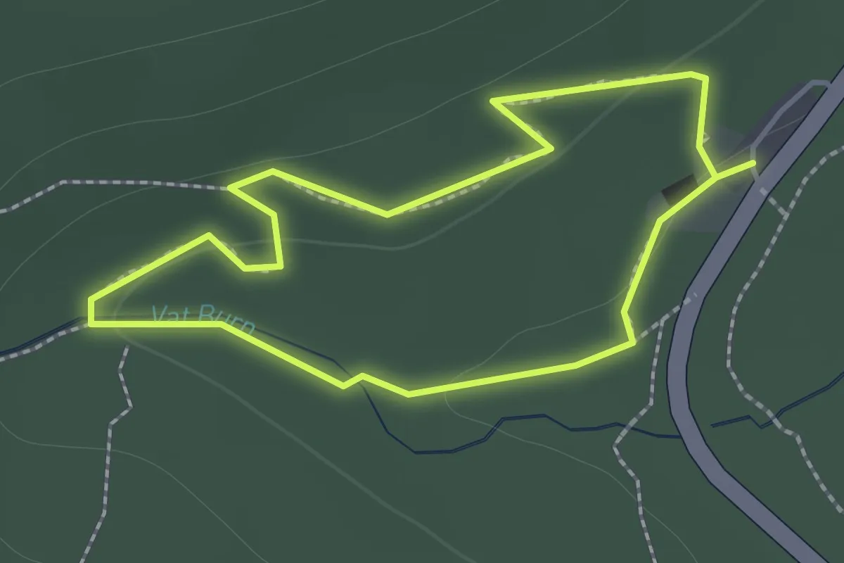
Easy · Trail
The Vat Trail
1.0 km · ↑ 30 m · 19 min
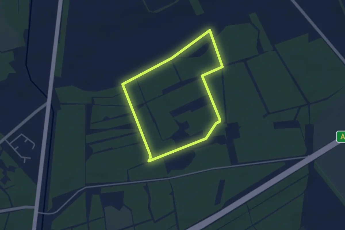
Easy · Trail
The Warrener's World Trail
2.7 km · ↑ 18 m · 43 min
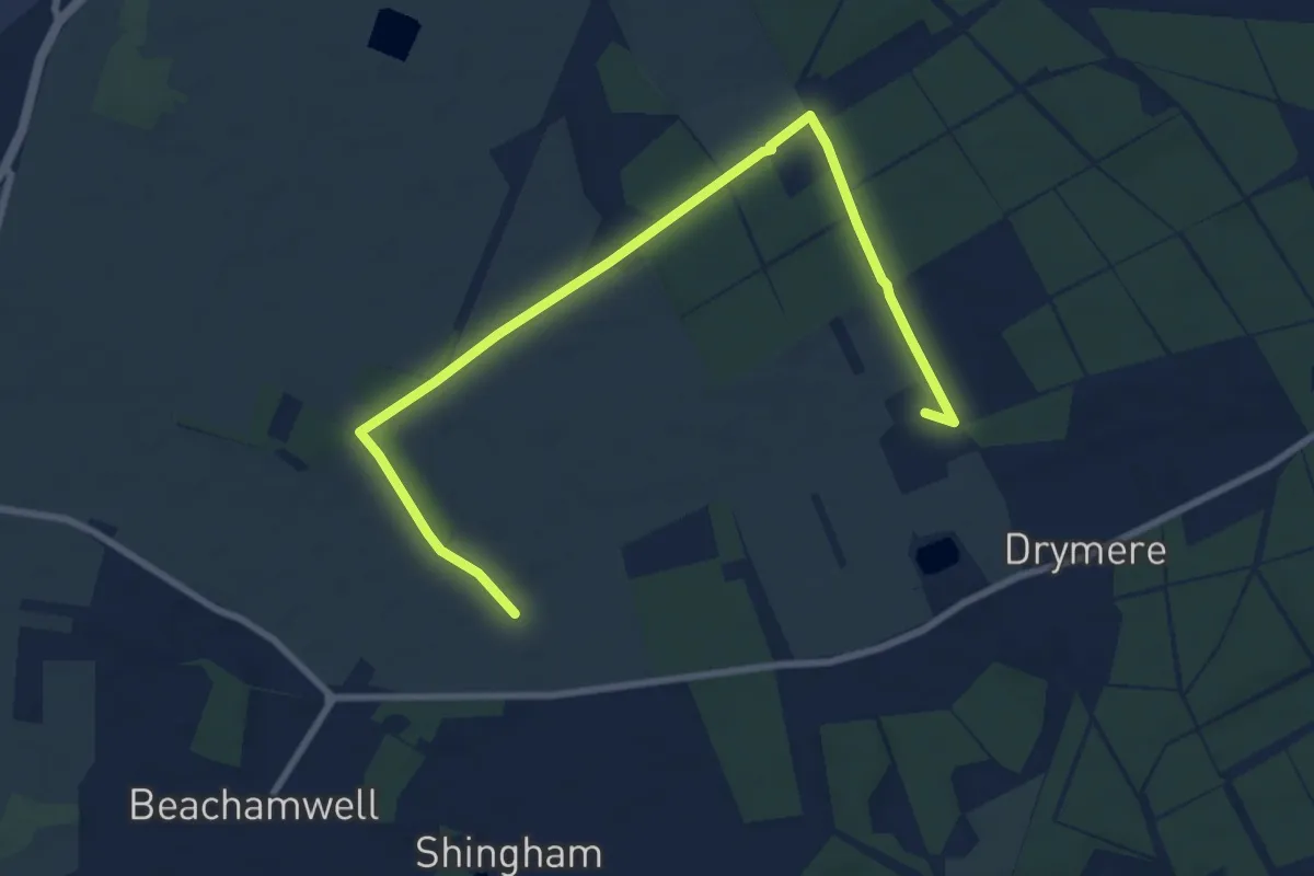
Easy · Trail
The Warren Trail Circular
4.4 km · ↑ 27 m · 1 h 9 min
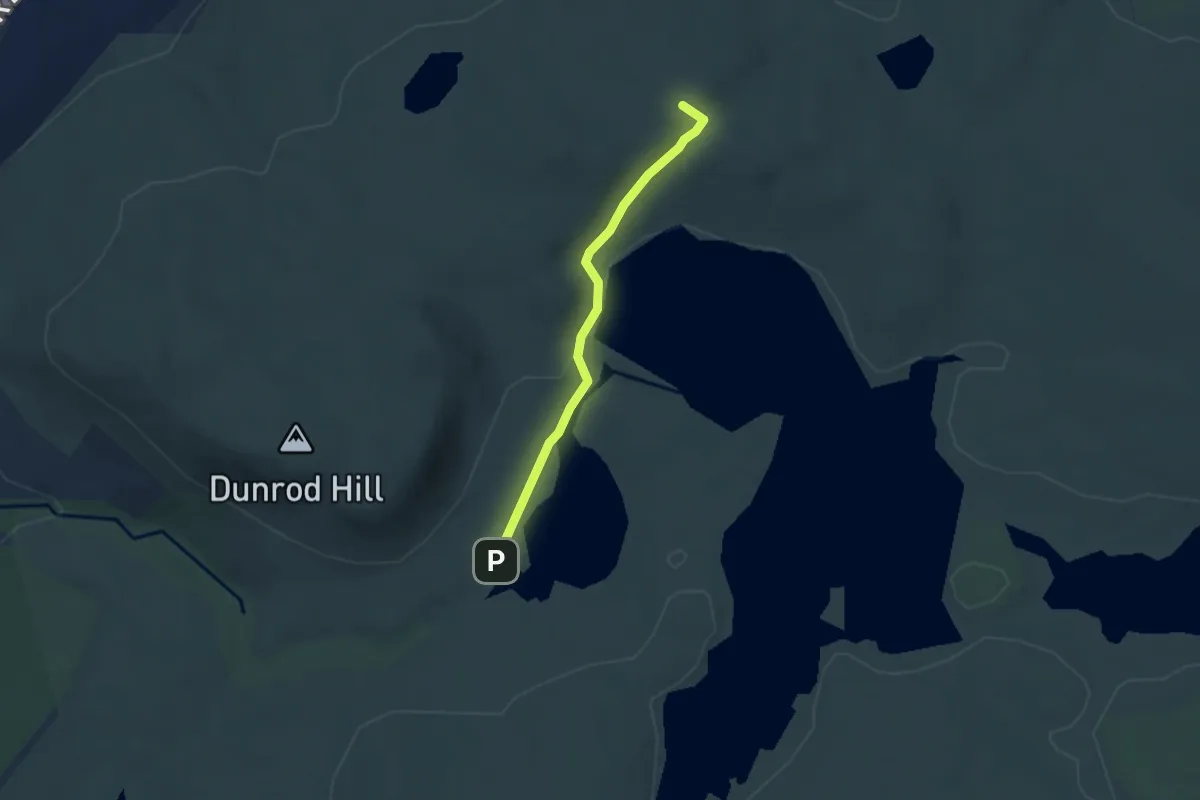
Easy · Summit
The Waterman's Road
4.1 km · ↑ 78 m · 1 h 8 min
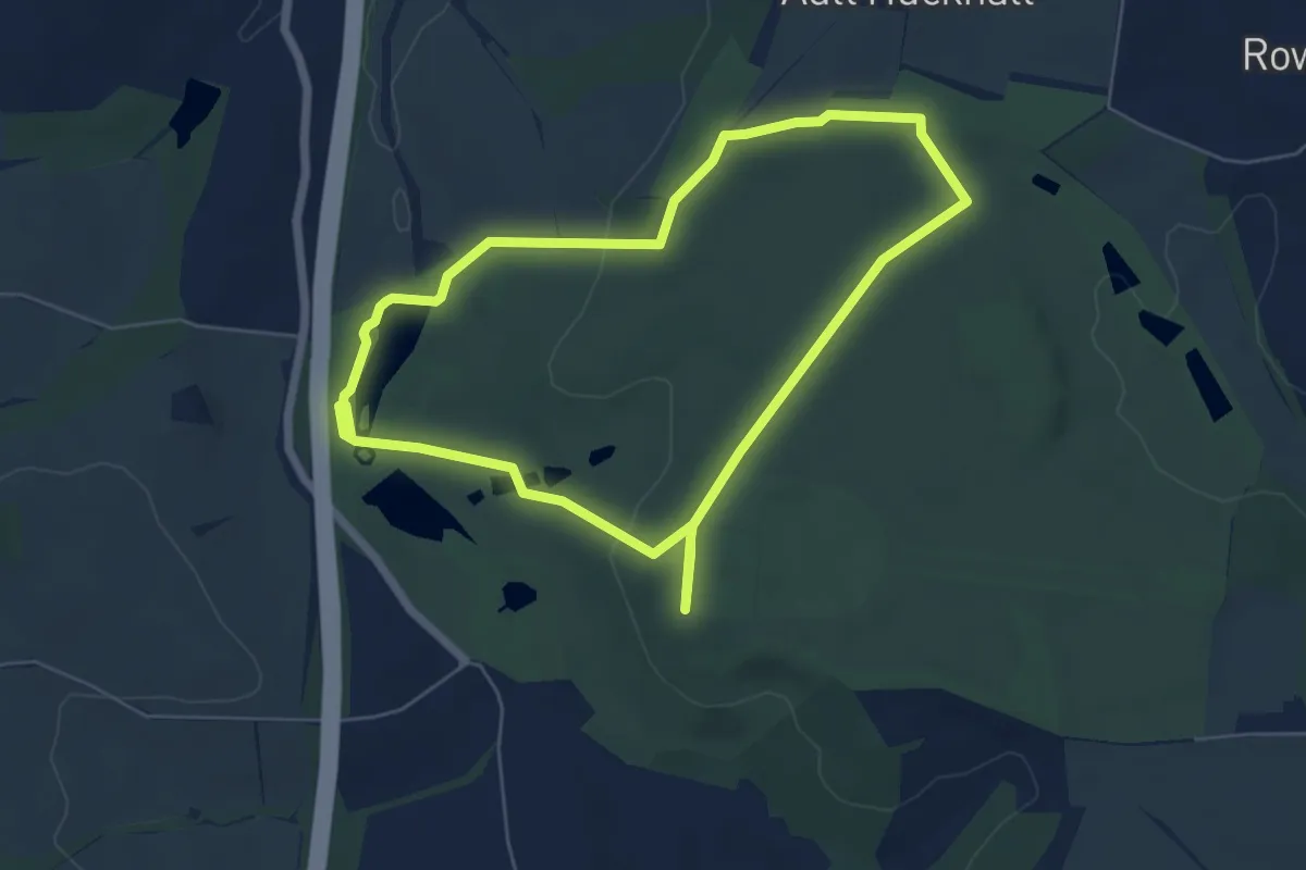
Easy · Trail
The Welly Walk, Hardwick
5.0 km · ↑ 90 m · 1 h 27 min
Easy · Trail
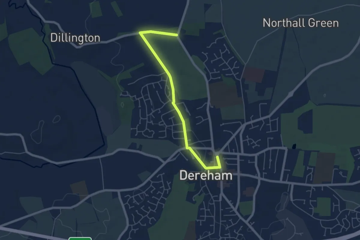
The Wendling Way
4.8 km · ↑ 39 m · 1 h 12 min
Demanding · Trail
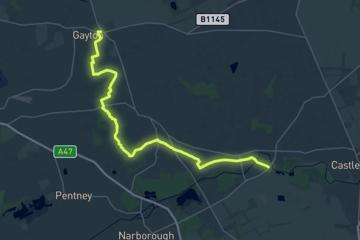
The West Acre Way
23.4 km · ↑ 52 m · 5 h 38 min
Easy · Trail
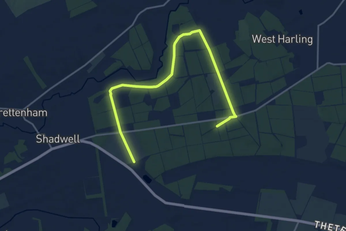
The West Harling Trail
5.6 km · ↑ 32 m · 1 h 28 min
Medium · Trail
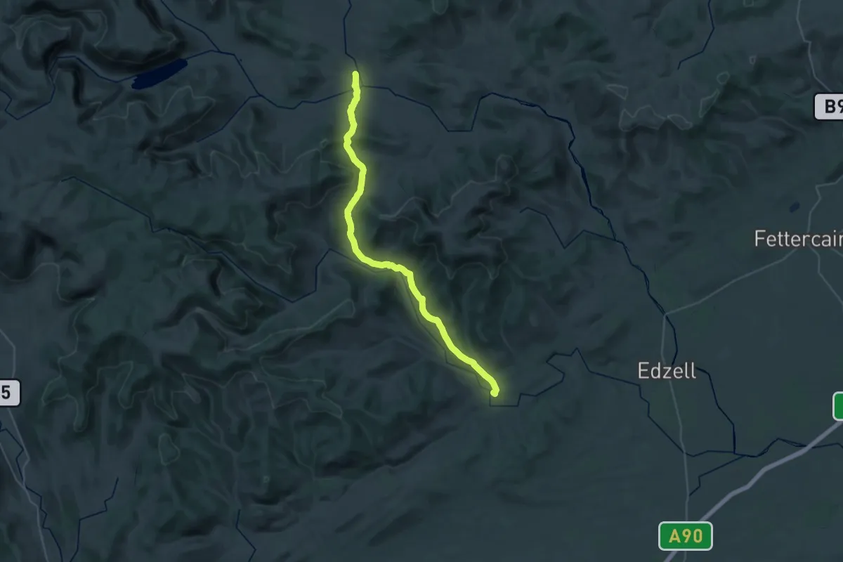
The Whisky Road
14.9 km · ↑ 430 m · 4 h 37 min